WARNING TO USERS OF THIS SYSTEM
This computer system, including all related equipment, networks, and network devices (including Internet access), is provided by the Department of the Interior (DOI) in accordance with the agency policy for official use and limited personal use.
All agency computer systems may be monitored for all lawful purposes,
including but not limited to, ensuring that use is authorized, for management of the system, to facilitate protection against unauthorized access, and to verify security procedures, survivability and operational security. Any information on this computer system may be examined, recorded, copied and used for authorized purposes at any time.
All information, including personal information, placed or sent over this system may be monitored, and users of this system are reminded that such monitoring does occur. Therefore, there should be no expectation of privacy with respect to use of this system.
By logging into this agency computer system, you acknowledge and consent to the monitoring of this system. Evidence of your use, authorized or
unauthorized, collected during monitoring may be used for civil, criminal, administrative, or other adverse action. Unauthorized or illegal use may subject you to prosecution.
 Name Last modified Size Description
![[PARENTDIR]](/icons/back.gif) Parent Directory -
Parent Directory -
![[ ]](/icons/unknown.gif) USGS_1_n46w120_20240416.gpkg 2024-04-16 15:18 1.6M
USGS_1_n46w120_20240416.gpkg 2024-04-16 15:18 1.6M
![[TXT]](/icons/text.gif) USGS_1_n46w120_20240416.xml 2024-04-16 14:36 11K
USGS_1_n46w120_20240416.xml 2024-04-16 14:36 11K
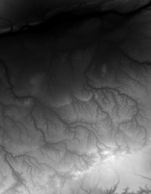
![[IMG]](/icons/image2.gif) USGS_1_n46w120_20240416.jpg 2024-04-16 14:36 9.0K
USGS_1_n46w120_20240416.tif 2024-04-16 14:36 51M
USGS_1_n46w120_20230202.gpkg 2023-02-02 14:27 1.6M
USGS_1_n46w120_20230202.xml 2023-02-02 13:35 11K
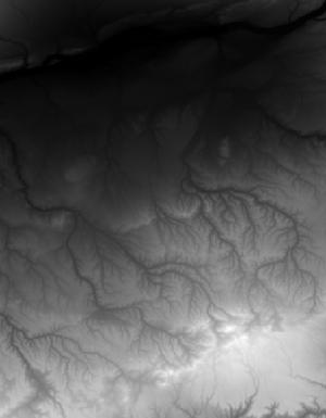
USGS_1_n46w120_20230202.jpg 2023-02-02 13:35 9.1K
USGS_1_n46w120_20230202.tif 2023-02-02 13:34 51M
USGS_1_n46w120_20221128.gpkg 2022-11-29 12:13 1.5M
USGS_1_n46w120_20221128.xml 2022-11-28 08:32 12K
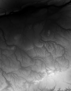
USGS_1_n46w120_20221128.jpg 2022-11-28 08:32 9.1K
USGS_1_n46w120_20221128.tif 2022-11-28 08:32 51M
USGS_1_n46w120_20211004.gpkg 2022-03-08 13:36 476K
USGS_1_n46w120_20211129.gpkg 2022-03-08 13:35 492K
USGS_1_n46w120_20211129.tif 2022-01-25 18:27 51M
USGS_1_n46w120_20130911.xml 2021-11-30 13:51 11K
USGS_1_n46w120_20211004.xml 2021-11-30 13:50 12K
USGS_1_n46w120_20211129.xml 2021-11-30 13:50 12K
USGS_1_n46w120_20211129.jpg 2021-11-29 16:01 9.1K
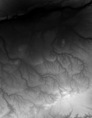
USGS_1_n46w120_20211004.jpg 2021-10-04 13:14 8.7K
USGS_1_n46w120_20211004.tif 2021-10-04 13:13 51M
USGS_1_n46w120_20130911.tif 2019-12-09 15:53 51M
USGS_1_n46w120_20130911.gpkg 2019-12-04 15:15 488K
USGS_1_n46w120_20130911.jpg 2019-12-03 15:57 8.8K
USGS_1_n46w120_20240416.jpg 2024-04-16 14:36 9.0K
USGS_1_n46w120_20240416.tif 2024-04-16 14:36 51M
USGS_1_n46w120_20230202.gpkg 2023-02-02 14:27 1.6M
USGS_1_n46w120_20230202.xml 2023-02-02 13:35 11K
USGS_1_n46w120_20230202.jpg 2023-02-02 13:35 9.1K
USGS_1_n46w120_20230202.tif 2023-02-02 13:34 51M
USGS_1_n46w120_20221128.gpkg 2022-11-29 12:13 1.5M
USGS_1_n46w120_20221128.xml 2022-11-28 08:32 12K
USGS_1_n46w120_20221128.jpg 2022-11-28 08:32 9.1K
USGS_1_n46w120_20221128.tif 2022-11-28 08:32 51M
USGS_1_n46w120_20211004.gpkg 2022-03-08 13:36 476K
USGS_1_n46w120_20211129.gpkg 2022-03-08 13:35 492K
USGS_1_n46w120_20211129.tif 2022-01-25 18:27 51M
USGS_1_n46w120_20130911.xml 2021-11-30 13:51 11K
USGS_1_n46w120_20211004.xml 2021-11-30 13:50 12K
USGS_1_n46w120_20211129.xml 2021-11-30 13:50 12K
USGS_1_n46w120_20211129.jpg 2021-11-29 16:01 9.1K
USGS_1_n46w120_20211004.jpg 2021-10-04 13:14 8.7K
USGS_1_n46w120_20211004.tif 2021-10-04 13:13 51M
USGS_1_n46w120_20130911.tif 2019-12-09 15:53 51M
USGS_1_n46w120_20130911.gpkg 2019-12-04 15:15 488K
USGS_1_n46w120_20130911.jpg 2019-12-03 15:57 8.8K