WARNING TO USERS OF THIS SYSTEM
This computer system, including all related equipment, networks, and network devices (including Internet access), is provided by the Department of the Interior (DOI) in accordance with the agency policy for official use and limited personal use.
All agency computer systems may be monitored for all lawful purposes,
including but not limited to, ensuring that use is authorized, for management of the system, to facilitate protection against unauthorized access, and to verify security procedures, survivability and operational security. Any information on this computer system may be examined, recorded, copied and used for authorized purposes at any time.
All information, including personal information, placed or sent over this system may be monitored, and users of this system are reminded that such monitoring does occur. Therefore, there should be no expectation of privacy with respect to use of this system.
By logging into this agency computer system, you acknowledge and consent to the monitoring of this system. Evidence of your use, authorized or
unauthorized, collected during monitoring may be used for civil, criminal, administrative, or other adverse action. Unauthorized or illegal use may subject you to prosecution.
 Name Last modified Size Description
![[PARENTDIR]](/icons/back.gif) Parent Directory -
Parent Directory -
![[ ]](/icons/unknown.gif) Thumbs.db 2021-11-18 11:54 12K
USGS_13_n41w112_20190925.gpkg 2019-12-04 13:14 316K
Thumbs.db 2021-11-18 11:54 12K
USGS_13_n41w112_20190925.gpkg 2019-12-04 13:14 316K
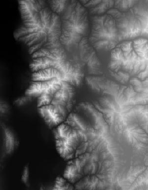
![[IMG]](/icons/image2.gif) USGS_13_n41w112_20190925.jpg 2019-12-03 14:42 13K
USGS_13_n41w112_20190925.tif 2021-10-04 09:53 381M
USGS_13_n41w112_20190925.jpg 2019-12-03 14:42 13K
USGS_13_n41w112_20190925.tif 2021-10-04 09:53 381M
![[TXT]](/icons/text.gif) USGS_13_n41w112_20190925.xml 2021-11-30 13:51 11K
USGS_13_n41w112_20211101.gpkg 2022-03-08 13:22 432K
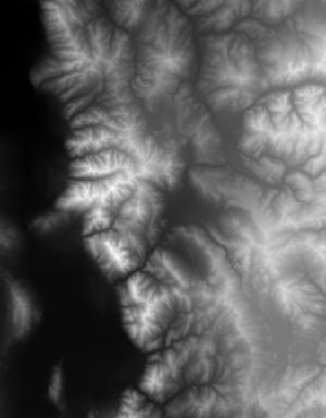
USGS_13_n41w112_20211101.jpg 2021-11-01 12:43 12K
USGS_13_n41w112_20211101.tif 2022-01-26 00:09 383M
USGS_13_n41w112_20211101.xml 2021-11-30 13:50 12K
USGS_13_n41w112_20220510.gpkg 2022-05-11 13:15 496K
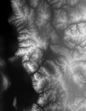
USGS_13_n41w112_20220510.jpg 2022-05-10 14:33 13K
USGS_13_n41w112_20220510.tif 2022-05-10 14:30 384M
USGS_13_n41w112_20220510.xml 2022-05-10 14:33 12K
USGS_13_n41w112_20220805.gpkg 2022-08-05 17:47 512K
USGS_13_n41w112_20220805.jpg 2022-08-05 12:24 13K
USGS_13_n41w112_20220805.tif 2022-08-05 12:17 384M
USGS_13_n41w112_20220805.xml 2022-08-05 12:25 12K
USGS_13_n41w112_20221115.gpkg 2022-11-14 19:25 528K
USGS_13_n41w112_20221115.jpg 2022-11-14 18:48 13K
USGS_13_n41w112_20221115.tif 2022-11-14 18:47 384M
USGS_13_n41w112_20221115.xml 2022-11-14 18:48 11K
USGS_13_n41w112_20240130.gpkg 2024-01-30 12:45 532K
USGS_13_n41w112_20240130.jpg 2024-01-30 10:08 13K
USGS_13_n41w112_20240130.tif 2024-01-30 10:08 385M
USGS_13_n41w112_20240130.xml 2024-01-30 10:09 12K
USGS_13_n41w112_20190925.xml 2021-11-30 13:51 11K
USGS_13_n41w112_20211101.gpkg 2022-03-08 13:22 432K
USGS_13_n41w112_20211101.jpg 2021-11-01 12:43 12K
USGS_13_n41w112_20211101.tif 2022-01-26 00:09 383M
USGS_13_n41w112_20211101.xml 2021-11-30 13:50 12K
USGS_13_n41w112_20220510.gpkg 2022-05-11 13:15 496K
USGS_13_n41w112_20220510.jpg 2022-05-10 14:33 13K
USGS_13_n41w112_20220510.tif 2022-05-10 14:30 384M
USGS_13_n41w112_20220510.xml 2022-05-10 14:33 12K
USGS_13_n41w112_20220805.gpkg 2022-08-05 17:47 512K
USGS_13_n41w112_20220805.jpg 2022-08-05 12:24 13K
USGS_13_n41w112_20220805.tif 2022-08-05 12:17 384M
USGS_13_n41w112_20220805.xml 2022-08-05 12:25 12K
USGS_13_n41w112_20221115.gpkg 2022-11-14 19:25 528K
USGS_13_n41w112_20221115.jpg 2022-11-14 18:48 13K
USGS_13_n41w112_20221115.tif 2022-11-14 18:47 384M
USGS_13_n41w112_20221115.xml 2022-11-14 18:48 11K
USGS_13_n41w112_20240130.gpkg 2024-01-30 12:45 532K
USGS_13_n41w112_20240130.jpg 2024-01-30 10:08 13K
USGS_13_n41w112_20240130.tif 2024-01-30 10:08 385M
USGS_13_n41w112_20240130.xml 2024-01-30 10:09 12K