WARNING TO USERS OF THIS SYSTEM
This computer system, including all related equipment, networks, and network devices (including Internet access), is provided by the Department of the Interior (DOI) in accordance with the agency policy for official use and limited personal use.
All agency computer systems may be monitored for all lawful purposes,
including but not limited to, ensuring that use is authorized, for management of the system, to facilitate protection against unauthorized access, and to verify security procedures, survivability and operational security. Any information on this computer system may be examined, recorded, copied and used for authorized purposes at any time.
All information, including personal information, placed or sent over this system may be monitored, and users of this system are reminded that such monitoring does occur. Therefore, there should be no expectation of privacy with respect to use of this system.
By logging into this agency computer system, you acknowledge and consent to the monitoring of this system. Evidence of your use, authorized or
unauthorized, collected during monitoring may be used for civil, criminal, administrative, or other adverse action. Unauthorized or illegal use may subject you to prosecution.
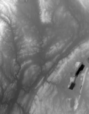
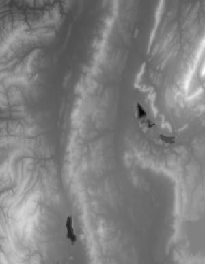
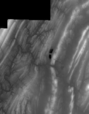
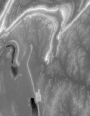
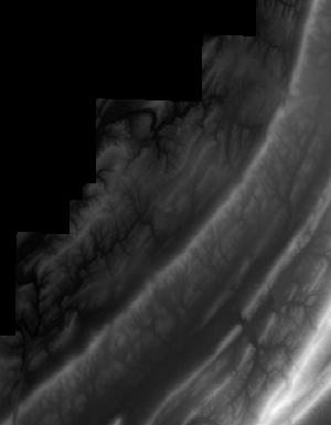
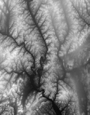
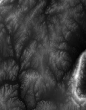
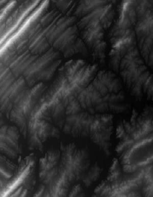
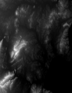
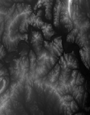
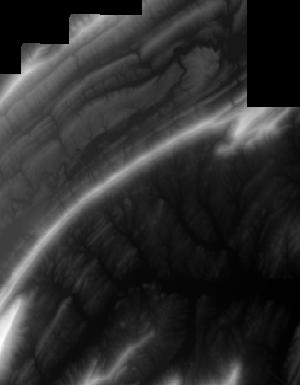
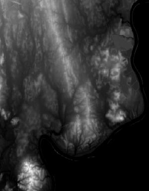
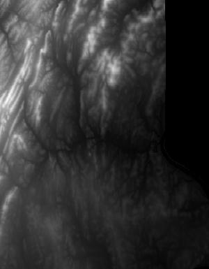
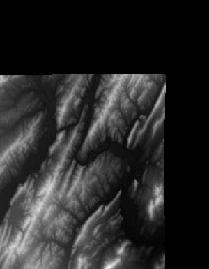
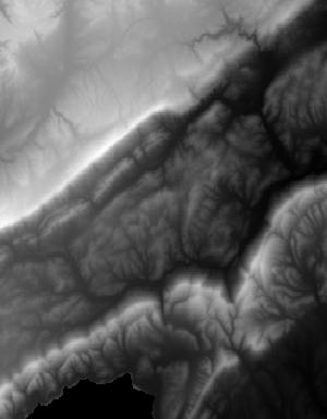
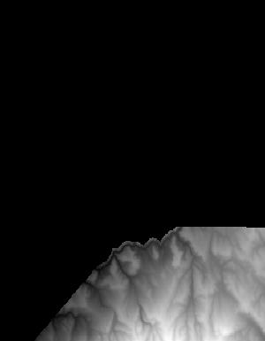
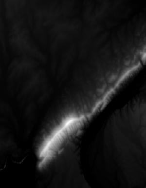
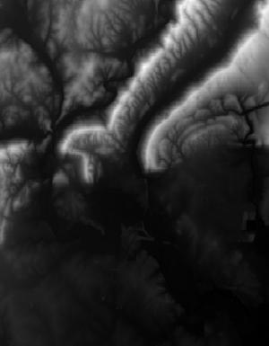
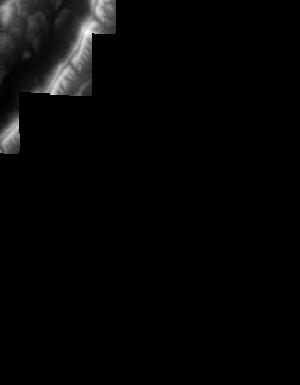
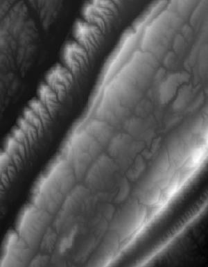
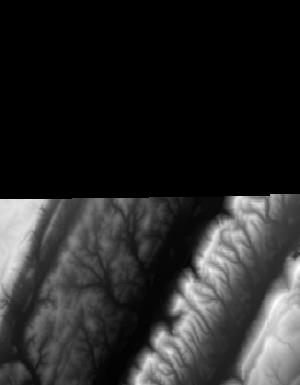
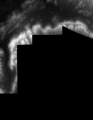
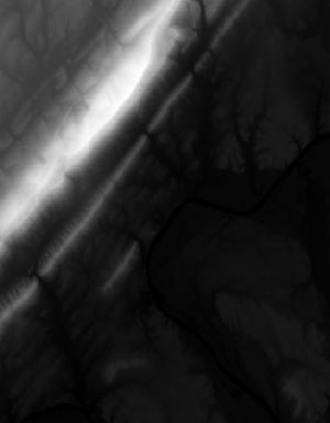
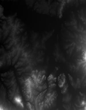
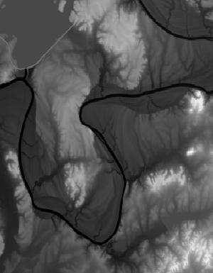
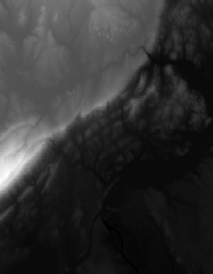
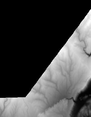
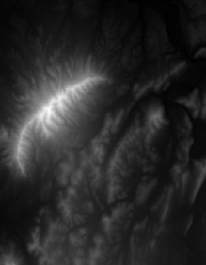
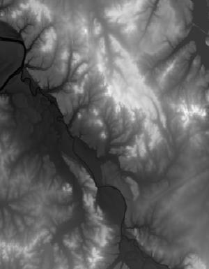
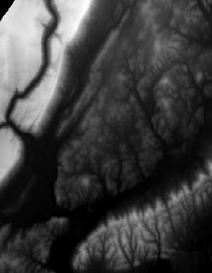
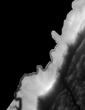
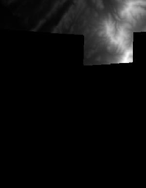
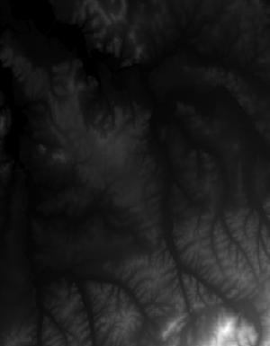
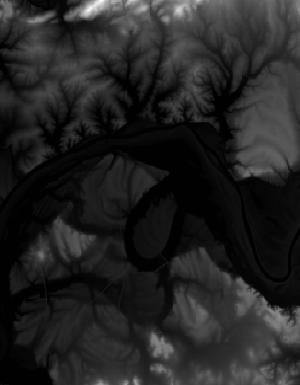
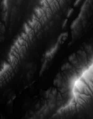
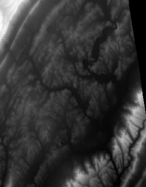
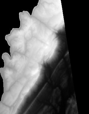
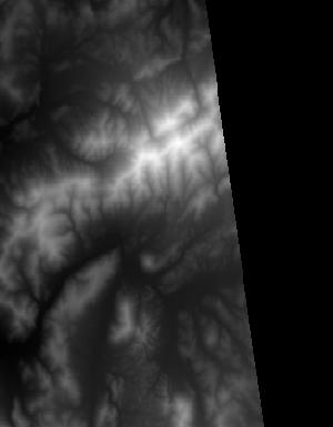
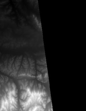
Index of /vdelivery/Datasets/Staged/Elevation/1m/Projects/AL_25Co_B2_2017/browse/
Index of /vdelivery/Datasets/Staged/Elevation/1m/Projects/AL_25Co_B2_2017/browse/
../
USGS_1m_x49y367_AL_25Co_B2_2017.jpg                13-Mar-2020 19:11                1368
USGS_1m_x49y368_AL_25Co_B2_2017.jpg                13-Mar-2020 19:07                4693
USGS_1m_x50y366_AL_25Co_B2_2017.jpg                13-Mar-2020 19:14                2747
USGS_1m_x50y367_AL_25Co_B2_2017.jpg                13-Mar-2020 19:11               12385
USGS_1m_x50y368_AL_25Co_B2_2017.jpg                13-Mar-2020 19:08               17624
USGS_1m_x50y369_AL_25Co_B2_2017.jpg                13-Mar-2020 19:03                5768
USGS_1m_x51y366_AL_25Co_B2_2017.jpg                13-Mar-2020 19:15                3625
USGS_1m_x51y367_AL_25Co_B2_2017.jpg                13-Mar-2020 19:12               10167
USGS_1m_x51y368_AL_25Co_B2_2017.jpg                13-Mar-2020 19:08                9880
USGS_1m_x51y369_AL_25Co_B2_2017.jpg                13-Mar-2020 19:04               11568
USGS_1m_x51y370_AL_25Co_B2_2017.jpg                13-Mar-2020 19:00                2701
USGS_1m_x52y366_AL_25Co_B2_2017.jpg                13-Mar-2020 19:15                3754
USGS_1m_x52y367_AL_25Co_B2_2017.jpg                13-Mar-2020 19:12               11790
USGS_1m_x52y368_AL_25Co_B2_2017.jpg                13-Mar-2020 19:09               10963
USGS_1m_x52y369_AL_25Co_B2_2017.jpg                13-Mar-2020 19:05               12288
USGS_1m_x52y370_AL_25Co_B2_2017.jpg                13-Mar-2020 19:01                8785
USGS_1m_x52y371_AL_25Co_B2_2017.jpg                13-Mar-2020 18:58                1440
USGS_1m_x53y366_AL_25Co_B2_2017.jpg                13-Mar-2020 19:15                7326
USGS_1m_x53y367_AL_25Co_B2_2017.jpg                13-Mar-2020 19:13               19738
USGS_1m_x53y368_AL_25Co_B2_2017.jpg                13-Mar-2020 19:09               12129
USGS_1m_x53y369_AL_25Co_B2_2017.jpg                13-Mar-2020 19:05               12259
USGS_1m_x53y370_AL_25Co_B2_2017.jpg                13-Mar-2020 19:01               11082
USGS_1m_x53y371_AL_25Co_B2_2017.jpg                13-Mar-2020 18:59                5626
USGS_1m_x54y366_AL_25Co_B2_2017.jpg                13-Mar-2020 19:16                6865
USGS_1m_x54y367_AL_25Co_B2_2017.jpg                13-Mar-2020 19:14               11315
USGS_1m_x54y368_AL_25Co_B2_2017.jpg                13-Mar-2020 19:10                8918
USGS_1m_x54y369_AL_25Co_B2_2017.jpg                13-Mar-2020 19:06               12871
USGS_1m_x54y370_AL_25Co_B2_2017.jpg                13-Mar-2020 19:02                9542
USGS_1m_x54y371_AL_25Co_B2_2017.jpg                13-Mar-2020 18:59                9726
USGS_1m_x54y372_AL_25Co_B2_2017.jpg                13-Mar-2020 18:58                2148
USGS_1m_x55y367_AL_25Co_B2_2017.jpg                13-Mar-2020 19:14                 652
USGS_1m_x55y368_AL_25Co_B2_2017.jpg                13-Mar-2020 19:10                1868
USGS_1m_x55y369_AL_25Co_B2_2017.jpg                13-Mar-2020 19:06               11291
USGS_1m_x55y370_AL_25Co_B2_2017.jpg                13-Mar-2020 19:03                9503
USGS_1m_x55y371_AL_25Co_B2_2017.jpg                13-Mar-2020 19:00               10385
USGS_1m_x55y376_AL_25Co_B2_2017.jpg                13-Mar-2020 18:53                2171
USGS_1m_x56y369_AL_25Co_B2_2017.jpg                13-Mar-2020 19:07                 763
USGS_1m_x56y370_AL_25Co_B2_2017.jpg                13-Mar-2020 19:03                1785
USGS_1m_x56y376_AL_25Co_B2_2017.jpg                13-Mar-2020 18:53                4763
USGS_1m_x56y377_AL_25Co_B2_2017.jpg                13-Mar-2020 18:48               10536
USGS_1m_x56y378_AL_25Co_B2_2017.jpg                13-Mar-2020 18:42                6359
USGS_1m_x57y376_AL_25Co_B2_2017.jpg                13-Mar-2020 18:54                3149
USGS_1m_x57y377_AL_25Co_B2_2017.jpg                13-Mar-2020 18:48               11630
USGS_1m_x57y378_AL_25Co_B2_2017.jpg                13-Mar-2020 18:43               10067
USGS_1m_x57y379_AL_25Co_B2_2017.jpg                13-Mar-2020 18:38                4063
USGS_1m_x58y375_AL_25Co_B2_2017.jpg                13-Mar-2020 18:57                3153
USGS_1m_x58y376_AL_25Co_B2_2017.jpg                13-Mar-2020 18:54                5780
USGS_1m_x58y377_AL_25Co_B2_2017.jpg                13-Mar-2020 18:49               10024
USGS_1m_x58y378_AL_25Co_B2_2017.jpg                13-Mar-2020 18:44               12504
USGS_1m_x58y379_AL_25Co_B2_2017.jpg                13-Mar-2020 18:39                5245
USGS_1m_x59y375_AL_25Co_B2_2017.jpg                13-Mar-2020 18:58                2484
USGS_1m_x59y376_AL_25Co_B2_2017.jpg                13-Mar-2020 18:55                8789
USGS_1m_x59y377_AL_25Co_B2_2017.jpg                13-Mar-2020 18:49                8027
USGS_1m_x59y378_AL_25Co_B2_2017.jpg                13-Mar-2020 18:44               11038
USGS_1m_x59y379_AL_25Co_B2_2017.jpg                13-Mar-2020 18:39                7546
USGS_1m_x60y376_AL_25Co_B2_2017.jpg                13-Mar-2020 18:55                6133
USGS_1m_x60y377_AL_25Co_B2_2017.jpg                13-Mar-2020 18:50                8351
USGS_1m_x60y378_AL_25Co_B2_2017.jpg                13-Mar-2020 18:45                7198
USGS_1m_x60y379_AL_25Co_B2_2017.jpg                13-Mar-2020 18:40                7144
USGS_1m_x60y380_AL_25Co_B2_2017.jpg                13-Mar-2020 18:36                1042
USGS_1m_x61y376_AL_25Co_B2_2017.jpg                13-Mar-2020 18:56                4847
USGS_1m_x61y377_AL_25Co_B2_2017.jpg                13-Mar-2020 18:51                7724
USGS_1m_x61y378_AL_25Co_B2_2017.jpg                13-Mar-2020 18:45               13065
USGS_1m_x61y379_AL_25Co_B2_2017.jpg                13-Mar-2020 18:40                6661
USGS_1m_x61y380_AL_25Co_B2_2017.jpg                13-Mar-2020 18:36                6954
USGS_1m_x62y376_AL_25Co_B2_2017.jpg                13-Mar-2020 18:56                2581
USGS_1m_x62y377_AL_25Co_B2_2017.jpg                13-Mar-2020 18:51                7935
USGS_1m_x62y378_AL_25Co_B2_2017.jpg                13-Mar-2020 18:46               12631
USGS_1m_x62y379_AL_25Co_B2_2017.jpg                13-Mar-2020 18:41                6076
USGS_1m_x62y380_AL_25Co_B2_2017.jpg                13-Mar-2020 18:37               11435
USGS_1m_x62y381_AL_25Co_B2_2017.jpg                13-Mar-2020 18:35                7962
USGS_1m_x62y382_AL_25Co_B2_2017.jpg                13-Mar-2020 18:34                1055
USGS_1m_x63y376_AL_25Co_B2_2017.jpg                13-Mar-2020 18:56                3204
USGS_1m_x63y377_AL_25Co_B2_2017.jpg                13-Mar-2020 18:52               10061
USGS_1m_x63y378_AL_25Co_B2_2017.jpg                13-Mar-2020 18:47                6918
USGS_1m_x63y379_AL_25Co_B2_2017.jpg                13-Mar-2020 18:42               10701
USGS_1m_x63y380_AL_25Co_B2_2017.jpg                13-Mar-2020 18:38                8628
USGS_1m_x63y381_AL_25Co_B2_2017.jpg                13-Mar-2020 18:35               10710
USGS_1m_x63y382_AL_25Co_B2_2017.jpg                13-Mar-2020 18:34                8978
USGS_1m_x63y383_AL_25Co_B2_2017.jpg                13-Mar-2020 18:33                1540
USGS_1m_x64y376_AL_25Co_B2_2017.jpg                13-Mar-2020 18:57                3001
USGS_1m_x64y377_AL_25Co_B2_2017.jpg                13-Mar-2020 18:52                8174
USGS_1m_x64y378_AL_25Co_B2_2017.jpg                13-Mar-2020 18:47                6496
USGS_1m_x64y379_AL_25Co_B2_2017.jpg                13-Mar-2020 18:42                7087
USGS_1m_x64y380_AL_25Co_B2_2017.jpg                13-Mar-2020 18:38                2911
USGS_1m_x64y381_AL_25Co_B2_2017.jpg                13-Mar-2020 18:36                1154