WARNING TO USERS OF THIS SYSTEM
This computer system, including all related equipment, networks, and network devices (including Internet access), is provided by the Department of the Interior (DOI) in accordance with the agency policy for official use and limited personal use.
All agency computer systems may be monitored for all lawful purposes,
including but not limited to, ensuring that use is authorized, for management of the system, to facilitate protection against unauthorized access, and to verify security procedures, survivability and operational security. Any information on this computer system may be examined, recorded, copied and used for authorized purposes at any time.
All information, including personal information, placed or sent over this system may be monitored, and users of this system are reminded that such monitoring does occur. Therefore, there should be no expectation of privacy with respect to use of this system.
By logging into this agency computer system, you acknowledge and consent to the monitoring of this system. Evidence of your use, authorized or
unauthorized, collected during monitoring may be used for civil, criminal, administrative, or other adverse action. Unauthorized or illegal use may subject you to prosecution.
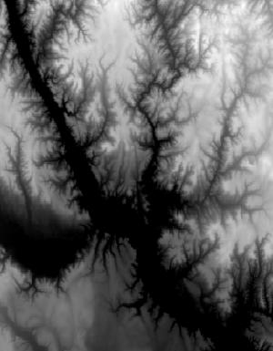
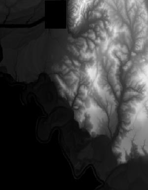
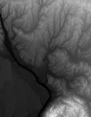
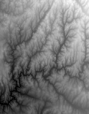
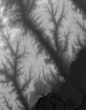
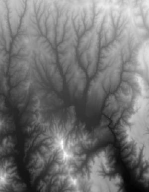
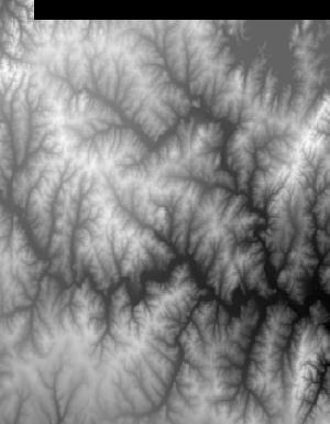
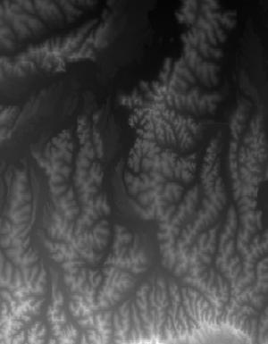
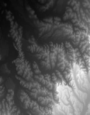
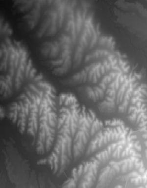
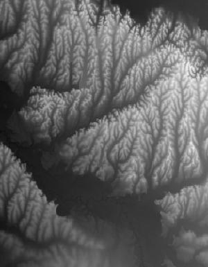
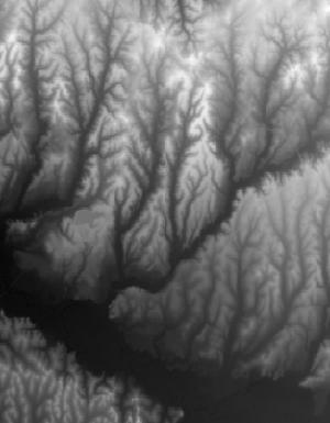
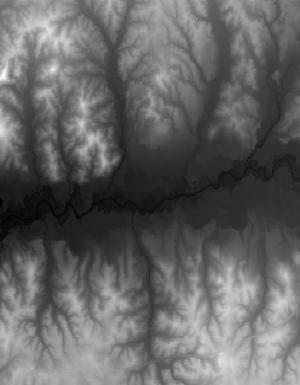
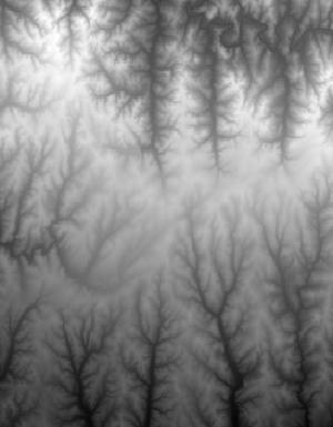
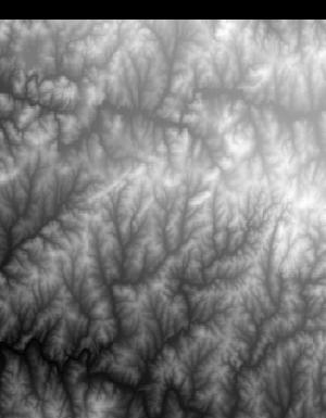
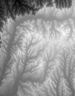
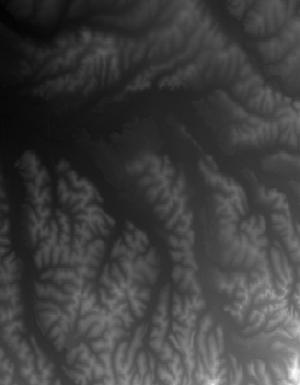
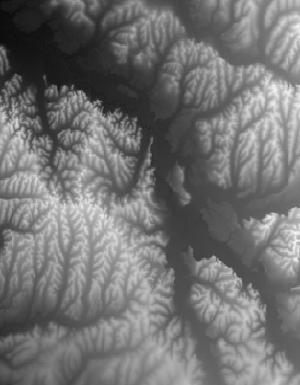
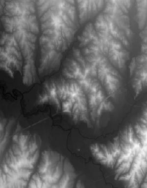
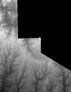
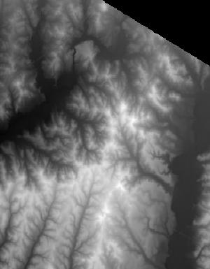
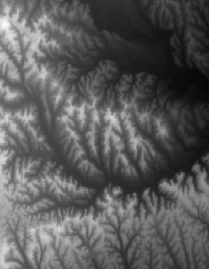
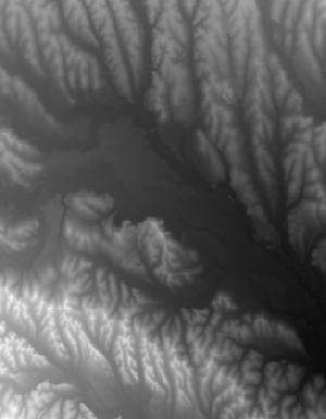
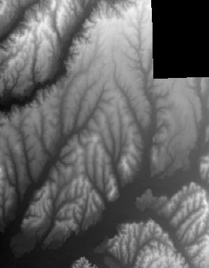
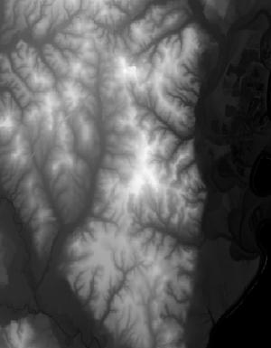
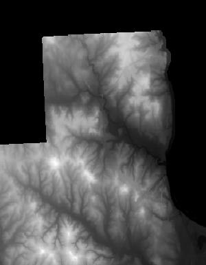
Index of /vdelivery/Datasets/Staged/Elevation/1m/Projects/AL_25Co_B4_2017/browse/
Index of /vdelivery/Datasets/Staged/Elevation/1m/Projects/AL_25Co_B4_2017/browse/
../
USGS_1m_x50y360_AL_25Co_B4_2017.jpg                23-Mar-2020 13:52                1278
USGS_1m_x50y361_AL_25Co_B4_2017.jpg                23-Mar-2020 13:44                2889
USGS_1m_x50y362_AL_25Co_B4_2017.jpg                23-Mar-2020 13:36                2629
USGS_1m_x51y358_AL_25Co_B4_2017.jpg                23-Mar-2020 14:13                3740
USGS_1m_x51y359_AL_25Co_B4_2017.jpg                23-Mar-2020 14:03                7527
USGS_1m_x51y360_AL_25Co_B4_2017.jpg                23-Mar-2020 13:52               13749
USGS_1m_x51y361_AL_25Co_B4_2017.jpg                23-Mar-2020 13:45               16051
USGS_1m_x51y362_AL_25Co_B4_2017.jpg                23-Mar-2020 13:37                8257
USGS_1m_x52y358_AL_25Co_B4_2017.jpg                23-Mar-2020 14:13                1995
USGS_1m_x52y359_AL_25Co_B4_2017.jpg                23-Mar-2020 14:03               13445
USGS_1m_x52y360_AL_25Co_B4_2017.jpg                23-Mar-2020 13:53               14069
USGS_1m_x52y361_AL_25Co_B4_2017.jpg                23-Mar-2020 13:45               13538
USGS_1m_x52y362_AL_25Co_B4_2017.jpg                23-Mar-2020 13:37                9399
USGS_1m_x53y358_AL_25Co_B4_2017.jpg                23-Mar-2020 14:13                 665
USGS_1m_x53y359_AL_25Co_B4_2017.jpg                23-Mar-2020 14:04                6846
USGS_1m_x53y360_AL_25Co_B4_2017.jpg                23-Mar-2020 13:54               12755
USGS_1m_x53y361_AL_25Co_B4_2017.jpg                23-Mar-2020 13:46               11331
USGS_1m_x53y362_AL_25Co_B4_2017.jpg                23-Mar-2020 13:38               12565
USGS_1m_x54y358_AL_25Co_B4_2017.jpg                23-Mar-2020 14:14                2652
USGS_1m_x54y359_AL_25Co_B4_2017.jpg                23-Mar-2020 14:04                6633
USGS_1m_x54y360_AL_25Co_B4_2017.jpg                23-Mar-2020 13:54               12929
USGS_1m_x54y361_AL_25Co_B4_2017.jpg                23-Mar-2020 13:46               13044
USGS_1m_x54y362_AL_25Co_B4_2017.jpg                23-Mar-2020 13:39               12672
USGS_1m_x55y359_AL_25Co_B4_2017.jpg                23-Mar-2020 14:05                6776
USGS_1m_x55y360_AL_25Co_B4_2017.jpg                23-Mar-2020 13:55                9810
USGS_1m_x55y361_AL_25Co_B4_2017.jpg                23-Mar-2020 13:47               11499
USGS_1m_x55y362_AL_25Co_B4_2017.jpg                23-Mar-2020 13:39               12707
USGS_1m_x55y363_AL_25Co_B4_2017.jpg                23-Mar-2020 13:34                4918
USGS_1m_x56y359_AL_25Co_B4_2017.jpg                23-Mar-2020 14:05                3568
USGS_1m_x56y360_AL_25Co_B4_2017.jpg                23-Mar-2020 13:55                9288
USGS_1m_x56y361_AL_25Co_B4_2017.jpg                23-Mar-2020 13:48                9345
USGS_1m_x56y362_AL_25Co_B4_2017.jpg                23-Mar-2020 13:40               16310
USGS_1m_x56y363_AL_25Co_B4_2017.jpg                23-Mar-2020 13:35                9765
USGS_1m_x57y359_AL_25Co_B4_2017.jpg                23-Mar-2020 14:06                2917
USGS_1m_x57y360_AL_25Co_B4_2017.jpg                23-Mar-2020 13:56                9773
USGS_1m_x57y361_AL_25Co_B4_2017.jpg                23-Mar-2020 13:48               10286
USGS_1m_x57y362_AL_25Co_B4_2017.jpg                23-Mar-2020 13:41               14009
USGS_1m_x57y363_AL_25Co_B4_2017.jpg                23-Mar-2020 13:35                8027
USGS_1m_x58y359_AL_25Co_B4_2017.jpg                23-Mar-2020 14:06                3849
USGS_1m_x58y360_AL_25Co_B4_2017.jpg                23-Mar-2020 13:57               13590
USGS_1m_x58y361_AL_25Co_B4_2017.jpg                23-Mar-2020 13:49               12085
USGS_1m_x58y362_AL_25Co_B4_2017.jpg                23-Mar-2020 13:41               14325
USGS_1m_x58y363_AL_25Co_B4_2017.jpg                23-Mar-2020 13:36                8778
USGS_1m_x59y355_AL_25Co_B4_2017.jpg                23-Mar-2020 14:33                2134
USGS_1m_x59y356_AL_25Co_B4_2017.jpg                23-Mar-2020 14:27                9054
USGS_1m_x59y357_AL_25Co_B4_2017.jpg                23-Mar-2020 14:21                8335
USGS_1m_x59y358_AL_25Co_B4_2017.jpg                23-Mar-2020 14:14                5302
USGS_1m_x59y359_AL_25Co_B4_2017.jpg                23-Mar-2020 14:07                8461
USGS_1m_x59y360_AL_25Co_B4_2017.jpg                23-Mar-2020 13:57               12833
USGS_1m_x59y361_AL_25Co_B4_2017.jpg                23-Mar-2020 13:49               12128
USGS_1m_x59y362_AL_25Co_B4_2017.jpg                23-Mar-2020 13:42               16203
USGS_1m_x59y363_AL_25Co_B4_2017.jpg                23-Mar-2020 13:36                2145
USGS_1m_x60y355_AL_25Co_B4_2017.jpg                23-Mar-2020 14:33                3101
USGS_1m_x60y356_AL_25Co_B4_2017.jpg                23-Mar-2020 14:28               11502
USGS_1m_x60y357_AL_25Co_B4_2017.jpg                23-Mar-2020 14:21               11134
USGS_1m_x60y358_AL_25Co_B4_2017.jpg                23-Mar-2020 14:15               13216
USGS_1m_x60y359_AL_25Co_B4_2017.jpg                23-Mar-2020 14:07               11273
USGS_1m_x60y360_AL_25Co_B4_2017.jpg                23-Mar-2020 13:58               10695
USGS_1m_x60y361_AL_25Co_B4_2017.jpg                23-Mar-2020 13:50               13652
USGS_1m_x60y362_AL_25Co_B4_2017.jpg                23-Mar-2020 13:43               16276
USGS_1m_x61y355_AL_25Co_B4_2017.jpg                23-Mar-2020 14:33                2753
USGS_1m_x61y356_AL_25Co_B4_2017.jpg                23-Mar-2020 14:28               11887
USGS_1m_x61y357_AL_25Co_B4_2017.jpg                23-Mar-2020 14:22               10428
USGS_1m_x61y358_AL_25Co_B4_2017.jpg                23-Mar-2020 14:15               16189
USGS_1m_x61y359_AL_25Co_B4_2017.jpg                23-Mar-2020 14:08               13811
USGS_1m_x61y360_AL_25Co_B4_2017.jpg                23-Mar-2020 13:58               12520
USGS_1m_x61y361_AL_25Co_B4_2017.jpg                23-Mar-2020 13:51               13076
USGS_1m_x61y362_AL_25Co_B4_2017.jpg                23-Mar-2020 13:43               15202
USGS_1m_x62y355_AL_25Co_B4_2017.jpg                23-Mar-2020 14:34                2740
USGS_1m_x62y356_AL_25Co_B4_2017.jpg                23-Mar-2020 14:29               13877
USGS_1m_x62y357_AL_25Co_B4_2017.jpg                23-Mar-2020 14:22                8997
USGS_1m_x62y358_AL_25Co_B4_2017.jpg                23-Mar-2020 14:16               16012
USGS_1m_x62y359_AL_25Co_B4_2017.jpg                23-Mar-2020 14:08               12837
USGS_1m_x62y360_AL_25Co_B4_2017.jpg                23-Mar-2020 13:59               12893
USGS_1m_x62y361_AL_25Co_B4_2017.jpg                23-Mar-2020 13:51                8681
USGS_1m_x62y362_AL_25Co_B4_2017.jpg                23-Mar-2020 13:44                5516
USGS_1m_x63y355_AL_25Co_B4_2017.jpg                23-Mar-2020 14:34                2829
USGS_1m_x63y356_AL_25Co_B4_2017.jpg                23-Mar-2020 14:29               16460
USGS_1m_x63y357_AL_25Co_B4_2017.jpg                23-Mar-2020 14:23               10537
USGS_1m_x63y358_AL_25Co_B4_2017.jpg                23-Mar-2020 14:17               16682
USGS_1m_x63y359_AL_25Co_B4_2017.jpg                23-Mar-2020 14:09               11675
USGS_1m_x63y360_AL_25Co_B4_2017.jpg                23-Mar-2020 14:00               13015
USGS_1m_x63y361_AL_25Co_B4_2017.jpg                23-Mar-2020 13:51                2274
USGS_1m_x64y355_AL_25Co_B4_2017.jpg                23-Mar-2020 14:34                2774
USGS_1m_x64y356_AL_25Co_B4_2017.jpg                23-Mar-2020 14:30               14291
USGS_1m_x64y357_AL_25Co_B4_2017.jpg                23-Mar-2020 14:24               11046
USGS_1m_x64y358_AL_25Co_B4_2017.jpg                23-Mar-2020 14:17               15908
USGS_1m_x64y359_AL_25Co_B4_2017.jpg                23-Mar-2020 14:10               12652
USGS_1m_x64y360_AL_25Co_B4_2017.jpg                23-Mar-2020 14:00                8524
USGS_1m_x65y355_AL_25Co_B4_2017.jpg                23-Mar-2020 14:35                3012
USGS_1m_x65y356_AL_25Co_B4_2017.jpg                23-Mar-2020 14:31               11743
USGS_1m_x65y357_AL_25Co_B4_2017.jpg                23-Mar-2020 14:24               12040
USGS_1m_x65y358_AL_25Co_B4_2017.jpg                23-Mar-2020 14:18               13678
USGS_1m_x65y359_AL_25Co_B4_2017.jpg                23-Mar-2020 14:10               13069
USGS_1m_x65y360_AL_25Co_B4_2017.jpg                23-Mar-2020 14:00                3257
USGS_1m_x66y355_AL_25Co_B4_2017.jpg                23-Mar-2020 14:35                2909
USGS_1m_x66y356_AL_25Co_B4_2017.jpg                23-Mar-2020 14:31               11372
USGS_1m_x66y357_AL_25Co_B4_2017.jpg                23-Mar-2020 14:25               11633
USGS_1m_x66y358_AL_25Co_B4_2017.jpg                23-Mar-2020 14:18               13281
USGS_1m_x66y359_AL_25Co_B4_2017.jpg                23-Mar-2020 14:11               13623
USGS_1m_x66y360_AL_25Co_B4_2017.jpg                23-Mar-2020 14:01                6879
USGS_1m_x67y355_AL_25Co_B4_2017.jpg                23-Mar-2020 14:35                2805
USGS_1m_x67y356_AL_25Co_B4_2017.jpg                23-Mar-2020 14:32               14528
USGS_1m_x67y357_AL_25Co_B4_2017.jpg                23-Mar-2020 14:25               12020
USGS_1m_x67y358_AL_25Co_B4_2017.jpg                23-Mar-2020 14:19               14660
USGS_1m_x67y359_AL_25Co_B4_2017.jpg                23-Mar-2020 14:11               12177
USGS_1m_x67y360_AL_25Co_B4_2017.jpg                23-Mar-2020 14:01                6777
USGS_1m_x68y355_AL_25Co_B4_2017.jpg                23-Mar-2020 14:36                1234
USGS_1m_x68y356_AL_25Co_B4_2017.jpg                23-Mar-2020 14:32                5437
USGS_1m_x68y357_AL_25Co_B4_2017.jpg                23-Mar-2020 14:26               13608
USGS_1m_x68y358_AL_25Co_B4_2017.jpg                23-Mar-2020 14:20               12442
USGS_1m_x68y359_AL_25Co_B4_2017.jpg                23-Mar-2020 14:12               11710
USGS_1m_x68y360_AL_25Co_B4_2017.jpg                23-Mar-2020 14:02                9828
USGS_1m_x69y357_AL_25Co_B4_2017.jpg                23-Mar-2020 14:26                4809
USGS_1m_x69y358_AL_25Co_B4_2017.jpg                23-Mar-2020 14:20                5335
USGS_1m_x69y359_AL_25Co_B4_2017.jpg                23-Mar-2020 14:12                2301
USGS_1m_x69y360_AL_25Co_B4_2017.jpg                23-Mar-2020 14:02                1261