WARNING TO USERS OF THIS SYSTEM
This computer system, including all related equipment, networks, and network devices (including Internet access), is provided by the Department of the Interior (DOI) in accordance with the agency policy for official use and limited personal use.
All agency computer systems may be monitored for all lawful purposes,
including but not limited to, ensuring that use is authorized, for management of the system, to facilitate protection against unauthorized access, and to verify security procedures, survivability and operational security. Any information on this computer system may be examined, recorded, copied and used for authorized purposes at any time.
All information, including personal information, placed or sent over this system may be monitored, and users of this system are reminded that such monitoring does occur. Therefore, there should be no expectation of privacy with respect to use of this system.
By logging into this agency computer system, you acknowledge and consent to the monitoring of this system. Evidence of your use, authorized or
unauthorized, collected during monitoring may be used for civil, criminal, administrative, or other adverse action. Unauthorized or illegal use may subject you to prosecution.
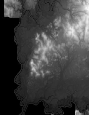
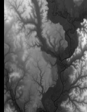
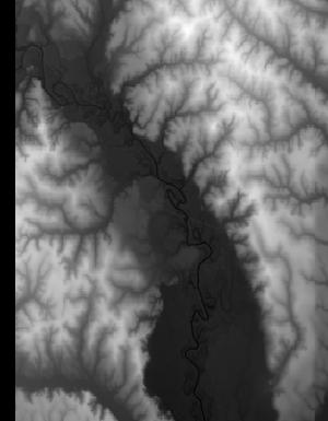
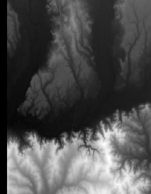
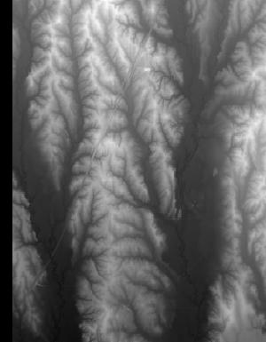
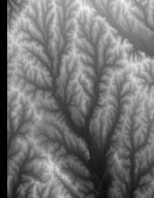
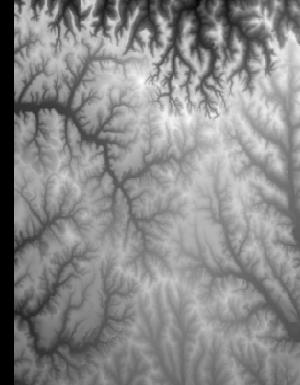
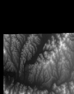
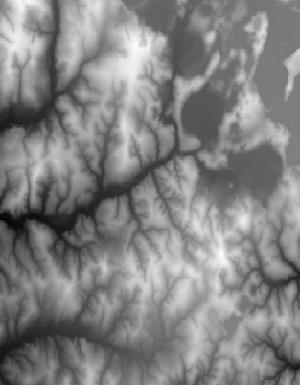
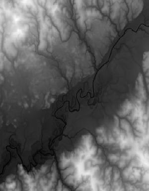
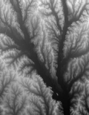
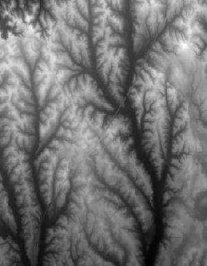
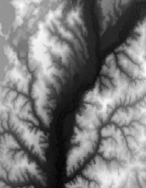
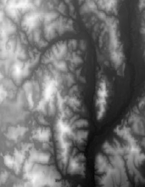
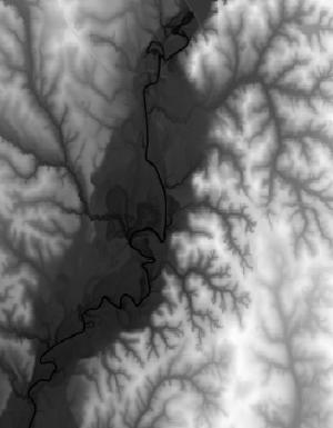
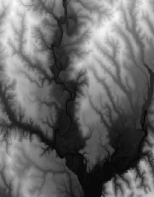
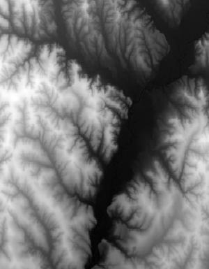
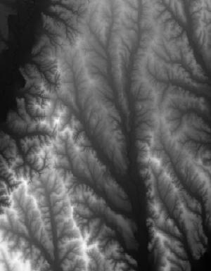
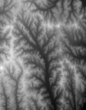
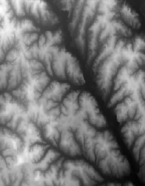
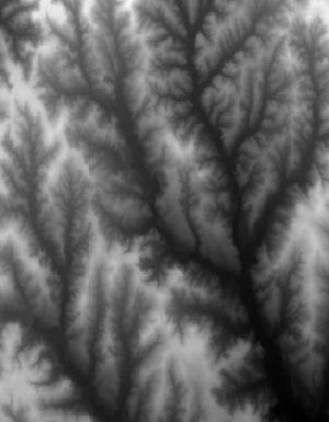
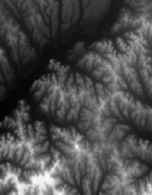
Index of /vdelivery/Datasets/Staged/Elevation/1m/Projects/AL_25Co_B6_2017/browse/
Index of /vdelivery/Datasets/Staged/Elevation/1m/Projects/AL_25Co_B6_2017/browse/
../
USGS_1m_x52y343_AL_25Co_B6_2017.jpg                16-Mar-2020 17:05                1176
USGS_1m_x52y344_AL_25Co_B6_2017.jpg                16-Mar-2020 17:01                3866
USGS_1m_x52y345_AL_25Co_B6_2017.jpg                16-Mar-2020 16:58                3974
USGS_1m_x52y346_AL_25Co_B6_2017.jpg                16-Mar-2020 16:55               10569
USGS_1m_x52y347_AL_25Co_B6_2017.jpg                16-Mar-2020 16:51               13934
USGS_1m_x52y348_AL_25Co_B6_2017.jpg                16-Mar-2020 16:48               13501
USGS_1m_x52y349_AL_25Co_B6_2017.jpg                16-Mar-2020 16:44               12642
USGS_1m_x52y350_AL_25Co_B6_2017.jpg                16-Mar-2020 16:38               10822
USGS_1m_x52y351_AL_25Co_B6_2017.jpg                16-Mar-2020 16:32               13625
USGS_1m_x52y352_AL_25Co_B6_2017.jpg                16-Mar-2020 16:25               14714
USGS_1m_x52y353_AL_25Co_B6_2017.jpg                16-Mar-2020 16:19               16723
USGS_1m_x52y354_AL_25Co_B6_2017.jpg                16-Mar-2020 16:12               10639
USGS_1m_x53y343_AL_25Co_B6_2017.jpg                16-Mar-2020 17:05                3044
USGS_1m_x53y344_AL_25Co_B6_2017.jpg                16-Mar-2020 17:02               14057
USGS_1m_x53y345_AL_25Co_B6_2017.jpg                16-Mar-2020 16:59               12629
USGS_1m_x53y346_AL_25Co_B6_2017.jpg                16-Mar-2020 16:55               12285
USGS_1m_x53y347_AL_25Co_B6_2017.jpg                16-Mar-2020 16:52               16601
USGS_1m_x53y348_AL_25Co_B6_2017.jpg                16-Mar-2020 16:48               15336
USGS_1m_x53y349_AL_25Co_B6_2017.jpg                16-Mar-2020 16:44               13603
USGS_1m_x53y350_AL_25Co_B6_2017.jpg                16-Mar-2020 16:39               11327
USGS_1m_x53y351_AL_25Co_B6_2017.jpg                16-Mar-2020 16:32               15365
USGS_1m_x53y352_AL_25Co_B6_2017.jpg                16-Mar-2020 16:26               15529
USGS_1m_x53y353_AL_25Co_B6_2017.jpg                16-Mar-2020 16:20               15948
USGS_1m_x53y354_AL_25Co_B6_2017.jpg                16-Mar-2020 16:13               11797
USGS_1m_x54y343_AL_25Co_B6_2017.jpg                16-Mar-2020 17:05                2906
USGS_1m_x54y344_AL_25Co_B6_2017.jpg                16-Mar-2020 17:03               13861
USGS_1m_x54y345_AL_25Co_B6_2017.jpg                16-Mar-2020 16:59               12517
USGS_1m_x54y346_AL_25Co_B6_2017.jpg                16-Mar-2020 16:56               12308
USGS_1m_x54y347_AL_25Co_B6_2017.jpg                16-Mar-2020 16:52               14311
USGS_1m_x54y348_AL_25Co_B6_2017.jpg                16-Mar-2020 16:49               12989
USGS_1m_x54y349_AL_25Co_B6_2017.jpg                16-Mar-2020 16:45               13796
USGS_1m_x54y350_AL_25Co_B6_2017.jpg                16-Mar-2020 16:40               14751
USGS_1m_x54y351_AL_25Co_B6_2017.jpg                16-Mar-2020 16:33               14766
USGS_1m_x54y352_AL_25Co_B6_2017.jpg                16-Mar-2020 16:27               13334
USGS_1m_x54y353_AL_25Co_B6_2017.jpg                16-Mar-2020 16:20               15276
USGS_1m_x54y354_AL_25Co_B6_2017.jpg                16-Mar-2020 16:14               11459
USGS_1m_x55y343_AL_25Co_B6_2017.jpg                16-Mar-2020 17:06                2633
USGS_1m_x55y344_AL_25Co_B6_2017.jpg                16-Mar-2020 17:03               13186
USGS_1m_x55y345_AL_25Co_B6_2017.jpg                16-Mar-2020 17:00               12124
USGS_1m_x55y346_AL_25Co_B6_2017.jpg                16-Mar-2020 16:56               14109
USGS_1m_x55y347_AL_25Co_B6_2017.jpg                16-Mar-2020 16:53               15633
USGS_1m_x55y348_AL_25Co_B6_2017.jpg                16-Mar-2020 16:49               14804
USGS_1m_x55y349_AL_25Co_B6_2017.jpg                16-Mar-2020 16:46               15166
USGS_1m_x55y350_AL_25Co_B6_2017.jpg                16-Mar-2020 16:40               13162
USGS_1m_x55y351_AL_25Co_B6_2017.jpg                16-Mar-2020 16:34               13567
USGS_1m_x55y352_AL_25Co_B6_2017.jpg                16-Mar-2020 16:27               14060
USGS_1m_x55y353_AL_25Co_B6_2017.jpg                16-Mar-2020 16:21               16924
USGS_1m_x55y354_AL_25Co_B6_2017.jpg                16-Mar-2020 16:14               13494
USGS_1m_x55y355_AL_25Co_B6_2017.jpg                16-Mar-2020 16:09                5956
USGS_1m_x56y343_AL_25Co_B6_2017.jpg                16-Mar-2020 17:06                2641
USGS_1m_x56y344_AL_25Co_B6_2017.jpg                16-Mar-2020 17:04               13132
USGS_1m_x56y345_AL_25Co_B6_2017.jpg                16-Mar-2020 17:00               12319
USGS_1m_x56y346_AL_25Co_B6_2017.jpg                16-Mar-2020 16:57               14305
USGS_1m_x56y347_AL_25Co_B6_2017.jpg                16-Mar-2020 16:54               15953
USGS_1m_x56y348_AL_25Co_B6_2017.jpg                16-Mar-2020 16:50               15590
USGS_1m_x56y349_AL_25Co_B6_2017.jpg                16-Mar-2020 16:46               13945
USGS_1m_x56y350_AL_25Co_B6_2017.jpg                16-Mar-2020 16:41               13303
USGS_1m_x56y351_AL_25Co_B6_2017.jpg                16-Mar-2020 16:34               12314
USGS_1m_x56y352_AL_25Co_B6_2017.jpg                16-Mar-2020 16:28               13783
USGS_1m_x56y353_AL_25Co_B6_2017.jpg                16-Mar-2020 16:21               15877
USGS_1m_x56y354_AL_25Co_B6_2017.jpg                16-Mar-2020 16:15               13758
USGS_1m_x56y355_AL_25Co_B6_2017.jpg                16-Mar-2020 16:10                7267
USGS_1m_x57y343_AL_25Co_B6_2017.jpg                16-Mar-2020 17:06                1991
USGS_1m_x57y344_AL_25Co_B6_2017.jpg                16-Mar-2020 17:04                8594
USGS_1m_x57y345_AL_25Co_B6_2017.jpg                16-Mar-2020 17:01               10497
USGS_1m_x57y346_AL_25Co_B6_2017.jpg                16-Mar-2020 16:58               11409
USGS_1m_x57y347_AL_25Co_B6_2017.jpg                16-Mar-2020 16:54               11895
USGS_1m_x57y348_AL_25Co_B6_2017.jpg                16-Mar-2020 16:51               11291
USGS_1m_x57y349_AL_25Co_B6_2017.jpg                16-Mar-2020 16:47               12167
USGS_1m_x57y350_AL_25Co_B6_2017.jpg                16-Mar-2020 16:41               13411
USGS_1m_x57y351_AL_25Co_B6_2017.jpg                16-Mar-2020 16:35               11574
USGS_1m_x57y352_AL_25Co_B6_2017.jpg                16-Mar-2020 16:28               14654
USGS_1m_x57y353_AL_25Co_B6_2017.jpg                16-Mar-2020 16:22               13319
USGS_1m_x57y354_AL_25Co_B6_2017.jpg                16-Mar-2020 16:16               11606
USGS_1m_x58y349_AL_25Co_B6_2017.jpg                16-Mar-2020 16:47                1048
USGS_1m_x58y350_AL_25Co_B6_2017.jpg                16-Mar-2020 16:42                5664
USGS_1m_x58y351_AL_25Co_B6_2017.jpg                16-Mar-2020 16:35               12457
USGS_1m_x58y352_AL_25Co_B6_2017.jpg                16-Mar-2020 16:29               13703
USGS_1m_x58y353_AL_25Co_B6_2017.jpg                16-Mar-2020 16:23               15291
USGS_1m_x58y354_AL_25Co_B6_2017.jpg                16-Mar-2020 16:16               10672
USGS_1m_x59y350_AL_25Co_B6_2017.jpg                16-Mar-2020 16:42                3466
USGS_1m_x59y351_AL_25Co_B6_2017.jpg                16-Mar-2020 16:36               12818
USGS_1m_x59y352_AL_25Co_B6_2017.jpg                16-Mar-2020 16:30               15142
USGS_1m_x59y353_AL_25Co_B6_2017.jpg                16-Mar-2020 16:23               14274
USGS_1m_x59y354_AL_25Co_B6_2017.jpg                16-Mar-2020 16:17               13342
USGS_1m_x59y355_AL_25Co_B6_2017.jpg                16-Mar-2020 16:10                8741
USGS_1m_x60y350_AL_25Co_B6_2017.jpg                16-Mar-2020 16:42                3585
USGS_1m_x60y351_AL_25Co_B6_2017.jpg                16-Mar-2020 16:37               13817
USGS_1m_x60y352_AL_25Co_B6_2017.jpg                16-Mar-2020 16:30               15095
USGS_1m_x60y353_AL_25Co_B6_2017.jpg                16-Mar-2020 16:24               15782
USGS_1m_x60y354_AL_25Co_B6_2017.jpg                16-Mar-2020 16:17               13285
USGS_1m_x60y355_AL_25Co_B6_2017.jpg                16-Mar-2020 16:11               15156
USGS_1m_x61y350_AL_25Co_B6_2017.jpg                16-Mar-2020 16:43                3327
USGS_1m_x61y351_AL_25Co_B6_2017.jpg                16-Mar-2020 16:37               13872
USGS_1m_x61y352_AL_25Co_B6_2017.jpg                16-Mar-2020 16:31               13836
USGS_1m_x61y353_AL_25Co_B6_2017.jpg                16-Mar-2020 16:24               13712
USGS_1m_x61y354_AL_25Co_B6_2017.jpg                16-Mar-2020 16:18               14070
USGS_1m_x61y355_AL_25Co_B6_2017.jpg                16-Mar-2020 16:11               13367
USGS_1m_x62y350_AL_25Co_B6_2017.jpg                16-Mar-2020 16:43                2345
USGS_1m_x62y351_AL_25Co_B6_2017.jpg                16-Mar-2020 16:38                7480
USGS_1m_x62y352_AL_25Co_B6_2017.jpg                16-Mar-2020 16:31                7960
USGS_1m_x62y353_AL_25Co_B6_2017.jpg                16-Mar-2020 16:25                8376
USGS_1m_x62y354_AL_25Co_B6_2017.jpg                16-Mar-2020 16:18                8855
USGS_1m_x62y355_AL_25Co_B6_2017.jpg                16-Mar-2020 16:12                9987