WARNING TO USERS OF THIS SYSTEM
This computer system, including all related equipment, networks, and network devices (including Internet access), is provided by the Department of the Interior (DOI) in accordance with the agency policy for official use and limited personal use.
All agency computer systems may be monitored for all lawful purposes,
including but not limited to, ensuring that use is authorized, for management of the system, to facilitate protection against unauthorized access, and to verify security procedures, survivability and operational security. Any information on this computer system may be examined, recorded, copied and used for authorized purposes at any time.
All information, including personal information, placed or sent over this system may be monitored, and users of this system are reminded that such monitoring does occur. Therefore, there should be no expectation of privacy with respect to use of this system.
By logging into this agency computer system, you acknowledge and consent to the monitoring of this system. Evidence of your use, authorized or
unauthorized, collected during monitoring may be used for civil, criminal, administrative, or other adverse action. Unauthorized or illegal use may subject you to prosecution.
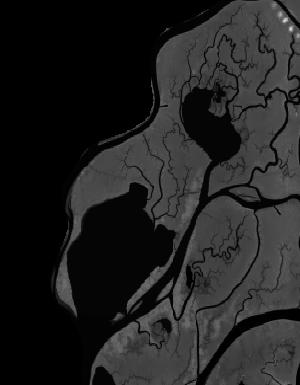
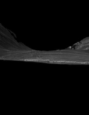
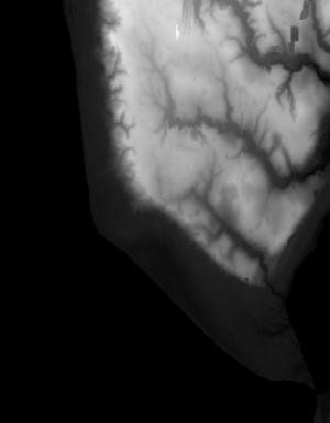
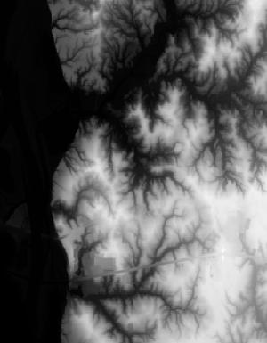
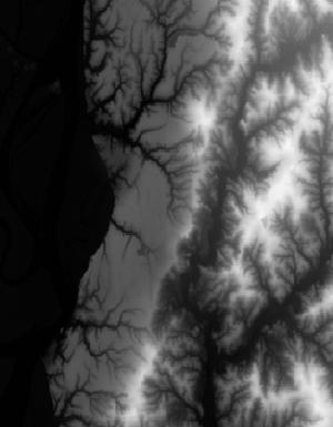
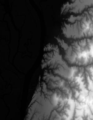
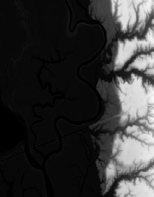
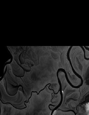
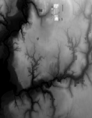
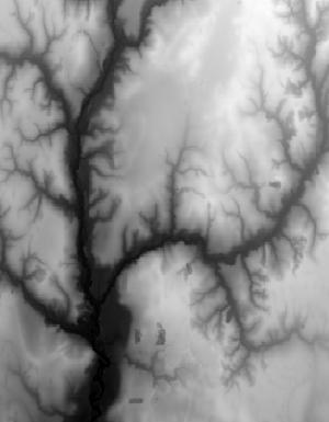
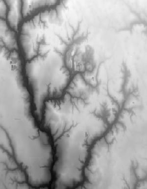
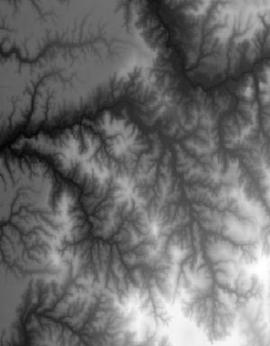
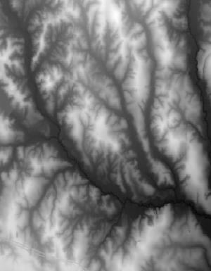
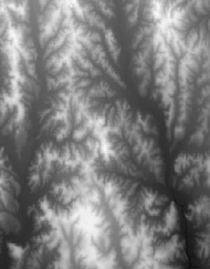
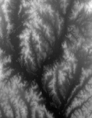
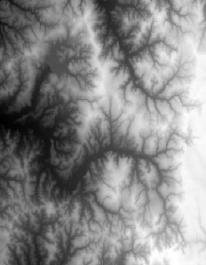
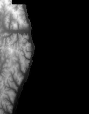
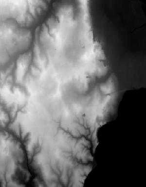
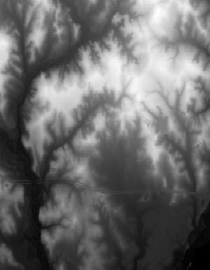
Index of /vdelivery/Datasets/Staged/Elevation/1m/Projects/AL_25Co_B8_2017/browse/
Index of /vdelivery/Datasets/Staged/Elevation/1m/Projects/AL_25Co_B8_2017/browse/
../
USGS_1m_x40y335_AL_25Co_B8_2017.jpg                19-Mar-2020 15:24                3118
USGS_1m_x40y338_AL_25Co_B8_2017.jpg                19-Mar-2020 15:15                 656
USGS_1m_x40y340_AL_25Co_B8_2017.jpg                19-Mar-2020 15:08                6685
USGS_1m_x40y341_AL_25Co_B8_2017.jpg                19-Mar-2020 15:05               12344
USGS_1m_x40y342_AL_25Co_B8_2017.jpg                19-Mar-2020 15:03                5711
USGS_1m_x40y343_AL_25Co_B8_2017.jpg                19-Mar-2020 15:00                2961
USGS_1m_x40y344_AL_25Co_B8_2017.jpg                19-Mar-2020 14:57                4788
USGS_1m_x40y345_AL_25Co_B8_2017.jpg                19-Mar-2020 14:55                4233
USGS_1m_x40y346_AL_25Co_B8_2017.jpg                19-Mar-2020 14:53                1267
USGS_1m_x41y335_AL_25Co_B8_2017.jpg                19-Mar-2020 15:24                3924
USGS_1m_x41y336_AL_25Co_B8_2017.jpg                19-Mar-2020 15:21                 910
USGS_1m_x41y337_AL_25Co_B8_2017.jpg                19-Mar-2020 15:18                6926
USGS_1m_x41y338_AL_25Co_B8_2017.jpg                19-Mar-2020 15:16               10411
USGS_1m_x41y339_AL_25Co_B8_2017.jpg                19-Mar-2020 15:12                9313
USGS_1m_x41y340_AL_25Co_B8_2017.jpg                19-Mar-2020 15:09               13952
USGS_1m_x41y341_AL_25Co_B8_2017.jpg                19-Mar-2020 15:06               13439
USGS_1m_x41y342_AL_25Co_B8_2017.jpg                19-Mar-2020 15:03                9824
USGS_1m_x41y343_AL_25Co_B8_2017.jpg                19-Mar-2020 15:00                9827
USGS_1m_x41y344_AL_25Co_B8_2017.jpg                19-Mar-2020 14:58                9177
USGS_1m_x41y345_AL_25Co_B8_2017.jpg                19-Mar-2020 14:55                7279
USGS_1m_x41y346_AL_25Co_B8_2017.jpg                19-Mar-2020 14:53               10436
USGS_1m_x42y335_AL_25Co_B8_2017.jpg                19-Mar-2020 15:25                6463
USGS_1m_x42y336_AL_25Co_B8_2017.jpg                19-Mar-2020 15:22                5550
USGS_1m_x42y337_AL_25Co_B8_2017.jpg                19-Mar-2020 15:19               10162
USGS_1m_x42y338_AL_25Co_B8_2017.jpg                19-Mar-2020 15:16               12297
USGS_1m_x42y339_AL_25Co_B8_2017.jpg                19-Mar-2020 15:13               11406
USGS_1m_x42y340_AL_25Co_B8_2017.jpg                19-Mar-2020 15:09               13653
USGS_1m_x42y341_AL_25Co_B8_2017.jpg                19-Mar-2020 15:06               14907
USGS_1m_x42y342_AL_25Co_B8_2017.jpg                19-Mar-2020 15:04               13320
USGS_1m_x42y343_AL_25Co_B8_2017.jpg                19-Mar-2020 15:01               13955
USGS_1m_x42y344_AL_25Co_B8_2017.jpg                19-Mar-2020 14:59               14068
USGS_1m_x42y345_AL_25Co_B8_2017.jpg                19-Mar-2020 14:56               14175
USGS_1m_x42y346_AL_25Co_B8_2017.jpg                19-Mar-2020 14:54                6437
USGS_1m_x43y335_AL_25Co_B8_2017.jpg                19-Mar-2020 15:25                4771
USGS_1m_x43y336_AL_25Co_B8_2017.jpg                19-Mar-2020 15:23               10835
USGS_1m_x43y337_AL_25Co_B8_2017.jpg                19-Mar-2020 15:20                8729
USGS_1m_x43y338_AL_25Co_B8_2017.jpg                19-Mar-2020 15:17               10861
USGS_1m_x43y339_AL_25Co_B8_2017.jpg                19-Mar-2020 15:13               11324
USGS_1m_x43y340_AL_25Co_B8_2017.jpg                19-Mar-2020 15:10               14080
USGS_1m_x43y341_AL_25Co_B8_2017.jpg                19-Mar-2020 15:07               13952
USGS_1m_x43y342_AL_25Co_B8_2017.jpg                19-Mar-2020 15:04               14508
USGS_1m_x43y343_AL_25Co_B8_2017.jpg                19-Mar-2020 15:02               12994
USGS_1m_x43y344_AL_25Co_B8_2017.jpg                19-Mar-2020 14:59               12825
USGS_1m_x43y345_AL_25Co_B8_2017.jpg                19-Mar-2020 14:57               14847
USGS_1m_x43y346_AL_25Co_B8_2017.jpg                19-Mar-2020 14:54                9798
USGS_1m_x44y335_AL_25Co_B8_2017.jpg                19-Mar-2020 15:26                3708
USGS_1m_x44y336_AL_25Co_B8_2017.jpg                19-Mar-2020 15:23               12069
USGS_1m_x44y337_AL_25Co_B8_2017.jpg                19-Mar-2020 15:20               10175
USGS_1m_x44y338_AL_25Co_B8_2017.jpg                19-Mar-2020 15:17               11103
USGS_1m_x44y339_AL_25Co_B8_2017.jpg                19-Mar-2020 15:14               13292
USGS_1m_x44y340_AL_25Co_B8_2017.jpg                19-Mar-2020 15:11               12686
USGS_1m_x44y341_AL_25Co_B8_2017.jpg                19-Mar-2020 15:07               10556
USGS_1m_x44y342_AL_25Co_B8_2017.jpg                19-Mar-2020 15:05                2537
USGS_1m_x44y343_AL_25Co_B8_2017.jpg                19-Mar-2020 15:02                5800
USGS_1m_x44y344_AL_25Co_B8_2017.jpg                19-Mar-2020 14:59                3850
USGS_1m_x44y345_AL_25Co_B8_2017.jpg                19-Mar-2020 14:57                3202
USGS_1m_x44y346_AL_25Co_B8_2017.jpg                19-Mar-2020 14:54                2862
USGS_1m_x45y335_AL_25Co_B8_2017.jpg                19-Mar-2020 15:26                 679
USGS_1m_x45y336_AL_25Co_B8_2017.jpg                19-Mar-2020 15:24                5567
USGS_1m_x45y337_AL_25Co_B8_2017.jpg                19-Mar-2020 15:21                9426
USGS_1m_x45y338_AL_25Co_B8_2017.jpg                19-Mar-2020 15:18                9389
USGS_1m_x45y339_AL_25Co_B8_2017.jpg                19-Mar-2020 15:14               11625
USGS_1m_x45y340_AL_25Co_B8_2017.jpg                19-Mar-2020 15:11                9858
USGS_1m_x45y341_AL_25Co_B8_2017.jpg                19-Mar-2020 15:08                 983
USGS_1m_x46y337_AL_25Co_B8_2017.jpg                19-Mar-2020 15:21                1998
USGS_1m_x46y339_AL_25Co_B8_2017.jpg                19-Mar-2020 15:15                2878
USGS_1m_x46y340_AL_25Co_B8_2017.jpg                19-Mar-2020 15:11                1648