WARNING TO USERS OF THIS SYSTEM
This computer system, including all related equipment, networks, and network devices (including Internet access), is provided by the Department of the Interior (DOI) in accordance with the agency policy for official use and limited personal use.
All agency computer systems may be monitored for all lawful purposes,
including but not limited to, ensuring that use is authorized, for management of the system, to facilitate protection against unauthorized access, and to verify security procedures, survivability and operational security. Any information on this computer system may be examined, recorded, copied and used for authorized purposes at any time.
All information, including personal information, placed or sent over this system may be monitored, and users of this system are reminded that such monitoring does occur. Therefore, there should be no expectation of privacy with respect to use of this system.
By logging into this agency computer system, you acknowledge and consent to the monitoring of this system. Evidence of your use, authorized or
unauthorized, collected during monitoring may be used for civil, criminal, administrative, or other adverse action. Unauthorized or illegal use may subject you to prosecution.
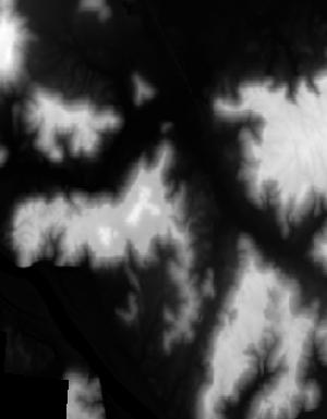
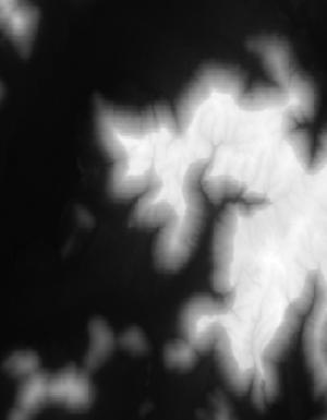
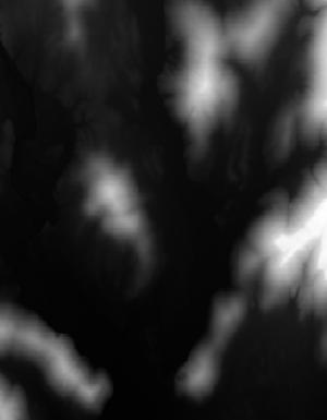
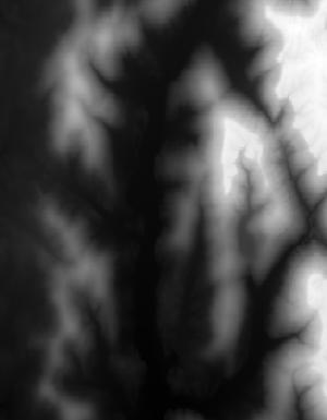
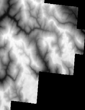
Index of /vdelivery/Datasets/Staged/Elevation/1m/Projects/AL_NorthAL_2019_B19/browse/
Index of /vdelivery/Datasets/Staged/Elevation/1m/Projects/AL_NorthAL_2019_B19/browse/
../
USGS_1M_16_x50y383_AL_NorthAL_2019_B19.jpg         11-Jun-2021 00:07                 828
USGS_1M_16_x50y384_AL_NorthAL_2019_B19.jpg         11-Jun-2021 00:07                6031
USGS_1M_16_x50y385_AL_NorthAL_2019_B19.jpg         11-Jun-2021 00:07                3597
USGS_1M_16_x51y383_AL_NorthAL_2019_B19.jpg         11-Jun-2021 00:07                5881
USGS_1M_16_x51y384_AL_NorthAL_2019_B19.jpg         11-Jun-2021 00:07                9081
USGS_1M_16_x51y385_AL_NorthAL_2019_B19.jpg         11-Jun-2021 00:07                9418
USGS_1M_16_x51y386_AL_NorthAL_2019_B19.jpg         11-Jun-2021 00:07                7596
USGS_1M_16_x51y387_AL_NorthAL_2019_B19.jpg         11-Jun-2021 00:07                6478
USGS_1M_16_x51y388_AL_NorthAL_2019_B19.jpg         11-Jun-2021 00:07                3295
USGS_1M_16_x52y383_AL_NorthAL_2019_B19.jpg         11-Jun-2021 00:07                4991
USGS_1M_16_x52y384_AL_NorthAL_2019_B19.jpg         11-Jun-2021 00:07                8398
USGS_1M_16_x52y385_AL_NorthAL_2019_B19.jpg         11-Jun-2021 00:07                6583
USGS_1M_16_x52y386_AL_NorthAL_2019_B19.jpg         11-Jun-2021 00:07                6346
USGS_1M_16_x52y387_AL_NorthAL_2019_B19.jpg         11-Jun-2021 00:07                9571
USGS_1M_16_x52y388_AL_NorthAL_2019_B19.jpg         11-Jun-2021 00:07                5143
USGS_1M_16_x53y382_AL_NorthAL_2019_B19.jpg         11-Jun-2021 00:07                 842
USGS_1M_16_x53y383_AL_NorthAL_2019_B19.jpg         11-Jun-2021 00:07                5188
USGS_1M_16_x53y384_AL_NorthAL_2019_B19.jpg         11-Jun-2021 00:07                4817
USGS_1M_16_x53y385_AL_NorthAL_2019_B19.jpg         11-Jun-2021 00:07                6007
USGS_1M_16_x53y386_AL_NorthAL_2019_B19.jpg         11-Jun-2021 00:07                5573
USGS_1M_16_x53y387_AL_NorthAL_2019_B19.jpg         11-Jun-2021 00:07                9741
USGS_1M_16_x53y388_AL_NorthAL_2019_B19.jpg         11-Jun-2021 00:07                5450
USGS_1M_16_x54y382_AL_NorthAL_2019_B19.jpg         11-Jun-2021 00:07                5329
USGS_1M_16_x54y383_AL_NorthAL_2019_B19.jpg         11-Jun-2021 00:07                7146
USGS_1M_16_x54y384_AL_NorthAL_2019_B19.jpg         11-Jun-2021 00:07                7060
USGS_1M_16_x54y385_AL_NorthAL_2019_B19.jpg         11-Jun-2021 00:07                8253
USGS_1M_16_x54y386_AL_NorthAL_2019_B19.jpg         11-Jun-2021 00:07                8506
USGS_1M_16_x54y387_AL_NorthAL_2019_B19.jpg         11-Jun-2021 00:07               10589
USGS_1M_16_x54y388_AL_NorthAL_2019_B19.jpg         11-Jun-2021 00:07                5686
USGS_1M_16_x55y381_AL_NorthAL_2019_B19.jpg         11-Jun-2021 00:07                2587
USGS_1M_16_x55y382_AL_NorthAL_2019_B19.jpg         11-Jun-2021 00:07               10108
USGS_1M_16_x55y383_AL_NorthAL_2019_B19.jpg         11-Jun-2021 00:07                4719
USGS_1M_16_x55y384_AL_NorthAL_2019_B19.jpg         11-Jun-2021 00:07                7518
USGS_1M_16_x55y385_AL_NorthAL_2019_B19.jpg         11-Jun-2021 00:07                6489
USGS_1M_16_x55y386_AL_NorthAL_2019_B19.jpg         11-Jun-2021 00:07                7808
USGS_1M_16_x55y387_AL_NorthAL_2019_B19.jpg         11-Jun-2021 00:07                7548
USGS_1M_16_x55y388_AL_NorthAL_2019_B19.jpg         11-Jun-2021 00:07                3494
USGS_1M_16_x56y381_AL_NorthAL_2019_B19.jpg         11-Jun-2021 00:07                1100
USGS_1M_16_x56y382_AL_NorthAL_2019_B19.jpg         11-Jun-2021 00:07                4781
USGS_1M_16_x56y383_AL_NorthAL_2019_B19.jpg         11-Jun-2021 00:07                4314
USGS_1M_16_x56y384_AL_NorthAL_2019_B19.jpg         11-Jun-2021 00:07                2464
USGS_1M_16_x56y385_AL_NorthAL_2019_B19.jpg         11-Jun-2021 00:07                3752
USGS_1M_16_x56y386_AL_NorthAL_2019_B19.jpg         11-Jun-2021 00:07                4483
USGS_1M_16_x56y387_AL_NorthAL_2019_B19.jpg         11-Jun-2021 00:07               10801
USGS_1M_16_x56y388_AL_NorthAL_2019_B19.jpg         11-Jun-2021 00:07                3107