WARNING TO USERS OF THIS SYSTEM
This computer system, including all related equipment, networks, and network devices (including Internet access), is provided by the Department of the Interior (DOI) in accordance with the agency policy for official use and limited personal use.
All agency computer systems may be monitored for all lawful purposes,
including but not limited to, ensuring that use is authorized, for management of the system, to facilitate protection against unauthorized access, and to verify security procedures, survivability and operational security. Any information on this computer system may be examined, recorded, copied and used for authorized purposes at any time.
All information, including personal information, placed or sent over this system may be monitored, and users of this system are reminded that such monitoring does occur. Therefore, there should be no expectation of privacy with respect to use of this system.
By logging into this agency computer system, you acknowledge and consent to the monitoring of this system. Evidence of your use, authorized or
unauthorized, collected during monitoring may be used for civil, criminal, administrative, or other adverse action. Unauthorized or illegal use may subject you to prosecution.
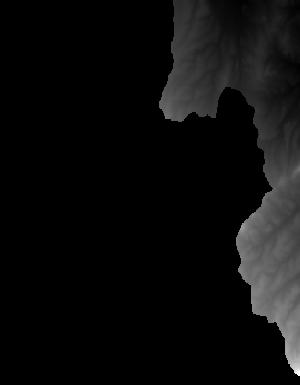
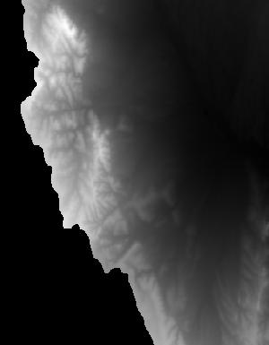
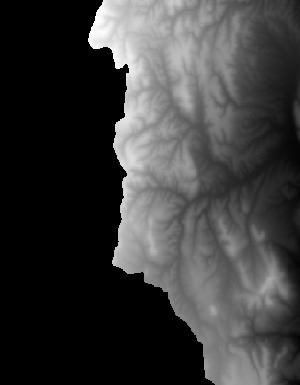
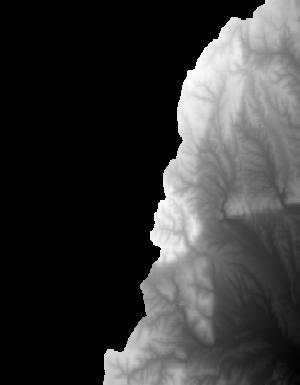
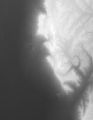
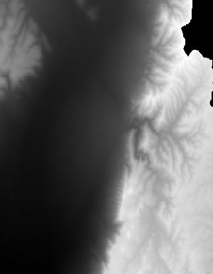
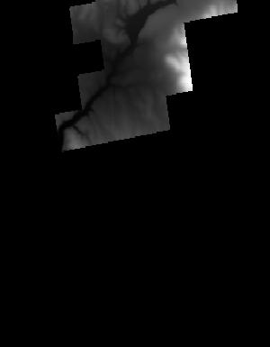
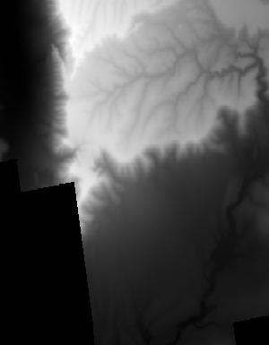
Index of /vdelivery/Datasets/Staged/Elevation/1m/Projects/AZ_AubreyCherry_2020_D20/browse/
Index of /vdelivery/Datasets/Staged/Elevation/1m/Projects/AZ_AubreyCherry_2020_D20/browse/
../
USGS_1M_12_x29y395_AZ_AubreyCherry_2020_D20.jpg    30-Sep-2021 03:43                1075
USGS_1M_12_x30y392_AZ_AubreyCherry_2020_D20.jpg    30-Sep-2021 03:43                3845
USGS_1M_12_x30y393_AZ_AubreyCherry_2020_D20.jpg    30-Sep-2021 03:43                7107
USGS_1M_12_x30y394_AZ_AubreyCherry_2020_D20.jpg    30-Sep-2021 03:43                6865
USGS_1M_12_x30y395_AZ_AubreyCherry_2020_D20.jpg    30-Sep-2021 03:43                6661
USGS_1M_12_x30y396_AZ_AubreyCherry_2020_D20.jpg    30-Sep-2021 03:43                8029
USGS_1M_12_x30y397_AZ_AubreyCherry_2020_D20.jpg    30-Sep-2021 03:43                7445
USGS_1M_12_x30y398_AZ_AubreyCherry_2020_D20.jpg    30-Sep-2021 03:43                1079
USGS_1M_12_x31y392_AZ_AubreyCherry_2020_D20.jpg    30-Sep-2021 03:43                4904
USGS_1M_12_x31y393_AZ_AubreyCherry_2020_D20.jpg    30-Sep-2021 03:43                2347
USGS_1M_12_x31y394_AZ_AubreyCherry_2020_D20.jpg    30-Sep-2021 03:43                5450
USGS_1M_12_x31y395_AZ_AubreyCherry_2020_D20.jpg    30-Sep-2021 03:43                7267
USGS_1M_12_x31y396_AZ_AubreyCherry_2020_D20.jpg    30-Sep-2021 03:43                7165
USGS_1M_12_x31y397_AZ_AubreyCherry_2020_D20.jpg    30-Sep-2021 03:43                9170
USGS_1M_12_x31y398_AZ_AubreyCherry_2020_D20.jpg    30-Sep-2021 03:43                1201
USGS_1M_12_x32y391_AZ_AubreyCherry_2020_D20.jpg    30-Sep-2021 03:43                3376
USGS_1M_12_x32y392_AZ_AubreyCherry_2020_D20.jpg    30-Sep-2021 03:43                6362
USGS_1M_12_x32y393_AZ_AubreyCherry_2020_D20.jpg    30-Sep-2021 03:43                6675
USGS_1M_12_x32y394_AZ_AubreyCherry_2020_D20.jpg    30-Sep-2021 03:43                8403
USGS_1M_12_x32y395_AZ_AubreyCherry_2020_D20.jpg    30-Sep-2021 03:43                7598
USGS_1M_12_x33y391_AZ_AubreyCherry_2020_D20.jpg    30-Sep-2021 03:43                1076
USGS_1M_12_x33y392_AZ_AubreyCherry_2020_D20.jpg    30-Sep-2021 03:43                7531
USGS_1M_12_x33y393_AZ_AubreyCherry_2020_D20.jpg    30-Sep-2021 03:43                5945
USGS_1M_12_x33y394_AZ_AubreyCherry_2020_D20.jpg    30-Sep-2021 03:43                6031
USGS_1M_12_x33y395_AZ_AubreyCherry_2020_D20.jpg    30-Sep-2021 03:43                3432
USGS_1M_12_x34y392_AZ_AubreyCherry_2020_D20.jpg    30-Sep-2021 03:43                2549
USGS_1M_12_x34y393_AZ_AubreyCherry_2020_D20.jpg    30-Sep-2021 03:43                2750
USGS_1M_12_x34y394_AZ_AubreyCherry_2020_D20.jpg    30-Sep-2021 03:43                1563
USGS_1M_12_x39y384_AZ_AubreyCherry_2020_D20.jpg    30-Sep-2021 03:43                5018
USGS_1M_12_x39y385_AZ_AubreyCherry_2020_D20.jpg    30-Sep-2021 03:43                6981
USGS_1M_12_x39y386_AZ_AubreyCherry_2020_D20.jpg    30-Sep-2021 03:43                2655
USGS_1M_12_x40y383_AZ_AubreyCherry_2020_D20.jpg    30-Sep-2021 03:43                7219
USGS_1M_12_x40y384_AZ_AubreyCherry_2020_D20.jpg    30-Sep-2021 03:43                6325
USGS_1M_12_x40y385_AZ_AubreyCherry_2020_D20.jpg    30-Sep-2021 03:43                4999
USGS_1M_12_x40y386_AZ_AubreyCherry_2020_D20.jpg    30-Sep-2021 03:43                5215
USGS_1M_12_x41y383_AZ_AubreyCherry_2020_D20.jpg    30-Sep-2021 03:43                5886
USGS_1M_12_x41y384_AZ_AubreyCherry_2020_D20.jpg    30-Sep-2021 03:43                9922
USGS_1M_12_x41y385_AZ_AubreyCherry_2020_D20.jpg    30-Sep-2021 03:43                4099
USGS_1M_12_x41y386_AZ_AubreyCherry_2020_D20.jpg    30-Sep-2021 03:43                2133
USGS_1M_12_x42y383_AZ_AubreyCherry_2020_D20.jpg    30-Sep-2021 03:43                3360
USGS_1M_12_x42y384_AZ_AubreyCherry_2020_D20.jpg    30-Sep-2021 03:43                3402