WARNING TO USERS OF THIS SYSTEM
This computer system, including all related equipment, networks, and network devices (including Internet access), is provided by the Department of the Interior (DOI) in accordance with the agency policy for official use and limited personal use.
All agency computer systems may be monitored for all lawful purposes,
including but not limited to, ensuring that use is authorized, for management of the system, to facilitate protection against unauthorized access, and to verify security procedures, survivability and operational security. Any information on this computer system may be examined, recorded, copied and used for authorized purposes at any time.
All information, including personal information, placed or sent over this system may be monitored, and users of this system are reminded that such monitoring does occur. Therefore, there should be no expectation of privacy with respect to use of this system.
By logging into this agency computer system, you acknowledge and consent to the monitoring of this system. Evidence of your use, authorized or
unauthorized, collected during monitoring may be used for civil, criminal, administrative, or other adverse action. Unauthorized or illegal use may subject you to prosecution.
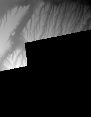
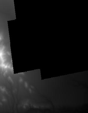
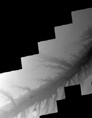
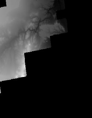
Index of /vdelivery/Datasets/Staged/Elevation/1m/Projects/AZ_BrawleyRillito_NRCS_2018/browse/
Index of /vdelivery/Datasets/Staged/Elevation/1m/Projects/AZ_BrawleyRillito_NRCS_2018/browse/
../
USGS_1m_x52y351_AZ_BrawleyRillito_NRCS_2018.jpg    10-Feb-2020 16:19                4134
USGS_1m_x52y352_AZ_BrawleyRillito_NRCS_2018.jpg    10-Feb-2020 16:17                1629
USGS_1m_x53y350_AZ_BrawleyRillito_NRCS_2018.jpg    10-Feb-2020 16:22                7189
USGS_1m_x53y351_AZ_BrawleyRillito_NRCS_2018.jpg    10-Feb-2020 16:19                8873
USGS_1m_x53y352_AZ_BrawleyRillito_NRCS_2018.jpg    10-Feb-2020 16:17                3075
USGS_1m_x54y350_AZ_BrawleyRillito_NRCS_2018.jpg    10-Feb-2020 16:22                7950
USGS_1m_x54y351_AZ_BrawleyRillito_NRCS_2018.jpg    10-Feb-2020 16:20                4485
USGS_1m_x54y352_AZ_BrawleyRillito_NRCS_2018.jpg    10-Feb-2020 16:18                3169
USGS_1m_x55y350_AZ_BrawleyRillito_NRCS_2018.jpg    10-Feb-2020 16:23                6020
USGS_1m_x55y351_AZ_BrawleyRillito_NRCS_2018.jpg    10-Feb-2020 16:21                3560
USGS_1m_x55y352_AZ_BrawleyRillito_NRCS_2018.jpg    10-Feb-2020 16:18                1031
USGS_1m_x56y350_AZ_BrawleyRillito_NRCS_2018.jpg    10-Feb-2020 16:23                3070
USGS_1m_x56y351_AZ_BrawleyRillito_NRCS_2018.jpg    10-Feb-2020 16:21                7340
USGS_1m_x57y351_AZ_BrawleyRillito_NRCS_2018.jpg    10-Feb-2020 16:21                4603
USGS_1m_x57y352_AZ_BrawleyRillito_NRCS_2018.jpg    10-Feb-2020 16:19                1656
USGS_1m_x60y355_AZ_BrawleyRillito_NRCS_2018.jpg    10-Feb-2020 16:15                2539
USGS_1m_x60y356_AZ_BrawleyRillito_NRCS_2018.jpg    10-Feb-2020 16:11                 921
USGS_1m_x61y355_AZ_BrawleyRillito_NRCS_2018.jpg    10-Feb-2020 16:15                3763
USGS_1m_x61y356_AZ_BrawleyRillito_NRCS_2018.jpg    10-Feb-2020 16:12                4140
USGS_1m_x61y357_AZ_BrawleyRillito_NRCS_2018.jpg    10-Feb-2020 16:09                4478
USGS_1m_x62y355_AZ_BrawleyRillito_NRCS_2018.jpg    10-Feb-2020 16:16                3046
USGS_1m_x62y356_AZ_BrawleyRillito_NRCS_2018.jpg    10-Feb-2020 16:13                3366
USGS_1m_x62y357_AZ_BrawleyRillito_NRCS_2018.jpg    10-Feb-2020 16:09                5078
USGS_1m_x63y355_AZ_BrawleyRillito_NRCS_2018.jpg    10-Feb-2020 16:16                3893
USGS_1m_x63y356_AZ_BrawleyRillito_NRCS_2018.jpg    10-Feb-2020 16:13                5233
USGS_1m_x63y357_AZ_BrawleyRillito_NRCS_2018.jpg    10-Feb-2020 16:10                7523
USGS_1m_x64y355_AZ_BrawleyRillito_NRCS_2018.jpg    10-Feb-2020 16:16                3959
USGS_1m_x64y356_AZ_BrawleyRillito_NRCS_2018.jpg    10-Feb-2020 16:14                5508
USGS_1m_x64y357_AZ_BrawleyRillito_NRCS_2018.jpg    10-Feb-2020 16:10                4360
USGS_1m_x64y358_AZ_BrawleyRillito_NRCS_2018.jpg    10-Feb-2020 16:07                3322
USGS_1m_x64y359_AZ_BrawleyRillito_NRCS_2018.jpg    10-Feb-2020 16:06                 684
USGS_1m_x65y355_AZ_BrawleyRillito_NRCS_2018.jpg    10-Feb-2020 16:17                2015
USGS_1m_x65y356_AZ_BrawleyRillito_NRCS_2018.jpg    10-Feb-2020 16:14                7456
USGS_1m_x65y357_AZ_BrawleyRillito_NRCS_2018.jpg    10-Feb-2020 16:11                4017
USGS_1m_x65y358_AZ_BrawleyRillito_NRCS_2018.jpg    10-Feb-2020 16:08                3119
USGS_1m_x65y359_AZ_BrawleyRillito_NRCS_2018.jpg    10-Feb-2020 16:06                3745
USGS_1m_x66y357_AZ_BrawleyRillito_NRCS_2018.jpg    10-Feb-2020 16:11                1247
USGS_1m_x66y358_AZ_BrawleyRillito_NRCS_2018.jpg    10-Feb-2020 16:08                2403
USGS_1m_x66y359_AZ_BrawleyRillito_NRCS_2018.jpg    10-Feb-2020 16:07                 808