WARNING TO USERS OF THIS SYSTEM
This computer system, including all related equipment, networks, and network devices (including Internet access), is provided by the Department of the Interior (DOI) in accordance with the agency policy for official use and limited personal use.
All agency computer systems may be monitored for all lawful purposes,
including but not limited to, ensuring that use is authorized, for management of the system, to facilitate protection against unauthorized access, and to verify security procedures, survivability and operational security. Any information on this computer system may be examined, recorded, copied and used for authorized purposes at any time.
All information, including personal information, placed or sent over this system may be monitored, and users of this system are reminded that such monitoring does occur. Therefore, there should be no expectation of privacy with respect to use of this system.
By logging into this agency computer system, you acknowledge and consent to the monitoring of this system. Evidence of your use, authorized or
unauthorized, collected during monitoring may be used for civil, criminal, administrative, or other adverse action. Unauthorized or illegal use may subject you to prosecution.
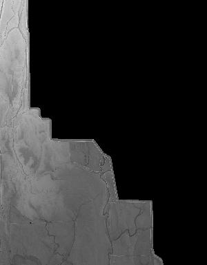
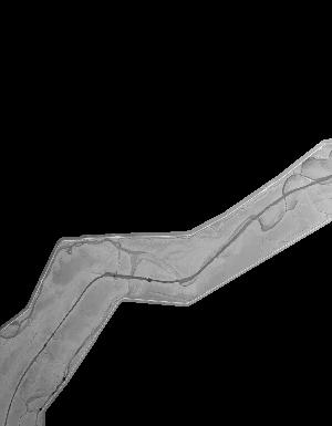
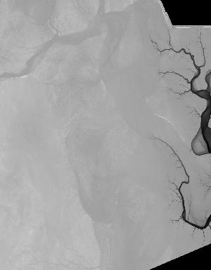
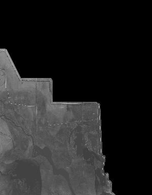
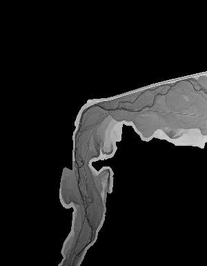
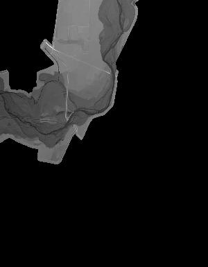
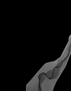
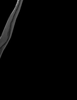
Index of /vdelivery/Datasets/Staged/Elevation/1m/Projects/AZ_CORiverBasin_L1_2014/browse/
Index of /vdelivery/Datasets/Staged/Elevation/1m/Projects/AZ_CORiverBasin_L1_2014/browse/
../
USGS_one_meter_x66y354_AZ_CORiverBasin_L1_2014_..> 23-Mar-2020 18:02                2664
USGS_one_meter_x66y355_AZ_CORiverBasin_L1_2014_..> 23-Mar-2020 18:02                2885
USGS_one_meter_x66y356_AZ_CORiverBasin_L1_2014_..> 23-Mar-2020 18:02                2116
USGS_one_meter_x66y357_AZ_CORiverBasin_L1_2014_..> 23-Mar-2020 18:02                2293
USGS_one_meter_x67y353_AZ_CORiverBasin_L1_2014_..> 23-Mar-2020 18:02                1676
USGS_one_meter_x67y354_AZ_CORiverBasin_L1_2014_..> 23-Mar-2020 18:02               10091
USGS_one_meter_x67y355_AZ_CORiverBasin_L1_2014_..> 23-Mar-2020 18:02               11471
USGS_one_meter_x67y356_AZ_CORiverBasin_L1_2014_..> 23-Mar-2020 18:02                7001
USGS_one_meter_x67y357_AZ_CORiverBasin_L1_2014_..> 23-Mar-2020 18:02                7310
USGS_one_meter_x68y353_AZ_CORiverBasin_L1_2014_..> 23-Mar-2020 18:02                2832
USGS_one_meter_x68y354_AZ_CORiverBasin_L1_2014_..> 23-Mar-2020 18:02                9133
USGS_one_meter_x68y355_AZ_CORiverBasin_L1_2014_..> 23-Mar-2020 18:02                6972
USGS_one_meter_x68y357_AZ_CORiverBasin_L1_2014_..> 23-Mar-2020 18:02                4313
USGS_one_meter_x68y358_AZ_CORiverBasin_L1_2014_..> 23-Mar-2020 18:02                6845
USGS_one_meter_x69y354_AZ_CORiverBasin_L1_2014_..> 23-Mar-2020 18:02                7366
USGS_one_meter_x69y358_AZ_CORiverBasin_L1_2014_..> 23-Mar-2020 18:02                1828
USGS_one_meter_x69y359_AZ_CORiverBasin_L1_2014_..> 23-Mar-2020 18:02                7305
USGS_one_meter_x69y360_AZ_CORiverBasin_L1_2014_..> 23-Mar-2020 18:02                7843
USGS_one_meter_x70y360_AZ_CORiverBasin_L1_2014_..> 23-Mar-2020 18:02                5784
USGS_one_meter_x70y361_AZ_CORiverBasin_L1_2014_..> 23-Mar-2020 18:02                7762
USGS_one_meter_x70y362_AZ_CORiverBasin_L1_2014_..> 23-Mar-2020 18:02                4663
USGS_one_meter_x71y362_AZ_CORiverBasin_L1_2014_..> 23-Mar-2020 18:02                2814
USGS_one_meter_x71y363_AZ_CORiverBasin_L1_2014_..> 23-Mar-2020 18:02                1145