WARNING TO USERS OF THIS SYSTEM
This computer system, including all related equipment, networks, and network devices (including Internet access), is provided by the Department of the Interior (DOI) in accordance with the agency policy for official use and limited personal use.
All agency computer systems may be monitored for all lawful purposes,
including but not limited to, ensuring that use is authorized, for management of the system, to facilitate protection against unauthorized access, and to verify security procedures, survivability and operational security. Any information on this computer system may be examined, recorded, copied and used for authorized purposes at any time.
All information, including personal information, placed or sent over this system may be monitored, and users of this system are reminded that such monitoring does occur. Therefore, there should be no expectation of privacy with respect to use of this system.
By logging into this agency computer system, you acknowledge and consent to the monitoring of this system. Evidence of your use, authorized or
unauthorized, collected during monitoring may be used for civil, criminal, administrative, or other adverse action. Unauthorized or illegal use may subject you to prosecution.
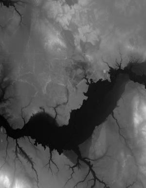
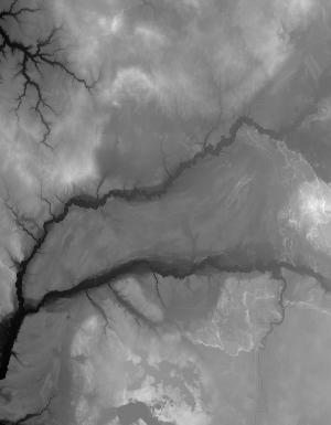
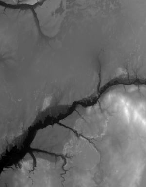
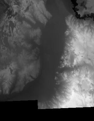
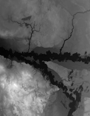
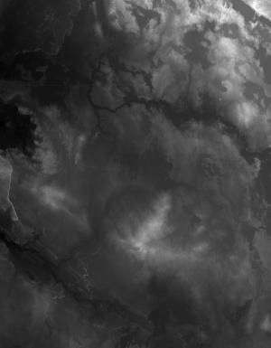
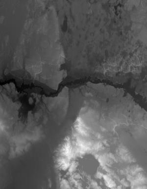
Index of /vdelivery/Datasets/Staged/Elevation/1m/Projects/BLev8MI_31Co_Mason_2017/browse/
Index of /vdelivery/Datasets/Staged/Elevation/1m/Projects/BLev8MI_31Co_Mason_2017/browse/
../
USGS_one_meter_x53y488_BLev8MI_31Co_Mason_2017_..> 23-Mar-2020 18:02                2977
USGS_one_meter_x53y489_BLev8MI_31Co_Mason_2017_..> 23-Mar-2020 18:02                 834
USGS_one_meter_x54y486_BLev8MI_31Co_Mason_2017_..> 23-Mar-2020 18:02                6093
USGS_one_meter_x54y487_BLev8MI_31Co_Mason_2017_..> 23-Mar-2020 18:02                7952
USGS_one_meter_x54y488_BLev8MI_31Co_Mason_2017_..> 23-Mar-2020 18:02               14328
USGS_one_meter_x54y489_BLev8MI_31Co_Mason_2017_..> 23-Mar-2020 18:02               10197
USGS_one_meter_x54y490_BLev8MI_31Co_Mason_2017_..> 23-Mar-2020 18:02                1132
USGS_one_meter_x55y486_BLev8MI_31Co_Mason_2017_..> 23-Mar-2020 18:02                7284
USGS_one_meter_x55y487_BLev8MI_31Co_Mason_2017_..> 23-Mar-2020 18:02               10983
USGS_one_meter_x55y488_BLev8MI_31Co_Mason_2017_..> 23-Mar-2020 18:02               11702
USGS_one_meter_x55y489_BLev8MI_31Co_Mason_2017_..> 23-Mar-2020 18:02                9756
USGS_one_meter_x55y490_BLev8MI_31Co_Mason_2017_..> 23-Mar-2020 18:02                4770
USGS_one_meter_x56y486_BLev8MI_31Co_Mason_2017_..> 23-Mar-2020 18:02               10394
USGS_one_meter_x56y487_BLev8MI_31Co_Mason_2017_..> 23-Mar-2020 18:02               12281
USGS_one_meter_x56y488_BLev8MI_31Co_Mason_2017_..> 23-Mar-2020 18:02               10275
USGS_one_meter_x56y489_BLev8MI_31Co_Mason_2017_..> 23-Mar-2020 18:02               11166
USGS_one_meter_x56y490_BLev8MI_31Co_Mason_2017_..> 23-Mar-2020 18:02                4041
USGS_one_meter_x57y486_BLev8MI_31Co_Mason_2017_..> 23-Mar-2020 18:02                9394
USGS_one_meter_x57y487_BLev8MI_31Co_Mason_2017_..> 23-Mar-2020 18:02                8423
USGS_one_meter_x57y488_BLev8MI_31Co_Mason_2017_..> 23-Mar-2020 18:02                9495
USGS_one_meter_x57y489_BLev8MI_31Co_Mason_2017_..> 23-Mar-2020 18:02                9619
USGS_one_meter_x57y490_BLev8MI_31Co_Mason_2017_..> 23-Mar-2020 18:02                3151