WARNING TO USERS OF THIS SYSTEM
This computer system, including all related equipment, networks, and network devices (including Internet access), is provided by the Department of the Interior (DOI) in accordance with the agency policy for official use and limited personal use.
All agency computer systems may be monitored for all lawful purposes,
including but not limited to, ensuring that use is authorized, for management of the system, to facilitate protection against unauthorized access, and to verify security procedures, survivability and operational security. Any information on this computer system may be examined, recorded, copied and used for authorized purposes at any time.
All information, including personal information, placed or sent over this system may be monitored, and users of this system are reminded that such monitoring does occur. Therefore, there should be no expectation of privacy with respect to use of this system.
By logging into this agency computer system, you acknowledge and consent to the monitoring of this system. Evidence of your use, authorized or
unauthorized, collected during monitoring may be used for civil, criminal, administrative, or other adverse action. Unauthorized or illegal use may subject you to prosecution.
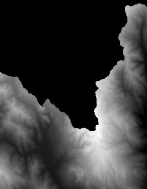
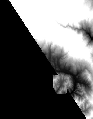
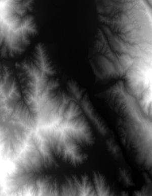
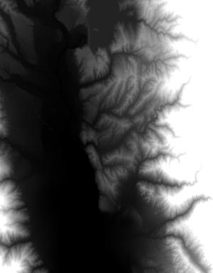
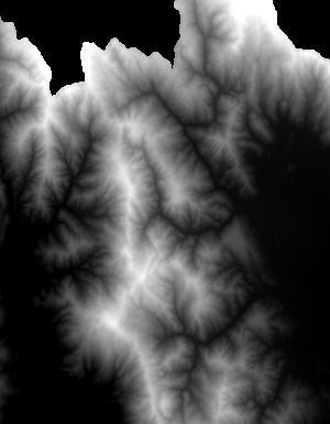
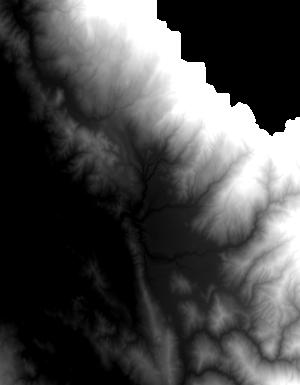
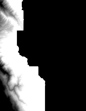
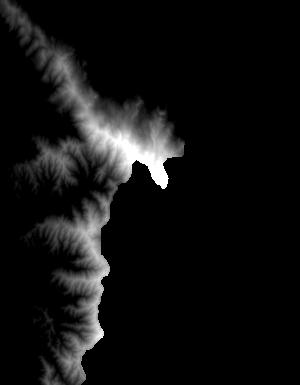
Index of /vdelivery/Datasets/Staged/Elevation/1m/Projects/CA_FEMA_R9_Russian_2017/browse/
Index of /vdelivery/Datasets/Staged/Elevation/1m/Projects/CA_FEMA_R9_Russian_2017/browse/
../
USGS_one_meter_x46y434_CA_FEMA_R9_Russian_2017_..> 23-Mar-2020 18:02                1423
USGS_one_meter_x46y435_CA_FEMA_R9_Russian_2017_..> 23-Mar-2020 18:02                5159
USGS_one_meter_x46y436_CA_FEMA_R9_Russian_2017_..> 23-Mar-2020 18:02                5678
USGS_one_meter_x47y432_CA_FEMA_R9_Russian_2017_..> 23-Mar-2020 18:02                1648
USGS_one_meter_x47y433_CA_FEMA_R9_Russian_2017_..> 23-Mar-2020 18:02                8167
USGS_one_meter_x47y434_CA_FEMA_R9_Russian_2017_..> 23-Mar-2020 18:02               12388
USGS_one_meter_x47y435_CA_FEMA_R9_Russian_2017_..> 23-Mar-2020 18:02               13117
USGS_one_meter_x47y436_CA_FEMA_R9_Russian_2017_..> 23-Mar-2020 18:02                8651
USGS_one_meter_x48y430_CA_FEMA_R9_Russian_2017_..> 23-Mar-2020 18:02                 796
USGS_one_meter_x48y431_CA_FEMA_R9_Russian_2017_..> 23-Mar-2020 18:02                7178
USGS_one_meter_x48y432_CA_FEMA_R9_Russian_2017_..> 23-Mar-2020 18:02               11024
USGS_one_meter_x48y433_CA_FEMA_R9_Russian_2017_..> 23-Mar-2020 18:02               10222
USGS_one_meter_x48y434_CA_FEMA_R9_Russian_2017_..> 23-Mar-2020 18:02                9566
USGS_one_meter_x48y435_CA_FEMA_R9_Russian_2017_..> 23-Mar-2020 18:02                8484
USGS_one_meter_x48y436_CA_FEMA_R9_Russian_2017_..> 23-Mar-2020 18:02               12179
USGS_one_meter_x48y437_CA_FEMA_R9_Russian_2017_..> 23-Mar-2020 18:02                1135
USGS_one_meter_x49y430_CA_FEMA_R9_Russian_2017_..> 23-Mar-2020 18:02                1553
USGS_one_meter_x49y431_CA_FEMA_R9_Russian_2017_..> 23-Mar-2020 18:02               12015
USGS_one_meter_x49y432_CA_FEMA_R9_Russian_2017_..> 23-Mar-2020 18:02                9349
USGS_one_meter_x49y433_CA_FEMA_R9_Russian_2017_..> 23-Mar-2020 18:02                5218
USGS_one_meter_x49y434_CA_FEMA_R9_Russian_2017_..> 23-Mar-2020 18:02                6147
USGS_one_meter_x49y435_CA_FEMA_R9_Russian_2017_..> 23-Mar-2020 18:02               11285
USGS_one_meter_x49y436_CA_FEMA_R9_Russian_2017_..> 23-Mar-2020 18:02                3279
USGS_one_meter_x50y431_CA_FEMA_R9_Russian_2017_..> 23-Mar-2020 18:02               12247
USGS_one_meter_x50y432_CA_FEMA_R9_Russian_2017_..> 23-Mar-2020 18:02                1841
USGS_one_meter_x50y435_CA_FEMA_R9_Russian_2017_..> 23-Mar-2020 18:02                1104
USGS_one_meter_x51y431_CA_FEMA_R9_Russian_2017_..> 23-Mar-2020 18:02                1617