WARNING TO USERS OF THIS SYSTEM
This computer system, including all related equipment, networks, and network devices (including Internet access), is provided by the Department of the Interior (DOI) in accordance with the agency policy for official use and limited personal use.
All agency computer systems may be monitored for all lawful purposes,
including but not limited to, ensuring that use is authorized, for management of the system, to facilitate protection against unauthorized access, and to verify security procedures, survivability and operational security. Any information on this computer system may be examined, recorded, copied and used for authorized purposes at any time.
All information, including personal information, placed or sent over this system may be monitored, and users of this system are reminded that such monitoring does occur. Therefore, there should be no expectation of privacy with respect to use of this system.
By logging into this agency computer system, you acknowledge and consent to the monitoring of this system. Evidence of your use, authorized or
unauthorized, collected during monitoring may be used for civil, criminal, administrative, or other adverse action. Unauthorized or illegal use may subject you to prosecution.
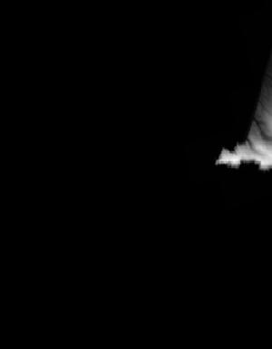
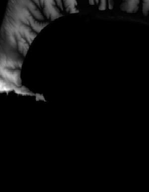
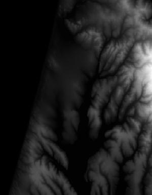
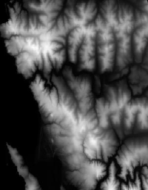
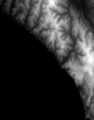
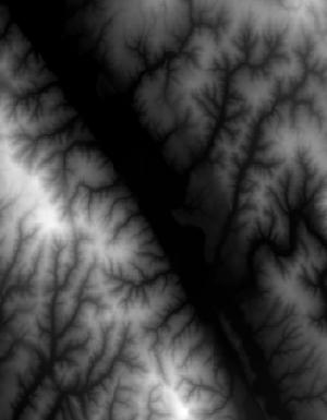
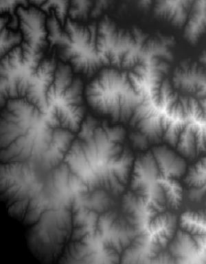
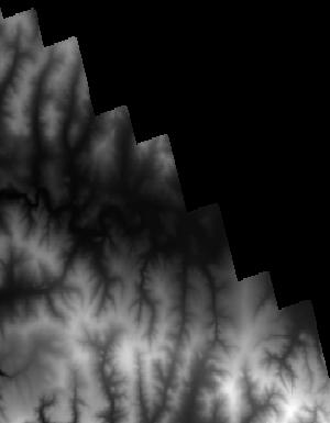
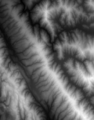
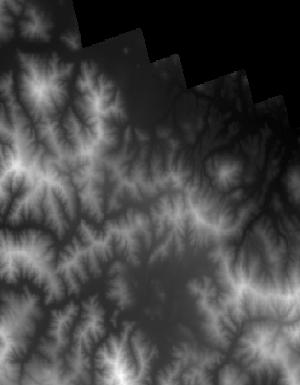
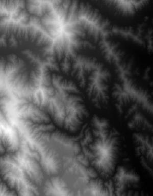
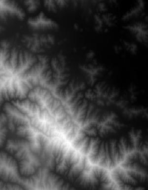
Index of /vdelivery/Datasets/Staged/Elevation/1m/Projects/CA_NoCal_Wildfires_B5b_QL1_2018/browse/
Index of /vdelivery/Datasets/Staged/Elevation/1m/Projects/CA_NoCal_Wildfires_B5b_QL1_2018/browse/
../
USGS_1m_x49y421_CA_NoCal_Wildfires_B5b_QL1_2018..> 14-Jan-2020 19:26                1496
USGS_1m_x49y422_CA_NoCal_Wildfires_B5b_QL1_2018..> 14-Jan-2020 19:15                 626
USGS_1m_x49y424_CA_NoCal_Wildfires_B5b_QL1_2018..> 14-Jan-2020 19:03                 726
USGS_1m_x50y421_CA_NoCal_Wildfires_B5b_QL1_2018..> 14-Jan-2020 19:27                3821
USGS_1m_x50y422_CA_NoCal_Wildfires_B5b_QL1_2018..> 14-Jan-2020 19:17                8146
USGS_1m_x50y423_CA_NoCal_Wildfires_B5b_QL1_2018..> 14-Jan-2020 19:08                8283
USGS_1m_x50y424_CA_NoCal_Wildfires_B5b_QL1_2018..> 14-Jan-2020 19:05               13356
USGS_1m_x50y425_CA_NoCal_Wildfires_B5b_QL1_2018..> 14-Jan-2020 19:02                2569
USGS_1m_x51y420_CA_NoCal_Wildfires_B5b_QL1_2018..> 14-Jan-2020 19:35                 725
USGS_1m_x51y421_CA_NoCal_Wildfires_B5b_QL1_2018..> 14-Jan-2020 19:28                7845
USGS_1m_x51y422_CA_NoCal_Wildfires_B5b_QL1_2018..> 14-Jan-2020 19:19               11216
USGS_1m_x51y423_CA_NoCal_Wildfires_B5b_QL1_2018..> 14-Jan-2020 19:10               12888
USGS_1m_x51y424_CA_NoCal_Wildfires_B5b_QL1_2018..> 14-Jan-2020 19:06                8632
USGS_1m_x52y420_CA_NoCal_Wildfires_B5b_QL1_2018..> 14-Jan-2020 19:37                4788
USGS_1m_x52y421_CA_NoCal_Wildfires_B5b_QL1_2018..> 14-Jan-2020 19:31               13675
USGS_1m_x52y422_CA_NoCal_Wildfires_B5b_QL1_2018..> 14-Jan-2020 19:21               12612
USGS_1m_x52y423_CA_NoCal_Wildfires_B5b_QL1_2018..> 14-Jan-2020 19:12               11101
USGS_1m_x52y424_CA_NoCal_Wildfires_B5b_QL1_2018..> 14-Jan-2020 19:07                1136
USGS_1m_x53y419_CA_NoCal_Wildfires_B5b_QL1_2018..> 14-Jan-2020 19:42                1433
USGS_1m_x53y420_CA_NoCal_Wildfires_B5b_QL1_2018..> 14-Jan-2020 19:39                8948
USGS_1m_x53y421_CA_NoCal_Wildfires_B5b_QL1_2018..> 14-Jan-2020 19:33               11579
USGS_1m_x53y422_CA_NoCal_Wildfires_B5b_QL1_2018..> 14-Jan-2020 19:23               10592
USGS_1m_x53y423_CA_NoCal_Wildfires_B5b_QL1_2018..> 14-Jan-2020 19:14                6669
USGS_1m_x54y419_CA_NoCal_Wildfires_B5b_QL1_2018..> 14-Jan-2020 19:43                4315
USGS_1m_x54y420_CA_NoCal_Wildfires_B5b_QL1_2018..> 14-Jan-2020 19:41                7804
USGS_1m_x54y421_CA_NoCal_Wildfires_B5b_QL1_2018..> 14-Jan-2020 19:34                7160
USGS_1m_x54y422_CA_NoCal_Wildfires_B5b_QL1_2018..> 14-Jan-2020 19:25                4260
USGS_1m_x54y423_CA_NoCal_Wildfires_B5b_QL1_2018..> 14-Jan-2020 19:14                1270
USGS_1m_x55y419_CA_NoCal_Wildfires_B5b_QL1_2018..> 14-Jan-2020 19:43                 742
USGS_1m_x55y420_CA_NoCal_Wildfires_B5b_QL1_2018..> 14-Jan-2020 19:41                1035
USGS_1m_x55y421_CA_NoCal_Wildfires_B5b_QL1_2018..> 14-Jan-2020 19:35                 790