WARNING TO USERS OF THIS SYSTEM
This computer system, including all related equipment, networks, and network devices (including Internet access), is provided by the Department of the Interior (DOI) in accordance with the agency policy for official use and limited personal use.
All agency computer systems may be monitored for all lawful purposes,
including but not limited to, ensuring that use is authorized, for management of the system, to facilitate protection against unauthorized access, and to verify security procedures, survivability and operational security. Any information on this computer system may be examined, recorded, copied and used for authorized purposes at any time.
All information, including personal information, placed or sent over this system may be monitored, and users of this system are reminded that such monitoring does occur. Therefore, there should be no expectation of privacy with respect to use of this system.
By logging into this agency computer system, you acknowledge and consent to the monitoring of this system. Evidence of your use, authorized or
unauthorized, collected during monitoring may be used for civil, criminal, administrative, or other adverse action. Unauthorized or illegal use may subject you to prosecution.
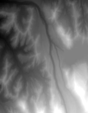
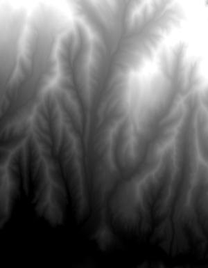
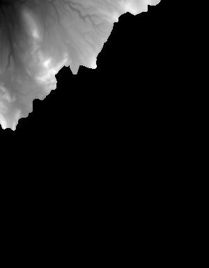
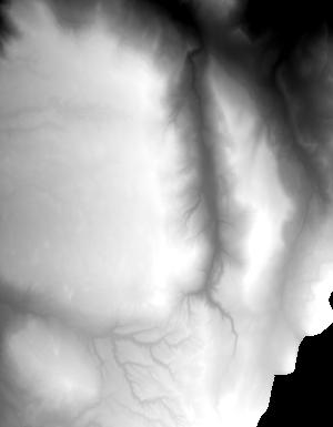
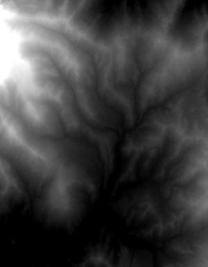
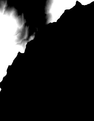
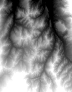
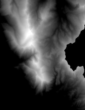
Index of /vdelivery/Datasets/Staged/Elevation/1m/Projects/CO_MesaCo_QL2_UTM13_2015/browse/
Index of /vdelivery/Datasets/Staged/Elevation/1m/Projects/CO_MesaCo_QL2_UTM13_2015/browse/
../
USGS_one_meter_x23y433_CO_MesaCo_QL2_UTM13_2015..> 23-Mar-2020 18:02                1387
USGS_one_meter_x23y434_CO_MesaCo_QL2_UTM13_2015..> 23-Mar-2020 18:02                1492
USGS_one_meter_x23y435_CO_MesaCo_QL2_UTM13_2015..> 23-Mar-2020 18:02                1796
USGS_one_meter_x23y436_CO_MesaCo_QL2_UTM13_2015..> 23-Mar-2020 18:02                1419
USGS_one_meter_x23y437_CO_MesaCo_QL2_UTM13_2015..> 23-Mar-2020 18:02                1209
USGS_one_meter_x24y433_CO_MesaCo_QL2_UTM13_2015..> 23-Mar-2020 18:02                4942
USGS_one_meter_x24y434_CO_MesaCo_QL2_UTM13_2015..> 23-Mar-2020 18:02                5823
USGS_one_meter_x24y435_CO_MesaCo_QL2_UTM13_2015..> 23-Mar-2020 18:02                7671
USGS_one_meter_x24y436_CO_MesaCo_QL2_UTM13_2015..> 23-Mar-2020 18:02                9171
USGS_one_meter_x24y437_CO_MesaCo_QL2_UTM13_2015..> 23-Mar-2020 18:02                2521
USGS_one_meter_x25y433_CO_MesaCo_QL2_UTM13_2015..> 23-Mar-2020 18:02                5292
USGS_one_meter_x25y434_CO_MesaCo_QL2_UTM13_2015..> 23-Mar-2020 18:02                5513
USGS_one_meter_x25y435_CO_MesaCo_QL2_UTM13_2015..> 23-Mar-2020 18:02                7259
USGS_one_meter_x25y436_CO_MesaCo_QL2_UTM13_2015..> 23-Mar-2020 18:02                7989
USGS_one_meter_x25y437_CO_MesaCo_QL2_UTM13_2015..> 23-Mar-2020 18:02                3062
USGS_one_meter_x26y433_CO_MesaCo_QL2_UTM13_2015..> 23-Mar-2020 18:02                4825
USGS_one_meter_x26y434_CO_MesaCo_QL2_UTM13_2015..> 23-Mar-2020 18:02                8747
USGS_one_meter_x26y435_CO_MesaCo_QL2_UTM13_2015..> 23-Mar-2020 18:02                7643
USGS_one_meter_x26y436_CO_MesaCo_QL2_UTM13_2015..> 23-Mar-2020 18:02                8126
USGS_one_meter_x26y437_CO_MesaCo_QL2_UTM13_2015..> 23-Mar-2020 18:02                2548
USGS_one_meter_x27y434_CO_MesaCo_QL2_UTM13_2015..> 23-Mar-2020 18:02                5293
USGS_one_meter_x27y435_CO_MesaCo_QL2_UTM13_2015..> 23-Mar-2020 18:02                6962
USGS_one_meter_x27y436_CO_MesaCo_QL2_UTM13_2015..> 23-Mar-2020 18:02               11978
USGS_one_meter_x27y437_CO_MesaCo_QL2_UTM13_2015..> 23-Mar-2020 18:02                 880
USGS_one_meter_x28y434_CO_MesaCo_QL2_UTM13_2015..> 23-Mar-2020 18:02                 764
USGS_one_meter_x28y435_CO_MesaCo_QL2_UTM13_2015..> 23-Mar-2020 18:02                9706
USGS_one_meter_x28y436_CO_MesaCo_QL2_UTM13_2015..> 23-Mar-2020 18:02                9941
USGS_one_meter_x28y437_CO_MesaCo_QL2_UTM13_2015..> 23-Mar-2020 18:02                1532
USGS_one_meter_x29y435_CO_MesaCo_QL2_UTM13_2015..> 23-Mar-2020 18:02                3012
USGS_one_meter_x29y436_CO_MesaCo_QL2_UTM13_2015..> 23-Mar-2020 18:02                4250
USGS_one_meter_x29y437_CO_MesaCo_QL2_UTM13_2015..> 23-Mar-2020 18:02                 823
USGS_one_meter_x75y433_CO_MesaCo_QL2_UTM13_2015..> 23-Mar-2020 18:02                1813
USGS_one_meter_x75y434_CO_MesaCo_QL2_UTM13_2015..> 23-Mar-2020 18:02                2022
USGS_one_meter_x75y435_CO_MesaCo_QL2_UTM13_2015..> 23-Mar-2020 18:02                2129
USGS_one_meter_x75y436_CO_MesaCo_QL2_UTM13_2015..> 23-Mar-2020 18:02                4882
USGS_one_meter_x75y437_CO_MesaCo_QL2_UTM13_2015..> 23-Mar-2020 18:02                1770
USGS_one_meter_x76y433_CO_MesaCo_QL2_UTM13_2015..> 23-Mar-2020 18:02                4849
USGS_one_meter_x76y434_CO_MesaCo_QL2_UTM13_2015..> 23-Mar-2020 18:02                5554
USGS_one_meter_x76y435_CO_MesaCo_QL2_UTM13_2015..> 23-Mar-2020 18:02                7338
USGS_one_meter_x76y436_CO_MesaCo_QL2_UTM13_2015..> 23-Mar-2020 18:02                8033
USGS_one_meter_x76y437_CO_MesaCo_QL2_UTM13_2015..> 23-Mar-2020 18:02                3758