WARNING TO USERS OF THIS SYSTEM
This computer system, including all related equipment, networks, and network devices (including Internet access), is provided by the Department of the Interior (DOI) in accordance with the agency policy for official use and limited personal use.
All agency computer systems may be monitored for all lawful purposes,
including but not limited to, ensuring that use is authorized, for management of the system, to facilitate protection against unauthorized access, and to verify security procedures, survivability and operational security. Any information on this computer system may be examined, recorded, copied and used for authorized purposes at any time.
All information, including personal information, placed or sent over this system may be monitored, and users of this system are reminded that such monitoring does occur. Therefore, there should be no expectation of privacy with respect to use of this system.
By logging into this agency computer system, you acknowledge and consent to the monitoring of this system. Evidence of your use, authorized or
unauthorized, collected during monitoring may be used for civil, criminal, administrative, or other adverse action. Unauthorized or illegal use may subject you to prosecution.
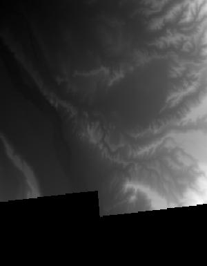
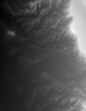
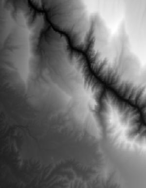
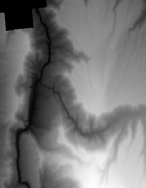
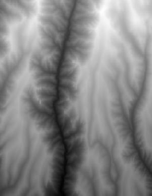
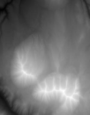
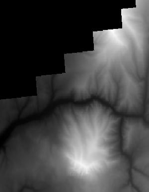
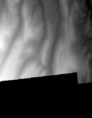
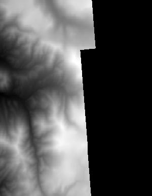
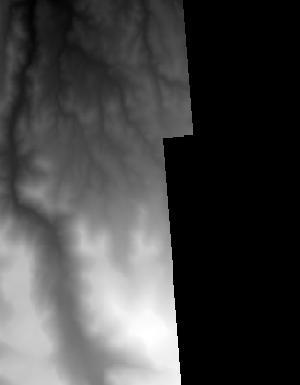
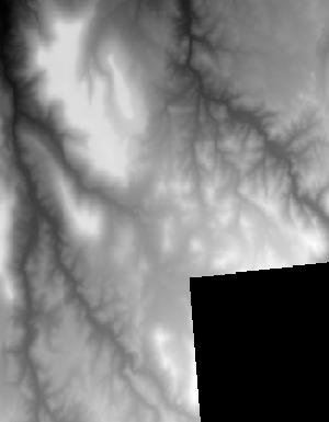
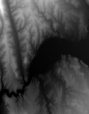
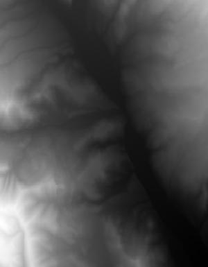
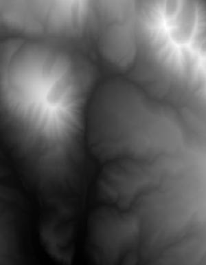
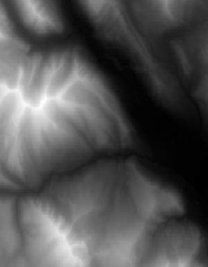
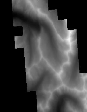
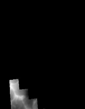
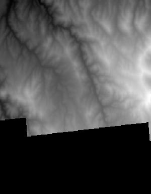
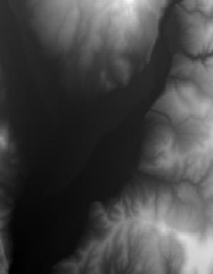
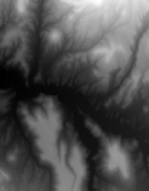
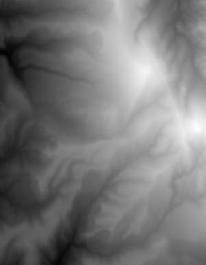
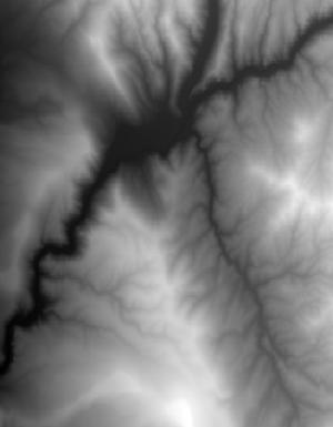
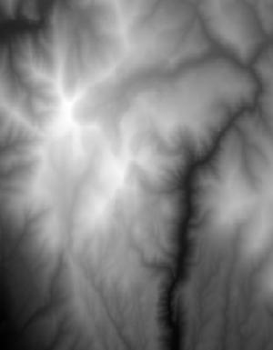
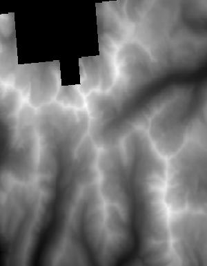
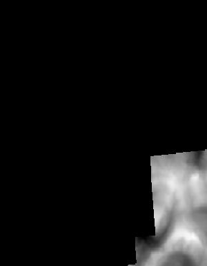
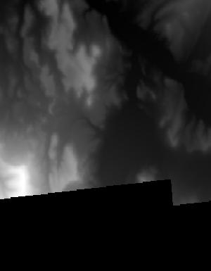
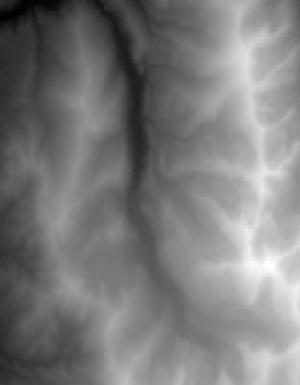
Index of /vdelivery/Datasets/Staged/Elevation/1m/Projects/CO_WestCentral_2019_A19/browse/
Index of /vdelivery/Datasets/Staged/Elevation/1m/Projects/CO_WestCentral_2019_A19/browse/
../
USGS_1M_12_x76y426_CO_WestCentral_2019_A19.jpg     12-Jun-2021 05:17                4975
USGS_1M_12_x76y427_CO_WestCentral_2019_A19.jpg     12-Jun-2021 05:17                4523
USGS_1M_12_x76y428_CO_WestCentral_2019_A19.jpg     12-Jun-2021 05:17                4863
USGS_1M_12_x76y429_CO_WestCentral_2019_A19.jpg     12-Jun-2021 05:17                5871
USGS_1M_12_x77y426_CO_WestCentral_2019_A19.jpg     12-Jun-2021 05:17                6484
USGS_1M_13_x24y426_CO_WestCentral_2019_A19.jpg     12-Jun-2021 05:17                6534
USGS_1M_13_x24y427_CO_WestCentral_2019_A19.jpg     12-Jun-2021 05:17                5496
USGS_1M_13_x24y428_CO_WestCentral_2019_A19.jpg     12-Jun-2021 05:17                5722
USGS_1M_13_x24y429_CO_WestCentral_2019_A19.jpg     12-Jun-2021 05:17                5654
USGS_1M_13_x25y426_CO_WestCentral_2019_A19.jpg     12-Jun-2021 05:17                5882
USGS_1M_13_x25y427_CO_WestCentral_2019_A19.jpg     12-Jun-2021 05:17                6900
USGS_1M_13_x25y428_CO_WestCentral_2019_A19.jpg     12-Jun-2021 05:17                8696
USGS_1M_13_x25y429_CO_WestCentral_2019_A19.jpg     12-Jun-2021 05:17                7841
USGS_1M_13_x25y430_CO_WestCentral_2019_A19.jpg     12-Jun-2021 05:17                3454
USGS_1M_13_x26y425_CO_WestCentral_2019_A19.jpg     12-Jun-2021 05:17                1297
USGS_1M_13_x26y426_CO_WestCentral_2019_A19.jpg     12-Jun-2021 05:17                5658
USGS_1M_13_x26y427_CO_WestCentral_2019_A19.jpg     12-Jun-2021 05:17                7236
USGS_1M_13_x26y428_CO_WestCentral_2019_A19.jpg     12-Jun-2021 05:17                6478
USGS_1M_13_x26y429_CO_WestCentral_2019_A19.jpg     12-Jun-2021 05:17                6104
USGS_1M_13_x26y430_CO_WestCentral_2019_A19.jpg     12-Jun-2021 05:17                 896
USGS_1M_13_x27y423_CO_WestCentral_2019_A19.jpg     12-Jun-2021 05:17                3900
USGS_1M_13_x27y424_CO_WestCentral_2019_A19.jpg     12-Jun-2021 05:17                7688
USGS_1M_13_x27y425_CO_WestCentral_2019_A19.jpg     12-Jun-2021 05:17                3238
USGS_1M_13_x27y426_CO_WestCentral_2019_A19.jpg     12-Jun-2021 05:17                6471
USGS_1M_13_x27y427_CO_WestCentral_2019_A19.jpg     12-Jun-2021 05:17                7812
USGS_1M_13_x27y428_CO_WestCentral_2019_A19.jpg     12-Jun-2021 05:17                5908
USGS_1M_13_x27y429_CO_WestCentral_2019_A19.jpg     12-Jun-2021 05:17                5412
USGS_1M_13_x27y430_CO_WestCentral_2019_A19.jpg     12-Jun-2021 05:17                1069
USGS_1M_13_x28y423_CO_WestCentral_2019_A19.jpg     12-Jun-2021 05:17                6247
USGS_1M_13_x28y424_CO_WestCentral_2019_A19.jpg     12-Jun-2021 05:17                7880
USGS_1M_13_x28y425_CO_WestCentral_2019_A19.jpg     12-Jun-2021 05:17                6964
USGS_1M_13_x28y426_CO_WestCentral_2019_A19.jpg     12-Jun-2021 05:17                8964
USGS_1M_13_x28y427_CO_WestCentral_2019_A19.jpg     12-Jun-2021 05:17                6620
USGS_1M_13_x28y428_CO_WestCentral_2019_A19.jpg     12-Jun-2021 05:17                6294
USGS_1M_13_x28y429_CO_WestCentral_2019_A19.jpg     12-Jun-2021 05:17                6045
USGS_1M_13_x28y430_CO_WestCentral_2019_A19.jpg     12-Jun-2021 05:17                7455
USGS_1M_13_x28y431_CO_WestCentral_2019_A19.jpg     12-Jun-2021 05:17                3346
USGS_1M_13_x29y423_CO_WestCentral_2019_A19.jpg     12-Jun-2021 05:17                5603
USGS_1M_13_x29y424_CO_WestCentral_2019_A19.jpg     12-Jun-2021 05:17                6121
USGS_1M_13_x29y425_CO_WestCentral_2019_A19.jpg     12-Jun-2021 05:17                7816
USGS_1M_13_x29y426_CO_WestCentral_2019_A19.jpg     12-Jun-2021 05:17                7141
USGS_1M_13_x29y427_CO_WestCentral_2019_A19.jpg     12-Jun-2021 05:17                7812
USGS_1M_13_x29y428_CO_WestCentral_2019_A19.jpg     12-Jun-2021 05:17                8237
USGS_1M_13_x29y429_CO_WestCentral_2019_A19.jpg     12-Jun-2021 05:17                8400
USGS_1M_13_x29y430_CO_WestCentral_2019_A19.jpg     12-Jun-2021 05:17                6287
USGS_1M_13_x29y431_CO_WestCentral_2019_A19.jpg     12-Jun-2021 05:17                6142
USGS_1M_13_x29y432_CO_WestCentral_2019_A19.jpg     12-Jun-2021 05:17                4530
USGS_1M_13_x30y423_CO_WestCentral_2019_A19.jpg     12-Jun-2021 05:17                5663
USGS_1M_13_x30y424_CO_WestCentral_2019_A19.jpg     12-Jun-2021 05:17                7501
USGS_1M_13_x30y425_CO_WestCentral_2019_A19.jpg     12-Jun-2021 05:17                7540
USGS_1M_13_x30y426_CO_WestCentral_2019_A19.jpg     12-Jun-2021 05:17                9879
USGS_1M_13_x30y427_CO_WestCentral_2019_A19.jpg     12-Jun-2021 05:17                8596
USGS_1M_13_x30y428_CO_WestCentral_2019_A19.jpg     12-Jun-2021 05:17                8363
USGS_1M_13_x30y429_CO_WestCentral_2019_A19.jpg     12-Jun-2021 05:17                7777
USGS_1M_13_x30y430_CO_WestCentral_2019_A19.jpg     12-Jun-2021 05:17                6070
USGS_1M_13_x30y431_CO_WestCentral_2019_A19.jpg     12-Jun-2021 05:17                5349
USGS_1M_13_x30y432_CO_WestCentral_2019_A19.jpg     12-Jun-2021 05:17                6497
USGS_1M_13_x30y433_CO_WestCentral_2019_A19.jpg     12-Jun-2021 05:17                 885
USGS_1M_13_x31y423_CO_WestCentral_2019_A19.jpg     12-Jun-2021 05:17                5707
USGS_1M_13_x31y424_CO_WestCentral_2019_A19.jpg     12-Jun-2021 05:17                7963
USGS_1M_13_x31y425_CO_WestCentral_2019_A19.jpg     12-Jun-2021 05:17                8504
USGS_1M_13_x31y426_CO_WestCentral_2019_A19.jpg     12-Jun-2021 05:17                9170
USGS_1M_13_x31y427_CO_WestCentral_2019_A19.jpg     12-Jun-2021 05:17                8288
USGS_1M_13_x31y428_CO_WestCentral_2019_A19.jpg     12-Jun-2021 05:17                8163
USGS_1M_13_x31y429_CO_WestCentral_2019_A19.jpg     12-Jun-2021 05:17                7612
USGS_1M_13_x31y430_CO_WestCentral_2019_A19.jpg     12-Jun-2021 05:17                6021
USGS_1M_13_x31y431_CO_WestCentral_2019_A19.jpg     12-Jun-2021 05:17                5639
USGS_1M_13_x31y432_CO_WestCentral_2019_A19.jpg     12-Jun-2021 05:17                7193
USGS_1M_13_x31y433_CO_WestCentral_2019_A19.jpg     12-Jun-2021 05:17                2408
USGS_1M_13_x32y423_CO_WestCentral_2019_A19.jpg     12-Jun-2021 05:17                4844
USGS_1M_13_x32y424_CO_WestCentral_2019_A19.jpg     12-Jun-2021 05:17                6396
USGS_1M_13_x32y425_CO_WestCentral_2019_A19.jpg     12-Jun-2021 05:17                5377
USGS_1M_13_x32y426_CO_WestCentral_2019_A19.jpg     12-Jun-2021 05:17                8974
USGS_1M_13_x32y427_CO_WestCentral_2019_A19.jpg     12-Jun-2021 05:17                7856
USGS_1M_13_x32y428_CO_WestCentral_2019_A19.jpg     12-Jun-2021 05:17                7097
USGS_1M_13_x32y429_CO_WestCentral_2019_A19.jpg     12-Jun-2021 05:17                5375
USGS_1M_13_x32y430_CO_WestCentral_2019_A19.jpg     12-Jun-2021 05:17                5891
USGS_1M_13_x32y431_CO_WestCentral_2019_A19.jpg     12-Jun-2021 05:17                6920
USGS_1M_13_x32y432_CO_WestCentral_2019_A19.jpg     12-Jun-2021 05:17                6136
USGS_1M_13_x32y433_CO_WestCentral_2019_A19.jpg     12-Jun-2021 05:17                6927
USGS_1M_13_x32y434_CO_WestCentral_2019_A19.jpg     12-Jun-2021 05:17                2005
USGS_1M_13_x33y426_CO_WestCentral_2019_A19.jpg     12-Jun-2021 05:17                6822
USGS_1M_13_x33y427_CO_WestCentral_2019_A19.jpg     12-Jun-2021 05:17                7788
USGS_1M_13_x33y428_CO_WestCentral_2019_A19.jpg     12-Jun-2021 05:17                6159
USGS_1M_13_x33y429_CO_WestCentral_2019_A19.jpg     12-Jun-2021 05:17                6033
USGS_1M_13_x33y430_CO_WestCentral_2019_A19.jpg     12-Jun-2021 05:17                5851
USGS_1M_13_x33y431_CO_WestCentral_2019_A19.jpg     12-Jun-2021 05:17                6492
USGS_1M_13_x33y432_CO_WestCentral_2019_A19.jpg     12-Jun-2021 05:17                7551
USGS_1M_13_x33y433_CO_WestCentral_2019_A19.jpg     12-Jun-2021 05:17                1970
USGS_1M_13_x34y426_CO_WestCentral_2019_A19.jpg     12-Jun-2021 05:17                6167
USGS_1M_13_x34y427_CO_WestCentral_2019_A19.jpg     12-Jun-2021 05:17                7878
USGS_1M_13_x34y428_CO_WestCentral_2019_A19.jpg     12-Jun-2021 05:17                6196
USGS_1M_13_x34y429_CO_WestCentral_2019_A19.jpg     12-Jun-2021 05:17                8829
USGS_1M_13_x34y430_CO_WestCentral_2019_A19.jpg     12-Jun-2021 05:17                7582
USGS_1M_13_x34y431_CO_WestCentral_2019_A19.jpg     12-Jun-2021 05:17                7856
USGS_1M_13_x34y432_CO_WestCentral_2019_A19.jpg     12-Jun-2021 05:17                8434
USGS_1M_13_x34y433_CO_WestCentral_2019_A19.jpg     12-Jun-2021 05:17                2598
USGS_1M_13_x35y426_CO_WestCentral_2019_A19.jpg     12-Jun-2021 05:17                5499
USGS_1M_13_x35y427_CO_WestCentral_2019_A19.jpg     12-Jun-2021 05:17                7331
USGS_1M_13_x35y428_CO_WestCentral_2019_A19.jpg     12-Jun-2021 05:17                6633
USGS_1M_13_x35y429_CO_WestCentral_2019_A19.jpg     12-Jun-2021 05:17                6398
USGS_1M_13_x35y430_CO_WestCentral_2019_A19.jpg     12-Jun-2021 05:17                7520
USGS_1M_13_x35y431_CO_WestCentral_2019_A19.jpg     12-Jun-2021 05:17                7369
USGS_1M_13_x35y432_CO_WestCentral_2019_A19.jpg     12-Jun-2021 05:17                6086
USGS_1M_13_x35y433_CO_WestCentral_2019_A19.jpg     12-Jun-2021 05:17                5462
USGS_1M_13_x36y426_CO_WestCentral_2019_A19.jpg     12-Jun-2021 05:17                4657
USGS_1M_13_x36y427_CO_WestCentral_2019_A19.jpg     12-Jun-2021 05:17                6144
USGS_1M_13_x36y428_CO_WestCentral_2019_A19.jpg     12-Jun-2021 05:17                7324
USGS_1M_13_x36y429_CO_WestCentral_2019_A19.jpg     12-Jun-2021 05:17                7415
USGS_1M_13_x36y430_CO_WestCentral_2019_A19.jpg     12-Jun-2021 05:17                6390
USGS_1M_13_x36y431_CO_WestCentral_2019_A19.jpg     12-Jun-2021 05:17                5421
USGS_1M_13_x36y432_CO_WestCentral_2019_A19.jpg     12-Jun-2021 05:17                7386
USGS_1M_13_x36y433_CO_WestCentral_2019_A19.jpg     12-Jun-2021 05:17                8035
USGS_1M_13_x36y434_CO_WestCentral_2019_A19.jpg     12-Jun-2021 05:17                5620
USGS_1M_13_x36y435_CO_WestCentral_2019_A19.jpg     12-Jun-2021 05:17                1155
USGS_1M_13_x36y436_CO_WestCentral_2019_A19.jpg     12-Jun-2021 05:17                 749
USGS_1M_13_x37y426_CO_WestCentral_2019_A19.jpg     12-Jun-2021 05:17                7059
USGS_1M_13_x37y427_CO_WestCentral_2019_A19.jpg     12-Jun-2021 05:17                7069
USGS_1M_13_x37y428_CO_WestCentral_2019_A19.jpg     12-Jun-2021 05:17                7827
USGS_1M_13_x37y429_CO_WestCentral_2019_A19.jpg     12-Jun-2021 05:17                7827
USGS_1M_13_x37y430_CO_WestCentral_2019_A19.jpg     12-Jun-2021 05:17                6678
USGS_1M_13_x37y431_CO_WestCentral_2019_A19.jpg     12-Jun-2021 05:17                6732
USGS_1M_13_x37y432_CO_WestCentral_2019_A19.jpg     12-Jun-2021 05:17                7884
USGS_1M_13_x37y433_CO_WestCentral_2019_A19.jpg     12-Jun-2021 05:17                7212
USGS_1M_13_x37y434_CO_WestCentral_2019_A19.jpg     12-Jun-2021 05:17                6616
USGS_1M_13_x37y435_CO_WestCentral_2019_A19.jpg     12-Jun-2021 05:17                5336
USGS_1M_13_x37y436_CO_WestCentral_2019_A19.jpg     12-Jun-2021 05:17                6615
USGS_1M_13_x37y437_CO_WestCentral_2019_A19.jpg     12-Jun-2021 05:17                1012
USGS_1M_13_x38y426_CO_WestCentral_2019_A19.jpg     12-Jun-2021 05:17                6525
USGS_1M_13_x38y427_CO_WestCentral_2019_A19.jpg     12-Jun-2021 05:17                7390
USGS_1M_13_x38y428_CO_WestCentral_2019_A19.jpg     12-Jun-2021 05:17                8257
USGS_1M_13_x38y429_CO_WestCentral_2019_A19.jpg     12-Jun-2021 05:17                7259
USGS_1M_13_x38y430_CO_WestCentral_2019_A19.jpg     12-Jun-2021 05:17                7559
USGS_1M_13_x38y431_CO_WestCentral_2019_A19.jpg     12-Jun-2021 05:17                7177
USGS_1M_13_x38y432_CO_WestCentral_2019_A19.jpg     12-Jun-2021 05:17                6554
USGS_1M_13_x38y433_CO_WestCentral_2019_A19.jpg     12-Jun-2021 05:17                3163
USGS_1M_13_x38y436_CO_WestCentral_2019_A19.jpg     12-Jun-2021 05:17                 880
USGS_1M_13_x38y437_CO_WestCentral_2019_A19.jpg     12-Jun-2021 05:17                 833
USGS_1M_13_x39y426_CO_WestCentral_2019_A19.jpg     12-Jun-2021 05:17                5567
USGS_1M_13_x39y427_CO_WestCentral_2019_A19.jpg     12-Jun-2021 05:17                2683
USGS_1M_13_x39y428_CO_WestCentral_2019_A19.jpg     12-Jun-2021 05:17                5297
USGS_1M_13_x39y429_CO_WestCentral_2019_A19.jpg     12-Jun-2021 05:17                5073
USGS_1M_13_x39y430_CO_WestCentral_2019_A19.jpg     12-Jun-2021 05:17                3134
USGS_1M_13_x39y431_CO_WestCentral_2019_A19.jpg     12-Jun-2021 05:17                3197
USGS_1M_13_x39y432_CO_WestCentral_2019_A19.jpg     12-Jun-2021 05:17                1729
USGS_1M_13_x40y426_CO_WestCentral_2019_A19.jpg     12-Jun-2021 05:17                1199