WARNING TO USERS OF THIS SYSTEM
This computer system, including all related equipment, networks, and network devices (including Internet access), is provided by the Department of the Interior (DOI) in accordance with the agency policy for official use and limited personal use.
All agency computer systems may be monitored for all lawful purposes,
including but not limited to, ensuring that use is authorized, for management of the system, to facilitate protection against unauthorized access, and to verify security procedures, survivability and operational security. Any information on this computer system may be examined, recorded, copied and used for authorized purposes at any time.
All information, including personal information, placed or sent over this system may be monitored, and users of this system are reminded that such monitoring does occur. Therefore, there should be no expectation of privacy with respect to use of this system.
By logging into this agency computer system, you acknowledge and consent to the monitoring of this system. Evidence of your use, authorized or
unauthorized, collected during monitoring may be used for civil, criminal, administrative, or other adverse action. Unauthorized or illegal use may subject you to prosecution.
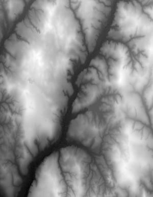
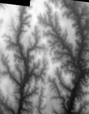
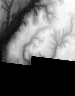
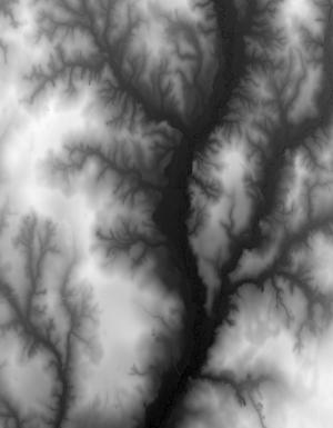
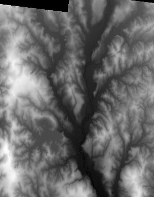
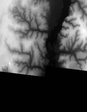
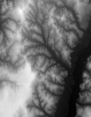
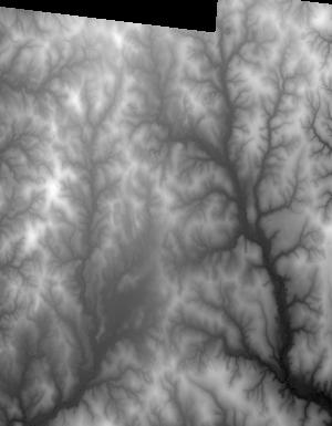
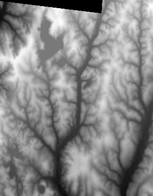
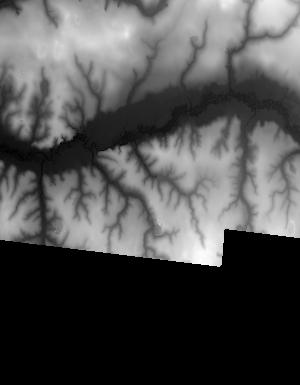
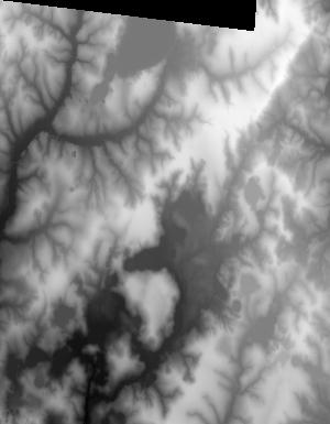
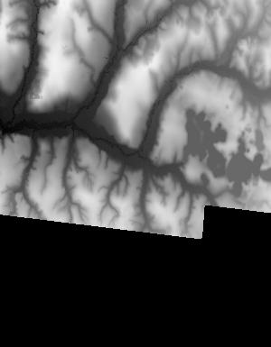
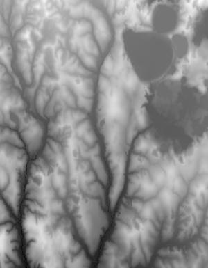
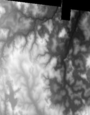
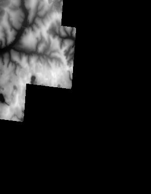
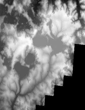
Index of /vdelivery/Datasets/Staged/Elevation/1m/Projects/FL_Panhandle_B1_2018/browse/
Index of /vdelivery/Datasets/Staged/Elevation/1m/Projects/FL_Panhandle_B1_2018/browse/
../
USGS_one_meter_x26y329_FL_Panhandle_B1_2018_thu..> 23-Mar-2020 18:15                4446
USGS_one_meter_x26y330_FL_Panhandle_B1_2018_thu..> 23-Mar-2020 18:15                1835
USGS_one_meter_x27y329_FL_Panhandle_B1_2018_thu..> 23-Mar-2020 18:15                9461
USGS_one_meter_x27y330_FL_Panhandle_B1_2018_thu..> 23-Mar-2020 18:15               11304
USGS_one_meter_x27y331_FL_Panhandle_B1_2018_thu..> 23-Mar-2020 18:15                9576
USGS_one_meter_x28y330_FL_Panhandle_B1_2018_thu..> 23-Mar-2020 18:15                1286
USGS_one_meter_x28y331_FL_Panhandle_B1_2018_thu..> 23-Mar-2020 18:15                4515
USGS_one_meter_x49y342_FL_Panhandle_B1_2018_thu..> 23-Mar-2020 18:15                1221
USGS_one_meter_x49y343_FL_Panhandle_B1_2018_thu..> 23-Mar-2020 18:15                4949
USGS_one_meter_x50y341_FL_Panhandle_B1_2018_thu..> 23-Mar-2020 18:15                6018
USGS_one_meter_x50y342_FL_Panhandle_B1_2018_thu..> 23-Mar-2020 18:15               12478
USGS_one_meter_x50y343_FL_Panhandle_B1_2018_thu..> 23-Mar-2020 18:15               12814
USGS_one_meter_x50y344_FL_Panhandle_B1_2018_thu..> 23-Mar-2020 18:15                1632
USGS_one_meter_x51y341_FL_Panhandle_B1_2018_thu..> 23-Mar-2020 18:15                8514
USGS_one_meter_x51y342_FL_Panhandle_B1_2018_thu..> 23-Mar-2020 18:15               11786
USGS_one_meter_x51y343_FL_Panhandle_B1_2018_thu..> 23-Mar-2020 18:15               13516
USGS_one_meter_x51y344_FL_Panhandle_B1_2018_thu..> 23-Mar-2020 18:15                1168
USGS_one_meter_x52y341_FL_Panhandle_B1_2018_thu..> 23-Mar-2020 18:15                7592
USGS_one_meter_x52y342_FL_Panhandle_B1_2018_thu..> 23-Mar-2020 18:15               12231
USGS_one_meter_x52y343_FL_Panhandle_B1_2018_thu..> 23-Mar-2020 18:15               13822
USGS_one_meter_x52y344_FL_Panhandle_B1_2018_thu..> 23-Mar-2020 18:15                1217
USGS_one_meter_x53y341_FL_Panhandle_B1_2018_thu..> 23-Mar-2020 18:15                8872
USGS_one_meter_x53y342_FL_Panhandle_B1_2018_thu..> 23-Mar-2020 18:15               11229
USGS_one_meter_x53y343_FL_Panhandle_B1_2018_thu..> 23-Mar-2020 18:15               13635
USGS_one_meter_x53y344_FL_Panhandle_B1_2018_thu..> 23-Mar-2020 18:15                 956
USGS_one_meter_x54y341_FL_Panhandle_B1_2018_thu..> 23-Mar-2020 18:15                9258
USGS_one_meter_x54y342_FL_Panhandle_B1_2018_thu..> 23-Mar-2020 18:15               13205
USGS_one_meter_x54y343_FL_Panhandle_B1_2018_thu..> 23-Mar-2020 18:15               13734
USGS_one_meter_x54y344_FL_Panhandle_B1_2018_thu..> 23-Mar-2020 18:15                 903
USGS_one_meter_x55y341_FL_Panhandle_B1_2018_thu..> 23-Mar-2020 18:15               11110
USGS_one_meter_x55y342_FL_Panhandle_B1_2018_thu..> 23-Mar-2020 18:15               13428
USGS_one_meter_x55y343_FL_Panhandle_B1_2018_thu..> 23-Mar-2020 18:15               14008
USGS_one_meter_x55y344_FL_Panhandle_B1_2018_thu..> 23-Mar-2020 18:15                1123
USGS_one_meter_x56y341_FL_Panhandle_B1_2018_thu..> 23-Mar-2020 18:15                9550
USGS_one_meter_x56y342_FL_Panhandle_B1_2018_thu..> 23-Mar-2020 18:15               12358
USGS_one_meter_x56y343_FL_Panhandle_B1_2018_thu..> 23-Mar-2020 18:15               13088
USGS_one_meter_x56y344_FL_Panhandle_B1_2018_thu..> 23-Mar-2020 18:15                 881
USGS_one_meter_x57y341_FL_Panhandle_B1_2018_thu..> 23-Mar-2020 18:15               10044
USGS_one_meter_x57y342_FL_Panhandle_B1_2018_thu..> 23-Mar-2020 18:15               12285
USGS_one_meter_x57y343_FL_Panhandle_B1_2018_thu..> 23-Mar-2020 18:15               12792
USGS_one_meter_x57y344_FL_Panhandle_B1_2018_thu..> 23-Mar-2020 18:15                 735
USGS_one_meter_x58y341_FL_Panhandle_B1_2018_thu..> 23-Mar-2020 18:15                5421
USGS_one_meter_x58y342_FL_Panhandle_B1_2018_thu..> 23-Mar-2020 18:15               12720
USGS_one_meter_x58y343_FL_Panhandle_B1_2018_thu..> 23-Mar-2020 18:15               11098
USGS_one_meter_x59y342_FL_Panhandle_B1_2018_thu..> 23-Mar-2020 18:15                3489
USGS_one_meter_x59y343_FL_Panhandle_B1_2018_thu..> 23-Mar-2020 18:15                4386