WARNING TO USERS OF THIS SYSTEM
This computer system, including all related equipment, networks, and network devices (including Internet access), is provided by the Department of the Interior (DOI) in accordance with the agency policy for official use and limited personal use.
All agency computer systems may be monitored for all lawful purposes,
including but not limited to, ensuring that use is authorized, for management of the system, to facilitate protection against unauthorized access, and to verify security procedures, survivability and operational security. Any information on this computer system may be examined, recorded, copied and used for authorized purposes at any time.
All information, including personal information, placed or sent over this system may be monitored, and users of this system are reminded that such monitoring does occur. Therefore, there should be no expectation of privacy with respect to use of this system.
By logging into this agency computer system, you acknowledge and consent to the monitoring of this system. Evidence of your use, authorized or
unauthorized, collected during monitoring may be used for civil, criminal, administrative, or other adverse action. Unauthorized or illegal use may subject you to prosecution.
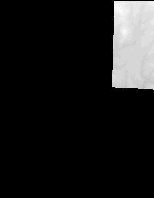
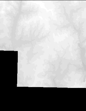
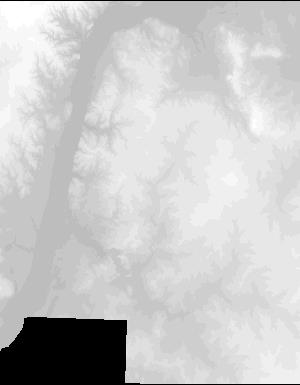
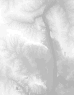
Index of /vdelivery/Datasets/Staged/Elevation/1m/Projects/IL_12_County_OgleCo_2008/browse/
Index of /vdelivery/Datasets/Staged/Elevation/1m/Projects/IL_12_County_OgleCo_2008/browse/
../
USGS_one_meter_x27y465_IL_12_County_OgleCo_2008..> 23-Mar-2020 18:03                4012
USGS_one_meter_x27y466_IL_12_County_OgleCo_2008..> 23-Mar-2020 18:03                4598
USGS_one_meter_x27y467_IL_12_County_OgleCo_2008..> 23-Mar-2020 18:03                4592
USGS_one_meter_x27y468_IL_12_County_OgleCo_2008..> 23-Mar-2020 18:03                3257
USGS_one_meter_x28y465_IL_12_County_OgleCo_2008..> 23-Mar-2020 18:03                7723
USGS_one_meter_x28y466_IL_12_County_OgleCo_2008..> 23-Mar-2020 18:03                7644
USGS_one_meter_x28y467_IL_12_County_OgleCo_2008..> 23-Mar-2020 18:03                8127
USGS_one_meter_x28y468_IL_12_County_OgleCo_2008..> 23-Mar-2020 18:03                5663
USGS_one_meter_x29y464_IL_12_County_OgleCo_2008..> 23-Mar-2020 18:03                2591
USGS_one_meter_x29y465_IL_12_County_OgleCo_2008..> 23-Mar-2020 18:03                9326
USGS_one_meter_x29y466_IL_12_County_OgleCo_2008..> 23-Mar-2020 18:03                8457
USGS_one_meter_x29y467_IL_12_County_OgleCo_2008..> 23-Mar-2020 18:03                8638
USGS_one_meter_x29y468_IL_12_County_OgleCo_2008..> 23-Mar-2020 18:03                6264
USGS_one_meter_x30y464_IL_12_County_OgleCo_2008..> 23-Mar-2020 18:03                2744
USGS_one_meter_x30y465_IL_12_County_OgleCo_2008..> 23-Mar-2020 18:03                9380
USGS_one_meter_x30y466_IL_12_County_OgleCo_2008..> 23-Mar-2020 18:03               10025
USGS_one_meter_x30y467_IL_12_County_OgleCo_2008..> 23-Mar-2020 18:03                9487
USGS_one_meter_x30y468_IL_12_County_OgleCo_2008..> 23-Mar-2020 18:03                6154
USGS_one_meter_x31y464_IL_12_County_OgleCo_2008..> 23-Mar-2020 18:03                3161
USGS_one_meter_x31y465_IL_12_County_OgleCo_2008..> 23-Mar-2020 18:03                6898
USGS_one_meter_x31y466_IL_12_County_OgleCo_2008..> 23-Mar-2020 18:03                8095
USGS_one_meter_x31y467_IL_12_County_OgleCo_2008..> 23-Mar-2020 18:03                8397
USGS_one_meter_x31y468_IL_12_County_OgleCo_2008..> 23-Mar-2020 18:03                6195
USGS_one_meter_x32y464_IL_12_County_OgleCo_2008..> 23-Mar-2020 18:03                3813
USGS_one_meter_x32y465_IL_12_County_OgleCo_2008..> 23-Mar-2020 18:03                5580
USGS_one_meter_x32y466_IL_12_County_OgleCo_2008..> 23-Mar-2020 18:03                6377
USGS_one_meter_x32y467_IL_12_County_OgleCo_2008..> 23-Mar-2020 18:03                6636
USGS_one_meter_x32y468_IL_12_County_OgleCo_2008..> 23-Mar-2020 18:03                3057
USGS_one_meter_x33y464_IL_12_County_OgleCo_2008..> 23-Mar-2020 18:03                3558
USGS_one_meter_x33y465_IL_12_County_OgleCo_2008..> 23-Mar-2020 18:03                6011
USGS_one_meter_x33y466_IL_12_County_OgleCo_2008..> 23-Mar-2020 18:03                5894
USGS_one_meter_x33y467_IL_12_County_OgleCo_2008..> 23-Mar-2020 18:03                6647