WARNING TO USERS OF THIS SYSTEM
This computer system, including all related equipment, networks, and network devices (including Internet access), is provided by the Department of the Interior (DOI) in accordance with the agency policy for official use and limited personal use.
All agency computer systems may be monitored for all lawful purposes,
including but not limited to, ensuring that use is authorized, for management of the system, to facilitate protection against unauthorized access, and to verify security procedures, survivability and operational security. Any information on this computer system may be examined, recorded, copied and used for authorized purposes at any time.
All information, including personal information, placed or sent over this system may be monitored, and users of this system are reminded that such monitoring does occur. Therefore, there should be no expectation of privacy with respect to use of this system.
By logging into this agency computer system, you acknowledge and consent to the monitoring of this system. Evidence of your use, authorized or
unauthorized, collected during monitoring may be used for civil, criminal, administrative, or other adverse action. Unauthorized or illegal use may subject you to prosecution.
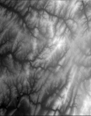
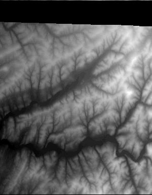
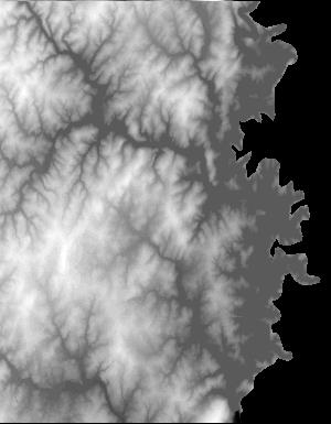
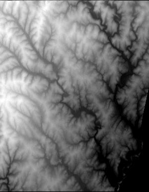
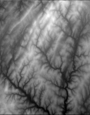
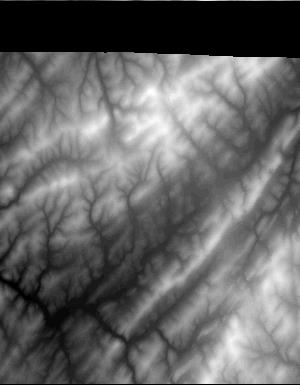
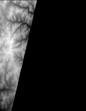
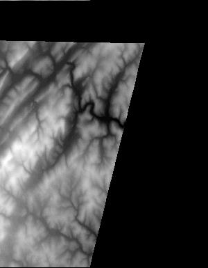
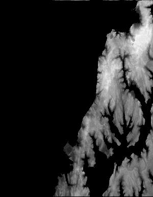
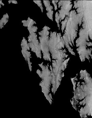
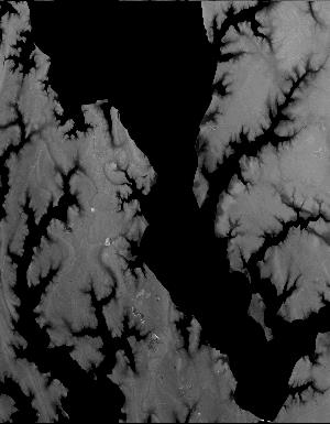
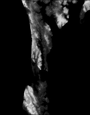
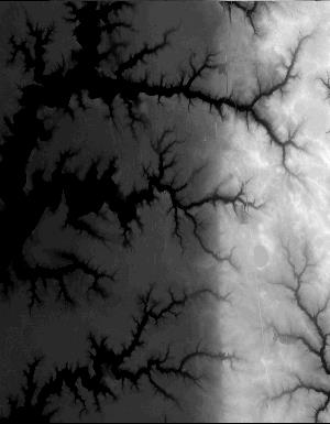
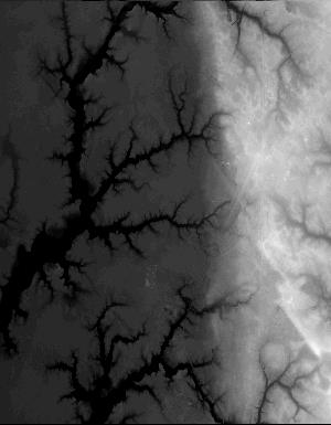
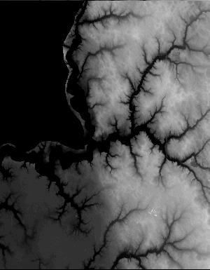
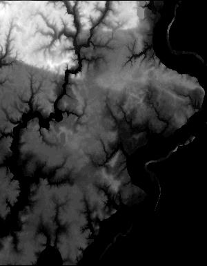
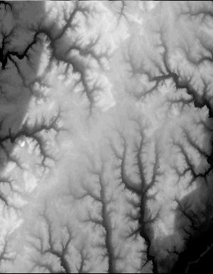
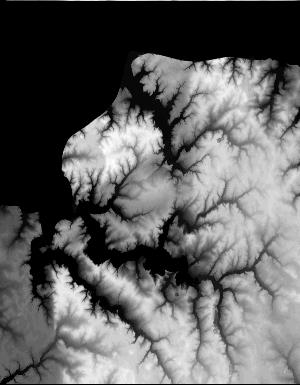
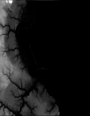
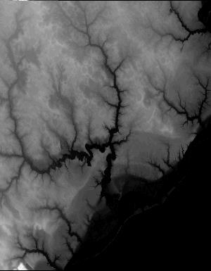
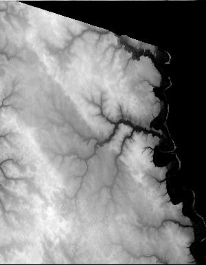
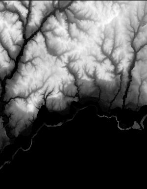
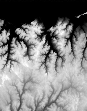
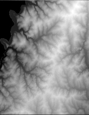
Index of /vdelivery/Datasets/Staged/Elevation/1m/Projects/MD_PA_SandySupp_2014/browse/
Index of /vdelivery/Datasets/Staged/Elevation/1m/Projects/MD_PA_SandySupp_2014/browse/
../
USGS_one_meter_x30y439_MD_PA_SandySupp_2014_thu..> 23-Mar-2020 18:03                9650
USGS_one_meter_x30y440_MD_PA_SandySupp_2014_thu..> 23-Mar-2020 18:03                7582
USGS_one_meter_x31y436_MD_PA_SandySupp_2014_thu..> 23-Mar-2020 18:03                4860
USGS_one_meter_x31y437_MD_PA_SandySupp_2014_thu..> 23-Mar-2020 18:03               10166
USGS_one_meter_x31y438_MD_PA_SandySupp_2014_thu..> 23-Mar-2020 18:03                8028
USGS_one_meter_x31y439_MD_PA_SandySupp_2014_thu..> 23-Mar-2020 18:03               14168
USGS_one_meter_x31y440_MD_PA_SandySupp_2014_thu..> 23-Mar-2020 18:03               12555
USGS_one_meter_x32y436_MD_PA_SandySupp_2014_thu..> 23-Mar-2020 18:03                6116
USGS_one_meter_x32y437_MD_PA_SandySupp_2014_thu..> 23-Mar-2020 18:03               15358
USGS_one_meter_x32y438_MD_PA_SandySupp_2014_thu..> 23-Mar-2020 18:03               13253
USGS_one_meter_x32y439_MD_PA_SandySupp_2014_thu..> 23-Mar-2020 18:03               15206
USGS_one_meter_x32y440_MD_PA_SandySupp_2014_thu..> 23-Mar-2020 18:03               14678
USGS_one_meter_x33y436_MD_PA_SandySupp_2014_thu..> 23-Mar-2020 18:03                6356
USGS_one_meter_x33y437_MD_PA_SandySupp_2014_thu..> 23-Mar-2020 18:03               16031
USGS_one_meter_x33y438_MD_PA_SandySupp_2014_thu..> 23-Mar-2020 18:03               15489
USGS_one_meter_x33y439_MD_PA_SandySupp_2014_thu..> 23-Mar-2020 18:03               14709
USGS_one_meter_x33y440_MD_PA_SandySupp_2014_thu..> 23-Mar-2020 18:03               13787
USGS_one_meter_x34y438_MD_PA_SandySupp_2014_thu..> 23-Mar-2020 18:03                3507
USGS_one_meter_x34y439_MD_PA_SandySupp_2014_thu..> 23-Mar-2020 18:03                7374
USGS_one_meter_x34y440_MD_PA_SandySupp_2014_thu..> 23-Mar-2020 18:03               10154
USGS_one_meter_x35y435_MD_PA_SandySupp_2014_thu..> 23-Mar-2020 18:03                6311
USGS_one_meter_x35y436_MD_PA_SandySupp_2014_thu..> 23-Mar-2020 18:03               12000
USGS_one_meter_x36y434_MD_PA_SandySupp_2014_thu..> 23-Mar-2020 18:03                2668
USGS_one_meter_x36y435_MD_PA_SandySupp_2014_thu..> 23-Mar-2020 18:03                9574
USGS_one_meter_x36y436_MD_PA_SandySupp_2014_thu..> 23-Mar-2020 18:03               11054
USGS_one_meter_x38y429_MD_PA_SandySupp_2014_thu..> 23-Mar-2020 18:03                9950
USGS_one_meter_x38y430_MD_PA_SandySupp_2014_thu..> 23-Mar-2020 18:03               12749
USGS_one_meter_x38y431_MD_PA_SandySupp_2014_thu..> 23-Mar-2020 18:03                2927
USGS_one_meter_x38y434_MD_PA_SandySupp_2014_thu..> 23-Mar-2020 18:03                2929
USGS_one_meter_x39y428_MD_PA_SandySupp_2014_thu..> 23-Mar-2020 18:03                3076
USGS_one_meter_x39y429_MD_PA_SandySupp_2014_thu..> 23-Mar-2020 18:03               18280
USGS_one_meter_x39y430_MD_PA_SandySupp_2014_thu..> 23-Mar-2020 18:03               18740
USGS_one_meter_x39y431_MD_PA_SandySupp_2014_thu..> 23-Mar-2020 18:03                7557
USGS_one_meter_x39y432_MD_PA_SandySupp_2014_thu..> 23-Mar-2020 18:03                3201
USGS_one_meter_x39y433_MD_PA_SandySupp_2014_thu..> 23-Mar-2020 18:03                9606
USGS_one_meter_x39y434_MD_PA_SandySupp_2014_thu..> 23-Mar-2020 18:03               13656
USGS_one_meter_x39y435_MD_PA_SandySupp_2014_thu..> 23-Mar-2020 18:03               12535
USGS_one_meter_x39y436_MD_PA_SandySupp_2014_thu..> 23-Mar-2020 18:03                4804
USGS_one_meter_x40y428_MD_PA_SandySupp_2014_thu..> 23-Mar-2020 18:03               10418
USGS_one_meter_x40y429_MD_PA_SandySupp_2014_thu..> 23-Mar-2020 18:03               15895
USGS_one_meter_x40y430_MD_PA_SandySupp_2014_thu..> 23-Mar-2020 18:03               14798
USGS_one_meter_x40y431_MD_PA_SandySupp_2014_thu..> 23-Mar-2020 18:03               16251
USGS_one_meter_x40y432_MD_PA_SandySupp_2014_thu..> 23-Mar-2020 18:03                4363
USGS_one_meter_x40y433_MD_PA_SandySupp_2014_thu..> 23-Mar-2020 18:03                3463
USGS_one_meter_x40y434_MD_PA_SandySupp_2014_thu..> 23-Mar-2020 18:03               14604
USGS_one_meter_x40y435_MD_PA_SandySupp_2014_thu..> 23-Mar-2020 18:03               17303
USGS_one_meter_x40y436_MD_PA_SandySupp_2014_thu..> 23-Mar-2020 18:03               19522
USGS_one_meter_x40y440_MD_PA_SandySupp_2014_thu..> 23-Mar-2020 18:03                5576
USGS_one_meter_x40y441_MD_PA_SandySupp_2014_thu..> 23-Mar-2020 18:03                4703
USGS_one_meter_x41y428_MD_PA_SandySupp_2014_thu..> 23-Mar-2020 18:03                9311
USGS_one_meter_x41y429_MD_PA_SandySupp_2014_thu..> 23-Mar-2020 18:03                8089
USGS_one_meter_x41y430_MD_PA_SandySupp_2014_thu..> 23-Mar-2020 18:03               13998
USGS_one_meter_x41y431_MD_PA_SandySupp_2014_thu..> 23-Mar-2020 18:03               15528
USGS_one_meter_x41y432_MD_PA_SandySupp_2014_thu..> 23-Mar-2020 18:03                2634
USGS_one_meter_x41y434_MD_PA_SandySupp_2014_thu..> 23-Mar-2020 18:03                2979
USGS_one_meter_x41y435_MD_PA_SandySupp_2014_thu..> 23-Mar-2020 18:03               15197
USGS_one_meter_x41y436_MD_PA_SandySupp_2014_thu..> 23-Mar-2020 18:03               19598
USGS_one_meter_x41y440_MD_PA_SandySupp_2014_thu..> 23-Mar-2020 18:03                6819
USGS_one_meter_x41y441_MD_PA_SandySupp_2014_thu..> 23-Mar-2020 18:03               13520
USGS_one_meter_x41y442_MD_PA_SandySupp_2014_thu..> 23-Mar-2020 18:03               10392
USGS_one_meter_x41y443_MD_PA_SandySupp_2014_thu..> 23-Mar-2020 18:03                7370
USGS_one_meter_x41y444_MD_PA_SandySupp_2014_thu..> 23-Mar-2020 18:03                3214
USGS_one_meter_x41y445_MD_PA_SandySupp_2014_thu..> 23-Mar-2020 18:03                2695
USGS_one_meter_x42y430_MD_PA_SandySupp_2014_thu..> 23-Mar-2020 18:03                4075
USGS_one_meter_x42y431_MD_PA_SandySupp_2014_thu..> 23-Mar-2020 18:03                2679
USGS_one_meter_x42y435_MD_PA_SandySupp_2014_thu..> 23-Mar-2020 18:03               11383
USGS_one_meter_x42y436_MD_PA_SandySupp_2014_thu..> 23-Mar-2020 18:03               17638
USGS_one_meter_x42y440_MD_PA_SandySupp_2014_thu..> 23-Mar-2020 18:03                7482
USGS_one_meter_x42y441_MD_PA_SandySupp_2014_thu..> 23-Mar-2020 18:03               14588
USGS_one_meter_x42y442_MD_PA_SandySupp_2014_thu..> 23-Mar-2020 18:03               13539
USGS_one_meter_x42y443_MD_PA_SandySupp_2014_thu..> 23-Mar-2020 18:03               12795
USGS_one_meter_x42y444_MD_PA_SandySupp_2014_thu..> 23-Mar-2020 18:03               11544
USGS_one_meter_x42y445_MD_PA_SandySupp_2014_thu..> 23-Mar-2020 18:03                7064
USGS_one_meter_x43y435_MD_PA_SandySupp_2014_thu..> 23-Mar-2020 18:03                8153
USGS_one_meter_x43y436_MD_PA_SandySupp_2014_thu..> 23-Mar-2020 18:03                9211
USGS_one_meter_x43y440_MD_PA_SandySupp_2014_thu..> 23-Mar-2020 18:03                4774
USGS_one_meter_x43y441_MD_PA_SandySupp_2014_thu..> 23-Mar-2020 18:03               14975
USGS_one_meter_x43y442_MD_PA_SandySupp_2014_thu..> 23-Mar-2020 18:03               15253
USGS_one_meter_x43y443_MD_PA_SandySupp_2014_thu..> 23-Mar-2020 18:03               15733
USGS_one_meter_x43y444_MD_PA_SandySupp_2014_thu..> 23-Mar-2020 18:03               13239
USGS_one_meter_x43y445_MD_PA_SandySupp_2014_thu..> 23-Mar-2020 18:03               12043
USGS_one_meter_x43y446_MD_PA_SandySupp_2014_thu..> 23-Mar-2020 18:03                4748
USGS_one_meter_x44y441_MD_PA_SandySupp_2014_thu..> 23-Mar-2020 18:03                6097
USGS_one_meter_x44y442_MD_PA_SandySupp_2014_thu..> 23-Mar-2020 18:03               16535
USGS_one_meter_x44y443_MD_PA_SandySupp_2014_thu..> 23-Mar-2020 18:03               13874
USGS_one_meter_x44y444_MD_PA_SandySupp_2014_thu..> 23-Mar-2020 18:03               12488
USGS_one_meter_x44y445_MD_PA_SandySupp_2014_thu..> 23-Mar-2020 18:03               12251
USGS_one_meter_x44y446_MD_PA_SandySupp_2014_thu..> 23-Mar-2020 18:03                6908
USGS_one_meter_x45y442_MD_PA_SandySupp_2014_thu..> 23-Mar-2020 18:03                5924
USGS_one_meter_x45y443_MD_PA_SandySupp_2014_thu..> 23-Mar-2020 18:03               12961
USGS_one_meter_x45y444_MD_PA_SandySupp_2014_thu..> 23-Mar-2020 18:03               13229
USGS_one_meter_x45y445_MD_PA_SandySupp_2014_thu..> 23-Mar-2020 18:03               10116
USGS_one_meter_x45y446_MD_PA_SandySupp_2014_thu..> 23-Mar-2020 18:03                3519
USGS_one_meter_x46y443_MD_PA_SandySupp_2014_thu..> 23-Mar-2020 18:03                5542
USGS_one_meter_x46y444_MD_PA_SandySupp_2014_thu..> 23-Mar-2020 18:03               10273
USGS_one_meter_x46y445_MD_PA_SandySupp_2014_thu..> 23-Mar-2020 18:03                3144