WARNING TO USERS OF THIS SYSTEM
This computer system, including all related equipment, networks, and network devices (including Internet access), is provided by the Department of the Interior (DOI) in accordance with the agency policy for official use and limited personal use.
All agency computer systems may be monitored for all lawful purposes,
including but not limited to, ensuring that use is authorized, for management of the system, to facilitate protection against unauthorized access, and to verify security procedures, survivability and operational security. Any information on this computer system may be examined, recorded, copied and used for authorized purposes at any time.
All information, including personal information, placed or sent over this system may be monitored, and users of this system are reminded that such monitoring does occur. Therefore, there should be no expectation of privacy with respect to use of this system.
By logging into this agency computer system, you acknowledge and consent to the monitoring of this system. Evidence of your use, authorized or
unauthorized, collected during monitoring may be used for civil, criminal, administrative, or other adverse action. Unauthorized or illegal use may subject you to prosecution.
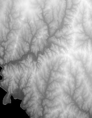
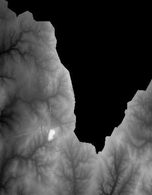
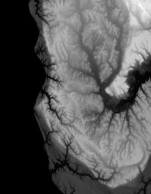
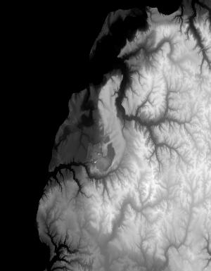
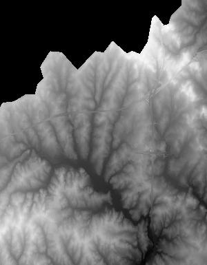
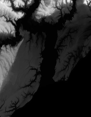
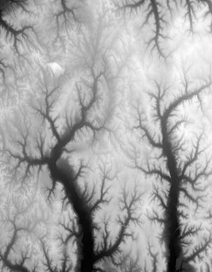
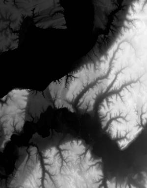
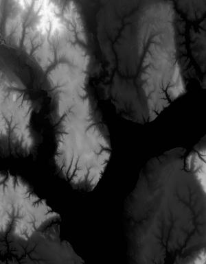
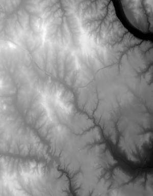
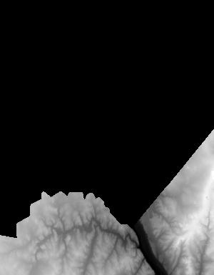
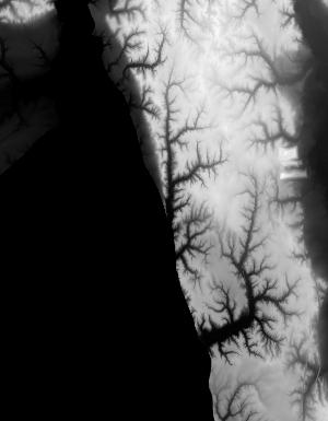
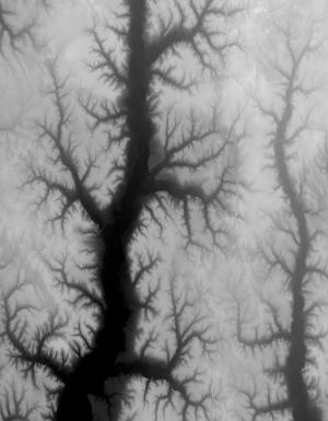
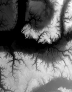
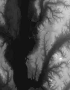
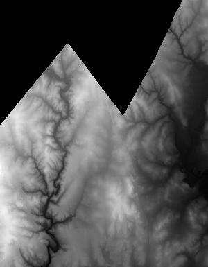
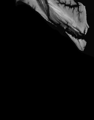
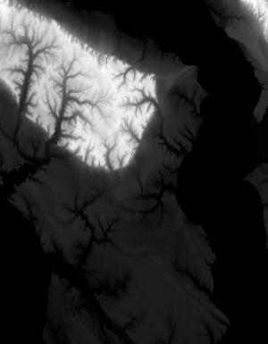
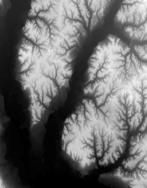
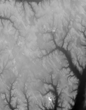
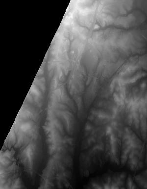
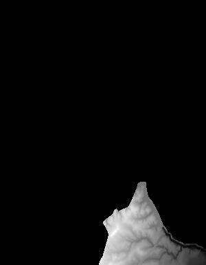
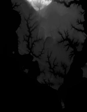
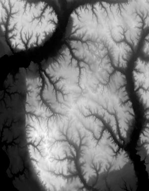
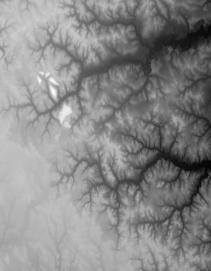
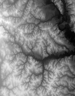
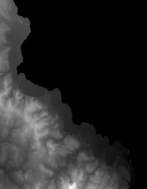
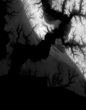
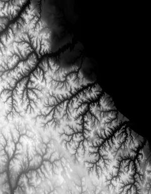
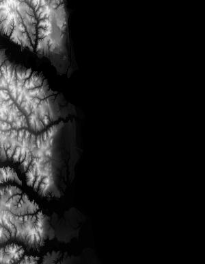
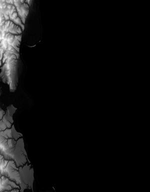
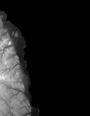
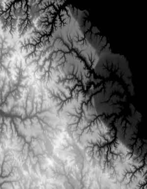
Index of /vdelivery/Datasets/Staged/Elevation/1m/Projects/MD_VA_Sandy_NCR_2014/browse/
Index of /vdelivery/Datasets/Staged/Elevation/1m/Projects/MD_VA_Sandy_NCR_2014/browse/
../
USGS_one_meter_x27y431_MD_VA_Sandy_NCR_2014_thu..> 23-Mar-2020 18:03                 944
USGS_one_meter_x28y430_MD_VA_Sandy_NCR_2014_thu..> 23-Mar-2020 18:03                4726
USGS_one_meter_x28y431_MD_VA_Sandy_NCR_2014_thu..> 23-Mar-2020 18:03                8238
USGS_one_meter_x28y432_MD_VA_Sandy_NCR_2014_thu..> 23-Mar-2020 18:03                2793
USGS_one_meter_x29y429_MD_VA_Sandy_NCR_2014_thu..> 23-Mar-2020 18:03                5378
USGS_one_meter_x29y430_MD_VA_Sandy_NCR_2014_thu..> 23-Mar-2020 18:03               13083
USGS_one_meter_x29y431_MD_VA_Sandy_NCR_2014_thu..> 23-Mar-2020 18:03                9646
USGS_one_meter_x29y432_MD_VA_Sandy_NCR_2014_thu..> 23-Mar-2020 18:03                 986
USGS_one_meter_x30y425_MD_VA_Sandy_NCR_2014_thu..> 23-Mar-2020 18:03                3604
USGS_one_meter_x30y426_MD_VA_Sandy_NCR_2014_thu..> 23-Mar-2020 18:03               14436
USGS_one_meter_x30y427_MD_VA_Sandy_NCR_2014_thu..> 23-Mar-2020 18:03               13546
USGS_one_meter_x30y428_MD_VA_Sandy_NCR_2014_thu..> 23-Mar-2020 18:03                4375
USGS_one_meter_x30y429_MD_VA_Sandy_NCR_2014_thu..> 23-Mar-2020 18:03               10156
USGS_one_meter_x30y430_MD_VA_Sandy_NCR_2014_thu..> 23-Mar-2020 18:03               12796
USGS_one_meter_x30y431_MD_VA_Sandy_NCR_2014_thu..> 23-Mar-2020 18:03               12727
USGS_one_meter_x30y432_MD_VA_Sandy_NCR_2014_thu..> 23-Mar-2020 18:03                1232
USGS_one_meter_x31y425_MD_VA_Sandy_NCR_2014_thu..> 23-Mar-2020 18:03                 883
USGS_one_meter_x31y426_MD_VA_Sandy_NCR_2014_thu..> 23-Mar-2020 18:03               10236
USGS_one_meter_x31y427_MD_VA_Sandy_NCR_2014_thu..> 23-Mar-2020 18:03               18374
USGS_one_meter_x31y428_MD_VA_Sandy_NCR_2014_thu..> 23-Mar-2020 18:03               13350
USGS_one_meter_x31y429_MD_VA_Sandy_NCR_2014_thu..> 23-Mar-2020 18:03               11667
USGS_one_meter_x31y430_MD_VA_Sandy_NCR_2014_thu..> 23-Mar-2020 18:03               10320
USGS_one_meter_x31y431_MD_VA_Sandy_NCR_2014_thu..> 23-Mar-2020 18:03               11228
USGS_one_meter_x31y432_MD_VA_Sandy_NCR_2014_thu..> 23-Mar-2020 18:03                6394
USGS_one_meter_x32y425_MD_VA_Sandy_NCR_2014_thu..> 23-Mar-2020 18:03                3412
USGS_one_meter_x32y426_MD_VA_Sandy_NCR_2014_thu..> 23-Mar-2020 18:03               12266
USGS_one_meter_x32y427_MD_VA_Sandy_NCR_2014_thu..> 23-Mar-2020 18:03               16285
USGS_one_meter_x32y428_MD_VA_Sandy_NCR_2014_thu..> 23-Mar-2020 18:03               13956
USGS_one_meter_x32y429_MD_VA_Sandy_NCR_2014_thu..> 23-Mar-2020 18:03               14254
USGS_one_meter_x32y430_MD_VA_Sandy_NCR_2014_thu..> 23-Mar-2020 18:03               10542
USGS_one_meter_x32y431_MD_VA_Sandy_NCR_2014_thu..> 23-Mar-2020 18:03               10757
USGS_one_meter_x32y432_MD_VA_Sandy_NCR_2014_thu..> 23-Mar-2020 18:03               11309
USGS_one_meter_x32y433_MD_VA_Sandy_NCR_2014_thu..> 23-Mar-2020 18:03                1402
USGS_one_meter_x33y424_MD_VA_Sandy_NCR_2014_thu..> 23-Mar-2020 18:03                5436
USGS_one_meter_x33y425_MD_VA_Sandy_NCR_2014_thu..> 23-Mar-2020 18:03                9786
USGS_one_meter_x33y426_MD_VA_Sandy_NCR_2014_thu..> 23-Mar-2020 18:03               16481
USGS_one_meter_x33y427_MD_VA_Sandy_NCR_2014_thu..> 23-Mar-2020 18:03               16913
USGS_one_meter_x33y428_MD_VA_Sandy_NCR_2014_thu..> 23-Mar-2020 18:03               12765
USGS_one_meter_x33y429_MD_VA_Sandy_NCR_2014_thu..> 23-Mar-2020 18:03               12167
USGS_one_meter_x33y430_MD_VA_Sandy_NCR_2014_thu..> 23-Mar-2020 18:03               11889
USGS_one_meter_x33y431_MD_VA_Sandy_NCR_2014_thu..> 23-Mar-2020 18:03               13489
USGS_one_meter_x33y432_MD_VA_Sandy_NCR_2014_thu..> 23-Mar-2020 18:03               14149
USGS_one_meter_x33y433_MD_VA_Sandy_NCR_2014_thu..> 23-Mar-2020 18:03                9965
USGS_one_meter_x33y434_MD_VA_Sandy_NCR_2014_thu..> 23-Mar-2020 18:03                3057
USGS_one_meter_x34y424_MD_VA_Sandy_NCR_2014_thu..> 23-Mar-2020 18:03                5898
USGS_one_meter_x34y425_MD_VA_Sandy_NCR_2014_thu..> 23-Mar-2020 18:03               17134
USGS_one_meter_x34y426_MD_VA_Sandy_NCR_2014_thu..> 23-Mar-2020 18:03               19457
USGS_one_meter_x34y427_MD_VA_Sandy_NCR_2014_thu..> 23-Mar-2020 18:03               19504
USGS_one_meter_x34y428_MD_VA_Sandy_NCR_2014_thu..> 23-Mar-2020 18:03               17736
USGS_one_meter_x34y429_MD_VA_Sandy_NCR_2014_thu..> 23-Mar-2020 18:03               14501
USGS_one_meter_x34y430_MD_VA_Sandy_NCR_2014_thu..> 23-Mar-2020 18:03               17221
USGS_one_meter_x34y431_MD_VA_Sandy_NCR_2014_thu..> 23-Mar-2020 18:03               13021
USGS_one_meter_x34y432_MD_VA_Sandy_NCR_2014_thu..> 23-Mar-2020 18:03               12933
USGS_one_meter_x34y433_MD_VA_Sandy_NCR_2014_thu..> 23-Mar-2020 18:03                6326
USGS_one_meter_x34y434_MD_VA_Sandy_NCR_2014_thu..> 23-Mar-2020 18:03                 905
USGS_one_meter_x35y424_MD_VA_Sandy_NCR_2014_thu..> 23-Mar-2020 18:03               11213
USGS_one_meter_x35y425_MD_VA_Sandy_NCR_2014_thu..> 23-Mar-2020 18:03               19164
USGS_one_meter_x35y426_MD_VA_Sandy_NCR_2014_thu..> 23-Mar-2020 18:03               20494
USGS_one_meter_x35y427_MD_VA_Sandy_NCR_2014_thu..> 23-Mar-2020 18:03                9289
USGS_one_meter_x35y428_MD_VA_Sandy_NCR_2014_thu..> 23-Mar-2020 18:03                8371
USGS_one_meter_x35y429_MD_VA_Sandy_NCR_2014_thu..> 23-Mar-2020 18:03                5447
USGS_one_meter_x35y430_MD_VA_Sandy_NCR_2014_thu..> 23-Mar-2020 18:03                4878
USGS_one_meter_x35y431_MD_VA_Sandy_NCR_2014_thu..> 23-Mar-2020 18:03                9246
USGS_one_meter_x35y432_MD_VA_Sandy_NCR_2014_thu..> 23-Mar-2020 18:03                5530
USGS_one_meter_x36y422_MD_VA_Sandy_NCR_2014_thu..> 23-Mar-2020 18:03                 626
USGS_one_meter_x36y423_MD_VA_Sandy_NCR_2014_thu..> 23-Mar-2020 18:03                6245
USGS_one_meter_x36y424_MD_VA_Sandy_NCR_2014_thu..> 23-Mar-2020 18:03               18177
USGS_one_meter_x36y425_MD_VA_Sandy_NCR_2014_thu..> 23-Mar-2020 18:03               19815
USGS_one_meter_x36y426_MD_VA_Sandy_NCR_2014_thu..> 23-Mar-2020 18:03                2333
USGS_one_meter_x37y422_MD_VA_Sandy_NCR_2014_thu..> 23-Mar-2020 18:03                2529
USGS_one_meter_x37y423_MD_VA_Sandy_NCR_2014_thu..> 23-Mar-2020 18:03               12998
USGS_one_meter_x37y424_MD_VA_Sandy_NCR_2014_thu..> 23-Mar-2020 18:03               15064
USGS_one_meter_x37y425_MD_VA_Sandy_NCR_2014_thu..> 23-Mar-2020 18:03                2664
USGS_one_meter_x38y422_MD_VA_Sandy_NCR_2014_thu..> 23-Mar-2020 18:03                3535
USGS_one_meter_x38y423_MD_VA_Sandy_NCR_2014_thu..> 23-Mar-2020 18:03                4123
USGS_one_meter_x38y424_MD_VA_Sandy_NCR_2014_thu..> 23-Mar-2020 18:03                 626