WARNING TO USERS OF THIS SYSTEM
This computer system, including all related equipment, networks, and network devices (including Internet access), is provided by the Department of the Interior (DOI) in accordance with the agency policy for official use and limited personal use.
All agency computer systems may be monitored for all lawful purposes,
including but not limited to, ensuring that use is authorized, for management of the system, to facilitate protection against unauthorized access, and to verify security procedures, survivability and operational security. Any information on this computer system may be examined, recorded, copied and used for authorized purposes at any time.
All information, including personal information, placed or sent over this system may be monitored, and users of this system are reminded that such monitoring does occur. Therefore, there should be no expectation of privacy with respect to use of this system.
By logging into this agency computer system, you acknowledge and consent to the monitoring of this system. Evidence of your use, authorized or
unauthorized, collected during monitoring may be used for civil, criminal, administrative, or other adverse action. Unauthorized or illegal use may subject you to prosecution.
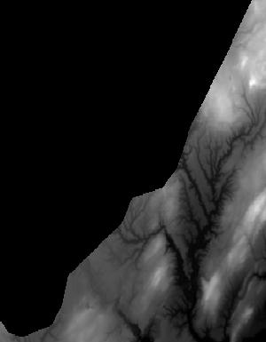
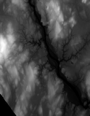
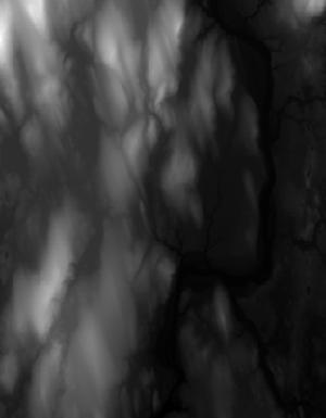
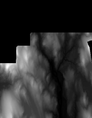
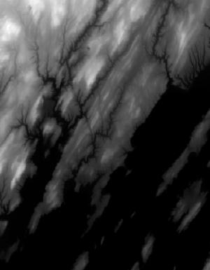
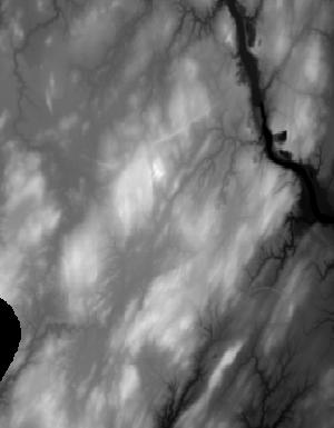
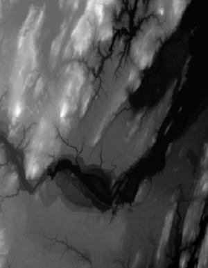
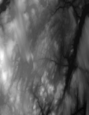
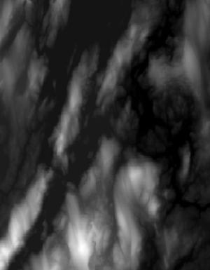
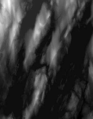
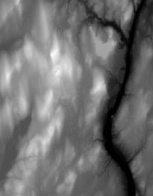
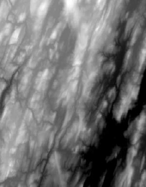
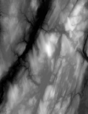
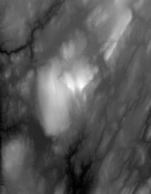
Index of /vdelivery/Datasets/Staged/Elevation/1m/Projects/ME_SouthCoastal_2020_A20/browse/
Index of /vdelivery/Datasets/Staged/Elevation/1m/Projects/ME_SouthCoastal_2020_A20/browse/
../
USGS_1M_19_x35y478_ME_SouthCoastal_2020_A20.jpg    02-Dec-2021 04:01                2513
USGS_1M_19_x35y479_ME_SouthCoastal_2020_A20.jpg    02-Dec-2021 04:01                4887
USGS_1M_19_x36y477_ME_SouthCoastal_2020_A20.jpg    02-Dec-2021 04:01                1352
USGS_1M_19_x36y478_ME_SouthCoastal_2020_A20.jpg    02-Dec-2021 04:01               11801
USGS_1M_19_x36y479_ME_SouthCoastal_2020_A20.jpg    02-Dec-2021 04:01                8979
USGS_1M_19_x36y480_ME_SouthCoastal_2020_A20.jpg    02-Dec-2021 04:01                9587
USGS_1M_19_x36y481_ME_SouthCoastal_2020_A20.jpg    02-Dec-2021 04:01                9115
USGS_1M_19_x36y482_ME_SouthCoastal_2020_A20.jpg    02-Dec-2021 04:01                1615
USGS_1M_19_x37y478_ME_SouthCoastal_2020_A20.jpg    02-Dec-2021 04:01                1448
USGS_1M_19_x37y479_ME_SouthCoastal_2020_A20.jpg    02-Dec-2021 04:01                3505
USGS_1M_19_x37y480_ME_SouthCoastal_2020_A20.jpg    02-Dec-2021 04:01                4944
USGS_1M_19_x37y481_ME_SouthCoastal_2020_A20.jpg    02-Dec-2021 04:01               11380
USGS_1M_19_x37y482_ME_SouthCoastal_2020_A20.jpg    02-Dec-2021 04:01               10692
USGS_1M_19_x37y483_ME_SouthCoastal_2020_A20.jpg    02-Dec-2021 04:01                5762
USGS_1M_19_x37y488_ME_SouthCoastal_2020_A20.jpg    02-Dec-2021 04:01                 915
USGS_1M_19_x37y489_ME_SouthCoastal_2020_A20.jpg    02-Dec-2021 04:01                 817
USGS_1M_19_x38y478_ME_SouthCoastal_2020_A20.jpg    02-Dec-2021 04:01                1701
USGS_1M_19_x38y480_ME_SouthCoastal_2020_A20.jpg    02-Dec-2021 04:01                1195
USGS_1M_19_x38y481_ME_SouthCoastal_2020_A20.jpg    02-Dec-2021 04:01                8127
USGS_1M_19_x38y482_ME_SouthCoastal_2020_A20.jpg    02-Dec-2021 04:01               11690
USGS_1M_19_x38y483_ME_SouthCoastal_2020_A20.jpg    02-Dec-2021 04:01               11533
USGS_1M_19_x38y484_ME_SouthCoastal_2020_A20.jpg    02-Dec-2021 04:01                5932
USGS_1M_19_x38y485_ME_SouthCoastal_2020_A20.jpg    02-Dec-2021 04:01                1032
USGS_1M_19_x38y488_ME_SouthCoastal_2020_A20.jpg    02-Dec-2021 04:01                7619
USGS_1M_19_x38y489_ME_SouthCoastal_2020_A20.jpg    02-Dec-2021 04:01                8095
USGS_1M_19_x38y490_ME_SouthCoastal_2020_A20.jpg    02-Dec-2021 04:01                1985
USGS_1M_19_x39y481_ME_SouthCoastal_2020_A20.jpg    02-Dec-2021 04:01                2203
USGS_1M_19_x39y482_ME_SouthCoastal_2020_A20.jpg    02-Dec-2021 04:01                3524
USGS_1M_19_x39y483_ME_SouthCoastal_2020_A20.jpg    02-Dec-2021 04:01               10891
USGS_1M_19_x39y484_ME_SouthCoastal_2020_A20.jpg    02-Dec-2021 04:01                9172
USGS_1M_19_x39y485_ME_SouthCoastal_2020_A20.jpg    02-Dec-2021 04:01               10067
USGS_1M_19_x39y486_ME_SouthCoastal_2020_A20.jpg    02-Dec-2021 04:01                5305
USGS_1M_19_x39y488_ME_SouthCoastal_2020_A20.jpg    02-Dec-2021 04:01                7692
USGS_1M_19_x39y489_ME_SouthCoastal_2020_A20.jpg    02-Dec-2021 04:01                7454
USGS_1M_19_x39y490_ME_SouthCoastal_2020_A20.jpg    02-Dec-2021 04:01                8945
USGS_1M_19_x39y491_ME_SouthCoastal_2020_A20.jpg    02-Dec-2021 04:01                6060
USGS_1M_19_x39y492_ME_SouthCoastal_2020_A20.jpg    02-Dec-2021 04:01                4566
USGS_1M_19_x39y493_ME_SouthCoastal_2020_A20.jpg    02-Dec-2021 04:01                2369
USGS_1M_19_x40y482_ME_SouthCoastal_2020_A20.jpg    02-Dec-2021 04:01                1048
USGS_1M_19_x40y483_ME_SouthCoastal_2020_A20.jpg    02-Dec-2021 04:01                4709
USGS_1M_19_x40y484_ME_SouthCoastal_2020_A20.jpg    02-Dec-2021 04:01                9049
USGS_1M_19_x40y485_ME_SouthCoastal_2020_A20.jpg    02-Dec-2021 04:01               11515
USGS_1M_19_x40y486_ME_SouthCoastal_2020_A20.jpg    02-Dec-2021 04:01                8505
USGS_1M_19_x40y487_ME_SouthCoastal_2020_A20.jpg    02-Dec-2021 04:01                6770
USGS_1M_19_x40y488_ME_SouthCoastal_2020_A20.jpg    02-Dec-2021 04:01               11178
USGS_1M_19_x40y489_ME_SouthCoastal_2020_A20.jpg    02-Dec-2021 04:01                9017
USGS_1M_19_x40y490_ME_SouthCoastal_2020_A20.jpg    02-Dec-2021 04:01               10586
USGS_1M_19_x40y491_ME_SouthCoastal_2020_A20.jpg    02-Dec-2021 04:01               10299
USGS_1M_19_x40y492_ME_SouthCoastal_2020_A20.jpg    02-Dec-2021 04:01                7631
USGS_1M_19_x40y493_ME_SouthCoastal_2020_A20.jpg    02-Dec-2021 04:01                7397
USGS_1M_19_x41y484_ME_SouthCoastal_2020_A20.jpg    02-Dec-2021 04:01                3636
USGS_1M_19_x41y485_ME_SouthCoastal_2020_A20.jpg    02-Dec-2021 04:01               10445
USGS_1M_19_x41y486_ME_SouthCoastal_2020_A20.jpg    02-Dec-2021 04:01               12414
USGS_1M_19_x41y487_ME_SouthCoastal_2020_A20.jpg    02-Dec-2021 04:01               12498
USGS_1M_19_x41y488_ME_SouthCoastal_2020_A20.jpg    02-Dec-2021 04:01               11068
USGS_1M_19_x41y489_ME_SouthCoastal_2020_A20.jpg    02-Dec-2021 04:01                9421
USGS_1M_19_x41y490_ME_SouthCoastal_2020_A20.jpg    02-Dec-2021 04:01                8941
USGS_1M_19_x41y491_ME_SouthCoastal_2020_A20.jpg    02-Dec-2021 04:01                7670
USGS_1M_19_x41y492_ME_SouthCoastal_2020_A20.jpg    02-Dec-2021 04:01                7694
USGS_1M_19_x41y493_ME_SouthCoastal_2020_A20.jpg    02-Dec-2021 04:01                1913
USGS_1M_19_x42y484_ME_SouthCoastal_2020_A20.jpg    02-Dec-2021 04:01                1410
USGS_1M_19_x42y485_ME_SouthCoastal_2020_A20.jpg    02-Dec-2021 04:01               10336
USGS_1M_19_x42y486_ME_SouthCoastal_2020_A20.jpg    02-Dec-2021 04:01               17014
USGS_1M_19_x42y487_ME_SouthCoastal_2020_A20.jpg    02-Dec-2021 04:01               11305
USGS_1M_19_x42y488_ME_SouthCoastal_2020_A20.jpg    02-Dec-2021 04:01               11655
USGS_1M_19_x42y489_ME_SouthCoastal_2020_A20.jpg    02-Dec-2021 04:01                9509
USGS_1M_19_x42y490_ME_SouthCoastal_2020_A20.jpg    02-Dec-2021 04:01               10740
USGS_1M_19_x42y491_ME_SouthCoastal_2020_A20.jpg    02-Dec-2021 04:01                8718
USGS_1M_19_x42y492_ME_SouthCoastal_2020_A20.jpg    02-Dec-2021 04:01                3393
USGS_1M_19_x43y484_ME_SouthCoastal_2020_A20.jpg    02-Dec-2021 04:01                1742
USGS_1M_19_x43y485_ME_SouthCoastal_2020_A20.jpg    02-Dec-2021 04:01               13113
USGS_1M_19_x43y486_ME_SouthCoastal_2020_A20.jpg    02-Dec-2021 04:01               15976
USGS_1M_19_x43y487_ME_SouthCoastal_2020_A20.jpg    02-Dec-2021 04:01               14761
USGS_1M_19_x43y488_ME_SouthCoastal_2020_A20.jpg    02-Dec-2021 04:01               11753
USGS_1M_19_x43y489_ME_SouthCoastal_2020_A20.jpg    02-Dec-2021 04:01               10208
USGS_1M_19_x43y490_ME_SouthCoastal_2020_A20.jpg    02-Dec-2021 04:01               11253
USGS_1M_19_x43y491_ME_SouthCoastal_2020_A20.jpg    02-Dec-2021 04:01               10177
USGS_1M_19_x43y492_ME_SouthCoastal_2020_A20.jpg    02-Dec-2021 04:01                7367
USGS_1M_19_x44y485_ME_SouthCoastal_2020_A20.jpg    02-Dec-2021 04:01                3748
USGS_1M_19_x44y486_ME_SouthCoastal_2020_A20.jpg    02-Dec-2021 04:01               13228
USGS_1M_19_x44y487_ME_SouthCoastal_2020_A20.jpg    02-Dec-2021 04:01               16376
USGS_1M_19_x44y488_ME_SouthCoastal_2020_A20.jpg    02-Dec-2021 04:01               14005
USGS_1M_19_x44y489_ME_SouthCoastal_2020_A20.jpg    02-Dec-2021 04:01               11288
USGS_1M_19_x44y490_ME_SouthCoastal_2020_A20.jpg    02-Dec-2021 04:01                8803
USGS_1M_19_x44y491_ME_SouthCoastal_2020_A20.jpg    02-Dec-2021 04:01                9141
USGS_1M_19_x44y492_ME_SouthCoastal_2020_A20.jpg    02-Dec-2021 04:01                5167
USGS_1M_19_x45y485_ME_SouthCoastal_2020_A20.jpg    02-Dec-2021 04:01                2444
USGS_1M_19_x45y486_ME_SouthCoastal_2020_A20.jpg    02-Dec-2021 04:01               11488
USGS_1M_19_x45y487_ME_SouthCoastal_2020_A20.jpg    02-Dec-2021 04:01               13705
USGS_1M_19_x45y488_ME_SouthCoastal_2020_A20.jpg    02-Dec-2021 04:01               15557
USGS_1M_19_x45y489_ME_SouthCoastal_2020_A20.jpg    02-Dec-2021 04:01               12645
USGS_1M_19_x45y490_ME_SouthCoastal_2020_A20.jpg    02-Dec-2021 04:01               11488
USGS_1M_19_x45y491_ME_SouthCoastal_2020_A20.jpg    02-Dec-2021 04:01               10052
USGS_1M_19_x45y492_ME_SouthCoastal_2020_A20.jpg    02-Dec-2021 04:01                4335
USGS_1M_19_x46y486_ME_SouthCoastal_2020_A20.jpg    02-Dec-2021 04:01                2668
USGS_1M_19_x46y487_ME_SouthCoastal_2020_A20.jpg    02-Dec-2021 04:01               10880
USGS_1M_19_x46y488_ME_SouthCoastal_2020_A20.jpg    02-Dec-2021 04:01               13234
USGS_1M_19_x46y489_ME_SouthCoastal_2020_A20.jpg    02-Dec-2021 04:01               11132
USGS_1M_19_x46y490_ME_SouthCoastal_2020_A20.jpg    02-Dec-2021 04:01               10142
USGS_1M_19_x46y491_ME_SouthCoastal_2020_A20.jpg    02-Dec-2021 04:01                8046
USGS_1M_19_x46y492_ME_SouthCoastal_2020_A20.jpg    02-Dec-2021 04:01                1565
USGS_1M_19_x47y485_ME_SouthCoastal_2020_A20.jpg    02-Dec-2021 04:01                1972
USGS_1M_19_x47y486_ME_SouthCoastal_2020_A20.jpg    02-Dec-2021 04:01                3394
USGS_1M_19_x47y487_ME_SouthCoastal_2020_A20.jpg    02-Dec-2021 04:01                4394
USGS_1M_19_x47y488_ME_SouthCoastal_2020_A20.jpg    02-Dec-2021 04:01                8929
USGS_1M_19_x47y489_ME_SouthCoastal_2020_A20.jpg    02-Dec-2021 04:01                8538
USGS_1M_19_x47y490_ME_SouthCoastal_2020_A20.jpg    02-Dec-2021 04:01                4556