WARNING TO USERS OF THIS SYSTEM
This computer system, including all related equipment, networks, and network devices (including Internet access), is provided by the Department of the Interior (DOI) in accordance with the agency policy for official use and limited personal use.
All agency computer systems may be monitored for all lawful purposes,
including but not limited to, ensuring that use is authorized, for management of the system, to facilitate protection against unauthorized access, and to verify security procedures, survivability and operational security. Any information on this computer system may be examined, recorded, copied and used for authorized purposes at any time.
All information, including personal information, placed or sent over this system may be monitored, and users of this system are reminded that such monitoring does occur. Therefore, there should be no expectation of privacy with respect to use of this system.
By logging into this agency computer system, you acknowledge and consent to the monitoring of this system. Evidence of your use, authorized or
unauthorized, collected during monitoring may be used for civil, criminal, administrative, or other adverse action. Unauthorized or illegal use may subject you to prosecution.
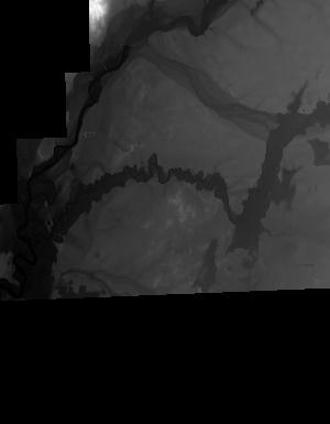
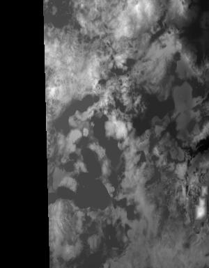
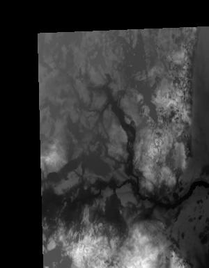
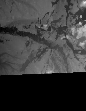
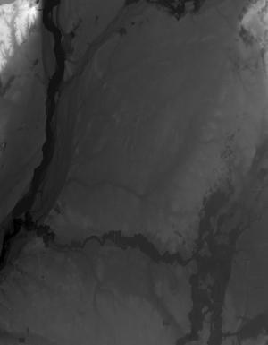
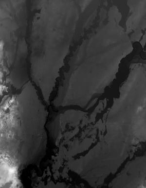
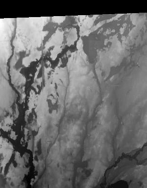
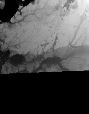
Index of /vdelivery/Datasets/Staged/Elevation/1m/Projects/MI_16Co_StJoseph_2015/browse/
Index of /vdelivery/Datasets/Staged/Elevation/1m/Projects/MI_16Co_StJoseph_2015/browse/
../
USGS_one_meter_x59y463_MI_16Co_StJoseph_2015_th..> 23-Mar-2020 18:04                1149
USGS_one_meter_x60y463_MI_16Co_StJoseph_2015_th..> 23-Mar-2020 18:04                6188
USGS_one_meter_x60y464_MI_16Co_StJoseph_2015_th..> 23-Mar-2020 18:04               11847
USGS_one_meter_x60y465_MI_16Co_StJoseph_2015_th..> 23-Mar-2020 18:04               14131
USGS_one_meter_x60y466_MI_16Co_StJoseph_2015_th..> 23-Mar-2020 18:04               11730
USGS_one_meter_x61y463_MI_16Co_StJoseph_2015_th..> 23-Mar-2020 18:04               10243
USGS_one_meter_x61y464_MI_16Co_StJoseph_2015_th..> 23-Mar-2020 18:04                7163
USGS_one_meter_x61y465_MI_16Co_StJoseph_2015_th..> 23-Mar-2020 18:04               10822
USGS_one_meter_x61y466_MI_16Co_StJoseph_2015_th..> 23-Mar-2020 18:04               16158
USGS_one_meter_x62y463_MI_16Co_StJoseph_2015_th..> 23-Mar-2020 18:04                9031
USGS_one_meter_x62y464_MI_16Co_StJoseph_2015_th..> 23-Mar-2020 18:04               13619
USGS_one_meter_x62y465_MI_16Co_StJoseph_2015_th..> 23-Mar-2020 18:04               12380
USGS_one_meter_x62y466_MI_16Co_StJoseph_2015_th..> 23-Mar-2020 18:04               10350
USGS_one_meter_x63y463_MI_16Co_StJoseph_2015_th..> 23-Mar-2020 18:04               10135
USGS_one_meter_x63y464_MI_16Co_StJoseph_2015_th..> 23-Mar-2020 18:04               11428
USGS_one_meter_x63y465_MI_16Co_StJoseph_2015_th..> 23-Mar-2020 18:04               10605
USGS_one_meter_x63y466_MI_16Co_StJoseph_2015_th..> 23-Mar-2020 18:04               12643
USGS_one_meter_x64y463_MI_16Co_StJoseph_2015_th..> 23-Mar-2020 18:04                4408
USGS_one_meter_x64y464_MI_16Co_StJoseph_2015_th..> 23-Mar-2020 18:04                3764
USGS_one_meter_x64y465_MI_16Co_StJoseph_2015_th..> 23-Mar-2020 18:04                4473
USGS_one_meter_x64y466_MI_16Co_StJoseph_2015_th..> 23-Mar-2020 18:04                4149