WARNING TO USERS OF THIS SYSTEM
This computer system, including all related equipment, networks, and network devices (including Internet access), is provided by the Department of the Interior (DOI) in accordance with the agency policy for official use and limited personal use.
All agency computer systems may be monitored for all lawful purposes,
including but not limited to, ensuring that use is authorized, for management of the system, to facilitate protection against unauthorized access, and to verify security procedures, survivability and operational security. Any information on this computer system may be examined, recorded, copied and used for authorized purposes at any time.
All information, including personal information, placed or sent over this system may be monitored, and users of this system are reminded that such monitoring does occur. Therefore, there should be no expectation of privacy with respect to use of this system.
By logging into this agency computer system, you acknowledge and consent to the monitoring of this system. Evidence of your use, authorized or
unauthorized, collected during monitoring may be used for civil, criminal, administrative, or other adverse action. Unauthorized or illegal use may subject you to prosecution.
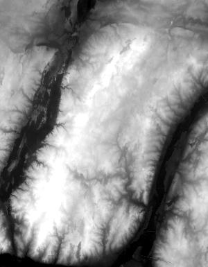
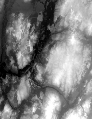
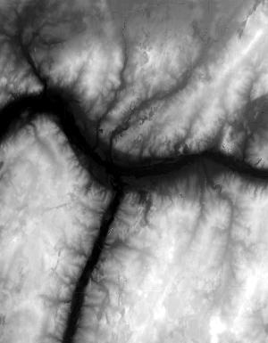
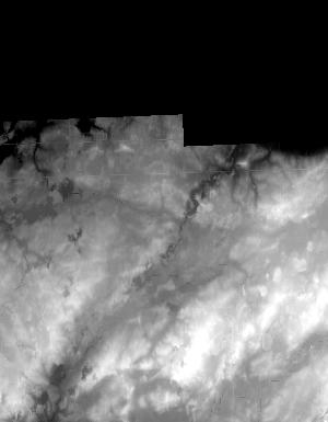
Index of /vdelivery/Datasets/Staged/Elevation/1m/Projects/MI_31Co_Eaton_2016/browse/
Index of /vdelivery/Datasets/Staged/Elevation/1m/Projects/MI_31Co_Eaton_2016/browse/
../
USGS_one_meter_x65y470_MI_31Co_Eaton_2016_thumb..> 23-Mar-2020 18:04                 881
USGS_one_meter_x65y471_MI_31Co_Eaton_2016_thumb..> 23-Mar-2020 18:04                6466
USGS_one_meter_x65y472_MI_31Co_Eaton_2016_thumb..> 23-Mar-2020 18:04                6034
USGS_one_meter_x65y473_MI_31Co_Eaton_2016_thumb..> 23-Mar-2020 18:04                6342
USGS_one_meter_x65y474_MI_31Co_Eaton_2016_thumb..> 23-Mar-2020 18:04                6116
USGS_one_meter_x66y470_MI_31Co_Eaton_2016_thumb..> 23-Mar-2020 18:04                4147
USGS_one_meter_x66y471_MI_31Co_Eaton_2016_thumb..> 23-Mar-2020 18:04               15857
USGS_one_meter_x66y472_MI_31Co_Eaton_2016_thumb..> 23-Mar-2020 18:04               15771
USGS_one_meter_x66y473_MI_31Co_Eaton_2016_thumb..> 23-Mar-2020 18:04               15716
USGS_one_meter_x66y474_MI_31Co_Eaton_2016_thumb..> 23-Mar-2020 18:04               12190
USGS_one_meter_x67y470_MI_31Co_Eaton_2016_thumb..> 23-Mar-2020 18:04                4079
USGS_one_meter_x67y471_MI_31Co_Eaton_2016_thumb..> 23-Mar-2020 18:04               17669
USGS_one_meter_x67y472_MI_31Co_Eaton_2016_thumb..> 23-Mar-2020 18:04               15589
USGS_one_meter_x67y473_MI_31Co_Eaton_2016_thumb..> 23-Mar-2020 18:04               14965
USGS_one_meter_x67y474_MI_31Co_Eaton_2016_thumb..> 23-Mar-2020 18:04               11338
USGS_one_meter_x68y470_MI_31Co_Eaton_2016_thumb..> 23-Mar-2020 18:04                3702
USGS_one_meter_x68y471_MI_31Co_Eaton_2016_thumb..> 23-Mar-2020 18:04               18851
USGS_one_meter_x68y472_MI_31Co_Eaton_2016_thumb..> 23-Mar-2020 18:04               15573
USGS_one_meter_x68y473_MI_31Co_Eaton_2016_thumb..> 23-Mar-2020 18:04               15448
USGS_one_meter_x68y474_MI_31Co_Eaton_2016_thumb..> 23-Mar-2020 18:04               10402
USGS_one_meter_x69y470_MI_31Co_Eaton_2016_thumb..> 23-Mar-2020 18:04                1507
USGS_one_meter_x69y471_MI_31Co_Eaton_2016_thumb..> 23-Mar-2020 18:04               12464
USGS_one_meter_x69y472_MI_31Co_Eaton_2016_thumb..> 23-Mar-2020 18:04               12383
USGS_one_meter_x69y473_MI_31Co_Eaton_2016_thumb..> 23-Mar-2020 18:04               12352
USGS_one_meter_x69y474_MI_31Co_Eaton_2016_thumb..> 23-Mar-2020 18:04                8822