WARNING TO USERS OF THIS SYSTEM
This computer system, including all related equipment, networks, and network devices (including Internet access), is provided by the Department of the Interior (DOI) in accordance with the agency policy for official use and limited personal use.
All agency computer systems may be monitored for all lawful purposes,
including but not limited to, ensuring that use is authorized, for management of the system, to facilitate protection against unauthorized access, and to verify security procedures, survivability and operational security. Any information on this computer system may be examined, recorded, copied and used for authorized purposes at any time.
All information, including personal information, placed or sent over this system may be monitored, and users of this system are reminded that such monitoring does occur. Therefore, there should be no expectation of privacy with respect to use of this system.
By logging into this agency computer system, you acknowledge and consent to the monitoring of this system. Evidence of your use, authorized or
unauthorized, collected during monitoring may be used for civil, criminal, administrative, or other adverse action. Unauthorized or illegal use may subject you to prosecution.
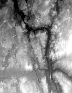
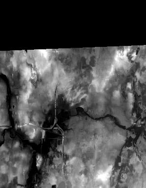
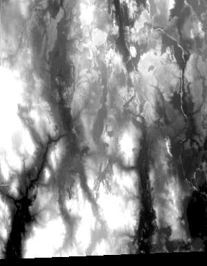
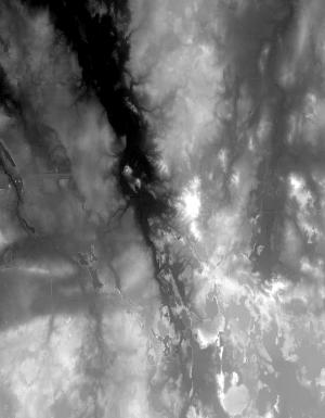
Index of /vdelivery/Datasets/Staged/Elevation/1m/Projects/MI_31Co_Ingham_2017/browse/
Index of /vdelivery/Datasets/Staged/Elevation/1m/Projects/MI_31Co_Ingham_2017/browse/
../
USGS_one_meter_x24y471_MI_31Co_Ingham_2017_thum..> 23-Mar-2020 18:04                3076
USGS_one_meter_x24y472_MI_31Co_Ingham_2017_thum..> 23-Mar-2020 18:04                3917
USGS_one_meter_x24y473_MI_31Co_Ingham_2017_thum..> 23-Mar-2020 18:04                4638
USGS_one_meter_x24y474_MI_31Co_Ingham_2017_thum..> 23-Mar-2020 18:04                4470
USGS_one_meter_x24y475_MI_31Co_Ingham_2017_thum..> 23-Mar-2020 18:04                 797
USGS_one_meter_x69y470_MI_31Co_Ingham_2017_thum..> 23-Mar-2020 18:04                 861
USGS_one_meter_x69y471_MI_31Co_Ingham_2017_thum..> 23-Mar-2020 18:04                5503
USGS_one_meter_x69y472_MI_31Co_Ingham_2017_thum..> 23-Mar-2020 18:04                8287
USGS_one_meter_x69y473_MI_31Co_Ingham_2017_thum..> 23-Mar-2020 18:04               10439
USGS_one_meter_x69y474_MI_31Co_Ingham_2017_thum..> 23-Mar-2020 18:04                8523
USGS_one_meter_x70y470_MI_31Co_Ingham_2017_thum..> 23-Mar-2020 18:04                 706
USGS_one_meter_x70y471_MI_31Co_Ingham_2017_thum..> 23-Mar-2020 18:04               15041
USGS_one_meter_x70y472_MI_31Co_Ingham_2017_thum..> 23-Mar-2020 18:04               13463
USGS_one_meter_x70y473_MI_31Co_Ingham_2017_thum..> 23-Mar-2020 18:04               18650
USGS_one_meter_x70y474_MI_31Co_Ingham_2017_thum..> 23-Mar-2020 18:04               16350
USGS_one_meter_x71y471_MI_31Co_Ingham_2017_thum..> 23-Mar-2020 18:04               19088
USGS_one_meter_x71y472_MI_31Co_Ingham_2017_thum..> 23-Mar-2020 18:04               14873
USGS_one_meter_x71y473_MI_31Co_Ingham_2017_thum..> 23-Mar-2020 18:04               13410
USGS_one_meter_x71y474_MI_31Co_Ingham_2017_thum..> 23-Mar-2020 18:04               17900
USGS_one_meter_x71y475_MI_31Co_Ingham_2017_thum..> 23-Mar-2020 18:04                 947
USGS_one_meter_x72y471_MI_31Co_Ingham_2017_thum..> 23-Mar-2020 18:04               17705
USGS_one_meter_x72y472_MI_31Co_Ingham_2017_thum..> 23-Mar-2020 18:04               16849
USGS_one_meter_x72y473_MI_31Co_Ingham_2017_thum..> 23-Mar-2020 18:04               15593
USGS_one_meter_x72y474_MI_31Co_Ingham_2017_thum..> 23-Mar-2020 18:04               13555
USGS_one_meter_x72y475_MI_31Co_Ingham_2017_thum..> 23-Mar-2020 18:04                1511
USGS_one_meter_x73y471_MI_31Co_Ingham_2017_thum..> 23-Mar-2020 18:04                8049
USGS_one_meter_x73y472_MI_31Co_Ingham_2017_thum..> 23-Mar-2020 18:04                8789
USGS_one_meter_x73y473_MI_31Co_Ingham_2017_thum..> 23-Mar-2020 18:04                8428
USGS_one_meter_x73y474_MI_31Co_Ingham_2017_thum..> 23-Mar-2020 18:04                7241
USGS_one_meter_x73y475_MI_31Co_Ingham_2017_thum..> 23-Mar-2020 18:04                 802