WARNING TO USERS OF THIS SYSTEM
This computer system, including all related equipment, networks, and network devices (including Internet access), is provided by the Department of the Interior (DOI) in accordance with the agency policy for official use and limited personal use.
All agency computer systems may be monitored for all lawful purposes,
including but not limited to, ensuring that use is authorized, for management of the system, to facilitate protection against unauthorized access, and to verify security procedures, survivability and operational security. Any information on this computer system may be examined, recorded, copied and used for authorized purposes at any time.
All information, including personal information, placed or sent over this system may be monitored, and users of this system are reminded that such monitoring does occur. Therefore, there should be no expectation of privacy with respect to use of this system.
By logging into this agency computer system, you acknowledge and consent to the monitoring of this system. Evidence of your use, authorized or
unauthorized, collected during monitoring may be used for civil, criminal, administrative, or other adverse action. Unauthorized or illegal use may subject you to prosecution.
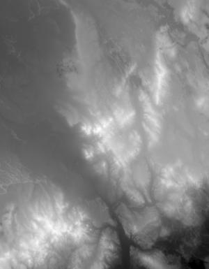
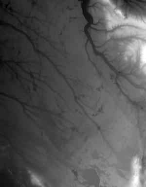
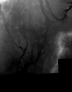
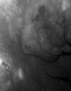
Index of /vdelivery/Datasets/Staged/Elevation/1m/Projects/MI_31Co_Ogemaw_2016/browse/
Index of /vdelivery/Datasets/Staged/Elevation/1m/Projects/MI_31Co_Ogemaw_2016/browse/
../
USGS_one_meter_x24y490_MI_31Co_Ogemaw_2016_thum..> 23-Mar-2020 18:04                8918
USGS_one_meter_x25y490_MI_31Co_Ogemaw_2016_thum..> 23-Mar-2020 18:04                9133
USGS_one_meter_x25y491_MI_31Co_Ogemaw_2016_thum..> 23-Mar-2020 18:04               10498
USGS_one_meter_x25y492_MI_31Co_Ogemaw_2016_thum..> 23-Mar-2020 18:04               11042
USGS_one_meter_x25y493_MI_31Co_Ogemaw_2016_thum..> 23-Mar-2020 18:04                9870
USGS_one_meter_x25y494_MI_31Co_Ogemaw_2016_thum..> 23-Mar-2020 18:04               10108
USGS_one_meter_x26y490_MI_31Co_Ogemaw_2016_thum..> 23-Mar-2020 18:04               11683
USGS_one_meter_x26y491_MI_31Co_Ogemaw_2016_thum..> 23-Mar-2020 18:04               13053
USGS_one_meter_x26y492_MI_31Co_Ogemaw_2016_thum..> 23-Mar-2020 18:04               19141
USGS_one_meter_x26y493_MI_31Co_Ogemaw_2016_thum..> 23-Mar-2020 18:04                9087
USGS_one_meter_x26y494_MI_31Co_Ogemaw_2016_thum..> 23-Mar-2020 18:04                5094
USGS_one_meter_x27y491_MI_31Co_Ogemaw_2016_thum..> 23-Mar-2020 18:04                 928
USGS_one_meter_x27y492_MI_31Co_Ogemaw_2016_thum..> 23-Mar-2020 18:04                2234
USGS_one_meter_x27y493_MI_31Co_Ogemaw_2016_thum..> 23-Mar-2020 18:04                2533
USGS_one_meter_x27y494_MI_31Co_Ogemaw_2016_thum..> 23-Mar-2020 18:04                 965
USGS_one_meter_x70y490_MI_31Co_Ogemaw_2016_thum..> 23-Mar-2020 18:04                 732
USGS_one_meter_x70y491_MI_31Co_Ogemaw_2016_thum..> 23-Mar-2020 18:04                 626
USGS_one_meter_x70y492_MI_31Co_Ogemaw_2016_thum..> 23-Mar-2020 18:04                 654
USGS_one_meter_x70y493_MI_31Co_Ogemaw_2016_thum..> 23-Mar-2020 18:04                3168
USGS_one_meter_x70y494_MI_31Co_Ogemaw_2016_thum..> 23-Mar-2020 18:04                1689
USGS_one_meter_x71y490_MI_31Co_Ogemaw_2016_thum..> 23-Mar-2020 18:04                9885
USGS_one_meter_x71y491_MI_31Co_Ogemaw_2016_thum..> 23-Mar-2020 18:04               10476
USGS_one_meter_x71y492_MI_31Co_Ogemaw_2016_thum..> 23-Mar-2020 18:04                9559
USGS_one_meter_x71y493_MI_31Co_Ogemaw_2016_thum..> 23-Mar-2020 18:04                9415
USGS_one_meter_x71y494_MI_31Co_Ogemaw_2016_thum..> 23-Mar-2020 18:04                7739
USGS_one_meter_x72y490_MI_31Co_Ogemaw_2016_thum..> 23-Mar-2020 18:04                7587
USGS_one_meter_x72y491_MI_31Co_Ogemaw_2016_thum..> 23-Mar-2020 18:04                8166
USGS_one_meter_x72y492_MI_31Co_Ogemaw_2016_thum..> 23-Mar-2020 18:04               10624
USGS_one_meter_x72y493_MI_31Co_Ogemaw_2016_thum..> 23-Mar-2020 18:04                8999
USGS_one_meter_x72y494_MI_31Co_Ogemaw_2016_thum..> 23-Mar-2020 18:04                5517
USGS_one_meter_x73y490_MI_31Co_Ogemaw_2016_thum..> 23-Mar-2020 18:04                9823
USGS_one_meter_x73y491_MI_31Co_Ogemaw_2016_thum..> 23-Mar-2020 18:04               13199
USGS_one_meter_x73y492_MI_31Co_Ogemaw_2016_thum..> 23-Mar-2020 18:04               13741
USGS_one_meter_x73y493_MI_31Co_Ogemaw_2016_thum..> 23-Mar-2020 18:04               10037
USGS_one_meter_x73y494_MI_31Co_Ogemaw_2016_thum..> 23-Mar-2020 18:04                9467
USGS_one_meter_x74y490_MI_31Co_Ogemaw_2016_thum..> 23-Mar-2020 18:04                9072
USGS_one_meter_x74y491_MI_31Co_Ogemaw_2016_thum..> 23-Mar-2020 18:04               11821
USGS_one_meter_x74y492_MI_31Co_Ogemaw_2016_thum..> 23-Mar-2020 18:04               14843
USGS_one_meter_x74y493_MI_31Co_Ogemaw_2016_thum..> 23-Mar-2020 18:04                7092
USGS_one_meter_x74y494_MI_31Co_Ogemaw_2016_thum..> 23-Mar-2020 18:04                4128