WARNING TO USERS OF THIS SYSTEM
This computer system, including all related equipment, networks, and network devices (including Internet access), is provided by the Department of the Interior (DOI) in accordance with the agency policy for official use and limited personal use.
All agency computer systems may be monitored for all lawful purposes,
including but not limited to, ensuring that use is authorized, for management of the system, to facilitate protection against unauthorized access, and to verify security procedures, survivability and operational security. Any information on this computer system may be examined, recorded, copied and used for authorized purposes at any time.
All information, including personal information, placed or sent over this system may be monitored, and users of this system are reminded that such monitoring does occur. Therefore, there should be no expectation of privacy with respect to use of this system.
By logging into this agency computer system, you acknowledge and consent to the monitoring of this system. Evidence of your use, authorized or
unauthorized, collected during monitoring may be used for civil, criminal, administrative, or other adverse action. Unauthorized or illegal use may subject you to prosecution.
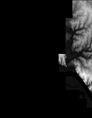
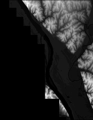
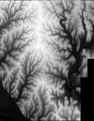
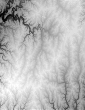
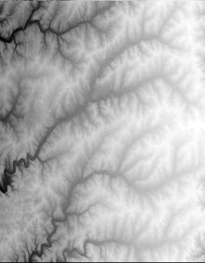
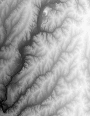
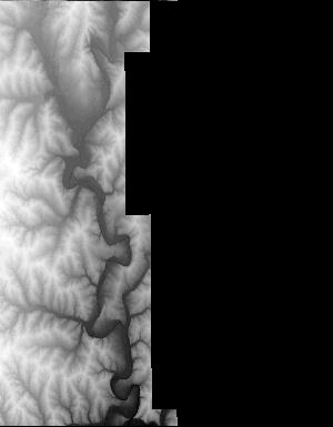
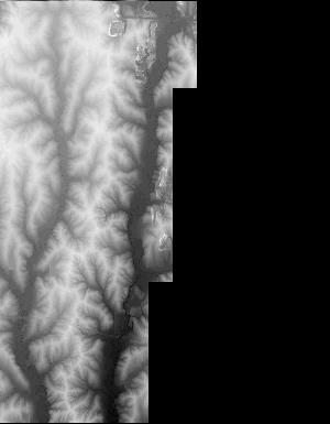
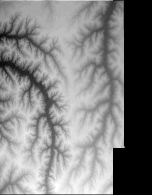
Index of /vdelivery/Datasets/Staged/Elevation/1m/Projects/MO_BooneCo_2014/browse/
Index of /vdelivery/Datasets/Staged/Elevation/1m/Projects/MO_BooneCo_2014/browse/
../
USGS_one_meter_x53y432_MO_BooneCo_2014_thumb.jpg   23-Mar-2020 18:04                7228
USGS_one_meter_x53y433_MO_BooneCo_2014_thumb.jpg   23-Mar-2020 18:04                3745
USGS_one_meter_x54y430_MO_BooneCo_2014_thumb.jpg   23-Mar-2020 18:04                3993
USGS_one_meter_x54y431_MO_BooneCo_2014_thumb.jpg   23-Mar-2020 18:04               11519
USGS_one_meter_x54y432_MO_BooneCo_2014_thumb.jpg   23-Mar-2020 18:04               18319
USGS_one_meter_x54y433_MO_BooneCo_2014_thumb.jpg   23-Mar-2020 18:04               18115
USGS_one_meter_x54y434_MO_BooneCo_2014_thumb.jpg   23-Mar-2020 18:04               14161
USGS_one_meter_x54y435_MO_BooneCo_2014_thumb.jpg   23-Mar-2020 18:04                6053
USGS_one_meter_x55y428_MO_BooneCo_2014_thumb.jpg   23-Mar-2020 18:04                2822
USGS_one_meter_x55y429_MO_BooneCo_2014_thumb.jpg   23-Mar-2020 18:04               11005
USGS_one_meter_x55y430_MO_BooneCo_2014_thumb.jpg   23-Mar-2020 18:04               17053
USGS_one_meter_x55y431_MO_BooneCo_2014_thumb.jpg   23-Mar-2020 18:04               20225
USGS_one_meter_x55y432_MO_BooneCo_2014_thumb.jpg   23-Mar-2020 18:04               16573
USGS_one_meter_x55y433_MO_BooneCo_2014_thumb.jpg   23-Mar-2020 18:04               20386
USGS_one_meter_x55y434_MO_BooneCo_2014_thumb.jpg   23-Mar-2020 18:04               19679
USGS_one_meter_x55y435_MO_BooneCo_2014_thumb.jpg   23-Mar-2020 18:04               11647
USGS_one_meter_x56y428_MO_BooneCo_2014_thumb.jpg   23-Mar-2020 18:04                5399
USGS_one_meter_x56y429_MO_BooneCo_2014_thumb.jpg   23-Mar-2020 18:04               19715
USGS_one_meter_x56y430_MO_BooneCo_2014_thumb.jpg   23-Mar-2020 18:04               15068
USGS_one_meter_x56y431_MO_BooneCo_2014_thumb.jpg   23-Mar-2020 18:04               14690
USGS_one_meter_x56y432_MO_BooneCo_2014_thumb.jpg   23-Mar-2020 18:04               15103
USGS_one_meter_x56y433_MO_BooneCo_2014_thumb.jpg   23-Mar-2020 18:04               16657
USGS_one_meter_x56y434_MO_BooneCo_2014_thumb.jpg   23-Mar-2020 18:04               18387
USGS_one_meter_x56y435_MO_BooneCo_2014_thumb.jpg   23-Mar-2020 18:04                9408
USGS_one_meter_x57y429_MO_BooneCo_2014_thumb.jpg   23-Mar-2020 18:04                4248
USGS_one_meter_x57y430_MO_BooneCo_2014_thumb.jpg   23-Mar-2020 18:04               11329
USGS_one_meter_x57y431_MO_BooneCo_2014_thumb.jpg   23-Mar-2020 18:04                9879
USGS_one_meter_x57y432_MO_BooneCo_2014_thumb.jpg   23-Mar-2020 18:04               11229
USGS_one_meter_x57y433_MO_BooneCo_2014_thumb.jpg   23-Mar-2020 18:04               13679
USGS_one_meter_x57y434_MO_BooneCo_2014_thumb.jpg   23-Mar-2020 18:04               14325
USGS_one_meter_x57y435_MO_BooneCo_2014_thumb.jpg   23-Mar-2020 18:04                7117