WARNING TO USERS OF THIS SYSTEM
This computer system, including all related equipment, networks, and network devices (including Internet access), is provided by the Department of the Interior (DOI) in accordance with the agency policy for official use and limited personal use.
All agency computer systems may be monitored for all lawful purposes,
including but not limited to, ensuring that use is authorized, for management of the system, to facilitate protection against unauthorized access, and to verify security procedures, survivability and operational security. Any information on this computer system may be examined, recorded, copied and used for authorized purposes at any time.
All information, including personal information, placed or sent over this system may be monitored, and users of this system are reminded that such monitoring does occur. Therefore, there should be no expectation of privacy with respect to use of this system.
By logging into this agency computer system, you acknowledge and consent to the monitoring of this system. Evidence of your use, authorized or
unauthorized, collected during monitoring may be used for civil, criminal, administrative, or other adverse action. Unauthorized or illegal use may subject you to prosecution.
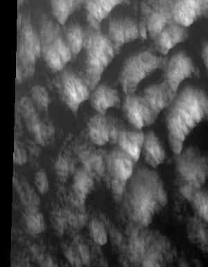
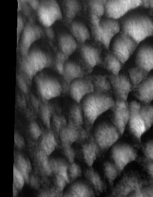
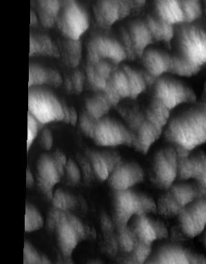
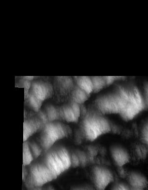
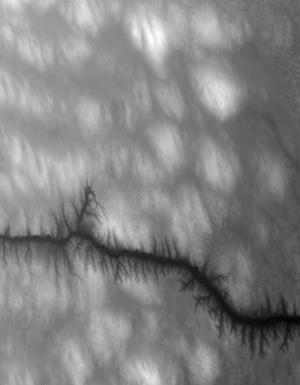
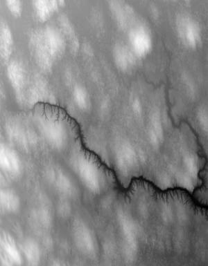
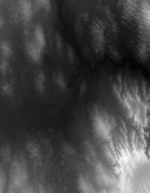
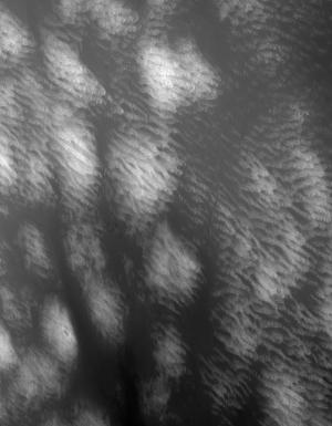
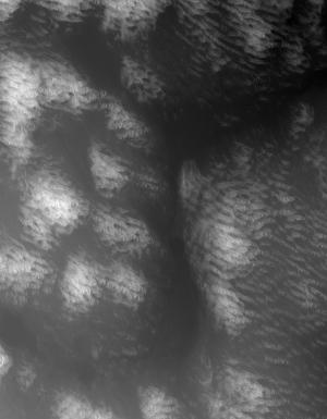
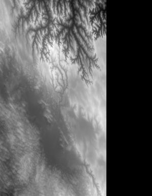
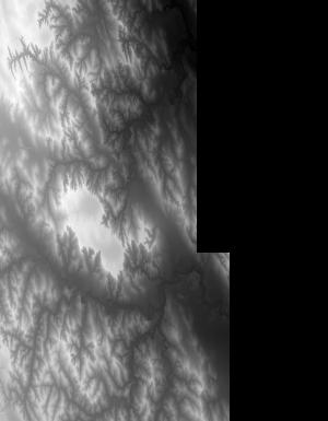
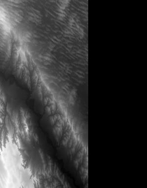
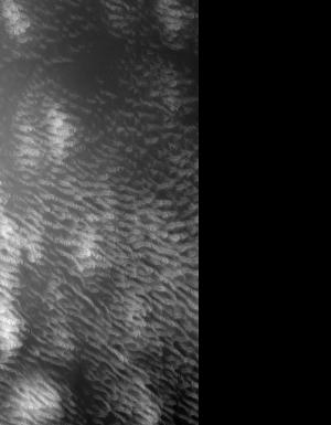
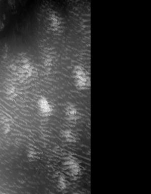
Index of /vdelivery/Datasets/Staged/Elevation/1m/Projects/NE_Sandhills_B1_2016/browse/
Index of /vdelivery/Datasets/Staged/Elevation/1m/Projects/NE_Sandhills_B1_2016/browse/
../
USGS_one_meter_x25y459_NE_Sandhills_B1_2016_thu..> 23-Mar-2020 18:11                6878
USGS_one_meter_x25y460_NE_Sandhills_B1_2016_thu..> 23-Mar-2020 18:11               14522
USGS_one_meter_x25y461_NE_Sandhills_B1_2016_thu..> 23-Mar-2020 18:11               14289
USGS_one_meter_x25y462_NE_Sandhills_B1_2016_thu..> 23-Mar-2020 18:11               13095
USGS_one_meter_x25y463_NE_Sandhills_B1_2016_thu..> 23-Mar-2020 18:11                8823
USGS_one_meter_x26y459_NE_Sandhills_B1_2016_thu..> 23-Mar-2020 18:11                5686
USGS_one_meter_x26y460_NE_Sandhills_B1_2016_thu..> 23-Mar-2020 18:11               12938
USGS_one_meter_x26y461_NE_Sandhills_B1_2016_thu..> 23-Mar-2020 18:11               14274
USGS_one_meter_x26y462_NE_Sandhills_B1_2016_thu..> 23-Mar-2020 18:11               13943
USGS_one_meter_x26y463_NE_Sandhills_B1_2016_thu..> 23-Mar-2020 18:11                8382
USGS_one_meter_x27y458_NE_Sandhills_B1_2016_thu..> 23-Mar-2020 18:11                1256
USGS_one_meter_x27y459_NE_Sandhills_B1_2016_thu..> 23-Mar-2020 18:11                7413
USGS_one_meter_x27y460_NE_Sandhills_B1_2016_thu..> 23-Mar-2020 18:11               12897
USGS_one_meter_x27y461_NE_Sandhills_B1_2016_thu..> 23-Mar-2020 18:11               13965
USGS_one_meter_x27y462_NE_Sandhills_B1_2016_thu..> 23-Mar-2020 18:11               12864
USGS_one_meter_x27y463_NE_Sandhills_B1_2016_thu..> 23-Mar-2020 18:11                7783
USGS_one_meter_x28y457_NE_Sandhills_B1_2016_thu..> 23-Mar-2020 18:11                2835
USGS_one_meter_x28y458_NE_Sandhills_B1_2016_thu..> 23-Mar-2020 18:11                8864
USGS_one_meter_x28y459_NE_Sandhills_B1_2016_thu..> 23-Mar-2020 18:11               13406
USGS_one_meter_x28y460_NE_Sandhills_B1_2016_thu..> 23-Mar-2020 18:11               13877
USGS_one_meter_x28y461_NE_Sandhills_B1_2016_thu..> 23-Mar-2020 18:11               14006
USGS_one_meter_x28y462_NE_Sandhills_B1_2016_thu..> 23-Mar-2020 18:11               12113
USGS_one_meter_x28y463_NE_Sandhills_B1_2016_thu..> 23-Mar-2020 18:11                7450
USGS_one_meter_x29y457_NE_Sandhills_B1_2016_thu..> 23-Mar-2020 18:11                7707
USGS_one_meter_x29y458_NE_Sandhills_B1_2016_thu..> 23-Mar-2020 18:11               13408
USGS_one_meter_x29y459_NE_Sandhills_B1_2016_thu..> 23-Mar-2020 18:11               12251
USGS_one_meter_x29y460_NE_Sandhills_B1_2016_thu..> 23-Mar-2020 18:11               12197
USGS_one_meter_x29y461_NE_Sandhills_B1_2016_thu..> 23-Mar-2020 18:11               12031
USGS_one_meter_x29y462_NE_Sandhills_B1_2016_thu..> 23-Mar-2020 18:11               10355
USGS_one_meter_x29y463_NE_Sandhills_B1_2016_thu..> 23-Mar-2020 18:11                6813
USGS_one_meter_x30y457_NE_Sandhills_B1_2016_thu..> 23-Mar-2020 18:11                7301
USGS_one_meter_x30y458_NE_Sandhills_B1_2016_thu..> 23-Mar-2020 18:11               12153
USGS_one_meter_x30y459_NE_Sandhills_B1_2016_thu..> 23-Mar-2020 18:11               11523
USGS_one_meter_x30y460_NE_Sandhills_B1_2016_thu..> 23-Mar-2020 18:11               12544
USGS_one_meter_x30y461_NE_Sandhills_B1_2016_thu..> 23-Mar-2020 18:11               11524
USGS_one_meter_x30y462_NE_Sandhills_B1_2016_thu..> 23-Mar-2020 18:11               13260
USGS_one_meter_x30y463_NE_Sandhills_B1_2016_thu..> 23-Mar-2020 18:11                7772
USGS_one_meter_x31y457_NE_Sandhills_B1_2016_thu..> 23-Mar-2020 18:11                6889
USGS_one_meter_x31y458_NE_Sandhills_B1_2016_thu..> 23-Mar-2020 18:11               12131
USGS_one_meter_x31y459_NE_Sandhills_B1_2016_thu..> 23-Mar-2020 18:11               11094
USGS_one_meter_x31y460_NE_Sandhills_B1_2016_thu..> 23-Mar-2020 18:11               12055
USGS_one_meter_x31y461_NE_Sandhills_B1_2016_thu..> 23-Mar-2020 18:11               12378
USGS_one_meter_x31y462_NE_Sandhills_B1_2016_thu..> 23-Mar-2020 18:11               14189
USGS_one_meter_x31y463_NE_Sandhills_B1_2016_thu..> 23-Mar-2020 18:11                7111
USGS_one_meter_x32y457_NE_Sandhills_B1_2016_thu..> 23-Mar-2020 18:11                4979
USGS_one_meter_x32y458_NE_Sandhills_B1_2016_thu..> 23-Mar-2020 18:11               12237
USGS_one_meter_x32y459_NE_Sandhills_B1_2016_thu..> 23-Mar-2020 18:11               15324
USGS_one_meter_x32y460_NE_Sandhills_B1_2016_thu..> 23-Mar-2020 18:11               14672
USGS_one_meter_x32y461_NE_Sandhills_B1_2016_thu..> 23-Mar-2020 18:11               13779
USGS_one_meter_x32y462_NE_Sandhills_B1_2016_thu..> 23-Mar-2020 18:11               14420
USGS_one_meter_x32y463_NE_Sandhills_B1_2016_thu..> 23-Mar-2020 18:11                6063
USGS_one_meter_x33y457_NE_Sandhills_B1_2016_thu..> 23-Mar-2020 18:11                6729
USGS_one_meter_x33y458_NE_Sandhills_B1_2016_thu..> 23-Mar-2020 18:11               16823
USGS_one_meter_x33y459_NE_Sandhills_B1_2016_thu..> 23-Mar-2020 18:11               14193
USGS_one_meter_x33y460_NE_Sandhills_B1_2016_thu..> 23-Mar-2020 18:11               15446
USGS_one_meter_x33y461_NE_Sandhills_B1_2016_thu..> 23-Mar-2020 18:11               14384
USGS_one_meter_x33y462_NE_Sandhills_B1_2016_thu..> 23-Mar-2020 18:11               13587
USGS_one_meter_x33y463_NE_Sandhills_B1_2016_thu..> 23-Mar-2020 18:11                6464
USGS_one_meter_x34y457_NE_Sandhills_B1_2016_thu..> 23-Mar-2020 18:11                6501
USGS_one_meter_x34y458_NE_Sandhills_B1_2016_thu..> 23-Mar-2020 18:11               14082
USGS_one_meter_x34y459_NE_Sandhills_B1_2016_thu..> 23-Mar-2020 18:11               15224
USGS_one_meter_x34y460_NE_Sandhills_B1_2016_thu..> 23-Mar-2020 18:11               15391
USGS_one_meter_x34y461_NE_Sandhills_B1_2016_thu..> 23-Mar-2020 18:11               14638
USGS_one_meter_x34y462_NE_Sandhills_B1_2016_thu..> 23-Mar-2020 18:11               14081
USGS_one_meter_x34y463_NE_Sandhills_B1_2016_thu..> 23-Mar-2020 18:11                5649
USGS_one_meter_x35y456_NE_Sandhills_B1_2016_thu..> 23-Mar-2020 18:11                2922
USGS_one_meter_x35y457_NE_Sandhills_B1_2016_thu..> 23-Mar-2020 18:11               11870
USGS_one_meter_x35y458_NE_Sandhills_B1_2016_thu..> 23-Mar-2020 18:11               13533
USGS_one_meter_x35y459_NE_Sandhills_B1_2016_thu..> 23-Mar-2020 18:11               15730
USGS_one_meter_x35y460_NE_Sandhills_B1_2016_thu..> 23-Mar-2020 18:11               13719
USGS_one_meter_x35y461_NE_Sandhills_B1_2016_thu..> 23-Mar-2020 18:11               18094
USGS_one_meter_x35y462_NE_Sandhills_B1_2016_thu..> 23-Mar-2020 18:11               15630
USGS_one_meter_x35y463_NE_Sandhills_B1_2016_thu..> 23-Mar-2020 18:11                6274
USGS_one_meter_x36y456_NE_Sandhills_B1_2016_thu..> 23-Mar-2020 18:11                5358
USGS_one_meter_x36y457_NE_Sandhills_B1_2016_thu..> 23-Mar-2020 18:11               12228
USGS_one_meter_x36y458_NE_Sandhills_B1_2016_thu..> 23-Mar-2020 18:11               14679
USGS_one_meter_x36y459_NE_Sandhills_B1_2016_thu..> 23-Mar-2020 18:11               13530
USGS_one_meter_x36y460_NE_Sandhills_B1_2016_thu..> 23-Mar-2020 18:11               12919
USGS_one_meter_x36y461_NE_Sandhills_B1_2016_thu..> 23-Mar-2020 18:11               17514
USGS_one_meter_x36y462_NE_Sandhills_B1_2016_thu..> 23-Mar-2020 18:11               18331
USGS_one_meter_x36y463_NE_Sandhills_B1_2016_thu..> 23-Mar-2020 18:11                7283
USGS_one_meter_x37y457_NE_Sandhills_B1_2016_thu..> 23-Mar-2020 18:11               11115
USGS_one_meter_x37y458_NE_Sandhills_B1_2016_thu..> 23-Mar-2020 18:11               16773
USGS_one_meter_x37y459_NE_Sandhills_B1_2016_thu..> 23-Mar-2020 18:11               12756
USGS_one_meter_x37y460_NE_Sandhills_B1_2016_thu..> 23-Mar-2020 18:11               11212
USGS_one_meter_x37y461_NE_Sandhills_B1_2016_thu..> 23-Mar-2020 18:11               17035
USGS_one_meter_x37y462_NE_Sandhills_B1_2016_thu..> 23-Mar-2020 18:11               17466
USGS_one_meter_x37y463_NE_Sandhills_B1_2016_thu..> 23-Mar-2020 18:11                6555
USGS_one_meter_x38y457_NE_Sandhills_B1_2016_thu..> 23-Mar-2020 18:11               12253
USGS_one_meter_x38y458_NE_Sandhills_B1_2016_thu..> 23-Mar-2020 18:11               18192
USGS_one_meter_x38y459_NE_Sandhills_B1_2016_thu..> 23-Mar-2020 18:11               13600
USGS_one_meter_x38y460_NE_Sandhills_B1_2016_thu..> 23-Mar-2020 18:11               10968
USGS_one_meter_x38y461_NE_Sandhills_B1_2016_thu..> 23-Mar-2020 18:11               15616
USGS_one_meter_x38y462_NE_Sandhills_B1_2016_thu..> 23-Mar-2020 18:11               13683
USGS_one_meter_x38y463_NE_Sandhills_B1_2016_thu..> 23-Mar-2020 18:11                5257
USGS_one_meter_x39y457_NE_Sandhills_B1_2016_thu..> 23-Mar-2020 18:11                7187
USGS_one_meter_x39y458_NE_Sandhills_B1_2016_thu..> 23-Mar-2020 18:11               12658
USGS_one_meter_x39y459_NE_Sandhills_B1_2016_thu..> 23-Mar-2020 18:11               11520
USGS_one_meter_x39y460_NE_Sandhills_B1_2016_thu..> 23-Mar-2020 18:11                9631
USGS_one_meter_x39y461_NE_Sandhills_B1_2016_thu..> 23-Mar-2020 18:11               12565
USGS_one_meter_x39y462_NE_Sandhills_B1_2016_thu..> 23-Mar-2020 18:11               11790
USGS_one_meter_x39y463_NE_Sandhills_B1_2016_thu..> 23-Mar-2020 18:11                3174
USGS_one_meter_x74y463_NE_Sandhills_B1_2016_thu..> 23-Mar-2020 18:11                 718
USGS_one_meter_x75y459_NE_Sandhills_B1_2016_thu..> 23-Mar-2020 18:11                5433
USGS_one_meter_x75y460_NE_Sandhills_B1_2016_thu..> 23-Mar-2020 18:11               13450
USGS_one_meter_x75y461_NE_Sandhills_B1_2016_thu..> 23-Mar-2020 18:11               13859
USGS_one_meter_x75y462_NE_Sandhills_B1_2016_thu..> 23-Mar-2020 18:11               13531
USGS_one_meter_x75y463_NE_Sandhills_B1_2016_thu..> 23-Mar-2020 18:11               10252