WARNING TO USERS OF THIS SYSTEM
This computer system, including all related equipment, networks, and network devices (including Internet access), is provided by the Department of the Interior (DOI) in accordance with the agency policy for official use and limited personal use.
All agency computer systems may be monitored for all lawful purposes,
including but not limited to, ensuring that use is authorized, for management of the system, to facilitate protection against unauthorized access, and to verify security procedures, survivability and operational security. Any information on this computer system may be examined, recorded, copied and used for authorized purposes at any time.
All information, including personal information, placed or sent over this system may be monitored, and users of this system are reminded that such monitoring does occur. Therefore, there should be no expectation of privacy with respect to use of this system.
By logging into this agency computer system, you acknowledge and consent to the monitoring of this system. Evidence of your use, authorized or
unauthorized, collected during monitoring may be used for civil, criminal, administrative, or other adverse action. Unauthorized or illegal use may subject you to prosecution.
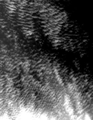
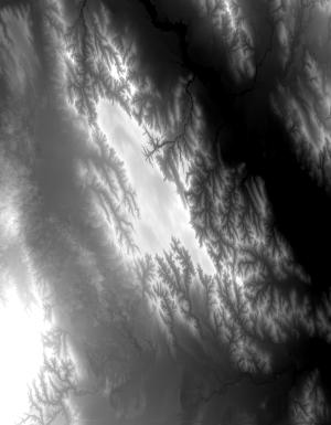
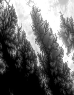
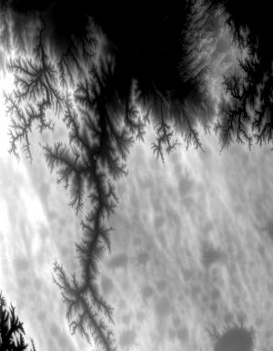
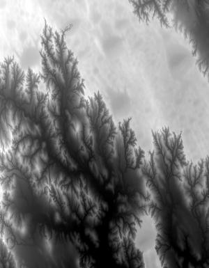
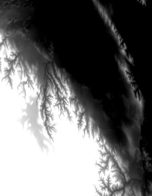
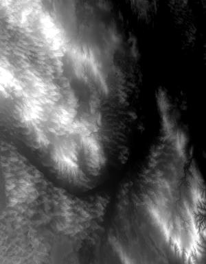
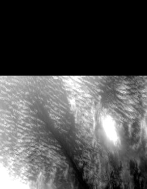
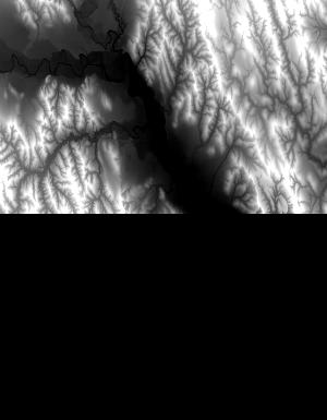
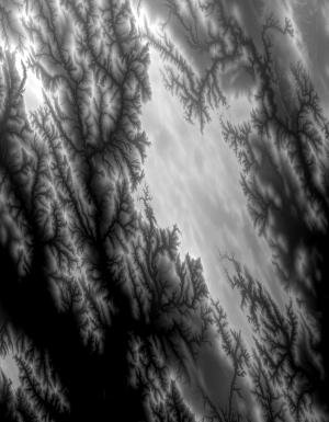
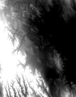
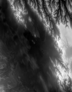
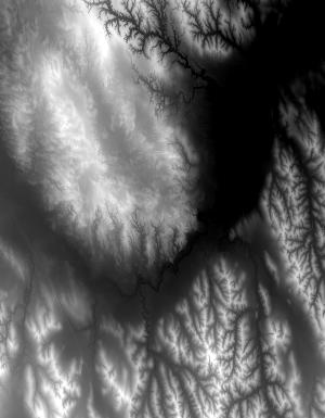
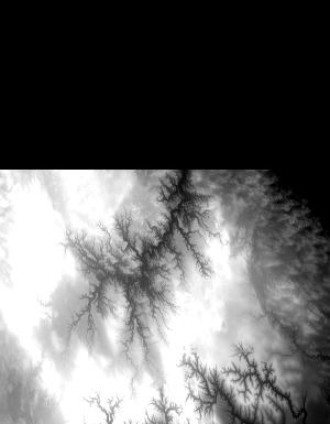
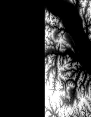
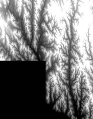
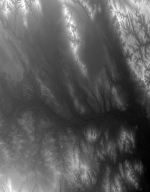
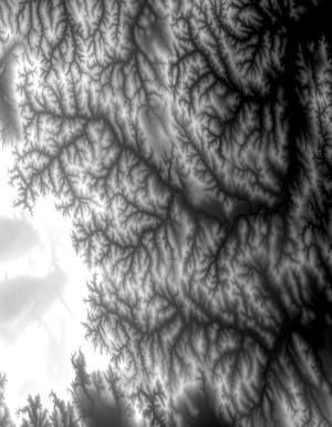
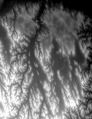
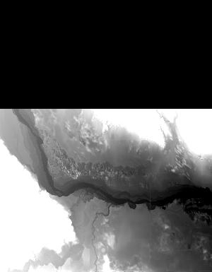
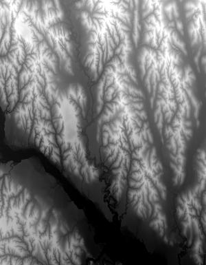
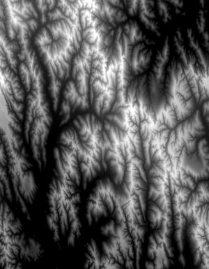
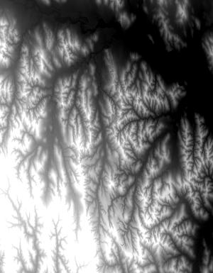
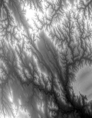
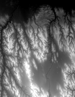
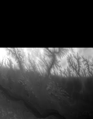
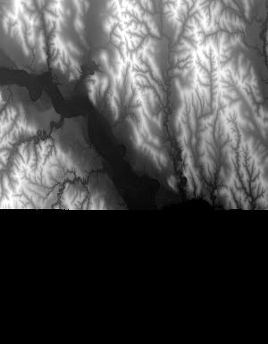
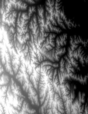
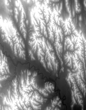
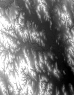
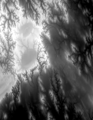
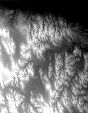
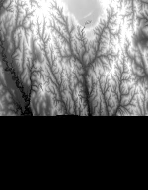
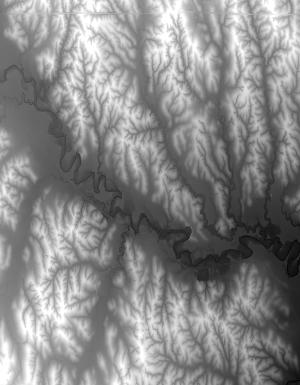
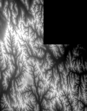
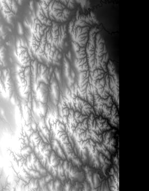
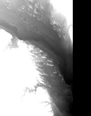
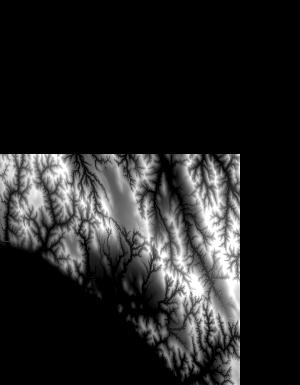
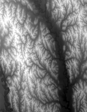
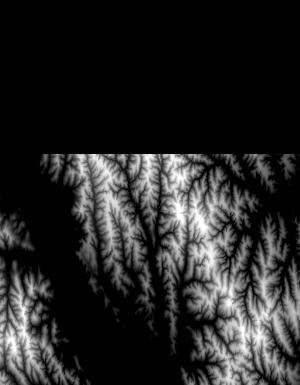
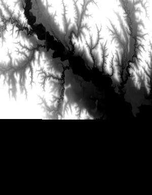
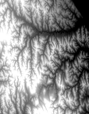
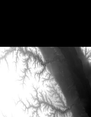
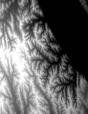
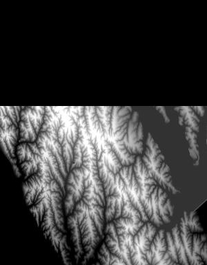
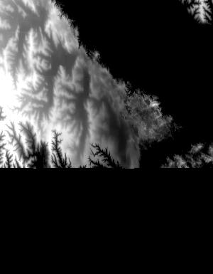
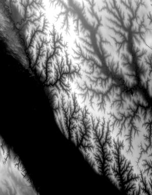
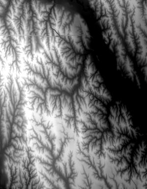
Index of /vdelivery/Datasets/Staged/Elevation/1m/Projects/NE_Sandhills_B3_2016/browse/
Index of /vdelivery/Datasets/Staged/Elevation/1m/Projects/NE_Sandhills_B3_2016/browse/
../
USGS_one_meter_x39y457_NE_Sandhills_B3_2016_thu..> 23-Mar-2020 18:11                1043
USGS_one_meter_x39y458_NE_Sandhills_B3_2016_thu..> 23-Mar-2020 18:11                6656
USGS_one_meter_x39y459_NE_Sandhills_B3_2016_thu..> 23-Mar-2020 18:11                7178
USGS_one_meter_x39y460_NE_Sandhills_B3_2016_thu..> 23-Mar-2020 18:11                7498
USGS_one_meter_x39y461_NE_Sandhills_B3_2016_thu..> 23-Mar-2020 18:11               11357
USGS_one_meter_x39y462_NE_Sandhills_B3_2016_thu..> 23-Mar-2020 18:11                9222
USGS_one_meter_x40y457_NE_Sandhills_B3_2016_thu..> 23-Mar-2020 18:11                8792
USGS_one_meter_x40y458_NE_Sandhills_B3_2016_thu..> 23-Mar-2020 18:11               15278
USGS_one_meter_x40y459_NE_Sandhills_B3_2016_thu..> 23-Mar-2020 18:11               11564
USGS_one_meter_x40y460_NE_Sandhills_B3_2016_thu..> 23-Mar-2020 18:11               17869
USGS_one_meter_x40y461_NE_Sandhills_B3_2016_thu..> 23-Mar-2020 18:11               26008
USGS_one_meter_x40y462_NE_Sandhills_B3_2016_thu..> 23-Mar-2020 18:11               15543
USGS_one_meter_x41y457_NE_Sandhills_B3_2016_thu..> 23-Mar-2020 18:11                9408
USGS_one_meter_x41y458_NE_Sandhills_B3_2016_thu..> 23-Mar-2020 18:11               15849
USGS_one_meter_x41y459_NE_Sandhills_B3_2016_thu..> 23-Mar-2020 18:11               19850
USGS_one_meter_x41y460_NE_Sandhills_B3_2016_thu..> 23-Mar-2020 18:11               18929
USGS_one_meter_x41y461_NE_Sandhills_B3_2016_thu..> 23-Mar-2020 18:11               25673
USGS_one_meter_x41y462_NE_Sandhills_B3_2016_thu..> 23-Mar-2020 18:11               17869
USGS_one_meter_x42y457_NE_Sandhills_B3_2016_thu..> 23-Mar-2020 18:11               12455
USGS_one_meter_x42y458_NE_Sandhills_B3_2016_thu..> 23-Mar-2020 18:11               15217
USGS_one_meter_x42y459_NE_Sandhills_B3_2016_thu..> 23-Mar-2020 18:11               16287
USGS_one_meter_x42y460_NE_Sandhills_B3_2016_thu..> 23-Mar-2020 18:11               13197
USGS_one_meter_x42y461_NE_Sandhills_B3_2016_thu..> 23-Mar-2020 18:11               16157
USGS_one_meter_x42y462_NE_Sandhills_B3_2016_thu..> 23-Mar-2020 18:11               13458
USGS_one_meter_x43y457_NE_Sandhills_B3_2016_thu..> 23-Mar-2020 18:11               12997
USGS_one_meter_x43y458_NE_Sandhills_B3_2016_thu..> 23-Mar-2020 18:11               21526
USGS_one_meter_x43y459_NE_Sandhills_B3_2016_thu..> 23-Mar-2020 18:11               16100
USGS_one_meter_x43y460_NE_Sandhills_B3_2016_thu..> 23-Mar-2020 18:11               13561
USGS_one_meter_x43y461_NE_Sandhills_B3_2016_thu..> 23-Mar-2020 18:11               18096
USGS_one_meter_x43y462_NE_Sandhills_B3_2016_thu..> 23-Mar-2020 18:11               12345
USGS_one_meter_x44y455_NE_Sandhills_B3_2016_thu..> 23-Mar-2020 18:11               14896
USGS_one_meter_x44y456_NE_Sandhills_B3_2016_thu..> 23-Mar-2020 18:11               15067
USGS_one_meter_x44y457_NE_Sandhills_B3_2016_thu..> 23-Mar-2020 18:11               19198
USGS_one_meter_x44y458_NE_Sandhills_B3_2016_thu..> 23-Mar-2020 18:11               22349
USGS_one_meter_x44y459_NE_Sandhills_B3_2016_thu..> 23-Mar-2020 18:11               11316
USGS_one_meter_x44y460_NE_Sandhills_B3_2016_thu..> 23-Mar-2020 18:11               23642
USGS_one_meter_x44y461_NE_Sandhills_B3_2016_thu..> 23-Mar-2020 18:11               20662
USGS_one_meter_x44y462_NE_Sandhills_B3_2016_thu..> 23-Mar-2020 18:11                9083
USGS_one_meter_x45y455_NE_Sandhills_B3_2016_thu..> 23-Mar-2020 18:11               18271
USGS_one_meter_x45y456_NE_Sandhills_B3_2016_thu..> 23-Mar-2020 18:11               18599
USGS_one_meter_x45y457_NE_Sandhills_B3_2016_thu..> 23-Mar-2020 18:11               24074
USGS_one_meter_x45y458_NE_Sandhills_B3_2016_thu..> 23-Mar-2020 18:11               20288
USGS_one_meter_x45y459_NE_Sandhills_B3_2016_thu..> 23-Mar-2020 18:11               17725
USGS_one_meter_x45y460_NE_Sandhills_B3_2016_thu..> 23-Mar-2020 18:11               19468
USGS_one_meter_x45y461_NE_Sandhills_B3_2016_thu..> 23-Mar-2020 18:11               18802
USGS_one_meter_x45y462_NE_Sandhills_B3_2016_thu..> 23-Mar-2020 18:11                8491
USGS_one_meter_x46y455_NE_Sandhills_B3_2016_thu..> 23-Mar-2020 18:11               12616
USGS_one_meter_x46y456_NE_Sandhills_B3_2016_thu..> 23-Mar-2020 18:11               17347
USGS_one_meter_x46y457_NE_Sandhills_B3_2016_thu..> 23-Mar-2020 18:11               22258
USGS_one_meter_x46y458_NE_Sandhills_B3_2016_thu..> 23-Mar-2020 18:11               19682
USGS_one_meter_x46y459_NE_Sandhills_B3_2016_thu..> 23-Mar-2020 18:11               17567
USGS_one_meter_x46y460_NE_Sandhills_B3_2016_thu..> 23-Mar-2020 18:11               17618
USGS_one_meter_x46y461_NE_Sandhills_B3_2016_thu..> 23-Mar-2020 18:11               19448
USGS_one_meter_x46y462_NE_Sandhills_B3_2016_thu..> 23-Mar-2020 18:11                9320
USGS_one_meter_x47y455_NE_Sandhills_B3_2016_thu..> 23-Mar-2020 18:11               14416
USGS_one_meter_x47y456_NE_Sandhills_B3_2016_thu..> 23-Mar-2020 18:11               23845
USGS_one_meter_x47y457_NE_Sandhills_B3_2016_thu..> 23-Mar-2020 18:11               18234
USGS_one_meter_x47y458_NE_Sandhills_B3_2016_thu..> 23-Mar-2020 18:11               19024
USGS_one_meter_x47y459_NE_Sandhills_B3_2016_thu..> 23-Mar-2020 18:11               12150
USGS_one_meter_x47y460_NE_Sandhills_B3_2016_thu..> 23-Mar-2020 18:11               16880
USGS_one_meter_x47y461_NE_Sandhills_B3_2016_thu..> 23-Mar-2020 18:11                8951
USGS_one_meter_x47y462_NE_Sandhills_B3_2016_thu..> 23-Mar-2020 18:11               12553
USGS_one_meter_x48y455_NE_Sandhills_B3_2016_thu..> 23-Mar-2020 18:11               14677
USGS_one_meter_x48y456_NE_Sandhills_B3_2016_thu..> 23-Mar-2020 18:11               22548
USGS_one_meter_x48y457_NE_Sandhills_B3_2016_thu..> 23-Mar-2020 18:11               18966
USGS_one_meter_x48y458_NE_Sandhills_B3_2016_thu..> 23-Mar-2020 18:11               17344
USGS_one_meter_x49y455_NE_Sandhills_B3_2016_thu..> 23-Mar-2020 18:11               14483
USGS_one_meter_x49y456_NE_Sandhills_B3_2016_thu..> 23-Mar-2020 18:11               23084
USGS_one_meter_x49y457_NE_Sandhills_B3_2016_thu..> 23-Mar-2020 18:11               22551
USGS_one_meter_x49y458_NE_Sandhills_B3_2016_thu..> 23-Mar-2020 18:11                9120
USGS_one_meter_x50y455_NE_Sandhills_B3_2016_thu..> 23-Mar-2020 18:11               13221
USGS_one_meter_x50y456_NE_Sandhills_B3_2016_thu..> 23-Mar-2020 18:11               18761
USGS_one_meter_x50y457_NE_Sandhills_B3_2016_thu..> 23-Mar-2020 18:11               13118
USGS_one_meter_x50y458_NE_Sandhills_B3_2016_thu..> 23-Mar-2020 18:11               15266
USGS_one_meter_x51y455_NE_Sandhills_B3_2016_thu..> 23-Mar-2020 18:11               11346
USGS_one_meter_x51y456_NE_Sandhills_B3_2016_thu..> 23-Mar-2020 18:11               21365
USGS_one_meter_x51y457_NE_Sandhills_B3_2016_thu..> 23-Mar-2020 18:11               22324
USGS_one_meter_x51y458_NE_Sandhills_B3_2016_thu..> 23-Mar-2020 18:11               14771
USGS_one_meter_x52y455_NE_Sandhills_B3_2016_thu..> 23-Mar-2020 18:11                2286
USGS_one_meter_x52y456_NE_Sandhills_B3_2016_thu..> 23-Mar-2020 18:11                5002
USGS_one_meter_x52y457_NE_Sandhills_B3_2016_thu..> 23-Mar-2020 18:11                3636
USGS_one_meter_x52y458_NE_Sandhills_B3_2016_thu..> 23-Mar-2020 18:11                1064