WARNING TO USERS OF THIS SYSTEM
This computer system, including all related equipment, networks, and network devices (including Internet access), is provided by the Department of the Interior (DOI) in accordance with the agency policy for official use and limited personal use.
All agency computer systems may be monitored for all lawful purposes,
including but not limited to, ensuring that use is authorized, for management of the system, to facilitate protection against unauthorized access, and to verify security procedures, survivability and operational security. Any information on this computer system may be examined, recorded, copied and used for authorized purposes at any time.
All information, including personal information, placed or sent over this system may be monitored, and users of this system are reminded that such monitoring does occur. Therefore, there should be no expectation of privacy with respect to use of this system.
By logging into this agency computer system, you acknowledge and consent to the monitoring of this system. Evidence of your use, authorized or
unauthorized, collected during monitoring may be used for civil, criminal, administrative, or other adverse action. Unauthorized or illegal use may subject you to prosecution.
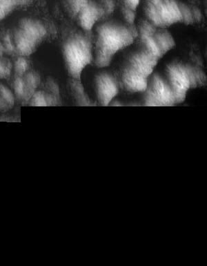
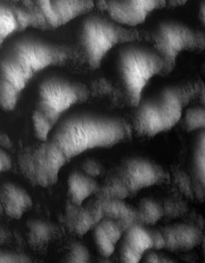
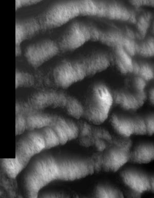
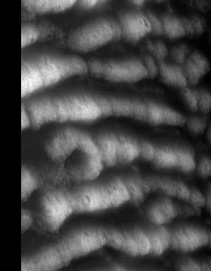
Index of /vdelivery/Datasets/Staged/Elevation/1m/Projects/NE_Sandhills_B4_UTM14_2016/browse/
Index of /vdelivery/Datasets/Staged/Elevation/1m/Projects/NE_Sandhills_B4_UTM14_2016/browse/
../
USGS_one_meter_x24y463_NE_Sandhills_B4_UTM14_20..> 23-Mar-2020 18:11                 667
USGS_one_meter_x24y464_NE_Sandhills_B4_UTM14_20..> 23-Mar-2020 18:11                 667
USGS_one_meter_x24y465_NE_Sandhills_B4_UTM14_20..> 23-Mar-2020 18:11                 667
USGS_one_meter_x25y463_NE_Sandhills_B4_UTM14_20..> 23-Mar-2020 18:11                7665
USGS_one_meter_x25y464_NE_Sandhills_B4_UTM14_20..> 23-Mar-2020 18:11               13166
USGS_one_meter_x25y465_NE_Sandhills_B4_UTM14_20..> 23-Mar-2020 18:11               13241
USGS_one_meter_x25y466_NE_Sandhills_B4_UTM14_20..> 23-Mar-2020 18:11               12654
USGS_one_meter_x25y467_NE_Sandhills_B4_UTM14_20..> 23-Mar-2020 18:11                6675
USGS_one_meter_x26y463_NE_Sandhills_B4_UTM14_20..> 23-Mar-2020 18:11                7362
USGS_one_meter_x26y464_NE_Sandhills_B4_UTM14_20..> 23-Mar-2020 18:11               12638
USGS_one_meter_x26y465_NE_Sandhills_B4_UTM14_20..> 23-Mar-2020 18:11               13742
USGS_one_meter_x26y466_NE_Sandhills_B4_UTM14_20..> 23-Mar-2020 18:11               13705
USGS_one_meter_x26y467_NE_Sandhills_B4_UTM14_20..> 23-Mar-2020 18:11                6838
USGS_one_meter_x27y463_NE_Sandhills_B4_UTM14_20..> 23-Mar-2020 18:11                7963
USGS_one_meter_x27y464_NE_Sandhills_B4_UTM14_20..> 23-Mar-2020 18:11               14682
USGS_one_meter_x27y465_NE_Sandhills_B4_UTM14_20..> 23-Mar-2020 18:11               12996
USGS_one_meter_x27y466_NE_Sandhills_B4_UTM14_20..> 23-Mar-2020 18:11               14435
USGS_one_meter_x27y467_NE_Sandhills_B4_UTM14_20..> 23-Mar-2020 18:11                5607
USGS_one_meter_x28y463_NE_Sandhills_B4_UTM14_20..> 23-Mar-2020 18:11                7764
USGS_one_meter_x28y464_NE_Sandhills_B4_UTM14_20..> 23-Mar-2020 18:11               13277
USGS_one_meter_x28y465_NE_Sandhills_B4_UTM14_20..> 23-Mar-2020 18:11               11830
USGS_one_meter_x28y466_NE_Sandhills_B4_UTM14_20..> 23-Mar-2020 18:11               13924
USGS_one_meter_x28y467_NE_Sandhills_B4_UTM14_20..> 23-Mar-2020 18:11                5626
USGS_one_meter_x29y463_NE_Sandhills_B4_UTM14_20..> 23-Mar-2020 18:11                6646
USGS_one_meter_x29y464_NE_Sandhills_B4_UTM14_20..> 23-Mar-2020 18:11               11195
USGS_one_meter_x29y465_NE_Sandhills_B4_UTM14_20..> 23-Mar-2020 18:11               12279
USGS_one_meter_x29y466_NE_Sandhills_B4_UTM14_20..> 23-Mar-2020 18:11               12908
USGS_one_meter_x29y467_NE_Sandhills_B4_UTM14_20..> 23-Mar-2020 18:11                4832
USGS_one_meter_x74y463_NE_Sandhills_B4_UTM14_20..> 23-Mar-2020 18:11                2456
USGS_one_meter_x74y464_NE_Sandhills_B4_UTM14_20..> 23-Mar-2020 18:11                3909
USGS_one_meter_x74y465_NE_Sandhills_B4_UTM14_20..> 23-Mar-2020 18:11                4404
USGS_one_meter_x74y466_NE_Sandhills_B4_UTM14_20..> 23-Mar-2020 18:11                4816
USGS_one_meter_x74y467_NE_Sandhills_B4_UTM14_20..> 23-Mar-2020 18:11                3173
USGS_one_meter_x75y463_NE_Sandhills_B4_UTM14_20..> 23-Mar-2020 18:11                6976
USGS_one_meter_x75y464_NE_Sandhills_B4_UTM14_20..> 23-Mar-2020 18:11               13651
USGS_one_meter_x75y465_NE_Sandhills_B4_UTM14_20..> 23-Mar-2020 18:11               12980
USGS_one_meter_x75y466_NE_Sandhills_B4_UTM14_20..> 23-Mar-2020 18:11               13382
USGS_one_meter_x75y467_NE_Sandhills_B4_UTM14_20..> 23-Mar-2020 18:11                7199