WARNING TO USERS OF THIS SYSTEM
This computer system, including all related equipment, networks, and network devices (including Internet access), is provided by the Department of the Interior (DOI) in accordance with the agency policy for official use and limited personal use.
All agency computer systems may be monitored for all lawful purposes,
including but not limited to, ensuring that use is authorized, for management of the system, to facilitate protection against unauthorized access, and to verify security procedures, survivability and operational security. Any information on this computer system may be examined, recorded, copied and used for authorized purposes at any time.
All information, including personal information, placed or sent over this system may be monitored, and users of this system are reminded that such monitoring does occur. Therefore, there should be no expectation of privacy with respect to use of this system.
By logging into this agency computer system, you acknowledge and consent to the monitoring of this system. Evidence of your use, authorized or
unauthorized, collected during monitoring may be used for civil, criminal, administrative, or other adverse action. Unauthorized or illegal use may subject you to prosecution.
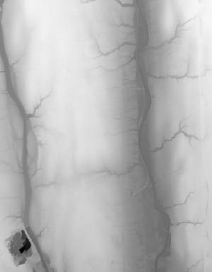
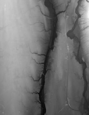
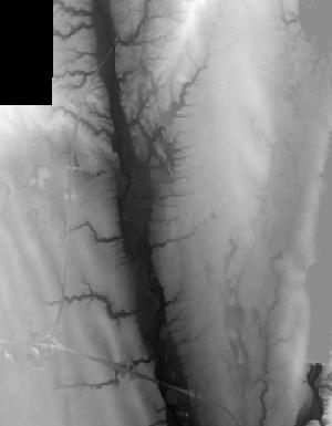
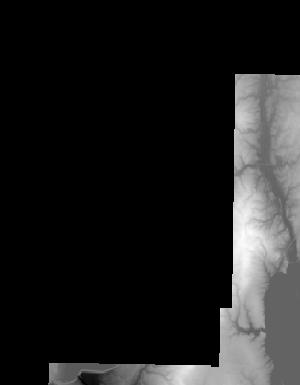
Index of /vdelivery/Datasets/Staged/Elevation/1m/Projects/OH_Columbus_2019/browse/
Index of /vdelivery/Datasets/Staged/Elevation/1m/Projects/OH_Columbus_2019/browse/
../
USGS_1m_x30y441_OH_Columbus_2019.jpg               26-Feb-2020 17:34                1249
USGS_1m_x30y442_OH_Columbus_2019.jpg               26-Feb-2020 17:16                4820
USGS_1m_x30y443_OH_Columbus_2019.jpg               26-Feb-2020 17:00                5501
USGS_1m_x30y444_OH_Columbus_2019.jpg               26-Feb-2020 16:47                3730
USGS_1m_x30y445_OH_Columbus_2019.jpg               26-Feb-2020 16:36                1040
USGS_1m_x30y448_OH_Columbus_2019.jpg               26-Feb-2020 16:30                2028
USGS_1m_x31y441_OH_Columbus_2019.jpg               26-Feb-2020 17:35                2899
USGS_1m_x31y442_OH_Columbus_2019.jpg               26-Feb-2020 17:20                8608
USGS_1m_x31y443_OH_Columbus_2019.jpg               26-Feb-2020 17:02                7626
USGS_1m_x31y444_OH_Columbus_2019.jpg               26-Feb-2020 16:49                5701
USGS_1m_x31y445_OH_Columbus_2019.jpg               26-Feb-2020 16:38                7454
USGS_1m_x31y446_OH_Columbus_2019.jpg               26-Feb-2020 16:33                6070
USGS_1m_x31y447_OH_Columbus_2019.jpg               26-Feb-2020 16:32                1557
USGS_1m_x31y448_OH_Columbus_2019.jpg               26-Feb-2020 16:31                4563
USGS_1m_x32y441_OH_Columbus_2019.jpg               26-Feb-2020 17:37                4644
USGS_1m_x32y442_OH_Columbus_2019.jpg               26-Feb-2020 17:25                6080
USGS_1m_x32y443_OH_Columbus_2019.jpg               26-Feb-2020 17:05               10212
USGS_1m_x32y444_OH_Columbus_2019.jpg               26-Feb-2020 16:52                7342
USGS_1m_x32y445_OH_Columbus_2019.jpg               26-Feb-2020 16:40                7087
USGS_1m_x33y441_OH_Columbus_2019.jpg               26-Feb-2020 17:40                7427
USGS_1m_x33y442_OH_Columbus_2019.jpg               26-Feb-2020 17:30               12306
USGS_1m_x33y443_OH_Columbus_2019.jpg               26-Feb-2020 17:10                8344
USGS_1m_x33y444_OH_Columbus_2019.jpg               26-Feb-2020 16:55                8888
USGS_1m_x33y445_OH_Columbus_2019.jpg               26-Feb-2020 16:43               10191
USGS_1m_x33y446_OH_Columbus_2019.jpg               26-Feb-2020 16:34                4462
USGS_1m_x34y441_OH_Columbus_2019.jpg               26-Feb-2020 17:41                2812
USGS_1m_x34y442_OH_Columbus_2019.jpg               26-Feb-2020 17:33                6972
USGS_1m_x34y443_OH_Columbus_2019.jpg               26-Feb-2020 17:14                7401
USGS_1m_x34y444_OH_Columbus_2019.jpg               26-Feb-2020 16:58                6565
USGS_1m_x34y445_OH_Columbus_2019.jpg               26-Feb-2020 16:45                5547
USGS_1m_x34y446_OH_Columbus_2019.jpg               26-Feb-2020 16:35                4422
USGS_1m_x35y443_OH_Columbus_2019.jpg               26-Feb-2020 17:15                2324
USGS_1m_x35y444_OH_Columbus_2019.jpg               26-Feb-2020 16:59                3529
USGS_1m_x35y445_OH_Columbus_2019.jpg               26-Feb-2020 16:46                1919