WARNING TO USERS OF THIS SYSTEM
This computer system, including all related equipment, networks, and network devices (including Internet access), is provided by the Department of the Interior (DOI) in accordance with the agency policy for official use and limited personal use.
All agency computer systems may be monitored for all lawful purposes,
including but not limited to, ensuring that use is authorized, for management of the system, to facilitate protection against unauthorized access, and to verify security procedures, survivability and operational security. Any information on this computer system may be examined, recorded, copied and used for authorized purposes at any time.
All information, including personal information, placed or sent over this system may be monitored, and users of this system are reminded that such monitoring does occur. Therefore, there should be no expectation of privacy with respect to use of this system.
By logging into this agency computer system, you acknowledge and consent to the monitoring of this system. Evidence of your use, authorized or
unauthorized, collected during monitoring may be used for civil, criminal, administrative, or other adverse action. Unauthorized or illegal use may subject you to prosecution.
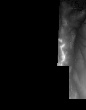
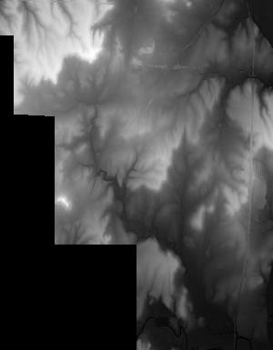
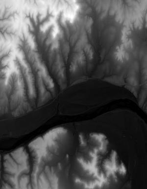
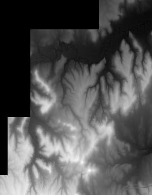
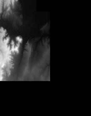
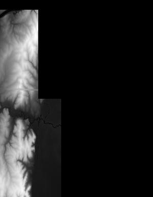
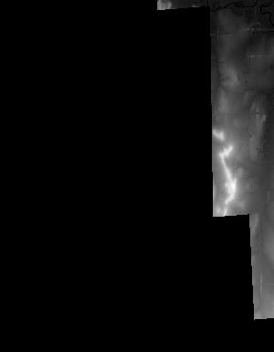
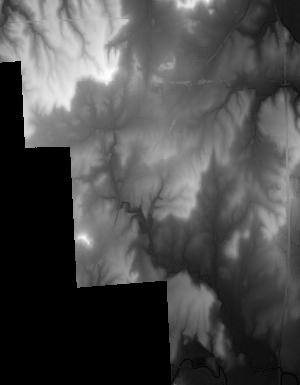
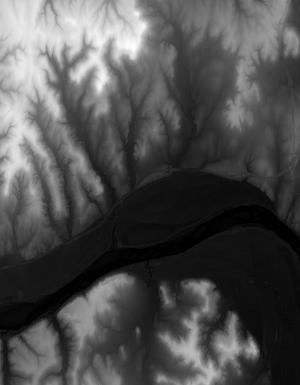
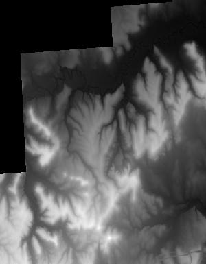
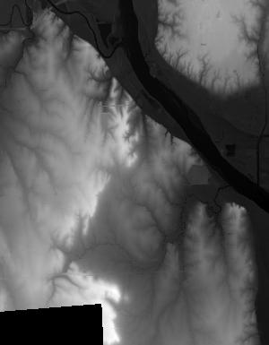
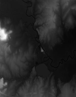
Index of /vdelivery/Datasets/Staged/Elevation/1m/Projects/OK_Woodward_UTM15_B6_2016/browse/
Index of /vdelivery/Datasets/Staged/Elevation/1m/Projects/OK_Woodward_UTM15_B6_2016/browse/
../
USGS_one_meter_x22y399_OK_Woodward_UTM15_B6_201..> 23-Mar-2020 18:12                3736
USGS_one_meter_x22y400_OK_Woodward_UTM15_B6_201..> 23-Mar-2020 18:12                9381
USGS_one_meter_x22y401_OK_Woodward_UTM15_B6_201..> 23-Mar-2020 18:12               11393
USGS_one_meter_x22y402_OK_Woodward_UTM15_B6_201..> 23-Mar-2020 18:12               10511
USGS_one_meter_x22y403_OK_Woodward_UTM15_B6_201..> 23-Mar-2020 18:12                 863
USGS_one_meter_x23y398_OK_Woodward_UTM15_B6_201..> 23-Mar-2020 18:12                2050
USGS_one_meter_x23y399_OK_Woodward_UTM15_B6_201..> 23-Mar-2020 18:12               10373
USGS_one_meter_x23y400_OK_Woodward_UTM15_B6_201..> 23-Mar-2020 18:12                9418
USGS_one_meter_x23y401_OK_Woodward_UTM15_B6_201..> 23-Mar-2020 18:12                9237
USGS_one_meter_x23y402_OK_Woodward_UTM15_B6_201..> 23-Mar-2020 18:12                7450
USGS_one_meter_x23y403_OK_Woodward_UTM15_B6_201..> 23-Mar-2020 18:12                6694
USGS_one_meter_x24y398_OK_Woodward_UTM15_B6_201..> 23-Mar-2020 18:12                2154
USGS_one_meter_x24y399_OK_Woodward_UTM15_B6_201..> 23-Mar-2020 18:12                9018
USGS_one_meter_x24y400_OK_Woodward_UTM15_B6_201..> 23-Mar-2020 18:12                8798
USGS_one_meter_x24y401_OK_Woodward_UTM15_B6_201..> 23-Mar-2020 18:12                8776
USGS_one_meter_x24y402_OK_Woodward_UTM15_B6_201..> 23-Mar-2020 18:12                9481
USGS_one_meter_x24y403_OK_Woodward_UTM15_B6_201..> 23-Mar-2020 18:12                3772
USGS_one_meter_x25y399_OK_Woodward_UTM15_B6_201..> 23-Mar-2020 18:12                2423
USGS_one_meter_x25y400_OK_Woodward_UTM15_B6_201..> 23-Mar-2020 18:12               10713
USGS_one_meter_x25y401_OK_Woodward_UTM15_B6_201..> 23-Mar-2020 18:12                9662
USGS_one_meter_x25y402_OK_Woodward_UTM15_B6_201..> 23-Mar-2020 18:12                7704
USGS_one_meter_x26y400_OK_Woodward_UTM15_B6_201..> 23-Mar-2020 18:12                4707
USGS_one_meter_x26y401_OK_Woodward_UTM15_B6_201..> 23-Mar-2020 18:12                5198
USGS_one_meter_x75y400_OK_Woodward_UTM15_B6_201..> 23-Mar-2020 18:12                1751
USGS_one_meter_x75y401_OK_Woodward_UTM15_B6_201..> 23-Mar-2020 18:12                5607
USGS_one_meter_x75y402_OK_Woodward_UTM15_B6_201..> 23-Mar-2020 18:12                1370
USGS_one_meter_x76y399_OK_Woodward_UTM15_B6_201..> 23-Mar-2020 18:12                3375
USGS_one_meter_x76y400_OK_Woodward_UTM15_B6_201..> 23-Mar-2020 18:12                9502
USGS_one_meter_x76y401_OK_Woodward_UTM15_B6_201..> 23-Mar-2020 18:12               11331
USGS_one_meter_x76y402_OK_Woodward_UTM15_B6_201..> 23-Mar-2020 18:12               10829
USGS_one_meter_x76y403_OK_Woodward_UTM15_B6_201..> 23-Mar-2020 18:12                1325
USGS_one_meter_x77y398_OK_Woodward_UTM15_B6_201..> 23-Mar-2020 18:12                2015
USGS_one_meter_x77y399_OK_Woodward_UTM15_B6_201..> 23-Mar-2020 18:12               10572
USGS_one_meter_x77y400_OK_Woodward_UTM15_B6_201..> 23-Mar-2020 18:12                9515
USGS_one_meter_x77y401_OK_Woodward_UTM15_B6_201..> 23-Mar-2020 18:12               10574
USGS_one_meter_x77y402_OK_Woodward_UTM15_B6_201..> 23-Mar-2020 18:12                6964
USGS_one_meter_x77y403_OK_Woodward_UTM15_B6_201..> 23-Mar-2020 18:12                8152