WARNING TO USERS OF THIS SYSTEM
This computer system, including all related equipment, networks, and network devices (including Internet access), is provided by the Department of the Interior (DOI) in accordance with the agency policy for official use and limited personal use.
All agency computer systems may be monitored for all lawful purposes,
including but not limited to, ensuring that use is authorized, for management of the system, to facilitate protection against unauthorized access, and to verify security procedures, survivability and operational security. Any information on this computer system may be examined, recorded, copied and used for authorized purposes at any time.
All information, including personal information, placed or sent over this system may be monitored, and users of this system are reminded that such monitoring does occur. Therefore, there should be no expectation of privacy with respect to use of this system.
By logging into this agency computer system, you acknowledge and consent to the monitoring of this system. Evidence of your use, authorized or
unauthorized, collected during monitoring may be used for civil, criminal, administrative, or other adverse action. Unauthorized or illegal use may subject you to prosecution.
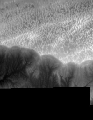
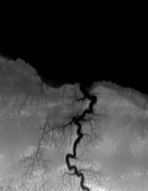
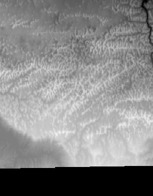
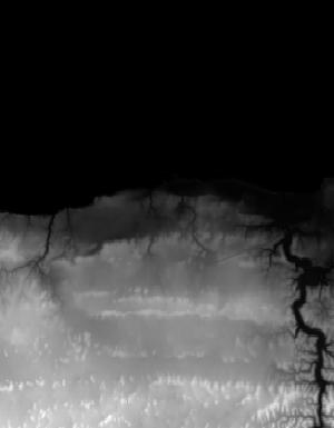
Index of /vdelivery/Datasets/Staged/Elevation/1m/Projects/PR_PRVI_F_2018/browse/
Index of /vdelivery/Datasets/Staged/Elevation/1m/Projects/PR_PRVI_F_2018/browse/
../
USGS_1m_x13y204_PR_PRVI_F_2018.jpg                 06-May-2020 19:18                4759
USGS_1m_x13y205_PR_PRVI_F_2018.jpg                 06-May-2020 19:17                4896
USGS_1m_x68y204_PR_PRVI_F_2018.jpg                 06-May-2020 19:11                1787
USGS_1m_x69y204_PR_PRVI_F_2018.jpg                 06-May-2020 19:12                6453
USGS_1m_x69y205_PR_PRVI_F_2018.jpg                 06-May-2020 19:05                4612
USGS_1m_x70y204_PR_PRVI_F_2018.jpg                 06-May-2020 19:12               12726
USGS_1m_x70y205_PR_PRVI_F_2018.jpg                 06-May-2020 19:06                6632
USGS_1m_x71y204_PR_PRVI_F_2018.jpg                 06-May-2020 19:13               15135
USGS_1m_x71y205_PR_PRVI_F_2018.jpg                 06-May-2020 19:07                8107
USGS_1m_x72y204_PR_PRVI_F_2018.jpg                 06-May-2020 19:14               13841
USGS_1m_x72y205_PR_PRVI_F_2018.jpg                 06-May-2020 19:08                7312
USGS_1m_x73y204_PR_PRVI_F_2018.jpg                 06-May-2020 19:15               13462
USGS_1m_x73y205_PR_PRVI_F_2018.jpg                 06-May-2020 19:09                6297
USGS_1m_x74y204_PR_PRVI_F_2018.jpg                 06-May-2020 19:15               11760
USGS_1m_x74y205_PR_PRVI_F_2018.jpg                 06-May-2020 19:09                4128
USGS_1m_x75y204_PR_PRVI_F_2018.jpg                 06-May-2020 19:16               10936
USGS_1m_x75y205_PR_PRVI_F_2018.jpg                 06-May-2020 19:10                6161
USGS_1m_x76y204_PR_PRVI_F_2018.jpg                 06-May-2020 19:17                9890
USGS_1m_x76y205_PR_PRVI_F_2018.jpg                 06-May-2020 19:11                6094