WARNING TO USERS OF THIS SYSTEM
This computer system, including all related equipment, networks, and network devices (including Internet access), is provided by the Department of the Interior (DOI) in accordance with the agency policy for official use and limited personal use.
All agency computer systems may be monitored for all lawful purposes,
including but not limited to, ensuring that use is authorized, for management of the system, to facilitate protection against unauthorized access, and to verify security procedures, survivability and operational security. Any information on this computer system may be examined, recorded, copied and used for authorized purposes at any time.
All information, including personal information, placed or sent over this system may be monitored, and users of this system are reminded that such monitoring does occur. Therefore, there should be no expectation of privacy with respect to use of this system.
By logging into this agency computer system, you acknowledge and consent to the monitoring of this system. Evidence of your use, authorized or
unauthorized, collected during monitoring may be used for civil, criminal, administrative, or other adverse action. Unauthorized or illegal use may subject you to prosecution.
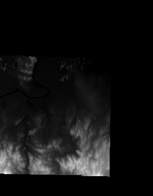
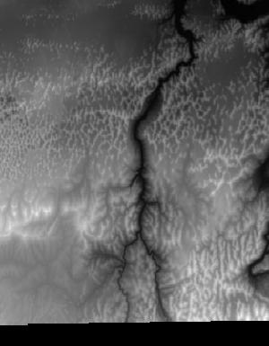
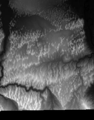
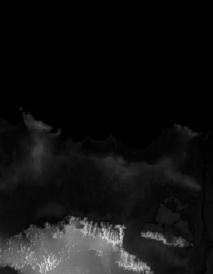
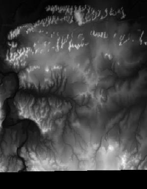
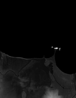
Index of /vdelivery/Datasets/Staged/Elevation/1m/Projects/PR_PRVI_G_2018/browse/
Index of /vdelivery/Datasets/Staged/Elevation/1m/Projects/PR_PRVI_G_2018/browse/
../
USGS_1m_x13y204_PR_PRVI_G_2018.jpg                 04-May-2020 18:33                9495
USGS_1m_x13y205_PR_PRVI_G_2018.jpg                 04-May-2020 18:30                4965
USGS_1m_x14y204_PR_PRVI_G_2018.jpg                 04-May-2020 18:33               14848
USGS_1m_x14y205_PR_PRVI_G_2018.jpg                 04-May-2020 18:31                7081
USGS_1m_x15y204_PR_PRVI_G_2018.jpg                 04-May-2020 18:34               13111
USGS_1m_x15y205_PR_PRVI_G_2018.jpg                 04-May-2020 18:31                5173
USGS_1m_x16y204_PR_PRVI_G_2018.jpg                 04-May-2020 18:35               10084
USGS_1m_x16y205_PR_PRVI_G_2018.jpg                 04-May-2020 18:32                2741
USGS_1m_x17y204_PR_PRVI_G_2018.jpg                 04-May-2020 18:36                7745
USGS_1m_x18y204_PR_PRVI_G_2018.jpg                 04-May-2020 18:37                7862
USGS_1m_x19y204_PR_PRVI_G_2018.jpg                 04-May-2020 18:37                5426
USGS_1m_x76y204_PR_PRVI_G_2018.jpg                 04-May-2020 18:24                4682
USGS_1m_x76y205_PR_PRVI_G_2018.jpg                 04-May-2020 18:21                1952
USGS_1m_x77y204_PR_PRVI_G_2018.jpg                 04-May-2020 18:25               15110
USGS_1m_x77y205_PR_PRVI_G_2018.jpg                 04-May-2020 18:22                4983
USGS_1m_x78y204_PR_PRVI_G_2018.jpg                 04-May-2020 18:26               14705
USGS_1m_x78y205_PR_PRVI_G_2018.jpg                 04-May-2020 18:22                5712
USGS_1m_x79y204_PR_PRVI_G_2018.jpg                 04-May-2020 18:27               13026
USGS_1m_x79y205_PR_PRVI_G_2018.jpg                 04-May-2020 18:23                4436
USGS_1m_x80y204_PR_PRVI_G_2018.jpg                 04-May-2020 18:27                7787
USGS_1m_x80y205_PR_PRVI_G_2018.jpg                 04-May-2020 18:23                1767
USGS_1m_x81y204_PR_PRVI_G_2018.jpg                 04-May-2020 18:28                8443
USGS_1m_x82y204_PR_PRVI_G_2018.jpg                 04-May-2020 18:29                7159
USGS_1m_x83y204_PR_PRVI_G_2018.jpg                 04-May-2020 18:29                1566