WARNING TO USERS OF THIS SYSTEM
This computer system, including all related equipment, networks, and network devices (including Internet access), is provided by the Department of the Interior (DOI) in accordance with the agency policy for official use and limited personal use.
All agency computer systems may be monitored for all lawful purposes,
including but not limited to, ensuring that use is authorized, for management of the system, to facilitate protection against unauthorized access, and to verify security procedures, survivability and operational security. Any information on this computer system may be examined, recorded, copied and used for authorized purposes at any time.
All information, including personal information, placed or sent over this system may be monitored, and users of this system are reminded that such monitoring does occur. Therefore, there should be no expectation of privacy with respect to use of this system.
By logging into this agency computer system, you acknowledge and consent to the monitoring of this system. Evidence of your use, authorized or
unauthorized, collected during monitoring may be used for civil, criminal, administrative, or other adverse action. Unauthorized or illegal use may subject you to prosecution.
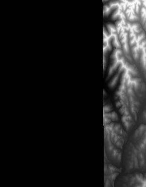
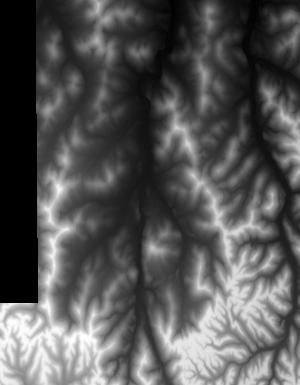
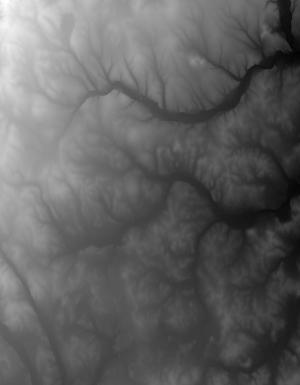
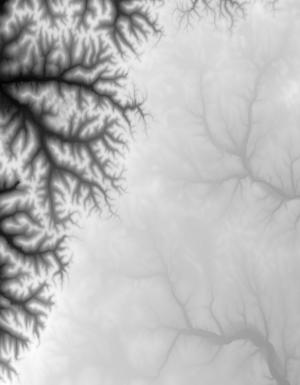
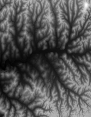
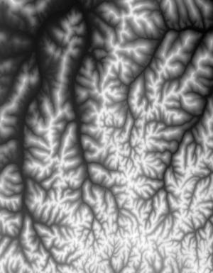
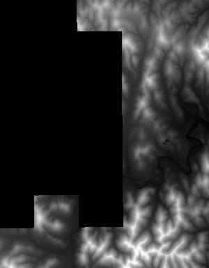
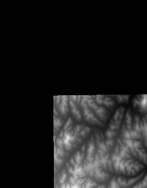
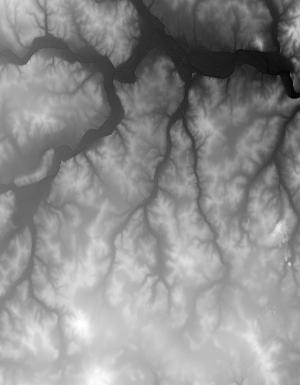
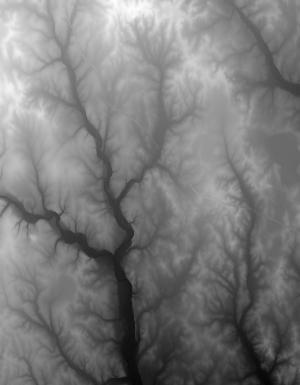
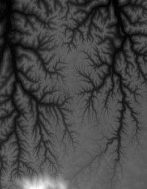
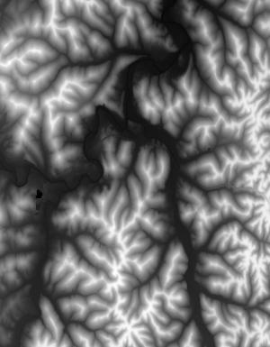
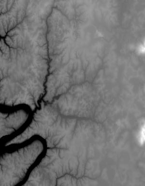
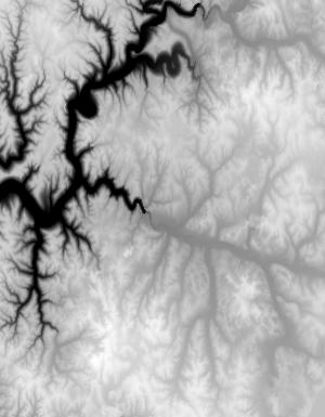
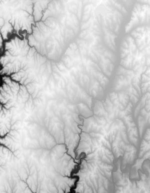
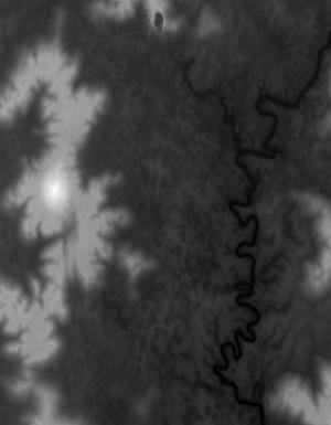
Index of /vdelivery/Datasets/Staged/Elevation/1m/Projects/TN_27County_blk3_2015/browse/
Index of /vdelivery/Datasets/Staged/Elevation/1m/Projects/TN_27County_blk3_2015/browse/
../
USGS_one_meter_x56y394_TN_27County_blk3_2015_th..> 23-Mar-2020 18:13                1713
USGS_one_meter_x56y395_TN_27County_blk3_2015_th..> 23-Mar-2020 18:13                5876
USGS_one_meter_x56y396_TN_27County_blk3_2015_th..> 23-Mar-2020 18:13                1856
USGS_one_meter_x57y394_TN_27County_blk3_2015_th..> 23-Mar-2020 18:13                3860
USGS_one_meter_x57y395_TN_27County_blk3_2015_th..> 23-Mar-2020 18:13               15113
USGS_one_meter_x57y396_TN_27County_blk3_2015_th..> 23-Mar-2020 18:13               13182
USGS_one_meter_x57y397_TN_27County_blk3_2015_th..> 23-Mar-2020 18:13                8709
USGS_one_meter_x57y398_TN_27County_blk3_2015_th..> 23-Mar-2020 18:13                7365
USGS_one_meter_x57y399_TN_27County_blk3_2015_th..> 23-Mar-2020 18:13                1245
USGS_one_meter_x58y394_TN_27County_blk3_2015_th..> 23-Mar-2020 18:13                3104
USGS_one_meter_x58y395_TN_27County_blk3_2015_th..> 23-Mar-2020 18:13                8223
USGS_one_meter_x58y396_TN_27County_blk3_2015_th..> 23-Mar-2020 18:13               11530
USGS_one_meter_x58y397_TN_27County_blk3_2015_th..> 23-Mar-2020 18:13               15043
USGS_one_meter_x58y398_TN_27County_blk3_2015_th..> 23-Mar-2020 18:13               19075
USGS_one_meter_x58y399_TN_27County_blk3_2015_th..> 23-Mar-2020 18:13                8995
USGS_one_meter_x58y400_TN_27County_blk3_2015_th..> 23-Mar-2020 18:13                6031
USGS_one_meter_x59y394_TN_27County_blk3_2015_th..> 23-Mar-2020 18:13                2691
USGS_one_meter_x59y395_TN_27County_blk3_2015_th..> 23-Mar-2020 18:13               12283
USGS_one_meter_x59y396_TN_27County_blk3_2015_th..> 23-Mar-2020 18:13               11235
USGS_one_meter_x59y397_TN_27County_blk3_2015_th..> 23-Mar-2020 18:13                7854
USGS_one_meter_x59y398_TN_27County_blk3_2015_th..> 23-Mar-2020 18:13               12734
USGS_one_meter_x59y399_TN_27County_blk3_2015_th..> 23-Mar-2020 18:13               16673
USGS_one_meter_x59y400_TN_27County_blk3_2015_th..> 23-Mar-2020 18:13               10888
USGS_one_meter_x60y394_TN_27County_blk3_2015_th..> 23-Mar-2020 18:13                1706
USGS_one_meter_x60y395_TN_27County_blk3_2015_th..> 23-Mar-2020 18:13                6467
USGS_one_meter_x60y396_TN_27County_blk3_2015_th..> 23-Mar-2020 18:13               13141
USGS_one_meter_x60y397_TN_27County_blk3_2015_th..> 23-Mar-2020 18:13                9463
USGS_one_meter_x60y398_TN_27County_blk3_2015_th..> 23-Mar-2020 18:13                9644
USGS_one_meter_x60y399_TN_27County_blk3_2015_th..> 23-Mar-2020 18:13               20980
USGS_one_meter_x60y400_TN_27County_blk3_2015_th..> 23-Mar-2020 18:13               16345
USGS_one_meter_x60y401_TN_27County_blk3_2015_th..> 23-Mar-2020 18:13                2506
USGS_one_meter_x61y394_TN_27County_blk3_2015_th..> 23-Mar-2020 18:13                1923
USGS_one_meter_x61y395_TN_27County_blk3_2015_th..> 23-Mar-2020 18:13                9787
USGS_one_meter_x61y396_TN_27County_blk3_2015_th..> 23-Mar-2020 18:13                9226
USGS_one_meter_x61y397_TN_27County_blk3_2015_th..> 23-Mar-2020 18:13               11113
USGS_one_meter_x61y398_TN_27County_blk3_2015_th..> 23-Mar-2020 18:13               22735
USGS_one_meter_x61y399_TN_27County_blk3_2015_th..> 23-Mar-2020 18:13               25351
USGS_one_meter_x61y400_TN_27County_blk3_2015_th..> 23-Mar-2020 18:13               20531
USGS_one_meter_x61y401_TN_27County_blk3_2015_th..> 23-Mar-2020 18:13                6888
USGS_one_meter_x62y394_TN_27County_blk3_2015_th..> 23-Mar-2020 18:13                2041
USGS_one_meter_x62y395_TN_27County_blk3_2015_th..> 23-Mar-2020 18:13                9702
USGS_one_meter_x62y396_TN_27County_blk3_2015_th..> 23-Mar-2020 18:13                7876
USGS_one_meter_x62y397_TN_27County_blk3_2015_th..> 23-Mar-2020 18:13               13307
USGS_one_meter_x62y398_TN_27County_blk3_2015_th..> 23-Mar-2020 18:13               12158
USGS_one_meter_x62y399_TN_27County_blk3_2015_th..> 23-Mar-2020 18:13               17477
USGS_one_meter_x62y400_TN_27County_blk3_2015_th..> 23-Mar-2020 18:13               13946
USGS_one_meter_x62y401_TN_27County_blk3_2015_th..> 23-Mar-2020 18:13                4925
USGS_one_meter_x63y397_TN_27County_blk3_2015_th..> 23-Mar-2020 18:13               11671
USGS_one_meter_x63y398_TN_27County_blk3_2015_th..> 23-Mar-2020 18:13                9994
USGS_one_meter_x63y399_TN_27County_blk3_2015_th..> 23-Mar-2020 18:13               10306
USGS_one_meter_x63y400_TN_27County_blk3_2015_th..> 23-Mar-2020 18:13               12152
USGS_one_meter_x63y401_TN_27County_blk3_2015_th..> 23-Mar-2020 18:13                4568
USGS_one_meter_x64y397_TN_27County_blk3_2015_th..> 23-Mar-2020 18:13                9486
USGS_one_meter_x64y398_TN_27County_blk3_2015_th..> 23-Mar-2020 18:13               10325
USGS_one_meter_x64y399_TN_27County_blk3_2015_th..> 23-Mar-2020 18:13               10694
USGS_one_meter_x64y400_TN_27County_blk3_2015_th..> 23-Mar-2020 18:13               12663
USGS_one_meter_x64y401_TN_27County_blk3_2015_th..> 23-Mar-2020 18:13                4943
USGS_one_meter_x65y397_TN_27County_blk3_2015_th..> 23-Mar-2020 18:13                5417
USGS_one_meter_x65y398_TN_27County_blk3_2015_th..> 23-Mar-2020 18:13                6123
USGS_one_meter_x65y399_TN_27County_blk3_2015_th..> 23-Mar-2020 18:13                5848
USGS_one_meter_x65y400_TN_27County_blk3_2015_th..> 23-Mar-2020 18:13                6506
USGS_one_meter_x65y401_TN_27County_blk3_2015_th..> 23-Mar-2020 18:13                3181
USGS_one_meter_x71y388_TN_27County_blk3_2015_th..> 23-Mar-2020 18:13                5469
USGS_one_meter_x71y389_TN_27County_blk3_2015_th..> 23-Mar-2020 18:13                5621
USGS_one_meter_x71y390_TN_27County_blk3_2015_th..> 23-Mar-2020 18:13                3666
USGS_one_meter_x71y391_TN_27County_blk3_2015_th..> 23-Mar-2020 18:13                5767
USGS_one_meter_x71y392_TN_27County_blk3_2015_th..> 23-Mar-2020 18:13                5782
USGS_one_meter_x71y393_TN_27County_blk3_2015_th..> 23-Mar-2020 18:13                6981
USGS_one_meter_x71y394_TN_27County_blk3_2015_th..> 23-Mar-2020 18:13                5830
USGS_one_meter_x71y395_TN_27County_blk3_2015_th..> 23-Mar-2020 18:13                1004
USGS_one_meter_x72y388_TN_27County_blk3_2015_th..> 23-Mar-2020 18:13                6833
USGS_one_meter_x72y389_TN_27County_blk3_2015_th..> 23-Mar-2020 18:13               12873
USGS_one_meter_x72y390_TN_27County_blk3_2015_th..> 23-Mar-2020 18:13               11007
USGS_one_meter_x72y391_TN_27County_blk3_2015_th..> 23-Mar-2020 18:13                8933
USGS_one_meter_x72y392_TN_27County_blk3_2015_th..> 23-Mar-2020 18:13                7386
USGS_one_meter_x72y393_TN_27County_blk3_2015_th..> 23-Mar-2020 18:13               12051
USGS_one_meter_x72y394_TN_27County_blk3_2015_th..> 23-Mar-2020 18:13               12210
USGS_one_meter_x72y395_TN_27County_blk3_2015_th..> 23-Mar-2020 18:13                1479
USGS_one_meter_x73y388_TN_27County_blk3_2015_th..> 23-Mar-2020 18:13               10902
USGS_one_meter_x73y389_TN_27County_blk3_2015_th..> 23-Mar-2020 18:13               11280
USGS_one_meter_x73y390_TN_27County_blk3_2015_th..> 23-Mar-2020 18:13               13546
USGS_one_meter_x73y391_TN_27County_blk3_2015_th..> 23-Mar-2020 18:13                9296
USGS_one_meter_x73y392_TN_27County_blk3_2015_th..> 23-Mar-2020 18:13                8296
USGS_one_meter_x73y393_TN_27County_blk3_2015_th..> 23-Mar-2020 18:13                5878
USGS_one_meter_x73y394_TN_27County_blk3_2015_th..> 23-Mar-2020 18:13                2028
USGS_one_meter_x74y388_TN_27County_blk3_2015_th..> 23-Mar-2020 18:13                3590
USGS_one_meter_x74y389_TN_27County_blk3_2015_th..> 23-Mar-2020 18:13                7486
USGS_one_meter_x74y390_TN_27County_blk3_2015_th..> 23-Mar-2020 18:13               10788
USGS_one_meter_x74y391_TN_27County_blk3_2015_th..> 23-Mar-2020 18:13                3105