WARNING TO USERS OF THIS SYSTEM
This computer system, including all related equipment, networks, and network devices (including Internet access), is provided by the Department of the Interior (DOI) in accordance with the agency policy for official use and limited personal use.
All agency computer systems may be monitored for all lawful purposes,
including but not limited to, ensuring that use is authorized, for management of the system, to facilitate protection against unauthorized access, and to verify security procedures, survivability and operational security. Any information on this computer system may be examined, recorded, copied and used for authorized purposes at any time.
All information, including personal information, placed or sent over this system may be monitored, and users of this system are reminded that such monitoring does occur. Therefore, there should be no expectation of privacy with respect to use of this system.
By logging into this agency computer system, you acknowledge and consent to the monitoring of this system. Evidence of your use, authorized or
unauthorized, collected during monitoring may be used for civil, criminal, administrative, or other adverse action. Unauthorized or illegal use may subject you to prosecution.
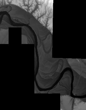
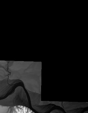
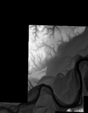
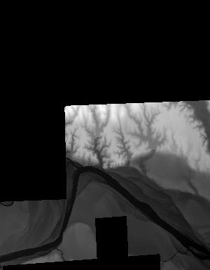
Index of /vdelivery/Datasets/Staged/Elevation/1m/Projects/TX_West_Central_UTM15_TL_2018/browse/
Index of /vdelivery/Datasets/Staged/Elevation/1m/Projects/TX_West_Central_UTM15_TL_2018/browse/
../
USGS_one_meter_x22y375_TX_West_Central_UTM15_TL..> 23-Mar-2020 18:16                1397
USGS_one_meter_x22y376_TX_West_Central_UTM15_TL..> 23-Mar-2020 18:16                4097
USGS_one_meter_x23y375_TX_West_Central_UTM15_TL..> 23-Mar-2020 18:16                5610
USGS_one_meter_x23y376_TX_West_Central_UTM15_TL..> 23-Mar-2020 18:16                8210
USGS_one_meter_x24y375_TX_West_Central_UTM15_TL..> 23-Mar-2020 18:16                2704
USGS_one_meter_x24y376_TX_West_Central_UTM15_TL..> 23-Mar-2020 18:16                8634
USGS_one_meter_x25y376_TX_West_Central_UTM15_TL..> 23-Mar-2020 18:16                6872
USGS_one_meter_x25y377_TX_West_Central_UTM15_TL..> 23-Mar-2020 18:16                1785
USGS_one_meter_x26y375_TX_West_Central_UTM15_TL..> 23-Mar-2020 18:16                 626
USGS_one_meter_x26y376_TX_West_Central_UTM15_TL..> 23-Mar-2020 18:16                8336
USGS_one_meter_x26y377_TX_West_Central_UTM15_TL..> 23-Mar-2020 18:16                3504
USGS_one_meter_x27y375_TX_West_Central_UTM15_TL..> 23-Mar-2020 18:16                1727
USGS_one_meter_x27y376_TX_West_Central_UTM15_TL..> 23-Mar-2020 18:16                4587
USGS_one_meter_x28y375_TX_West_Central_UTM15_TL..> 23-Mar-2020 18:16                1391
USGS_one_meter_x28y376_TX_West_Central_UTM15_TL..> 23-Mar-2020 18:16                8573
USGS_one_meter_x29y376_TX_West_Central_UTM15_TL..> 23-Mar-2020 18:16                2959
USGS_one_meter_x77y375_TX_West_Central_UTM15_TL..> 23-Mar-2020 18:16                1406
USGS_one_meter_x77y376_TX_West_Central_UTM15_TL..> 23-Mar-2020 18:16                1842
USGS_one_meter_x78y375_TX_West_Central_UTM15_TL..> 23-Mar-2020 18:16                1204
USGS_one_meter_x78y376_TX_West_Central_UTM15_TL..> 23-Mar-2020 18:16                7634