WARNING TO USERS OF THIS SYSTEM
This computer system, including all related equipment, networks, and network devices (including Internet access), is provided by the Department of the Interior (DOI) in accordance with the agency policy for official use and limited personal use.
All agency computer systems may be monitored for all lawful purposes,
including but not limited to, ensuring that use is authorized, for management of the system, to facilitate protection against unauthorized access, and to verify security procedures, survivability and operational security. Any information on this computer system may be examined, recorded, copied and used for authorized purposes at any time.
All information, including personal information, placed or sent over this system may be monitored, and users of this system are reminded that such monitoring does occur. Therefore, there should be no expectation of privacy with respect to use of this system.
By logging into this agency computer system, you acknowledge and consent to the monitoring of this system. Evidence of your use, authorized or
unauthorized, collected during monitoring may be used for civil, criminal, administrative, or other adverse action. Unauthorized or illegal use may subject you to prosecution.
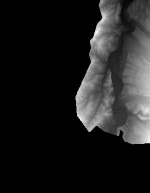
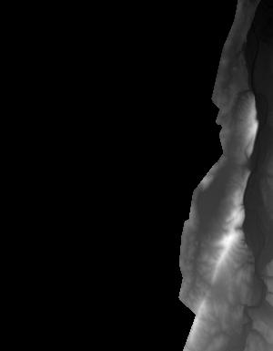
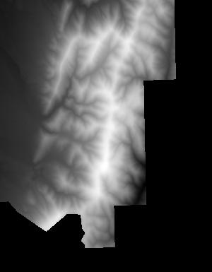
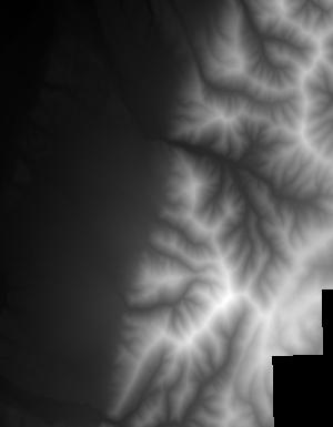
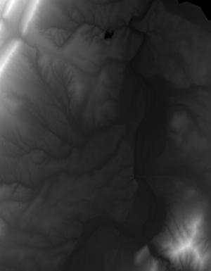
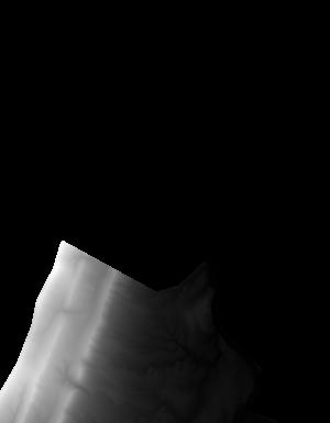
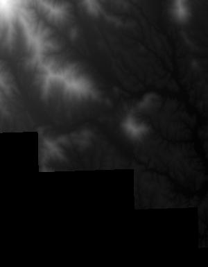
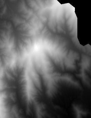
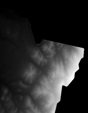
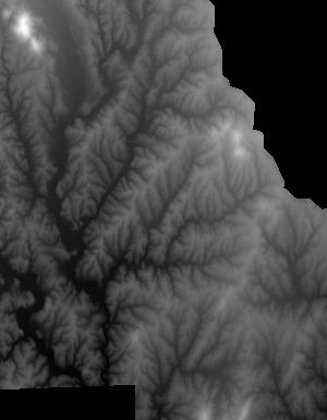
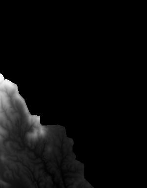
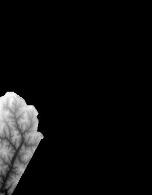
Index of /vdelivery/Datasets/Staged/Elevation/1m/Projects/VA_ChesapeakeBayNorth_2015/browse/
Index of /vdelivery/Datasets/Staged/Elevation/1m/Projects/VA_ChesapeakeBayNorth_2015/browse/
../
USGS_one_meter_x68y423_VA_ChesapeakeBayNorth_20..> 23-Mar-2020 18:14                6561
USGS_one_meter_x68y424_VA_ChesapeakeBayNorth_20..> 23-Mar-2020 18:14                5118
USGS_one_meter_x68y425_VA_ChesapeakeBayNorth_20..> 23-Mar-2020 18:14                1560
USGS_one_meter_x69y423_VA_ChesapeakeBayNorth_20..> 23-Mar-2020 18:14                7478
USGS_one_meter_x69y424_VA_ChesapeakeBayNorth_20..> 23-Mar-2020 18:14                7296
USGS_one_meter_x69y425_VA_ChesapeakeBayNorth_20..> 23-Mar-2020 18:14                4624
USGS_one_meter_x69y426_VA_ChesapeakeBayNorth_20..> 23-Mar-2020 18:14                5874
USGS_one_meter_x69y427_VA_ChesapeakeBayNorth_20..> 23-Mar-2020 18:14                1012
USGS_one_meter_x70y424_VA_ChesapeakeBayNorth_20..> 23-Mar-2020 18:14                5799
USGS_one_meter_x70y425_VA_ChesapeakeBayNorth_20..> 23-Mar-2020 18:14                8069
USGS_one_meter_x70y426_VA_ChesapeakeBayNorth_20..> 23-Mar-2020 18:14                5986
USGS_one_meter_x70y427_VA_ChesapeakeBayNorth_20..> 23-Mar-2020 18:14                4244
USGS_one_meter_x71y424_VA_ChesapeakeBayNorth_20..> 23-Mar-2020 18:14                5091
USGS_one_meter_x71y425_VA_ChesapeakeBayNorth_20..> 23-Mar-2020 18:14                8153
USGS_one_meter_x71y426_VA_ChesapeakeBayNorth_20..> 23-Mar-2020 18:14                6477
USGS_one_meter_x72y423_VA_ChesapeakeBayNorth_20..> 23-Mar-2020 18:14                1558
USGS_one_meter_x72y424_VA_ChesapeakeBayNorth_20..> 23-Mar-2020 18:14               12323
USGS_one_meter_x72y425_VA_ChesapeakeBayNorth_20..> 23-Mar-2020 18:14                4125
USGS_one_meter_x73y423_VA_ChesapeakeBayNorth_20..> 23-Mar-2020 18:14                1004
USGS_one_meter_x73y424_VA_ChesapeakeBayNorth_20..> 23-Mar-2020 18:14                4480