WARNING TO USERS OF THIS SYSTEM
This computer system, including all related equipment, networks, and network devices (including Internet access), is provided by the Department of the Interior (DOI) in accordance with the agency policy for official use and limited personal use.
All agency computer systems may be monitored for all lawful purposes,
including but not limited to, ensuring that use is authorized, for management of the system, to facilitate protection against unauthorized access, and to verify security procedures, survivability and operational security. Any information on this computer system may be examined, recorded, copied and used for authorized purposes at any time.
All information, including personal information, placed or sent over this system may be monitored, and users of this system are reminded that such monitoring does occur. Therefore, there should be no expectation of privacy with respect to use of this system.
By logging into this agency computer system, you acknowledge and consent to the monitoring of this system. Evidence of your use, authorized or
unauthorized, collected during monitoring may be used for civil, criminal, administrative, or other adverse action. Unauthorized or illegal use may subject you to prosecution.
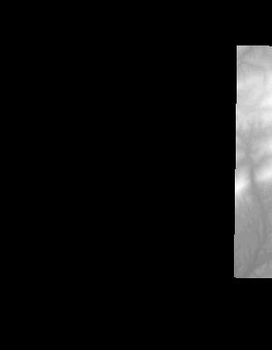
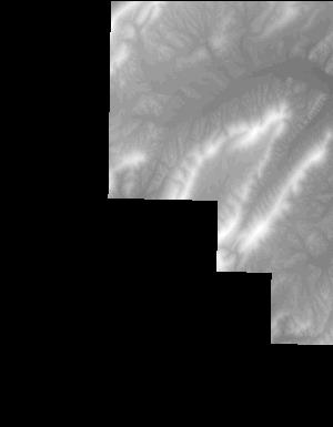
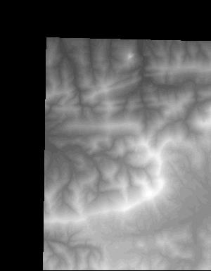
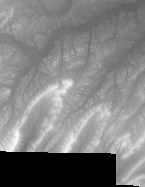
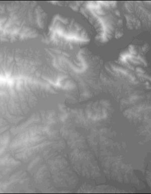
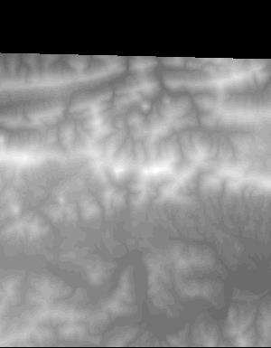
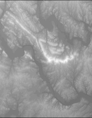
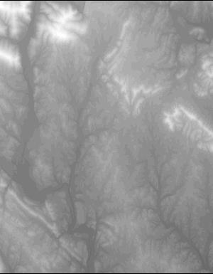
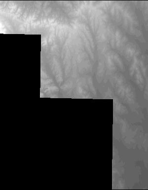
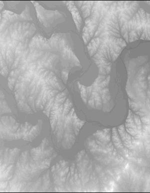
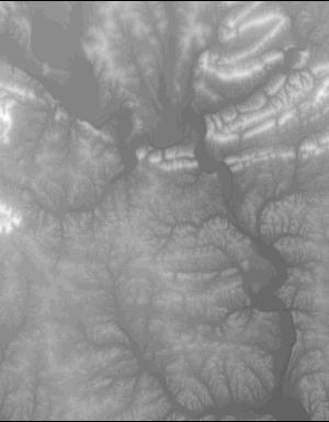
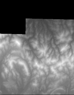
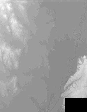
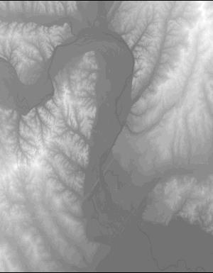
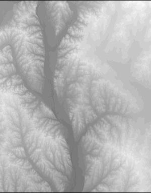
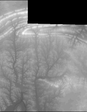
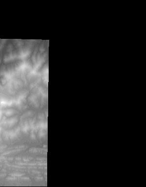
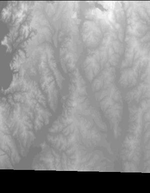
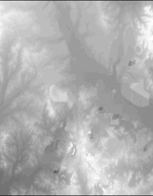
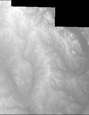
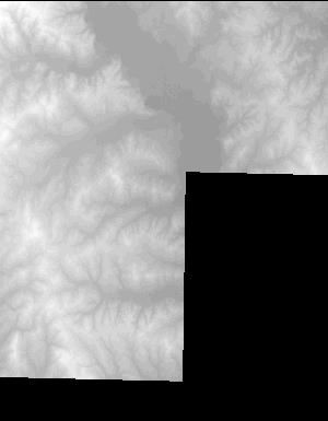
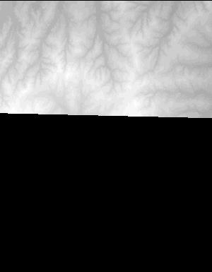
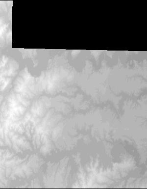
Index of /vdelivery/Datasets/Staged/Elevation/1m/archived_IMG_projects/AR_UpperSaline_2014/browse/
Index of /vdelivery/Datasets/Staged/Elevation/1m/archived_IMG_projects/AR_UpperSaline_2014/browse/
../
USGS_NED_one_meter_x48y385_AR_UpperSaline_2014_..> 01-Aug-2015 00:20                3971
USGS_NED_one_meter_x49y383_AR_UpperSaline_2014_..> 01-Aug-2015 00:38                7822
USGS_NED_one_meter_x49y384_AR_UpperSaline_2014_..> 01-Aug-2015 00:29               10101
USGS_NED_one_meter_x49y385_AR_UpperSaline_2014_..> 01-Aug-2015 00:21               10215
USGS_NED_one_meter_x49y386_AR_UpperSaline_2014_..> 01-Aug-2015 00:14                9253
USGS_NED_one_meter_x50y382_AR_UpperSaline_2014_..> 01-Aug-2015 00:49                2696
USGS_NED_one_meter_x50y383_AR_UpperSaline_2014_..> 01-Aug-2015 00:40               12080
USGS_NED_one_meter_x50y384_AR_UpperSaline_2014_..> 01-Aug-2015 00:30               11346
USGS_NED_one_meter_x50y385_AR_UpperSaline_2014_..> 01-Aug-2015 00:22               10070
USGS_NED_one_meter_x50y386_AR_UpperSaline_2014_..> 01-Aug-2015 00:15                9878
USGS_NED_one_meter_x51y382_AR_UpperSaline_2014_..> 01-Aug-2015 00:51                5350
USGS_NED_one_meter_x51y383_AR_UpperSaline_2014_..> 01-Aug-2015 00:41               12282
USGS_NED_one_meter_x51y384_AR_UpperSaline_2014_..> 01-Aug-2015 00:31               13007
USGS_NED_one_meter_x51y385_AR_UpperSaline_2014_..> 01-Aug-2015 00:24               11832
USGS_NED_one_meter_x51y386_AR_UpperSaline_2014_..> 01-Aug-2015 00:16                9470
USGS_NED_one_meter_x52y381_AR_UpperSaline_2014_..> 01-Aug-2015 01:00                3223
USGS_NED_one_meter_x52y382_AR_UpperSaline_2014_..> 01-Aug-2015 00:52                8301
USGS_NED_one_meter_x52y383_AR_UpperSaline_2014_..> 01-Aug-2015 00:42               13442
USGS_NED_one_meter_x52y384_AR_UpperSaline_2014_..> 01-Aug-2015 00:32               15004
USGS_NED_one_meter_x52y385_AR_UpperSaline_2014_..> 01-Aug-2015 00:25               13252
USGS_NED_one_meter_x52y386_AR_UpperSaline_2014_..> 01-Aug-2015 00:17               10442
USGS_NED_one_meter_x53y381_AR_UpperSaline_2014_..> 01-Aug-2015 01:01                4041
USGS_NED_one_meter_x53y382_AR_UpperSaline_2014_..> 01-Aug-2015 00:53                7651
USGS_NED_one_meter_x53y383_AR_UpperSaline_2014_..> 01-Aug-2015 00:43               12072
USGS_NED_one_meter_x53y384_AR_UpperSaline_2014_..> 01-Aug-2015 00:33               12904
USGS_NED_one_meter_x53y385_AR_UpperSaline_2014_..> 01-Aug-2015 00:26               11846
USGS_NED_one_meter_x53y386_AR_UpperSaline_2014_..> 01-Aug-2015 00:19                5663
USGS_NED_one_meter_x54y382_AR_UpperSaline_2014_..> 01-Aug-2015 00:54               11730
USGS_NED_one_meter_x54y383_AR_UpperSaline_2014_..> 01-Aug-2015 00:44               11897
USGS_NED_one_meter_x54y384_AR_UpperSaline_2014_..> 01-Aug-2015 00:34               10193
USGS_NED_one_meter_x54y385_AR_UpperSaline_2014_..> 01-Aug-2015 00:27                4117
USGS_NED_one_meter_x55y382_AR_UpperSaline_2014_..> 01-Aug-2015 00:55                9637
USGS_NED_one_meter_x55y383_AR_UpperSaline_2014_..> 01-Aug-2015 00:45               11877
USGS_NED_one_meter_x55y384_AR_UpperSaline_2014_..> 01-Aug-2015 00:36                5852
USGS_NED_one_meter_x56y382_AR_UpperSaline_2014_..> 01-Aug-2015 00:57                7408
USGS_NED_one_meter_x56y383_AR_UpperSaline_2014_..> 01-Aug-2015 00:46                9356
USGS_NED_one_meter_x56y384_AR_UpperSaline_2014_..> 01-Aug-2015 00:37                3032
USGS_NED_one_meter_x57y382_AR_UpperSaline_2014_..> 01-Aug-2015 00:58                3007
USGS_NED_one_meter_x57y383_AR_UpperSaline_2014_..> 01-Aug-2015 00:48                3481