WARNING TO USERS OF THIS SYSTEM
This computer system, including all related equipment, networks, and network devices (including Internet access), is provided by the Department of the Interior (DOI) in accordance with the agency policy for official use and limited personal use.
All agency computer systems may be monitored for all lawful purposes,
including but not limited to, ensuring that use is authorized, for management of the system, to facilitate protection against unauthorized access, and to verify security procedures, survivability and operational security. Any information on this computer system may be examined, recorded, copied and used for authorized purposes at any time.
All information, including personal information, placed or sent over this system may be monitored, and users of this system are reminded that such monitoring does occur. Therefore, there should be no expectation of privacy with respect to use of this system.
By logging into this agency computer system, you acknowledge and consent to the monitoring of this system. Evidence of your use, authorized or
unauthorized, collected during monitoring may be used for civil, criminal, administrative, or other adverse action. Unauthorized or illegal use may subject you to prosecution.
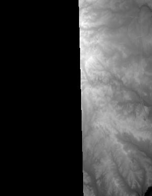
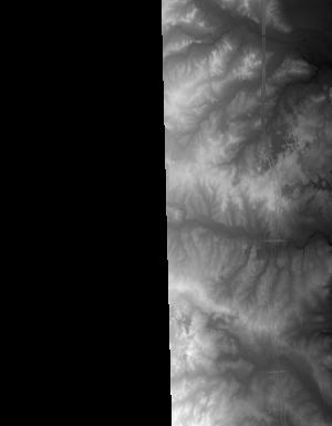
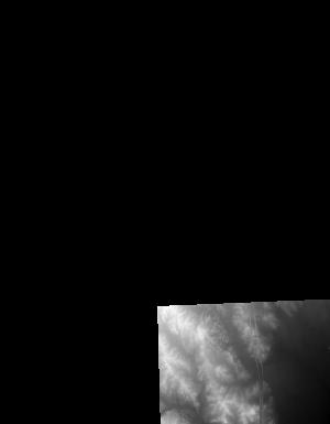
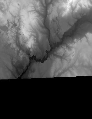
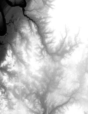
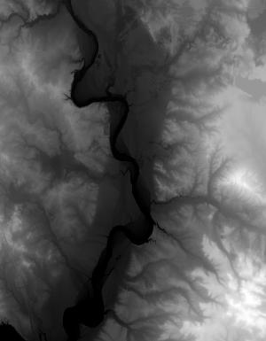
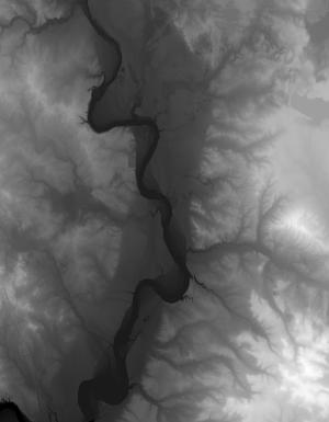
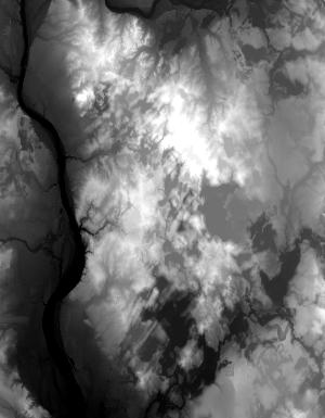
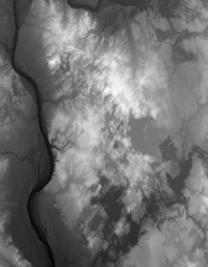
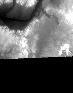
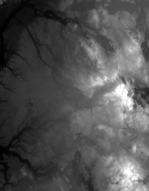
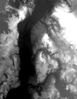
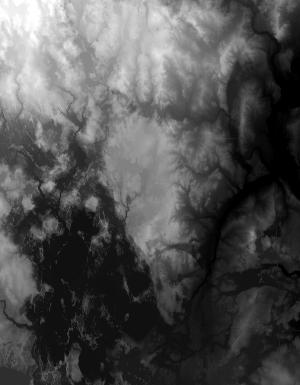
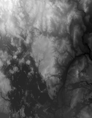
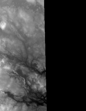
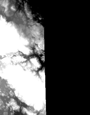
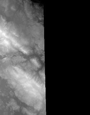
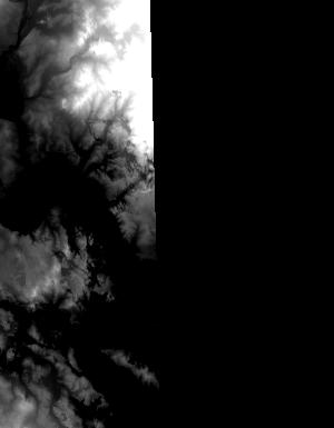
Index of /vdelivery/Datasets/Staged/Elevation/1m/archived_IMG_projects/MI_16Co_Mecosta_2015/browse/
Index of /vdelivery/Datasets/Staged/Elevation/1m/archived_IMG_projects/MI_16Co_Mecosta_2015/browse/
../
Thumbs.db                                          06-Feb-2019 18:50               67584
USGS_NED_one_meter_x61y482_MI_16Co_Mecosta_2015..> 16-Apr-2018 21:09                4453
USGS_NED_one_meter_x61y482_MI_16Co_Mecosta_2015..> 02-Feb-2019 00:18                4086
USGS_NED_one_meter_x61y483_MI_16Co_Mecosta_2015..> 16-Apr-2018 21:06               10030
USGS_NED_one_meter_x61y483_MI_16Co_Mecosta_2015..> 02-Feb-2019 00:15                9129
USGS_NED_one_meter_x61y484_MI_16Co_Mecosta_2015..> 16-Apr-2018 21:03                7539
USGS_NED_one_meter_x61y484_MI_16Co_Mecosta_2015..> 02-Feb-2019 00:12                6963
USGS_NED_one_meter_x61y485_MI_16Co_Mecosta_2015..> 16-Apr-2018 21:01               11283
USGS_NED_one_meter_x61y485_MI_16Co_Mecosta_2015..> 02-Feb-2019 00:09                8231
USGS_NED_one_meter_x61y486_MI_16Co_Mecosta_2015..> 16-Apr-2018 20:59                3485
USGS_NED_one_meter_x61y486_MI_16Co_Mecosta_2015..> 02-Feb-2019 00:06                3289
USGS_NED_one_meter_x62y482_MI_16Co_Mecosta_2015..> 16-Apr-2018 21:09               11147
USGS_NED_one_meter_x62y482_MI_16Co_Mecosta_2015..> 02-Feb-2019 00:19                9071
USGS_NED_one_meter_x62y483_MI_16Co_Mecosta_2015..> 16-Apr-2018 21:07               13831
USGS_NED_one_meter_x62y483_MI_16Co_Mecosta_2015..> 02-Feb-2019 00:16                9952
USGS_NED_one_meter_x62y484_MI_16Co_Mecosta_2015..> 16-Apr-2018 21:04               12080
USGS_NED_one_meter_x62y484_MI_16Co_Mecosta_2015..> 02-Feb-2019 00:13               10410
USGS_NED_one_meter_x62y485_MI_16Co_Mecosta_2015..> 16-Apr-2018 21:01               17743
USGS_NED_one_meter_x62y485_MI_16Co_Mecosta_2015..> 02-Feb-2019 00:10               14167
USGS_NED_one_meter_x62y486_MI_16Co_Mecosta_2015..> 16-Apr-2018 20:59                7151
USGS_NED_one_meter_x62y486_MI_16Co_Mecosta_2015..> 02-Feb-2019 00:07                5178
USGS_NED_one_meter_x63y482_MI_16Co_Mecosta_2015..> 16-Apr-2018 21:10               10182
USGS_NED_one_meter_x63y482_MI_16Co_Mecosta_2015..> 02-Feb-2019 00:20                6915
USGS_NED_one_meter_x63y483_MI_16Co_Mecosta_2015..> 16-Apr-2018 21:07               12619
USGS_NED_one_meter_x63y483_MI_16Co_Mecosta_2015..> 02-Feb-2019 00:17               11038
USGS_NED_one_meter_x63y484_MI_16Co_Mecosta_2015..> 16-Apr-2018 21:05               16067
USGS_NED_one_meter_x63y484_MI_16Co_Mecosta_2015..> 02-Feb-2019 00:13               13232
USGS_NED_one_meter_x63y485_MI_16Co_Mecosta_2015..> 16-Apr-2018 21:02               17544
USGS_NED_one_meter_x63y485_MI_16Co_Mecosta_2015..> 02-Feb-2019 00:10               14604
USGS_NED_one_meter_x63y486_MI_16Co_Mecosta_2015..> 16-Apr-2018 21:00                9153
USGS_NED_one_meter_x63y486_MI_16Co_Mecosta_2015..> 02-Feb-2019 00:07                6380
USGS_NED_one_meter_x64y482_MI_16Co_Mecosta_2015..> 16-Apr-2018 21:10               13670
USGS_NED_one_meter_x64y482_MI_16Co_Mecosta_2015..> 02-Feb-2019 00:20                7293
USGS_NED_one_meter_x64y483_MI_16Co_Mecosta_2015..> 16-Apr-2018 21:08               11579
USGS_NED_one_meter_x64y483_MI_16Co_Mecosta_2015..> 02-Feb-2019 00:17                9748
USGS_NED_one_meter_x64y484_MI_16Co_Mecosta_2015..> 16-Apr-2018 21:05               17792
USGS_NED_one_meter_x64y484_MI_16Co_Mecosta_2015..> 02-Feb-2019 00:14               10431
USGS_NED_one_meter_x64y485_MI_16Co_Mecosta_2015..> 16-Apr-2018 21:03               15638
USGS_NED_one_meter_x64y485_MI_16Co_Mecosta_2015..> 02-Feb-2019 00:11               13561
USGS_NED_one_meter_x64y486_MI_16Co_Mecosta_2015..> 16-Apr-2018 21:00                7177
USGS_NED_one_meter_x64y486_MI_16Co_Mecosta_2015..> 02-Feb-2019 00:08                6298
USGS_NED_one_meter_x65y482_MI_16Co_Mecosta_2015..> 16-Apr-2018 21:10                7047
USGS_NED_one_meter_x65y482_MI_16Co_Mecosta_2015..> 02-Feb-2019 00:21                5696
USGS_NED_one_meter_x65y483_MI_16Co_Mecosta_2015..> 16-Apr-2018 21:08               13088
USGS_NED_one_meter_x65y483_MI_16Co_Mecosta_2015..> 02-Feb-2019 00:18                8686
USGS_NED_one_meter_x65y484_MI_16Co_Mecosta_2015..> 16-Apr-2018 21:06               10392
USGS_NED_one_meter_x65y484_MI_16Co_Mecosta_2015..> 02-Feb-2019 00:15                7352
USGS_NED_one_meter_x65y485_MI_16Co_Mecosta_2015..> 16-Apr-2018 21:03                9834
USGS_NED_one_meter_x65y485_MI_16Co_Mecosta_2015..> 02-Feb-2019 00:12                6585
USGS_NED_one_meter_x65y486_MI_16Co_Mecosta_2015..> 16-Apr-2018 21:00                1218
USGS_NED_one_meter_x65y486_MI_16Co_Mecosta_2015..> 02-Feb-2019 00:08                3000