WARNING TO USERS OF THIS SYSTEM
This computer system, including all related equipment, networks, and network devices (including Internet access), is provided by the Department of the Interior (DOI) in accordance with the agency policy for official use and limited personal use.
All agency computer systems may be monitored for all lawful purposes,
including but not limited to, ensuring that use is authorized, for management of the system, to facilitate protection against unauthorized access, and to verify security procedures, survivability and operational security. Any information on this computer system may be examined, recorded, copied and used for authorized purposes at any time.
All information, including personal information, placed or sent over this system may be monitored, and users of this system are reminded that such monitoring does occur. Therefore, there should be no expectation of privacy with respect to use of this system.
By logging into this agency computer system, you acknowledge and consent to the monitoring of this system. Evidence of your use, authorized or
unauthorized, collected during monitoring may be used for civil, criminal, administrative, or other adverse action. Unauthorized or illegal use may subject you to prosecution.
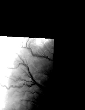
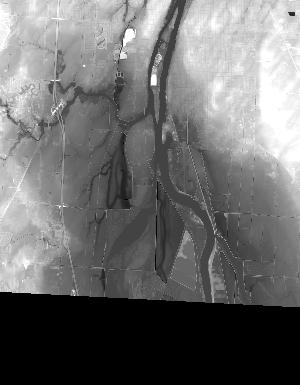
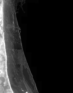
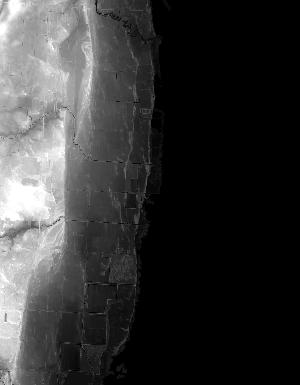
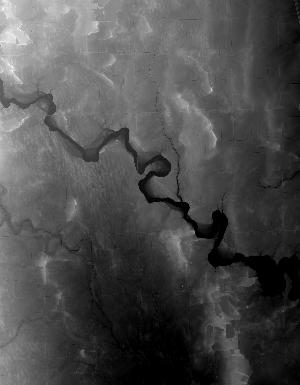
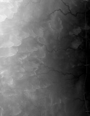
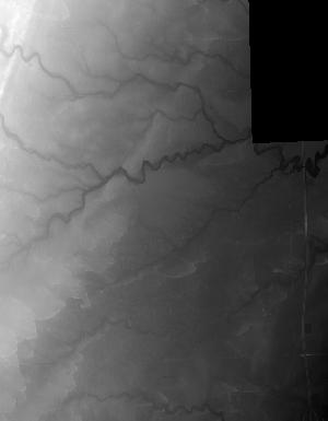
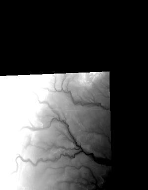
Index of /vdelivery/Datasets/Staged/Elevation/1m/archived_IMG_projects/MI_31Co_Bay_2016/browse/
Index of /vdelivery/Datasets/Staged/Elevation/1m/archived_IMG_projects/MI_31Co_Bay_2016/browse/
../
USGS_NED_one_meter_x24y483_MI_31Co_Bay_2016_IMG..> 19-Jul-2019 13:31                1096
USGS_NED_one_meter_x24y484_MI_31Co_Bay_2016_IMG..> 19-Jul-2019 13:23                5905
USGS_NED_one_meter_x24y485_MI_31Co_Bay_2016_IMG..> 19-Jul-2019 13:17                9603
USGS_NED_one_meter_x24y486_MI_31Co_Bay_2016_IMG..> 19-Jul-2019 13:12               10419
USGS_NED_one_meter_x24y487_MI_31Co_Bay_2016_IMG..> 19-Jul-2019 13:08                6565
USGS_NED_one_meter_x24y488_MI_31Co_Bay_2016_IMG..> 19-Jul-2019 13:04                5495
USGS_NED_one_meter_x25y483_MI_31Co_Bay_2016_IMG..> 19-Jul-2019 13:33                6577
USGS_NED_one_meter_x25y484_MI_31Co_Bay_2016_IMG..> 19-Jul-2019 13:25               15562
USGS_NED_one_meter_x25y485_MI_31Co_Bay_2016_IMG..> 19-Jul-2019 13:19               12408
USGS_NED_one_meter_x25y486_MI_31Co_Bay_2016_IMG..> 19-Jul-2019 13:14                9253
USGS_NED_one_meter_x25y487_MI_31Co_Bay_2016_IMG..> 19-Jul-2019 13:09                6937
USGS_NED_one_meter_x25y488_MI_31Co_Bay_2016_IMG..> 19-Jul-2019 13:06                5958
USGS_NED_one_meter_x26y483_MI_31Co_Bay_2016_IMG..> 19-Jul-2019 13:34               15335
USGS_NED_one_meter_x26y484_MI_31Co_Bay_2016_IMG..> 19-Jul-2019 13:27               13145
USGS_NED_one_meter_x26y485_MI_31Co_Bay_2016_IMG..> 19-Jul-2019 13:20                8265
USGS_NED_one_meter_x26y486_MI_31Co_Bay_2016_IMG..> 19-Jul-2019 13:16                9890
USGS_NED_one_meter_x26y487_MI_31Co_Bay_2016_IMG..> 19-Jul-2019 13:11                7798
USGS_NED_one_meter_x27y482_MI_31Co_Bay_2016_IMG..> 19-Jul-2019 13:39                3830
USGS_NED_one_meter_x27y483_MI_31Co_Bay_2016_IMG..> 19-Jul-2019 13:36               13349
USGS_NED_one_meter_x27y484_MI_31Co_Bay_2016_IMG..> 19-Jul-2019 13:29               15949
USGS_NED_one_meter_x27y485_MI_31Co_Bay_2016_IMG..> 19-Jul-2019 13:22                 811
USGS_NED_one_meter_x28y482_MI_31Co_Bay_2016_IMG..> 19-Jul-2019 13:40                2175
USGS_NED_one_meter_x28y483_MI_31Co_Bay_2016_IMG..> 19-Jul-2019 13:38                5431
USGS_NED_one_meter_x28y484_MI_31Co_Bay_2016_IMG..> 19-Jul-2019 13:30                1097
USGS_NED_one_meter_x72y483_MI_31Co_Bay_2016_IMG..> 19-Jul-2019 12:56                 933
USGS_NED_one_meter_x72y484_MI_31Co_Bay_2016_IMG..> 19-Jul-2019 12:49                4282
USGS_NED_one_meter_x72y485_MI_31Co_Bay_2016_IMG..> 19-Jul-2019 12:42                7089
USGS_NED_one_meter_x72y486_MI_31Co_Bay_2016_IMG..> 19-Jul-2019 12:37                5554
USGS_NED_one_meter_x72y487_MI_31Co_Bay_2016_IMG..> 19-Jul-2019 12:32                4074
USGS_NED_one_meter_x72y488_MI_31Co_Bay_2016_IMG..> 19-Jul-2019 12:29                4186
USGS_NED_one_meter_x73y483_MI_31Co_Bay_2016_IMG..> 19-Jul-2019 12:58                3357
USGS_NED_one_meter_x73y484_MI_31Co_Bay_2016_IMG..> 19-Jul-2019 12:51               12852
USGS_NED_one_meter_x73y485_MI_31Co_Bay_2016_IMG..> 19-Jul-2019 12:44               13064
USGS_NED_one_meter_x73y486_MI_31Co_Bay_2016_IMG..> 19-Jul-2019 12:39                9513
USGS_NED_one_meter_x73y487_MI_31Co_Bay_2016_IMG..> 19-Jul-2019 12:34                6953
USGS_NED_one_meter_x73y488_MI_31Co_Bay_2016_IMG..> 19-Jul-2019 12:30                5860
USGS_NED_one_meter_x74y483_MI_31Co_Bay_2016_IMG..> 19-Jul-2019 13:00               11932
USGS_NED_one_meter_x74y484_MI_31Co_Bay_2016_IMG..> 19-Jul-2019 12:53               15061
USGS_NED_one_meter_x74y485_MI_31Co_Bay_2016_IMG..> 19-Jul-2019 12:46               11676
USGS_NED_one_meter_x74y486_MI_31Co_Bay_2016_IMG..> 19-Jul-2019 12:41                9225
USGS_NED_one_meter_x74y487_MI_31Co_Bay_2016_IMG..> 19-Jul-2019 12:35                7129
USGS_NED_one_meter_x75y482_MI_31Co_Bay_2016_IMG..> 19-Jul-2019 13:03                 948
USGS_NED_one_meter_x75y483_MI_31Co_Bay_2016_IMG..> 19-Jul-2019 13:02               15010
USGS_NED_one_meter_x75y484_MI_31Co_Bay_2016_IMG..> 19-Jul-2019 12:55               19081
USGS_NED_one_meter_x75y485_MI_31Co_Bay_2016_IMG..> 19-Jul-2019 12:48                 958