WARNING TO USERS OF THIS SYSTEM
This computer system, including all related equipment, networks, and network devices (including Internet access), is provided by the Department of the Interior (DOI) in accordance with the agency policy for official use and limited personal use.
All agency computer systems may be monitored for all lawful purposes,
including but not limited to, ensuring that use is authorized, for management of the system, to facilitate protection against unauthorized access, and to verify security procedures, survivability and operational security. Any information on this computer system may be examined, recorded, copied and used for authorized purposes at any time.
All information, including personal information, placed or sent over this system may be monitored, and users of this system are reminded that such monitoring does occur. Therefore, there should be no expectation of privacy with respect to use of this system.
By logging into this agency computer system, you acknowledge and consent to the monitoring of this system. Evidence of your use, authorized or
unauthorized, collected during monitoring may be used for civil, criminal, administrative, or other adverse action. Unauthorized or illegal use may subject you to prosecution.
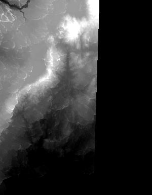
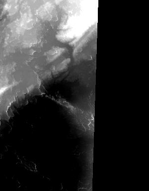
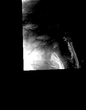
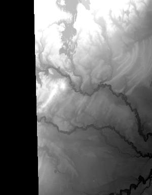
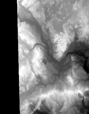
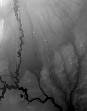
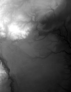
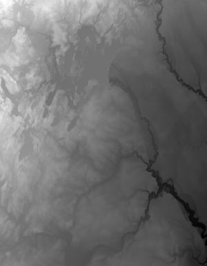
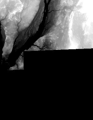
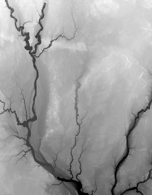
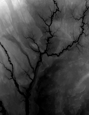
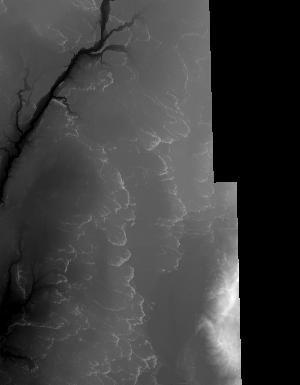
Index of /vdelivery/Datasets/Staged/Elevation/1m/archived_IMG_projects/MI_31Co_Gladwin_2016/browse/
Index of /vdelivery/Datasets/Staged/Elevation/1m/archived_IMG_projects/MI_31Co_Gladwin_2016/browse/
../
USGS_NED_one_meter_x24y486_MI_31Co_Gladwin_2016..> 22-May-2019 21:18                3824
USGS_NED_one_meter_x24y487_MI_31Co_Gladwin_2016..> 22-May-2019 21:17                8437
USGS_NED_one_meter_x24y488_MI_31Co_Gladwin_2016..> 22-May-2019 21:15                7993
USGS_NED_one_meter_x24y489_MI_31Co_Gladwin_2016..> 22-May-2019 21:13                8719
USGS_NED_one_meter_x24y490_MI_31Co_Gladwin_2016..> 22-May-2019 21:12                1587
USGS_NED_one_meter_x69y486_MI_31Co_Gladwin_2016..> 22-May-2019 21:06                6926
USGS_NED_one_meter_x69y487_MI_31Co_Gladwin_2016..> 22-May-2019 20:59                9539
USGS_NED_one_meter_x69y488_MI_31Co_Gladwin_2016..> 22-May-2019 20:51               13626
USGS_NED_one_meter_x69y489_MI_31Co_Gladwin_2016..> 22-May-2019 20:44               10725
USGS_NED_one_meter_x69y490_MI_31Co_Gladwin_2016..> 22-May-2019 20:33                3572
USGS_NED_one_meter_x70y486_MI_31Co_Gladwin_2016..> 22-May-2019 21:07                9231
USGS_NED_one_meter_x70y487_MI_31Co_Gladwin_2016..> 22-May-2019 21:01               10269
USGS_NED_one_meter_x70y488_MI_31Co_Gladwin_2016..> 22-May-2019 20:53                8015
USGS_NED_one_meter_x70y489_MI_31Co_Gladwin_2016..> 22-May-2019 20:46                8506
USGS_NED_one_meter_x70y490_MI_31Co_Gladwin_2016..> 22-May-2019 20:35                3511
USGS_NED_one_meter_x71y486_MI_31Co_Gladwin_2016..> 22-May-2019 21:09                9629
USGS_NED_one_meter_x71y487_MI_31Co_Gladwin_2016..> 22-May-2019 21:02               13846
USGS_NED_one_meter_x71y488_MI_31Co_Gladwin_2016..> 22-May-2019 20:55               13483
USGS_NED_one_meter_x71y489_MI_31Co_Gladwin_2016..> 22-May-2019 20:48               12732
USGS_NED_one_meter_x71y490_MI_31Co_Gladwin_2016..> 22-May-2019 20:38                4082
USGS_NED_one_meter_x72y486_MI_31Co_Gladwin_2016..> 22-May-2019 21:10                4480
USGS_NED_one_meter_x72y487_MI_31Co_Gladwin_2016..> 22-May-2019 21:04               11854
USGS_NED_one_meter_x72y488_MI_31Co_Gladwin_2016..> 22-May-2019 20:57                8291
USGS_NED_one_meter_x72y489_MI_31Co_Gladwin_2016..> 22-May-2019 20:50               10819
USGS_NED_one_meter_x72y490_MI_31Co_Gladwin_2016..> 22-May-2019 20:40                1211