WARNING TO USERS OF THIS SYSTEM
This computer system, including all related equipment, networks, and network devices (including Internet access), is provided by the Department of the Interior (DOI) in accordance with the agency policy for official use and limited personal use.
All agency computer systems may be monitored for all lawful purposes,
including but not limited to, ensuring that use is authorized, for management of the system, to facilitate protection against unauthorized access, and to verify security procedures, survivability and operational security. Any information on this computer system may be examined, recorded, copied and used for authorized purposes at any time.
All information, including personal information, placed or sent over this system may be monitored, and users of this system are reminded that such monitoring does occur. Therefore, there should be no expectation of privacy with respect to use of this system.
By logging into this agency computer system, you acknowledge and consent to the monitoring of this system. Evidence of your use, authorized or
unauthorized, collected during monitoring may be used for civil, criminal, administrative, or other adverse action. Unauthorized or illegal use may subject you to prosecution.
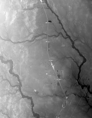
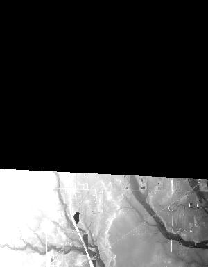
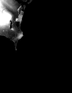
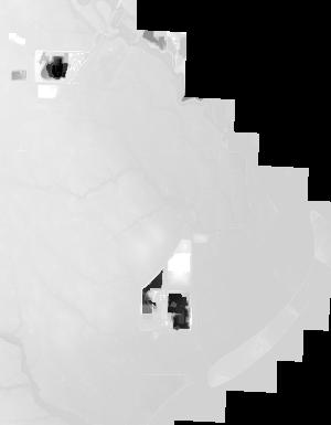
Index of /vdelivery/Datasets/Staged/Elevation/1m/archived_IMG_projects/MI_31Co_Monroe_2016/browse/
Index of /vdelivery/Datasets/Staged/Elevation/1m/archived_IMG_projects/MI_31Co_Monroe_2016/browse/
../
USGS_NED_one_meter_x27y463_MI_31Co_Monroe_2016_..> 12-Apr-2019 21:10               12842
USGS_NED_one_meter_x27y464_MI_31Co_Monroe_2016_..> 12-Apr-2019 20:52               18869
USGS_NED_one_meter_x27y465_MI_31Co_Monroe_2016_..> 12-Apr-2019 20:32               16149
USGS_NED_one_meter_x27y466_MI_31Co_Monroe_2016_..> 12-Apr-2019 20:13                8652
USGS_NED_one_meter_x27y467_MI_31Co_Monroe_2016_..> 12-Apr-2019 20:00                5261
USGS_NED_one_meter_x28y463_MI_31Co_Monroe_2016_..> 12-Apr-2019 21:13                9599
USGS_NED_one_meter_x28y464_MI_31Co_Monroe_2016_..> 12-Apr-2019 20:57               10951
USGS_NED_one_meter_x28y465_MI_31Co_Monroe_2016_..> 12-Apr-2019 20:35               13849
USGS_NED_one_meter_x28y466_MI_31Co_Monroe_2016_..> 12-Apr-2019 20:16               16180
USGS_NED_one_meter_x28y467_MI_31Co_Monroe_2016_..> 12-Apr-2019 20:02                5313
USGS_NED_one_meter_x29y463_MI_31Co_Monroe_2016_..> 12-Apr-2019 21:16                8447
USGS_NED_one_meter_x29y464_MI_31Co_Monroe_2016_..> 12-Apr-2019 21:02               11616
USGS_NED_one_meter_x29y465_MI_31Co_Monroe_2016_..> 12-Apr-2019 20:39               13410
USGS_NED_one_meter_x29y466_MI_31Co_Monroe_2016_..> 12-Apr-2019 20:20               15345
USGS_NED_one_meter_x29y467_MI_31Co_Monroe_2016_..> 12-Apr-2019 20:04                5499
USGS_NED_one_meter_x30y464_MI_31Co_Monroe_2016_..> 12-Apr-2019 21:05                5439
USGS_NED_one_meter_x30y465_MI_31Co_Monroe_2016_..> 12-Apr-2019 20:43               12827
USGS_NED_one_meter_x30y466_MI_31Co_Monroe_2016_..> 12-Apr-2019 20:24               13979
USGS_NED_one_meter_x30y467_MI_31Co_Monroe_2016_..> 12-Apr-2019 20:07                7594
USGS_NED_one_meter_x31y465_MI_31Co_Monroe_2016_..> 12-Apr-2019 20:46                4794
USGS_NED_one_meter_x31y466_MI_31Co_Monroe_2016_..> 12-Apr-2019 20:27                5637
USGS_NED_one_meter_x31y467_MI_31Co_Monroe_2016_..> 12-Apr-2019 20:09                1197
USGS_NED_one_meter_x32y466_MI_31Co_Monroe_2016_..> 12-Apr-2019 20:28                 947