WARNING TO USERS OF THIS SYSTEM
This computer system, including all related equipment, networks, and network devices (including Internet access), is provided by the Department of the Interior (DOI) in accordance with the agency policy for official use and limited personal use.
All agency computer systems may be monitored for all lawful purposes,
including but not limited to, ensuring that use is authorized, for management of the system, to facilitate protection against unauthorized access, and to verify security procedures, survivability and operational security. Any information on this computer system may be examined, recorded, copied and used for authorized purposes at any time.
All information, including personal information, placed or sent over this system may be monitored, and users of this system are reminded that such monitoring does occur. Therefore, there should be no expectation of privacy with respect to use of this system.
By logging into this agency computer system, you acknowledge and consent to the monitoring of this system. Evidence of your use, authorized or
unauthorized, collected during monitoring may be used for civil, criminal, administrative, or other adverse action. Unauthorized or illegal use may subject you to prosecution.
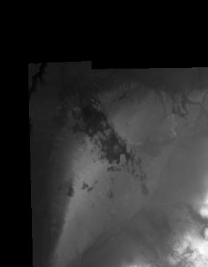
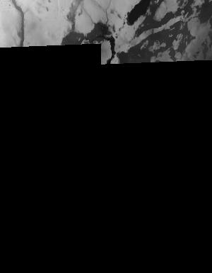
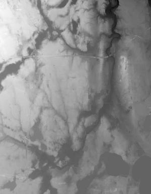
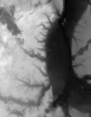
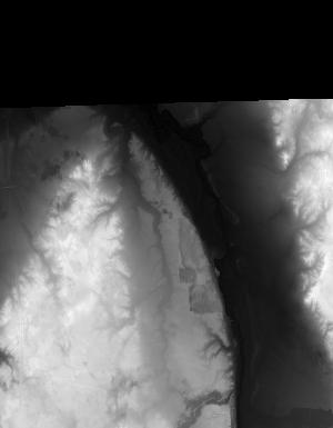
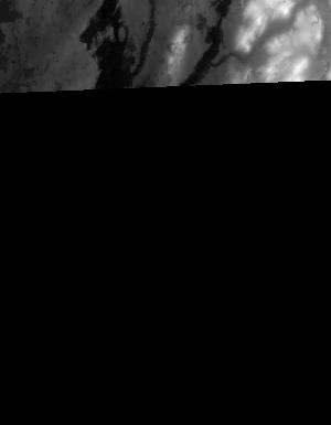
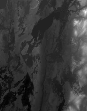
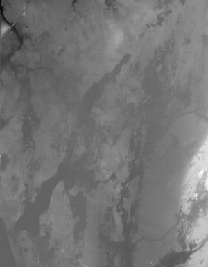
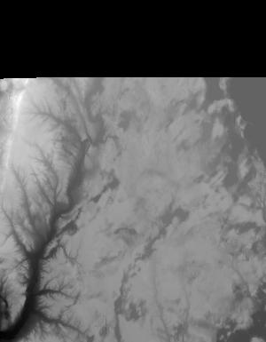
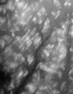
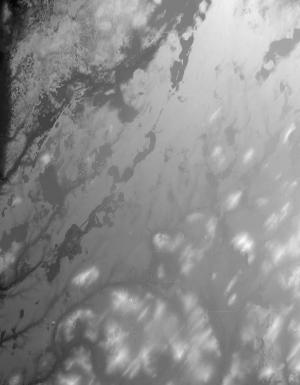
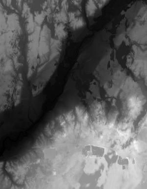
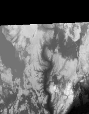
Index of /vdelivery/Datasets/Staged/Elevation/1m/archived_IMG_projects/MI_Kalamazoo_2015/browse/
Index of /vdelivery/Datasets/Staged/Elevation/1m/archived_IMG_projects/MI_Kalamazoo_2015/browse/
../
USGS_NED_one_meter_x60y466_MI_Kalamazoo_2015_IM..> 06-Feb-2019 18:27                4512
USGS_NED_one_meter_x60y467_MI_Kalamazoo_2015_IM..> 06-Feb-2019 18:24               11647
USGS_NED_one_meter_x60y468_MI_Kalamazoo_2015_IM..> 06-Feb-2019 18:21               12046
USGS_NED_one_meter_x60y469_MI_Kalamazoo_2015_IM..> 06-Feb-2019 18:18               10880
USGS_NED_one_meter_x60y470_MI_Kalamazoo_2015_IM..> 06-Feb-2019 18:16                6026
USGS_NED_one_meter_x61y466_MI_Kalamazoo_2015_IM..> 06-Feb-2019 18:28                5338
USGS_NED_one_meter_x61y467_MI_Kalamazoo_2015_IM..> 06-Feb-2019 18:25               13899
USGS_NED_one_meter_x61y468_MI_Kalamazoo_2015_IM..> 06-Feb-2019 18:22               11830
USGS_NED_one_meter_x61y469_MI_Kalamazoo_2015_IM..> 06-Feb-2019 18:19               12410
USGS_NED_one_meter_x61y470_MI_Kalamazoo_2015_IM..> 06-Feb-2019 18:16                9243
USGS_NED_one_meter_x62y466_MI_Kalamazoo_2015_IM..> 06-Feb-2019 18:28                4202
USGS_NED_one_meter_x62y467_MI_Kalamazoo_2015_IM..> 06-Feb-2019 18:26               10926
USGS_NED_one_meter_x62y468_MI_Kalamazoo_2015_IM..> 06-Feb-2019 18:23                9296
USGS_NED_one_meter_x62y469_MI_Kalamazoo_2015_IM..> 06-Feb-2019 18:20               13671
USGS_NED_one_meter_x62y470_MI_Kalamazoo_2015_IM..> 06-Feb-2019 18:17               10086
USGS_NED_one_meter_x63y466_MI_Kalamazoo_2015_IM..> 06-Feb-2019 18:29                3973
USGS_NED_one_meter_x63y467_MI_Kalamazoo_2015_IM..> 06-Feb-2019 18:26               13279
USGS_NED_one_meter_x63y468_MI_Kalamazoo_2015_IM..> 06-Feb-2019 18:23               12775
USGS_NED_one_meter_x63y469_MI_Kalamazoo_2015_IM..> 06-Feb-2019 18:20               13263
USGS_NED_one_meter_x63y470_MI_Kalamazoo_2015_IM..> 06-Feb-2019 18:17               13768
USGS_NED_one_meter_x64y466_MI_Kalamazoo_2015_IM..> 06-Feb-2019 18:29                1329
USGS_NED_one_meter_x64y467_MI_Kalamazoo_2015_IM..> 06-Feb-2019 18:27                3154
USGS_NED_one_meter_x64y468_MI_Kalamazoo_2015_IM..> 06-Feb-2019 18:24                2793
USGS_NED_one_meter_x64y469_MI_Kalamazoo_2015_IM..> 06-Feb-2019 18:21                2331
USGS_NED_one_meter_x64y470_MI_Kalamazoo_2015_IM..> 06-Feb-2019 18:18                1805