WARNING TO USERS OF THIS SYSTEM
This computer system, including all related equipment, networks, and network devices (including Internet access), is provided by the Department of the Interior (DOI) in accordance with the agency policy for official use and limited personal use.
All agency computer systems may be monitored for all lawful purposes,
including but not limited to, ensuring that use is authorized, for management of the system, to facilitate protection against unauthorized access, and to verify security procedures, survivability and operational security. Any information on this computer system may be examined, recorded, copied and used for authorized purposes at any time.
All information, including personal information, placed or sent over this system may be monitored, and users of this system are reminded that such monitoring does occur. Therefore, there should be no expectation of privacy with respect to use of this system.
By logging into this agency computer system, you acknowledge and consent to the monitoring of this system. Evidence of your use, authorized or
unauthorized, collected during monitoring may be used for civil, criminal, administrative, or other adverse action. Unauthorized or illegal use may subject you to prosecution.
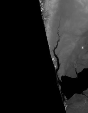
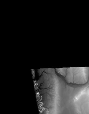
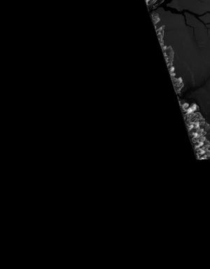
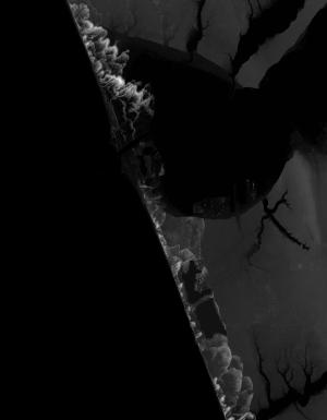
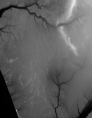
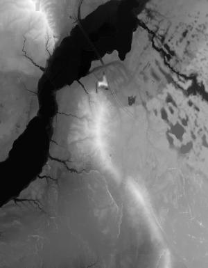
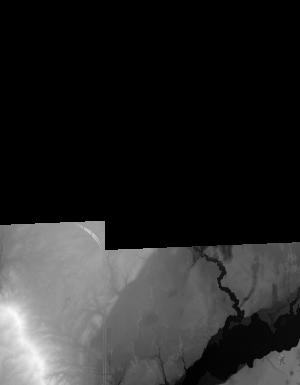
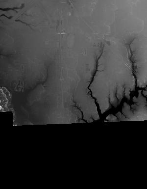
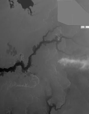
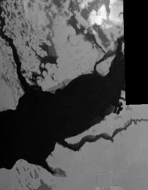
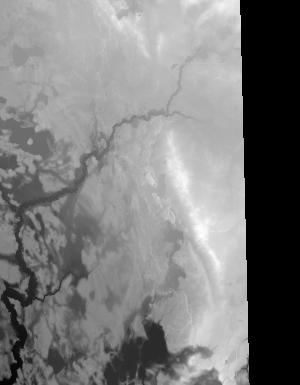
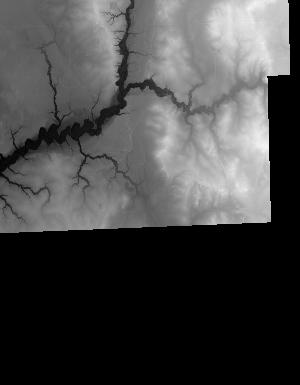
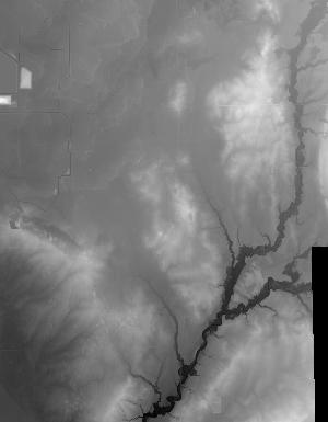
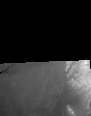
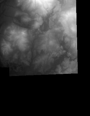
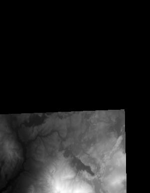
Index of /vdelivery/Datasets/Staged/Elevation/1m/archived_IMG_projects/MI_Muskegon_2015/browse/
Index of /vdelivery/Datasets/Staged/Elevation/1m/archived_IMG_projects/MI_Muskegon_2015/browse/
../
USGS_NED_one_meter_x54y480_MI_Muskegon_2015_IMG..> 25-Oct-2018 16:27                2515
USGS_NED_one_meter_x54y481_MI_Muskegon_2015_IMG..> 25-Oct-2018 16:24                5804
USGS_NED_one_meter_x54y482_MI_Muskegon_2015_IMG..> 25-Oct-2018 16:21                5091
USGS_NED_one_meter_x55y478_MI_Muskegon_2015_IMG..> 25-Oct-2018 16:37                3467
USGS_NED_one_meter_x55y479_MI_Muskegon_2015_IMG..> 25-Oct-2018 16:33                7850
USGS_NED_one_meter_x55y480_MI_Muskegon_2015_IMG..> 25-Oct-2018 16:28                9470
USGS_NED_one_meter_x55y481_MI_Muskegon_2015_IMG..> 25-Oct-2018 16:25               12005
USGS_NED_one_meter_x55y482_MI_Muskegon_2015_IMG..> 25-Oct-2018 16:21                5298
USGS_NED_one_meter_x56y478_MI_Muskegon_2015_IMG..> 25-Oct-2018 16:38                7957
USGS_NED_one_meter_x56y479_MI_Muskegon_2015_IMG..> 25-Oct-2018 16:34                9678
USGS_NED_one_meter_x56y480_MI_Muskegon_2015_IMG..> 25-Oct-2018 16:29                7083
USGS_NED_one_meter_x56y481_MI_Muskegon_2015_IMG..> 25-Oct-2018 16:26               18097
USGS_NED_one_meter_x56y482_MI_Muskegon_2015_IMG..> 25-Oct-2018 16:22                7063
USGS_NED_one_meter_x57y478_MI_Muskegon_2015_IMG..> 25-Oct-2018 16:39                9911
USGS_NED_one_meter_x57y479_MI_Muskegon_2015_IMG..> 25-Oct-2018 16:35                6713
USGS_NED_one_meter_x57y480_MI_Muskegon_2015_IMG..> 25-Oct-2018 16:30               12492
USGS_NED_one_meter_x57y481_MI_Muskegon_2015_IMG..> 25-Oct-2018 16:27               11524
USGS_NED_one_meter_x57y482_MI_Muskegon_2015_IMG..> 25-Oct-2018 16:23                4608
USGS_NED_one_meter_x58y478_MI_Muskegon_2015_IMG..> 25-Oct-2018 16:40                8534
USGS_NED_one_meter_x58y479_MI_Muskegon_2015_IMG..> 25-Oct-2018 16:36               10231
USGS_NED_one_meter_x58y480_MI_Muskegon_2015_IMG..> 25-Oct-2018 16:31                4437
USGS_NED_one_meter_x59y479_MI_Muskegon_2015_IMG..> 25-Oct-2018 16:37                6773
USGS_NED_one_meter_x59y480_MI_Muskegon_2015_IMG..> 25-Oct-2018 16:32                5328