WARNING TO USERS OF THIS SYSTEM
This computer system, including all related equipment, networks, and network devices (including Internet access), is provided by the Department of the Interior (DOI) in accordance with the agency policy for official use and limited personal use.
All agency computer systems may be monitored for all lawful purposes,
including but not limited to, ensuring that use is authorized, for management of the system, to facilitate protection against unauthorized access, and to verify security procedures, survivability and operational security. Any information on this computer system may be examined, recorded, copied and used for authorized purposes at any time.
All information, including personal information, placed or sent over this system may be monitored, and users of this system are reminded that such monitoring does occur. Therefore, there should be no expectation of privacy with respect to use of this system.
By logging into this agency computer system, you acknowledge and consent to the monitoring of this system. Evidence of your use, authorized or
unauthorized, collected during monitoring may be used for civil, criminal, administrative, or other adverse action. Unauthorized or illegal use may subject you to prosecution.
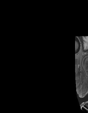
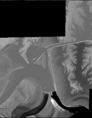
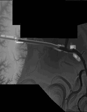
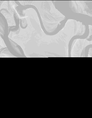
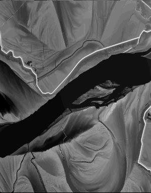
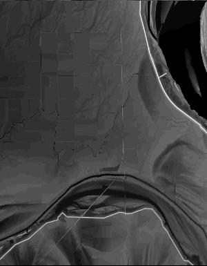
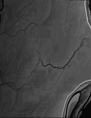
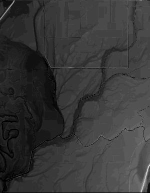
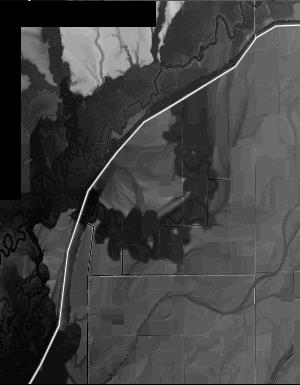
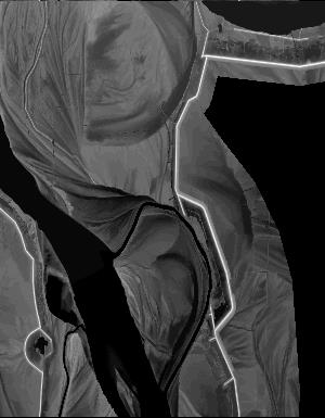
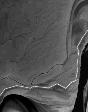
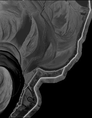
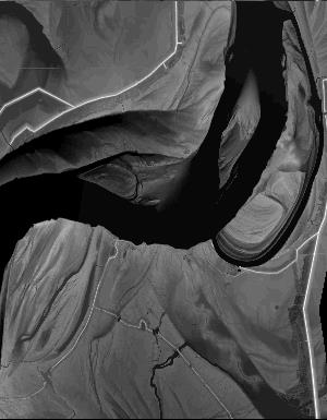
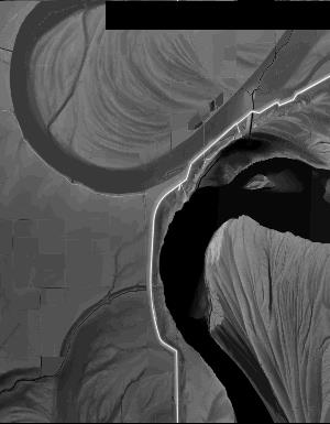
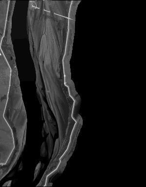
Index of /vdelivery/Datasets/Staged/Elevation/1m/archived_IMG_projects/MO_AR_PhillipsDesha_2014/browse/
Index of /vdelivery/Datasets/Staged/Elevation/1m/archived_IMG_projects/MO_AR_PhillipsDesha_2014/browse/
../
USGS_NED_one_meter_x64y376_MO_AR_PhillipsDesha_..> 11-Oct-2016 15:44                2565
USGS_NED_one_meter_x64y377_MO_AR_PhillipsDesha_..> 11-Oct-2016 15:34                4831
USGS_NED_one_meter_x65y376_MO_AR_PhillipsDesha_..> 11-Oct-2016 15:45                4188
USGS_NED_one_meter_x65y377_MO_AR_PhillipsDesha_..> 11-Oct-2016 15:36               12971
USGS_NED_one_meter_x65y378_MO_AR_PhillipsDesha_..> 11-Oct-2016 15:24                4062
USGS_NED_one_meter_x66y376_MO_AR_PhillipsDesha_..> 11-Oct-2016 15:47                4019
USGS_NED_one_meter_x66y377_MO_AR_PhillipsDesha_..> 11-Oct-2016 15:38               10052
USGS_NED_one_meter_x66y378_MO_AR_PhillipsDesha_..> 11-Oct-2016 15:26                3285
USGS_NED_one_meter_x67y376_MO_AR_PhillipsDesha_..> 11-Oct-2016 15:48                7671
USGS_NED_one_meter_x67y377_MO_AR_PhillipsDesha_..> 11-Oct-2016 15:39               15567
USGS_NED_one_meter_x67y378_MO_AR_PhillipsDesha_..> 11-Oct-2016 15:28                8876
USGS_NED_one_meter_x67y379_MO_AR_PhillipsDesha_..> 11-Oct-2016 15:16                9395
USGS_NED_one_meter_x67y380_MO_AR_PhillipsDesha_..> 11-Oct-2016 15:08                7506
USGS_NED_one_meter_x67y381_MO_AR_PhillipsDesha_..> 11-Oct-2016 14:58                6450
USGS_NED_one_meter_x68y376_MO_AR_PhillipsDesha_..> 11-Oct-2016 15:50                7087
USGS_NED_one_meter_x68y377_MO_AR_PhillipsDesha_..> 11-Oct-2016 15:40               18620
USGS_NED_one_meter_x68y378_MO_AR_PhillipsDesha_..> 11-Oct-2016 15:30               14538
USGS_NED_one_meter_x68y379_MO_AR_PhillipsDesha_..> 11-Oct-2016 15:18               12537
USGS_NED_one_meter_x68y380_MO_AR_PhillipsDesha_..> 11-Oct-2016 15:10               12720
USGS_NED_one_meter_x68y381_MO_AR_PhillipsDesha_..> 11-Oct-2016 15:00               15797
USGS_NED_one_meter_x68y382_MO_AR_PhillipsDesha_..> 11-Oct-2016 14:49                5544
USGS_NED_one_meter_x69y376_MO_AR_PhillipsDesha_..> 11-Oct-2016 15:51                3788
USGS_NED_one_meter_x69y377_MO_AR_PhillipsDesha_..> 11-Oct-2016 15:42               13206
USGS_NED_one_meter_x69y378_MO_AR_PhillipsDesha_..> 11-Oct-2016 15:31               18294
USGS_NED_one_meter_x69y379_MO_AR_PhillipsDesha_..> 11-Oct-2016 15:19               19721
USGS_NED_one_meter_x69y380_MO_AR_PhillipsDesha_..> 11-Oct-2016 15:11               15137
USGS_NED_one_meter_x69y381_MO_AR_PhillipsDesha_..> 11-Oct-2016 15:01               12156
USGS_NED_one_meter_x69y382_MO_AR_PhillipsDesha_..> 11-Oct-2016 14:51                7851
USGS_NED_one_meter_x70y378_MO_AR_PhillipsDesha_..> 11-Oct-2016 15:33                3711
USGS_NED_one_meter_x70y379_MO_AR_PhillipsDesha_..> 11-Oct-2016 15:20               16213
USGS_NED_one_meter_x70y380_MO_AR_PhillipsDesha_..> 11-Oct-2016 15:13               19786
USGS_NED_one_meter_x70y381_MO_AR_PhillipsDesha_..> 11-Oct-2016 15:03               16530
USGS_NED_one_meter_x70y382_MO_AR_PhillipsDesha_..> 11-Oct-2016 14:53                4605
USGS_NED_one_meter_x71y379_MO_AR_PhillipsDesha_..> 11-Oct-2016 15:22                2659
USGS_NED_one_meter_x71y380_MO_AR_PhillipsDesha_..> 11-Oct-2016 15:14                5796
USGS_NED_one_meter_x71y381_MO_AR_PhillipsDesha_..> 11-Oct-2016 15:04               15269
USGS_NED_one_meter_x71y382_MO_AR_PhillipsDesha_..> 11-Oct-2016 14:55                6367
USGS_NED_one_meter_x71y383_MO_AR_PhillipsDesha_..> 11-Oct-2016 14:45                4837
USGS_NED_one_meter_x72y381_MO_AR_PhillipsDesha_..> 11-Oct-2016 15:06                3902
USGS_NED_one_meter_x72y382_MO_AR_PhillipsDesha_..> 11-Oct-2016 14:56               12012
USGS_NED_one_meter_x72y383_MO_AR_PhillipsDesha_..> 11-Oct-2016 14:47                4679