WARNING TO USERS OF THIS SYSTEM
This computer system, including all related equipment, networks, and network devices (including Internet access), is provided by the Department of the Interior (DOI) in accordance with the agency policy for official use and limited personal use.
All agency computer systems may be monitored for all lawful purposes,
including but not limited to, ensuring that use is authorized, for management of the system, to facilitate protection against unauthorized access, and to verify security procedures, survivability and operational security. Any information on this computer system may be examined, recorded, copied and used for authorized purposes at any time.
All information, including personal information, placed or sent over this system may be monitored, and users of this system are reminded that such monitoring does occur. Therefore, there should be no expectation of privacy with respect to use of this system.
By logging into this agency computer system, you acknowledge and consent to the monitoring of this system. Evidence of your use, authorized or
unauthorized, collected during monitoring may be used for civil, criminal, administrative, or other adverse action. Unauthorized or illegal use may subject you to prosecution.
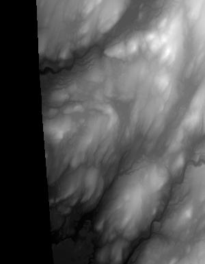
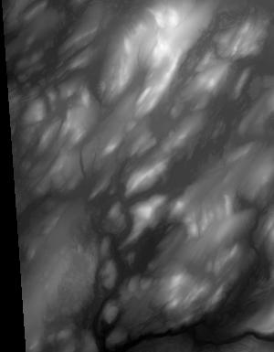
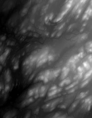
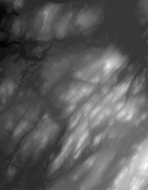
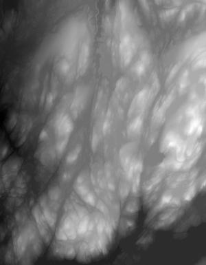
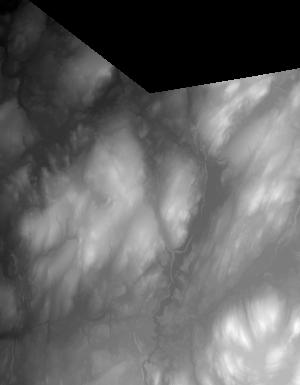
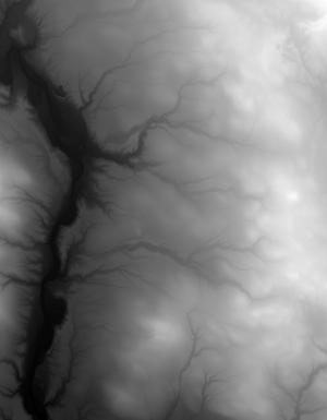
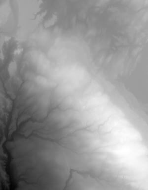
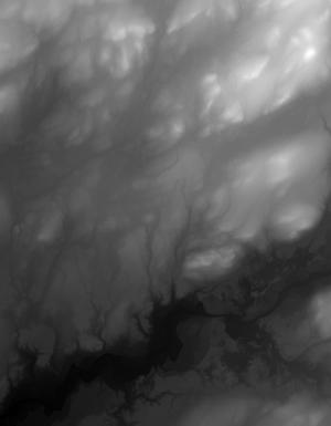
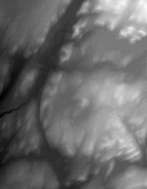
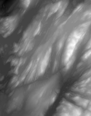
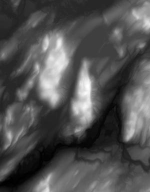
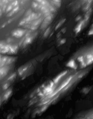
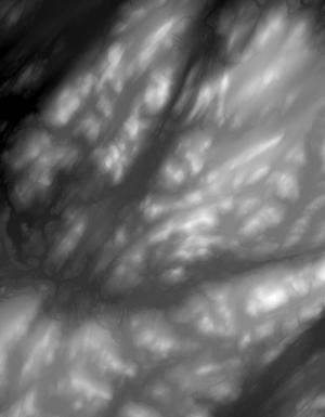
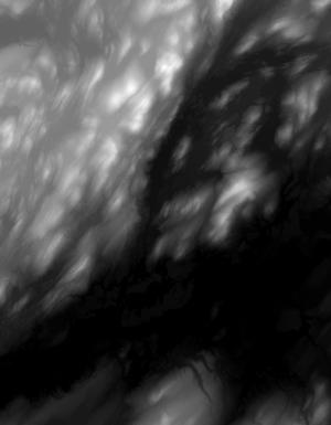
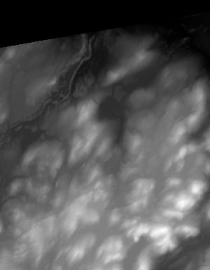
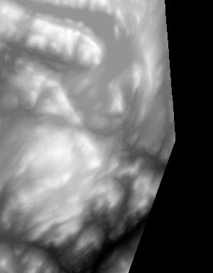
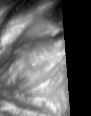
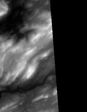
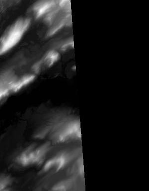
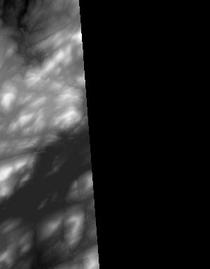
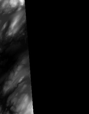
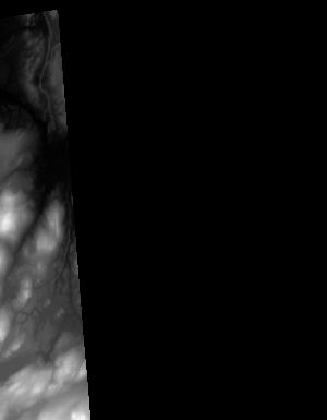
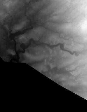
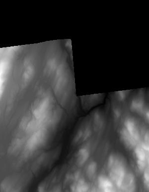
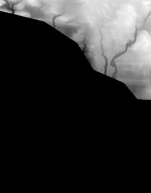
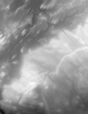
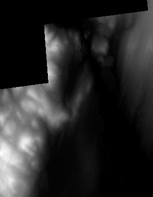
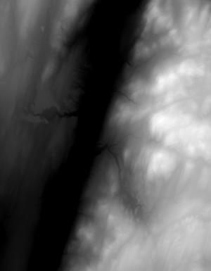
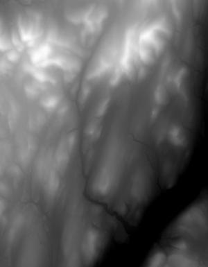
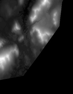
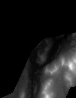
Index of /vdelivery/Datasets/Staged/Elevation/1m/archived_IMG_projects/NY_FEMA_R2_Northeast_2017/browse/
Index of /vdelivery/Datasets/Staged/Elevation/1m/archived_IMG_projects/NY_FEMA_R2_Northeast_2017/browse/
../
USGS_NED_one_meter_x48y478_NY_FEMA_R2_Northeast..> 18-Apr-2019 19:14                2374
USGS_NED_one_meter_x48y479_NY_FEMA_R2_Northeast..> 18-Apr-2019 19:08                1725
USGS_NED_one_meter_x48y480_NY_FEMA_R2_Northeast..> 18-Apr-2019 19:04                2811
USGS_NED_one_meter_x48y485_NY_FEMA_R2_Northeast..> 18-Apr-2019 18:45                1941
USGS_NED_one_meter_x48y486_NY_FEMA_R2_Northeast..> 18-Apr-2019 18:39                3302
USGS_NED_one_meter_x48y487_NY_FEMA_R2_Northeast..> 18-Apr-2019 18:33                4439
USGS_NED_one_meter_x48y488_NY_FEMA_R2_Northeast..> 18-Apr-2019 18:27                5367
USGS_NED_one_meter_x48y489_NY_FEMA_R2_Northeast..> 18-Apr-2019 18:25                2313
USGS_NED_one_meter_x49y477_NY_FEMA_R2_Northeast..> 18-Apr-2019 19:19                1007
USGS_NED_one_meter_x49y478_NY_FEMA_R2_Northeast..> 18-Apr-2019 19:14                8382
USGS_NED_one_meter_x49y479_NY_FEMA_R2_Northeast..> 18-Apr-2019 19:09                8876
USGS_NED_one_meter_x49y480_NY_FEMA_R2_Northeast..> 18-Apr-2019 19:05                8697
USGS_NED_one_meter_x49y481_NY_FEMA_R2_Northeast..> 18-Apr-2019 19:01                6757
USGS_NED_one_meter_x49y482_NY_FEMA_R2_Northeast..> 18-Apr-2019 18:58                8681
USGS_NED_one_meter_x49y483_NY_FEMA_R2_Northeast..> 18-Apr-2019 18:54                9637
USGS_NED_one_meter_x49y484_NY_FEMA_R2_Northeast..> 18-Apr-2019 18:50               10792
USGS_NED_one_meter_x49y485_NY_FEMA_R2_Northeast..> 18-Apr-2019 18:46               10259
USGS_NED_one_meter_x49y486_NY_FEMA_R2_Northeast..> 18-Apr-2019 18:41                9524
USGS_NED_one_meter_x49y487_NY_FEMA_R2_Northeast..> 18-Apr-2019 18:35               10338
USGS_NED_one_meter_x49y488_NY_FEMA_R2_Northeast..> 18-Apr-2019 18:29                8979
USGS_NED_one_meter_x49y489_NY_FEMA_R2_Northeast..> 18-Apr-2019 18:26                 831
USGS_NED_one_meter_x50y477_NY_FEMA_R2_Northeast..> 18-Apr-2019 19:20                3456
USGS_NED_one_meter_x50y478_NY_FEMA_R2_Northeast..> 18-Apr-2019 19:15                7460
USGS_NED_one_meter_x50y479_NY_FEMA_R2_Northeast..> 18-Apr-2019 19:09                6304
USGS_NED_one_meter_x50y480_NY_FEMA_R2_Northeast..> 18-Apr-2019 19:05                9035
USGS_NED_one_meter_x50y481_NY_FEMA_R2_Northeast..> 18-Apr-2019 19:02                7233
USGS_NED_one_meter_x50y482_NY_FEMA_R2_Northeast..> 18-Apr-2019 18:59                8282
USGS_NED_one_meter_x50y483_NY_FEMA_R2_Northeast..> 18-Apr-2019 18:56                9512
USGS_NED_one_meter_x50y484_NY_FEMA_R2_Northeast..> 18-Apr-2019 18:52                9970
USGS_NED_one_meter_x50y485_NY_FEMA_R2_Northeast..> 18-Apr-2019 18:48               11213
USGS_NED_one_meter_x50y486_NY_FEMA_R2_Northeast..> 18-Apr-2019 18:42               10759
USGS_NED_one_meter_x50y487_NY_FEMA_R2_Northeast..> 18-Apr-2019 18:36                9832
USGS_NED_one_meter_x50y488_NY_FEMA_R2_Northeast..> 18-Apr-2019 18:30                9179
USGS_NED_one_meter_x51y477_NY_FEMA_R2_Northeast..> 18-Apr-2019 19:20                2176
USGS_NED_one_meter_x51y478_NY_FEMA_R2_Northeast..> 18-Apr-2019 19:16                6599
USGS_NED_one_meter_x51y479_NY_FEMA_R2_Northeast..> 18-Apr-2019 19:10                7269
USGS_NED_one_meter_x51y480_NY_FEMA_R2_Northeast..> 18-Apr-2019 19:06                8269
USGS_NED_one_meter_x51y481_NY_FEMA_R2_Northeast..> 18-Apr-2019 19:02                5089
USGS_NED_one_meter_x51y482_NY_FEMA_R2_Northeast..> 18-Apr-2019 19:00                8635
USGS_NED_one_meter_x51y483_NY_FEMA_R2_Northeast..> 18-Apr-2019 18:57                8816
USGS_NED_one_meter_x51y484_NY_FEMA_R2_Northeast..> 18-Apr-2019 18:53                8573
USGS_NED_one_meter_x51y485_NY_FEMA_R2_Northeast..> 18-Apr-2019 18:49                6383
USGS_NED_one_meter_x51y486_NY_FEMA_R2_Northeast..> 18-Apr-2019 18:44                6126
USGS_NED_one_meter_x51y487_NY_FEMA_R2_Northeast..> 18-Apr-2019 18:38                4583
USGS_NED_one_meter_x51y488_NY_FEMA_R2_Northeast..> 18-Apr-2019 18:32                4023
USGS_NED_one_meter_x52y478_NY_FEMA_R2_Northeast..> 18-Apr-2019 19:16                6689
USGS_NED_one_meter_x52y479_NY_FEMA_R2_Northeast..> 18-Apr-2019 19:10                7361
USGS_NED_one_meter_x52y480_NY_FEMA_R2_Northeast..> 18-Apr-2019 19:06                4347
USGS_NED_one_meter_x53y477_NY_FEMA_R2_Northeast..> 18-Apr-2019 19:20                2361
USGS_NED_one_meter_x53y478_NY_FEMA_R2_Northeast..> 18-Apr-2019 19:17                7968
USGS_NED_one_meter_x53y479_NY_FEMA_R2_Northeast..> 18-Apr-2019 19:11                9792
USGS_NED_one_meter_x53y491_NY_FEMA_R2_Northeast..> 18-Apr-2019 18:22                2210
USGS_NED_one_meter_x53y492_NY_FEMA_R2_Northeast..> 18-Apr-2019 18:16                 755
USGS_NED_one_meter_x54y477_NY_FEMA_R2_Northeast..> 18-Apr-2019 19:21                5135
USGS_NED_one_meter_x54y478_NY_FEMA_R2_Northeast..> 18-Apr-2019 19:17                6187
USGS_NED_one_meter_x54y479_NY_FEMA_R2_Northeast..> 18-Apr-2019 19:12                7577
USGS_NED_one_meter_x54y491_NY_FEMA_R2_Northeast..> 18-Apr-2019 18:24                5038
USGS_NED_one_meter_x54y492_NY_FEMA_R2_Northeast..> 18-Apr-2019 18:18                7149
USGS_NED_one_meter_x55y476_NY_FEMA_R2_Northeast..> 18-Apr-2019 19:23                 885
USGS_NED_one_meter_x55y477_NY_FEMA_R2_Northeast..> 18-Apr-2019 19:21                7276
USGS_NED_one_meter_x55y478_NY_FEMA_R2_Northeast..> 18-Apr-2019 19:18                7023
USGS_NED_one_meter_x55y479_NY_FEMA_R2_Northeast..> 18-Apr-2019 19:12                6778
USGS_NED_one_meter_x55y492_NY_FEMA_R2_Northeast..> 18-Apr-2019 18:19                6228
USGS_NED_one_meter_x55y493_NY_FEMA_R2_Northeast..> 18-Apr-2019 18:13                3331
USGS_NED_one_meter_x55y494_NY_FEMA_R2_Northeast..> 18-Apr-2019 18:09                2864
USGS_NED_one_meter_x56y476_NY_FEMA_R2_Northeast..> 18-Apr-2019 19:23                4704
USGS_NED_one_meter_x56y477_NY_FEMA_R2_Northeast..> 18-Apr-2019 19:22                8863
USGS_NED_one_meter_x56y478_NY_FEMA_R2_Northeast..> 18-Apr-2019 19:18                3341
USGS_NED_one_meter_x56y479_NY_FEMA_R2_Northeast..> 18-Apr-2019 19:13                5959
USGS_NED_one_meter_x56y480_NY_FEMA_R2_Northeast..> 18-Apr-2019 19:07                2361
USGS_NED_one_meter_x56y481_NY_FEMA_R2_Northeast..> 18-Apr-2019 19:03                1185
USGS_NED_one_meter_x56y492_NY_FEMA_R2_Northeast..> 18-Apr-2019 18:21                3218
USGS_NED_one_meter_x56y493_NY_FEMA_R2_Northeast..> 18-Apr-2019 18:15                6433
USGS_NED_one_meter_x56y494_NY_FEMA_R2_Northeast..> 18-Apr-2019 18:11                6353
USGS_NED_one_meter_x57y476_NY_FEMA_R2_Northeast..> 18-Apr-2019 19:24                4086
USGS_NED_one_meter_x57y477_NY_FEMA_R2_Northeast..> 18-Apr-2019 19:23                7175
USGS_NED_one_meter_x57y478_NY_FEMA_R2_Northeast..> 18-Apr-2019 19:19                4136
USGS_NED_one_meter_x57y479_NY_FEMA_R2_Northeast..> 18-Apr-2019 19:13                6836
USGS_NED_one_meter_x57y480_NY_FEMA_R2_Northeast..> 18-Apr-2019 19:07                6979
USGS_NED_one_meter_x57y481_NY_FEMA_R2_Northeast..> 18-Apr-2019 19:03                3734
USGS_NED_one_meter_x57y494_NY_FEMA_R2_Northeast..> 18-Apr-2019 18:12                6039
USGS_NED_one_meter_x57y495_NY_FEMA_R2_Northeast..> 18-Apr-2019 18:06                4628
USGS_NED_one_meter_x58y478_NY_FEMA_R2_Northeast..> 18-Apr-2019 19:19                1124
USGS_NED_one_meter_x58y479_NY_FEMA_R2_Northeast..> 18-Apr-2019 19:14                4286
USGS_NED_one_meter_x58y480_NY_FEMA_R2_Northeast..> 18-Apr-2019 19:08                6458
USGS_NED_one_meter_x58y481_NY_FEMA_R2_Northeast..> 18-Apr-2019 19:04                2199
USGS_NED_one_meter_x58y495_NY_FEMA_R2_Northeast..> 18-Apr-2019 18:08                2515