WARNING TO USERS OF THIS SYSTEM
This computer system, including all related equipment, networks, and network devices (including Internet access), is provided by the Department of the Interior (DOI) in accordance with the agency policy for official use and limited personal use.
All agency computer systems may be monitored for all lawful purposes,
including but not limited to, ensuring that use is authorized, for management of the system, to facilitate protection against unauthorized access, and to verify security procedures, survivability and operational security. Any information on this computer system may be examined, recorded, copied and used for authorized purposes at any time.
All information, including personal information, placed or sent over this system may be monitored, and users of this system are reminded that such monitoring does occur. Therefore, there should be no expectation of privacy with respect to use of this system.
By logging into this agency computer system, you acknowledge and consent to the monitoring of this system. Evidence of your use, authorized or
unauthorized, collected during monitoring may be used for civil, criminal, administrative, or other adverse action. Unauthorized or illegal use may subject you to prosecution.
 Name Last modified Size Description
![[PARENTDIR]](/icons/back.gif) Parent Directory -
Parent Directory -
![[IMG]](/icons/image2.gif) USGS_OPR_NE_Southwest_2020_D20_dem_13T_EF_7893.jpg 2021-11-16 05:34 907
USGS_OPR_NE_Southwest_2020_D20_dem_13T_EF_7894.jpg 2021-11-16 05:21 1.2K
USGS_OPR_NE_Southwest_2020_D20_dem_13T_EF_7895.jpg 2021-11-16 05:28 1.4K
USGS_OPR_NE_Southwest_2020_D20_dem_13T_EF_7896.jpg 2021-11-16 05:35 1.5K
USGS_OPR_NE_Southwest_2020_D20_dem_13T_EF_7897.jpg 2021-11-16 05:20 1.8K
USGS_OPR_NE_Southwest_2020_D20_dem_13T_EF_7898.jpg 2021-11-16 05:26 1.6K
USGS_OPR_NE_Southwest_2020_D20_dem_13T_EF_7899.jpg 2021-11-16 05:29 2.1K
USGS_OPR_NE_Southwest_2020_D20_dem_13T_EF_7982.jpg 2021-11-16 05:22 2.3K
USGS_OPR_NE_Southwest_2020_D20_dem_13T_EF_7983.jpg 2021-11-16 05:33 5.7K
USGS_OPR_NE_Southwest_2020_D20_dem_13T_EF_7984.jpg 2021-11-16 05:32 4.7K
USGS_OPR_NE_Southwest_2020_D20_dem_13T_EF_7985.jpg 2021-11-16 05:33 5.3K
USGS_OPR_NE_Southwest_2020_D20_dem_13T_EF_7986.jpg 2021-11-16 05:23 6.4K
USGS_OPR_NE_Southwest_2020_D20_dem_13T_EF_7987.jpg 2021-11-16 05:35 5.1K
USGS_OPR_NE_Southwest_2020_D20_dem_13T_EF_7988.jpg 2021-11-16 05:35 6.1K
USGS_OPR_NE_Southwest_2020_D20_dem_13T_EF_7989.jpg 2021-11-16 05:27 5.9K
USGS_OPR_NE_Southwest_2020_D20_dem_13T_EF_7990.jpg 2021-11-16 05:28 4.6K
USGS_OPR_NE_Southwest_2020_D20_dem_13T_EF_7991.jpg 2021-11-16 05:32 4.6K
USGS_OPR_NE_Southwest_2020_D20_dem_13T_EF_7992.jpg 2021-11-16 05:36 4.8K
USGS_OPR_NE_Southwest_2020_D20_dem_13T_EF_7993.jpg 2021-11-16 05:36 5.5K
USGS_OPR_NE_Southwest_2020_D20_dem_13T_EF_7994.jpg 2021-11-16 05:38 4.7K
USGS_OPR_NE_Southwest_2020_D20_dem_13T_EF_7995.jpg 2021-11-16 05:34 5.1K
USGS_OPR_NE_Southwest_2020_D20_dem_13T_EF_7996.jpg 2021-11-16 05:28 4.0K
USGS_OPR_NE_Southwest_2020_D20_dem_13T_EF_7997.jpg 2021-11-16 05:20 4.0K
USGS_OPR_NE_Southwest_2020_D20_dem_13T_EF_7998.jpg 2021-11-16 05:21 4.4K
USGS_OPR_NE_Southwest_2020_D20_dem_13T_EF_7999.jpg 2021-11-16 05:24 5.7K
USGS_OPR_NE_Southwest_2020_D20_dem_13T_EF_8082.jpg 2021-11-16 05:34 2.2K
USGS_OPR_NE_Southwest_2020_D20_dem_13T_EF_8083.jpg 2021-11-16 05:25 4.3K
USGS_OPR_NE_Southwest_2020_D20_dem_13T_EF_8084.jpg 2021-11-16 05:32 3.9K
USGS_OPR_NE_Southwest_2020_D20_dem_13T_EF_8085.jpg 2021-11-16 05:26 5.5K
USGS_OPR_NE_Southwest_2020_D20_dem_13T_EF_8086.jpg 2021-11-16 05:46 5.5K
USGS_OPR_NE_Southwest_2020_D20_dem_13T_EF_8087.jpg 2021-11-16 05:39 4.9K
USGS_OPR_NE_Southwest_2020_D20_dem_13T_EF_8088.jpg 2021-11-16 05:35 3.5K
USGS_OPR_NE_Southwest_2020_D20_dem_13T_EF_8089.jpg 2021-11-16 05:27 4.7K
USGS_OPR_NE_Southwest_2020_D20_dem_13T_EF_8090.jpg 2021-11-16 05:20 4.1K
USGS_OPR_NE_Southwest_2020_D20_dem_13T_EF_8091.jpg 2021-11-16 05:25 4.5K
USGS_OPR_NE_Southwest_2020_D20_dem_13T_EF_8092.jpg 2021-11-16 05:25 4.7K
USGS_OPR_NE_Southwest_2020_D20_dem_13T_EF_8093.jpg 2021-11-16 05:35 4.4K
USGS_OPR_NE_Southwest_2020_D20_dem_13T_EF_8094.jpg 2021-11-16 05:37 4.7K
USGS_OPR_NE_Southwest_2020_D20_dem_13T_EF_8095.jpg 2021-11-16 05:29 5.3K
USGS_OPR_NE_Southwest_2020_D20_dem_13T_EF_8096.jpg 2021-11-16 05:26 4.1K
USGS_OPR_NE_Southwest_2020_D20_dem_13T_EF_8097.jpg 2021-11-16 05:36 4.6K
USGS_OPR_NE_Southwest_2020_D20_dem_13T_EF_8098.jpg 2021-11-16 05:27 5.5K
USGS_OPR_NE_Southwest_2020_D20_dem_13T_EF_8099.jpg 2021-11-16 05:41 5.1K
USGS_OPR_NE_Southwest_2020_D20_dem_13T_EF_8182.jpg 2021-11-16 05:40 2.8K
USGS_OPR_NE_Southwest_2020_D20_dem_13T_EF_8183.jpg 2021-11-16 05:39 4.3K
USGS_OPR_NE_Southwest_2020_D20_dem_13T_EF_8184.jpg 2021-11-16 05:33 4.8K
USGS_OPR_NE_Southwest_2020_D20_dem_13T_EF_8185.jpg 2021-11-16 05:20 5.0K
USGS_OPR_NE_Southwest_2020_D20_dem_13T_EF_8186.jpg 2021-11-16 05:37 5.4K
USGS_OPR_NE_Southwest_2020_D20_dem_13T_EF_8187.jpg 2021-11-16 05:27 4.1K
USGS_OPR_NE_Southwest_2020_D20_dem_13T_EF_8188.jpg 2021-11-16 05:37 3.4K
USGS_OPR_NE_Southwest_2020_D20_dem_13T_EF_8189.jpg 2021-11-16 05:32 4.8K
USGS_OPR_NE_Southwest_2020_D20_dem_13T_EF_8190.jpg 2021-11-16 05:38 5.2K
USGS_OPR_NE_Southwest_2020_D20_dem_13T_EF_8191.jpg 2021-11-16 05:25 4.3K
USGS_OPR_NE_Southwest_2020_D20_dem_13T_EF_8192.jpg 2021-11-16 05:45 5.3K
USGS_OPR_NE_Southwest_2020_D20_dem_13T_EF_8193.jpg 2021-11-16 05:28 4.2K
USGS_OPR_NE_Southwest_2020_D20_dem_13T_EF_8194.jpg 2021-11-16 05:39 5.0K
USGS_OPR_NE_Southwest_2020_D20_dem_13T_EF_8195.jpg 2021-11-16 05:40 4.8K
USGS_OPR_NE_Southwest_2020_D20_dem_13T_EF_8196.jpg 2021-11-16 05:42 4.9K
USGS_OPR_NE_Southwest_2020_D20_dem_13T_EF_8197.jpg 2021-11-16 05:46 4.4K
USGS_OPR_NE_Southwest_2020_D20_dem_13T_EF_8198.jpg 2021-11-16 05:43 4.1K
USGS_OPR_NE_Southwest_2020_D20_dem_13T_EF_8199.jpg 2021-11-16 05:24 6.5K
USGS_OPR_NE_Southwest_2020_D20_dem_13T_EF_8282.jpg 2021-11-16 05:29 2.0K
USGS_OPR_NE_Southwest_2020_D20_dem_13T_EF_8283.jpg 2021-11-16 05:25 5.2K
USGS_OPR_NE_Southwest_2020_D20_dem_13T_EF_8284.jpg 2021-11-16 05:29 3.8K
USGS_OPR_NE_Southwest_2020_D20_dem_13T_EF_8285.jpg 2021-11-16 05:42 5.2K
USGS_OPR_NE_Southwest_2020_D20_dem_13T_EF_8286.jpg 2021-11-16 05:34 4.7K
USGS_OPR_NE_Southwest_2020_D20_dem_13T_EF_8287.jpg 2021-11-16 05:36 4.4K
USGS_OPR_NE_Southwest_2020_D20_dem_13T_EF_8288.jpg 2021-11-16 05:31 5.4K
USGS_OPR_NE_Southwest_2020_D20_dem_13T_EF_8289.jpg 2021-11-16 05:46 5.4K
USGS_OPR_NE_Southwest_2020_D20_dem_13T_EF_8290.jpg 2021-11-16 05:37 5.7K
USGS_OPR_NE_Southwest_2020_D20_dem_13T_EF_8291.jpg 2021-11-16 05:23 3.9K
USGS_OPR_NE_Southwest_2020_D20_dem_13T_EF_8292.jpg 2021-11-16 05:27 4.9K
USGS_OPR_NE_Southwest_2020_D20_dem_13T_EF_8293.jpg 2021-11-16 05:29 5.0K
USGS_OPR_NE_Southwest_2020_D20_dem_13T_EF_8294.jpg 2021-11-16 05:33 5.7K
USGS_OPR_NE_Southwest_2020_D20_dem_13T_EF_8295.jpg 2021-11-16 05:27 5.0K
USGS_OPR_NE_Southwest_2020_D20_dem_13T_EF_8296.jpg 2021-11-16 05:21 6.3K
USGS_OPR_NE_Southwest_2020_D20_dem_13T_EF_8297.jpg 2021-11-16 05:33 5.4K
USGS_OPR_NE_Southwest_2020_D20_dem_13T_EF_8298.jpg 2021-11-16 05:45 5.8K
USGS_OPR_NE_Southwest_2020_D20_dem_13T_EF_8299.jpg 2021-11-16 05:43 6.2K
USGS_OPR_NE_Southwest_2020_D20_dem_13T_EF_8382.jpg 2021-11-16 05:24 2.0K
USGS_OPR_NE_Southwest_2020_D20_dem_13T_EF_8383.jpg 2021-11-16 05:30 4.0K
USGS_OPR_NE_Southwest_2020_D20_dem_13T_EF_8384.jpg 2021-11-16 05:32 5.2K
USGS_OPR_NE_Southwest_2020_D20_dem_13T_EF_8385.jpg 2021-11-16 05:36 5.1K
USGS_OPR_NE_Southwest_2020_D20_dem_13T_EF_8386.jpg 2021-11-16 05:19 4.3K
USGS_OPR_NE_Southwest_2020_D20_dem_13T_EF_8387.jpg 2021-11-16 05:34 4.0K
USGS_OPR_NE_Southwest_2020_D20_dem_13T_EF_8388.jpg 2021-11-16 05:20 4.6K
USGS_OPR_NE_Southwest_2020_D20_dem_13T_EF_8389.jpg 2021-11-16 05:46 5.5K
USGS_OPR_NE_Southwest_2020_D20_dem_13T_EF_8390.jpg 2021-11-16 05:39 4.8K
USGS_OPR_NE_Southwest_2020_D20_dem_13T_EF_8391.jpg 2021-11-16 05:42 5.0K
USGS_OPR_NE_Southwest_2020_D20_dem_13T_EF_8392.jpg 2021-11-16 05:32 5.2K
USGS_OPR_NE_Southwest_2020_D20_dem_13T_EF_8393.jpg 2021-11-16 05:34 5.2K
USGS_OPR_NE_Southwest_2020_D20_dem_13T_EF_8394.jpg 2021-11-16 05:32 5.3K
USGS_OPR_NE_Southwest_2020_D20_dem_13T_EF_8395.jpg 2021-11-16 05:22 4.6K
USGS_OPR_NE_Southwest_2020_D20_dem_13T_EF_8396.jpg 2021-11-16 05:28 4.5K
USGS_OPR_NE_Southwest_2020_D20_dem_13T_EF_8397.jpg 2021-11-16 05:28 4.8K
USGS_OPR_NE_Southwest_2020_D20_dem_13T_EF_8398.jpg 2021-11-16 05:30 5.2K
USGS_OPR_NE_Southwest_2020_D20_dem_13T_EF_8399.jpg 2021-11-16 05:34 4.7K
USGS_OPR_NE_Southwest_2020_D20_dem_13T_EF_8482.jpg 2021-11-16 05:35 2.2K
USGS_OPR_NE_Southwest_2020_D20_dem_13T_EF_8483.jpg 2021-11-16 05:32 4.1K
USGS_OPR_NE_Southwest_2020_D20_dem_13T_EF_8484.jpg 2021-11-16 05:22 4.4K
USGS_OPR_NE_Southwest_2020_D20_dem_13T_EF_8485.jpg 2021-11-16 05:21 5.7K
USGS_OPR_NE_Southwest_2020_D20_dem_13T_EF_8486.jpg 2021-11-16 05:35 4.8K
USGS_OPR_NE_Southwest_2020_D20_dem_13T_EF_8487.jpg 2021-11-16 05:31 4.0K
USGS_OPR_NE_Southwest_2020_D20_dem_13T_EF_8488.jpg 2021-11-16 05:30 4.9K
USGS_OPR_NE_Southwest_2020_D20_dem_13T_EF_8489.jpg 2021-11-16 05:34 5.2K
USGS_OPR_NE_Southwest_2020_D20_dem_13T_EF_8490.jpg 2021-11-16 05:22 4.5K
USGS_OPR_NE_Southwest_2020_D20_dem_13T_EF_8491.jpg 2021-11-16 05:27 4.4K
USGS_OPR_NE_Southwest_2020_D20_dem_13T_EF_8492.jpg 2021-11-16 05:27 4.6K
USGS_OPR_NE_Southwest_2020_D20_dem_13T_EF_8493.jpg 2021-11-16 05:40 4.8K
USGS_OPR_NE_Southwest_2020_D20_dem_13T_EF_8494.jpg 2021-11-16 05:20 6.0K
USGS_OPR_NE_Southwest_2020_D20_dem_13T_EF_8495.jpg 2021-11-16 05:22 4.4K
USGS_OPR_NE_Southwest_2020_D20_dem_13T_EF_8496.jpg 2021-11-16 05:32 4.5K
USGS_OPR_NE_Southwest_2020_D20_dem_13T_EF_8497.jpg 2021-11-16 05:29 4.4K
USGS_OPR_NE_Southwest_2020_D20_dem_13T_EF_8498.jpg 2021-11-16 05:43 7.8K
USGS_OPR_NE_Southwest_2020_D20_dem_13T_EF_8499.jpg 2021-11-16 05:45 6.7K
USGS_OPR_NE_Southwest_2020_D20_dem_13T_EF_8582.jpg 2021-11-16 05:33 1.7K
USGS_OPR_NE_Southwest_2020_D20_dem_13T_EF_8583.jpg 2021-11-16 05:26 4.2K
USGS_OPR_NE_Southwest_2020_D20_dem_13T_EF_8584.jpg 2021-11-16 05:41 5.9K
USGS_OPR_NE_Southwest_2020_D20_dem_13T_EF_8585.jpg 2021-11-16 05:35 3.7K
USGS_OPR_NE_Southwest_2020_D20_dem_13T_EF_8586.jpg 2021-11-16 05:38 4.7K
USGS_OPR_NE_Southwest_2020_D20_dem_13T_EF_8587.jpg 2021-11-16 05:43 4.9K
USGS_OPR_NE_Southwest_2020_D20_dem_13T_EF_8588.jpg 2021-11-16 05:43 5.0K
USGS_OPR_NE_Southwest_2020_D20_dem_13T_EF_8589.jpg 2021-11-16 05:32 3.7K
USGS_OPR_NE_Southwest_2020_D20_dem_13T_EF_8590.jpg 2021-11-16 05:29 4.2K
USGS_OPR_NE_Southwest_2020_D20_dem_13T_EF_8591.jpg 2021-11-16 05:29 5.1K
USGS_OPR_NE_Southwest_2020_D20_dem_13T_EF_8592.jpg 2021-11-16 05:34 4.2K
USGS_OPR_NE_Southwest_2020_D20_dem_13T_EF_8593.jpg 2021-11-16 05:38 4.6K
USGS_OPR_NE_Southwest_2020_D20_dem_13T_EF_8594.jpg 2021-11-16 05:29 7.2K
USGS_OPR_NE_Southwest_2020_D20_dem_13T_EF_8595.jpg 2021-11-16 05:35 6.9K
USGS_OPR_NE_Southwest_2020_D20_dem_13T_EF_8596.jpg 2021-11-16 05:33 5.0K
USGS_OPR_NE_Southwest_2020_D20_dem_13T_EF_8597.jpg 2021-11-16 05:31 3.7K
USGS_OPR_NE_Southwest_2020_D20_dem_13T_EF_8598.jpg 2021-11-16 05:41 5.6K
USGS_OPR_NE_Southwest_2020_D20_dem_13T_EF_8599.jpg 2021-11-16 05:39 6.2K
USGS_OPR_NE_Southwest_2020_D20_dem_13T_EF_8682.jpg 2021-11-16 05:27 2.2K
USGS_OPR_NE_Southwest_2020_D20_dem_13T_EF_8683.jpg 2021-11-16 05:40 3.9K
USGS_OPR_NE_Southwest_2020_D20_dem_13T_EF_8684.jpg 2021-11-16 05:35 4.5K
USGS_OPR_NE_Southwest_2020_D20_dem_13T_EF_8685.jpg 2021-11-16 05:26 4.6K
USGS_OPR_NE_Southwest_2020_D20_dem_13T_EF_8686.jpg 2021-11-16 05:19 5.3K
USGS_OPR_NE_Southwest_2020_D20_dem_13T_EF_8687.jpg 2021-11-16 05:42 3.7K
USGS_OPR_NE_Southwest_2020_D20_dem_13T_EF_8688.jpg 2021-11-16 05:30 4.4K
USGS_OPR_NE_Southwest_2020_D20_dem_13T_EF_8689.jpg 2021-11-16 05:20 4.5K
USGS_OPR_NE_Southwest_2020_D20_dem_13T_EF_8690.jpg 2021-11-16 05:35 4.9K
USGS_OPR_NE_Southwest_2020_D20_dem_13T_EF_8691.jpg 2021-11-16 05:37 3.9K
USGS_OPR_NE_Southwest_2020_D20_dem_13T_EF_8692.jpg 2021-11-16 05:29 4.7K
USGS_OPR_NE_Southwest_2020_D20_dem_13T_EF_8693.jpg 2021-11-16 05:44 4.6K
USGS_OPR_NE_Southwest_2020_D20_dem_13T_EF_8694.jpg 2021-11-16 05:35 5.8K
USGS_OPR_NE_Southwest_2020_D20_dem_13T_EF_8695.jpg 2021-11-16 05:46 8.2K
USGS_OPR_NE_Southwest_2020_D20_dem_13T_EF_8696.jpg 2021-11-16 05:25 5.6K
USGS_OPR_NE_Southwest_2020_D20_dem_13T_EF_8697.jpg 2021-11-16 05:46 4.1K
USGS_OPR_NE_Southwest_2020_D20_dem_13T_EF_8698.jpg 2021-11-16 05:37 4.6K
USGS_OPR_NE_Southwest_2020_D20_dem_13T_EF_8699.jpg 2021-11-16 05:41 6.2K
USGS_OPR_NE_Southwest_2020_D20_dem_13T_EF_8782.jpg 2021-11-16 05:31 1.7K
USGS_OPR_NE_Southwest_2020_D20_dem_13T_EF_8783.jpg 2021-11-16 05:34 3.2K
USGS_OPR_NE_Southwest_2020_D20_dem_13T_EF_8784.jpg 2021-11-16 05:21 3.7K
USGS_OPR_NE_Southwest_2020_D20_dem_13T_EF_8785.jpg 2021-11-16 05:40 4.0K
USGS_OPR_NE_Southwest_2020_D20_dem_13T_EF_8786.jpg 2021-11-16 05:39 3.8K
USGS_OPR_NE_Southwest_2020_D20_dem_13T_EF_8787.jpg 2021-11-16 05:46 3.5K
USGS_OPR_NE_Southwest_2020_D20_dem_13T_EF_8788.jpg 2021-11-16 05:23 4.8K
USGS_OPR_NE_Southwest_2020_D20_dem_13T_EF_8789.jpg 2021-11-16 05:24 4.8K
USGS_OPR_NE_Southwest_2020_D20_dem_13T_EF_8790.jpg 2021-11-16 05:31 4.1K
USGS_OPR_NE_Southwest_2020_D20_dem_13T_EF_8791.jpg 2021-11-16 05:40 4.5K
USGS_OPR_NE_Southwest_2020_D20_dem_13T_EF_8792.jpg 2021-11-16 05:28 5.3K
USGS_OPR_NE_Southwest_2020_D20_dem_13T_EF_8793.jpg 2021-11-16 05:25 4.5K
USGS_OPR_NE_Southwest_2020_D20_dem_13T_EF_8794.jpg 2021-11-16 05:20 4.2K
USGS_OPR_NE_Southwest_2020_D20_dem_13T_EF_8795.jpg 2021-11-16 05:36 7.6K
USGS_OPR_NE_Southwest_2020_D20_dem_13T_EF_8796.jpg 2021-11-16 05:21 8.1K
USGS_OPR_NE_Southwest_2020_D20_dem_13T_EF_8797.jpg 2021-11-16 05:46 5.3K
USGS_OPR_NE_Southwest_2020_D20_dem_13T_EF_8798.jpg 2021-11-16 05:21 5.7K
USGS_OPR_NE_Southwest_2020_D20_dem_13T_EF_8799.jpg 2021-11-16 05:23 6.8K
USGS_OPR_NE_Southwest_2020_D20_dem_13T_EF_8882.jpg 2021-11-16 05:22 2.4K
USGS_OPR_NE_Southwest_2020_D20_dem_13T_EF_8883.jpg 2021-11-16 05:45 5.0K
USGS_OPR_NE_Southwest_2020_D20_dem_13T_EF_8884.jpg 2021-11-16 05:36 5.0K
USGS_OPR_NE_Southwest_2020_D20_dem_13T_EF_8885.jpg 2021-11-16 05:22 5.6K
USGS_OPR_NE_Southwest_2020_D20_dem_13T_EF_8886.jpg 2021-11-16 05:22 6.1K
USGS_OPR_NE_Southwest_2020_D20_dem_13T_EF_8887.jpg 2021-11-16 05:29 6.2K
USGS_OPR_NE_Southwest_2020_D20_dem_13T_EF_8888.jpg 2021-11-16 05:24 4.6K
USGS_OPR_NE_Southwest_2020_D20_dem_13T_EF_8889.jpg 2021-11-16 05:43 4.9K
USGS_OPR_NE_Southwest_2020_D20_dem_13T_EF_8890.jpg 2021-11-16 05:44 4.0K
USGS_OPR_NE_Southwest_2020_D20_dem_13T_EF_8891.jpg 2021-11-16 05:42 4.9K
USGS_OPR_NE_Southwest_2020_D20_dem_13T_EF_8892.jpg 2021-11-16 05:46 5.3K
USGS_OPR_NE_Southwest_2020_D20_dem_13T_EF_8893.jpg 2021-11-16 05:29 5.0K
USGS_OPR_NE_Southwest_2020_D20_dem_13T_EF_8894.jpg 2021-11-16 05:27 4.4K
USGS_OPR_NE_Southwest_2020_D20_dem_13T_EF_8895.jpg 2021-11-16 05:32 6.6K
USGS_OPR_NE_Southwest_2020_D20_dem_13T_EF_8896.jpg 2021-11-16 05:46 7.6K
USGS_OPR_NE_Southwest_2020_D20_dem_13T_EF_8897.jpg 2021-11-16 05:20 6.5K
USGS_OPR_NE_Southwest_2020_D20_dem_13T_EF_8898.jpg 2021-11-16 05:27 6.7K
USGS_OPR_NE_Southwest_2020_D20_dem_13T_EF_8899.jpg 2021-11-16 05:39 6.5K
USGS_OPR_NE_Southwest_2020_D20_dem_13T_EF_8982.jpg 2021-11-16 05:45 1.5K
USGS_OPR_NE_Southwest_2020_D20_dem_13T_EF_8983.jpg 2021-11-16 05:46 5.0K
USGS_OPR_NE_Southwest_2020_D20_dem_13T_EF_8984.jpg 2021-11-16 05:32 5.6K
USGS_OPR_NE_Southwest_2020_D20_dem_13T_EF_8985.jpg 2021-11-16 05:27 4.0K
USGS_OPR_NE_Southwest_2020_D20_dem_13T_EF_8986.jpg 2021-11-16 05:38 7.1K
USGS_OPR_NE_Southwest_2020_D20_dem_13T_EF_8987.jpg 2021-11-16 05:26 4.3K
USGS_OPR_NE_Southwest_2020_D20_dem_13T_EF_8988.jpg 2021-11-16 05:20 5.1K
USGS_OPR_NE_Southwest_2020_D20_dem_13T_EF_8989.jpg 2021-11-16 05:41 4.7K
USGS_OPR_NE_Southwest_2020_D20_dem_13T_EF_8990.jpg 2021-11-16 05:23 5.6K
USGS_OPR_NE_Southwest_2020_D20_dem_13T_EF_8991.jpg 2021-11-16 05:34 5.6K
USGS_OPR_NE_Southwest_2020_D20_dem_13T_EF_8992.jpg 2021-11-16 05:41 5.5K
USGS_OPR_NE_Southwest_2020_D20_dem_13T_EF_8993.jpg 2021-11-16 05:36 4.8K
USGS_OPR_NE_Southwest_2020_D20_dem_13T_EF_8994.jpg 2021-11-16 05:30 4.9K
USGS_OPR_NE_Southwest_2020_D20_dem_13T_EF_8995.jpg 2021-11-16 05:40 6.3K
USGS_OPR_NE_Southwest_2020_D20_dem_13T_EF_8996.jpg 2021-11-16 05:24 7.2K
USGS_OPR_NE_Southwest_2020_D20_dem_13T_EF_8997.jpg 2021-11-16 05:25 5.7K
USGS_OPR_NE_Southwest_2020_D20_dem_13T_EF_8998.jpg 2021-11-16 05:38 5.8K
USGS_OPR_NE_Southwest_2020_D20_dem_13T_EF_8999.jpg 2021-11-16 05:33 5.7K
USGS_OPR_NE_Southwest_2020_D20_dem_13T_EF_9082.jpg 2021-11-16 05:44 1.6K
USGS_OPR_NE_Southwest_2020_D20_dem_13T_EF_9083.jpg 2021-11-16 05:25 4.8K
USGS_OPR_NE_Southwest_2020_D20_dem_13T_EF_9084.jpg 2021-11-16 05:37 5.1K
USGS_OPR_NE_Southwest_2020_D20_dem_13T_EF_9085.jpg 2021-11-16 05:30 3.8K
USGS_OPR_NE_Southwest_2020_D20_dem_13T_EF_9086.jpg 2021-11-16 05:32 4.3K
USGS_OPR_NE_Southwest_2020_D20_dem_13T_EF_9087.jpg 2021-11-16 05:25 5.0K
USGS_OPR_NE_Southwest_2020_D20_dem_13T_EF_9088.jpg 2021-11-16 05:39 4.4K
USGS_OPR_NE_Southwest_2020_D20_dem_13T_EF_9089.jpg 2021-11-16 05:33 4.2K
USGS_OPR_NE_Southwest_2020_D20_dem_13T_EF_9090.jpg 2021-11-16 05:40 4.9K
USGS_OPR_NE_Southwest_2020_D20_dem_13T_EF_9091.jpg 2021-11-16 05:40 5.5K
USGS_OPR_NE_Southwest_2020_D20_dem_13T_EF_9092.jpg 2021-11-16 05:28 5.7K
USGS_OPR_NE_Southwest_2020_D20_dem_13T_EF_9093.jpg 2021-11-16 05:26 3.9K
USGS_OPR_NE_Southwest_2020_D20_dem_13T_EF_9094.jpg 2021-11-16 05:29 4.1K
USGS_OPR_NE_Southwest_2020_D20_dem_13T_EF_9095.jpg 2021-11-16 05:32 5.4K
USGS_OPR_NE_Southwest_2020_D20_dem_13T_EF_9096.jpg 2021-11-16 05:24 7.9K
USGS_OPR_NE_Southwest_2020_D20_dem_13T_EF_9097.jpg 2021-11-16 05:32 7.1K
USGS_OPR_NE_Southwest_2020_D20_dem_13T_EF_9098.jpg 2021-11-16 05:28 5.2K
USGS_OPR_NE_Southwest_2020_D20_dem_13T_EF_9099.jpg 2021-11-16 05:34 5.2K
USGS_OPR_NE_Southwest_2020_D20_dem_13T_EF_9182.jpg 2021-11-16 05:41 1.5K
USGS_OPR_NE_Southwest_2020_D20_dem_13T_EF_9183.jpg 2021-11-16 05:46 4.9K
USGS_OPR_NE_Southwest_2020_D20_dem_13T_EF_9184.jpg 2021-11-16 05:40 4.4K
USGS_OPR_NE_Southwest_2020_D20_dem_13T_EF_9185.jpg 2021-11-16 05:37 5.4K
USGS_OPR_NE_Southwest_2020_D20_dem_13T_EF_9186.jpg 2021-11-16 05:23 4.7K
USGS_OPR_NE_Southwest_2020_D20_dem_13T_EF_9187.jpg 2021-11-16 05:42 5.4K
USGS_OPR_NE_Southwest_2020_D20_dem_13T_EF_9188.jpg 2021-11-16 05:34 5.0K
USGS_OPR_NE_Southwest_2020_D20_dem_13T_EF_9189.jpg 2021-11-16 05:41 4.9K
USGS_OPR_NE_Southwest_2020_D20_dem_13T_EF_9190.jpg 2021-11-16 05:25 4.3K
USGS_OPR_NE_Southwest_2020_D20_dem_13T_EF_9191.jpg 2021-11-16 05:45 4.9K
USGS_OPR_NE_Southwest_2020_D20_dem_13T_EF_9192.jpg 2021-11-16 05:25 4.9K
USGS_OPR_NE_Southwest_2020_D20_dem_13T_EF_9193.jpg 2021-11-16 05:46 5.0K
USGS_OPR_NE_Southwest_2020_D20_dem_13T_EF_9194.jpg 2021-11-16 05:32 4.2K
USGS_OPR_NE_Southwest_2020_D20_dem_13T_EF_9195.jpg 2021-11-16 05:28 6.0K
USGS_OPR_NE_Southwest_2020_D20_dem_13T_EF_9196.jpg 2021-11-16 05:42 6.9K
USGS_OPR_NE_Southwest_2020_D20_dem_13T_EF_9197.jpg 2021-11-16 05:39 7.5K
USGS_OPR_NE_Southwest_2020_D20_dem_13T_EF_9198.jpg 2021-11-16 05:20 4.3K
USGS_OPR_NE_Southwest_2020_D20_dem_13T_EF_9199.jpg 2021-11-16 05:23 3.6K
USGS_OPR_NE_Southwest_2020_D20_dem_13T_EF_9282.jpg 2021-11-16 05:28 1.4K
USGS_OPR_NE_Southwest_2020_D20_dem_13T_EF_9283.jpg 2021-11-16 05:25 4.3K
USGS_OPR_NE_Southwest_2020_D20_dem_13T_EF_9284.jpg 2021-11-16 05:32 4.5K
USGS_OPR_NE_Southwest_2020_D20_dem_13T_EF_9285.jpg 2021-11-16 05:20 5.1K
USGS_OPR_NE_Southwest_2020_D20_dem_13T_EF_9286.jpg 2021-11-16 05:36 5.5K
USGS_OPR_NE_Southwest_2020_D20_dem_13T_EF_9287.jpg 2021-11-16 05:38 5.5K
USGS_OPR_NE_Southwest_2020_D20_dem_13T_EF_9288.jpg 2021-11-16 05:27 4.2K
USGS_OPR_NE_Southwest_2020_D20_dem_13T_EF_9289.jpg 2021-11-16 05:35 5.2K
USGS_OPR_NE_Southwest_2020_D20_dem_13T_EF_9290.jpg 2021-11-16 05:29 4.2K
USGS_OPR_NE_Southwest_2020_D20_dem_13T_EF_9291.jpg 2021-11-16 05:39 5.4K
USGS_OPR_NE_Southwest_2020_D20_dem_13T_EF_9292.jpg 2021-11-16 05:24 5.0K
USGS_OPR_NE_Southwest_2020_D20_dem_13T_EF_9293.jpg 2021-11-16 05:30 4.6K
USGS_OPR_NE_Southwest_2020_D20_dem_13T_EF_9294.jpg 2021-11-16 05:26 4.5K
USGS_OPR_NE_Southwest_2020_D20_dem_13T_EF_9295.jpg 2021-11-16 05:27 5.3K
USGS_OPR_NE_Southwest_2020_D20_dem_13T_EF_9296.jpg 2021-11-16 05:31 5.5K
USGS_OPR_NE_Southwest_2020_D20_dem_13T_EF_9297.jpg 2021-11-16 05:39 5.7K
USGS_OPR_NE_Southwest_2020_D20_dem_13T_EF_9298.jpg 2021-11-16 05:37 5.1K
USGS_OPR_NE_Southwest_2020_D20_dem_13T_EF_9299.jpg 2021-11-16 05:23 3.7K
USGS_OPR_NE_Southwest_2020_D20_dem_13T_EF_9382.jpg 2021-11-16 05:44 1.5K
USGS_OPR_NE_Southwest_2020_D20_dem_13T_EF_9383.jpg 2021-11-16 05:25 5.0K
USGS_OPR_NE_Southwest_2020_D20_dem_13T_EF_9384.jpg 2021-11-16 05:39 5.3K
USGS_OPR_NE_Southwest_2020_D20_dem_13T_EF_9385.jpg 2021-11-16 05:39 5.7K
USGS_OPR_NE_Southwest_2020_D20_dem_13T_EF_9386.jpg 2021-11-16 05:29 4.3K
USGS_OPR_NE_Southwest_2020_D20_dem_13T_EF_9387.jpg 2021-11-16 05:35 5.2K
USGS_OPR_NE_Southwest_2020_D20_dem_13T_EF_9388.jpg 2021-11-16 05:31 4.7K
USGS_OPR_NE_Southwest_2020_D20_dem_13T_EF_9389.jpg 2021-11-16 05:21 4.7K
USGS_OPR_NE_Southwest_2020_D20_dem_13T_EF_9390.jpg 2021-11-16 05:32 4.2K
USGS_OPR_NE_Southwest_2020_D20_dem_13T_EF_9391.jpg 2021-11-16 05:45 4.3K
USGS_OPR_NE_Southwest_2020_D20_dem_13T_EF_9392.jpg 2021-11-16 05:40 4.5K
USGS_OPR_NE_Southwest_2020_D20_dem_13T_EF_9393.jpg 2021-11-16 05:30 6.0K
USGS_OPR_NE_Southwest_2020_D20_dem_13T_EF_9394.jpg 2021-11-16 05:45 6.0K
USGS_OPR_NE_Southwest_2020_D20_dem_13T_EF_9395.jpg 2021-11-16 05:46 5.6K
USGS_OPR_NE_Southwest_2020_D20_dem_13T_EF_9396.jpg 2021-11-16 05:20 7.5K
USGS_OPR_NE_Southwest_2020_D20_dem_13T_EF_9397.jpg 2021-11-16 05:45 5.7K
USGS_OPR_NE_Southwest_2020_D20_dem_13T_EF_9398.jpg 2021-11-16 05:40 6.8K
USGS_OPR_NE_Southwest_2020_D20_dem_13T_EF_9399.jpg 2021-11-16 05:43 4.0K
USGS_OPR_NE_Southwest_2020_D20_dem_13T_EF_9482.jpg 2021-11-16 05:38 1.2K
USGS_OPR_NE_Southwest_2020_D20_dem_13T_EF_9483.jpg 2021-11-16 05:28 5.7K
USGS_OPR_NE_Southwest_2020_D20_dem_13T_EF_9484.jpg 2021-11-16 05:21 4.7K
USGS_OPR_NE_Southwest_2020_D20_dem_13T_EF_9485.jpg 2021-11-16 05:45 5.2K
USGS_OPR_NE_Southwest_2020_D20_dem_13T_EF_9486.jpg 2021-11-16 05:34 4.1K
USGS_OPR_NE_Southwest_2020_D20_dem_13T_EF_9487.jpg 2021-11-16 05:43 5.1K
USGS_OPR_NE_Southwest_2020_D20_dem_13T_EF_9488.jpg 2021-11-16 05:38 4.8K
USGS_OPR_NE_Southwest_2020_D20_dem_13T_EF_9489.jpg 2021-11-16 05:38 5.1K
USGS_OPR_NE_Southwest_2020_D20_dem_13T_EF_9490.jpg 2021-11-16 05:41 4.3K
USGS_OPR_NE_Southwest_2020_D20_dem_13T_EF_9491.jpg 2021-11-16 05:23 4.2K
USGS_OPR_NE_Southwest_2020_D20_dem_13T_EF_9492.jpg 2021-11-16 05:32 4.6K
USGS_OPR_NE_Southwest_2020_D20_dem_13T_EF_9493.jpg 2021-11-16 05:22 5.7K
USGS_OPR_NE_Southwest_2020_D20_dem_13T_EF_9494.jpg 2021-11-16 05:23 7.3K
USGS_OPR_NE_Southwest_2020_D20_dem_13T_EF_9495.jpg 2021-11-16 05:44 6.5K
USGS_OPR_NE_Southwest_2020_D20_dem_13T_EF_9496.jpg 2021-11-16 05:37 6.2K
USGS_OPR_NE_Southwest_2020_D20_dem_13T_EF_9497.jpg 2021-11-16 05:20 6.0K
USGS_OPR_NE_Southwest_2020_D20_dem_13T_EF_9498.jpg 2021-11-16 05:41 5.5K
USGS_OPR_NE_Southwest_2020_D20_dem_13T_EF_9499.jpg 2021-11-16 05:26 4.0K
USGS_OPR_NE_Southwest_2020_D20_dem_13T_EF_9582.jpg 2021-11-16 05:39 1.5K
USGS_OPR_NE_Southwest_2020_D20_dem_13T_EF_9583.jpg 2021-11-16 05:24 5.5K
USGS_OPR_NE_Southwest_2020_D20_dem_13T_EF_9584.jpg 2021-11-16 05:33 5.3K
USGS_OPR_NE_Southwest_2020_D20_dem_13T_EF_9585.jpg 2021-11-16 05:28 4.3K
USGS_OPR_NE_Southwest_2020_D20_dem_13T_EF_9586.jpg 2021-11-16 05:34 5.8K
USGS_OPR_NE_Southwest_2020_D20_dem_13T_EF_9587.jpg 2021-11-16 05:28 3.6K
USGS_OPR_NE_Southwest_2020_D20_dem_13T_EF_9588.jpg 2021-11-16 05:39 4.8K
USGS_OPR_NE_Southwest_2020_D20_dem_13T_EF_9589.jpg 2021-11-16 05:35 5.3K
USGS_OPR_NE_Southwest_2020_D20_dem_13T_EF_9590.jpg 2021-11-16 05:37 5.4K
USGS_OPR_NE_Southwest_2020_D20_dem_13T_EF_9591.jpg 2021-11-16 05:42 5.0K
USGS_OPR_NE_Southwest_2020_D20_dem_13T_EF_9592.jpg 2021-11-16 05:39 5.1K
USGS_OPR_NE_Southwest_2020_D20_dem_13T_EF_9593.jpg 2021-11-16 05:41 4.7K
USGS_OPR_NE_Southwest_2020_D20_dem_13T_EF_9594.jpg 2021-11-16 05:23 6.1K
USGS_OPR_NE_Southwest_2020_D20_dem_13T_EF_9595.jpg 2021-11-16 05:37 6.7K
USGS_OPR_NE_Southwest_2020_D20_dem_13T_EF_9596.jpg 2021-11-16 05:33 7.0K
USGS_OPR_NE_Southwest_2020_D20_dem_13T_EF_9597.jpg 2021-11-16 05:45 7.1K
USGS_OPR_NE_Southwest_2020_D20_dem_13T_EF_9598.jpg 2021-11-16 05:40 4.2K
USGS_OPR_NE_Southwest_2020_D20_dem_13T_EF_9599.jpg 2021-11-16 05:24 3.2K
USGS_OPR_NE_Southwest_2020_D20_dem_13T_EF_9682.jpg 2021-11-16 05:34 1.4K
USGS_OPR_NE_Southwest_2020_D20_dem_13T_EF_9683.jpg 2021-11-16 05:20 5.7K
USGS_OPR_NE_Southwest_2020_D20_dem_13T_EF_9684.jpg 2021-11-16 05:22 5.4K
USGS_OPR_NE_Southwest_2020_D20_dem_13T_EF_9685.jpg 2021-11-16 05:29 4.1K
USGS_OPR_NE_Southwest_2020_D20_dem_13T_EF_9686.jpg 2021-11-16 05:36 4.0K
USGS_OPR_NE_Southwest_2020_D20_dem_13T_EF_9687.jpg 2021-11-16 05:37 5.4K
USGS_OPR_NE_Southwest_2020_D20_dem_13T_EF_9688.jpg 2021-11-16 05:23 5.5K
USGS_OPR_NE_Southwest_2020_D20_dem_13T_EF_9689.jpg 2021-11-16 05:34 6.2K
USGS_OPR_NE_Southwest_2020_D20_dem_13T_EF_9690.jpg 2021-11-16 05:30 5.4K
USGS_OPR_NE_Southwest_2020_D20_dem_13T_EF_9691.jpg 2021-11-16 05:45 4.8K
USGS_OPR_NE_Southwest_2020_D20_dem_13T_EF_9692.jpg 2021-11-16 05:38 4.8K
USGS_OPR_NE_Southwest_2020_D20_dem_13T_EF_9693.jpg 2021-11-16 05:22 4.4K
USGS_OPR_NE_Southwest_2020_D20_dem_13T_EF_9694.jpg 2021-11-16 05:23 5.3K
USGS_OPR_NE_Southwest_2020_D20_dem_13T_EF_9695.jpg 2021-11-16 05:36 7.4K
USGS_OPR_NE_Southwest_2020_D20_dem_13T_EF_9696.jpg 2021-11-16 05:35 6.9K
USGS_OPR_NE_Southwest_2020_D20_dem_13T_EF_9697.jpg 2021-11-16 05:29 6.3K
USGS_OPR_NE_Southwest_2020_D20_dem_13T_EF_9698.jpg 2021-11-16 05:36 4.0K
USGS_OPR_NE_Southwest_2020_D20_dem_13T_EF_9699.jpg 2021-11-16 05:43 4.6K
USGS_OPR_NE_Southwest_2020_D20_dem_13T_EF_9782.jpg 2021-11-16 05:22 1.1K
USGS_OPR_NE_Southwest_2020_D20_dem_13T_EF_9783.jpg 2021-11-16 05:29 5.7K
USGS_OPR_NE_Southwest_2020_D20_dem_13T_EF_9784.jpg 2021-11-16 05:33 5.9K
USGS_OPR_NE_Southwest_2020_D20_dem_13T_EF_9785.jpg 2021-11-16 05:26 4.7K
USGS_OPR_NE_Southwest_2020_D20_dem_13T_EF_9786.jpg 2021-11-16 05:39 3.7K
USGS_OPR_NE_Southwest_2020_D20_dem_13T_EF_9787.jpg 2021-11-16 05:42 5.1K
USGS_OPR_NE_Southwest_2020_D20_dem_13T_EF_9788.jpg 2021-11-16 05:40 5.5K
USGS_OPR_NE_Southwest_2020_D20_dem_13T_EF_9789.jpg 2021-11-16 05:25 5.2K
USGS_OPR_NE_Southwest_2020_D20_dem_13T_EF_9790.jpg 2021-11-16 05:26 5.1K
USGS_OPR_NE_Southwest_2020_D20_dem_13T_EF_9791.jpg 2021-11-16 05:28 4.4K
USGS_OPR_NE_Southwest_2020_D20_dem_13T_EF_9792.jpg 2021-11-16 05:32 5.2K
USGS_OPR_NE_Southwest_2020_D20_dem_13T_EF_9793.jpg 2021-11-16 05:24 4.3K
USGS_OPR_NE_Southwest_2020_D20_dem_13T_EF_9794.jpg 2021-11-16 05:36 5.7K
USGS_OPR_NE_Southwest_2020_D20_dem_13T_EF_9795.jpg 2021-11-16 05:37 6.1K
USGS_OPR_NE_Southwest_2020_D20_dem_13T_EF_9796.jpg 2021-11-16 05:21 7.2K
USGS_OPR_NE_Southwest_2020_D20_dem_13T_EF_9797.jpg 2021-11-16 05:32 6.3K
USGS_OPR_NE_Southwest_2020_D20_dem_13T_EF_9798.jpg 2021-11-16 05:36 3.7K
USGS_OPR_NE_Southwest_2020_D20_dem_13T_EF_9799.jpg 2021-11-16 05:37 5.4K
USGS_OPR_NE_Southwest_2020_D20_dem_13T_EF_9882.jpg 2021-11-16 05:43 1.1K
USGS_OPR_NE_Southwest_2020_D20_dem_13T_EF_9883.jpg 2021-11-16 05:28 5.7K
USGS_OPR_NE_Southwest_2020_D20_dem_13T_EF_9884.jpg 2021-11-16 05:19 5.2K
USGS_OPR_NE_Southwest_2020_D20_dem_13T_EF_9885.jpg 2021-11-16 05:34 5.2K
USGS_OPR_NE_Southwest_2020_D20_dem_13T_EF_9886.jpg 2021-11-16 05:45 5.4K
USGS_OPR_NE_Southwest_2020_D20_dem_13T_EF_9887.jpg 2021-11-16 05:23 6.2K
USGS_OPR_NE_Southwest_2020_D20_dem_13T_EF_9888.jpg 2021-11-16 05:24 4.9K
USGS_OPR_NE_Southwest_2020_D20_dem_13T_EF_9889.jpg 2021-11-16 05:29 5.8K
USGS_OPR_NE_Southwest_2020_D20_dem_13T_EF_9890.jpg 2021-11-16 05:22 5.2K
USGS_OPR_NE_Southwest_2020_D20_dem_13T_EF_9891.jpg 2021-11-16 05:44 4.8K
USGS_OPR_NE_Southwest_2020_D20_dem_13T_EF_9892.jpg 2021-11-16 05:20 5.1K
USGS_OPR_NE_Southwest_2020_D20_dem_13T_EF_9893.jpg 2021-11-16 05:28 4.2K
USGS_OPR_NE_Southwest_2020_D20_dem_13T_EF_9894.jpg 2021-11-16 05:24 5.7K
USGS_OPR_NE_Southwest_2020_D20_dem_13T_EF_9895.jpg 2021-11-16 05:38 5.1K
USGS_OPR_NE_Southwest_2020_D20_dem_13T_EF_9896.jpg 2021-11-16 05:41 5.5K
USGS_OPR_NE_Southwest_2020_D20_dem_13T_EF_9897.jpg 2021-11-16 05:31 6.8K
USGS_OPR_NE_Southwest_2020_D20_dem_13T_EF_9898.jpg 2021-11-16 05:46 5.3K
USGS_OPR_NE_Southwest_2020_D20_dem_13T_EF_9899.jpg 2021-11-16 05:21 4.5K
USGS_OPR_NE_Southwest_2020_D20_dem_13T_EF_9982.jpg 2021-11-16 05:33 1.1K
USGS_OPR_NE_Southwest_2020_D20_dem_13T_EF_9983.jpg 2021-11-16 05:33 5.3K
USGS_OPR_NE_Southwest_2020_D20_dem_13T_EF_9984.jpg 2021-11-16 05:38 5.5K
USGS_OPR_NE_Southwest_2020_D20_dem_13T_EF_9985.jpg 2021-11-16 05:36 6.0K
USGS_OPR_NE_Southwest_2020_D20_dem_13T_EF_9986.jpg 2021-11-16 05:39 5.0K
USGS_OPR_NE_Southwest_2020_D20_dem_13T_EF_9987.jpg 2021-11-16 05:31 5.8K
USGS_OPR_NE_Southwest_2020_D20_dem_13T_EF_9988.jpg 2021-11-16 05:23 5.1K
USGS_OPR_NE_Southwest_2020_D20_dem_13T_EF_9989.jpg 2021-11-16 05:33 5.2K
USGS_OPR_NE_Southwest_2020_D20_dem_13T_EF_9990.jpg 2021-11-16 05:20 5.7K
USGS_OPR_NE_Southwest_2020_D20_dem_13T_EF_9991.jpg 2021-11-16 05:37 4.4K
USGS_OPR_NE_Southwest_2020_D20_dem_13T_EF_9992.jpg 2021-11-16 05:21 4.6K
USGS_OPR_NE_Southwest_2020_D20_dem_13T_EF_9993.jpg 2021-11-16 05:22 4.7K
USGS_OPR_NE_Southwest_2020_D20_dem_13T_EF_9994.jpg 2021-11-16 05:26 5.3K
USGS_OPR_NE_Southwest_2020_D20_dem_13T_EF_9995.jpg 2021-11-16 05:43 5.6K
USGS_OPR_NE_Southwest_2020_D20_dem_13T_EF_9996.jpg 2021-11-16 05:25 5.8K
USGS_OPR_NE_Southwest_2020_D20_dem_13T_EF_9997.jpg 2021-11-16 05:28 7.4K
USGS_OPR_NE_Southwest_2020_D20_dem_13T_EF_9998.jpg 2021-11-16 05:36 7.4K
USGS_OPR_NE_Southwest_2020_D20_dem_13T_EF_9999.jpg 2021-11-16 05:37 2.7K
USGS_OPR_NE_Southwest_2020_D20_dem_13T_EG_7800.jpg 2021-11-16 05:27 1.7K
USGS_OPR_NE_Southwest_2020_D20_dem_13T_EG_7801.jpg 2021-11-16 05:41 2.2K
USGS_OPR_NE_Southwest_2020_D20_dem_13T_EG_7802.jpg 2021-11-16 05:38 2.0K
USGS_OPR_NE_Southwest_2020_D20_dem_13T_EG_7803.jpg 2021-11-16 05:38 1.8K
USGS_OPR_NE_Southwest_2020_D20_dem_13T_EG_7804.jpg 2021-11-16 05:31 2.2K
USGS_OPR_NE_Southwest_2020_D20_dem_13T_EG_7805.jpg 2021-11-16 05:39 2.2K
USGS_OPR_NE_Southwest_2020_D20_dem_13T_EG_7806.jpg 2021-11-16 05:21 2.2K
USGS_OPR_NE_Southwest_2020_D20_dem_13T_EG_7807.jpg 2021-11-16 05:29 2.5K
USGS_OPR_NE_Southwest_2020_D20_dem_13T_EG_7808.jpg 2021-11-16 05:38 2.6K
USGS_OPR_NE_Southwest_2020_D20_dem_13T_EG_7809.jpg 2021-11-16 05:30 2.9K
USGS_OPR_NE_Southwest_2020_D20_dem_13T_EG_7810.jpg 2021-11-16 05:20 2.0K
USGS_OPR_NE_Southwest_2020_D20_dem_13T_EG_7811.jpg 2021-11-16 05:35 2.9K
USGS_OPR_NE_Southwest_2020_D20_dem_13T_EG_7812.jpg 2021-11-16 05:39 3.5K
USGS_OPR_NE_Southwest_2020_D20_dem_13T_EG_7813.jpg 2021-11-16 05:28 1.9K
USGS_OPR_NE_Southwest_2020_D20_dem_13T_EG_7814.jpg 2021-11-16 05:24 3.4K
USGS_OPR_NE_Southwest_2020_D20_dem_13T_EG_7815.jpg 2021-11-16 05:23 3.0K
USGS_OPR_NE_Southwest_2020_D20_dem_13T_EG_7816.jpg 2021-11-16 05:35 2.8K
USGS_OPR_NE_Southwest_2020_D20_dem_13T_EG_7817.jpg 2021-11-16 05:30 2.9K
USGS_OPR_NE_Southwest_2020_D20_dem_13T_EG_7818.jpg 2021-11-16 05:42 3.5K
USGS_OPR_NE_Southwest_2020_D20_dem_13T_EG_7819.jpg 2021-11-16 05:28 2.1K
USGS_OPR_NE_Southwest_2020_D20_dem_13T_EG_7820.jpg 2021-11-16 05:21 1.9K
USGS_OPR_NE_Southwest_2020_D20_dem_13T_EG_7821.jpg 2021-11-16 05:34 3.3K
USGS_OPR_NE_Southwest_2020_D20_dem_13T_EG_7822.jpg 2021-11-16 05:36 2.8K
USGS_OPR_NE_Southwest_2020_D20_dem_13T_EG_7823.jpg 2021-11-16 05:23 3.2K
USGS_OPR_NE_Southwest_2020_D20_dem_13T_EG_7824.jpg 2021-11-16 05:20 2.6K
USGS_OPR_NE_Southwest_2020_D20_dem_13T_EG_7825.jpg 2021-11-16 05:43 2.4K
USGS_OPR_NE_Southwest_2020_D20_dem_13T_EG_7826.jpg 2021-11-16 05:27 3.0K
USGS_OPR_NE_Southwest_2020_D20_dem_13T_EG_7827.jpg 2021-11-16 05:26 3.2K
USGS_OPR_NE_Southwest_2020_D20_dem_13T_EG_7828.jpg 2021-11-16 05:36 2.9K
USGS_OPR_NE_Southwest_2020_D20_dem_13T_EG_7829.jpg 2021-11-16 05:42 4.0K
USGS_OPR_NE_Southwest_2020_D20_dem_13T_EG_7830.jpg 2021-11-16 05:43 3.5K
USGS_OPR_NE_Southwest_2020_D20_dem_13T_EG_7831.jpg 2021-11-16 05:37 3.6K
USGS_OPR_NE_Southwest_2020_D20_dem_13T_EG_7832.jpg 2021-11-16 05:44 3.0K
USGS_OPR_NE_Southwest_2020_D20_dem_13T_EG_7833.jpg 2021-11-16 05:36 3.7K
USGS_OPR_NE_Southwest_2020_D20_dem_13T_EG_7834.jpg 2021-11-16 05:20 3.6K
USGS_OPR_NE_Southwest_2020_D20_dem_13T_EG_7835.jpg 2021-11-16 05:35 4.3K
USGS_OPR_NE_Southwest_2020_D20_dem_13T_EG_7836.jpg 2021-11-16 05:46 5.0K
USGS_OPR_NE_Southwest_2020_D20_dem_13T_EG_7837.jpg 2021-11-16 05:40 3.9K
USGS_OPR_NE_Southwest_2020_D20_dem_13T_EG_7838.jpg 2021-11-16 05:25 4.7K
USGS_OPR_NE_Southwest_2020_D20_dem_13T_EG_7839.jpg 2021-11-16 05:23 5.3K
USGS_OPR_NE_Southwest_2020_D20_dem_13T_EG_7840.jpg 2021-11-16 05:43 3.5K
USGS_OPR_NE_Southwest_2020_D20_dem_13T_EG_7841.jpg 2021-11-16 05:28 5.3K
USGS_OPR_NE_Southwest_2020_D20_dem_13T_EG_7842.jpg 2021-11-16 05:46 3.1K
USGS_OPR_NE_Southwest_2020_D20_dem_13T_EG_7843.jpg 2021-11-16 05:40 3.5K
USGS_OPR_NE_Southwest_2020_D20_dem_13T_EG_7844.jpg 2021-11-16 05:28 3.4K
USGS_OPR_NE_Southwest_2020_D20_dem_13T_EG_7845.jpg 2021-11-16 05:31 2.4K
USGS_OPR_NE_Southwest_2020_D20_dem_13T_EG_7846.jpg 2021-11-16 05:40 4.8K
USGS_OPR_NE_Southwest_2020_D20_dem_13T_EG_7847.jpg 2021-11-16 05:26 5.7K
USGS_OPR_NE_Southwest_2020_D20_dem_13T_EG_7848.jpg 2021-11-16 05:42 8.8K
USGS_OPR_NE_Southwest_2020_D20_dem_13T_EG_7849.jpg 2021-11-16 05:33 9.2K
USGS_OPR_NE_Southwest_2020_D20_dem_13T_EG_7850.jpg 2021-11-16 05:41 4.3K
USGS_OPR_NE_Southwest_2020_D20_dem_13T_EG_7851.jpg 2021-11-16 05:22 3.6K
USGS_OPR_NE_Southwest_2020_D20_dem_13T_EG_7852.jpg 2021-11-16 05:20 4.0K
USGS_OPR_NE_Southwest_2020_D20_dem_13T_EG_7853.jpg 2021-11-16 05:22 3.5K
USGS_OPR_NE_Southwest_2020_D20_dem_13T_EG_7854.jpg 2021-11-16 05:29 5.9K
USGS_OPR_NE_Southwest_2020_D20_dem_13T_EG_7855.jpg 2021-11-16 05:35 8.8K
USGS_OPR_NE_Southwest_2020_D20_dem_13T_EG_7856.jpg 2021-11-16 05:46 7.2K
USGS_OPR_NE_Southwest_2020_D20_dem_13T_EG_7857.jpg 2021-11-16 05:33 6.4K
USGS_OPR_NE_Southwest_2020_D20_dem_13T_EG_7858.jpg 2021-11-16 05:32 5.3K
USGS_OPR_NE_Southwest_2020_D20_dem_13T_EG_7859.jpg 2021-11-16 05:32 4.4K
USGS_OPR_NE_Southwest_2020_D20_dem_13T_EG_7860.jpg 2021-11-16 05:22 5.5K
USGS_OPR_NE_Southwest_2020_D20_dem_13T_EG_7861.jpg 2021-11-16 05:23 5.9K
USGS_OPR_NE_Southwest_2020_D20_dem_13T_EG_7862.jpg 2021-11-16 05:29 5.8K
USGS_OPR_NE_Southwest_2020_D20_dem_13T_EG_7863.jpg 2021-11-16 05:23 4.1K
USGS_OPR_NE_Southwest_2020_D20_dem_13T_EG_7864.jpg 2021-11-16 05:28 2.0K
USGS_OPR_NE_Southwest_2020_D20_dem_13T_EG_7900.jpg 2021-11-16 05:28 3.9K
USGS_OPR_NE_Southwest_2020_D20_dem_13T_EG_7901.jpg 2021-11-16 05:21 7.2K
USGS_OPR_NE_Southwest_2020_D20_dem_13T_EG_7902.jpg 2021-11-16 05:20 4.6K
USGS_OPR_NE_Southwest_2020_D20_dem_13T_EG_7903.jpg 2021-11-16 05:36 4.8K
USGS_OPR_NE_Southwest_2020_D20_dem_13T_EG_7904.jpg 2021-11-16 05:22 5.5K
USGS_OPR_NE_Southwest_2020_D20_dem_13T_EG_7905.jpg 2021-11-16 05:28 5.3K
USGS_OPR_NE_Southwest_2020_D20_dem_13T_EG_7906.jpg 2021-11-16 05:33 5.2K
USGS_OPR_NE_Southwest_2020_D20_dem_13T_EG_7907.jpg 2021-11-16 05:24 4.2K
USGS_OPR_NE_Southwest_2020_D20_dem_13T_EG_7908.jpg 2021-11-16 05:46 4.7K
USGS_OPR_NE_Southwest_2020_D20_dem_13T_EG_7909.jpg 2021-11-16 05:33 4.6K
USGS_OPR_NE_Southwest_2020_D20_dem_13T_EG_7910.jpg 2021-11-16 05:43 3.7K
USGS_OPR_NE_Southwest_2020_D20_dem_13T_EG_7911.jpg 2021-11-16 05:25 5.7K
USGS_OPR_NE_Southwest_2020_D20_dem_13T_EG_7912.jpg 2021-11-16 05:25 7.5K
USGS_OPR_NE_Southwest_2020_D20_dem_13T_EG_7913.jpg 2021-11-16 05:32 4.2K
USGS_OPR_NE_Southwest_2020_D20_dem_13T_EG_7914.jpg 2021-11-16 05:42 5.2K
USGS_OPR_NE_Southwest_2020_D20_dem_13T_EG_7915.jpg 2021-11-16 05:22 4.8K
USGS_OPR_NE_Southwest_2020_D20_dem_13T_EG_7916.jpg 2021-11-16 05:38 4.3K
USGS_OPR_NE_Southwest_2020_D20_dem_13T_EG_7917.jpg 2021-11-16 05:46 4.4K
USGS_OPR_NE_Southwest_2020_D20_dem_13T_EG_7918.jpg 2021-11-16 05:20 4.9K
USGS_OPR_NE_Southwest_2020_D20_dem_13T_EG_7919.jpg 2021-11-16 05:42 3.3K
USGS_OPR_NE_Southwest_2020_D20_dem_13T_EG_7920.jpg 2021-11-16 05:35 3.2K
USGS_OPR_NE_Southwest_2020_D20_dem_13T_EG_7921.jpg 2021-11-16 05:36 4.3K
USGS_OPR_NE_Southwest_2020_D20_dem_13T_EG_7922.jpg 2021-11-16 05:29 3.7K
USGS_OPR_NE_Southwest_2020_D20_dem_13T_EG_7923.jpg 2021-11-16 05:38 3.8K
USGS_OPR_NE_Southwest_2020_D20_dem_13T_EG_7924.jpg 2021-11-16 05:40 3.3K
USGS_OPR_NE_Southwest_2020_D20_dem_13T_EG_7925.jpg 2021-11-16 05:35 3.1K
USGS_OPR_NE_Southwest_2020_D20_dem_13T_EG_7926.jpg 2021-11-16 05:46 4.0K
USGS_OPR_NE_Southwest_2020_D20_dem_13T_EG_7927.jpg 2021-11-16 05:22 4.5K
USGS_OPR_NE_Southwest_2020_D20_dem_13T_EG_7928.jpg 2021-11-16 05:45 4.5K
USGS_OPR_NE_Southwest_2020_D20_dem_13T_EG_7929.jpg 2021-11-16 05:26 4.4K
USGS_OPR_NE_Southwest_2020_D20_dem_13T_EG_7930.jpg 2021-11-16 05:38 4.1K
USGS_OPR_NE_Southwest_2020_D20_dem_13T_EG_7931.jpg 2021-11-16 05:29 5.4K
USGS_OPR_NE_Southwest_2020_D20_dem_13T_EG_7932.jpg 2021-11-16 05:37 4.5K
USGS_OPR_NE_Southwest_2020_D20_dem_13T_EG_7933.jpg 2021-11-16 05:39 5.7K
USGS_OPR_NE_Southwest_2020_D20_dem_13T_EG_7934.jpg 2021-11-16 05:30 5.1K
USGS_OPR_NE_Southwest_2020_D20_dem_13T_EG_7935.jpg 2021-11-16 05:39 8.4K
USGS_OPR_NE_Southwest_2020_D20_dem_13T_EG_7936.jpg 2021-11-16 05:31 4.4K
USGS_OPR_NE_Southwest_2020_D20_dem_13T_EG_7937.jpg 2021-11-16 05:21 5.8K
USGS_OPR_NE_Southwest_2020_D20_dem_13T_EG_7938.jpg 2021-11-16 05:33 6.3K
USGS_OPR_NE_Southwest_2020_D20_dem_13T_EG_7939.jpg 2021-11-16 05:29 6.7K
USGS_OPR_NE_Southwest_2020_D20_dem_13T_EG_7940.jpg 2021-11-16 05:31 4.5K
USGS_OPR_NE_Southwest_2020_D20_dem_13T_EG_7941.jpg 2021-11-16 05:27 8.5K
USGS_OPR_NE_Southwest_2020_D20_dem_13T_EG_7942.jpg 2021-11-16 05:34 3.4K
USGS_OPR_NE_Southwest_2020_D20_dem_13T_EG_7943.jpg 2021-11-16 05:42 4.7K
USGS_OPR_NE_Southwest_2020_D20_dem_13T_EG_7944.jpg 2021-11-16 05:35 4.5K
USGS_OPR_NE_Southwest_2020_D20_dem_13T_EG_7945.jpg 2021-11-16 05:32 6.1K
USGS_OPR_NE_Southwest_2020_D20_dem_13T_EG_7946.jpg 2021-11-16 05:46 3.9K
USGS_OPR_NE_Southwest_2020_D20_dem_13T_EG_7947.jpg 2021-11-16 05:37 6.8K
USGS_OPR_NE_Southwest_2020_D20_dem_13T_EG_7948.jpg 2021-11-16 05:44 12K
USGS_OPR_NE_Southwest_2020_D20_dem_13T_EG_7949.jpg 2021-11-16 05:46 6.6K
USGS_OPR_NE_Southwest_2020_D20_dem_13T_EG_7950.jpg 2021-11-16 05:32 5.2K
USGS_OPR_NE_Southwest_2020_D20_dem_13T_EG_7951.jpg 2021-11-16 05:34 5.2K
USGS_OPR_NE_Southwest_2020_D20_dem_13T_EG_7952.jpg 2021-11-16 05:28 6.3K
USGS_OPR_NE_Southwest_2020_D20_dem_13T_EG_7953.jpg 2021-11-16 05:24 5.7K
USGS_OPR_NE_Southwest_2020_D20_dem_13T_EG_7954.jpg 2021-11-16 05:36 6.5K
USGS_OPR_NE_Southwest_2020_D20_dem_13T_EG_7955.jpg 2021-11-16 05:42 7.9K
USGS_OPR_NE_Southwest_2020_D20_dem_13T_EG_7956.jpg 2021-11-16 05:39 8.6K
USGS_OPR_NE_Southwest_2020_D20_dem_13T_EG_7957.jpg 2021-11-16 05:25 4.4K
USGS_OPR_NE_Southwest_2020_D20_dem_13T_EG_7958.jpg 2021-11-16 05:35 6.8K
USGS_OPR_NE_Southwest_2020_D20_dem_13T_EG_7959.jpg 2021-11-16 05:23 4.3K
USGS_OPR_NE_Southwest_2020_D20_dem_13T_EG_7960.jpg 2021-11-16 05:35 4.7K
USGS_OPR_NE_Southwest_2020_D20_dem_13T_EG_7961.jpg 2021-11-16 05:40 5.0K
USGS_OPR_NE_Southwest_2020_D20_dem_13T_EG_7962.jpg 2021-11-16 05:30 5.4K
USGS_OPR_NE_Southwest_2020_D20_dem_13T_EG_7963.jpg 2021-11-16 05:27 5.2K
USGS_OPR_NE_Southwest_2020_D20_dem_13T_EG_7964.jpg 2021-11-16 05:25 6.4K
USGS_OPR_NE_Southwest_2020_D20_dem_13T_EG_7965.jpg 2021-11-16 05:33 4.5K
USGS_OPR_NE_Southwest_2020_D20_dem_13T_EG_7966.jpg 2021-11-16 05:33 1.4K
USGS_OPR_NE_Southwest_2020_D20_dem_13T_EG_8000.jpg 2021-11-16 05:38 6.3K
USGS_OPR_NE_Southwest_2020_D20_dem_13T_EG_8001.jpg 2021-11-16 05:41 6.9K
USGS_OPR_NE_Southwest_2020_D20_dem_13T_EG_8002.jpg 2021-11-16 05:35 4.6K
USGS_OPR_NE_Southwest_2020_D20_dem_13T_EG_8003.jpg 2021-11-16 05:40 4.9K
USGS_OPR_NE_Southwest_2020_D20_dem_13T_EG_8004.jpg 2021-11-16 05:31 5.2K
USGS_OPR_NE_Southwest_2020_D20_dem_13T_EG_8005.jpg 2021-11-16 05:41 4.4K
USGS_OPR_NE_Southwest_2020_D20_dem_13T_EG_8006.jpg 2021-11-16 05:20 5.4K
USGS_OPR_NE_Southwest_2020_D20_dem_13T_EG_8007.jpg 2021-11-16 05:22 5.4K
USGS_OPR_NE_Southwest_2020_D20_dem_13T_EG_8008.jpg 2021-11-16 05:20 4.8K
USGS_OPR_NE_Southwest_2020_D20_dem_13T_EG_8009.jpg 2021-11-16 05:35 5.1K
USGS_OPR_NE_Southwest_2020_D20_dem_13T_EG_8010.jpg 2021-11-16 05:36 3.5K
USGS_OPR_NE_Southwest_2020_D20_dem_13T_EG_8011.jpg 2021-11-16 05:38 7.1K
USGS_OPR_NE_Southwest_2020_D20_dem_13T_EG_8012.jpg 2021-11-16 05:35 6.8K
USGS_OPR_NE_Southwest_2020_D20_dem_13T_EG_8013.jpg 2021-11-16 05:42 4.0K
USGS_OPR_NE_Southwest_2020_D20_dem_13T_EG_8014.jpg 2021-11-16 05:22 4.4K
USGS_OPR_NE_Southwest_2020_D20_dem_13T_EG_8015.jpg 2021-11-16 05:28 4.8K
USGS_OPR_NE_Southwest_2020_D20_dem_13T_EG_8016.jpg 2021-11-16 05:44 4.8K
USGS_OPR_NE_Southwest_2020_D20_dem_13T_EG_8017.jpg 2021-11-16 05:45 4.9K
USGS_OPR_NE_Southwest_2020_D20_dem_13T_EG_8018.jpg 2021-11-16 05:43 4.6K
USGS_OPR_NE_Southwest_2020_D20_dem_13T_EG_8019.jpg 2021-11-16 05:28 4.5K
USGS_OPR_NE_Southwest_2020_D20_dem_13T_EG_8020.jpg 2021-11-16 05:40 3.3K
USGS_OPR_NE_Southwest_2020_D20_dem_13T_EG_8021.jpg 2021-11-16 05:41 4.7K
USGS_OPR_NE_Southwest_2020_D20_dem_13T_EG_8022.jpg 2021-11-16 05:35 4.1K
USGS_OPR_NE_Southwest_2020_D20_dem_13T_EG_8023.jpg 2021-11-16 05:30 2.9K
USGS_OPR_NE_Southwest_2020_D20_dem_13T_EG_8024.jpg 2021-11-16 05:19 3.6K
USGS_OPR_NE_Southwest_2020_D20_dem_13T_EG_8025.jpg 2021-11-16 05:38 2.8K
USGS_OPR_NE_Southwest_2020_D20_dem_13T_EG_8026.jpg 2021-11-16 05:45 3.3K
USGS_OPR_NE_Southwest_2020_D20_dem_13T_EG_8027.jpg 2021-11-16 05:43 3.7K
USGS_OPR_NE_Southwest_2020_D20_dem_13T_EG_8028.jpg 2021-11-16 05:32 4.3K
USGS_OPR_NE_Southwest_2020_D20_dem_13T_EG_8029.jpg 2021-11-16 05:39 3.4K
USGS_OPR_NE_Southwest_2020_D20_dem_13T_EG_8030.jpg 2021-11-16 05:39 5.0K
USGS_OPR_NE_Southwest_2020_D20_dem_13T_EG_8031.jpg 2021-11-16 05:26 5.8K
USGS_OPR_NE_Southwest_2020_D20_dem_13T_EG_8032.jpg 2021-11-16 05:31 5.4K
USGS_OPR_NE_Southwest_2020_D20_dem_13T_EG_8033.jpg 2021-11-16 05:29 4.2K
USGS_OPR_NE_Southwest_2020_D20_dem_13T_EG_8034.jpg 2021-11-16 05:33 3.9K
USGS_OPR_NE_Southwest_2020_D20_dem_13T_EG_8035.jpg 2021-11-16 05:23 4.9K
USGS_OPR_NE_Southwest_2020_D20_dem_13T_EG_8036.jpg 2021-11-16 05:46 4.2K
USGS_OPR_NE_Southwest_2020_D20_dem_13T_EG_8037.jpg 2021-11-16 05:21 6.6K
USGS_OPR_NE_Southwest_2020_D20_dem_13T_EG_8038.jpg 2021-11-16 05:23 4.9K
USGS_OPR_NE_Southwest_2020_D20_dem_13T_EG_8039.jpg 2021-11-16 05:27 5.8K
USGS_OPR_NE_Southwest_2020_D20_dem_13T_EG_8040.jpg 2021-11-16 05:37 5.9K
USGS_OPR_NE_Southwest_2020_D20_dem_13T_EG_8041.jpg 2021-11-16 05:23 6.8K
USGS_OPR_NE_Southwest_2020_D20_dem_13T_EG_8042.jpg 2021-11-16 05:25 6.1K
USGS_OPR_NE_Southwest_2020_D20_dem_13T_EG_8043.jpg 2021-11-16 05:23 5.5K
USGS_OPR_NE_Southwest_2020_D20_dem_13T_EG_8044.jpg 2021-11-16 05:30 7.0K
USGS_OPR_NE_Southwest_2020_D20_dem_13T_EG_8045.jpg 2021-11-16 05:43 6.6K
USGS_OPR_NE_Southwest_2020_D20_dem_13T_EG_8046.jpg 2021-11-16 05:34 8.0K
USGS_OPR_NE_Southwest_2020_D20_dem_13T_EG_8047.jpg 2021-11-16 05:25 6.0K
USGS_OPR_NE_Southwest_2020_D20_dem_13T_EG_8048.jpg 2021-11-16 05:26 6.6K
USGS_OPR_NE_Southwest_2020_D20_dem_13T_EG_8049.jpg 2021-11-16 05:21 4.5K
USGS_OPR_NE_Southwest_2020_D20_dem_13T_EG_8050.jpg 2021-11-16 05:43 5.9K
USGS_OPR_NE_Southwest_2020_D20_dem_13T_EG_8051.jpg 2021-11-16 05:32 5.6K
USGS_OPR_NE_Southwest_2020_D20_dem_13T_EG_8052.jpg 2021-11-16 05:35 4.8K
USGS_OPR_NE_Southwest_2020_D20_dem_13T_EG_8053.jpg 2021-11-16 05:24 6.6K
USGS_OPR_NE_Southwest_2020_D20_dem_13T_EG_8054.jpg 2021-11-16 05:25 8.1K
USGS_OPR_NE_Southwest_2020_D20_dem_13T_EG_8055.jpg 2021-11-16 05:22 8.3K
USGS_OPR_NE_Southwest_2020_D20_dem_13T_EG_8056.jpg 2021-11-16 05:31 6.5K
USGS_OPR_NE_Southwest_2020_D20_dem_13T_EG_8057.jpg 2021-11-16 05:33 4.2K
USGS_OPR_NE_Southwest_2020_D20_dem_13T_EG_8058.jpg 2021-11-16 05:20 3.9K
USGS_OPR_NE_Southwest_2020_D20_dem_13T_EG_8059.jpg 2021-11-16 05:43 4.0K
USGS_OPR_NE_Southwest_2020_D20_dem_13T_EG_8060.jpg 2021-11-16 05:28 4.8K
USGS_OPR_NE_Southwest_2020_D20_dem_13T_EG_8061.jpg 2021-11-16 05:42 4.4K
USGS_OPR_NE_Southwest_2020_D20_dem_13T_EG_8062.jpg 2021-11-16 05:44 5.1K
USGS_OPR_NE_Southwest_2020_D20_dem_13T_EG_8063.jpg 2021-11-16 05:46 4.7K
USGS_OPR_NE_Southwest_2020_D20_dem_13T_EG_8064.jpg 2021-11-16 05:37 4.5K
USGS_OPR_NE_Southwest_2020_D20_dem_13T_EG_8065.jpg 2021-11-16 05:25 5.0K
USGS_OPR_NE_Southwest_2020_D20_dem_13T_EG_8066.jpg 2021-11-16 05:25 1.0K
USGS_OPR_NE_Southwest_2020_D20_dem_13T_EG_8100.jpg 2021-11-16 05:21 7.9K
USGS_OPR_NE_Southwest_2020_D20_dem_13T_EG_8101.jpg 2021-11-16 05:44 6.1K
USGS_OPR_NE_Southwest_2020_D20_dem_13T_EG_8102.jpg 2021-11-16 05:35 6.0K
USGS_OPR_NE_Southwest_2020_D20_dem_13T_EG_8103.jpg 2021-11-16 05:34 4.6K
USGS_OPR_NE_Southwest_2020_D20_dem_13T_EG_8104.jpg 2021-11-16 05:22 4.5K
USGS_OPR_NE_Southwest_2020_D20_dem_13T_EG_8105.jpg 2021-11-16 05:30 5.6K
USGS_OPR_NE_Southwest_2020_D20_dem_13T_EG_8106.jpg 2021-11-16 05:31 5.5K
USGS_OPR_NE_Southwest_2020_D20_dem_13T_EG_8107.jpg 2021-11-16 05:42 4.4K
USGS_OPR_NE_Southwest_2020_D20_dem_13T_EG_8108.jpg 2021-11-16 05:20 4.2K
USGS_OPR_NE_Southwest_2020_D20_dem_13T_EG_8109.jpg 2021-11-16 05:22 3.8K
USGS_OPR_NE_Southwest_2020_D20_dem_13T_EG_8110.jpg 2021-11-16 05:38 3.5K
USGS_OPR_NE_Southwest_2020_D20_dem_13T_EG_8111.jpg 2021-11-16 05:41 6.7K
USGS_OPR_NE_Southwest_2020_D20_dem_13T_EG_8112.jpg 2021-11-16 05:20 5.9K
USGS_OPR_NE_Southwest_2020_D20_dem_13T_EG_8113.jpg 2021-11-16 05:24 4.2K
USGS_OPR_NE_Southwest_2020_D20_dem_13T_EG_8114.jpg 2021-11-16 05:23 3.2K
USGS_OPR_NE_Southwest_2020_D20_dem_13T_EG_8115.jpg 2021-11-16 05:35 4.3K
USGS_OPR_NE_Southwest_2020_D20_dem_13T_EG_8116.jpg 2021-11-16 05:35 4.3K
USGS_OPR_NE_Southwest_2020_D20_dem_13T_EG_8117.jpg 2021-11-16 05:44 5.2K
USGS_OPR_NE_Southwest_2020_D20_dem_13T_EG_8118.jpg 2021-11-16 05:22 3.8K
USGS_OPR_NE_Southwest_2020_D20_dem_13T_EG_8119.jpg 2021-11-16 05:24 3.7K
USGS_OPR_NE_Southwest_2020_D20_dem_13T_EG_8120.jpg 2021-11-16 05:29 3.7K
USGS_OPR_NE_Southwest_2020_D20_dem_13T_EG_8121.jpg 2021-11-16 05:25 5.0K
USGS_OPR_NE_Southwest_2020_D20_dem_13T_EG_8122.jpg 2021-11-16 05:34 4.9K
USGS_OPR_NE_Southwest_2020_D20_dem_13T_EG_8123.jpg 2021-11-16 05:36 3.0K
USGS_OPR_NE_Southwest_2020_D20_dem_13T_EG_8124.jpg 2021-11-16 05:25 6.0K
USGS_OPR_NE_Southwest_2020_D20_dem_13T_EG_8125.jpg 2021-11-16 05:25 3.6K
USGS_OPR_NE_Southwest_2020_D20_dem_13T_EG_8126.jpg 2021-11-16 05:43 3.7K
USGS_OPR_NE_Southwest_2020_D20_dem_13T_EG_8127.jpg 2021-11-16 05:38 3.9K
USGS_OPR_NE_Southwest_2020_D20_dem_13T_EG_8128.jpg 2021-11-16 05:30 4.3K
USGS_OPR_NE_Southwest_2020_D20_dem_13T_EG_8129.jpg 2021-11-16 05:27 4.1K
USGS_OPR_NE_Southwest_2020_D20_dem_13T_EG_8130.jpg 2021-11-16 05:31 6.4K
USGS_OPR_NE_Southwest_2020_D20_dem_13T_EG_8131.jpg 2021-11-16 05:25 5.4K
USGS_OPR_NE_Southwest_2020_D20_dem_13T_EG_8132.jpg 2021-11-16 05:26 4.4K
USGS_OPR_NE_Southwest_2020_D20_dem_13T_EG_8133.jpg 2021-11-16 05:30 3.6K
USGS_OPR_NE_Southwest_2020_D20_dem_13T_EG_8134.jpg 2021-11-16 05:29 3.8K
USGS_OPR_NE_Southwest_2020_D20_dem_13T_EG_8135.jpg 2021-11-16 05:39 4.6K
USGS_OPR_NE_Southwest_2020_D20_dem_13T_EG_8136.jpg 2021-11-16 05:31 4.9K
USGS_OPR_NE_Southwest_2020_D20_dem_13T_EG_8137.jpg 2021-11-16 05:27 4.2K
USGS_OPR_NE_Southwest_2020_D20_dem_13T_EG_8138.jpg 2021-11-16 05:23 4.5K
USGS_OPR_NE_Southwest_2020_D20_dem_13T_EG_8139.jpg 2021-11-16 05:41 6.1K
USGS_OPR_NE_Southwest_2020_D20_dem_13T_EG_8140.jpg 2021-11-16 05:28 5.6K
USGS_OPR_NE_Southwest_2020_D20_dem_13T_EG_8141.jpg 2021-11-16 05:41 4.1K
USGS_OPR_NE_Southwest_2020_D20_dem_13T_EG_8142.jpg 2021-11-16 05:33 6.2K
USGS_OPR_NE_Southwest_2020_D20_dem_13T_EG_8143.jpg 2021-11-16 05:27 5.8K
USGS_OPR_NE_Southwest_2020_D20_dem_13T_EG_8144.jpg 2021-11-16 05:23 5.7K
USGS_OPR_NE_Southwest_2020_D20_dem_13T_EG_8145.jpg 2021-11-16 05:36 4.8K
USGS_OPR_NE_Southwest_2020_D20_dem_13T_EG_8146.jpg 2021-11-16 05:39 11K
USGS_OPR_NE_Southwest_2020_D20_dem_13T_EG_8147.jpg 2021-11-16 05:29 6.2K
USGS_OPR_NE_Southwest_2020_D20_dem_13T_EG_8148.jpg 2021-11-16 05:20 5.1K
USGS_OPR_NE_Southwest_2020_D20_dem_13T_EG_8149.jpg 2021-11-16 05:35 7.4K
USGS_OPR_NE_Southwest_2020_D20_dem_13T_EG_8150.jpg 2021-11-16 05:24 4.4K
USGS_OPR_NE_Southwest_2020_D20_dem_13T_EG_8151.jpg 2021-11-16 05:24 5.0K
USGS_OPR_NE_Southwest_2020_D20_dem_13T_EG_8152.jpg 2021-11-16 05:34 3.8K
USGS_OPR_NE_Southwest_2020_D20_dem_13T_EG_8153.jpg 2021-11-16 05:36 4.5K
USGS_OPR_NE_Southwest_2020_D20_dem_13T_EG_8154.jpg 2021-11-16 05:20 7.5K
USGS_OPR_NE_Southwest_2020_D20_dem_13T_EG_8155.jpg 2021-11-16 05:41 9.6K
USGS_OPR_NE_Southwest_2020_D20_dem_13T_EG_8156.jpg 2021-11-16 05:34 5.2K
USGS_OPR_NE_Southwest_2020_D20_dem_13T_EG_8157.jpg 2021-11-16 05:44 4.4K
USGS_OPR_NE_Southwest_2020_D20_dem_13T_EG_8158.jpg 2021-11-16 05:38 5.1K
USGS_OPR_NE_Southwest_2020_D20_dem_13T_EG_8159.jpg 2021-11-16 05:34 4.7K
USGS_OPR_NE_Southwest_2020_D20_dem_13T_EG_8160.jpg 2021-11-16 05:22 3.8K
USGS_OPR_NE_Southwest_2020_D20_dem_13T_EG_8161.jpg 2021-11-16 05:24 4.4K
USGS_OPR_NE_Southwest_2020_D20_dem_13T_EG_8162.jpg 2021-11-16 05:34 4.2K
USGS_OPR_NE_Southwest_2020_D20_dem_13T_EG_8163.jpg 2021-11-16 05:44 3.8K
USGS_OPR_NE_Southwest_2020_D20_dem_13T_EG_8164.jpg 2021-11-16 05:33 5.6K
USGS_OPR_NE_Southwest_2020_D20_dem_13T_EG_8165.jpg 2021-11-16 05:43 5.1K
USGS_OPR_NE_Southwest_2020_D20_dem_13T_EG_8200.jpg 2021-11-16 05:26 4.4K
USGS_OPR_NE_Southwest_2020_D20_dem_13T_EG_8201.jpg 2021-11-16 05:34 4.1K
USGS_OPR_NE_Southwest_2020_D20_dem_13T_EG_8202.jpg 2021-11-16 05:37 4.1K
USGS_OPR_NE_Southwest_2020_D20_dem_13T_EG_8203.jpg 2021-11-16 05:43 3.8K
USGS_OPR_NE_Southwest_2020_D20_dem_13T_EG_8204.jpg 2021-11-16 05:24 4.2K
USGS_OPR_NE_Southwest_2020_D20_dem_13T_EG_8205.jpg 2021-11-16 05:46 5.6K
USGS_OPR_NE_Southwest_2020_D20_dem_13T_EG_8206.jpg 2021-11-16 05:21 5.5K
USGS_OPR_NE_Southwest_2020_D20_dem_13T_EG_8207.jpg 2021-11-16 05:23 4.3K
USGS_OPR_NE_Southwest_2020_D20_dem_13T_EG_8208.jpg 2021-11-16 05:31 5.3K
USGS_OPR_NE_Southwest_2020_D20_dem_13T_EG_8209.jpg 2021-11-16 05:39 4.7K
USGS_OPR_NE_Southwest_2020_D20_dem_13T_EG_8210.jpg 2021-11-16 05:37 5.0K
USGS_OPR_NE_Southwest_2020_D20_dem_13T_EG_8211.jpg 2021-11-16 05:32 6.3K
USGS_OPR_NE_Southwest_2020_D20_dem_13T_EG_8212.jpg 2021-11-16 05:28 4.0K
USGS_OPR_NE_Southwest_2020_D20_dem_13T_EG_8213.jpg 2021-11-16 05:44 4.6K
USGS_OPR_NE_Southwest_2020_D20_dem_13T_EG_8214.jpg 2021-11-16 05:32 4.8K
USGS_OPR_NE_Southwest_2020_D20_dem_13T_EG_8215.jpg 2021-11-16 05:24 3.7K
USGS_OPR_NE_Southwest_2020_D20_dem_13T_EG_8216.jpg 2021-11-16 05:31 4.1K
USGS_OPR_NE_Southwest_2020_D20_dem_13T_EG_8217.jpg 2021-11-16 05:39 3.5K
USGS_OPR_NE_Southwest_2020_D20_dem_13T_EG_8218.jpg 2021-11-16 05:35 2.8K
USGS_OPR_NE_Southwest_2020_D20_dem_13T_EG_8219.jpg 2021-11-16 05:41 4.2K
USGS_OPR_NE_Southwest_2020_D20_dem_13T_EG_8220.jpg 2021-11-16 05:25 3.5K
USGS_OPR_NE_Southwest_2020_D20_dem_13T_EG_8221.jpg 2021-11-16 05:26 4.5K
USGS_OPR_NE_Southwest_2020_D20_dem_13T_EG_8222.jpg 2021-11-16 05:20 4.3K
USGS_OPR_NE_Southwest_2020_D20_dem_13T_EG_8223.jpg 2021-11-16 05:31 3.8K
USGS_OPR_NE_Southwest_2020_D20_dem_13T_EG_8224.jpg 2021-11-16 05:21 4.3K
USGS_OPR_NE_Southwest_2020_D20_dem_13T_EG_8225.jpg 2021-11-16 05:24 5.3K
USGS_OPR_NE_Southwest_2020_D20_dem_13T_EG_8226.jpg 2021-11-16 05:19 4.9K
USGS_OPR_NE_Southwest_2020_D20_dem_13T_EG_8227.jpg 2021-11-16 05:35 4.2K
USGS_OPR_NE_Southwest_2020_D20_dem_13T_EG_8228.jpg 2021-11-16 05:21 4.3K
USGS_OPR_NE_Southwest_2020_D20_dem_13T_EG_8229.jpg 2021-11-16 05:37 4.4K
USGS_OPR_NE_Southwest_2020_D20_dem_13T_EG_8230.jpg 2021-11-16 05:44 3.9K
USGS_OPR_NE_Southwest_2020_D20_dem_13T_EG_8231.jpg 2021-11-16 05:41 3.9K
USGS_OPR_NE_Southwest_2020_D20_dem_13T_EG_8232.jpg 2021-11-16 05:46 4.6K
USGS_OPR_NE_Southwest_2020_D20_dem_13T_EG_8233.jpg 2021-11-16 05:39 3.3K
USGS_OPR_NE_Southwest_2020_D20_dem_13T_EG_8234.jpg 2021-11-16 05:34 5.7K
USGS_OPR_NE_Southwest_2020_D20_dem_13T_EG_8235.jpg 2021-11-16 05:43 5.4K
USGS_OPR_NE_Southwest_2020_D20_dem_13T_EG_8236.jpg 2021-11-16 05:40 4.6K
USGS_OPR_NE_Southwest_2020_D20_dem_13T_EG_8237.jpg 2021-11-16 05:44 5.6K
USGS_OPR_NE_Southwest_2020_D20_dem_13T_EG_8238.jpg 2021-11-16 05:36 5.1K
USGS_OPR_NE_Southwest_2020_D20_dem_13T_EG_8239.jpg 2021-11-16 05:45 6.1K
USGS_OPR_NE_Southwest_2020_D20_dem_13T_EG_8240.jpg 2021-11-16 05:32 6.4K
USGS_OPR_NE_Southwest_2020_D20_dem_13T_EG_8241.jpg 2021-11-16 05:31 6.1K
USGS_OPR_NE_Southwest_2020_D20_dem_13T_EG_8242.jpg 2021-11-16 05:20 7.0K
USGS_OPR_NE_Southwest_2020_D20_dem_13T_EG_8243.jpg 2021-11-16 05:21 5.5K
USGS_OPR_NE_Southwest_2020_D20_dem_13T_EG_8244.jpg 2021-11-16 05:30 9.6K
USGS_OPR_NE_Southwest_2020_D20_dem_13T_EG_8245.jpg 2021-11-16 05:33 7.3K
USGS_OPR_NE_Southwest_2020_D20_dem_13T_EG_8246.jpg 2021-11-16 05:42 6.6K
USGS_OPR_NE_Southwest_2020_D20_dem_13T_EG_8247.jpg 2021-11-16 05:24 4.7K
USGS_OPR_NE_Southwest_2020_D20_dem_13T_EG_8248.jpg 2021-11-16 05:33 6.6K
USGS_OPR_NE_Southwest_2020_D20_dem_13T_EG_8249.jpg 2021-11-16 05:34 6.7K
USGS_OPR_NE_Southwest_2020_D20_dem_13T_EG_8250.jpg 2021-11-16 05:46 4.6K
USGS_OPR_NE_Southwest_2020_D20_dem_13T_EG_8251.jpg 2021-11-16 05:36 4.6K
USGS_OPR_NE_Southwest_2020_D20_dem_13T_EG_8252.jpg 2021-11-16 05:44 4.7K
USGS_OPR_NE_Southwest_2020_D20_dem_13T_EG_8253.jpg 2021-11-16 05:28 4.7K
USGS_OPR_NE_Southwest_2020_D20_dem_13T_EG_8254.jpg 2021-11-16 05:45 7.8K
USGS_OPR_NE_Southwest_2020_D20_dem_13T_EG_8255.jpg 2021-11-16 05:39 4.6K
USGS_OPR_NE_Southwest_2020_D20_dem_13T_EG_8256.jpg 2021-11-16 05:21 4.6K
USGS_OPR_NE_Southwest_2020_D20_dem_13T_EG_8257.jpg 2021-11-16 05:21 4.1K
USGS_OPR_NE_Southwest_2020_D20_dem_13T_EG_8258.jpg 2021-11-16 05:39 3.6K
USGS_OPR_NE_Southwest_2020_D20_dem_13T_EG_8259.jpg 2021-11-16 05:33 4.2K
USGS_OPR_NE_Southwest_2020_D20_dem_13T_EG_8260.jpg 2021-11-16 05:20 4.3K
USGS_OPR_NE_Southwest_2020_D20_dem_13T_EG_8261.jpg 2021-11-16 05:31 5.1K
USGS_OPR_NE_Southwest_2020_D20_dem_13T_EG_8262.jpg 2021-11-16 05:23 4.6K
USGS_OPR_NE_Southwest_2020_D20_dem_13T_EG_8263.jpg 2021-11-16 05:45 5.6K
USGS_OPR_NE_Southwest_2020_D20_dem_13T_EG_8264.jpg 2021-11-16 05:39 3.5K
USGS_OPR_NE_Southwest_2020_D20_dem_13T_EG_8265.jpg 2021-11-16 05:20 3.1K
USGS_OPR_NE_Southwest_2020_D20_dem_13T_EG_8300.jpg 2021-11-16 05:22 2.8K
USGS_OPR_NE_Southwest_2020_D20_dem_13T_EG_8301.jpg 2021-11-16 05:36 4.7K
USGS_OPR_NE_Southwest_2020_D20_dem_13T_EG_8302.jpg 2021-11-16 05:21 4.1K
USGS_OPR_NE_Southwest_2020_D20_dem_13T_EG_8303.jpg 2021-11-16 05:21 4.5K
USGS_OPR_NE_Southwest_2020_D20_dem_13T_EG_8304.jpg 2021-11-16 05:39 4.4K
USGS_OPR_NE_Southwest_2020_D20_dem_13T_EG_8305.jpg 2021-11-16 05:32 5.0K
USGS_OPR_NE_Southwest_2020_D20_dem_13T_EG_8306.jpg 2021-11-16 05:41 5.0K
USGS_OPR_NE_Southwest_2020_D20_dem_13T_EG_8307.jpg 2021-11-16 05:26 4.8K
USGS_OPR_NE_Southwest_2020_D20_dem_13T_EG_8308.jpg 2021-11-16 05:31 4.5K
USGS_OPR_NE_Southwest_2020_D20_dem_13T_EG_8309.jpg 2021-11-16 05:36 5.4K
USGS_OPR_NE_Southwest_2020_D20_dem_13T_EG_8310.jpg 2021-11-16 05:24 4.4K
USGS_OPR_NE_Southwest_2020_D20_dem_13T_EG_8311.jpg 2021-11-16 05:20 7.2K
USGS_OPR_NE_Southwest_2020_D20_dem_13T_EG_8312.jpg 2021-11-16 05:40 4.3K
USGS_OPR_NE_Southwest_2020_D20_dem_13T_EG_8313.jpg 2021-11-16 05:27 5.4K
USGS_OPR_NE_Southwest_2020_D20_dem_13T_EG_8314.jpg 2021-11-16 05:30 4.8K
USGS_OPR_NE_Southwest_2020_D20_dem_13T_EG_8315.jpg 2021-11-16 05:46 4.1K
USGS_OPR_NE_Southwest_2020_D20_dem_13T_EG_8316.jpg 2021-11-16 05:27 5.0K
USGS_OPR_NE_Southwest_2020_D20_dem_13T_EG_8317.jpg 2021-11-16 05:40 3.3K
USGS_OPR_NE_Southwest_2020_D20_dem_13T_EG_8318.jpg 2021-11-16 05:29 3.5K
USGS_OPR_NE_Southwest_2020_D20_dem_13T_EG_8319.jpg 2021-11-16 05:36 3.0K
USGS_OPR_NE_Southwest_2020_D20_dem_13T_EG_8320.jpg 2021-11-16 05:41 2.9K
USGS_OPR_NE_Southwest_2020_D20_dem_13T_EG_8321.jpg 2021-11-16 05:20 3.6K
USGS_OPR_NE_Southwest_2020_D20_dem_13T_EG_8322.jpg 2021-11-16 05:20 5.4K
USGS_OPR_NE_Southwest_2020_D20_dem_13T_EG_8323.jpg 2021-11-16 05:19 4.4K
USGS_OPR_NE_Southwest_2020_D20_dem_13T_EG_8324.jpg 2021-11-16 05:23 5.1K
USGS_OPR_NE_Southwest_2020_D20_dem_13T_EG_8325.jpg 2021-11-16 05:36 6.1K
USGS_OPR_NE_Southwest_2020_D20_dem_13T_EG_8326.jpg 2021-11-16 05:43 3.3K
USGS_OPR_NE_Southwest_2020_D20_dem_13T_EG_8327.jpg 2021-11-16 05:43 4.1K
USGS_OPR_NE_Southwest_2020_D20_dem_13T_EG_8328.jpg 2021-11-16 05:26 4.9K
USGS_OPR_NE_Southwest_2020_D20_dem_13T_EG_8329.jpg 2021-11-16 05:31 4.6K
USGS_OPR_NE_Southwest_2020_D20_dem_13T_EG_8330.jpg 2021-11-16 05:30 4.8K
USGS_OPR_NE_Southwest_2020_D20_dem_13T_EG_8331.jpg 2021-11-16 05:44 4.9K
USGS_OPR_NE_Southwest_2020_D20_dem_13T_EG_8332.jpg 2021-11-16 05:26 3.7K
USGS_OPR_NE_Southwest_2020_D20_dem_13T_EG_8333.jpg 2021-11-16 05:20 3.8K
USGS_OPR_NE_Southwest_2020_D20_dem_13T_EG_8334.jpg 2021-11-16 05:27 5.8K
USGS_OPR_NE_Southwest_2020_D20_dem_13T_EG_8335.jpg 2021-11-16 05:31 5.1K
USGS_OPR_NE_Southwest_2020_D20_dem_13T_EG_8336.jpg 2021-11-16 05:20 5.4K
USGS_OPR_NE_Southwest_2020_D20_dem_13T_EG_8337.jpg 2021-11-16 05:33 4.1K
USGS_OPR_NE_Southwest_2020_D20_dem_13T_EG_8338.jpg 2021-11-16 05:46 3.8K
USGS_OPR_NE_Southwest_2020_D20_dem_13T_EG_8339.jpg 2021-11-16 05:25 4.8K
USGS_OPR_NE_Southwest_2020_D20_dem_13T_EG_8340.jpg 2021-11-16 05:35 4.9K
USGS_OPR_NE_Southwest_2020_D20_dem_13T_EG_8341.jpg 2021-11-16 05:33 5.0K
USGS_OPR_NE_Southwest_2020_D20_dem_13T_EG_8342.jpg 2021-11-16 05:29 5.2K
USGS_OPR_NE_Southwest_2020_D20_dem_13T_EG_8343.jpg 2021-11-16 05:40 5.7K
USGS_OPR_NE_Southwest_2020_D20_dem_13T_EG_8344.jpg 2021-11-16 05:38 7.6K
USGS_OPR_NE_Southwest_2020_D20_dem_13T_EG_8345.jpg 2021-11-16 05:22 15K
USGS_OPR_NE_Southwest_2020_D20_dem_13T_EG_8346.jpg 2021-11-16 05:33 5.4K
USGS_OPR_NE_Southwest_2020_D20_dem_13T_EG_8347.jpg 2021-11-16 05:25 4.6K
USGS_OPR_NE_Southwest_2020_D20_dem_13T_EG_8348.jpg 2021-11-16 05:39 8.8K
USGS_OPR_NE_Southwest_2020_D20_dem_13T_EG_8349.jpg 2021-11-16 05:40 5.7K
USGS_OPR_NE_Southwest_2020_D20_dem_13T_EG_8350.jpg 2021-11-16 05:33 5.1K
USGS_OPR_NE_Southwest_2020_D20_dem_13T_EG_8351.jpg 2021-11-16 05:21 3.4K
USGS_OPR_NE_Southwest_2020_D20_dem_13T_EG_8352.jpg 2021-11-16 05:28 5.7K
USGS_OPR_NE_Southwest_2020_D20_dem_13T_EG_8353.jpg 2021-11-16 05:34 5.0K
USGS_OPR_NE_Southwest_2020_D20_dem_13T_EG_8354.jpg 2021-11-16 05:24 4.2K
USGS_OPR_NE_Southwest_2020_D20_dem_13T_EG_8355.jpg 2021-11-16 05:23 4.8K
USGS_OPR_NE_Southwest_2020_D20_dem_13T_EG_8356.jpg 2021-11-16 05:32 4.6K
USGS_OPR_NE_Southwest_2020_D20_dem_13T_EG_8357.jpg 2021-11-16 05:36 5.0K
USGS_OPR_NE_Southwest_2020_D20_dem_13T_EG_8358.jpg 2021-11-16 05:44 5.0K
USGS_OPR_NE_Southwest_2020_D20_dem_13T_EG_8359.jpg 2021-11-16 05:25 4.8K
USGS_OPR_NE_Southwest_2020_D20_dem_13T_EG_8360.jpg 2021-11-16 05:36 4.3K
USGS_OPR_NE_Southwest_2020_D20_dem_13T_EG_8361.jpg 2021-11-16 05:36 4.0K
USGS_OPR_NE_Southwest_2020_D20_dem_13T_EG_8362.jpg 2021-11-16 05:26 3.4K
USGS_OPR_NE_Southwest_2020_D20_dem_13T_EG_8363.jpg 2021-11-16 05:41 3.2K
USGS_OPR_NE_Southwest_2020_D20_dem_13T_EG_8364.jpg 2021-11-16 05:23 3.9K
USGS_OPR_NE_Southwest_2020_D20_dem_13T_EG_8365.jpg 2021-11-16 05:32 1.4K
USGS_OPR_NE_Southwest_2020_D20_dem_13T_EG_8400.jpg 2021-11-16 05:34 3.8K
USGS_OPR_NE_Southwest_2020_D20_dem_13T_EG_8401.jpg 2021-11-16 05:45 5.3K
USGS_OPR_NE_Southwest_2020_D20_dem_13T_EG_8402.jpg 2021-11-16 05:45 4.2K
USGS_OPR_NE_Southwest_2020_D20_dem_13T_EG_8403.jpg 2021-11-16 05:37 4.6K
USGS_OPR_NE_Southwest_2020_D20_dem_13T_EG_8404.jpg 2021-11-16 05:37 5.6K
USGS_OPR_NE_Southwest_2020_D20_dem_13T_EG_8405.jpg 2021-11-16 05:28 5.7K
USGS_OPR_NE_Southwest_2020_D20_dem_13T_EG_8406.jpg 2021-11-16 05:21 5.3K
USGS_OPR_NE_Southwest_2020_D20_dem_13T_EG_8407.jpg 2021-11-16 05:29 5.5K
USGS_OPR_NE_Southwest_2020_D20_dem_13T_EG_8408.jpg 2021-11-16 05:39 4.5K
USGS_OPR_NE_Southwest_2020_D20_dem_13T_EG_8409.jpg 2021-11-16 05:28 6.5K
USGS_OPR_NE_Southwest_2020_D20_dem_13T_EG_8410.jpg 2021-11-16 05:38 4.6K
USGS_OPR_NE_Southwest_2020_D20_dem_13T_EG_8411.jpg 2021-11-16 05:44 6.0K
USGS_OPR_NE_Southwest_2020_D20_dem_13T_EG_8412.jpg 2021-11-16 05:22 5.3K
USGS_OPR_NE_Southwest_2020_D20_dem_13T_EG_8413.jpg 2021-11-16 05:38 5.1K
USGS_OPR_NE_Southwest_2020_D20_dem_13T_EG_8414.jpg 2021-11-16 05:28 4.3K
USGS_OPR_NE_Southwest_2020_D20_dem_13T_EG_8415.jpg 2021-11-16 05:32 3.6K
USGS_OPR_NE_Southwest_2020_D20_dem_13T_EG_8416.jpg 2021-11-16 05:28 3.8K
USGS_OPR_NE_Southwest_2020_D20_dem_13T_EG_8417.jpg 2021-11-16 05:25 3.4K
USGS_OPR_NE_Southwest_2020_D20_dem_13T_EG_8418.jpg 2021-11-16 05:37 4.9K
USGS_OPR_NE_Southwest_2020_D20_dem_13T_EG_8419.jpg 2021-11-16 05:22 5.3K
USGS_OPR_NE_Southwest_2020_D20_dem_13T_EG_8420.jpg 2021-11-16 05:32 6.2K
USGS_OPR_NE_Southwest_2020_D20_dem_13T_EG_8421.jpg 2021-11-16 05:34 8.0K
USGS_OPR_NE_Southwest_2020_D20_dem_13T_EG_8422.jpg 2021-11-16 05:30 6.8K
USGS_OPR_NE_Southwest_2020_D20_dem_13T_EG_8423.jpg 2021-11-16 05:26 5.1K
USGS_OPR_NE_Southwest_2020_D20_dem_13T_EG_8424.jpg 2021-11-16 05:43 4.5K
USGS_OPR_NE_Southwest_2020_D20_dem_13T_EG_8425.jpg 2021-11-16 05:29 7.5K
USGS_OPR_NE_Southwest_2020_D20_dem_13T_EG_8426.jpg 2021-11-16 05:36 5.8K
USGS_OPR_NE_Southwest_2020_D20_dem_13T_EG_8427.jpg 2021-11-16 05:33 4.8K
USGS_OPR_NE_Southwest_2020_D20_dem_13T_EG_8428.jpg 2021-11-16 05:25 4.0K
USGS_OPR_NE_Southwest_2020_D20_dem_13T_EG_8429.jpg 2021-11-16 05:38 3.9K
USGS_OPR_NE_Southwest_2020_D20_dem_13T_EG_8430.jpg 2021-11-16 05:46 3.9K
USGS_OPR_NE_Southwest_2020_D20_dem_13T_EG_8431.jpg 2021-11-16 05:22 4.6K
USGS_OPR_NE_Southwest_2020_D20_dem_13T_EG_8432.jpg 2021-11-16 05:26 4.1K
USGS_OPR_NE_Southwest_2020_D20_dem_13T_EG_8433.jpg 2021-11-16 05:40 4.9K
USGS_OPR_NE_Southwest_2020_D20_dem_13T_EG_8434.jpg 2021-11-16 05:37 3.9K
USGS_OPR_NE_Southwest_2020_D20_dem_13T_EG_8435.jpg 2021-11-16 05:30 4.1K
USGS_OPR_NE_Southwest_2020_D20_dem_13T_EG_8436.jpg 2021-11-16 05:23 3.9K
USGS_OPR_NE_Southwest_2020_D20_dem_13T_EG_8437.jpg 2021-11-16 05:25 5.4K
USGS_OPR_NE_Southwest_2020_D20_dem_13T_EG_8438.jpg 2021-11-16 05:38 5.1K
USGS_OPR_NE_Southwest_2020_D20_dem_13T_EG_8439.jpg 2021-11-16 05:33 3.7K
USGS_OPR_NE_Southwest_2020_D20_dem_13T_EG_8440.jpg 2021-11-16 05:23 5.0K
USGS_OPR_NE_Southwest_2020_D20_dem_13T_EG_8441.jpg 2021-11-16 05:32 5.1K
USGS_OPR_NE_Southwest_2020_D20_dem_13T_EG_8442.jpg 2021-11-16 05:45 5.0K
USGS_OPR_NE_Southwest_2020_D20_dem_13T_EG_8443.jpg 2021-11-16 05:27 6.3K
USGS_OPR_NE_Southwest_2020_D20_dem_13T_EG_8444.jpg 2021-11-16 05:21 13K
USGS_OPR_NE_Southwest_2020_D20_dem_13T_EG_8445.jpg 2021-11-16 05:37 6.7K
USGS_OPR_NE_Southwest_2020_D20_dem_13T_EG_8446.jpg 2021-11-16 05:27 5.2K
USGS_OPR_NE_Southwest_2020_D20_dem_13T_EG_8447.jpg 2021-11-16 05:38 6.5K
USGS_OPR_NE_Southwest_2020_D20_dem_13T_EG_8448.jpg 2021-11-16 05:20 8.0K
USGS_OPR_NE_Southwest_2020_D20_dem_13T_EG_8449.jpg 2021-11-16 05:20 4.2K
USGS_OPR_NE_Southwest_2020_D20_dem_13T_EG_8450.jpg 2021-11-16 05:21 4.1K
USGS_OPR_NE_Southwest_2020_D20_dem_13T_EG_8451.jpg 2021-11-16 05:24 4.6K
USGS_OPR_NE_Southwest_2020_D20_dem_13T_EG_8452.jpg 2021-11-16 05:42 4.2K
USGS_OPR_NE_Southwest_2020_D20_dem_13T_EG_8453.jpg 2021-11-16 05:33 4.4K
USGS_OPR_NE_Southwest_2020_D20_dem_13T_EG_8454.jpg 2021-11-16 05:43 4.6K
USGS_OPR_NE_Southwest_2020_D20_dem_13T_EG_8455.jpg 2021-11-16 05:32 5.2K
USGS_OPR_NE_Southwest_2020_D20_dem_13T_EG_8456.jpg 2021-11-16 05:40 4.7K
USGS_OPR_NE_Southwest_2020_D20_dem_13T_EG_8457.jpg 2021-11-16 05:44 5.0K
USGS_OPR_NE_Southwest_2020_D20_dem_13T_EG_8458.jpg 2021-11-16 05:30 3.2K
USGS_OPR_NE_Southwest_2020_D20_dem_13T_EG_8459.jpg 2021-11-16 05:43 5.0K
USGS_OPR_NE_Southwest_2020_D20_dem_13T_EG_8460.jpg 2021-11-16 05:31 5.1K
USGS_OPR_NE_Southwest_2020_D20_dem_13T_EG_8461.jpg 2021-11-16 05:21 4.9K
USGS_OPR_NE_Southwest_2020_D20_dem_13T_EG_8462.jpg 2021-11-16 05:26 3.3K
USGS_OPR_NE_Southwest_2020_D20_dem_13T_EG_8463.jpg 2021-11-16 05:39 3.6K
USGS_OPR_NE_Southwest_2020_D20_dem_13T_EG_8464.jpg 2021-11-16 05:40 2.0K
USGS_OPR_NE_Southwest_2020_D20_dem_13T_EG_8500.jpg 2021-11-16 05:37 4.1K
USGS_OPR_NE_Southwest_2020_D20_dem_13T_EG_8501.jpg 2021-11-16 05:45 4.4K
USGS_OPR_NE_Southwest_2020_D20_dem_13T_EG_8502.jpg 2021-11-16 05:25 3.8K
USGS_OPR_NE_Southwest_2020_D20_dem_13T_EG_8503.jpg 2021-11-16 05:35 4.3K
USGS_OPR_NE_Southwest_2020_D20_dem_13T_EG_8504.jpg 2021-11-16 05:36 5.7K
USGS_OPR_NE_Southwest_2020_D20_dem_13T_EG_8505.jpg 2021-11-16 05:35 4.3K
USGS_OPR_NE_Southwest_2020_D20_dem_13T_EG_8506.jpg 2021-11-16 05:45 4.9K
USGS_OPR_NE_Southwest_2020_D20_dem_13T_EG_8507.jpg 2021-11-16 05:26 4.9K
USGS_OPR_NE_Southwest_2020_D20_dem_13T_EG_8508.jpg 2021-11-16 05:29 4.8K
USGS_OPR_NE_Southwest_2020_D20_dem_13T_EG_8509.jpg 2021-11-16 05:23 5.3K
USGS_OPR_NE_Southwest_2020_D20_dem_13T_EG_8510.jpg 2021-11-16 05:28 3.9K
USGS_OPR_NE_Southwest_2020_D20_dem_13T_EG_8511.jpg 2021-11-16 05:34 4.6K
USGS_OPR_NE_Southwest_2020_D20_dem_13T_EG_8512.jpg 2021-11-16 05:26 4.0K
USGS_OPR_NE_Southwest_2020_D20_dem_13T_EG_8513.jpg 2021-11-16 05:21 5.7K
USGS_OPR_NE_Southwest_2020_D20_dem_13T_EG_8514.jpg 2021-11-16 05:28 4.7K
USGS_OPR_NE_Southwest_2020_D20_dem_13T_EG_8515.jpg 2021-11-16 05:24 4.7K
USGS_OPR_NE_Southwest_2020_D20_dem_13T_EG_8516.jpg 2021-11-16 05:44 7.2K
USGS_OPR_NE_Southwest_2020_D20_dem_13T_EG_8517.jpg 2021-11-16 05:41 5.7K
USGS_OPR_NE_Southwest_2020_D20_dem_13T_EG_8518.jpg 2021-11-16 05:41 4.9K
USGS_OPR_NE_Southwest_2020_D20_dem_13T_EG_8519.jpg 2021-11-16 05:23 7.4K
USGS_OPR_NE_Southwest_2020_D20_dem_13T_EG_8520.jpg 2021-11-16 05:40 6.1K
USGS_OPR_NE_Southwest_2020_D20_dem_13T_EG_8521.jpg 2021-11-16 05:20 8.2K
USGS_OPR_NE_Southwest_2020_D20_dem_13T_EG_8522.jpg 2021-11-16 05:20 5.4K
USGS_OPR_NE_Southwest_2020_D20_dem_13T_EG_8523.jpg 2021-11-16 05:31 3.4K
USGS_OPR_NE_Southwest_2020_D20_dem_13T_EG_8524.jpg 2021-11-16 05:40 5.6K
USGS_OPR_NE_Southwest_2020_D20_dem_13T_EG_8525.jpg 2021-11-16 05:46 9.5K
USGS_OPR_NE_Southwest_2020_D20_dem_13T_EG_8526.jpg 2021-11-16 05:27 5.2K
USGS_OPR_NE_Southwest_2020_D20_dem_13T_EG_8527.jpg 2021-11-16 05:26 4.0K
USGS_OPR_NE_Southwest_2020_D20_dem_13T_EG_8528.jpg 2021-11-16 05:36 3.5K
USGS_OPR_NE_Southwest_2020_D20_dem_13T_EG_8529.jpg 2021-11-16 05:39 5.8K
USGS_OPR_NE_Southwest_2020_D20_dem_13T_EG_8530.jpg 2021-11-16 05:31 5.1K
USGS_OPR_NE_Southwest_2020_D20_dem_13T_EG_8531.jpg 2021-11-16 05:39 5.3K
USGS_OPR_NE_Southwest_2020_D20_dem_13T_EG_8532.jpg 2021-11-16 05:26 5.3K
USGS_OPR_NE_Southwest_2020_D20_dem_13T_EG_8533.jpg 2021-11-16 05:44 4.8K
USGS_OPR_NE_Southwest_2020_D20_dem_13T_EG_8534.jpg 2021-11-16 05:25 5.3K
USGS_OPR_NE_Southwest_2020_D20_dem_13T_EG_8535.jpg 2021-11-16 05:32 3.7K
USGS_OPR_NE_Southwest_2020_D20_dem_13T_EG_8536.jpg 2021-11-16 05:26 3.5K
USGS_OPR_NE_Southwest_2020_D20_dem_13T_EG_8537.jpg 2021-11-16 05:25 6.4K
USGS_OPR_NE_Southwest_2020_D20_dem_13T_EG_8538.jpg 2021-11-16 05:21 4.2K
USGS_OPR_NE_Southwest_2020_D20_dem_13T_EG_8539.jpg 2021-11-16 05:41 4.7K
USGS_OPR_NE_Southwest_2020_D20_dem_13T_EG_8540.jpg 2021-11-16 05:33 4.9K
USGS_OPR_NE_Southwest_2020_D20_dem_13T_EG_8541.jpg 2021-11-16 05:45 6.5K
USGS_OPR_NE_Southwest_2020_D20_dem_13T_EG_8542.jpg 2021-11-16 05:33 4.5K
USGS_OPR_NE_Southwest_2020_D20_dem_13T_EG_8543.jpg 2021-11-16 05:26 7.0K
USGS_OPR_NE_Southwest_2020_D20_dem_13T_EG_8544.jpg 2021-11-16 05:31 13K
USGS_OPR_NE_Southwest_2020_D20_dem_13T_EG_8545.jpg 2021-11-16 05:31 5.3K
USGS_OPR_NE_Southwest_2020_D20_dem_13T_EG_8546.jpg 2021-11-16 05:43 9.3K
USGS_OPR_NE_Southwest_2020_D20_dem_13T_EG_8547.jpg 2021-11-16 05:22 7.9K
USGS_OPR_NE_Southwest_2020_D20_dem_13T_EG_8548.jpg 2021-11-16 05:23 4.8K
USGS_OPR_NE_Southwest_2020_D20_dem_13T_EG_8549.jpg 2021-11-16 05:31 4.7K
USGS_OPR_NE_Southwest_2020_D20_dem_13T_EG_8550.jpg 2021-11-16 05:37 4.7K
USGS_OPR_NE_Southwest_2020_D20_dem_13T_EG_8551.jpg 2021-11-16 05:39 4.6K
USGS_OPR_NE_Southwest_2020_D20_dem_13T_EG_8552.jpg 2021-11-16 05:26 4.8K
USGS_OPR_NE_Southwest_2020_D20_dem_13T_EG_8553.jpg 2021-11-16 05:19 4.3K
USGS_OPR_NE_Southwest_2020_D20_dem_13T_EG_8554.jpg 2021-11-16 05:35 4.0K
USGS_OPR_NE_Southwest_2020_D20_dem_13T_EG_8555.jpg 2021-11-16 05:25 4.4K
USGS_OPR_NE_Southwest_2020_D20_dem_13T_EG_8556.jpg 2021-11-16 05:29 4.1K
USGS_OPR_NE_Southwest_2020_D20_dem_13T_EG_8557.jpg 2021-11-16 05:42 4.7K
USGS_OPR_NE_Southwest_2020_D20_dem_13T_EG_8558.jpg 2021-11-16 05:32 5.5K
USGS_OPR_NE_Southwest_2020_D20_dem_13T_EG_8559.jpg 2021-11-16 05:26 5.1K
USGS_OPR_NE_Southwest_2020_D20_dem_13T_EG_8560.jpg 2021-11-16 05:22 809
USGS_OPR_NE_Southwest_2020_D20_dem_13T_EG_8600.jpg 2021-11-16 05:32 3.6K
USGS_OPR_NE_Southwest_2020_D20_dem_13T_EG_8601.jpg 2021-11-16 05:32 3.8K
USGS_OPR_NE_Southwest_2020_D20_dem_13T_EG_8602.jpg 2021-11-16 05:37 5.1K
USGS_OPR_NE_Southwest_2020_D20_dem_13T_EG_8603.jpg 2021-11-16 05:21 4.8K
USGS_OPR_NE_Southwest_2020_D20_dem_13T_EG_8604.jpg 2021-11-16 05:24 4.4K
USGS_OPR_NE_Southwest_2020_D20_dem_13T_EG_8605.jpg 2021-11-16 05:24 4.0K
USGS_OPR_NE_Southwest_2020_D20_dem_13T_EG_8606.jpg 2021-11-16 05:31 4.3K
USGS_OPR_NE_Southwest_2020_D20_dem_13T_EG_8607.jpg 2021-11-16 05:32 4.8K
USGS_OPR_NE_Southwest_2020_D20_dem_13T_EG_8608.jpg 2021-11-16 05:31 5.9K
USGS_OPR_NE_Southwest_2020_D20_dem_13T_EG_8609.jpg 2021-11-16 05:22 5.7K
USGS_OPR_NE_Southwest_2020_D20_dem_13T_EG_8610.jpg 2021-11-16 05:42 4.6K
USGS_OPR_NE_Southwest_2020_D20_dem_13T_EG_8611.jpg 2021-11-16 05:42 3.8K
USGS_OPR_NE_Southwest_2020_D20_dem_13T_EG_8612.jpg 2021-11-16 05:26 3.8K
USGS_OPR_NE_Southwest_2020_D20_dem_13T_EG_8613.jpg 2021-11-16 05:41 4.1K
USGS_OPR_NE_Southwest_2020_D20_dem_13T_EG_8614.jpg 2021-11-16 05:23 4.6K
USGS_OPR_NE_Southwest_2020_D20_dem_13T_EG_8615.jpg 2021-11-16 05:46 4.7K
USGS_OPR_NE_Southwest_2020_D20_dem_13T_EG_8616.jpg 2021-11-16 05:25 5.6K
USGS_OPR_NE_Southwest_2020_D20_dem_13T_EG_8617.jpg 2021-11-16 05:37 5.0K
USGS_OPR_NE_Southwest_2020_D20_dem_13T_EG_8618.jpg 2021-11-16 05:32 4.5K
USGS_OPR_NE_Southwest_2020_D20_dem_13T_EG_8619.jpg 2021-11-16 05:36 5.7K
USGS_OPR_NE_Southwest_2020_D20_dem_13T_EG_8620.jpg 2021-11-16 05:42 7.5K
USGS_OPR_NE_Southwest_2020_D20_dem_13T_EG_8621.jpg 2021-11-16 05:30 6.2K
USGS_OPR_NE_Southwest_2020_D20_dem_13T_EG_8622.jpg 2021-11-16 05:33 3.6K
USGS_OPR_NE_Southwest_2020_D20_dem_13T_EG_8623.jpg 2021-11-16 05:35 5.5K
USGS_OPR_NE_Southwest_2020_D20_dem_13T_EG_8624.jpg 2021-11-16 05:25 7.4K
USGS_OPR_NE_Southwest_2020_D20_dem_13T_EG_8625.jpg 2021-11-16 05:40 6.0K
USGS_OPR_NE_Southwest_2020_D20_dem_13T_EG_8626.jpg 2021-11-16 05:33 4.3K
USGS_OPR_NE_Southwest_2020_D20_dem_13T_EG_8627.jpg 2021-11-16 05:35 4.6K
USGS_OPR_NE_Southwest_2020_D20_dem_13T_EG_8628.jpg 2021-11-16 05:38 4.8K
USGS_OPR_NE_Southwest_2020_D20_dem_13T_EG_8629.jpg 2021-11-16 05:29 4.8K
USGS_OPR_NE_Southwest_2020_D20_dem_13T_EG_8630.jpg 2021-11-16 05:27 5.7K
USGS_OPR_NE_Southwest_2020_D20_dem_13T_EG_8631.jpg 2021-11-16 05:26 6.2K
USGS_OPR_NE_Southwest_2020_D20_dem_13T_EG_8632.jpg 2021-11-16 05:25 4.2K
USGS_OPR_NE_Southwest_2020_D20_dem_13T_EG_8633.jpg 2021-11-16 05:35 3.6K
USGS_OPR_NE_Southwest_2020_D20_dem_13T_EG_8634.jpg 2021-11-16 05:42 4.1K
USGS_OPR_NE_Southwest_2020_D20_dem_13T_EG_8635.jpg 2021-11-16 05:22 4.2K
USGS_OPR_NE_Southwest_2020_D20_dem_13T_EG_8636.jpg 2021-11-16 05:29 5.9K
USGS_OPR_NE_Southwest_2020_D20_dem_13T_EG_8637.jpg 2021-11-16 05:26 3.4K
USGS_OPR_NE_Southwest_2020_D20_dem_13T_EG_8638.jpg 2021-11-16 05:22 3.3K
USGS_OPR_NE_Southwest_2020_D20_dem_13T_EG_8639.jpg 2021-11-16 05:26 5.5K
USGS_OPR_NE_Southwest_2020_D20_dem_13T_EG_8640.jpg 2021-11-16 05:22 6.0K
USGS_OPR_NE_Southwest_2020_D20_dem_13T_EG_8641.jpg 2021-11-16 05:31 5.1K
USGS_OPR_NE_Southwest_2020_D20_dem_13T_EG_8642.jpg 2021-11-16 05:28 4.8K
USGS_OPR_NE_Southwest_2020_D20_dem_13T_EG_8643.jpg 2021-11-16 05:30 14K
USGS_OPR_NE_Southwest_2020_D20_dem_13T_EG_8644.jpg 2021-11-16 05:46 7.5K
USGS_OPR_NE_Southwest_2020_D20_dem_13T_EG_8645.jpg 2021-11-16 05:30 5.5K
USGS_OPR_NE_Southwest_2020_D20_dem_13T_EG_8646.jpg 2021-11-16 05:34 8.7K
USGS_OPR_NE_Southwest_2020_D20_dem_13T_EG_8647.jpg 2021-11-16 05:20 5.4K
USGS_OPR_NE_Southwest_2020_D20_dem_13T_EG_8648.jpg 2021-11-16 05:22 3.7K
USGS_OPR_NE_Southwest_2020_D20_dem_13T_EG_8649.jpg 2021-11-16 05:25 6.1K
USGS_OPR_NE_Southwest_2020_D20_dem_13T_EG_8650.jpg 2021-11-16 05:24 6.5K
USGS_OPR_NE_Southwest_2020_D20_dem_13T_EG_8651.jpg 2021-11-16 05:25 7.4K
USGS_OPR_NE_Southwest_2020_D20_dem_13T_EG_8652.jpg 2021-11-16 05:30 7.4K
USGS_OPR_NE_Southwest_2020_D20_dem_13T_EG_8653.jpg 2021-11-16 05:29 5.1K
USGS_OPR_NE_Southwest_2020_D20_dem_13T_EG_8654.jpg 2021-11-16 05:37 3.9K
USGS_OPR_NE_Southwest_2020_D20_dem_13T_EG_8655.jpg 2021-11-16 05:21 4.2K
USGS_OPR_NE_Southwest_2020_D20_dem_13T_EG_8656.jpg 2021-11-16 05:40 4.1K
USGS_OPR_NE_Southwest_2020_D20_dem_13T_EG_8657.jpg 2021-11-16 05:37 3.7K
USGS_OPR_NE_Southwest_2020_D20_dem_13T_EG_8658.jpg 2021-11-16 05:36 5.7K
USGS_OPR_NE_Southwest_2020_D20_dem_13T_EG_8659.jpg 2021-11-16 05:21 3.3K
USGS_OPR_NE_Southwest_2020_D20_dem_13T_EG_8700.jpg 2021-11-16 05:46 3.5K
USGS_OPR_NE_Southwest_2020_D20_dem_13T_EG_8701.jpg 2021-11-16 05:42 3.6K
USGS_OPR_NE_Southwest_2020_D20_dem_13T_EG_8702.jpg 2021-11-16 05:29 3.8K
USGS_OPR_NE_Southwest_2020_D20_dem_13T_EG_8703.jpg 2021-11-16 05:39 5.7K
USGS_OPR_NE_Southwest_2020_D20_dem_13T_EG_8704.jpg 2021-11-16 05:22 5.1K
USGS_OPR_NE_Southwest_2020_D20_dem_13T_EG_8705.jpg 2021-11-16 05:22 5.3K
USGS_OPR_NE_Southwest_2020_D20_dem_13T_EG_8706.jpg 2021-11-16 05:21 4.8K
USGS_OPR_NE_Southwest_2020_D20_dem_13T_EG_8707.jpg 2021-11-16 05:24 4.0K
USGS_OPR_NE_Southwest_2020_D20_dem_13T_EG_8708.jpg 2021-11-16 05:20 5.2K
USGS_OPR_NE_Southwest_2020_D20_dem_13T_EG_8709.jpg 2021-11-16 05:29 5.3K
USGS_OPR_NE_Southwest_2020_D20_dem_13T_EG_8710.jpg 2021-11-16 05:44 5.2K
USGS_OPR_NE_Southwest_2020_D20_dem_13T_EG_8711.jpg 2021-11-16 05:31 4.1K
USGS_OPR_NE_Southwest_2020_D20_dem_13T_EG_8712.jpg 2021-11-16 05:24 4.0K
USGS_OPR_NE_Southwest_2020_D20_dem_13T_EG_8713.jpg 2021-11-16 05:35 3.9K
USGS_OPR_NE_Southwest_2020_D20_dem_13T_EG_8714.jpg 2021-11-16 05:39 3.7K
USGS_OPR_NE_Southwest_2020_D20_dem_13T_EG_8715.jpg 2021-11-16 05:34 4.0K
USGS_OPR_NE_Southwest_2020_D20_dem_13T_EG_8716.jpg 2021-11-16 05:24 5.2K
USGS_OPR_NE_Southwest_2020_D20_dem_13T_EG_8717.jpg 2021-11-16 05:20 6.5K
USGS_OPR_NE_Southwest_2020_D20_dem_13T_EG_8718.jpg 2021-11-16 05:34 7.1K
USGS_OPR_NE_Southwest_2020_D20_dem_13T_EG_8719.jpg 2021-11-16 05:44 6.1K
USGS_OPR_NE_Southwest_2020_D20_dem_13T_EG_8720.jpg 2021-11-16 05:34 6.8K
USGS_OPR_NE_Southwest_2020_D20_dem_13T_EG_8721.jpg 2021-11-16 05:44 5.1K
USGS_OPR_NE_Southwest_2020_D20_dem_13T_EG_8722.jpg 2021-11-16 05:42 4.0K
USGS_OPR_NE_Southwest_2020_D20_dem_13T_EG_8723.jpg 2021-11-16 05:44 4.1K
USGS_OPR_NE_Southwest_2020_D20_dem_13T_EG_8724.jpg 2021-11-16 05:30 5.8K
USGS_OPR_NE_Southwest_2020_D20_dem_13T_EG_8725.jpg 2021-11-16 05:28 3.7K
USGS_OPR_NE_Southwest_2020_D20_dem_13T_EG_8726.jpg 2021-11-16 05:44 3.5K
USGS_OPR_NE_Southwest_2020_D20_dem_13T_EG_8727.jpg 2021-11-16 05:30 5.2K
USGS_OPR_NE_Southwest_2020_D20_dem_13T_EG_8728.jpg 2021-11-16 05:34 3.8K
USGS_OPR_NE_Southwest_2020_D20_dem_13T_EG_8729.jpg 2021-11-16 05:27 5.4K
USGS_OPR_NE_Southwest_2020_D20_dem_13T_EG_8730.jpg 2021-11-16 05:24 4.8K
USGS_OPR_NE_Southwest_2020_D20_dem_13T_EG_8731.jpg 2021-11-16 05:25 5.8K
USGS_OPR_NE_Southwest_2020_D20_dem_13T_EG_8732.jpg 2021-11-16 05:32 5.2K
USGS_OPR_NE_Southwest_2020_D20_dem_13T_EG_8733.jpg 2021-11-16 05:27 5.8K
USGS_OPR_NE_Southwest_2020_D20_dem_13T_EG_8734.jpg 2021-11-16 05:28 4.2K
USGS_OPR_NE_Southwest_2020_D20_dem_13T_EG_8735.jpg 2021-11-16 05:43 4.1K
USGS_OPR_NE_Southwest_2020_D20_dem_13T_EG_8736.jpg 2021-11-16 05:41 4.6K
USGS_OPR_NE_Southwest_2020_D20_dem_13T_EG_8737.jpg 2021-11-16 05:44 3.9K
USGS_OPR_NE_Southwest_2020_D20_dem_13T_EG_8738.jpg 2021-11-16 05:26 4.1K
USGS_OPR_NE_Southwest_2020_D20_dem_13T_EG_8739.jpg 2021-11-16 05:38 5.6K
USGS_OPR_NE_Southwest_2020_D20_dem_13T_EG_8740.jpg 2021-11-16 05:40 4.6K
USGS_OPR_NE_Southwest_2020_D20_dem_13T_EG_8741.jpg 2021-11-16 05:42 4.7K
USGS_OPR_NE_Southwest_2020_D20_dem_13T_EG_8742.jpg 2021-11-16 05:34 11K
USGS_OPR_NE_Southwest_2020_D20_dem_13T_EG_8743.jpg 2021-11-16 05:21 12K
USGS_OPR_NE_Southwest_2020_D20_dem_13T_EG_8744.jpg 2021-11-16 05:20 5.3K
USGS_OPR_NE_Southwest_2020_D20_dem_13T_EG_8745.jpg 2021-11-16 05:39 6.0K
USGS_OPR_NE_Southwest_2020_D20_dem_13T_EG_8746.jpg 2021-11-16 05:21 5.2K
USGS_OPR_NE_Southwest_2020_D20_dem_13T_EG_8747.jpg 2021-11-16 05:38 4.6K
USGS_OPR_NE_Southwest_2020_D20_dem_13T_EG_8748.jpg 2021-11-16 05:35 4.4K
USGS_OPR_NE_Southwest_2020_D20_dem_13T_EG_8749.jpg 2021-11-16 05:38 6.0K
USGS_OPR_NE_Southwest_2020_D20_dem_13T_EG_8750.jpg 2021-11-16 05:46 5.8K
USGS_OPR_NE_Southwest_2020_D20_dem_13T_EG_8751.jpg 2021-11-16 05:34 4.8K
USGS_OPR_NE_Southwest_2020_D20_dem_13T_EG_8752.jpg 2021-11-16 05:42 4.9K
USGS_OPR_NE_Southwest_2020_D20_dem_13T_EG_8753.jpg 2021-11-16 05:45 3.9K
USGS_OPR_NE_Southwest_2020_D20_dem_13T_EG_8754.jpg 2021-11-16 05:25 4.2K
USGS_OPR_NE_Southwest_2020_D20_dem_13T_EG_8755.jpg 2021-11-16 05:37 3.6K
USGS_OPR_NE_Southwest_2020_D20_dem_13T_EG_8756.jpg 2021-11-16 05:45 3.9K
USGS_OPR_NE_Southwest_2020_D20_dem_13T_EG_8757.jpg 2021-11-16 05:32 5.7K
USGS_OPR_NE_Southwest_2020_D20_dem_13T_EG_8758.jpg 2021-11-16 05:34 4.5K
USGS_OPR_NE_Southwest_2020_D20_dem_13T_EG_8800.jpg 2021-11-16 05:33 4.3K
USGS_OPR_NE_Southwest_2020_D20_dem_13T_EG_8801.jpg 2021-11-16 05:37 3.4K
USGS_OPR_NE_Southwest_2020_D20_dem_13T_EG_8802.jpg 2021-11-16 05:30 5.1K
USGS_OPR_NE_Southwest_2020_D20_dem_13T_EG_8803.jpg 2021-11-16 05:41 5.8K
USGS_OPR_NE_Southwest_2020_D20_dem_13T_EG_8804.jpg 2021-11-16 05:23 5.1K
USGS_OPR_NE_Southwest_2020_D20_dem_13T_EG_8805.jpg 2021-11-16 05:28 5.0K
USGS_OPR_NE_Southwest_2020_D20_dem_13T_EG_8806.jpg 2021-11-16 05:32 4.3K
USGS_OPR_NE_Southwest_2020_D20_dem_13T_EG_8807.jpg 2021-11-16 05:31 3.8K
USGS_OPR_NE_Southwest_2020_D20_dem_13T_EG_8808.jpg 2021-11-16 05:45 6.2K
USGS_OPR_NE_Southwest_2020_D20_dem_13T_EG_8809.jpg 2021-11-16 05:27 4.7K
USGS_OPR_NE_Southwest_2020_D20_dem_13T_EG_8810.jpg 2021-11-16 05:33 3.8K
USGS_OPR_NE_Southwest_2020_D20_dem_13T_EG_8811.jpg 2021-11-16 05:34 4.1K
USGS_OPR_NE_Southwest_2020_D20_dem_13T_EG_8812.jpg 2021-11-16 05:30 5.6K
USGS_OPR_NE_Southwest_2020_D20_dem_13T_EG_8813.jpg 2021-11-16 05:36 5.7K
USGS_OPR_NE_Southwest_2020_D20_dem_13T_EG_8814.jpg 2021-11-16 05:22 4.3K
USGS_OPR_NE_Southwest_2020_D20_dem_13T_EG_8815.jpg 2021-11-16 05:34 3.9K
USGS_OPR_NE_Southwest_2020_D20_dem_13T_EG_8816.jpg 2021-11-16 05:29 3.9K
USGS_OPR_NE_Southwest_2020_D20_dem_13T_EG_8817.jpg 2021-11-16 05:20 5.0K
USGS_OPR_NE_Southwest_2020_D20_dem_13T_EG_8818.jpg 2021-11-16 05:41 6.9K
USGS_OPR_NE_Southwest_2020_D20_dem_13T_EG_8819.jpg 2021-11-16 05:39 6.2K
USGS_OPR_NE_Southwest_2020_D20_dem_13T_EG_8820.jpg 2021-11-16 05:42 6.8K
USGS_OPR_NE_Southwest_2020_D20_dem_13T_EG_8821.jpg 2021-11-16 05:30 3.2K
USGS_OPR_NE_Southwest_2020_D20_dem_13T_EG_8822.jpg 2021-11-16 05:35 4.3K
USGS_OPR_NE_Southwest_2020_D20_dem_13T_EG_8823.jpg 2021-11-16 05:27 6.1K
USGS_OPR_NE_Southwest_2020_D20_dem_13T_EG_8824.jpg 2021-11-16 05:29 2.8K
USGS_OPR_NE_Southwest_2020_D20_dem_13T_EG_8825.jpg 2021-11-16 05:20 4.6K
USGS_OPR_NE_Southwest_2020_D20_dem_13T_EG_8826.jpg 2021-11-16 05:27 4.2K
USGS_OPR_NE_Southwest_2020_D20_dem_13T_EG_8827.jpg 2021-11-16 05:43 4.5K
USGS_OPR_NE_Southwest_2020_D20_dem_13T_EG_8828.jpg 2021-11-16 05:30 4.2K
USGS_OPR_NE_Southwest_2020_D20_dem_13T_EG_8829.jpg 2021-11-16 05:29 5.4K
USGS_OPR_NE_Southwest_2020_D20_dem_13T_EG_8830.jpg 2021-11-16 05:27 6.4K
USGS_OPR_NE_Southwest_2020_D20_dem_13T_EG_8831.jpg 2021-11-16 05:32 4.2K
USGS_OPR_NE_Southwest_2020_D20_dem_13T_EG_8832.jpg 2021-11-16 05:26 4.3K
USGS_OPR_NE_Southwest_2020_D20_dem_13T_EG_8833.jpg 2021-11-16 05:41 4.7K
USGS_OPR_NE_Southwest_2020_D20_dem_13T_EG_8834.jpg 2021-11-16 05:37 5.6K
USGS_OPR_NE_Southwest_2020_D20_dem_13T_EG_8835.jpg 2021-11-16 05:29 6.8K
USGS_OPR_NE_Southwest_2020_D20_dem_13T_EG_8836.jpg 2021-11-16 05:27 3.4K
USGS_OPR_NE_Southwest_2020_D20_dem_13T_EG_8837.jpg 2021-11-16 05:34 3.8K
USGS_OPR_NE_Southwest_2020_D20_dem_13T_EG_8838.jpg 2021-11-16 05:37 3.6K
USGS_OPR_NE_Southwest_2020_D20_dem_13T_EG_8839.jpg 2021-11-16 05:46 5.2K
USGS_OPR_NE_Southwest_2020_D20_dem_13T_EG_8840.jpg 2021-11-16 05:30 6.1K
USGS_OPR_NE_Southwest_2020_D20_dem_13T_EG_8841.jpg 2021-11-16 05:39 4.8K
USGS_OPR_NE_Southwest_2020_D20_dem_13T_EG_8842.jpg 2021-11-16 05:24 7.7K
USGS_OPR_NE_Southwest_2020_D20_dem_13T_EG_8843.jpg 2021-11-16 05:24 11K
USGS_OPR_NE_Southwest_2020_D20_dem_13T_EG_8844.jpg 2021-11-16 05:38 5.1K
USGS_OPR_NE_Southwest_2020_D20_dem_13T_EG_8845.jpg 2021-11-16 05:46 6.1K
USGS_OPR_NE_Southwest_2020_D20_dem_13T_EG_8846.jpg 2021-11-16 05:31 11K
USGS_OPR_NE_Southwest_2020_D20_dem_13T_EG_8847.jpg 2021-11-16 05:21 4.7K
USGS_OPR_NE_Southwest_2020_D20_dem_13T_EG_8848.jpg 2021-11-16 05:42 4.0K
USGS_OPR_NE_Southwest_2020_D20_dem_13T_EG_8849.jpg 2021-11-16 05:34 5.2K
USGS_OPR_NE_Southwest_2020_D20_dem_13T_EG_8850.jpg 2021-11-16 05:23 5.0K
USGS_OPR_NE_Southwest_2020_D20_dem_13T_EG_8851.jpg 2021-11-16 05:37 5.2K
USGS_OPR_NE_Southwest_2020_D20_dem_13T_EG_8852.jpg 2021-11-16 05:42 5.3K
USGS_OPR_NE_Southwest_2020_D20_dem_13T_EG_8853.jpg 2021-11-16 05:29 4.4K
USGS_OPR_NE_Southwest_2020_D20_dem_13T_EG_8854.jpg 2021-11-16 05:28 3.9K
USGS_OPR_NE_Southwest_2020_D20_dem_13T_EG_8855.jpg 2021-11-16 05:27 3.9K
USGS_OPR_NE_Southwest_2020_D20_dem_13T_EG_8856.jpg 2021-11-16 05:30 4.3K
USGS_OPR_NE_Southwest_2020_D20_dem_13T_EG_8857.jpg 2021-11-16 05:42 6.1K
USGS_OPR_NE_Southwest_2020_D20_dem_13T_EG_8858.jpg 2021-11-16 05:32 2.6K
USGS_OPR_NE_Southwest_2020_D20_dem_13T_EG_8900.jpg 2021-11-16 05:38 3.1K
USGS_OPR_NE_Southwest_2020_D20_dem_13T_EG_8901.jpg 2021-11-16 05:35 5.1K
USGS_OPR_NE_Southwest_2020_D20_dem_13T_EG_8902.jpg 2021-11-16 05:31 4.9K
USGS_OPR_NE_Southwest_2020_D20_dem_13T_EG_8903.jpg 2021-11-16 05:20 5.8K
USGS_OPR_NE_Southwest_2020_D20_dem_13T_EG_8904.jpg 2021-11-16 05:22 5.9K
USGS_OPR_NE_Southwest_2020_D20_dem_13T_EG_8905.jpg 2021-11-16 05:34 4.9K
USGS_OPR_NE_Southwest_2020_D20_dem_13T_EG_8906.jpg 2021-11-16 05:20 3.8K
USGS_OPR_NE_Southwest_2020_D20_dem_13T_EG_8907.jpg 2021-11-16 05:20 5.4K
USGS_OPR_NE_Southwest_2020_D20_dem_13T_EG_8908.jpg 2021-11-16 05:26 5.0K
USGS_OPR_NE_Southwest_2020_D20_dem_13T_EG_8909.jpg 2021-11-16 05:21 5.0K
USGS_OPR_NE_Southwest_2020_D20_dem_13T_EG_8910.jpg 2021-11-16 05:22 4.2K
USGS_OPR_NE_Southwest_2020_D20_dem_13T_EG_8911.jpg 2021-11-16 05:20 4.1K
USGS_OPR_NE_Southwest_2020_D20_dem_13T_EG_8912.jpg 2021-11-16 05:46 4.3K
USGS_OPR_NE_Southwest_2020_D20_dem_13T_EG_8913.jpg 2021-11-16 05:36 5.2K
USGS_OPR_NE_Southwest_2020_D20_dem_13T_EG_8914.jpg 2021-11-16 05:37 5.7K
USGS_OPR_NE_Southwest_2020_D20_dem_13T_EG_8915.jpg 2021-11-16 05:24 5.5K
USGS_OPR_NE_Southwest_2020_D20_dem_13T_EG_8916.jpg 2021-11-16 05:30 4.0K
USGS_OPR_NE_Southwest_2020_D20_dem_13T_EG_8917.jpg 2021-11-16 05:43 4.2K
USGS_OPR_NE_Southwest_2020_D20_dem_13T_EG_8918.jpg 2021-11-16 05:33 7.8K
USGS_OPR_NE_Southwest_2020_D20_dem_13T_EG_8919.jpg 2021-11-16 05:44 7.2K
USGS_OPR_NE_Southwest_2020_D20_dem_13T_EG_8920.jpg 2021-11-16 05:39 5.7K
USGS_OPR_NE_Southwest_2020_D20_dem_13T_EG_8921.jpg 2021-11-16 05:40 3.0K
USGS_OPR_NE_Southwest_2020_D20_dem_13T_EG_8922.jpg 2021-11-16 05:41 4.6K
USGS_OPR_NE_Southwest_2020_D20_dem_13T_EG_8923.jpg 2021-11-16 05:25 4.9K
USGS_OPR_NE_Southwest_2020_D20_dem_13T_EG_8924.jpg 2021-11-16 05:44 5.8K
USGS_OPR_NE_Southwest_2020_D20_dem_13T_EG_8925.jpg 2021-11-16 05:32 3.8K
USGS_OPR_NE_Southwest_2020_D20_dem_13T_EG_8926.jpg 2021-11-16 05:45 3.6K
USGS_OPR_NE_Southwest_2020_D20_dem_13T_EG_8927.jpg 2021-11-16 05:20 3.2K
USGS_OPR_NE_Southwest_2020_D20_dem_13T_EG_8928.jpg 2021-11-16 05:29 3.5K
USGS_OPR_NE_Southwest_2020_D20_dem_13T_EG_8929.jpg 2021-11-16 05:29 5.7K
USGS_OPR_NE_Southwest_2020_D20_dem_13T_EG_8930.jpg 2021-11-16 05:23 4.8K
USGS_OPR_NE_Southwest_2020_D20_dem_13T_EG_8931.jpg 2021-11-16 05:25 4.3K
USGS_OPR_NE_Southwest_2020_D20_dem_13T_EG_8932.jpg 2021-11-16 05:43 3.3K
USGS_OPR_NE_Southwest_2020_D20_dem_13T_EG_8933.jpg 2021-11-16 05:38 6.7K
USGS_OPR_NE_Southwest_2020_D20_dem_13T_EG_8934.jpg 2021-11-16 05:23 4.7K
USGS_OPR_NE_Southwest_2020_D20_dem_13T_EG_8935.jpg 2021-11-16 05:32 3.4K
USGS_OPR_NE_Southwest_2020_D20_dem_13T_EG_8936.jpg 2021-11-16 05:38 3.5K
USGS_OPR_NE_Southwest_2020_D20_dem_13T_EG_8937.jpg 2021-11-16 05:22 4.5K
USGS_OPR_NE_Southwest_2020_D20_dem_13T_EG_8938.jpg 2021-11-16 05:41 5.4K
USGS_OPR_NE_Southwest_2020_D20_dem_13T_EG_8939.jpg 2021-11-16 05:20 4.3K
USGS_OPR_NE_Southwest_2020_D20_dem_13T_EG_8940.jpg 2021-11-16 05:30 6.3K
USGS_OPR_NE_Southwest_2020_D20_dem_13T_EG_8941.jpg 2021-11-16 05:45 3.3K
USGS_OPR_NE_Southwest_2020_D20_dem_13T_EG_8942.jpg 2021-11-16 05:23 5.9K
USGS_OPR_NE_Southwest_2020_D20_dem_13T_EG_8943.jpg 2021-11-16 05:42 13K
USGS_OPR_NE_Southwest_2020_D20_dem_13T_EG_8944.jpg 2021-11-16 05:35 6.1K
USGS_OPR_NE_Southwest_2020_D20_dem_13T_EG_8945.jpg 2021-11-16 05:27 7.8K
USGS_OPR_NE_Southwest_2020_D20_dem_13T_EG_8946.jpg 2021-11-16 05:20 8.6K
USGS_OPR_NE_Southwest_2020_D20_dem_13T_EG_8947.jpg 2021-11-16 05:44 4.3K
USGS_OPR_NE_Southwest_2020_D20_dem_13T_EG_8948.jpg 2021-11-16 05:38 4.4K
USGS_OPR_NE_Southwest_2020_D20_dem_13T_EG_8949.jpg 2021-11-16 05:33 5.9K
USGS_OPR_NE_Southwest_2020_D20_dem_13T_EG_8950.jpg 2021-11-16 05:32 4.5K
USGS_OPR_NE_Southwest_2020_D20_dem_13T_EG_8951.jpg 2021-11-16 05:36 4.7K
USGS_OPR_NE_Southwest_2020_D20_dem_13T_EG_8952.jpg 2021-11-16 05:40 3.8K
USGS_OPR_NE_Southwest_2020_D20_dem_13T_EG_8953.jpg 2021-11-16 05:21 3.9K
USGS_OPR_NE_Southwest_2020_D20_dem_13T_EG_8954.jpg 2021-11-16 05:36 3.3K
USGS_OPR_NE_Southwest_2020_D20_dem_13T_EG_8955.jpg 2021-11-16 05:33 3.8K
USGS_OPR_NE_Southwest_2020_D20_dem_13T_EG_8956.jpg 2021-11-16 05:33 4.8K
USGS_OPR_NE_Southwest_2020_D20_dem_13T_EG_8957.jpg 2021-11-16 05:22 5.7K
USGS_OPR_NE_Southwest_2020_D20_dem_13T_EG_9000.jpg 2021-11-16 05:25 4.2K
USGS_OPR_NE_Southwest_2020_D20_dem_13T_EG_9001.jpg 2021-11-16 05:34 4.5K
USGS_OPR_NE_Southwest_2020_D20_dem_13T_EG_9002.jpg 2021-11-16 05:23 4.3K
USGS_OPR_NE_Southwest_2020_D20_dem_13T_EG_9003.jpg 2021-11-16 05:35 4.2K
USGS_OPR_NE_Southwest_2020_D20_dem_13T_EG_9004.jpg 2021-11-16 05:45 4.6K
USGS_OPR_NE_Southwest_2020_D20_dem_13T_EG_9005.jpg 2021-11-16 05:37 5.3K
USGS_OPR_NE_Southwest_2020_D20_dem_13T_EG_9006.jpg 2021-11-16 05:34 3.4K
USGS_OPR_NE_Southwest_2020_D20_dem_13T_EG_9007.jpg 2021-11-16 05:26 4.1K
USGS_OPR_NE_Southwest_2020_D20_dem_13T_EG_9008.jpg 2021-11-16 05:30 4.9K
USGS_OPR_NE_Southwest_2020_D20_dem_13T_EG_9009.jpg 2021-11-16 05:21 5.4K
USGS_OPR_NE_Southwest_2020_D20_dem_13T_EG_9010.jpg 2021-11-16 05:24 3.7K
USGS_OPR_NE_Southwest_2020_D20_dem_13T_EG_9011.jpg 2021-11-16 05:31 3.6K
USGS_OPR_NE_Southwest_2020_D20_dem_13T_EG_9012.jpg 2021-11-16 05:25 4.4K
USGS_OPR_NE_Southwest_2020_D20_dem_13T_EG_9013.jpg 2021-11-16 05:22 5.3K
USGS_OPR_NE_Southwest_2020_D20_dem_13T_EG_9014.jpg 2021-11-16 05:26 6.1K
USGS_OPR_NE_Southwest_2020_D20_dem_13T_EG_9015.jpg 2021-11-16 05:23 5.3K
USGS_OPR_NE_Southwest_2020_D20_dem_13T_EG_9016.jpg 2021-11-16 05:44 3.6K
USGS_OPR_NE_Southwest_2020_D20_dem_13T_EG_9017.jpg 2021-11-16 05:24 5.8K
USGS_OPR_NE_Southwest_2020_D20_dem_13T_EG_9018.jpg 2021-11-16 05:21 6.1K
USGS_OPR_NE_Southwest_2020_D20_dem_13T_EG_9019.jpg 2021-11-16 05:24 6.7K
USGS_OPR_NE_Southwest_2020_D20_dem_13T_EG_9020.jpg 2021-11-16 05:23 4.0K
USGS_OPR_NE_Southwest_2020_D20_dem_13T_EG_9021.jpg 2021-11-16 05:31 4.9K
USGS_OPR_NE_Southwest_2020_D20_dem_13T_EG_9022.jpg 2021-11-16 05:37 6.7K
USGS_OPR_NE_Southwest_2020_D20_dem_13T_EG_9023.jpg 2021-11-16 05:20 7.4K
USGS_OPR_NE_Southwest_2020_D20_dem_13T_EG_9024.jpg 2021-11-16 05:34 6.2K
USGS_OPR_NE_Southwest_2020_D20_dem_13T_EG_9025.jpg 2021-11-16 05:22 5.3K
USGS_OPR_NE_Southwest_2020_D20_dem_13T_EG_9026.jpg 2021-11-16 05:45 5.9K
USGS_OPR_NE_Southwest_2020_D20_dem_13T_EG_9027.jpg 2021-11-16 05:33 5.1K
USGS_OPR_NE_Southwest_2020_D20_dem_13T_EG_9028.jpg 2021-11-16 05:21 4.9K
USGS_OPR_NE_Southwest_2020_D20_dem_13T_EG_9029.jpg 2021-11-16 05:32 4.0K
USGS_OPR_NE_Southwest_2020_D20_dem_13T_EG_9030.jpg 2021-11-16 05:35 5.0K
USGS_OPR_NE_Southwest_2020_D20_dem_13T_EG_9031.jpg 2021-11-16 05:46 4.7K
USGS_OPR_NE_Southwest_2020_D20_dem_13T_EG_9032.jpg 2021-11-16 05:39 5.1K
USGS_OPR_NE_Southwest_2020_D20_dem_13T_EG_9033.jpg 2021-11-16 05:23 4.3K
USGS_OPR_NE_Southwest_2020_D20_dem_13T_EG_9034.jpg 2021-11-16 05:35 4.4K
USGS_OPR_NE_Southwest_2020_D20_dem_13T_EG_9035.jpg 2021-11-16 05:39 3.3K
USGS_OPR_NE_Southwest_2020_D20_dem_13T_EG_9036.jpg 2021-11-16 05:35 4.9K
USGS_OPR_NE_Southwest_2020_D20_dem_13T_EG_9037.jpg 2021-11-16 05:25 3.0K
USGS_OPR_NE_Southwest_2020_D20_dem_13T_EG_9038.jpg 2021-11-16 05:24 3.6K
USGS_OPR_NE_Southwest_2020_D20_dem_13T_EG_9039.jpg 2021-11-16 05:31 3.5K
USGS_OPR_NE_Southwest_2020_D20_dem_13T_EG_9040.jpg 2021-11-16 05:20 6.6K
USGS_OPR_NE_Southwest_2020_D20_dem_13T_EG_9041.jpg 2021-11-16 05:41 3.3K
USGS_OPR_NE_Southwest_2020_D20_dem_13T_EG_9042.jpg 2021-11-16 05:28 5.1K
USGS_OPR_NE_Southwest_2020_D20_dem_13T_EG_9043.jpg 2021-11-16 05:31 13K
USGS_OPR_NE_Southwest_2020_D20_dem_13T_EG_9044.jpg 2021-11-16 05:29 6.5K
USGS_OPR_NE_Southwest_2020_D20_dem_13T_EG_9045.jpg 2021-11-16 05:28 8.4K
USGS_OPR_NE_Southwest_2020_D20_dem_13T_EG_9046.jpg 2021-11-16 05:31 7.4K
USGS_OPR_NE_Southwest_2020_D20_dem_13T_EG_9047.jpg 2021-11-16 05:31 5.6K
USGS_OPR_NE_Southwest_2020_D20_dem_13T_EG_9048.jpg 2021-11-16 05:35 4.1K
USGS_OPR_NE_Southwest_2020_D20_dem_13T_EG_9049.jpg 2021-11-16 05:24 5.2K
USGS_OPR_NE_Southwest_2020_D20_dem_13T_EG_9050.jpg 2021-11-16 05:25 4.8K
USGS_OPR_NE_Southwest_2020_D20_dem_13T_EG_9051.jpg 2021-11-16 05:45 5.6K
USGS_OPR_NE_Southwest_2020_D20_dem_13T_EG_9052.jpg 2021-11-16 05:23 3.5K
USGS_OPR_NE_Southwest_2020_D20_dem_13T_EG_9053.jpg 2021-11-16 05:42 3.6K
USGS_OPR_NE_Southwest_2020_D20_dem_13T_EG_9054.jpg 2021-11-16 05:46 3.8K
USGS_OPR_NE_Southwest_2020_D20_dem_13T_EG_9055.jpg 2021-11-16 05:43 4.2K
USGS_OPR_NE_Southwest_2020_D20_dem_13T_EG_9056.jpg 2021-11-16 05:35 5.5K
USGS_OPR_NE_Southwest_2020_D20_dem_13T_EG_9057.jpg 2021-11-16 05:23 1.9K
USGS_OPR_NE_Southwest_2020_D20_dem_13T_EG_9100.jpg 2021-11-16 05:41 4.8K
USGS_OPR_NE_Southwest_2020_D20_dem_13T_EG_9101.jpg 2021-11-16 05:26 4.2K
USGS_OPR_NE_Southwest_2020_D20_dem_13T_EG_9102.jpg 2021-11-16 05:37 4.6K
USGS_OPR_NE_Southwest_2020_D20_dem_13T_EG_9103.jpg 2021-11-16 05:26 3.5K
USGS_OPR_NE_Southwest_2020_D20_dem_13T_EG_9104.jpg 2021-11-16 05:37 4.6K
USGS_OPR_NE_Southwest_2020_D20_dem_13T_EG_9105.jpg 2021-11-16 05:41 5.1K
USGS_OPR_NE_Southwest_2020_D20_dem_13T_EG_9106.jpg 2021-11-16 05:33 3.7K
USGS_OPR_NE_Southwest_2020_D20_dem_13T_EG_9107.jpg 2021-11-16 05:45 3.7K
USGS_OPR_NE_Southwest_2020_D20_dem_13T_EG_9108.jpg 2021-11-16 05:39 3.3K
USGS_OPR_NE_Southwest_2020_D20_dem_13T_EG_9109.jpg 2021-11-16 05:22 5.8K
USGS_OPR_NE_Southwest_2020_D20_dem_13T_EG_9110.jpg 2021-11-16 05:29 4.4K
USGS_OPR_NE_Southwest_2020_D20_dem_13T_EG_9111.jpg 2021-11-16 05:39 3.6K
USGS_OPR_NE_Southwest_2020_D20_dem_13T_EG_9112.jpg 2021-11-16 05:39 4.1K
USGS_OPR_NE_Southwest_2020_D20_dem_13T_EG_9113.jpg 2021-11-16 05:44 5.0K
USGS_OPR_NE_Southwest_2020_D20_dem_13T_EG_9114.jpg 2021-11-16 05:39 4.0K
USGS_OPR_NE_Southwest_2020_D20_dem_13T_EG_9115.jpg 2021-11-16 05:32 3.8K
USGS_OPR_NE_Southwest_2020_D20_dem_13T_EG_9116.jpg 2021-11-16 05:45 3.6K
USGS_OPR_NE_Southwest_2020_D20_dem_13T_EG_9117.jpg 2021-11-16 05:42 5.9K
USGS_OPR_NE_Southwest_2020_D20_dem_13T_EG_9118.jpg 2021-11-16 05:20 6.0K
USGS_OPR_NE_Southwest_2020_D20_dem_13T_EG_9119.jpg 2021-11-16 05:24 4.9K
USGS_OPR_NE_Southwest_2020_D20_dem_13T_EG_9120.jpg 2021-11-16 05:26 3.4K
USGS_OPR_NE_Southwest_2020_D20_dem_13T_EG_9121.jpg 2021-11-16 05:25 5.2K
USGS_OPR_NE_Southwest_2020_D20_dem_13T_EG_9122.jpg 2021-11-16 05:36 6.2K
USGS_OPR_NE_Southwest_2020_D20_dem_13T_EG_9123.jpg 2021-11-16 05:31 4.6K
USGS_OPR_NE_Southwest_2020_D20_dem_13T_EG_9124.jpg 2021-11-16 05:26 4.1K
USGS_OPR_NE_Southwest_2020_D20_dem_13T_EG_9125.jpg 2021-11-16 05:29 5.8K
USGS_OPR_NE_Southwest_2020_D20_dem_13T_EG_9126.jpg 2021-11-16 05:44 6.2K
USGS_OPR_NE_Southwest_2020_D20_dem_13T_EG_9127.jpg 2021-11-16 05:39 4.1K
USGS_OPR_NE_Southwest_2020_D20_dem_13T_EG_9128.jpg 2021-11-16 05:20 5.6K
USGS_OPR_NE_Southwest_2020_D20_dem_13T_EG_9129.jpg 2021-11-16 05:41 4.9K
USGS_OPR_NE_Southwest_2020_D20_dem_13T_EG_9130.jpg 2021-11-16 05:45 4.0K
USGS_OPR_NE_Southwest_2020_D20_dem_13T_EG_9131.jpg 2021-11-16 05:27 4.2K
USGS_OPR_NE_Southwest_2020_D20_dem_13T_EG_9132.jpg 2021-11-16 05:25 5.3K
USGS_OPR_NE_Southwest_2020_D20_dem_13T_EG_9133.jpg 2021-11-16 05:38 3.7K
USGS_OPR_NE_Southwest_2020_D20_dem_13T_EG_9134.jpg 2021-11-16 05:44 3.9K
USGS_OPR_NE_Southwest_2020_D20_dem_13T_EG_9135.jpg 2021-11-16 05:32 3.7K
USGS_OPR_NE_Southwest_2020_D20_dem_13T_EG_9136.jpg 2021-11-16 05:43 4.0K
USGS_OPR_NE_Southwest_2020_D20_dem_13T_EG_9137.jpg 2021-11-16 05:41 5.0K
USGS_OPR_NE_Southwest_2020_D20_dem_13T_EG_9138.jpg 2021-11-16 05:43 3.5K
USGS_OPR_NE_Southwest_2020_D20_dem_13T_EG_9139.jpg 2021-11-16 05:29 3.4K
USGS_OPR_NE_Southwest_2020_D20_dem_13T_EG_9140.jpg 2021-11-16 05:23 4.4K
USGS_OPR_NE_Southwest_2020_D20_dem_13T_EG_9141.jpg 2021-11-16 05:44 3.9K
USGS_OPR_NE_Southwest_2020_D20_dem_13T_EG_9142.jpg 2021-11-16 05:35 4.2K
USGS_OPR_NE_Southwest_2020_D20_dem_13T_EG_9143.jpg 2021-11-16 05:42 11K
USGS_OPR_NE_Southwest_2020_D20_dem_13T_EG_9144.jpg 2021-11-16 05:32 7.4K
USGS_OPR_NE_Southwest_2020_D20_dem_13T_EG_9145.jpg 2021-11-16 05:45 7.9K
USGS_OPR_NE_Southwest_2020_D20_dem_13T_EG_9146.jpg 2021-11-16 05:41 5.0K
USGS_OPR_NE_Southwest_2020_D20_dem_13T_EG_9147.jpg 2021-11-16 05:27 6.2K
USGS_OPR_NE_Southwest_2020_D20_dem_13T_EG_9148.jpg 2021-11-16 05:32 4.3K
USGS_OPR_NE_Southwest_2020_D20_dem_13T_EG_9149.jpg 2021-11-16 05:37 4.8K
USGS_OPR_NE_Southwest_2020_D20_dem_13T_EG_9150.jpg 2021-11-16 05:45 5.0K
USGS_OPR_NE_Southwest_2020_D20_dem_13T_EG_9151.jpg 2021-11-16 05:36 3.8K
USGS_OPR_NE_Southwest_2020_D20_dem_13T_EG_9152.jpg 2021-11-16 05:25 3.4K
USGS_OPR_NE_Southwest_2020_D20_dem_13T_EG_9153.jpg 2021-11-16 05:32 3.4K
USGS_OPR_NE_Southwest_2020_D20_dem_13T_EG_9154.jpg 2021-11-16 05:36 4.7K
USGS_OPR_NE_Southwest_2020_D20_dem_13T_EG_9155.jpg 2021-11-16 05:27 5.6K
USGS_OPR_NE_Southwest_2020_D20_dem_13T_EG_9156.jpg 2021-11-16 05:23 3.6K
USGS_OPR_NE_Southwest_2020_D20_dem_13T_EG_9200.jpg 2021-11-16 05:24 3.6K
USGS_OPR_NE_Southwest_2020_D20_dem_13T_EG_9201.jpg 2021-11-16 05:38 3.5K
USGS_OPR_NE_Southwest_2020_D20_dem_13T_EG_9202.jpg 2021-11-16 05:20 5.2K
USGS_OPR_NE_Southwest_2020_D20_dem_13T_EG_9203.jpg 2021-11-16 05:43 4.2K
USGS_OPR_NE_Southwest_2020_D20_dem_13T_EG_9204.jpg 2021-11-16 05:32 3.3K
USGS_OPR_NE_Southwest_2020_D20_dem_13T_EG_9205.jpg 2021-11-16 05:45 4.9K
USGS_OPR_NE_Southwest_2020_D20_dem_13T_EG_9206.jpg 2021-11-16 05:22 3.8K
USGS_OPR_NE_Southwest_2020_D20_dem_13T_EG_9207.jpg 2021-11-16 05:44 5.0K
USGS_OPR_NE_Southwest_2020_D20_dem_13T_EG_9208.jpg 2021-11-16 05:32 5.5K
USGS_OPR_NE_Southwest_2020_D20_dem_13T_EG_9209.jpg 2021-11-16 05:35 6.3K
USGS_OPR_NE_Southwest_2020_D20_dem_13T_EG_9210.jpg 2021-11-16 05:29 4.2K
USGS_OPR_NE_Southwest_2020_D20_dem_13T_EG_9211.jpg 2021-11-16 05:20 4.3K
USGS_OPR_NE_Southwest_2020_D20_dem_13T_EG_9212.jpg 2021-11-16 05:23 4.9K
USGS_OPR_NE_Southwest_2020_D20_dem_13T_EG_9213.jpg 2021-11-16 05:27 4.1K
USGS_OPR_NE_Southwest_2020_D20_dem_13T_EG_9214.jpg 2021-11-16 05:40 4.4K
USGS_OPR_NE_Southwest_2020_D20_dem_13T_EG_9215.jpg 2021-11-16 05:34 3.6K
USGS_OPR_NE_Southwest_2020_D20_dem_13T_EG_9216.jpg 2021-11-16 05:44 3.5K
USGS_OPR_NE_Southwest_2020_D20_dem_13T_EG_9217.jpg 2021-11-16 05:24 5.6K
USGS_OPR_NE_Southwest_2020_D20_dem_13T_EG_9218.jpg 2021-11-16 05:43 5.3K
USGS_OPR_NE_Southwest_2020_D20_dem_13T_EG_9219.jpg 2021-11-16 05:34 4.4K
USGS_OPR_NE_Southwest_2020_D20_dem_13T_EG_9220.jpg 2021-11-16 05:36 4.5K
USGS_OPR_NE_Southwest_2020_D20_dem_13T_EG_9221.jpg 2021-11-16 05:32 6.9K
USGS_OPR_NE_Southwest_2020_D20_dem_13T_EG_9222.jpg 2021-11-16 05:23 7.7K
USGS_OPR_NE_Southwest_2020_D20_dem_13T_EG_9223.jpg 2021-11-16 05:26 5.5K
USGS_OPR_NE_Southwest_2020_D20_dem_13T_EG_9224.jpg 2021-11-16 05:27 6.0K
USGS_OPR_NE_Southwest_2020_D20_dem_13T_EG_9225.jpg 2021-11-16 05:40 6.0K
USGS_OPR_NE_Southwest_2020_D20_dem_13T_EG_9226.jpg 2021-11-16 05:37 5.0K
USGS_OPR_NE_Southwest_2020_D20_dem_13T_EG_9227.jpg 2021-11-16 05:20 4.6K
USGS_OPR_NE_Southwest_2020_D20_dem_13T_EG_9228.jpg 2021-11-16 05:34 4.4K
USGS_OPR_NE_Southwest_2020_D20_dem_13T_EG_9229.jpg 2021-11-16 05:39 4.7K
USGS_OPR_NE_Southwest_2020_D20_dem_13T_EG_9230.jpg 2021-11-16 05:27 4.9K
USGS_OPR_NE_Southwest_2020_D20_dem_13T_EG_9231.jpg 2021-11-16 05:39 5.0K
USGS_OPR_NE_Southwest_2020_D20_dem_13T_EG_9232.jpg 2021-11-16 05:21 4.3K
USGS_OPR_NE_Southwest_2020_D20_dem_13T_EG_9233.jpg 2021-11-16 05:26 4.1K
USGS_OPR_NE_Southwest_2020_D20_dem_13T_EG_9234.jpg 2021-11-16 05:36 3.9K
USGS_OPR_NE_Southwest_2020_D20_dem_13T_EG_9235.jpg 2021-11-16 05:28 4.8K
USGS_OPR_NE_Southwest_2020_D20_dem_13T_EG_9236.jpg 2021-11-16 05:39 4.7K
USGS_OPR_NE_Southwest_2020_D20_dem_13T_EG_9237.jpg 2021-11-16 05:41 4.1K
USGS_OPR_NE_Southwest_2020_D20_dem_13T_EG_9238.jpg 2021-11-16 05:31 4.6K
USGS_OPR_NE_Southwest_2020_D20_dem_13T_EG_9239.jpg 2021-11-16 05:23 4.4K
USGS_OPR_NE_Southwest_2020_D20_dem_13T_EG_9240.jpg 2021-11-16 05:34 4.1K
USGS_OPR_NE_Southwest_2020_D20_dem_13T_EG_9241.jpg 2021-11-16 05:21 4.0K
USGS_OPR_NE_Southwest_2020_D20_dem_13T_EG_9242.jpg 2021-11-16 05:38 4.3K
USGS_OPR_NE_Southwest_2020_D20_dem_13T_EG_9243.jpg 2021-11-16 05:35 9.6K
USGS_OPR_NE_Southwest_2020_D20_dem_13T_EG_9244.jpg 2021-11-16 05:36 9.0K
USGS_OPR_NE_Southwest_2020_D20_dem_13T_EG_9245.jpg 2021-11-16 05:45 7.8K
USGS_OPR_NE_Southwest_2020_D20_dem_13T_EG_9246.jpg 2021-11-16 05:23 5.8K
USGS_OPR_NE_Southwest_2020_D20_dem_13T_EG_9247.jpg 2021-11-16 05:31 5.3K
USGS_OPR_NE_Southwest_2020_D20_dem_13T_EG_9248.jpg 2021-11-16 05:33 4.3K
USGS_OPR_NE_Southwest_2020_D20_dem_13T_EG_9249.jpg 2021-11-16 05:25 4.6K
USGS_OPR_NE_Southwest_2020_D20_dem_13T_EG_9250.jpg 2021-11-16 05:28 4.8K
USGS_OPR_NE_Southwest_2020_D20_dem_13T_EG_9251.jpg 2021-11-16 05:20 3.6K
USGS_OPR_NE_Southwest_2020_D20_dem_13T_EG_9252.jpg 2021-11-16 05:33 3.6K
USGS_OPR_NE_Southwest_2020_D20_dem_13T_EG_9253.jpg 2021-11-16 05:21 4.0K
USGS_OPR_NE_Southwest_2020_D20_dem_13T_EG_9254.jpg 2021-11-16 05:28 4.8K
USGS_OPR_NE_Southwest_2020_D20_dem_13T_EG_9255.jpg 2021-11-16 05:25 6.7K
USGS_OPR_NE_Southwest_2020_D20_dem_13T_EG_9256.jpg 2021-11-16 05:36 1.2K
USGS_OPR_NE_Southwest_2020_D20_dem_13T_EG_9300.jpg 2021-11-16 05:36 4.2K
USGS_OPR_NE_Southwest_2020_D20_dem_13T_EG_9301.jpg 2021-11-16 05:21 3.8K
USGS_OPR_NE_Southwest_2020_D20_dem_13T_EG_9302.jpg 2021-11-16 05:41 3.8K
USGS_OPR_NE_Southwest_2020_D20_dem_13T_EG_9303.jpg 2021-11-16 05:42 4.5K
USGS_OPR_NE_Southwest_2020_D20_dem_13T_EG_9304.jpg 2021-11-16 05:38 3.8K
USGS_OPR_NE_Southwest_2020_D20_dem_13T_EG_9305.jpg 2021-11-16 05:31 3.7K
USGS_OPR_NE_Southwest_2020_D20_dem_13T_EG_9306.jpg 2021-11-16 05:20 4.4K
USGS_OPR_NE_Southwest_2020_D20_dem_13T_EG_9307.jpg 2021-11-16 05:29 4.5K
USGS_OPR_NE_Southwest_2020_D20_dem_13T_EG_9308.jpg 2021-11-16 05:27 6.3K
USGS_OPR_NE_Southwest_2020_D20_dem_13T_EG_9309.jpg 2021-11-16 05:30 6.2K
USGS_OPR_NE_Southwest_2020_D20_dem_13T_EG_9310.jpg 2021-11-16 05:30 6.2K
USGS_OPR_NE_Southwest_2020_D20_dem_13T_EG_9311.jpg 2021-11-16 05:30 3.1K
USGS_OPR_NE_Southwest_2020_D20_dem_13T_EG_9312.jpg 2021-11-16 05:24 4.2K
USGS_OPR_NE_Southwest_2020_D20_dem_13T_EG_9313.jpg 2021-11-16 05:24 4.2K
USGS_OPR_NE_Southwest_2020_D20_dem_13T_EG_9314.jpg 2021-11-16 05:43 3.7K
USGS_OPR_NE_Southwest_2020_D20_dem_13T_EG_9315.jpg 2021-11-16 05:35 4.2K
USGS_OPR_NE_Southwest_2020_D20_dem_13T_EG_9316.jpg 2021-11-16 05:22 7.1K
USGS_OPR_NE_Southwest_2020_D20_dem_13T_EG_9317.jpg 2021-11-16 05:21 7.9K
USGS_OPR_NE_Southwest_2020_D20_dem_13T_EG_9318.jpg 2021-11-16 05:36 5.3K
USGS_OPR_NE_Southwest_2020_D20_dem_13T_EG_9319.jpg 2021-11-16 05:40 2.8K
USGS_OPR_NE_Southwest_2020_D20_dem_13T_EG_9320.jpg 2021-11-16 05:19 5.7K
USGS_OPR_NE_Southwest_2020_D20_dem_13T_EG_9321.jpg 2021-11-16 05:40 7.5K
USGS_OPR_NE_Southwest_2020_D20_dem_13T_EG_9322.jpg 2021-11-16 05:34 6.0K
USGS_OPR_NE_Southwest_2020_D20_dem_13T_EG_9323.jpg 2021-11-16 05:29 6.3K
USGS_OPR_NE_Southwest_2020_D20_dem_13T_EG_9324.jpg 2021-11-16 05:38 6.5K
USGS_OPR_NE_Southwest_2020_D20_dem_13T_EG_9325.jpg 2021-11-16 05:30 6.4K
USGS_OPR_NE_Southwest_2020_D20_dem_13T_EG_9326.jpg 2021-11-16 05:23 4.7K
USGS_OPR_NE_Southwest_2020_D20_dem_13T_EG_9327.jpg 2021-11-16 05:21 4.3K
USGS_OPR_NE_Southwest_2020_D20_dem_13T_EG_9328.jpg 2021-11-16 05:41 3.1K
USGS_OPR_NE_Southwest_2020_D20_dem_13T_EG_9329.jpg 2021-11-16 05:38 4.9K
USGS_OPR_NE_Southwest_2020_D20_dem_13T_EG_9330.jpg 2021-11-16 05:40 5.2K
USGS_OPR_NE_Southwest_2020_D20_dem_13T_EG_9331.jpg 2021-11-16 05:23 3.8K
USGS_OPR_NE_Southwest_2020_D20_dem_13T_EG_9332.jpg 2021-11-16 05:32 3.4K
USGS_OPR_NE_Southwest_2020_D20_dem_13T_EG_9333.jpg 2021-11-16 05:46 5.6K
USGS_OPR_NE_Southwest_2020_D20_dem_13T_EG_9334.jpg 2021-11-16 05:33 6.8K
USGS_OPR_NE_Southwest_2020_D20_dem_13T_EG_9335.jpg 2021-11-16 05:26 6.0K
USGS_OPR_NE_Southwest_2020_D20_dem_13T_EG_9336.jpg 2021-11-16 05:20 6.2K
USGS_OPR_NE_Southwest_2020_D20_dem_13T_EG_9337.jpg 2021-11-16 05:39 3.2K
USGS_OPR_NE_Southwest_2020_D20_dem_13T_EG_9338.jpg 2021-11-16 05:34 3.2K
USGS_OPR_NE_Southwest_2020_D20_dem_13T_EG_9339.jpg 2021-11-16 05:27 4.4K
USGS_OPR_NE_Southwest_2020_D20_dem_13T_EG_9340.jpg 2021-11-16 05:40 3.8K
USGS_OPR_NE_Southwest_2020_D20_dem_13T_EG_9341.jpg 2021-11-16 05:40 4.9K
USGS_OPR_NE_Southwest_2020_D20_dem_13T_EG_9342.jpg 2021-11-16 05:28 4.3K
USGS_OPR_NE_Southwest_2020_D20_dem_13T_EG_9343.jpg 2021-11-16 05:31 8.7K
USGS_OPR_NE_Southwest_2020_D20_dem_13T_EG_9344.jpg 2021-11-16 05:30 11K
USGS_OPR_NE_Southwest_2020_D20_dem_13T_EG_9345.jpg 2021-11-16 05:37 8.7K
USGS_OPR_NE_Southwest_2020_D20_dem_13T_EG_9346.jpg 2021-11-16 05:22 4.8K
USGS_OPR_NE_Southwest_2020_D20_dem_13T_EG_9347.jpg 2021-11-16 05:31 4.7K
USGS_OPR_NE_Southwest_2020_D20_dem_13T_EG_9348.jpg 2021-11-16 05:41 4.6K
USGS_OPR_NE_Southwest_2020_D20_dem_13T_EG_9349.jpg 2021-11-16 05:29 4.1K
USGS_OPR_NE_Southwest_2020_D20_dem_13T_EG_9350.jpg 2021-11-16 05:31 4.6K
USGS_OPR_NE_Southwest_2020_D20_dem_13T_EG_9351.jpg 2021-11-16 05:37 3.7K
USGS_OPR_NE_Southwest_2020_D20_dem_13T_EG_9352.jpg 2021-11-16 05:32 3.4K
USGS_OPR_NE_Southwest_2020_D20_dem_13T_EG_9353.jpg 2021-11-16 05:41 4.9K
USGS_OPR_NE_Southwest_2020_D20_dem_13T_EG_9354.jpg 2021-11-16 05:23 5.5K
USGS_OPR_NE_Southwest_2020_D20_dem_13T_EG_9355.jpg 2021-11-16 05:35 4.3K
USGS_OPR_NE_Southwest_2020_D20_dem_13T_EG_9400.jpg 2021-11-16 05:22 3.3K
USGS_OPR_NE_Southwest_2020_D20_dem_13T_EG_9401.jpg 2021-11-16 05:45 4.7K
USGS_OPR_NE_Southwest_2020_D20_dem_13T_EG_9402.jpg 2021-11-16 05:19 4.0K
USGS_OPR_NE_Southwest_2020_D20_dem_13T_EG_9403.jpg 2021-11-16 05:27 4.3K
USGS_OPR_NE_Southwest_2020_D20_dem_13T_EG_9404.jpg 2021-11-16 05:40 4.2K
USGS_OPR_NE_Southwest_2020_D20_dem_13T_EG_9405.jpg 2021-11-16 05:37 4.2K
USGS_OPR_NE_Southwest_2020_D20_dem_13T_EG_9406.jpg 2021-11-16 05:25 4.0K
USGS_OPR_NE_Southwest_2020_D20_dem_13T_EG_9407.jpg 2021-11-16 05:42 5.5K
USGS_OPR_NE_Southwest_2020_D20_dem_13T_EG_9408.jpg 2021-11-16 05:20 4.8K
USGS_OPR_NE_Southwest_2020_D20_dem_13T_EG_9409.jpg 2021-11-16 05:24 5.4K
USGS_OPR_NE_Southwest_2020_D20_dem_13T_EG_9410.jpg 2021-11-16 05:30 5.3K
USGS_OPR_NE_Southwest_2020_D20_dem_13T_EG_9411.jpg 2021-11-16 05:21 3.7K
USGS_OPR_NE_Southwest_2020_D20_dem_13T_EG_9412.jpg 2021-11-16 05:34 4.0K
USGS_OPR_NE_Southwest_2020_D20_dem_13T_EG_9413.jpg 2021-11-16 05:24 4.2K
USGS_OPR_NE_Southwest_2020_D20_dem_13T_EG_9414.jpg 2021-11-16 05:44 4.5K
USGS_OPR_NE_Southwest_2020_D20_dem_13T_EG_9415.jpg 2021-11-16 05:40 3.9K
USGS_OPR_NE_Southwest_2020_D20_dem_13T_EG_9416.jpg 2021-11-16 05:37 9.7K
USGS_OPR_NE_Southwest_2020_D20_dem_13T_EG_9417.jpg 2021-11-16 05:22 4.7K
USGS_OPR_NE_Southwest_2020_D20_dem_13T_EG_9418.jpg 2021-11-16 05:43 3.5K
USGS_OPR_NE_Southwest_2020_D20_dem_13T_EG_9419.jpg 2021-11-16 05:24 4.7K
USGS_OPR_NE_Southwest_2020_D20_dem_13T_EG_9420.jpg 2021-11-16 05:20 7.3K
USGS_OPR_NE_Southwest_2020_D20_dem_13T_EG_9421.jpg 2021-11-16 05:36 6.2K
USGS_OPR_NE_Southwest_2020_D20_dem_13T_EG_9422.jpg 2021-11-16 05:33 5.2K
USGS_OPR_NE_Southwest_2020_D20_dem_13T_EG_9423.jpg 2021-11-16 05:31 6.7K
USGS_OPR_NE_Southwest_2020_D20_dem_13T_EG_9424.jpg 2021-11-16 05:25 7.1K
USGS_OPR_NE_Southwest_2020_D20_dem_13T_EG_9425.jpg 2021-11-16 05:33 7.7K
USGS_OPR_NE_Southwest_2020_D20_dem_13T_EG_9426.jpg 2021-11-16 05:41 5.8K
USGS_OPR_NE_Southwest_2020_D20_dem_13T_EG_9427.jpg 2021-11-16 05:32 5.5K
USGS_OPR_NE_Southwest_2020_D20_dem_13T_EG_9428.jpg 2021-11-16 05:23 3.4K
USGS_OPR_NE_Southwest_2020_D20_dem_13T_EG_9429.jpg 2021-11-16 05:22 3.6K
USGS_OPR_NE_Southwest_2020_D20_dem_13T_EG_9430.jpg 2021-11-16 05:27 3.1K
USGS_OPR_NE_Southwest_2020_D20_dem_13T_EG_9431.jpg 2021-11-16 05:41 2.7K
USGS_OPR_NE_Southwest_2020_D20_dem_13T_EG_9432.jpg 2021-11-16 05:29 5.4K
USGS_OPR_NE_Southwest_2020_D20_dem_13T_EG_9433.jpg 2021-11-16 05:44 5.4K
USGS_OPR_NE_Southwest_2020_D20_dem_13T_EG_9434.jpg 2021-11-16 05:34 5.3K
USGS_OPR_NE_Southwest_2020_D20_dem_13T_EG_9435.jpg 2021-11-16 05:20 4.2K
USGS_OPR_NE_Southwest_2020_D20_dem_13T_EG_9436.jpg 2021-11-16 05:20 3.8K
USGS_OPR_NE_Southwest_2020_D20_dem_13T_EG_9437.jpg 2021-11-16 05:22 5.0K
USGS_OPR_NE_Southwest_2020_D20_dem_13T_EG_9438.jpg 2021-11-16 05:46 4.3K
USGS_OPR_NE_Southwest_2020_D20_dem_13T_EG_9439.jpg 2021-11-16 05:44 4.1K
USGS_OPR_NE_Southwest_2020_D20_dem_13T_EG_9440.jpg 2021-11-16 05:39 4.4K
USGS_OPR_NE_Southwest_2020_D20_dem_13T_EG_9441.jpg 2021-11-16 05:39 4.5K
USGS_OPR_NE_Southwest_2020_D20_dem_13T_EG_9442.jpg 2021-11-16 05:25 4.5K
USGS_OPR_NE_Southwest_2020_D20_dem_13T_EG_9443.jpg 2021-11-16 05:30 12K
USGS_OPR_NE_Southwest_2020_D20_dem_13T_EG_9444.jpg 2021-11-16 05:46 13K
USGS_OPR_NE_Southwest_2020_D20_dem_13T_EG_9445.jpg 2021-11-16 05:33 9.0K
USGS_OPR_NE_Southwest_2020_D20_dem_13T_EG_9446.jpg 2021-11-16 05:30 4.5K
USGS_OPR_NE_Southwest_2020_D20_dem_13T_EG_9447.jpg 2021-11-16 05:46 4.4K
USGS_OPR_NE_Southwest_2020_D20_dem_13T_EG_9448.jpg 2021-11-16 05:31 4.3K
USGS_OPR_NE_Southwest_2020_D20_dem_13T_EG_9449.jpg 2021-11-16 05:42 4.7K
USGS_OPR_NE_Southwest_2020_D20_dem_13T_EG_9450.jpg 2021-11-16 05:25 4.0K
USGS_OPR_NE_Southwest_2020_D20_dem_13T_EG_9451.jpg 2021-11-16 05:28 3.3K
USGS_OPR_NE_Southwest_2020_D20_dem_13T_EG_9452.jpg 2021-11-16 05:29 3.9K
USGS_OPR_NE_Southwest_2020_D20_dem_13T_EG_9453.jpg 2021-11-16 05:36 5.1K
USGS_OPR_NE_Southwest_2020_D20_dem_13T_EG_9454.jpg 2021-11-16 05:39 6.3K
USGS_OPR_NE_Southwest_2020_D20_dem_13T_EG_9455.jpg 2021-11-16 05:34 670
USGS_OPR_NE_Southwest_2020_D20_dem_13T_EG_9500.jpg 2021-11-16 05:37 2.6K
USGS_OPR_NE_Southwest_2020_D20_dem_13T_EG_9501.jpg 2021-11-16 05:28 4.9K
USGS_OPR_NE_Southwest_2020_D20_dem_13T_EG_9502.jpg 2021-11-16 05:41 5.0K
USGS_OPR_NE_Southwest_2020_D20_dem_13T_EG_9503.jpg 2021-11-16 05:37 4.1K
USGS_OPR_NE_Southwest_2020_D20_dem_13T_EG_9504.jpg 2021-11-16 05:21 4.0K
USGS_OPR_NE_Southwest_2020_D20_dem_13T_EG_9505.jpg 2021-11-16 05:41 4.6K
USGS_OPR_NE_Southwest_2020_D20_dem_13T_EG_9506.jpg 2021-11-16 05:34 4.6K
USGS_OPR_NE_Southwest_2020_D20_dem_13T_EG_9507.jpg 2021-11-16 05:42 4.9K
USGS_OPR_NE_Southwest_2020_D20_dem_13T_EG_9508.jpg 2021-11-16 05:34 5.5K
USGS_OPR_NE_Southwest_2020_D20_dem_13T_EG_9509.jpg 2021-11-16 05:27 5.8K
USGS_OPR_NE_Southwest_2020_D20_dem_13T_EG_9510.jpg 2021-11-16 05:26 5.6K
USGS_OPR_NE_Southwest_2020_D20_dem_13T_EG_9511.jpg 2021-11-16 05:21 3.7K
USGS_OPR_NE_Southwest_2020_D20_dem_13T_EG_9512.jpg 2021-11-16 05:22 4.2K
USGS_OPR_NE_Southwest_2020_D20_dem_13T_EG_9513.jpg 2021-11-16 05:42 4.8K
USGS_OPR_NE_Southwest_2020_D20_dem_13T_EG_9514.jpg 2021-11-16 05:37 4.4K
USGS_OPR_NE_Southwest_2020_D20_dem_13T_EG_9515.jpg 2021-11-16 05:29 4.7K
USGS_OPR_NE_Southwest_2020_D20_dem_13T_EG_9516.jpg 2021-11-16 05:41 7.2K
USGS_OPR_NE_Southwest_2020_D20_dem_13T_EG_9517.jpg 2021-11-16 05:35 3.3K
USGS_OPR_NE_Southwest_2020_D20_dem_13T_EG_9518.jpg 2021-11-16 05:41 5.2K
USGS_OPR_NE_Southwest_2020_D20_dem_13T_EG_9519.jpg 2021-11-16 05:20 6.2K
USGS_OPR_NE_Southwest_2020_D20_dem_13T_EG_9520.jpg 2021-11-16 05:25 4.4K
USGS_OPR_NE_Southwest_2020_D20_dem_13T_EG_9521.jpg 2021-11-16 05:43 5.4K
USGS_OPR_NE_Southwest_2020_D20_dem_13T_EG_9522.jpg 2021-11-16 05:33 5.4K
USGS_OPR_NE_Southwest_2020_D20_dem_13T_EG_9523.jpg 2021-11-16 05:37 6.4K
USGS_OPR_NE_Southwest_2020_D20_dem_13T_EG_9524.jpg 2021-11-16 05:34 5.8K
USGS_OPR_NE_Southwest_2020_D20_dem_13T_EG_9525.jpg 2021-11-16 05:46 5.7K
USGS_OPR_NE_Southwest_2020_D20_dem_13T_EG_9526.jpg 2021-11-16 05:25 5.3K
USGS_OPR_NE_Southwest_2020_D20_dem_13T_EG_9527.jpg 2021-11-16 05:37 3.6K
USGS_OPR_NE_Southwest_2020_D20_dem_13T_EG_9528.jpg 2021-11-16 05:21 3.6K
USGS_OPR_NE_Southwest_2020_D20_dem_13T_EG_9529.jpg 2021-11-16 05:29 4.7K
USGS_OPR_NE_Southwest_2020_D20_dem_13T_EG_9530.jpg 2021-11-16 05:39 4.6K
USGS_OPR_NE_Southwest_2020_D20_dem_13T_EG_9531.jpg 2021-11-16 05:44 5.1K
USGS_OPR_NE_Southwest_2020_D20_dem_13T_EG_9532.jpg 2021-11-16 05:38 5.5K
USGS_OPR_NE_Southwest_2020_D20_dem_13T_EG_9533.jpg 2021-11-16 05:38 5.4K
USGS_OPR_NE_Southwest_2020_D20_dem_13T_EG_9534.jpg 2021-11-16 05:28 3.7K
USGS_OPR_NE_Southwest_2020_D20_dem_13T_EG_9535.jpg 2021-11-16 05:22 4.0K
USGS_OPR_NE_Southwest_2020_D20_dem_13T_EG_9536.jpg 2021-11-16 05:38 3.2K
USGS_OPR_NE_Southwest_2020_D20_dem_13T_EG_9537.jpg 2021-11-16 05:38 3.7K
USGS_OPR_NE_Southwest_2020_D20_dem_13T_EG_9538.jpg 2021-11-16 05:20 3.6K
USGS_OPR_NE_Southwest_2020_D20_dem_13T_EG_9539.jpg 2021-11-16 05:39 4.5K
USGS_OPR_NE_Southwest_2020_D20_dem_13T_EG_9540.jpg 2021-11-16 05:44 3.9K
USGS_OPR_NE_Southwest_2020_D20_dem_13T_EG_9541.jpg 2021-11-16 05:46 3.5K
USGS_OPR_NE_Southwest_2020_D20_dem_13T_EG_9542.jpg 2021-11-16 05:45 5.9K
USGS_OPR_NE_Southwest_2020_D20_dem_13T_EG_9543.jpg 2021-11-16 05:31 11K
USGS_OPR_NE_Southwest_2020_D20_dem_13T_EG_9544.jpg 2021-11-16 05:37 7.5K
USGS_OPR_NE_Southwest_2020_D20_dem_13T_EG_9545.jpg 2021-11-16 05:27 5.4K
USGS_OPR_NE_Southwest_2020_D20_dem_13T_EG_9546.jpg 2021-11-16 05:32 4.6K
USGS_OPR_NE_Southwest_2020_D20_dem_13T_EG_9547.jpg 2021-11-16 05:38 4.7K
USGS_OPR_NE_Southwest_2020_D20_dem_13T_EG_9548.jpg 2021-11-16 05:46 4.5K
USGS_OPR_NE_Southwest_2020_D20_dem_13T_EG_9549.jpg 2021-11-16 05:37 3.8K
USGS_OPR_NE_Southwest_2020_D20_dem_13T_EG_9550.jpg 2021-11-16 05:41 4.0K
USGS_OPR_NE_Southwest_2020_D20_dem_13T_EG_9551.jpg 2021-11-16 05:21 3.8K
USGS_OPR_NE_Southwest_2020_D20_dem_13T_EG_9552.jpg 2021-11-16 05:29 5.6K
USGS_OPR_NE_Southwest_2020_D20_dem_13T_EG_9553.jpg 2021-11-16 05:25 6.0K
USGS_OPR_NE_Southwest_2020_D20_dem_13T_EG_9554.jpg 2021-11-16 05:36 3.9K
USGS_OPR_NE_Southwest_2020_D20_dem_13T_EG_9600.jpg 2021-11-16 05:25 5.2K
USGS_OPR_NE_Southwest_2020_D20_dem_13T_EG_9601.jpg 2021-11-16 05:34 4.8K
USGS_OPR_NE_Southwest_2020_D20_dem_13T_EG_9602.jpg 2021-11-16 05:37 4.4K
USGS_OPR_NE_Southwest_2020_D20_dem_13T_EG_9603.jpg 2021-11-16 05:38 4.7K
USGS_OPR_NE_Southwest_2020_D20_dem_13T_EG_9604.jpg 2021-11-16 05:25 3.8K
USGS_OPR_NE_Southwest_2020_D20_dem_13T_EG_9605.jpg 2021-11-16 05:26 4.3K
USGS_OPR_NE_Southwest_2020_D20_dem_13T_EG_9606.jpg 2021-11-16 05:46 4.1K
USGS_OPR_NE_Southwest_2020_D20_dem_13T_EG_9607.jpg 2021-11-16 05:25 4.2K
USGS_OPR_NE_Southwest_2020_D20_dem_13T_EG_9608.jpg 2021-11-16 05:41 5.0K
USGS_OPR_NE_Southwest_2020_D20_dem_13T_EG_9609.jpg 2021-11-16 05:29 4.3K
USGS_OPR_NE_Southwest_2020_D20_dem_13T_EG_9610.jpg 2021-11-16 05:26 4.8K
USGS_OPR_NE_Southwest_2020_D20_dem_13T_EG_9611.jpg 2021-11-16 05:46 3.5K
USGS_OPR_NE_Southwest_2020_D20_dem_13T_EG_9612.jpg 2021-11-16 05:29 4.1K
USGS_OPR_NE_Southwest_2020_D20_dem_13T_EG_9613.jpg 2021-11-16 05:38 4.9K
USGS_OPR_NE_Southwest_2020_D20_dem_13T_EG_9614.jpg 2021-11-16 05:31 4.0K
USGS_OPR_NE_Southwest_2020_D20_dem_13T_EG_9615.jpg 2021-11-16 05:31 4.2K
USGS_OPR_NE_Southwest_2020_D20_dem_13T_EG_9616.jpg 2021-11-16 05:40 3.8K
USGS_OPR_NE_Southwest_2020_D20_dem_13T_EG_9617.jpg 2021-11-16 05:27 4.8K
USGS_OPR_NE_Southwest_2020_D20_dem_13T_EG_9618.jpg 2021-11-16 05:46 6.5K
USGS_OPR_NE_Southwest_2020_D20_dem_13T_EG_9619.jpg 2021-11-16 05:33 4.4K
USGS_OPR_NE_Southwest_2020_D20_dem_13T_EG_9620.jpg 2021-11-16 05:32 5.3K
USGS_OPR_NE_Southwest_2020_D20_dem_13T_EG_9621.jpg 2021-11-16 05:36 5.8K
USGS_OPR_NE_Southwest_2020_D20_dem_13T_EG_9622.jpg 2021-11-16 05:45 4.3K
USGS_OPR_NE_Southwest_2020_D20_dem_13T_EG_9623.jpg 2021-11-16 05:35 5.1K
USGS_OPR_NE_Southwest_2020_D20_dem_13T_EG_9624.jpg 2021-11-16 05:40 4.5K
USGS_OPR_NE_Southwest_2020_D20_dem_13T_EG_9625.jpg 2021-11-16 05:32 6.0K
USGS_OPR_NE_Southwest_2020_D20_dem_13T_EG_9626.jpg 2021-11-16 05:31 5.7K
USGS_OPR_NE_Southwest_2020_D20_dem_13T_EG_9627.jpg 2021-11-16 05:24 5.2K
USGS_OPR_NE_Southwest_2020_D20_dem_13T_EG_9628.jpg 2021-11-16 05:26 4.4K
USGS_OPR_NE_Southwest_2020_D20_dem_13T_EG_9629.jpg 2021-11-16 05:38 4.6K
USGS_OPR_NE_Southwest_2020_D20_dem_13T_EG_9630.jpg 2021-11-16 05:38 4.2K
USGS_OPR_NE_Southwest_2020_D20_dem_13T_EG_9631.jpg 2021-11-16 05:43 5.3K
USGS_OPR_NE_Southwest_2020_D20_dem_13T_EG_9632.jpg 2021-11-16 05:44 5.0K
USGS_OPR_NE_Southwest_2020_D20_dem_13T_EG_9633.jpg 2021-11-16 05:22 4.6K
USGS_OPR_NE_Southwest_2020_D20_dem_13T_EG_9634.jpg 2021-11-16 05:40 4.4K
USGS_OPR_NE_Southwest_2020_D20_dem_13T_EG_9635.jpg 2021-11-16 05:39 4.7K
USGS_OPR_NE_Southwest_2020_D20_dem_13T_EG_9636.jpg 2021-11-16 05:26 3.5K
USGS_OPR_NE_Southwest_2020_D20_dem_13T_EG_9637.jpg 2021-11-16 05:28 4.6K
USGS_OPR_NE_Southwest_2020_D20_dem_13T_EG_9638.jpg 2021-11-16 05:29 4.0K
USGS_OPR_NE_Southwest_2020_D20_dem_13T_EG_9639.jpg 2021-11-16 05:43 4.7K
USGS_OPR_NE_Southwest_2020_D20_dem_13T_EG_9640.jpg 2021-11-16 05:39 3.4K
USGS_OPR_NE_Southwest_2020_D20_dem_13T_EG_9641.jpg 2021-11-16 05:28 5.1K
USGS_OPR_NE_Southwest_2020_D20_dem_13T_EG_9642.jpg 2021-11-16 05:31 11K
USGS_OPR_NE_Southwest_2020_D20_dem_13T_EG_9643.jpg 2021-11-16 05:25 9.5K
USGS_OPR_NE_Southwest_2020_D20_dem_13T_EG_9644.jpg 2021-11-16 05:46 7.2K
USGS_OPR_NE_Southwest_2020_D20_dem_13T_EG_9645.jpg 2021-11-16 05:36 4.1K
USGS_OPR_NE_Southwest_2020_D20_dem_13T_EG_9646.jpg 2021-11-16 05:31 5.2K
USGS_OPR_NE_Southwest_2020_D20_dem_13T_EG_9647.jpg 2021-11-16 05:42 5.8K
USGS_OPR_NE_Southwest_2020_D20_dem_13T_EG_9648.jpg 2021-11-16 05:31 6.5K
USGS_OPR_NE_Southwest_2020_D20_dem_13T_EG_9649.jpg 2021-11-16 05:46 4.9K
USGS_OPR_NE_Southwest_2020_D20_dem_13T_EG_9650.jpg 2021-11-16 05:33 4.8K
USGS_OPR_NE_Southwest_2020_D20_dem_13T_EG_9651.jpg 2021-11-16 05:45 3.7K
USGS_OPR_NE_Southwest_2020_D20_dem_13T_EG_9652.jpg 2021-11-16 05:22 5.3K
USGS_OPR_NE_Southwest_2020_D20_dem_13T_EG_9653.jpg 2021-11-16 05:27 5.4K
USGS_OPR_NE_Southwest_2020_D20_dem_13T_EG_9654.jpg 2021-11-16 05:36 1.1K
USGS_OPR_NE_Southwest_2020_D20_dem_13T_EG_9700.jpg 2021-11-16 05:25 5.5K
USGS_OPR_NE_Southwest_2020_D20_dem_13T_EG_9701.jpg 2021-11-16 05:41 4.1K
USGS_OPR_NE_Southwest_2020_D20_dem_13T_EG_9702.jpg 2021-11-16 05:30 4.8K
USGS_OPR_NE_Southwest_2020_D20_dem_13T_EG_9703.jpg 2021-11-16 05:39 4.6K
USGS_OPR_NE_Southwest_2020_D20_dem_13T_EG_9704.jpg 2021-11-16 05:38 5.0K
USGS_OPR_NE_Southwest_2020_D20_dem_13T_EG_9705.jpg 2021-11-16 05:22 4.2K
USGS_OPR_NE_Southwest_2020_D20_dem_13T_EG_9706.jpg 2021-11-16 05:46 3.8K
USGS_OPR_NE_Southwest_2020_D20_dem_13T_EG_9707.jpg 2021-11-16 05:38 4.4K
USGS_OPR_NE_Southwest_2020_D20_dem_13T_EG_9708.jpg 2021-11-16 05:40 5.3K
USGS_OPR_NE_Southwest_2020_D20_dem_13T_EG_9709.jpg 2021-11-16 05:40 3.4K
USGS_OPR_NE_Southwest_2020_D20_dem_13T_EG_9710.jpg 2021-11-16 05:20 4.7K
USGS_OPR_NE_Southwest_2020_D20_dem_13T_EG_9711.jpg 2021-11-16 05:28 3.8K
USGS_OPR_NE_Southwest_2020_D20_dem_13T_EG_9712.jpg 2021-11-16 05:42 5.4K
USGS_OPR_NE_Southwest_2020_D20_dem_13T_EG_9713.jpg 2021-11-16 05:20 4.3K
USGS_OPR_NE_Southwest_2020_D20_dem_13T_EG_9714.jpg 2021-11-16 05:37 3.9K
USGS_OPR_NE_Southwest_2020_D20_dem_13T_EG_9715.jpg 2021-11-16 05:31 3.5K
USGS_OPR_NE_Southwest_2020_D20_dem_13T_EG_9716.jpg 2021-11-16 05:31 3.0K
USGS_OPR_NE_Southwest_2020_D20_dem_13T_EG_9717.jpg 2021-11-16 05:37 5.7K
USGS_OPR_NE_Southwest_2020_D20_dem_13T_EG_9718.jpg 2021-11-16 05:22 7.0K
USGS_OPR_NE_Southwest_2020_D20_dem_13T_EG_9719.jpg 2021-11-16 05:27 6.6K
USGS_OPR_NE_Southwest_2020_D20_dem_13T_EG_9720.jpg 2021-11-16 05:34 7.3K
USGS_OPR_NE_Southwest_2020_D20_dem_13T_EG_9721.jpg 2021-11-16 05:39 7.9K
USGS_OPR_NE_Southwest_2020_D20_dem_13T_EG_9722.jpg 2021-11-16 05:37 5.3K
USGS_OPR_NE_Southwest_2020_D20_dem_13T_EG_9723.jpg 2021-11-16 05:33 5.8K
USGS_OPR_NE_Southwest_2020_D20_dem_13T_EG_9724.jpg 2021-11-16 05:29 6.0K
USGS_OPR_NE_Southwest_2020_D20_dem_13T_EG_9725.jpg 2021-11-16 05:25 3.9K
USGS_OPR_NE_Southwest_2020_D20_dem_13T_EG_9726.jpg 2021-11-16 05:43 4.6K
USGS_OPR_NE_Southwest_2020_D20_dem_13T_EG_9727.jpg 2021-11-16 05:46 2.3K
USGS_OPR_NE_Southwest_2020_D20_dem_13T_EG_9728.jpg 2021-11-16 05:45 4.2K
USGS_OPR_NE_Southwest_2020_D20_dem_13T_EG_9729.jpg 2021-11-16 05:44 4.2K
USGS_OPR_NE_Southwest_2020_D20_dem_13T_EG_9730.jpg 2021-11-16 05:23 4.9K
USGS_OPR_NE_Southwest_2020_D20_dem_13T_EG_9731.jpg 2021-11-16 05:45 5.6K
USGS_OPR_NE_Southwest_2020_D20_dem_13T_EG_9732.jpg 2021-11-16 05:33 5.1K
USGS_OPR_NE_Southwest_2020_D20_dem_13T_EG_9733.jpg 2021-11-16 05:24 5.8K
USGS_OPR_NE_Southwest_2020_D20_dem_13T_EG_9734.jpg 2021-11-16 05:30 6.0K
USGS_OPR_NE_Southwest_2020_D20_dem_13T_EG_9735.jpg 2021-11-16 05:22 4.7K
USGS_OPR_NE_Southwest_2020_D20_dem_13T_EG_9736.jpg 2021-11-16 05:30 3.8K
USGS_OPR_NE_Southwest_2020_D20_dem_13T_EG_9737.jpg 2021-11-16 05:33 3.6K
USGS_OPR_NE_Southwest_2020_D20_dem_13T_EG_9738.jpg 2021-11-16 05:32 3.7K
USGS_OPR_NE_Southwest_2020_D20_dem_13T_EG_9739.jpg 2021-11-16 05:20 3.8K
USGS_OPR_NE_Southwest_2020_D20_dem_13T_EG_9740.jpg 2021-11-16 05:30 3.3K
USGS_OPR_NE_Southwest_2020_D20_dem_13T_EG_9741.jpg 2021-11-16 05:32 4.9K
USGS_OPR_NE_Southwest_2020_D20_dem_13T_EG_9742.jpg 2021-11-16 05:45 11K
USGS_OPR_NE_Southwest_2020_D20_dem_13T_EG_9743.jpg 2021-11-16 05:42 9.1K
USGS_OPR_NE_Southwest_2020_D20_dem_13T_EG_9744.jpg 2021-11-16 05:46 6.2K
USGS_OPR_NE_Southwest_2020_D20_dem_13T_EG_9745.jpg 2021-11-16 05:30 3.0K
USGS_OPR_NE_Southwest_2020_D20_dem_13T_EG_9746.jpg 2021-11-16 05:42 5.6K
USGS_OPR_NE_Southwest_2020_D20_dem_13T_EG_9747.jpg 2021-11-16 05:30 5.8K
USGS_OPR_NE_Southwest_2020_D20_dem_13T_EG_9748.jpg 2021-11-16 05:23 4.1K
USGS_OPR_NE_Southwest_2020_D20_dem_13T_EG_9749.jpg 2021-11-16 05:43 4.3K
USGS_OPR_NE_Southwest_2020_D20_dem_13T_EG_9750.jpg 2021-11-16 05:38 4.0K
USGS_OPR_NE_Southwest_2020_D20_dem_13T_EG_9751.jpg 2021-11-16 05:36 5.3K
USGS_OPR_NE_Southwest_2020_D20_dem_13T_EG_9752.jpg 2021-11-16 05:36 6.8K
USGS_OPR_NE_Southwest_2020_D20_dem_13T_EG_9753.jpg 2021-11-16 05:36 4.1K
USGS_OPR_NE_Southwest_2020_D20_dem_13T_EG_9800.jpg 2021-11-16 05:34 4.1K
USGS_OPR_NE_Southwest_2020_D20_dem_13T_EG_9801.jpg 2021-11-16 05:34 4.8K
USGS_OPR_NE_Southwest_2020_D20_dem_13T_EG_9802.jpg 2021-11-16 05:41 4.8K
USGS_OPR_NE_Southwest_2020_D20_dem_13T_EG_9803.jpg 2021-11-16 05:22 4.3K
USGS_OPR_NE_Southwest_2020_D20_dem_13T_EG_9804.jpg 2021-11-16 05:27 4.5K
USGS_OPR_NE_Southwest_2020_D20_dem_13T_EG_9805.jpg 2021-11-16 05:40 4.9K
USGS_OPR_NE_Southwest_2020_D20_dem_13T_EG_9806.jpg 2021-11-16 05:38 4.1K
USGS_OPR_NE_Southwest_2020_D20_dem_13T_EG_9807.jpg 2021-11-16 05:27 3.9K
USGS_OPR_NE_Southwest_2020_D20_dem_13T_EG_9808.jpg 2021-11-16 05:26 6.3K
USGS_OPR_NE_Southwest_2020_D20_dem_13T_EG_9809.jpg 2021-11-16 05:20 3.4K
USGS_OPR_NE_Southwest_2020_D20_dem_13T_EG_9810.jpg 2021-11-16 05:44 4.3K
USGS_OPR_NE_Southwest_2020_D20_dem_13T_EG_9811.jpg 2021-11-16 05:44 3.5K
USGS_OPR_NE_Southwest_2020_D20_dem_13T_EG_9812.jpg 2021-11-16 05:20 3.7K
USGS_OPR_NE_Southwest_2020_D20_dem_13T_EG_9813.jpg 2021-11-16 05:44 5.2K
USGS_OPR_NE_Southwest_2020_D20_dem_13T_EG_9814.jpg 2021-11-16 05:33 7.5K
USGS_OPR_NE_Southwest_2020_D20_dem_13T_EG_9815.jpg 2021-11-16 05:25 7.8K
USGS_OPR_NE_Southwest_2020_D20_dem_13T_EG_9816.jpg 2021-11-16 05:26 4.0K
USGS_OPR_NE_Southwest_2020_D20_dem_13T_EG_9817.jpg 2021-11-16 05:22 5.1K
USGS_OPR_NE_Southwest_2020_D20_dem_13T_EG_9818.jpg 2021-11-16 05:25 6.6K
USGS_OPR_NE_Southwest_2020_D20_dem_13T_EG_9819.jpg 2021-11-16 05:26 5.2K
USGS_OPR_NE_Southwest_2020_D20_dem_13T_EG_9820.jpg 2021-11-16 05:23 7.2K
USGS_OPR_NE_Southwest_2020_D20_dem_13T_EG_9821.jpg 2021-11-16 05:40 6.1K
USGS_OPR_NE_Southwest_2020_D20_dem_13T_EG_9822.jpg 2021-11-16 05:30 4.6K
USGS_OPR_NE_Southwest_2020_D20_dem_13T_EG_9823.jpg 2021-11-16 05:30 7.0K
USGS_OPR_NE_Southwest_2020_D20_dem_13T_EG_9824.jpg 2021-11-16 05:45 5.2K
USGS_OPR_NE_Southwest_2020_D20_dem_13T_EG_9825.jpg 2021-11-16 05:30 4.7K
USGS_OPR_NE_Southwest_2020_D20_dem_13T_EG_9826.jpg 2021-11-16 05:30 4.5K
USGS_OPR_NE_Southwest_2020_D20_dem_13T_EG_9827.jpg 2021-11-16 05:40 4.9K
USGS_OPR_NE_Southwest_2020_D20_dem_13T_EG_9828.jpg 2021-11-16 05:20 2.8K
USGS_OPR_NE_Southwest_2020_D20_dem_13T_EG_9829.jpg 2021-11-16 05:45 3.4K
USGS_OPR_NE_Southwest_2020_D20_dem_13T_EG_9830.jpg 2021-11-16 05:35 2.6K
USGS_OPR_NE_Southwest_2020_D20_dem_13T_EG_9831.jpg 2021-11-16 05:40 6.1K
USGS_OPR_NE_Southwest_2020_D20_dem_13T_EG_9832.jpg 2021-11-16 05:22 2.9K
USGS_OPR_NE_Southwest_2020_D20_dem_13T_EG_9833.jpg 2021-11-16 05:45 6.2K
USGS_OPR_NE_Southwest_2020_D20_dem_13T_EG_9834.jpg 2021-11-16 05:36 6.0K
USGS_OPR_NE_Southwest_2020_D20_dem_13T_EG_9835.jpg 2021-11-16 05:45 5.3K
USGS_OPR_NE_Southwest_2020_D20_dem_13T_EG_9836.jpg 2021-11-16 05:37 3.7K
USGS_OPR_NE_Southwest_2020_D20_dem_13T_EG_9837.jpg 2021-11-16 05:39 3.5K
USGS_OPR_NE_Southwest_2020_D20_dem_13T_EG_9838.jpg 2021-11-16 05:20 3.7K
USGS_OPR_NE_Southwest_2020_D20_dem_13T_EG_9839.jpg 2021-11-16 05:23 5.4K
USGS_OPR_NE_Southwest_2020_D20_dem_13T_EG_9840.jpg 2021-11-16 05:41 5.5K
USGS_OPR_NE_Southwest_2020_D20_dem_13T_EG_9841.jpg 2021-11-16 05:32 4.4K
USGS_OPR_NE_Southwest_2020_D20_dem_13T_EG_9842.jpg 2021-11-16 05:26 11K
USGS_OPR_NE_Southwest_2020_D20_dem_13T_EG_9843.jpg 2021-11-16 05:27 9.8K
USGS_OPR_NE_Southwest_2020_D20_dem_13T_EG_9844.jpg 2021-11-16 05:25 4.5K
USGS_OPR_NE_Southwest_2020_D20_dem_13T_EG_9845.jpg 2021-11-16 05:40 5.0K
USGS_OPR_NE_Southwest_2020_D20_dem_13T_EG_9846.jpg 2021-11-16 05:43 5.1K
USGS_OPR_NE_Southwest_2020_D20_dem_13T_EG_9847.jpg 2021-11-16 05:42 7.9K
USGS_OPR_NE_Southwest_2020_D20_dem_13T_EG_9848.jpg 2021-11-16 05:30 5.5K
USGS_OPR_NE_Southwest_2020_D20_dem_13T_EG_9849.jpg 2021-11-16 05:32 4.8K
USGS_OPR_NE_Southwest_2020_D20_dem_13T_EG_9850.jpg 2021-11-16 05:36 4.8K
USGS_OPR_NE_Southwest_2020_D20_dem_13T_EG_9851.jpg 2021-11-16 05:24 3.6K
USGS_OPR_NE_Southwest_2020_D20_dem_13T_EG_9852.jpg 2021-11-16 05:30 4.9K
USGS_OPR_NE_Southwest_2020_D20_dem_13T_EG_9853.jpg 2021-11-16 05:42 2.4K
USGS_OPR_NE_Southwest_2020_D20_dem_13T_EG_9900.jpg 2021-11-16 05:20 4.3K
USGS_OPR_NE_Southwest_2020_D20_dem_13T_EG_9901.jpg 2021-11-16 05:26 4.7K
USGS_OPR_NE_Southwest_2020_D20_dem_13T_EG_9902.jpg 2021-11-16 05:24 3.8K
USGS_OPR_NE_Southwest_2020_D20_dem_13T_EG_9903.jpg 2021-11-16 05:25 4.4K
USGS_OPR_NE_Southwest_2020_D20_dem_13T_EG_9904.jpg 2021-11-16 05:34 4.4K
USGS_OPR_NE_Southwest_2020_D20_dem_13T_EG_9905.jpg 2021-11-16 05:20 4.6K
USGS_OPR_NE_Southwest_2020_D20_dem_13T_EG_9906.jpg 2021-11-16 05:38 4.8K
USGS_OPR_NE_Southwest_2020_D20_dem_13T_EG_9907.jpg 2021-11-16 05:26 5.0K
USGS_OPR_NE_Southwest_2020_D20_dem_13T_EG_9908.jpg 2021-11-16 05:30 4.6K
USGS_OPR_NE_Southwest_2020_D20_dem_13T_EG_9909.jpg 2021-11-16 05:36 3.7K
USGS_OPR_NE_Southwest_2020_D20_dem_13T_EG_9910.jpg 2021-11-16 05:34 5.5K
USGS_OPR_NE_Southwest_2020_D20_dem_13T_EG_9911.jpg 2021-11-16 05:46 3.8K
USGS_OPR_NE_Southwest_2020_D20_dem_13T_EG_9912.jpg 2021-11-16 05:34 6.2K
USGS_OPR_NE_Southwest_2020_D20_dem_13T_EG_9913.jpg 2021-11-16 05:36 6.3K
USGS_OPR_NE_Southwest_2020_D20_dem_13T_EG_9914.jpg 2021-11-16 05:32 7.6K
USGS_OPR_NE_Southwest_2020_D20_dem_13T_EG_9915.jpg 2021-11-16 05:26 7.4K
USGS_OPR_NE_Southwest_2020_D20_dem_13T_EG_9916.jpg 2021-11-16 05:44 3.5K
USGS_OPR_NE_Southwest_2020_D20_dem_13T_EG_9917.jpg 2021-11-16 05:28 4.9K
USGS_OPR_NE_Southwest_2020_D20_dem_13T_EG_9918.jpg 2021-11-16 05:38 4.4K
USGS_OPR_NE_Southwest_2020_D20_dem_13T_EG_9919.jpg 2021-11-16 05:27 5.1K
USGS_OPR_NE_Southwest_2020_D20_dem_13T_EG_9920.jpg 2021-11-16 05:35 7.4K
USGS_OPR_NE_Southwest_2020_D20_dem_13T_EG_9921.jpg 2021-11-16 05:26 7.2K
USGS_OPR_NE_Southwest_2020_D20_dem_13T_EG_9922.jpg 2021-11-16 05:33 5.3K
USGS_OPR_NE_Southwest_2020_D20_dem_13T_EG_9923.jpg 2021-11-16 05:40 6.7K
USGS_OPR_NE_Southwest_2020_D20_dem_13T_EG_9924.jpg 2021-11-16 05:34 4.8K
USGS_OPR_NE_Southwest_2020_D20_dem_13T_EG_9925.jpg 2021-11-16 05:43 5.1K
USGS_OPR_NE_Southwest_2020_D20_dem_13T_EG_9926.jpg 2021-11-16 05:28 3.7K
USGS_OPR_NE_Southwest_2020_D20_dem_13T_EG_9927.jpg 2021-11-16 05:30 3.2K
USGS_OPR_NE_Southwest_2020_D20_dem_13T_EG_9928.jpg 2021-11-16 05:42 4.1K
USGS_OPR_NE_Southwest_2020_D20_dem_13T_EG_9929.jpg 2021-11-16 05:25 4.0K
USGS_OPR_NE_Southwest_2020_D20_dem_13T_EG_9930.jpg 2021-11-16 05:35 3.5K
USGS_OPR_NE_Southwest_2020_D20_dem_13T_EG_9931.jpg 2021-11-16 05:38 5.6K
USGS_OPR_NE_Southwest_2020_D20_dem_13T_EG_9932.jpg 2021-11-16 05:27 4.3K
USGS_OPR_NE_Southwest_2020_D20_dem_13T_EG_9933.jpg 2021-11-16 05:36 4.3K
USGS_OPR_NE_Southwest_2020_D20_dem_13T_EG_9934.jpg 2021-11-16 05:44 3.5K
USGS_OPR_NE_Southwest_2020_D20_dem_13T_EG_9935.jpg 2021-11-16 05:34 5.9K
USGS_OPR_NE_Southwest_2020_D20_dem_13T_EG_9936.jpg 2021-11-16 05:39 3.4K
USGS_OPR_NE_Southwest_2020_D20_dem_13T_EG_9937.jpg 2021-11-16 05:41 3.5K
USGS_OPR_NE_Southwest_2020_D20_dem_13T_EG_9938.jpg 2021-11-16 05:45 4.0K
USGS_OPR_NE_Southwest_2020_D20_dem_13T_EG_9939.jpg 2021-11-16 05:43 5.7K
USGS_OPR_NE_Southwest_2020_D20_dem_13T_EG_9940.jpg 2021-11-16 05:35 4.0K
USGS_OPR_NE_Southwest_2020_D20_dem_13T_EG_9941.jpg 2021-11-16 05:24 6.8K
USGS_OPR_NE_Southwest_2020_D20_dem_13T_EG_9942.jpg 2021-11-16 05:30 11K
USGS_OPR_NE_Southwest_2020_D20_dem_13T_EG_9943.jpg 2021-11-16 05:42 4.9K
USGS_OPR_NE_Southwest_2020_D20_dem_13T_EG_9944.jpg 2021-11-16 05:35 5.9K
USGS_OPR_NE_Southwest_2020_D20_dem_13T_EG_9945.jpg 2021-11-16 05:46 4.9K
USGS_OPR_NE_Southwest_2020_D20_dem_13T_EG_9946.jpg 2021-11-16 05:39 5.0K
USGS_OPR_NE_Southwest_2020_D20_dem_13T_EG_9947.jpg 2021-11-16 05:26 4.6K
USGS_OPR_NE_Southwest_2020_D20_dem_13T_EG_9948.jpg 2021-11-16 05:37 5.0K
USGS_OPR_NE_Southwest_2020_D20_dem_13T_EG_9949.jpg 2021-11-16 05:46 4.0K
USGS_OPR_NE_Southwest_2020_D20_dem_13T_EG_9950.jpg 2021-11-16 05:39 5.3K
USGS_OPR_NE_Southwest_2020_D20_dem_13T_EG_9951.jpg 2021-11-16 05:21 5.8K
USGS_OPR_NE_Southwest_2020_D20_dem_13T_EG_9952.jpg 2021-11-16 05:36 4.8K
USGS_OPR_NE_Southwest_2020_D20_dem_13T_FF_0082.jpg 2021-11-16 05:21 706
USGS_OPR_NE_Southwest_2020_D20_dem_13T_FF_0083.jpg 2021-11-16 05:44 5.0K
USGS_OPR_NE_Southwest_2020_D20_dem_13T_FF_0084.jpg 2021-11-16 05:36 4.7K
USGS_OPR_NE_Southwest_2020_D20_dem_13T_FF_0085.jpg 2021-11-16 05:31 5.6K
USGS_OPR_NE_Southwest_2020_D20_dem_13T_FF_0086.jpg 2021-11-16 05:40 6.4K
USGS_OPR_NE_Southwest_2020_D20_dem_13T_FF_0087.jpg 2021-11-16 05:36 5.2K
USGS_OPR_NE_Southwest_2020_D20_dem_13T_FF_0088.jpg 2021-11-16 05:36 4.8K
USGS_OPR_NE_Southwest_2020_D20_dem_13T_FF_0089.jpg 2021-11-16 05:42 5.5K
USGS_OPR_NE_Southwest_2020_D20_dem_13T_FF_0090.jpg 2021-11-16 05:34 4.1K
USGS_OPR_NE_Southwest_2020_D20_dem_13T_FF_0091.jpg 2021-11-16 05:42 4.6K
USGS_OPR_NE_Southwest_2020_D20_dem_13T_FF_0092.jpg 2021-11-16 05:32 4.9K
USGS_OPR_NE_Southwest_2020_D20_dem_13T_FF_0093.jpg 2021-11-16 05:29 5.4K
USGS_OPR_NE_Southwest_2020_D20_dem_13T_FF_0094.jpg 2021-11-16 05:35 6.7K
USGS_OPR_NE_Southwest_2020_D20_dem_13T_FF_0095.jpg 2021-11-16 05:39 5.6K
USGS_OPR_NE_Southwest_2020_D20_dem_13T_FF_0096.jpg 2021-11-16 05:26 5.8K
USGS_OPR_NE_Southwest_2020_D20_dem_13T_FF_0097.jpg 2021-11-16 05:29 6.3K
USGS_OPR_NE_Southwest_2020_D20_dem_13T_FF_0098.jpg 2021-11-16 05:29 6.2K
USGS_OPR_NE_Southwest_2020_D20_dem_13T_FF_0099.jpg 2021-11-16 05:33 3.8K
USGS_OPR_NE_Southwest_2020_D20_dem_13T_FF_0183.jpg 2021-11-16 05:40 5.5K
USGS_OPR_NE_Southwest_2020_D20_dem_13T_FF_0184.jpg 2021-11-16 05:27 3.8K
USGS_OPR_NE_Southwest_2020_D20_dem_13T_FF_0185.jpg 2021-11-16 05:27 5.0K
USGS_OPR_NE_Southwest_2020_D20_dem_13T_FF_0186.jpg 2021-11-16 05:35 4.8K
USGS_OPR_NE_Southwest_2020_D20_dem_13T_FF_0187.jpg 2021-11-16 05:45 6.0K
USGS_OPR_NE_Southwest_2020_D20_dem_13T_FF_0188.jpg 2021-11-16 05:32 5.2K
USGS_OPR_NE_Southwest_2020_D20_dem_13T_FF_0189.jpg 2021-11-16 05:26 4.0K
USGS_OPR_NE_Southwest_2020_D20_dem_13T_FF_0190.jpg 2021-11-16 05:43 4.3K
USGS_OPR_NE_Southwest_2020_D20_dem_13T_FF_0191.jpg 2021-11-16 05:36 4.2K
USGS_OPR_NE_Southwest_2020_D20_dem_13T_FF_0192.jpg 2021-11-16 05:28 5.1K
USGS_OPR_NE_Southwest_2020_D20_dem_13T_FF_0193.jpg 2021-11-16 05:29 6.8K
USGS_OPR_NE_Southwest_2020_D20_dem_13T_FF_0194.jpg 2021-11-16 05:27 6.0K
USGS_OPR_NE_Southwest_2020_D20_dem_13T_FF_0195.jpg 2021-11-16 05:25 5.1K
USGS_OPR_NE_Southwest_2020_D20_dem_13T_FF_0196.jpg 2021-11-16 05:29 4.6K
USGS_OPR_NE_Southwest_2020_D20_dem_13T_FF_0197.jpg 2021-11-16 05:45 6.4K
USGS_OPR_NE_Southwest_2020_D20_dem_13T_FF_0198.jpg 2021-11-16 05:39 7.2K
USGS_OPR_NE_Southwest_2020_D20_dem_13T_FF_0199.jpg 2021-11-16 05:30 5.1K
USGS_OPR_NE_Southwest_2020_D20_dem_13T_FF_0283.jpg 2021-11-16 05:32 4.7K
USGS_OPR_NE_Southwest_2020_D20_dem_13T_FF_0284.jpg 2021-11-16 05:40 5.1K
USGS_OPR_NE_Southwest_2020_D20_dem_13T_FF_0285.jpg 2021-11-16 05:25 4.6K
USGS_OPR_NE_Southwest_2020_D20_dem_13T_FF_0286.jpg 2021-11-16 05:43 6.2K
USGS_OPR_NE_Southwest_2020_D20_dem_13T_FF_0287.jpg 2021-11-16 05:30 6.5K
USGS_OPR_NE_Southwest_2020_D20_dem_13T_FF_0288.jpg 2021-11-16 05:30 4.0K
USGS_OPR_NE_Southwest_2020_D20_dem_13T_FF_0289.jpg 2021-11-16 05:42 4.3K
USGS_OPR_NE_Southwest_2020_D20_dem_13T_FF_0290.jpg 2021-11-16 05:43 5.0K
USGS_OPR_NE_Southwest_2020_D20_dem_13T_FF_0291.jpg 2021-11-16 05:38 5.0K
USGS_OPR_NE_Southwest_2020_D20_dem_13T_FF_0292.jpg 2021-11-16 05:38 4.7K
USGS_OPR_NE_Southwest_2020_D20_dem_13T_FF_0293.jpg 2021-11-16 05:23 6.0K
USGS_OPR_NE_Southwest_2020_D20_dem_13T_FF_0294.jpg 2021-11-16 05:21 5.0K
USGS_OPR_NE_Southwest_2020_D20_dem_13T_FF_0295.jpg 2021-11-16 05:45 5.0K
USGS_OPR_NE_Southwest_2020_D20_dem_13T_FF_0296.jpg 2021-11-16 05:22 4.9K
USGS_OPR_NE_Southwest_2020_D20_dem_13T_FF_0297.jpg 2021-11-16 05:41 7.0K
USGS_OPR_NE_Southwest_2020_D20_dem_13T_FF_0298.jpg 2021-11-16 05:31 7.9K
USGS_OPR_NE_Southwest_2020_D20_dem_13T_FF_0299.jpg 2021-11-16 05:29 5.7K
USGS_OPR_NE_Southwest_2020_D20_dem_13T_FF_0383.jpg 2021-11-16 05:26 4.6K
USGS_OPR_NE_Southwest_2020_D20_dem_13T_FF_0384.jpg 2021-11-16 05:46 4.2K
USGS_OPR_NE_Southwest_2020_D20_dem_13T_FF_0385.jpg 2021-11-16 05:25 4.6K
USGS_OPR_NE_Southwest_2020_D20_dem_13T_FF_0386.jpg 2021-11-16 05:24 5.9K
USGS_OPR_NE_Southwest_2020_D20_dem_13T_FF_0387.jpg 2021-11-16 05:39 5.4K
USGS_OPR_NE_Southwest_2020_D20_dem_13T_FF_0388.jpg 2021-11-16 05:41 5.0K
USGS_OPR_NE_Southwest_2020_D20_dem_13T_FF_0389.jpg 2021-11-16 05:32 5.5K
USGS_OPR_NE_Southwest_2020_D20_dem_13T_FF_0390.jpg 2021-11-16 05:20 6.7K
USGS_OPR_NE_Southwest_2020_D20_dem_13T_FF_0391.jpg 2021-11-16 05:39 5.5K
USGS_OPR_NE_Southwest_2020_D20_dem_13T_FF_0392.jpg 2021-11-16 05:24 5.4K
USGS_OPR_NE_Southwest_2020_D20_dem_13T_FF_0393.jpg 2021-11-16 05:29 5.6K
USGS_OPR_NE_Southwest_2020_D20_dem_13T_FF_0394.jpg 2021-11-16 05:26 4.1K
USGS_OPR_NE_Southwest_2020_D20_dem_13T_FF_0395.jpg 2021-11-16 05:35 4.4K
USGS_OPR_NE_Southwest_2020_D20_dem_13T_FF_0396.jpg 2021-11-16 05:39 6.4K
USGS_OPR_NE_Southwest_2020_D20_dem_13T_FF_0397.jpg 2021-11-16 05:42 7.1K
USGS_OPR_NE_Southwest_2020_D20_dem_13T_FF_0398.jpg 2021-11-16 05:35 5.8K
USGS_OPR_NE_Southwest_2020_D20_dem_13T_FF_0399.jpg 2021-11-16 05:27 3.0K
USGS_OPR_NE_Southwest_2020_D20_dem_13T_FF_0483.jpg 2021-11-16 05:36 4.5K
USGS_OPR_NE_Southwest_2020_D20_dem_13T_FF_0484.jpg 2021-11-16 05:29 5.3K
USGS_OPR_NE_Southwest_2020_D20_dem_13T_FF_0485.jpg 2021-11-16 05:28 5.9K
USGS_OPR_NE_Southwest_2020_D20_dem_13T_FF_0486.jpg 2021-11-16 05:45 5.9K
USGS_OPR_NE_Southwest_2020_D20_dem_13T_FF_0487.jpg 2021-11-16 05:42 4.8K
USGS_OPR_NE_Southwest_2020_D20_dem_13T_FF_0488.jpg 2021-11-16 05:37 4.0K
USGS_OPR_NE_Southwest_2020_D20_dem_13T_FF_0489.jpg 2021-11-16 05:32 5.4K
USGS_OPR_NE_Southwest_2020_D20_dem_13T_FF_0490.jpg 2021-11-16 05:23 5.9K
USGS_OPR_NE_Southwest_2020_D20_dem_13T_FF_0491.jpg 2021-11-16 05:46 4.7K
USGS_OPR_NE_Southwest_2020_D20_dem_13T_FF_0492.jpg 2021-11-16 05:33 6.0K
USGS_OPR_NE_Southwest_2020_D20_dem_13T_FF_0493.jpg 2021-11-16 05:34 4.9K
USGS_OPR_NE_Southwest_2020_D20_dem_13T_FF_0494.jpg 2021-11-16 05:42 4.5K
USGS_OPR_NE_Southwest_2020_D20_dem_13T_FF_0495.jpg 2021-11-16 05:36 7.3K
USGS_OPR_NE_Southwest_2020_D20_dem_13T_FF_0496.jpg 2021-11-16 05:31 7.0K
USGS_OPR_NE_Southwest_2020_D20_dem_13T_FF_0497.jpg 2021-11-16 05:29 5.2K
USGS_OPR_NE_Southwest_2020_D20_dem_13T_FF_0498.jpg 2021-11-16 05:23 4.8K
USGS_OPR_NE_Southwest_2020_D20_dem_13T_FF_0499.jpg 2021-11-16 05:28 3.8K
USGS_OPR_NE_Southwest_2020_D20_dem_13T_FF_0583.jpg 2021-11-16 05:40 5.7K
USGS_OPR_NE_Southwest_2020_D20_dem_13T_FF_0584.jpg 2021-11-16 05:40 4.6K
USGS_OPR_NE_Southwest_2020_D20_dem_13T_FF_0585.jpg 2021-11-16 05:25 6.2K
USGS_OPR_NE_Southwest_2020_D20_dem_13T_FF_0586.jpg 2021-11-16 05:44 5.6K
USGS_OPR_NE_Southwest_2020_D20_dem_13T_FF_0587.jpg 2021-11-16 05:26 4.1K
USGS_OPR_NE_Southwest_2020_D20_dem_13T_FF_0588.jpg 2021-11-16 05:26 5.2K
USGS_OPR_NE_Southwest_2020_D20_dem_13T_FF_0589.jpg 2021-11-16 05:43 4.8K
USGS_OPR_NE_Southwest_2020_D20_dem_13T_FF_0590.jpg 2021-11-16 05:20 5.7K
USGS_OPR_NE_Southwest_2020_D20_dem_13T_FF_0591.jpg 2021-11-16 05:36 5.1K
USGS_OPR_NE_Southwest_2020_D20_dem_13T_FF_0592.jpg 2021-11-16 05:30 3.8K
USGS_OPR_NE_Southwest_2020_D20_dem_13T_FF_0593.jpg 2021-11-16 05:28 5.8K
USGS_OPR_NE_Southwest_2020_D20_dem_13T_FF_0594.jpg 2021-11-16 05:34 5.0K
USGS_OPR_NE_Southwest_2020_D20_dem_13T_FF_0595.jpg 2021-11-16 05:37 5.6K
USGS_OPR_NE_Southwest_2020_D20_dem_13T_FF_0596.jpg 2021-11-16 05:42 7.4K
USGS_OPR_NE_Southwest_2020_D20_dem_13T_FF_0597.jpg 2021-11-16 05:45 3.6K
USGS_OPR_NE_Southwest_2020_D20_dem_13T_FF_0598.jpg 2021-11-16 05:34 4.9K
USGS_OPR_NE_Southwest_2020_D20_dem_13T_FF_0599.jpg 2021-11-16 05:21 4.9K
USGS_OPR_NE_Southwest_2020_D20_dem_13T_FF_0683.jpg 2021-11-16 05:34 6.7K
USGS_OPR_NE_Southwest_2020_D20_dem_13T_FF_0684.jpg 2021-11-16 05:21 5.3K
USGS_OPR_NE_Southwest_2020_D20_dem_13T_FF_0685.jpg 2021-11-16 05:36 4.4K
USGS_OPR_NE_Southwest_2020_D20_dem_13T_FF_0686.jpg 2021-11-16 05:41 4.8K
USGS_OPR_NE_Southwest_2020_D20_dem_13T_FF_0687.jpg 2021-11-16 05:32 4.4K
USGS_OPR_NE_Southwest_2020_D20_dem_13T_FF_0688.jpg 2021-11-16 05:41 5.1K
USGS_OPR_NE_Southwest_2020_D20_dem_13T_FF_0689.jpg 2021-11-16 05:39 4.4K
USGS_OPR_NE_Southwest_2020_D20_dem_13T_FF_0690.jpg 2021-11-16 05:27 5.5K
USGS_OPR_NE_Southwest_2020_D20_dem_13T_FF_0691.jpg 2021-11-16 05:45 5.7K
USGS_OPR_NE_Southwest_2020_D20_dem_13T_FF_0692.jpg 2021-11-16 05:27 4.5K
USGS_OPR_NE_Southwest_2020_D20_dem_13T_FF_0693.jpg 2021-11-16 05:26 4.8K
USGS_OPR_NE_Southwest_2020_D20_dem_13T_FF_0694.jpg 2021-11-16 05:38 4.7K
USGS_OPR_NE_Southwest_2020_D20_dem_13T_FF_0695.jpg 2021-11-16 05:44 7.5K
USGS_OPR_NE_Southwest_2020_D20_dem_13T_FF_0696.jpg 2021-11-16 05:44 4.1K
USGS_OPR_NE_Southwest_2020_D20_dem_13T_FF_0697.jpg 2021-11-16 05:28 4.5K
USGS_OPR_NE_Southwest_2020_D20_dem_13T_FF_0698.jpg 2021-11-16 05:33 4.2K
USGS_OPR_NE_Southwest_2020_D20_dem_13T_FF_0699.jpg 2021-11-16 05:43 4.5K
USGS_OPR_NE_Southwest_2020_D20_dem_13T_FF_0783.jpg 2021-11-16 05:26 6.1K
USGS_OPR_NE_Southwest_2020_D20_dem_13T_FF_0784.jpg 2021-11-16 05:23 6.0K
USGS_OPR_NE_Southwest_2020_D20_dem_13T_FF_0785.jpg 2021-11-16 05:38 5.0K
USGS_OPR_NE_Southwest_2020_D20_dem_13T_FF_0786.jpg 2021-11-16 05:46 4.7K
USGS_OPR_NE_Southwest_2020_D20_dem_13T_FF_0787.jpg 2021-11-16 05:39 4.7K
USGS_OPR_NE_Southwest_2020_D20_dem_13T_FF_0788.jpg 2021-11-16 05:33 4.5K
USGS_OPR_NE_Southwest_2020_D20_dem_13T_FF_0789.jpg 2021-11-16 05:24 4.3K
USGS_OPR_NE_Southwest_2020_D20_dem_13T_FF_0790.jpg 2021-11-16 05:25 5.1K
USGS_OPR_NE_Southwest_2020_D20_dem_13T_FF_0791.jpg 2021-11-16 05:25 4.8K
USGS_OPR_NE_Southwest_2020_D20_dem_13T_FF_0792.jpg 2021-11-16 05:34 5.1K
USGS_OPR_NE_Southwest_2020_D20_dem_13T_FF_0793.jpg 2021-11-16 05:22 5.5K
USGS_OPR_NE_Southwest_2020_D20_dem_13T_FF_0794.jpg 2021-11-16 05:43 5.3K
USGS_OPR_NE_Southwest_2020_D20_dem_13T_FF_0795.jpg 2021-11-16 05:33 6.8K
USGS_OPR_NE_Southwest_2020_D20_dem_13T_FF_0796.jpg 2021-11-16 05:43 3.6K
USGS_OPR_NE_Southwest_2020_D20_dem_13T_FF_0797.jpg 2021-11-16 05:46 4.7K
USGS_OPR_NE_Southwest_2020_D20_dem_13T_FF_0798.jpg 2021-11-16 05:20 4.3K
USGS_OPR_NE_Southwest_2020_D20_dem_13T_FF_0799.jpg 2021-11-16 05:24 4.1K
USGS_OPR_NE_Southwest_2020_D20_dem_13T_FF_0883.jpg 2021-11-16 05:28 5.8K
USGS_OPR_NE_Southwest_2020_D20_dem_13T_FF_0884.jpg 2021-11-16 05:37 5.9K
USGS_OPR_NE_Southwest_2020_D20_dem_13T_FF_0885.jpg 2021-11-16 05:43 5.1K
USGS_OPR_NE_Southwest_2020_D20_dem_13T_FF_0886.jpg 2021-11-16 05:46 4.7K
USGS_OPR_NE_Southwest_2020_D20_dem_13T_FF_0887.jpg 2021-11-16 05:37 4.8K
USGS_OPR_NE_Southwest_2020_D20_dem_13T_FF_0888.jpg 2021-11-16 05:41 5.7K
USGS_OPR_NE_Southwest_2020_D20_dem_13T_FF_0889.jpg 2021-11-16 05:20 3.8K
USGS_OPR_NE_Southwest_2020_D20_dem_13T_FF_0890.jpg 2021-11-16 05:44 4.5K
USGS_OPR_NE_Southwest_2020_D20_dem_13T_FF_0891.jpg 2021-11-16 05:31 5.5K
USGS_OPR_NE_Southwest_2020_D20_dem_13T_FF_0892.jpg 2021-11-16 05:37 4.5K
USGS_OPR_NE_Southwest_2020_D20_dem_13T_FF_0893.jpg 2021-11-16 05:29 5.9K
USGS_OPR_NE_Southwest_2020_D20_dem_13T_FF_0894.jpg 2021-11-16 05:23 4.8K
USGS_OPR_NE_Southwest_2020_D20_dem_13T_FF_0895.jpg 2021-11-16 05:24 7.7K
USGS_OPR_NE_Southwest_2020_D20_dem_13T_FF_0896.jpg 2021-11-16 05:20 4.8K
USGS_OPR_NE_Southwest_2020_D20_dem_13T_FF_0897.jpg 2021-11-16 05:23 4.2K
USGS_OPR_NE_Southwest_2020_D20_dem_13T_FF_0898.jpg 2021-11-16 05:26 4.5K
USGS_OPR_NE_Southwest_2020_D20_dem_13T_FF_0899.jpg 2021-11-16 05:26 5.4K
USGS_OPR_NE_Southwest_2020_D20_dem_13T_FF_0983.jpg 2021-11-16 05:39 5.4K
USGS_OPR_NE_Southwest_2020_D20_dem_13T_FF_0984.jpg 2021-11-16 05:20 5.3K
USGS_OPR_NE_Southwest_2020_D20_dem_13T_FF_0985.jpg 2021-11-16 05:25 6.2K
USGS_OPR_NE_Southwest_2020_D20_dem_13T_FF_0986.jpg 2021-11-16 05:38 4.6K
USGS_OPR_NE_Southwest_2020_D20_dem_13T_FF_0987.jpg 2021-11-16 05:36 5.0K
USGS_OPR_NE_Southwest_2020_D20_dem_13T_FF_0988.jpg 2021-11-16 05:28 5.2K
USGS_OPR_NE_Southwest_2020_D20_dem_13T_FF_0989.jpg 2021-11-16 05:22 4.9K
USGS_OPR_NE_Southwest_2020_D20_dem_13T_FF_0990.jpg 2021-11-16 05:22 4.4K
USGS_OPR_NE_Southwest_2020_D20_dem_13T_FF_0991.jpg 2021-11-16 05:21 4.8K
USGS_OPR_NE_Southwest_2020_D20_dem_13T_FF_0992.jpg 2021-11-16 05:41 4.7K
USGS_OPR_NE_Southwest_2020_D20_dem_13T_FF_0993.jpg 2021-11-16 05:38 4.5K
USGS_OPR_NE_Southwest_2020_D20_dem_13T_FF_0994.jpg 2021-11-16 05:36 6.0K
USGS_OPR_NE_Southwest_2020_D20_dem_13T_FF_0995.jpg 2021-11-16 05:34 7.9K
USGS_OPR_NE_Southwest_2020_D20_dem_13T_FF_0996.jpg 2021-11-16 05:20 7.6K
USGS_OPR_NE_Southwest_2020_D20_dem_13T_FF_0997.jpg 2021-11-16 05:39 5.1K
USGS_OPR_NE_Southwest_2020_D20_dem_13T_FF_0998.jpg 2021-11-16 05:45 3.4K
USGS_OPR_NE_Southwest_2020_D20_dem_13T_FF_0999.jpg 2021-11-16 05:27 2.9K
USGS_OPR_NE_Southwest_2020_D20_dem_13T_FF_1083.jpg 2021-11-16 05:32 5.7K
USGS_OPR_NE_Southwest_2020_D20_dem_13T_FF_1084.jpg 2021-11-16 05:31 5.9K
USGS_OPR_NE_Southwest_2020_D20_dem_13T_FF_1085.jpg 2021-11-16 05:29 5.7K
USGS_OPR_NE_Southwest_2020_D20_dem_13T_FF_1086.jpg 2021-11-16 05:32 5.5K
USGS_OPR_NE_Southwest_2020_D20_dem_13T_FF_1087.jpg 2021-11-16 05:40 4.9K
USGS_OPR_NE_Southwest_2020_D20_dem_13T_FF_1088.jpg 2021-11-16 05:33 5.1K
USGS_OPR_NE_Southwest_2020_D20_dem_13T_FF_1089.jpg 2021-11-16 05:44 5.4K
USGS_OPR_NE_Southwest_2020_D20_dem_13T_FF_1090.jpg 2021-11-16 05:25 4.9K
USGS_OPR_NE_Southwest_2020_D20_dem_13T_FF_1091.jpg 2021-11-16 05:20 5.1K
USGS_OPR_NE_Southwest_2020_D20_dem_13T_FF_1092.jpg 2021-11-16 05:29 5.9K
USGS_OPR_NE_Southwest_2020_D20_dem_13T_FF_1093.jpg 2021-11-16 05:26 4.9K
USGS_OPR_NE_Southwest_2020_D20_dem_13T_FF_1094.jpg 2021-11-16 05:29 6.1K
USGS_OPR_NE_Southwest_2020_D20_dem_13T_FF_1095.jpg 2021-11-16 05:34 5.2K
USGS_OPR_NE_Southwest_2020_D20_dem_13T_FF_1096.jpg 2021-11-16 05:31 6.8K
USGS_OPR_NE_Southwest_2020_D20_dem_13T_FF_1097.jpg 2021-11-16 05:35 8.2K
USGS_OPR_NE_Southwest_2020_D20_dem_13T_FF_1098.jpg 2021-11-16 05:24 6.5K
USGS_OPR_NE_Southwest_2020_D20_dem_13T_FF_1099.jpg 2021-11-16 05:40 7.4K
USGS_OPR_NE_Southwest_2020_D20_dem_13T_FF_1183.jpg 2021-11-16 05:25 5.6K
USGS_OPR_NE_Southwest_2020_D20_dem_13T_FF_1184.jpg 2021-11-16 05:25 5.8K
USGS_OPR_NE_Southwest_2020_D20_dem_13T_FF_1185.jpg 2021-11-16 05:25 5.3K
USGS_OPR_NE_Southwest_2020_D20_dem_13T_FF_1186.jpg 2021-11-16 05:35 4.7K
USGS_OPR_NE_Southwest_2020_D20_dem_13T_FF_1187.jpg 2021-11-16 05:31 5.2K
USGS_OPR_NE_Southwest_2020_D20_dem_13T_FF_1188.jpg 2021-11-16 05:32 6.3K
USGS_OPR_NE_Southwest_2020_D20_dem_13T_FF_1189.jpg 2021-11-16 05:45 5.1K
USGS_OPR_NE_Southwest_2020_D20_dem_13T_FF_1190.jpg 2021-11-16 05:39 4.7K
USGS_OPR_NE_Southwest_2020_D20_dem_13T_FF_1191.jpg 2021-11-16 05:33 5.0K
USGS_OPR_NE_Southwest_2020_D20_dem_13T_FF_1192.jpg 2021-11-16 05:30 6.5K
USGS_OPR_NE_Southwest_2020_D20_dem_13T_FF_1193.jpg 2021-11-16 05:24 4.9K
USGS_OPR_NE_Southwest_2020_D20_dem_13T_FF_1194.jpg 2021-11-16 05:34 4.5K
USGS_OPR_NE_Southwest_2020_D20_dem_13T_FF_1195.jpg 2021-11-16 05:41 5.1K
USGS_OPR_NE_Southwest_2020_D20_dem_13T_FF_1196.jpg 2021-11-16 05:41 4.5K
USGS_OPR_NE_Southwest_2020_D20_dem_13T_FF_1197.jpg 2021-11-16 05:42 5.4K
USGS_OPR_NE_Southwest_2020_D20_dem_13T_FF_1198.jpg 2021-11-16 05:26 7.8K
USGS_OPR_NE_Southwest_2020_D20_dem_13T_FF_1199.jpg 2021-11-16 05:28 7.0K
USGS_OPR_NE_Southwest_2020_D20_dem_13T_FF_1283.jpg 2021-11-16 05:25 5.2K
USGS_OPR_NE_Southwest_2020_D20_dem_13T_FF_1284.jpg 2021-11-16 05:35 4.9K
USGS_OPR_NE_Southwest_2020_D20_dem_13T_FF_1285.jpg 2021-11-16 05:36 6.1K
USGS_OPR_NE_Southwest_2020_D20_dem_13T_FF_1286.jpg 2021-11-16 05:45 5.2K
USGS_OPR_NE_Southwest_2020_D20_dem_13T_FF_1287.jpg 2021-11-16 05:33 5.1K
USGS_OPR_NE_Southwest_2020_D20_dem_13T_FF_1288.jpg 2021-11-16 05:30 5.2K
USGS_OPR_NE_Southwest_2020_D20_dem_13T_FF_1289.jpg 2021-11-16 05:37 4.3K
USGS_OPR_NE_Southwest_2020_D20_dem_13T_FF_1290.jpg 2021-11-16 05:21 5.4K
USGS_OPR_NE_Southwest_2020_D20_dem_13T_FF_1291.jpg 2021-11-16 05:34 5.3K
USGS_OPR_NE_Southwest_2020_D20_dem_13T_FF_1292.jpg 2021-11-16 05:43 5.5K
USGS_OPR_NE_Southwest_2020_D20_dem_13T_FF_1293.jpg 2021-11-16 05:36 5.3K
USGS_OPR_NE_Southwest_2020_D20_dem_13T_FF_1294.jpg 2021-11-16 05:35 5.7K
USGS_OPR_NE_Southwest_2020_D20_dem_13T_FF_1295.jpg 2021-11-16 05:37 4.9K
USGS_OPR_NE_Southwest_2020_D20_dem_13T_FF_1296.jpg 2021-11-16 05:32 6.6K
USGS_OPR_NE_Southwest_2020_D20_dem_13T_FF_1297.jpg 2021-11-16 05:29 4.6K
USGS_OPR_NE_Southwest_2020_D20_dem_13T_FF_1298.jpg 2021-11-16 05:45 6.3K
USGS_OPR_NE_Southwest_2020_D20_dem_13T_FF_1299.jpg 2021-11-16 05:40 6.8K
USGS_OPR_NE_Southwest_2020_D20_dem_13T_FF_1383.jpg 2021-11-16 05:40 4.5K
USGS_OPR_NE_Southwest_2020_D20_dem_13T_FF_1384.jpg 2021-11-16 05:32 5.6K
USGS_OPR_NE_Southwest_2020_D20_dem_13T_FF_1385.jpg 2021-11-16 05:33 5.1K
USGS_OPR_NE_Southwest_2020_D20_dem_13T_FF_1386.jpg 2021-11-16 05:36 4.3K
USGS_OPR_NE_Southwest_2020_D20_dem_13T_FF_1387.jpg 2021-11-16 05:36 4.3K
USGS_OPR_NE_Southwest_2020_D20_dem_13T_FF_1388.jpg 2021-11-16 05:24 5.3K
USGS_OPR_NE_Southwest_2020_D20_dem_13T_FF_1389.jpg 2021-11-16 05:35 5.5K
USGS_OPR_NE_Southwest_2020_D20_dem_13T_FF_1390.jpg 2021-11-16 05:20 5.1K
USGS_OPR_NE_Southwest_2020_D20_dem_13T_FF_1391.jpg 2021-11-16 05:27 5.0K
USGS_OPR_NE_Southwest_2020_D20_dem_13T_FF_1392.jpg 2021-11-16 05:24 4.6K
USGS_OPR_NE_Southwest_2020_D20_dem_13T_FF_1393.jpg 2021-11-16 05:23 4.7K
USGS_OPR_NE_Southwest_2020_D20_dem_13T_FF_1394.jpg 2021-11-16 05:23 4.9K
USGS_OPR_NE_Southwest_2020_D20_dem_13T_FF_1395.jpg 2021-11-16 05:43 5.6K
USGS_OPR_NE_Southwest_2020_D20_dem_13T_FF_1396.jpg 2021-11-16 05:45 6.1K
USGS_OPR_NE_Southwest_2020_D20_dem_13T_FF_1397.jpg 2021-11-16 05:22 5.7K
USGS_OPR_NE_Southwest_2020_D20_dem_13T_FF_1398.jpg 2021-11-16 05:45 6.6K
USGS_OPR_NE_Southwest_2020_D20_dem_13T_FF_1399.jpg 2021-11-16 05:42 5.5K
USGS_OPR_NE_Southwest_2020_D20_dem_13T_FF_1483.jpg 2021-11-16 05:32 4.3K
USGS_OPR_NE_Southwest_2020_D20_dem_13T_FF_1484.jpg 2021-11-16 05:20 6.2K
USGS_OPR_NE_Southwest_2020_D20_dem_13T_FF_1485.jpg 2021-11-16 05:27 3.8K
USGS_OPR_NE_Southwest_2020_D20_dem_13T_FF_1486.jpg 2021-11-16 05:32 4.6K
USGS_OPR_NE_Southwest_2020_D20_dem_13T_FF_1487.jpg 2021-11-16 05:46 4.3K
USGS_OPR_NE_Southwest_2020_D20_dem_13T_FF_1488.jpg 2021-11-16 05:44 5.4K
USGS_OPR_NE_Southwest_2020_D20_dem_13T_FF_1489.jpg 2021-11-16 05:34 5.2K
USGS_OPR_NE_Southwest_2020_D20_dem_13T_FF_1490.jpg 2021-11-16 05:44 5.2K
USGS_OPR_NE_Southwest_2020_D20_dem_13T_FF_1491.jpg 2021-11-16 05:32 5.0K
USGS_OPR_NE_Southwest_2020_D20_dem_13T_FF_1492.jpg 2021-11-16 05:36 5.2K
USGS_OPR_NE_Southwest_2020_D20_dem_13T_FF_1493.jpg 2021-11-16 05:20 5.3K
USGS_OPR_NE_Southwest_2020_D20_dem_13T_FF_1494.jpg 2021-11-16 05:34 4.3K
USGS_OPR_NE_Southwest_2020_D20_dem_13T_FF_1495.jpg 2021-11-16 05:20 6.1K
USGS_OPR_NE_Southwest_2020_D20_dem_13T_FF_1496.jpg 2021-11-16 05:22 7.4K
USGS_OPR_NE_Southwest_2020_D20_dem_13T_FF_1497.jpg 2021-11-16 05:25 7.3K
USGS_OPR_NE_Southwest_2020_D20_dem_13T_FF_1498.jpg 2021-11-16 05:20 6.2K
USGS_OPR_NE_Southwest_2020_D20_dem_13T_FF_1499.jpg 2021-11-16 05:46 3.4K
USGS_OPR_NE_Southwest_2020_D20_dem_13T_FF_1583.jpg 2021-11-16 05:31 5.0K
USGS_OPR_NE_Southwest_2020_D20_dem_13T_FF_1584.jpg 2021-11-16 05:46 5.8K
USGS_OPR_NE_Southwest_2020_D20_dem_13T_FF_1585.jpg 2021-11-16 05:34 4.2K
USGS_OPR_NE_Southwest_2020_D20_dem_13T_FF_1586.jpg 2021-11-16 05:38 4.6K
USGS_OPR_NE_Southwest_2020_D20_dem_13T_FF_1587.jpg 2021-11-16 05:32 4.9K
USGS_OPR_NE_Southwest_2020_D20_dem_13T_FF_1588.jpg 2021-11-16 05:21 6.3K
USGS_OPR_NE_Southwest_2020_D20_dem_13T_FF_1589.jpg 2021-11-16 05:38 5.0K
USGS_OPR_NE_Southwest_2020_D20_dem_13T_FF_1590.jpg 2021-11-16 05:39 5.6K
USGS_OPR_NE_Southwest_2020_D20_dem_13T_FF_1591.jpg 2021-11-16 05:34 5.4K
USGS_OPR_NE_Southwest_2020_D20_dem_13T_FF_1592.jpg 2021-11-16 05:34 5.1K
USGS_OPR_NE_Southwest_2020_D20_dem_13T_FF_1593.jpg 2021-11-16 05:34 4.9K
USGS_OPR_NE_Southwest_2020_D20_dem_13T_FF_1594.jpg 2021-11-16 05:21 4.9K
USGS_OPR_NE_Southwest_2020_D20_dem_13T_FF_1595.jpg 2021-11-16 05:37 5.0K
USGS_OPR_NE_Southwest_2020_D20_dem_13T_FF_1596.jpg 2021-11-16 05:39 5.4K
USGS_OPR_NE_Southwest_2020_D20_dem_13T_FF_1597.jpg 2021-11-16 05:40 8.2K
USGS_OPR_NE_Southwest_2020_D20_dem_13T_FF_1598.jpg 2021-11-16 05:45 6.4K
USGS_OPR_NE_Southwest_2020_D20_dem_13T_FF_1599.jpg 2021-11-16 05:39 4.1K
USGS_OPR_NE_Southwest_2020_D20_dem_13T_FF_1683.jpg 2021-11-16 05:22 4.8K
USGS_OPR_NE_Southwest_2020_D20_dem_13T_FF_1684.jpg 2021-11-16 05:30 4.7K
USGS_OPR_NE_Southwest_2020_D20_dem_13T_FF_1685.jpg 2021-11-16 05:46 4.6K
USGS_OPR_NE_Southwest_2020_D20_dem_13T_FF_1686.jpg 2021-11-16 05:28 4.9K
USGS_OPR_NE_Southwest_2020_D20_dem_13T_FF_1687.jpg 2021-11-16 05:29 6.2K
USGS_OPR_NE_Southwest_2020_D20_dem_13T_FF_1688.jpg 2021-11-16 05:45 6.7K
USGS_OPR_NE_Southwest_2020_D20_dem_13T_FF_1689.jpg 2021-11-16 05:20 5.8K
USGS_OPR_NE_Southwest_2020_D20_dem_13T_FF_1690.jpg 2021-11-16 05:22 5.7K
USGS_OPR_NE_Southwest_2020_D20_dem_13T_FF_1691.jpg 2021-11-16 05:41 5.3K
USGS_OPR_NE_Southwest_2020_D20_dem_13T_FF_1692.jpg 2021-11-16 05:33 5.0K
USGS_OPR_NE_Southwest_2020_D20_dem_13T_FF_1693.jpg 2021-11-16 05:36 5.0K
USGS_OPR_NE_Southwest_2020_D20_dem_13T_FF_1694.jpg 2021-11-16 05:28 5.7K
USGS_OPR_NE_Southwest_2020_D20_dem_13T_FF_1695.jpg 2021-11-16 05:21 4.0K
USGS_OPR_NE_Southwest_2020_D20_dem_13T_FF_1696.jpg 2021-11-16 05:24 4.8K
USGS_OPR_NE_Southwest_2020_D20_dem_13T_FF_1697.jpg 2021-11-16 05:43 6.1K
USGS_OPR_NE_Southwest_2020_D20_dem_13T_FF_1698.jpg 2021-11-16 05:43 6.2K
USGS_OPR_NE_Southwest_2020_D20_dem_13T_FF_1699.jpg 2021-11-16 05:43 6.6K
USGS_OPR_NE_Southwest_2020_D20_dem_13T_FF_1783.jpg 2021-11-16 05:29 5.3K
USGS_OPR_NE_Southwest_2020_D20_dem_13T_FF_1784.jpg 2021-11-16 05:29 3.4K
USGS_OPR_NE_Southwest_2020_D20_dem_13T_FF_1785.jpg 2021-11-16 05:37 3.7K
USGS_OPR_NE_Southwest_2020_D20_dem_13T_FF_1786.jpg 2021-11-16 05:31 4.6K
USGS_OPR_NE_Southwest_2020_D20_dem_13T_FF_1787.jpg 2021-11-16 05:35 6.6K
USGS_OPR_NE_Southwest_2020_D20_dem_13T_FF_1788.jpg 2021-11-16 05:41 5.3K
USGS_OPR_NE_Southwest_2020_D20_dem_13T_FF_1789.jpg 2021-11-16 05:25 5.7K
USGS_OPR_NE_Southwest_2020_D20_dem_13T_FF_1790.jpg 2021-11-16 05:39 4.8K
USGS_OPR_NE_Southwest_2020_D20_dem_13T_FF_1791.jpg 2021-11-16 05:34 4.8K
USGS_OPR_NE_Southwest_2020_D20_dem_13T_FF_1792.jpg 2021-11-16 05:23 4.6K
USGS_OPR_NE_Southwest_2020_D20_dem_13T_FF_1793.jpg 2021-11-16 05:31 4.9K
USGS_OPR_NE_Southwest_2020_D20_dem_13T_FF_1794.jpg 2021-11-16 05:36 4.9K
USGS_OPR_NE_Southwest_2020_D20_dem_13T_FF_1795.jpg 2021-11-16 05:32 5.6K
USGS_OPR_NE_Southwest_2020_D20_dem_13T_FF_1796.jpg 2021-11-16 05:40 5.0K
USGS_OPR_NE_Southwest_2020_D20_dem_13T_FF_1797.jpg 2021-11-16 05:33 5.1K
USGS_OPR_NE_Southwest_2020_D20_dem_13T_FF_1798.jpg 2021-11-16 05:32 7.7K
USGS_OPR_NE_Southwest_2020_D20_dem_13T_FF_1799.jpg 2021-11-16 05:24 5.3K
USGS_OPR_NE_Southwest_2020_D20_dem_13T_FF_1883.jpg 2021-11-16 05:28 5.3K
USGS_OPR_NE_Southwest_2020_D20_dem_13T_FF_1884.jpg 2021-11-16 05:22 3.6K
USGS_OPR_NE_Southwest_2020_D20_dem_13T_FF_1885.jpg 2021-11-16 05:31 4.3K
USGS_OPR_NE_Southwest_2020_D20_dem_13T_FF_1886.jpg 2021-11-16 05:20 6.7K
USGS_OPR_NE_Southwest_2020_D20_dem_13T_FF_1887.jpg 2021-11-16 05:20 4.9K
USGS_OPR_NE_Southwest_2020_D20_dem_13T_FF_1888.jpg 2021-11-16 05:45 5.3K
USGS_OPR_NE_Southwest_2020_D20_dem_13T_FF_1889.jpg 2021-11-16 05:32 5.7K
USGS_OPR_NE_Southwest_2020_D20_dem_13T_FF_1890.jpg 2021-11-16 05:46 5.2K
USGS_OPR_NE_Southwest_2020_D20_dem_13T_FF_1891.jpg 2021-11-16 05:23 5.9K
USGS_OPR_NE_Southwest_2020_D20_dem_13T_FF_1892.jpg 2021-11-16 05:38 5.5K
USGS_OPR_NE_Southwest_2020_D20_dem_13T_FF_1893.jpg 2021-11-16 05:34 5.1K
USGS_OPR_NE_Southwest_2020_D20_dem_13T_FF_1894.jpg 2021-11-16 05:37 5.3K
USGS_OPR_NE_Southwest_2020_D20_dem_13T_FF_1895.jpg 2021-11-16 05:28 6.9K
USGS_OPR_NE_Southwest_2020_D20_dem_13T_FF_1896.jpg 2021-11-16 05:27 5.1K
USGS_OPR_NE_Southwest_2020_D20_dem_13T_FF_1897.jpg 2021-11-16 05:33 4.9K
USGS_OPR_NE_Southwest_2020_D20_dem_13T_FF_1898.jpg 2021-11-16 05:43 8.5K
USGS_OPR_NE_Southwest_2020_D20_dem_13T_FF_1899.jpg 2021-11-16 05:25 6.3K
USGS_OPR_NE_Southwest_2020_D20_dem_13T_FF_1983.jpg 2021-11-16 05:28 4.4K
USGS_OPR_NE_Southwest_2020_D20_dem_13T_FF_1984.jpg 2021-11-16 05:24 5.0K
USGS_OPR_NE_Southwest_2020_D20_dem_13T_FF_1985.jpg 2021-11-16 05:25 5.3K
USGS_OPR_NE_Southwest_2020_D20_dem_13T_FF_1986.jpg 2021-11-16 05:38 7.1K
USGS_OPR_NE_Southwest_2020_D20_dem_13T_FF_1987.jpg 2021-11-16 05:34 5.6K
USGS_OPR_NE_Southwest_2020_D20_dem_13T_FF_1988.jpg 2021-11-16 05:31 5.8K
USGS_OPR_NE_Southwest_2020_D20_dem_13T_FF_1989.jpg 2021-11-16 05:21 5.8K
USGS_OPR_NE_Southwest_2020_D20_dem_13T_FF_1990.jpg 2021-11-16 05:38 4.7K
USGS_OPR_NE_Southwest_2020_D20_dem_13T_FF_1991.jpg 2021-11-16 05:35 5.7K
USGS_OPR_NE_Southwest_2020_D20_dem_13T_FF_1992.jpg 2021-11-16 05:26 4.9K
USGS_OPR_NE_Southwest_2020_D20_dem_13T_FF_1993.jpg 2021-11-16 05:20 6.2K
USGS_OPR_NE_Southwest_2020_D20_dem_13T_FF_1994.jpg 2021-11-16 05:24 5.4K
USGS_OPR_NE_Southwest_2020_D20_dem_13T_FF_1995.jpg 2021-11-16 05:33 9.4K
USGS_OPR_NE_Southwest_2020_D20_dem_13T_FF_1996.jpg 2021-11-16 05:25 6.6K
USGS_OPR_NE_Southwest_2020_D20_dem_13T_FF_1997.jpg 2021-11-16 05:44 4.2K
USGS_OPR_NE_Southwest_2020_D20_dem_13T_FF_1998.jpg 2021-11-16 05:35 7.2K
USGS_OPR_NE_Southwest_2020_D20_dem_13T_FF_1999.jpg 2021-11-16 05:21 6.7K
USGS_OPR_NE_Southwest_2020_D20_dem_13T_FF_2083.jpg 2021-11-16 05:39 4.7K
USGS_OPR_NE_Southwest_2020_D20_dem_13T_FF_2084.jpg 2021-11-16 05:28 4.1K
USGS_OPR_NE_Southwest_2020_D20_dem_13T_FF_2085.jpg 2021-11-16 05:34 6.0K
USGS_OPR_NE_Southwest_2020_D20_dem_13T_FF_2086.jpg 2021-11-16 05:40 6.4K
USGS_OPR_NE_Southwest_2020_D20_dem_13T_FF_2087.jpg 2021-11-16 05:26 7.2K
USGS_OPR_NE_Southwest_2020_D20_dem_13T_FF_2088.jpg 2021-11-16 05:42 5.0K
USGS_OPR_NE_Southwest_2020_D20_dem_13T_FF_2089.jpg 2021-11-16 05:22 4.4K
USGS_OPR_NE_Southwest_2020_D20_dem_13T_FF_2090.jpg 2021-11-16 05:23 6.0K
USGS_OPR_NE_Southwest_2020_D20_dem_13T_FF_2091.jpg 2021-11-16 05:24 5.4K
USGS_OPR_NE_Southwest_2020_D20_dem_13T_FF_2092.jpg 2021-11-16 05:30 5.1K
USGS_OPR_NE_Southwest_2020_D20_dem_13T_FF_2093.jpg 2021-11-16 05:45 5.7K
USGS_OPR_NE_Southwest_2020_D20_dem_13T_FF_2094.jpg 2021-11-16 05:32 5.4K
USGS_OPR_NE_Southwest_2020_D20_dem_13T_FF_2095.jpg 2021-11-16 05:40 6.9K
USGS_OPR_NE_Southwest_2020_D20_dem_13T_FF_2096.jpg 2021-11-16 05:22 6.0K
USGS_OPR_NE_Southwest_2020_D20_dem_13T_FF_2097.jpg 2021-11-16 05:22 4.9K
USGS_OPR_NE_Southwest_2020_D20_dem_13T_FF_2098.jpg 2021-11-16 05:26 7.0K
USGS_OPR_NE_Southwest_2020_D20_dem_13T_FF_2099.jpg 2021-11-16 05:31 7.4K
USGS_OPR_NE_Southwest_2020_D20_dem_13T_FF_2183.jpg 2021-11-16 05:26 5.2K
USGS_OPR_NE_Southwest_2020_D20_dem_13T_FF_2184.jpg 2021-11-16 05:27 5.9K
USGS_OPR_NE_Southwest_2020_D20_dem_13T_FF_2185.jpg 2021-11-16 05:40 5.1K
USGS_OPR_NE_Southwest_2020_D20_dem_13T_FF_2186.jpg 2021-11-16 05:33 6.3K
USGS_OPR_NE_Southwest_2020_D20_dem_13T_FF_2187.jpg 2021-11-16 05:21 5.6K
USGS_OPR_NE_Southwest_2020_D20_dem_13T_FF_2188.jpg 2021-11-16 05:22 4.7K
USGS_OPR_NE_Southwest_2020_D20_dem_13T_FF_2189.jpg 2021-11-16 05:39 5.3K
USGS_OPR_NE_Southwest_2020_D20_dem_13T_FF_2190.jpg 2021-11-16 05:22 6.1K
USGS_OPR_NE_Southwest_2020_D20_dem_13T_FF_2191.jpg 2021-11-16 05:40 5.9K
USGS_OPR_NE_Southwest_2020_D20_dem_13T_FF_2192.jpg 2021-11-16 05:34 5.7K
USGS_OPR_NE_Southwest_2020_D20_dem_13T_FF_2193.jpg 2021-11-16 05:46 5.2K
USGS_OPR_NE_Southwest_2020_D20_dem_13T_FF_2194.jpg 2021-11-16 05:38 4.6K
USGS_OPR_NE_Southwest_2020_D20_dem_13T_FF_2195.jpg 2021-11-16 05:25 7.7K
USGS_OPR_NE_Southwest_2020_D20_dem_13T_FF_2196.jpg 2021-11-16 05:41 7.3K
USGS_OPR_NE_Southwest_2020_D20_dem_13T_FF_2197.jpg 2021-11-16 05:27 7.5K
USGS_OPR_NE_Southwest_2020_D20_dem_13T_FF_2198.jpg 2021-11-16 05:31 5.3K
USGS_OPR_NE_Southwest_2020_D20_dem_13T_FF_2199.jpg 2021-11-16 05:26 5.6K
USGS_OPR_NE_Southwest_2020_D20_dem_13T_FF_2283.jpg 2021-11-16 05:23 4.3K
USGS_OPR_NE_Southwest_2020_D20_dem_13T_FF_2284.jpg 2021-11-16 05:32 6.2K
USGS_OPR_NE_Southwest_2020_D20_dem_13T_FF_2285.jpg 2021-11-16 05:37 6.1K
USGS_OPR_NE_Southwest_2020_D20_dem_13T_FF_2286.jpg 2021-11-16 05:21 7.6K
USGS_OPR_NE_Southwest_2020_D20_dem_13T_FF_2287.jpg 2021-11-16 05:40 4.7K
USGS_OPR_NE_Southwest_2020_D20_dem_13T_FF_2288.jpg 2021-11-16 05:44 5.3K
USGS_OPR_NE_Southwest_2020_D20_dem_13T_FF_2289.jpg 2021-11-16 05:38 5.7K
USGS_OPR_NE_Southwest_2020_D20_dem_13T_FF_2290.jpg 2021-11-16 05:26 6.9K
USGS_OPR_NE_Southwest_2020_D20_dem_13T_FF_2291.jpg 2021-11-16 05:23 5.8K
USGS_OPR_NE_Southwest_2020_D20_dem_13T_FF_2292.jpg 2021-11-16 05:39 7.3K
USGS_OPR_NE_Southwest_2020_D20_dem_13T_FF_2293.jpg 2021-11-16 05:32 5.1K
USGS_OPR_NE_Southwest_2020_D20_dem_13T_FF_2294.jpg 2021-11-16 05:35 6.5K
USGS_OPR_NE_Southwest_2020_D20_dem_13T_FF_2295.jpg 2021-11-16 05:23 8.2K
USGS_OPR_NE_Southwest_2020_D20_dem_13T_FF_2296.jpg 2021-11-16 05:22 6.5K
USGS_OPR_NE_Southwest_2020_D20_dem_13T_FF_2297.jpg 2021-11-16 05:35 4.5K
USGS_OPR_NE_Southwest_2020_D20_dem_13T_FF_2298.jpg 2021-11-16 05:43 3.8K
USGS_OPR_NE_Southwest_2020_D20_dem_13T_FF_2299.jpg 2021-11-16 05:31 3.7K
USGS_OPR_NE_Southwest_2020_D20_dem_13T_FF_2383.jpg 2021-11-16 05:23 3.9K
USGS_OPR_NE_Southwest_2020_D20_dem_13T_FF_2384.jpg 2021-11-16 05:21 6.4K
USGS_OPR_NE_Southwest_2020_D20_dem_13T_FF_2385.jpg 2021-11-16 05:26 6.2K
USGS_OPR_NE_Southwest_2020_D20_dem_13T_FF_2386.jpg 2021-11-16 05:21 7.6K
USGS_OPR_NE_Southwest_2020_D20_dem_13T_FF_2387.jpg 2021-11-16 05:21 5.8K
USGS_OPR_NE_Southwest_2020_D20_dem_13T_FF_2388.jpg 2021-11-16 05:36 5.4K
USGS_OPR_NE_Southwest_2020_D20_dem_13T_FF_2389.jpg 2021-11-16 05:37 6.4K
USGS_OPR_NE_Southwest_2020_D20_dem_13T_FF_2390.jpg 2021-11-16 05:41 6.9K
USGS_OPR_NE_Southwest_2020_D20_dem_13T_FF_2391.jpg 2021-11-16 05:37 5.1K
USGS_OPR_NE_Southwest_2020_D20_dem_13T_FF_2392.jpg 2021-11-16 05:25 5.5K
USGS_OPR_NE_Southwest_2020_D20_dem_13T_FF_2393.jpg 2021-11-16 05:30 5.2K
USGS_OPR_NE_Southwest_2020_D20_dem_13T_FF_2394.jpg 2021-11-16 05:27 5.9K
USGS_OPR_NE_Southwest_2020_D20_dem_13T_FF_2395.jpg 2021-11-16 05:38 5.5K
USGS_OPR_NE_Southwest_2020_D20_dem_13T_FF_2396.jpg 2021-11-16 05:37 9.1K
USGS_OPR_NE_Southwest_2020_D20_dem_13T_FF_2397.jpg 2021-11-16 05:38 5.0K
USGS_OPR_NE_Southwest_2020_D20_dem_13T_FF_2398.jpg 2021-11-16 05:37 3.6K
USGS_OPR_NE_Southwest_2020_D20_dem_13T_FF_2399.jpg 2021-11-16 05:31 3.5K
USGS_OPR_NE_Southwest_2020_D20_dem_13T_FF_2483.jpg 2021-11-16 05:31 5.0K
USGS_OPR_NE_Southwest_2020_D20_dem_13T_FF_2484.jpg 2021-11-16 05:27 6.4K
USGS_OPR_NE_Southwest_2020_D20_dem_13T_FF_2485.jpg 2021-11-16 05:38 6.9K
USGS_OPR_NE_Southwest_2020_D20_dem_13T_FF_2486.jpg 2021-11-16 05:22 7.9K
USGS_OPR_NE_Southwest_2020_D20_dem_13T_FF_2487.jpg 2021-11-16 05:28 6.5K
USGS_OPR_NE_Southwest_2020_D20_dem_13T_FF_2488.jpg 2021-11-16 05:25 5.1K
USGS_OPR_NE_Southwest_2020_D20_dem_13T_FF_2489.jpg 2021-11-16 05:20 4.9K
USGS_OPR_NE_Southwest_2020_D20_dem_13T_FF_2490.jpg 2021-11-16 05:21 6.4K
USGS_OPR_NE_Southwest_2020_D20_dem_13T_FF_2491.jpg 2021-11-16 05:30 5.5K
USGS_OPR_NE_Southwest_2020_D20_dem_13T_FF_2492.jpg 2021-11-16 05:20 4.9K
USGS_OPR_NE_Southwest_2020_D20_dem_13T_FF_2493.jpg 2021-11-16 05:45 4.6K
USGS_OPR_NE_Southwest_2020_D20_dem_13T_FF_2494.jpg 2021-11-16 05:23 4.9K
USGS_OPR_NE_Southwest_2020_D20_dem_13T_FF_2495.jpg 2021-11-16 05:25 4.4K
USGS_OPR_NE_Southwest_2020_D20_dem_13T_FF_2496.jpg 2021-11-16 05:37 4.9K
USGS_OPR_NE_Southwest_2020_D20_dem_13T_FF_2497.jpg 2021-11-16 05:26 8.6K
USGS_OPR_NE_Southwest_2020_D20_dem_13T_FF_2498.jpg 2021-11-16 05:36 7.1K
USGS_OPR_NE_Southwest_2020_D20_dem_13T_FF_2499.jpg 2021-11-16 05:31 4.3K
USGS_OPR_NE_Southwest_2020_D20_dem_13T_FF_2583.jpg 2021-11-16 05:40 4.2K
USGS_OPR_NE_Southwest_2020_D20_dem_13T_FF_2584.jpg 2021-11-16 05:39 5.8K
USGS_OPR_NE_Southwest_2020_D20_dem_13T_FF_2585.jpg 2021-11-16 05:24 8.7K
USGS_OPR_NE_Southwest_2020_D20_dem_13T_FF_2586.jpg 2021-11-16 05:23 7.9K
USGS_OPR_NE_Southwest_2020_D20_dem_13T_FF_2587.jpg 2021-11-16 05:41 8.1K
USGS_OPR_NE_Southwest_2020_D20_dem_13T_FF_2588.jpg 2021-11-16 05:26 6.2K
USGS_OPR_NE_Southwest_2020_D20_dem_13T_FF_2589.jpg 2021-11-16 05:26 5.3K
USGS_OPR_NE_Southwest_2020_D20_dem_13T_FF_2590.jpg 2021-11-16 05:39 6.3K
USGS_OPR_NE_Southwest_2020_D20_dem_13T_FF_2591.jpg 2021-11-16 05:24 6.2K
USGS_OPR_NE_Southwest_2020_D20_dem_13T_FF_2592.jpg 2021-11-16 05:41 4.9K
USGS_OPR_NE_Southwest_2020_D20_dem_13T_FF_2593.jpg 2021-11-16 05:27 4.9K
USGS_OPR_NE_Southwest_2020_D20_dem_13T_FF_2594.jpg 2021-11-16 05:42 3.9K
USGS_OPR_NE_Southwest_2020_D20_dem_13T_FF_2595.jpg 2021-11-16 05:38 4.9K
USGS_OPR_NE_Southwest_2020_D20_dem_13T_FF_2596.jpg 2021-11-16 05:22 3.9K
USGS_OPR_NE_Southwest_2020_D20_dem_13T_FF_2597.jpg 2021-11-16 05:27 5.4K
USGS_OPR_NE_Southwest_2020_D20_dem_13T_FF_2598.jpg 2021-11-16 05:40 7.4K
USGS_OPR_NE_Southwest_2020_D20_dem_13T_FF_2599.jpg 2021-11-16 05:45 4.8K
USGS_OPR_NE_Southwest_2020_D20_dem_13T_FF_2683.jpg 2021-11-16 05:28 5.4K
USGS_OPR_NE_Southwest_2020_D20_dem_13T_FF_2684.jpg 2021-11-16 05:31 6.5K
USGS_OPR_NE_Southwest_2020_D20_dem_13T_FF_2685.jpg 2021-11-16 05:37 6.3K
USGS_OPR_NE_Southwest_2020_D20_dem_13T_FF_2686.jpg 2021-11-16 05:26 6.0K
USGS_OPR_NE_Southwest_2020_D20_dem_13T_FF_2687.jpg 2021-11-16 05:35 7.2K
USGS_OPR_NE_Southwest_2020_D20_dem_13T_FF_2688.jpg 2021-11-16 05:36 5.6K
USGS_OPR_NE_Southwest_2020_D20_dem_13T_FF_2689.jpg 2021-11-16 05:33 6.6K
USGS_OPR_NE_Southwest_2020_D20_dem_13T_FF_2690.jpg 2021-11-16 05:23 7.3K
USGS_OPR_NE_Southwest_2020_D20_dem_13T_FF_2691.jpg 2021-11-16 05:41 6.1K
USGS_OPR_NE_Southwest_2020_D20_dem_13T_FF_2692.jpg 2021-11-16 05:25 4.8K
USGS_OPR_NE_Southwest_2020_D20_dem_13T_FF_2693.jpg 2021-11-16 05:36 4.8K
USGS_OPR_NE_Southwest_2020_D20_dem_13T_FF_2694.jpg 2021-11-16 05:29 5.5K
USGS_OPR_NE_Southwest_2020_D20_dem_13T_FF_2695.jpg 2021-11-16 05:23 4.9K
USGS_OPR_NE_Southwest_2020_D20_dem_13T_FF_2696.jpg 2021-11-16 05:31 5.8K
USGS_OPR_NE_Southwest_2020_D20_dem_13T_FF_2697.jpg 2021-11-16 05:41 5.3K
USGS_OPR_NE_Southwest_2020_D20_dem_13T_FF_2698.jpg 2021-11-16 05:43 6.0K
USGS_OPR_NE_Southwest_2020_D20_dem_13T_FF_2699.jpg 2021-11-16 05:42 5.7K
USGS_OPR_NE_Southwest_2020_D20_dem_13T_FF_2783.jpg 2021-11-16 05:23 4.2K
USGS_OPR_NE_Southwest_2020_D20_dem_13T_FF_2784.jpg 2021-11-16 05:22 6.9K
USGS_OPR_NE_Southwest_2020_D20_dem_13T_FF_2785.jpg 2021-11-16 05:31 7.8K
USGS_OPR_NE_Southwest_2020_D20_dem_13T_FF_2786.jpg 2021-11-16 05:27 4.9K
USGS_OPR_NE_Southwest_2020_D20_dem_13T_FF_2787.jpg 2021-11-16 05:38 7.7K
USGS_OPR_NE_Southwest_2020_D20_dem_13T_FF_2788.jpg 2021-11-16 05:34 6.8K
USGS_OPR_NE_Southwest_2020_D20_dem_13T_FF_2789.jpg 2021-11-16 05:42 6.0K
USGS_OPR_NE_Southwest_2020_D20_dem_13T_FF_2790.jpg 2021-11-16 05:22 5.9K
USGS_OPR_NE_Southwest_2020_D20_dem_13T_FF_2791.jpg 2021-11-16 05:20 5.3K
USGS_OPR_NE_Southwest_2020_D20_dem_13T_FF_2792.jpg 2021-11-16 05:20 4.3K
USGS_OPR_NE_Southwest_2020_D20_dem_13T_FF_2793.jpg 2021-11-16 05:20 4.3K
USGS_OPR_NE_Southwest_2020_D20_dem_13T_FF_2794.jpg 2021-11-16 05:22 5.0K
USGS_OPR_NE_Southwest_2020_D20_dem_13T_FF_2795.jpg 2021-11-16 05:40 4.9K
USGS_OPR_NE_Southwest_2020_D20_dem_13T_FF_2796.jpg 2021-11-16 05:23 5.1K
USGS_OPR_NE_Southwest_2020_D20_dem_13T_FF_2797.jpg 2021-11-16 05:31 4.9K
USGS_OPR_NE_Southwest_2020_D20_dem_13T_FF_2798.jpg 2021-11-16 05:24 6.8K
USGS_OPR_NE_Southwest_2020_D20_dem_13T_FF_2799.jpg 2021-11-16 05:23 6.5K
USGS_OPR_NE_Southwest_2020_D20_dem_13T_FF_2883.jpg 2021-11-16 05:30 4.0K
USGS_OPR_NE_Southwest_2020_D20_dem_13T_FF_2884.jpg 2021-11-16 05:35 6.1K
USGS_OPR_NE_Southwest_2020_D20_dem_13T_FF_2885.jpg 2021-11-16 05:46 8.7K
USGS_OPR_NE_Southwest_2020_D20_dem_13T_FF_2886.jpg 2021-11-16 05:20 6.3K
USGS_OPR_NE_Southwest_2020_D20_dem_13T_FF_2887.jpg 2021-11-16 05:38 7.0K
USGS_OPR_NE_Southwest_2020_D20_dem_13T_FF_2888.jpg 2021-11-16 05:29 6.7K
USGS_OPR_NE_Southwest_2020_D20_dem_13T_FF_2889.jpg 2021-11-16 05:24 6.5K
USGS_OPR_NE_Southwest_2020_D20_dem_13T_FF_2890.jpg 2021-11-16 05:23 6.9K
USGS_OPR_NE_Southwest_2020_D20_dem_13T_FF_2891.jpg 2021-11-16 05:40 6.1K
USGS_OPR_NE_Southwest_2020_D20_dem_13T_FF_2892.jpg 2021-11-16 05:42 3.8K
USGS_OPR_NE_Southwest_2020_D20_dem_13T_FF_2893.jpg 2021-11-16 05:27 4.7K
USGS_OPR_NE_Southwest_2020_D20_dem_13T_FF_2894.jpg 2021-11-16 05:20 4.9K
USGS_OPR_NE_Southwest_2020_D20_dem_13T_FF_2895.jpg 2021-11-16 05:34 4.6K
USGS_OPR_NE_Southwest_2020_D20_dem_13T_FF_2896.jpg 2021-11-16 05:24 5.6K
USGS_OPR_NE_Southwest_2020_D20_dem_13T_FF_2897.jpg 2021-11-16 05:38 4.7K
USGS_OPR_NE_Southwest_2020_D20_dem_13T_FF_2898.jpg 2021-11-16 05:27 5.3K
USGS_OPR_NE_Southwest_2020_D20_dem_13T_FF_2899.jpg 2021-11-16 05:29 6.0K
USGS_OPR_NE_Southwest_2020_D20_dem_13T_FF_2983.jpg 2021-11-16 05:35 3.9K
USGS_OPR_NE_Southwest_2020_D20_dem_13T_FF_2984.jpg 2021-11-16 05:38 6.1K
USGS_OPR_NE_Southwest_2020_D20_dem_13T_FF_2985.jpg 2021-11-16 05:21 7.4K
USGS_OPR_NE_Southwest_2020_D20_dem_13T_FF_2986.jpg 2021-11-16 05:36 7.2K
USGS_OPR_NE_Southwest_2020_D20_dem_13T_FF_2987.jpg 2021-11-16 05:20 5.4K
USGS_OPR_NE_Southwest_2020_D20_dem_13T_FF_2988.jpg 2021-11-16 05:34 7.0K
USGS_OPR_NE_Southwest_2020_D20_dem_13T_FF_2989.jpg 2021-11-16 05:44 5.6K
USGS_OPR_NE_Southwest_2020_D20_dem_13T_FF_2990.jpg 2021-11-16 05:34 6.6K
USGS_OPR_NE_Southwest_2020_D20_dem_13T_FF_2991.jpg 2021-11-16 05:40 5.3K
USGS_OPR_NE_Southwest_2020_D20_dem_13T_FF_2992.jpg 2021-11-16 05:31 4.0K
USGS_OPR_NE_Southwest_2020_D20_dem_13T_FF_2993.jpg 2021-11-16 05:28 5.5K
USGS_OPR_NE_Southwest_2020_D20_dem_13T_FF_2994.jpg 2021-11-16 05:42 5.4K
USGS_OPR_NE_Southwest_2020_D20_dem_13T_FF_2995.jpg 2021-11-16 05:36 6.0K
USGS_OPR_NE_Southwest_2020_D20_dem_13T_FF_2996.jpg 2021-11-16 05:45 8.3K
USGS_OPR_NE_Southwest_2020_D20_dem_13T_FF_2997.jpg 2021-11-16 05:45 6.3K
USGS_OPR_NE_Southwest_2020_D20_dem_13T_FF_2998.jpg 2021-11-16 05:43 6.8K
USGS_OPR_NE_Southwest_2020_D20_dem_13T_FF_2999.jpg 2021-11-16 05:30 5.3K
USGS_OPR_NE_Southwest_2020_D20_dem_13T_FF_3083.jpg 2021-11-16 05:23 3.5K
USGS_OPR_NE_Southwest_2020_D20_dem_13T_FF_3084.jpg 2021-11-16 05:26 5.3K
USGS_OPR_NE_Southwest_2020_D20_dem_13T_FF_3085.jpg 2021-11-16 05:26 7.0K
USGS_OPR_NE_Southwest_2020_D20_dem_13T_FF_3086.jpg 2021-11-16 05:40 8.3K
USGS_OPR_NE_Southwest_2020_D20_dem_13T_FF_3087.jpg 2021-11-16 05:40 6.9K
USGS_OPR_NE_Southwest_2020_D20_dem_13T_FF_3088.jpg 2021-11-16 05:40 4.8K
USGS_OPR_NE_Southwest_2020_D20_dem_13T_FF_3089.jpg 2021-11-16 05:21 6.1K
USGS_OPR_NE_Southwest_2020_D20_dem_13T_FF_3090.jpg 2021-11-16 05:30 6.4K
USGS_OPR_NE_Southwest_2020_D20_dem_13T_FF_3091.jpg 2021-11-16 05:30 5.3K
USGS_OPR_NE_Southwest_2020_D20_dem_13T_FF_3092.jpg 2021-11-16 05:36 4.8K
USGS_OPR_NE_Southwest_2020_D20_dem_13T_FF_3093.jpg 2021-11-16 05:20 5.3K
USGS_OPR_NE_Southwest_2020_D20_dem_13T_FF_3094.jpg 2021-11-16 05:26 6.9K
USGS_OPR_NE_Southwest_2020_D20_dem_13T_FF_3095.jpg 2021-11-16 05:36 5.8K
USGS_OPR_NE_Southwest_2020_D20_dem_13T_FF_3096.jpg 2021-11-16 05:35 7.9K
USGS_OPR_NE_Southwest_2020_D20_dem_13T_FF_3097.jpg 2021-11-16 05:44 6.2K
USGS_OPR_NE_Southwest_2020_D20_dem_13T_FF_3098.jpg 2021-11-16 05:42 6.2K
USGS_OPR_NE_Southwest_2020_D20_dem_13T_FF_3099.jpg 2021-11-16 05:46 5.6K
USGS_OPR_NE_Southwest_2020_D20_dem_13T_FF_3183.jpg 2021-11-16 05:34 4.1K
USGS_OPR_NE_Southwest_2020_D20_dem_13T_FF_3184.jpg 2021-11-16 05:36 6.7K
USGS_OPR_NE_Southwest_2020_D20_dem_13T_FF_3185.jpg 2021-11-16 05:45 6.1K
USGS_OPR_NE_Southwest_2020_D20_dem_13T_FF_3186.jpg 2021-11-16 05:21 7.2K
USGS_OPR_NE_Southwest_2020_D20_dem_13T_FF_3187.jpg 2021-11-16 05:20 6.8K
USGS_OPR_NE_Southwest_2020_D20_dem_13T_FF_3188.jpg 2021-11-16 05:38 6.3K
USGS_OPR_NE_Southwest_2020_D20_dem_13T_FF_3189.jpg 2021-11-16 05:37 5.3K
USGS_OPR_NE_Southwest_2020_D20_dem_13T_FF_3190.jpg 2021-11-16 05:30 6.2K
USGS_OPR_NE_Southwest_2020_D20_dem_13T_FF_3191.jpg 2021-11-16 05:38 5.5K
USGS_OPR_NE_Southwest_2020_D20_dem_13T_FF_3192.jpg 2021-11-16 05:20 5.6K
USGS_OPR_NE_Southwest_2020_D20_dem_13T_FF_3193.jpg 2021-11-16 05:25 6.3K
USGS_OPR_NE_Southwest_2020_D20_dem_13T_FF_3194.jpg 2021-11-16 05:27 6.5K
USGS_OPR_NE_Southwest_2020_D20_dem_13T_FF_3195.jpg 2021-11-16 05:44 6.6K
USGS_OPR_NE_Southwest_2020_D20_dem_13T_FF_3196.jpg 2021-11-16 05:30 6.9K
USGS_OPR_NE_Southwest_2020_D20_dem_13T_FF_3197.jpg 2021-11-16 05:39 6.4K
USGS_OPR_NE_Southwest_2020_D20_dem_13T_FF_3198.jpg 2021-11-16 05:34 6.5K
USGS_OPR_NE_Southwest_2020_D20_dem_13T_FF_3199.jpg 2021-11-16 05:21 5.3K
USGS_OPR_NE_Southwest_2020_D20_dem_13T_FF_3283.jpg 2021-11-16 05:43 3.5K
USGS_OPR_NE_Southwest_2020_D20_dem_13T_FF_3284.jpg 2021-11-16 05:25 5.7K
USGS_OPR_NE_Southwest_2020_D20_dem_13T_FF_3285.jpg 2021-11-16 05:20 4.9K
USGS_OPR_NE_Southwest_2020_D20_dem_13T_FF_3286.jpg 2021-11-16 05:24 6.6K
USGS_OPR_NE_Southwest_2020_D20_dem_13T_FF_3287.jpg 2021-11-16 05:35 6.4K
USGS_OPR_NE_Southwest_2020_D20_dem_13T_FF_3288.jpg 2021-11-16 05:23 6.7K
USGS_OPR_NE_Southwest_2020_D20_dem_13T_FF_3289.jpg 2021-11-16 05:45 4.3K
USGS_OPR_NE_Southwest_2020_D20_dem_13T_FF_3290.jpg 2021-11-16 05:40 6.4K
USGS_OPR_NE_Southwest_2020_D20_dem_13T_FF_3291.jpg 2021-11-16 05:28 5.8K
USGS_OPR_NE_Southwest_2020_D20_dem_13T_FF_3292.jpg 2021-11-16 05:46 7.8K
USGS_OPR_NE_Southwest_2020_D20_dem_13T_FF_3293.jpg 2021-11-16 05:31 7.0K
USGS_OPR_NE_Southwest_2020_D20_dem_13T_FF_3294.jpg 2021-11-16 05:22 8.1K
USGS_OPR_NE_Southwest_2020_D20_dem_13T_FF_3295.jpg 2021-11-16 05:31 7.2K
USGS_OPR_NE_Southwest_2020_D20_dem_13T_FF_3296.jpg 2021-11-16 05:38 7.0K
USGS_OPR_NE_Southwest_2020_D20_dem_13T_FF_3297.jpg 2021-11-16 05:31 5.7K
USGS_OPR_NE_Southwest_2020_D20_dem_13T_FF_3298.jpg 2021-11-16 05:20 4.8K
USGS_OPR_NE_Southwest_2020_D20_dem_13T_FF_3299.jpg 2021-11-16 05:45 4.0K
USGS_OPR_NE_Southwest_2020_D20_dem_13T_FF_3383.jpg 2021-11-16 05:43 3.3K
USGS_OPR_NE_Southwest_2020_D20_dem_13T_FF_3384.jpg 2021-11-16 05:37 6.2K
USGS_OPR_NE_Southwest_2020_D20_dem_13T_FF_3385.jpg 2021-11-16 05:29 7.6K
USGS_OPR_NE_Southwest_2020_D20_dem_13T_FF_3386.jpg 2021-11-16 05:21 8.1K
USGS_OPR_NE_Southwest_2020_D20_dem_13T_FF_3387.jpg 2021-11-16 05:39 6.9K
USGS_OPR_NE_Southwest_2020_D20_dem_13T_FF_3388.jpg 2021-11-16 05:37 5.4K
USGS_OPR_NE_Southwest_2020_D20_dem_13T_FF_3389.jpg 2021-11-16 05:29 4.6K
USGS_OPR_NE_Southwest_2020_D20_dem_13T_FF_3390.jpg 2021-11-16 05:31 7.9K
USGS_OPR_NE_Southwest_2020_D20_dem_13T_FF_3391.jpg 2021-11-16 05:34 5.5K
USGS_OPR_NE_Southwest_2020_D20_dem_13T_FF_3392.jpg 2021-11-16 05:40 7.5K
USGS_OPR_NE_Southwest_2020_D20_dem_13T_FF_3393.jpg 2021-11-16 05:44 7.1K
USGS_OPR_NE_Southwest_2020_D20_dem_13T_FF_3394.jpg 2021-11-16 05:27 8.1K
USGS_OPR_NE_Southwest_2020_D20_dem_13T_FF_3395.jpg 2021-11-16 05:45 7.1K
USGS_OPR_NE_Southwest_2020_D20_dem_13T_FF_3396.jpg 2021-11-16 05:25 7.6K
USGS_OPR_NE_Southwest_2020_D20_dem_13T_FF_3397.jpg 2021-11-16 05:30 6.4K
USGS_OPR_NE_Southwest_2020_D20_dem_13T_FF_3398.jpg 2021-11-16 05:45 5.8K
USGS_OPR_NE_Southwest_2020_D20_dem_13T_FF_3399.jpg 2021-11-16 05:46 4.6K
USGS_OPR_NE_Southwest_2020_D20_dem_13T_FF_3483.jpg 2021-11-16 05:30 3.4K
USGS_OPR_NE_Southwest_2020_D20_dem_13T_FF_3484.jpg 2021-11-16 05:24 5.9K
USGS_OPR_NE_Southwest_2020_D20_dem_13T_FF_3485.jpg 2021-11-16 05:26 5.6K
USGS_OPR_NE_Southwest_2020_D20_dem_13T_FF_3486.jpg 2021-11-16 05:20 6.7K
USGS_OPR_NE_Southwest_2020_D20_dem_13T_FF_3487.jpg 2021-11-16 05:36 6.8K
USGS_OPR_NE_Southwest_2020_D20_dem_13T_FF_3488.jpg 2021-11-16 05:26 5.8K
USGS_OPR_NE_Southwest_2020_D20_dem_13T_FF_3489.jpg 2021-11-16 05:30 3.4K
USGS_OPR_NE_Southwest_2020_D20_dem_13T_FF_3490.jpg 2021-11-16 05:45 6.7K
USGS_OPR_NE_Southwest_2020_D20_dem_13T_FF_3491.jpg 2021-11-16 05:34 5.8K
USGS_OPR_NE_Southwest_2020_D20_dem_13T_FF_3492.jpg 2021-11-16 05:34 6.9K
USGS_OPR_NE_Southwest_2020_D20_dem_13T_FF_3493.jpg 2021-11-16 05:41 6.6K
USGS_OPR_NE_Southwest_2020_D20_dem_13T_FF_3494.jpg 2021-11-16 05:45 7.6K
USGS_OPR_NE_Southwest_2020_D20_dem_13T_FF_3495.jpg 2021-11-16 05:38 6.8K
USGS_OPR_NE_Southwest_2020_D20_dem_13T_FF_3496.jpg 2021-11-16 05:34 7.7K
USGS_OPR_NE_Southwest_2020_D20_dem_13T_FF_3497.jpg 2021-11-16 05:24 7.3K
USGS_OPR_NE_Southwest_2020_D20_dem_13T_FF_3498.jpg 2021-11-16 05:38 6.8K
USGS_OPR_NE_Southwest_2020_D20_dem_13T_FF_3499.jpg 2021-11-16 05:32 5.2K
USGS_OPR_NE_Southwest_2020_D20_dem_13T_FF_3583.jpg 2021-11-16 05:24 2.7K
USGS_OPR_NE_Southwest_2020_D20_dem_13T_FF_3584.jpg 2021-11-16 05:30 5.2K
USGS_OPR_NE_Southwest_2020_D20_dem_13T_FF_3585.jpg 2021-11-16 05:36 6.0K
USGS_OPR_NE_Southwest_2020_D20_dem_13T_FF_3586.jpg 2021-11-16 05:42 6.7K
USGS_OPR_NE_Southwest_2020_D20_dem_13T_FF_3587.jpg 2021-11-16 05:39 7.3K
USGS_OPR_NE_Southwest_2020_D20_dem_13T_FF_3588.jpg 2021-11-16 05:35 5.9K
USGS_OPR_NE_Southwest_2020_D20_dem_13T_FF_3589.jpg 2021-11-16 05:22 2.9K
USGS_OPR_NE_Southwest_2020_D20_dem_13T_FF_3590.jpg 2021-11-16 05:40 7.5K
USGS_OPR_NE_Southwest_2020_D20_dem_13T_FF_3591.jpg 2021-11-16 05:46 6.0K
USGS_OPR_NE_Southwest_2020_D20_dem_13T_FF_3592.jpg 2021-11-16 05:30 6.2K
USGS_OPR_NE_Southwest_2020_D20_dem_13T_FF_3593.jpg 2021-11-16 05:40 7.3K
USGS_OPR_NE_Southwest_2020_D20_dem_13T_FF_3594.jpg 2021-11-16 05:34 4.8K
USGS_OPR_NE_Southwest_2020_D20_dem_13T_FF_3595.jpg 2021-11-16 05:31 6.4K
USGS_OPR_NE_Southwest_2020_D20_dem_13T_FF_3596.jpg 2021-11-16 05:28 7.7K
USGS_OPR_NE_Southwest_2020_D20_dem_13T_FF_3597.jpg 2021-11-16 05:37 7.4K
USGS_OPR_NE_Southwest_2020_D20_dem_13T_FF_3598.jpg 2021-11-16 05:35 4.8K
USGS_OPR_NE_Southwest_2020_D20_dem_13T_FF_3599.jpg 2021-11-16 05:44 3.8K
USGS_OPR_NE_Southwest_2020_D20_dem_13T_FF_3683.jpg 2021-11-16 05:27 1.6K
USGS_OPR_NE_Southwest_2020_D20_dem_13T_FF_3684.jpg 2021-11-16 05:35 3.0K
USGS_OPR_NE_Southwest_2020_D20_dem_13T_FF_3685.jpg 2021-11-16 05:28 3.3K
USGS_OPR_NE_Southwest_2020_D20_dem_13T_FF_3686.jpg 2021-11-16 05:40 3.5K
USGS_OPR_NE_Southwest_2020_D20_dem_13T_FF_3687.jpg 2021-11-16 05:37 4.1K
USGS_OPR_NE_Southwest_2020_D20_dem_13T_FF_3688.jpg 2021-11-16 05:33 5.2K
USGS_OPR_NE_Southwest_2020_D20_dem_13T_FF_3689.jpg 2021-11-16 05:34 3.5K
USGS_OPR_NE_Southwest_2020_D20_dem_13T_FF_3690.jpg 2021-11-16 05:29 5.2K
USGS_OPR_NE_Southwest_2020_D20_dem_13T_FF_3691.jpg 2021-11-16 05:46 7.1K
USGS_OPR_NE_Southwest_2020_D20_dem_13T_FF_3692.jpg 2021-11-16 05:33 6.1K
USGS_OPR_NE_Southwest_2020_D20_dem_13T_FF_3693.jpg 2021-11-16 05:36 4.6K
USGS_OPR_NE_Southwest_2020_D20_dem_13T_FF_3694.jpg 2021-11-16 05:39 3.9K
USGS_OPR_NE_Southwest_2020_D20_dem_13T_FF_3695.jpg 2021-11-16 05:25 6.2K
USGS_OPR_NE_Southwest_2020_D20_dem_13T_FF_3696.jpg 2021-11-16 05:20 7.2K
USGS_OPR_NE_Southwest_2020_D20_dem_13T_FF_3697.jpg 2021-11-16 05:41 6.6K
USGS_OPR_NE_Southwest_2020_D20_dem_13T_FF_3698.jpg 2021-11-16 05:20 4.9K
USGS_OPR_NE_Southwest_2020_D20_dem_13T_FF_3699.jpg 2021-11-16 05:44 4.0K
USGS_OPR_NE_Southwest_2020_D20_dem_13T_FF_3788.jpg 2021-11-16 05:21 5.0K
USGS_OPR_NE_Southwest_2020_D20_dem_13T_FF_3789.jpg 2021-11-16 05:32 3.7K
USGS_OPR_NE_Southwest_2020_D20_dem_13T_FF_3790.jpg 2021-11-16 05:27 3.5K
USGS_OPR_NE_Southwest_2020_D20_dem_13T_FF_3791.jpg 2021-11-16 05:35 7.2K
USGS_OPR_NE_Southwest_2020_D20_dem_13T_FF_3792.jpg 2021-11-16 05:29 7.5K
USGS_OPR_NE_Southwest_2020_D20_dem_13T_FF_3793.jpg 2021-11-16 05:26 5.6K
USGS_OPR_NE_Southwest_2020_D20_dem_13T_FF_3794.jpg 2021-11-16 05:36 4.8K
USGS_OPR_NE_Southwest_2020_D20_dem_13T_FF_3795.jpg 2021-11-16 05:41 4.2K
USGS_OPR_NE_Southwest_2020_D20_dem_13T_FF_3796.jpg 2021-11-16 05:35 4.8K
USGS_OPR_NE_Southwest_2020_D20_dem_13T_FF_3797.jpg 2021-11-16 05:44 7.6K
USGS_OPR_NE_Southwest_2020_D20_dem_13T_FF_3798.jpg 2021-11-16 05:41 8.0K
USGS_OPR_NE_Southwest_2020_D20_dem_13T_FF_3799.jpg 2021-11-16 05:29 8.8K
USGS_OPR_NE_Southwest_2020_D20_dem_13T_FF_3888.jpg 2021-11-16 05:28 5.0K
USGS_OPR_NE_Southwest_2020_D20_dem_13T_FF_3889.jpg 2021-11-16 05:45 5.5K
USGS_OPR_NE_Southwest_2020_D20_dem_13T_FF_3890.jpg 2021-11-16 05:21 4.0K
USGS_OPR_NE_Southwest_2020_D20_dem_13T_FF_3891.jpg 2021-11-16 05:33 4.1K
USGS_OPR_NE_Southwest_2020_D20_dem_13T_FF_3892.jpg 2021-11-16 05:35 3.1K
USGS_OPR_NE_Southwest_2020_D20_dem_13T_FF_3893.jpg 2021-11-16 05:20 3.3K
USGS_OPR_NE_Southwest_2020_D20_dem_13T_FF_3894.jpg 2021-11-16 05:26 4.2K
USGS_OPR_NE_Southwest_2020_D20_dem_13T_FF_3895.jpg 2021-11-16 05:28 5.1K
USGS_OPR_NE_Southwest_2020_D20_dem_13T_FF_3896.jpg 2021-11-16 05:40 3.5K
USGS_OPR_NE_Southwest_2020_D20_dem_13T_FF_3897.jpg 2021-11-16 05:38 6.3K
USGS_OPR_NE_Southwest_2020_D20_dem_13T_FF_3898.jpg 2021-11-16 05:34 6.4K
USGS_OPR_NE_Southwest_2020_D20_dem_13T_FF_3899.jpg 2021-11-16 05:41 6.1K
USGS_OPR_NE_Southwest_2020_D20_dem_13T_FF_3988.jpg 2021-11-16 05:36 3.4K
USGS_OPR_NE_Southwest_2020_D20_dem_13T_FF_3989.jpg 2021-11-16 05:43 5.4K
USGS_OPR_NE_Southwest_2020_D20_dem_13T_FF_3990.jpg 2021-11-16 05:23 5.1K
USGS_OPR_NE_Southwest_2020_D20_dem_13T_FF_3991.jpg 2021-11-16 05:24 3.3K
USGS_OPR_NE_Southwest_2020_D20_dem_13T_FF_3992.jpg 2021-11-16 05:35 3.5K
USGS_OPR_NE_Southwest_2020_D20_dem_13T_FF_3993.jpg 2021-11-16 05:44 5.7K
USGS_OPR_NE_Southwest_2020_D20_dem_13T_FF_3994.jpg 2021-11-16 05:28 5.9K
USGS_OPR_NE_Southwest_2020_D20_dem_13T_FF_3995.jpg 2021-11-16 05:34 5.0K
USGS_OPR_NE_Southwest_2020_D20_dem_13T_FF_3996.jpg 2021-11-16 05:44 3.5K
USGS_OPR_NE_Southwest_2020_D20_dem_13T_FF_3997.jpg 2021-11-16 05:44 5.2K
USGS_OPR_NE_Southwest_2020_D20_dem_13T_FF_3998.jpg 2021-11-16 05:21 8.3K
USGS_OPR_NE_Southwest_2020_D20_dem_13T_FF_3999.jpg 2021-11-16 05:26 3.8K
USGS_OPR_NE_Southwest_2020_D20_dem_13T_FF_4088.jpg 2021-11-16 05:44 4.3K
USGS_OPR_NE_Southwest_2020_D20_dem_13T_FF_4089.jpg 2021-11-16 05:22 6.7K
USGS_OPR_NE_Southwest_2020_D20_dem_13T_FF_4090.jpg 2021-11-16 05:23 8.0K
USGS_OPR_NE_Southwest_2020_D20_dem_13T_FF_4091.jpg 2021-11-16 05:26 7.1K
USGS_OPR_NE_Southwest_2020_D20_dem_13T_FF_4092.jpg 2021-11-16 05:44 5.2K
USGS_OPR_NE_Southwest_2020_D20_dem_13T_FF_4093.jpg 2021-11-16 05:36 6.4K
USGS_OPR_NE_Southwest_2020_D20_dem_13T_FF_4094.jpg 2021-11-16 05:40 4.0K
USGS_OPR_NE_Southwest_2020_D20_dem_13T_FF_4095.jpg 2021-11-16 05:34 5.0K
USGS_OPR_NE_Southwest_2020_D20_dem_13T_FF_4096.jpg 2021-11-16 05:40 5.9K
USGS_OPR_NE_Southwest_2020_D20_dem_13T_FF_4097.jpg 2021-11-16 05:22 2.9K
USGS_OPR_NE_Southwest_2020_D20_dem_13T_FF_4098.jpg 2021-11-16 05:39 3.2K
USGS_OPR_NE_Southwest_2020_D20_dem_13T_FF_4099.jpg 2021-11-16 05:39 3.2K
USGS_OPR_NE_Southwest_2020_D20_dem_13T_FF_4188.jpg 2021-11-16 05:38 4.2K
USGS_OPR_NE_Southwest_2020_D20_dem_13T_FF_4189.jpg 2021-11-16 05:21 6.9K
USGS_OPR_NE_Southwest_2020_D20_dem_13T_FF_4190.jpg 2021-11-16 05:46 8.3K
USGS_OPR_NE_Southwest_2020_D20_dem_13T_FF_4191.jpg 2021-11-16 05:31 7.3K
USGS_OPR_NE_Southwest_2020_D20_dem_13T_FF_4192.jpg 2021-11-16 05:38 7.1K
USGS_OPR_NE_Southwest_2020_D20_dem_13T_FF_4193.jpg 2021-11-16 05:26 7.4K
USGS_OPR_NE_Southwest_2020_D20_dem_13T_FF_4194.jpg 2021-11-16 05:27 7.6K
USGS_OPR_NE_Southwest_2020_D20_dem_13T_FF_4195.jpg 2021-11-16 05:34 3.1K
USGS_OPR_NE_Southwest_2020_D20_dem_13T_FF_4196.jpg 2021-11-16 05:30 5.6K
USGS_OPR_NE_Southwest_2020_D20_dem_13T_FF_4197.jpg 2021-11-16 05:41 5.6K
USGS_OPR_NE_Southwest_2020_D20_dem_13T_FF_4198.jpg 2021-11-16 05:35 5.5K
USGS_OPR_NE_Southwest_2020_D20_dem_13T_FF_4199.jpg 2021-11-16 05:36 5.0K
USGS_OPR_NE_Southwest_2020_D20_dem_13T_FF_4288.jpg 2021-11-16 05:37 4.2K
USGS_OPR_NE_Southwest_2020_D20_dem_13T_FF_4289.jpg 2021-11-16 05:43 5.3K
USGS_OPR_NE_Southwest_2020_D20_dem_13T_FF_4290.jpg 2021-11-16 05:37 7.4K
USGS_OPR_NE_Southwest_2020_D20_dem_13T_FF_4291.jpg 2021-11-16 05:40 7.4K
USGS_OPR_NE_Southwest_2020_D20_dem_13T_FF_4292.jpg 2021-11-16 05:46 6.6K
USGS_OPR_NE_Southwest_2020_D20_dem_13T_FF_4293.jpg 2021-11-16 05:22 7.1K
USGS_OPR_NE_Southwest_2020_D20_dem_13T_FF_4294.jpg 2021-11-16 05:39 5.6K
USGS_OPR_NE_Southwest_2020_D20_dem_13T_FF_4295.jpg 2021-11-16 05:33 4.4K
USGS_OPR_NE_Southwest_2020_D20_dem_13T_FF_4296.jpg 2021-11-16 05:24 2.8K
USGS_OPR_NE_Southwest_2020_D20_dem_13T_FF_4297.jpg 2021-11-16 05:25 4.7K
USGS_OPR_NE_Southwest_2020_D20_dem_13T_FF_4298.jpg 2021-11-16 05:20 5.7K
USGS_OPR_NE_Southwest_2020_D20_dem_13T_FF_4299.jpg 2021-11-16 05:37 4.0K
USGS_OPR_NE_Southwest_2020_D20_dem_13T_FF_4388.jpg 2021-11-16 05:33 3.1K
USGS_OPR_NE_Southwest_2020_D20_dem_13T_FF_4389.jpg 2021-11-16 05:41 4.8K
USGS_OPR_NE_Southwest_2020_D20_dem_13T_FF_4390.jpg 2021-11-16 05:36 5.3K
USGS_OPR_NE_Southwest_2020_D20_dem_13T_FF_4391.jpg 2021-11-16 05:37 6.3K
USGS_OPR_NE_Southwest_2020_D20_dem_13T_FF_4392.jpg 2021-11-16 05:33 7.2K
USGS_OPR_NE_Southwest_2020_D20_dem_13T_FF_4393.jpg 2021-11-16 05:40 7.2K
USGS_OPR_NE_Southwest_2020_D20_dem_13T_FF_4394.jpg 2021-11-16 05:39 7.4K
USGS_OPR_NE_Southwest_2020_D20_dem_13T_FF_4395.jpg 2021-11-16 05:41 7.6K
USGS_OPR_NE_Southwest_2020_D20_dem_13T_FF_4396.jpg 2021-11-16 05:25 4.5K
USGS_OPR_NE_Southwest_2020_D20_dem_13T_FF_4397.jpg 2021-11-16 05:31 3.9K
USGS_OPR_NE_Southwest_2020_D20_dem_13T_FF_4398.jpg 2021-11-16 05:30 4.8K
USGS_OPR_NE_Southwest_2020_D20_dem_13T_FF_4399.jpg 2021-11-16 05:25 3.9K
USGS_OPR_NE_Southwest_2020_D20_dem_13T_FF_4488.jpg 2021-11-16 05:34 2.8K
USGS_OPR_NE_Southwest_2020_D20_dem_13T_FF_4489.jpg 2021-11-16 05:30 4.8K
USGS_OPR_NE_Southwest_2020_D20_dem_13T_FF_4490.jpg 2021-11-16 05:28 5.1K
USGS_OPR_NE_Southwest_2020_D20_dem_13T_FF_4491.jpg 2021-11-16 05:36 6.8K
USGS_OPR_NE_Southwest_2020_D20_dem_13T_FF_4492.jpg 2021-11-16 05:38 5.9K
USGS_OPR_NE_Southwest_2020_D20_dem_13T_FF_4493.jpg 2021-11-16 05:42 6.1K
USGS_OPR_NE_Southwest_2020_D20_dem_13T_FF_4494.jpg 2021-11-16 05:33 7.0K
USGS_OPR_NE_Southwest_2020_D20_dem_13T_FF_4495.jpg 2021-11-16 05:33 6.9K
USGS_OPR_NE_Southwest_2020_D20_dem_13T_FF_4496.jpg 2021-11-16 05:23 6.1K
USGS_OPR_NE_Southwest_2020_D20_dem_13T_FF_4497.jpg 2021-11-16 05:23 3.7K
USGS_OPR_NE_Southwest_2020_D20_dem_13T_FF_4498.jpg 2021-11-16 05:41 3.6K
USGS_OPR_NE_Southwest_2020_D20_dem_13T_FF_4499.jpg 2021-11-16 05:36 4.3K
USGS_OPR_NE_Southwest_2020_D20_dem_13T_FF_4588.jpg 2021-11-16 05:25 2.5K
USGS_OPR_NE_Southwest_2020_D20_dem_13T_FF_4589.jpg 2021-11-16 05:25 5.1K
USGS_OPR_NE_Southwest_2020_D20_dem_13T_FF_4590.jpg 2021-11-16 05:42 4.8K
USGS_OPR_NE_Southwest_2020_D20_dem_13T_FF_4591.jpg 2021-11-16 05:22 6.7K
USGS_OPR_NE_Southwest_2020_D20_dem_13T_FF_4592.jpg 2021-11-16 05:21 5.9K
USGS_OPR_NE_Southwest_2020_D20_dem_13T_FF_4593.jpg 2021-11-16 05:43 5.8K
USGS_OPR_NE_Southwest_2020_D20_dem_13T_FF_4594.jpg 2021-11-16 05:23 7.3K
USGS_OPR_NE_Southwest_2020_D20_dem_13T_FF_4595.jpg 2021-11-16 05:34 5.6K
USGS_OPR_NE_Southwest_2020_D20_dem_13T_FF_4596.jpg 2021-11-16 05:29 5.3K
USGS_OPR_NE_Southwest_2020_D20_dem_13T_FF_4597.jpg 2021-11-16 05:28 3.6K
USGS_OPR_NE_Southwest_2020_D20_dem_13T_FF_4598.jpg 2021-11-16 05:27 4.0K
USGS_OPR_NE_Southwest_2020_D20_dem_13T_FF_4599.jpg 2021-11-16 05:22 4.8K
USGS_OPR_NE_Southwest_2020_D20_dem_13T_FF_4688.jpg 2021-11-16 05:30 2.2K
USGS_OPR_NE_Southwest_2020_D20_dem_13T_FF_4689.jpg 2021-11-16 05:23 4.2K
USGS_OPR_NE_Southwest_2020_D20_dem_13T_FF_4690.jpg 2021-11-16 05:42 5.0K
USGS_OPR_NE_Southwest_2020_D20_dem_13T_FF_4691.jpg 2021-11-16 05:43 5.7K
USGS_OPR_NE_Southwest_2020_D20_dem_13T_FF_4692.jpg 2021-11-16 05:23 6.4K
USGS_OPR_NE_Southwest_2020_D20_dem_13T_FF_4693.jpg 2021-11-16 05:43 6.2K
USGS_OPR_NE_Southwest_2020_D20_dem_13T_FF_4694.jpg 2021-11-16 05:45 7.1K
USGS_OPR_NE_Southwest_2020_D20_dem_13T_FF_4695.jpg 2021-11-16 05:36 6.9K
USGS_OPR_NE_Southwest_2020_D20_dem_13T_FF_4696.jpg 2021-11-16 05:31 4.4K
USGS_OPR_NE_Southwest_2020_D20_dem_13T_FF_4697.jpg 2021-11-16 05:25 4.4K
USGS_OPR_NE_Southwest_2020_D20_dem_13T_FF_4698.jpg 2021-11-16 05:31 3.2K
USGS_OPR_NE_Southwest_2020_D20_dem_13T_FF_4699.jpg 2021-11-16 05:27 3.9K
USGS_OPR_NE_Southwest_2020_D20_dem_13T_FF_4788.jpg 2021-11-16 05:27 2.6K
USGS_OPR_NE_Southwest_2020_D20_dem_13T_FF_4789.jpg 2021-11-16 05:35 4.8K
USGS_OPR_NE_Southwest_2020_D20_dem_13T_FF_4790.jpg 2021-11-16 05:43 4.2K
USGS_OPR_NE_Southwest_2020_D20_dem_13T_FF_4791.jpg 2021-11-16 05:38 4.8K
USGS_OPR_NE_Southwest_2020_D20_dem_13T_FF_4792.jpg 2021-11-16 05:40 6.3K
USGS_OPR_NE_Southwest_2020_D20_dem_13T_FF_4793.jpg 2021-11-16 05:32 7.4K
USGS_OPR_NE_Southwest_2020_D20_dem_13T_FF_4794.jpg 2021-11-16 05:32 5.9K
USGS_OPR_NE_Southwest_2020_D20_dem_13T_FF_4795.jpg 2021-11-16 05:27 7.5K
USGS_OPR_NE_Southwest_2020_D20_dem_13T_FF_4796.jpg 2021-11-16 05:25 6.2K
USGS_OPR_NE_Southwest_2020_D20_dem_13T_FF_4797.jpg 2021-11-16 05:29 6.3K
USGS_OPR_NE_Southwest_2020_D20_dem_13T_FF_4798.jpg 2021-11-16 05:30 3.9K
USGS_OPR_NE_Southwest_2020_D20_dem_13T_FF_4799.jpg 2021-11-16 05:33 4.0K
USGS_OPR_NE_Southwest_2020_D20_dem_13T_FF_4888.jpg 2021-11-16 05:26 2.2K
USGS_OPR_NE_Southwest_2020_D20_dem_13T_FF_4889.jpg 2021-11-16 05:36 5.4K
USGS_OPR_NE_Southwest_2020_D20_dem_13T_FF_4890.jpg 2021-11-16 05:20 4.2K
USGS_OPR_NE_Southwest_2020_D20_dem_13T_FF_4891.jpg 2021-11-16 05:33 6.0K
USGS_OPR_NE_Southwest_2020_D20_dem_13T_FF_4892.jpg 2021-11-16 05:27 6.6K
USGS_OPR_NE_Southwest_2020_D20_dem_13T_FF_4893.jpg 2021-11-16 05:41 6.2K
USGS_OPR_NE_Southwest_2020_D20_dem_13T_FF_4894.jpg 2021-11-16 05:41 6.9K
USGS_OPR_NE_Southwest_2020_D20_dem_13T_FF_4895.jpg 2021-11-16 05:45 6.1K
USGS_OPR_NE_Southwest_2020_D20_dem_13T_FF_4896.jpg 2021-11-16 05:44 6.0K
USGS_OPR_NE_Southwest_2020_D20_dem_13T_FF_4897.jpg 2021-11-16 05:45 6.7K
USGS_OPR_NE_Southwest_2020_D20_dem_13T_FF_4898.jpg 2021-11-16 05:33 3.6K
USGS_OPR_NE_Southwest_2020_D20_dem_13T_FF_4899.jpg 2021-11-16 05:21 5.5K
USGS_OPR_NE_Southwest_2020_D20_dem_13T_FF_4988.jpg 2021-11-16 05:25 2.2K
USGS_OPR_NE_Southwest_2020_D20_dem_13T_FF_4989.jpg 2021-11-16 05:21 4.2K
USGS_OPR_NE_Southwest_2020_D20_dem_13T_FF_4990.jpg 2021-11-16 05:33 4.5K
USGS_OPR_NE_Southwest_2020_D20_dem_13T_FF_4991.jpg 2021-11-16 05:20 7.5K
USGS_OPR_NE_Southwest_2020_D20_dem_13T_FF_4992.jpg 2021-11-16 05:40 6.3K
USGS_OPR_NE_Southwest_2020_D20_dem_13T_FF_4993.jpg 2021-11-16 05:25 6.6K
USGS_OPR_NE_Southwest_2020_D20_dem_13T_FF_4994.jpg 2021-11-16 05:32 5.7K
USGS_OPR_NE_Southwest_2020_D20_dem_13T_FF_4995.jpg 2021-11-16 05:37 6.6K
USGS_OPR_NE_Southwest_2020_D20_dem_13T_FF_4996.jpg 2021-11-16 05:34 6.0K
USGS_OPR_NE_Southwest_2020_D20_dem_13T_FF_4997.jpg 2021-11-16 05:23 6.6K
USGS_OPR_NE_Southwest_2020_D20_dem_13T_FF_4998.jpg 2021-11-16 05:39 3.0K
USGS_OPR_NE_Southwest_2020_D20_dem_13T_FF_4999.jpg 2021-11-16 05:26 3.9K
USGS_OPR_NE_Southwest_2020_D20_dem_13T_FF_5088.jpg 2021-11-16 05:34 1.8K
USGS_OPR_NE_Southwest_2020_D20_dem_13T_FF_5089.jpg 2021-11-16 05:28 4.2K
USGS_OPR_NE_Southwest_2020_D20_dem_13T_FF_5090.jpg 2021-11-16 05:45 3.8K
USGS_OPR_NE_Southwest_2020_D20_dem_13T_FF_5091.jpg 2021-11-16 05:23 6.3K
USGS_OPR_NE_Southwest_2020_D20_dem_13T_FF_5092.jpg 2021-11-16 05:46 7.1K
USGS_OPR_NE_Southwest_2020_D20_dem_13T_FF_5093.jpg 2021-11-16 05:33 5.6K
USGS_OPR_NE_Southwest_2020_D20_dem_13T_FF_5094.jpg 2021-11-16 05:28 6.0K
USGS_OPR_NE_Southwest_2020_D20_dem_13T_FF_5095.jpg 2021-11-16 05:22 6.1K
USGS_OPR_NE_Southwest_2020_D20_dem_13T_FF_5096.jpg 2021-11-16 05:38 3.8K
USGS_OPR_NE_Southwest_2020_D20_dem_13T_FF_5097.jpg 2021-11-16 05:24 5.3K
USGS_OPR_NE_Southwest_2020_D20_dem_13T_FF_5098.jpg 2021-11-16 05:36 4.2K
USGS_OPR_NE_Southwest_2020_D20_dem_13T_FF_5099.jpg 2021-11-16 05:22 4.1K
USGS_OPR_NE_Southwest_2020_D20_dem_13T_FF_5188.jpg 2021-11-16 05:39 2.0K
USGS_OPR_NE_Southwest_2020_D20_dem_13T_FF_5189.jpg 2021-11-16 05:32 4.2K
USGS_OPR_NE_Southwest_2020_D20_dem_13T_FF_5190.jpg 2021-11-16 05:26 4.3K
USGS_OPR_NE_Southwest_2020_D20_dem_13T_FF_5191.jpg 2021-11-16 05:24 5.8K
USGS_OPR_NE_Southwest_2020_D20_dem_13T_FF_5192.jpg 2021-11-16 05:42 6.4K
USGS_OPR_NE_Southwest_2020_D20_dem_13T_FF_5193.jpg 2021-11-16 05:28 6.8K
USGS_OPR_NE_Southwest_2020_D20_dem_13T_FF_5194.jpg 2021-11-16 05:37 5.8K
USGS_OPR_NE_Southwest_2020_D20_dem_13T_FF_5195.jpg 2021-11-16 05:41 5.9K
USGS_OPR_NE_Southwest_2020_D20_dem_13T_FF_5196.jpg 2021-11-16 05:29 6.3K
USGS_OPR_NE_Southwest_2020_D20_dem_13T_FF_5197.jpg 2021-11-16 05:46 5.9K
USGS_OPR_NE_Southwest_2020_D20_dem_13T_FF_5198.jpg 2021-11-16 05:38 4.3K
USGS_OPR_NE_Southwest_2020_D20_dem_13T_FF_5199.jpg 2021-11-16 05:22 4.1K
USGS_OPR_NE_Southwest_2020_D20_dem_13T_FF_5288.jpg 2021-11-16 05:31 1.4K
USGS_OPR_NE_Southwest_2020_D20_dem_13T_FF_5289.jpg 2021-11-16 05:45 4.4K
USGS_OPR_NE_Southwest_2020_D20_dem_13T_FF_5290.jpg 2021-11-16 05:20 4.2K
USGS_OPR_NE_Southwest_2020_D20_dem_13T_FF_5291.jpg 2021-11-16 05:24 5.3K
USGS_OPR_NE_Southwest_2020_D20_dem_13T_FF_5292.jpg 2021-11-16 05:31 5.9K
USGS_OPR_NE_Southwest_2020_D20_dem_13T_FF_5293.jpg 2021-11-16 05:31 5.9K
USGS_OPR_NE_Southwest_2020_D20_dem_13T_FF_5294.jpg 2021-11-16 05:35 5.7K
USGS_OPR_NE_Southwest_2020_D20_dem_13T_FF_5295.jpg 2021-11-16 05:33 6.7K
USGS_OPR_NE_Southwest_2020_D20_dem_13T_FF_5296.jpg 2021-11-16 05:25 6.3K
USGS_OPR_NE_Southwest_2020_D20_dem_13T_FF_5297.jpg 2021-11-16 05:43 6.6K
USGS_OPR_NE_Southwest_2020_D20_dem_13T_FF_5298.jpg 2021-11-16 05:43 3.5K
USGS_OPR_NE_Southwest_2020_D20_dem_13T_FF_5299.jpg 2021-11-16 05:27 4.9K
USGS_OPR_NE_Southwest_2020_D20_dem_13T_FF_5388.jpg 2021-11-16 05:35 1.5K
USGS_OPR_NE_Southwest_2020_D20_dem_13T_FF_5389.jpg 2021-11-16 05:24 5.6K
USGS_OPR_NE_Southwest_2020_D20_dem_13T_FF_5390.jpg 2021-11-16 05:39 5.3K
USGS_OPR_NE_Southwest_2020_D20_dem_13T_FF_5391.jpg 2021-11-16 05:24 7.4K
USGS_OPR_NE_Southwest_2020_D20_dem_13T_FF_5392.jpg 2021-11-16 05:37 6.2K
USGS_OPR_NE_Southwest_2020_D20_dem_13T_FF_5393.jpg 2021-11-16 05:36 7.0K
USGS_OPR_NE_Southwest_2020_D20_dem_13T_FF_5394.jpg 2021-11-16 05:37 5.6K
USGS_OPR_NE_Southwest_2020_D20_dem_13T_FF_5395.jpg 2021-11-16 05:43 6.6K
USGS_OPR_NE_Southwest_2020_D20_dem_13T_FF_5396.jpg 2021-11-16 05:36 5.2K
USGS_OPR_NE_Southwest_2020_D20_dem_13T_FF_5397.jpg 2021-11-16 05:33 4.3K
USGS_OPR_NE_Southwest_2020_D20_dem_13T_FF_5398.jpg 2021-11-16 05:39 4.4K
USGS_OPR_NE_Southwest_2020_D20_dem_13T_FF_5399.jpg 2021-11-16 05:42 3.6K
USGS_OPR_NE_Southwest_2020_D20_dem_13T_FF_5488.jpg 2021-11-16 05:46 1.1K
USGS_OPR_NE_Southwest_2020_D20_dem_13T_FF_5489.jpg 2021-11-16 05:45 5.4K
USGS_OPR_NE_Southwest_2020_D20_dem_13T_FF_5490.jpg 2021-11-16 05:40 5.3K
USGS_OPR_NE_Southwest_2020_D20_dem_13T_FF_5491.jpg 2021-11-16 05:37 5.9K
USGS_OPR_NE_Southwest_2020_D20_dem_13T_FF_5492.jpg 2021-11-16 05:26 5.8K
USGS_OPR_NE_Southwest_2020_D20_dem_13T_FF_5493.jpg 2021-11-16 05:36 5.7K
USGS_OPR_NE_Southwest_2020_D20_dem_13T_FF_5494.jpg 2021-11-16 05:42 7.2K
USGS_OPR_NE_Southwest_2020_D20_dem_13T_FF_5495.jpg 2021-11-16 05:39 6.1K
USGS_OPR_NE_Southwest_2020_D20_dem_13T_FF_5496.jpg 2021-11-16 05:34 5.8K
USGS_OPR_NE_Southwest_2020_D20_dem_13T_FF_5497.jpg 2021-11-16 05:34 6.0K
USGS_OPR_NE_Southwest_2020_D20_dem_13T_FF_5498.jpg 2021-11-16 05:23 3.5K
USGS_OPR_NE_Southwest_2020_D20_dem_13T_FF_5499.jpg 2021-11-16 05:34 3.7K
USGS_OPR_NE_Southwest_2020_D20_dem_13T_FF_5588.jpg 2021-11-16 05:33 890
USGS_OPR_NE_Southwest_2020_D20_dem_13T_FF_5589.jpg 2021-11-16 05:41 6.4K
USGS_OPR_NE_Southwest_2020_D20_dem_13T_FF_5590.jpg 2021-11-16 05:36 5.6K
USGS_OPR_NE_Southwest_2020_D20_dem_13T_FF_5591.jpg 2021-11-16 05:34 5.2K
USGS_OPR_NE_Southwest_2020_D20_dem_13T_FF_5592.jpg 2021-11-16 05:22 7.2K
USGS_OPR_NE_Southwest_2020_D20_dem_13T_FF_5593.jpg 2021-11-16 05:28 6.7K
USGS_OPR_NE_Southwest_2020_D20_dem_13T_FF_5594.jpg 2021-11-16 05:22 5.6K
USGS_OPR_NE_Southwest_2020_D20_dem_13T_FF_5595.jpg 2021-11-16 05:33 5.9K
USGS_OPR_NE_Southwest_2020_D20_dem_13T_FF_5596.jpg 2021-11-16 05:23 6.2K
USGS_OPR_NE_Southwest_2020_D20_dem_13T_FF_5597.jpg 2021-11-16 05:38 5.1K
USGS_OPR_NE_Southwest_2020_D20_dem_13T_FF_5598.jpg 2021-11-16 05:45 4.0K
USGS_OPR_NE_Southwest_2020_D20_dem_13T_FF_5599.jpg 2021-11-16 05:29 5.0K
USGS_OPR_NE_Southwest_2020_D20_dem_13T_FF_5689.jpg 2021-11-16 05:23 5.8K
USGS_OPR_NE_Southwest_2020_D20_dem_13T_FF_5690.jpg 2021-11-16 05:29 7.9K
USGS_OPR_NE_Southwest_2020_D20_dem_13T_FF_5691.jpg 2021-11-16 05:37 7.8K
USGS_OPR_NE_Southwest_2020_D20_dem_13T_FF_5692.jpg 2021-11-16 05:28 6.1K
USGS_OPR_NE_Southwest_2020_D20_dem_13T_FF_5693.jpg 2021-11-16 05:23 6.5K
USGS_OPR_NE_Southwest_2020_D20_dem_13T_FF_5694.jpg 2021-11-16 05:22 6.4K
USGS_OPR_NE_Southwest_2020_D20_dem_13T_FF_5695.jpg 2021-11-16 05:33 5.6K
USGS_OPR_NE_Southwest_2020_D20_dem_13T_FF_5696.jpg 2021-11-16 05:34 6.2K
USGS_OPR_NE_Southwest_2020_D20_dem_13T_FF_5697.jpg 2021-11-16 05:25 5.2K
USGS_OPR_NE_Southwest_2020_D20_dem_13T_FF_5698.jpg 2021-11-16 05:42 5.6K
USGS_OPR_NE_Southwest_2020_D20_dem_13T_FF_5699.jpg 2021-11-16 05:41 4.5K
USGS_OPR_NE_Southwest_2020_D20_dem_13T_FF_5789.jpg 2021-11-16 05:38 7.1K
USGS_OPR_NE_Southwest_2020_D20_dem_13T_FF_5790.jpg 2021-11-16 05:26 8.3K
USGS_OPR_NE_Southwest_2020_D20_dem_13T_FF_5791.jpg 2021-11-16 05:33 6.3K
USGS_OPR_NE_Southwest_2020_D20_dem_13T_FF_5792.jpg 2021-11-16 05:36 5.1K
USGS_OPR_NE_Southwest_2020_D20_dem_13T_FF_5793.jpg 2021-11-16 05:32 6.6K
USGS_OPR_NE_Southwest_2020_D20_dem_13T_FF_5794.jpg 2021-11-16 05:29 6.3K
USGS_OPR_NE_Southwest_2020_D20_dem_13T_FF_5795.jpg 2021-11-16 05:35 6.1K
USGS_OPR_NE_Southwest_2020_D20_dem_13T_FF_5796.jpg 2021-11-16 05:43 6.7K
USGS_OPR_NE_Southwest_2020_D20_dem_13T_FF_5797.jpg 2021-11-16 05:24 5.9K
USGS_OPR_NE_Southwest_2020_D20_dem_13T_FF_5798.jpg 2021-11-16 05:26 3.7K
USGS_OPR_NE_Southwest_2020_D20_dem_13T_FF_5799.jpg 2021-11-16 05:25 4.2K
USGS_OPR_NE_Southwest_2020_D20_dem_13T_FF_5889.jpg 2021-11-16 05:43 6.4K
USGS_OPR_NE_Southwest_2020_D20_dem_13T_FF_5890.jpg 2021-11-16 05:27 6.5K
USGS_OPR_NE_Southwest_2020_D20_dem_13T_FF_5891.jpg 2021-11-16 05:25 4.5K
USGS_OPR_NE_Southwest_2020_D20_dem_13T_FF_5892.jpg 2021-11-16 05:37 4.3K
USGS_OPR_NE_Southwest_2020_D20_dem_13T_FF_5893.jpg 2021-11-16 05:45 4.5K
USGS_OPR_NE_Southwest_2020_D20_dem_13T_FF_5894.jpg 2021-11-16 05:35 4.7K
USGS_OPR_NE_Southwest_2020_D20_dem_13T_FF_5895.jpg 2021-11-16 05:32 5.3K
USGS_OPR_NE_Southwest_2020_D20_dem_13T_FF_5896.jpg 2021-11-16 05:35 5.9K
USGS_OPR_NE_Southwest_2020_D20_dem_13T_FF_5897.jpg 2021-11-16 05:36 5.8K
USGS_OPR_NE_Southwest_2020_D20_dem_13T_FF_5898.jpg 2021-11-16 05:35 4.3K
USGS_OPR_NE_Southwest_2020_D20_dem_13T_FF_5899.jpg 2021-11-16 05:35 4.3K
USGS_OPR_NE_Southwest_2020_D20_dem_13T_FF_5989.jpg 2021-11-16 05:26 7.0K
USGS_OPR_NE_Southwest_2020_D20_dem_13T_FF_5990.jpg 2021-11-16 05:21 6.7K
USGS_OPR_NE_Southwest_2020_D20_dem_13T_FF_5991.jpg 2021-11-16 05:25 7.5K
USGS_OPR_NE_Southwest_2020_D20_dem_13T_FF_5992.jpg 2021-11-16 05:43 4.9K
USGS_OPR_NE_Southwest_2020_D20_dem_13T_FF_5993.jpg 2021-11-16 05:33 5.3K
USGS_OPR_NE_Southwest_2020_D20_dem_13T_FF_5994.jpg 2021-11-16 05:33 6.0K
USGS_OPR_NE_Southwest_2020_D20_dem_13T_FF_5995.jpg 2021-11-16 05:41 4.8K
USGS_OPR_NE_Southwest_2020_D20_dem_13T_FF_5996.jpg 2021-11-16 05:21 4.5K
USGS_OPR_NE_Southwest_2020_D20_dem_13T_FF_5997.jpg 2021-11-16 05:30 4.1K
USGS_OPR_NE_Southwest_2020_D20_dem_13T_FF_5998.jpg 2021-11-16 05:38 4.3K
USGS_OPR_NE_Southwest_2020_D20_dem_13T_FF_5999.jpg 2021-11-16 05:25 4.5K
USGS_OPR_NE_Southwest_2020_D20_dem_13T_FF_6089.jpg 2021-11-16 05:32 8.0K
USGS_OPR_NE_Southwest_2020_D20_dem_13T_FF_6090.jpg 2021-11-16 05:20 7.4K
USGS_OPR_NE_Southwest_2020_D20_dem_13T_FF_6091.jpg 2021-11-16 05:45 6.2K
USGS_OPR_NE_Southwest_2020_D20_dem_13T_FF_6092.jpg 2021-11-16 05:26 5.6K
USGS_OPR_NE_Southwest_2020_D20_dem_13T_FF_6093.jpg 2021-11-16 05:40 5.8K
USGS_OPR_NE_Southwest_2020_D20_dem_13T_FF_6094.jpg 2021-11-16 05:22 4.2K
USGS_OPR_NE_Southwest_2020_D20_dem_13T_FF_6095.jpg 2021-11-16 05:30 3.3K
USGS_OPR_NE_Southwest_2020_D20_dem_13T_FF_6096.jpg 2021-11-16 05:25 4.4K
USGS_OPR_NE_Southwest_2020_D20_dem_13T_FF_6097.jpg 2021-11-16 05:42 4.4K
USGS_OPR_NE_Southwest_2020_D20_dem_13T_FF_6098.jpg 2021-11-16 05:30 4.3K
USGS_OPR_NE_Southwest_2020_D20_dem_13T_FF_6099.jpg 2021-11-16 05:30 6.1K
USGS_OPR_NE_Southwest_2020_D20_dem_13T_FF_6189.jpg 2021-11-16 05:29 8.0K
USGS_OPR_NE_Southwest_2020_D20_dem_13T_FF_6190.jpg 2021-11-16 05:21 8.0K
USGS_OPR_NE_Southwest_2020_D20_dem_13T_FF_6191.jpg 2021-11-16 05:34 7.8K
USGS_OPR_NE_Southwest_2020_D20_dem_13T_FF_6192.jpg 2021-11-16 05:41 7.0K
USGS_OPR_NE_Southwest_2020_D20_dem_13T_FF_6193.jpg 2021-11-16 05:39 7.2K
USGS_OPR_NE_Southwest_2020_D20_dem_13T_FF_6194.jpg 2021-11-16 05:26 5.9K
USGS_OPR_NE_Southwest_2020_D20_dem_13T_FF_6195.jpg 2021-11-16 05:39 7.0K
USGS_OPR_NE_Southwest_2020_D20_dem_13T_FF_6196.jpg 2021-11-16 05:28 4.2K
USGS_OPR_NE_Southwest_2020_D20_dem_13T_FF_6197.jpg 2021-11-16 05:45 5.0K
USGS_OPR_NE_Southwest_2020_D20_dem_13T_FF_6198.jpg 2021-11-16 05:44 4.9K
USGS_OPR_NE_Southwest_2020_D20_dem_13T_FF_6199.jpg 2021-11-16 05:44 4.6K
USGS_OPR_NE_Southwest_2020_D20_dem_13T_FF_6289.jpg 2021-11-16 05:35 7.5K
USGS_OPR_NE_Southwest_2020_D20_dem_13T_FF_6290.jpg 2021-11-16 05:28 6.0K
USGS_OPR_NE_Southwest_2020_D20_dem_13T_FF_6291.jpg 2021-11-16 05:41 7.3K
USGS_OPR_NE_Southwest_2020_D20_dem_13T_FF_6292.jpg 2021-11-16 05:27 6.9K
USGS_OPR_NE_Southwest_2020_D20_dem_13T_FF_6293.jpg 2021-11-16 05:30 6.3K
USGS_OPR_NE_Southwest_2020_D20_dem_13T_FF_6294.jpg 2021-11-16 05:34 6.6K
USGS_OPR_NE_Southwest_2020_D20_dem_13T_FF_6295.jpg 2021-11-16 05:35 5.7K
USGS_OPR_NE_Southwest_2020_D20_dem_13T_FF_6296.jpg 2021-11-16 05:35 5.1K
USGS_OPR_NE_Southwest_2020_D20_dem_13T_FF_6297.jpg 2021-11-16 05:21 4.4K
USGS_OPR_NE_Southwest_2020_D20_dem_13T_FF_6298.jpg 2021-11-16 05:32 3.5K
USGS_OPR_NE_Southwest_2020_D20_dem_13T_FF_6299.jpg 2021-11-16 05:29 5.5K
USGS_OPR_NE_Southwest_2020_D20_dem_13T_FF_6389.jpg 2021-11-16 05:26 6.5K
USGS_OPR_NE_Southwest_2020_D20_dem_13T_FF_6390.jpg 2021-11-16 05:38 5.4K
USGS_OPR_NE_Southwest_2020_D20_dem_13T_FF_6391.jpg 2021-11-16 05:37 5.7K
USGS_OPR_NE_Southwest_2020_D20_dem_13T_FF_6392.jpg 2021-11-16 05:45 5.8K
USGS_OPR_NE_Southwest_2020_D20_dem_13T_FF_6393.jpg 2021-11-16 05:39 6.1K
USGS_OPR_NE_Southwest_2020_D20_dem_13T_FF_6394.jpg 2021-11-16 05:39 5.3K
USGS_OPR_NE_Southwest_2020_D20_dem_13T_FF_6395.jpg 2021-11-16 05:41 4.6K
USGS_OPR_NE_Southwest_2020_D20_dem_13T_FF_6396.jpg 2021-11-16 05:32 4.7K
USGS_OPR_NE_Southwest_2020_D20_dem_13T_FF_6397.jpg 2021-11-16 05:20 4.5K
USGS_OPR_NE_Southwest_2020_D20_dem_13T_FF_6398.jpg 2021-11-16 05:29 4.7K
USGS_OPR_NE_Southwest_2020_D20_dem_13T_FF_6399.jpg 2021-11-16 05:29 3.7K
USGS_OPR_NE_Southwest_2020_D20_dem_13T_FF_6489.jpg 2021-11-16 05:33 7.1K
USGS_OPR_NE_Southwest_2020_D20_dem_13T_FF_6490.jpg 2021-11-16 05:21 5.9K
USGS_OPR_NE_Southwest_2020_D20_dem_13T_FF_6491.jpg 2021-11-16 05:39 5.6K
USGS_OPR_NE_Southwest_2020_D20_dem_13T_FF_6492.jpg 2021-11-16 05:34 6.0K
USGS_OPR_NE_Southwest_2020_D20_dem_13T_FF_6493.jpg 2021-11-16 05:23 5.1K
USGS_OPR_NE_Southwest_2020_D20_dem_13T_FF_6494.jpg 2021-11-16 05:32 5.2K
USGS_OPR_NE_Southwest_2020_D20_dem_13T_FF_6495.jpg 2021-11-16 05:40 4.3K
USGS_OPR_NE_Southwest_2020_D20_dem_13T_FF_6496.jpg 2021-11-16 05:30 3.9K
USGS_OPR_NE_Southwest_2020_D20_dem_13T_FF_6497.jpg 2021-11-16 05:40 4.8K
USGS_OPR_NE_Southwest_2020_D20_dem_13T_FF_6498.jpg 2021-11-16 05:39 4.0K
USGS_OPR_NE_Southwest_2020_D20_dem_13T_FF_6499.jpg 2021-11-16 05:40 5.7K
USGS_OPR_NE_Southwest_2020_D20_dem_13T_FF_6589.jpg 2021-11-16 05:32 5.6K
USGS_OPR_NE_Southwest_2020_D20_dem_13T_FF_6590.jpg 2021-11-16 05:29 6.2K
USGS_OPR_NE_Southwest_2020_D20_dem_13T_FF_6591.jpg 2021-11-16 05:37 5.2K
USGS_OPR_NE_Southwest_2020_D20_dem_13T_FF_6592.jpg 2021-11-16 05:22 6.6K
USGS_OPR_NE_Southwest_2020_D20_dem_13T_FF_6593.jpg 2021-11-16 05:25 4.2K
USGS_OPR_NE_Southwest_2020_D20_dem_13T_FF_6594.jpg 2021-11-16 05:21 6.1K
USGS_OPR_NE_Southwest_2020_D20_dem_13T_FF_6595.jpg 2021-11-16 05:36 4.1K
USGS_OPR_NE_Southwest_2020_D20_dem_13T_FF_6596.jpg 2021-11-16 05:36 3.5K
USGS_OPR_NE_Southwest_2020_D20_dem_13T_FF_6597.jpg 2021-11-16 05:34 6.5K
USGS_OPR_NE_Southwest_2020_D20_dem_13T_FF_6598.jpg 2021-11-16 05:29 7.0K
USGS_OPR_NE_Southwest_2020_D20_dem_13T_FF_6599.jpg 2021-11-16 05:29 5.7K
USGS_OPR_NE_Southwest_2020_D20_dem_13T_FF_6689.jpg 2021-11-16 05:35 5.6K
USGS_OPR_NE_Southwest_2020_D20_dem_13T_FF_6690.jpg 2021-11-16 05:27 6.1K
USGS_OPR_NE_Southwest_2020_D20_dem_13T_FF_6691.jpg 2021-11-16 05:24 6.5K
USGS_OPR_NE_Southwest_2020_D20_dem_13T_FF_6692.jpg 2021-11-16 05:46 5.5K
USGS_OPR_NE_Southwest_2020_D20_dem_13T_FF_6693.jpg 2021-11-16 05:25 5.0K
USGS_OPR_NE_Southwest_2020_D20_dem_13T_FF_6694.jpg 2021-11-16 05:20 4.4K
USGS_OPR_NE_Southwest_2020_D20_dem_13T_FF_6695.jpg 2021-11-16 05:30 4.9K
USGS_OPR_NE_Southwest_2020_D20_dem_13T_FF_6696.jpg 2021-11-16 05:21 5.2K
USGS_OPR_NE_Southwest_2020_D20_dem_13T_FF_6697.jpg 2021-11-16 05:46 5.6K
USGS_OPR_NE_Southwest_2020_D20_dem_13T_FF_6698.jpg 2021-11-16 05:34 5.0K
USGS_OPR_NE_Southwest_2020_D20_dem_13T_FF_6699.jpg 2021-11-16 05:20 5.8K
USGS_OPR_NE_Southwest_2020_D20_dem_13T_FF_6789.jpg 2021-11-16 05:43 6.1K
USGS_OPR_NE_Southwest_2020_D20_dem_13T_FF_6790.jpg 2021-11-16 05:35 5.6K
USGS_OPR_NE_Southwest_2020_D20_dem_13T_FF_6791.jpg 2021-11-16 05:20 5.9K
USGS_OPR_NE_Southwest_2020_D20_dem_13T_FF_6792.jpg 2021-11-16 05:38 5.7K
USGS_OPR_NE_Southwest_2020_D20_dem_13T_FF_6793.jpg 2021-11-16 05:29 7.1K
USGS_OPR_NE_Southwest_2020_D20_dem_13T_FF_6794.jpg 2021-11-16 05:23 5.3K
USGS_OPR_NE_Southwest_2020_D20_dem_13T_FF_6795.jpg 2021-11-16 05:31 5.5K
USGS_OPR_NE_Southwest_2020_D20_dem_13T_FF_6796.jpg 2021-11-16 05:33 5.1K
USGS_OPR_NE_Southwest_2020_D20_dem_13T_FF_6797.jpg 2021-11-16 05:24 4.0K
USGS_OPR_NE_Southwest_2020_D20_dem_13T_FF_6798.jpg 2021-11-16 05:32 5.4K
USGS_OPR_NE_Southwest_2020_D20_dem_13T_FF_6799.jpg 2021-11-16 05:21 5.4K
USGS_OPR_NE_Southwest_2020_D20_dem_13T_FF_6889.jpg 2021-11-16 05:36 5.1K
USGS_OPR_NE_Southwest_2020_D20_dem_13T_FF_6890.jpg 2021-11-16 05:27 6.0K
USGS_OPR_NE_Southwest_2020_D20_dem_13T_FF_6891.jpg 2021-11-16 05:22 5.5K
USGS_OPR_NE_Southwest_2020_D20_dem_13T_FF_6892.jpg 2021-11-16 05:21 4.9K
USGS_OPR_NE_Southwest_2020_D20_dem_13T_FF_6893.jpg 2021-11-16 05:33 5.4K
USGS_OPR_NE_Southwest_2020_D20_dem_13T_FF_6894.jpg 2021-11-16 05:30 4.4K
USGS_OPR_NE_Southwest_2020_D20_dem_13T_FF_6895.jpg 2021-11-16 05:34 4.5K
USGS_OPR_NE_Southwest_2020_D20_dem_13T_FF_6896.jpg 2021-11-16 05:44 4.5K
USGS_OPR_NE_Southwest_2020_D20_dem_13T_FF_6897.jpg 2021-11-16 05:34 4.9K
USGS_OPR_NE_Southwest_2020_D20_dem_13T_FF_6898.jpg 2021-11-16 05:27 3.9K
USGS_OPR_NE_Southwest_2020_D20_dem_13T_FF_6899.jpg 2021-11-16 05:25 3.5K
USGS_OPR_NE_Southwest_2020_D20_dem_13T_FF_6989.jpg 2021-11-16 05:21 4.9K
USGS_OPR_NE_Southwest_2020_D20_dem_13T_FF_6990.jpg 2021-11-16 05:34 5.2K
USGS_OPR_NE_Southwest_2020_D20_dem_13T_FF_6991.jpg 2021-11-16 05:41 6.0K
USGS_OPR_NE_Southwest_2020_D20_dem_13T_FF_6992.jpg 2021-11-16 05:44 4.6K
USGS_OPR_NE_Southwest_2020_D20_dem_13T_FF_6993.jpg 2021-11-16 05:37 4.7K
USGS_OPR_NE_Southwest_2020_D20_dem_13T_FF_6994.jpg 2021-11-16 05:31 5.0K
USGS_OPR_NE_Southwest_2020_D20_dem_13T_FF_6995.jpg 2021-11-16 05:36 4.3K
USGS_OPR_NE_Southwest_2020_D20_dem_13T_FF_6996.jpg 2021-11-16 05:20 5.6K
USGS_OPR_NE_Southwest_2020_D20_dem_13T_FF_6997.jpg 2021-11-16 05:25 5.0K
USGS_OPR_NE_Southwest_2020_D20_dem_13T_FF_6998.jpg 2021-11-16 05:33 4.2K
USGS_OPR_NE_Southwest_2020_D20_dem_13T_FF_6999.jpg 2021-11-16 05:22 4.1K
USGS_OPR_NE_Southwest_2020_D20_dem_13T_FF_7089.jpg 2021-11-16 05:45 5.1K
USGS_OPR_NE_Southwest_2020_D20_dem_13T_FF_7090.jpg 2021-11-16 05:41 6.2K
USGS_OPR_NE_Southwest_2020_D20_dem_13T_FF_7091.jpg 2021-11-16 05:27 5.8K
USGS_OPR_NE_Southwest_2020_D20_dem_13T_FF_7092.jpg 2021-11-16 05:44 5.7K
USGS_OPR_NE_Southwest_2020_D20_dem_13T_FF_7093.jpg 2021-11-16 05:25 5.0K
USGS_OPR_NE_Southwest_2020_D20_dem_13T_FF_7094.jpg 2021-11-16 05:26 4.7K
USGS_OPR_NE_Southwest_2020_D20_dem_13T_FF_7095.jpg 2021-11-16 05:20 4.2K
USGS_OPR_NE_Southwest_2020_D20_dem_13T_FF_7096.jpg 2021-11-16 05:43 5.2K
USGS_OPR_NE_Southwest_2020_D20_dem_13T_FF_7097.jpg 2021-11-16 05:36 4.1K
USGS_OPR_NE_Southwest_2020_D20_dem_13T_FF_7098.jpg 2021-11-16 05:44 3.8K
USGS_OPR_NE_Southwest_2020_D20_dem_13T_FF_7099.jpg 2021-11-16 05:35 5.2K
USGS_OPR_NE_Southwest_2020_D20_dem_13T_FF_7189.jpg 2021-11-16 05:21 5.4K
USGS_OPR_NE_Southwest_2020_D20_dem_13T_FF_7190.jpg 2021-11-16 05:29 5.8K
USGS_OPR_NE_Southwest_2020_D20_dem_13T_FF_7191.jpg 2021-11-16 05:30 5.2K
USGS_OPR_NE_Southwest_2020_D20_dem_13T_FF_7192.jpg 2021-11-16 05:23 6.2K
USGS_OPR_NE_Southwest_2020_D20_dem_13T_FF_7193.jpg 2021-11-16 05:39 5.4K
USGS_OPR_NE_Southwest_2020_D20_dem_13T_FF_7194.jpg 2021-11-16 05:28 5.0K
USGS_OPR_NE_Southwest_2020_D20_dem_13T_FF_7195.jpg 2021-11-16 05:23 4.8K
USGS_OPR_NE_Southwest_2020_D20_dem_13T_FF_7196.jpg 2021-11-16 05:30 4.9K
USGS_OPR_NE_Southwest_2020_D20_dem_13T_FF_7197.jpg 2021-11-16 05:23 4.2K
USGS_OPR_NE_Southwest_2020_D20_dem_13T_FF_7198.jpg 2021-11-16 05:25 4.8K
USGS_OPR_NE_Southwest_2020_D20_dem_13T_FF_7199.jpg 2021-11-16 05:42 4.3K
USGS_OPR_NE_Southwest_2020_D20_dem_13T_FF_7289.jpg 2021-11-16 05:42 4.7K
USGS_OPR_NE_Southwest_2020_D20_dem_13T_FF_7290.jpg 2021-11-16 05:33 5.3K
USGS_OPR_NE_Southwest_2020_D20_dem_13T_FF_7291.jpg 2021-11-16 05:29 5.7K
USGS_OPR_NE_Southwest_2020_D20_dem_13T_FF_7292.jpg 2021-11-16 05:46 6.3K
USGS_OPR_NE_Southwest_2020_D20_dem_13T_FF_7293.jpg 2021-11-16 05:30 4.9K
USGS_OPR_NE_Southwest_2020_D20_dem_13T_FF_7294.jpg 2021-11-16 05:36 5.1K
USGS_OPR_NE_Southwest_2020_D20_dem_13T_FF_7295.jpg 2021-11-16 05:35 4.7K
USGS_OPR_NE_Southwest_2020_D20_dem_13T_FF_7296.jpg 2021-11-16 05:27 4.8K
USGS_OPR_NE_Southwest_2020_D20_dem_13T_FF_7297.jpg 2021-11-16 05:45 4.7K
USGS_OPR_NE_Southwest_2020_D20_dem_13T_FF_7298.jpg 2021-11-16 05:23 5.9K
USGS_OPR_NE_Southwest_2020_D20_dem_13T_FF_7299.jpg 2021-11-16 05:38 3.8K
USGS_OPR_NE_Southwest_2020_D20_dem_13T_FF_7389.jpg 2021-11-16 05:32 4.5K
USGS_OPR_NE_Southwest_2020_D20_dem_13T_FF_7390.jpg 2021-11-16 05:23 6.0K
USGS_OPR_NE_Southwest_2020_D20_dem_13T_FF_7391.jpg 2021-11-16 05:21 5.4K
USGS_OPR_NE_Southwest_2020_D20_dem_13T_FF_7392.jpg 2021-11-16 05:29 5.6K
USGS_OPR_NE_Southwest_2020_D20_dem_13T_FF_7393.jpg 2021-11-16 05:22 5.1K
USGS_OPR_NE_Southwest_2020_D20_dem_13T_FF_7394.jpg 2021-11-16 05:30 4.9K
USGS_OPR_NE_Southwest_2020_D20_dem_13T_FF_7395.jpg 2021-11-16 05:44 4.0K
USGS_OPR_NE_Southwest_2020_D20_dem_13T_FF_7396.jpg 2021-11-16 05:20 4.3K
USGS_OPR_NE_Southwest_2020_D20_dem_13T_FF_7397.jpg 2021-11-16 05:23 4.3K
USGS_OPR_NE_Southwest_2020_D20_dem_13T_FF_7398.jpg 2021-11-16 05:44 5.9K
USGS_OPR_NE_Southwest_2020_D20_dem_13T_FF_7399.jpg 2021-11-16 05:30 5.2K
USGS_OPR_NE_Southwest_2020_D20_dem_13T_FF_7489.jpg 2021-11-16 05:40 3.2K
USGS_OPR_NE_Southwest_2020_D20_dem_13T_FF_7490.jpg 2021-11-16 05:26 5.2K
USGS_OPR_NE_Southwest_2020_D20_dem_13T_FF_7491.jpg 2021-11-16 05:27 5.9K
USGS_OPR_NE_Southwest_2020_D20_dem_13T_FF_7492.jpg 2021-11-16 05:27 5.6K
USGS_OPR_NE_Southwest_2020_D20_dem_13T_FF_7493.jpg 2021-11-16 05:36 4.7K
USGS_OPR_NE_Southwest_2020_D20_dem_13T_FF_7494.jpg 2021-11-16 05:44 4.4K
USGS_OPR_NE_Southwest_2020_D20_dem_13T_FF_7495.jpg 2021-11-16 05:20 5.3K
USGS_OPR_NE_Southwest_2020_D20_dem_13T_FF_7496.jpg 2021-11-16 05:28 4.2K
USGS_OPR_NE_Southwest_2020_D20_dem_13T_FF_7497.jpg 2021-11-16 05:34 5.1K
USGS_OPR_NE_Southwest_2020_D20_dem_13T_FF_7498.jpg 2021-11-16 05:40 4.4K
USGS_OPR_NE_Southwest_2020_D20_dem_13T_FF_7499.jpg 2021-11-16 05:32 3.5K
USGS_OPR_NE_Southwest_2020_D20_dem_13T_FF_7589.jpg 2021-11-16 05:35 3.5K
USGS_OPR_NE_Southwest_2020_D20_dem_13T_FF_7590.jpg 2021-11-16 05:43 6.2K
USGS_OPR_NE_Southwest_2020_D20_dem_13T_FF_7591.jpg 2021-11-16 05:42 5.0K
USGS_OPR_NE_Southwest_2020_D20_dem_13T_FF_7592.jpg 2021-11-16 05:41 3.9K
USGS_OPR_NE_Southwest_2020_D20_dem_13T_FF_7593.jpg 2021-11-16 05:34 6.1K
USGS_OPR_NE_Southwest_2020_D20_dem_13T_FF_7594.jpg 2021-11-16 05:44 4.4K
USGS_OPR_NE_Southwest_2020_D20_dem_13T_FF_7595.jpg 2021-11-16 05:37 5.2K
USGS_OPR_NE_Southwest_2020_D20_dem_13T_FF_7596.jpg 2021-11-16 05:20 5.7K
USGS_OPR_NE_Southwest_2020_D20_dem_13T_FF_7597.jpg 2021-11-16 05:46 4.6K
USGS_OPR_NE_Southwest_2020_D20_dem_13T_FF_7598.jpg 2021-11-16 05:43 4.2K
USGS_OPR_NE_Southwest_2020_D20_dem_13T_FF_7599.jpg 2021-11-16 05:43 3.3K
USGS_OPR_NE_Southwest_2020_D20_dem_13T_FF_7689.jpg 2021-11-16 05:21 4.3K
USGS_OPR_NE_Southwest_2020_D20_dem_13T_FF_7690.jpg 2021-11-16 05:46 6.9K
USGS_OPR_NE_Southwest_2020_D20_dem_13T_FF_7691.jpg 2021-11-16 05:45 6.5K
USGS_OPR_NE_Southwest_2020_D20_dem_13T_FF_7692.jpg 2021-11-16 05:44 5.7K
USGS_OPR_NE_Southwest_2020_D20_dem_13T_FF_7693.jpg 2021-11-16 05:42 6.2K
USGS_OPR_NE_Southwest_2020_D20_dem_13T_FF_7694.jpg 2021-11-16 05:36 6.2K
USGS_OPR_NE_Southwest_2020_D20_dem_13T_FF_7695.jpg 2021-11-16 05:29 3.9K
USGS_OPR_NE_Southwest_2020_D20_dem_13T_FF_7696.jpg 2021-11-16 05:33 4.9K
USGS_OPR_NE_Southwest_2020_D20_dem_13T_FF_7697.jpg 2021-11-16 05:29 5.1K
USGS_OPR_NE_Southwest_2020_D20_dem_13T_FF_7698.jpg 2021-11-16 05:24 4.3K
USGS_OPR_NE_Southwest_2020_D20_dem_13T_FF_7699.jpg 2021-11-16 05:31 3.6K
USGS_OPR_NE_Southwest_2020_D20_dem_13T_FF_7789.jpg 2021-11-16 05:23 3.6K
USGS_OPR_NE_Southwest_2020_D20_dem_13T_FF_7790.jpg 2021-11-16 05:20 4.9K
USGS_OPR_NE_Southwest_2020_D20_dem_13T_FF_7791.jpg 2021-11-16 05:20 5.4K
USGS_OPR_NE_Southwest_2020_D20_dem_13T_FF_7792.jpg 2021-11-16 05:37 5.7K
USGS_OPR_NE_Southwest_2020_D20_dem_13T_FF_7793.jpg 2021-11-16 05:40 5.2K
USGS_OPR_NE_Southwest_2020_D20_dem_13T_FF_7794.jpg 2021-11-16 05:22 4.9K
USGS_OPR_NE_Southwest_2020_D20_dem_13T_FF_7795.jpg 2021-11-16 05:32 4.5K
USGS_OPR_NE_Southwest_2020_D20_dem_13T_FF_7796.jpg 2021-11-16 05:31 5.3K
USGS_OPR_NE_Southwest_2020_D20_dem_13T_FF_7797.jpg 2021-11-16 05:23 4.8K
USGS_OPR_NE_Southwest_2020_D20_dem_13T_FF_7798.jpg 2021-11-16 05:40 4.0K
USGS_OPR_NE_Southwest_2020_D20_dem_13T_FF_7799.jpg 2021-11-16 05:46 4.4K
USGS_OPR_NE_Southwest_2020_D20_dem_13T_FF_7889.jpg 2021-11-16 05:26 3.1K
USGS_OPR_NE_Southwest_2020_D20_dem_13T_FF_7890.jpg 2021-11-16 05:21 5.7K
USGS_OPR_NE_Southwest_2020_D20_dem_13T_FF_7891.jpg 2021-11-16 05:37 6.5K
USGS_OPR_NE_Southwest_2020_D20_dem_13T_FF_7892.jpg 2021-11-16 05:21 5.9K
USGS_OPR_NE_Southwest_2020_D20_dem_13T_FF_7893.jpg 2021-11-16 05:34 7.6K
USGS_OPR_NE_Southwest_2020_D20_dem_13T_FF_7894.jpg 2021-11-16 05:28 7.4K
USGS_OPR_NE_Southwest_2020_D20_dem_13T_FF_7895.jpg 2021-11-16 05:29 6.5K
USGS_OPR_NE_Southwest_2020_D20_dem_13T_FF_7896.jpg 2021-11-16 05:38 4.7K
USGS_OPR_NE_Southwest_2020_D20_dem_13T_FF_7897.jpg 2021-11-16 05:28 5.0K
USGS_OPR_NE_Southwest_2020_D20_dem_13T_FF_7898.jpg 2021-11-16 05:45 4.5K
USGS_OPR_NE_Southwest_2020_D20_dem_13T_FF_7899.jpg 2021-11-16 05:38 4.3K
USGS_OPR_NE_Southwest_2020_D20_dem_13T_FF_7989.jpg 2021-11-16 05:33 3.3K
USGS_OPR_NE_Southwest_2020_D20_dem_13T_FF_7990.jpg 2021-11-16 05:27 5.7K
USGS_OPR_NE_Southwest_2020_D20_dem_13T_FF_7991.jpg 2021-11-16 05:38 6.5K
USGS_OPR_NE_Southwest_2020_D20_dem_13T_FF_7992.jpg 2021-11-16 05:37 7.1K
USGS_OPR_NE_Southwest_2020_D20_dem_13T_FF_7993.jpg 2021-11-16 05:25 6.0K
USGS_OPR_NE_Southwest_2020_D20_dem_13T_FF_7994.jpg 2021-11-16 05:35 6.3K
USGS_OPR_NE_Southwest_2020_D20_dem_13T_FF_7995.jpg 2021-11-16 05:27 5.0K
USGS_OPR_NE_Southwest_2020_D20_dem_13T_FF_7996.jpg 2021-11-16 05:24 4.8K
USGS_OPR_NE_Southwest_2020_D20_dem_13T_FF_7997.jpg 2021-11-16 05:21 4.9K
USGS_OPR_NE_Southwest_2020_D20_dem_13T_FF_7998.jpg 2021-11-16 05:22 4.3K
USGS_OPR_NE_Southwest_2020_D20_dem_13T_FF_7999.jpg 2021-11-16 05:37 4.3K
USGS_OPR_NE_Southwest_2020_D20_dem_13T_FF_8089.jpg 2021-11-16 05:45 3.3K
USGS_OPR_NE_Southwest_2020_D20_dem_13T_FF_8090.jpg 2021-11-16 05:36 5.2K
USGS_OPR_NE_Southwest_2020_D20_dem_13T_FF_8091.jpg 2021-11-16 05:28 6.1K
USGS_OPR_NE_Southwest_2020_D20_dem_13T_FF_8092.jpg 2021-11-16 05:20 6.7K
USGS_OPR_NE_Southwest_2020_D20_dem_13T_FF_8093.jpg 2021-11-16 05:41 7.0K
USGS_OPR_NE_Southwest_2020_D20_dem_13T_FF_8094.jpg 2021-11-16 05:40 6.9K
USGS_OPR_NE_Southwest_2020_D20_dem_13T_FF_8095.jpg 2021-11-16 05:39 5.2K
USGS_OPR_NE_Southwest_2020_D20_dem_13T_FF_8096.jpg 2021-11-16 05:34 4.5K
USGS_OPR_NE_Southwest_2020_D20_dem_13T_FF_8097.jpg 2021-11-16 05:44 5.6K
USGS_OPR_NE_Southwest_2020_D20_dem_13T_FF_8098.jpg 2021-11-16 05:31 6.5K
USGS_OPR_NE_Southwest_2020_D20_dem_13T_FF_8099.jpg 2021-11-16 05:39 4.4K
USGS_OPR_NE_Southwest_2020_D20_dem_13T_FF_8189.jpg 2021-11-16 05:35 3.2K
USGS_OPR_NE_Southwest_2020_D20_dem_13T_FF_8190.jpg 2021-11-16 05:36 5.4K
USGS_OPR_NE_Southwest_2020_D20_dem_13T_FF_8191.jpg 2021-11-16 05:35 7.4K
USGS_OPR_NE_Southwest_2020_D20_dem_13T_FF_8192.jpg 2021-11-16 05:38 6.6K
USGS_OPR_NE_Southwest_2020_D20_dem_13T_FF_8193.jpg 2021-11-16 05:29 6.5K
USGS_OPR_NE_Southwest_2020_D20_dem_13T_FF_8194.jpg 2021-11-16 05:40 5.8K
USGS_OPR_NE_Southwest_2020_D20_dem_13T_FF_8195.jpg 2021-11-16 05:41 4.3K
USGS_OPR_NE_Southwest_2020_D20_dem_13T_FF_8196.jpg 2021-11-16 05:44 5.0K
USGS_OPR_NE_Southwest_2020_D20_dem_13T_FF_8197.jpg 2021-11-16 05:34 5.5K
USGS_OPR_NE_Southwest_2020_D20_dem_13T_FF_8198.jpg 2021-11-16 05:34 5.1K
USGS_OPR_NE_Southwest_2020_D20_dem_13T_FF_8199.jpg 2021-11-16 05:30 6.3K
USGS_OPR_NE_Southwest_2020_D20_dem_13T_FF_8289.jpg 2021-11-16 05:36 2.9K
USGS_OPR_NE_Southwest_2020_D20_dem_13T_FF_8290.jpg 2021-11-16 05:28 4.7K
USGS_OPR_NE_Southwest_2020_D20_dem_13T_FF_8291.jpg 2021-11-16 05:33 8.1K
USGS_OPR_NE_Southwest_2020_D20_dem_13T_FF_8292.jpg 2021-11-16 05:20 5.9K
USGS_OPR_NE_Southwest_2020_D20_dem_13T_FF_8293.jpg 2021-11-16 05:27 6.8K
USGS_OPR_NE_Southwest_2020_D20_dem_13T_FF_8294.jpg 2021-11-16 05:25 6.4K
USGS_OPR_NE_Southwest_2020_D20_dem_13T_FF_8295.jpg 2021-11-16 05:23 7.1K
USGS_OPR_NE_Southwest_2020_D20_dem_13T_FF_8296.jpg 2021-11-16 05:21 5.7K
USGS_OPR_NE_Southwest_2020_D20_dem_13T_FF_8297.jpg 2021-11-16 05:38 3.7K
USGS_OPR_NE_Southwest_2020_D20_dem_13T_FF_8298.jpg 2021-11-16 05:33 4.7K
USGS_OPR_NE_Southwest_2020_D20_dem_13T_FF_8299.jpg 2021-11-16 05:24 6.3K
USGS_OPR_NE_Southwest_2020_D20_dem_13T_FF_8389.jpg 2021-11-16 05:39 3.3K
USGS_OPR_NE_Southwest_2020_D20_dem_13T_FF_8390.jpg 2021-11-16 05:37 6.0K
USGS_OPR_NE_Southwest_2020_D20_dem_13T_FF_8391.jpg 2021-11-16 05:45 7.9K
USGS_OPR_NE_Southwest_2020_D20_dem_13T_FF_8392.jpg 2021-11-16 05:35 7.0K
USGS_OPR_NE_Southwest_2020_D20_dem_13T_FF_8393.jpg 2021-11-16 05:38 6.6K
USGS_OPR_NE_Southwest_2020_D20_dem_13T_FF_8394.jpg 2021-11-16 05:31 6.1K
USGS_OPR_NE_Southwest_2020_D20_dem_13T_FF_8395.jpg 2021-11-16 05:22 6.1K
USGS_OPR_NE_Southwest_2020_D20_dem_13T_FF_8396.jpg 2021-11-16 05:37 5.0K
USGS_OPR_NE_Southwest_2020_D20_dem_13T_FF_8397.jpg 2021-11-16 05:24 4.3K
USGS_OPR_NE_Southwest_2020_D20_dem_13T_FF_8398.jpg 2021-11-16 05:43 5.9K
USGS_OPR_NE_Southwest_2020_D20_dem_13T_FF_8399.jpg 2021-11-16 05:37 6.7K
USGS_OPR_NE_Southwest_2020_D20_dem_13T_FF_8489.jpg 2021-11-16 05:38 2.8K
USGS_OPR_NE_Southwest_2020_D20_dem_13T_FF_8490.jpg 2021-11-16 05:20 6.8K
USGS_OPR_NE_Southwest_2020_D20_dem_13T_FF_8491.jpg 2021-11-16 05:24 8.1K
USGS_OPR_NE_Southwest_2020_D20_dem_13T_FF_8492.jpg 2021-11-16 05:21 8.2K
USGS_OPR_NE_Southwest_2020_D20_dem_13T_FF_8493.jpg 2021-11-16 05:21 8.3K
USGS_OPR_NE_Southwest_2020_D20_dem_13T_FF_8494.jpg 2021-11-16 05:45 6.0K
USGS_OPR_NE_Southwest_2020_D20_dem_13T_FF_8495.jpg 2021-11-16 05:28 5.3K
USGS_OPR_NE_Southwest_2020_D20_dem_13T_FF_8496.jpg 2021-11-16 05:42 4.6K
USGS_OPR_NE_Southwest_2020_D20_dem_13T_FF_8497.jpg 2021-11-16 05:45 4.1K
USGS_OPR_NE_Southwest_2020_D20_dem_13T_FF_8498.jpg 2021-11-16 05:27 5.5K
USGS_OPR_NE_Southwest_2020_D20_dem_13T_FF_8499.jpg 2021-11-16 05:29 6.9K
USGS_OPR_NE_Southwest_2020_D20_dem_13T_FF_8589.jpg 2021-11-16 05:21 2.6K
USGS_OPR_NE_Southwest_2020_D20_dem_13T_FF_8590.jpg 2021-11-16 05:23 4.8K
USGS_OPR_NE_Southwest_2020_D20_dem_13T_FF_8591.jpg 2021-11-16 05:33 5.4K
USGS_OPR_NE_Southwest_2020_D20_dem_13T_FF_8592.jpg 2021-11-16 05:40 6.9K
USGS_OPR_NE_Southwest_2020_D20_dem_13T_FF_8593.jpg 2021-11-16 05:44 7.0K
USGS_OPR_NE_Southwest_2020_D20_dem_13T_FF_8594.jpg 2021-11-16 05:40 5.8K
USGS_OPR_NE_Southwest_2020_D20_dem_13T_FF_8595.jpg 2021-11-16 05:32 5.8K
USGS_OPR_NE_Southwest_2020_D20_dem_13T_FF_8596.jpg 2021-11-16 05:33 5.3K
USGS_OPR_NE_Southwest_2020_D20_dem_13T_FF_8597.jpg 2021-11-16 05:38 5.4K
USGS_OPR_NE_Southwest_2020_D20_dem_13T_FF_8598.jpg 2021-11-16 05:36 6.5K
USGS_OPR_NE_Southwest_2020_D20_dem_13T_FF_8599.jpg 2021-11-16 05:23 5.7K
USGS_OPR_NE_Southwest_2020_D20_dem_13T_FF_8689.jpg 2021-11-16 05:30 2.0K
USGS_OPR_NE_Southwest_2020_D20_dem_13T_FF_8690.jpg 2021-11-16 05:21 4.8K
USGS_OPR_NE_Southwest_2020_D20_dem_13T_FF_8691.jpg 2021-11-16 05:27 4.8K
USGS_OPR_NE_Southwest_2020_D20_dem_13T_FF_8692.jpg 2021-11-16 05:38 8.8K
USGS_OPR_NE_Southwest_2020_D20_dem_13T_FF_8693.jpg 2021-11-16 05:36 6.6K
USGS_OPR_NE_Southwest_2020_D20_dem_13T_FF_8694.jpg 2021-11-16 05:23 5.8K
USGS_OPR_NE_Southwest_2020_D20_dem_13T_FF_8695.jpg 2021-11-16 05:30 5.6K
USGS_OPR_NE_Southwest_2020_D20_dem_13T_FF_8696.jpg 2021-11-16 05:32 4.6K
USGS_OPR_NE_Southwest_2020_D20_dem_13T_FF_8697.jpg 2021-11-16 05:38 6.3K
USGS_OPR_NE_Southwest_2020_D20_dem_13T_FF_8698.jpg 2021-11-16 05:46 6.4K
USGS_OPR_NE_Southwest_2020_D20_dem_13T_FF_8699.jpg 2021-11-16 05:42 5.5K
USGS_OPR_NE_Southwest_2020_D20_dem_13T_FF_8789.jpg 2021-11-16 05:28 2.0K
USGS_OPR_NE_Southwest_2020_D20_dem_13T_FF_8790.jpg 2021-11-16 05:45 4.5K
USGS_OPR_NE_Southwest_2020_D20_dem_13T_FF_8791.jpg 2021-11-16 05:30 6.6K
USGS_OPR_NE_Southwest_2020_D20_dem_13T_FF_8792.jpg 2021-11-16 05:40 7.8K
USGS_OPR_NE_Southwest_2020_D20_dem_13T_FF_8793.jpg 2021-11-16 05:35 6.2K
USGS_OPR_NE_Southwest_2020_D20_dem_13T_FF_8794.jpg 2021-11-16 05:32 4.9K
USGS_OPR_NE_Southwest_2020_D20_dem_13T_FF_8795.jpg 2021-11-16 05:41 5.1K
USGS_OPR_NE_Southwest_2020_D20_dem_13T_FF_8796.jpg 2021-11-16 05:41 4.3K
USGS_OPR_NE_Southwest_2020_D20_dem_13T_FF_8797.jpg 2021-11-16 05:38 6.2K
USGS_OPR_NE_Southwest_2020_D20_dem_13T_FF_8798.jpg 2021-11-16 05:20 7.5K
USGS_OPR_NE_Southwest_2020_D20_dem_13T_FF_8799.jpg 2021-11-16 05:40 5.9K
USGS_OPR_NE_Southwest_2020_D20_dem_13T_FF_8889.jpg 2021-11-16 05:28 2.0K
USGS_OPR_NE_Southwest_2020_D20_dem_13T_FF_8890.jpg 2021-11-16 05:35 7.6K
USGS_OPR_NE_Southwest_2020_D20_dem_13T_FF_8891.jpg 2021-11-16 05:44 6.4K
USGS_OPR_NE_Southwest_2020_D20_dem_13T_FF_8892.jpg 2021-11-16 05:32 5.5K
USGS_OPR_NE_Southwest_2020_D20_dem_13T_FF_8893.jpg 2021-11-16 05:43 5.9K
USGS_OPR_NE_Southwest_2020_D20_dem_13T_FF_8894.jpg 2021-11-16 05:33 5.4K
USGS_OPR_NE_Southwest_2020_D20_dem_13T_FF_8895.jpg 2021-11-16 05:26 4.6K
USGS_OPR_NE_Southwest_2020_D20_dem_13T_FF_8896.jpg 2021-11-16 05:33 4.1K
USGS_OPR_NE_Southwest_2020_D20_dem_13T_FF_8897.jpg 2021-11-16 05:20 7.0K
USGS_OPR_NE_Southwest_2020_D20_dem_13T_FF_8898.jpg 2021-11-16 05:23 6.5K
USGS_OPR_NE_Southwest_2020_D20_dem_13T_FF_8899.jpg 2021-11-16 05:39 5.6K
USGS_OPR_NE_Southwest_2020_D20_dem_13T_FF_8989.jpg 2021-11-16 05:29 2.0K
USGS_OPR_NE_Southwest_2020_D20_dem_13T_FF_8990.jpg 2021-11-16 05:44 6.4K
USGS_OPR_NE_Southwest_2020_D20_dem_13T_FF_8991.jpg 2021-11-16 05:34 5.8K
USGS_OPR_NE_Southwest_2020_D20_dem_13T_FF_8992.jpg 2021-11-16 05:43 7.2K
USGS_OPR_NE_Southwest_2020_D20_dem_13T_FF_8993.jpg 2021-11-16 05:23 6.6K
USGS_OPR_NE_Southwest_2020_D20_dem_13T_FF_8994.jpg 2021-11-16 05:30 5.5K
USGS_OPR_NE_Southwest_2020_D20_dem_13T_FF_8995.jpg 2021-11-16 05:22 5.3K
USGS_OPR_NE_Southwest_2020_D20_dem_13T_FF_8996.jpg 2021-11-16 05:41 4.5K
USGS_OPR_NE_Southwest_2020_D20_dem_13T_FF_8997.jpg 2021-11-16 05:27 8.0K
USGS_OPR_NE_Southwest_2020_D20_dem_13T_FF_8998.jpg 2021-11-16 05:45 5.4K
USGS_OPR_NE_Southwest_2020_D20_dem_13T_FF_8999.jpg 2021-11-16 05:38 6.9K
USGS_OPR_NE_Southwest_2020_D20_dem_13T_FF_9089.jpg 2021-11-16 05:21 2.0K
USGS_OPR_NE_Southwest_2020_D20_dem_13T_FF_9090.jpg 2021-11-16 05:35 5.2K
USGS_OPR_NE_Southwest_2020_D20_dem_13T_FF_9091.jpg 2021-11-16 05:45 5.7K
USGS_OPR_NE_Southwest_2020_D20_dem_13T_FF_9092.jpg 2021-11-16 05:21 5.6K
USGS_OPR_NE_Southwest_2020_D20_dem_13T_FF_9093.jpg 2021-11-16 05:31 5.8K
USGS_OPR_NE_Southwest_2020_D20_dem_13T_FF_9094.jpg 2021-11-16 05:39 5.5K
USGS_OPR_NE_Southwest_2020_D20_dem_13T_FF_9095.jpg 2021-11-16 05:46 4.4K
USGS_OPR_NE_Southwest_2020_D20_dem_13T_FF_9096.jpg 2021-11-16 05:44 5.4K
USGS_OPR_NE_Southwest_2020_D20_dem_13T_FF_9097.jpg 2021-11-16 05:45 5.3K
USGS_OPR_NE_Southwest_2020_D20_dem_13T_FF_9098.jpg 2021-11-16 05:26 4.5K
USGS_OPR_NE_Southwest_2020_D20_dem_13T_FF_9099.jpg 2021-11-16 05:43 7.6K
USGS_OPR_NE_Southwest_2020_D20_dem_13T_FF_9189.jpg 2021-11-16 05:28 1.5K
USGS_OPR_NE_Southwest_2020_D20_dem_13T_FF_9190.jpg 2021-11-16 05:40 5.7K
USGS_OPR_NE_Southwest_2020_D20_dem_13T_FF_9191.jpg 2021-11-16 05:26 5.6K
USGS_OPR_NE_Southwest_2020_D20_dem_13T_FF_9192.jpg 2021-11-16 05:46 5.3K
USGS_OPR_NE_Southwest_2020_D20_dem_13T_FF_9193.jpg 2021-11-16 05:29 5.6K
USGS_OPR_NE_Southwest_2020_D20_dem_13T_FF_9194.jpg 2021-11-16 05:40 5.9K
USGS_OPR_NE_Southwest_2020_D20_dem_13T_FF_9195.jpg 2021-11-16 05:29 4.7K
USGS_OPR_NE_Southwest_2020_D20_dem_13T_FF_9196.jpg 2021-11-16 05:45 4.4K
USGS_OPR_NE_Southwest_2020_D20_dem_13T_FF_9197.jpg 2021-11-16 05:30 5.5K
USGS_OPR_NE_Southwest_2020_D20_dem_13T_FF_9198.jpg 2021-11-16 05:36 4.9K
USGS_OPR_NE_Southwest_2020_D20_dem_13T_FF_9199.jpg 2021-11-16 05:40 14K
USGS_OPR_NE_Southwest_2020_D20_dem_13T_FF_9289.jpg 2021-11-16 05:41 1.5K
USGS_OPR_NE_Southwest_2020_D20_dem_13T_FF_9290.jpg 2021-11-16 05:40 5.8K
USGS_OPR_NE_Southwest_2020_D20_dem_13T_FF_9291.jpg 2021-11-16 05:30 5.0K
USGS_OPR_NE_Southwest_2020_D20_dem_13T_FF_9292.jpg 2021-11-16 05:28 4.9K
USGS_OPR_NE_Southwest_2020_D20_dem_13T_FF_9293.jpg 2021-11-16 05:25 5.9K
USGS_OPR_NE_Southwest_2020_D20_dem_13T_FF_9294.jpg 2021-11-16 05:30 4.2K
USGS_OPR_NE_Southwest_2020_D20_dem_13T_FF_9295.jpg 2021-11-16 05:41 3.5K
USGS_OPR_NE_Southwest_2020_D20_dem_13T_FF_9296.jpg 2021-11-16 05:27 5.3K
USGS_OPR_NE_Southwest_2020_D20_dem_13T_FF_9297.jpg 2021-11-16 05:26 5.7K
USGS_OPR_NE_Southwest_2020_D20_dem_13T_FF_9298.jpg 2021-11-16 05:22 9.2K
USGS_OPR_NE_Southwest_2020_D20_dem_13T_FF_9299.jpg 2021-11-16 05:33 6.3K
USGS_OPR_NE_Southwest_2020_D20_dem_13T_FF_9389.jpg 2021-11-16 05:38 1.1K
USGS_OPR_NE_Southwest_2020_D20_dem_13T_FF_9390.jpg 2021-11-16 05:44 4.7K
USGS_OPR_NE_Southwest_2020_D20_dem_13T_FF_9391.jpg 2021-11-16 05:36 6.0K
USGS_OPR_NE_Southwest_2020_D20_dem_13T_FF_9392.jpg 2021-11-16 05:39 5.3K
USGS_OPR_NE_Southwest_2020_D20_dem_13T_FF_9393.jpg 2021-11-16 05:32 6.2K
USGS_OPR_NE_Southwest_2020_D20_dem_13T_FF_9394.jpg 2021-11-16 05:34 4.3K
USGS_OPR_NE_Southwest_2020_D20_dem_13T_FF_9395.jpg 2021-11-16 05:20 5.3K
USGS_OPR_NE_Southwest_2020_D20_dem_13T_FF_9396.jpg 2021-11-16 05:26 6.8K
USGS_OPR_NE_Southwest_2020_D20_dem_13T_FF_9397.jpg 2021-11-16 05:41 9.2K
USGS_OPR_NE_Southwest_2020_D20_dem_13T_FF_9398.jpg 2021-11-16 05:33 13K
USGS_OPR_NE_Southwest_2020_D20_dem_13T_FF_9399.jpg 2021-11-16 05:22 3.7K
USGS_OPR_NE_Southwest_2020_D20_dem_13T_FF_9490.jpg 2021-11-16 05:26 6.1K
USGS_OPR_NE_Southwest_2020_D20_dem_13T_FF_9491.jpg 2021-11-16 05:23 5.6K
USGS_OPR_NE_Southwest_2020_D20_dem_13T_FF_9492.jpg 2021-11-16 05:39 5.0K
USGS_OPR_NE_Southwest_2020_D20_dem_13T_FF_9493.jpg 2021-11-16 05:27 4.4K
USGS_OPR_NE_Southwest_2020_D20_dem_13T_FF_9494.jpg 2021-11-16 05:34 4.6K
USGS_OPR_NE_Southwest_2020_D20_dem_13T_FF_9495.jpg 2021-11-16 05:21 7.1K
USGS_OPR_NE_Southwest_2020_D20_dem_13T_FF_9496.jpg 2021-11-16 05:34 5.9K
USGS_OPR_NE_Southwest_2020_D20_dem_13T_FF_9497.jpg 2021-11-16 05:35 15K
USGS_OPR_NE_Southwest_2020_D20_dem_13T_FF_9498.jpg 2021-11-16 05:43 5.5K
USGS_OPR_NE_Southwest_2020_D20_dem_13T_FF_9499.jpg 2021-11-16 05:23 4.8K
USGS_OPR_NE_Southwest_2020_D20_dem_13T_FF_9590.jpg 2021-11-16 05:25 5.3K
USGS_OPR_NE_Southwest_2020_D20_dem_13T_FF_9591.jpg 2021-11-16 05:31 5.2K
USGS_OPR_NE_Southwest_2020_D20_dem_13T_FF_9592.jpg 2021-11-16 05:39 6.3K
USGS_OPR_NE_Southwest_2020_D20_dem_13T_FF_9593.jpg 2021-11-16 05:42 4.8K
USGS_OPR_NE_Southwest_2020_D20_dem_13T_FF_9594.jpg 2021-11-16 05:44 4.7K
USGS_OPR_NE_Southwest_2020_D20_dem_13T_FF_9595.jpg 2021-11-16 05:21 6.1K
USGS_OPR_NE_Southwest_2020_D20_dem_13T_FF_9596.jpg 2021-11-16 05:25 7.3K
USGS_OPR_NE_Southwest_2020_D20_dem_13T_FF_9597.jpg 2021-11-16 05:24 6.7K
USGS_OPR_NE_Southwest_2020_D20_dem_13T_FF_9598.jpg 2021-11-16 05:28 3.1K
USGS_OPR_NE_Southwest_2020_D20_dem_13T_FF_9599.jpg 2021-11-16 05:30 5.7K
USGS_OPR_NE_Southwest_2020_D20_dem_13T_FF_9690.jpg 2021-11-16 05:45 5.6K
USGS_OPR_NE_Southwest_2020_D20_dem_13T_FF_9691.jpg 2021-11-16 05:46 5.6K
USGS_OPR_NE_Southwest_2020_D20_dem_13T_FF_9692.jpg 2021-11-16 05:42 5.5K
USGS_OPR_NE_Southwest_2020_D20_dem_13T_FF_9693.jpg 2021-11-16 05:30 5.0K
USGS_OPR_NE_Southwest_2020_D20_dem_13T_FF_9694.jpg 2021-11-16 05:33 5.4K
USGS_OPR_NE_Southwest_2020_D20_dem_13T_FF_9695.jpg 2021-11-16 05:36 6.0K
USGS_OPR_NE_Southwest_2020_D20_dem_13T_FF_9696.jpg 2021-11-16 05:32 7.4K
USGS_OPR_NE_Southwest_2020_D20_dem_13T_FF_9697.jpg 2021-11-16 05:21 6.3K
USGS_OPR_NE_Southwest_2020_D20_dem_13T_FF_9698.jpg 2021-11-16 05:41 4.4K
USGS_OPR_NE_Southwest_2020_D20_dem_13T_FF_9699.jpg 2021-11-16 05:32 4.5K
USGS_OPR_NE_Southwest_2020_D20_dem_13T_FF_9785.jpg 2021-11-16 05:32 4.8K
USGS_OPR_NE_Southwest_2020_D20_dem_13T_FF_9786.jpg 2021-11-16 05:39 5.2K
USGS_OPR_NE_Southwest_2020_D20_dem_13T_FF_9787.jpg 2021-11-16 05:20 4.7K
USGS_OPR_NE_Southwest_2020_D20_dem_13T_FF_9788.jpg 2021-11-16 05:45 4.3K
USGS_OPR_NE_Southwest_2020_D20_dem_13T_FF_9789.jpg 2021-11-16 05:36 4.7K
USGS_OPR_NE_Southwest_2020_D20_dem_13T_FF_9790.jpg 2021-11-16 05:29 5.1K
USGS_OPR_NE_Southwest_2020_D20_dem_13T_FF_9791.jpg 2021-11-16 05:25 4.8K
USGS_OPR_NE_Southwest_2020_D20_dem_13T_FF_9792.jpg 2021-11-16 05:44 6.3K
USGS_OPR_NE_Southwest_2020_D20_dem_13T_FF_9793.jpg 2021-11-16 05:40 6.5K
USGS_OPR_NE_Southwest_2020_D20_dem_13T_FF_9794.jpg 2021-11-16 05:44 6.7K
USGS_OPR_NE_Southwest_2020_D20_dem_13T_FF_9795.jpg 2021-11-16 05:36 5.5K
USGS_OPR_NE_Southwest_2020_D20_dem_13T_FF_9796.jpg 2021-11-16 05:34 13K
USGS_OPR_NE_Southwest_2020_D20_dem_13T_FF_9797.jpg 2021-11-16 05:35 5.1K
USGS_OPR_NE_Southwest_2020_D20_dem_13T_FF_9798.jpg 2021-11-16 05:34 6.3K
USGS_OPR_NE_Southwest_2020_D20_dem_13T_FF_9799.jpg 2021-11-16 05:22 5.2K
USGS_OPR_NE_Southwest_2020_D20_dem_13T_FF_9885.jpg 2021-11-16 05:38 5.8K
USGS_OPR_NE_Southwest_2020_D20_dem_13T_FF_9886.jpg 2021-11-16 05:30 7.7K
USGS_OPR_NE_Southwest_2020_D20_dem_13T_FF_9887.jpg 2021-11-16 05:39 6.8K
USGS_OPR_NE_Southwest_2020_D20_dem_13T_FF_9888.jpg 2021-11-16 05:21 5.3K
USGS_OPR_NE_Southwest_2020_D20_dem_13T_FF_9889.jpg 2021-11-16 05:20 4.7K
USGS_OPR_NE_Southwest_2020_D20_dem_13T_FF_9890.jpg 2021-11-16 05:42 4.8K
USGS_OPR_NE_Southwest_2020_D20_dem_13T_FF_9891.jpg 2021-11-16 05:38 3.7K
USGS_OPR_NE_Southwest_2020_D20_dem_13T_FF_9892.jpg 2021-11-16 05:22 4.0K
USGS_OPR_NE_Southwest_2020_D20_dem_13T_FF_9893.jpg 2021-11-16 05:45 7.6K
USGS_OPR_NE_Southwest_2020_D20_dem_13T_FF_9894.jpg 2021-11-16 05:22 5.3K
USGS_OPR_NE_Southwest_2020_D20_dem_13T_FF_9895.jpg 2021-11-16 05:38 5.7K
USGS_OPR_NE_Southwest_2020_D20_dem_13T_FF_9896.jpg 2021-11-16 05:24 6.6K
USGS_OPR_NE_Southwest_2020_D20_dem_13T_FF_9897.jpg 2021-11-16 05:36 5.6K
USGS_OPR_NE_Southwest_2020_D20_dem_13T_FF_9898.jpg 2021-11-16 05:24 6.5K
USGS_OPR_NE_Southwest_2020_D20_dem_13T_FF_9899.jpg 2021-11-16 05:32 5.7K
USGS_OPR_NE_Southwest_2020_D20_dem_13T_FF_9974.jpg 2021-11-16 05:26 958
USGS_OPR_NE_Southwest_2020_D20_dem_13T_FF_9975.jpg 2021-11-16 05:26 1.4K
USGS_OPR_NE_Southwest_2020_D20_dem_13T_FF_9976.jpg 2021-11-16 05:42 1.5K
USGS_OPR_NE_Southwest_2020_D20_dem_13T_FF_9977.jpg 2021-11-16 05:27 1.5K
USGS_OPR_NE_Southwest_2020_D20_dem_13T_FF_9978.jpg 2021-11-16 05:33 1.6K
USGS_OPR_NE_Southwest_2020_D20_dem_13T_FF_9979.jpg 2021-11-16 05:40 2.0K
USGS_OPR_NE_Southwest_2020_D20_dem_13T_FF_9980.jpg 2021-11-16 05:39 2.3K
USGS_OPR_NE_Southwest_2020_D20_dem_13T_FF_9981.jpg 2021-11-16 05:36 2.5K
USGS_OPR_NE_Southwest_2020_D20_dem_13T_FF_9982.jpg 2021-11-16 05:37 2.8K
USGS_OPR_NE_Southwest_2020_D20_dem_13T_FF_9983.jpg 2021-11-16 05:26 2.7K
USGS_OPR_NE_Southwest_2020_D20_dem_13T_FF_9984.jpg 2021-11-16 05:30 3.6K
USGS_OPR_NE_Southwest_2020_D20_dem_13T_FF_9985.jpg 2021-11-16 05:27 5.7K
USGS_OPR_NE_Southwest_2020_D20_dem_13T_FF_9986.jpg 2021-11-16 05:33 5.0K
USGS_OPR_NE_Southwest_2020_D20_dem_13T_FF_9987.jpg 2021-11-16 05:28 6.0K
USGS_OPR_NE_Southwest_2020_D20_dem_13T_FF_9988.jpg 2021-11-16 05:22 5.4K
USGS_OPR_NE_Southwest_2020_D20_dem_13T_FF_9989.jpg 2021-11-16 05:42 4.7K
USGS_OPR_NE_Southwest_2020_D20_dem_13T_FF_9990.jpg 2021-11-16 05:23 5.0K
USGS_OPR_NE_Southwest_2020_D20_dem_13T_FF_9991.jpg 2021-11-16 05:37 5.4K
USGS_OPR_NE_Southwest_2020_D20_dem_13T_FF_9992.jpg 2021-11-16 05:33 6.1K
USGS_OPR_NE_Southwest_2020_D20_dem_13T_FF_9993.jpg 2021-11-16 05:45 6.9K
USGS_OPR_NE_Southwest_2020_D20_dem_13T_FF_9994.jpg 2021-11-16 05:20 5.8K
USGS_OPR_NE_Southwest_2020_D20_dem_13T_FF_9995.jpg 2021-11-16 05:37 16K
USGS_OPR_NE_Southwest_2020_D20_dem_13T_FF_9996.jpg 2021-11-16 05:38 3.4K
USGS_OPR_NE_Southwest_2020_D20_dem_13T_FF_9997.jpg 2021-11-16 05:30 6.6K
USGS_OPR_NE_Southwest_2020_D20_dem_13T_FF_9998.jpg 2021-11-16 05:45 5.5K
USGS_OPR_NE_Southwest_2020_D20_dem_13T_FF_9999.jpg 2021-11-16 05:26 5.9K
USGS_OPR_NE_Southwest_2020_D20_dem_13T_FG_0000.jpg 2021-11-16 05:23 4.0K
USGS_OPR_NE_Southwest_2020_D20_dem_13T_FG_0001.jpg 2021-11-16 05:22 4.7K
USGS_OPR_NE_Southwest_2020_D20_dem_13T_FG_0002.jpg 2021-11-16 05:30 4.1K
USGS_OPR_NE_Southwest_2020_D20_dem_13T_FG_0003.jpg 2021-11-16 05:34 4.0K
USGS_OPR_NE_Southwest_2020_D20_dem_13T_FG_0004.jpg 2021-11-16 05:32 4.3K
USGS_OPR_NE_Southwest_2020_D20_dem_13T_FG_0005.jpg 2021-11-16 05:35 5.6K
USGS_OPR_NE_Southwest_2020_D20_dem_13T_FG_0006.jpg 2021-11-16 05:30 5.4K
USGS_OPR_NE_Southwest_2020_D20_dem_13T_FG_0007.jpg 2021-11-16 05:31 4.3K
USGS_OPR_NE_Southwest_2020_D20_dem_13T_FG_0008.jpg 2021-11-16 05:35 4.7K
USGS_OPR_NE_Southwest_2020_D20_dem_13T_FG_0009.jpg 2021-11-16 05:26 5.3K
USGS_OPR_NE_Southwest_2020_D20_dem_13T_FG_0010.jpg 2021-11-16 05:38 4.7K
USGS_OPR_NE_Southwest_2020_D20_dem_13T_FG_0011.jpg 2021-11-16 05:26 3.6K
USGS_OPR_NE_Southwest_2020_D20_dem_13T_FG_0012.jpg 2021-11-16 05:21 6.1K
USGS_OPR_NE_Southwest_2020_D20_dem_13T_FG_0013.jpg 2021-11-16 05:29 8.4K
USGS_OPR_NE_Southwest_2020_D20_dem_13T_FG_0014.jpg 2021-11-16 05:27 7.5K
USGS_OPR_NE_Southwest_2020_D20_dem_13T_FG_0015.jpg 2021-11-16 05:43 7.5K
USGS_OPR_NE_Southwest_2020_D20_dem_13T_FG_0016.jpg 2021-11-16 05:34 5.3K
USGS_OPR_NE_Southwest_2020_D20_dem_13T_FG_0017.jpg 2021-11-16 05:28 3.8K
USGS_OPR_NE_Southwest_2020_D20_dem_13T_FG_0018.jpg 2021-11-16 05:35 4.4K
USGS_OPR_NE_Southwest_2020_D20_dem_13T_FG_0019.jpg 2021-11-16 05:37 5.8K
USGS_OPR_NE_Southwest_2020_D20_dem_13T_FG_0020.jpg 2021-11-16 05:37 7.2K
USGS_OPR_NE_Southwest_2020_D20_dem_13T_FG_0021.jpg 2021-11-16 05:44 5.4K
USGS_OPR_NE_Southwest_2020_D20_dem_13T_FG_0022.jpg 2021-11-16 05:36 5.7K
USGS_OPR_NE_Southwest_2020_D20_dem_13T_FG_0023.jpg 2021-11-16 05:34 5.8K
USGS_OPR_NE_Southwest_2020_D20_dem_13T_FG_0024.jpg 2021-11-16 05:40 5.9K
USGS_OPR_NE_Southwest_2020_D20_dem_13T_FG_0025.jpg 2021-11-16 05:30 4.4K
USGS_OPR_NE_Southwest_2020_D20_dem_13T_FG_0026.jpg 2021-11-16 05:34 4.9K
USGS_OPR_NE_Southwest_2020_D20_dem_13T_FG_0027.jpg 2021-11-16 05:31 3.7K
USGS_OPR_NE_Southwest_2020_D20_dem_13T_FG_0028.jpg 2021-11-16 05:25 4.6K
USGS_OPR_NE_Southwest_2020_D20_dem_13T_FG_0029.jpg 2021-11-16 05:23 4.0K
USGS_OPR_NE_Southwest_2020_D20_dem_13T_FG_0030.jpg 2021-11-16 05:40 4.2K
USGS_OPR_NE_Southwest_2020_D20_dem_13T_FG_0031.jpg 2021-11-16 05:26 5.4K
USGS_OPR_NE_Southwest_2020_D20_dem_13T_FG_0032.jpg 2021-11-16 05:20 5.5K
USGS_OPR_NE_Southwest_2020_D20_dem_13T_FG_0033.jpg 2021-11-16 05:29 3.9K
USGS_OPR_NE_Southwest_2020_D20_dem_13T_FG_0034.jpg 2021-11-16 05:36 3.3K
USGS_OPR_NE_Southwest_2020_D20_dem_13T_FG_0035.jpg 2021-11-16 05:41 3.5K
USGS_OPR_NE_Southwest_2020_D20_dem_13T_FG_0036.jpg 2021-11-16 05:46 4.6K
USGS_OPR_NE_Southwest_2020_D20_dem_13T_FG_0037.jpg 2021-11-16 05:24 3.4K
USGS_OPR_NE_Southwest_2020_D20_dem_13T_FG_0038.jpg 2021-11-16 05:41 4.9K
USGS_OPR_NE_Southwest_2020_D20_dem_13T_FG_0039.jpg 2021-11-16 05:35 5.0K
USGS_OPR_NE_Southwest_2020_D20_dem_13T_FG_0040.jpg 2021-11-16 05:25 6.4K
USGS_OPR_NE_Southwest_2020_D20_dem_13T_FG_0041.jpg 2021-11-16 05:24 13K
USGS_OPR_NE_Southwest_2020_D20_dem_13T_FG_0042.jpg 2021-11-16 05:44 4.6K
USGS_OPR_NE_Southwest_2020_D20_dem_13T_FG_0043.jpg 2021-11-16 05:39 5.3K
USGS_OPR_NE_Southwest_2020_D20_dem_13T_FG_0044.jpg 2021-11-16 05:26 5.0K
USGS_OPR_NE_Southwest_2020_D20_dem_13T_FG_0045.jpg 2021-11-16 05:33 5.3K
USGS_OPR_NE_Southwest_2020_D20_dem_13T_FG_0046.jpg 2021-11-16 05:46 5.4K
USGS_OPR_NE_Southwest_2020_D20_dem_13T_FG_0047.jpg 2021-11-16 05:40 3.9K
USGS_OPR_NE_Southwest_2020_D20_dem_13T_FG_0048.jpg 2021-11-16 05:30 4.4K
USGS_OPR_NE_Southwest_2020_D20_dem_13T_FG_0049.jpg 2021-11-16 05:21 4.5K
USGS_OPR_NE_Southwest_2020_D20_dem_13T_FG_0050.jpg 2021-11-16 05:27 6.5K
USGS_OPR_NE_Southwest_2020_D20_dem_13T_FG_0051.jpg 2021-11-16 05:44 5.6K
USGS_OPR_NE_Southwest_2020_D20_dem_13T_FG_0052.jpg 2021-11-16 05:24 3.2K
USGS_OPR_NE_Southwest_2020_D20_dem_13T_FG_0100.jpg 2021-11-16 05:29 3.5K
USGS_OPR_NE_Southwest_2020_D20_dem_13T_FG_0101.jpg 2021-11-16 05:20 3.7K
USGS_OPR_NE_Southwest_2020_D20_dem_13T_FG_0102.jpg 2021-11-16 05:36 4.5K
USGS_OPR_NE_Southwest_2020_D20_dem_13T_FG_0103.jpg 2021-11-16 05:23 4.2K
USGS_OPR_NE_Southwest_2020_D20_dem_13T_FG_0104.jpg 2021-11-16 05:24 4.0K
USGS_OPR_NE_Southwest_2020_D20_dem_13T_FG_0105.jpg 2021-11-16 05:29 4.1K
USGS_OPR_NE_Southwest_2020_D20_dem_13T_FG_0106.jpg 2021-11-16 05:38 5.0K
USGS_OPR_NE_Southwest_2020_D20_dem_13T_FG_0107.jpg 2021-11-16 05:20 4.0K
USGS_OPR_NE_Southwest_2020_D20_dem_13T_FG_0108.jpg 2021-11-16 05:21 4.9K
USGS_OPR_NE_Southwest_2020_D20_dem_13T_FG_0109.jpg 2021-11-16 05:32 3.8K
USGS_OPR_NE_Southwest_2020_D20_dem_13T_FG_0110.jpg 2021-11-16 05:37 4.9K
USGS_OPR_NE_Southwest_2020_D20_dem_13T_FG_0111.jpg 2021-11-16 05:29 3.6K
USGS_OPR_NE_Southwest_2020_D20_dem_13T_FG_0112.jpg 2021-11-16 05:25 5.2K
USGS_OPR_NE_Southwest_2020_D20_dem_13T_FG_0113.jpg 2021-11-16 05:30 6.7K
USGS_OPR_NE_Southwest_2020_D20_dem_13T_FG_0114.jpg 2021-11-16 05:39 5.7K
USGS_OPR_NE_Southwest_2020_D20_dem_13T_FG_0115.jpg 2021-11-16 05:35 5.0K
USGS_OPR_NE_Southwest_2020_D20_dem_13T_FG_0116.jpg 2021-11-16 05:46 3.3K
USGS_OPR_NE_Southwest_2020_D20_dem_13T_FG_0117.jpg 2021-11-16 05:25 5.2K
USGS_OPR_NE_Southwest_2020_D20_dem_13T_FG_0118.jpg 2021-11-16 05:35 7.1K
USGS_OPR_NE_Southwest_2020_D20_dem_13T_FG_0119.jpg 2021-11-16 05:46 6.6K
USGS_OPR_NE_Southwest_2020_D20_dem_13T_FG_0120.jpg 2021-11-16 05:33 4.7K
USGS_OPR_NE_Southwest_2020_D20_dem_13T_FG_0121.jpg 2021-11-16 05:36 6.6K
USGS_OPR_NE_Southwest_2020_D20_dem_13T_FG_0122.jpg 2021-11-16 05:20 5.9K
USGS_OPR_NE_Southwest_2020_D20_dem_13T_FG_0123.jpg 2021-11-16 05:34 5.1K
USGS_OPR_NE_Southwest_2020_D20_dem_13T_FG_0124.jpg 2021-11-16 05:25 7.1K
USGS_OPR_NE_Southwest_2020_D20_dem_13T_FG_0125.jpg 2021-11-16 05:31 2.6K
USGS_OPR_NE_Southwest_2020_D20_dem_13T_FG_0126.jpg 2021-11-16 05:33 5.0K
USGS_OPR_NE_Southwest_2020_D20_dem_13T_FG_0127.jpg 2021-11-16 05:28 3.6K
USGS_OPR_NE_Southwest_2020_D20_dem_13T_FG_0128.jpg 2021-11-16 05:27 3.7K
USGS_OPR_NE_Southwest_2020_D20_dem_13T_FG_0129.jpg 2021-11-16 05:37 4.4K
USGS_OPR_NE_Southwest_2020_D20_dem_13T_FG_0130.jpg 2021-11-16 05:43 3.4K
USGS_OPR_NE_Southwest_2020_D20_dem_13T_FG_0131.jpg 2021-11-16 05:29 4.7K
USGS_OPR_NE_Southwest_2020_D20_dem_13T_FG_0132.jpg 2021-11-16 05:33 5.3K
USGS_OPR_NE_Southwest_2020_D20_dem_13T_FG_0133.jpg 2021-11-16 05:43 4.5K
USGS_OPR_NE_Southwest_2020_D20_dem_13T_FG_0134.jpg 2021-11-16 05:38 3.4K
USGS_OPR_NE_Southwest_2020_D20_dem_13T_FG_0135.jpg 2021-11-16 05:28 4.7K
USGS_OPR_NE_Southwest_2020_D20_dem_13T_FG_0136.jpg 2021-11-16 05:42 3.0K
USGS_OPR_NE_Southwest_2020_D20_dem_13T_FG_0137.jpg 2021-11-16 05:42 4.1K
USGS_OPR_NE_Southwest_2020_D20_dem_13T_FG_0138.jpg 2021-11-16 05:33 4.9K
USGS_OPR_NE_Southwest_2020_D20_dem_13T_FG_0139.jpg 2021-11-16 05:37 4.9K
USGS_OPR_NE_Southwest_2020_D20_dem_13T_FG_0140.jpg 2021-11-16 05:23 13K
USGS_OPR_NE_Southwest_2020_D20_dem_13T_FG_0141.jpg 2021-11-16 05:40 4.8K
USGS_OPR_NE_Southwest_2020_D20_dem_13T_FG_0142.jpg 2021-11-16 05:26 5.5K
USGS_OPR_NE_Southwest_2020_D20_dem_13T_FG_0143.jpg 2021-11-16 05:30 7.3K
USGS_OPR_NE_Southwest_2020_D20_dem_13T_FG_0144.jpg 2021-11-16 05:21 6.7K
USGS_OPR_NE_Southwest_2020_D20_dem_13T_FG_0145.jpg 2021-11-16 05:44 4.4K
USGS_OPR_NE_Southwest_2020_D20_dem_13T_FG_0146.jpg 2021-11-16 05:26 3.9K
USGS_OPR_NE_Southwest_2020_D20_dem_13T_FG_0147.jpg 2021-11-16 05:45 3.7K
USGS_OPR_NE_Southwest_2020_D20_dem_13T_FG_0148.jpg 2021-11-16 05:26 4.2K
USGS_OPR_NE_Southwest_2020_D20_dem_13T_FG_0149.jpg 2021-11-16 05:33 4.1K
USGS_OPR_NE_Southwest_2020_D20_dem_13T_FG_0150.jpg 2021-11-16 05:29 4.5K
USGS_OPR_NE_Southwest_2020_D20_dem_13T_FG_0151.jpg 2021-11-16 05:38 4.2K
USGS_OPR_NE_Southwest_2020_D20_dem_13T_FG_0152.jpg 2021-11-16 05:40 1.5K
USGS_OPR_NE_Southwest_2020_D20_dem_13T_FG_0200.jpg 2021-11-16 05:29 3.7K
USGS_OPR_NE_Southwest_2020_D20_dem_13T_FG_0201.jpg 2021-11-16 05:46 3.7K
USGS_OPR_NE_Southwest_2020_D20_dem_13T_FG_0202.jpg 2021-11-16 05:40 3.8K
USGS_OPR_NE_Southwest_2020_D20_dem_13T_FG_0203.jpg 2021-11-16 05:32 3.9K
USGS_OPR_NE_Southwest_2020_D20_dem_13T_FG_0204.jpg 2021-11-16 05:43 4.6K
USGS_OPR_NE_Southwest_2020_D20_dem_13T_FG_0205.jpg 2021-11-16 05:42 4.7K
USGS_OPR_NE_Southwest_2020_D20_dem_13T_FG_0206.jpg 2021-11-16 05:28 3.9K
USGS_OPR_NE_Southwest_2020_D20_dem_13T_FG_0207.jpg 2021-11-16 05:37 6.1K
USGS_OPR_NE_Southwest_2020_D20_dem_13T_FG_0208.jpg 2021-11-16 05:37 5.1K
USGS_OPR_NE_Southwest_2020_D20_dem_13T_FG_0209.jpg 2021-11-16 05:40 7.3K
USGS_OPR_NE_Southwest_2020_D20_dem_13T_FG_0210.jpg 2021-11-16 05:23 5.0K
USGS_OPR_NE_Southwest_2020_D20_dem_13T_FG_0211.jpg 2021-11-16 05:42 3.7K
USGS_OPR_NE_Southwest_2020_D20_dem_13T_FG_0212.jpg 2021-11-16 05:42 6.8K
USGS_OPR_NE_Southwest_2020_D20_dem_13T_FG_0213.jpg 2021-11-16 05:46 7.5K
USGS_OPR_NE_Southwest_2020_D20_dem_13T_FG_0214.jpg 2021-11-16 05:25 3.3K
USGS_OPR_NE_Southwest_2020_D20_dem_13T_FG_0215.jpg 2021-11-16 05:35 2.8K
USGS_OPR_NE_Southwest_2020_D20_dem_13T_FG_0216.jpg 2021-11-16 05:44 3.8K
USGS_OPR_NE_Southwest_2020_D20_dem_13T_FG_0217.jpg 2021-11-16 05:41 6.5K
USGS_OPR_NE_Southwest_2020_D20_dem_13T_FG_0218.jpg 2021-11-16 05:30 7.1K
USGS_OPR_NE_Southwest_2020_D20_dem_13T_FG_0219.jpg 2021-11-16 05:26 5.5K
USGS_OPR_NE_Southwest_2020_D20_dem_13T_FG_0220.jpg 2021-11-16 05:21 6.4K
USGS_OPR_NE_Southwest_2020_D20_dem_13T_FG_0221.jpg 2021-11-16 05:42 6.1K
USGS_OPR_NE_Southwest_2020_D20_dem_13T_FG_0222.jpg 2021-11-16 05:32 4.5K
USGS_OPR_NE_Southwest_2020_D20_dem_13T_FG_0223.jpg 2021-11-16 05:20 6.1K
USGS_OPR_NE_Southwest_2020_D20_dem_13T_FG_0224.jpg 2021-11-16 05:25 5.1K
USGS_OPR_NE_Southwest_2020_D20_dem_13T_FG_0225.jpg 2021-11-16 05:30 2.8K
USGS_OPR_NE_Southwest_2020_D20_dem_13T_FG_0226.jpg 2021-11-16 05:28 3.3K
USGS_OPR_NE_Southwest_2020_D20_dem_13T_FG_0227.jpg 2021-11-16 05:22 4.7K
USGS_OPR_NE_Southwest_2020_D20_dem_13T_FG_0228.jpg 2021-11-16 05:31 5.1K
USGS_OPR_NE_Southwest_2020_D20_dem_13T_FG_0229.jpg 2021-11-16 05:40 2.5K
USGS_OPR_NE_Southwest_2020_D20_dem_13T_FG_0230.jpg 2021-11-16 05:24 4.5K
USGS_OPR_NE_Southwest_2020_D20_dem_13T_FG_0231.jpg 2021-11-16 05:36 5.4K
USGS_OPR_NE_Southwest_2020_D20_dem_13T_FG_0232.jpg 2021-11-16 05:27 4.3K
USGS_OPR_NE_Southwest_2020_D20_dem_13T_FG_0233.jpg 2021-11-16 05:42 2.8K
USGS_OPR_NE_Southwest_2020_D20_dem_13T_FG_0234.jpg 2021-11-16 05:27 3.9K
USGS_OPR_NE_Southwest_2020_D20_dem_13T_FG_0235.jpg 2021-11-16 05:25 3.7K
USGS_OPR_NE_Southwest_2020_D20_dem_13T_FG_0236.jpg 2021-11-16 05:36 3.6K
USGS_OPR_NE_Southwest_2020_D20_dem_13T_FG_0237.jpg 2021-11-16 05:36 5.0K
USGS_OPR_NE_Southwest_2020_D20_dem_13T_FG_0238.jpg 2021-11-16 05:20 3.7K
USGS_OPR_NE_Southwest_2020_D20_dem_13T_FG_0239.jpg 2021-11-16 05:26 8.1K
USGS_OPR_NE_Southwest_2020_D20_dem_13T_FG_0240.jpg 2021-11-16 05:40 10K
USGS_OPR_NE_Southwest_2020_D20_dem_13T_FG_0241.jpg 2021-11-16 05:30 6.5K
USGS_OPR_NE_Southwest_2020_D20_dem_13T_FG_0242.jpg 2021-11-16 05:22 4.9K
USGS_OPR_NE_Southwest_2020_D20_dem_13T_FG_0243.jpg 2021-11-16 05:27 5.3K
USGS_OPR_NE_Southwest_2020_D20_dem_13T_FG_0244.jpg 2021-11-16 05:34 4.1K
USGS_OPR_NE_Southwest_2020_D20_dem_13T_FG_0245.jpg 2021-11-16 05:25 4.2K
USGS_OPR_NE_Southwest_2020_D20_dem_13T_FG_0246.jpg 2021-11-16 05:31 3.6K
USGS_OPR_NE_Southwest_2020_D20_dem_13T_FG_0247.jpg 2021-11-16 05:31 3.7K
USGS_OPR_NE_Southwest_2020_D20_dem_13T_FG_0248.jpg 2021-11-16 05:21 3.5K
USGS_OPR_NE_Southwest_2020_D20_dem_13T_FG_0249.jpg 2021-11-16 05:44 4.1K
USGS_OPR_NE_Southwest_2020_D20_dem_13T_FG_0250.jpg 2021-11-16 05:38 3.9K
USGS_OPR_NE_Southwest_2020_D20_dem_13T_FG_0251.jpg 2021-11-16 05:32 5.2K
USGS_OPR_NE_Southwest_2020_D20_dem_13T_FG_0300.jpg 2021-11-16 05:42 3.5K
USGS_OPR_NE_Southwest_2020_D20_dem_13T_FG_0301.jpg 2021-11-16 05:21 3.5K
USGS_OPR_NE_Southwest_2020_D20_dem_13T_FG_0302.jpg 2021-11-16 05:45 4.5K
USGS_OPR_NE_Southwest_2020_D20_dem_13T_FG_0303.jpg 2021-11-16 05:23 3.9K
USGS_OPR_NE_Southwest_2020_D20_dem_13T_FG_0304.jpg 2021-11-16 05:33 3.8K
USGS_OPR_NE_Southwest_2020_D20_dem_13T_FG_0305.jpg 2021-11-16 05:23 4.6K
USGS_OPR_NE_Southwest_2020_D20_dem_13T_FG_0306.jpg 2021-11-16 05:20 3.9K
USGS_OPR_NE_Southwest_2020_D20_dem_13T_FG_0307.jpg 2021-11-16 05:39 4.0K
USGS_OPR_NE_Southwest_2020_D20_dem_13T_FG_0308.jpg 2021-11-16 05:36 4.1K
USGS_OPR_NE_Southwest_2020_D20_dem_13T_FG_0309.jpg 2021-11-16 05:37 6.6K
USGS_OPR_NE_Southwest_2020_D20_dem_13T_FG_0310.jpg 2021-11-16 05:29 6.0K
USGS_OPR_NE_Southwest_2020_D20_dem_13T_FG_0311.jpg 2021-11-16 05:32 4.3K
USGS_OPR_NE_Southwest_2020_D20_dem_13T_FG_0312.jpg 2021-11-16 05:31 5.1K
USGS_OPR_NE_Southwest_2020_D20_dem_13T_FG_0313.jpg 2021-11-16 05:45 3.4K
USGS_OPR_NE_Southwest_2020_D20_dem_13T_FG_0314.jpg 2021-11-16 05:30 5.3K
USGS_OPR_NE_Southwest_2020_D20_dem_13T_FG_0315.jpg 2021-11-16 05:39 4.9K
USGS_OPR_NE_Southwest_2020_D20_dem_13T_FG_0316.jpg 2021-11-16 05:22 7.1K
USGS_OPR_NE_Southwest_2020_D20_dem_13T_FG_0317.jpg 2021-11-16 05:38 7.3K
USGS_OPR_NE_Southwest_2020_D20_dem_13T_FG_0318.jpg 2021-11-16 05:20 5.9K
USGS_OPR_NE_Southwest_2020_D20_dem_13T_FG_0319.jpg 2021-11-16 05:29 4.8K
USGS_OPR_NE_Southwest_2020_D20_dem_13T_FG_0320.jpg 2021-11-16 05:44 7.0K
USGS_OPR_NE_Southwest_2020_D20_dem_13T_FG_0321.jpg 2021-11-16 05:43 7.8K
USGS_OPR_NE_Southwest_2020_D20_dem_13T_FG_0322.jpg 2021-11-16 05:45 3.5K
USGS_OPR_NE_Southwest_2020_D20_dem_13T_FG_0323.jpg 2021-11-16 05:38 5.7K
USGS_OPR_NE_Southwest_2020_D20_dem_13T_FG_0324.jpg 2021-11-16 05:41 2.7K
USGS_OPR_NE_Southwest_2020_D20_dem_13T_FG_0325.jpg 2021-11-16 05:34 3.2K
USGS_OPR_NE_Southwest_2020_D20_dem_13T_FG_0326.jpg 2021-11-16 05:43 3.4K
USGS_OPR_NE_Southwest_2020_D20_dem_13T_FG_0327.jpg 2021-11-16 05:31 5.5K
USGS_OPR_NE_Southwest_2020_D20_dem_13T_FG_0328.jpg 2021-11-16 05:34 3.5K
USGS_OPR_NE_Southwest_2020_D20_dem_13T_FG_0329.jpg 2021-11-16 05:44 3.0K
USGS_OPR_NE_Southwest_2020_D20_dem_13T_FG_0330.jpg 2021-11-16 05:42 7.4K
USGS_OPR_NE_Southwest_2020_D20_dem_13T_FG_0331.jpg 2021-11-16 05:45 3.7K
USGS_OPR_NE_Southwest_2020_D20_dem_13T_FG_0332.jpg 2021-11-16 05:31 3.2K
USGS_OPR_NE_Southwest_2020_D20_dem_13T_FG_0333.jpg 2021-11-16 05:23 3.7K
USGS_OPR_NE_Southwest_2020_D20_dem_13T_FG_0334.jpg 2021-11-16 05:39 3.6K
USGS_OPR_NE_Southwest_2020_D20_dem_13T_FG_0335.jpg 2021-11-16 05:20 3.5K
USGS_OPR_NE_Southwest_2020_D20_dem_13T_FG_0336.jpg 2021-11-16 05:20 4.8K
USGS_OPR_NE_Southwest_2020_D20_dem_13T_FG_0337.jpg 2021-11-16 05:31 5.7K
USGS_OPR_NE_Southwest_2020_D20_dem_13T_FG_0338.jpg 2021-11-16 05:30 6.2K
USGS_OPR_NE_Southwest_2020_D20_dem_13T_FG_0339.jpg 2021-11-16 05:37 9.8K
USGS_OPR_NE_Southwest_2020_D20_dem_13T_FG_0340.jpg 2021-11-16 05:43 10K
USGS_OPR_NE_Southwest_2020_D20_dem_13T_FG_0341.jpg 2021-11-16 05:25 5.4K
USGS_OPR_NE_Southwest_2020_D20_dem_13T_FG_0342.jpg 2021-11-16 05:27 4.9K
USGS_OPR_NE_Southwest_2020_D20_dem_13T_FG_0343.jpg 2021-11-16 05:37 4.1K
USGS_OPR_NE_Southwest_2020_D20_dem_13T_FG_0344.jpg 2021-11-16 05:21 4.7K
USGS_OPR_NE_Southwest_2020_D20_dem_13T_FG_0345.jpg 2021-11-16 05:45 3.9K
USGS_OPR_NE_Southwest_2020_D20_dem_13T_FG_0346.jpg 2021-11-16 05:42 4.1K
USGS_OPR_NE_Southwest_2020_D20_dem_13T_FG_0347.jpg 2021-11-16 05:23 4.2K
USGS_OPR_NE_Southwest_2020_D20_dem_13T_FG_0348.jpg 2021-11-16 05:32 4.3K
USGS_OPR_NE_Southwest_2020_D20_dem_13T_FG_0349.jpg 2021-11-16 05:33 4.7K
USGS_OPR_NE_Southwest_2020_D20_dem_13T_FG_0350.jpg 2021-11-16 05:23 5.0K
USGS_OPR_NE_Southwest_2020_D20_dem_13T_FG_0351.jpg 2021-11-16 05:29 4.6K
USGS_OPR_NE_Southwest_2020_D20_dem_13T_FG_0400.jpg 2021-11-16 05:42 3.5K
USGS_OPR_NE_Southwest_2020_D20_dem_13T_FG_0401.jpg 2021-11-16 05:24 4.1K
USGS_OPR_NE_Southwest_2020_D20_dem_13T_FG_0402.jpg 2021-11-16 05:28 3.9K
USGS_OPR_NE_Southwest_2020_D20_dem_13T_FG_0403.jpg 2021-11-16 05:32 3.3K
USGS_OPR_NE_Southwest_2020_D20_dem_13T_FG_0404.jpg 2021-11-16 05:34 3.9K
USGS_OPR_NE_Southwest_2020_D20_dem_13T_FG_0405.jpg 2021-11-16 05:42 3.9K
USGS_OPR_NE_Southwest_2020_D20_dem_13T_FG_0406.jpg 2021-11-16 05:38 4.2K
USGS_OPR_NE_Southwest_2020_D20_dem_13T_FG_0407.jpg 2021-11-16 05:37 4.0K
USGS_OPR_NE_Southwest_2020_D20_dem_13T_FG_0408.jpg 2021-11-16 05:25 4.3K
USGS_OPR_NE_Southwest_2020_D20_dem_13T_FG_0409.jpg 2021-11-16 05:36 4.2K
USGS_OPR_NE_Southwest_2020_D20_dem_13T_FG_0410.jpg 2021-11-16 05:45 4.8K
USGS_OPR_NE_Southwest_2020_D20_dem_13T_FG_0411.jpg 2021-11-16 05:39 4.9K
USGS_OPR_NE_Southwest_2020_D20_dem_13T_FG_0412.jpg 2021-11-16 05:43 2.4K
USGS_OPR_NE_Southwest_2020_D20_dem_13T_FG_0413.jpg 2021-11-16 05:23 5.4K
USGS_OPR_NE_Southwest_2020_D20_dem_13T_FG_0414.jpg 2021-11-16 05:32 6.7K
USGS_OPR_NE_Southwest_2020_D20_dem_13T_FG_0415.jpg 2021-11-16 05:34 6.5K
USGS_OPR_NE_Southwest_2020_D20_dem_13T_FG_0416.jpg 2021-11-16 05:34 6.1K
USGS_OPR_NE_Southwest_2020_D20_dem_13T_FG_0417.jpg 2021-11-16 05:45 6.3K
USGS_OPR_NE_Southwest_2020_D20_dem_13T_FG_0418.jpg 2021-11-16 05:26 6.6K
USGS_OPR_NE_Southwest_2020_D20_dem_13T_FG_0419.jpg 2021-11-16 05:30 5.2K
USGS_OPR_NE_Southwest_2020_D20_dem_13T_FG_0420.jpg 2021-11-16 05:43 5.9K
USGS_OPR_NE_Southwest_2020_D20_dem_13T_FG_0421.jpg 2021-11-16 05:38 4.6K
USGS_OPR_NE_Southwest_2020_D20_dem_13T_FG_0422.jpg 2021-11-16 05:38 3.9K
USGS_OPR_NE_Southwest_2020_D20_dem_13T_FG_0423.jpg 2021-11-16 05:38 4.4K
USGS_OPR_NE_Southwest_2020_D20_dem_13T_FG_0424.jpg 2021-11-16 05:44 3.3K
USGS_OPR_NE_Southwest_2020_D20_dem_13T_FG_0425.jpg 2021-11-16 05:39 3.2K
USGS_OPR_NE_Southwest_2020_D20_dem_13T_FG_0426.jpg 2021-11-16 05:31 3.8K
USGS_OPR_NE_Southwest_2020_D20_dem_13T_FG_0427.jpg 2021-11-16 05:26 3.3K
USGS_OPR_NE_Southwest_2020_D20_dem_13T_FG_0428.jpg 2021-11-16 05:32 3.3K
USGS_OPR_NE_Southwest_2020_D20_dem_13T_FG_0429.jpg 2021-11-16 05:26 4.0K
USGS_OPR_NE_Southwest_2020_D20_dem_13T_FG_0430.jpg 2021-11-16 05:26 5.2K
USGS_OPR_NE_Southwest_2020_D20_dem_13T_FG_0431.jpg 2021-11-16 05:25 3.9K
USGS_OPR_NE_Southwest_2020_D20_dem_13T_FG_0432.jpg 2021-11-16 05:23 3.0K
USGS_OPR_NE_Southwest_2020_D20_dem_13T_FG_0433.jpg 2021-11-16 05:39 3.8K
USGS_OPR_NE_Southwest_2020_D20_dem_13T_FG_0434.jpg 2021-11-16 05:32 3.8K
USGS_OPR_NE_Southwest_2020_D20_dem_13T_FG_0435.jpg 2021-11-16 05:28 3.8K
USGS_OPR_NE_Southwest_2020_D20_dem_13T_FG_0436.jpg 2021-11-16 05:21 6.0K
USGS_OPR_NE_Southwest_2020_D20_dem_13T_FG_0437.jpg 2021-11-16 05:29 8.4K
USGS_OPR_NE_Southwest_2020_D20_dem_13T_FG_0438.jpg 2021-11-16 05:42 8.4K
USGS_OPR_NE_Southwest_2020_D20_dem_13T_FG_0439.jpg 2021-11-16 05:40 14K
USGS_OPR_NE_Southwest_2020_D20_dem_13T_FG_0440.jpg 2021-11-16 05:35 5.3K
USGS_OPR_NE_Southwest_2020_D20_dem_13T_FG_0441.jpg 2021-11-16 05:22 4.4K
USGS_OPR_NE_Southwest_2020_D20_dem_13T_FG_0442.jpg 2021-11-16 05:35 5.9K
USGS_OPR_NE_Southwest_2020_D20_dem_13T_FG_0443.jpg 2021-11-16 05:46 5.7K
USGS_OPR_NE_Southwest_2020_D20_dem_13T_FG_0444.jpg 2021-11-16 05:36 3.5K
USGS_OPR_NE_Southwest_2020_D20_dem_13T_FG_0445.jpg 2021-11-16 05:33 3.8K
USGS_OPR_NE_Southwest_2020_D20_dem_13T_FG_0446.jpg 2021-11-16 05:34 4.6K
USGS_OPR_NE_Southwest_2020_D20_dem_13T_FG_0447.jpg 2021-11-16 05:31 3.8K
USGS_OPR_NE_Southwest_2020_D20_dem_13T_FG_0448.jpg 2021-11-16 05:37 3.9K
USGS_OPR_NE_Southwest_2020_D20_dem_13T_FG_0449.jpg 2021-11-16 05:29 4.1K
USGS_OPR_NE_Southwest_2020_D20_dem_13T_FG_0450.jpg 2021-11-16 05:34 4.8K
USGS_OPR_NE_Southwest_2020_D20_dem_13T_FG_0451.jpg 2021-11-16 05:43 3.7K
USGS_OPR_NE_Southwest_2020_D20_dem_13T_FG_0500.jpg 2021-11-16 05:23 3.8K
USGS_OPR_NE_Southwest_2020_D20_dem_13T_FG_0501.jpg 2021-11-16 05:30 3.7K
USGS_OPR_NE_Southwest_2020_D20_dem_13T_FG_0502.jpg 2021-11-16 05:21 5.0K
USGS_OPR_NE_Southwest_2020_D20_dem_13T_FG_0503.jpg 2021-11-16 05:28 5.4K
USGS_OPR_NE_Southwest_2020_D20_dem_13T_FG_0504.jpg 2021-11-16 05:39 4.1K
USGS_OPR_NE_Southwest_2020_D20_dem_13T_FG_0505.jpg 2021-11-16 05:23 5.0K
USGS_OPR_NE_Southwest_2020_D20_dem_13T_FG_0506.jpg 2021-11-16 05:41 3.7K
USGS_OPR_NE_Southwest_2020_D20_dem_13T_FG_0507.jpg 2021-11-16 05:42 4.9K
USGS_OPR_NE_Southwest_2020_D20_dem_13T_FG_0508.jpg 2021-11-16 05:38 4.7K
USGS_OPR_NE_Southwest_2020_D20_dem_13T_FG_0509.jpg 2021-11-16 05:31 4.6K
USGS_OPR_NE_Southwest_2020_D20_dem_13T_FG_0510.jpg 2021-11-16 05:23 4.8K
USGS_OPR_NE_Southwest_2020_D20_dem_13T_FG_0511.jpg 2021-11-16 05:24 3.7K
USGS_OPR_NE_Southwest_2020_D20_dem_13T_FG_0512.jpg 2021-11-16 05:31 5.7K
USGS_OPR_NE_Southwest_2020_D20_dem_13T_FG_0513.jpg 2021-11-16 05:35 5.6K
USGS_OPR_NE_Southwest_2020_D20_dem_13T_FG_0514.jpg 2021-11-16 05:33 5.1K
USGS_OPR_NE_Southwest_2020_D20_dem_13T_FG_0515.jpg 2021-11-16 05:31 6.0K
USGS_OPR_NE_Southwest_2020_D20_dem_13T_FG_0516.jpg 2021-11-16 05:36 6.6K
USGS_OPR_NE_Southwest_2020_D20_dem_13T_FG_0517.jpg 2021-11-16 05:34 6.1K
USGS_OPR_NE_Southwest_2020_D20_dem_13T_FG_0518.jpg 2021-11-16 05:38 5.5K
USGS_OPR_NE_Southwest_2020_D20_dem_13T_FG_0519.jpg 2021-11-16 05:24 4.2K
USGS_OPR_NE_Southwest_2020_D20_dem_13T_FG_0520.jpg 2021-11-16 05:22 5.3K
USGS_OPR_NE_Southwest_2020_D20_dem_13T_FG_0521.jpg 2021-11-16 05:33 5.4K
USGS_OPR_NE_Southwest_2020_D20_dem_13T_FG_0522.jpg 2021-11-16 05:32 4.6K
USGS_OPR_NE_Southwest_2020_D20_dem_13T_FG_0523.jpg 2021-11-16 05:29 4.2K
USGS_OPR_NE_Southwest_2020_D20_dem_13T_FG_0524.jpg 2021-11-16 05:30 4.3K
USGS_OPR_NE_Southwest_2020_D20_dem_13T_FG_0525.jpg 2021-11-16 05:44 4.3K
USGS_OPR_NE_Southwest_2020_D20_dem_13T_FG_0526.jpg 2021-11-16 05:28 4.8K
USGS_OPR_NE_Southwest_2020_D20_dem_13T_FG_0527.jpg 2021-11-16 05:25 2.9K
USGS_OPR_NE_Southwest_2020_D20_dem_13T_FG_0528.jpg 2021-11-16 05:21 4.5K
USGS_OPR_NE_Southwest_2020_D20_dem_13T_FG_0529.jpg 2021-11-16 05:21 3.9K
USGS_OPR_NE_Southwest_2020_D20_dem_13T_FG_0530.jpg 2021-11-16 05:39 5.3K
USGS_OPR_NE_Southwest_2020_D20_dem_13T_FG_0531.jpg 2021-11-16 05:42 5.1K
USGS_OPR_NE_Southwest_2020_D20_dem_13T_FG_0532.jpg 2021-11-16 05:38 6.4K
USGS_OPR_NE_Southwest_2020_D20_dem_13T_FG_0533.jpg 2021-11-16 05:46 6.0K
USGS_OPR_NE_Southwest_2020_D20_dem_13T_FG_0534.jpg 2021-11-16 05:37 4.8K
USGS_OPR_NE_Southwest_2020_D20_dem_13T_FG_0535.jpg 2021-11-16 05:38 5.2K
USGS_OPR_NE_Southwest_2020_D20_dem_13T_FG_0536.jpg 2021-11-16 05:22 8.3K
USGS_OPR_NE_Southwest_2020_D20_dem_13T_FG_0537.jpg 2021-11-16 05:38 14K
USGS_OPR_NE_Southwest_2020_D20_dem_13T_FG_0538.jpg 2021-11-16 05:27 13K
USGS_OPR_NE_Southwest_2020_D20_dem_13T_FG_0539.jpg 2021-11-16 05:22 12K
USGS_OPR_NE_Southwest_2020_D20_dem_13T_FG_0540.jpg 2021-11-16 05:44 5.1K
USGS_OPR_NE_Southwest_2020_D20_dem_13T_FG_0541.jpg 2021-11-16 05:27 4.7K
USGS_OPR_NE_Southwest_2020_D20_dem_13T_FG_0542.jpg 2021-11-16 05:27 4.8K
USGS_OPR_NE_Southwest_2020_D20_dem_13T_FG_0543.jpg 2021-11-16 05:35 4.8K
USGS_OPR_NE_Southwest_2020_D20_dem_13T_FG_0544.jpg 2021-11-16 05:37 4.2K
USGS_OPR_NE_Southwest_2020_D20_dem_13T_FG_0545.jpg 2021-11-16 05:31 4.2K
USGS_OPR_NE_Southwest_2020_D20_dem_13T_FG_0546.jpg 2021-11-16 05:25 3.6K
USGS_OPR_NE_Southwest_2020_D20_dem_13T_FG_0547.jpg 2021-11-16 05:25 4.1K
USGS_OPR_NE_Southwest_2020_D20_dem_13T_FG_0548.jpg 2021-11-16 05:25 4.3K
USGS_OPR_NE_Southwest_2020_D20_dem_13T_FG_0549.jpg 2021-11-16 05:26 5.1K
USGS_OPR_NE_Southwest_2020_D20_dem_13T_FG_0550.jpg 2021-11-16 05:40 5.5K
USGS_OPR_NE_Southwest_2020_D20_dem_13T_FG_0551.jpg 2021-11-16 05:42 3.4K
USGS_OPR_NE_Southwest_2020_D20_dem_13T_FG_0600.jpg 2021-11-16 05:30 5.0K
USGS_OPR_NE_Southwest_2020_D20_dem_13T_FG_0601.jpg 2021-11-16 05:23 4.3K
USGS_OPR_NE_Southwest_2020_D20_dem_13T_FG_0602.jpg 2021-11-16 05:39 3.3K
USGS_OPR_NE_Southwest_2020_D20_dem_13T_FG_0603.jpg 2021-11-16 05:45 5.5K
USGS_OPR_NE_Southwest_2020_D20_dem_13T_FG_0604.jpg 2021-11-16 05:45 3.8K
USGS_OPR_NE_Southwest_2020_D20_dem_13T_FG_0605.jpg 2021-11-16 05:23 4.0K
USGS_OPR_NE_Southwest_2020_D20_dem_13T_FG_0606.jpg 2021-11-16 05:37 4.3K
USGS_OPR_NE_Southwest_2020_D20_dem_13T_FG_0607.jpg 2021-11-16 05:33 4.4K
USGS_OPR_NE_Southwest_2020_D20_dem_13T_FG_0608.jpg 2021-11-16 05:29 5.3K
USGS_OPR_NE_Southwest_2020_D20_dem_13T_FG_0609.jpg 2021-11-16 05:22 4.2K
USGS_OPR_NE_Southwest_2020_D20_dem_13T_FG_0610.jpg 2021-11-16 05:21 7.1K
USGS_OPR_NE_Southwest_2020_D20_dem_13T_FG_0611.jpg 2021-11-16 05:24 2.9K
USGS_OPR_NE_Southwest_2020_D20_dem_13T_FG_0612.jpg 2021-11-16 05:20 5.2K
USGS_OPR_NE_Southwest_2020_D20_dem_13T_FG_0613.jpg 2021-11-16 05:25 5.4K
USGS_OPR_NE_Southwest_2020_D20_dem_13T_FG_0614.jpg 2021-11-16 05:24 6.0K
USGS_OPR_NE_Southwest_2020_D20_dem_13T_FG_0615.jpg 2021-11-16 05:34 4.9K
USGS_OPR_NE_Southwest_2020_D20_dem_13T_FG_0616.jpg 2021-11-16 05:28 5.8K
USGS_OPR_NE_Southwest_2020_D20_dem_13T_FG_0617.jpg 2021-11-16 05:38 4.3K
USGS_OPR_NE_Southwest_2020_D20_dem_13T_FG_0618.jpg 2021-11-16 05:31 5.5K
USGS_OPR_NE_Southwest_2020_D20_dem_13T_FG_0619.jpg 2021-11-16 05:43 4.5K
USGS_OPR_NE_Southwest_2020_D20_dem_13T_FG_0620.jpg 2021-11-16 05:33 7.3K
USGS_OPR_NE_Southwest_2020_D20_dem_13T_FG_0621.jpg 2021-11-16 05:21 4.7K
USGS_OPR_NE_Southwest_2020_D20_dem_13T_FG_0622.jpg 2021-11-16 05:29 3.9K
USGS_OPR_NE_Southwest_2020_D20_dem_13T_FG_0623.jpg 2021-11-16 05:29 4.7K
USGS_OPR_NE_Southwest_2020_D20_dem_13T_FG_0624.jpg 2021-11-16 05:27 4.8K
USGS_OPR_NE_Southwest_2020_D20_dem_13T_FG_0625.jpg 2021-11-16 05:40 4.3K
USGS_OPR_NE_Southwest_2020_D20_dem_13T_FG_0626.jpg 2021-11-16 05:38 4.8K
USGS_OPR_NE_Southwest_2020_D20_dem_13T_FG_0627.jpg 2021-11-16 05:27 3.9K
USGS_OPR_NE_Southwest_2020_D20_dem_13T_FG_0628.jpg 2021-11-16 05:40 4.2K
USGS_OPR_NE_Southwest_2020_D20_dem_13T_FG_0629.jpg 2021-11-16 05:42 3.8K
USGS_OPR_NE_Southwest_2020_D20_dem_13T_FG_0630.jpg 2021-11-16 05:20 6.7K
USGS_OPR_NE_Southwest_2020_D20_dem_13T_FG_0631.jpg 2021-11-16 05:34 5.7K
USGS_OPR_NE_Southwest_2020_D20_dem_13T_FG_0632.jpg 2021-11-16 05:24 7.3K
USGS_OPR_NE_Southwest_2020_D20_dem_13T_FG_0633.jpg 2021-11-16 05:22 3.9K
USGS_OPR_NE_Southwest_2020_D20_dem_13T_FG_0634.jpg 2021-11-16 05:33 5.9K
USGS_OPR_NE_Southwest_2020_D20_dem_13T_FG_0635.jpg 2021-11-16 05:28 8.2K
USGS_OPR_NE_Southwest_2020_D20_dem_13T_FG_0636.jpg 2021-11-16 05:40 10K
USGS_OPR_NE_Southwest_2020_D20_dem_13T_FG_0637.jpg 2021-11-16 05:44 7.3K
USGS_OPR_NE_Southwest_2020_D20_dem_13T_FG_0638.jpg 2021-11-16 05:31 6.5K
USGS_OPR_NE_Southwest_2020_D20_dem_13T_FG_0639.jpg 2021-11-16 05:32 6.2K
USGS_OPR_NE_Southwest_2020_D20_dem_13T_FG_0640.jpg 2021-11-16 05:27 4.1K
USGS_OPR_NE_Southwest_2020_D20_dem_13T_FG_0641.jpg 2021-11-16 05:27 5.6K
USGS_OPR_NE_Southwest_2020_D20_dem_13T_FG_0642.jpg 2021-11-16 05:26 5.0K
USGS_OPR_NE_Southwest_2020_D20_dem_13T_FG_0643.jpg 2021-11-16 05:26 4.0K
USGS_OPR_NE_Southwest_2020_D20_dem_13T_FG_0644.jpg 2021-11-16 05:45 4.7K
USGS_OPR_NE_Southwest_2020_D20_dem_13T_FG_0645.jpg 2021-11-16 05:37 3.2K
USGS_OPR_NE_Southwest_2020_D20_dem_13T_FG_0646.jpg 2021-11-16 05:26 3.8K
USGS_OPR_NE_Southwest_2020_D20_dem_13T_FG_0647.jpg 2021-11-16 05:28 4.8K
USGS_OPR_NE_Southwest_2020_D20_dem_13T_FG_0648.jpg 2021-11-16 05:33 4.3K
USGS_OPR_NE_Southwest_2020_D20_dem_13T_FG_0649.jpg 2021-11-16 05:37 4.4K
USGS_OPR_NE_Southwest_2020_D20_dem_13T_FG_0650.jpg 2021-11-16 05:30 5.4K
USGS_OPR_NE_Southwest_2020_D20_dem_13T_FG_0651.jpg 2021-11-16 05:42 1.5K
USGS_OPR_NE_Southwest_2020_D20_dem_13T_FG_0700.jpg 2021-11-16 05:28 5.0K
USGS_OPR_NE_Southwest_2020_D20_dem_13T_FG_0701.jpg 2021-11-16 05:22 4.9K
USGS_OPR_NE_Southwest_2020_D20_dem_13T_FG_0702.jpg 2021-11-16 05:40 5.1K
USGS_OPR_NE_Southwest_2020_D20_dem_13T_FG_0703.jpg 2021-11-16 05:24 3.6K
USGS_OPR_NE_Southwest_2020_D20_dem_13T_FG_0704.jpg 2021-11-16 05:37 4.4K
USGS_OPR_NE_Southwest_2020_D20_dem_13T_FG_0705.jpg 2021-11-16 05:32 4.6K
USGS_OPR_NE_Southwest_2020_D20_dem_13T_FG_0706.jpg 2021-11-16 05:35 5.1K
USGS_OPR_NE_Southwest_2020_D20_dem_13T_FG_0707.jpg 2021-11-16 05:26 4.1K
USGS_OPR_NE_Southwest_2020_D20_dem_13T_FG_0708.jpg 2021-11-16 05:38 4.8K
USGS_OPR_NE_Southwest_2020_D20_dem_13T_FG_0709.jpg 2021-11-16 05:41 4.7K
USGS_OPR_NE_Southwest_2020_D20_dem_13T_FG_0710.jpg 2021-11-16 05:46 5.6K
USGS_OPR_NE_Southwest_2020_D20_dem_13T_FG_0711.jpg 2021-11-16 05:27 4.0K
USGS_OPR_NE_Southwest_2020_D20_dem_13T_FG_0712.jpg 2021-11-16 05:44 5.4K
USGS_OPR_NE_Southwest_2020_D20_dem_13T_FG_0713.jpg 2021-11-16 05:40 6.8K
USGS_OPR_NE_Southwest_2020_D20_dem_13T_FG_0714.jpg 2021-11-16 05:33 5.5K
USGS_OPR_NE_Southwest_2020_D20_dem_13T_FG_0715.jpg 2021-11-16 05:33 3.2K
USGS_OPR_NE_Southwest_2020_D20_dem_13T_FG_0716.jpg 2021-11-16 05:22 4.5K
USGS_OPR_NE_Southwest_2020_D20_dem_13T_FG_0717.jpg 2021-11-16 05:27 4.8K
USGS_OPR_NE_Southwest_2020_D20_dem_13T_FG_0718.jpg 2021-11-16 05:28 6.0K
USGS_OPR_NE_Southwest_2020_D20_dem_13T_FG_0719.jpg 2021-11-16 05:36 5.9K
USGS_OPR_NE_Southwest_2020_D20_dem_13T_FG_0720.jpg 2021-11-16 05:26 3.8K
USGS_OPR_NE_Southwest_2020_D20_dem_13T_FG_0721.jpg 2021-11-16 05:27 5.0K
USGS_OPR_NE_Southwest_2020_D20_dem_13T_FG_0722.jpg 2021-11-16 05:28 3.8K
USGS_OPR_NE_Southwest_2020_D20_dem_13T_FG_0723.jpg 2021-11-16 05:32 3.5K
USGS_OPR_NE_Southwest_2020_D20_dem_13T_FG_0724.jpg 2021-11-16 05:40 4.4K
USGS_OPR_NE_Southwest_2020_D20_dem_13T_FG_0725.jpg 2021-11-16 05:36 3.6K
USGS_OPR_NE_Southwest_2020_D20_dem_13T_FG_0726.jpg 2021-11-16 05:23 4.4K
USGS_OPR_NE_Southwest_2020_D20_dem_13T_FG_0727.jpg 2021-11-16 05:26 3.7K
USGS_OPR_NE_Southwest_2020_D20_dem_13T_FG_0728.jpg 2021-11-16 05:30 3.8K
USGS_OPR_NE_Southwest_2020_D20_dem_13T_FG_0729.jpg 2021-11-16 05:42 2.5K
USGS_OPR_NE_Southwest_2020_D20_dem_13T_FG_0730.jpg 2021-11-16 05:42 5.3K
USGS_OPR_NE_Southwest_2020_D20_dem_13T_FG_0731.jpg 2021-11-16 05:25 3.7K
USGS_OPR_NE_Southwest_2020_D20_dem_13T_FG_0732.jpg 2021-11-16 05:26 6.8K
USGS_OPR_NE_Southwest_2020_D20_dem_13T_FG_0733.jpg 2021-11-16 05:41 5.7K
USGS_OPR_NE_Southwest_2020_D20_dem_13T_FG_0734.jpg 2021-11-16 05:45 8.2K
USGS_OPR_NE_Southwest_2020_D20_dem_13T_FG_0735.jpg 2021-11-16 05:25 8.3K
USGS_OPR_NE_Southwest_2020_D20_dem_13T_FG_0736.jpg 2021-11-16 05:22 7.2K
USGS_OPR_NE_Southwest_2020_D20_dem_13T_FG_0737.jpg 2021-11-16 05:43 5.7K
USGS_OPR_NE_Southwest_2020_D20_dem_13T_FG_0738.jpg 2021-11-16 05:25 5.9K
USGS_OPR_NE_Southwest_2020_D20_dem_13T_FG_0739.jpg 2021-11-16 05:40 5.0K
USGS_OPR_NE_Southwest_2020_D20_dem_13T_FG_0740.jpg 2021-11-16 05:22 3.7K
USGS_OPR_NE_Southwest_2020_D20_dem_13T_FG_0741.jpg 2021-11-16 05:43 5.4K
USGS_OPR_NE_Southwest_2020_D20_dem_13T_FG_0742.jpg 2021-11-16 05:28 4.0K
USGS_OPR_NE_Southwest_2020_D20_dem_13T_FG_0743.jpg 2021-11-16 05:24 3.7K
USGS_OPR_NE_Southwest_2020_D20_dem_13T_FG_0744.jpg 2021-11-16 05:21 3.8K
USGS_OPR_NE_Southwest_2020_D20_dem_13T_FG_0745.jpg 2021-11-16 05:20 4.0K
USGS_OPR_NE_Southwest_2020_D20_dem_13T_FG_0746.jpg 2021-11-16 05:22 4.9K
USGS_OPR_NE_Southwest_2020_D20_dem_13T_FG_0747.jpg 2021-11-16 05:43 4.0K
USGS_OPR_NE_Southwest_2020_D20_dem_13T_FG_0748.jpg 2021-11-16 05:45 4.9K
USGS_OPR_NE_Southwest_2020_D20_dem_13T_FG_0749.jpg 2021-11-16 05:26 5.2K
USGS_OPR_NE_Southwest_2020_D20_dem_13T_FG_0750.jpg 2021-11-16 05:33 5.6K
USGS_OPR_NE_Southwest_2020_D20_dem_13T_FG_0800.jpg 2021-11-16 05:38 4.4K
USGS_OPR_NE_Southwest_2020_D20_dem_13T_FG_0801.jpg 2021-11-16 05:27 4.7K
USGS_OPR_NE_Southwest_2020_D20_dem_13T_FG_0802.jpg 2021-11-16 05:28 4.4K
USGS_OPR_NE_Southwest_2020_D20_dem_13T_FG_0803.jpg 2021-11-16 05:38 3.9K
USGS_OPR_NE_Southwest_2020_D20_dem_13T_FG_0804.jpg 2021-11-16 05:21 5.5K
USGS_OPR_NE_Southwest_2020_D20_dem_13T_FG_0805.jpg 2021-11-16 05:23 3.9K
USGS_OPR_NE_Southwest_2020_D20_dem_13T_FG_0806.jpg 2021-11-16 05:42 4.0K
USGS_OPR_NE_Southwest_2020_D20_dem_13T_FG_0807.jpg 2021-11-16 05:26 5.1K
USGS_OPR_NE_Southwest_2020_D20_dem_13T_FG_0808.jpg 2021-11-16 05:21 4.4K
USGS_OPR_NE_Southwest_2020_D20_dem_13T_FG_0809.jpg 2021-11-16 05:22 5.4K
USGS_OPR_NE_Southwest_2020_D20_dem_13T_FG_0810.jpg 2021-11-16 05:21 5.4K
USGS_OPR_NE_Southwest_2020_D20_dem_13T_FG_0811.jpg 2021-11-16 05:35 4.9K
USGS_OPR_NE_Southwest_2020_D20_dem_13T_FG_0812.jpg 2021-11-16 05:30 5.0K
USGS_OPR_NE_Southwest_2020_D20_dem_13T_FG_0813.jpg 2021-11-16 05:38 3.9K
USGS_OPR_NE_Southwest_2020_D20_dem_13T_FG_0814.jpg 2021-11-16 05:41 3.0K
USGS_OPR_NE_Southwest_2020_D20_dem_13T_FG_0815.jpg 2021-11-16 05:30 5.9K
USGS_OPR_NE_Southwest_2020_D20_dem_13T_FG_0816.jpg 2021-11-16 05:30 2.4K
USGS_OPR_NE_Southwest_2020_D20_dem_13T_FG_0817.jpg 2021-11-16 05:28 6.6K
USGS_OPR_NE_Southwest_2020_D20_dem_13T_FG_0818.jpg 2021-11-16 05:25 6.9K
USGS_OPR_NE_Southwest_2020_D20_dem_13T_FG_0819.jpg 2021-11-16 05:20 7.2K
USGS_OPR_NE_Southwest_2020_D20_dem_13T_FG_0820.jpg 2021-11-16 05:28 5.1K
USGS_OPR_NE_Southwest_2020_D20_dem_13T_FG_0821.jpg 2021-11-16 05:26 6.7K
USGS_OPR_NE_Southwest_2020_D20_dem_13T_FG_0822.jpg 2021-11-16 05:39 4.0K
USGS_OPR_NE_Southwest_2020_D20_dem_13T_FG_0823.jpg 2021-11-16 05:23 4.0K
USGS_OPR_NE_Southwest_2020_D20_dem_13T_FG_0824.jpg 2021-11-16 05:27 4.0K
USGS_OPR_NE_Southwest_2020_D20_dem_13T_FG_0825.jpg 2021-11-16 05:27 4.8K
USGS_OPR_NE_Southwest_2020_D20_dem_13T_FG_0826.jpg 2021-11-16 05:21 4.5K
USGS_OPR_NE_Southwest_2020_D20_dem_13T_FG_0827.jpg 2021-11-16 05:36 4.3K
USGS_OPR_NE_Southwest_2020_D20_dem_13T_FG_0828.jpg 2021-11-16 05:40 3.7K
USGS_OPR_NE_Southwest_2020_D20_dem_13T_FG_0829.jpg 2021-11-16 05:44 4.3K
USGS_OPR_NE_Southwest_2020_D20_dem_13T_FG_0830.jpg 2021-11-16 05:36 2.9K
USGS_OPR_NE_Southwest_2020_D20_dem_13T_FG_0831.jpg 2021-11-16 05:26 4.9K
USGS_OPR_NE_Southwest_2020_D20_dem_13T_FG_0832.jpg 2021-11-16 05:38 4.4K
USGS_OPR_NE_Southwest_2020_D20_dem_13T_FG_0833.jpg 2021-11-16 05:26 6.8K
USGS_OPR_NE_Southwest_2020_D20_dem_13T_FG_0834.jpg 2021-11-16 05:28 6.4K
USGS_OPR_NE_Southwest_2020_D20_dem_13T_FG_0835.jpg 2021-11-16 05:32 7.2K
USGS_OPR_NE_Southwest_2020_D20_dem_13T_FG_0836.jpg 2021-11-16 05:44 8.2K
USGS_OPR_NE_Southwest_2020_D20_dem_13T_FG_0837.jpg 2021-11-16 05:36 5.8K
USGS_OPR_NE_Southwest_2020_D20_dem_13T_FG_0838.jpg 2021-11-16 05:39 5.1K
USGS_OPR_NE_Southwest_2020_D20_dem_13T_FG_0839.jpg 2021-11-16 05:24 4.0K
USGS_OPR_NE_Southwest_2020_D20_dem_13T_FG_0840.jpg 2021-11-16 05:36 4.1K
USGS_OPR_NE_Southwest_2020_D20_dem_13T_FG_0841.jpg 2021-11-16 05:27 5.6K
USGS_OPR_NE_Southwest_2020_D20_dem_13T_FG_0842.jpg 2021-11-16 05:29 5.5K
USGS_OPR_NE_Southwest_2020_D20_dem_13T_FG_0843.jpg 2021-11-16 05:38 4.4K
USGS_OPR_NE_Southwest_2020_D20_dem_13T_FG_0844.jpg 2021-11-16 05:19 4.1K
USGS_OPR_NE_Southwest_2020_D20_dem_13T_FG_0845.jpg 2021-11-16 05:45 5.8K
USGS_OPR_NE_Southwest_2020_D20_dem_13T_FG_0846.jpg 2021-11-16 05:42 4.7K
USGS_OPR_NE_Southwest_2020_D20_dem_13T_FG_0847.jpg 2021-11-16 05:32 3.0K
USGS_OPR_NE_Southwest_2020_D20_dem_13T_FG_0848.jpg 2021-11-16 05:30 3.8K
USGS_OPR_NE_Southwest_2020_D20_dem_13T_FG_0849.jpg 2021-11-16 05:41 4.0K
USGS_OPR_NE_Southwest_2020_D20_dem_13T_FG_0850.jpg 2021-11-16 05:31 4.5K
USGS_OPR_NE_Southwest_2020_D20_dem_13T_FG_0900.jpg 2021-11-16 05:26 3.7K
USGS_OPR_NE_Southwest_2020_D20_dem_13T_FG_0901.jpg 2021-11-16 05:41 3.4K
USGS_OPR_NE_Southwest_2020_D20_dem_13T_FG_0902.jpg 2021-11-16 05:23 4.0K
USGS_OPR_NE_Southwest_2020_D20_dem_13T_FG_0903.jpg 2021-11-16 05:42 5.1K
USGS_OPR_NE_Southwest_2020_D20_dem_13T_FG_0904.jpg 2021-11-16 05:29 5.1K
USGS_OPR_NE_Southwest_2020_D20_dem_13T_FG_0905.jpg 2021-11-16 05:37 4.1K
USGS_OPR_NE_Southwest_2020_D20_dem_13T_FG_0906.jpg 2021-11-16 05:24 3.7K
USGS_OPR_NE_Southwest_2020_D20_dem_13T_FG_0907.jpg 2021-11-16 05:24 4.1K
USGS_OPR_NE_Southwest_2020_D20_dem_13T_FG_0908.jpg 2021-11-16 05:43 4.6K
USGS_OPR_NE_Southwest_2020_D20_dem_13T_FG_0909.jpg 2021-11-16 05:37 5.3K
USGS_OPR_NE_Southwest_2020_D20_dem_13T_FG_0910.jpg 2021-11-16 05:19 6.4K
USGS_OPR_NE_Southwest_2020_D20_dem_13T_FG_0911.jpg 2021-11-16 05:36 3.3K
USGS_OPR_NE_Southwest_2020_D20_dem_13T_FG_0912.jpg 2021-11-16 05:26 5.1K
USGS_OPR_NE_Southwest_2020_D20_dem_13T_FG_0913.jpg 2021-11-16 05:35 3.2K
USGS_OPR_NE_Southwest_2020_D20_dem_13T_FG_0914.jpg 2021-11-16 05:35 5.0K
USGS_OPR_NE_Southwest_2020_D20_dem_13T_FG_0915.jpg 2021-11-16 05:38 4.3K
USGS_OPR_NE_Southwest_2020_D20_dem_13T_FG_0916.jpg 2021-11-16 05:42 5.2K
USGS_OPR_NE_Southwest_2020_D20_dem_13T_FG_0917.jpg 2021-11-16 05:29 6.5K
USGS_OPR_NE_Southwest_2020_D20_dem_13T_FG_0918.jpg 2021-11-16 05:32 6.6K
USGS_OPR_NE_Southwest_2020_D20_dem_13T_FG_0919.jpg 2021-11-16 05:26 7.6K
USGS_OPR_NE_Southwest_2020_D20_dem_13T_FG_0920.jpg 2021-11-16 05:25 3.4K
USGS_OPR_NE_Southwest_2020_D20_dem_13T_FG_0921.jpg 2021-11-16 05:22 4.3K
USGS_OPR_NE_Southwest_2020_D20_dem_13T_FG_0922.jpg 2021-11-16 05:25 3.7K
USGS_OPR_NE_Southwest_2020_D20_dem_13T_FG_0923.jpg 2021-11-16 05:28 4.4K
USGS_OPR_NE_Southwest_2020_D20_dem_13T_FG_0924.jpg 2021-11-16 05:25 4.2K
USGS_OPR_NE_Southwest_2020_D20_dem_13T_FG_0925.jpg 2021-11-16 05:31 4.6K
USGS_OPR_NE_Southwest_2020_D20_dem_13T_FG_0926.jpg 2021-11-16 05:29 5.5K
USGS_OPR_NE_Southwest_2020_D20_dem_13T_FG_0927.jpg 2021-11-16 05:37 4.3K
USGS_OPR_NE_Southwest_2020_D20_dem_13T_FG_0928.jpg 2021-11-16 05:38 4.0K
USGS_OPR_NE_Southwest_2020_D20_dem_13T_FG_0929.jpg 2021-11-16 05:26 4.1K
USGS_OPR_NE_Southwest_2020_D20_dem_13T_FG_0930.jpg 2021-11-16 05:35 4.2K
USGS_OPR_NE_Southwest_2020_D20_dem_13T_FG_0931.jpg 2021-11-16 05:33 5.9K
USGS_OPR_NE_Southwest_2020_D20_dem_13T_FG_0932.jpg 2021-11-16 05:24 5.2K
USGS_OPR_NE_Southwest_2020_D20_dem_13T_FG_0933.jpg 2021-11-16 05:37 5.7K
USGS_OPR_NE_Southwest_2020_D20_dem_13T_FG_0934.jpg 2021-11-16 05:25 12K
USGS_OPR_NE_Southwest_2020_D20_dem_13T_FG_0935.jpg 2021-11-16 05:23 9.2K
USGS_OPR_NE_Southwest_2020_D20_dem_13T_FG_0936.jpg 2021-11-16 05:44 8.5K
USGS_OPR_NE_Southwest_2020_D20_dem_13T_FG_0937.jpg 2021-11-16 05:35 5.8K
USGS_OPR_NE_Southwest_2020_D20_dem_13T_FG_0938.jpg 2021-11-16 05:41 4.0K
USGS_OPR_NE_Southwest_2020_D20_dem_13T_FG_0939.jpg 2021-11-16 05:40 5.6K
USGS_OPR_NE_Southwest_2020_D20_dem_13T_FG_0940.jpg 2021-11-16 05:25 4.6K
USGS_OPR_NE_Southwest_2020_D20_dem_13T_FG_0941.jpg 2021-11-16 05:35 4.9K
USGS_OPR_NE_Southwest_2020_D20_dem_13T_FG_0942.jpg 2021-11-16 05:31 4.3K
USGS_OPR_NE_Southwest_2020_D20_dem_13T_FG_0943.jpg 2021-11-16 05:44 4.5K
USGS_OPR_NE_Southwest_2020_D20_dem_13T_FG_0944.jpg 2021-11-16 05:41 5.1K
USGS_OPR_NE_Southwest_2020_D20_dem_13T_FG_0945.jpg 2021-11-16 05:33 4.3K
USGS_OPR_NE_Southwest_2020_D20_dem_13T_FG_0946.jpg 2021-11-16 05:37 4.5K
USGS_OPR_NE_Southwest_2020_D20_dem_13T_FG_0947.jpg 2021-11-16 05:41 4.3K
USGS_OPR_NE_Southwest_2020_D20_dem_13T_FG_0948.jpg 2021-11-16 05:39 3.7K
USGS_OPR_NE_Southwest_2020_D20_dem_13T_FG_0949.jpg 2021-11-16 05:23 3.9K
USGS_OPR_NE_Southwest_2020_D20_dem_13T_FG_0950.jpg 2021-11-16 05:30 4.3K
USGS_OPR_NE_Southwest_2020_D20_dem_13T_FG_1000.jpg 2021-11-16 05:34 5.5K
USGS_OPR_NE_Southwest_2020_D20_dem_13T_FG_1001.jpg 2021-11-16 05:23 3.4K
USGS_OPR_NE_Southwest_2020_D20_dem_13T_FG_1002.jpg 2021-11-16 05:37 4.6K
USGS_OPR_NE_Southwest_2020_D20_dem_13T_FG_1003.jpg 2021-11-16 05:41 4.1K
USGS_OPR_NE_Southwest_2020_D20_dem_13T_FG_1004.jpg 2021-11-16 05:41 4.5K
USGS_OPR_NE_Southwest_2020_D20_dem_13T_FG_1005.jpg 2021-11-16 05:45 4.2K
USGS_OPR_NE_Southwest_2020_D20_dem_13T_FG_1006.jpg 2021-11-16 05:36 4.5K
USGS_OPR_NE_Southwest_2020_D20_dem_13T_FG_1007.jpg 2021-11-16 05:25 4.1K
USGS_OPR_NE_Southwest_2020_D20_dem_13T_FG_1008.jpg 2021-11-16 05:38 4.5K
USGS_OPR_NE_Southwest_2020_D20_dem_13T_FG_1009.jpg 2021-11-16 05:35 5.6K
USGS_OPR_NE_Southwest_2020_D20_dem_13T_FG_1010.jpg 2021-11-16 05:37 5.4K
USGS_OPR_NE_Southwest_2020_D20_dem_13T_FG_1011.jpg 2021-11-16 05:40 3.8K
USGS_OPR_NE_Southwest_2020_D20_dem_13T_FG_1012.jpg 2021-11-16 05:35 4.0K
USGS_OPR_NE_Southwest_2020_D20_dem_13T_FG_1013.jpg 2021-11-16 05:37 5.4K
USGS_OPR_NE_Southwest_2020_D20_dem_13T_FG_1014.jpg 2021-11-16 05:23 6.5K
USGS_OPR_NE_Southwest_2020_D20_dem_13T_FG_1015.jpg 2021-11-16 05:28 5.0K
USGS_OPR_NE_Southwest_2020_D20_dem_13T_FG_1016.jpg 2021-11-16 05:22 5.0K
USGS_OPR_NE_Southwest_2020_D20_dem_13T_FG_1017.jpg 2021-11-16 05:42 6.3K
USGS_OPR_NE_Southwest_2020_D20_dem_13T_FG_1018.jpg 2021-11-16 05:22 7.3K
USGS_OPR_NE_Southwest_2020_D20_dem_13T_FG_1019.jpg 2021-11-16 05:36 8.2K
USGS_OPR_NE_Southwest_2020_D20_dem_13T_FG_1020.jpg 2021-11-16 05:41 3.8K
USGS_OPR_NE_Southwest_2020_D20_dem_13T_FG_1021.jpg 2021-11-16 05:39 3.5K
USGS_OPR_NE_Southwest_2020_D20_dem_13T_FG_1022.jpg 2021-11-16 05:27 4.6K
USGS_OPR_NE_Southwest_2020_D20_dem_13T_FG_1023.jpg 2021-11-16 05:38 4.0K
USGS_OPR_NE_Southwest_2020_D20_dem_13T_FG_1024.jpg 2021-11-16 05:23 4.2K
USGS_OPR_NE_Southwest_2020_D20_dem_13T_FG_1025.jpg 2021-11-16 05:38 4.4K
USGS_OPR_NE_Southwest_2020_D20_dem_13T_FG_1026.jpg 2021-11-16 05:35 4.8K
USGS_OPR_NE_Southwest_2020_D20_dem_13T_FG_1027.jpg 2021-11-16 05:31 4.8K
USGS_OPR_NE_Southwest_2020_D20_dem_13T_FG_1028.jpg 2021-11-16 05:46 5.0K
USGS_OPR_NE_Southwest_2020_D20_dem_13T_FG_1029.jpg 2021-11-16 05:35 5.3K
USGS_OPR_NE_Southwest_2020_D20_dem_13T_FG_1030.jpg 2021-11-16 05:33 4.6K
USGS_OPR_NE_Southwest_2020_D20_dem_13T_FG_1031.jpg 2021-11-16 05:20 4.3K
USGS_OPR_NE_Southwest_2020_D20_dem_13T_FG_1032.jpg 2021-11-16 05:26 5.6K
USGS_OPR_NE_Southwest_2020_D20_dem_13T_FG_1033.jpg 2021-11-16 05:45 5.6K
USGS_OPR_NE_Southwest_2020_D20_dem_13T_FG_1034.jpg 2021-11-16 05:24 8.5K
USGS_OPR_NE_Southwest_2020_D20_dem_13T_FG_1035.jpg 2021-11-16 05:38 12K
USGS_OPR_NE_Southwest_2020_D20_dem_13T_FG_1036.jpg 2021-11-16 05:45 12K
USGS_OPR_NE_Southwest_2020_D20_dem_13T_FG_1037.jpg 2021-11-16 05:25 6.2K
USGS_OPR_NE_Southwest_2020_D20_dem_13T_FG_1038.jpg 2021-11-16 05:44 4.8K
USGS_OPR_NE_Southwest_2020_D20_dem_13T_FG_1039.jpg 2021-11-16 05:25 4.8K
USGS_OPR_NE_Southwest_2020_D20_dem_13T_FG_1040.jpg 2021-11-16 05:26 5.2K
USGS_OPR_NE_Southwest_2020_D20_dem_13T_FG_1041.jpg 2021-11-16 05:36 3.6K
USGS_OPR_NE_Southwest_2020_D20_dem_13T_FG_1042.jpg 2021-11-16 05:24 4.0K
USGS_OPR_NE_Southwest_2020_D20_dem_13T_FG_1043.jpg 2021-11-16 05:20 4.5K
USGS_OPR_NE_Southwest_2020_D20_dem_13T_FG_1044.jpg 2021-11-16 05:28 4.7K
USGS_OPR_NE_Southwest_2020_D20_dem_13T_FG_1045.jpg 2021-11-16 05:34 5.1K
USGS_OPR_NE_Southwest_2020_D20_dem_13T_FG_1046.jpg 2021-11-16 05:38 5.9K
USGS_OPR_NE_Southwest_2020_D20_dem_13T_FG_1047.jpg 2021-11-16 05:34 4.0K
USGS_OPR_NE_Southwest_2020_D20_dem_13T_FG_1048.jpg 2021-11-16 05:33 4.3K
USGS_OPR_NE_Southwest_2020_D20_dem_13T_FG_1049.jpg 2021-11-16 05:43 3.2K
USGS_OPR_NE_Southwest_2020_D20_dem_13T_FG_1050.jpg 2021-11-16 05:22 6.0K
USGS_OPR_NE_Southwest_2020_D20_dem_13T_FG_1100.jpg 2021-11-16 05:35 5.0K
USGS_OPR_NE_Southwest_2020_D20_dem_13T_FG_1101.jpg 2021-11-16 05:33 3.8K
USGS_OPR_NE_Southwest_2020_D20_dem_13T_FG_1102.jpg 2021-11-16 05:23 3.9K
USGS_OPR_NE_Southwest_2020_D20_dem_13T_FG_1103.jpg 2021-11-16 05:21 4.3K
USGS_OPR_NE_Southwest_2020_D20_dem_13T_FG_1104.jpg 2021-11-16 05:36 4.4K
USGS_OPR_NE_Southwest_2020_D20_dem_13T_FG_1105.jpg 2021-11-16 05:39 4.4K
USGS_OPR_NE_Southwest_2020_D20_dem_13T_FG_1106.jpg 2021-11-16 05:37 4.4K
USGS_OPR_NE_Southwest_2020_D20_dem_13T_FG_1107.jpg 2021-11-16 05:24 4.2K
USGS_OPR_NE_Southwest_2020_D20_dem_13T_FG_1108.jpg 2021-11-16 05:27 5.0K
USGS_OPR_NE_Southwest_2020_D20_dem_13T_FG_1109.jpg 2021-11-16 05:25 4.2K
USGS_OPR_NE_Southwest_2020_D20_dem_13T_FG_1110.jpg 2021-11-16 05:39 5.9K
USGS_OPR_NE_Southwest_2020_D20_dem_13T_FG_1111.jpg 2021-11-16 05:24 6.1K
USGS_OPR_NE_Southwest_2020_D20_dem_13T_FG_1112.jpg 2021-11-16 05:22 5.4K
USGS_OPR_NE_Southwest_2020_D20_dem_13T_FG_1113.jpg 2021-11-16 05:34 5.7K
USGS_OPR_NE_Southwest_2020_D20_dem_13T_FG_1114.jpg 2021-11-16 05:36 3.6K
USGS_OPR_NE_Southwest_2020_D20_dem_13T_FG_1115.jpg 2021-11-16 05:35 4.4K
USGS_OPR_NE_Southwest_2020_D20_dem_13T_FG_1116.jpg 2021-11-16 05:30 7.1K
USGS_OPR_NE_Southwest_2020_D20_dem_13T_FG_1117.jpg 2021-11-16 05:33 7.4K
USGS_OPR_NE_Southwest_2020_D20_dem_13T_FG_1118.jpg 2021-11-16 05:38 5.8K
USGS_OPR_NE_Southwest_2020_D20_dem_13T_FG_1119.jpg 2021-11-16 05:30 7.4K
USGS_OPR_NE_Southwest_2020_D20_dem_13T_FG_1120.jpg 2021-11-16 05:45 4.0K
USGS_OPR_NE_Southwest_2020_D20_dem_13T_FG_1121.jpg 2021-11-16 05:38 3.8K
USGS_OPR_NE_Southwest_2020_D20_dem_13T_FG_1122.jpg 2021-11-16 05:43 4.6K
USGS_OPR_NE_Southwest_2020_D20_dem_13T_FG_1123.jpg 2021-11-16 05:44 4.6K
USGS_OPR_NE_Southwest_2020_D20_dem_13T_FG_1124.jpg 2021-11-16 05:39 3.9K
USGS_OPR_NE_Southwest_2020_D20_dem_13T_FG_1125.jpg 2021-11-16 05:25 4.3K
USGS_OPR_NE_Southwest_2020_D20_dem_13T_FG_1126.jpg 2021-11-16 05:37 4.9K
USGS_OPR_NE_Southwest_2020_D20_dem_13T_FG_1127.jpg 2021-11-16 05:32 3.8K
USGS_OPR_NE_Southwest_2020_D20_dem_13T_FG_1128.jpg 2021-11-16 05:23 4.8K
USGS_OPR_NE_Southwest_2020_D20_dem_13T_FG_1129.jpg 2021-11-16 05:27 4.8K
USGS_OPR_NE_Southwest_2020_D20_dem_13T_FG_1130.jpg 2021-11-16 05:45 5.8K
USGS_OPR_NE_Southwest_2020_D20_dem_13T_FG_1131.jpg 2021-11-16 05:33 5.2K
USGS_OPR_NE_Southwest_2020_D20_dem_13T_FG_1132.jpg 2021-11-16 05:40 5.9K
USGS_OPR_NE_Southwest_2020_D20_dem_13T_FG_1133.jpg 2021-11-16 05:29 11K
USGS_OPR_NE_Southwest_2020_D20_dem_13T_FG_1134.jpg 2021-11-16 05:23 7.3K
USGS_OPR_NE_Southwest_2020_D20_dem_13T_FG_1135.jpg 2021-11-16 05:40 14K
USGS_OPR_NE_Southwest_2020_D20_dem_13T_FG_1136.jpg 2021-11-16 05:27 6.2K
USGS_OPR_NE_Southwest_2020_D20_dem_13T_FG_1137.jpg 2021-11-16 05:46 4.8K
USGS_OPR_NE_Southwest_2020_D20_dem_13T_FG_1138.jpg 2021-11-16 05:34 4.0K
USGS_OPR_NE_Southwest_2020_D20_dem_13T_FG_1139.jpg 2021-11-16 05:30 5.1K
USGS_OPR_NE_Southwest_2020_D20_dem_13T_FG_1140.jpg 2021-11-16 05:36 4.3K
USGS_OPR_NE_Southwest_2020_D20_dem_13T_FG_1141.jpg 2021-11-16 05:20 3.4K
USGS_OPR_NE_Southwest_2020_D20_dem_13T_FG_1142.jpg 2021-11-16 05:27 4.4K
USGS_OPR_NE_Southwest_2020_D20_dem_13T_FG_1143.jpg 2021-11-16 05:28 4.8K
USGS_OPR_NE_Southwest_2020_D20_dem_13T_FG_1144.jpg 2021-11-16 05:46 6.6K
USGS_OPR_NE_Southwest_2020_D20_dem_13T_FG_1145.jpg 2021-11-16 05:22 5.2K
USGS_OPR_NE_Southwest_2020_D20_dem_13T_FG_1146.jpg 2021-11-16 05:35 4.8K
USGS_OPR_NE_Southwest_2020_D20_dem_13T_FG_1147.jpg 2021-11-16 05:28 5.4K
USGS_OPR_NE_Southwest_2020_D20_dem_13T_FG_1148.jpg 2021-11-16 05:20 4.9K
USGS_OPR_NE_Southwest_2020_D20_dem_13T_FG_1149.jpg 2021-11-16 05:20 3.7K
USGS_OPR_NE_Southwest_2020_D20_dem_13T_FG_1150.jpg 2021-11-16 05:40 2.6K
USGS_OPR_NE_Southwest_2020_D20_dem_13T_FG_1151.jpg 2021-11-16 05:24 1.0K
USGS_OPR_NE_Southwest_2020_D20_dem_13T_FG_1200.jpg 2021-11-16 05:46 4.1K
USGS_OPR_NE_Southwest_2020_D20_dem_13T_FG_1201.jpg 2021-11-16 05:36 4.5K
USGS_OPR_NE_Southwest_2020_D20_dem_13T_FG_1202.jpg 2021-11-16 05:27 4.0K
USGS_OPR_NE_Southwest_2020_D20_dem_13T_FG_1203.jpg 2021-11-16 05:35 4.5K
USGS_OPR_NE_Southwest_2020_D20_dem_13T_FG_1204.jpg 2021-11-16 05:37 3.8K
USGS_OPR_NE_Southwest_2020_D20_dem_13T_FG_1205.jpg 2021-11-16 05:33 4.0K
USGS_OPR_NE_Southwest_2020_D20_dem_13T_FG_1206.jpg 2021-11-16 05:36 4.1K
USGS_OPR_NE_Southwest_2020_D20_dem_13T_FG_1207.jpg 2021-11-16 05:23 4.1K
USGS_OPR_NE_Southwest_2020_D20_dem_13T_FG_1208.jpg 2021-11-16 05:35 5.3K
USGS_OPR_NE_Southwest_2020_D20_dem_13T_FG_1209.jpg 2021-11-16 05:20 3.9K
USGS_OPR_NE_Southwest_2020_D20_dem_13T_FG_1210.jpg 2021-11-16 05:22 5.8K
USGS_OPR_NE_Southwest_2020_D20_dem_13T_FG_1211.jpg 2021-11-16 05:28 5.8K
USGS_OPR_NE_Southwest_2020_D20_dem_13T_FG_1212.jpg 2021-11-16 05:23 7.2K
USGS_OPR_NE_Southwest_2020_D20_dem_13T_FG_1213.jpg 2021-11-16 05:34 6.5K
USGS_OPR_NE_Southwest_2020_D20_dem_13T_FG_1214.jpg 2021-11-16 05:43 3.1K
USGS_OPR_NE_Southwest_2020_D20_dem_13T_FG_1215.jpg 2021-11-16 05:23 3.4K
USGS_OPR_NE_Southwest_2020_D20_dem_13T_FG_1216.jpg 2021-11-16 05:42 7.2K
USGS_OPR_NE_Southwest_2020_D20_dem_13T_FG_1217.jpg 2021-11-16 05:20 6.9K
USGS_OPR_NE_Southwest_2020_D20_dem_13T_FG_1218.jpg 2021-11-16 05:27 5.4K
USGS_OPR_NE_Southwest_2020_D20_dem_13T_FG_1219.jpg 2021-11-16 05:34 7.1K
USGS_OPR_NE_Southwest_2020_D20_dem_13T_FG_1220.jpg 2021-11-16 05:31 3.4K
USGS_OPR_NE_Southwest_2020_D20_dem_13T_FG_1221.jpg 2021-11-16 05:44 4.0K
USGS_OPR_NE_Southwest_2020_D20_dem_13T_FG_1222.jpg 2021-11-16 05:43 3.6K
USGS_OPR_NE_Southwest_2020_D20_dem_13T_FG_1223.jpg 2021-11-16 05:25 4.0K
USGS_OPR_NE_Southwest_2020_D20_dem_13T_FG_1224.jpg 2021-11-16 05:43 3.5K
USGS_OPR_NE_Southwest_2020_D20_dem_13T_FG_1225.jpg 2021-11-16 05:30 4.4K
USGS_OPR_NE_Southwest_2020_D20_dem_13T_FG_1226.jpg 2021-11-16 05:33 4.4K
USGS_OPR_NE_Southwest_2020_D20_dem_13T_FG_1227.jpg 2021-11-16 05:32 4.9K
USGS_OPR_NE_Southwest_2020_D20_dem_13T_FG_1228.jpg 2021-11-16 05:32 4.5K
USGS_OPR_NE_Southwest_2020_D20_dem_13T_FG_1229.jpg 2021-11-16 05:31 6.4K
USGS_OPR_NE_Southwest_2020_D20_dem_13T_FG_1230.jpg 2021-11-16 05:46 7.1K
USGS_OPR_NE_Southwest_2020_D20_dem_13T_FG_1231.jpg 2021-11-16 05:41 6.0K
USGS_OPR_NE_Southwest_2020_D20_dem_13T_FG_1232.jpg 2021-11-16 05:23 7.2K
USGS_OPR_NE_Southwest_2020_D20_dem_13T_FG_1233.jpg 2021-11-16 05:35 9.9K
USGS_OPR_NE_Southwest_2020_D20_dem_13T_FG_1234.jpg 2021-11-16 05:37 6.6K
USGS_OPR_NE_Southwest_2020_D20_dem_13T_FG_1235.jpg 2021-11-16 05:25 10K
USGS_OPR_NE_Southwest_2020_D20_dem_13T_FG_1236.jpg 2021-11-16 05:37 6.5K
USGS_OPR_NE_Southwest_2020_D20_dem_13T_FG_1237.jpg 2021-11-16 05:45 4.7K
USGS_OPR_NE_Southwest_2020_D20_dem_13T_FG_1238.jpg 2021-11-16 05:23 6.0K
USGS_OPR_NE_Southwest_2020_D20_dem_13T_FG_1239.jpg 2021-11-16 05:34 3.4K
USGS_OPR_NE_Southwest_2020_D20_dem_13T_FG_1240.jpg 2021-11-16 05:31 4.0K
USGS_OPR_NE_Southwest_2020_D20_dem_13T_FG_1241.jpg 2021-11-16 05:22 3.8K
USGS_OPR_NE_Southwest_2020_D20_dem_13T_FG_1242.jpg 2021-11-16 05:36 4.5K
USGS_OPR_NE_Southwest_2020_D20_dem_13T_FG_1243.jpg 2021-11-16 05:22 5.1K
USGS_OPR_NE_Southwest_2020_D20_dem_13T_FG_1244.jpg 2021-11-16 05:46 4.3K
USGS_OPR_NE_Southwest_2020_D20_dem_13T_FG_1245.jpg 2021-11-16 05:35 5.5K
USGS_OPR_NE_Southwest_2020_D20_dem_13T_FG_1246.jpg 2021-11-16 05:30 3.9K
USGS_OPR_NE_Southwest_2020_D20_dem_13T_FG_1247.jpg 2021-11-16 05:26 4.4K
USGS_OPR_NE_Southwest_2020_D20_dem_13T_FG_1248.jpg 2021-11-16 05:44 4.8K
USGS_OPR_NE_Southwest_2020_D20_dem_13T_FG_1249.jpg 2021-11-16 05:41 4.5K
USGS_OPR_NE_Southwest_2020_D20_dem_13T_FG_1250.jpg 2021-11-16 05:39 4.2K
USGS_OPR_NE_Southwest_2020_D20_dem_13T_FG_1251.jpg 2021-11-16 05:23 1.2K
USGS_OPR_NE_Southwest_2020_D20_dem_13T_FG_1300.jpg 2021-11-16 05:22 3.5K
USGS_OPR_NE_Southwest_2020_D20_dem_13T_FG_1301.jpg 2021-11-16 05:20 3.8K
USGS_OPR_NE_Southwest_2020_D20_dem_13T_FG_1302.jpg 2021-11-16 05:40 4.0K
USGS_OPR_NE_Southwest_2020_D20_dem_13T_FG_1303.jpg 2021-11-16 05:45 5.0K
USGS_OPR_NE_Southwest_2020_D20_dem_13T_FG_1304.jpg 2021-11-16 05:44 4.0K
USGS_OPR_NE_Southwest_2020_D20_dem_13T_FG_1305.jpg 2021-11-16 05:23 4.2K
USGS_OPR_NE_Southwest_2020_D20_dem_13T_FG_1306.jpg 2021-11-16 05:44 4.6K
USGS_OPR_NE_Southwest_2020_D20_dem_13T_FG_1307.jpg 2021-11-16 05:39 4.4K
USGS_OPR_NE_Southwest_2020_D20_dem_13T_FG_1308.jpg 2021-11-16 05:40 5.5K
USGS_OPR_NE_Southwest_2020_D20_dem_13T_FG_1309.jpg 2021-11-16 05:31 4.9K
USGS_OPR_NE_Southwest_2020_D20_dem_13T_FG_1310.jpg 2021-11-16 05:34 7.1K
USGS_OPR_NE_Southwest_2020_D20_dem_13T_FG_1311.jpg 2021-11-16 05:43 5.8K
USGS_OPR_NE_Southwest_2020_D20_dem_13T_FG_1312.jpg 2021-11-16 05:24 9.1K
USGS_OPR_NE_Southwest_2020_D20_dem_13T_FG_1313.jpg 2021-11-16 05:23 4.6K
USGS_OPR_NE_Southwest_2020_D20_dem_13T_FG_1314.jpg 2021-11-16 05:35 4.1K
USGS_OPR_NE_Southwest_2020_D20_dem_13T_FG_1315.jpg 2021-11-16 05:41 4.8K
USGS_OPR_NE_Southwest_2020_D20_dem_13T_FG_1316.jpg 2021-11-16 05:30 7.6K
USGS_OPR_NE_Southwest_2020_D20_dem_13T_FG_1317.jpg 2021-11-16 05:28 6.4K
USGS_OPR_NE_Southwest_2020_D20_dem_13T_FG_1318.jpg 2021-11-16 05:40 5.4K
USGS_OPR_NE_Southwest_2020_D20_dem_13T_FG_1319.jpg 2021-11-16 05:44 7.3K
USGS_OPR_NE_Southwest_2020_D20_dem_13T_FG_1320.jpg 2021-11-16 05:25 5.7K
USGS_OPR_NE_Southwest_2020_D20_dem_13T_FG_1321.jpg 2021-11-16 05:37 3.8K
USGS_OPR_NE_Southwest_2020_D20_dem_13T_FG_1322.jpg 2021-11-16 05:37 4.2K
USGS_OPR_NE_Southwest_2020_D20_dem_13T_FG_1323.jpg 2021-11-16 05:41 4.8K
USGS_OPR_NE_Southwest_2020_D20_dem_13T_FG_1324.jpg 2021-11-16 05:36 3.2K
USGS_OPR_NE_Southwest_2020_D20_dem_13T_FG_1325.jpg 2021-11-16 05:30 4.5K
USGS_OPR_NE_Southwest_2020_D20_dem_13T_FG_1326.jpg 2021-11-16 05:38 4.2K
USGS_OPR_NE_Southwest_2020_D20_dem_13T_FG_1327.jpg 2021-11-16 05:39 4.4K
USGS_OPR_NE_Southwest_2020_D20_dem_13T_FG_1328.jpg 2021-11-16 05:31 3.5K
USGS_OPR_NE_Southwest_2020_D20_dem_13T_FG_1329.jpg 2021-11-16 05:28 5.3K
USGS_OPR_NE_Southwest_2020_D20_dem_13T_FG_1330.jpg 2021-11-16 05:40 7.2K
USGS_OPR_NE_Southwest_2020_D20_dem_13T_FG_1331.jpg 2021-11-16 05:23 4.8K
USGS_OPR_NE_Southwest_2020_D20_dem_13T_FG_1332.jpg 2021-11-16 05:38 9.2K
USGS_OPR_NE_Southwest_2020_D20_dem_13T_FG_1333.jpg 2021-11-16 05:26 10K
USGS_OPR_NE_Southwest_2020_D20_dem_13T_FG_1334.jpg 2021-11-16 05:21 8.6K
USGS_OPR_NE_Southwest_2020_D20_dem_13T_FG_1335.jpg 2021-11-16 05:38 9.8K
USGS_OPR_NE_Southwest_2020_D20_dem_13T_FG_1336.jpg 2021-11-16 05:23 5.1K
USGS_OPR_NE_Southwest_2020_D20_dem_13T_FG_1337.jpg 2021-11-16 05:43 4.7K
USGS_OPR_NE_Southwest_2020_D20_dem_13T_FG_1338.jpg 2021-11-16 05:33 5.5K
USGS_OPR_NE_Southwest_2020_D20_dem_13T_FG_1339.jpg 2021-11-16 05:21 5.8K
USGS_OPR_NE_Southwest_2020_D20_dem_13T_FG_1340.jpg 2021-11-16 05:26 4.5K
USGS_OPR_NE_Southwest_2020_D20_dem_13T_FG_1341.jpg 2021-11-16 05:30 4.6K
USGS_OPR_NE_Southwest_2020_D20_dem_13T_FG_1342.jpg 2021-11-16 05:20 5.5K
USGS_OPR_NE_Southwest_2020_D20_dem_13T_FG_1343.jpg 2021-11-16 05:23 4.8K
USGS_OPR_NE_Southwest_2020_D20_dem_13T_FG_1344.jpg 2021-11-16 05:46 4.1K
USGS_OPR_NE_Southwest_2020_D20_dem_13T_FG_1345.jpg 2021-11-16 05:30 4.0K
USGS_OPR_NE_Southwest_2020_D20_dem_13T_FG_1346.jpg 2021-11-16 05:21 3.6K
USGS_OPR_NE_Southwest_2020_D20_dem_13T_FG_1347.jpg 2021-11-16 05:38 3.5K
USGS_OPR_NE_Southwest_2020_D20_dem_13T_FG_1348.jpg 2021-11-16 05:31 4.2K
USGS_OPR_NE_Southwest_2020_D20_dem_13T_FG_1349.jpg 2021-11-16 05:46 4.8K
USGS_OPR_NE_Southwest_2020_D20_dem_13T_FG_1350.jpg 2021-11-16 05:36 4.1K
USGS_OPR_NE_Southwest_2020_D20_dem_13T_FG_1351.jpg 2021-11-16 05:38 1.9K
USGS_OPR_NE_Southwest_2020_D20_dem_13T_FG_1400.jpg 2021-11-16 05:22 5.1K
USGS_OPR_NE_Southwest_2020_D20_dem_13T_FG_1401.jpg 2021-11-16 05:31 4.7K
USGS_OPR_NE_Southwest_2020_D20_dem_13T_FG_1402.jpg 2021-11-16 05:41 5.2K
USGS_OPR_NE_Southwest_2020_D20_dem_13T_FG_1403.jpg 2021-11-16 05:24 4.5K
USGS_OPR_NE_Southwest_2020_D20_dem_13T_FG_1404.jpg 2021-11-16 05:28 5.4K
USGS_OPR_NE_Southwest_2020_D20_dem_13T_FG_1405.jpg 2021-11-16 05:35 4.4K
USGS_OPR_NE_Southwest_2020_D20_dem_13T_FG_1406.jpg 2021-11-16 05:46 3.7K
USGS_OPR_NE_Southwest_2020_D20_dem_13T_FG_1407.jpg 2021-11-16 05:20 4.2K
USGS_OPR_NE_Southwest_2020_D20_dem_13T_FG_1408.jpg 2021-11-16 05:27 4.4K
USGS_OPR_NE_Southwest_2020_D20_dem_13T_FG_1409.jpg 2021-11-16 05:45 5.8K
USGS_OPR_NE_Southwest_2020_D20_dem_13T_FG_1410.jpg 2021-11-16 05:36 5.6K
USGS_OPR_NE_Southwest_2020_D20_dem_13T_FG_1411.jpg 2021-11-16 05:23 6.0K
USGS_OPR_NE_Southwest_2020_D20_dem_13T_FG_1412.jpg 2021-11-16 05:36 6.0K
USGS_OPR_NE_Southwest_2020_D20_dem_13T_FG_1413.jpg 2021-11-16 05:42 4.4K
USGS_OPR_NE_Southwest_2020_D20_dem_13T_FG_1414.jpg 2021-11-16 05:33 4.5K
USGS_OPR_NE_Southwest_2020_D20_dem_13T_FG_1415.jpg 2021-11-16 05:35 4.7K
USGS_OPR_NE_Southwest_2020_D20_dem_13T_FG_1416.jpg 2021-11-16 05:30 6.9K
USGS_OPR_NE_Southwest_2020_D20_dem_13T_FG_1417.jpg 2021-11-16 05:43 6.8K
USGS_OPR_NE_Southwest_2020_D20_dem_13T_FG_1418.jpg 2021-11-16 05:29 6.1K
USGS_OPR_NE_Southwest_2020_D20_dem_13T_FG_1419.jpg 2021-11-16 05:29 5.7K
USGS_OPR_NE_Southwest_2020_D20_dem_13T_FG_1420.jpg 2021-11-16 05:32 5.7K
USGS_OPR_NE_Southwest_2020_D20_dem_13T_FG_1421.jpg 2021-11-16 05:27 4.5K
USGS_OPR_NE_Southwest_2020_D20_dem_13T_FG_1422.jpg 2021-11-16 05:27 3.7K
USGS_OPR_NE_Southwest_2020_D20_dem_13T_FG_1423.jpg 2021-11-16 05:40 2.9K
USGS_OPR_NE_Southwest_2020_D20_dem_13T_FG_1424.jpg 2021-11-16 05:23 3.8K
USGS_OPR_NE_Southwest_2020_D20_dem_13T_FG_1425.jpg 2021-11-16 05:46 3.7K
USGS_OPR_NE_Southwest_2020_D20_dem_13T_FG_1426.jpg 2021-11-16 05:23 3.9K
USGS_OPR_NE_Southwest_2020_D20_dem_13T_FG_1427.jpg 2021-11-16 05:32 4.2K
USGS_OPR_NE_Southwest_2020_D20_dem_13T_FG_1428.jpg 2021-11-16 05:22 4.9K
USGS_OPR_NE_Southwest_2020_D20_dem_13T_FG_1429.jpg 2021-11-16 05:20 6.3K
USGS_OPR_NE_Southwest_2020_D20_dem_13T_FG_1430.jpg 2021-11-16 05:20 7.8K
USGS_OPR_NE_Southwest_2020_D20_dem_13T_FG_1431.jpg 2021-11-16 05:22 5.1K
USGS_OPR_NE_Southwest_2020_D20_dem_13T_FG_1432.jpg 2021-11-16 05:21 10K
USGS_OPR_NE_Southwest_2020_D20_dem_13T_FG_1433.jpg 2021-11-16 05:43 7.8K
USGS_OPR_NE_Southwest_2020_D20_dem_13T_FG_1434.jpg 2021-11-16 05:21 5.5K
USGS_OPR_NE_Southwest_2020_D20_dem_13T_FG_1435.jpg 2021-11-16 05:30 3.4K
USGS_OPR_NE_Southwest_2020_D20_dem_13T_FG_1436.jpg 2021-11-16 05:32 5.2K
USGS_OPR_NE_Southwest_2020_D20_dem_13T_FG_1437.jpg 2021-11-16 05:24 5.0K
USGS_OPR_NE_Southwest_2020_D20_dem_13T_FG_1438.jpg 2021-11-16 05:42 4.2K
USGS_OPR_NE_Southwest_2020_D20_dem_13T_FG_1439.jpg 2021-11-16 05:43 5.7K
USGS_OPR_NE_Southwest_2020_D20_dem_13T_FG_1440.jpg 2021-11-16 05:26 3.8K
USGS_OPR_NE_Southwest_2020_D20_dem_13T_FG_1441.jpg 2021-11-16 05:24 5.0K
USGS_OPR_NE_Southwest_2020_D20_dem_13T_FG_1442.jpg 2021-11-16 05:32 5.5K
USGS_OPR_NE_Southwest_2020_D20_dem_13T_FG_1443.jpg 2021-11-16 05:44 5.9K
USGS_OPR_NE_Southwest_2020_D20_dem_13T_FG_1444.jpg 2021-11-16 05:21 4.0K
USGS_OPR_NE_Southwest_2020_D20_dem_13T_FG_1445.jpg 2021-11-16 05:39 4.0K
USGS_OPR_NE_Southwest_2020_D20_dem_13T_FG_1446.jpg 2021-11-16 05:42 3.8K
USGS_OPR_NE_Southwest_2020_D20_dem_13T_FG_1447.jpg 2021-11-16 05:31 4.7K
USGS_OPR_NE_Southwest_2020_D20_dem_13T_FG_1448.jpg 2021-11-16 05:25 3.8K
USGS_OPR_NE_Southwest_2020_D20_dem_13T_FG_1449.jpg 2021-11-16 05:31 4.1K
USGS_OPR_NE_Southwest_2020_D20_dem_13T_FG_1450.jpg 2021-11-16 05:37 4.2K
USGS_OPR_NE_Southwest_2020_D20_dem_13T_FG_1451.jpg 2021-11-16 05:34 1.8K
USGS_OPR_NE_Southwest_2020_D20_dem_13T_FG_1500.jpg 2021-11-16 05:41 3.1K
USGS_OPR_NE_Southwest_2020_D20_dem_13T_FG_1501.jpg 2021-11-16 05:23 4.2K
USGS_OPR_NE_Southwest_2020_D20_dem_13T_FG_1502.jpg 2021-11-16 05:33 4.1K
USGS_OPR_NE_Southwest_2020_D20_dem_13T_FG_1503.jpg 2021-11-16 05:20 4.1K
USGS_OPR_NE_Southwest_2020_D20_dem_13T_FG_1504.jpg 2021-11-16 05:34 4.3K
USGS_OPR_NE_Southwest_2020_D20_dem_13T_FG_1505.jpg 2021-11-16 05:42 4.6K
USGS_OPR_NE_Southwest_2020_D20_dem_13T_FG_1506.jpg 2021-11-16 05:27 4.7K
USGS_OPR_NE_Southwest_2020_D20_dem_13T_FG_1507.jpg 2021-11-16 05:42 5.2K
USGS_OPR_NE_Southwest_2020_D20_dem_13T_FG_1508.jpg 2021-11-16 05:24 5.9K
USGS_OPR_NE_Southwest_2020_D20_dem_13T_FG_1509.jpg 2021-11-16 05:27 4.9K
USGS_OPR_NE_Southwest_2020_D20_dem_13T_FG_1510.jpg 2021-11-16 05:40 5.5K
USGS_OPR_NE_Southwest_2020_D20_dem_13T_FG_1511.jpg 2021-11-16 05:25 6.6K
USGS_OPR_NE_Southwest_2020_D20_dem_13T_FG_1512.jpg 2021-11-16 05:27 4.9K
USGS_OPR_NE_Southwest_2020_D20_dem_13T_FG_1513.jpg 2021-11-16 05:36 2.8K
USGS_OPR_NE_Southwest_2020_D20_dem_13T_FG_1514.jpg 2021-11-16 05:42 4.4K
USGS_OPR_NE_Southwest_2020_D20_dem_13T_FG_1515.jpg 2021-11-16 05:35 5.4K
USGS_OPR_NE_Southwest_2020_D20_dem_13T_FG_1516.jpg 2021-11-16 05:33 7.6K
USGS_OPR_NE_Southwest_2020_D20_dem_13T_FG_1517.jpg 2021-11-16 05:36 7.0K
USGS_OPR_NE_Southwest_2020_D20_dem_13T_FG_1518.jpg 2021-11-16 05:35 7.3K
USGS_OPR_NE_Southwest_2020_D20_dem_13T_FG_1519.jpg 2021-11-16 05:43 3.8K
USGS_OPR_NE_Southwest_2020_D20_dem_13T_FG_1520.jpg 2021-11-16 05:28 3.0K
USGS_OPR_NE_Southwest_2020_D20_dem_13T_FG_1521.jpg 2021-11-16 05:32 4.3K
USGS_OPR_NE_Southwest_2020_D20_dem_13T_FG_1522.jpg 2021-11-16 05:31 3.8K
USGS_OPR_NE_Southwest_2020_D20_dem_13T_FG_1523.jpg 2021-11-16 05:20 3.9K
USGS_OPR_NE_Southwest_2020_D20_dem_13T_FG_1524.jpg 2021-11-16 05:45 3.6K
USGS_OPR_NE_Southwest_2020_D20_dem_13T_FG_1525.jpg 2021-11-16 05:40 3.1K
USGS_OPR_NE_Southwest_2020_D20_dem_13T_FG_1526.jpg 2021-11-16 05:24 4.5K
USGS_OPR_NE_Southwest_2020_D20_dem_13T_FG_1527.jpg 2021-11-16 05:36 2.9K
USGS_OPR_NE_Southwest_2020_D20_dem_13T_FG_1528.jpg 2021-11-16 05:35 4.7K
USGS_OPR_NE_Southwest_2020_D20_dem_13T_FG_1529.jpg 2021-11-16 05:41 5.9K
USGS_OPR_NE_Southwest_2020_D20_dem_13T_FG_1530.jpg 2021-11-16 05:29 4.7K
USGS_OPR_NE_Southwest_2020_D20_dem_13T_FG_1531.jpg 2021-11-16 05:32 4.1K
USGS_OPR_NE_Southwest_2020_D20_dem_13T_FG_1532.jpg 2021-11-16 05:28 11K
USGS_OPR_NE_Southwest_2020_D20_dem_13T_FG_1533.jpg 2021-11-16 05:46 6.0K
USGS_OPR_NE_Southwest_2020_D20_dem_13T_FG_1534.jpg 2021-11-16 05:31 5.0K
USGS_OPR_NE_Southwest_2020_D20_dem_13T_FG_1535.jpg 2021-11-16 05:39 4.2K
USGS_OPR_NE_Southwest_2020_D20_dem_13T_FG_1536.jpg 2021-11-16 05:45 5.1K
USGS_OPR_NE_Southwest_2020_D20_dem_13T_FG_1537.jpg 2021-11-16 05:20 5.0K
USGS_OPR_NE_Southwest_2020_D20_dem_13T_FG_1538.jpg 2021-11-16 05:28 4.8K
USGS_OPR_NE_Southwest_2020_D20_dem_13T_FG_1539.jpg 2021-11-16 05:39 5.3K
USGS_OPR_NE_Southwest_2020_D20_dem_13T_FG_1540.jpg 2021-11-16 05:38 4.9K
USGS_OPR_NE_Southwest_2020_D20_dem_13T_FG_1541.jpg 2021-11-16 05:29 5.7K
USGS_OPR_NE_Southwest_2020_D20_dem_13T_FG_1542.jpg 2021-11-16 05:23 4.2K
USGS_OPR_NE_Southwest_2020_D20_dem_13T_FG_1543.jpg 2021-11-16 05:27 4.2K
USGS_OPR_NE_Southwest_2020_D20_dem_13T_FG_1544.jpg 2021-11-16 05:21 4.3K
USGS_OPR_NE_Southwest_2020_D20_dem_13T_FG_1545.jpg 2021-11-16 05:26 3.3K
USGS_OPR_NE_Southwest_2020_D20_dem_13T_FG_1546.jpg 2021-11-16 05:33 3.1K
USGS_OPR_NE_Southwest_2020_D20_dem_13T_FG_1547.jpg 2021-11-16 05:27 6.4K
USGS_OPR_NE_Southwest_2020_D20_dem_13T_FG_1548.jpg 2021-11-16 05:36 3.7K
USGS_OPR_NE_Southwest_2020_D20_dem_13T_FG_1549.jpg 2021-11-16 05:23 3.5K
USGS_OPR_NE_Southwest_2020_D20_dem_13T_FG_1550.jpg 2021-11-16 05:33 3.9K
USGS_OPR_NE_Southwest_2020_D20_dem_13T_FG_1551.jpg 2021-11-16 05:37 2.0K
USGS_OPR_NE_Southwest_2020_D20_dem_13T_FG_1600.jpg 2021-11-16 05:28 3.8K
USGS_OPR_NE_Southwest_2020_D20_dem_13T_FG_1601.jpg 2021-11-16 05:46 4.7K
USGS_OPR_NE_Southwest_2020_D20_dem_13T_FG_1602.jpg 2021-11-16 05:33 4.1K
USGS_OPR_NE_Southwest_2020_D20_dem_13T_FG_1603.jpg 2021-11-16 05:25 3.5K
USGS_OPR_NE_Southwest_2020_D20_dem_13T_FG_1604.jpg 2021-11-16 05:34 4.1K
USGS_OPR_NE_Southwest_2020_D20_dem_13T_FG_1605.jpg 2021-11-16 05:37 4.1K
USGS_OPR_NE_Southwest_2020_D20_dem_13T_FG_1606.jpg 2021-11-16 05:31 4.4K
USGS_OPR_NE_Southwest_2020_D20_dem_13T_FG_1607.jpg 2021-11-16 05:33 4.7K
USGS_OPR_NE_Southwest_2020_D20_dem_13T_FG_1608.jpg 2021-11-16 05:25 5.9K
USGS_OPR_NE_Southwest_2020_D20_dem_13T_FG_1609.jpg 2021-11-16 05:26 4.5K
USGS_OPR_NE_Southwest_2020_D20_dem_13T_FG_1610.jpg 2021-11-16 05:24 7.1K
USGS_OPR_NE_Southwest_2020_D20_dem_13T_FG_1611.jpg 2021-11-16 05:29 5.8K
USGS_OPR_NE_Southwest_2020_D20_dem_13T_FG_1612.jpg 2021-11-16 05:27 5.2K
USGS_OPR_NE_Southwest_2020_D20_dem_13T_FG_1613.jpg 2021-11-16 05:20 2.7K
USGS_OPR_NE_Southwest_2020_D20_dem_13T_FG_1614.jpg 2021-11-16 05:34 6.7K
USGS_OPR_NE_Southwest_2020_D20_dem_13T_FG_1615.jpg 2021-11-16 05:30 8.6K
USGS_OPR_NE_Southwest_2020_D20_dem_13T_FG_1616.jpg 2021-11-16 05:29 5.9K
USGS_OPR_NE_Southwest_2020_D20_dem_13T_FG_1617.jpg 2021-11-16 05:34 6.0K
USGS_OPR_NE_Southwest_2020_D20_dem_13T_FG_1618.jpg 2021-11-16 05:38 6.0K
USGS_OPR_NE_Southwest_2020_D20_dem_13T_FG_1619.jpg 2021-11-16 05:27 3.3K
USGS_OPR_NE_Southwest_2020_D20_dem_13T_FG_1620.jpg 2021-11-16 05:34 3.5K
USGS_OPR_NE_Southwest_2020_D20_dem_13T_FG_1621.jpg 2021-11-16 05:38 4.6K
USGS_OPR_NE_Southwest_2020_D20_dem_13T_FG_1622.jpg 2021-11-16 05:38 4.2K
USGS_OPR_NE_Southwest_2020_D20_dem_13T_FG_1623.jpg 2021-11-16 05:31 4.8K
USGS_OPR_NE_Southwest_2020_D20_dem_13T_FG_1624.jpg 2021-11-16 05:44 6.2K
USGS_OPR_NE_Southwest_2020_D20_dem_13T_FG_1625.jpg 2021-11-16 05:31 3.2K
USGS_OPR_NE_Southwest_2020_D20_dem_13T_FG_1626.jpg 2021-11-16 05:43 4.8K
USGS_OPR_NE_Southwest_2020_D20_dem_13T_FG_1627.jpg 2021-11-16 05:23 3.6K
USGS_OPR_NE_Southwest_2020_D20_dem_13T_FG_1628.jpg 2021-11-16 05:29 4.3K
USGS_OPR_NE_Southwest_2020_D20_dem_13T_FG_1629.jpg 2021-11-16 05:30 6.7K
USGS_OPR_NE_Southwest_2020_D20_dem_13T_FG_1630.jpg 2021-11-16 05:24 4.3K
USGS_OPR_NE_Southwest_2020_D20_dem_13T_FG_1631.jpg 2021-11-16 05:32 6.2K
USGS_OPR_NE_Southwest_2020_D20_dem_13T_FG_1632.jpg 2021-11-16 05:41 10K
USGS_OPR_NE_Southwest_2020_D20_dem_13T_FG_1633.jpg 2021-11-16 05:38 4.3K
USGS_OPR_NE_Southwest_2020_D20_dem_13T_FG_1634.jpg 2021-11-16 05:43 4.4K
USGS_OPR_NE_Southwest_2020_D20_dem_13T_FG_1635.jpg 2021-11-16 05:43 5.5K
USGS_OPR_NE_Southwest_2020_D20_dem_13T_FG_1636.jpg 2021-11-16 05:22 6.5K
USGS_OPR_NE_Southwest_2020_D20_dem_13T_FG_1637.jpg 2021-11-16 05:40 4.8K
USGS_OPR_NE_Southwest_2020_D20_dem_13T_FG_1638.jpg 2021-11-16 05:31 5.0K
USGS_OPR_NE_Southwest_2020_D20_dem_13T_FG_1639.jpg 2021-11-16 05:37 5.3K
USGS_OPR_NE_Southwest_2020_D20_dem_13T_FG_1640.jpg 2021-11-16 05:41 5.0K
USGS_OPR_NE_Southwest_2020_D20_dem_13T_FG_1641.jpg 2021-11-16 05:22 5.9K
USGS_OPR_NE_Southwest_2020_D20_dem_13T_FG_1642.jpg 2021-11-16 05:32 6.9K
USGS_OPR_NE_Southwest_2020_D20_dem_13T_FG_1643.jpg 2021-11-16 05:20 4.3K
USGS_OPR_NE_Southwest_2020_D20_dem_13T_FG_1644.jpg 2021-11-16 05:41 4.7K
USGS_OPR_NE_Southwest_2020_D20_dem_13T_FG_1645.jpg 2021-11-16 05:43 3.7K
USGS_OPR_NE_Southwest_2020_D20_dem_13T_FG_1646.jpg 2021-11-16 05:40 4.8K
USGS_OPR_NE_Southwest_2020_D20_dem_13T_FG_1647.jpg 2021-11-16 05:27 4.5K
USGS_OPR_NE_Southwest_2020_D20_dem_13T_FG_1648.jpg 2021-11-16 05:33 5.6K
USGS_OPR_NE_Southwest_2020_D20_dem_13T_FG_1649.jpg 2021-11-16 05:25 3.6K
USGS_OPR_NE_Southwest_2020_D20_dem_13T_FG_1650.jpg 2021-11-16 05:22 6.4K
USGS_OPR_NE_Southwest_2020_D20_dem_13T_FG_1651.jpg 2021-11-16 05:34 2.3K
USGS_OPR_NE_Southwest_2020_D20_dem_13T_FG_1700.jpg 2021-11-16 05:36 2.9K
USGS_OPR_NE_Southwest_2020_D20_dem_13T_FG_1701.jpg 2021-11-16 05:34 5.5K
USGS_OPR_NE_Southwest_2020_D20_dem_13T_FG_1702.jpg 2021-11-16 05:29 5.7K
USGS_OPR_NE_Southwest_2020_D20_dem_13T_FG_1703.jpg 2021-11-16 05:39 6.3K
USGS_OPR_NE_Southwest_2020_D20_dem_13T_FG_1704.jpg 2021-11-16 05:44 5.1K
USGS_OPR_NE_Southwest_2020_D20_dem_13T_FG_1705.jpg 2021-11-16 05:33 4.2K
USGS_OPR_NE_Southwest_2020_D20_dem_13T_FG_1706.jpg 2021-11-16 05:44 4.0K
USGS_OPR_NE_Southwest_2020_D20_dem_13T_FG_1707.jpg 2021-11-16 05:38 4.2K
USGS_OPR_NE_Southwest_2020_D20_dem_13T_FG_1708.jpg 2021-11-16 05:46 5.0K
USGS_OPR_NE_Southwest_2020_D20_dem_13T_FG_1709.jpg 2021-11-16 05:41 3.8K
USGS_OPR_NE_Southwest_2020_D20_dem_13T_FG_1710.jpg 2021-11-16 05:35 6.5K
USGS_OPR_NE_Southwest_2020_D20_dem_13T_FG_1711.jpg 2021-11-16 05:30 6.6K
USGS_OPR_NE_Southwest_2020_D20_dem_13T_FG_1712.jpg 2021-11-16 05:23 3.8K
USGS_OPR_NE_Southwest_2020_D20_dem_13T_FG_1713.jpg 2021-11-16 05:42 3.5K
USGS_OPR_NE_Southwest_2020_D20_dem_13T_FG_1714.jpg 2021-11-16 05:36 3.4K
USGS_OPR_NE_Southwest_2020_D20_dem_13T_FG_1715.jpg 2021-11-16 05:31 8.3K
USGS_OPR_NE_Southwest_2020_D20_dem_13T_FG_1716.jpg 2021-11-16 05:34 5.7K
USGS_OPR_NE_Southwest_2020_D20_dem_13T_FG_1717.jpg 2021-11-16 05:27 4.4K
USGS_OPR_NE_Southwest_2020_D20_dem_13T_FG_1718.jpg 2021-11-16 05:42 4.4K
USGS_OPR_NE_Southwest_2020_D20_dem_13T_FG_1719.jpg 2021-11-16 05:35 3.4K
USGS_OPR_NE_Southwest_2020_D20_dem_13T_FG_1720.jpg 2021-11-16 05:40 3.6K
USGS_OPR_NE_Southwest_2020_D20_dem_13T_FG_1721.jpg 2021-11-16 05:45 3.4K
USGS_OPR_NE_Southwest_2020_D20_dem_13T_FG_1722.jpg 2021-11-16 05:25 3.5K
USGS_OPR_NE_Southwest_2020_D20_dem_13T_FG_1723.jpg 2021-11-16 05:43 3.8K
USGS_OPR_NE_Southwest_2020_D20_dem_13T_FG_1724.jpg 2021-11-16 05:31 4.0K
USGS_OPR_NE_Southwest_2020_D20_dem_13T_FG_1725.jpg 2021-11-16 05:26 3.6K
USGS_OPR_NE_Southwest_2020_D20_dem_13T_FG_1726.jpg 2021-11-16 05:34 3.6K
USGS_OPR_NE_Southwest_2020_D20_dem_13T_FG_1727.jpg 2021-11-16 05:34 4.1K
USGS_OPR_NE_Southwest_2020_D20_dem_13T_FG_1728.jpg 2021-11-16 05:32 3.4K
USGS_OPR_NE_Southwest_2020_D20_dem_13T_FG_1729.jpg 2021-11-16 05:23 6.2K
USGS_OPR_NE_Southwest_2020_D20_dem_13T_FG_1730.jpg 2021-11-16 05:37 5.8K
USGS_OPR_NE_Southwest_2020_D20_dem_13T_FG_1731.jpg 2021-11-16 05:37 7.3K
USGS_OPR_NE_Southwest_2020_D20_dem_13T_FG_1732.jpg 2021-11-16 05:42 9.2K
USGS_OPR_NE_Southwest_2020_D20_dem_13T_FG_1733.jpg 2021-11-16 05:45 4.9K
USGS_OPR_NE_Southwest_2020_D20_dem_13T_FG_1734.jpg 2021-11-16 05:30 3.9K
USGS_OPR_NE_Southwest_2020_D20_dem_13T_FG_1735.jpg 2021-11-16 05:29 5.0K
USGS_OPR_NE_Southwest_2020_D20_dem_13T_FG_1736.jpg 2021-11-16 05:41 3.9K
USGS_OPR_NE_Southwest_2020_D20_dem_13T_FG_1737.jpg 2021-11-16 05:25 4.8K
USGS_OPR_NE_Southwest_2020_D20_dem_13T_FG_1738.jpg 2021-11-16 05:36 5.2K
USGS_OPR_NE_Southwest_2020_D20_dem_13T_FG_1739.jpg 2021-11-16 05:38 6.0K
USGS_OPR_NE_Southwest_2020_D20_dem_13T_FG_1740.jpg 2021-11-16 05:20 5.2K
USGS_OPR_NE_Southwest_2020_D20_dem_13T_FG_1741.jpg 2021-11-16 05:39 4.9K
USGS_OPR_NE_Southwest_2020_D20_dem_13T_FG_1742.jpg 2021-11-16 05:40 3.8K
USGS_OPR_NE_Southwest_2020_D20_dem_13T_FG_1743.jpg 2021-11-16 05:35 4.0K
USGS_OPR_NE_Southwest_2020_D20_dem_13T_FG_1744.jpg 2021-11-16 05:24 3.6K
USGS_OPR_NE_Southwest_2020_D20_dem_13T_FG_1745.jpg 2021-11-16 05:30 4.0K
USGS_OPR_NE_Southwest_2020_D20_dem_13T_FG_1746.jpg 2021-11-16 05:26 4.4K
USGS_OPR_NE_Southwest_2020_D20_dem_13T_FG_1747.jpg 2021-11-16 05:39 3.6K
USGS_OPR_NE_Southwest_2020_D20_dem_13T_FG_1748.jpg 2021-11-16 05:41 4.5K
USGS_OPR_NE_Southwest_2020_D20_dem_13T_FG_1749.jpg 2021-11-16 05:40 3.3K
USGS_OPR_NE_Southwest_2020_D20_dem_13T_FG_1750.jpg 2021-11-16 05:37 5.3K
USGS_OPR_NE_Southwest_2020_D20_dem_13T_FG_1751.jpg 2021-11-16 05:37 2.5K
USGS_OPR_NE_Southwest_2020_D20_dem_13T_FG_1800.jpg 2021-11-16 05:30 5.0K
USGS_OPR_NE_Southwest_2020_D20_dem_13T_FG_1801.jpg 2021-11-16 05:39 4.0K
USGS_OPR_NE_Southwest_2020_D20_dem_13T_FG_1802.jpg 2021-11-16 05:22 5.7K
USGS_OPR_NE_Southwest_2020_D20_dem_13T_FG_1803.jpg 2021-11-16 05:42 5.1K
USGS_OPR_NE_Southwest_2020_D20_dem_13T_FG_1804.jpg 2021-11-16 05:23 5.2K
USGS_OPR_NE_Southwest_2020_D20_dem_13T_FG_1805.jpg 2021-11-16 05:38 4.7K
USGS_OPR_NE_Southwest_2020_D20_dem_13T_FG_1806.jpg 2021-11-16 05:25 4.9K
USGS_OPR_NE_Southwest_2020_D20_dem_13T_FG_1807.jpg 2021-11-16 05:35 4.7K
USGS_OPR_NE_Southwest_2020_D20_dem_13T_FG_1808.jpg 2021-11-16 05:31 5.1K
USGS_OPR_NE_Southwest_2020_D20_dem_13T_FG_1809.jpg 2021-11-16 05:29 4.4K
USGS_OPR_NE_Southwest_2020_D20_dem_13T_FG_1810.jpg 2021-11-16 05:27 6.6K
USGS_OPR_NE_Southwest_2020_D20_dem_13T_FG_1811.jpg 2021-11-16 05:32 4.4K
USGS_OPR_NE_Southwest_2020_D20_dem_13T_FG_1812.jpg 2021-11-16 05:41 3.6K
USGS_OPR_NE_Southwest_2020_D20_dem_13T_FG_1813.jpg 2021-11-16 05:37 4.0K
USGS_OPR_NE_Southwest_2020_D20_dem_13T_FG_1814.jpg 2021-11-16 05:39 5.7K
USGS_OPR_NE_Southwest_2020_D20_dem_13T_FG_1815.jpg 2021-11-16 05:31 6.4K
USGS_OPR_NE_Southwest_2020_D20_dem_13T_FG_1816.jpg 2021-11-16 05:43 4.4K
USGS_OPR_NE_Southwest_2020_D20_dem_13T_FG_1817.jpg 2021-11-16 05:26 5.6K
USGS_OPR_NE_Southwest_2020_D20_dem_13T_FG_1818.jpg 2021-11-16 05:37 3.6K
USGS_OPR_NE_Southwest_2020_D20_dem_13T_FG_1819.jpg 2021-11-16 05:22 4.5K
USGS_OPR_NE_Southwest_2020_D20_dem_13T_FG_1820.jpg 2021-11-16 05:29 3.6K
USGS_OPR_NE_Southwest_2020_D20_dem_13T_FG_1821.jpg 2021-11-16 05:27 3.2K
USGS_OPR_NE_Southwest_2020_D20_dem_13T_FG_1822.jpg 2021-11-16 05:22 3.3K
USGS_OPR_NE_Southwest_2020_D20_dem_13T_FG_1823.jpg 2021-11-16 05:37 4.0K
USGS_OPR_NE_Southwest_2020_D20_dem_13T_FG_1824.jpg 2021-11-16 05:29 3.5K
USGS_OPR_NE_Southwest_2020_D20_dem_13T_FG_1825.jpg 2021-11-16 05:32 4.3K
USGS_OPR_NE_Southwest_2020_D20_dem_13T_FG_1826.jpg 2021-11-16 05:34 4.2K
USGS_OPR_NE_Southwest_2020_D20_dem_13T_FG_1827.jpg 2021-11-16 05:29 4.5K
USGS_OPR_NE_Southwest_2020_D20_dem_13T_FG_1828.jpg 2021-11-16 05:43 4.4K
USGS_OPR_NE_Southwest_2020_D20_dem_13T_FG_1829.jpg 2021-11-16 05:39 6.2K
USGS_OPR_NE_Southwest_2020_D20_dem_13T_FG_1830.jpg 2021-11-16 05:43 16K
USGS_OPR_NE_Southwest_2020_D20_dem_13T_FG_1831.jpg 2021-11-16 05:41 13K
USGS_OPR_NE_Southwest_2020_D20_dem_13T_FG_1832.jpg 2021-11-16 05:22 7.7K
USGS_OPR_NE_Southwest_2020_D20_dem_13T_FG_1833.jpg 2021-11-16 05:22 5.8K
USGS_OPR_NE_Southwest_2020_D20_dem_13T_FG_1834.jpg 2021-11-16 05:41 5.1K
USGS_OPR_NE_Southwest_2020_D20_dem_13T_FG_1835.jpg 2021-11-16 05:26 4.3K
USGS_OPR_NE_Southwest_2020_D20_dem_13T_FG_1836.jpg 2021-11-16 05:45 3.7K
USGS_OPR_NE_Southwest_2020_D20_dem_13T_FG_1837.jpg 2021-11-16 05:33 4.6K
USGS_OPR_NE_Southwest_2020_D20_dem_13T_FG_1838.jpg 2021-11-16 05:43 3.3K
USGS_OPR_NE_Southwest_2020_D20_dem_13T_FG_1839.jpg 2021-11-16 05:42 5.9K
USGS_OPR_NE_Southwest_2020_D20_dem_13T_FG_1840.jpg 2021-11-16 05:30 4.9K
USGS_OPR_NE_Southwest_2020_D20_dem_13T_FG_1841.jpg 2021-11-16 05:28 5.0K
USGS_OPR_NE_Southwest_2020_D20_dem_13T_FG_1842.jpg 2021-11-16 05:21 3.8K
USGS_OPR_NE_Southwest_2020_D20_dem_13T_FG_1843.jpg 2021-11-16 05:33 4.5K
USGS_OPR_NE_Southwest_2020_D20_dem_13T_FG_1844.jpg 2021-11-16 05:38 5.5K
USGS_OPR_NE_Southwest_2020_D20_dem_13T_FG_1845.jpg 2021-11-16 05:32 5.9K
USGS_OPR_NE_Southwest_2020_D20_dem_13T_FG_1846.jpg 2021-11-16 05:21 4.7K
USGS_OPR_NE_Southwest_2020_D20_dem_13T_FG_1847.jpg 2021-11-16 05:40 4.1K
USGS_OPR_NE_Southwest_2020_D20_dem_13T_FG_1848.jpg 2021-11-16 05:20 3.8K
USGS_OPR_NE_Southwest_2020_D20_dem_13T_FG_1849.jpg 2021-11-16 05:30 3.6K
USGS_OPR_NE_Southwest_2020_D20_dem_13T_FG_1850.jpg 2021-11-16 05:40 5.4K
USGS_OPR_NE_Southwest_2020_D20_dem_13T_FG_1851.jpg 2021-11-16 05:22 3.1K
USGS_OPR_NE_Southwest_2020_D20_dem_13T_FG_1900.jpg 2021-11-16 05:22 5.6K
USGS_OPR_NE_Southwest_2020_D20_dem_13T_FG_1901.jpg 2021-11-16 05:35 5.3K
USGS_OPR_NE_Southwest_2020_D20_dem_13T_FG_1902.jpg 2021-11-16 05:33 4.1K
USGS_OPR_NE_Southwest_2020_D20_dem_13T_FG_1903.jpg 2021-11-16 05:45 3.6K
USGS_OPR_NE_Southwest_2020_D20_dem_13T_FG_1904.jpg 2021-11-16 05:21 5.1K
USGS_OPR_NE_Southwest_2020_D20_dem_13T_FG_1905.jpg 2021-11-16 05:43 5.4K
USGS_OPR_NE_Southwest_2020_D20_dem_13T_FG_1906.jpg 2021-11-16 05:35 4.9K
USGS_OPR_NE_Southwest_2020_D20_dem_13T_FG_1907.jpg 2021-11-16 05:43 3.6K
USGS_OPR_NE_Southwest_2020_D20_dem_13T_FG_1908.jpg 2021-11-16 05:24 3.9K
USGS_OPR_NE_Southwest_2020_D20_dem_13T_FG_1909.jpg 2021-11-16 05:28 4.3K
USGS_OPR_NE_Southwest_2020_D20_dem_13T_FG_1910.jpg 2021-11-16 05:24 7.0K
USGS_OPR_NE_Southwest_2020_D20_dem_13T_FG_1911.jpg 2021-11-16 05:40 2.9K
USGS_OPR_NE_Southwest_2020_D20_dem_13T_FG_1912.jpg 2021-11-16 05:34 4.1K
USGS_OPR_NE_Southwest_2020_D20_dem_13T_FG_1913.jpg 2021-11-16 05:25 5.8K
USGS_OPR_NE_Southwest_2020_D20_dem_13T_FG_1914.jpg 2021-11-16 05:46 7.7K
USGS_OPR_NE_Southwest_2020_D20_dem_13T_FG_1915.jpg 2021-11-16 05:45 7.5K
USGS_OPR_NE_Southwest_2020_D20_dem_13T_FG_1916.jpg 2021-11-16 05:39 6.4K
USGS_OPR_NE_Southwest_2020_D20_dem_13T_FG_1917.jpg 2021-11-16 05:24 4.2K
USGS_OPR_NE_Southwest_2020_D20_dem_13T_FG_1918.jpg 2021-11-16 05:43 5.3K
USGS_OPR_NE_Southwest_2020_D20_dem_13T_FG_1919.jpg 2021-11-16 05:25 4.5K
USGS_OPR_NE_Southwest_2020_D20_dem_13T_FG_1920.jpg 2021-11-16 05:20 3.5K
USGS_OPR_NE_Southwest_2020_D20_dem_13T_FG_1921.jpg 2021-11-16 05:31 3.8K
USGS_OPR_NE_Southwest_2020_D20_dem_13T_FG_1922.jpg 2021-11-16 05:26 3.8K
USGS_OPR_NE_Southwest_2020_D20_dem_13T_FG_1923.jpg 2021-11-16 05:23 4.1K
USGS_OPR_NE_Southwest_2020_D20_dem_13T_FG_1924.jpg 2021-11-16 05:37 3.7K
USGS_OPR_NE_Southwest_2020_D20_dem_13T_FG_1925.jpg 2021-11-16 05:42 3.2K
USGS_OPR_NE_Southwest_2020_D20_dem_13T_FG_1926.jpg 2021-11-16 05:37 4.3K
USGS_OPR_NE_Southwest_2020_D20_dem_13T_FG_1927.jpg 2021-11-16 05:37 4.8K
USGS_OPR_NE_Southwest_2020_D20_dem_13T_FG_1928.jpg 2021-11-16 05:31 5.1K
USGS_OPR_NE_Southwest_2020_D20_dem_13T_FG_1929.jpg 2021-11-16 05:46 12K
USGS_OPR_NE_Southwest_2020_D20_dem_13T_FG_1930.jpg 2021-11-16 05:44 8.9K
USGS_OPR_NE_Southwest_2020_D20_dem_13T_FG_1931.jpg 2021-11-16 05:34 11K
USGS_OPR_NE_Southwest_2020_D20_dem_13T_FG_1932.jpg 2021-11-16 05:34 6.5K
USGS_OPR_NE_Southwest_2020_D20_dem_13T_FG_1933.jpg 2021-11-16 05:23 3.9K
USGS_OPR_NE_Southwest_2020_D20_dem_13T_FG_1934.jpg 2021-11-16 05:23 6.4K
USGS_OPR_NE_Southwest_2020_D20_dem_13T_FG_1935.jpg 2021-11-16 05:38 4.4K
USGS_OPR_NE_Southwest_2020_D20_dem_13T_FG_1936.jpg 2021-11-16 05:28 4.0K
USGS_OPR_NE_Southwest_2020_D20_dem_13T_FG_1937.jpg 2021-11-16 05:41 5.9K
USGS_OPR_NE_Southwest_2020_D20_dem_13T_FG_1938.jpg 2021-11-16 05:44 3.8K
USGS_OPR_NE_Southwest_2020_D20_dem_13T_FG_1939.jpg 2021-11-16 05:38 4.1K
USGS_OPR_NE_Southwest_2020_D20_dem_13T_FG_1940.jpg 2021-11-16 05:26 4.5K
USGS_OPR_NE_Southwest_2020_D20_dem_13T_FG_1941.jpg 2021-11-16 05:43 3.7K
USGS_OPR_NE_Southwest_2020_D20_dem_13T_FG_1942.jpg 2021-11-16 05:30 3.8K
USGS_OPR_NE_Southwest_2020_D20_dem_13T_FG_1943.jpg 2021-11-16 05:39 4.4K
USGS_OPR_NE_Southwest_2020_D20_dem_13T_FG_1944.jpg 2021-11-16 05:39 4.5K
USGS_OPR_NE_Southwest_2020_D20_dem_13T_FG_1945.jpg 2021-11-16 05:35 4.4K
USGS_OPR_NE_Southwest_2020_D20_dem_13T_FG_1946.jpg 2021-11-16 05:43 5.5K
USGS_OPR_NE_Southwest_2020_D20_dem_13T_FG_1947.jpg 2021-11-16 05:43 4.8K
USGS_OPR_NE_Southwest_2020_D20_dem_13T_FG_1948.jpg 2021-11-16 05:30 4.2K
USGS_OPR_NE_Southwest_2020_D20_dem_13T_FG_1949.jpg 2021-11-16 05:40 4.7K
USGS_OPR_NE_Southwest_2020_D20_dem_13T_FG_1950.jpg 2021-11-16 05:23 4.3K
USGS_OPR_NE_Southwest_2020_D20_dem_13T_FG_1951.jpg 2021-11-16 05:30 3.2K
USGS_OPR_NE_Southwest_2020_D20_dem_13T_FG_2000.jpg 2021-11-16 05:39 8.6K
USGS_OPR_NE_Southwest_2020_D20_dem_13T_FG_2001.jpg 2021-11-16 05:24 6.3K
USGS_OPR_NE_Southwest_2020_D20_dem_13T_FG_2002.jpg 2021-11-16 05:46 3.9K
USGS_OPR_NE_Southwest_2020_D20_dem_13T_FG_2003.jpg 2021-11-16 05:40 4.1K
USGS_OPR_NE_Southwest_2020_D20_dem_13T_FG_2004.jpg 2021-11-16 05:38 6.1K
USGS_OPR_NE_Southwest_2020_D20_dem_13T_FG_2005.jpg 2021-11-16 05:45 5.6K
USGS_OPR_NE_Southwest_2020_D20_dem_13T_FG_2006.jpg 2021-11-16 05:31 4.8K
USGS_OPR_NE_Southwest_2020_D20_dem_13T_FG_2007.jpg 2021-11-16 05:41 5.3K
USGS_OPR_NE_Southwest_2020_D20_dem_13T_FG_2008.jpg 2021-11-16 05:36 3.7K
USGS_OPR_NE_Southwest_2020_D20_dem_13T_FG_2009.jpg 2021-11-16 05:35 4.0K
USGS_OPR_NE_Southwest_2020_D20_dem_13T_FG_2010.jpg 2021-11-16 05:25 3.4K
USGS_OPR_NE_Southwest_2020_D20_dem_13T_FG_2011.jpg 2021-11-16 05:31 7.7K
USGS_OPR_NE_Southwest_2020_D20_dem_13T_FG_2012.jpg 2021-11-16 05:28 8.2K
USGS_OPR_NE_Southwest_2020_D20_dem_13T_FG_2013.jpg 2021-11-16 05:44 6.9K
USGS_OPR_NE_Southwest_2020_D20_dem_13T_FG_2014.jpg 2021-11-16 05:27 6.6K
USGS_OPR_NE_Southwest_2020_D20_dem_13T_FG_2015.jpg 2021-11-16 05:34 7.2K
USGS_OPR_NE_Southwest_2020_D20_dem_13T_FG_2016.jpg 2021-11-16 05:42 7.4K
USGS_OPR_NE_Southwest_2020_D20_dem_13T_FG_2017.jpg 2021-11-16 05:21 4.7K
USGS_OPR_NE_Southwest_2020_D20_dem_13T_FG_2018.jpg 2021-11-16 05:44 4.5K
USGS_OPR_NE_Southwest_2020_D20_dem_13T_FG_2019.jpg 2021-11-16 05:46 4.7K
USGS_OPR_NE_Southwest_2020_D20_dem_13T_FG_2020.jpg 2021-11-16 05:25 3.8K
USGS_OPR_NE_Southwest_2020_D20_dem_13T_FG_2021.jpg 2021-11-16 05:44 4.6K
USGS_OPR_NE_Southwest_2020_D20_dem_13T_FG_2022.jpg 2021-11-16 05:27 2.7K
USGS_OPR_NE_Southwest_2020_D20_dem_13T_FG_2023.jpg 2021-11-16 05:42 3.7K
USGS_OPR_NE_Southwest_2020_D20_dem_13T_FG_2024.jpg 2021-11-16 05:20 4.6K
USGS_OPR_NE_Southwest_2020_D20_dem_13T_FG_2025.jpg 2021-11-16 05:22 3.4K
USGS_OPR_NE_Southwest_2020_D20_dem_13T_FG_2026.jpg 2021-11-16 05:31 4.0K
USGS_OPR_NE_Southwest_2020_D20_dem_13T_FG_2027.jpg 2021-11-16 05:38 4.3K
USGS_OPR_NE_Southwest_2020_D20_dem_13T_FG_2028.jpg 2021-11-16 05:30 6.1K
USGS_OPR_NE_Southwest_2020_D20_dem_13T_FG_2029.jpg 2021-11-16 05:29 14K
USGS_OPR_NE_Southwest_2020_D20_dem_13T_FG_2030.jpg 2021-11-16 05:26 9.5K
USGS_OPR_NE_Southwest_2020_D20_dem_13T_FG_2031.jpg 2021-11-16 05:44 9.5K
USGS_OPR_NE_Southwest_2020_D20_dem_13T_FG_2032.jpg 2021-11-16 05:23 12K
USGS_OPR_NE_Southwest_2020_D20_dem_13T_FG_2033.jpg 2021-11-16 05:33 5.4K
USGS_OPR_NE_Southwest_2020_D20_dem_13T_FG_2034.jpg 2021-11-16 05:31 4.0K
USGS_OPR_NE_Southwest_2020_D20_dem_13T_FG_2035.jpg 2021-11-16 05:45 3.3K
USGS_OPR_NE_Southwest_2020_D20_dem_13T_FG_2036.jpg 2021-11-16 05:39 4.1K
USGS_OPR_NE_Southwest_2020_D20_dem_13T_FG_2037.jpg 2021-11-16 05:45 4.2K
USGS_OPR_NE_Southwest_2020_D20_dem_13T_FG_2038.jpg 2021-11-16 05:23 4.0K
USGS_OPR_NE_Southwest_2020_D20_dem_13T_FG_2039.jpg 2021-11-16 05:33 3.8K
USGS_OPR_NE_Southwest_2020_D20_dem_13T_FG_2040.jpg 2021-11-16 05:25 4.6K
USGS_OPR_NE_Southwest_2020_D20_dem_13T_FG_2041.jpg 2021-11-16 05:43 4.8K
USGS_OPR_NE_Southwest_2020_D20_dem_13T_FG_2042.jpg 2021-11-16 05:34 3.9K
USGS_OPR_NE_Southwest_2020_D20_dem_13T_FG_2043.jpg 2021-11-16 05:38 5.2K
USGS_OPR_NE_Southwest_2020_D20_dem_13T_FG_2044.jpg 2021-11-16 05:42 5.1K
USGS_OPR_NE_Southwest_2020_D20_dem_13T_FG_2045.jpg 2021-11-16 05:37 4.7K
USGS_OPR_NE_Southwest_2020_D20_dem_13T_FG_2046.jpg 2021-11-16 05:41 5.0K
USGS_OPR_NE_Southwest_2020_D20_dem_13T_FG_2047.jpg 2021-11-16 05:28 5.8K
USGS_OPR_NE_Southwest_2020_D20_dem_13T_FG_2048.jpg 2021-11-16 05:38 5.0K
USGS_OPR_NE_Southwest_2020_D20_dem_13T_FG_2049.jpg 2021-11-16 05:27 3.6K
USGS_OPR_NE_Southwest_2020_D20_dem_13T_FG_2050.jpg 2021-11-16 05:35 5.4K
USGS_OPR_NE_Southwest_2020_D20_dem_13T_FG_2051.jpg 2021-11-16 05:37 2.8K
USGS_OPR_NE_Southwest_2020_D20_dem_13T_FG_2100.jpg 2021-11-16 05:37 5.2K
USGS_OPR_NE_Southwest_2020_D20_dem_13T_FG_2101.jpg 2021-11-16 05:33 4.6K
USGS_OPR_NE_Southwest_2020_D20_dem_13T_FG_2102.jpg 2021-11-16 05:28 4.8K
USGS_OPR_NE_Southwest_2020_D20_dem_13T_FG_2103.jpg 2021-11-16 05:39 4.2K
USGS_OPR_NE_Southwest_2020_D20_dem_13T_FG_2104.jpg 2021-11-16 05:33 4.9K
USGS_OPR_NE_Southwest_2020_D20_dem_13T_FG_2105.jpg 2021-11-16 05:41 4.2K
USGS_OPR_NE_Southwest_2020_D20_dem_13T_FG_2106.jpg 2021-11-16 05:21 4.5K
USGS_OPR_NE_Southwest_2020_D20_dem_13T_FG_2107.jpg 2021-11-16 05:42 4.3K
USGS_OPR_NE_Southwest_2020_D20_dem_13T_FG_2108.jpg 2021-11-16 05:36 4.6K
USGS_OPR_NE_Southwest_2020_D20_dem_13T_FG_2109.jpg 2021-11-16 05:34 7.5K
USGS_OPR_NE_Southwest_2020_D20_dem_13T_FG_2110.jpg 2021-11-16 05:20 3.9K
USGS_OPR_NE_Southwest_2020_D20_dem_13T_FG_2111.jpg 2021-11-16 05:25 4.1K
USGS_OPR_NE_Southwest_2020_D20_dem_13T_FG_2112.jpg 2021-11-16 05:37 7.8K
USGS_OPR_NE_Southwest_2020_D20_dem_13T_FG_2113.jpg 2021-11-16 05:43 7.0K
USGS_OPR_NE_Southwest_2020_D20_dem_13T_FG_2114.jpg 2021-11-16 05:37 7.4K
USGS_OPR_NE_Southwest_2020_D20_dem_13T_FG_2115.jpg 2021-11-16 05:44 6.1K
USGS_OPR_NE_Southwest_2020_D20_dem_13T_FG_2116.jpg 2021-11-16 05:37 4.8K
USGS_OPR_NE_Southwest_2020_D20_dem_13T_FG_2117.jpg 2021-11-16 05:37 4.9K
USGS_OPR_NE_Southwest_2020_D20_dem_13T_FG_2118.jpg 2021-11-16 05:33 5.2K
USGS_OPR_NE_Southwest_2020_D20_dem_13T_FG_2119.jpg 2021-11-16 05:33 7.3K
USGS_OPR_NE_Southwest_2020_D20_dem_13T_FG_2120.jpg 2021-11-16 05:43 4.9K
USGS_OPR_NE_Southwest_2020_D20_dem_13T_FG_2121.jpg 2021-11-16 05:33 3.9K
USGS_OPR_NE_Southwest_2020_D20_dem_13T_FG_2122.jpg 2021-11-16 05:28 3.3K
USGS_OPR_NE_Southwest_2020_D20_dem_13T_FG_2123.jpg 2021-11-16 05:25 4.6K
USGS_OPR_NE_Southwest_2020_D20_dem_13T_FG_2124.jpg 2021-11-16 05:38 5.3K
USGS_OPR_NE_Southwest_2020_D20_dem_13T_FG_2125.jpg 2021-11-16 05:33 4.1K
USGS_OPR_NE_Southwest_2020_D20_dem_13T_FG_2126.jpg 2021-11-16 05:35 4.8K
USGS_OPR_NE_Southwest_2020_D20_dem_13T_FG_2127.jpg 2021-11-16 05:40 6.1K
USGS_OPR_NE_Southwest_2020_D20_dem_13T_FG_2128.jpg 2021-11-16 05:30 16K
USGS_OPR_NE_Southwest_2020_D20_dem_13T_FG_2129.jpg 2021-11-16 05:42 10K
USGS_OPR_NE_Southwest_2020_D20_dem_13T_FG_2130.jpg 2021-11-16 05:25 9.7K
USGS_OPR_NE_Southwest_2020_D20_dem_13T_FG_2131.jpg 2021-11-16 05:42 5.9K
USGS_OPR_NE_Southwest_2020_D20_dem_13T_FG_2132.jpg 2021-11-16 05:39 4.6K
USGS_OPR_NE_Southwest_2020_D20_dem_13T_FG_2133.jpg 2021-11-16 05:30 5.6K
USGS_OPR_NE_Southwest_2020_D20_dem_13T_FG_2134.jpg 2021-11-16 05:30 3.6K
USGS_OPR_NE_Southwest_2020_D20_dem_13T_FG_2135.jpg 2021-11-16 05:21 3.9K
USGS_OPR_NE_Southwest_2020_D20_dem_13T_FG_2136.jpg 2021-11-16 05:34 6.7K
USGS_OPR_NE_Southwest_2020_D20_dem_13T_FG_2137.jpg 2021-11-16 05:24 4.9K
USGS_OPR_NE_Southwest_2020_D20_dem_13T_FG_2138.jpg 2021-11-16 05:24 4.0K
USGS_OPR_NE_Southwest_2020_D20_dem_13T_FG_2139.jpg 2021-11-16 05:31 3.7K
USGS_OPR_NE_Southwest_2020_D20_dem_13T_FG_2140.jpg 2021-11-16 05:44 5.1K
USGS_OPR_NE_Southwest_2020_D20_dem_13T_FG_2141.jpg 2021-11-16 05:40 5.4K
USGS_OPR_NE_Southwest_2020_D20_dem_13T_FG_2142.jpg 2021-11-16 05:44 5.2K
USGS_OPR_NE_Southwest_2020_D20_dem_13T_FG_2143.jpg 2021-11-16 05:31 4.4K
USGS_OPR_NE_Southwest_2020_D20_dem_13T_FG_2144.jpg 2021-11-16 05:41 3.8K
USGS_OPR_NE_Southwest_2020_D20_dem_13T_FG_2145.jpg 2021-11-16 05:45 4.6K
USGS_OPR_NE_Southwest_2020_D20_dem_13T_FG_2146.jpg 2021-11-16 05:34 6.3K
USGS_OPR_NE_Southwest_2020_D20_dem_13T_FG_2147.jpg 2021-11-16 05:22 5.6K
USGS_OPR_NE_Southwest_2020_D20_dem_13T_FG_2148.jpg 2021-11-16 05:26 6.3K
USGS_OPR_NE_Southwest_2020_D20_dem_13T_FG_2149.jpg 2021-11-16 05:33 3.9K
USGS_OPR_NE_Southwest_2020_D20_dem_13T_FG_2150.jpg 2021-11-16 05:25 4.4K
USGS_OPR_NE_Southwest_2020_D20_dem_13T_FG_2151.jpg 2021-11-16 05:35 3.2K
USGS_OPR_NE_Southwest_2020_D20_dem_13T_FG_2200.jpg 2021-11-16 05:44 2.8K
USGS_OPR_NE_Southwest_2020_D20_dem_13T_FG_2201.jpg 2021-11-16 05:27 3.8K
USGS_OPR_NE_Southwest_2020_D20_dem_13T_FG_2202.jpg 2021-11-16 05:27 2.9K
USGS_OPR_NE_Southwest_2020_D20_dem_13T_FG_2203.jpg 2021-11-16 05:25 4.6K
USGS_OPR_NE_Southwest_2020_D20_dem_13T_FG_2204.jpg 2021-11-16 05:29 3.9K
USGS_OPR_NE_Southwest_2020_D20_dem_13T_FG_2205.jpg 2021-11-16 05:37 4.3K
USGS_OPR_NE_Southwest_2020_D20_dem_13T_FG_2206.jpg 2021-11-16 05:35 4.1K
USGS_OPR_NE_Southwest_2020_D20_dem_13T_FG_2207.jpg 2021-11-16 05:29 4.2K
USGS_OPR_NE_Southwest_2020_D20_dem_13T_FG_2208.jpg 2021-11-16 05:20 4.1K
USGS_OPR_NE_Southwest_2020_D20_dem_13T_FG_2209.jpg 2021-11-16 05:31 5.9K
USGS_OPR_NE_Southwest_2020_D20_dem_13T_FG_2210.jpg 2021-11-16 05:30 3.7K
USGS_OPR_NE_Southwest_2020_D20_dem_13T_FG_2211.jpg 2021-11-16 05:34 3.8K
USGS_OPR_NE_Southwest_2020_D20_dem_13T_FG_2212.jpg 2021-11-16 05:31 6.3K
USGS_OPR_NE_Southwest_2020_D20_dem_13T_FG_2213.jpg 2021-11-16 05:32 6.7K
USGS_OPR_NE_Southwest_2020_D20_dem_13T_FG_2214.jpg 2021-11-16 05:20 8.0K
USGS_OPR_NE_Southwest_2020_D20_dem_13T_FG_2215.jpg 2021-11-16 05:24 7.4K
USGS_OPR_NE_Southwest_2020_D20_dem_13T_FG_2216.jpg 2021-11-16 05:24 5.5K
USGS_OPR_NE_Southwest_2020_D20_dem_13T_FG_2217.jpg 2021-11-16 05:39 4.6K
USGS_OPR_NE_Southwest_2020_D20_dem_13T_FG_2218.jpg 2021-11-16 05:46 3.9K
USGS_OPR_NE_Southwest_2020_D20_dem_13T_FG_2219.jpg 2021-11-16 05:37 3.4K
USGS_OPR_NE_Southwest_2020_D20_dem_13T_FG_2220.jpg 2021-11-16 05:38 5.8K
USGS_OPR_NE_Southwest_2020_D20_dem_13T_FG_2221.jpg 2021-11-16 05:35 5.0K
USGS_OPR_NE_Southwest_2020_D20_dem_13T_FG_2222.jpg 2021-11-16 05:38 5.8K
USGS_OPR_NE_Southwest_2020_D20_dem_13T_FG_2223.jpg 2021-11-16 05:22 5.7K
USGS_OPR_NE_Southwest_2020_D20_dem_13T_FG_2224.jpg 2021-11-16 05:21 6.9K
USGS_OPR_NE_Southwest_2020_D20_dem_13T_FG_2225.jpg 2021-11-16 05:40 4.8K
USGS_OPR_NE_Southwest_2020_D20_dem_13T_FG_2226.jpg 2021-11-16 05:45 3.8K
USGS_OPR_NE_Southwest_2020_D20_dem_13T_FG_2227.jpg 2021-11-16 05:28 13K
USGS_OPR_NE_Southwest_2020_D20_dem_13T_FG_2228.jpg 2021-11-16 05:24 7.2K
USGS_OPR_NE_Southwest_2020_D20_dem_13T_FG_2229.jpg 2021-11-16 05:33 4.0K
USGS_OPR_NE_Southwest_2020_D20_dem_13T_FG_2230.jpg 2021-11-16 05:34 7.8K
USGS_OPR_NE_Southwest_2020_D20_dem_13T_FG_2231.jpg 2021-11-16 05:32 8.8K
USGS_OPR_NE_Southwest_2020_D20_dem_13T_FG_2232.jpg 2021-11-16 05:27 4.2K
USGS_OPR_NE_Southwest_2020_D20_dem_13T_FG_2233.jpg 2021-11-16 05:22 4.8K
USGS_OPR_NE_Southwest_2020_D20_dem_13T_FG_2234.jpg 2021-11-16 05:37 3.7K
USGS_OPR_NE_Southwest_2020_D20_dem_13T_FG_2235.jpg 2021-11-16 05:38 5.3K
USGS_OPR_NE_Southwest_2020_D20_dem_13T_FG_2236.jpg 2021-11-16 05:30 4.7K
USGS_OPR_NE_Southwest_2020_D20_dem_13T_FG_2237.jpg 2021-11-16 05:21 4.0K
USGS_OPR_NE_Southwest_2020_D20_dem_13T_FG_2238.jpg 2021-11-16 05:23 4.2K
USGS_OPR_NE_Southwest_2020_D20_dem_13T_FG_2239.jpg 2021-11-16 05:33 4.1K
USGS_OPR_NE_Southwest_2020_D20_dem_13T_FG_2240.jpg 2021-11-16 05:29 4.0K
USGS_OPR_NE_Southwest_2020_D20_dem_13T_FG_2241.jpg 2021-11-16 05:45 4.7K
USGS_OPR_NE_Southwest_2020_D20_dem_13T_FG_2242.jpg 2021-11-16 05:36 3.9K
USGS_OPR_NE_Southwest_2020_D20_dem_13T_FG_2243.jpg 2021-11-16 05:45 4.0K
USGS_OPR_NE_Southwest_2020_D20_dem_13T_FG_2244.jpg 2021-11-16 05:34 4.3K
USGS_OPR_NE_Southwest_2020_D20_dem_13T_FG_2245.jpg 2021-11-16 05:44 4.2K
USGS_OPR_NE_Southwest_2020_D20_dem_13T_FG_2246.jpg 2021-11-16 05:45 2.8K
USGS_OPR_NE_Southwest_2020_D20_dem_13T_FG_2247.jpg 2021-11-16 05:35 3.1K
USGS_OPR_NE_Southwest_2020_D20_dem_13T_FG_2248.jpg 2021-11-16 05:35 3.6K
USGS_OPR_NE_Southwest_2020_D20_dem_13T_FG_2249.jpg 2021-11-16 05:39 3.9K
USGS_OPR_NE_Southwest_2020_D20_dem_13T_FG_2250.jpg 2021-11-16 05:38 4.2K
USGS_OPR_NE_Southwest_2020_D20_dem_13T_FG_2251.jpg 2021-11-16 05:21 3.0K
USGS_OPR_NE_Southwest_2020_D20_dem_13T_FG_2300.jpg 2021-11-16 05:39 5.3K
USGS_OPR_NE_Southwest_2020_D20_dem_13T_FG_2301.jpg 2021-11-16 05:32 4.7K
USGS_OPR_NE_Southwest_2020_D20_dem_13T_FG_2302.jpg 2021-11-16 05:25 4.7K
USGS_OPR_NE_Southwest_2020_D20_dem_13T_FG_2303.jpg 2021-11-16 05:20 4.2K
USGS_OPR_NE_Southwest_2020_D20_dem_13T_FG_2304.jpg 2021-11-16 05:37 4.2K
USGS_OPR_NE_Southwest_2020_D20_dem_13T_FG_2305.jpg 2021-11-16 05:24 4.0K
USGS_OPR_NE_Southwest_2020_D20_dem_13T_FG_2306.jpg 2021-11-16 05:24 4.5K
USGS_OPR_NE_Southwest_2020_D20_dem_13T_FG_2307.jpg 2021-11-16 05:36 4.2K
USGS_OPR_NE_Southwest_2020_D20_dem_13T_FG_2308.jpg 2021-11-16 05:45 5.4K
USGS_OPR_NE_Southwest_2020_D20_dem_13T_FG_2309.jpg 2021-11-16 05:44 6.7K
USGS_OPR_NE_Southwest_2020_D20_dem_13T_FG_2310.jpg 2021-11-16 05:24 3.0K
USGS_OPR_NE_Southwest_2020_D20_dem_13T_FG_2311.jpg 2021-11-16 05:37 4.1K
USGS_OPR_NE_Southwest_2020_D20_dem_13T_FG_2312.jpg 2021-11-16 05:24 4.5K
USGS_OPR_NE_Southwest_2020_D20_dem_13T_FG_2313.jpg 2021-11-16 05:33 7.3K
USGS_OPR_NE_Southwest_2020_D20_dem_13T_FG_2314.jpg 2021-11-16 05:19 7.1K
USGS_OPR_NE_Southwest_2020_D20_dem_13T_FG_2315.jpg 2021-11-16 05:34 8.0K
USGS_OPR_NE_Southwest_2020_D20_dem_13T_FG_2316.jpg 2021-11-16 05:42 7.0K
USGS_OPR_NE_Southwest_2020_D20_dem_13T_FG_2317.jpg 2021-11-16 05:44 6.0K
USGS_OPR_NE_Southwest_2020_D20_dem_13T_FG_2318.jpg 2021-11-16 05:34 3.4K
USGS_OPR_NE_Southwest_2020_D20_dem_13T_FG_2319.jpg 2021-11-16 05:34 3.0K
USGS_OPR_NE_Southwest_2020_D20_dem_13T_FG_2320.jpg 2021-11-16 05:39 3.7K
USGS_OPR_NE_Southwest_2020_D20_dem_13T_FG_2321.jpg 2021-11-16 05:44 4.4K
USGS_OPR_NE_Southwest_2020_D20_dem_13T_FG_2322.jpg 2021-11-16 05:21 5.5K
USGS_OPR_NE_Southwest_2020_D20_dem_13T_FG_2323.jpg 2021-11-16 05:21 5.3K
USGS_OPR_NE_Southwest_2020_D20_dem_13T_FG_2324.jpg 2021-11-16 05:34 5.4K
USGS_OPR_NE_Southwest_2020_D20_dem_13T_FG_2325.jpg 2021-11-16 05:39 4.1K
USGS_OPR_NE_Southwest_2020_D20_dem_13T_FG_2326.jpg 2021-11-16 05:37 6.4K
USGS_OPR_NE_Southwest_2020_D20_dem_13T_FG_2327.jpg 2021-11-16 05:27 14K
USGS_OPR_NE_Southwest_2020_D20_dem_13T_FG_2328.jpg 2021-11-16 05:23 8.9K
USGS_OPR_NE_Southwest_2020_D20_dem_13T_FG_2329.jpg 2021-11-16 05:46 7.2K
USGS_OPR_NE_Southwest_2020_D20_dem_13T_FG_2330.jpg 2021-11-16 05:29 5.4K
USGS_OPR_NE_Southwest_2020_D20_dem_13T_FG_2331.jpg 2021-11-16 05:24 4.9K
USGS_OPR_NE_Southwest_2020_D20_dem_13T_FG_2332.jpg 2021-11-16 05:31 4.2K
USGS_OPR_NE_Southwest_2020_D20_dem_13T_FG_2333.jpg 2021-11-16 05:24 4.6K
USGS_OPR_NE_Southwest_2020_D20_dem_13T_FG_2334.jpg 2021-11-16 05:35 3.9K
USGS_OPR_NE_Southwest_2020_D20_dem_13T_FG_2335.jpg 2021-11-16 05:22 5.3K
USGS_OPR_NE_Southwest_2020_D20_dem_13T_FG_2336.jpg 2021-11-16 05:34 5.0K
USGS_OPR_NE_Southwest_2020_D20_dem_13T_FG_2337.jpg 2021-11-16 05:32 4.5K
USGS_OPR_NE_Southwest_2020_D20_dem_13T_FG_2338.jpg 2021-11-16 05:45 3.8K
USGS_OPR_NE_Southwest_2020_D20_dem_13T_FG_2339.jpg 2021-11-16 05:46 4.4K
USGS_OPR_NE_Southwest_2020_D20_dem_13T_FG_2340.jpg 2021-11-16 05:22 4.3K
USGS_OPR_NE_Southwest_2020_D20_dem_13T_FG_2341.jpg 2021-11-16 05:20 4.1K
USGS_OPR_NE_Southwest_2020_D20_dem_13T_FG_2342.jpg 2021-11-16 05:28 4.6K
USGS_OPR_NE_Southwest_2020_D20_dem_13T_FG_2343.jpg 2021-11-16 05:22 4.5K
USGS_OPR_NE_Southwest_2020_D20_dem_13T_FG_2344.jpg 2021-11-16 05:33 4.8K
USGS_OPR_NE_Southwest_2020_D20_dem_13T_FG_2345.jpg 2021-11-16 05:37 5.1K
USGS_OPR_NE_Southwest_2020_D20_dem_13T_FG_2346.jpg 2021-11-16 05:20 4.0K
USGS_OPR_NE_Southwest_2020_D20_dem_13T_FG_2347.jpg 2021-11-16 05:21 7.0K
USGS_OPR_NE_Southwest_2020_D20_dem_13T_FG_2348.jpg 2021-11-16 05:22 5.2K
USGS_OPR_NE_Southwest_2020_D20_dem_13T_FG_2349.jpg 2021-11-16 05:41 5.2K
USGS_OPR_NE_Southwest_2020_D20_dem_13T_FG_2350.jpg 2021-11-16 05:32 7.7K
USGS_OPR_NE_Southwest_2020_D20_dem_13T_FG_2351.jpg 2021-11-16 05:35 3.8K
USGS_OPR_NE_Southwest_2020_D20_dem_13T_FG_2400.jpg 2021-11-16 05:26 3.8K
USGS_OPR_NE_Southwest_2020_D20_dem_13T_FG_2401.jpg 2021-11-16 05:45 5.5K
USGS_OPR_NE_Southwest_2020_D20_dem_13T_FG_2402.jpg 2021-11-16 05:45 4.5K
USGS_OPR_NE_Southwest_2020_D20_dem_13T_FG_2403.jpg 2021-11-16 05:26 4.6K
USGS_OPR_NE_Southwest_2020_D20_dem_13T_FG_2404.jpg 2021-11-16 05:33 5.9K
USGS_OPR_NE_Southwest_2020_D20_dem_13T_FG_2405.jpg 2021-11-16 05:37 5.4K
USGS_OPR_NE_Southwest_2020_D20_dem_13T_FG_2406.jpg 2021-11-16 05:31 5.3K
USGS_OPR_NE_Southwest_2020_D20_dem_13T_FG_2407.jpg 2021-11-16 05:44 3.5K
USGS_OPR_NE_Southwest_2020_D20_dem_13T_FG_2408.jpg 2021-11-16 05:31 4.8K
USGS_OPR_NE_Southwest_2020_D20_dem_13T_FG_2409.jpg 2021-11-16 05:29 3.7K
USGS_OPR_NE_Southwest_2020_D20_dem_13T_FG_2410.jpg 2021-11-16 05:35 3.9K
USGS_OPR_NE_Southwest_2020_D20_dem_13T_FG_2411.jpg 2021-11-16 05:23 4.0K
USGS_OPR_NE_Southwest_2020_D20_dem_13T_FG_2412.jpg 2021-11-16 05:33 4.4K
USGS_OPR_NE_Southwest_2020_D20_dem_13T_FG_2413.jpg 2021-11-16 05:39 7.5K
USGS_OPR_NE_Southwest_2020_D20_dem_13T_FG_2414.jpg 2021-11-16 05:20 7.4K
USGS_OPR_NE_Southwest_2020_D20_dem_13T_FG_2415.jpg 2021-11-16 05:26 7.2K
USGS_OPR_NE_Southwest_2020_D20_dem_13T_FG_2416.jpg 2021-11-16 05:41 6.5K
USGS_OPR_NE_Southwest_2020_D20_dem_13T_FG_2417.jpg 2021-11-16 05:26 7.3K
USGS_OPR_NE_Southwest_2020_D20_dem_13T_FG_2418.jpg 2021-11-16 05:21 5.8K
USGS_OPR_NE_Southwest_2020_D20_dem_13T_FG_2419.jpg 2021-11-16 05:33 3.5K
USGS_OPR_NE_Southwest_2020_D20_dem_13T_FG_2420.jpg 2021-11-16 05:36 4.2K
USGS_OPR_NE_Southwest_2020_D20_dem_13T_FG_2421.jpg 2021-11-16 05:44 3.6K
USGS_OPR_NE_Southwest_2020_D20_dem_13T_FG_2422.jpg 2021-11-16 05:26 5.3K
USGS_OPR_NE_Southwest_2020_D20_dem_13T_FG_2423.jpg 2021-11-16 05:25 7.2K
USGS_OPR_NE_Southwest_2020_D20_dem_13T_FG_2424.jpg 2021-11-16 05:32 5.7K
USGS_OPR_NE_Southwest_2020_D20_dem_13T_FG_2425.jpg 2021-11-16 05:42 4.4K
USGS_OPR_NE_Southwest_2020_D20_dem_13T_FG_2426.jpg 2021-11-16 05:34 10K
USGS_OPR_NE_Southwest_2020_D20_dem_13T_FG_2427.jpg 2021-11-16 05:34 13K
USGS_OPR_NE_Southwest_2020_D20_dem_13T_FG_2428.jpg 2021-11-16 05:20 5.2K
USGS_OPR_NE_Southwest_2020_D20_dem_13T_FG_2429.jpg 2021-11-16 05:41 10K
USGS_OPR_NE_Southwest_2020_D20_dem_13T_FG_2430.jpg 2021-11-16 05:20 8.9K
USGS_OPR_NE_Southwest_2020_D20_dem_13T_FG_2431.jpg 2021-11-16 05:38 5.3K
USGS_OPR_NE_Southwest_2020_D20_dem_13T_FG_2432.jpg 2021-11-16 05:20 4.3K
USGS_OPR_NE_Southwest_2020_D20_dem_13T_FG_2433.jpg 2021-11-16 05:26 4.1K
USGS_OPR_NE_Southwest_2020_D20_dem_13T_FG_2434.jpg 2021-11-16 05:29 4.0K
USGS_OPR_NE_Southwest_2020_D20_dem_13T_FG_2435.jpg 2021-11-16 05:29 4.6K
USGS_OPR_NE_Southwest_2020_D20_dem_13T_FG_2436.jpg 2021-11-16 05:30 3.8K
USGS_OPR_NE_Southwest_2020_D20_dem_13T_FG_2437.jpg 2021-11-16 05:31 4.5K
USGS_OPR_NE_Southwest_2020_D20_dem_13T_FG_2438.jpg 2021-11-16 05:33 4.0K
USGS_OPR_NE_Southwest_2020_D20_dem_13T_FG_2439.jpg 2021-11-16 05:25 5.1K
USGS_OPR_NE_Southwest_2020_D20_dem_13T_FG_2440.jpg 2021-11-16 05:26 5.9K
USGS_OPR_NE_Southwest_2020_D20_dem_13T_FG_2441.jpg 2021-11-16 05:32 4.6K
USGS_OPR_NE_Southwest_2020_D20_dem_13T_FG_2442.jpg 2021-11-16 05:34 1.6K
USGS_OPR_NE_Southwest_2020_D20_dem_13T_FG_2443.jpg 2021-11-16 05:31 2.5K
USGS_OPR_NE_Southwest_2020_D20_dem_13T_FG_2444.jpg 2021-11-16 05:44 4.2K
USGS_OPR_NE_Southwest_2020_D20_dem_13T_FG_2445.jpg 2021-11-16 05:25 3.6K
USGS_OPR_NE_Southwest_2020_D20_dem_13T_FG_2446.jpg 2021-11-16 05:42 6.6K
USGS_OPR_NE_Southwest_2020_D20_dem_13T_FG_2447.jpg 2021-11-16 05:31 6.6K
USGS_OPR_NE_Southwest_2020_D20_dem_13T_FG_2448.jpg 2021-11-16 05:25 6.5K
USGS_OPR_NE_Southwest_2020_D20_dem_13T_FG_2449.jpg 2021-11-16 05:42 5.7K
USGS_OPR_NE_Southwest_2020_D20_dem_13T_FG_2450.jpg 2021-11-16 05:32 5.9K
USGS_OPR_NE_Southwest_2020_D20_dem_13T_FG_2451.jpg 2021-11-16 05:22 4.0K
USGS_OPR_NE_Southwest_2020_D20_dem_13T_FG_2500.jpg 2021-11-16 05:27 3.6K
USGS_OPR_NE_Southwest_2020_D20_dem_13T_FG_2501.jpg 2021-11-16 05:39 4.1K
USGS_OPR_NE_Southwest_2020_D20_dem_13T_FG_2502.jpg 2021-11-16 05:30 4.7K
USGS_OPR_NE_Southwest_2020_D20_dem_13T_FG_2503.jpg 2021-11-16 05:33 4.9K
USGS_OPR_NE_Southwest_2020_D20_dem_13T_FG_2504.jpg 2021-11-16 05:34 5.9K
USGS_OPR_NE_Southwest_2020_D20_dem_13T_FG_2505.jpg 2021-11-16 05:25 4.7K
USGS_OPR_NE_Southwest_2020_D20_dem_13T_FG_2506.jpg 2021-11-16 05:36 4.0K
USGS_OPR_NE_Southwest_2020_D20_dem_13T_FG_2507.jpg 2021-11-16 05:26 3.9K
USGS_OPR_NE_Southwest_2020_D20_dem_13T_FG_2508.jpg 2021-11-16 05:21 4.9K
USGS_OPR_NE_Southwest_2020_D20_dem_13T_FG_2509.jpg 2021-11-16 05:44 3.9K
USGS_OPR_NE_Southwest_2020_D20_dem_13T_FG_2510.jpg 2021-11-16 05:30 5.7K
USGS_OPR_NE_Southwest_2020_D20_dem_13T_FG_2511.jpg 2021-11-16 05:33 3.4K
USGS_OPR_NE_Southwest_2020_D20_dem_13T_FG_2512.jpg 2021-11-16 05:44 3.0K
USGS_OPR_NE_Southwest_2020_D20_dem_13T_FG_2513.jpg 2021-11-16 05:25 7.7K
USGS_OPR_NE_Southwest_2020_D20_dem_13T_FG_2514.jpg 2021-11-16 05:32 6.3K
USGS_OPR_NE_Southwest_2020_D20_dem_13T_FG_2515.jpg 2021-11-16 05:30 6.8K
USGS_OPR_NE_Southwest_2020_D20_dem_13T_FG_2516.jpg 2021-11-16 05:31 8.2K
USGS_OPR_NE_Southwest_2020_D20_dem_13T_FG_2517.jpg 2021-11-16 05:19 5.3K
USGS_OPR_NE_Southwest_2020_D20_dem_13T_FG_2518.jpg 2021-11-16 05:20 5.8K
USGS_OPR_NE_Southwest_2020_D20_dem_13T_FG_2519.jpg 2021-11-16 05:46 4.8K
USGS_OPR_NE_Southwest_2020_D20_dem_13T_FG_2520.jpg 2021-11-16 05:29 4.6K
USGS_OPR_NE_Southwest_2020_D20_dem_13T_FG_2521.jpg 2021-11-16 05:40 5.8K
USGS_OPR_NE_Southwest_2020_D20_dem_13T_FG_2522.jpg 2021-11-16 05:36 5.0K
USGS_OPR_NE_Southwest_2020_D20_dem_13T_FG_2523.jpg 2021-11-16 05:27 6.2K
USGS_OPR_NE_Southwest_2020_D20_dem_13T_FG_2524.jpg 2021-11-16 05:25 6.7K
USGS_OPR_NE_Southwest_2020_D20_dem_13T_FG_2525.jpg 2021-11-16 05:24 6.6K
USGS_OPR_NE_Southwest_2020_D20_dem_13T_FG_2526.jpg 2021-11-16 05:39 13K
USGS_OPR_NE_Southwest_2020_D20_dem_13T_FG_2527.jpg 2021-11-16 05:27 8.0K
USGS_OPR_NE_Southwest_2020_D20_dem_13T_FG_2528.jpg 2021-11-16 05:30 4.6K
USGS_OPR_NE_Southwest_2020_D20_dem_13T_FG_2529.jpg 2021-11-16 05:26 6.3K
USGS_OPR_NE_Southwest_2020_D20_dem_13T_FG_2530.jpg 2021-11-16 05:30 5.6K
USGS_OPR_NE_Southwest_2020_D20_dem_13T_FG_2531.jpg 2021-11-16 05:37 4.9K
USGS_OPR_NE_Southwest_2020_D20_dem_13T_FG_2532.jpg 2021-11-16 05:30 3.3K
USGS_OPR_NE_Southwest_2020_D20_dem_13T_FG_2533.jpg 2021-11-16 05:41 3.6K
USGS_OPR_NE_Southwest_2020_D20_dem_13T_FG_2534.jpg 2021-11-16 05:34 4.4K
USGS_OPR_NE_Southwest_2020_D20_dem_13T_FG_2535.jpg 2021-11-16 05:26 4.2K
USGS_OPR_NE_Southwest_2020_D20_dem_13T_FG_2536.jpg 2021-11-16 05:33 4.3K
USGS_OPR_NE_Southwest_2020_D20_dem_13T_FG_2537.jpg 2021-11-16 05:37 4.0K
USGS_OPR_NE_Southwest_2020_D20_dem_13T_FG_2538.jpg 2021-11-16 05:27 4.1K
USGS_OPR_NE_Southwest_2020_D20_dem_13T_FG_2539.jpg 2021-11-16 05:43 5.9K
USGS_OPR_NE_Southwest_2020_D20_dem_13T_FG_2540.jpg 2021-11-16 05:37 4.6K
USGS_OPR_NE_Southwest_2020_D20_dem_13T_FG_2541.jpg 2021-11-16 05:37 5.3K
USGS_OPR_NE_Southwest_2020_D20_dem_13T_FG_2542.jpg 2021-11-16 05:45 2.8K
USGS_OPR_NE_Southwest_2020_D20_dem_13T_FG_2543.jpg 2021-11-16 05:22 626
USGS_OPR_NE_Southwest_2020_D20_dem_13T_FG_2544.jpg 2021-11-16 05:21 3.0K
USGS_OPR_NE_Southwest_2020_D20_dem_13T_FG_2545.jpg 2021-11-16 05:35 5.8K
USGS_OPR_NE_Southwest_2020_D20_dem_13T_FG_2546.jpg 2021-11-16 05:37 5.9K
USGS_OPR_NE_Southwest_2020_D20_dem_13T_FG_2547.jpg 2021-11-16 05:39 5.1K
USGS_OPR_NE_Southwest_2020_D20_dem_13T_FG_2548.jpg 2021-11-16 05:20 6.1K
USGS_OPR_NE_Southwest_2020_D20_dem_13T_FG_2549.jpg 2021-11-16 05:39 5.8K
USGS_OPR_NE_Southwest_2020_D20_dem_13T_FG_2550.jpg 2021-11-16 05:29 5.1K
USGS_OPR_NE_Southwest_2020_D20_dem_13T_FG_2551.jpg 2021-11-16 05:39 3.6K
USGS_OPR_NE_Southwest_2020_D20_dem_13T_FG_2600.jpg 2021-11-16 05:20 3.5K
USGS_OPR_NE_Southwest_2020_D20_dem_13T_FG_2601.jpg 2021-11-16 05:32 3.9K
USGS_OPR_NE_Southwest_2020_D20_dem_13T_FG_2602.jpg 2021-11-16 05:22 3.7K
USGS_OPR_NE_Southwest_2020_D20_dem_13T_FG_2603.jpg 2021-11-16 05:31 4.1K
USGS_OPR_NE_Southwest_2020_D20_dem_13T_FG_2604.jpg 2021-11-16 05:28 4.5K
USGS_OPR_NE_Southwest_2020_D20_dem_13T_FG_2605.jpg 2021-11-16 05:44 4.1K
USGS_OPR_NE_Southwest_2020_D20_dem_13T_FG_2606.jpg 2021-11-16 05:39 4.6K
USGS_OPR_NE_Southwest_2020_D20_dem_13T_FG_2607.jpg 2021-11-16 05:36 6.9K
USGS_OPR_NE_Southwest_2020_D20_dem_13T_FG_2608.jpg 2021-11-16 05:38 5.2K
USGS_OPR_NE_Southwest_2020_D20_dem_13T_FG_2609.jpg 2021-11-16 05:22 5.8K
USGS_OPR_NE_Southwest_2020_D20_dem_13T_FG_2610.jpg 2021-11-16 05:26 3.5K
USGS_OPR_NE_Southwest_2020_D20_dem_13T_FG_2611.jpg 2021-11-16 05:27 3.0K
USGS_OPR_NE_Southwest_2020_D20_dem_13T_FG_2612.jpg 2021-11-16 05:33 5.0K
USGS_OPR_NE_Southwest_2020_D20_dem_13T_FG_2613.jpg 2021-11-16 05:37 7.2K
USGS_OPR_NE_Southwest_2020_D20_dem_13T_FG_2614.jpg 2021-11-16 05:35 3.6K
USGS_OPR_NE_Southwest_2020_D20_dem_13T_FG_2615.jpg 2021-11-16 05:36 3.0K
USGS_OPR_NE_Southwest_2020_D20_dem_13T_FG_2616.jpg 2021-11-16 05:43 4.2K
USGS_OPR_NE_Southwest_2020_D20_dem_13T_FG_2617.jpg 2021-11-16 05:37 4.3K
USGS_OPR_NE_Southwest_2020_D20_dem_13T_FG_2618.jpg 2021-11-16 05:41 3.4K
USGS_OPR_NE_Southwest_2020_D20_dem_13T_FG_2619.jpg 2021-11-16 05:31 5.1K
USGS_OPR_NE_Southwest_2020_D20_dem_13T_FG_2620.jpg 2021-11-16 05:26 3.9K
USGS_OPR_NE_Southwest_2020_D20_dem_13T_FG_2621.jpg 2021-11-16 05:38 5.3K
USGS_OPR_NE_Southwest_2020_D20_dem_13T_FG_2622.jpg 2021-11-16 05:33 4.7K
USGS_OPR_NE_Southwest_2020_D20_dem_13T_FG_2623.jpg 2021-11-16 05:45 5.4K
USGS_OPR_NE_Southwest_2020_D20_dem_13T_FG_2624.jpg 2021-11-16 05:34 7.1K
USGS_OPR_NE_Southwest_2020_D20_dem_13T_FG_2625.jpg 2021-11-16 05:21 6.8K
USGS_OPR_NE_Southwest_2020_D20_dem_13T_FG_2626.jpg 2021-11-16 05:34 12K
USGS_OPR_NE_Southwest_2020_D20_dem_13T_FG_2627.jpg 2021-11-16 05:35 8.4K
USGS_OPR_NE_Southwest_2020_D20_dem_13T_FG_2628.jpg 2021-11-16 05:41 7.8K
USGS_OPR_NE_Southwest_2020_D20_dem_13T_FG_2629.jpg 2021-11-16 05:32 5.0K
USGS_OPR_NE_Southwest_2020_D20_dem_13T_FG_2630.jpg 2021-11-16 05:46 4.4K
USGS_OPR_NE_Southwest_2020_D20_dem_13T_FG_2631.jpg 2021-11-16 05:32 4.9K
USGS_OPR_NE_Southwest_2020_D20_dem_13T_FG_2632.jpg 2021-11-16 05:34 4.8K
USGS_OPR_NE_Southwest_2020_D20_dem_13T_FG_2633.jpg 2021-11-16 05:25 3.7K
USGS_OPR_NE_Southwest_2020_D20_dem_13T_FG_2634.jpg 2021-11-16 05:39 3.6K
USGS_OPR_NE_Southwest_2020_D20_dem_13T_FG_2635.jpg 2021-11-16 05:41 4.5K
USGS_OPR_NE_Southwest_2020_D20_dem_13T_FG_2636.jpg 2021-11-16 05:32 4.6K
USGS_OPR_NE_Southwest_2020_D20_dem_13T_FG_2637.jpg 2021-11-16 05:28 3.7K
USGS_OPR_NE_Southwest_2020_D20_dem_13T_FG_2638.jpg 2021-11-16 05:29 5.7K
USGS_OPR_NE_Southwest_2020_D20_dem_13T_FG_2639.jpg 2021-11-16 05:26 5.0K
USGS_OPR_NE_Southwest_2020_D20_dem_13T_FG_2640.jpg 2021-11-16 05:21 4.9K
USGS_OPR_NE_Southwest_2020_D20_dem_13T_FG_2641.jpg 2021-11-16 05:32 5.1K
USGS_OPR_NE_Southwest_2020_D20_dem_13T_FG_2642.jpg 2021-11-16 05:38 4.7K
USGS_OPR_NE_Southwest_2020_D20_dem_13T_FG_2643.jpg 2021-11-16 05:43 4.5K
USGS_OPR_NE_Southwest_2020_D20_dem_13T_FG_2644.jpg 2021-11-16 05:28 4.8K
USGS_OPR_NE_Southwest_2020_D20_dem_13T_FG_2645.jpg 2021-11-16 05:31 4.4K
USGS_OPR_NE_Southwest_2020_D20_dem_13T_FG_2646.jpg 2021-11-16 05:34 3.8K
USGS_OPR_NE_Southwest_2020_D20_dem_13T_FG_2647.jpg 2021-11-16 05:29 6.0K
USGS_OPR_NE_Southwest_2020_D20_dem_13T_FG_2648.jpg 2021-11-16 05:26 6.6K
USGS_OPR_NE_Southwest_2020_D20_dem_13T_FG_2649.jpg 2021-11-16 05:30 5.9K
USGS_OPR_NE_Southwest_2020_D20_dem_13T_FG_2650.jpg 2021-11-16 05:38 5.6K
USGS_OPR_NE_Southwest_2020_D20_dem_13T_FG_2651.jpg 2021-11-16 05:26 3.6K
USGS_OPR_NE_Southwest_2020_D20_dem_13T_FG_2700.jpg 2021-11-16 05:31 4.1K
USGS_OPR_NE_Southwest_2020_D20_dem_13T_FG_2701.jpg 2021-11-16 05:41 3.8K
USGS_OPR_NE_Southwest_2020_D20_dem_13T_FG_2702.jpg 2021-11-16 05:34 4.6K
USGS_OPR_NE_Southwest_2020_D20_dem_13T_FG_2703.jpg 2021-11-16 05:41 4.3K
USGS_OPR_NE_Southwest_2020_D20_dem_13T_FG_2704.jpg 2021-11-16 05:34 4.4K
USGS_OPR_NE_Southwest_2020_D20_dem_13T_FG_2705.jpg 2021-11-16 05:34 3.7K
USGS_OPR_NE_Southwest_2020_D20_dem_13T_FG_2706.jpg 2021-11-16 05:21 3.5K
USGS_OPR_NE_Southwest_2020_D20_dem_13T_FG_2707.jpg 2021-11-16 05:43 4.8K
USGS_OPR_NE_Southwest_2020_D20_dem_13T_FG_2708.jpg 2021-11-16 05:36 6.2K
USGS_OPR_NE_Southwest_2020_D20_dem_13T_FG_2709.jpg 2021-11-16 05:25 4.4K
USGS_OPR_NE_Southwest_2020_D20_dem_13T_FG_2710.jpg 2021-11-16 05:24 3.4K
USGS_OPR_NE_Southwest_2020_D20_dem_13T_FG_2711.jpg 2021-11-16 05:25 4.6K
USGS_OPR_NE_Southwest_2020_D20_dem_13T_FG_2712.jpg 2021-11-16 05:24 6.6K
USGS_OPR_NE_Southwest_2020_D20_dem_13T_FG_2713.jpg 2021-11-16 05:34 4.8K
USGS_OPR_NE_Southwest_2020_D20_dem_13T_FG_2714.jpg 2021-11-16 05:35 3.8K
USGS_OPR_NE_Southwest_2020_D20_dem_13T_FG_2715.jpg 2021-11-16 05:22 3.8K
USGS_OPR_NE_Southwest_2020_D20_dem_13T_FG_2716.jpg 2021-11-16 05:42 3.3K
USGS_OPR_NE_Southwest_2020_D20_dem_13T_FG_2717.jpg 2021-11-16 05:31 3.2K
USGS_OPR_NE_Southwest_2020_D20_dem_13T_FG_2718.jpg 2021-11-16 05:20 4.5K
USGS_OPR_NE_Southwest_2020_D20_dem_13T_FG_2719.jpg 2021-11-16 05:34 4.5K
USGS_OPR_NE_Southwest_2020_D20_dem_13T_FG_2720.jpg 2021-11-16 05:20 4.9K
USGS_OPR_NE_Southwest_2020_D20_dem_13T_FG_2721.jpg 2021-11-16 05:31 4.7K
USGS_OPR_NE_Southwest_2020_D20_dem_13T_FG_2722.jpg 2021-11-16 05:43 4.3K
USGS_OPR_NE_Southwest_2020_D20_dem_13T_FG_2723.jpg 2021-11-16 05:38 4.7K
USGS_OPR_NE_Southwest_2020_D20_dem_13T_FG_2724.jpg 2021-11-16 05:45 4.6K
USGS_OPR_NE_Southwest_2020_D20_dem_13T_FG_2725.jpg 2021-11-16 05:35 15K
USGS_OPR_NE_Southwest_2020_D20_dem_13T_FG_2726.jpg 2021-11-16 05:39 8.1K
USGS_OPR_NE_Southwest_2020_D20_dem_13T_FG_2727.jpg 2021-11-16 05:25 8.4K
USGS_OPR_NE_Southwest_2020_D20_dem_13T_FG_2728.jpg 2021-11-16 05:43 9.6K
USGS_OPR_NE_Southwest_2020_D20_dem_13T_FG_2729.jpg 2021-11-16 05:35 4.4K
USGS_OPR_NE_Southwest_2020_D20_dem_13T_FG_2730.jpg 2021-11-16 05:32 4.6K
USGS_OPR_NE_Southwest_2020_D20_dem_13T_FG_2731.jpg 2021-11-16 05:45 4.6K
USGS_OPR_NE_Southwest_2020_D20_dem_13T_FG_2732.jpg 2021-11-16 05:30 5.2K
USGS_OPR_NE_Southwest_2020_D20_dem_13T_FG_2733.jpg 2021-11-16 05:24 4.7K
USGS_OPR_NE_Southwest_2020_D20_dem_13T_FG_2734.jpg 2021-11-16 05:30 4.6K
USGS_OPR_NE_Southwest_2020_D20_dem_13T_FG_2735.jpg 2021-11-16 05:42 4.4K
USGS_OPR_NE_Southwest_2020_D20_dem_13T_FG_2736.jpg 2021-11-16 05:31 5.8K
USGS_OPR_NE_Southwest_2020_D20_dem_13T_FG_2737.jpg 2021-11-16 05:42 4.9K
USGS_OPR_NE_Southwest_2020_D20_dem_13T_FG_2738.jpg 2021-11-16 05:22 5.3K
USGS_OPR_NE_Southwest_2020_D20_dem_13T_FG_2739.jpg 2021-11-16 05:35 5.6K
USGS_OPR_NE_Southwest_2020_D20_dem_13T_FG_2740.jpg 2021-11-16 05:46 4.1K
USGS_OPR_NE_Southwest_2020_D20_dem_13T_FG_2741.jpg 2021-11-16 05:46 4.8K
USGS_OPR_NE_Southwest_2020_D20_dem_13T_FG_2742.jpg 2021-11-16 05:37 6.0K
USGS_OPR_NE_Southwest_2020_D20_dem_13T_FG_2743.jpg 2021-11-16 05:41 4.6K
USGS_OPR_NE_Southwest_2020_D20_dem_13T_FG_2744.jpg 2021-11-16 05:24 4.3K
USGS_OPR_NE_Southwest_2020_D20_dem_13T_FG_2745.jpg 2021-11-16 05:21 4.8K
USGS_OPR_NE_Southwest_2020_D20_dem_13T_FG_2746.jpg 2021-11-16 05:21 3.9K
USGS_OPR_NE_Southwest_2020_D20_dem_13T_FG_2747.jpg 2021-11-16 05:23 6.9K
USGS_OPR_NE_Southwest_2020_D20_dem_13T_FG_2748.jpg 2021-11-16 05:37 8.2K
USGS_OPR_NE_Southwest_2020_D20_dem_13T_FG_2749.jpg 2021-11-16 05:31 6.4K
USGS_OPR_NE_Southwest_2020_D20_dem_13T_FG_2750.jpg 2021-11-16 05:43 6.6K
USGS_OPR_NE_Southwest_2020_D20_dem_13T_FG_2751.jpg 2021-11-16 05:28 5.0K
USGS_OPR_NE_Southwest_2020_D20_dem_13T_FG_2800.jpg 2021-11-16 05:31 3.2K
USGS_OPR_NE_Southwest_2020_D20_dem_13T_FG_2801.jpg 2021-11-16 05:38 3.9K
USGS_OPR_NE_Southwest_2020_D20_dem_13T_FG_2802.jpg 2021-11-16 05:25 4.4K
USGS_OPR_NE_Southwest_2020_D20_dem_13T_FG_2803.jpg 2021-11-16 05:21 3.6K
USGS_OPR_NE_Southwest_2020_D20_dem_13T_FG_2804.jpg 2021-11-16 05:34 4.7K
USGS_OPR_NE_Southwest_2020_D20_dem_13T_FG_2805.jpg 2021-11-16 05:22 4.2K
USGS_OPR_NE_Southwest_2020_D20_dem_13T_FG_2806.jpg 2021-11-16 05:33 4.1K
USGS_OPR_NE_Southwest_2020_D20_dem_13T_FG_2807.jpg 2021-11-16 05:31 6.1K
USGS_OPR_NE_Southwest_2020_D20_dem_13T_FG_2808.jpg 2021-11-16 05:26 5.0K
USGS_OPR_NE_Southwest_2020_D20_dem_13T_FG_2809.jpg 2021-11-16 05:31 3.2K
USGS_OPR_NE_Southwest_2020_D20_dem_13T_FG_2810.jpg 2021-11-16 05:28 3.8K
USGS_OPR_NE_Southwest_2020_D20_dem_13T_FG_2811.jpg 2021-11-16 05:20 5.4K
USGS_OPR_NE_Southwest_2020_D20_dem_13T_FG_2812.jpg 2021-11-16 05:26 7.1K
USGS_OPR_NE_Southwest_2020_D20_dem_13T_FG_2813.jpg 2021-11-16 05:33 8.3K
USGS_OPR_NE_Southwest_2020_D20_dem_13T_FG_2814.jpg 2021-11-16 05:35 5.1K
USGS_OPR_NE_Southwest_2020_D20_dem_13T_FG_2815.jpg 2021-11-16 05:39 3.1K
USGS_OPR_NE_Southwest_2020_D20_dem_13T_FG_2816.jpg 2021-11-16 05:42 3.2K
USGS_OPR_NE_Southwest_2020_D20_dem_13T_FG_2817.jpg 2021-11-16 05:27 3.2K
USGS_OPR_NE_Southwest_2020_D20_dem_13T_FG_2818.jpg 2021-11-16 05:23 3.6K
USGS_OPR_NE_Southwest_2020_D20_dem_13T_FG_2819.jpg 2021-11-16 05:26 4.5K
USGS_OPR_NE_Southwest_2020_D20_dem_13T_FG_2820.jpg 2021-11-16 05:28 3.9K
USGS_OPR_NE_Southwest_2020_D20_dem_13T_FG_2821.jpg 2021-11-16 05:29 4.4K
USGS_OPR_NE_Southwest_2020_D20_dem_13T_FG_2822.jpg 2021-11-16 05:40 4.1K
USGS_OPR_NE_Southwest_2020_D20_dem_13T_FG_2823.jpg 2021-11-16 05:44 4.6K
USGS_OPR_NE_Southwest_2020_D20_dem_13T_FG_2824.jpg 2021-11-16 05:35 13K
USGS_OPR_NE_Southwest_2020_D20_dem_13T_FG_2825.jpg 2021-11-16 05:39 12K
USGS_OPR_NE_Southwest_2020_D20_dem_13T_FG_2826.jpg 2021-11-16 05:43 4.9K
USGS_OPR_NE_Southwest_2020_D20_dem_13T_FG_2827.jpg 2021-11-16 05:22 7.2K
USGS_OPR_NE_Southwest_2020_D20_dem_13T_FG_2828.jpg 2021-11-16 05:21 4.1K
USGS_OPR_NE_Southwest_2020_D20_dem_13T_FG_2829.jpg 2021-11-16 05:31 3.5K
USGS_OPR_NE_Southwest_2020_D20_dem_13T_FG_2830.jpg 2021-11-16 05:20 4.1K
USGS_OPR_NE_Southwest_2020_D20_dem_13T_FG_2831.jpg 2021-11-16 05:29 5.3K
USGS_OPR_NE_Southwest_2020_D20_dem_13T_FG_2832.jpg 2021-11-16 05:23 3.4K
USGS_OPR_NE_Southwest_2020_D20_dem_13T_FG_2833.jpg 2021-11-16 05:27 3.5K
USGS_OPR_NE_Southwest_2020_D20_dem_13T_FG_2834.jpg 2021-11-16 05:39 3.4K
USGS_OPR_NE_Southwest_2020_D20_dem_13T_FG_2835.jpg 2021-11-16 05:29 4.7K
USGS_OPR_NE_Southwest_2020_D20_dem_13T_FG_2836.jpg 2021-11-16 05:20 4.9K
USGS_OPR_NE_Southwest_2020_D20_dem_13T_FG_2837.jpg 2021-11-16 05:29 5.3K
USGS_OPR_NE_Southwest_2020_D20_dem_13T_FG_2838.jpg 2021-11-16 05:31 4.5K
USGS_OPR_NE_Southwest_2020_D20_dem_13T_FG_2839.jpg 2021-11-16 05:35 4.5K
USGS_OPR_NE_Southwest_2020_D20_dem_13T_FG_2840.jpg 2021-11-16 05:34 3.8K
USGS_OPR_NE_Southwest_2020_D20_dem_13T_FG_2841.jpg 2021-11-16 05:26 4.6K
USGS_OPR_NE_Southwest_2020_D20_dem_13T_FG_2842.jpg 2021-11-16 05:37 5.3K
USGS_OPR_NE_Southwest_2020_D20_dem_13T_FG_2843.jpg 2021-11-16 05:28 4.7K
USGS_OPR_NE_Southwest_2020_D20_dem_13T_FG_2844.jpg 2021-11-16 05:42 5.3K
USGS_OPR_NE_Southwest_2020_D20_dem_13T_FG_2845.jpg 2021-11-16 05:21 6.1K
USGS_OPR_NE_Southwest_2020_D20_dem_13T_FG_2846.jpg 2021-11-16 05:35 4.5K
USGS_OPR_NE_Southwest_2020_D20_dem_13T_FG_2847.jpg 2021-11-16 05:31 6.0K
USGS_OPR_NE_Southwest_2020_D20_dem_13T_FG_2848.jpg 2021-11-16 05:37 8.6K
USGS_OPR_NE_Southwest_2020_D20_dem_13T_FG_2849.jpg 2021-11-16 05:36 6.8K
USGS_OPR_NE_Southwest_2020_D20_dem_13T_FG_2850.jpg 2021-11-16 05:22 7.8K
USGS_OPR_NE_Southwest_2020_D20_dem_13T_FG_2851.jpg 2021-11-16 05:35 4.8K
USGS_OPR_NE_Southwest_2020_D20_dem_13T_FG_2900.jpg 2021-11-16 05:32 4.2K
USGS_OPR_NE_Southwest_2020_D20_dem_13T_FG_2901.jpg 2021-11-16 05:45 3.8K
USGS_OPR_NE_Southwest_2020_D20_dem_13T_FG_2902.jpg 2021-11-16 05:20 5.5K
USGS_OPR_NE_Southwest_2020_D20_dem_13T_FG_2903.jpg 2021-11-16 05:25 4.4K
USGS_OPR_NE_Southwest_2020_D20_dem_13T_FG_2904.jpg 2021-11-16 05:22 5.2K
USGS_OPR_NE_Southwest_2020_D20_dem_13T_FG_2905.jpg 2021-11-16 05:30 4.6K
USGS_OPR_NE_Southwest_2020_D20_dem_13T_FG_2906.jpg 2021-11-16 05:29 4.4K
USGS_OPR_NE_Southwest_2020_D20_dem_13T_FG_2907.jpg 2021-11-16 05:43 7.3K
USGS_OPR_NE_Southwest_2020_D20_dem_13T_FG_2908.jpg 2021-11-16 05:41 4.6K
USGS_OPR_NE_Southwest_2020_D20_dem_13T_FG_2909.jpg 2021-11-16 05:27 4.0K
USGS_OPR_NE_Southwest_2020_D20_dem_13T_FG_2910.jpg 2021-11-16 05:26 4.5K
USGS_OPR_NE_Southwest_2020_D20_dem_13T_FG_2911.jpg 2021-11-16 05:43 6.7K
USGS_OPR_NE_Southwest_2020_D20_dem_13T_FG_2912.jpg 2021-11-16 05:41 6.5K
USGS_OPR_NE_Southwest_2020_D20_dem_13T_FG_2913.jpg 2021-11-16 05:27 5.2K
USGS_OPR_NE_Southwest_2020_D20_dem_13T_FG_2914.jpg 2021-11-16 05:30 6.0K
USGS_OPR_NE_Southwest_2020_D20_dem_13T_FG_2915.jpg 2021-11-16 05:40 4.2K
USGS_OPR_NE_Southwest_2020_D20_dem_13T_FG_2916.jpg 2021-11-16 05:33 3.4K
USGS_OPR_NE_Southwest_2020_D20_dem_13T_FG_2917.jpg 2021-11-16 05:27 3.9K
USGS_OPR_NE_Southwest_2020_D20_dem_13T_FG_2918.jpg 2021-11-16 05:42 3.4K
USGS_OPR_NE_Southwest_2020_D20_dem_13T_FG_2919.jpg 2021-11-16 05:22 5.2K
USGS_OPR_NE_Southwest_2020_D20_dem_13T_FG_2920.jpg 2021-11-16 05:37 3.7K
USGS_OPR_NE_Southwest_2020_D20_dem_13T_FG_2921.jpg 2021-11-16 05:36 3.5K
USGS_OPR_NE_Southwest_2020_D20_dem_13T_FG_2922.jpg 2021-11-16 05:28 3.5K
USGS_OPR_NE_Southwest_2020_D20_dem_13T_FG_2923.jpg 2021-11-16 05:31 8.7K
USGS_OPR_NE_Southwest_2020_D20_dem_13T_FG_2924.jpg 2021-11-16 05:27 12K
USGS_OPR_NE_Southwest_2020_D20_dem_13T_FG_2925.jpg 2021-11-16 05:30 8.6K
USGS_OPR_NE_Southwest_2020_D20_dem_13T_FG_2926.jpg 2021-11-16 05:40 8.4K
USGS_OPR_NE_Southwest_2020_D20_dem_13T_FG_2927.jpg 2021-11-16 05:20 7.9K
USGS_OPR_NE_Southwest_2020_D20_dem_13T_FG_2928.jpg 2021-11-16 05:46 4.8K
USGS_OPR_NE_Southwest_2020_D20_dem_13T_FG_2929.jpg 2021-11-16 05:31 3.5K
USGS_OPR_NE_Southwest_2020_D20_dem_13T_FG_2930.jpg 2021-11-16 05:38 4.3K
USGS_OPR_NE_Southwest_2020_D20_dem_13T_FG_2931.jpg 2021-11-16 05:37 4.0K
USGS_OPR_NE_Southwest_2020_D20_dem_13T_FG_2932.jpg 2021-11-16 05:23 4.3K
USGS_OPR_NE_Southwest_2020_D20_dem_13T_FG_2933.jpg 2021-11-16 05:45 3.5K
USGS_OPR_NE_Southwest_2020_D20_dem_13T_FG_2934.jpg 2021-11-16 05:27 2.9K
USGS_OPR_NE_Southwest_2020_D20_dem_13T_FG_2935.jpg 2021-11-16 05:26 5.3K
USGS_OPR_NE_Southwest_2020_D20_dem_13T_FG_2936.jpg 2021-11-16 05:44 3.5K
USGS_OPR_NE_Southwest_2020_D20_dem_13T_FG_2937.jpg 2021-11-16 05:35 3.6K
USGS_OPR_NE_Southwest_2020_D20_dem_13T_FG_2938.jpg 2021-11-16 05:36 4.8K
USGS_OPR_NE_Southwest_2020_D20_dem_13T_FG_2939.jpg 2021-11-16 05:27 4.8K
USGS_OPR_NE_Southwest_2020_D20_dem_13T_FG_2940.jpg 2021-11-16 05:34 4.4K
USGS_OPR_NE_Southwest_2020_D20_dem_13T_FG_2941.jpg 2021-11-16 05:25 4.7K
USGS_OPR_NE_Southwest_2020_D20_dem_13T_FG_2942.jpg 2021-11-16 05:26 5.9K
USGS_OPR_NE_Southwest_2020_D20_dem_13T_FG_2943.jpg 2021-11-16 05:24 5.8K
USGS_OPR_NE_Southwest_2020_D20_dem_13T_FG_2944.jpg 2021-11-16 05:41 4.5K
USGS_OPR_NE_Southwest_2020_D20_dem_13T_FG_2945.jpg 2021-11-16 05:24 4.2K
USGS_OPR_NE_Southwest_2020_D20_dem_13T_FG_2946.jpg 2021-11-16 05:25 3.9K
USGS_OPR_NE_Southwest_2020_D20_dem_13T_FG_2947.jpg 2021-11-16 05:26 5.4K
USGS_OPR_NE_Southwest_2020_D20_dem_13T_FG_2948.jpg 2021-11-16 05:45 6.9K
USGS_OPR_NE_Southwest_2020_D20_dem_13T_FG_2949.jpg 2021-11-16 05:21 6.7K
USGS_OPR_NE_Southwest_2020_D20_dem_13T_FG_2950.jpg 2021-11-16 05:32 7.0K
USGS_OPR_NE_Southwest_2020_D20_dem_13T_FG_2951.jpg 2021-11-16 05:44 4.3K
USGS_OPR_NE_Southwest_2020_D20_dem_13T_FG_3000.jpg 2021-11-16 05:37 3.5K
USGS_OPR_NE_Southwest_2020_D20_dem_13T_FG_3001.jpg 2021-11-16 05:42 3.7K
USGS_OPR_NE_Southwest_2020_D20_dem_13T_FG_3002.jpg 2021-11-16 05:30 4.5K
USGS_OPR_NE_Southwest_2020_D20_dem_13T_FG_3003.jpg 2021-11-16 05:43 4.6K
USGS_OPR_NE_Southwest_2020_D20_dem_13T_FG_3004.jpg 2021-11-16 05:43 4.4K
USGS_OPR_NE_Southwest_2020_D20_dem_13T_FG_3005.jpg 2021-11-16 05:24 4.8K
USGS_OPR_NE_Southwest_2020_D20_dem_13T_FG_3006.jpg 2021-11-16 05:20 4.6K
USGS_OPR_NE_Southwest_2020_D20_dem_13T_FG_3007.jpg 2021-11-16 05:20 5.4K
USGS_OPR_NE_Southwest_2020_D20_dem_13T_FG_3008.jpg 2021-11-16 05:25 3.5K
USGS_OPR_NE_Southwest_2020_D20_dem_13T_FG_3009.jpg 2021-11-16 05:34 4.9K
USGS_OPR_NE_Southwest_2020_D20_dem_13T_FG_3010.jpg 2021-11-16 05:44 5.8K
USGS_OPR_NE_Southwest_2020_D20_dem_13T_FG_3011.jpg 2021-11-16 05:38 7.0K
USGS_OPR_NE_Southwest_2020_D20_dem_13T_FG_3012.jpg 2021-11-16 05:29 6.5K
USGS_OPR_NE_Southwest_2020_D20_dem_13T_FG_3013.jpg 2021-11-16 05:38 4.6K
USGS_OPR_NE_Southwest_2020_D20_dem_13T_FG_3014.jpg 2021-11-16 05:35 4.4K
USGS_OPR_NE_Southwest_2020_D20_dem_13T_FG_3015.jpg 2021-11-16 05:42 1.7K
USGS_OPR_NE_Southwest_2020_D20_dem_13T_FG_3016.jpg 2021-11-16 05:20 4.0K
USGS_OPR_NE_Southwest_2020_D20_dem_13T_FG_3017.jpg 2021-11-16 05:38 3.4K
USGS_OPR_NE_Southwest_2020_D20_dem_13T_FG_3018.jpg 2021-11-16 05:30 5.7K
USGS_OPR_NE_Southwest_2020_D20_dem_13T_FG_3019.jpg 2021-11-16 05:41 6.0K
USGS_OPR_NE_Southwest_2020_D20_dem_13T_FG_3020.jpg 2021-11-16 05:41 3.7K
USGS_OPR_NE_Southwest_2020_D20_dem_13T_FG_3021.jpg 2021-11-16 05:36 4.3K
USGS_OPR_NE_Southwest_2020_D20_dem_13T_FG_3022.jpg 2021-11-16 05:32 6.5K
USGS_OPR_NE_Southwest_2020_D20_dem_13T_FG_3023.jpg 2021-11-16 05:36 7.1K
USGS_OPR_NE_Southwest_2020_D20_dem_13T_FG_3024.jpg 2021-11-16 05:43 13K
USGS_OPR_NE_Southwest_2020_D20_dem_13T_FG_3025.jpg 2021-11-16 05:23 5.3K
USGS_OPR_NE_Southwest_2020_D20_dem_13T_FG_3026.jpg 2021-11-16 05:20 6.7K
USGS_OPR_NE_Southwest_2020_D20_dem_13T_FG_3027.jpg 2021-11-16 05:35 5.0K
USGS_OPR_NE_Southwest_2020_D20_dem_13T_FG_3028.jpg 2021-11-16 05:21 5.0K
USGS_OPR_NE_Southwest_2020_D20_dem_13T_FG_3029.jpg 2021-11-16 05:20 4.7K
USGS_OPR_NE_Southwest_2020_D20_dem_13T_FG_3030.jpg 2021-11-16 05:40 6.4K
USGS_OPR_NE_Southwest_2020_D20_dem_13T_FG_3031.jpg 2021-11-16 05:39 3.9K
USGS_OPR_NE_Southwest_2020_D20_dem_13T_FG_3032.jpg 2021-11-16 05:27 4.6K
USGS_OPR_NE_Southwest_2020_D20_dem_13T_FG_3033.jpg 2021-11-16 05:29 3.8K
USGS_OPR_NE_Southwest_2020_D20_dem_13T_FG_3034.jpg 2021-11-16 05:26 4.1K
USGS_OPR_NE_Southwest_2020_D20_dem_13T_FG_3035.jpg 2021-11-16 05:32 6.3K
USGS_OPR_NE_Southwest_2020_D20_dem_13T_FG_3036.jpg 2021-11-16 05:33 4.9K
USGS_OPR_NE_Southwest_2020_D20_dem_13T_FG_3037.jpg 2021-11-16 05:20 3.8K
USGS_OPR_NE_Southwest_2020_D20_dem_13T_FG_3038.jpg 2021-11-16 05:39 4.0K
USGS_OPR_NE_Southwest_2020_D20_dem_13T_FG_3039.jpg 2021-11-16 05:26 4.1K
USGS_OPR_NE_Southwest_2020_D20_dem_13T_FG_3040.jpg 2021-11-16 05:43 3.6K
USGS_OPR_NE_Southwest_2020_D20_dem_13T_FG_3041.jpg 2021-11-16 05:29 4.4K
USGS_OPR_NE_Southwest_2020_D20_dem_13T_FG_3042.jpg 2021-11-16 05:39 6.2K
USGS_OPR_NE_Southwest_2020_D20_dem_13T_FG_3043.jpg 2021-11-16 05:25 5.7K
USGS_OPR_NE_Southwest_2020_D20_dem_13T_FG_3044.jpg 2021-11-16 05:41 4.9K
USGS_OPR_NE_Southwest_2020_D20_dem_13T_FG_3045.jpg 2021-11-16 05:41 5.1K
USGS_OPR_NE_Southwest_2020_D20_dem_13T_FG_3046.jpg 2021-11-16 05:46 4.2K
USGS_OPR_NE_Southwest_2020_D20_dem_13T_FG_3047.jpg 2021-11-16 05:32 5.7K
USGS_OPR_NE_Southwest_2020_D20_dem_13T_FG_3048.jpg 2021-11-16 05:23 7.0K
USGS_OPR_NE_Southwest_2020_D20_dem_13T_FG_3049.jpg 2021-11-16 05:28 6.1K
USGS_OPR_NE_Southwest_2020_D20_dem_13T_FG_3050.jpg 2021-11-16 05:30 6.2K
USGS_OPR_NE_Southwest_2020_D20_dem_13T_FG_3051.jpg 2021-11-16 05:33 3.9K
USGS_OPR_NE_Southwest_2020_D20_dem_13T_FG_3100.jpg 2021-11-16 05:36 4.2K
USGS_OPR_NE_Southwest_2020_D20_dem_13T_FG_3101.jpg 2021-11-16 05:41 3.9K
USGS_OPR_NE_Southwest_2020_D20_dem_13T_FG_3102.jpg 2021-11-16 05:23 4.1K
USGS_OPR_NE_Southwest_2020_D20_dem_13T_FG_3103.jpg 2021-11-16 05:25 4.6K
USGS_OPR_NE_Southwest_2020_D20_dem_13T_FG_3104.jpg 2021-11-16 05:28 5.3K
USGS_OPR_NE_Southwest_2020_D20_dem_13T_FG_3105.jpg 2021-11-16 05:27 5.5K
USGS_OPR_NE_Southwest_2020_D20_dem_13T_FG_3106.jpg 2021-11-16 05:24 6.4K
USGS_OPR_NE_Southwest_2020_D20_dem_13T_FG_3107.jpg 2021-11-16 05:20 6.5K
USGS_OPR_NE_Southwest_2020_D20_dem_13T_FG_3108.jpg 2021-11-16 05:21 3.7K
USGS_OPR_NE_Southwest_2020_D20_dem_13T_FG_3109.jpg 2021-11-16 05:37 5.1K
USGS_OPR_NE_Southwest_2020_D20_dem_13T_FG_3110.jpg 2021-11-16 05:25 5.9K
USGS_OPR_NE_Southwest_2020_D20_dem_13T_FG_3111.jpg 2021-11-16 05:31 7.6K
USGS_OPR_NE_Southwest_2020_D20_dem_13T_FG_3112.jpg 2021-11-16 05:32 6.4K
USGS_OPR_NE_Southwest_2020_D20_dem_13T_FG_3113.jpg 2021-11-16 05:22 5.9K
USGS_OPR_NE_Southwest_2020_D20_dem_13T_FG_3114.jpg 2021-11-16 05:20 3.4K
USGS_OPR_NE_Southwest_2020_D20_dem_13T_FG_3115.jpg 2021-11-16 05:43 4.1K
USGS_OPR_NE_Southwest_2020_D20_dem_13T_FG_3116.jpg 2021-11-16 05:42 4.0K
USGS_OPR_NE_Southwest_2020_D20_dem_13T_FG_3117.jpg 2021-11-16 05:25 4.7K
USGS_OPR_NE_Southwest_2020_D20_dem_13T_FG_3118.jpg 2021-11-16 05:33 6.4K
USGS_OPR_NE_Southwest_2020_D20_dem_13T_FG_3119.jpg 2021-11-16 05:37 6.8K
USGS_OPR_NE_Southwest_2020_D20_dem_13T_FG_3120.jpg 2021-11-16 05:40 7.9K
USGS_OPR_NE_Southwest_2020_D20_dem_13T_FG_3121.jpg 2021-11-16 05:46 7.4K
USGS_OPR_NE_Southwest_2020_D20_dem_13T_FG_3122.jpg 2021-11-16 05:34 9.5K
USGS_OPR_NE_Southwest_2020_D20_dem_13T_FG_3123.jpg 2021-11-16 05:26 9.5K
USGS_OPR_NE_Southwest_2020_D20_dem_13T_FG_3124.jpg 2021-11-16 05:30 12K
USGS_OPR_NE_Southwest_2020_D20_dem_13T_FG_3125.jpg 2021-11-16 05:32 7.2K
USGS_OPR_NE_Southwest_2020_D20_dem_13T_FG_3126.jpg 2021-11-16 05:46 8.7K
USGS_OPR_NE_Southwest_2020_D20_dem_13T_FG_3127.jpg 2021-11-16 05:30 4.7K
USGS_OPR_NE_Southwest_2020_D20_dem_13T_FG_3128.jpg 2021-11-16 05:20 4.5K
USGS_OPR_NE_Southwest_2020_D20_dem_13T_FG_3129.jpg 2021-11-16 05:36 5.1K
USGS_OPR_NE_Southwest_2020_D20_dem_13T_FG_3130.jpg 2021-11-16 05:41 5.0K
USGS_OPR_NE_Southwest_2020_D20_dem_13T_FG_3131.jpg 2021-11-16 05:26 4.1K
USGS_OPR_NE_Southwest_2020_D20_dem_13T_FG_3132.jpg 2021-11-16 05:26 4.8K
USGS_OPR_NE_Southwest_2020_D20_dem_13T_FG_3133.jpg 2021-11-16 05:22 4.7K
USGS_OPR_NE_Southwest_2020_D20_dem_13T_FG_3134.jpg 2021-11-16 05:29 5.4K
USGS_OPR_NE_Southwest_2020_D20_dem_13T_FG_3135.jpg 2021-11-16 05:37 4.6K
USGS_OPR_NE_Southwest_2020_D20_dem_13T_FG_3136.jpg 2021-11-16 05:33 4.7K
USGS_OPR_NE_Southwest_2020_D20_dem_13T_FG_3137.jpg 2021-11-16 05:33 4.3K
USGS_OPR_NE_Southwest_2020_D20_dem_13T_FG_3138.jpg 2021-11-16 05:46 4.0K
USGS_OPR_NE_Southwest_2020_D20_dem_13T_FG_3139.jpg 2021-11-16 05:35 3.7K
USGS_OPR_NE_Southwest_2020_D20_dem_13T_FG_3140.jpg 2021-11-16 05:31 5.0K
USGS_OPR_NE_Southwest_2020_D20_dem_13T_FG_3141.jpg 2021-11-16 05:20 5.7K
USGS_OPR_NE_Southwest_2020_D20_dem_13T_FG_3142.jpg 2021-11-16 05:35 5.6K
USGS_OPR_NE_Southwest_2020_D20_dem_13T_FG_3143.jpg 2021-11-16 05:45 4.6K
USGS_OPR_NE_Southwest_2020_D20_dem_13T_FG_3144.jpg 2021-11-16 05:22 4.5K
USGS_OPR_NE_Southwest_2020_D20_dem_13T_FG_3145.jpg 2021-11-16 05:28 4.0K
USGS_OPR_NE_Southwest_2020_D20_dem_13T_FG_3146.jpg 2021-11-16 05:23 5.7K
USGS_OPR_NE_Southwest_2020_D20_dem_13T_FG_3147.jpg 2021-11-16 05:42 7.5K
USGS_OPR_NE_Southwest_2020_D20_dem_13T_FG_3148.jpg 2021-11-16 05:43 6.2K
USGS_OPR_NE_Southwest_2020_D20_dem_13T_FG_3149.jpg 2021-11-16 05:21 4.0K
USGS_OPR_NE_Southwest_2020_D20_dem_13T_FG_3150.jpg 2021-11-16 05:42 6.6K
USGS_OPR_NE_Southwest_2020_D20_dem_13T_FG_3151.jpg 2021-11-16 05:32 3.9K
USGS_OPR_NE_Southwest_2020_D20_dem_13T_FG_3200.jpg 2021-11-16 05:21 3.9K
USGS_OPR_NE_Southwest_2020_D20_dem_13T_FG_3201.jpg 2021-11-16 05:23 4.8K
USGS_OPR_NE_Southwest_2020_D20_dem_13T_FG_3202.jpg 2021-11-16 05:34 5.0K
USGS_OPR_NE_Southwest_2020_D20_dem_13T_FG_3203.jpg 2021-11-16 05:23 5.1K
USGS_OPR_NE_Southwest_2020_D20_dem_13T_FG_3204.jpg 2021-11-16 05:42 4.0K
USGS_OPR_NE_Southwest_2020_D20_dem_13T_FG_3205.jpg 2021-11-16 05:28 4.2K
USGS_OPR_NE_Southwest_2020_D20_dem_13T_FG_3206.jpg 2021-11-16 05:35 6.5K
USGS_OPR_NE_Southwest_2020_D20_dem_13T_FG_3207.jpg 2021-11-16 05:46 4.0K
USGS_OPR_NE_Southwest_2020_D20_dem_13T_FG_3208.jpg 2021-11-16 05:30 5.6K
USGS_OPR_NE_Southwest_2020_D20_dem_13T_FG_3209.jpg 2021-11-16 05:36 3.8K
USGS_OPR_NE_Southwest_2020_D20_dem_13T_FG_3210.jpg 2021-11-16 05:37 6.4K
USGS_OPR_NE_Southwest_2020_D20_dem_13T_FG_3211.jpg 2021-11-16 05:44 8.6K
USGS_OPR_NE_Southwest_2020_D20_dem_13T_FG_3212.jpg 2021-11-16 05:44 6.7K
USGS_OPR_NE_Southwest_2020_D20_dem_13T_FG_3213.jpg 2021-11-16 05:35 4.4K
USGS_OPR_NE_Southwest_2020_D20_dem_13T_FG_3214.jpg 2021-11-16 05:28 4.7K
USGS_OPR_NE_Southwest_2020_D20_dem_13T_FG_3215.jpg 2021-11-16 05:44 3.8K
USGS_OPR_NE_Southwest_2020_D20_dem_13T_FG_3216.jpg 2021-11-16 05:37 4.5K
USGS_OPR_NE_Southwest_2020_D20_dem_13T_FG_3217.jpg 2021-11-16 05:43 4.5K
USGS_OPR_NE_Southwest_2020_D20_dem_13T_FG_3218.jpg 2021-11-16 05:28 6.9K
USGS_OPR_NE_Southwest_2020_D20_dem_13T_FG_3219.jpg 2021-11-16 05:26 9.8K
USGS_OPR_NE_Southwest_2020_D20_dem_13T_FG_3220.jpg 2021-11-16 05:34 6.6K
USGS_OPR_NE_Southwest_2020_D20_dem_13T_FG_3221.jpg 2021-11-16 05:31 9.9K
USGS_OPR_NE_Southwest_2020_D20_dem_13T_FG_3222.jpg 2021-11-16 05:30 8.9K
USGS_OPR_NE_Southwest_2020_D20_dem_13T_FG_3223.jpg 2021-11-16 05:22 13K
USGS_OPR_NE_Southwest_2020_D20_dem_13T_FG_3224.jpg 2021-11-16 05:40 11K
USGS_OPR_NE_Southwest_2020_D20_dem_13T_FG_3225.jpg 2021-11-16 05:35 9.9K
USGS_OPR_NE_Southwest_2020_D20_dem_13T_FG_3226.jpg 2021-11-16 05:37 10K
USGS_OPR_NE_Southwest_2020_D20_dem_13T_FG_3227.jpg 2021-11-16 05:46 5.9K
USGS_OPR_NE_Southwest_2020_D20_dem_13T_FG_3228.jpg 2021-11-16 05:38 4.3K
USGS_OPR_NE_Southwest_2020_D20_dem_13T_FG_3229.jpg 2021-11-16 05:26 4.2K
USGS_OPR_NE_Southwest_2020_D20_dem_13T_FG_3230.jpg 2021-11-16 05:21 4.1K
USGS_OPR_NE_Southwest_2020_D20_dem_13T_FG_3231.jpg 2021-11-16 05:26 3.3K
USGS_OPR_NE_Southwest_2020_D20_dem_13T_FG_3232.jpg 2021-11-16 05:44 4.0K
USGS_OPR_NE_Southwest_2020_D20_dem_13T_FG_3233.jpg 2021-11-16 05:29 4.9K
USGS_OPR_NE_Southwest_2020_D20_dem_13T_FG_3234.jpg 2021-11-16 05:22 4.3K
USGS_OPR_NE_Southwest_2020_D20_dem_13T_FG_3235.jpg 2021-11-16 05:22 5.1K
USGS_OPR_NE_Southwest_2020_D20_dem_13T_FG_3236.jpg 2021-11-16 05:19 4.0K
USGS_OPR_NE_Southwest_2020_D20_dem_13T_FG_3237.jpg 2021-11-16 05:30 5.8K
USGS_OPR_NE_Southwest_2020_D20_dem_13T_FG_3238.jpg 2021-11-16 05:22 5.2K
USGS_OPR_NE_Southwest_2020_D20_dem_13T_FG_3239.jpg 2021-11-16 05:28 3.5K
USGS_OPR_NE_Southwest_2020_D20_dem_13T_FG_3240.jpg 2021-11-16 05:26 3.4K
USGS_OPR_NE_Southwest_2020_D20_dem_13T_FG_3241.jpg 2021-11-16 05:35 4.8K
USGS_OPR_NE_Southwest_2020_D20_dem_13T_FG_3242.jpg 2021-11-16 05:41 4.1K
USGS_OPR_NE_Southwest_2020_D20_dem_13T_FG_3243.jpg 2021-11-16 05:41 3.8K
USGS_OPR_NE_Southwest_2020_D20_dem_13T_FG_3244.jpg 2021-11-16 05:38 4.4K
USGS_OPR_NE_Southwest_2020_D20_dem_13T_FG_3245.jpg 2021-11-16 05:27 4.4K
USGS_OPR_NE_Southwest_2020_D20_dem_13T_FG_3246.jpg 2021-11-16 05:27 6.1K
USGS_OPR_NE_Southwest_2020_D20_dem_13T_FG_3247.jpg 2021-11-16 05:23 5.3K
USGS_OPR_NE_Southwest_2020_D20_dem_13T_FG_3248.jpg 2021-11-16 05:42 6.0K
USGS_OPR_NE_Southwest_2020_D20_dem_13T_FG_3249.jpg 2021-11-16 05:40 5.4K
USGS_OPR_NE_Southwest_2020_D20_dem_13T_FG_3250.jpg 2021-11-16 05:20 7.0K
USGS_OPR_NE_Southwest_2020_D20_dem_13T_FG_3251.jpg 2021-11-16 05:35 4.0K
USGS_OPR_NE_Southwest_2020_D20_dem_13T_FG_3300.jpg 2021-11-16 05:35 4.6K
USGS_OPR_NE_Southwest_2020_D20_dem_13T_FG_3301.jpg 2021-11-16 05:28 4.7K
USGS_OPR_NE_Southwest_2020_D20_dem_13T_FG_3302.jpg 2021-11-16 05:27 5.0K
USGS_OPR_NE_Southwest_2020_D20_dem_13T_FG_3303.jpg 2021-11-16 05:29 4.9K
USGS_OPR_NE_Southwest_2020_D20_dem_13T_FG_3304.jpg 2021-11-16 05:40 5.5K
USGS_OPR_NE_Southwest_2020_D20_dem_13T_FG_3305.jpg 2021-11-16 05:46 4.9K
USGS_OPR_NE_Southwest_2020_D20_dem_13T_FG_3306.jpg 2021-11-16 05:42 7.0K
USGS_OPR_NE_Southwest_2020_D20_dem_13T_FG_3307.jpg 2021-11-16 05:21 5.0K
USGS_OPR_NE_Southwest_2020_D20_dem_13T_FG_3308.jpg 2021-11-16 05:20 3.6K
USGS_OPR_NE_Southwest_2020_D20_dem_13T_FG_3309.jpg 2021-11-16 05:30 5.0K
USGS_OPR_NE_Southwest_2020_D20_dem_13T_FG_3310.jpg 2021-11-16 05:39 7.1K
USGS_OPR_NE_Southwest_2020_D20_dem_13T_FG_3311.jpg 2021-11-16 05:34 7.5K
USGS_OPR_NE_Southwest_2020_D20_dem_13T_FG_3312.jpg 2021-11-16 05:31 7.3K
USGS_OPR_NE_Southwest_2020_D20_dem_13T_FG_3313.jpg 2021-11-16 05:26 5.9K
USGS_OPR_NE_Southwest_2020_D20_dem_13T_FG_3314.jpg 2021-11-16 05:23 7.0K
USGS_OPR_NE_Southwest_2020_D20_dem_13T_FG_3315.jpg 2021-11-16 05:26 2.6K
USGS_OPR_NE_Southwest_2020_D20_dem_13T_FG_3316.jpg 2021-11-16 05:32 4.6K
USGS_OPR_NE_Southwest_2020_D20_dem_13T_FG_3317.jpg 2021-11-16 05:30 5.1K
USGS_OPR_NE_Southwest_2020_D20_dem_13T_FG_3318.jpg 2021-11-16 05:34 7.5K
USGS_OPR_NE_Southwest_2020_D20_dem_13T_FG_3319.jpg 2021-11-16 05:45 8.4K
USGS_OPR_NE_Southwest_2020_D20_dem_13T_FG_3320.jpg 2021-11-16 05:28 7.3K
USGS_OPR_NE_Southwest_2020_D20_dem_13T_FG_3321.jpg 2021-11-16 05:38 11K
USGS_OPR_NE_Southwest_2020_D20_dem_13T_FG_3322.jpg 2021-11-16 05:22 9.1K
USGS_OPR_NE_Southwest_2020_D20_dem_13T_FG_3323.jpg 2021-11-16 05:25 15K
USGS_OPR_NE_Southwest_2020_D20_dem_13T_FG_3324.jpg 2021-11-16 05:32 7.8K
USGS_OPR_NE_Southwest_2020_D20_dem_13T_FG_3325.jpg 2021-11-16 05:22 13K
USGS_OPR_NE_Southwest_2020_D20_dem_13T_FG_3326.jpg 2021-11-16 05:34 4.7K
USGS_OPR_NE_Southwest_2020_D20_dem_13T_FG_3327.jpg 2021-11-16 05:22 4.8K
USGS_OPR_NE_Southwest_2020_D20_dem_13T_FG_3328.jpg 2021-11-16 05:37 4.9K
USGS_OPR_NE_Southwest_2020_D20_dem_13T_FG_3329.jpg 2021-11-16 05:30 3.9K
USGS_OPR_NE_Southwest_2020_D20_dem_13T_FG_3330.jpg 2021-11-16 05:42 4.1K
USGS_OPR_NE_Southwest_2020_D20_dem_13T_FG_3331.jpg 2021-11-16 05:23 3.2K
USGS_OPR_NE_Southwest_2020_D20_dem_13T_FG_3332.jpg 2021-11-16 05:31 4.3K
USGS_OPR_NE_Southwest_2020_D20_dem_13T_FG_3333.jpg 2021-11-16 05:37 5.1K
USGS_OPR_NE_Southwest_2020_D20_dem_13T_FG_3334.jpg 2021-11-16 05:42 4.2K
USGS_OPR_NE_Southwest_2020_D20_dem_13T_FG_3335.jpg 2021-11-16 05:32 4.0K
USGS_OPR_NE_Southwest_2020_D20_dem_13T_FG_3336.jpg 2021-11-16 05:43 5.0K
USGS_OPR_NE_Southwest_2020_D20_dem_13T_FG_3337.jpg 2021-11-16 05:23 6.0K
USGS_OPR_NE_Southwest_2020_D20_dem_13T_FG_3338.jpg 2021-11-16 05:33 4.0K
USGS_OPR_NE_Southwest_2020_D20_dem_13T_FG_3339.jpg 2021-11-16 05:44 3.6K
USGS_OPR_NE_Southwest_2020_D20_dem_13T_FG_3340.jpg 2021-11-16 05:39 7.1K
USGS_OPR_NE_Southwest_2020_D20_dem_13T_FG_3341.jpg 2021-11-16 05:44 4.7K
USGS_OPR_NE_Southwest_2020_D20_dem_13T_FG_3342.jpg 2021-11-16 05:46 5.0K
USGS_OPR_NE_Southwest_2020_D20_dem_13T_FG_3343.jpg 2021-11-16 05:43 6.5K
USGS_OPR_NE_Southwest_2020_D20_dem_13T_FG_3344.jpg 2021-11-16 05:33 6.1K
USGS_OPR_NE_Southwest_2020_D20_dem_13T_FG_3345.jpg 2021-11-16 05:33 6.9K
USGS_OPR_NE_Southwest_2020_D20_dem_13T_FG_3346.jpg 2021-11-16 05:46 6.5K
USGS_OPR_NE_Southwest_2020_D20_dem_13T_FG_3347.jpg 2021-11-16 05:32 6.6K
USGS_OPR_NE_Southwest_2020_D20_dem_13T_FG_3348.jpg 2021-11-16 05:25 5.2K
USGS_OPR_NE_Southwest_2020_D20_dem_13T_FG_3349.jpg 2021-11-16 05:31 4.6K
USGS_OPR_NE_Southwest_2020_D20_dem_13T_FG_3350.jpg 2021-11-16 05:29 6.1K
USGS_OPR_NE_Southwest_2020_D20_dem_13T_FG_3351.jpg 2021-11-16 05:43 3.5K
USGS_OPR_NE_Southwest_2020_D20_dem_13T_FG_3400.jpg 2021-11-16 05:39 4.1K
USGS_OPR_NE_Southwest_2020_D20_dem_13T_FG_3401.jpg 2021-11-16 05:35 3.7K
USGS_OPR_NE_Southwest_2020_D20_dem_13T_FG_3402.jpg 2021-11-16 05:44 5.2K
USGS_OPR_NE_Southwest_2020_D20_dem_13T_FG_3403.jpg 2021-11-16 05:43 4.0K
USGS_OPR_NE_Southwest_2020_D20_dem_13T_FG_3404.jpg 2021-11-16 05:28 4.2K
USGS_OPR_NE_Southwest_2020_D20_dem_13T_FG_3405.jpg 2021-11-16 05:35 4.4K
USGS_OPR_NE_Southwest_2020_D20_dem_13T_FG_3406.jpg 2021-11-16 05:38 9.0K
USGS_OPR_NE_Southwest_2020_D20_dem_13T_FG_3407.jpg 2021-11-16 05:31 4.8K
USGS_OPR_NE_Southwest_2020_D20_dem_13T_FG_3408.jpg 2021-11-16 05:23 4.8K
USGS_OPR_NE_Southwest_2020_D20_dem_13T_FG_3409.jpg 2021-11-16 05:25 5.4K
USGS_OPR_NE_Southwest_2020_D20_dem_13T_FG_3410.jpg 2021-11-16 05:27 7.5K
USGS_OPR_NE_Southwest_2020_D20_dem_13T_FG_3411.jpg 2021-11-16 05:33 7.6K
USGS_OPR_NE_Southwest_2020_D20_dem_13T_FG_3412.jpg 2021-11-16 05:20 7.8K
USGS_OPR_NE_Southwest_2020_D20_dem_13T_FG_3413.jpg 2021-11-16 05:37 6.9K
USGS_OPR_NE_Southwest_2020_D20_dem_13T_FG_3414.jpg 2021-11-16 05:32 3.5K
USGS_OPR_NE_Southwest_2020_D20_dem_13T_FG_3415.jpg 2021-11-16 05:38 5.5K
USGS_OPR_NE_Southwest_2020_D20_dem_13T_FG_3416.jpg 2021-11-16 05:37 6.6K
USGS_OPR_NE_Southwest_2020_D20_dem_13T_FG_3417.jpg 2021-11-16 05:28 7.1K
USGS_OPR_NE_Southwest_2020_D20_dem_13T_FG_3418.jpg 2021-11-16 05:23 9.7K
USGS_OPR_NE_Southwest_2020_D20_dem_13T_FG_3419.jpg 2021-11-16 05:40 7.8K
USGS_OPR_NE_Southwest_2020_D20_dem_13T_FG_3420.jpg 2021-11-16 05:30 7.4K
USGS_OPR_NE_Southwest_2020_D20_dem_13T_FG_3421.jpg 2021-11-16 05:25 8.8K
USGS_OPR_NE_Southwest_2020_D20_dem_13T_FG_3422.jpg 2021-11-16 05:29 12K
USGS_OPR_NE_Southwest_2020_D20_dem_13T_FG_3423.jpg 2021-11-16 05:25 12K
USGS_OPR_NE_Southwest_2020_D20_dem_13T_FG_3424.jpg 2021-11-16 05:31 12K
USGS_OPR_NE_Southwest_2020_D20_dem_13T_FG_3425.jpg 2021-11-16 05:33 3.9K
USGS_OPR_NE_Southwest_2020_D20_dem_13T_FG_3426.jpg 2021-11-16 05:33 6.2K
USGS_OPR_NE_Southwest_2020_D20_dem_13T_FG_3427.jpg 2021-11-16 05:39 4.0K
USGS_OPR_NE_Southwest_2020_D20_dem_13T_FG_3428.jpg 2021-11-16 05:25 3.9K
USGS_OPR_NE_Southwest_2020_D20_dem_13T_FG_3429.jpg 2021-11-16 05:43 5.0K
USGS_OPR_NE_Southwest_2020_D20_dem_13T_FG_3430.jpg 2021-11-16 05:20 4.7K
USGS_OPR_NE_Southwest_2020_D20_dem_13T_FG_3431.jpg 2021-11-16 05:21 4.7K
USGS_OPR_NE_Southwest_2020_D20_dem_13T_FG_3432.jpg 2021-11-16 05:25 5.0K
USGS_OPR_NE_Southwest_2020_D20_dem_13T_FG_3433.jpg 2021-11-16 05:36 4.8K
USGS_OPR_NE_Southwest_2020_D20_dem_13T_FG_3434.jpg 2021-11-16 05:35 4.4K
USGS_OPR_NE_Southwest_2020_D20_dem_13T_FG_3435.jpg 2021-11-16 05:26 4.2K
USGS_OPR_NE_Southwest_2020_D20_dem_13T_FG_3436.jpg 2021-11-16 05:20 4.3K
USGS_OPR_NE_Southwest_2020_D20_dem_13T_FG_3437.jpg 2021-11-16 05:33 4.5K
USGS_OPR_NE_Southwest_2020_D20_dem_13T_FG_3438.jpg 2021-11-16 05:45 4.3K
USGS_OPR_NE_Southwest_2020_D20_dem_13T_FG_3439.jpg 2021-11-16 05:30 3.5K
USGS_OPR_NE_Southwest_2020_D20_dem_13T_FG_3440.jpg 2021-11-16 05:35 5.2K
USGS_OPR_NE_Southwest_2020_D20_dem_13T_FG_3441.jpg 2021-11-16 05:37 6.0K
USGS_OPR_NE_Southwest_2020_D20_dem_13T_FG_3442.jpg 2021-11-16 05:40 6.2K
USGS_OPR_NE_Southwest_2020_D20_dem_13T_FG_3443.jpg 2021-11-16 05:21 8.4K
USGS_OPR_NE_Southwest_2020_D20_dem_13T_FG_3444.jpg 2021-11-16 05:33 7.2K
USGS_OPR_NE_Southwest_2020_D20_dem_13T_FG_3445.jpg 2021-11-16 05:40 5.5K
USGS_OPR_NE_Southwest_2020_D20_dem_13T_FG_3446.jpg 2021-11-16 05:26 5.4K
USGS_OPR_NE_Southwest_2020_D20_dem_13T_FG_3447.jpg 2021-11-16 05:23 5.8K
USGS_OPR_NE_Southwest_2020_D20_dem_13T_FG_3448.jpg 2021-11-16 05:35 5.6K
USGS_OPR_NE_Southwest_2020_D20_dem_13T_FG_3449.jpg 2021-11-16 05:27 6.2K
USGS_OPR_NE_Southwest_2020_D20_dem_13T_FG_3450.jpg 2021-11-16 05:37 5.5K
USGS_OPR_NE_Southwest_2020_D20_dem_13T_FG_3451.jpg 2021-11-16 05:28 2.9K
USGS_OPR_NE_Southwest_2020_D20_dem_13T_FG_3500.jpg 2021-11-16 05:45 4.1K
USGS_OPR_NE_Southwest_2020_D20_dem_13T_FG_3501.jpg 2021-11-16 05:31 3.8K
USGS_OPR_NE_Southwest_2020_D20_dem_13T_FG_3502.jpg 2021-11-16 05:24 4.6K
USGS_OPR_NE_Southwest_2020_D20_dem_13T_FG_3503.jpg 2021-11-16 05:26 5.4K
USGS_OPR_NE_Southwest_2020_D20_dem_13T_FG_3504.jpg 2021-11-16 05:28 4.9K
USGS_OPR_NE_Southwest_2020_D20_dem_13T_FG_3505.jpg 2021-11-16 05:29 4.3K
USGS_OPR_NE_Southwest_2020_D20_dem_13T_FG_3506.jpg 2021-11-16 05:31 6.8K
USGS_OPR_NE_Southwest_2020_D20_dem_13T_FG_3507.jpg 2021-11-16 05:32 4.7K
USGS_OPR_NE_Southwest_2020_D20_dem_13T_FG_3508.jpg 2021-11-16 05:40 4.4K
USGS_OPR_NE_Southwest_2020_D20_dem_13T_FG_3509.jpg 2021-11-16 05:41 4.5K
USGS_OPR_NE_Southwest_2020_D20_dem_13T_FG_3510.jpg 2021-11-16 05:22 7.2K
USGS_OPR_NE_Southwest_2020_D20_dem_13T_FG_3511.jpg 2021-11-16 05:40 7.2K
USGS_OPR_NE_Southwest_2020_D20_dem_13T_FG_3512.jpg 2021-11-16 05:28 7.5K
USGS_OPR_NE_Southwest_2020_D20_dem_13T_FG_3513.jpg 2021-11-16 05:40 4.7K
USGS_OPR_NE_Southwest_2020_D20_dem_13T_FG_3514.jpg 2021-11-16 05:32 5.0K
USGS_OPR_NE_Southwest_2020_D20_dem_13T_FG_3515.jpg 2021-11-16 05:29 6.4K
USGS_OPR_NE_Southwest_2020_D20_dem_13T_FG_3516.jpg 2021-11-16 05:40 7.2K
USGS_OPR_NE_Southwest_2020_D20_dem_13T_FG_3517.jpg 2021-11-16 05:43 7.4K
USGS_OPR_NE_Southwest_2020_D20_dem_13T_FG_3518.jpg 2021-11-16 05:36 5.5K
USGS_OPR_NE_Southwest_2020_D20_dem_13T_FG_3519.jpg 2021-11-16 05:35 5.3K
USGS_OPR_NE_Southwest_2020_D20_dem_13T_FG_3520.jpg 2021-11-16 05:23 11K
USGS_OPR_NE_Southwest_2020_D20_dem_13T_FG_3521.jpg 2021-11-16 05:25 12K
USGS_OPR_NE_Southwest_2020_D20_dem_13T_FG_3522.jpg 2021-11-16 05:43 11K
USGS_OPR_NE_Southwest_2020_D20_dem_13T_FG_3523.jpg 2021-11-16 05:39 7.8K
USGS_OPR_NE_Southwest_2020_D20_dem_13T_FG_3524.jpg 2021-11-16 05:25 13K
USGS_OPR_NE_Southwest_2020_D20_dem_13T_FG_3525.jpg 2021-11-16 05:22 6.3K
USGS_OPR_NE_Southwest_2020_D20_dem_13T_FG_3526.jpg 2021-11-16 05:41 3.5K
USGS_OPR_NE_Southwest_2020_D20_dem_13T_FG_3527.jpg 2021-11-16 05:28 4.7K
USGS_OPR_NE_Southwest_2020_D20_dem_13T_FG_3528.jpg 2021-11-16 05:33 4.2K
USGS_OPR_NE_Southwest_2020_D20_dem_13T_FG_3529.jpg 2021-11-16 05:26 4.2K
USGS_OPR_NE_Southwest_2020_D20_dem_13T_FG_3530.jpg 2021-11-16 05:37 4.1K
USGS_OPR_NE_Southwest_2020_D20_dem_13T_FG_3531.jpg 2021-11-16 05:23 4.6K
USGS_OPR_NE_Southwest_2020_D20_dem_13T_FG_3532.jpg 2021-11-16 05:38 4.7K
USGS_OPR_NE_Southwest_2020_D20_dem_13T_FG_3533.jpg 2021-11-16 05:38 5.1K
USGS_OPR_NE_Southwest_2020_D20_dem_13T_FG_3534.jpg 2021-11-16 05:23 3.9K
USGS_OPR_NE_Southwest_2020_D20_dem_13T_FG_3535.jpg 2021-11-16 05:42 4.0K
USGS_OPR_NE_Southwest_2020_D20_dem_13T_FG_3536.jpg 2021-11-16 05:24 5.0K
USGS_OPR_NE_Southwest_2020_D20_dem_13T_FG_3537.jpg 2021-11-16 05:28 5.3K
USGS_OPR_NE_Southwest_2020_D20_dem_13T_FG_3538.jpg 2021-11-16 05:36 4.2K
USGS_OPR_NE_Southwest_2020_D20_dem_13T_FG_3539.jpg 2021-11-16 05:33 4.2K
USGS_OPR_NE_Southwest_2020_D20_dem_13T_FG_3540.jpg 2021-11-16 05:37 3.9K
USGS_OPR_NE_Southwest_2020_D20_dem_13T_FG_3541.jpg 2021-11-16 05:36 6.6K
USGS_OPR_NE_Southwest_2020_D20_dem_13T_FG_3542.jpg 2021-11-16 05:36 7.7K
USGS_OPR_NE_Southwest_2020_D20_dem_13T_FG_3543.jpg 2021-11-16 05:33 8.2K
USGS_OPR_NE_Southwest_2020_D20_dem_13T_FG_3544.jpg 2021-11-16 05:29 7.3K
USGS_OPR_NE_Southwest_2020_D20_dem_13T_FG_3545.jpg 2021-11-16 05:29 4.8K
USGS_OPR_NE_Southwest_2020_D20_dem_13T_FG_3546.jpg 2021-11-16 05:40 4.5K
USGS_OPR_NE_Southwest_2020_D20_dem_13T_FG_3547.jpg 2021-11-16 05:41 5.2K
USGS_OPR_NE_Southwest_2020_D20_dem_13T_FG_3548.jpg 2021-11-16 05:42 5.4K
USGS_OPR_NE_Southwest_2020_D20_dem_13T_FG_3549.jpg 2021-11-16 05:26 6.5K
USGS_OPR_NE_Southwest_2020_D20_dem_13T_FG_3550.jpg 2021-11-16 05:43 4.1K
USGS_OPR_NE_Southwest_2020_D20_dem_13T_FG_3551.jpg 2021-11-16 05:21 3.1K
USGS_OPR_NE_Southwest_2020_D20_dem_13T_FG_3600.jpg 2021-11-16 05:29 4.3K
USGS_OPR_NE_Southwest_2020_D20_dem_13T_FG_3601.jpg 2021-11-16 05:23 4.2K
USGS_OPR_NE_Southwest_2020_D20_dem_13T_FG_3602.jpg 2021-11-16 05:26 4.8K
USGS_OPR_NE_Southwest_2020_D20_dem_13T_FG_3603.jpg 2021-11-16 05:44 3.7K
USGS_OPR_NE_Southwest_2020_D20_dem_13T_FG_3604.jpg 2021-11-16 05:43 4.5K
USGS_OPR_NE_Southwest_2020_D20_dem_13T_FG_3605.jpg 2021-11-16 05:37 3.6K
USGS_OPR_NE_Southwest_2020_D20_dem_13T_FG_3606.jpg 2021-11-16 05:39 7.0K
USGS_OPR_NE_Southwest_2020_D20_dem_13T_FG_3607.jpg 2021-11-16 05:42 4.0K
USGS_OPR_NE_Southwest_2020_D20_dem_13T_FG_3608.jpg 2021-11-16 05:36 4.5K
USGS_OPR_NE_Southwest_2020_D20_dem_13T_FG_3609.jpg 2021-11-16 05:45 5.1K
USGS_OPR_NE_Southwest_2020_D20_dem_13T_FG_3610.jpg 2021-11-16 05:31 7.1K
USGS_OPR_NE_Southwest_2020_D20_dem_13T_FG_3611.jpg 2021-11-16 05:44 7.7K
USGS_OPR_NE_Southwest_2020_D20_dem_13T_FG_3612.jpg 2021-11-16 05:21 6.9K
USGS_OPR_NE_Southwest_2020_D20_dem_13T_FG_3613.jpg 2021-11-16 05:31 4.7K
USGS_OPR_NE_Southwest_2020_D20_dem_13T_FG_3614.jpg 2021-11-16 05:40 3.5K
USGS_OPR_NE_Southwest_2020_D20_dem_13T_FG_3615.jpg 2021-11-16 05:32 3.5K
USGS_OPR_NE_Southwest_2020_D20_dem_13T_FG_3616.jpg 2021-11-16 05:22 3.9K
USGS_OPR_NE_Southwest_2020_D20_dem_13T_FG_3617.jpg 2021-11-16 05:34 4.8K
USGS_OPR_NE_Southwest_2020_D20_dem_13T_FG_3618.jpg 2021-11-16 05:41 4.4K
USGS_OPR_NE_Southwest_2020_D20_dem_13T_FG_3619.jpg 2021-11-16 05:36 4.1K
USGS_OPR_NE_Southwest_2020_D20_dem_13T_FG_3620.jpg 2021-11-16 05:39 11K
USGS_OPR_NE_Southwest_2020_D20_dem_13T_FG_3621.jpg 2021-11-16 05:41 14K
USGS_OPR_NE_Southwest_2020_D20_dem_13T_FG_3622.jpg 2021-11-16 05:46 6.5K
USGS_OPR_NE_Southwest_2020_D20_dem_13T_FG_3623.jpg 2021-11-16 05:37 12K
USGS_OPR_NE_Southwest_2020_D20_dem_13T_FG_3624.jpg 2021-11-16 05:43 10K
USGS_OPR_NE_Southwest_2020_D20_dem_13T_FG_3625.jpg 2021-11-16 05:35 6.7K
USGS_OPR_NE_Southwest_2020_D20_dem_13T_FG_3626.jpg 2021-11-16 05:20 6.7K
USGS_OPR_NE_Southwest_2020_D20_dem_13T_FG_3627.jpg 2021-11-16 05:45 4.1K
USGS_OPR_NE_Southwest_2020_D20_dem_13T_FG_3628.jpg 2021-11-16 05:41 3.8K
USGS_OPR_NE_Southwest_2020_D20_dem_13T_FG_3629.jpg 2021-11-16 05:42 3.3K
USGS_OPR_NE_Southwest_2020_D20_dem_13T_FG_3630.jpg 2021-11-16 05:35 3.5K
USGS_OPR_NE_Southwest_2020_D20_dem_13T_FG_3631.jpg 2021-11-16 05:21 4.3K
USGS_OPR_NE_Southwest_2020_D20_dem_13T_FG_3632.jpg 2021-11-16 05:34 4.8K
USGS_OPR_NE_Southwest_2020_D20_dem_13T_FG_3633.jpg 2021-11-16 05:24 5.3K
USGS_OPR_NE_Southwest_2020_D20_dem_13T_FG_3634.jpg 2021-11-16 05:30 3.8K
USGS_OPR_NE_Southwest_2020_D20_dem_13T_FG_3635.jpg 2021-11-16 05:21 4.8K
USGS_OPR_NE_Southwest_2020_D20_dem_13T_FG_3636.jpg 2021-11-16 05:20 4.0K
USGS_OPR_NE_Southwest_2020_D20_dem_13T_FG_3637.jpg 2021-11-16 05:29 3.9K
USGS_OPR_NE_Southwest_2020_D20_dem_13T_FG_3638.jpg 2021-11-16 05:46 4.3K
USGS_OPR_NE_Southwest_2020_D20_dem_13T_FG_3639.jpg 2021-11-16 05:21 5.1K
USGS_OPR_NE_Southwest_2020_D20_dem_13T_FG_3640.jpg 2021-11-16 05:26 5.1K
USGS_OPR_NE_Southwest_2020_D20_dem_13T_FG_3641.jpg 2021-11-16 05:43 8.0K
USGS_OPR_NE_Southwest_2020_D20_dem_13T_FG_3642.jpg 2021-11-16 05:25 6.9K
USGS_OPR_NE_Southwest_2020_D20_dem_13T_FG_3643.jpg 2021-11-16 05:37 5.7K
USGS_OPR_NE_Southwest_2020_D20_dem_13T_FG_3644.jpg 2021-11-16 05:21 8.1K
USGS_OPR_NE_Southwest_2020_D20_dem_13T_FG_3645.jpg 2021-11-16 05:30 6.4K
USGS_OPR_NE_Southwest_2020_D20_dem_13T_FG_3646.jpg 2021-11-16 05:20 5.0K
USGS_OPR_NE_Southwest_2020_D20_dem_13T_FG_3647.jpg 2021-11-16 05:22 5.7K
USGS_OPR_NE_Southwest_2020_D20_dem_13T_FG_3648.jpg 2021-11-16 05:30 7.2K
USGS_OPR_NE_Southwest_2020_D20_dem_13T_FG_3649.jpg 2021-11-16 05:45 4.8K
USGS_OPR_NE_Southwest_2020_D20_dem_13T_FG_3650.jpg 2021-11-16 05:23 4.2K
USGS_OPR_NE_Southwest_2020_D20_dem_13T_FG_3651.jpg 2021-11-16 05:22 3.1K
USGS_OPR_NE_Southwest_2020_D20_dem_13T_FG_3700.jpg 2021-11-16 05:39 3.6K
USGS_OPR_NE_Southwest_2020_D20_dem_13T_FG_3701.jpg 2021-11-16 05:31 4.1K
USGS_OPR_NE_Southwest_2020_D20_dem_13T_FG_3702.jpg 2021-11-16 05:45 4.9K
USGS_OPR_NE_Southwest_2020_D20_dem_13T_FG_3703.jpg 2021-11-16 05:24 4.5K
USGS_OPR_NE_Southwest_2020_D20_dem_13T_FG_3704.jpg 2021-11-16 05:34 4.6K
USGS_OPR_NE_Southwest_2020_D20_dem_13T_FG_3705.jpg 2021-11-16 05:43 6.3K
USGS_OPR_NE_Southwest_2020_D20_dem_13T_FG_3706.jpg 2021-11-16 05:41 7.3K
USGS_OPR_NE_Southwest_2020_D20_dem_13T_FG_3707.jpg 2021-11-16 05:22 4.6K
USGS_OPR_NE_Southwest_2020_D20_dem_13T_FG_3708.jpg 2021-11-16 05:32 4.2K
USGS_OPR_NE_Southwest_2020_D20_dem_13T_FG_3709.jpg 2021-11-16 05:27 6.1K
USGS_OPR_NE_Southwest_2020_D20_dem_13T_FG_3710.jpg 2021-11-16 05:30 7.1K
USGS_OPR_NE_Southwest_2020_D20_dem_13T_FG_3711.jpg 2021-11-16 05:22 7.3K
USGS_OPR_NE_Southwest_2020_D20_dem_13T_FG_3712.jpg 2021-11-16 05:46 6.8K
USGS_OPR_NE_Southwest_2020_D20_dem_13T_FG_3713.jpg 2021-11-16 05:40 7.3K
USGS_OPR_NE_Southwest_2020_D20_dem_13T_FG_3714.jpg 2021-11-16 05:41 5.5K
USGS_OPR_NE_Southwest_2020_D20_dem_13T_FG_3715.jpg 2021-11-16 05:33 5.8K
USGS_OPR_NE_Southwest_2020_D20_dem_13T_FG_3716.jpg 2021-11-16 05:24 5.9K
USGS_OPR_NE_Southwest_2020_D20_dem_13T_FG_3717.jpg 2021-11-16 05:40 5.0K
USGS_OPR_NE_Southwest_2020_D20_dem_13T_FG_3718.jpg 2021-11-16 05:24 3.3K
USGS_OPR_NE_Southwest_2020_D20_dem_13T_FG_3719.jpg 2021-11-16 05:34 3.2K
USGS_OPR_NE_Southwest_2020_D20_dem_13T_FG_3720.jpg 2021-11-16 05:39 6.2K
USGS_OPR_NE_Southwest_2020_D20_dem_13T_FG_3721.jpg 2021-11-16 05:21 7.7K
USGS_OPR_NE_Southwest_2020_D20_dem_13T_FG_3722.jpg 2021-11-16 05:44 9.3K
USGS_OPR_NE_Southwest_2020_D20_dem_13T_FG_3723.jpg 2021-11-16 05:42 8.0K
USGS_OPR_NE_Southwest_2020_D20_dem_13T_FG_3724.jpg 2021-11-16 05:31 11K
USGS_OPR_NE_Southwest_2020_D20_dem_13T_FG_3725.jpg 2021-11-16 05:22 5.1K
USGS_OPR_NE_Southwest_2020_D20_dem_13T_FG_3726.jpg 2021-11-16 05:43 4.2K
USGS_OPR_NE_Southwest_2020_D20_dem_13T_FG_3727.jpg 2021-11-16 05:38 4.5K
USGS_OPR_NE_Southwest_2020_D20_dem_13T_FG_3728.jpg 2021-11-16 05:30 4.2K
USGS_OPR_NE_Southwest_2020_D20_dem_13T_FG_3729.jpg 2021-11-16 05:38 4.3K
USGS_OPR_NE_Southwest_2020_D20_dem_13T_FG_3730.jpg 2021-11-16 05:31 4.4K
USGS_OPR_NE_Southwest_2020_D20_dem_13T_FG_3731.jpg 2021-11-16 05:26 4.5K
USGS_OPR_NE_Southwest_2020_D20_dem_13T_FG_3732.jpg 2021-11-16 05:29 4.4K
USGS_OPR_NE_Southwest_2020_D20_dem_13T_FG_3733.jpg 2021-11-16 05:31 4.4K
USGS_OPR_NE_Southwest_2020_D20_dem_13T_FG_3734.jpg 2021-11-16 05:25 5.1K
USGS_OPR_NE_Southwest_2020_D20_dem_13T_FG_3735.jpg 2021-11-16 05:21 4.8K
USGS_OPR_NE_Southwest_2020_D20_dem_13T_FG_3736.jpg 2021-11-16 05:34 5.1K
USGS_OPR_NE_Southwest_2020_D20_dem_13T_FG_3737.jpg 2021-11-16 05:42 4.3K
USGS_OPR_NE_Southwest_2020_D20_dem_13T_FG_3738.jpg 2021-11-16 05:27 4.9K
USGS_OPR_NE_Southwest_2020_D20_dem_13T_FG_3739.jpg 2021-11-16 05:38 5.7K
USGS_OPR_NE_Southwest_2020_D20_dem_13T_FG_3740.jpg 2021-11-16 05:35 7.0K
USGS_OPR_NE_Southwest_2020_D20_dem_13T_FG_3741.jpg 2021-11-16 05:37 7.4K
USGS_OPR_NE_Southwest_2020_D20_dem_13T_FG_3742.jpg 2021-11-16 05:28 5.2K
USGS_OPR_NE_Southwest_2020_D20_dem_13T_FG_3743.jpg 2021-11-16 05:21 5.8K
USGS_OPR_NE_Southwest_2020_D20_dem_13T_FG_3744.jpg 2021-11-16 05:45 6.1K
USGS_OPR_NE_Southwest_2020_D20_dem_13T_FG_3745.jpg 2021-11-16 05:23 4.4K
USGS_OPR_NE_Southwest_2020_D20_dem_13T_FG_3746.jpg 2021-11-16 05:39 4.7K
USGS_OPR_NE_Southwest_2020_D20_dem_13T_FG_3747.jpg 2021-11-16 05:38 4.4K
USGS_OPR_NE_Southwest_2020_D20_dem_13T_FG_3748.jpg 2021-11-16 05:23 6.2K
USGS_OPR_NE_Southwest_2020_D20_dem_13T_FG_3749.jpg 2021-11-16 05:33 5.0K
USGS_OPR_NE_Southwest_2020_D20_dem_13T_FG_3750.jpg 2021-11-16 05:27 4.6K
USGS_OPR_NE_Southwest_2020_D20_dem_13T_FG_3751.jpg 2021-11-16 05:31 2.9K
USGS_OPR_NE_Southwest_2020_D20_dem_13T_FG_3800.jpg 2021-11-16 05:25 3.0K
USGS_OPR_NE_Southwest_2020_D20_dem_13T_FG_3801.jpg 2021-11-16 05:23 4.6K
USGS_OPR_NE_Southwest_2020_D20_dem_13T_FG_3802.jpg 2021-11-16 05:45 4.5K
USGS_OPR_NE_Southwest_2020_D20_dem_13T_FG_3803.jpg 2021-11-16 05:38 3.9K
USGS_OPR_NE_Southwest_2020_D20_dem_13T_FG_3804.jpg 2021-11-16 05:26 5.3K
USGS_OPR_NE_Southwest_2020_D20_dem_13T_FG_3805.jpg 2021-11-16 05:43 4.8K
USGS_OPR_NE_Southwest_2020_D20_dem_13T_FG_3806.jpg 2021-11-16 05:45 5.3K
USGS_OPR_NE_Southwest_2020_D20_dem_13T_FG_3807.jpg 2021-11-16 05:28 5.3K
USGS_OPR_NE_Southwest_2020_D20_dem_13T_FG_3808.jpg 2021-11-16 05:33 4.0K
USGS_OPR_NE_Southwest_2020_D20_dem_13T_FG_3809.jpg 2021-11-16 05:20 6.9K
USGS_OPR_NE_Southwest_2020_D20_dem_13T_FG_3810.jpg 2021-11-16 05:36 7.2K
USGS_OPR_NE_Southwest_2020_D20_dem_13T_FG_3811.jpg 2021-11-16 05:22 6.8K
USGS_OPR_NE_Southwest_2020_D20_dem_13T_FG_3812.jpg 2021-11-16 05:43 7.1K
USGS_OPR_NE_Southwest_2020_D20_dem_13T_FG_3813.jpg 2021-11-16 05:36 5.5K
USGS_OPR_NE_Southwest_2020_D20_dem_13T_FG_3814.jpg 2021-11-16 05:27 3.5K
USGS_OPR_NE_Southwest_2020_D20_dem_13T_FG_3815.jpg 2021-11-16 05:35 3.3K
USGS_OPR_NE_Southwest_2020_D20_dem_13T_FG_3816.jpg 2021-11-16 05:43 3.7K
USGS_OPR_NE_Southwest_2020_D20_dem_13T_FG_3817.jpg 2021-11-16 05:33 2.7K
USGS_OPR_NE_Southwest_2020_D20_dem_13T_FG_3818.jpg 2021-11-16 05:22 3.9K
USGS_OPR_NE_Southwest_2020_D20_dem_13T_FG_3819.jpg 2021-11-16 05:43 8.5K
USGS_OPR_NE_Southwest_2020_D20_dem_13T_FG_3820.jpg 2021-11-16 05:24 6.6K
USGS_OPR_NE_Southwest_2020_D20_dem_13T_FG_3821.jpg 2021-11-16 05:36 14K
USGS_OPR_NE_Southwest_2020_D20_dem_13T_FG_3822.jpg 2021-11-16 05:23 9.3K
USGS_OPR_NE_Southwest_2020_D20_dem_13T_FG_3823.jpg 2021-11-16 05:20 9.9K
USGS_OPR_NE_Southwest_2020_D20_dem_13T_FG_3824.jpg 2021-11-16 05:45 6.5K
USGS_OPR_NE_Southwest_2020_D20_dem_13T_FG_3825.jpg 2021-11-16 05:20 5.5K
USGS_OPR_NE_Southwest_2020_D20_dem_13T_FG_3826.jpg 2021-11-16 05:27 5.3K
USGS_OPR_NE_Southwest_2020_D20_dem_13T_FG_3827.jpg 2021-11-16 05:40 3.9K
USGS_OPR_NE_Southwest_2020_D20_dem_13T_FG_3828.jpg 2021-11-16 05:37 3.7K
USGS_OPR_NE_Southwest_2020_D20_dem_13T_FG_3829.jpg 2021-11-16 05:38 3.6K
USGS_OPR_NE_Southwest_2020_D20_dem_13T_FG_3830.jpg 2021-11-16 05:27 4.3K
USGS_OPR_NE_Southwest_2020_D20_dem_13T_FG_3831.jpg 2021-11-16 05:28 4.9K
USGS_OPR_NE_Southwest_2020_D20_dem_13T_FG_3832.jpg 2021-11-16 05:30 4.7K
USGS_OPR_NE_Southwest_2020_D20_dem_13T_FG_3833.jpg 2021-11-16 05:44 4.2K
USGS_OPR_NE_Southwest_2020_D20_dem_13T_FG_3834.jpg 2021-11-16 05:37 4.8K
USGS_OPR_NE_Southwest_2020_D20_dem_13T_FG_3835.jpg 2021-11-16 05:41 5.3K
USGS_OPR_NE_Southwest_2020_D20_dem_13T_FG_3836.jpg 2021-11-16 05:24 5.3K
USGS_OPR_NE_Southwest_2020_D20_dem_13T_FG_3837.jpg 2021-11-16 05:43 4.4K
USGS_OPR_NE_Southwest_2020_D20_dem_13T_FG_3838.jpg 2021-11-16 05:36 5.0K
USGS_OPR_NE_Southwest_2020_D20_dem_13T_FG_3839.jpg 2021-11-16 05:35 8.1K
USGS_OPR_NE_Southwest_2020_D20_dem_13T_FG_3840.jpg 2021-11-16 05:20 7.5K
USGS_OPR_NE_Southwest_2020_D20_dem_13T_FG_3841.jpg 2021-11-16 05:41 6.9K
USGS_OPR_NE_Southwest_2020_D20_dem_13T_FG_3842.jpg 2021-11-16 05:25 6.4K
USGS_OPR_NE_Southwest_2020_D20_dem_13T_FG_3843.jpg 2021-11-16 05:40 6.1K
USGS_OPR_NE_Southwest_2020_D20_dem_13T_FG_3844.jpg 2021-11-16 05:30 5.0K
USGS_OPR_NE_Southwest_2020_D20_dem_13T_FG_3845.jpg 2021-11-16 05:37 5.8K
USGS_OPR_NE_Southwest_2020_D20_dem_13T_FG_3846.jpg 2021-11-16 05:33 5.3K
USGS_OPR_NE_Southwest_2020_D20_dem_13T_FG_3847.jpg 2021-11-16 05:46 4.9K
USGS_OPR_NE_Southwest_2020_D20_dem_13T_FG_3848.jpg 2021-11-16 05:26 6.6K
USGS_OPR_NE_Southwest_2020_D20_dem_13T_FG_3849.jpg 2021-11-16 05:32 5.3K
USGS_OPR_NE_Southwest_2020_D20_dem_13T_FG_3850.jpg 2021-11-16 05:20 4.1K
USGS_OPR_NE_Southwest_2020_D20_dem_13T_FG_3851.jpg 2021-11-16 05:29 3.6K
USGS_OPR_NE_Southwest_2020_D20_dem_13T_FG_3900.jpg 2021-11-16 05:39 4.3K
USGS_OPR_NE_Southwest_2020_D20_dem_13T_FG_3901.jpg 2021-11-16 05:38 4.0K
USGS_OPR_NE_Southwest_2020_D20_dem_13T_FG_3902.jpg 2021-11-16 05:30 6.1K
USGS_OPR_NE_Southwest_2020_D20_dem_13T_FG_3903.jpg 2021-11-16 05:36 4.3K
USGS_OPR_NE_Southwest_2020_D20_dem_13T_FG_3904.jpg 2021-11-16 05:20 6.2K
USGS_OPR_NE_Southwest_2020_D20_dem_13T_FG_3905.jpg 2021-11-16 05:28 6.1K
USGS_OPR_NE_Southwest_2020_D20_dem_13T_FG_3906.jpg 2021-11-16 05:24 6.3K
USGS_OPR_NE_Southwest_2020_D20_dem_13T_FG_3907.jpg 2021-11-16 05:38 4.1K
USGS_OPR_NE_Southwest_2020_D20_dem_13T_FG_3908.jpg 2021-11-16 05:25 4.9K
USGS_OPR_NE_Southwest_2020_D20_dem_13T_FG_3909.jpg 2021-11-16 05:44 6.6K
USGS_OPR_NE_Southwest_2020_D20_dem_13T_FG_3910.jpg 2021-11-16 05:20 7.0K
USGS_OPR_NE_Southwest_2020_D20_dem_13T_FG_3911.jpg 2021-11-16 05:33 5.9K
USGS_OPR_NE_Southwest_2020_D20_dem_13T_FG_3912.jpg 2021-11-16 05:22 4.5K
USGS_OPR_NE_Southwest_2020_D20_dem_13T_FG_3913.jpg 2021-11-16 05:27 4.2K
USGS_OPR_NE_Southwest_2020_D20_dem_13T_FG_3914.jpg 2021-11-16 05:26 5.6K
USGS_OPR_NE_Southwest_2020_D20_dem_13T_FG_3915.jpg 2021-11-16 05:20 4.5K
USGS_OPR_NE_Southwest_2020_D20_dem_13T_FG_3916.jpg 2021-11-16 05:28 6.0K
USGS_OPR_NE_Southwest_2020_D20_dem_13T_FG_3917.jpg 2021-11-16 05:45 3.7K
USGS_OPR_NE_Southwest_2020_D20_dem_13T_FG_3918.jpg 2021-11-16 05:25 5.3K
USGS_OPR_NE_Southwest_2020_D20_dem_13T_FG_3919.jpg 2021-11-16 05:43 10K
USGS_OPR_NE_Southwest_2020_D20_dem_13T_FG_3920.jpg 2021-11-16 05:29 11K
USGS_OPR_NE_Southwest_2020_D20_dem_13T_FG_3921.jpg 2021-11-16 05:43 9.7K
USGS_OPR_NE_Southwest_2020_D20_dem_13T_FG_3922.jpg 2021-11-16 05:20 9.8K
USGS_OPR_NE_Southwest_2020_D20_dem_13T_FG_3923.jpg 2021-11-16 05:45 7.7K
USGS_OPR_NE_Southwest_2020_D20_dem_13T_FG_3924.jpg 2021-11-16 05:31 5.0K
USGS_OPR_NE_Southwest_2020_D20_dem_13T_FG_3925.jpg 2021-11-16 05:24 4.0K
USGS_OPR_NE_Southwest_2020_D20_dem_13T_FG_3926.jpg 2021-11-16 05:33 4.7K
USGS_OPR_NE_Southwest_2020_D20_dem_13T_FG_3927.jpg 2021-11-16 05:20 5.2K
USGS_OPR_NE_Southwest_2020_D20_dem_13T_FG_3928.jpg 2021-11-16 05:28 4.1K
USGS_OPR_NE_Southwest_2020_D20_dem_13T_FG_3929.jpg 2021-11-16 05:25 4.4K
USGS_OPR_NE_Southwest_2020_D20_dem_13T_FG_3930.jpg 2021-11-16 05:25 4.4K
USGS_OPR_NE_Southwest_2020_D20_dem_13T_FG_3931.jpg 2021-11-16 05:40 5.0K
USGS_OPR_NE_Southwest_2020_D20_dem_13T_FG_3932.jpg 2021-11-16 05:37 5.6K
USGS_OPR_NE_Southwest_2020_D20_dem_13T_FG_3933.jpg 2021-11-16 05:38 4.2K
USGS_OPR_NE_Southwest_2020_D20_dem_13T_FG_3934.jpg 2021-11-16 05:40 3.3K
USGS_OPR_NE_Southwest_2020_D20_dem_13T_FG_3935.jpg 2021-11-16 05:43 4.6K
USGS_OPR_NE_Southwest_2020_D20_dem_13T_FG_3936.jpg 2021-11-16 05:35 5.8K
USGS_OPR_NE_Southwest_2020_D20_dem_13T_FG_3937.jpg 2021-11-16 05:34 4.8K
USGS_OPR_NE_Southwest_2020_D20_dem_13T_FG_3938.jpg 2021-11-16 05:38 3.8K
USGS_OPR_NE_Southwest_2020_D20_dem_13T_FG_3939.jpg 2021-11-16 05:35 7.4K
USGS_OPR_NE_Southwest_2020_D20_dem_13T_FG_3940.jpg 2021-11-16 05:38 9.0K
USGS_OPR_NE_Southwest_2020_D20_dem_13T_FG_3941.jpg 2021-11-16 05:28 6.9K
USGS_OPR_NE_Southwest_2020_D20_dem_13T_FG_3942.jpg 2021-11-16 05:33 6.5K
USGS_OPR_NE_Southwest_2020_D20_dem_13T_FG_3943.jpg 2021-11-16 05:20 7.7K
USGS_OPR_NE_Southwest_2020_D20_dem_13T_FG_3944.jpg 2021-11-16 05:29 4.4K
USGS_OPR_NE_Southwest_2020_D20_dem_13T_FG_3945.jpg 2021-11-16 05:21 7.2K
USGS_OPR_NE_Southwest_2020_D20_dem_13T_FG_3946.jpg 2021-11-16 05:20 5.1K
USGS_OPR_NE_Southwest_2020_D20_dem_13T_FG_3947.jpg 2021-11-16 05:21 4.5K
USGS_OPR_NE_Southwest_2020_D20_dem_13T_FG_3948.jpg 2021-11-16 05:25 5.3K
USGS_OPR_NE_Southwest_2020_D20_dem_13T_FG_3949.jpg 2021-11-16 05:35 4.6K
USGS_OPR_NE_Southwest_2020_D20_dem_13T_FG_3950.jpg 2021-11-16 05:30 4.3K
USGS_OPR_NE_Southwest_2020_D20_dem_13T_FG_3951.jpg 2021-11-16 05:42 3.3K
USGS_OPR_NE_Southwest_2020_D20_dem_13T_FG_4000.jpg 2021-11-16 05:42 4.8K
USGS_OPR_NE_Southwest_2020_D20_dem_13T_FG_4001.jpg 2021-11-16 05:32 5.8K
USGS_OPR_NE_Southwest_2020_D20_dem_13T_FG_4002.jpg 2021-11-16 05:25 7.1K
USGS_OPR_NE_Southwest_2020_D20_dem_13T_FG_4003.jpg 2021-11-16 05:46 5.3K
USGS_OPR_NE_Southwest_2020_D20_dem_13T_FG_4004.jpg 2021-11-16 05:22 5.9K
USGS_OPR_NE_Southwest_2020_D20_dem_13T_FG_4005.jpg 2021-11-16 05:46 7.9K
USGS_OPR_NE_Southwest_2020_D20_dem_13T_FG_4006.jpg 2021-11-16 05:44 6.3K
USGS_OPR_NE_Southwest_2020_D20_dem_13T_FG_4007.jpg 2021-11-16 05:40 3.1K
USGS_OPR_NE_Southwest_2020_D20_dem_13T_FG_4008.jpg 2021-11-16 05:35 6.5K
USGS_OPR_NE_Southwest_2020_D20_dem_13T_FG_4009.jpg 2021-11-16 05:29 7.7K
USGS_OPR_NE_Southwest_2020_D20_dem_13T_FG_4010.jpg 2021-11-16 05:45 5.3K
USGS_OPR_NE_Southwest_2020_D20_dem_13T_FG_4011.jpg 2021-11-16 05:35 3.6K
USGS_OPR_NE_Southwest_2020_D20_dem_13T_FG_4012.jpg 2021-11-16 05:42 4.2K
USGS_OPR_NE_Southwest_2020_D20_dem_13T_FG_4013.jpg 2021-11-16 05:31 5.2K
USGS_OPR_NE_Southwest_2020_D20_dem_13T_FG_4014.jpg 2021-11-16 05:27 5.5K
USGS_OPR_NE_Southwest_2020_D20_dem_13T_FG_4015.jpg 2021-11-16 05:34 5.5K
USGS_OPR_NE_Southwest_2020_D20_dem_13T_FG_4016.jpg 2021-11-16 05:46 6.4K
USGS_OPR_NE_Southwest_2020_D20_dem_13T_FG_4017.jpg 2021-11-16 05:40 5.9K
USGS_OPR_NE_Southwest_2020_D20_dem_13T_FG_4018.jpg 2021-11-16 05:40 6.2K
USGS_OPR_NE_Southwest_2020_D20_dem_13T_FG_4019.jpg 2021-11-16 05:21 8.8K
USGS_OPR_NE_Southwest_2020_D20_dem_13T_FG_4020.jpg 2021-11-16 05:20 11K
USGS_OPR_NE_Southwest_2020_D20_dem_13T_FG_4021.jpg 2021-11-16 05:25 8.5K
USGS_OPR_NE_Southwest_2020_D20_dem_13T_FG_4022.jpg 2021-11-16 05:23 7.2K
USGS_OPR_NE_Southwest_2020_D20_dem_13T_FG_4023.jpg 2021-11-16 05:39 5.1K
USGS_OPR_NE_Southwest_2020_D20_dem_13T_FG_4024.jpg 2021-11-16 05:20 4.7K
USGS_OPR_NE_Southwest_2020_D20_dem_13T_FG_4025.jpg 2021-11-16 05:26 4.5K
USGS_OPR_NE_Southwest_2020_D20_dem_13T_FG_4026.jpg 2021-11-16 05:30 3.7K
USGS_OPR_NE_Southwest_2020_D20_dem_13T_FG_4027.jpg 2021-11-16 05:29 5.1K
USGS_OPR_NE_Southwest_2020_D20_dem_13T_FG_4028.jpg 2021-11-16 05:29 5.5K
USGS_OPR_NE_Southwest_2020_D20_dem_13T_FG_4029.jpg 2021-11-16 05:42 5.6K
USGS_OPR_NE_Southwest_2020_D20_dem_13T_FG_4030.jpg 2021-11-16 05:33 5.5K
USGS_OPR_NE_Southwest_2020_D20_dem_13T_FG_4031.jpg 2021-11-16 05:39 4.8K
USGS_OPR_NE_Southwest_2020_D20_dem_13T_FG_4032.jpg 2021-11-16 05:43 4.3K
USGS_OPR_NE_Southwest_2020_D20_dem_13T_FG_4033.jpg 2021-11-16 05:36 6.2K
USGS_OPR_NE_Southwest_2020_D20_dem_13T_FG_4034.jpg 2021-11-16 05:28 4.9K
USGS_OPR_NE_Southwest_2020_D20_dem_13T_FG_4035.jpg 2021-11-16 05:41 4.8K
USGS_OPR_NE_Southwest_2020_D20_dem_13T_FG_4036.jpg 2021-11-16 05:31 3.8K
USGS_OPR_NE_Southwest_2020_D20_dem_13T_FG_4037.jpg 2021-11-16 05:29 4.3K
USGS_OPR_NE_Southwest_2020_D20_dem_13T_FG_4038.jpg 2021-11-16 05:30 4.9K
USGS_OPR_NE_Southwest_2020_D20_dem_13T_FG_4039.jpg 2021-11-16 05:27 6.1K
USGS_OPR_NE_Southwest_2020_D20_dem_13T_FG_4040.jpg 2021-11-16 05:24 8.4K
USGS_OPR_NE_Southwest_2020_D20_dem_13T_FG_4041.jpg 2021-11-16 05:27 8.1K
USGS_OPR_NE_Southwest_2020_D20_dem_13T_FG_4042.jpg 2021-11-16 05:22 8.4K
USGS_OPR_NE_Southwest_2020_D20_dem_13T_FG_4043.jpg 2021-11-16 05:23 7.8K
USGS_OPR_NE_Southwest_2020_D20_dem_13T_FG_4044.jpg 2021-11-16 05:37 4.6K
USGS_OPR_NE_Southwest_2020_D20_dem_13T_FG_4045.jpg 2021-11-16 05:40 4.8K
USGS_OPR_NE_Southwest_2020_D20_dem_13T_FG_4046.jpg 2021-11-16 05:42 5.4K
USGS_OPR_NE_Southwest_2020_D20_dem_13T_FG_4047.jpg 2021-11-16 05:45 4.5K
USGS_OPR_NE_Southwest_2020_D20_dem_13T_FG_4048.jpg 2021-11-16 05:46 4.0K
USGS_OPR_NE_Southwest_2020_D20_dem_13T_FG_4049.jpg 2021-11-16 05:35 4.7K
USGS_OPR_NE_Southwest_2020_D20_dem_13T_FG_4050.jpg 2021-11-16 05:35 4.4K
USGS_OPR_NE_Southwest_2020_D20_dem_13T_FG_4051.jpg 2021-11-16 05:39 3.9K
USGS_OPR_NE_Southwest_2020_D20_dem_13T_FG_4100.jpg 2021-11-16 05:21 5.7K
USGS_OPR_NE_Southwest_2020_D20_dem_13T_FG_4101.jpg 2021-11-16 05:41 4.6K
USGS_OPR_NE_Southwest_2020_D20_dem_13T_FG_4102.jpg 2021-11-16 05:45 5.1K
USGS_OPR_NE_Southwest_2020_D20_dem_13T_FG_4103.jpg 2021-11-16 05:23 4.3K
USGS_OPR_NE_Southwest_2020_D20_dem_13T_FG_4104.jpg 2021-11-16 05:25 7.0K
USGS_OPR_NE_Southwest_2020_D20_dem_13T_FG_4105.jpg 2021-11-16 05:44 7.7K
USGS_OPR_NE_Southwest_2020_D20_dem_13T_FG_4106.jpg 2021-11-16 05:45 6.5K
USGS_OPR_NE_Southwest_2020_D20_dem_13T_FG_4107.jpg 2021-11-16 05:24 3.3K
USGS_OPR_NE_Southwest_2020_D20_dem_13T_FG_4108.jpg 2021-11-16 05:33 6.3K
USGS_OPR_NE_Southwest_2020_D20_dem_13T_FG_4109.jpg 2021-11-16 05:32 7.3K
USGS_OPR_NE_Southwest_2020_D20_dem_13T_FG_4110.jpg 2021-11-16 05:33 4.0K
USGS_OPR_NE_Southwest_2020_D20_dem_13T_FG_4111.jpg 2021-11-16 05:45 4.9K
USGS_OPR_NE_Southwest_2020_D20_dem_13T_FG_4112.jpg 2021-11-16 05:40 5.8K
USGS_OPR_NE_Southwest_2020_D20_dem_13T_FG_4113.jpg 2021-11-16 05:39 7.5K
USGS_OPR_NE_Southwest_2020_D20_dem_13T_FG_4114.jpg 2021-11-16 05:24 5.3K
USGS_OPR_NE_Southwest_2020_D20_dem_13T_FG_4115.jpg 2021-11-16 05:39 8.3K
USGS_OPR_NE_Southwest_2020_D20_dem_13T_FG_4116.jpg 2021-11-16 05:37 5.7K
USGS_OPR_NE_Southwest_2020_D20_dem_13T_FG_4117.jpg 2021-11-16 05:46 7.9K
USGS_OPR_NE_Southwest_2020_D20_dem_13T_FG_4118.jpg 2021-11-16 05:24 8.2K
USGS_OPR_NE_Southwest_2020_D20_dem_13T_FG_4119.jpg 2021-11-16 05:27 11K
USGS_OPR_NE_Southwest_2020_D20_dem_13T_FG_4120.jpg 2021-11-16 05:26 16K
USGS_OPR_NE_Southwest_2020_D20_dem_13T_FG_4121.jpg 2021-11-16 05:20 8.1K
USGS_OPR_NE_Southwest_2020_D20_dem_13T_FG_4122.jpg 2021-11-16 05:34 7.8K
USGS_OPR_NE_Southwest_2020_D20_dem_13T_FG_4123.jpg 2021-11-16 05:23 5.6K
USGS_OPR_NE_Southwest_2020_D20_dem_13T_FG_4124.jpg 2021-11-16 05:24 4.6K
USGS_OPR_NE_Southwest_2020_D20_dem_13T_FG_4125.jpg 2021-11-16 05:32 4.8K
USGS_OPR_NE_Southwest_2020_D20_dem_13T_FG_4126.jpg 2021-11-16 05:21 4.2K
USGS_OPR_NE_Southwest_2020_D20_dem_13T_FG_4127.jpg 2021-11-16 05:24 4.8K
USGS_OPR_NE_Southwest_2020_D20_dem_13T_FG_4128.jpg 2021-11-16 05:44 4.4K
USGS_OPR_NE_Southwest_2020_D20_dem_13T_FG_4129.jpg 2021-11-16 05:43 5.2K
USGS_OPR_NE_Southwest_2020_D20_dem_13T_FG_4130.jpg 2021-11-16 05:43 6.0K
USGS_OPR_NE_Southwest_2020_D20_dem_13T_FG_4131.jpg 2021-11-16 05:30 4.3K
USGS_OPR_NE_Southwest_2020_D20_dem_13T_FG_4132.jpg 2021-11-16 05:37 4.1K
USGS_OPR_NE_Southwest_2020_D20_dem_13T_FG_4133.jpg 2021-11-16 05:22 3.6K
USGS_OPR_NE_Southwest_2020_D20_dem_13T_FG_4134.jpg 2021-11-16 05:41 4.1K
USGS_OPR_NE_Southwest_2020_D20_dem_13T_FG_4135.jpg 2021-11-16 05:39 3.5K
USGS_OPR_NE_Southwest_2020_D20_dem_13T_FG_4136.jpg 2021-11-16 05:44 5.9K
USGS_OPR_NE_Southwest_2020_D20_dem_13T_FG_4137.jpg 2021-11-16 05:40 6.5K
USGS_OPR_NE_Southwest_2020_D20_dem_13T_FG_4138.jpg 2021-11-16 05:27 6.2K
USGS_OPR_NE_Southwest_2020_D20_dem_13T_FG_4139.jpg 2021-11-16 05:28 6.2K
USGS_OPR_NE_Southwest_2020_D20_dem_13T_FG_4140.jpg 2021-11-16 05:30 8.0K
USGS_OPR_NE_Southwest_2020_D20_dem_13T_FG_4141.jpg 2021-11-16 05:31 8.7K
USGS_OPR_NE_Southwest_2020_D20_dem_13T_FG_4142.jpg 2021-11-16 05:24 6.0K
USGS_OPR_NE_Southwest_2020_D20_dem_13T_FG_4143.jpg 2021-11-16 05:39 4.1K
USGS_OPR_NE_Southwest_2020_D20_dem_13T_FG_4144.jpg 2021-11-16 05:27 5.0K
USGS_OPR_NE_Southwest_2020_D20_dem_13T_FG_4145.jpg 2021-11-16 05:39 4.4K
USGS_OPR_NE_Southwest_2020_D20_dem_13T_FG_4146.jpg 2021-11-16 05:35 4.7K
USGS_OPR_NE_Southwest_2020_D20_dem_13T_FG_4147.jpg 2021-11-16 05:22 5.0K
USGS_OPR_NE_Southwest_2020_D20_dem_13T_FG_4148.jpg 2021-11-16 05:40 5.1K
USGS_OPR_NE_Southwest_2020_D20_dem_13T_FG_4149.jpg 2021-11-16 05:25 4.5K
USGS_OPR_NE_Southwest_2020_D20_dem_13T_FG_4150.jpg 2021-11-16 05:35 4.1K
USGS_OPR_NE_Southwest_2020_D20_dem_13T_FG_4151.jpg 2021-11-16 05:25 4.0K
USGS_OPR_NE_Southwest_2020_D20_dem_13T_FG_4200.jpg 2021-11-16 05:41 5.4K
USGS_OPR_NE_Southwest_2020_D20_dem_13T_FG_4201.jpg 2021-11-16 05:25 3.5K
USGS_OPR_NE_Southwest_2020_D20_dem_13T_FG_4202.jpg 2021-11-16 05:39 4.3K
USGS_OPR_NE_Southwest_2020_D20_dem_13T_FG_4203.jpg 2021-11-16 05:29 4.2K
USGS_OPR_NE_Southwest_2020_D20_dem_13T_FG_4204.jpg 2021-11-16 05:40 6.4K
USGS_OPR_NE_Southwest_2020_D20_dem_13T_FG_4205.jpg 2021-11-16 05:38 6.0K
USGS_OPR_NE_Southwest_2020_D20_dem_13T_FG_4206.jpg 2021-11-16 05:26 4.7K
USGS_OPR_NE_Southwest_2020_D20_dem_13T_FG_4207.jpg 2021-11-16 05:32 2.9K
USGS_OPR_NE_Southwest_2020_D20_dem_13T_FG_4208.jpg 2021-11-16 05:29 5.8K
USGS_OPR_NE_Southwest_2020_D20_dem_13T_FG_4209.jpg 2021-11-16 05:44 5.6K
USGS_OPR_NE_Southwest_2020_D20_dem_13T_FG_4210.jpg 2021-11-16 05:36 3.6K
USGS_OPR_NE_Southwest_2020_D20_dem_13T_FG_4211.jpg 2021-11-16 05:46 5.3K
USGS_OPR_NE_Southwest_2020_D20_dem_13T_FG_4212.jpg 2021-11-16 05:24 6.0K
USGS_OPR_NE_Southwest_2020_D20_dem_13T_FG_4213.jpg 2021-11-16 05:43 7.5K
USGS_OPR_NE_Southwest_2020_D20_dem_13T_FG_4214.jpg 2021-11-16 05:30 6.0K
USGS_OPR_NE_Southwest_2020_D20_dem_13T_FG_4215.jpg 2021-11-16 05:30 5.8K
USGS_OPR_NE_Southwest_2020_D20_dem_13T_FG_4216.jpg 2021-11-16 05:26 4.0K
USGS_OPR_NE_Southwest_2020_D20_dem_13T_FG_4217.jpg 2021-11-16 05:40 8.4K
USGS_OPR_NE_Southwest_2020_D20_dem_13T_FG_4218.jpg 2021-11-16 05:35 11K
USGS_OPR_NE_Southwest_2020_D20_dem_13T_FG_4219.jpg 2021-11-16 05:42 17K
USGS_OPR_NE_Southwest_2020_D20_dem_13T_FG_4220.jpg 2021-11-16 05:41 11K
USGS_OPR_NE_Southwest_2020_D20_dem_13T_FG_4221.jpg 2021-11-16 05:39 9.4K
USGS_OPR_NE_Southwest_2020_D20_dem_13T_FG_4222.jpg 2021-11-16 05:34 5.5K
USGS_OPR_NE_Southwest_2020_D20_dem_13T_FG_4223.jpg 2021-11-16 05:45 3.8K
USGS_OPR_NE_Southwest_2020_D20_dem_13T_FG_4224.jpg 2021-11-16 05:35 5.0K
USGS_OPR_NE_Southwest_2020_D20_dem_13T_FG_4225.jpg 2021-11-16 05:20 4.2K
USGS_OPR_NE_Southwest_2020_D20_dem_13T_FG_4226.jpg 2021-11-16 05:29 4.3K
USGS_OPR_NE_Southwest_2020_D20_dem_13T_FG_4227.jpg 2021-11-16 05:24 4.8K
USGS_OPR_NE_Southwest_2020_D20_dem_13T_FG_4228.jpg 2021-11-16 05:43 4.6K
USGS_OPR_NE_Southwest_2020_D20_dem_13T_FG_4229.jpg 2021-11-16 05:44 5.2K
USGS_OPR_NE_Southwest_2020_D20_dem_13T_FG_4230.jpg 2021-11-16 05:39 4.4K
USGS_OPR_NE_Southwest_2020_D20_dem_13T_FG_4231.jpg 2021-11-16 05:44 4.0K
USGS_OPR_NE_Southwest_2020_D20_dem_13T_FG_4232.jpg 2021-11-16 05:31 3.8K
USGS_OPR_NE_Southwest_2020_D20_dem_13T_FG_4233.jpg 2021-11-16 05:41 5.6K
USGS_OPR_NE_Southwest_2020_D20_dem_13T_FG_4234.jpg 2021-11-16 05:28 4.4K
USGS_OPR_NE_Southwest_2020_D20_dem_13T_FG_4235.jpg 2021-11-16 05:32 5.9K
USGS_OPR_NE_Southwest_2020_D20_dem_13T_FG_4236.jpg 2021-11-16 05:27 7.6K
USGS_OPR_NE_Southwest_2020_D20_dem_13T_FG_4237.jpg 2021-11-16 05:33 6.3K
USGS_OPR_NE_Southwest_2020_D20_dem_13T_FG_4238.jpg 2021-11-16 05:24 8.1K
USGS_OPR_NE_Southwest_2020_D20_dem_13T_FG_4239.jpg 2021-11-16 05:21 7.7K
USGS_OPR_NE_Southwest_2020_D20_dem_13T_FG_4240.jpg 2021-11-16 05:38 7.6K
USGS_OPR_NE_Southwest_2020_D20_dem_13T_FG_4241.jpg 2021-11-16 05:39 7.7K
USGS_OPR_NE_Southwest_2020_D20_dem_13T_FG_4242.jpg 2021-11-16 05:23 5.4K
USGS_OPR_NE_Southwest_2020_D20_dem_13T_FG_4243.jpg 2021-11-16 05:44 4.5K
USGS_OPR_NE_Southwest_2020_D20_dem_13T_FG_4244.jpg 2021-11-16 05:43 4.5K
USGS_OPR_NE_Southwest_2020_D20_dem_13T_FG_4245.jpg 2021-11-16 05:28 4.1K
USGS_OPR_NE_Southwest_2020_D20_dem_13T_FG_4246.jpg 2021-11-16 05:28 5.0K
USGS_OPR_NE_Southwest_2020_D20_dem_13T_FG_4247.jpg 2021-11-16 05:21 4.1K
USGS_OPR_NE_Southwest_2020_D20_dem_13T_FG_4248.jpg 2021-11-16 05:35 4.1K
USGS_OPR_NE_Southwest_2020_D20_dem_13T_FG_4249.jpg 2021-11-16 05:41 4.6K
USGS_OPR_NE_Southwest_2020_D20_dem_13T_FG_4250.jpg 2021-11-16 05:46 4.0K
USGS_OPR_NE_Southwest_2020_D20_dem_13T_FG_4251.jpg 2021-11-16 05:26 3.9K
USGS_OPR_NE_Southwest_2020_D20_dem_13T_FG_4300.jpg 2021-11-16 05:37 4.7K
USGS_OPR_NE_Southwest_2020_D20_dem_13T_FG_4301.jpg 2021-11-16 05:24 5.7K
USGS_OPR_NE_Southwest_2020_D20_dem_13T_FG_4302.jpg 2021-11-16 05:35 4.7K
USGS_OPR_NE_Southwest_2020_D20_dem_13T_FG_4303.jpg 2021-11-16 05:30 4.0K
USGS_OPR_NE_Southwest_2020_D20_dem_13T_FG_4304.jpg 2021-11-16 05:31 4.1K
USGS_OPR_NE_Southwest_2020_D20_dem_13T_FG_4305.jpg 2021-11-16 05:23 5.5K
USGS_OPR_NE_Southwest_2020_D20_dem_13T_FG_4306.jpg 2021-11-16 05:36 7.4K
USGS_OPR_NE_Southwest_2020_D20_dem_13T_FG_4307.jpg 2021-11-16 05:22 4.6K
USGS_OPR_NE_Southwest_2020_D20_dem_13T_FG_4308.jpg 2021-11-16 05:44 5.1K
USGS_OPR_NE_Southwest_2020_D20_dem_13T_FG_4309.jpg 2021-11-16 05:40 3.9K
USGS_OPR_NE_Southwest_2020_D20_dem_13T_FG_4310.jpg 2021-11-16 05:27 5.2K
USGS_OPR_NE_Southwest_2020_D20_dem_13T_FG_4311.jpg 2021-11-16 05:38 6.2K
USGS_OPR_NE_Southwest_2020_D20_dem_13T_FG_4312.jpg 2021-11-16 05:24 8.3K
USGS_OPR_NE_Southwest_2020_D20_dem_13T_FG_4313.jpg 2021-11-16 05:33 8.6K
USGS_OPR_NE_Southwest_2020_D20_dem_13T_FG_4314.jpg 2021-11-16 05:34 6.2K
USGS_OPR_NE_Southwest_2020_D20_dem_13T_FG_4315.jpg 2021-11-16 05:29 5.5K
USGS_OPR_NE_Southwest_2020_D20_dem_13T_FG_4316.jpg 2021-11-16 05:26 5.2K
USGS_OPR_NE_Southwest_2020_D20_dem_13T_FG_4317.jpg 2021-11-16 05:31 12K
USGS_OPR_NE_Southwest_2020_D20_dem_13T_FG_4318.jpg 2021-11-16 05:20 11K
USGS_OPR_NE_Southwest_2020_D20_dem_13T_FG_4319.jpg 2021-11-16 05:40 13K
USGS_OPR_NE_Southwest_2020_D20_dem_13T_FG_4320.jpg 2021-11-16 05:42 11K
USGS_OPR_NE_Southwest_2020_D20_dem_13T_FG_4321.jpg 2021-11-16 05:33 5.3K
USGS_OPR_NE_Southwest_2020_D20_dem_13T_FG_4322.jpg 2021-11-16 05:41 4.9K
USGS_OPR_NE_Southwest_2020_D20_dem_13T_FG_4323.jpg 2021-11-16 05:23 4.1K
USGS_OPR_NE_Southwest_2020_D20_dem_13T_FG_4324.jpg 2021-11-16 05:30 5.3K
USGS_OPR_NE_Southwest_2020_D20_dem_13T_FG_4325.jpg 2021-11-16 05:44 4.0K
USGS_OPR_NE_Southwest_2020_D20_dem_13T_FG_4326.jpg 2021-11-16 05:34 4.3K
USGS_OPR_NE_Southwest_2020_D20_dem_13T_FG_4327.jpg 2021-11-16 05:27 4.5K
USGS_OPR_NE_Southwest_2020_D20_dem_13T_FG_4328.jpg 2021-11-16 05:38 5.7K
USGS_OPR_NE_Southwest_2020_D20_dem_13T_FG_4329.jpg 2021-11-16 05:44 4.9K
USGS_OPR_NE_Southwest_2020_D20_dem_13T_FG_4330.jpg 2021-11-16 05:40 3.4K
USGS_OPR_NE_Southwest_2020_D20_dem_13T_FG_4331.jpg 2021-11-16 05:21 5.1K
USGS_OPR_NE_Southwest_2020_D20_dem_13T_FG_4332.jpg 2021-11-16 05:36 5.4K
USGS_OPR_NE_Southwest_2020_D20_dem_13T_FG_4333.jpg 2021-11-16 05:33 6.0K
USGS_OPR_NE_Southwest_2020_D20_dem_13T_FG_4334.jpg 2021-11-16 05:34 5.7K
USGS_OPR_NE_Southwest_2020_D20_dem_13T_FG_4335.jpg 2021-11-16 05:45 7.8K
USGS_OPR_NE_Southwest_2020_D20_dem_13T_FG_4336.jpg 2021-11-16 05:46 7.1K
USGS_OPR_NE_Southwest_2020_D20_dem_13T_FG_4337.jpg 2021-11-16 05:44 6.1K
USGS_OPR_NE_Southwest_2020_D20_dem_13T_FG_4338.jpg 2021-11-16 05:36 6.1K
USGS_OPR_NE_Southwest_2020_D20_dem_13T_FG_4339.jpg 2021-11-16 05:37 5.4K
USGS_OPR_NE_Southwest_2020_D20_dem_13T_FG_4340.jpg 2021-11-16 05:43 5.1K
USGS_OPR_NE_Southwest_2020_D20_dem_13T_FG_4341.jpg 2021-11-16 05:43 4.7K
USGS_OPR_NE_Southwest_2020_D20_dem_13T_FG_4342.jpg 2021-11-16 05:21 5.5K
USGS_OPR_NE_Southwest_2020_D20_dem_13T_FG_4343.jpg 2021-11-16 05:43 6.0K
USGS_OPR_NE_Southwest_2020_D20_dem_13T_FG_4344.jpg 2021-11-16 05:37 4.8K
USGS_OPR_NE_Southwest_2020_D20_dem_13T_FG_4345.jpg 2021-11-16 05:21 5.0K
USGS_OPR_NE_Southwest_2020_D20_dem_13T_FG_4346.jpg 2021-11-16 05:37 4.5K
USGS_OPR_NE_Southwest_2020_D20_dem_13T_FG_4347.jpg 2021-11-16 05:34 4.6K
USGS_OPR_NE_Southwest_2020_D20_dem_13T_FG_4348.jpg 2021-11-16 05:45 5.6K
USGS_OPR_NE_Southwest_2020_D20_dem_13T_FG_4349.jpg 2021-11-16 05:36 4.6K
USGS_OPR_NE_Southwest_2020_D20_dem_13T_FG_4350.jpg 2021-11-16 05:23 4.0K
USGS_OPR_NE_Southwest_2020_D20_dem_13T_FG_4351.jpg 2021-11-16 05:29 4.0K
USGS_OPR_NE_Southwest_2020_D20_dem_13T_FG_4400.jpg 2021-11-16 05:25 4.8K
USGS_OPR_NE_Southwest_2020_D20_dem_13T_FG_4401.jpg 2021-11-16 05:22 4.4K
USGS_OPR_NE_Southwest_2020_D20_dem_13T_FG_4402.jpg 2021-11-16 05:36 3.8K
USGS_OPR_NE_Southwest_2020_D20_dem_13T_FG_4403.jpg 2021-11-16 05:32 4.9K
USGS_OPR_NE_Southwest_2020_D20_dem_13T_FG_4404.jpg 2021-11-16 05:39 4.9K
USGS_OPR_NE_Southwest_2020_D20_dem_13T_FG_4405.jpg 2021-11-16 05:39 5.8K
USGS_OPR_NE_Southwest_2020_D20_dem_13T_FG_4406.jpg 2021-11-16 05:29 6.9K
USGS_OPR_NE_Southwest_2020_D20_dem_13T_FG_4407.jpg 2021-11-16 05:23 3.4K
USGS_OPR_NE_Southwest_2020_D20_dem_13T_FG_4408.jpg 2021-11-16 05:23 5.2K
USGS_OPR_NE_Southwest_2020_D20_dem_13T_FG_4409.jpg 2021-11-16 05:40 3.4K
USGS_OPR_NE_Southwest_2020_D20_dem_13T_FG_4410.jpg 2021-11-16 05:21 7.9K
USGS_OPR_NE_Southwest_2020_D20_dem_13T_FG_4411.jpg 2021-11-16 05:36 8.7K
USGS_OPR_NE_Southwest_2020_D20_dem_13T_FG_4412.jpg 2021-11-16 05:34 9.4K
USGS_OPR_NE_Southwest_2020_D20_dem_13T_FG_4413.jpg 2021-11-16 05:25 6.6K
USGS_OPR_NE_Southwest_2020_D20_dem_13T_FG_4414.jpg 2021-11-16 05:33 4.8K
USGS_OPR_NE_Southwest_2020_D20_dem_13T_FG_4415.jpg 2021-11-16 05:32 5.5K
USGS_OPR_NE_Southwest_2020_D20_dem_13T_FG_4416.jpg 2021-11-16 05:36 5.3K
USGS_OPR_NE_Southwest_2020_D20_dem_13T_FG_4417.jpg 2021-11-16 05:45 5.3K
USGS_OPR_NE_Southwest_2020_D20_dem_13T_FG_4418.jpg 2021-11-16 05:32 14K
USGS_OPR_NE_Southwest_2020_D20_dem_13T_FG_4419.jpg 2021-11-16 05:30 12K
USGS_OPR_NE_Southwest_2020_D20_dem_13T_FG_4420.jpg 2021-11-16 05:40 9.1K
USGS_OPR_NE_Southwest_2020_D20_dem_13T_FG_4421.jpg 2021-11-16 05:39 5.0K
USGS_OPR_NE_Southwest_2020_D20_dem_13T_FG_4422.jpg 2021-11-16 05:32 6.0K
USGS_OPR_NE_Southwest_2020_D20_dem_13T_FG_4423.jpg 2021-11-16 05:34 4.3K
USGS_OPR_NE_Southwest_2020_D20_dem_13T_FG_4424.jpg 2021-11-16 05:40 4.2K
USGS_OPR_NE_Southwest_2020_D20_dem_13T_FG_4425.jpg 2021-11-16 05:36 4.8K
USGS_OPR_NE_Southwest_2020_D20_dem_13T_FG_4426.jpg 2021-11-16 05:23 6.2K
USGS_OPR_NE_Southwest_2020_D20_dem_13T_FG_4427.jpg 2021-11-16 05:24 5.5K
USGS_OPR_NE_Southwest_2020_D20_dem_13T_FG_4428.jpg 2021-11-16 05:46 4.3K
USGS_OPR_NE_Southwest_2020_D20_dem_13T_FG_4429.jpg 2021-11-16 05:28 3.5K
USGS_OPR_NE_Southwest_2020_D20_dem_13T_FG_4430.jpg 2021-11-16 05:31 4.0K
USGS_OPR_NE_Southwest_2020_D20_dem_13T_FG_4431.jpg 2021-11-16 05:34 3.9K
USGS_OPR_NE_Southwest_2020_D20_dem_13T_FG_4432.jpg 2021-11-16 05:28 5.0K
USGS_OPR_NE_Southwest_2020_D20_dem_13T_FG_4433.jpg 2021-11-16 05:45 3.4K
USGS_OPR_NE_Southwest_2020_D20_dem_13T_FG_4434.jpg 2021-11-16 05:35 3.7K
USGS_OPR_NE_Southwest_2020_D20_dem_13T_FG_4435.jpg 2021-11-16 05:21 6.0K
USGS_OPR_NE_Southwest_2020_D20_dem_13T_FG_4436.jpg 2021-11-16 05:21 8.8K
USGS_OPR_NE_Southwest_2020_D20_dem_13T_FG_4437.jpg 2021-11-16 05:43 8.5K
USGS_OPR_NE_Southwest_2020_D20_dem_13T_FG_4438.jpg 2021-11-16 05:42 7.0K
USGS_OPR_NE_Southwest_2020_D20_dem_13T_FG_4439.jpg 2021-11-16 05:20 6.9K
USGS_OPR_NE_Southwest_2020_D20_dem_13T_FG_4440.jpg 2021-11-16 05:21 5.8K
USGS_OPR_NE_Southwest_2020_D20_dem_13T_FG_4441.jpg 2021-11-16 05:46 4.9K
USGS_OPR_NE_Southwest_2020_D20_dem_13T_FG_4442.jpg 2021-11-16 05:27 5.1K
USGS_OPR_NE_Southwest_2020_D20_dem_13T_FG_4443.jpg 2021-11-16 05:24 4.9K
USGS_OPR_NE_Southwest_2020_D20_dem_13T_FG_4444.jpg 2021-11-16 05:29 5.8K
USGS_OPR_NE_Southwest_2020_D20_dem_13T_FG_4445.jpg 2021-11-16 05:30 5.0K
USGS_OPR_NE_Southwest_2020_D20_dem_13T_FG_4446.jpg 2021-11-16 05:40 4.4K
USGS_OPR_NE_Southwest_2020_D20_dem_13T_FG_4447.jpg 2021-11-16 05:20 4.6K
USGS_OPR_NE_Southwest_2020_D20_dem_13T_FG_4448.jpg 2021-11-16 05:44 5.1K
USGS_OPR_NE_Southwest_2020_D20_dem_13T_FG_4449.jpg 2021-11-16 05:38 3.8K
USGS_OPR_NE_Southwest_2020_D20_dem_13T_FG_4450.jpg 2021-11-16 05:39 4.5K
USGS_OPR_NE_Southwest_2020_D20_dem_13T_FG_4451.jpg 2021-11-16 05:37 4.3K
USGS_OPR_NE_Southwest_2020_D20_dem_13T_FG_4500.jpg 2021-11-16 05:35 5.8K
USGS_OPR_NE_Southwest_2020_D20_dem_13T_FG_4501.jpg 2021-11-16 05:28 5.9K
USGS_OPR_NE_Southwest_2020_D20_dem_13T_FG_4502.jpg 2021-11-16 05:25 5.4K
USGS_OPR_NE_Southwest_2020_D20_dem_13T_FG_4503.jpg 2021-11-16 05:34 5.4K
USGS_OPR_NE_Southwest_2020_D20_dem_13T_FG_4504.jpg 2021-11-16 05:38 5.6K
USGS_OPR_NE_Southwest_2020_D20_dem_13T_FG_4505.jpg 2021-11-16 05:26 5.0K
USGS_OPR_NE_Southwest_2020_D20_dem_13T_FG_4506.jpg 2021-11-16 05:37 5.2K
USGS_OPR_NE_Southwest_2020_D20_dem_13T_FG_4507.jpg 2021-11-16 05:40 3.8K
USGS_OPR_NE_Southwest_2020_D20_dem_13T_FG_4508.jpg 2021-11-16 05:44 4.3K
USGS_OPR_NE_Southwest_2020_D20_dem_13T_FG_4509.jpg 2021-11-16 05:46 3.4K
USGS_OPR_NE_Southwest_2020_D20_dem_13T_FG_4510.jpg 2021-11-16 05:23 8.7K
USGS_OPR_NE_Southwest_2020_D20_dem_13T_FG_4511.jpg 2021-11-16 05:29 6.4K
USGS_OPR_NE_Southwest_2020_D20_dem_13T_FG_4512.jpg 2021-11-16 05:41 8.3K
USGS_OPR_NE_Southwest_2020_D20_dem_13T_FG_4513.jpg 2021-11-16 05:36 6.1K
USGS_OPR_NE_Southwest_2020_D20_dem_13T_FG_4514.jpg 2021-11-16 05:42 4.2K
USGS_OPR_NE_Southwest_2020_D20_dem_13T_FG_4515.jpg 2021-11-16 05:45 6.0K
USGS_OPR_NE_Southwest_2020_D20_dem_13T_FG_4516.jpg 2021-11-16 05:26 7.3K
USGS_OPR_NE_Southwest_2020_D20_dem_13T_FG_4517.jpg 2021-11-16 05:44 5.1K
USGS_OPR_NE_Southwest_2020_D20_dem_13T_FG_4518.jpg 2021-11-16 05:33 14K
USGS_OPR_NE_Southwest_2020_D20_dem_13T_FG_4519.jpg 2021-11-16 05:33 11K
USGS_OPR_NE_Southwest_2020_D20_dem_13T_FG_4520.jpg 2021-11-16 05:30 5.1K
USGS_OPR_NE_Southwest_2020_D20_dem_13T_FG_4521.jpg 2021-11-16 05:24 5.2K
USGS_OPR_NE_Southwest_2020_D20_dem_13T_FG_4522.jpg 2021-11-16 05:27 4.7K
USGS_OPR_NE_Southwest_2020_D20_dem_13T_FG_4523.jpg 2021-11-16 05:22 3.9K
USGS_OPR_NE_Southwest_2020_D20_dem_13T_FG_4524.jpg 2021-11-16 05:33 3.9K
USGS_OPR_NE_Southwest_2020_D20_dem_13T_FG_4525.jpg 2021-11-16 05:24 5.1K
USGS_OPR_NE_Southwest_2020_D20_dem_13T_FG_4526.jpg 2021-11-16 05:46 6.4K
USGS_OPR_NE_Southwest_2020_D20_dem_13T_FG_4527.jpg 2021-11-16 05:20 3.8K
USGS_OPR_NE_Southwest_2020_D20_dem_13T_FG_4528.jpg 2021-11-16 05:33 3.6K
USGS_OPR_NE_Southwest_2020_D20_dem_13T_FG_4529.jpg 2021-11-16 05:28 3.8K
USGS_OPR_NE_Southwest_2020_D20_dem_13T_FG_4530.jpg 2021-11-16 05:41 4.6K
USGS_OPR_NE_Southwest_2020_D20_dem_13T_FG_4531.jpg 2021-11-16 05:20 5.0K
USGS_OPR_NE_Southwest_2020_D20_dem_13T_FG_4532.jpg 2021-11-16 05:44 5.0K
USGS_OPR_NE_Southwest_2020_D20_dem_13T_FG_4533.jpg 2021-11-16 05:28 5.4K
USGS_OPR_NE_Southwest_2020_D20_dem_13T_FG_4534.jpg 2021-11-16 05:35 4.8K
USGS_OPR_NE_Southwest_2020_D20_dem_13T_FG_4535.jpg 2021-11-16 05:27 7.1K
USGS_OPR_NE_Southwest_2020_D20_dem_13T_FG_4536.jpg 2021-11-16 05:24 8.9K
USGS_OPR_NE_Southwest_2020_D20_dem_13T_FG_4537.jpg 2021-11-16 05:37 10K
USGS_OPR_NE_Southwest_2020_D20_dem_13T_FG_4538.jpg 2021-11-16 05:45 10K
USGS_OPR_NE_Southwest_2020_D20_dem_13T_FG_4539.jpg 2021-11-16 05:23 8.1K
USGS_OPR_NE_Southwest_2020_D20_dem_13T_FG_4540.jpg 2021-11-16 05:43 6.7K
USGS_OPR_NE_Southwest_2020_D20_dem_13T_FG_4541.jpg 2021-11-16 05:28 5.6K
USGS_OPR_NE_Southwest_2020_D20_dem_13T_FG_4542.jpg 2021-11-16 05:37 5.6K
USGS_OPR_NE_Southwest_2020_D20_dem_13T_FG_4543.jpg 2021-11-16 05:23 4.8K
USGS_OPR_NE_Southwest_2020_D20_dem_13T_FG_4544.jpg 2021-11-16 05:39 4.8K
USGS_OPR_NE_Southwest_2020_D20_dem_13T_FG_4545.jpg 2021-11-16 05:35 5.1K
USGS_OPR_NE_Southwest_2020_D20_dem_13T_FG_4546.jpg 2021-11-16 05:37 5.3K
USGS_OPR_NE_Southwest_2020_D20_dem_13T_FG_4547.jpg 2021-11-16 05:29 5.7K
USGS_OPR_NE_Southwest_2020_D20_dem_13T_FG_4548.jpg 2021-11-16 05:33 5.7K
USGS_OPR_NE_Southwest_2020_D20_dem_13T_FG_4549.jpg 2021-11-16 05:45 5.3K
USGS_OPR_NE_Southwest_2020_D20_dem_13T_FG_4550.jpg 2021-11-16 05:43 4.6K
USGS_OPR_NE_Southwest_2020_D20_dem_13T_FG_4551.jpg 2021-11-16 05:43 5.1K
USGS_OPR_NE_Southwest_2020_D20_dem_13T_FG_4600.jpg 2021-11-16 05:42 4.2K
USGS_OPR_NE_Southwest_2020_D20_dem_13T_FG_4601.jpg 2021-11-16 05:25 4.1K
USGS_OPR_NE_Southwest_2020_D20_dem_13T_FG_4602.jpg 2021-11-16 05:30 4.0K
USGS_OPR_NE_Southwest_2020_D20_dem_13T_FG_4603.jpg 2021-11-16 05:39 4.5K
USGS_OPR_NE_Southwest_2020_D20_dem_13T_FG_4604.jpg 2021-11-16 05:28 4.0K
USGS_OPR_NE_Southwest_2020_D20_dem_13T_FG_4605.jpg 2021-11-16 05:33 4.8K
USGS_OPR_NE_Southwest_2020_D20_dem_13T_FG_4606.jpg 2021-11-16 05:44 6.4K
USGS_OPR_NE_Southwest_2020_D20_dem_13T_FG_4607.jpg 2021-11-16 05:27 3.4K
USGS_OPR_NE_Southwest_2020_D20_dem_13T_FG_4608.jpg 2021-11-16 05:34 5.2K
USGS_OPR_NE_Southwest_2020_D20_dem_13T_FG_4609.jpg 2021-11-16 05:37 6.4K
USGS_OPR_NE_Southwest_2020_D20_dem_13T_FG_4610.jpg 2021-11-16 05:25 6.8K
USGS_OPR_NE_Southwest_2020_D20_dem_13T_FG_4611.jpg 2021-11-16 05:24 6.3K
USGS_OPR_NE_Southwest_2020_D20_dem_13T_FG_4612.jpg 2021-11-16 05:41 6.0K
USGS_OPR_NE_Southwest_2020_D20_dem_13T_FG_4613.jpg 2021-11-16 05:23 6.0K
USGS_OPR_NE_Southwest_2020_D20_dem_13T_FG_4614.jpg 2021-11-16 05:38 5.6K
USGS_OPR_NE_Southwest_2020_D20_dem_13T_FG_4615.jpg 2021-11-16 05:31 5.7K
USGS_OPR_NE_Southwest_2020_D20_dem_13T_FG_4616.jpg 2021-11-16 05:28 6.1K
USGS_OPR_NE_Southwest_2020_D20_dem_13T_FG_4617.jpg 2021-11-16 05:21 9.0K
USGS_OPR_NE_Southwest_2020_D20_dem_13T_FG_4618.jpg 2021-11-16 05:44 12K
USGS_OPR_NE_Southwest_2020_D20_dem_13T_FG_4619.jpg 2021-11-16 05:27 6.3K
USGS_OPR_NE_Southwest_2020_D20_dem_13T_FG_4620.jpg 2021-11-16 05:26 7.5K
USGS_OPR_NE_Southwest_2020_D20_dem_13T_FG_4621.jpg 2021-11-16 05:39 5.3K
USGS_OPR_NE_Southwest_2020_D20_dem_13T_FG_4622.jpg 2021-11-16 05:34 4.2K
USGS_OPR_NE_Southwest_2020_D20_dem_13T_FG_4623.jpg 2021-11-16 05:43 3.4K
USGS_OPR_NE_Southwest_2020_D20_dem_13T_FG_4624.jpg 2021-11-16 05:23 4.6K
USGS_OPR_NE_Southwest_2020_D20_dem_13T_FG_4625.jpg 2021-11-16 05:37 3.9K
USGS_OPR_NE_Southwest_2020_D20_dem_13T_FG_4626.jpg 2021-11-16 05:39 5.1K
USGS_OPR_NE_Southwest_2020_D20_dem_13T_FG_4627.jpg 2021-11-16 05:28 6.2K
USGS_OPR_NE_Southwest_2020_D20_dem_13T_FG_4628.jpg 2021-11-16 05:35 5.6K
USGS_OPR_NE_Southwest_2020_D20_dem_13T_FG_4629.jpg 2021-11-16 05:20 3.4K
USGS_OPR_NE_Southwest_2020_D20_dem_13T_FG_4630.jpg 2021-11-16 05:29 4.9K
USGS_OPR_NE_Southwest_2020_D20_dem_13T_FG_4631.jpg 2021-11-16 05:27 5.9K
USGS_OPR_NE_Southwest_2020_D20_dem_13T_FG_4632.jpg 2021-11-16 05:32 3.2K
USGS_OPR_NE_Southwest_2020_D20_dem_13T_FG_4633.jpg 2021-11-16 05:35 4.2K
USGS_OPR_NE_Southwest_2020_D20_dem_13T_FG_4634.jpg 2021-11-16 05:45 6.7K
USGS_OPR_NE_Southwest_2020_D20_dem_13T_FG_4635.jpg 2021-11-16 05:45 9.3K
USGS_OPR_NE_Southwest_2020_D20_dem_13T_FG_4636.jpg 2021-11-16 05:36 7.1K
USGS_OPR_NE_Southwest_2020_D20_dem_13T_FG_4637.jpg 2021-11-16 05:21 6.2K
USGS_OPR_NE_Southwest_2020_D20_dem_13T_FG_4638.jpg 2021-11-16 05:40 5.5K
USGS_OPR_NE_Southwest_2020_D20_dem_13T_FG_4639.jpg 2021-11-16 05:31 4.9K
USGS_OPR_NE_Southwest_2020_D20_dem_13T_FG_4640.jpg 2021-11-16 05:38 5.8K
USGS_OPR_NE_Southwest_2020_D20_dem_13T_FG_4641.jpg 2021-11-16 05:43 4.9K
USGS_OPR_NE_Southwest_2020_D20_dem_13T_FG_4642.jpg 2021-11-16 05:21 4.9K
USGS_OPR_NE_Southwest_2020_D20_dem_13T_FG_4643.jpg 2021-11-16 05:36 4.0K
USGS_OPR_NE_Southwest_2020_D20_dem_13T_FG_4644.jpg 2021-11-16 05:33 4.8K
USGS_OPR_NE_Southwest_2020_D20_dem_13T_FG_4645.jpg 2021-11-16 05:36 6.0K
USGS_OPR_NE_Southwest_2020_D20_dem_13T_FG_4646.jpg 2021-11-16 05:35 4.6K
USGS_OPR_NE_Southwest_2020_D20_dem_13T_FG_4647.jpg 2021-11-16 05:32 6.4K
USGS_OPR_NE_Southwest_2020_D20_dem_13T_FG_4648.jpg 2021-11-16 05:25 7.3K
USGS_OPR_NE_Southwest_2020_D20_dem_13T_FG_4649.jpg 2021-11-16 05:46 5.5K
USGS_OPR_NE_Southwest_2020_D20_dem_13T_FG_4650.jpg 2021-11-16 05:30 4.0K
USGS_OPR_NE_Southwest_2020_D20_dem_13T_FG_4651.jpg 2021-11-16 05:25 6.1K
USGS_OPR_NE_Southwest_2020_D20_dem_13T_FG_4700.jpg 2021-11-16 05:22 3.7K
USGS_OPR_NE_Southwest_2020_D20_dem_13T_FG_4701.jpg 2021-11-16 05:40 3.6K
USGS_OPR_NE_Southwest_2020_D20_dem_13T_FG_4702.jpg 2021-11-16 05:33 4.3K
USGS_OPR_NE_Southwest_2020_D20_dem_13T_FG_4703.jpg 2021-11-16 05:23 3.9K
USGS_OPR_NE_Southwest_2020_D20_dem_13T_FG_4704.jpg 2021-11-16 05:21 3.6K
USGS_OPR_NE_Southwest_2020_D20_dem_13T_FG_4705.jpg 2021-11-16 05:38 6.4K
USGS_OPR_NE_Southwest_2020_D20_dem_13T_FG_4706.jpg 2021-11-16 05:30 6.4K
USGS_OPR_NE_Southwest_2020_D20_dem_13T_FG_4707.jpg 2021-11-16 05:31 3.6K
USGS_OPR_NE_Southwest_2020_D20_dem_13T_FG_4708.jpg 2021-11-16 05:42 5.4K
USGS_OPR_NE_Southwest_2020_D20_dem_13T_FG_4709.jpg 2021-11-16 05:39 4.0K
USGS_OPR_NE_Southwest_2020_D20_dem_13T_FG_4710.jpg 2021-11-16 05:23 5.0K
USGS_OPR_NE_Southwest_2020_D20_dem_13T_FG_4711.jpg 2021-11-16 05:40 9.7K
USGS_OPR_NE_Southwest_2020_D20_dem_13T_FG_4712.jpg 2021-11-16 05:27 7.9K
USGS_OPR_NE_Southwest_2020_D20_dem_13T_FG_4713.jpg 2021-11-16 05:42 5.8K
USGS_OPR_NE_Southwest_2020_D20_dem_13T_FG_4714.jpg 2021-11-16 05:42 5.2K
USGS_OPR_NE_Southwest_2020_D20_dem_13T_FG_4715.jpg 2021-11-16 05:42 4.6K
USGS_OPR_NE_Southwest_2020_D20_dem_13T_FG_4716.jpg 2021-11-16 05:42 5.7K
USGS_OPR_NE_Southwest_2020_D20_dem_13T_FG_4717.jpg 2021-11-16 05:45 12K
USGS_OPR_NE_Southwest_2020_D20_dem_13T_FG_4718.jpg 2021-11-16 05:44 8.9K
USGS_OPR_NE_Southwest_2020_D20_dem_13T_FG_4719.jpg 2021-11-16 05:21 9.4K
USGS_OPR_NE_Southwest_2020_D20_dem_13T_FG_4720.jpg 2021-11-16 05:37 10K
USGS_OPR_NE_Southwest_2020_D20_dem_13T_FG_4721.jpg 2021-11-16 05:43 4.4K
USGS_OPR_NE_Southwest_2020_D20_dem_13T_FG_4722.jpg 2021-11-16 05:33 3.7K
USGS_OPR_NE_Southwest_2020_D20_dem_13T_FG_4723.jpg 2021-11-16 05:25 3.5K
USGS_OPR_NE_Southwest_2020_D20_dem_13T_FG_4724.jpg 2021-11-16 05:43 3.5K
USGS_OPR_NE_Southwest_2020_D20_dem_13T_FG_4725.jpg 2021-11-16 05:34 4.7K
USGS_OPR_NE_Southwest_2020_D20_dem_13T_FG_4726.jpg 2021-11-16 05:32 4.8K
USGS_OPR_NE_Southwest_2020_D20_dem_13T_FG_4727.jpg 2021-11-16 05:45 4.9K
USGS_OPR_NE_Southwest_2020_D20_dem_13T_FG_4728.jpg 2021-11-16 05:21 5.3K
USGS_OPR_NE_Southwest_2020_D20_dem_13T_FG_4729.jpg 2021-11-16 05:38 5.9K
USGS_OPR_NE_Southwest_2020_D20_dem_13T_FG_4730.jpg 2021-11-16 05:28 5.0K
USGS_OPR_NE_Southwest_2020_D20_dem_13T_FG_4731.jpg 2021-11-16 05:35 3.9K
USGS_OPR_NE_Southwest_2020_D20_dem_13T_FG_4732.jpg 2021-11-16 05:24 5.0K
USGS_OPR_NE_Southwest_2020_D20_dem_13T_FG_4733.jpg 2021-11-16 05:41 6.3K
USGS_OPR_NE_Southwest_2020_D20_dem_13T_FG_4734.jpg 2021-11-16 05:32 6.7K
USGS_OPR_NE_Southwest_2020_D20_dem_13T_FG_4735.jpg 2021-11-16 05:33 9.1K
USGS_OPR_NE_Southwest_2020_D20_dem_13T_FG_4736.jpg 2021-11-16 05:24 8.6K
USGS_OPR_NE_Southwest_2020_D20_dem_13T_FG_4737.jpg 2021-11-16 05:43 6.5K
USGS_OPR_NE_Southwest_2020_D20_dem_13T_FG_4738.jpg 2021-11-16 05:33 4.9K
USGS_OPR_NE_Southwest_2020_D20_dem_13T_FG_4739.jpg 2021-11-16 05:40 5.3K
USGS_OPR_NE_Southwest_2020_D20_dem_13T_FG_4740.jpg 2021-11-16 05:35 5.8K
USGS_OPR_NE_Southwest_2020_D20_dem_13T_FG_4741.jpg 2021-11-16 05:39 6.3K
USGS_OPR_NE_Southwest_2020_D20_dem_13T_FG_4742.jpg 2021-11-16 05:31 5.3K
USGS_OPR_NE_Southwest_2020_D20_dem_13T_FG_4743.jpg 2021-11-16 05:30 5.2K
USGS_OPR_NE_Southwest_2020_D20_dem_13T_FG_4744.jpg 2021-11-16 05:41 5.0K
USGS_OPR_NE_Southwest_2020_D20_dem_13T_FG_4745.jpg 2021-11-16 05:43 4.5K
USGS_OPR_NE_Southwest_2020_D20_dem_13T_FG_4746.jpg 2021-11-16 05:25 5.9K
USGS_OPR_NE_Southwest_2020_D20_dem_13T_FG_4747.jpg 2021-11-16 05:25 7.9K
USGS_OPR_NE_Southwest_2020_D20_dem_13T_FG_4748.jpg 2021-11-16 05:35 7.6K
USGS_OPR_NE_Southwest_2020_D20_dem_13T_FG_4749.jpg 2021-11-16 05:35 5.9K
USGS_OPR_NE_Southwest_2020_D20_dem_13T_FG_4750.jpg 2021-11-16 05:22 4.1K
USGS_OPR_NE_Southwest_2020_D20_dem_13T_FG_4751.jpg 2021-11-16 05:22 7.1K
USGS_OPR_NE_Southwest_2020_D20_dem_13T_FG_4800.jpg 2021-11-16 05:22 4.0K
USGS_OPR_NE_Southwest_2020_D20_dem_13T_FG_4801.jpg 2021-11-16 05:30 3.9K
USGS_OPR_NE_Southwest_2020_D20_dem_13T_FG_4802.jpg 2021-11-16 05:42 4.0K
USGS_OPR_NE_Southwest_2020_D20_dem_13T_FG_4803.jpg 2021-11-16 05:29 5.1K
USGS_OPR_NE_Southwest_2020_D20_dem_13T_FG_4804.jpg 2021-11-16 05:24 3.9K
USGS_OPR_NE_Southwest_2020_D20_dem_13T_FG_4805.jpg 2021-11-16 05:29 8.1K
USGS_OPR_NE_Southwest_2020_D20_dem_13T_FG_4806.jpg 2021-11-16 05:33 5.8K
USGS_OPR_NE_Southwest_2020_D20_dem_13T_FG_4807.jpg 2021-11-16 05:40 4.0K
USGS_OPR_NE_Southwest_2020_D20_dem_13T_FG_4808.jpg 2021-11-16 05:42 5.5K
USGS_OPR_NE_Southwest_2020_D20_dem_13T_FG_4809.jpg 2021-11-16 05:38 3.5K
USGS_OPR_NE_Southwest_2020_D20_dem_13T_FG_4810.jpg 2021-11-16 05:25 7.3K
USGS_OPR_NE_Southwest_2020_D20_dem_13T_FG_4811.jpg 2021-11-16 05:24 10K
USGS_OPR_NE_Southwest_2020_D20_dem_13T_FG_4812.jpg 2021-11-16 05:34 8.6K
USGS_OPR_NE_Southwest_2020_D20_dem_13T_FG_4813.jpg 2021-11-16 05:37 6.5K
USGS_OPR_NE_Southwest_2020_D20_dem_13T_FG_4814.jpg 2021-11-16 05:30 5.0K
USGS_OPR_NE_Southwest_2020_D20_dem_13T_FG_4815.jpg 2021-11-16 05:40 3.9K
USGS_OPR_NE_Southwest_2020_D20_dem_13T_FG_4816.jpg 2021-11-16 05:25 4.9K
USGS_OPR_NE_Southwest_2020_D20_dem_13T_FG_4817.jpg 2021-11-16 05:31 16K
USGS_OPR_NE_Southwest_2020_D20_dem_13T_FG_4818.jpg 2021-11-16 05:20 8.9K
USGS_OPR_NE_Southwest_2020_D20_dem_13T_FG_4819.jpg 2021-11-16 05:46 9.3K
USGS_OPR_NE_Southwest_2020_D20_dem_13T_FG_4820.jpg 2021-11-16 05:32 6.8K
USGS_OPR_NE_Southwest_2020_D20_dem_13T_FG_4821.jpg 2021-11-16 05:29 4.4K
USGS_OPR_NE_Southwest_2020_D20_dem_13T_FG_4822.jpg 2021-11-16 05:21 4.0K
USGS_OPR_NE_Southwest_2020_D20_dem_13T_FG_4823.jpg 2021-11-16 05:39 3.6K
USGS_OPR_NE_Southwest_2020_D20_dem_13T_FG_4824.jpg 2021-11-16 05:43 4.0K
USGS_OPR_NE_Southwest_2020_D20_dem_13T_FG_4825.jpg 2021-11-16 05:24 5.2K
USGS_OPR_NE_Southwest_2020_D20_dem_13T_FG_4826.jpg 2021-11-16 05:37 4.2K
USGS_OPR_NE_Southwest_2020_D20_dem_13T_FG_4827.jpg 2021-11-16 05:30 6.6K
USGS_OPR_NE_Southwest_2020_D20_dem_13T_FG_4828.jpg 2021-11-16 05:37 5.8K
USGS_OPR_NE_Southwest_2020_D20_dem_13T_FG_4829.jpg 2021-11-16 05:38 5.9K
USGS_OPR_NE_Southwest_2020_D20_dem_13T_FG_4830.jpg 2021-11-16 05:20 6.8K
USGS_OPR_NE_Southwest_2020_D20_dem_13T_FG_4831.jpg 2021-11-16 05:19 4.7K
USGS_OPR_NE_Southwest_2020_D20_dem_13T_FG_4832.jpg 2021-11-16 05:23 3.5K
USGS_OPR_NE_Southwest_2020_D20_dem_13T_FG_4833.jpg 2021-11-16 05:40 4.9K
USGS_OPR_NE_Southwest_2020_D20_dem_13T_FG_4834.jpg 2021-11-16 05:22 6.3K
USGS_OPR_NE_Southwest_2020_D20_dem_13T_FG_4835.jpg 2021-11-16 05:31 8.4K
USGS_OPR_NE_Southwest_2020_D20_dem_13T_FG_4836.jpg 2021-11-16 05:22 7.3K
USGS_OPR_NE_Southwest_2020_D20_dem_13T_FG_4837.jpg 2021-11-16 05:37 6.3K
USGS_OPR_NE_Southwest_2020_D20_dem_13T_FG_4838.jpg 2021-11-16 05:26 6.8K
USGS_OPR_NE_Southwest_2020_D20_dem_13T_FG_4839.jpg 2021-11-16 05:22 8.1K
USGS_OPR_NE_Southwest_2020_D20_dem_13T_FG_4840.jpg 2021-11-16 05:39 6.3K
USGS_OPR_NE_Southwest_2020_D20_dem_13T_FG_4841.jpg 2021-11-16 05:44 4.9K
USGS_OPR_NE_Southwest_2020_D20_dem_13T_FG_4842.jpg 2021-11-16 05:41 4.9K
USGS_OPR_NE_Southwest_2020_D20_dem_13T_FG_4843.jpg 2021-11-16 05:45 5.3K
USGS_OPR_NE_Southwest_2020_D20_dem_13T_FG_4844.jpg 2021-11-16 05:20 4.2K
USGS_OPR_NE_Southwest_2020_D20_dem_13T_FG_4845.jpg 2021-11-16 05:46 6.5K
USGS_OPR_NE_Southwest_2020_D20_dem_13T_FG_4846.jpg 2021-11-16 05:38 7.5K
USGS_OPR_NE_Southwest_2020_D20_dem_13T_FG_4847.jpg 2021-11-16 05:37 9.9K
USGS_OPR_NE_Southwest_2020_D20_dem_13T_FG_4848.jpg 2021-11-16 05:46 8.4K
USGS_OPR_NE_Southwest_2020_D20_dem_13T_FG_4849.jpg 2021-11-16 05:26 5.1K
USGS_OPR_NE_Southwest_2020_D20_dem_13T_FG_4850.jpg 2021-11-16 05:27 6.3K
USGS_OPR_NE_Southwest_2020_D20_dem_13T_FG_4851.jpg 2021-11-16 05:45 8.3K
USGS_OPR_NE_Southwest_2020_D20_dem_13T_FG_4900.jpg 2021-11-16 05:46 4.3K
USGS_OPR_NE_Southwest_2020_D20_dem_13T_FG_4901.jpg 2021-11-16 05:44 4.3K
USGS_OPR_NE_Southwest_2020_D20_dem_13T_FG_4902.jpg 2021-11-16 05:32 3.7K
USGS_OPR_NE_Southwest_2020_D20_dem_13T_FG_4903.jpg 2021-11-16 05:43 5.2K
USGS_OPR_NE_Southwest_2020_D20_dem_13T_FG_4904.jpg 2021-11-16 05:28 3.9K
USGS_OPR_NE_Southwest_2020_D20_dem_13T_FG_4905.jpg 2021-11-16 05:40 7.5K
USGS_OPR_NE_Southwest_2020_D20_dem_13T_FG_4906.jpg 2021-11-16 05:39 3.1K
USGS_OPR_NE_Southwest_2020_D20_dem_13T_FG_4907.jpg 2021-11-16 05:24 4.8K
USGS_OPR_NE_Southwest_2020_D20_dem_13T_FG_4908.jpg 2021-11-16 05:21 4.2K
USGS_OPR_NE_Southwest_2020_D20_dem_13T_FG_4909.jpg 2021-11-16 05:24 5.9K
USGS_OPR_NE_Southwest_2020_D20_dem_13T_FG_4910.jpg 2021-11-16 05:30 8.5K
USGS_OPR_NE_Southwest_2020_D20_dem_13T_FG_4911.jpg 2021-11-16 05:39 8.0K
USGS_OPR_NE_Southwest_2020_D20_dem_13T_FG_4912.jpg 2021-11-16 05:40 9.5K
USGS_OPR_NE_Southwest_2020_D20_dem_13T_FG_4913.jpg 2021-11-16 05:46 7.4K
USGS_OPR_NE_Southwest_2020_D20_dem_13T_FG_4914.jpg 2021-11-16 05:45 7.3K
USGS_OPR_NE_Southwest_2020_D20_dem_13T_FG_4915.jpg 2021-11-16 05:28 5.1K
USGS_OPR_NE_Southwest_2020_D20_dem_13T_FG_4916.jpg 2021-11-16 05:38 12K
USGS_OPR_NE_Southwest_2020_D20_dem_13T_FG_4917.jpg 2021-11-16 05:37 14K
USGS_OPR_NE_Southwest_2020_D20_dem_13T_FG_4918.jpg 2021-11-16 05:20 14K
USGS_OPR_NE_Southwest_2020_D20_dem_13T_FG_4919.jpg 2021-11-16 05:39 9.0K
USGS_OPR_NE_Southwest_2020_D20_dem_13T_FG_4920.jpg 2021-11-16 05:40 5.0K
USGS_OPR_NE_Southwest_2020_D20_dem_13T_FG_4921.jpg 2021-11-16 05:27 5.0K
USGS_OPR_NE_Southwest_2020_D20_dem_13T_FG_4922.jpg 2021-11-16 05:32 5.2K
USGS_OPR_NE_Southwest_2020_D20_dem_13T_FG_4923.jpg 2021-11-16 05:30 4.0K
USGS_OPR_NE_Southwest_2020_D20_dem_13T_FG_4924.jpg 2021-11-16 05:20 3.7K
USGS_OPR_NE_Southwest_2020_D20_dem_13T_FG_4925.jpg 2021-11-16 05:43 3.8K
USGS_OPR_NE_Southwest_2020_D20_dem_13T_FG_4926.jpg 2021-11-16 05:41 5.4K
USGS_OPR_NE_Southwest_2020_D20_dem_13T_FG_4927.jpg 2021-11-16 05:45 4.2K
USGS_OPR_NE_Southwest_2020_D20_dem_13T_FG_4928.jpg 2021-11-16 05:30 4.7K
USGS_OPR_NE_Southwest_2020_D20_dem_13T_FG_4929.jpg 2021-11-16 05:37 6.3K
USGS_OPR_NE_Southwest_2020_D20_dem_13T_FG_4930.jpg 2021-11-16 05:45 5.4K
USGS_OPR_NE_Southwest_2020_D20_dem_13T_FG_4931.jpg 2021-11-16 05:22 4.9K
USGS_OPR_NE_Southwest_2020_D20_dem_13T_FG_4932.jpg 2021-11-16 05:35 4.7K
USGS_OPR_NE_Southwest_2020_D20_dem_13T_FG_4933.jpg 2021-11-16 05:33 5.0K
USGS_OPR_NE_Southwest_2020_D20_dem_13T_FG_4934.jpg 2021-11-16 05:26 6.3K
USGS_OPR_NE_Southwest_2020_D20_dem_13T_FG_4935.jpg 2021-11-16 05:45 7.2K
USGS_OPR_NE_Southwest_2020_D20_dem_13T_FG_4936.jpg 2021-11-16 05:46 7.6K
USGS_OPR_NE_Southwest_2020_D20_dem_13T_FG_4937.jpg 2021-11-16 05:20 7.5K
USGS_OPR_NE_Southwest_2020_D20_dem_13T_FG_4938.jpg 2021-11-16 05:34 6.1K
USGS_OPR_NE_Southwest_2020_D20_dem_13T_FG_4939.jpg 2021-11-16 05:38 5.9K
USGS_OPR_NE_Southwest_2020_D20_dem_13T_FG_4940.jpg 2021-11-16 05:25 4.0K
USGS_OPR_NE_Southwest_2020_D20_dem_13T_FG_4941.jpg 2021-11-16 05:34 5.8K
USGS_OPR_NE_Southwest_2020_D20_dem_13T_FG_4942.jpg 2021-11-16 05:44 7.9K
USGS_OPR_NE_Southwest_2020_D20_dem_13T_FG_4943.jpg 2021-11-16 05:35 5.3K
USGS_OPR_NE_Southwest_2020_D20_dem_13T_FG_4944.jpg 2021-11-16 05:23 5.0K
USGS_OPR_NE_Southwest_2020_D20_dem_13T_FG_4945.jpg 2021-11-16 05:28 9.3K
USGS_OPR_NE_Southwest_2020_D20_dem_13T_FG_4946.jpg 2021-11-16 05:24 8.3K
USGS_OPR_NE_Southwest_2020_D20_dem_13T_FG_4947.jpg 2021-11-16 05:32 9.7K
USGS_OPR_NE_Southwest_2020_D20_dem_13T_FG_4948.jpg 2021-11-16 05:25 8.9K
USGS_OPR_NE_Southwest_2020_D20_dem_13T_FG_4949.jpg 2021-11-16 05:43 8.7K
USGS_OPR_NE_Southwest_2020_D20_dem_13T_FG_4950.jpg 2021-11-16 05:42 7.7K
USGS_OPR_NE_Southwest_2020_D20_dem_13T_FG_4951.jpg 2021-11-16 05:23 8.0K
USGS_OPR_NE_Southwest_2020_D20_dem_13T_FG_5000.jpg 2021-11-16 05:40 5.4K
USGS_OPR_NE_Southwest_2020_D20_dem_13T_FG_5001.jpg 2021-11-16 05:39 4.0K
USGS_OPR_NE_Southwest_2020_D20_dem_13T_FG_5002.jpg 2021-11-16 05:41 4.5K
USGS_OPR_NE_Southwest_2020_D20_dem_13T_FG_5003.jpg 2021-11-16 05:46 3.8K
USGS_OPR_NE_Southwest_2020_D20_dem_13T_FG_5004.jpg 2021-11-16 05:29 4.8K
USGS_OPR_NE_Southwest_2020_D20_dem_13T_FG_5005.jpg 2021-11-16 05:32 7.2K
USGS_OPR_NE_Southwest_2020_D20_dem_13T_FG_5006.jpg 2021-11-16 05:20 4.5K
USGS_OPR_NE_Southwest_2020_D20_dem_13T_FG_5007.jpg 2021-11-16 05:20 5.0K
USGS_OPR_NE_Southwest_2020_D20_dem_13T_FG_5008.jpg 2021-11-16 05:39 8.2K
USGS_OPR_NE_Southwest_2020_D20_dem_13T_FG_5009.jpg 2021-11-16 05:23 9.2K
USGS_OPR_NE_Southwest_2020_D20_dem_13T_FG_5010.jpg 2021-11-16 05:30 6.3K
USGS_OPR_NE_Southwest_2020_D20_dem_13T_FG_5011.jpg 2021-11-16 05:39 8.8K
USGS_OPR_NE_Southwest_2020_D20_dem_13T_FG_5012.jpg 2021-11-16 05:40 8.4K
USGS_OPR_NE_Southwest_2020_D20_dem_13T_FG_5013.jpg 2021-11-16 05:45 7.2K
USGS_OPR_NE_Southwest_2020_D20_dem_13T_FG_5014.jpg 2021-11-16 05:43 5.5K
USGS_OPR_NE_Southwest_2020_D20_dem_13T_FG_5015.jpg 2021-11-16 05:43 4.3K
USGS_OPR_NE_Southwest_2020_D20_dem_13T_FG_5016.jpg 2021-11-16 05:35 11K
USGS_OPR_NE_Southwest_2020_D20_dem_13T_FG_5017.jpg 2021-11-16 05:20 12K
USGS_OPR_NE_Southwest_2020_D20_dem_13T_FG_5018.jpg 2021-11-16 05:39 11K
USGS_OPR_NE_Southwest_2020_D20_dem_13T_FG_5019.jpg 2021-11-16 05:23 9.1K
USGS_OPR_NE_Southwest_2020_D20_dem_13T_FG_5020.jpg 2021-11-16 05:38 4.0K
USGS_OPR_NE_Southwest_2020_D20_dem_13T_FG_5021.jpg 2021-11-16 05:38 4.3K
USGS_OPR_NE_Southwest_2020_D20_dem_13T_FG_5022.jpg 2021-11-16 05:38 4.5K
USGS_OPR_NE_Southwest_2020_D20_dem_13T_FG_5023.jpg 2021-11-16 05:43 4.2K
USGS_OPR_NE_Southwest_2020_D20_dem_13T_FG_5024.jpg 2021-11-16 05:46 4.0K
USGS_OPR_NE_Southwest_2020_D20_dem_13T_FG_5025.jpg 2021-11-16 05:23 4.6K
USGS_OPR_NE_Southwest_2020_D20_dem_13T_FG_5026.jpg 2021-11-16 05:39 5.9K
USGS_OPR_NE_Southwest_2020_D20_dem_13T_FG_5027.jpg 2021-11-16 05:37 4.7K
USGS_OPR_NE_Southwest_2020_D20_dem_13T_FG_5028.jpg 2021-11-16 05:29 6.1K
USGS_OPR_NE_Southwest_2020_D20_dem_13T_FG_5029.jpg 2021-11-16 05:37 4.1K
USGS_OPR_NE_Southwest_2020_D20_dem_13T_FG_5030.jpg 2021-11-16 05:37 3.9K
USGS_OPR_NE_Southwest_2020_D20_dem_13T_FG_5031.jpg 2021-11-16 05:21 3.7K
USGS_OPR_NE_Southwest_2020_D20_dem_13T_FG_5032.jpg 2021-11-16 05:37 5.0K
USGS_OPR_NE_Southwest_2020_D20_dem_13T_FG_5033.jpg 2021-11-16 05:25 7.2K
USGS_OPR_NE_Southwest_2020_D20_dem_13T_FG_5034.jpg 2021-11-16 05:38 8.1K
USGS_OPR_NE_Southwest_2020_D20_dem_13T_FG_5035.jpg 2021-11-16 05:35 8.1K
USGS_OPR_NE_Southwest_2020_D20_dem_13T_FG_5036.jpg 2021-11-16 05:32 8.2K
USGS_OPR_NE_Southwest_2020_D20_dem_13T_FG_5037.jpg 2021-11-16 05:46 7.7K
USGS_OPR_NE_Southwest_2020_D20_dem_13T_FG_5038.jpg 2021-11-16 05:21 6.2K
USGS_OPR_NE_Southwest_2020_D20_dem_13T_FG_5039.jpg 2021-11-16 05:38 4.9K
USGS_OPR_NE_Southwest_2020_D20_dem_13T_FG_5040.jpg 2021-11-16 05:37 5.6K
USGS_OPR_NE_Southwest_2020_D20_dem_13T_FG_5041.jpg 2021-11-16 05:24 6.9K
USGS_OPR_NE_Southwest_2020_D20_dem_13T_FG_5042.jpg 2021-11-16 05:37 7.6K
USGS_OPR_NE_Southwest_2020_D20_dem_13T_FG_5043.jpg 2021-11-16 05:22 6.3K
USGS_OPR_NE_Southwest_2020_D20_dem_13T_FG_5044.jpg 2021-11-16 05:36 5.4K
USGS_OPR_NE_Southwest_2020_D20_dem_13T_FG_5045.jpg 2021-11-16 05:45 11K
USGS_OPR_NE_Southwest_2020_D20_dem_13T_FG_5046.jpg 2021-11-16 05:36 11K
USGS_OPR_NE_Southwest_2020_D20_dem_13T_FG_5047.jpg 2021-11-16 05:20 11K
USGS_OPR_NE_Southwest_2020_D20_dem_13T_FG_5048.jpg 2021-11-16 05:20 8.9K
USGS_OPR_NE_Southwest_2020_D20_dem_13T_FG_5049.jpg 2021-11-16 05:35 7.4K
USGS_OPR_NE_Southwest_2020_D20_dem_13T_FG_5050.jpg 2021-11-16 05:38 9.5K
USGS_OPR_NE_Southwest_2020_D20_dem_13T_FG_5051.jpg 2021-11-16 05:30 8.8K
USGS_OPR_NE_Southwest_2020_D20_dem_13T_FG_5100.jpg 2021-11-16 05:39 4.1K
USGS_OPR_NE_Southwest_2020_D20_dem_13T_FG_5101.jpg 2021-11-16 05:40 4.4K
USGS_OPR_NE_Southwest_2020_D20_dem_13T_FG_5102.jpg 2021-11-16 05:43 4.6K
USGS_OPR_NE_Southwest_2020_D20_dem_13T_FG_5103.jpg 2021-11-16 05:45 5.1K
USGS_OPR_NE_Southwest_2020_D20_dem_13T_FG_5104.jpg 2021-11-16 05:43 5.1K
USGS_OPR_NE_Southwest_2020_D20_dem_13T_FG_5105.jpg 2021-11-16 05:42 7.0K
USGS_OPR_NE_Southwest_2020_D20_dem_13T_FG_5106.jpg 2021-11-16 05:38 5.8K
USGS_OPR_NE_Southwest_2020_D20_dem_13T_FG_5107.jpg 2021-11-16 05:30 7.8K
USGS_OPR_NE_Southwest_2020_D20_dem_13T_FG_5108.jpg 2021-11-16 05:38 8.0K
USGS_OPR_NE_Southwest_2020_D20_dem_13T_FG_5109.jpg 2021-11-16 05:24 8.9K
USGS_OPR_NE_Southwest_2020_D20_dem_13T_FG_5110.jpg 2021-11-16 05:44 6.3K
USGS_OPR_NE_Southwest_2020_D20_dem_13T_FG_5111.jpg 2021-11-16 05:35 9.3K
USGS_OPR_NE_Southwest_2020_D20_dem_13T_FG_5112.jpg 2021-11-16 05:34 8.5K
USGS_OPR_NE_Southwest_2020_D20_dem_13T_FG_5113.jpg 2021-11-16 05:29 7.1K
USGS_OPR_NE_Southwest_2020_D20_dem_13T_FG_5114.jpg 2021-11-16 05:39 6.9K
USGS_OPR_NE_Southwest_2020_D20_dem_13T_FG_5115.jpg 2021-11-16 05:32 4.5K
USGS_OPR_NE_Southwest_2020_D20_dem_13T_FG_5116.jpg 2021-11-16 05:35 7.7K
USGS_OPR_NE_Southwest_2020_D20_dem_13T_FG_5117.jpg 2021-11-16 05:25 11K
USGS_OPR_NE_Southwest_2020_D20_dem_13T_FG_5118.jpg 2021-11-16 05:44 12K
USGS_OPR_NE_Southwest_2020_D20_dem_13T_FG_5119.jpg 2021-11-16 05:46 7.6K
USGS_OPR_NE_Southwest_2020_D20_dem_13T_FG_5120.jpg 2021-11-16 05:28 5.2K
USGS_OPR_NE_Southwest_2020_D20_dem_13T_FG_5121.jpg 2021-11-16 05:29 5.3K
USGS_OPR_NE_Southwest_2020_D20_dem_13T_FG_5122.jpg 2021-11-16 05:33 5.9K
USGS_OPR_NE_Southwest_2020_D20_dem_13T_FG_5123.jpg 2021-11-16 05:22 4.0K
USGS_OPR_NE_Southwest_2020_D20_dem_13T_FG_5124.jpg 2021-11-16 05:46 3.8K
USGS_OPR_NE_Southwest_2020_D20_dem_13T_FG_5125.jpg 2021-11-16 05:40 3.6K
USGS_OPR_NE_Southwest_2020_D20_dem_13T_FG_5126.jpg 2021-11-16 05:41 6.0K
USGS_OPR_NE_Southwest_2020_D20_dem_13T_FG_5127.jpg 2021-11-16 05:34 5.1K
USGS_OPR_NE_Southwest_2020_D20_dem_13T_FG_5128.jpg 2021-11-16 05:37 4.8K
USGS_OPR_NE_Southwest_2020_D20_dem_13T_FG_5129.jpg 2021-11-16 05:24 5.3K
USGS_OPR_NE_Southwest_2020_D20_dem_13T_FG_5130.jpg 2021-11-16 05:41 6.8K
USGS_OPR_NE_Southwest_2020_D20_dem_13T_FG_5131.jpg 2021-11-16 05:23 6.0K
USGS_OPR_NE_Southwest_2020_D20_dem_13T_FG_5132.jpg 2021-11-16 05:36 7.9K
USGS_OPR_NE_Southwest_2020_D20_dem_13T_FG_5133.jpg 2021-11-16 05:25 8.5K
USGS_OPR_NE_Southwest_2020_D20_dem_13T_FG_5134.jpg 2021-11-16 05:20 8.3K
USGS_OPR_NE_Southwest_2020_D20_dem_13T_FG_5135.jpg 2021-11-16 05:31 7.5K
USGS_OPR_NE_Southwest_2020_D20_dem_13T_FG_5136.jpg 2021-11-16 05:39 6.5K
USGS_OPR_NE_Southwest_2020_D20_dem_13T_FG_5137.jpg 2021-11-16 05:35 5.0K
USGS_OPR_NE_Southwest_2020_D20_dem_13T_FG_5138.jpg 2021-11-16 05:30 5.9K
USGS_OPR_NE_Southwest_2020_D20_dem_13T_FG_5139.jpg 2021-11-16 05:39 9.2K
USGS_OPR_NE_Southwest_2020_D20_dem_13T_FG_5140.jpg 2021-11-16 05:21 11K
USGS_OPR_NE_Southwest_2020_D20_dem_13T_FG_5141.jpg 2021-11-16 05:42 8.2K
USGS_OPR_NE_Southwest_2020_D20_dem_13T_FG_5142.jpg 2021-11-16 05:26 6.0K
USGS_OPR_NE_Southwest_2020_D20_dem_13T_FG_5143.jpg 2021-11-16 05:27 4.5K
USGS_OPR_NE_Southwest_2020_D20_dem_13T_FG_5144.jpg 2021-11-16 05:37 7.4K
USGS_OPR_NE_Southwest_2020_D20_dem_13T_FG_5145.jpg 2021-11-16 05:41 11K
USGS_OPR_NE_Southwest_2020_D20_dem_13T_FG_5146.jpg 2021-11-16 05:46 11K
USGS_OPR_NE_Southwest_2020_D20_dem_13T_FG_5147.jpg 2021-11-16 05:21 8.8K
USGS_OPR_NE_Southwest_2020_D20_dem_13T_FG_5148.jpg 2021-11-16 05:25 8.9K
USGS_OPR_NE_Southwest_2020_D20_dem_13T_FG_5149.jpg 2021-11-16 05:43 9.6K
USGS_OPR_NE_Southwest_2020_D20_dem_13T_FG_5150.jpg 2021-11-16 05:20 10K
USGS_OPR_NE_Southwest_2020_D20_dem_13T_FG_5151.jpg 2021-11-16 05:37 9.5K
USGS_OPR_NE_Southwest_2020_D20_dem_13T_FG_5200.jpg 2021-11-16 05:27 6.5K
USGS_OPR_NE_Southwest_2020_D20_dem_13T_FG_5201.jpg 2021-11-16 05:29 4.6K
USGS_OPR_NE_Southwest_2020_D20_dem_13T_FG_5202.jpg 2021-11-16 05:24 5.1K
USGS_OPR_NE_Southwest_2020_D20_dem_13T_FG_5203.jpg 2021-11-16 05:44 4.6K
USGS_OPR_NE_Southwest_2020_D20_dem_13T_FG_5204.jpg 2021-11-16 05:38 4.6K
USGS_OPR_NE_Southwest_2020_D20_dem_13T_FG_5205.jpg 2021-11-16 05:38 11K
USGS_OPR_NE_Southwest_2020_D20_dem_13T_FG_5206.jpg 2021-11-16 05:46 7.7K
USGS_OPR_NE_Southwest_2020_D20_dem_13T_FG_5207.jpg 2021-11-16 05:29 8.8K
USGS_OPR_NE_Southwest_2020_D20_dem_13T_FG_5208.jpg 2021-11-16 05:39 7.0K
USGS_OPR_NE_Southwest_2020_D20_dem_13T_FG_5209.jpg 2021-11-16 05:40 6.6K
USGS_OPR_NE_Southwest_2020_D20_dem_13T_FG_5210.jpg 2021-11-16 05:30 6.9K
USGS_OPR_NE_Southwest_2020_D20_dem_13T_FG_5211.jpg 2021-11-16 05:30 9.5K
USGS_OPR_NE_Southwest_2020_D20_dem_13T_FG_5212.jpg 2021-11-16 05:24 8.6K
USGS_OPR_NE_Southwest_2020_D20_dem_13T_FG_5213.jpg 2021-11-16 05:33 5.9K
USGS_OPR_NE_Southwest_2020_D20_dem_13T_FG_5214.jpg 2021-11-16 05:39 5.8K
USGS_OPR_NE_Southwest_2020_D20_dem_13T_FG_5215.jpg 2021-11-16 05:22 3.6K
USGS_OPR_NE_Southwest_2020_D20_dem_13T_FG_5216.jpg 2021-11-16 05:33 8.8K
USGS_OPR_NE_Southwest_2020_D20_dem_13T_FG_5217.jpg 2021-11-16 05:36 12K
USGS_OPR_NE_Southwest_2020_D20_dem_13T_FG_5218.jpg 2021-11-16 05:24 10K
USGS_OPR_NE_Southwest_2020_D20_dem_13T_FG_5219.jpg 2021-11-16 05:40 7.7K
USGS_OPR_NE_Southwest_2020_D20_dem_13T_FG_5220.jpg 2021-11-16 05:25 4.9K
USGS_OPR_NE_Southwest_2020_D20_dem_13T_FG_5221.jpg 2021-11-16 05:35 5.9K
USGS_OPR_NE_Southwest_2020_D20_dem_13T_FG_5222.jpg 2021-11-16 05:20 3.9K
USGS_OPR_NE_Southwest_2020_D20_dem_13T_FG_5223.jpg 2021-11-16 05:26 3.8K
USGS_OPR_NE_Southwest_2020_D20_dem_13T_FG_5224.jpg 2021-11-16 05:41 4.3K
USGS_OPR_NE_Southwest_2020_D20_dem_13T_FG_5225.jpg 2021-11-16 05:30 4.0K
USGS_OPR_NE_Southwest_2020_D20_dem_13T_FG_5226.jpg 2021-11-16 05:39 5.6K
USGS_OPR_NE_Southwest_2020_D20_dem_13T_FG_5227.jpg 2021-11-16 05:24 7.3K
USGS_OPR_NE_Southwest_2020_D20_dem_13T_FG_5228.jpg 2021-11-16 05:32 6.2K
USGS_OPR_NE_Southwest_2020_D20_dem_13T_FG_5229.jpg 2021-11-16 05:23 6.1K
USGS_OPR_NE_Southwest_2020_D20_dem_13T_FG_5230.jpg 2021-11-16 05:35 7.1K
USGS_OPR_NE_Southwest_2020_D20_dem_13T_FG_5231.jpg 2021-11-16 05:28 9.0K
USGS_OPR_NE_Southwest_2020_D20_dem_13T_FG_5232.jpg 2021-11-16 05:36 7.4K
USGS_OPR_NE_Southwest_2020_D20_dem_13T_FG_5233.jpg 2021-11-16 05:25 7.9K
USGS_OPR_NE_Southwest_2020_D20_dem_13T_FG_5234.jpg 2021-11-16 05:39 7.8K
USGS_OPR_NE_Southwest_2020_D20_dem_13T_FG_5235.jpg 2021-11-16 05:35 5.9K
USGS_OPR_NE_Southwest_2020_D20_dem_13T_FG_5236.jpg 2021-11-16 05:22 4.5K
USGS_OPR_NE_Southwest_2020_D20_dem_13T_FG_5237.jpg 2021-11-16 05:33 4.1K
USGS_OPR_NE_Southwest_2020_D20_dem_13T_FG_5238.jpg 2021-11-16 05:40 7.3K
USGS_OPR_NE_Southwest_2020_D20_dem_13T_FG_5239.jpg 2021-11-16 05:45 11K
USGS_OPR_NE_Southwest_2020_D20_dem_13T_FG_5240.jpg 2021-11-16 05:44 9.8K
USGS_OPR_NE_Southwest_2020_D20_dem_13T_FG_5241.jpg 2021-11-16 05:37 10K
USGS_OPR_NE_Southwest_2020_D20_dem_13T_FG_5242.jpg 2021-11-16 05:44 4.7K
USGS_OPR_NE_Southwest_2020_D20_dem_13T_FG_5243.jpg 2021-11-16 05:31 5.4K
USGS_OPR_NE_Southwest_2020_D20_dem_13T_FG_5244.jpg 2021-11-16 05:34 7.5K
USGS_OPR_NE_Southwest_2020_D20_dem_13T_FG_5245.jpg 2021-11-16 05:21 12K
USGS_OPR_NE_Southwest_2020_D20_dem_13T_FG_5246.jpg 2021-11-16 05:22 9.8K
USGS_OPR_NE_Southwest_2020_D20_dem_13T_FG_5247.jpg 2021-11-16 05:26 8.6K
USGS_OPR_NE_Southwest_2020_D20_dem_13T_FG_5248.jpg 2021-11-16 05:31 9.2K
USGS_OPR_NE_Southwest_2020_D20_dem_13T_FG_5249.jpg 2021-11-16 05:27 8.6K
USGS_OPR_NE_Southwest_2020_D20_dem_13T_FG_5250.jpg 2021-11-16 05:29 10K
USGS_OPR_NE_Southwest_2020_D20_dem_13T_FG_5251.jpg 2021-11-16 05:24 8.5K
USGS_OPR_NE_Southwest_2020_D20_dem_13T_FG_5300.jpg 2021-11-16 05:22 5.6K
USGS_OPR_NE_Southwest_2020_D20_dem_13T_FG_5301.jpg 2021-11-16 05:30 6.9K
USGS_OPR_NE_Southwest_2020_D20_dem_13T_FG_5302.jpg 2021-11-16 05:44 4.6K
USGS_OPR_NE_Southwest_2020_D20_dem_13T_FG_5303.jpg 2021-11-16 05:35 4.8K
USGS_OPR_NE_Southwest_2020_D20_dem_13T_FG_5304.jpg 2021-11-16 05:29 6.8K
USGS_OPR_NE_Southwest_2020_D20_dem_13T_FG_5305.jpg 2021-11-16 05:20 8.8K
USGS_OPR_NE_Southwest_2020_D20_dem_13T_FG_5306.jpg 2021-11-16 05:22 7.1K
USGS_OPR_NE_Southwest_2020_D20_dem_13T_FG_5307.jpg 2021-11-16 05:27 8.7K
USGS_OPR_NE_Southwest_2020_D20_dem_13T_FG_5308.jpg 2021-11-16 05:33 6.9K
USGS_OPR_NE_Southwest_2020_D20_dem_13T_FG_5309.jpg 2021-11-16 05:32 4.5K
USGS_OPR_NE_Southwest_2020_D20_dem_13T_FG_5310.jpg 2021-11-16 05:43 6.6K
USGS_OPR_NE_Southwest_2020_D20_dem_13T_FG_5311.jpg 2021-11-16 05:46 6.1K
USGS_OPR_NE_Southwest_2020_D20_dem_13T_FG_5312.jpg 2021-11-16 05:38 7.6K
USGS_OPR_NE_Southwest_2020_D20_dem_13T_FG_5313.jpg 2021-11-16 05:25 6.8K
USGS_OPR_NE_Southwest_2020_D20_dem_13T_FG_5314.jpg 2021-11-16 05:23 5.0K
USGS_OPR_NE_Southwest_2020_D20_dem_13T_FG_5315.jpg 2021-11-16 05:23 4.8K
USGS_OPR_NE_Southwest_2020_D20_dem_13T_FG_5316.jpg 2021-11-16 05:30 11K
USGS_OPR_NE_Southwest_2020_D20_dem_13T_FG_5317.jpg 2021-11-16 05:34 12K
USGS_OPR_NE_Southwest_2020_D20_dem_13T_FG_5318.jpg 2021-11-16 05:39 7.5K
USGS_OPR_NE_Southwest_2020_D20_dem_13T_FG_5319.jpg 2021-11-16 05:20 5.9K
USGS_OPR_NE_Southwest_2020_D20_dem_13T_FG_5320.jpg 2021-11-16 05:24 2.7K
USGS_OPR_NE_Southwest_2020_D20_dem_13T_FG_5321.jpg 2021-11-16 05:20 4.2K
USGS_OPR_NE_Southwest_2020_D20_dem_13T_FG_5322.jpg 2021-11-16 05:33 4.3K
USGS_OPR_NE_Southwest_2020_D20_dem_13T_FG_5323.jpg 2021-11-16 05:40 4.0K
USGS_OPR_NE_Southwest_2020_D20_dem_13T_FG_5324.jpg 2021-11-16 05:26 3.6K
USGS_OPR_NE_Southwest_2020_D20_dem_13T_FG_5325.jpg 2021-11-16 05:40 3.6K
USGS_OPR_NE_Southwest_2020_D20_dem_13T_FG_5326.jpg 2021-11-16 05:33 3.1K
USGS_OPR_NE_Southwest_2020_D20_dem_13T_FG_5327.jpg 2021-11-16 05:30 8.6K
USGS_OPR_NE_Southwest_2020_D20_dem_13T_FG_5328.jpg 2021-11-16 05:32 9.1K
USGS_OPR_NE_Southwest_2020_D20_dem_13T_FG_5329.jpg 2021-11-16 05:35 7.6K
USGS_OPR_NE_Southwest_2020_D20_dem_13T_FG_5330.jpg 2021-11-16 05:26 5.9K
USGS_OPR_NE_Southwest_2020_D20_dem_13T_FG_5331.jpg 2021-11-16 05:34 5.8K
USGS_OPR_NE_Southwest_2020_D20_dem_13T_FG_5332.jpg 2021-11-16 05:44 5.9K
USGS_OPR_NE_Southwest_2020_D20_dem_13T_FG_5333.jpg 2021-11-16 05:25 7.0K
USGS_OPR_NE_Southwest_2020_D20_dem_13T_FG_5334.jpg 2021-11-16 05:41 6.4K
USGS_OPR_NE_Southwest_2020_D20_dem_13T_FG_5335.jpg 2021-11-16 05:29 5.6K
USGS_OPR_NE_Southwest_2020_D20_dem_13T_FG_5336.jpg 2021-11-16 05:28 4.5K
USGS_OPR_NE_Southwest_2020_D20_dem_13T_FG_5337.jpg 2021-11-16 05:20 5.0K
USGS_OPR_NE_Southwest_2020_D20_dem_13T_FG_5338.jpg 2021-11-16 05:30 8.8K
USGS_OPR_NE_Southwest_2020_D20_dem_13T_FG_5339.jpg 2021-11-16 05:21 11K
USGS_OPR_NE_Southwest_2020_D20_dem_13T_FG_5340.jpg 2021-11-16 05:40 9.6K
USGS_OPR_NE_Southwest_2020_D20_dem_13T_FG_5341.jpg 2021-11-16 05:21 7.3K
USGS_OPR_NE_Southwest_2020_D20_dem_13T_FG_5342.jpg 2021-11-16 05:43 6.3K
USGS_OPR_NE_Southwest_2020_D20_dem_13T_FG_5343.jpg 2021-11-16 05:21 6.6K
USGS_OPR_NE_Southwest_2020_D20_dem_13T_FG_5344.jpg 2021-11-16 05:27 8.4K
USGS_OPR_NE_Southwest_2020_D20_dem_13T_FG_5345.jpg 2021-11-16 05:26 11K
USGS_OPR_NE_Southwest_2020_D20_dem_13T_FG_5346.jpg 2021-11-16 05:42 11K
USGS_OPR_NE_Southwest_2020_D20_dem_13T_FG_5347.jpg 2021-11-16 05:21 8.7K
USGS_OPR_NE_Southwest_2020_D20_dem_13T_FG_5348.jpg 2021-11-16 05:33 7.2K
USGS_OPR_NE_Southwest_2020_D20_dem_13T_FG_5349.jpg 2021-11-16 05:29 7.9K
USGS_OPR_NE_Southwest_2020_D20_dem_13T_FG_5350.jpg 2021-11-16 05:36 10K
USGS_OPR_NE_Southwest_2020_D20_dem_13T_FG_5351.jpg 2021-11-16 05:29 9.6K
USGS_OPR_NE_Southwest_2020_D20_dem_13T_FG_5400.jpg 2021-11-16 05:31 5.3K
USGS_OPR_NE_Southwest_2020_D20_dem_13T_FG_5401.jpg 2021-11-16 05:20 5.1K
USGS_OPR_NE_Southwest_2020_D20_dem_13T_FG_5402.jpg 2021-11-16 05:36 5.7K
USGS_OPR_NE_Southwest_2020_D20_dem_13T_FG_5403.jpg 2021-11-16 05:24 5.3K
USGS_OPR_NE_Southwest_2020_D20_dem_13T_FG_5404.jpg 2021-11-16 05:40 7.3K
USGS_OPR_NE_Southwest_2020_D20_dem_13T_FG_5405.jpg 2021-11-16 05:46 6.4K
USGS_OPR_NE_Southwest_2020_D20_dem_13T_FG_5406.jpg 2021-11-16 05:42 6.4K
USGS_OPR_NE_Southwest_2020_D20_dem_13T_FG_5407.jpg 2021-11-16 05:46 11K
USGS_OPR_NE_Southwest_2020_D20_dem_13T_FG_5408.jpg 2021-11-16 05:27 6.7K
USGS_OPR_NE_Southwest_2020_D20_dem_13T_FG_5409.jpg 2021-11-16 05:27 6.2K
USGS_OPR_NE_Southwest_2020_D20_dem_13T_FG_5410.jpg 2021-11-16 05:34 5.4K
USGS_OPR_NE_Southwest_2020_D20_dem_13T_FG_5411.jpg 2021-11-16 05:45 6.1K
USGS_OPR_NE_Southwest_2020_D20_dem_13T_FG_5412.jpg 2021-11-16 05:34 5.7K
USGS_OPR_NE_Southwest_2020_D20_dem_13T_FG_5413.jpg 2021-11-16 05:20 6.2K
USGS_OPR_NE_Southwest_2020_D20_dem_13T_FG_5414.jpg 2021-11-16 05:30 5.0K
USGS_OPR_NE_Southwest_2020_D20_dem_13T_FG_5415.jpg 2021-11-16 05:39 8.0K
USGS_OPR_NE_Southwest_2020_D20_dem_13T_FG_5416.jpg 2021-11-16 05:40 8.2K
USGS_OPR_NE_Southwest_2020_D20_dem_13T_FG_5417.jpg 2021-11-16 05:34 14K
USGS_OPR_NE_Southwest_2020_D20_dem_13T_FG_5418.jpg 2021-11-16 05:22 2.9K
USGS_OPR_NE_Southwest_2020_D20_dem_13T_FG_5419.jpg 2021-11-16 05:21 4.4K
USGS_OPR_NE_Southwest_2020_D20_dem_13T_FG_5420.jpg 2021-11-16 05:44 5.9K
USGS_OPR_NE_Southwest_2020_D20_dem_13T_FG_5421.jpg 2021-11-16 05:27 6.2K
USGS_OPR_NE_Southwest_2020_D20_dem_13T_FG_5422.jpg 2021-11-16 05:44 6.3K
USGS_OPR_NE_Southwest_2020_D20_dem_13T_FG_5423.jpg 2021-11-16 05:34 5.3K
USGS_OPR_NE_Southwest_2020_D20_dem_13T_FG_5424.jpg 2021-11-16 05:33 5.0K
USGS_OPR_NE_Southwest_2020_D20_dem_13T_FG_5425.jpg 2021-11-16 05:37 5.7K
USGS_OPR_NE_Southwest_2020_D20_dem_13T_FG_5426.jpg 2021-11-16 05:33 4.7K
USGS_OPR_NE_Southwest_2020_D20_dem_13T_FG_5427.jpg 2021-11-16 05:46 7.3K
USGS_OPR_NE_Southwest_2020_D20_dem_13T_FG_5428.jpg 2021-11-16 05:34 9.2K
USGS_OPR_NE_Southwest_2020_D20_dem_13T_FG_5429.jpg 2021-11-16 05:42 9.5K
USGS_OPR_NE_Southwest_2020_D20_dem_13T_FG_5430.jpg 2021-11-16 05:34 8.5K
USGS_OPR_NE_Southwest_2020_D20_dem_13T_FG_5431.jpg 2021-11-16 05:21 6.3K
USGS_OPR_NE_Southwest_2020_D20_dem_13T_FG_5432.jpg 2021-11-16 05:28 6.4K
USGS_OPR_NE_Southwest_2020_D20_dem_13T_FG_5433.jpg 2021-11-16 05:40 4.9K
USGS_OPR_NE_Southwest_2020_D20_dem_13T_FG_5434.jpg 2021-11-16 05:40 7.4K
USGS_OPR_NE_Southwest_2020_D20_dem_13T_FG_5435.jpg 2021-11-16 05:28 4.5K
USGS_OPR_NE_Southwest_2020_D20_dem_13T_FG_5436.jpg 2021-11-16 05:39 4.4K
USGS_OPR_NE_Southwest_2020_D20_dem_13T_FG_5437.jpg 2021-11-16 05:26 4.9K
USGS_OPR_NE_Southwest_2020_D20_dem_13T_FG_5438.jpg 2021-11-16 05:31 9.0K
USGS_OPR_NE_Southwest_2020_D20_dem_13T_FG_5439.jpg 2021-11-16 05:20 12K
USGS_OPR_NE_Southwest_2020_D20_dem_13T_FG_5440.jpg 2021-11-16 05:24 10K
USGS_OPR_NE_Southwest_2020_D20_dem_13T_FG_5441.jpg 2021-11-16 05:44 11K
USGS_OPR_NE_Southwest_2020_D20_dem_13T_FG_5442.jpg 2021-11-16 05:28 7.3K
USGS_OPR_NE_Southwest_2020_D20_dem_13T_FG_5443.jpg 2021-11-16 05:35 6.1K
USGS_OPR_NE_Southwest_2020_D20_dem_13T_FG_5444.jpg 2021-11-16 05:27 7.6K
USGS_OPR_NE_Southwest_2020_D20_dem_13T_FG_5445.jpg 2021-11-16 05:37 11K
USGS_OPR_NE_Southwest_2020_D20_dem_13T_FG_5446.jpg 2021-11-16 05:26 10K
USGS_OPR_NE_Southwest_2020_D20_dem_13T_FG_5447.jpg 2021-11-16 05:37 8.5K
USGS_OPR_NE_Southwest_2020_D20_dem_13T_FG_5448.jpg 2021-11-16 05:46 7.0K
USGS_OPR_NE_Southwest_2020_D20_dem_13T_FG_5449.jpg 2021-11-16 05:44 8.0K
USGS_OPR_NE_Southwest_2020_D20_dem_13T_FG_5450.jpg 2021-11-16 05:25 9.8K
USGS_OPR_NE_Southwest_2020_D20_dem_13T_FG_5451.jpg 2021-11-16 05:30 9.4K
USGS_OPR_NE_Southwest_2020_D20_dem_13T_FG_5500.jpg 2021-11-16 05:30 5.3K
USGS_OPR_NE_Southwest_2020_D20_dem_13T_FG_5501.jpg 2021-11-16 05:35 3.9K
USGS_OPR_NE_Southwest_2020_D20_dem_13T_FG_5502.jpg 2021-11-16 05:30 6.5K
USGS_OPR_NE_Southwest_2020_D20_dem_13T_FG_5503.jpg 2021-11-16 05:24 5.0K
USGS_OPR_NE_Southwest_2020_D20_dem_13T_FG_5504.jpg 2021-11-16 05:46 5.3K
USGS_OPR_NE_Southwest_2020_D20_dem_13T_FG_5505.jpg 2021-11-16 05:28 6.3K
USGS_OPR_NE_Southwest_2020_D20_dem_13T_FG_5506.jpg 2021-11-16 05:42 6.6K
USGS_OPR_NE_Southwest_2020_D20_dem_13T_FG_5507.jpg 2021-11-16 05:34 5.8K
USGS_OPR_NE_Southwest_2020_D20_dem_13T_FG_5508.jpg 2021-11-16 05:38 4.1K
USGS_OPR_NE_Southwest_2020_D20_dem_13T_FG_5509.jpg 2021-11-16 05:38 5.8K
USGS_OPR_NE_Southwest_2020_D20_dem_13T_FG_5510.jpg 2021-11-16 05:37 5.5K
USGS_OPR_NE_Southwest_2020_D20_dem_13T_FG_5511.jpg 2021-11-16 05:20 4.7K
USGS_OPR_NE_Southwest_2020_D20_dem_13T_FG_5512.jpg 2021-11-16 05:21 6.0K
USGS_OPR_NE_Southwest_2020_D20_dem_13T_FG_5513.jpg 2021-11-16 05:21 8.6K
USGS_OPR_NE_Southwest_2020_D20_dem_13T_FG_5514.jpg 2021-11-16 05:24 5.9K
USGS_OPR_NE_Southwest_2020_D20_dem_13T_FG_5515.jpg 2021-11-16 05:37 5.7K
USGS_OPR_NE_Southwest_2020_D20_dem_13T_FG_5516.jpg 2021-11-16 05:26 9.1K
USGS_OPR_NE_Southwest_2020_D20_dem_13T_FG_5517.jpg 2021-11-16 05:35 14K
USGS_OPR_NE_Southwest_2020_D20_dem_13T_FG_5518.jpg 2021-11-16 05:29 3.9K
USGS_OPR_NE_Southwest_2020_D20_dem_13T_FG_5519.jpg 2021-11-16 05:45 4.2K
USGS_OPR_NE_Southwest_2020_D20_dem_13T_FG_5520.jpg 2021-11-16 05:27 5.0K
USGS_OPR_NE_Southwest_2020_D20_dem_13T_FG_5521.jpg 2021-11-16 05:39 3.4K
USGS_OPR_NE_Southwest_2020_D20_dem_13T_FG_5522.jpg 2021-11-16 05:33 3.7K
USGS_OPR_NE_Southwest_2020_D20_dem_13T_FG_5523.jpg 2021-11-16 05:33 4.3K
USGS_OPR_NE_Southwest_2020_D20_dem_13T_FG_5524.jpg 2021-11-16 05:29 4.7K
USGS_OPR_NE_Southwest_2020_D20_dem_13T_FG_5525.jpg 2021-11-16 05:22 4.0K
USGS_OPR_NE_Southwest_2020_D20_dem_13T_FG_5526.jpg 2021-11-16 05:26 4.8K
USGS_OPR_NE_Southwest_2020_D20_dem_13T_FG_5527.jpg 2021-11-16 05:38 6.2K
USGS_OPR_NE_Southwest_2020_D20_dem_13T_FG_5528.jpg 2021-11-16 05:20 8.3K
USGS_OPR_NE_Southwest_2020_D20_dem_13T_FG_5529.jpg 2021-11-16 05:26 8.7K
USGS_OPR_NE_Southwest_2020_D20_dem_13T_FG_5530.jpg 2021-11-16 05:28 7.8K
USGS_OPR_NE_Southwest_2020_D20_dem_13T_FG_5531.jpg 2021-11-16 05:21 7.1K
USGS_OPR_NE_Southwest_2020_D20_dem_13T_FG_5532.jpg 2021-11-16 05:40 7.7K
USGS_OPR_NE_Southwest_2020_D20_dem_13T_FG_5533.jpg 2021-11-16 05:42 6.2K
USGS_OPR_NE_Southwest_2020_D20_dem_13T_FG_5534.jpg 2021-11-16 05:31 5.7K
USGS_OPR_NE_Southwest_2020_D20_dem_13T_FG_5535.jpg 2021-11-16 05:42 6.3K
USGS_OPR_NE_Southwest_2020_D20_dem_13T_FG_5536.jpg 2021-11-16 05:37 4.3K
USGS_OPR_NE_Southwest_2020_D20_dem_13T_FG_5537.jpg 2021-11-16 05:33 5.7K
USGS_OPR_NE_Southwest_2020_D20_dem_13T_FG_5538.jpg 2021-11-16 05:44 8.6K
USGS_OPR_NE_Southwest_2020_D20_dem_13T_FG_5539.jpg 2021-11-16 05:25 10K
USGS_OPR_NE_Southwest_2020_D20_dem_13T_FG_5540.jpg 2021-11-16 05:29 10K
USGS_OPR_NE_Southwest_2020_D20_dem_13T_FG_5541.jpg 2021-11-16 05:26 11K
USGS_OPR_NE_Southwest_2020_D20_dem_13T_FG_5542.jpg 2021-11-16 05:39 9.5K
USGS_OPR_NE_Southwest_2020_D20_dem_13T_FG_5543.jpg 2021-11-16 05:40 6.9K
USGS_OPR_NE_Southwest_2020_D20_dem_13T_FG_5544.jpg 2021-11-16 05:23 7.5K
USGS_OPR_NE_Southwest_2020_D20_dem_13T_FG_5545.jpg 2021-11-16 05:24 9.5K
USGS_OPR_NE_Southwest_2020_D20_dem_13T_FG_5546.jpg 2021-11-16 05:41 9.7K
USGS_OPR_NE_Southwest_2020_D20_dem_13T_FG_5547.jpg 2021-11-16 05:40 7.8K
USGS_OPR_NE_Southwest_2020_D20_dem_13T_FG_5548.jpg 2021-11-16 05:46 9.5K
USGS_OPR_NE_Southwest_2020_D20_dem_13T_FG_5549.jpg 2021-11-16 05:41 8.4K
USGS_OPR_NE_Southwest_2020_D20_dem_13T_FG_5550.jpg 2021-11-16 05:43 10K
USGS_OPR_NE_Southwest_2020_D20_dem_13T_FG_5551.jpg 2021-11-16 05:23 9.3K
USGS_OPR_NE_Southwest_2020_D20_dem_13T_FG_5600.jpg 2021-11-16 05:27 4.8K
USGS_OPR_NE_Southwest_2020_D20_dem_13T_FG_5601.jpg 2021-11-16 05:23 4.7K
USGS_OPR_NE_Southwest_2020_D20_dem_13T_FG_5602.jpg 2021-11-16 05:42 4.7K
USGS_OPR_NE_Southwest_2020_D20_dem_13T_FG_5603.jpg 2021-11-16 05:23 4.5K
USGS_OPR_NE_Southwest_2020_D20_dem_13T_FG_5604.jpg 2021-11-16 05:34 6.3K
USGS_OPR_NE_Southwest_2020_D20_dem_13T_FG_5605.jpg 2021-11-16 05:40 5.5K
USGS_OPR_NE_Southwest_2020_D20_dem_13T_FG_5606.jpg 2021-11-16 05:25 4.3K
USGS_OPR_NE_Southwest_2020_D20_dem_13T_FG_5607.jpg 2021-11-16 05:38 5.5K
USGS_OPR_NE_Southwest_2020_D20_dem_13T_FG_5608.jpg 2021-11-16 05:40 8.0K
USGS_OPR_NE_Southwest_2020_D20_dem_13T_FG_5609.jpg 2021-11-16 05:29 6.7K
USGS_OPR_NE_Southwest_2020_D20_dem_13T_FG_5610.jpg 2021-11-16 05:21 6.9K
USGS_OPR_NE_Southwest_2020_D20_dem_13T_FG_5611.jpg 2021-11-16 05:33 6.0K
USGS_OPR_NE_Southwest_2020_D20_dem_13T_FG_5612.jpg 2021-11-16 05:31 5.8K
USGS_OPR_NE_Southwest_2020_D20_dem_13T_FG_5613.jpg 2021-11-16 05:36 5.9K
USGS_OPR_NE_Southwest_2020_D20_dem_13T_FG_5614.jpg 2021-11-16 05:34 5.5K
USGS_OPR_NE_Southwest_2020_D20_dem_13T_FG_5615.jpg 2021-11-16 05:29 6.3K
USGS_OPR_NE_Southwest_2020_D20_dem_13T_FG_5616.jpg 2021-11-16 05:40 12K
USGS_OPR_NE_Southwest_2020_D20_dem_13T_FG_5617.jpg 2021-11-16 05:33 11K
USGS_OPR_NE_Southwest_2020_D20_dem_13T_FG_5618.jpg 2021-11-16 05:26 7.0K
USGS_OPR_NE_Southwest_2020_D20_dem_13T_FG_5619.jpg 2021-11-16 05:30 5.3K
USGS_OPR_NE_Southwest_2020_D20_dem_13T_FG_5620.jpg 2021-11-16 05:40 4.3K
USGS_OPR_NE_Southwest_2020_D20_dem_13T_FG_5621.jpg 2021-11-16 05:42 5.0K
USGS_OPR_NE_Southwest_2020_D20_dem_13T_FG_5622.jpg 2021-11-16 05:33 4.7K
USGS_OPR_NE_Southwest_2020_D20_dem_13T_FG_5623.jpg 2021-11-16 05:31 5.2K
USGS_OPR_NE_Southwest_2020_D20_dem_13T_FG_5624.jpg 2021-11-16 05:40 4.8K
USGS_OPR_NE_Southwest_2020_D20_dem_13T_FG_5625.jpg 2021-11-16 05:34 6.1K
USGS_OPR_NE_Southwest_2020_D20_dem_13T_FG_5626.jpg 2021-11-16 05:29 4.3K
USGS_OPR_NE_Southwest_2020_D20_dem_13T_FG_5627.jpg 2021-11-16 05:26 5.5K
USGS_OPR_NE_Southwest_2020_D20_dem_13T_FG_5628.jpg 2021-11-16 05:36 7.8K
USGS_OPR_NE_Southwest_2020_D20_dem_13T_FG_5629.jpg 2021-11-16 05:36 7.6K
USGS_OPR_NE_Southwest_2020_D20_dem_13T_FG_5630.jpg 2021-11-16 05:25 7.1K
USGS_OPR_NE_Southwest_2020_D20_dem_13T_FG_5631.jpg 2021-11-16 05:21 7.0K
USGS_OPR_NE_Southwest_2020_D20_dem_13T_FG_5632.jpg 2021-11-16 05:42 6.6K
USGS_OPR_NE_Southwest_2020_D20_dem_13T_FG_5633.jpg 2021-11-16 05:20 4.3K
USGS_OPR_NE_Southwest_2020_D20_dem_13T_FG_5634.jpg 2021-11-16 05:32 4.3K
USGS_OPR_NE_Southwest_2020_D20_dem_13T_FG_5635.jpg 2021-11-16 05:26 6.0K
USGS_OPR_NE_Southwest_2020_D20_dem_13T_FG_5636.jpg 2021-11-16 05:40 6.3K
USGS_OPR_NE_Southwest_2020_D20_dem_13T_FG_5637.jpg 2021-11-16 05:39 6.2K
USGS_OPR_NE_Southwest_2020_D20_dem_13T_FG_5638.jpg 2021-11-16 05:39 8.4K
USGS_OPR_NE_Southwest_2020_D20_dem_13T_FG_5639.jpg 2021-11-16 05:30 11K
USGS_OPR_NE_Southwest_2020_D20_dem_13T_FG_5640.jpg 2021-11-16 05:24 10K
USGS_OPR_NE_Southwest_2020_D20_dem_13T_FG_5641.jpg 2021-11-16 05:39 12K
USGS_OPR_NE_Southwest_2020_D20_dem_13T_FG_5642.jpg 2021-11-16 05:37 8.6K
USGS_OPR_NE_Southwest_2020_D20_dem_13T_FG_5643.jpg 2021-11-16 05:22 6.5K
USGS_OPR_NE_Southwest_2020_D20_dem_13T_FG_5644.jpg 2021-11-16 05:33 11K
USGS_OPR_NE_Southwest_2020_D20_dem_13T_FG_5645.jpg 2021-11-16 05:22 7.9K
USGS_OPR_NE_Southwest_2020_D20_dem_13T_FG_5646.jpg 2021-11-16 05:37 9.5K
USGS_OPR_NE_Southwest_2020_D20_dem_13T_FG_5647.jpg 2021-11-16 05:22 6.3K
USGS_OPR_NE_Southwest_2020_D20_dem_13T_FG_5648.jpg 2021-11-16 05:22 7.8K
USGS_OPR_NE_Southwest_2020_D20_dem_13T_FG_5649.jpg 2021-11-16 05:27 7.6K
USGS_OPR_NE_Southwest_2020_D20_dem_13T_FG_5650.jpg 2021-11-16 05:25 9.2K
USGS_OPR_NE_Southwest_2020_D20_dem_13T_FG_5651.jpg 2021-11-16 05:31 10K
USGS_OPR_NE_Southwest_2020_D20_dem_13T_FG_5700.jpg 2021-11-16 05:20 3.6K
USGS_OPR_NE_Southwest_2020_D20_dem_13T_FG_5701.jpg 2021-11-16 05:42 4.1K
USGS_OPR_NE_Southwest_2020_D20_dem_13T_FG_5702.jpg 2021-11-16 05:36 4.0K
USGS_OPR_NE_Southwest_2020_D20_dem_13T_FG_5703.jpg 2021-11-16 05:27 4.6K
USGS_OPR_NE_Southwest_2020_D20_dem_13T_FG_5704.jpg 2021-11-16 05:28 5.5K
USGS_OPR_NE_Southwest_2020_D20_dem_13T_FG_5705.jpg 2021-11-16 05:26 7.5K
USGS_OPR_NE_Southwest_2020_D20_dem_13T_FG_5706.jpg 2021-11-16 05:32 3.1K
USGS_OPR_NE_Southwest_2020_D20_dem_13T_FG_5707.jpg 2021-11-16 05:32 4.2K
USGS_OPR_NE_Southwest_2020_D20_dem_13T_FG_5708.jpg 2021-11-16 05:32 7.0K
USGS_OPR_NE_Southwest_2020_D20_dem_13T_FG_5709.jpg 2021-11-16 05:28 6.4K
USGS_OPR_NE_Southwest_2020_D20_dem_13T_FG_5710.jpg 2021-11-16 05:20 5.8K
USGS_OPR_NE_Southwest_2020_D20_dem_13T_FG_5711.jpg 2021-11-16 05:28 6.2K
USGS_OPR_NE_Southwest_2020_D20_dem_13T_FG_5712.jpg 2021-11-16 05:41 6.2K
USGS_OPR_NE_Southwest_2020_D20_dem_13T_FG_5713.jpg 2021-11-16 05:39 5.6K
USGS_OPR_NE_Southwest_2020_D20_dem_13T_FG_5714.jpg 2021-11-16 05:45 7.4K
USGS_OPR_NE_Southwest_2020_D20_dem_13T_FG_5715.jpg 2021-11-16 05:29 10K
USGS_OPR_NE_Southwest_2020_D20_dem_13T_FG_5716.jpg 2021-11-16 05:38 12K
USGS_OPR_NE_Southwest_2020_D20_dem_13T_FG_5717.jpg 2021-11-16 05:39 3.9K
USGS_OPR_NE_Southwest_2020_D20_dem_13T_FG_5718.jpg 2021-11-16 05:24 4.5K
USGS_OPR_NE_Southwest_2020_D20_dem_13T_FG_5719.jpg 2021-11-16 05:21 4.9K
USGS_OPR_NE_Southwest_2020_D20_dem_13T_FG_5720.jpg 2021-11-16 05:35 4.1K
USGS_OPR_NE_Southwest_2020_D20_dem_13T_FG_5721.jpg 2021-11-16 05:27 3.8K
USGS_OPR_NE_Southwest_2020_D20_dem_13T_FG_5722.jpg 2021-11-16 05:25 6.7K
USGS_OPR_NE_Southwest_2020_D20_dem_13T_FG_5723.jpg 2021-11-16 05:34 5.9K
USGS_OPR_NE_Southwest_2020_D20_dem_13T_FG_5724.jpg 2021-11-16 05:44 8.7K
USGS_OPR_NE_Southwest_2020_D20_dem_13T_FG_5725.jpg 2021-11-16 05:28 8.6K
USGS_OPR_NE_Southwest_2020_D20_dem_13T_FG_5726.jpg 2021-11-16 05:43 8.4K
USGS_OPR_NE_Southwest_2020_D20_dem_13T_FG_5727.jpg 2021-11-16 05:25 9.6K
USGS_OPR_NE_Southwest_2020_D20_dem_13T_FG_5728.jpg 2021-11-16 05:35 8.0K
USGS_OPR_NE_Southwest_2020_D20_dem_13T_FG_5729.jpg 2021-11-16 05:40 6.6K
USGS_OPR_NE_Southwest_2020_D20_dem_13T_FG_5730.jpg 2021-11-16 05:29 7.3K
USGS_OPR_NE_Southwest_2020_D20_dem_13T_FG_5731.jpg 2021-11-16 05:36 6.6K
USGS_OPR_NE_Southwest_2020_D20_dem_13T_FG_5732.jpg 2021-11-16 05:26 5.3K
USGS_OPR_NE_Southwest_2020_D20_dem_13T_FG_5733.jpg 2021-11-16 05:20 4.0K
USGS_OPR_NE_Southwest_2020_D20_dem_13T_FG_5734.jpg 2021-11-16 05:25 5.7K
USGS_OPR_NE_Southwest_2020_D20_dem_13T_FG_5735.jpg 2021-11-16 05:23 5.0K
USGS_OPR_NE_Southwest_2020_D20_dem_13T_FG_5736.jpg 2021-11-16 05:43 5.3K
USGS_OPR_NE_Southwest_2020_D20_dem_13T_FG_5737.jpg 2021-11-16 05:43 7.6K
USGS_OPR_NE_Southwest_2020_D20_dem_13T_FG_5738.jpg 2021-11-16 05:30 9.9K
USGS_OPR_NE_Southwest_2020_D20_dem_13T_FG_5739.jpg 2021-11-16 05:26 11K
USGS_OPR_NE_Southwest_2020_D20_dem_13T_FG_5740.jpg 2021-11-16 05:45 11K
USGS_OPR_NE_Southwest_2020_D20_dem_13T_FG_5741.jpg 2021-11-16 05:38 10K
USGS_OPR_NE_Southwest_2020_D20_dem_13T_FG_5742.jpg 2021-11-16 05:40 9.3K
USGS_OPR_NE_Southwest_2020_D20_dem_13T_FG_5743.jpg 2021-11-16 05:34 7.8K
USGS_OPR_NE_Southwest_2020_D20_dem_13T_FG_5744.jpg 2021-11-16 05:27 11K
USGS_OPR_NE_Southwest_2020_D20_dem_13T_FG_5745.jpg 2021-11-16 05:45 8.8K
USGS_OPR_NE_Southwest_2020_D20_dem_13T_FG_5746.jpg 2021-11-16 05:20 8.9K
USGS_OPR_NE_Southwest_2020_D20_dem_13T_FG_5747.jpg 2021-11-16 05:37 7.9K
USGS_OPR_NE_Southwest_2020_D20_dem_13T_FG_5748.jpg 2021-11-16 05:35 7.4K
USGS_OPR_NE_Southwest_2020_D20_dem_13T_FG_5749.jpg 2021-11-16 05:25 8.7K
USGS_OPR_NE_Southwest_2020_D20_dem_13T_FG_5750.jpg 2021-11-16 05:25 9.8K
USGS_OPR_NE_Southwest_2020_D20_dem_13T_FG_5751.jpg 2021-11-16 05:42 9.4K
USGS_OPR_NE_Southwest_2020_D20_dem_13T_FG_5800.jpg 2021-11-16 05:25 4.4K
USGS_OPR_NE_Southwest_2020_D20_dem_13T_FG_5801.jpg 2021-11-16 05:39 4.1K
USGS_OPR_NE_Southwest_2020_D20_dem_13T_FG_5802.jpg 2021-11-16 05:29 4.4K
USGS_OPR_NE_Southwest_2020_D20_dem_13T_FG_5803.jpg 2021-11-16 05:26 5.7K
USGS_OPR_NE_Southwest_2020_D20_dem_13T_FG_5804.jpg 2021-11-16 05:42 5.8K
USGS_OPR_NE_Southwest_2020_D20_dem_13T_FG_5805.jpg 2021-11-16 05:26 7.3K
USGS_OPR_NE_Southwest_2020_D20_dem_13T_FG_5806.jpg 2021-11-16 05:45 4.7K
USGS_OPR_NE_Southwest_2020_D20_dem_13T_FG_5807.jpg 2021-11-16 05:25 5.7K
USGS_OPR_NE_Southwest_2020_D20_dem_13T_FG_5808.jpg 2021-11-16 05:20 5.1K
USGS_OPR_NE_Southwest_2020_D20_dem_13T_FG_5809.jpg 2021-11-16 05:45 6.4K
USGS_OPR_NE_Southwest_2020_D20_dem_13T_FG_5810.jpg 2021-11-16 05:38 6.0K
USGS_OPR_NE_Southwest_2020_D20_dem_13T_FG_5811.jpg 2021-11-16 05:24 6.5K
USGS_OPR_NE_Southwest_2020_D20_dem_13T_FG_5812.jpg 2021-11-16 05:40 5.8K
USGS_OPR_NE_Southwest_2020_D20_dem_13T_FG_5813.jpg 2021-11-16 05:46 6.2K
USGS_OPR_NE_Southwest_2020_D20_dem_13T_FG_5814.jpg 2021-11-16 05:33 9.3K
USGS_OPR_NE_Southwest_2020_D20_dem_13T_FG_5815.jpg 2021-11-16 05:28 12K
USGS_OPR_NE_Southwest_2020_D20_dem_13T_FG_5816.jpg 2021-11-16 05:38 8.6K
USGS_OPR_NE_Southwest_2020_D20_dem_13T_FG_5817.jpg 2021-11-16 05:23 4.2K
USGS_OPR_NE_Southwest_2020_D20_dem_13T_FG_5818.jpg 2021-11-16 05:20 4.4K
USGS_OPR_NE_Southwest_2020_D20_dem_13T_FG_5819.jpg 2021-11-16 05:45 3.9K
USGS_OPR_NE_Southwest_2020_D20_dem_13T_FG_5820.jpg 2021-11-16 05:36 3.9K
USGS_OPR_NE_Southwest_2020_D20_dem_13T_FG_5821.jpg 2021-11-16 05:43 4.0K
USGS_OPR_NE_Southwest_2020_D20_dem_13T_FG_5822.jpg 2021-11-16 05:34 3.9K
USGS_OPR_NE_Southwest_2020_D20_dem_13T_FG_5823.jpg 2021-11-16 05:30 6.4K
USGS_OPR_NE_Southwest_2020_D20_dem_13T_FG_5824.jpg 2021-11-16 05:40 8.6K
USGS_OPR_NE_Southwest_2020_D20_dem_13T_FG_5825.jpg 2021-11-16 05:25 9.7K
USGS_OPR_NE_Southwest_2020_D20_dem_13T_FG_5826.jpg 2021-11-16 05:34 8.9K
USGS_OPR_NE_Southwest_2020_D20_dem_13T_FG_5827.jpg 2021-11-16 05:34 7.9K
USGS_OPR_NE_Southwest_2020_D20_dem_13T_FG_5828.jpg 2021-11-16 05:29 7.9K
USGS_OPR_NE_Southwest_2020_D20_dem_13T_FG_5829.jpg 2021-11-16 05:44 6.5K
USGS_OPR_NE_Southwest_2020_D20_dem_13T_FG_5830.jpg 2021-11-16 05:45 7.9K
USGS_OPR_NE_Southwest_2020_D20_dem_13T_FG_5831.jpg 2021-11-16 05:32 6.4K
USGS_OPR_NE_Southwest_2020_D20_dem_13T_FG_5832.jpg 2021-11-16 05:45 5.7K
USGS_OPR_NE_Southwest_2020_D20_dem_13T_FG_5833.jpg 2021-11-16 05:36 4.7K
USGS_OPR_NE_Southwest_2020_D20_dem_13T_FG_5834.jpg 2021-11-16 05:40 4.7K
USGS_OPR_NE_Southwest_2020_D20_dem_13T_FG_5835.jpg 2021-11-16 05:28 5.9K
USGS_OPR_NE_Southwest_2020_D20_dem_13T_FG_5836.jpg 2021-11-16 05:31 6.2K
USGS_OPR_NE_Southwest_2020_D20_dem_13T_FG_5837.jpg 2021-11-16 05:21 8.2K
USGS_OPR_NE_Southwest_2020_D20_dem_13T_FG_5838.jpg 2021-11-16 05:38 7.4K
USGS_OPR_NE_Southwest_2020_D20_dem_13T_FG_5839.jpg 2021-11-16 05:28 11K
USGS_OPR_NE_Southwest_2020_D20_dem_13T_FG_5840.jpg 2021-11-16 05:30 9.6K
USGS_OPR_NE_Southwest_2020_D20_dem_13T_FG_5841.jpg 2021-11-16 05:24 8.3K
USGS_OPR_NE_Southwest_2020_D20_dem_13T_FG_5842.jpg 2021-11-16 05:27 9.3K
USGS_OPR_NE_Southwest_2020_D20_dem_13T_FG_5843.jpg 2021-11-16 05:40 12K
USGS_OPR_NE_Southwest_2020_D20_dem_13T_FG_5844.jpg 2021-11-16 05:26 9.5K
USGS_OPR_NE_Southwest_2020_D20_dem_13T_FG_5845.jpg 2021-11-16 05:40 10K
USGS_OPR_NE_Southwest_2020_D20_dem_13T_FG_5846.jpg 2021-11-16 05:21 8.4K
USGS_OPR_NE_Southwest_2020_D20_dem_13T_FG_5847.jpg 2021-11-16 05:36 9.1K
USGS_OPR_NE_Southwest_2020_D20_dem_13T_FG_5848.jpg 2021-11-16 05:25 7.7K
USGS_OPR_NE_Southwest_2020_D20_dem_13T_FG_5849.jpg 2021-11-16 05:39 9.3K
USGS_OPR_NE_Southwest_2020_D20_dem_13T_FG_5850.jpg 2021-11-16 05:26 7.8K
USGS_OPR_NE_Southwest_2020_D20_dem_13T_FG_5851.jpg 2021-11-16 05:26 9.3K
USGS_OPR_NE_Southwest_2020_D20_dem_13T_FG_5900.jpg 2021-11-16 05:40 4.4K
USGS_OPR_NE_Southwest_2020_D20_dem_13T_FG_5901.jpg 2021-11-16 05:43 4.1K
USGS_OPR_NE_Southwest_2020_D20_dem_13T_FG_5902.jpg 2021-11-16 05:21 7.2K
USGS_OPR_NE_Southwest_2020_D20_dem_13T_FG_5903.jpg 2021-11-16 05:21 6.7K
USGS_OPR_NE_Southwest_2020_D20_dem_13T_FG_5904.jpg 2021-11-16 05:27 4.3K
USGS_OPR_NE_Southwest_2020_D20_dem_13T_FG_5905.jpg 2021-11-16 05:24 6.3K
USGS_OPR_NE_Southwest_2020_D20_dem_13T_FG_5906.jpg 2021-11-16 05:23 7.0K
USGS_OPR_NE_Southwest_2020_D20_dem_13T_FG_5907.jpg 2021-11-16 05:42 7.0K
USGS_OPR_NE_Southwest_2020_D20_dem_13T_FG_5908.jpg 2021-11-16 05:38 4.2K
USGS_OPR_NE_Southwest_2020_D20_dem_13T_FG_5909.jpg 2021-11-16 05:34 8.0K
USGS_OPR_NE_Southwest_2020_D20_dem_13T_FG_5910.jpg 2021-11-16 05:37 6.8K
USGS_OPR_NE_Southwest_2020_D20_dem_13T_FG_5911.jpg 2021-11-16 05:43 6.8K
USGS_OPR_NE_Southwest_2020_D20_dem_13T_FG_5912.jpg 2021-11-16 05:34 6.6K
USGS_OPR_NE_Southwest_2020_D20_dem_13T_FG_5913.jpg 2021-11-16 05:22 13K
USGS_OPR_NE_Southwest_2020_D20_dem_13T_FG_5914.jpg 2021-11-16 05:24 11K
USGS_OPR_NE_Southwest_2020_D20_dem_13T_FG_5915.jpg 2021-11-16 05:33 7.0K
USGS_OPR_NE_Southwest_2020_D20_dem_13T_FG_5916.jpg 2021-11-16 05:32 5.4K
USGS_OPR_NE_Southwest_2020_D20_dem_13T_FG_5917.jpg 2021-11-16 05:43 7.0K
USGS_OPR_NE_Southwest_2020_D20_dem_13T_FG_5918.jpg 2021-11-16 05:23 7.4K
USGS_OPR_NE_Southwest_2020_D20_dem_13T_FG_5919.jpg 2021-11-16 05:28 5.6K
USGS_OPR_NE_Southwest_2020_D20_dem_13T_FG_5920.jpg 2021-11-16 05:24 5.7K
USGS_OPR_NE_Southwest_2020_D20_dem_13T_FG_5921.jpg 2021-11-16 05:32 4.5K
USGS_OPR_NE_Southwest_2020_D20_dem_13T_FG_5922.jpg 2021-11-16 05:42 3.7K
USGS_OPR_NE_Southwest_2020_D20_dem_13T_FG_5923.jpg 2021-11-16 05:28 3.8K
USGS_OPR_NE_Southwest_2020_D20_dem_13T_FG_5924.jpg 2021-11-16 05:31 5.0K
USGS_OPR_NE_Southwest_2020_D20_dem_13T_FG_5925.jpg 2021-11-16 05:36 6.4K
USGS_OPR_NE_Southwest_2020_D20_dem_13T_FG_5926.jpg 2021-11-16 05:24 7.5K
USGS_OPR_NE_Southwest_2020_D20_dem_13T_FG_5927.jpg 2021-11-16 05:38 8.4K
USGS_OPR_NE_Southwest_2020_D20_dem_13T_FG_5928.jpg 2021-11-16 05:40 7.8K
USGS_OPR_NE_Southwest_2020_D20_dem_13T_FG_5929.jpg 2021-11-16 05:33 5.8K
USGS_OPR_NE_Southwest_2020_D20_dem_13T_FG_5930.jpg 2021-11-16 05:39 5.8K
USGS_OPR_NE_Southwest_2020_D20_dem_13T_FG_5931.jpg 2021-11-16 05:40 7.1K
USGS_OPR_NE_Southwest_2020_D20_dem_13T_FG_5932.jpg 2021-11-16 05:33 4.3K
USGS_OPR_NE_Southwest_2020_D20_dem_13T_FG_5933.jpg 2021-11-16 05:20 4.9K
USGS_OPR_NE_Southwest_2020_D20_dem_13T_FG_5934.jpg 2021-11-16 05:35 5.5K
USGS_OPR_NE_Southwest_2020_D20_dem_13T_FG_5935.jpg 2021-11-16 05:32 6.1K
USGS_OPR_NE_Southwest_2020_D20_dem_13T_FG_5936.jpg 2021-11-16 05:45 6.7K
USGS_OPR_NE_Southwest_2020_D20_dem_13T_FG_5937.jpg 2021-11-16 05:22 7.2K
USGS_OPR_NE_Southwest_2020_D20_dem_13T_FG_5938.jpg 2021-11-16 05:45 7.6K
USGS_OPR_NE_Southwest_2020_D20_dem_13T_FG_5939.jpg 2021-11-16 05:24 9.0K
USGS_OPR_NE_Southwest_2020_D20_dem_13T_FG_5940.jpg 2021-11-16 05:41 11K
USGS_OPR_NE_Southwest_2020_D20_dem_13T_FG_5941.jpg 2021-11-16 05:20 6.3K
USGS_OPR_NE_Southwest_2020_D20_dem_13T_FG_5942.jpg 2021-11-16 05:33 7.8K
USGS_OPR_NE_Southwest_2020_D20_dem_13T_FG_5943.jpg 2021-11-16 05:36 10K
USGS_OPR_NE_Southwest_2020_D20_dem_13T_FG_5944.jpg 2021-11-16 05:22 11K
USGS_OPR_NE_Southwest_2020_D20_dem_13T_FG_5945.jpg 2021-11-16 05:31 12K
USGS_OPR_NE_Southwest_2020_D20_dem_13T_FG_5946.jpg 2021-11-16 05:46 8.4K
USGS_OPR_NE_Southwest_2020_D20_dem_13T_FG_5947.jpg 2021-11-16 05:35 10K
USGS_OPR_NE_Southwest_2020_D20_dem_13T_FG_5948.jpg 2021-11-16 05:46 7.2K
USGS_OPR_NE_Southwest_2020_D20_dem_13T_FG_5949.jpg 2021-11-16 05:28 8.6K
USGS_OPR_NE_Southwest_2020_D20_dem_13T_FG_5950.jpg 2021-11-16 05:42 10K
USGS_OPR_NE_Southwest_2020_D20_dem_13T_FG_5951.jpg 2021-11-16 05:36 9.0K
USGS_OPR_NE_Southwest_2020_D20_dem_13T_FG_5952.jpg 2021-11-16 05:35 941
USGS_OPR_NE_Southwest_2020_D20_dem_13T_FG_6000.jpg 2021-11-16 05:33 5.8K
USGS_OPR_NE_Southwest_2020_D20_dem_13T_FG_6001.jpg 2021-11-16 05:30 4.9K
USGS_OPR_NE_Southwest_2020_D20_dem_13T_FG_6002.jpg 2021-11-16 05:46 6.4K
USGS_OPR_NE_Southwest_2020_D20_dem_13T_FG_6003.jpg 2021-11-16 05:33 6.1K
USGS_OPR_NE_Southwest_2020_D20_dem_13T_FG_6004.jpg 2021-11-16 05:35 4.9K
USGS_OPR_NE_Southwest_2020_D20_dem_13T_FG_6005.jpg 2021-11-16 05:29 4.4K
USGS_OPR_NE_Southwest_2020_D20_dem_13T_FG_6006.jpg 2021-11-16 05:37 7.6K
USGS_OPR_NE_Southwest_2020_D20_dem_13T_FG_6007.jpg 2021-11-16 05:39 3.6K
USGS_OPR_NE_Southwest_2020_D20_dem_13T_FG_6008.jpg 2021-11-16 05:38 5.2K
USGS_OPR_NE_Southwest_2020_D20_dem_13T_FG_6009.jpg 2021-11-16 05:22 5.8K
USGS_OPR_NE_Southwest_2020_D20_dem_13T_FG_6010.jpg 2021-11-16 05:25 7.2K
USGS_OPR_NE_Southwest_2020_D20_dem_13T_FG_6011.jpg 2021-11-16 05:35 6.9K
USGS_OPR_NE_Southwest_2020_D20_dem_13T_FG_6012.jpg 2021-11-16 05:29 8.1K
USGS_OPR_NE_Southwest_2020_D20_dem_13T_FG_6013.jpg 2021-11-16 05:29 13K
USGS_OPR_NE_Southwest_2020_D20_dem_13T_FG_6014.jpg 2021-11-16 05:22 7.3K
USGS_OPR_NE_Southwest_2020_D20_dem_13T_FG_6015.jpg 2021-11-16 05:30 5.4K
USGS_OPR_NE_Southwest_2020_D20_dem_13T_FG_6016.jpg 2021-11-16 05:43 5.8K
USGS_OPR_NE_Southwest_2020_D20_dem_13T_FG_6017.jpg 2021-11-16 05:33 9.4K
USGS_OPR_NE_Southwest_2020_D20_dem_13T_FG_6018.jpg 2021-11-16 05:45 5.8K
USGS_OPR_NE_Southwest_2020_D20_dem_13T_FG_6019.jpg 2021-11-16 05:30 5.2K
USGS_OPR_NE_Southwest_2020_D20_dem_13T_FG_6020.jpg 2021-11-16 05:35 4.0K
USGS_OPR_NE_Southwest_2020_D20_dem_13T_FG_6021.jpg 2021-11-16 05:44 4.8K
USGS_OPR_NE_Southwest_2020_D20_dem_13T_FG_6022.jpg 2021-11-16 05:21 5.2K
USGS_OPR_NE_Southwest_2020_D20_dem_13T_FG_6023.jpg 2021-11-16 05:25 6.0K
USGS_OPR_NE_Southwest_2020_D20_dem_13T_FG_6024.jpg 2021-11-16 05:34 6.3K
USGS_OPR_NE_Southwest_2020_D20_dem_13T_FG_6025.jpg 2021-11-16 05:26 6.9K
USGS_OPR_NE_Southwest_2020_D20_dem_13T_FG_6026.jpg 2021-11-16 05:39 9.2K
USGS_OPR_NE_Southwest_2020_D20_dem_13T_FG_6027.jpg 2021-11-16 05:41 8.1K
USGS_OPR_NE_Southwest_2020_D20_dem_13T_FG_6028.jpg 2021-11-16 05:45 6.4K
USGS_OPR_NE_Southwest_2020_D20_dem_13T_FG_6029.jpg 2021-11-16 05:26 6.0K
USGS_OPR_NE_Southwest_2020_D20_dem_13T_FG_6030.jpg 2021-11-16 05:40 5.7K
USGS_OPR_NE_Southwest_2020_D20_dem_13T_FG_6031.jpg 2021-11-16 05:31 4.7K
USGS_OPR_NE_Southwest_2020_D20_dem_13T_FG_6032.jpg 2021-11-16 05:34 3.6K
USGS_OPR_NE_Southwest_2020_D20_dem_13T_FG_6033.jpg 2021-11-16 05:25 5.1K
USGS_OPR_NE_Southwest_2020_D20_dem_13T_FG_6034.jpg 2021-11-16 05:27 4.8K
USGS_OPR_NE_Southwest_2020_D20_dem_13T_FG_6035.jpg 2021-11-16 05:40 6.4K
USGS_OPR_NE_Southwest_2020_D20_dem_13T_FG_6036.jpg 2021-11-16 05:24 6.7K
USGS_OPR_NE_Southwest_2020_D20_dem_13T_FG_6037.jpg 2021-11-16 05:24 8.8K
USGS_OPR_NE_Southwest_2020_D20_dem_13T_FG_6038.jpg 2021-11-16 05:33 7.7K
USGS_OPR_NE_Southwest_2020_D20_dem_13T_FG_6039.jpg 2021-11-16 05:20 8.1K
USGS_OPR_NE_Southwest_2020_D20_dem_13T_FG_6040.jpg 2021-11-16 05:38 7.2K
USGS_OPR_NE_Southwest_2020_D20_dem_13T_FG_6041.jpg 2021-11-16 05:39 6.6K
USGS_OPR_NE_Southwest_2020_D20_dem_13T_FG_6042.jpg 2021-11-16 05:29 6.8K
USGS_OPR_NE_Southwest_2020_D20_dem_13T_FG_6043.jpg 2021-11-16 05:21 4.7K
USGS_OPR_NE_Southwest_2020_D20_dem_13T_FG_6044.jpg 2021-11-16 05:34 9.5K
USGS_OPR_NE_Southwest_2020_D20_dem_13T_FG_6045.jpg 2021-11-16 05:38 9.5K
USGS_OPR_NE_Southwest_2020_D20_dem_13T_FG_6046.jpg 2021-11-16 05:35 8.1K
USGS_OPR_NE_Southwest_2020_D20_dem_13T_FG_6047.jpg 2021-11-16 05:23 9.6K
USGS_OPR_NE_Southwest_2020_D20_dem_13T_FG_6048.jpg 2021-11-16 05:39 9.7K
USGS_OPR_NE_Southwest_2020_D20_dem_13T_FG_6049.jpg 2021-11-16 05:25 8.7K
USGS_OPR_NE_Southwest_2020_D20_dem_13T_FG_6050.jpg 2021-11-16 05:23 8.5K
USGS_OPR_NE_Southwest_2020_D20_dem_13T_FG_6051.jpg 2021-11-16 05:41 8.1K
USGS_OPR_NE_Southwest_2020_D20_dem_13T_FG_6052.jpg 2021-11-16 05:41 1.2K
USGS_OPR_NE_Southwest_2020_D20_dem_13T_FG_6100.jpg 2021-11-16 05:23 5.7K
USGS_OPR_NE_Southwest_2020_D20_dem_13T_FG_6101.jpg 2021-11-16 05:43 5.6K
USGS_OPR_NE_Southwest_2020_D20_dem_13T_FG_6102.jpg 2021-11-16 05:33 5.9K
USGS_OPR_NE_Southwest_2020_D20_dem_13T_FG_6103.jpg 2021-11-16 05:39 5.8K
USGS_OPR_NE_Southwest_2020_D20_dem_13T_FG_6104.jpg 2021-11-16 05:36 6.3K
USGS_OPR_NE_Southwest_2020_D20_dem_13T_FG_6105.jpg 2021-11-16 05:43 5.1K
USGS_OPR_NE_Southwest_2020_D20_dem_13T_FG_6106.jpg 2021-11-16 05:21 5.0K
USGS_OPR_NE_Southwest_2020_D20_dem_13T_FG_6107.jpg 2021-11-16 05:45 5.3K
USGS_OPR_NE_Southwest_2020_D20_dem_13T_FG_6108.jpg 2021-11-16 05:28 5.2K
USGS_OPR_NE_Southwest_2020_D20_dem_13T_FG_6109.jpg 2021-11-16 05:46 9.2K
USGS_OPR_NE_Southwest_2020_D20_dem_13T_FG_6110.jpg 2021-11-16 05:35 8.0K
USGS_OPR_NE_Southwest_2020_D20_dem_13T_FG_6111.jpg 2021-11-16 05:26 5.1K
USGS_OPR_NE_Southwest_2020_D20_dem_13T_FG_6112.jpg 2021-11-16 05:32 13K
USGS_OPR_NE_Southwest_2020_D20_dem_13T_FG_6113.jpg 2021-11-16 05:43 12K
USGS_OPR_NE_Southwest_2020_D20_dem_13T_FG_6114.jpg 2021-11-16 05:40 5.6K
USGS_OPR_NE_Southwest_2020_D20_dem_13T_FG_6115.jpg 2021-11-16 05:26 5.2K
USGS_OPR_NE_Southwest_2020_D20_dem_13T_FG_6116.jpg 2021-11-16 05:45 6.4K
USGS_OPR_NE_Southwest_2020_D20_dem_13T_FG_6117.jpg 2021-11-16 05:38 3.0K
USGS_OPR_NE_Southwest_2020_D20_dem_13T_FG_6118.jpg 2021-11-16 05:41 3.7K
USGS_OPR_NE_Southwest_2020_D20_dem_13T_FG_6119.jpg 2021-11-16 05:39 4.5K
USGS_OPR_NE_Southwest_2020_D20_dem_13T_FG_6120.jpg 2021-11-16 05:34 4.3K
USGS_OPR_NE_Southwest_2020_D20_dem_13T_FG_6121.jpg 2021-11-16 05:33 6.1K
USGS_OPR_NE_Southwest_2020_D20_dem_13T_FG_6122.jpg 2021-11-16 05:29 6.3K
USGS_OPR_NE_Southwest_2020_D20_dem_13T_FG_6123.jpg 2021-11-16 05:45 3.4K
USGS_OPR_NE_Southwest_2020_D20_dem_13T_FG_6124.jpg 2021-11-16 05:36 5.0K
USGS_OPR_NE_Southwest_2020_D20_dem_13T_FG_6125.jpg 2021-11-16 05:24 6.6K
USGS_OPR_NE_Southwest_2020_D20_dem_13T_FG_6126.jpg 2021-11-16 05:44 7.3K
USGS_OPR_NE_Southwest_2020_D20_dem_13T_FG_6127.jpg 2021-11-16 05:44 7.5K
USGS_OPR_NE_Southwest_2020_D20_dem_13T_FG_6128.jpg 2021-11-16 05:41 6.9K
USGS_OPR_NE_Southwest_2020_D20_dem_13T_FG_6129.jpg 2021-11-16 05:24 5.6K
USGS_OPR_NE_Southwest_2020_D20_dem_13T_FG_6130.jpg 2021-11-16 05:20 5.9K
USGS_OPR_NE_Southwest_2020_D20_dem_13T_FG_6131.jpg 2021-11-16 05:34 3.6K
USGS_OPR_NE_Southwest_2020_D20_dem_13T_FG_6132.jpg 2021-11-16 05:22 4.8K
USGS_OPR_NE_Southwest_2020_D20_dem_13T_FG_6133.jpg 2021-11-16 05:32 5.4K
USGS_OPR_NE_Southwest_2020_D20_dem_13T_FG_6134.jpg 2021-11-16 05:20 5.3K
USGS_OPR_NE_Southwest_2020_D20_dem_13T_FG_6135.jpg 2021-11-16 05:38 6.6K
USGS_OPR_NE_Southwest_2020_D20_dem_13T_FG_6136.jpg 2021-11-16 05:38 8.7K
USGS_OPR_NE_Southwest_2020_D20_dem_13T_FG_6137.jpg 2021-11-16 05:26 10K
USGS_OPR_NE_Southwest_2020_D20_dem_13T_FG_6138.jpg 2021-11-16 05:28 8.9K
USGS_OPR_NE_Southwest_2020_D20_dem_13T_FG_6139.jpg 2021-11-16 05:22 8.8K
USGS_OPR_NE_Southwest_2020_D20_dem_13T_FG_6140.jpg 2021-11-16 05:35 8.0K
USGS_OPR_NE_Southwest_2020_D20_dem_13T_FG_6141.jpg 2021-11-16 05:46 8.5K
USGS_OPR_NE_Southwest_2020_D20_dem_13T_FG_6142.jpg 2021-11-16 05:33 7.3K
USGS_OPR_NE_Southwest_2020_D20_dem_13T_FG_6143.jpg 2021-11-16 05:35 7.7K
USGS_OPR_NE_Southwest_2020_D20_dem_13T_FG_6144.jpg 2021-11-16 05:33 11K
USGS_OPR_NE_Southwest_2020_D20_dem_13T_FG_6145.jpg 2021-11-16 05:22 11K
USGS_OPR_NE_Southwest_2020_D20_dem_13T_FG_6146.jpg 2021-11-16 05:35 10K
USGS_OPR_NE_Southwest_2020_D20_dem_13T_FG_6147.jpg 2021-11-16 05:20 9.4K
USGS_OPR_NE_Southwest_2020_D20_dem_13T_FG_6148.jpg 2021-11-16 05:29 7.8K
USGS_OPR_NE_Southwest_2020_D20_dem_13T_FG_6149.jpg 2021-11-16 05:34 6.7K
USGS_OPR_NE_Southwest_2020_D20_dem_13T_FG_6150.jpg 2021-11-16 05:44 5.4K
USGS_OPR_NE_Southwest_2020_D20_dem_13T_FG_6151.jpg 2021-11-16 05:32 6.3K
USGS_OPR_NE_Southwest_2020_D20_dem_13T_FG_6152.jpg 2021-11-16 05:39 1.2K
USGS_OPR_NE_Southwest_2020_D20_dem_13T_FG_6200.jpg 2021-11-16 05:44 5.4K
USGS_OPR_NE_Southwest_2020_D20_dem_13T_FG_6201.jpg 2021-11-16 05:45 5.5K
USGS_OPR_NE_Southwest_2020_D20_dem_13T_FG_6202.jpg 2021-11-16 05:25 4.9K
USGS_OPR_NE_Southwest_2020_D20_dem_13T_FG_6203.jpg 2021-11-16 05:29 5.0K
USGS_OPR_NE_Southwest_2020_D20_dem_13T_FG_6204.jpg 2021-11-16 05:46 3.9K
USGS_OPR_NE_Southwest_2020_D20_dem_13T_FG_6205.jpg 2021-11-16 05:43 5.4K
USGS_OPR_NE_Southwest_2020_D20_dem_13T_FG_6206.jpg 2021-11-16 05:32 7.0K
USGS_OPR_NE_Southwest_2020_D20_dem_13T_FG_6207.jpg 2021-11-16 05:21 4.5K
USGS_OPR_NE_Southwest_2020_D20_dem_13T_FG_6208.jpg 2021-11-16 05:20 4.8K
USGS_OPR_NE_Southwest_2020_D20_dem_13T_FG_6209.jpg 2021-11-16 05:37 8.1K
USGS_OPR_NE_Southwest_2020_D20_dem_13T_FG_6210.jpg 2021-11-16 05:40 4.6K
USGS_OPR_NE_Southwest_2020_D20_dem_13T_FG_6211.jpg 2021-11-16 05:30 7.2K
USGS_OPR_NE_Southwest_2020_D20_dem_13T_FG_6212.jpg 2021-11-16 05:39 16K
USGS_OPR_NE_Southwest_2020_D20_dem_13T_FG_6213.jpg 2021-11-16 05:21 5.0K
USGS_OPR_NE_Southwest_2020_D20_dem_13T_FG_6214.jpg 2021-11-16 05:33 3.6K
USGS_OPR_NE_Southwest_2020_D20_dem_13T_FG_6215.jpg 2021-11-16 05:45 4.8K
USGS_OPR_NE_Southwest_2020_D20_dem_13T_FG_6216.jpg 2021-11-16 05:33 5.0K
USGS_OPR_NE_Southwest_2020_D20_dem_13T_FG_6217.jpg 2021-11-16 05:23 5.1K
USGS_OPR_NE_Southwest_2020_D20_dem_13T_FG_6218.jpg 2021-11-16 05:45 6.8K
USGS_OPR_NE_Southwest_2020_D20_dem_13T_FG_6219.jpg 2021-11-16 05:22 4.4K
USGS_OPR_NE_Southwest_2020_D20_dem_13T_FG_6220.jpg 2021-11-16 05:22 3.7K
USGS_OPR_NE_Southwest_2020_D20_dem_13T_FG_6221.jpg 2021-11-16 05:23 3.9K
USGS_OPR_NE_Southwest_2020_D20_dem_13T_FG_6222.jpg 2021-11-16 05:20 4.5K
USGS_OPR_NE_Southwest_2020_D20_dem_13T_FG_6223.jpg 2021-11-16 05:35 5.6K
USGS_OPR_NE_Southwest_2020_D20_dem_13T_FG_6224.jpg 2021-11-16 05:36 6.5K
USGS_OPR_NE_Southwest_2020_D20_dem_13T_FG_6225.jpg 2021-11-16 05:36 7.6K
USGS_OPR_NE_Southwest_2020_D20_dem_13T_FG_6226.jpg 2021-11-16 05:21 7.8K
USGS_OPR_NE_Southwest_2020_D20_dem_13T_FG_6227.jpg 2021-11-16 05:21 5.9K
USGS_OPR_NE_Southwest_2020_D20_dem_13T_FG_6228.jpg 2021-11-16 05:27 6.3K
USGS_OPR_NE_Southwest_2020_D20_dem_13T_FG_6229.jpg 2021-11-16 05:37 6.1K
USGS_OPR_NE_Southwest_2020_D20_dem_13T_FG_6230.jpg 2021-11-16 05:22 5.8K
USGS_OPR_NE_Southwest_2020_D20_dem_13T_FG_6231.jpg 2021-11-16 05:30 4.0K
USGS_OPR_NE_Southwest_2020_D20_dem_13T_FG_6232.jpg 2021-11-16 05:46 5.4K
USGS_OPR_NE_Southwest_2020_D20_dem_13T_FG_6233.jpg 2021-11-16 05:22 4.7K
USGS_OPR_NE_Southwest_2020_D20_dem_13T_FG_6234.jpg 2021-11-16 05:33 5.0K
USGS_OPR_NE_Southwest_2020_D20_dem_13T_FG_6235.jpg 2021-11-16 05:43 5.4K
USGS_OPR_NE_Southwest_2020_D20_dem_13T_FG_6236.jpg 2021-11-16 05:22 8.9K
USGS_OPR_NE_Southwest_2020_D20_dem_13T_FG_6237.jpg 2021-11-16 05:30 9.9K
USGS_OPR_NE_Southwest_2020_D20_dem_13T_FG_6238.jpg 2021-11-16 05:26 10K
USGS_OPR_NE_Southwest_2020_D20_dem_13T_FG_6239.jpg 2021-11-16 05:32 8.1K
USGS_OPR_NE_Southwest_2020_D20_dem_13T_FG_6240.jpg 2021-11-16 05:25 9.5K
USGS_OPR_NE_Southwest_2020_D20_dem_13T_FG_6241.jpg 2021-11-16 05:42 9.1K
USGS_OPR_NE_Southwest_2020_D20_dem_13T_FG_6242.jpg 2021-11-16 05:35 8.1K
USGS_OPR_NE_Southwest_2020_D20_dem_13T_FG_6243.jpg 2021-11-16 05:35 11K
USGS_OPR_NE_Southwest_2020_D20_dem_13T_FG_6244.jpg 2021-11-16 05:44 10K
USGS_OPR_NE_Southwest_2020_D20_dem_13T_FG_6245.jpg 2021-11-16 05:30 9.7K
USGS_OPR_NE_Southwest_2020_D20_dem_13T_FG_6246.jpg 2021-11-16 05:22 11K
USGS_OPR_NE_Southwest_2020_D20_dem_13T_FG_6247.jpg 2021-11-16 05:25 9.4K
USGS_OPR_NE_Southwest_2020_D20_dem_13T_FG_6248.jpg 2021-11-16 05:20 6.3K
USGS_OPR_NE_Southwest_2020_D20_dem_13T_FG_6249.jpg 2021-11-16 05:32 6.2K
USGS_OPR_NE_Southwest_2020_D20_dem_13T_FG_6250.jpg 2021-11-16 05:42 6.0K
USGS_OPR_NE_Southwest_2020_D20_dem_13T_FG_6251.jpg 2021-11-16 05:42 5.7K
USGS_OPR_NE_Southwest_2020_D20_dem_13T_FG_6252.jpg 2021-11-16 05:44 1.5K
USGS_OPR_NE_Southwest_2020_D20_dem_13T_FG_6300.jpg 2021-11-16 05:26 3.7K
USGS_OPR_NE_Southwest_2020_D20_dem_13T_FG_6301.jpg 2021-11-16 05:24 4.3K
USGS_OPR_NE_Southwest_2020_D20_dem_13T_FG_6302.jpg 2021-11-16 05:44 5.5K
USGS_OPR_NE_Southwest_2020_D20_dem_13T_FG_6303.jpg 2021-11-16 05:41 4.9K
USGS_OPR_NE_Southwest_2020_D20_dem_13T_FG_6304.jpg 2021-11-16 05:32 5.3K
USGS_OPR_NE_Southwest_2020_D20_dem_13T_FG_6305.jpg 2021-11-16 05:32 4.5K
USGS_OPR_NE_Southwest_2020_D20_dem_13T_FG_6306.jpg 2021-11-16 05:41 5.0K
USGS_OPR_NE_Southwest_2020_D20_dem_13T_FG_6307.jpg 2021-11-16 05:34 8.1K
USGS_OPR_NE_Southwest_2020_D20_dem_13T_FG_6308.jpg 2021-11-16 05:28 5.5K
USGS_OPR_NE_Southwest_2020_D20_dem_13T_FG_6309.jpg 2021-11-16 05:40 5.4K
USGS_OPR_NE_Southwest_2020_D20_dem_13T_FG_6310.jpg 2021-11-16 05:28 6.7K
USGS_OPR_NE_Southwest_2020_D20_dem_13T_FG_6311.jpg 2021-11-16 05:39 13K
USGS_OPR_NE_Southwest_2020_D20_dem_13T_FG_6312.jpg 2021-11-16 05:33 9.7K
USGS_OPR_NE_Southwest_2020_D20_dem_13T_FG_6313.jpg 2021-11-16 05:43 4.9K
USGS_OPR_NE_Southwest_2020_D20_dem_13T_FG_6314.jpg 2021-11-16 05:46 4.5K
USGS_OPR_NE_Southwest_2020_D20_dem_13T_FG_6315.jpg 2021-11-16 05:26 5.2K
USGS_OPR_NE_Southwest_2020_D20_dem_13T_FG_6316.jpg 2021-11-16 05:45 4.2K
USGS_OPR_NE_Southwest_2020_D20_dem_13T_FG_6317.jpg 2021-11-16 05:21 4.3K
USGS_OPR_NE_Southwest_2020_D20_dem_13T_FG_6318.jpg 2021-11-16 05:43 6.6K
USGS_OPR_NE_Southwest_2020_D20_dem_13T_FG_6319.jpg 2021-11-16 05:40 5.0K
USGS_OPR_NE_Southwest_2020_D20_dem_13T_FG_6320.jpg 2021-11-16 05:36 7.9K
USGS_OPR_NE_Southwest_2020_D20_dem_13T_FG_6321.jpg 2021-11-16 05:42 6.9K
USGS_OPR_NE_Southwest_2020_D20_dem_13T_FG_6322.jpg 2021-11-16 05:40 6.3K
USGS_OPR_NE_Southwest_2020_D20_dem_13T_FG_6323.jpg 2021-11-16 05:44 5.9K
USGS_OPR_NE_Southwest_2020_D20_dem_13T_FG_6324.jpg 2021-11-16 05:31 7.3K
USGS_OPR_NE_Southwest_2020_D20_dem_13T_FG_6325.jpg 2021-11-16 05:40 7.1K
USGS_OPR_NE_Southwest_2020_D20_dem_13T_FG_6326.jpg 2021-11-16 05:31 5.9K
USGS_OPR_NE_Southwest_2020_D20_dem_13T_FG_6327.jpg 2021-11-16 05:29 7.1K
USGS_OPR_NE_Southwest_2020_D20_dem_13T_FG_6328.jpg 2021-11-16 05:35 6.7K
USGS_OPR_NE_Southwest_2020_D20_dem_13T_FG_6329.jpg 2021-11-16 05:31 6.1K
USGS_OPR_NE_Southwest_2020_D20_dem_13T_FG_6330.jpg 2021-11-16 05:45 4.6K
USGS_OPR_NE_Southwest_2020_D20_dem_13T_FG_6331.jpg 2021-11-16 05:24 4.5K
USGS_OPR_NE_Southwest_2020_D20_dem_13T_FG_6332.jpg 2021-11-16 05:24 4.2K
USGS_OPR_NE_Southwest_2020_D20_dem_13T_FG_6333.jpg 2021-11-16 05:23 4.8K
USGS_OPR_NE_Southwest_2020_D20_dem_13T_FG_6334.jpg 2021-11-16 05:27 8.0K
USGS_OPR_NE_Southwest_2020_D20_dem_13T_FG_6335.jpg 2021-11-16 05:23 11K
USGS_OPR_NE_Southwest_2020_D20_dem_13T_FG_6336.jpg 2021-11-16 05:24 7.2K
USGS_OPR_NE_Southwest_2020_D20_dem_13T_FG_6337.jpg 2021-11-16 05:32 8.4K
USGS_OPR_NE_Southwest_2020_D20_dem_13T_FG_6338.jpg 2021-11-16 05:37 9.6K
USGS_OPR_NE_Southwest_2020_D20_dem_13T_FG_6339.jpg 2021-11-16 05:45 10K
USGS_OPR_NE_Southwest_2020_D20_dem_13T_FG_6340.jpg 2021-11-16 05:22 9.8K
USGS_OPR_NE_Southwest_2020_D20_dem_13T_FG_6341.jpg 2021-11-16 05:25 6.9K
USGS_OPR_NE_Southwest_2020_D20_dem_13T_FG_6342.jpg 2021-11-16 05:22 9.2K
USGS_OPR_NE_Southwest_2020_D20_dem_13T_FG_6343.jpg 2021-11-16 05:26 8.3K
USGS_OPR_NE_Southwest_2020_D20_dem_13T_FG_6344.jpg 2021-11-16 05:39 7.5K
USGS_OPR_NE_Southwest_2020_D20_dem_13T_FG_6345.jpg 2021-11-16 05:31 9.8K
USGS_OPR_NE_Southwest_2020_D20_dem_13T_FG_6346.jpg 2021-11-16 05:43 9.9K
USGS_OPR_NE_Southwest_2020_D20_dem_13T_FG_6347.jpg 2021-11-16 05:45 5.8K
USGS_OPR_NE_Southwest_2020_D20_dem_13T_FG_6348.jpg 2021-11-16 05:37 7.3K
USGS_OPR_NE_Southwest_2020_D20_dem_13T_FG_6349.jpg 2021-11-16 05:25 8.1K
USGS_OPR_NE_Southwest_2020_D20_dem_13T_FG_6350.jpg 2021-11-16 05:21 7.3K
USGS_OPR_NE_Southwest_2020_D20_dem_13T_FG_6351.jpg 2021-11-16 05:26 9.4K
USGS_OPR_NE_Southwest_2020_D20_dem_13T_FG_6352.jpg 2021-11-16 05:37 1.9K
USGS_OPR_NE_Southwest_2020_D20_dem_13T_FG_6400.jpg 2021-11-16 05:21 4.6K
USGS_OPR_NE_Southwest_2020_D20_dem_13T_FG_6401.jpg 2021-11-16 05:33 5.9K
USGS_OPR_NE_Southwest_2020_D20_dem_13T_FG_6402.jpg 2021-11-16 05:44 4.7K
USGS_OPR_NE_Southwest_2020_D20_dem_13T_FG_6403.jpg 2021-11-16 05:39 5.3K
USGS_OPR_NE_Southwest_2020_D20_dem_13T_FG_6404.jpg 2021-11-16 05:36 5.6K
USGS_OPR_NE_Southwest_2020_D20_dem_13T_FG_6405.jpg 2021-11-16 05:21 5.0K
USGS_OPR_NE_Southwest_2020_D20_dem_13T_FG_6406.jpg 2021-11-16 05:22 4.6K
USGS_OPR_NE_Southwest_2020_D20_dem_13T_FG_6407.jpg 2021-11-16 05:33 4.7K
USGS_OPR_NE_Southwest_2020_D20_dem_13T_FG_6408.jpg 2021-11-16 05:30 7.5K
USGS_OPR_NE_Southwest_2020_D20_dem_13T_FG_6409.jpg 2021-11-16 05:32 7.8K
USGS_OPR_NE_Southwest_2020_D20_dem_13T_FG_6410.jpg 2021-11-16 05:24 7.9K
USGS_OPR_NE_Southwest_2020_D20_dem_13T_FG_6411.jpg 2021-11-16 05:40 15K
USGS_OPR_NE_Southwest_2020_D20_dem_13T_FG_6412.jpg 2021-11-16 05:22 5.6K
USGS_OPR_NE_Southwest_2020_D20_dem_13T_FG_6413.jpg 2021-11-16 05:24 5.0K
USGS_OPR_NE_Southwest_2020_D20_dem_13T_FG_6414.jpg 2021-11-16 05:41 4.1K
USGS_OPR_NE_Southwest_2020_D20_dem_13T_FG_6415.jpg 2021-11-16 05:20 4.4K
USGS_OPR_NE_Southwest_2020_D20_dem_13T_FG_6416.jpg 2021-11-16 05:45 3.9K
USGS_OPR_NE_Southwest_2020_D20_dem_13T_FG_6417.jpg 2021-11-16 05:32 4.2K
USGS_OPR_NE_Southwest_2020_D20_dem_13T_FG_6418.jpg 2021-11-16 05:39 5.6K
USGS_OPR_NE_Southwest_2020_D20_dem_13T_FG_6419.jpg 2021-11-16 05:23 6.3K
USGS_OPR_NE_Southwest_2020_D20_dem_13T_FG_6420.jpg 2021-11-16 05:33 5.4K
USGS_OPR_NE_Southwest_2020_D20_dem_13T_FG_6421.jpg 2021-11-16 05:30 5.9K
USGS_OPR_NE_Southwest_2020_D20_dem_13T_FG_6422.jpg 2021-11-16 05:35 7.2K
USGS_OPR_NE_Southwest_2020_D20_dem_13T_FG_6423.jpg 2021-11-16 05:43 6.9K
USGS_OPR_NE_Southwest_2020_D20_dem_13T_FG_6424.jpg 2021-11-16 05:25 7.5K
USGS_OPR_NE_Southwest_2020_D20_dem_13T_FG_6425.jpg 2021-11-16 05:41 7.4K
USGS_OPR_NE_Southwest_2020_D20_dem_13T_FG_6426.jpg 2021-11-16 05:44 7.4K
USGS_OPR_NE_Southwest_2020_D20_dem_13T_FG_6427.jpg 2021-11-16 05:24 5.5K
USGS_OPR_NE_Southwest_2020_D20_dem_13T_FG_6428.jpg 2021-11-16 05:25 5.3K
USGS_OPR_NE_Southwest_2020_D20_dem_13T_FG_6429.jpg 2021-11-16 05:42 4.4K
USGS_OPR_NE_Southwest_2020_D20_dem_13T_FG_6430.jpg 2021-11-16 05:27 5.5K
USGS_OPR_NE_Southwest_2020_D20_dem_13T_FG_6431.jpg 2021-11-16 05:42 6.0K
USGS_OPR_NE_Southwest_2020_D20_dem_13T_FG_6432.jpg 2021-11-16 05:43 5.1K
USGS_OPR_NE_Southwest_2020_D20_dem_13T_FG_6433.jpg 2021-11-16 05:39 7.6K
USGS_OPR_NE_Southwest_2020_D20_dem_13T_FG_6434.jpg 2021-11-16 05:42 10K
USGS_OPR_NE_Southwest_2020_D20_dem_13T_FG_6435.jpg 2021-11-16 05:46 7.3K
USGS_OPR_NE_Southwest_2020_D20_dem_13T_FG_6436.jpg 2021-11-16 05:38 8.7K
USGS_OPR_NE_Southwest_2020_D20_dem_13T_FG_6437.jpg 2021-11-16 05:32 5.7K
USGS_OPR_NE_Southwest_2020_D20_dem_13T_FG_6438.jpg 2021-11-16 05:24 12K
USGS_OPR_NE_Southwest_2020_D20_dem_13T_FG_6439.jpg 2021-11-16 05:28 9.2K
USGS_OPR_NE_Southwest_2020_D20_dem_13T_FG_6440.jpg 2021-11-16 05:29 8.6K
USGS_OPR_NE_Southwest_2020_D20_dem_13T_FG_6441.jpg 2021-11-16 05:36 9.9K
USGS_OPR_NE_Southwest_2020_D20_dem_13T_FG_6442.jpg 2021-11-16 05:20 7.9K
USGS_OPR_NE_Southwest_2020_D20_dem_13T_FG_6443.jpg 2021-11-16 05:39 7.9K
USGS_OPR_NE_Southwest_2020_D20_dem_13T_FG_6444.jpg 2021-11-16 05:24 9.1K
USGS_OPR_NE_Southwest_2020_D20_dem_13T_FG_6445.jpg 2021-11-16 05:38 12K
USGS_OPR_NE_Southwest_2020_D20_dem_13T_FG_6446.jpg 2021-11-16 05:46 9.0K
USGS_OPR_NE_Southwest_2020_D20_dem_13T_FG_6447.jpg 2021-11-16 05:41 7.7K
USGS_OPR_NE_Southwest_2020_D20_dem_13T_FG_6448.jpg 2021-11-16 05:26 8.7K
USGS_OPR_NE_Southwest_2020_D20_dem_13T_FG_6449.jpg 2021-11-16 05:33 9.1K
USGS_OPR_NE_Southwest_2020_D20_dem_13T_FG_6450.jpg 2021-11-16 05:27 9.2K
USGS_OPR_NE_Southwest_2020_D20_dem_13T_FG_6451.jpg 2021-11-16 05:24 11K
USGS_OPR_NE_Southwest_2020_D20_dem_13T_FG_6452.jpg 2021-11-16 05:36 2.2K
USGS_OPR_NE_Southwest_2020_D20_dem_13T_FG_6500.jpg 2021-11-16 05:35 4.4K
USGS_OPR_NE_Southwest_2020_D20_dem_13T_FG_6501.jpg 2021-11-16 05:45 5.5K
USGS_OPR_NE_Southwest_2020_D20_dem_13T_FG_6502.jpg 2021-11-16 05:34 4.2K
USGS_OPR_NE_Southwest_2020_D20_dem_13T_FG_6503.jpg 2021-11-16 05:36 5.0K
USGS_OPR_NE_Southwest_2020_D20_dem_13T_FG_6504.jpg 2021-11-16 05:34 5.7K
USGS_OPR_NE_Southwest_2020_D20_dem_13T_FG_6505.jpg 2021-11-16 05:30 6.0K
USGS_OPR_NE_Southwest_2020_D20_dem_13T_FG_6506.jpg 2021-11-16 05:45 7.6K
USGS_OPR_NE_Southwest_2020_D20_dem_13T_FG_6507.jpg 2021-11-16 05:44 4.6K
USGS_OPR_NE_Southwest_2020_D20_dem_13T_FG_6508.jpg 2021-11-16 05:30 6.6K
USGS_OPR_NE_Southwest_2020_D20_dem_13T_FG_6509.jpg 2021-11-16 05:46 6.9K
USGS_OPR_NE_Southwest_2020_D20_dem_13T_FG_6510.jpg 2021-11-16 05:39 8.3K
USGS_OPR_NE_Southwest_2020_D20_dem_13T_FG_6511.jpg 2021-11-16 05:41 12K
USGS_OPR_NE_Southwest_2020_D20_dem_13T_FG_6512.jpg 2021-11-16 05:41 8.0K
USGS_OPR_NE_Southwest_2020_D20_dem_13T_FG_6513.jpg 2021-11-16 05:22 4.7K
USGS_OPR_NE_Southwest_2020_D20_dem_13T_FG_6514.jpg 2021-11-16 05:37 4.5K
USGS_OPR_NE_Southwest_2020_D20_dem_13T_FG_6515.jpg 2021-11-16 05:25 5.9K
USGS_OPR_NE_Southwest_2020_D20_dem_13T_FG_6516.jpg 2021-11-16 05:27 4.6K
USGS_OPR_NE_Southwest_2020_D20_dem_13T_FG_6517.jpg 2021-11-16 05:42 4.1K
USGS_OPR_NE_Southwest_2020_D20_dem_13T_FG_6518.jpg 2021-11-16 05:37 4.0K
USGS_OPR_NE_Southwest_2020_D20_dem_13T_FG_6519.jpg 2021-11-16 05:29 6.9K
USGS_OPR_NE_Southwest_2020_D20_dem_13T_FG_6520.jpg 2021-11-16 05:41 7.3K
USGS_OPR_NE_Southwest_2020_D20_dem_13T_FG_6521.jpg 2021-11-16 05:23 5.1K
USGS_OPR_NE_Southwest_2020_D20_dem_13T_FG_6522.jpg 2021-11-16 05:40 6.1K
USGS_OPR_NE_Southwest_2020_D20_dem_13T_FG_6523.jpg 2021-11-16 05:37 5.4K
USGS_OPR_NE_Southwest_2020_D20_dem_13T_FG_6524.jpg 2021-11-16 05:25 6.2K
USGS_OPR_NE_Southwest_2020_D20_dem_13T_FG_6525.jpg 2021-11-16 05:42 7.4K
USGS_OPR_NE_Southwest_2020_D20_dem_13T_FG_6526.jpg 2021-11-16 05:27 5.7K
USGS_OPR_NE_Southwest_2020_D20_dem_13T_FG_6527.jpg 2021-11-16 05:42 6.4K
USGS_OPR_NE_Southwest_2020_D20_dem_13T_FG_6528.jpg 2021-11-16 05:46 5.2K
USGS_OPR_NE_Southwest_2020_D20_dem_13T_FG_6529.jpg 2021-11-16 05:41 6.5K
USGS_OPR_NE_Southwest_2020_D20_dem_13T_FG_6530.jpg 2021-11-16 05:23 6.3K
USGS_OPR_NE_Southwest_2020_D20_dem_13T_FG_6531.jpg 2021-11-16 05:21 7.3K
USGS_OPR_NE_Southwest_2020_D20_dem_13T_FG_6532.jpg 2021-11-16 05:45 5.3K
USGS_OPR_NE_Southwest_2020_D20_dem_13T_FG_6533.jpg 2021-11-16 05:38 6.6K
USGS_OPR_NE_Southwest_2020_D20_dem_13T_FG_6534.jpg 2021-11-16 05:45 8.1K
USGS_OPR_NE_Southwest_2020_D20_dem_13T_FG_6535.jpg 2021-11-16 05:20 6.8K
USGS_OPR_NE_Southwest_2020_D20_dem_13T_FG_6536.jpg 2021-11-16 05:41 7.5K
USGS_OPR_NE_Southwest_2020_D20_dem_13T_FG_6537.jpg 2021-11-16 05:33 8.3K
USGS_OPR_NE_Southwest_2020_D20_dem_13T_FG_6538.jpg 2021-11-16 05:31 9.6K
USGS_OPR_NE_Southwest_2020_D20_dem_13T_FG_6539.jpg 2021-11-16 05:24 8.2K
USGS_OPR_NE_Southwest_2020_D20_dem_13T_FG_6540.jpg 2021-11-16 05:46 9.3K
USGS_OPR_NE_Southwest_2020_D20_dem_13T_FG_6541.jpg 2021-11-16 05:22 8.8K
USGS_OPR_NE_Southwest_2020_D20_dem_13T_FG_6542.jpg 2021-11-16 05:36 9.1K
USGS_OPR_NE_Southwest_2020_D20_dem_13T_FG_6543.jpg 2021-11-16 05:28 6.0K
USGS_OPR_NE_Southwest_2020_D20_dem_13T_FG_6544.jpg 2021-11-16 05:25 10K
USGS_OPR_NE_Southwest_2020_D20_dem_13T_FG_6545.jpg 2021-11-16 05:34 11K
USGS_OPR_NE_Southwest_2020_D20_dem_13T_FG_6546.jpg 2021-11-16 05:31 11K
USGS_OPR_NE_Southwest_2020_D20_dem_13T_FG_6547.jpg 2021-11-16 05:43 9.7K
USGS_OPR_NE_Southwest_2020_D20_dem_13T_FG_6548.jpg 2021-11-16 05:44 8.6K
USGS_OPR_NE_Southwest_2020_D20_dem_13T_FG_6549.jpg 2021-11-16 05:22 9.0K
USGS_OPR_NE_Southwest_2020_D20_dem_13T_FG_6550.jpg 2021-11-16 05:41 7.0K
USGS_OPR_NE_Southwest_2020_D20_dem_13T_FG_6551.jpg 2021-11-16 05:36 11K
USGS_OPR_NE_Southwest_2020_D20_dem_13T_FG_6552.jpg 2021-11-16 05:30 2.3K
USGS_OPR_NE_Southwest_2020_D20_dem_13T_FG_6600.jpg 2021-11-16 05:43 6.2K
USGS_OPR_NE_Southwest_2020_D20_dem_13T_FG_6601.jpg 2021-11-16 05:30 5.8K
USGS_OPR_NE_Southwest_2020_D20_dem_13T_FG_6602.jpg 2021-11-16 05:26 5.7K
USGS_OPR_NE_Southwest_2020_D20_dem_13T_FG_6603.jpg 2021-11-16 05:27 4.6K
USGS_OPR_NE_Southwest_2020_D20_dem_13T_FG_6604.jpg 2021-11-16 05:38 5.0K
USGS_OPR_NE_Southwest_2020_D20_dem_13T_FG_6605.jpg 2021-11-16 05:20 6.0K
USGS_OPR_NE_Southwest_2020_D20_dem_13T_FG_6606.jpg 2021-11-16 05:24 5.9K
USGS_OPR_NE_Southwest_2020_D20_dem_13T_FG_6607.jpg 2021-11-16 05:45 4.8K
USGS_OPR_NE_Southwest_2020_D20_dem_13T_FG_6608.jpg 2021-11-16 05:40 6.0K
USGS_OPR_NE_Southwest_2020_D20_dem_13T_FG_6609.jpg 2021-11-16 05:37 7.0K
USGS_OPR_NE_Southwest_2020_D20_dem_13T_FG_6610.jpg 2021-11-16 05:31 10K
USGS_OPR_NE_Southwest_2020_D20_dem_13T_FG_6611.jpg 2021-11-16 05:25 8.8K
USGS_OPR_NE_Southwest_2020_D20_dem_13T_FG_6612.jpg 2021-11-16 05:33 4.3K
USGS_OPR_NE_Southwest_2020_D20_dem_13T_FG_6613.jpg 2021-11-16 05:20 4.1K
USGS_OPR_NE_Southwest_2020_D20_dem_13T_FG_6614.jpg 2021-11-16 05:27 4.9K
USGS_OPR_NE_Southwest_2020_D20_dem_13T_FG_6615.jpg 2021-11-16 05:20 6.2K
USGS_OPR_NE_Southwest_2020_D20_dem_13T_FG_6616.jpg 2021-11-16 05:27 4.0K
USGS_OPR_NE_Southwest_2020_D20_dem_13T_FG_6617.jpg 2021-11-16 05:35 4.2K
USGS_OPR_NE_Southwest_2020_D20_dem_13T_FG_6618.jpg 2021-11-16 05:32 5.2K
USGS_OPR_NE_Southwest_2020_D20_dem_13T_FG_6619.jpg 2021-11-16 05:28 5.6K
USGS_OPR_NE_Southwest_2020_D20_dem_13T_FG_6620.jpg 2021-11-16 05:20 8.2K
USGS_OPR_NE_Southwest_2020_D20_dem_13T_FG_6621.jpg 2021-11-16 05:26 5.4K
USGS_OPR_NE_Southwest_2020_D20_dem_13T_FG_6622.jpg 2021-11-16 05:28 4.6K
USGS_OPR_NE_Southwest_2020_D20_dem_13T_FG_6623.jpg 2021-11-16 05:25 6.9K
USGS_OPR_NE_Southwest_2020_D20_dem_13T_FG_6624.jpg 2021-11-16 05:32 6.3K
USGS_OPR_NE_Southwest_2020_D20_dem_13T_FG_6625.jpg 2021-11-16 05:37 5.8K
USGS_OPR_NE_Southwest_2020_D20_dem_13T_FG_6626.jpg 2021-11-16 05:46 5.3K
USGS_OPR_NE_Southwest_2020_D20_dem_13T_FG_6627.jpg 2021-11-16 05:27 5.4K
USGS_OPR_NE_Southwest_2020_D20_dem_13T_FG_6628.jpg 2021-11-16 05:36 4.3K
USGS_OPR_NE_Southwest_2020_D20_dem_13T_FG_6629.jpg 2021-11-16 05:44 3.9K
USGS_OPR_NE_Southwest_2020_D20_dem_13T_FG_6630.jpg 2021-11-16 05:30 7.3K
USGS_OPR_NE_Southwest_2020_D20_dem_13T_FG_6631.jpg 2021-11-16 05:46 4.5K
USGS_OPR_NE_Southwest_2020_D20_dem_13T_FG_6632.jpg 2021-11-16 05:24 4.7K
USGS_OPR_NE_Southwest_2020_D20_dem_13T_FG_6633.jpg 2021-11-16 05:20 6.3K
USGS_OPR_NE_Southwest_2020_D20_dem_13T_FG_6634.jpg 2021-11-16 05:25 6.6K
USGS_OPR_NE_Southwest_2020_D20_dem_13T_FG_6635.jpg 2021-11-16 05:30 6.9K
USGS_OPR_NE_Southwest_2020_D20_dem_13T_FG_6636.jpg 2021-11-16 05:25 8.6K
USGS_OPR_NE_Southwest_2020_D20_dem_13T_FG_6637.jpg 2021-11-16 05:33 10K
USGS_OPR_NE_Southwest_2020_D20_dem_13T_FG_6638.jpg 2021-11-16 05:43 11K
USGS_OPR_NE_Southwest_2020_D20_dem_13T_FG_6639.jpg 2021-11-16 05:36 11K
USGS_OPR_NE_Southwest_2020_D20_dem_13T_FG_6640.jpg 2021-11-16 05:20 8.6K
USGS_OPR_NE_Southwest_2020_D20_dem_13T_FG_6641.jpg 2021-11-16 05:31 11K
USGS_OPR_NE_Southwest_2020_D20_dem_13T_FG_6642.jpg 2021-11-16 05:44 8.3K
USGS_OPR_NE_Southwest_2020_D20_dem_13T_FG_6643.jpg 2021-11-16 05:24 7.9K
USGS_OPR_NE_Southwest_2020_D20_dem_13T_FG_6644.jpg 2021-11-16 05:37 9.8K
USGS_OPR_NE_Southwest_2020_D20_dem_13T_FG_6645.jpg 2021-11-16 05:41 10K
USGS_OPR_NE_Southwest_2020_D20_dem_13T_FG_6646.jpg 2021-11-16 05:34 11K
USGS_OPR_NE_Southwest_2020_D20_dem_13T_FG_6647.jpg 2021-11-16 05:30 11K
USGS_OPR_NE_Southwest_2020_D20_dem_13T_FG_6648.jpg 2021-11-16 05:41 9.5K
USGS_OPR_NE_Southwest_2020_D20_dem_13T_FG_6649.jpg 2021-11-16 05:20 8.7K
USGS_OPR_NE_Southwest_2020_D20_dem_13T_FG_6650.jpg 2021-11-16 05:23 8.3K
USGS_OPR_NE_Southwest_2020_D20_dem_13T_FG_6651.jpg 2021-11-16 05:27 9.7K
USGS_OPR_NE_Southwest_2020_D20_dem_13T_FG_6652.jpg 2021-11-16 05:40 2.1K
USGS_OPR_NE_Southwest_2020_D20_dem_13T_FG_6700.jpg 2021-11-16 05:38 6.2K
USGS_OPR_NE_Southwest_2020_D20_dem_13T_FG_6701.jpg 2021-11-16 05:23 4.6K
USGS_OPR_NE_Southwest_2020_D20_dem_13T_FG_6702.jpg 2021-11-16 05:37 4.7K
USGS_OPR_NE_Southwest_2020_D20_dem_13T_FG_6703.jpg 2021-11-16 05:37 4.4K
USGS_OPR_NE_Southwest_2020_D20_dem_13T_FG_6704.jpg 2021-11-16 05:26 4.6K
USGS_OPR_NE_Southwest_2020_D20_dem_13T_FG_6705.jpg 2021-11-16 05:42 6.9K
USGS_OPR_NE_Southwest_2020_D20_dem_13T_FG_6706.jpg 2021-11-16 05:30 5.3K
USGS_OPR_NE_Southwest_2020_D20_dem_13T_FG_6707.jpg 2021-11-16 05:38 7.0K
USGS_OPR_NE_Southwest_2020_D20_dem_13T_FG_6708.jpg 2021-11-16 05:27 5.7K
USGS_OPR_NE_Southwest_2020_D20_dem_13T_FG_6709.jpg 2021-11-16 05:34 6.8K
USGS_OPR_NE_Southwest_2020_D20_dem_13T_FG_6710.jpg 2021-11-16 05:28 15K
USGS_OPR_NE_Southwest_2020_D20_dem_13T_FG_6711.jpg 2021-11-16 05:25 6.9K
USGS_OPR_NE_Southwest_2020_D20_dem_13T_FG_6712.jpg 2021-11-16 05:44 5.7K
USGS_OPR_NE_Southwest_2020_D20_dem_13T_FG_6713.jpg 2021-11-16 05:36 5.5K
USGS_OPR_NE_Southwest_2020_D20_dem_13T_FG_6714.jpg 2021-11-16 05:43 7.9K
USGS_OPR_NE_Southwest_2020_D20_dem_13T_FG_6715.jpg 2021-11-16 05:21 8.4K
USGS_OPR_NE_Southwest_2020_D20_dem_13T_FG_6716.jpg 2021-11-16 05:40 3.9K
USGS_OPR_NE_Southwest_2020_D20_dem_13T_FG_6717.jpg 2021-11-16 05:35 3.5K
USGS_OPR_NE_Southwest_2020_D20_dem_13T_FG_6718.jpg 2021-11-16 05:45 5.1K
USGS_OPR_NE_Southwest_2020_D20_dem_13T_FG_6719.jpg 2021-11-16 05:37 7.2K
USGS_OPR_NE_Southwest_2020_D20_dem_13T_FG_6720.jpg 2021-11-16 05:45 8.3K
USGS_OPR_NE_Southwest_2020_D20_dem_13T_FG_6721.jpg 2021-11-16 05:39 7.0K
USGS_OPR_NE_Southwest_2020_D20_dem_13T_FG_6722.jpg 2021-11-16 05:26 5.6K
USGS_OPR_NE_Southwest_2020_D20_dem_13T_FG_6723.jpg 2021-11-16 05:28 7.3K
USGS_OPR_NE_Southwest_2020_D20_dem_13T_FG_6724.jpg 2021-11-16 05:39 5.5K
USGS_OPR_NE_Southwest_2020_D20_dem_13T_FG_6725.jpg 2021-11-16 05:46 4.5K
USGS_OPR_NE_Southwest_2020_D20_dem_13T_FG_6726.jpg 2021-11-16 05:34 5.6K
USGS_OPR_NE_Southwest_2020_D20_dem_13T_FG_6727.jpg 2021-11-16 05:32 5.5K
USGS_OPR_NE_Southwest_2020_D20_dem_13T_FG_6728.jpg 2021-11-16 05:28 3.2K
USGS_OPR_NE_Southwest_2020_D20_dem_13T_FG_6729.jpg 2021-11-16 05:24 3.8K
USGS_OPR_NE_Southwest_2020_D20_dem_13T_FG_6730.jpg 2021-11-16 05:46 4.5K
USGS_OPR_NE_Southwest_2020_D20_dem_13T_FG_6731.jpg 2021-11-16 05:34 3.8K
USGS_OPR_NE_Southwest_2020_D20_dem_13T_FG_6732.jpg 2021-11-16 05:41 6.2K
USGS_OPR_NE_Southwest_2020_D20_dem_13T_FG_6733.jpg 2021-11-16 05:42 7.6K
USGS_OPR_NE_Southwest_2020_D20_dem_13T_FG_6734.jpg 2021-11-16 05:36 8.7K
USGS_OPR_NE_Southwest_2020_D20_dem_13T_FG_6735.jpg 2021-11-16 05:29 6.3K
USGS_OPR_NE_Southwest_2020_D20_dem_13T_FG_6736.jpg 2021-11-16 05:42 8.8K
USGS_OPR_NE_Southwest_2020_D20_dem_13T_FG_6737.jpg 2021-11-16 05:20 8.7K
USGS_OPR_NE_Southwest_2020_D20_dem_13T_FG_6738.jpg 2021-11-16 05:46 11K
USGS_OPR_NE_Southwest_2020_D20_dem_13T_FG_6739.jpg 2021-11-16 05:34 9.2K
USGS_OPR_NE_Southwest_2020_D20_dem_13T_FG_6740.jpg 2021-11-16 05:23 9.2K
USGS_OPR_NE_Southwest_2020_D20_dem_13T_FG_6741.jpg 2021-11-16 05:42 10K
USGS_OPR_NE_Southwest_2020_D20_dem_13T_FG_6742.jpg 2021-11-16 05:33 9.7K
USGS_OPR_NE_Southwest_2020_D20_dem_13T_FG_6743.jpg 2021-11-16 05:33 8.5K
USGS_OPR_NE_Southwest_2020_D20_dem_13T_FG_6744.jpg 2021-11-16 05:21 11K
USGS_OPR_NE_Southwest_2020_D20_dem_13T_FG_6745.jpg 2021-11-16 05:20 11K
USGS_OPR_NE_Southwest_2020_D20_dem_13T_FG_6746.jpg 2021-11-16 05:45 9.0K
USGS_OPR_NE_Southwest_2020_D20_dem_13T_FG_6747.jpg 2021-11-16 05:27 10K
USGS_OPR_NE_Southwest_2020_D20_dem_13T_FG_6748.jpg 2021-11-16 05:42 9.0K
USGS_OPR_NE_Southwest_2020_D20_dem_13T_FG_6749.jpg 2021-11-16 05:33 7.6K
USGS_OPR_NE_Southwest_2020_D20_dem_13T_FG_6750.jpg 2021-11-16 05:46 7.5K
USGS_OPR_NE_Southwest_2020_D20_dem_13T_FG_6751.jpg 2021-11-16 05:25 8.4K
USGS_OPR_NE_Southwest_2020_D20_dem_13T_FG_6752.jpg 2021-11-16 05:20 1.8K
USGS_OPR_NE_Southwest_2020_D20_dem_13T_FG_6800.jpg 2021-11-16 05:27 4.4K
USGS_OPR_NE_Southwest_2020_D20_dem_13T_FG_6801.jpg 2021-11-16 05:26 6.2K
USGS_OPR_NE_Southwest_2020_D20_dem_13T_FG_6802.jpg 2021-11-16 05:35 6.5K
USGS_OPR_NE_Southwest_2020_D20_dem_13T_FG_6803.jpg 2021-11-16 05:36 3.9K
USGS_OPR_NE_Southwest_2020_D20_dem_13T_FG_6804.jpg 2021-11-16 05:42 3.6K
USGS_OPR_NE_Southwest_2020_D20_dem_13T_FG_6805.jpg 2021-11-16 05:40 7.2K
USGS_OPR_NE_Southwest_2020_D20_dem_13T_FG_6806.jpg 2021-11-16 05:28 5.0K
USGS_OPR_NE_Southwest_2020_D20_dem_13T_FG_6807.jpg 2021-11-16 05:34 6.9K
USGS_OPR_NE_Southwest_2020_D20_dem_13T_FG_6808.jpg 2021-11-16 05:45 6.5K
USGS_OPR_NE_Southwest_2020_D20_dem_13T_FG_6809.jpg 2021-11-16 05:43 7.2K
USGS_OPR_NE_Southwest_2020_D20_dem_13T_FG_6810.jpg 2021-11-16 05:34 13K
USGS_OPR_NE_Southwest_2020_D20_dem_13T_FG_6811.jpg 2021-11-16 05:25 9.0K
USGS_OPR_NE_Southwest_2020_D20_dem_13T_FG_6812.jpg 2021-11-16 05:27 7.1K
USGS_OPR_NE_Southwest_2020_D20_dem_13T_FG_6813.jpg 2021-11-16 05:32 6.9K
USGS_OPR_NE_Southwest_2020_D20_dem_13T_FG_6814.jpg 2021-11-16 05:31 6.1K
USGS_OPR_NE_Southwest_2020_D20_dem_13T_FG_6815.jpg 2021-11-16 05:29 5.6K
USGS_OPR_NE_Southwest_2020_D20_dem_13T_FG_6816.jpg 2021-11-16 05:39 4.5K
USGS_OPR_NE_Southwest_2020_D20_dem_13T_FG_6817.jpg 2021-11-16 05:40 5.3K
USGS_OPR_NE_Southwest_2020_D20_dem_13T_FG_6818.jpg 2021-11-16 05:20 5.8K
USGS_OPR_NE_Southwest_2020_D20_dem_13T_FG_6819.jpg 2021-11-16 05:33 4.4K
USGS_OPR_NE_Southwest_2020_D20_dem_13T_FG_6820.jpg 2021-11-16 05:40 7.1K
USGS_OPR_NE_Southwest_2020_D20_dem_13T_FG_6821.jpg 2021-11-16 05:44 8.3K
USGS_OPR_NE_Southwest_2020_D20_dem_13T_FG_6822.jpg 2021-11-16 05:43 7.7K
USGS_OPR_NE_Southwest_2020_D20_dem_13T_FG_6823.jpg 2021-11-16 05:24 6.6K
USGS_OPR_NE_Southwest_2020_D20_dem_13T_FG_6824.jpg 2021-11-16 05:34 5.2K
USGS_OPR_NE_Southwest_2020_D20_dem_13T_FG_6825.jpg 2021-11-16 05:39 6.1K
USGS_OPR_NE_Southwest_2020_D20_dem_13T_FG_6826.jpg 2021-11-16 05:42 4.4K
USGS_OPR_NE_Southwest_2020_D20_dem_13T_FG_6827.jpg 2021-11-16 05:30 4.5K
USGS_OPR_NE_Southwest_2020_D20_dem_13T_FG_6828.jpg 2021-11-16 05:22 4.1K
USGS_OPR_NE_Southwest_2020_D20_dem_13T_FG_6829.jpg 2021-11-16 05:36 4.9K
USGS_OPR_NE_Southwest_2020_D20_dem_13T_FG_6830.jpg 2021-11-16 05:33 4.3K
USGS_OPR_NE_Southwest_2020_D20_dem_13T_FG_6831.jpg 2021-11-16 05:39 4.0K
USGS_OPR_NE_Southwest_2020_D20_dem_13T_FG_6832.jpg 2021-11-16 05:31 5.9K
USGS_OPR_NE_Southwest_2020_D20_dem_13T_FG_6833.jpg 2021-11-16 05:26 10K
USGS_OPR_NE_Southwest_2020_D20_dem_13T_FG_6834.jpg 2021-11-16 05:44 8.6K
USGS_OPR_NE_Southwest_2020_D20_dem_13T_FG_6835.jpg 2021-11-16 05:46 7.1K
USGS_OPR_NE_Southwest_2020_D20_dem_13T_FG_6836.jpg 2021-11-16 05:26 6.4K
USGS_OPR_NE_Southwest_2020_D20_dem_13T_FG_6837.jpg 2021-11-16 05:34 8.5K
USGS_OPR_NE_Southwest_2020_D20_dem_13T_FG_6838.jpg 2021-11-16 05:38 11K
USGS_OPR_NE_Southwest_2020_D20_dem_13T_FG_6839.jpg 2021-11-16 05:39 10K
USGS_OPR_NE_Southwest_2020_D20_dem_13T_FG_6840.jpg 2021-11-16 05:30 10K
USGS_OPR_NE_Southwest_2020_D20_dem_13T_FG_6841.jpg 2021-11-16 05:44 8.9K
USGS_OPR_NE_Southwest_2020_D20_dem_13T_FG_6842.jpg 2021-11-16 05:21 7.5K
USGS_OPR_NE_Southwest_2020_D20_dem_13T_FG_6843.jpg 2021-11-16 05:21 6.3K
USGS_OPR_NE_Southwest_2020_D20_dem_13T_FG_6844.jpg 2021-11-16 05:22 5.7K
USGS_OPR_NE_Southwest_2020_D20_dem_13T_FG_6845.jpg 2021-11-16 05:34 11K
USGS_OPR_NE_Southwest_2020_D20_dem_13T_FG_6846.jpg 2021-11-16 05:39 7.8K
USGS_OPR_NE_Southwest_2020_D20_dem_13T_FG_6847.jpg 2021-11-16 05:37 7.8K
USGS_OPR_NE_Southwest_2020_D20_dem_13T_FG_6848.jpg 2021-11-16 05:44 7.7K
USGS_OPR_NE_Southwest_2020_D20_dem_13T_FG_6849.jpg 2021-11-16 05:40 7.5K
USGS_OPR_NE_Southwest_2020_D20_dem_13T_FG_6850.jpg 2021-11-16 05:29 7.4K
USGS_OPR_NE_Southwest_2020_D20_dem_13T_FG_6851.jpg 2021-11-16 05:22 6.5K
USGS_OPR_NE_Southwest_2020_D20_dem_13T_FG_6852.jpg 2021-11-16 05:21 1.5K
USGS_OPR_NE_Southwest_2020_D20_dem_13T_FG_6900.jpg 2021-11-16 05:36 6.1K
USGS_OPR_NE_Southwest_2020_D20_dem_13T_FG_6901.jpg 2021-11-16 05:31 5.5K
USGS_OPR_NE_Southwest_2020_D20_dem_13T_FG_6902.jpg 2021-11-16 05:21 4.6K
USGS_OPR_NE_Southwest_2020_D20_dem_13T_FG_6903.jpg 2021-11-16 05:26 5.6K
USGS_OPR_NE_Southwest_2020_D20_dem_13T_FG_6904.jpg 2021-11-16 05:45 4.1K
USGS_OPR_NE_Southwest_2020_D20_dem_13T_FG_6905.jpg 2021-11-16 05:24 4.1K
USGS_OPR_NE_Southwest_2020_D20_dem_13T_FG_6906.jpg 2021-11-16 05:36 3.7K
USGS_OPR_NE_Southwest_2020_D20_dem_13T_FG_6907.jpg 2021-11-16 05:29 6.6K
USGS_OPR_NE_Southwest_2020_D20_dem_13T_FG_6908.jpg 2021-11-16 05:22 6.7K
USGS_OPR_NE_Southwest_2020_D20_dem_13T_FG_6909.jpg 2021-11-16 05:24 8.8K
USGS_OPR_NE_Southwest_2020_D20_dem_13T_FG_6910.jpg 2021-11-16 05:21 12K
USGS_OPR_NE_Southwest_2020_D20_dem_13T_FG_6911.jpg 2021-11-16 05:38 7.9K
USGS_OPR_NE_Southwest_2020_D20_dem_13T_FG_6912.jpg 2021-11-16 05:35 7.3K
USGS_OPR_NE_Southwest_2020_D20_dem_13T_FG_6913.jpg 2021-11-16 05:40 7.4K
USGS_OPR_NE_Southwest_2020_D20_dem_13T_FG_6914.jpg 2021-11-16 05:26 5.8K
USGS_OPR_NE_Southwest_2020_D20_dem_13T_FG_6915.jpg 2021-11-16 05:21 4.4K
USGS_OPR_NE_Southwest_2020_D20_dem_13T_FG_6916.jpg 2021-11-16 05:25 5.6K
USGS_OPR_NE_Southwest_2020_D20_dem_13T_FG_6917.jpg 2021-11-16 05:25 5.1K
USGS_OPR_NE_Southwest_2020_D20_dem_13T_FG_6918.jpg 2021-11-16 05:36 4.3K
USGS_OPR_NE_Southwest_2020_D20_dem_13T_FG_6919.jpg 2021-11-16 05:38 6.4K
USGS_OPR_NE_Southwest_2020_D20_dem_13T_FG_6920.jpg 2021-11-16 05:29 8.2K
USGS_OPR_NE_Southwest_2020_D20_dem_13T_FG_6921.jpg 2021-11-16 05:39 6.3K
USGS_OPR_NE_Southwest_2020_D20_dem_13T_FG_6922.jpg 2021-11-16 05:37 5.6K
USGS_OPR_NE_Southwest_2020_D20_dem_13T_FG_6923.jpg 2021-11-16 05:26 4.9K
USGS_OPR_NE_Southwest_2020_D20_dem_13T_FG_6924.jpg 2021-11-16 05:38 5.9K
USGS_OPR_NE_Southwest_2020_D20_dem_13T_FG_6925.jpg 2021-11-16 05:27 4.4K
USGS_OPR_NE_Southwest_2020_D20_dem_13T_FG_6926.jpg 2021-11-16 05:22 3.8K
USGS_OPR_NE_Southwest_2020_D20_dem_13T_FG_6927.jpg 2021-11-16 05:38 5.6K
USGS_OPR_NE_Southwest_2020_D20_dem_13T_FG_6928.jpg 2021-11-16 05:37 5.3K
USGS_OPR_NE_Southwest_2020_D20_dem_13T_FG_6929.jpg 2021-11-16 05:41 4.1K
USGS_OPR_NE_Southwest_2020_D20_dem_13T_FG_6930.jpg 2021-11-16 05:44 6.1K
USGS_OPR_NE_Southwest_2020_D20_dem_13T_FG_6931.jpg 2021-11-16 05:38 5.4K
USGS_OPR_NE_Southwest_2020_D20_dem_13T_FG_6932.jpg 2021-11-16 05:22 6.7K
USGS_OPR_NE_Southwest_2020_D20_dem_13T_FG_6933.jpg 2021-11-16 05:22 8.7K
USGS_OPR_NE_Southwest_2020_D20_dem_13T_FG_6934.jpg 2021-11-16 05:44 7.2K
USGS_OPR_NE_Southwest_2020_D20_dem_13T_FG_6935.jpg 2021-11-16 05:36 6.5K
USGS_OPR_NE_Southwest_2020_D20_dem_13T_FG_6936.jpg 2021-11-16 05:45 9.5K
USGS_OPR_NE_Southwest_2020_D20_dem_13T_FG_6937.jpg 2021-11-16 05:30 6.7K
USGS_OPR_NE_Southwest_2020_D20_dem_13T_FG_6938.jpg 2021-11-16 05:40 8.6K
USGS_OPR_NE_Southwest_2020_D20_dem_13T_FG_6939.jpg 2021-11-16 05:39 11K
USGS_OPR_NE_Southwest_2020_D20_dem_13T_FG_6940.jpg 2021-11-16 05:26 9.9K
USGS_OPR_NE_Southwest_2020_D20_dem_13T_FG_6941.jpg 2021-11-16 05:44 7.9K
USGS_OPR_NE_Southwest_2020_D20_dem_13T_FG_6942.jpg 2021-11-16 05:27 6.8K
USGS_OPR_NE_Southwest_2020_D20_dem_13T_FG_6943.jpg 2021-11-16 05:44 9.3K
USGS_OPR_NE_Southwest_2020_D20_dem_13T_FG_6944.jpg 2021-11-16 05:46 7.8K
USGS_OPR_NE_Southwest_2020_D20_dem_13T_FG_6945.jpg 2021-11-16 05:21 8.7K
USGS_OPR_NE_Southwest_2020_D20_dem_13T_FG_6946.jpg 2021-11-16 05:42 6.9K
USGS_OPR_NE_Southwest_2020_D20_dem_13T_FG_6947.jpg 2021-11-16 05:39 8.7K
USGS_OPR_NE_Southwest_2020_D20_dem_13T_FG_6948.jpg 2021-11-16 05:28 8.4K
USGS_OPR_NE_Southwest_2020_D20_dem_13T_FG_6949.jpg 2021-11-16 05:31 7.0K
USGS_OPR_NE_Southwest_2020_D20_dem_13T_FG_6950.jpg 2021-11-16 05:44 7.3K
USGS_OPR_NE_Southwest_2020_D20_dem_13T_FG_6951.jpg 2021-11-16 05:34 4.8K
USGS_OPR_NE_Southwest_2020_D20_dem_13T_FG_6952.jpg 2021-11-16 05:21 2.2K
USGS_OPR_NE_Southwest_2020_D20_dem_13T_FG_7000.jpg 2021-11-16 05:27 5.3K
USGS_OPR_NE_Southwest_2020_D20_dem_13T_FG_7001.jpg 2021-11-16 05:42 6.1K
USGS_OPR_NE_Southwest_2020_D20_dem_13T_FG_7002.jpg 2021-11-16 05:20 5.1K
USGS_OPR_NE_Southwest_2020_D20_dem_13T_FG_7003.jpg 2021-11-16 05:39 6.6K
USGS_OPR_NE_Southwest_2020_D20_dem_13T_FG_7004.jpg 2021-11-16 05:35 4.4K
USGS_OPR_NE_Southwest_2020_D20_dem_13T_FG_7005.jpg 2021-11-16 05:23 5.4K
USGS_OPR_NE_Southwest_2020_D20_dem_13T_FG_7006.jpg 2021-11-16 05:41 5.2K
USGS_OPR_NE_Southwest_2020_D20_dem_13T_FG_7007.jpg 2021-11-16 05:45 4.7K
USGS_OPR_NE_Southwest_2020_D20_dem_13T_FG_7008.jpg 2021-11-16 05:40 11K
USGS_OPR_NE_Southwest_2020_D20_dem_13T_FG_7009.jpg 2021-11-16 05:22 15K
USGS_OPR_NE_Southwest_2020_D20_dem_13T_FG_7010.jpg 2021-11-16 05:23 10K
USGS_OPR_NE_Southwest_2020_D20_dem_13T_FG_7011.jpg 2021-11-16 05:28 6.3K
USGS_OPR_NE_Southwest_2020_D20_dem_13T_FG_7012.jpg 2021-11-16 05:22 4.3K
USGS_OPR_NE_Southwest_2020_D20_dem_13T_FG_7013.jpg 2021-11-16 05:41 5.9K
USGS_OPR_NE_Southwest_2020_D20_dem_13T_FG_7014.jpg 2021-11-16 05:30 5.0K
USGS_OPR_NE_Southwest_2020_D20_dem_13T_FG_7015.jpg 2021-11-16 05:23 4.1K
USGS_OPR_NE_Southwest_2020_D20_dem_13T_FG_7016.jpg 2021-11-16 05:30 4.1K
USGS_OPR_NE_Southwest_2020_D20_dem_13T_FG_7017.jpg 2021-11-16 05:35 4.7K
USGS_OPR_NE_Southwest_2020_D20_dem_13T_FG_7018.jpg 2021-11-16 05:39 5.7K
USGS_OPR_NE_Southwest_2020_D20_dem_13T_FG_7019.jpg 2021-11-16 05:35 7.3K
USGS_OPR_NE_Southwest_2020_D20_dem_13T_FG_7020.jpg 2021-11-16 05:35 7.2K
USGS_OPR_NE_Southwest_2020_D20_dem_13T_FG_7021.jpg 2021-11-16 05:21 5.2K
USGS_OPR_NE_Southwest_2020_D20_dem_13T_FG_7022.jpg 2021-11-16 05:23 5.6K
USGS_OPR_NE_Southwest_2020_D20_dem_13T_FG_7023.jpg 2021-11-16 05:22 5.2K
USGS_OPR_NE_Southwest_2020_D20_dem_13T_FG_7024.jpg 2021-11-16 05:26 6.5K
USGS_OPR_NE_Southwest_2020_D20_dem_13T_FG_7025.jpg 2021-11-16 05:21 5.2K
USGS_OPR_NE_Southwest_2020_D20_dem_13T_FG_7026.jpg 2021-11-16 05:27 5.0K
USGS_OPR_NE_Southwest_2020_D20_dem_13T_FG_7027.jpg 2021-11-16 05:29 5.6K
USGS_OPR_NE_Southwest_2020_D20_dem_13T_FG_7028.jpg 2021-11-16 05:20 4.4K
USGS_OPR_NE_Southwest_2020_D20_dem_13T_FG_7029.jpg 2021-11-16 05:33 3.9K
USGS_OPR_NE_Southwest_2020_D20_dem_13T_FG_7030.jpg 2021-11-16 05:20 5.9K
USGS_OPR_NE_Southwest_2020_D20_dem_13T_FG_7031.jpg 2021-11-16 05:26 6.2K
USGS_OPR_NE_Southwest_2020_D20_dem_13T_FG_7032.jpg 2021-11-16 05:38 6.2K
USGS_OPR_NE_Southwest_2020_D20_dem_13T_FG_7033.jpg 2021-11-16 05:40 9.3K
USGS_OPR_NE_Southwest_2020_D20_dem_13T_FG_7034.jpg 2021-11-16 05:23 9.9K
USGS_OPR_NE_Southwest_2020_D20_dem_13T_FG_7035.jpg 2021-11-16 05:23 9.6K
USGS_OPR_NE_Southwest_2020_D20_dem_13T_FG_7036.jpg 2021-11-16 05:33 9.5K
USGS_OPR_NE_Southwest_2020_D20_dem_13T_FG_7037.jpg 2021-11-16 05:34 8.1K
USGS_OPR_NE_Southwest_2020_D20_dem_13T_FG_7038.jpg 2021-11-16 05:29 11K
USGS_OPR_NE_Southwest_2020_D20_dem_13T_FG_7039.jpg 2021-11-16 05:29 8.8K
USGS_OPR_NE_Southwest_2020_D20_dem_13T_FG_7040.jpg 2021-11-16 05:41 11K
USGS_OPR_NE_Southwest_2020_D20_dem_13T_FG_7041.jpg 2021-11-16 05:42 8.5K
USGS_OPR_NE_Southwest_2020_D20_dem_13T_FG_7042.jpg 2021-11-16 05:35 10K
USGS_OPR_NE_Southwest_2020_D20_dem_13T_FG_7043.jpg 2021-11-16 05:22 6.4K
USGS_OPR_NE_Southwest_2020_D20_dem_13T_FG_7044.jpg 2021-11-16 05:26 6.8K
USGS_OPR_NE_Southwest_2020_D20_dem_13T_FG_7045.jpg 2021-11-16 05:39 9.2K
USGS_OPR_NE_Southwest_2020_D20_dem_13T_FG_7046.jpg 2021-11-16 05:40 11K
USGS_OPR_NE_Southwest_2020_D20_dem_13T_FG_7047.jpg 2021-11-16 05:44 11K
USGS_OPR_NE_Southwest_2020_D20_dem_13T_FG_7048.jpg 2021-11-16 05:42 7.7K
USGS_OPR_NE_Southwest_2020_D20_dem_13T_FG_7049.jpg 2021-11-16 05:39 7.2K
USGS_OPR_NE_Southwest_2020_D20_dem_13T_FG_7050.jpg 2021-11-16 05:30 6.9K
USGS_OPR_NE_Southwest_2020_D20_dem_13T_FG_7051.jpg 2021-11-16 05:20 4.1K
USGS_OPR_NE_Southwest_2020_D20_dem_13T_FG_7052.jpg 2021-11-16 05:28 2.0K
USGS_OPR_NE_Southwest_2020_D20_dem_13T_FG_7100.jpg 2021-11-16 05:41 3.8K
USGS_OPR_NE_Southwest_2020_D20_dem_13T_FG_7101.jpg 2021-11-16 05:27 5.5K
USGS_OPR_NE_Southwest_2020_D20_dem_13T_FG_7102.jpg 2021-11-16 05:21 5.5K
USGS_OPR_NE_Southwest_2020_D20_dem_13T_FG_7103.jpg 2021-11-16 05:43 4.6K
USGS_OPR_NE_Southwest_2020_D20_dem_13T_FG_7104.jpg 2021-11-16 05:30 6.5K
USGS_OPR_NE_Southwest_2020_D20_dem_13T_FG_7105.jpg 2021-11-16 05:44 6.6K
USGS_OPR_NE_Southwest_2020_D20_dem_13T_FG_7106.jpg 2021-11-16 05:29 5.2K
USGS_OPR_NE_Southwest_2020_D20_dem_13T_FG_7107.jpg 2021-11-16 05:30 4.1K
USGS_OPR_NE_Southwest_2020_D20_dem_13T_FG_7108.jpg 2021-11-16 05:34 12K
USGS_OPR_NE_Southwest_2020_D20_dem_13T_FG_7109.jpg 2021-11-16 05:23 10K
USGS_OPR_NE_Southwest_2020_D20_dem_13T_FG_7110.jpg 2021-11-16 05:30 8.7K
USGS_OPR_NE_Southwest_2020_D20_dem_13T_FG_7111.jpg 2021-11-16 05:41 4.5K
USGS_OPR_NE_Southwest_2020_D20_dem_13T_FG_7112.jpg 2021-11-16 05:22 4.0K
USGS_OPR_NE_Southwest_2020_D20_dem_13T_FG_7113.jpg 2021-11-16 05:37 4.8K
USGS_OPR_NE_Southwest_2020_D20_dem_13T_FG_7114.jpg 2021-11-16 05:28 3.4K
USGS_OPR_NE_Southwest_2020_D20_dem_13T_FG_7115.jpg 2021-11-16 05:38 5.0K
USGS_OPR_NE_Southwest_2020_D20_dem_13T_FG_7116.jpg 2021-11-16 05:26 6.5K
USGS_OPR_NE_Southwest_2020_D20_dem_13T_FG_7117.jpg 2021-11-16 05:41 6.8K
USGS_OPR_NE_Southwest_2020_D20_dem_13T_FG_7118.jpg 2021-11-16 05:20 5.9K
USGS_OPR_NE_Southwest_2020_D20_dem_13T_FG_7119.jpg 2021-11-16 05:26 7.8K
USGS_OPR_NE_Southwest_2020_D20_dem_13T_FG_7120.jpg 2021-11-16 05:45 6.9K
USGS_OPR_NE_Southwest_2020_D20_dem_13T_FG_7121.jpg 2021-11-16 05:29 5.6K
USGS_OPR_NE_Southwest_2020_D20_dem_13T_FG_7122.jpg 2021-11-16 05:43 6.3K
USGS_OPR_NE_Southwest_2020_D20_dem_13T_FG_7123.jpg 2021-11-16 05:25 6.1K
USGS_OPR_NE_Southwest_2020_D20_dem_13T_FG_7124.jpg 2021-11-16 05:46 4.5K
USGS_OPR_NE_Southwest_2020_D20_dem_13T_FG_7125.jpg 2021-11-16 05:20 4.1K
USGS_OPR_NE_Southwest_2020_D20_dem_13T_FG_7126.jpg 2021-11-16 05:28 6.0K
USGS_OPR_NE_Southwest_2020_D20_dem_13T_FG_7127.jpg 2021-11-16 05:38 6.5K
USGS_OPR_NE_Southwest_2020_D20_dem_13T_FG_7128.jpg 2021-11-16 05:29 4.6K
USGS_OPR_NE_Southwest_2020_D20_dem_13T_FG_7129.jpg 2021-11-16 05:28 6.6K
USGS_OPR_NE_Southwest_2020_D20_dem_13T_FG_7130.jpg 2021-11-16 05:43 7.9K
USGS_OPR_NE_Southwest_2020_D20_dem_13T_FG_7131.jpg 2021-11-16 05:45 6.8K
USGS_OPR_NE_Southwest_2020_D20_dem_13T_FG_7132.jpg 2021-11-16 05:36 6.5K
USGS_OPR_NE_Southwest_2020_D20_dem_13T_FG_7133.jpg 2021-11-16 05:29 7.0K
USGS_OPR_NE_Southwest_2020_D20_dem_13T_FG_7134.jpg 2021-11-16 05:34 8.5K
USGS_OPR_NE_Southwest_2020_D20_dem_13T_FG_7135.jpg 2021-11-16 05:26 10K
USGS_OPR_NE_Southwest_2020_D20_dem_13T_FG_7136.jpg 2021-11-16 05:24 7.9K
USGS_OPR_NE_Southwest_2020_D20_dem_13T_FG_7137.jpg 2021-11-16 05:35 11K
USGS_OPR_NE_Southwest_2020_D20_dem_13T_FG_7138.jpg 2021-11-16 05:27 9.0K
USGS_OPR_NE_Southwest_2020_D20_dem_13T_FG_7139.jpg 2021-11-16 05:35 9.1K
USGS_OPR_NE_Southwest_2020_D20_dem_13T_FG_7140.jpg 2021-11-16 05:24 8.3K
USGS_OPR_NE_Southwest_2020_D20_dem_13T_FG_7141.jpg 2021-11-16 05:27 10K
USGS_OPR_NE_Southwest_2020_D20_dem_13T_FG_7142.jpg 2021-11-16 05:25 9.7K
USGS_OPR_NE_Southwest_2020_D20_dem_13T_FG_7143.jpg 2021-11-16 05:22 5.6K
USGS_OPR_NE_Southwest_2020_D20_dem_13T_FG_7144.jpg 2021-11-16 05:26 8.8K
USGS_OPR_NE_Southwest_2020_D20_dem_13T_FG_7145.jpg 2021-11-16 05:44 9.9K
USGS_OPR_NE_Southwest_2020_D20_dem_13T_FG_7146.jpg 2021-11-16 05:19 11K
USGS_OPR_NE_Southwest_2020_D20_dem_13T_FG_7147.jpg 2021-11-16 05:24 11K
USGS_OPR_NE_Southwest_2020_D20_dem_13T_FG_7148.jpg 2021-11-16 05:23 7.3K
USGS_OPR_NE_Southwest_2020_D20_dem_13T_FG_7149.jpg 2021-11-16 05:22 4.9K
USGS_OPR_NE_Southwest_2020_D20_dem_13T_FG_7150.jpg 2021-11-16 05:26 8.6K
USGS_OPR_NE_Southwest_2020_D20_dem_13T_FG_7151.jpg 2021-11-16 05:40 4.7K
USGS_OPR_NE_Southwest_2020_D20_dem_13T_FG_7152.jpg 2021-11-16 05:33 1.6K
USGS_OPR_NE_Southwest_2020_D20_dem_13T_FG_7200.jpg 2021-11-16 05:34 4.5K
USGS_OPR_NE_Southwest_2020_D20_dem_13T_FG_7201.jpg 2021-11-16 05:35 4.7K
USGS_OPR_NE_Southwest_2020_D20_dem_13T_FG_7202.jpg 2021-11-16 05:35 6.2K
USGS_OPR_NE_Southwest_2020_D20_dem_13T_FG_7203.jpg 2021-11-16 05:28 4.6K
USGS_OPR_NE_Southwest_2020_D20_dem_13T_FG_7204.jpg 2021-11-16 05:37 6.2K
USGS_OPR_NE_Southwest_2020_D20_dem_13T_FG_7205.jpg 2021-11-16 05:26 6.9K
USGS_OPR_NE_Southwest_2020_D20_dem_13T_FG_7206.jpg 2021-11-16 05:22 5.4K
USGS_OPR_NE_Southwest_2020_D20_dem_13T_FG_7207.jpg 2021-11-16 05:23 6.8K
USGS_OPR_NE_Southwest_2020_D20_dem_13T_FG_7208.jpg 2021-11-16 05:24 14K
USGS_OPR_NE_Southwest_2020_D20_dem_13T_FG_7209.jpg 2021-11-16 05:42 6.5K
USGS_OPR_NE_Southwest_2020_D20_dem_13T_FG_7210.jpg 2021-11-16 05:38 4.6K
USGS_OPR_NE_Southwest_2020_D20_dem_13T_FG_7211.jpg 2021-11-16 05:37 4.7K
USGS_OPR_NE_Southwest_2020_D20_dem_13T_FG_7212.jpg 2021-11-16 05:31 4.3K
USGS_OPR_NE_Southwest_2020_D20_dem_13T_FG_7213.jpg 2021-11-16 05:36 4.2K
USGS_OPR_NE_Southwest_2020_D20_dem_13T_FG_7214.jpg 2021-11-16 05:27 3.1K
USGS_OPR_NE_Southwest_2020_D20_dem_13T_FG_7215.jpg 2021-11-16 05:44 4.6K
USGS_OPR_NE_Southwest_2020_D20_dem_13T_FG_7216.jpg 2021-11-16 05:40 6.9K
USGS_OPR_NE_Southwest_2020_D20_dem_13T_FG_7217.jpg 2021-11-16 05:26 7.3K
USGS_OPR_NE_Southwest_2020_D20_dem_13T_FG_7218.jpg 2021-11-16 05:24 5.8K
USGS_OPR_NE_Southwest_2020_D20_dem_13T_FG_7219.jpg 2021-11-16 05:23 6.8K
USGS_OPR_NE_Southwest_2020_D20_dem_13T_FG_7220.jpg 2021-11-16 05:20 5.9K
USGS_OPR_NE_Southwest_2020_D20_dem_13T_FG_7221.jpg 2021-11-16 05:30 4.9K
USGS_OPR_NE_Southwest_2020_D20_dem_13T_FG_7222.jpg 2021-11-16 05:20 5.7K
USGS_OPR_NE_Southwest_2020_D20_dem_13T_FG_7223.jpg 2021-11-16 05:22 5.1K
USGS_OPR_NE_Southwest_2020_D20_dem_13T_FG_7224.jpg 2021-11-16 05:24 3.8K
USGS_OPR_NE_Southwest_2020_D20_dem_13T_FG_7225.jpg 2021-11-16 05:27 4.0K
USGS_OPR_NE_Southwest_2020_D20_dem_13T_FG_7226.jpg 2021-11-16 05:24 4.5K
USGS_OPR_NE_Southwest_2020_D20_dem_13T_FG_7227.jpg 2021-11-16 05:33 8.0K
USGS_OPR_NE_Southwest_2020_D20_dem_13T_FG_7228.jpg 2021-11-16 05:30 6.0K
USGS_OPR_NE_Southwest_2020_D20_dem_13T_FG_7229.jpg 2021-11-16 05:26 11K
USGS_OPR_NE_Southwest_2020_D20_dem_13T_FG_7230.jpg 2021-11-16 05:30 8.9K
USGS_OPR_NE_Southwest_2020_D20_dem_13T_FG_7231.jpg 2021-11-16 05:31 5.0K
USGS_OPR_NE_Southwest_2020_D20_dem_13T_FG_7232.jpg 2021-11-16 05:20 7.4K
USGS_OPR_NE_Southwest_2020_D20_dem_13T_FG_7233.jpg 2021-11-16 05:37 6.1K
USGS_OPR_NE_Southwest_2020_D20_dem_13T_FG_7234.jpg 2021-11-16 05:22 9.3K
USGS_OPR_NE_Southwest_2020_D20_dem_13T_FG_7235.jpg 2021-11-16 05:36 9.2K
USGS_OPR_NE_Southwest_2020_D20_dem_13T_FG_7236.jpg 2021-11-16 05:21 9.8K
USGS_OPR_NE_Southwest_2020_D20_dem_13T_FG_7237.jpg 2021-11-16 05:28 7.4K
USGS_OPR_NE_Southwest_2020_D20_dem_13T_FG_7238.jpg 2021-11-16 05:36 6.8K
USGS_OPR_NE_Southwest_2020_D20_dem_13T_FG_7239.jpg 2021-11-16 05:20 5.2K
USGS_OPR_NE_Southwest_2020_D20_dem_13T_FG_7240.jpg 2021-11-16 05:25 5.4K
USGS_OPR_NE_Southwest_2020_D20_dem_13T_FG_7241.jpg 2021-11-16 05:39 9.4K
USGS_OPR_NE_Southwest_2020_D20_dem_13T_FG_7242.jpg 2021-11-16 05:44 8.5K
USGS_OPR_NE_Southwest_2020_D20_dem_13T_FG_7243.jpg 2021-11-16 05:30 6.3K
USGS_OPR_NE_Southwest_2020_D20_dem_13T_FG_7244.jpg 2021-11-16 05:29 8.0K
USGS_OPR_NE_Southwest_2020_D20_dem_13T_FG_7245.jpg 2021-11-16 05:21 10K
USGS_OPR_NE_Southwest_2020_D20_dem_13T_FG_7246.jpg 2021-11-16 05:39 11K
USGS_OPR_NE_Southwest_2020_D20_dem_13T_FG_7247.jpg 2021-11-16 05:44 9.5K
USGS_OPR_NE_Southwest_2020_D20_dem_13T_FG_7248.jpg 2021-11-16 05:25 6.1K
USGS_OPR_NE_Southwest_2020_D20_dem_13T_FG_7249.jpg 2021-11-16 05:44 9.3K
USGS_OPR_NE_Southwest_2020_D20_dem_13T_FG_7250.jpg 2021-11-16 05:24 7.3K
USGS_OPR_NE_Southwest_2020_D20_dem_13T_FG_7251.jpg 2021-11-16 05:27 3.4K
USGS_OPR_NE_Southwest_2020_D20_dem_13T_FG_7252.jpg 2021-11-16 05:27 2.2K
USGS_OPR_NE_Southwest_2020_D20_dem_13T_FG_7300.jpg 2021-11-16 05:26 4.7K
USGS_OPR_NE_Southwest_2020_D20_dem_13T_FG_7301.jpg 2021-11-16 05:31 4.3K
USGS_OPR_NE_Southwest_2020_D20_dem_13T_FG_7302.jpg 2021-11-16 05:45 4.7K
USGS_OPR_NE_Southwest_2020_D20_dem_13T_FG_7303.jpg 2021-11-16 05:42 6.4K
USGS_OPR_NE_Southwest_2020_D20_dem_13T_FG_7304.jpg 2021-11-16 05:30 7.0K
USGS_OPR_NE_Southwest_2020_D20_dem_13T_FG_7305.jpg 2021-11-16 05:36 7.4K
USGS_OPR_NE_Southwest_2020_D20_dem_13T_FG_7306.jpg 2021-11-16 05:35 5.6K
USGS_OPR_NE_Southwest_2020_D20_dem_13T_FG_7307.jpg 2021-11-16 05:35 9.6K
USGS_OPR_NE_Southwest_2020_D20_dem_13T_FG_7308.jpg 2021-11-16 05:32 9.3K
USGS_OPR_NE_Southwest_2020_D20_dem_13T_FG_7309.jpg 2021-11-16 05:25 8.1K
USGS_OPR_NE_Southwest_2020_D20_dem_13T_FG_7310.jpg 2021-11-16 05:20 6.7K
USGS_OPR_NE_Southwest_2020_D20_dem_13T_FG_7311.jpg 2021-11-16 05:26 5.6K
USGS_OPR_NE_Southwest_2020_D20_dem_13T_FG_7312.jpg 2021-11-16 05:29 5.9K
USGS_OPR_NE_Southwest_2020_D20_dem_13T_FG_7313.jpg 2021-11-16 05:37 4.1K
USGS_OPR_NE_Southwest_2020_D20_dem_13T_FG_7314.jpg 2021-11-16 05:23 5.0K
USGS_OPR_NE_Southwest_2020_D20_dem_13T_FG_7315.jpg 2021-11-16 05:23 5.4K
USGS_OPR_NE_Southwest_2020_D20_dem_13T_FG_7316.jpg 2021-11-16 05:20 5.7K
USGS_OPR_NE_Southwest_2020_D20_dem_13T_FG_7317.jpg 2021-11-16 05:45 7.5K
USGS_OPR_NE_Southwest_2020_D20_dem_13T_FG_7318.jpg 2021-11-16 05:42 7.5K
USGS_OPR_NE_Southwest_2020_D20_dem_13T_FG_7319.jpg 2021-11-16 05:24 6.7K
USGS_OPR_NE_Southwest_2020_D20_dem_13T_FG_7320.jpg 2021-11-16 05:37 4.5K
USGS_OPR_NE_Southwest_2020_D20_dem_13T_FG_7321.jpg 2021-11-16 05:32 4.9K
USGS_OPR_NE_Southwest_2020_D20_dem_13T_FG_7322.jpg 2021-11-16 05:39 5.7K
USGS_OPR_NE_Southwest_2020_D20_dem_13T_FG_7323.jpg 2021-11-16 05:41 4.7K
USGS_OPR_NE_Southwest_2020_D20_dem_13T_FG_7324.jpg 2021-11-16 05:23 5.6K
USGS_OPR_NE_Southwest_2020_D20_dem_13T_FG_7325.jpg 2021-11-16 05:42 4.1K
USGS_OPR_NE_Southwest_2020_D20_dem_13T_FG_7326.jpg 2021-11-16 05:41 4.4K
USGS_OPR_NE_Southwest_2020_D20_dem_13T_FG_7327.jpg 2021-11-16 05:46 6.6K
USGS_OPR_NE_Southwest_2020_D20_dem_13T_FG_7328.jpg 2021-11-16 05:40 7.2K
USGS_OPR_NE_Southwest_2020_D20_dem_13T_FG_7329.jpg 2021-11-16 05:37 10K
USGS_OPR_NE_Southwest_2020_D20_dem_13T_FG_7330.jpg 2021-11-16 05:34 7.7K
USGS_OPR_NE_Southwest_2020_D20_dem_13T_FG_7331.jpg 2021-11-16 05:32 5.8K
USGS_OPR_NE_Southwest_2020_D20_dem_13T_FG_7332.jpg 2021-11-16 05:39 6.9K
USGS_OPR_NE_Southwest_2020_D20_dem_13T_FG_7333.jpg 2021-11-16 05:39 4.7K
USGS_OPR_NE_Southwest_2020_D20_dem_13T_FG_7334.jpg 2021-11-16 05:40 11K
USGS_OPR_NE_Southwest_2020_D20_dem_13T_FG_7335.jpg 2021-11-16 05:22 9.5K
USGS_OPR_NE_Southwest_2020_D20_dem_13T_FG_7336.jpg 2021-11-16 05:35 9.3K
USGS_OPR_NE_Southwest_2020_D20_dem_13T_FG_7337.jpg 2021-11-16 05:23 6.3K
USGS_OPR_NE_Southwest_2020_D20_dem_13T_FG_7338.jpg 2021-11-16 05:23 9.0K
USGS_OPR_NE_Southwest_2020_D20_dem_13T_FG_7339.jpg 2021-11-16 05:30 6.5K
USGS_OPR_NE_Southwest_2020_D20_dem_13T_FG_7340.jpg 2021-11-16 05:38 7.5K
USGS_OPR_NE_Southwest_2020_D20_dem_13T_FG_7341.jpg 2021-11-16 05:42 11K
USGS_OPR_NE_Southwest_2020_D20_dem_13T_FG_7342.jpg 2021-11-16 05:39 9.7K
USGS_OPR_NE_Southwest_2020_D20_dem_13T_FG_7343.jpg 2021-11-16 05:43 7.4K
USGS_OPR_NE_Southwest_2020_D20_dem_13T_FG_7344.jpg 2021-11-16 05:23 9.2K
USGS_OPR_NE_Southwest_2020_D20_dem_13T_FG_7345.jpg 2021-11-16 05:40 11K
USGS_OPR_NE_Southwest_2020_D20_dem_13T_FG_7346.jpg 2021-11-16 05:29 11K
USGS_OPR_NE_Southwest_2020_D20_dem_13T_FG_7347.jpg 2021-11-16 05:28 8.6K
USGS_OPR_NE_Southwest_2020_D20_dem_13T_FG_7348.jpg 2021-11-16 05:37 7.0K
USGS_OPR_NE_Southwest_2020_D20_dem_13T_FG_7349.jpg 2021-11-16 05:31 7.2K
USGS_OPR_NE_Southwest_2020_D20_dem_13T_FG_7350.jpg 2021-11-16 05:20 4.8K
USGS_OPR_NE_Southwest_2020_D20_dem_13T_FG_7351.jpg 2021-11-16 05:35 8.3K
USGS_OPR_NE_Southwest_2020_D20_dem_13T_FG_7352.jpg 2021-11-16 05:40 3.0K
USGS_OPR_NE_Southwest_2020_D20_dem_13T_FG_7400.jpg 2021-11-16 05:31 4.4K
USGS_OPR_NE_Southwest_2020_D20_dem_13T_FG_7401.jpg 2021-11-16 05:35 4.9K
USGS_OPR_NE_Southwest_2020_D20_dem_13T_FG_7402.jpg 2021-11-16 05:30 5.7K
USGS_OPR_NE_Southwest_2020_D20_dem_13T_FG_7403.jpg 2021-11-16 05:25 5.5K
USGS_OPR_NE_Southwest_2020_D20_dem_13T_FG_7404.jpg 2021-11-16 05:20 7.3K
USGS_OPR_NE_Southwest_2020_D20_dem_13T_FG_7405.jpg 2021-11-16 05:33 6.2K
USGS_OPR_NE_Southwest_2020_D20_dem_13T_FG_7406.jpg 2021-11-16 05:35 4.5K
USGS_OPR_NE_Southwest_2020_D20_dem_13T_FG_7407.jpg 2021-11-16 05:26 13K
USGS_OPR_NE_Southwest_2020_D20_dem_13T_FG_7408.jpg 2021-11-16 05:24 10K
USGS_OPR_NE_Southwest_2020_D20_dem_13T_FG_7409.jpg 2021-11-16 05:32 7.3K
USGS_OPR_NE_Southwest_2020_D20_dem_13T_FG_7410.jpg 2021-11-16 05:41 5.6K
USGS_OPR_NE_Southwest_2020_D20_dem_13T_FG_7411.jpg 2021-11-16 05:32 5.9K
USGS_OPR_NE_Southwest_2020_D20_dem_13T_FG_7412.jpg 2021-11-16 05:23 4.7K
USGS_OPR_NE_Southwest_2020_D20_dem_13T_FG_7413.jpg 2021-11-16 05:24 3.4K
USGS_OPR_NE_Southwest_2020_D20_dem_13T_FG_7414.jpg 2021-11-16 05:25 5.2K
USGS_OPR_NE_Southwest_2020_D20_dem_13T_FG_7415.jpg 2021-11-16 05:31 5.2K
USGS_OPR_NE_Southwest_2020_D20_dem_13T_FG_7416.jpg 2021-11-16 05:40 7.1K
USGS_OPR_NE_Southwest_2020_D20_dem_13T_FG_7417.jpg 2021-11-16 05:31 7.0K
USGS_OPR_NE_Southwest_2020_D20_dem_13T_FG_7418.jpg 2021-11-16 05:36 8.1K
USGS_OPR_NE_Southwest_2020_D20_dem_13T_FG_7419.jpg 2021-11-16 05:23 5.8K
USGS_OPR_NE_Southwest_2020_D20_dem_13T_FG_7420.jpg 2021-11-16 05:26 5.5K
USGS_OPR_NE_Southwest_2020_D20_dem_13T_FG_7421.jpg 2021-11-16 05:39 5.3K
USGS_OPR_NE_Southwest_2020_D20_dem_13T_FG_7422.jpg 2021-11-16 05:31 4.2K
USGS_OPR_NE_Southwest_2020_D20_dem_13T_FG_7423.jpg 2021-11-16 05:23 6.2K
USGS_OPR_NE_Southwest_2020_D20_dem_13T_FG_7424.jpg 2021-11-16 05:22 5.6K
USGS_OPR_NE_Southwest_2020_D20_dem_13T_FG_7425.jpg 2021-11-16 05:36 5.4K
USGS_OPR_NE_Southwest_2020_D20_dem_13T_FG_7426.jpg 2021-11-16 05:37 5.9K
USGS_OPR_NE_Southwest_2020_D20_dem_13T_FG_7427.jpg 2021-11-16 05:25 5.5K
USGS_OPR_NE_Southwest_2020_D20_dem_13T_FG_7428.jpg 2021-11-16 05:37 7.6K
USGS_OPR_NE_Southwest_2020_D20_dem_13T_FG_7429.jpg 2021-11-16 05:26 9.7K
USGS_OPR_NE_Southwest_2020_D20_dem_13T_FG_7430.jpg 2021-11-16 05:28 7.9K
USGS_OPR_NE_Southwest_2020_D20_dem_13T_FG_7431.jpg 2021-11-16 05:34 7.8K
USGS_OPR_NE_Southwest_2020_D20_dem_13T_FG_7432.jpg 2021-11-16 05:45 6.1K
USGS_OPR_NE_Southwest_2020_D20_dem_13T_FG_7433.jpg 2021-11-16 05:33 8.0K
USGS_OPR_NE_Southwest_2020_D20_dem_13T_FG_7434.jpg 2021-11-16 05:39 8.9K
USGS_OPR_NE_Southwest_2020_D20_dem_13T_FG_7435.jpg 2021-11-16 05:29 11K
USGS_OPR_NE_Southwest_2020_D20_dem_13T_FG_7436.jpg 2021-11-16 05:35 8.7K
USGS_OPR_NE_Southwest_2020_D20_dem_13T_FG_7437.jpg 2021-11-16 05:39 9.4K
USGS_OPR_NE_Southwest_2020_D20_dem_13T_FG_7438.jpg 2021-11-16 05:37 8.4K
USGS_OPR_NE_Southwest_2020_D20_dem_13T_FG_7439.jpg 2021-11-16 05:43 6.7K
USGS_OPR_NE_Southwest_2020_D20_dem_13T_FG_7440.jpg 2021-11-16 05:28 7.6K
USGS_OPR_NE_Southwest_2020_D20_dem_13T_FG_7441.jpg 2021-11-16 05:36 9.8K
USGS_OPR_NE_Southwest_2020_D20_dem_13T_FG_7442.jpg 2021-11-16 05:35 9.3K
USGS_OPR_NE_Southwest_2020_D20_dem_13T_FG_7443.jpg 2021-11-16 05:33 7.8K
USGS_OPR_NE_Southwest_2020_D20_dem_13T_FG_7444.jpg 2021-11-16 05:42 11K
USGS_OPR_NE_Southwest_2020_D20_dem_13T_FG_7445.jpg 2021-11-16 05:42 9.9K
USGS_OPR_NE_Southwest_2020_D20_dem_13T_FG_7446.jpg 2021-11-16 05:23 12K
USGS_OPR_NE_Southwest_2020_D20_dem_13T_FG_7447.jpg 2021-11-16 05:46 7.7K
USGS_OPR_NE_Southwest_2020_D20_dem_13T_FG_7448.jpg 2021-11-16 05:38 7.9K
USGS_OPR_NE_Southwest_2020_D20_dem_13T_FG_7449.jpg 2021-11-16 05:29 5.2K
USGS_OPR_NE_Southwest_2020_D20_dem_13T_FG_7450.jpg 2021-11-16 05:34 6.4K
USGS_OPR_NE_Southwest_2020_D20_dem_13T_FG_7451.jpg 2021-11-16 05:25 10K
USGS_OPR_NE_Southwest_2020_D20_dem_13T_FG_7452.jpg 2021-11-16 05:35 2.9K
USGS_OPR_NE_Southwest_2020_D20_dem_13T_FG_7500.jpg 2021-11-16 05:23 5.0K
USGS_OPR_NE_Southwest_2020_D20_dem_13T_FG_7501.jpg 2021-11-16 05:24 6.6K
USGS_OPR_NE_Southwest_2020_D20_dem_13T_FG_7502.jpg 2021-11-16 05:26 5.7K
USGS_OPR_NE_Southwest_2020_D20_dem_13T_FG_7503.jpg 2021-11-16 05:22 5.7K
USGS_OPR_NE_Southwest_2020_D20_dem_13T_FG_7504.jpg 2021-11-16 05:32 4.3K
USGS_OPR_NE_Southwest_2020_D20_dem_13T_FG_7505.jpg 2021-11-16 05:38 2.9K
USGS_OPR_NE_Southwest_2020_D20_dem_13T_FG_7506.jpg 2021-11-16 05:27 9.9K
USGS_OPR_NE_Southwest_2020_D20_dem_13T_FG_7507.jpg 2021-11-16 05:28 9.4K
USGS_OPR_NE_Southwest_2020_D20_dem_13T_FG_7508.jpg 2021-11-16 05:29 9.3K
USGS_OPR_NE_Southwest_2020_D20_dem_13T_FG_7509.jpg 2021-11-16 05:24 4.8K
USGS_OPR_NE_Southwest_2020_D20_dem_13T_FG_7510.jpg 2021-11-16 05:41 5.5K
USGS_OPR_NE_Southwest_2020_D20_dem_13T_FG_7511.jpg 2021-11-16 05:41 5.3K
USGS_OPR_NE_Southwest_2020_D20_dem_13T_FG_7512.jpg 2021-11-16 05:39 4.5K
USGS_OPR_NE_Southwest_2020_D20_dem_13T_FG_7513.jpg 2021-11-16 05:22 5.0K
USGS_OPR_NE_Southwest_2020_D20_dem_13T_FG_7514.jpg 2021-11-16 05:34 8.6K
USGS_OPR_NE_Southwest_2020_D20_dem_13T_FG_7515.jpg 2021-11-16 05:22 8.1K
USGS_OPR_NE_Southwest_2020_D20_dem_13T_FG_7516.jpg 2021-11-16 05:29 8.9K
USGS_OPR_NE_Southwest_2020_D20_dem_13T_FG_7517.jpg 2021-11-16 05:29 7.9K
USGS_OPR_NE_Southwest_2020_D20_dem_13T_FG_7518.jpg 2021-11-16 05:21 6.8K
USGS_OPR_NE_Southwest_2020_D20_dem_13T_FG_7519.jpg 2021-11-16 05:41 5.4K
USGS_OPR_NE_Southwest_2020_D20_dem_13T_FG_7520.jpg 2021-11-16 05:44 6.3K
USGS_OPR_NE_Southwest_2020_D20_dem_13T_FG_7521.jpg 2021-11-16 05:45 7.2K
USGS_OPR_NE_Southwest_2020_D20_dem_13T_FG_7522.jpg 2021-11-16 05:25 4.4K
USGS_OPR_NE_Southwest_2020_D20_dem_13T_FG_7523.jpg 2021-11-16 05:31 4.1K
USGS_OPR_NE_Southwest_2020_D20_dem_13T_FG_7524.jpg 2021-11-16 05:39 4.6K
USGS_OPR_NE_Southwest_2020_D20_dem_13T_FG_7525.jpg 2021-11-16 05:46 7.0K
USGS_OPR_NE_Southwest_2020_D20_dem_13T_FG_7526.jpg 2021-11-16 05:30 7.3K
USGS_OPR_NE_Southwest_2020_D20_dem_13T_FG_7527.jpg 2021-11-16 05:20 5.2K
USGS_OPR_NE_Southwest_2020_D20_dem_13T_FG_7528.jpg 2021-11-16 05:25 8.6K
USGS_OPR_NE_Southwest_2020_D20_dem_13T_FG_7529.jpg 2021-11-16 05:34 8.7K
USGS_OPR_NE_Southwest_2020_D20_dem_13T_FG_7530.jpg 2021-11-16 05:38 5.5K
USGS_OPR_NE_Southwest_2020_D20_dem_13T_FG_7531.jpg 2021-11-16 05:19 6.6K
USGS_OPR_NE_Southwest_2020_D20_dem_13T_FG_7532.jpg 2021-11-16 05:37 7.4K
USGS_OPR_NE_Southwest_2020_D20_dem_13T_FG_7533.jpg 2021-11-16 05:33 9.3K
USGS_OPR_NE_Southwest_2020_D20_dem_13T_FG_7534.jpg 2021-11-16 05:39 7.1K
USGS_OPR_NE_Southwest_2020_D20_dem_13T_FG_7535.jpg 2021-11-16 05:27 8.8K
USGS_OPR_NE_Southwest_2020_D20_dem_13T_FG_7536.jpg 2021-11-16 05:30 8.6K
USGS_OPR_NE_Southwest_2020_D20_dem_13T_FG_7537.jpg 2021-11-16 05:43 9.4K
USGS_OPR_NE_Southwest_2020_D20_dem_13T_FG_7538.jpg 2021-11-16 05:24 7.4K
USGS_OPR_NE_Southwest_2020_D20_dem_13T_FG_7539.jpg 2021-11-16 05:38 8.3K
USGS_OPR_NE_Southwest_2020_D20_dem_13T_FG_7540.jpg 2021-11-16 05:46 8.5K
USGS_OPR_NE_Southwest_2020_D20_dem_13T_FG_7541.jpg 2021-11-16 05:44 11K
USGS_OPR_NE_Southwest_2020_D20_dem_13T_FG_7542.jpg 2021-11-16 05:28 11K
USGS_OPR_NE_Southwest_2020_D20_dem_13T_FG_7543.jpg 2021-11-16 05:44 7.9K
USGS_OPR_NE_Southwest_2020_D20_dem_13T_FG_7544.jpg 2021-11-16 05:44 7.9K
USGS_OPR_NE_Southwest_2020_D20_dem_13T_FG_7545.jpg 2021-11-16 05:41 11K
USGS_OPR_NE_Southwest_2020_D20_dem_13T_FG_7546.jpg 2021-11-16 05:45 11K
USGS_OPR_NE_Southwest_2020_D20_dem_13T_FG_7547.jpg 2021-11-16 05:23 8.5K
USGS_OPR_NE_Southwest_2020_D20_dem_13T_FG_7548.jpg 2021-11-16 05:20 7.4K
USGS_OPR_NE_Southwest_2020_D20_dem_13T_FG_7549.jpg 2021-11-16 05:28 6.1K
USGS_OPR_NE_Southwest_2020_D20_dem_13T_FG_7550.jpg 2021-11-16 05:40 8.4K
USGS_OPR_NE_Southwest_2020_D20_dem_13T_FG_7551.jpg 2021-11-16 05:43 10K
USGS_OPR_NE_Southwest_2020_D20_dem_13T_FG_7552.jpg 2021-11-16 05:24 2.0K
USGS_OPR_NE_Southwest_2020_D20_dem_13T_FG_7600.jpg 2021-11-16 05:29 4.6K
USGS_OPR_NE_Southwest_2020_D20_dem_13T_FG_7601.jpg 2021-11-16 05:24 5.2K
USGS_OPR_NE_Southwest_2020_D20_dem_13T_FG_7602.jpg 2021-11-16 05:27 5.6K
USGS_OPR_NE_Southwest_2020_D20_dem_13T_FG_7603.jpg 2021-11-16 05:28 9.4K
USGS_OPR_NE_Southwest_2020_D20_dem_13T_FG_7604.jpg 2021-11-16 05:38 4.9K
USGS_OPR_NE_Southwest_2020_D20_dem_13T_FG_7605.jpg 2021-11-16 05:29 5.2K
USGS_OPR_NE_Southwest_2020_D20_dem_13T_FG_7606.jpg 2021-11-16 05:34 12K
USGS_OPR_NE_Southwest_2020_D20_dem_13T_FG_7607.jpg 2021-11-16 05:37 6.4K
USGS_OPR_NE_Southwest_2020_D20_dem_13T_FG_7608.jpg 2021-11-16 05:46 4.7K
USGS_OPR_NE_Southwest_2020_D20_dem_13T_FG_7609.jpg 2021-11-16 05:37 5.0K
USGS_OPR_NE_Southwest_2020_D20_dem_13T_FG_7610.jpg 2021-11-16 05:37 4.9K
USGS_OPR_NE_Southwest_2020_D20_dem_13T_FG_7611.jpg 2021-11-16 05:32 4.0K
USGS_OPR_NE_Southwest_2020_D20_dem_13T_FG_7612.jpg 2021-11-16 05:25 3.8K
USGS_OPR_NE_Southwest_2020_D20_dem_13T_FG_7613.jpg 2021-11-16 05:42 6.2K
USGS_OPR_NE_Southwest_2020_D20_dem_13T_FG_7614.jpg 2021-11-16 05:26 7.7K
USGS_OPR_NE_Southwest_2020_D20_dem_13T_FG_7615.jpg 2021-11-16 05:36 7.5K
USGS_OPR_NE_Southwest_2020_D20_dem_13T_FG_7616.jpg 2021-11-16 05:38 5.1K
USGS_OPR_NE_Southwest_2020_D20_dem_13T_FG_7617.jpg 2021-11-16 05:43 5.2K
USGS_OPR_NE_Southwest_2020_D20_dem_13T_FG_7618.jpg 2021-11-16 05:28 4.4K
USGS_OPR_NE_Southwest_2020_D20_dem_13T_FG_7619.jpg 2021-11-16 05:34 4.9K
USGS_OPR_NE_Southwest_2020_D20_dem_13T_FG_7620.jpg 2021-11-16 05:34 5.9K
USGS_OPR_NE_Southwest_2020_D20_dem_13T_FG_7621.jpg 2021-11-16 05:42 4.6K
USGS_OPR_NE_Southwest_2020_D20_dem_13T_FG_7622.jpg 2021-11-16 05:29 6.8K
USGS_OPR_NE_Southwest_2020_D20_dem_13T_FG_7623.jpg 2021-11-16 05:43 5.4K
USGS_OPR_NE_Southwest_2020_D20_dem_13T_FG_7624.jpg 2021-11-16 05:44 5.0K
USGS_OPR_NE_Southwest_2020_D20_dem_13T_FG_7625.jpg 2021-11-16 05:41 8.6K
USGS_OPR_NE_Southwest_2020_D20_dem_13T_FG_7626.jpg 2021-11-16 05:38 6.0K
USGS_OPR_NE_Southwest_2020_D20_dem_13T_FG_7627.jpg 2021-11-16 05:20 8.8K
USGS_OPR_NE_Southwest_2020_D20_dem_13T_FG_7628.jpg 2021-11-16 05:32 7.4K
USGS_OPR_NE_Southwest_2020_D20_dem_13T_FG_7629.jpg 2021-11-16 05:46 5.9K
USGS_OPR_NE_Southwest_2020_D20_dem_13T_FG_7630.jpg 2021-11-16 05:45 6.7K
USGS_OPR_NE_Southwest_2020_D20_dem_13T_FG_7631.jpg 2021-11-16 05:34 6.8K
USGS_OPR_NE_Southwest_2020_D20_dem_13T_FG_7632.jpg 2021-11-16 05:20 9.5K
USGS_OPR_NE_Southwest_2020_D20_dem_13T_FG_7633.jpg 2021-11-16 05:33 10K
USGS_OPR_NE_Southwest_2020_D20_dem_13T_FG_7634.jpg 2021-11-16 05:35 8.9K
USGS_OPR_NE_Southwest_2020_D20_dem_13T_FG_7635.jpg 2021-11-16 05:25 7.8K
USGS_OPR_NE_Southwest_2020_D20_dem_13T_FG_7636.jpg 2021-11-16 05:45 7.1K
USGS_OPR_NE_Southwest_2020_D20_dem_13T_FG_7637.jpg 2021-11-16 05:23 6.5K
USGS_OPR_NE_Southwest_2020_D20_dem_13T_FG_7638.jpg 2021-11-16 05:35 8.3K
USGS_OPR_NE_Southwest_2020_D20_dem_13T_FG_7639.jpg 2021-11-16 05:41 9.0K
USGS_OPR_NE_Southwest_2020_D20_dem_13T_FG_7640.jpg 2021-11-16 05:23 5.8K
USGS_OPR_NE_Southwest_2020_D20_dem_13T_FG_7641.jpg 2021-11-16 05:25 11K
USGS_OPR_NE_Southwest_2020_D20_dem_13T_FG_7642.jpg 2021-11-16 05:36 10K
USGS_OPR_NE_Southwest_2020_D20_dem_13T_FG_7643.jpg 2021-11-16 05:45 9.7K
USGS_OPR_NE_Southwest_2020_D20_dem_13T_FG_7644.jpg 2021-11-16 05:24 7.0K
USGS_OPR_NE_Southwest_2020_D20_dem_13T_FG_7645.jpg 2021-11-16 05:42 8.0K
USGS_OPR_NE_Southwest_2020_D20_dem_13T_FG_7646.jpg 2021-11-16 05:20 8.6K
USGS_OPR_NE_Southwest_2020_D20_dem_13T_FG_7647.jpg 2021-11-16 05:38 7.0K
USGS_OPR_NE_Southwest_2020_D20_dem_13T_FG_7648.jpg 2021-11-16 05:21 6.8K
USGS_OPR_NE_Southwest_2020_D20_dem_13T_FG_7649.jpg 2021-11-16 05:41 8.3K
USGS_OPR_NE_Southwest_2020_D20_dem_13T_FG_7650.jpg 2021-11-16 05:32 9.3K
USGS_OPR_NE_Southwest_2020_D20_dem_13T_FG_7651.jpg 2021-11-16 05:40 5.2K
USGS_OPR_NE_Southwest_2020_D20_dem_13T_FG_7652.jpg 2021-11-16 05:30 2.3K
USGS_OPR_NE_Southwest_2020_D20_dem_13T_FG_7700.jpg 2021-11-16 05:38 5.1K
USGS_OPR_NE_Southwest_2020_D20_dem_13T_FG_7701.jpg 2021-11-16 05:25 5.8K
USGS_OPR_NE_Southwest_2020_D20_dem_13T_FG_7702.jpg 2021-11-16 05:20 7.2K
USGS_OPR_NE_Southwest_2020_D20_dem_13T_FG_7703.jpg 2021-11-16 05:36 7.0K
USGS_OPR_NE_Southwest_2020_D20_dem_13T_FG_7704.jpg 2021-11-16 05:41 5.3K
USGS_OPR_NE_Southwest_2020_D20_dem_13T_FG_7705.jpg 2021-11-16 05:38 7.9K
USGS_OPR_NE_Southwest_2020_D20_dem_13T_FG_7706.jpg 2021-11-16 05:33 14K
USGS_OPR_NE_Southwest_2020_D20_dem_13T_FG_7707.jpg 2021-11-16 05:23 7.4K
USGS_OPR_NE_Southwest_2020_D20_dem_13T_FG_7708.jpg 2021-11-16 05:26 5.7K
USGS_OPR_NE_Southwest_2020_D20_dem_13T_FG_7709.jpg 2021-11-16 05:38 5.3K
USGS_OPR_NE_Southwest_2020_D20_dem_13T_FG_7710.jpg 2021-11-16 05:38 3.7K
USGS_OPR_NE_Southwest_2020_D20_dem_13T_FG_7711.jpg 2021-11-16 05:36 3.4K
USGS_OPR_NE_Southwest_2020_D20_dem_13T_FG_7712.jpg 2021-11-16 05:26 6.3K
USGS_OPR_NE_Southwest_2020_D20_dem_13T_FG_7713.jpg 2021-11-16 05:28 9.3K
USGS_OPR_NE_Southwest_2020_D20_dem_13T_FG_7714.jpg 2021-11-16 05:26 8.6K
USGS_OPR_NE_Southwest_2020_D20_dem_13T_FG_7715.jpg 2021-11-16 05:44 6.2K
USGS_OPR_NE_Southwest_2020_D20_dem_13T_FG_7716.jpg 2021-11-16 05:28 5.6K
USGS_OPR_NE_Southwest_2020_D20_dem_13T_FG_7717.jpg 2021-11-16 05:41 4.5K
USGS_OPR_NE_Southwest_2020_D20_dem_13T_FG_7718.jpg 2021-11-16 05:28 5.2K
USGS_OPR_NE_Southwest_2020_D20_dem_13T_FG_7719.jpg 2021-11-16 05:39 6.3K
USGS_OPR_NE_Southwest_2020_D20_dem_13T_FG_7720.jpg 2021-11-16 05:46 4.0K
USGS_OPR_NE_Southwest_2020_D20_dem_13T_FG_7721.jpg 2021-11-16 05:39 6.5K
USGS_OPR_NE_Southwest_2020_D20_dem_13T_FG_7722.jpg 2021-11-16 05:21 7.3K
USGS_OPR_NE_Southwest_2020_D20_dem_13T_FG_7723.jpg 2021-11-16 05:45 5.6K
USGS_OPR_NE_Southwest_2020_D20_dem_13T_FG_7724.jpg 2021-11-16 05:42 5.6K
USGS_OPR_NE_Southwest_2020_D20_dem_13T_FG_7725.jpg 2021-11-16 05:36 7.8K
USGS_OPR_NE_Southwest_2020_D20_dem_13T_FG_7726.jpg 2021-11-16 05:36 6.6K
USGS_OPR_NE_Southwest_2020_D20_dem_13T_FG_7727.jpg 2021-11-16 05:33 10K
USGS_OPR_NE_Southwest_2020_D20_dem_13T_FG_7728.jpg 2021-11-16 05:37 6.7K
USGS_OPR_NE_Southwest_2020_D20_dem_13T_FG_7729.jpg 2021-11-16 05:41 7.7K
USGS_OPR_NE_Southwest_2020_D20_dem_13T_FG_7730.jpg 2021-11-16 05:37 7.2K
USGS_OPR_NE_Southwest_2020_D20_dem_13T_FG_7731.jpg 2021-11-16 05:45 8.4K
USGS_OPR_NE_Southwest_2020_D20_dem_13T_FG_7732.jpg 2021-11-16 05:31 9.6K
USGS_OPR_NE_Southwest_2020_D20_dem_13T_FG_7733.jpg 2021-11-16 05:23 7.9K
USGS_OPR_NE_Southwest_2020_D20_dem_13T_FG_7734.jpg 2021-11-16 05:30 8.1K
USGS_OPR_NE_Southwest_2020_D20_dem_13T_FG_7735.jpg 2021-11-16 05:34 7.4K
USGS_OPR_NE_Southwest_2020_D20_dem_13T_FG_7736.jpg 2021-11-16 05:37 8.0K
USGS_OPR_NE_Southwest_2020_D20_dem_13T_FG_7737.jpg 2021-11-16 05:36 9.3K
USGS_OPR_NE_Southwest_2020_D20_dem_13T_FG_7738.jpg 2021-11-16 05:41 9.6K
USGS_OPR_NE_Southwest_2020_D20_dem_13T_FG_7739.jpg 2021-11-16 05:31 7.4K
USGS_OPR_NE_Southwest_2020_D20_dem_13T_FG_7740.jpg 2021-11-16 05:32 9.7K
USGS_OPR_NE_Southwest_2020_D20_dem_13T_FG_7741.jpg 2021-11-16 05:43 8.7K
USGS_OPR_NE_Southwest_2020_D20_dem_13T_FG_7742.jpg 2021-11-16 05:24 9.6K
USGS_OPR_NE_Southwest_2020_D20_dem_13T_FG_7743.jpg 2021-11-16 05:36 9.8K
USGS_OPR_NE_Southwest_2020_D20_dem_13T_FG_7744.jpg 2021-11-16 05:26 11K
USGS_OPR_NE_Southwest_2020_D20_dem_13T_FG_7745.jpg 2021-11-16 05:35 7.3K
USGS_OPR_NE_Southwest_2020_D20_dem_13T_FG_7746.jpg 2021-11-16 05:22 8.1K
USGS_OPR_NE_Southwest_2020_D20_dem_13T_FG_7747.jpg 2021-11-16 05:20 10K
USGS_OPR_NE_Southwest_2020_D20_dem_13T_FG_7748.jpg 2021-11-16 05:22 8.1K
USGS_OPR_NE_Southwest_2020_D20_dem_13T_FG_7749.jpg 2021-11-16 05:26 7.3K
USGS_OPR_NE_Southwest_2020_D20_dem_13T_FG_7750.jpg 2021-11-16 05:42 6.3K
USGS_OPR_NE_Southwest_2020_D20_dem_13T_FG_7751.jpg 2021-11-16 05:41 3.5K
USGS_OPR_NE_Southwest_2020_D20_dem_13T_FG_7752.jpg 2021-11-16 05:41 3.2K
USGS_OPR_NE_Southwest_2020_D20_dem_13T_FG_7800.jpg 2021-11-16 05:35 5.3K
USGS_OPR_NE_Southwest_2020_D20_dem_13T_FG_7801.jpg 2021-11-16 05:35 5.5K
USGS_OPR_NE_Southwest_2020_D20_dem_13T_FG_7802.jpg 2021-11-16 05:20 6.4K
USGS_OPR_NE_Southwest_2020_D20_dem_13T_FG_7803.jpg 2021-11-16 05:29 4.4K
USGS_OPR_NE_Southwest_2020_D20_dem_13T_FG_7804.jpg 2021-11-16 05:43 4.8K
USGS_OPR_NE_Southwest_2020_D20_dem_13T_FG_7805.jpg 2021-11-16 05:43 12K
USGS_OPR_NE_Southwest_2020_D20_dem_13T_FG_7806.jpg 2021-11-16 05:25 9.3K
USGS_OPR_NE_Southwest_2020_D20_dem_13T_FG_7807.jpg 2021-11-16 05:37 4.9K
USGS_OPR_NE_Southwest_2020_D20_dem_13T_FG_7808.jpg 2021-11-16 05:32 4.6K
USGS_OPR_NE_Southwest_2020_D20_dem_13T_FG_7809.jpg 2021-11-16 05:29 5.2K
USGS_OPR_NE_Southwest_2020_D20_dem_13T_FG_7810.jpg 2021-11-16 05:35 4.9K
USGS_OPR_NE_Southwest_2020_D20_dem_13T_FG_7811.jpg 2021-11-16 05:23 4.4K
USGS_OPR_NE_Southwest_2020_D20_dem_13T_FG_7812.jpg 2021-11-16 05:31 3.5K
USGS_OPR_NE_Southwest_2020_D20_dem_13T_FG_7813.jpg 2021-11-16 05:35 6.1K
USGS_OPR_NE_Southwest_2020_D20_dem_13T_FG_7814.jpg 2021-11-16 05:36 9.0K
USGS_OPR_NE_Southwest_2020_D20_dem_13T_FG_7815.jpg 2021-11-16 05:24 8.9K
USGS_OPR_NE_Southwest_2020_D20_dem_13T_FG_7816.jpg 2021-11-16 05:38 6.6K
USGS_OPR_NE_Southwest_2020_D20_dem_13T_FG_7817.jpg 2021-11-16 05:40 4.6K
USGS_OPR_NE_Southwest_2020_D20_dem_13T_FG_7818.jpg 2021-11-16 05:43 5.3K
USGS_OPR_NE_Southwest_2020_D20_dem_13T_FG_7819.jpg 2021-11-16 05:31 6.1K
USGS_OPR_NE_Southwest_2020_D20_dem_13T_FG_7820.jpg 2021-11-16 05:30 6.6K
USGS_OPR_NE_Southwest_2020_D20_dem_13T_FG_7821.jpg 2021-11-16 05:46 6.1K
USGS_OPR_NE_Southwest_2020_D20_dem_13T_FG_7822.jpg 2021-11-16 05:32 6.0K
USGS_OPR_NE_Southwest_2020_D20_dem_13T_FG_7823.jpg 2021-11-16 05:43 4.9K
USGS_OPR_NE_Southwest_2020_D20_dem_13T_FG_7824.jpg 2021-11-16 05:20 7.7K
USGS_OPR_NE_Southwest_2020_D20_dem_13T_FG_7825.jpg 2021-11-16 05:35 4.2K
USGS_OPR_NE_Southwest_2020_D20_dem_13T_FG_7826.jpg 2021-11-16 05:22 6.5K
USGS_OPR_NE_Southwest_2020_D20_dem_13T_FG_7827.jpg 2021-11-16 05:20 9.1K
USGS_OPR_NE_Southwest_2020_D20_dem_13T_FG_7828.jpg 2021-11-16 05:33 6.0K
USGS_OPR_NE_Southwest_2020_D20_dem_13T_FG_7829.jpg 2021-11-16 05:46 7.4K
USGS_OPR_NE_Southwest_2020_D20_dem_13T_FG_7830.jpg 2021-11-16 05:41 9.7K
USGS_OPR_NE_Southwest_2020_D20_dem_13T_FG_7831.jpg 2021-11-16 05:45 9.1K
USGS_OPR_NE_Southwest_2020_D20_dem_13T_FG_7832.jpg 2021-11-16 05:25 9.3K
USGS_OPR_NE_Southwest_2020_D20_dem_13T_FG_7833.jpg 2021-11-16 05:41 9.4K
USGS_OPR_NE_Southwest_2020_D20_dem_13T_FG_7834.jpg 2021-11-16 05:33 9.4K
USGS_OPR_NE_Southwest_2020_D20_dem_13T_FG_7835.jpg 2021-11-16 05:42 11K
USGS_OPR_NE_Southwest_2020_D20_dem_13T_FG_7836.jpg 2021-11-16 05:21 8.6K
USGS_OPR_NE_Southwest_2020_D20_dem_13T_FG_7837.jpg 2021-11-16 05:20 9.8K
USGS_OPR_NE_Southwest_2020_D20_dem_13T_FG_7838.jpg 2021-11-16 05:38 8.0K
USGS_OPR_NE_Southwest_2020_D20_dem_13T_FG_7839.jpg 2021-11-16 05:37 7.3K
USGS_OPR_NE_Southwest_2020_D20_dem_13T_FG_7840.jpg 2021-11-16 05:45 9.3K
USGS_OPR_NE_Southwest_2020_D20_dem_13T_FG_7841.jpg 2021-11-16 05:42 6.9K
USGS_OPR_NE_Southwest_2020_D20_dem_13T_FG_7842.jpg 2021-11-16 05:38 11K
USGS_OPR_NE_Southwest_2020_D20_dem_13T_FG_7843.jpg 2021-11-16 05:34 10K
USGS_OPR_NE_Southwest_2020_D20_dem_13T_FG_7844.jpg 2021-11-16 05:24 10K
USGS_OPR_NE_Southwest_2020_D20_dem_13T_FG_7845.jpg 2021-11-16 05:38 9.2K
USGS_OPR_NE_Southwest_2020_D20_dem_13T_FG_7846.jpg 2021-11-16 05:31 10K
USGS_OPR_NE_Southwest_2020_D20_dem_13T_FG_7847.jpg 2021-11-16 05:41 10K
USGS_OPR_NE_Southwest_2020_D20_dem_13T_FG_7848.jpg 2021-11-16 05:24 5.8K
USGS_OPR_NE_Southwest_2020_D20_dem_13T_FG_7849.jpg 2021-11-16 05:35 8.1K
USGS_OPR_NE_Southwest_2020_D20_dem_13T_FG_7850.jpg 2021-11-16 05:40 6.0K
USGS_OPR_NE_Southwest_2020_D20_dem_13T_FG_7851.jpg 2021-11-16 05:30 3.9K
USGS_OPR_NE_Southwest_2020_D20_dem_13T_FG_7852.jpg 2021-11-16 05:40 3.0K
USGS_OPR_NE_Southwest_2020_D20_dem_13T_FG_7900.jpg 2021-11-16 05:35 6.6K
USGS_OPR_NE_Southwest_2020_D20_dem_13T_FG_7901.jpg 2021-11-16 05:24 7.0K
USGS_OPR_NE_Southwest_2020_D20_dem_13T_FG_7902.jpg 2021-11-16 05:45 6.3K
USGS_OPR_NE_Southwest_2020_D20_dem_13T_FG_7903.jpg 2021-11-16 05:26 5.0K
USGS_OPR_NE_Southwest_2020_D20_dem_13T_FG_7904.jpg 2021-11-16 05:28 14K
USGS_OPR_NE_Southwest_2020_D20_dem_13T_FG_7905.jpg 2021-11-16 05:44 9.2K
USGS_OPR_NE_Southwest_2020_D20_dem_13T_FG_7906.jpg 2021-11-16 05:26 9.9K
USGS_OPR_NE_Southwest_2020_D20_dem_13T_FG_7907.jpg 2021-11-16 05:22 5.4K
USGS_OPR_NE_Southwest_2020_D20_dem_13T_FG_7908.jpg 2021-11-16 05:27 5.7K
USGS_OPR_NE_Southwest_2020_D20_dem_13T_FG_7909.jpg 2021-11-16 05:46 3.1K
USGS_OPR_NE_Southwest_2020_D20_dem_13T_FG_7910.jpg 2021-11-16 05:45 5.7K
USGS_OPR_NE_Southwest_2020_D20_dem_13T_FG_7911.jpg 2021-11-16 05:23 5.5K
USGS_OPR_NE_Southwest_2020_D20_dem_13T_FG_7912.jpg 2021-11-16 05:37 6.4K
USGS_OPR_NE_Southwest_2020_D20_dem_13T_FG_7913.jpg 2021-11-16 05:31 6.6K
USGS_OPR_NE_Southwest_2020_D20_dem_13T_FG_7914.jpg 2021-11-16 05:44 8.2K
USGS_OPR_NE_Southwest_2020_D20_dem_13T_FG_7915.jpg 2021-11-16 05:39 7.1K
USGS_OPR_NE_Southwest_2020_D20_dem_13T_FG_7916.jpg 2021-11-16 05:39 5.3K
USGS_OPR_NE_Southwest_2020_D20_dem_13T_FG_7917.jpg 2021-11-16 05:43 4.5K
USGS_OPR_NE_Southwest_2020_D20_dem_13T_FG_7918.jpg 2021-11-16 05:43 5.3K
USGS_OPR_NE_Southwest_2020_D20_dem_13T_FG_7919.jpg 2021-11-16 05:29 5.2K
USGS_OPR_NE_Southwest_2020_D20_dem_13T_FG_7920.jpg 2021-11-16 05:34 4.7K
USGS_OPR_NE_Southwest_2020_D20_dem_13T_FG_7921.jpg 2021-11-16 05:43 4.2K
USGS_OPR_NE_Southwest_2020_D20_dem_13T_FG_7922.jpg 2021-11-16 05:45 4.2K
USGS_OPR_NE_Southwest_2020_D20_dem_13T_FG_7923.jpg 2021-11-16 05:31 6.2K
USGS_OPR_NE_Southwest_2020_D20_dem_13T_FG_7924.jpg 2021-11-16 05:33 7.2K
USGS_OPR_NE_Southwest_2020_D20_dem_13T_FG_7925.jpg 2021-11-16 05:41 5.9K
USGS_OPR_NE_Southwest_2020_D20_dem_13T_FG_7926.jpg 2021-11-16 05:29 5.5K
USGS_OPR_NE_Southwest_2020_D20_dem_13T_FG_7927.jpg 2021-11-16 05:38 7.3K
USGS_OPR_NE_Southwest_2020_D20_dem_13T_FG_7928.jpg 2021-11-16 05:45 5.9K
USGS_OPR_NE_Southwest_2020_D20_dem_13T_FG_7929.jpg 2021-11-16 05:24 5.4K
USGS_OPR_NE_Southwest_2020_D20_dem_13T_FG_7930.jpg 2021-11-16 05:34 9.0K
USGS_OPR_NE_Southwest_2020_D20_dem_13T_FG_7931.jpg 2021-11-16 05:21 8.7K
USGS_OPR_NE_Southwest_2020_D20_dem_13T_FG_7932.jpg 2021-11-16 05:23 9.9K
USGS_OPR_NE_Southwest_2020_D20_dem_13T_FG_7933.jpg 2021-11-16 05:25 10K
USGS_OPR_NE_Southwest_2020_D20_dem_13T_FG_7934.jpg 2021-11-16 05:36 9.1K
USGS_OPR_NE_Southwest_2020_D20_dem_13T_FG_7935.jpg 2021-11-16 05:34 8.0K
USGS_OPR_NE_Southwest_2020_D20_dem_13T_FG_7936.jpg 2021-11-16 05:24 9.1K
USGS_OPR_NE_Southwest_2020_D20_dem_13T_FG_7937.jpg 2021-11-16 05:35 9.9K
USGS_OPR_NE_Southwest_2020_D20_dem_13T_FG_7938.jpg 2021-11-16 05:36 8.2K
USGS_OPR_NE_Southwest_2020_D20_dem_13T_FG_7939.jpg 2021-11-16 05:30 11K
USGS_OPR_NE_Southwest_2020_D20_dem_13T_FG_7940.jpg 2021-11-16 05:36 8.4K
USGS_OPR_NE_Southwest_2020_D20_dem_13T_FG_7941.jpg 2021-11-16 05:31 8.4K
USGS_OPR_NE_Southwest_2020_D20_dem_13T_FG_7942.jpg 2021-11-16 05:37 8.9K
USGS_OPR_NE_Southwest_2020_D20_dem_13T_FG_7943.jpg 2021-11-16 05:33 8.2K
USGS_OPR_NE_Southwest_2020_D20_dem_13T_FG_7944.jpg 2021-11-16 05:42 7.9K
USGS_OPR_NE_Southwest_2020_D20_dem_13T_FG_7945.jpg 2021-11-16 05:28 8.8K
USGS_OPR_NE_Southwest_2020_D20_dem_13T_FG_7946.jpg 2021-11-16 05:27 11K
USGS_OPR_NE_Southwest_2020_D20_dem_13T_FG_7947.jpg 2021-11-16 05:36 9.5K
USGS_OPR_NE_Southwest_2020_D20_dem_13T_FG_7948.jpg 2021-11-16 05:34 7.5K
USGS_OPR_NE_Southwest_2020_D20_dem_13T_FG_7949.jpg 2021-11-16 05:26 8.3K
USGS_OPR_NE_Southwest_2020_D20_dem_13T_FG_7950.jpg 2021-11-16 05:37 6.3K
USGS_OPR_NE_Southwest_2020_D20_dem_13T_FG_7951.jpg 2021-11-16 05:29 5.3K
USGS_OPR_NE_Southwest_2020_D20_dem_13T_FG_7952.jpg 2021-11-16 05:35 4.0K
USGS_OPR_NE_Southwest_2020_D20_dem_13T_FG_8000.jpg 2021-11-16 05:36 5.7K
USGS_OPR_NE_Southwest_2020_D20_dem_13T_FG_8001.jpg 2021-11-16 05:30 5.8K
USGS_OPR_NE_Southwest_2020_D20_dem_13T_FG_8002.jpg 2021-11-16 05:28 5.4K
USGS_OPR_NE_Southwest_2020_D20_dem_13T_FG_8003.jpg 2021-11-16 05:42 6.7K
USGS_OPR_NE_Southwest_2020_D20_dem_13T_FG_8004.jpg 2021-11-16 05:41 12K
USGS_OPR_NE_Southwest_2020_D20_dem_13T_FG_8005.jpg 2021-11-16 05:40 7.1K
USGS_OPR_NE_Southwest_2020_D20_dem_13T_FG_8006.jpg 2021-11-16 05:27 9.3K
USGS_OPR_NE_Southwest_2020_D20_dem_13T_FG_8007.jpg 2021-11-16 05:41 5.0K
USGS_OPR_NE_Southwest_2020_D20_dem_13T_FG_8008.jpg 2021-11-16 05:42 3.0K
USGS_OPR_NE_Southwest_2020_D20_dem_13T_FG_8009.jpg 2021-11-16 05:35 5.3K
USGS_OPR_NE_Southwest_2020_D20_dem_13T_FG_8010.jpg 2021-11-16 05:26 7.1K
USGS_OPR_NE_Southwest_2020_D20_dem_13T_FG_8011.jpg 2021-11-16 05:37 8.1K
USGS_OPR_NE_Southwest_2020_D20_dem_13T_FG_8012.jpg 2021-11-16 05:46 8.5K
USGS_OPR_NE_Southwest_2020_D20_dem_13T_FG_8013.jpg 2021-11-16 05:20 8.5K
USGS_OPR_NE_Southwest_2020_D20_dem_13T_FG_8014.jpg 2021-11-16 05:21 9.7K
USGS_OPR_NE_Southwest_2020_D20_dem_13T_FG_8015.jpg 2021-11-16 05:23 6.7K
USGS_OPR_NE_Southwest_2020_D20_dem_13T_FG_8016.jpg 2021-11-16 05:35 5.0K
USGS_OPR_NE_Southwest_2020_D20_dem_13T_FG_8017.jpg 2021-11-16 05:37 6.8K
USGS_OPR_NE_Southwest_2020_D20_dem_13T_FG_8018.jpg 2021-11-16 05:30 5.6K
USGS_OPR_NE_Southwest_2020_D20_dem_13T_FG_8019.jpg 2021-11-16 05:45 5.4K
USGS_OPR_NE_Southwest_2020_D20_dem_13T_FG_8020.jpg 2021-11-16 05:38 4.9K
USGS_OPR_NE_Southwest_2020_D20_dem_13T_FG_8021.jpg 2021-11-16 05:24 6.0K
USGS_OPR_NE_Southwest_2020_D20_dem_13T_FG_8022.jpg 2021-11-16 05:31 5.0K
USGS_OPR_NE_Southwest_2020_D20_dem_13T_FG_8023.jpg 2021-11-16 05:32 6.7K
USGS_OPR_NE_Southwest_2020_D20_dem_13T_FG_8024.jpg 2021-11-16 05:28 5.2K
USGS_OPR_NE_Southwest_2020_D20_dem_13T_FG_8025.jpg 2021-11-16 05:40 5.0K
USGS_OPR_NE_Southwest_2020_D20_dem_13T_FG_8026.jpg 2021-11-16 05:30 5.5K
USGS_OPR_NE_Southwest_2020_D20_dem_13T_FG_8027.jpg 2021-11-16 05:29 8.7K
USGS_OPR_NE_Southwest_2020_D20_dem_13T_FG_8028.jpg 2021-11-16 05:38 8.6K
USGS_OPR_NE_Southwest_2020_D20_dem_13T_FG_8029.jpg 2021-11-16 05:41 5.9K
USGS_OPR_NE_Southwest_2020_D20_dem_13T_FG_8030.jpg 2021-11-16 05:43 7.6K
USGS_OPR_NE_Southwest_2020_D20_dem_13T_FG_8031.jpg 2021-11-16 05:20 6.3K
USGS_OPR_NE_Southwest_2020_D20_dem_13T_FG_8032.jpg 2021-11-16 05:40 11K
USGS_OPR_NE_Southwest_2020_D20_dem_13T_FG_8033.jpg 2021-11-16 05:28 8.4K
USGS_OPR_NE_Southwest_2020_D20_dem_13T_FG_8034.jpg 2021-11-16 05:22 10K
USGS_OPR_NE_Southwest_2020_D20_dem_13T_FG_8035.jpg 2021-11-16 05:26 8.6K
USGS_OPR_NE_Southwest_2020_D20_dem_13T_FG_8036.jpg 2021-11-16 05:26 9.7K
USGS_OPR_NE_Southwest_2020_D20_dem_13T_FG_8037.jpg 2021-11-16 05:39 7.7K
USGS_OPR_NE_Southwest_2020_D20_dem_13T_FG_8038.jpg 2021-11-16 05:31 8.5K
USGS_OPR_NE_Southwest_2020_D20_dem_13T_FG_8039.jpg 2021-11-16 05:34 10K
USGS_OPR_NE_Southwest_2020_D20_dem_13T_FG_8040.jpg 2021-11-16 05:42 9.2K
USGS_OPR_NE_Southwest_2020_D20_dem_13T_FG_8041.jpg 2021-11-16 05:27 10K
USGS_OPR_NE_Southwest_2020_D20_dem_13T_FG_8042.jpg 2021-11-16 05:28 8.4K
USGS_OPR_NE_Southwest_2020_D20_dem_13T_FG_8043.jpg 2021-11-16 05:32 8.9K
USGS_OPR_NE_Southwest_2020_D20_dem_13T_FG_8044.jpg 2021-11-16 05:41 6.6K
USGS_OPR_NE_Southwest_2020_D20_dem_13T_FG_8045.jpg 2021-11-16 05:36 7.2K
USGS_OPR_NE_Southwest_2020_D20_dem_13T_FG_8046.jpg 2021-11-16 05:27 7.1K
USGS_OPR_NE_Southwest_2020_D20_dem_13T_FG_8047.jpg 2021-11-16 05:27 8.8K
USGS_OPR_NE_Southwest_2020_D20_dem_13T_FG_8048.jpg 2021-11-16 05:22 9.7K
USGS_OPR_NE_Southwest_2020_D20_dem_13T_FG_8049.jpg 2021-11-16 05:40 7.9K
USGS_OPR_NE_Southwest_2020_D20_dem_13T_FG_8050.jpg 2021-11-16 05:46 4.8K
USGS_OPR_NE_Southwest_2020_D20_dem_13T_FG_8051.jpg 2021-11-16 05:25 4.0K
USGS_OPR_NE_Southwest_2020_D20_dem_13T_FG_8052.jpg 2021-11-16 05:41 2.3K
USGS_OPR_NE_Southwest_2020_D20_dem_13T_FG_8100.jpg 2021-11-16 05:30 6.0K
USGS_OPR_NE_Southwest_2020_D20_dem_13T_FG_8101.jpg 2021-11-16 05:25 6.6K
USGS_OPR_NE_Southwest_2020_D20_dem_13T_FG_8102.jpg 2021-11-16 05:27 5.9K
USGS_OPR_NE_Southwest_2020_D20_dem_13T_FG_8103.jpg 2021-11-16 05:40 15K
USGS_OPR_NE_Southwest_2020_D20_dem_13T_FG_8104.jpg 2021-11-16 05:27 6.4K
USGS_OPR_NE_Southwest_2020_D20_dem_13T_FG_8105.jpg 2021-11-16 05:21 7.6K
USGS_OPR_NE_Southwest_2020_D20_dem_13T_FG_8106.jpg 2021-11-16 05:39 5.1K
USGS_OPR_NE_Southwest_2020_D20_dem_13T_FG_8107.jpg 2021-11-16 05:27 4.5K
USGS_OPR_NE_Southwest_2020_D20_dem_13T_FG_8108.jpg 2021-11-16 05:34 4.0K
USGS_OPR_NE_Southwest_2020_D20_dem_13T_FG_8109.jpg 2021-11-16 05:41 4.5K
USGS_OPR_NE_Southwest_2020_D20_dem_13T_FG_8110.jpg 2021-11-16 05:20 6.3K
USGS_OPR_NE_Southwest_2020_D20_dem_13T_FG_8111.jpg 2021-11-16 05:24 8.0K
USGS_OPR_NE_Southwest_2020_D20_dem_13T_FG_8112.jpg 2021-11-16 05:21 7.5K
USGS_OPR_NE_Southwest_2020_D20_dem_13T_FG_8113.jpg 2021-11-16 05:43 8.9K
USGS_OPR_NE_Southwest_2020_D20_dem_13T_FG_8114.jpg 2021-11-16 05:27 7.2K
USGS_OPR_NE_Southwest_2020_D20_dem_13T_FG_8115.jpg 2021-11-16 05:37 6.7K
USGS_OPR_NE_Southwest_2020_D20_dem_13T_FG_8116.jpg 2021-11-16 05:46 6.4K
USGS_OPR_NE_Southwest_2020_D20_dem_13T_FG_8117.jpg 2021-11-16 05:36 6.7K
USGS_OPR_NE_Southwest_2020_D20_dem_13T_FG_8118.jpg 2021-11-16 05:42 5.4K
USGS_OPR_NE_Southwest_2020_D20_dem_13T_FG_8119.jpg 2021-11-16 05:26 5.8K
USGS_OPR_NE_Southwest_2020_D20_dem_13T_FG_8120.jpg 2021-11-16 05:41 6.5K
USGS_OPR_NE_Southwest_2020_D20_dem_13T_FG_8121.jpg 2021-11-16 05:35 4.4K
USGS_OPR_NE_Southwest_2020_D20_dem_13T_FG_8122.jpg 2021-11-16 05:26 4.5K
USGS_OPR_NE_Southwest_2020_D20_dem_13T_FG_8123.jpg 2021-11-16 05:31 5.5K
USGS_OPR_NE_Southwest_2020_D20_dem_13T_FG_8124.jpg 2021-11-16 05:21 5.7K
USGS_OPR_NE_Southwest_2020_D20_dem_13T_FG_8125.jpg 2021-11-16 05:23 3.4K
USGS_OPR_NE_Southwest_2020_D20_dem_13T_FG_8126.jpg 2021-11-16 05:29 7.4K
USGS_OPR_NE_Southwest_2020_D20_dem_13T_FG_8127.jpg 2021-11-16 05:35 8.2K
USGS_OPR_NE_Southwest_2020_D20_dem_13T_FG_8128.jpg 2021-11-16 05:45 5.1K
USGS_OPR_NE_Southwest_2020_D20_dem_13T_FG_8129.jpg 2021-11-16 05:38 7.9K
USGS_OPR_NE_Southwest_2020_D20_dem_13T_FG_8130.jpg 2021-11-16 05:35 8.6K
USGS_OPR_NE_Southwest_2020_D20_dem_13T_FG_8131.jpg 2021-11-16 05:33 8.9K
USGS_OPR_NE_Southwest_2020_D20_dem_13T_FG_8132.jpg 2021-11-16 05:25 6.7K
USGS_OPR_NE_Southwest_2020_D20_dem_13T_FG_8133.jpg 2021-11-16 05:44 8.0K
USGS_OPR_NE_Southwest_2020_D20_dem_13T_FG_8134.jpg 2021-11-16 05:35 10K
USGS_OPR_NE_Southwest_2020_D20_dem_13T_FG_8135.jpg 2021-11-16 05:37 11K
USGS_OPR_NE_Southwest_2020_D20_dem_13T_FG_8136.jpg 2021-11-16 05:30 10K
USGS_OPR_NE_Southwest_2020_D20_dem_13T_FG_8137.jpg 2021-11-16 05:46 8.3K
USGS_OPR_NE_Southwest_2020_D20_dem_13T_FG_8138.jpg 2021-11-16 05:24 9.8K
USGS_OPR_NE_Southwest_2020_D20_dem_13T_FG_8139.jpg 2021-11-16 05:38 8.9K
USGS_OPR_NE_Southwest_2020_D20_dem_13T_FG_8140.jpg 2021-11-16 05:34 7.0K
USGS_OPR_NE_Southwest_2020_D20_dem_13T_FG_8141.jpg 2021-11-16 05:23 5.7K
USGS_OPR_NE_Southwest_2020_D20_dem_13T_FG_8142.jpg 2021-11-16 05:32 9.7K
USGS_OPR_NE_Southwest_2020_D20_dem_13T_FG_8143.jpg 2021-11-16 05:26 7.4K
USGS_OPR_NE_Southwest_2020_D20_dem_13T_FG_8144.jpg 2021-11-16 05:29 8.0K
USGS_OPR_NE_Southwest_2020_D20_dem_13T_FG_8145.jpg 2021-11-16 05:38 10K
USGS_OPR_NE_Southwest_2020_D20_dem_13T_FG_8146.jpg 2021-11-16 05:41 7.7K
USGS_OPR_NE_Southwest_2020_D20_dem_13T_FG_8147.jpg 2021-11-16 05:38 8.8K
USGS_OPR_NE_Southwest_2020_D20_dem_13T_FG_8148.jpg 2021-11-16 05:26 8.3K
USGS_OPR_NE_Southwest_2020_D20_dem_13T_FG_8149.jpg 2021-11-16 05:20 5.7K
USGS_OPR_NE_Southwest_2020_D20_dem_13T_FG_8150.jpg 2021-11-16 05:46 5.0K
USGS_OPR_NE_Southwest_2020_D20_dem_13T_FG_8151.jpg 2021-11-16 05:40 4.4K
USGS_OPR_NE_Southwest_2020_D20_dem_13T_FG_8152.jpg 2021-11-16 05:36 3.3K
USGS_OPR_NE_Southwest_2020_D20_dem_13T_FG_8200.jpg 2021-11-16 05:42 7.3K
USGS_OPR_NE_Southwest_2020_D20_dem_13T_FG_8201.jpg 2021-11-16 05:29 7.8K
USGS_OPR_NE_Southwest_2020_D20_dem_13T_FG_8202.jpg 2021-11-16 05:36 8.1K
USGS_OPR_NE_Southwest_2020_D20_dem_13T_FG_8203.jpg 2021-11-16 05:20 12K
USGS_OPR_NE_Southwest_2020_D20_dem_13T_FG_8204.jpg 2021-11-16 05:41 5.3K
USGS_OPR_NE_Southwest_2020_D20_dem_13T_FG_8205.jpg 2021-11-16 05:38 9.4K
USGS_OPR_NE_Southwest_2020_D20_dem_13T_FG_8206.jpg 2021-11-16 05:45 5.2K
USGS_OPR_NE_Southwest_2020_D20_dem_13T_FG_8207.jpg 2021-11-16 05:33 7.5K
USGS_OPR_NE_Southwest_2020_D20_dem_13T_FG_8208.jpg 2021-11-16 05:32 5.8K
USGS_OPR_NE_Southwest_2020_D20_dem_13T_FG_8209.jpg 2021-11-16 05:36 4.2K
USGS_OPR_NE_Southwest_2020_D20_dem_13T_FG_8210.jpg 2021-11-16 05:42 6.9K
USGS_OPR_NE_Southwest_2020_D20_dem_13T_FG_8211.jpg 2021-11-16 05:23 8.5K
USGS_OPR_NE_Southwest_2020_D20_dem_13T_FG_8212.jpg 2021-11-16 05:46 6.9K
USGS_OPR_NE_Southwest_2020_D20_dem_13T_FG_8213.jpg 2021-11-16 05:32 6.1K
USGS_OPR_NE_Southwest_2020_D20_dem_13T_FG_8214.jpg 2021-11-16 05:32 5.6K
USGS_OPR_NE_Southwest_2020_D20_dem_13T_FG_8215.jpg 2021-11-16 05:30 5.8K
USGS_OPR_NE_Southwest_2020_D20_dem_13T_FG_8216.jpg 2021-11-16 05:30 6.0K
USGS_OPR_NE_Southwest_2020_D20_dem_13T_FG_8217.jpg 2021-11-16 05:26 5.5K
USGS_OPR_NE_Southwest_2020_D20_dem_13T_FG_8218.jpg 2021-11-16 05:20 5.7K
USGS_OPR_NE_Southwest_2020_D20_dem_13T_FG_8219.jpg 2021-11-16 05:38 5.2K
USGS_OPR_NE_Southwest_2020_D20_dem_13T_FG_8220.jpg 2021-11-16 05:37 5.2K
USGS_OPR_NE_Southwest_2020_D20_dem_13T_FG_8221.jpg 2021-11-16 05:20 5.4K
USGS_OPR_NE_Southwest_2020_D20_dem_13T_FG_8222.jpg 2021-11-16 05:36 4.6K
USGS_OPR_NE_Southwest_2020_D20_dem_13T_FG_8223.jpg 2021-11-16 05:34 4.2K
USGS_OPR_NE_Southwest_2020_D20_dem_13T_FG_8224.jpg 2021-11-16 05:31 4.0K
USGS_OPR_NE_Southwest_2020_D20_dem_13T_FG_8225.jpg 2021-11-16 05:27 7.1K
USGS_OPR_NE_Southwest_2020_D20_dem_13T_FG_8226.jpg 2021-11-16 05:38 6.5K
USGS_OPR_NE_Southwest_2020_D20_dem_13T_FG_8227.jpg 2021-11-16 05:31 6.9K
USGS_OPR_NE_Southwest_2020_D20_dem_13T_FG_8228.jpg 2021-11-16 05:27 6.0K
USGS_OPR_NE_Southwest_2020_D20_dem_13T_FG_8229.jpg 2021-11-16 05:32 6.5K
USGS_OPR_NE_Southwest_2020_D20_dem_13T_FG_8230.jpg 2021-11-16 05:44 10K
USGS_OPR_NE_Southwest_2020_D20_dem_13T_FG_8231.jpg 2021-11-16 05:32 10K
USGS_OPR_NE_Southwest_2020_D20_dem_13T_FG_8232.jpg 2021-11-16 05:25 9.1K
USGS_OPR_NE_Southwest_2020_D20_dem_13T_FG_8233.jpg 2021-11-16 05:31 6.9K
USGS_OPR_NE_Southwest_2020_D20_dem_13T_FG_8234.jpg 2021-11-16 05:25 12K
USGS_OPR_NE_Southwest_2020_D20_dem_13T_FG_8235.jpg 2021-11-16 05:45 9.0K
USGS_OPR_NE_Southwest_2020_D20_dem_13T_FG_8236.jpg 2021-11-16 05:31 10K
USGS_OPR_NE_Southwest_2020_D20_dem_13T_FG_8237.jpg 2021-11-16 05:34 9.3K
USGS_OPR_NE_Southwest_2020_D20_dem_13T_FG_8238.jpg 2021-11-16 05:43 11K
USGS_OPR_NE_Southwest_2020_D20_dem_13T_FG_8239.jpg 2021-11-16 05:20 8.8K
USGS_OPR_NE_Southwest_2020_D20_dem_13T_FG_8240.jpg 2021-11-16 05:32 9.2K
USGS_OPR_NE_Southwest_2020_D20_dem_13T_FG_8241.jpg 2021-11-16 05:44 7.9K
USGS_OPR_NE_Southwest_2020_D20_dem_13T_FG_8242.jpg 2021-11-16 05:29 8.1K
USGS_OPR_NE_Southwest_2020_D20_dem_13T_FG_8243.jpg 2021-11-16 05:29 8.3K
USGS_OPR_NE_Southwest_2020_D20_dem_13T_FG_8244.jpg 2021-11-16 05:21 9.0K
USGS_OPR_NE_Southwest_2020_D20_dem_13T_FG_8245.jpg 2021-11-16 05:35 9.0K
USGS_OPR_NE_Southwest_2020_D20_dem_13T_FG_8246.jpg 2021-11-16 05:37 9.8K
USGS_OPR_NE_Southwest_2020_D20_dem_13T_FG_8247.jpg 2021-11-16 05:33 8.3K
USGS_OPR_NE_Southwest_2020_D20_dem_13T_FG_8248.jpg 2021-11-16 05:40 5.6K
USGS_OPR_NE_Southwest_2020_D20_dem_13T_FG_8249.jpg 2021-11-16 05:33 4.5K
USGS_OPR_NE_Southwest_2020_D20_dem_13T_FG_8250.jpg 2021-11-16 05:23 8.8K
USGS_OPR_NE_Southwest_2020_D20_dem_13T_FG_8251.jpg 2021-11-16 05:34 5.2K
USGS_OPR_NE_Southwest_2020_D20_dem_13T_FG_8252.jpg 2021-11-16 05:37 3.5K
USGS_OPR_NE_Southwest_2020_D20_dem_13T_FG_8300.jpg 2021-11-16 05:40 6.1K
USGS_OPR_NE_Southwest_2020_D20_dem_13T_FG_8301.jpg 2021-11-16 05:24 5.0K
USGS_OPR_NE_Southwest_2020_D20_dem_13T_FG_8302.jpg 2021-11-16 05:32 8.2K
USGS_OPR_NE_Southwest_2020_D20_dem_13T_FG_8303.jpg 2021-11-16 05:39 12K
USGS_OPR_NE_Southwest_2020_D20_dem_13T_FG_8304.jpg 2021-11-16 05:36 8.5K
USGS_OPR_NE_Southwest_2020_D20_dem_13T_FG_8305.jpg 2021-11-16 05:37 4.9K
USGS_OPR_NE_Southwest_2020_D20_dem_13T_FG_8306.jpg 2021-11-16 05:33 3.8K
USGS_OPR_NE_Southwest_2020_D20_dem_13T_FG_8307.jpg 2021-11-16 05:40 4.4K
USGS_OPR_NE_Southwest_2020_D20_dem_13T_FG_8308.jpg 2021-11-16 05:41 3.8K
USGS_OPR_NE_Southwest_2020_D20_dem_13T_FG_8309.jpg 2021-11-16 05:27 7.4K
USGS_OPR_NE_Southwest_2020_D20_dem_13T_FG_8310.jpg 2021-11-16 05:38 8.0K
USGS_OPR_NE_Southwest_2020_D20_dem_13T_FG_8311.jpg 2021-11-16 05:46 8.7K
USGS_OPR_NE_Southwest_2020_D20_dem_13T_FG_8312.jpg 2021-11-16 05:24 9.2K
USGS_OPR_NE_Southwest_2020_D20_dem_13T_FG_8313.jpg 2021-11-16 05:44 6.7K
USGS_OPR_NE_Southwest_2020_D20_dem_13T_FG_8314.jpg 2021-11-16 05:26 6.0K
USGS_OPR_NE_Southwest_2020_D20_dem_13T_FG_8315.jpg 2021-11-16 05:32 5.5K
USGS_OPR_NE_Southwest_2020_D20_dem_13T_FG_8316.jpg 2021-11-16 05:20 4.7K
USGS_OPR_NE_Southwest_2020_D20_dem_13T_FG_8317.jpg 2021-11-16 05:33 4.9K
USGS_OPR_NE_Southwest_2020_D20_dem_13T_FG_8318.jpg 2021-11-16 05:22 5.6K
USGS_OPR_NE_Southwest_2020_D20_dem_13T_FG_8319.jpg 2021-11-16 05:26 8.8K
USGS_OPR_NE_Southwest_2020_D20_dem_13T_FG_8320.jpg 2021-11-16 05:43 4.8K
USGS_OPR_NE_Southwest_2020_D20_dem_13T_FG_8321.jpg 2021-11-16 05:25 4.4K
USGS_OPR_NE_Southwest_2020_D20_dem_13T_FG_8322.jpg 2021-11-16 05:40 5.8K
USGS_OPR_NE_Southwest_2020_D20_dem_13T_FG_8323.jpg 2021-11-16 05:44 5.5K
USGS_OPR_NE_Southwest_2020_D20_dem_13T_FG_8324.jpg 2021-11-16 05:28 5.4K
USGS_OPR_NE_Southwest_2020_D20_dem_13T_FG_8325.jpg 2021-11-16 05:32 6.5K
USGS_OPR_NE_Southwest_2020_D20_dem_13T_FG_8326.jpg 2021-11-16 05:29 7.7K
USGS_OPR_NE_Southwest_2020_D20_dem_13T_FG_8327.jpg 2021-11-16 05:23 7.7K
USGS_OPR_NE_Southwest_2020_D20_dem_13T_FG_8328.jpg 2021-11-16 05:35 5.3K
USGS_OPR_NE_Southwest_2020_D20_dem_13T_FG_8329.jpg 2021-11-16 05:45 7.0K
USGS_OPR_NE_Southwest_2020_D20_dem_13T_FG_8330.jpg 2021-11-16 05:44 9.6K
USGS_OPR_NE_Southwest_2020_D20_dem_13T_FG_8331.jpg 2021-11-16 05:33 9.7K
USGS_OPR_NE_Southwest_2020_D20_dem_13T_FG_8332.jpg 2021-11-16 05:34 6.1K
USGS_OPR_NE_Southwest_2020_D20_dem_13T_FG_8333.jpg 2021-11-16 05:43 7.7K
USGS_OPR_NE_Southwest_2020_D20_dem_13T_FG_8334.jpg 2021-11-16 05:24 8.6K
USGS_OPR_NE_Southwest_2020_D20_dem_13T_FG_8335.jpg 2021-11-16 05:43 7.5K
USGS_OPR_NE_Southwest_2020_D20_dem_13T_FG_8336.jpg 2021-11-16 05:28 10K
USGS_OPR_NE_Southwest_2020_D20_dem_13T_FG_8337.jpg 2021-11-16 05:40 12K
USGS_OPR_NE_Southwest_2020_D20_dem_13T_FG_8338.jpg 2021-11-16 05:39 11K
USGS_OPR_NE_Southwest_2020_D20_dem_13T_FG_8339.jpg 2021-11-16 05:42 6.8K
USGS_OPR_NE_Southwest_2020_D20_dem_13T_FG_8340.jpg 2021-11-16 05:23 8.3K
USGS_OPR_NE_Southwest_2020_D20_dem_13T_FG_8341.jpg 2021-11-16 05:42 8.7K
USGS_OPR_NE_Southwest_2020_D20_dem_13T_FG_8342.jpg 2021-11-16 05:32 10K
USGS_OPR_NE_Southwest_2020_D20_dem_13T_FG_8343.jpg 2021-11-16 05:30 6.1K
USGS_OPR_NE_Southwest_2020_D20_dem_13T_FG_8344.jpg 2021-11-16 05:30 5.6K
USGS_OPR_NE_Southwest_2020_D20_dem_13T_FG_8345.jpg 2021-11-16 05:37 10K
USGS_OPR_NE_Southwest_2020_D20_dem_13T_FG_8346.jpg 2021-11-16 05:33 11K
USGS_OPR_NE_Southwest_2020_D20_dem_13T_FG_8347.jpg 2021-11-16 05:26 9.7K
USGS_OPR_NE_Southwest_2020_D20_dem_13T_FG_8348.jpg 2021-11-16 05:32 7.8K
USGS_OPR_NE_Southwest_2020_D20_dem_13T_FG_8349.jpg 2021-11-16 05:20 5.9K
USGS_OPR_NE_Southwest_2020_D20_dem_13T_FG_8350.jpg 2021-11-16 05:32 7.6K
USGS_OPR_NE_Southwest_2020_D20_dem_13T_FG_8351.jpg 2021-11-16 05:24 5.6K
USGS_OPR_NE_Southwest_2020_D20_dem_13T_FG_8352.jpg 2021-11-16 05:35 5.2K
USGS_OPR_NE_Southwest_2020_D20_dem_13T_FG_8400.jpg 2021-11-16 05:30 6.0K
USGS_OPR_NE_Southwest_2020_D20_dem_13T_FG_8401.jpg 2021-11-16 05:43 7.5K
USGS_OPR_NE_Southwest_2020_D20_dem_13T_FG_8402.jpg 2021-11-16 05:40 7.2K
USGS_OPR_NE_Southwest_2020_D20_dem_13T_FG_8403.jpg 2021-11-16 05:38 8.8K
USGS_OPR_NE_Southwest_2020_D20_dem_13T_FG_8404.jpg 2021-11-16 05:28 6.0K
USGS_OPR_NE_Southwest_2020_D20_dem_13T_FG_8405.jpg 2021-11-16 05:40 4.0K
USGS_OPR_NE_Southwest_2020_D20_dem_13T_FG_8406.jpg 2021-11-16 05:20 4.4K
USGS_OPR_NE_Southwest_2020_D20_dem_13T_FG_8407.jpg 2021-11-16 05:41 6.3K
USGS_OPR_NE_Southwest_2020_D20_dem_13T_FG_8408.jpg 2021-11-16 05:42 5.7K
USGS_OPR_NE_Southwest_2020_D20_dem_13T_FG_8409.jpg 2021-11-16 05:39 9.0K
USGS_OPR_NE_Southwest_2020_D20_dem_13T_FG_8410.jpg 2021-11-16 05:21 8.2K
USGS_OPR_NE_Southwest_2020_D20_dem_13T_FG_8411.jpg 2021-11-16 05:44 7.5K
USGS_OPR_NE_Southwest_2020_D20_dem_13T_FG_8412.jpg 2021-11-16 05:23 6.0K
USGS_OPR_NE_Southwest_2020_D20_dem_13T_FG_8413.jpg 2021-11-16 05:25 4.5K
USGS_OPR_NE_Southwest_2020_D20_dem_13T_FG_8414.jpg 2021-11-16 05:34 6.0K
USGS_OPR_NE_Southwest_2020_D20_dem_13T_FG_8415.jpg 2021-11-16 05:36 5.4K
USGS_OPR_NE_Southwest_2020_D20_dem_13T_FG_8416.jpg 2021-11-16 05:42 4.0K
USGS_OPR_NE_Southwest_2020_D20_dem_13T_FG_8417.jpg 2021-11-16 05:25 4.1K
USGS_OPR_NE_Southwest_2020_D20_dem_13T_FG_8418.jpg 2021-11-16 05:26 6.1K
USGS_OPR_NE_Southwest_2020_D20_dem_13T_FG_8419.jpg 2021-11-16 05:43 6.9K
USGS_OPR_NE_Southwest_2020_D20_dem_13T_FG_8420.jpg 2021-11-16 05:33 4.0K
USGS_OPR_NE_Southwest_2020_D20_dem_13T_FG_8421.jpg 2021-11-16 05:31 4.6K
USGS_OPR_NE_Southwest_2020_D20_dem_13T_FG_8422.jpg 2021-11-16 05:44 6.4K
USGS_OPR_NE_Southwest_2020_D20_dem_13T_FG_8423.jpg 2021-11-16 05:37 5.8K
USGS_OPR_NE_Southwest_2020_D20_dem_13T_FG_8424.jpg 2021-11-16 05:42 4.7K
USGS_OPR_NE_Southwest_2020_D20_dem_13T_FG_8425.jpg 2021-11-16 05:38 5.3K
USGS_OPR_NE_Southwest_2020_D20_dem_13T_FG_8426.jpg 2021-11-16 05:32 8.3K
USGS_OPR_NE_Southwest_2020_D20_dem_13T_FG_8427.jpg 2021-11-16 05:28 9.4K
USGS_OPR_NE_Southwest_2020_D20_dem_13T_FG_8428.jpg 2021-11-16 05:31 6.7K
USGS_OPR_NE_Southwest_2020_D20_dem_13T_FG_8429.jpg 2021-11-16 05:35 6.3K
USGS_OPR_NE_Southwest_2020_D20_dem_13T_FG_8430.jpg 2021-11-16 05:24 6.5K
USGS_OPR_NE_Southwest_2020_D20_dem_13T_FG_8431.jpg 2021-11-16 05:26 5.2K
USGS_OPR_NE_Southwest_2020_D20_dem_13T_FG_8432.jpg 2021-11-16 05:34 8.1K
USGS_OPR_NE_Southwest_2020_D20_dem_13T_FG_8433.jpg 2021-11-16 05:27 6.3K
USGS_OPR_NE_Southwest_2020_D20_dem_13T_FG_8434.jpg 2021-11-16 05:32 5.8K
USGS_OPR_NE_Southwest_2020_D20_dem_13T_FG_8435.jpg 2021-11-16 05:35 8.6K
USGS_OPR_NE_Southwest_2020_D20_dem_13T_FG_8436.jpg 2021-11-16 05:29 9.2K
USGS_OPR_NE_Southwest_2020_D20_dem_13T_FG_8437.jpg 2021-11-16 05:36 10K
USGS_OPR_NE_Southwest_2020_D20_dem_13T_FG_8438.jpg 2021-11-16 05:30 8.9K
USGS_OPR_NE_Southwest_2020_D20_dem_13T_FG_8439.jpg 2021-11-16 05:23 8.1K
USGS_OPR_NE_Southwest_2020_D20_dem_13T_FG_8440.jpg 2021-11-16 05:44 6.7K
USGS_OPR_NE_Southwest_2020_D20_dem_13T_FG_8441.jpg 2021-11-16 05:25 11K
USGS_OPR_NE_Southwest_2020_D20_dem_13T_FG_8442.jpg 2021-11-16 05:32 10K
USGS_OPR_NE_Southwest_2020_D20_dem_13T_FG_8443.jpg 2021-11-16 05:32 9.7K
USGS_OPR_NE_Southwest_2020_D20_dem_13T_FG_8444.jpg 2021-11-16 05:39 9.5K
USGS_OPR_NE_Southwest_2020_D20_dem_13T_FG_8445.jpg 2021-11-16 05:22 9.0K
USGS_OPR_NE_Southwest_2020_D20_dem_13T_FG_8446.jpg 2021-11-16 05:44 8.5K
USGS_OPR_NE_Southwest_2020_D20_dem_13T_FG_8447.jpg 2021-11-16 05:20 8.1K
USGS_OPR_NE_Southwest_2020_D20_dem_13T_FG_8448.jpg 2021-11-16 05:36 7.5K
USGS_OPR_NE_Southwest_2020_D20_dem_13T_FG_8449.jpg 2021-11-16 05:23 6.9K
USGS_OPR_NE_Southwest_2020_D20_dem_13T_FG_8450.jpg 2021-11-16 05:24 6.3K
USGS_OPR_NE_Southwest_2020_D20_dem_13T_FG_8451.jpg 2021-11-16 05:45 5.7K
USGS_OPR_NE_Southwest_2020_D20_dem_13T_FG_8452.jpg 2021-11-16 05:26 5.8K
USGS_OPR_NE_Southwest_2020_D20_dem_13T_FG_8500.jpg 2021-11-16 05:36 5.3K
USGS_OPR_NE_Southwest_2020_D20_dem_13T_FG_8501.jpg 2021-11-16 05:28 4.3K
USGS_OPR_NE_Southwest_2020_D20_dem_13T_FG_8502.jpg 2021-11-16 05:25 7.4K
USGS_OPR_NE_Southwest_2020_D20_dem_13T_FG_8503.jpg 2021-11-16 05:38 8.7K
USGS_OPR_NE_Southwest_2020_D20_dem_13T_FG_8504.jpg 2021-11-16 05:29 5.8K
USGS_OPR_NE_Southwest_2020_D20_dem_13T_FG_8505.jpg 2021-11-16 05:23 2.4K
USGS_OPR_NE_Southwest_2020_D20_dem_13T_FG_8506.jpg 2021-11-16 05:32 6.8K
USGS_OPR_NE_Southwest_2020_D20_dem_13T_FG_8507.jpg 2021-11-16 05:21 7.4K
USGS_OPR_NE_Southwest_2020_D20_dem_13T_FG_8508.jpg 2021-11-16 05:37 7.8K
USGS_OPR_NE_Southwest_2020_D20_dem_13T_FG_8509.jpg 2021-11-16 05:38 8.7K
USGS_OPR_NE_Southwest_2020_D20_dem_13T_FG_8510.jpg 2021-11-16 05:25 6.8K
USGS_OPR_NE_Southwest_2020_D20_dem_13T_FG_8511.jpg 2021-11-16 05:20 5.1K
USGS_OPR_NE_Southwest_2020_D20_dem_13T_FG_8512.jpg 2021-11-16 05:34 5.0K
USGS_OPR_NE_Southwest_2020_D20_dem_13T_FG_8513.jpg 2021-11-16 05:25 6.2K
USGS_OPR_NE_Southwest_2020_D20_dem_13T_FG_8514.jpg 2021-11-16 05:20 5.5K
USGS_OPR_NE_Southwest_2020_D20_dem_13T_FG_8515.jpg 2021-11-16 05:22 4.7K
USGS_OPR_NE_Southwest_2020_D20_dem_13T_FG_8516.jpg 2021-11-16 05:35 3.9K
USGS_OPR_NE_Southwest_2020_D20_dem_13T_FG_8517.jpg 2021-11-16 05:34 5.3K
USGS_OPR_NE_Southwest_2020_D20_dem_13T_FG_8518.jpg 2021-11-16 05:28 5.3K
USGS_OPR_NE_Southwest_2020_D20_dem_13T_FG_8519.jpg 2021-11-16 05:38 3.9K
USGS_OPR_NE_Southwest_2020_D20_dem_13T_FG_8520.jpg 2021-11-16 05:46 4.2K
USGS_OPR_NE_Southwest_2020_D20_dem_13T_FG_8521.jpg 2021-11-16 05:23 4.8K
USGS_OPR_NE_Southwest_2020_D20_dem_13T_FG_8522.jpg 2021-11-16 05:25 7.2K
USGS_OPR_NE_Southwest_2020_D20_dem_13T_FG_8523.jpg 2021-11-16 05:39 4.8K
USGS_OPR_NE_Southwest_2020_D20_dem_13T_FG_8524.jpg 2021-11-16 05:36 5.1K
USGS_OPR_NE_Southwest_2020_D20_dem_13T_FG_8525.jpg 2021-11-16 05:32 9.3K
USGS_OPR_NE_Southwest_2020_D20_dem_13T_FG_8526.jpg 2021-11-16 05:23 10K
USGS_OPR_NE_Southwest_2020_D20_dem_13T_FG_8527.jpg 2021-11-16 05:34 6.4K
USGS_OPR_NE_Southwest_2020_D20_dem_13T_FG_8528.jpg 2021-11-16 05:35 6.7K
USGS_OPR_NE_Southwest_2020_D20_dem_13T_FG_8529.jpg 2021-11-16 05:41 9.9K
USGS_OPR_NE_Southwest_2020_D20_dem_13T_FG_8530.jpg 2021-11-16 05:28 9.2K
USGS_OPR_NE_Southwest_2020_D20_dem_13T_FG_8531.jpg 2021-11-16 05:36 8.0K
USGS_OPR_NE_Southwest_2020_D20_dem_13T_FG_8532.jpg 2021-11-16 05:33 8.4K
USGS_OPR_NE_Southwest_2020_D20_dem_13T_FG_8533.jpg 2021-11-16 05:43 9.5K
USGS_OPR_NE_Southwest_2020_D20_dem_13T_FG_8534.jpg 2021-11-16 05:46 7.7K
USGS_OPR_NE_Southwest_2020_D20_dem_13T_FG_8535.jpg 2021-11-16 05:32 5.8K
USGS_OPR_NE_Southwest_2020_D20_dem_13T_FG_8536.jpg 2021-11-16 05:25 11K
USGS_OPR_NE_Southwest_2020_D20_dem_13T_FG_8537.jpg 2021-11-16 05:31 8.0K
USGS_OPR_NE_Southwest_2020_D20_dem_13T_FG_8538.jpg 2021-11-16 05:29 8.7K
USGS_OPR_NE_Southwest_2020_D20_dem_13T_FG_8539.jpg 2021-11-16 05:38 8.6K
USGS_OPR_NE_Southwest_2020_D20_dem_13T_FG_8540.jpg 2021-11-16 05:22 7.8K
USGS_OPR_NE_Southwest_2020_D20_dem_13T_FG_8541.jpg 2021-11-16 05:30 9.8K
USGS_OPR_NE_Southwest_2020_D20_dem_13T_FG_8542.jpg 2021-11-16 05:41 7.9K
USGS_OPR_NE_Southwest_2020_D20_dem_13T_FG_8543.jpg 2021-11-16 05:40 10K
USGS_OPR_NE_Southwest_2020_D20_dem_13T_FG_8544.jpg 2021-11-16 05:40 8.3K
USGS_OPR_NE_Southwest_2020_D20_dem_13T_FG_8545.jpg 2021-11-16 05:43 5.7K
USGS_OPR_NE_Southwest_2020_D20_dem_13T_FG_8546.jpg 2021-11-16 05:39 8.7K
USGS_OPR_NE_Southwest_2020_D20_dem_13T_FG_8547.jpg 2021-11-16 05:39 5.6K
USGS_OPR_NE_Southwest_2020_D20_dem_13T_FG_8548.jpg 2021-11-16 05:21 4.4K
USGS_OPR_NE_Southwest_2020_D20_dem_13T_FG_8549.jpg 2021-11-16 05:28 7.8K
USGS_OPR_NE_Southwest_2020_D20_dem_13T_FG_8550.jpg 2021-11-16 05:33 4.3K
USGS_OPR_NE_Southwest_2020_D20_dem_13T_FG_8551.jpg 2021-11-16 05:36 6.0K
USGS_OPR_NE_Southwest_2020_D20_dem_13T_FG_8552.jpg 2021-11-16 05:29 7.1K
USGS_OPR_NE_Southwest_2020_D20_dem_13T_FG_8600.jpg 2021-11-16 05:45 3.5K
USGS_OPR_NE_Southwest_2020_D20_dem_13T_FG_8601.jpg 2021-11-16 05:23 7.9K
USGS_OPR_NE_Southwest_2020_D20_dem_13T_FG_8602.jpg 2021-11-16 05:33 7.2K
USGS_OPR_NE_Southwest_2020_D20_dem_13T_FG_8603.jpg 2021-11-16 05:25 8.3K
USGS_OPR_NE_Southwest_2020_D20_dem_13T_FG_8604.jpg 2021-11-16 05:32 4.3K
USGS_OPR_NE_Southwest_2020_D20_dem_13T_FG_8605.jpg 2021-11-16 05:29 4.1K
USGS_OPR_NE_Southwest_2020_D20_dem_13T_FG_8606.jpg 2021-11-16 05:31 7.3K
USGS_OPR_NE_Southwest_2020_D20_dem_13T_FG_8607.jpg 2021-11-16 05:37 7.6K
USGS_OPR_NE_Southwest_2020_D20_dem_13T_FG_8608.jpg 2021-11-16 05:38 5.7K
USGS_OPR_NE_Southwest_2020_D20_dem_13T_FG_8609.jpg 2021-11-16 05:42 6.4K
USGS_OPR_NE_Southwest_2020_D20_dem_13T_FG_8610.jpg 2021-11-16 05:33 4.0K
USGS_OPR_NE_Southwest_2020_D20_dem_13T_FG_8611.jpg 2021-11-16 05:35 6.3K
USGS_OPR_NE_Southwest_2020_D20_dem_13T_FG_8612.jpg 2021-11-16 05:33 7.3K
USGS_OPR_NE_Southwest_2020_D20_dem_13T_FG_8613.jpg 2021-11-16 05:46 7.1K
USGS_OPR_NE_Southwest_2020_D20_dem_13T_FG_8614.jpg 2021-11-16 05:26 4.9K
USGS_OPR_NE_Southwest_2020_D20_dem_13T_FG_8615.jpg 2021-11-16 05:43 5.1K
USGS_OPR_NE_Southwest_2020_D20_dem_13T_FG_8616.jpg 2021-11-16 05:30 4.7K
USGS_OPR_NE_Southwest_2020_D20_dem_13T_FG_8617.jpg 2021-11-16 05:25 5.2K
USGS_OPR_NE_Southwest_2020_D20_dem_13T_FG_8618.jpg 2021-11-16 05:22 5.9K
USGS_OPR_NE_Southwest_2020_D20_dem_13T_FG_8619.jpg 2021-11-16 05:37 5.0K
USGS_OPR_NE_Southwest_2020_D20_dem_13T_FG_8620.jpg 2021-11-16 05:28 4.1K
USGS_OPR_NE_Southwest_2020_D20_dem_13T_FG_8621.jpg 2021-11-16 05:23 7.3K
USGS_OPR_NE_Southwest_2020_D20_dem_13T_FG_8622.jpg 2021-11-16 05:33 7.8K
USGS_OPR_NE_Southwest_2020_D20_dem_13T_FG_8623.jpg 2021-11-16 05:34 5.9K
USGS_OPR_NE_Southwest_2020_D20_dem_13T_FG_8624.jpg 2021-11-16 05:23 5.9K
USGS_OPR_NE_Southwest_2020_D20_dem_13T_FG_8625.jpg 2021-11-16 05:31 12K
USGS_OPR_NE_Southwest_2020_D20_dem_13T_FG_8626.jpg 2021-11-16 05:23 8.4K
USGS_OPR_NE_Southwest_2020_D20_dem_13T_FG_8627.jpg 2021-11-16 05:31 6.1K
USGS_OPR_NE_Southwest_2020_D20_dem_13T_FG_8628.jpg 2021-11-16 05:34 9.4K
USGS_OPR_NE_Southwest_2020_D20_dem_13T_FG_8629.jpg 2021-11-16 05:33 11K
USGS_OPR_NE_Southwest_2020_D20_dem_13T_FG_8630.jpg 2021-11-16 05:34 8.3K
USGS_OPR_NE_Southwest_2020_D20_dem_13T_FG_8631.jpg 2021-11-16 05:44 7.2K
USGS_OPR_NE_Southwest_2020_D20_dem_13T_FG_8632.jpg 2021-11-16 05:43 7.5K
USGS_OPR_NE_Southwest_2020_D20_dem_13T_FG_8633.jpg 2021-11-16 05:31 8.0K
USGS_OPR_NE_Southwest_2020_D20_dem_13T_FG_8634.jpg 2021-11-16 05:41 6.0K
USGS_OPR_NE_Southwest_2020_D20_dem_13T_FG_8635.jpg 2021-11-16 05:36 5.7K
USGS_OPR_NE_Southwest_2020_D20_dem_13T_FG_8636.jpg 2021-11-16 05:41 9.8K
USGS_OPR_NE_Southwest_2020_D20_dem_13T_FG_8637.jpg 2021-11-16 05:41 7.9K
USGS_OPR_NE_Southwest_2020_D20_dem_13T_FG_8638.jpg 2021-11-16 05:28 7.5K
USGS_OPR_NE_Southwest_2020_D20_dem_13T_FG_8639.jpg 2021-11-16 05:39 7.5K
USGS_OPR_NE_Southwest_2020_D20_dem_13T_FG_8640.jpg 2021-11-16 05:20 8.1K
USGS_OPR_NE_Southwest_2020_D20_dem_13T_FG_8641.jpg 2021-11-16 05:22 7.8K
USGS_OPR_NE_Southwest_2020_D20_dem_13T_FG_8642.jpg 2021-11-16 05:42 8.8K
USGS_OPR_NE_Southwest_2020_D20_dem_13T_FG_8643.jpg 2021-11-16 05:33 10K
USGS_OPR_NE_Southwest_2020_D20_dem_13T_FG_8644.jpg 2021-11-16 05:27 7.7K
USGS_OPR_NE_Southwest_2020_D20_dem_13T_FG_8645.jpg 2021-11-16 05:35 9.9K
USGS_OPR_NE_Southwest_2020_D20_dem_13T_FG_8646.jpg 2021-11-16 05:26 6.5K
USGS_OPR_NE_Southwest_2020_D20_dem_13T_FG_8647.jpg 2021-11-16 05:32 5.7K
USGS_OPR_NE_Southwest_2020_D20_dem_13T_FG_8648.jpg 2021-11-16 05:36 6.8K
USGS_OPR_NE_Southwest_2020_D20_dem_13T_FG_8649.jpg 2021-11-16 05:22 9.5K
USGS_OPR_NE_Southwest_2020_D20_dem_13T_FG_8650.jpg 2021-11-16 05:38 5.6K
USGS_OPR_NE_Southwest_2020_D20_dem_13T_FG_8651.jpg 2021-11-16 05:39 4.4K
USGS_OPR_NE_Southwest_2020_D20_dem_13T_FG_8652.jpg 2021-11-16 05:24 4.1K
USGS_OPR_NE_Southwest_2020_D20_dem_13T_FG_8700.jpg 2021-11-16 05:21 5.1K
USGS_OPR_NE_Southwest_2020_D20_dem_13T_FG_8701.jpg 2021-11-16 05:37 7.3K
USGS_OPR_NE_Southwest_2020_D20_dem_13T_FG_8702.jpg 2021-11-16 05:42 11K
USGS_OPR_NE_Southwest_2020_D20_dem_13T_FG_8703.jpg 2021-11-16 05:32 4.9K
USGS_OPR_NE_Southwest_2020_D20_dem_13T_FG_8704.jpg 2021-11-16 05:30 4.8K
USGS_OPR_NE_Southwest_2020_D20_dem_13T_FG_8705.jpg 2021-11-16 05:22 5.6K
USGS_OPR_NE_Southwest_2020_D20_dem_13T_FG_8706.jpg 2021-11-16 05:36 7.7K
USGS_OPR_NE_Southwest_2020_D20_dem_13T_FG_8707.jpg 2021-11-16 05:26 8.1K
USGS_OPR_NE_Southwest_2020_D20_dem_13T_FG_8708.jpg 2021-11-16 05:40 6.6K
USGS_OPR_NE_Southwest_2020_D20_dem_13T_FG_8709.jpg 2021-11-16 05:23 5.2K
USGS_OPR_NE_Southwest_2020_D20_dem_13T_FG_8710.jpg 2021-11-16 05:34 4.5K
USGS_OPR_NE_Southwest_2020_D20_dem_13T_FG_8711.jpg 2021-11-16 05:23 6.1K
USGS_OPR_NE_Southwest_2020_D20_dem_13T_FG_8712.jpg 2021-11-16 05:40 6.9K
USGS_OPR_NE_Southwest_2020_D20_dem_13T_FG_8713.jpg 2021-11-16 05:34 6.1K
USGS_OPR_NE_Southwest_2020_D20_dem_13T_FG_8714.jpg 2021-11-16 05:43 5.5K
USGS_OPR_NE_Southwest_2020_D20_dem_13T_FG_8715.jpg 2021-11-16 05:40 5.0K
USGS_OPR_NE_Southwest_2020_D20_dem_13T_FG_8716.jpg 2021-11-16 05:45 6.1K
USGS_OPR_NE_Southwest_2020_D20_dem_13T_FG_8717.jpg 2021-11-16 05:32 5.5K
USGS_OPR_NE_Southwest_2020_D20_dem_13T_FG_8718.jpg 2021-11-16 05:20 5.3K
USGS_OPR_NE_Southwest_2020_D20_dem_13T_FG_8719.jpg 2021-11-16 05:42 4.9K
USGS_OPR_NE_Southwest_2020_D20_dem_13T_FG_8720.jpg 2021-11-16 05:20 6.6K
USGS_OPR_NE_Southwest_2020_D20_dem_13T_FG_8721.jpg 2021-11-16 05:43 7.7K
USGS_OPR_NE_Southwest_2020_D20_dem_13T_FG_8722.jpg 2021-11-16 05:35 7.5K
USGS_OPR_NE_Southwest_2020_D20_dem_13T_FG_8723.jpg 2021-11-16 05:27 5.3K
USGS_OPR_NE_Southwest_2020_D20_dem_13T_FG_8724.jpg 2021-11-16 05:20 4.7K
USGS_OPR_NE_Southwest_2020_D20_dem_13T_FG_8725.jpg 2021-11-16 05:38 13K
USGS_OPR_NE_Southwest_2020_D20_dem_13T_FG_8726.jpg 2021-11-16 05:25 7.8K
USGS_OPR_NE_Southwest_2020_D20_dem_13T_FG_8727.jpg 2021-11-16 05:36 9.7K
USGS_OPR_NE_Southwest_2020_D20_dem_13T_FG_8728.jpg 2021-11-16 05:27 10K
USGS_OPR_NE_Southwest_2020_D20_dem_13T_FG_8729.jpg 2021-11-16 05:32 10K
USGS_OPR_NE_Southwest_2020_D20_dem_13T_FG_8730.jpg 2021-11-16 05:33 8.7K
USGS_OPR_NE_Southwest_2020_D20_dem_13T_FG_8731.jpg 2021-11-16 05:32 7.6K
USGS_OPR_NE_Southwest_2020_D20_dem_13T_FG_8732.jpg 2021-11-16 05:26 6.5K
USGS_OPR_NE_Southwest_2020_D20_dem_13T_FG_8733.jpg 2021-11-16 05:21 6.6K
USGS_OPR_NE_Southwest_2020_D20_dem_13T_FG_8734.jpg 2021-11-16 05:32 5.9K
USGS_OPR_NE_Southwest_2020_D20_dem_13T_FG_8735.jpg 2021-11-16 05:25 4.7K
USGS_OPR_NE_Southwest_2020_D20_dem_13T_FG_8736.jpg 2021-11-16 05:44 4.0K
USGS_OPR_NE_Southwest_2020_D20_dem_13T_FG_8737.jpg 2021-11-16 05:37 7.2K
USGS_OPR_NE_Southwest_2020_D20_dem_13T_FG_8738.jpg 2021-11-16 05:31 6.0K
USGS_OPR_NE_Southwest_2020_D20_dem_13T_FG_8739.jpg 2021-11-16 05:38 4.6K
USGS_OPR_NE_Southwest_2020_D20_dem_13T_FG_8740.jpg 2021-11-16 05:29 8.8K
USGS_OPR_NE_Southwest_2020_D20_dem_13T_FG_8741.jpg 2021-11-16 05:44 3.8K
USGS_OPR_NE_Southwest_2020_D20_dem_13T_FG_8742.jpg 2021-11-16 05:37 6.0K
USGS_OPR_NE_Southwest_2020_D20_dem_13T_FG_8743.jpg 2021-11-16 05:23 7.7K
USGS_OPR_NE_Southwest_2020_D20_dem_13T_FG_8744.jpg 2021-11-16 05:31 8.1K
USGS_OPR_NE_Southwest_2020_D20_dem_13T_FG_8745.jpg 2021-11-16 05:40 8.0K
USGS_OPR_NE_Southwest_2020_D20_dem_13T_FG_8746.jpg 2021-11-16 05:42 6.9K
USGS_OPR_NE_Southwest_2020_D20_dem_13T_FG_8747.jpg 2021-11-16 05:34 8.7K
USGS_OPR_NE_Southwest_2020_D20_dem_13T_FG_8748.jpg 2021-11-16 05:36 10K
USGS_OPR_NE_Southwest_2020_D20_dem_13T_FG_8749.jpg 2021-11-16 05:20 9.2K
USGS_OPR_NE_Southwest_2020_D20_dem_13T_FG_8750.jpg 2021-11-16 05:32 7.3K
USGS_OPR_NE_Southwest_2020_D20_dem_13T_FG_8751.jpg 2021-11-16 05:46 8.1K
USGS_OPR_NE_Southwest_2020_D20_dem_13T_FG_8752.jpg 2021-11-16 05:31 4.9K
USGS_OPR_NE_Southwest_2020_D20_dem_13T_FG_8800.jpg 2021-11-16 05:45 7.1K
USGS_OPR_NE_Southwest_2020_D20_dem_13T_FG_8801.jpg 2021-11-16 05:31 9.2K
USGS_OPR_NE_Southwest_2020_D20_dem_13T_FG_8802.jpg 2021-11-16 05:30 5.0K
USGS_OPR_NE_Southwest_2020_D20_dem_13T_FG_8803.jpg 2021-11-16 05:24 6.5K
USGS_OPR_NE_Southwest_2020_D20_dem_13T_FG_8804.jpg 2021-11-16 05:22 6.9K
USGS_OPR_NE_Southwest_2020_D20_dem_13T_FG_8805.jpg 2021-11-16 05:43 7.7K
USGS_OPR_NE_Southwest_2020_D20_dem_13T_FG_8806.jpg 2021-11-16 05:24 6.5K
USGS_OPR_NE_Southwest_2020_D20_dem_13T_FG_8807.jpg 2021-11-16 05:34 6.2K
USGS_OPR_NE_Southwest_2020_D20_dem_13T_FG_8808.jpg 2021-11-16 05:37 5.8K
USGS_OPR_NE_Southwest_2020_D20_dem_13T_FG_8809.jpg 2021-11-16 05:45 4.9K
USGS_OPR_NE_Southwest_2020_D20_dem_13T_FG_8810.jpg 2021-11-16 05:43 5.4K
USGS_OPR_NE_Southwest_2020_D20_dem_13T_FG_8811.jpg 2021-11-16 05:38 7.5K
USGS_OPR_NE_Southwest_2020_D20_dem_13T_FG_8812.jpg 2021-11-16 05:31 8.1K
USGS_OPR_NE_Southwest_2020_D20_dem_13T_FG_8813.jpg 2021-11-16 05:33 5.1K
USGS_OPR_NE_Southwest_2020_D20_dem_13T_FG_8814.jpg 2021-11-16 05:30 3.7K
USGS_OPR_NE_Southwest_2020_D20_dem_13T_FG_8815.jpg 2021-11-16 05:42 7.2K
USGS_OPR_NE_Southwest_2020_D20_dem_13T_FG_8816.jpg 2021-11-16 05:21 5.6K
USGS_OPR_NE_Southwest_2020_D20_dem_13T_FG_8817.jpg 2021-11-16 05:31 6.1K
USGS_OPR_NE_Southwest_2020_D20_dem_13T_FG_8818.jpg 2021-11-16 05:27 4.6K
USGS_OPR_NE_Southwest_2020_D20_dem_13T_FG_8819.jpg 2021-11-16 05:23 4.6K
USGS_OPR_NE_Southwest_2020_D20_dem_13T_FG_8820.jpg 2021-11-16 05:26 6.3K
USGS_OPR_NE_Southwest_2020_D20_dem_13T_FG_8821.jpg 2021-11-16 05:40 8.4K
USGS_OPR_NE_Southwest_2020_D20_dem_13T_FG_8822.jpg 2021-11-16 05:33 6.9K
USGS_OPR_NE_Southwest_2020_D20_dem_13T_FG_8823.jpg 2021-11-16 05:36 4.7K
USGS_OPR_NE_Southwest_2020_D20_dem_13T_FG_8824.jpg 2021-11-16 05:39 9.5K
USGS_OPR_NE_Southwest_2020_D20_dem_13T_FG_8825.jpg 2021-11-16 05:23 8.2K
USGS_OPR_NE_Southwest_2020_D20_dem_13T_FG_8826.jpg 2021-11-16 05:43 6.5K
USGS_OPR_NE_Southwest_2020_D20_dem_13T_FG_8827.jpg 2021-11-16 05:30 7.2K
USGS_OPR_NE_Southwest_2020_D20_dem_13T_FG_8828.jpg 2021-11-16 05:44 10K
USGS_OPR_NE_Southwest_2020_D20_dem_13T_FG_8829.jpg 2021-11-16 05:30 10K
USGS_OPR_NE_Southwest_2020_D20_dem_13T_FG_8830.jpg 2021-11-16 05:26 6.0K
USGS_OPR_NE_Southwest_2020_D20_dem_13T_FG_8831.jpg 2021-11-16 05:29 6.6K
USGS_OPR_NE_Southwest_2020_D20_dem_13T_FG_8832.jpg 2021-11-16 05:30 9.1K
USGS_OPR_NE_Southwest_2020_D20_dem_13T_FG_8833.jpg 2021-11-16 05:22 7.5K
USGS_OPR_NE_Southwest_2020_D20_dem_13T_FG_8834.jpg 2021-11-16 05:40 9.0K
USGS_OPR_NE_Southwest_2020_D20_dem_13T_FG_8835.jpg 2021-11-16 05:21 4.1K
USGS_OPR_NE_Southwest_2020_D20_dem_13T_FG_8836.jpg 2021-11-16 05:25 5.4K
USGS_OPR_NE_Southwest_2020_D20_dem_13T_FG_8837.jpg 2021-11-16 05:45 7.1K
USGS_OPR_NE_Southwest_2020_D20_dem_13T_FG_8838.jpg 2021-11-16 05:40 6.3K
USGS_OPR_NE_Southwest_2020_D20_dem_13T_FG_8839.jpg 2021-11-16 05:27 7.9K
USGS_OPR_NE_Southwest_2020_D20_dem_13T_FG_8840.jpg 2021-11-16 05:34 6.9K
USGS_OPR_NE_Southwest_2020_D20_dem_13T_FG_8841.jpg 2021-11-16 05:37 4.7K
USGS_OPR_NE_Southwest_2020_D20_dem_13T_FG_8842.jpg 2021-11-16 05:21 9.8K
USGS_OPR_NE_Southwest_2020_D20_dem_13T_FG_8843.jpg 2021-11-16 05:43 9.1K
USGS_OPR_NE_Southwest_2020_D20_dem_13T_FG_8844.jpg 2021-11-16 05:32 7.0K
USGS_OPR_NE_Southwest_2020_D20_dem_13T_FG_8845.jpg 2021-11-16 05:36 7.7K
USGS_OPR_NE_Southwest_2020_D20_dem_13T_FG_8846.jpg 2021-11-16 05:40 5.5K
USGS_OPR_NE_Southwest_2020_D20_dem_13T_FG_8847.jpg 2021-11-16 05:46 7.0K
USGS_OPR_NE_Southwest_2020_D20_dem_13T_FG_8848.jpg 2021-11-16 05:37 8.8K
USGS_OPR_NE_Southwest_2020_D20_dem_13T_FG_8849.jpg 2021-11-16 05:22 9.2K
USGS_OPR_NE_Southwest_2020_D20_dem_13T_FG_8850.jpg 2021-11-16 05:38 6.6K
USGS_OPR_NE_Southwest_2020_D20_dem_13T_FG_8851.jpg 2021-11-16 05:29 8.0K
USGS_OPR_NE_Southwest_2020_D20_dem_13T_FG_8852.jpg 2021-11-16 05:41 8.0K
USGS_OPR_NE_Southwest_2020_D20_dem_13T_FG_8900.jpg 2021-11-16 05:43 8.5K
USGS_OPR_NE_Southwest_2020_D20_dem_13T_FG_8901.jpg 2021-11-16 05:42 14K
USGS_OPR_NE_Southwest_2020_D20_dem_13T_FG_8902.jpg 2021-11-16 05:32 5.5K
USGS_OPR_NE_Southwest_2020_D20_dem_13T_FG_8903.jpg 2021-11-16 05:44 5.0K
USGS_OPR_NE_Southwest_2020_D20_dem_13T_FG_8904.jpg 2021-11-16 05:32 6.6K
USGS_OPR_NE_Southwest_2020_D20_dem_13T_FG_8905.jpg 2021-11-16 05:45 7.2K
USGS_OPR_NE_Southwest_2020_D20_dem_13T_FG_8906.jpg 2021-11-16 05:22 6.5K
USGS_OPR_NE_Southwest_2020_D20_dem_13T_FG_8907.jpg 2021-11-16 05:35 7.5K
USGS_OPR_NE_Southwest_2020_D20_dem_13T_FG_8908.jpg 2021-11-16 05:22 4.0K
USGS_OPR_NE_Southwest_2020_D20_dem_13T_FG_8909.jpg 2021-11-16 05:46 5.1K
USGS_OPR_NE_Southwest_2020_D20_dem_13T_FG_8910.jpg 2021-11-16 05:38 6.8K
USGS_OPR_NE_Southwest_2020_D20_dem_13T_FG_8911.jpg 2021-11-16 05:40 6.4K
USGS_OPR_NE_Southwest_2020_D20_dem_13T_FG_8912.jpg 2021-11-16 05:33 4.6K
USGS_OPR_NE_Southwest_2020_D20_dem_13T_FG_8913.jpg 2021-11-16 05:45 5.1K
USGS_OPR_NE_Southwest_2020_D20_dem_13T_FG_8914.jpg 2021-11-16 05:26 5.0K
USGS_OPR_NE_Southwest_2020_D20_dem_13T_FG_8915.jpg 2021-11-16 05:34 9.1K
USGS_OPR_NE_Southwest_2020_D20_dem_13T_FG_8916.jpg 2021-11-16 05:23 6.2K
USGS_OPR_NE_Southwest_2020_D20_dem_13T_FG_8917.jpg 2021-11-16 05:41 6.9K
USGS_OPR_NE_Southwest_2020_D20_dem_13T_FG_8918.jpg 2021-11-16 05:44 5.0K
USGS_OPR_NE_Southwest_2020_D20_dem_13T_FG_8919.jpg 2021-11-16 05:32 6.7K
USGS_OPR_NE_Southwest_2020_D20_dem_13T_FG_8920.jpg 2021-11-16 05:24 6.5K
USGS_OPR_NE_Southwest_2020_D20_dem_13T_FG_8921.jpg 2021-11-16 05:23 9.0K
USGS_OPR_NE_Southwest_2020_D20_dem_13T_FG_8922.jpg 2021-11-16 05:20 6.8K
USGS_OPR_NE_Southwest_2020_D20_dem_13T_FG_8923.jpg 2021-11-16 05:33 9.8K
USGS_OPR_NE_Southwest_2020_D20_dem_13T_FG_8924.jpg 2021-11-16 05:37 9.4K
USGS_OPR_NE_Southwest_2020_D20_dem_13T_FG_8925.jpg 2021-11-16 05:41 8.3K
USGS_OPR_NE_Southwest_2020_D20_dem_13T_FG_8926.jpg 2021-11-16 05:30 7.8K
USGS_OPR_NE_Southwest_2020_D20_dem_13T_FG_8927.jpg 2021-11-16 05:46 8.3K
USGS_OPR_NE_Southwest_2020_D20_dem_13T_FG_8928.jpg 2021-11-16 05:28 8.4K
USGS_OPR_NE_Southwest_2020_D20_dem_13T_FG_8929.jpg 2021-11-16 05:25 9.7K
USGS_OPR_NE_Southwest_2020_D20_dem_13T_FG_8930.jpg 2021-11-16 05:27 9.9K
USGS_OPR_NE_Southwest_2020_D20_dem_13T_FG_8931.jpg 2021-11-16 05:28 8.4K
USGS_OPR_NE_Southwest_2020_D20_dem_13T_FG_8932.jpg 2021-11-16 05:45 6.0K
USGS_OPR_NE_Southwest_2020_D20_dem_13T_FG_8933.jpg 2021-11-16 05:38 8.7K
USGS_OPR_NE_Southwest_2020_D20_dem_13T_FG_8934.jpg 2021-11-16 05:24 7.6K
USGS_OPR_NE_Southwest_2020_D20_dem_13T_FG_8935.jpg 2021-11-16 05:27 6.7K
USGS_OPR_NE_Southwest_2020_D20_dem_13T_FG_8936.jpg 2021-11-16 05:22 6.6K
USGS_OPR_NE_Southwest_2020_D20_dem_13T_FG_8937.jpg 2021-11-16 05:23 5.8K
USGS_OPR_NE_Southwest_2020_D20_dem_13T_FG_8938.jpg 2021-11-16 05:26 5.4K
USGS_OPR_NE_Southwest_2020_D20_dem_13T_FG_8939.jpg 2021-11-16 05:26 8.8K
USGS_OPR_NE_Southwest_2020_D20_dem_13T_FG_8940.jpg 2021-11-16 05:34 8.2K
USGS_OPR_NE_Southwest_2020_D20_dem_13T_FG_8941.jpg 2021-11-16 05:30 9.4K
USGS_OPR_NE_Southwest_2020_D20_dem_13T_FG_8942.jpg 2021-11-16 05:32 5.3K
USGS_OPR_NE_Southwest_2020_D20_dem_13T_FG_8943.jpg 2021-11-16 05:38 5.6K
USGS_OPR_NE_Southwest_2020_D20_dem_13T_FG_8944.jpg 2021-11-16 05:28 7.5K
USGS_OPR_NE_Southwest_2020_D20_dem_13T_FG_8945.jpg 2021-11-16 05:20 8.7K
USGS_OPR_NE_Southwest_2020_D20_dem_13T_FG_8946.jpg 2021-11-16 05:39 8.9K
USGS_OPR_NE_Southwest_2020_D20_dem_13T_FG_8947.jpg 2021-11-16 05:21 6.7K
USGS_OPR_NE_Southwest_2020_D20_dem_13T_FG_8948.jpg 2021-11-16 05:37 7.3K
USGS_OPR_NE_Southwest_2020_D20_dem_13T_FG_8949.jpg 2021-11-16 05:29 6.8K
USGS_OPR_NE_Southwest_2020_D20_dem_13T_FG_8950.jpg 2021-11-16 05:27 7.2K
USGS_OPR_NE_Southwest_2020_D20_dem_13T_FG_8951.jpg 2021-11-16 05:33 7.9K
USGS_OPR_NE_Southwest_2020_D20_dem_13T_FG_8952.jpg 2021-11-16 05:42 6.7K
USGS_OPR_NE_Southwest_2020_D20_dem_13T_FG_9000.jpg 2021-11-16 05:25 15K
USGS_OPR_NE_Southwest_2020_D20_dem_13T_FG_9001.jpg 2021-11-16 05:26 4.7K
USGS_OPR_NE_Southwest_2020_D20_dem_13T_FG_9002.jpg 2021-11-16 05:34 6.3K
USGS_OPR_NE_Southwest_2020_D20_dem_13T_FG_9003.jpg 2021-11-16 05:24 5.2K
USGS_OPR_NE_Southwest_2020_D20_dem_13T_FG_9004.jpg 2021-11-16 05:39 4.4K
USGS_OPR_NE_Southwest_2020_D20_dem_13T_FG_9005.jpg 2021-11-16 05:40 6.1K
USGS_OPR_NE_Southwest_2020_D20_dem_13T_FG_9006.jpg 2021-11-16 05:42 6.3K
USGS_OPR_NE_Southwest_2020_D20_dem_13T_FG_9007.jpg 2021-11-16 05:25 5.8K
USGS_OPR_NE_Southwest_2020_D20_dem_13T_FG_9008.jpg 2021-11-16 05:29 4.7K
USGS_OPR_NE_Southwest_2020_D20_dem_13T_FG_9009.jpg 2021-11-16 05:36 5.9K
USGS_OPR_NE_Southwest_2020_D20_dem_13T_FG_9010.jpg 2021-11-16 05:37 5.3K
USGS_OPR_NE_Southwest_2020_D20_dem_13T_FG_9011.jpg 2021-11-16 05:37 5.5K
USGS_OPR_NE_Southwest_2020_D20_dem_13T_FG_9012.jpg 2021-11-16 05:38 5.1K
USGS_OPR_NE_Southwest_2020_D20_dem_13T_FG_9013.jpg 2021-11-16 05:43 6.1K
USGS_OPR_NE_Southwest_2020_D20_dem_13T_FG_9014.jpg 2021-11-16 05:38 6.9K
USGS_OPR_NE_Southwest_2020_D20_dem_13T_FG_9015.jpg 2021-11-16 05:37 7.4K
USGS_OPR_NE_Southwest_2020_D20_dem_13T_FG_9016.jpg 2021-11-16 05:25 5.7K
USGS_OPR_NE_Southwest_2020_D20_dem_13T_FG_9017.jpg 2021-11-16 05:26 5.9K
USGS_OPR_NE_Southwest_2020_D20_dem_13T_FG_9018.jpg 2021-11-16 05:31 4.5K
USGS_OPR_NE_Southwest_2020_D20_dem_13T_FG_9019.jpg 2021-11-16 05:30 5.1K
USGS_OPR_NE_Southwest_2020_D20_dem_13T_FG_9020.jpg 2021-11-16 05:33 6.6K
USGS_OPR_NE_Southwest_2020_D20_dem_13T_FG_9021.jpg 2021-11-16 05:31 9.6K
USGS_OPR_NE_Southwest_2020_D20_dem_13T_FG_9022.jpg 2021-11-16 05:22 7.3K
USGS_OPR_NE_Southwest_2020_D20_dem_13T_FG_9023.jpg 2021-11-16 05:42 10K
USGS_OPR_NE_Southwest_2020_D20_dem_13T_FG_9024.jpg 2021-11-16 05:37 7.7K
USGS_OPR_NE_Southwest_2020_D20_dem_13T_FG_9025.jpg 2021-11-16 05:28 8.9K
USGS_OPR_NE_Southwest_2020_D20_dem_13T_FG_9026.jpg 2021-11-16 05:46 9.0K
USGS_OPR_NE_Southwest_2020_D20_dem_13T_FG_9027.jpg 2021-11-16 05:36 8.8K
USGS_OPR_NE_Southwest_2020_D20_dem_13T_FG_9028.jpg 2021-11-16 05:32 6.9K
USGS_OPR_NE_Southwest_2020_D20_dem_13T_FG_9029.jpg 2021-11-16 05:37 6.9K
USGS_OPR_NE_Southwest_2020_D20_dem_13T_FG_9030.jpg 2021-11-16 05:33 7.3K
USGS_OPR_NE_Southwest_2020_D20_dem_13T_FG_9031.jpg 2021-11-16 05:25 7.6K
USGS_OPR_NE_Southwest_2020_D20_dem_13T_FG_9032.jpg 2021-11-16 05:20 7.3K
USGS_OPR_NE_Southwest_2020_D20_dem_13T_FG_9033.jpg 2021-11-16 05:29 7.1K
USGS_OPR_NE_Southwest_2020_D20_dem_13T_FG_9034.jpg 2021-11-16 05:46 7.2K
USGS_OPR_NE_Southwest_2020_D20_dem_13T_FG_9035.jpg 2021-11-16 05:46 3.7K
USGS_OPR_NE_Southwest_2020_D20_dem_13T_FG_9036.jpg 2021-11-16 05:46 8.7K
USGS_OPR_NE_Southwest_2020_D20_dem_13T_FG_9037.jpg 2021-11-16 05:46 6.4K
USGS_OPR_NE_Southwest_2020_D20_dem_13T_FG_9038.jpg 2021-11-16 05:36 8.4K
USGS_OPR_NE_Southwest_2020_D20_dem_13T_FG_9039.jpg 2021-11-16 05:44 8.1K
USGS_OPR_NE_Southwest_2020_D20_dem_13T_FG_9040.jpg 2021-11-16 05:41 7.3K
USGS_OPR_NE_Southwest_2020_D20_dem_13T_FG_9041.jpg 2021-11-16 05:27 7.9K
USGS_OPR_NE_Southwest_2020_D20_dem_13T_FG_9042.jpg 2021-11-16 05:23 6.3K
USGS_OPR_NE_Southwest_2020_D20_dem_13T_FG_9043.jpg 2021-11-16 05:39 7.4K
USGS_OPR_NE_Southwest_2020_D20_dem_13T_FG_9044.jpg 2021-11-16 05:33 8.2K
USGS_OPR_NE_Southwest_2020_D20_dem_13T_FG_9045.jpg 2021-11-16 05:46 8.1K
USGS_OPR_NE_Southwest_2020_D20_dem_13T_FG_9046.jpg 2021-11-16 05:29 5.4K
USGS_OPR_NE_Southwest_2020_D20_dem_13T_FG_9047.jpg 2021-11-16 05:23 4.6K
USGS_OPR_NE_Southwest_2020_D20_dem_13T_FG_9048.jpg 2021-11-16 05:22 5.0K
USGS_OPR_NE_Southwest_2020_D20_dem_13T_FG_9049.jpg 2021-11-16 05:32 6.7K
USGS_OPR_NE_Southwest_2020_D20_dem_13T_FG_9050.jpg 2021-11-16 05:34 6.2K
USGS_OPR_NE_Southwest_2020_D20_dem_13T_FG_9051.jpg 2021-11-16 05:36 6.2K
USGS_OPR_NE_Southwest_2020_D20_dem_13T_FG_9052.jpg 2021-11-16 05:41 7.0K
USGS_OPR_NE_Southwest_2020_D20_dem_13T_FG_9100.jpg 2021-11-16 05:36 7.1K
USGS_OPR_NE_Southwest_2020_D20_dem_13T_FG_9101.jpg 2021-11-16 05:21 5.5K
USGS_OPR_NE_Southwest_2020_D20_dem_13T_FG_9102.jpg 2021-11-16 05:39 5.7K
USGS_OPR_NE_Southwest_2020_D20_dem_13T_FG_9103.jpg 2021-11-16 05:38 6.2K
USGS_OPR_NE_Southwest_2020_D20_dem_13T_FG_9104.jpg 2021-11-16 05:22 5.8K
USGS_OPR_NE_Southwest_2020_D20_dem_13T_FG_9105.jpg 2021-11-16 05:24 5.9K
USGS_OPR_NE_Southwest_2020_D20_dem_13T_FG_9106.jpg 2021-11-16 05:40 5.9K
USGS_OPR_NE_Southwest_2020_D20_dem_13T_FG_9107.jpg 2021-11-16 05:34 5.1K
USGS_OPR_NE_Southwest_2020_D20_dem_13T_FG_9108.jpg 2021-11-16 05:20 6.0K
USGS_OPR_NE_Southwest_2020_D20_dem_13T_FG_9109.jpg 2021-11-16 05:28 5.6K
USGS_OPR_NE_Southwest_2020_D20_dem_13T_FG_9110.jpg 2021-11-16 05:41 5.0K
USGS_OPR_NE_Southwest_2020_D20_dem_13T_FG_9111.jpg 2021-11-16 05:34 7.0K
USGS_OPR_NE_Southwest_2020_D20_dem_13T_FG_9112.jpg 2021-11-16 05:21 6.1K
USGS_OPR_NE_Southwest_2020_D20_dem_13T_FG_9113.jpg 2021-11-16 05:21 6.3K
USGS_OPR_NE_Southwest_2020_D20_dem_13T_FG_9114.jpg 2021-11-16 05:20 7.4K
USGS_OPR_NE_Southwest_2020_D20_dem_13T_FG_9115.jpg 2021-11-16 05:20 6.0K
USGS_OPR_NE_Southwest_2020_D20_dem_13T_FG_9116.jpg 2021-11-16 05:29 5.7K
USGS_OPR_NE_Southwest_2020_D20_dem_13T_FG_9117.jpg 2021-11-16 05:39 6.1K
USGS_OPR_NE_Southwest_2020_D20_dem_13T_FG_9118.jpg 2021-11-16 05:37 6.6K
USGS_OPR_NE_Southwest_2020_D20_dem_13T_FG_9119.jpg 2021-11-16 05:21 8.1K
USGS_OPR_NE_Southwest_2020_D20_dem_13T_FG_9120.jpg 2021-11-16 05:29 8.0K
USGS_OPR_NE_Southwest_2020_D20_dem_13T_FG_9121.jpg 2021-11-16 05:20 9.9K
USGS_OPR_NE_Southwest_2020_D20_dem_13T_FG_9122.jpg 2021-11-16 05:33 7.4K
USGS_OPR_NE_Southwest_2020_D20_dem_13T_FG_9123.jpg 2021-11-16 05:24 9.8K
USGS_OPR_NE_Southwest_2020_D20_dem_13T_FG_9124.jpg 2021-11-16 05:28 7.2K
USGS_OPR_NE_Southwest_2020_D20_dem_13T_FG_9125.jpg 2021-11-16 05:41 8.9K
USGS_OPR_NE_Southwest_2020_D20_dem_13T_FG_9126.jpg 2021-11-16 05:29 7.1K
USGS_OPR_NE_Southwest_2020_D20_dem_13T_FG_9127.jpg 2021-11-16 05:35 7.7K
USGS_OPR_NE_Southwest_2020_D20_dem_13T_FG_9128.jpg 2021-11-16 05:25 7.9K
USGS_OPR_NE_Southwest_2020_D20_dem_13T_FG_9129.jpg 2021-11-16 05:21 8.2K
USGS_OPR_NE_Southwest_2020_D20_dem_13T_FG_9130.jpg 2021-11-16 05:29 6.8K
USGS_OPR_NE_Southwest_2020_D20_dem_13T_FG_9131.jpg 2021-11-16 05:29 8.2K
USGS_OPR_NE_Southwest_2020_D20_dem_13T_FG_9132.jpg 2021-11-16 05:35 5.8K
USGS_OPR_NE_Southwest_2020_D20_dem_13T_FG_9133.jpg 2021-11-16 05:45 7.5K
USGS_OPR_NE_Southwest_2020_D20_dem_13T_FG_9134.jpg 2021-11-16 05:27 6.5K
USGS_OPR_NE_Southwest_2020_D20_dem_13T_FG_9135.jpg 2021-11-16 05:44 4.2K
USGS_OPR_NE_Southwest_2020_D20_dem_13T_FG_9136.jpg 2021-11-16 05:39 7.2K
USGS_OPR_NE_Southwest_2020_D20_dem_13T_FG_9137.jpg 2021-11-16 05:41 3.9K
USGS_OPR_NE_Southwest_2020_D20_dem_13T_FG_9138.jpg 2021-11-16 05:36 4.1K
USGS_OPR_NE_Southwest_2020_D20_dem_13T_FG_9139.jpg 2021-11-16 05:46 5.9K
USGS_OPR_NE_Southwest_2020_D20_dem_13T_FG_9140.jpg 2021-11-16 05:26 6.9K
USGS_OPR_NE_Southwest_2020_D20_dem_13T_FG_9141.jpg 2021-11-16 05:22 7.4K
USGS_OPR_NE_Southwest_2020_D20_dem_13T_FG_9142.jpg 2021-11-16 05:42 7.6K
USGS_OPR_NE_Southwest_2020_D20_dem_13T_FG_9143.jpg 2021-11-16 05:38 7.5K
USGS_OPR_NE_Southwest_2020_D20_dem_13T_FG_9144.jpg 2021-11-16 05:44 9.8K
USGS_OPR_NE_Southwest_2020_D20_dem_13T_FG_9145.jpg 2021-11-16 05:34 6.8K
USGS_OPR_NE_Southwest_2020_D20_dem_13T_FG_9146.jpg 2021-11-16 05:35 7.6K
USGS_OPR_NE_Southwest_2020_D20_dem_13T_FG_9147.jpg 2021-11-16 05:40 7.4K
USGS_OPR_NE_Southwest_2020_D20_dem_13T_FG_9148.jpg 2021-11-16 05:20 5.9K
USGS_OPR_NE_Southwest_2020_D20_dem_13T_FG_9149.jpg 2021-11-16 05:20 5.8K
USGS_OPR_NE_Southwest_2020_D20_dem_13T_FG_9150.jpg 2021-11-16 05:36 7.1K
USGS_OPR_NE_Southwest_2020_D20_dem_13T_FG_9151.jpg 2021-11-16 05:41 5.1K
USGS_OPR_NE_Southwest_2020_D20_dem_13T_FG_9152.jpg 2021-11-16 05:37 4.7K
USGS_OPR_NE_Southwest_2020_D20_dem_13T_FG_9153.jpg 2021-11-16 05:46 1.2K
USGS_OPR_NE_Southwest_2020_D20_dem_13T_FG_9200.jpg 2021-11-16 05:36 4.4K
USGS_OPR_NE_Southwest_2020_D20_dem_13T_FG_9201.jpg 2021-11-16 05:35 4.6K
USGS_OPR_NE_Southwest_2020_D20_dem_13T_FG_9202.jpg 2021-11-16 05:29 5.1K
USGS_OPR_NE_Southwest_2020_D20_dem_13T_FG_9203.jpg 2021-11-16 05:28 4.7K
USGS_OPR_NE_Southwest_2020_D20_dem_13T_FG_9204.jpg 2021-11-16 05:32 5.0K
USGS_OPR_NE_Southwest_2020_D20_dem_13T_FG_9205.jpg 2021-11-16 05:22 6.0K
USGS_OPR_NE_Southwest_2020_D20_dem_13T_FG_9206.jpg 2021-11-16 05:38 4.0K
USGS_OPR_NE_Southwest_2020_D20_dem_13T_FG_9207.jpg 2021-11-16 05:42 4.6K
USGS_OPR_NE_Southwest_2020_D20_dem_13T_FG_9208.jpg 2021-11-16 05:32 4.8K
USGS_OPR_NE_Southwest_2020_D20_dem_13T_FG_9209.jpg 2021-11-16 05:45 5.6K
USGS_OPR_NE_Southwest_2020_D20_dem_13T_FG_9210.jpg 2021-11-16 05:45 4.6K
USGS_OPR_NE_Southwest_2020_D20_dem_13T_FG_9211.jpg 2021-11-16 05:26 4.5K
USGS_OPR_NE_Southwest_2020_D20_dem_13T_FG_9212.jpg 2021-11-16 05:20 6.6K
USGS_OPR_NE_Southwest_2020_D20_dem_13T_FG_9213.jpg 2021-11-16 05:25 5.9K
USGS_OPR_NE_Southwest_2020_D20_dem_13T_FG_9214.jpg 2021-11-16 05:23 6.6K
USGS_OPR_NE_Southwest_2020_D20_dem_13T_FG_9215.jpg 2021-11-16 05:44 7.9K
USGS_OPR_NE_Southwest_2020_D20_dem_13T_FG_9216.jpg 2021-11-16 05:46 7.5K
USGS_OPR_NE_Southwest_2020_D20_dem_13T_FG_9217.jpg 2021-11-16 05:22 6.5K
USGS_OPR_NE_Southwest_2020_D20_dem_13T_FG_9218.jpg 2021-11-16 05:25 7.4K
USGS_OPR_NE_Southwest_2020_D20_dem_13T_FG_9219.jpg 2021-11-16 05:28 8.2K
USGS_OPR_NE_Southwest_2020_D20_dem_13T_FG_9220.jpg 2021-11-16 05:39 9.4K
USGS_OPR_NE_Southwest_2020_D20_dem_13T_FG_9221.jpg 2021-11-16 05:32 11K
USGS_OPR_NE_Southwest_2020_D20_dem_13T_FG_9222.jpg 2021-11-16 05:44 9.8K
USGS_OPR_NE_Southwest_2020_D20_dem_13T_FG_9223.jpg 2021-11-16 05:28 7.1K
USGS_OPR_NE_Southwest_2020_D20_dem_13T_FG_9224.jpg 2021-11-16 05:44 9.1K
USGS_OPR_NE_Southwest_2020_D20_dem_13T_FG_9225.jpg 2021-11-16 05:40 8.4K
USGS_OPR_NE_Southwest_2020_D20_dem_13T_FG_9226.jpg 2021-11-16 05:37 7.9K
USGS_OPR_NE_Southwest_2020_D20_dem_13T_FG_9227.jpg 2021-11-16 05:31 5.6K
USGS_OPR_NE_Southwest_2020_D20_dem_13T_FG_9228.jpg 2021-11-16 05:38 5.2K
USGS_OPR_NE_Southwest_2020_D20_dem_13T_FG_9229.jpg 2021-11-16 05:43 7.4K
USGS_OPR_NE_Southwest_2020_D20_dem_13T_FG_9230.jpg 2021-11-16 05:38 3.4K
USGS_OPR_NE_Southwest_2020_D20_dem_13T_FG_9231.jpg 2021-11-16 05:45 9.5K
USGS_OPR_NE_Southwest_2020_D20_dem_13T_FG_9232.jpg 2021-11-16 05:37 6.9K
USGS_OPR_NE_Southwest_2020_D20_dem_13T_FG_9233.jpg 2021-11-16 05:38 7.4K
USGS_OPR_NE_Southwest_2020_D20_dem_13T_FG_9234.jpg 2021-11-16 05:39 7.8K
USGS_OPR_NE_Southwest_2020_D20_dem_13T_FG_9235.jpg 2021-11-16 05:32 5.9K
USGS_OPR_NE_Southwest_2020_D20_dem_13T_FG_9236.jpg 2021-11-16 05:23 8.8K
USGS_OPR_NE_Southwest_2020_D20_dem_13T_FG_9237.jpg 2021-11-16 05:42 4.3K
USGS_OPR_NE_Southwest_2020_D20_dem_13T_FG_9238.jpg 2021-11-16 05:39 5.4K
USGS_OPR_NE_Southwest_2020_D20_dem_13T_FG_9239.jpg 2021-11-16 05:43 7.2K
USGS_OPR_NE_Southwest_2020_D20_dem_13T_FG_9240.jpg 2021-11-16 05:41 6.7K
USGS_OPR_NE_Southwest_2020_D20_dem_13T_FG_9241.jpg 2021-11-16 05:35 7.8K
USGS_OPR_NE_Southwest_2020_D20_dem_13T_FG_9242.jpg 2021-11-16 05:36 6.7K
USGS_OPR_NE_Southwest_2020_D20_dem_13T_FG_9243.jpg 2021-11-16 05:33 8.2K
USGS_OPR_NE_Southwest_2020_D20_dem_13T_FG_9244.jpg 2021-11-16 05:25 9.3K
USGS_OPR_NE_Southwest_2020_D20_dem_13T_FG_9245.jpg 2021-11-16 05:45 8.2K
USGS_OPR_NE_Southwest_2020_D20_dem_13T_FG_9246.jpg 2021-11-16 05:29 5.2K
USGS_OPR_NE_Southwest_2020_D20_dem_13T_FG_9247.jpg 2021-11-16 05:36 4.7K
USGS_OPR_NE_Southwest_2020_D20_dem_13T_FG_9248.jpg 2021-11-16 05:22 4.9K
USGS_OPR_NE_Southwest_2020_D20_dem_13T_FG_9249.jpg 2021-11-16 05:46 4.5K
USGS_OPR_NE_Southwest_2020_D20_dem_13T_FG_9250.jpg 2021-11-16 05:21 7.6K
USGS_OPR_NE_Southwest_2020_D20_dem_13T_FG_9251.jpg 2021-11-16 05:24 6.4K
USGS_OPR_NE_Southwest_2020_D20_dem_13T_FG_9252.jpg 2021-11-16 05:24 8.7K
USGS_OPR_NE_Southwest_2020_D20_dem_13T_FG_9253.jpg 2021-11-16 05:40 2.1K
USGS_OPR_NE_Southwest_2020_D20_dem_13T_FG_9300.jpg 2021-11-16 05:23 5.8K
USGS_OPR_NE_Southwest_2020_D20_dem_13T_FG_9301.jpg 2021-11-16 05:34 5.8K
USGS_OPR_NE_Southwest_2020_D20_dem_13T_FG_9302.jpg 2021-11-16 05:33 6.4K
USGS_OPR_NE_Southwest_2020_D20_dem_13T_FG_9303.jpg 2021-11-16 05:40 4.6K
USGS_OPR_NE_Southwest_2020_D20_dem_13T_FG_9304.jpg 2021-11-16 05:35 5.6K
USGS_OPR_NE_Southwest_2020_D20_dem_13T_FG_9305.jpg 2021-11-16 05:38 6.4K
USGS_OPR_NE_Southwest_2020_D20_dem_13T_FG_9306.jpg 2021-11-16 05:46 3.6K
USGS_OPR_NE_Southwest_2020_D20_dem_13T_FG_9307.jpg 2021-11-16 05:23 4.6K
USGS_OPR_NE_Southwest_2020_D20_dem_13T_FG_9308.jpg 2021-11-16 05:22 6.2K
USGS_OPR_NE_Southwest_2020_D20_dem_13T_FG_9309.jpg 2021-11-16 05:25 6.4K
USGS_OPR_NE_Southwest_2020_D20_dem_13T_FG_9310.jpg 2021-11-16 05:20 4.7K
USGS_OPR_NE_Southwest_2020_D20_dem_13T_FG_9311.jpg 2021-11-16 05:46 4.6K
USGS_OPR_NE_Southwest_2020_D20_dem_13T_FG_9312.jpg 2021-11-16 05:35 8.1K
USGS_OPR_NE_Southwest_2020_D20_dem_13T_FG_9313.jpg 2021-11-16 05:24 6.5K
USGS_OPR_NE_Southwest_2020_D20_dem_13T_FG_9314.jpg 2021-11-16 05:38 7.8K
USGS_OPR_NE_Southwest_2020_D20_dem_13T_FG_9315.jpg 2021-11-16 05:24 7.1K
USGS_OPR_NE_Southwest_2020_D20_dem_13T_FG_9316.jpg 2021-11-16 05:27 6.3K
USGS_OPR_NE_Southwest_2020_D20_dem_13T_FG_9317.jpg 2021-11-16 05:20 8.2K
USGS_OPR_NE_Southwest_2020_D20_dem_13T_FG_9318.jpg 2021-11-16 05:45 9.5K
USGS_OPR_NE_Southwest_2020_D20_dem_13T_FG_9319.jpg 2021-11-16 05:31 6.1K
USGS_OPR_NE_Southwest_2020_D20_dem_13T_FG_9320.jpg 2021-11-16 05:36 12K
USGS_OPR_NE_Southwest_2020_D20_dem_13T_FG_9321.jpg 2021-11-16 05:38 11K
USGS_OPR_NE_Southwest_2020_D20_dem_13T_FG_9322.jpg 2021-11-16 05:20 10K
USGS_OPR_NE_Southwest_2020_D20_dem_13T_FG_9323.jpg 2021-11-16 05:34 8.6K
USGS_OPR_NE_Southwest_2020_D20_dem_13T_FG_9324.jpg 2021-11-16 05:28 9.1K
USGS_OPR_NE_Southwest_2020_D20_dem_13T_FG_9325.jpg 2021-11-16 05:28 7.5K
USGS_OPR_NE_Southwest_2020_D20_dem_13T_FG_9326.jpg 2021-11-16 05:32 7.6K
USGS_OPR_NE_Southwest_2020_D20_dem_13T_FG_9327.jpg 2021-11-16 05:29 7.2K
USGS_OPR_NE_Southwest_2020_D20_dem_13T_FG_9328.jpg 2021-11-16 05:28 6.6K
USGS_OPR_NE_Southwest_2020_D20_dem_13T_FG_9329.jpg 2021-11-16 05:21 7.8K
USGS_OPR_NE_Southwest_2020_D20_dem_13T_FG_9330.jpg 2021-11-16 05:23 5.5K
USGS_OPR_NE_Southwest_2020_D20_dem_13T_FG_9331.jpg 2021-11-16 05:38 8.2K
USGS_OPR_NE_Southwest_2020_D20_dem_13T_FG_9332.jpg 2021-11-16 05:45 7.6K
USGS_OPR_NE_Southwest_2020_D20_dem_13T_FG_9333.jpg 2021-11-16 05:34 6.9K
USGS_OPR_NE_Southwest_2020_D20_dem_13T_FG_9334.jpg 2021-11-16 05:27 7.9K
USGS_OPR_NE_Southwest_2020_D20_dem_13T_FG_9335.jpg 2021-11-16 05:35 7.7K
USGS_OPR_NE_Southwest_2020_D20_dem_13T_FG_9336.jpg 2021-11-16 05:28 7.5K
USGS_OPR_NE_Southwest_2020_D20_dem_13T_FG_9337.jpg 2021-11-16 05:37 8.8K
USGS_OPR_NE_Southwest_2020_D20_dem_13T_FG_9338.jpg 2021-11-16 05:35 7.0K
USGS_OPR_NE_Southwest_2020_D20_dem_13T_FG_9339.jpg 2021-11-16 05:39 6.5K
USGS_OPR_NE_Southwest_2020_D20_dem_13T_FG_9340.jpg 2021-11-16 05:33 7.5K
USGS_OPR_NE_Southwest_2020_D20_dem_13T_FG_9341.jpg 2021-11-16 05:39 6.4K
USGS_OPR_NE_Southwest_2020_D20_dem_13T_FG_9342.jpg 2021-11-16 05:28 6.3K
USGS_OPR_NE_Southwest_2020_D20_dem_13T_FG_9343.jpg 2021-11-16 05:33 6.4K
USGS_OPR_NE_Southwest_2020_D20_dem_13T_FG_9344.jpg 2021-11-16 05:30 7.1K
USGS_OPR_NE_Southwest_2020_D20_dem_13T_FG_9345.jpg 2021-11-16 05:20 7.5K
USGS_OPR_NE_Southwest_2020_D20_dem_13T_FG_9346.jpg 2021-11-16 05:41 4.7K
USGS_OPR_NE_Southwest_2020_D20_dem_13T_FG_9347.jpg 2021-11-16 05:40 4.9K
USGS_OPR_NE_Southwest_2020_D20_dem_13T_FG_9348.jpg 2021-11-16 05:39 6.2K
USGS_OPR_NE_Southwest_2020_D20_dem_13T_FG_9349.jpg 2021-11-16 05:27 6.1K
USGS_OPR_NE_Southwest_2020_D20_dem_13T_FG_9350.jpg 2021-11-16 05:28 7.6K
USGS_OPR_NE_Southwest_2020_D20_dem_13T_FG_9351.jpg 2021-11-16 05:45 5.3K
USGS_OPR_NE_Southwest_2020_D20_dem_13T_FG_9352.jpg 2021-11-16 05:27 7.0K
USGS_OPR_NE_Southwest_2020_D20_dem_13T_FG_9353.jpg 2021-11-16 05:31 2.3K
USGS_OPR_NE_Southwest_2020_D20_dem_13T_FG_9400.jpg 2021-11-16 05:35 4.4K
USGS_OPR_NE_Southwest_2020_D20_dem_13T_FG_9401.jpg 2021-11-16 05:46 5.6K
USGS_OPR_NE_Southwest_2020_D20_dem_13T_FG_9402.jpg 2021-11-16 05:38 5.1K
USGS_OPR_NE_Southwest_2020_D20_dem_13T_FG_9403.jpg 2021-11-16 05:29 5.6K
USGS_OPR_NE_Southwest_2020_D20_dem_13T_FG_9404.jpg 2021-11-16 05:39 5.8K
USGS_OPR_NE_Southwest_2020_D20_dem_13T_FG_9405.jpg 2021-11-16 05:28 6.0K
USGS_OPR_NE_Southwest_2020_D20_dem_13T_FG_9406.jpg 2021-11-16 05:32 4.2K
USGS_OPR_NE_Southwest_2020_D20_dem_13T_FG_9407.jpg 2021-11-16 05:39 6.2K
USGS_OPR_NE_Southwest_2020_D20_dem_13T_FG_9408.jpg 2021-11-16 05:37 6.3K
USGS_OPR_NE_Southwest_2020_D20_dem_13T_FG_9409.jpg 2021-11-16 05:30 6.0K
USGS_OPR_NE_Southwest_2020_D20_dem_13T_FG_9410.jpg 2021-11-16 05:27 8.1K
USGS_OPR_NE_Southwest_2020_D20_dem_13T_FG_9411.jpg 2021-11-16 05:27 6.3K
USGS_OPR_NE_Southwest_2020_D20_dem_13T_FG_9412.jpg 2021-11-16 05:35 6.4K
USGS_OPR_NE_Southwest_2020_D20_dem_13T_FG_9413.jpg 2021-11-16 05:33 9.3K
USGS_OPR_NE_Southwest_2020_D20_dem_13T_FG_9414.jpg 2021-11-16 05:36 9.6K
USGS_OPR_NE_Southwest_2020_D20_dem_13T_FG_9415.jpg 2021-11-16 05:32 6.4K
USGS_OPR_NE_Southwest_2020_D20_dem_13T_FG_9416.jpg 2021-11-16 05:39 4.8K
USGS_OPR_NE_Southwest_2020_D20_dem_13T_FG_9417.jpg 2021-11-16 05:34 11K
USGS_OPR_NE_Southwest_2020_D20_dem_13T_FG_9418.jpg 2021-11-16 05:30 8.8K
USGS_OPR_NE_Southwest_2020_D20_dem_13T_FG_9419.jpg 2021-11-16 05:45 7.6K
USGS_OPR_NE_Southwest_2020_D20_dem_13T_FG_9420.jpg 2021-11-16 05:21 11K
USGS_OPR_NE_Southwest_2020_D20_dem_13T_FG_9421.jpg 2021-11-16 05:32 12K
USGS_OPR_NE_Southwest_2020_D20_dem_13T_FG_9422.jpg 2021-11-16 05:23 8.1K
USGS_OPR_NE_Southwest_2020_D20_dem_13T_FG_9423.jpg 2021-11-16 05:43 6.6K
USGS_OPR_NE_Southwest_2020_D20_dem_13T_FG_9424.jpg 2021-11-16 05:25 8.9K
USGS_OPR_NE_Southwest_2020_D20_dem_13T_FG_9425.jpg 2021-11-16 05:36 8.6K
USGS_OPR_NE_Southwest_2020_D20_dem_13T_FG_9426.jpg 2021-11-16 05:29 7.6K
USGS_OPR_NE_Southwest_2020_D20_dem_13T_FG_9427.jpg 2021-11-16 05:39 6.1K
USGS_OPR_NE_Southwest_2020_D20_dem_13T_FG_9428.jpg 2021-11-16 05:24 7.2K
USGS_OPR_NE_Southwest_2020_D20_dem_13T_FG_9429.jpg 2021-11-16 05:37 9.1K
USGS_OPR_NE_Southwest_2020_D20_dem_13T_FG_9430.jpg 2021-11-16 05:29 6.5K
USGS_OPR_NE_Southwest_2020_D20_dem_13T_FG_9431.jpg 2021-11-16 05:39 5.1K
USGS_OPR_NE_Southwest_2020_D20_dem_13T_FG_9432.jpg 2021-11-16 05:35 7.1K
USGS_OPR_NE_Southwest_2020_D20_dem_13T_FG_9433.jpg 2021-11-16 05:36 6.9K
USGS_OPR_NE_Southwest_2020_D20_dem_13T_FG_9434.jpg 2021-11-16 05:38 6.9K
USGS_OPR_NE_Southwest_2020_D20_dem_13T_FG_9435.jpg 2021-11-16 05:20 7.3K
USGS_OPR_NE_Southwest_2020_D20_dem_13T_FG_9436.jpg 2021-11-16 05:32 7.3K
USGS_OPR_NE_Southwest_2020_D20_dem_13T_FG_9437.jpg 2021-11-16 05:25 8.1K
USGS_OPR_NE_Southwest_2020_D20_dem_13T_FG_9438.jpg 2021-11-16 05:29 7.3K
USGS_OPR_NE_Southwest_2020_D20_dem_13T_FG_9439.jpg 2021-11-16 05:45 6.8K
USGS_OPR_NE_Southwest_2020_D20_dem_13T_FG_9440.jpg 2021-11-16 05:27 7.4K
USGS_OPR_NE_Southwest_2020_D20_dem_13T_FG_9441.jpg 2021-11-16 05:35 4.7K
USGS_OPR_NE_Southwest_2020_D20_dem_13T_FG_9442.jpg 2021-11-16 05:23 8.0K
USGS_OPR_NE_Southwest_2020_D20_dem_13T_FG_9443.jpg 2021-11-16 05:38 8.2K
USGS_OPR_NE_Southwest_2020_D20_dem_13T_FG_9444.jpg 2021-11-16 05:27 9.4K
USGS_OPR_NE_Southwest_2020_D20_dem_13T_FG_9445.jpg 2021-11-16 05:19 7.4K
USGS_OPR_NE_Southwest_2020_D20_dem_13T_FG_9446.jpg 2021-11-16 05:40 6.0K
USGS_OPR_NE_Southwest_2020_D20_dem_13T_FG_9447.jpg 2021-11-16 05:23 6.0K
USGS_OPR_NE_Southwest_2020_D20_dem_13T_FG_9448.jpg 2021-11-16 05:43 5.8K
USGS_OPR_NE_Southwest_2020_D20_dem_13T_FG_9449.jpg 2021-11-16 05:45 7.6K
USGS_OPR_NE_Southwest_2020_D20_dem_13T_FG_9450.jpg 2021-11-16 05:36 8.0K
USGS_OPR_NE_Southwest_2020_D20_dem_13T_FG_9451.jpg 2021-11-16 05:38 6.6K
USGS_OPR_NE_Southwest_2020_D20_dem_13T_FG_9452.jpg 2021-11-16 05:29 6.1K
USGS_OPR_NE_Southwest_2020_D20_dem_13T_FG_9453.jpg 2021-11-16 05:38 2.8K
USGS_OPR_NE_Southwest_2020_D20_dem_13T_FG_9500.jpg 2021-11-16 05:43 6.9K
USGS_OPR_NE_Southwest_2020_D20_dem_13T_FG_9501.jpg 2021-11-16 05:33 6.2K
USGS_OPR_NE_Southwest_2020_D20_dem_13T_FG_9502.jpg 2021-11-16 05:43 5.0K
USGS_OPR_NE_Southwest_2020_D20_dem_13T_FG_9503.jpg 2021-11-16 05:42 6.4K
USGS_OPR_NE_Southwest_2020_D20_dem_13T_FG_9504.jpg 2021-11-16 05:44 6.1K
USGS_OPR_NE_Southwest_2020_D20_dem_13T_FG_9505.jpg 2021-11-16 05:38 5.9K
USGS_OPR_NE_Southwest_2020_D20_dem_13T_FG_9506.jpg 2021-11-16 05:44 4.9K
USGS_OPR_NE_Southwest_2020_D20_dem_13T_FG_9507.jpg 2021-11-16 05:39 4.7K
USGS_OPR_NE_Southwest_2020_D20_dem_13T_FG_9508.jpg 2021-11-16 05:20 5.1K
USGS_OPR_NE_Southwest_2020_D20_dem_13T_FG_9509.jpg 2021-11-16 05:28 6.3K
USGS_OPR_NE_Southwest_2020_D20_dem_13T_FG_9510.jpg 2021-11-16 05:45 8.4K
USGS_OPR_NE_Southwest_2020_D20_dem_13T_FG_9511.jpg 2021-11-16 05:25 5.2K
USGS_OPR_NE_Southwest_2020_D20_dem_13T_FG_9512.jpg 2021-11-16 05:23 6.1K
USGS_OPR_NE_Southwest_2020_D20_dem_13T_FG_9513.jpg 2021-11-16 05:27 8.1K
USGS_OPR_NE_Southwest_2020_D20_dem_13T_FG_9514.jpg 2021-11-16 05:34 8.2K
USGS_OPR_NE_Southwest_2020_D20_dem_13T_FG_9515.jpg 2021-11-16 05:35 7.7K
USGS_OPR_NE_Southwest_2020_D20_dem_13T_FG_9516.jpg 2021-11-16 05:20 7.0K
USGS_OPR_NE_Southwest_2020_D20_dem_13T_FG_9517.jpg 2021-11-16 05:44 9.0K
USGS_OPR_NE_Southwest_2020_D20_dem_13T_FG_9518.jpg 2021-11-16 05:45 8.7K
USGS_OPR_NE_Southwest_2020_D20_dem_13T_FG_9519.jpg 2021-11-16 05:35 6.1K
USGS_OPR_NE_Southwest_2020_D20_dem_13T_FG_9520.jpg 2021-11-16 05:32 9.1K
USGS_OPR_NE_Southwest_2020_D20_dem_13T_FG_9521.jpg 2021-11-16 05:24 9.7K
USGS_OPR_NE_Southwest_2020_D20_dem_13T_FG_9522.jpg 2021-11-16 05:39 8.0K
USGS_OPR_NE_Southwest_2020_D20_dem_13T_FG_9523.jpg 2021-11-16 05:33 6.5K
USGS_OPR_NE_Southwest_2020_D20_dem_13T_FG_9524.jpg 2021-11-16 05:23 10K
USGS_OPR_NE_Southwest_2020_D20_dem_13T_FG_9525.jpg 2021-11-16 05:24 8.5K
USGS_OPR_NE_Southwest_2020_D20_dem_13T_FG_9526.jpg 2021-11-16 05:45 5.7K
USGS_OPR_NE_Southwest_2020_D20_dem_13T_FG_9527.jpg 2021-11-16 05:35 6.3K
USGS_OPR_NE_Southwest_2020_D20_dem_13T_FG_9528.jpg 2021-11-16 05:38 6.2K
USGS_OPR_NE_Southwest_2020_D20_dem_13T_FG_9529.jpg 2021-11-16 05:32 8.1K
USGS_OPR_NE_Southwest_2020_D20_dem_13T_FG_9530.jpg 2021-11-16 05:35 7.3K
USGS_OPR_NE_Southwest_2020_D20_dem_13T_FG_9531.jpg 2021-11-16 05:32 7.0K
USGS_OPR_NE_Southwest_2020_D20_dem_13T_FG_9532.jpg 2021-11-16 05:43 7.5K
USGS_OPR_NE_Southwest_2020_D20_dem_13T_FG_9533.jpg 2021-11-16 05:44 7.1K
USGS_OPR_NE_Southwest_2020_D20_dem_13T_FG_9534.jpg 2021-11-16 05:28 5.9K
USGS_OPR_NE_Southwest_2020_D20_dem_13T_FG_9535.jpg 2021-11-16 05:20 6.9K
USGS_OPR_NE_Southwest_2020_D20_dem_13T_FG_9536.jpg 2021-11-16 05:31 6.2K
USGS_OPR_NE_Southwest_2020_D20_dem_13T_FG_9537.jpg 2021-11-16 05:33 5.9K
USGS_OPR_NE_Southwest_2020_D20_dem_13T_FG_9538.jpg 2021-11-16 05:40 6.2K
USGS_OPR_NE_Southwest_2020_D20_dem_13T_FG_9539.jpg 2021-11-16 05:20 6.2K
USGS_OPR_NE_Southwest_2020_D20_dem_13T_FG_9540.jpg 2021-11-16 05:21 4.9K
USGS_OPR_NE_Southwest_2020_D20_dem_13T_FG_9541.jpg 2021-11-16 05:44 8.0K
USGS_OPR_NE_Southwest_2020_D20_dem_13T_FG_9542.jpg 2021-11-16 05:22 7.8K
USGS_OPR_NE_Southwest_2020_D20_dem_13T_FG_9543.jpg 2021-11-16 05:42 8.6K
USGS_OPR_NE_Southwest_2020_D20_dem_13T_FG_9544.jpg 2021-11-16 05:30 7.5K
USGS_OPR_NE_Southwest_2020_D20_dem_13T_FG_9545.jpg 2021-11-16 05:20 7.5K
USGS_OPR_NE_Southwest_2020_D20_dem_13T_FG_9546.jpg 2021-11-16 05:38 5.6K
USGS_OPR_NE_Southwest_2020_D20_dem_13T_FG_9547.jpg 2021-11-16 05:30 6.0K
USGS_OPR_NE_Southwest_2020_D20_dem_13T_FG_9548.jpg 2021-11-16 05:28 4.6K
USGS_OPR_NE_Southwest_2020_D20_dem_13T_FG_9549.jpg 2021-11-16 05:35 6.0K
USGS_OPR_NE_Southwest_2020_D20_dem_13T_FG_9550.jpg 2021-11-16 05:37 4.9K
USGS_OPR_NE_Southwest_2020_D20_dem_13T_FG_9551.jpg 2021-11-16 05:35 5.8K
USGS_OPR_NE_Southwest_2020_D20_dem_13T_FG_9552.jpg 2021-11-16 05:24 5.7K
USGS_OPR_NE_Southwest_2020_D20_dem_13T_FG_9553.jpg 2021-11-16 05:44 3.3K
USGS_OPR_NE_Southwest_2020_D20_dem_13T_FG_9600.jpg 2021-11-16 05:33 7.1K
USGS_OPR_NE_Southwest_2020_D20_dem_13T_FG_9601.jpg 2021-11-16 05:26 5.9K
USGS_OPR_NE_Southwest_2020_D20_dem_13T_FG_9602.jpg 2021-11-16 05:46 4.7K
USGS_OPR_NE_Southwest_2020_D20_dem_13T_FG_9603.jpg 2021-11-16 05:24 5.2K
USGS_OPR_NE_Southwest_2020_D20_dem_13T_FG_9604.jpg 2021-11-16 05:24 5.0K
USGS_OPR_NE_Southwest_2020_D20_dem_13T_FG_9605.jpg 2021-11-16 05:27 5.9K
USGS_OPR_NE_Southwest_2020_D20_dem_13T_FG_9606.jpg 2021-11-16 05:28 6.8K
USGS_OPR_NE_Southwest_2020_D20_dem_13T_FG_9607.jpg 2021-11-16 05:42 5.1K
USGS_OPR_NE_Southwest_2020_D20_dem_13T_FG_9608.jpg 2021-11-16 05:25 9.5K
USGS_OPR_NE_Southwest_2020_D20_dem_13T_FG_9609.jpg 2021-11-16 05:42 6.8K
USGS_OPR_NE_Southwest_2020_D20_dem_13T_FG_9610.jpg 2021-11-16 05:35 5.6K
USGS_OPR_NE_Southwest_2020_D20_dem_13T_FG_9611.jpg 2021-11-16 05:32 5.1K
USGS_OPR_NE_Southwest_2020_D20_dem_13T_FG_9612.jpg 2021-11-16 05:45 6.4K
USGS_OPR_NE_Southwest_2020_D20_dem_13T_FG_9613.jpg 2021-11-16 05:20 7.1K
USGS_OPR_NE_Southwest_2020_D20_dem_13T_FG_9614.jpg 2021-11-16 05:25 7.7K
USGS_OPR_NE_Southwest_2020_D20_dem_13T_FG_9615.jpg 2021-11-16 05:29 8.3K
USGS_OPR_NE_Southwest_2020_D20_dem_13T_FG_9616.jpg 2021-11-16 05:23 6.4K
USGS_OPR_NE_Southwest_2020_D20_dem_13T_FG_9617.jpg 2021-11-16 05:41 11K
USGS_OPR_NE_Southwest_2020_D20_dem_13T_FG_9618.jpg 2021-11-16 05:43 7.0K
USGS_OPR_NE_Southwest_2020_D20_dem_13T_FG_9619.jpg 2021-11-16 05:34 8.1K
USGS_OPR_NE_Southwest_2020_D20_dem_13T_FG_9620.jpg 2021-11-16 05:40 7.3K
USGS_OPR_NE_Southwest_2020_D20_dem_13T_FG_9621.jpg 2021-11-16 05:45 9.3K
USGS_OPR_NE_Southwest_2020_D20_dem_13T_FG_9622.jpg 2021-11-16 05:21 9.3K
USGS_OPR_NE_Southwest_2020_D20_dem_13T_FG_9623.jpg 2021-11-16 05:37 10K
USGS_OPR_NE_Southwest_2020_D20_dem_13T_FG_9624.jpg 2021-11-16 05:33 9.1K
USGS_OPR_NE_Southwest_2020_D20_dem_13T_FG_9625.jpg 2021-11-16 05:44 8.0K
USGS_OPR_NE_Southwest_2020_D20_dem_13T_FG_9626.jpg 2021-11-16 05:22 5.2K
USGS_OPR_NE_Southwest_2020_D20_dem_13T_FG_9627.jpg 2021-11-16 05:26 6.5K
USGS_OPR_NE_Southwest_2020_D20_dem_13T_FG_9628.jpg 2021-11-16 05:38 7.1K
USGS_OPR_NE_Southwest_2020_D20_dem_13T_FG_9629.jpg 2021-11-16 05:39 5.8K
USGS_OPR_NE_Southwest_2020_D20_dem_13T_FG_9630.jpg 2021-11-16 05:43 6.7K
USGS_OPR_NE_Southwest_2020_D20_dem_13T_FG_9631.jpg 2021-11-16 05:21 7.8K
USGS_OPR_NE_Southwest_2020_D20_dem_13T_FG_9632.jpg 2021-11-16 05:24 6.2K
USGS_OPR_NE_Southwest_2020_D20_dem_13T_FG_9633.jpg 2021-11-16 05:34 6.2K
USGS_OPR_NE_Southwest_2020_D20_dem_13T_FG_9634.jpg 2021-11-16 05:33 4.9K
USGS_OPR_NE_Southwest_2020_D20_dem_13T_FG_9635.jpg 2021-11-16 05:30 5.0K
USGS_OPR_NE_Southwest_2020_D20_dem_13T_FG_9636.jpg 2021-11-16 05:42 8.1K
USGS_OPR_NE_Southwest_2020_D20_dem_13T_FG_9637.jpg 2021-11-16 05:26 8.8K
USGS_OPR_NE_Southwest_2020_D20_dem_13T_FG_9638.jpg 2021-11-16 05:35 6.4K
USGS_OPR_NE_Southwest_2020_D20_dem_13T_FG_9639.jpg 2021-11-16 05:20 6.1K
USGS_OPR_NE_Southwest_2020_D20_dem_13T_FG_9640.jpg 2021-11-16 05:42 6.0K
USGS_OPR_NE_Southwest_2020_D20_dem_13T_FG_9641.jpg 2021-11-16 05:36 7.3K
USGS_OPR_NE_Southwest_2020_D20_dem_13T_FG_9642.jpg 2021-11-16 05:25 9.1K
USGS_OPR_NE_Southwest_2020_D20_dem_13T_FG_9643.jpg 2021-11-16 05:28 9.0K
USGS_OPR_NE_Southwest_2020_D20_dem_13T_FG_9644.jpg 2021-11-16 05:40 7.9K
USGS_OPR_NE_Southwest_2020_D20_dem_13T_FG_9645.jpg 2021-11-16 05:39 5.5K
USGS_OPR_NE_Southwest_2020_D20_dem_13T_FG_9646.jpg 2021-11-16 05:19 5.5K
USGS_OPR_NE_Southwest_2020_D20_dem_13T_FG_9647.jpg 2021-11-16 05:28 2.8K
USGS_OPR_NE_Southwest_2020_D20_dem_13T_FG_9648.jpg 2021-11-16 05:25 6.1K
USGS_OPR_NE_Southwest_2020_D20_dem_13T_FG_9649.jpg 2021-11-16 05:44 5.3K
USGS_OPR_NE_Southwest_2020_D20_dem_13T_FG_9650.jpg 2021-11-16 05:21 6.7K
USGS_OPR_NE_Southwest_2020_D20_dem_13T_FG_9651.jpg 2021-11-16 05:41 8.0K
USGS_OPR_NE_Southwest_2020_D20_dem_13T_FG_9652.jpg 2021-11-16 05:36 7.3K
USGS_OPR_NE_Southwest_2020_D20_dem_13T_FG_9653.jpg 2021-11-16 05:37 3.2K
USGS_OPR_NE_Southwest_2020_D20_dem_13T_FG_9700.jpg 2021-11-16 05:35 5.9K
USGS_OPR_NE_Southwest_2020_D20_dem_13T_FG_9701.jpg 2021-11-16 05:22 4.7K
USGS_OPR_NE_Southwest_2020_D20_dem_13T_FG_9702.jpg 2021-11-16 05:22 4.6K
USGS_OPR_NE_Southwest_2020_D20_dem_13T_FG_9703.jpg 2021-11-16 05:38 5.1K
USGS_OPR_NE_Southwest_2020_D20_dem_13T_FG_9704.jpg 2021-11-16 05:25 5.2K
USGS_OPR_NE_Southwest_2020_D20_dem_13T_FG_9705.jpg 2021-11-16 05:25 7.1K
USGS_OPR_NE_Southwest_2020_D20_dem_13T_FG_9706.jpg 2021-11-16 05:34 6.0K
USGS_OPR_NE_Southwest_2020_D20_dem_13T_FG_9707.jpg 2021-11-16 05:42 9.3K
USGS_OPR_NE_Southwest_2020_D20_dem_13T_FG_9708.jpg 2021-11-16 05:42 8.8K
USGS_OPR_NE_Southwest_2020_D20_dem_13T_FG_9709.jpg 2021-11-16 05:35 5.5K
USGS_OPR_NE_Southwest_2020_D20_dem_13T_FG_9710.jpg 2021-11-16 05:30 5.8K
USGS_OPR_NE_Southwest_2020_D20_dem_13T_FG_9711.jpg 2021-11-16 05:22 5.1K
USGS_OPR_NE_Southwest_2020_D20_dem_13T_FG_9712.jpg 2021-11-16 05:30 8.8K
USGS_OPR_NE_Southwest_2020_D20_dem_13T_FG_9713.jpg 2021-11-16 05:33 6.7K
USGS_OPR_NE_Southwest_2020_D20_dem_13T_FG_9714.jpg 2021-11-16 05:41 7.8K
USGS_OPR_NE_Southwest_2020_D20_dem_13T_FG_9715.jpg 2021-11-16 05:40 9.2K
USGS_OPR_NE_Southwest_2020_D20_dem_13T_FG_9716.jpg 2021-11-16 05:22 7.2K
USGS_OPR_NE_Southwest_2020_D20_dem_13T_FG_9717.jpg 2021-11-16 05:32 7.8K
USGS_OPR_NE_Southwest_2020_D20_dem_13T_FG_9718.jpg 2021-11-16 05:23 5.4K
USGS_OPR_NE_Southwest_2020_D20_dem_13T_FG_9719.jpg 2021-11-16 05:34 6.6K
USGS_OPR_NE_Southwest_2020_D20_dem_13T_FG_9720.jpg 2021-11-16 05:46 7.0K
USGS_OPR_NE_Southwest_2020_D20_dem_13T_FG_9721.jpg 2021-11-16 05:29 5.9K
USGS_OPR_NE_Southwest_2020_D20_dem_13T_FG_9722.jpg 2021-11-16 05:33 9.5K
USGS_OPR_NE_Southwest_2020_D20_dem_13T_FG_9723.jpg 2021-11-16 05:26 9.9K
USGS_OPR_NE_Southwest_2020_D20_dem_13T_FG_9724.jpg 2021-11-16 05:21 8.6K
USGS_OPR_NE_Southwest_2020_D20_dem_13T_FG_9725.jpg 2021-11-16 05:26 5.9K
USGS_OPR_NE_Southwest_2020_D20_dem_13T_FG_9726.jpg 2021-11-16 05:21 4.2K
USGS_OPR_NE_Southwest_2020_D20_dem_13T_FG_9727.jpg 2021-11-16 05:31 7.3K
USGS_OPR_NE_Southwest_2020_D20_dem_13T_FG_9728.jpg 2021-11-16 05:23 7.6K
USGS_OPR_NE_Southwest_2020_D20_dem_13T_FG_9729.jpg 2021-11-16 05:32 4.7K
USGS_OPR_NE_Southwest_2020_D20_dem_13T_FG_9730.jpg 2021-11-16 05:24 5.6K
USGS_OPR_NE_Southwest_2020_D20_dem_13T_FG_9731.jpg 2021-11-16 05:31 3.5K
USGS_OPR_NE_Southwest_2020_D20_dem_13T_FG_9732.jpg 2021-11-16 05:25 5.9K
USGS_OPR_NE_Southwest_2020_D20_dem_13T_FG_9733.jpg 2021-11-16 05:39 6.3K
USGS_OPR_NE_Southwest_2020_D20_dem_13T_FG_9734.jpg 2021-11-16 05:23 5.0K
USGS_OPR_NE_Southwest_2020_D20_dem_13T_FG_9735.jpg 2021-11-16 05:23 8.4K
USGS_OPR_NE_Southwest_2020_D20_dem_13T_FG_9736.jpg 2021-11-16 05:45 9.3K
USGS_OPR_NE_Southwest_2020_D20_dem_13T_FG_9737.jpg 2021-11-16 05:32 7.1K
USGS_OPR_NE_Southwest_2020_D20_dem_13T_FG_9738.jpg 2021-11-16 05:26 4.6K
USGS_OPR_NE_Southwest_2020_D20_dem_13T_FG_9739.jpg 2021-11-16 05:37 6.1K
USGS_OPR_NE_Southwest_2020_D20_dem_13T_FG_9740.jpg 2021-11-16 05:20 6.6K
USGS_OPR_NE_Southwest_2020_D20_dem_13T_FG_9741.jpg 2021-11-16 05:38 8.2K
USGS_OPR_NE_Southwest_2020_D20_dem_13T_FG_9742.jpg 2021-11-16 05:24 9.3K
USGS_OPR_NE_Southwest_2020_D20_dem_13T_FG_9743.jpg 2021-11-16 05:44 8.5K
USGS_OPR_NE_Southwest_2020_D20_dem_13T_FG_9744.jpg 2021-11-16 05:26 7.0K
USGS_OPR_NE_Southwest_2020_D20_dem_13T_FG_9745.jpg 2021-11-16 05:42 7.2K
USGS_OPR_NE_Southwest_2020_D20_dem_13T_FG_9746.jpg 2021-11-16 05:36 5.4K
USGS_OPR_NE_Southwest_2020_D20_dem_13T_FG_9747.jpg 2021-11-16 05:35 7.7K
USGS_OPR_NE_Southwest_2020_D20_dem_13T_FG_9748.jpg 2021-11-16 05:39 4.8K
USGS_OPR_NE_Southwest_2020_D20_dem_13T_FG_9749.jpg 2021-11-16 05:22 5.3K
USGS_OPR_NE_Southwest_2020_D20_dem_13T_FG_9750.jpg 2021-11-16 05:42 6.1K
USGS_OPR_NE_Southwest_2020_D20_dem_13T_FG_9751.jpg 2021-11-16 05:46 7.3K
USGS_OPR_NE_Southwest_2020_D20_dem_13T_FG_9752.jpg 2021-11-16 05:44 6.5K
USGS_OPR_NE_Southwest_2020_D20_dem_13T_FG_9753.jpg 2021-11-16 05:25 2.8K
USGS_OPR_NE_Southwest_2020_D20_dem_13T_FG_9800.jpg 2021-11-16 05:41 6.7K
USGS_OPR_NE_Southwest_2020_D20_dem_13T_FG_9801.jpg 2021-11-16 05:37 4.7K
USGS_OPR_NE_Southwest_2020_D20_dem_13T_FG_9802.jpg 2021-11-16 05:45 5.6K
USGS_OPR_NE_Southwest_2020_D20_dem_13T_FG_9803.jpg 2021-11-16 05:41 5.5K
USGS_OPR_NE_Southwest_2020_D20_dem_13T_FG_9804.jpg 2021-11-16 05:46 6.9K
USGS_OPR_NE_Southwest_2020_D20_dem_13T_FG_9805.jpg 2021-11-16 05:33 5.1K
USGS_OPR_NE_Southwest_2020_D20_dem_13T_FG_9806.jpg 2021-11-16 05:41 4.5K
USGS_OPR_NE_Southwest_2020_D20_dem_13T_FG_9807.jpg 2021-11-16 05:43 7.0K
USGS_OPR_NE_Southwest_2020_D20_dem_13T_FG_9808.jpg 2021-11-16 05:24 3.8K
USGS_OPR_NE_Southwest_2020_D20_dem_13T_FG_9809.jpg 2021-11-16 05:32 3.0K
USGS_OPR_NE_Southwest_2020_D20_dem_13T_FG_9810.jpg 2021-11-16 05:35 5.3K
USGS_OPR_NE_Southwest_2020_D20_dem_13T_FG_9811.jpg 2021-11-16 05:44 5.6K
USGS_OPR_NE_Southwest_2020_D20_dem_13T_FG_9812.jpg 2021-11-16 05:28 6.4K
USGS_OPR_NE_Southwest_2020_D20_dem_13T_FG_9813.jpg 2021-11-16 05:25 6.6K
USGS_OPR_NE_Southwest_2020_D20_dem_13T_FG_9814.jpg 2021-11-16 05:46 7.5K
USGS_OPR_NE_Southwest_2020_D20_dem_13T_FG_9815.jpg 2021-11-16 05:35 10K
USGS_OPR_NE_Southwest_2020_D20_dem_13T_FG_9816.jpg 2021-11-16 05:45 7.3K
USGS_OPR_NE_Southwest_2020_D20_dem_13T_FG_9817.jpg 2021-11-16 05:35 3.8K
USGS_OPR_NE_Southwest_2020_D20_dem_13T_FG_9818.jpg 2021-11-16 05:44 4.8K
USGS_OPR_NE_Southwest_2020_D20_dem_13T_FG_9819.jpg 2021-11-16 05:22 7.7K
USGS_OPR_NE_Southwest_2020_D20_dem_13T_FG_9820.jpg 2021-11-16 05:46 9.4K
USGS_OPR_NE_Southwest_2020_D20_dem_13T_FG_9821.jpg 2021-11-16 05:32 5.7K
USGS_OPR_NE_Southwest_2020_D20_dem_13T_FG_9822.jpg 2021-11-16 05:30 9.4K
USGS_OPR_NE_Southwest_2020_D20_dem_13T_FG_9823.jpg 2021-11-16 05:23 7.5K
USGS_OPR_NE_Southwest_2020_D20_dem_13T_FG_9824.jpg 2021-11-16 05:25 6.8K
USGS_OPR_NE_Southwest_2020_D20_dem_13T_FG_9825.jpg 2021-11-16 05:23 4.8K
USGS_OPR_NE_Southwest_2020_D20_dem_13T_FG_9826.jpg 2021-11-16 05:29 6.1K
USGS_OPR_NE_Southwest_2020_D20_dem_13T_FG_9827.jpg 2021-11-16 05:44 5.9K
USGS_OPR_NE_Southwest_2020_D20_dem_13T_FG_9828.jpg 2021-11-16 05:44 6.8K
USGS_OPR_NE_Southwest_2020_D20_dem_13T_FG_9829.jpg 2021-11-16 05:45 6.3K
USGS_OPR_NE_Southwest_2020_D20_dem_13T_FG_9830.jpg 2021-11-16 05:44 6.5K
USGS_OPR_NE_Southwest_2020_D20_dem_13T_FG_9831.jpg 2021-11-16 05:23 6.3K
USGS_OPR_NE_Southwest_2020_D20_dem_13T_FG_9832.jpg 2021-11-16 05:34 3.6K
USGS_OPR_NE_Southwest_2020_D20_dem_13T_FG_9833.jpg 2021-11-16 05:27 6.9K
USGS_OPR_NE_Southwest_2020_D20_dem_13T_FG_9834.jpg 2021-11-16 05:31 6.3K
USGS_OPR_NE_Southwest_2020_D20_dem_13T_FG_9835.jpg 2021-11-16 05:26 7.6K
USGS_OPR_NE_Southwest_2020_D20_dem_13T_FG_9836.jpg 2021-11-16 05:32 7.5K
USGS_OPR_NE_Southwest_2020_D20_dem_13T_FG_9837.jpg 2021-11-16 05:24 5.6K
USGS_OPR_NE_Southwest_2020_D20_dem_13T_FG_9838.jpg 2021-11-16 05:32 6.4K
USGS_OPR_NE_Southwest_2020_D20_dem_13T_FG_9839.jpg 2021-11-16 05:31 9.2K
USGS_OPR_NE_Southwest_2020_D20_dem_13T_FG_9840.jpg 2021-11-16 05:26 6.3K
USGS_OPR_NE_Southwest_2020_D20_dem_13T_FG_9841.jpg 2021-11-16 05:35 9.3K
USGS_OPR_NE_Southwest_2020_D20_dem_13T_FG_9842.jpg 2021-11-16 05:28 9.1K
USGS_OPR_NE_Southwest_2020_D20_dem_13T_FG_9843.jpg 2021-11-16 05:29 6.4K
USGS_OPR_NE_Southwest_2020_D20_dem_13T_FG_9844.jpg 2021-11-16 05:40 7.2K
USGS_OPR_NE_Southwest_2020_D20_dem_13T_FG_9845.jpg 2021-11-16 05:20 6.8K
USGS_OPR_NE_Southwest_2020_D20_dem_13T_FG_9846.jpg 2021-11-16 05:40 6.9K
USGS_OPR_NE_Southwest_2020_D20_dem_13T_FG_9847.jpg 2021-11-16 05:45 6.0K
USGS_OPR_NE_Southwest_2020_D20_dem_13T_FG_9848.jpg 2021-11-16 05:28 9.1K
USGS_OPR_NE_Southwest_2020_D20_dem_13T_FG_9849.jpg 2021-11-16 05:41 7.1K
USGS_OPR_NE_Southwest_2020_D20_dem_13T_FG_9850.jpg 2021-11-16 05:44 6.5K
USGS_OPR_NE_Southwest_2020_D20_dem_13T_FG_9851.jpg 2021-11-16 05:25 6.3K
USGS_OPR_NE_Southwest_2020_D20_dem_13T_FG_9852.jpg 2021-11-16 05:36 7.6K
USGS_OPR_NE_Southwest_2020_D20_dem_13T_FG_9853.jpg 2021-11-16 05:23 3.9K
USGS_OPR_NE_Southwest_2020_D20_dem_13T_FG_9900.jpg 2021-11-16 05:35 6.6K
USGS_OPR_NE_Southwest_2020_D20_dem_13T_FG_9901.jpg 2021-11-16 05:45 5.3K
USGS_OPR_NE_Southwest_2020_D20_dem_13T_FG_9902.jpg 2021-11-16 05:27 5.1K
USGS_OPR_NE_Southwest_2020_D20_dem_13T_FG_9903.jpg 2021-11-16 05:46 5.4K
USGS_OPR_NE_Southwest_2020_D20_dem_13T_FG_9904.jpg 2021-11-16 05:38 4.4K
USGS_OPR_NE_Southwest_2020_D20_dem_13T_FG_9905.jpg 2021-11-16 05:23 4.2K
USGS_OPR_NE_Southwest_2020_D20_dem_13T_FG_9906.jpg 2021-11-16 05:44 5.7K
USGS_OPR_NE_Southwest_2020_D20_dem_13T_FG_9907.jpg 2021-11-16 05:33 4.2K
USGS_OPR_NE_Southwest_2020_D20_dem_13T_FG_9908.jpg 2021-11-16 05:22 3.5K
USGS_OPR_NE_Southwest_2020_D20_dem_13T_FG_9909.jpg 2021-11-16 05:41 5.2K
USGS_OPR_NE_Southwest_2020_D20_dem_13T_FG_9910.jpg 2021-11-16 05:34 6.2K
USGS_OPR_NE_Southwest_2020_D20_dem_13T_FG_9911.jpg 2021-11-16 05:45 6.0K
USGS_OPR_NE_Southwest_2020_D20_dem_13T_FG_9912.jpg 2021-11-16 05:26 7.4K
USGS_OPR_NE_Southwest_2020_D20_dem_13T_FG_9913.jpg 2021-11-16 05:28 9.1K
USGS_OPR_NE_Southwest_2020_D20_dem_13T_FG_9914.jpg 2021-11-16 05:43 8.4K
USGS_OPR_NE_Southwest_2020_D20_dem_13T_FG_9915.jpg 2021-11-16 05:34 7.8K
USGS_OPR_NE_Southwest_2020_D20_dem_13T_FG_9916.jpg 2021-11-16 05:33 4.2K
USGS_OPR_NE_Southwest_2020_D20_dem_13T_FG_9917.jpg 2021-11-16 05:37 5.0K
USGS_OPR_NE_Southwest_2020_D20_dem_13T_FG_9918.jpg 2021-11-16 05:34 8.5K
USGS_OPR_NE_Southwest_2020_D20_dem_13T_FG_9919.jpg 2021-11-16 05:27 10K
USGS_OPR_NE_Southwest_2020_D20_dem_13T_FG_9920.jpg 2021-11-16 05:25 8.8K
USGS_OPR_NE_Southwest_2020_D20_dem_13T_FG_9921.jpg 2021-11-16 05:39 6.0K
USGS_OPR_NE_Southwest_2020_D20_dem_13T_FG_9922.jpg 2021-11-16 05:32 5.7K
USGS_OPR_NE_Southwest_2020_D20_dem_13T_FG_9923.jpg 2021-11-16 05:22 7.0K
USGS_OPR_NE_Southwest_2020_D20_dem_13T_FG_9924.jpg 2021-11-16 05:46 10K
USGS_OPR_NE_Southwest_2020_D20_dem_13T_FG_9925.jpg 2021-11-16 05:31 6.7K
USGS_OPR_NE_Southwest_2020_D20_dem_13T_FG_9926.jpg 2021-11-16 05:39 4.8K
USGS_OPR_NE_Southwest_2020_D20_dem_13T_FG_9927.jpg 2021-11-16 05:26 4.8K
USGS_OPR_NE_Southwest_2020_D20_dem_13T_FG_9928.jpg 2021-11-16 05:46 6.3K
USGS_OPR_NE_Southwest_2020_D20_dem_13T_FG_9929.jpg 2021-11-16 05:24 6.0K
USGS_OPR_NE_Southwest_2020_D20_dem_13T_FG_9930.jpg 2021-11-16 05:29 6.6K
USGS_OPR_NE_Southwest_2020_D20_dem_13T_FG_9931.jpg 2021-11-16 05:21 8.0K
USGS_OPR_NE_Southwest_2020_D20_dem_13T_FG_9932.jpg 2021-11-16 05:38 4.1K
USGS_OPR_NE_Southwest_2020_D20_dem_13T_FG_9933.jpg 2021-11-16 05:37 5.0K
USGS_OPR_NE_Southwest_2020_D20_dem_13T_FG_9934.jpg 2021-11-16 05:21 6.5K
USGS_OPR_NE_Southwest_2020_D20_dem_13T_FG_9935.jpg 2021-11-16 05:46 5.9K
USGS_OPR_NE_Southwest_2020_D20_dem_13T_FG_9936.jpg 2021-11-16 05:44 7.2K
USGS_OPR_NE_Southwest_2020_D20_dem_13T_FG_9937.jpg 2021-11-16 05:23 9.7K
USGS_OPR_NE_Southwest_2020_D20_dem_13T_FG_9938.jpg 2021-11-16 05:31 6.0K
USGS_OPR_NE_Southwest_2020_D20_dem_13T_FG_9939.jpg 2021-11-16 05:37 5.2K
USGS_OPR_NE_Southwest_2020_D20_dem_13T_FG_9940.jpg 2021-11-16 05:38 5.0K
USGS_OPR_NE_Southwest_2020_D20_dem_13T_FG_9941.jpg 2021-11-16 05:36 13K
USGS_OPR_NE_Southwest_2020_D20_dem_13T_FG_9942.jpg 2021-11-16 05:37 8.4K
USGS_OPR_NE_Southwest_2020_D20_dem_13T_FG_9943.jpg 2021-11-16 05:34 7.5K
USGS_OPR_NE_Southwest_2020_D20_dem_13T_FG_9944.jpg 2021-11-16 05:39 9.8K
USGS_OPR_NE_Southwest_2020_D20_dem_13T_FG_9945.jpg 2021-11-16 05:37 8.0K
USGS_OPR_NE_Southwest_2020_D20_dem_13T_FG_9946.jpg 2021-11-16 05:39 7.3K
USGS_OPR_NE_Southwest_2020_D20_dem_13T_FG_9947.jpg 2021-11-16 05:34 7.9K
USGS_OPR_NE_Southwest_2020_D20_dem_13T_FG_9948.jpg 2021-11-16 05:25 8.7K
USGS_OPR_NE_Southwest_2020_D20_dem_13T_FG_9949.jpg 2021-11-16 05:33 5.2K
USGS_OPR_NE_Southwest_2020_D20_dem_13T_FG_9950.jpg 2021-11-16 05:43 5.0K
USGS_OPR_NE_Southwest_2020_D20_dem_13T_FG_9951.jpg 2021-11-16 05:42 6.6K
USGS_OPR_NE_Southwest_2020_D20_dem_13T_FG_9952.jpg 2021-11-16 05:28 7.1K
USGS_OPR_NE_Southwest_2020_D20_dem_13T_FG_9953.jpg 2021-11-16 05:23 2.2K
USGS_OPR_NE_Southwest_2020_D20_dem_13T_GE_4980.jpg 2021-11-16 05:46 1.2K
USGS_OPR_NE_Southwest_2020_D20_dem_13T_GE_4981.jpg 2021-11-16 05:44 1.6K
USGS_OPR_NE_Southwest_2020_D20_dem_13T_GE_4982.jpg 2021-11-16 05:43 1.7K
USGS_OPR_NE_Southwest_2020_D20_dem_13T_GE_4983.jpg 2021-11-16 05:40 2.1K
USGS_OPR_NE_Southwest_2020_D20_dem_13T_GE_4984.jpg 2021-11-16 05:22 2.0K
USGS_OPR_NE_Southwest_2020_D20_dem_13T_GE_4985.jpg 2021-11-16 05:30 2.1K
USGS_OPR_NE_Southwest_2020_D20_dem_13T_GE_4986.jpg 2021-11-16 05:36 3.1K
USGS_OPR_NE_Southwest_2020_D20_dem_13T_GE_4987.jpg 2021-11-16 05:21 3.8K
USGS_OPR_NE_Southwest_2020_D20_dem_13T_GE_4988.jpg 2021-11-16 05:20 3.7K
USGS_OPR_NE_Southwest_2020_D20_dem_13T_GE_4989.jpg 2021-11-16 05:24 3.0K
USGS_OPR_NE_Southwest_2020_D20_dem_13T_GE_4990.jpg 2021-11-16 05:25 2.5K
USGS_OPR_NE_Southwest_2020_D20_dem_13T_GE_4991.jpg 2021-11-16 05:27 3.3K
USGS_OPR_NE_Southwest_2020_D20_dem_13T_GE_4992.jpg 2021-11-16 05:34 4.3K
USGS_OPR_NE_Southwest_2020_D20_dem_13T_GE_4993.jpg 2021-11-16 05:37 3.1K
USGS_OPR_NE_Southwest_2020_D20_dem_13T_GE_4994.jpg 2021-11-16 05:46 3.7K
USGS_OPR_NE_Southwest_2020_D20_dem_13T_GE_4995.jpg 2021-11-16 05:32 4.1K
USGS_OPR_NE_Southwest_2020_D20_dem_13T_GE_4996.jpg 2021-11-16 05:23 5.8K
USGS_OPR_NE_Southwest_2020_D20_dem_13T_GE_4997.jpg 2021-11-16 05:41 3.9K
USGS_OPR_NE_Southwest_2020_D20_dem_13T_GE_4998.jpg 2021-11-16 05:45 4.2K
USGS_OPR_NE_Southwest_2020_D20_dem_13T_GE_4999.jpg 2021-11-16 05:32 4.7K
USGS_OPR_NE_Southwest_2020_D20_dem_13T_GE_5049.jpg 2021-11-16 05:24 1.0K
USGS_OPR_NE_Southwest_2020_D20_dem_13T_GE_5050.jpg 2021-11-16 05:23 1.6K
USGS_OPR_NE_Southwest_2020_D20_dem_13T_GE_5051.jpg 2021-11-16 05:41 2.0K
USGS_OPR_NE_Southwest_2020_D20_dem_13T_GE_5052.jpg 2021-11-16 05:29 2.3K
USGS_OPR_NE_Southwest_2020_D20_dem_13T_GE_5053.jpg 2021-11-16 05:44 3.0K
USGS_OPR_NE_Southwest_2020_D20_dem_13T_GE_5054.jpg 2021-11-16 05:40 2.9K
USGS_OPR_NE_Southwest_2020_D20_dem_13T_GE_5055.jpg 2021-11-16 05:20 2.7K
USGS_OPR_NE_Southwest_2020_D20_dem_13T_GE_5056.jpg 2021-11-16 05:33 3.3K
USGS_OPR_NE_Southwest_2020_D20_dem_13T_GE_5057.jpg 2021-11-16 05:38 3.7K
USGS_OPR_NE_Southwest_2020_D20_dem_13T_GE_5058.jpg 2021-11-16 05:25 3.5K
USGS_OPR_NE_Southwest_2020_D20_dem_13T_GE_5059.jpg 2021-11-16 05:26 4.9K
USGS_OPR_NE_Southwest_2020_D20_dem_13T_GE_5060.jpg 2021-11-16 05:32 4.2K
USGS_OPR_NE_Southwest_2020_D20_dem_13T_GE_5061.jpg 2021-11-16 05:43 5.4K
USGS_OPR_NE_Southwest_2020_D20_dem_13T_GE_5062.jpg 2021-11-16 05:33 4.1K
USGS_OPR_NE_Southwest_2020_D20_dem_13T_GE_5063.jpg 2021-11-16 05:21 5.2K
USGS_OPR_NE_Southwest_2020_D20_dem_13T_GE_5064.jpg 2021-11-16 05:39 5.6K
USGS_OPR_NE_Southwest_2020_D20_dem_13T_GE_5065.jpg 2021-11-16 05:27 3.1K
USGS_OPR_NE_Southwest_2020_D20_dem_13T_GE_5066.jpg 2021-11-16 05:22 4.3K
USGS_OPR_NE_Southwest_2020_D20_dem_13T_GE_5067.jpg 2021-11-16 05:36 4.7K
USGS_OPR_NE_Southwest_2020_D20_dem_13T_GE_5068.jpg 2021-11-16 05:23 4.7K
USGS_OPR_NE_Southwest_2020_D20_dem_13T_GE_5069.jpg 2021-11-16 05:27 6.5K
USGS_OPR_NE_Southwest_2020_D20_dem_13T_GE_5070.jpg 2021-11-16 05:42 5.6K
USGS_OPR_NE_Southwest_2020_D20_dem_13T_GE_5071.jpg 2021-11-16 05:35 5.1K
USGS_OPR_NE_Southwest_2020_D20_dem_13T_GE_5072.jpg 2021-11-16 05:22 5.5K
USGS_OPR_NE_Southwest_2020_D20_dem_13T_GE_5073.jpg 2021-11-16 05:35 5.3K
USGS_OPR_NE_Southwest_2020_D20_dem_13T_GE_5074.jpg 2021-11-16 05:27 6.9K
USGS_OPR_NE_Southwest_2020_D20_dem_13T_GE_5075.jpg 2021-11-16 05:41 6.1K
USGS_OPR_NE_Southwest_2020_D20_dem_13T_GE_5076.jpg 2021-11-16 05:24 5.7K
USGS_OPR_NE_Southwest_2020_D20_dem_13T_GE_5077.jpg 2021-11-16 05:35 7.0K
USGS_OPR_NE_Southwest_2020_D20_dem_13T_GE_5078.jpg 2021-11-16 05:32 7.5K
USGS_OPR_NE_Southwest_2020_D20_dem_13T_GE_5079.jpg 2021-11-16 05:27 7.2K
USGS_OPR_NE_Southwest_2020_D20_dem_13T_GE_5080.jpg 2021-11-16 05:20 6.0K
USGS_OPR_NE_Southwest_2020_D20_dem_13T_GE_5081.jpg 2021-11-16 05:27 5.9K
USGS_OPR_NE_Southwest_2020_D20_dem_13T_GE_5082.jpg 2021-11-16 05:29 4.3K
USGS_OPR_NE_Southwest_2020_D20_dem_13T_GE_5083.jpg 2021-11-16 05:36 6.1K
USGS_OPR_NE_Southwest_2020_D20_dem_13T_GE_5084.jpg 2021-11-16 05:28 5.4K
USGS_OPR_NE_Southwest_2020_D20_dem_13T_GE_5085.jpg 2021-11-16 05:22 4.2K
USGS_OPR_NE_Southwest_2020_D20_dem_13T_GE_5086.jpg 2021-11-16 05:36 9.5K
USGS_OPR_NE_Southwest_2020_D20_dem_13T_GE_5087.jpg 2021-11-16 05:29 7.1K
USGS_OPR_NE_Southwest_2020_D20_dem_13T_GE_5088.jpg 2021-11-16 05:29 4.8K
USGS_OPR_NE_Southwest_2020_D20_dem_13T_GE_5089.jpg 2021-11-16 05:27 4.9K
USGS_OPR_NE_Southwest_2020_D20_dem_13T_GE_5090.jpg 2021-11-16 05:43 4.2K
USGS_OPR_NE_Southwest_2020_D20_dem_13T_GE_5091.jpg 2021-11-16 05:26 4.1K
USGS_OPR_NE_Southwest_2020_D20_dem_13T_GE_5092.jpg 2021-11-16 05:43 5.8K
USGS_OPR_NE_Southwest_2020_D20_dem_13T_GE_5093.jpg 2021-11-16 05:22 4.0K
USGS_OPR_NE_Southwest_2020_D20_dem_13T_GE_5094.jpg 2021-11-16 05:20 4.3K
USGS_OPR_NE_Southwest_2020_D20_dem_13T_GE_5095.jpg 2021-11-16 05:25 4.8K
USGS_OPR_NE_Southwest_2020_D20_dem_13T_GE_5096.jpg 2021-11-16 05:37 4.4K
USGS_OPR_NE_Southwest_2020_D20_dem_13T_GE_5097.jpg 2021-11-16 05:35 5.0K
USGS_OPR_NE_Southwest_2020_D20_dem_13T_GE_5098.jpg 2021-11-16 05:33 4.3K
USGS_OPR_NE_Southwest_2020_D20_dem_13T_GE_5099.jpg 2021-11-16 05:28 4.8K
USGS_OPR_NE_Southwest_2020_D20_dem_13T_GE_5132.jpg 2021-11-16 05:30 3.3K
USGS_OPR_NE_Southwest_2020_D20_dem_13T_GE_5133.jpg 2021-11-16 05:31 3.6K
USGS_OPR_NE_Southwest_2020_D20_dem_13T_GE_5134.jpg 2021-11-16 05:41 5.3K
USGS_OPR_NE_Southwest_2020_D20_dem_13T_GE_5135.jpg 2021-11-16 05:34 5.1K
USGS_OPR_NE_Southwest_2020_D20_dem_13T_GE_5136.jpg 2021-11-16 05:28 5.1K
USGS_OPR_NE_Southwest_2020_D20_dem_13T_GE_5137.jpg 2021-11-16 05:30 4.7K
USGS_OPR_NE_Southwest_2020_D20_dem_13T_GE_5138.jpg 2021-11-16 05:28 3.5K
USGS_OPR_NE_Southwest_2020_D20_dem_13T_GE_5139.jpg 2021-11-16 05:44 5.4K
USGS_OPR_NE_Southwest_2020_D20_dem_13T_GE_5140.jpg 2021-11-16 05:37 3.4K
USGS_OPR_NE_Southwest_2020_D20_dem_13T_GE_5141.jpg 2021-11-16 05:30 4.9K
USGS_OPR_NE_Southwest_2020_D20_dem_13T_GE_5142.jpg 2021-11-16 05:34 5.4K
USGS_OPR_NE_Southwest_2020_D20_dem_13T_GE_5143.jpg 2021-11-16 05:30 7.2K
USGS_OPR_NE_Southwest_2020_D20_dem_13T_GE_5144.jpg 2021-11-16 05:46 5.1K
USGS_OPR_NE_Southwest_2020_D20_dem_13T_GE_5145.jpg 2021-11-16 05:28 6.1K
USGS_OPR_NE_Southwest_2020_D20_dem_13T_GE_5146.jpg 2021-11-16 05:22 5.5K
USGS_OPR_NE_Southwest_2020_D20_dem_13T_GE_5147.jpg 2021-11-16 05:37 6.4K
USGS_OPR_NE_Southwest_2020_D20_dem_13T_GE_5148.jpg 2021-11-16 05:41 6.6K
USGS_OPR_NE_Southwest_2020_D20_dem_13T_GE_5149.jpg 2021-11-16 05:38 5.6K
USGS_OPR_NE_Southwest_2020_D20_dem_13T_GE_5150.jpg 2021-11-16 05:20 6.8K
USGS_OPR_NE_Southwest_2020_D20_dem_13T_GE_5151.jpg 2021-11-16 05:27 5.1K
USGS_OPR_NE_Southwest_2020_D20_dem_13T_GE_5152.jpg 2021-11-16 05:22 5.4K
USGS_OPR_NE_Southwest_2020_D20_dem_13T_GE_5153.jpg 2021-11-16 05:23 5.9K
USGS_OPR_NE_Southwest_2020_D20_dem_13T_GE_5154.jpg 2021-11-16 05:39 6.3K
USGS_OPR_NE_Southwest_2020_D20_dem_13T_GE_5155.jpg 2021-11-16 05:31 4.4K
USGS_OPR_NE_Southwest_2020_D20_dem_13T_GE_5156.jpg 2021-11-16 05:44 7.7K
USGS_OPR_NE_Southwest_2020_D20_dem_13T_GE_5157.jpg 2021-11-16 05:45 5.4K
USGS_OPR_NE_Southwest_2020_D20_dem_13T_GE_5158.jpg 2021-11-16 05:23 5.2K
USGS_OPR_NE_Southwest_2020_D20_dem_13T_GE_5159.jpg 2021-11-16 05:43 5.3K
USGS_OPR_NE_Southwest_2020_D20_dem_13T_GE_5160.jpg 2021-11-16 05:26 8.2K
USGS_OPR_NE_Southwest_2020_D20_dem_13T_GE_5161.jpg 2021-11-16 05:41 8.0K
USGS_OPR_NE_Southwest_2020_D20_dem_13T_GE_5162.jpg 2021-11-16 05:28 7.1K
USGS_OPR_NE_Southwest_2020_D20_dem_13T_GE_5163.jpg 2021-11-16 05:40 6.5K
USGS_OPR_NE_Southwest_2020_D20_dem_13T_GE_5164.jpg 2021-11-16 05:32 5.7K
USGS_OPR_NE_Southwest_2020_D20_dem_13T_GE_5165.jpg 2021-11-16 05:44 6.2K
USGS_OPR_NE_Southwest_2020_D20_dem_13T_GE_5166.jpg 2021-11-16 05:42 6.2K
USGS_OPR_NE_Southwest_2020_D20_dem_13T_GE_5167.jpg 2021-11-16 05:24 4.7K
USGS_OPR_NE_Southwest_2020_D20_dem_13T_GE_5168.jpg 2021-11-16 05:42 8.0K
USGS_OPR_NE_Southwest_2020_D20_dem_13T_GE_5169.jpg 2021-11-16 05:24 6.1K
USGS_OPR_NE_Southwest_2020_D20_dem_13T_GE_5170.jpg 2021-11-16 05:40 6.3K
USGS_OPR_NE_Southwest_2020_D20_dem_13T_GE_5171.jpg 2021-11-16 05:27 6.3K
USGS_OPR_NE_Southwest_2020_D20_dem_13T_GE_5172.jpg 2021-11-16 05:23 5.3K
USGS_OPR_NE_Southwest_2020_D20_dem_13T_GE_5173.jpg 2021-11-16 05:21 5.6K
USGS_OPR_NE_Southwest_2020_D20_dem_13T_GE_5174.jpg 2021-11-16 05:33 6.7K
USGS_OPR_NE_Southwest_2020_D20_dem_13T_GE_5175.jpg 2021-11-16 05:20 6.3K
USGS_OPR_NE_Southwest_2020_D20_dem_13T_GE_5176.jpg 2021-11-16 05:23 7.0K
USGS_OPR_NE_Southwest_2020_D20_dem_13T_GE_5177.jpg 2021-11-16 05:31 7.1K
USGS_OPR_NE_Southwest_2020_D20_dem_13T_GE_5178.jpg 2021-11-16 05:45 5.4K
USGS_OPR_NE_Southwest_2020_D20_dem_13T_GE_5179.jpg 2021-11-16 05:20 6.4K
USGS_OPR_NE_Southwest_2020_D20_dem_13T_GE_5180.jpg 2021-11-16 05:33 8.2K
USGS_OPR_NE_Southwest_2020_D20_dem_13T_GE_5181.jpg 2021-11-16 05:23 6.9K
USGS_OPR_NE_Southwest_2020_D20_dem_13T_GE_5182.jpg 2021-11-16 05:45 4.8K
USGS_OPR_NE_Southwest_2020_D20_dem_13T_GE_5183.jpg 2021-11-16 05:39 5.2K
USGS_OPR_NE_Southwest_2020_D20_dem_13T_GE_5184.jpg 2021-11-16 05:33 5.6K
USGS_OPR_NE_Southwest_2020_D20_dem_13T_GE_5185.jpg 2021-11-16 05:37 5.6K
USGS_OPR_NE_Southwest_2020_D20_dem_13T_GE_5186.jpg 2021-11-16 05:33 4.8K
USGS_OPR_NE_Southwest_2020_D20_dem_13T_GE_5187.jpg 2021-11-16 05:31 3.8K
USGS_OPR_NE_Southwest_2020_D20_dem_13T_GE_5188.jpg 2021-11-16 05:33 5.0K
USGS_OPR_NE_Southwest_2020_D20_dem_13T_GE_5189.jpg 2021-11-16 05:45 5.2K
USGS_OPR_NE_Southwest_2020_D20_dem_13T_GE_5190.jpg 2021-11-16 05:25 5.4K
USGS_OPR_NE_Southwest_2020_D20_dem_13T_GE_5191.jpg 2021-11-16 05:34 3.7K
USGS_OPR_NE_Southwest_2020_D20_dem_13T_GE_5192.jpg 2021-11-16 05:37 4.6K
USGS_OPR_NE_Southwest_2020_D20_dem_13T_GE_5193.jpg 2021-11-16 05:38 4.1K
USGS_OPR_NE_Southwest_2020_D20_dem_13T_GE_5194.jpg 2021-11-16 05:45 5.1K
USGS_OPR_NE_Southwest_2020_D20_dem_13T_GE_5195.jpg 2021-11-16 05:39 5.3K
USGS_OPR_NE_Southwest_2020_D20_dem_13T_GE_5196.jpg 2021-11-16 05:26 4.6K
USGS_OPR_NE_Southwest_2020_D20_dem_13T_GE_5197.jpg 2021-11-16 05:35 4.3K
USGS_OPR_NE_Southwest_2020_D20_dem_13T_GE_5198.jpg 2021-11-16 05:34 4.6K
USGS_OPR_NE_Southwest_2020_D20_dem_13T_GE_5199.jpg 2021-11-16 05:31 4.3K
USGS_OPR_NE_Southwest_2020_D20_dem_13T_GE_5232.jpg 2021-11-16 05:42 6.3K
USGS_OPR_NE_Southwest_2020_D20_dem_13T_GE_5233.jpg 2021-11-16 05:26 8.1K
USGS_OPR_NE_Southwest_2020_D20_dem_13T_GE_5234.jpg 2021-11-16 05:33 7.6K
USGS_OPR_NE_Southwest_2020_D20_dem_13T_GE_5235.jpg 2021-11-16 05:44 6.2K
USGS_OPR_NE_Southwest_2020_D20_dem_13T_GE_5236.jpg 2021-11-16 05:37 4.9K
USGS_OPR_NE_Southwest_2020_D20_dem_13T_GE_5237.jpg 2021-11-16 05:34 5.2K
USGS_OPR_NE_Southwest_2020_D20_dem_13T_GE_5238.jpg 2021-11-16 05:28 4.6K
USGS_OPR_NE_Southwest_2020_D20_dem_13T_GE_5239.jpg 2021-11-16 05:33 5.5K
USGS_OPR_NE_Southwest_2020_D20_dem_13T_GE_5240.jpg 2021-11-16 05:37 6.8K
USGS_OPR_NE_Southwest_2020_D20_dem_13T_GE_5241.jpg 2021-11-16 05:27 7.1K
USGS_OPR_NE_Southwest_2020_D20_dem_13T_GE_5242.jpg 2021-11-16 05:30 7.2K
USGS_OPR_NE_Southwest_2020_D20_dem_13T_GE_5243.jpg 2021-11-16 05:28 5.3K
USGS_OPR_NE_Southwest_2020_D20_dem_13T_GE_5244.jpg 2021-11-16 05:26 4.1K
USGS_OPR_NE_Southwest_2020_D20_dem_13T_GE_5245.jpg 2021-11-16 05:20 4.4K
USGS_OPR_NE_Southwest_2020_D20_dem_13T_GE_5246.jpg 2021-11-16 05:26 4.7K
USGS_OPR_NE_Southwest_2020_D20_dem_13T_GE_5247.jpg 2021-11-16 05:39 5.9K
USGS_OPR_NE_Southwest_2020_D20_dem_13T_GE_5248.jpg 2021-11-16 05:43 6.0K
USGS_OPR_NE_Southwest_2020_D20_dem_13T_GE_5249.jpg 2021-11-16 05:37 4.6K
USGS_OPR_NE_Southwest_2020_D20_dem_13T_GE_5250.jpg 2021-11-16 05:29 6.0K
USGS_OPR_NE_Southwest_2020_D20_dem_13T_GE_5251.jpg 2021-11-16 05:45 7.7K
USGS_OPR_NE_Southwest_2020_D20_dem_13T_GE_5252.jpg 2021-11-16 05:29 9.0K
USGS_OPR_NE_Southwest_2020_D20_dem_13T_GE_5253.jpg 2021-11-16 05:20 6.1K
USGS_OPR_NE_Southwest_2020_D20_dem_13T_GE_5254.jpg 2021-11-16 05:36 4.8K
USGS_OPR_NE_Southwest_2020_D20_dem_13T_GE_5255.jpg 2021-11-16 05:24 4.8K
USGS_OPR_NE_Southwest_2020_D20_dem_13T_GE_5256.jpg 2021-11-16 05:39 6.5K
USGS_OPR_NE_Southwest_2020_D20_dem_13T_GE_5257.jpg 2021-11-16 05:38 5.6K
USGS_OPR_NE_Southwest_2020_D20_dem_13T_GE_5258.jpg 2021-11-16 05:44 5.1K
USGS_OPR_NE_Southwest_2020_D20_dem_13T_GE_5259.jpg 2021-11-16 05:27 4.5K
USGS_OPR_NE_Southwest_2020_D20_dem_13T_GE_5260.jpg 2021-11-16 05:24 5.2K
USGS_OPR_NE_Southwest_2020_D20_dem_13T_GE_5261.jpg 2021-11-16 05:25 6.9K
USGS_OPR_NE_Southwest_2020_D20_dem_13T_GE_5262.jpg 2021-11-16 05:21 6.4K
USGS_OPR_NE_Southwest_2020_D20_dem_13T_GE_5263.jpg 2021-11-16 05:39 7.3K
USGS_OPR_NE_Southwest_2020_D20_dem_13T_GE_5264.jpg 2021-11-16 05:20 7.3K
USGS_OPR_NE_Southwest_2020_D20_dem_13T_GE_5265.jpg 2021-11-16 05:43 7.8K
USGS_OPR_NE_Southwest_2020_D20_dem_13T_GE_5266.jpg 2021-11-16 05:20 5.5K
USGS_OPR_NE_Southwest_2020_D20_dem_13T_GE_5267.jpg 2021-11-16 05:36 6.5K
USGS_OPR_NE_Southwest_2020_D20_dem_13T_GE_5268.jpg 2021-11-16 05:25 7.9K
USGS_OPR_NE_Southwest_2020_D20_dem_13T_GE_5269.jpg 2021-11-16 05:32 6.1K
USGS_OPR_NE_Southwest_2020_D20_dem_13T_GE_5270.jpg 2021-11-16 05:26 6.8K
USGS_OPR_NE_Southwest_2020_D20_dem_13T_GE_5271.jpg 2021-11-16 05:22 5.3K
USGS_OPR_NE_Southwest_2020_D20_dem_13T_GE_5272.jpg 2021-11-16 05:39 6.0K
USGS_OPR_NE_Southwest_2020_D20_dem_13T_GE_5273.jpg 2021-11-16 05:31 6.5K
USGS_OPR_NE_Southwest_2020_D20_dem_13T_GE_5274.jpg 2021-11-16 05:37 5.8K
USGS_OPR_NE_Southwest_2020_D20_dem_13T_GE_5275.jpg 2021-11-16 05:21 5.2K
USGS_OPR_NE_Southwest_2020_D20_dem_13T_GE_5276.jpg 2021-11-16 05:34 10K
USGS_OPR_NE_Southwest_2020_D20_dem_13T_GE_5277.jpg 2021-11-16 05:23 7.4K
USGS_OPR_NE_Southwest_2020_D20_dem_13T_GE_5278.jpg 2021-11-16 05:34 7.4K
USGS_OPR_NE_Southwest_2020_D20_dem_13T_GE_5279.jpg 2021-11-16 05:34 8.8K
USGS_OPR_NE_Southwest_2020_D20_dem_13T_GE_5280.jpg 2021-11-16 05:41 7.6K
USGS_OPR_NE_Southwest_2020_D20_dem_13T_GE_5281.jpg 2021-11-16 05:37 5.5K
USGS_OPR_NE_Southwest_2020_D20_dem_13T_GE_5282.jpg 2021-11-16 05:44 4.5K
USGS_OPR_NE_Southwest_2020_D20_dem_13T_GE_5283.jpg 2021-11-16 05:26 5.6K
USGS_OPR_NE_Southwest_2020_D20_dem_13T_GE_5284.jpg 2021-11-16 05:21 7.3K
USGS_OPR_NE_Southwest_2020_D20_dem_13T_GE_5285.jpg 2021-11-16 05:38 6.2K
USGS_OPR_NE_Southwest_2020_D20_dem_13T_GE_5286.jpg 2021-11-16 05:45 5.0K
USGS_OPR_NE_Southwest_2020_D20_dem_13T_GE_5287.jpg 2021-11-16 05:45 3.8K
USGS_OPR_NE_Southwest_2020_D20_dem_13T_GE_5288.jpg 2021-11-16 05:43 5.8K
USGS_OPR_NE_Southwest_2020_D20_dem_13T_GE_5289.jpg 2021-11-16 05:22 4.9K
USGS_OPR_NE_Southwest_2020_D20_dem_13T_GE_5290.jpg 2021-11-16 05:28 6.2K
USGS_OPR_NE_Southwest_2020_D20_dem_13T_GE_5291.jpg 2021-11-16 05:24 3.2K
USGS_OPR_NE_Southwest_2020_D20_dem_13T_GE_5292.jpg 2021-11-16 05:33 5.2K
USGS_OPR_NE_Southwest_2020_D20_dem_13T_GE_5293.jpg 2021-11-16 05:45 3.8K
USGS_OPR_NE_Southwest_2020_D20_dem_13T_GE_5294.jpg 2021-11-16 05:40 6.3K
USGS_OPR_NE_Southwest_2020_D20_dem_13T_GE_5295.jpg 2021-11-16 05:31 4.1K
USGS_OPR_NE_Southwest_2020_D20_dem_13T_GE_5296.jpg 2021-11-16 05:39 5.1K
USGS_OPR_NE_Southwest_2020_D20_dem_13T_GE_5297.jpg 2021-11-16 05:31 5.7K
USGS_OPR_NE_Southwest_2020_D20_dem_13T_GE_5298.jpg 2021-11-16 05:43 4.6K
USGS_OPR_NE_Southwest_2020_D20_dem_13T_GE_5299.jpg 2021-11-16 05:39 3.5K
USGS_OPR_NE_Southwest_2020_D20_dem_13T_GE_5332.jpg 2021-11-16 05:28 5.6K
USGS_OPR_NE_Southwest_2020_D20_dem_13T_GE_5333.jpg 2021-11-16 05:32 7.5K
USGS_OPR_NE_Southwest_2020_D20_dem_13T_GE_5334.jpg 2021-11-16 05:30 6.7K
USGS_OPR_NE_Southwest_2020_D20_dem_13T_GE_5335.jpg 2021-11-16 05:29 5.9K
USGS_OPR_NE_Southwest_2020_D20_dem_13T_GE_5336.jpg 2021-11-16 05:43 4.0K
USGS_OPR_NE_Southwest_2020_D20_dem_13T_GE_5337.jpg 2021-11-16 05:39 4.2K
USGS_OPR_NE_Southwest_2020_D20_dem_13T_GE_5338.jpg 2021-11-16 05:34 4.0K
USGS_OPR_NE_Southwest_2020_D20_dem_13T_GE_5339.jpg 2021-11-16 05:33 6.7K
USGS_OPR_NE_Southwest_2020_D20_dem_13T_GE_5340.jpg 2021-11-16 05:46 6.8K
USGS_OPR_NE_Southwest_2020_D20_dem_13T_GE_5341.jpg 2021-11-16 05:22 5.5K
USGS_OPR_NE_Southwest_2020_D20_dem_13T_GE_5342.jpg 2021-11-16 05:41 4.7K
USGS_OPR_NE_Southwest_2020_D20_dem_13T_GE_5343.jpg 2021-11-16 05:20 3.9K
USGS_OPR_NE_Southwest_2020_D20_dem_13T_GE_5344.jpg 2021-11-16 05:44 5.5K
USGS_OPR_NE_Southwest_2020_D20_dem_13T_GE_5345.jpg 2021-11-16 05:33 5.0K
USGS_OPR_NE_Southwest_2020_D20_dem_13T_GE_5346.jpg 2021-11-16 05:27 6.1K
USGS_OPR_NE_Southwest_2020_D20_dem_13T_GE_5347.jpg 2021-11-16 05:44 6.4K
USGS_OPR_NE_Southwest_2020_D20_dem_13T_GE_5348.jpg 2021-11-16 05:32 5.3K
USGS_OPR_NE_Southwest_2020_D20_dem_13T_GE_5349.jpg 2021-11-16 05:36 4.3K
USGS_OPR_NE_Southwest_2020_D20_dem_13T_GE_5350.jpg 2021-11-16 05:31 5.5K
USGS_OPR_NE_Southwest_2020_D20_dem_13T_GE_5351.jpg 2021-11-16 05:31 7.8K
USGS_OPR_NE_Southwest_2020_D20_dem_13T_GE_5352.jpg 2021-11-16 05:27 6.0K
USGS_OPR_NE_Southwest_2020_D20_dem_13T_GE_5353.jpg 2021-11-16 05:39 5.6K
USGS_OPR_NE_Southwest_2020_D20_dem_13T_GE_5354.jpg 2021-11-16 05:41 6.3K
USGS_OPR_NE_Southwest_2020_D20_dem_13T_GE_5355.jpg 2021-11-16 05:37 5.0K
USGS_OPR_NE_Southwest_2020_D20_dem_13T_GE_5356.jpg 2021-11-16 05:25 5.9K
USGS_OPR_NE_Southwest_2020_D20_dem_13T_GE_5357.jpg 2021-11-16 05:33 5.5K
USGS_OPR_NE_Southwest_2020_D20_dem_13T_GE_5358.jpg 2021-11-16 05:29 6.2K
USGS_OPR_NE_Southwest_2020_D20_dem_13T_GE_5359.jpg 2021-11-16 05:20 6.1K
USGS_OPR_NE_Southwest_2020_D20_dem_13T_GE_5360.jpg 2021-11-16 05:23 5.2K
USGS_OPR_NE_Southwest_2020_D20_dem_13T_GE_5361.jpg 2021-11-16 05:37 9.1K
USGS_OPR_NE_Southwest_2020_D20_dem_13T_GE_5362.jpg 2021-11-16 05:44 6.5K
USGS_OPR_NE_Southwest_2020_D20_dem_13T_GE_5363.jpg 2021-11-16 05:28 4.9K
USGS_OPR_NE_Southwest_2020_D20_dem_13T_GE_5364.jpg 2021-11-16 05:27 6.5K
USGS_OPR_NE_Southwest_2020_D20_dem_13T_GE_5365.jpg 2021-11-16 05:32 5.0K
USGS_OPR_NE_Southwest_2020_D20_dem_13T_GE_5366.jpg 2021-11-16 05:44 4.9K
USGS_OPR_NE_Southwest_2020_D20_dem_13T_GE_5367.jpg 2021-11-16 05:41 5.6K
USGS_OPR_NE_Southwest_2020_D20_dem_13T_GE_5368.jpg 2021-11-16 05:25 6.8K
USGS_OPR_NE_Southwest_2020_D20_dem_13T_GE_5369.jpg 2021-11-16 05:35 5.8K
USGS_OPR_NE_Southwest_2020_D20_dem_13T_GE_5370.jpg 2021-11-16 05:35 6.1K
USGS_OPR_NE_Southwest_2020_D20_dem_13T_GE_5371.jpg 2021-11-16 05:31 7.4K
USGS_OPR_NE_Southwest_2020_D20_dem_13T_GE_5372.jpg 2021-11-16 05:38 5.8K
USGS_OPR_NE_Southwest_2020_D20_dem_13T_GE_5373.jpg 2021-11-16 05:45 6.5K
USGS_OPR_NE_Southwest_2020_D20_dem_13T_GE_5374.jpg 2021-11-16 05:23 5.5K
USGS_OPR_NE_Southwest_2020_D20_dem_13T_GE_5375.jpg 2021-11-16 05:46 5.8K
USGS_OPR_NE_Southwest_2020_D20_dem_13T_GE_5376.jpg 2021-11-16 05:25 7.6K
USGS_OPR_NE_Southwest_2020_D20_dem_13T_GE_5377.jpg 2021-11-16 05:41 6.9K
USGS_OPR_NE_Southwest_2020_D20_dem_13T_GE_5378.jpg 2021-11-16 05:33 8.5K
USGS_OPR_NE_Southwest_2020_D20_dem_13T_GE_5379.jpg 2021-11-16 05:30 6.3K
USGS_OPR_NE_Southwest_2020_D20_dem_13T_GE_5380.jpg 2021-11-16 05:20 4.5K
USGS_OPR_NE_Southwest_2020_D20_dem_13T_GE_5381.jpg 2021-11-16 05:36 6.8K
USGS_OPR_NE_Southwest_2020_D20_dem_13T_GE_5382.jpg 2021-11-16 05:20 6.7K
USGS_OPR_NE_Southwest_2020_D20_dem_13T_GE_5383.jpg 2021-11-16 05:46 7.2K
USGS_OPR_NE_Southwest_2020_D20_dem_13T_GE_5384.jpg 2021-11-16 05:36 8.7K
USGS_OPR_NE_Southwest_2020_D20_dem_13T_GE_5385.jpg 2021-11-16 05:31 6.2K
USGS_OPR_NE_Southwest_2020_D20_dem_13T_GE_5386.jpg 2021-11-16 05:33 3.4K
USGS_OPR_NE_Southwest_2020_D20_dem_13T_GE_5387.jpg 2021-11-16 05:32 4.4K
USGS_OPR_NE_Southwest_2020_D20_dem_13T_GE_5388.jpg 2021-11-16 05:31 5.6K
USGS_OPR_NE_Southwest_2020_D20_dem_13T_GE_5389.jpg 2021-11-16 05:41 4.4K
USGS_OPR_NE_Southwest_2020_D20_dem_13T_GE_5390.jpg 2021-11-16 05:33 5.9K
USGS_OPR_NE_Southwest_2020_D20_dem_13T_GE_5391.jpg 2021-11-16 05:36 5.0K
USGS_OPR_NE_Southwest_2020_D20_dem_13T_GE_5392.jpg 2021-11-16 05:20 5.2K
USGS_OPR_NE_Southwest_2020_D20_dem_13T_GE_5393.jpg 2021-11-16 05:23 5.6K
USGS_OPR_NE_Southwest_2020_D20_dem_13T_GE_5394.jpg 2021-11-16 05:26 4.4K
USGS_OPR_NE_Southwest_2020_D20_dem_13T_GE_5395.jpg 2021-11-16 05:24 4.3K
USGS_OPR_NE_Southwest_2020_D20_dem_13T_GE_5396.jpg 2021-11-16 05:40 4.1K
USGS_OPR_NE_Southwest_2020_D20_dem_13T_GE_5397.jpg 2021-11-16 05:27 3.8K
USGS_OPR_NE_Southwest_2020_D20_dem_13T_GE_5398.jpg 2021-11-16 05:35 4.0K
USGS_OPR_NE_Southwest_2020_D20_dem_13T_GE_5399.jpg 2021-11-16 05:29 3.7K
USGS_OPR_NE_Southwest_2020_D20_dem_13T_GE_5432.jpg 2021-11-16 05:27 4.7K
USGS_OPR_NE_Southwest_2020_D20_dem_13T_GE_5433.jpg 2021-11-16 05:21 4.9K
USGS_OPR_NE_Southwest_2020_D20_dem_13T_GE_5434.jpg 2021-11-16 05:20 6.0K
USGS_OPR_NE_Southwest_2020_D20_dem_13T_GE_5435.jpg 2021-11-16 05:45 4.6K
USGS_OPR_NE_Southwest_2020_D20_dem_13T_GE_5436.jpg 2021-11-16 05:21 4.5K
USGS_OPR_NE_Southwest_2020_D20_dem_13T_GE_5437.jpg 2021-11-16 05:22 3.3K
USGS_OPR_NE_Southwest_2020_D20_dem_13T_GE_5438.jpg 2021-11-16 05:35 5.0K
USGS_OPR_NE_Southwest_2020_D20_dem_13T_GE_5439.jpg 2021-11-16 05:32 6.1K
USGS_OPR_NE_Southwest_2020_D20_dem_13T_GE_5440.jpg 2021-11-16 05:34 6.6K
USGS_OPR_NE_Southwest_2020_D20_dem_13T_GE_5441.jpg 2021-11-16 05:21 7.0K
USGS_OPR_NE_Southwest_2020_D20_dem_13T_GE_5442.jpg 2021-11-16 05:22 6.1K
USGS_OPR_NE_Southwest_2020_D20_dem_13T_GE_5443.jpg 2021-11-16 05:34 6.7K
USGS_OPR_NE_Southwest_2020_D20_dem_13T_GE_5444.jpg 2021-11-16 05:41 5.0K
USGS_OPR_NE_Southwest_2020_D20_dem_13T_GE_5445.jpg 2021-11-16 05:25 6.8K
USGS_OPR_NE_Southwest_2020_D20_dem_13T_GE_5446.jpg 2021-11-16 05:35 5.0K
USGS_OPR_NE_Southwest_2020_D20_dem_13T_GE_5447.jpg 2021-11-16 05:44 4.8K
USGS_OPR_NE_Southwest_2020_D20_dem_13T_GE_5448.jpg 2021-11-16 05:27 3.9K
USGS_OPR_NE_Southwest_2020_D20_dem_13T_GE_5449.jpg 2021-11-16 05:20 5.9K
USGS_OPR_NE_Southwest_2020_D20_dem_13T_GE_5450.jpg 2021-11-16 05:30 4.9K
USGS_OPR_NE_Southwest_2020_D20_dem_13T_GE_5451.jpg 2021-11-16 05:37 5.4K
USGS_OPR_NE_Southwest_2020_D20_dem_13T_GE_5452.jpg 2021-11-16 05:39 5.7K
USGS_OPR_NE_Southwest_2020_D20_dem_13T_GE_5453.jpg 2021-11-16 05:23 5.2K
USGS_OPR_NE_Southwest_2020_D20_dem_13T_GE_5454.jpg 2021-11-16 05:20 6.0K
USGS_OPR_NE_Southwest_2020_D20_dem_13T_GE_5455.jpg 2021-11-16 05:30 7.2K
USGS_OPR_NE_Southwest_2020_D20_dem_13T_GE_5456.jpg 2021-11-16 05:38 5.4K
USGS_OPR_NE_Southwest_2020_D20_dem_13T_GE_5457.jpg 2021-11-16 05:30 5.9K
USGS_OPR_NE_Southwest_2020_D20_dem_13T_GE_5458.jpg 2021-11-16 05:37 6.8K
USGS_OPR_NE_Southwest_2020_D20_dem_13T_GE_5459.jpg 2021-11-16 05:44 7.9K
USGS_OPR_NE_Southwest_2020_D20_dem_13T_GE_5460.jpg 2021-11-16 05:29 8.4K
USGS_OPR_NE_Southwest_2020_D20_dem_13T_GE_5461.jpg 2021-11-16 05:33 7.8K
USGS_OPR_NE_Southwest_2020_D20_dem_13T_GE_5462.jpg 2021-11-16 05:45 5.6K
USGS_OPR_NE_Southwest_2020_D20_dem_13T_GE_5463.jpg 2021-11-16 05:32 5.1K
USGS_OPR_NE_Southwest_2020_D20_dem_13T_GE_5464.jpg 2021-11-16 05:36 5.3K
USGS_OPR_NE_Southwest_2020_D20_dem_13T_GE_5465.jpg 2021-11-16 05:25 6.1K
USGS_OPR_NE_Southwest_2020_D20_dem_13T_GE_5466.jpg 2021-11-16 05:44 5.4K
USGS_OPR_NE_Southwest_2020_D20_dem_13T_GE_5467.jpg 2021-11-16 05:41 4.7K
USGS_OPR_NE_Southwest_2020_D20_dem_13T_GE_5468.jpg 2021-11-16 05:28 5.2K
USGS_OPR_NE_Southwest_2020_D20_dem_13T_GE_5469.jpg 2021-11-16 05:24 5.4K
USGS_OPR_NE_Southwest_2020_D20_dem_13T_GE_5470.jpg 2021-11-16 05:42 6.6K
USGS_OPR_NE_Southwest_2020_D20_dem_13T_GE_5471.jpg 2021-11-16 05:23 6.6K
USGS_OPR_NE_Southwest_2020_D20_dem_13T_GE_5472.jpg 2021-11-16 05:27 7.4K
USGS_OPR_NE_Southwest_2020_D20_dem_13T_GE_5473.jpg 2021-11-16 05:44 6.7K
USGS_OPR_NE_Southwest_2020_D20_dem_13T_GE_5474.jpg 2021-11-16 05:22 6.3K
USGS_OPR_NE_Southwest_2020_D20_dem_13T_GE_5475.jpg 2021-11-16 05:26 7.3K
USGS_OPR_NE_Southwest_2020_D20_dem_13T_GE_5476.jpg 2021-11-16 05:26 7.3K
USGS_OPR_NE_Southwest_2020_D20_dem_13T_GE_5477.jpg 2021-11-16 05:23 5.6K
USGS_OPR_NE_Southwest_2020_D20_dem_13T_GE_5478.jpg 2021-11-16 05:35 8.6K
USGS_OPR_NE_Southwest_2020_D20_dem_13T_GE_5479.jpg 2021-11-16 05:27 4.4K
USGS_OPR_NE_Southwest_2020_D20_dem_13T_GE_5480.jpg 2021-11-16 05:31 6.8K
USGS_OPR_NE_Southwest_2020_D20_dem_13T_GE_5481.jpg 2021-11-16 05:27 6.8K
USGS_OPR_NE_Southwest_2020_D20_dem_13T_GE_5482.jpg 2021-11-16 05:46 3.9K
USGS_OPR_NE_Southwest_2020_D20_dem_13T_GE_5483.jpg 2021-11-16 05:45 5.8K
USGS_OPR_NE_Southwest_2020_D20_dem_13T_GE_5484.jpg 2021-11-16 05:30 5.7K
USGS_OPR_NE_Southwest_2020_D20_dem_13T_GE_5485.jpg 2021-11-16 05:44 5.0K
USGS_OPR_NE_Southwest_2020_D20_dem_13T_GE_5486.jpg 2021-11-16 05:34 4.5K
USGS_OPR_NE_Southwest_2020_D20_dem_13T_GE_5487.jpg 2021-11-16 05:41 3.8K
USGS_OPR_NE_Southwest_2020_D20_dem_13T_GE_5488.jpg 2021-11-16 05:39 4.7K
USGS_OPR_NE_Southwest_2020_D20_dem_13T_GE_5489.jpg 2021-11-16 05:32 5.0K
USGS_OPR_NE_Southwest_2020_D20_dem_13T_GE_5490.jpg 2021-11-16 05:37 3.9K
USGS_OPR_NE_Southwest_2020_D20_dem_13T_GE_5491.jpg 2021-11-16 05:42 5.1K
USGS_OPR_NE_Southwest_2020_D20_dem_13T_GE_5492.jpg 2021-11-16 05:35 3.8K
USGS_OPR_NE_Southwest_2020_D20_dem_13T_GE_5493.jpg 2021-11-16 05:38 4.4K
USGS_OPR_NE_Southwest_2020_D20_dem_13T_GE_5494.jpg 2021-11-16 05:30 3.8K
USGS_OPR_NE_Southwest_2020_D20_dem_13T_GE_5495.jpg 2021-11-16 05:27 3.3K
USGS_OPR_NE_Southwest_2020_D20_dem_13T_GE_5496.jpg 2021-11-16 05:37 3.6K
USGS_OPR_NE_Southwest_2020_D20_dem_13T_GE_5497.jpg 2021-11-16 05:32 2.8K
USGS_OPR_NE_Southwest_2020_D20_dem_13T_GE_5498.jpg 2021-11-16 05:20 2.8K
USGS_OPR_NE_Southwest_2020_D20_dem_13T_GE_5499.jpg 2021-11-16 05:34 3.1K
USGS_OPR_NE_Southwest_2020_D20_dem_13T_GE_5532.jpg 2021-11-16 05:28 4.4K
USGS_OPR_NE_Southwest_2020_D20_dem_13T_GE_5533.jpg 2021-11-16 05:26 4.7K
USGS_OPR_NE_Southwest_2020_D20_dem_13T_GE_5534.jpg 2021-11-16 05:34 4.4K
USGS_OPR_NE_Southwest_2020_D20_dem_13T_GE_5535.jpg 2021-11-16 05:21 4.3K
USGS_OPR_NE_Southwest_2020_D20_dem_13T_GE_5536.jpg 2021-11-16 05:25 3.6K
USGS_OPR_NE_Southwest_2020_D20_dem_13T_GE_5537.jpg 2021-11-16 05:20 4.0K
USGS_OPR_NE_Southwest_2020_D20_dem_13T_GE_5538.jpg 2021-11-16 05:40 5.2K
USGS_OPR_NE_Southwest_2020_D20_dem_13T_GE_5539.jpg 2021-11-16 05:34 6.0K
USGS_OPR_NE_Southwest_2020_D20_dem_13T_GE_5540.jpg 2021-11-16 05:41 6.5K
USGS_OPR_NE_Southwest_2020_D20_dem_13T_GE_5541.jpg 2021-11-16 05:27 6.7K
USGS_OPR_NE_Southwest_2020_D20_dem_13T_GE_5542.jpg 2021-11-16 05:36 5.5K
USGS_OPR_NE_Southwest_2020_D20_dem_13T_GE_5543.jpg 2021-11-16 05:46 5.4K
USGS_OPR_NE_Southwest_2020_D20_dem_13T_GE_5544.jpg 2021-11-16 05:29 5.0K
USGS_OPR_NE_Southwest_2020_D20_dem_13T_GE_5545.jpg 2021-11-16 05:23 5.4K
USGS_OPR_NE_Southwest_2020_D20_dem_13T_GE_5546.jpg 2021-11-16 05:22 5.1K
USGS_OPR_NE_Southwest_2020_D20_dem_13T_GE_5547.jpg 2021-11-16 05:35 4.7K
USGS_OPR_NE_Southwest_2020_D20_dem_13T_GE_5548.jpg 2021-11-16 05:24 6.6K
USGS_OPR_NE_Southwest_2020_D20_dem_13T_GE_5549.jpg 2021-11-16 05:39 6.2K
USGS_OPR_NE_Southwest_2020_D20_dem_13T_GE_5550.jpg 2021-11-16 05:27 5.1K
USGS_OPR_NE_Southwest_2020_D20_dem_13T_GE_5551.jpg 2021-11-16 05:36 5.4K
USGS_OPR_NE_Southwest_2020_D20_dem_13T_GE_5552.jpg 2021-11-16 05:38 4.9K
USGS_OPR_NE_Southwest_2020_D20_dem_13T_GE_5553.jpg 2021-11-16 05:32 5.1K
USGS_OPR_NE_Southwest_2020_D20_dem_13T_GE_5554.jpg 2021-11-16 05:29 5.4K
USGS_OPR_NE_Southwest_2020_D20_dem_13T_GE_5555.jpg 2021-11-16 05:46 6.4K
USGS_OPR_NE_Southwest_2020_D20_dem_13T_GE_5556.jpg 2021-11-16 05:41 5.0K
USGS_OPR_NE_Southwest_2020_D20_dem_13T_GE_5557.jpg 2021-11-16 05:37 5.1K
USGS_OPR_NE_Southwest_2020_D20_dem_13T_GE_5558.jpg 2021-11-16 05:33 7.0K
USGS_OPR_NE_Southwest_2020_D20_dem_13T_GE_5559.jpg 2021-11-16 05:27 4.8K
USGS_OPR_NE_Southwest_2020_D20_dem_13T_GE_5560.jpg 2021-11-16 05:32 4.1K
USGS_OPR_NE_Southwest_2020_D20_dem_13T_GE_5561.jpg 2021-11-16 05:30 4.1K
USGS_OPR_NE_Southwest_2020_D20_dem_13T_GE_5562.jpg 2021-11-16 05:44 3.1K
USGS_OPR_NE_Southwest_2020_D20_dem_13T_GE_5563.jpg 2021-11-16 05:27 3.4K
USGS_OPR_NE_Southwest_2020_D20_dem_13T_GE_5564.jpg 2021-11-16 05:28 3.5K
USGS_OPR_NE_Southwest_2020_D20_dem_13T_GE_5565.jpg 2021-11-16 05:36 3.4K
USGS_OPR_NE_Southwest_2020_D20_dem_13T_GE_5566.jpg 2021-11-16 05:29 3.3K
USGS_OPR_NE_Southwest_2020_D20_dem_13T_GE_5567.jpg 2021-11-16 05:42 4.2K
USGS_OPR_NE_Southwest_2020_D20_dem_13T_GE_5568.jpg 2021-11-16 05:28 3.8K
USGS_OPR_NE_Southwest_2020_D20_dem_13T_GE_5569.jpg 2021-11-16 05:42 5.0K
USGS_OPR_NE_Southwest_2020_D20_dem_13T_GE_5570.jpg 2021-11-16 05:34 4.2K
USGS_OPR_NE_Southwest_2020_D20_dem_13T_GE_5571.jpg 2021-11-16 05:45 3.2K
USGS_OPR_NE_Southwest_2020_D20_dem_13T_GE_5572.jpg 2021-11-16 05:35 3.2K
USGS_OPR_NE_Southwest_2020_D20_dem_13T_GE_5573.jpg 2021-11-16 05:41 2.8K
USGS_OPR_NE_Southwest_2020_D20_dem_13T_GE_5574.jpg 2021-11-16 05:36 2.2K
USGS_OPR_NE_Southwest_2020_D20_dem_13T_GE_5575.jpg 2021-11-16 05:42 2.5K
USGS_OPR_NE_Southwest_2020_D20_dem_13T_GE_5576.jpg 2021-11-16 05:39 2.0K
USGS_OPR_NE_Southwest_2020_D20_dem_13T_GE_5577.jpg 2021-11-16 05:24 1.6K
USGS_OPR_NE_Southwest_2020_D20_dem_13T_GE_5578.jpg 2021-11-16 05:33 1.4K
USGS_OPR_NE_Southwest_2020_D20_dem_13T_GE_5579.jpg 2021-11-16 05:37 871
USGS_OPR_NE_Southwest_2020_D20_dem_13T_GE_5632.jpg 2021-11-16 05:46 3.6K
USGS_OPR_NE_Southwest_2020_D20_dem_13T_GE_5633.jpg 2021-11-16 05:29 4.9K
USGS_OPR_NE_Southwest_2020_D20_dem_13T_GE_5634.jpg 2021-11-16 05:44 3.4K
USGS_OPR_NE_Southwest_2020_D20_dem_13T_GE_5635.jpg 2021-11-16 05:40 3.4K
USGS_OPR_NE_Southwest_2020_D20_dem_13T_GE_5636.jpg 2021-11-16 05:32 2.9K
USGS_OPR_NE_Southwest_2020_D20_dem_13T_GE_5637.jpg 2021-11-16 05:37 5.6K
USGS_OPR_NE_Southwest_2020_D20_dem_13T_GE_5638.jpg 2021-11-16 05:45 3.5K
USGS_OPR_NE_Southwest_2020_D20_dem_13T_GE_5639.jpg 2021-11-16 05:26 4.2K
USGS_OPR_NE_Southwest_2020_D20_dem_13T_GE_5640.jpg 2021-11-16 05:25 4.0K
USGS_OPR_NE_Southwest_2020_D20_dem_13T_GE_5641.jpg 2021-11-16 05:22 2.9K
USGS_OPR_NE_Southwest_2020_D20_dem_13T_GE_5642.jpg 2021-11-16 05:22 2.3K
USGS_OPR_NE_Southwest_2020_D20_dem_13T_GE_5643.jpg 2021-11-16 05:20 2.4K
USGS_OPR_NE_Southwest_2020_D20_dem_13T_GE_5644.jpg 2021-11-16 05:35 2.1K
USGS_OPR_NE_Southwest_2020_D20_dem_13T_GE_5645.jpg 2021-11-16 05:45 2.0K
USGS_OPR_NE_Southwest_2020_D20_dem_13T_GE_5646.jpg 2021-11-16 05:44 2.2K
USGS_OPR_NE_Southwest_2020_D20_dem_13T_GE_5647.jpg 2021-11-16 05:33 1.8K
USGS_OPR_NE_Southwest_2020_D20_dem_13T_GE_5648.jpg 2021-11-16 05:33 1.6K
USGS_OPR_NE_Southwest_2020_D20_dem_13T_GE_5649.jpg 2021-11-16 05:21 1.2K
USGS_OPR_NE_Southwest_2020_D20_dem_13T_GF_0066.jpg 2021-11-16 05:41 4.4K
USGS_OPR_NE_Southwest_2020_D20_dem_13T_GF_0067.jpg 2021-11-16 05:37 4.0K
USGS_OPR_NE_Southwest_2020_D20_dem_13T_GF_0068.jpg 2021-11-16 05:26 5.0K
USGS_OPR_NE_Southwest_2020_D20_dem_13T_GF_0069.jpg 2021-11-16 05:33 5.1K
USGS_OPR_NE_Southwest_2020_D20_dem_13T_GF_0070.jpg 2021-11-16 05:26 5.8K
USGS_OPR_NE_Southwest_2020_D20_dem_13T_GF_0071.jpg 2021-11-16 05:21 5.5K
USGS_OPR_NE_Southwest_2020_D20_dem_13T_GF_0072.jpg 2021-11-16 05:22 5.6K
USGS_OPR_NE_Southwest_2020_D20_dem_13T_GF_0073.jpg 2021-11-16 05:22 6.5K
USGS_OPR_NE_Southwest_2020_D20_dem_13T_GF_0074.jpg 2021-11-16 05:44 5.5K
USGS_OPR_NE_Southwest_2020_D20_dem_13T_GF_0075.jpg 2021-11-16 05:31 5.3K
USGS_OPR_NE_Southwest_2020_D20_dem_13T_GF_0076.jpg 2021-11-16 05:26 6.7K
USGS_OPR_NE_Southwest_2020_D20_dem_13T_GF_0077.jpg 2021-11-16 05:37 5.3K
USGS_OPR_NE_Southwest_2020_D20_dem_13T_GF_0078.jpg 2021-11-16 05:21 6.5K
USGS_OPR_NE_Southwest_2020_D20_dem_13T_GF_0079.jpg 2021-11-16 05:35 6.9K
USGS_OPR_NE_Southwest_2020_D20_dem_13T_GF_0080.jpg 2021-11-16 05:26 6.9K
USGS_OPR_NE_Southwest_2020_D20_dem_13T_GF_0081.jpg 2021-11-16 05:41 5.9K
USGS_OPR_NE_Southwest_2020_D20_dem_13T_GF_0082.jpg 2021-11-16 05:21 7.1K
USGS_OPR_NE_Southwest_2020_D20_dem_13T_GF_0083.jpg 2021-11-16 05:25 5.9K
USGS_OPR_NE_Southwest_2020_D20_dem_13T_GF_0084.jpg 2021-11-16 05:43 7.0K
USGS_OPR_NE_Southwest_2020_D20_dem_13T_GF_0085.jpg 2021-11-16 05:41 5.5K
USGS_OPR_NE_Southwest_2020_D20_dem_13T_GF_0086.jpg 2021-11-16 05:20 4.7K
USGS_OPR_NE_Southwest_2020_D20_dem_13T_GF_0087.jpg 2021-11-16 05:33 5.5K
USGS_OPR_NE_Southwest_2020_D20_dem_13T_GF_0088.jpg 2021-11-16 05:20 5.0K
USGS_OPR_NE_Southwest_2020_D20_dem_13T_GF_0089.jpg 2021-11-16 05:26 5.6K
USGS_OPR_NE_Southwest_2020_D20_dem_13T_GF_0090.jpg 2021-11-16 05:35 4.9K
USGS_OPR_NE_Southwest_2020_D20_dem_13T_GF_0091.jpg 2021-11-16 05:41 5.5K
USGS_OPR_NE_Southwest_2020_D20_dem_13T_GF_0092.jpg 2021-11-16 05:39 5.7K
USGS_OPR_NE_Southwest_2020_D20_dem_13T_GF_0093.jpg 2021-11-16 05:30 8.6K
USGS_OPR_NE_Southwest_2020_D20_dem_13T_GF_0094.jpg 2021-11-16 05:33 5.4K
USGS_OPR_NE_Southwest_2020_D20_dem_13T_GF_0095.jpg 2021-11-16 05:36 10K
USGS_OPR_NE_Southwest_2020_D20_dem_13T_GF_0096.jpg 2021-11-16 05:34 5.8K
USGS_OPR_NE_Southwest_2020_D20_dem_13T_GF_0097.jpg 2021-11-16 05:39 6.2K
USGS_OPR_NE_Southwest_2020_D20_dem_13T_GF_0098.jpg 2021-11-16 05:30 5.7K
USGS_OPR_NE_Southwest_2020_D20_dem_13T_GF_0099.jpg 2021-11-16 05:24 5.8K
USGS_OPR_NE_Southwest_2020_D20_dem_13T_GF_0166.jpg 2021-11-16 05:39 6.0K
USGS_OPR_NE_Southwest_2020_D20_dem_13T_GF_0167.jpg 2021-11-16 05:33 4.5K
USGS_OPR_NE_Southwest_2020_D20_dem_13T_GF_0168.jpg 2021-11-16 05:34 5.0K
USGS_OPR_NE_Southwest_2020_D20_dem_13T_GF_0169.jpg 2021-11-16 05:36 5.4K
USGS_OPR_NE_Southwest_2020_D20_dem_13T_GF_0170.jpg 2021-11-16 05:37 4.7K
USGS_OPR_NE_Southwest_2020_D20_dem_13T_GF_0171.jpg 2021-11-16 05:36 5.3K
USGS_OPR_NE_Southwest_2020_D20_dem_13T_GF_0172.jpg 2021-11-16 05:38 5.5K
USGS_OPR_NE_Southwest_2020_D20_dem_13T_GF_0173.jpg 2021-11-16 05:34 5.8K
USGS_OPR_NE_Southwest_2020_D20_dem_13T_GF_0174.jpg 2021-11-16 05:25 5.9K
USGS_OPR_NE_Southwest_2020_D20_dem_13T_GF_0175.jpg 2021-11-16 05:44 5.4K
USGS_OPR_NE_Southwest_2020_D20_dem_13T_GF_0176.jpg 2021-11-16 05:45 6.3K
USGS_OPR_NE_Southwest_2020_D20_dem_13T_GF_0177.jpg 2021-11-16 05:27 4.3K
USGS_OPR_NE_Southwest_2020_D20_dem_13T_GF_0178.jpg 2021-11-16 05:23 6.9K
USGS_OPR_NE_Southwest_2020_D20_dem_13T_GF_0179.jpg 2021-11-16 05:26 6.6K
USGS_OPR_NE_Southwest_2020_D20_dem_13T_GF_0180.jpg 2021-11-16 05:36 5.4K
USGS_OPR_NE_Southwest_2020_D20_dem_13T_GF_0181.jpg 2021-11-16 05:26 4.9K
USGS_OPR_NE_Southwest_2020_D20_dem_13T_GF_0182.jpg 2021-11-16 05:21 6.4K
USGS_OPR_NE_Southwest_2020_D20_dem_13T_GF_0183.jpg 2021-11-16 05:31 6.2K
USGS_OPR_NE_Southwest_2020_D20_dem_13T_GF_0184.jpg 2021-11-16 05:40 5.4K
USGS_OPR_NE_Southwest_2020_D20_dem_13T_GF_0185.jpg 2021-11-16 05:22 5.6K
USGS_OPR_NE_Southwest_2020_D20_dem_13T_GF_0186.jpg 2021-11-16 05:39 5.6K
USGS_OPR_NE_Southwest_2020_D20_dem_13T_GF_0187.jpg 2021-11-16 05:37 5.0K
USGS_OPR_NE_Southwest_2020_D20_dem_13T_GF_0188.jpg 2021-11-16 05:22 5.0K
USGS_OPR_NE_Southwest_2020_D20_dem_13T_GF_0189.jpg 2021-11-16 05:20 5.7K
USGS_OPR_NE_Southwest_2020_D20_dem_13T_GF_0190.jpg 2021-11-16 05:33 4.6K
USGS_OPR_NE_Southwest_2020_D20_dem_13T_GF_0191.jpg 2021-11-16 05:44 4.4K
USGS_OPR_NE_Southwest_2020_D20_dem_13T_GF_0192.jpg 2021-11-16 05:39 6.8K
USGS_OPR_NE_Southwest_2020_D20_dem_13T_GF_0193.jpg 2021-11-16 05:39 6.1K
USGS_OPR_NE_Southwest_2020_D20_dem_13T_GF_0194.jpg 2021-11-16 05:46 5.5K
USGS_OPR_NE_Southwest_2020_D20_dem_13T_GF_0195.jpg 2021-11-16 05:36 5.1K
USGS_OPR_NE_Southwest_2020_D20_dem_13T_GF_0196.jpg 2021-11-16 05:27 5.0K
USGS_OPR_NE_Southwest_2020_D20_dem_13T_GF_0197.jpg 2021-11-16 05:45 4.8K
USGS_OPR_NE_Southwest_2020_D20_dem_13T_GF_0198.jpg 2021-11-16 05:42 5.6K
USGS_OPR_NE_Southwest_2020_D20_dem_13T_GF_0199.jpg 2021-11-16 05:43 5.5K
USGS_OPR_NE_Southwest_2020_D20_dem_13T_GF_0266.jpg 2021-11-16 05:39 5.0K
USGS_OPR_NE_Southwest_2020_D20_dem_13T_GF_0267.jpg 2021-11-16 05:35 4.8K
USGS_OPR_NE_Southwest_2020_D20_dem_13T_GF_0268.jpg 2021-11-16 05:23 3.8K
USGS_OPR_NE_Southwest_2020_D20_dem_13T_GF_0269.jpg 2021-11-16 05:34 5.2K
USGS_OPR_NE_Southwest_2020_D20_dem_13T_GF_0270.jpg 2021-11-16 05:24 4.3K
USGS_OPR_NE_Southwest_2020_D20_dem_13T_GF_0271.jpg 2021-11-16 05:24 3.7K
USGS_OPR_NE_Southwest_2020_D20_dem_13T_GF_0272.jpg 2021-11-16 05:23 4.8K
USGS_OPR_NE_Southwest_2020_D20_dem_13T_GF_0273.jpg 2021-11-16 05:42 4.4K
USGS_OPR_NE_Southwest_2020_D20_dem_13T_GF_0274.jpg 2021-11-16 05:45 5.0K
USGS_OPR_NE_Southwest_2020_D20_dem_13T_GF_0275.jpg 2021-11-16 05:37 6.1K
USGS_OPR_NE_Southwest_2020_D20_dem_13T_GF_0276.jpg 2021-11-16 05:46 7.7K
USGS_OPR_NE_Southwest_2020_D20_dem_13T_GF_0277.jpg 2021-11-16 05:36 4.9K
USGS_OPR_NE_Southwest_2020_D20_dem_13T_GF_0278.jpg 2021-11-16 05:38 5.6K
USGS_OPR_NE_Southwest_2020_D20_dem_13T_GF_0279.jpg 2021-11-16 05:32 7.0K
USGS_OPR_NE_Southwest_2020_D20_dem_13T_GF_0280.jpg 2021-11-16 05:22 5.3K
USGS_OPR_NE_Southwest_2020_D20_dem_13T_GF_0281.jpg 2021-11-16 05:23 5.8K
USGS_OPR_NE_Southwest_2020_D20_dem_13T_GF_0282.jpg 2021-11-16 05:32 5.8K
USGS_OPR_NE_Southwest_2020_D20_dem_13T_GF_0283.jpg 2021-11-16 05:20 6.1K
USGS_OPR_NE_Southwest_2020_D20_dem_13T_GF_0284.jpg 2021-11-16 05:29 5.6K
USGS_OPR_NE_Southwest_2020_D20_dem_13T_GF_0285.jpg 2021-11-16 05:39 7.1K
USGS_OPR_NE_Southwest_2020_D20_dem_13T_GF_0286.jpg 2021-11-16 05:26 6.6K
USGS_OPR_NE_Southwest_2020_D20_dem_13T_GF_0287.jpg 2021-11-16 05:32 5.2K
USGS_OPR_NE_Southwest_2020_D20_dem_13T_GF_0288.jpg 2021-11-16 05:33 5.0K
USGS_OPR_NE_Southwest_2020_D20_dem_13T_GF_0289.jpg 2021-11-16 05:36 6.1K
USGS_OPR_NE_Southwest_2020_D20_dem_13T_GF_0290.jpg 2021-11-16 05:34 4.6K
USGS_OPR_NE_Southwest_2020_D20_dem_13T_GF_0291.jpg 2021-11-16 05:34 4.9K
USGS_OPR_NE_Southwest_2020_D20_dem_13T_GF_0292.jpg 2021-11-16 05:26 7.4K
USGS_OPR_NE_Southwest_2020_D20_dem_13T_GF_0293.jpg 2021-11-16 05:42 5.7K
USGS_OPR_NE_Southwest_2020_D20_dem_13T_GF_0294.jpg 2021-11-16 05:22 10K
USGS_OPR_NE_Southwest_2020_D20_dem_13T_GF_0295.jpg 2021-11-16 05:33 4.0K
USGS_OPR_NE_Southwest_2020_D20_dem_13T_GF_0296.jpg 2021-11-16 05:33 4.9K
USGS_OPR_NE_Southwest_2020_D20_dem_13T_GF_0297.jpg 2021-11-16 05:20 5.9K
USGS_OPR_NE_Southwest_2020_D20_dem_13T_GF_0298.jpg 2021-11-16 05:37 5.4K
USGS_OPR_NE_Southwest_2020_D20_dem_13T_GF_0299.jpg 2021-11-16 05:26 5.5K
USGS_OPR_NE_Southwest_2020_D20_dem_13T_GF_0366.jpg 2021-11-16 05:41 5.2K
USGS_OPR_NE_Southwest_2020_D20_dem_13T_GF_0367.jpg 2021-11-16 05:35 5.3K
USGS_OPR_NE_Southwest_2020_D20_dem_13T_GF_0368.jpg 2021-11-16 05:36 4.3K
USGS_OPR_NE_Southwest_2020_D20_dem_13T_GF_0369.jpg 2021-11-16 05:26 5.4K
USGS_OPR_NE_Southwest_2020_D20_dem_13T_GF_0370.jpg 2021-11-16 05:43 4.6K
USGS_OPR_NE_Southwest_2020_D20_dem_13T_GF_0371.jpg 2021-11-16 05:23 6.0K
USGS_OPR_NE_Southwest_2020_D20_dem_13T_GF_0372.jpg 2021-11-16 05:27 3.7K
USGS_OPR_NE_Southwest_2020_D20_dem_13T_GF_0373.jpg 2021-11-16 05:33 4.3K
USGS_OPR_NE_Southwest_2020_D20_dem_13T_GF_0374.jpg 2021-11-16 05:30 5.3K
USGS_OPR_NE_Southwest_2020_D20_dem_13T_GF_0375.jpg 2021-11-16 05:29 6.6K
USGS_OPR_NE_Southwest_2020_D20_dem_13T_GF_0376.jpg 2021-11-16 05:26 7.0K
USGS_OPR_NE_Southwest_2020_D20_dem_13T_GF_0377.jpg 2021-11-16 05:44 6.1K
USGS_OPR_NE_Southwest_2020_D20_dem_13T_GF_0378.jpg 2021-11-16 05:26 6.0K
USGS_OPR_NE_Southwest_2020_D20_dem_13T_GF_0379.jpg 2021-11-16 05:46 5.9K
USGS_OPR_NE_Southwest_2020_D20_dem_13T_GF_0380.jpg 2021-11-16 05:44 5.6K
USGS_OPR_NE_Southwest_2020_D20_dem_13T_GF_0381.jpg 2021-11-16 05:27 5.0K
USGS_OPR_NE_Southwest_2020_D20_dem_13T_GF_0382.jpg 2021-11-16 05:39 5.6K
USGS_OPR_NE_Southwest_2020_D20_dem_13T_GF_0383.jpg 2021-11-16 05:36 6.5K
USGS_OPR_NE_Southwest_2020_D20_dem_13T_GF_0384.jpg 2021-11-16 05:41 6.6K
USGS_OPR_NE_Southwest_2020_D20_dem_13T_GF_0385.jpg 2021-11-16 05:20 5.8K
USGS_OPR_NE_Southwest_2020_D20_dem_13T_GF_0386.jpg 2021-11-16 05:41 5.4K
USGS_OPR_NE_Southwest_2020_D20_dem_13T_GF_0387.jpg 2021-11-16 05:46 5.2K
USGS_OPR_NE_Southwest_2020_D20_dem_13T_GF_0388.jpg 2021-11-16 05:26 5.6K
USGS_OPR_NE_Southwest_2020_D20_dem_13T_GF_0389.jpg 2021-11-16 05:42 5.1K
USGS_OPR_NE_Southwest_2020_D20_dem_13T_GF_0390.jpg 2021-11-16 05:28 3.6K
USGS_OPR_NE_Southwest_2020_D20_dem_13T_GF_0391.jpg 2021-11-16 05:21 7.3K
USGS_OPR_NE_Southwest_2020_D20_dem_13T_GF_0392.jpg 2021-11-16 05:28 5.8K
USGS_OPR_NE_Southwest_2020_D20_dem_13T_GF_0393.jpg 2021-11-16 05:34 14K
USGS_OPR_NE_Southwest_2020_D20_dem_13T_GF_0394.jpg 2021-11-16 05:27 5.6K
USGS_OPR_NE_Southwest_2020_D20_dem_13T_GF_0395.jpg 2021-11-16 05:24 5.6K
USGS_OPR_NE_Southwest_2020_D20_dem_13T_GF_0396.jpg 2021-11-16 05:27 6.8K
USGS_OPR_NE_Southwest_2020_D20_dem_13T_GF_0397.jpg 2021-11-16 05:39 6.4K
USGS_OPR_NE_Southwest_2020_D20_dem_13T_GF_0398.jpg 2021-11-16 05:35 6.1K
USGS_OPR_NE_Southwest_2020_D20_dem_13T_GF_0399.jpg 2021-11-16 05:24 4.8K
USGS_OPR_NE_Southwest_2020_D20_dem_13T_GF_0466.jpg 2021-11-16 05:23 4.7K
USGS_OPR_NE_Southwest_2020_D20_dem_13T_GF_0467.jpg 2021-11-16 05:27 5.0K
USGS_OPR_NE_Southwest_2020_D20_dem_13T_GF_0468.jpg 2021-11-16 05:46 4.4K
USGS_OPR_NE_Southwest_2020_D20_dem_13T_GF_0469.jpg 2021-11-16 05:24 3.8K
USGS_OPR_NE_Southwest_2020_D20_dem_13T_GF_0470.jpg 2021-11-16 05:37 5.3K
USGS_OPR_NE_Southwest_2020_D20_dem_13T_GF_0471.jpg 2021-11-16 05:29 4.6K
USGS_OPR_NE_Southwest_2020_D20_dem_13T_GF_0472.jpg 2021-11-16 05:28 3.7K
USGS_OPR_NE_Southwest_2020_D20_dem_13T_GF_0473.jpg 2021-11-16 05:39 4.3K
USGS_OPR_NE_Southwest_2020_D20_dem_13T_GF_0474.jpg 2021-11-16 05:44 5.1K
USGS_OPR_NE_Southwest_2020_D20_dem_13T_GF_0475.jpg 2021-11-16 05:27 7.1K
USGS_OPR_NE_Southwest_2020_D20_dem_13T_GF_0476.jpg 2021-11-16 05:28 7.3K
USGS_OPR_NE_Southwest_2020_D20_dem_13T_GF_0477.jpg 2021-11-16 05:22 7.2K
USGS_OPR_NE_Southwest_2020_D20_dem_13T_GF_0478.jpg 2021-11-16 05:38 7.7K
USGS_OPR_NE_Southwest_2020_D20_dem_13T_GF_0479.jpg 2021-11-16 05:33 5.9K
USGS_OPR_NE_Southwest_2020_D20_dem_13T_GF_0480.jpg 2021-11-16 05:26 5.2K
USGS_OPR_NE_Southwest_2020_D20_dem_13T_GF_0481.jpg 2021-11-16 05:41 4.8K
USGS_OPR_NE_Southwest_2020_D20_dem_13T_GF_0482.jpg 2021-11-16 05:28 5.8K
USGS_OPR_NE_Southwest_2020_D20_dem_13T_GF_0483.jpg 2021-11-16 05:44 4.8K
USGS_OPR_NE_Southwest_2020_D20_dem_13T_GF_0484.jpg 2021-11-16 05:40 4.5K
USGS_OPR_NE_Southwest_2020_D20_dem_13T_GF_0485.jpg 2021-11-16 05:39 4.9K
USGS_OPR_NE_Southwest_2020_D20_dem_13T_GF_0486.jpg 2021-11-16 05:25 4.3K
USGS_OPR_NE_Southwest_2020_D20_dem_13T_GF_0487.jpg 2021-11-16 05:21 4.7K
USGS_OPR_NE_Southwest_2020_D20_dem_13T_GF_0488.jpg 2021-11-16 05:46 4.7K
USGS_OPR_NE_Southwest_2020_D20_dem_13T_GF_0489.jpg 2021-11-16 05:43 6.3K
USGS_OPR_NE_Southwest_2020_D20_dem_13T_GF_0490.jpg 2021-11-16 05:36 4.6K
USGS_OPR_NE_Southwest_2020_D20_dem_13T_GF_0491.jpg 2021-11-16 05:28 7.6K
USGS_OPR_NE_Southwest_2020_D20_dem_13T_GF_0492.jpg 2021-11-16 05:33 11K
USGS_OPR_NE_Southwest_2020_D20_dem_13T_GF_0493.jpg 2021-11-16 05:43 13K
USGS_OPR_NE_Southwest_2020_D20_dem_13T_GF_0494.jpg 2021-11-16 05:39 4.8K
USGS_OPR_NE_Southwest_2020_D20_dem_13T_GF_0495.jpg 2021-11-16 05:26 6.0K
USGS_OPR_NE_Southwest_2020_D20_dem_13T_GF_0496.jpg 2021-11-16 05:29 6.6K
USGS_OPR_NE_Southwest_2020_D20_dem_13T_GF_0497.jpg 2021-11-16 05:30 6.3K
USGS_OPR_NE_Southwest_2020_D20_dem_13T_GF_0498.jpg 2021-11-16 05:31 5.5K
USGS_OPR_NE_Southwest_2020_D20_dem_13T_GF_0499.jpg 2021-11-16 05:44 4.9K
USGS_OPR_NE_Southwest_2020_D20_dem_13T_GF_0566.jpg 2021-11-16 05:45 5.4K
USGS_OPR_NE_Southwest_2020_D20_dem_13T_GF_0567.jpg 2021-11-16 05:39 4.9K
USGS_OPR_NE_Southwest_2020_D20_dem_13T_GF_0568.jpg 2021-11-16 05:37 4.9K
USGS_OPR_NE_Southwest_2020_D20_dem_13T_GF_0569.jpg 2021-11-16 05:35 4.3K
USGS_OPR_NE_Southwest_2020_D20_dem_13T_GF_0570.jpg 2021-11-16 05:38 4.8K
USGS_OPR_NE_Southwest_2020_D20_dem_13T_GF_0571.jpg 2021-11-16 05:36 3.9K
USGS_OPR_NE_Southwest_2020_D20_dem_13T_GF_0572.jpg 2021-11-16 05:39 5.1K
USGS_OPR_NE_Southwest_2020_D20_dem_13T_GF_0573.jpg 2021-11-16 05:39 3.8K
USGS_OPR_NE_Southwest_2020_D20_dem_13T_GF_0574.jpg 2021-11-16 05:21 3.7K
USGS_OPR_NE_Southwest_2020_D20_dem_13T_GF_0575.jpg 2021-11-16 05:46 5.7K
USGS_OPR_NE_Southwest_2020_D20_dem_13T_GF_0576.jpg 2021-11-16 05:25 6.1K
USGS_OPR_NE_Southwest_2020_D20_dem_13T_GF_0577.jpg 2021-11-16 05:28 6.7K
USGS_OPR_NE_Southwest_2020_D20_dem_13T_GF_0578.jpg 2021-11-16 05:38 8.0K
USGS_OPR_NE_Southwest_2020_D20_dem_13T_GF_0579.jpg 2021-11-16 05:33 6.6K
USGS_OPR_NE_Southwest_2020_D20_dem_13T_GF_0580.jpg 2021-11-16 05:38 5.7K
USGS_OPR_NE_Southwest_2020_D20_dem_13T_GF_0581.jpg 2021-11-16 05:28 6.5K
USGS_OPR_NE_Southwest_2020_D20_dem_13T_GF_0582.jpg 2021-11-16 05:39 5.8K
USGS_OPR_NE_Southwest_2020_D20_dem_13T_GF_0583.jpg 2021-11-16 05:33 6.5K
USGS_OPR_NE_Southwest_2020_D20_dem_13T_GF_0584.jpg 2021-11-16 05:38 7.1K
USGS_OPR_NE_Southwest_2020_D20_dem_13T_GF_0585.jpg 2021-11-16 05:23 7.4K
USGS_OPR_NE_Southwest_2020_D20_dem_13T_GF_0586.jpg 2021-11-16 05:40 7.5K
USGS_OPR_NE_Southwest_2020_D20_dem_13T_GF_0587.jpg 2021-11-16 05:31 6.5K
USGS_OPR_NE_Southwest_2020_D20_dem_13T_GF_0588.jpg 2021-11-16 05:28 4.4K
USGS_OPR_NE_Southwest_2020_D20_dem_13T_GF_0589.jpg 2021-11-16 05:24 5.0K
USGS_OPR_NE_Southwest_2020_D20_dem_13T_GF_0590.jpg 2021-11-16 05:38 5.6K
USGS_OPR_NE_Southwest_2020_D20_dem_13T_GF_0591.jpg 2021-11-16 05:25 7.0K
USGS_OPR_NE_Southwest_2020_D20_dem_13T_GF_0592.jpg 2021-11-16 05:38 14K
USGS_OPR_NE_Southwest_2020_D20_dem_13T_GF_0593.jpg 2021-11-16 05:25 6.3K
USGS_OPR_NE_Southwest_2020_D20_dem_13T_GF_0594.jpg 2021-11-16 05:37 5.8K
USGS_OPR_NE_Southwest_2020_D20_dem_13T_GF_0595.jpg 2021-11-16 05:36 6.4K
USGS_OPR_NE_Southwest_2020_D20_dem_13T_GF_0596.jpg 2021-11-16 05:41 5.0K
USGS_OPR_NE_Southwest_2020_D20_dem_13T_GF_0597.jpg 2021-11-16 05:40 6.0K
USGS_OPR_NE_Southwest_2020_D20_dem_13T_GF_0598.jpg 2021-11-16 05:38 4.0K
USGS_OPR_NE_Southwest_2020_D20_dem_13T_GF_0599.jpg 2021-11-16 05:37 5.0K
USGS_OPR_NE_Southwest_2020_D20_dem_13T_GF_0666.jpg 2021-11-16 05:31 4.4K
USGS_OPR_NE_Southwest_2020_D20_dem_13T_GF_0667.jpg 2021-11-16 05:42 4.3K
USGS_OPR_NE_Southwest_2020_D20_dem_13T_GF_0668.jpg 2021-11-16 05:27 4.5K
USGS_OPR_NE_Southwest_2020_D20_dem_13T_GF_0669.jpg 2021-11-16 05:26 5.0K
USGS_OPR_NE_Southwest_2020_D20_dem_13T_GF_0670.jpg 2021-11-16 05:20 6.1K
USGS_OPR_NE_Southwest_2020_D20_dem_13T_GF_0671.jpg 2021-11-16 05:43 5.2K
USGS_OPR_NE_Southwest_2020_D20_dem_13T_GF_0672.jpg 2021-11-16 05:27 4.3K
USGS_OPR_NE_Southwest_2020_D20_dem_13T_GF_0673.jpg 2021-11-16 05:26 4.2K
USGS_OPR_NE_Southwest_2020_D20_dem_13T_GF_0674.jpg 2021-11-16 05:34 4.6K
USGS_OPR_NE_Southwest_2020_D20_dem_13T_GF_0675.jpg 2021-11-16 05:27 5.8K
USGS_OPR_NE_Southwest_2020_D20_dem_13T_GF_0676.jpg 2021-11-16 05:25 5.5K
USGS_OPR_NE_Southwest_2020_D20_dem_13T_GF_0677.jpg 2021-11-16 05:34 6.5K
USGS_OPR_NE_Southwest_2020_D20_dem_13T_GF_0678.jpg 2021-11-16 05:33 6.3K
USGS_OPR_NE_Southwest_2020_D20_dem_13T_GF_0679.jpg 2021-11-16 05:41 6.3K
USGS_OPR_NE_Southwest_2020_D20_dem_13T_GF_0680.jpg 2021-11-16 05:27 6.0K
USGS_OPR_NE_Southwest_2020_D20_dem_13T_GF_0681.jpg 2021-11-16 05:28 6.2K
USGS_OPR_NE_Southwest_2020_D20_dem_13T_GF_0682.jpg 2021-11-16 05:38 5.8K
USGS_OPR_NE_Southwest_2020_D20_dem_13T_GF_0683.jpg 2021-11-16 05:37 7.2K
USGS_OPR_NE_Southwest_2020_D20_dem_13T_GF_0684.jpg 2021-11-16 05:40 7.2K
USGS_OPR_NE_Southwest_2020_D20_dem_13T_GF_0685.jpg 2021-11-16 05:21 7.1K
USGS_OPR_NE_Southwest_2020_D20_dem_13T_GF_0686.jpg 2021-11-16 05:35 6.4K
USGS_OPR_NE_Southwest_2020_D20_dem_13T_GF_0687.jpg 2021-11-16 05:43 6.6K
USGS_OPR_NE_Southwest_2020_D20_dem_13T_GF_0688.jpg 2021-11-16 05:45 6.1K
USGS_OPR_NE_Southwest_2020_D20_dem_13T_GF_0689.jpg 2021-11-16 05:45 5.2K
USGS_OPR_NE_Southwest_2020_D20_dem_13T_GF_0690.jpg 2021-11-16 05:38 7.6K
USGS_OPR_NE_Southwest_2020_D20_dem_13T_GF_0691.jpg 2021-11-16 05:38 4.6K
USGS_OPR_NE_Southwest_2020_D20_dem_13T_GF_0692.jpg 2021-11-16 05:33 11K
USGS_OPR_NE_Southwest_2020_D20_dem_13T_GF_0693.jpg 2021-11-16 05:27 6.1K
USGS_OPR_NE_Southwest_2020_D20_dem_13T_GF_0694.jpg 2021-11-16 05:30 5.0K
USGS_OPR_NE_Southwest_2020_D20_dem_13T_GF_0695.jpg 2021-11-16 05:43 6.3K
USGS_OPR_NE_Southwest_2020_D20_dem_13T_GF_0696.jpg 2021-11-16 05:28 4.9K
USGS_OPR_NE_Southwest_2020_D20_dem_13T_GF_0697.jpg 2021-11-16 05:32 5.5K
USGS_OPR_NE_Southwest_2020_D20_dem_13T_GF_0698.jpg 2021-11-16 05:24 5.0K
USGS_OPR_NE_Southwest_2020_D20_dem_13T_GF_0699.jpg 2021-11-16 05:26 6.4K
USGS_OPR_NE_Southwest_2020_D20_dem_13T_GF_0766.jpg 2021-11-16 05:32 4.2K
USGS_OPR_NE_Southwest_2020_D20_dem_13T_GF_0767.jpg 2021-11-16 05:23 4.9K
USGS_OPR_NE_Southwest_2020_D20_dem_13T_GF_0768.jpg 2021-11-16 05:37 4.8K
USGS_OPR_NE_Southwest_2020_D20_dem_13T_GF_0769.jpg 2021-11-16 05:36 5.0K
USGS_OPR_NE_Southwest_2020_D20_dem_13T_GF_0770.jpg 2021-11-16 05:23 5.0K
USGS_OPR_NE_Southwest_2020_D20_dem_13T_GF_0771.jpg 2021-11-16 05:23 4.5K
USGS_OPR_NE_Southwest_2020_D20_dem_13T_GF_0772.jpg 2021-11-16 05:20 4.0K
USGS_OPR_NE_Southwest_2020_D20_dem_13T_GF_0773.jpg 2021-11-16 05:43 5.1K
USGS_OPR_NE_Southwest_2020_D20_dem_13T_GF_0774.jpg 2021-11-16 05:28 4.1K
USGS_OPR_NE_Southwest_2020_D20_dem_13T_GF_0775.jpg 2021-11-16 05:44 5.8K
USGS_OPR_NE_Southwest_2020_D20_dem_13T_GF_0776.jpg 2021-11-16 05:42 5.7K
USGS_OPR_NE_Southwest_2020_D20_dem_13T_GF_0777.jpg 2021-11-16 05:26 6.2K
USGS_OPR_NE_Southwest_2020_D20_dem_13T_GF_0778.jpg 2021-11-16 05:35 8.0K
USGS_OPR_NE_Southwest_2020_D20_dem_13T_GF_0779.jpg 2021-11-16 05:46 7.1K
USGS_OPR_NE_Southwest_2020_D20_dem_13T_GF_0780.jpg 2021-11-16 05:27 7.3K
USGS_OPR_NE_Southwest_2020_D20_dem_13T_GF_0781.jpg 2021-11-16 05:38 7.1K
USGS_OPR_NE_Southwest_2020_D20_dem_13T_GF_0782.jpg 2021-11-16 05:38 7.3K
USGS_OPR_NE_Southwest_2020_D20_dem_13T_GF_0783.jpg 2021-11-16 05:22 7.3K
USGS_OPR_NE_Southwest_2020_D20_dem_13T_GF_0784.jpg 2021-11-16 05:31 7.4K
USGS_OPR_NE_Southwest_2020_D20_dem_13T_GF_0785.jpg 2021-11-16 05:36 6.8K
USGS_OPR_NE_Southwest_2020_D20_dem_13T_GF_0786.jpg 2021-11-16 05:28 6.7K
USGS_OPR_NE_Southwest_2020_D20_dem_13T_GF_0787.jpg 2021-11-16 05:31 6.8K
USGS_OPR_NE_Southwest_2020_D20_dem_13T_GF_0788.jpg 2021-11-16 05:26 5.4K
USGS_OPR_NE_Southwest_2020_D20_dem_13T_GF_0789.jpg 2021-11-16 05:22 4.1K
USGS_OPR_NE_Southwest_2020_D20_dem_13T_GF_0790.jpg 2021-11-16 05:29 9.2K
USGS_OPR_NE_Southwest_2020_D20_dem_13T_GF_0791.jpg 2021-11-16 05:45 8.7K
USGS_OPR_NE_Southwest_2020_D20_dem_13T_GF_0792.jpg 2021-11-16 05:34 5.8K
USGS_OPR_NE_Southwest_2020_D20_dem_13T_GF_0793.jpg 2021-11-16 05:27 5.1K
USGS_OPR_NE_Southwest_2020_D20_dem_13T_GF_0794.jpg 2021-11-16 05:23 5.3K
USGS_OPR_NE_Southwest_2020_D20_dem_13T_GF_0795.jpg 2021-11-16 05:35 7.9K
USGS_OPR_NE_Southwest_2020_D20_dem_13T_GF_0796.jpg 2021-11-16 05:25 6.0K
USGS_OPR_NE_Southwest_2020_D20_dem_13T_GF_0797.jpg 2021-11-16 05:33 6.2K
USGS_OPR_NE_Southwest_2020_D20_dem_13T_GF_0798.jpg 2021-11-16 05:21 5.1K
USGS_OPR_NE_Southwest_2020_D20_dem_13T_GF_0799.jpg 2021-11-16 05:26 5.9K
USGS_OPR_NE_Southwest_2020_D20_dem_13T_GF_0866.jpg 2021-11-16 05:36 4.1K
USGS_OPR_NE_Southwest_2020_D20_dem_13T_GF_0867.jpg 2021-11-16 05:32 4.6K
USGS_OPR_NE_Southwest_2020_D20_dem_13T_GF_0868.jpg 2021-11-16 05:30 5.0K
USGS_OPR_NE_Southwest_2020_D20_dem_13T_GF_0869.jpg 2021-11-16 05:38 4.9K
USGS_OPR_NE_Southwest_2020_D20_dem_13T_GF_0870.jpg 2021-11-16 05:28 5.2K
USGS_OPR_NE_Southwest_2020_D20_dem_13T_GF_0871.jpg 2021-11-16 05:33 4.2K
USGS_OPR_NE_Southwest_2020_D20_dem_13T_GF_0872.jpg 2021-11-16 05:20 4.6K
USGS_OPR_NE_Southwest_2020_D20_dem_13T_GF_0873.jpg 2021-11-16 05:22 4.4K
USGS_OPR_NE_Southwest_2020_D20_dem_13T_GF_0874.jpg 2021-11-16 05:23 5.0K
USGS_OPR_NE_Southwest_2020_D20_dem_13T_GF_0875.jpg 2021-11-16 05:21 4.1K
USGS_OPR_NE_Southwest_2020_D20_dem_13T_GF_0876.jpg 2021-11-16 05:32 5.4K
USGS_OPR_NE_Southwest_2020_D20_dem_13T_GF_0877.jpg 2021-11-16 05:35 6.8K
USGS_OPR_NE_Southwest_2020_D20_dem_13T_GF_0878.jpg 2021-11-16 05:30 6.4K
USGS_OPR_NE_Southwest_2020_D20_dem_13T_GF_0879.jpg 2021-11-16 05:31 5.9K
USGS_OPR_NE_Southwest_2020_D20_dem_13T_GF_0880.jpg 2021-11-16 05:41 6.9K
USGS_OPR_NE_Southwest_2020_D20_dem_13T_GF_0881.jpg 2021-11-16 05:45 6.2K
USGS_OPR_NE_Southwest_2020_D20_dem_13T_GF_0882.jpg 2021-11-16 05:22 5.4K
USGS_OPR_NE_Southwest_2020_D20_dem_13T_GF_0883.jpg 2021-11-16 05:42 6.5K
USGS_OPR_NE_Southwest_2020_D20_dem_13T_GF_0884.jpg 2021-11-16 05:35 7.0K
USGS_OPR_NE_Southwest_2020_D20_dem_13T_GF_0885.jpg 2021-11-16 05:31 7.2K
USGS_OPR_NE_Southwest_2020_D20_dem_13T_GF_0886.jpg 2021-11-16 05:32 6.8K
USGS_OPR_NE_Southwest_2020_D20_dem_13T_GF_0887.jpg 2021-11-16 05:37 5.4K
USGS_OPR_NE_Southwest_2020_D20_dem_13T_GF_0888.jpg 2021-11-16 05:26 5.8K
USGS_OPR_NE_Southwest_2020_D20_dem_13T_GF_0889.jpg 2021-11-16 05:30 5.0K
USGS_OPR_NE_Southwest_2020_D20_dem_13T_GF_0890.jpg 2021-11-16 05:40 7.6K
USGS_OPR_NE_Southwest_2020_D20_dem_13T_GF_0891.jpg 2021-11-16 05:26 14K
USGS_OPR_NE_Southwest_2020_D20_dem_13T_GF_0892.jpg 2021-11-16 05:22 4.1K
USGS_OPR_NE_Southwest_2020_D20_dem_13T_GF_0893.jpg 2021-11-16 05:26 5.0K
USGS_OPR_NE_Southwest_2020_D20_dem_13T_GF_0894.jpg 2021-11-16 05:20 6.8K
USGS_OPR_NE_Southwest_2020_D20_dem_13T_GF_0895.jpg 2021-11-16 05:27 6.1K
USGS_OPR_NE_Southwest_2020_D20_dem_13T_GF_0896.jpg 2021-11-16 05:37 5.8K
USGS_OPR_NE_Southwest_2020_D20_dem_13T_GF_0897.jpg 2021-11-16 05:40 5.3K
USGS_OPR_NE_Southwest_2020_D20_dem_13T_GF_0898.jpg 2021-11-16 05:35 6.1K
USGS_OPR_NE_Southwest_2020_D20_dem_13T_GF_0899.jpg 2021-11-16 05:42 5.0K
USGS_OPR_NE_Southwest_2020_D20_dem_13T_GF_0966.jpg 2021-11-16 05:45 4.2K
USGS_OPR_NE_Southwest_2020_D20_dem_13T_GF_0967.jpg 2021-11-16 05:43 4.5K
USGS_OPR_NE_Southwest_2020_D20_dem_13T_GF_0968.jpg 2021-11-16 05:44 5.0K
USGS_OPR_NE_Southwest_2020_D20_dem_13T_GF_0969.jpg 2021-11-16 05:36 4.9K
USGS_OPR_NE_Southwest_2020_D20_dem_13T_GF_0970.jpg 2021-11-16 05:35 3.8K
USGS_OPR_NE_Southwest_2020_D20_dem_13T_GF_0971.jpg 2021-11-16 05:34 6.5K
USGS_OPR_NE_Southwest_2020_D20_dem_13T_GF_0972.jpg 2021-11-16 05:45 5.3K
USGS_OPR_NE_Southwest_2020_D20_dem_13T_GF_0973.jpg 2021-11-16 05:41 5.1K
USGS_OPR_NE_Southwest_2020_D20_dem_13T_GF_0974.jpg 2021-11-16 05:36 4.7K
USGS_OPR_NE_Southwest_2020_D20_dem_13T_GF_0975.jpg 2021-11-16 05:21 5.6K
USGS_OPR_NE_Southwest_2020_D20_dem_13T_GF_0976.jpg 2021-11-16 05:45 4.9K
USGS_OPR_NE_Southwest_2020_D20_dem_13T_GF_0977.jpg 2021-11-16 05:35 4.4K
USGS_OPR_NE_Southwest_2020_D20_dem_13T_GF_0978.jpg 2021-11-16 05:20 4.7K
USGS_OPR_NE_Southwest_2020_D20_dem_13T_GF_0979.jpg 2021-11-16 05:36 6.5K
USGS_OPR_NE_Southwest_2020_D20_dem_13T_GF_0980.jpg 2021-11-16 05:45 7.0K
USGS_OPR_NE_Southwest_2020_D20_dem_13T_GF_0981.jpg 2021-11-16 05:25 4.2K
USGS_OPR_NE_Southwest_2020_D20_dem_13T_GF_0982.jpg 2021-11-16 05:46 4.2K
USGS_OPR_NE_Southwest_2020_D20_dem_13T_GF_0983.jpg 2021-11-16 05:20 5.6K
USGS_OPR_NE_Southwest_2020_D20_dem_13T_GF_0984.jpg 2021-11-16 05:27 7.6K
USGS_OPR_NE_Southwest_2020_D20_dem_13T_GF_0985.jpg 2021-11-16 05:40 6.5K
USGS_OPR_NE_Southwest_2020_D20_dem_13T_GF_0986.jpg 2021-11-16 05:25 5.6K
USGS_OPR_NE_Southwest_2020_D20_dem_13T_GF_0987.jpg 2021-11-16 05:42 5.8K
USGS_OPR_NE_Southwest_2020_D20_dem_13T_GF_0988.jpg 2021-11-16 05:25 4.6K
USGS_OPR_NE_Southwest_2020_D20_dem_13T_GF_0989.jpg 2021-11-16 05:33 7.1K
USGS_OPR_NE_Southwest_2020_D20_dem_13T_GF_0990.jpg 2021-11-16 05:45 6.5K
USGS_OPR_NE_Southwest_2020_D20_dem_13T_GF_0991.jpg 2021-11-16 05:30 9.6K
USGS_OPR_NE_Southwest_2020_D20_dem_13T_GF_0992.jpg 2021-11-16 05:41 4.9K
USGS_OPR_NE_Southwest_2020_D20_dem_13T_GF_0993.jpg 2021-11-16 05:28 5.4K
USGS_OPR_NE_Southwest_2020_D20_dem_13T_GF_0994.jpg 2021-11-16 05:28 6.2K
USGS_OPR_NE_Southwest_2020_D20_dem_13T_GF_0995.jpg 2021-11-16 05:30 5.9K
USGS_OPR_NE_Southwest_2020_D20_dem_13T_GF_0996.jpg 2021-11-16 05:37 6.3K
USGS_OPR_NE_Southwest_2020_D20_dem_13T_GF_0997.jpg 2021-11-16 05:27 5.7K
USGS_OPR_NE_Southwest_2020_D20_dem_13T_GF_0998.jpg 2021-11-16 05:37 6.2K
USGS_OPR_NE_Southwest_2020_D20_dem_13T_GF_0999.jpg 2021-11-16 05:28 6.6K
USGS_OPR_NE_Southwest_2020_D20_dem_13T_GF_1066.jpg 2021-11-16 05:41 4.0K
USGS_OPR_NE_Southwest_2020_D20_dem_13T_GF_1067.jpg 2021-11-16 05:22 3.5K
USGS_OPR_NE_Southwest_2020_D20_dem_13T_GF_1068.jpg 2021-11-16 05:30 5.1K
USGS_OPR_NE_Southwest_2020_D20_dem_13T_GF_1069.jpg 2021-11-16 05:44 3.8K
USGS_OPR_NE_Southwest_2020_D20_dem_13T_GF_1070.jpg 2021-11-16 05:32 5.9K
USGS_OPR_NE_Southwest_2020_D20_dem_13T_GF_1071.jpg 2021-11-16 05:36 5.1K
USGS_OPR_NE_Southwest_2020_D20_dem_13T_GF_1072.jpg 2021-11-16 05:31 4.7K
USGS_OPR_NE_Southwest_2020_D20_dem_13T_GF_1073.jpg 2021-11-16 05:32 4.4K
USGS_OPR_NE_Southwest_2020_D20_dem_13T_GF_1074.jpg 2021-11-16 05:27 5.4K
USGS_OPR_NE_Southwest_2020_D20_dem_13T_GF_1075.jpg 2021-11-16 05:22 4.3K
USGS_OPR_NE_Southwest_2020_D20_dem_13T_GF_1076.jpg 2021-11-16 05:44 5.5K
USGS_OPR_NE_Southwest_2020_D20_dem_13T_GF_1077.jpg 2021-11-16 05:38 5.6K
USGS_OPR_NE_Southwest_2020_D20_dem_13T_GF_1078.jpg 2021-11-16 05:41 5.0K
USGS_OPR_NE_Southwest_2020_D20_dem_13T_GF_1079.jpg 2021-11-16 05:27 4.7K
USGS_OPR_NE_Southwest_2020_D20_dem_13T_GF_1080.jpg 2021-11-16 05:35 4.3K
USGS_OPR_NE_Southwest_2020_D20_dem_13T_GF_1081.jpg 2021-11-16 05:24 4.9K
USGS_OPR_NE_Southwest_2020_D20_dem_13T_GF_1082.jpg 2021-11-16 05:34 7.8K
USGS_OPR_NE_Southwest_2020_D20_dem_13T_GF_1083.jpg 2021-11-16 05:20 5.2K
USGS_OPR_NE_Southwest_2020_D20_dem_13T_GF_1084.jpg 2021-11-16 05:38 8.2K
USGS_OPR_NE_Southwest_2020_D20_dem_13T_GF_1085.jpg 2021-11-16 05:39 7.1K
USGS_OPR_NE_Southwest_2020_D20_dem_13T_GF_1086.jpg 2021-11-16 05:46 6.5K
USGS_OPR_NE_Southwest_2020_D20_dem_13T_GF_1087.jpg 2021-11-16 05:38 5.6K
USGS_OPR_NE_Southwest_2020_D20_dem_13T_GF_1088.jpg 2021-11-16 05:22 3.7K
USGS_OPR_NE_Southwest_2020_D20_dem_13T_GF_1089.jpg 2021-11-16 05:22 7.4K
USGS_OPR_NE_Southwest_2020_D20_dem_13T_GF_1090.jpg 2021-11-16 05:32 9.4K
USGS_OPR_NE_Southwest_2020_D20_dem_13T_GF_1091.jpg 2021-11-16 05:37 8.6K
USGS_OPR_NE_Southwest_2020_D20_dem_13T_GF_1092.jpg 2021-11-16 05:33 5.7K
USGS_OPR_NE_Southwest_2020_D20_dem_13T_GF_1093.jpg 2021-11-16 05:25 5.9K
USGS_OPR_NE_Southwest_2020_D20_dem_13T_GF_1094.jpg 2021-11-16 05:30 7.3K
USGS_OPR_NE_Southwest_2020_D20_dem_13T_GF_1095.jpg 2021-11-16 05:20 6.2K
USGS_OPR_NE_Southwest_2020_D20_dem_13T_GF_1096.jpg 2021-11-16 05:23 6.6K
USGS_OPR_NE_Southwest_2020_D20_dem_13T_GF_1097.jpg 2021-11-16 05:20 5.2K
USGS_OPR_NE_Southwest_2020_D20_dem_13T_GF_1098.jpg 2021-11-16 05:35 5.0K
USGS_OPR_NE_Southwest_2020_D20_dem_13T_GF_1099.jpg 2021-11-16 05:37 5.0K
USGS_OPR_NE_Southwest_2020_D20_dem_13T_GF_1166.jpg 2021-11-16 05:38 4.3K
USGS_OPR_NE_Southwest_2020_D20_dem_13T_GF_1167.jpg 2021-11-16 05:32 5.2K
USGS_OPR_NE_Southwest_2020_D20_dem_13T_GF_1168.jpg 2021-11-16 05:33 4.1K
USGS_OPR_NE_Southwest_2020_D20_dem_13T_GF_1169.jpg 2021-11-16 05:44 5.2K
USGS_OPR_NE_Southwest_2020_D20_dem_13T_GF_1170.jpg 2021-11-16 05:37 4.1K
USGS_OPR_NE_Southwest_2020_D20_dem_13T_GF_1171.jpg 2021-11-16 05:21 4.5K
USGS_OPR_NE_Southwest_2020_D20_dem_13T_GF_1172.jpg 2021-11-16 05:36 5.3K
USGS_OPR_NE_Southwest_2020_D20_dem_13T_GF_1173.jpg 2021-11-16 05:34 4.8K
USGS_OPR_NE_Southwest_2020_D20_dem_13T_GF_1174.jpg 2021-11-16 05:21 4.5K
USGS_OPR_NE_Southwest_2020_D20_dem_13T_GF_1175.jpg 2021-11-16 05:22 5.0K
USGS_OPR_NE_Southwest_2020_D20_dem_13T_GF_1176.jpg 2021-11-16 05:30 5.6K
USGS_OPR_NE_Southwest_2020_D20_dem_13T_GF_1177.jpg 2021-11-16 05:25 4.4K
USGS_OPR_NE_Southwest_2020_D20_dem_13T_GF_1178.jpg 2021-11-16 05:28 4.6K
USGS_OPR_NE_Southwest_2020_D20_dem_13T_GF_1179.jpg 2021-11-16 05:29 4.3K
USGS_OPR_NE_Southwest_2020_D20_dem_13T_GF_1180.jpg 2021-11-16 05:37 5.1K
USGS_OPR_NE_Southwest_2020_D20_dem_13T_GF_1181.jpg 2021-11-16 05:30 4.7K
USGS_OPR_NE_Southwest_2020_D20_dem_13T_GF_1182.jpg 2021-11-16 05:27 4.1K
USGS_OPR_NE_Southwest_2020_D20_dem_13T_GF_1183.jpg 2021-11-16 05:29 5.3K
USGS_OPR_NE_Southwest_2020_D20_dem_13T_GF_1184.jpg 2021-11-16 05:21 8.3K
USGS_OPR_NE_Southwest_2020_D20_dem_13T_GF_1185.jpg 2021-11-16 05:38 6.6K
USGS_OPR_NE_Southwest_2020_D20_dem_13T_GF_1186.jpg 2021-11-16 05:22 5.4K
USGS_OPR_NE_Southwest_2020_D20_dem_13T_GF_1187.jpg 2021-11-16 05:44 3.9K
USGS_OPR_NE_Southwest_2020_D20_dem_13T_GF_1188.jpg 2021-11-16 05:41 5.8K
USGS_OPR_NE_Southwest_2020_D20_dem_13T_GF_1189.jpg 2021-11-16 05:34 12K
USGS_OPR_NE_Southwest_2020_D20_dem_13T_GF_1190.jpg 2021-11-16 05:21 13K
USGS_OPR_NE_Southwest_2020_D20_dem_13T_GF_1191.jpg 2021-11-16 05:22 6.8K
USGS_OPR_NE_Southwest_2020_D20_dem_13T_GF_1192.jpg 2021-11-16 05:40 4.7K
USGS_OPR_NE_Southwest_2020_D20_dem_13T_GF_1193.jpg 2021-11-16 05:38 6.2K
USGS_OPR_NE_Southwest_2020_D20_dem_13T_GF_1194.jpg 2021-11-16 05:26 5.8K
USGS_OPR_NE_Southwest_2020_D20_dem_13T_GF_1195.jpg 2021-11-16 05:23 5.9K
USGS_OPR_NE_Southwest_2020_D20_dem_13T_GF_1196.jpg 2021-11-16 05:43 5.6K
USGS_OPR_NE_Southwest_2020_D20_dem_13T_GF_1197.jpg 2021-11-16 05:35 4.7K
USGS_OPR_NE_Southwest_2020_D20_dem_13T_GF_1198.jpg 2021-11-16 05:34 6.0K
USGS_OPR_NE_Southwest_2020_D20_dem_13T_GF_1199.jpg 2021-11-16 05:21 6.5K
USGS_OPR_NE_Southwest_2020_D20_dem_13T_GF_1266.jpg 2021-11-16 05:32 3.8K
USGS_OPR_NE_Southwest_2020_D20_dem_13T_GF_1267.jpg 2021-11-16 05:29 3.7K
USGS_OPR_NE_Southwest_2020_D20_dem_13T_GF_1268.jpg 2021-11-16 05:24 5.4K
USGS_OPR_NE_Southwest_2020_D20_dem_13T_GF_1269.jpg 2021-11-16 05:40 5.4K
USGS_OPR_NE_Southwest_2020_D20_dem_13T_GF_1270.jpg 2021-11-16 05:34 4.1K
USGS_OPR_NE_Southwest_2020_D20_dem_13T_GF_1271.jpg 2021-11-16 05:25 5.2K
USGS_OPR_NE_Southwest_2020_D20_dem_13T_GF_1272.jpg 2021-11-16 05:28 5.8K
USGS_OPR_NE_Southwest_2020_D20_dem_13T_GF_1273.jpg 2021-11-16 05:26 5.3K
USGS_OPR_NE_Southwest_2020_D20_dem_13T_GF_1274.jpg 2021-11-16 05:29 5.1K
USGS_OPR_NE_Southwest_2020_D20_dem_13T_GF_1275.jpg 2021-11-16 05:44 5.5K
USGS_OPR_NE_Southwest_2020_D20_dem_13T_GF_1276.jpg 2021-11-16 05:33 4.9K
USGS_OPR_NE_Southwest_2020_D20_dem_13T_GF_1277.jpg 2021-11-16 05:30 5.0K
USGS_OPR_NE_Southwest_2020_D20_dem_13T_GF_1278.jpg 2021-11-16 05:45 5.5K
USGS_OPR_NE_Southwest_2020_D20_dem_13T_GF_1279.jpg 2021-11-16 05:27 5.5K
USGS_OPR_NE_Southwest_2020_D20_dem_13T_GF_1280.jpg 2021-11-16 05:23 5.4K
USGS_OPR_NE_Southwest_2020_D20_dem_13T_GF_1281.jpg 2021-11-16 05:31 3.6K
USGS_OPR_NE_Southwest_2020_D20_dem_13T_GF_1282.jpg 2021-11-16 05:28 4.5K
USGS_OPR_NE_Southwest_2020_D20_dem_13T_GF_1283.jpg 2021-11-16 05:44 4.9K
USGS_OPR_NE_Southwest_2020_D20_dem_13T_GF_1284.jpg 2021-11-16 05:22 6.4K
USGS_OPR_NE_Southwest_2020_D20_dem_13T_GF_1285.jpg 2021-11-16 05:30 7.8K
USGS_OPR_NE_Southwest_2020_D20_dem_13T_GF_1286.jpg 2021-11-16 05:41 5.2K
USGS_OPR_NE_Southwest_2020_D20_dem_13T_GF_1287.jpg 2021-11-16 05:43 5.3K
USGS_OPR_NE_Southwest_2020_D20_dem_13T_GF_1288.jpg 2021-11-16 05:44 5.4K
USGS_OPR_NE_Southwest_2020_D20_dem_13T_GF_1289.jpg 2021-11-16 05:24 15K
USGS_OPR_NE_Southwest_2020_D20_dem_13T_GF_1290.jpg 2021-11-16 05:37 8.8K
USGS_OPR_NE_Southwest_2020_D20_dem_13T_GF_1291.jpg 2021-11-16 05:45 4.2K
USGS_OPR_NE_Southwest_2020_D20_dem_13T_GF_1292.jpg 2021-11-16 05:34 5.2K
USGS_OPR_NE_Southwest_2020_D20_dem_13T_GF_1293.jpg 2021-11-16 05:30 5.8K
USGS_OPR_NE_Southwest_2020_D20_dem_13T_GF_1294.jpg 2021-11-16 05:34 5.7K
USGS_OPR_NE_Southwest_2020_D20_dem_13T_GF_1295.jpg 2021-11-16 05:44 5.9K
USGS_OPR_NE_Southwest_2020_D20_dem_13T_GF_1296.jpg 2021-11-16 05:42 5.7K
USGS_OPR_NE_Southwest_2020_D20_dem_13T_GF_1297.jpg 2021-11-16 05:31 5.0K
USGS_OPR_NE_Southwest_2020_D20_dem_13T_GF_1298.jpg 2021-11-16 05:23 4.6K
USGS_OPR_NE_Southwest_2020_D20_dem_13T_GF_1299.jpg 2021-11-16 05:40 5.6K
USGS_OPR_NE_Southwest_2020_D20_dem_13T_GF_1366.jpg 2021-11-16 05:45 3.6K
USGS_OPR_NE_Southwest_2020_D20_dem_13T_GF_1367.jpg 2021-11-16 05:45 5.1K
USGS_OPR_NE_Southwest_2020_D20_dem_13T_GF_1368.jpg 2021-11-16 05:34 5.4K
USGS_OPR_NE_Southwest_2020_D20_dem_13T_GF_1369.jpg 2021-11-16 05:29 4.9K
USGS_OPR_NE_Southwest_2020_D20_dem_13T_GF_1370.jpg 2021-11-16 05:31 5.0K
USGS_OPR_NE_Southwest_2020_D20_dem_13T_GF_1371.jpg 2021-11-16 05:24 5.6K
USGS_OPR_NE_Southwest_2020_D20_dem_13T_GF_1372.jpg 2021-11-16 05:26 5.4K
USGS_OPR_NE_Southwest_2020_D20_dem_13T_GF_1373.jpg 2021-11-16 05:45 4.7K
USGS_OPR_NE_Southwest_2020_D20_dem_13T_GF_1374.jpg 2021-11-16 05:28 5.2K
USGS_OPR_NE_Southwest_2020_D20_dem_13T_GF_1375.jpg 2021-11-16 05:28 5.2K
USGS_OPR_NE_Southwest_2020_D20_dem_13T_GF_1376.jpg 2021-11-16 05:40 4.6K
USGS_OPR_NE_Southwest_2020_D20_dem_13T_GF_1377.jpg 2021-11-16 05:28 4.5K
USGS_OPR_NE_Southwest_2020_D20_dem_13T_GF_1378.jpg 2021-11-16 05:23 5.2K
USGS_OPR_NE_Southwest_2020_D20_dem_13T_GF_1379.jpg 2021-11-16 05:45 4.9K
USGS_OPR_NE_Southwest_2020_D20_dem_13T_GF_1380.jpg 2021-11-16 05:36 5.1K
USGS_OPR_NE_Southwest_2020_D20_dem_13T_GF_1381.jpg 2021-11-16 05:39 5.1K
USGS_OPR_NE_Southwest_2020_D20_dem_13T_GF_1382.jpg 2021-11-16 05:26 5.7K
USGS_OPR_NE_Southwest_2020_D20_dem_13T_GF_1383.jpg 2021-11-16 05:28 5.8K
USGS_OPR_NE_Southwest_2020_D20_dem_13T_GF_1384.jpg 2021-11-16 05:36 8.7K
USGS_OPR_NE_Southwest_2020_D20_dem_13T_GF_1385.jpg 2021-11-16 05:37 6.8K
USGS_OPR_NE_Southwest_2020_D20_dem_13T_GF_1386.jpg 2021-11-16 05:22 3.8K
USGS_OPR_NE_Southwest_2020_D20_dem_13T_GF_1387.jpg 2021-11-16 05:38 7.3K
USGS_OPR_NE_Southwest_2020_D20_dem_13T_GF_1388.jpg 2021-11-16 05:36 12K
USGS_OPR_NE_Southwest_2020_D20_dem_13T_GF_1389.jpg 2021-11-16 05:40 11K
USGS_OPR_NE_Southwest_2020_D20_dem_13T_GF_1390.jpg 2021-11-16 05:33 5.4K
USGS_OPR_NE_Southwest_2020_D20_dem_13T_GF_1391.jpg 2021-11-16 05:36 4.7K
USGS_OPR_NE_Southwest_2020_D20_dem_13T_GF_1392.jpg 2021-11-16 05:37 5.7K
USGS_OPR_NE_Southwest_2020_D20_dem_13T_GF_1393.jpg 2021-11-16 05:45 5.3K
USGS_OPR_NE_Southwest_2020_D20_dem_13T_GF_1394.jpg 2021-11-16 05:39 6.2K
USGS_OPR_NE_Southwest_2020_D20_dem_13T_GF_1395.jpg 2021-11-16 05:27 6.1K
USGS_OPR_NE_Southwest_2020_D20_dem_13T_GF_1396.jpg 2021-11-16 05:38 5.4K
USGS_OPR_NE_Southwest_2020_D20_dem_13T_GF_1397.jpg 2021-11-16 05:38 5.0K
USGS_OPR_NE_Southwest_2020_D20_dem_13T_GF_1398.jpg 2021-11-16 05:27 6.5K
USGS_OPR_NE_Southwest_2020_D20_dem_13T_GF_1399.jpg 2021-11-16 05:42 3.8K
USGS_OPR_NE_Southwest_2020_D20_dem_13T_GF_1466.jpg 2021-11-16 05:35 2.8K
USGS_OPR_NE_Southwest_2020_D20_dem_13T_GF_1467.jpg 2021-11-16 05:35 6.1K
USGS_OPR_NE_Southwest_2020_D20_dem_13T_GF_1468.jpg 2021-11-16 05:21 4.8K
USGS_OPR_NE_Southwest_2020_D20_dem_13T_GF_1469.jpg 2021-11-16 05:26 4.6K
USGS_OPR_NE_Southwest_2020_D20_dem_13T_GF_1470.jpg 2021-11-16 05:43 5.1K
USGS_OPR_NE_Southwest_2020_D20_dem_13T_GF_1471.jpg 2021-11-16 05:41 5.1K
USGS_OPR_NE_Southwest_2020_D20_dem_13T_GF_1472.jpg 2021-11-16 05:32 6.5K
USGS_OPR_NE_Southwest_2020_D20_dem_13T_GF_1473.jpg 2021-11-16 05:46 5.2K
USGS_OPR_NE_Southwest_2020_D20_dem_13T_GF_1474.jpg 2021-11-16 05:44 4.3K
USGS_OPR_NE_Southwest_2020_D20_dem_13T_GF_1475.jpg 2021-11-16 05:25 6.2K
USGS_OPR_NE_Southwest_2020_D20_dem_13T_GF_1476.jpg 2021-11-16 05:41 5.6K
USGS_OPR_NE_Southwest_2020_D20_dem_13T_GF_1477.jpg 2021-11-16 05:20 5.4K
USGS_OPR_NE_Southwest_2020_D20_dem_13T_GF_1478.jpg 2021-11-16 05:33 4.3K
USGS_OPR_NE_Southwest_2020_D20_dem_13T_GF_1479.jpg 2021-11-16 05:39 6.1K
USGS_OPR_NE_Southwest_2020_D20_dem_13T_GF_1480.jpg 2021-11-16 05:35 4.7K
USGS_OPR_NE_Southwest_2020_D20_dem_13T_GF_1481.jpg 2021-11-16 05:29 5.6K
USGS_OPR_NE_Southwest_2020_D20_dem_13T_GF_1482.jpg 2021-11-16 05:36 6.5K
USGS_OPR_NE_Southwest_2020_D20_dem_13T_GF_1483.jpg 2021-11-16 05:39 8.1K
USGS_OPR_NE_Southwest_2020_D20_dem_13T_GF_1484.jpg 2021-11-16 05:38 8.4K
USGS_OPR_NE_Southwest_2020_D20_dem_13T_GF_1485.jpg 2021-11-16 05:27 5.7K
USGS_OPR_NE_Southwest_2020_D20_dem_13T_GF_1486.jpg 2021-11-16 05:26 3.4K
USGS_OPR_NE_Southwest_2020_D20_dem_13T_GF_1487.jpg 2021-11-16 05:37 9.3K
USGS_OPR_NE_Southwest_2020_D20_dem_13T_GF_1488.jpg 2021-11-16 05:46 13K
USGS_OPR_NE_Southwest_2020_D20_dem_13T_GF_1489.jpg 2021-11-16 05:34 6.6K
USGS_OPR_NE_Southwest_2020_D20_dem_13T_GF_1490.jpg 2021-11-16 05:43 6.2K
USGS_OPR_NE_Southwest_2020_D20_dem_13T_GF_1491.jpg 2021-11-16 05:41 4.5K
USGS_OPR_NE_Southwest_2020_D20_dem_13T_GF_1492.jpg 2021-11-16 05:42 6.4K
USGS_OPR_NE_Southwest_2020_D20_dem_13T_GF_1493.jpg 2021-11-16 05:37 5.3K
USGS_OPR_NE_Southwest_2020_D20_dem_13T_GF_1494.jpg 2021-11-16 05:38 6.9K
USGS_OPR_NE_Southwest_2020_D20_dem_13T_GF_1495.jpg 2021-11-16 05:42 7.1K
USGS_OPR_NE_Southwest_2020_D20_dem_13T_GF_1496.jpg 2021-11-16 05:40 5.3K
USGS_OPR_NE_Southwest_2020_D20_dem_13T_GF_1497.jpg 2021-11-16 05:34 5.8K
USGS_OPR_NE_Southwest_2020_D20_dem_13T_GF_1498.jpg 2021-11-16 05:33 4.4K
USGS_OPR_NE_Southwest_2020_D20_dem_13T_GF_1499.jpg 2021-11-16 05:44 5.8K
USGS_OPR_NE_Southwest_2020_D20_dem_13T_GF_1566.jpg 2021-11-16 05:32 3.5K
USGS_OPR_NE_Southwest_2020_D20_dem_13T_GF_1567.jpg 2021-11-16 05:20 4.0K
USGS_OPR_NE_Southwest_2020_D20_dem_13T_GF_1568.jpg 2021-11-16 05:24 4.2K
USGS_OPR_NE_Southwest_2020_D20_dem_13T_GF_1569.jpg 2021-11-16 05:42 4.5K
USGS_OPR_NE_Southwest_2020_D20_dem_13T_GF_1570.jpg 2021-11-16 05:24 4.8K
USGS_OPR_NE_Southwest_2020_D20_dem_13T_GF_1571.jpg 2021-11-16 05:42 4.7K
USGS_OPR_NE_Southwest_2020_D20_dem_13T_GF_1572.jpg 2021-11-16 05:43 4.6K
USGS_OPR_NE_Southwest_2020_D20_dem_13T_GF_1573.jpg 2021-11-16 05:34 4.9K
USGS_OPR_NE_Southwest_2020_D20_dem_13T_GF_1574.jpg 2021-11-16 05:23 4.5K
USGS_OPR_NE_Southwest_2020_D20_dem_13T_GF_1575.jpg 2021-11-16 05:25 4.4K
USGS_OPR_NE_Southwest_2020_D20_dem_13T_GF_1576.jpg 2021-11-16 05:31 5.2K
USGS_OPR_NE_Southwest_2020_D20_dem_13T_GF_1577.jpg 2021-11-16 05:37 5.6K
USGS_OPR_NE_Southwest_2020_D20_dem_13T_GF_1578.jpg 2021-11-16 05:45 5.3K
USGS_OPR_NE_Southwest_2020_D20_dem_13T_GF_1579.jpg 2021-11-16 05:26 5.9K
USGS_OPR_NE_Southwest_2020_D20_dem_13T_GF_1580.jpg 2021-11-16 05:25 5.0K
USGS_OPR_NE_Southwest_2020_D20_dem_13T_GF_1581.jpg 2021-11-16 05:32 5.0K
USGS_OPR_NE_Southwest_2020_D20_dem_13T_GF_1582.jpg 2021-11-16 05:38 8.9K
USGS_OPR_NE_Southwest_2020_D20_dem_13T_GF_1583.jpg 2021-11-16 05:36 9.1K
USGS_OPR_NE_Southwest_2020_D20_dem_13T_GF_1584.jpg 2021-11-16 05:23 5.5K
USGS_OPR_NE_Southwest_2020_D20_dem_13T_GF_1585.jpg 2021-11-16 05:21 3.6K
USGS_OPR_NE_Southwest_2020_D20_dem_13T_GF_1586.jpg 2021-11-16 05:26 5.9K
USGS_OPR_NE_Southwest_2020_D20_dem_13T_GF_1587.jpg 2021-11-16 05:31 15K
USGS_OPR_NE_Southwest_2020_D20_dem_13T_GF_1588.jpg 2021-11-16 05:23 9.6K
USGS_OPR_NE_Southwest_2020_D20_dem_13T_GF_1589.jpg 2021-11-16 05:37 5.8K
USGS_OPR_NE_Southwest_2020_D20_dem_13T_GF_1590.jpg 2021-11-16 05:34 4.9K
USGS_OPR_NE_Southwest_2020_D20_dem_13T_GF_1591.jpg 2021-11-16 05:20 5.3K
USGS_OPR_NE_Southwest_2020_D20_dem_13T_GF_1592.jpg 2021-11-16 05:28 5.1K
USGS_OPR_NE_Southwest_2020_D20_dem_13T_GF_1593.jpg 2021-11-16 05:26 6.1K
USGS_OPR_NE_Southwest_2020_D20_dem_13T_GF_1594.jpg 2021-11-16 05:40 5.9K
USGS_OPR_NE_Southwest_2020_D20_dem_13T_GF_1595.jpg 2021-11-16 05:22 6.3K
USGS_OPR_NE_Southwest_2020_D20_dem_13T_GF_1596.jpg 2021-11-16 05:23 5.5K
USGS_OPR_NE_Southwest_2020_D20_dem_13T_GF_1597.jpg 2021-11-16 05:38 5.9K
USGS_OPR_NE_Southwest_2020_D20_dem_13T_GF_1598.jpg 2021-11-16 05:33 5.0K
USGS_OPR_NE_Southwest_2020_D20_dem_13T_GF_1599.jpg 2021-11-16 05:20 5.6K
USGS_OPR_NE_Southwest_2020_D20_dem_13T_GF_1666.jpg 2021-11-16 05:20 4.1K
USGS_OPR_NE_Southwest_2020_D20_dem_13T_GF_1667.jpg 2021-11-16 05:29 4.4K
USGS_OPR_NE_Southwest_2020_D20_dem_13T_GF_1668.jpg 2021-11-16 05:29 4.7K
USGS_OPR_NE_Southwest_2020_D20_dem_13T_GF_1669.jpg 2021-11-16 05:43 4.2K
USGS_OPR_NE_Southwest_2020_D20_dem_13T_GF_1670.jpg 2021-11-16 05:45 4.4K
USGS_OPR_NE_Southwest_2020_D20_dem_13T_GF_1671.jpg 2021-11-16 05:30 4.7K
USGS_OPR_NE_Southwest_2020_D20_dem_13T_GF_1672.jpg 2021-11-16 05:27 4.8K
USGS_OPR_NE_Southwest_2020_D20_dem_13T_GF_1673.jpg 2021-11-16 05:25 6.6K
USGS_OPR_NE_Southwest_2020_D20_dem_13T_GF_1674.jpg 2021-11-16 05:20 5.5K
USGS_OPR_NE_Southwest_2020_D20_dem_13T_GF_1675.jpg 2021-11-16 05:26 4.3K
USGS_OPR_NE_Southwest_2020_D20_dem_13T_GF_1676.jpg 2021-11-16 05:21 5.4K
USGS_OPR_NE_Southwest_2020_D20_dem_13T_GF_1677.jpg 2021-11-16 05:27 5.8K
USGS_OPR_NE_Southwest_2020_D20_dem_13T_GF_1678.jpg 2021-11-16 05:27 5.8K
USGS_OPR_NE_Southwest_2020_D20_dem_13T_GF_1679.jpg 2021-11-16 05:36 6.9K
USGS_OPR_NE_Southwest_2020_D20_dem_13T_GF_1680.jpg 2021-11-16 05:20 4.2K
USGS_OPR_NE_Southwest_2020_D20_dem_13T_GF_1681.jpg 2021-11-16 05:28 7.2K
USGS_OPR_NE_Southwest_2020_D20_dem_13T_GF_1682.jpg 2021-11-16 05:40 11K
USGS_OPR_NE_Southwest_2020_D20_dem_13T_GF_1683.jpg 2021-11-16 05:29 8.4K
USGS_OPR_NE_Southwest_2020_D20_dem_13T_GF_1684.jpg 2021-11-16 05:30 4.8K
USGS_OPR_NE_Southwest_2020_D20_dem_13T_GF_1685.jpg 2021-11-16 05:23 5.9K
USGS_OPR_NE_Southwest_2020_D20_dem_13T_GF_1686.jpg 2021-11-16 05:23 7.4K
USGS_OPR_NE_Southwest_2020_D20_dem_13T_GF_1687.jpg 2021-11-16 05:43 12K
USGS_OPR_NE_Southwest_2020_D20_dem_13T_GF_1688.jpg 2021-11-16 05:20 7.4K
USGS_OPR_NE_Southwest_2020_D20_dem_13T_GF_1689.jpg 2021-11-16 05:22 5.1K
USGS_OPR_NE_Southwest_2020_D20_dem_13T_GF_1690.jpg 2021-11-16 05:30 4.2K
USGS_OPR_NE_Southwest_2020_D20_dem_13T_GF_1691.jpg 2021-11-16 05:32 5.8K
USGS_OPR_NE_Southwest_2020_D20_dem_13T_GF_1692.jpg 2021-11-16 05:25 5.0K
USGS_OPR_NE_Southwest_2020_D20_dem_13T_GF_1693.jpg 2021-11-16 05:24 5.1K
USGS_OPR_NE_Southwest_2020_D20_dem_13T_GF_1694.jpg 2021-11-16 05:33 6.2K
USGS_OPR_NE_Southwest_2020_D20_dem_13T_GF_1695.jpg 2021-11-16 05:33 5.5K
USGS_OPR_NE_Southwest_2020_D20_dem_13T_GF_1696.jpg 2021-11-16 05:26 5.2K
USGS_OPR_NE_Southwest_2020_D20_dem_13T_GF_1697.jpg 2021-11-16 05:44 4.3K
USGS_OPR_NE_Southwest_2020_D20_dem_13T_GF_1698.jpg 2021-11-16 05:37 4.5K
USGS_OPR_NE_Southwest_2020_D20_dem_13T_GF_1699.jpg 2021-11-16 05:36 5.1K
USGS_OPR_NE_Southwest_2020_D20_dem_13T_GF_1766.jpg 2021-11-16 05:39 3.2K
USGS_OPR_NE_Southwest_2020_D20_dem_13T_GF_1767.jpg 2021-11-16 05:28 5.1K
USGS_OPR_NE_Southwest_2020_D20_dem_13T_GF_1768.jpg 2021-11-16 05:27 4.2K
USGS_OPR_NE_Southwest_2020_D20_dem_13T_GF_1769.jpg 2021-11-16 05:26 6.6K
USGS_OPR_NE_Southwest_2020_D20_dem_13T_GF_1770.jpg 2021-11-16 05:20 4.5K
USGS_OPR_NE_Southwest_2020_D20_dem_13T_GF_1771.jpg 2021-11-16 05:34 5.2K
USGS_OPR_NE_Southwest_2020_D20_dem_13T_GF_1772.jpg 2021-11-16 05:34 5.5K
USGS_OPR_NE_Southwest_2020_D20_dem_13T_GF_1773.jpg 2021-11-16 05:21 5.4K
USGS_OPR_NE_Southwest_2020_D20_dem_13T_GF_1774.jpg 2021-11-16 05:22 5.2K
USGS_OPR_NE_Southwest_2020_D20_dem_13T_GF_1775.jpg 2021-11-16 05:37 4.0K
USGS_OPR_NE_Southwest_2020_D20_dem_13T_GF_1776.jpg 2021-11-16 05:45 5.3K
USGS_OPR_NE_Southwest_2020_D20_dem_13T_GF_1777.jpg 2021-11-16 05:24 6.5K
USGS_OPR_NE_Southwest_2020_D20_dem_13T_GF_1778.jpg 2021-11-16 05:35 5.2K
USGS_OPR_NE_Southwest_2020_D20_dem_13T_GF_1779.jpg 2021-11-16 05:33 4.9K
USGS_OPR_NE_Southwest_2020_D20_dem_13T_GF_1780.jpg 2021-11-16 05:42 5.9K
USGS_OPR_NE_Southwest_2020_D20_dem_13T_GF_1781.jpg 2021-11-16 05:37 8.8K
USGS_OPR_NE_Southwest_2020_D20_dem_13T_GF_1782.jpg 2021-11-16 05:45 8.4K
USGS_OPR_NE_Southwest_2020_D20_dem_13T_GF_1783.jpg 2021-11-16 05:25 7.8K
USGS_OPR_NE_Southwest_2020_D20_dem_13T_GF_1784.jpg 2021-11-16 05:43 3.6K
USGS_OPR_NE_Southwest_2020_D20_dem_13T_GF_1785.jpg 2021-11-16 05:35 5.8K
USGS_OPR_NE_Southwest_2020_D20_dem_13T_GF_1786.jpg 2021-11-16 05:37 12K
USGS_OPR_NE_Southwest_2020_D20_dem_13T_GF_1787.jpg 2021-11-16 05:22 11K
USGS_OPR_NE_Southwest_2020_D20_dem_13T_GF_1788.jpg 2021-11-16 05:25 4.5K
USGS_OPR_NE_Southwest_2020_D20_dem_13T_GF_1789.jpg 2021-11-16 05:40 3.7K
USGS_OPR_NE_Southwest_2020_D20_dem_13T_GF_1790.jpg 2021-11-16 05:34 5.0K
USGS_OPR_NE_Southwest_2020_D20_dem_13T_GF_1791.jpg 2021-11-16 05:43 5.2K
USGS_OPR_NE_Southwest_2020_D20_dem_13T_GF_1792.jpg 2021-11-16 05:29 5.7K
USGS_OPR_NE_Southwest_2020_D20_dem_13T_GF_1793.jpg 2021-11-16 05:31 6.5K
USGS_OPR_NE_Southwest_2020_D20_dem_13T_GF_1794.jpg 2021-11-16 05:39 5.1K
USGS_OPR_NE_Southwest_2020_D20_dem_13T_GF_1795.jpg 2021-11-16 05:45 7.0K
USGS_OPR_NE_Southwest_2020_D20_dem_13T_GF_1796.jpg 2021-11-16 05:23 4.9K
USGS_OPR_NE_Southwest_2020_D20_dem_13T_GF_1797.jpg 2021-11-16 05:37 4.8K
USGS_OPR_NE_Southwest_2020_D20_dem_13T_GF_1798.jpg 2021-11-16 05:42 5.4K
USGS_OPR_NE_Southwest_2020_D20_dem_13T_GF_1799.jpg 2021-11-16 05:26 6.3K
USGS_OPR_NE_Southwest_2020_D20_dem_13T_GF_1866.jpg 2021-11-16 05:41 3.2K
USGS_OPR_NE_Southwest_2020_D20_dem_13T_GF_1867.jpg 2021-11-16 05:24 4.6K
USGS_OPR_NE_Southwest_2020_D20_dem_13T_GF_1868.jpg 2021-11-16 05:40 3.8K
USGS_OPR_NE_Southwest_2020_D20_dem_13T_GF_1869.jpg 2021-11-16 05:35 5.3K
USGS_OPR_NE_Southwest_2020_D20_dem_13T_GF_1870.jpg 2021-11-16 05:30 3.9K
USGS_OPR_NE_Southwest_2020_D20_dem_13T_GF_1871.jpg 2021-11-16 05:45 6.1K
USGS_OPR_NE_Southwest_2020_D20_dem_13T_GF_1872.jpg 2021-11-16 05:23 4.8K
USGS_OPR_NE_Southwest_2020_D20_dem_13T_GF_1873.jpg 2021-11-16 05:34 5.6K
USGS_OPR_NE_Southwest_2020_D20_dem_13T_GF_1874.jpg 2021-11-16 05:25 6.0K
USGS_OPR_NE_Southwest_2020_D20_dem_13T_GF_1875.jpg 2021-11-16 05:39 4.8K
USGS_OPR_NE_Southwest_2020_D20_dem_13T_GF_1876.jpg 2021-11-16 05:23 5.6K
USGS_OPR_NE_Southwest_2020_D20_dem_13T_GF_1877.jpg 2021-11-16 05:45 3.1K
USGS_OPR_NE_Southwest_2020_D20_dem_13T_GF_1878.jpg 2021-11-16 05:39 4.3K
USGS_OPR_NE_Southwest_2020_D20_dem_13T_GF_1879.jpg 2021-11-16 05:31 7.4K
USGS_OPR_NE_Southwest_2020_D20_dem_13T_GF_1880.jpg 2021-11-16 05:22 7.4K
USGS_OPR_NE_Southwest_2020_D20_dem_13T_GF_1881.jpg 2021-11-16 05:36 8.1K
USGS_OPR_NE_Southwest_2020_D20_dem_13T_GF_1882.jpg 2021-11-16 05:36 9.0K
USGS_OPR_NE_Southwest_2020_D20_dem_13T_GF_1883.jpg 2021-11-16 05:24 4.6K
USGS_OPR_NE_Southwest_2020_D20_dem_13T_GF_1884.jpg 2021-11-16 05:37 5.7K
USGS_OPR_NE_Southwest_2020_D20_dem_13T_GF_1885.jpg 2021-11-16 05:33 12K
USGS_OPR_NE_Southwest_2020_D20_dem_13T_GF_1886.jpg 2021-11-16 05:35 9.6K
USGS_OPR_NE_Southwest_2020_D20_dem_13T_GF_1887.jpg 2021-11-16 05:38 4.1K
USGS_OPR_NE_Southwest_2020_D20_dem_13T_GF_1888.jpg 2021-11-16 05:39 6.2K
USGS_OPR_NE_Southwest_2020_D20_dem_13T_GF_1889.jpg 2021-11-16 05:45 4.6K
USGS_OPR_NE_Southwest_2020_D20_dem_13T_GF_1890.jpg 2021-11-16 05:44 5.0K
USGS_OPR_NE_Southwest_2020_D20_dem_13T_GF_1891.jpg 2021-11-16 05:39 4.2K
USGS_OPR_NE_Southwest_2020_D20_dem_13T_GF_1892.jpg 2021-11-16 05:37 5.1K
USGS_OPR_NE_Southwest_2020_D20_dem_13T_GF_1893.jpg 2021-11-16 05:32 7.2K
USGS_OPR_NE_Southwest_2020_D20_dem_13T_GF_1894.jpg 2021-11-16 05:35 5.9K
USGS_OPR_NE_Southwest_2020_D20_dem_13T_GF_1895.jpg 2021-11-16 05:44 5.0K
USGS_OPR_NE_Southwest_2020_D20_dem_13T_GF_1896.jpg 2021-11-16 05:42 4.7K
USGS_OPR_NE_Southwest_2020_D20_dem_13T_GF_1897.jpg 2021-11-16 05:38 5.2K
USGS_OPR_NE_Southwest_2020_D20_dem_13T_GF_1898.jpg 2021-11-16 05:27 5.2K
USGS_OPR_NE_Southwest_2020_D20_dem_13T_GF_1899.jpg 2021-11-16 05:33 6.2K
USGS_OPR_NE_Southwest_2020_D20_dem_13T_GF_1966.jpg 2021-11-16 05:22 2.9K
USGS_OPR_NE_Southwest_2020_D20_dem_13T_GF_1967.jpg 2021-11-16 05:23 4.1K
USGS_OPR_NE_Southwest_2020_D20_dem_13T_GF_1968.jpg 2021-11-16 05:42 5.3K
USGS_OPR_NE_Southwest_2020_D20_dem_13T_GF_1969.jpg 2021-11-16 05:20 4.8K
USGS_OPR_NE_Southwest_2020_D20_dem_13T_GF_1970.jpg 2021-11-16 05:23 5.8K
USGS_OPR_NE_Southwest_2020_D20_dem_13T_GF_1971.jpg 2021-11-16 05:30 4.3K
USGS_OPR_NE_Southwest_2020_D20_dem_13T_GF_1972.jpg 2021-11-16 05:31 5.3K
USGS_OPR_NE_Southwest_2020_D20_dem_13T_GF_1973.jpg 2021-11-16 05:37 5.5K
USGS_OPR_NE_Southwest_2020_D20_dem_13T_GF_1974.jpg 2021-11-16 05:30 4.7K
USGS_OPR_NE_Southwest_2020_D20_dem_13T_GF_1975.jpg 2021-11-16 05:22 6.1K
USGS_OPR_NE_Southwest_2020_D20_dem_13T_GF_1976.jpg 2021-11-16 05:24 3.6K
USGS_OPR_NE_Southwest_2020_D20_dem_13T_GF_1977.jpg 2021-11-16 05:31 4.9K
USGS_OPR_NE_Southwest_2020_D20_dem_13T_GF_1978.jpg 2021-11-16 05:44 6.7K
USGS_OPR_NE_Southwest_2020_D20_dem_13T_GF_1979.jpg 2021-11-16 05:33 8.5K
USGS_OPR_NE_Southwest_2020_D20_dem_13T_GF_1980.jpg 2021-11-16 05:42 8.8K
USGS_OPR_NE_Southwest_2020_D20_dem_13T_GF_1981.jpg 2021-11-16 05:37 6.7K
USGS_OPR_NE_Southwest_2020_D20_dem_13T_GF_1982.jpg 2021-11-16 05:34 8.1K
USGS_OPR_NE_Southwest_2020_D20_dem_13T_GF_1983.jpg 2021-11-16 05:21 5.4K
USGS_OPR_NE_Southwest_2020_D20_dem_13T_GF_1984.jpg 2021-11-16 05:28 6.4K
USGS_OPR_NE_Southwest_2020_D20_dem_13T_GF_1985.jpg 2021-11-16 05:39 10K
USGS_OPR_NE_Southwest_2020_D20_dem_13T_GF_1986.jpg 2021-11-16 05:21 7.6K
USGS_OPR_NE_Southwest_2020_D20_dem_13T_GF_1987.jpg 2021-11-16 05:40 6.2K
USGS_OPR_NE_Southwest_2020_D20_dem_13T_GF_1988.jpg 2021-11-16 05:42 7.7K
USGS_OPR_NE_Southwest_2020_D20_dem_13T_GF_1989.jpg 2021-11-16 05:24 5.6K
USGS_OPR_NE_Southwest_2020_D20_dem_13T_GF_1990.jpg 2021-11-16 05:38 5.4K
USGS_OPR_NE_Southwest_2020_D20_dem_13T_GF_1991.jpg 2021-11-16 05:31 5.7K
USGS_OPR_NE_Southwest_2020_D20_dem_13T_GF_1992.jpg 2021-11-16 05:39 5.7K
USGS_OPR_NE_Southwest_2020_D20_dem_13T_GF_1993.jpg 2021-11-16 05:36 5.8K
USGS_OPR_NE_Southwest_2020_D20_dem_13T_GF_1994.jpg 2021-11-16 05:25 5.0K
USGS_OPR_NE_Southwest_2020_D20_dem_13T_GF_1995.jpg 2021-11-16 05:33 4.9K
USGS_OPR_NE_Southwest_2020_D20_dem_13T_GF_1996.jpg 2021-11-16 05:32 5.3K
USGS_OPR_NE_Southwest_2020_D20_dem_13T_GF_1997.jpg 2021-11-16 05:44 3.9K
USGS_OPR_NE_Southwest_2020_D20_dem_13T_GF_1998.jpg 2021-11-16 05:40 4.4K
USGS_OPR_NE_Southwest_2020_D20_dem_13T_GF_1999.jpg 2021-11-16 05:29 6.0K
USGS_OPR_NE_Southwest_2020_D20_dem_13T_GF_2066.jpg 2021-11-16 05:38 3.5K
USGS_OPR_NE_Southwest_2020_D20_dem_13T_GF_2067.jpg 2021-11-16 05:39 5.7K
USGS_OPR_NE_Southwest_2020_D20_dem_13T_GF_2068.jpg 2021-11-16 05:46 5.1K
USGS_OPR_NE_Southwest_2020_D20_dem_13T_GF_2069.jpg 2021-11-16 05:38 6.3K
USGS_OPR_NE_Southwest_2020_D20_dem_13T_GF_2070.jpg 2021-11-16 05:22 4.6K
USGS_OPR_NE_Southwest_2020_D20_dem_13T_GF_2071.jpg 2021-11-16 05:46 5.4K
USGS_OPR_NE_Southwest_2020_D20_dem_13T_GF_2072.jpg 2021-11-16 05:45 5.8K
USGS_OPR_NE_Southwest_2020_D20_dem_13T_GF_2073.jpg 2021-11-16 05:21 4.3K
USGS_OPR_NE_Southwest_2020_D20_dem_13T_GF_2074.jpg 2021-11-16 05:36 5.1K
USGS_OPR_NE_Southwest_2020_D20_dem_13T_GF_2075.jpg 2021-11-16 05:25 3.1K
USGS_OPR_NE_Southwest_2020_D20_dem_13T_GF_2076.jpg 2021-11-16 05:34 4.0K
USGS_OPR_NE_Southwest_2020_D20_dem_13T_GF_2077.jpg 2021-11-16 05:34 6.0K
USGS_OPR_NE_Southwest_2020_D20_dem_13T_GF_2078.jpg 2021-11-16 05:20 8.3K
USGS_OPR_NE_Southwest_2020_D20_dem_13T_GF_2079.jpg 2021-11-16 05:38 8.9K
USGS_OPR_NE_Southwest_2020_D20_dem_13T_GF_2080.jpg 2021-11-16 05:43 8.0K
USGS_OPR_NE_Southwest_2020_D20_dem_13T_GF_2081.jpg 2021-11-16 05:43 6.9K
USGS_OPR_NE_Southwest_2020_D20_dem_13T_GF_2082.jpg 2021-11-16 05:31 4.6K
USGS_OPR_NE_Southwest_2020_D20_dem_13T_GF_2083.jpg 2021-11-16 05:39 2.9K
USGS_OPR_NE_Southwest_2020_D20_dem_13T_GF_2084.jpg 2021-11-16 05:25 6.7K
USGS_OPR_NE_Southwest_2020_D20_dem_13T_GF_2085.jpg 2021-11-16 05:21 12K
USGS_OPR_NE_Southwest_2020_D20_dem_13T_GF_2086.jpg 2021-11-16 05:40 8.0K
USGS_OPR_NE_Southwest_2020_D20_dem_13T_GF_2087.jpg 2021-11-16 05:31 5.2K
USGS_OPR_NE_Southwest_2020_D20_dem_13T_GF_2088.jpg 2021-11-16 05:20 5.6K
USGS_OPR_NE_Southwest_2020_D20_dem_13T_GF_2089.jpg 2021-11-16 05:22 4.3K
USGS_OPR_NE_Southwest_2020_D20_dem_13T_GF_2090.jpg 2021-11-16 05:37 3.6K
USGS_OPR_NE_Southwest_2020_D20_dem_13T_GF_2091.jpg 2021-11-16 05:32 3.8K
USGS_OPR_NE_Southwest_2020_D20_dem_13T_GF_2092.jpg 2021-11-16 05:45 3.7K
USGS_OPR_NE_Southwest_2020_D20_dem_13T_GF_2093.jpg 2021-11-16 05:35 4.4K
USGS_OPR_NE_Southwest_2020_D20_dem_13T_GF_2094.jpg 2021-11-16 05:28 3.5K
USGS_OPR_NE_Southwest_2020_D20_dem_13T_GF_2095.jpg 2021-11-16 05:22 4.7K
USGS_OPR_NE_Southwest_2020_D20_dem_13T_GF_2096.jpg 2021-11-16 05:21 3.8K
USGS_OPR_NE_Southwest_2020_D20_dem_13T_GF_2097.jpg 2021-11-16 05:40 4.7K
USGS_OPR_NE_Southwest_2020_D20_dem_13T_GF_2098.jpg 2021-11-16 05:31 3.9K
USGS_OPR_NE_Southwest_2020_D20_dem_13T_GF_2099.jpg 2021-11-16 05:24 4.7K
USGS_OPR_NE_Southwest_2020_D20_dem_13T_GF_2166.jpg 2021-11-16 05:25 3.0K
USGS_OPR_NE_Southwest_2020_D20_dem_13T_GF_2167.jpg 2021-11-16 05:43 5.1K
USGS_OPR_NE_Southwest_2020_D20_dem_13T_GF_2168.jpg 2021-11-16 05:26 6.2K
USGS_OPR_NE_Southwest_2020_D20_dem_13T_GF_2169.jpg 2021-11-16 05:39 4.6K
USGS_OPR_NE_Southwest_2020_D20_dem_13T_GF_2170.jpg 2021-11-16 05:29 5.5K
USGS_OPR_NE_Southwest_2020_D20_dem_13T_GF_2171.jpg 2021-11-16 05:39 4.0K
USGS_OPR_NE_Southwest_2020_D20_dem_13T_GF_2172.jpg 2021-11-16 05:45 5.7K
USGS_OPR_NE_Southwest_2020_D20_dem_13T_GF_2173.jpg 2021-11-16 05:33 4.2K
USGS_OPR_NE_Southwest_2020_D20_dem_13T_GF_2174.jpg 2021-11-16 05:23 4.0K
USGS_OPR_NE_Southwest_2020_D20_dem_13T_GF_2175.jpg 2021-11-16 05:29 3.7K
USGS_OPR_NE_Southwest_2020_D20_dem_13T_GF_2176.jpg 2021-11-16 05:35 3.9K
USGS_OPR_NE_Southwest_2020_D20_dem_13T_GF_2177.jpg 2021-11-16 05:29 4.8K
USGS_OPR_NE_Southwest_2020_D20_dem_13T_GF_2178.jpg 2021-11-16 05:30 6.5K
USGS_OPR_NE_Southwest_2020_D20_dem_13T_GF_2179.jpg 2021-11-16 05:32 8.7K
USGS_OPR_NE_Southwest_2020_D20_dem_13T_GF_2180.jpg 2021-11-16 05:31 8.7K
USGS_OPR_NE_Southwest_2020_D20_dem_13T_GF_2181.jpg 2021-11-16 05:25 4.9K
USGS_OPR_NE_Southwest_2020_D20_dem_13T_GF_2182.jpg 2021-11-16 05:20 6.4K
USGS_OPR_NE_Southwest_2020_D20_dem_13T_GF_2183.jpg 2021-11-16 05:46 5.4K
USGS_OPR_NE_Southwest_2020_D20_dem_13T_GF_2184.jpg 2021-11-16 05:30 8.9K
USGS_OPR_NE_Southwest_2020_D20_dem_13T_GF_2185.jpg 2021-11-16 05:33 9.9K
USGS_OPR_NE_Southwest_2020_D20_dem_13T_GF_2186.jpg 2021-11-16 05:39 8.1K
USGS_OPR_NE_Southwest_2020_D20_dem_13T_GF_2187.jpg 2021-11-16 05:31 7.5K
USGS_OPR_NE_Southwest_2020_D20_dem_13T_GF_2188.jpg 2021-11-16 05:31 4.7K
USGS_OPR_NE_Southwest_2020_D20_dem_13T_GF_2189.jpg 2021-11-16 05:27 4.6K
USGS_OPR_NE_Southwest_2020_D20_dem_13T_GF_2190.jpg 2021-11-16 05:29 4.9K
USGS_OPR_NE_Southwest_2020_D20_dem_13T_GF_2191.jpg 2021-11-16 05:30 4.6K
USGS_OPR_NE_Southwest_2020_D20_dem_13T_GF_2192.jpg 2021-11-16 05:37 4.9K
USGS_OPR_NE_Southwest_2020_D20_dem_13T_GF_2193.jpg 2021-11-16 05:25 4.1K
USGS_OPR_NE_Southwest_2020_D20_dem_13T_GF_2194.jpg 2021-11-16 05:29 4.5K
USGS_OPR_NE_Southwest_2020_D20_dem_13T_GF_2195.jpg 2021-11-16 05:37 4.5K
USGS_OPR_NE_Southwest_2020_D20_dem_13T_GF_2196.jpg 2021-11-16 05:23 4.7K
USGS_OPR_NE_Southwest_2020_D20_dem_13T_GF_2197.jpg 2021-11-16 05:26 4.4K
USGS_OPR_NE_Southwest_2020_D20_dem_13T_GF_2198.jpg 2021-11-16 05:26 4.6K
USGS_OPR_NE_Southwest_2020_D20_dem_13T_GF_2199.jpg 2021-11-16 05:43 6.2K
USGS_OPR_NE_Southwest_2020_D20_dem_13T_GF_2266.jpg 2021-11-16 05:26 3.1K
USGS_OPR_NE_Southwest_2020_D20_dem_13T_GF_2267.jpg 2021-11-16 05:39 6.1K
USGS_OPR_NE_Southwest_2020_D20_dem_13T_GF_2268.jpg 2021-11-16 05:34 5.6K
USGS_OPR_NE_Southwest_2020_D20_dem_13T_GF_2269.jpg 2021-11-16 05:36 4.8K
USGS_OPR_NE_Southwest_2020_D20_dem_13T_GF_2270.jpg 2021-11-16 05:30 6.6K
USGS_OPR_NE_Southwest_2020_D20_dem_13T_GF_2271.jpg 2021-11-16 05:22 5.3K
USGS_OPR_NE_Southwest_2020_D20_dem_13T_GF_2272.jpg 2021-11-16 05:25 4.5K
USGS_OPR_NE_Southwest_2020_D20_dem_13T_GF_2273.jpg 2021-11-16 05:22 4.3K
USGS_OPR_NE_Southwest_2020_D20_dem_13T_GF_2274.jpg 2021-11-16 05:39 5.6K
USGS_OPR_NE_Southwest_2020_D20_dem_13T_GF_2275.jpg 2021-11-16 05:34 5.3K
USGS_OPR_NE_Southwest_2020_D20_dem_13T_GF_2276.jpg 2021-11-16 05:21 4.3K
USGS_OPR_NE_Southwest_2020_D20_dem_13T_GF_2277.jpg 2021-11-16 05:32 4.0K
USGS_OPR_NE_Southwest_2020_D20_dem_13T_GF_2278.jpg 2021-11-16 05:31 5.0K
USGS_OPR_NE_Southwest_2020_D20_dem_13T_GF_2279.jpg 2021-11-16 05:28 8.3K
USGS_OPR_NE_Southwest_2020_D20_dem_13T_GF_2280.jpg 2021-11-16 05:37 7.6K
USGS_OPR_NE_Southwest_2020_D20_dem_13T_GF_2281.jpg 2021-11-16 05:26 6.9K
USGS_OPR_NE_Southwest_2020_D20_dem_13T_GF_2282.jpg 2021-11-16 05:29 4.8K
USGS_OPR_NE_Southwest_2020_D20_dem_13T_GF_2283.jpg 2021-11-16 05:40 5.1K
USGS_OPR_NE_Southwest_2020_D20_dem_13T_GF_2284.jpg 2021-11-16 05:22 11K
USGS_OPR_NE_Southwest_2020_D20_dem_13T_GF_2285.jpg 2021-11-16 05:33 11K
USGS_OPR_NE_Southwest_2020_D20_dem_13T_GF_2286.jpg 2021-11-16 05:38 6.6K
USGS_OPR_NE_Southwest_2020_D20_dem_13T_GF_2287.jpg 2021-11-16 05:22 5.1K
USGS_OPR_NE_Southwest_2020_D20_dem_13T_GF_2288.jpg 2021-11-16 05:34 4.0K
USGS_OPR_NE_Southwest_2020_D20_dem_13T_GF_2289.jpg 2021-11-16 05:26 4.3K
USGS_OPR_NE_Southwest_2020_D20_dem_13T_GF_2290.jpg 2021-11-16 05:20 4.2K
USGS_OPR_NE_Southwest_2020_D20_dem_13T_GF_2291.jpg 2021-11-16 05:23 4.7K
USGS_OPR_NE_Southwest_2020_D20_dem_13T_GF_2292.jpg 2021-11-16 05:32 5.4K
USGS_OPR_NE_Southwest_2020_D20_dem_13T_GF_2293.jpg 2021-11-16 05:40 5.2K
USGS_OPR_NE_Southwest_2020_D20_dem_13T_GF_2294.jpg 2021-11-16 05:27 6.4K
USGS_OPR_NE_Southwest_2020_D20_dem_13T_GF_2295.jpg 2021-11-16 05:21 4.8K
USGS_OPR_NE_Southwest_2020_D20_dem_13T_GF_2296.jpg 2021-11-16 05:21 5.0K
USGS_OPR_NE_Southwest_2020_D20_dem_13T_GF_2297.jpg 2021-11-16 05:37 6.1K
USGS_OPR_NE_Southwest_2020_D20_dem_13T_GF_2298.jpg 2021-11-16 05:36 5.7K
USGS_OPR_NE_Southwest_2020_D20_dem_13T_GF_2299.jpg 2021-11-16 05:30 3.4K
USGS_OPR_NE_Southwest_2020_D20_dem_13T_GF_2366.jpg 2021-11-16 05:37 2.4K
USGS_OPR_NE_Southwest_2020_D20_dem_13T_GF_2367.jpg 2021-11-16 05:29 4.2K
USGS_OPR_NE_Southwest_2020_D20_dem_13T_GF_2368.jpg 2021-11-16 05:23 4.8K
USGS_OPR_NE_Southwest_2020_D20_dem_13T_GF_2369.jpg 2021-11-16 05:28 5.1K
USGS_OPR_NE_Southwest_2020_D20_dem_13T_GF_2370.jpg 2021-11-16 05:44 6.2K
USGS_OPR_NE_Southwest_2020_D20_dem_13T_GF_2371.jpg 2021-11-16 05:37 4.4K
USGS_OPR_NE_Southwest_2020_D20_dem_13T_GF_2372.jpg 2021-11-16 05:35 3.7K
USGS_OPR_NE_Southwest_2020_D20_dem_13T_GF_2373.jpg 2021-11-16 05:34 4.7K
USGS_OPR_NE_Southwest_2020_D20_dem_13T_GF_2374.jpg 2021-11-16 05:31 4.3K
USGS_OPR_NE_Southwest_2020_D20_dem_13T_GF_2375.jpg 2021-11-16 05:25 4.6K
USGS_OPR_NE_Southwest_2020_D20_dem_13T_GF_2376.jpg 2021-11-16 05:30 4.0K
USGS_OPR_NE_Southwest_2020_D20_dem_13T_GF_2377.jpg 2021-11-16 05:25 4.3K
USGS_OPR_NE_Southwest_2020_D20_dem_13T_GF_2378.jpg 2021-11-16 05:45 7.7K
USGS_OPR_NE_Southwest_2020_D20_dem_13T_GF_2379.jpg 2021-11-16 05:32 7.7K
USGS_OPR_NE_Southwest_2020_D20_dem_13T_GF_2380.jpg 2021-11-16 05:29 5.6K
USGS_OPR_NE_Southwest_2020_D20_dem_13T_GF_2381.jpg 2021-11-16 05:21 4.6K
USGS_OPR_NE_Southwest_2020_D20_dem_13T_GF_2382.jpg 2021-11-16 05:29 6.3K
USGS_OPR_NE_Southwest_2020_D20_dem_13T_GF_2383.jpg 2021-11-16 05:41 6.1K
USGS_OPR_NE_Southwest_2020_D20_dem_13T_GF_2384.jpg 2021-11-16 05:25 13K
USGS_OPR_NE_Southwest_2020_D20_dem_13T_GF_2385.jpg 2021-11-16 05:24 13K
USGS_OPR_NE_Southwest_2020_D20_dem_13T_GF_2386.jpg 2021-11-16 05:33 5.7K
USGS_OPR_NE_Southwest_2020_D20_dem_13T_GF_2387.jpg 2021-11-16 05:42 4.2K
USGS_OPR_NE_Southwest_2020_D20_dem_13T_GF_2388.jpg 2021-11-16 05:27 5.6K
USGS_OPR_NE_Southwest_2020_D20_dem_13T_GF_2389.jpg 2021-11-16 05:43 4.3K
USGS_OPR_NE_Southwest_2020_D20_dem_13T_GF_2390.jpg 2021-11-16 05:42 4.9K
USGS_OPR_NE_Southwest_2020_D20_dem_13T_GF_2391.jpg 2021-11-16 05:22 4.2K
USGS_OPR_NE_Southwest_2020_D20_dem_13T_GF_2392.jpg 2021-11-16 05:33 4.4K
USGS_OPR_NE_Southwest_2020_D20_dem_13T_GF_2393.jpg 2021-11-16 05:37 6.0K
USGS_OPR_NE_Southwest_2020_D20_dem_13T_GF_2394.jpg 2021-11-16 05:32 4.9K
USGS_OPR_NE_Southwest_2020_D20_dem_13T_GF_2395.jpg 2021-11-16 05:39 4.5K
USGS_OPR_NE_Southwest_2020_D20_dem_13T_GF_2396.jpg 2021-11-16 05:43 5.4K
USGS_OPR_NE_Southwest_2020_D20_dem_13T_GF_2397.jpg 2021-11-16 05:36 5.1K
USGS_OPR_NE_Southwest_2020_D20_dem_13T_GF_2398.jpg 2021-11-16 05:35 3.1K
USGS_OPR_NE_Southwest_2020_D20_dem_13T_GF_2399.jpg 2021-11-16 05:24 4.3K
USGS_OPR_NE_Southwest_2020_D20_dem_13T_GF_2466.jpg 2021-11-16 05:33 2.5K
USGS_OPR_NE_Southwest_2020_D20_dem_13T_GF_2467.jpg 2021-11-16 05:23 5.0K
USGS_OPR_NE_Southwest_2020_D20_dem_13T_GF_2468.jpg 2021-11-16 05:27 6.1K
USGS_OPR_NE_Southwest_2020_D20_dem_13T_GF_2469.jpg 2021-11-16 05:25 5.5K
USGS_OPR_NE_Southwest_2020_D20_dem_13T_GF_2470.jpg 2021-11-16 05:31 4.8K
USGS_OPR_NE_Southwest_2020_D20_dem_13T_GF_2471.jpg 2021-11-16 05:24 4.4K
USGS_OPR_NE_Southwest_2020_D20_dem_13T_GF_2472.jpg 2021-11-16 05:46 3.7K
USGS_OPR_NE_Southwest_2020_D20_dem_13T_GF_2473.jpg 2021-11-16 05:25 4.2K
USGS_OPR_NE_Southwest_2020_D20_dem_13T_GF_2474.jpg 2021-11-16 05:21 4.1K
USGS_OPR_NE_Southwest_2020_D20_dem_13T_GF_2475.jpg 2021-11-16 05:45 4.9K
USGS_OPR_NE_Southwest_2020_D20_dem_13T_GF_2476.jpg 2021-11-16 05:30 3.3K
USGS_OPR_NE_Southwest_2020_D20_dem_13T_GF_2477.jpg 2021-11-16 05:31 5.8K
USGS_OPR_NE_Southwest_2020_D20_dem_13T_GF_2478.jpg 2021-11-16 05:27 7.9K
USGS_OPR_NE_Southwest_2020_D20_dem_13T_GF_2479.jpg 2021-11-16 05:24 8.1K
USGS_OPR_NE_Southwest_2020_D20_dem_13T_GF_2480.jpg 2021-11-16 05:26 6.0K
USGS_OPR_NE_Southwest_2020_D20_dem_13T_GF_2481.jpg 2021-11-16 05:24 5.6K
USGS_OPR_NE_Southwest_2020_D20_dem_13T_GF_2482.jpg 2021-11-16 05:41 5.6K
USGS_OPR_NE_Southwest_2020_D20_dem_13T_GF_2483.jpg 2021-11-16 05:42 8.3K
USGS_OPR_NE_Southwest_2020_D20_dem_13T_GF_2484.jpg 2021-11-16 05:22 9.7K
USGS_OPR_NE_Southwest_2020_D20_dem_13T_GF_2485.jpg 2021-11-16 05:23 9.1K
USGS_OPR_NE_Southwest_2020_D20_dem_13T_GF_2486.jpg 2021-11-16 05:30 4.5K
USGS_OPR_NE_Southwest_2020_D20_dem_13T_GF_2487.jpg 2021-11-16 05:35 4.8K
USGS_OPR_NE_Southwest_2020_D20_dem_13T_GF_2488.jpg 2021-11-16 05:33 5.4K
USGS_OPR_NE_Southwest_2020_D20_dem_13T_GF_2489.jpg 2021-11-16 05:32 5.3K
USGS_OPR_NE_Southwest_2020_D20_dem_13T_GF_2490.jpg 2021-11-16 05:23 5.7K
USGS_OPR_NE_Southwest_2020_D20_dem_13T_GF_2491.jpg 2021-11-16 05:44 5.4K
USGS_OPR_NE_Southwest_2020_D20_dem_13T_GF_2492.jpg 2021-11-16 05:36 4.9K
USGS_OPR_NE_Southwest_2020_D20_dem_13T_GF_2493.jpg 2021-11-16 05:41 4.3K
USGS_OPR_NE_Southwest_2020_D20_dem_13T_GF_2494.jpg 2021-11-16 05:43 4.2K
USGS_OPR_NE_Southwest_2020_D20_dem_13T_GF_2495.jpg 2021-11-16 05:43 4.3K
USGS_OPR_NE_Southwest_2020_D20_dem_13T_GF_2496.jpg 2021-11-16 05:43 3.7K
USGS_OPR_NE_Southwest_2020_D20_dem_13T_GF_2497.jpg 2021-11-16 05:39 3.7K
USGS_OPR_NE_Southwest_2020_D20_dem_13T_GF_2498.jpg 2021-11-16 05:35 4.4K
USGS_OPR_NE_Southwest_2020_D20_dem_13T_GF_2499.jpg 2021-11-16 05:37 4.7K
USGS_OPR_NE_Southwest_2020_D20_dem_13T_GF_2566.jpg 2021-11-16 05:36 2.6K
USGS_OPR_NE_Southwest_2020_D20_dem_13T_GF_2567.jpg 2021-11-16 05:22 5.4K
USGS_OPR_NE_Southwest_2020_D20_dem_13T_GF_2568.jpg 2021-11-16 05:33 5.8K
USGS_OPR_NE_Southwest_2020_D20_dem_13T_GF_2569.jpg 2021-11-16 05:26 4.7K
USGS_OPR_NE_Southwest_2020_D20_dem_13T_GF_2570.jpg 2021-11-16 05:34 4.0K
USGS_OPR_NE_Southwest_2020_D20_dem_13T_GF_2571.jpg 2021-11-16 05:34 5.0K
USGS_OPR_NE_Southwest_2020_D20_dem_13T_GF_2572.jpg 2021-11-16 05:28 4.2K
USGS_OPR_NE_Southwest_2020_D20_dem_13T_GF_2573.jpg 2021-11-16 05:21 4.9K
USGS_OPR_NE_Southwest_2020_D20_dem_13T_GF_2574.jpg 2021-11-16 05:32 4.7K
USGS_OPR_NE_Southwest_2020_D20_dem_13T_GF_2575.jpg 2021-11-16 05:24 4.8K
USGS_OPR_NE_Southwest_2020_D20_dem_13T_GF_2576.jpg 2021-11-16 05:32 6.1K
USGS_OPR_NE_Southwest_2020_D20_dem_13T_GF_2577.jpg 2021-11-16 05:23 8.2K
USGS_OPR_NE_Southwest_2020_D20_dem_13T_GF_2578.jpg 2021-11-16 05:43 8.2K
USGS_OPR_NE_Southwest_2020_D20_dem_13T_GF_2579.jpg 2021-11-16 05:25 7.0K
USGS_OPR_NE_Southwest_2020_D20_dem_13T_GF_2580.jpg 2021-11-16 05:34 4.6K
USGS_OPR_NE_Southwest_2020_D20_dem_13T_GF_2581.jpg 2021-11-16 05:39 7.2K
USGS_OPR_NE_Southwest_2020_D20_dem_13T_GF_2582.jpg 2021-11-16 05:39 6.8K
USGS_OPR_NE_Southwest_2020_D20_dem_13T_GF_2583.jpg 2021-11-16 05:32 16K
USGS_OPR_NE_Southwest_2020_D20_dem_13T_GF_2584.jpg 2021-11-16 05:35 13K
USGS_OPR_NE_Southwest_2020_D20_dem_13T_GF_2585.jpg 2021-11-16 05:29 9.6K
USGS_OPR_NE_Southwest_2020_D20_dem_13T_GF_2586.jpg 2021-11-16 05:33 5.0K
USGS_OPR_NE_Southwest_2020_D20_dem_13T_GF_2587.jpg 2021-11-16 05:27 4.3K
USGS_OPR_NE_Southwest_2020_D20_dem_13T_GF_2588.jpg 2021-11-16 05:45 5.5K
USGS_OPR_NE_Southwest_2020_D20_dem_13T_GF_2589.jpg 2021-11-16 05:33 5.3K
USGS_OPR_NE_Southwest_2020_D20_dem_13T_GF_2590.jpg 2021-11-16 05:27 4.6K
USGS_OPR_NE_Southwest_2020_D20_dem_13T_GF_2591.jpg 2021-11-16 05:28 5.3K
USGS_OPR_NE_Southwest_2020_D20_dem_13T_GF_2592.jpg 2021-11-16 05:40 4.1K
USGS_OPR_NE_Southwest_2020_D20_dem_13T_GF_2593.jpg 2021-11-16 05:33 5.4K
USGS_OPR_NE_Southwest_2020_D20_dem_13T_GF_2594.jpg 2021-11-16 05:35 3.8K
USGS_OPR_NE_Southwest_2020_D20_dem_13T_GF_2595.jpg 2021-11-16 05:36 3.9K
USGS_OPR_NE_Southwest_2020_D20_dem_13T_GF_2596.jpg 2021-11-16 05:42 3.7K
USGS_OPR_NE_Southwest_2020_D20_dem_13T_GF_2597.jpg 2021-11-16 05:44 4.5K
USGS_OPR_NE_Southwest_2020_D20_dem_13T_GF_2598.jpg 2021-11-16 05:25 5.4K
USGS_OPR_NE_Southwest_2020_D20_dem_13T_GF_2599.jpg 2021-11-16 05:28 6.4K
USGS_OPR_NE_Southwest_2020_D20_dem_13T_GF_2666.jpg 2021-11-16 05:40 2.5K
USGS_OPR_NE_Southwest_2020_D20_dem_13T_GF_2667.jpg 2021-11-16 05:40 4.8K
USGS_OPR_NE_Southwest_2020_D20_dem_13T_GF_2668.jpg 2021-11-16 05:32 5.4K
USGS_OPR_NE_Southwest_2020_D20_dem_13T_GF_2669.jpg 2021-11-16 05:39 4.6K
USGS_OPR_NE_Southwest_2020_D20_dem_13T_GF_2670.jpg 2021-11-16 05:32 4.5K
USGS_OPR_NE_Southwest_2020_D20_dem_13T_GF_2671.jpg 2021-11-16 05:26 4.7K
USGS_OPR_NE_Southwest_2020_D20_dem_13T_GF_2672.jpg 2021-11-16 05:30 4.1K
USGS_OPR_NE_Southwest_2020_D20_dem_13T_GF_2673.jpg 2021-11-16 05:20 4.3K
USGS_OPR_NE_Southwest_2020_D20_dem_13T_GF_2674.jpg 2021-11-16 05:34 5.3K
USGS_OPR_NE_Southwest_2020_D20_dem_13T_GF_2675.jpg 2021-11-16 05:32 5.5K
USGS_OPR_NE_Southwest_2020_D20_dem_13T_GF_2676.jpg 2021-11-16 05:33 6.2K
USGS_OPR_NE_Southwest_2020_D20_dem_13T_GF_2677.jpg 2021-11-16 05:22 7.4K
USGS_OPR_NE_Southwest_2020_D20_dem_13T_GF_2678.jpg 2021-11-16 05:43 7.2K
USGS_OPR_NE_Southwest_2020_D20_dem_13T_GF_2679.jpg 2021-11-16 05:25 6.2K
USGS_OPR_NE_Southwest_2020_D20_dem_13T_GF_2680.jpg 2021-11-16 05:23 5.3K
USGS_OPR_NE_Southwest_2020_D20_dem_13T_GF_2681.jpg 2021-11-16 05:22 6.8K
USGS_OPR_NE_Southwest_2020_D20_dem_13T_GF_2682.jpg 2021-11-16 05:20 6.5K
USGS_OPR_NE_Southwest_2020_D20_dem_13T_GF_2683.jpg 2021-11-16 05:45 12K
USGS_OPR_NE_Southwest_2020_D20_dem_13T_GF_2684.jpg 2021-11-16 05:30 8.6K
USGS_OPR_NE_Southwest_2020_D20_dem_13T_GF_2685.jpg 2021-11-16 05:33 6.7K
USGS_OPR_NE_Southwest_2020_D20_dem_13T_GF_2686.jpg 2021-11-16 05:28 5.8K
USGS_OPR_NE_Southwest_2020_D20_dem_13T_GF_2687.jpg 2021-11-16 05:20 4.9K
USGS_OPR_NE_Southwest_2020_D20_dem_13T_GF_2688.jpg 2021-11-16 05:35 4.4K
USGS_OPR_NE_Southwest_2020_D20_dem_13T_GF_2689.jpg 2021-11-16 05:24 5.3K
USGS_OPR_NE_Southwest_2020_D20_dem_13T_GF_2690.jpg 2021-11-16 05:37 5.1K
USGS_OPR_NE_Southwest_2020_D20_dem_13T_GF_2691.jpg 2021-11-16 05:41 5.4K
USGS_OPR_NE_Southwest_2020_D20_dem_13T_GF_2692.jpg 2021-11-16 05:35 4.9K
USGS_OPR_NE_Southwest_2020_D20_dem_13T_GF_2693.jpg 2021-11-16 05:34 4.8K
USGS_OPR_NE_Southwest_2020_D20_dem_13T_GF_2694.jpg 2021-11-16 05:20 5.0K
USGS_OPR_NE_Southwest_2020_D20_dem_13T_GF_2695.jpg 2021-11-16 05:42 7.4K
USGS_OPR_NE_Southwest_2020_D20_dem_13T_GF_2696.jpg 2021-11-16 05:41 5.6K
USGS_OPR_NE_Southwest_2020_D20_dem_13T_GF_2697.jpg 2021-11-16 05:45 7.3K
USGS_OPR_NE_Southwest_2020_D20_dem_13T_GF_2698.jpg 2021-11-16 05:30 9.0K
USGS_OPR_NE_Southwest_2020_D20_dem_13T_GF_2699.jpg 2021-11-16 05:26 6.3K
USGS_OPR_NE_Southwest_2020_D20_dem_13T_GF_2766.jpg 2021-11-16 05:39 2.2K
USGS_OPR_NE_Southwest_2020_D20_dem_13T_GF_2767.jpg 2021-11-16 05:41 3.6K
USGS_OPR_NE_Southwest_2020_D20_dem_13T_GF_2768.jpg 2021-11-16 05:26 5.7K
USGS_OPR_NE_Southwest_2020_D20_dem_13T_GF_2769.jpg 2021-11-16 05:42 4.6K
USGS_OPR_NE_Southwest_2020_D20_dem_13T_GF_2770.jpg 2021-11-16 05:25 5.0K
USGS_OPR_NE_Southwest_2020_D20_dem_13T_GF_2771.jpg 2021-11-16 05:42 4.9K
USGS_OPR_NE_Southwest_2020_D20_dem_13T_GF_2772.jpg 2021-11-16 05:27 4.1K
USGS_OPR_NE_Southwest_2020_D20_dem_13T_GF_2773.jpg 2021-11-16 05:20 5.3K
USGS_OPR_NE_Southwest_2020_D20_dem_13T_GF_2774.jpg 2021-11-16 05:26 6.3K
USGS_OPR_NE_Southwest_2020_D20_dem_13T_GF_2775.jpg 2021-11-16 05:41 5.8K
USGS_OPR_NE_Southwest_2020_D20_dem_13T_GF_2776.jpg 2021-11-16 05:42 6.9K
USGS_OPR_NE_Southwest_2020_D20_dem_13T_GF_2777.jpg 2021-11-16 05:33 7.1K
USGS_OPR_NE_Southwest_2020_D20_dem_13T_GF_2778.jpg 2021-11-16 05:27 5.7K
USGS_OPR_NE_Southwest_2020_D20_dem_13T_GF_2779.jpg 2021-11-16 05:46 5.9K
USGS_OPR_NE_Southwest_2020_D20_dem_13T_GF_2780.jpg 2021-11-16 05:34 3.3K
USGS_OPR_NE_Southwest_2020_D20_dem_13T_GF_2781.jpg 2021-11-16 05:22 6.7K
USGS_OPR_NE_Southwest_2020_D20_dem_13T_GF_2782.jpg 2021-11-16 05:34 15K
USGS_OPR_NE_Southwest_2020_D20_dem_13T_GF_2783.jpg 2021-11-16 05:29 8.7K
USGS_OPR_NE_Southwest_2020_D20_dem_13T_GF_2784.jpg 2021-11-16 05:30 5.0K
USGS_OPR_NE_Southwest_2020_D20_dem_13T_GF_2785.jpg 2021-11-16 05:44 5.9K
USGS_OPR_NE_Southwest_2020_D20_dem_13T_GF_2786.jpg 2021-11-16 05:45 4.0K
USGS_OPR_NE_Southwest_2020_D20_dem_13T_GF_2787.jpg 2021-11-16 05:44 5.4K
USGS_OPR_NE_Southwest_2020_D20_dem_13T_GF_2788.jpg 2021-11-16 05:40 5.7K
USGS_OPR_NE_Southwest_2020_D20_dem_13T_GF_2789.jpg 2021-11-16 05:25 6.0K
USGS_OPR_NE_Southwest_2020_D20_dem_13T_GF_2790.jpg 2021-11-16 05:36 4.5K
USGS_OPR_NE_Southwest_2020_D20_dem_13T_GF_2791.jpg 2021-11-16 05:38 4.2K
USGS_OPR_NE_Southwest_2020_D20_dem_13T_GF_2792.jpg 2021-11-16 05:28 4.8K
USGS_OPR_NE_Southwest_2020_D20_dem_13T_GF_2793.jpg 2021-11-16 05:32 4.9K
USGS_OPR_NE_Southwest_2020_D20_dem_13T_GF_2794.jpg 2021-11-16 05:34 4.8K
USGS_OPR_NE_Southwest_2020_D20_dem_13T_GF_2795.jpg 2021-11-16 05:28 5.1K
USGS_OPR_NE_Southwest_2020_D20_dem_13T_GF_2796.jpg 2021-11-16 05:24 6.7K
USGS_OPR_NE_Southwest_2020_D20_dem_13T_GF_2797.jpg 2021-11-16 05:24 6.5K
USGS_OPR_NE_Southwest_2020_D20_dem_13T_GF_2798.jpg 2021-11-16 05:29 5.7K
USGS_OPR_NE_Southwest_2020_D20_dem_13T_GF_2799.jpg 2021-11-16 05:41 4.3K
USGS_OPR_NE_Southwest_2020_D20_dem_13T_GF_2866.jpg 2021-11-16 05:28 1.9K
USGS_OPR_NE_Southwest_2020_D20_dem_13T_GF_2867.jpg 2021-11-16 05:46 5.5K
USGS_OPR_NE_Southwest_2020_D20_dem_13T_GF_2868.jpg 2021-11-16 05:32 5.2K
USGS_OPR_NE_Southwest_2020_D20_dem_13T_GF_2869.jpg 2021-11-16 05:36 4.9K
USGS_OPR_NE_Southwest_2020_D20_dem_13T_GF_2870.jpg 2021-11-16 05:36 5.5K
USGS_OPR_NE_Southwest_2020_D20_dem_13T_GF_2871.jpg 2021-11-16 05:34 4.5K
USGS_OPR_NE_Southwest_2020_D20_dem_13T_GF_2872.jpg 2021-11-16 05:37 4.9K
USGS_OPR_NE_Southwest_2020_D20_dem_13T_GF_2873.jpg 2021-11-16 05:40 5.1K
USGS_OPR_NE_Southwest_2020_D20_dem_13T_GF_2874.jpg 2021-11-16 05:38 4.0K
USGS_OPR_NE_Southwest_2020_D20_dem_13T_GF_2875.jpg 2021-11-16 05:34 6.8K
USGS_OPR_NE_Southwest_2020_D20_dem_13T_GF_2876.jpg 2021-11-16 05:32 8.4K
USGS_OPR_NE_Southwest_2020_D20_dem_13T_GF_2877.jpg 2021-11-16 05:36 7.3K
USGS_OPR_NE_Southwest_2020_D20_dem_13T_GF_2878.jpg 2021-11-16 05:22 6.8K
USGS_OPR_NE_Southwest_2020_D20_dem_13T_GF_2879.jpg 2021-11-16 05:24 5.1K
USGS_OPR_NE_Southwest_2020_D20_dem_13T_GF_2880.jpg 2021-11-16 05:37 6.9K
USGS_OPR_NE_Southwest_2020_D20_dem_13T_GF_2881.jpg 2021-11-16 05:41 7.3K
USGS_OPR_NE_Southwest_2020_D20_dem_13T_GF_2882.jpg 2021-11-16 05:33 14K
USGS_OPR_NE_Southwest_2020_D20_dem_13T_GF_2883.jpg 2021-11-16 05:45 7.2K
USGS_OPR_NE_Southwest_2020_D20_dem_13T_GF_2884.jpg 2021-11-16 05:33 6.9K
USGS_OPR_NE_Southwest_2020_D20_dem_13T_GF_2885.jpg 2021-11-16 05:27 6.5K
USGS_OPR_NE_Southwest_2020_D20_dem_13T_GF_2886.jpg 2021-11-16 05:20 5.9K
USGS_OPR_NE_Southwest_2020_D20_dem_13T_GF_2887.jpg 2021-11-16 05:25 5.6K
USGS_OPR_NE_Southwest_2020_D20_dem_13T_GF_2888.jpg 2021-11-16 05:42 6.8K
USGS_OPR_NE_Southwest_2020_D20_dem_13T_GF_2889.jpg 2021-11-16 05:28 4.8K
USGS_OPR_NE_Southwest_2020_D20_dem_13T_GF_2890.jpg 2021-11-16 05:33 5.1K
USGS_OPR_NE_Southwest_2020_D20_dem_13T_GF_2891.jpg 2021-11-16 05:29 5.5K
USGS_OPR_NE_Southwest_2020_D20_dem_13T_GF_2892.jpg 2021-11-16 05:35 5.3K
USGS_OPR_NE_Southwest_2020_D20_dem_13T_GF_2893.jpg 2021-11-16 05:28 5.1K
USGS_OPR_NE_Southwest_2020_D20_dem_13T_GF_2894.jpg 2021-11-16 05:27 5.0K
USGS_OPR_NE_Southwest_2020_D20_dem_13T_GF_2895.jpg 2021-11-16 05:23 5.8K
USGS_OPR_NE_Southwest_2020_D20_dem_13T_GF_2896.jpg 2021-11-16 05:40 7.5K
USGS_OPR_NE_Southwest_2020_D20_dem_13T_GF_2897.jpg 2021-11-16 05:28 5.9K
USGS_OPR_NE_Southwest_2020_D20_dem_13T_GF_2898.jpg 2021-11-16 05:22 5.6K
USGS_OPR_NE_Southwest_2020_D20_dem_13T_GF_2899.jpg 2021-11-16 05:22 4.3K
USGS_OPR_NE_Southwest_2020_D20_dem_13T_GF_2966.jpg 2021-11-16 05:26 1.9K
USGS_OPR_NE_Southwest_2020_D20_dem_13T_GF_2967.jpg 2021-11-16 05:46 4.4K
USGS_OPR_NE_Southwest_2020_D20_dem_13T_GF_2968.jpg 2021-11-16 05:22 5.7K
USGS_OPR_NE_Southwest_2020_D20_dem_13T_GF_2969.jpg 2021-11-16 05:35 4.2K
USGS_OPR_NE_Southwest_2020_D20_dem_13T_GF_2970.jpg 2021-11-16 05:43 5.0K
USGS_OPR_NE_Southwest_2020_D20_dem_13T_GF_2971.jpg 2021-11-16 05:39 5.4K
USGS_OPR_NE_Southwest_2020_D20_dem_13T_GF_2972.jpg 2021-11-16 05:24 6.6K
USGS_OPR_NE_Southwest_2020_D20_dem_13T_GF_2973.jpg 2021-11-16 05:26 6.0K
USGS_OPR_NE_Southwest_2020_D20_dem_13T_GF_2974.jpg 2021-11-16 05:28 5.0K
USGS_OPR_NE_Southwest_2020_D20_dem_13T_GF_2975.jpg 2021-11-16 05:39 7.9K
USGS_OPR_NE_Southwest_2020_D20_dem_13T_GF_2976.jpg 2021-11-16 05:46 8.3K
USGS_OPR_NE_Southwest_2020_D20_dem_13T_GF_2977.jpg 2021-11-16 05:31 7.4K
USGS_OPR_NE_Southwest_2020_D20_dem_13T_GF_2978.jpg 2021-11-16 05:32 7.4K
USGS_OPR_NE_Southwest_2020_D20_dem_13T_GF_2979.jpg 2021-11-16 05:22 5.4K
USGS_OPR_NE_Southwest_2020_D20_dem_13T_GF_2980.jpg 2021-11-16 05:29 8.5K
USGS_OPR_NE_Southwest_2020_D20_dem_13T_GF_2981.jpg 2021-11-16 05:38 7.3K
USGS_OPR_NE_Southwest_2020_D20_dem_13T_GF_2982.jpg 2021-11-16 05:40 14K
USGS_OPR_NE_Southwest_2020_D20_dem_13T_GF_2983.jpg 2021-11-16 05:33 6.9K
USGS_OPR_NE_Southwest_2020_D20_dem_13T_GF_2984.jpg 2021-11-16 05:45 8.6K
USGS_OPR_NE_Southwest_2020_D20_dem_13T_GF_2985.jpg 2021-11-16 05:40 7.3K
USGS_OPR_NE_Southwest_2020_D20_dem_13T_GF_2986.jpg 2021-11-16 05:43 5.3K
USGS_OPR_NE_Southwest_2020_D20_dem_13T_GF_2987.jpg 2021-11-16 05:28 5.6K
USGS_OPR_NE_Southwest_2020_D20_dem_13T_GF_2988.jpg 2021-11-16 05:26 4.6K
USGS_OPR_NE_Southwest_2020_D20_dem_13T_GF_2989.jpg 2021-11-16 05:27 4.6K
USGS_OPR_NE_Southwest_2020_D20_dem_13T_GF_2990.jpg 2021-11-16 05:34 6.0K
USGS_OPR_NE_Southwest_2020_D20_dem_13T_GF_2991.jpg 2021-11-16 05:22 6.8K
USGS_OPR_NE_Southwest_2020_D20_dem_13T_GF_2992.jpg 2021-11-16 05:31 7.1K
USGS_OPR_NE_Southwest_2020_D20_dem_13T_GF_2993.jpg 2021-11-16 05:32 4.8K
USGS_OPR_NE_Southwest_2020_D20_dem_13T_GF_2994.jpg 2021-11-16 05:23 5.0K
USGS_OPR_NE_Southwest_2020_D20_dem_13T_GF_2995.jpg 2021-11-16 05:29 7.3K
USGS_OPR_NE_Southwest_2020_D20_dem_13T_GF_2996.jpg 2021-11-16 05:30 7.1K
USGS_OPR_NE_Southwest_2020_D20_dem_13T_GF_2997.jpg 2021-11-16 05:38 6.8K
USGS_OPR_NE_Southwest_2020_D20_dem_13T_GF_2998.jpg 2021-11-16 05:46 5.1K
USGS_OPR_NE_Southwest_2020_D20_dem_13T_GF_2999.jpg 2021-11-16 05:29 5.0K
USGS_OPR_NE_Southwest_2020_D20_dem_13T_GF_3066.jpg 2021-11-16 05:27 1.6K
USGS_OPR_NE_Southwest_2020_D20_dem_13T_GF_3067.jpg 2021-11-16 05:41 4.2K
USGS_OPR_NE_Southwest_2020_D20_dem_13T_GF_3068.jpg 2021-11-16 05:32 4.7K
USGS_OPR_NE_Southwest_2020_D20_dem_13T_GF_3069.jpg 2021-11-16 05:26 5.1K
USGS_OPR_NE_Southwest_2020_D20_dem_13T_GF_3070.jpg 2021-11-16 05:29 5.6K
USGS_OPR_NE_Southwest_2020_D20_dem_13T_GF_3071.jpg 2021-11-16 05:38 4.9K
USGS_OPR_NE_Southwest_2020_D20_dem_13T_GF_3072.jpg 2021-11-16 05:39 6.1K
USGS_OPR_NE_Southwest_2020_D20_dem_13T_GF_3073.jpg 2021-11-16 05:41 6.3K
USGS_OPR_NE_Southwest_2020_D20_dem_13T_GF_3074.jpg 2021-11-16 05:30 4.8K
USGS_OPR_NE_Southwest_2020_D20_dem_13T_GF_3075.jpg 2021-11-16 05:37 5.4K
USGS_OPR_NE_Southwest_2020_D20_dem_13T_GF_3076.jpg 2021-11-16 05:33 6.4K
USGS_OPR_NE_Southwest_2020_D20_dem_13T_GF_3077.jpg 2021-11-16 05:26 5.8K
USGS_OPR_NE_Southwest_2020_D20_dem_13T_GF_3078.jpg 2021-11-16 05:27 6.1K
USGS_OPR_NE_Southwest_2020_D20_dem_13T_GF_3079.jpg 2021-11-16 05:34 4.8K
USGS_OPR_NE_Southwest_2020_D20_dem_13T_GF_3080.jpg 2021-11-16 05:22 6.1K
USGS_OPR_NE_Southwest_2020_D20_dem_13T_GF_3081.jpg 2021-11-16 05:41 11K
USGS_OPR_NE_Southwest_2020_D20_dem_13T_GF_3082.jpg 2021-11-16 05:33 17K
USGS_OPR_NE_Southwest_2020_D20_dem_13T_GF_3083.jpg 2021-11-16 05:20 7.2K
USGS_OPR_NE_Southwest_2020_D20_dem_13T_GF_3084.jpg 2021-11-16 05:26 6.1K
USGS_OPR_NE_Southwest_2020_D20_dem_13T_GF_3085.jpg 2021-11-16 05:26 4.8K
USGS_OPR_NE_Southwest_2020_D20_dem_13T_GF_3086.jpg 2021-11-16 05:29 4.0K
USGS_OPR_NE_Southwest_2020_D20_dem_13T_GF_3087.jpg 2021-11-16 05:28 4.9K
USGS_OPR_NE_Southwest_2020_D20_dem_13T_GF_3088.jpg 2021-11-16 05:30 5.0K
USGS_OPR_NE_Southwest_2020_D20_dem_13T_GF_3089.jpg 2021-11-16 05:20 6.5K
USGS_OPR_NE_Southwest_2020_D20_dem_13T_GF_3090.jpg 2021-11-16 05:20 6.9K
USGS_OPR_NE_Southwest_2020_D20_dem_13T_GF_3091.jpg 2021-11-16 05:39 5.9K
USGS_OPR_NE_Southwest_2020_D20_dem_13T_GF_3092.jpg 2021-11-16 05:27 5.2K
USGS_OPR_NE_Southwest_2020_D20_dem_13T_GF_3093.jpg 2021-11-16 05:28 4.8K
USGS_OPR_NE_Southwest_2020_D20_dem_13T_GF_3094.jpg 2021-11-16 05:42 6.9K
USGS_OPR_NE_Southwest_2020_D20_dem_13T_GF_3095.jpg 2021-11-16 05:27 7.0K
USGS_OPR_NE_Southwest_2020_D20_dem_13T_GF_3096.jpg 2021-11-16 05:33 6.5K
USGS_OPR_NE_Southwest_2020_D20_dem_13T_GF_3097.jpg 2021-11-16 05:34 6.4K
USGS_OPR_NE_Southwest_2020_D20_dem_13T_GF_3098.jpg 2021-11-16 05:35 4.4K
USGS_OPR_NE_Southwest_2020_D20_dem_13T_GF_3099.jpg 2021-11-16 05:41 5.0K
USGS_OPR_NE_Southwest_2020_D20_dem_13T_GF_3166.jpg 2021-11-16 05:41 1.5K
USGS_OPR_NE_Southwest_2020_D20_dem_13T_GF_3167.jpg 2021-11-16 05:24 4.5K
USGS_OPR_NE_Southwest_2020_D20_dem_13T_GF_3168.jpg 2021-11-16 05:27 5.5K
USGS_OPR_NE_Southwest_2020_D20_dem_13T_GF_3169.jpg 2021-11-16 05:21 5.4K
USGS_OPR_NE_Southwest_2020_D20_dem_13T_GF_3170.jpg 2021-11-16 05:42 5.0K
USGS_OPR_NE_Southwest_2020_D20_dem_13T_GF_3171.jpg 2021-11-16 05:37 4.8K
USGS_OPR_NE_Southwest_2020_D20_dem_13T_GF_3172.jpg 2021-11-16 05:26 5.1K
USGS_OPR_NE_Southwest_2020_D20_dem_13T_GF_3173.jpg 2021-11-16 05:26 5.0K
USGS_OPR_NE_Southwest_2020_D20_dem_13T_GF_3174.jpg 2021-11-16 05:42 5.0K
USGS_OPR_NE_Southwest_2020_D20_dem_13T_GF_3175.jpg 2021-11-16 05:33 5.0K
USGS_OPR_NE_Southwest_2020_D20_dem_13T_GF_3176.jpg 2021-11-16 05:27 5.8K
USGS_OPR_NE_Southwest_2020_D20_dem_13T_GF_3177.jpg 2021-11-16 05:22 6.1K
USGS_OPR_NE_Southwest_2020_D20_dem_13T_GF_3178.jpg 2021-11-16 05:32 6.1K
USGS_OPR_NE_Southwest_2020_D20_dem_13T_GF_3179.jpg 2021-11-16 05:37 6.5K
USGS_OPR_NE_Southwest_2020_D20_dem_13T_GF_3180.jpg 2021-11-16 05:22 5.3K
USGS_OPR_NE_Southwest_2020_D20_dem_13T_GF_3181.jpg 2021-11-16 05:39 14K
USGS_OPR_NE_Southwest_2020_D20_dem_13T_GF_3182.jpg 2021-11-16 05:23 13K
USGS_OPR_NE_Southwest_2020_D20_dem_13T_GF_3183.jpg 2021-11-16 05:22 4.7K
USGS_OPR_NE_Southwest_2020_D20_dem_13T_GF_3184.jpg 2021-11-16 05:24 4.1K
USGS_OPR_NE_Southwest_2020_D20_dem_13T_GF_3185.jpg 2021-11-16 05:37 5.5K
USGS_OPR_NE_Southwest_2020_D20_dem_13T_GF_3186.jpg 2021-11-16 05:22 5.6K
USGS_OPR_NE_Southwest_2020_D20_dem_13T_GF_3187.jpg 2021-11-16 05:39 5.5K
USGS_OPR_NE_Southwest_2020_D20_dem_13T_GF_3188.jpg 2021-11-16 05:31 4.9K
USGS_OPR_NE_Southwest_2020_D20_dem_13T_GF_3189.jpg 2021-11-16 05:29 4.9K
USGS_OPR_NE_Southwest_2020_D20_dem_13T_GF_3190.jpg 2021-11-16 05:27 5.3K
USGS_OPR_NE_Southwest_2020_D20_dem_13T_GF_3191.jpg 2021-11-16 05:46 6.5K
USGS_OPR_NE_Southwest_2020_D20_dem_13T_GF_3192.jpg 2021-11-16 05:24 4.7K
USGS_OPR_NE_Southwest_2020_D20_dem_13T_GF_3193.jpg 2021-11-16 05:37 5.7K
USGS_OPR_NE_Southwest_2020_D20_dem_13T_GF_3194.jpg 2021-11-16 05:26 7.9K
USGS_OPR_NE_Southwest_2020_D20_dem_13T_GF_3195.jpg 2021-11-16 05:29 7.7K
USGS_OPR_NE_Southwest_2020_D20_dem_13T_GF_3196.jpg 2021-11-16 05:37 6.0K
USGS_OPR_NE_Southwest_2020_D20_dem_13T_GF_3197.jpg 2021-11-16 05:40 4.1K
USGS_OPR_NE_Southwest_2020_D20_dem_13T_GF_3198.jpg 2021-11-16 05:32 5.2K
USGS_OPR_NE_Southwest_2020_D20_dem_13T_GF_3199.jpg 2021-11-16 05:29 4.4K
USGS_OPR_NE_Southwest_2020_D20_dem_13T_GF_3266.jpg 2021-11-16 05:35 1.3K
USGS_OPR_NE_Southwest_2020_D20_dem_13T_GF_3267.jpg 2021-11-16 05:28 4.4K
USGS_OPR_NE_Southwest_2020_D20_dem_13T_GF_3268.jpg 2021-11-16 05:36 4.9K
USGS_OPR_NE_Southwest_2020_D20_dem_13T_GF_3269.jpg 2021-11-16 05:31 5.4K
USGS_OPR_NE_Southwest_2020_D20_dem_13T_GF_3270.jpg 2021-11-16 05:27 4.6K
USGS_OPR_NE_Southwest_2020_D20_dem_13T_GF_3271.jpg 2021-11-16 05:23 5.4K
USGS_OPR_NE_Southwest_2020_D20_dem_13T_GF_3272.jpg 2021-11-16 05:31 6.0K
USGS_OPR_NE_Southwest_2020_D20_dem_13T_GF_3273.jpg 2021-11-16 05:38 5.9K
USGS_OPR_NE_Southwest_2020_D20_dem_13T_GF_3274.jpg 2021-11-16 05:38 5.7K
USGS_OPR_NE_Southwest_2020_D20_dem_13T_GF_3275.jpg 2021-11-16 05:22 6.6K
USGS_OPR_NE_Southwest_2020_D20_dem_13T_GF_3276.jpg 2021-11-16 05:29 4.1K
USGS_OPR_NE_Southwest_2020_D20_dem_13T_GF_3277.jpg 2021-11-16 05:40 5.4K
USGS_OPR_NE_Southwest_2020_D20_dem_13T_GF_3278.jpg 2021-11-16 05:33 6.0K
USGS_OPR_NE_Southwest_2020_D20_dem_13T_GF_3279.jpg 2021-11-16 05:39 5.3K
USGS_OPR_NE_Southwest_2020_D20_dem_13T_GF_3280.jpg 2021-11-16 05:34 6.7K
USGS_OPR_NE_Southwest_2020_D20_dem_13T_GF_3281.jpg 2021-11-16 05:40 15K
USGS_OPR_NE_Southwest_2020_D20_dem_13T_GF_3282.jpg 2021-11-16 05:26 8.1K
USGS_OPR_NE_Southwest_2020_D20_dem_13T_GF_3283.jpg 2021-11-16 05:27 4.5K
USGS_OPR_NE_Southwest_2020_D20_dem_13T_GF_3284.jpg 2021-11-16 05:43 4.9K
USGS_OPR_NE_Southwest_2020_D20_dem_13T_GF_3285.jpg 2021-11-16 05:20 4.8K
USGS_OPR_NE_Southwest_2020_D20_dem_13T_GF_3286.jpg 2021-11-16 05:33 4.6K
USGS_OPR_NE_Southwest_2020_D20_dem_13T_GF_3287.jpg 2021-11-16 05:35 4.7K
USGS_OPR_NE_Southwest_2020_D20_dem_13T_GF_3288.jpg 2021-11-16 05:44 4.1K
USGS_OPR_NE_Southwest_2020_D20_dem_13T_GF_3289.jpg 2021-11-16 05:39 5.7K
USGS_OPR_NE_Southwest_2020_D20_dem_13T_GF_3290.jpg 2021-11-16 05:44 4.1K
USGS_OPR_NE_Southwest_2020_D20_dem_13T_GF_3291.jpg 2021-11-16 05:43 7.1K
USGS_OPR_NE_Southwest_2020_D20_dem_13T_GF_3292.jpg 2021-11-16 05:39 7.1K
USGS_OPR_NE_Southwest_2020_D20_dem_13T_GF_3293.jpg 2021-11-16 05:40 6.2K
USGS_OPR_NE_Southwest_2020_D20_dem_13T_GF_3294.jpg 2021-11-16 05:39 8.4K
USGS_OPR_NE_Southwest_2020_D20_dem_13T_GF_3295.jpg 2021-11-16 05:30 5.4K
USGS_OPR_NE_Southwest_2020_D20_dem_13T_GF_3296.jpg 2021-11-16 05:25 6.5K
USGS_OPR_NE_Southwest_2020_D20_dem_13T_GF_3297.jpg 2021-11-16 05:26 5.8K
USGS_OPR_NE_Southwest_2020_D20_dem_13T_GF_3298.jpg 2021-11-16 05:37 5.4K
USGS_OPR_NE_Southwest_2020_D20_dem_13T_GF_3299.jpg 2021-11-16 05:46 3.6K
USGS_OPR_NE_Southwest_2020_D20_dem_13T_GF_3366.jpg 2021-11-16 05:20 1.0K
USGS_OPR_NE_Southwest_2020_D20_dem_13T_GF_3367.jpg 2021-11-16 05:24 4.3K
USGS_OPR_NE_Southwest_2020_D20_dem_13T_GF_3368.jpg 2021-11-16 05:46 4.9K
USGS_OPR_NE_Southwest_2020_D20_dem_13T_GF_3369.jpg 2021-11-16 05:33 6.7K
USGS_OPR_NE_Southwest_2020_D20_dem_13T_GF_3370.jpg 2021-11-16 05:21 4.7K
USGS_OPR_NE_Southwest_2020_D20_dem_13T_GF_3371.jpg 2021-11-16 05:28 5.3K
USGS_OPR_NE_Southwest_2020_D20_dem_13T_GF_3372.jpg 2021-11-16 05:35 7.3K
USGS_OPR_NE_Southwest_2020_D20_dem_13T_GF_3373.jpg 2021-11-16 05:30 5.8K
USGS_OPR_NE_Southwest_2020_D20_dem_13T_GF_3374.jpg 2021-11-16 05:40 7.2K
USGS_OPR_NE_Southwest_2020_D20_dem_13T_GF_3375.jpg 2021-11-16 05:28 7.0K
USGS_OPR_NE_Southwest_2020_D20_dem_13T_GF_3376.jpg 2021-11-16 05:30 7.2K
USGS_OPR_NE_Southwest_2020_D20_dem_13T_GF_3377.jpg 2021-11-16 05:31 6.9K
USGS_OPR_NE_Southwest_2020_D20_dem_13T_GF_3378.jpg 2021-11-16 05:39 6.6K
USGS_OPR_NE_Southwest_2020_D20_dem_13T_GF_3379.jpg 2021-11-16 05:34 2.3K
USGS_OPR_NE_Southwest_2020_D20_dem_13T_GF_3380.jpg 2021-11-16 05:25 15K
USGS_OPR_NE_Southwest_2020_D20_dem_13T_GF_3381.jpg 2021-11-16 05:37 14K
USGS_OPR_NE_Southwest_2020_D20_dem_13T_GF_3382.jpg 2021-11-16 05:29 5.1K
USGS_OPR_NE_Southwest_2020_D20_dem_13T_GF_3383.jpg 2021-11-16 05:21 4.7K
USGS_OPR_NE_Southwest_2020_D20_dem_13T_GF_3384.jpg 2021-11-16 05:23 5.7K
USGS_OPR_NE_Southwest_2020_D20_dem_13T_GF_3385.jpg 2021-11-16 05:39 6.1K
USGS_OPR_NE_Southwest_2020_D20_dem_13T_GF_3386.jpg 2021-11-16 05:28 5.1K
USGS_OPR_NE_Southwest_2020_D20_dem_13T_GF_3387.jpg 2021-11-16 05:19 5.0K
USGS_OPR_NE_Southwest_2020_D20_dem_13T_GF_3388.jpg 2021-11-16 05:42 6.6K
USGS_OPR_NE_Southwest_2020_D20_dem_13T_GF_3389.jpg 2021-11-16 05:38 7.8K
USGS_OPR_NE_Southwest_2020_D20_dem_13T_GF_3390.jpg 2021-11-16 05:37 7.3K
USGS_OPR_NE_Southwest_2020_D20_dem_13T_GF_3391.jpg 2021-11-16 05:45 7.6K
USGS_OPR_NE_Southwest_2020_D20_dem_13T_GF_3392.jpg 2021-11-16 05:33 5.4K
USGS_OPR_NE_Southwest_2020_D20_dem_13T_GF_3393.jpg 2021-11-16 05:36 7.4K
USGS_OPR_NE_Southwest_2020_D20_dem_13T_GF_3394.jpg 2021-11-16 05:41 5.8K
USGS_OPR_NE_Southwest_2020_D20_dem_13T_GF_3395.jpg 2021-11-16 05:27 5.3K
USGS_OPR_NE_Southwest_2020_D20_dem_13T_GF_3396.jpg 2021-11-16 05:27 5.9K
USGS_OPR_NE_Southwest_2020_D20_dem_13T_GF_3397.jpg 2021-11-16 05:34 5.3K
USGS_OPR_NE_Southwest_2020_D20_dem_13T_GF_3398.jpg 2021-11-16 05:19 3.9K
USGS_OPR_NE_Southwest_2020_D20_dem_13T_GF_3399.jpg 2021-11-16 05:39 4.2K
USGS_OPR_NE_Southwest_2020_D20_dem_13T_GF_3467.jpg 2021-11-16 05:23 4.6K
USGS_OPR_NE_Southwest_2020_D20_dem_13T_GF_3468.jpg 2021-11-16 05:22 3.9K
USGS_OPR_NE_Southwest_2020_D20_dem_13T_GF_3469.jpg 2021-11-16 05:24 5.9K
USGS_OPR_NE_Southwest_2020_D20_dem_13T_GF_3470.jpg 2021-11-16 05:20 4.3K
USGS_OPR_NE_Southwest_2020_D20_dem_13T_GF_3471.jpg 2021-11-16 05:22 6.0K
USGS_OPR_NE_Southwest_2020_D20_dem_13T_GF_3472.jpg 2021-11-16 05:42 5.1K
USGS_OPR_NE_Southwest_2020_D20_dem_13T_GF_3473.jpg 2021-11-16 05:37 6.0K
USGS_OPR_NE_Southwest_2020_D20_dem_13T_GF_3474.jpg 2021-11-16 05:42 7.6K
USGS_OPR_NE_Southwest_2020_D20_dem_13T_GF_3475.jpg 2021-11-16 05:35 6.3K
USGS_OPR_NE_Southwest_2020_D20_dem_13T_GF_3476.jpg 2021-11-16 05:44 6.8K
USGS_OPR_NE_Southwest_2020_D20_dem_13T_GF_3477.jpg 2021-11-16 05:28 6.7K
USGS_OPR_NE_Southwest_2020_D20_dem_13T_GF_3478.jpg 2021-11-16 05:26 5.8K
USGS_OPR_NE_Southwest_2020_D20_dem_13T_GF_3479.jpg 2021-11-16 05:39 7.6K
USGS_OPR_NE_Southwest_2020_D20_dem_13T_GF_3480.jpg 2021-11-16 05:36 10K
USGS_OPR_NE_Southwest_2020_D20_dem_13T_GF_3481.jpg 2021-11-16 05:37 6.8K
USGS_OPR_NE_Southwest_2020_D20_dem_13T_GF_3482.jpg 2021-11-16 05:31 4.4K
USGS_OPR_NE_Southwest_2020_D20_dem_13T_GF_3483.jpg 2021-11-16 05:30 6.5K
USGS_OPR_NE_Southwest_2020_D20_dem_13T_GF_3484.jpg 2021-11-16 05:27 6.2K
USGS_OPR_NE_Southwest_2020_D20_dem_13T_GF_3485.jpg 2021-11-16 05:20 5.7K
USGS_OPR_NE_Southwest_2020_D20_dem_13T_GF_3486.jpg 2021-11-16 05:36 6.2K
USGS_OPR_NE_Southwest_2020_D20_dem_13T_GF_3487.jpg 2021-11-16 05:23 6.2K
USGS_OPR_NE_Southwest_2020_D20_dem_13T_GF_3488.jpg 2021-11-16 05:38 5.4K
USGS_OPR_NE_Southwest_2020_D20_dem_13T_GF_3489.jpg 2021-11-16 05:43 6.1K
USGS_OPR_NE_Southwest_2020_D20_dem_13T_GF_3490.jpg 2021-11-16 05:31 6.5K
USGS_OPR_NE_Southwest_2020_D20_dem_13T_GF_3491.jpg 2021-11-16 05:38 7.2K
USGS_OPR_NE_Southwest_2020_D20_dem_13T_GF_3492.jpg 2021-11-16 05:29 6.0K
USGS_OPR_NE_Southwest_2020_D20_dem_13T_GF_3493.jpg 2021-11-16 05:21 6.2K
USGS_OPR_NE_Southwest_2020_D20_dem_13T_GF_3494.jpg 2021-11-16 05:23 5.8K
USGS_OPR_NE_Southwest_2020_D20_dem_13T_GF_3495.jpg 2021-11-16 05:23 5.3K
USGS_OPR_NE_Southwest_2020_D20_dem_13T_GF_3496.jpg 2021-11-16 05:38 4.1K
USGS_OPR_NE_Southwest_2020_D20_dem_13T_GF_3497.jpg 2021-11-16 05:34 4.7K
USGS_OPR_NE_Southwest_2020_D20_dem_13T_GF_3498.jpg 2021-11-16 05:39 4.1K
USGS_OPR_NE_Southwest_2020_D20_dem_13T_GF_3499.jpg 2021-11-16 05:33 5.0K
USGS_OPR_NE_Southwest_2020_D20_dem_13T_GF_3567.jpg 2021-11-16 05:21 4.5K
USGS_OPR_NE_Southwest_2020_D20_dem_13T_GF_3568.jpg 2021-11-16 05:36 4.1K
USGS_OPR_NE_Southwest_2020_D20_dem_13T_GF_3569.jpg 2021-11-16 05:35 6.6K
USGS_OPR_NE_Southwest_2020_D20_dem_13T_GF_3570.jpg 2021-11-16 05:24 5.2K
USGS_OPR_NE_Southwest_2020_D20_dem_13T_GF_3571.jpg 2021-11-16 05:38 5.5K
USGS_OPR_NE_Southwest_2020_D20_dem_13T_GF_3572.jpg 2021-11-16 05:24 5.3K
USGS_OPR_NE_Southwest_2020_D20_dem_13T_GF_3573.jpg 2021-11-16 05:26 7.1K
USGS_OPR_NE_Southwest_2020_D20_dem_13T_GF_3574.jpg 2021-11-16 05:44 5.4K
USGS_OPR_NE_Southwest_2020_D20_dem_13T_GF_3575.jpg 2021-11-16 05:46 7.1K
USGS_OPR_NE_Southwest_2020_D20_dem_13T_GF_3576.jpg 2021-11-16 05:21 7.2K
USGS_OPR_NE_Southwest_2020_D20_dem_13T_GF_3577.jpg 2021-11-16 05:29 6.5K
USGS_OPR_NE_Southwest_2020_D20_dem_13T_GF_3578.jpg 2021-11-16 05:39 4.3K
USGS_OPR_NE_Southwest_2020_D20_dem_13T_GF_3579.jpg 2021-11-16 05:38 13K
USGS_OPR_NE_Southwest_2020_D20_dem_13T_GF_3580.jpg 2021-11-16 05:29 4.5K
USGS_OPR_NE_Southwest_2020_D20_dem_13T_GF_3581.jpg 2021-11-16 05:32 6.2K
USGS_OPR_NE_Southwest_2020_D20_dem_13T_GF_3582.jpg 2021-11-16 05:39 7.7K
USGS_OPR_NE_Southwest_2020_D20_dem_13T_GF_3583.jpg 2021-11-16 05:31 7.6K
USGS_OPR_NE_Southwest_2020_D20_dem_13T_GF_3584.jpg 2021-11-16 05:31 4.9K
USGS_OPR_NE_Southwest_2020_D20_dem_13T_GF_3585.jpg 2021-11-16 05:40 5.5K
USGS_OPR_NE_Southwest_2020_D20_dem_13T_GF_3586.jpg 2021-11-16 05:45 6.3K
USGS_OPR_NE_Southwest_2020_D20_dem_13T_GF_3587.jpg 2021-11-16 05:40 4.7K
USGS_OPR_NE_Southwest_2020_D20_dem_13T_GF_3588.jpg 2021-11-16 05:35 7.1K
USGS_OPR_NE_Southwest_2020_D20_dem_13T_GF_3589.jpg 2021-11-16 05:38 5.9K
USGS_OPR_NE_Southwest_2020_D20_dem_13T_GF_3590.jpg 2021-11-16 05:41 7.2K
USGS_OPR_NE_Southwest_2020_D20_dem_13T_GF_3591.jpg 2021-11-16 05:41 6.6K
USGS_OPR_NE_Southwest_2020_D20_dem_13T_GF_3592.jpg 2021-11-16 05:38 5.5K
USGS_OPR_NE_Southwest_2020_D20_dem_13T_GF_3593.jpg 2021-11-16 05:26 5.7K
USGS_OPR_NE_Southwest_2020_D20_dem_13T_GF_3594.jpg 2021-11-16 05:20 6.5K
USGS_OPR_NE_Southwest_2020_D20_dem_13T_GF_3595.jpg 2021-11-16 05:20 5.3K
USGS_OPR_NE_Southwest_2020_D20_dem_13T_GF_3596.jpg 2021-11-16 05:35 6.0K
USGS_OPR_NE_Southwest_2020_D20_dem_13T_GF_3597.jpg 2021-11-16 05:20 5.5K
USGS_OPR_NE_Southwest_2020_D20_dem_13T_GF_3598.jpg 2021-11-16 05:46 4.8K
USGS_OPR_NE_Southwest_2020_D20_dem_13T_GF_3599.jpg 2021-11-16 05:27 5.0K
USGS_OPR_NE_Southwest_2020_D20_dem_13T_GF_3667.jpg 2021-11-16 05:44 5.4K
USGS_OPR_NE_Southwest_2020_D20_dem_13T_GF_3668.jpg 2021-11-16 05:30 4.0K
USGS_OPR_NE_Southwest_2020_D20_dem_13T_GF_3669.jpg 2021-11-16 05:20 7.2K
USGS_OPR_NE_Southwest_2020_D20_dem_13T_GF_3670.jpg 2021-11-16 05:29 5.1K
USGS_OPR_NE_Southwest_2020_D20_dem_13T_GF_3671.jpg 2021-11-16 05:38 4.2K
USGS_OPR_NE_Southwest_2020_D20_dem_13T_GF_3672.jpg 2021-11-16 05:32 4.5K
USGS_OPR_NE_Southwest_2020_D20_dem_13T_GF_3673.jpg 2021-11-16 05:26 4.2K
USGS_OPR_NE_Southwest_2020_D20_dem_13T_GF_3674.jpg 2021-11-16 05:32 6.2K
USGS_OPR_NE_Southwest_2020_D20_dem_13T_GF_3675.jpg 2021-11-16 05:46 8.1K
USGS_OPR_NE_Southwest_2020_D20_dem_13T_GF_3676.jpg 2021-11-16 05:35 6.7K
USGS_OPR_NE_Southwest_2020_D20_dem_13T_GF_3677.jpg 2021-11-16 05:31 6.5K
USGS_OPR_NE_Southwest_2020_D20_dem_13T_GF_3678.jpg 2021-11-16 05:21 5.9K
USGS_OPR_NE_Southwest_2020_D20_dem_13T_GF_3679.jpg 2021-11-16 05:25 7.9K
USGS_OPR_NE_Southwest_2020_D20_dem_13T_GF_3680.jpg 2021-11-16 05:43 7.7K
USGS_OPR_NE_Southwest_2020_D20_dem_13T_GF_3681.jpg 2021-11-16 05:23 7.8K
USGS_OPR_NE_Southwest_2020_D20_dem_13T_GF_3682.jpg 2021-11-16 05:27 5.5K
USGS_OPR_NE_Southwest_2020_D20_dem_13T_GF_3683.jpg 2021-11-16 05:34 4.0K
USGS_OPR_NE_Southwest_2020_D20_dem_13T_GF_3684.jpg 2021-11-16 05:20 4.3K
USGS_OPR_NE_Southwest_2020_D20_dem_13T_GF_3685.jpg 2021-11-16 05:39 6.2K
USGS_OPR_NE_Southwest_2020_D20_dem_13T_GF_3686.jpg 2021-11-16 05:22 6.9K
USGS_OPR_NE_Southwest_2020_D20_dem_13T_GF_3687.jpg 2021-11-16 05:33 6.6K
USGS_OPR_NE_Southwest_2020_D20_dem_13T_GF_3688.jpg 2021-11-16 05:39 5.4K
USGS_OPR_NE_Southwest_2020_D20_dem_13T_GF_3689.jpg 2021-11-16 05:30 5.9K
USGS_OPR_NE_Southwest_2020_D20_dem_13T_GF_3690.jpg 2021-11-16 05:30 5.1K
USGS_OPR_NE_Southwest_2020_D20_dem_13T_GF_3691.jpg 2021-11-16 05:28 5.4K
USGS_OPR_NE_Southwest_2020_D20_dem_13T_GF_3692.jpg 2021-11-16 05:20 6.9K
USGS_OPR_NE_Southwest_2020_D20_dem_13T_GF_3693.jpg 2021-11-16 05:27 5.9K
USGS_OPR_NE_Southwest_2020_D20_dem_13T_GF_3694.jpg 2021-11-16 05:35 6.5K
USGS_OPR_NE_Southwest_2020_D20_dem_13T_GF_3695.jpg 2021-11-16 05:40 5.9K
USGS_OPR_NE_Southwest_2020_D20_dem_13T_GF_3696.jpg 2021-11-16 05:31 5.8K
USGS_OPR_NE_Southwest_2020_D20_dem_13T_GF_3697.jpg 2021-11-16 05:38 5.7K
USGS_OPR_NE_Southwest_2020_D20_dem_13T_GF_3698.jpg 2021-11-16 05:34 5.5K
USGS_OPR_NE_Southwest_2020_D20_dem_13T_GF_3699.jpg 2021-11-16 05:37 6.4K
USGS_OPR_NE_Southwest_2020_D20_dem_13T_GF_3767.jpg 2021-11-16 05:39 4.9K
USGS_OPR_NE_Southwest_2020_D20_dem_13T_GF_3768.jpg 2021-11-16 05:28 4.3K
USGS_OPR_NE_Southwest_2020_D20_dem_13T_GF_3769.jpg 2021-11-16 05:22 7.0K
USGS_OPR_NE_Southwest_2020_D20_dem_13T_GF_3770.jpg 2021-11-16 05:32 7.9K
USGS_OPR_NE_Southwest_2020_D20_dem_13T_GF_3771.jpg 2021-11-16 05:42 5.2K
USGS_OPR_NE_Southwest_2020_D20_dem_13T_GF_3772.jpg 2021-11-16 05:33 6.1K
USGS_OPR_NE_Southwest_2020_D20_dem_13T_GF_3773.jpg 2021-11-16 05:35 4.0K
USGS_OPR_NE_Southwest_2020_D20_dem_13T_GF_3774.jpg 2021-11-16 05:46 6.9K
USGS_OPR_NE_Southwest_2020_D20_dem_13T_GF_3775.jpg 2021-11-16 05:27 7.3K
USGS_OPR_NE_Southwest_2020_D20_dem_13T_GF_3776.jpg 2021-11-16 05:28 7.2K
USGS_OPR_NE_Southwest_2020_D20_dem_13T_GF_3777.jpg 2021-11-16 05:23 5.3K
USGS_OPR_NE_Southwest_2020_D20_dem_13T_GF_3778.jpg 2021-11-16 05:22 14K
USGS_OPR_NE_Southwest_2020_D20_dem_13T_GF_3779.jpg 2021-11-16 05:35 6.0K
USGS_OPR_NE_Southwest_2020_D20_dem_13T_GF_3780.jpg 2021-11-16 05:42 5.7K
USGS_OPR_NE_Southwest_2020_D20_dem_13T_GF_3781.jpg 2021-11-16 05:44 4.6K
USGS_OPR_NE_Southwest_2020_D20_dem_13T_GF_3782.jpg 2021-11-16 05:43 4.5K
USGS_OPR_NE_Southwest_2020_D20_dem_13T_GF_3783.jpg 2021-11-16 05:44 3.7K
USGS_OPR_NE_Southwest_2020_D20_dem_13T_GF_3784.jpg 2021-11-16 05:37 5.1K
USGS_OPR_NE_Southwest_2020_D20_dem_13T_GF_3785.jpg 2021-11-16 05:31 5.6K
USGS_OPR_NE_Southwest_2020_D20_dem_13T_GF_3786.jpg 2021-11-16 05:41 6.3K
USGS_OPR_NE_Southwest_2020_D20_dem_13T_GF_3787.jpg 2021-11-16 05:38 7.3K
USGS_OPR_NE_Southwest_2020_D20_dem_13T_GF_3788.jpg 2021-11-16 05:32 6.8K
USGS_OPR_NE_Southwest_2020_D20_dem_13T_GF_3789.jpg 2021-11-16 05:22 6.0K
USGS_OPR_NE_Southwest_2020_D20_dem_13T_GF_3790.jpg 2021-11-16 05:34 7.5K
USGS_OPR_NE_Southwest_2020_D20_dem_13T_GF_3791.jpg 2021-11-16 05:20 7.3K
USGS_OPR_NE_Southwest_2020_D20_dem_13T_GF_3792.jpg 2021-11-16 05:45 5.4K
USGS_OPR_NE_Southwest_2020_D20_dem_13T_GF_3793.jpg 2021-11-16 05:38 5.2K
USGS_OPR_NE_Southwest_2020_D20_dem_13T_GF_3794.jpg 2021-11-16 05:40 5.8K
USGS_OPR_NE_Southwest_2020_D20_dem_13T_GF_3795.jpg 2021-11-16 05:27 7.6K
USGS_OPR_NE_Southwest_2020_D20_dem_13T_GF_3796.jpg 2021-11-16 05:37 8.7K
USGS_OPR_NE_Southwest_2020_D20_dem_13T_GF_3797.jpg 2021-11-16 05:26 7.6K
USGS_OPR_NE_Southwest_2020_D20_dem_13T_GF_3798.jpg 2021-11-16 05:21 7.8K
USGS_OPR_NE_Southwest_2020_D20_dem_13T_GF_3799.jpg 2021-11-16 05:32 8.0K
USGS_OPR_NE_Southwest_2020_D20_dem_13T_GF_3867.jpg 2021-11-16 05:21 4.7K
USGS_OPR_NE_Southwest_2020_D20_dem_13T_GF_3868.jpg 2021-11-16 05:36 5.3K
USGS_OPR_NE_Southwest_2020_D20_dem_13T_GF_3869.jpg 2021-11-16 05:31 5.4K
USGS_OPR_NE_Southwest_2020_D20_dem_13T_GF_3870.jpg 2021-11-16 05:39 8.6K
USGS_OPR_NE_Southwest_2020_D20_dem_13T_GF_3871.jpg 2021-11-16 05:21 5.6K
USGS_OPR_NE_Southwest_2020_D20_dem_13T_GF_3872.jpg 2021-11-16 05:21 6.6K
USGS_OPR_NE_Southwest_2020_D20_dem_13T_GF_3873.jpg 2021-11-16 05:22 5.8K
USGS_OPR_NE_Southwest_2020_D20_dem_13T_GF_3874.jpg 2021-11-16 05:42 6.9K
USGS_OPR_NE_Southwest_2020_D20_dem_13T_GF_3875.jpg 2021-11-16 05:37 6.6K
USGS_OPR_NE_Southwest_2020_D20_dem_13T_GF_3876.jpg 2021-11-16 05:46 7.3K
USGS_OPR_NE_Southwest_2020_D20_dem_13T_GF_3877.jpg 2021-11-16 05:39 3.7K
USGS_OPR_NE_Southwest_2020_D20_dem_13T_GF_3878.jpg 2021-11-16 05:37 13K
USGS_OPR_NE_Southwest_2020_D20_dem_13T_GF_3879.jpg 2021-11-16 05:29 4.6K
USGS_OPR_NE_Southwest_2020_D20_dem_13T_GF_3880.jpg 2021-11-16 05:23 6.9K
USGS_OPR_NE_Southwest_2020_D20_dem_13T_GF_3881.jpg 2021-11-16 05:37 6.7K
USGS_OPR_NE_Southwest_2020_D20_dem_13T_GF_3882.jpg 2021-11-16 05:41 5.7K
USGS_OPR_NE_Southwest_2020_D20_dem_13T_GF_3883.jpg 2021-11-16 05:41 4.0K
USGS_OPR_NE_Southwest_2020_D20_dem_13T_GF_3884.jpg 2021-11-16 05:26 5.2K
USGS_OPR_NE_Southwest_2020_D20_dem_13T_GF_3885.jpg 2021-11-16 05:26 4.6K
USGS_OPR_NE_Southwest_2020_D20_dem_13T_GF_3886.jpg 2021-11-16 05:22 4.9K
USGS_OPR_NE_Southwest_2020_D20_dem_13T_GF_3887.jpg 2021-11-16 05:29 4.6K
USGS_OPR_NE_Southwest_2020_D20_dem_13T_GF_3888.jpg 2021-11-16 05:33 5.6K
USGS_OPR_NE_Southwest_2020_D20_dem_13T_GF_3889.jpg 2021-11-16 05:30 4.8K
USGS_OPR_NE_Southwest_2020_D20_dem_13T_GF_3890.jpg 2021-11-16 05:21 5.5K
USGS_OPR_NE_Southwest_2020_D20_dem_13T_GF_3891.jpg 2021-11-16 05:35 6.2K
USGS_OPR_NE_Southwest_2020_D20_dem_13T_GF_3892.jpg 2021-11-16 05:43 5.8K
USGS_OPR_NE_Southwest_2020_D20_dem_13T_GF_3893.jpg 2021-11-16 05:27 6.4K
USGS_OPR_NE_Southwest_2020_D20_dem_13T_GF_3894.jpg 2021-11-16 05:25 7.9K
USGS_OPR_NE_Southwest_2020_D20_dem_13T_GF_3895.jpg 2021-11-16 05:20 7.3K
USGS_OPR_NE_Southwest_2020_D20_dem_13T_GF_3896.jpg 2021-11-16 05:24 7.7K
USGS_OPR_NE_Southwest_2020_D20_dem_13T_GF_3897.jpg 2021-11-16 05:40 8.3K
USGS_OPR_NE_Southwest_2020_D20_dem_13T_GF_3898.jpg 2021-11-16 05:21 5.6K
USGS_OPR_NE_Southwest_2020_D20_dem_13T_GF_3899.jpg 2021-11-16 05:42 6.3K
USGS_OPR_NE_Southwest_2020_D20_dem_13T_GF_3967.jpg 2021-11-16 05:46 4.6K
USGS_OPR_NE_Southwest_2020_D20_dem_13T_GF_3968.jpg 2021-11-16 05:26 4.8K
USGS_OPR_NE_Southwest_2020_D20_dem_13T_GF_3969.jpg 2021-11-16 05:36 4.7K
USGS_OPR_NE_Southwest_2020_D20_dem_13T_GF_3970.jpg 2021-11-16 05:42 6.9K
USGS_OPR_NE_Southwest_2020_D20_dem_13T_GF_3971.jpg 2021-11-16 05:24 7.7K
USGS_OPR_NE_Southwest_2020_D20_dem_13T_GF_3972.jpg 2021-11-16 05:37 7.6K
USGS_OPR_NE_Southwest_2020_D20_dem_13T_GF_3973.jpg 2021-11-16 05:26 6.2K
USGS_OPR_NE_Southwest_2020_D20_dem_13T_GF_3974.jpg 2021-11-16 05:32 6.3K
USGS_OPR_NE_Southwest_2020_D20_dem_13T_GF_3975.jpg 2021-11-16 05:29 6.1K
USGS_OPR_NE_Southwest_2020_D20_dem_13T_GF_3976.jpg 2021-11-16 05:44 6.8K
USGS_OPR_NE_Southwest_2020_D20_dem_13T_GF_3977.jpg 2021-11-16 05:39 3.1K
USGS_OPR_NE_Southwest_2020_D20_dem_13T_GF_3978.jpg 2021-11-16 05:43 12K
USGS_OPR_NE_Southwest_2020_D20_dem_13T_GF_3979.jpg 2021-11-16 05:46 5.0K
USGS_OPR_NE_Southwest_2020_D20_dem_13T_GF_3980.jpg 2021-11-16 05:42 6.4K
USGS_OPR_NE_Southwest_2020_D20_dem_13T_GF_3981.jpg 2021-11-16 05:21 7.6K
USGS_OPR_NE_Southwest_2020_D20_dem_13T_GF_3982.jpg 2021-11-16 05:35 5.2K
USGS_OPR_NE_Southwest_2020_D20_dem_13T_GF_3983.jpg 2021-11-16 05:33 4.9K
USGS_OPR_NE_Southwest_2020_D20_dem_13T_GF_3984.jpg 2021-11-16 05:33 5.7K
USGS_OPR_NE_Southwest_2020_D20_dem_13T_GF_3985.jpg 2021-11-16 05:34 5.7K
USGS_OPR_NE_Southwest_2020_D20_dem_13T_GF_3986.jpg 2021-11-16 05:32 6.2K
USGS_OPR_NE_Southwest_2020_D20_dem_13T_GF_3987.jpg 2021-11-16 05:41 4.8K
USGS_OPR_NE_Southwest_2020_D20_dem_13T_GF_3988.jpg 2021-11-16 05:28 4.7K
USGS_OPR_NE_Southwest_2020_D20_dem_13T_GF_3989.jpg 2021-11-16 05:33 5.5K
USGS_OPR_NE_Southwest_2020_D20_dem_13T_GF_3990.jpg 2021-11-16 05:24 5.1K
USGS_OPR_NE_Southwest_2020_D20_dem_13T_GF_3991.jpg 2021-11-16 05:26 6.0K
USGS_OPR_NE_Southwest_2020_D20_dem_13T_GF_3992.jpg 2021-11-16 05:46 8.0K
USGS_OPR_NE_Southwest_2020_D20_dem_13T_GF_3993.jpg 2021-11-16 05:26 9.2K
USGS_OPR_NE_Southwest_2020_D20_dem_13T_GF_3994.jpg 2021-11-16 05:34 8.5K
USGS_OPR_NE_Southwest_2020_D20_dem_13T_GF_3995.jpg 2021-11-16 05:20 8.5K
USGS_OPR_NE_Southwest_2020_D20_dem_13T_GF_3996.jpg 2021-11-16 05:30 8.8K
USGS_OPR_NE_Southwest_2020_D20_dem_13T_GF_3997.jpg 2021-11-16 05:40 6.4K
USGS_OPR_NE_Southwest_2020_D20_dem_13T_GF_3998.jpg 2021-11-16 05:28 6.7K
USGS_OPR_NE_Southwest_2020_D20_dem_13T_GF_3999.jpg 2021-11-16 05:29 6.6K
USGS_OPR_NE_Southwest_2020_D20_dem_13T_GF_4067.jpg 2021-11-16 05:29 4.4K
USGS_OPR_NE_Southwest_2020_D20_dem_13T_GF_4068.jpg 2021-11-16 05:34 4.9K
USGS_OPR_NE_Southwest_2020_D20_dem_13T_GF_4069.jpg 2021-11-16 05:24 5.5K
USGS_OPR_NE_Southwest_2020_D20_dem_13T_GF_4070.jpg 2021-11-16 05:27 7.2K
USGS_OPR_NE_Southwest_2020_D20_dem_13T_GF_4071.jpg 2021-11-16 05:41 7.7K
USGS_OPR_NE_Southwest_2020_D20_dem_13T_GF_4072.jpg 2021-11-16 05:46 7.1K
USGS_OPR_NE_Southwest_2020_D20_dem_13T_GF_4073.jpg 2021-11-16 05:39 6.9K
USGS_OPR_NE_Southwest_2020_D20_dem_13T_GF_4074.jpg 2021-11-16 05:35 6.2K
USGS_OPR_NE_Southwest_2020_D20_dem_13T_GF_4075.jpg 2021-11-16 05:34 6.3K
USGS_OPR_NE_Southwest_2020_D20_dem_13T_GF_4076.jpg 2021-11-16 05:27 6.1K
USGS_OPR_NE_Southwest_2020_D20_dem_13T_GF_4077.jpg 2021-11-16 05:41 2.9K
USGS_OPR_NE_Southwest_2020_D20_dem_13T_GF_4078.jpg 2021-11-16 05:31 8.3K
USGS_OPR_NE_Southwest_2020_D20_dem_13T_GF_4079.jpg 2021-11-16 05:22 6.6K
USGS_OPR_NE_Southwest_2020_D20_dem_13T_GF_4080.jpg 2021-11-16 05:36 5.9K
USGS_OPR_NE_Southwest_2020_D20_dem_13T_GF_4081.jpg 2021-11-16 05:37 4.6K
USGS_OPR_NE_Southwest_2020_D20_dem_13T_GF_4082.jpg 2021-11-16 05:20 3.5K
USGS_OPR_NE_Southwest_2020_D20_dem_13T_GF_4083.jpg 2021-11-16 05:27 5.4K
USGS_OPR_NE_Southwest_2020_D20_dem_13T_GF_4084.jpg 2021-11-16 05:26 5.8K
USGS_OPR_NE_Southwest_2020_D20_dem_13T_GF_4085.jpg 2021-11-16 05:23 5.4K
USGS_OPR_NE_Southwest_2020_D20_dem_13T_GF_4086.jpg 2021-11-16 05:45 6.6K
USGS_OPR_NE_Southwest_2020_D20_dem_13T_GF_4087.jpg 2021-11-16 05:43 6.0K
USGS_OPR_NE_Southwest_2020_D20_dem_13T_GF_4088.jpg 2021-11-16 05:32 6.0K
USGS_OPR_NE_Southwest_2020_D20_dem_13T_GF_4089.jpg 2021-11-16 05:31 5.3K
USGS_OPR_NE_Southwest_2020_D20_dem_13T_GF_4090.jpg 2021-11-16 05:33 5.3K
USGS_OPR_NE_Southwest_2020_D20_dem_13T_GF_4091.jpg 2021-11-16 05:39 5.7K
USGS_OPR_NE_Southwest_2020_D20_dem_13T_GF_4092.jpg 2021-11-16 05:27 7.4K
USGS_OPR_NE_Southwest_2020_D20_dem_13T_GF_4093.jpg 2021-11-16 05:24 7.2K
USGS_OPR_NE_Southwest_2020_D20_dem_13T_GF_4094.jpg 2021-11-16 05:34 7.4K
USGS_OPR_NE_Southwest_2020_D20_dem_13T_GF_4095.jpg 2021-11-16 05:37 6.9K
USGS_OPR_NE_Southwest_2020_D20_dem_13T_GF_4096.jpg 2021-11-16 05:31 6.9K
USGS_OPR_NE_Southwest_2020_D20_dem_13T_GF_4097.jpg 2021-11-16 05:24 8.0K
USGS_OPR_NE_Southwest_2020_D20_dem_13T_GF_4098.jpg 2021-11-16 05:45 7.0K
USGS_OPR_NE_Southwest_2020_D20_dem_13T_GF_4099.jpg 2021-11-16 05:46 6.6K
USGS_OPR_NE_Southwest_2020_D20_dem_13T_GF_4167.jpg 2021-11-16 05:31 4.5K
USGS_OPR_NE_Southwest_2020_D20_dem_13T_GF_4168.jpg 2021-11-16 05:28 4.0K
USGS_OPR_NE_Southwest_2020_D20_dem_13T_GF_4169.jpg 2021-11-16 05:24 4.4K
USGS_OPR_NE_Southwest_2020_D20_dem_13T_GF_4170.jpg 2021-11-16 05:31 6.5K
USGS_OPR_NE_Southwest_2020_D20_dem_13T_GF_4171.jpg 2021-11-16 05:27 8.0K
USGS_OPR_NE_Southwest_2020_D20_dem_13T_GF_4172.jpg 2021-11-16 05:22 6.8K
USGS_OPR_NE_Southwest_2020_D20_dem_13T_GF_4173.jpg 2021-11-16 05:29 6.0K
USGS_OPR_NE_Southwest_2020_D20_dem_13T_GF_4174.jpg 2021-11-16 05:22 6.6K
USGS_OPR_NE_Southwest_2020_D20_dem_13T_GF_4175.jpg 2021-11-16 05:41 7.3K
USGS_OPR_NE_Southwest_2020_D20_dem_13T_GF_4176.jpg 2021-11-16 05:40 6.1K
USGS_OPR_NE_Southwest_2020_D20_dem_13T_GF_4177.jpg 2021-11-16 05:31 9.1K
USGS_OPR_NE_Southwest_2020_D20_dem_13T_GF_4178.jpg 2021-11-16 05:31 7.4K
USGS_OPR_NE_Southwest_2020_D20_dem_13T_GF_4179.jpg 2021-11-16 05:38 5.4K
USGS_OPR_NE_Southwest_2020_D20_dem_13T_GF_4180.jpg 2021-11-16 05:36 4.5K
USGS_OPR_NE_Southwest_2020_D20_dem_13T_GF_4181.jpg 2021-11-16 05:34 4.6K
USGS_OPR_NE_Southwest_2020_D20_dem_13T_GF_4182.jpg 2021-11-16 05:36 4.3K
USGS_OPR_NE_Southwest_2020_D20_dem_13T_GF_4183.jpg 2021-11-16 05:35 4.4K
USGS_OPR_NE_Southwest_2020_D20_dem_13T_GF_4184.jpg 2021-11-16 05:42 5.4K
USGS_OPR_NE_Southwest_2020_D20_dem_13T_GF_4185.jpg 2021-11-16 05:25 5.3K
USGS_OPR_NE_Southwest_2020_D20_dem_13T_GF_4186.jpg 2021-11-16 05:25 4.9K
USGS_OPR_NE_Southwest_2020_D20_dem_13T_GF_4187.jpg 2021-11-16 05:25 4.7K
USGS_OPR_NE_Southwest_2020_D20_dem_13T_GF_4188.jpg 2021-11-16 05:46 3.9K
USGS_OPR_NE_Southwest_2020_D20_dem_13T_GF_4189.jpg 2021-11-16 05:42 5.3K
USGS_OPR_NE_Southwest_2020_D20_dem_13T_GF_4190.jpg 2021-11-16 05:38 7.3K
USGS_OPR_NE_Southwest_2020_D20_dem_13T_GF_4191.jpg 2021-11-16 05:31 7.9K
USGS_OPR_NE_Southwest_2020_D20_dem_13T_GF_4192.jpg 2021-11-16 05:24 8.1K
USGS_OPR_NE_Southwest_2020_D20_dem_13T_GF_4193.jpg 2021-11-16 05:20 7.0K
USGS_OPR_NE_Southwest_2020_D20_dem_13T_GF_4194.jpg 2021-11-16 05:37 8.7K
USGS_OPR_NE_Southwest_2020_D20_dem_13T_GF_4195.jpg 2021-11-16 05:35 7.3K
USGS_OPR_NE_Southwest_2020_D20_dem_13T_GF_4196.jpg 2021-11-16 05:41 7.5K
USGS_OPR_NE_Southwest_2020_D20_dem_13T_GF_4197.jpg 2021-11-16 05:40 7.8K
USGS_OPR_NE_Southwest_2020_D20_dem_13T_GF_4198.jpg 2021-11-16 05:31 8.0K
USGS_OPR_NE_Southwest_2020_D20_dem_13T_GF_4199.jpg 2021-11-16 05:29 7.5K
USGS_OPR_NE_Southwest_2020_D20_dem_13T_GF_4267.jpg 2021-11-16 05:28 4.1K
USGS_OPR_NE_Southwest_2020_D20_dem_13T_GF_4268.jpg 2021-11-16 05:42 4.0K
USGS_OPR_NE_Southwest_2020_D20_dem_13T_GF_4269.jpg 2021-11-16 05:30 5.2K
USGS_OPR_NE_Southwest_2020_D20_dem_13T_GF_4270.jpg 2021-11-16 05:46 7.0K
USGS_OPR_NE_Southwest_2020_D20_dem_13T_GF_4271.jpg 2021-11-16 05:26 8.9K
USGS_OPR_NE_Southwest_2020_D20_dem_13T_GF_4272.jpg 2021-11-16 05:32 6.8K
USGS_OPR_NE_Southwest_2020_D20_dem_13T_GF_4273.jpg 2021-11-16 05:34 6.4K
USGS_OPR_NE_Southwest_2020_D20_dem_13T_GF_4274.jpg 2021-11-16 05:42 6.5K
USGS_OPR_NE_Southwest_2020_D20_dem_13T_GF_4275.jpg 2021-11-16 05:36 5.0K
USGS_OPR_NE_Southwest_2020_D20_dem_13T_GF_4276.jpg 2021-11-16 05:46 5.0K
USGS_OPR_NE_Southwest_2020_D20_dem_13T_GF_4277.jpg 2021-11-16 05:24 9.9K
USGS_OPR_NE_Southwest_2020_D20_dem_13T_GF_4278.jpg 2021-11-16 05:33 4.9K
USGS_OPR_NE_Southwest_2020_D20_dem_13T_GF_4279.jpg 2021-11-16 05:39 4.1K
USGS_OPR_NE_Southwest_2020_D20_dem_13T_GF_4280.jpg 2021-11-16 05:40 4.8K
USGS_OPR_NE_Southwest_2020_D20_dem_13T_GF_4281.jpg 2021-11-16 05:44 5.9K
USGS_OPR_NE_Southwest_2020_D20_dem_13T_GF_4282.jpg 2021-11-16 05:37 6.1K
USGS_OPR_NE_Southwest_2020_D20_dem_13T_GF_4283.jpg 2021-11-16 05:27 4.7K
USGS_OPR_NE_Southwest_2020_D20_dem_13T_GF_4284.jpg 2021-11-16 05:28 5.5K
USGS_OPR_NE_Southwest_2020_D20_dem_13T_GF_4285.jpg 2021-11-16 05:28 5.3K
USGS_OPR_NE_Southwest_2020_D20_dem_13T_GF_4286.jpg 2021-11-16 05:20 4.3K
USGS_OPR_NE_Southwest_2020_D20_dem_13T_GF_4287.jpg 2021-11-16 05:22 4.4K
USGS_OPR_NE_Southwest_2020_D20_dem_13T_GF_4288.jpg 2021-11-16 05:37 5.4K
USGS_OPR_NE_Southwest_2020_D20_dem_13T_GF_4289.jpg 2021-11-16 05:38 6.2K
USGS_OPR_NE_Southwest_2020_D20_dem_13T_GF_4290.jpg 2021-11-16 05:36 6.9K
USGS_OPR_NE_Southwest_2020_D20_dem_13T_GF_4291.jpg 2021-11-16 05:36 6.1K
USGS_OPR_NE_Southwest_2020_D20_dem_13T_GF_4292.jpg 2021-11-16 05:22 6.9K
USGS_OPR_NE_Southwest_2020_D20_dem_13T_GF_4293.jpg 2021-11-16 05:39 7.7K
USGS_OPR_NE_Southwest_2020_D20_dem_13T_GF_4294.jpg 2021-11-16 05:27 7.8K
USGS_OPR_NE_Southwest_2020_D20_dem_13T_GF_4295.jpg 2021-11-16 05:30 7.6K
USGS_OPR_NE_Southwest_2020_D20_dem_13T_GF_4296.jpg 2021-11-16 05:38 7.7K
USGS_OPR_NE_Southwest_2020_D20_dem_13T_GF_4297.jpg 2021-11-16 05:31 7.0K
USGS_OPR_NE_Southwest_2020_D20_dem_13T_GF_4298.jpg 2021-11-16 05:42 7.3K
USGS_OPR_NE_Southwest_2020_D20_dem_13T_GF_4299.jpg 2021-11-16 05:43 5.9K
USGS_OPR_NE_Southwest_2020_D20_dem_13T_GF_4367.jpg 2021-11-16 05:25 4.2K
USGS_OPR_NE_Southwest_2020_D20_dem_13T_GF_4368.jpg 2021-11-16 05:26 4.3K
USGS_OPR_NE_Southwest_2020_D20_dem_13T_GF_4369.jpg 2021-11-16 05:32 4.8K
USGS_OPR_NE_Southwest_2020_D20_dem_13T_GF_4370.jpg 2021-11-16 05:44 7.5K
USGS_OPR_NE_Southwest_2020_D20_dem_13T_GF_4371.jpg 2021-11-16 05:30 6.9K
USGS_OPR_NE_Southwest_2020_D20_dem_13T_GF_4372.jpg 2021-11-16 05:35 6.9K
USGS_OPR_NE_Southwest_2020_D20_dem_13T_GF_4373.jpg 2021-11-16 05:30 5.9K
USGS_OPR_NE_Southwest_2020_D20_dem_13T_GF_4374.jpg 2021-11-16 05:38 7.3K
USGS_OPR_NE_Southwest_2020_D20_dem_13T_GF_4375.jpg 2021-11-16 05:43 6.4K
USGS_OPR_NE_Southwest_2020_D20_dem_13T_GF_4376.jpg 2021-11-16 05:44 3.3K
USGS_OPR_NE_Southwest_2020_D20_dem_13T_GF_4377.jpg 2021-11-16 05:22 7.0K
USGS_OPR_NE_Southwest_2020_D20_dem_13T_GF_4378.jpg 2021-11-16 05:42 5.9K
USGS_OPR_NE_Southwest_2020_D20_dem_13T_GF_4379.jpg 2021-11-16 05:20 3.5K
USGS_OPR_NE_Southwest_2020_D20_dem_13T_GF_4380.jpg 2021-11-16 05:20 4.4K
USGS_OPR_NE_Southwest_2020_D20_dem_13T_GF_4381.jpg 2021-11-16 05:35 5.0K
USGS_OPR_NE_Southwest_2020_D20_dem_13T_GF_4382.jpg 2021-11-16 05:36 5.7K
USGS_OPR_NE_Southwest_2020_D20_dem_13T_GF_4383.jpg 2021-11-16 05:27 4.8K
USGS_OPR_NE_Southwest_2020_D20_dem_13T_GF_4384.jpg 2021-11-16 05:36 4.7K
USGS_OPR_NE_Southwest_2020_D20_dem_13T_GF_4385.jpg 2021-11-16 05:25 4.7K
USGS_OPR_NE_Southwest_2020_D20_dem_13T_GF_4386.jpg 2021-11-16 05:32 4.6K
USGS_OPR_NE_Southwest_2020_D20_dem_13T_GF_4387.jpg 2021-11-16 05:33 6.2K
USGS_OPR_NE_Southwest_2020_D20_dem_13T_GF_4388.jpg 2021-11-16 05:46 6.9K
USGS_OPR_NE_Southwest_2020_D20_dem_13T_GF_4389.jpg 2021-11-16 05:35 6.7K
USGS_OPR_NE_Southwest_2020_D20_dem_13T_GF_4390.jpg 2021-11-16 05:41 7.9K
USGS_OPR_NE_Southwest_2020_D20_dem_13T_GF_4391.jpg 2021-11-16 05:35 6.8K
USGS_OPR_NE_Southwest_2020_D20_dem_13T_GF_4392.jpg 2021-11-16 05:20 7.3K
USGS_OPR_NE_Southwest_2020_D20_dem_13T_GF_4393.jpg 2021-11-16 05:44 8.2K
USGS_OPR_NE_Southwest_2020_D20_dem_13T_GF_4394.jpg 2021-11-16 05:43 8.1K
USGS_OPR_NE_Southwest_2020_D20_dem_13T_GF_4395.jpg 2021-11-16 05:28 7.0K
USGS_OPR_NE_Southwest_2020_D20_dem_13T_GF_4396.jpg 2021-11-16 05:32 6.3K
USGS_OPR_NE_Southwest_2020_D20_dem_13T_GF_4397.jpg 2021-11-16 05:27 6.1K
USGS_OPR_NE_Southwest_2020_D20_dem_13T_GF_4398.jpg 2021-11-16 05:24 6.9K
USGS_OPR_NE_Southwest_2020_D20_dem_13T_GF_4399.jpg 2021-11-16 05:22 6.1K
USGS_OPR_NE_Southwest_2020_D20_dem_13T_GF_4467.jpg 2021-11-16 05:35 4.1K
USGS_OPR_NE_Southwest_2020_D20_dem_13T_GF_4468.jpg 2021-11-16 05:46 4.7K
USGS_OPR_NE_Southwest_2020_D20_dem_13T_GF_4469.jpg 2021-11-16 05:28 3.9K
USGS_OPR_NE_Southwest_2020_D20_dem_13T_GF_4470.jpg 2021-11-16 05:45 5.2K
USGS_OPR_NE_Southwest_2020_D20_dem_13T_GF_4471.jpg 2021-11-16 05:43 7.1K
USGS_OPR_NE_Southwest_2020_D20_dem_13T_GF_4472.jpg 2021-11-16 05:28 7.0K
USGS_OPR_NE_Southwest_2020_D20_dem_13T_GF_4473.jpg 2021-11-16 05:37 5.3K
USGS_OPR_NE_Southwest_2020_D20_dem_13T_GF_4474.jpg 2021-11-16 05:20 5.6K
USGS_OPR_NE_Southwest_2020_D20_dem_13T_GF_4475.jpg 2021-11-16 05:20 4.8K
USGS_OPR_NE_Southwest_2020_D20_dem_13T_GF_4476.jpg 2021-11-16 05:36 10K
USGS_OPR_NE_Southwest_2020_D20_dem_13T_GF_4477.jpg 2021-11-16 05:32 6.5K
USGS_OPR_NE_Southwest_2020_D20_dem_13T_GF_4478.jpg 2021-11-16 05:28 5.6K
USGS_OPR_NE_Southwest_2020_D20_dem_13T_GF_4479.jpg 2021-11-16 05:27 2.6K
USGS_OPR_NE_Southwest_2020_D20_dem_13T_GF_4480.jpg 2021-11-16 05:37 5.4K
USGS_OPR_NE_Southwest_2020_D20_dem_13T_GF_4481.jpg 2021-11-16 05:40 6.2K
USGS_OPR_NE_Southwest_2020_D20_dem_13T_GF_4482.jpg 2021-11-16 05:36 5.7K
USGS_OPR_NE_Southwest_2020_D20_dem_13T_GF_4483.jpg 2021-11-16 05:42 5.7K
USGS_OPR_NE_Southwest_2020_D20_dem_13T_GF_4484.jpg 2021-11-16 05:23 5.2K
USGS_OPR_NE_Southwest_2020_D20_dem_13T_GF_4485.jpg 2021-11-16 05:35 6.6K
USGS_OPR_NE_Southwest_2020_D20_dem_13T_GF_4486.jpg 2021-11-16 05:26 7.1K
USGS_OPR_NE_Southwest_2020_D20_dem_13T_GF_4487.jpg 2021-11-16 05:45 5.9K
USGS_OPR_NE_Southwest_2020_D20_dem_13T_GF_4488.jpg 2021-11-16 05:26 6.0K
USGS_OPR_NE_Southwest_2020_D20_dem_13T_GF_4489.jpg 2021-11-16 05:22 6.3K
USGS_OPR_NE_Southwest_2020_D20_dem_13T_GF_4490.jpg 2021-11-16 05:29 7.2K
USGS_OPR_NE_Southwest_2020_D20_dem_13T_GF_4491.jpg 2021-11-16 05:31 8.7K
USGS_OPR_NE_Southwest_2020_D20_dem_13T_GF_4492.jpg 2021-11-16 05:24 8.0K
USGS_OPR_NE_Southwest_2020_D20_dem_13T_GF_4493.jpg 2021-11-16 05:20 7.2K
USGS_OPR_NE_Southwest_2020_D20_dem_13T_GF_4494.jpg 2021-11-16 05:30 6.9K
USGS_OPR_NE_Southwest_2020_D20_dem_13T_GF_4495.jpg 2021-11-16 05:20 6.8K
USGS_OPR_NE_Southwest_2020_D20_dem_13T_GF_4496.jpg 2021-11-16 05:46 5.2K
USGS_OPR_NE_Southwest_2020_D20_dem_13T_GF_4497.jpg 2021-11-16 05:34 6.2K
USGS_OPR_NE_Southwest_2020_D20_dem_13T_GF_4498.jpg 2021-11-16 05:23 6.9K
USGS_OPR_NE_Southwest_2020_D20_dem_13T_GF_4499.jpg 2021-11-16 05:43 7.0K
USGS_OPR_NE_Southwest_2020_D20_dem_13T_GF_4567.jpg 2021-11-16 05:43 3.9K
USGS_OPR_NE_Southwest_2020_D20_dem_13T_GF_4568.jpg 2021-11-16 05:25 3.3K
USGS_OPR_NE_Southwest_2020_D20_dem_13T_GF_4569.jpg 2021-11-16 05:25 5.4K
USGS_OPR_NE_Southwest_2020_D20_dem_13T_GF_4570.jpg 2021-11-16 05:24 6.0K
USGS_OPR_NE_Southwest_2020_D20_dem_13T_GF_4571.jpg 2021-11-16 05:23 6.7K
USGS_OPR_NE_Southwest_2020_D20_dem_13T_GF_4572.jpg 2021-11-16 05:22 6.1K
USGS_OPR_NE_Southwest_2020_D20_dem_13T_GF_4573.jpg 2021-11-16 05:41 5.5K
USGS_OPR_NE_Southwest_2020_D20_dem_13T_GF_4574.jpg 2021-11-16 05:41 7.2K
USGS_OPR_NE_Southwest_2020_D20_dem_13T_GF_4575.jpg 2021-11-16 05:22 4.1K
USGS_OPR_NE_Southwest_2020_D20_dem_13T_GF_4576.jpg 2021-11-16 05:23 19K
USGS_OPR_NE_Southwest_2020_D20_dem_13T_GF_4577.jpg 2021-11-16 05:45 5.6K
USGS_OPR_NE_Southwest_2020_D20_dem_13T_GF_4578.jpg 2021-11-16 05:26 4.7K
USGS_OPR_NE_Southwest_2020_D20_dem_13T_GF_4579.jpg 2021-11-16 05:39 4.4K
USGS_OPR_NE_Southwest_2020_D20_dem_13T_GF_4580.jpg 2021-11-16 05:20 6.1K
USGS_OPR_NE_Southwest_2020_D20_dem_13T_GF_4581.jpg 2021-11-16 05:25 6.8K
USGS_OPR_NE_Southwest_2020_D20_dem_13T_GF_4582.jpg 2021-11-16 05:20 6.4K
USGS_OPR_NE_Southwest_2020_D20_dem_13T_GF_4583.jpg 2021-11-16 05:45 5.0K
USGS_OPR_NE_Southwest_2020_D20_dem_13T_GF_4584.jpg 2021-11-16 05:26 6.3K
USGS_OPR_NE_Southwest_2020_D20_dem_13T_GF_4585.jpg 2021-11-16 05:32 7.9K
USGS_OPR_NE_Southwest_2020_D20_dem_13T_GF_4586.jpg 2021-11-16 05:42 7.2K
USGS_OPR_NE_Southwest_2020_D20_dem_13T_GF_4587.jpg 2021-11-16 05:44 6.3K
USGS_OPR_NE_Southwest_2020_D20_dem_13T_GF_4588.jpg 2021-11-16 05:45 5.5K
USGS_OPR_NE_Southwest_2020_D20_dem_13T_GF_4589.jpg 2021-11-16 05:37 6.4K
USGS_OPR_NE_Southwest_2020_D20_dem_13T_GF_4590.jpg 2021-11-16 05:44 7.6K
USGS_OPR_NE_Southwest_2020_D20_dem_13T_GF_4591.jpg 2021-11-16 05:35 7.2K
USGS_OPR_NE_Southwest_2020_D20_dem_13T_GF_4592.jpg 2021-11-16 05:32 7.4K
USGS_OPR_NE_Southwest_2020_D20_dem_13T_GF_4593.jpg 2021-11-16 05:42 6.7K
USGS_OPR_NE_Southwest_2020_D20_dem_13T_GF_4594.jpg 2021-11-16 05:40 7.3K
USGS_OPR_NE_Southwest_2020_D20_dem_13T_GF_4595.jpg 2021-11-16 05:30 6.8K
USGS_OPR_NE_Southwest_2020_D20_dem_13T_GF_4596.jpg 2021-11-16 05:29 7.1K
USGS_OPR_NE_Southwest_2020_D20_dem_13T_GF_4597.jpg 2021-11-16 05:23 6.4K
USGS_OPR_NE_Southwest_2020_D20_dem_13T_GF_4598.jpg 2021-11-16 05:46 7.5K
USGS_OPR_NE_Southwest_2020_D20_dem_13T_GF_4599.jpg 2021-11-16 05:23 7.4K
USGS_OPR_NE_Southwest_2020_D20_dem_13T_GF_4659.jpg 2021-11-16 05:44 1.4K
USGS_OPR_NE_Southwest_2020_D20_dem_13T_GF_4660.jpg 2021-11-16 05:38 1.6K
USGS_OPR_NE_Southwest_2020_D20_dem_13T_GF_4661.jpg 2021-11-16 05:26 2.1K
USGS_OPR_NE_Southwest_2020_D20_dem_13T_GF_4662.jpg 2021-11-16 05:45 2.3K
USGS_OPR_NE_Southwest_2020_D20_dem_13T_GF_4663.jpg 2021-11-16 05:32 1.9K
USGS_OPR_NE_Southwest_2020_D20_dem_13T_GF_4664.jpg 2021-11-16 05:43 2.4K
USGS_OPR_NE_Southwest_2020_D20_dem_13T_GF_4665.jpg 2021-11-16 05:38 2.4K
USGS_OPR_NE_Southwest_2020_D20_dem_13T_GF_4666.jpg 2021-11-16 05:35 2.7K
USGS_OPR_NE_Southwest_2020_D20_dem_13T_GF_4667.jpg 2021-11-16 05:35 3.6K
USGS_OPR_NE_Southwest_2020_D20_dem_13T_GF_4668.jpg 2021-11-16 05:22 2.7K
USGS_OPR_NE_Southwest_2020_D20_dem_13T_GF_4669.jpg 2021-11-16 05:33 7.2K
USGS_OPR_NE_Southwest_2020_D20_dem_13T_GF_4670.jpg 2021-11-16 05:32 7.3K
USGS_OPR_NE_Southwest_2020_D20_dem_13T_GF_4671.jpg 2021-11-16 05:25 7.6K
USGS_OPR_NE_Southwest_2020_D20_dem_13T_GF_4672.jpg 2021-11-16 05:28 6.3K
USGS_OPR_NE_Southwest_2020_D20_dem_13T_GF_4673.jpg 2021-11-16 05:30 6.5K
USGS_OPR_NE_Southwest_2020_D20_dem_13T_GF_4674.jpg 2021-11-16 05:28 5.2K
USGS_OPR_NE_Southwest_2020_D20_dem_13T_GF_4675.jpg 2021-11-16 05:21 3.3K
USGS_OPR_NE_Southwest_2020_D20_dem_13T_GF_4676.jpg 2021-11-16 05:33 17K
USGS_OPR_NE_Southwest_2020_D20_dem_13T_GF_4677.jpg 2021-11-16 05:27 5.2K
USGS_OPR_NE_Southwest_2020_D20_dem_13T_GF_4678.jpg 2021-11-16 05:36 3.7K
USGS_OPR_NE_Southwest_2020_D20_dem_13T_GF_4679.jpg 2021-11-16 05:31 5.7K
USGS_OPR_NE_Southwest_2020_D20_dem_13T_GF_4680.jpg 2021-11-16 05:44 5.8K
USGS_OPR_NE_Southwest_2020_D20_dem_13T_GF_4681.jpg 2021-11-16 05:36 5.5K
USGS_OPR_NE_Southwest_2020_D20_dem_13T_GF_4682.jpg 2021-11-16 05:34 4.9K
USGS_OPR_NE_Southwest_2020_D20_dem_13T_GF_4683.jpg 2021-11-16 05:23 6.1K
USGS_OPR_NE_Southwest_2020_D20_dem_13T_GF_4684.jpg 2021-11-16 05:42 7.3K
USGS_OPR_NE_Southwest_2020_D20_dem_13T_GF_4685.jpg 2021-11-16 05:30 6.5K
USGS_OPR_NE_Southwest_2020_D20_dem_13T_GF_4686.jpg 2021-11-16 05:34 6.1K
USGS_OPR_NE_Southwest_2020_D20_dem_13T_GF_4687.jpg 2021-11-16 05:33 6.3K
USGS_OPR_NE_Southwest_2020_D20_dem_13T_GF_4688.jpg 2021-11-16 05:38 6.0K
USGS_OPR_NE_Southwest_2020_D20_dem_13T_GF_4689.jpg 2021-11-16 05:40 7.7K
USGS_OPR_NE_Southwest_2020_D20_dem_13T_GF_4690.jpg 2021-11-16 05:24 7.8K
USGS_OPR_NE_Southwest_2020_D20_dem_13T_GF_4691.jpg 2021-11-16 05:44 7.4K
USGS_OPR_NE_Southwest_2020_D20_dem_13T_GF_4692.jpg 2021-11-16 05:20 6.1K
USGS_OPR_NE_Southwest_2020_D20_dem_13T_GF_4693.jpg 2021-11-16 05:26 6.1K
USGS_OPR_NE_Southwest_2020_D20_dem_13T_GF_4694.jpg 2021-11-16 05:46 7.3K
USGS_OPR_NE_Southwest_2020_D20_dem_13T_GF_4695.jpg 2021-11-16 05:22 6.2K
USGS_OPR_NE_Southwest_2020_D20_dem_13T_GF_4696.jpg 2021-11-16 05:42 6.3K
USGS_OPR_NE_Southwest_2020_D20_dem_13T_GF_4697.jpg 2021-11-16 05:20 7.2K
USGS_OPR_NE_Southwest_2020_D20_dem_13T_GF_4698.jpg 2021-11-16 05:22 8.4K
USGS_OPR_NE_Southwest_2020_D20_dem_13T_GF_4699.jpg 2021-11-16 05:44 5.9K
USGS_OPR_NE_Southwest_2020_D20_dem_13T_GF_4739.jpg 2021-11-16 05:33 1.0K
USGS_OPR_NE_Southwest_2020_D20_dem_13T_GF_4740.jpg 2021-11-16 05:28 1.5K
USGS_OPR_NE_Southwest_2020_D20_dem_13T_GF_4741.jpg 2021-11-16 05:24 1.8K
USGS_OPR_NE_Southwest_2020_D20_dem_13T_GF_4742.jpg 2021-11-16 05:20 2.3K
USGS_OPR_NE_Southwest_2020_D20_dem_13T_GF_4743.jpg 2021-11-16 05:30 2.4K
USGS_OPR_NE_Southwest_2020_D20_dem_13T_GF_4744.jpg 2021-11-16 05:40 2.5K
USGS_OPR_NE_Southwest_2020_D20_dem_13T_GF_4745.jpg 2021-11-16 05:27 2.1K
USGS_OPR_NE_Southwest_2020_D20_dem_13T_GF_4746.jpg 2021-11-16 05:44 2.5K
USGS_OPR_NE_Southwest_2020_D20_dem_13T_GF_4747.jpg 2021-11-16 05:36 3.2K
USGS_OPR_NE_Southwest_2020_D20_dem_13T_GF_4748.jpg 2021-11-16 05:42 5.8K
USGS_OPR_NE_Southwest_2020_D20_dem_13T_GF_4749.jpg 2021-11-16 05:24 7.4K
USGS_OPR_NE_Southwest_2020_D20_dem_13T_GF_4750.jpg 2021-11-16 05:37 5.1K
USGS_OPR_NE_Southwest_2020_D20_dem_13T_GF_4751.jpg 2021-11-16 05:37 5.2K
USGS_OPR_NE_Southwest_2020_D20_dem_13T_GF_4752.jpg 2021-11-16 05:45 6.2K
USGS_OPR_NE_Southwest_2020_D20_dem_13T_GF_4753.jpg 2021-11-16 05:39 4.7K
USGS_OPR_NE_Southwest_2020_D20_dem_13T_GF_4754.jpg 2021-11-16 05:28 5.8K
USGS_OPR_NE_Southwest_2020_D20_dem_13T_GF_4755.jpg 2021-11-16 05:32 4.3K
USGS_OPR_NE_Southwest_2020_D20_dem_13T_GF_4756.jpg 2021-11-16 05:20 5.9K
USGS_OPR_NE_Southwest_2020_D20_dem_13T_GF_4757.jpg 2021-11-16 05:42 5.8K
USGS_OPR_NE_Southwest_2020_D20_dem_13T_GF_4758.jpg 2021-11-16 05:30 4.5K
USGS_OPR_NE_Southwest_2020_D20_dem_13T_GF_4759.jpg 2021-11-16 05:42 5.7K
USGS_OPR_NE_Southwest_2020_D20_dem_13T_GF_4760.jpg 2021-11-16 05:44 5.9K
USGS_OPR_NE_Southwest_2020_D20_dem_13T_GF_4761.jpg 2021-11-16 05:46 6.3K
USGS_OPR_NE_Southwest_2020_D20_dem_13T_GF_4762.jpg 2021-11-16 05:35 4.1K
USGS_OPR_NE_Southwest_2020_D20_dem_13T_GF_4763.jpg 2021-11-16 05:20 3.8K
USGS_OPR_NE_Southwest_2020_D20_dem_13T_GF_4764.jpg 2021-11-16 05:38 4.6K
USGS_OPR_NE_Southwest_2020_D20_dem_13T_GF_4765.jpg 2021-11-16 05:27 4.4K
USGS_OPR_NE_Southwest_2020_D20_dem_13T_GF_4766.jpg 2021-11-16 05:34 3.5K
USGS_OPR_NE_Southwest_2020_D20_dem_13T_GF_4767.jpg 2021-11-16 05:45 4.2K
USGS_OPR_NE_Southwest_2020_D20_dem_13T_GF_4768.jpg 2021-11-16 05:44 4.0K
USGS_OPR_NE_Southwest_2020_D20_dem_13T_GF_4769.jpg 2021-11-16 05:38 5.7K
USGS_OPR_NE_Southwest_2020_D20_dem_13T_GF_4770.jpg 2021-11-16 05:40 7.5K
USGS_OPR_NE_Southwest_2020_D20_dem_13T_GF_4771.jpg 2021-11-16 05:26 6.8K
USGS_OPR_NE_Southwest_2020_D20_dem_13T_GF_4772.jpg 2021-11-16 05:42 7.3K
USGS_OPR_NE_Southwest_2020_D20_dem_13T_GF_4773.jpg 2021-11-16 05:34 6.0K
USGS_OPR_NE_Southwest_2020_D20_dem_13T_GF_4774.jpg 2021-11-16 05:38 5.0K
USGS_OPR_NE_Southwest_2020_D20_dem_13T_GF_4775.jpg 2021-11-16 05:32 10K
USGS_OPR_NE_Southwest_2020_D20_dem_13T_GF_4776.jpg 2021-11-16 05:20 8.9K
USGS_OPR_NE_Southwest_2020_D20_dem_13T_GF_4777.jpg 2021-11-16 05:36 5.5K
USGS_OPR_NE_Southwest_2020_D20_dem_13T_GF_4778.jpg 2021-11-16 05:44 4.4K
USGS_OPR_NE_Southwest_2020_D20_dem_13T_GF_4779.jpg 2021-11-16 05:42 4.8K
USGS_OPR_NE_Southwest_2020_D20_dem_13T_GF_4780.jpg 2021-11-16 05:27 6.3K
USGS_OPR_NE_Southwest_2020_D20_dem_13T_GF_4781.jpg 2021-11-16 05:21 6.3K
USGS_OPR_NE_Southwest_2020_D20_dem_13T_GF_4782.jpg 2021-11-16 05:30 5.5K
USGS_OPR_NE_Southwest_2020_D20_dem_13T_GF_4783.jpg 2021-11-16 05:35 7.6K
USGS_OPR_NE_Southwest_2020_D20_dem_13T_GF_4784.jpg 2021-11-16 05:34 7.8K
USGS_OPR_NE_Southwest_2020_D20_dem_13T_GF_4785.jpg 2021-11-16 05:24 8.3K
USGS_OPR_NE_Southwest_2020_D20_dem_13T_GF_4786.jpg 2021-11-16 05:38 7.3K
USGS_OPR_NE_Southwest_2020_D20_dem_13T_GF_4787.jpg 2021-11-16 05:41 7.5K
USGS_OPR_NE_Southwest_2020_D20_dem_13T_GF_4788.jpg 2021-11-16 05:29 7.3K
USGS_OPR_NE_Southwest_2020_D20_dem_13T_GF_4789.jpg 2021-11-16 05:44 6.9K
USGS_OPR_NE_Southwest_2020_D20_dem_13T_GF_4790.jpg 2021-11-16 05:44 6.0K
USGS_OPR_NE_Southwest_2020_D20_dem_13T_GF_4791.jpg 2021-11-16 05:21 7.7K
USGS_OPR_NE_Southwest_2020_D20_dem_13T_GF_4792.jpg 2021-11-16 05:45 6.4K
USGS_OPR_NE_Southwest_2020_D20_dem_13T_GF_4793.jpg 2021-11-16 05:36 5.5K
USGS_OPR_NE_Southwest_2020_D20_dem_13T_GF_4794.jpg 2021-11-16 05:28 5.9K
USGS_OPR_NE_Southwest_2020_D20_dem_13T_GF_4795.jpg 2021-11-16 05:20 4.7K
USGS_OPR_NE_Southwest_2020_D20_dem_13T_GF_4796.jpg 2021-11-16 05:20 5.6K
USGS_OPR_NE_Southwest_2020_D20_dem_13T_GF_4797.jpg 2021-11-16 05:36 6.1K
USGS_OPR_NE_Southwest_2020_D20_dem_13T_GF_4798.jpg 2021-11-16 05:37 6.9K
USGS_OPR_NE_Southwest_2020_D20_dem_13T_GF_4799.jpg 2021-11-16 05:34 5.8K
USGS_OPR_NE_Southwest_2020_D20_dem_13T_GF_4810.jpg 2021-11-16 05:33 1.4K
USGS_OPR_NE_Southwest_2020_D20_dem_13T_GF_4811.jpg 2021-11-16 05:34 1.6K
USGS_OPR_NE_Southwest_2020_D20_dem_13T_GF_4812.jpg 2021-11-16 05:27 1.7K
USGS_OPR_NE_Southwest_2020_D20_dem_13T_GF_4813.jpg 2021-11-16 05:37 2.7K
USGS_OPR_NE_Southwest_2020_D20_dem_13T_GF_4814.jpg 2021-11-16 05:25 2.5K
USGS_OPR_NE_Southwest_2020_D20_dem_13T_GF_4815.jpg 2021-11-16 05:37 2.9K
USGS_OPR_NE_Southwest_2020_D20_dem_13T_GF_4816.jpg 2021-11-16 05:44 3.3K
USGS_OPR_NE_Southwest_2020_D20_dem_13T_GF_4817.jpg 2021-11-16 05:38 3.5K
USGS_OPR_NE_Southwest_2020_D20_dem_13T_GF_4818.jpg 2021-11-16 05:34 3.3K
USGS_OPR_NE_Southwest_2020_D20_dem_13T_GF_4819.jpg 2021-11-16 05:26 3.4K
USGS_OPR_NE_Southwest_2020_D20_dem_13T_GF_4820.jpg 2021-11-16 05:20 3.6K
USGS_OPR_NE_Southwest_2020_D20_dem_13T_GF_4821.jpg 2021-11-16 05:21 3.8K
USGS_OPR_NE_Southwest_2020_D20_dem_13T_GF_4822.jpg 2021-11-16 05:26 3.7K
USGS_OPR_NE_Southwest_2020_D20_dem_13T_GF_4823.jpg 2021-11-16 05:27 4.0K
USGS_OPR_NE_Southwest_2020_D20_dem_13T_GF_4824.jpg 2021-11-16 05:28 4.4K
USGS_OPR_NE_Southwest_2020_D20_dem_13T_GF_4825.jpg 2021-11-16 05:20 4.1K
USGS_OPR_NE_Southwest_2020_D20_dem_13T_GF_4826.jpg 2021-11-16 05:31 3.7K
USGS_OPR_NE_Southwest_2020_D20_dem_13T_GF_4827.jpg 2021-11-16 05:23 4.1K
USGS_OPR_NE_Southwest_2020_D20_dem_13T_GF_4828.jpg 2021-11-16 05:36 4.2K
USGS_OPR_NE_Southwest_2020_D20_dem_13T_GF_4829.jpg 2021-11-16 05:34 4.0K
USGS_OPR_NE_Southwest_2020_D20_dem_13T_GF_4830.jpg 2021-11-16 05:33 4.2K
USGS_OPR_NE_Southwest_2020_D20_dem_13T_GF_4831.jpg 2021-11-16 05:26 4.4K
USGS_OPR_NE_Southwest_2020_D20_dem_13T_GF_4832.jpg 2021-11-16 05:46 4.8K
USGS_OPR_NE_Southwest_2020_D20_dem_13T_GF_4833.jpg 2021-11-16 05:40 4.8K
USGS_OPR_NE_Southwest_2020_D20_dem_13T_GF_4834.jpg 2021-11-16 05:40 4.6K
USGS_OPR_NE_Southwest_2020_D20_dem_13T_GF_4835.jpg 2021-11-16 05:32 4.9K
USGS_OPR_NE_Southwest_2020_D20_dem_13T_GF_4836.jpg 2021-11-16 05:40 5.1K
USGS_OPR_NE_Southwest_2020_D20_dem_13T_GF_4837.jpg 2021-11-16 05:38 4.7K
USGS_OPR_NE_Southwest_2020_D20_dem_13T_GF_4838.jpg 2021-11-16 05:43 5.8K
USGS_OPR_NE_Southwest_2020_D20_dem_13T_GF_4839.jpg 2021-11-16 05:34 4.6K
USGS_OPR_NE_Southwest_2020_D20_dem_13T_GF_4840.jpg 2021-11-16 05:38 4.3K
USGS_OPR_NE_Southwest_2020_D20_dem_13T_GF_4841.jpg 2021-11-16 05:24 3.9K
USGS_OPR_NE_Southwest_2020_D20_dem_13T_GF_4842.jpg 2021-11-16 05:39 5.5K
USGS_OPR_NE_Southwest_2020_D20_dem_13T_GF_4843.jpg 2021-11-16 05:21 5.8K
USGS_OPR_NE_Southwest_2020_D20_dem_13T_GF_4844.jpg 2021-11-16 05:43 5.0K
USGS_OPR_NE_Southwest_2020_D20_dem_13T_GF_4845.jpg 2021-11-16 05:37 4.6K
USGS_OPR_NE_Southwest_2020_D20_dem_13T_GF_4846.jpg 2021-11-16 05:28 4.0K
USGS_OPR_NE_Southwest_2020_D20_dem_13T_GF_4847.jpg 2021-11-16 05:39 4.3K
USGS_OPR_NE_Southwest_2020_D20_dem_13T_GF_4848.jpg 2021-11-16 05:25 5.6K
USGS_OPR_NE_Southwest_2020_D20_dem_13T_GF_4849.jpg 2021-11-16 05:29 5.7K
USGS_OPR_NE_Southwest_2020_D20_dem_13T_GF_4850.jpg 2021-11-16 05:39 6.2K
USGS_OPR_NE_Southwest_2020_D20_dem_13T_GF_4851.jpg 2021-11-16 05:21 5.6K
USGS_OPR_NE_Southwest_2020_D20_dem_13T_GF_4852.jpg 2021-11-16 05:42 6.9K
USGS_OPR_NE_Southwest_2020_D20_dem_13T_GF_4853.jpg 2021-11-16 05:43 5.0K
USGS_OPR_NE_Southwest_2020_D20_dem_13T_GF_4854.jpg 2021-11-16 05:26 4.4K
USGS_OPR_NE_Southwest_2020_D20_dem_13T_GF_4855.jpg 2021-11-16 05:39 3.5K
USGS_OPR_NE_Southwest_2020_D20_dem_13T_GF_4856.jpg 2021-11-16 05:38 5.6K
USGS_OPR_NE_Southwest_2020_D20_dem_13T_GF_4857.jpg 2021-11-16 05:38 3.7K
USGS_OPR_NE_Southwest_2020_D20_dem_13T_GF_4858.jpg 2021-11-16 05:40 4.7K
USGS_OPR_NE_Southwest_2020_D20_dem_13T_GF_4859.jpg 2021-11-16 05:21 4.9K
USGS_OPR_NE_Southwest_2020_D20_dem_13T_GF_4860.jpg 2021-11-16 05:45 3.5K
USGS_OPR_NE_Southwest_2020_D20_dem_13T_GF_4861.jpg 2021-11-16 05:34 5.1K
USGS_OPR_NE_Southwest_2020_D20_dem_13T_GF_4862.jpg 2021-11-16 05:45 4.4K
USGS_OPR_NE_Southwest_2020_D20_dem_13T_GF_4863.jpg 2021-11-16 05:36 4.7K
USGS_OPR_NE_Southwest_2020_D20_dem_13T_GF_4864.jpg 2021-11-16 05:41 5.0K
USGS_OPR_NE_Southwest_2020_D20_dem_13T_GF_4865.jpg 2021-11-16 05:31 3.8K
USGS_OPR_NE_Southwest_2020_D20_dem_13T_GF_4866.jpg 2021-11-16 05:36 4.4K
USGS_OPR_NE_Southwest_2020_D20_dem_13T_GF_4867.jpg 2021-11-16 05:19 4.9K
USGS_OPR_NE_Southwest_2020_D20_dem_13T_GF_4868.jpg 2021-11-16 05:26 4.7K
USGS_OPR_NE_Southwest_2020_D20_dem_13T_GF_4869.jpg 2021-11-16 05:30 6.8K
USGS_OPR_NE_Southwest_2020_D20_dem_13T_GF_4870.jpg 2021-11-16 05:40 7.3K
USGS_OPR_NE_Southwest_2020_D20_dem_13T_GF_4871.jpg 2021-11-16 05:39 6.5K
USGS_OPR_NE_Southwest_2020_D20_dem_13T_GF_4872.jpg 2021-11-16 05:43 6.5K
USGS_OPR_NE_Southwest_2020_D20_dem_13T_GF_4873.jpg 2021-11-16 05:32 5.9K
USGS_OPR_NE_Southwest_2020_D20_dem_13T_GF_4874.jpg 2021-11-16 05:39 4.9K
USGS_OPR_NE_Southwest_2020_D20_dem_13T_GF_4875.jpg 2021-11-16 05:20 14K
USGS_OPR_NE_Southwest_2020_D20_dem_13T_GF_4876.jpg 2021-11-16 05:21 7.9K
USGS_OPR_NE_Southwest_2020_D20_dem_13T_GF_4877.jpg 2021-11-16 05:39 3.8K
USGS_OPR_NE_Southwest_2020_D20_dem_13T_GF_4878.jpg 2021-11-16 05:25 5.5K
USGS_OPR_NE_Southwest_2020_D20_dem_13T_GF_4879.jpg 2021-11-16 05:25 6.1K
USGS_OPR_NE_Southwest_2020_D20_dem_13T_GF_4880.jpg 2021-11-16 05:20 5.7K
USGS_OPR_NE_Southwest_2020_D20_dem_13T_GF_4881.jpg 2021-11-16 05:33 6.7K
USGS_OPR_NE_Southwest_2020_D20_dem_13T_GF_4882.jpg 2021-11-16 05:20 6.6K
USGS_OPR_NE_Southwest_2020_D20_dem_13T_GF_4883.jpg 2021-11-16 05:45 5.8K
USGS_OPR_NE_Southwest_2020_D20_dem_13T_GF_4884.jpg 2021-11-16 05:32 6.0K
USGS_OPR_NE_Southwest_2020_D20_dem_13T_GF_4885.jpg 2021-11-16 05:24 6.2K
USGS_OPR_NE_Southwest_2020_D20_dem_13T_GF_4886.jpg 2021-11-16 05:44 6.9K
USGS_OPR_NE_Southwest_2020_D20_dem_13T_GF_4887.jpg 2021-11-16 05:38 6.4K
USGS_OPR_NE_Southwest_2020_D20_dem_13T_GF_4888.jpg 2021-11-16 05:33 6.7K
USGS_OPR_NE_Southwest_2020_D20_dem_13T_GF_4889.jpg 2021-11-16 05:42 7.6K
USGS_OPR_NE_Southwest_2020_D20_dem_13T_GF_4890.jpg 2021-11-16 05:43 6.4K
USGS_OPR_NE_Southwest_2020_D20_dem_13T_GF_4891.jpg 2021-11-16 05:42 5.6K
USGS_OPR_NE_Southwest_2020_D20_dem_13T_GF_4892.jpg 2021-11-16 05:33 5.3K
USGS_OPR_NE_Southwest_2020_D20_dem_13T_GF_4893.jpg 2021-11-16 05:26 5.5K
USGS_OPR_NE_Southwest_2020_D20_dem_13T_GF_4894.jpg 2021-11-16 05:41 6.8K
USGS_OPR_NE_Southwest_2020_D20_dem_13T_GF_4895.jpg 2021-11-16 05:36 6.1K
USGS_OPR_NE_Southwest_2020_D20_dem_13T_GF_4896.jpg 2021-11-16 05:25 6.1K
USGS_OPR_NE_Southwest_2020_D20_dem_13T_GF_4897.jpg 2021-11-16 05:44 5.5K
USGS_OPR_NE_Southwest_2020_D20_dem_13T_GF_4898.jpg 2021-11-16 05:23 6.2K
USGS_OPR_NE_Southwest_2020_D20_dem_13T_GF_4899.jpg 2021-11-16 05:31 5.1K
USGS_OPR_NE_Southwest_2020_D20_dem_13T_GF_4900.jpg 2021-11-16 05:37 4.4K
USGS_OPR_NE_Southwest_2020_D20_dem_13T_GF_4901.jpg 2021-11-16 05:20 4.8K
USGS_OPR_NE_Southwest_2020_D20_dem_13T_GF_4902.jpg 2021-11-16 05:35 4.6K
USGS_OPR_NE_Southwest_2020_D20_dem_13T_GF_4903.jpg 2021-11-16 05:38 4.4K
USGS_OPR_NE_Southwest_2020_D20_dem_13T_GF_4904.jpg 2021-11-16 05:31 4.7K
USGS_OPR_NE_Southwest_2020_D20_dem_13T_GF_4905.jpg 2021-11-16 05:22 5.1K
USGS_OPR_NE_Southwest_2020_D20_dem_13T_GF_4906.jpg 2021-11-16 05:32 4.4K
USGS_OPR_NE_Southwest_2020_D20_dem_13T_GF_4907.jpg 2021-11-16 05:23 4.8K
USGS_OPR_NE_Southwest_2020_D20_dem_13T_GF_4908.jpg 2021-11-16 05:21 5.3K
USGS_OPR_NE_Southwest_2020_D20_dem_13T_GF_4909.jpg 2021-11-16 05:33 5.7K
USGS_OPR_NE_Southwest_2020_D20_dem_13T_GF_4910.jpg 2021-11-16 05:35 5.0K
USGS_OPR_NE_Southwest_2020_D20_dem_13T_GF_4911.jpg 2021-11-16 05:22 5.2K
USGS_OPR_NE_Southwest_2020_D20_dem_13T_GF_4912.jpg 2021-11-16 05:40 4.2K
USGS_OPR_NE_Southwest_2020_D20_dem_13T_GF_4913.jpg 2021-11-16 05:26 5.0K
USGS_OPR_NE_Southwest_2020_D20_dem_13T_GF_4914.jpg 2021-11-16 05:43 4.5K
USGS_OPR_NE_Southwest_2020_D20_dem_13T_GF_4915.jpg 2021-11-16 05:37 6.6K
USGS_OPR_NE_Southwest_2020_D20_dem_13T_GF_4916.jpg 2021-11-16 05:29 7.8K
USGS_OPR_NE_Southwest_2020_D20_dem_13T_GF_4917.jpg 2021-11-16 05:38 5.6K
USGS_OPR_NE_Southwest_2020_D20_dem_13T_GF_4918.jpg 2021-11-16 05:20 4.9K
USGS_OPR_NE_Southwest_2020_D20_dem_13T_GF_4919.jpg 2021-11-16 05:25 4.5K
USGS_OPR_NE_Southwest_2020_D20_dem_13T_GF_4920.jpg 2021-11-16 05:39 5.1K
USGS_OPR_NE_Southwest_2020_D20_dem_13T_GF_4921.jpg 2021-11-16 05:38 5.1K
USGS_OPR_NE_Southwest_2020_D20_dem_13T_GF_4922.jpg 2021-11-16 05:35 4.6K
USGS_OPR_NE_Southwest_2020_D20_dem_13T_GF_4923.jpg 2021-11-16 05:41 6.3K
USGS_OPR_NE_Southwest_2020_D20_dem_13T_GF_4924.jpg 2021-11-16 05:23 5.6K
USGS_OPR_NE_Southwest_2020_D20_dem_13T_GF_4925.jpg 2021-11-16 05:34 4.0K
USGS_OPR_NE_Southwest_2020_D20_dem_13T_GF_4926.jpg 2021-11-16 05:32 4.3K
USGS_OPR_NE_Southwest_2020_D20_dem_13T_GF_4927.jpg 2021-11-16 05:41 4.7K
USGS_OPR_NE_Southwest_2020_D20_dem_13T_GF_4928.jpg 2021-11-16 05:21 4.8K
USGS_OPR_NE_Southwest_2020_D20_dem_13T_GF_4929.jpg 2021-11-16 05:24 4.1K
USGS_OPR_NE_Southwest_2020_D20_dem_13T_GF_4930.jpg 2021-11-16 05:42 4.8K
USGS_OPR_NE_Southwest_2020_D20_dem_13T_GF_4931.jpg 2021-11-16 05:29 3.7K
USGS_OPR_NE_Southwest_2020_D20_dem_13T_GF_4932.jpg 2021-11-16 05:39 4.0K
USGS_OPR_NE_Southwest_2020_D20_dem_13T_GF_4933.jpg 2021-11-16 05:20 4.2K
USGS_OPR_NE_Southwest_2020_D20_dem_13T_GF_4934.jpg 2021-11-16 05:35 4.1K
USGS_OPR_NE_Southwest_2020_D20_dem_13T_GF_4935.jpg 2021-11-16 05:28 4.2K
USGS_OPR_NE_Southwest_2020_D20_dem_13T_GF_4936.jpg 2021-11-16 05:27 3.6K
USGS_OPR_NE_Southwest_2020_D20_dem_13T_GF_4937.jpg 2021-11-16 05:21 3.7K
USGS_OPR_NE_Southwest_2020_D20_dem_13T_GF_4938.jpg 2021-11-16 05:32 4.4K
USGS_OPR_NE_Southwest_2020_D20_dem_13T_GF_4939.jpg 2021-11-16 05:41 3.9K
USGS_OPR_NE_Southwest_2020_D20_dem_13T_GF_4940.jpg 2021-11-16 05:40 3.4K
USGS_OPR_NE_Southwest_2020_D20_dem_13T_GF_4941.jpg 2021-11-16 05:28 4.5K
USGS_OPR_NE_Southwest_2020_D20_dem_13T_GF_4942.jpg 2021-11-16 05:22 5.4K
USGS_OPR_NE_Southwest_2020_D20_dem_13T_GF_4943.jpg 2021-11-16 05:30 6.1K
USGS_OPR_NE_Southwest_2020_D20_dem_13T_GF_4944.jpg 2021-11-16 05:35 4.6K
USGS_OPR_NE_Southwest_2020_D20_dem_13T_GF_4945.jpg 2021-11-16 05:38 4.6K
USGS_OPR_NE_Southwest_2020_D20_dem_13T_GF_4946.jpg 2021-11-16 05:32 4.0K
USGS_OPR_NE_Southwest_2020_D20_dem_13T_GF_4947.jpg 2021-11-16 05:42 3.7K
USGS_OPR_NE_Southwest_2020_D20_dem_13T_GF_4948.jpg 2021-11-16 05:31 5.4K
USGS_OPR_NE_Southwest_2020_D20_dem_13T_GF_4949.jpg 2021-11-16 05:44 4.2K
USGS_OPR_NE_Southwest_2020_D20_dem_13T_GF_4950.jpg 2021-11-16 05:23 7.9K
USGS_OPR_NE_Southwest_2020_D20_dem_13T_GF_4951.jpg 2021-11-16 05:23 5.3K
USGS_OPR_NE_Southwest_2020_D20_dem_13T_GF_4952.jpg 2021-11-16 05:27 5.8K
USGS_OPR_NE_Southwest_2020_D20_dem_13T_GF_4953.jpg 2021-11-16 05:24 6.3K
USGS_OPR_NE_Southwest_2020_D20_dem_13T_GF_4954.jpg 2021-11-16 05:33 4.1K
USGS_OPR_NE_Southwest_2020_D20_dem_13T_GF_4955.jpg 2021-11-16 05:31 4.5K
USGS_OPR_NE_Southwest_2020_D20_dem_13T_GF_4956.jpg 2021-11-16 05:41 4.5K
USGS_OPR_NE_Southwest_2020_D20_dem_13T_GF_4957.jpg 2021-11-16 05:20 4.2K
USGS_OPR_NE_Southwest_2020_D20_dem_13T_GF_4958.jpg 2021-11-16 05:30 5.0K
USGS_OPR_NE_Southwest_2020_D20_dem_13T_GF_4959.jpg 2021-11-16 05:29 3.8K
USGS_OPR_NE_Southwest_2020_D20_dem_13T_GF_4960.jpg 2021-11-16 05:33 3.5K
USGS_OPR_NE_Southwest_2020_D20_dem_13T_GF_4961.jpg 2021-11-16 05:26 4.1K
USGS_OPR_NE_Southwest_2020_D20_dem_13T_GF_4962.jpg 2021-11-16 05:35 4.5K
USGS_OPR_NE_Southwest_2020_D20_dem_13T_GF_4963.jpg 2021-11-16 05:40 4.9K
USGS_OPR_NE_Southwest_2020_D20_dem_13T_GF_4964.jpg 2021-11-16 05:43 3.6K
USGS_OPR_NE_Southwest_2020_D20_dem_13T_GF_4965.jpg 2021-11-16 05:31 4.3K
USGS_OPR_NE_Southwest_2020_D20_dem_13T_GF_4966.jpg 2021-11-16 05:33 4.2K
USGS_OPR_NE_Southwest_2020_D20_dem_13T_GF_4967.jpg 2021-11-16 05:27 4.1K
USGS_OPR_NE_Southwest_2020_D20_dem_13T_GF_4968.jpg 2021-11-16 05:26 4.7K
USGS_OPR_NE_Southwest_2020_D20_dem_13T_GF_4969.jpg 2021-11-16 05:43 6.6K
USGS_OPR_NE_Southwest_2020_D20_dem_13T_GF_4970.jpg 2021-11-16 05:40 6.8K
USGS_OPR_NE_Southwest_2020_D20_dem_13T_GF_4971.jpg 2021-11-16 05:39 6.9K
USGS_OPR_NE_Southwest_2020_D20_dem_13T_GF_4972.jpg 2021-11-16 05:35 5.6K
USGS_OPR_NE_Southwest_2020_D20_dem_13T_GF_4973.jpg 2021-11-16 05:38 5.5K
USGS_OPR_NE_Southwest_2020_D20_dem_13T_GF_4974.jpg 2021-11-16 05:40 3.5K
USGS_OPR_NE_Southwest_2020_D20_dem_13T_GF_4975.jpg 2021-11-16 05:37 15K
USGS_OPR_NE_Southwest_2020_D20_dem_13T_GF_4976.jpg 2021-11-16 05:32 10K
USGS_OPR_NE_Southwest_2020_D20_dem_13T_GF_4977.jpg 2021-11-16 05:32 4.0K
USGS_OPR_NE_Southwest_2020_D20_dem_13T_GF_4978.jpg 2021-11-16 05:22 6.2K
USGS_OPR_NE_Southwest_2020_D20_dem_13T_GF_4979.jpg 2021-11-16 05:32 4.7K
USGS_OPR_NE_Southwest_2020_D20_dem_13T_GF_4980.jpg 2021-11-16 05:24 4.5K
USGS_OPR_NE_Southwest_2020_D20_dem_13T_GF_4981.jpg 2021-11-16 05:44 5.2K
USGS_OPR_NE_Southwest_2020_D20_dem_13T_GF_4982.jpg 2021-11-16 05:23 5.6K
USGS_OPR_NE_Southwest_2020_D20_dem_13T_GF_4983.jpg 2021-11-16 05:37 7.4K
USGS_OPR_NE_Southwest_2020_D20_dem_13T_GF_4984.jpg 2021-11-16 05:39 6.4K
USGS_OPR_NE_Southwest_2020_D20_dem_13T_GF_4985.jpg 2021-11-16 05:46 7.9K
USGS_OPR_NE_Southwest_2020_D20_dem_13T_GF_4986.jpg 2021-11-16 05:31 6.8K
USGS_OPR_NE_Southwest_2020_D20_dem_13T_GF_4987.jpg 2021-11-16 05:37 6.4K
USGS_OPR_NE_Southwest_2020_D20_dem_13T_GF_4988.jpg 2021-11-16 05:42 7.8K
USGS_OPR_NE_Southwest_2020_D20_dem_13T_GF_4989.jpg 2021-11-16 05:44 6.3K
USGS_OPR_NE_Southwest_2020_D20_dem_13T_GF_4990.jpg 2021-11-16 05:37 7.8K
USGS_OPR_NE_Southwest_2020_D20_dem_13T_GF_4991.jpg 2021-11-16 05:38 6.6K
USGS_OPR_NE_Southwest_2020_D20_dem_13T_GF_4992.jpg 2021-11-16 05:36 6.4K
USGS_OPR_NE_Southwest_2020_D20_dem_13T_GF_4993.jpg 2021-11-16 05:21 7.3K
USGS_OPR_NE_Southwest_2020_D20_dem_13T_GF_4994.jpg 2021-11-16 05:24 5.5K
USGS_OPR_NE_Southwest_2020_D20_dem_13T_GF_4995.jpg 2021-11-16 05:23 5.5K
USGS_OPR_NE_Southwest_2020_D20_dem_13T_GF_4996.jpg 2021-11-16 05:31 5.9K
USGS_OPR_NE_Southwest_2020_D20_dem_13T_GF_4997.jpg 2021-11-16 05:39 6.5K
USGS_OPR_NE_Southwest_2020_D20_dem_13T_GF_4998.jpg 2021-11-16 05:25 5.9K
USGS_OPR_NE_Southwest_2020_D20_dem_13T_GF_4999.jpg 2021-11-16 05:31 6.0K
USGS_OPR_NE_Southwest_2020_D20_dem_13T_GF_5000.jpg 2021-11-16 05:35 4.3K
USGS_OPR_NE_Southwest_2020_D20_dem_13T_GF_5001.jpg 2021-11-16 05:46 4.0K
USGS_OPR_NE_Southwest_2020_D20_dem_13T_GF_5002.jpg 2021-11-16 05:23 3.7K
USGS_OPR_NE_Southwest_2020_D20_dem_13T_GF_5003.jpg 2021-11-16 05:28 4.4K
USGS_OPR_NE_Southwest_2020_D20_dem_13T_GF_5004.jpg 2021-11-16 05:22 4.7K
USGS_OPR_NE_Southwest_2020_D20_dem_13T_GF_5005.jpg 2021-11-16 05:25 4.2K
USGS_OPR_NE_Southwest_2020_D20_dem_13T_GF_5006.jpg 2021-11-16 05:29 4.5K
USGS_OPR_NE_Southwest_2020_D20_dem_13T_GF_5007.jpg 2021-11-16 05:36 3.8K
USGS_OPR_NE_Southwest_2020_D20_dem_13T_GF_5008.jpg 2021-11-16 05:34 3.3K
USGS_OPR_NE_Southwest_2020_D20_dem_13T_GF_5009.jpg 2021-11-16 05:42 4.3K
USGS_OPR_NE_Southwest_2020_D20_dem_13T_GF_5010.jpg 2021-11-16 05:21 6.6K
USGS_OPR_NE_Southwest_2020_D20_dem_13T_GF_5011.jpg 2021-11-16 05:28 4.5K
USGS_OPR_NE_Southwest_2020_D20_dem_13T_GF_5012.jpg 2021-11-16 05:33 4.9K
USGS_OPR_NE_Southwest_2020_D20_dem_13T_GF_5013.jpg 2021-11-16 05:45 6.8K
USGS_OPR_NE_Southwest_2020_D20_dem_13T_GF_5014.jpg 2021-11-16 05:43 5.5K
USGS_OPR_NE_Southwest_2020_D20_dem_13T_GF_5015.jpg 2021-11-16 05:28 6.5K
USGS_OPR_NE_Southwest_2020_D20_dem_13T_GF_5016.jpg 2021-11-16 05:23 6.5K
USGS_OPR_NE_Southwest_2020_D20_dem_13T_GF_5017.jpg 2021-11-16 05:35 6.1K
USGS_OPR_NE_Southwest_2020_D20_dem_13T_GF_5018.jpg 2021-11-16 05:31 4.6K
USGS_OPR_NE_Southwest_2020_D20_dem_13T_GF_5019.jpg 2021-11-16 05:30 5.0K
USGS_OPR_NE_Southwest_2020_D20_dem_13T_GF_5020.jpg 2021-11-16 05:33 4.9K
USGS_OPR_NE_Southwest_2020_D20_dem_13T_GF_5021.jpg 2021-11-16 05:25 5.5K
USGS_OPR_NE_Southwest_2020_D20_dem_13T_GF_5022.jpg 2021-11-16 05:41 4.5K
USGS_OPR_NE_Southwest_2020_D20_dem_13T_GF_5023.jpg 2021-11-16 05:46 5.0K
USGS_OPR_NE_Southwest_2020_D20_dem_13T_GF_5024.jpg 2021-11-16 05:30 4.4K
USGS_OPR_NE_Southwest_2020_D20_dem_13T_GF_5025.jpg 2021-11-16 05:30 4.9K
USGS_OPR_NE_Southwest_2020_D20_dem_13T_GF_5026.jpg 2021-11-16 05:40 4.1K
USGS_OPR_NE_Southwest_2020_D20_dem_13T_GF_5027.jpg 2021-11-16 05:23 4.0K
USGS_OPR_NE_Southwest_2020_D20_dem_13T_GF_5028.jpg 2021-11-16 05:38 4.2K
USGS_OPR_NE_Southwest_2020_D20_dem_13T_GF_5029.jpg 2021-11-16 05:23 3.8K
USGS_OPR_NE_Southwest_2020_D20_dem_13T_GF_5030.jpg 2021-11-16 05:30 4.3K
USGS_OPR_NE_Southwest_2020_D20_dem_13T_GF_5031.jpg 2021-11-16 05:31 4.7K
USGS_OPR_NE_Southwest_2020_D20_dem_13T_GF_5032.jpg 2021-11-16 05:23 4.3K
USGS_OPR_NE_Southwest_2020_D20_dem_13T_GF_5033.jpg 2021-11-16 05:32 4.3K
USGS_OPR_NE_Southwest_2020_D20_dem_13T_GF_5034.jpg 2021-11-16 05:45 4.8K
USGS_OPR_NE_Southwest_2020_D20_dem_13T_GF_5035.jpg 2021-11-16 05:33 4.0K
USGS_OPR_NE_Southwest_2020_D20_dem_13T_GF_5036.jpg 2021-11-16 05:25 3.4K
USGS_OPR_NE_Southwest_2020_D20_dem_13T_GF_5037.jpg 2021-11-16 05:31 3.5K
USGS_OPR_NE_Southwest_2020_D20_dem_13T_GF_5038.jpg 2021-11-16 05:29 5.2K
USGS_OPR_NE_Southwest_2020_D20_dem_13T_GF_5039.jpg 2021-11-16 05:31 4.4K
USGS_OPR_NE_Southwest_2020_D20_dem_13T_GF_5040.jpg 2021-11-16 05:33 3.7K
USGS_OPR_NE_Southwest_2020_D20_dem_13T_GF_5041.jpg 2021-11-16 05:34 3.8K
USGS_OPR_NE_Southwest_2020_D20_dem_13T_GF_5042.jpg 2021-11-16 05:41 3.9K
USGS_OPR_NE_Southwest_2020_D20_dem_13T_GF_5043.jpg 2021-11-16 05:27 6.1K
USGS_OPR_NE_Southwest_2020_D20_dem_13T_GF_5044.jpg 2021-11-16 05:39 5.5K
USGS_OPR_NE_Southwest_2020_D20_dem_13T_GF_5045.jpg 2021-11-16 05:41 5.0K
USGS_OPR_NE_Southwest_2020_D20_dem_13T_GF_5046.jpg 2021-11-16 05:36 4.3K
USGS_OPR_NE_Southwest_2020_D20_dem_13T_GF_5047.jpg 2021-11-16 05:37 3.8K
USGS_OPR_NE_Southwest_2020_D20_dem_13T_GF_5048.jpg 2021-11-16 05:30 4.3K
USGS_OPR_NE_Southwest_2020_D20_dem_13T_GF_5049.jpg 2021-11-16 05:42 6.3K
USGS_OPR_NE_Southwest_2020_D20_dem_13T_GF_5050.jpg 2021-11-16 05:21 13K
USGS_OPR_NE_Southwest_2020_D20_dem_13T_GF_5051.jpg 2021-11-16 05:39 4.5K
USGS_OPR_NE_Southwest_2020_D20_dem_13T_GF_5052.jpg 2021-11-16 05:22 5.3K
USGS_OPR_NE_Southwest_2020_D20_dem_13T_GF_5053.jpg 2021-11-16 05:32 7.2K
USGS_OPR_NE_Southwest_2020_D20_dem_13T_GF_5054.jpg 2021-11-16 05:30 5.2K
USGS_OPR_NE_Southwest_2020_D20_dem_13T_GF_5055.jpg 2021-11-16 05:25 3.6K
USGS_OPR_NE_Southwest_2020_D20_dem_13T_GF_5056.jpg 2021-11-16 05:44 3.9K
USGS_OPR_NE_Southwest_2020_D20_dem_13T_GF_5057.jpg 2021-11-16 05:23 5.6K
USGS_OPR_NE_Southwest_2020_D20_dem_13T_GF_5058.jpg 2021-11-16 05:28 3.7K
USGS_OPR_NE_Southwest_2020_D20_dem_13T_GF_5059.jpg 2021-11-16 05:39 4.5K
USGS_OPR_NE_Southwest_2020_D20_dem_13T_GF_5060.jpg 2021-11-16 05:36 3.5K
USGS_OPR_NE_Southwest_2020_D20_dem_13T_GF_5061.jpg 2021-11-16 05:28 3.6K
USGS_OPR_NE_Southwest_2020_D20_dem_13T_GF_5062.jpg 2021-11-16 05:23 4.4K
USGS_OPR_NE_Southwest_2020_D20_dem_13T_GF_5063.jpg 2021-11-16 05:33 3.7K
USGS_OPR_NE_Southwest_2020_D20_dem_13T_GF_5064.jpg 2021-11-16 05:38 3.6K
USGS_OPR_NE_Southwest_2020_D20_dem_13T_GF_5065.jpg 2021-11-16 05:22 3.9K
USGS_OPR_NE_Southwest_2020_D20_dem_13T_GF_5066.jpg 2021-11-16 05:24 3.8K
USGS_OPR_NE_Southwest_2020_D20_dem_13T_GF_5067.jpg 2021-11-16 05:31 2.8K
USGS_OPR_NE_Southwest_2020_D20_dem_13T_GF_5068.jpg 2021-11-16 05:26 4.1K
USGS_OPR_NE_Southwest_2020_D20_dem_13T_GF_5069.jpg 2021-11-16 05:36 5.9K
USGS_OPR_NE_Southwest_2020_D20_dem_13T_GF_5070.jpg 2021-11-16 05:41 5.4K
USGS_OPR_NE_Southwest_2020_D20_dem_13T_GF_5071.jpg 2021-11-16 05:36 5.2K
USGS_OPR_NE_Southwest_2020_D20_dem_13T_GF_5072.jpg 2021-11-16 05:20 5.7K
USGS_OPR_NE_Southwest_2020_D20_dem_13T_GF_5073.jpg 2021-11-16 05:26 5.3K
USGS_OPR_NE_Southwest_2020_D20_dem_13T_GF_5074.jpg 2021-11-16 05:20 4.3K
USGS_OPR_NE_Southwest_2020_D20_dem_13T_GF_5075.jpg 2021-11-16 05:22 16K
USGS_OPR_NE_Southwest_2020_D20_dem_13T_GF_5076.jpg 2021-11-16 05:43 9.2K
USGS_OPR_NE_Southwest_2020_D20_dem_13T_GF_5077.jpg 2021-11-16 05:34 5.2K
USGS_OPR_NE_Southwest_2020_D20_dem_13T_GF_5078.jpg 2021-11-16 05:30 5.7K
USGS_OPR_NE_Southwest_2020_D20_dem_13T_GF_5079.jpg 2021-11-16 05:40 4.6K
USGS_OPR_NE_Southwest_2020_D20_dem_13T_GF_5080.jpg 2021-11-16 05:45 5.5K
USGS_OPR_NE_Southwest_2020_D20_dem_13T_GF_5081.jpg 2021-11-16 05:39 6.2K
USGS_OPR_NE_Southwest_2020_D20_dem_13T_GF_5082.jpg 2021-11-16 05:38 6.6K
USGS_OPR_NE_Southwest_2020_D20_dem_13T_GF_5083.jpg 2021-11-16 05:24 8.2K
USGS_OPR_NE_Southwest_2020_D20_dem_13T_GF_5084.jpg 2021-11-16 05:26 8.7K
USGS_OPR_NE_Southwest_2020_D20_dem_13T_GF_5085.jpg 2021-11-16 05:23 6.9K
USGS_OPR_NE_Southwest_2020_D20_dem_13T_GF_5086.jpg 2021-11-16 05:41 6.1K
USGS_OPR_NE_Southwest_2020_D20_dem_13T_GF_5087.jpg 2021-11-16 05:21 7.0K
USGS_OPR_NE_Southwest_2020_D20_dem_13T_GF_5088.jpg 2021-11-16 05:37 6.4K
USGS_OPR_NE_Southwest_2020_D20_dem_13T_GF_5089.jpg 2021-11-16 05:20 5.9K
USGS_OPR_NE_Southwest_2020_D20_dem_13T_GF_5090.jpg 2021-11-16 05:40 6.2K
USGS_OPR_NE_Southwest_2020_D20_dem_13T_GF_5091.jpg 2021-11-16 05:25 6.0K
USGS_OPR_NE_Southwest_2020_D20_dem_13T_GF_5092.jpg 2021-11-16 05:45 6.4K
USGS_OPR_NE_Southwest_2020_D20_dem_13T_GF_5093.jpg 2021-11-16 05:24 6.6K
USGS_OPR_NE_Southwest_2020_D20_dem_13T_GF_5094.jpg 2021-11-16 05:20 6.7K
USGS_OPR_NE_Southwest_2020_D20_dem_13T_GF_5095.jpg 2021-11-16 05:33 5.0K
USGS_OPR_NE_Southwest_2020_D20_dem_13T_GF_5096.jpg 2021-11-16 05:39 5.3K
USGS_OPR_NE_Southwest_2020_D20_dem_13T_GF_5097.jpg 2021-11-16 05:24 5.6K
USGS_OPR_NE_Southwest_2020_D20_dem_13T_GF_5098.jpg 2021-11-16 05:32 6.4K
USGS_OPR_NE_Southwest_2020_D20_dem_13T_GF_5099.jpg 2021-11-16 05:39 6.2K
USGS_OPR_NE_Southwest_2020_D20_dem_13T_GF_5100.jpg 2021-11-16 05:40 3.9K
USGS_OPR_NE_Southwest_2020_D20_dem_13T_GF_5101.jpg 2021-11-16 05:41 3.9K
USGS_OPR_NE_Southwest_2020_D20_dem_13T_GF_5102.jpg 2021-11-16 05:37 4.1K
USGS_OPR_NE_Southwest_2020_D20_dem_13T_GF_5103.jpg 2021-11-16 05:23 5.3K
USGS_OPR_NE_Southwest_2020_D20_dem_13T_GF_5104.jpg 2021-11-16 05:29 4.2K
USGS_OPR_NE_Southwest_2020_D20_dem_13T_GF_5105.jpg 2021-11-16 05:35 4.7K
USGS_OPR_NE_Southwest_2020_D20_dem_13T_GF_5106.jpg 2021-11-16 05:21 4.0K
USGS_OPR_NE_Southwest_2020_D20_dem_13T_GF_5107.jpg 2021-11-16 05:21 4.0K
USGS_OPR_NE_Southwest_2020_D20_dem_13T_GF_5108.jpg 2021-11-16 05:38 4.1K
USGS_OPR_NE_Southwest_2020_D20_dem_13T_GF_5109.jpg 2021-11-16 05:37 5.5K
USGS_OPR_NE_Southwest_2020_D20_dem_13T_GF_5110.jpg 2021-11-16 05:20 3.8K
USGS_OPR_NE_Southwest_2020_D20_dem_13T_GF_5111.jpg 2021-11-16 05:36 4.0K
USGS_OPR_NE_Southwest_2020_D20_dem_13T_GF_5112.jpg 2021-11-16 05:32 5.3K
USGS_OPR_NE_Southwest_2020_D20_dem_13T_GF_5113.jpg 2021-11-16 05:24 4.5K
USGS_OPR_NE_Southwest_2020_D20_dem_13T_GF_5114.jpg 2021-11-16 05:38 4.9K
USGS_OPR_NE_Southwest_2020_D20_dem_13T_GF_5115.jpg 2021-11-16 05:31 4.4K
USGS_OPR_NE_Southwest_2020_D20_dem_13T_GF_5116.jpg 2021-11-16 05:46 4.3K
USGS_OPR_NE_Southwest_2020_D20_dem_13T_GF_5117.jpg 2021-11-16 05:34 5.7K
USGS_OPR_NE_Southwest_2020_D20_dem_13T_GF_5118.jpg 2021-11-16 05:24 4.8K
USGS_OPR_NE_Southwest_2020_D20_dem_13T_GF_5119.jpg 2021-11-16 05:20 5.4K
USGS_OPR_NE_Southwest_2020_D20_dem_13T_GF_5120.jpg 2021-11-16 05:32 4.3K
USGS_OPR_NE_Southwest_2020_D20_dem_13T_GF_5121.jpg 2021-11-16 05:34 3.9K
USGS_OPR_NE_Southwest_2020_D20_dem_13T_GF_5122.jpg 2021-11-16 05:22 4.9K
USGS_OPR_NE_Southwest_2020_D20_dem_13T_GF_5123.jpg 2021-11-16 05:30 4.8K
USGS_OPR_NE_Southwest_2020_D20_dem_13T_GF_5124.jpg 2021-11-16 05:38 5.0K
USGS_OPR_NE_Southwest_2020_D20_dem_13T_GF_5125.jpg 2021-11-16 05:46 5.0K
USGS_OPR_NE_Southwest_2020_D20_dem_13T_GF_5126.jpg 2021-11-16 05:43 4.6K
USGS_OPR_NE_Southwest_2020_D20_dem_13T_GF_5127.jpg 2021-11-16 05:35 4.3K
USGS_OPR_NE_Southwest_2020_D20_dem_13T_GF_5128.jpg 2021-11-16 05:41 4.9K
USGS_OPR_NE_Southwest_2020_D20_dem_13T_GF_5129.jpg 2021-11-16 05:37 5.7K
USGS_OPR_NE_Southwest_2020_D20_dem_13T_GF_5130.jpg 2021-11-16 05:37 4.7K
USGS_OPR_NE_Southwest_2020_D20_dem_13T_GF_5131.jpg 2021-11-16 05:39 4.5K
USGS_OPR_NE_Southwest_2020_D20_dem_13T_GF_5132.jpg 2021-11-16 05:35 4.2K
USGS_OPR_NE_Southwest_2020_D20_dem_13T_GF_5133.jpg 2021-11-16 05:20 4.1K
USGS_OPR_NE_Southwest_2020_D20_dem_13T_GF_5134.jpg 2021-11-16 05:28 3.8K
USGS_OPR_NE_Southwest_2020_D20_dem_13T_GF_5135.jpg 2021-11-16 05:45 4.0K
USGS_OPR_NE_Southwest_2020_D20_dem_13T_GF_5136.jpg 2021-11-16 05:43 4.3K
USGS_OPR_NE_Southwest_2020_D20_dem_13T_GF_5137.jpg 2021-11-16 05:41 5.1K
USGS_OPR_NE_Southwest_2020_D20_dem_13T_GF_5138.jpg 2021-11-16 05:22 4.2K
USGS_OPR_NE_Southwest_2020_D20_dem_13T_GF_5139.jpg 2021-11-16 05:28 4.3K
USGS_OPR_NE_Southwest_2020_D20_dem_13T_GF_5140.jpg 2021-11-16 05:27 4.3K
USGS_OPR_NE_Southwest_2020_D20_dem_13T_GF_5141.jpg 2021-11-16 05:35 4.6K
USGS_OPR_NE_Southwest_2020_D20_dem_13T_GF_5142.jpg 2021-11-16 05:45 4.3K
USGS_OPR_NE_Southwest_2020_D20_dem_13T_GF_5143.jpg 2021-11-16 05:22 5.3K
USGS_OPR_NE_Southwest_2020_D20_dem_13T_GF_5144.jpg 2021-11-16 05:43 5.8K
USGS_OPR_NE_Southwest_2020_D20_dem_13T_GF_5145.jpg 2021-11-16 05:43 4.3K
USGS_OPR_NE_Southwest_2020_D20_dem_13T_GF_5146.jpg 2021-11-16 05:26 3.8K
USGS_OPR_NE_Southwest_2020_D20_dem_13T_GF_5147.jpg 2021-11-16 05:35 4.9K
USGS_OPR_NE_Southwest_2020_D20_dem_13T_GF_5148.jpg 2021-11-16 05:22 4.5K
USGS_OPR_NE_Southwest_2020_D20_dem_13T_GF_5149.jpg 2021-11-16 05:33 5.1K
USGS_OPR_NE_Southwest_2020_D20_dem_13T_GF_5150.jpg 2021-11-16 05:34 10K
USGS_OPR_NE_Southwest_2020_D20_dem_13T_GF_5151.jpg 2021-11-16 05:33 5.3K
USGS_OPR_NE_Southwest_2020_D20_dem_13T_GF_5152.jpg 2021-11-16 05:34 4.9K
USGS_OPR_NE_Southwest_2020_D20_dem_13T_GF_5153.jpg 2021-11-16 05:38 6.9K
USGS_OPR_NE_Southwest_2020_D20_dem_13T_GF_5154.jpg 2021-11-16 05:39 3.5K
USGS_OPR_NE_Southwest_2020_D20_dem_13T_GF_5155.jpg 2021-11-16 05:24 4.9K
USGS_OPR_NE_Southwest_2020_D20_dem_13T_GF_5156.jpg 2021-11-16 05:43 4.9K
USGS_OPR_NE_Southwest_2020_D20_dem_13T_GF_5157.jpg 2021-11-16 05:37 4.7K
USGS_OPR_NE_Southwest_2020_D20_dem_13T_GF_5158.jpg 2021-11-16 05:25 5.5K
USGS_OPR_NE_Southwest_2020_D20_dem_13T_GF_5159.jpg 2021-11-16 05:25 4.6K
USGS_OPR_NE_Southwest_2020_D20_dem_13T_GF_5160.jpg 2021-11-16 05:29 3.8K
USGS_OPR_NE_Southwest_2020_D20_dem_13T_GF_5161.jpg 2021-11-16 05:29 3.7K
USGS_OPR_NE_Southwest_2020_D20_dem_13T_GF_5162.jpg 2021-11-16 05:28 3.6K
USGS_OPR_NE_Southwest_2020_D20_dem_13T_GF_5163.jpg 2021-11-16 05:34 4.5K
USGS_OPR_NE_Southwest_2020_D20_dem_13T_GF_5164.jpg 2021-11-16 05:26 4.6K
USGS_OPR_NE_Southwest_2020_D20_dem_13T_GF_5165.jpg 2021-11-16 05:30 4.1K
USGS_OPR_NE_Southwest_2020_D20_dem_13T_GF_5166.jpg 2021-11-16 05:25 3.6K
USGS_OPR_NE_Southwest_2020_D20_dem_13T_GF_5167.jpg 2021-11-16 05:23 4.7K
USGS_OPR_NE_Southwest_2020_D20_dem_13T_GF_5168.jpg 2021-11-16 05:31 5.5K
USGS_OPR_NE_Southwest_2020_D20_dem_13T_GF_5169.jpg 2021-11-16 05:28 7.5K
USGS_OPR_NE_Southwest_2020_D20_dem_13T_GF_5170.jpg 2021-11-16 05:26 6.5K
USGS_OPR_NE_Southwest_2020_D20_dem_13T_GF_5171.jpg 2021-11-16 05:42 5.4K
USGS_OPR_NE_Southwest_2020_D20_dem_13T_GF_5172.jpg 2021-11-16 05:43 5.9K
USGS_OPR_NE_Southwest_2020_D20_dem_13T_GF_5173.jpg 2021-11-16 05:41 4.8K
USGS_OPR_NE_Southwest_2020_D20_dem_13T_GF_5174.jpg 2021-11-16 05:40 4.3K
USGS_OPR_NE_Southwest_2020_D20_dem_13T_GF_5175.jpg 2021-11-16 05:30 7.2K
USGS_OPR_NE_Southwest_2020_D20_dem_13T_GF_5176.jpg 2021-11-16 05:34 2.8K
USGS_OPR_NE_Southwest_2020_D20_dem_13T_GF_5177.jpg 2021-11-16 05:35 5.1K
USGS_OPR_NE_Southwest_2020_D20_dem_13T_GF_5178.jpg 2021-11-16 05:27 4.0K
USGS_OPR_NE_Southwest_2020_D20_dem_13T_GF_5179.jpg 2021-11-16 05:21 4.5K
USGS_OPR_NE_Southwest_2020_D20_dem_13T_GF_5180.jpg 2021-11-16 05:35 4.3K
USGS_OPR_NE_Southwest_2020_D20_dem_13T_GF_5181.jpg 2021-11-16 05:39 4.7K
USGS_OPR_NE_Southwest_2020_D20_dem_13T_GF_5182.jpg 2021-11-16 05:29 4.9K
USGS_OPR_NE_Southwest_2020_D20_dem_13T_GF_5183.jpg 2021-11-16 05:20 4.7K
USGS_OPR_NE_Southwest_2020_D20_dem_13T_GF_5184.jpg 2021-11-16 05:28 4.5K
USGS_OPR_NE_Southwest_2020_D20_dem_13T_GF_5185.jpg 2021-11-16 05:26 4.0K
USGS_OPR_NE_Southwest_2020_D20_dem_13T_GF_5186.jpg 2021-11-16 05:40 4.0K
USGS_OPR_NE_Southwest_2020_D20_dem_13T_GF_5187.jpg 2021-11-16 05:24 3.7K
USGS_OPR_NE_Southwest_2020_D20_dem_13T_GF_5188.jpg 2021-11-16 05:26 3.4K
USGS_OPR_NE_Southwest_2020_D20_dem_13T_GF_5189.jpg 2021-11-16 05:22 3.1K
USGS_OPR_NE_Southwest_2020_D20_dem_13T_GF_5190.jpg 2021-11-16 05:20 3.4K
USGS_OPR_NE_Southwest_2020_D20_dem_13T_GF_5191.jpg 2021-11-16 05:34 2.2K
USGS_OPR_NE_Southwest_2020_D20_dem_13T_GF_5192.jpg 2021-11-16 05:46 1.8K
USGS_OPR_NE_Southwest_2020_D20_dem_13T_GF_5193.jpg 2021-11-16 05:40 1.9K
USGS_OPR_NE_Southwest_2020_D20_dem_13T_GF_5194.jpg 2021-11-16 05:23 1.7K
USGS_OPR_NE_Southwest_2020_D20_dem_13T_GF_5195.jpg 2021-11-16 05:36 1.0K
USGS_OPR_NE_Southwest_2020_D20_dem_13T_GF_5200.jpg 2021-11-16 05:27 4.5K
USGS_OPR_NE_Southwest_2020_D20_dem_13T_GF_5201.jpg 2021-11-16 05:26 4.6K
USGS_OPR_NE_Southwest_2020_D20_dem_13T_GF_5202.jpg 2021-11-16 05:27 4.4K
USGS_OPR_NE_Southwest_2020_D20_dem_13T_GF_5203.jpg 2021-11-16 05:36 6.3K
USGS_OPR_NE_Southwest_2020_D20_dem_13T_GF_5204.jpg 2021-11-16 05:36 4.6K
USGS_OPR_NE_Southwest_2020_D20_dem_13T_GF_5205.jpg 2021-11-16 05:40 3.9K
USGS_OPR_NE_Southwest_2020_D20_dem_13T_GF_5206.jpg 2021-11-16 05:21 3.7K
USGS_OPR_NE_Southwest_2020_D20_dem_13T_GF_5207.jpg 2021-11-16 05:30 4.2K
USGS_OPR_NE_Southwest_2020_D20_dem_13T_GF_5208.jpg 2021-11-16 05:23 4.8K
USGS_OPR_NE_Southwest_2020_D20_dem_13T_GF_5209.jpg 2021-11-16 05:35 3.8K
USGS_OPR_NE_Southwest_2020_D20_dem_13T_GF_5210.jpg 2021-11-16 05:45 4.0K
USGS_OPR_NE_Southwest_2020_D20_dem_13T_GF_5211.jpg 2021-11-16 05:25 4.4K
USGS_OPR_NE_Southwest_2020_D20_dem_13T_GF_5212.jpg 2021-11-16 05:39 5.0K
USGS_OPR_NE_Southwest_2020_D20_dem_13T_GF_5213.jpg 2021-11-16 05:31 4.5K
USGS_OPR_NE_Southwest_2020_D20_dem_13T_GF_5214.jpg 2021-11-16 05:24 4.5K
USGS_OPR_NE_Southwest_2020_D20_dem_13T_GF_5215.jpg 2021-11-16 05:36 4.0K
USGS_OPR_NE_Southwest_2020_D20_dem_13T_GF_5216.jpg 2021-11-16 05:30 4.9K
USGS_OPR_NE_Southwest_2020_D20_dem_13T_GF_5217.jpg 2021-11-16 05:22 4.7K
USGS_OPR_NE_Southwest_2020_D20_dem_13T_GF_5218.jpg 2021-11-16 05:35 5.1K
USGS_OPR_NE_Southwest_2020_D20_dem_13T_GF_5219.jpg 2021-11-16 05:30 4.3K
USGS_OPR_NE_Southwest_2020_D20_dem_13T_GF_5220.jpg 2021-11-16 05:34 3.8K
USGS_OPR_NE_Southwest_2020_D20_dem_13T_GF_5221.jpg 2021-11-16 05:36 4.7K
USGS_OPR_NE_Southwest_2020_D20_dem_13T_GF_5222.jpg 2021-11-16 05:34 5.0K
USGS_OPR_NE_Southwest_2020_D20_dem_13T_GF_5223.jpg 2021-11-16 05:35 4.8K
USGS_OPR_NE_Southwest_2020_D20_dem_13T_GF_5224.jpg 2021-11-16 05:29 5.8K
USGS_OPR_NE_Southwest_2020_D20_dem_13T_GF_5225.jpg 2021-11-16 05:22 4.5K
USGS_OPR_NE_Southwest_2020_D20_dem_13T_GF_5226.jpg 2021-11-16 05:32 4.6K
USGS_OPR_NE_Southwest_2020_D20_dem_13T_GF_5227.jpg 2021-11-16 05:31 4.1K
USGS_OPR_NE_Southwest_2020_D20_dem_13T_GF_5228.jpg 2021-11-16 05:23 4.3K
USGS_OPR_NE_Southwest_2020_D20_dem_13T_GF_5229.jpg 2021-11-16 05:35 4.8K
USGS_OPR_NE_Southwest_2020_D20_dem_13T_GF_5230.jpg 2021-11-16 05:39 3.8K
USGS_OPR_NE_Southwest_2020_D20_dem_13T_GF_5231.jpg 2021-11-16 05:46 4.1K
USGS_OPR_NE_Southwest_2020_D20_dem_13T_GF_5232.jpg 2021-11-16 05:28 4.2K
USGS_OPR_NE_Southwest_2020_D20_dem_13T_GF_5233.jpg 2021-11-16 05:19 4.3K
USGS_OPR_NE_Southwest_2020_D20_dem_13T_GF_5234.jpg 2021-11-16 05:35 4.5K
USGS_OPR_NE_Southwest_2020_D20_dem_13T_GF_5235.jpg 2021-11-16 05:38 3.6K
USGS_OPR_NE_Southwest_2020_D20_dem_13T_GF_5236.jpg 2021-11-16 05:24 3.7K
USGS_OPR_NE_Southwest_2020_D20_dem_13T_GF_5237.jpg 2021-11-16 05:45 4.0K
USGS_OPR_NE_Southwest_2020_D20_dem_13T_GF_5238.jpg 2021-11-16 05:37 5.4K
USGS_OPR_NE_Southwest_2020_D20_dem_13T_GF_5239.jpg 2021-11-16 05:31 4.4K
USGS_OPR_NE_Southwest_2020_D20_dem_13T_GF_5240.jpg 2021-11-16 05:32 5.6K
USGS_OPR_NE_Southwest_2020_D20_dem_13T_GF_5241.jpg 2021-11-16 05:22 5.1K
USGS_OPR_NE_Southwest_2020_D20_dem_13T_GF_5242.jpg 2021-11-16 05:20 4.7K
USGS_OPR_NE_Southwest_2020_D20_dem_13T_GF_5243.jpg 2021-11-16 05:29 6.1K
USGS_OPR_NE_Southwest_2020_D20_dem_13T_GF_5244.jpg 2021-11-16 05:25 4.4K
USGS_OPR_NE_Southwest_2020_D20_dem_13T_GF_5245.jpg 2021-11-16 05:45 4.8K
USGS_OPR_NE_Southwest_2020_D20_dem_13T_GF_5246.jpg 2021-11-16 05:37 4.0K
USGS_OPR_NE_Southwest_2020_D20_dem_13T_GF_5247.jpg 2021-11-16 05:35 3.8K
USGS_OPR_NE_Southwest_2020_D20_dem_13T_GF_5248.jpg 2021-11-16 05:22 4.0K
USGS_OPR_NE_Southwest_2020_D20_dem_13T_GF_5249.jpg 2021-11-16 05:45 4.1K
USGS_OPR_NE_Southwest_2020_D20_dem_13T_GF_5250.jpg 2021-11-16 05:28 6.5K
USGS_OPR_NE_Southwest_2020_D20_dem_13T_GF_5251.jpg 2021-11-16 05:29 4.4K
USGS_OPR_NE_Southwest_2020_D20_dem_13T_GF_5252.jpg 2021-11-16 05:20 3.3K
USGS_OPR_NE_Southwest_2020_D20_dem_13T_GF_5253.jpg 2021-11-16 05:31 4.4K
USGS_OPR_NE_Southwest_2020_D20_dem_13T_GF_5254.jpg 2021-11-16 05:40 3.1K
USGS_OPR_NE_Southwest_2020_D20_dem_13T_GF_5255.jpg 2021-11-16 05:27 3.1K
USGS_OPR_NE_Southwest_2020_D20_dem_13T_GF_5256.jpg 2021-11-16 05:22 3.4K
USGS_OPR_NE_Southwest_2020_D20_dem_13T_GF_5257.jpg 2021-11-16 05:32 3.8K
USGS_OPR_NE_Southwest_2020_D20_dem_13T_GF_5258.jpg 2021-11-16 05:46 2.5K
USGS_OPR_NE_Southwest_2020_D20_dem_13T_GF_5259.jpg 2021-11-16 05:33 2.6K
USGS_OPR_NE_Southwest_2020_D20_dem_13T_GF_5260.jpg 2021-11-16 05:42 2.3K
USGS_OPR_NE_Southwest_2020_D20_dem_13T_GF_5261.jpg 2021-11-16 05:42 2.3K
USGS_OPR_NE_Southwest_2020_D20_dem_13T_GF_5262.jpg 2021-11-16 05:32 1.8K
USGS_OPR_NE_Southwest_2020_D20_dem_13T_GF_5263.jpg 2021-11-16 05:39 1.7K
USGS_OPR_NE_Southwest_2020_D20_dem_13T_GF_5264.jpg 2021-11-16 05:44 1.8K
USGS_OPR_NE_Southwest_2020_D20_dem_13T_GF_5265.jpg 2021-11-16 05:30 1.5K
USGS_OPR_NE_Southwest_2020_D20_dem_13T_GF_5266.jpg 2021-11-16 05:41 1.3K
USGS_OPR_NE_Southwest_2020_D20_dem_13T_GF_5300.jpg 2021-11-16 05:31 4.5K
USGS_OPR_NE_Southwest_2020_D20_dem_13T_GF_5301.jpg 2021-11-16 05:41 4.1K
USGS_OPR_NE_Southwest_2020_D20_dem_13T_GF_5302.jpg 2021-11-16 05:37 4.2K
USGS_OPR_NE_Southwest_2020_D20_dem_13T_GF_5303.jpg 2021-11-16 05:45 3.9K
USGS_OPR_NE_Southwest_2020_D20_dem_13T_GF_5304.jpg 2021-11-16 05:20 4.3K
USGS_OPR_NE_Southwest_2020_D20_dem_13T_GF_5305.jpg 2021-11-16 05:31 4.5K
USGS_OPR_NE_Southwest_2020_D20_dem_13T_GF_5306.jpg 2021-11-16 05:23 3.5K
USGS_OPR_NE_Southwest_2020_D20_dem_13T_GF_5307.jpg 2021-11-16 05:44 4.2K
USGS_OPR_NE_Southwest_2020_D20_dem_13T_GF_5308.jpg 2021-11-16 05:42 4.8K
USGS_OPR_NE_Southwest_2020_D20_dem_13T_GF_5309.jpg 2021-11-16 05:33 4.9K
USGS_OPR_NE_Southwest_2020_D20_dem_13T_GF_5310.jpg 2021-11-16 05:36 4.1K
USGS_OPR_NE_Southwest_2020_D20_dem_13T_GF_5311.jpg 2021-11-16 05:35 4.7K
USGS_OPR_NE_Southwest_2020_D20_dem_13T_GF_5312.jpg 2021-11-16 05:25 5.1K
USGS_OPR_NE_Southwest_2020_D20_dem_13T_GF_5313.jpg 2021-11-16 05:39 3.7K
USGS_OPR_NE_Southwest_2020_D20_dem_13T_GF_5314.jpg 2021-11-16 05:44 3.8K
USGS_OPR_NE_Southwest_2020_D20_dem_13T_GF_5315.jpg 2021-11-16 05:24 4.2K
USGS_OPR_NE_Southwest_2020_D20_dem_13T_GF_5316.jpg 2021-11-16 05:35 4.5K
USGS_OPR_NE_Southwest_2020_D20_dem_13T_GF_5317.jpg 2021-11-16 05:35 3.8K
USGS_OPR_NE_Southwest_2020_D20_dem_13T_GF_5318.jpg 2021-11-16 05:22 5.1K
USGS_OPR_NE_Southwest_2020_D20_dem_13T_GF_5319.jpg 2021-11-16 05:37 4.1K
USGS_OPR_NE_Southwest_2020_D20_dem_13T_GF_5320.jpg 2021-11-16 05:21 3.9K
USGS_OPR_NE_Southwest_2020_D20_dem_13T_GF_5321.jpg 2021-11-16 05:34 4.2K
USGS_OPR_NE_Southwest_2020_D20_dem_13T_GF_5322.jpg 2021-11-16 05:34 4.2K
USGS_OPR_NE_Southwest_2020_D20_dem_13T_GF_5323.jpg 2021-11-16 05:25 3.6K
USGS_OPR_NE_Southwest_2020_D20_dem_13T_GF_5324.jpg 2021-11-16 05:27 4.4K
USGS_OPR_NE_Southwest_2020_D20_dem_13T_GF_5325.jpg 2021-11-16 05:29 2.8K
USGS_OPR_NE_Southwest_2020_D20_dem_13T_GF_5326.jpg 2021-11-16 05:27 3.3K
USGS_OPR_NE_Southwest_2020_D20_dem_13T_GF_5327.jpg 2021-11-16 05:31 3.2K
USGS_OPR_NE_Southwest_2020_D20_dem_13T_GF_5328.jpg 2021-11-16 05:37 3.5K
USGS_OPR_NE_Southwest_2020_D20_dem_13T_GF_5329.jpg 2021-11-16 05:26 2.5K
USGS_OPR_NE_Southwest_2020_D20_dem_13T_GF_5330.jpg 2021-11-16 05:41 2.7K
USGS_OPR_NE_Southwest_2020_D20_dem_13T_GF_5331.jpg 2021-11-16 05:23 2.8K
USGS_OPR_NE_Southwest_2020_D20_dem_13T_GF_5332.jpg 2021-11-16 05:21 2.2K
USGS_OPR_NE_Southwest_2020_D20_dem_13T_GF_5333.jpg 2021-11-16 05:22 2.3K
USGS_OPR_NE_Southwest_2020_D20_dem_13T_GF_5334.jpg 2021-11-16 05:26 2.1K
USGS_OPR_NE_Southwest_2020_D20_dem_13T_GF_5335.jpg 2021-11-16 05:38 1.9K
USGS_OPR_NE_Southwest_2020_D20_dem_13T_GF_5336.jpg 2021-11-16 05:39 1.8K
USGS_OPR_NE_Southwest_2020_D20_dem_13T_GF_5337.jpg 2021-11-16 05:33 1.1K
USGS_OPR_NE_Southwest_2020_D20_dem_13T_GF_5400.jpg 2021-11-16 05:41 2.7K
USGS_OPR_NE_Southwest_2020_D20_dem_13T_GF_5401.jpg 2021-11-16 05:27 2.8K
USGS_OPR_NE_Southwest_2020_D20_dem_13T_GF_5402.jpg 2021-11-16 05:23 2.2K
USGS_OPR_NE_Southwest_2020_D20_dem_13T_GF_5403.jpg 2021-11-16 05:28 2.7K
USGS_OPR_NE_Southwest_2020_D20_dem_13T_GF_5404.jpg 2021-11-16 05:44 2.0K
USGS_OPR_NE_Southwest_2020_D20_dem_13T_GF_5405.jpg 2021-11-16 05:43 2.2K
USGS_OPR_NE_Southwest_2020_D20_dem_13T_GF_5406.jpg 2021-11-16 05:26 1.8K
USGS_OPR_NE_Southwest_2020_D20_dem_13T_GF_5407.jpg 2021-11-16 05:26 1.5K
USGS_OPR_NE_Southwest_2020_D20_dem_13T_GF_5408.jpg 2021-11-16 05:21 1.2K
USGS_OPR_NE_Southwest_2020_D20_dem_13T_GG_0000.jpg 2021-11-16 05:38 5.3K
USGS_OPR_NE_Southwest_2020_D20_dem_13T_GG_0001.jpg 2021-11-16 05:39 5.4K
USGS_OPR_NE_Southwest_2020_D20_dem_13T_GG_0002.jpg 2021-11-16 05:29 3.5K
USGS_OPR_NE_Southwest_2020_D20_dem_13T_GG_0003.jpg 2021-11-16 05:21 3.7K
USGS_OPR_NE_Southwest_2020_D20_dem_13T_GG_0004.jpg 2021-11-16 05:27 5.1K
USGS_OPR_NE_Southwest_2020_D20_dem_13T_GG_0005.jpg 2021-11-16 05:27 4.3K
USGS_OPR_NE_Southwest_2020_D20_dem_13T_GG_0006.jpg 2021-11-16 05:31 3.4K
USGS_OPR_NE_Southwest_2020_D20_dem_13T_GG_0007.jpg 2021-11-16 05:43 7.4K
USGS_OPR_NE_Southwest_2020_D20_dem_13T_GG_0008.jpg 2021-11-16 05:37 5.8K
USGS_OPR_NE_Southwest_2020_D20_dem_13T_GG_0009.jpg 2021-11-16 05:24 7.0K
USGS_OPR_NE_Southwest_2020_D20_dem_13T_GG_0010.jpg 2021-11-16 05:42 7.2K
USGS_OPR_NE_Southwest_2020_D20_dem_13T_GG_0011.jpg 2021-11-16 05:27 6.3K
USGS_OPR_NE_Southwest_2020_D20_dem_13T_GG_0012.jpg 2021-11-16 05:28 7.6K
USGS_OPR_NE_Southwest_2020_D20_dem_13T_GG_0013.jpg 2021-11-16 05:37 7.7K
USGS_OPR_NE_Southwest_2020_D20_dem_13T_GG_0014.jpg 2021-11-16 05:28 6.4K
USGS_OPR_NE_Southwest_2020_D20_dem_13T_GG_0015.jpg 2021-11-16 05:27 5.8K
USGS_OPR_NE_Southwest_2020_D20_dem_13T_GG_0016.jpg 2021-11-16 05:25 5.4K
USGS_OPR_NE_Southwest_2020_D20_dem_13T_GG_0017.jpg 2021-11-16 05:40 8.0K
USGS_OPR_NE_Southwest_2020_D20_dem_13T_GG_0018.jpg 2021-11-16 05:43 7.6K
USGS_OPR_NE_Southwest_2020_D20_dem_13T_GG_0019.jpg 2021-11-16 05:28 7.8K
USGS_OPR_NE_Southwest_2020_D20_dem_13T_GG_0020.jpg 2021-11-16 05:42 9.2K
USGS_OPR_NE_Southwest_2020_D20_dem_13T_GG_0021.jpg 2021-11-16 05:33 6.8K
USGS_OPR_NE_Southwest_2020_D20_dem_13T_GG_0022.jpg 2021-11-16 05:42 7.5K
USGS_OPR_NE_Southwest_2020_D20_dem_13T_GG_0023.jpg 2021-11-16 05:29 12K
USGS_OPR_NE_Southwest_2020_D20_dem_13T_GG_0024.jpg 2021-11-16 05:25 8.4K
USGS_OPR_NE_Southwest_2020_D20_dem_13T_GG_0025.jpg 2021-11-16 05:32 8.2K
USGS_OPR_NE_Southwest_2020_D20_dem_13T_GG_0026.jpg 2021-11-16 05:37 9.5K
USGS_OPR_NE_Southwest_2020_D20_dem_13T_GG_0027.jpg 2021-11-16 05:33 7.3K
USGS_OPR_NE_Southwest_2020_D20_dem_13T_GG_0028.jpg 2021-11-16 05:27 7.7K
USGS_OPR_NE_Southwest_2020_D20_dem_13T_GG_0029.jpg 2021-11-16 05:31 6.0K
USGS_OPR_NE_Southwest_2020_D20_dem_13T_GG_0030.jpg 2021-11-16 05:34 7.2K
USGS_OPR_NE_Southwest_2020_D20_dem_13T_GG_0031.jpg 2021-11-16 05:35 9.0K
USGS_OPR_NE_Southwest_2020_D20_dem_13T_GG_0032.jpg 2021-11-16 05:33 8.6K
USGS_OPR_NE_Southwest_2020_D20_dem_13T_GG_0033.jpg 2021-11-16 05:23 5.5K
USGS_OPR_NE_Southwest_2020_D20_dem_13T_GG_0034.jpg 2021-11-16 05:39 9.1K
USGS_OPR_NE_Southwest_2020_D20_dem_13T_GG_0035.jpg 2021-11-16 05:32 5.1K
USGS_OPR_NE_Southwest_2020_D20_dem_13T_GG_0036.jpg 2021-11-16 05:30 6.7K
USGS_OPR_NE_Southwest_2020_D20_dem_13T_GG_0037.jpg 2021-11-16 05:42 8.4K
USGS_OPR_NE_Southwest_2020_D20_dem_13T_GG_0038.jpg 2021-11-16 05:29 6.4K
USGS_OPR_NE_Southwest_2020_D20_dem_13T_GG_0039.jpg 2021-11-16 05:21 5.6K
USGS_OPR_NE_Southwest_2020_D20_dem_13T_GG_0040.jpg 2021-11-16 05:24 6.8K
USGS_OPR_NE_Southwest_2020_D20_dem_13T_GG_0041.jpg 2021-11-16 05:33 11K
USGS_OPR_NE_Southwest_2020_D20_dem_13T_GG_0042.jpg 2021-11-16 05:39 8.3K
USGS_OPR_NE_Southwest_2020_D20_dem_13T_GG_0043.jpg 2021-11-16 05:34 7.0K
USGS_OPR_NE_Southwest_2020_D20_dem_13T_GG_0044.jpg 2021-11-16 05:35 7.1K
USGS_OPR_NE_Southwest_2020_D20_dem_13T_GG_0045.jpg 2021-11-16 05:22 5.6K
USGS_OPR_NE_Southwest_2020_D20_dem_13T_GG_0046.jpg 2021-11-16 05:38 5.4K
USGS_OPR_NE_Southwest_2020_D20_dem_13T_GG_0047.jpg 2021-11-16 05:20 5.2K
USGS_OPR_NE_Southwest_2020_D20_dem_13T_GG_0048.jpg 2021-11-16 05:25 6.0K
USGS_OPR_NE_Southwest_2020_D20_dem_13T_GG_0049.jpg 2021-11-16 05:38 5.5K
USGS_OPR_NE_Southwest_2020_D20_dem_13T_GG_0050.jpg 2021-11-16 05:28 4.8K
USGS_OPR_NE_Southwest_2020_D20_dem_13T_GG_0051.jpg 2021-11-16 05:30 6.8K
USGS_OPR_NE_Southwest_2020_D20_dem_13T_GG_0052.jpg 2021-11-16 05:37 6.9K
USGS_OPR_NE_Southwest_2020_D20_dem_13T_GG_0053.jpg 2021-11-16 05:27 4.3K
USGS_OPR_NE_Southwest_2020_D20_dem_13T_GG_0100.jpg 2021-11-16 05:23 5.5K
USGS_OPR_NE_Southwest_2020_D20_dem_13T_GG_0101.jpg 2021-11-16 05:40 7.2K
USGS_OPR_NE_Southwest_2020_D20_dem_13T_GG_0102.jpg 2021-11-16 05:22 7.2K
USGS_OPR_NE_Southwest_2020_D20_dem_13T_GG_0103.jpg 2021-11-16 05:29 6.4K
USGS_OPR_NE_Southwest_2020_D20_dem_13T_GG_0104.jpg 2021-11-16 05:23 4.4K
USGS_OPR_NE_Southwest_2020_D20_dem_13T_GG_0105.jpg 2021-11-16 05:46 4.3K
USGS_OPR_NE_Southwest_2020_D20_dem_13T_GG_0106.jpg 2021-11-16 05:21 6.0K
USGS_OPR_NE_Southwest_2020_D20_dem_13T_GG_0107.jpg 2021-11-16 05:40 5.0K
USGS_OPR_NE_Southwest_2020_D20_dem_13T_GG_0108.jpg 2021-11-16 05:30 6.3K
USGS_OPR_NE_Southwest_2020_D20_dem_13T_GG_0109.jpg 2021-11-16 05:43 6.6K
USGS_OPR_NE_Southwest_2020_D20_dem_13T_GG_0110.jpg 2021-11-16 05:43 6.2K
USGS_OPR_NE_Southwest_2020_D20_dem_13T_GG_0111.jpg 2021-11-16 05:43 5.3K
USGS_OPR_NE_Southwest_2020_D20_dem_13T_GG_0112.jpg 2021-11-16 05:28 8.9K
USGS_OPR_NE_Southwest_2020_D20_dem_13T_GG_0113.jpg 2021-11-16 05:20 6.6K
USGS_OPR_NE_Southwest_2020_D20_dem_13T_GG_0114.jpg 2021-11-16 05:22 6.4K
USGS_OPR_NE_Southwest_2020_D20_dem_13T_GG_0115.jpg 2021-11-16 05:41 7.5K
USGS_OPR_NE_Southwest_2020_D20_dem_13T_GG_0116.jpg 2021-11-16 05:37 6.6K
USGS_OPR_NE_Southwest_2020_D20_dem_13T_GG_0117.jpg 2021-11-16 05:29 8.9K
USGS_OPR_NE_Southwest_2020_D20_dem_13T_GG_0118.jpg 2021-11-16 05:46 9.4K
USGS_OPR_NE_Southwest_2020_D20_dem_13T_GG_0119.jpg 2021-11-16 05:26 7.7K
USGS_OPR_NE_Southwest_2020_D20_dem_13T_GG_0120.jpg 2021-11-16 05:29 7.3K
USGS_OPR_NE_Southwest_2020_D20_dem_13T_GG_0121.jpg 2021-11-16 05:37 8.1K
USGS_OPR_NE_Southwest_2020_D20_dem_13T_GG_0122.jpg 2021-11-16 05:24 8.0K
USGS_OPR_NE_Southwest_2020_D20_dem_13T_GG_0123.jpg 2021-11-16 05:33 8.7K
USGS_OPR_NE_Southwest_2020_D20_dem_13T_GG_0124.jpg 2021-11-16 05:22 8.3K
USGS_OPR_NE_Southwest_2020_D20_dem_13T_GG_0125.jpg 2021-11-16 05:36 7.4K
USGS_OPR_NE_Southwest_2020_D20_dem_13T_GG_0126.jpg 2021-11-16 05:25 8.2K
USGS_OPR_NE_Southwest_2020_D20_dem_13T_GG_0127.jpg 2021-11-16 05:35 6.4K
USGS_OPR_NE_Southwest_2020_D20_dem_13T_GG_0128.jpg 2021-11-16 05:23 7.2K
USGS_OPR_NE_Southwest_2020_D20_dem_13T_GG_0129.jpg 2021-11-16 05:46 8.3K
USGS_OPR_NE_Southwest_2020_D20_dem_13T_GG_0130.jpg 2021-11-16 05:36 7.8K
USGS_OPR_NE_Southwest_2020_D20_dem_13T_GG_0131.jpg 2021-11-16 05:33 8.2K
USGS_OPR_NE_Southwest_2020_D20_dem_13T_GG_0132.jpg 2021-11-16 05:21 6.8K
USGS_OPR_NE_Southwest_2020_D20_dem_13T_GG_0133.jpg 2021-11-16 05:43 7.0K
USGS_OPR_NE_Southwest_2020_D20_dem_13T_GG_0134.jpg 2021-11-16 05:32 6.9K
USGS_OPR_NE_Southwest_2020_D20_dem_13T_GG_0135.jpg 2021-11-16 05:23 6.7K
USGS_OPR_NE_Southwest_2020_D20_dem_13T_GG_0136.jpg 2021-11-16 05:29 7.1K
USGS_OPR_NE_Southwest_2020_D20_dem_13T_GG_0137.jpg 2021-11-16 05:44 8.0K
USGS_OPR_NE_Southwest_2020_D20_dem_13T_GG_0138.jpg 2021-11-16 05:22 3.8K
USGS_OPR_NE_Southwest_2020_D20_dem_13T_GG_0139.jpg 2021-11-16 05:25 6.6K
USGS_OPR_NE_Southwest_2020_D20_dem_13T_GG_0140.jpg 2021-11-16 05:22 11K
USGS_OPR_NE_Southwest_2020_D20_dem_13T_GG_0141.jpg 2021-11-16 05:39 11K
USGS_OPR_NE_Southwest_2020_D20_dem_13T_GG_0142.jpg 2021-11-16 05:33 6.6K
USGS_OPR_NE_Southwest_2020_D20_dem_13T_GG_0143.jpg 2021-11-16 05:39 5.3K
USGS_OPR_NE_Southwest_2020_D20_dem_13T_GG_0144.jpg 2021-11-16 05:20 6.7K
USGS_OPR_NE_Southwest_2020_D20_dem_13T_GG_0145.jpg 2021-11-16 05:24 5.1K
USGS_OPR_NE_Southwest_2020_D20_dem_13T_GG_0146.jpg 2021-11-16 05:20 5.8K
USGS_OPR_NE_Southwest_2020_D20_dem_13T_GG_0147.jpg 2021-11-16 05:43 6.0K
USGS_OPR_NE_Southwest_2020_D20_dem_13T_GG_0148.jpg 2021-11-16 05:36 4.6K
USGS_OPR_NE_Southwest_2020_D20_dem_13T_GG_0149.jpg 2021-11-16 05:33 5.7K
USGS_OPR_NE_Southwest_2020_D20_dem_13T_GG_0150.jpg 2021-11-16 05:30 5.4K
USGS_OPR_NE_Southwest_2020_D20_dem_13T_GG_0151.jpg 2021-11-16 05:30 7.0K
USGS_OPR_NE_Southwest_2020_D20_dem_13T_GG_0152.jpg 2021-11-16 05:34 4.9K
USGS_OPR_NE_Southwest_2020_D20_dem_13T_GG_0153.jpg 2021-11-16 05:37 4.4K
USGS_OPR_NE_Southwest_2020_D20_dem_13T_GG_0200.jpg 2021-11-16 05:37 5.2K
USGS_OPR_NE_Southwest_2020_D20_dem_13T_GG_0201.jpg 2021-11-16 05:37 5.0K
USGS_OPR_NE_Southwest_2020_D20_dem_13T_GG_0202.jpg 2021-11-16 05:45 5.8K
USGS_OPR_NE_Southwest_2020_D20_dem_13T_GG_0203.jpg 2021-11-16 05:34 8.5K
USGS_OPR_NE_Southwest_2020_D20_dem_13T_GG_0204.jpg 2021-11-16 05:31 5.4K
USGS_OPR_NE_Southwest_2020_D20_dem_13T_GG_0205.jpg 2021-11-16 05:25 5.5K
USGS_OPR_NE_Southwest_2020_D20_dem_13T_GG_0206.jpg 2021-11-16 05:35 6.0K
USGS_OPR_NE_Southwest_2020_D20_dem_13T_GG_0207.jpg 2021-11-16 05:39 5.9K
USGS_OPR_NE_Southwest_2020_D20_dem_13T_GG_0208.jpg 2021-11-16 05:31 6.3K
USGS_OPR_NE_Southwest_2020_D20_dem_13T_GG_0209.jpg 2021-11-16 05:26 7.7K
USGS_OPR_NE_Southwest_2020_D20_dem_13T_GG_0210.jpg 2021-11-16 05:29 6.1K
USGS_OPR_NE_Southwest_2020_D20_dem_13T_GG_0211.jpg 2021-11-16 05:46 8.2K
USGS_OPR_NE_Southwest_2020_D20_dem_13T_GG_0212.jpg 2021-11-16 05:33 7.4K
USGS_OPR_NE_Southwest_2020_D20_dem_13T_GG_0213.jpg 2021-11-16 05:41 7.3K
USGS_OPR_NE_Southwest_2020_D20_dem_13T_GG_0214.jpg 2021-11-16 05:35 4.5K
USGS_OPR_NE_Southwest_2020_D20_dem_13T_GG_0215.jpg 2021-11-16 05:22 5.7K
USGS_OPR_NE_Southwest_2020_D20_dem_13T_GG_0216.jpg 2021-11-16 05:36 6.6K
USGS_OPR_NE_Southwest_2020_D20_dem_13T_GG_0217.jpg 2021-11-16 05:24 9.2K
USGS_OPR_NE_Southwest_2020_D20_dem_13T_GG_0218.jpg 2021-11-16 05:44 9.6K
USGS_OPR_NE_Southwest_2020_D20_dem_13T_GG_0219.jpg 2021-11-16 05:21 8.9K
USGS_OPR_NE_Southwest_2020_D20_dem_13T_GG_0220.jpg 2021-11-16 05:31 6.2K
USGS_OPR_NE_Southwest_2020_D20_dem_13T_GG_0221.jpg 2021-11-16 05:42 11K
USGS_OPR_NE_Southwest_2020_D20_dem_13T_GG_0222.jpg 2021-11-16 05:23 8.7K
USGS_OPR_NE_Southwest_2020_D20_dem_13T_GG_0223.jpg 2021-11-16 05:27 8.7K
USGS_OPR_NE_Southwest_2020_D20_dem_13T_GG_0224.jpg 2021-11-16 05:38 12K
USGS_OPR_NE_Southwest_2020_D20_dem_13T_GG_0225.jpg 2021-11-16 05:22 9.5K
USGS_OPR_NE_Southwest_2020_D20_dem_13T_GG_0226.jpg 2021-11-16 05:22 6.0K
USGS_OPR_NE_Southwest_2020_D20_dem_13T_GG_0227.jpg 2021-11-16 05:45 6.8K
USGS_OPR_NE_Southwest_2020_D20_dem_13T_GG_0228.jpg 2021-11-16 05:35 6.1K
USGS_OPR_NE_Southwest_2020_D20_dem_13T_GG_0229.jpg 2021-11-16 05:28 7.1K
USGS_OPR_NE_Southwest_2020_D20_dem_13T_GG_0230.jpg 2021-11-16 05:44 7.6K
USGS_OPR_NE_Southwest_2020_D20_dem_13T_GG_0231.jpg 2021-11-16 05:34 5.5K
USGS_OPR_NE_Southwest_2020_D20_dem_13T_GG_0232.jpg 2021-11-16 05:39 4.7K
USGS_OPR_NE_Southwest_2020_D20_dem_13T_GG_0233.jpg 2021-11-16 05:33 7.3K
USGS_OPR_NE_Southwest_2020_D20_dem_13T_GG_0234.jpg 2021-11-16 05:23 7.6K
USGS_OPR_NE_Southwest_2020_D20_dem_13T_GG_0235.jpg 2021-11-16 05:45 5.8K
USGS_OPR_NE_Southwest_2020_D20_dem_13T_GG_0236.jpg 2021-11-16 05:43 7.2K
USGS_OPR_NE_Southwest_2020_D20_dem_13T_GG_0237.jpg 2021-11-16 05:26 6.6K
USGS_OPR_NE_Southwest_2020_D20_dem_13T_GG_0238.jpg 2021-11-16 05:29 6.2K
USGS_OPR_NE_Southwest_2020_D20_dem_13T_GG_0239.jpg 2021-11-16 05:36 6.0K
USGS_OPR_NE_Southwest_2020_D20_dem_13T_GG_0240.jpg 2021-11-16 05:25 9.7K
USGS_OPR_NE_Southwest_2020_D20_dem_13T_GG_0241.jpg 2021-11-16 05:30 8.1K
USGS_OPR_NE_Southwest_2020_D20_dem_13T_GG_0242.jpg 2021-11-16 05:36 8.9K
USGS_OPR_NE_Southwest_2020_D20_dem_13T_GG_0243.jpg 2021-11-16 05:33 5.5K
USGS_OPR_NE_Southwest_2020_D20_dem_13T_GG_0244.jpg 2021-11-16 05:36 6.7K
USGS_OPR_NE_Southwest_2020_D20_dem_13T_GG_0245.jpg 2021-11-16 05:42 4.9K
USGS_OPR_NE_Southwest_2020_D20_dem_13T_GG_0246.jpg 2021-11-16 05:46 3.4K
USGS_OPR_NE_Southwest_2020_D20_dem_13T_GG_0247.jpg 2021-11-16 05:24 7.0K
USGS_OPR_NE_Southwest_2020_D20_dem_13T_GG_0248.jpg 2021-11-16 05:44 3.7K
USGS_OPR_NE_Southwest_2020_D20_dem_13T_GG_0249.jpg 2021-11-16 05:25 6.2K
USGS_OPR_NE_Southwest_2020_D20_dem_13T_GG_0250.jpg 2021-11-16 05:45 8.0K
USGS_OPR_NE_Southwest_2020_D20_dem_13T_GG_0251.jpg 2021-11-16 05:25 8.7K
USGS_OPR_NE_Southwest_2020_D20_dem_13T_GG_0252.jpg 2021-11-16 05:23 5.7K
USGS_OPR_NE_Southwest_2020_D20_dem_13T_GG_0253.jpg 2021-11-16 05:41 3.9K
USGS_OPR_NE_Southwest_2020_D20_dem_13T_GG_0300.jpg 2021-11-16 05:28 5.1K
USGS_OPR_NE_Southwest_2020_D20_dem_13T_GG_0301.jpg 2021-11-16 05:32 5.4K
USGS_OPR_NE_Southwest_2020_D20_dem_13T_GG_0302.jpg 2021-11-16 05:41 9.6K
USGS_OPR_NE_Southwest_2020_D20_dem_13T_GG_0303.jpg 2021-11-16 05:46 6.2K
USGS_OPR_NE_Southwest_2020_D20_dem_13T_GG_0304.jpg 2021-11-16 05:30 4.9K
USGS_OPR_NE_Southwest_2020_D20_dem_13T_GG_0305.jpg 2021-11-16 05:37 6.1K
USGS_OPR_NE_Southwest_2020_D20_dem_13T_GG_0306.jpg 2021-11-16 05:20 6.8K
USGS_OPR_NE_Southwest_2020_D20_dem_13T_GG_0307.jpg 2021-11-16 05:32 6.1K
USGS_OPR_NE_Southwest_2020_D20_dem_13T_GG_0308.jpg 2021-11-16 05:25 6.9K
USGS_OPR_NE_Southwest_2020_D20_dem_13T_GG_0309.jpg 2021-11-16 05:39 6.4K
USGS_OPR_NE_Southwest_2020_D20_dem_13T_GG_0310.jpg 2021-11-16 05:24 6.6K
USGS_OPR_NE_Southwest_2020_D20_dem_13T_GG_0311.jpg 2021-11-16 05:45 5.0K
USGS_OPR_NE_Southwest_2020_D20_dem_13T_GG_0312.jpg 2021-11-16 05:26 6.5K
USGS_OPR_NE_Southwest_2020_D20_dem_13T_GG_0313.jpg 2021-11-16 05:37 6.6K
USGS_OPR_NE_Southwest_2020_D20_dem_13T_GG_0314.jpg 2021-11-16 05:43 5.6K
USGS_OPR_NE_Southwest_2020_D20_dem_13T_GG_0315.jpg 2021-11-16 05:27 6.7K
USGS_OPR_NE_Southwest_2020_D20_dem_13T_GG_0316.jpg 2021-11-16 05:27 7.7K
USGS_OPR_NE_Southwest_2020_D20_dem_13T_GG_0317.jpg 2021-11-16 05:26 7.8K
USGS_OPR_NE_Southwest_2020_D20_dem_13T_GG_0318.jpg 2021-11-16 05:41 10K
USGS_OPR_NE_Southwest_2020_D20_dem_13T_GG_0319.jpg 2021-11-16 05:28 9.5K
USGS_OPR_NE_Southwest_2020_D20_dem_13T_GG_0320.jpg 2021-11-16 05:22 8.4K
USGS_OPR_NE_Southwest_2020_D20_dem_13T_GG_0321.jpg 2021-11-16 05:34 5.4K
USGS_OPR_NE_Southwest_2020_D20_dem_13T_GG_0322.jpg 2021-11-16 05:22 9.2K
USGS_OPR_NE_Southwest_2020_D20_dem_13T_GG_0323.jpg 2021-11-16 05:40 11K
USGS_OPR_NE_Southwest_2020_D20_dem_13T_GG_0324.jpg 2021-11-16 05:30 11K
USGS_OPR_NE_Southwest_2020_D20_dem_13T_GG_0325.jpg 2021-11-16 05:33 8.7K
USGS_OPR_NE_Southwest_2020_D20_dem_13T_GG_0326.jpg 2021-11-16 05:36 7.3K
USGS_OPR_NE_Southwest_2020_D20_dem_13T_GG_0327.jpg 2021-11-16 05:27 7.0K
USGS_OPR_NE_Southwest_2020_D20_dem_13T_GG_0328.jpg 2021-11-16 05:23 6.5K
USGS_OPR_NE_Southwest_2020_D20_dem_13T_GG_0329.jpg 2021-11-16 05:41 6.1K
USGS_OPR_NE_Southwest_2020_D20_dem_13T_GG_0330.jpg 2021-11-16 05:46 8.5K
USGS_OPR_NE_Southwest_2020_D20_dem_13T_GG_0331.jpg 2021-11-16 05:21 9.0K
USGS_OPR_NE_Southwest_2020_D20_dem_13T_GG_0332.jpg 2021-11-16 05:31 7.0K
USGS_OPR_NE_Southwest_2020_D20_dem_13T_GG_0333.jpg 2021-11-16 05:22 7.0K
USGS_OPR_NE_Southwest_2020_D20_dem_13T_GG_0334.jpg 2021-11-16 05:35 4.4K
USGS_OPR_NE_Southwest_2020_D20_dem_13T_GG_0335.jpg 2021-11-16 05:32 7.1K
USGS_OPR_NE_Southwest_2020_D20_dem_13T_GG_0336.jpg 2021-11-16 05:26 7.7K
USGS_OPR_NE_Southwest_2020_D20_dem_13T_GG_0337.jpg 2021-11-16 05:30 6.9K
USGS_OPR_NE_Southwest_2020_D20_dem_13T_GG_0338.jpg 2021-11-16 05:30 6.9K
USGS_OPR_NE_Southwest_2020_D20_dem_13T_GG_0339.jpg 2021-11-16 05:26 7.8K
USGS_OPR_NE_Southwest_2020_D20_dem_13T_GG_0340.jpg 2021-11-16 05:26 6.2K
USGS_OPR_NE_Southwest_2020_D20_dem_13T_GG_0341.jpg 2021-11-16 05:36 6.3K
USGS_OPR_NE_Southwest_2020_D20_dem_13T_GG_0342.jpg 2021-11-16 05:23 8.9K
USGS_OPR_NE_Southwest_2020_D20_dem_13T_GG_0343.jpg 2021-11-16 05:38 7.4K
USGS_OPR_NE_Southwest_2020_D20_dem_13T_GG_0344.jpg 2021-11-16 05:43 6.6K
USGS_OPR_NE_Southwest_2020_D20_dem_13T_GG_0345.jpg 2021-11-16 05:37 4.9K
USGS_OPR_NE_Southwest_2020_D20_dem_13T_GG_0346.jpg 2021-11-16 05:23 3.7K
USGS_OPR_NE_Southwest_2020_D20_dem_13T_GG_0347.jpg 2021-11-16 05:33 6.0K
USGS_OPR_NE_Southwest_2020_D20_dem_13T_GG_0348.jpg 2021-11-16 05:37 8.3K
USGS_OPR_NE_Southwest_2020_D20_dem_13T_GG_0349.jpg 2021-11-16 05:21 6.8K
USGS_OPR_NE_Southwest_2020_D20_dem_13T_GG_0350.jpg 2021-11-16 05:38 7.4K
USGS_OPR_NE_Southwest_2020_D20_dem_13T_GG_0351.jpg 2021-11-16 05:34 7.0K
USGS_OPR_NE_Southwest_2020_D20_dem_13T_GG_0352.jpg 2021-11-16 05:35 6.7K
USGS_OPR_NE_Southwest_2020_D20_dem_13T_GG_0353.jpg 2021-11-16 05:33 4.9K
USGS_OPR_NE_Southwest_2020_D20_dem_13T_GG_0400.jpg 2021-11-16 05:36 5.3K
USGS_OPR_NE_Southwest_2020_D20_dem_13T_GG_0401.jpg 2021-11-16 05:29 9.8K
USGS_OPR_NE_Southwest_2020_D20_dem_13T_GG_0402.jpg 2021-11-16 05:40 7.6K
USGS_OPR_NE_Southwest_2020_D20_dem_13T_GG_0403.jpg 2021-11-16 05:24 5.4K
USGS_OPR_NE_Southwest_2020_D20_dem_13T_GG_0404.jpg 2021-11-16 05:23 5.2K
USGS_OPR_NE_Southwest_2020_D20_dem_13T_GG_0405.jpg 2021-11-16 05:46 6.4K
USGS_OPR_NE_Southwest_2020_D20_dem_13T_GG_0406.jpg 2021-11-16 05:45 6.6K
USGS_OPR_NE_Southwest_2020_D20_dem_13T_GG_0407.jpg 2021-11-16 05:36 8.1K
USGS_OPR_NE_Southwest_2020_D20_dem_13T_GG_0408.jpg 2021-11-16 05:25 7.3K
USGS_OPR_NE_Southwest_2020_D20_dem_13T_GG_0409.jpg 2021-11-16 05:31 6.0K
USGS_OPR_NE_Southwest_2020_D20_dem_13T_GG_0410.jpg 2021-11-16 05:33 5.1K
USGS_OPR_NE_Southwest_2020_D20_dem_13T_GG_0411.jpg 2021-11-16 05:31 6.5K
USGS_OPR_NE_Southwest_2020_D20_dem_13T_GG_0412.jpg 2021-11-16 05:44 6.9K
USGS_OPR_NE_Southwest_2020_D20_dem_13T_GG_0413.jpg 2021-11-16 05:37 7.2K
USGS_OPR_NE_Southwest_2020_D20_dem_13T_GG_0414.jpg 2021-11-16 05:20 6.7K
USGS_OPR_NE_Southwest_2020_D20_dem_13T_GG_0415.jpg 2021-11-16 05:23 6.5K
USGS_OPR_NE_Southwest_2020_D20_dem_13T_GG_0416.jpg 2021-11-16 05:42 6.0K
USGS_OPR_NE_Southwest_2020_D20_dem_13T_GG_0417.jpg 2021-11-16 05:34 5.8K
USGS_OPR_NE_Southwest_2020_D20_dem_13T_GG_0418.jpg 2021-11-16 05:29 13K
USGS_OPR_NE_Southwest_2020_D20_dem_13T_GG_0419.jpg 2021-11-16 05:32 11K
USGS_OPR_NE_Southwest_2020_D20_dem_13T_GG_0420.jpg 2021-11-16 05:24 6.7K
USGS_OPR_NE_Southwest_2020_D20_dem_13T_GG_0421.jpg 2021-11-16 05:23 4.1K
USGS_OPR_NE_Southwest_2020_D20_dem_13T_GG_0422.jpg 2021-11-16 05:26 6.5K
USGS_OPR_NE_Southwest_2020_D20_dem_13T_GG_0423.jpg 2021-11-16 05:22 9.5K
USGS_OPR_NE_Southwest_2020_D20_dem_13T_GG_0424.jpg 2021-11-16 05:39 8.8K
USGS_OPR_NE_Southwest_2020_D20_dem_13T_GG_0425.jpg 2021-11-16 05:23 8.2K
USGS_OPR_NE_Southwest_2020_D20_dem_13T_GG_0426.jpg 2021-11-16 05:45 7.1K
USGS_OPR_NE_Southwest_2020_D20_dem_13T_GG_0427.jpg 2021-11-16 05:41 5.4K
USGS_OPR_NE_Southwest_2020_D20_dem_13T_GG_0428.jpg 2021-11-16 05:26 5.7K
USGS_OPR_NE_Southwest_2020_D20_dem_13T_GG_0429.jpg 2021-11-16 05:43 8.2K
USGS_OPR_NE_Southwest_2020_D20_dem_13T_GG_0430.jpg 2021-11-16 05:39 7.9K
USGS_OPR_NE_Southwest_2020_D20_dem_13T_GG_0431.jpg 2021-11-16 05:35 9.0K
USGS_OPR_NE_Southwest_2020_D20_dem_13T_GG_0432.jpg 2021-11-16 05:25 8.8K
USGS_OPR_NE_Southwest_2020_D20_dem_13T_GG_0433.jpg 2021-11-16 05:37 7.8K
USGS_OPR_NE_Southwest_2020_D20_dem_13T_GG_0434.jpg 2021-11-16 05:37 5.7K
USGS_OPR_NE_Southwest_2020_D20_dem_13T_GG_0435.jpg 2021-11-16 05:33 5.1K
USGS_OPR_NE_Southwest_2020_D20_dem_13T_GG_0436.jpg 2021-11-16 05:20 6.9K
USGS_OPR_NE_Southwest_2020_D20_dem_13T_GG_0437.jpg 2021-11-16 05:35 4.2K
USGS_OPR_NE_Southwest_2020_D20_dem_13T_GG_0438.jpg 2021-11-16 05:36 6.8K
USGS_OPR_NE_Southwest_2020_D20_dem_13T_GG_0439.jpg 2021-11-16 05:45 7.8K
USGS_OPR_NE_Southwest_2020_D20_dem_13T_GG_0440.jpg 2021-11-16 05:22 6.7K
USGS_OPR_NE_Southwest_2020_D20_dem_13T_GG_0441.jpg 2021-11-16 05:20 6.0K
USGS_OPR_NE_Southwest_2020_D20_dem_13T_GG_0442.jpg 2021-11-16 05:34 6.0K
USGS_OPR_NE_Southwest_2020_D20_dem_13T_GG_0443.jpg 2021-11-16 05:39 6.3K
USGS_OPR_NE_Southwest_2020_D20_dem_13T_GG_0444.jpg 2021-11-16 05:20 6.3K
USGS_OPR_NE_Southwest_2020_D20_dem_13T_GG_0445.jpg 2021-11-16 05:20 5.0K
USGS_OPR_NE_Southwest_2020_D20_dem_13T_GG_0446.jpg 2021-11-16 05:42 6.1K
USGS_OPR_NE_Southwest_2020_D20_dem_13T_GG_0447.jpg 2021-11-16 05:43 6.2K
USGS_OPR_NE_Southwest_2020_D20_dem_13T_GG_0448.jpg 2021-11-16 05:20 6.2K
USGS_OPR_NE_Southwest_2020_D20_dem_13T_GG_0449.jpg 2021-11-16 05:27 5.9K
USGS_OPR_NE_Southwest_2020_D20_dem_13T_GG_0450.jpg 2021-11-16 05:28 6.5K
USGS_OPR_NE_Southwest_2020_D20_dem_13T_GG_0451.jpg 2021-11-16 05:25 5.2K
USGS_OPR_NE_Southwest_2020_D20_dem_13T_GG_0452.jpg 2021-11-16 05:38 5.6K
USGS_OPR_NE_Southwest_2020_D20_dem_13T_GG_0453.jpg 2021-11-16 05:29 5.3K
USGS_OPR_NE_Southwest_2020_D20_dem_13T_GG_0500.jpg 2021-11-16 05:34 5.9K
USGS_OPR_NE_Southwest_2020_D20_dem_13T_GG_0501.jpg 2021-11-16 05:45 5.5K
USGS_OPR_NE_Southwest_2020_D20_dem_13T_GG_0502.jpg 2021-11-16 05:25 4.0K
USGS_OPR_NE_Southwest_2020_D20_dem_13T_GG_0503.jpg 2021-11-16 05:42 3.8K
USGS_OPR_NE_Southwest_2020_D20_dem_13T_GG_0504.jpg 2021-11-16 05:32 5.4K
USGS_OPR_NE_Southwest_2020_D20_dem_13T_GG_0505.jpg 2021-11-16 05:44 5.7K
USGS_OPR_NE_Southwest_2020_D20_dem_13T_GG_0506.jpg 2021-11-16 05:37 5.3K
USGS_OPR_NE_Southwest_2020_D20_dem_13T_GG_0507.jpg 2021-11-16 05:32 5.5K
USGS_OPR_NE_Southwest_2020_D20_dem_13T_GG_0508.jpg 2021-11-16 05:35 5.6K
USGS_OPR_NE_Southwest_2020_D20_dem_13T_GG_0509.jpg 2021-11-16 05:31 8.0K
USGS_OPR_NE_Southwest_2020_D20_dem_13T_GG_0510.jpg 2021-11-16 05:38 6.4K
USGS_OPR_NE_Southwest_2020_D20_dem_13T_GG_0511.jpg 2021-11-16 05:46 7.2K
USGS_OPR_NE_Southwest_2020_D20_dem_13T_GG_0512.jpg 2021-11-16 05:42 6.2K
USGS_OPR_NE_Southwest_2020_D20_dem_13T_GG_0513.jpg 2021-11-16 05:38 6.8K
USGS_OPR_NE_Southwest_2020_D20_dem_13T_GG_0514.jpg 2021-11-16 05:20 6.6K
USGS_OPR_NE_Southwest_2020_D20_dem_13T_GG_0515.jpg 2021-11-16 05:39 6.6K
USGS_OPR_NE_Southwest_2020_D20_dem_13T_GG_0516.jpg 2021-11-16 05:29 8.3K
USGS_OPR_NE_Southwest_2020_D20_dem_13T_GG_0517.jpg 2021-11-16 05:33 8.8K
USGS_OPR_NE_Southwest_2020_D20_dem_13T_GG_0518.jpg 2021-11-16 05:32 12K
USGS_OPR_NE_Southwest_2020_D20_dem_13T_GG_0519.jpg 2021-11-16 05:36 6.4K
USGS_OPR_NE_Southwest_2020_D20_dem_13T_GG_0520.jpg 2021-11-16 05:39 5.4K
USGS_OPR_NE_Southwest_2020_D20_dem_13T_GG_0521.jpg 2021-11-16 05:45 6.1K
USGS_OPR_NE_Southwest_2020_D20_dem_13T_GG_0522.jpg 2021-11-16 05:30 5.8K
USGS_OPR_NE_Southwest_2020_D20_dem_13T_GG_0523.jpg 2021-11-16 05:38 6.7K
USGS_OPR_NE_Southwest_2020_D20_dem_13T_GG_0524.jpg 2021-11-16 05:43 9.0K
USGS_OPR_NE_Southwest_2020_D20_dem_13T_GG_0525.jpg 2021-11-16 05:43 6.7K
USGS_OPR_NE_Southwest_2020_D20_dem_13T_GG_0526.jpg 2021-11-16 05:30 8.6K
USGS_OPR_NE_Southwest_2020_D20_dem_13T_GG_0527.jpg 2021-11-16 05:46 7.0K
USGS_OPR_NE_Southwest_2020_D20_dem_13T_GG_0528.jpg 2021-11-16 05:28 9.5K
USGS_OPR_NE_Southwest_2020_D20_dem_13T_GG_0529.jpg 2021-11-16 05:31 5.3K
USGS_OPR_NE_Southwest_2020_D20_dem_13T_GG_0530.jpg 2021-11-16 05:43 4.1K
USGS_OPR_NE_Southwest_2020_D20_dem_13T_GG_0531.jpg 2021-11-16 05:45 5.6K
USGS_OPR_NE_Southwest_2020_D20_dem_13T_GG_0532.jpg 2021-11-16 05:30 6.1K
USGS_OPR_NE_Southwest_2020_D20_dem_13T_GG_0533.jpg 2021-11-16 05:38 7.7K
USGS_OPR_NE_Southwest_2020_D20_dem_13T_GG_0534.jpg 2021-11-16 05:23 6.2K
USGS_OPR_NE_Southwest_2020_D20_dem_13T_GG_0535.jpg 2021-11-16 05:46 7.9K
USGS_OPR_NE_Southwest_2020_D20_dem_13T_GG_0536.jpg 2021-11-16 05:22 6.8K
USGS_OPR_NE_Southwest_2020_D20_dem_13T_GG_0537.jpg 2021-11-16 05:38 7.7K
USGS_OPR_NE_Southwest_2020_D20_dem_13T_GG_0538.jpg 2021-11-16 05:42 7.7K
USGS_OPR_NE_Southwest_2020_D20_dem_13T_GG_0539.jpg 2021-11-16 05:27 7.7K
USGS_OPR_NE_Southwest_2020_D20_dem_13T_GG_0540.jpg 2021-11-16 05:25 5.7K
USGS_OPR_NE_Southwest_2020_D20_dem_13T_GG_0541.jpg 2021-11-16 05:20 4.9K
USGS_OPR_NE_Southwest_2020_D20_dem_13T_GG_0542.jpg 2021-11-16 05:40 7.2K
USGS_OPR_NE_Southwest_2020_D20_dem_13T_GG_0543.jpg 2021-11-16 05:29 6.4K
USGS_OPR_NE_Southwest_2020_D20_dem_13T_GG_0544.jpg 2021-11-16 05:22 5.8K
USGS_OPR_NE_Southwest_2020_D20_dem_13T_GG_0545.jpg 2021-11-16 05:19 5.9K
USGS_OPR_NE_Southwest_2020_D20_dem_13T_GG_0546.jpg 2021-11-16 05:21 6.3K
USGS_OPR_NE_Southwest_2020_D20_dem_13T_GG_0547.jpg 2021-11-16 05:38 6.1K
USGS_OPR_NE_Southwest_2020_D20_dem_13T_GG_0548.jpg 2021-11-16 05:20 5.5K
USGS_OPR_NE_Southwest_2020_D20_dem_13T_GG_0549.jpg 2021-11-16 05:41 4.4K
USGS_OPR_NE_Southwest_2020_D20_dem_13T_GG_0550.jpg 2021-11-16 05:26 6.3K
USGS_OPR_NE_Southwest_2020_D20_dem_13T_GG_0551.jpg 2021-11-16 05:39 5.0K
USGS_OPR_NE_Southwest_2020_D20_dem_13T_GG_0552.jpg 2021-11-16 05:31 7.1K
USGS_OPR_NE_Southwest_2020_D20_dem_13T_GG_0553.jpg 2021-11-16 05:22 7.4K
USGS_OPR_NE_Southwest_2020_D20_dem_13T_GG_0600.jpg 2021-11-16 05:41 4.6K
USGS_OPR_NE_Southwest_2020_D20_dem_13T_GG_0601.jpg 2021-11-16 05:25 3.9K
USGS_OPR_NE_Southwest_2020_D20_dem_13T_GG_0602.jpg 2021-11-16 05:23 6.0K
USGS_OPR_NE_Southwest_2020_D20_dem_13T_GG_0603.jpg 2021-11-16 05:23 6.5K
USGS_OPR_NE_Southwest_2020_D20_dem_13T_GG_0604.jpg 2021-11-16 05:28 6.6K
USGS_OPR_NE_Southwest_2020_D20_dem_13T_GG_0605.jpg 2021-11-16 05:42 4.6K
USGS_OPR_NE_Southwest_2020_D20_dem_13T_GG_0606.jpg 2021-11-16 05:28 5.2K
USGS_OPR_NE_Southwest_2020_D20_dem_13T_GG_0607.jpg 2021-11-16 05:23 4.7K
USGS_OPR_NE_Southwest_2020_D20_dem_13T_GG_0608.jpg 2021-11-16 05:27 6.1K
USGS_OPR_NE_Southwest_2020_D20_dem_13T_GG_0609.jpg 2021-11-16 05:41 4.1K
USGS_OPR_NE_Southwest_2020_D20_dem_13T_GG_0610.jpg 2021-11-16 05:25 5.7K
USGS_OPR_NE_Southwest_2020_D20_dem_13T_GG_0611.jpg 2021-11-16 05:29 6.6K
USGS_OPR_NE_Southwest_2020_D20_dem_13T_GG_0612.jpg 2021-11-16 05:21 7.6K
USGS_OPR_NE_Southwest_2020_D20_dem_13T_GG_0613.jpg 2021-11-16 05:30 6.2K
USGS_OPR_NE_Southwest_2020_D20_dem_13T_GG_0614.jpg 2021-11-16 05:32 6.6K
USGS_OPR_NE_Southwest_2020_D20_dem_13T_GG_0615.jpg 2021-11-16 05:33 7.1K
USGS_OPR_NE_Southwest_2020_D20_dem_13T_GG_0616.jpg 2021-11-16 05:31 8.2K
USGS_OPR_NE_Southwest_2020_D20_dem_13T_GG_0617.jpg 2021-11-16 05:35 9.5K
USGS_OPR_NE_Southwest_2020_D20_dem_13T_GG_0618.jpg 2021-11-16 05:22 9.3K
USGS_OPR_NE_Southwest_2020_D20_dem_13T_GG_0619.jpg 2021-11-16 05:37 8.7K
USGS_OPR_NE_Southwest_2020_D20_dem_13T_GG_0620.jpg 2021-11-16 05:30 6.9K
USGS_OPR_NE_Southwest_2020_D20_dem_13T_GG_0621.jpg 2021-11-16 05:45 4.9K
USGS_OPR_NE_Southwest_2020_D20_dem_13T_GG_0622.jpg 2021-11-16 05:21 4.4K
USGS_OPR_NE_Southwest_2020_D20_dem_13T_GG_0623.jpg 2021-11-16 05:36 5.9K
USGS_OPR_NE_Southwest_2020_D20_dem_13T_GG_0624.jpg 2021-11-16 05:32 7.4K
USGS_OPR_NE_Southwest_2020_D20_dem_13T_GG_0625.jpg 2021-11-16 05:31 6.8K
USGS_OPR_NE_Southwest_2020_D20_dem_13T_GG_0626.jpg 2021-11-16 05:37 6.9K
USGS_OPR_NE_Southwest_2020_D20_dem_13T_GG_0627.jpg 2021-11-16 05:34 6.3K
USGS_OPR_NE_Southwest_2020_D20_dem_13T_GG_0628.jpg 2021-11-16 05:36 8.1K
USGS_OPR_NE_Southwest_2020_D20_dem_13T_GG_0629.jpg 2021-11-16 05:22 8.3K
USGS_OPR_NE_Southwest_2020_D20_dem_13T_GG_0630.jpg 2021-11-16 05:34 6.9K
USGS_OPR_NE_Southwest_2020_D20_dem_13T_GG_0631.jpg 2021-11-16 05:41 10K
USGS_OPR_NE_Southwest_2020_D20_dem_13T_GG_0632.jpg 2021-11-16 05:29 8.2K
USGS_OPR_NE_Southwest_2020_D20_dem_13T_GG_0633.jpg 2021-11-16 05:42 6.8K
USGS_OPR_NE_Southwest_2020_D20_dem_13T_GG_0634.jpg 2021-11-16 05:27 6.1K
USGS_OPR_NE_Southwest_2020_D20_dem_13T_GG_0635.jpg 2021-11-16 05:38 8.0K
USGS_OPR_NE_Southwest_2020_D20_dem_13T_GG_0636.jpg 2021-11-16 05:25 10K
USGS_OPR_NE_Southwest_2020_D20_dem_13T_GG_0637.jpg 2021-11-16 05:27 8.8K
USGS_OPR_NE_Southwest_2020_D20_dem_13T_GG_0638.jpg 2021-11-16 05:35 7.0K
USGS_OPR_NE_Southwest_2020_D20_dem_13T_GG_0639.jpg 2021-11-16 05:23 7.3K
USGS_OPR_NE_Southwest_2020_D20_dem_13T_GG_0640.jpg 2021-11-16 05:41 5.1K
USGS_OPR_NE_Southwest_2020_D20_dem_13T_GG_0641.jpg 2021-11-16 05:41 5.1K
USGS_OPR_NE_Southwest_2020_D20_dem_13T_GG_0642.jpg 2021-11-16 05:40 6.3K
USGS_OPR_NE_Southwest_2020_D20_dem_13T_GG_0643.jpg 2021-11-16 05:33 5.8K
USGS_OPR_NE_Southwest_2020_D20_dem_13T_GG_0644.jpg 2021-11-16 05:36 5.4K
USGS_OPR_NE_Southwest_2020_D20_dem_13T_GG_0645.jpg 2021-11-16 05:39 5.2K
USGS_OPR_NE_Southwest_2020_D20_dem_13T_GG_0646.jpg 2021-11-16 05:32 7.6K
USGS_OPR_NE_Southwest_2020_D20_dem_13T_GG_0647.jpg 2021-11-16 05:33 6.0K
USGS_OPR_NE_Southwest_2020_D20_dem_13T_GG_0648.jpg 2021-11-16 05:24 5.6K
USGS_OPR_NE_Southwest_2020_D20_dem_13T_GG_0649.jpg 2021-11-16 05:34 6.0K
USGS_OPR_NE_Southwest_2020_D20_dem_13T_GG_0650.jpg 2021-11-16 05:24 6.1K
USGS_OPR_NE_Southwest_2020_D20_dem_13T_GG_0651.jpg 2021-11-16 05:32 5.8K
USGS_OPR_NE_Southwest_2020_D20_dem_13T_GG_0652.jpg 2021-11-16 05:46 7.3K
USGS_OPR_NE_Southwest_2020_D20_dem_13T_GG_0653.jpg 2021-11-16 05:25 4.5K
USGS_OPR_NE_Southwest_2020_D20_dem_13T_GG_0700.jpg 2021-11-16 05:20 5.0K
USGS_OPR_NE_Southwest_2020_D20_dem_13T_GG_0701.jpg 2021-11-16 05:28 6.8K
USGS_OPR_NE_Southwest_2020_D20_dem_13T_GG_0702.jpg 2021-11-16 05:39 6.7K
USGS_OPR_NE_Southwest_2020_D20_dem_13T_GG_0703.jpg 2021-11-16 05:40 4.8K
USGS_OPR_NE_Southwest_2020_D20_dem_13T_GG_0704.jpg 2021-11-16 05:46 3.9K
USGS_OPR_NE_Southwest_2020_D20_dem_13T_GG_0705.jpg 2021-11-16 05:43 5.3K
USGS_OPR_NE_Southwest_2020_D20_dem_13T_GG_0706.jpg 2021-11-16 05:30 4.1K
USGS_OPR_NE_Southwest_2020_D20_dem_13T_GG_0707.jpg 2021-11-16 05:36 4.4K
USGS_OPR_NE_Southwest_2020_D20_dem_13T_GG_0708.jpg 2021-11-16 05:41 7.4K
USGS_OPR_NE_Southwest_2020_D20_dem_13T_GG_0709.jpg 2021-11-16 05:42 6.6K
USGS_OPR_NE_Southwest_2020_D20_dem_13T_GG_0710.jpg 2021-11-16 05:31 7.2K
USGS_OPR_NE_Southwest_2020_D20_dem_13T_GG_0711.jpg 2021-11-16 05:27 6.5K
USGS_OPR_NE_Southwest_2020_D20_dem_13T_GG_0712.jpg 2021-11-16 05:35 7.2K
USGS_OPR_NE_Southwest_2020_D20_dem_13T_GG_0713.jpg 2021-11-16 05:46 7.3K
USGS_OPR_NE_Southwest_2020_D20_dem_13T_GG_0714.jpg 2021-11-16 05:36 5.8K
USGS_OPR_NE_Southwest_2020_D20_dem_13T_GG_0715.jpg 2021-11-16 05:20 7.4K
USGS_OPR_NE_Southwest_2020_D20_dem_13T_GG_0716.jpg 2021-11-16 05:39 8.8K
USGS_OPR_NE_Southwest_2020_D20_dem_13T_GG_0717.jpg 2021-11-16 05:38 12K
USGS_OPR_NE_Southwest_2020_D20_dem_13T_GG_0718.jpg 2021-11-16 05:41 9.5K
USGS_OPR_NE_Southwest_2020_D20_dem_13T_GG_0719.jpg 2021-11-16 05:46 7.7K
USGS_OPR_NE_Southwest_2020_D20_dem_13T_GG_0720.jpg 2021-11-16 05:36 6.7K
USGS_OPR_NE_Southwest_2020_D20_dem_13T_GG_0721.jpg 2021-11-16 05:41 4.8K
USGS_OPR_NE_Southwest_2020_D20_dem_13T_GG_0722.jpg 2021-11-16 05:35 6.3K
USGS_OPR_NE_Southwest_2020_D20_dem_13T_GG_0723.jpg 2021-11-16 05:37 8.2K
USGS_OPR_NE_Southwest_2020_D20_dem_13T_GG_0724.jpg 2021-11-16 05:21 6.3K
USGS_OPR_NE_Southwest_2020_D20_dem_13T_GG_0725.jpg 2021-11-16 05:30 6.0K
USGS_OPR_NE_Southwest_2020_D20_dem_13T_GG_0726.jpg 2021-11-16 05:31 9.8K
USGS_OPR_NE_Southwest_2020_D20_dem_13T_GG_0727.jpg 2021-11-16 05:43 8.4K
USGS_OPR_NE_Southwest_2020_D20_dem_13T_GG_0728.jpg 2021-11-16 05:37 10K
USGS_OPR_NE_Southwest_2020_D20_dem_13T_GG_0729.jpg 2021-11-16 05:30 9.1K
USGS_OPR_NE_Southwest_2020_D20_dem_13T_GG_0730.jpg 2021-11-16 05:22 11K
USGS_OPR_NE_Southwest_2020_D20_dem_13T_GG_0731.jpg 2021-11-16 05:27 6.8K
USGS_OPR_NE_Southwest_2020_D20_dem_13T_GG_0732.jpg 2021-11-16 05:21 6.1K
USGS_OPR_NE_Southwest_2020_D20_dem_13T_GG_0733.jpg 2021-11-16 05:23 5.8K
USGS_OPR_NE_Southwest_2020_D20_dem_13T_GG_0734.jpg 2021-11-16 05:21 4.1K
USGS_OPR_NE_Southwest_2020_D20_dem_13T_GG_0735.jpg 2021-11-16 05:44 11K
USGS_OPR_NE_Southwest_2020_D20_dem_13T_GG_0736.jpg 2021-11-16 05:38 11K
USGS_OPR_NE_Southwest_2020_D20_dem_13T_GG_0737.jpg 2021-11-16 05:28 8.6K
USGS_OPR_NE_Southwest_2020_D20_dem_13T_GG_0738.jpg 2021-11-16 05:29 6.1K
USGS_OPR_NE_Southwest_2020_D20_dem_13T_GG_0739.jpg 2021-11-16 05:21 7.4K
USGS_OPR_NE_Southwest_2020_D20_dem_13T_GG_0740.jpg 2021-11-16 05:30 6.8K
USGS_OPR_NE_Southwest_2020_D20_dem_13T_GG_0741.jpg 2021-11-16 05:37 5.8K
USGS_OPR_NE_Southwest_2020_D20_dem_13T_GG_0742.jpg 2021-11-16 05:45 7.6K
USGS_OPR_NE_Southwest_2020_D20_dem_13T_GG_0743.jpg 2021-11-16 05:43 5.6K
USGS_OPR_NE_Southwest_2020_D20_dem_13T_GG_0744.jpg 2021-11-16 05:41 4.4K
USGS_OPR_NE_Southwest_2020_D20_dem_13T_GG_0745.jpg 2021-11-16 05:44 6.1K
USGS_OPR_NE_Southwest_2020_D20_dem_13T_GG_0746.jpg 2021-11-16 05:40 5.5K
USGS_OPR_NE_Southwest_2020_D20_dem_13T_GG_0747.jpg 2021-11-16 05:36 5.5K
USGS_OPR_NE_Southwest_2020_D20_dem_13T_GG_0748.jpg 2021-11-16 05:44 5.0K
USGS_OPR_NE_Southwest_2020_D20_dem_13T_GG_0749.jpg 2021-11-16 05:34 6.3K
USGS_OPR_NE_Southwest_2020_D20_dem_13T_GG_0750.jpg 2021-11-16 05:39 4.7K
USGS_OPR_NE_Southwest_2020_D20_dem_13T_GG_0751.jpg 2021-11-16 05:22 5.8K
USGS_OPR_NE_Southwest_2020_D20_dem_13T_GG_0752.jpg 2021-11-16 05:28 5.9K
USGS_OPR_NE_Southwest_2020_D20_dem_13T_GG_0753.jpg 2021-11-16 05:35 7.3K
USGS_OPR_NE_Southwest_2020_D20_dem_13T_GG_0800.jpg 2021-11-16 05:33 4.7K
USGS_OPR_NE_Southwest_2020_D20_dem_13T_GG_0801.jpg 2021-11-16 05:43 6.7K
USGS_OPR_NE_Southwest_2020_D20_dem_13T_GG_0802.jpg 2021-11-16 05:24 4.3K
USGS_OPR_NE_Southwest_2020_D20_dem_13T_GG_0803.jpg 2021-11-16 05:44 4.7K
USGS_OPR_NE_Southwest_2020_D20_dem_13T_GG_0804.jpg 2021-11-16 05:20 4.9K
USGS_OPR_NE_Southwest_2020_D20_dem_13T_GG_0805.jpg 2021-11-16 05:37 4.8K
USGS_OPR_NE_Southwest_2020_D20_dem_13T_GG_0806.jpg 2021-11-16 05:36 4.9K
USGS_OPR_NE_Southwest_2020_D20_dem_13T_GG_0807.jpg 2021-11-16 05:23 3.9K
USGS_OPR_NE_Southwest_2020_D20_dem_13T_GG_0808.jpg 2021-11-16 05:32 5.8K
USGS_OPR_NE_Southwest_2020_D20_dem_13T_GG_0809.jpg 2021-11-16 05:26 6.0K
USGS_OPR_NE_Southwest_2020_D20_dem_13T_GG_0810.jpg 2021-11-16 05:43 6.5K
USGS_OPR_NE_Southwest_2020_D20_dem_13T_GG_0811.jpg 2021-11-16 05:23 6.3K
USGS_OPR_NE_Southwest_2020_D20_dem_13T_GG_0812.jpg 2021-11-16 05:35 7.0K
USGS_OPR_NE_Southwest_2020_D20_dem_13T_GG_0813.jpg 2021-11-16 05:29 7.8K
USGS_OPR_NE_Southwest_2020_D20_dem_13T_GG_0814.jpg 2021-11-16 05:30 6.4K
USGS_OPR_NE_Southwest_2020_D20_dem_13T_GG_0815.jpg 2021-11-16 05:32 9.3K
USGS_OPR_NE_Southwest_2020_D20_dem_13T_GG_0816.jpg 2021-11-16 05:41 8.5K
USGS_OPR_NE_Southwest_2020_D20_dem_13T_GG_0817.jpg 2021-11-16 05:28 8.6K
USGS_OPR_NE_Southwest_2020_D20_dem_13T_GG_0818.jpg 2021-11-16 05:43 11K
USGS_OPR_NE_Southwest_2020_D20_dem_13T_GG_0819.jpg 2021-11-16 05:42 9.5K
USGS_OPR_NE_Southwest_2020_D20_dem_13T_GG_0820.jpg 2021-11-16 05:22 7.5K
USGS_OPR_NE_Southwest_2020_D20_dem_13T_GG_0821.jpg 2021-11-16 05:29 3.5K
USGS_OPR_NE_Southwest_2020_D20_dem_13T_GG_0822.jpg 2021-11-16 05:25 6.4K
USGS_OPR_NE_Southwest_2020_D20_dem_13T_GG_0823.jpg 2021-11-16 05:42 12K
USGS_OPR_NE_Southwest_2020_D20_dem_13T_GG_0824.jpg 2021-11-16 05:38 12K
USGS_OPR_NE_Southwest_2020_D20_dem_13T_GG_0825.jpg 2021-11-16 05:30 8.5K
USGS_OPR_NE_Southwest_2020_D20_dem_13T_GG_0826.jpg 2021-11-16 05:31 8.2K
USGS_OPR_NE_Southwest_2020_D20_dem_13T_GG_0827.jpg 2021-11-16 05:46 6.9K
USGS_OPR_NE_Southwest_2020_D20_dem_13T_GG_0828.jpg 2021-11-16 05:40 7.7K
USGS_OPR_NE_Southwest_2020_D20_dem_13T_GG_0829.jpg 2021-11-16 05:46 7.6K
USGS_OPR_NE_Southwest_2020_D20_dem_13T_GG_0830.jpg 2021-11-16 05:38 6.6K
USGS_OPR_NE_Southwest_2020_D20_dem_13T_GG_0831.jpg 2021-11-16 05:33 6.6K
USGS_OPR_NE_Southwest_2020_D20_dem_13T_GG_0832.jpg 2021-11-16 05:27 7.6K
USGS_OPR_NE_Southwest_2020_D20_dem_13T_GG_0833.jpg 2021-11-16 05:25 6.6K
USGS_OPR_NE_Southwest_2020_D20_dem_13T_GG_0834.jpg 2021-11-16 05:37 8.2K
USGS_OPR_NE_Southwest_2020_D20_dem_13T_GG_0835.jpg 2021-11-16 05:31 9.5K
USGS_OPR_NE_Southwest_2020_D20_dem_13T_GG_0836.jpg 2021-11-16 05:43 8.4K
USGS_OPR_NE_Southwest_2020_D20_dem_13T_GG_0837.jpg 2021-11-16 05:45 6.6K
USGS_OPR_NE_Southwest_2020_D20_dem_13T_GG_0838.jpg 2021-11-16 05:28 5.0K
USGS_OPR_NE_Southwest_2020_D20_dem_13T_GG_0839.jpg 2021-11-16 05:43 5.5K
USGS_OPR_NE_Southwest_2020_D20_dem_13T_GG_0840.jpg 2021-11-16 05:43 7.2K
USGS_OPR_NE_Southwest_2020_D20_dem_13T_GG_0841.jpg 2021-11-16 05:37 6.0K
USGS_OPR_NE_Southwest_2020_D20_dem_13T_GG_0842.jpg 2021-11-16 05:31 7.5K
USGS_OPR_NE_Southwest_2020_D20_dem_13T_GG_0843.jpg 2021-11-16 05:21 7.0K
USGS_OPR_NE_Southwest_2020_D20_dem_13T_GG_0844.jpg 2021-11-16 05:38 6.0K
USGS_OPR_NE_Southwest_2020_D20_dem_13T_GG_0845.jpg 2021-11-16 05:32 5.7K
USGS_OPR_NE_Southwest_2020_D20_dem_13T_GG_0846.jpg 2021-11-16 05:30 5.0K
USGS_OPR_NE_Southwest_2020_D20_dem_13T_GG_0847.jpg 2021-11-16 05:22 4.6K
USGS_OPR_NE_Southwest_2020_D20_dem_13T_GG_0848.jpg 2021-11-16 05:27 4.8K
USGS_OPR_NE_Southwest_2020_D20_dem_13T_GG_0849.jpg 2021-11-16 05:39 5.7K
USGS_OPR_NE_Southwest_2020_D20_dem_13T_GG_0850.jpg 2021-11-16 05:45 2.3K
USGS_OPR_NE_Southwest_2020_D20_dem_13T_GG_0851.jpg 2021-11-16 05:20 5.6K
USGS_OPR_NE_Southwest_2020_D20_dem_13T_GG_0852.jpg 2021-11-16 05:34 4.9K
USGS_OPR_NE_Southwest_2020_D20_dem_13T_GG_0853.jpg 2021-11-16 05:31 5.8K
USGS_OPR_NE_Southwest_2020_D20_dem_13T_GG_0900.jpg 2021-11-16 05:20 5.5K
USGS_OPR_NE_Southwest_2020_D20_dem_13T_GG_0901.jpg 2021-11-16 05:20 5.2K
USGS_OPR_NE_Southwest_2020_D20_dem_13T_GG_0902.jpg 2021-11-16 05:37 4.1K
USGS_OPR_NE_Southwest_2020_D20_dem_13T_GG_0903.jpg 2021-11-16 05:19 5.9K
USGS_OPR_NE_Southwest_2020_D20_dem_13T_GG_0904.jpg 2021-11-16 05:30 6.5K
USGS_OPR_NE_Southwest_2020_D20_dem_13T_GG_0905.jpg 2021-11-16 05:32 7.3K
USGS_OPR_NE_Southwest_2020_D20_dem_13T_GG_0906.jpg 2021-11-16 05:46 5.4K
USGS_OPR_NE_Southwest_2020_D20_dem_13T_GG_0907.jpg 2021-11-16 05:30 5.5K
USGS_OPR_NE_Southwest_2020_D20_dem_13T_GG_0908.jpg 2021-11-16 05:37 6.4K
USGS_OPR_NE_Southwest_2020_D20_dem_13T_GG_0909.jpg 2021-11-16 05:34 6.8K
USGS_OPR_NE_Southwest_2020_D20_dem_13T_GG_0910.jpg 2021-11-16 05:39 6.1K
USGS_OPR_NE_Southwest_2020_D20_dem_13T_GG_0911.jpg 2021-11-16 05:26 6.2K
USGS_OPR_NE_Southwest_2020_D20_dem_13T_GG_0912.jpg 2021-11-16 05:26 12K
USGS_OPR_NE_Southwest_2020_D20_dem_13T_GG_0913.jpg 2021-11-16 05:39 8.2K
USGS_OPR_NE_Southwest_2020_D20_dem_13T_GG_0914.jpg 2021-11-16 05:44 8.2K
USGS_OPR_NE_Southwest_2020_D20_dem_13T_GG_0915.jpg 2021-11-16 05:27 5.9K
USGS_OPR_NE_Southwest_2020_D20_dem_13T_GG_0916.jpg 2021-11-16 05:23 6.0K
USGS_OPR_NE_Southwest_2020_D20_dem_13T_GG_0917.jpg 2021-11-16 05:42 8.4K
USGS_OPR_NE_Southwest_2020_D20_dem_13T_GG_0918.jpg 2021-11-16 05:24 9.3K
USGS_OPR_NE_Southwest_2020_D20_dem_13T_GG_0919.jpg 2021-11-16 05:31 8.6K
USGS_OPR_NE_Southwest_2020_D20_dem_13T_GG_0920.jpg 2021-11-16 05:35 7.2K
USGS_OPR_NE_Southwest_2020_D20_dem_13T_GG_0921.jpg 2021-11-16 05:37 4.7K
USGS_OPR_NE_Southwest_2020_D20_dem_13T_GG_0922.jpg 2021-11-16 05:29 9.1K
USGS_OPR_NE_Southwest_2020_D20_dem_13T_GG_0923.jpg 2021-11-16 05:38 12K
USGS_OPR_NE_Southwest_2020_D20_dem_13T_GG_0924.jpg 2021-11-16 05:28 10K
USGS_OPR_NE_Southwest_2020_D20_dem_13T_GG_0925.jpg 2021-11-16 05:33 10K
USGS_OPR_NE_Southwest_2020_D20_dem_13T_GG_0926.jpg 2021-11-16 05:21 7.9K
USGS_OPR_NE_Southwest_2020_D20_dem_13T_GG_0927.jpg 2021-11-16 05:42 7.7K
USGS_OPR_NE_Southwest_2020_D20_dem_13T_GG_0928.jpg 2021-11-16 05:28 8.3K
USGS_OPR_NE_Southwest_2020_D20_dem_13T_GG_0929.jpg 2021-11-16 05:25 6.0K
USGS_OPR_NE_Southwest_2020_D20_dem_13T_GG_0930.jpg 2021-11-16 05:38 6.9K
USGS_OPR_NE_Southwest_2020_D20_dem_13T_GG_0931.jpg 2021-11-16 05:26 6.6K
USGS_OPR_NE_Southwest_2020_D20_dem_13T_GG_0932.jpg 2021-11-16 05:30 8.1K
USGS_OPR_NE_Southwest_2020_D20_dem_13T_GG_0933.jpg 2021-11-16 05:36 6.3K
USGS_OPR_NE_Southwest_2020_D20_dem_13T_GG_0934.jpg 2021-11-16 05:21 8.2K
USGS_OPR_NE_Southwest_2020_D20_dem_13T_GG_0935.jpg 2021-11-16 05:39 6.1K
USGS_OPR_NE_Southwest_2020_D20_dem_13T_GG_0936.jpg 2021-11-16 05:37 6.1K
USGS_OPR_NE_Southwest_2020_D20_dem_13T_GG_0937.jpg 2021-11-16 05:39 4.6K
USGS_OPR_NE_Southwest_2020_D20_dem_13T_GG_0938.jpg 2021-11-16 05:31 4.9K
USGS_OPR_NE_Southwest_2020_D20_dem_13T_GG_0939.jpg 2021-11-16 05:25 5.9K
USGS_OPR_NE_Southwest_2020_D20_dem_13T_GG_0940.jpg 2021-11-16 05:39 6.0K
USGS_OPR_NE_Southwest_2020_D20_dem_13T_GG_0941.jpg 2021-11-16 05:45 6.1K
USGS_OPR_NE_Southwest_2020_D20_dem_13T_GG_0942.jpg 2021-11-16 05:36 6.7K
USGS_OPR_NE_Southwest_2020_D20_dem_13T_GG_0943.jpg 2021-11-16 05:29 7.3K
USGS_OPR_NE_Southwest_2020_D20_dem_13T_GG_0944.jpg 2021-11-16 05:40 5.0K
USGS_OPR_NE_Southwest_2020_D20_dem_13T_GG_0945.jpg 2021-11-16 05:39 6.6K
USGS_OPR_NE_Southwest_2020_D20_dem_13T_GG_0946.jpg 2021-11-16 05:44 5.2K
USGS_OPR_NE_Southwest_2020_D20_dem_13T_GG_0947.jpg 2021-11-16 05:20 5.5K
USGS_OPR_NE_Southwest_2020_D20_dem_13T_GG_0948.jpg 2021-11-16 05:32 6.3K
USGS_OPR_NE_Southwest_2020_D20_dem_13T_GG_0949.jpg 2021-11-16 05:28 3.9K
USGS_OPR_NE_Southwest_2020_D20_dem_13T_GG_0950.jpg 2021-11-16 05:43 1.2K
USGS_OPR_NE_Southwest_2020_D20_dem_13T_GG_0951.jpg 2021-11-16 05:40 5.2K
USGS_OPR_NE_Southwest_2020_D20_dem_13T_GG_0952.jpg 2021-11-16 05:41 6.8K
USGS_OPR_NE_Southwest_2020_D20_dem_13T_GG_0953.jpg 2021-11-16 05:44 5.4K
USGS_OPR_NE_Southwest_2020_D20_dem_13T_GG_1000.jpg 2021-11-16 05:40 8.2K
USGS_OPR_NE_Southwest_2020_D20_dem_13T_GG_1001.jpg 2021-11-16 05:36 5.8K
USGS_OPR_NE_Southwest_2020_D20_dem_13T_GG_1002.jpg 2021-11-16 05:32 5.2K
USGS_OPR_NE_Southwest_2020_D20_dem_13T_GG_1003.jpg 2021-11-16 05:22 6.6K
USGS_OPR_NE_Southwest_2020_D20_dem_13T_GG_1004.jpg 2021-11-16 05:39 5.8K
USGS_OPR_NE_Southwest_2020_D20_dem_13T_GG_1005.jpg 2021-11-16 05:35 6.1K
USGS_OPR_NE_Southwest_2020_D20_dem_13T_GG_1006.jpg 2021-11-16 05:36 6.1K
USGS_OPR_NE_Southwest_2020_D20_dem_13T_GG_1007.jpg 2021-11-16 05:35 5.0K
USGS_OPR_NE_Southwest_2020_D20_dem_13T_GG_1008.jpg 2021-11-16 05:22 5.9K
USGS_OPR_NE_Southwest_2020_D20_dem_13T_GG_1009.jpg 2021-11-16 05:37 7.2K
USGS_OPR_NE_Southwest_2020_D20_dem_13T_GG_1010.jpg 2021-11-16 05:45 6.0K
USGS_OPR_NE_Southwest_2020_D20_dem_13T_GG_1011.jpg 2021-11-16 05:22 7.0K
USGS_OPR_NE_Southwest_2020_D20_dem_13T_GG_1012.jpg 2021-11-16 05:34 8.4K
USGS_OPR_NE_Southwest_2020_D20_dem_13T_GG_1013.jpg 2021-11-16 05:46 8.4K
USGS_OPR_NE_Southwest_2020_D20_dem_13T_GG_1014.jpg 2021-11-16 05:32 6.9K
USGS_OPR_NE_Southwest_2020_D20_dem_13T_GG_1015.jpg 2021-11-16 05:36 6.4K
USGS_OPR_NE_Southwest_2020_D20_dem_13T_GG_1016.jpg 2021-11-16 05:21 7.1K
USGS_OPR_NE_Southwest_2020_D20_dem_13T_GG_1017.jpg 2021-11-16 05:26 8.0K
USGS_OPR_NE_Southwest_2020_D20_dem_13T_GG_1018.jpg 2021-11-16 05:27 11K
USGS_OPR_NE_Southwest_2020_D20_dem_13T_GG_1019.jpg 2021-11-16 05:34 10K
USGS_OPR_NE_Southwest_2020_D20_dem_13T_GG_1020.jpg 2021-11-16 05:33 9.3K
USGS_OPR_NE_Southwest_2020_D20_dem_13T_GG_1021.jpg 2021-11-16 05:28 7.0K
USGS_OPR_NE_Southwest_2020_D20_dem_13T_GG_1022.jpg 2021-11-16 05:41 14K
USGS_OPR_NE_Southwest_2020_D20_dem_13T_GG_1023.jpg 2021-11-16 05:37 12K
USGS_OPR_NE_Southwest_2020_D20_dem_13T_GG_1024.jpg 2021-11-16 05:40 13K
USGS_OPR_NE_Southwest_2020_D20_dem_13T_GG_1025.jpg 2021-11-16 05:30 9.4K
USGS_OPR_NE_Southwest_2020_D20_dem_13T_GG_1026.jpg 2021-11-16 05:36 8.7K
USGS_OPR_NE_Southwest_2020_D20_dem_13T_GG_1027.jpg 2021-11-16 05:45 12K
USGS_OPR_NE_Southwest_2020_D20_dem_13T_GG_1028.jpg 2021-11-16 05:44 9.2K
USGS_OPR_NE_Southwest_2020_D20_dem_13T_GG_1029.jpg 2021-11-16 05:40 4.4K
USGS_OPR_NE_Southwest_2020_D20_dem_13T_GG_1030.jpg 2021-11-16 05:30 6.3K
USGS_OPR_NE_Southwest_2020_D20_dem_13T_GG_1031.jpg 2021-11-16 05:46 8.0K
USGS_OPR_NE_Southwest_2020_D20_dem_13T_GG_1032.jpg 2021-11-16 05:33 11K
USGS_OPR_NE_Southwest_2020_D20_dem_13T_GG_1033.jpg 2021-11-16 05:25 6.4K
USGS_OPR_NE_Southwest_2020_D20_dem_13T_GG_1034.jpg 2021-11-16 05:40 7.8K
USGS_OPR_NE_Southwest_2020_D20_dem_13T_GG_1035.jpg 2021-11-16 05:33 5.2K
USGS_OPR_NE_Southwest_2020_D20_dem_13T_GG_1036.jpg 2021-11-16 05:44 5.3K
USGS_OPR_NE_Southwest_2020_D20_dem_13T_GG_1037.jpg 2021-11-16 05:37 8.5K
USGS_OPR_NE_Southwest_2020_D20_dem_13T_GG_1038.jpg 2021-11-16 05:26 7.0K
USGS_OPR_NE_Southwest_2020_D20_dem_13T_GG_1039.jpg 2021-11-16 05:24 8.0K
USGS_OPR_NE_Southwest_2020_D20_dem_13T_GG_1040.jpg 2021-11-16 05:45 5.1K
USGS_OPR_NE_Southwest_2020_D20_dem_13T_GG_1041.jpg 2021-11-16 05:27 5.8K
USGS_OPR_NE_Southwest_2020_D20_dem_13T_GG_1042.jpg 2021-11-16 05:30 5.5K
USGS_OPR_NE_Southwest_2020_D20_dem_13T_GG_1043.jpg 2021-11-16 05:31 6.7K
USGS_OPR_NE_Southwest_2020_D20_dem_13T_GG_1044.jpg 2021-11-16 05:35 6.8K
USGS_OPR_NE_Southwest_2020_D20_dem_13T_GG_1045.jpg 2021-11-16 05:33 5.6K
USGS_OPR_NE_Southwest_2020_D20_dem_13T_GG_1046.jpg 2021-11-16 05:28 4.2K
USGS_OPR_NE_Southwest_2020_D20_dem_13T_GG_1047.jpg 2021-11-16 05:38 8.3K
USGS_OPR_NE_Southwest_2020_D20_dem_13T_GG_1048.jpg 2021-11-16 05:23 6.7K
USGS_OPR_NE_Southwest_2020_D20_dem_13T_GG_1049.jpg 2021-11-16 05:29 7.3K
USGS_OPR_NE_Southwest_2020_D20_dem_13T_GG_1050.jpg 2021-11-16 05:45 7.9K
USGS_OPR_NE_Southwest_2020_D20_dem_13T_GG_1051.jpg 2021-11-16 05:46 4.8K
USGS_OPR_NE_Southwest_2020_D20_dem_13T_GG_1052.jpg 2021-11-16 05:30 6.5K
USGS_OPR_NE_Southwest_2020_D20_dem_13T_GG_1053.jpg 2021-11-16 05:27 5.0K
USGS_OPR_NE_Southwest_2020_D20_dem_13T_GG_1100.jpg 2021-11-16 05:36 5.9K
USGS_OPR_NE_Southwest_2020_D20_dem_13T_GG_1101.jpg 2021-11-16 05:46 4.7K
USGS_OPR_NE_Southwest_2020_D20_dem_13T_GG_1102.jpg 2021-11-16 05:23 4.4K
USGS_OPR_NE_Southwest_2020_D20_dem_13T_GG_1103.jpg 2021-11-16 05:35 5.6K
USGS_OPR_NE_Southwest_2020_D20_dem_13T_GG_1104.jpg 2021-11-16 05:45 5.8K
USGS_OPR_NE_Southwest_2020_D20_dem_13T_GG_1105.jpg 2021-11-16 05:25 7.5K
USGS_OPR_NE_Southwest_2020_D20_dem_13T_GG_1106.jpg 2021-11-16 05:41 5.5K
USGS_OPR_NE_Southwest_2020_D20_dem_13T_GG_1107.jpg 2021-11-16 05:34 7.5K
USGS_OPR_NE_Southwest_2020_D20_dem_13T_GG_1108.jpg 2021-11-16 05:46 6.3K
USGS_OPR_NE_Southwest_2020_D20_dem_13T_GG_1109.jpg 2021-11-16 05:27 6.7K
USGS_OPR_NE_Southwest_2020_D20_dem_13T_GG_1110.jpg 2021-11-16 05:21 6.4K
USGS_OPR_NE_Southwest_2020_D20_dem_13T_GG_1111.jpg 2021-11-16 05:22 5.9K
USGS_OPR_NE_Southwest_2020_D20_dem_13T_GG_1112.jpg 2021-11-16 05:37 6.6K
USGS_OPR_NE_Southwest_2020_D20_dem_13T_GG_1113.jpg 2021-11-16 05:27 7.2K
USGS_OPR_NE_Southwest_2020_D20_dem_13T_GG_1114.jpg 2021-11-16 05:25 7.2K
USGS_OPR_NE_Southwest_2020_D20_dem_13T_GG_1115.jpg 2021-11-16 05:34 7.7K
USGS_OPR_NE_Southwest_2020_D20_dem_13T_GG_1116.jpg 2021-11-16 05:35 9.2K
USGS_OPR_NE_Southwest_2020_D20_dem_13T_GG_1117.jpg 2021-11-16 05:35 11K
USGS_OPR_NE_Southwest_2020_D20_dem_13T_GG_1118.jpg 2021-11-16 05:24 11K
USGS_OPR_NE_Southwest_2020_D20_dem_13T_GG_1119.jpg 2021-11-16 05:22 9.9K
USGS_OPR_NE_Southwest_2020_D20_dem_13T_GG_1120.jpg 2021-11-16 05:42 8.1K
USGS_OPR_NE_Southwest_2020_D20_dem_13T_GG_1121.jpg 2021-11-16 05:26 9.8K
USGS_OPR_NE_Southwest_2020_D20_dem_13T_GG_1122.jpg 2021-11-16 05:33 13K
USGS_OPR_NE_Southwest_2020_D20_dem_13T_GG_1123.jpg 2021-11-16 05:44 6.2K
USGS_OPR_NE_Southwest_2020_D20_dem_13T_GG_1124.jpg 2021-11-16 05:40 6.9K
USGS_OPR_NE_Southwest_2020_D20_dem_13T_GG_1125.jpg 2021-11-16 05:36 10K
USGS_OPR_NE_Southwest_2020_D20_dem_13T_GG_1126.jpg 2021-11-16 05:27 6.7K
USGS_OPR_NE_Southwest_2020_D20_dem_13T_GG_1127.jpg 2021-11-16 05:38 11K
USGS_OPR_NE_Southwest_2020_D20_dem_13T_GG_1128.jpg 2021-11-16 05:45 9.2K
USGS_OPR_NE_Southwest_2020_D20_dem_13T_GG_1129.jpg 2021-11-16 05:42 3.7K
USGS_OPR_NE_Southwest_2020_D20_dem_13T_GG_1130.jpg 2021-11-16 05:24 5.3K
USGS_OPR_NE_Southwest_2020_D20_dem_13T_GG_1131.jpg 2021-11-16 05:44 8.3K
USGS_OPR_NE_Southwest_2020_D20_dem_13T_GG_1132.jpg 2021-11-16 05:38 11K
USGS_OPR_NE_Southwest_2020_D20_dem_13T_GG_1133.jpg 2021-11-16 05:29 6.2K
USGS_OPR_NE_Southwest_2020_D20_dem_13T_GG_1134.jpg 2021-11-16 05:23 5.6K
USGS_OPR_NE_Southwest_2020_D20_dem_13T_GG_1135.jpg 2021-11-16 05:42 5.6K
USGS_OPR_NE_Southwest_2020_D20_dem_13T_GG_1136.jpg 2021-11-16 05:32 5.0K
USGS_OPR_NE_Southwest_2020_D20_dem_13T_GG_1137.jpg 2021-11-16 05:20 5.7K
USGS_OPR_NE_Southwest_2020_D20_dem_13T_GG_1138.jpg 2021-11-16 05:28 4.7K
USGS_OPR_NE_Southwest_2020_D20_dem_13T_GG_1139.jpg 2021-11-16 05:29 5.6K
USGS_OPR_NE_Southwest_2020_D20_dem_13T_GG_1140.jpg 2021-11-16 05:32 5.9K
USGS_OPR_NE_Southwest_2020_D20_dem_13T_GG_1141.jpg 2021-11-16 05:40 6.7K
USGS_OPR_NE_Southwest_2020_D20_dem_13T_GG_1142.jpg 2021-11-16 05:43 5.2K
USGS_OPR_NE_Southwest_2020_D20_dem_13T_GG_1143.jpg 2021-11-16 05:21 6.2K
USGS_OPR_NE_Southwest_2020_D20_dem_13T_GG_1144.jpg 2021-11-16 05:29 4.9K
USGS_OPR_NE_Southwest_2020_D20_dem_13T_GG_1145.jpg 2021-11-16 05:39 5.4K
USGS_OPR_NE_Southwest_2020_D20_dem_13T_GG_1146.jpg 2021-11-16 05:30 5.3K
USGS_OPR_NE_Southwest_2020_D20_dem_13T_GG_1147.jpg 2021-11-16 05:22 5.3K
USGS_OPR_NE_Southwest_2020_D20_dem_13T_GG_1148.jpg 2021-11-16 05:31 6.6K
USGS_OPR_NE_Southwest_2020_D20_dem_13T_GG_1149.jpg 2021-11-16 05:34 8.7K
USGS_OPR_NE_Southwest_2020_D20_dem_13T_GG_1150.jpg 2021-11-16 05:34 7.5K
USGS_OPR_NE_Southwest_2020_D20_dem_13T_GG_1151.jpg 2021-11-16 05:33 4.8K
USGS_OPR_NE_Southwest_2020_D20_dem_13T_GG_1152.jpg 2021-11-16 05:20 6.0K
USGS_OPR_NE_Southwest_2020_D20_dem_13T_GG_1153.jpg 2021-11-16 05:22 4.2K
USGS_OPR_NE_Southwest_2020_D20_dem_13T_GG_1200.jpg 2021-11-16 05:43 5.7K
USGS_OPR_NE_Southwest_2020_D20_dem_13T_GG_1201.jpg 2021-11-16 05:32 4.3K
USGS_OPR_NE_Southwest_2020_D20_dem_13T_GG_1202.jpg 2021-11-16 05:37 5.3K
USGS_OPR_NE_Southwest_2020_D20_dem_13T_GG_1203.jpg 2021-11-16 05:39 5.5K
USGS_OPR_NE_Southwest_2020_D20_dem_13T_GG_1204.jpg 2021-11-16 05:45 5.1K
USGS_OPR_NE_Southwest_2020_D20_dem_13T_GG_1205.jpg 2021-11-16 05:28 5.8K
USGS_OPR_NE_Southwest_2020_D20_dem_13T_GG_1206.jpg 2021-11-16 05:27 4.2K
USGS_OPR_NE_Southwest_2020_D20_dem_13T_GG_1207.jpg 2021-11-16 05:24 5.2K
USGS_OPR_NE_Southwest_2020_D20_dem_13T_GG_1208.jpg 2021-11-16 05:28 7.2K
USGS_OPR_NE_Southwest_2020_D20_dem_13T_GG_1209.jpg 2021-11-16 05:27 5.9K
USGS_OPR_NE_Southwest_2020_D20_dem_13T_GG_1210.jpg 2021-11-16 05:33 4.9K
USGS_OPR_NE_Southwest_2020_D20_dem_13T_GG_1211.jpg 2021-11-16 05:38 6.6K
USGS_OPR_NE_Southwest_2020_D20_dem_13T_GG_1212.jpg 2021-11-16 05:20 7.5K
USGS_OPR_NE_Southwest_2020_D20_dem_13T_GG_1213.jpg 2021-11-16 05:40 6.4K
USGS_OPR_NE_Southwest_2020_D20_dem_13T_GG_1214.jpg 2021-11-16 05:32 7.7K
USGS_OPR_NE_Southwest_2020_D20_dem_13T_GG_1215.jpg 2021-11-16 05:20 9.1K
USGS_OPR_NE_Southwest_2020_D20_dem_13T_GG_1216.jpg 2021-11-16 05:29 7.3K
USGS_OPR_NE_Southwest_2020_D20_dem_13T_GG_1217.jpg 2021-11-16 05:20 10K
USGS_OPR_NE_Southwest_2020_D20_dem_13T_GG_1218.jpg 2021-11-16 05:28 11K
USGS_OPR_NE_Southwest_2020_D20_dem_13T_GG_1219.jpg 2021-11-16 05:25 9.7K
USGS_OPR_NE_Southwest_2020_D20_dem_13T_GG_1220.jpg 2021-11-16 05:21 7.1K
USGS_OPR_NE_Southwest_2020_D20_dem_13T_GG_1221.jpg 2021-11-16 05:36 10K
USGS_OPR_NE_Southwest_2020_D20_dem_13T_GG_1222.jpg 2021-11-16 05:45 11K
USGS_OPR_NE_Southwest_2020_D20_dem_13T_GG_1223.jpg 2021-11-16 05:39 6.3K
USGS_OPR_NE_Southwest_2020_D20_dem_13T_GG_1224.jpg 2021-11-16 05:39 8.3K
USGS_OPR_NE_Southwest_2020_D20_dem_13T_GG_1225.jpg 2021-11-16 05:23 8.3K
USGS_OPR_NE_Southwest_2020_D20_dem_13T_GG_1226.jpg 2021-11-16 05:40 7.6K
USGS_OPR_NE_Southwest_2020_D20_dem_13T_GG_1227.jpg 2021-11-16 05:33 8.9K
USGS_OPR_NE_Southwest_2020_D20_dem_13T_GG_1228.jpg 2021-11-16 05:38 2.3K
USGS_OPR_NE_Southwest_2020_D20_dem_13T_GG_1229.jpg 2021-11-16 05:36 6.3K
USGS_OPR_NE_Southwest_2020_D20_dem_13T_GG_1230.jpg 2021-11-16 05:32 7.0K
USGS_OPR_NE_Southwest_2020_D20_dem_13T_GG_1231.jpg 2021-11-16 05:30 10K
USGS_OPR_NE_Southwest_2020_D20_dem_13T_GG_1232.jpg 2021-11-16 05:36 8.8K
USGS_OPR_NE_Southwest_2020_D20_dem_13T_GG_1233.jpg 2021-11-16 05:41 6.1K
USGS_OPR_NE_Southwest_2020_D20_dem_13T_GG_1234.jpg 2021-11-16 05:37 2.4K
USGS_OPR_NE_Southwest_2020_D20_dem_13T_GG_1235.jpg 2021-11-16 05:31 4.7K
USGS_OPR_NE_Southwest_2020_D20_dem_13T_GG_1236.jpg 2021-11-16 05:32 7.2K
USGS_OPR_NE_Southwest_2020_D20_dem_13T_GG_1237.jpg 2021-11-16 05:39 6.3K
USGS_OPR_NE_Southwest_2020_D20_dem_13T_GG_1238.jpg 2021-11-16 05:33 6.1K
USGS_OPR_NE_Southwest_2020_D20_dem_13T_GG_1239.jpg 2021-11-16 05:40 6.7K
USGS_OPR_NE_Southwest_2020_D20_dem_13T_GG_1240.jpg 2021-11-16 05:44 1.3K
USGS_OPR_NE_Southwest_2020_D20_dem_13T_GG_1241.jpg 2021-11-16 05:36 6.3K
USGS_OPR_NE_Southwest_2020_D20_dem_13T_GG_1242.jpg 2021-11-16 05:20 6.0K
USGS_OPR_NE_Southwest_2020_D20_dem_13T_GG_1243.jpg 2021-11-16 05:29 6.5K
USGS_OPR_NE_Southwest_2020_D20_dem_13T_GG_1244.jpg 2021-11-16 05:40 5.2K
USGS_OPR_NE_Southwest_2020_D20_dem_13T_GG_1245.jpg 2021-11-16 05:32 5.7K
USGS_OPR_NE_Southwest_2020_D20_dem_13T_GG_1246.jpg 2021-11-16 05:25 6.8K
USGS_OPR_NE_Southwest_2020_D20_dem_13T_GG_1247.jpg 2021-11-16 05:29 5.3K
USGS_OPR_NE_Southwest_2020_D20_dem_13T_GG_1248.jpg 2021-11-16 05:42 9.5K
USGS_OPR_NE_Southwest_2020_D20_dem_13T_GG_1249.jpg 2021-11-16 05:43 9.5K
USGS_OPR_NE_Southwest_2020_D20_dem_13T_GG_1250.jpg 2021-11-16 05:30 9.0K
USGS_OPR_NE_Southwest_2020_D20_dem_13T_GG_1251.jpg 2021-11-16 05:34 6.0K
USGS_OPR_NE_Southwest_2020_D20_dem_13T_GG_1252.jpg 2021-11-16 05:44 4.9K
USGS_OPR_NE_Southwest_2020_D20_dem_13T_GG_1253.jpg 2021-11-16 05:34 5.1K
USGS_OPR_NE_Southwest_2020_D20_dem_13T_GG_1300.jpg 2021-11-16 05:36 4.3K
USGS_OPR_NE_Southwest_2020_D20_dem_13T_GG_1301.jpg 2021-11-16 05:33 5.6K
USGS_OPR_NE_Southwest_2020_D20_dem_13T_GG_1302.jpg 2021-11-16 05:42 6.2K
USGS_OPR_NE_Southwest_2020_D20_dem_13T_GG_1303.jpg 2021-11-16 05:45 6.2K
USGS_OPR_NE_Southwest_2020_D20_dem_13T_GG_1304.jpg 2021-11-16 05:34 6.7K
USGS_OPR_NE_Southwest_2020_D20_dem_13T_GG_1305.jpg 2021-11-16 05:29 5.5K
USGS_OPR_NE_Southwest_2020_D20_dem_13T_GG_1306.jpg 2021-11-16 05:41 6.9K
USGS_OPR_NE_Southwest_2020_D20_dem_13T_GG_1307.jpg 2021-11-16 05:35 6.0K
USGS_OPR_NE_Southwest_2020_D20_dem_13T_GG_1308.jpg 2021-11-16 05:23 7.4K
USGS_OPR_NE_Southwest_2020_D20_dem_13T_GG_1309.jpg 2021-11-16 05:19 6.1K
USGS_OPR_NE_Southwest_2020_D20_dem_13T_GG_1310.jpg 2021-11-16 05:30 4.9K
USGS_OPR_NE_Southwest_2020_D20_dem_13T_GG_1311.jpg 2021-11-16 05:34 5.7K
USGS_OPR_NE_Southwest_2020_D20_dem_13T_GG_1312.jpg 2021-11-16 05:20 7.0K
USGS_OPR_NE_Southwest_2020_D20_dem_13T_GG_1313.jpg 2021-11-16 05:28 6.0K
USGS_OPR_NE_Southwest_2020_D20_dem_13T_GG_1314.jpg 2021-11-16 05:29 6.5K
USGS_OPR_NE_Southwest_2020_D20_dem_13T_GG_1315.jpg 2021-11-16 05:46 6.9K
USGS_OPR_NE_Southwest_2020_D20_dem_13T_GG_1316.jpg 2021-11-16 05:38 7.4K
USGS_OPR_NE_Southwest_2020_D20_dem_13T_GG_1317.jpg 2021-11-16 05:39 11K
USGS_OPR_NE_Southwest_2020_D20_dem_13T_GG_1318.jpg 2021-11-16 05:37 11K
USGS_OPR_NE_Southwest_2020_D20_dem_13T_GG_1319.jpg 2021-11-16 05:42 9.4K
USGS_OPR_NE_Southwest_2020_D20_dem_13T_GG_1320.jpg 2021-11-16 05:38 4.4K
USGS_OPR_NE_Southwest_2020_D20_dem_13T_GG_1321.jpg 2021-11-16 05:26 7.9K
USGS_OPR_NE_Southwest_2020_D20_dem_13T_GG_1322.jpg 2021-11-16 05:42 4.0K
USGS_OPR_NE_Southwest_2020_D20_dem_13T_GG_1323.jpg 2021-11-16 05:34 2.9K
USGS_OPR_NE_Southwest_2020_D20_dem_13T_GG_1324.jpg 2021-11-16 05:20 7.1K
USGS_OPR_NE_Southwest_2020_D20_dem_13T_GG_1325.jpg 2021-11-16 05:32 5.8K
USGS_OPR_NE_Southwest_2020_D20_dem_13T_GG_1326.jpg 2021-11-16 05:39 6.3K
USGS_OPR_NE_Southwest_2020_D20_dem_13T_GG_1327.jpg 2021-11-16 05:33 9.4K
USGS_OPR_NE_Southwest_2020_D20_dem_13T_GG_1328.jpg 2021-11-16 05:32 9.3K
USGS_OPR_NE_Southwest_2020_D20_dem_13T_GG_1329.jpg 2021-11-16 05:34 8.7K
USGS_OPR_NE_Southwest_2020_D20_dem_13T_GG_1330.jpg 2021-11-16 05:45 6.1K
USGS_OPR_NE_Southwest_2020_D20_dem_13T_GG_1331.jpg 2021-11-16 05:34 8.6K
USGS_OPR_NE_Southwest_2020_D20_dem_13T_GG_1332.jpg 2021-11-16 05:27 6.3K
USGS_OPR_NE_Southwest_2020_D20_dem_13T_GG_1333.jpg 2021-11-16 05:37 7.5K
USGS_OPR_NE_Southwest_2020_D20_dem_13T_GG_1334.jpg 2021-11-16 05:42 8.6K
USGS_OPR_NE_Southwest_2020_D20_dem_13T_GG_1335.jpg 2021-11-16 05:24 7.0K
USGS_OPR_NE_Southwest_2020_D20_dem_13T_GG_1336.jpg 2021-11-16 05:40 7.0K
USGS_OPR_NE_Southwest_2020_D20_dem_13T_GG_1337.jpg 2021-11-16 05:21 6.8K
USGS_OPR_NE_Southwest_2020_D20_dem_13T_GG_1338.jpg 2021-11-16 05:33 6.3K
USGS_OPR_NE_Southwest_2020_D20_dem_13T_GG_1339.jpg 2021-11-16 05:31 7.6K
USGS_OPR_NE_Southwest_2020_D20_dem_13T_GG_1340.jpg 2021-11-16 05:43 5.7K
USGS_OPR_NE_Southwest_2020_D20_dem_13T_GG_1341.jpg 2021-11-16 05:33 6.3K
USGS_OPR_NE_Southwest_2020_D20_dem_13T_GG_1342.jpg 2021-11-16 05:38 7.6K
USGS_OPR_NE_Southwest_2020_D20_dem_13T_GG_1343.jpg 2021-11-16 05:33 4.6K
USGS_OPR_NE_Southwest_2020_D20_dem_13T_GG_1344.jpg 2021-11-16 05:24 6.3K
USGS_OPR_NE_Southwest_2020_D20_dem_13T_GG_1345.jpg 2021-11-16 05:40 6.1K
USGS_OPR_NE_Southwest_2020_D20_dem_13T_GG_1346.jpg 2021-11-16 05:31 8.2K
USGS_OPR_NE_Southwest_2020_D20_dem_13T_GG_1347.jpg 2021-11-16 05:42 8.2K
USGS_OPR_NE_Southwest_2020_D20_dem_13T_GG_1348.jpg 2021-11-16 05:28 7.4K
USGS_OPR_NE_Southwest_2020_D20_dem_13T_GG_1349.jpg 2021-11-16 05:36 6.0K
USGS_OPR_NE_Southwest_2020_D20_dem_13T_GG_1350.jpg 2021-11-16 05:25 7.2K
USGS_OPR_NE_Southwest_2020_D20_dem_13T_GG_1351.jpg 2021-11-16 05:19 4.8K
USGS_OPR_NE_Southwest_2020_D20_dem_13T_GG_1352.jpg 2021-11-16 05:31 5.4K
USGS_OPR_NE_Southwest_2020_D20_dem_13T_GG_1353.jpg 2021-11-16 05:19 5.8K
USGS_OPR_NE_Southwest_2020_D20_dem_13T_GG_1400.jpg 2021-11-16 05:34 6.6K
USGS_OPR_NE_Southwest_2020_D20_dem_13T_GG_1401.jpg 2021-11-16 05:28 6.5K
USGS_OPR_NE_Southwest_2020_D20_dem_13T_GG_1402.jpg 2021-11-16 05:43 6.1K
USGS_OPR_NE_Southwest_2020_D20_dem_13T_GG_1403.jpg 2021-11-16 05:22 7.7K
USGS_OPR_NE_Southwest_2020_D20_dem_13T_GG_1404.jpg 2021-11-16 05:31 5.4K
USGS_OPR_NE_Southwest_2020_D20_dem_13T_GG_1405.jpg 2021-11-16 05:39 7.0K
USGS_OPR_NE_Southwest_2020_D20_dem_13T_GG_1406.jpg 2021-11-16 05:32 4.6K
USGS_OPR_NE_Southwest_2020_D20_dem_13T_GG_1407.jpg 2021-11-16 05:36 6.5K
USGS_OPR_NE_Southwest_2020_D20_dem_13T_GG_1408.jpg 2021-11-16 05:34 7.6K
USGS_OPR_NE_Southwest_2020_D20_dem_13T_GG_1409.jpg 2021-11-16 05:29 6.7K
USGS_OPR_NE_Southwest_2020_D20_dem_13T_GG_1410.jpg 2021-11-16 05:29 5.7K
USGS_OPR_NE_Southwest_2020_D20_dem_13T_GG_1411.jpg 2021-11-16 05:25 6.0K
USGS_OPR_NE_Southwest_2020_D20_dem_13T_GG_1412.jpg 2021-11-16 05:42 4.7K
USGS_OPR_NE_Southwest_2020_D20_dem_13T_GG_1413.jpg 2021-11-16 05:32 5.5K
USGS_OPR_NE_Southwest_2020_D20_dem_13T_GG_1414.jpg 2021-11-16 05:37 6.1K
USGS_OPR_NE_Southwest_2020_D20_dem_13T_GG_1415.jpg 2021-11-16 05:20 8.8K
USGS_OPR_NE_Southwest_2020_D20_dem_13T_GG_1416.jpg 2021-11-16 05:20 10K
USGS_OPR_NE_Southwest_2020_D20_dem_13T_GG_1417.jpg 2021-11-16 05:44 9.2K
USGS_OPR_NE_Southwest_2020_D20_dem_13T_GG_1418.jpg 2021-11-16 05:27 8.0K
USGS_OPR_NE_Southwest_2020_D20_dem_13T_GG_1419.jpg 2021-11-16 05:25 6.9K
USGS_OPR_NE_Southwest_2020_D20_dem_13T_GG_1420.jpg 2021-11-16 05:29 7.9K
USGS_OPR_NE_Southwest_2020_D20_dem_13T_GG_1421.jpg 2021-11-16 05:46 6.2K
USGS_OPR_NE_Southwest_2020_D20_dem_13T_GG_1422.jpg 2021-11-16 05:25 5.9K
USGS_OPR_NE_Southwest_2020_D20_dem_13T_GG_1423.jpg 2021-11-16 05:23 5.6K
USGS_OPR_NE_Southwest_2020_D20_dem_13T_GG_1424.jpg 2021-11-16 05:37 6.4K
USGS_OPR_NE_Southwest_2020_D20_dem_13T_GG_1425.jpg 2021-11-16 05:22 5.6K
USGS_OPR_NE_Southwest_2020_D20_dem_13T_GG_1426.jpg 2021-11-16 05:33 8.0K
USGS_OPR_NE_Southwest_2020_D20_dem_13T_GG_1427.jpg 2021-11-16 05:25 12K
USGS_OPR_NE_Southwest_2020_D20_dem_13T_GG_1428.jpg 2021-11-16 05:22 8.7K
USGS_OPR_NE_Southwest_2020_D20_dem_13T_GG_1429.jpg 2021-11-16 05:43 8.2K
USGS_OPR_NE_Southwest_2020_D20_dem_13T_GG_1430.jpg 2021-11-16 05:39 10K
USGS_OPR_NE_Southwest_2020_D20_dem_13T_GG_1431.jpg 2021-11-16 05:26 6.6K
USGS_OPR_NE_Southwest_2020_D20_dem_13T_GG_1432.jpg 2021-11-16 05:23 7.2K
USGS_OPR_NE_Southwest_2020_D20_dem_13T_GG_1433.jpg 2021-11-16 05:21 6.0K
USGS_OPR_NE_Southwest_2020_D20_dem_13T_GG_1434.jpg 2021-11-16 05:38 8.3K
USGS_OPR_NE_Southwest_2020_D20_dem_13T_GG_1435.jpg 2021-11-16 05:28 9.1K
USGS_OPR_NE_Southwest_2020_D20_dem_13T_GG_1436.jpg 2021-11-16 05:23 8.9K
USGS_OPR_NE_Southwest_2020_D20_dem_13T_GG_1437.jpg 2021-11-16 05:20 7.9K
USGS_OPR_NE_Southwest_2020_D20_dem_13T_GG_1438.jpg 2021-11-16 05:46 6.6K
USGS_OPR_NE_Southwest_2020_D20_dem_13T_GG_1439.jpg 2021-11-16 05:30 7.7K
USGS_OPR_NE_Southwest_2020_D20_dem_13T_GG_1440.jpg 2021-11-16 05:20 8.6K
USGS_OPR_NE_Southwest_2020_D20_dem_13T_GG_1441.jpg 2021-11-16 05:25 7.0K
USGS_OPR_NE_Southwest_2020_D20_dem_13T_GG_1442.jpg 2021-11-16 05:44 7.5K
USGS_OPR_NE_Southwest_2020_D20_dem_13T_GG_1443.jpg 2021-11-16 05:29 6.5K
USGS_OPR_NE_Southwest_2020_D20_dem_13T_GG_1444.jpg 2021-11-16 05:40 4.2K
USGS_OPR_NE_Southwest_2020_D20_dem_13T_GG_1445.jpg 2021-11-16 05:43 5.5K
USGS_OPR_NE_Southwest_2020_D20_dem_13T_GG_1446.jpg 2021-11-16 05:35 5.1K
USGS_OPR_NE_Southwest_2020_D20_dem_13T_GG_1447.jpg 2021-11-16 05:25 4.9K
USGS_OPR_NE_Southwest_2020_D20_dem_13T_GG_1448.jpg 2021-11-16 05:30 6.8K
USGS_OPR_NE_Southwest_2020_D20_dem_13T_GG_1449.jpg 2021-11-16 05:32 5.7K
USGS_OPR_NE_Southwest_2020_D20_dem_13T_GG_1450.jpg 2021-11-16 05:34 4.8K
USGS_OPR_NE_Southwest_2020_D20_dem_13T_GG_1451.jpg 2021-11-16 05:35 4.7K
USGS_OPR_NE_Southwest_2020_D20_dem_13T_GG_1452.jpg 2021-11-16 05:28 5.4K
USGS_OPR_NE_Southwest_2020_D20_dem_13T_GG_1453.jpg 2021-11-16 05:24 7.7K
USGS_OPR_NE_Southwest_2020_D20_dem_13T_GG_1500.jpg 2021-11-16 05:32 5.5K
USGS_OPR_NE_Southwest_2020_D20_dem_13T_GG_1501.jpg 2021-11-16 05:25 6.4K
USGS_OPR_NE_Southwest_2020_D20_dem_13T_GG_1502.jpg 2021-11-16 05:44 6.5K
USGS_OPR_NE_Southwest_2020_D20_dem_13T_GG_1503.jpg 2021-11-16 05:25 5.8K
USGS_OPR_NE_Southwest_2020_D20_dem_13T_GG_1504.jpg 2021-11-16 05:46 5.0K
USGS_OPR_NE_Southwest_2020_D20_dem_13T_GG_1505.jpg 2021-11-16 05:27 6.0K
USGS_OPR_NE_Southwest_2020_D20_dem_13T_GG_1506.jpg 2021-11-16 05:43 5.6K
USGS_OPR_NE_Southwest_2020_D20_dem_13T_GG_1507.jpg 2021-11-16 05:38 7.3K
USGS_OPR_NE_Southwest_2020_D20_dem_13T_GG_1508.jpg 2021-11-16 05:38 6.5K
USGS_OPR_NE_Southwest_2020_D20_dem_13T_GG_1509.jpg 2021-11-16 05:34 5.9K
USGS_OPR_NE_Southwest_2020_D20_dem_13T_GG_1510.jpg 2021-11-16 05:26 6.9K
USGS_OPR_NE_Southwest_2020_D20_dem_13T_GG_1511.jpg 2021-11-16 05:21 5.8K
USGS_OPR_NE_Southwest_2020_D20_dem_13T_GG_1512.jpg 2021-11-16 05:20 6.1K
USGS_OPR_NE_Southwest_2020_D20_dem_13T_GG_1513.jpg 2021-11-16 05:35 5.0K
USGS_OPR_NE_Southwest_2020_D20_dem_13T_GG_1514.jpg 2021-11-16 05:23 8.1K
USGS_OPR_NE_Southwest_2020_D20_dem_13T_GG_1515.jpg 2021-11-16 05:22 8.7K
USGS_OPR_NE_Southwest_2020_D20_dem_13T_GG_1516.jpg 2021-11-16 05:38 10K
USGS_OPR_NE_Southwest_2020_D20_dem_13T_GG_1517.jpg 2021-11-16 05:25 9.5K
USGS_OPR_NE_Southwest_2020_D20_dem_13T_GG_1518.jpg 2021-11-16 05:22 7.6K
USGS_OPR_NE_Southwest_2020_D20_dem_13T_GG_1519.jpg 2021-11-16 05:46 1.9K
USGS_OPR_NE_Southwest_2020_D20_dem_13T_GG_1520.jpg 2021-11-16 05:36 2.2K
USGS_OPR_NE_Southwest_2020_D20_dem_13T_GG_1521.jpg 2021-11-16 05:44 2.5K
USGS_OPR_NE_Southwest_2020_D20_dem_13T_GG_1522.jpg 2021-11-16 05:24 5.5K
USGS_OPR_NE_Southwest_2020_D20_dem_13T_GG_1523.jpg 2021-11-16 05:30 4.0K
USGS_OPR_NE_Southwest_2020_D20_dem_13T_GG_1524.jpg 2021-11-16 05:36 6.1K
USGS_OPR_NE_Southwest_2020_D20_dem_13T_GG_1525.jpg 2021-11-16 05:42 4.0K
USGS_OPR_NE_Southwest_2020_D20_dem_13T_GG_1526.jpg 2021-11-16 05:40 7.2K
USGS_OPR_NE_Southwest_2020_D20_dem_13T_GG_1527.jpg 2021-11-16 05:35 9.7K
USGS_OPR_NE_Southwest_2020_D20_dem_13T_GG_1528.jpg 2021-11-16 05:32 8.0K
USGS_OPR_NE_Southwest_2020_D20_dem_13T_GG_1529.jpg 2021-11-16 05:44 8.5K
USGS_OPR_NE_Southwest_2020_D20_dem_13T_GG_1530.jpg 2021-11-16 05:43 8.7K
USGS_OPR_NE_Southwest_2020_D20_dem_13T_GG_1531.jpg 2021-11-16 05:30 5.9K
USGS_OPR_NE_Southwest_2020_D20_dem_13T_GG_1532.jpg 2021-11-16 05:28 6.2K
USGS_OPR_NE_Southwest_2020_D20_dem_13T_GG_1533.jpg 2021-11-16 05:46 7.8K
USGS_OPR_NE_Southwest_2020_D20_dem_13T_GG_1534.jpg 2021-11-16 05:21 10K
USGS_OPR_NE_Southwest_2020_D20_dem_13T_GG_1535.jpg 2021-11-16 05:37 9.9K
USGS_OPR_NE_Southwest_2020_D20_dem_13T_GG_1536.jpg 2021-11-16 05:45 8.7K
USGS_OPR_NE_Southwest_2020_D20_dem_13T_GG_1537.jpg 2021-11-16 05:20 8.0K
USGS_OPR_NE_Southwest_2020_D20_dem_13T_GG_1538.jpg 2021-11-16 05:38 10K
USGS_OPR_NE_Southwest_2020_D20_dem_13T_GG_1539.jpg 2021-11-16 05:28 8.9K
USGS_OPR_NE_Southwest_2020_D20_dem_13T_GG_1540.jpg 2021-11-16 05:29 6.2K
USGS_OPR_NE_Southwest_2020_D20_dem_13T_GG_1541.jpg 2021-11-16 05:36 5.5K
USGS_OPR_NE_Southwest_2020_D20_dem_13T_GG_1542.jpg 2021-11-16 05:35 7.8K
USGS_OPR_NE_Southwest_2020_D20_dem_13T_GG_1543.jpg 2021-11-16 05:29 9.8K
USGS_OPR_NE_Southwest_2020_D20_dem_13T_GG_1544.jpg 2021-11-16 05:31 7.3K
USGS_OPR_NE_Southwest_2020_D20_dem_13T_GG_1545.jpg 2021-11-16 05:29 5.1K
USGS_OPR_NE_Southwest_2020_D20_dem_13T_GG_1546.jpg 2021-11-16 05:39 6.5K
USGS_OPR_NE_Southwest_2020_D20_dem_13T_GG_1547.jpg 2021-11-16 05:30 5.7K
USGS_OPR_NE_Southwest_2020_D20_dem_13T_GG_1548.jpg 2021-11-16 05:40 5.2K
USGS_OPR_NE_Southwest_2020_D20_dem_13T_GG_1549.jpg 2021-11-16 05:26 4.5K
USGS_OPR_NE_Southwest_2020_D20_dem_13T_GG_1550.jpg 2021-11-16 05:38 4.7K
USGS_OPR_NE_Southwest_2020_D20_dem_13T_GG_1551.jpg 2021-11-16 05:32 2.5K
USGS_OPR_NE_Southwest_2020_D20_dem_13T_GG_1552.jpg 2021-11-16 05:22 6.1K
USGS_OPR_NE_Southwest_2020_D20_dem_13T_GG_1553.jpg 2021-11-16 05:39 6.0K
USGS_OPR_NE_Southwest_2020_D20_dem_13T_GG_1554.jpg 2021-11-16 05:31 676
USGS_OPR_NE_Southwest_2020_D20_dem_13T_GG_1600.jpg 2021-11-16 05:26 6.7K
USGS_OPR_NE_Southwest_2020_D20_dem_13T_GG_1601.jpg 2021-11-16 05:41 5.9K
USGS_OPR_NE_Southwest_2020_D20_dem_13T_GG_1602.jpg 2021-11-16 05:20 4.8K
USGS_OPR_NE_Southwest_2020_D20_dem_13T_GG_1603.jpg 2021-11-16 05:44 6.7K
USGS_OPR_NE_Southwest_2020_D20_dem_13T_GG_1604.jpg 2021-11-16 05:23 6.3K
USGS_OPR_NE_Southwest_2020_D20_dem_13T_GG_1605.jpg 2021-11-16 05:23 4.9K
USGS_OPR_NE_Southwest_2020_D20_dem_13T_GG_1606.jpg 2021-11-16 05:35 6.7K
USGS_OPR_NE_Southwest_2020_D20_dem_13T_GG_1607.jpg 2021-11-16 05:34 7.9K
USGS_OPR_NE_Southwest_2020_D20_dem_13T_GG_1608.jpg 2021-11-16 05:34 5.8K
USGS_OPR_NE_Southwest_2020_D20_dem_13T_GG_1609.jpg 2021-11-16 05:35 8.7K
USGS_OPR_NE_Southwest_2020_D20_dem_13T_GG_1610.jpg 2021-11-16 05:31 8.4K
USGS_OPR_NE_Southwest_2020_D20_dem_13T_GG_1611.jpg 2021-11-16 05:34 6.6K
USGS_OPR_NE_Southwest_2020_D20_dem_13T_GG_1612.jpg 2021-11-16 05:39 6.1K
USGS_OPR_NE_Southwest_2020_D20_dem_13T_GG_1613.jpg 2021-11-16 05:41 6.3K
USGS_OPR_NE_Southwest_2020_D20_dem_13T_GG_1614.jpg 2021-11-16 05:20 10K
USGS_OPR_NE_Southwest_2020_D20_dem_13T_GG_1615.jpg 2021-11-16 05:31 8.7K
USGS_OPR_NE_Southwest_2020_D20_dem_13T_GG_1616.jpg 2021-11-16 05:43 10K
USGS_OPR_NE_Southwest_2020_D20_dem_13T_GG_1617.jpg 2021-11-16 05:45 9.7K
USGS_OPR_NE_Southwest_2020_D20_dem_13T_GG_1618.jpg 2021-11-16 05:36 7.8K
USGS_OPR_NE_Southwest_2020_D20_dem_13T_GG_1619.jpg 2021-11-16 05:23 7.5K
USGS_OPR_NE_Southwest_2020_D20_dem_13T_GG_1620.jpg 2021-11-16 05:43 7.2K
USGS_OPR_NE_Southwest_2020_D20_dem_13T_GG_1621.jpg 2021-11-16 05:33 4.4K
USGS_OPR_NE_Southwest_2020_D20_dem_13T_GG_1622.jpg 2021-11-16 05:43 6.3K
USGS_OPR_NE_Southwest_2020_D20_dem_13T_GG_1623.jpg 2021-11-16 05:21 1.1K
USGS_OPR_NE_Southwest_2020_D20_dem_13T_GG_1624.jpg 2021-11-16 05:20 2.7K
USGS_OPR_NE_Southwest_2020_D20_dem_13T_GG_1625.jpg 2021-11-16 05:27 4.4K
USGS_OPR_NE_Southwest_2020_D20_dem_13T_GG_1626.jpg 2021-11-16 05:35 6.5K
USGS_OPR_NE_Southwest_2020_D20_dem_13T_GG_1627.jpg 2021-11-16 05:45 7.5K
USGS_OPR_NE_Southwest_2020_D20_dem_13T_GG_1628.jpg 2021-11-16 05:30 9.1K
USGS_OPR_NE_Southwest_2020_D20_dem_13T_GG_1629.jpg 2021-11-16 05:30 8.6K
USGS_OPR_NE_Southwest_2020_D20_dem_13T_GG_1630.jpg 2021-11-16 05:35 8.8K
USGS_OPR_NE_Southwest_2020_D20_dem_13T_GG_1631.jpg 2021-11-16 05:21 7.0K
USGS_OPR_NE_Southwest_2020_D20_dem_13T_GG_1632.jpg 2021-11-16 05:35 7.9K
USGS_OPR_NE_Southwest_2020_D20_dem_13T_GG_1633.jpg 2021-11-16 05:24 6.6K
USGS_OPR_NE_Southwest_2020_D20_dem_13T_GG_1634.jpg 2021-11-16 05:45 8.2K
USGS_OPR_NE_Southwest_2020_D20_dem_13T_GG_1635.jpg 2021-11-16 05:29 8.2K
USGS_OPR_NE_Southwest_2020_D20_dem_13T_GG_1636.jpg 2021-11-16 05:33 12K
USGS_OPR_NE_Southwest_2020_D20_dem_13T_GG_1637.jpg 2021-11-16 05:29 10K
USGS_OPR_NE_Southwest_2020_D20_dem_13T_GG_1638.jpg 2021-11-16 05:37 9.7K
USGS_OPR_NE_Southwest_2020_D20_dem_13T_GG_1639.jpg 2021-11-16 05:45 8.9K
USGS_OPR_NE_Southwest_2020_D20_dem_13T_GG_1640.jpg 2021-11-16 05:29 9.9K
USGS_OPR_NE_Southwest_2020_D20_dem_13T_GG_1641.jpg 2021-11-16 05:37 6.8K
USGS_OPR_NE_Southwest_2020_D20_dem_13T_GG_1642.jpg 2021-11-16 05:33 7.3K
USGS_OPR_NE_Southwest_2020_D20_dem_13T_GG_1643.jpg 2021-11-16 05:21 8.3K
USGS_OPR_NE_Southwest_2020_D20_dem_13T_GG_1644.jpg 2021-11-16 05:30 5.3K
USGS_OPR_NE_Southwest_2020_D20_dem_13T_GG_1645.jpg 2021-11-16 05:22 5.8K
USGS_OPR_NE_Southwest_2020_D20_dem_13T_GG_1646.jpg 2021-11-16 05:41 3.5K
USGS_OPR_NE_Southwest_2020_D20_dem_13T_GG_1647.jpg 2021-11-16 05:27 5.9K
USGS_OPR_NE_Southwest_2020_D20_dem_13T_GG_1648.jpg 2021-11-16 05:29 4.7K
USGS_OPR_NE_Southwest_2020_D20_dem_13T_GG_1649.jpg 2021-11-16 05:46 8.6K
USGS_OPR_NE_Southwest_2020_D20_dem_13T_GG_1650.jpg 2021-11-16 05:31 6.8K
USGS_OPR_NE_Southwest_2020_D20_dem_13T_GG_1651.jpg 2021-11-16 05:26 5.7K
USGS_OPR_NE_Southwest_2020_D20_dem_13T_GG_1652.jpg 2021-11-16 05:32 5.8K
USGS_OPR_NE_Southwest_2020_D20_dem_13T_GG_1653.jpg 2021-11-16 05:35 7.5K
USGS_OPR_NE_Southwest_2020_D20_dem_13T_GG_1654.jpg 2021-11-16 05:32 1.4K
USGS_OPR_NE_Southwest_2020_D20_dem_13T_GG_1700.jpg 2021-11-16 05:39 6.6K
USGS_OPR_NE_Southwest_2020_D20_dem_13T_GG_1701.jpg 2021-11-16 05:26 6.6K
USGS_OPR_NE_Southwest_2020_D20_dem_13T_GG_1702.jpg 2021-11-16 05:42 4.2K
USGS_OPR_NE_Southwest_2020_D20_dem_13T_GG_1703.jpg 2021-11-16 05:35 4.1K
USGS_OPR_NE_Southwest_2020_D20_dem_13T_GG_1704.jpg 2021-11-16 05:45 7.0K
USGS_OPR_NE_Southwest_2020_D20_dem_13T_GG_1705.jpg 2021-11-16 05:32 5.6K
USGS_OPR_NE_Southwest_2020_D20_dem_13T_GG_1706.jpg 2021-11-16 05:21 6.4K
USGS_OPR_NE_Southwest_2020_D20_dem_13T_GG_1707.jpg 2021-11-16 05:32 6.2K
USGS_OPR_NE_Southwest_2020_D20_dem_13T_GG_1708.jpg 2021-11-16 05:42 6.2K
USGS_OPR_NE_Southwest_2020_D20_dem_13T_GG_1709.jpg 2021-11-16 05:46 7.1K
USGS_OPR_NE_Southwest_2020_D20_dem_13T_GG_1710.jpg 2021-11-16 05:27 5.3K
USGS_OPR_NE_Southwest_2020_D20_dem_13T_GG_1711.jpg 2021-11-16 05:29 8.6K
USGS_OPR_NE_Southwest_2020_D20_dem_13T_GG_1712.jpg 2021-11-16 05:23 5.9K
USGS_OPR_NE_Southwest_2020_D20_dem_13T_GG_1713.jpg 2021-11-16 05:39 7.0K
USGS_OPR_NE_Southwest_2020_D20_dem_13T_GG_1714.jpg 2021-11-16 05:40 10K
USGS_OPR_NE_Southwest_2020_D20_dem_13T_GG_1715.jpg 2021-11-16 05:35 5.0K
USGS_OPR_NE_Southwest_2020_D20_dem_13T_GG_1716.jpg 2021-11-16 05:23 6.5K
USGS_OPR_NE_Southwest_2020_D20_dem_13T_GG_1717.jpg 2021-11-16 05:40 6.4K
USGS_OPR_NE_Southwest_2020_D20_dem_13T_GG_1718.jpg 2021-11-16 05:43 7.8K
USGS_OPR_NE_Southwest_2020_D20_dem_13T_GG_1719.jpg 2021-11-16 05:42 8.0K
USGS_OPR_NE_Southwest_2020_D20_dem_13T_GG_1720.jpg 2021-11-16 05:41 9.6K
USGS_OPR_NE_Southwest_2020_D20_dem_13T_GG_1721.jpg 2021-11-16 05:39 6.1K
USGS_OPR_NE_Southwest_2020_D20_dem_13T_GG_1722.jpg 2021-11-16 05:40 6.8K
USGS_OPR_NE_Southwest_2020_D20_dem_13T_GG_1723.jpg 2021-11-16 05:22 7.1K
USGS_OPR_NE_Southwest_2020_D20_dem_13T_GG_1724.jpg 2021-11-16 05:23 3.7K
USGS_OPR_NE_Southwest_2020_D20_dem_13T_GG_1725.jpg 2021-11-16 05:29 5.5K
USGS_OPR_NE_Southwest_2020_D20_dem_13T_GG_1726.jpg 2021-11-16 05:46 9.2K
USGS_OPR_NE_Southwest_2020_D20_dem_13T_GG_1727.jpg 2021-11-16 05:38 7.4K
USGS_OPR_NE_Southwest_2020_D20_dem_13T_GG_1728.jpg 2021-11-16 05:41 6.0K
USGS_OPR_NE_Southwest_2020_D20_dem_13T_GG_1729.jpg 2021-11-16 05:30 9.6K
USGS_OPR_NE_Southwest_2020_D20_dem_13T_GG_1730.jpg 2021-11-16 05:41 10K
USGS_OPR_NE_Southwest_2020_D20_dem_13T_GG_1731.jpg 2021-11-16 05:43 9.8K
USGS_OPR_NE_Southwest_2020_D20_dem_13T_GG_1732.jpg 2021-11-16 05:39 8.9K
USGS_OPR_NE_Southwest_2020_D20_dem_13T_GG_1733.jpg 2021-11-16 05:42 2.8K
USGS_OPR_NE_Southwest_2020_D20_dem_13T_GG_1734.jpg 2021-11-16 05:25 7.1K
USGS_OPR_NE_Southwest_2020_D20_dem_13T_GG_1735.jpg 2021-11-16 05:20 7.0K
USGS_OPR_NE_Southwest_2020_D20_dem_13T_GG_1736.jpg 2021-11-16 05:31 8.0K
USGS_OPR_NE_Southwest_2020_D20_dem_13T_GG_1737.jpg 2021-11-16 05:44 7.8K
USGS_OPR_NE_Southwest_2020_D20_dem_13T_GG_1738.jpg 2021-11-16 05:36 6.8K
USGS_OPR_NE_Southwest_2020_D20_dem_13T_GG_1739.jpg 2021-11-16 05:32 9.2K
USGS_OPR_NE_Southwest_2020_D20_dem_13T_GG_1740.jpg 2021-11-16 05:26 8.4K
USGS_OPR_NE_Southwest_2020_D20_dem_13T_GG_1741.jpg 2021-11-16 05:41 7.6K
USGS_OPR_NE_Southwest_2020_D20_dem_13T_GG_1742.jpg 2021-11-16 05:23 7.7K
USGS_OPR_NE_Southwest_2020_D20_dem_13T_GG_1743.jpg 2021-11-16 05:28 8.9K
USGS_OPR_NE_Southwest_2020_D20_dem_13T_GG_1744.jpg 2021-11-16 05:45 5.7K
USGS_OPR_NE_Southwest_2020_D20_dem_13T_GG_1745.jpg 2021-11-16 05:30 5.4K
USGS_OPR_NE_Southwest_2020_D20_dem_13T_GG_1746.jpg 2021-11-16 05:41 5.5K
USGS_OPR_NE_Southwest_2020_D20_dem_13T_GG_1747.jpg 2021-11-16 05:35 6.8K
USGS_OPR_NE_Southwest_2020_D20_dem_13T_GG_1748.jpg 2021-11-16 05:24 7.4K
USGS_OPR_NE_Southwest_2020_D20_dem_13T_GG_1749.jpg 2021-11-16 05:33 8.0K
USGS_OPR_NE_Southwest_2020_D20_dem_13T_GG_1750.jpg 2021-11-16 05:34 7.8K
USGS_OPR_NE_Southwest_2020_D20_dem_13T_GG_1751.jpg 2021-11-16 05:29 6.9K
USGS_OPR_NE_Southwest_2020_D20_dem_13T_GG_1752.jpg 2021-11-16 05:44 8.0K
USGS_OPR_NE_Southwest_2020_D20_dem_13T_GG_1753.jpg 2021-11-16 05:39 5.7K
USGS_OPR_NE_Southwest_2020_D20_dem_13T_GG_1754.jpg 2021-11-16 05:41 1.6K
USGS_OPR_NE_Southwest_2020_D20_dem_13T_GG_1800.jpg 2021-11-16 05:28 4.7K
USGS_OPR_NE_Southwest_2020_D20_dem_13T_GG_1801.jpg 2021-11-16 05:46 4.5K
USGS_OPR_NE_Southwest_2020_D20_dem_13T_GG_1802.jpg 2021-11-16 05:46 4.3K
USGS_OPR_NE_Southwest_2020_D20_dem_13T_GG_1803.jpg 2021-11-16 05:43 6.0K
USGS_OPR_NE_Southwest_2020_D20_dem_13T_GG_1804.jpg 2021-11-16 05:33 5.7K
USGS_OPR_NE_Southwest_2020_D20_dem_13T_GG_1805.jpg 2021-11-16 05:41 5.9K
USGS_OPR_NE_Southwest_2020_D20_dem_13T_GG_1806.jpg 2021-11-16 05:45 6.3K
USGS_OPR_NE_Southwest_2020_D20_dem_13T_GG_1807.jpg 2021-11-16 05:30 5.6K
USGS_OPR_NE_Southwest_2020_D20_dem_13T_GG_1808.jpg 2021-11-16 05:29 5.2K
USGS_OPR_NE_Southwest_2020_D20_dem_13T_GG_1809.jpg 2021-11-16 05:21 7.0K
USGS_OPR_NE_Southwest_2020_D20_dem_13T_GG_1810.jpg 2021-11-16 05:31 4.9K
USGS_OPR_NE_Southwest_2020_D20_dem_13T_GG_1811.jpg 2021-11-16 05:20 8.2K
USGS_OPR_NE_Southwest_2020_D20_dem_13T_GG_1812.jpg 2021-11-16 05:41 5.8K
USGS_OPR_NE_Southwest_2020_D20_dem_13T_GG_1813.jpg 2021-11-16 05:26 5.9K
USGS_OPR_NE_Southwest_2020_D20_dem_13T_GG_1814.jpg 2021-11-16 05:22 5.1K
USGS_OPR_NE_Southwest_2020_D20_dem_13T_GG_1815.jpg 2021-11-16 05:46 4.6K
USGS_OPR_NE_Southwest_2020_D20_dem_13T_GG_1816.jpg 2021-11-16 05:31 6.3K
USGS_OPR_NE_Southwest_2020_D20_dem_13T_GG_1817.jpg 2021-11-16 05:29 6.1K
USGS_OPR_NE_Southwest_2020_D20_dem_13T_GG_1818.jpg 2021-11-16 05:38 5.8K
USGS_OPR_NE_Southwest_2020_D20_dem_13T_GG_1819.jpg 2021-11-16 05:36 7.4K
USGS_OPR_NE_Southwest_2020_D20_dem_13T_GG_1820.jpg 2021-11-16 05:37 7.3K
USGS_OPR_NE_Southwest_2020_D20_dem_13T_GG_1821.jpg 2021-11-16 05:31 8.0K
USGS_OPR_NE_Southwest_2020_D20_dem_13T_GG_1822.jpg 2021-11-16 05:36 4.8K
USGS_OPR_NE_Southwest_2020_D20_dem_13T_GG_1823.jpg 2021-11-16 05:35 7.3K
USGS_OPR_NE_Southwest_2020_D20_dem_13T_GG_1824.jpg 2021-11-16 05:29 5.1K
USGS_OPR_NE_Southwest_2020_D20_dem_13T_GG_1825.jpg 2021-11-16 05:27 6.6K
USGS_OPR_NE_Southwest_2020_D20_dem_13T_GG_1826.jpg 2021-11-16 05:36 7.5K
USGS_OPR_NE_Southwest_2020_D20_dem_13T_GG_1827.jpg 2021-11-16 05:31 8.5K
USGS_OPR_NE_Southwest_2020_D20_dem_13T_GG_1828.jpg 2021-11-16 05:26 8.3K
USGS_OPR_NE_Southwest_2020_D20_dem_13T_GG_1829.jpg 2021-11-16 05:43 8.6K
USGS_OPR_NE_Southwest_2020_D20_dem_13T_GG_1830.jpg 2021-11-16 05:28 8.4K
USGS_OPR_NE_Southwest_2020_D20_dem_13T_GG_1831.jpg 2021-11-16 05:39 8.6K
USGS_OPR_NE_Southwest_2020_D20_dem_13T_GG_1832.jpg 2021-11-16 05:40 6.8K
USGS_OPR_NE_Southwest_2020_D20_dem_13T_GG_1833.jpg 2021-11-16 05:31 7.4K
USGS_OPR_NE_Southwest_2020_D20_dem_13T_GG_1834.jpg 2021-11-16 05:21 8.9K
USGS_OPR_NE_Southwest_2020_D20_dem_13T_GG_1835.jpg 2021-11-16 05:21 7.0K
USGS_OPR_NE_Southwest_2020_D20_dem_13T_GG_1836.jpg 2021-11-16 05:25 6.4K
USGS_OPR_NE_Southwest_2020_D20_dem_13T_GG_1837.jpg 2021-11-16 05:43 6.4K
USGS_OPR_NE_Southwest_2020_D20_dem_13T_GG_1838.jpg 2021-11-16 05:24 7.9K
USGS_OPR_NE_Southwest_2020_D20_dem_13T_GG_1839.jpg 2021-11-16 05:37 6.7K
USGS_OPR_NE_Southwest_2020_D20_dem_13T_GG_1840.jpg 2021-11-16 05:25 7.4K
USGS_OPR_NE_Southwest_2020_D20_dem_13T_GG_1841.jpg 2021-11-16 05:36 6.8K
USGS_OPR_NE_Southwest_2020_D20_dem_13T_GG_1842.jpg 2021-11-16 05:38 6.0K
USGS_OPR_NE_Southwest_2020_D20_dem_13T_GG_1843.jpg 2021-11-16 05:30 6.7K
USGS_OPR_NE_Southwest_2020_D20_dem_13T_GG_1844.jpg 2021-11-16 05:37 6.4K
USGS_OPR_NE_Southwest_2020_D20_dem_13T_GG_1845.jpg 2021-11-16 05:20 6.1K
USGS_OPR_NE_Southwest_2020_D20_dem_13T_GG_1846.jpg 2021-11-16 05:20 7.1K
USGS_OPR_NE_Southwest_2020_D20_dem_13T_GG_1847.jpg 2021-11-16 05:26 6.4K
USGS_OPR_NE_Southwest_2020_D20_dem_13T_GG_1848.jpg 2021-11-16 05:32 6.2K
USGS_OPR_NE_Southwest_2020_D20_dem_13T_GG_1849.jpg 2021-11-16 05:29 6.7K
USGS_OPR_NE_Southwest_2020_D20_dem_13T_GG_1850.jpg 2021-11-16 05:39 4.7K
USGS_OPR_NE_Southwest_2020_D20_dem_13T_GG_1851.jpg 2021-11-16 05:37 7.3K
USGS_OPR_NE_Southwest_2020_D20_dem_13T_GG_1852.jpg 2021-11-16 05:44 7.6K
USGS_OPR_NE_Southwest_2020_D20_dem_13T_GG_1853.jpg 2021-11-16 05:29 7.5K
USGS_OPR_NE_Southwest_2020_D20_dem_13T_GG_1854.jpg 2021-11-16 05:20 2.3K
USGS_OPR_NE_Southwest_2020_D20_dem_13T_GG_1900.jpg 2021-11-16 05:32 4.8K
USGS_OPR_NE_Southwest_2020_D20_dem_13T_GG_1901.jpg 2021-11-16 05:34 4.5K
USGS_OPR_NE_Southwest_2020_D20_dem_13T_GG_1902.jpg 2021-11-16 05:20 6.0K
USGS_OPR_NE_Southwest_2020_D20_dem_13T_GG_1903.jpg 2021-11-16 05:38 6.0K
USGS_OPR_NE_Southwest_2020_D20_dem_13T_GG_1904.jpg 2021-11-16 05:44 5.7K
USGS_OPR_NE_Southwest_2020_D20_dem_13T_GG_1905.jpg 2021-11-16 05:35 6.1K
USGS_OPR_NE_Southwest_2020_D20_dem_13T_GG_1906.jpg 2021-11-16 05:44 5.9K
USGS_OPR_NE_Southwest_2020_D20_dem_13T_GG_1907.jpg 2021-11-16 05:24 5.4K
USGS_OPR_NE_Southwest_2020_D20_dem_13T_GG_1908.jpg 2021-11-16 05:34 9.6K
USGS_OPR_NE_Southwest_2020_D20_dem_13T_GG_1909.jpg 2021-11-16 05:35 8.5K
USGS_OPR_NE_Southwest_2020_D20_dem_13T_GG_1910.jpg 2021-11-16 05:40 5.8K
USGS_OPR_NE_Southwest_2020_D20_dem_13T_GG_1911.jpg 2021-11-16 05:39 5.2K
USGS_OPR_NE_Southwest_2020_D20_dem_13T_GG_1912.jpg 2021-11-16 05:43 6.0K
USGS_OPR_NE_Southwest_2020_D20_dem_13T_GG_1913.jpg 2021-11-16 05:22 6.0K
USGS_OPR_NE_Southwest_2020_D20_dem_13T_GG_1914.jpg 2021-11-16 05:22 5.4K
USGS_OPR_NE_Southwest_2020_D20_dem_13T_GG_1915.jpg 2021-11-16 05:32 6.4K
USGS_OPR_NE_Southwest_2020_D20_dem_13T_GG_1916.jpg 2021-11-16 05:31 8.3K
USGS_OPR_NE_Southwest_2020_D20_dem_13T_GG_1917.jpg 2021-11-16 05:40 7.9K
USGS_OPR_NE_Southwest_2020_D20_dem_13T_GG_1918.jpg 2021-11-16 05:29 5.2K
USGS_OPR_NE_Southwest_2020_D20_dem_13T_GG_1919.jpg 2021-11-16 05:27 6.6K
USGS_OPR_NE_Southwest_2020_D20_dem_13T_GG_1920.jpg 2021-11-16 05:23 5.3K
USGS_OPR_NE_Southwest_2020_D20_dem_13T_GG_1921.jpg 2021-11-16 05:37 7.4K
USGS_OPR_NE_Southwest_2020_D20_dem_13T_GG_1922.jpg 2021-11-16 05:31 7.2K
USGS_OPR_NE_Southwest_2020_D20_dem_13T_GG_1923.jpg 2021-11-16 05:40 7.6K
USGS_OPR_NE_Southwest_2020_D20_dem_13T_GG_1924.jpg 2021-11-16 05:37 9.1K
USGS_OPR_NE_Southwest_2020_D20_dem_13T_GG_1925.jpg 2021-11-16 05:37 8.5K
USGS_OPR_NE_Southwest_2020_D20_dem_13T_GG_1926.jpg 2021-11-16 05:29 9.4K
USGS_OPR_NE_Southwest_2020_D20_dem_13T_GG_1927.jpg 2021-11-16 05:41 8.8K
USGS_OPR_NE_Southwest_2020_D20_dem_13T_GG_1928.jpg 2021-11-16 05:27 8.6K
USGS_OPR_NE_Southwest_2020_D20_dem_13T_GG_1929.jpg 2021-11-16 05:34 8.1K
USGS_OPR_NE_Southwest_2020_D20_dem_13T_GG_1930.jpg 2021-11-16 05:37 4.2K
USGS_OPR_NE_Southwest_2020_D20_dem_13T_GG_1931.jpg 2021-11-16 05:21 6.3K
USGS_OPR_NE_Southwest_2020_D20_dem_13T_GG_1932.jpg 2021-11-16 05:40 6.5K
USGS_OPR_NE_Southwest_2020_D20_dem_13T_GG_1933.jpg 2021-11-16 05:27 7.8K
USGS_OPR_NE_Southwest_2020_D20_dem_13T_GG_1934.jpg 2021-11-16 05:26 8.2K
USGS_OPR_NE_Southwest_2020_D20_dem_13T_GG_1935.jpg 2021-11-16 05:34 6.2K
USGS_OPR_NE_Southwest_2020_D20_dem_13T_GG_1936.jpg 2021-11-16 05:31 5.2K
USGS_OPR_NE_Southwest_2020_D20_dem_13T_GG_1937.jpg 2021-11-16 05:32 7.8K
USGS_OPR_NE_Southwest_2020_D20_dem_13T_GG_1938.jpg 2021-11-16 05:24 4.7K
USGS_OPR_NE_Southwest_2020_D20_dem_13T_GG_1939.jpg 2021-11-16 05:35 6.7K
USGS_OPR_NE_Southwest_2020_D20_dem_13T_GG_1940.jpg 2021-11-16 05:39 7.3K
USGS_OPR_NE_Southwest_2020_D20_dem_13T_GG_1941.jpg 2021-11-16 05:44 7.0K
USGS_OPR_NE_Southwest_2020_D20_dem_13T_GG_1942.jpg 2021-11-16 05:35 6.5K
USGS_OPR_NE_Southwest_2020_D20_dem_13T_GG_1943.jpg 2021-11-16 05:27 4.6K
USGS_OPR_NE_Southwest_2020_D20_dem_13T_GG_1944.jpg 2021-11-16 05:37 5.9K
USGS_OPR_NE_Southwest_2020_D20_dem_13T_GG_1945.jpg 2021-11-16 05:27 8.3K
USGS_OPR_NE_Southwest_2020_D20_dem_13T_GG_1946.jpg 2021-11-16 05:40 7.1K
USGS_OPR_NE_Southwest_2020_D20_dem_13T_GG_1947.jpg 2021-11-16 05:44 5.9K
USGS_OPR_NE_Southwest_2020_D20_dem_13T_GG_1948.jpg 2021-11-16 05:37 6.2K
USGS_OPR_NE_Southwest_2020_D20_dem_13T_GG_1949.jpg 2021-11-16 05:25 4.9K
USGS_OPR_NE_Southwest_2020_D20_dem_13T_GG_1950.jpg 2021-11-16 05:45 3.6K
USGS_OPR_NE_Southwest_2020_D20_dem_13T_GG_1951.jpg 2021-11-16 05:22 5.8K
USGS_OPR_NE_Southwest_2020_D20_dem_13T_GG_1952.jpg 2021-11-16 05:44 6.9K
USGS_OPR_NE_Southwest_2020_D20_dem_13T_GG_1953.jpg 2021-11-16 05:43 6.2K
USGS_OPR_NE_Southwest_2020_D20_dem_13T_GG_1954.jpg 2021-11-16 05:22 2.1K
USGS_OPR_NE_Southwest_2020_D20_dem_13T_GG_2000.jpg 2021-11-16 05:45 4.2K
USGS_OPR_NE_Southwest_2020_D20_dem_13T_GG_2001.jpg 2021-11-16 05:31 5.7K
USGS_OPR_NE_Southwest_2020_D20_dem_13T_GG_2002.jpg 2021-11-16 05:27 4.2K
USGS_OPR_NE_Southwest_2020_D20_dem_13T_GG_2003.jpg 2021-11-16 05:25 6.8K
USGS_OPR_NE_Southwest_2020_D20_dem_13T_GG_2004.jpg 2021-11-16 05:35 5.1K
USGS_OPR_NE_Southwest_2020_D20_dem_13T_GG_2005.jpg 2021-11-16 05:25 5.9K
USGS_OPR_NE_Southwest_2020_D20_dem_13T_GG_2006.jpg 2021-11-16 05:30 4.6K
USGS_OPR_NE_Southwest_2020_D20_dem_13T_GG_2007.jpg 2021-11-16 05:36 6.5K
USGS_OPR_NE_Southwest_2020_D20_dem_13T_GG_2008.jpg 2021-11-16 05:41 8.0K
USGS_OPR_NE_Southwest_2020_D20_dem_13T_GG_2009.jpg 2021-11-16 05:30 5.0K
USGS_OPR_NE_Southwest_2020_D20_dem_13T_GG_2010.jpg 2021-11-16 05:30 5.5K
USGS_OPR_NE_Southwest_2020_D20_dem_13T_GG_2011.jpg 2021-11-16 05:30 5.7K
USGS_OPR_NE_Southwest_2020_D20_dem_13T_GG_2012.jpg 2021-11-16 05:46 5.9K
USGS_OPR_NE_Southwest_2020_D20_dem_13T_GG_2013.jpg 2021-11-16 05:43 8.6K
USGS_OPR_NE_Southwest_2020_D20_dem_13T_GG_2014.jpg 2021-11-16 05:25 7.9K
USGS_OPR_NE_Southwest_2020_D20_dem_13T_GG_2015.jpg 2021-11-16 05:26 10K
USGS_OPR_NE_Southwest_2020_D20_dem_13T_GG_2016.jpg 2021-11-16 05:32 11K
USGS_OPR_NE_Southwest_2020_D20_dem_13T_GG_2017.jpg 2021-11-16 05:40 11K
USGS_OPR_NE_Southwest_2020_D20_dem_13T_GG_2018.jpg 2021-11-16 05:21 9.6K
USGS_OPR_NE_Southwest_2020_D20_dem_13T_GG_2019.jpg 2021-11-16 05:27 8.3K
USGS_OPR_NE_Southwest_2020_D20_dem_13T_GG_2020.jpg 2021-11-16 05:25 9.1K
USGS_OPR_NE_Southwest_2020_D20_dem_13T_GG_2021.jpg 2021-11-16 05:39 9.1K
USGS_OPR_NE_Southwest_2020_D20_dem_13T_GG_2022.jpg 2021-11-16 05:37 8.4K
USGS_OPR_NE_Southwest_2020_D20_dem_13T_GG_2023.jpg 2021-11-16 05:30 9.9K
USGS_OPR_NE_Southwest_2020_D20_dem_13T_GG_2024.jpg 2021-11-16 05:45 11K
USGS_OPR_NE_Southwest_2020_D20_dem_13T_GG_2025.jpg 2021-11-16 05:34 12K
USGS_OPR_NE_Southwest_2020_D20_dem_13T_GG_2026.jpg 2021-11-16 05:36 13K
USGS_OPR_NE_Southwest_2020_D20_dem_13T_GG_2027.jpg 2021-11-16 05:41 4.9K
USGS_OPR_NE_Southwest_2020_D20_dem_13T_GG_2028.jpg 2021-11-16 05:21 7.5K
USGS_OPR_NE_Southwest_2020_D20_dem_13T_GG_2029.jpg 2021-11-16 05:39 7.4K
USGS_OPR_NE_Southwest_2020_D20_dem_13T_GG_2030.jpg 2021-11-16 05:41 7.9K
USGS_OPR_NE_Southwest_2020_D20_dem_13T_GG_2031.jpg 2021-11-16 05:27 4.4K
USGS_OPR_NE_Southwest_2020_D20_dem_13T_GG_2032.jpg 2021-11-16 05:42 4.5K
USGS_OPR_NE_Southwest_2020_D20_dem_13T_GG_2033.jpg 2021-11-16 05:28 7.5K
USGS_OPR_NE_Southwest_2020_D20_dem_13T_GG_2034.jpg 2021-11-16 05:40 5.9K
USGS_OPR_NE_Southwest_2020_D20_dem_13T_GG_2035.jpg 2021-11-16 05:34 7.5K
USGS_OPR_NE_Southwest_2020_D20_dem_13T_GG_2036.jpg 2021-11-16 05:35 7.7K
USGS_OPR_NE_Southwest_2020_D20_dem_13T_GG_2037.jpg 2021-11-16 05:25 5.9K
USGS_OPR_NE_Southwest_2020_D20_dem_13T_GG_2038.jpg 2021-11-16 05:38 3.9K
USGS_OPR_NE_Southwest_2020_D20_dem_13T_GG_2039.jpg 2021-11-16 05:24 5.2K
USGS_OPR_NE_Southwest_2020_D20_dem_13T_GG_2040.jpg 2021-11-16 05:30 5.9K
USGS_OPR_NE_Southwest_2020_D20_dem_13T_GG_2041.jpg 2021-11-16 05:40 4.0K
USGS_OPR_NE_Southwest_2020_D20_dem_13T_GG_2042.jpg 2021-11-16 05:23 5.4K
USGS_OPR_NE_Southwest_2020_D20_dem_13T_GG_2043.jpg 2021-11-16 05:21 7.3K
USGS_OPR_NE_Southwest_2020_D20_dem_13T_GG_2044.jpg 2021-11-16 05:31 6.6K
USGS_OPR_NE_Southwest_2020_D20_dem_13T_GG_2045.jpg 2021-11-16 05:33 7.4K
USGS_OPR_NE_Southwest_2020_D20_dem_13T_GG_2046.jpg 2021-11-16 05:31 5.3K
USGS_OPR_NE_Southwest_2020_D20_dem_13T_GG_2047.jpg 2021-11-16 05:43 5.5K
USGS_OPR_NE_Southwest_2020_D20_dem_13T_GG_2048.jpg 2021-11-16 05:28 8.2K
USGS_OPR_NE_Southwest_2020_D20_dem_13T_GG_2049.jpg 2021-11-16 05:24 4.7K
USGS_OPR_NE_Southwest_2020_D20_dem_13T_GG_2050.jpg 2021-11-16 05:46 6.2K
USGS_OPR_NE_Southwest_2020_D20_dem_13T_GG_2051.jpg 2021-11-16 05:40 6.0K
USGS_OPR_NE_Southwest_2020_D20_dem_13T_GG_2052.jpg 2021-11-16 05:26 5.5K
USGS_OPR_NE_Southwest_2020_D20_dem_13T_GG_2053.jpg 2021-11-16 05:33 5.0K
USGS_OPR_NE_Southwest_2020_D20_dem_13T_GG_2054.jpg 2021-11-16 05:29 1.9K
USGS_OPR_NE_Southwest_2020_D20_dem_13T_GG_2100.jpg 2021-11-16 05:46 4.9K
USGS_OPR_NE_Southwest_2020_D20_dem_13T_GG_2101.jpg 2021-11-16 05:35 3.7K
USGS_OPR_NE_Southwest_2020_D20_dem_13T_GG_2102.jpg 2021-11-16 05:35 6.7K
USGS_OPR_NE_Southwest_2020_D20_dem_13T_GG_2103.jpg 2021-11-16 05:20 7.4K
USGS_OPR_NE_Southwest_2020_D20_dem_13T_GG_2104.jpg 2021-11-16 05:46 5.6K
USGS_OPR_NE_Southwest_2020_D20_dem_13T_GG_2105.jpg 2021-11-16 05:33 5.8K
USGS_OPR_NE_Southwest_2020_D20_dem_13T_GG_2106.jpg 2021-11-16 05:42 6.9K
USGS_OPR_NE_Southwest_2020_D20_dem_13T_GG_2107.jpg 2021-11-16 05:24 8.5K
USGS_OPR_NE_Southwest_2020_D20_dem_13T_GG_2108.jpg 2021-11-16 05:27 4.7K
USGS_OPR_NE_Southwest_2020_D20_dem_13T_GG_2109.jpg 2021-11-16 05:24 4.5K
USGS_OPR_NE_Southwest_2020_D20_dem_13T_GG_2110.jpg 2021-11-16 05:22 5.0K
USGS_OPR_NE_Southwest_2020_D20_dem_13T_GG_2111.jpg 2021-11-16 05:29 6.3K
USGS_OPR_NE_Southwest_2020_D20_dem_13T_GG_2112.jpg 2021-11-16 05:22 7.8K
USGS_OPR_NE_Southwest_2020_D20_dem_13T_GG_2113.jpg 2021-11-16 05:21 10K
USGS_OPR_NE_Southwest_2020_D20_dem_13T_GG_2114.jpg 2021-11-16 05:23 9.5K
USGS_OPR_NE_Southwest_2020_D20_dem_13T_GG_2115.jpg 2021-11-16 05:26 9.2K
USGS_OPR_NE_Southwest_2020_D20_dem_13T_GG_2116.jpg 2021-11-16 05:20 11K
USGS_OPR_NE_Southwest_2020_D20_dem_13T_GG_2117.jpg 2021-11-16 05:24 12K
USGS_OPR_NE_Southwest_2020_D20_dem_13T_GG_2118.jpg 2021-11-16 05:43 9.5K
USGS_OPR_NE_Southwest_2020_D20_dem_13T_GG_2119.jpg 2021-11-16 05:35 10K
USGS_OPR_NE_Southwest_2020_D20_dem_13T_GG_2120.jpg 2021-11-16 05:23 8.8K
USGS_OPR_NE_Southwest_2020_D20_dem_13T_GG_2121.jpg 2021-11-16 05:36 8.4K
USGS_OPR_NE_Southwest_2020_D20_dem_13T_GG_2122.jpg 2021-11-16 05:38 9.1K
USGS_OPR_NE_Southwest_2020_D20_dem_13T_GG_2123.jpg 2021-11-16 05:39 11K
USGS_OPR_NE_Southwest_2020_D20_dem_13T_GG_2124.jpg 2021-11-16 05:33 11K
USGS_OPR_NE_Southwest_2020_D20_dem_13T_GG_2125.jpg 2021-11-16 05:26 11K
USGS_OPR_NE_Southwest_2020_D20_dem_13T_GG_2126.jpg 2021-11-16 05:34 11K
USGS_OPR_NE_Southwest_2020_D20_dem_13T_GG_2127.jpg 2021-11-16 05:45 7.3K
USGS_OPR_NE_Southwest_2020_D20_dem_13T_GG_2128.jpg 2021-11-16 05:35 8.4K
USGS_OPR_NE_Southwest_2020_D20_dem_13T_GG_2129.jpg 2021-11-16 05:33 12K
USGS_OPR_NE_Southwest_2020_D20_dem_13T_GG_2130.jpg 2021-11-16 05:30 11K
USGS_OPR_NE_Southwest_2020_D20_dem_13T_GG_2131.jpg 2021-11-16 05:28 10K
USGS_OPR_NE_Southwest_2020_D20_dem_13T_GG_2132.jpg 2021-11-16 05:31 8.7K
USGS_OPR_NE_Southwest_2020_D20_dem_13T_GG_2133.jpg 2021-11-16 05:43 11K
USGS_OPR_NE_Southwest_2020_D20_dem_13T_GG_2134.jpg 2021-11-16 05:43 8.5K
USGS_OPR_NE_Southwest_2020_D20_dem_13T_GG_2135.jpg 2021-11-16 05:20 8.5K
USGS_OPR_NE_Southwest_2020_D20_dem_13T_GG_2136.jpg 2021-11-16 05:30 7.3K
USGS_OPR_NE_Southwest_2020_D20_dem_13T_GG_2137.jpg 2021-11-16 05:42 6.8K
USGS_OPR_NE_Southwest_2020_D20_dem_13T_GG_2138.jpg 2021-11-16 05:25 7.3K
USGS_OPR_NE_Southwest_2020_D20_dem_13T_GG_2139.jpg 2021-11-16 05:38 4.9K
USGS_OPR_NE_Southwest_2020_D20_dem_13T_GG_2140.jpg 2021-11-16 05:46 5.1K
USGS_OPR_NE_Southwest_2020_D20_dem_13T_GG_2141.jpg 2021-11-16 05:27 6.8K
USGS_OPR_NE_Southwest_2020_D20_dem_13T_GG_2142.jpg 2021-11-16 05:22 7.0K
USGS_OPR_NE_Southwest_2020_D20_dem_13T_GG_2143.jpg 2021-11-16 05:39 7.3K
USGS_OPR_NE_Southwest_2020_D20_dem_13T_GG_2144.jpg 2021-11-16 05:41 5.6K
USGS_OPR_NE_Southwest_2020_D20_dem_13T_GG_2145.jpg 2021-11-16 05:23 6.4K
USGS_OPR_NE_Southwest_2020_D20_dem_13T_GG_2146.jpg 2021-11-16 05:24 4.5K
USGS_OPR_NE_Southwest_2020_D20_dem_13T_GG_2147.jpg 2021-11-16 05:42 6.6K
USGS_OPR_NE_Southwest_2020_D20_dem_13T_GG_2148.jpg 2021-11-16 05:35 6.3K
USGS_OPR_NE_Southwest_2020_D20_dem_13T_GG_2149.jpg 2021-11-16 05:23 4.7K
USGS_OPR_NE_Southwest_2020_D20_dem_13T_GG_2150.jpg 2021-11-16 05:26 6.7K
USGS_OPR_NE_Southwest_2020_D20_dem_13T_GG_2151.jpg 2021-11-16 05:24 5.5K
USGS_OPR_NE_Southwest_2020_D20_dem_13T_GG_2152.jpg 2021-11-16 05:45 5.9K
USGS_OPR_NE_Southwest_2020_D20_dem_13T_GG_2153.jpg 2021-11-16 05:37 6.5K
USGS_OPR_NE_Southwest_2020_D20_dem_13T_GG_2154.jpg 2021-11-16 05:35 2.1K
USGS_OPR_NE_Southwest_2020_D20_dem_13T_GG_2200.jpg 2021-11-16 05:22 4.1K
USGS_OPR_NE_Southwest_2020_D20_dem_13T_GG_2201.jpg 2021-11-16 05:23 6.2K
USGS_OPR_NE_Southwest_2020_D20_dem_13T_GG_2202.jpg 2021-11-16 05:34 5.7K
USGS_OPR_NE_Southwest_2020_D20_dem_13T_GG_2203.jpg 2021-11-16 05:37 9.0K
USGS_OPR_NE_Southwest_2020_D20_dem_13T_GG_2204.jpg 2021-11-16 05:30 10K
USGS_OPR_NE_Southwest_2020_D20_dem_13T_GG_2205.jpg 2021-11-16 05:43 6.6K
USGS_OPR_NE_Southwest_2020_D20_dem_13T_GG_2206.jpg 2021-11-16 05:34 7.5K
USGS_OPR_NE_Southwest_2020_D20_dem_13T_GG_2207.jpg 2021-11-16 05:25 4.8K
USGS_OPR_NE_Southwest_2020_D20_dem_13T_GG_2208.jpg 2021-11-16 05:30 4.3K
USGS_OPR_NE_Southwest_2020_D20_dem_13T_GG_2209.jpg 2021-11-16 05:45 5.3K
USGS_OPR_NE_Southwest_2020_D20_dem_13T_GG_2210.jpg 2021-11-16 05:46 6.3K
USGS_OPR_NE_Southwest_2020_D20_dem_13T_GG_2211.jpg 2021-11-16 05:46 8.1K
USGS_OPR_NE_Southwest_2020_D20_dem_13T_GG_2212.jpg 2021-11-16 05:28 11K
USGS_OPR_NE_Southwest_2020_D20_dem_13T_GG_2213.jpg 2021-11-16 05:36 9.8K
USGS_OPR_NE_Southwest_2020_D20_dem_13T_GG_2214.jpg 2021-11-16 05:21 10K
USGS_OPR_NE_Southwest_2020_D20_dem_13T_GG_2215.jpg 2021-11-16 05:21 8.3K
USGS_OPR_NE_Southwest_2020_D20_dem_13T_GG_2216.jpg 2021-11-16 05:20 10K
USGS_OPR_NE_Southwest_2020_D20_dem_13T_GG_2217.jpg 2021-11-16 05:43 11K
USGS_OPR_NE_Southwest_2020_D20_dem_13T_GG_2218.jpg 2021-11-16 05:38 9.9K
USGS_OPR_NE_Southwest_2020_D20_dem_13T_GG_2219.jpg 2021-11-16 05:33 10K
USGS_OPR_NE_Southwest_2020_D20_dem_13T_GG_2220.jpg 2021-11-16 05:34 9.6K
USGS_OPR_NE_Southwest_2020_D20_dem_13T_GG_2221.jpg 2021-11-16 05:36 10K
USGS_OPR_NE_Southwest_2020_D20_dem_13T_GG_2222.jpg 2021-11-16 05:20 8.8K
USGS_OPR_NE_Southwest_2020_D20_dem_13T_GG_2223.jpg 2021-11-16 05:42 9.1K
USGS_OPR_NE_Southwest_2020_D20_dem_13T_GG_2224.jpg 2021-11-16 05:33 9.7K
USGS_OPR_NE_Southwest_2020_D20_dem_13T_GG_2225.jpg 2021-11-16 05:42 7.3K
USGS_OPR_NE_Southwest_2020_D20_dem_13T_GG_2226.jpg 2021-11-16 05:45 6.5K
USGS_OPR_NE_Southwest_2020_D20_dem_13T_GG_2227.jpg 2021-11-16 05:43 7.0K
USGS_OPR_NE_Southwest_2020_D20_dem_13T_GG_2228.jpg 2021-11-16 05:38 7.7K
USGS_OPR_NE_Southwest_2020_D20_dem_13T_GG_2229.jpg 2021-11-16 05:45 9.9K
USGS_OPR_NE_Southwest_2020_D20_dem_13T_GG_2230.jpg 2021-11-16 05:22 11K
USGS_OPR_NE_Southwest_2020_D20_dem_13T_GG_2231.jpg 2021-11-16 05:22 12K
USGS_OPR_NE_Southwest_2020_D20_dem_13T_GG_2232.jpg 2021-11-16 05:41 11K
USGS_OPR_NE_Southwest_2020_D20_dem_13T_GG_2233.jpg 2021-11-16 05:28 8.6K
USGS_OPR_NE_Southwest_2020_D20_dem_13T_GG_2234.jpg 2021-11-16 05:44 8.0K
USGS_OPR_NE_Southwest_2020_D20_dem_13T_GG_2235.jpg 2021-11-16 05:40 7.5K
USGS_OPR_NE_Southwest_2020_D20_dem_13T_GG_2236.jpg 2021-11-16 05:35 4.5K
USGS_OPR_NE_Southwest_2020_D20_dem_13T_GG_2237.jpg 2021-11-16 05:33 7.8K
USGS_OPR_NE_Southwest_2020_D20_dem_13T_GG_2238.jpg 2021-11-16 05:23 7.1K
USGS_OPR_NE_Southwest_2020_D20_dem_13T_GG_2239.jpg 2021-11-16 05:30 5.6K
USGS_OPR_NE_Southwest_2020_D20_dem_13T_GG_2240.jpg 2021-11-16 05:32 5.8K
USGS_OPR_NE_Southwest_2020_D20_dem_13T_GG_2241.jpg 2021-11-16 05:21 6.4K
USGS_OPR_NE_Southwest_2020_D20_dem_13T_GG_2242.jpg 2021-11-16 05:20 6.7K
USGS_OPR_NE_Southwest_2020_D20_dem_13T_GG_2243.jpg 2021-11-16 05:31 6.7K
USGS_OPR_NE_Southwest_2020_D20_dem_13T_GG_2244.jpg 2021-11-16 05:35 6.4K
USGS_OPR_NE_Southwest_2020_D20_dem_13T_GG_2245.jpg 2021-11-16 05:38 6.1K
USGS_OPR_NE_Southwest_2020_D20_dem_13T_GG_2246.jpg 2021-11-16 05:39 6.4K
USGS_OPR_NE_Southwest_2020_D20_dem_13T_GG_2247.jpg 2021-11-16 05:22 6.5K
USGS_OPR_NE_Southwest_2020_D20_dem_13T_GG_2248.jpg 2021-11-16 05:22 6.9K
USGS_OPR_NE_Southwest_2020_D20_dem_13T_GG_2249.jpg 2021-11-16 05:33 6.0K
USGS_OPR_NE_Southwest_2020_D20_dem_13T_GG_2250.jpg 2021-11-16 05:28 6.2K
USGS_OPR_NE_Southwest_2020_D20_dem_13T_GG_2251.jpg 2021-11-16 05:32 5.9K
USGS_OPR_NE_Southwest_2020_D20_dem_13T_GG_2252.jpg 2021-11-16 05:34 5.3K
USGS_OPR_NE_Southwest_2020_D20_dem_13T_GG_2253.jpg 2021-11-16 05:44 7.2K
USGS_OPR_NE_Southwest_2020_D20_dem_13T_GG_2254.jpg 2021-11-16 05:31 2.7K
USGS_OPR_NE_Southwest_2020_D20_dem_13T_GG_2300.jpg 2021-11-16 05:44 5.1K
USGS_OPR_NE_Southwest_2020_D20_dem_13T_GG_2301.jpg 2021-11-16 05:22 4.3K
USGS_OPR_NE_Southwest_2020_D20_dem_13T_GG_2302.jpg 2021-11-16 05:23 7.6K
USGS_OPR_NE_Southwest_2020_D20_dem_13T_GG_2303.jpg 2021-11-16 05:32 11K
USGS_OPR_NE_Southwest_2020_D20_dem_13T_GG_2304.jpg 2021-11-16 05:42 7.4K
USGS_OPR_NE_Southwest_2020_D20_dem_13T_GG_2305.jpg 2021-11-16 05:40 7.2K
USGS_OPR_NE_Southwest_2020_D20_dem_13T_GG_2306.jpg 2021-11-16 05:20 5.9K
USGS_OPR_NE_Southwest_2020_D20_dem_13T_GG_2307.jpg 2021-11-16 05:37 4.4K
USGS_OPR_NE_Southwest_2020_D20_dem_13T_GG_2308.jpg 2021-11-16 05:35 5.5K
USGS_OPR_NE_Southwest_2020_D20_dem_13T_GG_2309.jpg 2021-11-16 05:30 5.4K
USGS_OPR_NE_Southwest_2020_D20_dem_13T_GG_2310.jpg 2021-11-16 05:23 7.7K
USGS_OPR_NE_Southwest_2020_D20_dem_13T_GG_2311.jpg 2021-11-16 05:45 8.7K
USGS_OPR_NE_Southwest_2020_D20_dem_13T_GG_2312.jpg 2021-11-16 05:38 9.0K
USGS_OPR_NE_Southwest_2020_D20_dem_13T_GG_2313.jpg 2021-11-16 05:29 8.8K
USGS_OPR_NE_Southwest_2020_D20_dem_13T_GG_2314.jpg 2021-11-16 05:28 7.8K
USGS_OPR_NE_Southwest_2020_D20_dem_13T_GG_2315.jpg 2021-11-16 05:41 9.3K
USGS_OPR_NE_Southwest_2020_D20_dem_13T_GG_2316.jpg 2021-11-16 05:33 9.5K
USGS_OPR_NE_Southwest_2020_D20_dem_13T_GG_2317.jpg 2021-11-16 05:31 9.6K
USGS_OPR_NE_Southwest_2020_D20_dem_13T_GG_2318.jpg 2021-11-16 05:33 9.0K
USGS_OPR_NE_Southwest_2020_D20_dem_13T_GG_2319.jpg 2021-11-16 05:41 8.9K
USGS_OPR_NE_Southwest_2020_D20_dem_13T_GG_2320.jpg 2021-11-16 05:42 8.2K
USGS_OPR_NE_Southwest_2020_D20_dem_13T_GG_2321.jpg 2021-11-16 05:29 7.1K
USGS_OPR_NE_Southwest_2020_D20_dem_13T_GG_2322.jpg 2021-11-16 05:21 12K
USGS_OPR_NE_Southwest_2020_D20_dem_13T_GG_2323.jpg 2021-11-16 05:22 13K
USGS_OPR_NE_Southwest_2020_D20_dem_13T_GG_2324.jpg 2021-11-16 05:46 6.2K
USGS_OPR_NE_Southwest_2020_D20_dem_13T_GG_2325.jpg 2021-11-16 05:38 6.0K
USGS_OPR_NE_Southwest_2020_D20_dem_13T_GG_2326.jpg 2021-11-16 05:43 2.7K
USGS_OPR_NE_Southwest_2020_D20_dem_13T_GG_2327.jpg 2021-11-16 05:27 5.5K
USGS_OPR_NE_Southwest_2020_D20_dem_13T_GG_2328.jpg 2021-11-16 05:28 6.5K
USGS_OPR_NE_Southwest_2020_D20_dem_13T_GG_2329.jpg 2021-11-16 05:31 7.0K
USGS_OPR_NE_Southwest_2020_D20_dem_13T_GG_2330.jpg 2021-11-16 05:29 7.2K
USGS_OPR_NE_Southwest_2020_D20_dem_13T_GG_2331.jpg 2021-11-16 05:33 9.6K
USGS_OPR_NE_Southwest_2020_D20_dem_13T_GG_2332.jpg 2021-11-16 05:33 9.3K
USGS_OPR_NE_Southwest_2020_D20_dem_13T_GG_2333.jpg 2021-11-16 05:34 8.2K
USGS_OPR_NE_Southwest_2020_D20_dem_13T_GG_2334.jpg 2021-11-16 05:41 7.2K
USGS_OPR_NE_Southwest_2020_D20_dem_13T_GG_2335.jpg 2021-11-16 05:20 8.0K
USGS_OPR_NE_Southwest_2020_D20_dem_13T_GG_2336.jpg 2021-11-16 05:40 6.1K
USGS_OPR_NE_Southwest_2020_D20_dem_13T_GG_2337.jpg 2021-11-16 05:33 7.2K
USGS_OPR_NE_Southwest_2020_D20_dem_13T_GG_2338.jpg 2021-11-16 05:41 6.1K
USGS_OPR_NE_Southwest_2020_D20_dem_13T_GG_2339.jpg 2021-11-16 05:34 8.1K
USGS_OPR_NE_Southwest_2020_D20_dem_13T_GG_2340.jpg 2021-11-16 05:40 7.2K
USGS_OPR_NE_Southwest_2020_D20_dem_13T_GG_2341.jpg 2021-11-16 05:21 6.7K
USGS_OPR_NE_Southwest_2020_D20_dem_13T_GG_2342.jpg 2021-11-16 05:35 7.1K
USGS_OPR_NE_Southwest_2020_D20_dem_13T_GG_2343.jpg 2021-11-16 05:21 6.7K
USGS_OPR_NE_Southwest_2020_D20_dem_13T_GG_2344.jpg 2021-11-16 05:36 6.1K
USGS_OPR_NE_Southwest_2020_D20_dem_13T_GG_2345.jpg 2021-11-16 05:40 6.7K
USGS_OPR_NE_Southwest_2020_D20_dem_13T_GG_2346.jpg 2021-11-16 05:35 5.7K
USGS_OPR_NE_Southwest_2020_D20_dem_13T_GG_2347.jpg 2021-11-16 05:35 6.8K
USGS_OPR_NE_Southwest_2020_D20_dem_13T_GG_2348.jpg 2021-11-16 05:28 6.9K
USGS_OPR_NE_Southwest_2020_D20_dem_13T_GG_2349.jpg 2021-11-16 05:35 6.4K
USGS_OPR_NE_Southwest_2020_D20_dem_13T_GG_2350.jpg 2021-11-16 05:32 3.9K
USGS_OPR_NE_Southwest_2020_D20_dem_13T_GG_2351.jpg 2021-11-16 05:41 6.0K
USGS_OPR_NE_Southwest_2020_D20_dem_13T_GG_2352.jpg 2021-11-16 05:21 6.2K
USGS_OPR_NE_Southwest_2020_D20_dem_13T_GG_2353.jpg 2021-11-16 05:36 5.6K
USGS_OPR_NE_Southwest_2020_D20_dem_13T_GG_2354.jpg 2021-11-16 05:27 3.4K
USGS_OPR_NE_Southwest_2020_D20_dem_13T_GG_2400.jpg 2021-11-16 05:29 7.4K
USGS_OPR_NE_Southwest_2020_D20_dem_13T_GG_2401.jpg 2021-11-16 05:36 7.6K
USGS_OPR_NE_Southwest_2020_D20_dem_13T_GG_2402.jpg 2021-11-16 05:35 9.4K
USGS_OPR_NE_Southwest_2020_D20_dem_13T_GG_2403.jpg 2021-11-16 05:43 6.5K
USGS_OPR_NE_Southwest_2020_D20_dem_13T_GG_2404.jpg 2021-11-16 05:25 5.0K
USGS_OPR_NE_Southwest_2020_D20_dem_13T_GG_2405.jpg 2021-11-16 05:20 5.4K
USGS_OPR_NE_Southwest_2020_D20_dem_13T_GG_2406.jpg 2021-11-16 05:27 5.4K
USGS_OPR_NE_Southwest_2020_D20_dem_13T_GG_2407.jpg 2021-11-16 05:34 6.9K
USGS_OPR_NE_Southwest_2020_D20_dem_13T_GG_2408.jpg 2021-11-16 05:27 8.5K
USGS_OPR_NE_Southwest_2020_D20_dem_13T_GG_2409.jpg 2021-11-16 05:26 6.1K
USGS_OPR_NE_Southwest_2020_D20_dem_13T_GG_2410.jpg 2021-11-16 05:40 7.1K
USGS_OPR_NE_Southwest_2020_D20_dem_13T_GG_2411.jpg 2021-11-16 05:24 7.4K
USGS_OPR_NE_Southwest_2020_D20_dem_13T_GG_2412.jpg 2021-11-16 05:30 8.0K
USGS_OPR_NE_Southwest_2020_D20_dem_13T_GG_2413.jpg 2021-11-16 05:30 8.9K
USGS_OPR_NE_Southwest_2020_D20_dem_13T_GG_2414.jpg 2021-11-16 05:34 9.1K
USGS_OPR_NE_Southwest_2020_D20_dem_13T_GG_2415.jpg 2021-11-16 05:21 9.2K
USGS_OPR_NE_Southwest_2020_D20_dem_13T_GG_2416.jpg 2021-11-16 05:45 7.6K
USGS_OPR_NE_Southwest_2020_D20_dem_13T_GG_2417.jpg 2021-11-16 05:39 7.8K
USGS_OPR_NE_Southwest_2020_D20_dem_13T_GG_2418.jpg 2021-11-16 05:46 6.0K
USGS_OPR_NE_Southwest_2020_D20_dem_13T_GG_2419.jpg 2021-11-16 05:25 7.2K
USGS_OPR_NE_Southwest_2020_D20_dem_13T_GG_2420.jpg 2021-11-16 05:24 8.7K
USGS_OPR_NE_Southwest_2020_D20_dem_13T_GG_2421.jpg 2021-11-16 05:43 8.9K
USGS_OPR_NE_Southwest_2020_D20_dem_13T_GG_2422.jpg 2021-11-16 05:43 9.5K
USGS_OPR_NE_Southwest_2020_D20_dem_13T_GG_2423.jpg 2021-11-16 05:29 7.8K
USGS_OPR_NE_Southwest_2020_D20_dem_13T_GG_2424.jpg 2021-11-16 05:30 5.7K
USGS_OPR_NE_Southwest_2020_D20_dem_13T_GG_2425.jpg 2021-11-16 05:27 7.9K
USGS_OPR_NE_Southwest_2020_D20_dem_13T_GG_2426.jpg 2021-11-16 05:28 7.1K
USGS_OPR_NE_Southwest_2020_D20_dem_13T_GG_2427.jpg 2021-11-16 05:29 12K
USGS_OPR_NE_Southwest_2020_D20_dem_13T_GG_2428.jpg 2021-11-16 05:26 7.9K
USGS_OPR_NE_Southwest_2020_D20_dem_13T_GG_2429.jpg 2021-11-16 05:36 6.9K
USGS_OPR_NE_Southwest_2020_D20_dem_13T_GG_2430.jpg 2021-11-16 05:38 8.2K
USGS_OPR_NE_Southwest_2020_D20_dem_13T_GG_2431.jpg 2021-11-16 05:27 7.9K
USGS_OPR_NE_Southwest_2020_D20_dem_13T_GG_2432.jpg 2021-11-16 05:36 7.7K
USGS_OPR_NE_Southwest_2020_D20_dem_13T_GG_2433.jpg 2021-11-16 05:32 7.0K
USGS_OPR_NE_Southwest_2020_D20_dem_13T_GG_2434.jpg 2021-11-16 05:29 7.7K
USGS_OPR_NE_Southwest_2020_D20_dem_13T_GG_2435.jpg 2021-11-16 05:29 6.7K
USGS_OPR_NE_Southwest_2020_D20_dem_13T_GG_2436.jpg 2021-11-16 05:29 6.7K
USGS_OPR_NE_Southwest_2020_D20_dem_13T_GG_2437.jpg 2021-11-16 05:36 5.6K
USGS_OPR_NE_Southwest_2020_D20_dem_13T_GG_2438.jpg 2021-11-16 05:28 6.1K
USGS_OPR_NE_Southwest_2020_D20_dem_13T_GG_2439.jpg 2021-11-16 05:23 6.0K
USGS_OPR_NE_Southwest_2020_D20_dem_13T_GG_2440.jpg 2021-11-16 05:40 6.1K
USGS_OPR_NE_Southwest_2020_D20_dem_13T_GG_2441.jpg 2021-11-16 05:37 6.4K
USGS_OPR_NE_Southwest_2020_D20_dem_13T_GG_2442.jpg 2021-11-16 05:41 6.8K
USGS_OPR_NE_Southwest_2020_D20_dem_13T_GG_2443.jpg 2021-11-16 05:20 6.4K
USGS_OPR_NE_Southwest_2020_D20_dem_13T_GG_2444.jpg 2021-11-16 05:24 7.1K
USGS_OPR_NE_Southwest_2020_D20_dem_13T_GG_2445.jpg 2021-11-16 05:26 6.1K
USGS_OPR_NE_Southwest_2020_D20_dem_13T_GG_2446.jpg 2021-11-16 05:34 6.4K
USGS_OPR_NE_Southwest_2020_D20_dem_13T_GG_2447.jpg 2021-11-16 05:34 7.2K
USGS_OPR_NE_Southwest_2020_D20_dem_13T_GG_2448.jpg 2021-11-16 05:36 7.1K
USGS_OPR_NE_Southwest_2020_D20_dem_13T_GG_2449.jpg 2021-11-16 05:42 9.8K
USGS_OPR_NE_Southwest_2020_D20_dem_13T_GG_2450.jpg 2021-11-16 05:32 7.5K
USGS_OPR_NE_Southwest_2020_D20_dem_13T_GG_2451.jpg 2021-11-16 05:35 6.4K
USGS_OPR_NE_Southwest_2020_D20_dem_13T_GG_2452.jpg 2021-11-16 05:43 7.0K
USGS_OPR_NE_Southwest_2020_D20_dem_13T_GG_2453.jpg 2021-11-16 05:36 6.6K
USGS_OPR_NE_Southwest_2020_D20_dem_13T_GG_2454.jpg 2021-11-16 05:42 3.6K
USGS_OPR_NE_Southwest_2020_D20_dem_13T_GG_2500.jpg 2021-11-16 05:35 6.3K
USGS_OPR_NE_Southwest_2020_D20_dem_13T_GG_2501.jpg 2021-11-16 05:39 7.2K
USGS_OPR_NE_Southwest_2020_D20_dem_13T_GG_2502.jpg 2021-11-16 05:32 5.1K
USGS_OPR_NE_Southwest_2020_D20_dem_13T_GG_2503.jpg 2021-11-16 05:25 5.7K
USGS_OPR_NE_Southwest_2020_D20_dem_13T_GG_2504.jpg 2021-11-16 05:24 5.7K
USGS_OPR_NE_Southwest_2020_D20_dem_13T_GG_2505.jpg 2021-11-16 05:21 5.1K
USGS_OPR_NE_Southwest_2020_D20_dem_13T_GG_2506.jpg 2021-11-16 05:29 6.1K
USGS_OPR_NE_Southwest_2020_D20_dem_13T_GG_2507.jpg 2021-11-16 05:34 7.7K
USGS_OPR_NE_Southwest_2020_D20_dem_13T_GG_2508.jpg 2021-11-16 05:32 5.1K
USGS_OPR_NE_Southwest_2020_D20_dem_13T_GG_2509.jpg 2021-11-16 05:30 6.2K
USGS_OPR_NE_Southwest_2020_D20_dem_13T_GG_2510.jpg 2021-11-16 05:33 7.6K
USGS_OPR_NE_Southwest_2020_D20_dem_13T_GG_2511.jpg 2021-11-16 05:22 7.3K
USGS_OPR_NE_Southwest_2020_D20_dem_13T_GG_2512.jpg 2021-11-16 05:22 6.7K
USGS_OPR_NE_Southwest_2020_D20_dem_13T_GG_2513.jpg 2021-11-16 05:46 9.1K
USGS_OPR_NE_Southwest_2020_D20_dem_13T_GG_2514.jpg 2021-11-16 05:24 7.8K
USGS_OPR_NE_Southwest_2020_D20_dem_13T_GG_2515.jpg 2021-11-16 05:26 7.2K
USGS_OPR_NE_Southwest_2020_D20_dem_13T_GG_2516.jpg 2021-11-16 05:38 7.2K
USGS_OPR_NE_Southwest_2020_D20_dem_13T_GG_2517.jpg 2021-11-16 05:34 8.1K
USGS_OPR_NE_Southwest_2020_D20_dem_13T_GG_2518.jpg 2021-11-16 05:22 6.9K
USGS_OPR_NE_Southwest_2020_D20_dem_13T_GG_2519.jpg 2021-11-16 05:31 7.2K
USGS_OPR_NE_Southwest_2020_D20_dem_13T_GG_2520.jpg 2021-11-16 05:46 7.8K
USGS_OPR_NE_Southwest_2020_D20_dem_13T_GG_2521.jpg 2021-11-16 05:43 8.0K
USGS_OPR_NE_Southwest_2020_D20_dem_13T_GG_2522.jpg 2021-11-16 05:33 7.9K
USGS_OPR_NE_Southwest_2020_D20_dem_13T_GG_2523.jpg 2021-11-16 05:22 9.4K
USGS_OPR_NE_Southwest_2020_D20_dem_13T_GG_2524.jpg 2021-11-16 05:37 8.0K
USGS_OPR_NE_Southwest_2020_D20_dem_13T_GG_2525.jpg 2021-11-16 05:29 9.9K
USGS_OPR_NE_Southwest_2020_D20_dem_13T_GG_2526.jpg 2021-11-16 05:20 9.6K
USGS_OPR_NE_Southwest_2020_D20_dem_13T_GG_2527.jpg 2021-11-16 05:39 11K
USGS_OPR_NE_Southwest_2020_D20_dem_13T_GG_2528.jpg 2021-11-16 05:39 9.3K
USGS_OPR_NE_Southwest_2020_D20_dem_13T_GG_2529.jpg 2021-11-16 05:26 10K
USGS_OPR_NE_Southwest_2020_D20_dem_13T_GG_2530.jpg 2021-11-16 05:40 9.2K
USGS_OPR_NE_Southwest_2020_D20_dem_13T_GG_2531.jpg 2021-11-16 05:40 6.2K
USGS_OPR_NE_Southwest_2020_D20_dem_13T_GG_2532.jpg 2021-11-16 05:43 6.8K
USGS_OPR_NE_Southwest_2020_D20_dem_13T_GG_2533.jpg 2021-11-16 05:36 5.8K
USGS_OPR_NE_Southwest_2020_D20_dem_13T_GG_2534.jpg 2021-11-16 05:41 7.5K
USGS_OPR_NE_Southwest_2020_D20_dem_13T_GG_2535.jpg 2021-11-16 05:20 7.2K
USGS_OPR_NE_Southwest_2020_D20_dem_13T_GG_2536.jpg 2021-11-16 05:31 6.9K
USGS_OPR_NE_Southwest_2020_D20_dem_13T_GG_2537.jpg 2021-11-16 05:44 6.8K
USGS_OPR_NE_Southwest_2020_D20_dem_13T_GG_2538.jpg 2021-11-16 05:43 5.7K
USGS_OPR_NE_Southwest_2020_D20_dem_13T_GG_2539.jpg 2021-11-16 05:33 5.8K
USGS_OPR_NE_Southwest_2020_D20_dem_13T_GG_2540.jpg 2021-11-16 05:24 6.7K
USGS_OPR_NE_Southwest_2020_D20_dem_13T_GG_2541.jpg 2021-11-16 05:23 6.5K
USGS_OPR_NE_Southwest_2020_D20_dem_13T_GG_2542.jpg 2021-11-16 05:27 6.7K
USGS_OPR_NE_Southwest_2020_D20_dem_13T_GG_2543.jpg 2021-11-16 05:22 7.3K
USGS_OPR_NE_Southwest_2020_D20_dem_13T_GG_2544.jpg 2021-11-16 05:37 8.0K
USGS_OPR_NE_Southwest_2020_D20_dem_13T_GG_2545.jpg 2021-11-16 05:35 6.7K
USGS_OPR_NE_Southwest_2020_D20_dem_13T_GG_2546.jpg 2021-11-16 05:22 7.4K
USGS_OPR_NE_Southwest_2020_D20_dem_13T_GG_2547.jpg 2021-11-16 05:37 6.8K
USGS_OPR_NE_Southwest_2020_D20_dem_13T_GG_2548.jpg 2021-11-16 05:34 8.5K
USGS_OPR_NE_Southwest_2020_D20_dem_13T_GG_2549.jpg 2021-11-16 05:24 7.3K
USGS_OPR_NE_Southwest_2020_D20_dem_13T_GG_2550.jpg 2021-11-16 05:31 6.5K
USGS_OPR_NE_Southwest_2020_D20_dem_13T_GG_2551.jpg 2021-11-16 05:43 7.7K
USGS_OPR_NE_Southwest_2020_D20_dem_13T_GG_2552.jpg 2021-11-16 05:23 7.3K
USGS_OPR_NE_Southwest_2020_D20_dem_13T_GG_2553.jpg 2021-11-16 05:43 5.9K
USGS_OPR_NE_Southwest_2020_D20_dem_13T_GG_2554.jpg 2021-11-16 05:29 4.0K
USGS_OPR_NE_Southwest_2020_D20_dem_13T_GG_2600.jpg 2021-11-16 05:41 4.4K
USGS_OPR_NE_Southwest_2020_D20_dem_13T_GG_2601.jpg 2021-11-16 05:23 5.4K
USGS_OPR_NE_Southwest_2020_D20_dem_13T_GG_2602.jpg 2021-11-16 05:20 5.6K
USGS_OPR_NE_Southwest_2020_D20_dem_13T_GG_2603.jpg 2021-11-16 05:26 4.8K
USGS_OPR_NE_Southwest_2020_D20_dem_13T_GG_2604.jpg 2021-11-16 05:37 5.7K
USGS_OPR_NE_Southwest_2020_D20_dem_13T_GG_2605.jpg 2021-11-16 05:36 5.7K
USGS_OPR_NE_Southwest_2020_D20_dem_13T_GG_2606.jpg 2021-11-16 05:27 6.8K
USGS_OPR_NE_Southwest_2020_D20_dem_13T_GG_2607.jpg 2021-11-16 05:29 7.5K
USGS_OPR_NE_Southwest_2020_D20_dem_13T_GG_2608.jpg 2021-11-16 05:22 6.9K
USGS_OPR_NE_Southwest_2020_D20_dem_13T_GG_2609.jpg 2021-11-16 05:26 8.4K
USGS_OPR_NE_Southwest_2020_D20_dem_13T_GG_2610.jpg 2021-11-16 05:25 8.9K
USGS_OPR_NE_Southwest_2020_D20_dem_13T_GG_2611.jpg 2021-11-16 05:22 7.4K
USGS_OPR_NE_Southwest_2020_D20_dem_13T_GG_2612.jpg 2021-11-16 05:36 7.8K
USGS_OPR_NE_Southwest_2020_D20_dem_13T_GG_2613.jpg 2021-11-16 05:20 8.0K
USGS_OPR_NE_Southwest_2020_D20_dem_13T_GG_2614.jpg 2021-11-16 05:30 8.2K
USGS_OPR_NE_Southwest_2020_D20_dem_13T_GG_2615.jpg 2021-11-16 05:41 5.7K
USGS_OPR_NE_Southwest_2020_D20_dem_13T_GG_2616.jpg 2021-11-16 05:25 7.0K
USGS_OPR_NE_Southwest_2020_D20_dem_13T_GG_2617.jpg 2021-11-16 05:45 7.9K
USGS_OPR_NE_Southwest_2020_D20_dem_13T_GG_2618.jpg 2021-11-16 05:26 5.4K
USGS_OPR_NE_Southwest_2020_D20_dem_13T_GG_2619.jpg 2021-11-16 05:23 8.6K
USGS_OPR_NE_Southwest_2020_D20_dem_13T_GG_2620.jpg 2021-11-16 05:41 8.7K
USGS_OPR_NE_Southwest_2020_D20_dem_13T_GG_2621.jpg 2021-11-16 05:37 11K
USGS_OPR_NE_Southwest_2020_D20_dem_13T_GG_2622.jpg 2021-11-16 05:35 9.1K
USGS_OPR_NE_Southwest_2020_D20_dem_13T_GG_2623.jpg 2021-11-16 05:42 7.8K
USGS_OPR_NE_Southwest_2020_D20_dem_13T_GG_2624.jpg 2021-11-16 05:25 8.6K
USGS_OPR_NE_Southwest_2020_D20_dem_13T_GG_2625.jpg 2021-11-16 05:31 9.2K
USGS_OPR_NE_Southwest_2020_D20_dem_13T_GG_2626.jpg 2021-11-16 05:35 8.9K
USGS_OPR_NE_Southwest_2020_D20_dem_13T_GG_2627.jpg 2021-11-16 05:22 9.6K
USGS_OPR_NE_Southwest_2020_D20_dem_13T_GG_2628.jpg 2021-11-16 05:43 8.5K
USGS_OPR_NE_Southwest_2020_D20_dem_13T_GG_2629.jpg 2021-11-16 05:31 8.6K
USGS_OPR_NE_Southwest_2020_D20_dem_13T_GG_2630.jpg 2021-11-16 05:45 6.5K
USGS_OPR_NE_Southwest_2020_D20_dem_13T_GG_2631.jpg 2021-11-16 05:27 6.7K
USGS_OPR_NE_Southwest_2020_D20_dem_13T_GG_2632.jpg 2021-11-16 05:34 6.3K
USGS_OPR_NE_Southwest_2020_D20_dem_13T_GG_2633.jpg 2021-11-16 05:43 6.4K
USGS_OPR_NE_Southwest_2020_D20_dem_13T_GG_2634.jpg 2021-11-16 05:29 7.6K
USGS_OPR_NE_Southwest_2020_D20_dem_13T_GG_2635.jpg 2021-11-16 05:20 7.1K
USGS_OPR_NE_Southwest_2020_D20_dem_13T_GG_2636.jpg 2021-11-16 05:34 7.6K
USGS_OPR_NE_Southwest_2020_D20_dem_13T_GG_2637.jpg 2021-11-16 05:31 6.5K
USGS_OPR_NE_Southwest_2020_D20_dem_13T_GG_2638.jpg 2021-11-16 05:28 6.4K
USGS_OPR_NE_Southwest_2020_D20_dem_13T_GG_2639.jpg 2021-11-16 05:35 6.6K
USGS_OPR_NE_Southwest_2020_D20_dem_13T_GG_2640.jpg 2021-11-16 05:22 6.2K
USGS_OPR_NE_Southwest_2020_D20_dem_13T_GG_2641.jpg 2021-11-16 05:46 5.9K
USGS_OPR_NE_Southwest_2020_D20_dem_13T_GG_2642.jpg 2021-11-16 05:29 8.6K
USGS_OPR_NE_Southwest_2020_D20_dem_13T_GG_2643.jpg 2021-11-16 05:35 7.1K
USGS_OPR_NE_Southwest_2020_D20_dem_13T_GG_2644.jpg 2021-11-16 05:45 7.3K
USGS_OPR_NE_Southwest_2020_D20_dem_13T_GG_2645.jpg 2021-11-16 05:34 8.1K
USGS_OPR_NE_Southwest_2020_D20_dem_13T_GG_2646.jpg 2021-11-16 05:26 8.0K
USGS_OPR_NE_Southwest_2020_D20_dem_13T_GG_2647.jpg 2021-11-16 05:28 8.5K
USGS_OPR_NE_Southwest_2020_D20_dem_13T_GG_2648.jpg 2021-11-16 05:29 8.1K
USGS_OPR_NE_Southwest_2020_D20_dem_13T_GG_2649.jpg 2021-11-16 05:46 7.3K
USGS_OPR_NE_Southwest_2020_D20_dem_13T_GG_2650.jpg 2021-11-16 05:26 6.8K
USGS_OPR_NE_Southwest_2020_D20_dem_13T_GG_2651.jpg 2021-11-16 05:35 7.9K
USGS_OPR_NE_Southwest_2020_D20_dem_13T_GG_2652.jpg 2021-11-16 05:31 6.2K
USGS_OPR_NE_Southwest_2020_D20_dem_13T_GG_2653.jpg 2021-11-16 05:37 5.9K
USGS_OPR_NE_Southwest_2020_D20_dem_13T_GG_2654.jpg 2021-11-16 05:29 3.2K
USGS_OPR_NE_Southwest_2020_D20_dem_13T_GG_2700.jpg 2021-11-16 05:24 5.0K
USGS_OPR_NE_Southwest_2020_D20_dem_13T_GG_2701.jpg 2021-11-16 05:25 4.9K
USGS_OPR_NE_Southwest_2020_D20_dem_13T_GG_2702.jpg 2021-11-16 05:42 3.9K
USGS_OPR_NE_Southwest_2020_D20_dem_13T_GG_2703.jpg 2021-11-16 05:36 4.7K
USGS_OPR_NE_Southwest_2020_D20_dem_13T_GG_2704.jpg 2021-11-16 05:22 5.0K
USGS_OPR_NE_Southwest_2020_D20_dem_13T_GG_2705.jpg 2021-11-16 05:22 6.4K
USGS_OPR_NE_Southwest_2020_D20_dem_13T_GG_2706.jpg 2021-11-16 05:41 6.3K
USGS_OPR_NE_Southwest_2020_D20_dem_13T_GG_2707.jpg 2021-11-16 05:44 5.4K
USGS_OPR_NE_Southwest_2020_D20_dem_13T_GG_2708.jpg 2021-11-16 05:33 7.7K
USGS_OPR_NE_Southwest_2020_D20_dem_13T_GG_2709.jpg 2021-11-16 05:37 7.7K
USGS_OPR_NE_Southwest_2020_D20_dem_13T_GG_2710.jpg 2021-11-16 05:39 7.7K
USGS_OPR_NE_Southwest_2020_D20_dem_13T_GG_2711.jpg 2021-11-16 05:24 8.5K
USGS_OPR_NE_Southwest_2020_D20_dem_13T_GG_2712.jpg 2021-11-16 05:43 8.7K
USGS_OPR_NE_Southwest_2020_D20_dem_13T_GG_2713.jpg 2021-11-16 05:43 7.1K
USGS_OPR_NE_Southwest_2020_D20_dem_13T_GG_2714.jpg 2021-11-16 05:33 7.4K
USGS_OPR_NE_Southwest_2020_D20_dem_13T_GG_2715.jpg 2021-11-16 05:20 6.1K
USGS_OPR_NE_Southwest_2020_D20_dem_13T_GG_2716.jpg 2021-11-16 05:34 5.7K
USGS_OPR_NE_Southwest_2020_D20_dem_13T_GG_2717.jpg 2021-11-16 05:44 8.4K
USGS_OPR_NE_Southwest_2020_D20_dem_13T_GG_2718.jpg 2021-11-16 05:31 6.0K
USGS_OPR_NE_Southwest_2020_D20_dem_13T_GG_2719.jpg 2021-11-16 05:20 8.6K
USGS_OPR_NE_Southwest_2020_D20_dem_13T_GG_2720.jpg 2021-11-16 05:31 9.7K
USGS_OPR_NE_Southwest_2020_D20_dem_13T_GG_2721.jpg 2021-11-16 05:30 10K
USGS_OPR_NE_Southwest_2020_D20_dem_13T_GG_2722.jpg 2021-11-16 05:39 10K
USGS_OPR_NE_Southwest_2020_D20_dem_13T_GG_2723.jpg 2021-11-16 05:27 9.5K
USGS_OPR_NE_Southwest_2020_D20_dem_13T_GG_2724.jpg 2021-11-16 05:35 9.4K
USGS_OPR_NE_Southwest_2020_D20_dem_13T_GG_2725.jpg 2021-11-16 05:39 8.2K
USGS_OPR_NE_Southwest_2020_D20_dem_13T_GG_2726.jpg 2021-11-16 05:35 9.4K
USGS_OPR_NE_Southwest_2020_D20_dem_13T_GG_2727.jpg 2021-11-16 05:22 10K
USGS_OPR_NE_Southwest_2020_D20_dem_13T_GG_2728.jpg 2021-11-16 05:36 6.3K
USGS_OPR_NE_Southwest_2020_D20_dem_13T_GG_2729.jpg 2021-11-16 05:26 8.2K
USGS_OPR_NE_Southwest_2020_D20_dem_13T_GG_2730.jpg 2021-11-16 05:22 5.7K
USGS_OPR_NE_Southwest_2020_D20_dem_13T_GG_2731.jpg 2021-11-16 05:36 5.5K
USGS_OPR_NE_Southwest_2020_D20_dem_13T_GG_2732.jpg 2021-11-16 05:32 5.1K
USGS_OPR_NE_Southwest_2020_D20_dem_13T_GG_2733.jpg 2021-11-16 05:40 7.0K
USGS_OPR_NE_Southwest_2020_D20_dem_13T_GG_2734.jpg 2021-11-16 05:22 7.4K
USGS_OPR_NE_Southwest_2020_D20_dem_13T_GG_2735.jpg 2021-11-16 05:34 7.7K
USGS_OPR_NE_Southwest_2020_D20_dem_13T_GG_2736.jpg 2021-11-16 05:44 7.3K
USGS_OPR_NE_Southwest_2020_D20_dem_13T_GG_2737.jpg 2021-11-16 05:33 6.8K
USGS_OPR_NE_Southwest_2020_D20_dem_13T_GG_2738.jpg 2021-11-16 05:23 6.5K
USGS_OPR_NE_Southwest_2020_D20_dem_13T_GG_2739.jpg 2021-11-16 05:27 5.7K
USGS_OPR_NE_Southwest_2020_D20_dem_13T_GG_2740.jpg 2021-11-16 05:21 7.8K
USGS_OPR_NE_Southwest_2020_D20_dem_13T_GG_2741.jpg 2021-11-16 05:41 7.4K
USGS_OPR_NE_Southwest_2020_D20_dem_13T_GG_2742.jpg 2021-11-16 05:42 6.7K
USGS_OPR_NE_Southwest_2020_D20_dem_13T_GG_2743.jpg 2021-11-16 05:33 5.9K
USGS_OPR_NE_Southwest_2020_D20_dem_13T_GG_2744.jpg 2021-11-16 05:26 7.1K
USGS_OPR_NE_Southwest_2020_D20_dem_13T_GG_2745.jpg 2021-11-16 05:28 8.8K
USGS_OPR_NE_Southwest_2020_D20_dem_13T_GG_2746.jpg 2021-11-16 05:30 10K
USGS_OPR_NE_Southwest_2020_D20_dem_13T_GG_2747.jpg 2021-11-16 05:43 7.7K
USGS_OPR_NE_Southwest_2020_D20_dem_13T_GG_2748.jpg 2021-11-16 05:40 7.3K
USGS_OPR_NE_Southwest_2020_D20_dem_13T_GG_2749.jpg 2021-11-16 05:35 7.6K
USGS_OPR_NE_Southwest_2020_D20_dem_13T_GG_2750.jpg 2021-11-16 05:31 9.0K
USGS_OPR_NE_Southwest_2020_D20_dem_13T_GG_2751.jpg 2021-11-16 05:24 5.6K
USGS_OPR_NE_Southwest_2020_D20_dem_13T_GG_2752.jpg 2021-11-16 05:45 5.9K
USGS_OPR_NE_Southwest_2020_D20_dem_13T_GG_2753.jpg 2021-11-16 05:22 5.9K
USGS_OPR_NE_Southwest_2020_D20_dem_13T_GG_2754.jpg 2021-11-16 05:21 4.3K
USGS_OPR_NE_Southwest_2020_D20_dem_13T_GG_2800.jpg 2021-11-16 05:45 5.0K
USGS_OPR_NE_Southwest_2020_D20_dem_13T_GG_2801.jpg 2021-11-16 05:21 5.5K
USGS_OPR_NE_Southwest_2020_D20_dem_13T_GG_2802.jpg 2021-11-16 05:23 3.8K
USGS_OPR_NE_Southwest_2020_D20_dem_13T_GG_2803.jpg 2021-11-16 05:41 4.6K
USGS_OPR_NE_Southwest_2020_D20_dem_13T_GG_2804.jpg 2021-11-16 05:22 4.7K
USGS_OPR_NE_Southwest_2020_D20_dem_13T_GG_2805.jpg 2021-11-16 05:39 7.1K
USGS_OPR_NE_Southwest_2020_D20_dem_13T_GG_2806.jpg 2021-11-16 05:38 7.7K
USGS_OPR_NE_Southwest_2020_D20_dem_13T_GG_2807.jpg 2021-11-16 05:32 8.9K
USGS_OPR_NE_Southwest_2020_D20_dem_13T_GG_2808.jpg 2021-11-16 05:28 8.4K
USGS_OPR_NE_Southwest_2020_D20_dem_13T_GG_2809.jpg 2021-11-16 05:30 8.2K
USGS_OPR_NE_Southwest_2020_D20_dem_13T_GG_2810.jpg 2021-11-16 05:27 8.4K
USGS_OPR_NE_Southwest_2020_D20_dem_13T_GG_2811.jpg 2021-11-16 05:27 8.1K
USGS_OPR_NE_Southwest_2020_D20_dem_13T_GG_2812.jpg 2021-11-16 05:24 5.8K
USGS_OPR_NE_Southwest_2020_D20_dem_13T_GG_2813.jpg 2021-11-16 05:43 5.9K
USGS_OPR_NE_Southwest_2020_D20_dem_13T_GG_2814.jpg 2021-11-16 05:24 7.7K
USGS_OPR_NE_Southwest_2020_D20_dem_13T_GG_2815.jpg 2021-11-16 05:37 7.2K
USGS_OPR_NE_Southwest_2020_D20_dem_13T_GG_2816.jpg 2021-11-16 05:28 7.7K
USGS_OPR_NE_Southwest_2020_D20_dem_13T_GG_2817.jpg 2021-11-16 05:44 7.9K
USGS_OPR_NE_Southwest_2020_D20_dem_13T_GG_2818.jpg 2021-11-16 05:32 8.3K
USGS_OPR_NE_Southwest_2020_D20_dem_13T_GG_2819.jpg 2021-11-16 05:40 9.0K
USGS_OPR_NE_Southwest_2020_D20_dem_13T_GG_2820.jpg 2021-11-16 05:32 9.0K
USGS_OPR_NE_Southwest_2020_D20_dem_13T_GG_2821.jpg 2021-11-16 05:36 8.5K
USGS_OPR_NE_Southwest_2020_D20_dem_13T_GG_2822.jpg 2021-11-16 05:33 11K
USGS_OPR_NE_Southwest_2020_D20_dem_13T_GG_2823.jpg 2021-11-16 05:43 7.6K
USGS_OPR_NE_Southwest_2020_D20_dem_13T_GG_2824.jpg 2021-11-16 05:24 7.1K
USGS_OPR_NE_Southwest_2020_D20_dem_13T_GG_2825.jpg 2021-11-16 05:46 8.6K
USGS_OPR_NE_Southwest_2020_D20_dem_13T_GG_2826.jpg 2021-11-16 05:45 8.9K
USGS_OPR_NE_Southwest_2020_D20_dem_13T_GG_2827.jpg 2021-11-16 05:36 7.4K
USGS_OPR_NE_Southwest_2020_D20_dem_13T_GG_2828.jpg 2021-11-16 05:42 6.9K
USGS_OPR_NE_Southwest_2020_D20_dem_13T_GG_2829.jpg 2021-11-16 05:22 7.7K
USGS_OPR_NE_Southwest_2020_D20_dem_13T_GG_2830.jpg 2021-11-16 05:42 8.0K
USGS_OPR_NE_Southwest_2020_D20_dem_13T_GG_2831.jpg 2021-11-16 05:32 6.2K
USGS_OPR_NE_Southwest_2020_D20_dem_13T_GG_2832.jpg 2021-11-16 05:26 5.6K
USGS_OPR_NE_Southwest_2020_D20_dem_13T_GG_2833.jpg 2021-11-16 05:45 4.4K
USGS_OPR_NE_Southwest_2020_D20_dem_13T_GG_2834.jpg 2021-11-16 05:40 7.8K
USGS_OPR_NE_Southwest_2020_D20_dem_13T_GG_2835.jpg 2021-11-16 05:34 7.2K
USGS_OPR_NE_Southwest_2020_D20_dem_13T_GG_2836.jpg 2021-11-16 05:45 6.1K
USGS_OPR_NE_Southwest_2020_D20_dem_13T_GG_2837.jpg 2021-11-16 05:39 5.8K
USGS_OPR_NE_Southwest_2020_D20_dem_13T_GG_2838.jpg 2021-11-16 05:43 6.6K
USGS_OPR_NE_Southwest_2020_D20_dem_13T_GG_2839.jpg 2021-11-16 05:37 8.2K
USGS_OPR_NE_Southwest_2020_D20_dem_13T_GG_2840.jpg 2021-11-16 05:20 7.4K
USGS_OPR_NE_Southwest_2020_D20_dem_13T_GG_2841.jpg 2021-11-16 05:36 7.3K
USGS_OPR_NE_Southwest_2020_D20_dem_13T_GG_2842.jpg 2021-11-16 05:22 8.9K
USGS_OPR_NE_Southwest_2020_D20_dem_13T_GG_2843.jpg 2021-11-16 05:43 8.2K
USGS_OPR_NE_Southwest_2020_D20_dem_13T_GG_2844.jpg 2021-11-16 05:35 7.2K
USGS_OPR_NE_Southwest_2020_D20_dem_13T_GG_2845.jpg 2021-11-16 05:32 8.7K
USGS_OPR_NE_Southwest_2020_D20_dem_13T_GG_2846.jpg 2021-11-16 05:32 10K
USGS_OPR_NE_Southwest_2020_D20_dem_13T_GG_2847.jpg 2021-11-16 05:35 8.3K
USGS_OPR_NE_Southwest_2020_D20_dem_13T_GG_2848.jpg 2021-11-16 05:45 5.5K
USGS_OPR_NE_Southwest_2020_D20_dem_13T_GG_2849.jpg 2021-11-16 05:26 8.3K
USGS_OPR_NE_Southwest_2020_D20_dem_13T_GG_2850.jpg 2021-11-16 05:42 7.5K
USGS_OPR_NE_Southwest_2020_D20_dem_13T_GG_2851.jpg 2021-11-16 05:22 6.2K
USGS_OPR_NE_Southwest_2020_D20_dem_13T_GG_2852.jpg 2021-11-16 05:28 6.3K
USGS_OPR_NE_Southwest_2020_D20_dem_13T_GG_2853.jpg 2021-11-16 05:42 6.7K
USGS_OPR_NE_Southwest_2020_D20_dem_13T_GG_2854.jpg 2021-11-16 05:22 5.0K
USGS_OPR_NE_Southwest_2020_D20_dem_13T_GG_2900.jpg 2021-11-16 05:27 3.5K
USGS_OPR_NE_Southwest_2020_D20_dem_13T_GG_2901.jpg 2021-11-16 05:43 4.3K
USGS_OPR_NE_Southwest_2020_D20_dem_13T_GG_2902.jpg 2021-11-16 05:36 5.1K
USGS_OPR_NE_Southwest_2020_D20_dem_13T_GG_2903.jpg 2021-11-16 05:28 8.3K
USGS_OPR_NE_Southwest_2020_D20_dem_13T_GG_2904.jpg 2021-11-16 05:32 7.9K
USGS_OPR_NE_Southwest_2020_D20_dem_13T_GG_2905.jpg 2021-11-16 05:26 7.0K
USGS_OPR_NE_Southwest_2020_D20_dem_13T_GG_2906.jpg 2021-11-16 05:29 8.0K
USGS_OPR_NE_Southwest_2020_D20_dem_13T_GG_2907.jpg 2021-11-16 05:31 7.8K
USGS_OPR_NE_Southwest_2020_D20_dem_13T_GG_2908.jpg 2021-11-16 05:41 5.6K
USGS_OPR_NE_Southwest_2020_D20_dem_13T_GG_2909.jpg 2021-11-16 05:38 6.0K
USGS_OPR_NE_Southwest_2020_D20_dem_13T_GG_2910.jpg 2021-11-16 05:30 6.7K
USGS_OPR_NE_Southwest_2020_D20_dem_13T_GG_2911.jpg 2021-11-16 05:30 6.1K
USGS_OPR_NE_Southwest_2020_D20_dem_13T_GG_2912.jpg 2021-11-16 05:27 5.1K
USGS_OPR_NE_Southwest_2020_D20_dem_13T_GG_2913.jpg 2021-11-16 05:33 5.9K
USGS_OPR_NE_Southwest_2020_D20_dem_13T_GG_2914.jpg 2021-11-16 05:37 7.1K
USGS_OPR_NE_Southwest_2020_D20_dem_13T_GG_2915.jpg 2021-11-16 05:27 8.8K
USGS_OPR_NE_Southwest_2020_D20_dem_13T_GG_2916.jpg 2021-11-16 05:21 9.3K
USGS_OPR_NE_Southwest_2020_D20_dem_13T_GG_2917.jpg 2021-11-16 05:30 9.6K
USGS_OPR_NE_Southwest_2020_D20_dem_13T_GG_2918.jpg 2021-11-16 05:27 5.9K
USGS_OPR_NE_Southwest_2020_D20_dem_13T_GG_2919.jpg 2021-11-16 05:23 6.6K
USGS_OPR_NE_Southwest_2020_D20_dem_13T_GG_2920.jpg 2021-11-16 05:41 5.8K
USGS_OPR_NE_Southwest_2020_D20_dem_13T_GG_2921.jpg 2021-11-16 05:45 7.4K
USGS_OPR_NE_Southwest_2020_D20_dem_13T_GG_2922.jpg 2021-11-16 05:35 9.9K
USGS_OPR_NE_Southwest_2020_D20_dem_13T_GG_2923.jpg 2021-11-16 05:21 9.4K
USGS_OPR_NE_Southwest_2020_D20_dem_13T_GG_2924.jpg 2021-11-16 05:40 6.7K
USGS_OPR_NE_Southwest_2020_D20_dem_13T_GG_2925.jpg 2021-11-16 05:20 7.7K
USGS_OPR_NE_Southwest_2020_D20_dem_13T_GG_2926.jpg 2021-11-16 05:30 8.2K
USGS_OPR_NE_Southwest_2020_D20_dem_13T_GG_2927.jpg 2021-11-16 05:38 6.9K
USGS_OPR_NE_Southwest_2020_D20_dem_13T_GG_2928.jpg 2021-11-16 05:25 6.5K
USGS_OPR_NE_Southwest_2020_D20_dem_13T_GG_2929.jpg 2021-11-16 05:36 7.9K
USGS_OPR_NE_Southwest_2020_D20_dem_13T_GG_2930.jpg 2021-11-16 05:25 8.3K
USGS_OPR_NE_Southwest_2020_D20_dem_13T_GG_2931.jpg 2021-11-16 05:26 7.7K
USGS_OPR_NE_Southwest_2020_D20_dem_13T_GG_2932.jpg 2021-11-16 05:42 9.1K
USGS_OPR_NE_Southwest_2020_D20_dem_13T_GG_2933.jpg 2021-11-16 05:22 6.1K
USGS_OPR_NE_Southwest_2020_D20_dem_13T_GG_2934.jpg 2021-11-16 05:20 6.8K
USGS_OPR_NE_Southwest_2020_D20_dem_13T_GG_2935.jpg 2021-11-16 05:39 8.5K
USGS_OPR_NE_Southwest_2020_D20_dem_13T_GG_2936.jpg 2021-11-16 05:29 7.1K
USGS_OPR_NE_Southwest_2020_D20_dem_13T_GG_2937.jpg 2021-11-16 05:26 6.9K
USGS_OPR_NE_Southwest_2020_D20_dem_13T_GG_2938.jpg 2021-11-16 05:37 6.7K
USGS_OPR_NE_Southwest_2020_D20_dem_13T_GG_2939.jpg 2021-11-16 05:26 5.4K
USGS_OPR_NE_Southwest_2020_D20_dem_13T_GG_2940.jpg 2021-11-16 05:41 6.2K
USGS_OPR_NE_Southwest_2020_D20_dem_13T_GG_2941.jpg 2021-11-16 05:38 8.5K
USGS_OPR_NE_Southwest_2020_D20_dem_13T_GG_2942.jpg 2021-11-16 05:37 6.7K
USGS_OPR_NE_Southwest_2020_D20_dem_13T_GG_2943.jpg 2021-11-16 05:22 6.7K
USGS_OPR_NE_Southwest_2020_D20_dem_13T_GG_2944.jpg 2021-11-16 05:25 7.0K
USGS_OPR_NE_Southwest_2020_D20_dem_13T_GG_2945.jpg 2021-11-16 05:38 9.5K
USGS_OPR_NE_Southwest_2020_D20_dem_13T_GG_2946.jpg 2021-11-16 05:42 8.6K
USGS_OPR_NE_Southwest_2020_D20_dem_13T_GG_2947.jpg 2021-11-16 05:27 7.6K
USGS_OPR_NE_Southwest_2020_D20_dem_13T_GG_2948.jpg 2021-11-16 05:39 7.2K
USGS_OPR_NE_Southwest_2020_D20_dem_13T_GG_2949.jpg 2021-11-16 05:34 7.2K
USGS_OPR_NE_Southwest_2020_D20_dem_13T_GG_2950.jpg 2021-11-16 05:46 7.8K
USGS_OPR_NE_Southwest_2020_D20_dem_13T_GG_2951.jpg 2021-11-16 05:42 5.2K
USGS_OPR_NE_Southwest_2020_D20_dem_13T_GG_2952.jpg 2021-11-16 05:36 5.6K
USGS_OPR_NE_Southwest_2020_D20_dem_13T_GG_2953.jpg 2021-11-16 05:39 7.1K
USGS_OPR_NE_Southwest_2020_D20_dem_13T_GG_2954.jpg 2021-11-16 05:20 4.3K
USGS_OPR_NE_Southwest_2020_D20_dem_13T_GG_3000.jpg 2021-11-16 05:30 4.4K
USGS_OPR_NE_Southwest_2020_D20_dem_13T_GG_3001.jpg 2021-11-16 05:30 5.1K
USGS_OPR_NE_Southwest_2020_D20_dem_13T_GG_3002.jpg 2021-11-16 05:44 5.9K
USGS_OPR_NE_Southwest_2020_D20_dem_13T_GG_3003.jpg 2021-11-16 05:39 7.1K
USGS_OPR_NE_Southwest_2020_D20_dem_13T_GG_3004.jpg 2021-11-16 05:21 7.6K
USGS_OPR_NE_Southwest_2020_D20_dem_13T_GG_3005.jpg 2021-11-16 05:30 7.4K
USGS_OPR_NE_Southwest_2020_D20_dem_13T_GG_3006.jpg 2021-11-16 05:22 7.6K
USGS_OPR_NE_Southwest_2020_D20_dem_13T_GG_3007.jpg 2021-11-16 05:23 7.2K
USGS_OPR_NE_Southwest_2020_D20_dem_13T_GG_3008.jpg 2021-11-16 05:44 4.8K
USGS_OPR_NE_Southwest_2020_D20_dem_13T_GG_3009.jpg 2021-11-16 05:23 5.7K
USGS_OPR_NE_Southwest_2020_D20_dem_13T_GG_3010.jpg 2021-11-16 05:31 6.8K
USGS_OPR_NE_Southwest_2020_D20_dem_13T_GG_3011.jpg 2021-11-16 05:43 5.7K
USGS_OPR_NE_Southwest_2020_D20_dem_13T_GG_3012.jpg 2021-11-16 05:31 5.3K
USGS_OPR_NE_Southwest_2020_D20_dem_13T_GG_3013.jpg 2021-11-16 05:46 6.4K
USGS_OPR_NE_Southwest_2020_D20_dem_13T_GG_3014.jpg 2021-11-16 05:28 7.1K
USGS_OPR_NE_Southwest_2020_D20_dem_13T_GG_3015.jpg 2021-11-16 05:38 7.8K
USGS_OPR_NE_Southwest_2020_D20_dem_13T_GG_3016.jpg 2021-11-16 05:43 8.0K
USGS_OPR_NE_Southwest_2020_D20_dem_13T_GG_3017.jpg 2021-11-16 05:26 6.6K
USGS_OPR_NE_Southwest_2020_D20_dem_13T_GG_3018.jpg 2021-11-16 05:31 5.5K
USGS_OPR_NE_Southwest_2020_D20_dem_13T_GG_3019.jpg 2021-11-16 05:21 7.2K
USGS_OPR_NE_Southwest_2020_D20_dem_13T_GG_3020.jpg 2021-11-16 05:31 5.0K
USGS_OPR_NE_Southwest_2020_D20_dem_13T_GG_3021.jpg 2021-11-16 05:41 6.5K
USGS_OPR_NE_Southwest_2020_D20_dem_13T_GG_3022.jpg 2021-11-16 05:46 12K
USGS_OPR_NE_Southwest_2020_D20_dem_13T_GG_3023.jpg 2021-11-16 05:42 8.1K
USGS_OPR_NE_Southwest_2020_D20_dem_13T_GG_3024.jpg 2021-11-16 05:33 7.7K
USGS_OPR_NE_Southwest_2020_D20_dem_13T_GG_3025.jpg 2021-11-16 05:20 6.2K
USGS_OPR_NE_Southwest_2020_D20_dem_13T_GG_3026.jpg 2021-11-16 05:41 7.7K
USGS_OPR_NE_Southwest_2020_D20_dem_13T_GG_3027.jpg 2021-11-16 05:37 6.1K
USGS_OPR_NE_Southwest_2020_D20_dem_13T_GG_3028.jpg 2021-11-16 05:31 6.5K
USGS_OPR_NE_Southwest_2020_D20_dem_13T_GG_3029.jpg 2021-11-16 05:22 8.0K
USGS_OPR_NE_Southwest_2020_D20_dem_13T_GG_3030.jpg 2021-11-16 05:40 10K
USGS_OPR_NE_Southwest_2020_D20_dem_13T_GG_3031.jpg 2021-11-16 05:43 8.7K
USGS_OPR_NE_Southwest_2020_D20_dem_13T_GG_3032.jpg 2021-11-16 05:39 9.1K
USGS_OPR_NE_Southwest_2020_D20_dem_13T_GG_3033.jpg 2021-11-16 05:42 6.6K
USGS_OPR_NE_Southwest_2020_D20_dem_13T_GG_3034.jpg 2021-11-16 05:44 8.2K
USGS_OPR_NE_Southwest_2020_D20_dem_13T_GG_3035.jpg 2021-11-16 05:39 8.6K
USGS_OPR_NE_Southwest_2020_D20_dem_13T_GG_3036.jpg 2021-11-16 05:39 8.0K
USGS_OPR_NE_Southwest_2020_D20_dem_13T_GG_3037.jpg 2021-11-16 05:31 7.4K
USGS_OPR_NE_Southwest_2020_D20_dem_13T_GG_3038.jpg 2021-11-16 05:27 6.6K
USGS_OPR_NE_Southwest_2020_D20_dem_13T_GG_3039.jpg 2021-11-16 05:45 5.5K
USGS_OPR_NE_Southwest_2020_D20_dem_13T_GG_3040.jpg 2021-11-16 05:43 7.3K
USGS_OPR_NE_Southwest_2020_D20_dem_13T_GG_3041.jpg 2021-11-16 05:40 7.2K
USGS_OPR_NE_Southwest_2020_D20_dem_13T_GG_3042.jpg 2021-11-16 05:34 3.5K
USGS_OPR_NE_Southwest_2020_D20_dem_13T_GG_3043.jpg 2021-11-16 05:46 7.0K
USGS_OPR_NE_Southwest_2020_D20_dem_13T_GG_3044.jpg 2021-11-16 05:28 7.2K
USGS_OPR_NE_Southwest_2020_D20_dem_13T_GG_3045.jpg 2021-11-16 05:32 6.5K
USGS_OPR_NE_Southwest_2020_D20_dem_13T_GG_3046.jpg 2021-11-16 05:23 7.5K
USGS_OPR_NE_Southwest_2020_D20_dem_13T_GG_3047.jpg 2021-11-16 05:22 8.3K
USGS_OPR_NE_Southwest_2020_D20_dem_13T_GG_3048.jpg 2021-11-16 05:35 7.9K
USGS_OPR_NE_Southwest_2020_D20_dem_13T_GG_3049.jpg 2021-11-16 05:29 7.9K
USGS_OPR_NE_Southwest_2020_D20_dem_13T_GG_3050.jpg 2021-11-16 05:30 5.6K
USGS_OPR_NE_Southwest_2020_D20_dem_13T_GG_3051.jpg 2021-11-16 05:20 6.6K
USGS_OPR_NE_Southwest_2020_D20_dem_13T_GG_3052.jpg 2021-11-16 05:23 7.5K
USGS_OPR_NE_Southwest_2020_D20_dem_13T_GG_3053.jpg 2021-11-16 05:23 6.8K
USGS_OPR_NE_Southwest_2020_D20_dem_13T_GG_3054.jpg 2021-11-16 05:25 4.3K
USGS_OPR_NE_Southwest_2020_D20_dem_13T_GG_3100.jpg 2021-11-16 05:38 4.5K
USGS_OPR_NE_Southwest_2020_D20_dem_13T_GG_3101.jpg 2021-11-16 05:35 5.3K
USGS_OPR_NE_Southwest_2020_D20_dem_13T_GG_3102.jpg 2021-11-16 05:39 5.9K
USGS_OPR_NE_Southwest_2020_D20_dem_13T_GG_3103.jpg 2021-11-16 05:26 8.8K
USGS_OPR_NE_Southwest_2020_D20_dem_13T_GG_3104.jpg 2021-11-16 05:34 8.6K
USGS_OPR_NE_Southwest_2020_D20_dem_13T_GG_3105.jpg 2021-11-16 05:21 8.0K
USGS_OPR_NE_Southwest_2020_D20_dem_13T_GG_3106.jpg 2021-11-16 05:39 6.8K
USGS_OPR_NE_Southwest_2020_D20_dem_13T_GG_3107.jpg 2021-11-16 05:20 7.6K
USGS_OPR_NE_Southwest_2020_D20_dem_13T_GG_3108.jpg 2021-11-16 05:42 6.6K
USGS_OPR_NE_Southwest_2020_D20_dem_13T_GG_3109.jpg 2021-11-16 05:41 6.4K
USGS_OPR_NE_Southwest_2020_D20_dem_13T_GG_3110.jpg 2021-11-16 05:25 5.5K
USGS_OPR_NE_Southwest_2020_D20_dem_13T_GG_3111.jpg 2021-11-16 05:22 5.4K
USGS_OPR_NE_Southwest_2020_D20_dem_13T_GG_3112.jpg 2021-11-16 05:30 5.5K
USGS_OPR_NE_Southwest_2020_D20_dem_13T_GG_3113.jpg 2021-11-16 05:33 6.2K
USGS_OPR_NE_Southwest_2020_D20_dem_13T_GG_3114.jpg 2021-11-16 05:21 7.3K
USGS_OPR_NE_Southwest_2020_D20_dem_13T_GG_3115.jpg 2021-11-16 05:20 6.7K
USGS_OPR_NE_Southwest_2020_D20_dem_13T_GG_3116.jpg 2021-11-16 05:23 6.4K
USGS_OPR_NE_Southwest_2020_D20_dem_13T_GG_3117.jpg 2021-11-16 05:28 6.2K
USGS_OPR_NE_Southwest_2020_D20_dem_13T_GG_3118.jpg 2021-11-16 05:41 6.6K
USGS_OPR_NE_Southwest_2020_D20_dem_13T_GG_3119.jpg 2021-11-16 05:37 6.1K
USGS_OPR_NE_Southwest_2020_D20_dem_13T_GG_3120.jpg 2021-11-16 05:37 6.0K
USGS_OPR_NE_Southwest_2020_D20_dem_13T_GG_3121.jpg 2021-11-16 05:33 8.8K
USGS_OPR_NE_Southwest_2020_D20_dem_13T_GG_3122.jpg 2021-11-16 05:34 6.0K
USGS_OPR_NE_Southwest_2020_D20_dem_13T_GG_3123.jpg 2021-11-16 05:43 6.8K
USGS_OPR_NE_Southwest_2020_D20_dem_13T_GG_3124.jpg 2021-11-16 05:45 6.4K
USGS_OPR_NE_Southwest_2020_D20_dem_13T_GG_3125.jpg 2021-11-16 05:33 6.0K
USGS_OPR_NE_Southwest_2020_D20_dem_13T_GG_3126.jpg 2021-11-16 05:21 6.4K
USGS_OPR_NE_Southwest_2020_D20_dem_13T_GG_3127.jpg 2021-11-16 05:43 5.4K
USGS_OPR_NE_Southwest_2020_D20_dem_13T_GG_3128.jpg 2021-11-16 05:25 6.9K
USGS_OPR_NE_Southwest_2020_D20_dem_13T_GG_3129.jpg 2021-11-16 05:43 7.9K
USGS_OPR_NE_Southwest_2020_D20_dem_13T_GG_3130.jpg 2021-11-16 05:38 6.6K
USGS_OPR_NE_Southwest_2020_D20_dem_13T_GG_3131.jpg 2021-11-16 05:30 6.5K
USGS_OPR_NE_Southwest_2020_D20_dem_13T_GG_3132.jpg 2021-11-16 05:26 7.8K
USGS_OPR_NE_Southwest_2020_D20_dem_13T_GG_3133.jpg 2021-11-16 05:45 6.6K
USGS_OPR_NE_Southwest_2020_D20_dem_13T_GG_3134.jpg 2021-11-16 05:42 8.2K
USGS_OPR_NE_Southwest_2020_D20_dem_13T_GG_3135.jpg 2021-11-16 05:46 9.0K
USGS_OPR_NE_Southwest_2020_D20_dem_13T_GG_3136.jpg 2021-11-16 05:46 8.1K
USGS_OPR_NE_Southwest_2020_D20_dem_13T_GG_3137.jpg 2021-11-16 05:21 9.0K
USGS_OPR_NE_Southwest_2020_D20_dem_13T_GG_3138.jpg 2021-11-16 05:25 9.4K
USGS_OPR_NE_Southwest_2020_D20_dem_13T_GG_3139.jpg 2021-11-16 05:46 7.1K
USGS_OPR_NE_Southwest_2020_D20_dem_13T_GG_3140.jpg 2021-11-16 05:26 8.5K
USGS_OPR_NE_Southwest_2020_D20_dem_13T_GG_3141.jpg 2021-11-16 05:22 7.5K
USGS_OPR_NE_Southwest_2020_D20_dem_13T_GG_3142.jpg 2021-11-16 05:37 6.5K
USGS_OPR_NE_Southwest_2020_D20_dem_13T_GG_3143.jpg 2021-11-16 05:24 8.0K
USGS_OPR_NE_Southwest_2020_D20_dem_13T_GG_3144.jpg 2021-11-16 05:34 5.6K
USGS_OPR_NE_Southwest_2020_D20_dem_13T_GG_3145.jpg 2021-11-16 05:30 7.2K
USGS_OPR_NE_Southwest_2020_D20_dem_13T_GG_3146.jpg 2021-11-16 05:32 8.8K
USGS_OPR_NE_Southwest_2020_D20_dem_13T_GG_3147.jpg 2021-11-16 05:41 7.1K
USGS_OPR_NE_Southwest_2020_D20_dem_13T_GG_3148.jpg 2021-11-16 05:33 7.6K
USGS_OPR_NE_Southwest_2020_D20_dem_13T_GG_3149.jpg 2021-11-16 05:21 8.1K
USGS_OPR_NE_Southwest_2020_D20_dem_13T_GG_3150.jpg 2021-11-16 05:38 8.7K
USGS_OPR_NE_Southwest_2020_D20_dem_13T_GG_3151.jpg 2021-11-16 05:39 7.2K
USGS_OPR_NE_Southwest_2020_D20_dem_13T_GG_3152.jpg 2021-11-16 05:21 6.8K
USGS_OPR_NE_Southwest_2020_D20_dem_13T_GG_3153.jpg 2021-11-16 05:39 6.0K
USGS_OPR_NE_Southwest_2020_D20_dem_13T_GG_3154.jpg 2021-11-16 05:43 5.0K
USGS_OPR_NE_Southwest_2020_D20_dem_13T_GG_3200.jpg 2021-11-16 05:28 5.4K
USGS_OPR_NE_Southwest_2020_D20_dem_13T_GG_3201.jpg 2021-11-16 05:41 7.4K
USGS_OPR_NE_Southwest_2020_D20_dem_13T_GG_3202.jpg 2021-11-16 05:27 6.6K
USGS_OPR_NE_Southwest_2020_D20_dem_13T_GG_3203.jpg 2021-11-16 05:35 7.8K
USGS_OPR_NE_Southwest_2020_D20_dem_13T_GG_3204.jpg 2021-11-16 05:39 7.6K
USGS_OPR_NE_Southwest_2020_D20_dem_13T_GG_3205.jpg 2021-11-16 05:28 7.0K
USGS_OPR_NE_Southwest_2020_D20_dem_13T_GG_3206.jpg 2021-11-16 05:30 6.9K
USGS_OPR_NE_Southwest_2020_D20_dem_13T_GG_3207.jpg 2021-11-16 05:20 6.7K
USGS_OPR_NE_Southwest_2020_D20_dem_13T_GG_3208.jpg 2021-11-16 05:39 6.2K
USGS_OPR_NE_Southwest_2020_D20_dem_13T_GG_3209.jpg 2021-11-16 05:27 5.2K
USGS_OPR_NE_Southwest_2020_D20_dem_13T_GG_3210.jpg 2021-11-16 05:42 6.7K
USGS_OPR_NE_Southwest_2020_D20_dem_13T_GG_3211.jpg 2021-11-16 05:31 6.1K
USGS_OPR_NE_Southwest_2020_D20_dem_13T_GG_3212.jpg 2021-11-16 05:28 6.8K
USGS_OPR_NE_Southwest_2020_D20_dem_13T_GG_3213.jpg 2021-11-16 05:24 6.4K
USGS_OPR_NE_Southwest_2020_D20_dem_13T_GG_3214.jpg 2021-11-16 05:25 5.6K
USGS_OPR_NE_Southwest_2020_D20_dem_13T_GG_3215.jpg 2021-11-16 05:32 6.0K
USGS_OPR_NE_Southwest_2020_D20_dem_13T_GG_3216.jpg 2021-11-16 05:40 5.5K
USGS_OPR_NE_Southwest_2020_D20_dem_13T_GG_3217.jpg 2021-11-16 05:33 6.8K
USGS_OPR_NE_Southwest_2020_D20_dem_13T_GG_3218.jpg 2021-11-16 05:43 5.5K
USGS_OPR_NE_Southwest_2020_D20_dem_13T_GG_3219.jpg 2021-11-16 05:37 5.6K
USGS_OPR_NE_Southwest_2020_D20_dem_13T_GG_3220.jpg 2021-11-16 05:28 6.6K
USGS_OPR_NE_Southwest_2020_D20_dem_13T_GG_3221.jpg 2021-11-16 05:20 7.9K
USGS_OPR_NE_Southwest_2020_D20_dem_13T_GG_3222.jpg 2021-11-16 05:28 4.7K
USGS_OPR_NE_Southwest_2020_D20_dem_13T_GG_3223.jpg 2021-11-16 05:37 5.4K
USGS_OPR_NE_Southwest_2020_D20_dem_13T_GG_3224.jpg 2021-11-16 05:20 5.3K
USGS_OPR_NE_Southwest_2020_D20_dem_13T_GG_3225.jpg 2021-11-16 05:32 5.6K
USGS_OPR_NE_Southwest_2020_D20_dem_13T_GG_3226.jpg 2021-11-16 05:44 5.7K
USGS_OPR_NE_Southwest_2020_D20_dem_13T_GG_3227.jpg 2021-11-16 05:38 5.7K
USGS_OPR_NE_Southwest_2020_D20_dem_13T_GG_3228.jpg 2021-11-16 05:21 7.0K
USGS_OPR_NE_Southwest_2020_D20_dem_13T_GG_3229.jpg 2021-11-16 05:24 6.5K
USGS_OPR_NE_Southwest_2020_D20_dem_13T_GG_3230.jpg 2021-11-16 05:21 6.1K
USGS_OPR_NE_Southwest_2020_D20_dem_13T_GG_3231.jpg 2021-11-16 05:42 6.6K
USGS_OPR_NE_Southwest_2020_D20_dem_13T_GG_3232.jpg 2021-11-16 05:26 7.5K
USGS_OPR_NE_Southwest_2020_D20_dem_13T_GG_3233.jpg 2021-11-16 05:40 6.2K
USGS_OPR_NE_Southwest_2020_D20_dem_13T_GG_3234.jpg 2021-11-16 05:33 7.2K
USGS_OPR_NE_Southwest_2020_D20_dem_13T_GG_3235.jpg 2021-11-16 05:27 7.2K
USGS_OPR_NE_Southwest_2020_D20_dem_13T_GG_3236.jpg 2021-11-16 05:41 8.4K
USGS_OPR_NE_Southwest_2020_D20_dem_13T_GG_3237.jpg 2021-11-16 05:40 6.7K
USGS_OPR_NE_Southwest_2020_D20_dem_13T_GG_3238.jpg 2021-11-16 05:34 8.0K
USGS_OPR_NE_Southwest_2020_D20_dem_13T_GG_3239.jpg 2021-11-16 05:19 8.8K
USGS_OPR_NE_Southwest_2020_D20_dem_13T_GG_3240.jpg 2021-11-16 05:21 7.2K
USGS_OPR_NE_Southwest_2020_D20_dem_13T_GG_3241.jpg 2021-11-16 05:22 8.5K
USGS_OPR_NE_Southwest_2020_D20_dem_13T_GG_3242.jpg 2021-11-16 05:27 7.1K
USGS_OPR_NE_Southwest_2020_D20_dem_13T_GG_3243.jpg 2021-11-16 05:21 6.4K
USGS_OPR_NE_Southwest_2020_D20_dem_13T_GG_3244.jpg 2021-11-16 05:24 6.4K
USGS_OPR_NE_Southwest_2020_D20_dem_13T_GG_3245.jpg 2021-11-16 05:34 6.9K
USGS_OPR_NE_Southwest_2020_D20_dem_13T_GG_3246.jpg 2021-11-16 05:36 8.5K
USGS_OPR_NE_Southwest_2020_D20_dem_13T_GG_3247.jpg 2021-11-16 05:32 6.3K
USGS_OPR_NE_Southwest_2020_D20_dem_13T_GG_3248.jpg 2021-11-16 05:40 6.9K
USGS_OPR_NE_Southwest_2020_D20_dem_13T_GG_3249.jpg 2021-11-16 05:36 8.3K
USGS_OPR_NE_Southwest_2020_D20_dem_13T_GG_3250.jpg 2021-11-16 05:41 6.0K
USGS_OPR_NE_Southwest_2020_D20_dem_13T_GG_3251.jpg 2021-11-16 05:36 5.6K
USGS_OPR_NE_Southwest_2020_D20_dem_13T_GG_3252.jpg 2021-11-16 05:26 6.0K
USGS_OPR_NE_Southwest_2020_D20_dem_13T_GG_3253.jpg 2021-11-16 05:44 5.4K
USGS_OPR_NE_Southwest_2020_D20_dem_13T_GG_3254.jpg 2021-11-16 05:43 6.6K
USGS_OPR_NE_Southwest_2020_D20_dem_13T_GG_3300.jpg 2021-11-16 05:41 5.3K
USGS_OPR_NE_Southwest_2020_D20_dem_13T_GG_3301.jpg 2021-11-16 05:28 5.1K
USGS_OPR_NE_Southwest_2020_D20_dem_13T_GG_3302.jpg 2021-11-16 05:27 5.6K
USGS_OPR_NE_Southwest_2020_D20_dem_13T_GG_3303.jpg 2021-11-16 05:32 7.4K
USGS_OPR_NE_Southwest_2020_D20_dem_13T_GG_3304.jpg 2021-11-16 05:43 6.5K
USGS_OPR_NE_Southwest_2020_D20_dem_13T_GG_3305.jpg 2021-11-16 05:20 5.9K
USGS_OPR_NE_Southwest_2020_D20_dem_13T_GG_3306.jpg 2021-11-16 05:23 5.5K
USGS_OPR_NE_Southwest_2020_D20_dem_13T_GG_3307.jpg 2021-11-16 05:28 6.4K
USGS_OPR_NE_Southwest_2020_D20_dem_13T_GG_3308.jpg 2021-11-16 05:28 6.3K
USGS_OPR_NE_Southwest_2020_D20_dem_13T_GG_3309.jpg 2021-11-16 05:24 6.8K
USGS_OPR_NE_Southwest_2020_D20_dem_13T_GG_3310.jpg 2021-11-16 05:27 6.7K
USGS_OPR_NE_Southwest_2020_D20_dem_13T_GG_3311.jpg 2021-11-16 05:26 6.2K
USGS_OPR_NE_Southwest_2020_D20_dem_13T_GG_3312.jpg 2021-11-16 05:23 6.8K
USGS_OPR_NE_Southwest_2020_D20_dem_13T_GG_3313.jpg 2021-11-16 05:25 6.1K
USGS_OPR_NE_Southwest_2020_D20_dem_13T_GG_3314.jpg 2021-11-16 05:36 4.2K
USGS_OPR_NE_Southwest_2020_D20_dem_13T_GG_3315.jpg 2021-11-16 05:21 5.4K
USGS_OPR_NE_Southwest_2020_D20_dem_13T_GG_3316.jpg 2021-11-16 05:43 5.9K
USGS_OPR_NE_Southwest_2020_D20_dem_13T_GG_3317.jpg 2021-11-16 05:20 7.2K
USGS_OPR_NE_Southwest_2020_D20_dem_13T_GG_3318.jpg 2021-11-16 05:20 7.4K
USGS_OPR_NE_Southwest_2020_D20_dem_13T_GG_3319.jpg 2021-11-16 05:20 8.0K
USGS_OPR_NE_Southwest_2020_D20_dem_13T_GG_3320.jpg 2021-11-16 05:44 7.5K
USGS_OPR_NE_Southwest_2020_D20_dem_13T_GG_3321.jpg 2021-11-16 05:40 6.9K
USGS_OPR_NE_Southwest_2020_D20_dem_13T_GG_3322.jpg 2021-11-16 05:22 6.0K
USGS_OPR_NE_Southwest_2020_D20_dem_13T_GG_3323.jpg 2021-11-16 05:33 5.7K
USGS_OPR_NE_Southwest_2020_D20_dem_13T_GG_3324.jpg 2021-11-16 05:43 4.7K
USGS_OPR_NE_Southwest_2020_D20_dem_13T_GG_3325.jpg 2021-11-16 05:26 6.7K
USGS_OPR_NE_Southwest_2020_D20_dem_13T_GG_3326.jpg 2021-11-16 05:34 7.0K
USGS_OPR_NE_Southwest_2020_D20_dem_13T_GG_3327.jpg 2021-11-16 05:27 5.3K
USGS_OPR_NE_Southwest_2020_D20_dem_13T_GG_3328.jpg 2021-11-16 05:37 4.9K
USGS_OPR_NE_Southwest_2020_D20_dem_13T_GG_3329.jpg 2021-11-16 05:23 4.4K
USGS_OPR_NE_Southwest_2020_D20_dem_13T_GG_3330.jpg 2021-11-16 05:21 6.7K
USGS_OPR_NE_Southwest_2020_D20_dem_13T_GG_3331.jpg 2021-11-16 05:28 5.9K
USGS_OPR_NE_Southwest_2020_D20_dem_13T_GG_3332.jpg 2021-11-16 05:42 6.4K
USGS_OPR_NE_Southwest_2020_D20_dem_13T_GG_3333.jpg 2021-11-16 05:34 5.2K
USGS_OPR_NE_Southwest_2020_D20_dem_13T_GG_3334.jpg 2021-11-16 05:29 5.9K
USGS_OPR_NE_Southwest_2020_D20_dem_13T_GG_3335.jpg 2021-11-16 05:36 8.2K
USGS_OPR_NE_Southwest_2020_D20_dem_13T_GG_3336.jpg 2021-11-16 05:22 7.5K
USGS_OPR_NE_Southwest_2020_D20_dem_13T_GG_3337.jpg 2021-11-16 05:21 6.2K
USGS_OPR_NE_Southwest_2020_D20_dem_13T_GG_3338.jpg 2021-11-16 05:29 8.4K
USGS_OPR_NE_Southwest_2020_D20_dem_13T_GG_3339.jpg 2021-11-16 05:19 7.7K
USGS_OPR_NE_Southwest_2020_D20_dem_13T_GG_3340.jpg 2021-11-16 05:24 8.2K
USGS_OPR_NE_Southwest_2020_D20_dem_13T_GG_3341.jpg 2021-11-16 05:40 7.2K
USGS_OPR_NE_Southwest_2020_D20_dem_13T_GG_3342.jpg 2021-11-16 05:30 5.1K
USGS_OPR_NE_Southwest_2020_D20_dem_13T_GG_3343.jpg 2021-11-16 05:31 5.0K
USGS_OPR_NE_Southwest_2020_D20_dem_13T_GG_3344.jpg 2021-11-16 05:29 5.9K
USGS_OPR_NE_Southwest_2020_D20_dem_13T_GG_3345.jpg 2021-11-16 05:45 7.1K
USGS_OPR_NE_Southwest_2020_D20_dem_13T_GG_3346.jpg 2021-11-16 05:40 7.7K
USGS_OPR_NE_Southwest_2020_D20_dem_13T_GG_3347.jpg 2021-11-16 05:40 7.1K
USGS_OPR_NE_Southwest_2020_D20_dem_13T_GG_3348.jpg 2021-11-16 05:31 6.6K
USGS_OPR_NE_Southwest_2020_D20_dem_13T_GG_3349.jpg 2021-11-16 05:30 7.3K
USGS_OPR_NE_Southwest_2020_D20_dem_13T_GG_3350.jpg 2021-11-16 05:20 5.4K
USGS_OPR_NE_Southwest_2020_D20_dem_13T_GG_3351.jpg 2021-11-16 05:39 4.7K
USGS_OPR_NE_Southwest_2020_D20_dem_13T_GG_3352.jpg 2021-11-16 05:23 6.1K
USGS_OPR_NE_Southwest_2020_D20_dem_13T_GG_3353.jpg 2021-11-16 05:39 8.4K
USGS_OPR_NE_Southwest_2020_D20_dem_13T_GG_3354.jpg 2021-11-16 05:27 6.9K
USGS_OPR_NE_Southwest_2020_D20_dem_13T_GG_3400.jpg 2021-11-16 05:30 4.7K
USGS_OPR_NE_Southwest_2020_D20_dem_13T_GG_3401.jpg 2021-11-16 05:46 5.4K
USGS_OPR_NE_Southwest_2020_D20_dem_13T_GG_3402.jpg 2021-11-16 05:23 6.4K
USGS_OPR_NE_Southwest_2020_D20_dem_13T_GG_3403.jpg 2021-11-16 05:40 6.5K
USGS_OPR_NE_Southwest_2020_D20_dem_13T_GG_3404.jpg 2021-11-16 05:33 6.9K
USGS_OPR_NE_Southwest_2020_D20_dem_13T_GG_3405.jpg 2021-11-16 05:29 6.3K
USGS_OPR_NE_Southwest_2020_D20_dem_13T_GG_3406.jpg 2021-11-16 05:24 7.5K
USGS_OPR_NE_Southwest_2020_D20_dem_13T_GG_3407.jpg 2021-11-16 05:35 6.4K
USGS_OPR_NE_Southwest_2020_D20_dem_13T_GG_3408.jpg 2021-11-16 05:32 6.3K
USGS_OPR_NE_Southwest_2020_D20_dem_13T_GG_3409.jpg 2021-11-16 05:29 6.1K
USGS_OPR_NE_Southwest_2020_D20_dem_13T_GG_3410.jpg 2021-11-16 05:33 5.7K
USGS_OPR_NE_Southwest_2020_D20_dem_13T_GG_3411.jpg 2021-11-16 05:44 6.1K
USGS_OPR_NE_Southwest_2020_D20_dem_13T_GG_3412.jpg 2021-11-16 05:39 6.7K
USGS_OPR_NE_Southwest_2020_D20_dem_13T_GG_3413.jpg 2021-11-16 05:38 6.9K
USGS_OPR_NE_Southwest_2020_D20_dem_13T_GG_3414.jpg 2021-11-16 05:33 4.9K
USGS_OPR_NE_Southwest_2020_D20_dem_13T_GG_3415.jpg 2021-11-16 05:23 4.5K
USGS_OPR_NE_Southwest_2020_D20_dem_13T_GG_3416.jpg 2021-11-16 05:29 5.6K
USGS_OPR_NE_Southwest_2020_D20_dem_13T_GG_3417.jpg 2021-11-16 05:21 6.7K
USGS_OPR_NE_Southwest_2020_D20_dem_13T_GG_3418.jpg 2021-11-16 05:30 4.6K
USGS_OPR_NE_Southwest_2020_D20_dem_13T_GG_3419.jpg 2021-11-16 05:39 5.8K
USGS_OPR_NE_Southwest_2020_D20_dem_13T_GG_3420.jpg 2021-11-16 05:42 7.0K
USGS_OPR_NE_Southwest_2020_D20_dem_13T_GG_3421.jpg 2021-11-16 05:33 7.0K
USGS_OPR_NE_Southwest_2020_D20_dem_13T_GG_3422.jpg 2021-11-16 05:29 7.1K
USGS_OPR_NE_Southwest_2020_D20_dem_13T_GG_3423.jpg 2021-11-16 05:25 5.8K
USGS_OPR_NE_Southwest_2020_D20_dem_13T_GG_3424.jpg 2021-11-16 05:43 5.1K
USGS_OPR_NE_Southwest_2020_D20_dem_13T_GG_3425.jpg 2021-11-16 05:30 5.3K
USGS_OPR_NE_Southwest_2020_D20_dem_13T_GG_3426.jpg 2021-11-16 05:28 7.8K
USGS_OPR_NE_Southwest_2020_D20_dem_13T_GG_3427.jpg 2021-11-16 05:30 7.5K
USGS_OPR_NE_Southwest_2020_D20_dem_13T_GG_3428.jpg 2021-11-16 05:21 8.8K
USGS_OPR_NE_Southwest_2020_D20_dem_13T_GG_3429.jpg 2021-11-16 05:36 5.4K
USGS_OPR_NE_Southwest_2020_D20_dem_13T_GG_3430.jpg 2021-11-16 05:26 6.1K
USGS_OPR_NE_Southwest_2020_D20_dem_13T_GG_3431.jpg 2021-11-16 05:37 8.4K
USGS_OPR_NE_Southwest_2020_D20_dem_13T_GG_3432.jpg 2021-11-16 05:31 8.5K
USGS_OPR_NE_Southwest_2020_D20_dem_13T_GG_3433.jpg 2021-11-16 05:32 7.8K
USGS_OPR_NE_Southwest_2020_D20_dem_13T_GG_3434.jpg 2021-11-16 05:36 7.3K
USGS_OPR_NE_Southwest_2020_D20_dem_13T_GG_3435.jpg 2021-11-16 05:45 6.7K
USGS_OPR_NE_Southwest_2020_D20_dem_13T_GG_3436.jpg 2021-11-16 05:27 7.8K
USGS_OPR_NE_Southwest_2020_D20_dem_13T_GG_3437.jpg 2021-11-16 05:29 8.0K
USGS_OPR_NE_Southwest_2020_D20_dem_13T_GG_3438.jpg 2021-11-16 05:35 6.6K
USGS_OPR_NE_Southwest_2020_D20_dem_13T_GG_3439.jpg 2021-11-16 05:40 6.7K
USGS_OPR_NE_Southwest_2020_D20_dem_13T_GG_3440.jpg 2021-11-16 05:42 8.3K
USGS_OPR_NE_Southwest_2020_D20_dem_13T_GG_3441.jpg 2021-11-16 05:32 6.9K
USGS_OPR_NE_Southwest_2020_D20_dem_13T_GG_3442.jpg 2021-11-16 05:26 6.6K
USGS_OPR_NE_Southwest_2020_D20_dem_13T_GG_3443.jpg 2021-11-16 05:36 6.4K
USGS_OPR_NE_Southwest_2020_D20_dem_13T_GG_3444.jpg 2021-11-16 05:44 5.7K
USGS_OPR_NE_Southwest_2020_D20_dem_13T_GG_3445.jpg 2021-11-16 05:44 7.6K
USGS_OPR_NE_Southwest_2020_D20_dem_13T_GG_3446.jpg 2021-11-16 05:26 7.4K
USGS_OPR_NE_Southwest_2020_D20_dem_13T_GG_3447.jpg 2021-11-16 05:46 6.8K
USGS_OPR_NE_Southwest_2020_D20_dem_13T_GG_3448.jpg 2021-11-16 05:20 7.1K
USGS_OPR_NE_Southwest_2020_D20_dem_13T_GG_3449.jpg 2021-11-16 05:25 5.7K
USGS_OPR_NE_Southwest_2020_D20_dem_13T_GG_3450.jpg 2021-11-16 05:21 6.9K
USGS_OPR_NE_Southwest_2020_D20_dem_13T_GG_3451.jpg 2021-11-16 05:20 5.8K
USGS_OPR_NE_Southwest_2020_D20_dem_13T_GG_3452.jpg 2021-11-16 05:44 6.9K
USGS_OPR_NE_Southwest_2020_D20_dem_13T_GG_3453.jpg 2021-11-16 05:26 7.0K
USGS_OPR_NE_Southwest_2020_D20_dem_13T_GG_3454.jpg 2021-11-16 05:37 4.6K
USGS_OPR_NE_Southwest_2020_D20_dem_13T_GG_3500.jpg 2021-11-16 05:37 7.9K
USGS_OPR_NE_Southwest_2020_D20_dem_13T_GG_3501.jpg 2021-11-16 05:24 7.3K
USGS_OPR_NE_Southwest_2020_D20_dem_13T_GG_3502.jpg 2021-11-16 05:45 6.8K
USGS_OPR_NE_Southwest_2020_D20_dem_13T_GG_3503.jpg 2021-11-16 05:39 6.7K
USGS_OPR_NE_Southwest_2020_D20_dem_13T_GG_3504.jpg 2021-11-16 05:25 5.1K
USGS_OPR_NE_Southwest_2020_D20_dem_13T_GG_3505.jpg 2021-11-16 05:22 7.8K
USGS_OPR_NE_Southwest_2020_D20_dem_13T_GG_3506.jpg 2021-11-16 05:36 7.2K
USGS_OPR_NE_Southwest_2020_D20_dem_13T_GG_3507.jpg 2021-11-16 05:43 6.6K
USGS_OPR_NE_Southwest_2020_D20_dem_13T_GG_3508.jpg 2021-11-16 05:21 5.6K
USGS_OPR_NE_Southwest_2020_D20_dem_13T_GG_3509.jpg 2021-11-16 05:22 6.4K
USGS_OPR_NE_Southwest_2020_D20_dem_13T_GG_3510.jpg 2021-11-16 05:29 5.8K
USGS_OPR_NE_Southwest_2020_D20_dem_13T_GG_3511.jpg 2021-11-16 05:36 6.0K
USGS_OPR_NE_Southwest_2020_D20_dem_13T_GG_3512.jpg 2021-11-16 05:36 6.2K
USGS_OPR_NE_Southwest_2020_D20_dem_13T_GG_3513.jpg 2021-11-16 05:31 5.3K
USGS_OPR_NE_Southwest_2020_D20_dem_13T_GG_3514.jpg 2021-11-16 05:38 5.7K
USGS_OPR_NE_Southwest_2020_D20_dem_13T_GG_3515.jpg 2021-11-16 05:42 5.2K
USGS_OPR_NE_Southwest_2020_D20_dem_13T_GG_3516.jpg 2021-11-16 05:37 6.1K
USGS_OPR_NE_Southwest_2020_D20_dem_13T_GG_3517.jpg 2021-11-16 05:39 6.3K
USGS_OPR_NE_Southwest_2020_D20_dem_13T_GG_3518.jpg 2021-11-16 05:29 5.3K
USGS_OPR_NE_Southwest_2020_D20_dem_13T_GG_3519.jpg 2021-11-16 05:41 5.8K
USGS_OPR_NE_Southwest_2020_D20_dem_13T_GG_3520.jpg 2021-11-16 05:22 5.6K
USGS_OPR_NE_Southwest_2020_D20_dem_13T_GG_3521.jpg 2021-11-16 05:46 6.0K
USGS_OPR_NE_Southwest_2020_D20_dem_13T_GG_3522.jpg 2021-11-16 05:33 6.6K
USGS_OPR_NE_Southwest_2020_D20_dem_13T_GG_3523.jpg 2021-11-16 05:24 5.0K
USGS_OPR_NE_Southwest_2020_D20_dem_13T_GG_3524.jpg 2021-11-16 05:39 5.5K
USGS_OPR_NE_Southwest_2020_D20_dem_13T_GG_3525.jpg 2021-11-16 05:39 6.8K
USGS_OPR_NE_Southwest_2020_D20_dem_13T_GG_3526.jpg 2021-11-16 05:28 5.4K
USGS_OPR_NE_Southwest_2020_D20_dem_13T_GG_3527.jpg 2021-11-16 05:39 6.4K
USGS_OPR_NE_Southwest_2020_D20_dem_13T_GG_3528.jpg 2021-11-16 05:29 6.9K
USGS_OPR_NE_Southwest_2020_D20_dem_13T_GG_3529.jpg 2021-11-16 05:27 6.6K
USGS_OPR_NE_Southwest_2020_D20_dem_13T_GG_3530.jpg 2021-11-16 05:22 6.6K
USGS_OPR_NE_Southwest_2020_D20_dem_13T_GG_3531.jpg 2021-11-16 05:34 5.5K
USGS_OPR_NE_Southwest_2020_D20_dem_13T_GG_3532.jpg 2021-11-16 05:24 5.7K
USGS_OPR_NE_Southwest_2020_D20_dem_13T_GG_3533.jpg 2021-11-16 05:43 6.8K
USGS_OPR_NE_Southwest_2020_D20_dem_13T_GG_3534.jpg 2021-11-16 05:32 6.0K
USGS_OPR_NE_Southwest_2020_D20_dem_13T_GG_3535.jpg 2021-11-16 05:35 5.1K
USGS_OPR_NE_Southwest_2020_D20_dem_13T_GG_3536.jpg 2021-11-16 05:35 6.9K
USGS_OPR_NE_Southwest_2020_D20_dem_13T_GG_3537.jpg 2021-11-16 05:21 5.7K
USGS_OPR_NE_Southwest_2020_D20_dem_13T_GG_3538.jpg 2021-11-16 05:43 4.9K
USGS_OPR_NE_Southwest_2020_D20_dem_13T_GG_3539.jpg 2021-11-16 05:25 6.9K
USGS_OPR_NE_Southwest_2020_D20_dem_13T_GG_3540.jpg 2021-11-16 05:27 8.5K
USGS_OPR_NE_Southwest_2020_D20_dem_13T_GG_3541.jpg 2021-11-16 05:24 4.9K
USGS_OPR_NE_Southwest_2020_D20_dem_13T_GG_3542.jpg 2021-11-16 05:31 6.3K
USGS_OPR_NE_Southwest_2020_D20_dem_13T_GG_3543.jpg 2021-11-16 05:33 6.4K
USGS_OPR_NE_Southwest_2020_D20_dem_13T_GG_3544.jpg 2021-11-16 05:23 7.2K
USGS_OPR_NE_Southwest_2020_D20_dem_13T_GG_3545.jpg 2021-11-16 05:24 5.3K
USGS_OPR_NE_Southwest_2020_D20_dem_13T_GG_3546.jpg 2021-11-16 05:45 5.0K
USGS_OPR_NE_Southwest_2020_D20_dem_13T_GG_3547.jpg 2021-11-16 05:28 7.0K
USGS_OPR_NE_Southwest_2020_D20_dem_13T_GG_3548.jpg 2021-11-16 05:24 5.9K
USGS_OPR_NE_Southwest_2020_D20_dem_13T_GG_3549.jpg 2021-11-16 05:25 4.6K
USGS_OPR_NE_Southwest_2020_D20_dem_13T_GG_3550.jpg 2021-11-16 05:26 6.6K
USGS_OPR_NE_Southwest_2020_D20_dem_13T_GG_3551.jpg 2021-11-16 05:39 6.3K
USGS_OPR_NE_Southwest_2020_D20_dem_13T_GG_3552.jpg 2021-11-16 05:42 7.3K
USGS_OPR_NE_Southwest_2020_D20_dem_13T_GG_3553.jpg 2021-11-16 05:38 7.2K
USGS_OPR_NE_Southwest_2020_D20_dem_13T_GG_3554.jpg 2021-11-16 05:36 6.1K
USGS_OPR_NE_Southwest_2020_D20_dem_13T_GG_3600.jpg 2021-11-16 05:21 7.9K
USGS_OPR_NE_Southwest_2020_D20_dem_13T_GG_3601.jpg 2021-11-16 05:43 7.1K
USGS_OPR_NE_Southwest_2020_D20_dem_13T_GG_3602.jpg 2021-11-16 05:42 7.3K
USGS_OPR_NE_Southwest_2020_D20_dem_13T_GG_3603.jpg 2021-11-16 05:35 6.4K
USGS_OPR_NE_Southwest_2020_D20_dem_13T_GG_3604.jpg 2021-11-16 05:37 6.0K
USGS_OPR_NE_Southwest_2020_D20_dem_13T_GG_3605.jpg 2021-11-16 05:40 6.9K
USGS_OPR_NE_Southwest_2020_D20_dem_13T_GG_3606.jpg 2021-11-16 05:22 6.1K
USGS_OPR_NE_Southwest_2020_D20_dem_13T_GG_3607.jpg 2021-11-16 05:34 7.0K
USGS_OPR_NE_Southwest_2020_D20_dem_13T_GG_3608.jpg 2021-11-16 05:37 6.8K
USGS_OPR_NE_Southwest_2020_D20_dem_13T_GG_3609.jpg 2021-11-16 05:33 5.6K
USGS_OPR_NE_Southwest_2020_D20_dem_13T_GG_3610.jpg 2021-11-16 05:42 5.9K
USGS_OPR_NE_Southwest_2020_D20_dem_13T_GG_3611.jpg 2021-11-16 05:29 6.3K
USGS_OPR_NE_Southwest_2020_D20_dem_13T_GG_3612.jpg 2021-11-16 05:28 6.0K
USGS_OPR_NE_Southwest_2020_D20_dem_13T_GG_3613.jpg 2021-11-16 05:29 5.4K
USGS_OPR_NE_Southwest_2020_D20_dem_13T_GG_3614.jpg 2021-11-16 05:30 5.5K
USGS_OPR_NE_Southwest_2020_D20_dem_13T_GG_3615.jpg 2021-11-16 05:33 6.5K
USGS_OPR_NE_Southwest_2020_D20_dem_13T_GG_3616.jpg 2021-11-16 05:45 6.0K
USGS_OPR_NE_Southwest_2020_D20_dem_13T_GG_3617.jpg 2021-11-16 05:26 6.0K
USGS_OPR_NE_Southwest_2020_D20_dem_13T_GG_3618.jpg 2021-11-16 05:42 5.7K
USGS_OPR_NE_Southwest_2020_D20_dem_13T_GG_3619.jpg 2021-11-16 05:37 5.0K
USGS_OPR_NE_Southwest_2020_D20_dem_13T_GG_3620.jpg 2021-11-16 05:26 4.8K
USGS_OPR_NE_Southwest_2020_D20_dem_13T_GG_3621.jpg 2021-11-16 05:36 6.1K
USGS_OPR_NE_Southwest_2020_D20_dem_13T_GG_3622.jpg 2021-11-16 05:22 6.3K
USGS_OPR_NE_Southwest_2020_D20_dem_13T_GG_3623.jpg 2021-11-16 05:31 4.9K
USGS_OPR_NE_Southwest_2020_D20_dem_13T_GG_3624.jpg 2021-11-16 05:27 5.8K
USGS_OPR_NE_Southwest_2020_D20_dem_13T_GG_3625.jpg 2021-11-16 05:46 5.3K
USGS_OPR_NE_Southwest_2020_D20_dem_13T_GG_3626.jpg 2021-11-16 05:34 5.2K
USGS_OPR_NE_Southwest_2020_D20_dem_13T_GG_3627.jpg 2021-11-16 05:38 5.7K
USGS_OPR_NE_Southwest_2020_D20_dem_13T_GG_3628.jpg 2021-11-16 05:43 7.1K
USGS_OPR_NE_Southwest_2020_D20_dem_13T_GG_3629.jpg 2021-11-16 05:40 6.9K
USGS_OPR_NE_Southwest_2020_D20_dem_13T_GG_3630.jpg 2021-11-16 05:38 6.6K
USGS_OPR_NE_Southwest_2020_D20_dem_13T_GG_3631.jpg 2021-11-16 05:32 3.6K
USGS_OPR_NE_Southwest_2020_D20_dem_13T_GG_3632.jpg 2021-11-16 05:43 7.1K
USGS_OPR_NE_Southwest_2020_D20_dem_13T_GG_3633.jpg 2021-11-16 05:20 7.3K
USGS_OPR_NE_Southwest_2020_D20_dem_13T_GG_3634.jpg 2021-11-16 05:30 5.5K
USGS_OPR_NE_Southwest_2020_D20_dem_13T_GG_3635.jpg 2021-11-16 05:34 5.2K
USGS_OPR_NE_Southwest_2020_D20_dem_13T_GG_3636.jpg 2021-11-16 05:24 6.5K
USGS_OPR_NE_Southwest_2020_D20_dem_13T_GG_3637.jpg 2021-11-16 05:21 6.0K
USGS_OPR_NE_Southwest_2020_D20_dem_13T_GG_3638.jpg 2021-11-16 05:35 6.4K
USGS_OPR_NE_Southwest_2020_D20_dem_13T_GG_3639.jpg 2021-11-16 05:32 6.6K
USGS_OPR_NE_Southwest_2020_D20_dem_13T_GG_3640.jpg 2021-11-16 05:22 7.0K
USGS_OPR_NE_Southwest_2020_D20_dem_13T_GG_3641.jpg 2021-11-16 05:30 4.5K
USGS_OPR_NE_Southwest_2020_D20_dem_13T_GG_3642.jpg 2021-11-16 05:39 5.1K
USGS_OPR_NE_Southwest_2020_D20_dem_13T_GG_3643.jpg 2021-11-16 05:21 6.7K
USGS_OPR_NE_Southwest_2020_D20_dem_13T_GG_3644.jpg 2021-11-16 05:39 9.9K
USGS_OPR_NE_Southwest_2020_D20_dem_13T_GG_3645.jpg 2021-11-16 05:38 8.5K
USGS_OPR_NE_Southwest_2020_D20_dem_13T_GG_3646.jpg 2021-11-16 05:20 5.6K
USGS_OPR_NE_Southwest_2020_D20_dem_13T_GG_3647.jpg 2021-11-16 05:41 6.0K
USGS_OPR_NE_Southwest_2020_D20_dem_13T_GG_3648.jpg 2021-11-16 05:34 7.5K
USGS_OPR_NE_Southwest_2020_D20_dem_13T_GG_3649.jpg 2021-11-16 05:23 7.5K
USGS_OPR_NE_Southwest_2020_D20_dem_13T_GG_3650.jpg 2021-11-16 05:36 6.4K
USGS_OPR_NE_Southwest_2020_D20_dem_13T_GG_3651.jpg 2021-11-16 05:35 6.8K
USGS_OPR_NE_Southwest_2020_D20_dem_13T_GG_3652.jpg 2021-11-16 05:21 6.2K
USGS_OPR_NE_Southwest_2020_D20_dem_13T_GG_3653.jpg 2021-11-16 05:41 6.0K
USGS_OPR_NE_Southwest_2020_D20_dem_13T_GG_3654.jpg 2021-11-16 05:27 6.3K
USGS_OPR_NE_Southwest_2020_D20_dem_13T_GG_3700.jpg 2021-11-16 05:26 7.0K
USGS_OPR_NE_Southwest_2020_D20_dem_13T_GG_3701.jpg 2021-11-16 05:38 6.8K
USGS_OPR_NE_Southwest_2020_D20_dem_13T_GG_3702.jpg 2021-11-16 05:30 7.3K
USGS_OPR_NE_Southwest_2020_D20_dem_13T_GG_3703.jpg 2021-11-16 05:36 7.1K
USGS_OPR_NE_Southwest_2020_D20_dem_13T_GG_3704.jpg 2021-11-16 05:43 6.7K
USGS_OPR_NE_Southwest_2020_D20_dem_13T_GG_3705.jpg 2021-11-16 05:21 7.2K
USGS_OPR_NE_Southwest_2020_D20_dem_13T_GG_3706.jpg 2021-11-16 05:26 6.4K
USGS_OPR_NE_Southwest_2020_D20_dem_13T_GG_3707.jpg 2021-11-16 05:22 7.2K
USGS_OPR_NE_Southwest_2020_D20_dem_13T_GG_3708.jpg 2021-11-16 05:21 7.1K
USGS_OPR_NE_Southwest_2020_D20_dem_13T_GG_3709.jpg 2021-11-16 05:46 7.6K
USGS_OPR_NE_Southwest_2020_D20_dem_13T_GG_3710.jpg 2021-11-16 05:35 6.2K
USGS_OPR_NE_Southwest_2020_D20_dem_13T_GG_3711.jpg 2021-11-16 05:35 6.3K
USGS_OPR_NE_Southwest_2020_D20_dem_13T_GG_3712.jpg 2021-11-16 05:25 5.5K
USGS_OPR_NE_Southwest_2020_D20_dem_13T_GG_3713.jpg 2021-11-16 05:25 5.2K
USGS_OPR_NE_Southwest_2020_D20_dem_13T_GG_3714.jpg 2021-11-16 05:20 5.3K
USGS_OPR_NE_Southwest_2020_D20_dem_13T_GG_3715.jpg 2021-11-16 05:36 5.4K
USGS_OPR_NE_Southwest_2020_D20_dem_13T_GG_3716.jpg 2021-11-16 05:25 6.0K
USGS_OPR_NE_Southwest_2020_D20_dem_13T_GG_3717.jpg 2021-11-16 05:44 6.5K
USGS_OPR_NE_Southwest_2020_D20_dem_13T_GG_3718.jpg 2021-11-16 05:41 6.0K
USGS_OPR_NE_Southwest_2020_D20_dem_13T_GG_3719.jpg 2021-11-16 05:36 3.3K
USGS_OPR_NE_Southwest_2020_D20_dem_13T_GG_3720.jpg 2021-11-16 05:42 5.5K
USGS_OPR_NE_Southwest_2020_D20_dem_13T_GG_3721.jpg 2021-11-16 05:33 7.4K
USGS_OPR_NE_Southwest_2020_D20_dem_13T_GG_3722.jpg 2021-11-16 05:24 6.4K
USGS_OPR_NE_Southwest_2020_D20_dem_13T_GG_3723.jpg 2021-11-16 05:20 5.7K
USGS_OPR_NE_Southwest_2020_D20_dem_13T_GG_3724.jpg 2021-11-16 05:31 6.6K
USGS_OPR_NE_Southwest_2020_D20_dem_13T_GG_3725.jpg 2021-11-16 05:28 4.0K
USGS_OPR_NE_Southwest_2020_D20_dem_13T_GG_3726.jpg 2021-11-16 05:28 5.9K
USGS_OPR_NE_Southwest_2020_D20_dem_13T_GG_3727.jpg 2021-11-16 05:27 5.7K
USGS_OPR_NE_Southwest_2020_D20_dem_13T_GG_3728.jpg 2021-11-16 05:45 6.7K
USGS_OPR_NE_Southwest_2020_D20_dem_13T_GG_3729.jpg 2021-11-16 05:28 9.8K
USGS_OPR_NE_Southwest_2020_D20_dem_13T_GG_3730.jpg 2021-11-16 05:20 7.3K
USGS_OPR_NE_Southwest_2020_D20_dem_13T_GG_3731.jpg 2021-11-16 05:39 6.7K
USGS_OPR_NE_Southwest_2020_D20_dem_13T_GG_3732.jpg 2021-11-16 05:32 6.4K
USGS_OPR_NE_Southwest_2020_D20_dem_13T_GG_3733.jpg 2021-11-16 05:36 4.9K
USGS_OPR_NE_Southwest_2020_D20_dem_13T_GG_3734.jpg 2021-11-16 05:44 6.3K
USGS_OPR_NE_Southwest_2020_D20_dem_13T_GG_3735.jpg 2021-11-16 05:44 7.1K
USGS_OPR_NE_Southwest_2020_D20_dem_13T_GG_3736.jpg 2021-11-16 05:25 3.4K
USGS_OPR_NE_Southwest_2020_D20_dem_13T_GG_3737.jpg 2021-11-16 05:38 6.9K
USGS_OPR_NE_Southwest_2020_D20_dem_13T_GG_3738.jpg 2021-11-16 05:40 6.3K
USGS_OPR_NE_Southwest_2020_D20_dem_13T_GG_3739.jpg 2021-11-16 05:20 6.6K
USGS_OPR_NE_Southwest_2020_D20_dem_13T_GG_3740.jpg 2021-11-16 05:31 5.6K
USGS_OPR_NE_Southwest_2020_D20_dem_13T_GG_3741.jpg 2021-11-16 05:34 5.2K
USGS_OPR_NE_Southwest_2020_D20_dem_13T_GG_3742.jpg 2021-11-16 05:36 5.3K
USGS_OPR_NE_Southwest_2020_D20_dem_13T_GG_3743.jpg 2021-11-16 05:45 7.0K
USGS_OPR_NE_Southwest_2020_D20_dem_13T_GG_3744.jpg 2021-11-16 05:35 8.6K
USGS_OPR_NE_Southwest_2020_D20_dem_13T_GG_3745.jpg 2021-11-16 05:46 6.5K
USGS_OPR_NE_Southwest_2020_D20_dem_13T_GG_3746.jpg 2021-11-16 05:30 6.0K
USGS_OPR_NE_Southwest_2020_D20_dem_13T_GG_3747.jpg 2021-11-16 05:20 5.1K
USGS_OPR_NE_Southwest_2020_D20_dem_13T_GG_3748.jpg 2021-11-16 05:36 5.7K
USGS_OPR_NE_Southwest_2020_D20_dem_13T_GG_3749.jpg 2021-11-16 05:20 7.1K
USGS_OPR_NE_Southwest_2020_D20_dem_13T_GG_3750.jpg 2021-11-16 05:24 7.3K
USGS_OPR_NE_Southwest_2020_D20_dem_13T_GG_3751.jpg 2021-11-16 05:32 7.1K
USGS_OPR_NE_Southwest_2020_D20_dem_13T_GG_3752.jpg 2021-11-16 05:23 6.0K
USGS_OPR_NE_Southwest_2020_D20_dem_13T_GG_3753.jpg 2021-11-16 05:46 5.7K
USGS_OPR_NE_Southwest_2020_D20_dem_13T_GG_3754.jpg 2021-11-16 05:23 5.6K
USGS_OPR_NE_Southwest_2020_D20_dem_13T_GG_3800.jpg 2021-11-16 05:45 7.2K
USGS_OPR_NE_Southwest_2020_D20_dem_13T_GG_3801.jpg 2021-11-16 05:39 6.8K
USGS_OPR_NE_Southwest_2020_D20_dem_13T_GG_3802.jpg 2021-11-16 05:37 6.2K
USGS_OPR_NE_Southwest_2020_D20_dem_13T_GG_3803.jpg 2021-11-16 05:35 7.9K
USGS_OPR_NE_Southwest_2020_D20_dem_13T_GG_3804.jpg 2021-11-16 05:20 5.5K
USGS_OPR_NE_Southwest_2020_D20_dem_13T_GG_3805.jpg 2021-11-16 05:45 8.1K
USGS_OPR_NE_Southwest_2020_D20_dem_13T_GG_3806.jpg 2021-11-16 05:31 7.6K
USGS_OPR_NE_Southwest_2020_D20_dem_13T_GG_3807.jpg 2021-11-16 05:28 7.1K
USGS_OPR_NE_Southwest_2020_D20_dem_13T_GG_3808.jpg 2021-11-16 05:20 6.6K
USGS_OPR_NE_Southwest_2020_D20_dem_13T_GG_3809.jpg 2021-11-16 05:33 5.8K
USGS_OPR_NE_Southwest_2020_D20_dem_13T_GG_3810.jpg 2021-11-16 05:30 5.0K
USGS_OPR_NE_Southwest_2020_D20_dem_13T_GG_3811.jpg 2021-11-16 05:24 4.6K
USGS_OPR_NE_Southwest_2020_D20_dem_13T_GG_3812.jpg 2021-11-16 05:30 5.9K
USGS_OPR_NE_Southwest_2020_D20_dem_13T_GG_3813.jpg 2021-11-16 05:33 4.9K
USGS_OPR_NE_Southwest_2020_D20_dem_13T_GG_3814.jpg 2021-11-16 05:27 5.5K
USGS_OPR_NE_Southwest_2020_D20_dem_13T_GG_3815.jpg 2021-11-16 05:35 5.5K
USGS_OPR_NE_Southwest_2020_D20_dem_13T_GG_3816.jpg 2021-11-16 05:36 5.8K
USGS_OPR_NE_Southwest_2020_D20_dem_13T_GG_3817.jpg 2021-11-16 05:26 6.6K
USGS_OPR_NE_Southwest_2020_D20_dem_13T_GG_3818.jpg 2021-11-16 05:34 6.1K
USGS_OPR_NE_Southwest_2020_D20_dem_13T_GG_3819.jpg 2021-11-16 05:31 5.1K
USGS_OPR_NE_Southwest_2020_D20_dem_13T_GG_3820.jpg 2021-11-16 05:35 7.0K
USGS_OPR_NE_Southwest_2020_D20_dem_13T_GG_3821.jpg 2021-11-16 05:36 6.9K
USGS_OPR_NE_Southwest_2020_D20_dem_13T_GG_3822.jpg 2021-11-16 05:44 5.9K
USGS_OPR_NE_Southwest_2020_D20_dem_13T_GG_3823.jpg 2021-11-16 05:26 4.7K
USGS_OPR_NE_Southwest_2020_D20_dem_13T_GG_3824.jpg 2021-11-16 05:32 6.4K
USGS_OPR_NE_Southwest_2020_D20_dem_13T_GG_3825.jpg 2021-11-16 05:41 6.4K
USGS_OPR_NE_Southwest_2020_D20_dem_13T_GG_3826.jpg 2021-11-16 05:24 5.2K
USGS_OPR_NE_Southwest_2020_D20_dem_13T_GG_3827.jpg 2021-11-16 05:20 5.9K
USGS_OPR_NE_Southwest_2020_D20_dem_13T_GG_3828.jpg 2021-11-16 05:32 8.5K
USGS_OPR_NE_Southwest_2020_D20_dem_13T_GG_3829.jpg 2021-11-16 05:39 9.7K
USGS_OPR_NE_Southwest_2020_D20_dem_13T_GG_3830.jpg 2021-11-16 05:40 6.7K
USGS_OPR_NE_Southwest_2020_D20_dem_13T_GG_3831.jpg 2021-11-16 05:44 5.7K
USGS_OPR_NE_Southwest_2020_D20_dem_13T_GG_3832.jpg 2021-11-16 05:27 6.6K
USGS_OPR_NE_Southwest_2020_D20_dem_13T_GG_3833.jpg 2021-11-16 05:37 6.1K
USGS_OPR_NE_Southwest_2020_D20_dem_13T_GG_3834.jpg 2021-11-16 05:34 6.1K
USGS_OPR_NE_Southwest_2020_D20_dem_13T_GG_3835.jpg 2021-11-16 05:44 7.9K
USGS_OPR_NE_Southwest_2020_D20_dem_13T_GG_3836.jpg 2021-11-16 05:28 4.6K
USGS_OPR_NE_Southwest_2020_D20_dem_13T_GG_3837.jpg 2021-11-16 05:22 4.8K
USGS_OPR_NE_Southwest_2020_D20_dem_13T_GG_3838.jpg 2021-11-16 05:33 7.6K
USGS_OPR_NE_Southwest_2020_D20_dem_13T_GG_3839.jpg 2021-11-16 05:35 7.9K
USGS_OPR_NE_Southwest_2020_D20_dem_13T_GG_3840.jpg 2021-11-16 05:45 4.2K
USGS_OPR_NE_Southwest_2020_D20_dem_13T_GG_3841.jpg 2021-11-16 05:32 5.8K
USGS_OPR_NE_Southwest_2020_D20_dem_13T_GG_3842.jpg 2021-11-16 05:32 6.3K
USGS_OPR_NE_Southwest_2020_D20_dem_13T_GG_3843.jpg 2021-11-16 05:40 7.9K
USGS_OPR_NE_Southwest_2020_D20_dem_13T_GG_3844.jpg 2021-11-16 05:42 5.9K
USGS_OPR_NE_Southwest_2020_D20_dem_13T_GG_3845.jpg 2021-11-16 05:44 5.5K
USGS_OPR_NE_Southwest_2020_D20_dem_13T_GG_3846.jpg 2021-11-16 05:40 6.3K
USGS_OPR_NE_Southwest_2020_D20_dem_13T_GG_3847.jpg 2021-11-16 05:46 4.7K
USGS_OPR_NE_Southwest_2020_D20_dem_13T_GG_3848.jpg 2021-11-16 05:36 5.9K
USGS_OPR_NE_Southwest_2020_D20_dem_13T_GG_3849.jpg 2021-11-16 05:33 6.1K
USGS_OPR_NE_Southwest_2020_D20_dem_13T_GG_3850.jpg 2021-11-16 05:22 8.1K
USGS_OPR_NE_Southwest_2020_D20_dem_13T_GG_3851.jpg 2021-11-16 05:21 6.4K
USGS_OPR_NE_Southwest_2020_D20_dem_13T_GG_3852.jpg 2021-11-16 05:28 4.8K
USGS_OPR_NE_Southwest_2020_D20_dem_13T_GG_3853.jpg 2021-11-16 05:37 5.5K
USGS_OPR_NE_Southwest_2020_D20_dem_13T_GG_3854.jpg 2021-11-16 05:25 6.2K
USGS_OPR_NE_Southwest_2020_D20_dem_13T_GG_3900.jpg 2021-11-16 05:36 6.8K
USGS_OPR_NE_Southwest_2020_D20_dem_13T_GG_3901.jpg 2021-11-16 05:42 6.7K
USGS_OPR_NE_Southwest_2020_D20_dem_13T_GG_3902.jpg 2021-11-16 05:30 7.0K
USGS_OPR_NE_Southwest_2020_D20_dem_13T_GG_3903.jpg 2021-11-16 05:33 7.0K
USGS_OPR_NE_Southwest_2020_D20_dem_13T_GG_3904.jpg 2021-11-16 05:22 6.5K
USGS_OPR_NE_Southwest_2020_D20_dem_13T_GG_3905.jpg 2021-11-16 05:43 6.6K
USGS_OPR_NE_Southwest_2020_D20_dem_13T_GG_3906.jpg 2021-11-16 05:39 6.8K
USGS_OPR_NE_Southwest_2020_D20_dem_13T_GG_3907.jpg 2021-11-16 05:41 6.2K
USGS_OPR_NE_Southwest_2020_D20_dem_13T_GG_3908.jpg 2021-11-16 05:35 6.2K
USGS_OPR_NE_Southwest_2020_D20_dem_13T_GG_3909.jpg 2021-11-16 05:35 6.8K
USGS_OPR_NE_Southwest_2020_D20_dem_13T_GG_3910.jpg 2021-11-16 05:44 6.4K
USGS_OPR_NE_Southwest_2020_D20_dem_13T_GG_3911.jpg 2021-11-16 05:45 5.7K
USGS_OPR_NE_Southwest_2020_D20_dem_13T_GG_3912.jpg 2021-11-16 05:31 4.0K
USGS_OPR_NE_Southwest_2020_D20_dem_13T_GG_3913.jpg 2021-11-16 05:37 5.6K
USGS_OPR_NE_Southwest_2020_D20_dem_13T_GG_3914.jpg 2021-11-16 05:44 6.2K
USGS_OPR_NE_Southwest_2020_D20_dem_13T_GG_3915.jpg 2021-11-16 05:30 6.6K
USGS_OPR_NE_Southwest_2020_D20_dem_13T_GG_3916.jpg 2021-11-16 05:27 6.5K
USGS_OPR_NE_Southwest_2020_D20_dem_13T_GG_3917.jpg 2021-11-16 05:29 6.2K
USGS_OPR_NE_Southwest_2020_D20_dem_13T_GG_3918.jpg 2021-11-16 05:29 5.1K
USGS_OPR_NE_Southwest_2020_D20_dem_13T_GG_3919.jpg 2021-11-16 05:32 4.8K
USGS_OPR_NE_Southwest_2020_D20_dem_13T_GG_3920.jpg 2021-11-16 05:26 5.7K
USGS_OPR_NE_Southwest_2020_D20_dem_13T_GG_3921.jpg 2021-11-16 05:21 4.8K
USGS_OPR_NE_Southwest_2020_D20_dem_13T_GG_3922.jpg 2021-11-16 05:29 6.5K
USGS_OPR_NE_Southwest_2020_D20_dem_13T_GG_3923.jpg 2021-11-16 05:25 7.1K
USGS_OPR_NE_Southwest_2020_D20_dem_13T_GG_3924.jpg 2021-11-16 05:28 6.1K
USGS_OPR_NE_Southwest_2020_D20_dem_13T_GG_3925.jpg 2021-11-16 05:30 4.9K
USGS_OPR_NE_Southwest_2020_D20_dem_13T_GG_3926.jpg 2021-11-16 05:25 4.8K
USGS_OPR_NE_Southwest_2020_D20_dem_13T_GG_3927.jpg 2021-11-16 05:42 6.4K
USGS_OPR_NE_Southwest_2020_D20_dem_13T_GG_3928.jpg 2021-11-16 05:39 6.6K
USGS_OPR_NE_Southwest_2020_D20_dem_13T_GG_3929.jpg 2021-11-16 05:40 5.4K
USGS_OPR_NE_Southwest_2020_D20_dem_13T_GG_3930.jpg 2021-11-16 05:24 5.8K
USGS_OPR_NE_Southwest_2020_D20_dem_13T_GG_3931.jpg 2021-11-16 05:34 6.4K
USGS_OPR_NE_Southwest_2020_D20_dem_13T_GG_3932.jpg 2021-11-16 05:26 6.5K
USGS_OPR_NE_Southwest_2020_D20_dem_13T_GG_3933.jpg 2021-11-16 05:39 6.6K
USGS_OPR_NE_Southwest_2020_D20_dem_13T_GG_3934.jpg 2021-11-16 05:37 6.7K
USGS_OPR_NE_Southwest_2020_D20_dem_13T_GG_3935.jpg 2021-11-16 05:35 5.6K
USGS_OPR_NE_Southwest_2020_D20_dem_13T_GG_3936.jpg 2021-11-16 05:25 4.2K
USGS_OPR_NE_Southwest_2020_D20_dem_13T_GG_3937.jpg 2021-11-16 05:39 5.0K
USGS_OPR_NE_Southwest_2020_D20_dem_13T_GG_3938.jpg 2021-11-16 05:39 6.1K
USGS_OPR_NE_Southwest_2020_D20_dem_13T_GG_3939.jpg 2021-11-16 05:30 6.1K
USGS_OPR_NE_Southwest_2020_D20_dem_13T_GG_3940.jpg 2021-11-16 05:35 4.1K
USGS_OPR_NE_Southwest_2020_D20_dem_13T_GG_3941.jpg 2021-11-16 05:23 7.1K
USGS_OPR_NE_Southwest_2020_D20_dem_13T_GG_3942.jpg 2021-11-16 05:33 6.1K
USGS_OPR_NE_Southwest_2020_D20_dem_13T_GG_3943.jpg 2021-11-16 05:27 7.0K
USGS_OPR_NE_Southwest_2020_D20_dem_13T_GG_3944.jpg 2021-11-16 05:37 6.2K
USGS_OPR_NE_Southwest_2020_D20_dem_13T_GG_3945.jpg 2021-11-16 05:40 4.2K
USGS_OPR_NE_Southwest_2020_D20_dem_13T_GG_3946.jpg 2021-11-16 05:42 5.9K
USGS_OPR_NE_Southwest_2020_D20_dem_13T_GG_3947.jpg 2021-11-16 05:37 4.4K
USGS_OPR_NE_Southwest_2020_D20_dem_13T_GG_3948.jpg 2021-11-16 05:41 5.2K
USGS_OPR_NE_Southwest_2020_D20_dem_13T_GG_3949.jpg 2021-11-16 05:21 6.1K
USGS_OPR_NE_Southwest_2020_D20_dem_13T_GG_3950.jpg 2021-11-16 05:25 6.4K
USGS_OPR_NE_Southwest_2020_D20_dem_13T_GG_3951.jpg 2021-11-16 05:25 7.5K
USGS_OPR_NE_Southwest_2020_D20_dem_13T_GG_3952.jpg 2021-11-16 05:30 5.5K
USGS_OPR_NE_Southwest_2020_D20_dem_13T_GG_3953.jpg 2021-11-16 05:45 6.7K
USGS_OPR_NE_Southwest_2020_D20_dem_13T_GG_3954.jpg 2021-11-16 05:22 4.0K
USGS_OPR_NE_Southwest_2020_D20_dem_13T_GG_4000.jpg 2021-11-16 05:35 6.3K
USGS_OPR_NE_Southwest_2020_D20_dem_13T_GG_4001.jpg 2021-11-16 05:31 6.2K
USGS_OPR_NE_Southwest_2020_D20_dem_13T_GG_4002.jpg 2021-11-16 05:24 6.9K
USGS_OPR_NE_Southwest_2020_D20_dem_13T_GG_4003.jpg 2021-11-16 05:38 6.4K
USGS_OPR_NE_Southwest_2020_D20_dem_13T_GG_4004.jpg 2021-11-16 05:40 6.5K
USGS_OPR_NE_Southwest_2020_D20_dem_13T_GG_4005.jpg 2021-11-16 05:37 7.7K
USGS_OPR_NE_Southwest_2020_D20_dem_13T_GG_4006.jpg 2021-11-16 05:39 6.9K
USGS_OPR_NE_Southwest_2020_D20_dem_13T_GG_4007.jpg 2021-11-16 05:35 6.2K
USGS_OPR_NE_Southwest_2020_D20_dem_13T_GG_4008.jpg 2021-11-16 05:32 6.5K
USGS_OPR_NE_Southwest_2020_D20_dem_13T_GG_4009.jpg 2021-11-16 05:31 6.4K
USGS_OPR_NE_Southwest_2020_D20_dem_13T_GG_4010.jpg 2021-11-16 05:29 5.9K
USGS_OPR_NE_Southwest_2020_D20_dem_13T_GG_4011.jpg 2021-11-16 05:35 6.5K
USGS_OPR_NE_Southwest_2020_D20_dem_13T_GG_4012.jpg 2021-11-16 05:38 5.1K
USGS_OPR_NE_Southwest_2020_D20_dem_13T_GG_4013.jpg 2021-11-16 05:40 5.1K
USGS_OPR_NE_Southwest_2020_D20_dem_13T_GG_4014.jpg 2021-11-16 05:24 6.1K
USGS_OPR_NE_Southwest_2020_D20_dem_13T_GG_4015.jpg 2021-11-16 05:43 8.4K
USGS_OPR_NE_Southwest_2020_D20_dem_13T_GG_4016.jpg 2021-11-16 05:27 5.3K
USGS_OPR_NE_Southwest_2020_D20_dem_13T_GG_4017.jpg 2021-11-16 05:44 5.3K
USGS_OPR_NE_Southwest_2020_D20_dem_13T_GG_4018.jpg 2021-11-16 05:30 5.0K
USGS_OPR_NE_Southwest_2020_D20_dem_13T_GG_4019.jpg 2021-11-16 05:21 5.5K
USGS_OPR_NE_Southwest_2020_D20_dem_13T_GG_4020.jpg 2021-11-16 05:28 5.3K
USGS_OPR_NE_Southwest_2020_D20_dem_13T_GG_4021.jpg 2021-11-16 05:44 6.0K
USGS_OPR_NE_Southwest_2020_D20_dem_13T_GG_4022.jpg 2021-11-16 05:35 5.6K
USGS_OPR_NE_Southwest_2020_D20_dem_13T_GG_4023.jpg 2021-11-16 05:23 5.8K
USGS_OPR_NE_Southwest_2020_D20_dem_13T_GG_4024.jpg 2021-11-16 05:28 7.5K
USGS_OPR_NE_Southwest_2020_D20_dem_13T_GG_4025.jpg 2021-11-16 05:37 6.6K
USGS_OPR_NE_Southwest_2020_D20_dem_13T_GG_4026.jpg 2021-11-16 05:20 6.1K
USGS_OPR_NE_Southwest_2020_D20_dem_13T_GG_4027.jpg 2021-11-16 05:22 5.2K
USGS_OPR_NE_Southwest_2020_D20_dem_13T_GG_4028.jpg 2021-11-16 05:21 5.1K
USGS_OPR_NE_Southwest_2020_D20_dem_13T_GG_4029.jpg 2021-11-16 05:42 5.8K
USGS_OPR_NE_Southwest_2020_D20_dem_13T_GG_4030.jpg 2021-11-16 05:42 6.1K
USGS_OPR_NE_Southwest_2020_D20_dem_13T_GG_4031.jpg 2021-11-16 05:28 6.0K
USGS_OPR_NE_Southwest_2020_D20_dem_13T_GG_4032.jpg 2021-11-16 05:42 7.4K
USGS_OPR_NE_Southwest_2020_D20_dem_13T_GG_4033.jpg 2021-11-16 05:22 6.8K
USGS_OPR_NE_Southwest_2020_D20_dem_13T_GG_4034.jpg 2021-11-16 05:46 5.1K
USGS_OPR_NE_Southwest_2020_D20_dem_13T_GG_4035.jpg 2021-11-16 05:40 4.3K
USGS_OPR_NE_Southwest_2020_D20_dem_13T_GG_4036.jpg 2021-11-16 05:42 4.3K
USGS_OPR_NE_Southwest_2020_D20_dem_13T_GG_4037.jpg 2021-11-16 05:35 6.5K
USGS_OPR_NE_Southwest_2020_D20_dem_13T_GG_4038.jpg 2021-11-16 05:31 6.4K
USGS_OPR_NE_Southwest_2020_D20_dem_13T_GG_4039.jpg 2021-11-16 05:36 5.3K
USGS_OPR_NE_Southwest_2020_D20_dem_13T_GG_4040.jpg 2021-11-16 05:27 5.5K
USGS_OPR_NE_Southwest_2020_D20_dem_13T_GG_4041.jpg 2021-11-16 05:35 5.1K
USGS_OPR_NE_Southwest_2020_D20_dem_13T_GG_4042.jpg 2021-11-16 05:36 6.0K
USGS_OPR_NE_Southwest_2020_D20_dem_13T_GG_4043.jpg 2021-11-16 05:27 5.5K
USGS_OPR_NE_Southwest_2020_D20_dem_13T_GG_4044.jpg 2021-11-16 05:30 7.6K
USGS_OPR_NE_Southwest_2020_D20_dem_13T_GG_4045.jpg 2021-11-16 05:33 5.9K
USGS_OPR_NE_Southwest_2020_D20_dem_13T_GG_4046.jpg 2021-11-16 05:26 4.7K
USGS_OPR_NE_Southwest_2020_D20_dem_13T_GG_4047.jpg 2021-11-16 05:26 6.4K
USGS_OPR_NE_Southwest_2020_D20_dem_13T_GG_4048.jpg 2021-11-16 05:46 5.3K
USGS_OPR_NE_Southwest_2020_D20_dem_13T_GG_4049.jpg 2021-11-16 05:35 5.4K
USGS_OPR_NE_Southwest_2020_D20_dem_13T_GG_4050.jpg 2021-11-16 05:26 6.5K
USGS_OPR_NE_Southwest_2020_D20_dem_13T_GG_4051.jpg 2021-11-16 05:29 4.8K
USGS_OPR_NE_Southwest_2020_D20_dem_13T_GG_4052.jpg 2021-11-16 05:22 6.8K
USGS_OPR_NE_Southwest_2020_D20_dem_13T_GG_4053.jpg 2021-11-16 05:41 5.3K
USGS_OPR_NE_Southwest_2020_D20_dem_13T_GG_4054.jpg 2021-11-16 05:34 4.4K
USGS_OPR_NE_Southwest_2020_D20_dem_13T_GG_4100.jpg 2021-11-16 05:21 6.8K
USGS_OPR_NE_Southwest_2020_D20_dem_13T_GG_4101.jpg 2021-11-16 05:37 6.2K
USGS_OPR_NE_Southwest_2020_D20_dem_13T_GG_4102.jpg 2021-11-16 05:31 7.2K
USGS_OPR_NE_Southwest_2020_D20_dem_13T_GG_4103.jpg 2021-11-16 05:29 7.2K
USGS_OPR_NE_Southwest_2020_D20_dem_13T_GG_4104.jpg 2021-11-16 05:26 6.0K
USGS_OPR_NE_Southwest_2020_D20_dem_13T_GG_4105.jpg 2021-11-16 05:38 6.1K
USGS_OPR_NE_Southwest_2020_D20_dem_13T_GG_4106.jpg 2021-11-16 05:33 6.7K
USGS_OPR_NE_Southwest_2020_D20_dem_13T_GG_4107.jpg 2021-11-16 05:45 5.9K
USGS_OPR_NE_Southwest_2020_D20_dem_13T_GG_4108.jpg 2021-11-16 05:33 5.3K
USGS_OPR_NE_Southwest_2020_D20_dem_13T_GG_4109.jpg 2021-11-16 05:39 5.7K
USGS_OPR_NE_Southwest_2020_D20_dem_13T_GG_4110.jpg 2021-11-16 05:39 6.1K
USGS_OPR_NE_Southwest_2020_D20_dem_13T_GG_4111.jpg 2021-11-16 05:35 5.8K
USGS_OPR_NE_Southwest_2020_D20_dem_13T_GG_4112.jpg 2021-11-16 05:36 7.1K
USGS_OPR_NE_Southwest_2020_D20_dem_13T_GG_4113.jpg 2021-11-16 05:24 8.0K
USGS_OPR_NE_Southwest_2020_D20_dem_13T_GG_4114.jpg 2021-11-16 05:29 8.3K
USGS_OPR_NE_Southwest_2020_D20_dem_13T_GG_4115.jpg 2021-11-16 05:26 5.8K
USGS_OPR_NE_Southwest_2020_D20_dem_13T_GG_4116.jpg 2021-11-16 05:37 5.8K
USGS_OPR_NE_Southwest_2020_D20_dem_13T_GG_4117.jpg 2021-11-16 05:25 5.2K
USGS_OPR_NE_Southwest_2020_D20_dem_13T_GG_4118.jpg 2021-11-16 05:32 6.0K
USGS_OPR_NE_Southwest_2020_D20_dem_13T_GG_4119.jpg 2021-11-16 05:37 5.4K
USGS_OPR_NE_Southwest_2020_D20_dem_13T_GG_4120.jpg 2021-11-16 05:34 6.0K
USGS_OPR_NE_Southwest_2020_D20_dem_13T_GG_4121.jpg 2021-11-16 05:24 5.9K
USGS_OPR_NE_Southwest_2020_D20_dem_13T_GG_4122.jpg 2021-11-16 05:37 5.7K
USGS_OPR_NE_Southwest_2020_D20_dem_13T_GG_4123.jpg 2021-11-16 05:35 6.1K
USGS_OPR_NE_Southwest_2020_D20_dem_13T_GG_4124.jpg 2021-11-16 05:29 6.6K
USGS_OPR_NE_Southwest_2020_D20_dem_13T_GG_4125.jpg 2021-11-16 05:37 4.0K
USGS_OPR_NE_Southwest_2020_D20_dem_13T_GG_4126.jpg 2021-11-16 05:37 5.5K
USGS_OPR_NE_Southwest_2020_D20_dem_13T_GG_4127.jpg 2021-11-16 05:33 4.7K
USGS_OPR_NE_Southwest_2020_D20_dem_13T_GG_4128.jpg 2021-11-16 05:41 5.1K
USGS_OPR_NE_Southwest_2020_D20_dem_13T_GG_4129.jpg 2021-11-16 05:24 5.8K
USGS_OPR_NE_Southwest_2020_D20_dem_13T_GG_4130.jpg 2021-11-16 05:25 5.7K
USGS_OPR_NE_Southwest_2020_D20_dem_13T_GG_4131.jpg 2021-11-16 05:30 5.8K
USGS_OPR_NE_Southwest_2020_D20_dem_13T_GG_4132.jpg 2021-11-16 05:33 6.5K
USGS_OPR_NE_Southwest_2020_D20_dem_13T_GG_4133.jpg 2021-11-16 05:43 6.2K
USGS_OPR_NE_Southwest_2020_D20_dem_13T_GG_4134.jpg 2021-11-16 05:29 4.8K
USGS_OPR_NE_Southwest_2020_D20_dem_13T_GG_4135.jpg 2021-11-16 05:33 5.8K
USGS_OPR_NE_Southwest_2020_D20_dem_13T_GG_4136.jpg 2021-11-16 05:37 4.0K
USGS_OPR_NE_Southwest_2020_D20_dem_13T_GG_4137.jpg 2021-11-16 05:34 5.3K
USGS_OPR_NE_Southwest_2020_D20_dem_13T_GG_4138.jpg 2021-11-16 05:39 6.7K
USGS_OPR_NE_Southwest_2020_D20_dem_13T_GG_4139.jpg 2021-11-16 05:20 5.7K
USGS_OPR_NE_Southwest_2020_D20_dem_13T_GG_4140.jpg 2021-11-16 05:36 5.4K
USGS_OPR_NE_Southwest_2020_D20_dem_13T_GG_4141.jpg 2021-11-16 05:27 5.1K
USGS_OPR_NE_Southwest_2020_D20_dem_13T_GG_4142.jpg 2021-11-16 05:36 4.8K
USGS_OPR_NE_Southwest_2020_D20_dem_13T_GG_4143.jpg 2021-11-16 05:39 5.6K
USGS_OPR_NE_Southwest_2020_D20_dem_13T_GG_4144.jpg 2021-11-16 05:25 5.7K
USGS_OPR_NE_Southwest_2020_D20_dem_13T_GG_4145.jpg 2021-11-16 05:25 5.8K
USGS_OPR_NE_Southwest_2020_D20_dem_13T_GG_4146.jpg 2021-11-16 05:43 4.6K
USGS_OPR_NE_Southwest_2020_D20_dem_13T_GG_4147.jpg 2021-11-16 05:39 6.0K
USGS_OPR_NE_Southwest_2020_D20_dem_13T_GG_4148.jpg 2021-11-16 05:24 5.5K
USGS_OPR_NE_Southwest_2020_D20_dem_13T_GG_4149.jpg 2021-11-16 05:45 5.3K
USGS_OPR_NE_Southwest_2020_D20_dem_13T_GG_4150.jpg 2021-11-16 05:20 6.8K
USGS_OPR_NE_Southwest_2020_D20_dem_13T_GG_4151.jpg 2021-11-16 05:41 5.2K
USGS_OPR_NE_Southwest_2020_D20_dem_13T_GG_4152.jpg 2021-11-16 05:28 5.8K
USGS_OPR_NE_Southwest_2020_D20_dem_13T_GG_4153.jpg 2021-11-16 05:20 6.4K
USGS_OPR_NE_Southwest_2020_D20_dem_13T_GG_4154.jpg 2021-11-16 05:38 4.0K
USGS_OPR_NE_Southwest_2020_D20_dem_13T_GG_4155.jpg 2021-11-16 05:42 887
USGS_OPR_NE_Southwest_2020_D20_dem_13T_GG_4200.jpg 2021-11-16 05:43 6.4K
USGS_OPR_NE_Southwest_2020_D20_dem_13T_GG_4201.jpg 2021-11-16 05:32 6.9K
USGS_OPR_NE_Southwest_2020_D20_dem_13T_GG_4202.jpg 2021-11-16 05:45 5.8K
USGS_OPR_NE_Southwest_2020_D20_dem_13T_GG_4203.jpg 2021-11-16 05:30 6.9K
USGS_OPR_NE_Southwest_2020_D20_dem_13T_GG_4204.jpg 2021-11-16 05:43 5.8K
USGS_OPR_NE_Southwest_2020_D20_dem_13T_GG_4205.jpg 2021-11-16 05:34 6.5K
USGS_OPR_NE_Southwest_2020_D20_dem_13T_GG_4206.jpg 2021-11-16 05:34 6.2K
USGS_OPR_NE_Southwest_2020_D20_dem_13T_GG_4207.jpg 2021-11-16 05:25 6.3K
USGS_OPR_NE_Southwest_2020_D20_dem_13T_GG_4208.jpg 2021-11-16 05:38 6.4K
USGS_OPR_NE_Southwest_2020_D20_dem_13T_GG_4209.jpg 2021-11-16 05:28 7.7K
USGS_OPR_NE_Southwest_2020_D20_dem_13T_GG_4210.jpg 2021-11-16 05:21 7.3K
USGS_OPR_NE_Southwest_2020_D20_dem_13T_GG_4211.jpg 2021-11-16 05:24 6.3K
USGS_OPR_NE_Southwest_2020_D20_dem_13T_GG_4212.jpg 2021-11-16 05:43 6.2K
USGS_OPR_NE_Southwest_2020_D20_dem_13T_GG_4213.jpg 2021-11-16 05:38 6.1K
USGS_OPR_NE_Southwest_2020_D20_dem_13T_GG_4214.jpg 2021-11-16 05:39 7.2K
USGS_OPR_NE_Southwest_2020_D20_dem_13T_GG_4215.jpg 2021-11-16 05:20 6.3K
USGS_OPR_NE_Southwest_2020_D20_dem_13T_GG_4216.jpg 2021-11-16 05:41 7.1K
USGS_OPR_NE_Southwest_2020_D20_dem_13T_GG_4217.jpg 2021-11-16 05:44 6.2K
USGS_OPR_NE_Southwest_2020_D20_dem_13T_GG_4218.jpg 2021-11-16 05:21 5.8K
USGS_OPR_NE_Southwest_2020_D20_dem_13T_GG_4219.jpg 2021-11-16 05:40 5.0K
USGS_OPR_NE_Southwest_2020_D20_dem_13T_GG_4220.jpg 2021-11-16 05:20 5.6K
USGS_OPR_NE_Southwest_2020_D20_dem_13T_GG_4221.jpg 2021-11-16 05:26 5.7K
USGS_OPR_NE_Southwest_2020_D20_dem_13T_GG_4222.jpg 2021-11-16 05:31 3.0K
USGS_OPR_NE_Southwest_2020_D20_dem_13T_GG_4223.jpg 2021-11-16 05:33 5.3K
USGS_OPR_NE_Southwest_2020_D20_dem_13T_GG_4224.jpg 2021-11-16 05:21 7.4K
USGS_OPR_NE_Southwest_2020_D20_dem_13T_GG_4225.jpg 2021-11-16 05:21 4.9K
USGS_OPR_NE_Southwest_2020_D20_dem_13T_GG_4226.jpg 2021-11-16 05:21 5.5K
USGS_OPR_NE_Southwest_2020_D20_dem_13T_GG_4227.jpg 2021-11-16 05:30 4.3K
USGS_OPR_NE_Southwest_2020_D20_dem_13T_GG_4228.jpg 2021-11-16 05:41 4.9K
USGS_OPR_NE_Southwest_2020_D20_dem_13T_GG_4229.jpg 2021-11-16 05:45 4.4K
USGS_OPR_NE_Southwest_2020_D20_dem_13T_GG_4230.jpg 2021-11-16 05:33 4.9K
USGS_OPR_NE_Southwest_2020_D20_dem_13T_GG_4231.jpg 2021-11-16 05:42 6.3K
USGS_OPR_NE_Southwest_2020_D20_dem_13T_GG_4232.jpg 2021-11-16 05:25 4.8K
USGS_OPR_NE_Southwest_2020_D20_dem_13T_GG_4233.jpg 2021-11-16 05:30 5.8K
USGS_OPR_NE_Southwest_2020_D20_dem_13T_GG_4234.jpg 2021-11-16 05:25 6.3K
USGS_OPR_NE_Southwest_2020_D20_dem_13T_GG_4235.jpg 2021-11-16 05:21 4.8K
USGS_OPR_NE_Southwest_2020_D20_dem_13T_GG_4236.jpg 2021-11-16 05:29 4.6K
USGS_OPR_NE_Southwest_2020_D20_dem_13T_GG_4237.jpg 2021-11-16 05:45 5.9K
USGS_OPR_NE_Southwest_2020_D20_dem_13T_GG_4238.jpg 2021-11-16 05:34 6.2K
USGS_OPR_NE_Southwest_2020_D20_dem_13T_GG_4239.jpg 2021-11-16 05:29 4.3K
USGS_OPR_NE_Southwest_2020_D20_dem_13T_GG_4240.jpg 2021-11-16 05:27 5.4K
USGS_OPR_NE_Southwest_2020_D20_dem_13T_GG_4241.jpg 2021-11-16 05:33 3.9K
USGS_OPR_NE_Southwest_2020_D20_dem_13T_GG_4242.jpg 2021-11-16 05:33 4.9K
USGS_OPR_NE_Southwest_2020_D20_dem_13T_GG_4243.jpg 2021-11-16 05:46 4.3K
USGS_OPR_NE_Southwest_2020_D20_dem_13T_GG_4244.jpg 2021-11-16 05:24 5.3K
USGS_OPR_NE_Southwest_2020_D20_dem_13T_GG_4245.jpg 2021-11-16 05:40 5.0K
USGS_OPR_NE_Southwest_2020_D20_dem_13T_GG_4246.jpg 2021-11-16 05:43 5.8K
USGS_OPR_NE_Southwest_2020_D20_dem_13T_GG_4247.jpg 2021-11-16 05:23 5.3K
USGS_OPR_NE_Southwest_2020_D20_dem_13T_GG_4248.jpg 2021-11-16 05:23 4.2K
USGS_OPR_NE_Southwest_2020_D20_dem_13T_GG_4249.jpg 2021-11-16 05:28 6.2K
USGS_OPR_NE_Southwest_2020_D20_dem_13T_GG_4250.jpg 2021-11-16 05:23 7.1K
USGS_OPR_NE_Southwest_2020_D20_dem_13T_GG_4251.jpg 2021-11-16 05:30 7.0K
USGS_OPR_NE_Southwest_2020_D20_dem_13T_GG_4252.jpg 2021-11-16 05:42 9.1K
USGS_OPR_NE_Southwest_2020_D20_dem_13T_GG_4253.jpg 2021-11-16 05:33 6.4K
USGS_OPR_NE_Southwest_2020_D20_dem_13T_GG_4254.jpg 2021-11-16 05:34 5.0K
USGS_OPR_NE_Southwest_2020_D20_dem_13T_GG_4255.jpg 2021-11-16 05:42 626
USGS_OPR_NE_Southwest_2020_D20_dem_13T_GG_4300.jpg 2021-11-16 05:25 6.3K
USGS_OPR_NE_Southwest_2020_D20_dem_13T_GG_4301.jpg 2021-11-16 05:37 7.1K
USGS_OPR_NE_Southwest_2020_D20_dem_13T_GG_4302.jpg 2021-11-16 05:23 6.3K
USGS_OPR_NE_Southwest_2020_D20_dem_13T_GG_4303.jpg 2021-11-16 05:33 6.8K
USGS_OPR_NE_Southwest_2020_D20_dem_13T_GG_4304.jpg 2021-11-16 05:34 7.2K
USGS_OPR_NE_Southwest_2020_D20_dem_13T_GG_4305.jpg 2021-11-16 05:29 5.5K
USGS_OPR_NE_Southwest_2020_D20_dem_13T_GG_4306.jpg 2021-11-16 05:43 5.6K
USGS_OPR_NE_Southwest_2020_D20_dem_13T_GG_4307.jpg 2021-11-16 05:40 7.3K
USGS_OPR_NE_Southwest_2020_D20_dem_13T_GG_4308.jpg 2021-11-16 05:37 6.9K
USGS_OPR_NE_Southwest_2020_D20_dem_13T_GG_4309.jpg 2021-11-16 05:32 6.3K
USGS_OPR_NE_Southwest_2020_D20_dem_13T_GG_4310.jpg 2021-11-16 05:32 5.5K
USGS_OPR_NE_Southwest_2020_D20_dem_13T_GG_4311.jpg 2021-11-16 05:31 6.6K
USGS_OPR_NE_Southwest_2020_D20_dem_13T_GG_4312.jpg 2021-11-16 05:34 6.7K
USGS_OPR_NE_Southwest_2020_D20_dem_13T_GG_4313.jpg 2021-11-16 05:38 7.7K
USGS_OPR_NE_Southwest_2020_D20_dem_13T_GG_4314.jpg 2021-11-16 05:43 6.7K
USGS_OPR_NE_Southwest_2020_D20_dem_13T_GG_4315.jpg 2021-11-16 05:26 7.7K
USGS_OPR_NE_Southwest_2020_D20_dem_13T_GG_4316.jpg 2021-11-16 05:26 5.9K
USGS_OPR_NE_Southwest_2020_D20_dem_13T_GG_4317.jpg 2021-11-16 05:34 5.7K
USGS_OPR_NE_Southwest_2020_D20_dem_13T_GG_4318.jpg 2021-11-16 05:21 4.5K
USGS_OPR_NE_Southwest_2020_D20_dem_13T_GG_4319.jpg 2021-11-16 05:33 5.2K
USGS_OPR_NE_Southwest_2020_D20_dem_13T_GG_4320.jpg 2021-11-16 05:32 4.8K
USGS_OPR_NE_Southwest_2020_D20_dem_13T_GG_4321.jpg 2021-11-16 05:44 7.6K
USGS_OPR_NE_Southwest_2020_D20_dem_13T_GG_4322.jpg 2021-11-16 05:39 5.2K
USGS_OPR_NE_Southwest_2020_D20_dem_13T_GG_4323.jpg 2021-11-16 05:40 5.3K
USGS_OPR_NE_Southwest_2020_D20_dem_13T_GG_4324.jpg 2021-11-16 05:23 5.2K
USGS_OPR_NE_Southwest_2020_D20_dem_13T_GG_4325.jpg 2021-11-16 05:46 3.4K
USGS_OPR_NE_Southwest_2020_D20_dem_13T_GG_4326.jpg 2021-11-16 05:32 3.8K
USGS_OPR_NE_Southwest_2020_D20_dem_13T_GG_4327.jpg 2021-11-16 05:21 4.0K
USGS_OPR_NE_Southwest_2020_D20_dem_13T_GG_4328.jpg 2021-11-16 05:34 4.8K
USGS_OPR_NE_Southwest_2020_D20_dem_13T_GG_4329.jpg 2021-11-16 05:32 6.8K
USGS_OPR_NE_Southwest_2020_D20_dem_13T_GG_4330.jpg 2021-11-16 05:36 4.9K
USGS_OPR_NE_Southwest_2020_D20_dem_13T_GG_4331.jpg 2021-11-16 05:45 5.5K
USGS_OPR_NE_Southwest_2020_D20_dem_13T_GG_4332.jpg 2021-11-16 05:41 6.8K
USGS_OPR_NE_Southwest_2020_D20_dem_13T_GG_4333.jpg 2021-11-16 05:29 5.8K
USGS_OPR_NE_Southwest_2020_D20_dem_13T_GG_4334.jpg 2021-11-16 05:30 5.6K
USGS_OPR_NE_Southwest_2020_D20_dem_13T_GG_4335.jpg 2021-11-16 05:44 4.6K
USGS_OPR_NE_Southwest_2020_D20_dem_13T_GG_4336.jpg 2021-11-16 05:29 2.7K
USGS_OPR_NE_Southwest_2020_D20_dem_13T_GG_4337.jpg 2021-11-16 05:35 4.1K
USGS_OPR_NE_Southwest_2020_D20_dem_13T_GG_4338.jpg 2021-11-16 05:32 4.3K
USGS_OPR_NE_Southwest_2020_D20_dem_13T_GG_4339.jpg 2021-11-16 05:23 2.8K
USGS_OPR_NE_Southwest_2020_D20_dem_13T_GG_4340.jpg 2021-11-16 05:22 3.9K
USGS_OPR_NE_Southwest_2020_D20_dem_13T_GG_4341.jpg 2021-11-16 05:43 2.2K
USGS_OPR_NE_Southwest_2020_D20_dem_13T_GG_4342.jpg 2021-11-16 05:31 4.0K
USGS_OPR_NE_Southwest_2020_D20_dem_13T_GG_4343.jpg 2021-11-16 05:22 2.5K
USGS_OPR_NE_Southwest_2020_D20_dem_13T_GG_4344.jpg 2021-11-16 05:29 3.2K
USGS_OPR_NE_Southwest_2020_D20_dem_13T_GG_4345.jpg 2021-11-16 05:39 1.2K
USGS_OPR_NE_Southwest_2020_D20_dem_13T_GG_4346.jpg 2021-11-16 05:36 3.4K
USGS_OPR_NE_Southwest_2020_D20_dem_13T_GG_4347.jpg 2021-11-16 05:44 2.7K
USGS_OPR_NE_Southwest_2020_D20_dem_13T_GG_4348.jpg 2021-11-16 05:43 2.1K
USGS_OPR_NE_Southwest_2020_D20_dem_13T_GG_4349.jpg 2021-11-16 05:44 2.5K
USGS_OPR_NE_Southwest_2020_D20_dem_13T_GG_4350.jpg 2021-11-16 05:25 2.3K
USGS_OPR_NE_Southwest_2020_D20_dem_13T_GG_4351.jpg 2021-11-16 05:30 2.2K
USGS_OPR_NE_Southwest_2020_D20_dem_13T_GG_4352.jpg 2021-11-16 05:20 2.3K
USGS_OPR_NE_Southwest_2020_D20_dem_13T_GG_4353.jpg 2021-11-16 05:24 1.7K
USGS_OPR_NE_Southwest_2020_D20_dem_13T_GG_4354.jpg 2021-11-16 05:39 1.5K
USGS_OPR_NE_Southwest_2020_D20_dem_13T_GG_4355.jpg 2021-11-16 05:23 626
USGS_OPR_NE_Southwest_2020_D20_dem_13T_GG_4400.jpg 2021-11-16 05:46 6.2K
USGS_OPR_NE_Southwest_2020_D20_dem_13T_GG_4401.jpg 2021-11-16 05:21 7.2K
USGS_OPR_NE_Southwest_2020_D20_dem_13T_GG_4402.jpg 2021-11-16 05:39 6.3K
USGS_OPR_NE_Southwest_2020_D20_dem_13T_GG_4403.jpg 2021-11-16 05:26 6.8K
USGS_OPR_NE_Southwest_2020_D20_dem_13T_GG_4404.jpg 2021-11-16 05:43 7.4K
USGS_OPR_NE_Southwest_2020_D20_dem_13T_GG_4405.jpg 2021-11-16 05:30 6.2K
USGS_OPR_NE_Southwest_2020_D20_dem_13T_GG_4406.jpg 2021-11-16 05:24 8.1K
USGS_OPR_NE_Southwest_2020_D20_dem_13T_GG_4407.jpg 2021-11-16 05:32 7.6K
USGS_OPR_NE_Southwest_2020_D20_dem_13T_GG_4408.jpg 2021-11-16 05:44 6.7K
USGS_OPR_NE_Southwest_2020_D20_dem_13T_GG_4409.jpg 2021-11-16 05:24 6.7K
USGS_OPR_NE_Southwest_2020_D20_dem_13T_GG_4410.jpg 2021-11-16 05:20 6.8K
USGS_OPR_NE_Southwest_2020_D20_dem_13T_GG_4411.jpg 2021-11-16 05:35 6.3K
USGS_OPR_NE_Southwest_2020_D20_dem_13T_GG_4412.jpg 2021-11-16 05:24 5.9K
USGS_OPR_NE_Southwest_2020_D20_dem_13T_GG_4413.jpg 2021-11-16 05:29 6.4K
USGS_OPR_NE_Southwest_2020_D20_dem_13T_GG_4414.jpg 2021-11-16 05:31 6.3K
USGS_OPR_NE_Southwest_2020_D20_dem_13T_GG_4415.jpg 2021-11-16 05:36 6.7K
USGS_OPR_NE_Southwest_2020_D20_dem_13T_GG_4416.jpg 2021-11-16 05:35 5.2K
USGS_OPR_NE_Southwest_2020_D20_dem_13T_GG_4417.jpg 2021-11-16 05:40 5.0K
USGS_OPR_NE_Southwest_2020_D20_dem_13T_GG_4418.jpg 2021-11-16 05:28 5.7K
USGS_OPR_NE_Southwest_2020_D20_dem_13T_GG_4419.jpg 2021-11-16 05:32 7.8K
USGS_OPR_NE_Southwest_2020_D20_dem_13T_GG_4420.jpg 2021-11-16 05:28 6.2K
USGS_OPR_NE_Southwest_2020_D20_dem_13T_GG_4421.jpg 2021-11-16 05:25 5.2K
USGS_OPR_NE_Southwest_2020_D20_dem_13T_GG_4422.jpg 2021-11-16 05:36 4.6K
USGS_OPR_NE_Southwest_2020_D20_dem_13T_GG_4423.jpg 2021-11-16 05:20 5.5K
USGS_OPR_NE_Southwest_2020_D20_dem_13T_GG_4424.jpg 2021-11-16 05:24 5.2K
USGS_OPR_NE_Southwest_2020_D20_dem_13T_GG_4425.jpg 2021-11-16 05:19 3.2K
USGS_OPR_NE_Southwest_2020_D20_dem_13T_GG_4500.jpg 2021-11-16 05:42 6.9K
USGS_OPR_NE_Southwest_2020_D20_dem_13T_GG_4501.jpg 2021-11-16 05:41 6.8K
USGS_OPR_NE_Southwest_2020_D20_dem_13T_GG_4502.jpg 2021-11-16 05:21 6.5K
USGS_OPR_NE_Southwest_2020_D20_dem_13T_GG_4503.jpg 2021-11-16 05:44 7.0K
USGS_OPR_NE_Southwest_2020_D20_dem_13T_GG_4504.jpg 2021-11-16 05:42 6.0K
USGS_OPR_NE_Southwest_2020_D20_dem_13T_GG_4505.jpg 2021-11-16 05:33 5.8K
USGS_OPR_NE_Southwest_2020_D20_dem_13T_GG_4506.jpg 2021-11-16 05:29 6.8K
USGS_OPR_NE_Southwest_2020_D20_dem_13T_GG_4507.jpg 2021-11-16 05:33 7.0K
USGS_OPR_NE_Southwest_2020_D20_dem_13T_GG_4508.jpg 2021-11-16 05:39 6.6K
USGS_OPR_NE_Southwest_2020_D20_dem_13T_GG_4509.jpg 2021-11-16 05:42 5.3K
USGS_OPR_NE_Southwest_2020_D20_dem_13T_GG_4510.jpg 2021-11-16 05:27 6.7K
USGS_OPR_NE_Southwest_2020_D20_dem_13T_GG_4511.jpg 2021-11-16 05:24 6.6K
USGS_OPR_NE_Southwest_2020_D20_dem_13T_GG_4512.jpg 2021-11-16 05:28 6.9K
USGS_OPR_NE_Southwest_2020_D20_dem_13T_GG_4513.jpg 2021-11-16 05:30 6.6K
USGS_OPR_NE_Southwest_2020_D20_dem_13T_GG_4514.jpg 2021-11-16 05:35 6.1K
USGS_OPR_NE_Southwest_2020_D20_dem_13T_GG_4515.jpg 2021-11-16 05:37 5.6K
USGS_OPR_NE_Southwest_2020_D20_dem_13T_GG_4516.jpg 2021-11-16 05:44 5.6K
USGS_OPR_NE_Southwest_2020_D20_dem_13T_GG_4517.jpg 2021-11-16 05:39 4.7K
USGS_OPR_NE_Southwest_2020_D20_dem_13T_GG_4518.jpg 2021-11-16 05:30 6.4K
USGS_OPR_NE_Southwest_2020_D20_dem_13T_GG_4519.jpg 2021-11-16 05:42 5.7K
USGS_OPR_NE_Southwest_2020_D20_dem_13T_GG_4520.jpg 2021-11-16 05:27 6.7K
USGS_OPR_NE_Southwest_2020_D20_dem_13T_GG_4521.jpg 2021-11-16 05:34 5.9K
USGS_OPR_NE_Southwest_2020_D20_dem_13T_GG_4522.jpg 2021-11-16 05:37 5.1K
USGS_OPR_NE_Southwest_2020_D20_dem_13T_GG_4523.jpg 2021-11-16 05:37 6.2K
USGS_OPR_NE_Southwest_2020_D20_dem_13T_GG_4524.jpg 2021-11-16 05:46 5.5K
USGS_OPR_NE_Southwest_2020_D20_dem_13T_GG_4525.jpg 2021-11-16 05:37 4.0K
USGS_OPR_NE_Southwest_2020_D20_dem_13T_GG_4600.jpg 2021-11-16 05:20 6.1K
USGS_OPR_NE_Southwest_2020_D20_dem_13T_GG_4601.jpg 2021-11-16 05:32 6.1K
USGS_OPR_NE_Southwest_2020_D20_dem_13T_GG_4602.jpg 2021-11-16 05:46 6.5K
USGS_OPR_NE_Southwest_2020_D20_dem_13T_GG_4603.jpg 2021-11-16 05:43 6.9K
USGS_OPR_NE_Southwest_2020_D20_dem_13T_GG_4604.jpg 2021-11-16 05:26 7.1K
USGS_OPR_NE_Southwest_2020_D20_dem_13T_GG_4605.jpg 2021-11-16 05:45 5.8K
USGS_OPR_NE_Southwest_2020_D20_dem_13T_GG_4606.jpg 2021-11-16 05:38 5.4K
USGS_OPR_NE_Southwest_2020_D20_dem_13T_GG_4607.jpg 2021-11-16 05:41 5.8K
USGS_OPR_NE_Southwest_2020_D20_dem_13T_GG_4608.jpg 2021-11-16 05:25 8.6K
USGS_OPR_NE_Southwest_2020_D20_dem_13T_GG_4609.jpg 2021-11-16 05:43 5.9K
USGS_OPR_NE_Southwest_2020_D20_dem_13T_GG_4610.jpg 2021-11-16 05:37 5.6K
USGS_OPR_NE_Southwest_2020_D20_dem_13T_GG_4611.jpg 2021-11-16 05:37 6.4K
USGS_OPR_NE_Southwest_2020_D20_dem_13T_GG_4612.jpg 2021-11-16 05:32 6.7K
USGS_OPR_NE_Southwest_2020_D20_dem_13T_GG_4613.jpg 2021-11-16 05:26 6.1K
USGS_OPR_NE_Southwest_2020_D20_dem_13T_GG_4614.jpg 2021-11-16 05:32 5.6K
USGS_OPR_NE_Southwest_2020_D20_dem_13T_GG_4615.jpg 2021-11-16 05:43 7.0K
USGS_OPR_NE_Southwest_2020_D20_dem_13T_GG_4616.jpg 2021-11-16 05:40 3.9K
USGS_OPR_NE_Southwest_2020_D20_dem_13T_GG_4617.jpg 2021-11-16 05:26 5.3K
USGS_OPR_NE_Southwest_2020_D20_dem_13T_GG_4618.jpg 2021-11-16 05:29 6.2K
USGS_OPR_NE_Southwest_2020_D20_dem_13T_GG_4619.jpg 2021-11-16 05:33 5.9K
USGS_OPR_NE_Southwest_2020_D20_dem_13T_GG_4620.jpg 2021-11-16 05:31 6.2K
USGS_OPR_NE_Southwest_2020_D20_dem_13T_GG_4621.jpg 2021-11-16 05:33 4.8K
USGS_OPR_NE_Southwest_2020_D20_dem_13T_GG_4622.jpg 2021-11-16 05:24 5.1K
USGS_OPR_NE_Southwest_2020_D20_dem_13T_GG_4623.jpg 2021-11-16 05:26 5.1K
USGS_OPR_NE_Southwest_2020_D20_dem_13T_GG_4624.jpg 2021-11-16 05:29 5.1K
USGS_OPR_NE_Southwest_2020_D20_dem_13T_GG_4625.jpg 2021-11-16 05:45 3.2K
USGS_OPR_NE_Southwest_2020_D20_dem_13T_GG_4700.jpg 2021-11-16 05:46 6.3K
USGS_OPR_NE_Southwest_2020_D20_dem_13T_GG_4701.jpg 2021-11-16 05:46 5.7K
USGS_OPR_NE_Southwest_2020_D20_dem_13T_GG_4702.jpg 2021-11-16 05:37 6.7K
USGS_OPR_NE_Southwest_2020_D20_dem_13T_GG_4703.jpg 2021-11-16 05:42 7.4K
USGS_OPR_NE_Southwest_2020_D20_dem_13T_GG_4704.jpg 2021-11-16 05:28 4.9K
USGS_OPR_NE_Southwest_2020_D20_dem_13T_GG_4705.jpg 2021-11-16 05:23 5.3K
USGS_OPR_NE_Southwest_2020_D20_dem_13T_GG_4706.jpg 2021-11-16 05:32 5.4K
USGS_OPR_NE_Southwest_2020_D20_dem_13T_GG_4707.jpg 2021-11-16 05:25 7.1K
USGS_OPR_NE_Southwest_2020_D20_dem_13T_GG_4708.jpg 2021-11-16 05:46 5.5K
USGS_OPR_NE_Southwest_2020_D20_dem_13T_GG_4709.jpg 2021-11-16 05:24 5.9K
USGS_OPR_NE_Southwest_2020_D20_dem_13T_GG_4710.jpg 2021-11-16 05:44 4.9K
USGS_OPR_NE_Southwest_2020_D20_dem_13T_GG_4711.jpg 2021-11-16 05:26 6.1K
USGS_OPR_NE_Southwest_2020_D20_dem_13T_GG_4712.jpg 2021-11-16 05:32 6.1K
USGS_OPR_NE_Southwest_2020_D20_dem_13T_GG_4713.jpg 2021-11-16 05:42 5.6K
USGS_OPR_NE_Southwest_2020_D20_dem_13T_GG_4714.jpg 2021-11-16 05:28 6.3K
USGS_OPR_NE_Southwest_2020_D20_dem_13T_GG_4715.jpg 2021-11-16 05:41 7.3K
USGS_OPR_NE_Southwest_2020_D20_dem_13T_GG_4716.jpg 2021-11-16 05:21 4.8K
USGS_OPR_NE_Southwest_2020_D20_dem_13T_GG_4717.jpg 2021-11-16 05:20 5.3K
USGS_OPR_NE_Southwest_2020_D20_dem_13T_GG_4718.jpg 2021-11-16 05:34 4.6K
USGS_OPR_NE_Southwest_2020_D20_dem_13T_GG_4719.jpg 2021-11-16 05:35 5.7K
USGS_OPR_NE_Southwest_2020_D20_dem_13T_GG_4720.jpg 2021-11-16 05:42 7.3K
USGS_OPR_NE_Southwest_2020_D20_dem_13T_GG_4721.jpg 2021-11-16 05:30 5.1K
USGS_OPR_NE_Southwest_2020_D20_dem_13T_GG_4722.jpg 2021-11-16 05:41 4.9K
USGS_OPR_NE_Southwest_2020_D20_dem_13T_GG_4723.jpg 2021-11-16 05:25 5.6K
USGS_OPR_NE_Southwest_2020_D20_dem_13T_GG_4724.jpg 2021-11-16 05:44 5.4K
USGS_OPR_NE_Southwest_2020_D20_dem_13T_GG_4725.jpg 2021-11-16 05:31 3.8K
USGS_OPR_NE_Southwest_2020_D20_dem_13T_GG_4800.jpg 2021-11-16 05:37 5.0K
USGS_OPR_NE_Southwest_2020_D20_dem_13T_GG_4801.jpg 2021-11-16 05:21 4.8K
USGS_OPR_NE_Southwest_2020_D20_dem_13T_GG_4802.jpg 2021-11-16 05:32 6.0K
USGS_OPR_NE_Southwest_2020_D20_dem_13T_GG_4803.jpg 2021-11-16 05:43 5.9K
USGS_OPR_NE_Southwest_2020_D20_dem_13T_GG_4804.jpg 2021-11-16 05:24 2.6K
USGS_OPR_NE_Southwest_2020_D20_dem_13T_GG_4805.jpg 2021-11-16 05:37 4.7K
USGS_OPR_NE_Southwest_2020_D20_dem_13T_GG_4806.jpg 2021-11-16 05:20 7.0K
USGS_OPR_NE_Southwest_2020_D20_dem_13T_GG_4807.jpg 2021-11-16 05:42 5.6K
USGS_OPR_NE_Southwest_2020_D20_dem_13T_GG_4808.jpg 2021-11-16 05:25 5.7K
USGS_OPR_NE_Southwest_2020_D20_dem_13T_GG_4809.jpg 2021-11-16 05:23 5.4K
USGS_OPR_NE_Southwest_2020_D20_dem_13T_GG_4810.jpg 2021-11-16 05:27 5.8K
USGS_OPR_NE_Southwest_2020_D20_dem_13T_GG_4811.jpg 2021-11-16 05:43 6.3K
USGS_OPR_NE_Southwest_2020_D20_dem_13T_GG_4812.jpg 2021-11-16 05:36 5.1K
USGS_OPR_NE_Southwest_2020_D20_dem_13T_GG_4813.jpg 2021-11-16 05:45 5.4K
USGS_OPR_NE_Southwest_2020_D20_dem_13T_GG_4814.jpg 2021-11-16 05:46 6.1K
USGS_OPR_NE_Southwest_2020_D20_dem_13T_GG_4815.jpg 2021-11-16 05:29 5.7K
USGS_OPR_NE_Southwest_2020_D20_dem_13T_GG_4816.jpg 2021-11-16 05:23 4.5K
USGS_OPR_NE_Southwest_2020_D20_dem_13T_GG_4817.jpg 2021-11-16 05:33 4.8K
USGS_OPR_NE_Southwest_2020_D20_dem_13T_GG_4818.jpg 2021-11-16 05:30 5.4K
USGS_OPR_NE_Southwest_2020_D20_dem_13T_GG_4819.jpg 2021-11-16 05:40 6.8K
USGS_OPR_NE_Southwest_2020_D20_dem_13T_GG_4820.jpg 2021-11-16 05:27 5.4K
USGS_OPR_NE_Southwest_2020_D20_dem_13T_GG_4821.jpg 2021-11-16 05:42 5.9K
USGS_OPR_NE_Southwest_2020_D20_dem_13T_GG_4822.jpg 2021-11-16 05:27 5.6K
USGS_OPR_NE_Southwest_2020_D20_dem_13T_GG_4823.jpg 2021-11-16 05:30 6.0K
USGS_OPR_NE_Southwest_2020_D20_dem_13T_GG_4824.jpg 2021-11-16 05:31 5.7K
USGS_OPR_NE_Southwest_2020_D20_dem_13T_GG_4825.jpg 2021-11-16 05:42 4.4K
USGS_OPR_NE_Southwest_2020_D20_dem_13T_GG_4900.jpg 2021-11-16 05:26 6.8K
USGS_OPR_NE_Southwest_2020_D20_dem_13T_GG_4901.jpg 2021-11-16 05:21 8.8K
USGS_OPR_NE_Southwest_2020_D20_dem_13T_GG_4902.jpg 2021-11-16 05:33 6.6K
USGS_OPR_NE_Southwest_2020_D20_dem_13T_GG_4903.jpg 2021-11-16 05:44 5.7K
USGS_OPR_NE_Southwest_2020_D20_dem_13T_GG_4904.jpg 2021-11-16 05:36 5.9K
USGS_OPR_NE_Southwest_2020_D20_dem_13T_GG_4905.jpg 2021-11-16 05:32 6.7K
USGS_OPR_NE_Southwest_2020_D20_dem_13T_GG_4906.jpg 2021-11-16 05:27 6.8K
USGS_OPR_NE_Southwest_2020_D20_dem_13T_GG_4907.jpg 2021-11-16 05:40 4.3K
USGS_OPR_NE_Southwest_2020_D20_dem_13T_GG_4908.jpg 2021-11-16 05:35 5.0K
USGS_OPR_NE_Southwest_2020_D20_dem_13T_GG_4909.jpg 2021-11-16 05:34 5.1K
USGS_OPR_NE_Southwest_2020_D20_dem_13T_GG_4910.jpg 2021-11-16 05:44 6.8K
USGS_OPR_NE_Southwest_2020_D20_dem_13T_GG_4911.jpg 2021-11-16 05:34 4.8K
USGS_OPR_NE_Southwest_2020_D20_dem_13T_GG_4912.jpg 2021-11-16 05:31 5.2K
USGS_OPR_NE_Southwest_2020_D20_dem_13T_GG_4913.jpg 2021-11-16 05:33 5.9K
USGS_OPR_NE_Southwest_2020_D20_dem_13T_GG_4914.jpg 2021-11-16 05:42 5.3K
USGS_OPR_NE_Southwest_2020_D20_dem_13T_GG_4915.jpg 2021-11-16 05:23 6.2K
USGS_OPR_NE_Southwest_2020_D20_dem_13T_GG_4916.jpg 2021-11-16 05:32 6.3K
USGS_OPR_NE_Southwest_2020_D20_dem_13T_GG_4917.jpg 2021-11-16 05:44 6.1K
USGS_OPR_NE_Southwest_2020_D20_dem_13T_GG_4918.jpg 2021-11-16 05:34 5.7K
USGS_OPR_NE_Southwest_2020_D20_dem_13T_GG_4919.jpg 2021-11-16 05:29 5.4K
USGS_OPR_NE_Southwest_2020_D20_dem_13T_GG_4920.jpg 2021-11-16 05:29 5.4K
USGS_OPR_NE_Southwest_2020_D20_dem_13T_GG_4921.jpg 2021-11-16 05:41 5.9K
USGS_OPR_NE_Southwest_2020_D20_dem_13T_GG_4922.jpg 2021-11-16 05:45 5.1K
USGS_OPR_NE_Southwest_2020_D20_dem_13T_GG_4923.jpg 2021-11-16 05:20 5.7K
USGS_OPR_NE_Southwest_2020_D20_dem_13T_GG_4924.jpg 2021-11-16 05:32 6.9K
USGS_OPR_NE_Southwest_2020_D20_dem_13T_GG_4925.jpg 2021-11-16 05:44 4.6K
USGS_OPR_NE_Southwest_2020_D20_dem_13T_GG_5000.jpg 2021-11-16 05:40 6.3K
USGS_OPR_NE_Southwest_2020_D20_dem_13T_GG_5001.jpg 2021-11-16 05:31 6.1K
USGS_OPR_NE_Southwest_2020_D20_dem_13T_GG_5002.jpg 2021-11-16 05:29 6.0K
USGS_OPR_NE_Southwest_2020_D20_dem_13T_GG_5003.jpg 2021-11-16 05:44 5.6K
USGS_OPR_NE_Southwest_2020_D20_dem_13T_GG_5004.jpg 2021-11-16 05:38 4.5K
USGS_OPR_NE_Southwest_2020_D20_dem_13T_GG_5005.jpg 2021-11-16 05:30 4.5K
USGS_OPR_NE_Southwest_2020_D20_dem_13T_GG_5006.jpg 2021-11-16 05:31 4.1K
USGS_OPR_NE_Southwest_2020_D20_dem_13T_GG_5007.jpg 2021-11-16 05:39 3.9K
USGS_OPR_NE_Southwest_2020_D20_dem_13T_GG_5008.jpg 2021-11-16 05:26 3.4K
USGS_OPR_NE_Southwest_2020_D20_dem_13T_GG_5009.jpg 2021-11-16 05:22 5.6K
USGS_OPR_NE_Southwest_2020_D20_dem_13T_GG_5010.jpg 2021-11-16 05:38 5.1K
USGS_OPR_NE_Southwest_2020_D20_dem_13T_GG_5011.jpg 2021-11-16 05:24 3.6K
USGS_OPR_NE_Southwest_2020_D20_dem_13T_GG_5012.jpg 2021-11-16 05:31 3.8K
USGS_OPR_NE_Southwest_2020_D20_dem_13T_GG_5013.jpg 2021-11-16 05:26 3.0K
USGS_OPR_NE_Southwest_2020_D20_dem_13T_GG_5014.jpg 2021-11-16 05:41 3.5K
USGS_OPR_NE_Southwest_2020_D20_dem_13T_GG_5015.jpg 2021-11-16 05:46 3.8K
USGS_OPR_NE_Southwest_2020_D20_dem_13T_GG_5016.jpg 2021-11-16 05:26 3.3K
USGS_OPR_NE_Southwest_2020_D20_dem_13T_GG_5017.jpg 2021-11-16 05:32 3.3K
USGS_OPR_NE_Southwest_2020_D20_dem_13T_GG_5018.jpg 2021-11-16 05:29 2.4K
USGS_OPR_NE_Southwest_2020_D20_dem_13T_GG_5019.jpg 2021-11-16 05:42 2.4K
USGS_OPR_NE_Southwest_2020_D20_dem_13T_GG_5020.jpg 2021-11-16 05:32 2.0K
USGS_OPR_NE_Southwest_2020_D20_dem_13T_GG_5021.jpg 2021-11-16 05:32 2.0K
USGS_OPR_NE_Southwest_2020_D20_dem_13T_GG_5022.jpg 2021-11-16 05:34 1.7K
USGS_OPR_NE_Southwest_2020_D20_dem_13T_GG_5023.jpg 2021-11-16 05:44 1.5K
USGS_OPR_NE_Southwest_2020_D20_dem_13T_GG_5024.jpg 2021-11-16 05:44 1.1K
USGS_OPR_NE_Southwest_2020_D20_dem_13T_EF_7893.jpg 2021-11-16 05:34 907
USGS_OPR_NE_Southwest_2020_D20_dem_13T_EF_7894.jpg 2021-11-16 05:21 1.2K
USGS_OPR_NE_Southwest_2020_D20_dem_13T_EF_7895.jpg 2021-11-16 05:28 1.4K
USGS_OPR_NE_Southwest_2020_D20_dem_13T_EF_7896.jpg 2021-11-16 05:35 1.5K
USGS_OPR_NE_Southwest_2020_D20_dem_13T_EF_7897.jpg 2021-11-16 05:20 1.8K
USGS_OPR_NE_Southwest_2020_D20_dem_13T_EF_7898.jpg 2021-11-16 05:26 1.6K
USGS_OPR_NE_Southwest_2020_D20_dem_13T_EF_7899.jpg 2021-11-16 05:29 2.1K
USGS_OPR_NE_Southwest_2020_D20_dem_13T_EF_7982.jpg 2021-11-16 05:22 2.3K
USGS_OPR_NE_Southwest_2020_D20_dem_13T_EF_7983.jpg 2021-11-16 05:33 5.7K
USGS_OPR_NE_Southwest_2020_D20_dem_13T_EF_7984.jpg 2021-11-16 05:32 4.7K
USGS_OPR_NE_Southwest_2020_D20_dem_13T_EF_7985.jpg 2021-11-16 05:33 5.3K
USGS_OPR_NE_Southwest_2020_D20_dem_13T_EF_7986.jpg 2021-11-16 05:23 6.4K
USGS_OPR_NE_Southwest_2020_D20_dem_13T_EF_7987.jpg 2021-11-16 05:35 5.1K
USGS_OPR_NE_Southwest_2020_D20_dem_13T_EF_7988.jpg 2021-11-16 05:35 6.1K
USGS_OPR_NE_Southwest_2020_D20_dem_13T_EF_7989.jpg 2021-11-16 05:27 5.9K
USGS_OPR_NE_Southwest_2020_D20_dem_13T_EF_7990.jpg 2021-11-16 05:28 4.6K
USGS_OPR_NE_Southwest_2020_D20_dem_13T_EF_7991.jpg 2021-11-16 05:32 4.6K
USGS_OPR_NE_Southwest_2020_D20_dem_13T_EF_7992.jpg 2021-11-16 05:36 4.8K
USGS_OPR_NE_Southwest_2020_D20_dem_13T_EF_7993.jpg 2021-11-16 05:36 5.5K
USGS_OPR_NE_Southwest_2020_D20_dem_13T_EF_7994.jpg 2021-11-16 05:38 4.7K
USGS_OPR_NE_Southwest_2020_D20_dem_13T_EF_7995.jpg 2021-11-16 05:34 5.1K
USGS_OPR_NE_Southwest_2020_D20_dem_13T_EF_7996.jpg 2021-11-16 05:28 4.0K
USGS_OPR_NE_Southwest_2020_D20_dem_13T_EF_7997.jpg 2021-11-16 05:20 4.0K
USGS_OPR_NE_Southwest_2020_D20_dem_13T_EF_7998.jpg 2021-11-16 05:21 4.4K
USGS_OPR_NE_Southwest_2020_D20_dem_13T_EF_7999.jpg 2021-11-16 05:24 5.7K
USGS_OPR_NE_Southwest_2020_D20_dem_13T_EF_8082.jpg 2021-11-16 05:34 2.2K
USGS_OPR_NE_Southwest_2020_D20_dem_13T_EF_8083.jpg 2021-11-16 05:25 4.3K
USGS_OPR_NE_Southwest_2020_D20_dem_13T_EF_8084.jpg 2021-11-16 05:32 3.9K
USGS_OPR_NE_Southwest_2020_D20_dem_13T_EF_8085.jpg 2021-11-16 05:26 5.5K
USGS_OPR_NE_Southwest_2020_D20_dem_13T_EF_8086.jpg 2021-11-16 05:46 5.5K
USGS_OPR_NE_Southwest_2020_D20_dem_13T_EF_8087.jpg 2021-11-16 05:39 4.9K
USGS_OPR_NE_Southwest_2020_D20_dem_13T_EF_8088.jpg 2021-11-16 05:35 3.5K
USGS_OPR_NE_Southwest_2020_D20_dem_13T_EF_8089.jpg 2021-11-16 05:27 4.7K
USGS_OPR_NE_Southwest_2020_D20_dem_13T_EF_8090.jpg 2021-11-16 05:20 4.1K
USGS_OPR_NE_Southwest_2020_D20_dem_13T_EF_8091.jpg 2021-11-16 05:25 4.5K
USGS_OPR_NE_Southwest_2020_D20_dem_13T_EF_8092.jpg 2021-11-16 05:25 4.7K
USGS_OPR_NE_Southwest_2020_D20_dem_13T_EF_8093.jpg 2021-11-16 05:35 4.4K
USGS_OPR_NE_Southwest_2020_D20_dem_13T_EF_8094.jpg 2021-11-16 05:37 4.7K
USGS_OPR_NE_Southwest_2020_D20_dem_13T_EF_8095.jpg 2021-11-16 05:29 5.3K
USGS_OPR_NE_Southwest_2020_D20_dem_13T_EF_8096.jpg 2021-11-16 05:26 4.1K
USGS_OPR_NE_Southwest_2020_D20_dem_13T_EF_8097.jpg 2021-11-16 05:36 4.6K
USGS_OPR_NE_Southwest_2020_D20_dem_13T_EF_8098.jpg 2021-11-16 05:27 5.5K
USGS_OPR_NE_Southwest_2020_D20_dem_13T_EF_8099.jpg 2021-11-16 05:41 5.1K
USGS_OPR_NE_Southwest_2020_D20_dem_13T_EF_8182.jpg 2021-11-16 05:40 2.8K
USGS_OPR_NE_Southwest_2020_D20_dem_13T_EF_8183.jpg 2021-11-16 05:39 4.3K
USGS_OPR_NE_Southwest_2020_D20_dem_13T_EF_8184.jpg 2021-11-16 05:33 4.8K
USGS_OPR_NE_Southwest_2020_D20_dem_13T_EF_8185.jpg 2021-11-16 05:20 5.0K
USGS_OPR_NE_Southwest_2020_D20_dem_13T_EF_8186.jpg 2021-11-16 05:37 5.4K
USGS_OPR_NE_Southwest_2020_D20_dem_13T_EF_8187.jpg 2021-11-16 05:27 4.1K
USGS_OPR_NE_Southwest_2020_D20_dem_13T_EF_8188.jpg 2021-11-16 05:37 3.4K
USGS_OPR_NE_Southwest_2020_D20_dem_13T_EF_8189.jpg 2021-11-16 05:32 4.8K
USGS_OPR_NE_Southwest_2020_D20_dem_13T_EF_8190.jpg 2021-11-16 05:38 5.2K
USGS_OPR_NE_Southwest_2020_D20_dem_13T_EF_8191.jpg 2021-11-16 05:25 4.3K
USGS_OPR_NE_Southwest_2020_D20_dem_13T_EF_8192.jpg 2021-11-16 05:45 5.3K
USGS_OPR_NE_Southwest_2020_D20_dem_13T_EF_8193.jpg 2021-11-16 05:28 4.2K
USGS_OPR_NE_Southwest_2020_D20_dem_13T_EF_8194.jpg 2021-11-16 05:39 5.0K
USGS_OPR_NE_Southwest_2020_D20_dem_13T_EF_8195.jpg 2021-11-16 05:40 4.8K
USGS_OPR_NE_Southwest_2020_D20_dem_13T_EF_8196.jpg 2021-11-16 05:42 4.9K
USGS_OPR_NE_Southwest_2020_D20_dem_13T_EF_8197.jpg 2021-11-16 05:46 4.4K
USGS_OPR_NE_Southwest_2020_D20_dem_13T_EF_8198.jpg 2021-11-16 05:43 4.1K
USGS_OPR_NE_Southwest_2020_D20_dem_13T_EF_8199.jpg 2021-11-16 05:24 6.5K
USGS_OPR_NE_Southwest_2020_D20_dem_13T_EF_8282.jpg 2021-11-16 05:29 2.0K
USGS_OPR_NE_Southwest_2020_D20_dem_13T_EF_8283.jpg 2021-11-16 05:25 5.2K
USGS_OPR_NE_Southwest_2020_D20_dem_13T_EF_8284.jpg 2021-11-16 05:29 3.8K
USGS_OPR_NE_Southwest_2020_D20_dem_13T_EF_8285.jpg 2021-11-16 05:42 5.2K
USGS_OPR_NE_Southwest_2020_D20_dem_13T_EF_8286.jpg 2021-11-16 05:34 4.7K
USGS_OPR_NE_Southwest_2020_D20_dem_13T_EF_8287.jpg 2021-11-16 05:36 4.4K
USGS_OPR_NE_Southwest_2020_D20_dem_13T_EF_8288.jpg 2021-11-16 05:31 5.4K
USGS_OPR_NE_Southwest_2020_D20_dem_13T_EF_8289.jpg 2021-11-16 05:46 5.4K
USGS_OPR_NE_Southwest_2020_D20_dem_13T_EF_8290.jpg 2021-11-16 05:37 5.7K
USGS_OPR_NE_Southwest_2020_D20_dem_13T_EF_8291.jpg 2021-11-16 05:23 3.9K
USGS_OPR_NE_Southwest_2020_D20_dem_13T_EF_8292.jpg 2021-11-16 05:27 4.9K
USGS_OPR_NE_Southwest_2020_D20_dem_13T_EF_8293.jpg 2021-11-16 05:29 5.0K
USGS_OPR_NE_Southwest_2020_D20_dem_13T_EF_8294.jpg 2021-11-16 05:33 5.7K
USGS_OPR_NE_Southwest_2020_D20_dem_13T_EF_8295.jpg 2021-11-16 05:27 5.0K
USGS_OPR_NE_Southwest_2020_D20_dem_13T_EF_8296.jpg 2021-11-16 05:21 6.3K
USGS_OPR_NE_Southwest_2020_D20_dem_13T_EF_8297.jpg 2021-11-16 05:33 5.4K
USGS_OPR_NE_Southwest_2020_D20_dem_13T_EF_8298.jpg 2021-11-16 05:45 5.8K
USGS_OPR_NE_Southwest_2020_D20_dem_13T_EF_8299.jpg 2021-11-16 05:43 6.2K
USGS_OPR_NE_Southwest_2020_D20_dem_13T_EF_8382.jpg 2021-11-16 05:24 2.0K
USGS_OPR_NE_Southwest_2020_D20_dem_13T_EF_8383.jpg 2021-11-16 05:30 4.0K
USGS_OPR_NE_Southwest_2020_D20_dem_13T_EF_8384.jpg 2021-11-16 05:32 5.2K
USGS_OPR_NE_Southwest_2020_D20_dem_13T_EF_8385.jpg 2021-11-16 05:36 5.1K
USGS_OPR_NE_Southwest_2020_D20_dem_13T_EF_8386.jpg 2021-11-16 05:19 4.3K
USGS_OPR_NE_Southwest_2020_D20_dem_13T_EF_8387.jpg 2021-11-16 05:34 4.0K
USGS_OPR_NE_Southwest_2020_D20_dem_13T_EF_8388.jpg 2021-11-16 05:20 4.6K
USGS_OPR_NE_Southwest_2020_D20_dem_13T_EF_8389.jpg 2021-11-16 05:46 5.5K
USGS_OPR_NE_Southwest_2020_D20_dem_13T_EF_8390.jpg 2021-11-16 05:39 4.8K
USGS_OPR_NE_Southwest_2020_D20_dem_13T_EF_8391.jpg 2021-11-16 05:42 5.0K
USGS_OPR_NE_Southwest_2020_D20_dem_13T_EF_8392.jpg 2021-11-16 05:32 5.2K
USGS_OPR_NE_Southwest_2020_D20_dem_13T_EF_8393.jpg 2021-11-16 05:34 5.2K
USGS_OPR_NE_Southwest_2020_D20_dem_13T_EF_8394.jpg 2021-11-16 05:32 5.3K
USGS_OPR_NE_Southwest_2020_D20_dem_13T_EF_8395.jpg 2021-11-16 05:22 4.6K
USGS_OPR_NE_Southwest_2020_D20_dem_13T_EF_8396.jpg 2021-11-16 05:28 4.5K
USGS_OPR_NE_Southwest_2020_D20_dem_13T_EF_8397.jpg 2021-11-16 05:28 4.8K
USGS_OPR_NE_Southwest_2020_D20_dem_13T_EF_8398.jpg 2021-11-16 05:30 5.2K
USGS_OPR_NE_Southwest_2020_D20_dem_13T_EF_8399.jpg 2021-11-16 05:34 4.7K
USGS_OPR_NE_Southwest_2020_D20_dem_13T_EF_8482.jpg 2021-11-16 05:35 2.2K
USGS_OPR_NE_Southwest_2020_D20_dem_13T_EF_8483.jpg 2021-11-16 05:32 4.1K
USGS_OPR_NE_Southwest_2020_D20_dem_13T_EF_8484.jpg 2021-11-16 05:22 4.4K
USGS_OPR_NE_Southwest_2020_D20_dem_13T_EF_8485.jpg 2021-11-16 05:21 5.7K
USGS_OPR_NE_Southwest_2020_D20_dem_13T_EF_8486.jpg 2021-11-16 05:35 4.8K
USGS_OPR_NE_Southwest_2020_D20_dem_13T_EF_8487.jpg 2021-11-16 05:31 4.0K
USGS_OPR_NE_Southwest_2020_D20_dem_13T_EF_8488.jpg 2021-11-16 05:30 4.9K
USGS_OPR_NE_Southwest_2020_D20_dem_13T_EF_8489.jpg 2021-11-16 05:34 5.2K
USGS_OPR_NE_Southwest_2020_D20_dem_13T_EF_8490.jpg 2021-11-16 05:22 4.5K
USGS_OPR_NE_Southwest_2020_D20_dem_13T_EF_8491.jpg 2021-11-16 05:27 4.4K
USGS_OPR_NE_Southwest_2020_D20_dem_13T_EF_8492.jpg 2021-11-16 05:27 4.6K
USGS_OPR_NE_Southwest_2020_D20_dem_13T_EF_8493.jpg 2021-11-16 05:40 4.8K
USGS_OPR_NE_Southwest_2020_D20_dem_13T_EF_8494.jpg 2021-11-16 05:20 6.0K
USGS_OPR_NE_Southwest_2020_D20_dem_13T_EF_8495.jpg 2021-11-16 05:22 4.4K
USGS_OPR_NE_Southwest_2020_D20_dem_13T_EF_8496.jpg 2021-11-16 05:32 4.5K
USGS_OPR_NE_Southwest_2020_D20_dem_13T_EF_8497.jpg 2021-11-16 05:29 4.4K
USGS_OPR_NE_Southwest_2020_D20_dem_13T_EF_8498.jpg 2021-11-16 05:43 7.8K
USGS_OPR_NE_Southwest_2020_D20_dem_13T_EF_8499.jpg 2021-11-16 05:45 6.7K
USGS_OPR_NE_Southwest_2020_D20_dem_13T_EF_8582.jpg 2021-11-16 05:33 1.7K
USGS_OPR_NE_Southwest_2020_D20_dem_13T_EF_8583.jpg 2021-11-16 05:26 4.2K
USGS_OPR_NE_Southwest_2020_D20_dem_13T_EF_8584.jpg 2021-11-16 05:41 5.9K
USGS_OPR_NE_Southwest_2020_D20_dem_13T_EF_8585.jpg 2021-11-16 05:35 3.7K
USGS_OPR_NE_Southwest_2020_D20_dem_13T_EF_8586.jpg 2021-11-16 05:38 4.7K
USGS_OPR_NE_Southwest_2020_D20_dem_13T_EF_8587.jpg 2021-11-16 05:43 4.9K
USGS_OPR_NE_Southwest_2020_D20_dem_13T_EF_8588.jpg 2021-11-16 05:43 5.0K
USGS_OPR_NE_Southwest_2020_D20_dem_13T_EF_8589.jpg 2021-11-16 05:32 3.7K
USGS_OPR_NE_Southwest_2020_D20_dem_13T_EF_8590.jpg 2021-11-16 05:29 4.2K
USGS_OPR_NE_Southwest_2020_D20_dem_13T_EF_8591.jpg 2021-11-16 05:29 5.1K
USGS_OPR_NE_Southwest_2020_D20_dem_13T_EF_8592.jpg 2021-11-16 05:34 4.2K
USGS_OPR_NE_Southwest_2020_D20_dem_13T_EF_8593.jpg 2021-11-16 05:38 4.6K
USGS_OPR_NE_Southwest_2020_D20_dem_13T_EF_8594.jpg 2021-11-16 05:29 7.2K
USGS_OPR_NE_Southwest_2020_D20_dem_13T_EF_8595.jpg 2021-11-16 05:35 6.9K
USGS_OPR_NE_Southwest_2020_D20_dem_13T_EF_8596.jpg 2021-11-16 05:33 5.0K
USGS_OPR_NE_Southwest_2020_D20_dem_13T_EF_8597.jpg 2021-11-16 05:31 3.7K
USGS_OPR_NE_Southwest_2020_D20_dem_13T_EF_8598.jpg 2021-11-16 05:41 5.6K
USGS_OPR_NE_Southwest_2020_D20_dem_13T_EF_8599.jpg 2021-11-16 05:39 6.2K
USGS_OPR_NE_Southwest_2020_D20_dem_13T_EF_8682.jpg 2021-11-16 05:27 2.2K
USGS_OPR_NE_Southwest_2020_D20_dem_13T_EF_8683.jpg 2021-11-16 05:40 3.9K
USGS_OPR_NE_Southwest_2020_D20_dem_13T_EF_8684.jpg 2021-11-16 05:35 4.5K
USGS_OPR_NE_Southwest_2020_D20_dem_13T_EF_8685.jpg 2021-11-16 05:26 4.6K
USGS_OPR_NE_Southwest_2020_D20_dem_13T_EF_8686.jpg 2021-11-16 05:19 5.3K
USGS_OPR_NE_Southwest_2020_D20_dem_13T_EF_8687.jpg 2021-11-16 05:42 3.7K
USGS_OPR_NE_Southwest_2020_D20_dem_13T_EF_8688.jpg 2021-11-16 05:30 4.4K
USGS_OPR_NE_Southwest_2020_D20_dem_13T_EF_8689.jpg 2021-11-16 05:20 4.5K
USGS_OPR_NE_Southwest_2020_D20_dem_13T_EF_8690.jpg 2021-11-16 05:35 4.9K
USGS_OPR_NE_Southwest_2020_D20_dem_13T_EF_8691.jpg 2021-11-16 05:37 3.9K
USGS_OPR_NE_Southwest_2020_D20_dem_13T_EF_8692.jpg 2021-11-16 05:29 4.7K
USGS_OPR_NE_Southwest_2020_D20_dem_13T_EF_8693.jpg 2021-11-16 05:44 4.6K
USGS_OPR_NE_Southwest_2020_D20_dem_13T_EF_8694.jpg 2021-11-16 05:35 5.8K
USGS_OPR_NE_Southwest_2020_D20_dem_13T_EF_8695.jpg 2021-11-16 05:46 8.2K
USGS_OPR_NE_Southwest_2020_D20_dem_13T_EF_8696.jpg 2021-11-16 05:25 5.6K
USGS_OPR_NE_Southwest_2020_D20_dem_13T_EF_8697.jpg 2021-11-16 05:46 4.1K
USGS_OPR_NE_Southwest_2020_D20_dem_13T_EF_8698.jpg 2021-11-16 05:37 4.6K
USGS_OPR_NE_Southwest_2020_D20_dem_13T_EF_8699.jpg 2021-11-16 05:41 6.2K
USGS_OPR_NE_Southwest_2020_D20_dem_13T_EF_8782.jpg 2021-11-16 05:31 1.7K
USGS_OPR_NE_Southwest_2020_D20_dem_13T_EF_8783.jpg 2021-11-16 05:34 3.2K
USGS_OPR_NE_Southwest_2020_D20_dem_13T_EF_8784.jpg 2021-11-16 05:21 3.7K
USGS_OPR_NE_Southwest_2020_D20_dem_13T_EF_8785.jpg 2021-11-16 05:40 4.0K
USGS_OPR_NE_Southwest_2020_D20_dem_13T_EF_8786.jpg 2021-11-16 05:39 3.8K
USGS_OPR_NE_Southwest_2020_D20_dem_13T_EF_8787.jpg 2021-11-16 05:46 3.5K
USGS_OPR_NE_Southwest_2020_D20_dem_13T_EF_8788.jpg 2021-11-16 05:23 4.8K
USGS_OPR_NE_Southwest_2020_D20_dem_13T_EF_8789.jpg 2021-11-16 05:24 4.8K
USGS_OPR_NE_Southwest_2020_D20_dem_13T_EF_8790.jpg 2021-11-16 05:31 4.1K
USGS_OPR_NE_Southwest_2020_D20_dem_13T_EF_8791.jpg 2021-11-16 05:40 4.5K
USGS_OPR_NE_Southwest_2020_D20_dem_13T_EF_8792.jpg 2021-11-16 05:28 5.3K
USGS_OPR_NE_Southwest_2020_D20_dem_13T_EF_8793.jpg 2021-11-16 05:25 4.5K
USGS_OPR_NE_Southwest_2020_D20_dem_13T_EF_8794.jpg 2021-11-16 05:20 4.2K
USGS_OPR_NE_Southwest_2020_D20_dem_13T_EF_8795.jpg 2021-11-16 05:36 7.6K
USGS_OPR_NE_Southwest_2020_D20_dem_13T_EF_8796.jpg 2021-11-16 05:21 8.1K
USGS_OPR_NE_Southwest_2020_D20_dem_13T_EF_8797.jpg 2021-11-16 05:46 5.3K
USGS_OPR_NE_Southwest_2020_D20_dem_13T_EF_8798.jpg 2021-11-16 05:21 5.7K
USGS_OPR_NE_Southwest_2020_D20_dem_13T_EF_8799.jpg 2021-11-16 05:23 6.8K
USGS_OPR_NE_Southwest_2020_D20_dem_13T_EF_8882.jpg 2021-11-16 05:22 2.4K
USGS_OPR_NE_Southwest_2020_D20_dem_13T_EF_8883.jpg 2021-11-16 05:45 5.0K
USGS_OPR_NE_Southwest_2020_D20_dem_13T_EF_8884.jpg 2021-11-16 05:36 5.0K
USGS_OPR_NE_Southwest_2020_D20_dem_13T_EF_8885.jpg 2021-11-16 05:22 5.6K
USGS_OPR_NE_Southwest_2020_D20_dem_13T_EF_8886.jpg 2021-11-16 05:22 6.1K
USGS_OPR_NE_Southwest_2020_D20_dem_13T_EF_8887.jpg 2021-11-16 05:29 6.2K
USGS_OPR_NE_Southwest_2020_D20_dem_13T_EF_8888.jpg 2021-11-16 05:24 4.6K
USGS_OPR_NE_Southwest_2020_D20_dem_13T_EF_8889.jpg 2021-11-16 05:43 4.9K
USGS_OPR_NE_Southwest_2020_D20_dem_13T_EF_8890.jpg 2021-11-16 05:44 4.0K
USGS_OPR_NE_Southwest_2020_D20_dem_13T_EF_8891.jpg 2021-11-16 05:42 4.9K
USGS_OPR_NE_Southwest_2020_D20_dem_13T_EF_8892.jpg 2021-11-16 05:46 5.3K
USGS_OPR_NE_Southwest_2020_D20_dem_13T_EF_8893.jpg 2021-11-16 05:29 5.0K
USGS_OPR_NE_Southwest_2020_D20_dem_13T_EF_8894.jpg 2021-11-16 05:27 4.4K
USGS_OPR_NE_Southwest_2020_D20_dem_13T_EF_8895.jpg 2021-11-16 05:32 6.6K
USGS_OPR_NE_Southwest_2020_D20_dem_13T_EF_8896.jpg 2021-11-16 05:46 7.6K
USGS_OPR_NE_Southwest_2020_D20_dem_13T_EF_8897.jpg 2021-11-16 05:20 6.5K
USGS_OPR_NE_Southwest_2020_D20_dem_13T_EF_8898.jpg 2021-11-16 05:27 6.7K
USGS_OPR_NE_Southwest_2020_D20_dem_13T_EF_8899.jpg 2021-11-16 05:39 6.5K
USGS_OPR_NE_Southwest_2020_D20_dem_13T_EF_8982.jpg 2021-11-16 05:45 1.5K
USGS_OPR_NE_Southwest_2020_D20_dem_13T_EF_8983.jpg 2021-11-16 05:46 5.0K
USGS_OPR_NE_Southwest_2020_D20_dem_13T_EF_8984.jpg 2021-11-16 05:32 5.6K
USGS_OPR_NE_Southwest_2020_D20_dem_13T_EF_8985.jpg 2021-11-16 05:27 4.0K
USGS_OPR_NE_Southwest_2020_D20_dem_13T_EF_8986.jpg 2021-11-16 05:38 7.1K
USGS_OPR_NE_Southwest_2020_D20_dem_13T_EF_8987.jpg 2021-11-16 05:26 4.3K
USGS_OPR_NE_Southwest_2020_D20_dem_13T_EF_8988.jpg 2021-11-16 05:20 5.1K
USGS_OPR_NE_Southwest_2020_D20_dem_13T_EF_8989.jpg 2021-11-16 05:41 4.7K
USGS_OPR_NE_Southwest_2020_D20_dem_13T_EF_8990.jpg 2021-11-16 05:23 5.6K
USGS_OPR_NE_Southwest_2020_D20_dem_13T_EF_8991.jpg 2021-11-16 05:34 5.6K
USGS_OPR_NE_Southwest_2020_D20_dem_13T_EF_8992.jpg 2021-11-16 05:41 5.5K
USGS_OPR_NE_Southwest_2020_D20_dem_13T_EF_8993.jpg 2021-11-16 05:36 4.8K
USGS_OPR_NE_Southwest_2020_D20_dem_13T_EF_8994.jpg 2021-11-16 05:30 4.9K
USGS_OPR_NE_Southwest_2020_D20_dem_13T_EF_8995.jpg 2021-11-16 05:40 6.3K
USGS_OPR_NE_Southwest_2020_D20_dem_13T_EF_8996.jpg 2021-11-16 05:24 7.2K
USGS_OPR_NE_Southwest_2020_D20_dem_13T_EF_8997.jpg 2021-11-16 05:25 5.7K
USGS_OPR_NE_Southwest_2020_D20_dem_13T_EF_8998.jpg 2021-11-16 05:38 5.8K
USGS_OPR_NE_Southwest_2020_D20_dem_13T_EF_8999.jpg 2021-11-16 05:33 5.7K
USGS_OPR_NE_Southwest_2020_D20_dem_13T_EF_9082.jpg 2021-11-16 05:44 1.6K
USGS_OPR_NE_Southwest_2020_D20_dem_13T_EF_9083.jpg 2021-11-16 05:25 4.8K
USGS_OPR_NE_Southwest_2020_D20_dem_13T_EF_9084.jpg 2021-11-16 05:37 5.1K
USGS_OPR_NE_Southwest_2020_D20_dem_13T_EF_9085.jpg 2021-11-16 05:30 3.8K
USGS_OPR_NE_Southwest_2020_D20_dem_13T_EF_9086.jpg 2021-11-16 05:32 4.3K
USGS_OPR_NE_Southwest_2020_D20_dem_13T_EF_9087.jpg 2021-11-16 05:25 5.0K
USGS_OPR_NE_Southwest_2020_D20_dem_13T_EF_9088.jpg 2021-11-16 05:39 4.4K
USGS_OPR_NE_Southwest_2020_D20_dem_13T_EF_9089.jpg 2021-11-16 05:33 4.2K
USGS_OPR_NE_Southwest_2020_D20_dem_13T_EF_9090.jpg 2021-11-16 05:40 4.9K
USGS_OPR_NE_Southwest_2020_D20_dem_13T_EF_9091.jpg 2021-11-16 05:40 5.5K
USGS_OPR_NE_Southwest_2020_D20_dem_13T_EF_9092.jpg 2021-11-16 05:28 5.7K
USGS_OPR_NE_Southwest_2020_D20_dem_13T_EF_9093.jpg 2021-11-16 05:26 3.9K
USGS_OPR_NE_Southwest_2020_D20_dem_13T_EF_9094.jpg 2021-11-16 05:29 4.1K
USGS_OPR_NE_Southwest_2020_D20_dem_13T_EF_9095.jpg 2021-11-16 05:32 5.4K
USGS_OPR_NE_Southwest_2020_D20_dem_13T_EF_9096.jpg 2021-11-16 05:24 7.9K
USGS_OPR_NE_Southwest_2020_D20_dem_13T_EF_9097.jpg 2021-11-16 05:32 7.1K
USGS_OPR_NE_Southwest_2020_D20_dem_13T_EF_9098.jpg 2021-11-16 05:28 5.2K
USGS_OPR_NE_Southwest_2020_D20_dem_13T_EF_9099.jpg 2021-11-16 05:34 5.2K
USGS_OPR_NE_Southwest_2020_D20_dem_13T_EF_9182.jpg 2021-11-16 05:41 1.5K
USGS_OPR_NE_Southwest_2020_D20_dem_13T_EF_9183.jpg 2021-11-16 05:46 4.9K
USGS_OPR_NE_Southwest_2020_D20_dem_13T_EF_9184.jpg 2021-11-16 05:40 4.4K
USGS_OPR_NE_Southwest_2020_D20_dem_13T_EF_9185.jpg 2021-11-16 05:37 5.4K
USGS_OPR_NE_Southwest_2020_D20_dem_13T_EF_9186.jpg 2021-11-16 05:23 4.7K
USGS_OPR_NE_Southwest_2020_D20_dem_13T_EF_9187.jpg 2021-11-16 05:42 5.4K
USGS_OPR_NE_Southwest_2020_D20_dem_13T_EF_9188.jpg 2021-11-16 05:34 5.0K
USGS_OPR_NE_Southwest_2020_D20_dem_13T_EF_9189.jpg 2021-11-16 05:41 4.9K
USGS_OPR_NE_Southwest_2020_D20_dem_13T_EF_9190.jpg 2021-11-16 05:25 4.3K
USGS_OPR_NE_Southwest_2020_D20_dem_13T_EF_9191.jpg 2021-11-16 05:45 4.9K
USGS_OPR_NE_Southwest_2020_D20_dem_13T_EF_9192.jpg 2021-11-16 05:25 4.9K
USGS_OPR_NE_Southwest_2020_D20_dem_13T_EF_9193.jpg 2021-11-16 05:46 5.0K
USGS_OPR_NE_Southwest_2020_D20_dem_13T_EF_9194.jpg 2021-11-16 05:32 4.2K
USGS_OPR_NE_Southwest_2020_D20_dem_13T_EF_9195.jpg 2021-11-16 05:28 6.0K
USGS_OPR_NE_Southwest_2020_D20_dem_13T_EF_9196.jpg 2021-11-16 05:42 6.9K
USGS_OPR_NE_Southwest_2020_D20_dem_13T_EF_9197.jpg 2021-11-16 05:39 7.5K
USGS_OPR_NE_Southwest_2020_D20_dem_13T_EF_9198.jpg 2021-11-16 05:20 4.3K
USGS_OPR_NE_Southwest_2020_D20_dem_13T_EF_9199.jpg 2021-11-16 05:23 3.6K
USGS_OPR_NE_Southwest_2020_D20_dem_13T_EF_9282.jpg 2021-11-16 05:28 1.4K
USGS_OPR_NE_Southwest_2020_D20_dem_13T_EF_9283.jpg 2021-11-16 05:25 4.3K
USGS_OPR_NE_Southwest_2020_D20_dem_13T_EF_9284.jpg 2021-11-16 05:32 4.5K
USGS_OPR_NE_Southwest_2020_D20_dem_13T_EF_9285.jpg 2021-11-16 05:20 5.1K
USGS_OPR_NE_Southwest_2020_D20_dem_13T_EF_9286.jpg 2021-11-16 05:36 5.5K
USGS_OPR_NE_Southwest_2020_D20_dem_13T_EF_9287.jpg 2021-11-16 05:38 5.5K
USGS_OPR_NE_Southwest_2020_D20_dem_13T_EF_9288.jpg 2021-11-16 05:27 4.2K
USGS_OPR_NE_Southwest_2020_D20_dem_13T_EF_9289.jpg 2021-11-16 05:35 5.2K
USGS_OPR_NE_Southwest_2020_D20_dem_13T_EF_9290.jpg 2021-11-16 05:29 4.2K
USGS_OPR_NE_Southwest_2020_D20_dem_13T_EF_9291.jpg 2021-11-16 05:39 5.4K
USGS_OPR_NE_Southwest_2020_D20_dem_13T_EF_9292.jpg 2021-11-16 05:24 5.0K
USGS_OPR_NE_Southwest_2020_D20_dem_13T_EF_9293.jpg 2021-11-16 05:30 4.6K
USGS_OPR_NE_Southwest_2020_D20_dem_13T_EF_9294.jpg 2021-11-16 05:26 4.5K
USGS_OPR_NE_Southwest_2020_D20_dem_13T_EF_9295.jpg 2021-11-16 05:27 5.3K
USGS_OPR_NE_Southwest_2020_D20_dem_13T_EF_9296.jpg 2021-11-16 05:31 5.5K
USGS_OPR_NE_Southwest_2020_D20_dem_13T_EF_9297.jpg 2021-11-16 05:39 5.7K
USGS_OPR_NE_Southwest_2020_D20_dem_13T_EF_9298.jpg 2021-11-16 05:37 5.1K
USGS_OPR_NE_Southwest_2020_D20_dem_13T_EF_9299.jpg 2021-11-16 05:23 3.7K
USGS_OPR_NE_Southwest_2020_D20_dem_13T_EF_9382.jpg 2021-11-16 05:44 1.5K
USGS_OPR_NE_Southwest_2020_D20_dem_13T_EF_9383.jpg 2021-11-16 05:25 5.0K
USGS_OPR_NE_Southwest_2020_D20_dem_13T_EF_9384.jpg 2021-11-16 05:39 5.3K
USGS_OPR_NE_Southwest_2020_D20_dem_13T_EF_9385.jpg 2021-11-16 05:39 5.7K
USGS_OPR_NE_Southwest_2020_D20_dem_13T_EF_9386.jpg 2021-11-16 05:29 4.3K
USGS_OPR_NE_Southwest_2020_D20_dem_13T_EF_9387.jpg 2021-11-16 05:35 5.2K
USGS_OPR_NE_Southwest_2020_D20_dem_13T_EF_9388.jpg 2021-11-16 05:31 4.7K
USGS_OPR_NE_Southwest_2020_D20_dem_13T_EF_9389.jpg 2021-11-16 05:21 4.7K
USGS_OPR_NE_Southwest_2020_D20_dem_13T_EF_9390.jpg 2021-11-16 05:32 4.2K
USGS_OPR_NE_Southwest_2020_D20_dem_13T_EF_9391.jpg 2021-11-16 05:45 4.3K
USGS_OPR_NE_Southwest_2020_D20_dem_13T_EF_9392.jpg 2021-11-16 05:40 4.5K
USGS_OPR_NE_Southwest_2020_D20_dem_13T_EF_9393.jpg 2021-11-16 05:30 6.0K
USGS_OPR_NE_Southwest_2020_D20_dem_13T_EF_9394.jpg 2021-11-16 05:45 6.0K
USGS_OPR_NE_Southwest_2020_D20_dem_13T_EF_9395.jpg 2021-11-16 05:46 5.6K
USGS_OPR_NE_Southwest_2020_D20_dem_13T_EF_9396.jpg 2021-11-16 05:20 7.5K
USGS_OPR_NE_Southwest_2020_D20_dem_13T_EF_9397.jpg 2021-11-16 05:45 5.7K
USGS_OPR_NE_Southwest_2020_D20_dem_13T_EF_9398.jpg 2021-11-16 05:40 6.8K
USGS_OPR_NE_Southwest_2020_D20_dem_13T_EF_9399.jpg 2021-11-16 05:43 4.0K
USGS_OPR_NE_Southwest_2020_D20_dem_13T_EF_9482.jpg 2021-11-16 05:38 1.2K
USGS_OPR_NE_Southwest_2020_D20_dem_13T_EF_9483.jpg 2021-11-16 05:28 5.7K
USGS_OPR_NE_Southwest_2020_D20_dem_13T_EF_9484.jpg 2021-11-16 05:21 4.7K
USGS_OPR_NE_Southwest_2020_D20_dem_13T_EF_9485.jpg 2021-11-16 05:45 5.2K
USGS_OPR_NE_Southwest_2020_D20_dem_13T_EF_9486.jpg 2021-11-16 05:34 4.1K
USGS_OPR_NE_Southwest_2020_D20_dem_13T_EF_9487.jpg 2021-11-16 05:43 5.1K
USGS_OPR_NE_Southwest_2020_D20_dem_13T_EF_9488.jpg 2021-11-16 05:38 4.8K
USGS_OPR_NE_Southwest_2020_D20_dem_13T_EF_9489.jpg 2021-11-16 05:38 5.1K
USGS_OPR_NE_Southwest_2020_D20_dem_13T_EF_9490.jpg 2021-11-16 05:41 4.3K
USGS_OPR_NE_Southwest_2020_D20_dem_13T_EF_9491.jpg 2021-11-16 05:23 4.2K
USGS_OPR_NE_Southwest_2020_D20_dem_13T_EF_9492.jpg 2021-11-16 05:32 4.6K
USGS_OPR_NE_Southwest_2020_D20_dem_13T_EF_9493.jpg 2021-11-16 05:22 5.7K
USGS_OPR_NE_Southwest_2020_D20_dem_13T_EF_9494.jpg 2021-11-16 05:23 7.3K
USGS_OPR_NE_Southwest_2020_D20_dem_13T_EF_9495.jpg 2021-11-16 05:44 6.5K
USGS_OPR_NE_Southwest_2020_D20_dem_13T_EF_9496.jpg 2021-11-16 05:37 6.2K
USGS_OPR_NE_Southwest_2020_D20_dem_13T_EF_9497.jpg 2021-11-16 05:20 6.0K
USGS_OPR_NE_Southwest_2020_D20_dem_13T_EF_9498.jpg 2021-11-16 05:41 5.5K
USGS_OPR_NE_Southwest_2020_D20_dem_13T_EF_9499.jpg 2021-11-16 05:26 4.0K
USGS_OPR_NE_Southwest_2020_D20_dem_13T_EF_9582.jpg 2021-11-16 05:39 1.5K
USGS_OPR_NE_Southwest_2020_D20_dem_13T_EF_9583.jpg 2021-11-16 05:24 5.5K
USGS_OPR_NE_Southwest_2020_D20_dem_13T_EF_9584.jpg 2021-11-16 05:33 5.3K
USGS_OPR_NE_Southwest_2020_D20_dem_13T_EF_9585.jpg 2021-11-16 05:28 4.3K
USGS_OPR_NE_Southwest_2020_D20_dem_13T_EF_9586.jpg 2021-11-16 05:34 5.8K
USGS_OPR_NE_Southwest_2020_D20_dem_13T_EF_9587.jpg 2021-11-16 05:28 3.6K
USGS_OPR_NE_Southwest_2020_D20_dem_13T_EF_9588.jpg 2021-11-16 05:39 4.8K
USGS_OPR_NE_Southwest_2020_D20_dem_13T_EF_9589.jpg 2021-11-16 05:35 5.3K
USGS_OPR_NE_Southwest_2020_D20_dem_13T_EF_9590.jpg 2021-11-16 05:37 5.4K
USGS_OPR_NE_Southwest_2020_D20_dem_13T_EF_9591.jpg 2021-11-16 05:42 5.0K
USGS_OPR_NE_Southwest_2020_D20_dem_13T_EF_9592.jpg 2021-11-16 05:39 5.1K
USGS_OPR_NE_Southwest_2020_D20_dem_13T_EF_9593.jpg 2021-11-16 05:41 4.7K
USGS_OPR_NE_Southwest_2020_D20_dem_13T_EF_9594.jpg 2021-11-16 05:23 6.1K
USGS_OPR_NE_Southwest_2020_D20_dem_13T_EF_9595.jpg 2021-11-16 05:37 6.7K
USGS_OPR_NE_Southwest_2020_D20_dem_13T_EF_9596.jpg 2021-11-16 05:33 7.0K
USGS_OPR_NE_Southwest_2020_D20_dem_13T_EF_9597.jpg 2021-11-16 05:45 7.1K
USGS_OPR_NE_Southwest_2020_D20_dem_13T_EF_9598.jpg 2021-11-16 05:40 4.2K
USGS_OPR_NE_Southwest_2020_D20_dem_13T_EF_9599.jpg 2021-11-16 05:24 3.2K
USGS_OPR_NE_Southwest_2020_D20_dem_13T_EF_9682.jpg 2021-11-16 05:34 1.4K
USGS_OPR_NE_Southwest_2020_D20_dem_13T_EF_9683.jpg 2021-11-16 05:20 5.7K
USGS_OPR_NE_Southwest_2020_D20_dem_13T_EF_9684.jpg 2021-11-16 05:22 5.4K
USGS_OPR_NE_Southwest_2020_D20_dem_13T_EF_9685.jpg 2021-11-16 05:29 4.1K
USGS_OPR_NE_Southwest_2020_D20_dem_13T_EF_9686.jpg 2021-11-16 05:36 4.0K
USGS_OPR_NE_Southwest_2020_D20_dem_13T_EF_9687.jpg 2021-11-16 05:37 5.4K
USGS_OPR_NE_Southwest_2020_D20_dem_13T_EF_9688.jpg 2021-11-16 05:23 5.5K
USGS_OPR_NE_Southwest_2020_D20_dem_13T_EF_9689.jpg 2021-11-16 05:34 6.2K
USGS_OPR_NE_Southwest_2020_D20_dem_13T_EF_9690.jpg 2021-11-16 05:30 5.4K
USGS_OPR_NE_Southwest_2020_D20_dem_13T_EF_9691.jpg 2021-11-16 05:45 4.8K
USGS_OPR_NE_Southwest_2020_D20_dem_13T_EF_9692.jpg 2021-11-16 05:38 4.8K
USGS_OPR_NE_Southwest_2020_D20_dem_13T_EF_9693.jpg 2021-11-16 05:22 4.4K
USGS_OPR_NE_Southwest_2020_D20_dem_13T_EF_9694.jpg 2021-11-16 05:23 5.3K
USGS_OPR_NE_Southwest_2020_D20_dem_13T_EF_9695.jpg 2021-11-16 05:36 7.4K
USGS_OPR_NE_Southwest_2020_D20_dem_13T_EF_9696.jpg 2021-11-16 05:35 6.9K
USGS_OPR_NE_Southwest_2020_D20_dem_13T_EF_9697.jpg 2021-11-16 05:29 6.3K
USGS_OPR_NE_Southwest_2020_D20_dem_13T_EF_9698.jpg 2021-11-16 05:36 4.0K
USGS_OPR_NE_Southwest_2020_D20_dem_13T_EF_9699.jpg 2021-11-16 05:43 4.6K
USGS_OPR_NE_Southwest_2020_D20_dem_13T_EF_9782.jpg 2021-11-16 05:22 1.1K
USGS_OPR_NE_Southwest_2020_D20_dem_13T_EF_9783.jpg 2021-11-16 05:29 5.7K
USGS_OPR_NE_Southwest_2020_D20_dem_13T_EF_9784.jpg 2021-11-16 05:33 5.9K
USGS_OPR_NE_Southwest_2020_D20_dem_13T_EF_9785.jpg 2021-11-16 05:26 4.7K
USGS_OPR_NE_Southwest_2020_D20_dem_13T_EF_9786.jpg 2021-11-16 05:39 3.7K
USGS_OPR_NE_Southwest_2020_D20_dem_13T_EF_9787.jpg 2021-11-16 05:42 5.1K
USGS_OPR_NE_Southwest_2020_D20_dem_13T_EF_9788.jpg 2021-11-16 05:40 5.5K
USGS_OPR_NE_Southwest_2020_D20_dem_13T_EF_9789.jpg 2021-11-16 05:25 5.2K
USGS_OPR_NE_Southwest_2020_D20_dem_13T_EF_9790.jpg 2021-11-16 05:26 5.1K
USGS_OPR_NE_Southwest_2020_D20_dem_13T_EF_9791.jpg 2021-11-16 05:28 4.4K
USGS_OPR_NE_Southwest_2020_D20_dem_13T_EF_9792.jpg 2021-11-16 05:32 5.2K
USGS_OPR_NE_Southwest_2020_D20_dem_13T_EF_9793.jpg 2021-11-16 05:24 4.3K
USGS_OPR_NE_Southwest_2020_D20_dem_13T_EF_9794.jpg 2021-11-16 05:36 5.7K
USGS_OPR_NE_Southwest_2020_D20_dem_13T_EF_9795.jpg 2021-11-16 05:37 6.1K
USGS_OPR_NE_Southwest_2020_D20_dem_13T_EF_9796.jpg 2021-11-16 05:21 7.2K
USGS_OPR_NE_Southwest_2020_D20_dem_13T_EF_9797.jpg 2021-11-16 05:32 6.3K
USGS_OPR_NE_Southwest_2020_D20_dem_13T_EF_9798.jpg 2021-11-16 05:36 3.7K
USGS_OPR_NE_Southwest_2020_D20_dem_13T_EF_9799.jpg 2021-11-16 05:37 5.4K
USGS_OPR_NE_Southwest_2020_D20_dem_13T_EF_9882.jpg 2021-11-16 05:43 1.1K
USGS_OPR_NE_Southwest_2020_D20_dem_13T_EF_9883.jpg 2021-11-16 05:28 5.7K
USGS_OPR_NE_Southwest_2020_D20_dem_13T_EF_9884.jpg 2021-11-16 05:19 5.2K
USGS_OPR_NE_Southwest_2020_D20_dem_13T_EF_9885.jpg 2021-11-16 05:34 5.2K
USGS_OPR_NE_Southwest_2020_D20_dem_13T_EF_9886.jpg 2021-11-16 05:45 5.4K
USGS_OPR_NE_Southwest_2020_D20_dem_13T_EF_9887.jpg 2021-11-16 05:23 6.2K
USGS_OPR_NE_Southwest_2020_D20_dem_13T_EF_9888.jpg 2021-11-16 05:24 4.9K
USGS_OPR_NE_Southwest_2020_D20_dem_13T_EF_9889.jpg 2021-11-16 05:29 5.8K
USGS_OPR_NE_Southwest_2020_D20_dem_13T_EF_9890.jpg 2021-11-16 05:22 5.2K
USGS_OPR_NE_Southwest_2020_D20_dem_13T_EF_9891.jpg 2021-11-16 05:44 4.8K
USGS_OPR_NE_Southwest_2020_D20_dem_13T_EF_9892.jpg 2021-11-16 05:20 5.1K
USGS_OPR_NE_Southwest_2020_D20_dem_13T_EF_9893.jpg 2021-11-16 05:28 4.2K
USGS_OPR_NE_Southwest_2020_D20_dem_13T_EF_9894.jpg 2021-11-16 05:24 5.7K
USGS_OPR_NE_Southwest_2020_D20_dem_13T_EF_9895.jpg 2021-11-16 05:38 5.1K
USGS_OPR_NE_Southwest_2020_D20_dem_13T_EF_9896.jpg 2021-11-16 05:41 5.5K
USGS_OPR_NE_Southwest_2020_D20_dem_13T_EF_9897.jpg 2021-11-16 05:31 6.8K
USGS_OPR_NE_Southwest_2020_D20_dem_13T_EF_9898.jpg 2021-11-16 05:46 5.3K
USGS_OPR_NE_Southwest_2020_D20_dem_13T_EF_9899.jpg 2021-11-16 05:21 4.5K
USGS_OPR_NE_Southwest_2020_D20_dem_13T_EF_9982.jpg 2021-11-16 05:33 1.1K
USGS_OPR_NE_Southwest_2020_D20_dem_13T_EF_9983.jpg 2021-11-16 05:33 5.3K
USGS_OPR_NE_Southwest_2020_D20_dem_13T_EF_9984.jpg 2021-11-16 05:38 5.5K
USGS_OPR_NE_Southwest_2020_D20_dem_13T_EF_9985.jpg 2021-11-16 05:36 6.0K
USGS_OPR_NE_Southwest_2020_D20_dem_13T_EF_9986.jpg 2021-11-16 05:39 5.0K
USGS_OPR_NE_Southwest_2020_D20_dem_13T_EF_9987.jpg 2021-11-16 05:31 5.8K
USGS_OPR_NE_Southwest_2020_D20_dem_13T_EF_9988.jpg 2021-11-16 05:23 5.1K
USGS_OPR_NE_Southwest_2020_D20_dem_13T_EF_9989.jpg 2021-11-16 05:33 5.2K
USGS_OPR_NE_Southwest_2020_D20_dem_13T_EF_9990.jpg 2021-11-16 05:20 5.7K
USGS_OPR_NE_Southwest_2020_D20_dem_13T_EF_9991.jpg 2021-11-16 05:37 4.4K
USGS_OPR_NE_Southwest_2020_D20_dem_13T_EF_9992.jpg 2021-11-16 05:21 4.6K
USGS_OPR_NE_Southwest_2020_D20_dem_13T_EF_9993.jpg 2021-11-16 05:22 4.7K
USGS_OPR_NE_Southwest_2020_D20_dem_13T_EF_9994.jpg 2021-11-16 05:26 5.3K
USGS_OPR_NE_Southwest_2020_D20_dem_13T_EF_9995.jpg 2021-11-16 05:43 5.6K
USGS_OPR_NE_Southwest_2020_D20_dem_13T_EF_9996.jpg 2021-11-16 05:25 5.8K
USGS_OPR_NE_Southwest_2020_D20_dem_13T_EF_9997.jpg 2021-11-16 05:28 7.4K
USGS_OPR_NE_Southwest_2020_D20_dem_13T_EF_9998.jpg 2021-11-16 05:36 7.4K
USGS_OPR_NE_Southwest_2020_D20_dem_13T_EF_9999.jpg 2021-11-16 05:37 2.7K
USGS_OPR_NE_Southwest_2020_D20_dem_13T_EG_7800.jpg 2021-11-16 05:27 1.7K
USGS_OPR_NE_Southwest_2020_D20_dem_13T_EG_7801.jpg 2021-11-16 05:41 2.2K
USGS_OPR_NE_Southwest_2020_D20_dem_13T_EG_7802.jpg 2021-11-16 05:38 2.0K
USGS_OPR_NE_Southwest_2020_D20_dem_13T_EG_7803.jpg 2021-11-16 05:38 1.8K
USGS_OPR_NE_Southwest_2020_D20_dem_13T_EG_7804.jpg 2021-11-16 05:31 2.2K
USGS_OPR_NE_Southwest_2020_D20_dem_13T_EG_7805.jpg 2021-11-16 05:39 2.2K
USGS_OPR_NE_Southwest_2020_D20_dem_13T_EG_7806.jpg 2021-11-16 05:21 2.2K
USGS_OPR_NE_Southwest_2020_D20_dem_13T_EG_7807.jpg 2021-11-16 05:29 2.5K
USGS_OPR_NE_Southwest_2020_D20_dem_13T_EG_7808.jpg 2021-11-16 05:38 2.6K
USGS_OPR_NE_Southwest_2020_D20_dem_13T_EG_7809.jpg 2021-11-16 05:30 2.9K
USGS_OPR_NE_Southwest_2020_D20_dem_13T_EG_7810.jpg 2021-11-16 05:20 2.0K
USGS_OPR_NE_Southwest_2020_D20_dem_13T_EG_7811.jpg 2021-11-16 05:35 2.9K
USGS_OPR_NE_Southwest_2020_D20_dem_13T_EG_7812.jpg 2021-11-16 05:39 3.5K
USGS_OPR_NE_Southwest_2020_D20_dem_13T_EG_7813.jpg 2021-11-16 05:28 1.9K
USGS_OPR_NE_Southwest_2020_D20_dem_13T_EG_7814.jpg 2021-11-16 05:24 3.4K
USGS_OPR_NE_Southwest_2020_D20_dem_13T_EG_7815.jpg 2021-11-16 05:23 3.0K
USGS_OPR_NE_Southwest_2020_D20_dem_13T_EG_7816.jpg 2021-11-16 05:35 2.8K
USGS_OPR_NE_Southwest_2020_D20_dem_13T_EG_7817.jpg 2021-11-16 05:30 2.9K
USGS_OPR_NE_Southwest_2020_D20_dem_13T_EG_7818.jpg 2021-11-16 05:42 3.5K
USGS_OPR_NE_Southwest_2020_D20_dem_13T_EG_7819.jpg 2021-11-16 05:28 2.1K
USGS_OPR_NE_Southwest_2020_D20_dem_13T_EG_7820.jpg 2021-11-16 05:21 1.9K
USGS_OPR_NE_Southwest_2020_D20_dem_13T_EG_7821.jpg 2021-11-16 05:34 3.3K
USGS_OPR_NE_Southwest_2020_D20_dem_13T_EG_7822.jpg 2021-11-16 05:36 2.8K
USGS_OPR_NE_Southwest_2020_D20_dem_13T_EG_7823.jpg 2021-11-16 05:23 3.2K
USGS_OPR_NE_Southwest_2020_D20_dem_13T_EG_7824.jpg 2021-11-16 05:20 2.6K
USGS_OPR_NE_Southwest_2020_D20_dem_13T_EG_7825.jpg 2021-11-16 05:43 2.4K
USGS_OPR_NE_Southwest_2020_D20_dem_13T_EG_7826.jpg 2021-11-16 05:27 3.0K
USGS_OPR_NE_Southwest_2020_D20_dem_13T_EG_7827.jpg 2021-11-16 05:26 3.2K
USGS_OPR_NE_Southwest_2020_D20_dem_13T_EG_7828.jpg 2021-11-16 05:36 2.9K
USGS_OPR_NE_Southwest_2020_D20_dem_13T_EG_7829.jpg 2021-11-16 05:42 4.0K
USGS_OPR_NE_Southwest_2020_D20_dem_13T_EG_7830.jpg 2021-11-16 05:43 3.5K
USGS_OPR_NE_Southwest_2020_D20_dem_13T_EG_7831.jpg 2021-11-16 05:37 3.6K
USGS_OPR_NE_Southwest_2020_D20_dem_13T_EG_7832.jpg 2021-11-16 05:44 3.0K
USGS_OPR_NE_Southwest_2020_D20_dem_13T_EG_7833.jpg 2021-11-16 05:36 3.7K
USGS_OPR_NE_Southwest_2020_D20_dem_13T_EG_7834.jpg 2021-11-16 05:20 3.6K
USGS_OPR_NE_Southwest_2020_D20_dem_13T_EG_7835.jpg 2021-11-16 05:35 4.3K
USGS_OPR_NE_Southwest_2020_D20_dem_13T_EG_7836.jpg 2021-11-16 05:46 5.0K
USGS_OPR_NE_Southwest_2020_D20_dem_13T_EG_7837.jpg 2021-11-16 05:40 3.9K
USGS_OPR_NE_Southwest_2020_D20_dem_13T_EG_7838.jpg 2021-11-16 05:25 4.7K
USGS_OPR_NE_Southwest_2020_D20_dem_13T_EG_7839.jpg 2021-11-16 05:23 5.3K
USGS_OPR_NE_Southwest_2020_D20_dem_13T_EG_7840.jpg 2021-11-16 05:43 3.5K
USGS_OPR_NE_Southwest_2020_D20_dem_13T_EG_7841.jpg 2021-11-16 05:28 5.3K
USGS_OPR_NE_Southwest_2020_D20_dem_13T_EG_7842.jpg 2021-11-16 05:46 3.1K
USGS_OPR_NE_Southwest_2020_D20_dem_13T_EG_7843.jpg 2021-11-16 05:40 3.5K
USGS_OPR_NE_Southwest_2020_D20_dem_13T_EG_7844.jpg 2021-11-16 05:28 3.4K
USGS_OPR_NE_Southwest_2020_D20_dem_13T_EG_7845.jpg 2021-11-16 05:31 2.4K
USGS_OPR_NE_Southwest_2020_D20_dem_13T_EG_7846.jpg 2021-11-16 05:40 4.8K
USGS_OPR_NE_Southwest_2020_D20_dem_13T_EG_7847.jpg 2021-11-16 05:26 5.7K
USGS_OPR_NE_Southwest_2020_D20_dem_13T_EG_7848.jpg 2021-11-16 05:42 8.8K
USGS_OPR_NE_Southwest_2020_D20_dem_13T_EG_7849.jpg 2021-11-16 05:33 9.2K
USGS_OPR_NE_Southwest_2020_D20_dem_13T_EG_7850.jpg 2021-11-16 05:41 4.3K
USGS_OPR_NE_Southwest_2020_D20_dem_13T_EG_7851.jpg 2021-11-16 05:22 3.6K
USGS_OPR_NE_Southwest_2020_D20_dem_13T_EG_7852.jpg 2021-11-16 05:20 4.0K
USGS_OPR_NE_Southwest_2020_D20_dem_13T_EG_7853.jpg 2021-11-16 05:22 3.5K
USGS_OPR_NE_Southwest_2020_D20_dem_13T_EG_7854.jpg 2021-11-16 05:29 5.9K
USGS_OPR_NE_Southwest_2020_D20_dem_13T_EG_7855.jpg 2021-11-16 05:35 8.8K
USGS_OPR_NE_Southwest_2020_D20_dem_13T_EG_7856.jpg 2021-11-16 05:46 7.2K
USGS_OPR_NE_Southwest_2020_D20_dem_13T_EG_7857.jpg 2021-11-16 05:33 6.4K
USGS_OPR_NE_Southwest_2020_D20_dem_13T_EG_7858.jpg 2021-11-16 05:32 5.3K
USGS_OPR_NE_Southwest_2020_D20_dem_13T_EG_7859.jpg 2021-11-16 05:32 4.4K
USGS_OPR_NE_Southwest_2020_D20_dem_13T_EG_7860.jpg 2021-11-16 05:22 5.5K
USGS_OPR_NE_Southwest_2020_D20_dem_13T_EG_7861.jpg 2021-11-16 05:23 5.9K
USGS_OPR_NE_Southwest_2020_D20_dem_13T_EG_7862.jpg 2021-11-16 05:29 5.8K
USGS_OPR_NE_Southwest_2020_D20_dem_13T_EG_7863.jpg 2021-11-16 05:23 4.1K
USGS_OPR_NE_Southwest_2020_D20_dem_13T_EG_7864.jpg 2021-11-16 05:28 2.0K
USGS_OPR_NE_Southwest_2020_D20_dem_13T_EG_7900.jpg 2021-11-16 05:28 3.9K
USGS_OPR_NE_Southwest_2020_D20_dem_13T_EG_7901.jpg 2021-11-16 05:21 7.2K
USGS_OPR_NE_Southwest_2020_D20_dem_13T_EG_7902.jpg 2021-11-16 05:20 4.6K
USGS_OPR_NE_Southwest_2020_D20_dem_13T_EG_7903.jpg 2021-11-16 05:36 4.8K
USGS_OPR_NE_Southwest_2020_D20_dem_13T_EG_7904.jpg 2021-11-16 05:22 5.5K
USGS_OPR_NE_Southwest_2020_D20_dem_13T_EG_7905.jpg 2021-11-16 05:28 5.3K
USGS_OPR_NE_Southwest_2020_D20_dem_13T_EG_7906.jpg 2021-11-16 05:33 5.2K
USGS_OPR_NE_Southwest_2020_D20_dem_13T_EG_7907.jpg 2021-11-16 05:24 4.2K
USGS_OPR_NE_Southwest_2020_D20_dem_13T_EG_7908.jpg 2021-11-16 05:46 4.7K
USGS_OPR_NE_Southwest_2020_D20_dem_13T_EG_7909.jpg 2021-11-16 05:33 4.6K
USGS_OPR_NE_Southwest_2020_D20_dem_13T_EG_7910.jpg 2021-11-16 05:43 3.7K
USGS_OPR_NE_Southwest_2020_D20_dem_13T_EG_7911.jpg 2021-11-16 05:25 5.7K
USGS_OPR_NE_Southwest_2020_D20_dem_13T_EG_7912.jpg 2021-11-16 05:25 7.5K
USGS_OPR_NE_Southwest_2020_D20_dem_13T_EG_7913.jpg 2021-11-16 05:32 4.2K
USGS_OPR_NE_Southwest_2020_D20_dem_13T_EG_7914.jpg 2021-11-16 05:42 5.2K
USGS_OPR_NE_Southwest_2020_D20_dem_13T_EG_7915.jpg 2021-11-16 05:22 4.8K
USGS_OPR_NE_Southwest_2020_D20_dem_13T_EG_7916.jpg 2021-11-16 05:38 4.3K
USGS_OPR_NE_Southwest_2020_D20_dem_13T_EG_7917.jpg 2021-11-16 05:46 4.4K
USGS_OPR_NE_Southwest_2020_D20_dem_13T_EG_7918.jpg 2021-11-16 05:20 4.9K
USGS_OPR_NE_Southwest_2020_D20_dem_13T_EG_7919.jpg 2021-11-16 05:42 3.3K
USGS_OPR_NE_Southwest_2020_D20_dem_13T_EG_7920.jpg 2021-11-16 05:35 3.2K
USGS_OPR_NE_Southwest_2020_D20_dem_13T_EG_7921.jpg 2021-11-16 05:36 4.3K
USGS_OPR_NE_Southwest_2020_D20_dem_13T_EG_7922.jpg 2021-11-16 05:29 3.7K
USGS_OPR_NE_Southwest_2020_D20_dem_13T_EG_7923.jpg 2021-11-16 05:38 3.8K
USGS_OPR_NE_Southwest_2020_D20_dem_13T_EG_7924.jpg 2021-11-16 05:40 3.3K
USGS_OPR_NE_Southwest_2020_D20_dem_13T_EG_7925.jpg 2021-11-16 05:35 3.1K
USGS_OPR_NE_Southwest_2020_D20_dem_13T_EG_7926.jpg 2021-11-16 05:46 4.0K
USGS_OPR_NE_Southwest_2020_D20_dem_13T_EG_7927.jpg 2021-11-16 05:22 4.5K
USGS_OPR_NE_Southwest_2020_D20_dem_13T_EG_7928.jpg 2021-11-16 05:45 4.5K
USGS_OPR_NE_Southwest_2020_D20_dem_13T_EG_7929.jpg 2021-11-16 05:26 4.4K
USGS_OPR_NE_Southwest_2020_D20_dem_13T_EG_7930.jpg 2021-11-16 05:38 4.1K
USGS_OPR_NE_Southwest_2020_D20_dem_13T_EG_7931.jpg 2021-11-16 05:29 5.4K
USGS_OPR_NE_Southwest_2020_D20_dem_13T_EG_7932.jpg 2021-11-16 05:37 4.5K
USGS_OPR_NE_Southwest_2020_D20_dem_13T_EG_7933.jpg 2021-11-16 05:39 5.7K
USGS_OPR_NE_Southwest_2020_D20_dem_13T_EG_7934.jpg 2021-11-16 05:30 5.1K
USGS_OPR_NE_Southwest_2020_D20_dem_13T_EG_7935.jpg 2021-11-16 05:39 8.4K
USGS_OPR_NE_Southwest_2020_D20_dem_13T_EG_7936.jpg 2021-11-16 05:31 4.4K
USGS_OPR_NE_Southwest_2020_D20_dem_13T_EG_7937.jpg 2021-11-16 05:21 5.8K
USGS_OPR_NE_Southwest_2020_D20_dem_13T_EG_7938.jpg 2021-11-16 05:33 6.3K
USGS_OPR_NE_Southwest_2020_D20_dem_13T_EG_7939.jpg 2021-11-16 05:29 6.7K
USGS_OPR_NE_Southwest_2020_D20_dem_13T_EG_7940.jpg 2021-11-16 05:31 4.5K
USGS_OPR_NE_Southwest_2020_D20_dem_13T_EG_7941.jpg 2021-11-16 05:27 8.5K
USGS_OPR_NE_Southwest_2020_D20_dem_13T_EG_7942.jpg 2021-11-16 05:34 3.4K
USGS_OPR_NE_Southwest_2020_D20_dem_13T_EG_7943.jpg 2021-11-16 05:42 4.7K
USGS_OPR_NE_Southwest_2020_D20_dem_13T_EG_7944.jpg 2021-11-16 05:35 4.5K
USGS_OPR_NE_Southwest_2020_D20_dem_13T_EG_7945.jpg 2021-11-16 05:32 6.1K
USGS_OPR_NE_Southwest_2020_D20_dem_13T_EG_7946.jpg 2021-11-16 05:46 3.9K
USGS_OPR_NE_Southwest_2020_D20_dem_13T_EG_7947.jpg 2021-11-16 05:37 6.8K
USGS_OPR_NE_Southwest_2020_D20_dem_13T_EG_7948.jpg 2021-11-16 05:44 12K
USGS_OPR_NE_Southwest_2020_D20_dem_13T_EG_7949.jpg 2021-11-16 05:46 6.6K
USGS_OPR_NE_Southwest_2020_D20_dem_13T_EG_7950.jpg 2021-11-16 05:32 5.2K
USGS_OPR_NE_Southwest_2020_D20_dem_13T_EG_7951.jpg 2021-11-16 05:34 5.2K
USGS_OPR_NE_Southwest_2020_D20_dem_13T_EG_7952.jpg 2021-11-16 05:28 6.3K
USGS_OPR_NE_Southwest_2020_D20_dem_13T_EG_7953.jpg 2021-11-16 05:24 5.7K
USGS_OPR_NE_Southwest_2020_D20_dem_13T_EG_7954.jpg 2021-11-16 05:36 6.5K
USGS_OPR_NE_Southwest_2020_D20_dem_13T_EG_7955.jpg 2021-11-16 05:42 7.9K
USGS_OPR_NE_Southwest_2020_D20_dem_13T_EG_7956.jpg 2021-11-16 05:39 8.6K
USGS_OPR_NE_Southwest_2020_D20_dem_13T_EG_7957.jpg 2021-11-16 05:25 4.4K
USGS_OPR_NE_Southwest_2020_D20_dem_13T_EG_7958.jpg 2021-11-16 05:35 6.8K
USGS_OPR_NE_Southwest_2020_D20_dem_13T_EG_7959.jpg 2021-11-16 05:23 4.3K
USGS_OPR_NE_Southwest_2020_D20_dem_13T_EG_7960.jpg 2021-11-16 05:35 4.7K
USGS_OPR_NE_Southwest_2020_D20_dem_13T_EG_7961.jpg 2021-11-16 05:40 5.0K
USGS_OPR_NE_Southwest_2020_D20_dem_13T_EG_7962.jpg 2021-11-16 05:30 5.4K
USGS_OPR_NE_Southwest_2020_D20_dem_13T_EG_7963.jpg 2021-11-16 05:27 5.2K
USGS_OPR_NE_Southwest_2020_D20_dem_13T_EG_7964.jpg 2021-11-16 05:25 6.4K
USGS_OPR_NE_Southwest_2020_D20_dem_13T_EG_7965.jpg 2021-11-16 05:33 4.5K
USGS_OPR_NE_Southwest_2020_D20_dem_13T_EG_7966.jpg 2021-11-16 05:33 1.4K
USGS_OPR_NE_Southwest_2020_D20_dem_13T_EG_8000.jpg 2021-11-16 05:38 6.3K
USGS_OPR_NE_Southwest_2020_D20_dem_13T_EG_8001.jpg 2021-11-16 05:41 6.9K
USGS_OPR_NE_Southwest_2020_D20_dem_13T_EG_8002.jpg 2021-11-16 05:35 4.6K
USGS_OPR_NE_Southwest_2020_D20_dem_13T_EG_8003.jpg 2021-11-16 05:40 4.9K
USGS_OPR_NE_Southwest_2020_D20_dem_13T_EG_8004.jpg 2021-11-16 05:31 5.2K
USGS_OPR_NE_Southwest_2020_D20_dem_13T_EG_8005.jpg 2021-11-16 05:41 4.4K
USGS_OPR_NE_Southwest_2020_D20_dem_13T_EG_8006.jpg 2021-11-16 05:20 5.4K
USGS_OPR_NE_Southwest_2020_D20_dem_13T_EG_8007.jpg 2021-11-16 05:22 5.4K
USGS_OPR_NE_Southwest_2020_D20_dem_13T_EG_8008.jpg 2021-11-16 05:20 4.8K
USGS_OPR_NE_Southwest_2020_D20_dem_13T_EG_8009.jpg 2021-11-16 05:35 5.1K
USGS_OPR_NE_Southwest_2020_D20_dem_13T_EG_8010.jpg 2021-11-16 05:36 3.5K
USGS_OPR_NE_Southwest_2020_D20_dem_13T_EG_8011.jpg 2021-11-16 05:38 7.1K
USGS_OPR_NE_Southwest_2020_D20_dem_13T_EG_8012.jpg 2021-11-16 05:35 6.8K
USGS_OPR_NE_Southwest_2020_D20_dem_13T_EG_8013.jpg 2021-11-16 05:42 4.0K
USGS_OPR_NE_Southwest_2020_D20_dem_13T_EG_8014.jpg 2021-11-16 05:22 4.4K
USGS_OPR_NE_Southwest_2020_D20_dem_13T_EG_8015.jpg 2021-11-16 05:28 4.8K
USGS_OPR_NE_Southwest_2020_D20_dem_13T_EG_8016.jpg 2021-11-16 05:44 4.8K
USGS_OPR_NE_Southwest_2020_D20_dem_13T_EG_8017.jpg 2021-11-16 05:45 4.9K
USGS_OPR_NE_Southwest_2020_D20_dem_13T_EG_8018.jpg 2021-11-16 05:43 4.6K
USGS_OPR_NE_Southwest_2020_D20_dem_13T_EG_8019.jpg 2021-11-16 05:28 4.5K
USGS_OPR_NE_Southwest_2020_D20_dem_13T_EG_8020.jpg 2021-11-16 05:40 3.3K
USGS_OPR_NE_Southwest_2020_D20_dem_13T_EG_8021.jpg 2021-11-16 05:41 4.7K
USGS_OPR_NE_Southwest_2020_D20_dem_13T_EG_8022.jpg 2021-11-16 05:35 4.1K
USGS_OPR_NE_Southwest_2020_D20_dem_13T_EG_8023.jpg 2021-11-16 05:30 2.9K
USGS_OPR_NE_Southwest_2020_D20_dem_13T_EG_8024.jpg 2021-11-16 05:19 3.6K
USGS_OPR_NE_Southwest_2020_D20_dem_13T_EG_8025.jpg 2021-11-16 05:38 2.8K
USGS_OPR_NE_Southwest_2020_D20_dem_13T_EG_8026.jpg 2021-11-16 05:45 3.3K
USGS_OPR_NE_Southwest_2020_D20_dem_13T_EG_8027.jpg 2021-11-16 05:43 3.7K
USGS_OPR_NE_Southwest_2020_D20_dem_13T_EG_8028.jpg 2021-11-16 05:32 4.3K
USGS_OPR_NE_Southwest_2020_D20_dem_13T_EG_8029.jpg 2021-11-16 05:39 3.4K
USGS_OPR_NE_Southwest_2020_D20_dem_13T_EG_8030.jpg 2021-11-16 05:39 5.0K
USGS_OPR_NE_Southwest_2020_D20_dem_13T_EG_8031.jpg 2021-11-16 05:26 5.8K
USGS_OPR_NE_Southwest_2020_D20_dem_13T_EG_8032.jpg 2021-11-16 05:31 5.4K
USGS_OPR_NE_Southwest_2020_D20_dem_13T_EG_8033.jpg 2021-11-16 05:29 4.2K
USGS_OPR_NE_Southwest_2020_D20_dem_13T_EG_8034.jpg 2021-11-16 05:33 3.9K
USGS_OPR_NE_Southwest_2020_D20_dem_13T_EG_8035.jpg 2021-11-16 05:23 4.9K
USGS_OPR_NE_Southwest_2020_D20_dem_13T_EG_8036.jpg 2021-11-16 05:46 4.2K
USGS_OPR_NE_Southwest_2020_D20_dem_13T_EG_8037.jpg 2021-11-16 05:21 6.6K
USGS_OPR_NE_Southwest_2020_D20_dem_13T_EG_8038.jpg 2021-11-16 05:23 4.9K
USGS_OPR_NE_Southwest_2020_D20_dem_13T_EG_8039.jpg 2021-11-16 05:27 5.8K
USGS_OPR_NE_Southwest_2020_D20_dem_13T_EG_8040.jpg 2021-11-16 05:37 5.9K
USGS_OPR_NE_Southwest_2020_D20_dem_13T_EG_8041.jpg 2021-11-16 05:23 6.8K
USGS_OPR_NE_Southwest_2020_D20_dem_13T_EG_8042.jpg 2021-11-16 05:25 6.1K
USGS_OPR_NE_Southwest_2020_D20_dem_13T_EG_8043.jpg 2021-11-16 05:23 5.5K
USGS_OPR_NE_Southwest_2020_D20_dem_13T_EG_8044.jpg 2021-11-16 05:30 7.0K
USGS_OPR_NE_Southwest_2020_D20_dem_13T_EG_8045.jpg 2021-11-16 05:43 6.6K
USGS_OPR_NE_Southwest_2020_D20_dem_13T_EG_8046.jpg 2021-11-16 05:34 8.0K
USGS_OPR_NE_Southwest_2020_D20_dem_13T_EG_8047.jpg 2021-11-16 05:25 6.0K
USGS_OPR_NE_Southwest_2020_D20_dem_13T_EG_8048.jpg 2021-11-16 05:26 6.6K
USGS_OPR_NE_Southwest_2020_D20_dem_13T_EG_8049.jpg 2021-11-16 05:21 4.5K
USGS_OPR_NE_Southwest_2020_D20_dem_13T_EG_8050.jpg 2021-11-16 05:43 5.9K
USGS_OPR_NE_Southwest_2020_D20_dem_13T_EG_8051.jpg 2021-11-16 05:32 5.6K
USGS_OPR_NE_Southwest_2020_D20_dem_13T_EG_8052.jpg 2021-11-16 05:35 4.8K
USGS_OPR_NE_Southwest_2020_D20_dem_13T_EG_8053.jpg 2021-11-16 05:24 6.6K
USGS_OPR_NE_Southwest_2020_D20_dem_13T_EG_8054.jpg 2021-11-16 05:25 8.1K
USGS_OPR_NE_Southwest_2020_D20_dem_13T_EG_8055.jpg 2021-11-16 05:22 8.3K
USGS_OPR_NE_Southwest_2020_D20_dem_13T_EG_8056.jpg 2021-11-16 05:31 6.5K
USGS_OPR_NE_Southwest_2020_D20_dem_13T_EG_8057.jpg 2021-11-16 05:33 4.2K
USGS_OPR_NE_Southwest_2020_D20_dem_13T_EG_8058.jpg 2021-11-16 05:20 3.9K
USGS_OPR_NE_Southwest_2020_D20_dem_13T_EG_8059.jpg 2021-11-16 05:43 4.0K
USGS_OPR_NE_Southwest_2020_D20_dem_13T_EG_8060.jpg 2021-11-16 05:28 4.8K
USGS_OPR_NE_Southwest_2020_D20_dem_13T_EG_8061.jpg 2021-11-16 05:42 4.4K
USGS_OPR_NE_Southwest_2020_D20_dem_13T_EG_8062.jpg 2021-11-16 05:44 5.1K
USGS_OPR_NE_Southwest_2020_D20_dem_13T_EG_8063.jpg 2021-11-16 05:46 4.7K
USGS_OPR_NE_Southwest_2020_D20_dem_13T_EG_8064.jpg 2021-11-16 05:37 4.5K
USGS_OPR_NE_Southwest_2020_D20_dem_13T_EG_8065.jpg 2021-11-16 05:25 5.0K
USGS_OPR_NE_Southwest_2020_D20_dem_13T_EG_8066.jpg 2021-11-16 05:25 1.0K
USGS_OPR_NE_Southwest_2020_D20_dem_13T_EG_8100.jpg 2021-11-16 05:21 7.9K
USGS_OPR_NE_Southwest_2020_D20_dem_13T_EG_8101.jpg 2021-11-16 05:44 6.1K
USGS_OPR_NE_Southwest_2020_D20_dem_13T_EG_8102.jpg 2021-11-16 05:35 6.0K
USGS_OPR_NE_Southwest_2020_D20_dem_13T_EG_8103.jpg 2021-11-16 05:34 4.6K
USGS_OPR_NE_Southwest_2020_D20_dem_13T_EG_8104.jpg 2021-11-16 05:22 4.5K
USGS_OPR_NE_Southwest_2020_D20_dem_13T_EG_8105.jpg 2021-11-16 05:30 5.6K
USGS_OPR_NE_Southwest_2020_D20_dem_13T_EG_8106.jpg 2021-11-16 05:31 5.5K
USGS_OPR_NE_Southwest_2020_D20_dem_13T_EG_8107.jpg 2021-11-16 05:42 4.4K
USGS_OPR_NE_Southwest_2020_D20_dem_13T_EG_8108.jpg 2021-11-16 05:20 4.2K
USGS_OPR_NE_Southwest_2020_D20_dem_13T_EG_8109.jpg 2021-11-16 05:22 3.8K
USGS_OPR_NE_Southwest_2020_D20_dem_13T_EG_8110.jpg 2021-11-16 05:38 3.5K
USGS_OPR_NE_Southwest_2020_D20_dem_13T_EG_8111.jpg 2021-11-16 05:41 6.7K
USGS_OPR_NE_Southwest_2020_D20_dem_13T_EG_8112.jpg 2021-11-16 05:20 5.9K
USGS_OPR_NE_Southwest_2020_D20_dem_13T_EG_8113.jpg 2021-11-16 05:24 4.2K
USGS_OPR_NE_Southwest_2020_D20_dem_13T_EG_8114.jpg 2021-11-16 05:23 3.2K
USGS_OPR_NE_Southwest_2020_D20_dem_13T_EG_8115.jpg 2021-11-16 05:35 4.3K
USGS_OPR_NE_Southwest_2020_D20_dem_13T_EG_8116.jpg 2021-11-16 05:35 4.3K
USGS_OPR_NE_Southwest_2020_D20_dem_13T_EG_8117.jpg 2021-11-16 05:44 5.2K
USGS_OPR_NE_Southwest_2020_D20_dem_13T_EG_8118.jpg 2021-11-16 05:22 3.8K
USGS_OPR_NE_Southwest_2020_D20_dem_13T_EG_8119.jpg 2021-11-16 05:24 3.7K
USGS_OPR_NE_Southwest_2020_D20_dem_13T_EG_8120.jpg 2021-11-16 05:29 3.7K
USGS_OPR_NE_Southwest_2020_D20_dem_13T_EG_8121.jpg 2021-11-16 05:25 5.0K
USGS_OPR_NE_Southwest_2020_D20_dem_13T_EG_8122.jpg 2021-11-16 05:34 4.9K
USGS_OPR_NE_Southwest_2020_D20_dem_13T_EG_8123.jpg 2021-11-16 05:36 3.0K
USGS_OPR_NE_Southwest_2020_D20_dem_13T_EG_8124.jpg 2021-11-16 05:25 6.0K
USGS_OPR_NE_Southwest_2020_D20_dem_13T_EG_8125.jpg 2021-11-16 05:25 3.6K
USGS_OPR_NE_Southwest_2020_D20_dem_13T_EG_8126.jpg 2021-11-16 05:43 3.7K
USGS_OPR_NE_Southwest_2020_D20_dem_13T_EG_8127.jpg 2021-11-16 05:38 3.9K
USGS_OPR_NE_Southwest_2020_D20_dem_13T_EG_8128.jpg 2021-11-16 05:30 4.3K
USGS_OPR_NE_Southwest_2020_D20_dem_13T_EG_8129.jpg 2021-11-16 05:27 4.1K
USGS_OPR_NE_Southwest_2020_D20_dem_13T_EG_8130.jpg 2021-11-16 05:31 6.4K
USGS_OPR_NE_Southwest_2020_D20_dem_13T_EG_8131.jpg 2021-11-16 05:25 5.4K
USGS_OPR_NE_Southwest_2020_D20_dem_13T_EG_8132.jpg 2021-11-16 05:26 4.4K
USGS_OPR_NE_Southwest_2020_D20_dem_13T_EG_8133.jpg 2021-11-16 05:30 3.6K
USGS_OPR_NE_Southwest_2020_D20_dem_13T_EG_8134.jpg 2021-11-16 05:29 3.8K
USGS_OPR_NE_Southwest_2020_D20_dem_13T_EG_8135.jpg 2021-11-16 05:39 4.6K
USGS_OPR_NE_Southwest_2020_D20_dem_13T_EG_8136.jpg 2021-11-16 05:31 4.9K
USGS_OPR_NE_Southwest_2020_D20_dem_13T_EG_8137.jpg 2021-11-16 05:27 4.2K
USGS_OPR_NE_Southwest_2020_D20_dem_13T_EG_8138.jpg 2021-11-16 05:23 4.5K
USGS_OPR_NE_Southwest_2020_D20_dem_13T_EG_8139.jpg 2021-11-16 05:41 6.1K
USGS_OPR_NE_Southwest_2020_D20_dem_13T_EG_8140.jpg 2021-11-16 05:28 5.6K
USGS_OPR_NE_Southwest_2020_D20_dem_13T_EG_8141.jpg 2021-11-16 05:41 4.1K
USGS_OPR_NE_Southwest_2020_D20_dem_13T_EG_8142.jpg 2021-11-16 05:33 6.2K
USGS_OPR_NE_Southwest_2020_D20_dem_13T_EG_8143.jpg 2021-11-16 05:27 5.8K
USGS_OPR_NE_Southwest_2020_D20_dem_13T_EG_8144.jpg 2021-11-16 05:23 5.7K
USGS_OPR_NE_Southwest_2020_D20_dem_13T_EG_8145.jpg 2021-11-16 05:36 4.8K
USGS_OPR_NE_Southwest_2020_D20_dem_13T_EG_8146.jpg 2021-11-16 05:39 11K
USGS_OPR_NE_Southwest_2020_D20_dem_13T_EG_8147.jpg 2021-11-16 05:29 6.2K
USGS_OPR_NE_Southwest_2020_D20_dem_13T_EG_8148.jpg 2021-11-16 05:20 5.1K
USGS_OPR_NE_Southwest_2020_D20_dem_13T_EG_8149.jpg 2021-11-16 05:35 7.4K
USGS_OPR_NE_Southwest_2020_D20_dem_13T_EG_8150.jpg 2021-11-16 05:24 4.4K
USGS_OPR_NE_Southwest_2020_D20_dem_13T_EG_8151.jpg 2021-11-16 05:24 5.0K
USGS_OPR_NE_Southwest_2020_D20_dem_13T_EG_8152.jpg 2021-11-16 05:34 3.8K
USGS_OPR_NE_Southwest_2020_D20_dem_13T_EG_8153.jpg 2021-11-16 05:36 4.5K
USGS_OPR_NE_Southwest_2020_D20_dem_13T_EG_8154.jpg 2021-11-16 05:20 7.5K
USGS_OPR_NE_Southwest_2020_D20_dem_13T_EG_8155.jpg 2021-11-16 05:41 9.6K
USGS_OPR_NE_Southwest_2020_D20_dem_13T_EG_8156.jpg 2021-11-16 05:34 5.2K
USGS_OPR_NE_Southwest_2020_D20_dem_13T_EG_8157.jpg 2021-11-16 05:44 4.4K
USGS_OPR_NE_Southwest_2020_D20_dem_13T_EG_8158.jpg 2021-11-16 05:38 5.1K
USGS_OPR_NE_Southwest_2020_D20_dem_13T_EG_8159.jpg 2021-11-16 05:34 4.7K
USGS_OPR_NE_Southwest_2020_D20_dem_13T_EG_8160.jpg 2021-11-16 05:22 3.8K
USGS_OPR_NE_Southwest_2020_D20_dem_13T_EG_8161.jpg 2021-11-16 05:24 4.4K
USGS_OPR_NE_Southwest_2020_D20_dem_13T_EG_8162.jpg 2021-11-16 05:34 4.2K
USGS_OPR_NE_Southwest_2020_D20_dem_13T_EG_8163.jpg 2021-11-16 05:44 3.8K
USGS_OPR_NE_Southwest_2020_D20_dem_13T_EG_8164.jpg 2021-11-16 05:33 5.6K
USGS_OPR_NE_Southwest_2020_D20_dem_13T_EG_8165.jpg 2021-11-16 05:43 5.1K
USGS_OPR_NE_Southwest_2020_D20_dem_13T_EG_8200.jpg 2021-11-16 05:26 4.4K
USGS_OPR_NE_Southwest_2020_D20_dem_13T_EG_8201.jpg 2021-11-16 05:34 4.1K
USGS_OPR_NE_Southwest_2020_D20_dem_13T_EG_8202.jpg 2021-11-16 05:37 4.1K
USGS_OPR_NE_Southwest_2020_D20_dem_13T_EG_8203.jpg 2021-11-16 05:43 3.8K
USGS_OPR_NE_Southwest_2020_D20_dem_13T_EG_8204.jpg 2021-11-16 05:24 4.2K
USGS_OPR_NE_Southwest_2020_D20_dem_13T_EG_8205.jpg 2021-11-16 05:46 5.6K
USGS_OPR_NE_Southwest_2020_D20_dem_13T_EG_8206.jpg 2021-11-16 05:21 5.5K
USGS_OPR_NE_Southwest_2020_D20_dem_13T_EG_8207.jpg 2021-11-16 05:23 4.3K
USGS_OPR_NE_Southwest_2020_D20_dem_13T_EG_8208.jpg 2021-11-16 05:31 5.3K
USGS_OPR_NE_Southwest_2020_D20_dem_13T_EG_8209.jpg 2021-11-16 05:39 4.7K
USGS_OPR_NE_Southwest_2020_D20_dem_13T_EG_8210.jpg 2021-11-16 05:37 5.0K
USGS_OPR_NE_Southwest_2020_D20_dem_13T_EG_8211.jpg 2021-11-16 05:32 6.3K
USGS_OPR_NE_Southwest_2020_D20_dem_13T_EG_8212.jpg 2021-11-16 05:28 4.0K
USGS_OPR_NE_Southwest_2020_D20_dem_13T_EG_8213.jpg 2021-11-16 05:44 4.6K
USGS_OPR_NE_Southwest_2020_D20_dem_13T_EG_8214.jpg 2021-11-16 05:32 4.8K
USGS_OPR_NE_Southwest_2020_D20_dem_13T_EG_8215.jpg 2021-11-16 05:24 3.7K
USGS_OPR_NE_Southwest_2020_D20_dem_13T_EG_8216.jpg 2021-11-16 05:31 4.1K
USGS_OPR_NE_Southwest_2020_D20_dem_13T_EG_8217.jpg 2021-11-16 05:39 3.5K
USGS_OPR_NE_Southwest_2020_D20_dem_13T_EG_8218.jpg 2021-11-16 05:35 2.8K
USGS_OPR_NE_Southwest_2020_D20_dem_13T_EG_8219.jpg 2021-11-16 05:41 4.2K
USGS_OPR_NE_Southwest_2020_D20_dem_13T_EG_8220.jpg 2021-11-16 05:25 3.5K
USGS_OPR_NE_Southwest_2020_D20_dem_13T_EG_8221.jpg 2021-11-16 05:26 4.5K
USGS_OPR_NE_Southwest_2020_D20_dem_13T_EG_8222.jpg 2021-11-16 05:20 4.3K
USGS_OPR_NE_Southwest_2020_D20_dem_13T_EG_8223.jpg 2021-11-16 05:31 3.8K
USGS_OPR_NE_Southwest_2020_D20_dem_13T_EG_8224.jpg 2021-11-16 05:21 4.3K
USGS_OPR_NE_Southwest_2020_D20_dem_13T_EG_8225.jpg 2021-11-16 05:24 5.3K
USGS_OPR_NE_Southwest_2020_D20_dem_13T_EG_8226.jpg 2021-11-16 05:19 4.9K
USGS_OPR_NE_Southwest_2020_D20_dem_13T_EG_8227.jpg 2021-11-16 05:35 4.2K
USGS_OPR_NE_Southwest_2020_D20_dem_13T_EG_8228.jpg 2021-11-16 05:21 4.3K
USGS_OPR_NE_Southwest_2020_D20_dem_13T_EG_8229.jpg 2021-11-16 05:37 4.4K
USGS_OPR_NE_Southwest_2020_D20_dem_13T_EG_8230.jpg 2021-11-16 05:44 3.9K
USGS_OPR_NE_Southwest_2020_D20_dem_13T_EG_8231.jpg 2021-11-16 05:41 3.9K
USGS_OPR_NE_Southwest_2020_D20_dem_13T_EG_8232.jpg 2021-11-16 05:46 4.6K
USGS_OPR_NE_Southwest_2020_D20_dem_13T_EG_8233.jpg 2021-11-16 05:39 3.3K
USGS_OPR_NE_Southwest_2020_D20_dem_13T_EG_8234.jpg 2021-11-16 05:34 5.7K
USGS_OPR_NE_Southwest_2020_D20_dem_13T_EG_8235.jpg 2021-11-16 05:43 5.4K
USGS_OPR_NE_Southwest_2020_D20_dem_13T_EG_8236.jpg 2021-11-16 05:40 4.6K
USGS_OPR_NE_Southwest_2020_D20_dem_13T_EG_8237.jpg 2021-11-16 05:44 5.6K
USGS_OPR_NE_Southwest_2020_D20_dem_13T_EG_8238.jpg 2021-11-16 05:36 5.1K
USGS_OPR_NE_Southwest_2020_D20_dem_13T_EG_8239.jpg 2021-11-16 05:45 6.1K
USGS_OPR_NE_Southwest_2020_D20_dem_13T_EG_8240.jpg 2021-11-16 05:32 6.4K
USGS_OPR_NE_Southwest_2020_D20_dem_13T_EG_8241.jpg 2021-11-16 05:31 6.1K
USGS_OPR_NE_Southwest_2020_D20_dem_13T_EG_8242.jpg 2021-11-16 05:20 7.0K
USGS_OPR_NE_Southwest_2020_D20_dem_13T_EG_8243.jpg 2021-11-16 05:21 5.5K
USGS_OPR_NE_Southwest_2020_D20_dem_13T_EG_8244.jpg 2021-11-16 05:30 9.6K
USGS_OPR_NE_Southwest_2020_D20_dem_13T_EG_8245.jpg 2021-11-16 05:33 7.3K
USGS_OPR_NE_Southwest_2020_D20_dem_13T_EG_8246.jpg 2021-11-16 05:42 6.6K
USGS_OPR_NE_Southwest_2020_D20_dem_13T_EG_8247.jpg 2021-11-16 05:24 4.7K
USGS_OPR_NE_Southwest_2020_D20_dem_13T_EG_8248.jpg 2021-11-16 05:33 6.6K
USGS_OPR_NE_Southwest_2020_D20_dem_13T_EG_8249.jpg 2021-11-16 05:34 6.7K
USGS_OPR_NE_Southwest_2020_D20_dem_13T_EG_8250.jpg 2021-11-16 05:46 4.6K
USGS_OPR_NE_Southwest_2020_D20_dem_13T_EG_8251.jpg 2021-11-16 05:36 4.6K
USGS_OPR_NE_Southwest_2020_D20_dem_13T_EG_8252.jpg 2021-11-16 05:44 4.7K
USGS_OPR_NE_Southwest_2020_D20_dem_13T_EG_8253.jpg 2021-11-16 05:28 4.7K
USGS_OPR_NE_Southwest_2020_D20_dem_13T_EG_8254.jpg 2021-11-16 05:45 7.8K
USGS_OPR_NE_Southwest_2020_D20_dem_13T_EG_8255.jpg 2021-11-16 05:39 4.6K
USGS_OPR_NE_Southwest_2020_D20_dem_13T_EG_8256.jpg 2021-11-16 05:21 4.6K
USGS_OPR_NE_Southwest_2020_D20_dem_13T_EG_8257.jpg 2021-11-16 05:21 4.1K
USGS_OPR_NE_Southwest_2020_D20_dem_13T_EG_8258.jpg 2021-11-16 05:39 3.6K
USGS_OPR_NE_Southwest_2020_D20_dem_13T_EG_8259.jpg 2021-11-16 05:33 4.2K
USGS_OPR_NE_Southwest_2020_D20_dem_13T_EG_8260.jpg 2021-11-16 05:20 4.3K
USGS_OPR_NE_Southwest_2020_D20_dem_13T_EG_8261.jpg 2021-11-16 05:31 5.1K
USGS_OPR_NE_Southwest_2020_D20_dem_13T_EG_8262.jpg 2021-11-16 05:23 4.6K
USGS_OPR_NE_Southwest_2020_D20_dem_13T_EG_8263.jpg 2021-11-16 05:45 5.6K
USGS_OPR_NE_Southwest_2020_D20_dem_13T_EG_8264.jpg 2021-11-16 05:39 3.5K
USGS_OPR_NE_Southwest_2020_D20_dem_13T_EG_8265.jpg 2021-11-16 05:20 3.1K
USGS_OPR_NE_Southwest_2020_D20_dem_13T_EG_8300.jpg 2021-11-16 05:22 2.8K
USGS_OPR_NE_Southwest_2020_D20_dem_13T_EG_8301.jpg 2021-11-16 05:36 4.7K
USGS_OPR_NE_Southwest_2020_D20_dem_13T_EG_8302.jpg 2021-11-16 05:21 4.1K
USGS_OPR_NE_Southwest_2020_D20_dem_13T_EG_8303.jpg 2021-11-16 05:21 4.5K
USGS_OPR_NE_Southwest_2020_D20_dem_13T_EG_8304.jpg 2021-11-16 05:39 4.4K
USGS_OPR_NE_Southwest_2020_D20_dem_13T_EG_8305.jpg 2021-11-16 05:32 5.0K
USGS_OPR_NE_Southwest_2020_D20_dem_13T_EG_8306.jpg 2021-11-16 05:41 5.0K
USGS_OPR_NE_Southwest_2020_D20_dem_13T_EG_8307.jpg 2021-11-16 05:26 4.8K
USGS_OPR_NE_Southwest_2020_D20_dem_13T_EG_8308.jpg 2021-11-16 05:31 4.5K
USGS_OPR_NE_Southwest_2020_D20_dem_13T_EG_8309.jpg 2021-11-16 05:36 5.4K
USGS_OPR_NE_Southwest_2020_D20_dem_13T_EG_8310.jpg 2021-11-16 05:24 4.4K
USGS_OPR_NE_Southwest_2020_D20_dem_13T_EG_8311.jpg 2021-11-16 05:20 7.2K
USGS_OPR_NE_Southwest_2020_D20_dem_13T_EG_8312.jpg 2021-11-16 05:40 4.3K
USGS_OPR_NE_Southwest_2020_D20_dem_13T_EG_8313.jpg 2021-11-16 05:27 5.4K
USGS_OPR_NE_Southwest_2020_D20_dem_13T_EG_8314.jpg 2021-11-16 05:30 4.8K
USGS_OPR_NE_Southwest_2020_D20_dem_13T_EG_8315.jpg 2021-11-16 05:46 4.1K
USGS_OPR_NE_Southwest_2020_D20_dem_13T_EG_8316.jpg 2021-11-16 05:27 5.0K
USGS_OPR_NE_Southwest_2020_D20_dem_13T_EG_8317.jpg 2021-11-16 05:40 3.3K
USGS_OPR_NE_Southwest_2020_D20_dem_13T_EG_8318.jpg 2021-11-16 05:29 3.5K
USGS_OPR_NE_Southwest_2020_D20_dem_13T_EG_8319.jpg 2021-11-16 05:36 3.0K
USGS_OPR_NE_Southwest_2020_D20_dem_13T_EG_8320.jpg 2021-11-16 05:41 2.9K
USGS_OPR_NE_Southwest_2020_D20_dem_13T_EG_8321.jpg 2021-11-16 05:20 3.6K
USGS_OPR_NE_Southwest_2020_D20_dem_13T_EG_8322.jpg 2021-11-16 05:20 5.4K
USGS_OPR_NE_Southwest_2020_D20_dem_13T_EG_8323.jpg 2021-11-16 05:19 4.4K
USGS_OPR_NE_Southwest_2020_D20_dem_13T_EG_8324.jpg 2021-11-16 05:23 5.1K
USGS_OPR_NE_Southwest_2020_D20_dem_13T_EG_8325.jpg 2021-11-16 05:36 6.1K
USGS_OPR_NE_Southwest_2020_D20_dem_13T_EG_8326.jpg 2021-11-16 05:43 3.3K
USGS_OPR_NE_Southwest_2020_D20_dem_13T_EG_8327.jpg 2021-11-16 05:43 4.1K
USGS_OPR_NE_Southwest_2020_D20_dem_13T_EG_8328.jpg 2021-11-16 05:26 4.9K
USGS_OPR_NE_Southwest_2020_D20_dem_13T_EG_8329.jpg 2021-11-16 05:31 4.6K
USGS_OPR_NE_Southwest_2020_D20_dem_13T_EG_8330.jpg 2021-11-16 05:30 4.8K
USGS_OPR_NE_Southwest_2020_D20_dem_13T_EG_8331.jpg 2021-11-16 05:44 4.9K
USGS_OPR_NE_Southwest_2020_D20_dem_13T_EG_8332.jpg 2021-11-16 05:26 3.7K
USGS_OPR_NE_Southwest_2020_D20_dem_13T_EG_8333.jpg 2021-11-16 05:20 3.8K
USGS_OPR_NE_Southwest_2020_D20_dem_13T_EG_8334.jpg 2021-11-16 05:27 5.8K
USGS_OPR_NE_Southwest_2020_D20_dem_13T_EG_8335.jpg 2021-11-16 05:31 5.1K
USGS_OPR_NE_Southwest_2020_D20_dem_13T_EG_8336.jpg 2021-11-16 05:20 5.4K
USGS_OPR_NE_Southwest_2020_D20_dem_13T_EG_8337.jpg 2021-11-16 05:33 4.1K
USGS_OPR_NE_Southwest_2020_D20_dem_13T_EG_8338.jpg 2021-11-16 05:46 3.8K
USGS_OPR_NE_Southwest_2020_D20_dem_13T_EG_8339.jpg 2021-11-16 05:25 4.8K
USGS_OPR_NE_Southwest_2020_D20_dem_13T_EG_8340.jpg 2021-11-16 05:35 4.9K
USGS_OPR_NE_Southwest_2020_D20_dem_13T_EG_8341.jpg 2021-11-16 05:33 5.0K
USGS_OPR_NE_Southwest_2020_D20_dem_13T_EG_8342.jpg 2021-11-16 05:29 5.2K
USGS_OPR_NE_Southwest_2020_D20_dem_13T_EG_8343.jpg 2021-11-16 05:40 5.7K
USGS_OPR_NE_Southwest_2020_D20_dem_13T_EG_8344.jpg 2021-11-16 05:38 7.6K
USGS_OPR_NE_Southwest_2020_D20_dem_13T_EG_8345.jpg 2021-11-16 05:22 15K
USGS_OPR_NE_Southwest_2020_D20_dem_13T_EG_8346.jpg 2021-11-16 05:33 5.4K
USGS_OPR_NE_Southwest_2020_D20_dem_13T_EG_8347.jpg 2021-11-16 05:25 4.6K
USGS_OPR_NE_Southwest_2020_D20_dem_13T_EG_8348.jpg 2021-11-16 05:39 8.8K
USGS_OPR_NE_Southwest_2020_D20_dem_13T_EG_8349.jpg 2021-11-16 05:40 5.7K
USGS_OPR_NE_Southwest_2020_D20_dem_13T_EG_8350.jpg 2021-11-16 05:33 5.1K
USGS_OPR_NE_Southwest_2020_D20_dem_13T_EG_8351.jpg 2021-11-16 05:21 3.4K
USGS_OPR_NE_Southwest_2020_D20_dem_13T_EG_8352.jpg 2021-11-16 05:28 5.7K
USGS_OPR_NE_Southwest_2020_D20_dem_13T_EG_8353.jpg 2021-11-16 05:34 5.0K
USGS_OPR_NE_Southwest_2020_D20_dem_13T_EG_8354.jpg 2021-11-16 05:24 4.2K
USGS_OPR_NE_Southwest_2020_D20_dem_13T_EG_8355.jpg 2021-11-16 05:23 4.8K
USGS_OPR_NE_Southwest_2020_D20_dem_13T_EG_8356.jpg 2021-11-16 05:32 4.6K
USGS_OPR_NE_Southwest_2020_D20_dem_13T_EG_8357.jpg 2021-11-16 05:36 5.0K
USGS_OPR_NE_Southwest_2020_D20_dem_13T_EG_8358.jpg 2021-11-16 05:44 5.0K
USGS_OPR_NE_Southwest_2020_D20_dem_13T_EG_8359.jpg 2021-11-16 05:25 4.8K
USGS_OPR_NE_Southwest_2020_D20_dem_13T_EG_8360.jpg 2021-11-16 05:36 4.3K
USGS_OPR_NE_Southwest_2020_D20_dem_13T_EG_8361.jpg 2021-11-16 05:36 4.0K
USGS_OPR_NE_Southwest_2020_D20_dem_13T_EG_8362.jpg 2021-11-16 05:26 3.4K
USGS_OPR_NE_Southwest_2020_D20_dem_13T_EG_8363.jpg 2021-11-16 05:41 3.2K
USGS_OPR_NE_Southwest_2020_D20_dem_13T_EG_8364.jpg 2021-11-16 05:23 3.9K
USGS_OPR_NE_Southwest_2020_D20_dem_13T_EG_8365.jpg 2021-11-16 05:32 1.4K
USGS_OPR_NE_Southwest_2020_D20_dem_13T_EG_8400.jpg 2021-11-16 05:34 3.8K
USGS_OPR_NE_Southwest_2020_D20_dem_13T_EG_8401.jpg 2021-11-16 05:45 5.3K
USGS_OPR_NE_Southwest_2020_D20_dem_13T_EG_8402.jpg 2021-11-16 05:45 4.2K
USGS_OPR_NE_Southwest_2020_D20_dem_13T_EG_8403.jpg 2021-11-16 05:37 4.6K
USGS_OPR_NE_Southwest_2020_D20_dem_13T_EG_8404.jpg 2021-11-16 05:37 5.6K
USGS_OPR_NE_Southwest_2020_D20_dem_13T_EG_8405.jpg 2021-11-16 05:28 5.7K
USGS_OPR_NE_Southwest_2020_D20_dem_13T_EG_8406.jpg 2021-11-16 05:21 5.3K
USGS_OPR_NE_Southwest_2020_D20_dem_13T_EG_8407.jpg 2021-11-16 05:29 5.5K
USGS_OPR_NE_Southwest_2020_D20_dem_13T_EG_8408.jpg 2021-11-16 05:39 4.5K
USGS_OPR_NE_Southwest_2020_D20_dem_13T_EG_8409.jpg 2021-11-16 05:28 6.5K
USGS_OPR_NE_Southwest_2020_D20_dem_13T_EG_8410.jpg 2021-11-16 05:38 4.6K
USGS_OPR_NE_Southwest_2020_D20_dem_13T_EG_8411.jpg 2021-11-16 05:44 6.0K
USGS_OPR_NE_Southwest_2020_D20_dem_13T_EG_8412.jpg 2021-11-16 05:22 5.3K
USGS_OPR_NE_Southwest_2020_D20_dem_13T_EG_8413.jpg 2021-11-16 05:38 5.1K
USGS_OPR_NE_Southwest_2020_D20_dem_13T_EG_8414.jpg 2021-11-16 05:28 4.3K
USGS_OPR_NE_Southwest_2020_D20_dem_13T_EG_8415.jpg 2021-11-16 05:32 3.6K
USGS_OPR_NE_Southwest_2020_D20_dem_13T_EG_8416.jpg 2021-11-16 05:28 3.8K
USGS_OPR_NE_Southwest_2020_D20_dem_13T_EG_8417.jpg 2021-11-16 05:25 3.4K
USGS_OPR_NE_Southwest_2020_D20_dem_13T_EG_8418.jpg 2021-11-16 05:37 4.9K
USGS_OPR_NE_Southwest_2020_D20_dem_13T_EG_8419.jpg 2021-11-16 05:22 5.3K
USGS_OPR_NE_Southwest_2020_D20_dem_13T_EG_8420.jpg 2021-11-16 05:32 6.2K
USGS_OPR_NE_Southwest_2020_D20_dem_13T_EG_8421.jpg 2021-11-16 05:34 8.0K
USGS_OPR_NE_Southwest_2020_D20_dem_13T_EG_8422.jpg 2021-11-16 05:30 6.8K
USGS_OPR_NE_Southwest_2020_D20_dem_13T_EG_8423.jpg 2021-11-16 05:26 5.1K
USGS_OPR_NE_Southwest_2020_D20_dem_13T_EG_8424.jpg 2021-11-16 05:43 4.5K
USGS_OPR_NE_Southwest_2020_D20_dem_13T_EG_8425.jpg 2021-11-16 05:29 7.5K
USGS_OPR_NE_Southwest_2020_D20_dem_13T_EG_8426.jpg 2021-11-16 05:36 5.8K
USGS_OPR_NE_Southwest_2020_D20_dem_13T_EG_8427.jpg 2021-11-16 05:33 4.8K
USGS_OPR_NE_Southwest_2020_D20_dem_13T_EG_8428.jpg 2021-11-16 05:25 4.0K
USGS_OPR_NE_Southwest_2020_D20_dem_13T_EG_8429.jpg 2021-11-16 05:38 3.9K
USGS_OPR_NE_Southwest_2020_D20_dem_13T_EG_8430.jpg 2021-11-16 05:46 3.9K
USGS_OPR_NE_Southwest_2020_D20_dem_13T_EG_8431.jpg 2021-11-16 05:22 4.6K
USGS_OPR_NE_Southwest_2020_D20_dem_13T_EG_8432.jpg 2021-11-16 05:26 4.1K
USGS_OPR_NE_Southwest_2020_D20_dem_13T_EG_8433.jpg 2021-11-16 05:40 4.9K
USGS_OPR_NE_Southwest_2020_D20_dem_13T_EG_8434.jpg 2021-11-16 05:37 3.9K
USGS_OPR_NE_Southwest_2020_D20_dem_13T_EG_8435.jpg 2021-11-16 05:30 4.1K
USGS_OPR_NE_Southwest_2020_D20_dem_13T_EG_8436.jpg 2021-11-16 05:23 3.9K
USGS_OPR_NE_Southwest_2020_D20_dem_13T_EG_8437.jpg 2021-11-16 05:25 5.4K
USGS_OPR_NE_Southwest_2020_D20_dem_13T_EG_8438.jpg 2021-11-16 05:38 5.1K
USGS_OPR_NE_Southwest_2020_D20_dem_13T_EG_8439.jpg 2021-11-16 05:33 3.7K
USGS_OPR_NE_Southwest_2020_D20_dem_13T_EG_8440.jpg 2021-11-16 05:23 5.0K
USGS_OPR_NE_Southwest_2020_D20_dem_13T_EG_8441.jpg 2021-11-16 05:32 5.1K
USGS_OPR_NE_Southwest_2020_D20_dem_13T_EG_8442.jpg 2021-11-16 05:45 5.0K
USGS_OPR_NE_Southwest_2020_D20_dem_13T_EG_8443.jpg 2021-11-16 05:27 6.3K
USGS_OPR_NE_Southwest_2020_D20_dem_13T_EG_8444.jpg 2021-11-16 05:21 13K
USGS_OPR_NE_Southwest_2020_D20_dem_13T_EG_8445.jpg 2021-11-16 05:37 6.7K
USGS_OPR_NE_Southwest_2020_D20_dem_13T_EG_8446.jpg 2021-11-16 05:27 5.2K
USGS_OPR_NE_Southwest_2020_D20_dem_13T_EG_8447.jpg 2021-11-16 05:38 6.5K
USGS_OPR_NE_Southwest_2020_D20_dem_13T_EG_8448.jpg 2021-11-16 05:20 8.0K
USGS_OPR_NE_Southwest_2020_D20_dem_13T_EG_8449.jpg 2021-11-16 05:20 4.2K
USGS_OPR_NE_Southwest_2020_D20_dem_13T_EG_8450.jpg 2021-11-16 05:21 4.1K
USGS_OPR_NE_Southwest_2020_D20_dem_13T_EG_8451.jpg 2021-11-16 05:24 4.6K
USGS_OPR_NE_Southwest_2020_D20_dem_13T_EG_8452.jpg 2021-11-16 05:42 4.2K
USGS_OPR_NE_Southwest_2020_D20_dem_13T_EG_8453.jpg 2021-11-16 05:33 4.4K
USGS_OPR_NE_Southwest_2020_D20_dem_13T_EG_8454.jpg 2021-11-16 05:43 4.6K
USGS_OPR_NE_Southwest_2020_D20_dem_13T_EG_8455.jpg 2021-11-16 05:32 5.2K
USGS_OPR_NE_Southwest_2020_D20_dem_13T_EG_8456.jpg 2021-11-16 05:40 4.7K
USGS_OPR_NE_Southwest_2020_D20_dem_13T_EG_8457.jpg 2021-11-16 05:44 5.0K
USGS_OPR_NE_Southwest_2020_D20_dem_13T_EG_8458.jpg 2021-11-16 05:30 3.2K
USGS_OPR_NE_Southwest_2020_D20_dem_13T_EG_8459.jpg 2021-11-16 05:43 5.0K
USGS_OPR_NE_Southwest_2020_D20_dem_13T_EG_8460.jpg 2021-11-16 05:31 5.1K
USGS_OPR_NE_Southwest_2020_D20_dem_13T_EG_8461.jpg 2021-11-16 05:21 4.9K
USGS_OPR_NE_Southwest_2020_D20_dem_13T_EG_8462.jpg 2021-11-16 05:26 3.3K
USGS_OPR_NE_Southwest_2020_D20_dem_13T_EG_8463.jpg 2021-11-16 05:39 3.6K
USGS_OPR_NE_Southwest_2020_D20_dem_13T_EG_8464.jpg 2021-11-16 05:40 2.0K
USGS_OPR_NE_Southwest_2020_D20_dem_13T_EG_8500.jpg 2021-11-16 05:37 4.1K
USGS_OPR_NE_Southwest_2020_D20_dem_13T_EG_8501.jpg 2021-11-16 05:45 4.4K
USGS_OPR_NE_Southwest_2020_D20_dem_13T_EG_8502.jpg 2021-11-16 05:25 3.8K
USGS_OPR_NE_Southwest_2020_D20_dem_13T_EG_8503.jpg 2021-11-16 05:35 4.3K
USGS_OPR_NE_Southwest_2020_D20_dem_13T_EG_8504.jpg 2021-11-16 05:36 5.7K
USGS_OPR_NE_Southwest_2020_D20_dem_13T_EG_8505.jpg 2021-11-16 05:35 4.3K
USGS_OPR_NE_Southwest_2020_D20_dem_13T_EG_8506.jpg 2021-11-16 05:45 4.9K
USGS_OPR_NE_Southwest_2020_D20_dem_13T_EG_8507.jpg 2021-11-16 05:26 4.9K
USGS_OPR_NE_Southwest_2020_D20_dem_13T_EG_8508.jpg 2021-11-16 05:29 4.8K
USGS_OPR_NE_Southwest_2020_D20_dem_13T_EG_8509.jpg 2021-11-16 05:23 5.3K
USGS_OPR_NE_Southwest_2020_D20_dem_13T_EG_8510.jpg 2021-11-16 05:28 3.9K
USGS_OPR_NE_Southwest_2020_D20_dem_13T_EG_8511.jpg 2021-11-16 05:34 4.6K
USGS_OPR_NE_Southwest_2020_D20_dem_13T_EG_8512.jpg 2021-11-16 05:26 4.0K
USGS_OPR_NE_Southwest_2020_D20_dem_13T_EG_8513.jpg 2021-11-16 05:21 5.7K
USGS_OPR_NE_Southwest_2020_D20_dem_13T_EG_8514.jpg 2021-11-16 05:28 4.7K
USGS_OPR_NE_Southwest_2020_D20_dem_13T_EG_8515.jpg 2021-11-16 05:24 4.7K
USGS_OPR_NE_Southwest_2020_D20_dem_13T_EG_8516.jpg 2021-11-16 05:44 7.2K
USGS_OPR_NE_Southwest_2020_D20_dem_13T_EG_8517.jpg 2021-11-16 05:41 5.7K
USGS_OPR_NE_Southwest_2020_D20_dem_13T_EG_8518.jpg 2021-11-16 05:41 4.9K
USGS_OPR_NE_Southwest_2020_D20_dem_13T_EG_8519.jpg 2021-11-16 05:23 7.4K
USGS_OPR_NE_Southwest_2020_D20_dem_13T_EG_8520.jpg 2021-11-16 05:40 6.1K
USGS_OPR_NE_Southwest_2020_D20_dem_13T_EG_8521.jpg 2021-11-16 05:20 8.2K
USGS_OPR_NE_Southwest_2020_D20_dem_13T_EG_8522.jpg 2021-11-16 05:20 5.4K
USGS_OPR_NE_Southwest_2020_D20_dem_13T_EG_8523.jpg 2021-11-16 05:31 3.4K
USGS_OPR_NE_Southwest_2020_D20_dem_13T_EG_8524.jpg 2021-11-16 05:40 5.6K
USGS_OPR_NE_Southwest_2020_D20_dem_13T_EG_8525.jpg 2021-11-16 05:46 9.5K
USGS_OPR_NE_Southwest_2020_D20_dem_13T_EG_8526.jpg 2021-11-16 05:27 5.2K
USGS_OPR_NE_Southwest_2020_D20_dem_13T_EG_8527.jpg 2021-11-16 05:26 4.0K
USGS_OPR_NE_Southwest_2020_D20_dem_13T_EG_8528.jpg 2021-11-16 05:36 3.5K
USGS_OPR_NE_Southwest_2020_D20_dem_13T_EG_8529.jpg 2021-11-16 05:39 5.8K
USGS_OPR_NE_Southwest_2020_D20_dem_13T_EG_8530.jpg 2021-11-16 05:31 5.1K
USGS_OPR_NE_Southwest_2020_D20_dem_13T_EG_8531.jpg 2021-11-16 05:39 5.3K
USGS_OPR_NE_Southwest_2020_D20_dem_13T_EG_8532.jpg 2021-11-16 05:26 5.3K
USGS_OPR_NE_Southwest_2020_D20_dem_13T_EG_8533.jpg 2021-11-16 05:44 4.8K
USGS_OPR_NE_Southwest_2020_D20_dem_13T_EG_8534.jpg 2021-11-16 05:25 5.3K
USGS_OPR_NE_Southwest_2020_D20_dem_13T_EG_8535.jpg 2021-11-16 05:32 3.7K
USGS_OPR_NE_Southwest_2020_D20_dem_13T_EG_8536.jpg 2021-11-16 05:26 3.5K
USGS_OPR_NE_Southwest_2020_D20_dem_13T_EG_8537.jpg 2021-11-16 05:25 6.4K
USGS_OPR_NE_Southwest_2020_D20_dem_13T_EG_8538.jpg 2021-11-16 05:21 4.2K
USGS_OPR_NE_Southwest_2020_D20_dem_13T_EG_8539.jpg 2021-11-16 05:41 4.7K
USGS_OPR_NE_Southwest_2020_D20_dem_13T_EG_8540.jpg 2021-11-16 05:33 4.9K
USGS_OPR_NE_Southwest_2020_D20_dem_13T_EG_8541.jpg 2021-11-16 05:45 6.5K
USGS_OPR_NE_Southwest_2020_D20_dem_13T_EG_8542.jpg 2021-11-16 05:33 4.5K
USGS_OPR_NE_Southwest_2020_D20_dem_13T_EG_8543.jpg 2021-11-16 05:26 7.0K
USGS_OPR_NE_Southwest_2020_D20_dem_13T_EG_8544.jpg 2021-11-16 05:31 13K
USGS_OPR_NE_Southwest_2020_D20_dem_13T_EG_8545.jpg 2021-11-16 05:31 5.3K
USGS_OPR_NE_Southwest_2020_D20_dem_13T_EG_8546.jpg 2021-11-16 05:43 9.3K
USGS_OPR_NE_Southwest_2020_D20_dem_13T_EG_8547.jpg 2021-11-16 05:22 7.9K
USGS_OPR_NE_Southwest_2020_D20_dem_13T_EG_8548.jpg 2021-11-16 05:23 4.8K
USGS_OPR_NE_Southwest_2020_D20_dem_13T_EG_8549.jpg 2021-11-16 05:31 4.7K
USGS_OPR_NE_Southwest_2020_D20_dem_13T_EG_8550.jpg 2021-11-16 05:37 4.7K
USGS_OPR_NE_Southwest_2020_D20_dem_13T_EG_8551.jpg 2021-11-16 05:39 4.6K
USGS_OPR_NE_Southwest_2020_D20_dem_13T_EG_8552.jpg 2021-11-16 05:26 4.8K
USGS_OPR_NE_Southwest_2020_D20_dem_13T_EG_8553.jpg 2021-11-16 05:19 4.3K
USGS_OPR_NE_Southwest_2020_D20_dem_13T_EG_8554.jpg 2021-11-16 05:35 4.0K
USGS_OPR_NE_Southwest_2020_D20_dem_13T_EG_8555.jpg 2021-11-16 05:25 4.4K
USGS_OPR_NE_Southwest_2020_D20_dem_13T_EG_8556.jpg 2021-11-16 05:29 4.1K
USGS_OPR_NE_Southwest_2020_D20_dem_13T_EG_8557.jpg 2021-11-16 05:42 4.7K
USGS_OPR_NE_Southwest_2020_D20_dem_13T_EG_8558.jpg 2021-11-16 05:32 5.5K
USGS_OPR_NE_Southwest_2020_D20_dem_13T_EG_8559.jpg 2021-11-16 05:26 5.1K
USGS_OPR_NE_Southwest_2020_D20_dem_13T_EG_8560.jpg 2021-11-16 05:22 809
USGS_OPR_NE_Southwest_2020_D20_dem_13T_EG_8600.jpg 2021-11-16 05:32 3.6K
USGS_OPR_NE_Southwest_2020_D20_dem_13T_EG_8601.jpg 2021-11-16 05:32 3.8K
USGS_OPR_NE_Southwest_2020_D20_dem_13T_EG_8602.jpg 2021-11-16 05:37 5.1K
USGS_OPR_NE_Southwest_2020_D20_dem_13T_EG_8603.jpg 2021-11-16 05:21 4.8K
USGS_OPR_NE_Southwest_2020_D20_dem_13T_EG_8604.jpg 2021-11-16 05:24 4.4K
USGS_OPR_NE_Southwest_2020_D20_dem_13T_EG_8605.jpg 2021-11-16 05:24 4.0K
USGS_OPR_NE_Southwest_2020_D20_dem_13T_EG_8606.jpg 2021-11-16 05:31 4.3K
USGS_OPR_NE_Southwest_2020_D20_dem_13T_EG_8607.jpg 2021-11-16 05:32 4.8K
USGS_OPR_NE_Southwest_2020_D20_dem_13T_EG_8608.jpg 2021-11-16 05:31 5.9K
USGS_OPR_NE_Southwest_2020_D20_dem_13T_EG_8609.jpg 2021-11-16 05:22 5.7K
USGS_OPR_NE_Southwest_2020_D20_dem_13T_EG_8610.jpg 2021-11-16 05:42 4.6K
USGS_OPR_NE_Southwest_2020_D20_dem_13T_EG_8611.jpg 2021-11-16 05:42 3.8K
USGS_OPR_NE_Southwest_2020_D20_dem_13T_EG_8612.jpg 2021-11-16 05:26 3.8K
USGS_OPR_NE_Southwest_2020_D20_dem_13T_EG_8613.jpg 2021-11-16 05:41 4.1K
USGS_OPR_NE_Southwest_2020_D20_dem_13T_EG_8614.jpg 2021-11-16 05:23 4.6K
USGS_OPR_NE_Southwest_2020_D20_dem_13T_EG_8615.jpg 2021-11-16 05:46 4.7K
USGS_OPR_NE_Southwest_2020_D20_dem_13T_EG_8616.jpg 2021-11-16 05:25 5.6K
USGS_OPR_NE_Southwest_2020_D20_dem_13T_EG_8617.jpg 2021-11-16 05:37 5.0K
USGS_OPR_NE_Southwest_2020_D20_dem_13T_EG_8618.jpg 2021-11-16 05:32 4.5K
USGS_OPR_NE_Southwest_2020_D20_dem_13T_EG_8619.jpg 2021-11-16 05:36 5.7K
USGS_OPR_NE_Southwest_2020_D20_dem_13T_EG_8620.jpg 2021-11-16 05:42 7.5K
USGS_OPR_NE_Southwest_2020_D20_dem_13T_EG_8621.jpg 2021-11-16 05:30 6.2K
USGS_OPR_NE_Southwest_2020_D20_dem_13T_EG_8622.jpg 2021-11-16 05:33 3.6K
USGS_OPR_NE_Southwest_2020_D20_dem_13T_EG_8623.jpg 2021-11-16 05:35 5.5K
USGS_OPR_NE_Southwest_2020_D20_dem_13T_EG_8624.jpg 2021-11-16 05:25 7.4K
USGS_OPR_NE_Southwest_2020_D20_dem_13T_EG_8625.jpg 2021-11-16 05:40 6.0K
USGS_OPR_NE_Southwest_2020_D20_dem_13T_EG_8626.jpg 2021-11-16 05:33 4.3K
USGS_OPR_NE_Southwest_2020_D20_dem_13T_EG_8627.jpg 2021-11-16 05:35 4.6K
USGS_OPR_NE_Southwest_2020_D20_dem_13T_EG_8628.jpg 2021-11-16 05:38 4.8K
USGS_OPR_NE_Southwest_2020_D20_dem_13T_EG_8629.jpg 2021-11-16 05:29 4.8K
USGS_OPR_NE_Southwest_2020_D20_dem_13T_EG_8630.jpg 2021-11-16 05:27 5.7K
USGS_OPR_NE_Southwest_2020_D20_dem_13T_EG_8631.jpg 2021-11-16 05:26 6.2K
USGS_OPR_NE_Southwest_2020_D20_dem_13T_EG_8632.jpg 2021-11-16 05:25 4.2K
USGS_OPR_NE_Southwest_2020_D20_dem_13T_EG_8633.jpg 2021-11-16 05:35 3.6K
USGS_OPR_NE_Southwest_2020_D20_dem_13T_EG_8634.jpg 2021-11-16 05:42 4.1K
USGS_OPR_NE_Southwest_2020_D20_dem_13T_EG_8635.jpg 2021-11-16 05:22 4.2K
USGS_OPR_NE_Southwest_2020_D20_dem_13T_EG_8636.jpg 2021-11-16 05:29 5.9K
USGS_OPR_NE_Southwest_2020_D20_dem_13T_EG_8637.jpg 2021-11-16 05:26 3.4K
USGS_OPR_NE_Southwest_2020_D20_dem_13T_EG_8638.jpg 2021-11-16 05:22 3.3K
USGS_OPR_NE_Southwest_2020_D20_dem_13T_EG_8639.jpg 2021-11-16 05:26 5.5K
USGS_OPR_NE_Southwest_2020_D20_dem_13T_EG_8640.jpg 2021-11-16 05:22 6.0K
USGS_OPR_NE_Southwest_2020_D20_dem_13T_EG_8641.jpg 2021-11-16 05:31 5.1K
USGS_OPR_NE_Southwest_2020_D20_dem_13T_EG_8642.jpg 2021-11-16 05:28 4.8K
USGS_OPR_NE_Southwest_2020_D20_dem_13T_EG_8643.jpg 2021-11-16 05:30 14K
USGS_OPR_NE_Southwest_2020_D20_dem_13T_EG_8644.jpg 2021-11-16 05:46 7.5K
USGS_OPR_NE_Southwest_2020_D20_dem_13T_EG_8645.jpg 2021-11-16 05:30 5.5K
USGS_OPR_NE_Southwest_2020_D20_dem_13T_EG_8646.jpg 2021-11-16 05:34 8.7K
USGS_OPR_NE_Southwest_2020_D20_dem_13T_EG_8647.jpg 2021-11-16 05:20 5.4K
USGS_OPR_NE_Southwest_2020_D20_dem_13T_EG_8648.jpg 2021-11-16 05:22 3.7K
USGS_OPR_NE_Southwest_2020_D20_dem_13T_EG_8649.jpg 2021-11-16 05:25 6.1K
USGS_OPR_NE_Southwest_2020_D20_dem_13T_EG_8650.jpg 2021-11-16 05:24 6.5K
USGS_OPR_NE_Southwest_2020_D20_dem_13T_EG_8651.jpg 2021-11-16 05:25 7.4K
USGS_OPR_NE_Southwest_2020_D20_dem_13T_EG_8652.jpg 2021-11-16 05:30 7.4K
USGS_OPR_NE_Southwest_2020_D20_dem_13T_EG_8653.jpg 2021-11-16 05:29 5.1K
USGS_OPR_NE_Southwest_2020_D20_dem_13T_EG_8654.jpg 2021-11-16 05:37 3.9K
USGS_OPR_NE_Southwest_2020_D20_dem_13T_EG_8655.jpg 2021-11-16 05:21 4.2K
USGS_OPR_NE_Southwest_2020_D20_dem_13T_EG_8656.jpg 2021-11-16 05:40 4.1K
USGS_OPR_NE_Southwest_2020_D20_dem_13T_EG_8657.jpg 2021-11-16 05:37 3.7K
USGS_OPR_NE_Southwest_2020_D20_dem_13T_EG_8658.jpg 2021-11-16 05:36 5.7K
USGS_OPR_NE_Southwest_2020_D20_dem_13T_EG_8659.jpg 2021-11-16 05:21 3.3K
USGS_OPR_NE_Southwest_2020_D20_dem_13T_EG_8700.jpg 2021-11-16 05:46 3.5K
USGS_OPR_NE_Southwest_2020_D20_dem_13T_EG_8701.jpg 2021-11-16 05:42 3.6K
USGS_OPR_NE_Southwest_2020_D20_dem_13T_EG_8702.jpg 2021-11-16 05:29 3.8K
USGS_OPR_NE_Southwest_2020_D20_dem_13T_EG_8703.jpg 2021-11-16 05:39 5.7K
USGS_OPR_NE_Southwest_2020_D20_dem_13T_EG_8704.jpg 2021-11-16 05:22 5.1K
USGS_OPR_NE_Southwest_2020_D20_dem_13T_EG_8705.jpg 2021-11-16 05:22 5.3K
USGS_OPR_NE_Southwest_2020_D20_dem_13T_EG_8706.jpg 2021-11-16 05:21 4.8K
USGS_OPR_NE_Southwest_2020_D20_dem_13T_EG_8707.jpg 2021-11-16 05:24 4.0K
USGS_OPR_NE_Southwest_2020_D20_dem_13T_EG_8708.jpg 2021-11-16 05:20 5.2K
USGS_OPR_NE_Southwest_2020_D20_dem_13T_EG_8709.jpg 2021-11-16 05:29 5.3K
USGS_OPR_NE_Southwest_2020_D20_dem_13T_EG_8710.jpg 2021-11-16 05:44 5.2K
USGS_OPR_NE_Southwest_2020_D20_dem_13T_EG_8711.jpg 2021-11-16 05:31 4.1K
USGS_OPR_NE_Southwest_2020_D20_dem_13T_EG_8712.jpg 2021-11-16 05:24 4.0K
USGS_OPR_NE_Southwest_2020_D20_dem_13T_EG_8713.jpg 2021-11-16 05:35 3.9K
USGS_OPR_NE_Southwest_2020_D20_dem_13T_EG_8714.jpg 2021-11-16 05:39 3.7K
USGS_OPR_NE_Southwest_2020_D20_dem_13T_EG_8715.jpg 2021-11-16 05:34 4.0K
USGS_OPR_NE_Southwest_2020_D20_dem_13T_EG_8716.jpg 2021-11-16 05:24 5.2K
USGS_OPR_NE_Southwest_2020_D20_dem_13T_EG_8717.jpg 2021-11-16 05:20 6.5K
USGS_OPR_NE_Southwest_2020_D20_dem_13T_EG_8718.jpg 2021-11-16 05:34 7.1K
USGS_OPR_NE_Southwest_2020_D20_dem_13T_EG_8719.jpg 2021-11-16 05:44 6.1K
USGS_OPR_NE_Southwest_2020_D20_dem_13T_EG_8720.jpg 2021-11-16 05:34 6.8K
USGS_OPR_NE_Southwest_2020_D20_dem_13T_EG_8721.jpg 2021-11-16 05:44 5.1K
USGS_OPR_NE_Southwest_2020_D20_dem_13T_EG_8722.jpg 2021-11-16 05:42 4.0K
USGS_OPR_NE_Southwest_2020_D20_dem_13T_EG_8723.jpg 2021-11-16 05:44 4.1K
USGS_OPR_NE_Southwest_2020_D20_dem_13T_EG_8724.jpg 2021-11-16 05:30 5.8K
USGS_OPR_NE_Southwest_2020_D20_dem_13T_EG_8725.jpg 2021-11-16 05:28 3.7K
USGS_OPR_NE_Southwest_2020_D20_dem_13T_EG_8726.jpg 2021-11-16 05:44 3.5K
USGS_OPR_NE_Southwest_2020_D20_dem_13T_EG_8727.jpg 2021-11-16 05:30 5.2K
USGS_OPR_NE_Southwest_2020_D20_dem_13T_EG_8728.jpg 2021-11-16 05:34 3.8K
USGS_OPR_NE_Southwest_2020_D20_dem_13T_EG_8729.jpg 2021-11-16 05:27 5.4K
USGS_OPR_NE_Southwest_2020_D20_dem_13T_EG_8730.jpg 2021-11-16 05:24 4.8K
USGS_OPR_NE_Southwest_2020_D20_dem_13T_EG_8731.jpg 2021-11-16 05:25 5.8K
USGS_OPR_NE_Southwest_2020_D20_dem_13T_EG_8732.jpg 2021-11-16 05:32 5.2K
USGS_OPR_NE_Southwest_2020_D20_dem_13T_EG_8733.jpg 2021-11-16 05:27 5.8K
USGS_OPR_NE_Southwest_2020_D20_dem_13T_EG_8734.jpg 2021-11-16 05:28 4.2K
USGS_OPR_NE_Southwest_2020_D20_dem_13T_EG_8735.jpg 2021-11-16 05:43 4.1K
USGS_OPR_NE_Southwest_2020_D20_dem_13T_EG_8736.jpg 2021-11-16 05:41 4.6K
USGS_OPR_NE_Southwest_2020_D20_dem_13T_EG_8737.jpg 2021-11-16 05:44 3.9K
USGS_OPR_NE_Southwest_2020_D20_dem_13T_EG_8738.jpg 2021-11-16 05:26 4.1K
USGS_OPR_NE_Southwest_2020_D20_dem_13T_EG_8739.jpg 2021-11-16 05:38 5.6K
USGS_OPR_NE_Southwest_2020_D20_dem_13T_EG_8740.jpg 2021-11-16 05:40 4.6K
USGS_OPR_NE_Southwest_2020_D20_dem_13T_EG_8741.jpg 2021-11-16 05:42 4.7K
USGS_OPR_NE_Southwest_2020_D20_dem_13T_EG_8742.jpg 2021-11-16 05:34 11K
USGS_OPR_NE_Southwest_2020_D20_dem_13T_EG_8743.jpg 2021-11-16 05:21 12K
USGS_OPR_NE_Southwest_2020_D20_dem_13T_EG_8744.jpg 2021-11-16 05:20 5.3K
USGS_OPR_NE_Southwest_2020_D20_dem_13T_EG_8745.jpg 2021-11-16 05:39 6.0K
USGS_OPR_NE_Southwest_2020_D20_dem_13T_EG_8746.jpg 2021-11-16 05:21 5.2K
USGS_OPR_NE_Southwest_2020_D20_dem_13T_EG_8747.jpg 2021-11-16 05:38 4.6K
USGS_OPR_NE_Southwest_2020_D20_dem_13T_EG_8748.jpg 2021-11-16 05:35 4.4K
USGS_OPR_NE_Southwest_2020_D20_dem_13T_EG_8749.jpg 2021-11-16 05:38 6.0K
USGS_OPR_NE_Southwest_2020_D20_dem_13T_EG_8750.jpg 2021-11-16 05:46 5.8K
USGS_OPR_NE_Southwest_2020_D20_dem_13T_EG_8751.jpg 2021-11-16 05:34 4.8K
USGS_OPR_NE_Southwest_2020_D20_dem_13T_EG_8752.jpg 2021-11-16 05:42 4.9K
USGS_OPR_NE_Southwest_2020_D20_dem_13T_EG_8753.jpg 2021-11-16 05:45 3.9K
USGS_OPR_NE_Southwest_2020_D20_dem_13T_EG_8754.jpg 2021-11-16 05:25 4.2K
USGS_OPR_NE_Southwest_2020_D20_dem_13T_EG_8755.jpg 2021-11-16 05:37 3.6K
USGS_OPR_NE_Southwest_2020_D20_dem_13T_EG_8756.jpg 2021-11-16 05:45 3.9K
USGS_OPR_NE_Southwest_2020_D20_dem_13T_EG_8757.jpg 2021-11-16 05:32 5.7K
USGS_OPR_NE_Southwest_2020_D20_dem_13T_EG_8758.jpg 2021-11-16 05:34 4.5K
USGS_OPR_NE_Southwest_2020_D20_dem_13T_EG_8800.jpg 2021-11-16 05:33 4.3K
USGS_OPR_NE_Southwest_2020_D20_dem_13T_EG_8801.jpg 2021-11-16 05:37 3.4K
USGS_OPR_NE_Southwest_2020_D20_dem_13T_EG_8802.jpg 2021-11-16 05:30 5.1K
USGS_OPR_NE_Southwest_2020_D20_dem_13T_EG_8803.jpg 2021-11-16 05:41 5.8K
USGS_OPR_NE_Southwest_2020_D20_dem_13T_EG_8804.jpg 2021-11-16 05:23 5.1K
USGS_OPR_NE_Southwest_2020_D20_dem_13T_EG_8805.jpg 2021-11-16 05:28 5.0K
USGS_OPR_NE_Southwest_2020_D20_dem_13T_EG_8806.jpg 2021-11-16 05:32 4.3K
USGS_OPR_NE_Southwest_2020_D20_dem_13T_EG_8807.jpg 2021-11-16 05:31 3.8K
USGS_OPR_NE_Southwest_2020_D20_dem_13T_EG_8808.jpg 2021-11-16 05:45 6.2K
USGS_OPR_NE_Southwest_2020_D20_dem_13T_EG_8809.jpg 2021-11-16 05:27 4.7K
USGS_OPR_NE_Southwest_2020_D20_dem_13T_EG_8810.jpg 2021-11-16 05:33 3.8K
USGS_OPR_NE_Southwest_2020_D20_dem_13T_EG_8811.jpg 2021-11-16 05:34 4.1K
USGS_OPR_NE_Southwest_2020_D20_dem_13T_EG_8812.jpg 2021-11-16 05:30 5.6K
USGS_OPR_NE_Southwest_2020_D20_dem_13T_EG_8813.jpg 2021-11-16 05:36 5.7K
USGS_OPR_NE_Southwest_2020_D20_dem_13T_EG_8814.jpg 2021-11-16 05:22 4.3K
USGS_OPR_NE_Southwest_2020_D20_dem_13T_EG_8815.jpg 2021-11-16 05:34 3.9K
USGS_OPR_NE_Southwest_2020_D20_dem_13T_EG_8816.jpg 2021-11-16 05:29 3.9K
USGS_OPR_NE_Southwest_2020_D20_dem_13T_EG_8817.jpg 2021-11-16 05:20 5.0K
USGS_OPR_NE_Southwest_2020_D20_dem_13T_EG_8818.jpg 2021-11-16 05:41 6.9K
USGS_OPR_NE_Southwest_2020_D20_dem_13T_EG_8819.jpg 2021-11-16 05:39 6.2K
USGS_OPR_NE_Southwest_2020_D20_dem_13T_EG_8820.jpg 2021-11-16 05:42 6.8K
USGS_OPR_NE_Southwest_2020_D20_dem_13T_EG_8821.jpg 2021-11-16 05:30 3.2K
USGS_OPR_NE_Southwest_2020_D20_dem_13T_EG_8822.jpg 2021-11-16 05:35 4.3K
USGS_OPR_NE_Southwest_2020_D20_dem_13T_EG_8823.jpg 2021-11-16 05:27 6.1K
USGS_OPR_NE_Southwest_2020_D20_dem_13T_EG_8824.jpg 2021-11-16 05:29 2.8K
USGS_OPR_NE_Southwest_2020_D20_dem_13T_EG_8825.jpg 2021-11-16 05:20 4.6K
USGS_OPR_NE_Southwest_2020_D20_dem_13T_EG_8826.jpg 2021-11-16 05:27 4.2K
USGS_OPR_NE_Southwest_2020_D20_dem_13T_EG_8827.jpg 2021-11-16 05:43 4.5K
USGS_OPR_NE_Southwest_2020_D20_dem_13T_EG_8828.jpg 2021-11-16 05:30 4.2K
USGS_OPR_NE_Southwest_2020_D20_dem_13T_EG_8829.jpg 2021-11-16 05:29 5.4K
USGS_OPR_NE_Southwest_2020_D20_dem_13T_EG_8830.jpg 2021-11-16 05:27 6.4K
USGS_OPR_NE_Southwest_2020_D20_dem_13T_EG_8831.jpg 2021-11-16 05:32 4.2K
USGS_OPR_NE_Southwest_2020_D20_dem_13T_EG_8832.jpg 2021-11-16 05:26 4.3K
USGS_OPR_NE_Southwest_2020_D20_dem_13T_EG_8833.jpg 2021-11-16 05:41 4.7K
USGS_OPR_NE_Southwest_2020_D20_dem_13T_EG_8834.jpg 2021-11-16 05:37 5.6K
USGS_OPR_NE_Southwest_2020_D20_dem_13T_EG_8835.jpg 2021-11-16 05:29 6.8K
USGS_OPR_NE_Southwest_2020_D20_dem_13T_EG_8836.jpg 2021-11-16 05:27 3.4K
USGS_OPR_NE_Southwest_2020_D20_dem_13T_EG_8837.jpg 2021-11-16 05:34 3.8K
USGS_OPR_NE_Southwest_2020_D20_dem_13T_EG_8838.jpg 2021-11-16 05:37 3.6K
USGS_OPR_NE_Southwest_2020_D20_dem_13T_EG_8839.jpg 2021-11-16 05:46 5.2K
USGS_OPR_NE_Southwest_2020_D20_dem_13T_EG_8840.jpg 2021-11-16 05:30 6.1K
USGS_OPR_NE_Southwest_2020_D20_dem_13T_EG_8841.jpg 2021-11-16 05:39 4.8K
USGS_OPR_NE_Southwest_2020_D20_dem_13T_EG_8842.jpg 2021-11-16 05:24 7.7K
USGS_OPR_NE_Southwest_2020_D20_dem_13T_EG_8843.jpg 2021-11-16 05:24 11K
USGS_OPR_NE_Southwest_2020_D20_dem_13T_EG_8844.jpg 2021-11-16 05:38 5.1K
USGS_OPR_NE_Southwest_2020_D20_dem_13T_EG_8845.jpg 2021-11-16 05:46 6.1K
USGS_OPR_NE_Southwest_2020_D20_dem_13T_EG_8846.jpg 2021-11-16 05:31 11K
USGS_OPR_NE_Southwest_2020_D20_dem_13T_EG_8847.jpg 2021-11-16 05:21 4.7K
USGS_OPR_NE_Southwest_2020_D20_dem_13T_EG_8848.jpg 2021-11-16 05:42 4.0K
USGS_OPR_NE_Southwest_2020_D20_dem_13T_EG_8849.jpg 2021-11-16 05:34 5.2K
USGS_OPR_NE_Southwest_2020_D20_dem_13T_EG_8850.jpg 2021-11-16 05:23 5.0K
USGS_OPR_NE_Southwest_2020_D20_dem_13T_EG_8851.jpg 2021-11-16 05:37 5.2K
USGS_OPR_NE_Southwest_2020_D20_dem_13T_EG_8852.jpg 2021-11-16 05:42 5.3K
USGS_OPR_NE_Southwest_2020_D20_dem_13T_EG_8853.jpg 2021-11-16 05:29 4.4K
USGS_OPR_NE_Southwest_2020_D20_dem_13T_EG_8854.jpg 2021-11-16 05:28 3.9K
USGS_OPR_NE_Southwest_2020_D20_dem_13T_EG_8855.jpg 2021-11-16 05:27 3.9K
USGS_OPR_NE_Southwest_2020_D20_dem_13T_EG_8856.jpg 2021-11-16 05:30 4.3K
USGS_OPR_NE_Southwest_2020_D20_dem_13T_EG_8857.jpg 2021-11-16 05:42 6.1K
USGS_OPR_NE_Southwest_2020_D20_dem_13T_EG_8858.jpg 2021-11-16 05:32 2.6K
USGS_OPR_NE_Southwest_2020_D20_dem_13T_EG_8900.jpg 2021-11-16 05:38 3.1K
USGS_OPR_NE_Southwest_2020_D20_dem_13T_EG_8901.jpg 2021-11-16 05:35 5.1K
USGS_OPR_NE_Southwest_2020_D20_dem_13T_EG_8902.jpg 2021-11-16 05:31 4.9K
USGS_OPR_NE_Southwest_2020_D20_dem_13T_EG_8903.jpg 2021-11-16 05:20 5.8K
USGS_OPR_NE_Southwest_2020_D20_dem_13T_EG_8904.jpg 2021-11-16 05:22 5.9K
USGS_OPR_NE_Southwest_2020_D20_dem_13T_EG_8905.jpg 2021-11-16 05:34 4.9K
USGS_OPR_NE_Southwest_2020_D20_dem_13T_EG_8906.jpg 2021-11-16 05:20 3.8K
USGS_OPR_NE_Southwest_2020_D20_dem_13T_EG_8907.jpg 2021-11-16 05:20 5.4K
USGS_OPR_NE_Southwest_2020_D20_dem_13T_EG_8908.jpg 2021-11-16 05:26 5.0K
USGS_OPR_NE_Southwest_2020_D20_dem_13T_EG_8909.jpg 2021-11-16 05:21 5.0K
USGS_OPR_NE_Southwest_2020_D20_dem_13T_EG_8910.jpg 2021-11-16 05:22 4.2K
USGS_OPR_NE_Southwest_2020_D20_dem_13T_EG_8911.jpg 2021-11-16 05:20 4.1K
USGS_OPR_NE_Southwest_2020_D20_dem_13T_EG_8912.jpg 2021-11-16 05:46 4.3K
USGS_OPR_NE_Southwest_2020_D20_dem_13T_EG_8913.jpg 2021-11-16 05:36 5.2K
USGS_OPR_NE_Southwest_2020_D20_dem_13T_EG_8914.jpg 2021-11-16 05:37 5.7K
USGS_OPR_NE_Southwest_2020_D20_dem_13T_EG_8915.jpg 2021-11-16 05:24 5.5K
USGS_OPR_NE_Southwest_2020_D20_dem_13T_EG_8916.jpg 2021-11-16 05:30 4.0K
USGS_OPR_NE_Southwest_2020_D20_dem_13T_EG_8917.jpg 2021-11-16 05:43 4.2K
USGS_OPR_NE_Southwest_2020_D20_dem_13T_EG_8918.jpg 2021-11-16 05:33 7.8K
USGS_OPR_NE_Southwest_2020_D20_dem_13T_EG_8919.jpg 2021-11-16 05:44 7.2K
USGS_OPR_NE_Southwest_2020_D20_dem_13T_EG_8920.jpg 2021-11-16 05:39 5.7K
USGS_OPR_NE_Southwest_2020_D20_dem_13T_EG_8921.jpg 2021-11-16 05:40 3.0K
USGS_OPR_NE_Southwest_2020_D20_dem_13T_EG_8922.jpg 2021-11-16 05:41 4.6K
USGS_OPR_NE_Southwest_2020_D20_dem_13T_EG_8923.jpg 2021-11-16 05:25 4.9K
USGS_OPR_NE_Southwest_2020_D20_dem_13T_EG_8924.jpg 2021-11-16 05:44 5.8K
USGS_OPR_NE_Southwest_2020_D20_dem_13T_EG_8925.jpg 2021-11-16 05:32 3.8K
USGS_OPR_NE_Southwest_2020_D20_dem_13T_EG_8926.jpg 2021-11-16 05:45 3.6K
USGS_OPR_NE_Southwest_2020_D20_dem_13T_EG_8927.jpg 2021-11-16 05:20 3.2K
USGS_OPR_NE_Southwest_2020_D20_dem_13T_EG_8928.jpg 2021-11-16 05:29 3.5K
USGS_OPR_NE_Southwest_2020_D20_dem_13T_EG_8929.jpg 2021-11-16 05:29 5.7K
USGS_OPR_NE_Southwest_2020_D20_dem_13T_EG_8930.jpg 2021-11-16 05:23 4.8K
USGS_OPR_NE_Southwest_2020_D20_dem_13T_EG_8931.jpg 2021-11-16 05:25 4.3K
USGS_OPR_NE_Southwest_2020_D20_dem_13T_EG_8932.jpg 2021-11-16 05:43 3.3K
USGS_OPR_NE_Southwest_2020_D20_dem_13T_EG_8933.jpg 2021-11-16 05:38 6.7K
USGS_OPR_NE_Southwest_2020_D20_dem_13T_EG_8934.jpg 2021-11-16 05:23 4.7K
USGS_OPR_NE_Southwest_2020_D20_dem_13T_EG_8935.jpg 2021-11-16 05:32 3.4K
USGS_OPR_NE_Southwest_2020_D20_dem_13T_EG_8936.jpg 2021-11-16 05:38 3.5K
USGS_OPR_NE_Southwest_2020_D20_dem_13T_EG_8937.jpg 2021-11-16 05:22 4.5K
USGS_OPR_NE_Southwest_2020_D20_dem_13T_EG_8938.jpg 2021-11-16 05:41 5.4K
USGS_OPR_NE_Southwest_2020_D20_dem_13T_EG_8939.jpg 2021-11-16 05:20 4.3K
USGS_OPR_NE_Southwest_2020_D20_dem_13T_EG_8940.jpg 2021-11-16 05:30 6.3K
USGS_OPR_NE_Southwest_2020_D20_dem_13T_EG_8941.jpg 2021-11-16 05:45 3.3K
USGS_OPR_NE_Southwest_2020_D20_dem_13T_EG_8942.jpg 2021-11-16 05:23 5.9K
USGS_OPR_NE_Southwest_2020_D20_dem_13T_EG_8943.jpg 2021-11-16 05:42 13K
USGS_OPR_NE_Southwest_2020_D20_dem_13T_EG_8944.jpg 2021-11-16 05:35 6.1K
USGS_OPR_NE_Southwest_2020_D20_dem_13T_EG_8945.jpg 2021-11-16 05:27 7.8K
USGS_OPR_NE_Southwest_2020_D20_dem_13T_EG_8946.jpg 2021-11-16 05:20 8.6K
USGS_OPR_NE_Southwest_2020_D20_dem_13T_EG_8947.jpg 2021-11-16 05:44 4.3K
USGS_OPR_NE_Southwest_2020_D20_dem_13T_EG_8948.jpg 2021-11-16 05:38 4.4K
USGS_OPR_NE_Southwest_2020_D20_dem_13T_EG_8949.jpg 2021-11-16 05:33 5.9K
USGS_OPR_NE_Southwest_2020_D20_dem_13T_EG_8950.jpg 2021-11-16 05:32 4.5K
USGS_OPR_NE_Southwest_2020_D20_dem_13T_EG_8951.jpg 2021-11-16 05:36 4.7K
USGS_OPR_NE_Southwest_2020_D20_dem_13T_EG_8952.jpg 2021-11-16 05:40 3.8K
USGS_OPR_NE_Southwest_2020_D20_dem_13T_EG_8953.jpg 2021-11-16 05:21 3.9K
USGS_OPR_NE_Southwest_2020_D20_dem_13T_EG_8954.jpg 2021-11-16 05:36 3.3K
USGS_OPR_NE_Southwest_2020_D20_dem_13T_EG_8955.jpg 2021-11-16 05:33 3.8K
USGS_OPR_NE_Southwest_2020_D20_dem_13T_EG_8956.jpg 2021-11-16 05:33 4.8K
USGS_OPR_NE_Southwest_2020_D20_dem_13T_EG_8957.jpg 2021-11-16 05:22 5.7K
USGS_OPR_NE_Southwest_2020_D20_dem_13T_EG_9000.jpg 2021-11-16 05:25 4.2K
USGS_OPR_NE_Southwest_2020_D20_dem_13T_EG_9001.jpg 2021-11-16 05:34 4.5K
USGS_OPR_NE_Southwest_2020_D20_dem_13T_EG_9002.jpg 2021-11-16 05:23 4.3K
USGS_OPR_NE_Southwest_2020_D20_dem_13T_EG_9003.jpg 2021-11-16 05:35 4.2K
USGS_OPR_NE_Southwest_2020_D20_dem_13T_EG_9004.jpg 2021-11-16 05:45 4.6K
USGS_OPR_NE_Southwest_2020_D20_dem_13T_EG_9005.jpg 2021-11-16 05:37 5.3K
USGS_OPR_NE_Southwest_2020_D20_dem_13T_EG_9006.jpg 2021-11-16 05:34 3.4K
USGS_OPR_NE_Southwest_2020_D20_dem_13T_EG_9007.jpg 2021-11-16 05:26 4.1K
USGS_OPR_NE_Southwest_2020_D20_dem_13T_EG_9008.jpg 2021-11-16 05:30 4.9K
USGS_OPR_NE_Southwest_2020_D20_dem_13T_EG_9009.jpg 2021-11-16 05:21 5.4K
USGS_OPR_NE_Southwest_2020_D20_dem_13T_EG_9010.jpg 2021-11-16 05:24 3.7K
USGS_OPR_NE_Southwest_2020_D20_dem_13T_EG_9011.jpg 2021-11-16 05:31 3.6K
USGS_OPR_NE_Southwest_2020_D20_dem_13T_EG_9012.jpg 2021-11-16 05:25 4.4K
USGS_OPR_NE_Southwest_2020_D20_dem_13T_EG_9013.jpg 2021-11-16 05:22 5.3K
USGS_OPR_NE_Southwest_2020_D20_dem_13T_EG_9014.jpg 2021-11-16 05:26 6.1K
USGS_OPR_NE_Southwest_2020_D20_dem_13T_EG_9015.jpg 2021-11-16 05:23 5.3K
USGS_OPR_NE_Southwest_2020_D20_dem_13T_EG_9016.jpg 2021-11-16 05:44 3.6K
USGS_OPR_NE_Southwest_2020_D20_dem_13T_EG_9017.jpg 2021-11-16 05:24 5.8K
USGS_OPR_NE_Southwest_2020_D20_dem_13T_EG_9018.jpg 2021-11-16 05:21 6.1K
USGS_OPR_NE_Southwest_2020_D20_dem_13T_EG_9019.jpg 2021-11-16 05:24 6.7K
USGS_OPR_NE_Southwest_2020_D20_dem_13T_EG_9020.jpg 2021-11-16 05:23 4.0K
USGS_OPR_NE_Southwest_2020_D20_dem_13T_EG_9021.jpg 2021-11-16 05:31 4.9K
USGS_OPR_NE_Southwest_2020_D20_dem_13T_EG_9022.jpg 2021-11-16 05:37 6.7K
USGS_OPR_NE_Southwest_2020_D20_dem_13T_EG_9023.jpg 2021-11-16 05:20 7.4K
USGS_OPR_NE_Southwest_2020_D20_dem_13T_EG_9024.jpg 2021-11-16 05:34 6.2K
USGS_OPR_NE_Southwest_2020_D20_dem_13T_EG_9025.jpg 2021-11-16 05:22 5.3K
USGS_OPR_NE_Southwest_2020_D20_dem_13T_EG_9026.jpg 2021-11-16 05:45 5.9K
USGS_OPR_NE_Southwest_2020_D20_dem_13T_EG_9027.jpg 2021-11-16 05:33 5.1K
USGS_OPR_NE_Southwest_2020_D20_dem_13T_EG_9028.jpg 2021-11-16 05:21 4.9K
USGS_OPR_NE_Southwest_2020_D20_dem_13T_EG_9029.jpg 2021-11-16 05:32 4.0K
USGS_OPR_NE_Southwest_2020_D20_dem_13T_EG_9030.jpg 2021-11-16 05:35 5.0K
USGS_OPR_NE_Southwest_2020_D20_dem_13T_EG_9031.jpg 2021-11-16 05:46 4.7K
USGS_OPR_NE_Southwest_2020_D20_dem_13T_EG_9032.jpg 2021-11-16 05:39 5.1K
USGS_OPR_NE_Southwest_2020_D20_dem_13T_EG_9033.jpg 2021-11-16 05:23 4.3K
USGS_OPR_NE_Southwest_2020_D20_dem_13T_EG_9034.jpg 2021-11-16 05:35 4.4K
USGS_OPR_NE_Southwest_2020_D20_dem_13T_EG_9035.jpg 2021-11-16 05:39 3.3K
USGS_OPR_NE_Southwest_2020_D20_dem_13T_EG_9036.jpg 2021-11-16 05:35 4.9K
USGS_OPR_NE_Southwest_2020_D20_dem_13T_EG_9037.jpg 2021-11-16 05:25 3.0K
USGS_OPR_NE_Southwest_2020_D20_dem_13T_EG_9038.jpg 2021-11-16 05:24 3.6K
USGS_OPR_NE_Southwest_2020_D20_dem_13T_EG_9039.jpg 2021-11-16 05:31 3.5K
USGS_OPR_NE_Southwest_2020_D20_dem_13T_EG_9040.jpg 2021-11-16 05:20 6.6K
USGS_OPR_NE_Southwest_2020_D20_dem_13T_EG_9041.jpg 2021-11-16 05:41 3.3K
USGS_OPR_NE_Southwest_2020_D20_dem_13T_EG_9042.jpg 2021-11-16 05:28 5.1K
USGS_OPR_NE_Southwest_2020_D20_dem_13T_EG_9043.jpg 2021-11-16 05:31 13K
USGS_OPR_NE_Southwest_2020_D20_dem_13T_EG_9044.jpg 2021-11-16 05:29 6.5K
USGS_OPR_NE_Southwest_2020_D20_dem_13T_EG_9045.jpg 2021-11-16 05:28 8.4K
USGS_OPR_NE_Southwest_2020_D20_dem_13T_EG_9046.jpg 2021-11-16 05:31 7.4K
USGS_OPR_NE_Southwest_2020_D20_dem_13T_EG_9047.jpg 2021-11-16 05:31 5.6K
USGS_OPR_NE_Southwest_2020_D20_dem_13T_EG_9048.jpg 2021-11-16 05:35 4.1K
USGS_OPR_NE_Southwest_2020_D20_dem_13T_EG_9049.jpg 2021-11-16 05:24 5.2K
USGS_OPR_NE_Southwest_2020_D20_dem_13T_EG_9050.jpg 2021-11-16 05:25 4.8K
USGS_OPR_NE_Southwest_2020_D20_dem_13T_EG_9051.jpg 2021-11-16 05:45 5.6K
USGS_OPR_NE_Southwest_2020_D20_dem_13T_EG_9052.jpg 2021-11-16 05:23 3.5K
USGS_OPR_NE_Southwest_2020_D20_dem_13T_EG_9053.jpg 2021-11-16 05:42 3.6K
USGS_OPR_NE_Southwest_2020_D20_dem_13T_EG_9054.jpg 2021-11-16 05:46 3.8K
USGS_OPR_NE_Southwest_2020_D20_dem_13T_EG_9055.jpg 2021-11-16 05:43 4.2K
USGS_OPR_NE_Southwest_2020_D20_dem_13T_EG_9056.jpg 2021-11-16 05:35 5.5K
USGS_OPR_NE_Southwest_2020_D20_dem_13T_EG_9057.jpg 2021-11-16 05:23 1.9K
USGS_OPR_NE_Southwest_2020_D20_dem_13T_EG_9100.jpg 2021-11-16 05:41 4.8K
USGS_OPR_NE_Southwest_2020_D20_dem_13T_EG_9101.jpg 2021-11-16 05:26 4.2K
USGS_OPR_NE_Southwest_2020_D20_dem_13T_EG_9102.jpg 2021-11-16 05:37 4.6K
USGS_OPR_NE_Southwest_2020_D20_dem_13T_EG_9103.jpg 2021-11-16 05:26 3.5K
USGS_OPR_NE_Southwest_2020_D20_dem_13T_EG_9104.jpg 2021-11-16 05:37 4.6K
USGS_OPR_NE_Southwest_2020_D20_dem_13T_EG_9105.jpg 2021-11-16 05:41 5.1K
USGS_OPR_NE_Southwest_2020_D20_dem_13T_EG_9106.jpg 2021-11-16 05:33 3.7K
USGS_OPR_NE_Southwest_2020_D20_dem_13T_EG_9107.jpg 2021-11-16 05:45 3.7K
USGS_OPR_NE_Southwest_2020_D20_dem_13T_EG_9108.jpg 2021-11-16 05:39 3.3K
USGS_OPR_NE_Southwest_2020_D20_dem_13T_EG_9109.jpg 2021-11-16 05:22 5.8K
USGS_OPR_NE_Southwest_2020_D20_dem_13T_EG_9110.jpg 2021-11-16 05:29 4.4K
USGS_OPR_NE_Southwest_2020_D20_dem_13T_EG_9111.jpg 2021-11-16 05:39 3.6K
USGS_OPR_NE_Southwest_2020_D20_dem_13T_EG_9112.jpg 2021-11-16 05:39 4.1K
USGS_OPR_NE_Southwest_2020_D20_dem_13T_EG_9113.jpg 2021-11-16 05:44 5.0K
USGS_OPR_NE_Southwest_2020_D20_dem_13T_EG_9114.jpg 2021-11-16 05:39 4.0K
USGS_OPR_NE_Southwest_2020_D20_dem_13T_EG_9115.jpg 2021-11-16 05:32 3.8K
USGS_OPR_NE_Southwest_2020_D20_dem_13T_EG_9116.jpg 2021-11-16 05:45 3.6K
USGS_OPR_NE_Southwest_2020_D20_dem_13T_EG_9117.jpg 2021-11-16 05:42 5.9K
USGS_OPR_NE_Southwest_2020_D20_dem_13T_EG_9118.jpg 2021-11-16 05:20 6.0K
USGS_OPR_NE_Southwest_2020_D20_dem_13T_EG_9119.jpg 2021-11-16 05:24 4.9K
USGS_OPR_NE_Southwest_2020_D20_dem_13T_EG_9120.jpg 2021-11-16 05:26 3.4K
USGS_OPR_NE_Southwest_2020_D20_dem_13T_EG_9121.jpg 2021-11-16 05:25 5.2K
USGS_OPR_NE_Southwest_2020_D20_dem_13T_EG_9122.jpg 2021-11-16 05:36 6.2K
USGS_OPR_NE_Southwest_2020_D20_dem_13T_EG_9123.jpg 2021-11-16 05:31 4.6K
USGS_OPR_NE_Southwest_2020_D20_dem_13T_EG_9124.jpg 2021-11-16 05:26 4.1K
USGS_OPR_NE_Southwest_2020_D20_dem_13T_EG_9125.jpg 2021-11-16 05:29 5.8K
USGS_OPR_NE_Southwest_2020_D20_dem_13T_EG_9126.jpg 2021-11-16 05:44 6.2K
USGS_OPR_NE_Southwest_2020_D20_dem_13T_EG_9127.jpg 2021-11-16 05:39 4.1K
USGS_OPR_NE_Southwest_2020_D20_dem_13T_EG_9128.jpg 2021-11-16 05:20 5.6K
USGS_OPR_NE_Southwest_2020_D20_dem_13T_EG_9129.jpg 2021-11-16 05:41 4.9K
USGS_OPR_NE_Southwest_2020_D20_dem_13T_EG_9130.jpg 2021-11-16 05:45 4.0K
USGS_OPR_NE_Southwest_2020_D20_dem_13T_EG_9131.jpg 2021-11-16 05:27 4.2K
USGS_OPR_NE_Southwest_2020_D20_dem_13T_EG_9132.jpg 2021-11-16 05:25 5.3K
USGS_OPR_NE_Southwest_2020_D20_dem_13T_EG_9133.jpg 2021-11-16 05:38 3.7K
USGS_OPR_NE_Southwest_2020_D20_dem_13T_EG_9134.jpg 2021-11-16 05:44 3.9K
USGS_OPR_NE_Southwest_2020_D20_dem_13T_EG_9135.jpg 2021-11-16 05:32 3.7K
USGS_OPR_NE_Southwest_2020_D20_dem_13T_EG_9136.jpg 2021-11-16 05:43 4.0K
USGS_OPR_NE_Southwest_2020_D20_dem_13T_EG_9137.jpg 2021-11-16 05:41 5.0K
USGS_OPR_NE_Southwest_2020_D20_dem_13T_EG_9138.jpg 2021-11-16 05:43 3.5K
USGS_OPR_NE_Southwest_2020_D20_dem_13T_EG_9139.jpg 2021-11-16 05:29 3.4K
USGS_OPR_NE_Southwest_2020_D20_dem_13T_EG_9140.jpg 2021-11-16 05:23 4.4K
USGS_OPR_NE_Southwest_2020_D20_dem_13T_EG_9141.jpg 2021-11-16 05:44 3.9K
USGS_OPR_NE_Southwest_2020_D20_dem_13T_EG_9142.jpg 2021-11-16 05:35 4.2K
USGS_OPR_NE_Southwest_2020_D20_dem_13T_EG_9143.jpg 2021-11-16 05:42 11K
USGS_OPR_NE_Southwest_2020_D20_dem_13T_EG_9144.jpg 2021-11-16 05:32 7.4K
USGS_OPR_NE_Southwest_2020_D20_dem_13T_EG_9145.jpg 2021-11-16 05:45 7.9K
USGS_OPR_NE_Southwest_2020_D20_dem_13T_EG_9146.jpg 2021-11-16 05:41 5.0K
USGS_OPR_NE_Southwest_2020_D20_dem_13T_EG_9147.jpg 2021-11-16 05:27 6.2K
USGS_OPR_NE_Southwest_2020_D20_dem_13T_EG_9148.jpg 2021-11-16 05:32 4.3K
USGS_OPR_NE_Southwest_2020_D20_dem_13T_EG_9149.jpg 2021-11-16 05:37 4.8K
USGS_OPR_NE_Southwest_2020_D20_dem_13T_EG_9150.jpg 2021-11-16 05:45 5.0K
USGS_OPR_NE_Southwest_2020_D20_dem_13T_EG_9151.jpg 2021-11-16 05:36 3.8K
USGS_OPR_NE_Southwest_2020_D20_dem_13T_EG_9152.jpg 2021-11-16 05:25 3.4K
USGS_OPR_NE_Southwest_2020_D20_dem_13T_EG_9153.jpg 2021-11-16 05:32 3.4K
USGS_OPR_NE_Southwest_2020_D20_dem_13T_EG_9154.jpg 2021-11-16 05:36 4.7K
USGS_OPR_NE_Southwest_2020_D20_dem_13T_EG_9155.jpg 2021-11-16 05:27 5.6K
USGS_OPR_NE_Southwest_2020_D20_dem_13T_EG_9156.jpg 2021-11-16 05:23 3.6K
USGS_OPR_NE_Southwest_2020_D20_dem_13T_EG_9200.jpg 2021-11-16 05:24 3.6K
USGS_OPR_NE_Southwest_2020_D20_dem_13T_EG_9201.jpg 2021-11-16 05:38 3.5K
USGS_OPR_NE_Southwest_2020_D20_dem_13T_EG_9202.jpg 2021-11-16 05:20 5.2K
USGS_OPR_NE_Southwest_2020_D20_dem_13T_EG_9203.jpg 2021-11-16 05:43 4.2K
USGS_OPR_NE_Southwest_2020_D20_dem_13T_EG_9204.jpg 2021-11-16 05:32 3.3K
USGS_OPR_NE_Southwest_2020_D20_dem_13T_EG_9205.jpg 2021-11-16 05:45 4.9K
USGS_OPR_NE_Southwest_2020_D20_dem_13T_EG_9206.jpg 2021-11-16 05:22 3.8K
USGS_OPR_NE_Southwest_2020_D20_dem_13T_EG_9207.jpg 2021-11-16 05:44 5.0K
USGS_OPR_NE_Southwest_2020_D20_dem_13T_EG_9208.jpg 2021-11-16 05:32 5.5K
USGS_OPR_NE_Southwest_2020_D20_dem_13T_EG_9209.jpg 2021-11-16 05:35 6.3K
USGS_OPR_NE_Southwest_2020_D20_dem_13T_EG_9210.jpg 2021-11-16 05:29 4.2K
USGS_OPR_NE_Southwest_2020_D20_dem_13T_EG_9211.jpg 2021-11-16 05:20 4.3K
USGS_OPR_NE_Southwest_2020_D20_dem_13T_EG_9212.jpg 2021-11-16 05:23 4.9K
USGS_OPR_NE_Southwest_2020_D20_dem_13T_EG_9213.jpg 2021-11-16 05:27 4.1K
USGS_OPR_NE_Southwest_2020_D20_dem_13T_EG_9214.jpg 2021-11-16 05:40 4.4K
USGS_OPR_NE_Southwest_2020_D20_dem_13T_EG_9215.jpg 2021-11-16 05:34 3.6K
USGS_OPR_NE_Southwest_2020_D20_dem_13T_EG_9216.jpg 2021-11-16 05:44 3.5K
USGS_OPR_NE_Southwest_2020_D20_dem_13T_EG_9217.jpg 2021-11-16 05:24 5.6K
USGS_OPR_NE_Southwest_2020_D20_dem_13T_EG_9218.jpg 2021-11-16 05:43 5.3K
USGS_OPR_NE_Southwest_2020_D20_dem_13T_EG_9219.jpg 2021-11-16 05:34 4.4K
USGS_OPR_NE_Southwest_2020_D20_dem_13T_EG_9220.jpg 2021-11-16 05:36 4.5K
USGS_OPR_NE_Southwest_2020_D20_dem_13T_EG_9221.jpg 2021-11-16 05:32 6.9K
USGS_OPR_NE_Southwest_2020_D20_dem_13T_EG_9222.jpg 2021-11-16 05:23 7.7K
USGS_OPR_NE_Southwest_2020_D20_dem_13T_EG_9223.jpg 2021-11-16 05:26 5.5K
USGS_OPR_NE_Southwest_2020_D20_dem_13T_EG_9224.jpg 2021-11-16 05:27 6.0K
USGS_OPR_NE_Southwest_2020_D20_dem_13T_EG_9225.jpg 2021-11-16 05:40 6.0K
USGS_OPR_NE_Southwest_2020_D20_dem_13T_EG_9226.jpg 2021-11-16 05:37 5.0K
USGS_OPR_NE_Southwest_2020_D20_dem_13T_EG_9227.jpg 2021-11-16 05:20 4.6K
USGS_OPR_NE_Southwest_2020_D20_dem_13T_EG_9228.jpg 2021-11-16 05:34 4.4K
USGS_OPR_NE_Southwest_2020_D20_dem_13T_EG_9229.jpg 2021-11-16 05:39 4.7K
USGS_OPR_NE_Southwest_2020_D20_dem_13T_EG_9230.jpg 2021-11-16 05:27 4.9K
USGS_OPR_NE_Southwest_2020_D20_dem_13T_EG_9231.jpg 2021-11-16 05:39 5.0K
USGS_OPR_NE_Southwest_2020_D20_dem_13T_EG_9232.jpg 2021-11-16 05:21 4.3K
USGS_OPR_NE_Southwest_2020_D20_dem_13T_EG_9233.jpg 2021-11-16 05:26 4.1K
USGS_OPR_NE_Southwest_2020_D20_dem_13T_EG_9234.jpg 2021-11-16 05:36 3.9K
USGS_OPR_NE_Southwest_2020_D20_dem_13T_EG_9235.jpg 2021-11-16 05:28 4.8K
USGS_OPR_NE_Southwest_2020_D20_dem_13T_EG_9236.jpg 2021-11-16 05:39 4.7K
USGS_OPR_NE_Southwest_2020_D20_dem_13T_EG_9237.jpg 2021-11-16 05:41 4.1K
USGS_OPR_NE_Southwest_2020_D20_dem_13T_EG_9238.jpg 2021-11-16 05:31 4.6K
USGS_OPR_NE_Southwest_2020_D20_dem_13T_EG_9239.jpg 2021-11-16 05:23 4.4K
USGS_OPR_NE_Southwest_2020_D20_dem_13T_EG_9240.jpg 2021-11-16 05:34 4.1K
USGS_OPR_NE_Southwest_2020_D20_dem_13T_EG_9241.jpg 2021-11-16 05:21 4.0K
USGS_OPR_NE_Southwest_2020_D20_dem_13T_EG_9242.jpg 2021-11-16 05:38 4.3K
USGS_OPR_NE_Southwest_2020_D20_dem_13T_EG_9243.jpg 2021-11-16 05:35 9.6K
USGS_OPR_NE_Southwest_2020_D20_dem_13T_EG_9244.jpg 2021-11-16 05:36 9.0K
USGS_OPR_NE_Southwest_2020_D20_dem_13T_EG_9245.jpg 2021-11-16 05:45 7.8K
USGS_OPR_NE_Southwest_2020_D20_dem_13T_EG_9246.jpg 2021-11-16 05:23 5.8K
USGS_OPR_NE_Southwest_2020_D20_dem_13T_EG_9247.jpg 2021-11-16 05:31 5.3K
USGS_OPR_NE_Southwest_2020_D20_dem_13T_EG_9248.jpg 2021-11-16 05:33 4.3K
USGS_OPR_NE_Southwest_2020_D20_dem_13T_EG_9249.jpg 2021-11-16 05:25 4.6K
USGS_OPR_NE_Southwest_2020_D20_dem_13T_EG_9250.jpg 2021-11-16 05:28 4.8K
USGS_OPR_NE_Southwest_2020_D20_dem_13T_EG_9251.jpg 2021-11-16 05:20 3.6K
USGS_OPR_NE_Southwest_2020_D20_dem_13T_EG_9252.jpg 2021-11-16 05:33 3.6K
USGS_OPR_NE_Southwest_2020_D20_dem_13T_EG_9253.jpg 2021-11-16 05:21 4.0K
USGS_OPR_NE_Southwest_2020_D20_dem_13T_EG_9254.jpg 2021-11-16 05:28 4.8K
USGS_OPR_NE_Southwest_2020_D20_dem_13T_EG_9255.jpg 2021-11-16 05:25 6.7K
USGS_OPR_NE_Southwest_2020_D20_dem_13T_EG_9256.jpg 2021-11-16 05:36 1.2K
USGS_OPR_NE_Southwest_2020_D20_dem_13T_EG_9300.jpg 2021-11-16 05:36 4.2K
USGS_OPR_NE_Southwest_2020_D20_dem_13T_EG_9301.jpg 2021-11-16 05:21 3.8K
USGS_OPR_NE_Southwest_2020_D20_dem_13T_EG_9302.jpg 2021-11-16 05:41 3.8K
USGS_OPR_NE_Southwest_2020_D20_dem_13T_EG_9303.jpg 2021-11-16 05:42 4.5K
USGS_OPR_NE_Southwest_2020_D20_dem_13T_EG_9304.jpg 2021-11-16 05:38 3.8K
USGS_OPR_NE_Southwest_2020_D20_dem_13T_EG_9305.jpg 2021-11-16 05:31 3.7K
USGS_OPR_NE_Southwest_2020_D20_dem_13T_EG_9306.jpg 2021-11-16 05:20 4.4K
USGS_OPR_NE_Southwest_2020_D20_dem_13T_EG_9307.jpg 2021-11-16 05:29 4.5K
USGS_OPR_NE_Southwest_2020_D20_dem_13T_EG_9308.jpg 2021-11-16 05:27 6.3K
USGS_OPR_NE_Southwest_2020_D20_dem_13T_EG_9309.jpg 2021-11-16 05:30 6.2K
USGS_OPR_NE_Southwest_2020_D20_dem_13T_EG_9310.jpg 2021-11-16 05:30 6.2K
USGS_OPR_NE_Southwest_2020_D20_dem_13T_EG_9311.jpg 2021-11-16 05:30 3.1K
USGS_OPR_NE_Southwest_2020_D20_dem_13T_EG_9312.jpg 2021-11-16 05:24 4.2K
USGS_OPR_NE_Southwest_2020_D20_dem_13T_EG_9313.jpg 2021-11-16 05:24 4.2K
USGS_OPR_NE_Southwest_2020_D20_dem_13T_EG_9314.jpg 2021-11-16 05:43 3.7K
USGS_OPR_NE_Southwest_2020_D20_dem_13T_EG_9315.jpg 2021-11-16 05:35 4.2K
USGS_OPR_NE_Southwest_2020_D20_dem_13T_EG_9316.jpg 2021-11-16 05:22 7.1K
USGS_OPR_NE_Southwest_2020_D20_dem_13T_EG_9317.jpg 2021-11-16 05:21 7.9K
USGS_OPR_NE_Southwest_2020_D20_dem_13T_EG_9318.jpg 2021-11-16 05:36 5.3K
USGS_OPR_NE_Southwest_2020_D20_dem_13T_EG_9319.jpg 2021-11-16 05:40 2.8K
USGS_OPR_NE_Southwest_2020_D20_dem_13T_EG_9320.jpg 2021-11-16 05:19 5.7K
USGS_OPR_NE_Southwest_2020_D20_dem_13T_EG_9321.jpg 2021-11-16 05:40 7.5K
USGS_OPR_NE_Southwest_2020_D20_dem_13T_EG_9322.jpg 2021-11-16 05:34 6.0K
USGS_OPR_NE_Southwest_2020_D20_dem_13T_EG_9323.jpg 2021-11-16 05:29 6.3K
USGS_OPR_NE_Southwest_2020_D20_dem_13T_EG_9324.jpg 2021-11-16 05:38 6.5K
USGS_OPR_NE_Southwest_2020_D20_dem_13T_EG_9325.jpg 2021-11-16 05:30 6.4K
USGS_OPR_NE_Southwest_2020_D20_dem_13T_EG_9326.jpg 2021-11-16 05:23 4.7K
USGS_OPR_NE_Southwest_2020_D20_dem_13T_EG_9327.jpg 2021-11-16 05:21 4.3K
USGS_OPR_NE_Southwest_2020_D20_dem_13T_EG_9328.jpg 2021-11-16 05:41 3.1K
USGS_OPR_NE_Southwest_2020_D20_dem_13T_EG_9329.jpg 2021-11-16 05:38 4.9K
USGS_OPR_NE_Southwest_2020_D20_dem_13T_EG_9330.jpg 2021-11-16 05:40 5.2K
USGS_OPR_NE_Southwest_2020_D20_dem_13T_EG_9331.jpg 2021-11-16 05:23 3.8K
USGS_OPR_NE_Southwest_2020_D20_dem_13T_EG_9332.jpg 2021-11-16 05:32 3.4K
USGS_OPR_NE_Southwest_2020_D20_dem_13T_EG_9333.jpg 2021-11-16 05:46 5.6K
USGS_OPR_NE_Southwest_2020_D20_dem_13T_EG_9334.jpg 2021-11-16 05:33 6.8K
USGS_OPR_NE_Southwest_2020_D20_dem_13T_EG_9335.jpg 2021-11-16 05:26 6.0K
USGS_OPR_NE_Southwest_2020_D20_dem_13T_EG_9336.jpg 2021-11-16 05:20 6.2K
USGS_OPR_NE_Southwest_2020_D20_dem_13T_EG_9337.jpg 2021-11-16 05:39 3.2K
USGS_OPR_NE_Southwest_2020_D20_dem_13T_EG_9338.jpg 2021-11-16 05:34 3.2K
USGS_OPR_NE_Southwest_2020_D20_dem_13T_EG_9339.jpg 2021-11-16 05:27 4.4K
USGS_OPR_NE_Southwest_2020_D20_dem_13T_EG_9340.jpg 2021-11-16 05:40 3.8K
USGS_OPR_NE_Southwest_2020_D20_dem_13T_EG_9341.jpg 2021-11-16 05:40 4.9K
USGS_OPR_NE_Southwest_2020_D20_dem_13T_EG_9342.jpg 2021-11-16 05:28 4.3K
USGS_OPR_NE_Southwest_2020_D20_dem_13T_EG_9343.jpg 2021-11-16 05:31 8.7K
USGS_OPR_NE_Southwest_2020_D20_dem_13T_EG_9344.jpg 2021-11-16 05:30 11K
USGS_OPR_NE_Southwest_2020_D20_dem_13T_EG_9345.jpg 2021-11-16 05:37 8.7K
USGS_OPR_NE_Southwest_2020_D20_dem_13T_EG_9346.jpg 2021-11-16 05:22 4.8K
USGS_OPR_NE_Southwest_2020_D20_dem_13T_EG_9347.jpg 2021-11-16 05:31 4.7K
USGS_OPR_NE_Southwest_2020_D20_dem_13T_EG_9348.jpg 2021-11-16 05:41 4.6K
USGS_OPR_NE_Southwest_2020_D20_dem_13T_EG_9349.jpg 2021-11-16 05:29 4.1K
USGS_OPR_NE_Southwest_2020_D20_dem_13T_EG_9350.jpg 2021-11-16 05:31 4.6K
USGS_OPR_NE_Southwest_2020_D20_dem_13T_EG_9351.jpg 2021-11-16 05:37 3.7K
USGS_OPR_NE_Southwest_2020_D20_dem_13T_EG_9352.jpg 2021-11-16 05:32 3.4K
USGS_OPR_NE_Southwest_2020_D20_dem_13T_EG_9353.jpg 2021-11-16 05:41 4.9K
USGS_OPR_NE_Southwest_2020_D20_dem_13T_EG_9354.jpg 2021-11-16 05:23 5.5K
USGS_OPR_NE_Southwest_2020_D20_dem_13T_EG_9355.jpg 2021-11-16 05:35 4.3K
USGS_OPR_NE_Southwest_2020_D20_dem_13T_EG_9400.jpg 2021-11-16 05:22 3.3K
USGS_OPR_NE_Southwest_2020_D20_dem_13T_EG_9401.jpg 2021-11-16 05:45 4.7K
USGS_OPR_NE_Southwest_2020_D20_dem_13T_EG_9402.jpg 2021-11-16 05:19 4.0K
USGS_OPR_NE_Southwest_2020_D20_dem_13T_EG_9403.jpg 2021-11-16 05:27 4.3K
USGS_OPR_NE_Southwest_2020_D20_dem_13T_EG_9404.jpg 2021-11-16 05:40 4.2K
USGS_OPR_NE_Southwest_2020_D20_dem_13T_EG_9405.jpg 2021-11-16 05:37 4.2K
USGS_OPR_NE_Southwest_2020_D20_dem_13T_EG_9406.jpg 2021-11-16 05:25 4.0K
USGS_OPR_NE_Southwest_2020_D20_dem_13T_EG_9407.jpg 2021-11-16 05:42 5.5K
USGS_OPR_NE_Southwest_2020_D20_dem_13T_EG_9408.jpg 2021-11-16 05:20 4.8K
USGS_OPR_NE_Southwest_2020_D20_dem_13T_EG_9409.jpg 2021-11-16 05:24 5.4K
USGS_OPR_NE_Southwest_2020_D20_dem_13T_EG_9410.jpg 2021-11-16 05:30 5.3K
USGS_OPR_NE_Southwest_2020_D20_dem_13T_EG_9411.jpg 2021-11-16 05:21 3.7K
USGS_OPR_NE_Southwest_2020_D20_dem_13T_EG_9412.jpg 2021-11-16 05:34 4.0K
USGS_OPR_NE_Southwest_2020_D20_dem_13T_EG_9413.jpg 2021-11-16 05:24 4.2K
USGS_OPR_NE_Southwest_2020_D20_dem_13T_EG_9414.jpg 2021-11-16 05:44 4.5K
USGS_OPR_NE_Southwest_2020_D20_dem_13T_EG_9415.jpg 2021-11-16 05:40 3.9K
USGS_OPR_NE_Southwest_2020_D20_dem_13T_EG_9416.jpg 2021-11-16 05:37 9.7K
USGS_OPR_NE_Southwest_2020_D20_dem_13T_EG_9417.jpg 2021-11-16 05:22 4.7K
USGS_OPR_NE_Southwest_2020_D20_dem_13T_EG_9418.jpg 2021-11-16 05:43 3.5K
USGS_OPR_NE_Southwest_2020_D20_dem_13T_EG_9419.jpg 2021-11-16 05:24 4.7K
USGS_OPR_NE_Southwest_2020_D20_dem_13T_EG_9420.jpg 2021-11-16 05:20 7.3K
USGS_OPR_NE_Southwest_2020_D20_dem_13T_EG_9421.jpg 2021-11-16 05:36 6.2K
USGS_OPR_NE_Southwest_2020_D20_dem_13T_EG_9422.jpg 2021-11-16 05:33 5.2K
USGS_OPR_NE_Southwest_2020_D20_dem_13T_EG_9423.jpg 2021-11-16 05:31 6.7K
USGS_OPR_NE_Southwest_2020_D20_dem_13T_EG_9424.jpg 2021-11-16 05:25 7.1K
USGS_OPR_NE_Southwest_2020_D20_dem_13T_EG_9425.jpg 2021-11-16 05:33 7.7K
USGS_OPR_NE_Southwest_2020_D20_dem_13T_EG_9426.jpg 2021-11-16 05:41 5.8K
USGS_OPR_NE_Southwest_2020_D20_dem_13T_EG_9427.jpg 2021-11-16 05:32 5.5K
USGS_OPR_NE_Southwest_2020_D20_dem_13T_EG_9428.jpg 2021-11-16 05:23 3.4K
USGS_OPR_NE_Southwest_2020_D20_dem_13T_EG_9429.jpg 2021-11-16 05:22 3.6K
USGS_OPR_NE_Southwest_2020_D20_dem_13T_EG_9430.jpg 2021-11-16 05:27 3.1K
USGS_OPR_NE_Southwest_2020_D20_dem_13T_EG_9431.jpg 2021-11-16 05:41 2.7K
USGS_OPR_NE_Southwest_2020_D20_dem_13T_EG_9432.jpg 2021-11-16 05:29 5.4K
USGS_OPR_NE_Southwest_2020_D20_dem_13T_EG_9433.jpg 2021-11-16 05:44 5.4K
USGS_OPR_NE_Southwest_2020_D20_dem_13T_EG_9434.jpg 2021-11-16 05:34 5.3K
USGS_OPR_NE_Southwest_2020_D20_dem_13T_EG_9435.jpg 2021-11-16 05:20 4.2K
USGS_OPR_NE_Southwest_2020_D20_dem_13T_EG_9436.jpg 2021-11-16 05:20 3.8K
USGS_OPR_NE_Southwest_2020_D20_dem_13T_EG_9437.jpg 2021-11-16 05:22 5.0K
USGS_OPR_NE_Southwest_2020_D20_dem_13T_EG_9438.jpg 2021-11-16 05:46 4.3K
USGS_OPR_NE_Southwest_2020_D20_dem_13T_EG_9439.jpg 2021-11-16 05:44 4.1K
USGS_OPR_NE_Southwest_2020_D20_dem_13T_EG_9440.jpg 2021-11-16 05:39 4.4K
USGS_OPR_NE_Southwest_2020_D20_dem_13T_EG_9441.jpg 2021-11-16 05:39 4.5K
USGS_OPR_NE_Southwest_2020_D20_dem_13T_EG_9442.jpg 2021-11-16 05:25 4.5K
USGS_OPR_NE_Southwest_2020_D20_dem_13T_EG_9443.jpg 2021-11-16 05:30 12K
USGS_OPR_NE_Southwest_2020_D20_dem_13T_EG_9444.jpg 2021-11-16 05:46 13K
USGS_OPR_NE_Southwest_2020_D20_dem_13T_EG_9445.jpg 2021-11-16 05:33 9.0K
USGS_OPR_NE_Southwest_2020_D20_dem_13T_EG_9446.jpg 2021-11-16 05:30 4.5K
USGS_OPR_NE_Southwest_2020_D20_dem_13T_EG_9447.jpg 2021-11-16 05:46 4.4K
USGS_OPR_NE_Southwest_2020_D20_dem_13T_EG_9448.jpg 2021-11-16 05:31 4.3K
USGS_OPR_NE_Southwest_2020_D20_dem_13T_EG_9449.jpg 2021-11-16 05:42 4.7K
USGS_OPR_NE_Southwest_2020_D20_dem_13T_EG_9450.jpg 2021-11-16 05:25 4.0K
USGS_OPR_NE_Southwest_2020_D20_dem_13T_EG_9451.jpg 2021-11-16 05:28 3.3K
USGS_OPR_NE_Southwest_2020_D20_dem_13T_EG_9452.jpg 2021-11-16 05:29 3.9K
USGS_OPR_NE_Southwest_2020_D20_dem_13T_EG_9453.jpg 2021-11-16 05:36 5.1K
USGS_OPR_NE_Southwest_2020_D20_dem_13T_EG_9454.jpg 2021-11-16 05:39 6.3K
USGS_OPR_NE_Southwest_2020_D20_dem_13T_EG_9455.jpg 2021-11-16 05:34 670
USGS_OPR_NE_Southwest_2020_D20_dem_13T_EG_9500.jpg 2021-11-16 05:37 2.6K
USGS_OPR_NE_Southwest_2020_D20_dem_13T_EG_9501.jpg 2021-11-16 05:28 4.9K
USGS_OPR_NE_Southwest_2020_D20_dem_13T_EG_9502.jpg 2021-11-16 05:41 5.0K
USGS_OPR_NE_Southwest_2020_D20_dem_13T_EG_9503.jpg 2021-11-16 05:37 4.1K
USGS_OPR_NE_Southwest_2020_D20_dem_13T_EG_9504.jpg 2021-11-16 05:21 4.0K
USGS_OPR_NE_Southwest_2020_D20_dem_13T_EG_9505.jpg 2021-11-16 05:41 4.6K
USGS_OPR_NE_Southwest_2020_D20_dem_13T_EG_9506.jpg 2021-11-16 05:34 4.6K
USGS_OPR_NE_Southwest_2020_D20_dem_13T_EG_9507.jpg 2021-11-16 05:42 4.9K
USGS_OPR_NE_Southwest_2020_D20_dem_13T_EG_9508.jpg 2021-11-16 05:34 5.5K
USGS_OPR_NE_Southwest_2020_D20_dem_13T_EG_9509.jpg 2021-11-16 05:27 5.8K
USGS_OPR_NE_Southwest_2020_D20_dem_13T_EG_9510.jpg 2021-11-16 05:26 5.6K
USGS_OPR_NE_Southwest_2020_D20_dem_13T_EG_9511.jpg 2021-11-16 05:21 3.7K
USGS_OPR_NE_Southwest_2020_D20_dem_13T_EG_9512.jpg 2021-11-16 05:22 4.2K
USGS_OPR_NE_Southwest_2020_D20_dem_13T_EG_9513.jpg 2021-11-16 05:42 4.8K
USGS_OPR_NE_Southwest_2020_D20_dem_13T_EG_9514.jpg 2021-11-16 05:37 4.4K
USGS_OPR_NE_Southwest_2020_D20_dem_13T_EG_9515.jpg 2021-11-16 05:29 4.7K
USGS_OPR_NE_Southwest_2020_D20_dem_13T_EG_9516.jpg 2021-11-16 05:41 7.2K
USGS_OPR_NE_Southwest_2020_D20_dem_13T_EG_9517.jpg 2021-11-16 05:35 3.3K
USGS_OPR_NE_Southwest_2020_D20_dem_13T_EG_9518.jpg 2021-11-16 05:41 5.2K
USGS_OPR_NE_Southwest_2020_D20_dem_13T_EG_9519.jpg 2021-11-16 05:20 6.2K
USGS_OPR_NE_Southwest_2020_D20_dem_13T_EG_9520.jpg 2021-11-16 05:25 4.4K
USGS_OPR_NE_Southwest_2020_D20_dem_13T_EG_9521.jpg 2021-11-16 05:43 5.4K
USGS_OPR_NE_Southwest_2020_D20_dem_13T_EG_9522.jpg 2021-11-16 05:33 5.4K
USGS_OPR_NE_Southwest_2020_D20_dem_13T_EG_9523.jpg 2021-11-16 05:37 6.4K
USGS_OPR_NE_Southwest_2020_D20_dem_13T_EG_9524.jpg 2021-11-16 05:34 5.8K
USGS_OPR_NE_Southwest_2020_D20_dem_13T_EG_9525.jpg 2021-11-16 05:46 5.7K
USGS_OPR_NE_Southwest_2020_D20_dem_13T_EG_9526.jpg 2021-11-16 05:25 5.3K
USGS_OPR_NE_Southwest_2020_D20_dem_13T_EG_9527.jpg 2021-11-16 05:37 3.6K
USGS_OPR_NE_Southwest_2020_D20_dem_13T_EG_9528.jpg 2021-11-16 05:21 3.6K
USGS_OPR_NE_Southwest_2020_D20_dem_13T_EG_9529.jpg 2021-11-16 05:29 4.7K
USGS_OPR_NE_Southwest_2020_D20_dem_13T_EG_9530.jpg 2021-11-16 05:39 4.6K
USGS_OPR_NE_Southwest_2020_D20_dem_13T_EG_9531.jpg 2021-11-16 05:44 5.1K
USGS_OPR_NE_Southwest_2020_D20_dem_13T_EG_9532.jpg 2021-11-16 05:38 5.5K
USGS_OPR_NE_Southwest_2020_D20_dem_13T_EG_9533.jpg 2021-11-16 05:38 5.4K
USGS_OPR_NE_Southwest_2020_D20_dem_13T_EG_9534.jpg 2021-11-16 05:28 3.7K
USGS_OPR_NE_Southwest_2020_D20_dem_13T_EG_9535.jpg 2021-11-16 05:22 4.0K
USGS_OPR_NE_Southwest_2020_D20_dem_13T_EG_9536.jpg 2021-11-16 05:38 3.2K
USGS_OPR_NE_Southwest_2020_D20_dem_13T_EG_9537.jpg 2021-11-16 05:38 3.7K
USGS_OPR_NE_Southwest_2020_D20_dem_13T_EG_9538.jpg 2021-11-16 05:20 3.6K
USGS_OPR_NE_Southwest_2020_D20_dem_13T_EG_9539.jpg 2021-11-16 05:39 4.5K
USGS_OPR_NE_Southwest_2020_D20_dem_13T_EG_9540.jpg 2021-11-16 05:44 3.9K
USGS_OPR_NE_Southwest_2020_D20_dem_13T_EG_9541.jpg 2021-11-16 05:46 3.5K
USGS_OPR_NE_Southwest_2020_D20_dem_13T_EG_9542.jpg 2021-11-16 05:45 5.9K
USGS_OPR_NE_Southwest_2020_D20_dem_13T_EG_9543.jpg 2021-11-16 05:31 11K
USGS_OPR_NE_Southwest_2020_D20_dem_13T_EG_9544.jpg 2021-11-16 05:37 7.5K
USGS_OPR_NE_Southwest_2020_D20_dem_13T_EG_9545.jpg 2021-11-16 05:27 5.4K
USGS_OPR_NE_Southwest_2020_D20_dem_13T_EG_9546.jpg 2021-11-16 05:32 4.6K
USGS_OPR_NE_Southwest_2020_D20_dem_13T_EG_9547.jpg 2021-11-16 05:38 4.7K
USGS_OPR_NE_Southwest_2020_D20_dem_13T_EG_9548.jpg 2021-11-16 05:46 4.5K
USGS_OPR_NE_Southwest_2020_D20_dem_13T_EG_9549.jpg 2021-11-16 05:37 3.8K
USGS_OPR_NE_Southwest_2020_D20_dem_13T_EG_9550.jpg 2021-11-16 05:41 4.0K
USGS_OPR_NE_Southwest_2020_D20_dem_13T_EG_9551.jpg 2021-11-16 05:21 3.8K
USGS_OPR_NE_Southwest_2020_D20_dem_13T_EG_9552.jpg 2021-11-16 05:29 5.6K
USGS_OPR_NE_Southwest_2020_D20_dem_13T_EG_9553.jpg 2021-11-16 05:25 6.0K
USGS_OPR_NE_Southwest_2020_D20_dem_13T_EG_9554.jpg 2021-11-16 05:36 3.9K
USGS_OPR_NE_Southwest_2020_D20_dem_13T_EG_9600.jpg 2021-11-16 05:25 5.2K
USGS_OPR_NE_Southwest_2020_D20_dem_13T_EG_9601.jpg 2021-11-16 05:34 4.8K
USGS_OPR_NE_Southwest_2020_D20_dem_13T_EG_9602.jpg 2021-11-16 05:37 4.4K
USGS_OPR_NE_Southwest_2020_D20_dem_13T_EG_9603.jpg 2021-11-16 05:38 4.7K
USGS_OPR_NE_Southwest_2020_D20_dem_13T_EG_9604.jpg 2021-11-16 05:25 3.8K
USGS_OPR_NE_Southwest_2020_D20_dem_13T_EG_9605.jpg 2021-11-16 05:26 4.3K
USGS_OPR_NE_Southwest_2020_D20_dem_13T_EG_9606.jpg 2021-11-16 05:46 4.1K
USGS_OPR_NE_Southwest_2020_D20_dem_13T_EG_9607.jpg 2021-11-16 05:25 4.2K
USGS_OPR_NE_Southwest_2020_D20_dem_13T_EG_9608.jpg 2021-11-16 05:41 5.0K
USGS_OPR_NE_Southwest_2020_D20_dem_13T_EG_9609.jpg 2021-11-16 05:29 4.3K
USGS_OPR_NE_Southwest_2020_D20_dem_13T_EG_9610.jpg 2021-11-16 05:26 4.8K
USGS_OPR_NE_Southwest_2020_D20_dem_13T_EG_9611.jpg 2021-11-16 05:46 3.5K
USGS_OPR_NE_Southwest_2020_D20_dem_13T_EG_9612.jpg 2021-11-16 05:29 4.1K
USGS_OPR_NE_Southwest_2020_D20_dem_13T_EG_9613.jpg 2021-11-16 05:38 4.9K
USGS_OPR_NE_Southwest_2020_D20_dem_13T_EG_9614.jpg 2021-11-16 05:31 4.0K
USGS_OPR_NE_Southwest_2020_D20_dem_13T_EG_9615.jpg 2021-11-16 05:31 4.2K
USGS_OPR_NE_Southwest_2020_D20_dem_13T_EG_9616.jpg 2021-11-16 05:40 3.8K
USGS_OPR_NE_Southwest_2020_D20_dem_13T_EG_9617.jpg 2021-11-16 05:27 4.8K
USGS_OPR_NE_Southwest_2020_D20_dem_13T_EG_9618.jpg 2021-11-16 05:46 6.5K
USGS_OPR_NE_Southwest_2020_D20_dem_13T_EG_9619.jpg 2021-11-16 05:33 4.4K
USGS_OPR_NE_Southwest_2020_D20_dem_13T_EG_9620.jpg 2021-11-16 05:32 5.3K
USGS_OPR_NE_Southwest_2020_D20_dem_13T_EG_9621.jpg 2021-11-16 05:36 5.8K
USGS_OPR_NE_Southwest_2020_D20_dem_13T_EG_9622.jpg 2021-11-16 05:45 4.3K
USGS_OPR_NE_Southwest_2020_D20_dem_13T_EG_9623.jpg 2021-11-16 05:35 5.1K
USGS_OPR_NE_Southwest_2020_D20_dem_13T_EG_9624.jpg 2021-11-16 05:40 4.5K
USGS_OPR_NE_Southwest_2020_D20_dem_13T_EG_9625.jpg 2021-11-16 05:32 6.0K
USGS_OPR_NE_Southwest_2020_D20_dem_13T_EG_9626.jpg 2021-11-16 05:31 5.7K
USGS_OPR_NE_Southwest_2020_D20_dem_13T_EG_9627.jpg 2021-11-16 05:24 5.2K
USGS_OPR_NE_Southwest_2020_D20_dem_13T_EG_9628.jpg 2021-11-16 05:26 4.4K
USGS_OPR_NE_Southwest_2020_D20_dem_13T_EG_9629.jpg 2021-11-16 05:38 4.6K
USGS_OPR_NE_Southwest_2020_D20_dem_13T_EG_9630.jpg 2021-11-16 05:38 4.2K
USGS_OPR_NE_Southwest_2020_D20_dem_13T_EG_9631.jpg 2021-11-16 05:43 5.3K
USGS_OPR_NE_Southwest_2020_D20_dem_13T_EG_9632.jpg 2021-11-16 05:44 5.0K
USGS_OPR_NE_Southwest_2020_D20_dem_13T_EG_9633.jpg 2021-11-16 05:22 4.6K
USGS_OPR_NE_Southwest_2020_D20_dem_13T_EG_9634.jpg 2021-11-16 05:40 4.4K
USGS_OPR_NE_Southwest_2020_D20_dem_13T_EG_9635.jpg 2021-11-16 05:39 4.7K
USGS_OPR_NE_Southwest_2020_D20_dem_13T_EG_9636.jpg 2021-11-16 05:26 3.5K
USGS_OPR_NE_Southwest_2020_D20_dem_13T_EG_9637.jpg 2021-11-16 05:28 4.6K
USGS_OPR_NE_Southwest_2020_D20_dem_13T_EG_9638.jpg 2021-11-16 05:29 4.0K
USGS_OPR_NE_Southwest_2020_D20_dem_13T_EG_9639.jpg 2021-11-16 05:43 4.7K
USGS_OPR_NE_Southwest_2020_D20_dem_13T_EG_9640.jpg 2021-11-16 05:39 3.4K
USGS_OPR_NE_Southwest_2020_D20_dem_13T_EG_9641.jpg 2021-11-16 05:28 5.1K
USGS_OPR_NE_Southwest_2020_D20_dem_13T_EG_9642.jpg 2021-11-16 05:31 11K
USGS_OPR_NE_Southwest_2020_D20_dem_13T_EG_9643.jpg 2021-11-16 05:25 9.5K
USGS_OPR_NE_Southwest_2020_D20_dem_13T_EG_9644.jpg 2021-11-16 05:46 7.2K
USGS_OPR_NE_Southwest_2020_D20_dem_13T_EG_9645.jpg 2021-11-16 05:36 4.1K
USGS_OPR_NE_Southwest_2020_D20_dem_13T_EG_9646.jpg 2021-11-16 05:31 5.2K
USGS_OPR_NE_Southwest_2020_D20_dem_13T_EG_9647.jpg 2021-11-16 05:42 5.8K
USGS_OPR_NE_Southwest_2020_D20_dem_13T_EG_9648.jpg 2021-11-16 05:31 6.5K
USGS_OPR_NE_Southwest_2020_D20_dem_13T_EG_9649.jpg 2021-11-16 05:46 4.9K
USGS_OPR_NE_Southwest_2020_D20_dem_13T_EG_9650.jpg 2021-11-16 05:33 4.8K
USGS_OPR_NE_Southwest_2020_D20_dem_13T_EG_9651.jpg 2021-11-16 05:45 3.7K
USGS_OPR_NE_Southwest_2020_D20_dem_13T_EG_9652.jpg 2021-11-16 05:22 5.3K
USGS_OPR_NE_Southwest_2020_D20_dem_13T_EG_9653.jpg 2021-11-16 05:27 5.4K
USGS_OPR_NE_Southwest_2020_D20_dem_13T_EG_9654.jpg 2021-11-16 05:36 1.1K
USGS_OPR_NE_Southwest_2020_D20_dem_13T_EG_9700.jpg 2021-11-16 05:25 5.5K
USGS_OPR_NE_Southwest_2020_D20_dem_13T_EG_9701.jpg 2021-11-16 05:41 4.1K
USGS_OPR_NE_Southwest_2020_D20_dem_13T_EG_9702.jpg 2021-11-16 05:30 4.8K
USGS_OPR_NE_Southwest_2020_D20_dem_13T_EG_9703.jpg 2021-11-16 05:39 4.6K
USGS_OPR_NE_Southwest_2020_D20_dem_13T_EG_9704.jpg 2021-11-16 05:38 5.0K
USGS_OPR_NE_Southwest_2020_D20_dem_13T_EG_9705.jpg 2021-11-16 05:22 4.2K
USGS_OPR_NE_Southwest_2020_D20_dem_13T_EG_9706.jpg 2021-11-16 05:46 3.8K
USGS_OPR_NE_Southwest_2020_D20_dem_13T_EG_9707.jpg 2021-11-16 05:38 4.4K
USGS_OPR_NE_Southwest_2020_D20_dem_13T_EG_9708.jpg 2021-11-16 05:40 5.3K
USGS_OPR_NE_Southwest_2020_D20_dem_13T_EG_9709.jpg 2021-11-16 05:40 3.4K
USGS_OPR_NE_Southwest_2020_D20_dem_13T_EG_9710.jpg 2021-11-16 05:20 4.7K
USGS_OPR_NE_Southwest_2020_D20_dem_13T_EG_9711.jpg 2021-11-16 05:28 3.8K
USGS_OPR_NE_Southwest_2020_D20_dem_13T_EG_9712.jpg 2021-11-16 05:42 5.4K
USGS_OPR_NE_Southwest_2020_D20_dem_13T_EG_9713.jpg 2021-11-16 05:20 4.3K
USGS_OPR_NE_Southwest_2020_D20_dem_13T_EG_9714.jpg 2021-11-16 05:37 3.9K
USGS_OPR_NE_Southwest_2020_D20_dem_13T_EG_9715.jpg 2021-11-16 05:31 3.5K
USGS_OPR_NE_Southwest_2020_D20_dem_13T_EG_9716.jpg 2021-11-16 05:31 3.0K
USGS_OPR_NE_Southwest_2020_D20_dem_13T_EG_9717.jpg 2021-11-16 05:37 5.7K
USGS_OPR_NE_Southwest_2020_D20_dem_13T_EG_9718.jpg 2021-11-16 05:22 7.0K
USGS_OPR_NE_Southwest_2020_D20_dem_13T_EG_9719.jpg 2021-11-16 05:27 6.6K
USGS_OPR_NE_Southwest_2020_D20_dem_13T_EG_9720.jpg 2021-11-16 05:34 7.3K
USGS_OPR_NE_Southwest_2020_D20_dem_13T_EG_9721.jpg 2021-11-16 05:39 7.9K
USGS_OPR_NE_Southwest_2020_D20_dem_13T_EG_9722.jpg 2021-11-16 05:37 5.3K
USGS_OPR_NE_Southwest_2020_D20_dem_13T_EG_9723.jpg 2021-11-16 05:33 5.8K
USGS_OPR_NE_Southwest_2020_D20_dem_13T_EG_9724.jpg 2021-11-16 05:29 6.0K
USGS_OPR_NE_Southwest_2020_D20_dem_13T_EG_9725.jpg 2021-11-16 05:25 3.9K
USGS_OPR_NE_Southwest_2020_D20_dem_13T_EG_9726.jpg 2021-11-16 05:43 4.6K
USGS_OPR_NE_Southwest_2020_D20_dem_13T_EG_9727.jpg 2021-11-16 05:46 2.3K
USGS_OPR_NE_Southwest_2020_D20_dem_13T_EG_9728.jpg 2021-11-16 05:45 4.2K
USGS_OPR_NE_Southwest_2020_D20_dem_13T_EG_9729.jpg 2021-11-16 05:44 4.2K
USGS_OPR_NE_Southwest_2020_D20_dem_13T_EG_9730.jpg 2021-11-16 05:23 4.9K
USGS_OPR_NE_Southwest_2020_D20_dem_13T_EG_9731.jpg 2021-11-16 05:45 5.6K
USGS_OPR_NE_Southwest_2020_D20_dem_13T_EG_9732.jpg 2021-11-16 05:33 5.1K
USGS_OPR_NE_Southwest_2020_D20_dem_13T_EG_9733.jpg 2021-11-16 05:24 5.8K
USGS_OPR_NE_Southwest_2020_D20_dem_13T_EG_9734.jpg 2021-11-16 05:30 6.0K
USGS_OPR_NE_Southwest_2020_D20_dem_13T_EG_9735.jpg 2021-11-16 05:22 4.7K
USGS_OPR_NE_Southwest_2020_D20_dem_13T_EG_9736.jpg 2021-11-16 05:30 3.8K
USGS_OPR_NE_Southwest_2020_D20_dem_13T_EG_9737.jpg 2021-11-16 05:33 3.6K
USGS_OPR_NE_Southwest_2020_D20_dem_13T_EG_9738.jpg 2021-11-16 05:32 3.7K
USGS_OPR_NE_Southwest_2020_D20_dem_13T_EG_9739.jpg 2021-11-16 05:20 3.8K
USGS_OPR_NE_Southwest_2020_D20_dem_13T_EG_9740.jpg 2021-11-16 05:30 3.3K
USGS_OPR_NE_Southwest_2020_D20_dem_13T_EG_9741.jpg 2021-11-16 05:32 4.9K
USGS_OPR_NE_Southwest_2020_D20_dem_13T_EG_9742.jpg 2021-11-16 05:45 11K
USGS_OPR_NE_Southwest_2020_D20_dem_13T_EG_9743.jpg 2021-11-16 05:42 9.1K
USGS_OPR_NE_Southwest_2020_D20_dem_13T_EG_9744.jpg 2021-11-16 05:46 6.2K
USGS_OPR_NE_Southwest_2020_D20_dem_13T_EG_9745.jpg 2021-11-16 05:30 3.0K
USGS_OPR_NE_Southwest_2020_D20_dem_13T_EG_9746.jpg 2021-11-16 05:42 5.6K
USGS_OPR_NE_Southwest_2020_D20_dem_13T_EG_9747.jpg 2021-11-16 05:30 5.8K
USGS_OPR_NE_Southwest_2020_D20_dem_13T_EG_9748.jpg 2021-11-16 05:23 4.1K
USGS_OPR_NE_Southwest_2020_D20_dem_13T_EG_9749.jpg 2021-11-16 05:43 4.3K
USGS_OPR_NE_Southwest_2020_D20_dem_13T_EG_9750.jpg 2021-11-16 05:38 4.0K
USGS_OPR_NE_Southwest_2020_D20_dem_13T_EG_9751.jpg 2021-11-16 05:36 5.3K
USGS_OPR_NE_Southwest_2020_D20_dem_13T_EG_9752.jpg 2021-11-16 05:36 6.8K
USGS_OPR_NE_Southwest_2020_D20_dem_13T_EG_9753.jpg 2021-11-16 05:36 4.1K
USGS_OPR_NE_Southwest_2020_D20_dem_13T_EG_9800.jpg 2021-11-16 05:34 4.1K
USGS_OPR_NE_Southwest_2020_D20_dem_13T_EG_9801.jpg 2021-11-16 05:34 4.8K
USGS_OPR_NE_Southwest_2020_D20_dem_13T_EG_9802.jpg 2021-11-16 05:41 4.8K
USGS_OPR_NE_Southwest_2020_D20_dem_13T_EG_9803.jpg 2021-11-16 05:22 4.3K
USGS_OPR_NE_Southwest_2020_D20_dem_13T_EG_9804.jpg 2021-11-16 05:27 4.5K
USGS_OPR_NE_Southwest_2020_D20_dem_13T_EG_9805.jpg 2021-11-16 05:40 4.9K
USGS_OPR_NE_Southwest_2020_D20_dem_13T_EG_9806.jpg 2021-11-16 05:38 4.1K
USGS_OPR_NE_Southwest_2020_D20_dem_13T_EG_9807.jpg 2021-11-16 05:27 3.9K
USGS_OPR_NE_Southwest_2020_D20_dem_13T_EG_9808.jpg 2021-11-16 05:26 6.3K
USGS_OPR_NE_Southwest_2020_D20_dem_13T_EG_9809.jpg 2021-11-16 05:20 3.4K
USGS_OPR_NE_Southwest_2020_D20_dem_13T_EG_9810.jpg 2021-11-16 05:44 4.3K
USGS_OPR_NE_Southwest_2020_D20_dem_13T_EG_9811.jpg 2021-11-16 05:44 3.5K
USGS_OPR_NE_Southwest_2020_D20_dem_13T_EG_9812.jpg 2021-11-16 05:20 3.7K
USGS_OPR_NE_Southwest_2020_D20_dem_13T_EG_9813.jpg 2021-11-16 05:44 5.2K
USGS_OPR_NE_Southwest_2020_D20_dem_13T_EG_9814.jpg 2021-11-16 05:33 7.5K
USGS_OPR_NE_Southwest_2020_D20_dem_13T_EG_9815.jpg 2021-11-16 05:25 7.8K
USGS_OPR_NE_Southwest_2020_D20_dem_13T_EG_9816.jpg 2021-11-16 05:26 4.0K
USGS_OPR_NE_Southwest_2020_D20_dem_13T_EG_9817.jpg 2021-11-16 05:22 5.1K
USGS_OPR_NE_Southwest_2020_D20_dem_13T_EG_9818.jpg 2021-11-16 05:25 6.6K
USGS_OPR_NE_Southwest_2020_D20_dem_13T_EG_9819.jpg 2021-11-16 05:26 5.2K
USGS_OPR_NE_Southwest_2020_D20_dem_13T_EG_9820.jpg 2021-11-16 05:23 7.2K
USGS_OPR_NE_Southwest_2020_D20_dem_13T_EG_9821.jpg 2021-11-16 05:40 6.1K
USGS_OPR_NE_Southwest_2020_D20_dem_13T_EG_9822.jpg 2021-11-16 05:30 4.6K
USGS_OPR_NE_Southwest_2020_D20_dem_13T_EG_9823.jpg 2021-11-16 05:30 7.0K
USGS_OPR_NE_Southwest_2020_D20_dem_13T_EG_9824.jpg 2021-11-16 05:45 5.2K
USGS_OPR_NE_Southwest_2020_D20_dem_13T_EG_9825.jpg 2021-11-16 05:30 4.7K
USGS_OPR_NE_Southwest_2020_D20_dem_13T_EG_9826.jpg 2021-11-16 05:30 4.5K
USGS_OPR_NE_Southwest_2020_D20_dem_13T_EG_9827.jpg 2021-11-16 05:40 4.9K
USGS_OPR_NE_Southwest_2020_D20_dem_13T_EG_9828.jpg 2021-11-16 05:20 2.8K
USGS_OPR_NE_Southwest_2020_D20_dem_13T_EG_9829.jpg 2021-11-16 05:45 3.4K
USGS_OPR_NE_Southwest_2020_D20_dem_13T_EG_9830.jpg 2021-11-16 05:35 2.6K
USGS_OPR_NE_Southwest_2020_D20_dem_13T_EG_9831.jpg 2021-11-16 05:40 6.1K
USGS_OPR_NE_Southwest_2020_D20_dem_13T_EG_9832.jpg 2021-11-16 05:22 2.9K
USGS_OPR_NE_Southwest_2020_D20_dem_13T_EG_9833.jpg 2021-11-16 05:45 6.2K
USGS_OPR_NE_Southwest_2020_D20_dem_13T_EG_9834.jpg 2021-11-16 05:36 6.0K
USGS_OPR_NE_Southwest_2020_D20_dem_13T_EG_9835.jpg 2021-11-16 05:45 5.3K
USGS_OPR_NE_Southwest_2020_D20_dem_13T_EG_9836.jpg 2021-11-16 05:37 3.7K
USGS_OPR_NE_Southwest_2020_D20_dem_13T_EG_9837.jpg 2021-11-16 05:39 3.5K
USGS_OPR_NE_Southwest_2020_D20_dem_13T_EG_9838.jpg 2021-11-16 05:20 3.7K
USGS_OPR_NE_Southwest_2020_D20_dem_13T_EG_9839.jpg 2021-11-16 05:23 5.4K
USGS_OPR_NE_Southwest_2020_D20_dem_13T_EG_9840.jpg 2021-11-16 05:41 5.5K
USGS_OPR_NE_Southwest_2020_D20_dem_13T_EG_9841.jpg 2021-11-16 05:32 4.4K
USGS_OPR_NE_Southwest_2020_D20_dem_13T_EG_9842.jpg 2021-11-16 05:26 11K
USGS_OPR_NE_Southwest_2020_D20_dem_13T_EG_9843.jpg 2021-11-16 05:27 9.8K
USGS_OPR_NE_Southwest_2020_D20_dem_13T_EG_9844.jpg 2021-11-16 05:25 4.5K
USGS_OPR_NE_Southwest_2020_D20_dem_13T_EG_9845.jpg 2021-11-16 05:40 5.0K
USGS_OPR_NE_Southwest_2020_D20_dem_13T_EG_9846.jpg 2021-11-16 05:43 5.1K
USGS_OPR_NE_Southwest_2020_D20_dem_13T_EG_9847.jpg 2021-11-16 05:42 7.9K
USGS_OPR_NE_Southwest_2020_D20_dem_13T_EG_9848.jpg 2021-11-16 05:30 5.5K
USGS_OPR_NE_Southwest_2020_D20_dem_13T_EG_9849.jpg 2021-11-16 05:32 4.8K
USGS_OPR_NE_Southwest_2020_D20_dem_13T_EG_9850.jpg 2021-11-16 05:36 4.8K
USGS_OPR_NE_Southwest_2020_D20_dem_13T_EG_9851.jpg 2021-11-16 05:24 3.6K
USGS_OPR_NE_Southwest_2020_D20_dem_13T_EG_9852.jpg 2021-11-16 05:30 4.9K
USGS_OPR_NE_Southwest_2020_D20_dem_13T_EG_9853.jpg 2021-11-16 05:42 2.4K
USGS_OPR_NE_Southwest_2020_D20_dem_13T_EG_9900.jpg 2021-11-16 05:20 4.3K
USGS_OPR_NE_Southwest_2020_D20_dem_13T_EG_9901.jpg 2021-11-16 05:26 4.7K
USGS_OPR_NE_Southwest_2020_D20_dem_13T_EG_9902.jpg 2021-11-16 05:24 3.8K
USGS_OPR_NE_Southwest_2020_D20_dem_13T_EG_9903.jpg 2021-11-16 05:25 4.4K
USGS_OPR_NE_Southwest_2020_D20_dem_13T_EG_9904.jpg 2021-11-16 05:34 4.4K
USGS_OPR_NE_Southwest_2020_D20_dem_13T_EG_9905.jpg 2021-11-16 05:20 4.6K
USGS_OPR_NE_Southwest_2020_D20_dem_13T_EG_9906.jpg 2021-11-16 05:38 4.8K
USGS_OPR_NE_Southwest_2020_D20_dem_13T_EG_9907.jpg 2021-11-16 05:26 5.0K
USGS_OPR_NE_Southwest_2020_D20_dem_13T_EG_9908.jpg 2021-11-16 05:30 4.6K
USGS_OPR_NE_Southwest_2020_D20_dem_13T_EG_9909.jpg 2021-11-16 05:36 3.7K
USGS_OPR_NE_Southwest_2020_D20_dem_13T_EG_9910.jpg 2021-11-16 05:34 5.5K
USGS_OPR_NE_Southwest_2020_D20_dem_13T_EG_9911.jpg 2021-11-16 05:46 3.8K
USGS_OPR_NE_Southwest_2020_D20_dem_13T_EG_9912.jpg 2021-11-16 05:34 6.2K
USGS_OPR_NE_Southwest_2020_D20_dem_13T_EG_9913.jpg 2021-11-16 05:36 6.3K
USGS_OPR_NE_Southwest_2020_D20_dem_13T_EG_9914.jpg 2021-11-16 05:32 7.6K
USGS_OPR_NE_Southwest_2020_D20_dem_13T_EG_9915.jpg 2021-11-16 05:26 7.4K
USGS_OPR_NE_Southwest_2020_D20_dem_13T_EG_9916.jpg 2021-11-16 05:44 3.5K
USGS_OPR_NE_Southwest_2020_D20_dem_13T_EG_9917.jpg 2021-11-16 05:28 4.9K
USGS_OPR_NE_Southwest_2020_D20_dem_13T_EG_9918.jpg 2021-11-16 05:38 4.4K
USGS_OPR_NE_Southwest_2020_D20_dem_13T_EG_9919.jpg 2021-11-16 05:27 5.1K
USGS_OPR_NE_Southwest_2020_D20_dem_13T_EG_9920.jpg 2021-11-16 05:35 7.4K
USGS_OPR_NE_Southwest_2020_D20_dem_13T_EG_9921.jpg 2021-11-16 05:26 7.2K
USGS_OPR_NE_Southwest_2020_D20_dem_13T_EG_9922.jpg 2021-11-16 05:33 5.3K
USGS_OPR_NE_Southwest_2020_D20_dem_13T_EG_9923.jpg 2021-11-16 05:40 6.7K
USGS_OPR_NE_Southwest_2020_D20_dem_13T_EG_9924.jpg 2021-11-16 05:34 4.8K
USGS_OPR_NE_Southwest_2020_D20_dem_13T_EG_9925.jpg 2021-11-16 05:43 5.1K
USGS_OPR_NE_Southwest_2020_D20_dem_13T_EG_9926.jpg 2021-11-16 05:28 3.7K
USGS_OPR_NE_Southwest_2020_D20_dem_13T_EG_9927.jpg 2021-11-16 05:30 3.2K
USGS_OPR_NE_Southwest_2020_D20_dem_13T_EG_9928.jpg 2021-11-16 05:42 4.1K
USGS_OPR_NE_Southwest_2020_D20_dem_13T_EG_9929.jpg 2021-11-16 05:25 4.0K
USGS_OPR_NE_Southwest_2020_D20_dem_13T_EG_9930.jpg 2021-11-16 05:35 3.5K
USGS_OPR_NE_Southwest_2020_D20_dem_13T_EG_9931.jpg 2021-11-16 05:38 5.6K
USGS_OPR_NE_Southwest_2020_D20_dem_13T_EG_9932.jpg 2021-11-16 05:27 4.3K
USGS_OPR_NE_Southwest_2020_D20_dem_13T_EG_9933.jpg 2021-11-16 05:36 4.3K
USGS_OPR_NE_Southwest_2020_D20_dem_13T_EG_9934.jpg 2021-11-16 05:44 3.5K
USGS_OPR_NE_Southwest_2020_D20_dem_13T_EG_9935.jpg 2021-11-16 05:34 5.9K
USGS_OPR_NE_Southwest_2020_D20_dem_13T_EG_9936.jpg 2021-11-16 05:39 3.4K
USGS_OPR_NE_Southwest_2020_D20_dem_13T_EG_9937.jpg 2021-11-16 05:41 3.5K
USGS_OPR_NE_Southwest_2020_D20_dem_13T_EG_9938.jpg 2021-11-16 05:45 4.0K
USGS_OPR_NE_Southwest_2020_D20_dem_13T_EG_9939.jpg 2021-11-16 05:43 5.7K
USGS_OPR_NE_Southwest_2020_D20_dem_13T_EG_9940.jpg 2021-11-16 05:35 4.0K
USGS_OPR_NE_Southwest_2020_D20_dem_13T_EG_9941.jpg 2021-11-16 05:24 6.8K
USGS_OPR_NE_Southwest_2020_D20_dem_13T_EG_9942.jpg 2021-11-16 05:30 11K
USGS_OPR_NE_Southwest_2020_D20_dem_13T_EG_9943.jpg 2021-11-16 05:42 4.9K
USGS_OPR_NE_Southwest_2020_D20_dem_13T_EG_9944.jpg 2021-11-16 05:35 5.9K
USGS_OPR_NE_Southwest_2020_D20_dem_13T_EG_9945.jpg 2021-11-16 05:46 4.9K
USGS_OPR_NE_Southwest_2020_D20_dem_13T_EG_9946.jpg 2021-11-16 05:39 5.0K
USGS_OPR_NE_Southwest_2020_D20_dem_13T_EG_9947.jpg 2021-11-16 05:26 4.6K
USGS_OPR_NE_Southwest_2020_D20_dem_13T_EG_9948.jpg 2021-11-16 05:37 5.0K
USGS_OPR_NE_Southwest_2020_D20_dem_13T_EG_9949.jpg 2021-11-16 05:46 4.0K
USGS_OPR_NE_Southwest_2020_D20_dem_13T_EG_9950.jpg 2021-11-16 05:39 5.3K
USGS_OPR_NE_Southwest_2020_D20_dem_13T_EG_9951.jpg 2021-11-16 05:21 5.8K
USGS_OPR_NE_Southwest_2020_D20_dem_13T_EG_9952.jpg 2021-11-16 05:36 4.8K
USGS_OPR_NE_Southwest_2020_D20_dem_13T_FF_0082.jpg 2021-11-16 05:21 706
USGS_OPR_NE_Southwest_2020_D20_dem_13T_FF_0083.jpg 2021-11-16 05:44 5.0K
USGS_OPR_NE_Southwest_2020_D20_dem_13T_FF_0084.jpg 2021-11-16 05:36 4.7K
USGS_OPR_NE_Southwest_2020_D20_dem_13T_FF_0085.jpg 2021-11-16 05:31 5.6K
USGS_OPR_NE_Southwest_2020_D20_dem_13T_FF_0086.jpg 2021-11-16 05:40 6.4K
USGS_OPR_NE_Southwest_2020_D20_dem_13T_FF_0087.jpg 2021-11-16 05:36 5.2K
USGS_OPR_NE_Southwest_2020_D20_dem_13T_FF_0088.jpg 2021-11-16 05:36 4.8K
USGS_OPR_NE_Southwest_2020_D20_dem_13T_FF_0089.jpg 2021-11-16 05:42 5.5K
USGS_OPR_NE_Southwest_2020_D20_dem_13T_FF_0090.jpg 2021-11-16 05:34 4.1K
USGS_OPR_NE_Southwest_2020_D20_dem_13T_FF_0091.jpg 2021-11-16 05:42 4.6K
USGS_OPR_NE_Southwest_2020_D20_dem_13T_FF_0092.jpg 2021-11-16 05:32 4.9K
USGS_OPR_NE_Southwest_2020_D20_dem_13T_FF_0093.jpg 2021-11-16 05:29 5.4K
USGS_OPR_NE_Southwest_2020_D20_dem_13T_FF_0094.jpg 2021-11-16 05:35 6.7K
USGS_OPR_NE_Southwest_2020_D20_dem_13T_FF_0095.jpg 2021-11-16 05:39 5.6K
USGS_OPR_NE_Southwest_2020_D20_dem_13T_FF_0096.jpg 2021-11-16 05:26 5.8K
USGS_OPR_NE_Southwest_2020_D20_dem_13T_FF_0097.jpg 2021-11-16 05:29 6.3K
USGS_OPR_NE_Southwest_2020_D20_dem_13T_FF_0098.jpg 2021-11-16 05:29 6.2K
USGS_OPR_NE_Southwest_2020_D20_dem_13T_FF_0099.jpg 2021-11-16 05:33 3.8K
USGS_OPR_NE_Southwest_2020_D20_dem_13T_FF_0183.jpg 2021-11-16 05:40 5.5K
USGS_OPR_NE_Southwest_2020_D20_dem_13T_FF_0184.jpg 2021-11-16 05:27 3.8K
USGS_OPR_NE_Southwest_2020_D20_dem_13T_FF_0185.jpg 2021-11-16 05:27 5.0K
USGS_OPR_NE_Southwest_2020_D20_dem_13T_FF_0186.jpg 2021-11-16 05:35 4.8K
USGS_OPR_NE_Southwest_2020_D20_dem_13T_FF_0187.jpg 2021-11-16 05:45 6.0K
USGS_OPR_NE_Southwest_2020_D20_dem_13T_FF_0188.jpg 2021-11-16 05:32 5.2K
USGS_OPR_NE_Southwest_2020_D20_dem_13T_FF_0189.jpg 2021-11-16 05:26 4.0K
USGS_OPR_NE_Southwest_2020_D20_dem_13T_FF_0190.jpg 2021-11-16 05:43 4.3K
USGS_OPR_NE_Southwest_2020_D20_dem_13T_FF_0191.jpg 2021-11-16 05:36 4.2K
USGS_OPR_NE_Southwest_2020_D20_dem_13T_FF_0192.jpg 2021-11-16 05:28 5.1K
USGS_OPR_NE_Southwest_2020_D20_dem_13T_FF_0193.jpg 2021-11-16 05:29 6.8K
USGS_OPR_NE_Southwest_2020_D20_dem_13T_FF_0194.jpg 2021-11-16 05:27 6.0K
USGS_OPR_NE_Southwest_2020_D20_dem_13T_FF_0195.jpg 2021-11-16 05:25 5.1K
USGS_OPR_NE_Southwest_2020_D20_dem_13T_FF_0196.jpg 2021-11-16 05:29 4.6K
USGS_OPR_NE_Southwest_2020_D20_dem_13T_FF_0197.jpg 2021-11-16 05:45 6.4K
USGS_OPR_NE_Southwest_2020_D20_dem_13T_FF_0198.jpg 2021-11-16 05:39 7.2K
USGS_OPR_NE_Southwest_2020_D20_dem_13T_FF_0199.jpg 2021-11-16 05:30 5.1K
USGS_OPR_NE_Southwest_2020_D20_dem_13T_FF_0283.jpg 2021-11-16 05:32 4.7K
USGS_OPR_NE_Southwest_2020_D20_dem_13T_FF_0284.jpg 2021-11-16 05:40 5.1K
USGS_OPR_NE_Southwest_2020_D20_dem_13T_FF_0285.jpg 2021-11-16 05:25 4.6K
USGS_OPR_NE_Southwest_2020_D20_dem_13T_FF_0286.jpg 2021-11-16 05:43 6.2K
USGS_OPR_NE_Southwest_2020_D20_dem_13T_FF_0287.jpg 2021-11-16 05:30 6.5K
USGS_OPR_NE_Southwest_2020_D20_dem_13T_FF_0288.jpg 2021-11-16 05:30 4.0K
USGS_OPR_NE_Southwest_2020_D20_dem_13T_FF_0289.jpg 2021-11-16 05:42 4.3K
USGS_OPR_NE_Southwest_2020_D20_dem_13T_FF_0290.jpg 2021-11-16 05:43 5.0K
USGS_OPR_NE_Southwest_2020_D20_dem_13T_FF_0291.jpg 2021-11-16 05:38 5.0K
USGS_OPR_NE_Southwest_2020_D20_dem_13T_FF_0292.jpg 2021-11-16 05:38 4.7K
USGS_OPR_NE_Southwest_2020_D20_dem_13T_FF_0293.jpg 2021-11-16 05:23 6.0K
USGS_OPR_NE_Southwest_2020_D20_dem_13T_FF_0294.jpg 2021-11-16 05:21 5.0K
USGS_OPR_NE_Southwest_2020_D20_dem_13T_FF_0295.jpg 2021-11-16 05:45 5.0K
USGS_OPR_NE_Southwest_2020_D20_dem_13T_FF_0296.jpg 2021-11-16 05:22 4.9K
USGS_OPR_NE_Southwest_2020_D20_dem_13T_FF_0297.jpg 2021-11-16 05:41 7.0K
USGS_OPR_NE_Southwest_2020_D20_dem_13T_FF_0298.jpg 2021-11-16 05:31 7.9K
USGS_OPR_NE_Southwest_2020_D20_dem_13T_FF_0299.jpg 2021-11-16 05:29 5.7K
USGS_OPR_NE_Southwest_2020_D20_dem_13T_FF_0383.jpg 2021-11-16 05:26 4.6K
USGS_OPR_NE_Southwest_2020_D20_dem_13T_FF_0384.jpg 2021-11-16 05:46 4.2K
USGS_OPR_NE_Southwest_2020_D20_dem_13T_FF_0385.jpg 2021-11-16 05:25 4.6K
USGS_OPR_NE_Southwest_2020_D20_dem_13T_FF_0386.jpg 2021-11-16 05:24 5.9K
USGS_OPR_NE_Southwest_2020_D20_dem_13T_FF_0387.jpg 2021-11-16 05:39 5.4K
USGS_OPR_NE_Southwest_2020_D20_dem_13T_FF_0388.jpg 2021-11-16 05:41 5.0K
USGS_OPR_NE_Southwest_2020_D20_dem_13T_FF_0389.jpg 2021-11-16 05:32 5.5K
USGS_OPR_NE_Southwest_2020_D20_dem_13T_FF_0390.jpg 2021-11-16 05:20 6.7K
USGS_OPR_NE_Southwest_2020_D20_dem_13T_FF_0391.jpg 2021-11-16 05:39 5.5K
USGS_OPR_NE_Southwest_2020_D20_dem_13T_FF_0392.jpg 2021-11-16 05:24 5.4K
USGS_OPR_NE_Southwest_2020_D20_dem_13T_FF_0393.jpg 2021-11-16 05:29 5.6K
USGS_OPR_NE_Southwest_2020_D20_dem_13T_FF_0394.jpg 2021-11-16 05:26 4.1K
USGS_OPR_NE_Southwest_2020_D20_dem_13T_FF_0395.jpg 2021-11-16 05:35 4.4K
USGS_OPR_NE_Southwest_2020_D20_dem_13T_FF_0396.jpg 2021-11-16 05:39 6.4K
USGS_OPR_NE_Southwest_2020_D20_dem_13T_FF_0397.jpg 2021-11-16 05:42 7.1K
USGS_OPR_NE_Southwest_2020_D20_dem_13T_FF_0398.jpg 2021-11-16 05:35 5.8K
USGS_OPR_NE_Southwest_2020_D20_dem_13T_FF_0399.jpg 2021-11-16 05:27 3.0K
USGS_OPR_NE_Southwest_2020_D20_dem_13T_FF_0483.jpg 2021-11-16 05:36 4.5K
USGS_OPR_NE_Southwest_2020_D20_dem_13T_FF_0484.jpg 2021-11-16 05:29 5.3K
USGS_OPR_NE_Southwest_2020_D20_dem_13T_FF_0485.jpg 2021-11-16 05:28 5.9K
USGS_OPR_NE_Southwest_2020_D20_dem_13T_FF_0486.jpg 2021-11-16 05:45 5.9K
USGS_OPR_NE_Southwest_2020_D20_dem_13T_FF_0487.jpg 2021-11-16 05:42 4.8K
USGS_OPR_NE_Southwest_2020_D20_dem_13T_FF_0488.jpg 2021-11-16 05:37 4.0K
USGS_OPR_NE_Southwest_2020_D20_dem_13T_FF_0489.jpg 2021-11-16 05:32 5.4K
USGS_OPR_NE_Southwest_2020_D20_dem_13T_FF_0490.jpg 2021-11-16 05:23 5.9K
USGS_OPR_NE_Southwest_2020_D20_dem_13T_FF_0491.jpg 2021-11-16 05:46 4.7K
USGS_OPR_NE_Southwest_2020_D20_dem_13T_FF_0492.jpg 2021-11-16 05:33 6.0K
USGS_OPR_NE_Southwest_2020_D20_dem_13T_FF_0493.jpg 2021-11-16 05:34 4.9K
USGS_OPR_NE_Southwest_2020_D20_dem_13T_FF_0494.jpg 2021-11-16 05:42 4.5K
USGS_OPR_NE_Southwest_2020_D20_dem_13T_FF_0495.jpg 2021-11-16 05:36 7.3K
USGS_OPR_NE_Southwest_2020_D20_dem_13T_FF_0496.jpg 2021-11-16 05:31 7.0K
USGS_OPR_NE_Southwest_2020_D20_dem_13T_FF_0497.jpg 2021-11-16 05:29 5.2K
USGS_OPR_NE_Southwest_2020_D20_dem_13T_FF_0498.jpg 2021-11-16 05:23 4.8K
USGS_OPR_NE_Southwest_2020_D20_dem_13T_FF_0499.jpg 2021-11-16 05:28 3.8K
USGS_OPR_NE_Southwest_2020_D20_dem_13T_FF_0583.jpg 2021-11-16 05:40 5.7K
USGS_OPR_NE_Southwest_2020_D20_dem_13T_FF_0584.jpg 2021-11-16 05:40 4.6K
USGS_OPR_NE_Southwest_2020_D20_dem_13T_FF_0585.jpg 2021-11-16 05:25 6.2K
USGS_OPR_NE_Southwest_2020_D20_dem_13T_FF_0586.jpg 2021-11-16 05:44 5.6K
USGS_OPR_NE_Southwest_2020_D20_dem_13T_FF_0587.jpg 2021-11-16 05:26 4.1K
USGS_OPR_NE_Southwest_2020_D20_dem_13T_FF_0588.jpg 2021-11-16 05:26 5.2K
USGS_OPR_NE_Southwest_2020_D20_dem_13T_FF_0589.jpg 2021-11-16 05:43 4.8K
USGS_OPR_NE_Southwest_2020_D20_dem_13T_FF_0590.jpg 2021-11-16 05:20 5.7K
USGS_OPR_NE_Southwest_2020_D20_dem_13T_FF_0591.jpg 2021-11-16 05:36 5.1K
USGS_OPR_NE_Southwest_2020_D20_dem_13T_FF_0592.jpg 2021-11-16 05:30 3.8K
USGS_OPR_NE_Southwest_2020_D20_dem_13T_FF_0593.jpg 2021-11-16 05:28 5.8K
USGS_OPR_NE_Southwest_2020_D20_dem_13T_FF_0594.jpg 2021-11-16 05:34 5.0K
USGS_OPR_NE_Southwest_2020_D20_dem_13T_FF_0595.jpg 2021-11-16 05:37 5.6K
USGS_OPR_NE_Southwest_2020_D20_dem_13T_FF_0596.jpg 2021-11-16 05:42 7.4K
USGS_OPR_NE_Southwest_2020_D20_dem_13T_FF_0597.jpg 2021-11-16 05:45 3.6K
USGS_OPR_NE_Southwest_2020_D20_dem_13T_FF_0598.jpg 2021-11-16 05:34 4.9K
USGS_OPR_NE_Southwest_2020_D20_dem_13T_FF_0599.jpg 2021-11-16 05:21 4.9K
USGS_OPR_NE_Southwest_2020_D20_dem_13T_FF_0683.jpg 2021-11-16 05:34 6.7K
USGS_OPR_NE_Southwest_2020_D20_dem_13T_FF_0684.jpg 2021-11-16 05:21 5.3K
USGS_OPR_NE_Southwest_2020_D20_dem_13T_FF_0685.jpg 2021-11-16 05:36 4.4K
USGS_OPR_NE_Southwest_2020_D20_dem_13T_FF_0686.jpg 2021-11-16 05:41 4.8K
USGS_OPR_NE_Southwest_2020_D20_dem_13T_FF_0687.jpg 2021-11-16 05:32 4.4K
USGS_OPR_NE_Southwest_2020_D20_dem_13T_FF_0688.jpg 2021-11-16 05:41 5.1K
USGS_OPR_NE_Southwest_2020_D20_dem_13T_FF_0689.jpg 2021-11-16 05:39 4.4K
USGS_OPR_NE_Southwest_2020_D20_dem_13T_FF_0690.jpg 2021-11-16 05:27 5.5K
USGS_OPR_NE_Southwest_2020_D20_dem_13T_FF_0691.jpg 2021-11-16 05:45 5.7K
USGS_OPR_NE_Southwest_2020_D20_dem_13T_FF_0692.jpg 2021-11-16 05:27 4.5K
USGS_OPR_NE_Southwest_2020_D20_dem_13T_FF_0693.jpg 2021-11-16 05:26 4.8K
USGS_OPR_NE_Southwest_2020_D20_dem_13T_FF_0694.jpg 2021-11-16 05:38 4.7K
USGS_OPR_NE_Southwest_2020_D20_dem_13T_FF_0695.jpg 2021-11-16 05:44 7.5K
USGS_OPR_NE_Southwest_2020_D20_dem_13T_FF_0696.jpg 2021-11-16 05:44 4.1K
USGS_OPR_NE_Southwest_2020_D20_dem_13T_FF_0697.jpg 2021-11-16 05:28 4.5K
USGS_OPR_NE_Southwest_2020_D20_dem_13T_FF_0698.jpg 2021-11-16 05:33 4.2K
USGS_OPR_NE_Southwest_2020_D20_dem_13T_FF_0699.jpg 2021-11-16 05:43 4.5K
USGS_OPR_NE_Southwest_2020_D20_dem_13T_FF_0783.jpg 2021-11-16 05:26 6.1K
USGS_OPR_NE_Southwest_2020_D20_dem_13T_FF_0784.jpg 2021-11-16 05:23 6.0K
USGS_OPR_NE_Southwest_2020_D20_dem_13T_FF_0785.jpg 2021-11-16 05:38 5.0K
USGS_OPR_NE_Southwest_2020_D20_dem_13T_FF_0786.jpg 2021-11-16 05:46 4.7K
USGS_OPR_NE_Southwest_2020_D20_dem_13T_FF_0787.jpg 2021-11-16 05:39 4.7K
USGS_OPR_NE_Southwest_2020_D20_dem_13T_FF_0788.jpg 2021-11-16 05:33 4.5K
USGS_OPR_NE_Southwest_2020_D20_dem_13T_FF_0789.jpg 2021-11-16 05:24 4.3K
USGS_OPR_NE_Southwest_2020_D20_dem_13T_FF_0790.jpg 2021-11-16 05:25 5.1K
USGS_OPR_NE_Southwest_2020_D20_dem_13T_FF_0791.jpg 2021-11-16 05:25 4.8K
USGS_OPR_NE_Southwest_2020_D20_dem_13T_FF_0792.jpg 2021-11-16 05:34 5.1K
USGS_OPR_NE_Southwest_2020_D20_dem_13T_FF_0793.jpg 2021-11-16 05:22 5.5K
USGS_OPR_NE_Southwest_2020_D20_dem_13T_FF_0794.jpg 2021-11-16 05:43 5.3K
USGS_OPR_NE_Southwest_2020_D20_dem_13T_FF_0795.jpg 2021-11-16 05:33 6.8K
USGS_OPR_NE_Southwest_2020_D20_dem_13T_FF_0796.jpg 2021-11-16 05:43 3.6K
USGS_OPR_NE_Southwest_2020_D20_dem_13T_FF_0797.jpg 2021-11-16 05:46 4.7K
USGS_OPR_NE_Southwest_2020_D20_dem_13T_FF_0798.jpg 2021-11-16 05:20 4.3K
USGS_OPR_NE_Southwest_2020_D20_dem_13T_FF_0799.jpg 2021-11-16 05:24 4.1K
USGS_OPR_NE_Southwest_2020_D20_dem_13T_FF_0883.jpg 2021-11-16 05:28 5.8K
USGS_OPR_NE_Southwest_2020_D20_dem_13T_FF_0884.jpg 2021-11-16 05:37 5.9K
USGS_OPR_NE_Southwest_2020_D20_dem_13T_FF_0885.jpg 2021-11-16 05:43 5.1K
USGS_OPR_NE_Southwest_2020_D20_dem_13T_FF_0886.jpg 2021-11-16 05:46 4.7K
USGS_OPR_NE_Southwest_2020_D20_dem_13T_FF_0887.jpg 2021-11-16 05:37 4.8K
USGS_OPR_NE_Southwest_2020_D20_dem_13T_FF_0888.jpg 2021-11-16 05:41 5.7K
USGS_OPR_NE_Southwest_2020_D20_dem_13T_FF_0889.jpg 2021-11-16 05:20 3.8K
USGS_OPR_NE_Southwest_2020_D20_dem_13T_FF_0890.jpg 2021-11-16 05:44 4.5K
USGS_OPR_NE_Southwest_2020_D20_dem_13T_FF_0891.jpg 2021-11-16 05:31 5.5K
USGS_OPR_NE_Southwest_2020_D20_dem_13T_FF_0892.jpg 2021-11-16 05:37 4.5K
USGS_OPR_NE_Southwest_2020_D20_dem_13T_FF_0893.jpg 2021-11-16 05:29 5.9K
USGS_OPR_NE_Southwest_2020_D20_dem_13T_FF_0894.jpg 2021-11-16 05:23 4.8K
USGS_OPR_NE_Southwest_2020_D20_dem_13T_FF_0895.jpg 2021-11-16 05:24 7.7K
USGS_OPR_NE_Southwest_2020_D20_dem_13T_FF_0896.jpg 2021-11-16 05:20 4.8K
USGS_OPR_NE_Southwest_2020_D20_dem_13T_FF_0897.jpg 2021-11-16 05:23 4.2K
USGS_OPR_NE_Southwest_2020_D20_dem_13T_FF_0898.jpg 2021-11-16 05:26 4.5K
USGS_OPR_NE_Southwest_2020_D20_dem_13T_FF_0899.jpg 2021-11-16 05:26 5.4K
USGS_OPR_NE_Southwest_2020_D20_dem_13T_FF_0983.jpg 2021-11-16 05:39 5.4K
USGS_OPR_NE_Southwest_2020_D20_dem_13T_FF_0984.jpg 2021-11-16 05:20 5.3K
USGS_OPR_NE_Southwest_2020_D20_dem_13T_FF_0985.jpg 2021-11-16 05:25 6.2K
USGS_OPR_NE_Southwest_2020_D20_dem_13T_FF_0986.jpg 2021-11-16 05:38 4.6K
USGS_OPR_NE_Southwest_2020_D20_dem_13T_FF_0987.jpg 2021-11-16 05:36 5.0K
USGS_OPR_NE_Southwest_2020_D20_dem_13T_FF_0988.jpg 2021-11-16 05:28 5.2K
USGS_OPR_NE_Southwest_2020_D20_dem_13T_FF_0989.jpg 2021-11-16 05:22 4.9K
USGS_OPR_NE_Southwest_2020_D20_dem_13T_FF_0990.jpg 2021-11-16 05:22 4.4K
USGS_OPR_NE_Southwest_2020_D20_dem_13T_FF_0991.jpg 2021-11-16 05:21 4.8K
USGS_OPR_NE_Southwest_2020_D20_dem_13T_FF_0992.jpg 2021-11-16 05:41 4.7K
USGS_OPR_NE_Southwest_2020_D20_dem_13T_FF_0993.jpg 2021-11-16 05:38 4.5K
USGS_OPR_NE_Southwest_2020_D20_dem_13T_FF_0994.jpg 2021-11-16 05:36 6.0K
USGS_OPR_NE_Southwest_2020_D20_dem_13T_FF_0995.jpg 2021-11-16 05:34 7.9K
USGS_OPR_NE_Southwest_2020_D20_dem_13T_FF_0996.jpg 2021-11-16 05:20 7.6K
USGS_OPR_NE_Southwest_2020_D20_dem_13T_FF_0997.jpg 2021-11-16 05:39 5.1K
USGS_OPR_NE_Southwest_2020_D20_dem_13T_FF_0998.jpg 2021-11-16 05:45 3.4K
USGS_OPR_NE_Southwest_2020_D20_dem_13T_FF_0999.jpg 2021-11-16 05:27 2.9K
USGS_OPR_NE_Southwest_2020_D20_dem_13T_FF_1083.jpg 2021-11-16 05:32 5.7K
USGS_OPR_NE_Southwest_2020_D20_dem_13T_FF_1084.jpg 2021-11-16 05:31 5.9K
USGS_OPR_NE_Southwest_2020_D20_dem_13T_FF_1085.jpg 2021-11-16 05:29 5.7K
USGS_OPR_NE_Southwest_2020_D20_dem_13T_FF_1086.jpg 2021-11-16 05:32 5.5K
USGS_OPR_NE_Southwest_2020_D20_dem_13T_FF_1087.jpg 2021-11-16 05:40 4.9K
USGS_OPR_NE_Southwest_2020_D20_dem_13T_FF_1088.jpg 2021-11-16 05:33 5.1K
USGS_OPR_NE_Southwest_2020_D20_dem_13T_FF_1089.jpg 2021-11-16 05:44 5.4K
USGS_OPR_NE_Southwest_2020_D20_dem_13T_FF_1090.jpg 2021-11-16 05:25 4.9K
USGS_OPR_NE_Southwest_2020_D20_dem_13T_FF_1091.jpg 2021-11-16 05:20 5.1K
USGS_OPR_NE_Southwest_2020_D20_dem_13T_FF_1092.jpg 2021-11-16 05:29 5.9K
USGS_OPR_NE_Southwest_2020_D20_dem_13T_FF_1093.jpg 2021-11-16 05:26 4.9K
USGS_OPR_NE_Southwest_2020_D20_dem_13T_FF_1094.jpg 2021-11-16 05:29 6.1K
USGS_OPR_NE_Southwest_2020_D20_dem_13T_FF_1095.jpg 2021-11-16 05:34 5.2K
USGS_OPR_NE_Southwest_2020_D20_dem_13T_FF_1096.jpg 2021-11-16 05:31 6.8K
USGS_OPR_NE_Southwest_2020_D20_dem_13T_FF_1097.jpg 2021-11-16 05:35 8.2K
USGS_OPR_NE_Southwest_2020_D20_dem_13T_FF_1098.jpg 2021-11-16 05:24 6.5K
USGS_OPR_NE_Southwest_2020_D20_dem_13T_FF_1099.jpg 2021-11-16 05:40 7.4K
USGS_OPR_NE_Southwest_2020_D20_dem_13T_FF_1183.jpg 2021-11-16 05:25 5.6K
USGS_OPR_NE_Southwest_2020_D20_dem_13T_FF_1184.jpg 2021-11-16 05:25 5.8K
USGS_OPR_NE_Southwest_2020_D20_dem_13T_FF_1185.jpg 2021-11-16 05:25 5.3K
USGS_OPR_NE_Southwest_2020_D20_dem_13T_FF_1186.jpg 2021-11-16 05:35 4.7K
USGS_OPR_NE_Southwest_2020_D20_dem_13T_FF_1187.jpg 2021-11-16 05:31 5.2K
USGS_OPR_NE_Southwest_2020_D20_dem_13T_FF_1188.jpg 2021-11-16 05:32 6.3K
USGS_OPR_NE_Southwest_2020_D20_dem_13T_FF_1189.jpg 2021-11-16 05:45 5.1K
USGS_OPR_NE_Southwest_2020_D20_dem_13T_FF_1190.jpg 2021-11-16 05:39 4.7K
USGS_OPR_NE_Southwest_2020_D20_dem_13T_FF_1191.jpg 2021-11-16 05:33 5.0K
USGS_OPR_NE_Southwest_2020_D20_dem_13T_FF_1192.jpg 2021-11-16 05:30 6.5K
USGS_OPR_NE_Southwest_2020_D20_dem_13T_FF_1193.jpg 2021-11-16 05:24 4.9K
USGS_OPR_NE_Southwest_2020_D20_dem_13T_FF_1194.jpg 2021-11-16 05:34 4.5K
USGS_OPR_NE_Southwest_2020_D20_dem_13T_FF_1195.jpg 2021-11-16 05:41 5.1K
USGS_OPR_NE_Southwest_2020_D20_dem_13T_FF_1196.jpg 2021-11-16 05:41 4.5K
USGS_OPR_NE_Southwest_2020_D20_dem_13T_FF_1197.jpg 2021-11-16 05:42 5.4K
USGS_OPR_NE_Southwest_2020_D20_dem_13T_FF_1198.jpg 2021-11-16 05:26 7.8K
USGS_OPR_NE_Southwest_2020_D20_dem_13T_FF_1199.jpg 2021-11-16 05:28 7.0K
USGS_OPR_NE_Southwest_2020_D20_dem_13T_FF_1283.jpg 2021-11-16 05:25 5.2K
USGS_OPR_NE_Southwest_2020_D20_dem_13T_FF_1284.jpg 2021-11-16 05:35 4.9K
USGS_OPR_NE_Southwest_2020_D20_dem_13T_FF_1285.jpg 2021-11-16 05:36 6.1K
USGS_OPR_NE_Southwest_2020_D20_dem_13T_FF_1286.jpg 2021-11-16 05:45 5.2K
USGS_OPR_NE_Southwest_2020_D20_dem_13T_FF_1287.jpg 2021-11-16 05:33 5.1K
USGS_OPR_NE_Southwest_2020_D20_dem_13T_FF_1288.jpg 2021-11-16 05:30 5.2K
USGS_OPR_NE_Southwest_2020_D20_dem_13T_FF_1289.jpg 2021-11-16 05:37 4.3K
USGS_OPR_NE_Southwest_2020_D20_dem_13T_FF_1290.jpg 2021-11-16 05:21 5.4K
USGS_OPR_NE_Southwest_2020_D20_dem_13T_FF_1291.jpg 2021-11-16 05:34 5.3K
USGS_OPR_NE_Southwest_2020_D20_dem_13T_FF_1292.jpg 2021-11-16 05:43 5.5K
USGS_OPR_NE_Southwest_2020_D20_dem_13T_FF_1293.jpg 2021-11-16 05:36 5.3K
USGS_OPR_NE_Southwest_2020_D20_dem_13T_FF_1294.jpg 2021-11-16 05:35 5.7K
USGS_OPR_NE_Southwest_2020_D20_dem_13T_FF_1295.jpg 2021-11-16 05:37 4.9K
USGS_OPR_NE_Southwest_2020_D20_dem_13T_FF_1296.jpg 2021-11-16 05:32 6.6K
USGS_OPR_NE_Southwest_2020_D20_dem_13T_FF_1297.jpg 2021-11-16 05:29 4.6K
USGS_OPR_NE_Southwest_2020_D20_dem_13T_FF_1298.jpg 2021-11-16 05:45 6.3K
USGS_OPR_NE_Southwest_2020_D20_dem_13T_FF_1299.jpg 2021-11-16 05:40 6.8K
USGS_OPR_NE_Southwest_2020_D20_dem_13T_FF_1383.jpg 2021-11-16 05:40 4.5K
USGS_OPR_NE_Southwest_2020_D20_dem_13T_FF_1384.jpg 2021-11-16 05:32 5.6K
USGS_OPR_NE_Southwest_2020_D20_dem_13T_FF_1385.jpg 2021-11-16 05:33 5.1K
USGS_OPR_NE_Southwest_2020_D20_dem_13T_FF_1386.jpg 2021-11-16 05:36 4.3K
USGS_OPR_NE_Southwest_2020_D20_dem_13T_FF_1387.jpg 2021-11-16 05:36 4.3K
USGS_OPR_NE_Southwest_2020_D20_dem_13T_FF_1388.jpg 2021-11-16 05:24 5.3K
USGS_OPR_NE_Southwest_2020_D20_dem_13T_FF_1389.jpg 2021-11-16 05:35 5.5K
USGS_OPR_NE_Southwest_2020_D20_dem_13T_FF_1390.jpg 2021-11-16 05:20 5.1K
USGS_OPR_NE_Southwest_2020_D20_dem_13T_FF_1391.jpg 2021-11-16 05:27 5.0K
USGS_OPR_NE_Southwest_2020_D20_dem_13T_FF_1392.jpg 2021-11-16 05:24 4.6K
USGS_OPR_NE_Southwest_2020_D20_dem_13T_FF_1393.jpg 2021-11-16 05:23 4.7K
USGS_OPR_NE_Southwest_2020_D20_dem_13T_FF_1394.jpg 2021-11-16 05:23 4.9K
USGS_OPR_NE_Southwest_2020_D20_dem_13T_FF_1395.jpg 2021-11-16 05:43 5.6K
USGS_OPR_NE_Southwest_2020_D20_dem_13T_FF_1396.jpg 2021-11-16 05:45 6.1K
USGS_OPR_NE_Southwest_2020_D20_dem_13T_FF_1397.jpg 2021-11-16 05:22 5.7K
USGS_OPR_NE_Southwest_2020_D20_dem_13T_FF_1398.jpg 2021-11-16 05:45 6.6K
USGS_OPR_NE_Southwest_2020_D20_dem_13T_FF_1399.jpg 2021-11-16 05:42 5.5K
USGS_OPR_NE_Southwest_2020_D20_dem_13T_FF_1483.jpg 2021-11-16 05:32 4.3K
USGS_OPR_NE_Southwest_2020_D20_dem_13T_FF_1484.jpg 2021-11-16 05:20 6.2K
USGS_OPR_NE_Southwest_2020_D20_dem_13T_FF_1485.jpg 2021-11-16 05:27 3.8K
USGS_OPR_NE_Southwest_2020_D20_dem_13T_FF_1486.jpg 2021-11-16 05:32 4.6K
USGS_OPR_NE_Southwest_2020_D20_dem_13T_FF_1487.jpg 2021-11-16 05:46 4.3K
USGS_OPR_NE_Southwest_2020_D20_dem_13T_FF_1488.jpg 2021-11-16 05:44 5.4K
USGS_OPR_NE_Southwest_2020_D20_dem_13T_FF_1489.jpg 2021-11-16 05:34 5.2K
USGS_OPR_NE_Southwest_2020_D20_dem_13T_FF_1490.jpg 2021-11-16 05:44 5.2K
USGS_OPR_NE_Southwest_2020_D20_dem_13T_FF_1491.jpg 2021-11-16 05:32 5.0K
USGS_OPR_NE_Southwest_2020_D20_dem_13T_FF_1492.jpg 2021-11-16 05:36 5.2K
USGS_OPR_NE_Southwest_2020_D20_dem_13T_FF_1493.jpg 2021-11-16 05:20 5.3K
USGS_OPR_NE_Southwest_2020_D20_dem_13T_FF_1494.jpg 2021-11-16 05:34 4.3K
USGS_OPR_NE_Southwest_2020_D20_dem_13T_FF_1495.jpg 2021-11-16 05:20 6.1K
USGS_OPR_NE_Southwest_2020_D20_dem_13T_FF_1496.jpg 2021-11-16 05:22 7.4K
USGS_OPR_NE_Southwest_2020_D20_dem_13T_FF_1497.jpg 2021-11-16 05:25 7.3K
USGS_OPR_NE_Southwest_2020_D20_dem_13T_FF_1498.jpg 2021-11-16 05:20 6.2K
USGS_OPR_NE_Southwest_2020_D20_dem_13T_FF_1499.jpg 2021-11-16 05:46 3.4K
USGS_OPR_NE_Southwest_2020_D20_dem_13T_FF_1583.jpg 2021-11-16 05:31 5.0K
USGS_OPR_NE_Southwest_2020_D20_dem_13T_FF_1584.jpg 2021-11-16 05:46 5.8K
USGS_OPR_NE_Southwest_2020_D20_dem_13T_FF_1585.jpg 2021-11-16 05:34 4.2K
USGS_OPR_NE_Southwest_2020_D20_dem_13T_FF_1586.jpg 2021-11-16 05:38 4.6K
USGS_OPR_NE_Southwest_2020_D20_dem_13T_FF_1587.jpg 2021-11-16 05:32 4.9K
USGS_OPR_NE_Southwest_2020_D20_dem_13T_FF_1588.jpg 2021-11-16 05:21 6.3K
USGS_OPR_NE_Southwest_2020_D20_dem_13T_FF_1589.jpg 2021-11-16 05:38 5.0K
USGS_OPR_NE_Southwest_2020_D20_dem_13T_FF_1590.jpg 2021-11-16 05:39 5.6K
USGS_OPR_NE_Southwest_2020_D20_dem_13T_FF_1591.jpg 2021-11-16 05:34 5.4K
USGS_OPR_NE_Southwest_2020_D20_dem_13T_FF_1592.jpg 2021-11-16 05:34 5.1K
USGS_OPR_NE_Southwest_2020_D20_dem_13T_FF_1593.jpg 2021-11-16 05:34 4.9K
USGS_OPR_NE_Southwest_2020_D20_dem_13T_FF_1594.jpg 2021-11-16 05:21 4.9K
USGS_OPR_NE_Southwest_2020_D20_dem_13T_FF_1595.jpg 2021-11-16 05:37 5.0K
USGS_OPR_NE_Southwest_2020_D20_dem_13T_FF_1596.jpg 2021-11-16 05:39 5.4K
USGS_OPR_NE_Southwest_2020_D20_dem_13T_FF_1597.jpg 2021-11-16 05:40 8.2K
USGS_OPR_NE_Southwest_2020_D20_dem_13T_FF_1598.jpg 2021-11-16 05:45 6.4K
USGS_OPR_NE_Southwest_2020_D20_dem_13T_FF_1599.jpg 2021-11-16 05:39 4.1K
USGS_OPR_NE_Southwest_2020_D20_dem_13T_FF_1683.jpg 2021-11-16 05:22 4.8K
USGS_OPR_NE_Southwest_2020_D20_dem_13T_FF_1684.jpg 2021-11-16 05:30 4.7K
USGS_OPR_NE_Southwest_2020_D20_dem_13T_FF_1685.jpg 2021-11-16 05:46 4.6K
USGS_OPR_NE_Southwest_2020_D20_dem_13T_FF_1686.jpg 2021-11-16 05:28 4.9K
USGS_OPR_NE_Southwest_2020_D20_dem_13T_FF_1687.jpg 2021-11-16 05:29 6.2K
USGS_OPR_NE_Southwest_2020_D20_dem_13T_FF_1688.jpg 2021-11-16 05:45 6.7K
USGS_OPR_NE_Southwest_2020_D20_dem_13T_FF_1689.jpg 2021-11-16 05:20 5.8K
USGS_OPR_NE_Southwest_2020_D20_dem_13T_FF_1690.jpg 2021-11-16 05:22 5.7K
USGS_OPR_NE_Southwest_2020_D20_dem_13T_FF_1691.jpg 2021-11-16 05:41 5.3K
USGS_OPR_NE_Southwest_2020_D20_dem_13T_FF_1692.jpg 2021-11-16 05:33 5.0K
USGS_OPR_NE_Southwest_2020_D20_dem_13T_FF_1693.jpg 2021-11-16 05:36 5.0K
USGS_OPR_NE_Southwest_2020_D20_dem_13T_FF_1694.jpg 2021-11-16 05:28 5.7K
USGS_OPR_NE_Southwest_2020_D20_dem_13T_FF_1695.jpg 2021-11-16 05:21 4.0K
USGS_OPR_NE_Southwest_2020_D20_dem_13T_FF_1696.jpg 2021-11-16 05:24 4.8K
USGS_OPR_NE_Southwest_2020_D20_dem_13T_FF_1697.jpg 2021-11-16 05:43 6.1K
USGS_OPR_NE_Southwest_2020_D20_dem_13T_FF_1698.jpg 2021-11-16 05:43 6.2K
USGS_OPR_NE_Southwest_2020_D20_dem_13T_FF_1699.jpg 2021-11-16 05:43 6.6K
USGS_OPR_NE_Southwest_2020_D20_dem_13T_FF_1783.jpg 2021-11-16 05:29 5.3K
USGS_OPR_NE_Southwest_2020_D20_dem_13T_FF_1784.jpg 2021-11-16 05:29 3.4K
USGS_OPR_NE_Southwest_2020_D20_dem_13T_FF_1785.jpg 2021-11-16 05:37 3.7K
USGS_OPR_NE_Southwest_2020_D20_dem_13T_FF_1786.jpg 2021-11-16 05:31 4.6K
USGS_OPR_NE_Southwest_2020_D20_dem_13T_FF_1787.jpg 2021-11-16 05:35 6.6K
USGS_OPR_NE_Southwest_2020_D20_dem_13T_FF_1788.jpg 2021-11-16 05:41 5.3K
USGS_OPR_NE_Southwest_2020_D20_dem_13T_FF_1789.jpg 2021-11-16 05:25 5.7K
USGS_OPR_NE_Southwest_2020_D20_dem_13T_FF_1790.jpg 2021-11-16 05:39 4.8K
USGS_OPR_NE_Southwest_2020_D20_dem_13T_FF_1791.jpg 2021-11-16 05:34 4.8K
USGS_OPR_NE_Southwest_2020_D20_dem_13T_FF_1792.jpg 2021-11-16 05:23 4.6K
USGS_OPR_NE_Southwest_2020_D20_dem_13T_FF_1793.jpg 2021-11-16 05:31 4.9K
USGS_OPR_NE_Southwest_2020_D20_dem_13T_FF_1794.jpg 2021-11-16 05:36 4.9K
USGS_OPR_NE_Southwest_2020_D20_dem_13T_FF_1795.jpg 2021-11-16 05:32 5.6K
USGS_OPR_NE_Southwest_2020_D20_dem_13T_FF_1796.jpg 2021-11-16 05:40 5.0K
USGS_OPR_NE_Southwest_2020_D20_dem_13T_FF_1797.jpg 2021-11-16 05:33 5.1K
USGS_OPR_NE_Southwest_2020_D20_dem_13T_FF_1798.jpg 2021-11-16 05:32 7.7K
USGS_OPR_NE_Southwest_2020_D20_dem_13T_FF_1799.jpg 2021-11-16 05:24 5.3K
USGS_OPR_NE_Southwest_2020_D20_dem_13T_FF_1883.jpg 2021-11-16 05:28 5.3K
USGS_OPR_NE_Southwest_2020_D20_dem_13T_FF_1884.jpg 2021-11-16 05:22 3.6K
USGS_OPR_NE_Southwest_2020_D20_dem_13T_FF_1885.jpg 2021-11-16 05:31 4.3K
USGS_OPR_NE_Southwest_2020_D20_dem_13T_FF_1886.jpg 2021-11-16 05:20 6.7K
USGS_OPR_NE_Southwest_2020_D20_dem_13T_FF_1887.jpg 2021-11-16 05:20 4.9K
USGS_OPR_NE_Southwest_2020_D20_dem_13T_FF_1888.jpg 2021-11-16 05:45 5.3K
USGS_OPR_NE_Southwest_2020_D20_dem_13T_FF_1889.jpg 2021-11-16 05:32 5.7K
USGS_OPR_NE_Southwest_2020_D20_dem_13T_FF_1890.jpg 2021-11-16 05:46 5.2K
USGS_OPR_NE_Southwest_2020_D20_dem_13T_FF_1891.jpg 2021-11-16 05:23 5.9K
USGS_OPR_NE_Southwest_2020_D20_dem_13T_FF_1892.jpg 2021-11-16 05:38 5.5K
USGS_OPR_NE_Southwest_2020_D20_dem_13T_FF_1893.jpg 2021-11-16 05:34 5.1K
USGS_OPR_NE_Southwest_2020_D20_dem_13T_FF_1894.jpg 2021-11-16 05:37 5.3K
USGS_OPR_NE_Southwest_2020_D20_dem_13T_FF_1895.jpg 2021-11-16 05:28 6.9K
USGS_OPR_NE_Southwest_2020_D20_dem_13T_FF_1896.jpg 2021-11-16 05:27 5.1K
USGS_OPR_NE_Southwest_2020_D20_dem_13T_FF_1897.jpg 2021-11-16 05:33 4.9K
USGS_OPR_NE_Southwest_2020_D20_dem_13T_FF_1898.jpg 2021-11-16 05:43 8.5K
USGS_OPR_NE_Southwest_2020_D20_dem_13T_FF_1899.jpg 2021-11-16 05:25 6.3K
USGS_OPR_NE_Southwest_2020_D20_dem_13T_FF_1983.jpg 2021-11-16 05:28 4.4K
USGS_OPR_NE_Southwest_2020_D20_dem_13T_FF_1984.jpg 2021-11-16 05:24 5.0K
USGS_OPR_NE_Southwest_2020_D20_dem_13T_FF_1985.jpg 2021-11-16 05:25 5.3K
USGS_OPR_NE_Southwest_2020_D20_dem_13T_FF_1986.jpg 2021-11-16 05:38 7.1K
USGS_OPR_NE_Southwest_2020_D20_dem_13T_FF_1987.jpg 2021-11-16 05:34 5.6K
USGS_OPR_NE_Southwest_2020_D20_dem_13T_FF_1988.jpg 2021-11-16 05:31 5.8K
USGS_OPR_NE_Southwest_2020_D20_dem_13T_FF_1989.jpg 2021-11-16 05:21 5.8K
USGS_OPR_NE_Southwest_2020_D20_dem_13T_FF_1990.jpg 2021-11-16 05:38 4.7K
USGS_OPR_NE_Southwest_2020_D20_dem_13T_FF_1991.jpg 2021-11-16 05:35 5.7K
USGS_OPR_NE_Southwest_2020_D20_dem_13T_FF_1992.jpg 2021-11-16 05:26 4.9K
USGS_OPR_NE_Southwest_2020_D20_dem_13T_FF_1993.jpg 2021-11-16 05:20 6.2K
USGS_OPR_NE_Southwest_2020_D20_dem_13T_FF_1994.jpg 2021-11-16 05:24 5.4K
USGS_OPR_NE_Southwest_2020_D20_dem_13T_FF_1995.jpg 2021-11-16 05:33 9.4K
USGS_OPR_NE_Southwest_2020_D20_dem_13T_FF_1996.jpg 2021-11-16 05:25 6.6K
USGS_OPR_NE_Southwest_2020_D20_dem_13T_FF_1997.jpg 2021-11-16 05:44 4.2K
USGS_OPR_NE_Southwest_2020_D20_dem_13T_FF_1998.jpg 2021-11-16 05:35 7.2K
USGS_OPR_NE_Southwest_2020_D20_dem_13T_FF_1999.jpg 2021-11-16 05:21 6.7K
USGS_OPR_NE_Southwest_2020_D20_dem_13T_FF_2083.jpg 2021-11-16 05:39 4.7K
USGS_OPR_NE_Southwest_2020_D20_dem_13T_FF_2084.jpg 2021-11-16 05:28 4.1K
USGS_OPR_NE_Southwest_2020_D20_dem_13T_FF_2085.jpg 2021-11-16 05:34 6.0K
USGS_OPR_NE_Southwest_2020_D20_dem_13T_FF_2086.jpg 2021-11-16 05:40 6.4K
USGS_OPR_NE_Southwest_2020_D20_dem_13T_FF_2087.jpg 2021-11-16 05:26 7.2K
USGS_OPR_NE_Southwest_2020_D20_dem_13T_FF_2088.jpg 2021-11-16 05:42 5.0K
USGS_OPR_NE_Southwest_2020_D20_dem_13T_FF_2089.jpg 2021-11-16 05:22 4.4K
USGS_OPR_NE_Southwest_2020_D20_dem_13T_FF_2090.jpg 2021-11-16 05:23 6.0K
USGS_OPR_NE_Southwest_2020_D20_dem_13T_FF_2091.jpg 2021-11-16 05:24 5.4K
USGS_OPR_NE_Southwest_2020_D20_dem_13T_FF_2092.jpg 2021-11-16 05:30 5.1K
USGS_OPR_NE_Southwest_2020_D20_dem_13T_FF_2093.jpg 2021-11-16 05:45 5.7K
USGS_OPR_NE_Southwest_2020_D20_dem_13T_FF_2094.jpg 2021-11-16 05:32 5.4K
USGS_OPR_NE_Southwest_2020_D20_dem_13T_FF_2095.jpg 2021-11-16 05:40 6.9K
USGS_OPR_NE_Southwest_2020_D20_dem_13T_FF_2096.jpg 2021-11-16 05:22 6.0K
USGS_OPR_NE_Southwest_2020_D20_dem_13T_FF_2097.jpg 2021-11-16 05:22 4.9K
USGS_OPR_NE_Southwest_2020_D20_dem_13T_FF_2098.jpg 2021-11-16 05:26 7.0K
USGS_OPR_NE_Southwest_2020_D20_dem_13T_FF_2099.jpg 2021-11-16 05:31 7.4K
USGS_OPR_NE_Southwest_2020_D20_dem_13T_FF_2183.jpg 2021-11-16 05:26 5.2K
USGS_OPR_NE_Southwest_2020_D20_dem_13T_FF_2184.jpg 2021-11-16 05:27 5.9K
USGS_OPR_NE_Southwest_2020_D20_dem_13T_FF_2185.jpg 2021-11-16 05:40 5.1K
USGS_OPR_NE_Southwest_2020_D20_dem_13T_FF_2186.jpg 2021-11-16 05:33 6.3K
USGS_OPR_NE_Southwest_2020_D20_dem_13T_FF_2187.jpg 2021-11-16 05:21 5.6K
USGS_OPR_NE_Southwest_2020_D20_dem_13T_FF_2188.jpg 2021-11-16 05:22 4.7K
USGS_OPR_NE_Southwest_2020_D20_dem_13T_FF_2189.jpg 2021-11-16 05:39 5.3K
USGS_OPR_NE_Southwest_2020_D20_dem_13T_FF_2190.jpg 2021-11-16 05:22 6.1K
USGS_OPR_NE_Southwest_2020_D20_dem_13T_FF_2191.jpg 2021-11-16 05:40 5.9K
USGS_OPR_NE_Southwest_2020_D20_dem_13T_FF_2192.jpg 2021-11-16 05:34 5.7K
USGS_OPR_NE_Southwest_2020_D20_dem_13T_FF_2193.jpg 2021-11-16 05:46 5.2K
USGS_OPR_NE_Southwest_2020_D20_dem_13T_FF_2194.jpg 2021-11-16 05:38 4.6K
USGS_OPR_NE_Southwest_2020_D20_dem_13T_FF_2195.jpg 2021-11-16 05:25 7.7K
USGS_OPR_NE_Southwest_2020_D20_dem_13T_FF_2196.jpg 2021-11-16 05:41 7.3K
USGS_OPR_NE_Southwest_2020_D20_dem_13T_FF_2197.jpg 2021-11-16 05:27 7.5K
USGS_OPR_NE_Southwest_2020_D20_dem_13T_FF_2198.jpg 2021-11-16 05:31 5.3K
USGS_OPR_NE_Southwest_2020_D20_dem_13T_FF_2199.jpg 2021-11-16 05:26 5.6K
USGS_OPR_NE_Southwest_2020_D20_dem_13T_FF_2283.jpg 2021-11-16 05:23 4.3K
USGS_OPR_NE_Southwest_2020_D20_dem_13T_FF_2284.jpg 2021-11-16 05:32 6.2K
USGS_OPR_NE_Southwest_2020_D20_dem_13T_FF_2285.jpg 2021-11-16 05:37 6.1K
USGS_OPR_NE_Southwest_2020_D20_dem_13T_FF_2286.jpg 2021-11-16 05:21 7.6K
USGS_OPR_NE_Southwest_2020_D20_dem_13T_FF_2287.jpg 2021-11-16 05:40 4.7K
USGS_OPR_NE_Southwest_2020_D20_dem_13T_FF_2288.jpg 2021-11-16 05:44 5.3K
USGS_OPR_NE_Southwest_2020_D20_dem_13T_FF_2289.jpg 2021-11-16 05:38 5.7K
USGS_OPR_NE_Southwest_2020_D20_dem_13T_FF_2290.jpg 2021-11-16 05:26 6.9K
USGS_OPR_NE_Southwest_2020_D20_dem_13T_FF_2291.jpg 2021-11-16 05:23 5.8K
USGS_OPR_NE_Southwest_2020_D20_dem_13T_FF_2292.jpg 2021-11-16 05:39 7.3K
USGS_OPR_NE_Southwest_2020_D20_dem_13T_FF_2293.jpg 2021-11-16 05:32 5.1K
USGS_OPR_NE_Southwest_2020_D20_dem_13T_FF_2294.jpg 2021-11-16 05:35 6.5K
USGS_OPR_NE_Southwest_2020_D20_dem_13T_FF_2295.jpg 2021-11-16 05:23 8.2K
USGS_OPR_NE_Southwest_2020_D20_dem_13T_FF_2296.jpg 2021-11-16 05:22 6.5K
USGS_OPR_NE_Southwest_2020_D20_dem_13T_FF_2297.jpg 2021-11-16 05:35 4.5K
USGS_OPR_NE_Southwest_2020_D20_dem_13T_FF_2298.jpg 2021-11-16 05:43 3.8K
USGS_OPR_NE_Southwest_2020_D20_dem_13T_FF_2299.jpg 2021-11-16 05:31 3.7K
USGS_OPR_NE_Southwest_2020_D20_dem_13T_FF_2383.jpg 2021-11-16 05:23 3.9K
USGS_OPR_NE_Southwest_2020_D20_dem_13T_FF_2384.jpg 2021-11-16 05:21 6.4K
USGS_OPR_NE_Southwest_2020_D20_dem_13T_FF_2385.jpg 2021-11-16 05:26 6.2K
USGS_OPR_NE_Southwest_2020_D20_dem_13T_FF_2386.jpg 2021-11-16 05:21 7.6K
USGS_OPR_NE_Southwest_2020_D20_dem_13T_FF_2387.jpg 2021-11-16 05:21 5.8K
USGS_OPR_NE_Southwest_2020_D20_dem_13T_FF_2388.jpg 2021-11-16 05:36 5.4K
USGS_OPR_NE_Southwest_2020_D20_dem_13T_FF_2389.jpg 2021-11-16 05:37 6.4K
USGS_OPR_NE_Southwest_2020_D20_dem_13T_FF_2390.jpg 2021-11-16 05:41 6.9K
USGS_OPR_NE_Southwest_2020_D20_dem_13T_FF_2391.jpg 2021-11-16 05:37 5.1K
USGS_OPR_NE_Southwest_2020_D20_dem_13T_FF_2392.jpg 2021-11-16 05:25 5.5K
USGS_OPR_NE_Southwest_2020_D20_dem_13T_FF_2393.jpg 2021-11-16 05:30 5.2K
USGS_OPR_NE_Southwest_2020_D20_dem_13T_FF_2394.jpg 2021-11-16 05:27 5.9K
USGS_OPR_NE_Southwest_2020_D20_dem_13T_FF_2395.jpg 2021-11-16 05:38 5.5K
USGS_OPR_NE_Southwest_2020_D20_dem_13T_FF_2396.jpg 2021-11-16 05:37 9.1K
USGS_OPR_NE_Southwest_2020_D20_dem_13T_FF_2397.jpg 2021-11-16 05:38 5.0K
USGS_OPR_NE_Southwest_2020_D20_dem_13T_FF_2398.jpg 2021-11-16 05:37 3.6K
USGS_OPR_NE_Southwest_2020_D20_dem_13T_FF_2399.jpg 2021-11-16 05:31 3.5K
USGS_OPR_NE_Southwest_2020_D20_dem_13T_FF_2483.jpg 2021-11-16 05:31 5.0K
USGS_OPR_NE_Southwest_2020_D20_dem_13T_FF_2484.jpg 2021-11-16 05:27 6.4K
USGS_OPR_NE_Southwest_2020_D20_dem_13T_FF_2485.jpg 2021-11-16 05:38 6.9K
USGS_OPR_NE_Southwest_2020_D20_dem_13T_FF_2486.jpg 2021-11-16 05:22 7.9K
USGS_OPR_NE_Southwest_2020_D20_dem_13T_FF_2487.jpg 2021-11-16 05:28 6.5K
USGS_OPR_NE_Southwest_2020_D20_dem_13T_FF_2488.jpg 2021-11-16 05:25 5.1K
USGS_OPR_NE_Southwest_2020_D20_dem_13T_FF_2489.jpg 2021-11-16 05:20 4.9K
USGS_OPR_NE_Southwest_2020_D20_dem_13T_FF_2490.jpg 2021-11-16 05:21 6.4K
USGS_OPR_NE_Southwest_2020_D20_dem_13T_FF_2491.jpg 2021-11-16 05:30 5.5K
USGS_OPR_NE_Southwest_2020_D20_dem_13T_FF_2492.jpg 2021-11-16 05:20 4.9K
USGS_OPR_NE_Southwest_2020_D20_dem_13T_FF_2493.jpg 2021-11-16 05:45 4.6K
USGS_OPR_NE_Southwest_2020_D20_dem_13T_FF_2494.jpg 2021-11-16 05:23 4.9K
USGS_OPR_NE_Southwest_2020_D20_dem_13T_FF_2495.jpg 2021-11-16 05:25 4.4K
USGS_OPR_NE_Southwest_2020_D20_dem_13T_FF_2496.jpg 2021-11-16 05:37 4.9K
USGS_OPR_NE_Southwest_2020_D20_dem_13T_FF_2497.jpg 2021-11-16 05:26 8.6K
USGS_OPR_NE_Southwest_2020_D20_dem_13T_FF_2498.jpg 2021-11-16 05:36 7.1K
USGS_OPR_NE_Southwest_2020_D20_dem_13T_FF_2499.jpg 2021-11-16 05:31 4.3K
USGS_OPR_NE_Southwest_2020_D20_dem_13T_FF_2583.jpg 2021-11-16 05:40 4.2K
USGS_OPR_NE_Southwest_2020_D20_dem_13T_FF_2584.jpg 2021-11-16 05:39 5.8K
USGS_OPR_NE_Southwest_2020_D20_dem_13T_FF_2585.jpg 2021-11-16 05:24 8.7K
USGS_OPR_NE_Southwest_2020_D20_dem_13T_FF_2586.jpg 2021-11-16 05:23 7.9K
USGS_OPR_NE_Southwest_2020_D20_dem_13T_FF_2587.jpg 2021-11-16 05:41 8.1K
USGS_OPR_NE_Southwest_2020_D20_dem_13T_FF_2588.jpg 2021-11-16 05:26 6.2K
USGS_OPR_NE_Southwest_2020_D20_dem_13T_FF_2589.jpg 2021-11-16 05:26 5.3K
USGS_OPR_NE_Southwest_2020_D20_dem_13T_FF_2590.jpg 2021-11-16 05:39 6.3K
USGS_OPR_NE_Southwest_2020_D20_dem_13T_FF_2591.jpg 2021-11-16 05:24 6.2K
USGS_OPR_NE_Southwest_2020_D20_dem_13T_FF_2592.jpg 2021-11-16 05:41 4.9K
USGS_OPR_NE_Southwest_2020_D20_dem_13T_FF_2593.jpg 2021-11-16 05:27 4.9K
USGS_OPR_NE_Southwest_2020_D20_dem_13T_FF_2594.jpg 2021-11-16 05:42 3.9K
USGS_OPR_NE_Southwest_2020_D20_dem_13T_FF_2595.jpg 2021-11-16 05:38 4.9K
USGS_OPR_NE_Southwest_2020_D20_dem_13T_FF_2596.jpg 2021-11-16 05:22 3.9K
USGS_OPR_NE_Southwest_2020_D20_dem_13T_FF_2597.jpg 2021-11-16 05:27 5.4K
USGS_OPR_NE_Southwest_2020_D20_dem_13T_FF_2598.jpg 2021-11-16 05:40 7.4K
USGS_OPR_NE_Southwest_2020_D20_dem_13T_FF_2599.jpg 2021-11-16 05:45 4.8K
USGS_OPR_NE_Southwest_2020_D20_dem_13T_FF_2683.jpg 2021-11-16 05:28 5.4K
USGS_OPR_NE_Southwest_2020_D20_dem_13T_FF_2684.jpg 2021-11-16 05:31 6.5K
USGS_OPR_NE_Southwest_2020_D20_dem_13T_FF_2685.jpg 2021-11-16 05:37 6.3K
USGS_OPR_NE_Southwest_2020_D20_dem_13T_FF_2686.jpg 2021-11-16 05:26 6.0K
USGS_OPR_NE_Southwest_2020_D20_dem_13T_FF_2687.jpg 2021-11-16 05:35 7.2K
USGS_OPR_NE_Southwest_2020_D20_dem_13T_FF_2688.jpg 2021-11-16 05:36 5.6K
USGS_OPR_NE_Southwest_2020_D20_dem_13T_FF_2689.jpg 2021-11-16 05:33 6.6K
USGS_OPR_NE_Southwest_2020_D20_dem_13T_FF_2690.jpg 2021-11-16 05:23 7.3K
USGS_OPR_NE_Southwest_2020_D20_dem_13T_FF_2691.jpg 2021-11-16 05:41 6.1K
USGS_OPR_NE_Southwest_2020_D20_dem_13T_FF_2692.jpg 2021-11-16 05:25 4.8K
USGS_OPR_NE_Southwest_2020_D20_dem_13T_FF_2693.jpg 2021-11-16 05:36 4.8K
USGS_OPR_NE_Southwest_2020_D20_dem_13T_FF_2694.jpg 2021-11-16 05:29 5.5K
USGS_OPR_NE_Southwest_2020_D20_dem_13T_FF_2695.jpg 2021-11-16 05:23 4.9K
USGS_OPR_NE_Southwest_2020_D20_dem_13T_FF_2696.jpg 2021-11-16 05:31 5.8K
USGS_OPR_NE_Southwest_2020_D20_dem_13T_FF_2697.jpg 2021-11-16 05:41 5.3K
USGS_OPR_NE_Southwest_2020_D20_dem_13T_FF_2698.jpg 2021-11-16 05:43 6.0K
USGS_OPR_NE_Southwest_2020_D20_dem_13T_FF_2699.jpg 2021-11-16 05:42 5.7K
USGS_OPR_NE_Southwest_2020_D20_dem_13T_FF_2783.jpg 2021-11-16 05:23 4.2K
USGS_OPR_NE_Southwest_2020_D20_dem_13T_FF_2784.jpg 2021-11-16 05:22 6.9K
USGS_OPR_NE_Southwest_2020_D20_dem_13T_FF_2785.jpg 2021-11-16 05:31 7.8K
USGS_OPR_NE_Southwest_2020_D20_dem_13T_FF_2786.jpg 2021-11-16 05:27 4.9K
USGS_OPR_NE_Southwest_2020_D20_dem_13T_FF_2787.jpg 2021-11-16 05:38 7.7K
USGS_OPR_NE_Southwest_2020_D20_dem_13T_FF_2788.jpg 2021-11-16 05:34 6.8K
USGS_OPR_NE_Southwest_2020_D20_dem_13T_FF_2789.jpg 2021-11-16 05:42 6.0K
USGS_OPR_NE_Southwest_2020_D20_dem_13T_FF_2790.jpg 2021-11-16 05:22 5.9K
USGS_OPR_NE_Southwest_2020_D20_dem_13T_FF_2791.jpg 2021-11-16 05:20 5.3K
USGS_OPR_NE_Southwest_2020_D20_dem_13T_FF_2792.jpg 2021-11-16 05:20 4.3K
USGS_OPR_NE_Southwest_2020_D20_dem_13T_FF_2793.jpg 2021-11-16 05:20 4.3K
USGS_OPR_NE_Southwest_2020_D20_dem_13T_FF_2794.jpg 2021-11-16 05:22 5.0K
USGS_OPR_NE_Southwest_2020_D20_dem_13T_FF_2795.jpg 2021-11-16 05:40 4.9K
USGS_OPR_NE_Southwest_2020_D20_dem_13T_FF_2796.jpg 2021-11-16 05:23 5.1K
USGS_OPR_NE_Southwest_2020_D20_dem_13T_FF_2797.jpg 2021-11-16 05:31 4.9K
USGS_OPR_NE_Southwest_2020_D20_dem_13T_FF_2798.jpg 2021-11-16 05:24 6.8K
USGS_OPR_NE_Southwest_2020_D20_dem_13T_FF_2799.jpg 2021-11-16 05:23 6.5K
USGS_OPR_NE_Southwest_2020_D20_dem_13T_FF_2883.jpg 2021-11-16 05:30 4.0K
USGS_OPR_NE_Southwest_2020_D20_dem_13T_FF_2884.jpg 2021-11-16 05:35 6.1K
USGS_OPR_NE_Southwest_2020_D20_dem_13T_FF_2885.jpg 2021-11-16 05:46 8.7K
USGS_OPR_NE_Southwest_2020_D20_dem_13T_FF_2886.jpg 2021-11-16 05:20 6.3K
USGS_OPR_NE_Southwest_2020_D20_dem_13T_FF_2887.jpg 2021-11-16 05:38 7.0K
USGS_OPR_NE_Southwest_2020_D20_dem_13T_FF_2888.jpg 2021-11-16 05:29 6.7K
USGS_OPR_NE_Southwest_2020_D20_dem_13T_FF_2889.jpg 2021-11-16 05:24 6.5K
USGS_OPR_NE_Southwest_2020_D20_dem_13T_FF_2890.jpg 2021-11-16 05:23 6.9K
USGS_OPR_NE_Southwest_2020_D20_dem_13T_FF_2891.jpg 2021-11-16 05:40 6.1K
USGS_OPR_NE_Southwest_2020_D20_dem_13T_FF_2892.jpg 2021-11-16 05:42 3.8K
USGS_OPR_NE_Southwest_2020_D20_dem_13T_FF_2893.jpg 2021-11-16 05:27 4.7K
USGS_OPR_NE_Southwest_2020_D20_dem_13T_FF_2894.jpg 2021-11-16 05:20 4.9K
USGS_OPR_NE_Southwest_2020_D20_dem_13T_FF_2895.jpg 2021-11-16 05:34 4.6K
USGS_OPR_NE_Southwest_2020_D20_dem_13T_FF_2896.jpg 2021-11-16 05:24 5.6K
USGS_OPR_NE_Southwest_2020_D20_dem_13T_FF_2897.jpg 2021-11-16 05:38 4.7K
USGS_OPR_NE_Southwest_2020_D20_dem_13T_FF_2898.jpg 2021-11-16 05:27 5.3K
USGS_OPR_NE_Southwest_2020_D20_dem_13T_FF_2899.jpg 2021-11-16 05:29 6.0K
USGS_OPR_NE_Southwest_2020_D20_dem_13T_FF_2983.jpg 2021-11-16 05:35 3.9K
USGS_OPR_NE_Southwest_2020_D20_dem_13T_FF_2984.jpg 2021-11-16 05:38 6.1K
USGS_OPR_NE_Southwest_2020_D20_dem_13T_FF_2985.jpg 2021-11-16 05:21 7.4K
USGS_OPR_NE_Southwest_2020_D20_dem_13T_FF_2986.jpg 2021-11-16 05:36 7.2K
USGS_OPR_NE_Southwest_2020_D20_dem_13T_FF_2987.jpg 2021-11-16 05:20 5.4K
USGS_OPR_NE_Southwest_2020_D20_dem_13T_FF_2988.jpg 2021-11-16 05:34 7.0K
USGS_OPR_NE_Southwest_2020_D20_dem_13T_FF_2989.jpg 2021-11-16 05:44 5.6K
USGS_OPR_NE_Southwest_2020_D20_dem_13T_FF_2990.jpg 2021-11-16 05:34 6.6K
USGS_OPR_NE_Southwest_2020_D20_dem_13T_FF_2991.jpg 2021-11-16 05:40 5.3K
USGS_OPR_NE_Southwest_2020_D20_dem_13T_FF_2992.jpg 2021-11-16 05:31 4.0K
USGS_OPR_NE_Southwest_2020_D20_dem_13T_FF_2993.jpg 2021-11-16 05:28 5.5K
USGS_OPR_NE_Southwest_2020_D20_dem_13T_FF_2994.jpg 2021-11-16 05:42 5.4K
USGS_OPR_NE_Southwest_2020_D20_dem_13T_FF_2995.jpg 2021-11-16 05:36 6.0K
USGS_OPR_NE_Southwest_2020_D20_dem_13T_FF_2996.jpg 2021-11-16 05:45 8.3K
USGS_OPR_NE_Southwest_2020_D20_dem_13T_FF_2997.jpg 2021-11-16 05:45 6.3K
USGS_OPR_NE_Southwest_2020_D20_dem_13T_FF_2998.jpg 2021-11-16 05:43 6.8K
USGS_OPR_NE_Southwest_2020_D20_dem_13T_FF_2999.jpg 2021-11-16 05:30 5.3K
USGS_OPR_NE_Southwest_2020_D20_dem_13T_FF_3083.jpg 2021-11-16 05:23 3.5K
USGS_OPR_NE_Southwest_2020_D20_dem_13T_FF_3084.jpg 2021-11-16 05:26 5.3K
USGS_OPR_NE_Southwest_2020_D20_dem_13T_FF_3085.jpg 2021-11-16 05:26 7.0K
USGS_OPR_NE_Southwest_2020_D20_dem_13T_FF_3086.jpg 2021-11-16 05:40 8.3K
USGS_OPR_NE_Southwest_2020_D20_dem_13T_FF_3087.jpg 2021-11-16 05:40 6.9K
USGS_OPR_NE_Southwest_2020_D20_dem_13T_FF_3088.jpg 2021-11-16 05:40 4.8K
USGS_OPR_NE_Southwest_2020_D20_dem_13T_FF_3089.jpg 2021-11-16 05:21 6.1K
USGS_OPR_NE_Southwest_2020_D20_dem_13T_FF_3090.jpg 2021-11-16 05:30 6.4K
USGS_OPR_NE_Southwest_2020_D20_dem_13T_FF_3091.jpg 2021-11-16 05:30 5.3K
USGS_OPR_NE_Southwest_2020_D20_dem_13T_FF_3092.jpg 2021-11-16 05:36 4.8K
USGS_OPR_NE_Southwest_2020_D20_dem_13T_FF_3093.jpg 2021-11-16 05:20 5.3K
USGS_OPR_NE_Southwest_2020_D20_dem_13T_FF_3094.jpg 2021-11-16 05:26 6.9K
USGS_OPR_NE_Southwest_2020_D20_dem_13T_FF_3095.jpg 2021-11-16 05:36 5.8K
USGS_OPR_NE_Southwest_2020_D20_dem_13T_FF_3096.jpg 2021-11-16 05:35 7.9K
USGS_OPR_NE_Southwest_2020_D20_dem_13T_FF_3097.jpg 2021-11-16 05:44 6.2K
USGS_OPR_NE_Southwest_2020_D20_dem_13T_FF_3098.jpg 2021-11-16 05:42 6.2K
USGS_OPR_NE_Southwest_2020_D20_dem_13T_FF_3099.jpg 2021-11-16 05:46 5.6K
USGS_OPR_NE_Southwest_2020_D20_dem_13T_FF_3183.jpg 2021-11-16 05:34 4.1K
USGS_OPR_NE_Southwest_2020_D20_dem_13T_FF_3184.jpg 2021-11-16 05:36 6.7K
USGS_OPR_NE_Southwest_2020_D20_dem_13T_FF_3185.jpg 2021-11-16 05:45 6.1K
USGS_OPR_NE_Southwest_2020_D20_dem_13T_FF_3186.jpg 2021-11-16 05:21 7.2K
USGS_OPR_NE_Southwest_2020_D20_dem_13T_FF_3187.jpg 2021-11-16 05:20 6.8K
USGS_OPR_NE_Southwest_2020_D20_dem_13T_FF_3188.jpg 2021-11-16 05:38 6.3K
USGS_OPR_NE_Southwest_2020_D20_dem_13T_FF_3189.jpg 2021-11-16 05:37 5.3K
USGS_OPR_NE_Southwest_2020_D20_dem_13T_FF_3190.jpg 2021-11-16 05:30 6.2K
USGS_OPR_NE_Southwest_2020_D20_dem_13T_FF_3191.jpg 2021-11-16 05:38 5.5K
USGS_OPR_NE_Southwest_2020_D20_dem_13T_FF_3192.jpg 2021-11-16 05:20 5.6K
USGS_OPR_NE_Southwest_2020_D20_dem_13T_FF_3193.jpg 2021-11-16 05:25 6.3K
USGS_OPR_NE_Southwest_2020_D20_dem_13T_FF_3194.jpg 2021-11-16 05:27 6.5K
USGS_OPR_NE_Southwest_2020_D20_dem_13T_FF_3195.jpg 2021-11-16 05:44 6.6K
USGS_OPR_NE_Southwest_2020_D20_dem_13T_FF_3196.jpg 2021-11-16 05:30 6.9K
USGS_OPR_NE_Southwest_2020_D20_dem_13T_FF_3197.jpg 2021-11-16 05:39 6.4K
USGS_OPR_NE_Southwest_2020_D20_dem_13T_FF_3198.jpg 2021-11-16 05:34 6.5K
USGS_OPR_NE_Southwest_2020_D20_dem_13T_FF_3199.jpg 2021-11-16 05:21 5.3K
USGS_OPR_NE_Southwest_2020_D20_dem_13T_FF_3283.jpg 2021-11-16 05:43 3.5K
USGS_OPR_NE_Southwest_2020_D20_dem_13T_FF_3284.jpg 2021-11-16 05:25 5.7K
USGS_OPR_NE_Southwest_2020_D20_dem_13T_FF_3285.jpg 2021-11-16 05:20 4.9K
USGS_OPR_NE_Southwest_2020_D20_dem_13T_FF_3286.jpg 2021-11-16 05:24 6.6K
USGS_OPR_NE_Southwest_2020_D20_dem_13T_FF_3287.jpg 2021-11-16 05:35 6.4K
USGS_OPR_NE_Southwest_2020_D20_dem_13T_FF_3288.jpg 2021-11-16 05:23 6.7K
USGS_OPR_NE_Southwest_2020_D20_dem_13T_FF_3289.jpg 2021-11-16 05:45 4.3K
USGS_OPR_NE_Southwest_2020_D20_dem_13T_FF_3290.jpg 2021-11-16 05:40 6.4K
USGS_OPR_NE_Southwest_2020_D20_dem_13T_FF_3291.jpg 2021-11-16 05:28 5.8K
USGS_OPR_NE_Southwest_2020_D20_dem_13T_FF_3292.jpg 2021-11-16 05:46 7.8K
USGS_OPR_NE_Southwest_2020_D20_dem_13T_FF_3293.jpg 2021-11-16 05:31 7.0K
USGS_OPR_NE_Southwest_2020_D20_dem_13T_FF_3294.jpg 2021-11-16 05:22 8.1K
USGS_OPR_NE_Southwest_2020_D20_dem_13T_FF_3295.jpg 2021-11-16 05:31 7.2K
USGS_OPR_NE_Southwest_2020_D20_dem_13T_FF_3296.jpg 2021-11-16 05:38 7.0K
USGS_OPR_NE_Southwest_2020_D20_dem_13T_FF_3297.jpg 2021-11-16 05:31 5.7K
USGS_OPR_NE_Southwest_2020_D20_dem_13T_FF_3298.jpg 2021-11-16 05:20 4.8K
USGS_OPR_NE_Southwest_2020_D20_dem_13T_FF_3299.jpg 2021-11-16 05:45 4.0K
USGS_OPR_NE_Southwest_2020_D20_dem_13T_FF_3383.jpg 2021-11-16 05:43 3.3K
USGS_OPR_NE_Southwest_2020_D20_dem_13T_FF_3384.jpg 2021-11-16 05:37 6.2K
USGS_OPR_NE_Southwest_2020_D20_dem_13T_FF_3385.jpg 2021-11-16 05:29 7.6K
USGS_OPR_NE_Southwest_2020_D20_dem_13T_FF_3386.jpg 2021-11-16 05:21 8.1K
USGS_OPR_NE_Southwest_2020_D20_dem_13T_FF_3387.jpg 2021-11-16 05:39 6.9K
USGS_OPR_NE_Southwest_2020_D20_dem_13T_FF_3388.jpg 2021-11-16 05:37 5.4K
USGS_OPR_NE_Southwest_2020_D20_dem_13T_FF_3389.jpg 2021-11-16 05:29 4.6K
USGS_OPR_NE_Southwest_2020_D20_dem_13T_FF_3390.jpg 2021-11-16 05:31 7.9K
USGS_OPR_NE_Southwest_2020_D20_dem_13T_FF_3391.jpg 2021-11-16 05:34 5.5K
USGS_OPR_NE_Southwest_2020_D20_dem_13T_FF_3392.jpg 2021-11-16 05:40 7.5K
USGS_OPR_NE_Southwest_2020_D20_dem_13T_FF_3393.jpg 2021-11-16 05:44 7.1K
USGS_OPR_NE_Southwest_2020_D20_dem_13T_FF_3394.jpg 2021-11-16 05:27 8.1K
USGS_OPR_NE_Southwest_2020_D20_dem_13T_FF_3395.jpg 2021-11-16 05:45 7.1K
USGS_OPR_NE_Southwest_2020_D20_dem_13T_FF_3396.jpg 2021-11-16 05:25 7.6K
USGS_OPR_NE_Southwest_2020_D20_dem_13T_FF_3397.jpg 2021-11-16 05:30 6.4K
USGS_OPR_NE_Southwest_2020_D20_dem_13T_FF_3398.jpg 2021-11-16 05:45 5.8K
USGS_OPR_NE_Southwest_2020_D20_dem_13T_FF_3399.jpg 2021-11-16 05:46 4.6K
USGS_OPR_NE_Southwest_2020_D20_dem_13T_FF_3483.jpg 2021-11-16 05:30 3.4K
USGS_OPR_NE_Southwest_2020_D20_dem_13T_FF_3484.jpg 2021-11-16 05:24 5.9K
USGS_OPR_NE_Southwest_2020_D20_dem_13T_FF_3485.jpg 2021-11-16 05:26 5.6K
USGS_OPR_NE_Southwest_2020_D20_dem_13T_FF_3486.jpg 2021-11-16 05:20 6.7K
USGS_OPR_NE_Southwest_2020_D20_dem_13T_FF_3487.jpg 2021-11-16 05:36 6.8K
USGS_OPR_NE_Southwest_2020_D20_dem_13T_FF_3488.jpg 2021-11-16 05:26 5.8K
USGS_OPR_NE_Southwest_2020_D20_dem_13T_FF_3489.jpg 2021-11-16 05:30 3.4K
USGS_OPR_NE_Southwest_2020_D20_dem_13T_FF_3490.jpg 2021-11-16 05:45 6.7K
USGS_OPR_NE_Southwest_2020_D20_dem_13T_FF_3491.jpg 2021-11-16 05:34 5.8K
USGS_OPR_NE_Southwest_2020_D20_dem_13T_FF_3492.jpg 2021-11-16 05:34 6.9K
USGS_OPR_NE_Southwest_2020_D20_dem_13T_FF_3493.jpg 2021-11-16 05:41 6.6K
USGS_OPR_NE_Southwest_2020_D20_dem_13T_FF_3494.jpg 2021-11-16 05:45 7.6K
USGS_OPR_NE_Southwest_2020_D20_dem_13T_FF_3495.jpg 2021-11-16 05:38 6.8K
USGS_OPR_NE_Southwest_2020_D20_dem_13T_FF_3496.jpg 2021-11-16 05:34 7.7K
USGS_OPR_NE_Southwest_2020_D20_dem_13T_FF_3497.jpg 2021-11-16 05:24 7.3K
USGS_OPR_NE_Southwest_2020_D20_dem_13T_FF_3498.jpg 2021-11-16 05:38 6.8K
USGS_OPR_NE_Southwest_2020_D20_dem_13T_FF_3499.jpg 2021-11-16 05:32 5.2K
USGS_OPR_NE_Southwest_2020_D20_dem_13T_FF_3583.jpg 2021-11-16 05:24 2.7K
USGS_OPR_NE_Southwest_2020_D20_dem_13T_FF_3584.jpg 2021-11-16 05:30 5.2K
USGS_OPR_NE_Southwest_2020_D20_dem_13T_FF_3585.jpg 2021-11-16 05:36 6.0K
USGS_OPR_NE_Southwest_2020_D20_dem_13T_FF_3586.jpg 2021-11-16 05:42 6.7K
USGS_OPR_NE_Southwest_2020_D20_dem_13T_FF_3587.jpg 2021-11-16 05:39 7.3K
USGS_OPR_NE_Southwest_2020_D20_dem_13T_FF_3588.jpg 2021-11-16 05:35 5.9K
USGS_OPR_NE_Southwest_2020_D20_dem_13T_FF_3589.jpg 2021-11-16 05:22 2.9K
USGS_OPR_NE_Southwest_2020_D20_dem_13T_FF_3590.jpg 2021-11-16 05:40 7.5K
USGS_OPR_NE_Southwest_2020_D20_dem_13T_FF_3591.jpg 2021-11-16 05:46 6.0K
USGS_OPR_NE_Southwest_2020_D20_dem_13T_FF_3592.jpg 2021-11-16 05:30 6.2K
USGS_OPR_NE_Southwest_2020_D20_dem_13T_FF_3593.jpg 2021-11-16 05:40 7.3K
USGS_OPR_NE_Southwest_2020_D20_dem_13T_FF_3594.jpg 2021-11-16 05:34 4.8K
USGS_OPR_NE_Southwest_2020_D20_dem_13T_FF_3595.jpg 2021-11-16 05:31 6.4K
USGS_OPR_NE_Southwest_2020_D20_dem_13T_FF_3596.jpg 2021-11-16 05:28 7.7K
USGS_OPR_NE_Southwest_2020_D20_dem_13T_FF_3597.jpg 2021-11-16 05:37 7.4K
USGS_OPR_NE_Southwest_2020_D20_dem_13T_FF_3598.jpg 2021-11-16 05:35 4.8K
USGS_OPR_NE_Southwest_2020_D20_dem_13T_FF_3599.jpg 2021-11-16 05:44 3.8K
USGS_OPR_NE_Southwest_2020_D20_dem_13T_FF_3683.jpg 2021-11-16 05:27 1.6K
USGS_OPR_NE_Southwest_2020_D20_dem_13T_FF_3684.jpg 2021-11-16 05:35 3.0K
USGS_OPR_NE_Southwest_2020_D20_dem_13T_FF_3685.jpg 2021-11-16 05:28 3.3K
USGS_OPR_NE_Southwest_2020_D20_dem_13T_FF_3686.jpg 2021-11-16 05:40 3.5K
USGS_OPR_NE_Southwest_2020_D20_dem_13T_FF_3687.jpg 2021-11-16 05:37 4.1K
USGS_OPR_NE_Southwest_2020_D20_dem_13T_FF_3688.jpg 2021-11-16 05:33 5.2K
USGS_OPR_NE_Southwest_2020_D20_dem_13T_FF_3689.jpg 2021-11-16 05:34 3.5K
USGS_OPR_NE_Southwest_2020_D20_dem_13T_FF_3690.jpg 2021-11-16 05:29 5.2K
USGS_OPR_NE_Southwest_2020_D20_dem_13T_FF_3691.jpg 2021-11-16 05:46 7.1K
USGS_OPR_NE_Southwest_2020_D20_dem_13T_FF_3692.jpg 2021-11-16 05:33 6.1K
USGS_OPR_NE_Southwest_2020_D20_dem_13T_FF_3693.jpg 2021-11-16 05:36 4.6K
USGS_OPR_NE_Southwest_2020_D20_dem_13T_FF_3694.jpg 2021-11-16 05:39 3.9K
USGS_OPR_NE_Southwest_2020_D20_dem_13T_FF_3695.jpg 2021-11-16 05:25 6.2K
USGS_OPR_NE_Southwest_2020_D20_dem_13T_FF_3696.jpg 2021-11-16 05:20 7.2K
USGS_OPR_NE_Southwest_2020_D20_dem_13T_FF_3697.jpg 2021-11-16 05:41 6.6K
USGS_OPR_NE_Southwest_2020_D20_dem_13T_FF_3698.jpg 2021-11-16 05:20 4.9K
USGS_OPR_NE_Southwest_2020_D20_dem_13T_FF_3699.jpg 2021-11-16 05:44 4.0K
USGS_OPR_NE_Southwest_2020_D20_dem_13T_FF_3788.jpg 2021-11-16 05:21 5.0K
USGS_OPR_NE_Southwest_2020_D20_dem_13T_FF_3789.jpg 2021-11-16 05:32 3.7K
USGS_OPR_NE_Southwest_2020_D20_dem_13T_FF_3790.jpg 2021-11-16 05:27 3.5K
USGS_OPR_NE_Southwest_2020_D20_dem_13T_FF_3791.jpg 2021-11-16 05:35 7.2K
USGS_OPR_NE_Southwest_2020_D20_dem_13T_FF_3792.jpg 2021-11-16 05:29 7.5K
USGS_OPR_NE_Southwest_2020_D20_dem_13T_FF_3793.jpg 2021-11-16 05:26 5.6K
USGS_OPR_NE_Southwest_2020_D20_dem_13T_FF_3794.jpg 2021-11-16 05:36 4.8K
USGS_OPR_NE_Southwest_2020_D20_dem_13T_FF_3795.jpg 2021-11-16 05:41 4.2K
USGS_OPR_NE_Southwest_2020_D20_dem_13T_FF_3796.jpg 2021-11-16 05:35 4.8K
USGS_OPR_NE_Southwest_2020_D20_dem_13T_FF_3797.jpg 2021-11-16 05:44 7.6K
USGS_OPR_NE_Southwest_2020_D20_dem_13T_FF_3798.jpg 2021-11-16 05:41 8.0K
USGS_OPR_NE_Southwest_2020_D20_dem_13T_FF_3799.jpg 2021-11-16 05:29 8.8K
USGS_OPR_NE_Southwest_2020_D20_dem_13T_FF_3888.jpg 2021-11-16 05:28 5.0K
USGS_OPR_NE_Southwest_2020_D20_dem_13T_FF_3889.jpg 2021-11-16 05:45 5.5K
USGS_OPR_NE_Southwest_2020_D20_dem_13T_FF_3890.jpg 2021-11-16 05:21 4.0K
USGS_OPR_NE_Southwest_2020_D20_dem_13T_FF_3891.jpg 2021-11-16 05:33 4.1K
USGS_OPR_NE_Southwest_2020_D20_dem_13T_FF_3892.jpg 2021-11-16 05:35 3.1K
USGS_OPR_NE_Southwest_2020_D20_dem_13T_FF_3893.jpg 2021-11-16 05:20 3.3K
USGS_OPR_NE_Southwest_2020_D20_dem_13T_FF_3894.jpg 2021-11-16 05:26 4.2K
USGS_OPR_NE_Southwest_2020_D20_dem_13T_FF_3895.jpg 2021-11-16 05:28 5.1K
USGS_OPR_NE_Southwest_2020_D20_dem_13T_FF_3896.jpg 2021-11-16 05:40 3.5K
USGS_OPR_NE_Southwest_2020_D20_dem_13T_FF_3897.jpg 2021-11-16 05:38 6.3K
USGS_OPR_NE_Southwest_2020_D20_dem_13T_FF_3898.jpg 2021-11-16 05:34 6.4K
USGS_OPR_NE_Southwest_2020_D20_dem_13T_FF_3899.jpg 2021-11-16 05:41 6.1K
USGS_OPR_NE_Southwest_2020_D20_dem_13T_FF_3988.jpg 2021-11-16 05:36 3.4K
USGS_OPR_NE_Southwest_2020_D20_dem_13T_FF_3989.jpg 2021-11-16 05:43 5.4K
USGS_OPR_NE_Southwest_2020_D20_dem_13T_FF_3990.jpg 2021-11-16 05:23 5.1K
USGS_OPR_NE_Southwest_2020_D20_dem_13T_FF_3991.jpg 2021-11-16 05:24 3.3K
USGS_OPR_NE_Southwest_2020_D20_dem_13T_FF_3992.jpg 2021-11-16 05:35 3.5K
USGS_OPR_NE_Southwest_2020_D20_dem_13T_FF_3993.jpg 2021-11-16 05:44 5.7K
USGS_OPR_NE_Southwest_2020_D20_dem_13T_FF_3994.jpg 2021-11-16 05:28 5.9K
USGS_OPR_NE_Southwest_2020_D20_dem_13T_FF_3995.jpg 2021-11-16 05:34 5.0K
USGS_OPR_NE_Southwest_2020_D20_dem_13T_FF_3996.jpg 2021-11-16 05:44 3.5K
USGS_OPR_NE_Southwest_2020_D20_dem_13T_FF_3997.jpg 2021-11-16 05:44 5.2K
USGS_OPR_NE_Southwest_2020_D20_dem_13T_FF_3998.jpg 2021-11-16 05:21 8.3K
USGS_OPR_NE_Southwest_2020_D20_dem_13T_FF_3999.jpg 2021-11-16 05:26 3.8K
USGS_OPR_NE_Southwest_2020_D20_dem_13T_FF_4088.jpg 2021-11-16 05:44 4.3K
USGS_OPR_NE_Southwest_2020_D20_dem_13T_FF_4089.jpg 2021-11-16 05:22 6.7K
USGS_OPR_NE_Southwest_2020_D20_dem_13T_FF_4090.jpg 2021-11-16 05:23 8.0K
USGS_OPR_NE_Southwest_2020_D20_dem_13T_FF_4091.jpg 2021-11-16 05:26 7.1K
USGS_OPR_NE_Southwest_2020_D20_dem_13T_FF_4092.jpg 2021-11-16 05:44 5.2K
USGS_OPR_NE_Southwest_2020_D20_dem_13T_FF_4093.jpg 2021-11-16 05:36 6.4K
USGS_OPR_NE_Southwest_2020_D20_dem_13T_FF_4094.jpg 2021-11-16 05:40 4.0K
USGS_OPR_NE_Southwest_2020_D20_dem_13T_FF_4095.jpg 2021-11-16 05:34 5.0K
USGS_OPR_NE_Southwest_2020_D20_dem_13T_FF_4096.jpg 2021-11-16 05:40 5.9K
USGS_OPR_NE_Southwest_2020_D20_dem_13T_FF_4097.jpg 2021-11-16 05:22 2.9K
USGS_OPR_NE_Southwest_2020_D20_dem_13T_FF_4098.jpg 2021-11-16 05:39 3.2K
USGS_OPR_NE_Southwest_2020_D20_dem_13T_FF_4099.jpg 2021-11-16 05:39 3.2K
USGS_OPR_NE_Southwest_2020_D20_dem_13T_FF_4188.jpg 2021-11-16 05:38 4.2K
USGS_OPR_NE_Southwest_2020_D20_dem_13T_FF_4189.jpg 2021-11-16 05:21 6.9K
USGS_OPR_NE_Southwest_2020_D20_dem_13T_FF_4190.jpg 2021-11-16 05:46 8.3K
USGS_OPR_NE_Southwest_2020_D20_dem_13T_FF_4191.jpg 2021-11-16 05:31 7.3K
USGS_OPR_NE_Southwest_2020_D20_dem_13T_FF_4192.jpg 2021-11-16 05:38 7.1K
USGS_OPR_NE_Southwest_2020_D20_dem_13T_FF_4193.jpg 2021-11-16 05:26 7.4K
USGS_OPR_NE_Southwest_2020_D20_dem_13T_FF_4194.jpg 2021-11-16 05:27 7.6K
USGS_OPR_NE_Southwest_2020_D20_dem_13T_FF_4195.jpg 2021-11-16 05:34 3.1K
USGS_OPR_NE_Southwest_2020_D20_dem_13T_FF_4196.jpg 2021-11-16 05:30 5.6K
USGS_OPR_NE_Southwest_2020_D20_dem_13T_FF_4197.jpg 2021-11-16 05:41 5.6K
USGS_OPR_NE_Southwest_2020_D20_dem_13T_FF_4198.jpg 2021-11-16 05:35 5.5K
USGS_OPR_NE_Southwest_2020_D20_dem_13T_FF_4199.jpg 2021-11-16 05:36 5.0K
USGS_OPR_NE_Southwest_2020_D20_dem_13T_FF_4288.jpg 2021-11-16 05:37 4.2K
USGS_OPR_NE_Southwest_2020_D20_dem_13T_FF_4289.jpg 2021-11-16 05:43 5.3K
USGS_OPR_NE_Southwest_2020_D20_dem_13T_FF_4290.jpg 2021-11-16 05:37 7.4K
USGS_OPR_NE_Southwest_2020_D20_dem_13T_FF_4291.jpg 2021-11-16 05:40 7.4K
USGS_OPR_NE_Southwest_2020_D20_dem_13T_FF_4292.jpg 2021-11-16 05:46 6.6K
USGS_OPR_NE_Southwest_2020_D20_dem_13T_FF_4293.jpg 2021-11-16 05:22 7.1K
USGS_OPR_NE_Southwest_2020_D20_dem_13T_FF_4294.jpg 2021-11-16 05:39 5.6K
USGS_OPR_NE_Southwest_2020_D20_dem_13T_FF_4295.jpg 2021-11-16 05:33 4.4K
USGS_OPR_NE_Southwest_2020_D20_dem_13T_FF_4296.jpg 2021-11-16 05:24 2.8K
USGS_OPR_NE_Southwest_2020_D20_dem_13T_FF_4297.jpg 2021-11-16 05:25 4.7K
USGS_OPR_NE_Southwest_2020_D20_dem_13T_FF_4298.jpg 2021-11-16 05:20 5.7K
USGS_OPR_NE_Southwest_2020_D20_dem_13T_FF_4299.jpg 2021-11-16 05:37 4.0K
USGS_OPR_NE_Southwest_2020_D20_dem_13T_FF_4388.jpg 2021-11-16 05:33 3.1K
USGS_OPR_NE_Southwest_2020_D20_dem_13T_FF_4389.jpg 2021-11-16 05:41 4.8K
USGS_OPR_NE_Southwest_2020_D20_dem_13T_FF_4390.jpg 2021-11-16 05:36 5.3K
USGS_OPR_NE_Southwest_2020_D20_dem_13T_FF_4391.jpg 2021-11-16 05:37 6.3K
USGS_OPR_NE_Southwest_2020_D20_dem_13T_FF_4392.jpg 2021-11-16 05:33 7.2K
USGS_OPR_NE_Southwest_2020_D20_dem_13T_FF_4393.jpg 2021-11-16 05:40 7.2K
USGS_OPR_NE_Southwest_2020_D20_dem_13T_FF_4394.jpg 2021-11-16 05:39 7.4K
USGS_OPR_NE_Southwest_2020_D20_dem_13T_FF_4395.jpg 2021-11-16 05:41 7.6K
USGS_OPR_NE_Southwest_2020_D20_dem_13T_FF_4396.jpg 2021-11-16 05:25 4.5K
USGS_OPR_NE_Southwest_2020_D20_dem_13T_FF_4397.jpg 2021-11-16 05:31 3.9K
USGS_OPR_NE_Southwest_2020_D20_dem_13T_FF_4398.jpg 2021-11-16 05:30 4.8K
USGS_OPR_NE_Southwest_2020_D20_dem_13T_FF_4399.jpg 2021-11-16 05:25 3.9K
USGS_OPR_NE_Southwest_2020_D20_dem_13T_FF_4488.jpg 2021-11-16 05:34 2.8K
USGS_OPR_NE_Southwest_2020_D20_dem_13T_FF_4489.jpg 2021-11-16 05:30 4.8K
USGS_OPR_NE_Southwest_2020_D20_dem_13T_FF_4490.jpg 2021-11-16 05:28 5.1K
USGS_OPR_NE_Southwest_2020_D20_dem_13T_FF_4491.jpg 2021-11-16 05:36 6.8K
USGS_OPR_NE_Southwest_2020_D20_dem_13T_FF_4492.jpg 2021-11-16 05:38 5.9K
USGS_OPR_NE_Southwest_2020_D20_dem_13T_FF_4493.jpg 2021-11-16 05:42 6.1K
USGS_OPR_NE_Southwest_2020_D20_dem_13T_FF_4494.jpg 2021-11-16 05:33 7.0K
USGS_OPR_NE_Southwest_2020_D20_dem_13T_FF_4495.jpg 2021-11-16 05:33 6.9K
USGS_OPR_NE_Southwest_2020_D20_dem_13T_FF_4496.jpg 2021-11-16 05:23 6.1K
USGS_OPR_NE_Southwest_2020_D20_dem_13T_FF_4497.jpg 2021-11-16 05:23 3.7K
USGS_OPR_NE_Southwest_2020_D20_dem_13T_FF_4498.jpg 2021-11-16 05:41 3.6K
USGS_OPR_NE_Southwest_2020_D20_dem_13T_FF_4499.jpg 2021-11-16 05:36 4.3K
USGS_OPR_NE_Southwest_2020_D20_dem_13T_FF_4588.jpg 2021-11-16 05:25 2.5K
USGS_OPR_NE_Southwest_2020_D20_dem_13T_FF_4589.jpg 2021-11-16 05:25 5.1K
USGS_OPR_NE_Southwest_2020_D20_dem_13T_FF_4590.jpg 2021-11-16 05:42 4.8K
USGS_OPR_NE_Southwest_2020_D20_dem_13T_FF_4591.jpg 2021-11-16 05:22 6.7K
USGS_OPR_NE_Southwest_2020_D20_dem_13T_FF_4592.jpg 2021-11-16 05:21 5.9K
USGS_OPR_NE_Southwest_2020_D20_dem_13T_FF_4593.jpg 2021-11-16 05:43 5.8K
USGS_OPR_NE_Southwest_2020_D20_dem_13T_FF_4594.jpg 2021-11-16 05:23 7.3K
USGS_OPR_NE_Southwest_2020_D20_dem_13T_FF_4595.jpg 2021-11-16 05:34 5.6K
USGS_OPR_NE_Southwest_2020_D20_dem_13T_FF_4596.jpg 2021-11-16 05:29 5.3K
USGS_OPR_NE_Southwest_2020_D20_dem_13T_FF_4597.jpg 2021-11-16 05:28 3.6K
USGS_OPR_NE_Southwest_2020_D20_dem_13T_FF_4598.jpg 2021-11-16 05:27 4.0K
USGS_OPR_NE_Southwest_2020_D20_dem_13T_FF_4599.jpg 2021-11-16 05:22 4.8K
USGS_OPR_NE_Southwest_2020_D20_dem_13T_FF_4688.jpg 2021-11-16 05:30 2.2K
USGS_OPR_NE_Southwest_2020_D20_dem_13T_FF_4689.jpg 2021-11-16 05:23 4.2K
USGS_OPR_NE_Southwest_2020_D20_dem_13T_FF_4690.jpg 2021-11-16 05:42 5.0K
USGS_OPR_NE_Southwest_2020_D20_dem_13T_FF_4691.jpg 2021-11-16 05:43 5.7K
USGS_OPR_NE_Southwest_2020_D20_dem_13T_FF_4692.jpg 2021-11-16 05:23 6.4K
USGS_OPR_NE_Southwest_2020_D20_dem_13T_FF_4693.jpg 2021-11-16 05:43 6.2K
USGS_OPR_NE_Southwest_2020_D20_dem_13T_FF_4694.jpg 2021-11-16 05:45 7.1K
USGS_OPR_NE_Southwest_2020_D20_dem_13T_FF_4695.jpg 2021-11-16 05:36 6.9K
USGS_OPR_NE_Southwest_2020_D20_dem_13T_FF_4696.jpg 2021-11-16 05:31 4.4K
USGS_OPR_NE_Southwest_2020_D20_dem_13T_FF_4697.jpg 2021-11-16 05:25 4.4K
USGS_OPR_NE_Southwest_2020_D20_dem_13T_FF_4698.jpg 2021-11-16 05:31 3.2K
USGS_OPR_NE_Southwest_2020_D20_dem_13T_FF_4699.jpg 2021-11-16 05:27 3.9K
USGS_OPR_NE_Southwest_2020_D20_dem_13T_FF_4788.jpg 2021-11-16 05:27 2.6K
USGS_OPR_NE_Southwest_2020_D20_dem_13T_FF_4789.jpg 2021-11-16 05:35 4.8K
USGS_OPR_NE_Southwest_2020_D20_dem_13T_FF_4790.jpg 2021-11-16 05:43 4.2K
USGS_OPR_NE_Southwest_2020_D20_dem_13T_FF_4791.jpg 2021-11-16 05:38 4.8K
USGS_OPR_NE_Southwest_2020_D20_dem_13T_FF_4792.jpg 2021-11-16 05:40 6.3K
USGS_OPR_NE_Southwest_2020_D20_dem_13T_FF_4793.jpg 2021-11-16 05:32 7.4K
USGS_OPR_NE_Southwest_2020_D20_dem_13T_FF_4794.jpg 2021-11-16 05:32 5.9K
USGS_OPR_NE_Southwest_2020_D20_dem_13T_FF_4795.jpg 2021-11-16 05:27 7.5K
USGS_OPR_NE_Southwest_2020_D20_dem_13T_FF_4796.jpg 2021-11-16 05:25 6.2K
USGS_OPR_NE_Southwest_2020_D20_dem_13T_FF_4797.jpg 2021-11-16 05:29 6.3K
USGS_OPR_NE_Southwest_2020_D20_dem_13T_FF_4798.jpg 2021-11-16 05:30 3.9K
USGS_OPR_NE_Southwest_2020_D20_dem_13T_FF_4799.jpg 2021-11-16 05:33 4.0K
USGS_OPR_NE_Southwest_2020_D20_dem_13T_FF_4888.jpg 2021-11-16 05:26 2.2K
USGS_OPR_NE_Southwest_2020_D20_dem_13T_FF_4889.jpg 2021-11-16 05:36 5.4K
USGS_OPR_NE_Southwest_2020_D20_dem_13T_FF_4890.jpg 2021-11-16 05:20 4.2K
USGS_OPR_NE_Southwest_2020_D20_dem_13T_FF_4891.jpg 2021-11-16 05:33 6.0K
USGS_OPR_NE_Southwest_2020_D20_dem_13T_FF_4892.jpg 2021-11-16 05:27 6.6K
USGS_OPR_NE_Southwest_2020_D20_dem_13T_FF_4893.jpg 2021-11-16 05:41 6.2K
USGS_OPR_NE_Southwest_2020_D20_dem_13T_FF_4894.jpg 2021-11-16 05:41 6.9K
USGS_OPR_NE_Southwest_2020_D20_dem_13T_FF_4895.jpg 2021-11-16 05:45 6.1K
USGS_OPR_NE_Southwest_2020_D20_dem_13T_FF_4896.jpg 2021-11-16 05:44 6.0K
USGS_OPR_NE_Southwest_2020_D20_dem_13T_FF_4897.jpg 2021-11-16 05:45 6.7K
USGS_OPR_NE_Southwest_2020_D20_dem_13T_FF_4898.jpg 2021-11-16 05:33 3.6K
USGS_OPR_NE_Southwest_2020_D20_dem_13T_FF_4899.jpg 2021-11-16 05:21 5.5K
USGS_OPR_NE_Southwest_2020_D20_dem_13T_FF_4988.jpg 2021-11-16 05:25 2.2K
USGS_OPR_NE_Southwest_2020_D20_dem_13T_FF_4989.jpg 2021-11-16 05:21 4.2K
USGS_OPR_NE_Southwest_2020_D20_dem_13T_FF_4990.jpg 2021-11-16 05:33 4.5K
USGS_OPR_NE_Southwest_2020_D20_dem_13T_FF_4991.jpg 2021-11-16 05:20 7.5K
USGS_OPR_NE_Southwest_2020_D20_dem_13T_FF_4992.jpg 2021-11-16 05:40 6.3K
USGS_OPR_NE_Southwest_2020_D20_dem_13T_FF_4993.jpg 2021-11-16 05:25 6.6K
USGS_OPR_NE_Southwest_2020_D20_dem_13T_FF_4994.jpg 2021-11-16 05:32 5.7K
USGS_OPR_NE_Southwest_2020_D20_dem_13T_FF_4995.jpg 2021-11-16 05:37 6.6K
USGS_OPR_NE_Southwest_2020_D20_dem_13T_FF_4996.jpg 2021-11-16 05:34 6.0K
USGS_OPR_NE_Southwest_2020_D20_dem_13T_FF_4997.jpg 2021-11-16 05:23 6.6K
USGS_OPR_NE_Southwest_2020_D20_dem_13T_FF_4998.jpg 2021-11-16 05:39 3.0K
USGS_OPR_NE_Southwest_2020_D20_dem_13T_FF_4999.jpg 2021-11-16 05:26 3.9K
USGS_OPR_NE_Southwest_2020_D20_dem_13T_FF_5088.jpg 2021-11-16 05:34 1.8K
USGS_OPR_NE_Southwest_2020_D20_dem_13T_FF_5089.jpg 2021-11-16 05:28 4.2K
USGS_OPR_NE_Southwest_2020_D20_dem_13T_FF_5090.jpg 2021-11-16 05:45 3.8K
USGS_OPR_NE_Southwest_2020_D20_dem_13T_FF_5091.jpg 2021-11-16 05:23 6.3K
USGS_OPR_NE_Southwest_2020_D20_dem_13T_FF_5092.jpg 2021-11-16 05:46 7.1K
USGS_OPR_NE_Southwest_2020_D20_dem_13T_FF_5093.jpg 2021-11-16 05:33 5.6K
USGS_OPR_NE_Southwest_2020_D20_dem_13T_FF_5094.jpg 2021-11-16 05:28 6.0K
USGS_OPR_NE_Southwest_2020_D20_dem_13T_FF_5095.jpg 2021-11-16 05:22 6.1K
USGS_OPR_NE_Southwest_2020_D20_dem_13T_FF_5096.jpg 2021-11-16 05:38 3.8K
USGS_OPR_NE_Southwest_2020_D20_dem_13T_FF_5097.jpg 2021-11-16 05:24 5.3K
USGS_OPR_NE_Southwest_2020_D20_dem_13T_FF_5098.jpg 2021-11-16 05:36 4.2K
USGS_OPR_NE_Southwest_2020_D20_dem_13T_FF_5099.jpg 2021-11-16 05:22 4.1K
USGS_OPR_NE_Southwest_2020_D20_dem_13T_FF_5188.jpg 2021-11-16 05:39 2.0K
USGS_OPR_NE_Southwest_2020_D20_dem_13T_FF_5189.jpg 2021-11-16 05:32 4.2K
USGS_OPR_NE_Southwest_2020_D20_dem_13T_FF_5190.jpg 2021-11-16 05:26 4.3K
USGS_OPR_NE_Southwest_2020_D20_dem_13T_FF_5191.jpg 2021-11-16 05:24 5.8K
USGS_OPR_NE_Southwest_2020_D20_dem_13T_FF_5192.jpg 2021-11-16 05:42 6.4K
USGS_OPR_NE_Southwest_2020_D20_dem_13T_FF_5193.jpg 2021-11-16 05:28 6.8K
USGS_OPR_NE_Southwest_2020_D20_dem_13T_FF_5194.jpg 2021-11-16 05:37 5.8K
USGS_OPR_NE_Southwest_2020_D20_dem_13T_FF_5195.jpg 2021-11-16 05:41 5.9K
USGS_OPR_NE_Southwest_2020_D20_dem_13T_FF_5196.jpg 2021-11-16 05:29 6.3K
USGS_OPR_NE_Southwest_2020_D20_dem_13T_FF_5197.jpg 2021-11-16 05:46 5.9K
USGS_OPR_NE_Southwest_2020_D20_dem_13T_FF_5198.jpg 2021-11-16 05:38 4.3K
USGS_OPR_NE_Southwest_2020_D20_dem_13T_FF_5199.jpg 2021-11-16 05:22 4.1K
USGS_OPR_NE_Southwest_2020_D20_dem_13T_FF_5288.jpg 2021-11-16 05:31 1.4K
USGS_OPR_NE_Southwest_2020_D20_dem_13T_FF_5289.jpg 2021-11-16 05:45 4.4K
USGS_OPR_NE_Southwest_2020_D20_dem_13T_FF_5290.jpg 2021-11-16 05:20 4.2K
USGS_OPR_NE_Southwest_2020_D20_dem_13T_FF_5291.jpg 2021-11-16 05:24 5.3K
USGS_OPR_NE_Southwest_2020_D20_dem_13T_FF_5292.jpg 2021-11-16 05:31 5.9K
USGS_OPR_NE_Southwest_2020_D20_dem_13T_FF_5293.jpg 2021-11-16 05:31 5.9K
USGS_OPR_NE_Southwest_2020_D20_dem_13T_FF_5294.jpg 2021-11-16 05:35 5.7K
USGS_OPR_NE_Southwest_2020_D20_dem_13T_FF_5295.jpg 2021-11-16 05:33 6.7K
USGS_OPR_NE_Southwest_2020_D20_dem_13T_FF_5296.jpg 2021-11-16 05:25 6.3K
USGS_OPR_NE_Southwest_2020_D20_dem_13T_FF_5297.jpg 2021-11-16 05:43 6.6K
USGS_OPR_NE_Southwest_2020_D20_dem_13T_FF_5298.jpg 2021-11-16 05:43 3.5K
USGS_OPR_NE_Southwest_2020_D20_dem_13T_FF_5299.jpg 2021-11-16 05:27 4.9K
USGS_OPR_NE_Southwest_2020_D20_dem_13T_FF_5388.jpg 2021-11-16 05:35 1.5K
USGS_OPR_NE_Southwest_2020_D20_dem_13T_FF_5389.jpg 2021-11-16 05:24 5.6K
USGS_OPR_NE_Southwest_2020_D20_dem_13T_FF_5390.jpg 2021-11-16 05:39 5.3K
USGS_OPR_NE_Southwest_2020_D20_dem_13T_FF_5391.jpg 2021-11-16 05:24 7.4K
USGS_OPR_NE_Southwest_2020_D20_dem_13T_FF_5392.jpg 2021-11-16 05:37 6.2K
USGS_OPR_NE_Southwest_2020_D20_dem_13T_FF_5393.jpg 2021-11-16 05:36 7.0K
USGS_OPR_NE_Southwest_2020_D20_dem_13T_FF_5394.jpg 2021-11-16 05:37 5.6K
USGS_OPR_NE_Southwest_2020_D20_dem_13T_FF_5395.jpg 2021-11-16 05:43 6.6K
USGS_OPR_NE_Southwest_2020_D20_dem_13T_FF_5396.jpg 2021-11-16 05:36 5.2K
USGS_OPR_NE_Southwest_2020_D20_dem_13T_FF_5397.jpg 2021-11-16 05:33 4.3K
USGS_OPR_NE_Southwest_2020_D20_dem_13T_FF_5398.jpg 2021-11-16 05:39 4.4K
USGS_OPR_NE_Southwest_2020_D20_dem_13T_FF_5399.jpg 2021-11-16 05:42 3.6K
USGS_OPR_NE_Southwest_2020_D20_dem_13T_FF_5488.jpg 2021-11-16 05:46 1.1K
USGS_OPR_NE_Southwest_2020_D20_dem_13T_FF_5489.jpg 2021-11-16 05:45 5.4K
USGS_OPR_NE_Southwest_2020_D20_dem_13T_FF_5490.jpg 2021-11-16 05:40 5.3K
USGS_OPR_NE_Southwest_2020_D20_dem_13T_FF_5491.jpg 2021-11-16 05:37 5.9K
USGS_OPR_NE_Southwest_2020_D20_dem_13T_FF_5492.jpg 2021-11-16 05:26 5.8K
USGS_OPR_NE_Southwest_2020_D20_dem_13T_FF_5493.jpg 2021-11-16 05:36 5.7K
USGS_OPR_NE_Southwest_2020_D20_dem_13T_FF_5494.jpg 2021-11-16 05:42 7.2K
USGS_OPR_NE_Southwest_2020_D20_dem_13T_FF_5495.jpg 2021-11-16 05:39 6.1K
USGS_OPR_NE_Southwest_2020_D20_dem_13T_FF_5496.jpg 2021-11-16 05:34 5.8K
USGS_OPR_NE_Southwest_2020_D20_dem_13T_FF_5497.jpg 2021-11-16 05:34 6.0K
USGS_OPR_NE_Southwest_2020_D20_dem_13T_FF_5498.jpg 2021-11-16 05:23 3.5K
USGS_OPR_NE_Southwest_2020_D20_dem_13T_FF_5499.jpg 2021-11-16 05:34 3.7K
USGS_OPR_NE_Southwest_2020_D20_dem_13T_FF_5588.jpg 2021-11-16 05:33 890
USGS_OPR_NE_Southwest_2020_D20_dem_13T_FF_5589.jpg 2021-11-16 05:41 6.4K
USGS_OPR_NE_Southwest_2020_D20_dem_13T_FF_5590.jpg 2021-11-16 05:36 5.6K
USGS_OPR_NE_Southwest_2020_D20_dem_13T_FF_5591.jpg 2021-11-16 05:34 5.2K
USGS_OPR_NE_Southwest_2020_D20_dem_13T_FF_5592.jpg 2021-11-16 05:22 7.2K
USGS_OPR_NE_Southwest_2020_D20_dem_13T_FF_5593.jpg 2021-11-16 05:28 6.7K
USGS_OPR_NE_Southwest_2020_D20_dem_13T_FF_5594.jpg 2021-11-16 05:22 5.6K
USGS_OPR_NE_Southwest_2020_D20_dem_13T_FF_5595.jpg 2021-11-16 05:33 5.9K
USGS_OPR_NE_Southwest_2020_D20_dem_13T_FF_5596.jpg 2021-11-16 05:23 6.2K
USGS_OPR_NE_Southwest_2020_D20_dem_13T_FF_5597.jpg 2021-11-16 05:38 5.1K
USGS_OPR_NE_Southwest_2020_D20_dem_13T_FF_5598.jpg 2021-11-16 05:45 4.0K
USGS_OPR_NE_Southwest_2020_D20_dem_13T_FF_5599.jpg 2021-11-16 05:29 5.0K
USGS_OPR_NE_Southwest_2020_D20_dem_13T_FF_5689.jpg 2021-11-16 05:23 5.8K
USGS_OPR_NE_Southwest_2020_D20_dem_13T_FF_5690.jpg 2021-11-16 05:29 7.9K
USGS_OPR_NE_Southwest_2020_D20_dem_13T_FF_5691.jpg 2021-11-16 05:37 7.8K
USGS_OPR_NE_Southwest_2020_D20_dem_13T_FF_5692.jpg 2021-11-16 05:28 6.1K
USGS_OPR_NE_Southwest_2020_D20_dem_13T_FF_5693.jpg 2021-11-16 05:23 6.5K
USGS_OPR_NE_Southwest_2020_D20_dem_13T_FF_5694.jpg 2021-11-16 05:22 6.4K
USGS_OPR_NE_Southwest_2020_D20_dem_13T_FF_5695.jpg 2021-11-16 05:33 5.6K
USGS_OPR_NE_Southwest_2020_D20_dem_13T_FF_5696.jpg 2021-11-16 05:34 6.2K
USGS_OPR_NE_Southwest_2020_D20_dem_13T_FF_5697.jpg 2021-11-16 05:25 5.2K
USGS_OPR_NE_Southwest_2020_D20_dem_13T_FF_5698.jpg 2021-11-16 05:42 5.6K
USGS_OPR_NE_Southwest_2020_D20_dem_13T_FF_5699.jpg 2021-11-16 05:41 4.5K
USGS_OPR_NE_Southwest_2020_D20_dem_13T_FF_5789.jpg 2021-11-16 05:38 7.1K
USGS_OPR_NE_Southwest_2020_D20_dem_13T_FF_5790.jpg 2021-11-16 05:26 8.3K
USGS_OPR_NE_Southwest_2020_D20_dem_13T_FF_5791.jpg 2021-11-16 05:33 6.3K
USGS_OPR_NE_Southwest_2020_D20_dem_13T_FF_5792.jpg 2021-11-16 05:36 5.1K
USGS_OPR_NE_Southwest_2020_D20_dem_13T_FF_5793.jpg 2021-11-16 05:32 6.6K
USGS_OPR_NE_Southwest_2020_D20_dem_13T_FF_5794.jpg 2021-11-16 05:29 6.3K
USGS_OPR_NE_Southwest_2020_D20_dem_13T_FF_5795.jpg 2021-11-16 05:35 6.1K
USGS_OPR_NE_Southwest_2020_D20_dem_13T_FF_5796.jpg 2021-11-16 05:43 6.7K
USGS_OPR_NE_Southwest_2020_D20_dem_13T_FF_5797.jpg 2021-11-16 05:24 5.9K
USGS_OPR_NE_Southwest_2020_D20_dem_13T_FF_5798.jpg 2021-11-16 05:26 3.7K
USGS_OPR_NE_Southwest_2020_D20_dem_13T_FF_5799.jpg 2021-11-16 05:25 4.2K
USGS_OPR_NE_Southwest_2020_D20_dem_13T_FF_5889.jpg 2021-11-16 05:43 6.4K
USGS_OPR_NE_Southwest_2020_D20_dem_13T_FF_5890.jpg 2021-11-16 05:27 6.5K
USGS_OPR_NE_Southwest_2020_D20_dem_13T_FF_5891.jpg 2021-11-16 05:25 4.5K
USGS_OPR_NE_Southwest_2020_D20_dem_13T_FF_5892.jpg 2021-11-16 05:37 4.3K
USGS_OPR_NE_Southwest_2020_D20_dem_13T_FF_5893.jpg 2021-11-16 05:45 4.5K
USGS_OPR_NE_Southwest_2020_D20_dem_13T_FF_5894.jpg 2021-11-16 05:35 4.7K
USGS_OPR_NE_Southwest_2020_D20_dem_13T_FF_5895.jpg 2021-11-16 05:32 5.3K
USGS_OPR_NE_Southwest_2020_D20_dem_13T_FF_5896.jpg 2021-11-16 05:35 5.9K
USGS_OPR_NE_Southwest_2020_D20_dem_13T_FF_5897.jpg 2021-11-16 05:36 5.8K
USGS_OPR_NE_Southwest_2020_D20_dem_13T_FF_5898.jpg 2021-11-16 05:35 4.3K
USGS_OPR_NE_Southwest_2020_D20_dem_13T_FF_5899.jpg 2021-11-16 05:35 4.3K
USGS_OPR_NE_Southwest_2020_D20_dem_13T_FF_5989.jpg 2021-11-16 05:26 7.0K
USGS_OPR_NE_Southwest_2020_D20_dem_13T_FF_5990.jpg 2021-11-16 05:21 6.7K
USGS_OPR_NE_Southwest_2020_D20_dem_13T_FF_5991.jpg 2021-11-16 05:25 7.5K
USGS_OPR_NE_Southwest_2020_D20_dem_13T_FF_5992.jpg 2021-11-16 05:43 4.9K
USGS_OPR_NE_Southwest_2020_D20_dem_13T_FF_5993.jpg 2021-11-16 05:33 5.3K
USGS_OPR_NE_Southwest_2020_D20_dem_13T_FF_5994.jpg 2021-11-16 05:33 6.0K
USGS_OPR_NE_Southwest_2020_D20_dem_13T_FF_5995.jpg 2021-11-16 05:41 4.8K
USGS_OPR_NE_Southwest_2020_D20_dem_13T_FF_5996.jpg 2021-11-16 05:21 4.5K
USGS_OPR_NE_Southwest_2020_D20_dem_13T_FF_5997.jpg 2021-11-16 05:30 4.1K
USGS_OPR_NE_Southwest_2020_D20_dem_13T_FF_5998.jpg 2021-11-16 05:38 4.3K
USGS_OPR_NE_Southwest_2020_D20_dem_13T_FF_5999.jpg 2021-11-16 05:25 4.5K
USGS_OPR_NE_Southwest_2020_D20_dem_13T_FF_6089.jpg 2021-11-16 05:32 8.0K
USGS_OPR_NE_Southwest_2020_D20_dem_13T_FF_6090.jpg 2021-11-16 05:20 7.4K
USGS_OPR_NE_Southwest_2020_D20_dem_13T_FF_6091.jpg 2021-11-16 05:45 6.2K
USGS_OPR_NE_Southwest_2020_D20_dem_13T_FF_6092.jpg 2021-11-16 05:26 5.6K
USGS_OPR_NE_Southwest_2020_D20_dem_13T_FF_6093.jpg 2021-11-16 05:40 5.8K
USGS_OPR_NE_Southwest_2020_D20_dem_13T_FF_6094.jpg 2021-11-16 05:22 4.2K
USGS_OPR_NE_Southwest_2020_D20_dem_13T_FF_6095.jpg 2021-11-16 05:30 3.3K
USGS_OPR_NE_Southwest_2020_D20_dem_13T_FF_6096.jpg 2021-11-16 05:25 4.4K
USGS_OPR_NE_Southwest_2020_D20_dem_13T_FF_6097.jpg 2021-11-16 05:42 4.4K
USGS_OPR_NE_Southwest_2020_D20_dem_13T_FF_6098.jpg 2021-11-16 05:30 4.3K
USGS_OPR_NE_Southwest_2020_D20_dem_13T_FF_6099.jpg 2021-11-16 05:30 6.1K
USGS_OPR_NE_Southwest_2020_D20_dem_13T_FF_6189.jpg 2021-11-16 05:29 8.0K
USGS_OPR_NE_Southwest_2020_D20_dem_13T_FF_6190.jpg 2021-11-16 05:21 8.0K
USGS_OPR_NE_Southwest_2020_D20_dem_13T_FF_6191.jpg 2021-11-16 05:34 7.8K
USGS_OPR_NE_Southwest_2020_D20_dem_13T_FF_6192.jpg 2021-11-16 05:41 7.0K
USGS_OPR_NE_Southwest_2020_D20_dem_13T_FF_6193.jpg 2021-11-16 05:39 7.2K
USGS_OPR_NE_Southwest_2020_D20_dem_13T_FF_6194.jpg 2021-11-16 05:26 5.9K
USGS_OPR_NE_Southwest_2020_D20_dem_13T_FF_6195.jpg 2021-11-16 05:39 7.0K
USGS_OPR_NE_Southwest_2020_D20_dem_13T_FF_6196.jpg 2021-11-16 05:28 4.2K
USGS_OPR_NE_Southwest_2020_D20_dem_13T_FF_6197.jpg 2021-11-16 05:45 5.0K
USGS_OPR_NE_Southwest_2020_D20_dem_13T_FF_6198.jpg 2021-11-16 05:44 4.9K
USGS_OPR_NE_Southwest_2020_D20_dem_13T_FF_6199.jpg 2021-11-16 05:44 4.6K
USGS_OPR_NE_Southwest_2020_D20_dem_13T_FF_6289.jpg 2021-11-16 05:35 7.5K
USGS_OPR_NE_Southwest_2020_D20_dem_13T_FF_6290.jpg 2021-11-16 05:28 6.0K
USGS_OPR_NE_Southwest_2020_D20_dem_13T_FF_6291.jpg 2021-11-16 05:41 7.3K
USGS_OPR_NE_Southwest_2020_D20_dem_13T_FF_6292.jpg 2021-11-16 05:27 6.9K
USGS_OPR_NE_Southwest_2020_D20_dem_13T_FF_6293.jpg 2021-11-16 05:30 6.3K
USGS_OPR_NE_Southwest_2020_D20_dem_13T_FF_6294.jpg 2021-11-16 05:34 6.6K
USGS_OPR_NE_Southwest_2020_D20_dem_13T_FF_6295.jpg 2021-11-16 05:35 5.7K
USGS_OPR_NE_Southwest_2020_D20_dem_13T_FF_6296.jpg 2021-11-16 05:35 5.1K
USGS_OPR_NE_Southwest_2020_D20_dem_13T_FF_6297.jpg 2021-11-16 05:21 4.4K
USGS_OPR_NE_Southwest_2020_D20_dem_13T_FF_6298.jpg 2021-11-16 05:32 3.5K
USGS_OPR_NE_Southwest_2020_D20_dem_13T_FF_6299.jpg 2021-11-16 05:29 5.5K
USGS_OPR_NE_Southwest_2020_D20_dem_13T_FF_6389.jpg 2021-11-16 05:26 6.5K
USGS_OPR_NE_Southwest_2020_D20_dem_13T_FF_6390.jpg 2021-11-16 05:38 5.4K
USGS_OPR_NE_Southwest_2020_D20_dem_13T_FF_6391.jpg 2021-11-16 05:37 5.7K
USGS_OPR_NE_Southwest_2020_D20_dem_13T_FF_6392.jpg 2021-11-16 05:45 5.8K
USGS_OPR_NE_Southwest_2020_D20_dem_13T_FF_6393.jpg 2021-11-16 05:39 6.1K
USGS_OPR_NE_Southwest_2020_D20_dem_13T_FF_6394.jpg 2021-11-16 05:39 5.3K
USGS_OPR_NE_Southwest_2020_D20_dem_13T_FF_6395.jpg 2021-11-16 05:41 4.6K
USGS_OPR_NE_Southwest_2020_D20_dem_13T_FF_6396.jpg 2021-11-16 05:32 4.7K
USGS_OPR_NE_Southwest_2020_D20_dem_13T_FF_6397.jpg 2021-11-16 05:20 4.5K
USGS_OPR_NE_Southwest_2020_D20_dem_13T_FF_6398.jpg 2021-11-16 05:29 4.7K
USGS_OPR_NE_Southwest_2020_D20_dem_13T_FF_6399.jpg 2021-11-16 05:29 3.7K
USGS_OPR_NE_Southwest_2020_D20_dem_13T_FF_6489.jpg 2021-11-16 05:33 7.1K
USGS_OPR_NE_Southwest_2020_D20_dem_13T_FF_6490.jpg 2021-11-16 05:21 5.9K
USGS_OPR_NE_Southwest_2020_D20_dem_13T_FF_6491.jpg 2021-11-16 05:39 5.6K
USGS_OPR_NE_Southwest_2020_D20_dem_13T_FF_6492.jpg 2021-11-16 05:34 6.0K
USGS_OPR_NE_Southwest_2020_D20_dem_13T_FF_6493.jpg 2021-11-16 05:23 5.1K
USGS_OPR_NE_Southwest_2020_D20_dem_13T_FF_6494.jpg 2021-11-16 05:32 5.2K
USGS_OPR_NE_Southwest_2020_D20_dem_13T_FF_6495.jpg 2021-11-16 05:40 4.3K
USGS_OPR_NE_Southwest_2020_D20_dem_13T_FF_6496.jpg 2021-11-16 05:30 3.9K
USGS_OPR_NE_Southwest_2020_D20_dem_13T_FF_6497.jpg 2021-11-16 05:40 4.8K
USGS_OPR_NE_Southwest_2020_D20_dem_13T_FF_6498.jpg 2021-11-16 05:39 4.0K
USGS_OPR_NE_Southwest_2020_D20_dem_13T_FF_6499.jpg 2021-11-16 05:40 5.7K
USGS_OPR_NE_Southwest_2020_D20_dem_13T_FF_6589.jpg 2021-11-16 05:32 5.6K
USGS_OPR_NE_Southwest_2020_D20_dem_13T_FF_6590.jpg 2021-11-16 05:29 6.2K
USGS_OPR_NE_Southwest_2020_D20_dem_13T_FF_6591.jpg 2021-11-16 05:37 5.2K
USGS_OPR_NE_Southwest_2020_D20_dem_13T_FF_6592.jpg 2021-11-16 05:22 6.6K
USGS_OPR_NE_Southwest_2020_D20_dem_13T_FF_6593.jpg 2021-11-16 05:25 4.2K
USGS_OPR_NE_Southwest_2020_D20_dem_13T_FF_6594.jpg 2021-11-16 05:21 6.1K
USGS_OPR_NE_Southwest_2020_D20_dem_13T_FF_6595.jpg 2021-11-16 05:36 4.1K
USGS_OPR_NE_Southwest_2020_D20_dem_13T_FF_6596.jpg 2021-11-16 05:36 3.5K
USGS_OPR_NE_Southwest_2020_D20_dem_13T_FF_6597.jpg 2021-11-16 05:34 6.5K
USGS_OPR_NE_Southwest_2020_D20_dem_13T_FF_6598.jpg 2021-11-16 05:29 7.0K
USGS_OPR_NE_Southwest_2020_D20_dem_13T_FF_6599.jpg 2021-11-16 05:29 5.7K
USGS_OPR_NE_Southwest_2020_D20_dem_13T_FF_6689.jpg 2021-11-16 05:35 5.6K
USGS_OPR_NE_Southwest_2020_D20_dem_13T_FF_6690.jpg 2021-11-16 05:27 6.1K
USGS_OPR_NE_Southwest_2020_D20_dem_13T_FF_6691.jpg 2021-11-16 05:24 6.5K
USGS_OPR_NE_Southwest_2020_D20_dem_13T_FF_6692.jpg 2021-11-16 05:46 5.5K
USGS_OPR_NE_Southwest_2020_D20_dem_13T_FF_6693.jpg 2021-11-16 05:25 5.0K
USGS_OPR_NE_Southwest_2020_D20_dem_13T_FF_6694.jpg 2021-11-16 05:20 4.4K
USGS_OPR_NE_Southwest_2020_D20_dem_13T_FF_6695.jpg 2021-11-16 05:30 4.9K
USGS_OPR_NE_Southwest_2020_D20_dem_13T_FF_6696.jpg 2021-11-16 05:21 5.2K
USGS_OPR_NE_Southwest_2020_D20_dem_13T_FF_6697.jpg 2021-11-16 05:46 5.6K
USGS_OPR_NE_Southwest_2020_D20_dem_13T_FF_6698.jpg 2021-11-16 05:34 5.0K
USGS_OPR_NE_Southwest_2020_D20_dem_13T_FF_6699.jpg 2021-11-16 05:20 5.8K
USGS_OPR_NE_Southwest_2020_D20_dem_13T_FF_6789.jpg 2021-11-16 05:43 6.1K
USGS_OPR_NE_Southwest_2020_D20_dem_13T_FF_6790.jpg 2021-11-16 05:35 5.6K
USGS_OPR_NE_Southwest_2020_D20_dem_13T_FF_6791.jpg 2021-11-16 05:20 5.9K
USGS_OPR_NE_Southwest_2020_D20_dem_13T_FF_6792.jpg 2021-11-16 05:38 5.7K
USGS_OPR_NE_Southwest_2020_D20_dem_13T_FF_6793.jpg 2021-11-16 05:29 7.1K
USGS_OPR_NE_Southwest_2020_D20_dem_13T_FF_6794.jpg 2021-11-16 05:23 5.3K
USGS_OPR_NE_Southwest_2020_D20_dem_13T_FF_6795.jpg 2021-11-16 05:31 5.5K
USGS_OPR_NE_Southwest_2020_D20_dem_13T_FF_6796.jpg 2021-11-16 05:33 5.1K
USGS_OPR_NE_Southwest_2020_D20_dem_13T_FF_6797.jpg 2021-11-16 05:24 4.0K
USGS_OPR_NE_Southwest_2020_D20_dem_13T_FF_6798.jpg 2021-11-16 05:32 5.4K
USGS_OPR_NE_Southwest_2020_D20_dem_13T_FF_6799.jpg 2021-11-16 05:21 5.4K
USGS_OPR_NE_Southwest_2020_D20_dem_13T_FF_6889.jpg 2021-11-16 05:36 5.1K
USGS_OPR_NE_Southwest_2020_D20_dem_13T_FF_6890.jpg 2021-11-16 05:27 6.0K
USGS_OPR_NE_Southwest_2020_D20_dem_13T_FF_6891.jpg 2021-11-16 05:22 5.5K
USGS_OPR_NE_Southwest_2020_D20_dem_13T_FF_6892.jpg 2021-11-16 05:21 4.9K
USGS_OPR_NE_Southwest_2020_D20_dem_13T_FF_6893.jpg 2021-11-16 05:33 5.4K
USGS_OPR_NE_Southwest_2020_D20_dem_13T_FF_6894.jpg 2021-11-16 05:30 4.4K
USGS_OPR_NE_Southwest_2020_D20_dem_13T_FF_6895.jpg 2021-11-16 05:34 4.5K
USGS_OPR_NE_Southwest_2020_D20_dem_13T_FF_6896.jpg 2021-11-16 05:44 4.5K
USGS_OPR_NE_Southwest_2020_D20_dem_13T_FF_6897.jpg 2021-11-16 05:34 4.9K
USGS_OPR_NE_Southwest_2020_D20_dem_13T_FF_6898.jpg 2021-11-16 05:27 3.9K
USGS_OPR_NE_Southwest_2020_D20_dem_13T_FF_6899.jpg 2021-11-16 05:25 3.5K
USGS_OPR_NE_Southwest_2020_D20_dem_13T_FF_6989.jpg 2021-11-16 05:21 4.9K
USGS_OPR_NE_Southwest_2020_D20_dem_13T_FF_6990.jpg 2021-11-16 05:34 5.2K
USGS_OPR_NE_Southwest_2020_D20_dem_13T_FF_6991.jpg 2021-11-16 05:41 6.0K
USGS_OPR_NE_Southwest_2020_D20_dem_13T_FF_6992.jpg 2021-11-16 05:44 4.6K
USGS_OPR_NE_Southwest_2020_D20_dem_13T_FF_6993.jpg 2021-11-16 05:37 4.7K
USGS_OPR_NE_Southwest_2020_D20_dem_13T_FF_6994.jpg 2021-11-16 05:31 5.0K
USGS_OPR_NE_Southwest_2020_D20_dem_13T_FF_6995.jpg 2021-11-16 05:36 4.3K
USGS_OPR_NE_Southwest_2020_D20_dem_13T_FF_6996.jpg 2021-11-16 05:20 5.6K
USGS_OPR_NE_Southwest_2020_D20_dem_13T_FF_6997.jpg 2021-11-16 05:25 5.0K
USGS_OPR_NE_Southwest_2020_D20_dem_13T_FF_6998.jpg 2021-11-16 05:33 4.2K
USGS_OPR_NE_Southwest_2020_D20_dem_13T_FF_6999.jpg 2021-11-16 05:22 4.1K
USGS_OPR_NE_Southwest_2020_D20_dem_13T_FF_7089.jpg 2021-11-16 05:45 5.1K
USGS_OPR_NE_Southwest_2020_D20_dem_13T_FF_7090.jpg 2021-11-16 05:41 6.2K
USGS_OPR_NE_Southwest_2020_D20_dem_13T_FF_7091.jpg 2021-11-16 05:27 5.8K
USGS_OPR_NE_Southwest_2020_D20_dem_13T_FF_7092.jpg 2021-11-16 05:44 5.7K
USGS_OPR_NE_Southwest_2020_D20_dem_13T_FF_7093.jpg 2021-11-16 05:25 5.0K
USGS_OPR_NE_Southwest_2020_D20_dem_13T_FF_7094.jpg 2021-11-16 05:26 4.7K
USGS_OPR_NE_Southwest_2020_D20_dem_13T_FF_7095.jpg 2021-11-16 05:20 4.2K
USGS_OPR_NE_Southwest_2020_D20_dem_13T_FF_7096.jpg 2021-11-16 05:43 5.2K
USGS_OPR_NE_Southwest_2020_D20_dem_13T_FF_7097.jpg 2021-11-16 05:36 4.1K
USGS_OPR_NE_Southwest_2020_D20_dem_13T_FF_7098.jpg 2021-11-16 05:44 3.8K
USGS_OPR_NE_Southwest_2020_D20_dem_13T_FF_7099.jpg 2021-11-16 05:35 5.2K
USGS_OPR_NE_Southwest_2020_D20_dem_13T_FF_7189.jpg 2021-11-16 05:21 5.4K
USGS_OPR_NE_Southwest_2020_D20_dem_13T_FF_7190.jpg 2021-11-16 05:29 5.8K
USGS_OPR_NE_Southwest_2020_D20_dem_13T_FF_7191.jpg 2021-11-16 05:30 5.2K
USGS_OPR_NE_Southwest_2020_D20_dem_13T_FF_7192.jpg 2021-11-16 05:23 6.2K
USGS_OPR_NE_Southwest_2020_D20_dem_13T_FF_7193.jpg 2021-11-16 05:39 5.4K
USGS_OPR_NE_Southwest_2020_D20_dem_13T_FF_7194.jpg 2021-11-16 05:28 5.0K
USGS_OPR_NE_Southwest_2020_D20_dem_13T_FF_7195.jpg 2021-11-16 05:23 4.8K
USGS_OPR_NE_Southwest_2020_D20_dem_13T_FF_7196.jpg 2021-11-16 05:30 4.9K
USGS_OPR_NE_Southwest_2020_D20_dem_13T_FF_7197.jpg 2021-11-16 05:23 4.2K
USGS_OPR_NE_Southwest_2020_D20_dem_13T_FF_7198.jpg 2021-11-16 05:25 4.8K
USGS_OPR_NE_Southwest_2020_D20_dem_13T_FF_7199.jpg 2021-11-16 05:42 4.3K
USGS_OPR_NE_Southwest_2020_D20_dem_13T_FF_7289.jpg 2021-11-16 05:42 4.7K
USGS_OPR_NE_Southwest_2020_D20_dem_13T_FF_7290.jpg 2021-11-16 05:33 5.3K
USGS_OPR_NE_Southwest_2020_D20_dem_13T_FF_7291.jpg 2021-11-16 05:29 5.7K
USGS_OPR_NE_Southwest_2020_D20_dem_13T_FF_7292.jpg 2021-11-16 05:46 6.3K
USGS_OPR_NE_Southwest_2020_D20_dem_13T_FF_7293.jpg 2021-11-16 05:30 4.9K
USGS_OPR_NE_Southwest_2020_D20_dem_13T_FF_7294.jpg 2021-11-16 05:36 5.1K
USGS_OPR_NE_Southwest_2020_D20_dem_13T_FF_7295.jpg 2021-11-16 05:35 4.7K
USGS_OPR_NE_Southwest_2020_D20_dem_13T_FF_7296.jpg 2021-11-16 05:27 4.8K
USGS_OPR_NE_Southwest_2020_D20_dem_13T_FF_7297.jpg 2021-11-16 05:45 4.7K
USGS_OPR_NE_Southwest_2020_D20_dem_13T_FF_7298.jpg 2021-11-16 05:23 5.9K
USGS_OPR_NE_Southwest_2020_D20_dem_13T_FF_7299.jpg 2021-11-16 05:38 3.8K
USGS_OPR_NE_Southwest_2020_D20_dem_13T_FF_7389.jpg 2021-11-16 05:32 4.5K
USGS_OPR_NE_Southwest_2020_D20_dem_13T_FF_7390.jpg 2021-11-16 05:23 6.0K
USGS_OPR_NE_Southwest_2020_D20_dem_13T_FF_7391.jpg 2021-11-16 05:21 5.4K
USGS_OPR_NE_Southwest_2020_D20_dem_13T_FF_7392.jpg 2021-11-16 05:29 5.6K
USGS_OPR_NE_Southwest_2020_D20_dem_13T_FF_7393.jpg 2021-11-16 05:22 5.1K
USGS_OPR_NE_Southwest_2020_D20_dem_13T_FF_7394.jpg 2021-11-16 05:30 4.9K
USGS_OPR_NE_Southwest_2020_D20_dem_13T_FF_7395.jpg 2021-11-16 05:44 4.0K
USGS_OPR_NE_Southwest_2020_D20_dem_13T_FF_7396.jpg 2021-11-16 05:20 4.3K
USGS_OPR_NE_Southwest_2020_D20_dem_13T_FF_7397.jpg 2021-11-16 05:23 4.3K
USGS_OPR_NE_Southwest_2020_D20_dem_13T_FF_7398.jpg 2021-11-16 05:44 5.9K
USGS_OPR_NE_Southwest_2020_D20_dem_13T_FF_7399.jpg 2021-11-16 05:30 5.2K
USGS_OPR_NE_Southwest_2020_D20_dem_13T_FF_7489.jpg 2021-11-16 05:40 3.2K
USGS_OPR_NE_Southwest_2020_D20_dem_13T_FF_7490.jpg 2021-11-16 05:26 5.2K
USGS_OPR_NE_Southwest_2020_D20_dem_13T_FF_7491.jpg 2021-11-16 05:27 5.9K
USGS_OPR_NE_Southwest_2020_D20_dem_13T_FF_7492.jpg 2021-11-16 05:27 5.6K
USGS_OPR_NE_Southwest_2020_D20_dem_13T_FF_7493.jpg 2021-11-16 05:36 4.7K
USGS_OPR_NE_Southwest_2020_D20_dem_13T_FF_7494.jpg 2021-11-16 05:44 4.4K
USGS_OPR_NE_Southwest_2020_D20_dem_13T_FF_7495.jpg 2021-11-16 05:20 5.3K
USGS_OPR_NE_Southwest_2020_D20_dem_13T_FF_7496.jpg 2021-11-16 05:28 4.2K
USGS_OPR_NE_Southwest_2020_D20_dem_13T_FF_7497.jpg 2021-11-16 05:34 5.1K
USGS_OPR_NE_Southwest_2020_D20_dem_13T_FF_7498.jpg 2021-11-16 05:40 4.4K
USGS_OPR_NE_Southwest_2020_D20_dem_13T_FF_7499.jpg 2021-11-16 05:32 3.5K
USGS_OPR_NE_Southwest_2020_D20_dem_13T_FF_7589.jpg 2021-11-16 05:35 3.5K
USGS_OPR_NE_Southwest_2020_D20_dem_13T_FF_7590.jpg 2021-11-16 05:43 6.2K
USGS_OPR_NE_Southwest_2020_D20_dem_13T_FF_7591.jpg 2021-11-16 05:42 5.0K
USGS_OPR_NE_Southwest_2020_D20_dem_13T_FF_7592.jpg 2021-11-16 05:41 3.9K
USGS_OPR_NE_Southwest_2020_D20_dem_13T_FF_7593.jpg 2021-11-16 05:34 6.1K
USGS_OPR_NE_Southwest_2020_D20_dem_13T_FF_7594.jpg 2021-11-16 05:44 4.4K
USGS_OPR_NE_Southwest_2020_D20_dem_13T_FF_7595.jpg 2021-11-16 05:37 5.2K
USGS_OPR_NE_Southwest_2020_D20_dem_13T_FF_7596.jpg 2021-11-16 05:20 5.7K
USGS_OPR_NE_Southwest_2020_D20_dem_13T_FF_7597.jpg 2021-11-16 05:46 4.6K
USGS_OPR_NE_Southwest_2020_D20_dem_13T_FF_7598.jpg 2021-11-16 05:43 4.2K
USGS_OPR_NE_Southwest_2020_D20_dem_13T_FF_7599.jpg 2021-11-16 05:43 3.3K
USGS_OPR_NE_Southwest_2020_D20_dem_13T_FF_7689.jpg 2021-11-16 05:21 4.3K
USGS_OPR_NE_Southwest_2020_D20_dem_13T_FF_7690.jpg 2021-11-16 05:46 6.9K
USGS_OPR_NE_Southwest_2020_D20_dem_13T_FF_7691.jpg 2021-11-16 05:45 6.5K
USGS_OPR_NE_Southwest_2020_D20_dem_13T_FF_7692.jpg 2021-11-16 05:44 5.7K
USGS_OPR_NE_Southwest_2020_D20_dem_13T_FF_7693.jpg 2021-11-16 05:42 6.2K
USGS_OPR_NE_Southwest_2020_D20_dem_13T_FF_7694.jpg 2021-11-16 05:36 6.2K
USGS_OPR_NE_Southwest_2020_D20_dem_13T_FF_7695.jpg 2021-11-16 05:29 3.9K
USGS_OPR_NE_Southwest_2020_D20_dem_13T_FF_7696.jpg 2021-11-16 05:33 4.9K
USGS_OPR_NE_Southwest_2020_D20_dem_13T_FF_7697.jpg 2021-11-16 05:29 5.1K
USGS_OPR_NE_Southwest_2020_D20_dem_13T_FF_7698.jpg 2021-11-16 05:24 4.3K
USGS_OPR_NE_Southwest_2020_D20_dem_13T_FF_7699.jpg 2021-11-16 05:31 3.6K
USGS_OPR_NE_Southwest_2020_D20_dem_13T_FF_7789.jpg 2021-11-16 05:23 3.6K
USGS_OPR_NE_Southwest_2020_D20_dem_13T_FF_7790.jpg 2021-11-16 05:20 4.9K
USGS_OPR_NE_Southwest_2020_D20_dem_13T_FF_7791.jpg 2021-11-16 05:20 5.4K
USGS_OPR_NE_Southwest_2020_D20_dem_13T_FF_7792.jpg 2021-11-16 05:37 5.7K
USGS_OPR_NE_Southwest_2020_D20_dem_13T_FF_7793.jpg 2021-11-16 05:40 5.2K
USGS_OPR_NE_Southwest_2020_D20_dem_13T_FF_7794.jpg 2021-11-16 05:22 4.9K
USGS_OPR_NE_Southwest_2020_D20_dem_13T_FF_7795.jpg 2021-11-16 05:32 4.5K
USGS_OPR_NE_Southwest_2020_D20_dem_13T_FF_7796.jpg 2021-11-16 05:31 5.3K
USGS_OPR_NE_Southwest_2020_D20_dem_13T_FF_7797.jpg 2021-11-16 05:23 4.8K
USGS_OPR_NE_Southwest_2020_D20_dem_13T_FF_7798.jpg 2021-11-16 05:40 4.0K
USGS_OPR_NE_Southwest_2020_D20_dem_13T_FF_7799.jpg 2021-11-16 05:46 4.4K
USGS_OPR_NE_Southwest_2020_D20_dem_13T_FF_7889.jpg 2021-11-16 05:26 3.1K
USGS_OPR_NE_Southwest_2020_D20_dem_13T_FF_7890.jpg 2021-11-16 05:21 5.7K
USGS_OPR_NE_Southwest_2020_D20_dem_13T_FF_7891.jpg 2021-11-16 05:37 6.5K
USGS_OPR_NE_Southwest_2020_D20_dem_13T_FF_7892.jpg 2021-11-16 05:21 5.9K
USGS_OPR_NE_Southwest_2020_D20_dem_13T_FF_7893.jpg 2021-11-16 05:34 7.6K
USGS_OPR_NE_Southwest_2020_D20_dem_13T_FF_7894.jpg 2021-11-16 05:28 7.4K
USGS_OPR_NE_Southwest_2020_D20_dem_13T_FF_7895.jpg 2021-11-16 05:29 6.5K
USGS_OPR_NE_Southwest_2020_D20_dem_13T_FF_7896.jpg 2021-11-16 05:38 4.7K
USGS_OPR_NE_Southwest_2020_D20_dem_13T_FF_7897.jpg 2021-11-16 05:28 5.0K
USGS_OPR_NE_Southwest_2020_D20_dem_13T_FF_7898.jpg 2021-11-16 05:45 4.5K
USGS_OPR_NE_Southwest_2020_D20_dem_13T_FF_7899.jpg 2021-11-16 05:38 4.3K
USGS_OPR_NE_Southwest_2020_D20_dem_13T_FF_7989.jpg 2021-11-16 05:33 3.3K
USGS_OPR_NE_Southwest_2020_D20_dem_13T_FF_7990.jpg 2021-11-16 05:27 5.7K
USGS_OPR_NE_Southwest_2020_D20_dem_13T_FF_7991.jpg 2021-11-16 05:38 6.5K
USGS_OPR_NE_Southwest_2020_D20_dem_13T_FF_7992.jpg 2021-11-16 05:37 7.1K
USGS_OPR_NE_Southwest_2020_D20_dem_13T_FF_7993.jpg 2021-11-16 05:25 6.0K
USGS_OPR_NE_Southwest_2020_D20_dem_13T_FF_7994.jpg 2021-11-16 05:35 6.3K
USGS_OPR_NE_Southwest_2020_D20_dem_13T_FF_7995.jpg 2021-11-16 05:27 5.0K
USGS_OPR_NE_Southwest_2020_D20_dem_13T_FF_7996.jpg 2021-11-16 05:24 4.8K
USGS_OPR_NE_Southwest_2020_D20_dem_13T_FF_7997.jpg 2021-11-16 05:21 4.9K
USGS_OPR_NE_Southwest_2020_D20_dem_13T_FF_7998.jpg 2021-11-16 05:22 4.3K
USGS_OPR_NE_Southwest_2020_D20_dem_13T_FF_7999.jpg 2021-11-16 05:37 4.3K
USGS_OPR_NE_Southwest_2020_D20_dem_13T_FF_8089.jpg 2021-11-16 05:45 3.3K
USGS_OPR_NE_Southwest_2020_D20_dem_13T_FF_8090.jpg 2021-11-16 05:36 5.2K
USGS_OPR_NE_Southwest_2020_D20_dem_13T_FF_8091.jpg 2021-11-16 05:28 6.1K
USGS_OPR_NE_Southwest_2020_D20_dem_13T_FF_8092.jpg 2021-11-16 05:20 6.7K
USGS_OPR_NE_Southwest_2020_D20_dem_13T_FF_8093.jpg 2021-11-16 05:41 7.0K
USGS_OPR_NE_Southwest_2020_D20_dem_13T_FF_8094.jpg 2021-11-16 05:40 6.9K
USGS_OPR_NE_Southwest_2020_D20_dem_13T_FF_8095.jpg 2021-11-16 05:39 5.2K
USGS_OPR_NE_Southwest_2020_D20_dem_13T_FF_8096.jpg 2021-11-16 05:34 4.5K
USGS_OPR_NE_Southwest_2020_D20_dem_13T_FF_8097.jpg 2021-11-16 05:44 5.6K
USGS_OPR_NE_Southwest_2020_D20_dem_13T_FF_8098.jpg 2021-11-16 05:31 6.5K
USGS_OPR_NE_Southwest_2020_D20_dem_13T_FF_8099.jpg 2021-11-16 05:39 4.4K
USGS_OPR_NE_Southwest_2020_D20_dem_13T_FF_8189.jpg 2021-11-16 05:35 3.2K
USGS_OPR_NE_Southwest_2020_D20_dem_13T_FF_8190.jpg 2021-11-16 05:36 5.4K
USGS_OPR_NE_Southwest_2020_D20_dem_13T_FF_8191.jpg 2021-11-16 05:35 7.4K
USGS_OPR_NE_Southwest_2020_D20_dem_13T_FF_8192.jpg 2021-11-16 05:38 6.6K
USGS_OPR_NE_Southwest_2020_D20_dem_13T_FF_8193.jpg 2021-11-16 05:29 6.5K
USGS_OPR_NE_Southwest_2020_D20_dem_13T_FF_8194.jpg 2021-11-16 05:40 5.8K
USGS_OPR_NE_Southwest_2020_D20_dem_13T_FF_8195.jpg 2021-11-16 05:41 4.3K
USGS_OPR_NE_Southwest_2020_D20_dem_13T_FF_8196.jpg 2021-11-16 05:44 5.0K
USGS_OPR_NE_Southwest_2020_D20_dem_13T_FF_8197.jpg 2021-11-16 05:34 5.5K
USGS_OPR_NE_Southwest_2020_D20_dem_13T_FF_8198.jpg 2021-11-16 05:34 5.1K
USGS_OPR_NE_Southwest_2020_D20_dem_13T_FF_8199.jpg 2021-11-16 05:30 6.3K
USGS_OPR_NE_Southwest_2020_D20_dem_13T_FF_8289.jpg 2021-11-16 05:36 2.9K
USGS_OPR_NE_Southwest_2020_D20_dem_13T_FF_8290.jpg 2021-11-16 05:28 4.7K
USGS_OPR_NE_Southwest_2020_D20_dem_13T_FF_8291.jpg 2021-11-16 05:33 8.1K
USGS_OPR_NE_Southwest_2020_D20_dem_13T_FF_8292.jpg 2021-11-16 05:20 5.9K
USGS_OPR_NE_Southwest_2020_D20_dem_13T_FF_8293.jpg 2021-11-16 05:27 6.8K
USGS_OPR_NE_Southwest_2020_D20_dem_13T_FF_8294.jpg 2021-11-16 05:25 6.4K
USGS_OPR_NE_Southwest_2020_D20_dem_13T_FF_8295.jpg 2021-11-16 05:23 7.1K
USGS_OPR_NE_Southwest_2020_D20_dem_13T_FF_8296.jpg 2021-11-16 05:21 5.7K
USGS_OPR_NE_Southwest_2020_D20_dem_13T_FF_8297.jpg 2021-11-16 05:38 3.7K
USGS_OPR_NE_Southwest_2020_D20_dem_13T_FF_8298.jpg 2021-11-16 05:33 4.7K
USGS_OPR_NE_Southwest_2020_D20_dem_13T_FF_8299.jpg 2021-11-16 05:24 6.3K
USGS_OPR_NE_Southwest_2020_D20_dem_13T_FF_8389.jpg 2021-11-16 05:39 3.3K
USGS_OPR_NE_Southwest_2020_D20_dem_13T_FF_8390.jpg 2021-11-16 05:37 6.0K
USGS_OPR_NE_Southwest_2020_D20_dem_13T_FF_8391.jpg 2021-11-16 05:45 7.9K
USGS_OPR_NE_Southwest_2020_D20_dem_13T_FF_8392.jpg 2021-11-16 05:35 7.0K
USGS_OPR_NE_Southwest_2020_D20_dem_13T_FF_8393.jpg 2021-11-16 05:38 6.6K
USGS_OPR_NE_Southwest_2020_D20_dem_13T_FF_8394.jpg 2021-11-16 05:31 6.1K
USGS_OPR_NE_Southwest_2020_D20_dem_13T_FF_8395.jpg 2021-11-16 05:22 6.1K
USGS_OPR_NE_Southwest_2020_D20_dem_13T_FF_8396.jpg 2021-11-16 05:37 5.0K
USGS_OPR_NE_Southwest_2020_D20_dem_13T_FF_8397.jpg 2021-11-16 05:24 4.3K
USGS_OPR_NE_Southwest_2020_D20_dem_13T_FF_8398.jpg 2021-11-16 05:43 5.9K
USGS_OPR_NE_Southwest_2020_D20_dem_13T_FF_8399.jpg 2021-11-16 05:37 6.7K
USGS_OPR_NE_Southwest_2020_D20_dem_13T_FF_8489.jpg 2021-11-16 05:38 2.8K
USGS_OPR_NE_Southwest_2020_D20_dem_13T_FF_8490.jpg 2021-11-16 05:20 6.8K
USGS_OPR_NE_Southwest_2020_D20_dem_13T_FF_8491.jpg 2021-11-16 05:24 8.1K
USGS_OPR_NE_Southwest_2020_D20_dem_13T_FF_8492.jpg 2021-11-16 05:21 8.2K
USGS_OPR_NE_Southwest_2020_D20_dem_13T_FF_8493.jpg 2021-11-16 05:21 8.3K
USGS_OPR_NE_Southwest_2020_D20_dem_13T_FF_8494.jpg 2021-11-16 05:45 6.0K
USGS_OPR_NE_Southwest_2020_D20_dem_13T_FF_8495.jpg 2021-11-16 05:28 5.3K
USGS_OPR_NE_Southwest_2020_D20_dem_13T_FF_8496.jpg 2021-11-16 05:42 4.6K
USGS_OPR_NE_Southwest_2020_D20_dem_13T_FF_8497.jpg 2021-11-16 05:45 4.1K
USGS_OPR_NE_Southwest_2020_D20_dem_13T_FF_8498.jpg 2021-11-16 05:27 5.5K
USGS_OPR_NE_Southwest_2020_D20_dem_13T_FF_8499.jpg 2021-11-16 05:29 6.9K
USGS_OPR_NE_Southwest_2020_D20_dem_13T_FF_8589.jpg 2021-11-16 05:21 2.6K
USGS_OPR_NE_Southwest_2020_D20_dem_13T_FF_8590.jpg 2021-11-16 05:23 4.8K
USGS_OPR_NE_Southwest_2020_D20_dem_13T_FF_8591.jpg 2021-11-16 05:33 5.4K
USGS_OPR_NE_Southwest_2020_D20_dem_13T_FF_8592.jpg 2021-11-16 05:40 6.9K
USGS_OPR_NE_Southwest_2020_D20_dem_13T_FF_8593.jpg 2021-11-16 05:44 7.0K
USGS_OPR_NE_Southwest_2020_D20_dem_13T_FF_8594.jpg 2021-11-16 05:40 5.8K
USGS_OPR_NE_Southwest_2020_D20_dem_13T_FF_8595.jpg 2021-11-16 05:32 5.8K
USGS_OPR_NE_Southwest_2020_D20_dem_13T_FF_8596.jpg 2021-11-16 05:33 5.3K
USGS_OPR_NE_Southwest_2020_D20_dem_13T_FF_8597.jpg 2021-11-16 05:38 5.4K
USGS_OPR_NE_Southwest_2020_D20_dem_13T_FF_8598.jpg 2021-11-16 05:36 6.5K
USGS_OPR_NE_Southwest_2020_D20_dem_13T_FF_8599.jpg 2021-11-16 05:23 5.7K
USGS_OPR_NE_Southwest_2020_D20_dem_13T_FF_8689.jpg 2021-11-16 05:30 2.0K
USGS_OPR_NE_Southwest_2020_D20_dem_13T_FF_8690.jpg 2021-11-16 05:21 4.8K
USGS_OPR_NE_Southwest_2020_D20_dem_13T_FF_8691.jpg 2021-11-16 05:27 4.8K
USGS_OPR_NE_Southwest_2020_D20_dem_13T_FF_8692.jpg 2021-11-16 05:38 8.8K
USGS_OPR_NE_Southwest_2020_D20_dem_13T_FF_8693.jpg 2021-11-16 05:36 6.6K
USGS_OPR_NE_Southwest_2020_D20_dem_13T_FF_8694.jpg 2021-11-16 05:23 5.8K
USGS_OPR_NE_Southwest_2020_D20_dem_13T_FF_8695.jpg 2021-11-16 05:30 5.6K
USGS_OPR_NE_Southwest_2020_D20_dem_13T_FF_8696.jpg 2021-11-16 05:32 4.6K
USGS_OPR_NE_Southwest_2020_D20_dem_13T_FF_8697.jpg 2021-11-16 05:38 6.3K
USGS_OPR_NE_Southwest_2020_D20_dem_13T_FF_8698.jpg 2021-11-16 05:46 6.4K
USGS_OPR_NE_Southwest_2020_D20_dem_13T_FF_8699.jpg 2021-11-16 05:42 5.5K
USGS_OPR_NE_Southwest_2020_D20_dem_13T_FF_8789.jpg 2021-11-16 05:28 2.0K
USGS_OPR_NE_Southwest_2020_D20_dem_13T_FF_8790.jpg 2021-11-16 05:45 4.5K
USGS_OPR_NE_Southwest_2020_D20_dem_13T_FF_8791.jpg 2021-11-16 05:30 6.6K
USGS_OPR_NE_Southwest_2020_D20_dem_13T_FF_8792.jpg 2021-11-16 05:40 7.8K
USGS_OPR_NE_Southwest_2020_D20_dem_13T_FF_8793.jpg 2021-11-16 05:35 6.2K
USGS_OPR_NE_Southwest_2020_D20_dem_13T_FF_8794.jpg 2021-11-16 05:32 4.9K
USGS_OPR_NE_Southwest_2020_D20_dem_13T_FF_8795.jpg 2021-11-16 05:41 5.1K
USGS_OPR_NE_Southwest_2020_D20_dem_13T_FF_8796.jpg 2021-11-16 05:41 4.3K
USGS_OPR_NE_Southwest_2020_D20_dem_13T_FF_8797.jpg 2021-11-16 05:38 6.2K
USGS_OPR_NE_Southwest_2020_D20_dem_13T_FF_8798.jpg 2021-11-16 05:20 7.5K
USGS_OPR_NE_Southwest_2020_D20_dem_13T_FF_8799.jpg 2021-11-16 05:40 5.9K
USGS_OPR_NE_Southwest_2020_D20_dem_13T_FF_8889.jpg 2021-11-16 05:28 2.0K
USGS_OPR_NE_Southwest_2020_D20_dem_13T_FF_8890.jpg 2021-11-16 05:35 7.6K
USGS_OPR_NE_Southwest_2020_D20_dem_13T_FF_8891.jpg 2021-11-16 05:44 6.4K
USGS_OPR_NE_Southwest_2020_D20_dem_13T_FF_8892.jpg 2021-11-16 05:32 5.5K
USGS_OPR_NE_Southwest_2020_D20_dem_13T_FF_8893.jpg 2021-11-16 05:43 5.9K
USGS_OPR_NE_Southwest_2020_D20_dem_13T_FF_8894.jpg 2021-11-16 05:33 5.4K
USGS_OPR_NE_Southwest_2020_D20_dem_13T_FF_8895.jpg 2021-11-16 05:26 4.6K
USGS_OPR_NE_Southwest_2020_D20_dem_13T_FF_8896.jpg 2021-11-16 05:33 4.1K
USGS_OPR_NE_Southwest_2020_D20_dem_13T_FF_8897.jpg 2021-11-16 05:20 7.0K
USGS_OPR_NE_Southwest_2020_D20_dem_13T_FF_8898.jpg 2021-11-16 05:23 6.5K
USGS_OPR_NE_Southwest_2020_D20_dem_13T_FF_8899.jpg 2021-11-16 05:39 5.6K
USGS_OPR_NE_Southwest_2020_D20_dem_13T_FF_8989.jpg 2021-11-16 05:29 2.0K
USGS_OPR_NE_Southwest_2020_D20_dem_13T_FF_8990.jpg 2021-11-16 05:44 6.4K
USGS_OPR_NE_Southwest_2020_D20_dem_13T_FF_8991.jpg 2021-11-16 05:34 5.8K
USGS_OPR_NE_Southwest_2020_D20_dem_13T_FF_8992.jpg 2021-11-16 05:43 7.2K
USGS_OPR_NE_Southwest_2020_D20_dem_13T_FF_8993.jpg 2021-11-16 05:23 6.6K
USGS_OPR_NE_Southwest_2020_D20_dem_13T_FF_8994.jpg 2021-11-16 05:30 5.5K
USGS_OPR_NE_Southwest_2020_D20_dem_13T_FF_8995.jpg 2021-11-16 05:22 5.3K
USGS_OPR_NE_Southwest_2020_D20_dem_13T_FF_8996.jpg 2021-11-16 05:41 4.5K
USGS_OPR_NE_Southwest_2020_D20_dem_13T_FF_8997.jpg 2021-11-16 05:27 8.0K
USGS_OPR_NE_Southwest_2020_D20_dem_13T_FF_8998.jpg 2021-11-16 05:45 5.4K
USGS_OPR_NE_Southwest_2020_D20_dem_13T_FF_8999.jpg 2021-11-16 05:38 6.9K
USGS_OPR_NE_Southwest_2020_D20_dem_13T_FF_9089.jpg 2021-11-16 05:21 2.0K
USGS_OPR_NE_Southwest_2020_D20_dem_13T_FF_9090.jpg 2021-11-16 05:35 5.2K
USGS_OPR_NE_Southwest_2020_D20_dem_13T_FF_9091.jpg 2021-11-16 05:45 5.7K
USGS_OPR_NE_Southwest_2020_D20_dem_13T_FF_9092.jpg 2021-11-16 05:21 5.6K
USGS_OPR_NE_Southwest_2020_D20_dem_13T_FF_9093.jpg 2021-11-16 05:31 5.8K
USGS_OPR_NE_Southwest_2020_D20_dem_13T_FF_9094.jpg 2021-11-16 05:39 5.5K
USGS_OPR_NE_Southwest_2020_D20_dem_13T_FF_9095.jpg 2021-11-16 05:46 4.4K
USGS_OPR_NE_Southwest_2020_D20_dem_13T_FF_9096.jpg 2021-11-16 05:44 5.4K
USGS_OPR_NE_Southwest_2020_D20_dem_13T_FF_9097.jpg 2021-11-16 05:45 5.3K
USGS_OPR_NE_Southwest_2020_D20_dem_13T_FF_9098.jpg 2021-11-16 05:26 4.5K
USGS_OPR_NE_Southwest_2020_D20_dem_13T_FF_9099.jpg 2021-11-16 05:43 7.6K
USGS_OPR_NE_Southwest_2020_D20_dem_13T_FF_9189.jpg 2021-11-16 05:28 1.5K
USGS_OPR_NE_Southwest_2020_D20_dem_13T_FF_9190.jpg 2021-11-16 05:40 5.7K
USGS_OPR_NE_Southwest_2020_D20_dem_13T_FF_9191.jpg 2021-11-16 05:26 5.6K
USGS_OPR_NE_Southwest_2020_D20_dem_13T_FF_9192.jpg 2021-11-16 05:46 5.3K
USGS_OPR_NE_Southwest_2020_D20_dem_13T_FF_9193.jpg 2021-11-16 05:29 5.6K
USGS_OPR_NE_Southwest_2020_D20_dem_13T_FF_9194.jpg 2021-11-16 05:40 5.9K
USGS_OPR_NE_Southwest_2020_D20_dem_13T_FF_9195.jpg 2021-11-16 05:29 4.7K
USGS_OPR_NE_Southwest_2020_D20_dem_13T_FF_9196.jpg 2021-11-16 05:45 4.4K
USGS_OPR_NE_Southwest_2020_D20_dem_13T_FF_9197.jpg 2021-11-16 05:30 5.5K
USGS_OPR_NE_Southwest_2020_D20_dem_13T_FF_9198.jpg 2021-11-16 05:36 4.9K
USGS_OPR_NE_Southwest_2020_D20_dem_13T_FF_9199.jpg 2021-11-16 05:40 14K
USGS_OPR_NE_Southwest_2020_D20_dem_13T_FF_9289.jpg 2021-11-16 05:41 1.5K
USGS_OPR_NE_Southwest_2020_D20_dem_13T_FF_9290.jpg 2021-11-16 05:40 5.8K
USGS_OPR_NE_Southwest_2020_D20_dem_13T_FF_9291.jpg 2021-11-16 05:30 5.0K
USGS_OPR_NE_Southwest_2020_D20_dem_13T_FF_9292.jpg 2021-11-16 05:28 4.9K
USGS_OPR_NE_Southwest_2020_D20_dem_13T_FF_9293.jpg 2021-11-16 05:25 5.9K
USGS_OPR_NE_Southwest_2020_D20_dem_13T_FF_9294.jpg 2021-11-16 05:30 4.2K
USGS_OPR_NE_Southwest_2020_D20_dem_13T_FF_9295.jpg 2021-11-16 05:41 3.5K
USGS_OPR_NE_Southwest_2020_D20_dem_13T_FF_9296.jpg 2021-11-16 05:27 5.3K
USGS_OPR_NE_Southwest_2020_D20_dem_13T_FF_9297.jpg 2021-11-16 05:26 5.7K
USGS_OPR_NE_Southwest_2020_D20_dem_13T_FF_9298.jpg 2021-11-16 05:22 9.2K
USGS_OPR_NE_Southwest_2020_D20_dem_13T_FF_9299.jpg 2021-11-16 05:33 6.3K
USGS_OPR_NE_Southwest_2020_D20_dem_13T_FF_9389.jpg 2021-11-16 05:38 1.1K
USGS_OPR_NE_Southwest_2020_D20_dem_13T_FF_9390.jpg 2021-11-16 05:44 4.7K
USGS_OPR_NE_Southwest_2020_D20_dem_13T_FF_9391.jpg 2021-11-16 05:36 6.0K
USGS_OPR_NE_Southwest_2020_D20_dem_13T_FF_9392.jpg 2021-11-16 05:39 5.3K
USGS_OPR_NE_Southwest_2020_D20_dem_13T_FF_9393.jpg 2021-11-16 05:32 6.2K
USGS_OPR_NE_Southwest_2020_D20_dem_13T_FF_9394.jpg 2021-11-16 05:34 4.3K
USGS_OPR_NE_Southwest_2020_D20_dem_13T_FF_9395.jpg 2021-11-16 05:20 5.3K
USGS_OPR_NE_Southwest_2020_D20_dem_13T_FF_9396.jpg 2021-11-16 05:26 6.8K
USGS_OPR_NE_Southwest_2020_D20_dem_13T_FF_9397.jpg 2021-11-16 05:41 9.2K
USGS_OPR_NE_Southwest_2020_D20_dem_13T_FF_9398.jpg 2021-11-16 05:33 13K
USGS_OPR_NE_Southwest_2020_D20_dem_13T_FF_9399.jpg 2021-11-16 05:22 3.7K
USGS_OPR_NE_Southwest_2020_D20_dem_13T_FF_9490.jpg 2021-11-16 05:26 6.1K
USGS_OPR_NE_Southwest_2020_D20_dem_13T_FF_9491.jpg 2021-11-16 05:23 5.6K
USGS_OPR_NE_Southwest_2020_D20_dem_13T_FF_9492.jpg 2021-11-16 05:39 5.0K
USGS_OPR_NE_Southwest_2020_D20_dem_13T_FF_9493.jpg 2021-11-16 05:27 4.4K
USGS_OPR_NE_Southwest_2020_D20_dem_13T_FF_9494.jpg 2021-11-16 05:34 4.6K
USGS_OPR_NE_Southwest_2020_D20_dem_13T_FF_9495.jpg 2021-11-16 05:21 7.1K
USGS_OPR_NE_Southwest_2020_D20_dem_13T_FF_9496.jpg 2021-11-16 05:34 5.9K
USGS_OPR_NE_Southwest_2020_D20_dem_13T_FF_9497.jpg 2021-11-16 05:35 15K
USGS_OPR_NE_Southwest_2020_D20_dem_13T_FF_9498.jpg 2021-11-16 05:43 5.5K
USGS_OPR_NE_Southwest_2020_D20_dem_13T_FF_9499.jpg 2021-11-16 05:23 4.8K
USGS_OPR_NE_Southwest_2020_D20_dem_13T_FF_9590.jpg 2021-11-16 05:25 5.3K
USGS_OPR_NE_Southwest_2020_D20_dem_13T_FF_9591.jpg 2021-11-16 05:31 5.2K
USGS_OPR_NE_Southwest_2020_D20_dem_13T_FF_9592.jpg 2021-11-16 05:39 6.3K
USGS_OPR_NE_Southwest_2020_D20_dem_13T_FF_9593.jpg 2021-11-16 05:42 4.8K
USGS_OPR_NE_Southwest_2020_D20_dem_13T_FF_9594.jpg 2021-11-16 05:44 4.7K
USGS_OPR_NE_Southwest_2020_D20_dem_13T_FF_9595.jpg 2021-11-16 05:21 6.1K
USGS_OPR_NE_Southwest_2020_D20_dem_13T_FF_9596.jpg 2021-11-16 05:25 7.3K
USGS_OPR_NE_Southwest_2020_D20_dem_13T_FF_9597.jpg 2021-11-16 05:24 6.7K
USGS_OPR_NE_Southwest_2020_D20_dem_13T_FF_9598.jpg 2021-11-16 05:28 3.1K
USGS_OPR_NE_Southwest_2020_D20_dem_13T_FF_9599.jpg 2021-11-16 05:30 5.7K
USGS_OPR_NE_Southwest_2020_D20_dem_13T_FF_9690.jpg 2021-11-16 05:45 5.6K
USGS_OPR_NE_Southwest_2020_D20_dem_13T_FF_9691.jpg 2021-11-16 05:46 5.6K
USGS_OPR_NE_Southwest_2020_D20_dem_13T_FF_9692.jpg 2021-11-16 05:42 5.5K
USGS_OPR_NE_Southwest_2020_D20_dem_13T_FF_9693.jpg 2021-11-16 05:30 5.0K
USGS_OPR_NE_Southwest_2020_D20_dem_13T_FF_9694.jpg 2021-11-16 05:33 5.4K
USGS_OPR_NE_Southwest_2020_D20_dem_13T_FF_9695.jpg 2021-11-16 05:36 6.0K
USGS_OPR_NE_Southwest_2020_D20_dem_13T_FF_9696.jpg 2021-11-16 05:32 7.4K
USGS_OPR_NE_Southwest_2020_D20_dem_13T_FF_9697.jpg 2021-11-16 05:21 6.3K
USGS_OPR_NE_Southwest_2020_D20_dem_13T_FF_9698.jpg 2021-11-16 05:41 4.4K
USGS_OPR_NE_Southwest_2020_D20_dem_13T_FF_9699.jpg 2021-11-16 05:32 4.5K
USGS_OPR_NE_Southwest_2020_D20_dem_13T_FF_9785.jpg 2021-11-16 05:32 4.8K
USGS_OPR_NE_Southwest_2020_D20_dem_13T_FF_9786.jpg 2021-11-16 05:39 5.2K
USGS_OPR_NE_Southwest_2020_D20_dem_13T_FF_9787.jpg 2021-11-16 05:20 4.7K
USGS_OPR_NE_Southwest_2020_D20_dem_13T_FF_9788.jpg 2021-11-16 05:45 4.3K
USGS_OPR_NE_Southwest_2020_D20_dem_13T_FF_9789.jpg 2021-11-16 05:36 4.7K
USGS_OPR_NE_Southwest_2020_D20_dem_13T_FF_9790.jpg 2021-11-16 05:29 5.1K
USGS_OPR_NE_Southwest_2020_D20_dem_13T_FF_9791.jpg 2021-11-16 05:25 4.8K
USGS_OPR_NE_Southwest_2020_D20_dem_13T_FF_9792.jpg 2021-11-16 05:44 6.3K
USGS_OPR_NE_Southwest_2020_D20_dem_13T_FF_9793.jpg 2021-11-16 05:40 6.5K
USGS_OPR_NE_Southwest_2020_D20_dem_13T_FF_9794.jpg 2021-11-16 05:44 6.7K
USGS_OPR_NE_Southwest_2020_D20_dem_13T_FF_9795.jpg 2021-11-16 05:36 5.5K
USGS_OPR_NE_Southwest_2020_D20_dem_13T_FF_9796.jpg 2021-11-16 05:34 13K
USGS_OPR_NE_Southwest_2020_D20_dem_13T_FF_9797.jpg 2021-11-16 05:35 5.1K
USGS_OPR_NE_Southwest_2020_D20_dem_13T_FF_9798.jpg 2021-11-16 05:34 6.3K
USGS_OPR_NE_Southwest_2020_D20_dem_13T_FF_9799.jpg 2021-11-16 05:22 5.2K
USGS_OPR_NE_Southwest_2020_D20_dem_13T_FF_9885.jpg 2021-11-16 05:38 5.8K
USGS_OPR_NE_Southwest_2020_D20_dem_13T_FF_9886.jpg 2021-11-16 05:30 7.7K
USGS_OPR_NE_Southwest_2020_D20_dem_13T_FF_9887.jpg 2021-11-16 05:39 6.8K
USGS_OPR_NE_Southwest_2020_D20_dem_13T_FF_9888.jpg 2021-11-16 05:21 5.3K
USGS_OPR_NE_Southwest_2020_D20_dem_13T_FF_9889.jpg 2021-11-16 05:20 4.7K
USGS_OPR_NE_Southwest_2020_D20_dem_13T_FF_9890.jpg 2021-11-16 05:42 4.8K
USGS_OPR_NE_Southwest_2020_D20_dem_13T_FF_9891.jpg 2021-11-16 05:38 3.7K
USGS_OPR_NE_Southwest_2020_D20_dem_13T_FF_9892.jpg 2021-11-16 05:22 4.0K
USGS_OPR_NE_Southwest_2020_D20_dem_13T_FF_9893.jpg 2021-11-16 05:45 7.6K
USGS_OPR_NE_Southwest_2020_D20_dem_13T_FF_9894.jpg 2021-11-16 05:22 5.3K
USGS_OPR_NE_Southwest_2020_D20_dem_13T_FF_9895.jpg 2021-11-16 05:38 5.7K
USGS_OPR_NE_Southwest_2020_D20_dem_13T_FF_9896.jpg 2021-11-16 05:24 6.6K
USGS_OPR_NE_Southwest_2020_D20_dem_13T_FF_9897.jpg 2021-11-16 05:36 5.6K
USGS_OPR_NE_Southwest_2020_D20_dem_13T_FF_9898.jpg 2021-11-16 05:24 6.5K
USGS_OPR_NE_Southwest_2020_D20_dem_13T_FF_9899.jpg 2021-11-16 05:32 5.7K
USGS_OPR_NE_Southwest_2020_D20_dem_13T_FF_9974.jpg 2021-11-16 05:26 958
USGS_OPR_NE_Southwest_2020_D20_dem_13T_FF_9975.jpg 2021-11-16 05:26 1.4K
USGS_OPR_NE_Southwest_2020_D20_dem_13T_FF_9976.jpg 2021-11-16 05:42 1.5K
USGS_OPR_NE_Southwest_2020_D20_dem_13T_FF_9977.jpg 2021-11-16 05:27 1.5K
USGS_OPR_NE_Southwest_2020_D20_dem_13T_FF_9978.jpg 2021-11-16 05:33 1.6K
USGS_OPR_NE_Southwest_2020_D20_dem_13T_FF_9979.jpg 2021-11-16 05:40 2.0K
USGS_OPR_NE_Southwest_2020_D20_dem_13T_FF_9980.jpg 2021-11-16 05:39 2.3K
USGS_OPR_NE_Southwest_2020_D20_dem_13T_FF_9981.jpg 2021-11-16 05:36 2.5K
USGS_OPR_NE_Southwest_2020_D20_dem_13T_FF_9982.jpg 2021-11-16 05:37 2.8K
USGS_OPR_NE_Southwest_2020_D20_dem_13T_FF_9983.jpg 2021-11-16 05:26 2.7K
USGS_OPR_NE_Southwest_2020_D20_dem_13T_FF_9984.jpg 2021-11-16 05:30 3.6K
USGS_OPR_NE_Southwest_2020_D20_dem_13T_FF_9985.jpg 2021-11-16 05:27 5.7K
USGS_OPR_NE_Southwest_2020_D20_dem_13T_FF_9986.jpg 2021-11-16 05:33 5.0K
USGS_OPR_NE_Southwest_2020_D20_dem_13T_FF_9987.jpg 2021-11-16 05:28 6.0K
USGS_OPR_NE_Southwest_2020_D20_dem_13T_FF_9988.jpg 2021-11-16 05:22 5.4K
USGS_OPR_NE_Southwest_2020_D20_dem_13T_FF_9989.jpg 2021-11-16 05:42 4.7K
USGS_OPR_NE_Southwest_2020_D20_dem_13T_FF_9990.jpg 2021-11-16 05:23 5.0K
USGS_OPR_NE_Southwest_2020_D20_dem_13T_FF_9991.jpg 2021-11-16 05:37 5.4K
USGS_OPR_NE_Southwest_2020_D20_dem_13T_FF_9992.jpg 2021-11-16 05:33 6.1K
USGS_OPR_NE_Southwest_2020_D20_dem_13T_FF_9993.jpg 2021-11-16 05:45 6.9K
USGS_OPR_NE_Southwest_2020_D20_dem_13T_FF_9994.jpg 2021-11-16 05:20 5.8K
USGS_OPR_NE_Southwest_2020_D20_dem_13T_FF_9995.jpg 2021-11-16 05:37 16K
USGS_OPR_NE_Southwest_2020_D20_dem_13T_FF_9996.jpg 2021-11-16 05:38 3.4K
USGS_OPR_NE_Southwest_2020_D20_dem_13T_FF_9997.jpg 2021-11-16 05:30 6.6K
USGS_OPR_NE_Southwest_2020_D20_dem_13T_FF_9998.jpg 2021-11-16 05:45 5.5K
USGS_OPR_NE_Southwest_2020_D20_dem_13T_FF_9999.jpg 2021-11-16 05:26 5.9K
USGS_OPR_NE_Southwest_2020_D20_dem_13T_FG_0000.jpg 2021-11-16 05:23 4.0K
USGS_OPR_NE_Southwest_2020_D20_dem_13T_FG_0001.jpg 2021-11-16 05:22 4.7K
USGS_OPR_NE_Southwest_2020_D20_dem_13T_FG_0002.jpg 2021-11-16 05:30 4.1K
USGS_OPR_NE_Southwest_2020_D20_dem_13T_FG_0003.jpg 2021-11-16 05:34 4.0K
USGS_OPR_NE_Southwest_2020_D20_dem_13T_FG_0004.jpg 2021-11-16 05:32 4.3K
USGS_OPR_NE_Southwest_2020_D20_dem_13T_FG_0005.jpg 2021-11-16 05:35 5.6K
USGS_OPR_NE_Southwest_2020_D20_dem_13T_FG_0006.jpg 2021-11-16 05:30 5.4K
USGS_OPR_NE_Southwest_2020_D20_dem_13T_FG_0007.jpg 2021-11-16 05:31 4.3K
USGS_OPR_NE_Southwest_2020_D20_dem_13T_FG_0008.jpg 2021-11-16 05:35 4.7K
USGS_OPR_NE_Southwest_2020_D20_dem_13T_FG_0009.jpg 2021-11-16 05:26 5.3K
USGS_OPR_NE_Southwest_2020_D20_dem_13T_FG_0010.jpg 2021-11-16 05:38 4.7K
USGS_OPR_NE_Southwest_2020_D20_dem_13T_FG_0011.jpg 2021-11-16 05:26 3.6K
USGS_OPR_NE_Southwest_2020_D20_dem_13T_FG_0012.jpg 2021-11-16 05:21 6.1K
USGS_OPR_NE_Southwest_2020_D20_dem_13T_FG_0013.jpg 2021-11-16 05:29 8.4K
USGS_OPR_NE_Southwest_2020_D20_dem_13T_FG_0014.jpg 2021-11-16 05:27 7.5K
USGS_OPR_NE_Southwest_2020_D20_dem_13T_FG_0015.jpg 2021-11-16 05:43 7.5K
USGS_OPR_NE_Southwest_2020_D20_dem_13T_FG_0016.jpg 2021-11-16 05:34 5.3K
USGS_OPR_NE_Southwest_2020_D20_dem_13T_FG_0017.jpg 2021-11-16 05:28 3.8K
USGS_OPR_NE_Southwest_2020_D20_dem_13T_FG_0018.jpg 2021-11-16 05:35 4.4K
USGS_OPR_NE_Southwest_2020_D20_dem_13T_FG_0019.jpg 2021-11-16 05:37 5.8K
USGS_OPR_NE_Southwest_2020_D20_dem_13T_FG_0020.jpg 2021-11-16 05:37 7.2K
USGS_OPR_NE_Southwest_2020_D20_dem_13T_FG_0021.jpg 2021-11-16 05:44 5.4K
USGS_OPR_NE_Southwest_2020_D20_dem_13T_FG_0022.jpg 2021-11-16 05:36 5.7K
USGS_OPR_NE_Southwest_2020_D20_dem_13T_FG_0023.jpg 2021-11-16 05:34 5.8K
USGS_OPR_NE_Southwest_2020_D20_dem_13T_FG_0024.jpg 2021-11-16 05:40 5.9K
USGS_OPR_NE_Southwest_2020_D20_dem_13T_FG_0025.jpg 2021-11-16 05:30 4.4K
USGS_OPR_NE_Southwest_2020_D20_dem_13T_FG_0026.jpg 2021-11-16 05:34 4.9K
USGS_OPR_NE_Southwest_2020_D20_dem_13T_FG_0027.jpg 2021-11-16 05:31 3.7K
USGS_OPR_NE_Southwest_2020_D20_dem_13T_FG_0028.jpg 2021-11-16 05:25 4.6K
USGS_OPR_NE_Southwest_2020_D20_dem_13T_FG_0029.jpg 2021-11-16 05:23 4.0K
USGS_OPR_NE_Southwest_2020_D20_dem_13T_FG_0030.jpg 2021-11-16 05:40 4.2K
USGS_OPR_NE_Southwest_2020_D20_dem_13T_FG_0031.jpg 2021-11-16 05:26 5.4K
USGS_OPR_NE_Southwest_2020_D20_dem_13T_FG_0032.jpg 2021-11-16 05:20 5.5K
USGS_OPR_NE_Southwest_2020_D20_dem_13T_FG_0033.jpg 2021-11-16 05:29 3.9K
USGS_OPR_NE_Southwest_2020_D20_dem_13T_FG_0034.jpg 2021-11-16 05:36 3.3K
USGS_OPR_NE_Southwest_2020_D20_dem_13T_FG_0035.jpg 2021-11-16 05:41 3.5K
USGS_OPR_NE_Southwest_2020_D20_dem_13T_FG_0036.jpg 2021-11-16 05:46 4.6K
USGS_OPR_NE_Southwest_2020_D20_dem_13T_FG_0037.jpg 2021-11-16 05:24 3.4K
USGS_OPR_NE_Southwest_2020_D20_dem_13T_FG_0038.jpg 2021-11-16 05:41 4.9K
USGS_OPR_NE_Southwest_2020_D20_dem_13T_FG_0039.jpg 2021-11-16 05:35 5.0K
USGS_OPR_NE_Southwest_2020_D20_dem_13T_FG_0040.jpg 2021-11-16 05:25 6.4K
USGS_OPR_NE_Southwest_2020_D20_dem_13T_FG_0041.jpg 2021-11-16 05:24 13K
USGS_OPR_NE_Southwest_2020_D20_dem_13T_FG_0042.jpg 2021-11-16 05:44 4.6K
USGS_OPR_NE_Southwest_2020_D20_dem_13T_FG_0043.jpg 2021-11-16 05:39 5.3K
USGS_OPR_NE_Southwest_2020_D20_dem_13T_FG_0044.jpg 2021-11-16 05:26 5.0K
USGS_OPR_NE_Southwest_2020_D20_dem_13T_FG_0045.jpg 2021-11-16 05:33 5.3K
USGS_OPR_NE_Southwest_2020_D20_dem_13T_FG_0046.jpg 2021-11-16 05:46 5.4K
USGS_OPR_NE_Southwest_2020_D20_dem_13T_FG_0047.jpg 2021-11-16 05:40 3.9K
USGS_OPR_NE_Southwest_2020_D20_dem_13T_FG_0048.jpg 2021-11-16 05:30 4.4K
USGS_OPR_NE_Southwest_2020_D20_dem_13T_FG_0049.jpg 2021-11-16 05:21 4.5K
USGS_OPR_NE_Southwest_2020_D20_dem_13T_FG_0050.jpg 2021-11-16 05:27 6.5K
USGS_OPR_NE_Southwest_2020_D20_dem_13T_FG_0051.jpg 2021-11-16 05:44 5.6K
USGS_OPR_NE_Southwest_2020_D20_dem_13T_FG_0052.jpg 2021-11-16 05:24 3.2K
USGS_OPR_NE_Southwest_2020_D20_dem_13T_FG_0100.jpg 2021-11-16 05:29 3.5K
USGS_OPR_NE_Southwest_2020_D20_dem_13T_FG_0101.jpg 2021-11-16 05:20 3.7K
USGS_OPR_NE_Southwest_2020_D20_dem_13T_FG_0102.jpg 2021-11-16 05:36 4.5K
USGS_OPR_NE_Southwest_2020_D20_dem_13T_FG_0103.jpg 2021-11-16 05:23 4.2K
USGS_OPR_NE_Southwest_2020_D20_dem_13T_FG_0104.jpg 2021-11-16 05:24 4.0K
USGS_OPR_NE_Southwest_2020_D20_dem_13T_FG_0105.jpg 2021-11-16 05:29 4.1K
USGS_OPR_NE_Southwest_2020_D20_dem_13T_FG_0106.jpg 2021-11-16 05:38 5.0K
USGS_OPR_NE_Southwest_2020_D20_dem_13T_FG_0107.jpg 2021-11-16 05:20 4.0K
USGS_OPR_NE_Southwest_2020_D20_dem_13T_FG_0108.jpg 2021-11-16 05:21 4.9K
USGS_OPR_NE_Southwest_2020_D20_dem_13T_FG_0109.jpg 2021-11-16 05:32 3.8K
USGS_OPR_NE_Southwest_2020_D20_dem_13T_FG_0110.jpg 2021-11-16 05:37 4.9K
USGS_OPR_NE_Southwest_2020_D20_dem_13T_FG_0111.jpg 2021-11-16 05:29 3.6K
USGS_OPR_NE_Southwest_2020_D20_dem_13T_FG_0112.jpg 2021-11-16 05:25 5.2K
USGS_OPR_NE_Southwest_2020_D20_dem_13T_FG_0113.jpg 2021-11-16 05:30 6.7K
USGS_OPR_NE_Southwest_2020_D20_dem_13T_FG_0114.jpg 2021-11-16 05:39 5.7K
USGS_OPR_NE_Southwest_2020_D20_dem_13T_FG_0115.jpg 2021-11-16 05:35 5.0K
USGS_OPR_NE_Southwest_2020_D20_dem_13T_FG_0116.jpg 2021-11-16 05:46 3.3K
USGS_OPR_NE_Southwest_2020_D20_dem_13T_FG_0117.jpg 2021-11-16 05:25 5.2K
USGS_OPR_NE_Southwest_2020_D20_dem_13T_FG_0118.jpg 2021-11-16 05:35 7.1K
USGS_OPR_NE_Southwest_2020_D20_dem_13T_FG_0119.jpg 2021-11-16 05:46 6.6K
USGS_OPR_NE_Southwest_2020_D20_dem_13T_FG_0120.jpg 2021-11-16 05:33 4.7K
USGS_OPR_NE_Southwest_2020_D20_dem_13T_FG_0121.jpg 2021-11-16 05:36 6.6K
USGS_OPR_NE_Southwest_2020_D20_dem_13T_FG_0122.jpg 2021-11-16 05:20 5.9K
USGS_OPR_NE_Southwest_2020_D20_dem_13T_FG_0123.jpg 2021-11-16 05:34 5.1K
USGS_OPR_NE_Southwest_2020_D20_dem_13T_FG_0124.jpg 2021-11-16 05:25 7.1K
USGS_OPR_NE_Southwest_2020_D20_dem_13T_FG_0125.jpg 2021-11-16 05:31 2.6K
USGS_OPR_NE_Southwest_2020_D20_dem_13T_FG_0126.jpg 2021-11-16 05:33 5.0K
USGS_OPR_NE_Southwest_2020_D20_dem_13T_FG_0127.jpg 2021-11-16 05:28 3.6K
USGS_OPR_NE_Southwest_2020_D20_dem_13T_FG_0128.jpg 2021-11-16 05:27 3.7K
USGS_OPR_NE_Southwest_2020_D20_dem_13T_FG_0129.jpg 2021-11-16 05:37 4.4K
USGS_OPR_NE_Southwest_2020_D20_dem_13T_FG_0130.jpg 2021-11-16 05:43 3.4K
USGS_OPR_NE_Southwest_2020_D20_dem_13T_FG_0131.jpg 2021-11-16 05:29 4.7K
USGS_OPR_NE_Southwest_2020_D20_dem_13T_FG_0132.jpg 2021-11-16 05:33 5.3K
USGS_OPR_NE_Southwest_2020_D20_dem_13T_FG_0133.jpg 2021-11-16 05:43 4.5K
USGS_OPR_NE_Southwest_2020_D20_dem_13T_FG_0134.jpg 2021-11-16 05:38 3.4K
USGS_OPR_NE_Southwest_2020_D20_dem_13T_FG_0135.jpg 2021-11-16 05:28 4.7K
USGS_OPR_NE_Southwest_2020_D20_dem_13T_FG_0136.jpg 2021-11-16 05:42 3.0K
USGS_OPR_NE_Southwest_2020_D20_dem_13T_FG_0137.jpg 2021-11-16 05:42 4.1K
USGS_OPR_NE_Southwest_2020_D20_dem_13T_FG_0138.jpg 2021-11-16 05:33 4.9K
USGS_OPR_NE_Southwest_2020_D20_dem_13T_FG_0139.jpg 2021-11-16 05:37 4.9K
USGS_OPR_NE_Southwest_2020_D20_dem_13T_FG_0140.jpg 2021-11-16 05:23 13K
USGS_OPR_NE_Southwest_2020_D20_dem_13T_FG_0141.jpg 2021-11-16 05:40 4.8K
USGS_OPR_NE_Southwest_2020_D20_dem_13T_FG_0142.jpg 2021-11-16 05:26 5.5K
USGS_OPR_NE_Southwest_2020_D20_dem_13T_FG_0143.jpg 2021-11-16 05:30 7.3K
USGS_OPR_NE_Southwest_2020_D20_dem_13T_FG_0144.jpg 2021-11-16 05:21 6.7K
USGS_OPR_NE_Southwest_2020_D20_dem_13T_FG_0145.jpg 2021-11-16 05:44 4.4K
USGS_OPR_NE_Southwest_2020_D20_dem_13T_FG_0146.jpg 2021-11-16 05:26 3.9K
USGS_OPR_NE_Southwest_2020_D20_dem_13T_FG_0147.jpg 2021-11-16 05:45 3.7K
USGS_OPR_NE_Southwest_2020_D20_dem_13T_FG_0148.jpg 2021-11-16 05:26 4.2K
USGS_OPR_NE_Southwest_2020_D20_dem_13T_FG_0149.jpg 2021-11-16 05:33 4.1K
USGS_OPR_NE_Southwest_2020_D20_dem_13T_FG_0150.jpg 2021-11-16 05:29 4.5K
USGS_OPR_NE_Southwest_2020_D20_dem_13T_FG_0151.jpg 2021-11-16 05:38 4.2K
USGS_OPR_NE_Southwest_2020_D20_dem_13T_FG_0152.jpg 2021-11-16 05:40 1.5K
USGS_OPR_NE_Southwest_2020_D20_dem_13T_FG_0200.jpg 2021-11-16 05:29 3.7K
USGS_OPR_NE_Southwest_2020_D20_dem_13T_FG_0201.jpg 2021-11-16 05:46 3.7K
USGS_OPR_NE_Southwest_2020_D20_dem_13T_FG_0202.jpg 2021-11-16 05:40 3.8K
USGS_OPR_NE_Southwest_2020_D20_dem_13T_FG_0203.jpg 2021-11-16 05:32 3.9K
USGS_OPR_NE_Southwest_2020_D20_dem_13T_FG_0204.jpg 2021-11-16 05:43 4.6K
USGS_OPR_NE_Southwest_2020_D20_dem_13T_FG_0205.jpg 2021-11-16 05:42 4.7K
USGS_OPR_NE_Southwest_2020_D20_dem_13T_FG_0206.jpg 2021-11-16 05:28 3.9K
USGS_OPR_NE_Southwest_2020_D20_dem_13T_FG_0207.jpg 2021-11-16 05:37 6.1K
USGS_OPR_NE_Southwest_2020_D20_dem_13T_FG_0208.jpg 2021-11-16 05:37 5.1K
USGS_OPR_NE_Southwest_2020_D20_dem_13T_FG_0209.jpg 2021-11-16 05:40 7.3K
USGS_OPR_NE_Southwest_2020_D20_dem_13T_FG_0210.jpg 2021-11-16 05:23 5.0K
USGS_OPR_NE_Southwest_2020_D20_dem_13T_FG_0211.jpg 2021-11-16 05:42 3.7K
USGS_OPR_NE_Southwest_2020_D20_dem_13T_FG_0212.jpg 2021-11-16 05:42 6.8K
USGS_OPR_NE_Southwest_2020_D20_dem_13T_FG_0213.jpg 2021-11-16 05:46 7.5K
USGS_OPR_NE_Southwest_2020_D20_dem_13T_FG_0214.jpg 2021-11-16 05:25 3.3K
USGS_OPR_NE_Southwest_2020_D20_dem_13T_FG_0215.jpg 2021-11-16 05:35 2.8K
USGS_OPR_NE_Southwest_2020_D20_dem_13T_FG_0216.jpg 2021-11-16 05:44 3.8K
USGS_OPR_NE_Southwest_2020_D20_dem_13T_FG_0217.jpg 2021-11-16 05:41 6.5K
USGS_OPR_NE_Southwest_2020_D20_dem_13T_FG_0218.jpg 2021-11-16 05:30 7.1K
USGS_OPR_NE_Southwest_2020_D20_dem_13T_FG_0219.jpg 2021-11-16 05:26 5.5K
USGS_OPR_NE_Southwest_2020_D20_dem_13T_FG_0220.jpg 2021-11-16 05:21 6.4K
USGS_OPR_NE_Southwest_2020_D20_dem_13T_FG_0221.jpg 2021-11-16 05:42 6.1K
USGS_OPR_NE_Southwest_2020_D20_dem_13T_FG_0222.jpg 2021-11-16 05:32 4.5K
USGS_OPR_NE_Southwest_2020_D20_dem_13T_FG_0223.jpg 2021-11-16 05:20 6.1K
USGS_OPR_NE_Southwest_2020_D20_dem_13T_FG_0224.jpg 2021-11-16 05:25 5.1K
USGS_OPR_NE_Southwest_2020_D20_dem_13T_FG_0225.jpg 2021-11-16 05:30 2.8K
USGS_OPR_NE_Southwest_2020_D20_dem_13T_FG_0226.jpg 2021-11-16 05:28 3.3K
USGS_OPR_NE_Southwest_2020_D20_dem_13T_FG_0227.jpg 2021-11-16 05:22 4.7K
USGS_OPR_NE_Southwest_2020_D20_dem_13T_FG_0228.jpg 2021-11-16 05:31 5.1K
USGS_OPR_NE_Southwest_2020_D20_dem_13T_FG_0229.jpg 2021-11-16 05:40 2.5K
USGS_OPR_NE_Southwest_2020_D20_dem_13T_FG_0230.jpg 2021-11-16 05:24 4.5K
USGS_OPR_NE_Southwest_2020_D20_dem_13T_FG_0231.jpg 2021-11-16 05:36 5.4K
USGS_OPR_NE_Southwest_2020_D20_dem_13T_FG_0232.jpg 2021-11-16 05:27 4.3K
USGS_OPR_NE_Southwest_2020_D20_dem_13T_FG_0233.jpg 2021-11-16 05:42 2.8K
USGS_OPR_NE_Southwest_2020_D20_dem_13T_FG_0234.jpg 2021-11-16 05:27 3.9K
USGS_OPR_NE_Southwest_2020_D20_dem_13T_FG_0235.jpg 2021-11-16 05:25 3.7K
USGS_OPR_NE_Southwest_2020_D20_dem_13T_FG_0236.jpg 2021-11-16 05:36 3.6K
USGS_OPR_NE_Southwest_2020_D20_dem_13T_FG_0237.jpg 2021-11-16 05:36 5.0K
USGS_OPR_NE_Southwest_2020_D20_dem_13T_FG_0238.jpg 2021-11-16 05:20 3.7K
USGS_OPR_NE_Southwest_2020_D20_dem_13T_FG_0239.jpg 2021-11-16 05:26 8.1K
USGS_OPR_NE_Southwest_2020_D20_dem_13T_FG_0240.jpg 2021-11-16 05:40 10K
USGS_OPR_NE_Southwest_2020_D20_dem_13T_FG_0241.jpg 2021-11-16 05:30 6.5K
USGS_OPR_NE_Southwest_2020_D20_dem_13T_FG_0242.jpg 2021-11-16 05:22 4.9K
USGS_OPR_NE_Southwest_2020_D20_dem_13T_FG_0243.jpg 2021-11-16 05:27 5.3K
USGS_OPR_NE_Southwest_2020_D20_dem_13T_FG_0244.jpg 2021-11-16 05:34 4.1K
USGS_OPR_NE_Southwest_2020_D20_dem_13T_FG_0245.jpg 2021-11-16 05:25 4.2K
USGS_OPR_NE_Southwest_2020_D20_dem_13T_FG_0246.jpg 2021-11-16 05:31 3.6K
USGS_OPR_NE_Southwest_2020_D20_dem_13T_FG_0247.jpg 2021-11-16 05:31 3.7K
USGS_OPR_NE_Southwest_2020_D20_dem_13T_FG_0248.jpg 2021-11-16 05:21 3.5K
USGS_OPR_NE_Southwest_2020_D20_dem_13T_FG_0249.jpg 2021-11-16 05:44 4.1K
USGS_OPR_NE_Southwest_2020_D20_dem_13T_FG_0250.jpg 2021-11-16 05:38 3.9K
USGS_OPR_NE_Southwest_2020_D20_dem_13T_FG_0251.jpg 2021-11-16 05:32 5.2K
USGS_OPR_NE_Southwest_2020_D20_dem_13T_FG_0300.jpg 2021-11-16 05:42 3.5K
USGS_OPR_NE_Southwest_2020_D20_dem_13T_FG_0301.jpg 2021-11-16 05:21 3.5K
USGS_OPR_NE_Southwest_2020_D20_dem_13T_FG_0302.jpg 2021-11-16 05:45 4.5K
USGS_OPR_NE_Southwest_2020_D20_dem_13T_FG_0303.jpg 2021-11-16 05:23 3.9K
USGS_OPR_NE_Southwest_2020_D20_dem_13T_FG_0304.jpg 2021-11-16 05:33 3.8K
USGS_OPR_NE_Southwest_2020_D20_dem_13T_FG_0305.jpg 2021-11-16 05:23 4.6K
USGS_OPR_NE_Southwest_2020_D20_dem_13T_FG_0306.jpg 2021-11-16 05:20 3.9K
USGS_OPR_NE_Southwest_2020_D20_dem_13T_FG_0307.jpg 2021-11-16 05:39 4.0K
USGS_OPR_NE_Southwest_2020_D20_dem_13T_FG_0308.jpg 2021-11-16 05:36 4.1K
USGS_OPR_NE_Southwest_2020_D20_dem_13T_FG_0309.jpg 2021-11-16 05:37 6.6K
USGS_OPR_NE_Southwest_2020_D20_dem_13T_FG_0310.jpg 2021-11-16 05:29 6.0K
USGS_OPR_NE_Southwest_2020_D20_dem_13T_FG_0311.jpg 2021-11-16 05:32 4.3K
USGS_OPR_NE_Southwest_2020_D20_dem_13T_FG_0312.jpg 2021-11-16 05:31 5.1K
USGS_OPR_NE_Southwest_2020_D20_dem_13T_FG_0313.jpg 2021-11-16 05:45 3.4K
USGS_OPR_NE_Southwest_2020_D20_dem_13T_FG_0314.jpg 2021-11-16 05:30 5.3K
USGS_OPR_NE_Southwest_2020_D20_dem_13T_FG_0315.jpg 2021-11-16 05:39 4.9K
USGS_OPR_NE_Southwest_2020_D20_dem_13T_FG_0316.jpg 2021-11-16 05:22 7.1K
USGS_OPR_NE_Southwest_2020_D20_dem_13T_FG_0317.jpg 2021-11-16 05:38 7.3K
USGS_OPR_NE_Southwest_2020_D20_dem_13T_FG_0318.jpg 2021-11-16 05:20 5.9K
USGS_OPR_NE_Southwest_2020_D20_dem_13T_FG_0319.jpg 2021-11-16 05:29 4.8K
USGS_OPR_NE_Southwest_2020_D20_dem_13T_FG_0320.jpg 2021-11-16 05:44 7.0K
USGS_OPR_NE_Southwest_2020_D20_dem_13T_FG_0321.jpg 2021-11-16 05:43 7.8K
USGS_OPR_NE_Southwest_2020_D20_dem_13T_FG_0322.jpg 2021-11-16 05:45 3.5K
USGS_OPR_NE_Southwest_2020_D20_dem_13T_FG_0323.jpg 2021-11-16 05:38 5.7K
USGS_OPR_NE_Southwest_2020_D20_dem_13T_FG_0324.jpg 2021-11-16 05:41 2.7K
USGS_OPR_NE_Southwest_2020_D20_dem_13T_FG_0325.jpg 2021-11-16 05:34 3.2K
USGS_OPR_NE_Southwest_2020_D20_dem_13T_FG_0326.jpg 2021-11-16 05:43 3.4K
USGS_OPR_NE_Southwest_2020_D20_dem_13T_FG_0327.jpg 2021-11-16 05:31 5.5K
USGS_OPR_NE_Southwest_2020_D20_dem_13T_FG_0328.jpg 2021-11-16 05:34 3.5K
USGS_OPR_NE_Southwest_2020_D20_dem_13T_FG_0329.jpg 2021-11-16 05:44 3.0K
USGS_OPR_NE_Southwest_2020_D20_dem_13T_FG_0330.jpg 2021-11-16 05:42 7.4K
USGS_OPR_NE_Southwest_2020_D20_dem_13T_FG_0331.jpg 2021-11-16 05:45 3.7K
USGS_OPR_NE_Southwest_2020_D20_dem_13T_FG_0332.jpg 2021-11-16 05:31 3.2K
USGS_OPR_NE_Southwest_2020_D20_dem_13T_FG_0333.jpg 2021-11-16 05:23 3.7K
USGS_OPR_NE_Southwest_2020_D20_dem_13T_FG_0334.jpg 2021-11-16 05:39 3.6K
USGS_OPR_NE_Southwest_2020_D20_dem_13T_FG_0335.jpg 2021-11-16 05:20 3.5K
USGS_OPR_NE_Southwest_2020_D20_dem_13T_FG_0336.jpg 2021-11-16 05:20 4.8K
USGS_OPR_NE_Southwest_2020_D20_dem_13T_FG_0337.jpg 2021-11-16 05:31 5.7K
USGS_OPR_NE_Southwest_2020_D20_dem_13T_FG_0338.jpg 2021-11-16 05:30 6.2K
USGS_OPR_NE_Southwest_2020_D20_dem_13T_FG_0339.jpg 2021-11-16 05:37 9.8K
USGS_OPR_NE_Southwest_2020_D20_dem_13T_FG_0340.jpg 2021-11-16 05:43 10K
USGS_OPR_NE_Southwest_2020_D20_dem_13T_FG_0341.jpg 2021-11-16 05:25 5.4K
USGS_OPR_NE_Southwest_2020_D20_dem_13T_FG_0342.jpg 2021-11-16 05:27 4.9K
USGS_OPR_NE_Southwest_2020_D20_dem_13T_FG_0343.jpg 2021-11-16 05:37 4.1K
USGS_OPR_NE_Southwest_2020_D20_dem_13T_FG_0344.jpg 2021-11-16 05:21 4.7K
USGS_OPR_NE_Southwest_2020_D20_dem_13T_FG_0345.jpg 2021-11-16 05:45 3.9K
USGS_OPR_NE_Southwest_2020_D20_dem_13T_FG_0346.jpg 2021-11-16 05:42 4.1K
USGS_OPR_NE_Southwest_2020_D20_dem_13T_FG_0347.jpg 2021-11-16 05:23 4.2K
USGS_OPR_NE_Southwest_2020_D20_dem_13T_FG_0348.jpg 2021-11-16 05:32 4.3K
USGS_OPR_NE_Southwest_2020_D20_dem_13T_FG_0349.jpg 2021-11-16 05:33 4.7K
USGS_OPR_NE_Southwest_2020_D20_dem_13T_FG_0350.jpg 2021-11-16 05:23 5.0K
USGS_OPR_NE_Southwest_2020_D20_dem_13T_FG_0351.jpg 2021-11-16 05:29 4.6K
USGS_OPR_NE_Southwest_2020_D20_dem_13T_FG_0400.jpg 2021-11-16 05:42 3.5K
USGS_OPR_NE_Southwest_2020_D20_dem_13T_FG_0401.jpg 2021-11-16 05:24 4.1K
USGS_OPR_NE_Southwest_2020_D20_dem_13T_FG_0402.jpg 2021-11-16 05:28 3.9K
USGS_OPR_NE_Southwest_2020_D20_dem_13T_FG_0403.jpg 2021-11-16 05:32 3.3K
USGS_OPR_NE_Southwest_2020_D20_dem_13T_FG_0404.jpg 2021-11-16 05:34 3.9K
USGS_OPR_NE_Southwest_2020_D20_dem_13T_FG_0405.jpg 2021-11-16 05:42 3.9K
USGS_OPR_NE_Southwest_2020_D20_dem_13T_FG_0406.jpg 2021-11-16 05:38 4.2K
USGS_OPR_NE_Southwest_2020_D20_dem_13T_FG_0407.jpg 2021-11-16 05:37 4.0K
USGS_OPR_NE_Southwest_2020_D20_dem_13T_FG_0408.jpg 2021-11-16 05:25 4.3K
USGS_OPR_NE_Southwest_2020_D20_dem_13T_FG_0409.jpg 2021-11-16 05:36 4.2K
USGS_OPR_NE_Southwest_2020_D20_dem_13T_FG_0410.jpg 2021-11-16 05:45 4.8K
USGS_OPR_NE_Southwest_2020_D20_dem_13T_FG_0411.jpg 2021-11-16 05:39 4.9K
USGS_OPR_NE_Southwest_2020_D20_dem_13T_FG_0412.jpg 2021-11-16 05:43 2.4K
USGS_OPR_NE_Southwest_2020_D20_dem_13T_FG_0413.jpg 2021-11-16 05:23 5.4K
USGS_OPR_NE_Southwest_2020_D20_dem_13T_FG_0414.jpg 2021-11-16 05:32 6.7K
USGS_OPR_NE_Southwest_2020_D20_dem_13T_FG_0415.jpg 2021-11-16 05:34 6.5K
USGS_OPR_NE_Southwest_2020_D20_dem_13T_FG_0416.jpg 2021-11-16 05:34 6.1K
USGS_OPR_NE_Southwest_2020_D20_dem_13T_FG_0417.jpg 2021-11-16 05:45 6.3K
USGS_OPR_NE_Southwest_2020_D20_dem_13T_FG_0418.jpg 2021-11-16 05:26 6.6K
USGS_OPR_NE_Southwest_2020_D20_dem_13T_FG_0419.jpg 2021-11-16 05:30 5.2K
USGS_OPR_NE_Southwest_2020_D20_dem_13T_FG_0420.jpg 2021-11-16 05:43 5.9K
USGS_OPR_NE_Southwest_2020_D20_dem_13T_FG_0421.jpg 2021-11-16 05:38 4.6K
USGS_OPR_NE_Southwest_2020_D20_dem_13T_FG_0422.jpg 2021-11-16 05:38 3.9K
USGS_OPR_NE_Southwest_2020_D20_dem_13T_FG_0423.jpg 2021-11-16 05:38 4.4K
USGS_OPR_NE_Southwest_2020_D20_dem_13T_FG_0424.jpg 2021-11-16 05:44 3.3K
USGS_OPR_NE_Southwest_2020_D20_dem_13T_FG_0425.jpg 2021-11-16 05:39 3.2K
USGS_OPR_NE_Southwest_2020_D20_dem_13T_FG_0426.jpg 2021-11-16 05:31 3.8K
USGS_OPR_NE_Southwest_2020_D20_dem_13T_FG_0427.jpg 2021-11-16 05:26 3.3K
USGS_OPR_NE_Southwest_2020_D20_dem_13T_FG_0428.jpg 2021-11-16 05:32 3.3K
USGS_OPR_NE_Southwest_2020_D20_dem_13T_FG_0429.jpg 2021-11-16 05:26 4.0K
USGS_OPR_NE_Southwest_2020_D20_dem_13T_FG_0430.jpg 2021-11-16 05:26 5.2K
USGS_OPR_NE_Southwest_2020_D20_dem_13T_FG_0431.jpg 2021-11-16 05:25 3.9K
USGS_OPR_NE_Southwest_2020_D20_dem_13T_FG_0432.jpg 2021-11-16 05:23 3.0K
USGS_OPR_NE_Southwest_2020_D20_dem_13T_FG_0433.jpg 2021-11-16 05:39 3.8K
USGS_OPR_NE_Southwest_2020_D20_dem_13T_FG_0434.jpg 2021-11-16 05:32 3.8K
USGS_OPR_NE_Southwest_2020_D20_dem_13T_FG_0435.jpg 2021-11-16 05:28 3.8K
USGS_OPR_NE_Southwest_2020_D20_dem_13T_FG_0436.jpg 2021-11-16 05:21 6.0K
USGS_OPR_NE_Southwest_2020_D20_dem_13T_FG_0437.jpg 2021-11-16 05:29 8.4K
USGS_OPR_NE_Southwest_2020_D20_dem_13T_FG_0438.jpg 2021-11-16 05:42 8.4K
USGS_OPR_NE_Southwest_2020_D20_dem_13T_FG_0439.jpg 2021-11-16 05:40 14K
USGS_OPR_NE_Southwest_2020_D20_dem_13T_FG_0440.jpg 2021-11-16 05:35 5.3K
USGS_OPR_NE_Southwest_2020_D20_dem_13T_FG_0441.jpg 2021-11-16 05:22 4.4K
USGS_OPR_NE_Southwest_2020_D20_dem_13T_FG_0442.jpg 2021-11-16 05:35 5.9K
USGS_OPR_NE_Southwest_2020_D20_dem_13T_FG_0443.jpg 2021-11-16 05:46 5.7K
USGS_OPR_NE_Southwest_2020_D20_dem_13T_FG_0444.jpg 2021-11-16 05:36 3.5K
USGS_OPR_NE_Southwest_2020_D20_dem_13T_FG_0445.jpg 2021-11-16 05:33 3.8K
USGS_OPR_NE_Southwest_2020_D20_dem_13T_FG_0446.jpg 2021-11-16 05:34 4.6K
USGS_OPR_NE_Southwest_2020_D20_dem_13T_FG_0447.jpg 2021-11-16 05:31 3.8K
USGS_OPR_NE_Southwest_2020_D20_dem_13T_FG_0448.jpg 2021-11-16 05:37 3.9K
USGS_OPR_NE_Southwest_2020_D20_dem_13T_FG_0449.jpg 2021-11-16 05:29 4.1K
USGS_OPR_NE_Southwest_2020_D20_dem_13T_FG_0450.jpg 2021-11-16 05:34 4.8K
USGS_OPR_NE_Southwest_2020_D20_dem_13T_FG_0451.jpg 2021-11-16 05:43 3.7K
USGS_OPR_NE_Southwest_2020_D20_dem_13T_FG_0500.jpg 2021-11-16 05:23 3.8K
USGS_OPR_NE_Southwest_2020_D20_dem_13T_FG_0501.jpg 2021-11-16 05:30 3.7K
USGS_OPR_NE_Southwest_2020_D20_dem_13T_FG_0502.jpg 2021-11-16 05:21 5.0K
USGS_OPR_NE_Southwest_2020_D20_dem_13T_FG_0503.jpg 2021-11-16 05:28 5.4K
USGS_OPR_NE_Southwest_2020_D20_dem_13T_FG_0504.jpg 2021-11-16 05:39 4.1K
USGS_OPR_NE_Southwest_2020_D20_dem_13T_FG_0505.jpg 2021-11-16 05:23 5.0K
USGS_OPR_NE_Southwest_2020_D20_dem_13T_FG_0506.jpg 2021-11-16 05:41 3.7K
USGS_OPR_NE_Southwest_2020_D20_dem_13T_FG_0507.jpg 2021-11-16 05:42 4.9K
USGS_OPR_NE_Southwest_2020_D20_dem_13T_FG_0508.jpg 2021-11-16 05:38 4.7K
USGS_OPR_NE_Southwest_2020_D20_dem_13T_FG_0509.jpg 2021-11-16 05:31 4.6K
USGS_OPR_NE_Southwest_2020_D20_dem_13T_FG_0510.jpg 2021-11-16 05:23 4.8K
USGS_OPR_NE_Southwest_2020_D20_dem_13T_FG_0511.jpg 2021-11-16 05:24 3.7K
USGS_OPR_NE_Southwest_2020_D20_dem_13T_FG_0512.jpg 2021-11-16 05:31 5.7K
USGS_OPR_NE_Southwest_2020_D20_dem_13T_FG_0513.jpg 2021-11-16 05:35 5.6K
USGS_OPR_NE_Southwest_2020_D20_dem_13T_FG_0514.jpg 2021-11-16 05:33 5.1K
USGS_OPR_NE_Southwest_2020_D20_dem_13T_FG_0515.jpg 2021-11-16 05:31 6.0K
USGS_OPR_NE_Southwest_2020_D20_dem_13T_FG_0516.jpg 2021-11-16 05:36 6.6K
USGS_OPR_NE_Southwest_2020_D20_dem_13T_FG_0517.jpg 2021-11-16 05:34 6.1K
USGS_OPR_NE_Southwest_2020_D20_dem_13T_FG_0518.jpg 2021-11-16 05:38 5.5K
USGS_OPR_NE_Southwest_2020_D20_dem_13T_FG_0519.jpg 2021-11-16 05:24 4.2K
USGS_OPR_NE_Southwest_2020_D20_dem_13T_FG_0520.jpg 2021-11-16 05:22 5.3K
USGS_OPR_NE_Southwest_2020_D20_dem_13T_FG_0521.jpg 2021-11-16 05:33 5.4K
USGS_OPR_NE_Southwest_2020_D20_dem_13T_FG_0522.jpg 2021-11-16 05:32 4.6K
USGS_OPR_NE_Southwest_2020_D20_dem_13T_FG_0523.jpg 2021-11-16 05:29 4.2K
USGS_OPR_NE_Southwest_2020_D20_dem_13T_FG_0524.jpg 2021-11-16 05:30 4.3K
USGS_OPR_NE_Southwest_2020_D20_dem_13T_FG_0525.jpg 2021-11-16 05:44 4.3K
USGS_OPR_NE_Southwest_2020_D20_dem_13T_FG_0526.jpg 2021-11-16 05:28 4.8K
USGS_OPR_NE_Southwest_2020_D20_dem_13T_FG_0527.jpg 2021-11-16 05:25 2.9K
USGS_OPR_NE_Southwest_2020_D20_dem_13T_FG_0528.jpg 2021-11-16 05:21 4.5K
USGS_OPR_NE_Southwest_2020_D20_dem_13T_FG_0529.jpg 2021-11-16 05:21 3.9K
USGS_OPR_NE_Southwest_2020_D20_dem_13T_FG_0530.jpg 2021-11-16 05:39 5.3K
USGS_OPR_NE_Southwest_2020_D20_dem_13T_FG_0531.jpg 2021-11-16 05:42 5.1K
USGS_OPR_NE_Southwest_2020_D20_dem_13T_FG_0532.jpg 2021-11-16 05:38 6.4K
USGS_OPR_NE_Southwest_2020_D20_dem_13T_FG_0533.jpg 2021-11-16 05:46 6.0K
USGS_OPR_NE_Southwest_2020_D20_dem_13T_FG_0534.jpg 2021-11-16 05:37 4.8K
USGS_OPR_NE_Southwest_2020_D20_dem_13T_FG_0535.jpg 2021-11-16 05:38 5.2K
USGS_OPR_NE_Southwest_2020_D20_dem_13T_FG_0536.jpg 2021-11-16 05:22 8.3K
USGS_OPR_NE_Southwest_2020_D20_dem_13T_FG_0537.jpg 2021-11-16 05:38 14K
USGS_OPR_NE_Southwest_2020_D20_dem_13T_FG_0538.jpg 2021-11-16 05:27 13K
USGS_OPR_NE_Southwest_2020_D20_dem_13T_FG_0539.jpg 2021-11-16 05:22 12K
USGS_OPR_NE_Southwest_2020_D20_dem_13T_FG_0540.jpg 2021-11-16 05:44 5.1K
USGS_OPR_NE_Southwest_2020_D20_dem_13T_FG_0541.jpg 2021-11-16 05:27 4.7K
USGS_OPR_NE_Southwest_2020_D20_dem_13T_FG_0542.jpg 2021-11-16 05:27 4.8K
USGS_OPR_NE_Southwest_2020_D20_dem_13T_FG_0543.jpg 2021-11-16 05:35 4.8K
USGS_OPR_NE_Southwest_2020_D20_dem_13T_FG_0544.jpg 2021-11-16 05:37 4.2K
USGS_OPR_NE_Southwest_2020_D20_dem_13T_FG_0545.jpg 2021-11-16 05:31 4.2K
USGS_OPR_NE_Southwest_2020_D20_dem_13T_FG_0546.jpg 2021-11-16 05:25 3.6K
USGS_OPR_NE_Southwest_2020_D20_dem_13T_FG_0547.jpg 2021-11-16 05:25 4.1K
USGS_OPR_NE_Southwest_2020_D20_dem_13T_FG_0548.jpg 2021-11-16 05:25 4.3K
USGS_OPR_NE_Southwest_2020_D20_dem_13T_FG_0549.jpg 2021-11-16 05:26 5.1K
USGS_OPR_NE_Southwest_2020_D20_dem_13T_FG_0550.jpg 2021-11-16 05:40 5.5K
USGS_OPR_NE_Southwest_2020_D20_dem_13T_FG_0551.jpg 2021-11-16 05:42 3.4K
USGS_OPR_NE_Southwest_2020_D20_dem_13T_FG_0600.jpg 2021-11-16 05:30 5.0K
USGS_OPR_NE_Southwest_2020_D20_dem_13T_FG_0601.jpg 2021-11-16 05:23 4.3K
USGS_OPR_NE_Southwest_2020_D20_dem_13T_FG_0602.jpg 2021-11-16 05:39 3.3K
USGS_OPR_NE_Southwest_2020_D20_dem_13T_FG_0603.jpg 2021-11-16 05:45 5.5K
USGS_OPR_NE_Southwest_2020_D20_dem_13T_FG_0604.jpg 2021-11-16 05:45 3.8K
USGS_OPR_NE_Southwest_2020_D20_dem_13T_FG_0605.jpg 2021-11-16 05:23 4.0K
USGS_OPR_NE_Southwest_2020_D20_dem_13T_FG_0606.jpg 2021-11-16 05:37 4.3K
USGS_OPR_NE_Southwest_2020_D20_dem_13T_FG_0607.jpg 2021-11-16 05:33 4.4K
USGS_OPR_NE_Southwest_2020_D20_dem_13T_FG_0608.jpg 2021-11-16 05:29 5.3K
USGS_OPR_NE_Southwest_2020_D20_dem_13T_FG_0609.jpg 2021-11-16 05:22 4.2K
USGS_OPR_NE_Southwest_2020_D20_dem_13T_FG_0610.jpg 2021-11-16 05:21 7.1K
USGS_OPR_NE_Southwest_2020_D20_dem_13T_FG_0611.jpg 2021-11-16 05:24 2.9K
USGS_OPR_NE_Southwest_2020_D20_dem_13T_FG_0612.jpg 2021-11-16 05:20 5.2K
USGS_OPR_NE_Southwest_2020_D20_dem_13T_FG_0613.jpg 2021-11-16 05:25 5.4K
USGS_OPR_NE_Southwest_2020_D20_dem_13T_FG_0614.jpg 2021-11-16 05:24 6.0K
USGS_OPR_NE_Southwest_2020_D20_dem_13T_FG_0615.jpg 2021-11-16 05:34 4.9K
USGS_OPR_NE_Southwest_2020_D20_dem_13T_FG_0616.jpg 2021-11-16 05:28 5.8K
USGS_OPR_NE_Southwest_2020_D20_dem_13T_FG_0617.jpg 2021-11-16 05:38 4.3K
USGS_OPR_NE_Southwest_2020_D20_dem_13T_FG_0618.jpg 2021-11-16 05:31 5.5K
USGS_OPR_NE_Southwest_2020_D20_dem_13T_FG_0619.jpg 2021-11-16 05:43 4.5K
USGS_OPR_NE_Southwest_2020_D20_dem_13T_FG_0620.jpg 2021-11-16 05:33 7.3K
USGS_OPR_NE_Southwest_2020_D20_dem_13T_FG_0621.jpg 2021-11-16 05:21 4.7K
USGS_OPR_NE_Southwest_2020_D20_dem_13T_FG_0622.jpg 2021-11-16 05:29 3.9K
USGS_OPR_NE_Southwest_2020_D20_dem_13T_FG_0623.jpg 2021-11-16 05:29 4.7K
USGS_OPR_NE_Southwest_2020_D20_dem_13T_FG_0624.jpg 2021-11-16 05:27 4.8K
USGS_OPR_NE_Southwest_2020_D20_dem_13T_FG_0625.jpg 2021-11-16 05:40 4.3K
USGS_OPR_NE_Southwest_2020_D20_dem_13T_FG_0626.jpg 2021-11-16 05:38 4.8K
USGS_OPR_NE_Southwest_2020_D20_dem_13T_FG_0627.jpg 2021-11-16 05:27 3.9K
USGS_OPR_NE_Southwest_2020_D20_dem_13T_FG_0628.jpg 2021-11-16 05:40 4.2K
USGS_OPR_NE_Southwest_2020_D20_dem_13T_FG_0629.jpg 2021-11-16 05:42 3.8K
USGS_OPR_NE_Southwest_2020_D20_dem_13T_FG_0630.jpg 2021-11-16 05:20 6.7K
USGS_OPR_NE_Southwest_2020_D20_dem_13T_FG_0631.jpg 2021-11-16 05:34 5.7K
USGS_OPR_NE_Southwest_2020_D20_dem_13T_FG_0632.jpg 2021-11-16 05:24 7.3K
USGS_OPR_NE_Southwest_2020_D20_dem_13T_FG_0633.jpg 2021-11-16 05:22 3.9K
USGS_OPR_NE_Southwest_2020_D20_dem_13T_FG_0634.jpg 2021-11-16 05:33 5.9K
USGS_OPR_NE_Southwest_2020_D20_dem_13T_FG_0635.jpg 2021-11-16 05:28 8.2K
USGS_OPR_NE_Southwest_2020_D20_dem_13T_FG_0636.jpg 2021-11-16 05:40 10K
USGS_OPR_NE_Southwest_2020_D20_dem_13T_FG_0637.jpg 2021-11-16 05:44 7.3K
USGS_OPR_NE_Southwest_2020_D20_dem_13T_FG_0638.jpg 2021-11-16 05:31 6.5K
USGS_OPR_NE_Southwest_2020_D20_dem_13T_FG_0639.jpg 2021-11-16 05:32 6.2K
USGS_OPR_NE_Southwest_2020_D20_dem_13T_FG_0640.jpg 2021-11-16 05:27 4.1K
USGS_OPR_NE_Southwest_2020_D20_dem_13T_FG_0641.jpg 2021-11-16 05:27 5.6K
USGS_OPR_NE_Southwest_2020_D20_dem_13T_FG_0642.jpg 2021-11-16 05:26 5.0K
USGS_OPR_NE_Southwest_2020_D20_dem_13T_FG_0643.jpg 2021-11-16 05:26 4.0K
USGS_OPR_NE_Southwest_2020_D20_dem_13T_FG_0644.jpg 2021-11-16 05:45 4.7K
USGS_OPR_NE_Southwest_2020_D20_dem_13T_FG_0645.jpg 2021-11-16 05:37 3.2K
USGS_OPR_NE_Southwest_2020_D20_dem_13T_FG_0646.jpg 2021-11-16 05:26 3.8K
USGS_OPR_NE_Southwest_2020_D20_dem_13T_FG_0647.jpg 2021-11-16 05:28 4.8K
USGS_OPR_NE_Southwest_2020_D20_dem_13T_FG_0648.jpg 2021-11-16 05:33 4.3K
USGS_OPR_NE_Southwest_2020_D20_dem_13T_FG_0649.jpg 2021-11-16 05:37 4.4K
USGS_OPR_NE_Southwest_2020_D20_dem_13T_FG_0650.jpg 2021-11-16 05:30 5.4K
USGS_OPR_NE_Southwest_2020_D20_dem_13T_FG_0651.jpg 2021-11-16 05:42 1.5K
USGS_OPR_NE_Southwest_2020_D20_dem_13T_FG_0700.jpg 2021-11-16 05:28 5.0K
USGS_OPR_NE_Southwest_2020_D20_dem_13T_FG_0701.jpg 2021-11-16 05:22 4.9K
USGS_OPR_NE_Southwest_2020_D20_dem_13T_FG_0702.jpg 2021-11-16 05:40 5.1K
USGS_OPR_NE_Southwest_2020_D20_dem_13T_FG_0703.jpg 2021-11-16 05:24 3.6K
USGS_OPR_NE_Southwest_2020_D20_dem_13T_FG_0704.jpg 2021-11-16 05:37 4.4K
USGS_OPR_NE_Southwest_2020_D20_dem_13T_FG_0705.jpg 2021-11-16 05:32 4.6K
USGS_OPR_NE_Southwest_2020_D20_dem_13T_FG_0706.jpg 2021-11-16 05:35 5.1K
USGS_OPR_NE_Southwest_2020_D20_dem_13T_FG_0707.jpg 2021-11-16 05:26 4.1K
USGS_OPR_NE_Southwest_2020_D20_dem_13T_FG_0708.jpg 2021-11-16 05:38 4.8K
USGS_OPR_NE_Southwest_2020_D20_dem_13T_FG_0709.jpg 2021-11-16 05:41 4.7K
USGS_OPR_NE_Southwest_2020_D20_dem_13T_FG_0710.jpg 2021-11-16 05:46 5.6K
USGS_OPR_NE_Southwest_2020_D20_dem_13T_FG_0711.jpg 2021-11-16 05:27 4.0K
USGS_OPR_NE_Southwest_2020_D20_dem_13T_FG_0712.jpg 2021-11-16 05:44 5.4K
USGS_OPR_NE_Southwest_2020_D20_dem_13T_FG_0713.jpg 2021-11-16 05:40 6.8K
USGS_OPR_NE_Southwest_2020_D20_dem_13T_FG_0714.jpg 2021-11-16 05:33 5.5K
USGS_OPR_NE_Southwest_2020_D20_dem_13T_FG_0715.jpg 2021-11-16 05:33 3.2K
USGS_OPR_NE_Southwest_2020_D20_dem_13T_FG_0716.jpg 2021-11-16 05:22 4.5K
USGS_OPR_NE_Southwest_2020_D20_dem_13T_FG_0717.jpg 2021-11-16 05:27 4.8K
USGS_OPR_NE_Southwest_2020_D20_dem_13T_FG_0718.jpg 2021-11-16 05:28 6.0K
USGS_OPR_NE_Southwest_2020_D20_dem_13T_FG_0719.jpg 2021-11-16 05:36 5.9K
USGS_OPR_NE_Southwest_2020_D20_dem_13T_FG_0720.jpg 2021-11-16 05:26 3.8K
USGS_OPR_NE_Southwest_2020_D20_dem_13T_FG_0721.jpg 2021-11-16 05:27 5.0K
USGS_OPR_NE_Southwest_2020_D20_dem_13T_FG_0722.jpg 2021-11-16 05:28 3.8K
USGS_OPR_NE_Southwest_2020_D20_dem_13T_FG_0723.jpg 2021-11-16 05:32 3.5K
USGS_OPR_NE_Southwest_2020_D20_dem_13T_FG_0724.jpg 2021-11-16 05:40 4.4K
USGS_OPR_NE_Southwest_2020_D20_dem_13T_FG_0725.jpg 2021-11-16 05:36 3.6K
USGS_OPR_NE_Southwest_2020_D20_dem_13T_FG_0726.jpg 2021-11-16 05:23 4.4K
USGS_OPR_NE_Southwest_2020_D20_dem_13T_FG_0727.jpg 2021-11-16 05:26 3.7K
USGS_OPR_NE_Southwest_2020_D20_dem_13T_FG_0728.jpg 2021-11-16 05:30 3.8K
USGS_OPR_NE_Southwest_2020_D20_dem_13T_FG_0729.jpg 2021-11-16 05:42 2.5K
USGS_OPR_NE_Southwest_2020_D20_dem_13T_FG_0730.jpg 2021-11-16 05:42 5.3K
USGS_OPR_NE_Southwest_2020_D20_dem_13T_FG_0731.jpg 2021-11-16 05:25 3.7K
USGS_OPR_NE_Southwest_2020_D20_dem_13T_FG_0732.jpg 2021-11-16 05:26 6.8K
USGS_OPR_NE_Southwest_2020_D20_dem_13T_FG_0733.jpg 2021-11-16 05:41 5.7K
USGS_OPR_NE_Southwest_2020_D20_dem_13T_FG_0734.jpg 2021-11-16 05:45 8.2K
USGS_OPR_NE_Southwest_2020_D20_dem_13T_FG_0735.jpg 2021-11-16 05:25 8.3K
USGS_OPR_NE_Southwest_2020_D20_dem_13T_FG_0736.jpg 2021-11-16 05:22 7.2K
USGS_OPR_NE_Southwest_2020_D20_dem_13T_FG_0737.jpg 2021-11-16 05:43 5.7K
USGS_OPR_NE_Southwest_2020_D20_dem_13T_FG_0738.jpg 2021-11-16 05:25 5.9K
USGS_OPR_NE_Southwest_2020_D20_dem_13T_FG_0739.jpg 2021-11-16 05:40 5.0K
USGS_OPR_NE_Southwest_2020_D20_dem_13T_FG_0740.jpg 2021-11-16 05:22 3.7K
USGS_OPR_NE_Southwest_2020_D20_dem_13T_FG_0741.jpg 2021-11-16 05:43 5.4K
USGS_OPR_NE_Southwest_2020_D20_dem_13T_FG_0742.jpg 2021-11-16 05:28 4.0K
USGS_OPR_NE_Southwest_2020_D20_dem_13T_FG_0743.jpg 2021-11-16 05:24 3.7K
USGS_OPR_NE_Southwest_2020_D20_dem_13T_FG_0744.jpg 2021-11-16 05:21 3.8K
USGS_OPR_NE_Southwest_2020_D20_dem_13T_FG_0745.jpg 2021-11-16 05:20 4.0K
USGS_OPR_NE_Southwest_2020_D20_dem_13T_FG_0746.jpg 2021-11-16 05:22 4.9K
USGS_OPR_NE_Southwest_2020_D20_dem_13T_FG_0747.jpg 2021-11-16 05:43 4.0K
USGS_OPR_NE_Southwest_2020_D20_dem_13T_FG_0748.jpg 2021-11-16 05:45 4.9K
USGS_OPR_NE_Southwest_2020_D20_dem_13T_FG_0749.jpg 2021-11-16 05:26 5.2K
USGS_OPR_NE_Southwest_2020_D20_dem_13T_FG_0750.jpg 2021-11-16 05:33 5.6K
USGS_OPR_NE_Southwest_2020_D20_dem_13T_FG_0800.jpg 2021-11-16 05:38 4.4K
USGS_OPR_NE_Southwest_2020_D20_dem_13T_FG_0801.jpg 2021-11-16 05:27 4.7K
USGS_OPR_NE_Southwest_2020_D20_dem_13T_FG_0802.jpg 2021-11-16 05:28 4.4K
USGS_OPR_NE_Southwest_2020_D20_dem_13T_FG_0803.jpg 2021-11-16 05:38 3.9K
USGS_OPR_NE_Southwest_2020_D20_dem_13T_FG_0804.jpg 2021-11-16 05:21 5.5K
USGS_OPR_NE_Southwest_2020_D20_dem_13T_FG_0805.jpg 2021-11-16 05:23 3.9K
USGS_OPR_NE_Southwest_2020_D20_dem_13T_FG_0806.jpg 2021-11-16 05:42 4.0K
USGS_OPR_NE_Southwest_2020_D20_dem_13T_FG_0807.jpg 2021-11-16 05:26 5.1K
USGS_OPR_NE_Southwest_2020_D20_dem_13T_FG_0808.jpg 2021-11-16 05:21 4.4K
USGS_OPR_NE_Southwest_2020_D20_dem_13T_FG_0809.jpg 2021-11-16 05:22 5.4K
USGS_OPR_NE_Southwest_2020_D20_dem_13T_FG_0810.jpg 2021-11-16 05:21 5.4K
USGS_OPR_NE_Southwest_2020_D20_dem_13T_FG_0811.jpg 2021-11-16 05:35 4.9K
USGS_OPR_NE_Southwest_2020_D20_dem_13T_FG_0812.jpg 2021-11-16 05:30 5.0K
USGS_OPR_NE_Southwest_2020_D20_dem_13T_FG_0813.jpg 2021-11-16 05:38 3.9K
USGS_OPR_NE_Southwest_2020_D20_dem_13T_FG_0814.jpg 2021-11-16 05:41 3.0K
USGS_OPR_NE_Southwest_2020_D20_dem_13T_FG_0815.jpg 2021-11-16 05:30 5.9K
USGS_OPR_NE_Southwest_2020_D20_dem_13T_FG_0816.jpg 2021-11-16 05:30 2.4K
USGS_OPR_NE_Southwest_2020_D20_dem_13T_FG_0817.jpg 2021-11-16 05:28 6.6K
USGS_OPR_NE_Southwest_2020_D20_dem_13T_FG_0818.jpg 2021-11-16 05:25 6.9K
USGS_OPR_NE_Southwest_2020_D20_dem_13T_FG_0819.jpg 2021-11-16 05:20 7.2K
USGS_OPR_NE_Southwest_2020_D20_dem_13T_FG_0820.jpg 2021-11-16 05:28 5.1K
USGS_OPR_NE_Southwest_2020_D20_dem_13T_FG_0821.jpg 2021-11-16 05:26 6.7K
USGS_OPR_NE_Southwest_2020_D20_dem_13T_FG_0822.jpg 2021-11-16 05:39 4.0K
USGS_OPR_NE_Southwest_2020_D20_dem_13T_FG_0823.jpg 2021-11-16 05:23 4.0K
USGS_OPR_NE_Southwest_2020_D20_dem_13T_FG_0824.jpg 2021-11-16 05:27 4.0K
USGS_OPR_NE_Southwest_2020_D20_dem_13T_FG_0825.jpg 2021-11-16 05:27 4.8K
USGS_OPR_NE_Southwest_2020_D20_dem_13T_FG_0826.jpg 2021-11-16 05:21 4.5K
USGS_OPR_NE_Southwest_2020_D20_dem_13T_FG_0827.jpg 2021-11-16 05:36 4.3K
USGS_OPR_NE_Southwest_2020_D20_dem_13T_FG_0828.jpg 2021-11-16 05:40 3.7K
USGS_OPR_NE_Southwest_2020_D20_dem_13T_FG_0829.jpg 2021-11-16 05:44 4.3K
USGS_OPR_NE_Southwest_2020_D20_dem_13T_FG_0830.jpg 2021-11-16 05:36 2.9K
USGS_OPR_NE_Southwest_2020_D20_dem_13T_FG_0831.jpg 2021-11-16 05:26 4.9K
USGS_OPR_NE_Southwest_2020_D20_dem_13T_FG_0832.jpg 2021-11-16 05:38 4.4K
USGS_OPR_NE_Southwest_2020_D20_dem_13T_FG_0833.jpg 2021-11-16 05:26 6.8K
USGS_OPR_NE_Southwest_2020_D20_dem_13T_FG_0834.jpg 2021-11-16 05:28 6.4K
USGS_OPR_NE_Southwest_2020_D20_dem_13T_FG_0835.jpg 2021-11-16 05:32 7.2K
USGS_OPR_NE_Southwest_2020_D20_dem_13T_FG_0836.jpg 2021-11-16 05:44 8.2K
USGS_OPR_NE_Southwest_2020_D20_dem_13T_FG_0837.jpg 2021-11-16 05:36 5.8K
USGS_OPR_NE_Southwest_2020_D20_dem_13T_FG_0838.jpg 2021-11-16 05:39 5.1K
USGS_OPR_NE_Southwest_2020_D20_dem_13T_FG_0839.jpg 2021-11-16 05:24 4.0K
USGS_OPR_NE_Southwest_2020_D20_dem_13T_FG_0840.jpg 2021-11-16 05:36 4.1K
USGS_OPR_NE_Southwest_2020_D20_dem_13T_FG_0841.jpg 2021-11-16 05:27 5.6K
USGS_OPR_NE_Southwest_2020_D20_dem_13T_FG_0842.jpg 2021-11-16 05:29 5.5K
USGS_OPR_NE_Southwest_2020_D20_dem_13T_FG_0843.jpg 2021-11-16 05:38 4.4K
USGS_OPR_NE_Southwest_2020_D20_dem_13T_FG_0844.jpg 2021-11-16 05:19 4.1K
USGS_OPR_NE_Southwest_2020_D20_dem_13T_FG_0845.jpg 2021-11-16 05:45 5.8K
USGS_OPR_NE_Southwest_2020_D20_dem_13T_FG_0846.jpg 2021-11-16 05:42 4.7K
USGS_OPR_NE_Southwest_2020_D20_dem_13T_FG_0847.jpg 2021-11-16 05:32 3.0K
USGS_OPR_NE_Southwest_2020_D20_dem_13T_FG_0848.jpg 2021-11-16 05:30 3.8K
USGS_OPR_NE_Southwest_2020_D20_dem_13T_FG_0849.jpg 2021-11-16 05:41 4.0K
USGS_OPR_NE_Southwest_2020_D20_dem_13T_FG_0850.jpg 2021-11-16 05:31 4.5K
USGS_OPR_NE_Southwest_2020_D20_dem_13T_FG_0900.jpg 2021-11-16 05:26 3.7K
USGS_OPR_NE_Southwest_2020_D20_dem_13T_FG_0901.jpg 2021-11-16 05:41 3.4K
USGS_OPR_NE_Southwest_2020_D20_dem_13T_FG_0902.jpg 2021-11-16 05:23 4.0K
USGS_OPR_NE_Southwest_2020_D20_dem_13T_FG_0903.jpg 2021-11-16 05:42 5.1K
USGS_OPR_NE_Southwest_2020_D20_dem_13T_FG_0904.jpg 2021-11-16 05:29 5.1K
USGS_OPR_NE_Southwest_2020_D20_dem_13T_FG_0905.jpg 2021-11-16 05:37 4.1K
USGS_OPR_NE_Southwest_2020_D20_dem_13T_FG_0906.jpg 2021-11-16 05:24 3.7K
USGS_OPR_NE_Southwest_2020_D20_dem_13T_FG_0907.jpg 2021-11-16 05:24 4.1K
USGS_OPR_NE_Southwest_2020_D20_dem_13T_FG_0908.jpg 2021-11-16 05:43 4.6K
USGS_OPR_NE_Southwest_2020_D20_dem_13T_FG_0909.jpg 2021-11-16 05:37 5.3K
USGS_OPR_NE_Southwest_2020_D20_dem_13T_FG_0910.jpg 2021-11-16 05:19 6.4K
USGS_OPR_NE_Southwest_2020_D20_dem_13T_FG_0911.jpg 2021-11-16 05:36 3.3K
USGS_OPR_NE_Southwest_2020_D20_dem_13T_FG_0912.jpg 2021-11-16 05:26 5.1K
USGS_OPR_NE_Southwest_2020_D20_dem_13T_FG_0913.jpg 2021-11-16 05:35 3.2K
USGS_OPR_NE_Southwest_2020_D20_dem_13T_FG_0914.jpg 2021-11-16 05:35 5.0K
USGS_OPR_NE_Southwest_2020_D20_dem_13T_FG_0915.jpg 2021-11-16 05:38 4.3K
USGS_OPR_NE_Southwest_2020_D20_dem_13T_FG_0916.jpg 2021-11-16 05:42 5.2K
USGS_OPR_NE_Southwest_2020_D20_dem_13T_FG_0917.jpg 2021-11-16 05:29 6.5K
USGS_OPR_NE_Southwest_2020_D20_dem_13T_FG_0918.jpg 2021-11-16 05:32 6.6K
USGS_OPR_NE_Southwest_2020_D20_dem_13T_FG_0919.jpg 2021-11-16 05:26 7.6K
USGS_OPR_NE_Southwest_2020_D20_dem_13T_FG_0920.jpg 2021-11-16 05:25 3.4K
USGS_OPR_NE_Southwest_2020_D20_dem_13T_FG_0921.jpg 2021-11-16 05:22 4.3K
USGS_OPR_NE_Southwest_2020_D20_dem_13T_FG_0922.jpg 2021-11-16 05:25 3.7K
USGS_OPR_NE_Southwest_2020_D20_dem_13T_FG_0923.jpg 2021-11-16 05:28 4.4K
USGS_OPR_NE_Southwest_2020_D20_dem_13T_FG_0924.jpg 2021-11-16 05:25 4.2K
USGS_OPR_NE_Southwest_2020_D20_dem_13T_FG_0925.jpg 2021-11-16 05:31 4.6K
USGS_OPR_NE_Southwest_2020_D20_dem_13T_FG_0926.jpg 2021-11-16 05:29 5.5K
USGS_OPR_NE_Southwest_2020_D20_dem_13T_FG_0927.jpg 2021-11-16 05:37 4.3K
USGS_OPR_NE_Southwest_2020_D20_dem_13T_FG_0928.jpg 2021-11-16 05:38 4.0K
USGS_OPR_NE_Southwest_2020_D20_dem_13T_FG_0929.jpg 2021-11-16 05:26 4.1K
USGS_OPR_NE_Southwest_2020_D20_dem_13T_FG_0930.jpg 2021-11-16 05:35 4.2K
USGS_OPR_NE_Southwest_2020_D20_dem_13T_FG_0931.jpg 2021-11-16 05:33 5.9K
USGS_OPR_NE_Southwest_2020_D20_dem_13T_FG_0932.jpg 2021-11-16 05:24 5.2K
USGS_OPR_NE_Southwest_2020_D20_dem_13T_FG_0933.jpg 2021-11-16 05:37 5.7K
USGS_OPR_NE_Southwest_2020_D20_dem_13T_FG_0934.jpg 2021-11-16 05:25 12K
USGS_OPR_NE_Southwest_2020_D20_dem_13T_FG_0935.jpg 2021-11-16 05:23 9.2K
USGS_OPR_NE_Southwest_2020_D20_dem_13T_FG_0936.jpg 2021-11-16 05:44 8.5K
USGS_OPR_NE_Southwest_2020_D20_dem_13T_FG_0937.jpg 2021-11-16 05:35 5.8K
USGS_OPR_NE_Southwest_2020_D20_dem_13T_FG_0938.jpg 2021-11-16 05:41 4.0K
USGS_OPR_NE_Southwest_2020_D20_dem_13T_FG_0939.jpg 2021-11-16 05:40 5.6K
USGS_OPR_NE_Southwest_2020_D20_dem_13T_FG_0940.jpg 2021-11-16 05:25 4.6K
USGS_OPR_NE_Southwest_2020_D20_dem_13T_FG_0941.jpg 2021-11-16 05:35 4.9K
USGS_OPR_NE_Southwest_2020_D20_dem_13T_FG_0942.jpg 2021-11-16 05:31 4.3K
USGS_OPR_NE_Southwest_2020_D20_dem_13T_FG_0943.jpg 2021-11-16 05:44 4.5K
USGS_OPR_NE_Southwest_2020_D20_dem_13T_FG_0944.jpg 2021-11-16 05:41 5.1K
USGS_OPR_NE_Southwest_2020_D20_dem_13T_FG_0945.jpg 2021-11-16 05:33 4.3K
USGS_OPR_NE_Southwest_2020_D20_dem_13T_FG_0946.jpg 2021-11-16 05:37 4.5K
USGS_OPR_NE_Southwest_2020_D20_dem_13T_FG_0947.jpg 2021-11-16 05:41 4.3K
USGS_OPR_NE_Southwest_2020_D20_dem_13T_FG_0948.jpg 2021-11-16 05:39 3.7K
USGS_OPR_NE_Southwest_2020_D20_dem_13T_FG_0949.jpg 2021-11-16 05:23 3.9K
USGS_OPR_NE_Southwest_2020_D20_dem_13T_FG_0950.jpg 2021-11-16 05:30 4.3K
USGS_OPR_NE_Southwest_2020_D20_dem_13T_FG_1000.jpg 2021-11-16 05:34 5.5K
USGS_OPR_NE_Southwest_2020_D20_dem_13T_FG_1001.jpg 2021-11-16 05:23 3.4K
USGS_OPR_NE_Southwest_2020_D20_dem_13T_FG_1002.jpg 2021-11-16 05:37 4.6K
USGS_OPR_NE_Southwest_2020_D20_dem_13T_FG_1003.jpg 2021-11-16 05:41 4.1K
USGS_OPR_NE_Southwest_2020_D20_dem_13T_FG_1004.jpg 2021-11-16 05:41 4.5K
USGS_OPR_NE_Southwest_2020_D20_dem_13T_FG_1005.jpg 2021-11-16 05:45 4.2K
USGS_OPR_NE_Southwest_2020_D20_dem_13T_FG_1006.jpg 2021-11-16 05:36 4.5K
USGS_OPR_NE_Southwest_2020_D20_dem_13T_FG_1007.jpg 2021-11-16 05:25 4.1K
USGS_OPR_NE_Southwest_2020_D20_dem_13T_FG_1008.jpg 2021-11-16 05:38 4.5K
USGS_OPR_NE_Southwest_2020_D20_dem_13T_FG_1009.jpg 2021-11-16 05:35 5.6K
USGS_OPR_NE_Southwest_2020_D20_dem_13T_FG_1010.jpg 2021-11-16 05:37 5.4K
USGS_OPR_NE_Southwest_2020_D20_dem_13T_FG_1011.jpg 2021-11-16 05:40 3.8K
USGS_OPR_NE_Southwest_2020_D20_dem_13T_FG_1012.jpg 2021-11-16 05:35 4.0K
USGS_OPR_NE_Southwest_2020_D20_dem_13T_FG_1013.jpg 2021-11-16 05:37 5.4K
USGS_OPR_NE_Southwest_2020_D20_dem_13T_FG_1014.jpg 2021-11-16 05:23 6.5K
USGS_OPR_NE_Southwest_2020_D20_dem_13T_FG_1015.jpg 2021-11-16 05:28 5.0K
USGS_OPR_NE_Southwest_2020_D20_dem_13T_FG_1016.jpg 2021-11-16 05:22 5.0K
USGS_OPR_NE_Southwest_2020_D20_dem_13T_FG_1017.jpg 2021-11-16 05:42 6.3K
USGS_OPR_NE_Southwest_2020_D20_dem_13T_FG_1018.jpg 2021-11-16 05:22 7.3K
USGS_OPR_NE_Southwest_2020_D20_dem_13T_FG_1019.jpg 2021-11-16 05:36 8.2K
USGS_OPR_NE_Southwest_2020_D20_dem_13T_FG_1020.jpg 2021-11-16 05:41 3.8K
USGS_OPR_NE_Southwest_2020_D20_dem_13T_FG_1021.jpg 2021-11-16 05:39 3.5K
USGS_OPR_NE_Southwest_2020_D20_dem_13T_FG_1022.jpg 2021-11-16 05:27 4.6K
USGS_OPR_NE_Southwest_2020_D20_dem_13T_FG_1023.jpg 2021-11-16 05:38 4.0K
USGS_OPR_NE_Southwest_2020_D20_dem_13T_FG_1024.jpg 2021-11-16 05:23 4.2K
USGS_OPR_NE_Southwest_2020_D20_dem_13T_FG_1025.jpg 2021-11-16 05:38 4.4K
USGS_OPR_NE_Southwest_2020_D20_dem_13T_FG_1026.jpg 2021-11-16 05:35 4.8K
USGS_OPR_NE_Southwest_2020_D20_dem_13T_FG_1027.jpg 2021-11-16 05:31 4.8K
USGS_OPR_NE_Southwest_2020_D20_dem_13T_FG_1028.jpg 2021-11-16 05:46 5.0K
USGS_OPR_NE_Southwest_2020_D20_dem_13T_FG_1029.jpg 2021-11-16 05:35 5.3K
USGS_OPR_NE_Southwest_2020_D20_dem_13T_FG_1030.jpg 2021-11-16 05:33 4.6K
USGS_OPR_NE_Southwest_2020_D20_dem_13T_FG_1031.jpg 2021-11-16 05:20 4.3K
USGS_OPR_NE_Southwest_2020_D20_dem_13T_FG_1032.jpg 2021-11-16 05:26 5.6K
USGS_OPR_NE_Southwest_2020_D20_dem_13T_FG_1033.jpg 2021-11-16 05:45 5.6K
USGS_OPR_NE_Southwest_2020_D20_dem_13T_FG_1034.jpg 2021-11-16 05:24 8.5K
USGS_OPR_NE_Southwest_2020_D20_dem_13T_FG_1035.jpg 2021-11-16 05:38 12K
USGS_OPR_NE_Southwest_2020_D20_dem_13T_FG_1036.jpg 2021-11-16 05:45 12K
USGS_OPR_NE_Southwest_2020_D20_dem_13T_FG_1037.jpg 2021-11-16 05:25 6.2K
USGS_OPR_NE_Southwest_2020_D20_dem_13T_FG_1038.jpg 2021-11-16 05:44 4.8K
USGS_OPR_NE_Southwest_2020_D20_dem_13T_FG_1039.jpg 2021-11-16 05:25 4.8K
USGS_OPR_NE_Southwest_2020_D20_dem_13T_FG_1040.jpg 2021-11-16 05:26 5.2K
USGS_OPR_NE_Southwest_2020_D20_dem_13T_FG_1041.jpg 2021-11-16 05:36 3.6K
USGS_OPR_NE_Southwest_2020_D20_dem_13T_FG_1042.jpg 2021-11-16 05:24 4.0K
USGS_OPR_NE_Southwest_2020_D20_dem_13T_FG_1043.jpg 2021-11-16 05:20 4.5K
USGS_OPR_NE_Southwest_2020_D20_dem_13T_FG_1044.jpg 2021-11-16 05:28 4.7K
USGS_OPR_NE_Southwest_2020_D20_dem_13T_FG_1045.jpg 2021-11-16 05:34 5.1K
USGS_OPR_NE_Southwest_2020_D20_dem_13T_FG_1046.jpg 2021-11-16 05:38 5.9K
USGS_OPR_NE_Southwest_2020_D20_dem_13T_FG_1047.jpg 2021-11-16 05:34 4.0K
USGS_OPR_NE_Southwest_2020_D20_dem_13T_FG_1048.jpg 2021-11-16 05:33 4.3K
USGS_OPR_NE_Southwest_2020_D20_dem_13T_FG_1049.jpg 2021-11-16 05:43 3.2K
USGS_OPR_NE_Southwest_2020_D20_dem_13T_FG_1050.jpg 2021-11-16 05:22 6.0K
USGS_OPR_NE_Southwest_2020_D20_dem_13T_FG_1100.jpg 2021-11-16 05:35 5.0K
USGS_OPR_NE_Southwest_2020_D20_dem_13T_FG_1101.jpg 2021-11-16 05:33 3.8K
USGS_OPR_NE_Southwest_2020_D20_dem_13T_FG_1102.jpg 2021-11-16 05:23 3.9K
USGS_OPR_NE_Southwest_2020_D20_dem_13T_FG_1103.jpg 2021-11-16 05:21 4.3K
USGS_OPR_NE_Southwest_2020_D20_dem_13T_FG_1104.jpg 2021-11-16 05:36 4.4K
USGS_OPR_NE_Southwest_2020_D20_dem_13T_FG_1105.jpg 2021-11-16 05:39 4.4K
USGS_OPR_NE_Southwest_2020_D20_dem_13T_FG_1106.jpg 2021-11-16 05:37 4.4K
USGS_OPR_NE_Southwest_2020_D20_dem_13T_FG_1107.jpg 2021-11-16 05:24 4.2K
USGS_OPR_NE_Southwest_2020_D20_dem_13T_FG_1108.jpg 2021-11-16 05:27 5.0K
USGS_OPR_NE_Southwest_2020_D20_dem_13T_FG_1109.jpg 2021-11-16 05:25 4.2K
USGS_OPR_NE_Southwest_2020_D20_dem_13T_FG_1110.jpg 2021-11-16 05:39 5.9K
USGS_OPR_NE_Southwest_2020_D20_dem_13T_FG_1111.jpg 2021-11-16 05:24 6.1K
USGS_OPR_NE_Southwest_2020_D20_dem_13T_FG_1112.jpg 2021-11-16 05:22 5.4K
USGS_OPR_NE_Southwest_2020_D20_dem_13T_FG_1113.jpg 2021-11-16 05:34 5.7K
USGS_OPR_NE_Southwest_2020_D20_dem_13T_FG_1114.jpg 2021-11-16 05:36 3.6K
USGS_OPR_NE_Southwest_2020_D20_dem_13T_FG_1115.jpg 2021-11-16 05:35 4.4K
USGS_OPR_NE_Southwest_2020_D20_dem_13T_FG_1116.jpg 2021-11-16 05:30 7.1K
USGS_OPR_NE_Southwest_2020_D20_dem_13T_FG_1117.jpg 2021-11-16 05:33 7.4K
USGS_OPR_NE_Southwest_2020_D20_dem_13T_FG_1118.jpg 2021-11-16 05:38 5.8K
USGS_OPR_NE_Southwest_2020_D20_dem_13T_FG_1119.jpg 2021-11-16 05:30 7.4K
USGS_OPR_NE_Southwest_2020_D20_dem_13T_FG_1120.jpg 2021-11-16 05:45 4.0K
USGS_OPR_NE_Southwest_2020_D20_dem_13T_FG_1121.jpg 2021-11-16 05:38 3.8K
USGS_OPR_NE_Southwest_2020_D20_dem_13T_FG_1122.jpg 2021-11-16 05:43 4.6K
USGS_OPR_NE_Southwest_2020_D20_dem_13T_FG_1123.jpg 2021-11-16 05:44 4.6K
USGS_OPR_NE_Southwest_2020_D20_dem_13T_FG_1124.jpg 2021-11-16 05:39 3.9K
USGS_OPR_NE_Southwest_2020_D20_dem_13T_FG_1125.jpg 2021-11-16 05:25 4.3K
USGS_OPR_NE_Southwest_2020_D20_dem_13T_FG_1126.jpg 2021-11-16 05:37 4.9K
USGS_OPR_NE_Southwest_2020_D20_dem_13T_FG_1127.jpg 2021-11-16 05:32 3.8K
USGS_OPR_NE_Southwest_2020_D20_dem_13T_FG_1128.jpg 2021-11-16 05:23 4.8K
USGS_OPR_NE_Southwest_2020_D20_dem_13T_FG_1129.jpg 2021-11-16 05:27 4.8K
USGS_OPR_NE_Southwest_2020_D20_dem_13T_FG_1130.jpg 2021-11-16 05:45 5.8K
USGS_OPR_NE_Southwest_2020_D20_dem_13T_FG_1131.jpg 2021-11-16 05:33 5.2K
USGS_OPR_NE_Southwest_2020_D20_dem_13T_FG_1132.jpg 2021-11-16 05:40 5.9K
USGS_OPR_NE_Southwest_2020_D20_dem_13T_FG_1133.jpg 2021-11-16 05:29 11K
USGS_OPR_NE_Southwest_2020_D20_dem_13T_FG_1134.jpg 2021-11-16 05:23 7.3K
USGS_OPR_NE_Southwest_2020_D20_dem_13T_FG_1135.jpg 2021-11-16 05:40 14K
USGS_OPR_NE_Southwest_2020_D20_dem_13T_FG_1136.jpg 2021-11-16 05:27 6.2K
USGS_OPR_NE_Southwest_2020_D20_dem_13T_FG_1137.jpg 2021-11-16 05:46 4.8K
USGS_OPR_NE_Southwest_2020_D20_dem_13T_FG_1138.jpg 2021-11-16 05:34 4.0K
USGS_OPR_NE_Southwest_2020_D20_dem_13T_FG_1139.jpg 2021-11-16 05:30 5.1K
USGS_OPR_NE_Southwest_2020_D20_dem_13T_FG_1140.jpg 2021-11-16 05:36 4.3K
USGS_OPR_NE_Southwest_2020_D20_dem_13T_FG_1141.jpg 2021-11-16 05:20 3.4K
USGS_OPR_NE_Southwest_2020_D20_dem_13T_FG_1142.jpg 2021-11-16 05:27 4.4K
USGS_OPR_NE_Southwest_2020_D20_dem_13T_FG_1143.jpg 2021-11-16 05:28 4.8K
USGS_OPR_NE_Southwest_2020_D20_dem_13T_FG_1144.jpg 2021-11-16 05:46 6.6K
USGS_OPR_NE_Southwest_2020_D20_dem_13T_FG_1145.jpg 2021-11-16 05:22 5.2K
USGS_OPR_NE_Southwest_2020_D20_dem_13T_FG_1146.jpg 2021-11-16 05:35 4.8K
USGS_OPR_NE_Southwest_2020_D20_dem_13T_FG_1147.jpg 2021-11-16 05:28 5.4K
USGS_OPR_NE_Southwest_2020_D20_dem_13T_FG_1148.jpg 2021-11-16 05:20 4.9K
USGS_OPR_NE_Southwest_2020_D20_dem_13T_FG_1149.jpg 2021-11-16 05:20 3.7K
USGS_OPR_NE_Southwest_2020_D20_dem_13T_FG_1150.jpg 2021-11-16 05:40 2.6K
USGS_OPR_NE_Southwest_2020_D20_dem_13T_FG_1151.jpg 2021-11-16 05:24 1.0K
USGS_OPR_NE_Southwest_2020_D20_dem_13T_FG_1200.jpg 2021-11-16 05:46 4.1K
USGS_OPR_NE_Southwest_2020_D20_dem_13T_FG_1201.jpg 2021-11-16 05:36 4.5K
USGS_OPR_NE_Southwest_2020_D20_dem_13T_FG_1202.jpg 2021-11-16 05:27 4.0K
USGS_OPR_NE_Southwest_2020_D20_dem_13T_FG_1203.jpg 2021-11-16 05:35 4.5K
USGS_OPR_NE_Southwest_2020_D20_dem_13T_FG_1204.jpg 2021-11-16 05:37 3.8K
USGS_OPR_NE_Southwest_2020_D20_dem_13T_FG_1205.jpg 2021-11-16 05:33 4.0K
USGS_OPR_NE_Southwest_2020_D20_dem_13T_FG_1206.jpg 2021-11-16 05:36 4.1K
USGS_OPR_NE_Southwest_2020_D20_dem_13T_FG_1207.jpg 2021-11-16 05:23 4.1K
USGS_OPR_NE_Southwest_2020_D20_dem_13T_FG_1208.jpg 2021-11-16 05:35 5.3K
USGS_OPR_NE_Southwest_2020_D20_dem_13T_FG_1209.jpg 2021-11-16 05:20 3.9K
USGS_OPR_NE_Southwest_2020_D20_dem_13T_FG_1210.jpg 2021-11-16 05:22 5.8K
USGS_OPR_NE_Southwest_2020_D20_dem_13T_FG_1211.jpg 2021-11-16 05:28 5.8K
USGS_OPR_NE_Southwest_2020_D20_dem_13T_FG_1212.jpg 2021-11-16 05:23 7.2K
USGS_OPR_NE_Southwest_2020_D20_dem_13T_FG_1213.jpg 2021-11-16 05:34 6.5K
USGS_OPR_NE_Southwest_2020_D20_dem_13T_FG_1214.jpg 2021-11-16 05:43 3.1K
USGS_OPR_NE_Southwest_2020_D20_dem_13T_FG_1215.jpg 2021-11-16 05:23 3.4K
USGS_OPR_NE_Southwest_2020_D20_dem_13T_FG_1216.jpg 2021-11-16 05:42 7.2K
USGS_OPR_NE_Southwest_2020_D20_dem_13T_FG_1217.jpg 2021-11-16 05:20 6.9K
USGS_OPR_NE_Southwest_2020_D20_dem_13T_FG_1218.jpg 2021-11-16 05:27 5.4K
USGS_OPR_NE_Southwest_2020_D20_dem_13T_FG_1219.jpg 2021-11-16 05:34 7.1K
USGS_OPR_NE_Southwest_2020_D20_dem_13T_FG_1220.jpg 2021-11-16 05:31 3.4K
USGS_OPR_NE_Southwest_2020_D20_dem_13T_FG_1221.jpg 2021-11-16 05:44 4.0K
USGS_OPR_NE_Southwest_2020_D20_dem_13T_FG_1222.jpg 2021-11-16 05:43 3.6K
USGS_OPR_NE_Southwest_2020_D20_dem_13T_FG_1223.jpg 2021-11-16 05:25 4.0K
USGS_OPR_NE_Southwest_2020_D20_dem_13T_FG_1224.jpg 2021-11-16 05:43 3.5K
USGS_OPR_NE_Southwest_2020_D20_dem_13T_FG_1225.jpg 2021-11-16 05:30 4.4K
USGS_OPR_NE_Southwest_2020_D20_dem_13T_FG_1226.jpg 2021-11-16 05:33 4.4K
USGS_OPR_NE_Southwest_2020_D20_dem_13T_FG_1227.jpg 2021-11-16 05:32 4.9K
USGS_OPR_NE_Southwest_2020_D20_dem_13T_FG_1228.jpg 2021-11-16 05:32 4.5K
USGS_OPR_NE_Southwest_2020_D20_dem_13T_FG_1229.jpg 2021-11-16 05:31 6.4K
USGS_OPR_NE_Southwest_2020_D20_dem_13T_FG_1230.jpg 2021-11-16 05:46 7.1K
USGS_OPR_NE_Southwest_2020_D20_dem_13T_FG_1231.jpg 2021-11-16 05:41 6.0K
USGS_OPR_NE_Southwest_2020_D20_dem_13T_FG_1232.jpg 2021-11-16 05:23 7.2K
USGS_OPR_NE_Southwest_2020_D20_dem_13T_FG_1233.jpg 2021-11-16 05:35 9.9K
USGS_OPR_NE_Southwest_2020_D20_dem_13T_FG_1234.jpg 2021-11-16 05:37 6.6K
USGS_OPR_NE_Southwest_2020_D20_dem_13T_FG_1235.jpg 2021-11-16 05:25 10K
USGS_OPR_NE_Southwest_2020_D20_dem_13T_FG_1236.jpg 2021-11-16 05:37 6.5K
USGS_OPR_NE_Southwest_2020_D20_dem_13T_FG_1237.jpg 2021-11-16 05:45 4.7K
USGS_OPR_NE_Southwest_2020_D20_dem_13T_FG_1238.jpg 2021-11-16 05:23 6.0K
USGS_OPR_NE_Southwest_2020_D20_dem_13T_FG_1239.jpg 2021-11-16 05:34 3.4K
USGS_OPR_NE_Southwest_2020_D20_dem_13T_FG_1240.jpg 2021-11-16 05:31 4.0K
USGS_OPR_NE_Southwest_2020_D20_dem_13T_FG_1241.jpg 2021-11-16 05:22 3.8K
USGS_OPR_NE_Southwest_2020_D20_dem_13T_FG_1242.jpg 2021-11-16 05:36 4.5K
USGS_OPR_NE_Southwest_2020_D20_dem_13T_FG_1243.jpg 2021-11-16 05:22 5.1K
USGS_OPR_NE_Southwest_2020_D20_dem_13T_FG_1244.jpg 2021-11-16 05:46 4.3K
USGS_OPR_NE_Southwest_2020_D20_dem_13T_FG_1245.jpg 2021-11-16 05:35 5.5K
USGS_OPR_NE_Southwest_2020_D20_dem_13T_FG_1246.jpg 2021-11-16 05:30 3.9K
USGS_OPR_NE_Southwest_2020_D20_dem_13T_FG_1247.jpg 2021-11-16 05:26 4.4K
USGS_OPR_NE_Southwest_2020_D20_dem_13T_FG_1248.jpg 2021-11-16 05:44 4.8K
USGS_OPR_NE_Southwest_2020_D20_dem_13T_FG_1249.jpg 2021-11-16 05:41 4.5K
USGS_OPR_NE_Southwest_2020_D20_dem_13T_FG_1250.jpg 2021-11-16 05:39 4.2K
USGS_OPR_NE_Southwest_2020_D20_dem_13T_FG_1251.jpg 2021-11-16 05:23 1.2K
USGS_OPR_NE_Southwest_2020_D20_dem_13T_FG_1300.jpg 2021-11-16 05:22 3.5K
USGS_OPR_NE_Southwest_2020_D20_dem_13T_FG_1301.jpg 2021-11-16 05:20 3.8K
USGS_OPR_NE_Southwest_2020_D20_dem_13T_FG_1302.jpg 2021-11-16 05:40 4.0K
USGS_OPR_NE_Southwest_2020_D20_dem_13T_FG_1303.jpg 2021-11-16 05:45 5.0K
USGS_OPR_NE_Southwest_2020_D20_dem_13T_FG_1304.jpg 2021-11-16 05:44 4.0K
USGS_OPR_NE_Southwest_2020_D20_dem_13T_FG_1305.jpg 2021-11-16 05:23 4.2K
USGS_OPR_NE_Southwest_2020_D20_dem_13T_FG_1306.jpg 2021-11-16 05:44 4.6K
USGS_OPR_NE_Southwest_2020_D20_dem_13T_FG_1307.jpg 2021-11-16 05:39 4.4K
USGS_OPR_NE_Southwest_2020_D20_dem_13T_FG_1308.jpg 2021-11-16 05:40 5.5K
USGS_OPR_NE_Southwest_2020_D20_dem_13T_FG_1309.jpg 2021-11-16 05:31 4.9K
USGS_OPR_NE_Southwest_2020_D20_dem_13T_FG_1310.jpg 2021-11-16 05:34 7.1K
USGS_OPR_NE_Southwest_2020_D20_dem_13T_FG_1311.jpg 2021-11-16 05:43 5.8K
USGS_OPR_NE_Southwest_2020_D20_dem_13T_FG_1312.jpg 2021-11-16 05:24 9.1K
USGS_OPR_NE_Southwest_2020_D20_dem_13T_FG_1313.jpg 2021-11-16 05:23 4.6K
USGS_OPR_NE_Southwest_2020_D20_dem_13T_FG_1314.jpg 2021-11-16 05:35 4.1K
USGS_OPR_NE_Southwest_2020_D20_dem_13T_FG_1315.jpg 2021-11-16 05:41 4.8K
USGS_OPR_NE_Southwest_2020_D20_dem_13T_FG_1316.jpg 2021-11-16 05:30 7.6K
USGS_OPR_NE_Southwest_2020_D20_dem_13T_FG_1317.jpg 2021-11-16 05:28 6.4K
USGS_OPR_NE_Southwest_2020_D20_dem_13T_FG_1318.jpg 2021-11-16 05:40 5.4K
USGS_OPR_NE_Southwest_2020_D20_dem_13T_FG_1319.jpg 2021-11-16 05:44 7.3K
USGS_OPR_NE_Southwest_2020_D20_dem_13T_FG_1320.jpg 2021-11-16 05:25 5.7K
USGS_OPR_NE_Southwest_2020_D20_dem_13T_FG_1321.jpg 2021-11-16 05:37 3.8K
USGS_OPR_NE_Southwest_2020_D20_dem_13T_FG_1322.jpg 2021-11-16 05:37 4.2K
USGS_OPR_NE_Southwest_2020_D20_dem_13T_FG_1323.jpg 2021-11-16 05:41 4.8K
USGS_OPR_NE_Southwest_2020_D20_dem_13T_FG_1324.jpg 2021-11-16 05:36 3.2K
USGS_OPR_NE_Southwest_2020_D20_dem_13T_FG_1325.jpg 2021-11-16 05:30 4.5K
USGS_OPR_NE_Southwest_2020_D20_dem_13T_FG_1326.jpg 2021-11-16 05:38 4.2K
USGS_OPR_NE_Southwest_2020_D20_dem_13T_FG_1327.jpg 2021-11-16 05:39 4.4K
USGS_OPR_NE_Southwest_2020_D20_dem_13T_FG_1328.jpg 2021-11-16 05:31 3.5K
USGS_OPR_NE_Southwest_2020_D20_dem_13T_FG_1329.jpg 2021-11-16 05:28 5.3K
USGS_OPR_NE_Southwest_2020_D20_dem_13T_FG_1330.jpg 2021-11-16 05:40 7.2K
USGS_OPR_NE_Southwest_2020_D20_dem_13T_FG_1331.jpg 2021-11-16 05:23 4.8K
USGS_OPR_NE_Southwest_2020_D20_dem_13T_FG_1332.jpg 2021-11-16 05:38 9.2K
USGS_OPR_NE_Southwest_2020_D20_dem_13T_FG_1333.jpg 2021-11-16 05:26 10K
USGS_OPR_NE_Southwest_2020_D20_dem_13T_FG_1334.jpg 2021-11-16 05:21 8.6K
USGS_OPR_NE_Southwest_2020_D20_dem_13T_FG_1335.jpg 2021-11-16 05:38 9.8K
USGS_OPR_NE_Southwest_2020_D20_dem_13T_FG_1336.jpg 2021-11-16 05:23 5.1K
USGS_OPR_NE_Southwest_2020_D20_dem_13T_FG_1337.jpg 2021-11-16 05:43 4.7K
USGS_OPR_NE_Southwest_2020_D20_dem_13T_FG_1338.jpg 2021-11-16 05:33 5.5K
USGS_OPR_NE_Southwest_2020_D20_dem_13T_FG_1339.jpg 2021-11-16 05:21 5.8K
USGS_OPR_NE_Southwest_2020_D20_dem_13T_FG_1340.jpg 2021-11-16 05:26 4.5K
USGS_OPR_NE_Southwest_2020_D20_dem_13T_FG_1341.jpg 2021-11-16 05:30 4.6K
USGS_OPR_NE_Southwest_2020_D20_dem_13T_FG_1342.jpg 2021-11-16 05:20 5.5K
USGS_OPR_NE_Southwest_2020_D20_dem_13T_FG_1343.jpg 2021-11-16 05:23 4.8K
USGS_OPR_NE_Southwest_2020_D20_dem_13T_FG_1344.jpg 2021-11-16 05:46 4.1K
USGS_OPR_NE_Southwest_2020_D20_dem_13T_FG_1345.jpg 2021-11-16 05:30 4.0K
USGS_OPR_NE_Southwest_2020_D20_dem_13T_FG_1346.jpg 2021-11-16 05:21 3.6K
USGS_OPR_NE_Southwest_2020_D20_dem_13T_FG_1347.jpg 2021-11-16 05:38 3.5K
USGS_OPR_NE_Southwest_2020_D20_dem_13T_FG_1348.jpg 2021-11-16 05:31 4.2K
USGS_OPR_NE_Southwest_2020_D20_dem_13T_FG_1349.jpg 2021-11-16 05:46 4.8K
USGS_OPR_NE_Southwest_2020_D20_dem_13T_FG_1350.jpg 2021-11-16 05:36 4.1K
USGS_OPR_NE_Southwest_2020_D20_dem_13T_FG_1351.jpg 2021-11-16 05:38 1.9K
USGS_OPR_NE_Southwest_2020_D20_dem_13T_FG_1400.jpg 2021-11-16 05:22 5.1K
USGS_OPR_NE_Southwest_2020_D20_dem_13T_FG_1401.jpg 2021-11-16 05:31 4.7K
USGS_OPR_NE_Southwest_2020_D20_dem_13T_FG_1402.jpg 2021-11-16 05:41 5.2K
USGS_OPR_NE_Southwest_2020_D20_dem_13T_FG_1403.jpg 2021-11-16 05:24 4.5K
USGS_OPR_NE_Southwest_2020_D20_dem_13T_FG_1404.jpg 2021-11-16 05:28 5.4K
USGS_OPR_NE_Southwest_2020_D20_dem_13T_FG_1405.jpg 2021-11-16 05:35 4.4K
USGS_OPR_NE_Southwest_2020_D20_dem_13T_FG_1406.jpg 2021-11-16 05:46 3.7K
USGS_OPR_NE_Southwest_2020_D20_dem_13T_FG_1407.jpg 2021-11-16 05:20 4.2K
USGS_OPR_NE_Southwest_2020_D20_dem_13T_FG_1408.jpg 2021-11-16 05:27 4.4K
USGS_OPR_NE_Southwest_2020_D20_dem_13T_FG_1409.jpg 2021-11-16 05:45 5.8K
USGS_OPR_NE_Southwest_2020_D20_dem_13T_FG_1410.jpg 2021-11-16 05:36 5.6K
USGS_OPR_NE_Southwest_2020_D20_dem_13T_FG_1411.jpg 2021-11-16 05:23 6.0K
USGS_OPR_NE_Southwest_2020_D20_dem_13T_FG_1412.jpg 2021-11-16 05:36 6.0K
USGS_OPR_NE_Southwest_2020_D20_dem_13T_FG_1413.jpg 2021-11-16 05:42 4.4K
USGS_OPR_NE_Southwest_2020_D20_dem_13T_FG_1414.jpg 2021-11-16 05:33 4.5K
USGS_OPR_NE_Southwest_2020_D20_dem_13T_FG_1415.jpg 2021-11-16 05:35 4.7K
USGS_OPR_NE_Southwest_2020_D20_dem_13T_FG_1416.jpg 2021-11-16 05:30 6.9K
USGS_OPR_NE_Southwest_2020_D20_dem_13T_FG_1417.jpg 2021-11-16 05:43 6.8K
USGS_OPR_NE_Southwest_2020_D20_dem_13T_FG_1418.jpg 2021-11-16 05:29 6.1K
USGS_OPR_NE_Southwest_2020_D20_dem_13T_FG_1419.jpg 2021-11-16 05:29 5.7K
USGS_OPR_NE_Southwest_2020_D20_dem_13T_FG_1420.jpg 2021-11-16 05:32 5.7K
USGS_OPR_NE_Southwest_2020_D20_dem_13T_FG_1421.jpg 2021-11-16 05:27 4.5K
USGS_OPR_NE_Southwest_2020_D20_dem_13T_FG_1422.jpg 2021-11-16 05:27 3.7K
USGS_OPR_NE_Southwest_2020_D20_dem_13T_FG_1423.jpg 2021-11-16 05:40 2.9K
USGS_OPR_NE_Southwest_2020_D20_dem_13T_FG_1424.jpg 2021-11-16 05:23 3.8K
USGS_OPR_NE_Southwest_2020_D20_dem_13T_FG_1425.jpg 2021-11-16 05:46 3.7K
USGS_OPR_NE_Southwest_2020_D20_dem_13T_FG_1426.jpg 2021-11-16 05:23 3.9K
USGS_OPR_NE_Southwest_2020_D20_dem_13T_FG_1427.jpg 2021-11-16 05:32 4.2K
USGS_OPR_NE_Southwest_2020_D20_dem_13T_FG_1428.jpg 2021-11-16 05:22 4.9K
USGS_OPR_NE_Southwest_2020_D20_dem_13T_FG_1429.jpg 2021-11-16 05:20 6.3K
USGS_OPR_NE_Southwest_2020_D20_dem_13T_FG_1430.jpg 2021-11-16 05:20 7.8K
USGS_OPR_NE_Southwest_2020_D20_dem_13T_FG_1431.jpg 2021-11-16 05:22 5.1K
USGS_OPR_NE_Southwest_2020_D20_dem_13T_FG_1432.jpg 2021-11-16 05:21 10K
USGS_OPR_NE_Southwest_2020_D20_dem_13T_FG_1433.jpg 2021-11-16 05:43 7.8K
USGS_OPR_NE_Southwest_2020_D20_dem_13T_FG_1434.jpg 2021-11-16 05:21 5.5K
USGS_OPR_NE_Southwest_2020_D20_dem_13T_FG_1435.jpg 2021-11-16 05:30 3.4K
USGS_OPR_NE_Southwest_2020_D20_dem_13T_FG_1436.jpg 2021-11-16 05:32 5.2K
USGS_OPR_NE_Southwest_2020_D20_dem_13T_FG_1437.jpg 2021-11-16 05:24 5.0K
USGS_OPR_NE_Southwest_2020_D20_dem_13T_FG_1438.jpg 2021-11-16 05:42 4.2K
USGS_OPR_NE_Southwest_2020_D20_dem_13T_FG_1439.jpg 2021-11-16 05:43 5.7K
USGS_OPR_NE_Southwest_2020_D20_dem_13T_FG_1440.jpg 2021-11-16 05:26 3.8K
USGS_OPR_NE_Southwest_2020_D20_dem_13T_FG_1441.jpg 2021-11-16 05:24 5.0K
USGS_OPR_NE_Southwest_2020_D20_dem_13T_FG_1442.jpg 2021-11-16 05:32 5.5K
USGS_OPR_NE_Southwest_2020_D20_dem_13T_FG_1443.jpg 2021-11-16 05:44 5.9K
USGS_OPR_NE_Southwest_2020_D20_dem_13T_FG_1444.jpg 2021-11-16 05:21 4.0K
USGS_OPR_NE_Southwest_2020_D20_dem_13T_FG_1445.jpg 2021-11-16 05:39 4.0K
USGS_OPR_NE_Southwest_2020_D20_dem_13T_FG_1446.jpg 2021-11-16 05:42 3.8K
USGS_OPR_NE_Southwest_2020_D20_dem_13T_FG_1447.jpg 2021-11-16 05:31 4.7K
USGS_OPR_NE_Southwest_2020_D20_dem_13T_FG_1448.jpg 2021-11-16 05:25 3.8K
USGS_OPR_NE_Southwest_2020_D20_dem_13T_FG_1449.jpg 2021-11-16 05:31 4.1K
USGS_OPR_NE_Southwest_2020_D20_dem_13T_FG_1450.jpg 2021-11-16 05:37 4.2K
USGS_OPR_NE_Southwest_2020_D20_dem_13T_FG_1451.jpg 2021-11-16 05:34 1.8K
USGS_OPR_NE_Southwest_2020_D20_dem_13T_FG_1500.jpg 2021-11-16 05:41 3.1K
USGS_OPR_NE_Southwest_2020_D20_dem_13T_FG_1501.jpg 2021-11-16 05:23 4.2K
USGS_OPR_NE_Southwest_2020_D20_dem_13T_FG_1502.jpg 2021-11-16 05:33 4.1K
USGS_OPR_NE_Southwest_2020_D20_dem_13T_FG_1503.jpg 2021-11-16 05:20 4.1K
USGS_OPR_NE_Southwest_2020_D20_dem_13T_FG_1504.jpg 2021-11-16 05:34 4.3K
USGS_OPR_NE_Southwest_2020_D20_dem_13T_FG_1505.jpg 2021-11-16 05:42 4.6K
USGS_OPR_NE_Southwest_2020_D20_dem_13T_FG_1506.jpg 2021-11-16 05:27 4.7K
USGS_OPR_NE_Southwest_2020_D20_dem_13T_FG_1507.jpg 2021-11-16 05:42 5.2K
USGS_OPR_NE_Southwest_2020_D20_dem_13T_FG_1508.jpg 2021-11-16 05:24 5.9K
USGS_OPR_NE_Southwest_2020_D20_dem_13T_FG_1509.jpg 2021-11-16 05:27 4.9K
USGS_OPR_NE_Southwest_2020_D20_dem_13T_FG_1510.jpg 2021-11-16 05:40 5.5K
USGS_OPR_NE_Southwest_2020_D20_dem_13T_FG_1511.jpg 2021-11-16 05:25 6.6K
USGS_OPR_NE_Southwest_2020_D20_dem_13T_FG_1512.jpg 2021-11-16 05:27 4.9K
USGS_OPR_NE_Southwest_2020_D20_dem_13T_FG_1513.jpg 2021-11-16 05:36 2.8K
USGS_OPR_NE_Southwest_2020_D20_dem_13T_FG_1514.jpg 2021-11-16 05:42 4.4K
USGS_OPR_NE_Southwest_2020_D20_dem_13T_FG_1515.jpg 2021-11-16 05:35 5.4K
USGS_OPR_NE_Southwest_2020_D20_dem_13T_FG_1516.jpg 2021-11-16 05:33 7.6K
USGS_OPR_NE_Southwest_2020_D20_dem_13T_FG_1517.jpg 2021-11-16 05:36 7.0K
USGS_OPR_NE_Southwest_2020_D20_dem_13T_FG_1518.jpg 2021-11-16 05:35 7.3K
USGS_OPR_NE_Southwest_2020_D20_dem_13T_FG_1519.jpg 2021-11-16 05:43 3.8K
USGS_OPR_NE_Southwest_2020_D20_dem_13T_FG_1520.jpg 2021-11-16 05:28 3.0K
USGS_OPR_NE_Southwest_2020_D20_dem_13T_FG_1521.jpg 2021-11-16 05:32 4.3K
USGS_OPR_NE_Southwest_2020_D20_dem_13T_FG_1522.jpg 2021-11-16 05:31 3.8K
USGS_OPR_NE_Southwest_2020_D20_dem_13T_FG_1523.jpg 2021-11-16 05:20 3.9K
USGS_OPR_NE_Southwest_2020_D20_dem_13T_FG_1524.jpg 2021-11-16 05:45 3.6K
USGS_OPR_NE_Southwest_2020_D20_dem_13T_FG_1525.jpg 2021-11-16 05:40 3.1K
USGS_OPR_NE_Southwest_2020_D20_dem_13T_FG_1526.jpg 2021-11-16 05:24 4.5K
USGS_OPR_NE_Southwest_2020_D20_dem_13T_FG_1527.jpg 2021-11-16 05:36 2.9K
USGS_OPR_NE_Southwest_2020_D20_dem_13T_FG_1528.jpg 2021-11-16 05:35 4.7K
USGS_OPR_NE_Southwest_2020_D20_dem_13T_FG_1529.jpg 2021-11-16 05:41 5.9K
USGS_OPR_NE_Southwest_2020_D20_dem_13T_FG_1530.jpg 2021-11-16 05:29 4.7K
USGS_OPR_NE_Southwest_2020_D20_dem_13T_FG_1531.jpg 2021-11-16 05:32 4.1K
USGS_OPR_NE_Southwest_2020_D20_dem_13T_FG_1532.jpg 2021-11-16 05:28 11K
USGS_OPR_NE_Southwest_2020_D20_dem_13T_FG_1533.jpg 2021-11-16 05:46 6.0K
USGS_OPR_NE_Southwest_2020_D20_dem_13T_FG_1534.jpg 2021-11-16 05:31 5.0K
USGS_OPR_NE_Southwest_2020_D20_dem_13T_FG_1535.jpg 2021-11-16 05:39 4.2K
USGS_OPR_NE_Southwest_2020_D20_dem_13T_FG_1536.jpg 2021-11-16 05:45 5.1K
USGS_OPR_NE_Southwest_2020_D20_dem_13T_FG_1537.jpg 2021-11-16 05:20 5.0K
USGS_OPR_NE_Southwest_2020_D20_dem_13T_FG_1538.jpg 2021-11-16 05:28 4.8K
USGS_OPR_NE_Southwest_2020_D20_dem_13T_FG_1539.jpg 2021-11-16 05:39 5.3K
USGS_OPR_NE_Southwest_2020_D20_dem_13T_FG_1540.jpg 2021-11-16 05:38 4.9K
USGS_OPR_NE_Southwest_2020_D20_dem_13T_FG_1541.jpg 2021-11-16 05:29 5.7K
USGS_OPR_NE_Southwest_2020_D20_dem_13T_FG_1542.jpg 2021-11-16 05:23 4.2K
USGS_OPR_NE_Southwest_2020_D20_dem_13T_FG_1543.jpg 2021-11-16 05:27 4.2K
USGS_OPR_NE_Southwest_2020_D20_dem_13T_FG_1544.jpg 2021-11-16 05:21 4.3K
USGS_OPR_NE_Southwest_2020_D20_dem_13T_FG_1545.jpg 2021-11-16 05:26 3.3K
USGS_OPR_NE_Southwest_2020_D20_dem_13T_FG_1546.jpg 2021-11-16 05:33 3.1K
USGS_OPR_NE_Southwest_2020_D20_dem_13T_FG_1547.jpg 2021-11-16 05:27 6.4K
USGS_OPR_NE_Southwest_2020_D20_dem_13T_FG_1548.jpg 2021-11-16 05:36 3.7K
USGS_OPR_NE_Southwest_2020_D20_dem_13T_FG_1549.jpg 2021-11-16 05:23 3.5K
USGS_OPR_NE_Southwest_2020_D20_dem_13T_FG_1550.jpg 2021-11-16 05:33 3.9K
USGS_OPR_NE_Southwest_2020_D20_dem_13T_FG_1551.jpg 2021-11-16 05:37 2.0K
USGS_OPR_NE_Southwest_2020_D20_dem_13T_FG_1600.jpg 2021-11-16 05:28 3.8K
USGS_OPR_NE_Southwest_2020_D20_dem_13T_FG_1601.jpg 2021-11-16 05:46 4.7K
USGS_OPR_NE_Southwest_2020_D20_dem_13T_FG_1602.jpg 2021-11-16 05:33 4.1K
USGS_OPR_NE_Southwest_2020_D20_dem_13T_FG_1603.jpg 2021-11-16 05:25 3.5K
USGS_OPR_NE_Southwest_2020_D20_dem_13T_FG_1604.jpg 2021-11-16 05:34 4.1K
USGS_OPR_NE_Southwest_2020_D20_dem_13T_FG_1605.jpg 2021-11-16 05:37 4.1K
USGS_OPR_NE_Southwest_2020_D20_dem_13T_FG_1606.jpg 2021-11-16 05:31 4.4K
USGS_OPR_NE_Southwest_2020_D20_dem_13T_FG_1607.jpg 2021-11-16 05:33 4.7K
USGS_OPR_NE_Southwest_2020_D20_dem_13T_FG_1608.jpg 2021-11-16 05:25 5.9K
USGS_OPR_NE_Southwest_2020_D20_dem_13T_FG_1609.jpg 2021-11-16 05:26 4.5K
USGS_OPR_NE_Southwest_2020_D20_dem_13T_FG_1610.jpg 2021-11-16 05:24 7.1K
USGS_OPR_NE_Southwest_2020_D20_dem_13T_FG_1611.jpg 2021-11-16 05:29 5.8K
USGS_OPR_NE_Southwest_2020_D20_dem_13T_FG_1612.jpg 2021-11-16 05:27 5.2K
USGS_OPR_NE_Southwest_2020_D20_dem_13T_FG_1613.jpg 2021-11-16 05:20 2.7K
USGS_OPR_NE_Southwest_2020_D20_dem_13T_FG_1614.jpg 2021-11-16 05:34 6.7K
USGS_OPR_NE_Southwest_2020_D20_dem_13T_FG_1615.jpg 2021-11-16 05:30 8.6K
USGS_OPR_NE_Southwest_2020_D20_dem_13T_FG_1616.jpg 2021-11-16 05:29 5.9K
USGS_OPR_NE_Southwest_2020_D20_dem_13T_FG_1617.jpg 2021-11-16 05:34 6.0K
USGS_OPR_NE_Southwest_2020_D20_dem_13T_FG_1618.jpg 2021-11-16 05:38 6.0K
USGS_OPR_NE_Southwest_2020_D20_dem_13T_FG_1619.jpg 2021-11-16 05:27 3.3K
USGS_OPR_NE_Southwest_2020_D20_dem_13T_FG_1620.jpg 2021-11-16 05:34 3.5K
USGS_OPR_NE_Southwest_2020_D20_dem_13T_FG_1621.jpg 2021-11-16 05:38 4.6K
USGS_OPR_NE_Southwest_2020_D20_dem_13T_FG_1622.jpg 2021-11-16 05:38 4.2K
USGS_OPR_NE_Southwest_2020_D20_dem_13T_FG_1623.jpg 2021-11-16 05:31 4.8K
USGS_OPR_NE_Southwest_2020_D20_dem_13T_FG_1624.jpg 2021-11-16 05:44 6.2K
USGS_OPR_NE_Southwest_2020_D20_dem_13T_FG_1625.jpg 2021-11-16 05:31 3.2K
USGS_OPR_NE_Southwest_2020_D20_dem_13T_FG_1626.jpg 2021-11-16 05:43 4.8K
USGS_OPR_NE_Southwest_2020_D20_dem_13T_FG_1627.jpg 2021-11-16 05:23 3.6K
USGS_OPR_NE_Southwest_2020_D20_dem_13T_FG_1628.jpg 2021-11-16 05:29 4.3K
USGS_OPR_NE_Southwest_2020_D20_dem_13T_FG_1629.jpg 2021-11-16 05:30 6.7K
USGS_OPR_NE_Southwest_2020_D20_dem_13T_FG_1630.jpg 2021-11-16 05:24 4.3K
USGS_OPR_NE_Southwest_2020_D20_dem_13T_FG_1631.jpg 2021-11-16 05:32 6.2K
USGS_OPR_NE_Southwest_2020_D20_dem_13T_FG_1632.jpg 2021-11-16 05:41 10K
USGS_OPR_NE_Southwest_2020_D20_dem_13T_FG_1633.jpg 2021-11-16 05:38 4.3K
USGS_OPR_NE_Southwest_2020_D20_dem_13T_FG_1634.jpg 2021-11-16 05:43 4.4K
USGS_OPR_NE_Southwest_2020_D20_dem_13T_FG_1635.jpg 2021-11-16 05:43 5.5K
USGS_OPR_NE_Southwest_2020_D20_dem_13T_FG_1636.jpg 2021-11-16 05:22 6.5K
USGS_OPR_NE_Southwest_2020_D20_dem_13T_FG_1637.jpg 2021-11-16 05:40 4.8K
USGS_OPR_NE_Southwest_2020_D20_dem_13T_FG_1638.jpg 2021-11-16 05:31 5.0K
USGS_OPR_NE_Southwest_2020_D20_dem_13T_FG_1639.jpg 2021-11-16 05:37 5.3K
USGS_OPR_NE_Southwest_2020_D20_dem_13T_FG_1640.jpg 2021-11-16 05:41 5.0K
USGS_OPR_NE_Southwest_2020_D20_dem_13T_FG_1641.jpg 2021-11-16 05:22 5.9K
USGS_OPR_NE_Southwest_2020_D20_dem_13T_FG_1642.jpg 2021-11-16 05:32 6.9K
USGS_OPR_NE_Southwest_2020_D20_dem_13T_FG_1643.jpg 2021-11-16 05:20 4.3K
USGS_OPR_NE_Southwest_2020_D20_dem_13T_FG_1644.jpg 2021-11-16 05:41 4.7K
USGS_OPR_NE_Southwest_2020_D20_dem_13T_FG_1645.jpg 2021-11-16 05:43 3.7K
USGS_OPR_NE_Southwest_2020_D20_dem_13T_FG_1646.jpg 2021-11-16 05:40 4.8K
USGS_OPR_NE_Southwest_2020_D20_dem_13T_FG_1647.jpg 2021-11-16 05:27 4.5K
USGS_OPR_NE_Southwest_2020_D20_dem_13T_FG_1648.jpg 2021-11-16 05:33 5.6K
USGS_OPR_NE_Southwest_2020_D20_dem_13T_FG_1649.jpg 2021-11-16 05:25 3.6K
USGS_OPR_NE_Southwest_2020_D20_dem_13T_FG_1650.jpg 2021-11-16 05:22 6.4K
USGS_OPR_NE_Southwest_2020_D20_dem_13T_FG_1651.jpg 2021-11-16 05:34 2.3K
USGS_OPR_NE_Southwest_2020_D20_dem_13T_FG_1700.jpg 2021-11-16 05:36 2.9K
USGS_OPR_NE_Southwest_2020_D20_dem_13T_FG_1701.jpg 2021-11-16 05:34 5.5K
USGS_OPR_NE_Southwest_2020_D20_dem_13T_FG_1702.jpg 2021-11-16 05:29 5.7K
USGS_OPR_NE_Southwest_2020_D20_dem_13T_FG_1703.jpg 2021-11-16 05:39 6.3K
USGS_OPR_NE_Southwest_2020_D20_dem_13T_FG_1704.jpg 2021-11-16 05:44 5.1K
USGS_OPR_NE_Southwest_2020_D20_dem_13T_FG_1705.jpg 2021-11-16 05:33 4.2K
USGS_OPR_NE_Southwest_2020_D20_dem_13T_FG_1706.jpg 2021-11-16 05:44 4.0K
USGS_OPR_NE_Southwest_2020_D20_dem_13T_FG_1707.jpg 2021-11-16 05:38 4.2K
USGS_OPR_NE_Southwest_2020_D20_dem_13T_FG_1708.jpg 2021-11-16 05:46 5.0K
USGS_OPR_NE_Southwest_2020_D20_dem_13T_FG_1709.jpg 2021-11-16 05:41 3.8K
USGS_OPR_NE_Southwest_2020_D20_dem_13T_FG_1710.jpg 2021-11-16 05:35 6.5K
USGS_OPR_NE_Southwest_2020_D20_dem_13T_FG_1711.jpg 2021-11-16 05:30 6.6K
USGS_OPR_NE_Southwest_2020_D20_dem_13T_FG_1712.jpg 2021-11-16 05:23 3.8K
USGS_OPR_NE_Southwest_2020_D20_dem_13T_FG_1713.jpg 2021-11-16 05:42 3.5K
USGS_OPR_NE_Southwest_2020_D20_dem_13T_FG_1714.jpg 2021-11-16 05:36 3.4K
USGS_OPR_NE_Southwest_2020_D20_dem_13T_FG_1715.jpg 2021-11-16 05:31 8.3K
USGS_OPR_NE_Southwest_2020_D20_dem_13T_FG_1716.jpg 2021-11-16 05:34 5.7K
USGS_OPR_NE_Southwest_2020_D20_dem_13T_FG_1717.jpg 2021-11-16 05:27 4.4K
USGS_OPR_NE_Southwest_2020_D20_dem_13T_FG_1718.jpg 2021-11-16 05:42 4.4K
USGS_OPR_NE_Southwest_2020_D20_dem_13T_FG_1719.jpg 2021-11-16 05:35 3.4K
USGS_OPR_NE_Southwest_2020_D20_dem_13T_FG_1720.jpg 2021-11-16 05:40 3.6K
USGS_OPR_NE_Southwest_2020_D20_dem_13T_FG_1721.jpg 2021-11-16 05:45 3.4K
USGS_OPR_NE_Southwest_2020_D20_dem_13T_FG_1722.jpg 2021-11-16 05:25 3.5K
USGS_OPR_NE_Southwest_2020_D20_dem_13T_FG_1723.jpg 2021-11-16 05:43 3.8K
USGS_OPR_NE_Southwest_2020_D20_dem_13T_FG_1724.jpg 2021-11-16 05:31 4.0K
USGS_OPR_NE_Southwest_2020_D20_dem_13T_FG_1725.jpg 2021-11-16 05:26 3.6K
USGS_OPR_NE_Southwest_2020_D20_dem_13T_FG_1726.jpg 2021-11-16 05:34 3.6K
USGS_OPR_NE_Southwest_2020_D20_dem_13T_FG_1727.jpg 2021-11-16 05:34 4.1K
USGS_OPR_NE_Southwest_2020_D20_dem_13T_FG_1728.jpg 2021-11-16 05:32 3.4K
USGS_OPR_NE_Southwest_2020_D20_dem_13T_FG_1729.jpg 2021-11-16 05:23 6.2K
USGS_OPR_NE_Southwest_2020_D20_dem_13T_FG_1730.jpg 2021-11-16 05:37 5.8K
USGS_OPR_NE_Southwest_2020_D20_dem_13T_FG_1731.jpg 2021-11-16 05:37 7.3K
USGS_OPR_NE_Southwest_2020_D20_dem_13T_FG_1732.jpg 2021-11-16 05:42 9.2K
USGS_OPR_NE_Southwest_2020_D20_dem_13T_FG_1733.jpg 2021-11-16 05:45 4.9K
USGS_OPR_NE_Southwest_2020_D20_dem_13T_FG_1734.jpg 2021-11-16 05:30 3.9K
USGS_OPR_NE_Southwest_2020_D20_dem_13T_FG_1735.jpg 2021-11-16 05:29 5.0K
USGS_OPR_NE_Southwest_2020_D20_dem_13T_FG_1736.jpg 2021-11-16 05:41 3.9K
USGS_OPR_NE_Southwest_2020_D20_dem_13T_FG_1737.jpg 2021-11-16 05:25 4.8K
USGS_OPR_NE_Southwest_2020_D20_dem_13T_FG_1738.jpg 2021-11-16 05:36 5.2K
USGS_OPR_NE_Southwest_2020_D20_dem_13T_FG_1739.jpg 2021-11-16 05:38 6.0K
USGS_OPR_NE_Southwest_2020_D20_dem_13T_FG_1740.jpg 2021-11-16 05:20 5.2K
USGS_OPR_NE_Southwest_2020_D20_dem_13T_FG_1741.jpg 2021-11-16 05:39 4.9K
USGS_OPR_NE_Southwest_2020_D20_dem_13T_FG_1742.jpg 2021-11-16 05:40 3.8K
USGS_OPR_NE_Southwest_2020_D20_dem_13T_FG_1743.jpg 2021-11-16 05:35 4.0K
USGS_OPR_NE_Southwest_2020_D20_dem_13T_FG_1744.jpg 2021-11-16 05:24 3.6K
USGS_OPR_NE_Southwest_2020_D20_dem_13T_FG_1745.jpg 2021-11-16 05:30 4.0K
USGS_OPR_NE_Southwest_2020_D20_dem_13T_FG_1746.jpg 2021-11-16 05:26 4.4K
USGS_OPR_NE_Southwest_2020_D20_dem_13T_FG_1747.jpg 2021-11-16 05:39 3.6K
USGS_OPR_NE_Southwest_2020_D20_dem_13T_FG_1748.jpg 2021-11-16 05:41 4.5K
USGS_OPR_NE_Southwest_2020_D20_dem_13T_FG_1749.jpg 2021-11-16 05:40 3.3K
USGS_OPR_NE_Southwest_2020_D20_dem_13T_FG_1750.jpg 2021-11-16 05:37 5.3K
USGS_OPR_NE_Southwest_2020_D20_dem_13T_FG_1751.jpg 2021-11-16 05:37 2.5K
USGS_OPR_NE_Southwest_2020_D20_dem_13T_FG_1800.jpg 2021-11-16 05:30 5.0K
USGS_OPR_NE_Southwest_2020_D20_dem_13T_FG_1801.jpg 2021-11-16 05:39 4.0K
USGS_OPR_NE_Southwest_2020_D20_dem_13T_FG_1802.jpg 2021-11-16 05:22 5.7K
USGS_OPR_NE_Southwest_2020_D20_dem_13T_FG_1803.jpg 2021-11-16 05:42 5.1K
USGS_OPR_NE_Southwest_2020_D20_dem_13T_FG_1804.jpg 2021-11-16 05:23 5.2K
USGS_OPR_NE_Southwest_2020_D20_dem_13T_FG_1805.jpg 2021-11-16 05:38 4.7K
USGS_OPR_NE_Southwest_2020_D20_dem_13T_FG_1806.jpg 2021-11-16 05:25 4.9K
USGS_OPR_NE_Southwest_2020_D20_dem_13T_FG_1807.jpg 2021-11-16 05:35 4.7K
USGS_OPR_NE_Southwest_2020_D20_dem_13T_FG_1808.jpg 2021-11-16 05:31 5.1K
USGS_OPR_NE_Southwest_2020_D20_dem_13T_FG_1809.jpg 2021-11-16 05:29 4.4K
USGS_OPR_NE_Southwest_2020_D20_dem_13T_FG_1810.jpg 2021-11-16 05:27 6.6K
USGS_OPR_NE_Southwest_2020_D20_dem_13T_FG_1811.jpg 2021-11-16 05:32 4.4K
USGS_OPR_NE_Southwest_2020_D20_dem_13T_FG_1812.jpg 2021-11-16 05:41 3.6K
USGS_OPR_NE_Southwest_2020_D20_dem_13T_FG_1813.jpg 2021-11-16 05:37 4.0K
USGS_OPR_NE_Southwest_2020_D20_dem_13T_FG_1814.jpg 2021-11-16 05:39 5.7K
USGS_OPR_NE_Southwest_2020_D20_dem_13T_FG_1815.jpg 2021-11-16 05:31 6.4K
USGS_OPR_NE_Southwest_2020_D20_dem_13T_FG_1816.jpg 2021-11-16 05:43 4.4K
USGS_OPR_NE_Southwest_2020_D20_dem_13T_FG_1817.jpg 2021-11-16 05:26 5.6K
USGS_OPR_NE_Southwest_2020_D20_dem_13T_FG_1818.jpg 2021-11-16 05:37 3.6K
USGS_OPR_NE_Southwest_2020_D20_dem_13T_FG_1819.jpg 2021-11-16 05:22 4.5K
USGS_OPR_NE_Southwest_2020_D20_dem_13T_FG_1820.jpg 2021-11-16 05:29 3.6K
USGS_OPR_NE_Southwest_2020_D20_dem_13T_FG_1821.jpg 2021-11-16 05:27 3.2K
USGS_OPR_NE_Southwest_2020_D20_dem_13T_FG_1822.jpg 2021-11-16 05:22 3.3K
USGS_OPR_NE_Southwest_2020_D20_dem_13T_FG_1823.jpg 2021-11-16 05:37 4.0K
USGS_OPR_NE_Southwest_2020_D20_dem_13T_FG_1824.jpg 2021-11-16 05:29 3.5K
USGS_OPR_NE_Southwest_2020_D20_dem_13T_FG_1825.jpg 2021-11-16 05:32 4.3K
USGS_OPR_NE_Southwest_2020_D20_dem_13T_FG_1826.jpg 2021-11-16 05:34 4.2K
USGS_OPR_NE_Southwest_2020_D20_dem_13T_FG_1827.jpg 2021-11-16 05:29 4.5K
USGS_OPR_NE_Southwest_2020_D20_dem_13T_FG_1828.jpg 2021-11-16 05:43 4.4K
USGS_OPR_NE_Southwest_2020_D20_dem_13T_FG_1829.jpg 2021-11-16 05:39 6.2K
USGS_OPR_NE_Southwest_2020_D20_dem_13T_FG_1830.jpg 2021-11-16 05:43 16K
USGS_OPR_NE_Southwest_2020_D20_dem_13T_FG_1831.jpg 2021-11-16 05:41 13K
USGS_OPR_NE_Southwest_2020_D20_dem_13T_FG_1832.jpg 2021-11-16 05:22 7.7K
USGS_OPR_NE_Southwest_2020_D20_dem_13T_FG_1833.jpg 2021-11-16 05:22 5.8K
USGS_OPR_NE_Southwest_2020_D20_dem_13T_FG_1834.jpg 2021-11-16 05:41 5.1K
USGS_OPR_NE_Southwest_2020_D20_dem_13T_FG_1835.jpg 2021-11-16 05:26 4.3K
USGS_OPR_NE_Southwest_2020_D20_dem_13T_FG_1836.jpg 2021-11-16 05:45 3.7K
USGS_OPR_NE_Southwest_2020_D20_dem_13T_FG_1837.jpg 2021-11-16 05:33 4.6K
USGS_OPR_NE_Southwest_2020_D20_dem_13T_FG_1838.jpg 2021-11-16 05:43 3.3K
USGS_OPR_NE_Southwest_2020_D20_dem_13T_FG_1839.jpg 2021-11-16 05:42 5.9K
USGS_OPR_NE_Southwest_2020_D20_dem_13T_FG_1840.jpg 2021-11-16 05:30 4.9K
USGS_OPR_NE_Southwest_2020_D20_dem_13T_FG_1841.jpg 2021-11-16 05:28 5.0K
USGS_OPR_NE_Southwest_2020_D20_dem_13T_FG_1842.jpg 2021-11-16 05:21 3.8K
USGS_OPR_NE_Southwest_2020_D20_dem_13T_FG_1843.jpg 2021-11-16 05:33 4.5K
USGS_OPR_NE_Southwest_2020_D20_dem_13T_FG_1844.jpg 2021-11-16 05:38 5.5K
USGS_OPR_NE_Southwest_2020_D20_dem_13T_FG_1845.jpg 2021-11-16 05:32 5.9K
USGS_OPR_NE_Southwest_2020_D20_dem_13T_FG_1846.jpg 2021-11-16 05:21 4.7K
USGS_OPR_NE_Southwest_2020_D20_dem_13T_FG_1847.jpg 2021-11-16 05:40 4.1K
USGS_OPR_NE_Southwest_2020_D20_dem_13T_FG_1848.jpg 2021-11-16 05:20 3.8K
USGS_OPR_NE_Southwest_2020_D20_dem_13T_FG_1849.jpg 2021-11-16 05:30 3.6K
USGS_OPR_NE_Southwest_2020_D20_dem_13T_FG_1850.jpg 2021-11-16 05:40 5.4K
USGS_OPR_NE_Southwest_2020_D20_dem_13T_FG_1851.jpg 2021-11-16 05:22 3.1K
USGS_OPR_NE_Southwest_2020_D20_dem_13T_FG_1900.jpg 2021-11-16 05:22 5.6K
USGS_OPR_NE_Southwest_2020_D20_dem_13T_FG_1901.jpg 2021-11-16 05:35 5.3K
USGS_OPR_NE_Southwest_2020_D20_dem_13T_FG_1902.jpg 2021-11-16 05:33 4.1K
USGS_OPR_NE_Southwest_2020_D20_dem_13T_FG_1903.jpg 2021-11-16 05:45 3.6K
USGS_OPR_NE_Southwest_2020_D20_dem_13T_FG_1904.jpg 2021-11-16 05:21 5.1K
USGS_OPR_NE_Southwest_2020_D20_dem_13T_FG_1905.jpg 2021-11-16 05:43 5.4K
USGS_OPR_NE_Southwest_2020_D20_dem_13T_FG_1906.jpg 2021-11-16 05:35 4.9K
USGS_OPR_NE_Southwest_2020_D20_dem_13T_FG_1907.jpg 2021-11-16 05:43 3.6K
USGS_OPR_NE_Southwest_2020_D20_dem_13T_FG_1908.jpg 2021-11-16 05:24 3.9K
USGS_OPR_NE_Southwest_2020_D20_dem_13T_FG_1909.jpg 2021-11-16 05:28 4.3K
USGS_OPR_NE_Southwest_2020_D20_dem_13T_FG_1910.jpg 2021-11-16 05:24 7.0K
USGS_OPR_NE_Southwest_2020_D20_dem_13T_FG_1911.jpg 2021-11-16 05:40 2.9K
USGS_OPR_NE_Southwest_2020_D20_dem_13T_FG_1912.jpg 2021-11-16 05:34 4.1K
USGS_OPR_NE_Southwest_2020_D20_dem_13T_FG_1913.jpg 2021-11-16 05:25 5.8K
USGS_OPR_NE_Southwest_2020_D20_dem_13T_FG_1914.jpg 2021-11-16 05:46 7.7K
USGS_OPR_NE_Southwest_2020_D20_dem_13T_FG_1915.jpg 2021-11-16 05:45 7.5K
USGS_OPR_NE_Southwest_2020_D20_dem_13T_FG_1916.jpg 2021-11-16 05:39 6.4K
USGS_OPR_NE_Southwest_2020_D20_dem_13T_FG_1917.jpg 2021-11-16 05:24 4.2K
USGS_OPR_NE_Southwest_2020_D20_dem_13T_FG_1918.jpg 2021-11-16 05:43 5.3K
USGS_OPR_NE_Southwest_2020_D20_dem_13T_FG_1919.jpg 2021-11-16 05:25 4.5K
USGS_OPR_NE_Southwest_2020_D20_dem_13T_FG_1920.jpg 2021-11-16 05:20 3.5K
USGS_OPR_NE_Southwest_2020_D20_dem_13T_FG_1921.jpg 2021-11-16 05:31 3.8K
USGS_OPR_NE_Southwest_2020_D20_dem_13T_FG_1922.jpg 2021-11-16 05:26 3.8K
USGS_OPR_NE_Southwest_2020_D20_dem_13T_FG_1923.jpg 2021-11-16 05:23 4.1K
USGS_OPR_NE_Southwest_2020_D20_dem_13T_FG_1924.jpg 2021-11-16 05:37 3.7K
USGS_OPR_NE_Southwest_2020_D20_dem_13T_FG_1925.jpg 2021-11-16 05:42 3.2K
USGS_OPR_NE_Southwest_2020_D20_dem_13T_FG_1926.jpg 2021-11-16 05:37 4.3K
USGS_OPR_NE_Southwest_2020_D20_dem_13T_FG_1927.jpg 2021-11-16 05:37 4.8K
USGS_OPR_NE_Southwest_2020_D20_dem_13T_FG_1928.jpg 2021-11-16 05:31 5.1K
USGS_OPR_NE_Southwest_2020_D20_dem_13T_FG_1929.jpg 2021-11-16 05:46 12K
USGS_OPR_NE_Southwest_2020_D20_dem_13T_FG_1930.jpg 2021-11-16 05:44 8.9K
USGS_OPR_NE_Southwest_2020_D20_dem_13T_FG_1931.jpg 2021-11-16 05:34 11K
USGS_OPR_NE_Southwest_2020_D20_dem_13T_FG_1932.jpg 2021-11-16 05:34 6.5K
USGS_OPR_NE_Southwest_2020_D20_dem_13T_FG_1933.jpg 2021-11-16 05:23 3.9K
USGS_OPR_NE_Southwest_2020_D20_dem_13T_FG_1934.jpg 2021-11-16 05:23 6.4K
USGS_OPR_NE_Southwest_2020_D20_dem_13T_FG_1935.jpg 2021-11-16 05:38 4.4K
USGS_OPR_NE_Southwest_2020_D20_dem_13T_FG_1936.jpg 2021-11-16 05:28 4.0K
USGS_OPR_NE_Southwest_2020_D20_dem_13T_FG_1937.jpg 2021-11-16 05:41 5.9K
USGS_OPR_NE_Southwest_2020_D20_dem_13T_FG_1938.jpg 2021-11-16 05:44 3.8K
USGS_OPR_NE_Southwest_2020_D20_dem_13T_FG_1939.jpg 2021-11-16 05:38 4.1K
USGS_OPR_NE_Southwest_2020_D20_dem_13T_FG_1940.jpg 2021-11-16 05:26 4.5K
USGS_OPR_NE_Southwest_2020_D20_dem_13T_FG_1941.jpg 2021-11-16 05:43 3.7K
USGS_OPR_NE_Southwest_2020_D20_dem_13T_FG_1942.jpg 2021-11-16 05:30 3.8K
USGS_OPR_NE_Southwest_2020_D20_dem_13T_FG_1943.jpg 2021-11-16 05:39 4.4K
USGS_OPR_NE_Southwest_2020_D20_dem_13T_FG_1944.jpg 2021-11-16 05:39 4.5K
USGS_OPR_NE_Southwest_2020_D20_dem_13T_FG_1945.jpg 2021-11-16 05:35 4.4K
USGS_OPR_NE_Southwest_2020_D20_dem_13T_FG_1946.jpg 2021-11-16 05:43 5.5K
USGS_OPR_NE_Southwest_2020_D20_dem_13T_FG_1947.jpg 2021-11-16 05:43 4.8K
USGS_OPR_NE_Southwest_2020_D20_dem_13T_FG_1948.jpg 2021-11-16 05:30 4.2K
USGS_OPR_NE_Southwest_2020_D20_dem_13T_FG_1949.jpg 2021-11-16 05:40 4.7K
USGS_OPR_NE_Southwest_2020_D20_dem_13T_FG_1950.jpg 2021-11-16 05:23 4.3K
USGS_OPR_NE_Southwest_2020_D20_dem_13T_FG_1951.jpg 2021-11-16 05:30 3.2K
USGS_OPR_NE_Southwest_2020_D20_dem_13T_FG_2000.jpg 2021-11-16 05:39 8.6K
USGS_OPR_NE_Southwest_2020_D20_dem_13T_FG_2001.jpg 2021-11-16 05:24 6.3K
USGS_OPR_NE_Southwest_2020_D20_dem_13T_FG_2002.jpg 2021-11-16 05:46 3.9K
USGS_OPR_NE_Southwest_2020_D20_dem_13T_FG_2003.jpg 2021-11-16 05:40 4.1K
USGS_OPR_NE_Southwest_2020_D20_dem_13T_FG_2004.jpg 2021-11-16 05:38 6.1K
USGS_OPR_NE_Southwest_2020_D20_dem_13T_FG_2005.jpg 2021-11-16 05:45 5.6K
USGS_OPR_NE_Southwest_2020_D20_dem_13T_FG_2006.jpg 2021-11-16 05:31 4.8K
USGS_OPR_NE_Southwest_2020_D20_dem_13T_FG_2007.jpg 2021-11-16 05:41 5.3K
USGS_OPR_NE_Southwest_2020_D20_dem_13T_FG_2008.jpg 2021-11-16 05:36 3.7K
USGS_OPR_NE_Southwest_2020_D20_dem_13T_FG_2009.jpg 2021-11-16 05:35 4.0K
USGS_OPR_NE_Southwest_2020_D20_dem_13T_FG_2010.jpg 2021-11-16 05:25 3.4K
USGS_OPR_NE_Southwest_2020_D20_dem_13T_FG_2011.jpg 2021-11-16 05:31 7.7K
USGS_OPR_NE_Southwest_2020_D20_dem_13T_FG_2012.jpg 2021-11-16 05:28 8.2K
USGS_OPR_NE_Southwest_2020_D20_dem_13T_FG_2013.jpg 2021-11-16 05:44 6.9K
USGS_OPR_NE_Southwest_2020_D20_dem_13T_FG_2014.jpg 2021-11-16 05:27 6.6K
USGS_OPR_NE_Southwest_2020_D20_dem_13T_FG_2015.jpg 2021-11-16 05:34 7.2K
USGS_OPR_NE_Southwest_2020_D20_dem_13T_FG_2016.jpg 2021-11-16 05:42 7.4K
USGS_OPR_NE_Southwest_2020_D20_dem_13T_FG_2017.jpg 2021-11-16 05:21 4.7K
USGS_OPR_NE_Southwest_2020_D20_dem_13T_FG_2018.jpg 2021-11-16 05:44 4.5K
USGS_OPR_NE_Southwest_2020_D20_dem_13T_FG_2019.jpg 2021-11-16 05:46 4.7K
USGS_OPR_NE_Southwest_2020_D20_dem_13T_FG_2020.jpg 2021-11-16 05:25 3.8K
USGS_OPR_NE_Southwest_2020_D20_dem_13T_FG_2021.jpg 2021-11-16 05:44 4.6K
USGS_OPR_NE_Southwest_2020_D20_dem_13T_FG_2022.jpg 2021-11-16 05:27 2.7K
USGS_OPR_NE_Southwest_2020_D20_dem_13T_FG_2023.jpg 2021-11-16 05:42 3.7K
USGS_OPR_NE_Southwest_2020_D20_dem_13T_FG_2024.jpg 2021-11-16 05:20 4.6K
USGS_OPR_NE_Southwest_2020_D20_dem_13T_FG_2025.jpg 2021-11-16 05:22 3.4K
USGS_OPR_NE_Southwest_2020_D20_dem_13T_FG_2026.jpg 2021-11-16 05:31 4.0K
USGS_OPR_NE_Southwest_2020_D20_dem_13T_FG_2027.jpg 2021-11-16 05:38 4.3K
USGS_OPR_NE_Southwest_2020_D20_dem_13T_FG_2028.jpg 2021-11-16 05:30 6.1K
USGS_OPR_NE_Southwest_2020_D20_dem_13T_FG_2029.jpg 2021-11-16 05:29 14K
USGS_OPR_NE_Southwest_2020_D20_dem_13T_FG_2030.jpg 2021-11-16 05:26 9.5K
USGS_OPR_NE_Southwest_2020_D20_dem_13T_FG_2031.jpg 2021-11-16 05:44 9.5K
USGS_OPR_NE_Southwest_2020_D20_dem_13T_FG_2032.jpg 2021-11-16 05:23 12K
USGS_OPR_NE_Southwest_2020_D20_dem_13T_FG_2033.jpg 2021-11-16 05:33 5.4K
USGS_OPR_NE_Southwest_2020_D20_dem_13T_FG_2034.jpg 2021-11-16 05:31 4.0K
USGS_OPR_NE_Southwest_2020_D20_dem_13T_FG_2035.jpg 2021-11-16 05:45 3.3K
USGS_OPR_NE_Southwest_2020_D20_dem_13T_FG_2036.jpg 2021-11-16 05:39 4.1K
USGS_OPR_NE_Southwest_2020_D20_dem_13T_FG_2037.jpg 2021-11-16 05:45 4.2K
USGS_OPR_NE_Southwest_2020_D20_dem_13T_FG_2038.jpg 2021-11-16 05:23 4.0K
USGS_OPR_NE_Southwest_2020_D20_dem_13T_FG_2039.jpg 2021-11-16 05:33 3.8K
USGS_OPR_NE_Southwest_2020_D20_dem_13T_FG_2040.jpg 2021-11-16 05:25 4.6K
USGS_OPR_NE_Southwest_2020_D20_dem_13T_FG_2041.jpg 2021-11-16 05:43 4.8K
USGS_OPR_NE_Southwest_2020_D20_dem_13T_FG_2042.jpg 2021-11-16 05:34 3.9K
USGS_OPR_NE_Southwest_2020_D20_dem_13T_FG_2043.jpg 2021-11-16 05:38 5.2K
USGS_OPR_NE_Southwest_2020_D20_dem_13T_FG_2044.jpg 2021-11-16 05:42 5.1K
USGS_OPR_NE_Southwest_2020_D20_dem_13T_FG_2045.jpg 2021-11-16 05:37 4.7K
USGS_OPR_NE_Southwest_2020_D20_dem_13T_FG_2046.jpg 2021-11-16 05:41 5.0K
USGS_OPR_NE_Southwest_2020_D20_dem_13T_FG_2047.jpg 2021-11-16 05:28 5.8K
USGS_OPR_NE_Southwest_2020_D20_dem_13T_FG_2048.jpg 2021-11-16 05:38 5.0K
USGS_OPR_NE_Southwest_2020_D20_dem_13T_FG_2049.jpg 2021-11-16 05:27 3.6K
USGS_OPR_NE_Southwest_2020_D20_dem_13T_FG_2050.jpg 2021-11-16 05:35 5.4K
USGS_OPR_NE_Southwest_2020_D20_dem_13T_FG_2051.jpg 2021-11-16 05:37 2.8K
USGS_OPR_NE_Southwest_2020_D20_dem_13T_FG_2100.jpg 2021-11-16 05:37 5.2K
USGS_OPR_NE_Southwest_2020_D20_dem_13T_FG_2101.jpg 2021-11-16 05:33 4.6K
USGS_OPR_NE_Southwest_2020_D20_dem_13T_FG_2102.jpg 2021-11-16 05:28 4.8K
USGS_OPR_NE_Southwest_2020_D20_dem_13T_FG_2103.jpg 2021-11-16 05:39 4.2K
USGS_OPR_NE_Southwest_2020_D20_dem_13T_FG_2104.jpg 2021-11-16 05:33 4.9K
USGS_OPR_NE_Southwest_2020_D20_dem_13T_FG_2105.jpg 2021-11-16 05:41 4.2K
USGS_OPR_NE_Southwest_2020_D20_dem_13T_FG_2106.jpg 2021-11-16 05:21 4.5K
USGS_OPR_NE_Southwest_2020_D20_dem_13T_FG_2107.jpg 2021-11-16 05:42 4.3K
USGS_OPR_NE_Southwest_2020_D20_dem_13T_FG_2108.jpg 2021-11-16 05:36 4.6K
USGS_OPR_NE_Southwest_2020_D20_dem_13T_FG_2109.jpg 2021-11-16 05:34 7.5K
USGS_OPR_NE_Southwest_2020_D20_dem_13T_FG_2110.jpg 2021-11-16 05:20 3.9K
USGS_OPR_NE_Southwest_2020_D20_dem_13T_FG_2111.jpg 2021-11-16 05:25 4.1K
USGS_OPR_NE_Southwest_2020_D20_dem_13T_FG_2112.jpg 2021-11-16 05:37 7.8K
USGS_OPR_NE_Southwest_2020_D20_dem_13T_FG_2113.jpg 2021-11-16 05:43 7.0K
USGS_OPR_NE_Southwest_2020_D20_dem_13T_FG_2114.jpg 2021-11-16 05:37 7.4K
USGS_OPR_NE_Southwest_2020_D20_dem_13T_FG_2115.jpg 2021-11-16 05:44 6.1K
USGS_OPR_NE_Southwest_2020_D20_dem_13T_FG_2116.jpg 2021-11-16 05:37 4.8K
USGS_OPR_NE_Southwest_2020_D20_dem_13T_FG_2117.jpg 2021-11-16 05:37 4.9K
USGS_OPR_NE_Southwest_2020_D20_dem_13T_FG_2118.jpg 2021-11-16 05:33 5.2K
USGS_OPR_NE_Southwest_2020_D20_dem_13T_FG_2119.jpg 2021-11-16 05:33 7.3K
USGS_OPR_NE_Southwest_2020_D20_dem_13T_FG_2120.jpg 2021-11-16 05:43 4.9K
USGS_OPR_NE_Southwest_2020_D20_dem_13T_FG_2121.jpg 2021-11-16 05:33 3.9K
USGS_OPR_NE_Southwest_2020_D20_dem_13T_FG_2122.jpg 2021-11-16 05:28 3.3K
USGS_OPR_NE_Southwest_2020_D20_dem_13T_FG_2123.jpg 2021-11-16 05:25 4.6K
USGS_OPR_NE_Southwest_2020_D20_dem_13T_FG_2124.jpg 2021-11-16 05:38 5.3K
USGS_OPR_NE_Southwest_2020_D20_dem_13T_FG_2125.jpg 2021-11-16 05:33 4.1K
USGS_OPR_NE_Southwest_2020_D20_dem_13T_FG_2126.jpg 2021-11-16 05:35 4.8K
USGS_OPR_NE_Southwest_2020_D20_dem_13T_FG_2127.jpg 2021-11-16 05:40 6.1K
USGS_OPR_NE_Southwest_2020_D20_dem_13T_FG_2128.jpg 2021-11-16 05:30 16K
USGS_OPR_NE_Southwest_2020_D20_dem_13T_FG_2129.jpg 2021-11-16 05:42 10K
USGS_OPR_NE_Southwest_2020_D20_dem_13T_FG_2130.jpg 2021-11-16 05:25 9.7K
USGS_OPR_NE_Southwest_2020_D20_dem_13T_FG_2131.jpg 2021-11-16 05:42 5.9K
USGS_OPR_NE_Southwest_2020_D20_dem_13T_FG_2132.jpg 2021-11-16 05:39 4.6K
USGS_OPR_NE_Southwest_2020_D20_dem_13T_FG_2133.jpg 2021-11-16 05:30 5.6K
USGS_OPR_NE_Southwest_2020_D20_dem_13T_FG_2134.jpg 2021-11-16 05:30 3.6K
USGS_OPR_NE_Southwest_2020_D20_dem_13T_FG_2135.jpg 2021-11-16 05:21 3.9K
USGS_OPR_NE_Southwest_2020_D20_dem_13T_FG_2136.jpg 2021-11-16 05:34 6.7K
USGS_OPR_NE_Southwest_2020_D20_dem_13T_FG_2137.jpg 2021-11-16 05:24 4.9K
USGS_OPR_NE_Southwest_2020_D20_dem_13T_FG_2138.jpg 2021-11-16 05:24 4.0K
USGS_OPR_NE_Southwest_2020_D20_dem_13T_FG_2139.jpg 2021-11-16 05:31 3.7K
USGS_OPR_NE_Southwest_2020_D20_dem_13T_FG_2140.jpg 2021-11-16 05:44 5.1K
USGS_OPR_NE_Southwest_2020_D20_dem_13T_FG_2141.jpg 2021-11-16 05:40 5.4K
USGS_OPR_NE_Southwest_2020_D20_dem_13T_FG_2142.jpg 2021-11-16 05:44 5.2K
USGS_OPR_NE_Southwest_2020_D20_dem_13T_FG_2143.jpg 2021-11-16 05:31 4.4K
USGS_OPR_NE_Southwest_2020_D20_dem_13T_FG_2144.jpg 2021-11-16 05:41 3.8K
USGS_OPR_NE_Southwest_2020_D20_dem_13T_FG_2145.jpg 2021-11-16 05:45 4.6K
USGS_OPR_NE_Southwest_2020_D20_dem_13T_FG_2146.jpg 2021-11-16 05:34 6.3K
USGS_OPR_NE_Southwest_2020_D20_dem_13T_FG_2147.jpg 2021-11-16 05:22 5.6K
USGS_OPR_NE_Southwest_2020_D20_dem_13T_FG_2148.jpg 2021-11-16 05:26 6.3K
USGS_OPR_NE_Southwest_2020_D20_dem_13T_FG_2149.jpg 2021-11-16 05:33 3.9K
USGS_OPR_NE_Southwest_2020_D20_dem_13T_FG_2150.jpg 2021-11-16 05:25 4.4K
USGS_OPR_NE_Southwest_2020_D20_dem_13T_FG_2151.jpg 2021-11-16 05:35 3.2K
USGS_OPR_NE_Southwest_2020_D20_dem_13T_FG_2200.jpg 2021-11-16 05:44 2.8K
USGS_OPR_NE_Southwest_2020_D20_dem_13T_FG_2201.jpg 2021-11-16 05:27 3.8K
USGS_OPR_NE_Southwest_2020_D20_dem_13T_FG_2202.jpg 2021-11-16 05:27 2.9K
USGS_OPR_NE_Southwest_2020_D20_dem_13T_FG_2203.jpg 2021-11-16 05:25 4.6K
USGS_OPR_NE_Southwest_2020_D20_dem_13T_FG_2204.jpg 2021-11-16 05:29 3.9K
USGS_OPR_NE_Southwest_2020_D20_dem_13T_FG_2205.jpg 2021-11-16 05:37 4.3K
USGS_OPR_NE_Southwest_2020_D20_dem_13T_FG_2206.jpg 2021-11-16 05:35 4.1K
USGS_OPR_NE_Southwest_2020_D20_dem_13T_FG_2207.jpg 2021-11-16 05:29 4.2K
USGS_OPR_NE_Southwest_2020_D20_dem_13T_FG_2208.jpg 2021-11-16 05:20 4.1K
USGS_OPR_NE_Southwest_2020_D20_dem_13T_FG_2209.jpg 2021-11-16 05:31 5.9K
USGS_OPR_NE_Southwest_2020_D20_dem_13T_FG_2210.jpg 2021-11-16 05:30 3.7K
USGS_OPR_NE_Southwest_2020_D20_dem_13T_FG_2211.jpg 2021-11-16 05:34 3.8K
USGS_OPR_NE_Southwest_2020_D20_dem_13T_FG_2212.jpg 2021-11-16 05:31 6.3K
USGS_OPR_NE_Southwest_2020_D20_dem_13T_FG_2213.jpg 2021-11-16 05:32 6.7K
USGS_OPR_NE_Southwest_2020_D20_dem_13T_FG_2214.jpg 2021-11-16 05:20 8.0K
USGS_OPR_NE_Southwest_2020_D20_dem_13T_FG_2215.jpg 2021-11-16 05:24 7.4K
USGS_OPR_NE_Southwest_2020_D20_dem_13T_FG_2216.jpg 2021-11-16 05:24 5.5K
USGS_OPR_NE_Southwest_2020_D20_dem_13T_FG_2217.jpg 2021-11-16 05:39 4.6K
USGS_OPR_NE_Southwest_2020_D20_dem_13T_FG_2218.jpg 2021-11-16 05:46 3.9K
USGS_OPR_NE_Southwest_2020_D20_dem_13T_FG_2219.jpg 2021-11-16 05:37 3.4K
USGS_OPR_NE_Southwest_2020_D20_dem_13T_FG_2220.jpg 2021-11-16 05:38 5.8K
USGS_OPR_NE_Southwest_2020_D20_dem_13T_FG_2221.jpg 2021-11-16 05:35 5.0K
USGS_OPR_NE_Southwest_2020_D20_dem_13T_FG_2222.jpg 2021-11-16 05:38 5.8K
USGS_OPR_NE_Southwest_2020_D20_dem_13T_FG_2223.jpg 2021-11-16 05:22 5.7K
USGS_OPR_NE_Southwest_2020_D20_dem_13T_FG_2224.jpg 2021-11-16 05:21 6.9K
USGS_OPR_NE_Southwest_2020_D20_dem_13T_FG_2225.jpg 2021-11-16 05:40 4.8K
USGS_OPR_NE_Southwest_2020_D20_dem_13T_FG_2226.jpg 2021-11-16 05:45 3.8K
USGS_OPR_NE_Southwest_2020_D20_dem_13T_FG_2227.jpg 2021-11-16 05:28 13K
USGS_OPR_NE_Southwest_2020_D20_dem_13T_FG_2228.jpg 2021-11-16 05:24 7.2K
USGS_OPR_NE_Southwest_2020_D20_dem_13T_FG_2229.jpg 2021-11-16 05:33 4.0K
USGS_OPR_NE_Southwest_2020_D20_dem_13T_FG_2230.jpg 2021-11-16 05:34 7.8K
USGS_OPR_NE_Southwest_2020_D20_dem_13T_FG_2231.jpg 2021-11-16 05:32 8.8K
USGS_OPR_NE_Southwest_2020_D20_dem_13T_FG_2232.jpg 2021-11-16 05:27 4.2K
USGS_OPR_NE_Southwest_2020_D20_dem_13T_FG_2233.jpg 2021-11-16 05:22 4.8K
USGS_OPR_NE_Southwest_2020_D20_dem_13T_FG_2234.jpg 2021-11-16 05:37 3.7K
USGS_OPR_NE_Southwest_2020_D20_dem_13T_FG_2235.jpg 2021-11-16 05:38 5.3K
USGS_OPR_NE_Southwest_2020_D20_dem_13T_FG_2236.jpg 2021-11-16 05:30 4.7K
USGS_OPR_NE_Southwest_2020_D20_dem_13T_FG_2237.jpg 2021-11-16 05:21 4.0K
USGS_OPR_NE_Southwest_2020_D20_dem_13T_FG_2238.jpg 2021-11-16 05:23 4.2K
USGS_OPR_NE_Southwest_2020_D20_dem_13T_FG_2239.jpg 2021-11-16 05:33 4.1K
USGS_OPR_NE_Southwest_2020_D20_dem_13T_FG_2240.jpg 2021-11-16 05:29 4.0K
USGS_OPR_NE_Southwest_2020_D20_dem_13T_FG_2241.jpg 2021-11-16 05:45 4.7K
USGS_OPR_NE_Southwest_2020_D20_dem_13T_FG_2242.jpg 2021-11-16 05:36 3.9K
USGS_OPR_NE_Southwest_2020_D20_dem_13T_FG_2243.jpg 2021-11-16 05:45 4.0K
USGS_OPR_NE_Southwest_2020_D20_dem_13T_FG_2244.jpg 2021-11-16 05:34 4.3K
USGS_OPR_NE_Southwest_2020_D20_dem_13T_FG_2245.jpg 2021-11-16 05:44 4.2K
USGS_OPR_NE_Southwest_2020_D20_dem_13T_FG_2246.jpg 2021-11-16 05:45 2.8K
USGS_OPR_NE_Southwest_2020_D20_dem_13T_FG_2247.jpg 2021-11-16 05:35 3.1K
USGS_OPR_NE_Southwest_2020_D20_dem_13T_FG_2248.jpg 2021-11-16 05:35 3.6K
USGS_OPR_NE_Southwest_2020_D20_dem_13T_FG_2249.jpg 2021-11-16 05:39 3.9K
USGS_OPR_NE_Southwest_2020_D20_dem_13T_FG_2250.jpg 2021-11-16 05:38 4.2K
USGS_OPR_NE_Southwest_2020_D20_dem_13T_FG_2251.jpg 2021-11-16 05:21 3.0K
USGS_OPR_NE_Southwest_2020_D20_dem_13T_FG_2300.jpg 2021-11-16 05:39 5.3K
USGS_OPR_NE_Southwest_2020_D20_dem_13T_FG_2301.jpg 2021-11-16 05:32 4.7K
USGS_OPR_NE_Southwest_2020_D20_dem_13T_FG_2302.jpg 2021-11-16 05:25 4.7K
USGS_OPR_NE_Southwest_2020_D20_dem_13T_FG_2303.jpg 2021-11-16 05:20 4.2K
USGS_OPR_NE_Southwest_2020_D20_dem_13T_FG_2304.jpg 2021-11-16 05:37 4.2K
USGS_OPR_NE_Southwest_2020_D20_dem_13T_FG_2305.jpg 2021-11-16 05:24 4.0K
USGS_OPR_NE_Southwest_2020_D20_dem_13T_FG_2306.jpg 2021-11-16 05:24 4.5K
USGS_OPR_NE_Southwest_2020_D20_dem_13T_FG_2307.jpg 2021-11-16 05:36 4.2K
USGS_OPR_NE_Southwest_2020_D20_dem_13T_FG_2308.jpg 2021-11-16 05:45 5.4K
USGS_OPR_NE_Southwest_2020_D20_dem_13T_FG_2309.jpg 2021-11-16 05:44 6.7K
USGS_OPR_NE_Southwest_2020_D20_dem_13T_FG_2310.jpg 2021-11-16 05:24 3.0K
USGS_OPR_NE_Southwest_2020_D20_dem_13T_FG_2311.jpg 2021-11-16 05:37 4.1K
USGS_OPR_NE_Southwest_2020_D20_dem_13T_FG_2312.jpg 2021-11-16 05:24 4.5K
USGS_OPR_NE_Southwest_2020_D20_dem_13T_FG_2313.jpg 2021-11-16 05:33 7.3K
USGS_OPR_NE_Southwest_2020_D20_dem_13T_FG_2314.jpg 2021-11-16 05:19 7.1K
USGS_OPR_NE_Southwest_2020_D20_dem_13T_FG_2315.jpg 2021-11-16 05:34 8.0K
USGS_OPR_NE_Southwest_2020_D20_dem_13T_FG_2316.jpg 2021-11-16 05:42 7.0K
USGS_OPR_NE_Southwest_2020_D20_dem_13T_FG_2317.jpg 2021-11-16 05:44 6.0K
USGS_OPR_NE_Southwest_2020_D20_dem_13T_FG_2318.jpg 2021-11-16 05:34 3.4K
USGS_OPR_NE_Southwest_2020_D20_dem_13T_FG_2319.jpg 2021-11-16 05:34 3.0K
USGS_OPR_NE_Southwest_2020_D20_dem_13T_FG_2320.jpg 2021-11-16 05:39 3.7K
USGS_OPR_NE_Southwest_2020_D20_dem_13T_FG_2321.jpg 2021-11-16 05:44 4.4K
USGS_OPR_NE_Southwest_2020_D20_dem_13T_FG_2322.jpg 2021-11-16 05:21 5.5K
USGS_OPR_NE_Southwest_2020_D20_dem_13T_FG_2323.jpg 2021-11-16 05:21 5.3K
USGS_OPR_NE_Southwest_2020_D20_dem_13T_FG_2324.jpg 2021-11-16 05:34 5.4K
USGS_OPR_NE_Southwest_2020_D20_dem_13T_FG_2325.jpg 2021-11-16 05:39 4.1K
USGS_OPR_NE_Southwest_2020_D20_dem_13T_FG_2326.jpg 2021-11-16 05:37 6.4K
USGS_OPR_NE_Southwest_2020_D20_dem_13T_FG_2327.jpg 2021-11-16 05:27 14K
USGS_OPR_NE_Southwest_2020_D20_dem_13T_FG_2328.jpg 2021-11-16 05:23 8.9K
USGS_OPR_NE_Southwest_2020_D20_dem_13T_FG_2329.jpg 2021-11-16 05:46 7.2K
USGS_OPR_NE_Southwest_2020_D20_dem_13T_FG_2330.jpg 2021-11-16 05:29 5.4K
USGS_OPR_NE_Southwest_2020_D20_dem_13T_FG_2331.jpg 2021-11-16 05:24 4.9K
USGS_OPR_NE_Southwest_2020_D20_dem_13T_FG_2332.jpg 2021-11-16 05:31 4.2K
USGS_OPR_NE_Southwest_2020_D20_dem_13T_FG_2333.jpg 2021-11-16 05:24 4.6K
USGS_OPR_NE_Southwest_2020_D20_dem_13T_FG_2334.jpg 2021-11-16 05:35 3.9K
USGS_OPR_NE_Southwest_2020_D20_dem_13T_FG_2335.jpg 2021-11-16 05:22 5.3K
USGS_OPR_NE_Southwest_2020_D20_dem_13T_FG_2336.jpg 2021-11-16 05:34 5.0K
USGS_OPR_NE_Southwest_2020_D20_dem_13T_FG_2337.jpg 2021-11-16 05:32 4.5K
USGS_OPR_NE_Southwest_2020_D20_dem_13T_FG_2338.jpg 2021-11-16 05:45 3.8K
USGS_OPR_NE_Southwest_2020_D20_dem_13T_FG_2339.jpg 2021-11-16 05:46 4.4K
USGS_OPR_NE_Southwest_2020_D20_dem_13T_FG_2340.jpg 2021-11-16 05:22 4.3K
USGS_OPR_NE_Southwest_2020_D20_dem_13T_FG_2341.jpg 2021-11-16 05:20 4.1K
USGS_OPR_NE_Southwest_2020_D20_dem_13T_FG_2342.jpg 2021-11-16 05:28 4.6K
USGS_OPR_NE_Southwest_2020_D20_dem_13T_FG_2343.jpg 2021-11-16 05:22 4.5K
USGS_OPR_NE_Southwest_2020_D20_dem_13T_FG_2344.jpg 2021-11-16 05:33 4.8K
USGS_OPR_NE_Southwest_2020_D20_dem_13T_FG_2345.jpg 2021-11-16 05:37 5.1K
USGS_OPR_NE_Southwest_2020_D20_dem_13T_FG_2346.jpg 2021-11-16 05:20 4.0K
USGS_OPR_NE_Southwest_2020_D20_dem_13T_FG_2347.jpg 2021-11-16 05:21 7.0K
USGS_OPR_NE_Southwest_2020_D20_dem_13T_FG_2348.jpg 2021-11-16 05:22 5.2K
USGS_OPR_NE_Southwest_2020_D20_dem_13T_FG_2349.jpg 2021-11-16 05:41 5.2K
USGS_OPR_NE_Southwest_2020_D20_dem_13T_FG_2350.jpg 2021-11-16 05:32 7.7K
USGS_OPR_NE_Southwest_2020_D20_dem_13T_FG_2351.jpg 2021-11-16 05:35 3.8K
USGS_OPR_NE_Southwest_2020_D20_dem_13T_FG_2400.jpg 2021-11-16 05:26 3.8K
USGS_OPR_NE_Southwest_2020_D20_dem_13T_FG_2401.jpg 2021-11-16 05:45 5.5K
USGS_OPR_NE_Southwest_2020_D20_dem_13T_FG_2402.jpg 2021-11-16 05:45 4.5K
USGS_OPR_NE_Southwest_2020_D20_dem_13T_FG_2403.jpg 2021-11-16 05:26 4.6K
USGS_OPR_NE_Southwest_2020_D20_dem_13T_FG_2404.jpg 2021-11-16 05:33 5.9K
USGS_OPR_NE_Southwest_2020_D20_dem_13T_FG_2405.jpg 2021-11-16 05:37 5.4K
USGS_OPR_NE_Southwest_2020_D20_dem_13T_FG_2406.jpg 2021-11-16 05:31 5.3K
USGS_OPR_NE_Southwest_2020_D20_dem_13T_FG_2407.jpg 2021-11-16 05:44 3.5K
USGS_OPR_NE_Southwest_2020_D20_dem_13T_FG_2408.jpg 2021-11-16 05:31 4.8K
USGS_OPR_NE_Southwest_2020_D20_dem_13T_FG_2409.jpg 2021-11-16 05:29 3.7K
USGS_OPR_NE_Southwest_2020_D20_dem_13T_FG_2410.jpg 2021-11-16 05:35 3.9K
USGS_OPR_NE_Southwest_2020_D20_dem_13T_FG_2411.jpg 2021-11-16 05:23 4.0K
USGS_OPR_NE_Southwest_2020_D20_dem_13T_FG_2412.jpg 2021-11-16 05:33 4.4K
USGS_OPR_NE_Southwest_2020_D20_dem_13T_FG_2413.jpg 2021-11-16 05:39 7.5K
USGS_OPR_NE_Southwest_2020_D20_dem_13T_FG_2414.jpg 2021-11-16 05:20 7.4K
USGS_OPR_NE_Southwest_2020_D20_dem_13T_FG_2415.jpg 2021-11-16 05:26 7.2K
USGS_OPR_NE_Southwest_2020_D20_dem_13T_FG_2416.jpg 2021-11-16 05:41 6.5K
USGS_OPR_NE_Southwest_2020_D20_dem_13T_FG_2417.jpg 2021-11-16 05:26 7.3K
USGS_OPR_NE_Southwest_2020_D20_dem_13T_FG_2418.jpg 2021-11-16 05:21 5.8K
USGS_OPR_NE_Southwest_2020_D20_dem_13T_FG_2419.jpg 2021-11-16 05:33 3.5K
USGS_OPR_NE_Southwest_2020_D20_dem_13T_FG_2420.jpg 2021-11-16 05:36 4.2K
USGS_OPR_NE_Southwest_2020_D20_dem_13T_FG_2421.jpg 2021-11-16 05:44 3.6K
USGS_OPR_NE_Southwest_2020_D20_dem_13T_FG_2422.jpg 2021-11-16 05:26 5.3K
USGS_OPR_NE_Southwest_2020_D20_dem_13T_FG_2423.jpg 2021-11-16 05:25 7.2K
USGS_OPR_NE_Southwest_2020_D20_dem_13T_FG_2424.jpg 2021-11-16 05:32 5.7K
USGS_OPR_NE_Southwest_2020_D20_dem_13T_FG_2425.jpg 2021-11-16 05:42 4.4K
USGS_OPR_NE_Southwest_2020_D20_dem_13T_FG_2426.jpg 2021-11-16 05:34 10K
USGS_OPR_NE_Southwest_2020_D20_dem_13T_FG_2427.jpg 2021-11-16 05:34 13K
USGS_OPR_NE_Southwest_2020_D20_dem_13T_FG_2428.jpg 2021-11-16 05:20 5.2K
USGS_OPR_NE_Southwest_2020_D20_dem_13T_FG_2429.jpg 2021-11-16 05:41 10K
USGS_OPR_NE_Southwest_2020_D20_dem_13T_FG_2430.jpg 2021-11-16 05:20 8.9K
USGS_OPR_NE_Southwest_2020_D20_dem_13T_FG_2431.jpg 2021-11-16 05:38 5.3K
USGS_OPR_NE_Southwest_2020_D20_dem_13T_FG_2432.jpg 2021-11-16 05:20 4.3K
USGS_OPR_NE_Southwest_2020_D20_dem_13T_FG_2433.jpg 2021-11-16 05:26 4.1K
USGS_OPR_NE_Southwest_2020_D20_dem_13T_FG_2434.jpg 2021-11-16 05:29 4.0K
USGS_OPR_NE_Southwest_2020_D20_dem_13T_FG_2435.jpg 2021-11-16 05:29 4.6K
USGS_OPR_NE_Southwest_2020_D20_dem_13T_FG_2436.jpg 2021-11-16 05:30 3.8K
USGS_OPR_NE_Southwest_2020_D20_dem_13T_FG_2437.jpg 2021-11-16 05:31 4.5K
USGS_OPR_NE_Southwest_2020_D20_dem_13T_FG_2438.jpg 2021-11-16 05:33 4.0K
USGS_OPR_NE_Southwest_2020_D20_dem_13T_FG_2439.jpg 2021-11-16 05:25 5.1K
USGS_OPR_NE_Southwest_2020_D20_dem_13T_FG_2440.jpg 2021-11-16 05:26 5.9K
USGS_OPR_NE_Southwest_2020_D20_dem_13T_FG_2441.jpg 2021-11-16 05:32 4.6K
USGS_OPR_NE_Southwest_2020_D20_dem_13T_FG_2442.jpg 2021-11-16 05:34 1.6K
USGS_OPR_NE_Southwest_2020_D20_dem_13T_FG_2443.jpg 2021-11-16 05:31 2.5K
USGS_OPR_NE_Southwest_2020_D20_dem_13T_FG_2444.jpg 2021-11-16 05:44 4.2K
USGS_OPR_NE_Southwest_2020_D20_dem_13T_FG_2445.jpg 2021-11-16 05:25 3.6K
USGS_OPR_NE_Southwest_2020_D20_dem_13T_FG_2446.jpg 2021-11-16 05:42 6.6K
USGS_OPR_NE_Southwest_2020_D20_dem_13T_FG_2447.jpg 2021-11-16 05:31 6.6K
USGS_OPR_NE_Southwest_2020_D20_dem_13T_FG_2448.jpg 2021-11-16 05:25 6.5K
USGS_OPR_NE_Southwest_2020_D20_dem_13T_FG_2449.jpg 2021-11-16 05:42 5.7K
USGS_OPR_NE_Southwest_2020_D20_dem_13T_FG_2450.jpg 2021-11-16 05:32 5.9K
USGS_OPR_NE_Southwest_2020_D20_dem_13T_FG_2451.jpg 2021-11-16 05:22 4.0K
USGS_OPR_NE_Southwest_2020_D20_dem_13T_FG_2500.jpg 2021-11-16 05:27 3.6K
USGS_OPR_NE_Southwest_2020_D20_dem_13T_FG_2501.jpg 2021-11-16 05:39 4.1K
USGS_OPR_NE_Southwest_2020_D20_dem_13T_FG_2502.jpg 2021-11-16 05:30 4.7K
USGS_OPR_NE_Southwest_2020_D20_dem_13T_FG_2503.jpg 2021-11-16 05:33 4.9K
USGS_OPR_NE_Southwest_2020_D20_dem_13T_FG_2504.jpg 2021-11-16 05:34 5.9K
USGS_OPR_NE_Southwest_2020_D20_dem_13T_FG_2505.jpg 2021-11-16 05:25 4.7K
USGS_OPR_NE_Southwest_2020_D20_dem_13T_FG_2506.jpg 2021-11-16 05:36 4.0K
USGS_OPR_NE_Southwest_2020_D20_dem_13T_FG_2507.jpg 2021-11-16 05:26 3.9K
USGS_OPR_NE_Southwest_2020_D20_dem_13T_FG_2508.jpg 2021-11-16 05:21 4.9K
USGS_OPR_NE_Southwest_2020_D20_dem_13T_FG_2509.jpg 2021-11-16 05:44 3.9K
USGS_OPR_NE_Southwest_2020_D20_dem_13T_FG_2510.jpg 2021-11-16 05:30 5.7K
USGS_OPR_NE_Southwest_2020_D20_dem_13T_FG_2511.jpg 2021-11-16 05:33 3.4K
USGS_OPR_NE_Southwest_2020_D20_dem_13T_FG_2512.jpg 2021-11-16 05:44 3.0K
USGS_OPR_NE_Southwest_2020_D20_dem_13T_FG_2513.jpg 2021-11-16 05:25 7.7K
USGS_OPR_NE_Southwest_2020_D20_dem_13T_FG_2514.jpg 2021-11-16 05:32 6.3K
USGS_OPR_NE_Southwest_2020_D20_dem_13T_FG_2515.jpg 2021-11-16 05:30 6.8K
USGS_OPR_NE_Southwest_2020_D20_dem_13T_FG_2516.jpg 2021-11-16 05:31 8.2K
USGS_OPR_NE_Southwest_2020_D20_dem_13T_FG_2517.jpg 2021-11-16 05:19 5.3K
USGS_OPR_NE_Southwest_2020_D20_dem_13T_FG_2518.jpg 2021-11-16 05:20 5.8K
USGS_OPR_NE_Southwest_2020_D20_dem_13T_FG_2519.jpg 2021-11-16 05:46 4.8K
USGS_OPR_NE_Southwest_2020_D20_dem_13T_FG_2520.jpg 2021-11-16 05:29 4.6K
USGS_OPR_NE_Southwest_2020_D20_dem_13T_FG_2521.jpg 2021-11-16 05:40 5.8K
USGS_OPR_NE_Southwest_2020_D20_dem_13T_FG_2522.jpg 2021-11-16 05:36 5.0K
USGS_OPR_NE_Southwest_2020_D20_dem_13T_FG_2523.jpg 2021-11-16 05:27 6.2K
USGS_OPR_NE_Southwest_2020_D20_dem_13T_FG_2524.jpg 2021-11-16 05:25 6.7K
USGS_OPR_NE_Southwest_2020_D20_dem_13T_FG_2525.jpg 2021-11-16 05:24 6.6K
USGS_OPR_NE_Southwest_2020_D20_dem_13T_FG_2526.jpg 2021-11-16 05:39 13K
USGS_OPR_NE_Southwest_2020_D20_dem_13T_FG_2527.jpg 2021-11-16 05:27 8.0K
USGS_OPR_NE_Southwest_2020_D20_dem_13T_FG_2528.jpg 2021-11-16 05:30 4.6K
USGS_OPR_NE_Southwest_2020_D20_dem_13T_FG_2529.jpg 2021-11-16 05:26 6.3K
USGS_OPR_NE_Southwest_2020_D20_dem_13T_FG_2530.jpg 2021-11-16 05:30 5.6K
USGS_OPR_NE_Southwest_2020_D20_dem_13T_FG_2531.jpg 2021-11-16 05:37 4.9K
USGS_OPR_NE_Southwest_2020_D20_dem_13T_FG_2532.jpg 2021-11-16 05:30 3.3K
USGS_OPR_NE_Southwest_2020_D20_dem_13T_FG_2533.jpg 2021-11-16 05:41 3.6K
USGS_OPR_NE_Southwest_2020_D20_dem_13T_FG_2534.jpg 2021-11-16 05:34 4.4K
USGS_OPR_NE_Southwest_2020_D20_dem_13T_FG_2535.jpg 2021-11-16 05:26 4.2K
USGS_OPR_NE_Southwest_2020_D20_dem_13T_FG_2536.jpg 2021-11-16 05:33 4.3K
USGS_OPR_NE_Southwest_2020_D20_dem_13T_FG_2537.jpg 2021-11-16 05:37 4.0K
USGS_OPR_NE_Southwest_2020_D20_dem_13T_FG_2538.jpg 2021-11-16 05:27 4.1K
USGS_OPR_NE_Southwest_2020_D20_dem_13T_FG_2539.jpg 2021-11-16 05:43 5.9K
USGS_OPR_NE_Southwest_2020_D20_dem_13T_FG_2540.jpg 2021-11-16 05:37 4.6K
USGS_OPR_NE_Southwest_2020_D20_dem_13T_FG_2541.jpg 2021-11-16 05:37 5.3K
USGS_OPR_NE_Southwest_2020_D20_dem_13T_FG_2542.jpg 2021-11-16 05:45 2.8K
USGS_OPR_NE_Southwest_2020_D20_dem_13T_FG_2543.jpg 2021-11-16 05:22 626
USGS_OPR_NE_Southwest_2020_D20_dem_13T_FG_2544.jpg 2021-11-16 05:21 3.0K
USGS_OPR_NE_Southwest_2020_D20_dem_13T_FG_2545.jpg 2021-11-16 05:35 5.8K
USGS_OPR_NE_Southwest_2020_D20_dem_13T_FG_2546.jpg 2021-11-16 05:37 5.9K
USGS_OPR_NE_Southwest_2020_D20_dem_13T_FG_2547.jpg 2021-11-16 05:39 5.1K
USGS_OPR_NE_Southwest_2020_D20_dem_13T_FG_2548.jpg 2021-11-16 05:20 6.1K
USGS_OPR_NE_Southwest_2020_D20_dem_13T_FG_2549.jpg 2021-11-16 05:39 5.8K
USGS_OPR_NE_Southwest_2020_D20_dem_13T_FG_2550.jpg 2021-11-16 05:29 5.1K
USGS_OPR_NE_Southwest_2020_D20_dem_13T_FG_2551.jpg 2021-11-16 05:39 3.6K
USGS_OPR_NE_Southwest_2020_D20_dem_13T_FG_2600.jpg 2021-11-16 05:20 3.5K
USGS_OPR_NE_Southwest_2020_D20_dem_13T_FG_2601.jpg 2021-11-16 05:32 3.9K
USGS_OPR_NE_Southwest_2020_D20_dem_13T_FG_2602.jpg 2021-11-16 05:22 3.7K
USGS_OPR_NE_Southwest_2020_D20_dem_13T_FG_2603.jpg 2021-11-16 05:31 4.1K
USGS_OPR_NE_Southwest_2020_D20_dem_13T_FG_2604.jpg 2021-11-16 05:28 4.5K
USGS_OPR_NE_Southwest_2020_D20_dem_13T_FG_2605.jpg 2021-11-16 05:44 4.1K
USGS_OPR_NE_Southwest_2020_D20_dem_13T_FG_2606.jpg 2021-11-16 05:39 4.6K
USGS_OPR_NE_Southwest_2020_D20_dem_13T_FG_2607.jpg 2021-11-16 05:36 6.9K
USGS_OPR_NE_Southwest_2020_D20_dem_13T_FG_2608.jpg 2021-11-16 05:38 5.2K
USGS_OPR_NE_Southwest_2020_D20_dem_13T_FG_2609.jpg 2021-11-16 05:22 5.8K
USGS_OPR_NE_Southwest_2020_D20_dem_13T_FG_2610.jpg 2021-11-16 05:26 3.5K
USGS_OPR_NE_Southwest_2020_D20_dem_13T_FG_2611.jpg 2021-11-16 05:27 3.0K
USGS_OPR_NE_Southwest_2020_D20_dem_13T_FG_2612.jpg 2021-11-16 05:33 5.0K
USGS_OPR_NE_Southwest_2020_D20_dem_13T_FG_2613.jpg 2021-11-16 05:37 7.2K
USGS_OPR_NE_Southwest_2020_D20_dem_13T_FG_2614.jpg 2021-11-16 05:35 3.6K
USGS_OPR_NE_Southwest_2020_D20_dem_13T_FG_2615.jpg 2021-11-16 05:36 3.0K
USGS_OPR_NE_Southwest_2020_D20_dem_13T_FG_2616.jpg 2021-11-16 05:43 4.2K
USGS_OPR_NE_Southwest_2020_D20_dem_13T_FG_2617.jpg 2021-11-16 05:37 4.3K
USGS_OPR_NE_Southwest_2020_D20_dem_13T_FG_2618.jpg 2021-11-16 05:41 3.4K
USGS_OPR_NE_Southwest_2020_D20_dem_13T_FG_2619.jpg 2021-11-16 05:31 5.1K
USGS_OPR_NE_Southwest_2020_D20_dem_13T_FG_2620.jpg 2021-11-16 05:26 3.9K
USGS_OPR_NE_Southwest_2020_D20_dem_13T_FG_2621.jpg 2021-11-16 05:38 5.3K
USGS_OPR_NE_Southwest_2020_D20_dem_13T_FG_2622.jpg 2021-11-16 05:33 4.7K
USGS_OPR_NE_Southwest_2020_D20_dem_13T_FG_2623.jpg 2021-11-16 05:45 5.4K
USGS_OPR_NE_Southwest_2020_D20_dem_13T_FG_2624.jpg 2021-11-16 05:34 7.1K
USGS_OPR_NE_Southwest_2020_D20_dem_13T_FG_2625.jpg 2021-11-16 05:21 6.8K
USGS_OPR_NE_Southwest_2020_D20_dem_13T_FG_2626.jpg 2021-11-16 05:34 12K
USGS_OPR_NE_Southwest_2020_D20_dem_13T_FG_2627.jpg 2021-11-16 05:35 8.4K
USGS_OPR_NE_Southwest_2020_D20_dem_13T_FG_2628.jpg 2021-11-16 05:41 7.8K
USGS_OPR_NE_Southwest_2020_D20_dem_13T_FG_2629.jpg 2021-11-16 05:32 5.0K
USGS_OPR_NE_Southwest_2020_D20_dem_13T_FG_2630.jpg 2021-11-16 05:46 4.4K
USGS_OPR_NE_Southwest_2020_D20_dem_13T_FG_2631.jpg 2021-11-16 05:32 4.9K
USGS_OPR_NE_Southwest_2020_D20_dem_13T_FG_2632.jpg 2021-11-16 05:34 4.8K
USGS_OPR_NE_Southwest_2020_D20_dem_13T_FG_2633.jpg 2021-11-16 05:25 3.7K
USGS_OPR_NE_Southwest_2020_D20_dem_13T_FG_2634.jpg 2021-11-16 05:39 3.6K
USGS_OPR_NE_Southwest_2020_D20_dem_13T_FG_2635.jpg 2021-11-16 05:41 4.5K
USGS_OPR_NE_Southwest_2020_D20_dem_13T_FG_2636.jpg 2021-11-16 05:32 4.6K
USGS_OPR_NE_Southwest_2020_D20_dem_13T_FG_2637.jpg 2021-11-16 05:28 3.7K
USGS_OPR_NE_Southwest_2020_D20_dem_13T_FG_2638.jpg 2021-11-16 05:29 5.7K
USGS_OPR_NE_Southwest_2020_D20_dem_13T_FG_2639.jpg 2021-11-16 05:26 5.0K
USGS_OPR_NE_Southwest_2020_D20_dem_13T_FG_2640.jpg 2021-11-16 05:21 4.9K
USGS_OPR_NE_Southwest_2020_D20_dem_13T_FG_2641.jpg 2021-11-16 05:32 5.1K
USGS_OPR_NE_Southwest_2020_D20_dem_13T_FG_2642.jpg 2021-11-16 05:38 4.7K
USGS_OPR_NE_Southwest_2020_D20_dem_13T_FG_2643.jpg 2021-11-16 05:43 4.5K
USGS_OPR_NE_Southwest_2020_D20_dem_13T_FG_2644.jpg 2021-11-16 05:28 4.8K
USGS_OPR_NE_Southwest_2020_D20_dem_13T_FG_2645.jpg 2021-11-16 05:31 4.4K
USGS_OPR_NE_Southwest_2020_D20_dem_13T_FG_2646.jpg 2021-11-16 05:34 3.8K
USGS_OPR_NE_Southwest_2020_D20_dem_13T_FG_2647.jpg 2021-11-16 05:29 6.0K
USGS_OPR_NE_Southwest_2020_D20_dem_13T_FG_2648.jpg 2021-11-16 05:26 6.6K
USGS_OPR_NE_Southwest_2020_D20_dem_13T_FG_2649.jpg 2021-11-16 05:30 5.9K
USGS_OPR_NE_Southwest_2020_D20_dem_13T_FG_2650.jpg 2021-11-16 05:38 5.6K
USGS_OPR_NE_Southwest_2020_D20_dem_13T_FG_2651.jpg 2021-11-16 05:26 3.6K
USGS_OPR_NE_Southwest_2020_D20_dem_13T_FG_2700.jpg 2021-11-16 05:31 4.1K
USGS_OPR_NE_Southwest_2020_D20_dem_13T_FG_2701.jpg 2021-11-16 05:41 3.8K
USGS_OPR_NE_Southwest_2020_D20_dem_13T_FG_2702.jpg 2021-11-16 05:34 4.6K
USGS_OPR_NE_Southwest_2020_D20_dem_13T_FG_2703.jpg 2021-11-16 05:41 4.3K
USGS_OPR_NE_Southwest_2020_D20_dem_13T_FG_2704.jpg 2021-11-16 05:34 4.4K
USGS_OPR_NE_Southwest_2020_D20_dem_13T_FG_2705.jpg 2021-11-16 05:34 3.7K
USGS_OPR_NE_Southwest_2020_D20_dem_13T_FG_2706.jpg 2021-11-16 05:21 3.5K
USGS_OPR_NE_Southwest_2020_D20_dem_13T_FG_2707.jpg 2021-11-16 05:43 4.8K
USGS_OPR_NE_Southwest_2020_D20_dem_13T_FG_2708.jpg 2021-11-16 05:36 6.2K
USGS_OPR_NE_Southwest_2020_D20_dem_13T_FG_2709.jpg 2021-11-16 05:25 4.4K
USGS_OPR_NE_Southwest_2020_D20_dem_13T_FG_2710.jpg 2021-11-16 05:24 3.4K
USGS_OPR_NE_Southwest_2020_D20_dem_13T_FG_2711.jpg 2021-11-16 05:25 4.6K
USGS_OPR_NE_Southwest_2020_D20_dem_13T_FG_2712.jpg 2021-11-16 05:24 6.6K
USGS_OPR_NE_Southwest_2020_D20_dem_13T_FG_2713.jpg 2021-11-16 05:34 4.8K
USGS_OPR_NE_Southwest_2020_D20_dem_13T_FG_2714.jpg 2021-11-16 05:35 3.8K
USGS_OPR_NE_Southwest_2020_D20_dem_13T_FG_2715.jpg 2021-11-16 05:22 3.8K
USGS_OPR_NE_Southwest_2020_D20_dem_13T_FG_2716.jpg 2021-11-16 05:42 3.3K
USGS_OPR_NE_Southwest_2020_D20_dem_13T_FG_2717.jpg 2021-11-16 05:31 3.2K
USGS_OPR_NE_Southwest_2020_D20_dem_13T_FG_2718.jpg 2021-11-16 05:20 4.5K
USGS_OPR_NE_Southwest_2020_D20_dem_13T_FG_2719.jpg 2021-11-16 05:34 4.5K
USGS_OPR_NE_Southwest_2020_D20_dem_13T_FG_2720.jpg 2021-11-16 05:20 4.9K
USGS_OPR_NE_Southwest_2020_D20_dem_13T_FG_2721.jpg 2021-11-16 05:31 4.7K
USGS_OPR_NE_Southwest_2020_D20_dem_13T_FG_2722.jpg 2021-11-16 05:43 4.3K
USGS_OPR_NE_Southwest_2020_D20_dem_13T_FG_2723.jpg 2021-11-16 05:38 4.7K
USGS_OPR_NE_Southwest_2020_D20_dem_13T_FG_2724.jpg 2021-11-16 05:45 4.6K
USGS_OPR_NE_Southwest_2020_D20_dem_13T_FG_2725.jpg 2021-11-16 05:35 15K
USGS_OPR_NE_Southwest_2020_D20_dem_13T_FG_2726.jpg 2021-11-16 05:39 8.1K
USGS_OPR_NE_Southwest_2020_D20_dem_13T_FG_2727.jpg 2021-11-16 05:25 8.4K
USGS_OPR_NE_Southwest_2020_D20_dem_13T_FG_2728.jpg 2021-11-16 05:43 9.6K
USGS_OPR_NE_Southwest_2020_D20_dem_13T_FG_2729.jpg 2021-11-16 05:35 4.4K
USGS_OPR_NE_Southwest_2020_D20_dem_13T_FG_2730.jpg 2021-11-16 05:32 4.6K
USGS_OPR_NE_Southwest_2020_D20_dem_13T_FG_2731.jpg 2021-11-16 05:45 4.6K
USGS_OPR_NE_Southwest_2020_D20_dem_13T_FG_2732.jpg 2021-11-16 05:30 5.2K
USGS_OPR_NE_Southwest_2020_D20_dem_13T_FG_2733.jpg 2021-11-16 05:24 4.7K
USGS_OPR_NE_Southwest_2020_D20_dem_13T_FG_2734.jpg 2021-11-16 05:30 4.6K
USGS_OPR_NE_Southwest_2020_D20_dem_13T_FG_2735.jpg 2021-11-16 05:42 4.4K
USGS_OPR_NE_Southwest_2020_D20_dem_13T_FG_2736.jpg 2021-11-16 05:31 5.8K
USGS_OPR_NE_Southwest_2020_D20_dem_13T_FG_2737.jpg 2021-11-16 05:42 4.9K
USGS_OPR_NE_Southwest_2020_D20_dem_13T_FG_2738.jpg 2021-11-16 05:22 5.3K
USGS_OPR_NE_Southwest_2020_D20_dem_13T_FG_2739.jpg 2021-11-16 05:35 5.6K
USGS_OPR_NE_Southwest_2020_D20_dem_13T_FG_2740.jpg 2021-11-16 05:46 4.1K
USGS_OPR_NE_Southwest_2020_D20_dem_13T_FG_2741.jpg 2021-11-16 05:46 4.8K
USGS_OPR_NE_Southwest_2020_D20_dem_13T_FG_2742.jpg 2021-11-16 05:37 6.0K
USGS_OPR_NE_Southwest_2020_D20_dem_13T_FG_2743.jpg 2021-11-16 05:41 4.6K
USGS_OPR_NE_Southwest_2020_D20_dem_13T_FG_2744.jpg 2021-11-16 05:24 4.3K
USGS_OPR_NE_Southwest_2020_D20_dem_13T_FG_2745.jpg 2021-11-16 05:21 4.8K
USGS_OPR_NE_Southwest_2020_D20_dem_13T_FG_2746.jpg 2021-11-16 05:21 3.9K
USGS_OPR_NE_Southwest_2020_D20_dem_13T_FG_2747.jpg 2021-11-16 05:23 6.9K
USGS_OPR_NE_Southwest_2020_D20_dem_13T_FG_2748.jpg 2021-11-16 05:37 8.2K
USGS_OPR_NE_Southwest_2020_D20_dem_13T_FG_2749.jpg 2021-11-16 05:31 6.4K
USGS_OPR_NE_Southwest_2020_D20_dem_13T_FG_2750.jpg 2021-11-16 05:43 6.6K
USGS_OPR_NE_Southwest_2020_D20_dem_13T_FG_2751.jpg 2021-11-16 05:28 5.0K
USGS_OPR_NE_Southwest_2020_D20_dem_13T_FG_2800.jpg 2021-11-16 05:31 3.2K
USGS_OPR_NE_Southwest_2020_D20_dem_13T_FG_2801.jpg 2021-11-16 05:38 3.9K
USGS_OPR_NE_Southwest_2020_D20_dem_13T_FG_2802.jpg 2021-11-16 05:25 4.4K
USGS_OPR_NE_Southwest_2020_D20_dem_13T_FG_2803.jpg 2021-11-16 05:21 3.6K
USGS_OPR_NE_Southwest_2020_D20_dem_13T_FG_2804.jpg 2021-11-16 05:34 4.7K
USGS_OPR_NE_Southwest_2020_D20_dem_13T_FG_2805.jpg 2021-11-16 05:22 4.2K
USGS_OPR_NE_Southwest_2020_D20_dem_13T_FG_2806.jpg 2021-11-16 05:33 4.1K
USGS_OPR_NE_Southwest_2020_D20_dem_13T_FG_2807.jpg 2021-11-16 05:31 6.1K
USGS_OPR_NE_Southwest_2020_D20_dem_13T_FG_2808.jpg 2021-11-16 05:26 5.0K
USGS_OPR_NE_Southwest_2020_D20_dem_13T_FG_2809.jpg 2021-11-16 05:31 3.2K
USGS_OPR_NE_Southwest_2020_D20_dem_13T_FG_2810.jpg 2021-11-16 05:28 3.8K
USGS_OPR_NE_Southwest_2020_D20_dem_13T_FG_2811.jpg 2021-11-16 05:20 5.4K
USGS_OPR_NE_Southwest_2020_D20_dem_13T_FG_2812.jpg 2021-11-16 05:26 7.1K
USGS_OPR_NE_Southwest_2020_D20_dem_13T_FG_2813.jpg 2021-11-16 05:33 8.3K
USGS_OPR_NE_Southwest_2020_D20_dem_13T_FG_2814.jpg 2021-11-16 05:35 5.1K
USGS_OPR_NE_Southwest_2020_D20_dem_13T_FG_2815.jpg 2021-11-16 05:39 3.1K
USGS_OPR_NE_Southwest_2020_D20_dem_13T_FG_2816.jpg 2021-11-16 05:42 3.2K
USGS_OPR_NE_Southwest_2020_D20_dem_13T_FG_2817.jpg 2021-11-16 05:27 3.2K
USGS_OPR_NE_Southwest_2020_D20_dem_13T_FG_2818.jpg 2021-11-16 05:23 3.6K
USGS_OPR_NE_Southwest_2020_D20_dem_13T_FG_2819.jpg 2021-11-16 05:26 4.5K
USGS_OPR_NE_Southwest_2020_D20_dem_13T_FG_2820.jpg 2021-11-16 05:28 3.9K
USGS_OPR_NE_Southwest_2020_D20_dem_13T_FG_2821.jpg 2021-11-16 05:29 4.4K
USGS_OPR_NE_Southwest_2020_D20_dem_13T_FG_2822.jpg 2021-11-16 05:40 4.1K
USGS_OPR_NE_Southwest_2020_D20_dem_13T_FG_2823.jpg 2021-11-16 05:44 4.6K
USGS_OPR_NE_Southwest_2020_D20_dem_13T_FG_2824.jpg 2021-11-16 05:35 13K
USGS_OPR_NE_Southwest_2020_D20_dem_13T_FG_2825.jpg 2021-11-16 05:39 12K
USGS_OPR_NE_Southwest_2020_D20_dem_13T_FG_2826.jpg 2021-11-16 05:43 4.9K
USGS_OPR_NE_Southwest_2020_D20_dem_13T_FG_2827.jpg 2021-11-16 05:22 7.2K
USGS_OPR_NE_Southwest_2020_D20_dem_13T_FG_2828.jpg 2021-11-16 05:21 4.1K
USGS_OPR_NE_Southwest_2020_D20_dem_13T_FG_2829.jpg 2021-11-16 05:31 3.5K
USGS_OPR_NE_Southwest_2020_D20_dem_13T_FG_2830.jpg 2021-11-16 05:20 4.1K
USGS_OPR_NE_Southwest_2020_D20_dem_13T_FG_2831.jpg 2021-11-16 05:29 5.3K
USGS_OPR_NE_Southwest_2020_D20_dem_13T_FG_2832.jpg 2021-11-16 05:23 3.4K
USGS_OPR_NE_Southwest_2020_D20_dem_13T_FG_2833.jpg 2021-11-16 05:27 3.5K
USGS_OPR_NE_Southwest_2020_D20_dem_13T_FG_2834.jpg 2021-11-16 05:39 3.4K
USGS_OPR_NE_Southwest_2020_D20_dem_13T_FG_2835.jpg 2021-11-16 05:29 4.7K
USGS_OPR_NE_Southwest_2020_D20_dem_13T_FG_2836.jpg 2021-11-16 05:20 4.9K
USGS_OPR_NE_Southwest_2020_D20_dem_13T_FG_2837.jpg 2021-11-16 05:29 5.3K
USGS_OPR_NE_Southwest_2020_D20_dem_13T_FG_2838.jpg 2021-11-16 05:31 4.5K
USGS_OPR_NE_Southwest_2020_D20_dem_13T_FG_2839.jpg 2021-11-16 05:35 4.5K
USGS_OPR_NE_Southwest_2020_D20_dem_13T_FG_2840.jpg 2021-11-16 05:34 3.8K
USGS_OPR_NE_Southwest_2020_D20_dem_13T_FG_2841.jpg 2021-11-16 05:26 4.6K
USGS_OPR_NE_Southwest_2020_D20_dem_13T_FG_2842.jpg 2021-11-16 05:37 5.3K
USGS_OPR_NE_Southwest_2020_D20_dem_13T_FG_2843.jpg 2021-11-16 05:28 4.7K
USGS_OPR_NE_Southwest_2020_D20_dem_13T_FG_2844.jpg 2021-11-16 05:42 5.3K
USGS_OPR_NE_Southwest_2020_D20_dem_13T_FG_2845.jpg 2021-11-16 05:21 6.1K
USGS_OPR_NE_Southwest_2020_D20_dem_13T_FG_2846.jpg 2021-11-16 05:35 4.5K
USGS_OPR_NE_Southwest_2020_D20_dem_13T_FG_2847.jpg 2021-11-16 05:31 6.0K
USGS_OPR_NE_Southwest_2020_D20_dem_13T_FG_2848.jpg 2021-11-16 05:37 8.6K
USGS_OPR_NE_Southwest_2020_D20_dem_13T_FG_2849.jpg 2021-11-16 05:36 6.8K
USGS_OPR_NE_Southwest_2020_D20_dem_13T_FG_2850.jpg 2021-11-16 05:22 7.8K
USGS_OPR_NE_Southwest_2020_D20_dem_13T_FG_2851.jpg 2021-11-16 05:35 4.8K
USGS_OPR_NE_Southwest_2020_D20_dem_13T_FG_2900.jpg 2021-11-16 05:32 4.2K
USGS_OPR_NE_Southwest_2020_D20_dem_13T_FG_2901.jpg 2021-11-16 05:45 3.8K
USGS_OPR_NE_Southwest_2020_D20_dem_13T_FG_2902.jpg 2021-11-16 05:20 5.5K
USGS_OPR_NE_Southwest_2020_D20_dem_13T_FG_2903.jpg 2021-11-16 05:25 4.4K
USGS_OPR_NE_Southwest_2020_D20_dem_13T_FG_2904.jpg 2021-11-16 05:22 5.2K
USGS_OPR_NE_Southwest_2020_D20_dem_13T_FG_2905.jpg 2021-11-16 05:30 4.6K
USGS_OPR_NE_Southwest_2020_D20_dem_13T_FG_2906.jpg 2021-11-16 05:29 4.4K
USGS_OPR_NE_Southwest_2020_D20_dem_13T_FG_2907.jpg 2021-11-16 05:43 7.3K
USGS_OPR_NE_Southwest_2020_D20_dem_13T_FG_2908.jpg 2021-11-16 05:41 4.6K
USGS_OPR_NE_Southwest_2020_D20_dem_13T_FG_2909.jpg 2021-11-16 05:27 4.0K
USGS_OPR_NE_Southwest_2020_D20_dem_13T_FG_2910.jpg 2021-11-16 05:26 4.5K
USGS_OPR_NE_Southwest_2020_D20_dem_13T_FG_2911.jpg 2021-11-16 05:43 6.7K
USGS_OPR_NE_Southwest_2020_D20_dem_13T_FG_2912.jpg 2021-11-16 05:41 6.5K
USGS_OPR_NE_Southwest_2020_D20_dem_13T_FG_2913.jpg 2021-11-16 05:27 5.2K
USGS_OPR_NE_Southwest_2020_D20_dem_13T_FG_2914.jpg 2021-11-16 05:30 6.0K
USGS_OPR_NE_Southwest_2020_D20_dem_13T_FG_2915.jpg 2021-11-16 05:40 4.2K
USGS_OPR_NE_Southwest_2020_D20_dem_13T_FG_2916.jpg 2021-11-16 05:33 3.4K
USGS_OPR_NE_Southwest_2020_D20_dem_13T_FG_2917.jpg 2021-11-16 05:27 3.9K
USGS_OPR_NE_Southwest_2020_D20_dem_13T_FG_2918.jpg 2021-11-16 05:42 3.4K
USGS_OPR_NE_Southwest_2020_D20_dem_13T_FG_2919.jpg 2021-11-16 05:22 5.2K
USGS_OPR_NE_Southwest_2020_D20_dem_13T_FG_2920.jpg 2021-11-16 05:37 3.7K
USGS_OPR_NE_Southwest_2020_D20_dem_13T_FG_2921.jpg 2021-11-16 05:36 3.5K
USGS_OPR_NE_Southwest_2020_D20_dem_13T_FG_2922.jpg 2021-11-16 05:28 3.5K
USGS_OPR_NE_Southwest_2020_D20_dem_13T_FG_2923.jpg 2021-11-16 05:31 8.7K
USGS_OPR_NE_Southwest_2020_D20_dem_13T_FG_2924.jpg 2021-11-16 05:27 12K
USGS_OPR_NE_Southwest_2020_D20_dem_13T_FG_2925.jpg 2021-11-16 05:30 8.6K
USGS_OPR_NE_Southwest_2020_D20_dem_13T_FG_2926.jpg 2021-11-16 05:40 8.4K
USGS_OPR_NE_Southwest_2020_D20_dem_13T_FG_2927.jpg 2021-11-16 05:20 7.9K
USGS_OPR_NE_Southwest_2020_D20_dem_13T_FG_2928.jpg 2021-11-16 05:46 4.8K
USGS_OPR_NE_Southwest_2020_D20_dem_13T_FG_2929.jpg 2021-11-16 05:31 3.5K
USGS_OPR_NE_Southwest_2020_D20_dem_13T_FG_2930.jpg 2021-11-16 05:38 4.3K
USGS_OPR_NE_Southwest_2020_D20_dem_13T_FG_2931.jpg 2021-11-16 05:37 4.0K
USGS_OPR_NE_Southwest_2020_D20_dem_13T_FG_2932.jpg 2021-11-16 05:23 4.3K
USGS_OPR_NE_Southwest_2020_D20_dem_13T_FG_2933.jpg 2021-11-16 05:45 3.5K
USGS_OPR_NE_Southwest_2020_D20_dem_13T_FG_2934.jpg 2021-11-16 05:27 2.9K
USGS_OPR_NE_Southwest_2020_D20_dem_13T_FG_2935.jpg 2021-11-16 05:26 5.3K
USGS_OPR_NE_Southwest_2020_D20_dem_13T_FG_2936.jpg 2021-11-16 05:44 3.5K
USGS_OPR_NE_Southwest_2020_D20_dem_13T_FG_2937.jpg 2021-11-16 05:35 3.6K
USGS_OPR_NE_Southwest_2020_D20_dem_13T_FG_2938.jpg 2021-11-16 05:36 4.8K
USGS_OPR_NE_Southwest_2020_D20_dem_13T_FG_2939.jpg 2021-11-16 05:27 4.8K
USGS_OPR_NE_Southwest_2020_D20_dem_13T_FG_2940.jpg 2021-11-16 05:34 4.4K
USGS_OPR_NE_Southwest_2020_D20_dem_13T_FG_2941.jpg 2021-11-16 05:25 4.7K
USGS_OPR_NE_Southwest_2020_D20_dem_13T_FG_2942.jpg 2021-11-16 05:26 5.9K
USGS_OPR_NE_Southwest_2020_D20_dem_13T_FG_2943.jpg 2021-11-16 05:24 5.8K
USGS_OPR_NE_Southwest_2020_D20_dem_13T_FG_2944.jpg 2021-11-16 05:41 4.5K
USGS_OPR_NE_Southwest_2020_D20_dem_13T_FG_2945.jpg 2021-11-16 05:24 4.2K
USGS_OPR_NE_Southwest_2020_D20_dem_13T_FG_2946.jpg 2021-11-16 05:25 3.9K
USGS_OPR_NE_Southwest_2020_D20_dem_13T_FG_2947.jpg 2021-11-16 05:26 5.4K
USGS_OPR_NE_Southwest_2020_D20_dem_13T_FG_2948.jpg 2021-11-16 05:45 6.9K
USGS_OPR_NE_Southwest_2020_D20_dem_13T_FG_2949.jpg 2021-11-16 05:21 6.7K
USGS_OPR_NE_Southwest_2020_D20_dem_13T_FG_2950.jpg 2021-11-16 05:32 7.0K
USGS_OPR_NE_Southwest_2020_D20_dem_13T_FG_2951.jpg 2021-11-16 05:44 4.3K
USGS_OPR_NE_Southwest_2020_D20_dem_13T_FG_3000.jpg 2021-11-16 05:37 3.5K
USGS_OPR_NE_Southwest_2020_D20_dem_13T_FG_3001.jpg 2021-11-16 05:42 3.7K
USGS_OPR_NE_Southwest_2020_D20_dem_13T_FG_3002.jpg 2021-11-16 05:30 4.5K
USGS_OPR_NE_Southwest_2020_D20_dem_13T_FG_3003.jpg 2021-11-16 05:43 4.6K
USGS_OPR_NE_Southwest_2020_D20_dem_13T_FG_3004.jpg 2021-11-16 05:43 4.4K
USGS_OPR_NE_Southwest_2020_D20_dem_13T_FG_3005.jpg 2021-11-16 05:24 4.8K
USGS_OPR_NE_Southwest_2020_D20_dem_13T_FG_3006.jpg 2021-11-16 05:20 4.6K
USGS_OPR_NE_Southwest_2020_D20_dem_13T_FG_3007.jpg 2021-11-16 05:20 5.4K
USGS_OPR_NE_Southwest_2020_D20_dem_13T_FG_3008.jpg 2021-11-16 05:25 3.5K
USGS_OPR_NE_Southwest_2020_D20_dem_13T_FG_3009.jpg 2021-11-16 05:34 4.9K
USGS_OPR_NE_Southwest_2020_D20_dem_13T_FG_3010.jpg 2021-11-16 05:44 5.8K
USGS_OPR_NE_Southwest_2020_D20_dem_13T_FG_3011.jpg 2021-11-16 05:38 7.0K
USGS_OPR_NE_Southwest_2020_D20_dem_13T_FG_3012.jpg 2021-11-16 05:29 6.5K
USGS_OPR_NE_Southwest_2020_D20_dem_13T_FG_3013.jpg 2021-11-16 05:38 4.6K
USGS_OPR_NE_Southwest_2020_D20_dem_13T_FG_3014.jpg 2021-11-16 05:35 4.4K
USGS_OPR_NE_Southwest_2020_D20_dem_13T_FG_3015.jpg 2021-11-16 05:42 1.7K
USGS_OPR_NE_Southwest_2020_D20_dem_13T_FG_3016.jpg 2021-11-16 05:20 4.0K
USGS_OPR_NE_Southwest_2020_D20_dem_13T_FG_3017.jpg 2021-11-16 05:38 3.4K
USGS_OPR_NE_Southwest_2020_D20_dem_13T_FG_3018.jpg 2021-11-16 05:30 5.7K
USGS_OPR_NE_Southwest_2020_D20_dem_13T_FG_3019.jpg 2021-11-16 05:41 6.0K
USGS_OPR_NE_Southwest_2020_D20_dem_13T_FG_3020.jpg 2021-11-16 05:41 3.7K
USGS_OPR_NE_Southwest_2020_D20_dem_13T_FG_3021.jpg 2021-11-16 05:36 4.3K
USGS_OPR_NE_Southwest_2020_D20_dem_13T_FG_3022.jpg 2021-11-16 05:32 6.5K
USGS_OPR_NE_Southwest_2020_D20_dem_13T_FG_3023.jpg 2021-11-16 05:36 7.1K
USGS_OPR_NE_Southwest_2020_D20_dem_13T_FG_3024.jpg 2021-11-16 05:43 13K
USGS_OPR_NE_Southwest_2020_D20_dem_13T_FG_3025.jpg 2021-11-16 05:23 5.3K
USGS_OPR_NE_Southwest_2020_D20_dem_13T_FG_3026.jpg 2021-11-16 05:20 6.7K
USGS_OPR_NE_Southwest_2020_D20_dem_13T_FG_3027.jpg 2021-11-16 05:35 5.0K
USGS_OPR_NE_Southwest_2020_D20_dem_13T_FG_3028.jpg 2021-11-16 05:21 5.0K
USGS_OPR_NE_Southwest_2020_D20_dem_13T_FG_3029.jpg 2021-11-16 05:20 4.7K
USGS_OPR_NE_Southwest_2020_D20_dem_13T_FG_3030.jpg 2021-11-16 05:40 6.4K
USGS_OPR_NE_Southwest_2020_D20_dem_13T_FG_3031.jpg 2021-11-16 05:39 3.9K
USGS_OPR_NE_Southwest_2020_D20_dem_13T_FG_3032.jpg 2021-11-16 05:27 4.6K
USGS_OPR_NE_Southwest_2020_D20_dem_13T_FG_3033.jpg 2021-11-16 05:29 3.8K
USGS_OPR_NE_Southwest_2020_D20_dem_13T_FG_3034.jpg 2021-11-16 05:26 4.1K
USGS_OPR_NE_Southwest_2020_D20_dem_13T_FG_3035.jpg 2021-11-16 05:32 6.3K
USGS_OPR_NE_Southwest_2020_D20_dem_13T_FG_3036.jpg 2021-11-16 05:33 4.9K
USGS_OPR_NE_Southwest_2020_D20_dem_13T_FG_3037.jpg 2021-11-16 05:20 3.8K
USGS_OPR_NE_Southwest_2020_D20_dem_13T_FG_3038.jpg 2021-11-16 05:39 4.0K
USGS_OPR_NE_Southwest_2020_D20_dem_13T_FG_3039.jpg 2021-11-16 05:26 4.1K
USGS_OPR_NE_Southwest_2020_D20_dem_13T_FG_3040.jpg 2021-11-16 05:43 3.6K
USGS_OPR_NE_Southwest_2020_D20_dem_13T_FG_3041.jpg 2021-11-16 05:29 4.4K
USGS_OPR_NE_Southwest_2020_D20_dem_13T_FG_3042.jpg 2021-11-16 05:39 6.2K
USGS_OPR_NE_Southwest_2020_D20_dem_13T_FG_3043.jpg 2021-11-16 05:25 5.7K
USGS_OPR_NE_Southwest_2020_D20_dem_13T_FG_3044.jpg 2021-11-16 05:41 4.9K
USGS_OPR_NE_Southwest_2020_D20_dem_13T_FG_3045.jpg 2021-11-16 05:41 5.1K
USGS_OPR_NE_Southwest_2020_D20_dem_13T_FG_3046.jpg 2021-11-16 05:46 4.2K
USGS_OPR_NE_Southwest_2020_D20_dem_13T_FG_3047.jpg 2021-11-16 05:32 5.7K
USGS_OPR_NE_Southwest_2020_D20_dem_13T_FG_3048.jpg 2021-11-16 05:23 7.0K
USGS_OPR_NE_Southwest_2020_D20_dem_13T_FG_3049.jpg 2021-11-16 05:28 6.1K
USGS_OPR_NE_Southwest_2020_D20_dem_13T_FG_3050.jpg 2021-11-16 05:30 6.2K
USGS_OPR_NE_Southwest_2020_D20_dem_13T_FG_3051.jpg 2021-11-16 05:33 3.9K
USGS_OPR_NE_Southwest_2020_D20_dem_13T_FG_3100.jpg 2021-11-16 05:36 4.2K
USGS_OPR_NE_Southwest_2020_D20_dem_13T_FG_3101.jpg 2021-11-16 05:41 3.9K
USGS_OPR_NE_Southwest_2020_D20_dem_13T_FG_3102.jpg 2021-11-16 05:23 4.1K
USGS_OPR_NE_Southwest_2020_D20_dem_13T_FG_3103.jpg 2021-11-16 05:25 4.6K
USGS_OPR_NE_Southwest_2020_D20_dem_13T_FG_3104.jpg 2021-11-16 05:28 5.3K
USGS_OPR_NE_Southwest_2020_D20_dem_13T_FG_3105.jpg 2021-11-16 05:27 5.5K
USGS_OPR_NE_Southwest_2020_D20_dem_13T_FG_3106.jpg 2021-11-16 05:24 6.4K
USGS_OPR_NE_Southwest_2020_D20_dem_13T_FG_3107.jpg 2021-11-16 05:20 6.5K
USGS_OPR_NE_Southwest_2020_D20_dem_13T_FG_3108.jpg 2021-11-16 05:21 3.7K
USGS_OPR_NE_Southwest_2020_D20_dem_13T_FG_3109.jpg 2021-11-16 05:37 5.1K
USGS_OPR_NE_Southwest_2020_D20_dem_13T_FG_3110.jpg 2021-11-16 05:25 5.9K
USGS_OPR_NE_Southwest_2020_D20_dem_13T_FG_3111.jpg 2021-11-16 05:31 7.6K
USGS_OPR_NE_Southwest_2020_D20_dem_13T_FG_3112.jpg 2021-11-16 05:32 6.4K
USGS_OPR_NE_Southwest_2020_D20_dem_13T_FG_3113.jpg 2021-11-16 05:22 5.9K
USGS_OPR_NE_Southwest_2020_D20_dem_13T_FG_3114.jpg 2021-11-16 05:20 3.4K
USGS_OPR_NE_Southwest_2020_D20_dem_13T_FG_3115.jpg 2021-11-16 05:43 4.1K
USGS_OPR_NE_Southwest_2020_D20_dem_13T_FG_3116.jpg 2021-11-16 05:42 4.0K
USGS_OPR_NE_Southwest_2020_D20_dem_13T_FG_3117.jpg 2021-11-16 05:25 4.7K
USGS_OPR_NE_Southwest_2020_D20_dem_13T_FG_3118.jpg 2021-11-16 05:33 6.4K
USGS_OPR_NE_Southwest_2020_D20_dem_13T_FG_3119.jpg 2021-11-16 05:37 6.8K
USGS_OPR_NE_Southwest_2020_D20_dem_13T_FG_3120.jpg 2021-11-16 05:40 7.9K
USGS_OPR_NE_Southwest_2020_D20_dem_13T_FG_3121.jpg 2021-11-16 05:46 7.4K
USGS_OPR_NE_Southwest_2020_D20_dem_13T_FG_3122.jpg 2021-11-16 05:34 9.5K
USGS_OPR_NE_Southwest_2020_D20_dem_13T_FG_3123.jpg 2021-11-16 05:26 9.5K
USGS_OPR_NE_Southwest_2020_D20_dem_13T_FG_3124.jpg 2021-11-16 05:30 12K
USGS_OPR_NE_Southwest_2020_D20_dem_13T_FG_3125.jpg 2021-11-16 05:32 7.2K
USGS_OPR_NE_Southwest_2020_D20_dem_13T_FG_3126.jpg 2021-11-16 05:46 8.7K
USGS_OPR_NE_Southwest_2020_D20_dem_13T_FG_3127.jpg 2021-11-16 05:30 4.7K
USGS_OPR_NE_Southwest_2020_D20_dem_13T_FG_3128.jpg 2021-11-16 05:20 4.5K
USGS_OPR_NE_Southwest_2020_D20_dem_13T_FG_3129.jpg 2021-11-16 05:36 5.1K
USGS_OPR_NE_Southwest_2020_D20_dem_13T_FG_3130.jpg 2021-11-16 05:41 5.0K
USGS_OPR_NE_Southwest_2020_D20_dem_13T_FG_3131.jpg 2021-11-16 05:26 4.1K
USGS_OPR_NE_Southwest_2020_D20_dem_13T_FG_3132.jpg 2021-11-16 05:26 4.8K
USGS_OPR_NE_Southwest_2020_D20_dem_13T_FG_3133.jpg 2021-11-16 05:22 4.7K
USGS_OPR_NE_Southwest_2020_D20_dem_13T_FG_3134.jpg 2021-11-16 05:29 5.4K
USGS_OPR_NE_Southwest_2020_D20_dem_13T_FG_3135.jpg 2021-11-16 05:37 4.6K
USGS_OPR_NE_Southwest_2020_D20_dem_13T_FG_3136.jpg 2021-11-16 05:33 4.7K
USGS_OPR_NE_Southwest_2020_D20_dem_13T_FG_3137.jpg 2021-11-16 05:33 4.3K
USGS_OPR_NE_Southwest_2020_D20_dem_13T_FG_3138.jpg 2021-11-16 05:46 4.0K
USGS_OPR_NE_Southwest_2020_D20_dem_13T_FG_3139.jpg 2021-11-16 05:35 3.7K
USGS_OPR_NE_Southwest_2020_D20_dem_13T_FG_3140.jpg 2021-11-16 05:31 5.0K
USGS_OPR_NE_Southwest_2020_D20_dem_13T_FG_3141.jpg 2021-11-16 05:20 5.7K
USGS_OPR_NE_Southwest_2020_D20_dem_13T_FG_3142.jpg 2021-11-16 05:35 5.6K
USGS_OPR_NE_Southwest_2020_D20_dem_13T_FG_3143.jpg 2021-11-16 05:45 4.6K
USGS_OPR_NE_Southwest_2020_D20_dem_13T_FG_3144.jpg 2021-11-16 05:22 4.5K
USGS_OPR_NE_Southwest_2020_D20_dem_13T_FG_3145.jpg 2021-11-16 05:28 4.0K
USGS_OPR_NE_Southwest_2020_D20_dem_13T_FG_3146.jpg 2021-11-16 05:23 5.7K
USGS_OPR_NE_Southwest_2020_D20_dem_13T_FG_3147.jpg 2021-11-16 05:42 7.5K
USGS_OPR_NE_Southwest_2020_D20_dem_13T_FG_3148.jpg 2021-11-16 05:43 6.2K
USGS_OPR_NE_Southwest_2020_D20_dem_13T_FG_3149.jpg 2021-11-16 05:21 4.0K
USGS_OPR_NE_Southwest_2020_D20_dem_13T_FG_3150.jpg 2021-11-16 05:42 6.6K
USGS_OPR_NE_Southwest_2020_D20_dem_13T_FG_3151.jpg 2021-11-16 05:32 3.9K
USGS_OPR_NE_Southwest_2020_D20_dem_13T_FG_3200.jpg 2021-11-16 05:21 3.9K
USGS_OPR_NE_Southwest_2020_D20_dem_13T_FG_3201.jpg 2021-11-16 05:23 4.8K
USGS_OPR_NE_Southwest_2020_D20_dem_13T_FG_3202.jpg 2021-11-16 05:34 5.0K
USGS_OPR_NE_Southwest_2020_D20_dem_13T_FG_3203.jpg 2021-11-16 05:23 5.1K
USGS_OPR_NE_Southwest_2020_D20_dem_13T_FG_3204.jpg 2021-11-16 05:42 4.0K
USGS_OPR_NE_Southwest_2020_D20_dem_13T_FG_3205.jpg 2021-11-16 05:28 4.2K
USGS_OPR_NE_Southwest_2020_D20_dem_13T_FG_3206.jpg 2021-11-16 05:35 6.5K
USGS_OPR_NE_Southwest_2020_D20_dem_13T_FG_3207.jpg 2021-11-16 05:46 4.0K
USGS_OPR_NE_Southwest_2020_D20_dem_13T_FG_3208.jpg 2021-11-16 05:30 5.6K
USGS_OPR_NE_Southwest_2020_D20_dem_13T_FG_3209.jpg 2021-11-16 05:36 3.8K
USGS_OPR_NE_Southwest_2020_D20_dem_13T_FG_3210.jpg 2021-11-16 05:37 6.4K
USGS_OPR_NE_Southwest_2020_D20_dem_13T_FG_3211.jpg 2021-11-16 05:44 8.6K
USGS_OPR_NE_Southwest_2020_D20_dem_13T_FG_3212.jpg 2021-11-16 05:44 6.7K
USGS_OPR_NE_Southwest_2020_D20_dem_13T_FG_3213.jpg 2021-11-16 05:35 4.4K
USGS_OPR_NE_Southwest_2020_D20_dem_13T_FG_3214.jpg 2021-11-16 05:28 4.7K
USGS_OPR_NE_Southwest_2020_D20_dem_13T_FG_3215.jpg 2021-11-16 05:44 3.8K
USGS_OPR_NE_Southwest_2020_D20_dem_13T_FG_3216.jpg 2021-11-16 05:37 4.5K
USGS_OPR_NE_Southwest_2020_D20_dem_13T_FG_3217.jpg 2021-11-16 05:43 4.5K
USGS_OPR_NE_Southwest_2020_D20_dem_13T_FG_3218.jpg 2021-11-16 05:28 6.9K
USGS_OPR_NE_Southwest_2020_D20_dem_13T_FG_3219.jpg 2021-11-16 05:26 9.8K
USGS_OPR_NE_Southwest_2020_D20_dem_13T_FG_3220.jpg 2021-11-16 05:34 6.6K
USGS_OPR_NE_Southwest_2020_D20_dem_13T_FG_3221.jpg 2021-11-16 05:31 9.9K
USGS_OPR_NE_Southwest_2020_D20_dem_13T_FG_3222.jpg 2021-11-16 05:30 8.9K
USGS_OPR_NE_Southwest_2020_D20_dem_13T_FG_3223.jpg 2021-11-16 05:22 13K
USGS_OPR_NE_Southwest_2020_D20_dem_13T_FG_3224.jpg 2021-11-16 05:40 11K
USGS_OPR_NE_Southwest_2020_D20_dem_13T_FG_3225.jpg 2021-11-16 05:35 9.9K
USGS_OPR_NE_Southwest_2020_D20_dem_13T_FG_3226.jpg 2021-11-16 05:37 10K
USGS_OPR_NE_Southwest_2020_D20_dem_13T_FG_3227.jpg 2021-11-16 05:46 5.9K
USGS_OPR_NE_Southwest_2020_D20_dem_13T_FG_3228.jpg 2021-11-16 05:38 4.3K
USGS_OPR_NE_Southwest_2020_D20_dem_13T_FG_3229.jpg 2021-11-16 05:26 4.2K
USGS_OPR_NE_Southwest_2020_D20_dem_13T_FG_3230.jpg 2021-11-16 05:21 4.1K
USGS_OPR_NE_Southwest_2020_D20_dem_13T_FG_3231.jpg 2021-11-16 05:26 3.3K
USGS_OPR_NE_Southwest_2020_D20_dem_13T_FG_3232.jpg 2021-11-16 05:44 4.0K
USGS_OPR_NE_Southwest_2020_D20_dem_13T_FG_3233.jpg 2021-11-16 05:29 4.9K
USGS_OPR_NE_Southwest_2020_D20_dem_13T_FG_3234.jpg 2021-11-16 05:22 4.3K
USGS_OPR_NE_Southwest_2020_D20_dem_13T_FG_3235.jpg 2021-11-16 05:22 5.1K
USGS_OPR_NE_Southwest_2020_D20_dem_13T_FG_3236.jpg 2021-11-16 05:19 4.0K
USGS_OPR_NE_Southwest_2020_D20_dem_13T_FG_3237.jpg 2021-11-16 05:30 5.8K
USGS_OPR_NE_Southwest_2020_D20_dem_13T_FG_3238.jpg 2021-11-16 05:22 5.2K
USGS_OPR_NE_Southwest_2020_D20_dem_13T_FG_3239.jpg 2021-11-16 05:28 3.5K
USGS_OPR_NE_Southwest_2020_D20_dem_13T_FG_3240.jpg 2021-11-16 05:26 3.4K
USGS_OPR_NE_Southwest_2020_D20_dem_13T_FG_3241.jpg 2021-11-16 05:35 4.8K
USGS_OPR_NE_Southwest_2020_D20_dem_13T_FG_3242.jpg 2021-11-16 05:41 4.1K
USGS_OPR_NE_Southwest_2020_D20_dem_13T_FG_3243.jpg 2021-11-16 05:41 3.8K
USGS_OPR_NE_Southwest_2020_D20_dem_13T_FG_3244.jpg 2021-11-16 05:38 4.4K
USGS_OPR_NE_Southwest_2020_D20_dem_13T_FG_3245.jpg 2021-11-16 05:27 4.4K
USGS_OPR_NE_Southwest_2020_D20_dem_13T_FG_3246.jpg 2021-11-16 05:27 6.1K
USGS_OPR_NE_Southwest_2020_D20_dem_13T_FG_3247.jpg 2021-11-16 05:23 5.3K
USGS_OPR_NE_Southwest_2020_D20_dem_13T_FG_3248.jpg 2021-11-16 05:42 6.0K
USGS_OPR_NE_Southwest_2020_D20_dem_13T_FG_3249.jpg 2021-11-16 05:40 5.4K
USGS_OPR_NE_Southwest_2020_D20_dem_13T_FG_3250.jpg 2021-11-16 05:20 7.0K
USGS_OPR_NE_Southwest_2020_D20_dem_13T_FG_3251.jpg 2021-11-16 05:35 4.0K
USGS_OPR_NE_Southwest_2020_D20_dem_13T_FG_3300.jpg 2021-11-16 05:35 4.6K
USGS_OPR_NE_Southwest_2020_D20_dem_13T_FG_3301.jpg 2021-11-16 05:28 4.7K
USGS_OPR_NE_Southwest_2020_D20_dem_13T_FG_3302.jpg 2021-11-16 05:27 5.0K
USGS_OPR_NE_Southwest_2020_D20_dem_13T_FG_3303.jpg 2021-11-16 05:29 4.9K
USGS_OPR_NE_Southwest_2020_D20_dem_13T_FG_3304.jpg 2021-11-16 05:40 5.5K
USGS_OPR_NE_Southwest_2020_D20_dem_13T_FG_3305.jpg 2021-11-16 05:46 4.9K
USGS_OPR_NE_Southwest_2020_D20_dem_13T_FG_3306.jpg 2021-11-16 05:42 7.0K
USGS_OPR_NE_Southwest_2020_D20_dem_13T_FG_3307.jpg 2021-11-16 05:21 5.0K
USGS_OPR_NE_Southwest_2020_D20_dem_13T_FG_3308.jpg 2021-11-16 05:20 3.6K
USGS_OPR_NE_Southwest_2020_D20_dem_13T_FG_3309.jpg 2021-11-16 05:30 5.0K
USGS_OPR_NE_Southwest_2020_D20_dem_13T_FG_3310.jpg 2021-11-16 05:39 7.1K
USGS_OPR_NE_Southwest_2020_D20_dem_13T_FG_3311.jpg 2021-11-16 05:34 7.5K
USGS_OPR_NE_Southwest_2020_D20_dem_13T_FG_3312.jpg 2021-11-16 05:31 7.3K
USGS_OPR_NE_Southwest_2020_D20_dem_13T_FG_3313.jpg 2021-11-16 05:26 5.9K
USGS_OPR_NE_Southwest_2020_D20_dem_13T_FG_3314.jpg 2021-11-16 05:23 7.0K
USGS_OPR_NE_Southwest_2020_D20_dem_13T_FG_3315.jpg 2021-11-16 05:26 2.6K
USGS_OPR_NE_Southwest_2020_D20_dem_13T_FG_3316.jpg 2021-11-16 05:32 4.6K
USGS_OPR_NE_Southwest_2020_D20_dem_13T_FG_3317.jpg 2021-11-16 05:30 5.1K
USGS_OPR_NE_Southwest_2020_D20_dem_13T_FG_3318.jpg 2021-11-16 05:34 7.5K
USGS_OPR_NE_Southwest_2020_D20_dem_13T_FG_3319.jpg 2021-11-16 05:45 8.4K
USGS_OPR_NE_Southwest_2020_D20_dem_13T_FG_3320.jpg 2021-11-16 05:28 7.3K
USGS_OPR_NE_Southwest_2020_D20_dem_13T_FG_3321.jpg 2021-11-16 05:38 11K
USGS_OPR_NE_Southwest_2020_D20_dem_13T_FG_3322.jpg 2021-11-16 05:22 9.1K
USGS_OPR_NE_Southwest_2020_D20_dem_13T_FG_3323.jpg 2021-11-16 05:25 15K
USGS_OPR_NE_Southwest_2020_D20_dem_13T_FG_3324.jpg 2021-11-16 05:32 7.8K
USGS_OPR_NE_Southwest_2020_D20_dem_13T_FG_3325.jpg 2021-11-16 05:22 13K
USGS_OPR_NE_Southwest_2020_D20_dem_13T_FG_3326.jpg 2021-11-16 05:34 4.7K
USGS_OPR_NE_Southwest_2020_D20_dem_13T_FG_3327.jpg 2021-11-16 05:22 4.8K
USGS_OPR_NE_Southwest_2020_D20_dem_13T_FG_3328.jpg 2021-11-16 05:37 4.9K
USGS_OPR_NE_Southwest_2020_D20_dem_13T_FG_3329.jpg 2021-11-16 05:30 3.9K
USGS_OPR_NE_Southwest_2020_D20_dem_13T_FG_3330.jpg 2021-11-16 05:42 4.1K
USGS_OPR_NE_Southwest_2020_D20_dem_13T_FG_3331.jpg 2021-11-16 05:23 3.2K
USGS_OPR_NE_Southwest_2020_D20_dem_13T_FG_3332.jpg 2021-11-16 05:31 4.3K
USGS_OPR_NE_Southwest_2020_D20_dem_13T_FG_3333.jpg 2021-11-16 05:37 5.1K
USGS_OPR_NE_Southwest_2020_D20_dem_13T_FG_3334.jpg 2021-11-16 05:42 4.2K
USGS_OPR_NE_Southwest_2020_D20_dem_13T_FG_3335.jpg 2021-11-16 05:32 4.0K
USGS_OPR_NE_Southwest_2020_D20_dem_13T_FG_3336.jpg 2021-11-16 05:43 5.0K
USGS_OPR_NE_Southwest_2020_D20_dem_13T_FG_3337.jpg 2021-11-16 05:23 6.0K
USGS_OPR_NE_Southwest_2020_D20_dem_13T_FG_3338.jpg 2021-11-16 05:33 4.0K
USGS_OPR_NE_Southwest_2020_D20_dem_13T_FG_3339.jpg 2021-11-16 05:44 3.6K
USGS_OPR_NE_Southwest_2020_D20_dem_13T_FG_3340.jpg 2021-11-16 05:39 7.1K
USGS_OPR_NE_Southwest_2020_D20_dem_13T_FG_3341.jpg 2021-11-16 05:44 4.7K
USGS_OPR_NE_Southwest_2020_D20_dem_13T_FG_3342.jpg 2021-11-16 05:46 5.0K
USGS_OPR_NE_Southwest_2020_D20_dem_13T_FG_3343.jpg 2021-11-16 05:43 6.5K
USGS_OPR_NE_Southwest_2020_D20_dem_13T_FG_3344.jpg 2021-11-16 05:33 6.1K
USGS_OPR_NE_Southwest_2020_D20_dem_13T_FG_3345.jpg 2021-11-16 05:33 6.9K
USGS_OPR_NE_Southwest_2020_D20_dem_13T_FG_3346.jpg 2021-11-16 05:46 6.5K
USGS_OPR_NE_Southwest_2020_D20_dem_13T_FG_3347.jpg 2021-11-16 05:32 6.6K
USGS_OPR_NE_Southwest_2020_D20_dem_13T_FG_3348.jpg 2021-11-16 05:25 5.2K
USGS_OPR_NE_Southwest_2020_D20_dem_13T_FG_3349.jpg 2021-11-16 05:31 4.6K
USGS_OPR_NE_Southwest_2020_D20_dem_13T_FG_3350.jpg 2021-11-16 05:29 6.1K
USGS_OPR_NE_Southwest_2020_D20_dem_13T_FG_3351.jpg 2021-11-16 05:43 3.5K
USGS_OPR_NE_Southwest_2020_D20_dem_13T_FG_3400.jpg 2021-11-16 05:39 4.1K
USGS_OPR_NE_Southwest_2020_D20_dem_13T_FG_3401.jpg 2021-11-16 05:35 3.7K
USGS_OPR_NE_Southwest_2020_D20_dem_13T_FG_3402.jpg 2021-11-16 05:44 5.2K
USGS_OPR_NE_Southwest_2020_D20_dem_13T_FG_3403.jpg 2021-11-16 05:43 4.0K
USGS_OPR_NE_Southwest_2020_D20_dem_13T_FG_3404.jpg 2021-11-16 05:28 4.2K
USGS_OPR_NE_Southwest_2020_D20_dem_13T_FG_3405.jpg 2021-11-16 05:35 4.4K
USGS_OPR_NE_Southwest_2020_D20_dem_13T_FG_3406.jpg 2021-11-16 05:38 9.0K
USGS_OPR_NE_Southwest_2020_D20_dem_13T_FG_3407.jpg 2021-11-16 05:31 4.8K
USGS_OPR_NE_Southwest_2020_D20_dem_13T_FG_3408.jpg 2021-11-16 05:23 4.8K
USGS_OPR_NE_Southwest_2020_D20_dem_13T_FG_3409.jpg 2021-11-16 05:25 5.4K
USGS_OPR_NE_Southwest_2020_D20_dem_13T_FG_3410.jpg 2021-11-16 05:27 7.5K
USGS_OPR_NE_Southwest_2020_D20_dem_13T_FG_3411.jpg 2021-11-16 05:33 7.6K
USGS_OPR_NE_Southwest_2020_D20_dem_13T_FG_3412.jpg 2021-11-16 05:20 7.8K
USGS_OPR_NE_Southwest_2020_D20_dem_13T_FG_3413.jpg 2021-11-16 05:37 6.9K
USGS_OPR_NE_Southwest_2020_D20_dem_13T_FG_3414.jpg 2021-11-16 05:32 3.5K
USGS_OPR_NE_Southwest_2020_D20_dem_13T_FG_3415.jpg 2021-11-16 05:38 5.5K
USGS_OPR_NE_Southwest_2020_D20_dem_13T_FG_3416.jpg 2021-11-16 05:37 6.6K
USGS_OPR_NE_Southwest_2020_D20_dem_13T_FG_3417.jpg 2021-11-16 05:28 7.1K
USGS_OPR_NE_Southwest_2020_D20_dem_13T_FG_3418.jpg 2021-11-16 05:23 9.7K
USGS_OPR_NE_Southwest_2020_D20_dem_13T_FG_3419.jpg 2021-11-16 05:40 7.8K
USGS_OPR_NE_Southwest_2020_D20_dem_13T_FG_3420.jpg 2021-11-16 05:30 7.4K
USGS_OPR_NE_Southwest_2020_D20_dem_13T_FG_3421.jpg 2021-11-16 05:25 8.8K
USGS_OPR_NE_Southwest_2020_D20_dem_13T_FG_3422.jpg 2021-11-16 05:29 12K
USGS_OPR_NE_Southwest_2020_D20_dem_13T_FG_3423.jpg 2021-11-16 05:25 12K
USGS_OPR_NE_Southwest_2020_D20_dem_13T_FG_3424.jpg 2021-11-16 05:31 12K
USGS_OPR_NE_Southwest_2020_D20_dem_13T_FG_3425.jpg 2021-11-16 05:33 3.9K
USGS_OPR_NE_Southwest_2020_D20_dem_13T_FG_3426.jpg 2021-11-16 05:33 6.2K
USGS_OPR_NE_Southwest_2020_D20_dem_13T_FG_3427.jpg 2021-11-16 05:39 4.0K
USGS_OPR_NE_Southwest_2020_D20_dem_13T_FG_3428.jpg 2021-11-16 05:25 3.9K
USGS_OPR_NE_Southwest_2020_D20_dem_13T_FG_3429.jpg 2021-11-16 05:43 5.0K
USGS_OPR_NE_Southwest_2020_D20_dem_13T_FG_3430.jpg 2021-11-16 05:20 4.7K
USGS_OPR_NE_Southwest_2020_D20_dem_13T_FG_3431.jpg 2021-11-16 05:21 4.7K
USGS_OPR_NE_Southwest_2020_D20_dem_13T_FG_3432.jpg 2021-11-16 05:25 5.0K
USGS_OPR_NE_Southwest_2020_D20_dem_13T_FG_3433.jpg 2021-11-16 05:36 4.8K
USGS_OPR_NE_Southwest_2020_D20_dem_13T_FG_3434.jpg 2021-11-16 05:35 4.4K
USGS_OPR_NE_Southwest_2020_D20_dem_13T_FG_3435.jpg 2021-11-16 05:26 4.2K
USGS_OPR_NE_Southwest_2020_D20_dem_13T_FG_3436.jpg 2021-11-16 05:20 4.3K
USGS_OPR_NE_Southwest_2020_D20_dem_13T_FG_3437.jpg 2021-11-16 05:33 4.5K
USGS_OPR_NE_Southwest_2020_D20_dem_13T_FG_3438.jpg 2021-11-16 05:45 4.3K
USGS_OPR_NE_Southwest_2020_D20_dem_13T_FG_3439.jpg 2021-11-16 05:30 3.5K
USGS_OPR_NE_Southwest_2020_D20_dem_13T_FG_3440.jpg 2021-11-16 05:35 5.2K
USGS_OPR_NE_Southwest_2020_D20_dem_13T_FG_3441.jpg 2021-11-16 05:37 6.0K
USGS_OPR_NE_Southwest_2020_D20_dem_13T_FG_3442.jpg 2021-11-16 05:40 6.2K
USGS_OPR_NE_Southwest_2020_D20_dem_13T_FG_3443.jpg 2021-11-16 05:21 8.4K
USGS_OPR_NE_Southwest_2020_D20_dem_13T_FG_3444.jpg 2021-11-16 05:33 7.2K
USGS_OPR_NE_Southwest_2020_D20_dem_13T_FG_3445.jpg 2021-11-16 05:40 5.5K
USGS_OPR_NE_Southwest_2020_D20_dem_13T_FG_3446.jpg 2021-11-16 05:26 5.4K
USGS_OPR_NE_Southwest_2020_D20_dem_13T_FG_3447.jpg 2021-11-16 05:23 5.8K
USGS_OPR_NE_Southwest_2020_D20_dem_13T_FG_3448.jpg 2021-11-16 05:35 5.6K
USGS_OPR_NE_Southwest_2020_D20_dem_13T_FG_3449.jpg 2021-11-16 05:27 6.2K
USGS_OPR_NE_Southwest_2020_D20_dem_13T_FG_3450.jpg 2021-11-16 05:37 5.5K
USGS_OPR_NE_Southwest_2020_D20_dem_13T_FG_3451.jpg 2021-11-16 05:28 2.9K
USGS_OPR_NE_Southwest_2020_D20_dem_13T_FG_3500.jpg 2021-11-16 05:45 4.1K
USGS_OPR_NE_Southwest_2020_D20_dem_13T_FG_3501.jpg 2021-11-16 05:31 3.8K
USGS_OPR_NE_Southwest_2020_D20_dem_13T_FG_3502.jpg 2021-11-16 05:24 4.6K
USGS_OPR_NE_Southwest_2020_D20_dem_13T_FG_3503.jpg 2021-11-16 05:26 5.4K
USGS_OPR_NE_Southwest_2020_D20_dem_13T_FG_3504.jpg 2021-11-16 05:28 4.9K
USGS_OPR_NE_Southwest_2020_D20_dem_13T_FG_3505.jpg 2021-11-16 05:29 4.3K
USGS_OPR_NE_Southwest_2020_D20_dem_13T_FG_3506.jpg 2021-11-16 05:31 6.8K
USGS_OPR_NE_Southwest_2020_D20_dem_13T_FG_3507.jpg 2021-11-16 05:32 4.7K
USGS_OPR_NE_Southwest_2020_D20_dem_13T_FG_3508.jpg 2021-11-16 05:40 4.4K
USGS_OPR_NE_Southwest_2020_D20_dem_13T_FG_3509.jpg 2021-11-16 05:41 4.5K
USGS_OPR_NE_Southwest_2020_D20_dem_13T_FG_3510.jpg 2021-11-16 05:22 7.2K
USGS_OPR_NE_Southwest_2020_D20_dem_13T_FG_3511.jpg 2021-11-16 05:40 7.2K
USGS_OPR_NE_Southwest_2020_D20_dem_13T_FG_3512.jpg 2021-11-16 05:28 7.5K
USGS_OPR_NE_Southwest_2020_D20_dem_13T_FG_3513.jpg 2021-11-16 05:40 4.7K
USGS_OPR_NE_Southwest_2020_D20_dem_13T_FG_3514.jpg 2021-11-16 05:32 5.0K
USGS_OPR_NE_Southwest_2020_D20_dem_13T_FG_3515.jpg 2021-11-16 05:29 6.4K
USGS_OPR_NE_Southwest_2020_D20_dem_13T_FG_3516.jpg 2021-11-16 05:40 7.2K
USGS_OPR_NE_Southwest_2020_D20_dem_13T_FG_3517.jpg 2021-11-16 05:43 7.4K
USGS_OPR_NE_Southwest_2020_D20_dem_13T_FG_3518.jpg 2021-11-16 05:36 5.5K
USGS_OPR_NE_Southwest_2020_D20_dem_13T_FG_3519.jpg 2021-11-16 05:35 5.3K
USGS_OPR_NE_Southwest_2020_D20_dem_13T_FG_3520.jpg 2021-11-16 05:23 11K
USGS_OPR_NE_Southwest_2020_D20_dem_13T_FG_3521.jpg 2021-11-16 05:25 12K
USGS_OPR_NE_Southwest_2020_D20_dem_13T_FG_3522.jpg 2021-11-16 05:43 11K
USGS_OPR_NE_Southwest_2020_D20_dem_13T_FG_3523.jpg 2021-11-16 05:39 7.8K
USGS_OPR_NE_Southwest_2020_D20_dem_13T_FG_3524.jpg 2021-11-16 05:25 13K
USGS_OPR_NE_Southwest_2020_D20_dem_13T_FG_3525.jpg 2021-11-16 05:22 6.3K
USGS_OPR_NE_Southwest_2020_D20_dem_13T_FG_3526.jpg 2021-11-16 05:41 3.5K
USGS_OPR_NE_Southwest_2020_D20_dem_13T_FG_3527.jpg 2021-11-16 05:28 4.7K
USGS_OPR_NE_Southwest_2020_D20_dem_13T_FG_3528.jpg 2021-11-16 05:33 4.2K
USGS_OPR_NE_Southwest_2020_D20_dem_13T_FG_3529.jpg 2021-11-16 05:26 4.2K
USGS_OPR_NE_Southwest_2020_D20_dem_13T_FG_3530.jpg 2021-11-16 05:37 4.1K
USGS_OPR_NE_Southwest_2020_D20_dem_13T_FG_3531.jpg 2021-11-16 05:23 4.6K
USGS_OPR_NE_Southwest_2020_D20_dem_13T_FG_3532.jpg 2021-11-16 05:38 4.7K
USGS_OPR_NE_Southwest_2020_D20_dem_13T_FG_3533.jpg 2021-11-16 05:38 5.1K
USGS_OPR_NE_Southwest_2020_D20_dem_13T_FG_3534.jpg 2021-11-16 05:23 3.9K
USGS_OPR_NE_Southwest_2020_D20_dem_13T_FG_3535.jpg 2021-11-16 05:42 4.0K
USGS_OPR_NE_Southwest_2020_D20_dem_13T_FG_3536.jpg 2021-11-16 05:24 5.0K
USGS_OPR_NE_Southwest_2020_D20_dem_13T_FG_3537.jpg 2021-11-16 05:28 5.3K
USGS_OPR_NE_Southwest_2020_D20_dem_13T_FG_3538.jpg 2021-11-16 05:36 4.2K
USGS_OPR_NE_Southwest_2020_D20_dem_13T_FG_3539.jpg 2021-11-16 05:33 4.2K
USGS_OPR_NE_Southwest_2020_D20_dem_13T_FG_3540.jpg 2021-11-16 05:37 3.9K
USGS_OPR_NE_Southwest_2020_D20_dem_13T_FG_3541.jpg 2021-11-16 05:36 6.6K
USGS_OPR_NE_Southwest_2020_D20_dem_13T_FG_3542.jpg 2021-11-16 05:36 7.7K
USGS_OPR_NE_Southwest_2020_D20_dem_13T_FG_3543.jpg 2021-11-16 05:33 8.2K
USGS_OPR_NE_Southwest_2020_D20_dem_13T_FG_3544.jpg 2021-11-16 05:29 7.3K
USGS_OPR_NE_Southwest_2020_D20_dem_13T_FG_3545.jpg 2021-11-16 05:29 4.8K
USGS_OPR_NE_Southwest_2020_D20_dem_13T_FG_3546.jpg 2021-11-16 05:40 4.5K
USGS_OPR_NE_Southwest_2020_D20_dem_13T_FG_3547.jpg 2021-11-16 05:41 5.2K
USGS_OPR_NE_Southwest_2020_D20_dem_13T_FG_3548.jpg 2021-11-16 05:42 5.4K
USGS_OPR_NE_Southwest_2020_D20_dem_13T_FG_3549.jpg 2021-11-16 05:26 6.5K
USGS_OPR_NE_Southwest_2020_D20_dem_13T_FG_3550.jpg 2021-11-16 05:43 4.1K
USGS_OPR_NE_Southwest_2020_D20_dem_13T_FG_3551.jpg 2021-11-16 05:21 3.1K
USGS_OPR_NE_Southwest_2020_D20_dem_13T_FG_3600.jpg 2021-11-16 05:29 4.3K
USGS_OPR_NE_Southwest_2020_D20_dem_13T_FG_3601.jpg 2021-11-16 05:23 4.2K
USGS_OPR_NE_Southwest_2020_D20_dem_13T_FG_3602.jpg 2021-11-16 05:26 4.8K
USGS_OPR_NE_Southwest_2020_D20_dem_13T_FG_3603.jpg 2021-11-16 05:44 3.7K
USGS_OPR_NE_Southwest_2020_D20_dem_13T_FG_3604.jpg 2021-11-16 05:43 4.5K
USGS_OPR_NE_Southwest_2020_D20_dem_13T_FG_3605.jpg 2021-11-16 05:37 3.6K
USGS_OPR_NE_Southwest_2020_D20_dem_13T_FG_3606.jpg 2021-11-16 05:39 7.0K
USGS_OPR_NE_Southwest_2020_D20_dem_13T_FG_3607.jpg 2021-11-16 05:42 4.0K
USGS_OPR_NE_Southwest_2020_D20_dem_13T_FG_3608.jpg 2021-11-16 05:36 4.5K
USGS_OPR_NE_Southwest_2020_D20_dem_13T_FG_3609.jpg 2021-11-16 05:45 5.1K
USGS_OPR_NE_Southwest_2020_D20_dem_13T_FG_3610.jpg 2021-11-16 05:31 7.1K
USGS_OPR_NE_Southwest_2020_D20_dem_13T_FG_3611.jpg 2021-11-16 05:44 7.7K
USGS_OPR_NE_Southwest_2020_D20_dem_13T_FG_3612.jpg 2021-11-16 05:21 6.9K
USGS_OPR_NE_Southwest_2020_D20_dem_13T_FG_3613.jpg 2021-11-16 05:31 4.7K
USGS_OPR_NE_Southwest_2020_D20_dem_13T_FG_3614.jpg 2021-11-16 05:40 3.5K
USGS_OPR_NE_Southwest_2020_D20_dem_13T_FG_3615.jpg 2021-11-16 05:32 3.5K
USGS_OPR_NE_Southwest_2020_D20_dem_13T_FG_3616.jpg 2021-11-16 05:22 3.9K
USGS_OPR_NE_Southwest_2020_D20_dem_13T_FG_3617.jpg 2021-11-16 05:34 4.8K
USGS_OPR_NE_Southwest_2020_D20_dem_13T_FG_3618.jpg 2021-11-16 05:41 4.4K
USGS_OPR_NE_Southwest_2020_D20_dem_13T_FG_3619.jpg 2021-11-16 05:36 4.1K
USGS_OPR_NE_Southwest_2020_D20_dem_13T_FG_3620.jpg 2021-11-16 05:39 11K
USGS_OPR_NE_Southwest_2020_D20_dem_13T_FG_3621.jpg 2021-11-16 05:41 14K
USGS_OPR_NE_Southwest_2020_D20_dem_13T_FG_3622.jpg 2021-11-16 05:46 6.5K
USGS_OPR_NE_Southwest_2020_D20_dem_13T_FG_3623.jpg 2021-11-16 05:37 12K
USGS_OPR_NE_Southwest_2020_D20_dem_13T_FG_3624.jpg 2021-11-16 05:43 10K
USGS_OPR_NE_Southwest_2020_D20_dem_13T_FG_3625.jpg 2021-11-16 05:35 6.7K
USGS_OPR_NE_Southwest_2020_D20_dem_13T_FG_3626.jpg 2021-11-16 05:20 6.7K
USGS_OPR_NE_Southwest_2020_D20_dem_13T_FG_3627.jpg 2021-11-16 05:45 4.1K
USGS_OPR_NE_Southwest_2020_D20_dem_13T_FG_3628.jpg 2021-11-16 05:41 3.8K
USGS_OPR_NE_Southwest_2020_D20_dem_13T_FG_3629.jpg 2021-11-16 05:42 3.3K
USGS_OPR_NE_Southwest_2020_D20_dem_13T_FG_3630.jpg 2021-11-16 05:35 3.5K
USGS_OPR_NE_Southwest_2020_D20_dem_13T_FG_3631.jpg 2021-11-16 05:21 4.3K
USGS_OPR_NE_Southwest_2020_D20_dem_13T_FG_3632.jpg 2021-11-16 05:34 4.8K
USGS_OPR_NE_Southwest_2020_D20_dem_13T_FG_3633.jpg 2021-11-16 05:24 5.3K
USGS_OPR_NE_Southwest_2020_D20_dem_13T_FG_3634.jpg 2021-11-16 05:30 3.8K
USGS_OPR_NE_Southwest_2020_D20_dem_13T_FG_3635.jpg 2021-11-16 05:21 4.8K
USGS_OPR_NE_Southwest_2020_D20_dem_13T_FG_3636.jpg 2021-11-16 05:20 4.0K
USGS_OPR_NE_Southwest_2020_D20_dem_13T_FG_3637.jpg 2021-11-16 05:29 3.9K
USGS_OPR_NE_Southwest_2020_D20_dem_13T_FG_3638.jpg 2021-11-16 05:46 4.3K
USGS_OPR_NE_Southwest_2020_D20_dem_13T_FG_3639.jpg 2021-11-16 05:21 5.1K
USGS_OPR_NE_Southwest_2020_D20_dem_13T_FG_3640.jpg 2021-11-16 05:26 5.1K
USGS_OPR_NE_Southwest_2020_D20_dem_13T_FG_3641.jpg 2021-11-16 05:43 8.0K
USGS_OPR_NE_Southwest_2020_D20_dem_13T_FG_3642.jpg 2021-11-16 05:25 6.9K
USGS_OPR_NE_Southwest_2020_D20_dem_13T_FG_3643.jpg 2021-11-16 05:37 5.7K
USGS_OPR_NE_Southwest_2020_D20_dem_13T_FG_3644.jpg 2021-11-16 05:21 8.1K
USGS_OPR_NE_Southwest_2020_D20_dem_13T_FG_3645.jpg 2021-11-16 05:30 6.4K
USGS_OPR_NE_Southwest_2020_D20_dem_13T_FG_3646.jpg 2021-11-16 05:20 5.0K
USGS_OPR_NE_Southwest_2020_D20_dem_13T_FG_3647.jpg 2021-11-16 05:22 5.7K
USGS_OPR_NE_Southwest_2020_D20_dem_13T_FG_3648.jpg 2021-11-16 05:30 7.2K
USGS_OPR_NE_Southwest_2020_D20_dem_13T_FG_3649.jpg 2021-11-16 05:45 4.8K
USGS_OPR_NE_Southwest_2020_D20_dem_13T_FG_3650.jpg 2021-11-16 05:23 4.2K
USGS_OPR_NE_Southwest_2020_D20_dem_13T_FG_3651.jpg 2021-11-16 05:22 3.1K
USGS_OPR_NE_Southwest_2020_D20_dem_13T_FG_3700.jpg 2021-11-16 05:39 3.6K
USGS_OPR_NE_Southwest_2020_D20_dem_13T_FG_3701.jpg 2021-11-16 05:31 4.1K
USGS_OPR_NE_Southwest_2020_D20_dem_13T_FG_3702.jpg 2021-11-16 05:45 4.9K
USGS_OPR_NE_Southwest_2020_D20_dem_13T_FG_3703.jpg 2021-11-16 05:24 4.5K
USGS_OPR_NE_Southwest_2020_D20_dem_13T_FG_3704.jpg 2021-11-16 05:34 4.6K
USGS_OPR_NE_Southwest_2020_D20_dem_13T_FG_3705.jpg 2021-11-16 05:43 6.3K
USGS_OPR_NE_Southwest_2020_D20_dem_13T_FG_3706.jpg 2021-11-16 05:41 7.3K
USGS_OPR_NE_Southwest_2020_D20_dem_13T_FG_3707.jpg 2021-11-16 05:22 4.6K
USGS_OPR_NE_Southwest_2020_D20_dem_13T_FG_3708.jpg 2021-11-16 05:32 4.2K
USGS_OPR_NE_Southwest_2020_D20_dem_13T_FG_3709.jpg 2021-11-16 05:27 6.1K
USGS_OPR_NE_Southwest_2020_D20_dem_13T_FG_3710.jpg 2021-11-16 05:30 7.1K
USGS_OPR_NE_Southwest_2020_D20_dem_13T_FG_3711.jpg 2021-11-16 05:22 7.3K
USGS_OPR_NE_Southwest_2020_D20_dem_13T_FG_3712.jpg 2021-11-16 05:46 6.8K
USGS_OPR_NE_Southwest_2020_D20_dem_13T_FG_3713.jpg 2021-11-16 05:40 7.3K
USGS_OPR_NE_Southwest_2020_D20_dem_13T_FG_3714.jpg 2021-11-16 05:41 5.5K
USGS_OPR_NE_Southwest_2020_D20_dem_13T_FG_3715.jpg 2021-11-16 05:33 5.8K
USGS_OPR_NE_Southwest_2020_D20_dem_13T_FG_3716.jpg 2021-11-16 05:24 5.9K
USGS_OPR_NE_Southwest_2020_D20_dem_13T_FG_3717.jpg 2021-11-16 05:40 5.0K
USGS_OPR_NE_Southwest_2020_D20_dem_13T_FG_3718.jpg 2021-11-16 05:24 3.3K
USGS_OPR_NE_Southwest_2020_D20_dem_13T_FG_3719.jpg 2021-11-16 05:34 3.2K
USGS_OPR_NE_Southwest_2020_D20_dem_13T_FG_3720.jpg 2021-11-16 05:39 6.2K
USGS_OPR_NE_Southwest_2020_D20_dem_13T_FG_3721.jpg 2021-11-16 05:21 7.7K
USGS_OPR_NE_Southwest_2020_D20_dem_13T_FG_3722.jpg 2021-11-16 05:44 9.3K
USGS_OPR_NE_Southwest_2020_D20_dem_13T_FG_3723.jpg 2021-11-16 05:42 8.0K
USGS_OPR_NE_Southwest_2020_D20_dem_13T_FG_3724.jpg 2021-11-16 05:31 11K
USGS_OPR_NE_Southwest_2020_D20_dem_13T_FG_3725.jpg 2021-11-16 05:22 5.1K
USGS_OPR_NE_Southwest_2020_D20_dem_13T_FG_3726.jpg 2021-11-16 05:43 4.2K
USGS_OPR_NE_Southwest_2020_D20_dem_13T_FG_3727.jpg 2021-11-16 05:38 4.5K
USGS_OPR_NE_Southwest_2020_D20_dem_13T_FG_3728.jpg 2021-11-16 05:30 4.2K
USGS_OPR_NE_Southwest_2020_D20_dem_13T_FG_3729.jpg 2021-11-16 05:38 4.3K
USGS_OPR_NE_Southwest_2020_D20_dem_13T_FG_3730.jpg 2021-11-16 05:31 4.4K
USGS_OPR_NE_Southwest_2020_D20_dem_13T_FG_3731.jpg 2021-11-16 05:26 4.5K
USGS_OPR_NE_Southwest_2020_D20_dem_13T_FG_3732.jpg 2021-11-16 05:29 4.4K
USGS_OPR_NE_Southwest_2020_D20_dem_13T_FG_3733.jpg 2021-11-16 05:31 4.4K
USGS_OPR_NE_Southwest_2020_D20_dem_13T_FG_3734.jpg 2021-11-16 05:25 5.1K
USGS_OPR_NE_Southwest_2020_D20_dem_13T_FG_3735.jpg 2021-11-16 05:21 4.8K
USGS_OPR_NE_Southwest_2020_D20_dem_13T_FG_3736.jpg 2021-11-16 05:34 5.1K
USGS_OPR_NE_Southwest_2020_D20_dem_13T_FG_3737.jpg 2021-11-16 05:42 4.3K
USGS_OPR_NE_Southwest_2020_D20_dem_13T_FG_3738.jpg 2021-11-16 05:27 4.9K
USGS_OPR_NE_Southwest_2020_D20_dem_13T_FG_3739.jpg 2021-11-16 05:38 5.7K
USGS_OPR_NE_Southwest_2020_D20_dem_13T_FG_3740.jpg 2021-11-16 05:35 7.0K
USGS_OPR_NE_Southwest_2020_D20_dem_13T_FG_3741.jpg 2021-11-16 05:37 7.4K
USGS_OPR_NE_Southwest_2020_D20_dem_13T_FG_3742.jpg 2021-11-16 05:28 5.2K
USGS_OPR_NE_Southwest_2020_D20_dem_13T_FG_3743.jpg 2021-11-16 05:21 5.8K
USGS_OPR_NE_Southwest_2020_D20_dem_13T_FG_3744.jpg 2021-11-16 05:45 6.1K
USGS_OPR_NE_Southwest_2020_D20_dem_13T_FG_3745.jpg 2021-11-16 05:23 4.4K
USGS_OPR_NE_Southwest_2020_D20_dem_13T_FG_3746.jpg 2021-11-16 05:39 4.7K
USGS_OPR_NE_Southwest_2020_D20_dem_13T_FG_3747.jpg 2021-11-16 05:38 4.4K
USGS_OPR_NE_Southwest_2020_D20_dem_13T_FG_3748.jpg 2021-11-16 05:23 6.2K
USGS_OPR_NE_Southwest_2020_D20_dem_13T_FG_3749.jpg 2021-11-16 05:33 5.0K
USGS_OPR_NE_Southwest_2020_D20_dem_13T_FG_3750.jpg 2021-11-16 05:27 4.6K
USGS_OPR_NE_Southwest_2020_D20_dem_13T_FG_3751.jpg 2021-11-16 05:31 2.9K
USGS_OPR_NE_Southwest_2020_D20_dem_13T_FG_3800.jpg 2021-11-16 05:25 3.0K
USGS_OPR_NE_Southwest_2020_D20_dem_13T_FG_3801.jpg 2021-11-16 05:23 4.6K
USGS_OPR_NE_Southwest_2020_D20_dem_13T_FG_3802.jpg 2021-11-16 05:45 4.5K
USGS_OPR_NE_Southwest_2020_D20_dem_13T_FG_3803.jpg 2021-11-16 05:38 3.9K
USGS_OPR_NE_Southwest_2020_D20_dem_13T_FG_3804.jpg 2021-11-16 05:26 5.3K
USGS_OPR_NE_Southwest_2020_D20_dem_13T_FG_3805.jpg 2021-11-16 05:43 4.8K
USGS_OPR_NE_Southwest_2020_D20_dem_13T_FG_3806.jpg 2021-11-16 05:45 5.3K
USGS_OPR_NE_Southwest_2020_D20_dem_13T_FG_3807.jpg 2021-11-16 05:28 5.3K
USGS_OPR_NE_Southwest_2020_D20_dem_13T_FG_3808.jpg 2021-11-16 05:33 4.0K
USGS_OPR_NE_Southwest_2020_D20_dem_13T_FG_3809.jpg 2021-11-16 05:20 6.9K
USGS_OPR_NE_Southwest_2020_D20_dem_13T_FG_3810.jpg 2021-11-16 05:36 7.2K
USGS_OPR_NE_Southwest_2020_D20_dem_13T_FG_3811.jpg 2021-11-16 05:22 6.8K
USGS_OPR_NE_Southwest_2020_D20_dem_13T_FG_3812.jpg 2021-11-16 05:43 7.1K
USGS_OPR_NE_Southwest_2020_D20_dem_13T_FG_3813.jpg 2021-11-16 05:36 5.5K
USGS_OPR_NE_Southwest_2020_D20_dem_13T_FG_3814.jpg 2021-11-16 05:27 3.5K
USGS_OPR_NE_Southwest_2020_D20_dem_13T_FG_3815.jpg 2021-11-16 05:35 3.3K
USGS_OPR_NE_Southwest_2020_D20_dem_13T_FG_3816.jpg 2021-11-16 05:43 3.7K
USGS_OPR_NE_Southwest_2020_D20_dem_13T_FG_3817.jpg 2021-11-16 05:33 2.7K
USGS_OPR_NE_Southwest_2020_D20_dem_13T_FG_3818.jpg 2021-11-16 05:22 3.9K
USGS_OPR_NE_Southwest_2020_D20_dem_13T_FG_3819.jpg 2021-11-16 05:43 8.5K
USGS_OPR_NE_Southwest_2020_D20_dem_13T_FG_3820.jpg 2021-11-16 05:24 6.6K
USGS_OPR_NE_Southwest_2020_D20_dem_13T_FG_3821.jpg 2021-11-16 05:36 14K
USGS_OPR_NE_Southwest_2020_D20_dem_13T_FG_3822.jpg 2021-11-16 05:23 9.3K
USGS_OPR_NE_Southwest_2020_D20_dem_13T_FG_3823.jpg 2021-11-16 05:20 9.9K
USGS_OPR_NE_Southwest_2020_D20_dem_13T_FG_3824.jpg 2021-11-16 05:45 6.5K
USGS_OPR_NE_Southwest_2020_D20_dem_13T_FG_3825.jpg 2021-11-16 05:20 5.5K
USGS_OPR_NE_Southwest_2020_D20_dem_13T_FG_3826.jpg 2021-11-16 05:27 5.3K
USGS_OPR_NE_Southwest_2020_D20_dem_13T_FG_3827.jpg 2021-11-16 05:40 3.9K
USGS_OPR_NE_Southwest_2020_D20_dem_13T_FG_3828.jpg 2021-11-16 05:37 3.7K
USGS_OPR_NE_Southwest_2020_D20_dem_13T_FG_3829.jpg 2021-11-16 05:38 3.6K
USGS_OPR_NE_Southwest_2020_D20_dem_13T_FG_3830.jpg 2021-11-16 05:27 4.3K
USGS_OPR_NE_Southwest_2020_D20_dem_13T_FG_3831.jpg 2021-11-16 05:28 4.9K
USGS_OPR_NE_Southwest_2020_D20_dem_13T_FG_3832.jpg 2021-11-16 05:30 4.7K
USGS_OPR_NE_Southwest_2020_D20_dem_13T_FG_3833.jpg 2021-11-16 05:44 4.2K
USGS_OPR_NE_Southwest_2020_D20_dem_13T_FG_3834.jpg 2021-11-16 05:37 4.8K
USGS_OPR_NE_Southwest_2020_D20_dem_13T_FG_3835.jpg 2021-11-16 05:41 5.3K
USGS_OPR_NE_Southwest_2020_D20_dem_13T_FG_3836.jpg 2021-11-16 05:24 5.3K
USGS_OPR_NE_Southwest_2020_D20_dem_13T_FG_3837.jpg 2021-11-16 05:43 4.4K
USGS_OPR_NE_Southwest_2020_D20_dem_13T_FG_3838.jpg 2021-11-16 05:36 5.0K
USGS_OPR_NE_Southwest_2020_D20_dem_13T_FG_3839.jpg 2021-11-16 05:35 8.1K
USGS_OPR_NE_Southwest_2020_D20_dem_13T_FG_3840.jpg 2021-11-16 05:20 7.5K
USGS_OPR_NE_Southwest_2020_D20_dem_13T_FG_3841.jpg 2021-11-16 05:41 6.9K
USGS_OPR_NE_Southwest_2020_D20_dem_13T_FG_3842.jpg 2021-11-16 05:25 6.4K
USGS_OPR_NE_Southwest_2020_D20_dem_13T_FG_3843.jpg 2021-11-16 05:40 6.1K
USGS_OPR_NE_Southwest_2020_D20_dem_13T_FG_3844.jpg 2021-11-16 05:30 5.0K
USGS_OPR_NE_Southwest_2020_D20_dem_13T_FG_3845.jpg 2021-11-16 05:37 5.8K
USGS_OPR_NE_Southwest_2020_D20_dem_13T_FG_3846.jpg 2021-11-16 05:33 5.3K
USGS_OPR_NE_Southwest_2020_D20_dem_13T_FG_3847.jpg 2021-11-16 05:46 4.9K
USGS_OPR_NE_Southwest_2020_D20_dem_13T_FG_3848.jpg 2021-11-16 05:26 6.6K
USGS_OPR_NE_Southwest_2020_D20_dem_13T_FG_3849.jpg 2021-11-16 05:32 5.3K
USGS_OPR_NE_Southwest_2020_D20_dem_13T_FG_3850.jpg 2021-11-16 05:20 4.1K
USGS_OPR_NE_Southwest_2020_D20_dem_13T_FG_3851.jpg 2021-11-16 05:29 3.6K
USGS_OPR_NE_Southwest_2020_D20_dem_13T_FG_3900.jpg 2021-11-16 05:39 4.3K
USGS_OPR_NE_Southwest_2020_D20_dem_13T_FG_3901.jpg 2021-11-16 05:38 4.0K
USGS_OPR_NE_Southwest_2020_D20_dem_13T_FG_3902.jpg 2021-11-16 05:30 6.1K
USGS_OPR_NE_Southwest_2020_D20_dem_13T_FG_3903.jpg 2021-11-16 05:36 4.3K
USGS_OPR_NE_Southwest_2020_D20_dem_13T_FG_3904.jpg 2021-11-16 05:20 6.2K
USGS_OPR_NE_Southwest_2020_D20_dem_13T_FG_3905.jpg 2021-11-16 05:28 6.1K
USGS_OPR_NE_Southwest_2020_D20_dem_13T_FG_3906.jpg 2021-11-16 05:24 6.3K
USGS_OPR_NE_Southwest_2020_D20_dem_13T_FG_3907.jpg 2021-11-16 05:38 4.1K
USGS_OPR_NE_Southwest_2020_D20_dem_13T_FG_3908.jpg 2021-11-16 05:25 4.9K
USGS_OPR_NE_Southwest_2020_D20_dem_13T_FG_3909.jpg 2021-11-16 05:44 6.6K
USGS_OPR_NE_Southwest_2020_D20_dem_13T_FG_3910.jpg 2021-11-16 05:20 7.0K
USGS_OPR_NE_Southwest_2020_D20_dem_13T_FG_3911.jpg 2021-11-16 05:33 5.9K
USGS_OPR_NE_Southwest_2020_D20_dem_13T_FG_3912.jpg 2021-11-16 05:22 4.5K
USGS_OPR_NE_Southwest_2020_D20_dem_13T_FG_3913.jpg 2021-11-16 05:27 4.2K
USGS_OPR_NE_Southwest_2020_D20_dem_13T_FG_3914.jpg 2021-11-16 05:26 5.6K
USGS_OPR_NE_Southwest_2020_D20_dem_13T_FG_3915.jpg 2021-11-16 05:20 4.5K
USGS_OPR_NE_Southwest_2020_D20_dem_13T_FG_3916.jpg 2021-11-16 05:28 6.0K
USGS_OPR_NE_Southwest_2020_D20_dem_13T_FG_3917.jpg 2021-11-16 05:45 3.7K
USGS_OPR_NE_Southwest_2020_D20_dem_13T_FG_3918.jpg 2021-11-16 05:25 5.3K
USGS_OPR_NE_Southwest_2020_D20_dem_13T_FG_3919.jpg 2021-11-16 05:43 10K
USGS_OPR_NE_Southwest_2020_D20_dem_13T_FG_3920.jpg 2021-11-16 05:29 11K
USGS_OPR_NE_Southwest_2020_D20_dem_13T_FG_3921.jpg 2021-11-16 05:43 9.7K
USGS_OPR_NE_Southwest_2020_D20_dem_13T_FG_3922.jpg 2021-11-16 05:20 9.8K
USGS_OPR_NE_Southwest_2020_D20_dem_13T_FG_3923.jpg 2021-11-16 05:45 7.7K
USGS_OPR_NE_Southwest_2020_D20_dem_13T_FG_3924.jpg 2021-11-16 05:31 5.0K
USGS_OPR_NE_Southwest_2020_D20_dem_13T_FG_3925.jpg 2021-11-16 05:24 4.0K
USGS_OPR_NE_Southwest_2020_D20_dem_13T_FG_3926.jpg 2021-11-16 05:33 4.7K
USGS_OPR_NE_Southwest_2020_D20_dem_13T_FG_3927.jpg 2021-11-16 05:20 5.2K
USGS_OPR_NE_Southwest_2020_D20_dem_13T_FG_3928.jpg 2021-11-16 05:28 4.1K
USGS_OPR_NE_Southwest_2020_D20_dem_13T_FG_3929.jpg 2021-11-16 05:25 4.4K
USGS_OPR_NE_Southwest_2020_D20_dem_13T_FG_3930.jpg 2021-11-16 05:25 4.4K
USGS_OPR_NE_Southwest_2020_D20_dem_13T_FG_3931.jpg 2021-11-16 05:40 5.0K
USGS_OPR_NE_Southwest_2020_D20_dem_13T_FG_3932.jpg 2021-11-16 05:37 5.6K
USGS_OPR_NE_Southwest_2020_D20_dem_13T_FG_3933.jpg 2021-11-16 05:38 4.2K
USGS_OPR_NE_Southwest_2020_D20_dem_13T_FG_3934.jpg 2021-11-16 05:40 3.3K
USGS_OPR_NE_Southwest_2020_D20_dem_13T_FG_3935.jpg 2021-11-16 05:43 4.6K
USGS_OPR_NE_Southwest_2020_D20_dem_13T_FG_3936.jpg 2021-11-16 05:35 5.8K
USGS_OPR_NE_Southwest_2020_D20_dem_13T_FG_3937.jpg 2021-11-16 05:34 4.8K
USGS_OPR_NE_Southwest_2020_D20_dem_13T_FG_3938.jpg 2021-11-16 05:38 3.8K
USGS_OPR_NE_Southwest_2020_D20_dem_13T_FG_3939.jpg 2021-11-16 05:35 7.4K
USGS_OPR_NE_Southwest_2020_D20_dem_13T_FG_3940.jpg 2021-11-16 05:38 9.0K
USGS_OPR_NE_Southwest_2020_D20_dem_13T_FG_3941.jpg 2021-11-16 05:28 6.9K
USGS_OPR_NE_Southwest_2020_D20_dem_13T_FG_3942.jpg 2021-11-16 05:33 6.5K
USGS_OPR_NE_Southwest_2020_D20_dem_13T_FG_3943.jpg 2021-11-16 05:20 7.7K
USGS_OPR_NE_Southwest_2020_D20_dem_13T_FG_3944.jpg 2021-11-16 05:29 4.4K
USGS_OPR_NE_Southwest_2020_D20_dem_13T_FG_3945.jpg 2021-11-16 05:21 7.2K
USGS_OPR_NE_Southwest_2020_D20_dem_13T_FG_3946.jpg 2021-11-16 05:20 5.1K
USGS_OPR_NE_Southwest_2020_D20_dem_13T_FG_3947.jpg 2021-11-16 05:21 4.5K
USGS_OPR_NE_Southwest_2020_D20_dem_13T_FG_3948.jpg 2021-11-16 05:25 5.3K
USGS_OPR_NE_Southwest_2020_D20_dem_13T_FG_3949.jpg 2021-11-16 05:35 4.6K
USGS_OPR_NE_Southwest_2020_D20_dem_13T_FG_3950.jpg 2021-11-16 05:30 4.3K
USGS_OPR_NE_Southwest_2020_D20_dem_13T_FG_3951.jpg 2021-11-16 05:42 3.3K
USGS_OPR_NE_Southwest_2020_D20_dem_13T_FG_4000.jpg 2021-11-16 05:42 4.8K
USGS_OPR_NE_Southwest_2020_D20_dem_13T_FG_4001.jpg 2021-11-16 05:32 5.8K
USGS_OPR_NE_Southwest_2020_D20_dem_13T_FG_4002.jpg 2021-11-16 05:25 7.1K
USGS_OPR_NE_Southwest_2020_D20_dem_13T_FG_4003.jpg 2021-11-16 05:46 5.3K
USGS_OPR_NE_Southwest_2020_D20_dem_13T_FG_4004.jpg 2021-11-16 05:22 5.9K
USGS_OPR_NE_Southwest_2020_D20_dem_13T_FG_4005.jpg 2021-11-16 05:46 7.9K
USGS_OPR_NE_Southwest_2020_D20_dem_13T_FG_4006.jpg 2021-11-16 05:44 6.3K
USGS_OPR_NE_Southwest_2020_D20_dem_13T_FG_4007.jpg 2021-11-16 05:40 3.1K
USGS_OPR_NE_Southwest_2020_D20_dem_13T_FG_4008.jpg 2021-11-16 05:35 6.5K
USGS_OPR_NE_Southwest_2020_D20_dem_13T_FG_4009.jpg 2021-11-16 05:29 7.7K
USGS_OPR_NE_Southwest_2020_D20_dem_13T_FG_4010.jpg 2021-11-16 05:45 5.3K
USGS_OPR_NE_Southwest_2020_D20_dem_13T_FG_4011.jpg 2021-11-16 05:35 3.6K
USGS_OPR_NE_Southwest_2020_D20_dem_13T_FG_4012.jpg 2021-11-16 05:42 4.2K
USGS_OPR_NE_Southwest_2020_D20_dem_13T_FG_4013.jpg 2021-11-16 05:31 5.2K
USGS_OPR_NE_Southwest_2020_D20_dem_13T_FG_4014.jpg 2021-11-16 05:27 5.5K
USGS_OPR_NE_Southwest_2020_D20_dem_13T_FG_4015.jpg 2021-11-16 05:34 5.5K
USGS_OPR_NE_Southwest_2020_D20_dem_13T_FG_4016.jpg 2021-11-16 05:46 6.4K
USGS_OPR_NE_Southwest_2020_D20_dem_13T_FG_4017.jpg 2021-11-16 05:40 5.9K
USGS_OPR_NE_Southwest_2020_D20_dem_13T_FG_4018.jpg 2021-11-16 05:40 6.2K
USGS_OPR_NE_Southwest_2020_D20_dem_13T_FG_4019.jpg 2021-11-16 05:21 8.8K
USGS_OPR_NE_Southwest_2020_D20_dem_13T_FG_4020.jpg 2021-11-16 05:20 11K
USGS_OPR_NE_Southwest_2020_D20_dem_13T_FG_4021.jpg 2021-11-16 05:25 8.5K
USGS_OPR_NE_Southwest_2020_D20_dem_13T_FG_4022.jpg 2021-11-16 05:23 7.2K
USGS_OPR_NE_Southwest_2020_D20_dem_13T_FG_4023.jpg 2021-11-16 05:39 5.1K
USGS_OPR_NE_Southwest_2020_D20_dem_13T_FG_4024.jpg 2021-11-16 05:20 4.7K
USGS_OPR_NE_Southwest_2020_D20_dem_13T_FG_4025.jpg 2021-11-16 05:26 4.5K
USGS_OPR_NE_Southwest_2020_D20_dem_13T_FG_4026.jpg 2021-11-16 05:30 3.7K
USGS_OPR_NE_Southwest_2020_D20_dem_13T_FG_4027.jpg 2021-11-16 05:29 5.1K
USGS_OPR_NE_Southwest_2020_D20_dem_13T_FG_4028.jpg 2021-11-16 05:29 5.5K
USGS_OPR_NE_Southwest_2020_D20_dem_13T_FG_4029.jpg 2021-11-16 05:42 5.6K
USGS_OPR_NE_Southwest_2020_D20_dem_13T_FG_4030.jpg 2021-11-16 05:33 5.5K
USGS_OPR_NE_Southwest_2020_D20_dem_13T_FG_4031.jpg 2021-11-16 05:39 4.8K
USGS_OPR_NE_Southwest_2020_D20_dem_13T_FG_4032.jpg 2021-11-16 05:43 4.3K
USGS_OPR_NE_Southwest_2020_D20_dem_13T_FG_4033.jpg 2021-11-16 05:36 6.2K
USGS_OPR_NE_Southwest_2020_D20_dem_13T_FG_4034.jpg 2021-11-16 05:28 4.9K
USGS_OPR_NE_Southwest_2020_D20_dem_13T_FG_4035.jpg 2021-11-16 05:41 4.8K
USGS_OPR_NE_Southwest_2020_D20_dem_13T_FG_4036.jpg 2021-11-16 05:31 3.8K
USGS_OPR_NE_Southwest_2020_D20_dem_13T_FG_4037.jpg 2021-11-16 05:29 4.3K
USGS_OPR_NE_Southwest_2020_D20_dem_13T_FG_4038.jpg 2021-11-16 05:30 4.9K
USGS_OPR_NE_Southwest_2020_D20_dem_13T_FG_4039.jpg 2021-11-16 05:27 6.1K
USGS_OPR_NE_Southwest_2020_D20_dem_13T_FG_4040.jpg 2021-11-16 05:24 8.4K
USGS_OPR_NE_Southwest_2020_D20_dem_13T_FG_4041.jpg 2021-11-16 05:27 8.1K
USGS_OPR_NE_Southwest_2020_D20_dem_13T_FG_4042.jpg 2021-11-16 05:22 8.4K
USGS_OPR_NE_Southwest_2020_D20_dem_13T_FG_4043.jpg 2021-11-16 05:23 7.8K
USGS_OPR_NE_Southwest_2020_D20_dem_13T_FG_4044.jpg 2021-11-16 05:37 4.6K
USGS_OPR_NE_Southwest_2020_D20_dem_13T_FG_4045.jpg 2021-11-16 05:40 4.8K
USGS_OPR_NE_Southwest_2020_D20_dem_13T_FG_4046.jpg 2021-11-16 05:42 5.4K
USGS_OPR_NE_Southwest_2020_D20_dem_13T_FG_4047.jpg 2021-11-16 05:45 4.5K
USGS_OPR_NE_Southwest_2020_D20_dem_13T_FG_4048.jpg 2021-11-16 05:46 4.0K
USGS_OPR_NE_Southwest_2020_D20_dem_13T_FG_4049.jpg 2021-11-16 05:35 4.7K
USGS_OPR_NE_Southwest_2020_D20_dem_13T_FG_4050.jpg 2021-11-16 05:35 4.4K
USGS_OPR_NE_Southwest_2020_D20_dem_13T_FG_4051.jpg 2021-11-16 05:39 3.9K
USGS_OPR_NE_Southwest_2020_D20_dem_13T_FG_4100.jpg 2021-11-16 05:21 5.7K
USGS_OPR_NE_Southwest_2020_D20_dem_13T_FG_4101.jpg 2021-11-16 05:41 4.6K
USGS_OPR_NE_Southwest_2020_D20_dem_13T_FG_4102.jpg 2021-11-16 05:45 5.1K
USGS_OPR_NE_Southwest_2020_D20_dem_13T_FG_4103.jpg 2021-11-16 05:23 4.3K
USGS_OPR_NE_Southwest_2020_D20_dem_13T_FG_4104.jpg 2021-11-16 05:25 7.0K
USGS_OPR_NE_Southwest_2020_D20_dem_13T_FG_4105.jpg 2021-11-16 05:44 7.7K
USGS_OPR_NE_Southwest_2020_D20_dem_13T_FG_4106.jpg 2021-11-16 05:45 6.5K
USGS_OPR_NE_Southwest_2020_D20_dem_13T_FG_4107.jpg 2021-11-16 05:24 3.3K
USGS_OPR_NE_Southwest_2020_D20_dem_13T_FG_4108.jpg 2021-11-16 05:33 6.3K
USGS_OPR_NE_Southwest_2020_D20_dem_13T_FG_4109.jpg 2021-11-16 05:32 7.3K
USGS_OPR_NE_Southwest_2020_D20_dem_13T_FG_4110.jpg 2021-11-16 05:33 4.0K
USGS_OPR_NE_Southwest_2020_D20_dem_13T_FG_4111.jpg 2021-11-16 05:45 4.9K
USGS_OPR_NE_Southwest_2020_D20_dem_13T_FG_4112.jpg 2021-11-16 05:40 5.8K
USGS_OPR_NE_Southwest_2020_D20_dem_13T_FG_4113.jpg 2021-11-16 05:39 7.5K
USGS_OPR_NE_Southwest_2020_D20_dem_13T_FG_4114.jpg 2021-11-16 05:24 5.3K
USGS_OPR_NE_Southwest_2020_D20_dem_13T_FG_4115.jpg 2021-11-16 05:39 8.3K
USGS_OPR_NE_Southwest_2020_D20_dem_13T_FG_4116.jpg 2021-11-16 05:37 5.7K
USGS_OPR_NE_Southwest_2020_D20_dem_13T_FG_4117.jpg 2021-11-16 05:46 7.9K
USGS_OPR_NE_Southwest_2020_D20_dem_13T_FG_4118.jpg 2021-11-16 05:24 8.2K
USGS_OPR_NE_Southwest_2020_D20_dem_13T_FG_4119.jpg 2021-11-16 05:27 11K
USGS_OPR_NE_Southwest_2020_D20_dem_13T_FG_4120.jpg 2021-11-16 05:26 16K
USGS_OPR_NE_Southwest_2020_D20_dem_13T_FG_4121.jpg 2021-11-16 05:20 8.1K
USGS_OPR_NE_Southwest_2020_D20_dem_13T_FG_4122.jpg 2021-11-16 05:34 7.8K
USGS_OPR_NE_Southwest_2020_D20_dem_13T_FG_4123.jpg 2021-11-16 05:23 5.6K
USGS_OPR_NE_Southwest_2020_D20_dem_13T_FG_4124.jpg 2021-11-16 05:24 4.6K
USGS_OPR_NE_Southwest_2020_D20_dem_13T_FG_4125.jpg 2021-11-16 05:32 4.8K
USGS_OPR_NE_Southwest_2020_D20_dem_13T_FG_4126.jpg 2021-11-16 05:21 4.2K
USGS_OPR_NE_Southwest_2020_D20_dem_13T_FG_4127.jpg 2021-11-16 05:24 4.8K
USGS_OPR_NE_Southwest_2020_D20_dem_13T_FG_4128.jpg 2021-11-16 05:44 4.4K
USGS_OPR_NE_Southwest_2020_D20_dem_13T_FG_4129.jpg 2021-11-16 05:43 5.2K
USGS_OPR_NE_Southwest_2020_D20_dem_13T_FG_4130.jpg 2021-11-16 05:43 6.0K
USGS_OPR_NE_Southwest_2020_D20_dem_13T_FG_4131.jpg 2021-11-16 05:30 4.3K
USGS_OPR_NE_Southwest_2020_D20_dem_13T_FG_4132.jpg 2021-11-16 05:37 4.1K
USGS_OPR_NE_Southwest_2020_D20_dem_13T_FG_4133.jpg 2021-11-16 05:22 3.6K
USGS_OPR_NE_Southwest_2020_D20_dem_13T_FG_4134.jpg 2021-11-16 05:41 4.1K
USGS_OPR_NE_Southwest_2020_D20_dem_13T_FG_4135.jpg 2021-11-16 05:39 3.5K
USGS_OPR_NE_Southwest_2020_D20_dem_13T_FG_4136.jpg 2021-11-16 05:44 5.9K
USGS_OPR_NE_Southwest_2020_D20_dem_13T_FG_4137.jpg 2021-11-16 05:40 6.5K
USGS_OPR_NE_Southwest_2020_D20_dem_13T_FG_4138.jpg 2021-11-16 05:27 6.2K
USGS_OPR_NE_Southwest_2020_D20_dem_13T_FG_4139.jpg 2021-11-16 05:28 6.2K
USGS_OPR_NE_Southwest_2020_D20_dem_13T_FG_4140.jpg 2021-11-16 05:30 8.0K
USGS_OPR_NE_Southwest_2020_D20_dem_13T_FG_4141.jpg 2021-11-16 05:31 8.7K
USGS_OPR_NE_Southwest_2020_D20_dem_13T_FG_4142.jpg 2021-11-16 05:24 6.0K
USGS_OPR_NE_Southwest_2020_D20_dem_13T_FG_4143.jpg 2021-11-16 05:39 4.1K
USGS_OPR_NE_Southwest_2020_D20_dem_13T_FG_4144.jpg 2021-11-16 05:27 5.0K
USGS_OPR_NE_Southwest_2020_D20_dem_13T_FG_4145.jpg 2021-11-16 05:39 4.4K
USGS_OPR_NE_Southwest_2020_D20_dem_13T_FG_4146.jpg 2021-11-16 05:35 4.7K
USGS_OPR_NE_Southwest_2020_D20_dem_13T_FG_4147.jpg 2021-11-16 05:22 5.0K
USGS_OPR_NE_Southwest_2020_D20_dem_13T_FG_4148.jpg 2021-11-16 05:40 5.1K
USGS_OPR_NE_Southwest_2020_D20_dem_13T_FG_4149.jpg 2021-11-16 05:25 4.5K
USGS_OPR_NE_Southwest_2020_D20_dem_13T_FG_4150.jpg 2021-11-16 05:35 4.1K
USGS_OPR_NE_Southwest_2020_D20_dem_13T_FG_4151.jpg 2021-11-16 05:25 4.0K
USGS_OPR_NE_Southwest_2020_D20_dem_13T_FG_4200.jpg 2021-11-16 05:41 5.4K
USGS_OPR_NE_Southwest_2020_D20_dem_13T_FG_4201.jpg 2021-11-16 05:25 3.5K
USGS_OPR_NE_Southwest_2020_D20_dem_13T_FG_4202.jpg 2021-11-16 05:39 4.3K
USGS_OPR_NE_Southwest_2020_D20_dem_13T_FG_4203.jpg 2021-11-16 05:29 4.2K
USGS_OPR_NE_Southwest_2020_D20_dem_13T_FG_4204.jpg 2021-11-16 05:40 6.4K
USGS_OPR_NE_Southwest_2020_D20_dem_13T_FG_4205.jpg 2021-11-16 05:38 6.0K
USGS_OPR_NE_Southwest_2020_D20_dem_13T_FG_4206.jpg 2021-11-16 05:26 4.7K
USGS_OPR_NE_Southwest_2020_D20_dem_13T_FG_4207.jpg 2021-11-16 05:32 2.9K
USGS_OPR_NE_Southwest_2020_D20_dem_13T_FG_4208.jpg 2021-11-16 05:29 5.8K
USGS_OPR_NE_Southwest_2020_D20_dem_13T_FG_4209.jpg 2021-11-16 05:44 5.6K
USGS_OPR_NE_Southwest_2020_D20_dem_13T_FG_4210.jpg 2021-11-16 05:36 3.6K
USGS_OPR_NE_Southwest_2020_D20_dem_13T_FG_4211.jpg 2021-11-16 05:46 5.3K
USGS_OPR_NE_Southwest_2020_D20_dem_13T_FG_4212.jpg 2021-11-16 05:24 6.0K
USGS_OPR_NE_Southwest_2020_D20_dem_13T_FG_4213.jpg 2021-11-16 05:43 7.5K
USGS_OPR_NE_Southwest_2020_D20_dem_13T_FG_4214.jpg 2021-11-16 05:30 6.0K
USGS_OPR_NE_Southwest_2020_D20_dem_13T_FG_4215.jpg 2021-11-16 05:30 5.8K
USGS_OPR_NE_Southwest_2020_D20_dem_13T_FG_4216.jpg 2021-11-16 05:26 4.0K
USGS_OPR_NE_Southwest_2020_D20_dem_13T_FG_4217.jpg 2021-11-16 05:40 8.4K
USGS_OPR_NE_Southwest_2020_D20_dem_13T_FG_4218.jpg 2021-11-16 05:35 11K
USGS_OPR_NE_Southwest_2020_D20_dem_13T_FG_4219.jpg 2021-11-16 05:42 17K
USGS_OPR_NE_Southwest_2020_D20_dem_13T_FG_4220.jpg 2021-11-16 05:41 11K
USGS_OPR_NE_Southwest_2020_D20_dem_13T_FG_4221.jpg 2021-11-16 05:39 9.4K
USGS_OPR_NE_Southwest_2020_D20_dem_13T_FG_4222.jpg 2021-11-16 05:34 5.5K
USGS_OPR_NE_Southwest_2020_D20_dem_13T_FG_4223.jpg 2021-11-16 05:45 3.8K
USGS_OPR_NE_Southwest_2020_D20_dem_13T_FG_4224.jpg 2021-11-16 05:35 5.0K
USGS_OPR_NE_Southwest_2020_D20_dem_13T_FG_4225.jpg 2021-11-16 05:20 4.2K
USGS_OPR_NE_Southwest_2020_D20_dem_13T_FG_4226.jpg 2021-11-16 05:29 4.3K
USGS_OPR_NE_Southwest_2020_D20_dem_13T_FG_4227.jpg 2021-11-16 05:24 4.8K
USGS_OPR_NE_Southwest_2020_D20_dem_13T_FG_4228.jpg 2021-11-16 05:43 4.6K
USGS_OPR_NE_Southwest_2020_D20_dem_13T_FG_4229.jpg 2021-11-16 05:44 5.2K
USGS_OPR_NE_Southwest_2020_D20_dem_13T_FG_4230.jpg 2021-11-16 05:39 4.4K
USGS_OPR_NE_Southwest_2020_D20_dem_13T_FG_4231.jpg 2021-11-16 05:44 4.0K
USGS_OPR_NE_Southwest_2020_D20_dem_13T_FG_4232.jpg 2021-11-16 05:31 3.8K
USGS_OPR_NE_Southwest_2020_D20_dem_13T_FG_4233.jpg 2021-11-16 05:41 5.6K
USGS_OPR_NE_Southwest_2020_D20_dem_13T_FG_4234.jpg 2021-11-16 05:28 4.4K
USGS_OPR_NE_Southwest_2020_D20_dem_13T_FG_4235.jpg 2021-11-16 05:32 5.9K
USGS_OPR_NE_Southwest_2020_D20_dem_13T_FG_4236.jpg 2021-11-16 05:27 7.6K
USGS_OPR_NE_Southwest_2020_D20_dem_13T_FG_4237.jpg 2021-11-16 05:33 6.3K
USGS_OPR_NE_Southwest_2020_D20_dem_13T_FG_4238.jpg 2021-11-16 05:24 8.1K
USGS_OPR_NE_Southwest_2020_D20_dem_13T_FG_4239.jpg 2021-11-16 05:21 7.7K
USGS_OPR_NE_Southwest_2020_D20_dem_13T_FG_4240.jpg 2021-11-16 05:38 7.6K
USGS_OPR_NE_Southwest_2020_D20_dem_13T_FG_4241.jpg 2021-11-16 05:39 7.7K
USGS_OPR_NE_Southwest_2020_D20_dem_13T_FG_4242.jpg 2021-11-16 05:23 5.4K
USGS_OPR_NE_Southwest_2020_D20_dem_13T_FG_4243.jpg 2021-11-16 05:44 4.5K
USGS_OPR_NE_Southwest_2020_D20_dem_13T_FG_4244.jpg 2021-11-16 05:43 4.5K
USGS_OPR_NE_Southwest_2020_D20_dem_13T_FG_4245.jpg 2021-11-16 05:28 4.1K
USGS_OPR_NE_Southwest_2020_D20_dem_13T_FG_4246.jpg 2021-11-16 05:28 5.0K
USGS_OPR_NE_Southwest_2020_D20_dem_13T_FG_4247.jpg 2021-11-16 05:21 4.1K
USGS_OPR_NE_Southwest_2020_D20_dem_13T_FG_4248.jpg 2021-11-16 05:35 4.1K
USGS_OPR_NE_Southwest_2020_D20_dem_13T_FG_4249.jpg 2021-11-16 05:41 4.6K
USGS_OPR_NE_Southwest_2020_D20_dem_13T_FG_4250.jpg 2021-11-16 05:46 4.0K
USGS_OPR_NE_Southwest_2020_D20_dem_13T_FG_4251.jpg 2021-11-16 05:26 3.9K
USGS_OPR_NE_Southwest_2020_D20_dem_13T_FG_4300.jpg 2021-11-16 05:37 4.7K
USGS_OPR_NE_Southwest_2020_D20_dem_13T_FG_4301.jpg 2021-11-16 05:24 5.7K
USGS_OPR_NE_Southwest_2020_D20_dem_13T_FG_4302.jpg 2021-11-16 05:35 4.7K
USGS_OPR_NE_Southwest_2020_D20_dem_13T_FG_4303.jpg 2021-11-16 05:30 4.0K
USGS_OPR_NE_Southwest_2020_D20_dem_13T_FG_4304.jpg 2021-11-16 05:31 4.1K
USGS_OPR_NE_Southwest_2020_D20_dem_13T_FG_4305.jpg 2021-11-16 05:23 5.5K
USGS_OPR_NE_Southwest_2020_D20_dem_13T_FG_4306.jpg 2021-11-16 05:36 7.4K
USGS_OPR_NE_Southwest_2020_D20_dem_13T_FG_4307.jpg 2021-11-16 05:22 4.6K
USGS_OPR_NE_Southwest_2020_D20_dem_13T_FG_4308.jpg 2021-11-16 05:44 5.1K
USGS_OPR_NE_Southwest_2020_D20_dem_13T_FG_4309.jpg 2021-11-16 05:40 3.9K
USGS_OPR_NE_Southwest_2020_D20_dem_13T_FG_4310.jpg 2021-11-16 05:27 5.2K
USGS_OPR_NE_Southwest_2020_D20_dem_13T_FG_4311.jpg 2021-11-16 05:38 6.2K
USGS_OPR_NE_Southwest_2020_D20_dem_13T_FG_4312.jpg 2021-11-16 05:24 8.3K
USGS_OPR_NE_Southwest_2020_D20_dem_13T_FG_4313.jpg 2021-11-16 05:33 8.6K
USGS_OPR_NE_Southwest_2020_D20_dem_13T_FG_4314.jpg 2021-11-16 05:34 6.2K
USGS_OPR_NE_Southwest_2020_D20_dem_13T_FG_4315.jpg 2021-11-16 05:29 5.5K
USGS_OPR_NE_Southwest_2020_D20_dem_13T_FG_4316.jpg 2021-11-16 05:26 5.2K
USGS_OPR_NE_Southwest_2020_D20_dem_13T_FG_4317.jpg 2021-11-16 05:31 12K
USGS_OPR_NE_Southwest_2020_D20_dem_13T_FG_4318.jpg 2021-11-16 05:20 11K
USGS_OPR_NE_Southwest_2020_D20_dem_13T_FG_4319.jpg 2021-11-16 05:40 13K
USGS_OPR_NE_Southwest_2020_D20_dem_13T_FG_4320.jpg 2021-11-16 05:42 11K
USGS_OPR_NE_Southwest_2020_D20_dem_13T_FG_4321.jpg 2021-11-16 05:33 5.3K
USGS_OPR_NE_Southwest_2020_D20_dem_13T_FG_4322.jpg 2021-11-16 05:41 4.9K
USGS_OPR_NE_Southwest_2020_D20_dem_13T_FG_4323.jpg 2021-11-16 05:23 4.1K
USGS_OPR_NE_Southwest_2020_D20_dem_13T_FG_4324.jpg 2021-11-16 05:30 5.3K
USGS_OPR_NE_Southwest_2020_D20_dem_13T_FG_4325.jpg 2021-11-16 05:44 4.0K
USGS_OPR_NE_Southwest_2020_D20_dem_13T_FG_4326.jpg 2021-11-16 05:34 4.3K
USGS_OPR_NE_Southwest_2020_D20_dem_13T_FG_4327.jpg 2021-11-16 05:27 4.5K
USGS_OPR_NE_Southwest_2020_D20_dem_13T_FG_4328.jpg 2021-11-16 05:38 5.7K
USGS_OPR_NE_Southwest_2020_D20_dem_13T_FG_4329.jpg 2021-11-16 05:44 4.9K
USGS_OPR_NE_Southwest_2020_D20_dem_13T_FG_4330.jpg 2021-11-16 05:40 3.4K
USGS_OPR_NE_Southwest_2020_D20_dem_13T_FG_4331.jpg 2021-11-16 05:21 5.1K
USGS_OPR_NE_Southwest_2020_D20_dem_13T_FG_4332.jpg 2021-11-16 05:36 5.4K
USGS_OPR_NE_Southwest_2020_D20_dem_13T_FG_4333.jpg 2021-11-16 05:33 6.0K
USGS_OPR_NE_Southwest_2020_D20_dem_13T_FG_4334.jpg 2021-11-16 05:34 5.7K
USGS_OPR_NE_Southwest_2020_D20_dem_13T_FG_4335.jpg 2021-11-16 05:45 7.8K
USGS_OPR_NE_Southwest_2020_D20_dem_13T_FG_4336.jpg 2021-11-16 05:46 7.1K
USGS_OPR_NE_Southwest_2020_D20_dem_13T_FG_4337.jpg 2021-11-16 05:44 6.1K
USGS_OPR_NE_Southwest_2020_D20_dem_13T_FG_4338.jpg 2021-11-16 05:36 6.1K
USGS_OPR_NE_Southwest_2020_D20_dem_13T_FG_4339.jpg 2021-11-16 05:37 5.4K
USGS_OPR_NE_Southwest_2020_D20_dem_13T_FG_4340.jpg 2021-11-16 05:43 5.1K
USGS_OPR_NE_Southwest_2020_D20_dem_13T_FG_4341.jpg 2021-11-16 05:43 4.7K
USGS_OPR_NE_Southwest_2020_D20_dem_13T_FG_4342.jpg 2021-11-16 05:21 5.5K
USGS_OPR_NE_Southwest_2020_D20_dem_13T_FG_4343.jpg 2021-11-16 05:43 6.0K
USGS_OPR_NE_Southwest_2020_D20_dem_13T_FG_4344.jpg 2021-11-16 05:37 4.8K
USGS_OPR_NE_Southwest_2020_D20_dem_13T_FG_4345.jpg 2021-11-16 05:21 5.0K
USGS_OPR_NE_Southwest_2020_D20_dem_13T_FG_4346.jpg 2021-11-16 05:37 4.5K
USGS_OPR_NE_Southwest_2020_D20_dem_13T_FG_4347.jpg 2021-11-16 05:34 4.6K
USGS_OPR_NE_Southwest_2020_D20_dem_13T_FG_4348.jpg 2021-11-16 05:45 5.6K
USGS_OPR_NE_Southwest_2020_D20_dem_13T_FG_4349.jpg 2021-11-16 05:36 4.6K
USGS_OPR_NE_Southwest_2020_D20_dem_13T_FG_4350.jpg 2021-11-16 05:23 4.0K
USGS_OPR_NE_Southwest_2020_D20_dem_13T_FG_4351.jpg 2021-11-16 05:29 4.0K
USGS_OPR_NE_Southwest_2020_D20_dem_13T_FG_4400.jpg 2021-11-16 05:25 4.8K
USGS_OPR_NE_Southwest_2020_D20_dem_13T_FG_4401.jpg 2021-11-16 05:22 4.4K
USGS_OPR_NE_Southwest_2020_D20_dem_13T_FG_4402.jpg 2021-11-16 05:36 3.8K
USGS_OPR_NE_Southwest_2020_D20_dem_13T_FG_4403.jpg 2021-11-16 05:32 4.9K
USGS_OPR_NE_Southwest_2020_D20_dem_13T_FG_4404.jpg 2021-11-16 05:39 4.9K
USGS_OPR_NE_Southwest_2020_D20_dem_13T_FG_4405.jpg 2021-11-16 05:39 5.8K
USGS_OPR_NE_Southwest_2020_D20_dem_13T_FG_4406.jpg 2021-11-16 05:29 6.9K
USGS_OPR_NE_Southwest_2020_D20_dem_13T_FG_4407.jpg 2021-11-16 05:23 3.4K
USGS_OPR_NE_Southwest_2020_D20_dem_13T_FG_4408.jpg 2021-11-16 05:23 5.2K
USGS_OPR_NE_Southwest_2020_D20_dem_13T_FG_4409.jpg 2021-11-16 05:40 3.4K
USGS_OPR_NE_Southwest_2020_D20_dem_13T_FG_4410.jpg 2021-11-16 05:21 7.9K
USGS_OPR_NE_Southwest_2020_D20_dem_13T_FG_4411.jpg 2021-11-16 05:36 8.7K
USGS_OPR_NE_Southwest_2020_D20_dem_13T_FG_4412.jpg 2021-11-16 05:34 9.4K
USGS_OPR_NE_Southwest_2020_D20_dem_13T_FG_4413.jpg 2021-11-16 05:25 6.6K
USGS_OPR_NE_Southwest_2020_D20_dem_13T_FG_4414.jpg 2021-11-16 05:33 4.8K
USGS_OPR_NE_Southwest_2020_D20_dem_13T_FG_4415.jpg 2021-11-16 05:32 5.5K
USGS_OPR_NE_Southwest_2020_D20_dem_13T_FG_4416.jpg 2021-11-16 05:36 5.3K
USGS_OPR_NE_Southwest_2020_D20_dem_13T_FG_4417.jpg 2021-11-16 05:45 5.3K
USGS_OPR_NE_Southwest_2020_D20_dem_13T_FG_4418.jpg 2021-11-16 05:32 14K
USGS_OPR_NE_Southwest_2020_D20_dem_13T_FG_4419.jpg 2021-11-16 05:30 12K
USGS_OPR_NE_Southwest_2020_D20_dem_13T_FG_4420.jpg 2021-11-16 05:40 9.1K
USGS_OPR_NE_Southwest_2020_D20_dem_13T_FG_4421.jpg 2021-11-16 05:39 5.0K
USGS_OPR_NE_Southwest_2020_D20_dem_13T_FG_4422.jpg 2021-11-16 05:32 6.0K
USGS_OPR_NE_Southwest_2020_D20_dem_13T_FG_4423.jpg 2021-11-16 05:34 4.3K
USGS_OPR_NE_Southwest_2020_D20_dem_13T_FG_4424.jpg 2021-11-16 05:40 4.2K
USGS_OPR_NE_Southwest_2020_D20_dem_13T_FG_4425.jpg 2021-11-16 05:36 4.8K
USGS_OPR_NE_Southwest_2020_D20_dem_13T_FG_4426.jpg 2021-11-16 05:23 6.2K
USGS_OPR_NE_Southwest_2020_D20_dem_13T_FG_4427.jpg 2021-11-16 05:24 5.5K
USGS_OPR_NE_Southwest_2020_D20_dem_13T_FG_4428.jpg 2021-11-16 05:46 4.3K
USGS_OPR_NE_Southwest_2020_D20_dem_13T_FG_4429.jpg 2021-11-16 05:28 3.5K
USGS_OPR_NE_Southwest_2020_D20_dem_13T_FG_4430.jpg 2021-11-16 05:31 4.0K
USGS_OPR_NE_Southwest_2020_D20_dem_13T_FG_4431.jpg 2021-11-16 05:34 3.9K
USGS_OPR_NE_Southwest_2020_D20_dem_13T_FG_4432.jpg 2021-11-16 05:28 5.0K
USGS_OPR_NE_Southwest_2020_D20_dem_13T_FG_4433.jpg 2021-11-16 05:45 3.4K
USGS_OPR_NE_Southwest_2020_D20_dem_13T_FG_4434.jpg 2021-11-16 05:35 3.7K
USGS_OPR_NE_Southwest_2020_D20_dem_13T_FG_4435.jpg 2021-11-16 05:21 6.0K
USGS_OPR_NE_Southwest_2020_D20_dem_13T_FG_4436.jpg 2021-11-16 05:21 8.8K
USGS_OPR_NE_Southwest_2020_D20_dem_13T_FG_4437.jpg 2021-11-16 05:43 8.5K
USGS_OPR_NE_Southwest_2020_D20_dem_13T_FG_4438.jpg 2021-11-16 05:42 7.0K
USGS_OPR_NE_Southwest_2020_D20_dem_13T_FG_4439.jpg 2021-11-16 05:20 6.9K
USGS_OPR_NE_Southwest_2020_D20_dem_13T_FG_4440.jpg 2021-11-16 05:21 5.8K
USGS_OPR_NE_Southwest_2020_D20_dem_13T_FG_4441.jpg 2021-11-16 05:46 4.9K
USGS_OPR_NE_Southwest_2020_D20_dem_13T_FG_4442.jpg 2021-11-16 05:27 5.1K
USGS_OPR_NE_Southwest_2020_D20_dem_13T_FG_4443.jpg 2021-11-16 05:24 4.9K
USGS_OPR_NE_Southwest_2020_D20_dem_13T_FG_4444.jpg 2021-11-16 05:29 5.8K
USGS_OPR_NE_Southwest_2020_D20_dem_13T_FG_4445.jpg 2021-11-16 05:30 5.0K
USGS_OPR_NE_Southwest_2020_D20_dem_13T_FG_4446.jpg 2021-11-16 05:40 4.4K
USGS_OPR_NE_Southwest_2020_D20_dem_13T_FG_4447.jpg 2021-11-16 05:20 4.6K
USGS_OPR_NE_Southwest_2020_D20_dem_13T_FG_4448.jpg 2021-11-16 05:44 5.1K
USGS_OPR_NE_Southwest_2020_D20_dem_13T_FG_4449.jpg 2021-11-16 05:38 3.8K
USGS_OPR_NE_Southwest_2020_D20_dem_13T_FG_4450.jpg 2021-11-16 05:39 4.5K
USGS_OPR_NE_Southwest_2020_D20_dem_13T_FG_4451.jpg 2021-11-16 05:37 4.3K
USGS_OPR_NE_Southwest_2020_D20_dem_13T_FG_4500.jpg 2021-11-16 05:35 5.8K
USGS_OPR_NE_Southwest_2020_D20_dem_13T_FG_4501.jpg 2021-11-16 05:28 5.9K
USGS_OPR_NE_Southwest_2020_D20_dem_13T_FG_4502.jpg 2021-11-16 05:25 5.4K
USGS_OPR_NE_Southwest_2020_D20_dem_13T_FG_4503.jpg 2021-11-16 05:34 5.4K
USGS_OPR_NE_Southwest_2020_D20_dem_13T_FG_4504.jpg 2021-11-16 05:38 5.6K
USGS_OPR_NE_Southwest_2020_D20_dem_13T_FG_4505.jpg 2021-11-16 05:26 5.0K
USGS_OPR_NE_Southwest_2020_D20_dem_13T_FG_4506.jpg 2021-11-16 05:37 5.2K
USGS_OPR_NE_Southwest_2020_D20_dem_13T_FG_4507.jpg 2021-11-16 05:40 3.8K
USGS_OPR_NE_Southwest_2020_D20_dem_13T_FG_4508.jpg 2021-11-16 05:44 4.3K
USGS_OPR_NE_Southwest_2020_D20_dem_13T_FG_4509.jpg 2021-11-16 05:46 3.4K
USGS_OPR_NE_Southwest_2020_D20_dem_13T_FG_4510.jpg 2021-11-16 05:23 8.7K
USGS_OPR_NE_Southwest_2020_D20_dem_13T_FG_4511.jpg 2021-11-16 05:29 6.4K
USGS_OPR_NE_Southwest_2020_D20_dem_13T_FG_4512.jpg 2021-11-16 05:41 8.3K
USGS_OPR_NE_Southwest_2020_D20_dem_13T_FG_4513.jpg 2021-11-16 05:36 6.1K
USGS_OPR_NE_Southwest_2020_D20_dem_13T_FG_4514.jpg 2021-11-16 05:42 4.2K
USGS_OPR_NE_Southwest_2020_D20_dem_13T_FG_4515.jpg 2021-11-16 05:45 6.0K
USGS_OPR_NE_Southwest_2020_D20_dem_13T_FG_4516.jpg 2021-11-16 05:26 7.3K
USGS_OPR_NE_Southwest_2020_D20_dem_13T_FG_4517.jpg 2021-11-16 05:44 5.1K
USGS_OPR_NE_Southwest_2020_D20_dem_13T_FG_4518.jpg 2021-11-16 05:33 14K
USGS_OPR_NE_Southwest_2020_D20_dem_13T_FG_4519.jpg 2021-11-16 05:33 11K
USGS_OPR_NE_Southwest_2020_D20_dem_13T_FG_4520.jpg 2021-11-16 05:30 5.1K
USGS_OPR_NE_Southwest_2020_D20_dem_13T_FG_4521.jpg 2021-11-16 05:24 5.2K
USGS_OPR_NE_Southwest_2020_D20_dem_13T_FG_4522.jpg 2021-11-16 05:27 4.7K
USGS_OPR_NE_Southwest_2020_D20_dem_13T_FG_4523.jpg 2021-11-16 05:22 3.9K
USGS_OPR_NE_Southwest_2020_D20_dem_13T_FG_4524.jpg 2021-11-16 05:33 3.9K
USGS_OPR_NE_Southwest_2020_D20_dem_13T_FG_4525.jpg 2021-11-16 05:24 5.1K
USGS_OPR_NE_Southwest_2020_D20_dem_13T_FG_4526.jpg 2021-11-16 05:46 6.4K
USGS_OPR_NE_Southwest_2020_D20_dem_13T_FG_4527.jpg 2021-11-16 05:20 3.8K
USGS_OPR_NE_Southwest_2020_D20_dem_13T_FG_4528.jpg 2021-11-16 05:33 3.6K
USGS_OPR_NE_Southwest_2020_D20_dem_13T_FG_4529.jpg 2021-11-16 05:28 3.8K
USGS_OPR_NE_Southwest_2020_D20_dem_13T_FG_4530.jpg 2021-11-16 05:41 4.6K
USGS_OPR_NE_Southwest_2020_D20_dem_13T_FG_4531.jpg 2021-11-16 05:20 5.0K
USGS_OPR_NE_Southwest_2020_D20_dem_13T_FG_4532.jpg 2021-11-16 05:44 5.0K
USGS_OPR_NE_Southwest_2020_D20_dem_13T_FG_4533.jpg 2021-11-16 05:28 5.4K
USGS_OPR_NE_Southwest_2020_D20_dem_13T_FG_4534.jpg 2021-11-16 05:35 4.8K
USGS_OPR_NE_Southwest_2020_D20_dem_13T_FG_4535.jpg 2021-11-16 05:27 7.1K
USGS_OPR_NE_Southwest_2020_D20_dem_13T_FG_4536.jpg 2021-11-16 05:24 8.9K
USGS_OPR_NE_Southwest_2020_D20_dem_13T_FG_4537.jpg 2021-11-16 05:37 10K
USGS_OPR_NE_Southwest_2020_D20_dem_13T_FG_4538.jpg 2021-11-16 05:45 10K
USGS_OPR_NE_Southwest_2020_D20_dem_13T_FG_4539.jpg 2021-11-16 05:23 8.1K
USGS_OPR_NE_Southwest_2020_D20_dem_13T_FG_4540.jpg 2021-11-16 05:43 6.7K
USGS_OPR_NE_Southwest_2020_D20_dem_13T_FG_4541.jpg 2021-11-16 05:28 5.6K
USGS_OPR_NE_Southwest_2020_D20_dem_13T_FG_4542.jpg 2021-11-16 05:37 5.6K
USGS_OPR_NE_Southwest_2020_D20_dem_13T_FG_4543.jpg 2021-11-16 05:23 4.8K
USGS_OPR_NE_Southwest_2020_D20_dem_13T_FG_4544.jpg 2021-11-16 05:39 4.8K
USGS_OPR_NE_Southwest_2020_D20_dem_13T_FG_4545.jpg 2021-11-16 05:35 5.1K
USGS_OPR_NE_Southwest_2020_D20_dem_13T_FG_4546.jpg 2021-11-16 05:37 5.3K
USGS_OPR_NE_Southwest_2020_D20_dem_13T_FG_4547.jpg 2021-11-16 05:29 5.7K
USGS_OPR_NE_Southwest_2020_D20_dem_13T_FG_4548.jpg 2021-11-16 05:33 5.7K
USGS_OPR_NE_Southwest_2020_D20_dem_13T_FG_4549.jpg 2021-11-16 05:45 5.3K
USGS_OPR_NE_Southwest_2020_D20_dem_13T_FG_4550.jpg 2021-11-16 05:43 4.6K
USGS_OPR_NE_Southwest_2020_D20_dem_13T_FG_4551.jpg 2021-11-16 05:43 5.1K
USGS_OPR_NE_Southwest_2020_D20_dem_13T_FG_4600.jpg 2021-11-16 05:42 4.2K
USGS_OPR_NE_Southwest_2020_D20_dem_13T_FG_4601.jpg 2021-11-16 05:25 4.1K
USGS_OPR_NE_Southwest_2020_D20_dem_13T_FG_4602.jpg 2021-11-16 05:30 4.0K
USGS_OPR_NE_Southwest_2020_D20_dem_13T_FG_4603.jpg 2021-11-16 05:39 4.5K
USGS_OPR_NE_Southwest_2020_D20_dem_13T_FG_4604.jpg 2021-11-16 05:28 4.0K
USGS_OPR_NE_Southwest_2020_D20_dem_13T_FG_4605.jpg 2021-11-16 05:33 4.8K
USGS_OPR_NE_Southwest_2020_D20_dem_13T_FG_4606.jpg 2021-11-16 05:44 6.4K
USGS_OPR_NE_Southwest_2020_D20_dem_13T_FG_4607.jpg 2021-11-16 05:27 3.4K
USGS_OPR_NE_Southwest_2020_D20_dem_13T_FG_4608.jpg 2021-11-16 05:34 5.2K
USGS_OPR_NE_Southwest_2020_D20_dem_13T_FG_4609.jpg 2021-11-16 05:37 6.4K
USGS_OPR_NE_Southwest_2020_D20_dem_13T_FG_4610.jpg 2021-11-16 05:25 6.8K
USGS_OPR_NE_Southwest_2020_D20_dem_13T_FG_4611.jpg 2021-11-16 05:24 6.3K
USGS_OPR_NE_Southwest_2020_D20_dem_13T_FG_4612.jpg 2021-11-16 05:41 6.0K
USGS_OPR_NE_Southwest_2020_D20_dem_13T_FG_4613.jpg 2021-11-16 05:23 6.0K
USGS_OPR_NE_Southwest_2020_D20_dem_13T_FG_4614.jpg 2021-11-16 05:38 5.6K
USGS_OPR_NE_Southwest_2020_D20_dem_13T_FG_4615.jpg 2021-11-16 05:31 5.7K
USGS_OPR_NE_Southwest_2020_D20_dem_13T_FG_4616.jpg 2021-11-16 05:28 6.1K
USGS_OPR_NE_Southwest_2020_D20_dem_13T_FG_4617.jpg 2021-11-16 05:21 9.0K
USGS_OPR_NE_Southwest_2020_D20_dem_13T_FG_4618.jpg 2021-11-16 05:44 12K
USGS_OPR_NE_Southwest_2020_D20_dem_13T_FG_4619.jpg 2021-11-16 05:27 6.3K
USGS_OPR_NE_Southwest_2020_D20_dem_13T_FG_4620.jpg 2021-11-16 05:26 7.5K
USGS_OPR_NE_Southwest_2020_D20_dem_13T_FG_4621.jpg 2021-11-16 05:39 5.3K
USGS_OPR_NE_Southwest_2020_D20_dem_13T_FG_4622.jpg 2021-11-16 05:34 4.2K
USGS_OPR_NE_Southwest_2020_D20_dem_13T_FG_4623.jpg 2021-11-16 05:43 3.4K
USGS_OPR_NE_Southwest_2020_D20_dem_13T_FG_4624.jpg 2021-11-16 05:23 4.6K
USGS_OPR_NE_Southwest_2020_D20_dem_13T_FG_4625.jpg 2021-11-16 05:37 3.9K
USGS_OPR_NE_Southwest_2020_D20_dem_13T_FG_4626.jpg 2021-11-16 05:39 5.1K
USGS_OPR_NE_Southwest_2020_D20_dem_13T_FG_4627.jpg 2021-11-16 05:28 6.2K
USGS_OPR_NE_Southwest_2020_D20_dem_13T_FG_4628.jpg 2021-11-16 05:35 5.6K
USGS_OPR_NE_Southwest_2020_D20_dem_13T_FG_4629.jpg 2021-11-16 05:20 3.4K
USGS_OPR_NE_Southwest_2020_D20_dem_13T_FG_4630.jpg 2021-11-16 05:29 4.9K
USGS_OPR_NE_Southwest_2020_D20_dem_13T_FG_4631.jpg 2021-11-16 05:27 5.9K
USGS_OPR_NE_Southwest_2020_D20_dem_13T_FG_4632.jpg 2021-11-16 05:32 3.2K
USGS_OPR_NE_Southwest_2020_D20_dem_13T_FG_4633.jpg 2021-11-16 05:35 4.2K
USGS_OPR_NE_Southwest_2020_D20_dem_13T_FG_4634.jpg 2021-11-16 05:45 6.7K
USGS_OPR_NE_Southwest_2020_D20_dem_13T_FG_4635.jpg 2021-11-16 05:45 9.3K
USGS_OPR_NE_Southwest_2020_D20_dem_13T_FG_4636.jpg 2021-11-16 05:36 7.1K
USGS_OPR_NE_Southwest_2020_D20_dem_13T_FG_4637.jpg 2021-11-16 05:21 6.2K
USGS_OPR_NE_Southwest_2020_D20_dem_13T_FG_4638.jpg 2021-11-16 05:40 5.5K
USGS_OPR_NE_Southwest_2020_D20_dem_13T_FG_4639.jpg 2021-11-16 05:31 4.9K
USGS_OPR_NE_Southwest_2020_D20_dem_13T_FG_4640.jpg 2021-11-16 05:38 5.8K
USGS_OPR_NE_Southwest_2020_D20_dem_13T_FG_4641.jpg 2021-11-16 05:43 4.9K
USGS_OPR_NE_Southwest_2020_D20_dem_13T_FG_4642.jpg 2021-11-16 05:21 4.9K
USGS_OPR_NE_Southwest_2020_D20_dem_13T_FG_4643.jpg 2021-11-16 05:36 4.0K
USGS_OPR_NE_Southwest_2020_D20_dem_13T_FG_4644.jpg 2021-11-16 05:33 4.8K
USGS_OPR_NE_Southwest_2020_D20_dem_13T_FG_4645.jpg 2021-11-16 05:36 6.0K
USGS_OPR_NE_Southwest_2020_D20_dem_13T_FG_4646.jpg 2021-11-16 05:35 4.6K
USGS_OPR_NE_Southwest_2020_D20_dem_13T_FG_4647.jpg 2021-11-16 05:32 6.4K
USGS_OPR_NE_Southwest_2020_D20_dem_13T_FG_4648.jpg 2021-11-16 05:25 7.3K
USGS_OPR_NE_Southwest_2020_D20_dem_13T_FG_4649.jpg 2021-11-16 05:46 5.5K
USGS_OPR_NE_Southwest_2020_D20_dem_13T_FG_4650.jpg 2021-11-16 05:30 4.0K
USGS_OPR_NE_Southwest_2020_D20_dem_13T_FG_4651.jpg 2021-11-16 05:25 6.1K
USGS_OPR_NE_Southwest_2020_D20_dem_13T_FG_4700.jpg 2021-11-16 05:22 3.7K
USGS_OPR_NE_Southwest_2020_D20_dem_13T_FG_4701.jpg 2021-11-16 05:40 3.6K
USGS_OPR_NE_Southwest_2020_D20_dem_13T_FG_4702.jpg 2021-11-16 05:33 4.3K
USGS_OPR_NE_Southwest_2020_D20_dem_13T_FG_4703.jpg 2021-11-16 05:23 3.9K
USGS_OPR_NE_Southwest_2020_D20_dem_13T_FG_4704.jpg 2021-11-16 05:21 3.6K
USGS_OPR_NE_Southwest_2020_D20_dem_13T_FG_4705.jpg 2021-11-16 05:38 6.4K
USGS_OPR_NE_Southwest_2020_D20_dem_13T_FG_4706.jpg 2021-11-16 05:30 6.4K
USGS_OPR_NE_Southwest_2020_D20_dem_13T_FG_4707.jpg 2021-11-16 05:31 3.6K
USGS_OPR_NE_Southwest_2020_D20_dem_13T_FG_4708.jpg 2021-11-16 05:42 5.4K
USGS_OPR_NE_Southwest_2020_D20_dem_13T_FG_4709.jpg 2021-11-16 05:39 4.0K
USGS_OPR_NE_Southwest_2020_D20_dem_13T_FG_4710.jpg 2021-11-16 05:23 5.0K
USGS_OPR_NE_Southwest_2020_D20_dem_13T_FG_4711.jpg 2021-11-16 05:40 9.7K
USGS_OPR_NE_Southwest_2020_D20_dem_13T_FG_4712.jpg 2021-11-16 05:27 7.9K
USGS_OPR_NE_Southwest_2020_D20_dem_13T_FG_4713.jpg 2021-11-16 05:42 5.8K
USGS_OPR_NE_Southwest_2020_D20_dem_13T_FG_4714.jpg 2021-11-16 05:42 5.2K
USGS_OPR_NE_Southwest_2020_D20_dem_13T_FG_4715.jpg 2021-11-16 05:42 4.6K
USGS_OPR_NE_Southwest_2020_D20_dem_13T_FG_4716.jpg 2021-11-16 05:42 5.7K
USGS_OPR_NE_Southwest_2020_D20_dem_13T_FG_4717.jpg 2021-11-16 05:45 12K
USGS_OPR_NE_Southwest_2020_D20_dem_13T_FG_4718.jpg 2021-11-16 05:44 8.9K
USGS_OPR_NE_Southwest_2020_D20_dem_13T_FG_4719.jpg 2021-11-16 05:21 9.4K
USGS_OPR_NE_Southwest_2020_D20_dem_13T_FG_4720.jpg 2021-11-16 05:37 10K
USGS_OPR_NE_Southwest_2020_D20_dem_13T_FG_4721.jpg 2021-11-16 05:43 4.4K
USGS_OPR_NE_Southwest_2020_D20_dem_13T_FG_4722.jpg 2021-11-16 05:33 3.7K
USGS_OPR_NE_Southwest_2020_D20_dem_13T_FG_4723.jpg 2021-11-16 05:25 3.5K
USGS_OPR_NE_Southwest_2020_D20_dem_13T_FG_4724.jpg 2021-11-16 05:43 3.5K
USGS_OPR_NE_Southwest_2020_D20_dem_13T_FG_4725.jpg 2021-11-16 05:34 4.7K
USGS_OPR_NE_Southwest_2020_D20_dem_13T_FG_4726.jpg 2021-11-16 05:32 4.8K
USGS_OPR_NE_Southwest_2020_D20_dem_13T_FG_4727.jpg 2021-11-16 05:45 4.9K
USGS_OPR_NE_Southwest_2020_D20_dem_13T_FG_4728.jpg 2021-11-16 05:21 5.3K
USGS_OPR_NE_Southwest_2020_D20_dem_13T_FG_4729.jpg 2021-11-16 05:38 5.9K
USGS_OPR_NE_Southwest_2020_D20_dem_13T_FG_4730.jpg 2021-11-16 05:28 5.0K
USGS_OPR_NE_Southwest_2020_D20_dem_13T_FG_4731.jpg 2021-11-16 05:35 3.9K
USGS_OPR_NE_Southwest_2020_D20_dem_13T_FG_4732.jpg 2021-11-16 05:24 5.0K
USGS_OPR_NE_Southwest_2020_D20_dem_13T_FG_4733.jpg 2021-11-16 05:41 6.3K
USGS_OPR_NE_Southwest_2020_D20_dem_13T_FG_4734.jpg 2021-11-16 05:32 6.7K
USGS_OPR_NE_Southwest_2020_D20_dem_13T_FG_4735.jpg 2021-11-16 05:33 9.1K
USGS_OPR_NE_Southwest_2020_D20_dem_13T_FG_4736.jpg 2021-11-16 05:24 8.6K
USGS_OPR_NE_Southwest_2020_D20_dem_13T_FG_4737.jpg 2021-11-16 05:43 6.5K
USGS_OPR_NE_Southwest_2020_D20_dem_13T_FG_4738.jpg 2021-11-16 05:33 4.9K
USGS_OPR_NE_Southwest_2020_D20_dem_13T_FG_4739.jpg 2021-11-16 05:40 5.3K
USGS_OPR_NE_Southwest_2020_D20_dem_13T_FG_4740.jpg 2021-11-16 05:35 5.8K
USGS_OPR_NE_Southwest_2020_D20_dem_13T_FG_4741.jpg 2021-11-16 05:39 6.3K
USGS_OPR_NE_Southwest_2020_D20_dem_13T_FG_4742.jpg 2021-11-16 05:31 5.3K
USGS_OPR_NE_Southwest_2020_D20_dem_13T_FG_4743.jpg 2021-11-16 05:30 5.2K
USGS_OPR_NE_Southwest_2020_D20_dem_13T_FG_4744.jpg 2021-11-16 05:41 5.0K
USGS_OPR_NE_Southwest_2020_D20_dem_13T_FG_4745.jpg 2021-11-16 05:43 4.5K
USGS_OPR_NE_Southwest_2020_D20_dem_13T_FG_4746.jpg 2021-11-16 05:25 5.9K
USGS_OPR_NE_Southwest_2020_D20_dem_13T_FG_4747.jpg 2021-11-16 05:25 7.9K
USGS_OPR_NE_Southwest_2020_D20_dem_13T_FG_4748.jpg 2021-11-16 05:35 7.6K
USGS_OPR_NE_Southwest_2020_D20_dem_13T_FG_4749.jpg 2021-11-16 05:35 5.9K
USGS_OPR_NE_Southwest_2020_D20_dem_13T_FG_4750.jpg 2021-11-16 05:22 4.1K
USGS_OPR_NE_Southwest_2020_D20_dem_13T_FG_4751.jpg 2021-11-16 05:22 7.1K
USGS_OPR_NE_Southwest_2020_D20_dem_13T_FG_4800.jpg 2021-11-16 05:22 4.0K
USGS_OPR_NE_Southwest_2020_D20_dem_13T_FG_4801.jpg 2021-11-16 05:30 3.9K
USGS_OPR_NE_Southwest_2020_D20_dem_13T_FG_4802.jpg 2021-11-16 05:42 4.0K
USGS_OPR_NE_Southwest_2020_D20_dem_13T_FG_4803.jpg 2021-11-16 05:29 5.1K
USGS_OPR_NE_Southwest_2020_D20_dem_13T_FG_4804.jpg 2021-11-16 05:24 3.9K
USGS_OPR_NE_Southwest_2020_D20_dem_13T_FG_4805.jpg 2021-11-16 05:29 8.1K
USGS_OPR_NE_Southwest_2020_D20_dem_13T_FG_4806.jpg 2021-11-16 05:33 5.8K
USGS_OPR_NE_Southwest_2020_D20_dem_13T_FG_4807.jpg 2021-11-16 05:40 4.0K
USGS_OPR_NE_Southwest_2020_D20_dem_13T_FG_4808.jpg 2021-11-16 05:42 5.5K
USGS_OPR_NE_Southwest_2020_D20_dem_13T_FG_4809.jpg 2021-11-16 05:38 3.5K
USGS_OPR_NE_Southwest_2020_D20_dem_13T_FG_4810.jpg 2021-11-16 05:25 7.3K
USGS_OPR_NE_Southwest_2020_D20_dem_13T_FG_4811.jpg 2021-11-16 05:24 10K
USGS_OPR_NE_Southwest_2020_D20_dem_13T_FG_4812.jpg 2021-11-16 05:34 8.6K
USGS_OPR_NE_Southwest_2020_D20_dem_13T_FG_4813.jpg 2021-11-16 05:37 6.5K
USGS_OPR_NE_Southwest_2020_D20_dem_13T_FG_4814.jpg 2021-11-16 05:30 5.0K
USGS_OPR_NE_Southwest_2020_D20_dem_13T_FG_4815.jpg 2021-11-16 05:40 3.9K
USGS_OPR_NE_Southwest_2020_D20_dem_13T_FG_4816.jpg 2021-11-16 05:25 4.9K
USGS_OPR_NE_Southwest_2020_D20_dem_13T_FG_4817.jpg 2021-11-16 05:31 16K
USGS_OPR_NE_Southwest_2020_D20_dem_13T_FG_4818.jpg 2021-11-16 05:20 8.9K
USGS_OPR_NE_Southwest_2020_D20_dem_13T_FG_4819.jpg 2021-11-16 05:46 9.3K
USGS_OPR_NE_Southwest_2020_D20_dem_13T_FG_4820.jpg 2021-11-16 05:32 6.8K
USGS_OPR_NE_Southwest_2020_D20_dem_13T_FG_4821.jpg 2021-11-16 05:29 4.4K
USGS_OPR_NE_Southwest_2020_D20_dem_13T_FG_4822.jpg 2021-11-16 05:21 4.0K
USGS_OPR_NE_Southwest_2020_D20_dem_13T_FG_4823.jpg 2021-11-16 05:39 3.6K
USGS_OPR_NE_Southwest_2020_D20_dem_13T_FG_4824.jpg 2021-11-16 05:43 4.0K
USGS_OPR_NE_Southwest_2020_D20_dem_13T_FG_4825.jpg 2021-11-16 05:24 5.2K
USGS_OPR_NE_Southwest_2020_D20_dem_13T_FG_4826.jpg 2021-11-16 05:37 4.2K
USGS_OPR_NE_Southwest_2020_D20_dem_13T_FG_4827.jpg 2021-11-16 05:30 6.6K
USGS_OPR_NE_Southwest_2020_D20_dem_13T_FG_4828.jpg 2021-11-16 05:37 5.8K
USGS_OPR_NE_Southwest_2020_D20_dem_13T_FG_4829.jpg 2021-11-16 05:38 5.9K
USGS_OPR_NE_Southwest_2020_D20_dem_13T_FG_4830.jpg 2021-11-16 05:20 6.8K
USGS_OPR_NE_Southwest_2020_D20_dem_13T_FG_4831.jpg 2021-11-16 05:19 4.7K
USGS_OPR_NE_Southwest_2020_D20_dem_13T_FG_4832.jpg 2021-11-16 05:23 3.5K
USGS_OPR_NE_Southwest_2020_D20_dem_13T_FG_4833.jpg 2021-11-16 05:40 4.9K
USGS_OPR_NE_Southwest_2020_D20_dem_13T_FG_4834.jpg 2021-11-16 05:22 6.3K
USGS_OPR_NE_Southwest_2020_D20_dem_13T_FG_4835.jpg 2021-11-16 05:31 8.4K
USGS_OPR_NE_Southwest_2020_D20_dem_13T_FG_4836.jpg 2021-11-16 05:22 7.3K
USGS_OPR_NE_Southwest_2020_D20_dem_13T_FG_4837.jpg 2021-11-16 05:37 6.3K
USGS_OPR_NE_Southwest_2020_D20_dem_13T_FG_4838.jpg 2021-11-16 05:26 6.8K
USGS_OPR_NE_Southwest_2020_D20_dem_13T_FG_4839.jpg 2021-11-16 05:22 8.1K
USGS_OPR_NE_Southwest_2020_D20_dem_13T_FG_4840.jpg 2021-11-16 05:39 6.3K
USGS_OPR_NE_Southwest_2020_D20_dem_13T_FG_4841.jpg 2021-11-16 05:44 4.9K
USGS_OPR_NE_Southwest_2020_D20_dem_13T_FG_4842.jpg 2021-11-16 05:41 4.9K
USGS_OPR_NE_Southwest_2020_D20_dem_13T_FG_4843.jpg 2021-11-16 05:45 5.3K
USGS_OPR_NE_Southwest_2020_D20_dem_13T_FG_4844.jpg 2021-11-16 05:20 4.2K
USGS_OPR_NE_Southwest_2020_D20_dem_13T_FG_4845.jpg 2021-11-16 05:46 6.5K
USGS_OPR_NE_Southwest_2020_D20_dem_13T_FG_4846.jpg 2021-11-16 05:38 7.5K
USGS_OPR_NE_Southwest_2020_D20_dem_13T_FG_4847.jpg 2021-11-16 05:37 9.9K
USGS_OPR_NE_Southwest_2020_D20_dem_13T_FG_4848.jpg 2021-11-16 05:46 8.4K
USGS_OPR_NE_Southwest_2020_D20_dem_13T_FG_4849.jpg 2021-11-16 05:26 5.1K
USGS_OPR_NE_Southwest_2020_D20_dem_13T_FG_4850.jpg 2021-11-16 05:27 6.3K
USGS_OPR_NE_Southwest_2020_D20_dem_13T_FG_4851.jpg 2021-11-16 05:45 8.3K
USGS_OPR_NE_Southwest_2020_D20_dem_13T_FG_4900.jpg 2021-11-16 05:46 4.3K
USGS_OPR_NE_Southwest_2020_D20_dem_13T_FG_4901.jpg 2021-11-16 05:44 4.3K
USGS_OPR_NE_Southwest_2020_D20_dem_13T_FG_4902.jpg 2021-11-16 05:32 3.7K
USGS_OPR_NE_Southwest_2020_D20_dem_13T_FG_4903.jpg 2021-11-16 05:43 5.2K
USGS_OPR_NE_Southwest_2020_D20_dem_13T_FG_4904.jpg 2021-11-16 05:28 3.9K
USGS_OPR_NE_Southwest_2020_D20_dem_13T_FG_4905.jpg 2021-11-16 05:40 7.5K
USGS_OPR_NE_Southwest_2020_D20_dem_13T_FG_4906.jpg 2021-11-16 05:39 3.1K
USGS_OPR_NE_Southwest_2020_D20_dem_13T_FG_4907.jpg 2021-11-16 05:24 4.8K
USGS_OPR_NE_Southwest_2020_D20_dem_13T_FG_4908.jpg 2021-11-16 05:21 4.2K
USGS_OPR_NE_Southwest_2020_D20_dem_13T_FG_4909.jpg 2021-11-16 05:24 5.9K
USGS_OPR_NE_Southwest_2020_D20_dem_13T_FG_4910.jpg 2021-11-16 05:30 8.5K
USGS_OPR_NE_Southwest_2020_D20_dem_13T_FG_4911.jpg 2021-11-16 05:39 8.0K
USGS_OPR_NE_Southwest_2020_D20_dem_13T_FG_4912.jpg 2021-11-16 05:40 9.5K
USGS_OPR_NE_Southwest_2020_D20_dem_13T_FG_4913.jpg 2021-11-16 05:46 7.4K
USGS_OPR_NE_Southwest_2020_D20_dem_13T_FG_4914.jpg 2021-11-16 05:45 7.3K
USGS_OPR_NE_Southwest_2020_D20_dem_13T_FG_4915.jpg 2021-11-16 05:28 5.1K
USGS_OPR_NE_Southwest_2020_D20_dem_13T_FG_4916.jpg 2021-11-16 05:38 12K
USGS_OPR_NE_Southwest_2020_D20_dem_13T_FG_4917.jpg 2021-11-16 05:37 14K
USGS_OPR_NE_Southwest_2020_D20_dem_13T_FG_4918.jpg 2021-11-16 05:20 14K
USGS_OPR_NE_Southwest_2020_D20_dem_13T_FG_4919.jpg 2021-11-16 05:39 9.0K
USGS_OPR_NE_Southwest_2020_D20_dem_13T_FG_4920.jpg 2021-11-16 05:40 5.0K
USGS_OPR_NE_Southwest_2020_D20_dem_13T_FG_4921.jpg 2021-11-16 05:27 5.0K
USGS_OPR_NE_Southwest_2020_D20_dem_13T_FG_4922.jpg 2021-11-16 05:32 5.2K
USGS_OPR_NE_Southwest_2020_D20_dem_13T_FG_4923.jpg 2021-11-16 05:30 4.0K
USGS_OPR_NE_Southwest_2020_D20_dem_13T_FG_4924.jpg 2021-11-16 05:20 3.7K
USGS_OPR_NE_Southwest_2020_D20_dem_13T_FG_4925.jpg 2021-11-16 05:43 3.8K
USGS_OPR_NE_Southwest_2020_D20_dem_13T_FG_4926.jpg 2021-11-16 05:41 5.4K
USGS_OPR_NE_Southwest_2020_D20_dem_13T_FG_4927.jpg 2021-11-16 05:45 4.2K
USGS_OPR_NE_Southwest_2020_D20_dem_13T_FG_4928.jpg 2021-11-16 05:30 4.7K
USGS_OPR_NE_Southwest_2020_D20_dem_13T_FG_4929.jpg 2021-11-16 05:37 6.3K
USGS_OPR_NE_Southwest_2020_D20_dem_13T_FG_4930.jpg 2021-11-16 05:45 5.4K
USGS_OPR_NE_Southwest_2020_D20_dem_13T_FG_4931.jpg 2021-11-16 05:22 4.9K
USGS_OPR_NE_Southwest_2020_D20_dem_13T_FG_4932.jpg 2021-11-16 05:35 4.7K
USGS_OPR_NE_Southwest_2020_D20_dem_13T_FG_4933.jpg 2021-11-16 05:33 5.0K
USGS_OPR_NE_Southwest_2020_D20_dem_13T_FG_4934.jpg 2021-11-16 05:26 6.3K
USGS_OPR_NE_Southwest_2020_D20_dem_13T_FG_4935.jpg 2021-11-16 05:45 7.2K
USGS_OPR_NE_Southwest_2020_D20_dem_13T_FG_4936.jpg 2021-11-16 05:46 7.6K
USGS_OPR_NE_Southwest_2020_D20_dem_13T_FG_4937.jpg 2021-11-16 05:20 7.5K
USGS_OPR_NE_Southwest_2020_D20_dem_13T_FG_4938.jpg 2021-11-16 05:34 6.1K
USGS_OPR_NE_Southwest_2020_D20_dem_13T_FG_4939.jpg 2021-11-16 05:38 5.9K
USGS_OPR_NE_Southwest_2020_D20_dem_13T_FG_4940.jpg 2021-11-16 05:25 4.0K
USGS_OPR_NE_Southwest_2020_D20_dem_13T_FG_4941.jpg 2021-11-16 05:34 5.8K
USGS_OPR_NE_Southwest_2020_D20_dem_13T_FG_4942.jpg 2021-11-16 05:44 7.9K
USGS_OPR_NE_Southwest_2020_D20_dem_13T_FG_4943.jpg 2021-11-16 05:35 5.3K
USGS_OPR_NE_Southwest_2020_D20_dem_13T_FG_4944.jpg 2021-11-16 05:23 5.0K
USGS_OPR_NE_Southwest_2020_D20_dem_13T_FG_4945.jpg 2021-11-16 05:28 9.3K
USGS_OPR_NE_Southwest_2020_D20_dem_13T_FG_4946.jpg 2021-11-16 05:24 8.3K
USGS_OPR_NE_Southwest_2020_D20_dem_13T_FG_4947.jpg 2021-11-16 05:32 9.7K
USGS_OPR_NE_Southwest_2020_D20_dem_13T_FG_4948.jpg 2021-11-16 05:25 8.9K
USGS_OPR_NE_Southwest_2020_D20_dem_13T_FG_4949.jpg 2021-11-16 05:43 8.7K
USGS_OPR_NE_Southwest_2020_D20_dem_13T_FG_4950.jpg 2021-11-16 05:42 7.7K
USGS_OPR_NE_Southwest_2020_D20_dem_13T_FG_4951.jpg 2021-11-16 05:23 8.0K
USGS_OPR_NE_Southwest_2020_D20_dem_13T_FG_5000.jpg 2021-11-16 05:40 5.4K
USGS_OPR_NE_Southwest_2020_D20_dem_13T_FG_5001.jpg 2021-11-16 05:39 4.0K
USGS_OPR_NE_Southwest_2020_D20_dem_13T_FG_5002.jpg 2021-11-16 05:41 4.5K
USGS_OPR_NE_Southwest_2020_D20_dem_13T_FG_5003.jpg 2021-11-16 05:46 3.8K
USGS_OPR_NE_Southwest_2020_D20_dem_13T_FG_5004.jpg 2021-11-16 05:29 4.8K
USGS_OPR_NE_Southwest_2020_D20_dem_13T_FG_5005.jpg 2021-11-16 05:32 7.2K
USGS_OPR_NE_Southwest_2020_D20_dem_13T_FG_5006.jpg 2021-11-16 05:20 4.5K
USGS_OPR_NE_Southwest_2020_D20_dem_13T_FG_5007.jpg 2021-11-16 05:20 5.0K
USGS_OPR_NE_Southwest_2020_D20_dem_13T_FG_5008.jpg 2021-11-16 05:39 8.2K
USGS_OPR_NE_Southwest_2020_D20_dem_13T_FG_5009.jpg 2021-11-16 05:23 9.2K
USGS_OPR_NE_Southwest_2020_D20_dem_13T_FG_5010.jpg 2021-11-16 05:30 6.3K
USGS_OPR_NE_Southwest_2020_D20_dem_13T_FG_5011.jpg 2021-11-16 05:39 8.8K
USGS_OPR_NE_Southwest_2020_D20_dem_13T_FG_5012.jpg 2021-11-16 05:40 8.4K
USGS_OPR_NE_Southwest_2020_D20_dem_13T_FG_5013.jpg 2021-11-16 05:45 7.2K
USGS_OPR_NE_Southwest_2020_D20_dem_13T_FG_5014.jpg 2021-11-16 05:43 5.5K
USGS_OPR_NE_Southwest_2020_D20_dem_13T_FG_5015.jpg 2021-11-16 05:43 4.3K
USGS_OPR_NE_Southwest_2020_D20_dem_13T_FG_5016.jpg 2021-11-16 05:35 11K
USGS_OPR_NE_Southwest_2020_D20_dem_13T_FG_5017.jpg 2021-11-16 05:20 12K
USGS_OPR_NE_Southwest_2020_D20_dem_13T_FG_5018.jpg 2021-11-16 05:39 11K
USGS_OPR_NE_Southwest_2020_D20_dem_13T_FG_5019.jpg 2021-11-16 05:23 9.1K
USGS_OPR_NE_Southwest_2020_D20_dem_13T_FG_5020.jpg 2021-11-16 05:38 4.0K
USGS_OPR_NE_Southwest_2020_D20_dem_13T_FG_5021.jpg 2021-11-16 05:38 4.3K
USGS_OPR_NE_Southwest_2020_D20_dem_13T_FG_5022.jpg 2021-11-16 05:38 4.5K
USGS_OPR_NE_Southwest_2020_D20_dem_13T_FG_5023.jpg 2021-11-16 05:43 4.2K
USGS_OPR_NE_Southwest_2020_D20_dem_13T_FG_5024.jpg 2021-11-16 05:46 4.0K
USGS_OPR_NE_Southwest_2020_D20_dem_13T_FG_5025.jpg 2021-11-16 05:23 4.6K
USGS_OPR_NE_Southwest_2020_D20_dem_13T_FG_5026.jpg 2021-11-16 05:39 5.9K
USGS_OPR_NE_Southwest_2020_D20_dem_13T_FG_5027.jpg 2021-11-16 05:37 4.7K
USGS_OPR_NE_Southwest_2020_D20_dem_13T_FG_5028.jpg 2021-11-16 05:29 6.1K
USGS_OPR_NE_Southwest_2020_D20_dem_13T_FG_5029.jpg 2021-11-16 05:37 4.1K
USGS_OPR_NE_Southwest_2020_D20_dem_13T_FG_5030.jpg 2021-11-16 05:37 3.9K
USGS_OPR_NE_Southwest_2020_D20_dem_13T_FG_5031.jpg 2021-11-16 05:21 3.7K
USGS_OPR_NE_Southwest_2020_D20_dem_13T_FG_5032.jpg 2021-11-16 05:37 5.0K
USGS_OPR_NE_Southwest_2020_D20_dem_13T_FG_5033.jpg 2021-11-16 05:25 7.2K
USGS_OPR_NE_Southwest_2020_D20_dem_13T_FG_5034.jpg 2021-11-16 05:38 8.1K
USGS_OPR_NE_Southwest_2020_D20_dem_13T_FG_5035.jpg 2021-11-16 05:35 8.1K
USGS_OPR_NE_Southwest_2020_D20_dem_13T_FG_5036.jpg 2021-11-16 05:32 8.2K
USGS_OPR_NE_Southwest_2020_D20_dem_13T_FG_5037.jpg 2021-11-16 05:46 7.7K
USGS_OPR_NE_Southwest_2020_D20_dem_13T_FG_5038.jpg 2021-11-16 05:21 6.2K
USGS_OPR_NE_Southwest_2020_D20_dem_13T_FG_5039.jpg 2021-11-16 05:38 4.9K
USGS_OPR_NE_Southwest_2020_D20_dem_13T_FG_5040.jpg 2021-11-16 05:37 5.6K
USGS_OPR_NE_Southwest_2020_D20_dem_13T_FG_5041.jpg 2021-11-16 05:24 6.9K
USGS_OPR_NE_Southwest_2020_D20_dem_13T_FG_5042.jpg 2021-11-16 05:37 7.6K
USGS_OPR_NE_Southwest_2020_D20_dem_13T_FG_5043.jpg 2021-11-16 05:22 6.3K
USGS_OPR_NE_Southwest_2020_D20_dem_13T_FG_5044.jpg 2021-11-16 05:36 5.4K
USGS_OPR_NE_Southwest_2020_D20_dem_13T_FG_5045.jpg 2021-11-16 05:45 11K
USGS_OPR_NE_Southwest_2020_D20_dem_13T_FG_5046.jpg 2021-11-16 05:36 11K
USGS_OPR_NE_Southwest_2020_D20_dem_13T_FG_5047.jpg 2021-11-16 05:20 11K
USGS_OPR_NE_Southwest_2020_D20_dem_13T_FG_5048.jpg 2021-11-16 05:20 8.9K
USGS_OPR_NE_Southwest_2020_D20_dem_13T_FG_5049.jpg 2021-11-16 05:35 7.4K
USGS_OPR_NE_Southwest_2020_D20_dem_13T_FG_5050.jpg 2021-11-16 05:38 9.5K
USGS_OPR_NE_Southwest_2020_D20_dem_13T_FG_5051.jpg 2021-11-16 05:30 8.8K
USGS_OPR_NE_Southwest_2020_D20_dem_13T_FG_5100.jpg 2021-11-16 05:39 4.1K
USGS_OPR_NE_Southwest_2020_D20_dem_13T_FG_5101.jpg 2021-11-16 05:40 4.4K
USGS_OPR_NE_Southwest_2020_D20_dem_13T_FG_5102.jpg 2021-11-16 05:43 4.6K
USGS_OPR_NE_Southwest_2020_D20_dem_13T_FG_5103.jpg 2021-11-16 05:45 5.1K
USGS_OPR_NE_Southwest_2020_D20_dem_13T_FG_5104.jpg 2021-11-16 05:43 5.1K
USGS_OPR_NE_Southwest_2020_D20_dem_13T_FG_5105.jpg 2021-11-16 05:42 7.0K
USGS_OPR_NE_Southwest_2020_D20_dem_13T_FG_5106.jpg 2021-11-16 05:38 5.8K
USGS_OPR_NE_Southwest_2020_D20_dem_13T_FG_5107.jpg 2021-11-16 05:30 7.8K
USGS_OPR_NE_Southwest_2020_D20_dem_13T_FG_5108.jpg 2021-11-16 05:38 8.0K
USGS_OPR_NE_Southwest_2020_D20_dem_13T_FG_5109.jpg 2021-11-16 05:24 8.9K
USGS_OPR_NE_Southwest_2020_D20_dem_13T_FG_5110.jpg 2021-11-16 05:44 6.3K
USGS_OPR_NE_Southwest_2020_D20_dem_13T_FG_5111.jpg 2021-11-16 05:35 9.3K
USGS_OPR_NE_Southwest_2020_D20_dem_13T_FG_5112.jpg 2021-11-16 05:34 8.5K
USGS_OPR_NE_Southwest_2020_D20_dem_13T_FG_5113.jpg 2021-11-16 05:29 7.1K
USGS_OPR_NE_Southwest_2020_D20_dem_13T_FG_5114.jpg 2021-11-16 05:39 6.9K
USGS_OPR_NE_Southwest_2020_D20_dem_13T_FG_5115.jpg 2021-11-16 05:32 4.5K
USGS_OPR_NE_Southwest_2020_D20_dem_13T_FG_5116.jpg 2021-11-16 05:35 7.7K
USGS_OPR_NE_Southwest_2020_D20_dem_13T_FG_5117.jpg 2021-11-16 05:25 11K
USGS_OPR_NE_Southwest_2020_D20_dem_13T_FG_5118.jpg 2021-11-16 05:44 12K
USGS_OPR_NE_Southwest_2020_D20_dem_13T_FG_5119.jpg 2021-11-16 05:46 7.6K
USGS_OPR_NE_Southwest_2020_D20_dem_13T_FG_5120.jpg 2021-11-16 05:28 5.2K
USGS_OPR_NE_Southwest_2020_D20_dem_13T_FG_5121.jpg 2021-11-16 05:29 5.3K
USGS_OPR_NE_Southwest_2020_D20_dem_13T_FG_5122.jpg 2021-11-16 05:33 5.9K
USGS_OPR_NE_Southwest_2020_D20_dem_13T_FG_5123.jpg 2021-11-16 05:22 4.0K
USGS_OPR_NE_Southwest_2020_D20_dem_13T_FG_5124.jpg 2021-11-16 05:46 3.8K
USGS_OPR_NE_Southwest_2020_D20_dem_13T_FG_5125.jpg 2021-11-16 05:40 3.6K
USGS_OPR_NE_Southwest_2020_D20_dem_13T_FG_5126.jpg 2021-11-16 05:41 6.0K
USGS_OPR_NE_Southwest_2020_D20_dem_13T_FG_5127.jpg 2021-11-16 05:34 5.1K
USGS_OPR_NE_Southwest_2020_D20_dem_13T_FG_5128.jpg 2021-11-16 05:37 4.8K
USGS_OPR_NE_Southwest_2020_D20_dem_13T_FG_5129.jpg 2021-11-16 05:24 5.3K
USGS_OPR_NE_Southwest_2020_D20_dem_13T_FG_5130.jpg 2021-11-16 05:41 6.8K
USGS_OPR_NE_Southwest_2020_D20_dem_13T_FG_5131.jpg 2021-11-16 05:23 6.0K
USGS_OPR_NE_Southwest_2020_D20_dem_13T_FG_5132.jpg 2021-11-16 05:36 7.9K
USGS_OPR_NE_Southwest_2020_D20_dem_13T_FG_5133.jpg 2021-11-16 05:25 8.5K
USGS_OPR_NE_Southwest_2020_D20_dem_13T_FG_5134.jpg 2021-11-16 05:20 8.3K
USGS_OPR_NE_Southwest_2020_D20_dem_13T_FG_5135.jpg 2021-11-16 05:31 7.5K
USGS_OPR_NE_Southwest_2020_D20_dem_13T_FG_5136.jpg 2021-11-16 05:39 6.5K
USGS_OPR_NE_Southwest_2020_D20_dem_13T_FG_5137.jpg 2021-11-16 05:35 5.0K
USGS_OPR_NE_Southwest_2020_D20_dem_13T_FG_5138.jpg 2021-11-16 05:30 5.9K
USGS_OPR_NE_Southwest_2020_D20_dem_13T_FG_5139.jpg 2021-11-16 05:39 9.2K
USGS_OPR_NE_Southwest_2020_D20_dem_13T_FG_5140.jpg 2021-11-16 05:21 11K
USGS_OPR_NE_Southwest_2020_D20_dem_13T_FG_5141.jpg 2021-11-16 05:42 8.2K
USGS_OPR_NE_Southwest_2020_D20_dem_13T_FG_5142.jpg 2021-11-16 05:26 6.0K
USGS_OPR_NE_Southwest_2020_D20_dem_13T_FG_5143.jpg 2021-11-16 05:27 4.5K
USGS_OPR_NE_Southwest_2020_D20_dem_13T_FG_5144.jpg 2021-11-16 05:37 7.4K
USGS_OPR_NE_Southwest_2020_D20_dem_13T_FG_5145.jpg 2021-11-16 05:41 11K
USGS_OPR_NE_Southwest_2020_D20_dem_13T_FG_5146.jpg 2021-11-16 05:46 11K
USGS_OPR_NE_Southwest_2020_D20_dem_13T_FG_5147.jpg 2021-11-16 05:21 8.8K
USGS_OPR_NE_Southwest_2020_D20_dem_13T_FG_5148.jpg 2021-11-16 05:25 8.9K
USGS_OPR_NE_Southwest_2020_D20_dem_13T_FG_5149.jpg 2021-11-16 05:43 9.6K
USGS_OPR_NE_Southwest_2020_D20_dem_13T_FG_5150.jpg 2021-11-16 05:20 10K
USGS_OPR_NE_Southwest_2020_D20_dem_13T_FG_5151.jpg 2021-11-16 05:37 9.5K
USGS_OPR_NE_Southwest_2020_D20_dem_13T_FG_5200.jpg 2021-11-16 05:27 6.5K
USGS_OPR_NE_Southwest_2020_D20_dem_13T_FG_5201.jpg 2021-11-16 05:29 4.6K
USGS_OPR_NE_Southwest_2020_D20_dem_13T_FG_5202.jpg 2021-11-16 05:24 5.1K
USGS_OPR_NE_Southwest_2020_D20_dem_13T_FG_5203.jpg 2021-11-16 05:44 4.6K
USGS_OPR_NE_Southwest_2020_D20_dem_13T_FG_5204.jpg 2021-11-16 05:38 4.6K
USGS_OPR_NE_Southwest_2020_D20_dem_13T_FG_5205.jpg 2021-11-16 05:38 11K
USGS_OPR_NE_Southwest_2020_D20_dem_13T_FG_5206.jpg 2021-11-16 05:46 7.7K
USGS_OPR_NE_Southwest_2020_D20_dem_13T_FG_5207.jpg 2021-11-16 05:29 8.8K
USGS_OPR_NE_Southwest_2020_D20_dem_13T_FG_5208.jpg 2021-11-16 05:39 7.0K
USGS_OPR_NE_Southwest_2020_D20_dem_13T_FG_5209.jpg 2021-11-16 05:40 6.6K
USGS_OPR_NE_Southwest_2020_D20_dem_13T_FG_5210.jpg 2021-11-16 05:30 6.9K
USGS_OPR_NE_Southwest_2020_D20_dem_13T_FG_5211.jpg 2021-11-16 05:30 9.5K
USGS_OPR_NE_Southwest_2020_D20_dem_13T_FG_5212.jpg 2021-11-16 05:24 8.6K
USGS_OPR_NE_Southwest_2020_D20_dem_13T_FG_5213.jpg 2021-11-16 05:33 5.9K
USGS_OPR_NE_Southwest_2020_D20_dem_13T_FG_5214.jpg 2021-11-16 05:39 5.8K
USGS_OPR_NE_Southwest_2020_D20_dem_13T_FG_5215.jpg 2021-11-16 05:22 3.6K
USGS_OPR_NE_Southwest_2020_D20_dem_13T_FG_5216.jpg 2021-11-16 05:33 8.8K
USGS_OPR_NE_Southwest_2020_D20_dem_13T_FG_5217.jpg 2021-11-16 05:36 12K
USGS_OPR_NE_Southwest_2020_D20_dem_13T_FG_5218.jpg 2021-11-16 05:24 10K
USGS_OPR_NE_Southwest_2020_D20_dem_13T_FG_5219.jpg 2021-11-16 05:40 7.7K
USGS_OPR_NE_Southwest_2020_D20_dem_13T_FG_5220.jpg 2021-11-16 05:25 4.9K
USGS_OPR_NE_Southwest_2020_D20_dem_13T_FG_5221.jpg 2021-11-16 05:35 5.9K
USGS_OPR_NE_Southwest_2020_D20_dem_13T_FG_5222.jpg 2021-11-16 05:20 3.9K
USGS_OPR_NE_Southwest_2020_D20_dem_13T_FG_5223.jpg 2021-11-16 05:26 3.8K
USGS_OPR_NE_Southwest_2020_D20_dem_13T_FG_5224.jpg 2021-11-16 05:41 4.3K
USGS_OPR_NE_Southwest_2020_D20_dem_13T_FG_5225.jpg 2021-11-16 05:30 4.0K
USGS_OPR_NE_Southwest_2020_D20_dem_13T_FG_5226.jpg 2021-11-16 05:39 5.6K
USGS_OPR_NE_Southwest_2020_D20_dem_13T_FG_5227.jpg 2021-11-16 05:24 7.3K
USGS_OPR_NE_Southwest_2020_D20_dem_13T_FG_5228.jpg 2021-11-16 05:32 6.2K
USGS_OPR_NE_Southwest_2020_D20_dem_13T_FG_5229.jpg 2021-11-16 05:23 6.1K
USGS_OPR_NE_Southwest_2020_D20_dem_13T_FG_5230.jpg 2021-11-16 05:35 7.1K
USGS_OPR_NE_Southwest_2020_D20_dem_13T_FG_5231.jpg 2021-11-16 05:28 9.0K
USGS_OPR_NE_Southwest_2020_D20_dem_13T_FG_5232.jpg 2021-11-16 05:36 7.4K
USGS_OPR_NE_Southwest_2020_D20_dem_13T_FG_5233.jpg 2021-11-16 05:25 7.9K
USGS_OPR_NE_Southwest_2020_D20_dem_13T_FG_5234.jpg 2021-11-16 05:39 7.8K
USGS_OPR_NE_Southwest_2020_D20_dem_13T_FG_5235.jpg 2021-11-16 05:35 5.9K
USGS_OPR_NE_Southwest_2020_D20_dem_13T_FG_5236.jpg 2021-11-16 05:22 4.5K
USGS_OPR_NE_Southwest_2020_D20_dem_13T_FG_5237.jpg 2021-11-16 05:33 4.1K
USGS_OPR_NE_Southwest_2020_D20_dem_13T_FG_5238.jpg 2021-11-16 05:40 7.3K
USGS_OPR_NE_Southwest_2020_D20_dem_13T_FG_5239.jpg 2021-11-16 05:45 11K
USGS_OPR_NE_Southwest_2020_D20_dem_13T_FG_5240.jpg 2021-11-16 05:44 9.8K
USGS_OPR_NE_Southwest_2020_D20_dem_13T_FG_5241.jpg 2021-11-16 05:37 10K
USGS_OPR_NE_Southwest_2020_D20_dem_13T_FG_5242.jpg 2021-11-16 05:44 4.7K
USGS_OPR_NE_Southwest_2020_D20_dem_13T_FG_5243.jpg 2021-11-16 05:31 5.4K
USGS_OPR_NE_Southwest_2020_D20_dem_13T_FG_5244.jpg 2021-11-16 05:34 7.5K
USGS_OPR_NE_Southwest_2020_D20_dem_13T_FG_5245.jpg 2021-11-16 05:21 12K
USGS_OPR_NE_Southwest_2020_D20_dem_13T_FG_5246.jpg 2021-11-16 05:22 9.8K
USGS_OPR_NE_Southwest_2020_D20_dem_13T_FG_5247.jpg 2021-11-16 05:26 8.6K
USGS_OPR_NE_Southwest_2020_D20_dem_13T_FG_5248.jpg 2021-11-16 05:31 9.2K
USGS_OPR_NE_Southwest_2020_D20_dem_13T_FG_5249.jpg 2021-11-16 05:27 8.6K
USGS_OPR_NE_Southwest_2020_D20_dem_13T_FG_5250.jpg 2021-11-16 05:29 10K
USGS_OPR_NE_Southwest_2020_D20_dem_13T_FG_5251.jpg 2021-11-16 05:24 8.5K
USGS_OPR_NE_Southwest_2020_D20_dem_13T_FG_5300.jpg 2021-11-16 05:22 5.6K
USGS_OPR_NE_Southwest_2020_D20_dem_13T_FG_5301.jpg 2021-11-16 05:30 6.9K
USGS_OPR_NE_Southwest_2020_D20_dem_13T_FG_5302.jpg 2021-11-16 05:44 4.6K
USGS_OPR_NE_Southwest_2020_D20_dem_13T_FG_5303.jpg 2021-11-16 05:35 4.8K
USGS_OPR_NE_Southwest_2020_D20_dem_13T_FG_5304.jpg 2021-11-16 05:29 6.8K
USGS_OPR_NE_Southwest_2020_D20_dem_13T_FG_5305.jpg 2021-11-16 05:20 8.8K
USGS_OPR_NE_Southwest_2020_D20_dem_13T_FG_5306.jpg 2021-11-16 05:22 7.1K
USGS_OPR_NE_Southwest_2020_D20_dem_13T_FG_5307.jpg 2021-11-16 05:27 8.7K
USGS_OPR_NE_Southwest_2020_D20_dem_13T_FG_5308.jpg 2021-11-16 05:33 6.9K
USGS_OPR_NE_Southwest_2020_D20_dem_13T_FG_5309.jpg 2021-11-16 05:32 4.5K
USGS_OPR_NE_Southwest_2020_D20_dem_13T_FG_5310.jpg 2021-11-16 05:43 6.6K
USGS_OPR_NE_Southwest_2020_D20_dem_13T_FG_5311.jpg 2021-11-16 05:46 6.1K
USGS_OPR_NE_Southwest_2020_D20_dem_13T_FG_5312.jpg 2021-11-16 05:38 7.6K
USGS_OPR_NE_Southwest_2020_D20_dem_13T_FG_5313.jpg 2021-11-16 05:25 6.8K
USGS_OPR_NE_Southwest_2020_D20_dem_13T_FG_5314.jpg 2021-11-16 05:23 5.0K
USGS_OPR_NE_Southwest_2020_D20_dem_13T_FG_5315.jpg 2021-11-16 05:23 4.8K
USGS_OPR_NE_Southwest_2020_D20_dem_13T_FG_5316.jpg 2021-11-16 05:30 11K
USGS_OPR_NE_Southwest_2020_D20_dem_13T_FG_5317.jpg 2021-11-16 05:34 12K
USGS_OPR_NE_Southwest_2020_D20_dem_13T_FG_5318.jpg 2021-11-16 05:39 7.5K
USGS_OPR_NE_Southwest_2020_D20_dem_13T_FG_5319.jpg 2021-11-16 05:20 5.9K
USGS_OPR_NE_Southwest_2020_D20_dem_13T_FG_5320.jpg 2021-11-16 05:24 2.7K
USGS_OPR_NE_Southwest_2020_D20_dem_13T_FG_5321.jpg 2021-11-16 05:20 4.2K
USGS_OPR_NE_Southwest_2020_D20_dem_13T_FG_5322.jpg 2021-11-16 05:33 4.3K
USGS_OPR_NE_Southwest_2020_D20_dem_13T_FG_5323.jpg 2021-11-16 05:40 4.0K
USGS_OPR_NE_Southwest_2020_D20_dem_13T_FG_5324.jpg 2021-11-16 05:26 3.6K
USGS_OPR_NE_Southwest_2020_D20_dem_13T_FG_5325.jpg 2021-11-16 05:40 3.6K
USGS_OPR_NE_Southwest_2020_D20_dem_13T_FG_5326.jpg 2021-11-16 05:33 3.1K
USGS_OPR_NE_Southwest_2020_D20_dem_13T_FG_5327.jpg 2021-11-16 05:30 8.6K
USGS_OPR_NE_Southwest_2020_D20_dem_13T_FG_5328.jpg 2021-11-16 05:32 9.1K
USGS_OPR_NE_Southwest_2020_D20_dem_13T_FG_5329.jpg 2021-11-16 05:35 7.6K
USGS_OPR_NE_Southwest_2020_D20_dem_13T_FG_5330.jpg 2021-11-16 05:26 5.9K
USGS_OPR_NE_Southwest_2020_D20_dem_13T_FG_5331.jpg 2021-11-16 05:34 5.8K
USGS_OPR_NE_Southwest_2020_D20_dem_13T_FG_5332.jpg 2021-11-16 05:44 5.9K
USGS_OPR_NE_Southwest_2020_D20_dem_13T_FG_5333.jpg 2021-11-16 05:25 7.0K
USGS_OPR_NE_Southwest_2020_D20_dem_13T_FG_5334.jpg 2021-11-16 05:41 6.4K
USGS_OPR_NE_Southwest_2020_D20_dem_13T_FG_5335.jpg 2021-11-16 05:29 5.6K
USGS_OPR_NE_Southwest_2020_D20_dem_13T_FG_5336.jpg 2021-11-16 05:28 4.5K
USGS_OPR_NE_Southwest_2020_D20_dem_13T_FG_5337.jpg 2021-11-16 05:20 5.0K
USGS_OPR_NE_Southwest_2020_D20_dem_13T_FG_5338.jpg 2021-11-16 05:30 8.8K
USGS_OPR_NE_Southwest_2020_D20_dem_13T_FG_5339.jpg 2021-11-16 05:21 11K
USGS_OPR_NE_Southwest_2020_D20_dem_13T_FG_5340.jpg 2021-11-16 05:40 9.6K
USGS_OPR_NE_Southwest_2020_D20_dem_13T_FG_5341.jpg 2021-11-16 05:21 7.3K
USGS_OPR_NE_Southwest_2020_D20_dem_13T_FG_5342.jpg 2021-11-16 05:43 6.3K
USGS_OPR_NE_Southwest_2020_D20_dem_13T_FG_5343.jpg 2021-11-16 05:21 6.6K
USGS_OPR_NE_Southwest_2020_D20_dem_13T_FG_5344.jpg 2021-11-16 05:27 8.4K
USGS_OPR_NE_Southwest_2020_D20_dem_13T_FG_5345.jpg 2021-11-16 05:26 11K
USGS_OPR_NE_Southwest_2020_D20_dem_13T_FG_5346.jpg 2021-11-16 05:42 11K
USGS_OPR_NE_Southwest_2020_D20_dem_13T_FG_5347.jpg 2021-11-16 05:21 8.7K
USGS_OPR_NE_Southwest_2020_D20_dem_13T_FG_5348.jpg 2021-11-16 05:33 7.2K
USGS_OPR_NE_Southwest_2020_D20_dem_13T_FG_5349.jpg 2021-11-16 05:29 7.9K
USGS_OPR_NE_Southwest_2020_D20_dem_13T_FG_5350.jpg 2021-11-16 05:36 10K
USGS_OPR_NE_Southwest_2020_D20_dem_13T_FG_5351.jpg 2021-11-16 05:29 9.6K
USGS_OPR_NE_Southwest_2020_D20_dem_13T_FG_5400.jpg 2021-11-16 05:31 5.3K
USGS_OPR_NE_Southwest_2020_D20_dem_13T_FG_5401.jpg 2021-11-16 05:20 5.1K
USGS_OPR_NE_Southwest_2020_D20_dem_13T_FG_5402.jpg 2021-11-16 05:36 5.7K
USGS_OPR_NE_Southwest_2020_D20_dem_13T_FG_5403.jpg 2021-11-16 05:24 5.3K
USGS_OPR_NE_Southwest_2020_D20_dem_13T_FG_5404.jpg 2021-11-16 05:40 7.3K
USGS_OPR_NE_Southwest_2020_D20_dem_13T_FG_5405.jpg 2021-11-16 05:46 6.4K
USGS_OPR_NE_Southwest_2020_D20_dem_13T_FG_5406.jpg 2021-11-16 05:42 6.4K
USGS_OPR_NE_Southwest_2020_D20_dem_13T_FG_5407.jpg 2021-11-16 05:46 11K
USGS_OPR_NE_Southwest_2020_D20_dem_13T_FG_5408.jpg 2021-11-16 05:27 6.7K
USGS_OPR_NE_Southwest_2020_D20_dem_13T_FG_5409.jpg 2021-11-16 05:27 6.2K
USGS_OPR_NE_Southwest_2020_D20_dem_13T_FG_5410.jpg 2021-11-16 05:34 5.4K
USGS_OPR_NE_Southwest_2020_D20_dem_13T_FG_5411.jpg 2021-11-16 05:45 6.1K
USGS_OPR_NE_Southwest_2020_D20_dem_13T_FG_5412.jpg 2021-11-16 05:34 5.7K
USGS_OPR_NE_Southwest_2020_D20_dem_13T_FG_5413.jpg 2021-11-16 05:20 6.2K
USGS_OPR_NE_Southwest_2020_D20_dem_13T_FG_5414.jpg 2021-11-16 05:30 5.0K
USGS_OPR_NE_Southwest_2020_D20_dem_13T_FG_5415.jpg 2021-11-16 05:39 8.0K
USGS_OPR_NE_Southwest_2020_D20_dem_13T_FG_5416.jpg 2021-11-16 05:40 8.2K
USGS_OPR_NE_Southwest_2020_D20_dem_13T_FG_5417.jpg 2021-11-16 05:34 14K
USGS_OPR_NE_Southwest_2020_D20_dem_13T_FG_5418.jpg 2021-11-16 05:22 2.9K
USGS_OPR_NE_Southwest_2020_D20_dem_13T_FG_5419.jpg 2021-11-16 05:21 4.4K
USGS_OPR_NE_Southwest_2020_D20_dem_13T_FG_5420.jpg 2021-11-16 05:44 5.9K
USGS_OPR_NE_Southwest_2020_D20_dem_13T_FG_5421.jpg 2021-11-16 05:27 6.2K
USGS_OPR_NE_Southwest_2020_D20_dem_13T_FG_5422.jpg 2021-11-16 05:44 6.3K
USGS_OPR_NE_Southwest_2020_D20_dem_13T_FG_5423.jpg 2021-11-16 05:34 5.3K
USGS_OPR_NE_Southwest_2020_D20_dem_13T_FG_5424.jpg 2021-11-16 05:33 5.0K
USGS_OPR_NE_Southwest_2020_D20_dem_13T_FG_5425.jpg 2021-11-16 05:37 5.7K
USGS_OPR_NE_Southwest_2020_D20_dem_13T_FG_5426.jpg 2021-11-16 05:33 4.7K
USGS_OPR_NE_Southwest_2020_D20_dem_13T_FG_5427.jpg 2021-11-16 05:46 7.3K
USGS_OPR_NE_Southwest_2020_D20_dem_13T_FG_5428.jpg 2021-11-16 05:34 9.2K
USGS_OPR_NE_Southwest_2020_D20_dem_13T_FG_5429.jpg 2021-11-16 05:42 9.5K
USGS_OPR_NE_Southwest_2020_D20_dem_13T_FG_5430.jpg 2021-11-16 05:34 8.5K
USGS_OPR_NE_Southwest_2020_D20_dem_13T_FG_5431.jpg 2021-11-16 05:21 6.3K
USGS_OPR_NE_Southwest_2020_D20_dem_13T_FG_5432.jpg 2021-11-16 05:28 6.4K
USGS_OPR_NE_Southwest_2020_D20_dem_13T_FG_5433.jpg 2021-11-16 05:40 4.9K
USGS_OPR_NE_Southwest_2020_D20_dem_13T_FG_5434.jpg 2021-11-16 05:40 7.4K
USGS_OPR_NE_Southwest_2020_D20_dem_13T_FG_5435.jpg 2021-11-16 05:28 4.5K
USGS_OPR_NE_Southwest_2020_D20_dem_13T_FG_5436.jpg 2021-11-16 05:39 4.4K
USGS_OPR_NE_Southwest_2020_D20_dem_13T_FG_5437.jpg 2021-11-16 05:26 4.9K
USGS_OPR_NE_Southwest_2020_D20_dem_13T_FG_5438.jpg 2021-11-16 05:31 9.0K
USGS_OPR_NE_Southwest_2020_D20_dem_13T_FG_5439.jpg 2021-11-16 05:20 12K
USGS_OPR_NE_Southwest_2020_D20_dem_13T_FG_5440.jpg 2021-11-16 05:24 10K
USGS_OPR_NE_Southwest_2020_D20_dem_13T_FG_5441.jpg 2021-11-16 05:44 11K
USGS_OPR_NE_Southwest_2020_D20_dem_13T_FG_5442.jpg 2021-11-16 05:28 7.3K
USGS_OPR_NE_Southwest_2020_D20_dem_13T_FG_5443.jpg 2021-11-16 05:35 6.1K
USGS_OPR_NE_Southwest_2020_D20_dem_13T_FG_5444.jpg 2021-11-16 05:27 7.6K
USGS_OPR_NE_Southwest_2020_D20_dem_13T_FG_5445.jpg 2021-11-16 05:37 11K
USGS_OPR_NE_Southwest_2020_D20_dem_13T_FG_5446.jpg 2021-11-16 05:26 10K
USGS_OPR_NE_Southwest_2020_D20_dem_13T_FG_5447.jpg 2021-11-16 05:37 8.5K
USGS_OPR_NE_Southwest_2020_D20_dem_13T_FG_5448.jpg 2021-11-16 05:46 7.0K
USGS_OPR_NE_Southwest_2020_D20_dem_13T_FG_5449.jpg 2021-11-16 05:44 8.0K
USGS_OPR_NE_Southwest_2020_D20_dem_13T_FG_5450.jpg 2021-11-16 05:25 9.8K
USGS_OPR_NE_Southwest_2020_D20_dem_13T_FG_5451.jpg 2021-11-16 05:30 9.4K
USGS_OPR_NE_Southwest_2020_D20_dem_13T_FG_5500.jpg 2021-11-16 05:30 5.3K
USGS_OPR_NE_Southwest_2020_D20_dem_13T_FG_5501.jpg 2021-11-16 05:35 3.9K
USGS_OPR_NE_Southwest_2020_D20_dem_13T_FG_5502.jpg 2021-11-16 05:30 6.5K
USGS_OPR_NE_Southwest_2020_D20_dem_13T_FG_5503.jpg 2021-11-16 05:24 5.0K
USGS_OPR_NE_Southwest_2020_D20_dem_13T_FG_5504.jpg 2021-11-16 05:46 5.3K
USGS_OPR_NE_Southwest_2020_D20_dem_13T_FG_5505.jpg 2021-11-16 05:28 6.3K
USGS_OPR_NE_Southwest_2020_D20_dem_13T_FG_5506.jpg 2021-11-16 05:42 6.6K
USGS_OPR_NE_Southwest_2020_D20_dem_13T_FG_5507.jpg 2021-11-16 05:34 5.8K
USGS_OPR_NE_Southwest_2020_D20_dem_13T_FG_5508.jpg 2021-11-16 05:38 4.1K
USGS_OPR_NE_Southwest_2020_D20_dem_13T_FG_5509.jpg 2021-11-16 05:38 5.8K
USGS_OPR_NE_Southwest_2020_D20_dem_13T_FG_5510.jpg 2021-11-16 05:37 5.5K
USGS_OPR_NE_Southwest_2020_D20_dem_13T_FG_5511.jpg 2021-11-16 05:20 4.7K
USGS_OPR_NE_Southwest_2020_D20_dem_13T_FG_5512.jpg 2021-11-16 05:21 6.0K
USGS_OPR_NE_Southwest_2020_D20_dem_13T_FG_5513.jpg 2021-11-16 05:21 8.6K
USGS_OPR_NE_Southwest_2020_D20_dem_13T_FG_5514.jpg 2021-11-16 05:24 5.9K
USGS_OPR_NE_Southwest_2020_D20_dem_13T_FG_5515.jpg 2021-11-16 05:37 5.7K
USGS_OPR_NE_Southwest_2020_D20_dem_13T_FG_5516.jpg 2021-11-16 05:26 9.1K
USGS_OPR_NE_Southwest_2020_D20_dem_13T_FG_5517.jpg 2021-11-16 05:35 14K
USGS_OPR_NE_Southwest_2020_D20_dem_13T_FG_5518.jpg 2021-11-16 05:29 3.9K
USGS_OPR_NE_Southwest_2020_D20_dem_13T_FG_5519.jpg 2021-11-16 05:45 4.2K
USGS_OPR_NE_Southwest_2020_D20_dem_13T_FG_5520.jpg 2021-11-16 05:27 5.0K
USGS_OPR_NE_Southwest_2020_D20_dem_13T_FG_5521.jpg 2021-11-16 05:39 3.4K
USGS_OPR_NE_Southwest_2020_D20_dem_13T_FG_5522.jpg 2021-11-16 05:33 3.7K
USGS_OPR_NE_Southwest_2020_D20_dem_13T_FG_5523.jpg 2021-11-16 05:33 4.3K
USGS_OPR_NE_Southwest_2020_D20_dem_13T_FG_5524.jpg 2021-11-16 05:29 4.7K
USGS_OPR_NE_Southwest_2020_D20_dem_13T_FG_5525.jpg 2021-11-16 05:22 4.0K
USGS_OPR_NE_Southwest_2020_D20_dem_13T_FG_5526.jpg 2021-11-16 05:26 4.8K
USGS_OPR_NE_Southwest_2020_D20_dem_13T_FG_5527.jpg 2021-11-16 05:38 6.2K
USGS_OPR_NE_Southwest_2020_D20_dem_13T_FG_5528.jpg 2021-11-16 05:20 8.3K
USGS_OPR_NE_Southwest_2020_D20_dem_13T_FG_5529.jpg 2021-11-16 05:26 8.7K
USGS_OPR_NE_Southwest_2020_D20_dem_13T_FG_5530.jpg 2021-11-16 05:28 7.8K
USGS_OPR_NE_Southwest_2020_D20_dem_13T_FG_5531.jpg 2021-11-16 05:21 7.1K
USGS_OPR_NE_Southwest_2020_D20_dem_13T_FG_5532.jpg 2021-11-16 05:40 7.7K
USGS_OPR_NE_Southwest_2020_D20_dem_13T_FG_5533.jpg 2021-11-16 05:42 6.2K
USGS_OPR_NE_Southwest_2020_D20_dem_13T_FG_5534.jpg 2021-11-16 05:31 5.7K
USGS_OPR_NE_Southwest_2020_D20_dem_13T_FG_5535.jpg 2021-11-16 05:42 6.3K
USGS_OPR_NE_Southwest_2020_D20_dem_13T_FG_5536.jpg 2021-11-16 05:37 4.3K
USGS_OPR_NE_Southwest_2020_D20_dem_13T_FG_5537.jpg 2021-11-16 05:33 5.7K
USGS_OPR_NE_Southwest_2020_D20_dem_13T_FG_5538.jpg 2021-11-16 05:44 8.6K
USGS_OPR_NE_Southwest_2020_D20_dem_13T_FG_5539.jpg 2021-11-16 05:25 10K
USGS_OPR_NE_Southwest_2020_D20_dem_13T_FG_5540.jpg 2021-11-16 05:29 10K
USGS_OPR_NE_Southwest_2020_D20_dem_13T_FG_5541.jpg 2021-11-16 05:26 11K
USGS_OPR_NE_Southwest_2020_D20_dem_13T_FG_5542.jpg 2021-11-16 05:39 9.5K
USGS_OPR_NE_Southwest_2020_D20_dem_13T_FG_5543.jpg 2021-11-16 05:40 6.9K
USGS_OPR_NE_Southwest_2020_D20_dem_13T_FG_5544.jpg 2021-11-16 05:23 7.5K
USGS_OPR_NE_Southwest_2020_D20_dem_13T_FG_5545.jpg 2021-11-16 05:24 9.5K
USGS_OPR_NE_Southwest_2020_D20_dem_13T_FG_5546.jpg 2021-11-16 05:41 9.7K
USGS_OPR_NE_Southwest_2020_D20_dem_13T_FG_5547.jpg 2021-11-16 05:40 7.8K
USGS_OPR_NE_Southwest_2020_D20_dem_13T_FG_5548.jpg 2021-11-16 05:46 9.5K
USGS_OPR_NE_Southwest_2020_D20_dem_13T_FG_5549.jpg 2021-11-16 05:41 8.4K
USGS_OPR_NE_Southwest_2020_D20_dem_13T_FG_5550.jpg 2021-11-16 05:43 10K
USGS_OPR_NE_Southwest_2020_D20_dem_13T_FG_5551.jpg 2021-11-16 05:23 9.3K
USGS_OPR_NE_Southwest_2020_D20_dem_13T_FG_5600.jpg 2021-11-16 05:27 4.8K
USGS_OPR_NE_Southwest_2020_D20_dem_13T_FG_5601.jpg 2021-11-16 05:23 4.7K
USGS_OPR_NE_Southwest_2020_D20_dem_13T_FG_5602.jpg 2021-11-16 05:42 4.7K
USGS_OPR_NE_Southwest_2020_D20_dem_13T_FG_5603.jpg 2021-11-16 05:23 4.5K
USGS_OPR_NE_Southwest_2020_D20_dem_13T_FG_5604.jpg 2021-11-16 05:34 6.3K
USGS_OPR_NE_Southwest_2020_D20_dem_13T_FG_5605.jpg 2021-11-16 05:40 5.5K
USGS_OPR_NE_Southwest_2020_D20_dem_13T_FG_5606.jpg 2021-11-16 05:25 4.3K
USGS_OPR_NE_Southwest_2020_D20_dem_13T_FG_5607.jpg 2021-11-16 05:38 5.5K
USGS_OPR_NE_Southwest_2020_D20_dem_13T_FG_5608.jpg 2021-11-16 05:40 8.0K
USGS_OPR_NE_Southwest_2020_D20_dem_13T_FG_5609.jpg 2021-11-16 05:29 6.7K
USGS_OPR_NE_Southwest_2020_D20_dem_13T_FG_5610.jpg 2021-11-16 05:21 6.9K
USGS_OPR_NE_Southwest_2020_D20_dem_13T_FG_5611.jpg 2021-11-16 05:33 6.0K
USGS_OPR_NE_Southwest_2020_D20_dem_13T_FG_5612.jpg 2021-11-16 05:31 5.8K
USGS_OPR_NE_Southwest_2020_D20_dem_13T_FG_5613.jpg 2021-11-16 05:36 5.9K
USGS_OPR_NE_Southwest_2020_D20_dem_13T_FG_5614.jpg 2021-11-16 05:34 5.5K
USGS_OPR_NE_Southwest_2020_D20_dem_13T_FG_5615.jpg 2021-11-16 05:29 6.3K
USGS_OPR_NE_Southwest_2020_D20_dem_13T_FG_5616.jpg 2021-11-16 05:40 12K
USGS_OPR_NE_Southwest_2020_D20_dem_13T_FG_5617.jpg 2021-11-16 05:33 11K
USGS_OPR_NE_Southwest_2020_D20_dem_13T_FG_5618.jpg 2021-11-16 05:26 7.0K
USGS_OPR_NE_Southwest_2020_D20_dem_13T_FG_5619.jpg 2021-11-16 05:30 5.3K
USGS_OPR_NE_Southwest_2020_D20_dem_13T_FG_5620.jpg 2021-11-16 05:40 4.3K
USGS_OPR_NE_Southwest_2020_D20_dem_13T_FG_5621.jpg 2021-11-16 05:42 5.0K
USGS_OPR_NE_Southwest_2020_D20_dem_13T_FG_5622.jpg 2021-11-16 05:33 4.7K
USGS_OPR_NE_Southwest_2020_D20_dem_13T_FG_5623.jpg 2021-11-16 05:31 5.2K
USGS_OPR_NE_Southwest_2020_D20_dem_13T_FG_5624.jpg 2021-11-16 05:40 4.8K
USGS_OPR_NE_Southwest_2020_D20_dem_13T_FG_5625.jpg 2021-11-16 05:34 6.1K
USGS_OPR_NE_Southwest_2020_D20_dem_13T_FG_5626.jpg 2021-11-16 05:29 4.3K
USGS_OPR_NE_Southwest_2020_D20_dem_13T_FG_5627.jpg 2021-11-16 05:26 5.5K
USGS_OPR_NE_Southwest_2020_D20_dem_13T_FG_5628.jpg 2021-11-16 05:36 7.8K
USGS_OPR_NE_Southwest_2020_D20_dem_13T_FG_5629.jpg 2021-11-16 05:36 7.6K
USGS_OPR_NE_Southwest_2020_D20_dem_13T_FG_5630.jpg 2021-11-16 05:25 7.1K
USGS_OPR_NE_Southwest_2020_D20_dem_13T_FG_5631.jpg 2021-11-16 05:21 7.0K
USGS_OPR_NE_Southwest_2020_D20_dem_13T_FG_5632.jpg 2021-11-16 05:42 6.6K
USGS_OPR_NE_Southwest_2020_D20_dem_13T_FG_5633.jpg 2021-11-16 05:20 4.3K
USGS_OPR_NE_Southwest_2020_D20_dem_13T_FG_5634.jpg 2021-11-16 05:32 4.3K
USGS_OPR_NE_Southwest_2020_D20_dem_13T_FG_5635.jpg 2021-11-16 05:26 6.0K
USGS_OPR_NE_Southwest_2020_D20_dem_13T_FG_5636.jpg 2021-11-16 05:40 6.3K
USGS_OPR_NE_Southwest_2020_D20_dem_13T_FG_5637.jpg 2021-11-16 05:39 6.2K
USGS_OPR_NE_Southwest_2020_D20_dem_13T_FG_5638.jpg 2021-11-16 05:39 8.4K
USGS_OPR_NE_Southwest_2020_D20_dem_13T_FG_5639.jpg 2021-11-16 05:30 11K
USGS_OPR_NE_Southwest_2020_D20_dem_13T_FG_5640.jpg 2021-11-16 05:24 10K
USGS_OPR_NE_Southwest_2020_D20_dem_13T_FG_5641.jpg 2021-11-16 05:39 12K
USGS_OPR_NE_Southwest_2020_D20_dem_13T_FG_5642.jpg 2021-11-16 05:37 8.6K
USGS_OPR_NE_Southwest_2020_D20_dem_13T_FG_5643.jpg 2021-11-16 05:22 6.5K
USGS_OPR_NE_Southwest_2020_D20_dem_13T_FG_5644.jpg 2021-11-16 05:33 11K
USGS_OPR_NE_Southwest_2020_D20_dem_13T_FG_5645.jpg 2021-11-16 05:22 7.9K
USGS_OPR_NE_Southwest_2020_D20_dem_13T_FG_5646.jpg 2021-11-16 05:37 9.5K
USGS_OPR_NE_Southwest_2020_D20_dem_13T_FG_5647.jpg 2021-11-16 05:22 6.3K
USGS_OPR_NE_Southwest_2020_D20_dem_13T_FG_5648.jpg 2021-11-16 05:22 7.8K
USGS_OPR_NE_Southwest_2020_D20_dem_13T_FG_5649.jpg 2021-11-16 05:27 7.6K
USGS_OPR_NE_Southwest_2020_D20_dem_13T_FG_5650.jpg 2021-11-16 05:25 9.2K
USGS_OPR_NE_Southwest_2020_D20_dem_13T_FG_5651.jpg 2021-11-16 05:31 10K
USGS_OPR_NE_Southwest_2020_D20_dem_13T_FG_5700.jpg 2021-11-16 05:20 3.6K
USGS_OPR_NE_Southwest_2020_D20_dem_13T_FG_5701.jpg 2021-11-16 05:42 4.1K
USGS_OPR_NE_Southwest_2020_D20_dem_13T_FG_5702.jpg 2021-11-16 05:36 4.0K
USGS_OPR_NE_Southwest_2020_D20_dem_13T_FG_5703.jpg 2021-11-16 05:27 4.6K
USGS_OPR_NE_Southwest_2020_D20_dem_13T_FG_5704.jpg 2021-11-16 05:28 5.5K
USGS_OPR_NE_Southwest_2020_D20_dem_13T_FG_5705.jpg 2021-11-16 05:26 7.5K
USGS_OPR_NE_Southwest_2020_D20_dem_13T_FG_5706.jpg 2021-11-16 05:32 3.1K
USGS_OPR_NE_Southwest_2020_D20_dem_13T_FG_5707.jpg 2021-11-16 05:32 4.2K
USGS_OPR_NE_Southwest_2020_D20_dem_13T_FG_5708.jpg 2021-11-16 05:32 7.0K
USGS_OPR_NE_Southwest_2020_D20_dem_13T_FG_5709.jpg 2021-11-16 05:28 6.4K
USGS_OPR_NE_Southwest_2020_D20_dem_13T_FG_5710.jpg 2021-11-16 05:20 5.8K
USGS_OPR_NE_Southwest_2020_D20_dem_13T_FG_5711.jpg 2021-11-16 05:28 6.2K
USGS_OPR_NE_Southwest_2020_D20_dem_13T_FG_5712.jpg 2021-11-16 05:41 6.2K
USGS_OPR_NE_Southwest_2020_D20_dem_13T_FG_5713.jpg 2021-11-16 05:39 5.6K
USGS_OPR_NE_Southwest_2020_D20_dem_13T_FG_5714.jpg 2021-11-16 05:45 7.4K
USGS_OPR_NE_Southwest_2020_D20_dem_13T_FG_5715.jpg 2021-11-16 05:29 10K
USGS_OPR_NE_Southwest_2020_D20_dem_13T_FG_5716.jpg 2021-11-16 05:38 12K
USGS_OPR_NE_Southwest_2020_D20_dem_13T_FG_5717.jpg 2021-11-16 05:39 3.9K
USGS_OPR_NE_Southwest_2020_D20_dem_13T_FG_5718.jpg 2021-11-16 05:24 4.5K
USGS_OPR_NE_Southwest_2020_D20_dem_13T_FG_5719.jpg 2021-11-16 05:21 4.9K
USGS_OPR_NE_Southwest_2020_D20_dem_13T_FG_5720.jpg 2021-11-16 05:35 4.1K
USGS_OPR_NE_Southwest_2020_D20_dem_13T_FG_5721.jpg 2021-11-16 05:27 3.8K
USGS_OPR_NE_Southwest_2020_D20_dem_13T_FG_5722.jpg 2021-11-16 05:25 6.7K
USGS_OPR_NE_Southwest_2020_D20_dem_13T_FG_5723.jpg 2021-11-16 05:34 5.9K
USGS_OPR_NE_Southwest_2020_D20_dem_13T_FG_5724.jpg 2021-11-16 05:44 8.7K
USGS_OPR_NE_Southwest_2020_D20_dem_13T_FG_5725.jpg 2021-11-16 05:28 8.6K
USGS_OPR_NE_Southwest_2020_D20_dem_13T_FG_5726.jpg 2021-11-16 05:43 8.4K
USGS_OPR_NE_Southwest_2020_D20_dem_13T_FG_5727.jpg 2021-11-16 05:25 9.6K
USGS_OPR_NE_Southwest_2020_D20_dem_13T_FG_5728.jpg 2021-11-16 05:35 8.0K
USGS_OPR_NE_Southwest_2020_D20_dem_13T_FG_5729.jpg 2021-11-16 05:40 6.6K
USGS_OPR_NE_Southwest_2020_D20_dem_13T_FG_5730.jpg 2021-11-16 05:29 7.3K
USGS_OPR_NE_Southwest_2020_D20_dem_13T_FG_5731.jpg 2021-11-16 05:36 6.6K
USGS_OPR_NE_Southwest_2020_D20_dem_13T_FG_5732.jpg 2021-11-16 05:26 5.3K
USGS_OPR_NE_Southwest_2020_D20_dem_13T_FG_5733.jpg 2021-11-16 05:20 4.0K
USGS_OPR_NE_Southwest_2020_D20_dem_13T_FG_5734.jpg 2021-11-16 05:25 5.7K
USGS_OPR_NE_Southwest_2020_D20_dem_13T_FG_5735.jpg 2021-11-16 05:23 5.0K
USGS_OPR_NE_Southwest_2020_D20_dem_13T_FG_5736.jpg 2021-11-16 05:43 5.3K
USGS_OPR_NE_Southwest_2020_D20_dem_13T_FG_5737.jpg 2021-11-16 05:43 7.6K
USGS_OPR_NE_Southwest_2020_D20_dem_13T_FG_5738.jpg 2021-11-16 05:30 9.9K
USGS_OPR_NE_Southwest_2020_D20_dem_13T_FG_5739.jpg 2021-11-16 05:26 11K
USGS_OPR_NE_Southwest_2020_D20_dem_13T_FG_5740.jpg 2021-11-16 05:45 11K
USGS_OPR_NE_Southwest_2020_D20_dem_13T_FG_5741.jpg 2021-11-16 05:38 10K
USGS_OPR_NE_Southwest_2020_D20_dem_13T_FG_5742.jpg 2021-11-16 05:40 9.3K
USGS_OPR_NE_Southwest_2020_D20_dem_13T_FG_5743.jpg 2021-11-16 05:34 7.8K
USGS_OPR_NE_Southwest_2020_D20_dem_13T_FG_5744.jpg 2021-11-16 05:27 11K
USGS_OPR_NE_Southwest_2020_D20_dem_13T_FG_5745.jpg 2021-11-16 05:45 8.8K
USGS_OPR_NE_Southwest_2020_D20_dem_13T_FG_5746.jpg 2021-11-16 05:20 8.9K
USGS_OPR_NE_Southwest_2020_D20_dem_13T_FG_5747.jpg 2021-11-16 05:37 7.9K
USGS_OPR_NE_Southwest_2020_D20_dem_13T_FG_5748.jpg 2021-11-16 05:35 7.4K
USGS_OPR_NE_Southwest_2020_D20_dem_13T_FG_5749.jpg 2021-11-16 05:25 8.7K
USGS_OPR_NE_Southwest_2020_D20_dem_13T_FG_5750.jpg 2021-11-16 05:25 9.8K
USGS_OPR_NE_Southwest_2020_D20_dem_13T_FG_5751.jpg 2021-11-16 05:42 9.4K
USGS_OPR_NE_Southwest_2020_D20_dem_13T_FG_5800.jpg 2021-11-16 05:25 4.4K
USGS_OPR_NE_Southwest_2020_D20_dem_13T_FG_5801.jpg 2021-11-16 05:39 4.1K
USGS_OPR_NE_Southwest_2020_D20_dem_13T_FG_5802.jpg 2021-11-16 05:29 4.4K
USGS_OPR_NE_Southwest_2020_D20_dem_13T_FG_5803.jpg 2021-11-16 05:26 5.7K
USGS_OPR_NE_Southwest_2020_D20_dem_13T_FG_5804.jpg 2021-11-16 05:42 5.8K
USGS_OPR_NE_Southwest_2020_D20_dem_13T_FG_5805.jpg 2021-11-16 05:26 7.3K
USGS_OPR_NE_Southwest_2020_D20_dem_13T_FG_5806.jpg 2021-11-16 05:45 4.7K
USGS_OPR_NE_Southwest_2020_D20_dem_13T_FG_5807.jpg 2021-11-16 05:25 5.7K
USGS_OPR_NE_Southwest_2020_D20_dem_13T_FG_5808.jpg 2021-11-16 05:20 5.1K
USGS_OPR_NE_Southwest_2020_D20_dem_13T_FG_5809.jpg 2021-11-16 05:45 6.4K
USGS_OPR_NE_Southwest_2020_D20_dem_13T_FG_5810.jpg 2021-11-16 05:38 6.0K
USGS_OPR_NE_Southwest_2020_D20_dem_13T_FG_5811.jpg 2021-11-16 05:24 6.5K
USGS_OPR_NE_Southwest_2020_D20_dem_13T_FG_5812.jpg 2021-11-16 05:40 5.8K
USGS_OPR_NE_Southwest_2020_D20_dem_13T_FG_5813.jpg 2021-11-16 05:46 6.2K
USGS_OPR_NE_Southwest_2020_D20_dem_13T_FG_5814.jpg 2021-11-16 05:33 9.3K
USGS_OPR_NE_Southwest_2020_D20_dem_13T_FG_5815.jpg 2021-11-16 05:28 12K
USGS_OPR_NE_Southwest_2020_D20_dem_13T_FG_5816.jpg 2021-11-16 05:38 8.6K
USGS_OPR_NE_Southwest_2020_D20_dem_13T_FG_5817.jpg 2021-11-16 05:23 4.2K
USGS_OPR_NE_Southwest_2020_D20_dem_13T_FG_5818.jpg 2021-11-16 05:20 4.4K
USGS_OPR_NE_Southwest_2020_D20_dem_13T_FG_5819.jpg 2021-11-16 05:45 3.9K
USGS_OPR_NE_Southwest_2020_D20_dem_13T_FG_5820.jpg 2021-11-16 05:36 3.9K
USGS_OPR_NE_Southwest_2020_D20_dem_13T_FG_5821.jpg 2021-11-16 05:43 4.0K
USGS_OPR_NE_Southwest_2020_D20_dem_13T_FG_5822.jpg 2021-11-16 05:34 3.9K
USGS_OPR_NE_Southwest_2020_D20_dem_13T_FG_5823.jpg 2021-11-16 05:30 6.4K
USGS_OPR_NE_Southwest_2020_D20_dem_13T_FG_5824.jpg 2021-11-16 05:40 8.6K
USGS_OPR_NE_Southwest_2020_D20_dem_13T_FG_5825.jpg 2021-11-16 05:25 9.7K
USGS_OPR_NE_Southwest_2020_D20_dem_13T_FG_5826.jpg 2021-11-16 05:34 8.9K
USGS_OPR_NE_Southwest_2020_D20_dem_13T_FG_5827.jpg 2021-11-16 05:34 7.9K
USGS_OPR_NE_Southwest_2020_D20_dem_13T_FG_5828.jpg 2021-11-16 05:29 7.9K
USGS_OPR_NE_Southwest_2020_D20_dem_13T_FG_5829.jpg 2021-11-16 05:44 6.5K
USGS_OPR_NE_Southwest_2020_D20_dem_13T_FG_5830.jpg 2021-11-16 05:45 7.9K
USGS_OPR_NE_Southwest_2020_D20_dem_13T_FG_5831.jpg 2021-11-16 05:32 6.4K
USGS_OPR_NE_Southwest_2020_D20_dem_13T_FG_5832.jpg 2021-11-16 05:45 5.7K
USGS_OPR_NE_Southwest_2020_D20_dem_13T_FG_5833.jpg 2021-11-16 05:36 4.7K
USGS_OPR_NE_Southwest_2020_D20_dem_13T_FG_5834.jpg 2021-11-16 05:40 4.7K
USGS_OPR_NE_Southwest_2020_D20_dem_13T_FG_5835.jpg 2021-11-16 05:28 5.9K
USGS_OPR_NE_Southwest_2020_D20_dem_13T_FG_5836.jpg 2021-11-16 05:31 6.2K
USGS_OPR_NE_Southwest_2020_D20_dem_13T_FG_5837.jpg 2021-11-16 05:21 8.2K
USGS_OPR_NE_Southwest_2020_D20_dem_13T_FG_5838.jpg 2021-11-16 05:38 7.4K
USGS_OPR_NE_Southwest_2020_D20_dem_13T_FG_5839.jpg 2021-11-16 05:28 11K
USGS_OPR_NE_Southwest_2020_D20_dem_13T_FG_5840.jpg 2021-11-16 05:30 9.6K
USGS_OPR_NE_Southwest_2020_D20_dem_13T_FG_5841.jpg 2021-11-16 05:24 8.3K
USGS_OPR_NE_Southwest_2020_D20_dem_13T_FG_5842.jpg 2021-11-16 05:27 9.3K
USGS_OPR_NE_Southwest_2020_D20_dem_13T_FG_5843.jpg 2021-11-16 05:40 12K
USGS_OPR_NE_Southwest_2020_D20_dem_13T_FG_5844.jpg 2021-11-16 05:26 9.5K
USGS_OPR_NE_Southwest_2020_D20_dem_13T_FG_5845.jpg 2021-11-16 05:40 10K
USGS_OPR_NE_Southwest_2020_D20_dem_13T_FG_5846.jpg 2021-11-16 05:21 8.4K
USGS_OPR_NE_Southwest_2020_D20_dem_13T_FG_5847.jpg 2021-11-16 05:36 9.1K
USGS_OPR_NE_Southwest_2020_D20_dem_13T_FG_5848.jpg 2021-11-16 05:25 7.7K
USGS_OPR_NE_Southwest_2020_D20_dem_13T_FG_5849.jpg 2021-11-16 05:39 9.3K
USGS_OPR_NE_Southwest_2020_D20_dem_13T_FG_5850.jpg 2021-11-16 05:26 7.8K
USGS_OPR_NE_Southwest_2020_D20_dem_13T_FG_5851.jpg 2021-11-16 05:26 9.3K
USGS_OPR_NE_Southwest_2020_D20_dem_13T_FG_5900.jpg 2021-11-16 05:40 4.4K
USGS_OPR_NE_Southwest_2020_D20_dem_13T_FG_5901.jpg 2021-11-16 05:43 4.1K
USGS_OPR_NE_Southwest_2020_D20_dem_13T_FG_5902.jpg 2021-11-16 05:21 7.2K
USGS_OPR_NE_Southwest_2020_D20_dem_13T_FG_5903.jpg 2021-11-16 05:21 6.7K
USGS_OPR_NE_Southwest_2020_D20_dem_13T_FG_5904.jpg 2021-11-16 05:27 4.3K
USGS_OPR_NE_Southwest_2020_D20_dem_13T_FG_5905.jpg 2021-11-16 05:24 6.3K
USGS_OPR_NE_Southwest_2020_D20_dem_13T_FG_5906.jpg 2021-11-16 05:23 7.0K
USGS_OPR_NE_Southwest_2020_D20_dem_13T_FG_5907.jpg 2021-11-16 05:42 7.0K
USGS_OPR_NE_Southwest_2020_D20_dem_13T_FG_5908.jpg 2021-11-16 05:38 4.2K
USGS_OPR_NE_Southwest_2020_D20_dem_13T_FG_5909.jpg 2021-11-16 05:34 8.0K
USGS_OPR_NE_Southwest_2020_D20_dem_13T_FG_5910.jpg 2021-11-16 05:37 6.8K
USGS_OPR_NE_Southwest_2020_D20_dem_13T_FG_5911.jpg 2021-11-16 05:43 6.8K
USGS_OPR_NE_Southwest_2020_D20_dem_13T_FG_5912.jpg 2021-11-16 05:34 6.6K
USGS_OPR_NE_Southwest_2020_D20_dem_13T_FG_5913.jpg 2021-11-16 05:22 13K
USGS_OPR_NE_Southwest_2020_D20_dem_13T_FG_5914.jpg 2021-11-16 05:24 11K
USGS_OPR_NE_Southwest_2020_D20_dem_13T_FG_5915.jpg 2021-11-16 05:33 7.0K
USGS_OPR_NE_Southwest_2020_D20_dem_13T_FG_5916.jpg 2021-11-16 05:32 5.4K
USGS_OPR_NE_Southwest_2020_D20_dem_13T_FG_5917.jpg 2021-11-16 05:43 7.0K
USGS_OPR_NE_Southwest_2020_D20_dem_13T_FG_5918.jpg 2021-11-16 05:23 7.4K
USGS_OPR_NE_Southwest_2020_D20_dem_13T_FG_5919.jpg 2021-11-16 05:28 5.6K
USGS_OPR_NE_Southwest_2020_D20_dem_13T_FG_5920.jpg 2021-11-16 05:24 5.7K
USGS_OPR_NE_Southwest_2020_D20_dem_13T_FG_5921.jpg 2021-11-16 05:32 4.5K
USGS_OPR_NE_Southwest_2020_D20_dem_13T_FG_5922.jpg 2021-11-16 05:42 3.7K
USGS_OPR_NE_Southwest_2020_D20_dem_13T_FG_5923.jpg 2021-11-16 05:28 3.8K
USGS_OPR_NE_Southwest_2020_D20_dem_13T_FG_5924.jpg 2021-11-16 05:31 5.0K
USGS_OPR_NE_Southwest_2020_D20_dem_13T_FG_5925.jpg 2021-11-16 05:36 6.4K
USGS_OPR_NE_Southwest_2020_D20_dem_13T_FG_5926.jpg 2021-11-16 05:24 7.5K
USGS_OPR_NE_Southwest_2020_D20_dem_13T_FG_5927.jpg 2021-11-16 05:38 8.4K
USGS_OPR_NE_Southwest_2020_D20_dem_13T_FG_5928.jpg 2021-11-16 05:40 7.8K
USGS_OPR_NE_Southwest_2020_D20_dem_13T_FG_5929.jpg 2021-11-16 05:33 5.8K
USGS_OPR_NE_Southwest_2020_D20_dem_13T_FG_5930.jpg 2021-11-16 05:39 5.8K
USGS_OPR_NE_Southwest_2020_D20_dem_13T_FG_5931.jpg 2021-11-16 05:40 7.1K
USGS_OPR_NE_Southwest_2020_D20_dem_13T_FG_5932.jpg 2021-11-16 05:33 4.3K
USGS_OPR_NE_Southwest_2020_D20_dem_13T_FG_5933.jpg 2021-11-16 05:20 4.9K
USGS_OPR_NE_Southwest_2020_D20_dem_13T_FG_5934.jpg 2021-11-16 05:35 5.5K
USGS_OPR_NE_Southwest_2020_D20_dem_13T_FG_5935.jpg 2021-11-16 05:32 6.1K
USGS_OPR_NE_Southwest_2020_D20_dem_13T_FG_5936.jpg 2021-11-16 05:45 6.7K
USGS_OPR_NE_Southwest_2020_D20_dem_13T_FG_5937.jpg 2021-11-16 05:22 7.2K
USGS_OPR_NE_Southwest_2020_D20_dem_13T_FG_5938.jpg 2021-11-16 05:45 7.6K
USGS_OPR_NE_Southwest_2020_D20_dem_13T_FG_5939.jpg 2021-11-16 05:24 9.0K
USGS_OPR_NE_Southwest_2020_D20_dem_13T_FG_5940.jpg 2021-11-16 05:41 11K
USGS_OPR_NE_Southwest_2020_D20_dem_13T_FG_5941.jpg 2021-11-16 05:20 6.3K
USGS_OPR_NE_Southwest_2020_D20_dem_13T_FG_5942.jpg 2021-11-16 05:33 7.8K
USGS_OPR_NE_Southwest_2020_D20_dem_13T_FG_5943.jpg 2021-11-16 05:36 10K
USGS_OPR_NE_Southwest_2020_D20_dem_13T_FG_5944.jpg 2021-11-16 05:22 11K
USGS_OPR_NE_Southwest_2020_D20_dem_13T_FG_5945.jpg 2021-11-16 05:31 12K
USGS_OPR_NE_Southwest_2020_D20_dem_13T_FG_5946.jpg 2021-11-16 05:46 8.4K
USGS_OPR_NE_Southwest_2020_D20_dem_13T_FG_5947.jpg 2021-11-16 05:35 10K
USGS_OPR_NE_Southwest_2020_D20_dem_13T_FG_5948.jpg 2021-11-16 05:46 7.2K
USGS_OPR_NE_Southwest_2020_D20_dem_13T_FG_5949.jpg 2021-11-16 05:28 8.6K
USGS_OPR_NE_Southwest_2020_D20_dem_13T_FG_5950.jpg 2021-11-16 05:42 10K
USGS_OPR_NE_Southwest_2020_D20_dem_13T_FG_5951.jpg 2021-11-16 05:36 9.0K
USGS_OPR_NE_Southwest_2020_D20_dem_13T_FG_5952.jpg 2021-11-16 05:35 941
USGS_OPR_NE_Southwest_2020_D20_dem_13T_FG_6000.jpg 2021-11-16 05:33 5.8K
USGS_OPR_NE_Southwest_2020_D20_dem_13T_FG_6001.jpg 2021-11-16 05:30 4.9K
USGS_OPR_NE_Southwest_2020_D20_dem_13T_FG_6002.jpg 2021-11-16 05:46 6.4K
USGS_OPR_NE_Southwest_2020_D20_dem_13T_FG_6003.jpg 2021-11-16 05:33 6.1K
USGS_OPR_NE_Southwest_2020_D20_dem_13T_FG_6004.jpg 2021-11-16 05:35 4.9K
USGS_OPR_NE_Southwest_2020_D20_dem_13T_FG_6005.jpg 2021-11-16 05:29 4.4K
USGS_OPR_NE_Southwest_2020_D20_dem_13T_FG_6006.jpg 2021-11-16 05:37 7.6K
USGS_OPR_NE_Southwest_2020_D20_dem_13T_FG_6007.jpg 2021-11-16 05:39 3.6K
USGS_OPR_NE_Southwest_2020_D20_dem_13T_FG_6008.jpg 2021-11-16 05:38 5.2K
USGS_OPR_NE_Southwest_2020_D20_dem_13T_FG_6009.jpg 2021-11-16 05:22 5.8K
USGS_OPR_NE_Southwest_2020_D20_dem_13T_FG_6010.jpg 2021-11-16 05:25 7.2K
USGS_OPR_NE_Southwest_2020_D20_dem_13T_FG_6011.jpg 2021-11-16 05:35 6.9K
USGS_OPR_NE_Southwest_2020_D20_dem_13T_FG_6012.jpg 2021-11-16 05:29 8.1K
USGS_OPR_NE_Southwest_2020_D20_dem_13T_FG_6013.jpg 2021-11-16 05:29 13K
USGS_OPR_NE_Southwest_2020_D20_dem_13T_FG_6014.jpg 2021-11-16 05:22 7.3K
USGS_OPR_NE_Southwest_2020_D20_dem_13T_FG_6015.jpg 2021-11-16 05:30 5.4K
USGS_OPR_NE_Southwest_2020_D20_dem_13T_FG_6016.jpg 2021-11-16 05:43 5.8K
USGS_OPR_NE_Southwest_2020_D20_dem_13T_FG_6017.jpg 2021-11-16 05:33 9.4K
USGS_OPR_NE_Southwest_2020_D20_dem_13T_FG_6018.jpg 2021-11-16 05:45 5.8K
USGS_OPR_NE_Southwest_2020_D20_dem_13T_FG_6019.jpg 2021-11-16 05:30 5.2K
USGS_OPR_NE_Southwest_2020_D20_dem_13T_FG_6020.jpg 2021-11-16 05:35 4.0K
USGS_OPR_NE_Southwest_2020_D20_dem_13T_FG_6021.jpg 2021-11-16 05:44 4.8K
USGS_OPR_NE_Southwest_2020_D20_dem_13T_FG_6022.jpg 2021-11-16 05:21 5.2K
USGS_OPR_NE_Southwest_2020_D20_dem_13T_FG_6023.jpg 2021-11-16 05:25 6.0K
USGS_OPR_NE_Southwest_2020_D20_dem_13T_FG_6024.jpg 2021-11-16 05:34 6.3K
USGS_OPR_NE_Southwest_2020_D20_dem_13T_FG_6025.jpg 2021-11-16 05:26 6.9K
USGS_OPR_NE_Southwest_2020_D20_dem_13T_FG_6026.jpg 2021-11-16 05:39 9.2K
USGS_OPR_NE_Southwest_2020_D20_dem_13T_FG_6027.jpg 2021-11-16 05:41 8.1K
USGS_OPR_NE_Southwest_2020_D20_dem_13T_FG_6028.jpg 2021-11-16 05:45 6.4K
USGS_OPR_NE_Southwest_2020_D20_dem_13T_FG_6029.jpg 2021-11-16 05:26 6.0K
USGS_OPR_NE_Southwest_2020_D20_dem_13T_FG_6030.jpg 2021-11-16 05:40 5.7K
USGS_OPR_NE_Southwest_2020_D20_dem_13T_FG_6031.jpg 2021-11-16 05:31 4.7K
USGS_OPR_NE_Southwest_2020_D20_dem_13T_FG_6032.jpg 2021-11-16 05:34 3.6K
USGS_OPR_NE_Southwest_2020_D20_dem_13T_FG_6033.jpg 2021-11-16 05:25 5.1K
USGS_OPR_NE_Southwest_2020_D20_dem_13T_FG_6034.jpg 2021-11-16 05:27 4.8K
USGS_OPR_NE_Southwest_2020_D20_dem_13T_FG_6035.jpg 2021-11-16 05:40 6.4K
USGS_OPR_NE_Southwest_2020_D20_dem_13T_FG_6036.jpg 2021-11-16 05:24 6.7K
USGS_OPR_NE_Southwest_2020_D20_dem_13T_FG_6037.jpg 2021-11-16 05:24 8.8K
USGS_OPR_NE_Southwest_2020_D20_dem_13T_FG_6038.jpg 2021-11-16 05:33 7.7K
USGS_OPR_NE_Southwest_2020_D20_dem_13T_FG_6039.jpg 2021-11-16 05:20 8.1K
USGS_OPR_NE_Southwest_2020_D20_dem_13T_FG_6040.jpg 2021-11-16 05:38 7.2K
USGS_OPR_NE_Southwest_2020_D20_dem_13T_FG_6041.jpg 2021-11-16 05:39 6.6K
USGS_OPR_NE_Southwest_2020_D20_dem_13T_FG_6042.jpg 2021-11-16 05:29 6.8K
USGS_OPR_NE_Southwest_2020_D20_dem_13T_FG_6043.jpg 2021-11-16 05:21 4.7K
USGS_OPR_NE_Southwest_2020_D20_dem_13T_FG_6044.jpg 2021-11-16 05:34 9.5K
USGS_OPR_NE_Southwest_2020_D20_dem_13T_FG_6045.jpg 2021-11-16 05:38 9.5K
USGS_OPR_NE_Southwest_2020_D20_dem_13T_FG_6046.jpg 2021-11-16 05:35 8.1K
USGS_OPR_NE_Southwest_2020_D20_dem_13T_FG_6047.jpg 2021-11-16 05:23 9.6K
USGS_OPR_NE_Southwest_2020_D20_dem_13T_FG_6048.jpg 2021-11-16 05:39 9.7K
USGS_OPR_NE_Southwest_2020_D20_dem_13T_FG_6049.jpg 2021-11-16 05:25 8.7K
USGS_OPR_NE_Southwest_2020_D20_dem_13T_FG_6050.jpg 2021-11-16 05:23 8.5K
USGS_OPR_NE_Southwest_2020_D20_dem_13T_FG_6051.jpg 2021-11-16 05:41 8.1K
USGS_OPR_NE_Southwest_2020_D20_dem_13T_FG_6052.jpg 2021-11-16 05:41 1.2K
USGS_OPR_NE_Southwest_2020_D20_dem_13T_FG_6100.jpg 2021-11-16 05:23 5.7K
USGS_OPR_NE_Southwest_2020_D20_dem_13T_FG_6101.jpg 2021-11-16 05:43 5.6K
USGS_OPR_NE_Southwest_2020_D20_dem_13T_FG_6102.jpg 2021-11-16 05:33 5.9K
USGS_OPR_NE_Southwest_2020_D20_dem_13T_FG_6103.jpg 2021-11-16 05:39 5.8K
USGS_OPR_NE_Southwest_2020_D20_dem_13T_FG_6104.jpg 2021-11-16 05:36 6.3K
USGS_OPR_NE_Southwest_2020_D20_dem_13T_FG_6105.jpg 2021-11-16 05:43 5.1K
USGS_OPR_NE_Southwest_2020_D20_dem_13T_FG_6106.jpg 2021-11-16 05:21 5.0K
USGS_OPR_NE_Southwest_2020_D20_dem_13T_FG_6107.jpg 2021-11-16 05:45 5.3K
USGS_OPR_NE_Southwest_2020_D20_dem_13T_FG_6108.jpg 2021-11-16 05:28 5.2K
USGS_OPR_NE_Southwest_2020_D20_dem_13T_FG_6109.jpg 2021-11-16 05:46 9.2K
USGS_OPR_NE_Southwest_2020_D20_dem_13T_FG_6110.jpg 2021-11-16 05:35 8.0K
USGS_OPR_NE_Southwest_2020_D20_dem_13T_FG_6111.jpg 2021-11-16 05:26 5.1K
USGS_OPR_NE_Southwest_2020_D20_dem_13T_FG_6112.jpg 2021-11-16 05:32 13K
USGS_OPR_NE_Southwest_2020_D20_dem_13T_FG_6113.jpg 2021-11-16 05:43 12K
USGS_OPR_NE_Southwest_2020_D20_dem_13T_FG_6114.jpg 2021-11-16 05:40 5.6K
USGS_OPR_NE_Southwest_2020_D20_dem_13T_FG_6115.jpg 2021-11-16 05:26 5.2K
USGS_OPR_NE_Southwest_2020_D20_dem_13T_FG_6116.jpg 2021-11-16 05:45 6.4K
USGS_OPR_NE_Southwest_2020_D20_dem_13T_FG_6117.jpg 2021-11-16 05:38 3.0K
USGS_OPR_NE_Southwest_2020_D20_dem_13T_FG_6118.jpg 2021-11-16 05:41 3.7K
USGS_OPR_NE_Southwest_2020_D20_dem_13T_FG_6119.jpg 2021-11-16 05:39 4.5K
USGS_OPR_NE_Southwest_2020_D20_dem_13T_FG_6120.jpg 2021-11-16 05:34 4.3K
USGS_OPR_NE_Southwest_2020_D20_dem_13T_FG_6121.jpg 2021-11-16 05:33 6.1K
USGS_OPR_NE_Southwest_2020_D20_dem_13T_FG_6122.jpg 2021-11-16 05:29 6.3K
USGS_OPR_NE_Southwest_2020_D20_dem_13T_FG_6123.jpg 2021-11-16 05:45 3.4K
USGS_OPR_NE_Southwest_2020_D20_dem_13T_FG_6124.jpg 2021-11-16 05:36 5.0K
USGS_OPR_NE_Southwest_2020_D20_dem_13T_FG_6125.jpg 2021-11-16 05:24 6.6K
USGS_OPR_NE_Southwest_2020_D20_dem_13T_FG_6126.jpg 2021-11-16 05:44 7.3K
USGS_OPR_NE_Southwest_2020_D20_dem_13T_FG_6127.jpg 2021-11-16 05:44 7.5K
USGS_OPR_NE_Southwest_2020_D20_dem_13T_FG_6128.jpg 2021-11-16 05:41 6.9K
USGS_OPR_NE_Southwest_2020_D20_dem_13T_FG_6129.jpg 2021-11-16 05:24 5.6K
USGS_OPR_NE_Southwest_2020_D20_dem_13T_FG_6130.jpg 2021-11-16 05:20 5.9K
USGS_OPR_NE_Southwest_2020_D20_dem_13T_FG_6131.jpg 2021-11-16 05:34 3.6K
USGS_OPR_NE_Southwest_2020_D20_dem_13T_FG_6132.jpg 2021-11-16 05:22 4.8K
USGS_OPR_NE_Southwest_2020_D20_dem_13T_FG_6133.jpg 2021-11-16 05:32 5.4K
USGS_OPR_NE_Southwest_2020_D20_dem_13T_FG_6134.jpg 2021-11-16 05:20 5.3K
USGS_OPR_NE_Southwest_2020_D20_dem_13T_FG_6135.jpg 2021-11-16 05:38 6.6K
USGS_OPR_NE_Southwest_2020_D20_dem_13T_FG_6136.jpg 2021-11-16 05:38 8.7K
USGS_OPR_NE_Southwest_2020_D20_dem_13T_FG_6137.jpg 2021-11-16 05:26 10K
USGS_OPR_NE_Southwest_2020_D20_dem_13T_FG_6138.jpg 2021-11-16 05:28 8.9K
USGS_OPR_NE_Southwest_2020_D20_dem_13T_FG_6139.jpg 2021-11-16 05:22 8.8K
USGS_OPR_NE_Southwest_2020_D20_dem_13T_FG_6140.jpg 2021-11-16 05:35 8.0K
USGS_OPR_NE_Southwest_2020_D20_dem_13T_FG_6141.jpg 2021-11-16 05:46 8.5K
USGS_OPR_NE_Southwest_2020_D20_dem_13T_FG_6142.jpg 2021-11-16 05:33 7.3K
USGS_OPR_NE_Southwest_2020_D20_dem_13T_FG_6143.jpg 2021-11-16 05:35 7.7K
USGS_OPR_NE_Southwest_2020_D20_dem_13T_FG_6144.jpg 2021-11-16 05:33 11K
USGS_OPR_NE_Southwest_2020_D20_dem_13T_FG_6145.jpg 2021-11-16 05:22 11K
USGS_OPR_NE_Southwest_2020_D20_dem_13T_FG_6146.jpg 2021-11-16 05:35 10K
USGS_OPR_NE_Southwest_2020_D20_dem_13T_FG_6147.jpg 2021-11-16 05:20 9.4K
USGS_OPR_NE_Southwest_2020_D20_dem_13T_FG_6148.jpg 2021-11-16 05:29 7.8K
USGS_OPR_NE_Southwest_2020_D20_dem_13T_FG_6149.jpg 2021-11-16 05:34 6.7K
USGS_OPR_NE_Southwest_2020_D20_dem_13T_FG_6150.jpg 2021-11-16 05:44 5.4K
USGS_OPR_NE_Southwest_2020_D20_dem_13T_FG_6151.jpg 2021-11-16 05:32 6.3K
USGS_OPR_NE_Southwest_2020_D20_dem_13T_FG_6152.jpg 2021-11-16 05:39 1.2K
USGS_OPR_NE_Southwest_2020_D20_dem_13T_FG_6200.jpg 2021-11-16 05:44 5.4K
USGS_OPR_NE_Southwest_2020_D20_dem_13T_FG_6201.jpg 2021-11-16 05:45 5.5K
USGS_OPR_NE_Southwest_2020_D20_dem_13T_FG_6202.jpg 2021-11-16 05:25 4.9K
USGS_OPR_NE_Southwest_2020_D20_dem_13T_FG_6203.jpg 2021-11-16 05:29 5.0K
USGS_OPR_NE_Southwest_2020_D20_dem_13T_FG_6204.jpg 2021-11-16 05:46 3.9K
USGS_OPR_NE_Southwest_2020_D20_dem_13T_FG_6205.jpg 2021-11-16 05:43 5.4K
USGS_OPR_NE_Southwest_2020_D20_dem_13T_FG_6206.jpg 2021-11-16 05:32 7.0K
USGS_OPR_NE_Southwest_2020_D20_dem_13T_FG_6207.jpg 2021-11-16 05:21 4.5K
USGS_OPR_NE_Southwest_2020_D20_dem_13T_FG_6208.jpg 2021-11-16 05:20 4.8K
USGS_OPR_NE_Southwest_2020_D20_dem_13T_FG_6209.jpg 2021-11-16 05:37 8.1K
USGS_OPR_NE_Southwest_2020_D20_dem_13T_FG_6210.jpg 2021-11-16 05:40 4.6K
USGS_OPR_NE_Southwest_2020_D20_dem_13T_FG_6211.jpg 2021-11-16 05:30 7.2K
USGS_OPR_NE_Southwest_2020_D20_dem_13T_FG_6212.jpg 2021-11-16 05:39 16K
USGS_OPR_NE_Southwest_2020_D20_dem_13T_FG_6213.jpg 2021-11-16 05:21 5.0K
USGS_OPR_NE_Southwest_2020_D20_dem_13T_FG_6214.jpg 2021-11-16 05:33 3.6K
USGS_OPR_NE_Southwest_2020_D20_dem_13T_FG_6215.jpg 2021-11-16 05:45 4.8K
USGS_OPR_NE_Southwest_2020_D20_dem_13T_FG_6216.jpg 2021-11-16 05:33 5.0K
USGS_OPR_NE_Southwest_2020_D20_dem_13T_FG_6217.jpg 2021-11-16 05:23 5.1K
USGS_OPR_NE_Southwest_2020_D20_dem_13T_FG_6218.jpg 2021-11-16 05:45 6.8K
USGS_OPR_NE_Southwest_2020_D20_dem_13T_FG_6219.jpg 2021-11-16 05:22 4.4K
USGS_OPR_NE_Southwest_2020_D20_dem_13T_FG_6220.jpg 2021-11-16 05:22 3.7K
USGS_OPR_NE_Southwest_2020_D20_dem_13T_FG_6221.jpg 2021-11-16 05:23 3.9K
USGS_OPR_NE_Southwest_2020_D20_dem_13T_FG_6222.jpg 2021-11-16 05:20 4.5K
USGS_OPR_NE_Southwest_2020_D20_dem_13T_FG_6223.jpg 2021-11-16 05:35 5.6K
USGS_OPR_NE_Southwest_2020_D20_dem_13T_FG_6224.jpg 2021-11-16 05:36 6.5K
USGS_OPR_NE_Southwest_2020_D20_dem_13T_FG_6225.jpg 2021-11-16 05:36 7.6K
USGS_OPR_NE_Southwest_2020_D20_dem_13T_FG_6226.jpg 2021-11-16 05:21 7.8K
USGS_OPR_NE_Southwest_2020_D20_dem_13T_FG_6227.jpg 2021-11-16 05:21 5.9K
USGS_OPR_NE_Southwest_2020_D20_dem_13T_FG_6228.jpg 2021-11-16 05:27 6.3K
USGS_OPR_NE_Southwest_2020_D20_dem_13T_FG_6229.jpg 2021-11-16 05:37 6.1K
USGS_OPR_NE_Southwest_2020_D20_dem_13T_FG_6230.jpg 2021-11-16 05:22 5.8K
USGS_OPR_NE_Southwest_2020_D20_dem_13T_FG_6231.jpg 2021-11-16 05:30 4.0K
USGS_OPR_NE_Southwest_2020_D20_dem_13T_FG_6232.jpg 2021-11-16 05:46 5.4K
USGS_OPR_NE_Southwest_2020_D20_dem_13T_FG_6233.jpg 2021-11-16 05:22 4.7K
USGS_OPR_NE_Southwest_2020_D20_dem_13T_FG_6234.jpg 2021-11-16 05:33 5.0K
USGS_OPR_NE_Southwest_2020_D20_dem_13T_FG_6235.jpg 2021-11-16 05:43 5.4K
USGS_OPR_NE_Southwest_2020_D20_dem_13T_FG_6236.jpg 2021-11-16 05:22 8.9K
USGS_OPR_NE_Southwest_2020_D20_dem_13T_FG_6237.jpg 2021-11-16 05:30 9.9K
USGS_OPR_NE_Southwest_2020_D20_dem_13T_FG_6238.jpg 2021-11-16 05:26 10K
USGS_OPR_NE_Southwest_2020_D20_dem_13T_FG_6239.jpg 2021-11-16 05:32 8.1K
USGS_OPR_NE_Southwest_2020_D20_dem_13T_FG_6240.jpg 2021-11-16 05:25 9.5K
USGS_OPR_NE_Southwest_2020_D20_dem_13T_FG_6241.jpg 2021-11-16 05:42 9.1K
USGS_OPR_NE_Southwest_2020_D20_dem_13T_FG_6242.jpg 2021-11-16 05:35 8.1K
USGS_OPR_NE_Southwest_2020_D20_dem_13T_FG_6243.jpg 2021-11-16 05:35 11K
USGS_OPR_NE_Southwest_2020_D20_dem_13T_FG_6244.jpg 2021-11-16 05:44 10K
USGS_OPR_NE_Southwest_2020_D20_dem_13T_FG_6245.jpg 2021-11-16 05:30 9.7K
USGS_OPR_NE_Southwest_2020_D20_dem_13T_FG_6246.jpg 2021-11-16 05:22 11K
USGS_OPR_NE_Southwest_2020_D20_dem_13T_FG_6247.jpg 2021-11-16 05:25 9.4K
USGS_OPR_NE_Southwest_2020_D20_dem_13T_FG_6248.jpg 2021-11-16 05:20 6.3K
USGS_OPR_NE_Southwest_2020_D20_dem_13T_FG_6249.jpg 2021-11-16 05:32 6.2K
USGS_OPR_NE_Southwest_2020_D20_dem_13T_FG_6250.jpg 2021-11-16 05:42 6.0K
USGS_OPR_NE_Southwest_2020_D20_dem_13T_FG_6251.jpg 2021-11-16 05:42 5.7K
USGS_OPR_NE_Southwest_2020_D20_dem_13T_FG_6252.jpg 2021-11-16 05:44 1.5K
USGS_OPR_NE_Southwest_2020_D20_dem_13T_FG_6300.jpg 2021-11-16 05:26 3.7K
USGS_OPR_NE_Southwest_2020_D20_dem_13T_FG_6301.jpg 2021-11-16 05:24 4.3K
USGS_OPR_NE_Southwest_2020_D20_dem_13T_FG_6302.jpg 2021-11-16 05:44 5.5K
USGS_OPR_NE_Southwest_2020_D20_dem_13T_FG_6303.jpg 2021-11-16 05:41 4.9K
USGS_OPR_NE_Southwest_2020_D20_dem_13T_FG_6304.jpg 2021-11-16 05:32 5.3K
USGS_OPR_NE_Southwest_2020_D20_dem_13T_FG_6305.jpg 2021-11-16 05:32 4.5K
USGS_OPR_NE_Southwest_2020_D20_dem_13T_FG_6306.jpg 2021-11-16 05:41 5.0K
USGS_OPR_NE_Southwest_2020_D20_dem_13T_FG_6307.jpg 2021-11-16 05:34 8.1K
USGS_OPR_NE_Southwest_2020_D20_dem_13T_FG_6308.jpg 2021-11-16 05:28 5.5K
USGS_OPR_NE_Southwest_2020_D20_dem_13T_FG_6309.jpg 2021-11-16 05:40 5.4K
USGS_OPR_NE_Southwest_2020_D20_dem_13T_FG_6310.jpg 2021-11-16 05:28 6.7K
USGS_OPR_NE_Southwest_2020_D20_dem_13T_FG_6311.jpg 2021-11-16 05:39 13K
USGS_OPR_NE_Southwest_2020_D20_dem_13T_FG_6312.jpg 2021-11-16 05:33 9.7K
USGS_OPR_NE_Southwest_2020_D20_dem_13T_FG_6313.jpg 2021-11-16 05:43 4.9K
USGS_OPR_NE_Southwest_2020_D20_dem_13T_FG_6314.jpg 2021-11-16 05:46 4.5K
USGS_OPR_NE_Southwest_2020_D20_dem_13T_FG_6315.jpg 2021-11-16 05:26 5.2K
USGS_OPR_NE_Southwest_2020_D20_dem_13T_FG_6316.jpg 2021-11-16 05:45 4.2K
USGS_OPR_NE_Southwest_2020_D20_dem_13T_FG_6317.jpg 2021-11-16 05:21 4.3K
USGS_OPR_NE_Southwest_2020_D20_dem_13T_FG_6318.jpg 2021-11-16 05:43 6.6K
USGS_OPR_NE_Southwest_2020_D20_dem_13T_FG_6319.jpg 2021-11-16 05:40 5.0K
USGS_OPR_NE_Southwest_2020_D20_dem_13T_FG_6320.jpg 2021-11-16 05:36 7.9K
USGS_OPR_NE_Southwest_2020_D20_dem_13T_FG_6321.jpg 2021-11-16 05:42 6.9K
USGS_OPR_NE_Southwest_2020_D20_dem_13T_FG_6322.jpg 2021-11-16 05:40 6.3K
USGS_OPR_NE_Southwest_2020_D20_dem_13T_FG_6323.jpg 2021-11-16 05:44 5.9K
USGS_OPR_NE_Southwest_2020_D20_dem_13T_FG_6324.jpg 2021-11-16 05:31 7.3K
USGS_OPR_NE_Southwest_2020_D20_dem_13T_FG_6325.jpg 2021-11-16 05:40 7.1K
USGS_OPR_NE_Southwest_2020_D20_dem_13T_FG_6326.jpg 2021-11-16 05:31 5.9K
USGS_OPR_NE_Southwest_2020_D20_dem_13T_FG_6327.jpg 2021-11-16 05:29 7.1K
USGS_OPR_NE_Southwest_2020_D20_dem_13T_FG_6328.jpg 2021-11-16 05:35 6.7K
USGS_OPR_NE_Southwest_2020_D20_dem_13T_FG_6329.jpg 2021-11-16 05:31 6.1K
USGS_OPR_NE_Southwest_2020_D20_dem_13T_FG_6330.jpg 2021-11-16 05:45 4.6K
USGS_OPR_NE_Southwest_2020_D20_dem_13T_FG_6331.jpg 2021-11-16 05:24 4.5K
USGS_OPR_NE_Southwest_2020_D20_dem_13T_FG_6332.jpg 2021-11-16 05:24 4.2K
USGS_OPR_NE_Southwest_2020_D20_dem_13T_FG_6333.jpg 2021-11-16 05:23 4.8K
USGS_OPR_NE_Southwest_2020_D20_dem_13T_FG_6334.jpg 2021-11-16 05:27 8.0K
USGS_OPR_NE_Southwest_2020_D20_dem_13T_FG_6335.jpg 2021-11-16 05:23 11K
USGS_OPR_NE_Southwest_2020_D20_dem_13T_FG_6336.jpg 2021-11-16 05:24 7.2K
USGS_OPR_NE_Southwest_2020_D20_dem_13T_FG_6337.jpg 2021-11-16 05:32 8.4K
USGS_OPR_NE_Southwest_2020_D20_dem_13T_FG_6338.jpg 2021-11-16 05:37 9.6K
USGS_OPR_NE_Southwest_2020_D20_dem_13T_FG_6339.jpg 2021-11-16 05:45 10K
USGS_OPR_NE_Southwest_2020_D20_dem_13T_FG_6340.jpg 2021-11-16 05:22 9.8K
USGS_OPR_NE_Southwest_2020_D20_dem_13T_FG_6341.jpg 2021-11-16 05:25 6.9K
USGS_OPR_NE_Southwest_2020_D20_dem_13T_FG_6342.jpg 2021-11-16 05:22 9.2K
USGS_OPR_NE_Southwest_2020_D20_dem_13T_FG_6343.jpg 2021-11-16 05:26 8.3K
USGS_OPR_NE_Southwest_2020_D20_dem_13T_FG_6344.jpg 2021-11-16 05:39 7.5K
USGS_OPR_NE_Southwest_2020_D20_dem_13T_FG_6345.jpg 2021-11-16 05:31 9.8K
USGS_OPR_NE_Southwest_2020_D20_dem_13T_FG_6346.jpg 2021-11-16 05:43 9.9K
USGS_OPR_NE_Southwest_2020_D20_dem_13T_FG_6347.jpg 2021-11-16 05:45 5.8K
USGS_OPR_NE_Southwest_2020_D20_dem_13T_FG_6348.jpg 2021-11-16 05:37 7.3K
USGS_OPR_NE_Southwest_2020_D20_dem_13T_FG_6349.jpg 2021-11-16 05:25 8.1K
USGS_OPR_NE_Southwest_2020_D20_dem_13T_FG_6350.jpg 2021-11-16 05:21 7.3K
USGS_OPR_NE_Southwest_2020_D20_dem_13T_FG_6351.jpg 2021-11-16 05:26 9.4K
USGS_OPR_NE_Southwest_2020_D20_dem_13T_FG_6352.jpg 2021-11-16 05:37 1.9K
USGS_OPR_NE_Southwest_2020_D20_dem_13T_FG_6400.jpg 2021-11-16 05:21 4.6K
USGS_OPR_NE_Southwest_2020_D20_dem_13T_FG_6401.jpg 2021-11-16 05:33 5.9K
USGS_OPR_NE_Southwest_2020_D20_dem_13T_FG_6402.jpg 2021-11-16 05:44 4.7K
USGS_OPR_NE_Southwest_2020_D20_dem_13T_FG_6403.jpg 2021-11-16 05:39 5.3K
USGS_OPR_NE_Southwest_2020_D20_dem_13T_FG_6404.jpg 2021-11-16 05:36 5.6K
USGS_OPR_NE_Southwest_2020_D20_dem_13T_FG_6405.jpg 2021-11-16 05:21 5.0K
USGS_OPR_NE_Southwest_2020_D20_dem_13T_FG_6406.jpg 2021-11-16 05:22 4.6K
USGS_OPR_NE_Southwest_2020_D20_dem_13T_FG_6407.jpg 2021-11-16 05:33 4.7K
USGS_OPR_NE_Southwest_2020_D20_dem_13T_FG_6408.jpg 2021-11-16 05:30 7.5K
USGS_OPR_NE_Southwest_2020_D20_dem_13T_FG_6409.jpg 2021-11-16 05:32 7.8K
USGS_OPR_NE_Southwest_2020_D20_dem_13T_FG_6410.jpg 2021-11-16 05:24 7.9K
USGS_OPR_NE_Southwest_2020_D20_dem_13T_FG_6411.jpg 2021-11-16 05:40 15K
USGS_OPR_NE_Southwest_2020_D20_dem_13T_FG_6412.jpg 2021-11-16 05:22 5.6K
USGS_OPR_NE_Southwest_2020_D20_dem_13T_FG_6413.jpg 2021-11-16 05:24 5.0K
USGS_OPR_NE_Southwest_2020_D20_dem_13T_FG_6414.jpg 2021-11-16 05:41 4.1K
USGS_OPR_NE_Southwest_2020_D20_dem_13T_FG_6415.jpg 2021-11-16 05:20 4.4K
USGS_OPR_NE_Southwest_2020_D20_dem_13T_FG_6416.jpg 2021-11-16 05:45 3.9K
USGS_OPR_NE_Southwest_2020_D20_dem_13T_FG_6417.jpg 2021-11-16 05:32 4.2K
USGS_OPR_NE_Southwest_2020_D20_dem_13T_FG_6418.jpg 2021-11-16 05:39 5.6K
USGS_OPR_NE_Southwest_2020_D20_dem_13T_FG_6419.jpg 2021-11-16 05:23 6.3K
USGS_OPR_NE_Southwest_2020_D20_dem_13T_FG_6420.jpg 2021-11-16 05:33 5.4K
USGS_OPR_NE_Southwest_2020_D20_dem_13T_FG_6421.jpg 2021-11-16 05:30 5.9K
USGS_OPR_NE_Southwest_2020_D20_dem_13T_FG_6422.jpg 2021-11-16 05:35 7.2K
USGS_OPR_NE_Southwest_2020_D20_dem_13T_FG_6423.jpg 2021-11-16 05:43 6.9K
USGS_OPR_NE_Southwest_2020_D20_dem_13T_FG_6424.jpg 2021-11-16 05:25 7.5K
USGS_OPR_NE_Southwest_2020_D20_dem_13T_FG_6425.jpg 2021-11-16 05:41 7.4K
USGS_OPR_NE_Southwest_2020_D20_dem_13T_FG_6426.jpg 2021-11-16 05:44 7.4K
USGS_OPR_NE_Southwest_2020_D20_dem_13T_FG_6427.jpg 2021-11-16 05:24 5.5K
USGS_OPR_NE_Southwest_2020_D20_dem_13T_FG_6428.jpg 2021-11-16 05:25 5.3K
USGS_OPR_NE_Southwest_2020_D20_dem_13T_FG_6429.jpg 2021-11-16 05:42 4.4K
USGS_OPR_NE_Southwest_2020_D20_dem_13T_FG_6430.jpg 2021-11-16 05:27 5.5K
USGS_OPR_NE_Southwest_2020_D20_dem_13T_FG_6431.jpg 2021-11-16 05:42 6.0K
USGS_OPR_NE_Southwest_2020_D20_dem_13T_FG_6432.jpg 2021-11-16 05:43 5.1K
USGS_OPR_NE_Southwest_2020_D20_dem_13T_FG_6433.jpg 2021-11-16 05:39 7.6K
USGS_OPR_NE_Southwest_2020_D20_dem_13T_FG_6434.jpg 2021-11-16 05:42 10K
USGS_OPR_NE_Southwest_2020_D20_dem_13T_FG_6435.jpg 2021-11-16 05:46 7.3K
USGS_OPR_NE_Southwest_2020_D20_dem_13T_FG_6436.jpg 2021-11-16 05:38 8.7K
USGS_OPR_NE_Southwest_2020_D20_dem_13T_FG_6437.jpg 2021-11-16 05:32 5.7K
USGS_OPR_NE_Southwest_2020_D20_dem_13T_FG_6438.jpg 2021-11-16 05:24 12K
USGS_OPR_NE_Southwest_2020_D20_dem_13T_FG_6439.jpg 2021-11-16 05:28 9.2K
USGS_OPR_NE_Southwest_2020_D20_dem_13T_FG_6440.jpg 2021-11-16 05:29 8.6K
USGS_OPR_NE_Southwest_2020_D20_dem_13T_FG_6441.jpg 2021-11-16 05:36 9.9K
USGS_OPR_NE_Southwest_2020_D20_dem_13T_FG_6442.jpg 2021-11-16 05:20 7.9K
USGS_OPR_NE_Southwest_2020_D20_dem_13T_FG_6443.jpg 2021-11-16 05:39 7.9K
USGS_OPR_NE_Southwest_2020_D20_dem_13T_FG_6444.jpg 2021-11-16 05:24 9.1K
USGS_OPR_NE_Southwest_2020_D20_dem_13T_FG_6445.jpg 2021-11-16 05:38 12K
USGS_OPR_NE_Southwest_2020_D20_dem_13T_FG_6446.jpg 2021-11-16 05:46 9.0K
USGS_OPR_NE_Southwest_2020_D20_dem_13T_FG_6447.jpg 2021-11-16 05:41 7.7K
USGS_OPR_NE_Southwest_2020_D20_dem_13T_FG_6448.jpg 2021-11-16 05:26 8.7K
USGS_OPR_NE_Southwest_2020_D20_dem_13T_FG_6449.jpg 2021-11-16 05:33 9.1K
USGS_OPR_NE_Southwest_2020_D20_dem_13T_FG_6450.jpg 2021-11-16 05:27 9.2K
USGS_OPR_NE_Southwest_2020_D20_dem_13T_FG_6451.jpg 2021-11-16 05:24 11K
USGS_OPR_NE_Southwest_2020_D20_dem_13T_FG_6452.jpg 2021-11-16 05:36 2.2K
USGS_OPR_NE_Southwest_2020_D20_dem_13T_FG_6500.jpg 2021-11-16 05:35 4.4K
USGS_OPR_NE_Southwest_2020_D20_dem_13T_FG_6501.jpg 2021-11-16 05:45 5.5K
USGS_OPR_NE_Southwest_2020_D20_dem_13T_FG_6502.jpg 2021-11-16 05:34 4.2K
USGS_OPR_NE_Southwest_2020_D20_dem_13T_FG_6503.jpg 2021-11-16 05:36 5.0K
USGS_OPR_NE_Southwest_2020_D20_dem_13T_FG_6504.jpg 2021-11-16 05:34 5.7K
USGS_OPR_NE_Southwest_2020_D20_dem_13T_FG_6505.jpg 2021-11-16 05:30 6.0K
USGS_OPR_NE_Southwest_2020_D20_dem_13T_FG_6506.jpg 2021-11-16 05:45 7.6K
USGS_OPR_NE_Southwest_2020_D20_dem_13T_FG_6507.jpg 2021-11-16 05:44 4.6K
USGS_OPR_NE_Southwest_2020_D20_dem_13T_FG_6508.jpg 2021-11-16 05:30 6.6K
USGS_OPR_NE_Southwest_2020_D20_dem_13T_FG_6509.jpg 2021-11-16 05:46 6.9K
USGS_OPR_NE_Southwest_2020_D20_dem_13T_FG_6510.jpg 2021-11-16 05:39 8.3K
USGS_OPR_NE_Southwest_2020_D20_dem_13T_FG_6511.jpg 2021-11-16 05:41 12K
USGS_OPR_NE_Southwest_2020_D20_dem_13T_FG_6512.jpg 2021-11-16 05:41 8.0K
USGS_OPR_NE_Southwest_2020_D20_dem_13T_FG_6513.jpg 2021-11-16 05:22 4.7K
USGS_OPR_NE_Southwest_2020_D20_dem_13T_FG_6514.jpg 2021-11-16 05:37 4.5K
USGS_OPR_NE_Southwest_2020_D20_dem_13T_FG_6515.jpg 2021-11-16 05:25 5.9K
USGS_OPR_NE_Southwest_2020_D20_dem_13T_FG_6516.jpg 2021-11-16 05:27 4.6K
USGS_OPR_NE_Southwest_2020_D20_dem_13T_FG_6517.jpg 2021-11-16 05:42 4.1K
USGS_OPR_NE_Southwest_2020_D20_dem_13T_FG_6518.jpg 2021-11-16 05:37 4.0K
USGS_OPR_NE_Southwest_2020_D20_dem_13T_FG_6519.jpg 2021-11-16 05:29 6.9K
USGS_OPR_NE_Southwest_2020_D20_dem_13T_FG_6520.jpg 2021-11-16 05:41 7.3K
USGS_OPR_NE_Southwest_2020_D20_dem_13T_FG_6521.jpg 2021-11-16 05:23 5.1K
USGS_OPR_NE_Southwest_2020_D20_dem_13T_FG_6522.jpg 2021-11-16 05:40 6.1K
USGS_OPR_NE_Southwest_2020_D20_dem_13T_FG_6523.jpg 2021-11-16 05:37 5.4K
USGS_OPR_NE_Southwest_2020_D20_dem_13T_FG_6524.jpg 2021-11-16 05:25 6.2K
USGS_OPR_NE_Southwest_2020_D20_dem_13T_FG_6525.jpg 2021-11-16 05:42 7.4K
USGS_OPR_NE_Southwest_2020_D20_dem_13T_FG_6526.jpg 2021-11-16 05:27 5.7K
USGS_OPR_NE_Southwest_2020_D20_dem_13T_FG_6527.jpg 2021-11-16 05:42 6.4K
USGS_OPR_NE_Southwest_2020_D20_dem_13T_FG_6528.jpg 2021-11-16 05:46 5.2K
USGS_OPR_NE_Southwest_2020_D20_dem_13T_FG_6529.jpg 2021-11-16 05:41 6.5K
USGS_OPR_NE_Southwest_2020_D20_dem_13T_FG_6530.jpg 2021-11-16 05:23 6.3K
USGS_OPR_NE_Southwest_2020_D20_dem_13T_FG_6531.jpg 2021-11-16 05:21 7.3K
USGS_OPR_NE_Southwest_2020_D20_dem_13T_FG_6532.jpg 2021-11-16 05:45 5.3K
USGS_OPR_NE_Southwest_2020_D20_dem_13T_FG_6533.jpg 2021-11-16 05:38 6.6K
USGS_OPR_NE_Southwest_2020_D20_dem_13T_FG_6534.jpg 2021-11-16 05:45 8.1K
USGS_OPR_NE_Southwest_2020_D20_dem_13T_FG_6535.jpg 2021-11-16 05:20 6.8K
USGS_OPR_NE_Southwest_2020_D20_dem_13T_FG_6536.jpg 2021-11-16 05:41 7.5K
USGS_OPR_NE_Southwest_2020_D20_dem_13T_FG_6537.jpg 2021-11-16 05:33 8.3K
USGS_OPR_NE_Southwest_2020_D20_dem_13T_FG_6538.jpg 2021-11-16 05:31 9.6K
USGS_OPR_NE_Southwest_2020_D20_dem_13T_FG_6539.jpg 2021-11-16 05:24 8.2K
USGS_OPR_NE_Southwest_2020_D20_dem_13T_FG_6540.jpg 2021-11-16 05:46 9.3K
USGS_OPR_NE_Southwest_2020_D20_dem_13T_FG_6541.jpg 2021-11-16 05:22 8.8K
USGS_OPR_NE_Southwest_2020_D20_dem_13T_FG_6542.jpg 2021-11-16 05:36 9.1K
USGS_OPR_NE_Southwest_2020_D20_dem_13T_FG_6543.jpg 2021-11-16 05:28 6.0K
USGS_OPR_NE_Southwest_2020_D20_dem_13T_FG_6544.jpg 2021-11-16 05:25 10K
USGS_OPR_NE_Southwest_2020_D20_dem_13T_FG_6545.jpg 2021-11-16 05:34 11K
USGS_OPR_NE_Southwest_2020_D20_dem_13T_FG_6546.jpg 2021-11-16 05:31 11K
USGS_OPR_NE_Southwest_2020_D20_dem_13T_FG_6547.jpg 2021-11-16 05:43 9.7K
USGS_OPR_NE_Southwest_2020_D20_dem_13T_FG_6548.jpg 2021-11-16 05:44 8.6K
USGS_OPR_NE_Southwest_2020_D20_dem_13T_FG_6549.jpg 2021-11-16 05:22 9.0K
USGS_OPR_NE_Southwest_2020_D20_dem_13T_FG_6550.jpg 2021-11-16 05:41 7.0K
USGS_OPR_NE_Southwest_2020_D20_dem_13T_FG_6551.jpg 2021-11-16 05:36 11K
USGS_OPR_NE_Southwest_2020_D20_dem_13T_FG_6552.jpg 2021-11-16 05:30 2.3K
USGS_OPR_NE_Southwest_2020_D20_dem_13T_FG_6600.jpg 2021-11-16 05:43 6.2K
USGS_OPR_NE_Southwest_2020_D20_dem_13T_FG_6601.jpg 2021-11-16 05:30 5.8K
USGS_OPR_NE_Southwest_2020_D20_dem_13T_FG_6602.jpg 2021-11-16 05:26 5.7K
USGS_OPR_NE_Southwest_2020_D20_dem_13T_FG_6603.jpg 2021-11-16 05:27 4.6K
USGS_OPR_NE_Southwest_2020_D20_dem_13T_FG_6604.jpg 2021-11-16 05:38 5.0K
USGS_OPR_NE_Southwest_2020_D20_dem_13T_FG_6605.jpg 2021-11-16 05:20 6.0K
USGS_OPR_NE_Southwest_2020_D20_dem_13T_FG_6606.jpg 2021-11-16 05:24 5.9K
USGS_OPR_NE_Southwest_2020_D20_dem_13T_FG_6607.jpg 2021-11-16 05:45 4.8K
USGS_OPR_NE_Southwest_2020_D20_dem_13T_FG_6608.jpg 2021-11-16 05:40 6.0K
USGS_OPR_NE_Southwest_2020_D20_dem_13T_FG_6609.jpg 2021-11-16 05:37 7.0K
USGS_OPR_NE_Southwest_2020_D20_dem_13T_FG_6610.jpg 2021-11-16 05:31 10K
USGS_OPR_NE_Southwest_2020_D20_dem_13T_FG_6611.jpg 2021-11-16 05:25 8.8K
USGS_OPR_NE_Southwest_2020_D20_dem_13T_FG_6612.jpg 2021-11-16 05:33 4.3K
USGS_OPR_NE_Southwest_2020_D20_dem_13T_FG_6613.jpg 2021-11-16 05:20 4.1K
USGS_OPR_NE_Southwest_2020_D20_dem_13T_FG_6614.jpg 2021-11-16 05:27 4.9K
USGS_OPR_NE_Southwest_2020_D20_dem_13T_FG_6615.jpg 2021-11-16 05:20 6.2K
USGS_OPR_NE_Southwest_2020_D20_dem_13T_FG_6616.jpg 2021-11-16 05:27 4.0K
USGS_OPR_NE_Southwest_2020_D20_dem_13T_FG_6617.jpg 2021-11-16 05:35 4.2K
USGS_OPR_NE_Southwest_2020_D20_dem_13T_FG_6618.jpg 2021-11-16 05:32 5.2K
USGS_OPR_NE_Southwest_2020_D20_dem_13T_FG_6619.jpg 2021-11-16 05:28 5.6K
USGS_OPR_NE_Southwest_2020_D20_dem_13T_FG_6620.jpg 2021-11-16 05:20 8.2K
USGS_OPR_NE_Southwest_2020_D20_dem_13T_FG_6621.jpg 2021-11-16 05:26 5.4K
USGS_OPR_NE_Southwest_2020_D20_dem_13T_FG_6622.jpg 2021-11-16 05:28 4.6K
USGS_OPR_NE_Southwest_2020_D20_dem_13T_FG_6623.jpg 2021-11-16 05:25 6.9K
USGS_OPR_NE_Southwest_2020_D20_dem_13T_FG_6624.jpg 2021-11-16 05:32 6.3K
USGS_OPR_NE_Southwest_2020_D20_dem_13T_FG_6625.jpg 2021-11-16 05:37 5.8K
USGS_OPR_NE_Southwest_2020_D20_dem_13T_FG_6626.jpg 2021-11-16 05:46 5.3K
USGS_OPR_NE_Southwest_2020_D20_dem_13T_FG_6627.jpg 2021-11-16 05:27 5.4K
USGS_OPR_NE_Southwest_2020_D20_dem_13T_FG_6628.jpg 2021-11-16 05:36 4.3K
USGS_OPR_NE_Southwest_2020_D20_dem_13T_FG_6629.jpg 2021-11-16 05:44 3.9K
USGS_OPR_NE_Southwest_2020_D20_dem_13T_FG_6630.jpg 2021-11-16 05:30 7.3K
USGS_OPR_NE_Southwest_2020_D20_dem_13T_FG_6631.jpg 2021-11-16 05:46 4.5K
USGS_OPR_NE_Southwest_2020_D20_dem_13T_FG_6632.jpg 2021-11-16 05:24 4.7K
USGS_OPR_NE_Southwest_2020_D20_dem_13T_FG_6633.jpg 2021-11-16 05:20 6.3K
USGS_OPR_NE_Southwest_2020_D20_dem_13T_FG_6634.jpg 2021-11-16 05:25 6.6K
USGS_OPR_NE_Southwest_2020_D20_dem_13T_FG_6635.jpg 2021-11-16 05:30 6.9K
USGS_OPR_NE_Southwest_2020_D20_dem_13T_FG_6636.jpg 2021-11-16 05:25 8.6K
USGS_OPR_NE_Southwest_2020_D20_dem_13T_FG_6637.jpg 2021-11-16 05:33 10K
USGS_OPR_NE_Southwest_2020_D20_dem_13T_FG_6638.jpg 2021-11-16 05:43 11K
USGS_OPR_NE_Southwest_2020_D20_dem_13T_FG_6639.jpg 2021-11-16 05:36 11K
USGS_OPR_NE_Southwest_2020_D20_dem_13T_FG_6640.jpg 2021-11-16 05:20 8.6K
USGS_OPR_NE_Southwest_2020_D20_dem_13T_FG_6641.jpg 2021-11-16 05:31 11K
USGS_OPR_NE_Southwest_2020_D20_dem_13T_FG_6642.jpg 2021-11-16 05:44 8.3K
USGS_OPR_NE_Southwest_2020_D20_dem_13T_FG_6643.jpg 2021-11-16 05:24 7.9K
USGS_OPR_NE_Southwest_2020_D20_dem_13T_FG_6644.jpg 2021-11-16 05:37 9.8K
USGS_OPR_NE_Southwest_2020_D20_dem_13T_FG_6645.jpg 2021-11-16 05:41 10K
USGS_OPR_NE_Southwest_2020_D20_dem_13T_FG_6646.jpg 2021-11-16 05:34 11K
USGS_OPR_NE_Southwest_2020_D20_dem_13T_FG_6647.jpg 2021-11-16 05:30 11K
USGS_OPR_NE_Southwest_2020_D20_dem_13T_FG_6648.jpg 2021-11-16 05:41 9.5K
USGS_OPR_NE_Southwest_2020_D20_dem_13T_FG_6649.jpg 2021-11-16 05:20 8.7K
USGS_OPR_NE_Southwest_2020_D20_dem_13T_FG_6650.jpg 2021-11-16 05:23 8.3K
USGS_OPR_NE_Southwest_2020_D20_dem_13T_FG_6651.jpg 2021-11-16 05:27 9.7K
USGS_OPR_NE_Southwest_2020_D20_dem_13T_FG_6652.jpg 2021-11-16 05:40 2.1K
USGS_OPR_NE_Southwest_2020_D20_dem_13T_FG_6700.jpg 2021-11-16 05:38 6.2K
USGS_OPR_NE_Southwest_2020_D20_dem_13T_FG_6701.jpg 2021-11-16 05:23 4.6K
USGS_OPR_NE_Southwest_2020_D20_dem_13T_FG_6702.jpg 2021-11-16 05:37 4.7K
USGS_OPR_NE_Southwest_2020_D20_dem_13T_FG_6703.jpg 2021-11-16 05:37 4.4K
USGS_OPR_NE_Southwest_2020_D20_dem_13T_FG_6704.jpg 2021-11-16 05:26 4.6K
USGS_OPR_NE_Southwest_2020_D20_dem_13T_FG_6705.jpg 2021-11-16 05:42 6.9K
USGS_OPR_NE_Southwest_2020_D20_dem_13T_FG_6706.jpg 2021-11-16 05:30 5.3K
USGS_OPR_NE_Southwest_2020_D20_dem_13T_FG_6707.jpg 2021-11-16 05:38 7.0K
USGS_OPR_NE_Southwest_2020_D20_dem_13T_FG_6708.jpg 2021-11-16 05:27 5.7K
USGS_OPR_NE_Southwest_2020_D20_dem_13T_FG_6709.jpg 2021-11-16 05:34 6.8K
USGS_OPR_NE_Southwest_2020_D20_dem_13T_FG_6710.jpg 2021-11-16 05:28 15K
USGS_OPR_NE_Southwest_2020_D20_dem_13T_FG_6711.jpg 2021-11-16 05:25 6.9K
USGS_OPR_NE_Southwest_2020_D20_dem_13T_FG_6712.jpg 2021-11-16 05:44 5.7K
USGS_OPR_NE_Southwest_2020_D20_dem_13T_FG_6713.jpg 2021-11-16 05:36 5.5K
USGS_OPR_NE_Southwest_2020_D20_dem_13T_FG_6714.jpg 2021-11-16 05:43 7.9K
USGS_OPR_NE_Southwest_2020_D20_dem_13T_FG_6715.jpg 2021-11-16 05:21 8.4K
USGS_OPR_NE_Southwest_2020_D20_dem_13T_FG_6716.jpg 2021-11-16 05:40 3.9K
USGS_OPR_NE_Southwest_2020_D20_dem_13T_FG_6717.jpg 2021-11-16 05:35 3.5K
USGS_OPR_NE_Southwest_2020_D20_dem_13T_FG_6718.jpg 2021-11-16 05:45 5.1K
USGS_OPR_NE_Southwest_2020_D20_dem_13T_FG_6719.jpg 2021-11-16 05:37 7.2K
USGS_OPR_NE_Southwest_2020_D20_dem_13T_FG_6720.jpg 2021-11-16 05:45 8.3K
USGS_OPR_NE_Southwest_2020_D20_dem_13T_FG_6721.jpg 2021-11-16 05:39 7.0K
USGS_OPR_NE_Southwest_2020_D20_dem_13T_FG_6722.jpg 2021-11-16 05:26 5.6K
USGS_OPR_NE_Southwest_2020_D20_dem_13T_FG_6723.jpg 2021-11-16 05:28 7.3K
USGS_OPR_NE_Southwest_2020_D20_dem_13T_FG_6724.jpg 2021-11-16 05:39 5.5K
USGS_OPR_NE_Southwest_2020_D20_dem_13T_FG_6725.jpg 2021-11-16 05:46 4.5K
USGS_OPR_NE_Southwest_2020_D20_dem_13T_FG_6726.jpg 2021-11-16 05:34 5.6K
USGS_OPR_NE_Southwest_2020_D20_dem_13T_FG_6727.jpg 2021-11-16 05:32 5.5K
USGS_OPR_NE_Southwest_2020_D20_dem_13T_FG_6728.jpg 2021-11-16 05:28 3.2K
USGS_OPR_NE_Southwest_2020_D20_dem_13T_FG_6729.jpg 2021-11-16 05:24 3.8K
USGS_OPR_NE_Southwest_2020_D20_dem_13T_FG_6730.jpg 2021-11-16 05:46 4.5K
USGS_OPR_NE_Southwest_2020_D20_dem_13T_FG_6731.jpg 2021-11-16 05:34 3.8K
USGS_OPR_NE_Southwest_2020_D20_dem_13T_FG_6732.jpg 2021-11-16 05:41 6.2K
USGS_OPR_NE_Southwest_2020_D20_dem_13T_FG_6733.jpg 2021-11-16 05:42 7.6K
USGS_OPR_NE_Southwest_2020_D20_dem_13T_FG_6734.jpg 2021-11-16 05:36 8.7K
USGS_OPR_NE_Southwest_2020_D20_dem_13T_FG_6735.jpg 2021-11-16 05:29 6.3K
USGS_OPR_NE_Southwest_2020_D20_dem_13T_FG_6736.jpg 2021-11-16 05:42 8.8K
USGS_OPR_NE_Southwest_2020_D20_dem_13T_FG_6737.jpg 2021-11-16 05:20 8.7K
USGS_OPR_NE_Southwest_2020_D20_dem_13T_FG_6738.jpg 2021-11-16 05:46 11K
USGS_OPR_NE_Southwest_2020_D20_dem_13T_FG_6739.jpg 2021-11-16 05:34 9.2K
USGS_OPR_NE_Southwest_2020_D20_dem_13T_FG_6740.jpg 2021-11-16 05:23 9.2K
USGS_OPR_NE_Southwest_2020_D20_dem_13T_FG_6741.jpg 2021-11-16 05:42 10K
USGS_OPR_NE_Southwest_2020_D20_dem_13T_FG_6742.jpg 2021-11-16 05:33 9.7K
USGS_OPR_NE_Southwest_2020_D20_dem_13T_FG_6743.jpg 2021-11-16 05:33 8.5K
USGS_OPR_NE_Southwest_2020_D20_dem_13T_FG_6744.jpg 2021-11-16 05:21 11K
USGS_OPR_NE_Southwest_2020_D20_dem_13T_FG_6745.jpg 2021-11-16 05:20 11K
USGS_OPR_NE_Southwest_2020_D20_dem_13T_FG_6746.jpg 2021-11-16 05:45 9.0K
USGS_OPR_NE_Southwest_2020_D20_dem_13T_FG_6747.jpg 2021-11-16 05:27 10K
USGS_OPR_NE_Southwest_2020_D20_dem_13T_FG_6748.jpg 2021-11-16 05:42 9.0K
USGS_OPR_NE_Southwest_2020_D20_dem_13T_FG_6749.jpg 2021-11-16 05:33 7.6K
USGS_OPR_NE_Southwest_2020_D20_dem_13T_FG_6750.jpg 2021-11-16 05:46 7.5K
USGS_OPR_NE_Southwest_2020_D20_dem_13T_FG_6751.jpg 2021-11-16 05:25 8.4K
USGS_OPR_NE_Southwest_2020_D20_dem_13T_FG_6752.jpg 2021-11-16 05:20 1.8K
USGS_OPR_NE_Southwest_2020_D20_dem_13T_FG_6800.jpg 2021-11-16 05:27 4.4K
USGS_OPR_NE_Southwest_2020_D20_dem_13T_FG_6801.jpg 2021-11-16 05:26 6.2K
USGS_OPR_NE_Southwest_2020_D20_dem_13T_FG_6802.jpg 2021-11-16 05:35 6.5K
USGS_OPR_NE_Southwest_2020_D20_dem_13T_FG_6803.jpg 2021-11-16 05:36 3.9K
USGS_OPR_NE_Southwest_2020_D20_dem_13T_FG_6804.jpg 2021-11-16 05:42 3.6K
USGS_OPR_NE_Southwest_2020_D20_dem_13T_FG_6805.jpg 2021-11-16 05:40 7.2K
USGS_OPR_NE_Southwest_2020_D20_dem_13T_FG_6806.jpg 2021-11-16 05:28 5.0K
USGS_OPR_NE_Southwest_2020_D20_dem_13T_FG_6807.jpg 2021-11-16 05:34 6.9K
USGS_OPR_NE_Southwest_2020_D20_dem_13T_FG_6808.jpg 2021-11-16 05:45 6.5K
USGS_OPR_NE_Southwest_2020_D20_dem_13T_FG_6809.jpg 2021-11-16 05:43 7.2K
USGS_OPR_NE_Southwest_2020_D20_dem_13T_FG_6810.jpg 2021-11-16 05:34 13K
USGS_OPR_NE_Southwest_2020_D20_dem_13T_FG_6811.jpg 2021-11-16 05:25 9.0K
USGS_OPR_NE_Southwest_2020_D20_dem_13T_FG_6812.jpg 2021-11-16 05:27 7.1K
USGS_OPR_NE_Southwest_2020_D20_dem_13T_FG_6813.jpg 2021-11-16 05:32 6.9K
USGS_OPR_NE_Southwest_2020_D20_dem_13T_FG_6814.jpg 2021-11-16 05:31 6.1K
USGS_OPR_NE_Southwest_2020_D20_dem_13T_FG_6815.jpg 2021-11-16 05:29 5.6K
USGS_OPR_NE_Southwest_2020_D20_dem_13T_FG_6816.jpg 2021-11-16 05:39 4.5K
USGS_OPR_NE_Southwest_2020_D20_dem_13T_FG_6817.jpg 2021-11-16 05:40 5.3K
USGS_OPR_NE_Southwest_2020_D20_dem_13T_FG_6818.jpg 2021-11-16 05:20 5.8K
USGS_OPR_NE_Southwest_2020_D20_dem_13T_FG_6819.jpg 2021-11-16 05:33 4.4K
USGS_OPR_NE_Southwest_2020_D20_dem_13T_FG_6820.jpg 2021-11-16 05:40 7.1K
USGS_OPR_NE_Southwest_2020_D20_dem_13T_FG_6821.jpg 2021-11-16 05:44 8.3K
USGS_OPR_NE_Southwest_2020_D20_dem_13T_FG_6822.jpg 2021-11-16 05:43 7.7K
USGS_OPR_NE_Southwest_2020_D20_dem_13T_FG_6823.jpg 2021-11-16 05:24 6.6K
USGS_OPR_NE_Southwest_2020_D20_dem_13T_FG_6824.jpg 2021-11-16 05:34 5.2K
USGS_OPR_NE_Southwest_2020_D20_dem_13T_FG_6825.jpg 2021-11-16 05:39 6.1K
USGS_OPR_NE_Southwest_2020_D20_dem_13T_FG_6826.jpg 2021-11-16 05:42 4.4K
USGS_OPR_NE_Southwest_2020_D20_dem_13T_FG_6827.jpg 2021-11-16 05:30 4.5K
USGS_OPR_NE_Southwest_2020_D20_dem_13T_FG_6828.jpg 2021-11-16 05:22 4.1K
USGS_OPR_NE_Southwest_2020_D20_dem_13T_FG_6829.jpg 2021-11-16 05:36 4.9K
USGS_OPR_NE_Southwest_2020_D20_dem_13T_FG_6830.jpg 2021-11-16 05:33 4.3K
USGS_OPR_NE_Southwest_2020_D20_dem_13T_FG_6831.jpg 2021-11-16 05:39 4.0K
USGS_OPR_NE_Southwest_2020_D20_dem_13T_FG_6832.jpg 2021-11-16 05:31 5.9K
USGS_OPR_NE_Southwest_2020_D20_dem_13T_FG_6833.jpg 2021-11-16 05:26 10K
USGS_OPR_NE_Southwest_2020_D20_dem_13T_FG_6834.jpg 2021-11-16 05:44 8.6K
USGS_OPR_NE_Southwest_2020_D20_dem_13T_FG_6835.jpg 2021-11-16 05:46 7.1K
USGS_OPR_NE_Southwest_2020_D20_dem_13T_FG_6836.jpg 2021-11-16 05:26 6.4K
USGS_OPR_NE_Southwest_2020_D20_dem_13T_FG_6837.jpg 2021-11-16 05:34 8.5K
USGS_OPR_NE_Southwest_2020_D20_dem_13T_FG_6838.jpg 2021-11-16 05:38 11K
USGS_OPR_NE_Southwest_2020_D20_dem_13T_FG_6839.jpg 2021-11-16 05:39 10K
USGS_OPR_NE_Southwest_2020_D20_dem_13T_FG_6840.jpg 2021-11-16 05:30 10K
USGS_OPR_NE_Southwest_2020_D20_dem_13T_FG_6841.jpg 2021-11-16 05:44 8.9K
USGS_OPR_NE_Southwest_2020_D20_dem_13T_FG_6842.jpg 2021-11-16 05:21 7.5K
USGS_OPR_NE_Southwest_2020_D20_dem_13T_FG_6843.jpg 2021-11-16 05:21 6.3K
USGS_OPR_NE_Southwest_2020_D20_dem_13T_FG_6844.jpg 2021-11-16 05:22 5.7K
USGS_OPR_NE_Southwest_2020_D20_dem_13T_FG_6845.jpg 2021-11-16 05:34 11K
USGS_OPR_NE_Southwest_2020_D20_dem_13T_FG_6846.jpg 2021-11-16 05:39 7.8K
USGS_OPR_NE_Southwest_2020_D20_dem_13T_FG_6847.jpg 2021-11-16 05:37 7.8K
USGS_OPR_NE_Southwest_2020_D20_dem_13T_FG_6848.jpg 2021-11-16 05:44 7.7K
USGS_OPR_NE_Southwest_2020_D20_dem_13T_FG_6849.jpg 2021-11-16 05:40 7.5K
USGS_OPR_NE_Southwest_2020_D20_dem_13T_FG_6850.jpg 2021-11-16 05:29 7.4K
USGS_OPR_NE_Southwest_2020_D20_dem_13T_FG_6851.jpg 2021-11-16 05:22 6.5K
USGS_OPR_NE_Southwest_2020_D20_dem_13T_FG_6852.jpg 2021-11-16 05:21 1.5K
USGS_OPR_NE_Southwest_2020_D20_dem_13T_FG_6900.jpg 2021-11-16 05:36 6.1K
USGS_OPR_NE_Southwest_2020_D20_dem_13T_FG_6901.jpg 2021-11-16 05:31 5.5K
USGS_OPR_NE_Southwest_2020_D20_dem_13T_FG_6902.jpg 2021-11-16 05:21 4.6K
USGS_OPR_NE_Southwest_2020_D20_dem_13T_FG_6903.jpg 2021-11-16 05:26 5.6K
USGS_OPR_NE_Southwest_2020_D20_dem_13T_FG_6904.jpg 2021-11-16 05:45 4.1K
USGS_OPR_NE_Southwest_2020_D20_dem_13T_FG_6905.jpg 2021-11-16 05:24 4.1K
USGS_OPR_NE_Southwest_2020_D20_dem_13T_FG_6906.jpg 2021-11-16 05:36 3.7K
USGS_OPR_NE_Southwest_2020_D20_dem_13T_FG_6907.jpg 2021-11-16 05:29 6.6K
USGS_OPR_NE_Southwest_2020_D20_dem_13T_FG_6908.jpg 2021-11-16 05:22 6.7K
USGS_OPR_NE_Southwest_2020_D20_dem_13T_FG_6909.jpg 2021-11-16 05:24 8.8K
USGS_OPR_NE_Southwest_2020_D20_dem_13T_FG_6910.jpg 2021-11-16 05:21 12K
USGS_OPR_NE_Southwest_2020_D20_dem_13T_FG_6911.jpg 2021-11-16 05:38 7.9K
USGS_OPR_NE_Southwest_2020_D20_dem_13T_FG_6912.jpg 2021-11-16 05:35 7.3K
USGS_OPR_NE_Southwest_2020_D20_dem_13T_FG_6913.jpg 2021-11-16 05:40 7.4K
USGS_OPR_NE_Southwest_2020_D20_dem_13T_FG_6914.jpg 2021-11-16 05:26 5.8K
USGS_OPR_NE_Southwest_2020_D20_dem_13T_FG_6915.jpg 2021-11-16 05:21 4.4K
USGS_OPR_NE_Southwest_2020_D20_dem_13T_FG_6916.jpg 2021-11-16 05:25 5.6K
USGS_OPR_NE_Southwest_2020_D20_dem_13T_FG_6917.jpg 2021-11-16 05:25 5.1K
USGS_OPR_NE_Southwest_2020_D20_dem_13T_FG_6918.jpg 2021-11-16 05:36 4.3K
USGS_OPR_NE_Southwest_2020_D20_dem_13T_FG_6919.jpg 2021-11-16 05:38 6.4K
USGS_OPR_NE_Southwest_2020_D20_dem_13T_FG_6920.jpg 2021-11-16 05:29 8.2K
USGS_OPR_NE_Southwest_2020_D20_dem_13T_FG_6921.jpg 2021-11-16 05:39 6.3K
USGS_OPR_NE_Southwest_2020_D20_dem_13T_FG_6922.jpg 2021-11-16 05:37 5.6K
USGS_OPR_NE_Southwest_2020_D20_dem_13T_FG_6923.jpg 2021-11-16 05:26 4.9K
USGS_OPR_NE_Southwest_2020_D20_dem_13T_FG_6924.jpg 2021-11-16 05:38 5.9K
USGS_OPR_NE_Southwest_2020_D20_dem_13T_FG_6925.jpg 2021-11-16 05:27 4.4K
USGS_OPR_NE_Southwest_2020_D20_dem_13T_FG_6926.jpg 2021-11-16 05:22 3.8K
USGS_OPR_NE_Southwest_2020_D20_dem_13T_FG_6927.jpg 2021-11-16 05:38 5.6K
USGS_OPR_NE_Southwest_2020_D20_dem_13T_FG_6928.jpg 2021-11-16 05:37 5.3K
USGS_OPR_NE_Southwest_2020_D20_dem_13T_FG_6929.jpg 2021-11-16 05:41 4.1K
USGS_OPR_NE_Southwest_2020_D20_dem_13T_FG_6930.jpg 2021-11-16 05:44 6.1K
USGS_OPR_NE_Southwest_2020_D20_dem_13T_FG_6931.jpg 2021-11-16 05:38 5.4K
USGS_OPR_NE_Southwest_2020_D20_dem_13T_FG_6932.jpg 2021-11-16 05:22 6.7K
USGS_OPR_NE_Southwest_2020_D20_dem_13T_FG_6933.jpg 2021-11-16 05:22 8.7K
USGS_OPR_NE_Southwest_2020_D20_dem_13T_FG_6934.jpg 2021-11-16 05:44 7.2K
USGS_OPR_NE_Southwest_2020_D20_dem_13T_FG_6935.jpg 2021-11-16 05:36 6.5K
USGS_OPR_NE_Southwest_2020_D20_dem_13T_FG_6936.jpg 2021-11-16 05:45 9.5K
USGS_OPR_NE_Southwest_2020_D20_dem_13T_FG_6937.jpg 2021-11-16 05:30 6.7K
USGS_OPR_NE_Southwest_2020_D20_dem_13T_FG_6938.jpg 2021-11-16 05:40 8.6K
USGS_OPR_NE_Southwest_2020_D20_dem_13T_FG_6939.jpg 2021-11-16 05:39 11K
USGS_OPR_NE_Southwest_2020_D20_dem_13T_FG_6940.jpg 2021-11-16 05:26 9.9K
USGS_OPR_NE_Southwest_2020_D20_dem_13T_FG_6941.jpg 2021-11-16 05:44 7.9K
USGS_OPR_NE_Southwest_2020_D20_dem_13T_FG_6942.jpg 2021-11-16 05:27 6.8K
USGS_OPR_NE_Southwest_2020_D20_dem_13T_FG_6943.jpg 2021-11-16 05:44 9.3K
USGS_OPR_NE_Southwest_2020_D20_dem_13T_FG_6944.jpg 2021-11-16 05:46 7.8K
USGS_OPR_NE_Southwest_2020_D20_dem_13T_FG_6945.jpg 2021-11-16 05:21 8.7K
USGS_OPR_NE_Southwest_2020_D20_dem_13T_FG_6946.jpg 2021-11-16 05:42 6.9K
USGS_OPR_NE_Southwest_2020_D20_dem_13T_FG_6947.jpg 2021-11-16 05:39 8.7K
USGS_OPR_NE_Southwest_2020_D20_dem_13T_FG_6948.jpg 2021-11-16 05:28 8.4K
USGS_OPR_NE_Southwest_2020_D20_dem_13T_FG_6949.jpg 2021-11-16 05:31 7.0K
USGS_OPR_NE_Southwest_2020_D20_dem_13T_FG_6950.jpg 2021-11-16 05:44 7.3K
USGS_OPR_NE_Southwest_2020_D20_dem_13T_FG_6951.jpg 2021-11-16 05:34 4.8K
USGS_OPR_NE_Southwest_2020_D20_dem_13T_FG_6952.jpg 2021-11-16 05:21 2.2K
USGS_OPR_NE_Southwest_2020_D20_dem_13T_FG_7000.jpg 2021-11-16 05:27 5.3K
USGS_OPR_NE_Southwest_2020_D20_dem_13T_FG_7001.jpg 2021-11-16 05:42 6.1K
USGS_OPR_NE_Southwest_2020_D20_dem_13T_FG_7002.jpg 2021-11-16 05:20 5.1K
USGS_OPR_NE_Southwest_2020_D20_dem_13T_FG_7003.jpg 2021-11-16 05:39 6.6K
USGS_OPR_NE_Southwest_2020_D20_dem_13T_FG_7004.jpg 2021-11-16 05:35 4.4K
USGS_OPR_NE_Southwest_2020_D20_dem_13T_FG_7005.jpg 2021-11-16 05:23 5.4K
USGS_OPR_NE_Southwest_2020_D20_dem_13T_FG_7006.jpg 2021-11-16 05:41 5.2K
USGS_OPR_NE_Southwest_2020_D20_dem_13T_FG_7007.jpg 2021-11-16 05:45 4.7K
USGS_OPR_NE_Southwest_2020_D20_dem_13T_FG_7008.jpg 2021-11-16 05:40 11K
USGS_OPR_NE_Southwest_2020_D20_dem_13T_FG_7009.jpg 2021-11-16 05:22 15K
USGS_OPR_NE_Southwest_2020_D20_dem_13T_FG_7010.jpg 2021-11-16 05:23 10K
USGS_OPR_NE_Southwest_2020_D20_dem_13T_FG_7011.jpg 2021-11-16 05:28 6.3K
USGS_OPR_NE_Southwest_2020_D20_dem_13T_FG_7012.jpg 2021-11-16 05:22 4.3K
USGS_OPR_NE_Southwest_2020_D20_dem_13T_FG_7013.jpg 2021-11-16 05:41 5.9K
USGS_OPR_NE_Southwest_2020_D20_dem_13T_FG_7014.jpg 2021-11-16 05:30 5.0K
USGS_OPR_NE_Southwest_2020_D20_dem_13T_FG_7015.jpg 2021-11-16 05:23 4.1K
USGS_OPR_NE_Southwest_2020_D20_dem_13T_FG_7016.jpg 2021-11-16 05:30 4.1K
USGS_OPR_NE_Southwest_2020_D20_dem_13T_FG_7017.jpg 2021-11-16 05:35 4.7K
USGS_OPR_NE_Southwest_2020_D20_dem_13T_FG_7018.jpg 2021-11-16 05:39 5.7K
USGS_OPR_NE_Southwest_2020_D20_dem_13T_FG_7019.jpg 2021-11-16 05:35 7.3K
USGS_OPR_NE_Southwest_2020_D20_dem_13T_FG_7020.jpg 2021-11-16 05:35 7.2K
USGS_OPR_NE_Southwest_2020_D20_dem_13T_FG_7021.jpg 2021-11-16 05:21 5.2K
USGS_OPR_NE_Southwest_2020_D20_dem_13T_FG_7022.jpg 2021-11-16 05:23 5.6K
USGS_OPR_NE_Southwest_2020_D20_dem_13T_FG_7023.jpg 2021-11-16 05:22 5.2K
USGS_OPR_NE_Southwest_2020_D20_dem_13T_FG_7024.jpg 2021-11-16 05:26 6.5K
USGS_OPR_NE_Southwest_2020_D20_dem_13T_FG_7025.jpg 2021-11-16 05:21 5.2K
USGS_OPR_NE_Southwest_2020_D20_dem_13T_FG_7026.jpg 2021-11-16 05:27 5.0K
USGS_OPR_NE_Southwest_2020_D20_dem_13T_FG_7027.jpg 2021-11-16 05:29 5.6K
USGS_OPR_NE_Southwest_2020_D20_dem_13T_FG_7028.jpg 2021-11-16 05:20 4.4K
USGS_OPR_NE_Southwest_2020_D20_dem_13T_FG_7029.jpg 2021-11-16 05:33 3.9K
USGS_OPR_NE_Southwest_2020_D20_dem_13T_FG_7030.jpg 2021-11-16 05:20 5.9K
USGS_OPR_NE_Southwest_2020_D20_dem_13T_FG_7031.jpg 2021-11-16 05:26 6.2K
USGS_OPR_NE_Southwest_2020_D20_dem_13T_FG_7032.jpg 2021-11-16 05:38 6.2K
USGS_OPR_NE_Southwest_2020_D20_dem_13T_FG_7033.jpg 2021-11-16 05:40 9.3K
USGS_OPR_NE_Southwest_2020_D20_dem_13T_FG_7034.jpg 2021-11-16 05:23 9.9K
USGS_OPR_NE_Southwest_2020_D20_dem_13T_FG_7035.jpg 2021-11-16 05:23 9.6K
USGS_OPR_NE_Southwest_2020_D20_dem_13T_FG_7036.jpg 2021-11-16 05:33 9.5K
USGS_OPR_NE_Southwest_2020_D20_dem_13T_FG_7037.jpg 2021-11-16 05:34 8.1K
USGS_OPR_NE_Southwest_2020_D20_dem_13T_FG_7038.jpg 2021-11-16 05:29 11K
USGS_OPR_NE_Southwest_2020_D20_dem_13T_FG_7039.jpg 2021-11-16 05:29 8.8K
USGS_OPR_NE_Southwest_2020_D20_dem_13T_FG_7040.jpg 2021-11-16 05:41 11K
USGS_OPR_NE_Southwest_2020_D20_dem_13T_FG_7041.jpg 2021-11-16 05:42 8.5K
USGS_OPR_NE_Southwest_2020_D20_dem_13T_FG_7042.jpg 2021-11-16 05:35 10K
USGS_OPR_NE_Southwest_2020_D20_dem_13T_FG_7043.jpg 2021-11-16 05:22 6.4K
USGS_OPR_NE_Southwest_2020_D20_dem_13T_FG_7044.jpg 2021-11-16 05:26 6.8K
USGS_OPR_NE_Southwest_2020_D20_dem_13T_FG_7045.jpg 2021-11-16 05:39 9.2K
USGS_OPR_NE_Southwest_2020_D20_dem_13T_FG_7046.jpg 2021-11-16 05:40 11K
USGS_OPR_NE_Southwest_2020_D20_dem_13T_FG_7047.jpg 2021-11-16 05:44 11K
USGS_OPR_NE_Southwest_2020_D20_dem_13T_FG_7048.jpg 2021-11-16 05:42 7.7K
USGS_OPR_NE_Southwest_2020_D20_dem_13T_FG_7049.jpg 2021-11-16 05:39 7.2K
USGS_OPR_NE_Southwest_2020_D20_dem_13T_FG_7050.jpg 2021-11-16 05:30 6.9K
USGS_OPR_NE_Southwest_2020_D20_dem_13T_FG_7051.jpg 2021-11-16 05:20 4.1K
USGS_OPR_NE_Southwest_2020_D20_dem_13T_FG_7052.jpg 2021-11-16 05:28 2.0K
USGS_OPR_NE_Southwest_2020_D20_dem_13T_FG_7100.jpg 2021-11-16 05:41 3.8K
USGS_OPR_NE_Southwest_2020_D20_dem_13T_FG_7101.jpg 2021-11-16 05:27 5.5K
USGS_OPR_NE_Southwest_2020_D20_dem_13T_FG_7102.jpg 2021-11-16 05:21 5.5K
USGS_OPR_NE_Southwest_2020_D20_dem_13T_FG_7103.jpg 2021-11-16 05:43 4.6K
USGS_OPR_NE_Southwest_2020_D20_dem_13T_FG_7104.jpg 2021-11-16 05:30 6.5K
USGS_OPR_NE_Southwest_2020_D20_dem_13T_FG_7105.jpg 2021-11-16 05:44 6.6K
USGS_OPR_NE_Southwest_2020_D20_dem_13T_FG_7106.jpg 2021-11-16 05:29 5.2K
USGS_OPR_NE_Southwest_2020_D20_dem_13T_FG_7107.jpg 2021-11-16 05:30 4.1K
USGS_OPR_NE_Southwest_2020_D20_dem_13T_FG_7108.jpg 2021-11-16 05:34 12K
USGS_OPR_NE_Southwest_2020_D20_dem_13T_FG_7109.jpg 2021-11-16 05:23 10K
USGS_OPR_NE_Southwest_2020_D20_dem_13T_FG_7110.jpg 2021-11-16 05:30 8.7K
USGS_OPR_NE_Southwest_2020_D20_dem_13T_FG_7111.jpg 2021-11-16 05:41 4.5K
USGS_OPR_NE_Southwest_2020_D20_dem_13T_FG_7112.jpg 2021-11-16 05:22 4.0K
USGS_OPR_NE_Southwest_2020_D20_dem_13T_FG_7113.jpg 2021-11-16 05:37 4.8K
USGS_OPR_NE_Southwest_2020_D20_dem_13T_FG_7114.jpg 2021-11-16 05:28 3.4K
USGS_OPR_NE_Southwest_2020_D20_dem_13T_FG_7115.jpg 2021-11-16 05:38 5.0K
USGS_OPR_NE_Southwest_2020_D20_dem_13T_FG_7116.jpg 2021-11-16 05:26 6.5K
USGS_OPR_NE_Southwest_2020_D20_dem_13T_FG_7117.jpg 2021-11-16 05:41 6.8K
USGS_OPR_NE_Southwest_2020_D20_dem_13T_FG_7118.jpg 2021-11-16 05:20 5.9K
USGS_OPR_NE_Southwest_2020_D20_dem_13T_FG_7119.jpg 2021-11-16 05:26 7.8K
USGS_OPR_NE_Southwest_2020_D20_dem_13T_FG_7120.jpg 2021-11-16 05:45 6.9K
USGS_OPR_NE_Southwest_2020_D20_dem_13T_FG_7121.jpg 2021-11-16 05:29 5.6K
USGS_OPR_NE_Southwest_2020_D20_dem_13T_FG_7122.jpg 2021-11-16 05:43 6.3K
USGS_OPR_NE_Southwest_2020_D20_dem_13T_FG_7123.jpg 2021-11-16 05:25 6.1K
USGS_OPR_NE_Southwest_2020_D20_dem_13T_FG_7124.jpg 2021-11-16 05:46 4.5K
USGS_OPR_NE_Southwest_2020_D20_dem_13T_FG_7125.jpg 2021-11-16 05:20 4.1K
USGS_OPR_NE_Southwest_2020_D20_dem_13T_FG_7126.jpg 2021-11-16 05:28 6.0K
USGS_OPR_NE_Southwest_2020_D20_dem_13T_FG_7127.jpg 2021-11-16 05:38 6.5K
USGS_OPR_NE_Southwest_2020_D20_dem_13T_FG_7128.jpg 2021-11-16 05:29 4.6K
USGS_OPR_NE_Southwest_2020_D20_dem_13T_FG_7129.jpg 2021-11-16 05:28 6.6K
USGS_OPR_NE_Southwest_2020_D20_dem_13T_FG_7130.jpg 2021-11-16 05:43 7.9K
USGS_OPR_NE_Southwest_2020_D20_dem_13T_FG_7131.jpg 2021-11-16 05:45 6.8K
USGS_OPR_NE_Southwest_2020_D20_dem_13T_FG_7132.jpg 2021-11-16 05:36 6.5K
USGS_OPR_NE_Southwest_2020_D20_dem_13T_FG_7133.jpg 2021-11-16 05:29 7.0K
USGS_OPR_NE_Southwest_2020_D20_dem_13T_FG_7134.jpg 2021-11-16 05:34 8.5K
USGS_OPR_NE_Southwest_2020_D20_dem_13T_FG_7135.jpg 2021-11-16 05:26 10K
USGS_OPR_NE_Southwest_2020_D20_dem_13T_FG_7136.jpg 2021-11-16 05:24 7.9K
USGS_OPR_NE_Southwest_2020_D20_dem_13T_FG_7137.jpg 2021-11-16 05:35 11K
USGS_OPR_NE_Southwest_2020_D20_dem_13T_FG_7138.jpg 2021-11-16 05:27 9.0K
USGS_OPR_NE_Southwest_2020_D20_dem_13T_FG_7139.jpg 2021-11-16 05:35 9.1K
USGS_OPR_NE_Southwest_2020_D20_dem_13T_FG_7140.jpg 2021-11-16 05:24 8.3K
USGS_OPR_NE_Southwest_2020_D20_dem_13T_FG_7141.jpg 2021-11-16 05:27 10K
USGS_OPR_NE_Southwest_2020_D20_dem_13T_FG_7142.jpg 2021-11-16 05:25 9.7K
USGS_OPR_NE_Southwest_2020_D20_dem_13T_FG_7143.jpg 2021-11-16 05:22 5.6K
USGS_OPR_NE_Southwest_2020_D20_dem_13T_FG_7144.jpg 2021-11-16 05:26 8.8K
USGS_OPR_NE_Southwest_2020_D20_dem_13T_FG_7145.jpg 2021-11-16 05:44 9.9K
USGS_OPR_NE_Southwest_2020_D20_dem_13T_FG_7146.jpg 2021-11-16 05:19 11K
USGS_OPR_NE_Southwest_2020_D20_dem_13T_FG_7147.jpg 2021-11-16 05:24 11K
USGS_OPR_NE_Southwest_2020_D20_dem_13T_FG_7148.jpg 2021-11-16 05:23 7.3K
USGS_OPR_NE_Southwest_2020_D20_dem_13T_FG_7149.jpg 2021-11-16 05:22 4.9K
USGS_OPR_NE_Southwest_2020_D20_dem_13T_FG_7150.jpg 2021-11-16 05:26 8.6K
USGS_OPR_NE_Southwest_2020_D20_dem_13T_FG_7151.jpg 2021-11-16 05:40 4.7K
USGS_OPR_NE_Southwest_2020_D20_dem_13T_FG_7152.jpg 2021-11-16 05:33 1.6K
USGS_OPR_NE_Southwest_2020_D20_dem_13T_FG_7200.jpg 2021-11-16 05:34 4.5K
USGS_OPR_NE_Southwest_2020_D20_dem_13T_FG_7201.jpg 2021-11-16 05:35 4.7K
USGS_OPR_NE_Southwest_2020_D20_dem_13T_FG_7202.jpg 2021-11-16 05:35 6.2K
USGS_OPR_NE_Southwest_2020_D20_dem_13T_FG_7203.jpg 2021-11-16 05:28 4.6K
USGS_OPR_NE_Southwest_2020_D20_dem_13T_FG_7204.jpg 2021-11-16 05:37 6.2K
USGS_OPR_NE_Southwest_2020_D20_dem_13T_FG_7205.jpg 2021-11-16 05:26 6.9K
USGS_OPR_NE_Southwest_2020_D20_dem_13T_FG_7206.jpg 2021-11-16 05:22 5.4K
USGS_OPR_NE_Southwest_2020_D20_dem_13T_FG_7207.jpg 2021-11-16 05:23 6.8K
USGS_OPR_NE_Southwest_2020_D20_dem_13T_FG_7208.jpg 2021-11-16 05:24 14K
USGS_OPR_NE_Southwest_2020_D20_dem_13T_FG_7209.jpg 2021-11-16 05:42 6.5K
USGS_OPR_NE_Southwest_2020_D20_dem_13T_FG_7210.jpg 2021-11-16 05:38 4.6K
USGS_OPR_NE_Southwest_2020_D20_dem_13T_FG_7211.jpg 2021-11-16 05:37 4.7K
USGS_OPR_NE_Southwest_2020_D20_dem_13T_FG_7212.jpg 2021-11-16 05:31 4.3K
USGS_OPR_NE_Southwest_2020_D20_dem_13T_FG_7213.jpg 2021-11-16 05:36 4.2K
USGS_OPR_NE_Southwest_2020_D20_dem_13T_FG_7214.jpg 2021-11-16 05:27 3.1K
USGS_OPR_NE_Southwest_2020_D20_dem_13T_FG_7215.jpg 2021-11-16 05:44 4.6K
USGS_OPR_NE_Southwest_2020_D20_dem_13T_FG_7216.jpg 2021-11-16 05:40 6.9K
USGS_OPR_NE_Southwest_2020_D20_dem_13T_FG_7217.jpg 2021-11-16 05:26 7.3K
USGS_OPR_NE_Southwest_2020_D20_dem_13T_FG_7218.jpg 2021-11-16 05:24 5.8K
USGS_OPR_NE_Southwest_2020_D20_dem_13T_FG_7219.jpg 2021-11-16 05:23 6.8K
USGS_OPR_NE_Southwest_2020_D20_dem_13T_FG_7220.jpg 2021-11-16 05:20 5.9K
USGS_OPR_NE_Southwest_2020_D20_dem_13T_FG_7221.jpg 2021-11-16 05:30 4.9K
USGS_OPR_NE_Southwest_2020_D20_dem_13T_FG_7222.jpg 2021-11-16 05:20 5.7K
USGS_OPR_NE_Southwest_2020_D20_dem_13T_FG_7223.jpg 2021-11-16 05:22 5.1K
USGS_OPR_NE_Southwest_2020_D20_dem_13T_FG_7224.jpg 2021-11-16 05:24 3.8K
USGS_OPR_NE_Southwest_2020_D20_dem_13T_FG_7225.jpg 2021-11-16 05:27 4.0K
USGS_OPR_NE_Southwest_2020_D20_dem_13T_FG_7226.jpg 2021-11-16 05:24 4.5K
USGS_OPR_NE_Southwest_2020_D20_dem_13T_FG_7227.jpg 2021-11-16 05:33 8.0K
USGS_OPR_NE_Southwest_2020_D20_dem_13T_FG_7228.jpg 2021-11-16 05:30 6.0K
USGS_OPR_NE_Southwest_2020_D20_dem_13T_FG_7229.jpg 2021-11-16 05:26 11K
USGS_OPR_NE_Southwest_2020_D20_dem_13T_FG_7230.jpg 2021-11-16 05:30 8.9K
USGS_OPR_NE_Southwest_2020_D20_dem_13T_FG_7231.jpg 2021-11-16 05:31 5.0K
USGS_OPR_NE_Southwest_2020_D20_dem_13T_FG_7232.jpg 2021-11-16 05:20 7.4K
USGS_OPR_NE_Southwest_2020_D20_dem_13T_FG_7233.jpg 2021-11-16 05:37 6.1K
USGS_OPR_NE_Southwest_2020_D20_dem_13T_FG_7234.jpg 2021-11-16 05:22 9.3K
USGS_OPR_NE_Southwest_2020_D20_dem_13T_FG_7235.jpg 2021-11-16 05:36 9.2K
USGS_OPR_NE_Southwest_2020_D20_dem_13T_FG_7236.jpg 2021-11-16 05:21 9.8K
USGS_OPR_NE_Southwest_2020_D20_dem_13T_FG_7237.jpg 2021-11-16 05:28 7.4K
USGS_OPR_NE_Southwest_2020_D20_dem_13T_FG_7238.jpg 2021-11-16 05:36 6.8K
USGS_OPR_NE_Southwest_2020_D20_dem_13T_FG_7239.jpg 2021-11-16 05:20 5.2K
USGS_OPR_NE_Southwest_2020_D20_dem_13T_FG_7240.jpg 2021-11-16 05:25 5.4K
USGS_OPR_NE_Southwest_2020_D20_dem_13T_FG_7241.jpg 2021-11-16 05:39 9.4K
USGS_OPR_NE_Southwest_2020_D20_dem_13T_FG_7242.jpg 2021-11-16 05:44 8.5K
USGS_OPR_NE_Southwest_2020_D20_dem_13T_FG_7243.jpg 2021-11-16 05:30 6.3K
USGS_OPR_NE_Southwest_2020_D20_dem_13T_FG_7244.jpg 2021-11-16 05:29 8.0K
USGS_OPR_NE_Southwest_2020_D20_dem_13T_FG_7245.jpg 2021-11-16 05:21 10K
USGS_OPR_NE_Southwest_2020_D20_dem_13T_FG_7246.jpg 2021-11-16 05:39 11K
USGS_OPR_NE_Southwest_2020_D20_dem_13T_FG_7247.jpg 2021-11-16 05:44 9.5K
USGS_OPR_NE_Southwest_2020_D20_dem_13T_FG_7248.jpg 2021-11-16 05:25 6.1K
USGS_OPR_NE_Southwest_2020_D20_dem_13T_FG_7249.jpg 2021-11-16 05:44 9.3K
USGS_OPR_NE_Southwest_2020_D20_dem_13T_FG_7250.jpg 2021-11-16 05:24 7.3K
USGS_OPR_NE_Southwest_2020_D20_dem_13T_FG_7251.jpg 2021-11-16 05:27 3.4K
USGS_OPR_NE_Southwest_2020_D20_dem_13T_FG_7252.jpg 2021-11-16 05:27 2.2K
USGS_OPR_NE_Southwest_2020_D20_dem_13T_FG_7300.jpg 2021-11-16 05:26 4.7K
USGS_OPR_NE_Southwest_2020_D20_dem_13T_FG_7301.jpg 2021-11-16 05:31 4.3K
USGS_OPR_NE_Southwest_2020_D20_dem_13T_FG_7302.jpg 2021-11-16 05:45 4.7K
USGS_OPR_NE_Southwest_2020_D20_dem_13T_FG_7303.jpg 2021-11-16 05:42 6.4K
USGS_OPR_NE_Southwest_2020_D20_dem_13T_FG_7304.jpg 2021-11-16 05:30 7.0K
USGS_OPR_NE_Southwest_2020_D20_dem_13T_FG_7305.jpg 2021-11-16 05:36 7.4K
USGS_OPR_NE_Southwest_2020_D20_dem_13T_FG_7306.jpg 2021-11-16 05:35 5.6K
USGS_OPR_NE_Southwest_2020_D20_dem_13T_FG_7307.jpg 2021-11-16 05:35 9.6K
USGS_OPR_NE_Southwest_2020_D20_dem_13T_FG_7308.jpg 2021-11-16 05:32 9.3K
USGS_OPR_NE_Southwest_2020_D20_dem_13T_FG_7309.jpg 2021-11-16 05:25 8.1K
USGS_OPR_NE_Southwest_2020_D20_dem_13T_FG_7310.jpg 2021-11-16 05:20 6.7K
USGS_OPR_NE_Southwest_2020_D20_dem_13T_FG_7311.jpg 2021-11-16 05:26 5.6K
USGS_OPR_NE_Southwest_2020_D20_dem_13T_FG_7312.jpg 2021-11-16 05:29 5.9K
USGS_OPR_NE_Southwest_2020_D20_dem_13T_FG_7313.jpg 2021-11-16 05:37 4.1K
USGS_OPR_NE_Southwest_2020_D20_dem_13T_FG_7314.jpg 2021-11-16 05:23 5.0K
USGS_OPR_NE_Southwest_2020_D20_dem_13T_FG_7315.jpg 2021-11-16 05:23 5.4K
USGS_OPR_NE_Southwest_2020_D20_dem_13T_FG_7316.jpg 2021-11-16 05:20 5.7K
USGS_OPR_NE_Southwest_2020_D20_dem_13T_FG_7317.jpg 2021-11-16 05:45 7.5K
USGS_OPR_NE_Southwest_2020_D20_dem_13T_FG_7318.jpg 2021-11-16 05:42 7.5K
USGS_OPR_NE_Southwest_2020_D20_dem_13T_FG_7319.jpg 2021-11-16 05:24 6.7K
USGS_OPR_NE_Southwest_2020_D20_dem_13T_FG_7320.jpg 2021-11-16 05:37 4.5K
USGS_OPR_NE_Southwest_2020_D20_dem_13T_FG_7321.jpg 2021-11-16 05:32 4.9K
USGS_OPR_NE_Southwest_2020_D20_dem_13T_FG_7322.jpg 2021-11-16 05:39 5.7K
USGS_OPR_NE_Southwest_2020_D20_dem_13T_FG_7323.jpg 2021-11-16 05:41 4.7K
USGS_OPR_NE_Southwest_2020_D20_dem_13T_FG_7324.jpg 2021-11-16 05:23 5.6K
USGS_OPR_NE_Southwest_2020_D20_dem_13T_FG_7325.jpg 2021-11-16 05:42 4.1K
USGS_OPR_NE_Southwest_2020_D20_dem_13T_FG_7326.jpg 2021-11-16 05:41 4.4K
USGS_OPR_NE_Southwest_2020_D20_dem_13T_FG_7327.jpg 2021-11-16 05:46 6.6K
USGS_OPR_NE_Southwest_2020_D20_dem_13T_FG_7328.jpg 2021-11-16 05:40 7.2K
USGS_OPR_NE_Southwest_2020_D20_dem_13T_FG_7329.jpg 2021-11-16 05:37 10K
USGS_OPR_NE_Southwest_2020_D20_dem_13T_FG_7330.jpg 2021-11-16 05:34 7.7K
USGS_OPR_NE_Southwest_2020_D20_dem_13T_FG_7331.jpg 2021-11-16 05:32 5.8K
USGS_OPR_NE_Southwest_2020_D20_dem_13T_FG_7332.jpg 2021-11-16 05:39 6.9K
USGS_OPR_NE_Southwest_2020_D20_dem_13T_FG_7333.jpg 2021-11-16 05:39 4.7K
USGS_OPR_NE_Southwest_2020_D20_dem_13T_FG_7334.jpg 2021-11-16 05:40 11K
USGS_OPR_NE_Southwest_2020_D20_dem_13T_FG_7335.jpg 2021-11-16 05:22 9.5K
USGS_OPR_NE_Southwest_2020_D20_dem_13T_FG_7336.jpg 2021-11-16 05:35 9.3K
USGS_OPR_NE_Southwest_2020_D20_dem_13T_FG_7337.jpg 2021-11-16 05:23 6.3K
USGS_OPR_NE_Southwest_2020_D20_dem_13T_FG_7338.jpg 2021-11-16 05:23 9.0K
USGS_OPR_NE_Southwest_2020_D20_dem_13T_FG_7339.jpg 2021-11-16 05:30 6.5K
USGS_OPR_NE_Southwest_2020_D20_dem_13T_FG_7340.jpg 2021-11-16 05:38 7.5K
USGS_OPR_NE_Southwest_2020_D20_dem_13T_FG_7341.jpg 2021-11-16 05:42 11K
USGS_OPR_NE_Southwest_2020_D20_dem_13T_FG_7342.jpg 2021-11-16 05:39 9.7K
USGS_OPR_NE_Southwest_2020_D20_dem_13T_FG_7343.jpg 2021-11-16 05:43 7.4K
USGS_OPR_NE_Southwest_2020_D20_dem_13T_FG_7344.jpg 2021-11-16 05:23 9.2K
USGS_OPR_NE_Southwest_2020_D20_dem_13T_FG_7345.jpg 2021-11-16 05:40 11K
USGS_OPR_NE_Southwest_2020_D20_dem_13T_FG_7346.jpg 2021-11-16 05:29 11K
USGS_OPR_NE_Southwest_2020_D20_dem_13T_FG_7347.jpg 2021-11-16 05:28 8.6K
USGS_OPR_NE_Southwest_2020_D20_dem_13T_FG_7348.jpg 2021-11-16 05:37 7.0K
USGS_OPR_NE_Southwest_2020_D20_dem_13T_FG_7349.jpg 2021-11-16 05:31 7.2K
USGS_OPR_NE_Southwest_2020_D20_dem_13T_FG_7350.jpg 2021-11-16 05:20 4.8K
USGS_OPR_NE_Southwest_2020_D20_dem_13T_FG_7351.jpg 2021-11-16 05:35 8.3K
USGS_OPR_NE_Southwest_2020_D20_dem_13T_FG_7352.jpg 2021-11-16 05:40 3.0K
USGS_OPR_NE_Southwest_2020_D20_dem_13T_FG_7400.jpg 2021-11-16 05:31 4.4K
USGS_OPR_NE_Southwest_2020_D20_dem_13T_FG_7401.jpg 2021-11-16 05:35 4.9K
USGS_OPR_NE_Southwest_2020_D20_dem_13T_FG_7402.jpg 2021-11-16 05:30 5.7K
USGS_OPR_NE_Southwest_2020_D20_dem_13T_FG_7403.jpg 2021-11-16 05:25 5.5K
USGS_OPR_NE_Southwest_2020_D20_dem_13T_FG_7404.jpg 2021-11-16 05:20 7.3K
USGS_OPR_NE_Southwest_2020_D20_dem_13T_FG_7405.jpg 2021-11-16 05:33 6.2K
USGS_OPR_NE_Southwest_2020_D20_dem_13T_FG_7406.jpg 2021-11-16 05:35 4.5K
USGS_OPR_NE_Southwest_2020_D20_dem_13T_FG_7407.jpg 2021-11-16 05:26 13K
USGS_OPR_NE_Southwest_2020_D20_dem_13T_FG_7408.jpg 2021-11-16 05:24 10K
USGS_OPR_NE_Southwest_2020_D20_dem_13T_FG_7409.jpg 2021-11-16 05:32 7.3K
USGS_OPR_NE_Southwest_2020_D20_dem_13T_FG_7410.jpg 2021-11-16 05:41 5.6K
USGS_OPR_NE_Southwest_2020_D20_dem_13T_FG_7411.jpg 2021-11-16 05:32 5.9K
USGS_OPR_NE_Southwest_2020_D20_dem_13T_FG_7412.jpg 2021-11-16 05:23 4.7K
USGS_OPR_NE_Southwest_2020_D20_dem_13T_FG_7413.jpg 2021-11-16 05:24 3.4K
USGS_OPR_NE_Southwest_2020_D20_dem_13T_FG_7414.jpg 2021-11-16 05:25 5.2K
USGS_OPR_NE_Southwest_2020_D20_dem_13T_FG_7415.jpg 2021-11-16 05:31 5.2K
USGS_OPR_NE_Southwest_2020_D20_dem_13T_FG_7416.jpg 2021-11-16 05:40 7.1K
USGS_OPR_NE_Southwest_2020_D20_dem_13T_FG_7417.jpg 2021-11-16 05:31 7.0K
USGS_OPR_NE_Southwest_2020_D20_dem_13T_FG_7418.jpg 2021-11-16 05:36 8.1K
USGS_OPR_NE_Southwest_2020_D20_dem_13T_FG_7419.jpg 2021-11-16 05:23 5.8K
USGS_OPR_NE_Southwest_2020_D20_dem_13T_FG_7420.jpg 2021-11-16 05:26 5.5K
USGS_OPR_NE_Southwest_2020_D20_dem_13T_FG_7421.jpg 2021-11-16 05:39 5.3K
USGS_OPR_NE_Southwest_2020_D20_dem_13T_FG_7422.jpg 2021-11-16 05:31 4.2K
USGS_OPR_NE_Southwest_2020_D20_dem_13T_FG_7423.jpg 2021-11-16 05:23 6.2K
USGS_OPR_NE_Southwest_2020_D20_dem_13T_FG_7424.jpg 2021-11-16 05:22 5.6K
USGS_OPR_NE_Southwest_2020_D20_dem_13T_FG_7425.jpg 2021-11-16 05:36 5.4K
USGS_OPR_NE_Southwest_2020_D20_dem_13T_FG_7426.jpg 2021-11-16 05:37 5.9K
USGS_OPR_NE_Southwest_2020_D20_dem_13T_FG_7427.jpg 2021-11-16 05:25 5.5K
USGS_OPR_NE_Southwest_2020_D20_dem_13T_FG_7428.jpg 2021-11-16 05:37 7.6K
USGS_OPR_NE_Southwest_2020_D20_dem_13T_FG_7429.jpg 2021-11-16 05:26 9.7K
USGS_OPR_NE_Southwest_2020_D20_dem_13T_FG_7430.jpg 2021-11-16 05:28 7.9K
USGS_OPR_NE_Southwest_2020_D20_dem_13T_FG_7431.jpg 2021-11-16 05:34 7.8K
USGS_OPR_NE_Southwest_2020_D20_dem_13T_FG_7432.jpg 2021-11-16 05:45 6.1K
USGS_OPR_NE_Southwest_2020_D20_dem_13T_FG_7433.jpg 2021-11-16 05:33 8.0K
USGS_OPR_NE_Southwest_2020_D20_dem_13T_FG_7434.jpg 2021-11-16 05:39 8.9K
USGS_OPR_NE_Southwest_2020_D20_dem_13T_FG_7435.jpg 2021-11-16 05:29 11K
USGS_OPR_NE_Southwest_2020_D20_dem_13T_FG_7436.jpg 2021-11-16 05:35 8.7K
USGS_OPR_NE_Southwest_2020_D20_dem_13T_FG_7437.jpg 2021-11-16 05:39 9.4K
USGS_OPR_NE_Southwest_2020_D20_dem_13T_FG_7438.jpg 2021-11-16 05:37 8.4K
USGS_OPR_NE_Southwest_2020_D20_dem_13T_FG_7439.jpg 2021-11-16 05:43 6.7K
USGS_OPR_NE_Southwest_2020_D20_dem_13T_FG_7440.jpg 2021-11-16 05:28 7.6K
USGS_OPR_NE_Southwest_2020_D20_dem_13T_FG_7441.jpg 2021-11-16 05:36 9.8K
USGS_OPR_NE_Southwest_2020_D20_dem_13T_FG_7442.jpg 2021-11-16 05:35 9.3K
USGS_OPR_NE_Southwest_2020_D20_dem_13T_FG_7443.jpg 2021-11-16 05:33 7.8K
USGS_OPR_NE_Southwest_2020_D20_dem_13T_FG_7444.jpg 2021-11-16 05:42 11K
USGS_OPR_NE_Southwest_2020_D20_dem_13T_FG_7445.jpg 2021-11-16 05:42 9.9K
USGS_OPR_NE_Southwest_2020_D20_dem_13T_FG_7446.jpg 2021-11-16 05:23 12K
USGS_OPR_NE_Southwest_2020_D20_dem_13T_FG_7447.jpg 2021-11-16 05:46 7.7K
USGS_OPR_NE_Southwest_2020_D20_dem_13T_FG_7448.jpg 2021-11-16 05:38 7.9K
USGS_OPR_NE_Southwest_2020_D20_dem_13T_FG_7449.jpg 2021-11-16 05:29 5.2K
USGS_OPR_NE_Southwest_2020_D20_dem_13T_FG_7450.jpg 2021-11-16 05:34 6.4K
USGS_OPR_NE_Southwest_2020_D20_dem_13T_FG_7451.jpg 2021-11-16 05:25 10K
USGS_OPR_NE_Southwest_2020_D20_dem_13T_FG_7452.jpg 2021-11-16 05:35 2.9K
USGS_OPR_NE_Southwest_2020_D20_dem_13T_FG_7500.jpg 2021-11-16 05:23 5.0K
USGS_OPR_NE_Southwest_2020_D20_dem_13T_FG_7501.jpg 2021-11-16 05:24 6.6K
USGS_OPR_NE_Southwest_2020_D20_dem_13T_FG_7502.jpg 2021-11-16 05:26 5.7K
USGS_OPR_NE_Southwest_2020_D20_dem_13T_FG_7503.jpg 2021-11-16 05:22 5.7K
USGS_OPR_NE_Southwest_2020_D20_dem_13T_FG_7504.jpg 2021-11-16 05:32 4.3K
USGS_OPR_NE_Southwest_2020_D20_dem_13T_FG_7505.jpg 2021-11-16 05:38 2.9K
USGS_OPR_NE_Southwest_2020_D20_dem_13T_FG_7506.jpg 2021-11-16 05:27 9.9K
USGS_OPR_NE_Southwest_2020_D20_dem_13T_FG_7507.jpg 2021-11-16 05:28 9.4K
USGS_OPR_NE_Southwest_2020_D20_dem_13T_FG_7508.jpg 2021-11-16 05:29 9.3K
USGS_OPR_NE_Southwest_2020_D20_dem_13T_FG_7509.jpg 2021-11-16 05:24 4.8K
USGS_OPR_NE_Southwest_2020_D20_dem_13T_FG_7510.jpg 2021-11-16 05:41 5.5K
USGS_OPR_NE_Southwest_2020_D20_dem_13T_FG_7511.jpg 2021-11-16 05:41 5.3K
USGS_OPR_NE_Southwest_2020_D20_dem_13T_FG_7512.jpg 2021-11-16 05:39 4.5K
USGS_OPR_NE_Southwest_2020_D20_dem_13T_FG_7513.jpg 2021-11-16 05:22 5.0K
USGS_OPR_NE_Southwest_2020_D20_dem_13T_FG_7514.jpg 2021-11-16 05:34 8.6K
USGS_OPR_NE_Southwest_2020_D20_dem_13T_FG_7515.jpg 2021-11-16 05:22 8.1K
USGS_OPR_NE_Southwest_2020_D20_dem_13T_FG_7516.jpg 2021-11-16 05:29 8.9K
USGS_OPR_NE_Southwest_2020_D20_dem_13T_FG_7517.jpg 2021-11-16 05:29 7.9K
USGS_OPR_NE_Southwest_2020_D20_dem_13T_FG_7518.jpg 2021-11-16 05:21 6.8K
USGS_OPR_NE_Southwest_2020_D20_dem_13T_FG_7519.jpg 2021-11-16 05:41 5.4K
USGS_OPR_NE_Southwest_2020_D20_dem_13T_FG_7520.jpg 2021-11-16 05:44 6.3K
USGS_OPR_NE_Southwest_2020_D20_dem_13T_FG_7521.jpg 2021-11-16 05:45 7.2K
USGS_OPR_NE_Southwest_2020_D20_dem_13T_FG_7522.jpg 2021-11-16 05:25 4.4K
USGS_OPR_NE_Southwest_2020_D20_dem_13T_FG_7523.jpg 2021-11-16 05:31 4.1K
USGS_OPR_NE_Southwest_2020_D20_dem_13T_FG_7524.jpg 2021-11-16 05:39 4.6K
USGS_OPR_NE_Southwest_2020_D20_dem_13T_FG_7525.jpg 2021-11-16 05:46 7.0K
USGS_OPR_NE_Southwest_2020_D20_dem_13T_FG_7526.jpg 2021-11-16 05:30 7.3K
USGS_OPR_NE_Southwest_2020_D20_dem_13T_FG_7527.jpg 2021-11-16 05:20 5.2K
USGS_OPR_NE_Southwest_2020_D20_dem_13T_FG_7528.jpg 2021-11-16 05:25 8.6K
USGS_OPR_NE_Southwest_2020_D20_dem_13T_FG_7529.jpg 2021-11-16 05:34 8.7K
USGS_OPR_NE_Southwest_2020_D20_dem_13T_FG_7530.jpg 2021-11-16 05:38 5.5K
USGS_OPR_NE_Southwest_2020_D20_dem_13T_FG_7531.jpg 2021-11-16 05:19 6.6K
USGS_OPR_NE_Southwest_2020_D20_dem_13T_FG_7532.jpg 2021-11-16 05:37 7.4K
USGS_OPR_NE_Southwest_2020_D20_dem_13T_FG_7533.jpg 2021-11-16 05:33 9.3K
USGS_OPR_NE_Southwest_2020_D20_dem_13T_FG_7534.jpg 2021-11-16 05:39 7.1K
USGS_OPR_NE_Southwest_2020_D20_dem_13T_FG_7535.jpg 2021-11-16 05:27 8.8K
USGS_OPR_NE_Southwest_2020_D20_dem_13T_FG_7536.jpg 2021-11-16 05:30 8.6K
USGS_OPR_NE_Southwest_2020_D20_dem_13T_FG_7537.jpg 2021-11-16 05:43 9.4K
USGS_OPR_NE_Southwest_2020_D20_dem_13T_FG_7538.jpg 2021-11-16 05:24 7.4K
USGS_OPR_NE_Southwest_2020_D20_dem_13T_FG_7539.jpg 2021-11-16 05:38 8.3K
USGS_OPR_NE_Southwest_2020_D20_dem_13T_FG_7540.jpg 2021-11-16 05:46 8.5K
USGS_OPR_NE_Southwest_2020_D20_dem_13T_FG_7541.jpg 2021-11-16 05:44 11K
USGS_OPR_NE_Southwest_2020_D20_dem_13T_FG_7542.jpg 2021-11-16 05:28 11K
USGS_OPR_NE_Southwest_2020_D20_dem_13T_FG_7543.jpg 2021-11-16 05:44 7.9K
USGS_OPR_NE_Southwest_2020_D20_dem_13T_FG_7544.jpg 2021-11-16 05:44 7.9K
USGS_OPR_NE_Southwest_2020_D20_dem_13T_FG_7545.jpg 2021-11-16 05:41 11K
USGS_OPR_NE_Southwest_2020_D20_dem_13T_FG_7546.jpg 2021-11-16 05:45 11K
USGS_OPR_NE_Southwest_2020_D20_dem_13T_FG_7547.jpg 2021-11-16 05:23 8.5K
USGS_OPR_NE_Southwest_2020_D20_dem_13T_FG_7548.jpg 2021-11-16 05:20 7.4K
USGS_OPR_NE_Southwest_2020_D20_dem_13T_FG_7549.jpg 2021-11-16 05:28 6.1K
USGS_OPR_NE_Southwest_2020_D20_dem_13T_FG_7550.jpg 2021-11-16 05:40 8.4K
USGS_OPR_NE_Southwest_2020_D20_dem_13T_FG_7551.jpg 2021-11-16 05:43 10K
USGS_OPR_NE_Southwest_2020_D20_dem_13T_FG_7552.jpg 2021-11-16 05:24 2.0K
USGS_OPR_NE_Southwest_2020_D20_dem_13T_FG_7600.jpg 2021-11-16 05:29 4.6K
USGS_OPR_NE_Southwest_2020_D20_dem_13T_FG_7601.jpg 2021-11-16 05:24 5.2K
USGS_OPR_NE_Southwest_2020_D20_dem_13T_FG_7602.jpg 2021-11-16 05:27 5.6K
USGS_OPR_NE_Southwest_2020_D20_dem_13T_FG_7603.jpg 2021-11-16 05:28 9.4K
USGS_OPR_NE_Southwest_2020_D20_dem_13T_FG_7604.jpg 2021-11-16 05:38 4.9K
USGS_OPR_NE_Southwest_2020_D20_dem_13T_FG_7605.jpg 2021-11-16 05:29 5.2K
USGS_OPR_NE_Southwest_2020_D20_dem_13T_FG_7606.jpg 2021-11-16 05:34 12K
USGS_OPR_NE_Southwest_2020_D20_dem_13T_FG_7607.jpg 2021-11-16 05:37 6.4K
USGS_OPR_NE_Southwest_2020_D20_dem_13T_FG_7608.jpg 2021-11-16 05:46 4.7K
USGS_OPR_NE_Southwest_2020_D20_dem_13T_FG_7609.jpg 2021-11-16 05:37 5.0K
USGS_OPR_NE_Southwest_2020_D20_dem_13T_FG_7610.jpg 2021-11-16 05:37 4.9K
USGS_OPR_NE_Southwest_2020_D20_dem_13T_FG_7611.jpg 2021-11-16 05:32 4.0K
USGS_OPR_NE_Southwest_2020_D20_dem_13T_FG_7612.jpg 2021-11-16 05:25 3.8K
USGS_OPR_NE_Southwest_2020_D20_dem_13T_FG_7613.jpg 2021-11-16 05:42 6.2K
USGS_OPR_NE_Southwest_2020_D20_dem_13T_FG_7614.jpg 2021-11-16 05:26 7.7K
USGS_OPR_NE_Southwest_2020_D20_dem_13T_FG_7615.jpg 2021-11-16 05:36 7.5K
USGS_OPR_NE_Southwest_2020_D20_dem_13T_FG_7616.jpg 2021-11-16 05:38 5.1K
USGS_OPR_NE_Southwest_2020_D20_dem_13T_FG_7617.jpg 2021-11-16 05:43 5.2K
USGS_OPR_NE_Southwest_2020_D20_dem_13T_FG_7618.jpg 2021-11-16 05:28 4.4K
USGS_OPR_NE_Southwest_2020_D20_dem_13T_FG_7619.jpg 2021-11-16 05:34 4.9K
USGS_OPR_NE_Southwest_2020_D20_dem_13T_FG_7620.jpg 2021-11-16 05:34 5.9K
USGS_OPR_NE_Southwest_2020_D20_dem_13T_FG_7621.jpg 2021-11-16 05:42 4.6K
USGS_OPR_NE_Southwest_2020_D20_dem_13T_FG_7622.jpg 2021-11-16 05:29 6.8K
USGS_OPR_NE_Southwest_2020_D20_dem_13T_FG_7623.jpg 2021-11-16 05:43 5.4K
USGS_OPR_NE_Southwest_2020_D20_dem_13T_FG_7624.jpg 2021-11-16 05:44 5.0K
USGS_OPR_NE_Southwest_2020_D20_dem_13T_FG_7625.jpg 2021-11-16 05:41 8.6K
USGS_OPR_NE_Southwest_2020_D20_dem_13T_FG_7626.jpg 2021-11-16 05:38 6.0K
USGS_OPR_NE_Southwest_2020_D20_dem_13T_FG_7627.jpg 2021-11-16 05:20 8.8K
USGS_OPR_NE_Southwest_2020_D20_dem_13T_FG_7628.jpg 2021-11-16 05:32 7.4K
USGS_OPR_NE_Southwest_2020_D20_dem_13T_FG_7629.jpg 2021-11-16 05:46 5.9K
USGS_OPR_NE_Southwest_2020_D20_dem_13T_FG_7630.jpg 2021-11-16 05:45 6.7K
USGS_OPR_NE_Southwest_2020_D20_dem_13T_FG_7631.jpg 2021-11-16 05:34 6.8K
USGS_OPR_NE_Southwest_2020_D20_dem_13T_FG_7632.jpg 2021-11-16 05:20 9.5K
USGS_OPR_NE_Southwest_2020_D20_dem_13T_FG_7633.jpg 2021-11-16 05:33 10K
USGS_OPR_NE_Southwest_2020_D20_dem_13T_FG_7634.jpg 2021-11-16 05:35 8.9K
USGS_OPR_NE_Southwest_2020_D20_dem_13T_FG_7635.jpg 2021-11-16 05:25 7.8K
USGS_OPR_NE_Southwest_2020_D20_dem_13T_FG_7636.jpg 2021-11-16 05:45 7.1K
USGS_OPR_NE_Southwest_2020_D20_dem_13T_FG_7637.jpg 2021-11-16 05:23 6.5K
USGS_OPR_NE_Southwest_2020_D20_dem_13T_FG_7638.jpg 2021-11-16 05:35 8.3K
USGS_OPR_NE_Southwest_2020_D20_dem_13T_FG_7639.jpg 2021-11-16 05:41 9.0K
USGS_OPR_NE_Southwest_2020_D20_dem_13T_FG_7640.jpg 2021-11-16 05:23 5.8K
USGS_OPR_NE_Southwest_2020_D20_dem_13T_FG_7641.jpg 2021-11-16 05:25 11K
USGS_OPR_NE_Southwest_2020_D20_dem_13T_FG_7642.jpg 2021-11-16 05:36 10K
USGS_OPR_NE_Southwest_2020_D20_dem_13T_FG_7643.jpg 2021-11-16 05:45 9.7K
USGS_OPR_NE_Southwest_2020_D20_dem_13T_FG_7644.jpg 2021-11-16 05:24 7.0K
USGS_OPR_NE_Southwest_2020_D20_dem_13T_FG_7645.jpg 2021-11-16 05:42 8.0K
USGS_OPR_NE_Southwest_2020_D20_dem_13T_FG_7646.jpg 2021-11-16 05:20 8.6K
USGS_OPR_NE_Southwest_2020_D20_dem_13T_FG_7647.jpg 2021-11-16 05:38 7.0K
USGS_OPR_NE_Southwest_2020_D20_dem_13T_FG_7648.jpg 2021-11-16 05:21 6.8K
USGS_OPR_NE_Southwest_2020_D20_dem_13T_FG_7649.jpg 2021-11-16 05:41 8.3K
USGS_OPR_NE_Southwest_2020_D20_dem_13T_FG_7650.jpg 2021-11-16 05:32 9.3K
USGS_OPR_NE_Southwest_2020_D20_dem_13T_FG_7651.jpg 2021-11-16 05:40 5.2K
USGS_OPR_NE_Southwest_2020_D20_dem_13T_FG_7652.jpg 2021-11-16 05:30 2.3K
USGS_OPR_NE_Southwest_2020_D20_dem_13T_FG_7700.jpg 2021-11-16 05:38 5.1K
USGS_OPR_NE_Southwest_2020_D20_dem_13T_FG_7701.jpg 2021-11-16 05:25 5.8K
USGS_OPR_NE_Southwest_2020_D20_dem_13T_FG_7702.jpg 2021-11-16 05:20 7.2K
USGS_OPR_NE_Southwest_2020_D20_dem_13T_FG_7703.jpg 2021-11-16 05:36 7.0K
USGS_OPR_NE_Southwest_2020_D20_dem_13T_FG_7704.jpg 2021-11-16 05:41 5.3K
USGS_OPR_NE_Southwest_2020_D20_dem_13T_FG_7705.jpg 2021-11-16 05:38 7.9K
USGS_OPR_NE_Southwest_2020_D20_dem_13T_FG_7706.jpg 2021-11-16 05:33 14K
USGS_OPR_NE_Southwest_2020_D20_dem_13T_FG_7707.jpg 2021-11-16 05:23 7.4K
USGS_OPR_NE_Southwest_2020_D20_dem_13T_FG_7708.jpg 2021-11-16 05:26 5.7K
USGS_OPR_NE_Southwest_2020_D20_dem_13T_FG_7709.jpg 2021-11-16 05:38 5.3K
USGS_OPR_NE_Southwest_2020_D20_dem_13T_FG_7710.jpg 2021-11-16 05:38 3.7K
USGS_OPR_NE_Southwest_2020_D20_dem_13T_FG_7711.jpg 2021-11-16 05:36 3.4K
USGS_OPR_NE_Southwest_2020_D20_dem_13T_FG_7712.jpg 2021-11-16 05:26 6.3K
USGS_OPR_NE_Southwest_2020_D20_dem_13T_FG_7713.jpg 2021-11-16 05:28 9.3K
USGS_OPR_NE_Southwest_2020_D20_dem_13T_FG_7714.jpg 2021-11-16 05:26 8.6K
USGS_OPR_NE_Southwest_2020_D20_dem_13T_FG_7715.jpg 2021-11-16 05:44 6.2K
USGS_OPR_NE_Southwest_2020_D20_dem_13T_FG_7716.jpg 2021-11-16 05:28 5.6K
USGS_OPR_NE_Southwest_2020_D20_dem_13T_FG_7717.jpg 2021-11-16 05:41 4.5K
USGS_OPR_NE_Southwest_2020_D20_dem_13T_FG_7718.jpg 2021-11-16 05:28 5.2K
USGS_OPR_NE_Southwest_2020_D20_dem_13T_FG_7719.jpg 2021-11-16 05:39 6.3K
USGS_OPR_NE_Southwest_2020_D20_dem_13T_FG_7720.jpg 2021-11-16 05:46 4.0K
USGS_OPR_NE_Southwest_2020_D20_dem_13T_FG_7721.jpg 2021-11-16 05:39 6.5K
USGS_OPR_NE_Southwest_2020_D20_dem_13T_FG_7722.jpg 2021-11-16 05:21 7.3K
USGS_OPR_NE_Southwest_2020_D20_dem_13T_FG_7723.jpg 2021-11-16 05:45 5.6K
USGS_OPR_NE_Southwest_2020_D20_dem_13T_FG_7724.jpg 2021-11-16 05:42 5.6K
USGS_OPR_NE_Southwest_2020_D20_dem_13T_FG_7725.jpg 2021-11-16 05:36 7.8K
USGS_OPR_NE_Southwest_2020_D20_dem_13T_FG_7726.jpg 2021-11-16 05:36 6.6K
USGS_OPR_NE_Southwest_2020_D20_dem_13T_FG_7727.jpg 2021-11-16 05:33 10K
USGS_OPR_NE_Southwest_2020_D20_dem_13T_FG_7728.jpg 2021-11-16 05:37 6.7K
USGS_OPR_NE_Southwest_2020_D20_dem_13T_FG_7729.jpg 2021-11-16 05:41 7.7K
USGS_OPR_NE_Southwest_2020_D20_dem_13T_FG_7730.jpg 2021-11-16 05:37 7.2K
USGS_OPR_NE_Southwest_2020_D20_dem_13T_FG_7731.jpg 2021-11-16 05:45 8.4K
USGS_OPR_NE_Southwest_2020_D20_dem_13T_FG_7732.jpg 2021-11-16 05:31 9.6K
USGS_OPR_NE_Southwest_2020_D20_dem_13T_FG_7733.jpg 2021-11-16 05:23 7.9K
USGS_OPR_NE_Southwest_2020_D20_dem_13T_FG_7734.jpg 2021-11-16 05:30 8.1K
USGS_OPR_NE_Southwest_2020_D20_dem_13T_FG_7735.jpg 2021-11-16 05:34 7.4K
USGS_OPR_NE_Southwest_2020_D20_dem_13T_FG_7736.jpg 2021-11-16 05:37 8.0K
USGS_OPR_NE_Southwest_2020_D20_dem_13T_FG_7737.jpg 2021-11-16 05:36 9.3K
USGS_OPR_NE_Southwest_2020_D20_dem_13T_FG_7738.jpg 2021-11-16 05:41 9.6K
USGS_OPR_NE_Southwest_2020_D20_dem_13T_FG_7739.jpg 2021-11-16 05:31 7.4K
USGS_OPR_NE_Southwest_2020_D20_dem_13T_FG_7740.jpg 2021-11-16 05:32 9.7K
USGS_OPR_NE_Southwest_2020_D20_dem_13T_FG_7741.jpg 2021-11-16 05:43 8.7K
USGS_OPR_NE_Southwest_2020_D20_dem_13T_FG_7742.jpg 2021-11-16 05:24 9.6K
USGS_OPR_NE_Southwest_2020_D20_dem_13T_FG_7743.jpg 2021-11-16 05:36 9.8K
USGS_OPR_NE_Southwest_2020_D20_dem_13T_FG_7744.jpg 2021-11-16 05:26 11K
USGS_OPR_NE_Southwest_2020_D20_dem_13T_FG_7745.jpg 2021-11-16 05:35 7.3K
USGS_OPR_NE_Southwest_2020_D20_dem_13T_FG_7746.jpg 2021-11-16 05:22 8.1K
USGS_OPR_NE_Southwest_2020_D20_dem_13T_FG_7747.jpg 2021-11-16 05:20 10K
USGS_OPR_NE_Southwest_2020_D20_dem_13T_FG_7748.jpg 2021-11-16 05:22 8.1K
USGS_OPR_NE_Southwest_2020_D20_dem_13T_FG_7749.jpg 2021-11-16 05:26 7.3K
USGS_OPR_NE_Southwest_2020_D20_dem_13T_FG_7750.jpg 2021-11-16 05:42 6.3K
USGS_OPR_NE_Southwest_2020_D20_dem_13T_FG_7751.jpg 2021-11-16 05:41 3.5K
USGS_OPR_NE_Southwest_2020_D20_dem_13T_FG_7752.jpg 2021-11-16 05:41 3.2K
USGS_OPR_NE_Southwest_2020_D20_dem_13T_FG_7800.jpg 2021-11-16 05:35 5.3K
USGS_OPR_NE_Southwest_2020_D20_dem_13T_FG_7801.jpg 2021-11-16 05:35 5.5K
USGS_OPR_NE_Southwest_2020_D20_dem_13T_FG_7802.jpg 2021-11-16 05:20 6.4K
USGS_OPR_NE_Southwest_2020_D20_dem_13T_FG_7803.jpg 2021-11-16 05:29 4.4K
USGS_OPR_NE_Southwest_2020_D20_dem_13T_FG_7804.jpg 2021-11-16 05:43 4.8K
USGS_OPR_NE_Southwest_2020_D20_dem_13T_FG_7805.jpg 2021-11-16 05:43 12K
USGS_OPR_NE_Southwest_2020_D20_dem_13T_FG_7806.jpg 2021-11-16 05:25 9.3K
USGS_OPR_NE_Southwest_2020_D20_dem_13T_FG_7807.jpg 2021-11-16 05:37 4.9K
USGS_OPR_NE_Southwest_2020_D20_dem_13T_FG_7808.jpg 2021-11-16 05:32 4.6K
USGS_OPR_NE_Southwest_2020_D20_dem_13T_FG_7809.jpg 2021-11-16 05:29 5.2K
USGS_OPR_NE_Southwest_2020_D20_dem_13T_FG_7810.jpg 2021-11-16 05:35 4.9K
USGS_OPR_NE_Southwest_2020_D20_dem_13T_FG_7811.jpg 2021-11-16 05:23 4.4K
USGS_OPR_NE_Southwest_2020_D20_dem_13T_FG_7812.jpg 2021-11-16 05:31 3.5K
USGS_OPR_NE_Southwest_2020_D20_dem_13T_FG_7813.jpg 2021-11-16 05:35 6.1K
USGS_OPR_NE_Southwest_2020_D20_dem_13T_FG_7814.jpg 2021-11-16 05:36 9.0K
USGS_OPR_NE_Southwest_2020_D20_dem_13T_FG_7815.jpg 2021-11-16 05:24 8.9K
USGS_OPR_NE_Southwest_2020_D20_dem_13T_FG_7816.jpg 2021-11-16 05:38 6.6K
USGS_OPR_NE_Southwest_2020_D20_dem_13T_FG_7817.jpg 2021-11-16 05:40 4.6K
USGS_OPR_NE_Southwest_2020_D20_dem_13T_FG_7818.jpg 2021-11-16 05:43 5.3K
USGS_OPR_NE_Southwest_2020_D20_dem_13T_FG_7819.jpg 2021-11-16 05:31 6.1K
USGS_OPR_NE_Southwest_2020_D20_dem_13T_FG_7820.jpg 2021-11-16 05:30 6.6K
USGS_OPR_NE_Southwest_2020_D20_dem_13T_FG_7821.jpg 2021-11-16 05:46 6.1K
USGS_OPR_NE_Southwest_2020_D20_dem_13T_FG_7822.jpg 2021-11-16 05:32 6.0K
USGS_OPR_NE_Southwest_2020_D20_dem_13T_FG_7823.jpg 2021-11-16 05:43 4.9K
USGS_OPR_NE_Southwest_2020_D20_dem_13T_FG_7824.jpg 2021-11-16 05:20 7.7K
USGS_OPR_NE_Southwest_2020_D20_dem_13T_FG_7825.jpg 2021-11-16 05:35 4.2K
USGS_OPR_NE_Southwest_2020_D20_dem_13T_FG_7826.jpg 2021-11-16 05:22 6.5K
USGS_OPR_NE_Southwest_2020_D20_dem_13T_FG_7827.jpg 2021-11-16 05:20 9.1K
USGS_OPR_NE_Southwest_2020_D20_dem_13T_FG_7828.jpg 2021-11-16 05:33 6.0K
USGS_OPR_NE_Southwest_2020_D20_dem_13T_FG_7829.jpg 2021-11-16 05:46 7.4K
USGS_OPR_NE_Southwest_2020_D20_dem_13T_FG_7830.jpg 2021-11-16 05:41 9.7K
USGS_OPR_NE_Southwest_2020_D20_dem_13T_FG_7831.jpg 2021-11-16 05:45 9.1K
USGS_OPR_NE_Southwest_2020_D20_dem_13T_FG_7832.jpg 2021-11-16 05:25 9.3K
USGS_OPR_NE_Southwest_2020_D20_dem_13T_FG_7833.jpg 2021-11-16 05:41 9.4K
USGS_OPR_NE_Southwest_2020_D20_dem_13T_FG_7834.jpg 2021-11-16 05:33 9.4K
USGS_OPR_NE_Southwest_2020_D20_dem_13T_FG_7835.jpg 2021-11-16 05:42 11K
USGS_OPR_NE_Southwest_2020_D20_dem_13T_FG_7836.jpg 2021-11-16 05:21 8.6K
USGS_OPR_NE_Southwest_2020_D20_dem_13T_FG_7837.jpg 2021-11-16 05:20 9.8K
USGS_OPR_NE_Southwest_2020_D20_dem_13T_FG_7838.jpg 2021-11-16 05:38 8.0K
USGS_OPR_NE_Southwest_2020_D20_dem_13T_FG_7839.jpg 2021-11-16 05:37 7.3K
USGS_OPR_NE_Southwest_2020_D20_dem_13T_FG_7840.jpg 2021-11-16 05:45 9.3K
USGS_OPR_NE_Southwest_2020_D20_dem_13T_FG_7841.jpg 2021-11-16 05:42 6.9K
USGS_OPR_NE_Southwest_2020_D20_dem_13T_FG_7842.jpg 2021-11-16 05:38 11K
USGS_OPR_NE_Southwest_2020_D20_dem_13T_FG_7843.jpg 2021-11-16 05:34 10K
USGS_OPR_NE_Southwest_2020_D20_dem_13T_FG_7844.jpg 2021-11-16 05:24 10K
USGS_OPR_NE_Southwest_2020_D20_dem_13T_FG_7845.jpg 2021-11-16 05:38 9.2K
USGS_OPR_NE_Southwest_2020_D20_dem_13T_FG_7846.jpg 2021-11-16 05:31 10K
USGS_OPR_NE_Southwest_2020_D20_dem_13T_FG_7847.jpg 2021-11-16 05:41 10K
USGS_OPR_NE_Southwest_2020_D20_dem_13T_FG_7848.jpg 2021-11-16 05:24 5.8K
USGS_OPR_NE_Southwest_2020_D20_dem_13T_FG_7849.jpg 2021-11-16 05:35 8.1K
USGS_OPR_NE_Southwest_2020_D20_dem_13T_FG_7850.jpg 2021-11-16 05:40 6.0K
USGS_OPR_NE_Southwest_2020_D20_dem_13T_FG_7851.jpg 2021-11-16 05:30 3.9K
USGS_OPR_NE_Southwest_2020_D20_dem_13T_FG_7852.jpg 2021-11-16 05:40 3.0K
USGS_OPR_NE_Southwest_2020_D20_dem_13T_FG_7900.jpg 2021-11-16 05:35 6.6K
USGS_OPR_NE_Southwest_2020_D20_dem_13T_FG_7901.jpg 2021-11-16 05:24 7.0K
USGS_OPR_NE_Southwest_2020_D20_dem_13T_FG_7902.jpg 2021-11-16 05:45 6.3K
USGS_OPR_NE_Southwest_2020_D20_dem_13T_FG_7903.jpg 2021-11-16 05:26 5.0K
USGS_OPR_NE_Southwest_2020_D20_dem_13T_FG_7904.jpg 2021-11-16 05:28 14K
USGS_OPR_NE_Southwest_2020_D20_dem_13T_FG_7905.jpg 2021-11-16 05:44 9.2K
USGS_OPR_NE_Southwest_2020_D20_dem_13T_FG_7906.jpg 2021-11-16 05:26 9.9K
USGS_OPR_NE_Southwest_2020_D20_dem_13T_FG_7907.jpg 2021-11-16 05:22 5.4K
USGS_OPR_NE_Southwest_2020_D20_dem_13T_FG_7908.jpg 2021-11-16 05:27 5.7K
USGS_OPR_NE_Southwest_2020_D20_dem_13T_FG_7909.jpg 2021-11-16 05:46 3.1K
USGS_OPR_NE_Southwest_2020_D20_dem_13T_FG_7910.jpg 2021-11-16 05:45 5.7K
USGS_OPR_NE_Southwest_2020_D20_dem_13T_FG_7911.jpg 2021-11-16 05:23 5.5K
USGS_OPR_NE_Southwest_2020_D20_dem_13T_FG_7912.jpg 2021-11-16 05:37 6.4K
USGS_OPR_NE_Southwest_2020_D20_dem_13T_FG_7913.jpg 2021-11-16 05:31 6.6K
USGS_OPR_NE_Southwest_2020_D20_dem_13T_FG_7914.jpg 2021-11-16 05:44 8.2K
USGS_OPR_NE_Southwest_2020_D20_dem_13T_FG_7915.jpg 2021-11-16 05:39 7.1K
USGS_OPR_NE_Southwest_2020_D20_dem_13T_FG_7916.jpg 2021-11-16 05:39 5.3K
USGS_OPR_NE_Southwest_2020_D20_dem_13T_FG_7917.jpg 2021-11-16 05:43 4.5K
USGS_OPR_NE_Southwest_2020_D20_dem_13T_FG_7918.jpg 2021-11-16 05:43 5.3K
USGS_OPR_NE_Southwest_2020_D20_dem_13T_FG_7919.jpg 2021-11-16 05:29 5.2K
USGS_OPR_NE_Southwest_2020_D20_dem_13T_FG_7920.jpg 2021-11-16 05:34 4.7K
USGS_OPR_NE_Southwest_2020_D20_dem_13T_FG_7921.jpg 2021-11-16 05:43 4.2K
USGS_OPR_NE_Southwest_2020_D20_dem_13T_FG_7922.jpg 2021-11-16 05:45 4.2K
USGS_OPR_NE_Southwest_2020_D20_dem_13T_FG_7923.jpg 2021-11-16 05:31 6.2K
USGS_OPR_NE_Southwest_2020_D20_dem_13T_FG_7924.jpg 2021-11-16 05:33 7.2K
USGS_OPR_NE_Southwest_2020_D20_dem_13T_FG_7925.jpg 2021-11-16 05:41 5.9K
USGS_OPR_NE_Southwest_2020_D20_dem_13T_FG_7926.jpg 2021-11-16 05:29 5.5K
USGS_OPR_NE_Southwest_2020_D20_dem_13T_FG_7927.jpg 2021-11-16 05:38 7.3K
USGS_OPR_NE_Southwest_2020_D20_dem_13T_FG_7928.jpg 2021-11-16 05:45 5.9K
USGS_OPR_NE_Southwest_2020_D20_dem_13T_FG_7929.jpg 2021-11-16 05:24 5.4K
USGS_OPR_NE_Southwest_2020_D20_dem_13T_FG_7930.jpg 2021-11-16 05:34 9.0K
USGS_OPR_NE_Southwest_2020_D20_dem_13T_FG_7931.jpg 2021-11-16 05:21 8.7K
USGS_OPR_NE_Southwest_2020_D20_dem_13T_FG_7932.jpg 2021-11-16 05:23 9.9K
USGS_OPR_NE_Southwest_2020_D20_dem_13T_FG_7933.jpg 2021-11-16 05:25 10K
USGS_OPR_NE_Southwest_2020_D20_dem_13T_FG_7934.jpg 2021-11-16 05:36 9.1K
USGS_OPR_NE_Southwest_2020_D20_dem_13T_FG_7935.jpg 2021-11-16 05:34 8.0K
USGS_OPR_NE_Southwest_2020_D20_dem_13T_FG_7936.jpg 2021-11-16 05:24 9.1K
USGS_OPR_NE_Southwest_2020_D20_dem_13T_FG_7937.jpg 2021-11-16 05:35 9.9K
USGS_OPR_NE_Southwest_2020_D20_dem_13T_FG_7938.jpg 2021-11-16 05:36 8.2K
USGS_OPR_NE_Southwest_2020_D20_dem_13T_FG_7939.jpg 2021-11-16 05:30 11K
USGS_OPR_NE_Southwest_2020_D20_dem_13T_FG_7940.jpg 2021-11-16 05:36 8.4K
USGS_OPR_NE_Southwest_2020_D20_dem_13T_FG_7941.jpg 2021-11-16 05:31 8.4K
USGS_OPR_NE_Southwest_2020_D20_dem_13T_FG_7942.jpg 2021-11-16 05:37 8.9K
USGS_OPR_NE_Southwest_2020_D20_dem_13T_FG_7943.jpg 2021-11-16 05:33 8.2K
USGS_OPR_NE_Southwest_2020_D20_dem_13T_FG_7944.jpg 2021-11-16 05:42 7.9K
USGS_OPR_NE_Southwest_2020_D20_dem_13T_FG_7945.jpg 2021-11-16 05:28 8.8K
USGS_OPR_NE_Southwest_2020_D20_dem_13T_FG_7946.jpg 2021-11-16 05:27 11K
USGS_OPR_NE_Southwest_2020_D20_dem_13T_FG_7947.jpg 2021-11-16 05:36 9.5K
USGS_OPR_NE_Southwest_2020_D20_dem_13T_FG_7948.jpg 2021-11-16 05:34 7.5K
USGS_OPR_NE_Southwest_2020_D20_dem_13T_FG_7949.jpg 2021-11-16 05:26 8.3K
USGS_OPR_NE_Southwest_2020_D20_dem_13T_FG_7950.jpg 2021-11-16 05:37 6.3K
USGS_OPR_NE_Southwest_2020_D20_dem_13T_FG_7951.jpg 2021-11-16 05:29 5.3K
USGS_OPR_NE_Southwest_2020_D20_dem_13T_FG_7952.jpg 2021-11-16 05:35 4.0K
USGS_OPR_NE_Southwest_2020_D20_dem_13T_FG_8000.jpg 2021-11-16 05:36 5.7K
USGS_OPR_NE_Southwest_2020_D20_dem_13T_FG_8001.jpg 2021-11-16 05:30 5.8K
USGS_OPR_NE_Southwest_2020_D20_dem_13T_FG_8002.jpg 2021-11-16 05:28 5.4K
USGS_OPR_NE_Southwest_2020_D20_dem_13T_FG_8003.jpg 2021-11-16 05:42 6.7K
USGS_OPR_NE_Southwest_2020_D20_dem_13T_FG_8004.jpg 2021-11-16 05:41 12K
USGS_OPR_NE_Southwest_2020_D20_dem_13T_FG_8005.jpg 2021-11-16 05:40 7.1K
USGS_OPR_NE_Southwest_2020_D20_dem_13T_FG_8006.jpg 2021-11-16 05:27 9.3K
USGS_OPR_NE_Southwest_2020_D20_dem_13T_FG_8007.jpg 2021-11-16 05:41 5.0K
USGS_OPR_NE_Southwest_2020_D20_dem_13T_FG_8008.jpg 2021-11-16 05:42 3.0K
USGS_OPR_NE_Southwest_2020_D20_dem_13T_FG_8009.jpg 2021-11-16 05:35 5.3K
USGS_OPR_NE_Southwest_2020_D20_dem_13T_FG_8010.jpg 2021-11-16 05:26 7.1K
USGS_OPR_NE_Southwest_2020_D20_dem_13T_FG_8011.jpg 2021-11-16 05:37 8.1K
USGS_OPR_NE_Southwest_2020_D20_dem_13T_FG_8012.jpg 2021-11-16 05:46 8.5K
USGS_OPR_NE_Southwest_2020_D20_dem_13T_FG_8013.jpg 2021-11-16 05:20 8.5K
USGS_OPR_NE_Southwest_2020_D20_dem_13T_FG_8014.jpg 2021-11-16 05:21 9.7K
USGS_OPR_NE_Southwest_2020_D20_dem_13T_FG_8015.jpg 2021-11-16 05:23 6.7K
USGS_OPR_NE_Southwest_2020_D20_dem_13T_FG_8016.jpg 2021-11-16 05:35 5.0K
USGS_OPR_NE_Southwest_2020_D20_dem_13T_FG_8017.jpg 2021-11-16 05:37 6.8K
USGS_OPR_NE_Southwest_2020_D20_dem_13T_FG_8018.jpg 2021-11-16 05:30 5.6K
USGS_OPR_NE_Southwest_2020_D20_dem_13T_FG_8019.jpg 2021-11-16 05:45 5.4K
USGS_OPR_NE_Southwest_2020_D20_dem_13T_FG_8020.jpg 2021-11-16 05:38 4.9K
USGS_OPR_NE_Southwest_2020_D20_dem_13T_FG_8021.jpg 2021-11-16 05:24 6.0K
USGS_OPR_NE_Southwest_2020_D20_dem_13T_FG_8022.jpg 2021-11-16 05:31 5.0K
USGS_OPR_NE_Southwest_2020_D20_dem_13T_FG_8023.jpg 2021-11-16 05:32 6.7K
USGS_OPR_NE_Southwest_2020_D20_dem_13T_FG_8024.jpg 2021-11-16 05:28 5.2K
USGS_OPR_NE_Southwest_2020_D20_dem_13T_FG_8025.jpg 2021-11-16 05:40 5.0K
USGS_OPR_NE_Southwest_2020_D20_dem_13T_FG_8026.jpg 2021-11-16 05:30 5.5K
USGS_OPR_NE_Southwest_2020_D20_dem_13T_FG_8027.jpg 2021-11-16 05:29 8.7K
USGS_OPR_NE_Southwest_2020_D20_dem_13T_FG_8028.jpg 2021-11-16 05:38 8.6K
USGS_OPR_NE_Southwest_2020_D20_dem_13T_FG_8029.jpg 2021-11-16 05:41 5.9K
USGS_OPR_NE_Southwest_2020_D20_dem_13T_FG_8030.jpg 2021-11-16 05:43 7.6K
USGS_OPR_NE_Southwest_2020_D20_dem_13T_FG_8031.jpg 2021-11-16 05:20 6.3K
USGS_OPR_NE_Southwest_2020_D20_dem_13T_FG_8032.jpg 2021-11-16 05:40 11K
USGS_OPR_NE_Southwest_2020_D20_dem_13T_FG_8033.jpg 2021-11-16 05:28 8.4K
USGS_OPR_NE_Southwest_2020_D20_dem_13T_FG_8034.jpg 2021-11-16 05:22 10K
USGS_OPR_NE_Southwest_2020_D20_dem_13T_FG_8035.jpg 2021-11-16 05:26 8.6K
USGS_OPR_NE_Southwest_2020_D20_dem_13T_FG_8036.jpg 2021-11-16 05:26 9.7K
USGS_OPR_NE_Southwest_2020_D20_dem_13T_FG_8037.jpg 2021-11-16 05:39 7.7K
USGS_OPR_NE_Southwest_2020_D20_dem_13T_FG_8038.jpg 2021-11-16 05:31 8.5K
USGS_OPR_NE_Southwest_2020_D20_dem_13T_FG_8039.jpg 2021-11-16 05:34 10K
USGS_OPR_NE_Southwest_2020_D20_dem_13T_FG_8040.jpg 2021-11-16 05:42 9.2K
USGS_OPR_NE_Southwest_2020_D20_dem_13T_FG_8041.jpg 2021-11-16 05:27 10K
USGS_OPR_NE_Southwest_2020_D20_dem_13T_FG_8042.jpg 2021-11-16 05:28 8.4K
USGS_OPR_NE_Southwest_2020_D20_dem_13T_FG_8043.jpg 2021-11-16 05:32 8.9K
USGS_OPR_NE_Southwest_2020_D20_dem_13T_FG_8044.jpg 2021-11-16 05:41 6.6K
USGS_OPR_NE_Southwest_2020_D20_dem_13T_FG_8045.jpg 2021-11-16 05:36 7.2K
USGS_OPR_NE_Southwest_2020_D20_dem_13T_FG_8046.jpg 2021-11-16 05:27 7.1K
USGS_OPR_NE_Southwest_2020_D20_dem_13T_FG_8047.jpg 2021-11-16 05:27 8.8K
USGS_OPR_NE_Southwest_2020_D20_dem_13T_FG_8048.jpg 2021-11-16 05:22 9.7K
USGS_OPR_NE_Southwest_2020_D20_dem_13T_FG_8049.jpg 2021-11-16 05:40 7.9K
USGS_OPR_NE_Southwest_2020_D20_dem_13T_FG_8050.jpg 2021-11-16 05:46 4.8K
USGS_OPR_NE_Southwest_2020_D20_dem_13T_FG_8051.jpg 2021-11-16 05:25 4.0K
USGS_OPR_NE_Southwest_2020_D20_dem_13T_FG_8052.jpg 2021-11-16 05:41 2.3K
USGS_OPR_NE_Southwest_2020_D20_dem_13T_FG_8100.jpg 2021-11-16 05:30 6.0K
USGS_OPR_NE_Southwest_2020_D20_dem_13T_FG_8101.jpg 2021-11-16 05:25 6.6K
USGS_OPR_NE_Southwest_2020_D20_dem_13T_FG_8102.jpg 2021-11-16 05:27 5.9K
USGS_OPR_NE_Southwest_2020_D20_dem_13T_FG_8103.jpg 2021-11-16 05:40 15K
USGS_OPR_NE_Southwest_2020_D20_dem_13T_FG_8104.jpg 2021-11-16 05:27 6.4K
USGS_OPR_NE_Southwest_2020_D20_dem_13T_FG_8105.jpg 2021-11-16 05:21 7.6K
USGS_OPR_NE_Southwest_2020_D20_dem_13T_FG_8106.jpg 2021-11-16 05:39 5.1K
USGS_OPR_NE_Southwest_2020_D20_dem_13T_FG_8107.jpg 2021-11-16 05:27 4.5K
USGS_OPR_NE_Southwest_2020_D20_dem_13T_FG_8108.jpg 2021-11-16 05:34 4.0K
USGS_OPR_NE_Southwest_2020_D20_dem_13T_FG_8109.jpg 2021-11-16 05:41 4.5K
USGS_OPR_NE_Southwest_2020_D20_dem_13T_FG_8110.jpg 2021-11-16 05:20 6.3K
USGS_OPR_NE_Southwest_2020_D20_dem_13T_FG_8111.jpg 2021-11-16 05:24 8.0K
USGS_OPR_NE_Southwest_2020_D20_dem_13T_FG_8112.jpg 2021-11-16 05:21 7.5K
USGS_OPR_NE_Southwest_2020_D20_dem_13T_FG_8113.jpg 2021-11-16 05:43 8.9K
USGS_OPR_NE_Southwest_2020_D20_dem_13T_FG_8114.jpg 2021-11-16 05:27 7.2K
USGS_OPR_NE_Southwest_2020_D20_dem_13T_FG_8115.jpg 2021-11-16 05:37 6.7K
USGS_OPR_NE_Southwest_2020_D20_dem_13T_FG_8116.jpg 2021-11-16 05:46 6.4K
USGS_OPR_NE_Southwest_2020_D20_dem_13T_FG_8117.jpg 2021-11-16 05:36 6.7K
USGS_OPR_NE_Southwest_2020_D20_dem_13T_FG_8118.jpg 2021-11-16 05:42 5.4K
USGS_OPR_NE_Southwest_2020_D20_dem_13T_FG_8119.jpg 2021-11-16 05:26 5.8K
USGS_OPR_NE_Southwest_2020_D20_dem_13T_FG_8120.jpg 2021-11-16 05:41 6.5K
USGS_OPR_NE_Southwest_2020_D20_dem_13T_FG_8121.jpg 2021-11-16 05:35 4.4K
USGS_OPR_NE_Southwest_2020_D20_dem_13T_FG_8122.jpg 2021-11-16 05:26 4.5K
USGS_OPR_NE_Southwest_2020_D20_dem_13T_FG_8123.jpg 2021-11-16 05:31 5.5K
USGS_OPR_NE_Southwest_2020_D20_dem_13T_FG_8124.jpg 2021-11-16 05:21 5.7K
USGS_OPR_NE_Southwest_2020_D20_dem_13T_FG_8125.jpg 2021-11-16 05:23 3.4K
USGS_OPR_NE_Southwest_2020_D20_dem_13T_FG_8126.jpg 2021-11-16 05:29 7.4K
USGS_OPR_NE_Southwest_2020_D20_dem_13T_FG_8127.jpg 2021-11-16 05:35 8.2K
USGS_OPR_NE_Southwest_2020_D20_dem_13T_FG_8128.jpg 2021-11-16 05:45 5.1K
USGS_OPR_NE_Southwest_2020_D20_dem_13T_FG_8129.jpg 2021-11-16 05:38 7.9K
USGS_OPR_NE_Southwest_2020_D20_dem_13T_FG_8130.jpg 2021-11-16 05:35 8.6K
USGS_OPR_NE_Southwest_2020_D20_dem_13T_FG_8131.jpg 2021-11-16 05:33 8.9K
USGS_OPR_NE_Southwest_2020_D20_dem_13T_FG_8132.jpg 2021-11-16 05:25 6.7K
USGS_OPR_NE_Southwest_2020_D20_dem_13T_FG_8133.jpg 2021-11-16 05:44 8.0K
USGS_OPR_NE_Southwest_2020_D20_dem_13T_FG_8134.jpg 2021-11-16 05:35 10K
USGS_OPR_NE_Southwest_2020_D20_dem_13T_FG_8135.jpg 2021-11-16 05:37 11K
USGS_OPR_NE_Southwest_2020_D20_dem_13T_FG_8136.jpg 2021-11-16 05:30 10K
USGS_OPR_NE_Southwest_2020_D20_dem_13T_FG_8137.jpg 2021-11-16 05:46 8.3K
USGS_OPR_NE_Southwest_2020_D20_dem_13T_FG_8138.jpg 2021-11-16 05:24 9.8K
USGS_OPR_NE_Southwest_2020_D20_dem_13T_FG_8139.jpg 2021-11-16 05:38 8.9K
USGS_OPR_NE_Southwest_2020_D20_dem_13T_FG_8140.jpg 2021-11-16 05:34 7.0K
USGS_OPR_NE_Southwest_2020_D20_dem_13T_FG_8141.jpg 2021-11-16 05:23 5.7K
USGS_OPR_NE_Southwest_2020_D20_dem_13T_FG_8142.jpg 2021-11-16 05:32 9.7K
USGS_OPR_NE_Southwest_2020_D20_dem_13T_FG_8143.jpg 2021-11-16 05:26 7.4K
USGS_OPR_NE_Southwest_2020_D20_dem_13T_FG_8144.jpg 2021-11-16 05:29 8.0K
USGS_OPR_NE_Southwest_2020_D20_dem_13T_FG_8145.jpg 2021-11-16 05:38 10K
USGS_OPR_NE_Southwest_2020_D20_dem_13T_FG_8146.jpg 2021-11-16 05:41 7.7K
USGS_OPR_NE_Southwest_2020_D20_dem_13T_FG_8147.jpg 2021-11-16 05:38 8.8K
USGS_OPR_NE_Southwest_2020_D20_dem_13T_FG_8148.jpg 2021-11-16 05:26 8.3K
USGS_OPR_NE_Southwest_2020_D20_dem_13T_FG_8149.jpg 2021-11-16 05:20 5.7K
USGS_OPR_NE_Southwest_2020_D20_dem_13T_FG_8150.jpg 2021-11-16 05:46 5.0K
USGS_OPR_NE_Southwest_2020_D20_dem_13T_FG_8151.jpg 2021-11-16 05:40 4.4K
USGS_OPR_NE_Southwest_2020_D20_dem_13T_FG_8152.jpg 2021-11-16 05:36 3.3K
USGS_OPR_NE_Southwest_2020_D20_dem_13T_FG_8200.jpg 2021-11-16 05:42 7.3K
USGS_OPR_NE_Southwest_2020_D20_dem_13T_FG_8201.jpg 2021-11-16 05:29 7.8K
USGS_OPR_NE_Southwest_2020_D20_dem_13T_FG_8202.jpg 2021-11-16 05:36 8.1K
USGS_OPR_NE_Southwest_2020_D20_dem_13T_FG_8203.jpg 2021-11-16 05:20 12K
USGS_OPR_NE_Southwest_2020_D20_dem_13T_FG_8204.jpg 2021-11-16 05:41 5.3K
USGS_OPR_NE_Southwest_2020_D20_dem_13T_FG_8205.jpg 2021-11-16 05:38 9.4K
USGS_OPR_NE_Southwest_2020_D20_dem_13T_FG_8206.jpg 2021-11-16 05:45 5.2K
USGS_OPR_NE_Southwest_2020_D20_dem_13T_FG_8207.jpg 2021-11-16 05:33 7.5K
USGS_OPR_NE_Southwest_2020_D20_dem_13T_FG_8208.jpg 2021-11-16 05:32 5.8K
USGS_OPR_NE_Southwest_2020_D20_dem_13T_FG_8209.jpg 2021-11-16 05:36 4.2K
USGS_OPR_NE_Southwest_2020_D20_dem_13T_FG_8210.jpg 2021-11-16 05:42 6.9K
USGS_OPR_NE_Southwest_2020_D20_dem_13T_FG_8211.jpg 2021-11-16 05:23 8.5K
USGS_OPR_NE_Southwest_2020_D20_dem_13T_FG_8212.jpg 2021-11-16 05:46 6.9K
USGS_OPR_NE_Southwest_2020_D20_dem_13T_FG_8213.jpg 2021-11-16 05:32 6.1K
USGS_OPR_NE_Southwest_2020_D20_dem_13T_FG_8214.jpg 2021-11-16 05:32 5.6K
USGS_OPR_NE_Southwest_2020_D20_dem_13T_FG_8215.jpg 2021-11-16 05:30 5.8K
USGS_OPR_NE_Southwest_2020_D20_dem_13T_FG_8216.jpg 2021-11-16 05:30 6.0K
USGS_OPR_NE_Southwest_2020_D20_dem_13T_FG_8217.jpg 2021-11-16 05:26 5.5K
USGS_OPR_NE_Southwest_2020_D20_dem_13T_FG_8218.jpg 2021-11-16 05:20 5.7K
USGS_OPR_NE_Southwest_2020_D20_dem_13T_FG_8219.jpg 2021-11-16 05:38 5.2K
USGS_OPR_NE_Southwest_2020_D20_dem_13T_FG_8220.jpg 2021-11-16 05:37 5.2K
USGS_OPR_NE_Southwest_2020_D20_dem_13T_FG_8221.jpg 2021-11-16 05:20 5.4K
USGS_OPR_NE_Southwest_2020_D20_dem_13T_FG_8222.jpg 2021-11-16 05:36 4.6K
USGS_OPR_NE_Southwest_2020_D20_dem_13T_FG_8223.jpg 2021-11-16 05:34 4.2K
USGS_OPR_NE_Southwest_2020_D20_dem_13T_FG_8224.jpg 2021-11-16 05:31 4.0K
USGS_OPR_NE_Southwest_2020_D20_dem_13T_FG_8225.jpg 2021-11-16 05:27 7.1K
USGS_OPR_NE_Southwest_2020_D20_dem_13T_FG_8226.jpg 2021-11-16 05:38 6.5K
USGS_OPR_NE_Southwest_2020_D20_dem_13T_FG_8227.jpg 2021-11-16 05:31 6.9K
USGS_OPR_NE_Southwest_2020_D20_dem_13T_FG_8228.jpg 2021-11-16 05:27 6.0K
USGS_OPR_NE_Southwest_2020_D20_dem_13T_FG_8229.jpg 2021-11-16 05:32 6.5K
USGS_OPR_NE_Southwest_2020_D20_dem_13T_FG_8230.jpg 2021-11-16 05:44 10K
USGS_OPR_NE_Southwest_2020_D20_dem_13T_FG_8231.jpg 2021-11-16 05:32 10K
USGS_OPR_NE_Southwest_2020_D20_dem_13T_FG_8232.jpg 2021-11-16 05:25 9.1K
USGS_OPR_NE_Southwest_2020_D20_dem_13T_FG_8233.jpg 2021-11-16 05:31 6.9K
USGS_OPR_NE_Southwest_2020_D20_dem_13T_FG_8234.jpg 2021-11-16 05:25 12K
USGS_OPR_NE_Southwest_2020_D20_dem_13T_FG_8235.jpg 2021-11-16 05:45 9.0K
USGS_OPR_NE_Southwest_2020_D20_dem_13T_FG_8236.jpg 2021-11-16 05:31 10K
USGS_OPR_NE_Southwest_2020_D20_dem_13T_FG_8237.jpg 2021-11-16 05:34 9.3K
USGS_OPR_NE_Southwest_2020_D20_dem_13T_FG_8238.jpg 2021-11-16 05:43 11K
USGS_OPR_NE_Southwest_2020_D20_dem_13T_FG_8239.jpg 2021-11-16 05:20 8.8K
USGS_OPR_NE_Southwest_2020_D20_dem_13T_FG_8240.jpg 2021-11-16 05:32 9.2K
USGS_OPR_NE_Southwest_2020_D20_dem_13T_FG_8241.jpg 2021-11-16 05:44 7.9K
USGS_OPR_NE_Southwest_2020_D20_dem_13T_FG_8242.jpg 2021-11-16 05:29 8.1K
USGS_OPR_NE_Southwest_2020_D20_dem_13T_FG_8243.jpg 2021-11-16 05:29 8.3K
USGS_OPR_NE_Southwest_2020_D20_dem_13T_FG_8244.jpg 2021-11-16 05:21 9.0K
USGS_OPR_NE_Southwest_2020_D20_dem_13T_FG_8245.jpg 2021-11-16 05:35 9.0K
USGS_OPR_NE_Southwest_2020_D20_dem_13T_FG_8246.jpg 2021-11-16 05:37 9.8K
USGS_OPR_NE_Southwest_2020_D20_dem_13T_FG_8247.jpg 2021-11-16 05:33 8.3K
USGS_OPR_NE_Southwest_2020_D20_dem_13T_FG_8248.jpg 2021-11-16 05:40 5.6K
USGS_OPR_NE_Southwest_2020_D20_dem_13T_FG_8249.jpg 2021-11-16 05:33 4.5K
USGS_OPR_NE_Southwest_2020_D20_dem_13T_FG_8250.jpg 2021-11-16 05:23 8.8K
USGS_OPR_NE_Southwest_2020_D20_dem_13T_FG_8251.jpg 2021-11-16 05:34 5.2K
USGS_OPR_NE_Southwest_2020_D20_dem_13T_FG_8252.jpg 2021-11-16 05:37 3.5K
USGS_OPR_NE_Southwest_2020_D20_dem_13T_FG_8300.jpg 2021-11-16 05:40 6.1K
USGS_OPR_NE_Southwest_2020_D20_dem_13T_FG_8301.jpg 2021-11-16 05:24 5.0K
USGS_OPR_NE_Southwest_2020_D20_dem_13T_FG_8302.jpg 2021-11-16 05:32 8.2K
USGS_OPR_NE_Southwest_2020_D20_dem_13T_FG_8303.jpg 2021-11-16 05:39 12K
USGS_OPR_NE_Southwest_2020_D20_dem_13T_FG_8304.jpg 2021-11-16 05:36 8.5K
USGS_OPR_NE_Southwest_2020_D20_dem_13T_FG_8305.jpg 2021-11-16 05:37 4.9K
USGS_OPR_NE_Southwest_2020_D20_dem_13T_FG_8306.jpg 2021-11-16 05:33 3.8K
USGS_OPR_NE_Southwest_2020_D20_dem_13T_FG_8307.jpg 2021-11-16 05:40 4.4K
USGS_OPR_NE_Southwest_2020_D20_dem_13T_FG_8308.jpg 2021-11-16 05:41 3.8K
USGS_OPR_NE_Southwest_2020_D20_dem_13T_FG_8309.jpg 2021-11-16 05:27 7.4K
USGS_OPR_NE_Southwest_2020_D20_dem_13T_FG_8310.jpg 2021-11-16 05:38 8.0K
USGS_OPR_NE_Southwest_2020_D20_dem_13T_FG_8311.jpg 2021-11-16 05:46 8.7K
USGS_OPR_NE_Southwest_2020_D20_dem_13T_FG_8312.jpg 2021-11-16 05:24 9.2K
USGS_OPR_NE_Southwest_2020_D20_dem_13T_FG_8313.jpg 2021-11-16 05:44 6.7K
USGS_OPR_NE_Southwest_2020_D20_dem_13T_FG_8314.jpg 2021-11-16 05:26 6.0K
USGS_OPR_NE_Southwest_2020_D20_dem_13T_FG_8315.jpg 2021-11-16 05:32 5.5K
USGS_OPR_NE_Southwest_2020_D20_dem_13T_FG_8316.jpg 2021-11-16 05:20 4.7K
USGS_OPR_NE_Southwest_2020_D20_dem_13T_FG_8317.jpg 2021-11-16 05:33 4.9K
USGS_OPR_NE_Southwest_2020_D20_dem_13T_FG_8318.jpg 2021-11-16 05:22 5.6K
USGS_OPR_NE_Southwest_2020_D20_dem_13T_FG_8319.jpg 2021-11-16 05:26 8.8K
USGS_OPR_NE_Southwest_2020_D20_dem_13T_FG_8320.jpg 2021-11-16 05:43 4.8K
USGS_OPR_NE_Southwest_2020_D20_dem_13T_FG_8321.jpg 2021-11-16 05:25 4.4K
USGS_OPR_NE_Southwest_2020_D20_dem_13T_FG_8322.jpg 2021-11-16 05:40 5.8K
USGS_OPR_NE_Southwest_2020_D20_dem_13T_FG_8323.jpg 2021-11-16 05:44 5.5K
USGS_OPR_NE_Southwest_2020_D20_dem_13T_FG_8324.jpg 2021-11-16 05:28 5.4K
USGS_OPR_NE_Southwest_2020_D20_dem_13T_FG_8325.jpg 2021-11-16 05:32 6.5K
USGS_OPR_NE_Southwest_2020_D20_dem_13T_FG_8326.jpg 2021-11-16 05:29 7.7K
USGS_OPR_NE_Southwest_2020_D20_dem_13T_FG_8327.jpg 2021-11-16 05:23 7.7K
USGS_OPR_NE_Southwest_2020_D20_dem_13T_FG_8328.jpg 2021-11-16 05:35 5.3K
USGS_OPR_NE_Southwest_2020_D20_dem_13T_FG_8329.jpg 2021-11-16 05:45 7.0K
USGS_OPR_NE_Southwest_2020_D20_dem_13T_FG_8330.jpg 2021-11-16 05:44 9.6K
USGS_OPR_NE_Southwest_2020_D20_dem_13T_FG_8331.jpg 2021-11-16 05:33 9.7K
USGS_OPR_NE_Southwest_2020_D20_dem_13T_FG_8332.jpg 2021-11-16 05:34 6.1K
USGS_OPR_NE_Southwest_2020_D20_dem_13T_FG_8333.jpg 2021-11-16 05:43 7.7K
USGS_OPR_NE_Southwest_2020_D20_dem_13T_FG_8334.jpg 2021-11-16 05:24 8.6K
USGS_OPR_NE_Southwest_2020_D20_dem_13T_FG_8335.jpg 2021-11-16 05:43 7.5K
USGS_OPR_NE_Southwest_2020_D20_dem_13T_FG_8336.jpg 2021-11-16 05:28 10K
USGS_OPR_NE_Southwest_2020_D20_dem_13T_FG_8337.jpg 2021-11-16 05:40 12K
USGS_OPR_NE_Southwest_2020_D20_dem_13T_FG_8338.jpg 2021-11-16 05:39 11K
USGS_OPR_NE_Southwest_2020_D20_dem_13T_FG_8339.jpg 2021-11-16 05:42 6.8K
USGS_OPR_NE_Southwest_2020_D20_dem_13T_FG_8340.jpg 2021-11-16 05:23 8.3K
USGS_OPR_NE_Southwest_2020_D20_dem_13T_FG_8341.jpg 2021-11-16 05:42 8.7K
USGS_OPR_NE_Southwest_2020_D20_dem_13T_FG_8342.jpg 2021-11-16 05:32 10K
USGS_OPR_NE_Southwest_2020_D20_dem_13T_FG_8343.jpg 2021-11-16 05:30 6.1K
USGS_OPR_NE_Southwest_2020_D20_dem_13T_FG_8344.jpg 2021-11-16 05:30 5.6K
USGS_OPR_NE_Southwest_2020_D20_dem_13T_FG_8345.jpg 2021-11-16 05:37 10K
USGS_OPR_NE_Southwest_2020_D20_dem_13T_FG_8346.jpg 2021-11-16 05:33 11K
USGS_OPR_NE_Southwest_2020_D20_dem_13T_FG_8347.jpg 2021-11-16 05:26 9.7K
USGS_OPR_NE_Southwest_2020_D20_dem_13T_FG_8348.jpg 2021-11-16 05:32 7.8K
USGS_OPR_NE_Southwest_2020_D20_dem_13T_FG_8349.jpg 2021-11-16 05:20 5.9K
USGS_OPR_NE_Southwest_2020_D20_dem_13T_FG_8350.jpg 2021-11-16 05:32 7.6K
USGS_OPR_NE_Southwest_2020_D20_dem_13T_FG_8351.jpg 2021-11-16 05:24 5.6K
USGS_OPR_NE_Southwest_2020_D20_dem_13T_FG_8352.jpg 2021-11-16 05:35 5.2K
USGS_OPR_NE_Southwest_2020_D20_dem_13T_FG_8400.jpg 2021-11-16 05:30 6.0K
USGS_OPR_NE_Southwest_2020_D20_dem_13T_FG_8401.jpg 2021-11-16 05:43 7.5K
USGS_OPR_NE_Southwest_2020_D20_dem_13T_FG_8402.jpg 2021-11-16 05:40 7.2K
USGS_OPR_NE_Southwest_2020_D20_dem_13T_FG_8403.jpg 2021-11-16 05:38 8.8K
USGS_OPR_NE_Southwest_2020_D20_dem_13T_FG_8404.jpg 2021-11-16 05:28 6.0K
USGS_OPR_NE_Southwest_2020_D20_dem_13T_FG_8405.jpg 2021-11-16 05:40 4.0K
USGS_OPR_NE_Southwest_2020_D20_dem_13T_FG_8406.jpg 2021-11-16 05:20 4.4K
USGS_OPR_NE_Southwest_2020_D20_dem_13T_FG_8407.jpg 2021-11-16 05:41 6.3K
USGS_OPR_NE_Southwest_2020_D20_dem_13T_FG_8408.jpg 2021-11-16 05:42 5.7K
USGS_OPR_NE_Southwest_2020_D20_dem_13T_FG_8409.jpg 2021-11-16 05:39 9.0K
USGS_OPR_NE_Southwest_2020_D20_dem_13T_FG_8410.jpg 2021-11-16 05:21 8.2K
USGS_OPR_NE_Southwest_2020_D20_dem_13T_FG_8411.jpg 2021-11-16 05:44 7.5K
USGS_OPR_NE_Southwest_2020_D20_dem_13T_FG_8412.jpg 2021-11-16 05:23 6.0K
USGS_OPR_NE_Southwest_2020_D20_dem_13T_FG_8413.jpg 2021-11-16 05:25 4.5K
USGS_OPR_NE_Southwest_2020_D20_dem_13T_FG_8414.jpg 2021-11-16 05:34 6.0K
USGS_OPR_NE_Southwest_2020_D20_dem_13T_FG_8415.jpg 2021-11-16 05:36 5.4K
USGS_OPR_NE_Southwest_2020_D20_dem_13T_FG_8416.jpg 2021-11-16 05:42 4.0K
USGS_OPR_NE_Southwest_2020_D20_dem_13T_FG_8417.jpg 2021-11-16 05:25 4.1K
USGS_OPR_NE_Southwest_2020_D20_dem_13T_FG_8418.jpg 2021-11-16 05:26 6.1K
USGS_OPR_NE_Southwest_2020_D20_dem_13T_FG_8419.jpg 2021-11-16 05:43 6.9K
USGS_OPR_NE_Southwest_2020_D20_dem_13T_FG_8420.jpg 2021-11-16 05:33 4.0K
USGS_OPR_NE_Southwest_2020_D20_dem_13T_FG_8421.jpg 2021-11-16 05:31 4.6K
USGS_OPR_NE_Southwest_2020_D20_dem_13T_FG_8422.jpg 2021-11-16 05:44 6.4K
USGS_OPR_NE_Southwest_2020_D20_dem_13T_FG_8423.jpg 2021-11-16 05:37 5.8K
USGS_OPR_NE_Southwest_2020_D20_dem_13T_FG_8424.jpg 2021-11-16 05:42 4.7K
USGS_OPR_NE_Southwest_2020_D20_dem_13T_FG_8425.jpg 2021-11-16 05:38 5.3K
USGS_OPR_NE_Southwest_2020_D20_dem_13T_FG_8426.jpg 2021-11-16 05:32 8.3K
USGS_OPR_NE_Southwest_2020_D20_dem_13T_FG_8427.jpg 2021-11-16 05:28 9.4K
USGS_OPR_NE_Southwest_2020_D20_dem_13T_FG_8428.jpg 2021-11-16 05:31 6.7K
USGS_OPR_NE_Southwest_2020_D20_dem_13T_FG_8429.jpg 2021-11-16 05:35 6.3K
USGS_OPR_NE_Southwest_2020_D20_dem_13T_FG_8430.jpg 2021-11-16 05:24 6.5K
USGS_OPR_NE_Southwest_2020_D20_dem_13T_FG_8431.jpg 2021-11-16 05:26 5.2K
USGS_OPR_NE_Southwest_2020_D20_dem_13T_FG_8432.jpg 2021-11-16 05:34 8.1K
USGS_OPR_NE_Southwest_2020_D20_dem_13T_FG_8433.jpg 2021-11-16 05:27 6.3K
USGS_OPR_NE_Southwest_2020_D20_dem_13T_FG_8434.jpg 2021-11-16 05:32 5.8K
USGS_OPR_NE_Southwest_2020_D20_dem_13T_FG_8435.jpg 2021-11-16 05:35 8.6K
USGS_OPR_NE_Southwest_2020_D20_dem_13T_FG_8436.jpg 2021-11-16 05:29 9.2K
USGS_OPR_NE_Southwest_2020_D20_dem_13T_FG_8437.jpg 2021-11-16 05:36 10K
USGS_OPR_NE_Southwest_2020_D20_dem_13T_FG_8438.jpg 2021-11-16 05:30 8.9K
USGS_OPR_NE_Southwest_2020_D20_dem_13T_FG_8439.jpg 2021-11-16 05:23 8.1K
USGS_OPR_NE_Southwest_2020_D20_dem_13T_FG_8440.jpg 2021-11-16 05:44 6.7K
USGS_OPR_NE_Southwest_2020_D20_dem_13T_FG_8441.jpg 2021-11-16 05:25 11K
USGS_OPR_NE_Southwest_2020_D20_dem_13T_FG_8442.jpg 2021-11-16 05:32 10K
USGS_OPR_NE_Southwest_2020_D20_dem_13T_FG_8443.jpg 2021-11-16 05:32 9.7K
USGS_OPR_NE_Southwest_2020_D20_dem_13T_FG_8444.jpg 2021-11-16 05:39 9.5K
USGS_OPR_NE_Southwest_2020_D20_dem_13T_FG_8445.jpg 2021-11-16 05:22 9.0K
USGS_OPR_NE_Southwest_2020_D20_dem_13T_FG_8446.jpg 2021-11-16 05:44 8.5K
USGS_OPR_NE_Southwest_2020_D20_dem_13T_FG_8447.jpg 2021-11-16 05:20 8.1K
USGS_OPR_NE_Southwest_2020_D20_dem_13T_FG_8448.jpg 2021-11-16 05:36 7.5K
USGS_OPR_NE_Southwest_2020_D20_dem_13T_FG_8449.jpg 2021-11-16 05:23 6.9K
USGS_OPR_NE_Southwest_2020_D20_dem_13T_FG_8450.jpg 2021-11-16 05:24 6.3K
USGS_OPR_NE_Southwest_2020_D20_dem_13T_FG_8451.jpg 2021-11-16 05:45 5.7K
USGS_OPR_NE_Southwest_2020_D20_dem_13T_FG_8452.jpg 2021-11-16 05:26 5.8K
USGS_OPR_NE_Southwest_2020_D20_dem_13T_FG_8500.jpg 2021-11-16 05:36 5.3K
USGS_OPR_NE_Southwest_2020_D20_dem_13T_FG_8501.jpg 2021-11-16 05:28 4.3K
USGS_OPR_NE_Southwest_2020_D20_dem_13T_FG_8502.jpg 2021-11-16 05:25 7.4K
USGS_OPR_NE_Southwest_2020_D20_dem_13T_FG_8503.jpg 2021-11-16 05:38 8.7K
USGS_OPR_NE_Southwest_2020_D20_dem_13T_FG_8504.jpg 2021-11-16 05:29 5.8K
USGS_OPR_NE_Southwest_2020_D20_dem_13T_FG_8505.jpg 2021-11-16 05:23 2.4K
USGS_OPR_NE_Southwest_2020_D20_dem_13T_FG_8506.jpg 2021-11-16 05:32 6.8K
USGS_OPR_NE_Southwest_2020_D20_dem_13T_FG_8507.jpg 2021-11-16 05:21 7.4K
USGS_OPR_NE_Southwest_2020_D20_dem_13T_FG_8508.jpg 2021-11-16 05:37 7.8K
USGS_OPR_NE_Southwest_2020_D20_dem_13T_FG_8509.jpg 2021-11-16 05:38 8.7K
USGS_OPR_NE_Southwest_2020_D20_dem_13T_FG_8510.jpg 2021-11-16 05:25 6.8K
USGS_OPR_NE_Southwest_2020_D20_dem_13T_FG_8511.jpg 2021-11-16 05:20 5.1K
USGS_OPR_NE_Southwest_2020_D20_dem_13T_FG_8512.jpg 2021-11-16 05:34 5.0K
USGS_OPR_NE_Southwest_2020_D20_dem_13T_FG_8513.jpg 2021-11-16 05:25 6.2K
USGS_OPR_NE_Southwest_2020_D20_dem_13T_FG_8514.jpg 2021-11-16 05:20 5.5K
USGS_OPR_NE_Southwest_2020_D20_dem_13T_FG_8515.jpg 2021-11-16 05:22 4.7K
USGS_OPR_NE_Southwest_2020_D20_dem_13T_FG_8516.jpg 2021-11-16 05:35 3.9K
USGS_OPR_NE_Southwest_2020_D20_dem_13T_FG_8517.jpg 2021-11-16 05:34 5.3K
USGS_OPR_NE_Southwest_2020_D20_dem_13T_FG_8518.jpg 2021-11-16 05:28 5.3K
USGS_OPR_NE_Southwest_2020_D20_dem_13T_FG_8519.jpg 2021-11-16 05:38 3.9K
USGS_OPR_NE_Southwest_2020_D20_dem_13T_FG_8520.jpg 2021-11-16 05:46 4.2K
USGS_OPR_NE_Southwest_2020_D20_dem_13T_FG_8521.jpg 2021-11-16 05:23 4.8K
USGS_OPR_NE_Southwest_2020_D20_dem_13T_FG_8522.jpg 2021-11-16 05:25 7.2K
USGS_OPR_NE_Southwest_2020_D20_dem_13T_FG_8523.jpg 2021-11-16 05:39 4.8K
USGS_OPR_NE_Southwest_2020_D20_dem_13T_FG_8524.jpg 2021-11-16 05:36 5.1K
USGS_OPR_NE_Southwest_2020_D20_dem_13T_FG_8525.jpg 2021-11-16 05:32 9.3K
USGS_OPR_NE_Southwest_2020_D20_dem_13T_FG_8526.jpg 2021-11-16 05:23 10K
USGS_OPR_NE_Southwest_2020_D20_dem_13T_FG_8527.jpg 2021-11-16 05:34 6.4K
USGS_OPR_NE_Southwest_2020_D20_dem_13T_FG_8528.jpg 2021-11-16 05:35 6.7K
USGS_OPR_NE_Southwest_2020_D20_dem_13T_FG_8529.jpg 2021-11-16 05:41 9.9K
USGS_OPR_NE_Southwest_2020_D20_dem_13T_FG_8530.jpg 2021-11-16 05:28 9.2K
USGS_OPR_NE_Southwest_2020_D20_dem_13T_FG_8531.jpg 2021-11-16 05:36 8.0K
USGS_OPR_NE_Southwest_2020_D20_dem_13T_FG_8532.jpg 2021-11-16 05:33 8.4K
USGS_OPR_NE_Southwest_2020_D20_dem_13T_FG_8533.jpg 2021-11-16 05:43 9.5K
USGS_OPR_NE_Southwest_2020_D20_dem_13T_FG_8534.jpg 2021-11-16 05:46 7.7K
USGS_OPR_NE_Southwest_2020_D20_dem_13T_FG_8535.jpg 2021-11-16 05:32 5.8K
USGS_OPR_NE_Southwest_2020_D20_dem_13T_FG_8536.jpg 2021-11-16 05:25 11K
USGS_OPR_NE_Southwest_2020_D20_dem_13T_FG_8537.jpg 2021-11-16 05:31 8.0K
USGS_OPR_NE_Southwest_2020_D20_dem_13T_FG_8538.jpg 2021-11-16 05:29 8.7K
USGS_OPR_NE_Southwest_2020_D20_dem_13T_FG_8539.jpg 2021-11-16 05:38 8.6K
USGS_OPR_NE_Southwest_2020_D20_dem_13T_FG_8540.jpg 2021-11-16 05:22 7.8K
USGS_OPR_NE_Southwest_2020_D20_dem_13T_FG_8541.jpg 2021-11-16 05:30 9.8K
USGS_OPR_NE_Southwest_2020_D20_dem_13T_FG_8542.jpg 2021-11-16 05:41 7.9K
USGS_OPR_NE_Southwest_2020_D20_dem_13T_FG_8543.jpg 2021-11-16 05:40 10K
USGS_OPR_NE_Southwest_2020_D20_dem_13T_FG_8544.jpg 2021-11-16 05:40 8.3K
USGS_OPR_NE_Southwest_2020_D20_dem_13T_FG_8545.jpg 2021-11-16 05:43 5.7K
USGS_OPR_NE_Southwest_2020_D20_dem_13T_FG_8546.jpg 2021-11-16 05:39 8.7K
USGS_OPR_NE_Southwest_2020_D20_dem_13T_FG_8547.jpg 2021-11-16 05:39 5.6K
USGS_OPR_NE_Southwest_2020_D20_dem_13T_FG_8548.jpg 2021-11-16 05:21 4.4K
USGS_OPR_NE_Southwest_2020_D20_dem_13T_FG_8549.jpg 2021-11-16 05:28 7.8K
USGS_OPR_NE_Southwest_2020_D20_dem_13T_FG_8550.jpg 2021-11-16 05:33 4.3K
USGS_OPR_NE_Southwest_2020_D20_dem_13T_FG_8551.jpg 2021-11-16 05:36 6.0K
USGS_OPR_NE_Southwest_2020_D20_dem_13T_FG_8552.jpg 2021-11-16 05:29 7.1K
USGS_OPR_NE_Southwest_2020_D20_dem_13T_FG_8600.jpg 2021-11-16 05:45 3.5K
USGS_OPR_NE_Southwest_2020_D20_dem_13T_FG_8601.jpg 2021-11-16 05:23 7.9K
USGS_OPR_NE_Southwest_2020_D20_dem_13T_FG_8602.jpg 2021-11-16 05:33 7.2K
USGS_OPR_NE_Southwest_2020_D20_dem_13T_FG_8603.jpg 2021-11-16 05:25 8.3K
USGS_OPR_NE_Southwest_2020_D20_dem_13T_FG_8604.jpg 2021-11-16 05:32 4.3K
USGS_OPR_NE_Southwest_2020_D20_dem_13T_FG_8605.jpg 2021-11-16 05:29 4.1K
USGS_OPR_NE_Southwest_2020_D20_dem_13T_FG_8606.jpg 2021-11-16 05:31 7.3K
USGS_OPR_NE_Southwest_2020_D20_dem_13T_FG_8607.jpg 2021-11-16 05:37 7.6K
USGS_OPR_NE_Southwest_2020_D20_dem_13T_FG_8608.jpg 2021-11-16 05:38 5.7K
USGS_OPR_NE_Southwest_2020_D20_dem_13T_FG_8609.jpg 2021-11-16 05:42 6.4K
USGS_OPR_NE_Southwest_2020_D20_dem_13T_FG_8610.jpg 2021-11-16 05:33 4.0K
USGS_OPR_NE_Southwest_2020_D20_dem_13T_FG_8611.jpg 2021-11-16 05:35 6.3K
USGS_OPR_NE_Southwest_2020_D20_dem_13T_FG_8612.jpg 2021-11-16 05:33 7.3K
USGS_OPR_NE_Southwest_2020_D20_dem_13T_FG_8613.jpg 2021-11-16 05:46 7.1K
USGS_OPR_NE_Southwest_2020_D20_dem_13T_FG_8614.jpg 2021-11-16 05:26 4.9K
USGS_OPR_NE_Southwest_2020_D20_dem_13T_FG_8615.jpg 2021-11-16 05:43 5.1K
USGS_OPR_NE_Southwest_2020_D20_dem_13T_FG_8616.jpg 2021-11-16 05:30 4.7K
USGS_OPR_NE_Southwest_2020_D20_dem_13T_FG_8617.jpg 2021-11-16 05:25 5.2K
USGS_OPR_NE_Southwest_2020_D20_dem_13T_FG_8618.jpg 2021-11-16 05:22 5.9K
USGS_OPR_NE_Southwest_2020_D20_dem_13T_FG_8619.jpg 2021-11-16 05:37 5.0K
USGS_OPR_NE_Southwest_2020_D20_dem_13T_FG_8620.jpg 2021-11-16 05:28 4.1K
USGS_OPR_NE_Southwest_2020_D20_dem_13T_FG_8621.jpg 2021-11-16 05:23 7.3K
USGS_OPR_NE_Southwest_2020_D20_dem_13T_FG_8622.jpg 2021-11-16 05:33 7.8K
USGS_OPR_NE_Southwest_2020_D20_dem_13T_FG_8623.jpg 2021-11-16 05:34 5.9K
USGS_OPR_NE_Southwest_2020_D20_dem_13T_FG_8624.jpg 2021-11-16 05:23 5.9K
USGS_OPR_NE_Southwest_2020_D20_dem_13T_FG_8625.jpg 2021-11-16 05:31 12K
USGS_OPR_NE_Southwest_2020_D20_dem_13T_FG_8626.jpg 2021-11-16 05:23 8.4K
USGS_OPR_NE_Southwest_2020_D20_dem_13T_FG_8627.jpg 2021-11-16 05:31 6.1K
USGS_OPR_NE_Southwest_2020_D20_dem_13T_FG_8628.jpg 2021-11-16 05:34 9.4K
USGS_OPR_NE_Southwest_2020_D20_dem_13T_FG_8629.jpg 2021-11-16 05:33 11K
USGS_OPR_NE_Southwest_2020_D20_dem_13T_FG_8630.jpg 2021-11-16 05:34 8.3K
USGS_OPR_NE_Southwest_2020_D20_dem_13T_FG_8631.jpg 2021-11-16 05:44 7.2K
USGS_OPR_NE_Southwest_2020_D20_dem_13T_FG_8632.jpg 2021-11-16 05:43 7.5K
USGS_OPR_NE_Southwest_2020_D20_dem_13T_FG_8633.jpg 2021-11-16 05:31 8.0K
USGS_OPR_NE_Southwest_2020_D20_dem_13T_FG_8634.jpg 2021-11-16 05:41 6.0K
USGS_OPR_NE_Southwest_2020_D20_dem_13T_FG_8635.jpg 2021-11-16 05:36 5.7K
USGS_OPR_NE_Southwest_2020_D20_dem_13T_FG_8636.jpg 2021-11-16 05:41 9.8K
USGS_OPR_NE_Southwest_2020_D20_dem_13T_FG_8637.jpg 2021-11-16 05:41 7.9K
USGS_OPR_NE_Southwest_2020_D20_dem_13T_FG_8638.jpg 2021-11-16 05:28 7.5K
USGS_OPR_NE_Southwest_2020_D20_dem_13T_FG_8639.jpg 2021-11-16 05:39 7.5K
USGS_OPR_NE_Southwest_2020_D20_dem_13T_FG_8640.jpg 2021-11-16 05:20 8.1K
USGS_OPR_NE_Southwest_2020_D20_dem_13T_FG_8641.jpg 2021-11-16 05:22 7.8K
USGS_OPR_NE_Southwest_2020_D20_dem_13T_FG_8642.jpg 2021-11-16 05:42 8.8K
USGS_OPR_NE_Southwest_2020_D20_dem_13T_FG_8643.jpg 2021-11-16 05:33 10K
USGS_OPR_NE_Southwest_2020_D20_dem_13T_FG_8644.jpg 2021-11-16 05:27 7.7K
USGS_OPR_NE_Southwest_2020_D20_dem_13T_FG_8645.jpg 2021-11-16 05:35 9.9K
USGS_OPR_NE_Southwest_2020_D20_dem_13T_FG_8646.jpg 2021-11-16 05:26 6.5K
USGS_OPR_NE_Southwest_2020_D20_dem_13T_FG_8647.jpg 2021-11-16 05:32 5.7K
USGS_OPR_NE_Southwest_2020_D20_dem_13T_FG_8648.jpg 2021-11-16 05:36 6.8K
USGS_OPR_NE_Southwest_2020_D20_dem_13T_FG_8649.jpg 2021-11-16 05:22 9.5K
USGS_OPR_NE_Southwest_2020_D20_dem_13T_FG_8650.jpg 2021-11-16 05:38 5.6K
USGS_OPR_NE_Southwest_2020_D20_dem_13T_FG_8651.jpg 2021-11-16 05:39 4.4K
USGS_OPR_NE_Southwest_2020_D20_dem_13T_FG_8652.jpg 2021-11-16 05:24 4.1K
USGS_OPR_NE_Southwest_2020_D20_dem_13T_FG_8700.jpg 2021-11-16 05:21 5.1K
USGS_OPR_NE_Southwest_2020_D20_dem_13T_FG_8701.jpg 2021-11-16 05:37 7.3K
USGS_OPR_NE_Southwest_2020_D20_dem_13T_FG_8702.jpg 2021-11-16 05:42 11K
USGS_OPR_NE_Southwest_2020_D20_dem_13T_FG_8703.jpg 2021-11-16 05:32 4.9K
USGS_OPR_NE_Southwest_2020_D20_dem_13T_FG_8704.jpg 2021-11-16 05:30 4.8K
USGS_OPR_NE_Southwest_2020_D20_dem_13T_FG_8705.jpg 2021-11-16 05:22 5.6K
USGS_OPR_NE_Southwest_2020_D20_dem_13T_FG_8706.jpg 2021-11-16 05:36 7.7K
USGS_OPR_NE_Southwest_2020_D20_dem_13T_FG_8707.jpg 2021-11-16 05:26 8.1K
USGS_OPR_NE_Southwest_2020_D20_dem_13T_FG_8708.jpg 2021-11-16 05:40 6.6K
USGS_OPR_NE_Southwest_2020_D20_dem_13T_FG_8709.jpg 2021-11-16 05:23 5.2K
USGS_OPR_NE_Southwest_2020_D20_dem_13T_FG_8710.jpg 2021-11-16 05:34 4.5K
USGS_OPR_NE_Southwest_2020_D20_dem_13T_FG_8711.jpg 2021-11-16 05:23 6.1K
USGS_OPR_NE_Southwest_2020_D20_dem_13T_FG_8712.jpg 2021-11-16 05:40 6.9K
USGS_OPR_NE_Southwest_2020_D20_dem_13T_FG_8713.jpg 2021-11-16 05:34 6.1K
USGS_OPR_NE_Southwest_2020_D20_dem_13T_FG_8714.jpg 2021-11-16 05:43 5.5K
USGS_OPR_NE_Southwest_2020_D20_dem_13T_FG_8715.jpg 2021-11-16 05:40 5.0K
USGS_OPR_NE_Southwest_2020_D20_dem_13T_FG_8716.jpg 2021-11-16 05:45 6.1K
USGS_OPR_NE_Southwest_2020_D20_dem_13T_FG_8717.jpg 2021-11-16 05:32 5.5K
USGS_OPR_NE_Southwest_2020_D20_dem_13T_FG_8718.jpg 2021-11-16 05:20 5.3K
USGS_OPR_NE_Southwest_2020_D20_dem_13T_FG_8719.jpg 2021-11-16 05:42 4.9K
USGS_OPR_NE_Southwest_2020_D20_dem_13T_FG_8720.jpg 2021-11-16 05:20 6.6K
USGS_OPR_NE_Southwest_2020_D20_dem_13T_FG_8721.jpg 2021-11-16 05:43 7.7K
USGS_OPR_NE_Southwest_2020_D20_dem_13T_FG_8722.jpg 2021-11-16 05:35 7.5K
USGS_OPR_NE_Southwest_2020_D20_dem_13T_FG_8723.jpg 2021-11-16 05:27 5.3K
USGS_OPR_NE_Southwest_2020_D20_dem_13T_FG_8724.jpg 2021-11-16 05:20 4.7K
USGS_OPR_NE_Southwest_2020_D20_dem_13T_FG_8725.jpg 2021-11-16 05:38 13K
USGS_OPR_NE_Southwest_2020_D20_dem_13T_FG_8726.jpg 2021-11-16 05:25 7.8K
USGS_OPR_NE_Southwest_2020_D20_dem_13T_FG_8727.jpg 2021-11-16 05:36 9.7K
USGS_OPR_NE_Southwest_2020_D20_dem_13T_FG_8728.jpg 2021-11-16 05:27 10K
USGS_OPR_NE_Southwest_2020_D20_dem_13T_FG_8729.jpg 2021-11-16 05:32 10K
USGS_OPR_NE_Southwest_2020_D20_dem_13T_FG_8730.jpg 2021-11-16 05:33 8.7K
USGS_OPR_NE_Southwest_2020_D20_dem_13T_FG_8731.jpg 2021-11-16 05:32 7.6K
USGS_OPR_NE_Southwest_2020_D20_dem_13T_FG_8732.jpg 2021-11-16 05:26 6.5K
USGS_OPR_NE_Southwest_2020_D20_dem_13T_FG_8733.jpg 2021-11-16 05:21 6.6K
USGS_OPR_NE_Southwest_2020_D20_dem_13T_FG_8734.jpg 2021-11-16 05:32 5.9K
USGS_OPR_NE_Southwest_2020_D20_dem_13T_FG_8735.jpg 2021-11-16 05:25 4.7K
USGS_OPR_NE_Southwest_2020_D20_dem_13T_FG_8736.jpg 2021-11-16 05:44 4.0K
USGS_OPR_NE_Southwest_2020_D20_dem_13T_FG_8737.jpg 2021-11-16 05:37 7.2K
USGS_OPR_NE_Southwest_2020_D20_dem_13T_FG_8738.jpg 2021-11-16 05:31 6.0K
USGS_OPR_NE_Southwest_2020_D20_dem_13T_FG_8739.jpg 2021-11-16 05:38 4.6K
USGS_OPR_NE_Southwest_2020_D20_dem_13T_FG_8740.jpg 2021-11-16 05:29 8.8K
USGS_OPR_NE_Southwest_2020_D20_dem_13T_FG_8741.jpg 2021-11-16 05:44 3.8K
USGS_OPR_NE_Southwest_2020_D20_dem_13T_FG_8742.jpg 2021-11-16 05:37 6.0K
USGS_OPR_NE_Southwest_2020_D20_dem_13T_FG_8743.jpg 2021-11-16 05:23 7.7K
USGS_OPR_NE_Southwest_2020_D20_dem_13T_FG_8744.jpg 2021-11-16 05:31 8.1K
USGS_OPR_NE_Southwest_2020_D20_dem_13T_FG_8745.jpg 2021-11-16 05:40 8.0K
USGS_OPR_NE_Southwest_2020_D20_dem_13T_FG_8746.jpg 2021-11-16 05:42 6.9K
USGS_OPR_NE_Southwest_2020_D20_dem_13T_FG_8747.jpg 2021-11-16 05:34 8.7K
USGS_OPR_NE_Southwest_2020_D20_dem_13T_FG_8748.jpg 2021-11-16 05:36 10K
USGS_OPR_NE_Southwest_2020_D20_dem_13T_FG_8749.jpg 2021-11-16 05:20 9.2K
USGS_OPR_NE_Southwest_2020_D20_dem_13T_FG_8750.jpg 2021-11-16 05:32 7.3K
USGS_OPR_NE_Southwest_2020_D20_dem_13T_FG_8751.jpg 2021-11-16 05:46 8.1K
USGS_OPR_NE_Southwest_2020_D20_dem_13T_FG_8752.jpg 2021-11-16 05:31 4.9K
USGS_OPR_NE_Southwest_2020_D20_dem_13T_FG_8800.jpg 2021-11-16 05:45 7.1K
USGS_OPR_NE_Southwest_2020_D20_dem_13T_FG_8801.jpg 2021-11-16 05:31 9.2K
USGS_OPR_NE_Southwest_2020_D20_dem_13T_FG_8802.jpg 2021-11-16 05:30 5.0K
USGS_OPR_NE_Southwest_2020_D20_dem_13T_FG_8803.jpg 2021-11-16 05:24 6.5K
USGS_OPR_NE_Southwest_2020_D20_dem_13T_FG_8804.jpg 2021-11-16 05:22 6.9K
USGS_OPR_NE_Southwest_2020_D20_dem_13T_FG_8805.jpg 2021-11-16 05:43 7.7K
USGS_OPR_NE_Southwest_2020_D20_dem_13T_FG_8806.jpg 2021-11-16 05:24 6.5K
USGS_OPR_NE_Southwest_2020_D20_dem_13T_FG_8807.jpg 2021-11-16 05:34 6.2K
USGS_OPR_NE_Southwest_2020_D20_dem_13T_FG_8808.jpg 2021-11-16 05:37 5.8K
USGS_OPR_NE_Southwest_2020_D20_dem_13T_FG_8809.jpg 2021-11-16 05:45 4.9K
USGS_OPR_NE_Southwest_2020_D20_dem_13T_FG_8810.jpg 2021-11-16 05:43 5.4K
USGS_OPR_NE_Southwest_2020_D20_dem_13T_FG_8811.jpg 2021-11-16 05:38 7.5K
USGS_OPR_NE_Southwest_2020_D20_dem_13T_FG_8812.jpg 2021-11-16 05:31 8.1K
USGS_OPR_NE_Southwest_2020_D20_dem_13T_FG_8813.jpg 2021-11-16 05:33 5.1K
USGS_OPR_NE_Southwest_2020_D20_dem_13T_FG_8814.jpg 2021-11-16 05:30 3.7K
USGS_OPR_NE_Southwest_2020_D20_dem_13T_FG_8815.jpg 2021-11-16 05:42 7.2K
USGS_OPR_NE_Southwest_2020_D20_dem_13T_FG_8816.jpg 2021-11-16 05:21 5.6K
USGS_OPR_NE_Southwest_2020_D20_dem_13T_FG_8817.jpg 2021-11-16 05:31 6.1K
USGS_OPR_NE_Southwest_2020_D20_dem_13T_FG_8818.jpg 2021-11-16 05:27 4.6K
USGS_OPR_NE_Southwest_2020_D20_dem_13T_FG_8819.jpg 2021-11-16 05:23 4.6K
USGS_OPR_NE_Southwest_2020_D20_dem_13T_FG_8820.jpg 2021-11-16 05:26 6.3K
USGS_OPR_NE_Southwest_2020_D20_dem_13T_FG_8821.jpg 2021-11-16 05:40 8.4K
USGS_OPR_NE_Southwest_2020_D20_dem_13T_FG_8822.jpg 2021-11-16 05:33 6.9K
USGS_OPR_NE_Southwest_2020_D20_dem_13T_FG_8823.jpg 2021-11-16 05:36 4.7K
USGS_OPR_NE_Southwest_2020_D20_dem_13T_FG_8824.jpg 2021-11-16 05:39 9.5K
USGS_OPR_NE_Southwest_2020_D20_dem_13T_FG_8825.jpg 2021-11-16 05:23 8.2K
USGS_OPR_NE_Southwest_2020_D20_dem_13T_FG_8826.jpg 2021-11-16 05:43 6.5K
USGS_OPR_NE_Southwest_2020_D20_dem_13T_FG_8827.jpg 2021-11-16 05:30 7.2K
USGS_OPR_NE_Southwest_2020_D20_dem_13T_FG_8828.jpg 2021-11-16 05:44 10K
USGS_OPR_NE_Southwest_2020_D20_dem_13T_FG_8829.jpg 2021-11-16 05:30 10K
USGS_OPR_NE_Southwest_2020_D20_dem_13T_FG_8830.jpg 2021-11-16 05:26 6.0K
USGS_OPR_NE_Southwest_2020_D20_dem_13T_FG_8831.jpg 2021-11-16 05:29 6.6K
USGS_OPR_NE_Southwest_2020_D20_dem_13T_FG_8832.jpg 2021-11-16 05:30 9.1K
USGS_OPR_NE_Southwest_2020_D20_dem_13T_FG_8833.jpg 2021-11-16 05:22 7.5K
USGS_OPR_NE_Southwest_2020_D20_dem_13T_FG_8834.jpg 2021-11-16 05:40 9.0K
USGS_OPR_NE_Southwest_2020_D20_dem_13T_FG_8835.jpg 2021-11-16 05:21 4.1K
USGS_OPR_NE_Southwest_2020_D20_dem_13T_FG_8836.jpg 2021-11-16 05:25 5.4K
USGS_OPR_NE_Southwest_2020_D20_dem_13T_FG_8837.jpg 2021-11-16 05:45 7.1K
USGS_OPR_NE_Southwest_2020_D20_dem_13T_FG_8838.jpg 2021-11-16 05:40 6.3K
USGS_OPR_NE_Southwest_2020_D20_dem_13T_FG_8839.jpg 2021-11-16 05:27 7.9K
USGS_OPR_NE_Southwest_2020_D20_dem_13T_FG_8840.jpg 2021-11-16 05:34 6.9K
USGS_OPR_NE_Southwest_2020_D20_dem_13T_FG_8841.jpg 2021-11-16 05:37 4.7K
USGS_OPR_NE_Southwest_2020_D20_dem_13T_FG_8842.jpg 2021-11-16 05:21 9.8K
USGS_OPR_NE_Southwest_2020_D20_dem_13T_FG_8843.jpg 2021-11-16 05:43 9.1K
USGS_OPR_NE_Southwest_2020_D20_dem_13T_FG_8844.jpg 2021-11-16 05:32 7.0K
USGS_OPR_NE_Southwest_2020_D20_dem_13T_FG_8845.jpg 2021-11-16 05:36 7.7K
USGS_OPR_NE_Southwest_2020_D20_dem_13T_FG_8846.jpg 2021-11-16 05:40 5.5K
USGS_OPR_NE_Southwest_2020_D20_dem_13T_FG_8847.jpg 2021-11-16 05:46 7.0K
USGS_OPR_NE_Southwest_2020_D20_dem_13T_FG_8848.jpg 2021-11-16 05:37 8.8K
USGS_OPR_NE_Southwest_2020_D20_dem_13T_FG_8849.jpg 2021-11-16 05:22 9.2K
USGS_OPR_NE_Southwest_2020_D20_dem_13T_FG_8850.jpg 2021-11-16 05:38 6.6K
USGS_OPR_NE_Southwest_2020_D20_dem_13T_FG_8851.jpg 2021-11-16 05:29 8.0K
USGS_OPR_NE_Southwest_2020_D20_dem_13T_FG_8852.jpg 2021-11-16 05:41 8.0K
USGS_OPR_NE_Southwest_2020_D20_dem_13T_FG_8900.jpg 2021-11-16 05:43 8.5K
USGS_OPR_NE_Southwest_2020_D20_dem_13T_FG_8901.jpg 2021-11-16 05:42 14K
USGS_OPR_NE_Southwest_2020_D20_dem_13T_FG_8902.jpg 2021-11-16 05:32 5.5K
USGS_OPR_NE_Southwest_2020_D20_dem_13T_FG_8903.jpg 2021-11-16 05:44 5.0K
USGS_OPR_NE_Southwest_2020_D20_dem_13T_FG_8904.jpg 2021-11-16 05:32 6.6K
USGS_OPR_NE_Southwest_2020_D20_dem_13T_FG_8905.jpg 2021-11-16 05:45 7.2K
USGS_OPR_NE_Southwest_2020_D20_dem_13T_FG_8906.jpg 2021-11-16 05:22 6.5K
USGS_OPR_NE_Southwest_2020_D20_dem_13T_FG_8907.jpg 2021-11-16 05:35 7.5K
USGS_OPR_NE_Southwest_2020_D20_dem_13T_FG_8908.jpg 2021-11-16 05:22 4.0K
USGS_OPR_NE_Southwest_2020_D20_dem_13T_FG_8909.jpg 2021-11-16 05:46 5.1K
USGS_OPR_NE_Southwest_2020_D20_dem_13T_FG_8910.jpg 2021-11-16 05:38 6.8K
USGS_OPR_NE_Southwest_2020_D20_dem_13T_FG_8911.jpg 2021-11-16 05:40 6.4K
USGS_OPR_NE_Southwest_2020_D20_dem_13T_FG_8912.jpg 2021-11-16 05:33 4.6K
USGS_OPR_NE_Southwest_2020_D20_dem_13T_FG_8913.jpg 2021-11-16 05:45 5.1K
USGS_OPR_NE_Southwest_2020_D20_dem_13T_FG_8914.jpg 2021-11-16 05:26 5.0K
USGS_OPR_NE_Southwest_2020_D20_dem_13T_FG_8915.jpg 2021-11-16 05:34 9.1K
USGS_OPR_NE_Southwest_2020_D20_dem_13T_FG_8916.jpg 2021-11-16 05:23 6.2K
USGS_OPR_NE_Southwest_2020_D20_dem_13T_FG_8917.jpg 2021-11-16 05:41 6.9K
USGS_OPR_NE_Southwest_2020_D20_dem_13T_FG_8918.jpg 2021-11-16 05:44 5.0K
USGS_OPR_NE_Southwest_2020_D20_dem_13T_FG_8919.jpg 2021-11-16 05:32 6.7K
USGS_OPR_NE_Southwest_2020_D20_dem_13T_FG_8920.jpg 2021-11-16 05:24 6.5K
USGS_OPR_NE_Southwest_2020_D20_dem_13T_FG_8921.jpg 2021-11-16 05:23 9.0K
USGS_OPR_NE_Southwest_2020_D20_dem_13T_FG_8922.jpg 2021-11-16 05:20 6.8K
USGS_OPR_NE_Southwest_2020_D20_dem_13T_FG_8923.jpg 2021-11-16 05:33 9.8K
USGS_OPR_NE_Southwest_2020_D20_dem_13T_FG_8924.jpg 2021-11-16 05:37 9.4K
USGS_OPR_NE_Southwest_2020_D20_dem_13T_FG_8925.jpg 2021-11-16 05:41 8.3K
USGS_OPR_NE_Southwest_2020_D20_dem_13T_FG_8926.jpg 2021-11-16 05:30 7.8K
USGS_OPR_NE_Southwest_2020_D20_dem_13T_FG_8927.jpg 2021-11-16 05:46 8.3K
USGS_OPR_NE_Southwest_2020_D20_dem_13T_FG_8928.jpg 2021-11-16 05:28 8.4K
USGS_OPR_NE_Southwest_2020_D20_dem_13T_FG_8929.jpg 2021-11-16 05:25 9.7K
USGS_OPR_NE_Southwest_2020_D20_dem_13T_FG_8930.jpg 2021-11-16 05:27 9.9K
USGS_OPR_NE_Southwest_2020_D20_dem_13T_FG_8931.jpg 2021-11-16 05:28 8.4K
USGS_OPR_NE_Southwest_2020_D20_dem_13T_FG_8932.jpg 2021-11-16 05:45 6.0K
USGS_OPR_NE_Southwest_2020_D20_dem_13T_FG_8933.jpg 2021-11-16 05:38 8.7K
USGS_OPR_NE_Southwest_2020_D20_dem_13T_FG_8934.jpg 2021-11-16 05:24 7.6K
USGS_OPR_NE_Southwest_2020_D20_dem_13T_FG_8935.jpg 2021-11-16 05:27 6.7K
USGS_OPR_NE_Southwest_2020_D20_dem_13T_FG_8936.jpg 2021-11-16 05:22 6.6K
USGS_OPR_NE_Southwest_2020_D20_dem_13T_FG_8937.jpg 2021-11-16 05:23 5.8K
USGS_OPR_NE_Southwest_2020_D20_dem_13T_FG_8938.jpg 2021-11-16 05:26 5.4K
USGS_OPR_NE_Southwest_2020_D20_dem_13T_FG_8939.jpg 2021-11-16 05:26 8.8K
USGS_OPR_NE_Southwest_2020_D20_dem_13T_FG_8940.jpg 2021-11-16 05:34 8.2K
USGS_OPR_NE_Southwest_2020_D20_dem_13T_FG_8941.jpg 2021-11-16 05:30 9.4K
USGS_OPR_NE_Southwest_2020_D20_dem_13T_FG_8942.jpg 2021-11-16 05:32 5.3K
USGS_OPR_NE_Southwest_2020_D20_dem_13T_FG_8943.jpg 2021-11-16 05:38 5.6K
USGS_OPR_NE_Southwest_2020_D20_dem_13T_FG_8944.jpg 2021-11-16 05:28 7.5K
USGS_OPR_NE_Southwest_2020_D20_dem_13T_FG_8945.jpg 2021-11-16 05:20 8.7K
USGS_OPR_NE_Southwest_2020_D20_dem_13T_FG_8946.jpg 2021-11-16 05:39 8.9K
USGS_OPR_NE_Southwest_2020_D20_dem_13T_FG_8947.jpg 2021-11-16 05:21 6.7K
USGS_OPR_NE_Southwest_2020_D20_dem_13T_FG_8948.jpg 2021-11-16 05:37 7.3K
USGS_OPR_NE_Southwest_2020_D20_dem_13T_FG_8949.jpg 2021-11-16 05:29 6.8K
USGS_OPR_NE_Southwest_2020_D20_dem_13T_FG_8950.jpg 2021-11-16 05:27 7.2K
USGS_OPR_NE_Southwest_2020_D20_dem_13T_FG_8951.jpg 2021-11-16 05:33 7.9K
USGS_OPR_NE_Southwest_2020_D20_dem_13T_FG_8952.jpg 2021-11-16 05:42 6.7K
USGS_OPR_NE_Southwest_2020_D20_dem_13T_FG_9000.jpg 2021-11-16 05:25 15K
USGS_OPR_NE_Southwest_2020_D20_dem_13T_FG_9001.jpg 2021-11-16 05:26 4.7K
USGS_OPR_NE_Southwest_2020_D20_dem_13T_FG_9002.jpg 2021-11-16 05:34 6.3K
USGS_OPR_NE_Southwest_2020_D20_dem_13T_FG_9003.jpg 2021-11-16 05:24 5.2K
USGS_OPR_NE_Southwest_2020_D20_dem_13T_FG_9004.jpg 2021-11-16 05:39 4.4K
USGS_OPR_NE_Southwest_2020_D20_dem_13T_FG_9005.jpg 2021-11-16 05:40 6.1K
USGS_OPR_NE_Southwest_2020_D20_dem_13T_FG_9006.jpg 2021-11-16 05:42 6.3K
USGS_OPR_NE_Southwest_2020_D20_dem_13T_FG_9007.jpg 2021-11-16 05:25 5.8K
USGS_OPR_NE_Southwest_2020_D20_dem_13T_FG_9008.jpg 2021-11-16 05:29 4.7K
USGS_OPR_NE_Southwest_2020_D20_dem_13T_FG_9009.jpg 2021-11-16 05:36 5.9K
USGS_OPR_NE_Southwest_2020_D20_dem_13T_FG_9010.jpg 2021-11-16 05:37 5.3K
USGS_OPR_NE_Southwest_2020_D20_dem_13T_FG_9011.jpg 2021-11-16 05:37 5.5K
USGS_OPR_NE_Southwest_2020_D20_dem_13T_FG_9012.jpg 2021-11-16 05:38 5.1K
USGS_OPR_NE_Southwest_2020_D20_dem_13T_FG_9013.jpg 2021-11-16 05:43 6.1K
USGS_OPR_NE_Southwest_2020_D20_dem_13T_FG_9014.jpg 2021-11-16 05:38 6.9K
USGS_OPR_NE_Southwest_2020_D20_dem_13T_FG_9015.jpg 2021-11-16 05:37 7.4K
USGS_OPR_NE_Southwest_2020_D20_dem_13T_FG_9016.jpg 2021-11-16 05:25 5.7K
USGS_OPR_NE_Southwest_2020_D20_dem_13T_FG_9017.jpg 2021-11-16 05:26 5.9K
USGS_OPR_NE_Southwest_2020_D20_dem_13T_FG_9018.jpg 2021-11-16 05:31 4.5K
USGS_OPR_NE_Southwest_2020_D20_dem_13T_FG_9019.jpg 2021-11-16 05:30 5.1K
USGS_OPR_NE_Southwest_2020_D20_dem_13T_FG_9020.jpg 2021-11-16 05:33 6.6K
USGS_OPR_NE_Southwest_2020_D20_dem_13T_FG_9021.jpg 2021-11-16 05:31 9.6K
USGS_OPR_NE_Southwest_2020_D20_dem_13T_FG_9022.jpg 2021-11-16 05:22 7.3K
USGS_OPR_NE_Southwest_2020_D20_dem_13T_FG_9023.jpg 2021-11-16 05:42 10K
USGS_OPR_NE_Southwest_2020_D20_dem_13T_FG_9024.jpg 2021-11-16 05:37 7.7K
USGS_OPR_NE_Southwest_2020_D20_dem_13T_FG_9025.jpg 2021-11-16 05:28 8.9K
USGS_OPR_NE_Southwest_2020_D20_dem_13T_FG_9026.jpg 2021-11-16 05:46 9.0K
USGS_OPR_NE_Southwest_2020_D20_dem_13T_FG_9027.jpg 2021-11-16 05:36 8.8K
USGS_OPR_NE_Southwest_2020_D20_dem_13T_FG_9028.jpg 2021-11-16 05:32 6.9K
USGS_OPR_NE_Southwest_2020_D20_dem_13T_FG_9029.jpg 2021-11-16 05:37 6.9K
USGS_OPR_NE_Southwest_2020_D20_dem_13T_FG_9030.jpg 2021-11-16 05:33 7.3K
USGS_OPR_NE_Southwest_2020_D20_dem_13T_FG_9031.jpg 2021-11-16 05:25 7.6K
USGS_OPR_NE_Southwest_2020_D20_dem_13T_FG_9032.jpg 2021-11-16 05:20 7.3K
USGS_OPR_NE_Southwest_2020_D20_dem_13T_FG_9033.jpg 2021-11-16 05:29 7.1K
USGS_OPR_NE_Southwest_2020_D20_dem_13T_FG_9034.jpg 2021-11-16 05:46 7.2K
USGS_OPR_NE_Southwest_2020_D20_dem_13T_FG_9035.jpg 2021-11-16 05:46 3.7K
USGS_OPR_NE_Southwest_2020_D20_dem_13T_FG_9036.jpg 2021-11-16 05:46 8.7K
USGS_OPR_NE_Southwest_2020_D20_dem_13T_FG_9037.jpg 2021-11-16 05:46 6.4K
USGS_OPR_NE_Southwest_2020_D20_dem_13T_FG_9038.jpg 2021-11-16 05:36 8.4K
USGS_OPR_NE_Southwest_2020_D20_dem_13T_FG_9039.jpg 2021-11-16 05:44 8.1K
USGS_OPR_NE_Southwest_2020_D20_dem_13T_FG_9040.jpg 2021-11-16 05:41 7.3K
USGS_OPR_NE_Southwest_2020_D20_dem_13T_FG_9041.jpg 2021-11-16 05:27 7.9K
USGS_OPR_NE_Southwest_2020_D20_dem_13T_FG_9042.jpg 2021-11-16 05:23 6.3K
USGS_OPR_NE_Southwest_2020_D20_dem_13T_FG_9043.jpg 2021-11-16 05:39 7.4K
USGS_OPR_NE_Southwest_2020_D20_dem_13T_FG_9044.jpg 2021-11-16 05:33 8.2K
USGS_OPR_NE_Southwest_2020_D20_dem_13T_FG_9045.jpg 2021-11-16 05:46 8.1K
USGS_OPR_NE_Southwest_2020_D20_dem_13T_FG_9046.jpg 2021-11-16 05:29 5.4K
USGS_OPR_NE_Southwest_2020_D20_dem_13T_FG_9047.jpg 2021-11-16 05:23 4.6K
USGS_OPR_NE_Southwest_2020_D20_dem_13T_FG_9048.jpg 2021-11-16 05:22 5.0K
USGS_OPR_NE_Southwest_2020_D20_dem_13T_FG_9049.jpg 2021-11-16 05:32 6.7K
USGS_OPR_NE_Southwest_2020_D20_dem_13T_FG_9050.jpg 2021-11-16 05:34 6.2K
USGS_OPR_NE_Southwest_2020_D20_dem_13T_FG_9051.jpg 2021-11-16 05:36 6.2K
USGS_OPR_NE_Southwest_2020_D20_dem_13T_FG_9052.jpg 2021-11-16 05:41 7.0K
USGS_OPR_NE_Southwest_2020_D20_dem_13T_FG_9100.jpg 2021-11-16 05:36 7.1K
USGS_OPR_NE_Southwest_2020_D20_dem_13T_FG_9101.jpg 2021-11-16 05:21 5.5K
USGS_OPR_NE_Southwest_2020_D20_dem_13T_FG_9102.jpg 2021-11-16 05:39 5.7K
USGS_OPR_NE_Southwest_2020_D20_dem_13T_FG_9103.jpg 2021-11-16 05:38 6.2K
USGS_OPR_NE_Southwest_2020_D20_dem_13T_FG_9104.jpg 2021-11-16 05:22 5.8K
USGS_OPR_NE_Southwest_2020_D20_dem_13T_FG_9105.jpg 2021-11-16 05:24 5.9K
USGS_OPR_NE_Southwest_2020_D20_dem_13T_FG_9106.jpg 2021-11-16 05:40 5.9K
USGS_OPR_NE_Southwest_2020_D20_dem_13T_FG_9107.jpg 2021-11-16 05:34 5.1K
USGS_OPR_NE_Southwest_2020_D20_dem_13T_FG_9108.jpg 2021-11-16 05:20 6.0K
USGS_OPR_NE_Southwest_2020_D20_dem_13T_FG_9109.jpg 2021-11-16 05:28 5.6K
USGS_OPR_NE_Southwest_2020_D20_dem_13T_FG_9110.jpg 2021-11-16 05:41 5.0K
USGS_OPR_NE_Southwest_2020_D20_dem_13T_FG_9111.jpg 2021-11-16 05:34 7.0K
USGS_OPR_NE_Southwest_2020_D20_dem_13T_FG_9112.jpg 2021-11-16 05:21 6.1K
USGS_OPR_NE_Southwest_2020_D20_dem_13T_FG_9113.jpg 2021-11-16 05:21 6.3K
USGS_OPR_NE_Southwest_2020_D20_dem_13T_FG_9114.jpg 2021-11-16 05:20 7.4K
USGS_OPR_NE_Southwest_2020_D20_dem_13T_FG_9115.jpg 2021-11-16 05:20 6.0K
USGS_OPR_NE_Southwest_2020_D20_dem_13T_FG_9116.jpg 2021-11-16 05:29 5.7K
USGS_OPR_NE_Southwest_2020_D20_dem_13T_FG_9117.jpg 2021-11-16 05:39 6.1K
USGS_OPR_NE_Southwest_2020_D20_dem_13T_FG_9118.jpg 2021-11-16 05:37 6.6K
USGS_OPR_NE_Southwest_2020_D20_dem_13T_FG_9119.jpg 2021-11-16 05:21 8.1K
USGS_OPR_NE_Southwest_2020_D20_dem_13T_FG_9120.jpg 2021-11-16 05:29 8.0K
USGS_OPR_NE_Southwest_2020_D20_dem_13T_FG_9121.jpg 2021-11-16 05:20 9.9K
USGS_OPR_NE_Southwest_2020_D20_dem_13T_FG_9122.jpg 2021-11-16 05:33 7.4K
USGS_OPR_NE_Southwest_2020_D20_dem_13T_FG_9123.jpg 2021-11-16 05:24 9.8K
USGS_OPR_NE_Southwest_2020_D20_dem_13T_FG_9124.jpg 2021-11-16 05:28 7.2K
USGS_OPR_NE_Southwest_2020_D20_dem_13T_FG_9125.jpg 2021-11-16 05:41 8.9K
USGS_OPR_NE_Southwest_2020_D20_dem_13T_FG_9126.jpg 2021-11-16 05:29 7.1K
USGS_OPR_NE_Southwest_2020_D20_dem_13T_FG_9127.jpg 2021-11-16 05:35 7.7K
USGS_OPR_NE_Southwest_2020_D20_dem_13T_FG_9128.jpg 2021-11-16 05:25 7.9K
USGS_OPR_NE_Southwest_2020_D20_dem_13T_FG_9129.jpg 2021-11-16 05:21 8.2K
USGS_OPR_NE_Southwest_2020_D20_dem_13T_FG_9130.jpg 2021-11-16 05:29 6.8K
USGS_OPR_NE_Southwest_2020_D20_dem_13T_FG_9131.jpg 2021-11-16 05:29 8.2K
USGS_OPR_NE_Southwest_2020_D20_dem_13T_FG_9132.jpg 2021-11-16 05:35 5.8K
USGS_OPR_NE_Southwest_2020_D20_dem_13T_FG_9133.jpg 2021-11-16 05:45 7.5K
USGS_OPR_NE_Southwest_2020_D20_dem_13T_FG_9134.jpg 2021-11-16 05:27 6.5K
USGS_OPR_NE_Southwest_2020_D20_dem_13T_FG_9135.jpg 2021-11-16 05:44 4.2K
USGS_OPR_NE_Southwest_2020_D20_dem_13T_FG_9136.jpg 2021-11-16 05:39 7.2K
USGS_OPR_NE_Southwest_2020_D20_dem_13T_FG_9137.jpg 2021-11-16 05:41 3.9K
USGS_OPR_NE_Southwest_2020_D20_dem_13T_FG_9138.jpg 2021-11-16 05:36 4.1K
USGS_OPR_NE_Southwest_2020_D20_dem_13T_FG_9139.jpg 2021-11-16 05:46 5.9K
USGS_OPR_NE_Southwest_2020_D20_dem_13T_FG_9140.jpg 2021-11-16 05:26 6.9K
USGS_OPR_NE_Southwest_2020_D20_dem_13T_FG_9141.jpg 2021-11-16 05:22 7.4K
USGS_OPR_NE_Southwest_2020_D20_dem_13T_FG_9142.jpg 2021-11-16 05:42 7.6K
USGS_OPR_NE_Southwest_2020_D20_dem_13T_FG_9143.jpg 2021-11-16 05:38 7.5K
USGS_OPR_NE_Southwest_2020_D20_dem_13T_FG_9144.jpg 2021-11-16 05:44 9.8K
USGS_OPR_NE_Southwest_2020_D20_dem_13T_FG_9145.jpg 2021-11-16 05:34 6.8K
USGS_OPR_NE_Southwest_2020_D20_dem_13T_FG_9146.jpg 2021-11-16 05:35 7.6K
USGS_OPR_NE_Southwest_2020_D20_dem_13T_FG_9147.jpg 2021-11-16 05:40 7.4K
USGS_OPR_NE_Southwest_2020_D20_dem_13T_FG_9148.jpg 2021-11-16 05:20 5.9K
USGS_OPR_NE_Southwest_2020_D20_dem_13T_FG_9149.jpg 2021-11-16 05:20 5.8K
USGS_OPR_NE_Southwest_2020_D20_dem_13T_FG_9150.jpg 2021-11-16 05:36 7.1K
USGS_OPR_NE_Southwest_2020_D20_dem_13T_FG_9151.jpg 2021-11-16 05:41 5.1K
USGS_OPR_NE_Southwest_2020_D20_dem_13T_FG_9152.jpg 2021-11-16 05:37 4.7K
USGS_OPR_NE_Southwest_2020_D20_dem_13T_FG_9153.jpg 2021-11-16 05:46 1.2K
USGS_OPR_NE_Southwest_2020_D20_dem_13T_FG_9200.jpg 2021-11-16 05:36 4.4K
USGS_OPR_NE_Southwest_2020_D20_dem_13T_FG_9201.jpg 2021-11-16 05:35 4.6K
USGS_OPR_NE_Southwest_2020_D20_dem_13T_FG_9202.jpg 2021-11-16 05:29 5.1K
USGS_OPR_NE_Southwest_2020_D20_dem_13T_FG_9203.jpg 2021-11-16 05:28 4.7K
USGS_OPR_NE_Southwest_2020_D20_dem_13T_FG_9204.jpg 2021-11-16 05:32 5.0K
USGS_OPR_NE_Southwest_2020_D20_dem_13T_FG_9205.jpg 2021-11-16 05:22 6.0K
USGS_OPR_NE_Southwest_2020_D20_dem_13T_FG_9206.jpg 2021-11-16 05:38 4.0K
USGS_OPR_NE_Southwest_2020_D20_dem_13T_FG_9207.jpg 2021-11-16 05:42 4.6K
USGS_OPR_NE_Southwest_2020_D20_dem_13T_FG_9208.jpg 2021-11-16 05:32 4.8K
USGS_OPR_NE_Southwest_2020_D20_dem_13T_FG_9209.jpg 2021-11-16 05:45 5.6K
USGS_OPR_NE_Southwest_2020_D20_dem_13T_FG_9210.jpg 2021-11-16 05:45 4.6K
USGS_OPR_NE_Southwest_2020_D20_dem_13T_FG_9211.jpg 2021-11-16 05:26 4.5K
USGS_OPR_NE_Southwest_2020_D20_dem_13T_FG_9212.jpg 2021-11-16 05:20 6.6K
USGS_OPR_NE_Southwest_2020_D20_dem_13T_FG_9213.jpg 2021-11-16 05:25 5.9K
USGS_OPR_NE_Southwest_2020_D20_dem_13T_FG_9214.jpg 2021-11-16 05:23 6.6K
USGS_OPR_NE_Southwest_2020_D20_dem_13T_FG_9215.jpg 2021-11-16 05:44 7.9K
USGS_OPR_NE_Southwest_2020_D20_dem_13T_FG_9216.jpg 2021-11-16 05:46 7.5K
USGS_OPR_NE_Southwest_2020_D20_dem_13T_FG_9217.jpg 2021-11-16 05:22 6.5K
USGS_OPR_NE_Southwest_2020_D20_dem_13T_FG_9218.jpg 2021-11-16 05:25 7.4K
USGS_OPR_NE_Southwest_2020_D20_dem_13T_FG_9219.jpg 2021-11-16 05:28 8.2K
USGS_OPR_NE_Southwest_2020_D20_dem_13T_FG_9220.jpg 2021-11-16 05:39 9.4K
USGS_OPR_NE_Southwest_2020_D20_dem_13T_FG_9221.jpg 2021-11-16 05:32 11K
USGS_OPR_NE_Southwest_2020_D20_dem_13T_FG_9222.jpg 2021-11-16 05:44 9.8K
USGS_OPR_NE_Southwest_2020_D20_dem_13T_FG_9223.jpg 2021-11-16 05:28 7.1K
USGS_OPR_NE_Southwest_2020_D20_dem_13T_FG_9224.jpg 2021-11-16 05:44 9.1K
USGS_OPR_NE_Southwest_2020_D20_dem_13T_FG_9225.jpg 2021-11-16 05:40 8.4K
USGS_OPR_NE_Southwest_2020_D20_dem_13T_FG_9226.jpg 2021-11-16 05:37 7.9K
USGS_OPR_NE_Southwest_2020_D20_dem_13T_FG_9227.jpg 2021-11-16 05:31 5.6K
USGS_OPR_NE_Southwest_2020_D20_dem_13T_FG_9228.jpg 2021-11-16 05:38 5.2K
USGS_OPR_NE_Southwest_2020_D20_dem_13T_FG_9229.jpg 2021-11-16 05:43 7.4K
USGS_OPR_NE_Southwest_2020_D20_dem_13T_FG_9230.jpg 2021-11-16 05:38 3.4K
USGS_OPR_NE_Southwest_2020_D20_dem_13T_FG_9231.jpg 2021-11-16 05:45 9.5K
USGS_OPR_NE_Southwest_2020_D20_dem_13T_FG_9232.jpg 2021-11-16 05:37 6.9K
USGS_OPR_NE_Southwest_2020_D20_dem_13T_FG_9233.jpg 2021-11-16 05:38 7.4K
USGS_OPR_NE_Southwest_2020_D20_dem_13T_FG_9234.jpg 2021-11-16 05:39 7.8K
USGS_OPR_NE_Southwest_2020_D20_dem_13T_FG_9235.jpg 2021-11-16 05:32 5.9K
USGS_OPR_NE_Southwest_2020_D20_dem_13T_FG_9236.jpg 2021-11-16 05:23 8.8K
USGS_OPR_NE_Southwest_2020_D20_dem_13T_FG_9237.jpg 2021-11-16 05:42 4.3K
USGS_OPR_NE_Southwest_2020_D20_dem_13T_FG_9238.jpg 2021-11-16 05:39 5.4K
USGS_OPR_NE_Southwest_2020_D20_dem_13T_FG_9239.jpg 2021-11-16 05:43 7.2K
USGS_OPR_NE_Southwest_2020_D20_dem_13T_FG_9240.jpg 2021-11-16 05:41 6.7K
USGS_OPR_NE_Southwest_2020_D20_dem_13T_FG_9241.jpg 2021-11-16 05:35 7.8K
USGS_OPR_NE_Southwest_2020_D20_dem_13T_FG_9242.jpg 2021-11-16 05:36 6.7K
USGS_OPR_NE_Southwest_2020_D20_dem_13T_FG_9243.jpg 2021-11-16 05:33 8.2K
USGS_OPR_NE_Southwest_2020_D20_dem_13T_FG_9244.jpg 2021-11-16 05:25 9.3K
USGS_OPR_NE_Southwest_2020_D20_dem_13T_FG_9245.jpg 2021-11-16 05:45 8.2K
USGS_OPR_NE_Southwest_2020_D20_dem_13T_FG_9246.jpg 2021-11-16 05:29 5.2K
USGS_OPR_NE_Southwest_2020_D20_dem_13T_FG_9247.jpg 2021-11-16 05:36 4.7K
USGS_OPR_NE_Southwest_2020_D20_dem_13T_FG_9248.jpg 2021-11-16 05:22 4.9K
USGS_OPR_NE_Southwest_2020_D20_dem_13T_FG_9249.jpg 2021-11-16 05:46 4.5K
USGS_OPR_NE_Southwest_2020_D20_dem_13T_FG_9250.jpg 2021-11-16 05:21 7.6K
USGS_OPR_NE_Southwest_2020_D20_dem_13T_FG_9251.jpg 2021-11-16 05:24 6.4K
USGS_OPR_NE_Southwest_2020_D20_dem_13T_FG_9252.jpg 2021-11-16 05:24 8.7K
USGS_OPR_NE_Southwest_2020_D20_dem_13T_FG_9253.jpg 2021-11-16 05:40 2.1K
USGS_OPR_NE_Southwest_2020_D20_dem_13T_FG_9300.jpg 2021-11-16 05:23 5.8K
USGS_OPR_NE_Southwest_2020_D20_dem_13T_FG_9301.jpg 2021-11-16 05:34 5.8K
USGS_OPR_NE_Southwest_2020_D20_dem_13T_FG_9302.jpg 2021-11-16 05:33 6.4K
USGS_OPR_NE_Southwest_2020_D20_dem_13T_FG_9303.jpg 2021-11-16 05:40 4.6K
USGS_OPR_NE_Southwest_2020_D20_dem_13T_FG_9304.jpg 2021-11-16 05:35 5.6K
USGS_OPR_NE_Southwest_2020_D20_dem_13T_FG_9305.jpg 2021-11-16 05:38 6.4K
USGS_OPR_NE_Southwest_2020_D20_dem_13T_FG_9306.jpg 2021-11-16 05:46 3.6K
USGS_OPR_NE_Southwest_2020_D20_dem_13T_FG_9307.jpg 2021-11-16 05:23 4.6K
USGS_OPR_NE_Southwest_2020_D20_dem_13T_FG_9308.jpg 2021-11-16 05:22 6.2K
USGS_OPR_NE_Southwest_2020_D20_dem_13T_FG_9309.jpg 2021-11-16 05:25 6.4K
USGS_OPR_NE_Southwest_2020_D20_dem_13T_FG_9310.jpg 2021-11-16 05:20 4.7K
USGS_OPR_NE_Southwest_2020_D20_dem_13T_FG_9311.jpg 2021-11-16 05:46 4.6K
USGS_OPR_NE_Southwest_2020_D20_dem_13T_FG_9312.jpg 2021-11-16 05:35 8.1K
USGS_OPR_NE_Southwest_2020_D20_dem_13T_FG_9313.jpg 2021-11-16 05:24 6.5K
USGS_OPR_NE_Southwest_2020_D20_dem_13T_FG_9314.jpg 2021-11-16 05:38 7.8K
USGS_OPR_NE_Southwest_2020_D20_dem_13T_FG_9315.jpg 2021-11-16 05:24 7.1K
USGS_OPR_NE_Southwest_2020_D20_dem_13T_FG_9316.jpg 2021-11-16 05:27 6.3K
USGS_OPR_NE_Southwest_2020_D20_dem_13T_FG_9317.jpg 2021-11-16 05:20 8.2K
USGS_OPR_NE_Southwest_2020_D20_dem_13T_FG_9318.jpg 2021-11-16 05:45 9.5K
USGS_OPR_NE_Southwest_2020_D20_dem_13T_FG_9319.jpg 2021-11-16 05:31 6.1K
USGS_OPR_NE_Southwest_2020_D20_dem_13T_FG_9320.jpg 2021-11-16 05:36 12K
USGS_OPR_NE_Southwest_2020_D20_dem_13T_FG_9321.jpg 2021-11-16 05:38 11K
USGS_OPR_NE_Southwest_2020_D20_dem_13T_FG_9322.jpg 2021-11-16 05:20 10K
USGS_OPR_NE_Southwest_2020_D20_dem_13T_FG_9323.jpg 2021-11-16 05:34 8.6K
USGS_OPR_NE_Southwest_2020_D20_dem_13T_FG_9324.jpg 2021-11-16 05:28 9.1K
USGS_OPR_NE_Southwest_2020_D20_dem_13T_FG_9325.jpg 2021-11-16 05:28 7.5K
USGS_OPR_NE_Southwest_2020_D20_dem_13T_FG_9326.jpg 2021-11-16 05:32 7.6K
USGS_OPR_NE_Southwest_2020_D20_dem_13T_FG_9327.jpg 2021-11-16 05:29 7.2K
USGS_OPR_NE_Southwest_2020_D20_dem_13T_FG_9328.jpg 2021-11-16 05:28 6.6K
USGS_OPR_NE_Southwest_2020_D20_dem_13T_FG_9329.jpg 2021-11-16 05:21 7.8K
USGS_OPR_NE_Southwest_2020_D20_dem_13T_FG_9330.jpg 2021-11-16 05:23 5.5K
USGS_OPR_NE_Southwest_2020_D20_dem_13T_FG_9331.jpg 2021-11-16 05:38 8.2K
USGS_OPR_NE_Southwest_2020_D20_dem_13T_FG_9332.jpg 2021-11-16 05:45 7.6K
USGS_OPR_NE_Southwest_2020_D20_dem_13T_FG_9333.jpg 2021-11-16 05:34 6.9K
USGS_OPR_NE_Southwest_2020_D20_dem_13T_FG_9334.jpg 2021-11-16 05:27 7.9K
USGS_OPR_NE_Southwest_2020_D20_dem_13T_FG_9335.jpg 2021-11-16 05:35 7.7K
USGS_OPR_NE_Southwest_2020_D20_dem_13T_FG_9336.jpg 2021-11-16 05:28 7.5K
USGS_OPR_NE_Southwest_2020_D20_dem_13T_FG_9337.jpg 2021-11-16 05:37 8.8K
USGS_OPR_NE_Southwest_2020_D20_dem_13T_FG_9338.jpg 2021-11-16 05:35 7.0K
USGS_OPR_NE_Southwest_2020_D20_dem_13T_FG_9339.jpg 2021-11-16 05:39 6.5K
USGS_OPR_NE_Southwest_2020_D20_dem_13T_FG_9340.jpg 2021-11-16 05:33 7.5K
USGS_OPR_NE_Southwest_2020_D20_dem_13T_FG_9341.jpg 2021-11-16 05:39 6.4K
USGS_OPR_NE_Southwest_2020_D20_dem_13T_FG_9342.jpg 2021-11-16 05:28 6.3K
USGS_OPR_NE_Southwest_2020_D20_dem_13T_FG_9343.jpg 2021-11-16 05:33 6.4K
USGS_OPR_NE_Southwest_2020_D20_dem_13T_FG_9344.jpg 2021-11-16 05:30 7.1K
USGS_OPR_NE_Southwest_2020_D20_dem_13T_FG_9345.jpg 2021-11-16 05:20 7.5K
USGS_OPR_NE_Southwest_2020_D20_dem_13T_FG_9346.jpg 2021-11-16 05:41 4.7K
USGS_OPR_NE_Southwest_2020_D20_dem_13T_FG_9347.jpg 2021-11-16 05:40 4.9K
USGS_OPR_NE_Southwest_2020_D20_dem_13T_FG_9348.jpg 2021-11-16 05:39 6.2K
USGS_OPR_NE_Southwest_2020_D20_dem_13T_FG_9349.jpg 2021-11-16 05:27 6.1K
USGS_OPR_NE_Southwest_2020_D20_dem_13T_FG_9350.jpg 2021-11-16 05:28 7.6K
USGS_OPR_NE_Southwest_2020_D20_dem_13T_FG_9351.jpg 2021-11-16 05:45 5.3K
USGS_OPR_NE_Southwest_2020_D20_dem_13T_FG_9352.jpg 2021-11-16 05:27 7.0K
USGS_OPR_NE_Southwest_2020_D20_dem_13T_FG_9353.jpg 2021-11-16 05:31 2.3K
USGS_OPR_NE_Southwest_2020_D20_dem_13T_FG_9400.jpg 2021-11-16 05:35 4.4K
USGS_OPR_NE_Southwest_2020_D20_dem_13T_FG_9401.jpg 2021-11-16 05:46 5.6K
USGS_OPR_NE_Southwest_2020_D20_dem_13T_FG_9402.jpg 2021-11-16 05:38 5.1K
USGS_OPR_NE_Southwest_2020_D20_dem_13T_FG_9403.jpg 2021-11-16 05:29 5.6K
USGS_OPR_NE_Southwest_2020_D20_dem_13T_FG_9404.jpg 2021-11-16 05:39 5.8K
USGS_OPR_NE_Southwest_2020_D20_dem_13T_FG_9405.jpg 2021-11-16 05:28 6.0K
USGS_OPR_NE_Southwest_2020_D20_dem_13T_FG_9406.jpg 2021-11-16 05:32 4.2K
USGS_OPR_NE_Southwest_2020_D20_dem_13T_FG_9407.jpg 2021-11-16 05:39 6.2K
USGS_OPR_NE_Southwest_2020_D20_dem_13T_FG_9408.jpg 2021-11-16 05:37 6.3K
USGS_OPR_NE_Southwest_2020_D20_dem_13T_FG_9409.jpg 2021-11-16 05:30 6.0K
USGS_OPR_NE_Southwest_2020_D20_dem_13T_FG_9410.jpg 2021-11-16 05:27 8.1K
USGS_OPR_NE_Southwest_2020_D20_dem_13T_FG_9411.jpg 2021-11-16 05:27 6.3K
USGS_OPR_NE_Southwest_2020_D20_dem_13T_FG_9412.jpg 2021-11-16 05:35 6.4K
USGS_OPR_NE_Southwest_2020_D20_dem_13T_FG_9413.jpg 2021-11-16 05:33 9.3K
USGS_OPR_NE_Southwest_2020_D20_dem_13T_FG_9414.jpg 2021-11-16 05:36 9.6K
USGS_OPR_NE_Southwest_2020_D20_dem_13T_FG_9415.jpg 2021-11-16 05:32 6.4K
USGS_OPR_NE_Southwest_2020_D20_dem_13T_FG_9416.jpg 2021-11-16 05:39 4.8K
USGS_OPR_NE_Southwest_2020_D20_dem_13T_FG_9417.jpg 2021-11-16 05:34 11K
USGS_OPR_NE_Southwest_2020_D20_dem_13T_FG_9418.jpg 2021-11-16 05:30 8.8K
USGS_OPR_NE_Southwest_2020_D20_dem_13T_FG_9419.jpg 2021-11-16 05:45 7.6K
USGS_OPR_NE_Southwest_2020_D20_dem_13T_FG_9420.jpg 2021-11-16 05:21 11K
USGS_OPR_NE_Southwest_2020_D20_dem_13T_FG_9421.jpg 2021-11-16 05:32 12K
USGS_OPR_NE_Southwest_2020_D20_dem_13T_FG_9422.jpg 2021-11-16 05:23 8.1K
USGS_OPR_NE_Southwest_2020_D20_dem_13T_FG_9423.jpg 2021-11-16 05:43 6.6K
USGS_OPR_NE_Southwest_2020_D20_dem_13T_FG_9424.jpg 2021-11-16 05:25 8.9K
USGS_OPR_NE_Southwest_2020_D20_dem_13T_FG_9425.jpg 2021-11-16 05:36 8.6K
USGS_OPR_NE_Southwest_2020_D20_dem_13T_FG_9426.jpg 2021-11-16 05:29 7.6K
USGS_OPR_NE_Southwest_2020_D20_dem_13T_FG_9427.jpg 2021-11-16 05:39 6.1K
USGS_OPR_NE_Southwest_2020_D20_dem_13T_FG_9428.jpg 2021-11-16 05:24 7.2K
USGS_OPR_NE_Southwest_2020_D20_dem_13T_FG_9429.jpg 2021-11-16 05:37 9.1K
USGS_OPR_NE_Southwest_2020_D20_dem_13T_FG_9430.jpg 2021-11-16 05:29 6.5K
USGS_OPR_NE_Southwest_2020_D20_dem_13T_FG_9431.jpg 2021-11-16 05:39 5.1K
USGS_OPR_NE_Southwest_2020_D20_dem_13T_FG_9432.jpg 2021-11-16 05:35 7.1K
USGS_OPR_NE_Southwest_2020_D20_dem_13T_FG_9433.jpg 2021-11-16 05:36 6.9K
USGS_OPR_NE_Southwest_2020_D20_dem_13T_FG_9434.jpg 2021-11-16 05:38 6.9K
USGS_OPR_NE_Southwest_2020_D20_dem_13T_FG_9435.jpg 2021-11-16 05:20 7.3K
USGS_OPR_NE_Southwest_2020_D20_dem_13T_FG_9436.jpg 2021-11-16 05:32 7.3K
USGS_OPR_NE_Southwest_2020_D20_dem_13T_FG_9437.jpg 2021-11-16 05:25 8.1K
USGS_OPR_NE_Southwest_2020_D20_dem_13T_FG_9438.jpg 2021-11-16 05:29 7.3K
USGS_OPR_NE_Southwest_2020_D20_dem_13T_FG_9439.jpg 2021-11-16 05:45 6.8K
USGS_OPR_NE_Southwest_2020_D20_dem_13T_FG_9440.jpg 2021-11-16 05:27 7.4K
USGS_OPR_NE_Southwest_2020_D20_dem_13T_FG_9441.jpg 2021-11-16 05:35 4.7K
USGS_OPR_NE_Southwest_2020_D20_dem_13T_FG_9442.jpg 2021-11-16 05:23 8.0K
USGS_OPR_NE_Southwest_2020_D20_dem_13T_FG_9443.jpg 2021-11-16 05:38 8.2K
USGS_OPR_NE_Southwest_2020_D20_dem_13T_FG_9444.jpg 2021-11-16 05:27 9.4K
USGS_OPR_NE_Southwest_2020_D20_dem_13T_FG_9445.jpg 2021-11-16 05:19 7.4K
USGS_OPR_NE_Southwest_2020_D20_dem_13T_FG_9446.jpg 2021-11-16 05:40 6.0K
USGS_OPR_NE_Southwest_2020_D20_dem_13T_FG_9447.jpg 2021-11-16 05:23 6.0K
USGS_OPR_NE_Southwest_2020_D20_dem_13T_FG_9448.jpg 2021-11-16 05:43 5.8K
USGS_OPR_NE_Southwest_2020_D20_dem_13T_FG_9449.jpg 2021-11-16 05:45 7.6K
USGS_OPR_NE_Southwest_2020_D20_dem_13T_FG_9450.jpg 2021-11-16 05:36 8.0K
USGS_OPR_NE_Southwest_2020_D20_dem_13T_FG_9451.jpg 2021-11-16 05:38 6.6K
USGS_OPR_NE_Southwest_2020_D20_dem_13T_FG_9452.jpg 2021-11-16 05:29 6.1K
USGS_OPR_NE_Southwest_2020_D20_dem_13T_FG_9453.jpg 2021-11-16 05:38 2.8K
USGS_OPR_NE_Southwest_2020_D20_dem_13T_FG_9500.jpg 2021-11-16 05:43 6.9K
USGS_OPR_NE_Southwest_2020_D20_dem_13T_FG_9501.jpg 2021-11-16 05:33 6.2K
USGS_OPR_NE_Southwest_2020_D20_dem_13T_FG_9502.jpg 2021-11-16 05:43 5.0K
USGS_OPR_NE_Southwest_2020_D20_dem_13T_FG_9503.jpg 2021-11-16 05:42 6.4K
USGS_OPR_NE_Southwest_2020_D20_dem_13T_FG_9504.jpg 2021-11-16 05:44 6.1K
USGS_OPR_NE_Southwest_2020_D20_dem_13T_FG_9505.jpg 2021-11-16 05:38 5.9K
USGS_OPR_NE_Southwest_2020_D20_dem_13T_FG_9506.jpg 2021-11-16 05:44 4.9K
USGS_OPR_NE_Southwest_2020_D20_dem_13T_FG_9507.jpg 2021-11-16 05:39 4.7K
USGS_OPR_NE_Southwest_2020_D20_dem_13T_FG_9508.jpg 2021-11-16 05:20 5.1K
USGS_OPR_NE_Southwest_2020_D20_dem_13T_FG_9509.jpg 2021-11-16 05:28 6.3K
USGS_OPR_NE_Southwest_2020_D20_dem_13T_FG_9510.jpg 2021-11-16 05:45 8.4K
USGS_OPR_NE_Southwest_2020_D20_dem_13T_FG_9511.jpg 2021-11-16 05:25 5.2K
USGS_OPR_NE_Southwest_2020_D20_dem_13T_FG_9512.jpg 2021-11-16 05:23 6.1K
USGS_OPR_NE_Southwest_2020_D20_dem_13T_FG_9513.jpg 2021-11-16 05:27 8.1K
USGS_OPR_NE_Southwest_2020_D20_dem_13T_FG_9514.jpg 2021-11-16 05:34 8.2K
USGS_OPR_NE_Southwest_2020_D20_dem_13T_FG_9515.jpg 2021-11-16 05:35 7.7K
USGS_OPR_NE_Southwest_2020_D20_dem_13T_FG_9516.jpg 2021-11-16 05:20 7.0K
USGS_OPR_NE_Southwest_2020_D20_dem_13T_FG_9517.jpg 2021-11-16 05:44 9.0K
USGS_OPR_NE_Southwest_2020_D20_dem_13T_FG_9518.jpg 2021-11-16 05:45 8.7K
USGS_OPR_NE_Southwest_2020_D20_dem_13T_FG_9519.jpg 2021-11-16 05:35 6.1K
USGS_OPR_NE_Southwest_2020_D20_dem_13T_FG_9520.jpg 2021-11-16 05:32 9.1K
USGS_OPR_NE_Southwest_2020_D20_dem_13T_FG_9521.jpg 2021-11-16 05:24 9.7K
USGS_OPR_NE_Southwest_2020_D20_dem_13T_FG_9522.jpg 2021-11-16 05:39 8.0K
USGS_OPR_NE_Southwest_2020_D20_dem_13T_FG_9523.jpg 2021-11-16 05:33 6.5K
USGS_OPR_NE_Southwest_2020_D20_dem_13T_FG_9524.jpg 2021-11-16 05:23 10K
USGS_OPR_NE_Southwest_2020_D20_dem_13T_FG_9525.jpg 2021-11-16 05:24 8.5K
USGS_OPR_NE_Southwest_2020_D20_dem_13T_FG_9526.jpg 2021-11-16 05:45 5.7K
USGS_OPR_NE_Southwest_2020_D20_dem_13T_FG_9527.jpg 2021-11-16 05:35 6.3K
USGS_OPR_NE_Southwest_2020_D20_dem_13T_FG_9528.jpg 2021-11-16 05:38 6.2K
USGS_OPR_NE_Southwest_2020_D20_dem_13T_FG_9529.jpg 2021-11-16 05:32 8.1K
USGS_OPR_NE_Southwest_2020_D20_dem_13T_FG_9530.jpg 2021-11-16 05:35 7.3K
USGS_OPR_NE_Southwest_2020_D20_dem_13T_FG_9531.jpg 2021-11-16 05:32 7.0K
USGS_OPR_NE_Southwest_2020_D20_dem_13T_FG_9532.jpg 2021-11-16 05:43 7.5K
USGS_OPR_NE_Southwest_2020_D20_dem_13T_FG_9533.jpg 2021-11-16 05:44 7.1K
USGS_OPR_NE_Southwest_2020_D20_dem_13T_FG_9534.jpg 2021-11-16 05:28 5.9K
USGS_OPR_NE_Southwest_2020_D20_dem_13T_FG_9535.jpg 2021-11-16 05:20 6.9K
USGS_OPR_NE_Southwest_2020_D20_dem_13T_FG_9536.jpg 2021-11-16 05:31 6.2K
USGS_OPR_NE_Southwest_2020_D20_dem_13T_FG_9537.jpg 2021-11-16 05:33 5.9K
USGS_OPR_NE_Southwest_2020_D20_dem_13T_FG_9538.jpg 2021-11-16 05:40 6.2K
USGS_OPR_NE_Southwest_2020_D20_dem_13T_FG_9539.jpg 2021-11-16 05:20 6.2K
USGS_OPR_NE_Southwest_2020_D20_dem_13T_FG_9540.jpg 2021-11-16 05:21 4.9K
USGS_OPR_NE_Southwest_2020_D20_dem_13T_FG_9541.jpg 2021-11-16 05:44 8.0K
USGS_OPR_NE_Southwest_2020_D20_dem_13T_FG_9542.jpg 2021-11-16 05:22 7.8K
USGS_OPR_NE_Southwest_2020_D20_dem_13T_FG_9543.jpg 2021-11-16 05:42 8.6K
USGS_OPR_NE_Southwest_2020_D20_dem_13T_FG_9544.jpg 2021-11-16 05:30 7.5K
USGS_OPR_NE_Southwest_2020_D20_dem_13T_FG_9545.jpg 2021-11-16 05:20 7.5K
USGS_OPR_NE_Southwest_2020_D20_dem_13T_FG_9546.jpg 2021-11-16 05:38 5.6K
USGS_OPR_NE_Southwest_2020_D20_dem_13T_FG_9547.jpg 2021-11-16 05:30 6.0K
USGS_OPR_NE_Southwest_2020_D20_dem_13T_FG_9548.jpg 2021-11-16 05:28 4.6K
USGS_OPR_NE_Southwest_2020_D20_dem_13T_FG_9549.jpg 2021-11-16 05:35 6.0K
USGS_OPR_NE_Southwest_2020_D20_dem_13T_FG_9550.jpg 2021-11-16 05:37 4.9K
USGS_OPR_NE_Southwest_2020_D20_dem_13T_FG_9551.jpg 2021-11-16 05:35 5.8K
USGS_OPR_NE_Southwest_2020_D20_dem_13T_FG_9552.jpg 2021-11-16 05:24 5.7K
USGS_OPR_NE_Southwest_2020_D20_dem_13T_FG_9553.jpg 2021-11-16 05:44 3.3K
USGS_OPR_NE_Southwest_2020_D20_dem_13T_FG_9600.jpg 2021-11-16 05:33 7.1K
USGS_OPR_NE_Southwest_2020_D20_dem_13T_FG_9601.jpg 2021-11-16 05:26 5.9K
USGS_OPR_NE_Southwest_2020_D20_dem_13T_FG_9602.jpg 2021-11-16 05:46 4.7K
USGS_OPR_NE_Southwest_2020_D20_dem_13T_FG_9603.jpg 2021-11-16 05:24 5.2K
USGS_OPR_NE_Southwest_2020_D20_dem_13T_FG_9604.jpg 2021-11-16 05:24 5.0K
USGS_OPR_NE_Southwest_2020_D20_dem_13T_FG_9605.jpg 2021-11-16 05:27 5.9K
USGS_OPR_NE_Southwest_2020_D20_dem_13T_FG_9606.jpg 2021-11-16 05:28 6.8K
USGS_OPR_NE_Southwest_2020_D20_dem_13T_FG_9607.jpg 2021-11-16 05:42 5.1K
USGS_OPR_NE_Southwest_2020_D20_dem_13T_FG_9608.jpg 2021-11-16 05:25 9.5K
USGS_OPR_NE_Southwest_2020_D20_dem_13T_FG_9609.jpg 2021-11-16 05:42 6.8K
USGS_OPR_NE_Southwest_2020_D20_dem_13T_FG_9610.jpg 2021-11-16 05:35 5.6K
USGS_OPR_NE_Southwest_2020_D20_dem_13T_FG_9611.jpg 2021-11-16 05:32 5.1K
USGS_OPR_NE_Southwest_2020_D20_dem_13T_FG_9612.jpg 2021-11-16 05:45 6.4K
USGS_OPR_NE_Southwest_2020_D20_dem_13T_FG_9613.jpg 2021-11-16 05:20 7.1K
USGS_OPR_NE_Southwest_2020_D20_dem_13T_FG_9614.jpg 2021-11-16 05:25 7.7K
USGS_OPR_NE_Southwest_2020_D20_dem_13T_FG_9615.jpg 2021-11-16 05:29 8.3K
USGS_OPR_NE_Southwest_2020_D20_dem_13T_FG_9616.jpg 2021-11-16 05:23 6.4K
USGS_OPR_NE_Southwest_2020_D20_dem_13T_FG_9617.jpg 2021-11-16 05:41 11K
USGS_OPR_NE_Southwest_2020_D20_dem_13T_FG_9618.jpg 2021-11-16 05:43 7.0K
USGS_OPR_NE_Southwest_2020_D20_dem_13T_FG_9619.jpg 2021-11-16 05:34 8.1K
USGS_OPR_NE_Southwest_2020_D20_dem_13T_FG_9620.jpg 2021-11-16 05:40 7.3K
USGS_OPR_NE_Southwest_2020_D20_dem_13T_FG_9621.jpg 2021-11-16 05:45 9.3K
USGS_OPR_NE_Southwest_2020_D20_dem_13T_FG_9622.jpg 2021-11-16 05:21 9.3K
USGS_OPR_NE_Southwest_2020_D20_dem_13T_FG_9623.jpg 2021-11-16 05:37 10K
USGS_OPR_NE_Southwest_2020_D20_dem_13T_FG_9624.jpg 2021-11-16 05:33 9.1K
USGS_OPR_NE_Southwest_2020_D20_dem_13T_FG_9625.jpg 2021-11-16 05:44 8.0K
USGS_OPR_NE_Southwest_2020_D20_dem_13T_FG_9626.jpg 2021-11-16 05:22 5.2K
USGS_OPR_NE_Southwest_2020_D20_dem_13T_FG_9627.jpg 2021-11-16 05:26 6.5K
USGS_OPR_NE_Southwest_2020_D20_dem_13T_FG_9628.jpg 2021-11-16 05:38 7.1K
USGS_OPR_NE_Southwest_2020_D20_dem_13T_FG_9629.jpg 2021-11-16 05:39 5.8K
USGS_OPR_NE_Southwest_2020_D20_dem_13T_FG_9630.jpg 2021-11-16 05:43 6.7K
USGS_OPR_NE_Southwest_2020_D20_dem_13T_FG_9631.jpg 2021-11-16 05:21 7.8K
USGS_OPR_NE_Southwest_2020_D20_dem_13T_FG_9632.jpg 2021-11-16 05:24 6.2K
USGS_OPR_NE_Southwest_2020_D20_dem_13T_FG_9633.jpg 2021-11-16 05:34 6.2K
USGS_OPR_NE_Southwest_2020_D20_dem_13T_FG_9634.jpg 2021-11-16 05:33 4.9K
USGS_OPR_NE_Southwest_2020_D20_dem_13T_FG_9635.jpg 2021-11-16 05:30 5.0K
USGS_OPR_NE_Southwest_2020_D20_dem_13T_FG_9636.jpg 2021-11-16 05:42 8.1K
USGS_OPR_NE_Southwest_2020_D20_dem_13T_FG_9637.jpg 2021-11-16 05:26 8.8K
USGS_OPR_NE_Southwest_2020_D20_dem_13T_FG_9638.jpg 2021-11-16 05:35 6.4K
USGS_OPR_NE_Southwest_2020_D20_dem_13T_FG_9639.jpg 2021-11-16 05:20 6.1K
USGS_OPR_NE_Southwest_2020_D20_dem_13T_FG_9640.jpg 2021-11-16 05:42 6.0K
USGS_OPR_NE_Southwest_2020_D20_dem_13T_FG_9641.jpg 2021-11-16 05:36 7.3K
USGS_OPR_NE_Southwest_2020_D20_dem_13T_FG_9642.jpg 2021-11-16 05:25 9.1K
USGS_OPR_NE_Southwest_2020_D20_dem_13T_FG_9643.jpg 2021-11-16 05:28 9.0K
USGS_OPR_NE_Southwest_2020_D20_dem_13T_FG_9644.jpg 2021-11-16 05:40 7.9K
USGS_OPR_NE_Southwest_2020_D20_dem_13T_FG_9645.jpg 2021-11-16 05:39 5.5K
USGS_OPR_NE_Southwest_2020_D20_dem_13T_FG_9646.jpg 2021-11-16 05:19 5.5K
USGS_OPR_NE_Southwest_2020_D20_dem_13T_FG_9647.jpg 2021-11-16 05:28 2.8K
USGS_OPR_NE_Southwest_2020_D20_dem_13T_FG_9648.jpg 2021-11-16 05:25 6.1K
USGS_OPR_NE_Southwest_2020_D20_dem_13T_FG_9649.jpg 2021-11-16 05:44 5.3K
USGS_OPR_NE_Southwest_2020_D20_dem_13T_FG_9650.jpg 2021-11-16 05:21 6.7K
USGS_OPR_NE_Southwest_2020_D20_dem_13T_FG_9651.jpg 2021-11-16 05:41 8.0K
USGS_OPR_NE_Southwest_2020_D20_dem_13T_FG_9652.jpg 2021-11-16 05:36 7.3K
USGS_OPR_NE_Southwest_2020_D20_dem_13T_FG_9653.jpg 2021-11-16 05:37 3.2K
USGS_OPR_NE_Southwest_2020_D20_dem_13T_FG_9700.jpg 2021-11-16 05:35 5.9K
USGS_OPR_NE_Southwest_2020_D20_dem_13T_FG_9701.jpg 2021-11-16 05:22 4.7K
USGS_OPR_NE_Southwest_2020_D20_dem_13T_FG_9702.jpg 2021-11-16 05:22 4.6K
USGS_OPR_NE_Southwest_2020_D20_dem_13T_FG_9703.jpg 2021-11-16 05:38 5.1K
USGS_OPR_NE_Southwest_2020_D20_dem_13T_FG_9704.jpg 2021-11-16 05:25 5.2K
USGS_OPR_NE_Southwest_2020_D20_dem_13T_FG_9705.jpg 2021-11-16 05:25 7.1K
USGS_OPR_NE_Southwest_2020_D20_dem_13T_FG_9706.jpg 2021-11-16 05:34 6.0K
USGS_OPR_NE_Southwest_2020_D20_dem_13T_FG_9707.jpg 2021-11-16 05:42 9.3K
USGS_OPR_NE_Southwest_2020_D20_dem_13T_FG_9708.jpg 2021-11-16 05:42 8.8K
USGS_OPR_NE_Southwest_2020_D20_dem_13T_FG_9709.jpg 2021-11-16 05:35 5.5K
USGS_OPR_NE_Southwest_2020_D20_dem_13T_FG_9710.jpg 2021-11-16 05:30 5.8K
USGS_OPR_NE_Southwest_2020_D20_dem_13T_FG_9711.jpg 2021-11-16 05:22 5.1K
USGS_OPR_NE_Southwest_2020_D20_dem_13T_FG_9712.jpg 2021-11-16 05:30 8.8K
USGS_OPR_NE_Southwest_2020_D20_dem_13T_FG_9713.jpg 2021-11-16 05:33 6.7K
USGS_OPR_NE_Southwest_2020_D20_dem_13T_FG_9714.jpg 2021-11-16 05:41 7.8K
USGS_OPR_NE_Southwest_2020_D20_dem_13T_FG_9715.jpg 2021-11-16 05:40 9.2K
USGS_OPR_NE_Southwest_2020_D20_dem_13T_FG_9716.jpg 2021-11-16 05:22 7.2K
USGS_OPR_NE_Southwest_2020_D20_dem_13T_FG_9717.jpg 2021-11-16 05:32 7.8K
USGS_OPR_NE_Southwest_2020_D20_dem_13T_FG_9718.jpg 2021-11-16 05:23 5.4K
USGS_OPR_NE_Southwest_2020_D20_dem_13T_FG_9719.jpg 2021-11-16 05:34 6.6K
USGS_OPR_NE_Southwest_2020_D20_dem_13T_FG_9720.jpg 2021-11-16 05:46 7.0K
USGS_OPR_NE_Southwest_2020_D20_dem_13T_FG_9721.jpg 2021-11-16 05:29 5.9K
USGS_OPR_NE_Southwest_2020_D20_dem_13T_FG_9722.jpg 2021-11-16 05:33 9.5K
USGS_OPR_NE_Southwest_2020_D20_dem_13T_FG_9723.jpg 2021-11-16 05:26 9.9K
USGS_OPR_NE_Southwest_2020_D20_dem_13T_FG_9724.jpg 2021-11-16 05:21 8.6K
USGS_OPR_NE_Southwest_2020_D20_dem_13T_FG_9725.jpg 2021-11-16 05:26 5.9K
USGS_OPR_NE_Southwest_2020_D20_dem_13T_FG_9726.jpg 2021-11-16 05:21 4.2K
USGS_OPR_NE_Southwest_2020_D20_dem_13T_FG_9727.jpg 2021-11-16 05:31 7.3K
USGS_OPR_NE_Southwest_2020_D20_dem_13T_FG_9728.jpg 2021-11-16 05:23 7.6K
USGS_OPR_NE_Southwest_2020_D20_dem_13T_FG_9729.jpg 2021-11-16 05:32 4.7K
USGS_OPR_NE_Southwest_2020_D20_dem_13T_FG_9730.jpg 2021-11-16 05:24 5.6K
USGS_OPR_NE_Southwest_2020_D20_dem_13T_FG_9731.jpg 2021-11-16 05:31 3.5K
USGS_OPR_NE_Southwest_2020_D20_dem_13T_FG_9732.jpg 2021-11-16 05:25 5.9K
USGS_OPR_NE_Southwest_2020_D20_dem_13T_FG_9733.jpg 2021-11-16 05:39 6.3K
USGS_OPR_NE_Southwest_2020_D20_dem_13T_FG_9734.jpg 2021-11-16 05:23 5.0K
USGS_OPR_NE_Southwest_2020_D20_dem_13T_FG_9735.jpg 2021-11-16 05:23 8.4K
USGS_OPR_NE_Southwest_2020_D20_dem_13T_FG_9736.jpg 2021-11-16 05:45 9.3K
USGS_OPR_NE_Southwest_2020_D20_dem_13T_FG_9737.jpg 2021-11-16 05:32 7.1K
USGS_OPR_NE_Southwest_2020_D20_dem_13T_FG_9738.jpg 2021-11-16 05:26 4.6K
USGS_OPR_NE_Southwest_2020_D20_dem_13T_FG_9739.jpg 2021-11-16 05:37 6.1K
USGS_OPR_NE_Southwest_2020_D20_dem_13T_FG_9740.jpg 2021-11-16 05:20 6.6K
USGS_OPR_NE_Southwest_2020_D20_dem_13T_FG_9741.jpg 2021-11-16 05:38 8.2K
USGS_OPR_NE_Southwest_2020_D20_dem_13T_FG_9742.jpg 2021-11-16 05:24 9.3K
USGS_OPR_NE_Southwest_2020_D20_dem_13T_FG_9743.jpg 2021-11-16 05:44 8.5K
USGS_OPR_NE_Southwest_2020_D20_dem_13T_FG_9744.jpg 2021-11-16 05:26 7.0K
USGS_OPR_NE_Southwest_2020_D20_dem_13T_FG_9745.jpg 2021-11-16 05:42 7.2K
USGS_OPR_NE_Southwest_2020_D20_dem_13T_FG_9746.jpg 2021-11-16 05:36 5.4K
USGS_OPR_NE_Southwest_2020_D20_dem_13T_FG_9747.jpg 2021-11-16 05:35 7.7K
USGS_OPR_NE_Southwest_2020_D20_dem_13T_FG_9748.jpg 2021-11-16 05:39 4.8K
USGS_OPR_NE_Southwest_2020_D20_dem_13T_FG_9749.jpg 2021-11-16 05:22 5.3K
USGS_OPR_NE_Southwest_2020_D20_dem_13T_FG_9750.jpg 2021-11-16 05:42 6.1K
USGS_OPR_NE_Southwest_2020_D20_dem_13T_FG_9751.jpg 2021-11-16 05:46 7.3K
USGS_OPR_NE_Southwest_2020_D20_dem_13T_FG_9752.jpg 2021-11-16 05:44 6.5K
USGS_OPR_NE_Southwest_2020_D20_dem_13T_FG_9753.jpg 2021-11-16 05:25 2.8K
USGS_OPR_NE_Southwest_2020_D20_dem_13T_FG_9800.jpg 2021-11-16 05:41 6.7K
USGS_OPR_NE_Southwest_2020_D20_dem_13T_FG_9801.jpg 2021-11-16 05:37 4.7K
USGS_OPR_NE_Southwest_2020_D20_dem_13T_FG_9802.jpg 2021-11-16 05:45 5.6K
USGS_OPR_NE_Southwest_2020_D20_dem_13T_FG_9803.jpg 2021-11-16 05:41 5.5K
USGS_OPR_NE_Southwest_2020_D20_dem_13T_FG_9804.jpg 2021-11-16 05:46 6.9K
USGS_OPR_NE_Southwest_2020_D20_dem_13T_FG_9805.jpg 2021-11-16 05:33 5.1K
USGS_OPR_NE_Southwest_2020_D20_dem_13T_FG_9806.jpg 2021-11-16 05:41 4.5K
USGS_OPR_NE_Southwest_2020_D20_dem_13T_FG_9807.jpg 2021-11-16 05:43 7.0K
USGS_OPR_NE_Southwest_2020_D20_dem_13T_FG_9808.jpg 2021-11-16 05:24 3.8K
USGS_OPR_NE_Southwest_2020_D20_dem_13T_FG_9809.jpg 2021-11-16 05:32 3.0K
USGS_OPR_NE_Southwest_2020_D20_dem_13T_FG_9810.jpg 2021-11-16 05:35 5.3K
USGS_OPR_NE_Southwest_2020_D20_dem_13T_FG_9811.jpg 2021-11-16 05:44 5.6K
USGS_OPR_NE_Southwest_2020_D20_dem_13T_FG_9812.jpg 2021-11-16 05:28 6.4K
USGS_OPR_NE_Southwest_2020_D20_dem_13T_FG_9813.jpg 2021-11-16 05:25 6.6K
USGS_OPR_NE_Southwest_2020_D20_dem_13T_FG_9814.jpg 2021-11-16 05:46 7.5K
USGS_OPR_NE_Southwest_2020_D20_dem_13T_FG_9815.jpg 2021-11-16 05:35 10K
USGS_OPR_NE_Southwest_2020_D20_dem_13T_FG_9816.jpg 2021-11-16 05:45 7.3K
USGS_OPR_NE_Southwest_2020_D20_dem_13T_FG_9817.jpg 2021-11-16 05:35 3.8K
USGS_OPR_NE_Southwest_2020_D20_dem_13T_FG_9818.jpg 2021-11-16 05:44 4.8K
USGS_OPR_NE_Southwest_2020_D20_dem_13T_FG_9819.jpg 2021-11-16 05:22 7.7K
USGS_OPR_NE_Southwest_2020_D20_dem_13T_FG_9820.jpg 2021-11-16 05:46 9.4K
USGS_OPR_NE_Southwest_2020_D20_dem_13T_FG_9821.jpg 2021-11-16 05:32 5.7K
USGS_OPR_NE_Southwest_2020_D20_dem_13T_FG_9822.jpg 2021-11-16 05:30 9.4K
USGS_OPR_NE_Southwest_2020_D20_dem_13T_FG_9823.jpg 2021-11-16 05:23 7.5K
USGS_OPR_NE_Southwest_2020_D20_dem_13T_FG_9824.jpg 2021-11-16 05:25 6.8K
USGS_OPR_NE_Southwest_2020_D20_dem_13T_FG_9825.jpg 2021-11-16 05:23 4.8K
USGS_OPR_NE_Southwest_2020_D20_dem_13T_FG_9826.jpg 2021-11-16 05:29 6.1K
USGS_OPR_NE_Southwest_2020_D20_dem_13T_FG_9827.jpg 2021-11-16 05:44 5.9K
USGS_OPR_NE_Southwest_2020_D20_dem_13T_FG_9828.jpg 2021-11-16 05:44 6.8K
USGS_OPR_NE_Southwest_2020_D20_dem_13T_FG_9829.jpg 2021-11-16 05:45 6.3K
USGS_OPR_NE_Southwest_2020_D20_dem_13T_FG_9830.jpg 2021-11-16 05:44 6.5K
USGS_OPR_NE_Southwest_2020_D20_dem_13T_FG_9831.jpg 2021-11-16 05:23 6.3K
USGS_OPR_NE_Southwest_2020_D20_dem_13T_FG_9832.jpg 2021-11-16 05:34 3.6K
USGS_OPR_NE_Southwest_2020_D20_dem_13T_FG_9833.jpg 2021-11-16 05:27 6.9K
USGS_OPR_NE_Southwest_2020_D20_dem_13T_FG_9834.jpg 2021-11-16 05:31 6.3K
USGS_OPR_NE_Southwest_2020_D20_dem_13T_FG_9835.jpg 2021-11-16 05:26 7.6K
USGS_OPR_NE_Southwest_2020_D20_dem_13T_FG_9836.jpg 2021-11-16 05:32 7.5K
USGS_OPR_NE_Southwest_2020_D20_dem_13T_FG_9837.jpg 2021-11-16 05:24 5.6K
USGS_OPR_NE_Southwest_2020_D20_dem_13T_FG_9838.jpg 2021-11-16 05:32 6.4K
USGS_OPR_NE_Southwest_2020_D20_dem_13T_FG_9839.jpg 2021-11-16 05:31 9.2K
USGS_OPR_NE_Southwest_2020_D20_dem_13T_FG_9840.jpg 2021-11-16 05:26 6.3K
USGS_OPR_NE_Southwest_2020_D20_dem_13T_FG_9841.jpg 2021-11-16 05:35 9.3K
USGS_OPR_NE_Southwest_2020_D20_dem_13T_FG_9842.jpg 2021-11-16 05:28 9.1K
USGS_OPR_NE_Southwest_2020_D20_dem_13T_FG_9843.jpg 2021-11-16 05:29 6.4K
USGS_OPR_NE_Southwest_2020_D20_dem_13T_FG_9844.jpg 2021-11-16 05:40 7.2K
USGS_OPR_NE_Southwest_2020_D20_dem_13T_FG_9845.jpg 2021-11-16 05:20 6.8K
USGS_OPR_NE_Southwest_2020_D20_dem_13T_FG_9846.jpg 2021-11-16 05:40 6.9K
USGS_OPR_NE_Southwest_2020_D20_dem_13T_FG_9847.jpg 2021-11-16 05:45 6.0K
USGS_OPR_NE_Southwest_2020_D20_dem_13T_FG_9848.jpg 2021-11-16 05:28 9.1K
USGS_OPR_NE_Southwest_2020_D20_dem_13T_FG_9849.jpg 2021-11-16 05:41 7.1K
USGS_OPR_NE_Southwest_2020_D20_dem_13T_FG_9850.jpg 2021-11-16 05:44 6.5K
USGS_OPR_NE_Southwest_2020_D20_dem_13T_FG_9851.jpg 2021-11-16 05:25 6.3K
USGS_OPR_NE_Southwest_2020_D20_dem_13T_FG_9852.jpg 2021-11-16 05:36 7.6K
USGS_OPR_NE_Southwest_2020_D20_dem_13T_FG_9853.jpg 2021-11-16 05:23 3.9K
USGS_OPR_NE_Southwest_2020_D20_dem_13T_FG_9900.jpg 2021-11-16 05:35 6.6K
USGS_OPR_NE_Southwest_2020_D20_dem_13T_FG_9901.jpg 2021-11-16 05:45 5.3K
USGS_OPR_NE_Southwest_2020_D20_dem_13T_FG_9902.jpg 2021-11-16 05:27 5.1K
USGS_OPR_NE_Southwest_2020_D20_dem_13T_FG_9903.jpg 2021-11-16 05:46 5.4K
USGS_OPR_NE_Southwest_2020_D20_dem_13T_FG_9904.jpg 2021-11-16 05:38 4.4K
USGS_OPR_NE_Southwest_2020_D20_dem_13T_FG_9905.jpg 2021-11-16 05:23 4.2K
USGS_OPR_NE_Southwest_2020_D20_dem_13T_FG_9906.jpg 2021-11-16 05:44 5.7K
USGS_OPR_NE_Southwest_2020_D20_dem_13T_FG_9907.jpg 2021-11-16 05:33 4.2K
USGS_OPR_NE_Southwest_2020_D20_dem_13T_FG_9908.jpg 2021-11-16 05:22 3.5K
USGS_OPR_NE_Southwest_2020_D20_dem_13T_FG_9909.jpg 2021-11-16 05:41 5.2K
USGS_OPR_NE_Southwest_2020_D20_dem_13T_FG_9910.jpg 2021-11-16 05:34 6.2K
USGS_OPR_NE_Southwest_2020_D20_dem_13T_FG_9911.jpg 2021-11-16 05:45 6.0K
USGS_OPR_NE_Southwest_2020_D20_dem_13T_FG_9912.jpg 2021-11-16 05:26 7.4K
USGS_OPR_NE_Southwest_2020_D20_dem_13T_FG_9913.jpg 2021-11-16 05:28 9.1K
USGS_OPR_NE_Southwest_2020_D20_dem_13T_FG_9914.jpg 2021-11-16 05:43 8.4K
USGS_OPR_NE_Southwest_2020_D20_dem_13T_FG_9915.jpg 2021-11-16 05:34 7.8K
USGS_OPR_NE_Southwest_2020_D20_dem_13T_FG_9916.jpg 2021-11-16 05:33 4.2K
USGS_OPR_NE_Southwest_2020_D20_dem_13T_FG_9917.jpg 2021-11-16 05:37 5.0K
USGS_OPR_NE_Southwest_2020_D20_dem_13T_FG_9918.jpg 2021-11-16 05:34 8.5K
USGS_OPR_NE_Southwest_2020_D20_dem_13T_FG_9919.jpg 2021-11-16 05:27 10K
USGS_OPR_NE_Southwest_2020_D20_dem_13T_FG_9920.jpg 2021-11-16 05:25 8.8K
USGS_OPR_NE_Southwest_2020_D20_dem_13T_FG_9921.jpg 2021-11-16 05:39 6.0K
USGS_OPR_NE_Southwest_2020_D20_dem_13T_FG_9922.jpg 2021-11-16 05:32 5.7K
USGS_OPR_NE_Southwest_2020_D20_dem_13T_FG_9923.jpg 2021-11-16 05:22 7.0K
USGS_OPR_NE_Southwest_2020_D20_dem_13T_FG_9924.jpg 2021-11-16 05:46 10K
USGS_OPR_NE_Southwest_2020_D20_dem_13T_FG_9925.jpg 2021-11-16 05:31 6.7K
USGS_OPR_NE_Southwest_2020_D20_dem_13T_FG_9926.jpg 2021-11-16 05:39 4.8K
USGS_OPR_NE_Southwest_2020_D20_dem_13T_FG_9927.jpg 2021-11-16 05:26 4.8K
USGS_OPR_NE_Southwest_2020_D20_dem_13T_FG_9928.jpg 2021-11-16 05:46 6.3K
USGS_OPR_NE_Southwest_2020_D20_dem_13T_FG_9929.jpg 2021-11-16 05:24 6.0K
USGS_OPR_NE_Southwest_2020_D20_dem_13T_FG_9930.jpg 2021-11-16 05:29 6.6K
USGS_OPR_NE_Southwest_2020_D20_dem_13T_FG_9931.jpg 2021-11-16 05:21 8.0K
USGS_OPR_NE_Southwest_2020_D20_dem_13T_FG_9932.jpg 2021-11-16 05:38 4.1K
USGS_OPR_NE_Southwest_2020_D20_dem_13T_FG_9933.jpg 2021-11-16 05:37 5.0K
USGS_OPR_NE_Southwest_2020_D20_dem_13T_FG_9934.jpg 2021-11-16 05:21 6.5K
USGS_OPR_NE_Southwest_2020_D20_dem_13T_FG_9935.jpg 2021-11-16 05:46 5.9K
USGS_OPR_NE_Southwest_2020_D20_dem_13T_FG_9936.jpg 2021-11-16 05:44 7.2K
USGS_OPR_NE_Southwest_2020_D20_dem_13T_FG_9937.jpg 2021-11-16 05:23 9.7K
USGS_OPR_NE_Southwest_2020_D20_dem_13T_FG_9938.jpg 2021-11-16 05:31 6.0K
USGS_OPR_NE_Southwest_2020_D20_dem_13T_FG_9939.jpg 2021-11-16 05:37 5.2K
USGS_OPR_NE_Southwest_2020_D20_dem_13T_FG_9940.jpg 2021-11-16 05:38 5.0K
USGS_OPR_NE_Southwest_2020_D20_dem_13T_FG_9941.jpg 2021-11-16 05:36 13K
USGS_OPR_NE_Southwest_2020_D20_dem_13T_FG_9942.jpg 2021-11-16 05:37 8.4K
USGS_OPR_NE_Southwest_2020_D20_dem_13T_FG_9943.jpg 2021-11-16 05:34 7.5K
USGS_OPR_NE_Southwest_2020_D20_dem_13T_FG_9944.jpg 2021-11-16 05:39 9.8K
USGS_OPR_NE_Southwest_2020_D20_dem_13T_FG_9945.jpg 2021-11-16 05:37 8.0K
USGS_OPR_NE_Southwest_2020_D20_dem_13T_FG_9946.jpg 2021-11-16 05:39 7.3K
USGS_OPR_NE_Southwest_2020_D20_dem_13T_FG_9947.jpg 2021-11-16 05:34 7.9K
USGS_OPR_NE_Southwest_2020_D20_dem_13T_FG_9948.jpg 2021-11-16 05:25 8.7K
USGS_OPR_NE_Southwest_2020_D20_dem_13T_FG_9949.jpg 2021-11-16 05:33 5.2K
USGS_OPR_NE_Southwest_2020_D20_dem_13T_FG_9950.jpg 2021-11-16 05:43 5.0K
USGS_OPR_NE_Southwest_2020_D20_dem_13T_FG_9951.jpg 2021-11-16 05:42 6.6K
USGS_OPR_NE_Southwest_2020_D20_dem_13T_FG_9952.jpg 2021-11-16 05:28 7.1K
USGS_OPR_NE_Southwest_2020_D20_dem_13T_FG_9953.jpg 2021-11-16 05:23 2.2K
USGS_OPR_NE_Southwest_2020_D20_dem_13T_GE_4980.jpg 2021-11-16 05:46 1.2K
USGS_OPR_NE_Southwest_2020_D20_dem_13T_GE_4981.jpg 2021-11-16 05:44 1.6K
USGS_OPR_NE_Southwest_2020_D20_dem_13T_GE_4982.jpg 2021-11-16 05:43 1.7K
USGS_OPR_NE_Southwest_2020_D20_dem_13T_GE_4983.jpg 2021-11-16 05:40 2.1K
USGS_OPR_NE_Southwest_2020_D20_dem_13T_GE_4984.jpg 2021-11-16 05:22 2.0K
USGS_OPR_NE_Southwest_2020_D20_dem_13T_GE_4985.jpg 2021-11-16 05:30 2.1K
USGS_OPR_NE_Southwest_2020_D20_dem_13T_GE_4986.jpg 2021-11-16 05:36 3.1K
USGS_OPR_NE_Southwest_2020_D20_dem_13T_GE_4987.jpg 2021-11-16 05:21 3.8K
USGS_OPR_NE_Southwest_2020_D20_dem_13T_GE_4988.jpg 2021-11-16 05:20 3.7K
USGS_OPR_NE_Southwest_2020_D20_dem_13T_GE_4989.jpg 2021-11-16 05:24 3.0K
USGS_OPR_NE_Southwest_2020_D20_dem_13T_GE_4990.jpg 2021-11-16 05:25 2.5K
USGS_OPR_NE_Southwest_2020_D20_dem_13T_GE_4991.jpg 2021-11-16 05:27 3.3K
USGS_OPR_NE_Southwest_2020_D20_dem_13T_GE_4992.jpg 2021-11-16 05:34 4.3K
USGS_OPR_NE_Southwest_2020_D20_dem_13T_GE_4993.jpg 2021-11-16 05:37 3.1K
USGS_OPR_NE_Southwest_2020_D20_dem_13T_GE_4994.jpg 2021-11-16 05:46 3.7K
USGS_OPR_NE_Southwest_2020_D20_dem_13T_GE_4995.jpg 2021-11-16 05:32 4.1K
USGS_OPR_NE_Southwest_2020_D20_dem_13T_GE_4996.jpg 2021-11-16 05:23 5.8K
USGS_OPR_NE_Southwest_2020_D20_dem_13T_GE_4997.jpg 2021-11-16 05:41 3.9K
USGS_OPR_NE_Southwest_2020_D20_dem_13T_GE_4998.jpg 2021-11-16 05:45 4.2K
USGS_OPR_NE_Southwest_2020_D20_dem_13T_GE_4999.jpg 2021-11-16 05:32 4.7K
USGS_OPR_NE_Southwest_2020_D20_dem_13T_GE_5049.jpg 2021-11-16 05:24 1.0K
USGS_OPR_NE_Southwest_2020_D20_dem_13T_GE_5050.jpg 2021-11-16 05:23 1.6K
USGS_OPR_NE_Southwest_2020_D20_dem_13T_GE_5051.jpg 2021-11-16 05:41 2.0K
USGS_OPR_NE_Southwest_2020_D20_dem_13T_GE_5052.jpg 2021-11-16 05:29 2.3K
USGS_OPR_NE_Southwest_2020_D20_dem_13T_GE_5053.jpg 2021-11-16 05:44 3.0K
USGS_OPR_NE_Southwest_2020_D20_dem_13T_GE_5054.jpg 2021-11-16 05:40 2.9K
USGS_OPR_NE_Southwest_2020_D20_dem_13T_GE_5055.jpg 2021-11-16 05:20 2.7K
USGS_OPR_NE_Southwest_2020_D20_dem_13T_GE_5056.jpg 2021-11-16 05:33 3.3K
USGS_OPR_NE_Southwest_2020_D20_dem_13T_GE_5057.jpg 2021-11-16 05:38 3.7K
USGS_OPR_NE_Southwest_2020_D20_dem_13T_GE_5058.jpg 2021-11-16 05:25 3.5K
USGS_OPR_NE_Southwest_2020_D20_dem_13T_GE_5059.jpg 2021-11-16 05:26 4.9K
USGS_OPR_NE_Southwest_2020_D20_dem_13T_GE_5060.jpg 2021-11-16 05:32 4.2K
USGS_OPR_NE_Southwest_2020_D20_dem_13T_GE_5061.jpg 2021-11-16 05:43 5.4K
USGS_OPR_NE_Southwest_2020_D20_dem_13T_GE_5062.jpg 2021-11-16 05:33 4.1K
USGS_OPR_NE_Southwest_2020_D20_dem_13T_GE_5063.jpg 2021-11-16 05:21 5.2K
USGS_OPR_NE_Southwest_2020_D20_dem_13T_GE_5064.jpg 2021-11-16 05:39 5.6K
USGS_OPR_NE_Southwest_2020_D20_dem_13T_GE_5065.jpg 2021-11-16 05:27 3.1K
USGS_OPR_NE_Southwest_2020_D20_dem_13T_GE_5066.jpg 2021-11-16 05:22 4.3K
USGS_OPR_NE_Southwest_2020_D20_dem_13T_GE_5067.jpg 2021-11-16 05:36 4.7K
USGS_OPR_NE_Southwest_2020_D20_dem_13T_GE_5068.jpg 2021-11-16 05:23 4.7K
USGS_OPR_NE_Southwest_2020_D20_dem_13T_GE_5069.jpg 2021-11-16 05:27 6.5K
USGS_OPR_NE_Southwest_2020_D20_dem_13T_GE_5070.jpg 2021-11-16 05:42 5.6K
USGS_OPR_NE_Southwest_2020_D20_dem_13T_GE_5071.jpg 2021-11-16 05:35 5.1K
USGS_OPR_NE_Southwest_2020_D20_dem_13T_GE_5072.jpg 2021-11-16 05:22 5.5K
USGS_OPR_NE_Southwest_2020_D20_dem_13T_GE_5073.jpg 2021-11-16 05:35 5.3K
USGS_OPR_NE_Southwest_2020_D20_dem_13T_GE_5074.jpg 2021-11-16 05:27 6.9K
USGS_OPR_NE_Southwest_2020_D20_dem_13T_GE_5075.jpg 2021-11-16 05:41 6.1K
USGS_OPR_NE_Southwest_2020_D20_dem_13T_GE_5076.jpg 2021-11-16 05:24 5.7K
USGS_OPR_NE_Southwest_2020_D20_dem_13T_GE_5077.jpg 2021-11-16 05:35 7.0K
USGS_OPR_NE_Southwest_2020_D20_dem_13T_GE_5078.jpg 2021-11-16 05:32 7.5K
USGS_OPR_NE_Southwest_2020_D20_dem_13T_GE_5079.jpg 2021-11-16 05:27 7.2K
USGS_OPR_NE_Southwest_2020_D20_dem_13T_GE_5080.jpg 2021-11-16 05:20 6.0K
USGS_OPR_NE_Southwest_2020_D20_dem_13T_GE_5081.jpg 2021-11-16 05:27 5.9K
USGS_OPR_NE_Southwest_2020_D20_dem_13T_GE_5082.jpg 2021-11-16 05:29 4.3K
USGS_OPR_NE_Southwest_2020_D20_dem_13T_GE_5083.jpg 2021-11-16 05:36 6.1K
USGS_OPR_NE_Southwest_2020_D20_dem_13T_GE_5084.jpg 2021-11-16 05:28 5.4K
USGS_OPR_NE_Southwest_2020_D20_dem_13T_GE_5085.jpg 2021-11-16 05:22 4.2K
USGS_OPR_NE_Southwest_2020_D20_dem_13T_GE_5086.jpg 2021-11-16 05:36 9.5K
USGS_OPR_NE_Southwest_2020_D20_dem_13T_GE_5087.jpg 2021-11-16 05:29 7.1K
USGS_OPR_NE_Southwest_2020_D20_dem_13T_GE_5088.jpg 2021-11-16 05:29 4.8K
USGS_OPR_NE_Southwest_2020_D20_dem_13T_GE_5089.jpg 2021-11-16 05:27 4.9K
USGS_OPR_NE_Southwest_2020_D20_dem_13T_GE_5090.jpg 2021-11-16 05:43 4.2K
USGS_OPR_NE_Southwest_2020_D20_dem_13T_GE_5091.jpg 2021-11-16 05:26 4.1K
USGS_OPR_NE_Southwest_2020_D20_dem_13T_GE_5092.jpg 2021-11-16 05:43 5.8K
USGS_OPR_NE_Southwest_2020_D20_dem_13T_GE_5093.jpg 2021-11-16 05:22 4.0K
USGS_OPR_NE_Southwest_2020_D20_dem_13T_GE_5094.jpg 2021-11-16 05:20 4.3K
USGS_OPR_NE_Southwest_2020_D20_dem_13T_GE_5095.jpg 2021-11-16 05:25 4.8K
USGS_OPR_NE_Southwest_2020_D20_dem_13T_GE_5096.jpg 2021-11-16 05:37 4.4K
USGS_OPR_NE_Southwest_2020_D20_dem_13T_GE_5097.jpg 2021-11-16 05:35 5.0K
USGS_OPR_NE_Southwest_2020_D20_dem_13T_GE_5098.jpg 2021-11-16 05:33 4.3K
USGS_OPR_NE_Southwest_2020_D20_dem_13T_GE_5099.jpg 2021-11-16 05:28 4.8K
USGS_OPR_NE_Southwest_2020_D20_dem_13T_GE_5132.jpg 2021-11-16 05:30 3.3K
USGS_OPR_NE_Southwest_2020_D20_dem_13T_GE_5133.jpg 2021-11-16 05:31 3.6K
USGS_OPR_NE_Southwest_2020_D20_dem_13T_GE_5134.jpg 2021-11-16 05:41 5.3K
USGS_OPR_NE_Southwest_2020_D20_dem_13T_GE_5135.jpg 2021-11-16 05:34 5.1K
USGS_OPR_NE_Southwest_2020_D20_dem_13T_GE_5136.jpg 2021-11-16 05:28 5.1K
USGS_OPR_NE_Southwest_2020_D20_dem_13T_GE_5137.jpg 2021-11-16 05:30 4.7K
USGS_OPR_NE_Southwest_2020_D20_dem_13T_GE_5138.jpg 2021-11-16 05:28 3.5K
USGS_OPR_NE_Southwest_2020_D20_dem_13T_GE_5139.jpg 2021-11-16 05:44 5.4K
USGS_OPR_NE_Southwest_2020_D20_dem_13T_GE_5140.jpg 2021-11-16 05:37 3.4K
USGS_OPR_NE_Southwest_2020_D20_dem_13T_GE_5141.jpg 2021-11-16 05:30 4.9K
USGS_OPR_NE_Southwest_2020_D20_dem_13T_GE_5142.jpg 2021-11-16 05:34 5.4K
USGS_OPR_NE_Southwest_2020_D20_dem_13T_GE_5143.jpg 2021-11-16 05:30 7.2K
USGS_OPR_NE_Southwest_2020_D20_dem_13T_GE_5144.jpg 2021-11-16 05:46 5.1K
USGS_OPR_NE_Southwest_2020_D20_dem_13T_GE_5145.jpg 2021-11-16 05:28 6.1K
USGS_OPR_NE_Southwest_2020_D20_dem_13T_GE_5146.jpg 2021-11-16 05:22 5.5K
USGS_OPR_NE_Southwest_2020_D20_dem_13T_GE_5147.jpg 2021-11-16 05:37 6.4K
USGS_OPR_NE_Southwest_2020_D20_dem_13T_GE_5148.jpg 2021-11-16 05:41 6.6K
USGS_OPR_NE_Southwest_2020_D20_dem_13T_GE_5149.jpg 2021-11-16 05:38 5.6K
USGS_OPR_NE_Southwest_2020_D20_dem_13T_GE_5150.jpg 2021-11-16 05:20 6.8K
USGS_OPR_NE_Southwest_2020_D20_dem_13T_GE_5151.jpg 2021-11-16 05:27 5.1K
USGS_OPR_NE_Southwest_2020_D20_dem_13T_GE_5152.jpg 2021-11-16 05:22 5.4K
USGS_OPR_NE_Southwest_2020_D20_dem_13T_GE_5153.jpg 2021-11-16 05:23 5.9K
USGS_OPR_NE_Southwest_2020_D20_dem_13T_GE_5154.jpg 2021-11-16 05:39 6.3K
USGS_OPR_NE_Southwest_2020_D20_dem_13T_GE_5155.jpg 2021-11-16 05:31 4.4K
USGS_OPR_NE_Southwest_2020_D20_dem_13T_GE_5156.jpg 2021-11-16 05:44 7.7K
USGS_OPR_NE_Southwest_2020_D20_dem_13T_GE_5157.jpg 2021-11-16 05:45 5.4K
USGS_OPR_NE_Southwest_2020_D20_dem_13T_GE_5158.jpg 2021-11-16 05:23 5.2K
USGS_OPR_NE_Southwest_2020_D20_dem_13T_GE_5159.jpg 2021-11-16 05:43 5.3K
USGS_OPR_NE_Southwest_2020_D20_dem_13T_GE_5160.jpg 2021-11-16 05:26 8.2K
USGS_OPR_NE_Southwest_2020_D20_dem_13T_GE_5161.jpg 2021-11-16 05:41 8.0K
USGS_OPR_NE_Southwest_2020_D20_dem_13T_GE_5162.jpg 2021-11-16 05:28 7.1K
USGS_OPR_NE_Southwest_2020_D20_dem_13T_GE_5163.jpg 2021-11-16 05:40 6.5K
USGS_OPR_NE_Southwest_2020_D20_dem_13T_GE_5164.jpg 2021-11-16 05:32 5.7K
USGS_OPR_NE_Southwest_2020_D20_dem_13T_GE_5165.jpg 2021-11-16 05:44 6.2K
USGS_OPR_NE_Southwest_2020_D20_dem_13T_GE_5166.jpg 2021-11-16 05:42 6.2K
USGS_OPR_NE_Southwest_2020_D20_dem_13T_GE_5167.jpg 2021-11-16 05:24 4.7K
USGS_OPR_NE_Southwest_2020_D20_dem_13T_GE_5168.jpg 2021-11-16 05:42 8.0K
USGS_OPR_NE_Southwest_2020_D20_dem_13T_GE_5169.jpg 2021-11-16 05:24 6.1K
USGS_OPR_NE_Southwest_2020_D20_dem_13T_GE_5170.jpg 2021-11-16 05:40 6.3K
USGS_OPR_NE_Southwest_2020_D20_dem_13T_GE_5171.jpg 2021-11-16 05:27 6.3K
USGS_OPR_NE_Southwest_2020_D20_dem_13T_GE_5172.jpg 2021-11-16 05:23 5.3K
USGS_OPR_NE_Southwest_2020_D20_dem_13T_GE_5173.jpg 2021-11-16 05:21 5.6K
USGS_OPR_NE_Southwest_2020_D20_dem_13T_GE_5174.jpg 2021-11-16 05:33 6.7K
USGS_OPR_NE_Southwest_2020_D20_dem_13T_GE_5175.jpg 2021-11-16 05:20 6.3K
USGS_OPR_NE_Southwest_2020_D20_dem_13T_GE_5176.jpg 2021-11-16 05:23 7.0K
USGS_OPR_NE_Southwest_2020_D20_dem_13T_GE_5177.jpg 2021-11-16 05:31 7.1K
USGS_OPR_NE_Southwest_2020_D20_dem_13T_GE_5178.jpg 2021-11-16 05:45 5.4K
USGS_OPR_NE_Southwest_2020_D20_dem_13T_GE_5179.jpg 2021-11-16 05:20 6.4K
USGS_OPR_NE_Southwest_2020_D20_dem_13T_GE_5180.jpg 2021-11-16 05:33 8.2K
USGS_OPR_NE_Southwest_2020_D20_dem_13T_GE_5181.jpg 2021-11-16 05:23 6.9K
USGS_OPR_NE_Southwest_2020_D20_dem_13T_GE_5182.jpg 2021-11-16 05:45 4.8K
USGS_OPR_NE_Southwest_2020_D20_dem_13T_GE_5183.jpg 2021-11-16 05:39 5.2K
USGS_OPR_NE_Southwest_2020_D20_dem_13T_GE_5184.jpg 2021-11-16 05:33 5.6K
USGS_OPR_NE_Southwest_2020_D20_dem_13T_GE_5185.jpg 2021-11-16 05:37 5.6K
USGS_OPR_NE_Southwest_2020_D20_dem_13T_GE_5186.jpg 2021-11-16 05:33 4.8K
USGS_OPR_NE_Southwest_2020_D20_dem_13T_GE_5187.jpg 2021-11-16 05:31 3.8K
USGS_OPR_NE_Southwest_2020_D20_dem_13T_GE_5188.jpg 2021-11-16 05:33 5.0K
USGS_OPR_NE_Southwest_2020_D20_dem_13T_GE_5189.jpg 2021-11-16 05:45 5.2K
USGS_OPR_NE_Southwest_2020_D20_dem_13T_GE_5190.jpg 2021-11-16 05:25 5.4K
USGS_OPR_NE_Southwest_2020_D20_dem_13T_GE_5191.jpg 2021-11-16 05:34 3.7K
USGS_OPR_NE_Southwest_2020_D20_dem_13T_GE_5192.jpg 2021-11-16 05:37 4.6K
USGS_OPR_NE_Southwest_2020_D20_dem_13T_GE_5193.jpg 2021-11-16 05:38 4.1K
USGS_OPR_NE_Southwest_2020_D20_dem_13T_GE_5194.jpg 2021-11-16 05:45 5.1K
USGS_OPR_NE_Southwest_2020_D20_dem_13T_GE_5195.jpg 2021-11-16 05:39 5.3K
USGS_OPR_NE_Southwest_2020_D20_dem_13T_GE_5196.jpg 2021-11-16 05:26 4.6K
USGS_OPR_NE_Southwest_2020_D20_dem_13T_GE_5197.jpg 2021-11-16 05:35 4.3K
USGS_OPR_NE_Southwest_2020_D20_dem_13T_GE_5198.jpg 2021-11-16 05:34 4.6K
USGS_OPR_NE_Southwest_2020_D20_dem_13T_GE_5199.jpg 2021-11-16 05:31 4.3K
USGS_OPR_NE_Southwest_2020_D20_dem_13T_GE_5232.jpg 2021-11-16 05:42 6.3K
USGS_OPR_NE_Southwest_2020_D20_dem_13T_GE_5233.jpg 2021-11-16 05:26 8.1K
USGS_OPR_NE_Southwest_2020_D20_dem_13T_GE_5234.jpg 2021-11-16 05:33 7.6K
USGS_OPR_NE_Southwest_2020_D20_dem_13T_GE_5235.jpg 2021-11-16 05:44 6.2K
USGS_OPR_NE_Southwest_2020_D20_dem_13T_GE_5236.jpg 2021-11-16 05:37 4.9K
USGS_OPR_NE_Southwest_2020_D20_dem_13T_GE_5237.jpg 2021-11-16 05:34 5.2K
USGS_OPR_NE_Southwest_2020_D20_dem_13T_GE_5238.jpg 2021-11-16 05:28 4.6K
USGS_OPR_NE_Southwest_2020_D20_dem_13T_GE_5239.jpg 2021-11-16 05:33 5.5K
USGS_OPR_NE_Southwest_2020_D20_dem_13T_GE_5240.jpg 2021-11-16 05:37 6.8K
USGS_OPR_NE_Southwest_2020_D20_dem_13T_GE_5241.jpg 2021-11-16 05:27 7.1K
USGS_OPR_NE_Southwest_2020_D20_dem_13T_GE_5242.jpg 2021-11-16 05:30 7.2K
USGS_OPR_NE_Southwest_2020_D20_dem_13T_GE_5243.jpg 2021-11-16 05:28 5.3K
USGS_OPR_NE_Southwest_2020_D20_dem_13T_GE_5244.jpg 2021-11-16 05:26 4.1K
USGS_OPR_NE_Southwest_2020_D20_dem_13T_GE_5245.jpg 2021-11-16 05:20 4.4K
USGS_OPR_NE_Southwest_2020_D20_dem_13T_GE_5246.jpg 2021-11-16 05:26 4.7K
USGS_OPR_NE_Southwest_2020_D20_dem_13T_GE_5247.jpg 2021-11-16 05:39 5.9K
USGS_OPR_NE_Southwest_2020_D20_dem_13T_GE_5248.jpg 2021-11-16 05:43 6.0K
USGS_OPR_NE_Southwest_2020_D20_dem_13T_GE_5249.jpg 2021-11-16 05:37 4.6K
USGS_OPR_NE_Southwest_2020_D20_dem_13T_GE_5250.jpg 2021-11-16 05:29 6.0K
USGS_OPR_NE_Southwest_2020_D20_dem_13T_GE_5251.jpg 2021-11-16 05:45 7.7K
USGS_OPR_NE_Southwest_2020_D20_dem_13T_GE_5252.jpg 2021-11-16 05:29 9.0K
USGS_OPR_NE_Southwest_2020_D20_dem_13T_GE_5253.jpg 2021-11-16 05:20 6.1K
USGS_OPR_NE_Southwest_2020_D20_dem_13T_GE_5254.jpg 2021-11-16 05:36 4.8K
USGS_OPR_NE_Southwest_2020_D20_dem_13T_GE_5255.jpg 2021-11-16 05:24 4.8K
USGS_OPR_NE_Southwest_2020_D20_dem_13T_GE_5256.jpg 2021-11-16 05:39 6.5K
USGS_OPR_NE_Southwest_2020_D20_dem_13T_GE_5257.jpg 2021-11-16 05:38 5.6K
USGS_OPR_NE_Southwest_2020_D20_dem_13T_GE_5258.jpg 2021-11-16 05:44 5.1K
USGS_OPR_NE_Southwest_2020_D20_dem_13T_GE_5259.jpg 2021-11-16 05:27 4.5K
USGS_OPR_NE_Southwest_2020_D20_dem_13T_GE_5260.jpg 2021-11-16 05:24 5.2K
USGS_OPR_NE_Southwest_2020_D20_dem_13T_GE_5261.jpg 2021-11-16 05:25 6.9K
USGS_OPR_NE_Southwest_2020_D20_dem_13T_GE_5262.jpg 2021-11-16 05:21 6.4K
USGS_OPR_NE_Southwest_2020_D20_dem_13T_GE_5263.jpg 2021-11-16 05:39 7.3K
USGS_OPR_NE_Southwest_2020_D20_dem_13T_GE_5264.jpg 2021-11-16 05:20 7.3K
USGS_OPR_NE_Southwest_2020_D20_dem_13T_GE_5265.jpg 2021-11-16 05:43 7.8K
USGS_OPR_NE_Southwest_2020_D20_dem_13T_GE_5266.jpg 2021-11-16 05:20 5.5K
USGS_OPR_NE_Southwest_2020_D20_dem_13T_GE_5267.jpg 2021-11-16 05:36 6.5K
USGS_OPR_NE_Southwest_2020_D20_dem_13T_GE_5268.jpg 2021-11-16 05:25 7.9K
USGS_OPR_NE_Southwest_2020_D20_dem_13T_GE_5269.jpg 2021-11-16 05:32 6.1K
USGS_OPR_NE_Southwest_2020_D20_dem_13T_GE_5270.jpg 2021-11-16 05:26 6.8K
USGS_OPR_NE_Southwest_2020_D20_dem_13T_GE_5271.jpg 2021-11-16 05:22 5.3K
USGS_OPR_NE_Southwest_2020_D20_dem_13T_GE_5272.jpg 2021-11-16 05:39 6.0K
USGS_OPR_NE_Southwest_2020_D20_dem_13T_GE_5273.jpg 2021-11-16 05:31 6.5K
USGS_OPR_NE_Southwest_2020_D20_dem_13T_GE_5274.jpg 2021-11-16 05:37 5.8K
USGS_OPR_NE_Southwest_2020_D20_dem_13T_GE_5275.jpg 2021-11-16 05:21 5.2K
USGS_OPR_NE_Southwest_2020_D20_dem_13T_GE_5276.jpg 2021-11-16 05:34 10K
USGS_OPR_NE_Southwest_2020_D20_dem_13T_GE_5277.jpg 2021-11-16 05:23 7.4K
USGS_OPR_NE_Southwest_2020_D20_dem_13T_GE_5278.jpg 2021-11-16 05:34 7.4K
USGS_OPR_NE_Southwest_2020_D20_dem_13T_GE_5279.jpg 2021-11-16 05:34 8.8K
USGS_OPR_NE_Southwest_2020_D20_dem_13T_GE_5280.jpg 2021-11-16 05:41 7.6K
USGS_OPR_NE_Southwest_2020_D20_dem_13T_GE_5281.jpg 2021-11-16 05:37 5.5K
USGS_OPR_NE_Southwest_2020_D20_dem_13T_GE_5282.jpg 2021-11-16 05:44 4.5K
USGS_OPR_NE_Southwest_2020_D20_dem_13T_GE_5283.jpg 2021-11-16 05:26 5.6K
USGS_OPR_NE_Southwest_2020_D20_dem_13T_GE_5284.jpg 2021-11-16 05:21 7.3K
USGS_OPR_NE_Southwest_2020_D20_dem_13T_GE_5285.jpg 2021-11-16 05:38 6.2K
USGS_OPR_NE_Southwest_2020_D20_dem_13T_GE_5286.jpg 2021-11-16 05:45 5.0K
USGS_OPR_NE_Southwest_2020_D20_dem_13T_GE_5287.jpg 2021-11-16 05:45 3.8K
USGS_OPR_NE_Southwest_2020_D20_dem_13T_GE_5288.jpg 2021-11-16 05:43 5.8K
USGS_OPR_NE_Southwest_2020_D20_dem_13T_GE_5289.jpg 2021-11-16 05:22 4.9K
USGS_OPR_NE_Southwest_2020_D20_dem_13T_GE_5290.jpg 2021-11-16 05:28 6.2K
USGS_OPR_NE_Southwest_2020_D20_dem_13T_GE_5291.jpg 2021-11-16 05:24 3.2K
USGS_OPR_NE_Southwest_2020_D20_dem_13T_GE_5292.jpg 2021-11-16 05:33 5.2K
USGS_OPR_NE_Southwest_2020_D20_dem_13T_GE_5293.jpg 2021-11-16 05:45 3.8K
USGS_OPR_NE_Southwest_2020_D20_dem_13T_GE_5294.jpg 2021-11-16 05:40 6.3K
USGS_OPR_NE_Southwest_2020_D20_dem_13T_GE_5295.jpg 2021-11-16 05:31 4.1K
USGS_OPR_NE_Southwest_2020_D20_dem_13T_GE_5296.jpg 2021-11-16 05:39 5.1K
USGS_OPR_NE_Southwest_2020_D20_dem_13T_GE_5297.jpg 2021-11-16 05:31 5.7K
USGS_OPR_NE_Southwest_2020_D20_dem_13T_GE_5298.jpg 2021-11-16 05:43 4.6K
USGS_OPR_NE_Southwest_2020_D20_dem_13T_GE_5299.jpg 2021-11-16 05:39 3.5K
USGS_OPR_NE_Southwest_2020_D20_dem_13T_GE_5332.jpg 2021-11-16 05:28 5.6K
USGS_OPR_NE_Southwest_2020_D20_dem_13T_GE_5333.jpg 2021-11-16 05:32 7.5K
USGS_OPR_NE_Southwest_2020_D20_dem_13T_GE_5334.jpg 2021-11-16 05:30 6.7K
USGS_OPR_NE_Southwest_2020_D20_dem_13T_GE_5335.jpg 2021-11-16 05:29 5.9K
USGS_OPR_NE_Southwest_2020_D20_dem_13T_GE_5336.jpg 2021-11-16 05:43 4.0K
USGS_OPR_NE_Southwest_2020_D20_dem_13T_GE_5337.jpg 2021-11-16 05:39 4.2K
USGS_OPR_NE_Southwest_2020_D20_dem_13T_GE_5338.jpg 2021-11-16 05:34 4.0K
USGS_OPR_NE_Southwest_2020_D20_dem_13T_GE_5339.jpg 2021-11-16 05:33 6.7K
USGS_OPR_NE_Southwest_2020_D20_dem_13T_GE_5340.jpg 2021-11-16 05:46 6.8K
USGS_OPR_NE_Southwest_2020_D20_dem_13T_GE_5341.jpg 2021-11-16 05:22 5.5K
USGS_OPR_NE_Southwest_2020_D20_dem_13T_GE_5342.jpg 2021-11-16 05:41 4.7K
USGS_OPR_NE_Southwest_2020_D20_dem_13T_GE_5343.jpg 2021-11-16 05:20 3.9K
USGS_OPR_NE_Southwest_2020_D20_dem_13T_GE_5344.jpg 2021-11-16 05:44 5.5K
USGS_OPR_NE_Southwest_2020_D20_dem_13T_GE_5345.jpg 2021-11-16 05:33 5.0K
USGS_OPR_NE_Southwest_2020_D20_dem_13T_GE_5346.jpg 2021-11-16 05:27 6.1K
USGS_OPR_NE_Southwest_2020_D20_dem_13T_GE_5347.jpg 2021-11-16 05:44 6.4K
USGS_OPR_NE_Southwest_2020_D20_dem_13T_GE_5348.jpg 2021-11-16 05:32 5.3K
USGS_OPR_NE_Southwest_2020_D20_dem_13T_GE_5349.jpg 2021-11-16 05:36 4.3K
USGS_OPR_NE_Southwest_2020_D20_dem_13T_GE_5350.jpg 2021-11-16 05:31 5.5K
USGS_OPR_NE_Southwest_2020_D20_dem_13T_GE_5351.jpg 2021-11-16 05:31 7.8K
USGS_OPR_NE_Southwest_2020_D20_dem_13T_GE_5352.jpg 2021-11-16 05:27 6.0K
USGS_OPR_NE_Southwest_2020_D20_dem_13T_GE_5353.jpg 2021-11-16 05:39 5.6K
USGS_OPR_NE_Southwest_2020_D20_dem_13T_GE_5354.jpg 2021-11-16 05:41 6.3K
USGS_OPR_NE_Southwest_2020_D20_dem_13T_GE_5355.jpg 2021-11-16 05:37 5.0K
USGS_OPR_NE_Southwest_2020_D20_dem_13T_GE_5356.jpg 2021-11-16 05:25 5.9K
USGS_OPR_NE_Southwest_2020_D20_dem_13T_GE_5357.jpg 2021-11-16 05:33 5.5K
USGS_OPR_NE_Southwest_2020_D20_dem_13T_GE_5358.jpg 2021-11-16 05:29 6.2K
USGS_OPR_NE_Southwest_2020_D20_dem_13T_GE_5359.jpg 2021-11-16 05:20 6.1K
USGS_OPR_NE_Southwest_2020_D20_dem_13T_GE_5360.jpg 2021-11-16 05:23 5.2K
USGS_OPR_NE_Southwest_2020_D20_dem_13T_GE_5361.jpg 2021-11-16 05:37 9.1K
USGS_OPR_NE_Southwest_2020_D20_dem_13T_GE_5362.jpg 2021-11-16 05:44 6.5K
USGS_OPR_NE_Southwest_2020_D20_dem_13T_GE_5363.jpg 2021-11-16 05:28 4.9K
USGS_OPR_NE_Southwest_2020_D20_dem_13T_GE_5364.jpg 2021-11-16 05:27 6.5K
USGS_OPR_NE_Southwest_2020_D20_dem_13T_GE_5365.jpg 2021-11-16 05:32 5.0K
USGS_OPR_NE_Southwest_2020_D20_dem_13T_GE_5366.jpg 2021-11-16 05:44 4.9K
USGS_OPR_NE_Southwest_2020_D20_dem_13T_GE_5367.jpg 2021-11-16 05:41 5.6K
USGS_OPR_NE_Southwest_2020_D20_dem_13T_GE_5368.jpg 2021-11-16 05:25 6.8K
USGS_OPR_NE_Southwest_2020_D20_dem_13T_GE_5369.jpg 2021-11-16 05:35 5.8K
USGS_OPR_NE_Southwest_2020_D20_dem_13T_GE_5370.jpg 2021-11-16 05:35 6.1K
USGS_OPR_NE_Southwest_2020_D20_dem_13T_GE_5371.jpg 2021-11-16 05:31 7.4K
USGS_OPR_NE_Southwest_2020_D20_dem_13T_GE_5372.jpg 2021-11-16 05:38 5.8K
USGS_OPR_NE_Southwest_2020_D20_dem_13T_GE_5373.jpg 2021-11-16 05:45 6.5K
USGS_OPR_NE_Southwest_2020_D20_dem_13T_GE_5374.jpg 2021-11-16 05:23 5.5K
USGS_OPR_NE_Southwest_2020_D20_dem_13T_GE_5375.jpg 2021-11-16 05:46 5.8K
USGS_OPR_NE_Southwest_2020_D20_dem_13T_GE_5376.jpg 2021-11-16 05:25 7.6K
USGS_OPR_NE_Southwest_2020_D20_dem_13T_GE_5377.jpg 2021-11-16 05:41 6.9K
USGS_OPR_NE_Southwest_2020_D20_dem_13T_GE_5378.jpg 2021-11-16 05:33 8.5K
USGS_OPR_NE_Southwest_2020_D20_dem_13T_GE_5379.jpg 2021-11-16 05:30 6.3K
USGS_OPR_NE_Southwest_2020_D20_dem_13T_GE_5380.jpg 2021-11-16 05:20 4.5K
USGS_OPR_NE_Southwest_2020_D20_dem_13T_GE_5381.jpg 2021-11-16 05:36 6.8K
USGS_OPR_NE_Southwest_2020_D20_dem_13T_GE_5382.jpg 2021-11-16 05:20 6.7K
USGS_OPR_NE_Southwest_2020_D20_dem_13T_GE_5383.jpg 2021-11-16 05:46 7.2K
USGS_OPR_NE_Southwest_2020_D20_dem_13T_GE_5384.jpg 2021-11-16 05:36 8.7K
USGS_OPR_NE_Southwest_2020_D20_dem_13T_GE_5385.jpg 2021-11-16 05:31 6.2K
USGS_OPR_NE_Southwest_2020_D20_dem_13T_GE_5386.jpg 2021-11-16 05:33 3.4K
USGS_OPR_NE_Southwest_2020_D20_dem_13T_GE_5387.jpg 2021-11-16 05:32 4.4K
USGS_OPR_NE_Southwest_2020_D20_dem_13T_GE_5388.jpg 2021-11-16 05:31 5.6K
USGS_OPR_NE_Southwest_2020_D20_dem_13T_GE_5389.jpg 2021-11-16 05:41 4.4K
USGS_OPR_NE_Southwest_2020_D20_dem_13T_GE_5390.jpg 2021-11-16 05:33 5.9K
USGS_OPR_NE_Southwest_2020_D20_dem_13T_GE_5391.jpg 2021-11-16 05:36 5.0K
USGS_OPR_NE_Southwest_2020_D20_dem_13T_GE_5392.jpg 2021-11-16 05:20 5.2K
USGS_OPR_NE_Southwest_2020_D20_dem_13T_GE_5393.jpg 2021-11-16 05:23 5.6K
USGS_OPR_NE_Southwest_2020_D20_dem_13T_GE_5394.jpg 2021-11-16 05:26 4.4K
USGS_OPR_NE_Southwest_2020_D20_dem_13T_GE_5395.jpg 2021-11-16 05:24 4.3K
USGS_OPR_NE_Southwest_2020_D20_dem_13T_GE_5396.jpg 2021-11-16 05:40 4.1K
USGS_OPR_NE_Southwest_2020_D20_dem_13T_GE_5397.jpg 2021-11-16 05:27 3.8K
USGS_OPR_NE_Southwest_2020_D20_dem_13T_GE_5398.jpg 2021-11-16 05:35 4.0K
USGS_OPR_NE_Southwest_2020_D20_dem_13T_GE_5399.jpg 2021-11-16 05:29 3.7K
USGS_OPR_NE_Southwest_2020_D20_dem_13T_GE_5432.jpg 2021-11-16 05:27 4.7K
USGS_OPR_NE_Southwest_2020_D20_dem_13T_GE_5433.jpg 2021-11-16 05:21 4.9K
USGS_OPR_NE_Southwest_2020_D20_dem_13T_GE_5434.jpg 2021-11-16 05:20 6.0K
USGS_OPR_NE_Southwest_2020_D20_dem_13T_GE_5435.jpg 2021-11-16 05:45 4.6K
USGS_OPR_NE_Southwest_2020_D20_dem_13T_GE_5436.jpg 2021-11-16 05:21 4.5K
USGS_OPR_NE_Southwest_2020_D20_dem_13T_GE_5437.jpg 2021-11-16 05:22 3.3K
USGS_OPR_NE_Southwest_2020_D20_dem_13T_GE_5438.jpg 2021-11-16 05:35 5.0K
USGS_OPR_NE_Southwest_2020_D20_dem_13T_GE_5439.jpg 2021-11-16 05:32 6.1K
USGS_OPR_NE_Southwest_2020_D20_dem_13T_GE_5440.jpg 2021-11-16 05:34 6.6K
USGS_OPR_NE_Southwest_2020_D20_dem_13T_GE_5441.jpg 2021-11-16 05:21 7.0K
USGS_OPR_NE_Southwest_2020_D20_dem_13T_GE_5442.jpg 2021-11-16 05:22 6.1K
USGS_OPR_NE_Southwest_2020_D20_dem_13T_GE_5443.jpg 2021-11-16 05:34 6.7K
USGS_OPR_NE_Southwest_2020_D20_dem_13T_GE_5444.jpg 2021-11-16 05:41 5.0K
USGS_OPR_NE_Southwest_2020_D20_dem_13T_GE_5445.jpg 2021-11-16 05:25 6.8K
USGS_OPR_NE_Southwest_2020_D20_dem_13T_GE_5446.jpg 2021-11-16 05:35 5.0K
USGS_OPR_NE_Southwest_2020_D20_dem_13T_GE_5447.jpg 2021-11-16 05:44 4.8K
USGS_OPR_NE_Southwest_2020_D20_dem_13T_GE_5448.jpg 2021-11-16 05:27 3.9K
USGS_OPR_NE_Southwest_2020_D20_dem_13T_GE_5449.jpg 2021-11-16 05:20 5.9K
USGS_OPR_NE_Southwest_2020_D20_dem_13T_GE_5450.jpg 2021-11-16 05:30 4.9K
USGS_OPR_NE_Southwest_2020_D20_dem_13T_GE_5451.jpg 2021-11-16 05:37 5.4K
USGS_OPR_NE_Southwest_2020_D20_dem_13T_GE_5452.jpg 2021-11-16 05:39 5.7K
USGS_OPR_NE_Southwest_2020_D20_dem_13T_GE_5453.jpg 2021-11-16 05:23 5.2K
USGS_OPR_NE_Southwest_2020_D20_dem_13T_GE_5454.jpg 2021-11-16 05:20 6.0K
USGS_OPR_NE_Southwest_2020_D20_dem_13T_GE_5455.jpg 2021-11-16 05:30 7.2K
USGS_OPR_NE_Southwest_2020_D20_dem_13T_GE_5456.jpg 2021-11-16 05:38 5.4K
USGS_OPR_NE_Southwest_2020_D20_dem_13T_GE_5457.jpg 2021-11-16 05:30 5.9K
USGS_OPR_NE_Southwest_2020_D20_dem_13T_GE_5458.jpg 2021-11-16 05:37 6.8K
USGS_OPR_NE_Southwest_2020_D20_dem_13T_GE_5459.jpg 2021-11-16 05:44 7.9K
USGS_OPR_NE_Southwest_2020_D20_dem_13T_GE_5460.jpg 2021-11-16 05:29 8.4K
USGS_OPR_NE_Southwest_2020_D20_dem_13T_GE_5461.jpg 2021-11-16 05:33 7.8K
USGS_OPR_NE_Southwest_2020_D20_dem_13T_GE_5462.jpg 2021-11-16 05:45 5.6K
USGS_OPR_NE_Southwest_2020_D20_dem_13T_GE_5463.jpg 2021-11-16 05:32 5.1K
USGS_OPR_NE_Southwest_2020_D20_dem_13T_GE_5464.jpg 2021-11-16 05:36 5.3K
USGS_OPR_NE_Southwest_2020_D20_dem_13T_GE_5465.jpg 2021-11-16 05:25 6.1K
USGS_OPR_NE_Southwest_2020_D20_dem_13T_GE_5466.jpg 2021-11-16 05:44 5.4K
USGS_OPR_NE_Southwest_2020_D20_dem_13T_GE_5467.jpg 2021-11-16 05:41 4.7K
USGS_OPR_NE_Southwest_2020_D20_dem_13T_GE_5468.jpg 2021-11-16 05:28 5.2K
USGS_OPR_NE_Southwest_2020_D20_dem_13T_GE_5469.jpg 2021-11-16 05:24 5.4K
USGS_OPR_NE_Southwest_2020_D20_dem_13T_GE_5470.jpg 2021-11-16 05:42 6.6K
USGS_OPR_NE_Southwest_2020_D20_dem_13T_GE_5471.jpg 2021-11-16 05:23 6.6K
USGS_OPR_NE_Southwest_2020_D20_dem_13T_GE_5472.jpg 2021-11-16 05:27 7.4K
USGS_OPR_NE_Southwest_2020_D20_dem_13T_GE_5473.jpg 2021-11-16 05:44 6.7K
USGS_OPR_NE_Southwest_2020_D20_dem_13T_GE_5474.jpg 2021-11-16 05:22 6.3K
USGS_OPR_NE_Southwest_2020_D20_dem_13T_GE_5475.jpg 2021-11-16 05:26 7.3K
USGS_OPR_NE_Southwest_2020_D20_dem_13T_GE_5476.jpg 2021-11-16 05:26 7.3K
USGS_OPR_NE_Southwest_2020_D20_dem_13T_GE_5477.jpg 2021-11-16 05:23 5.6K
USGS_OPR_NE_Southwest_2020_D20_dem_13T_GE_5478.jpg 2021-11-16 05:35 8.6K
USGS_OPR_NE_Southwest_2020_D20_dem_13T_GE_5479.jpg 2021-11-16 05:27 4.4K
USGS_OPR_NE_Southwest_2020_D20_dem_13T_GE_5480.jpg 2021-11-16 05:31 6.8K
USGS_OPR_NE_Southwest_2020_D20_dem_13T_GE_5481.jpg 2021-11-16 05:27 6.8K
USGS_OPR_NE_Southwest_2020_D20_dem_13T_GE_5482.jpg 2021-11-16 05:46 3.9K
USGS_OPR_NE_Southwest_2020_D20_dem_13T_GE_5483.jpg 2021-11-16 05:45 5.8K
USGS_OPR_NE_Southwest_2020_D20_dem_13T_GE_5484.jpg 2021-11-16 05:30 5.7K
USGS_OPR_NE_Southwest_2020_D20_dem_13T_GE_5485.jpg 2021-11-16 05:44 5.0K
USGS_OPR_NE_Southwest_2020_D20_dem_13T_GE_5486.jpg 2021-11-16 05:34 4.5K
USGS_OPR_NE_Southwest_2020_D20_dem_13T_GE_5487.jpg 2021-11-16 05:41 3.8K
USGS_OPR_NE_Southwest_2020_D20_dem_13T_GE_5488.jpg 2021-11-16 05:39 4.7K
USGS_OPR_NE_Southwest_2020_D20_dem_13T_GE_5489.jpg 2021-11-16 05:32 5.0K
USGS_OPR_NE_Southwest_2020_D20_dem_13T_GE_5490.jpg 2021-11-16 05:37 3.9K
USGS_OPR_NE_Southwest_2020_D20_dem_13T_GE_5491.jpg 2021-11-16 05:42 5.1K
USGS_OPR_NE_Southwest_2020_D20_dem_13T_GE_5492.jpg 2021-11-16 05:35 3.8K
USGS_OPR_NE_Southwest_2020_D20_dem_13T_GE_5493.jpg 2021-11-16 05:38 4.4K
USGS_OPR_NE_Southwest_2020_D20_dem_13T_GE_5494.jpg 2021-11-16 05:30 3.8K
USGS_OPR_NE_Southwest_2020_D20_dem_13T_GE_5495.jpg 2021-11-16 05:27 3.3K
USGS_OPR_NE_Southwest_2020_D20_dem_13T_GE_5496.jpg 2021-11-16 05:37 3.6K
USGS_OPR_NE_Southwest_2020_D20_dem_13T_GE_5497.jpg 2021-11-16 05:32 2.8K
USGS_OPR_NE_Southwest_2020_D20_dem_13T_GE_5498.jpg 2021-11-16 05:20 2.8K
USGS_OPR_NE_Southwest_2020_D20_dem_13T_GE_5499.jpg 2021-11-16 05:34 3.1K
USGS_OPR_NE_Southwest_2020_D20_dem_13T_GE_5532.jpg 2021-11-16 05:28 4.4K
USGS_OPR_NE_Southwest_2020_D20_dem_13T_GE_5533.jpg 2021-11-16 05:26 4.7K
USGS_OPR_NE_Southwest_2020_D20_dem_13T_GE_5534.jpg 2021-11-16 05:34 4.4K
USGS_OPR_NE_Southwest_2020_D20_dem_13T_GE_5535.jpg 2021-11-16 05:21 4.3K
USGS_OPR_NE_Southwest_2020_D20_dem_13T_GE_5536.jpg 2021-11-16 05:25 3.6K
USGS_OPR_NE_Southwest_2020_D20_dem_13T_GE_5537.jpg 2021-11-16 05:20 4.0K
USGS_OPR_NE_Southwest_2020_D20_dem_13T_GE_5538.jpg 2021-11-16 05:40 5.2K
USGS_OPR_NE_Southwest_2020_D20_dem_13T_GE_5539.jpg 2021-11-16 05:34 6.0K
USGS_OPR_NE_Southwest_2020_D20_dem_13T_GE_5540.jpg 2021-11-16 05:41 6.5K
USGS_OPR_NE_Southwest_2020_D20_dem_13T_GE_5541.jpg 2021-11-16 05:27 6.7K
USGS_OPR_NE_Southwest_2020_D20_dem_13T_GE_5542.jpg 2021-11-16 05:36 5.5K
USGS_OPR_NE_Southwest_2020_D20_dem_13T_GE_5543.jpg 2021-11-16 05:46 5.4K
USGS_OPR_NE_Southwest_2020_D20_dem_13T_GE_5544.jpg 2021-11-16 05:29 5.0K
USGS_OPR_NE_Southwest_2020_D20_dem_13T_GE_5545.jpg 2021-11-16 05:23 5.4K
USGS_OPR_NE_Southwest_2020_D20_dem_13T_GE_5546.jpg 2021-11-16 05:22 5.1K
USGS_OPR_NE_Southwest_2020_D20_dem_13T_GE_5547.jpg 2021-11-16 05:35 4.7K
USGS_OPR_NE_Southwest_2020_D20_dem_13T_GE_5548.jpg 2021-11-16 05:24 6.6K
USGS_OPR_NE_Southwest_2020_D20_dem_13T_GE_5549.jpg 2021-11-16 05:39 6.2K
USGS_OPR_NE_Southwest_2020_D20_dem_13T_GE_5550.jpg 2021-11-16 05:27 5.1K
USGS_OPR_NE_Southwest_2020_D20_dem_13T_GE_5551.jpg 2021-11-16 05:36 5.4K
USGS_OPR_NE_Southwest_2020_D20_dem_13T_GE_5552.jpg 2021-11-16 05:38 4.9K
USGS_OPR_NE_Southwest_2020_D20_dem_13T_GE_5553.jpg 2021-11-16 05:32 5.1K
USGS_OPR_NE_Southwest_2020_D20_dem_13T_GE_5554.jpg 2021-11-16 05:29 5.4K
USGS_OPR_NE_Southwest_2020_D20_dem_13T_GE_5555.jpg 2021-11-16 05:46 6.4K
USGS_OPR_NE_Southwest_2020_D20_dem_13T_GE_5556.jpg 2021-11-16 05:41 5.0K
USGS_OPR_NE_Southwest_2020_D20_dem_13T_GE_5557.jpg 2021-11-16 05:37 5.1K
USGS_OPR_NE_Southwest_2020_D20_dem_13T_GE_5558.jpg 2021-11-16 05:33 7.0K
USGS_OPR_NE_Southwest_2020_D20_dem_13T_GE_5559.jpg 2021-11-16 05:27 4.8K
USGS_OPR_NE_Southwest_2020_D20_dem_13T_GE_5560.jpg 2021-11-16 05:32 4.1K
USGS_OPR_NE_Southwest_2020_D20_dem_13T_GE_5561.jpg 2021-11-16 05:30 4.1K
USGS_OPR_NE_Southwest_2020_D20_dem_13T_GE_5562.jpg 2021-11-16 05:44 3.1K
USGS_OPR_NE_Southwest_2020_D20_dem_13T_GE_5563.jpg 2021-11-16 05:27 3.4K
USGS_OPR_NE_Southwest_2020_D20_dem_13T_GE_5564.jpg 2021-11-16 05:28 3.5K
USGS_OPR_NE_Southwest_2020_D20_dem_13T_GE_5565.jpg 2021-11-16 05:36 3.4K
USGS_OPR_NE_Southwest_2020_D20_dem_13T_GE_5566.jpg 2021-11-16 05:29 3.3K
USGS_OPR_NE_Southwest_2020_D20_dem_13T_GE_5567.jpg 2021-11-16 05:42 4.2K
USGS_OPR_NE_Southwest_2020_D20_dem_13T_GE_5568.jpg 2021-11-16 05:28 3.8K
USGS_OPR_NE_Southwest_2020_D20_dem_13T_GE_5569.jpg 2021-11-16 05:42 5.0K
USGS_OPR_NE_Southwest_2020_D20_dem_13T_GE_5570.jpg 2021-11-16 05:34 4.2K
USGS_OPR_NE_Southwest_2020_D20_dem_13T_GE_5571.jpg 2021-11-16 05:45 3.2K
USGS_OPR_NE_Southwest_2020_D20_dem_13T_GE_5572.jpg 2021-11-16 05:35 3.2K
USGS_OPR_NE_Southwest_2020_D20_dem_13T_GE_5573.jpg 2021-11-16 05:41 2.8K
USGS_OPR_NE_Southwest_2020_D20_dem_13T_GE_5574.jpg 2021-11-16 05:36 2.2K
USGS_OPR_NE_Southwest_2020_D20_dem_13T_GE_5575.jpg 2021-11-16 05:42 2.5K
USGS_OPR_NE_Southwest_2020_D20_dem_13T_GE_5576.jpg 2021-11-16 05:39 2.0K
USGS_OPR_NE_Southwest_2020_D20_dem_13T_GE_5577.jpg 2021-11-16 05:24 1.6K
USGS_OPR_NE_Southwest_2020_D20_dem_13T_GE_5578.jpg 2021-11-16 05:33 1.4K
USGS_OPR_NE_Southwest_2020_D20_dem_13T_GE_5579.jpg 2021-11-16 05:37 871
USGS_OPR_NE_Southwest_2020_D20_dem_13T_GE_5632.jpg 2021-11-16 05:46 3.6K
USGS_OPR_NE_Southwest_2020_D20_dem_13T_GE_5633.jpg 2021-11-16 05:29 4.9K
USGS_OPR_NE_Southwest_2020_D20_dem_13T_GE_5634.jpg 2021-11-16 05:44 3.4K
USGS_OPR_NE_Southwest_2020_D20_dem_13T_GE_5635.jpg 2021-11-16 05:40 3.4K
USGS_OPR_NE_Southwest_2020_D20_dem_13T_GE_5636.jpg 2021-11-16 05:32 2.9K
USGS_OPR_NE_Southwest_2020_D20_dem_13T_GE_5637.jpg 2021-11-16 05:37 5.6K
USGS_OPR_NE_Southwest_2020_D20_dem_13T_GE_5638.jpg 2021-11-16 05:45 3.5K
USGS_OPR_NE_Southwest_2020_D20_dem_13T_GE_5639.jpg 2021-11-16 05:26 4.2K
USGS_OPR_NE_Southwest_2020_D20_dem_13T_GE_5640.jpg 2021-11-16 05:25 4.0K
USGS_OPR_NE_Southwest_2020_D20_dem_13T_GE_5641.jpg 2021-11-16 05:22 2.9K
USGS_OPR_NE_Southwest_2020_D20_dem_13T_GE_5642.jpg 2021-11-16 05:22 2.3K
USGS_OPR_NE_Southwest_2020_D20_dem_13T_GE_5643.jpg 2021-11-16 05:20 2.4K
USGS_OPR_NE_Southwest_2020_D20_dem_13T_GE_5644.jpg 2021-11-16 05:35 2.1K
USGS_OPR_NE_Southwest_2020_D20_dem_13T_GE_5645.jpg 2021-11-16 05:45 2.0K
USGS_OPR_NE_Southwest_2020_D20_dem_13T_GE_5646.jpg 2021-11-16 05:44 2.2K
USGS_OPR_NE_Southwest_2020_D20_dem_13T_GE_5647.jpg 2021-11-16 05:33 1.8K
USGS_OPR_NE_Southwest_2020_D20_dem_13T_GE_5648.jpg 2021-11-16 05:33 1.6K
USGS_OPR_NE_Southwest_2020_D20_dem_13T_GE_5649.jpg 2021-11-16 05:21 1.2K
USGS_OPR_NE_Southwest_2020_D20_dem_13T_GF_0066.jpg 2021-11-16 05:41 4.4K
USGS_OPR_NE_Southwest_2020_D20_dem_13T_GF_0067.jpg 2021-11-16 05:37 4.0K
USGS_OPR_NE_Southwest_2020_D20_dem_13T_GF_0068.jpg 2021-11-16 05:26 5.0K
USGS_OPR_NE_Southwest_2020_D20_dem_13T_GF_0069.jpg 2021-11-16 05:33 5.1K
USGS_OPR_NE_Southwest_2020_D20_dem_13T_GF_0070.jpg 2021-11-16 05:26 5.8K
USGS_OPR_NE_Southwest_2020_D20_dem_13T_GF_0071.jpg 2021-11-16 05:21 5.5K
USGS_OPR_NE_Southwest_2020_D20_dem_13T_GF_0072.jpg 2021-11-16 05:22 5.6K
USGS_OPR_NE_Southwest_2020_D20_dem_13T_GF_0073.jpg 2021-11-16 05:22 6.5K
USGS_OPR_NE_Southwest_2020_D20_dem_13T_GF_0074.jpg 2021-11-16 05:44 5.5K
USGS_OPR_NE_Southwest_2020_D20_dem_13T_GF_0075.jpg 2021-11-16 05:31 5.3K
USGS_OPR_NE_Southwest_2020_D20_dem_13T_GF_0076.jpg 2021-11-16 05:26 6.7K
USGS_OPR_NE_Southwest_2020_D20_dem_13T_GF_0077.jpg 2021-11-16 05:37 5.3K
USGS_OPR_NE_Southwest_2020_D20_dem_13T_GF_0078.jpg 2021-11-16 05:21 6.5K
USGS_OPR_NE_Southwest_2020_D20_dem_13T_GF_0079.jpg 2021-11-16 05:35 6.9K
USGS_OPR_NE_Southwest_2020_D20_dem_13T_GF_0080.jpg 2021-11-16 05:26 6.9K
USGS_OPR_NE_Southwest_2020_D20_dem_13T_GF_0081.jpg 2021-11-16 05:41 5.9K
USGS_OPR_NE_Southwest_2020_D20_dem_13T_GF_0082.jpg 2021-11-16 05:21 7.1K
USGS_OPR_NE_Southwest_2020_D20_dem_13T_GF_0083.jpg 2021-11-16 05:25 5.9K
USGS_OPR_NE_Southwest_2020_D20_dem_13T_GF_0084.jpg 2021-11-16 05:43 7.0K
USGS_OPR_NE_Southwest_2020_D20_dem_13T_GF_0085.jpg 2021-11-16 05:41 5.5K
USGS_OPR_NE_Southwest_2020_D20_dem_13T_GF_0086.jpg 2021-11-16 05:20 4.7K
USGS_OPR_NE_Southwest_2020_D20_dem_13T_GF_0087.jpg 2021-11-16 05:33 5.5K
USGS_OPR_NE_Southwest_2020_D20_dem_13T_GF_0088.jpg 2021-11-16 05:20 5.0K
USGS_OPR_NE_Southwest_2020_D20_dem_13T_GF_0089.jpg 2021-11-16 05:26 5.6K
USGS_OPR_NE_Southwest_2020_D20_dem_13T_GF_0090.jpg 2021-11-16 05:35 4.9K
USGS_OPR_NE_Southwest_2020_D20_dem_13T_GF_0091.jpg 2021-11-16 05:41 5.5K
USGS_OPR_NE_Southwest_2020_D20_dem_13T_GF_0092.jpg 2021-11-16 05:39 5.7K
USGS_OPR_NE_Southwest_2020_D20_dem_13T_GF_0093.jpg 2021-11-16 05:30 8.6K
USGS_OPR_NE_Southwest_2020_D20_dem_13T_GF_0094.jpg 2021-11-16 05:33 5.4K
USGS_OPR_NE_Southwest_2020_D20_dem_13T_GF_0095.jpg 2021-11-16 05:36 10K
USGS_OPR_NE_Southwest_2020_D20_dem_13T_GF_0096.jpg 2021-11-16 05:34 5.8K
USGS_OPR_NE_Southwest_2020_D20_dem_13T_GF_0097.jpg 2021-11-16 05:39 6.2K
USGS_OPR_NE_Southwest_2020_D20_dem_13T_GF_0098.jpg 2021-11-16 05:30 5.7K
USGS_OPR_NE_Southwest_2020_D20_dem_13T_GF_0099.jpg 2021-11-16 05:24 5.8K
USGS_OPR_NE_Southwest_2020_D20_dem_13T_GF_0166.jpg 2021-11-16 05:39 6.0K
USGS_OPR_NE_Southwest_2020_D20_dem_13T_GF_0167.jpg 2021-11-16 05:33 4.5K
USGS_OPR_NE_Southwest_2020_D20_dem_13T_GF_0168.jpg 2021-11-16 05:34 5.0K
USGS_OPR_NE_Southwest_2020_D20_dem_13T_GF_0169.jpg 2021-11-16 05:36 5.4K
USGS_OPR_NE_Southwest_2020_D20_dem_13T_GF_0170.jpg 2021-11-16 05:37 4.7K
USGS_OPR_NE_Southwest_2020_D20_dem_13T_GF_0171.jpg 2021-11-16 05:36 5.3K
USGS_OPR_NE_Southwest_2020_D20_dem_13T_GF_0172.jpg 2021-11-16 05:38 5.5K
USGS_OPR_NE_Southwest_2020_D20_dem_13T_GF_0173.jpg 2021-11-16 05:34 5.8K
USGS_OPR_NE_Southwest_2020_D20_dem_13T_GF_0174.jpg 2021-11-16 05:25 5.9K
USGS_OPR_NE_Southwest_2020_D20_dem_13T_GF_0175.jpg 2021-11-16 05:44 5.4K
USGS_OPR_NE_Southwest_2020_D20_dem_13T_GF_0176.jpg 2021-11-16 05:45 6.3K
USGS_OPR_NE_Southwest_2020_D20_dem_13T_GF_0177.jpg 2021-11-16 05:27 4.3K
USGS_OPR_NE_Southwest_2020_D20_dem_13T_GF_0178.jpg 2021-11-16 05:23 6.9K
USGS_OPR_NE_Southwest_2020_D20_dem_13T_GF_0179.jpg 2021-11-16 05:26 6.6K
USGS_OPR_NE_Southwest_2020_D20_dem_13T_GF_0180.jpg 2021-11-16 05:36 5.4K
USGS_OPR_NE_Southwest_2020_D20_dem_13T_GF_0181.jpg 2021-11-16 05:26 4.9K
USGS_OPR_NE_Southwest_2020_D20_dem_13T_GF_0182.jpg 2021-11-16 05:21 6.4K
USGS_OPR_NE_Southwest_2020_D20_dem_13T_GF_0183.jpg 2021-11-16 05:31 6.2K
USGS_OPR_NE_Southwest_2020_D20_dem_13T_GF_0184.jpg 2021-11-16 05:40 5.4K
USGS_OPR_NE_Southwest_2020_D20_dem_13T_GF_0185.jpg 2021-11-16 05:22 5.6K
USGS_OPR_NE_Southwest_2020_D20_dem_13T_GF_0186.jpg 2021-11-16 05:39 5.6K
USGS_OPR_NE_Southwest_2020_D20_dem_13T_GF_0187.jpg 2021-11-16 05:37 5.0K
USGS_OPR_NE_Southwest_2020_D20_dem_13T_GF_0188.jpg 2021-11-16 05:22 5.0K
USGS_OPR_NE_Southwest_2020_D20_dem_13T_GF_0189.jpg 2021-11-16 05:20 5.7K
USGS_OPR_NE_Southwest_2020_D20_dem_13T_GF_0190.jpg 2021-11-16 05:33 4.6K
USGS_OPR_NE_Southwest_2020_D20_dem_13T_GF_0191.jpg 2021-11-16 05:44 4.4K
USGS_OPR_NE_Southwest_2020_D20_dem_13T_GF_0192.jpg 2021-11-16 05:39 6.8K
USGS_OPR_NE_Southwest_2020_D20_dem_13T_GF_0193.jpg 2021-11-16 05:39 6.1K
USGS_OPR_NE_Southwest_2020_D20_dem_13T_GF_0194.jpg 2021-11-16 05:46 5.5K
USGS_OPR_NE_Southwest_2020_D20_dem_13T_GF_0195.jpg 2021-11-16 05:36 5.1K
USGS_OPR_NE_Southwest_2020_D20_dem_13T_GF_0196.jpg 2021-11-16 05:27 5.0K
USGS_OPR_NE_Southwest_2020_D20_dem_13T_GF_0197.jpg 2021-11-16 05:45 4.8K
USGS_OPR_NE_Southwest_2020_D20_dem_13T_GF_0198.jpg 2021-11-16 05:42 5.6K
USGS_OPR_NE_Southwest_2020_D20_dem_13T_GF_0199.jpg 2021-11-16 05:43 5.5K
USGS_OPR_NE_Southwest_2020_D20_dem_13T_GF_0266.jpg 2021-11-16 05:39 5.0K
USGS_OPR_NE_Southwest_2020_D20_dem_13T_GF_0267.jpg 2021-11-16 05:35 4.8K
USGS_OPR_NE_Southwest_2020_D20_dem_13T_GF_0268.jpg 2021-11-16 05:23 3.8K
USGS_OPR_NE_Southwest_2020_D20_dem_13T_GF_0269.jpg 2021-11-16 05:34 5.2K
USGS_OPR_NE_Southwest_2020_D20_dem_13T_GF_0270.jpg 2021-11-16 05:24 4.3K
USGS_OPR_NE_Southwest_2020_D20_dem_13T_GF_0271.jpg 2021-11-16 05:24 3.7K
USGS_OPR_NE_Southwest_2020_D20_dem_13T_GF_0272.jpg 2021-11-16 05:23 4.8K
USGS_OPR_NE_Southwest_2020_D20_dem_13T_GF_0273.jpg 2021-11-16 05:42 4.4K
USGS_OPR_NE_Southwest_2020_D20_dem_13T_GF_0274.jpg 2021-11-16 05:45 5.0K
USGS_OPR_NE_Southwest_2020_D20_dem_13T_GF_0275.jpg 2021-11-16 05:37 6.1K
USGS_OPR_NE_Southwest_2020_D20_dem_13T_GF_0276.jpg 2021-11-16 05:46 7.7K
USGS_OPR_NE_Southwest_2020_D20_dem_13T_GF_0277.jpg 2021-11-16 05:36 4.9K
USGS_OPR_NE_Southwest_2020_D20_dem_13T_GF_0278.jpg 2021-11-16 05:38 5.6K
USGS_OPR_NE_Southwest_2020_D20_dem_13T_GF_0279.jpg 2021-11-16 05:32 7.0K
USGS_OPR_NE_Southwest_2020_D20_dem_13T_GF_0280.jpg 2021-11-16 05:22 5.3K
USGS_OPR_NE_Southwest_2020_D20_dem_13T_GF_0281.jpg 2021-11-16 05:23 5.8K
USGS_OPR_NE_Southwest_2020_D20_dem_13T_GF_0282.jpg 2021-11-16 05:32 5.8K
USGS_OPR_NE_Southwest_2020_D20_dem_13T_GF_0283.jpg 2021-11-16 05:20 6.1K
USGS_OPR_NE_Southwest_2020_D20_dem_13T_GF_0284.jpg 2021-11-16 05:29 5.6K
USGS_OPR_NE_Southwest_2020_D20_dem_13T_GF_0285.jpg 2021-11-16 05:39 7.1K
USGS_OPR_NE_Southwest_2020_D20_dem_13T_GF_0286.jpg 2021-11-16 05:26 6.6K
USGS_OPR_NE_Southwest_2020_D20_dem_13T_GF_0287.jpg 2021-11-16 05:32 5.2K
USGS_OPR_NE_Southwest_2020_D20_dem_13T_GF_0288.jpg 2021-11-16 05:33 5.0K
USGS_OPR_NE_Southwest_2020_D20_dem_13T_GF_0289.jpg 2021-11-16 05:36 6.1K
USGS_OPR_NE_Southwest_2020_D20_dem_13T_GF_0290.jpg 2021-11-16 05:34 4.6K
USGS_OPR_NE_Southwest_2020_D20_dem_13T_GF_0291.jpg 2021-11-16 05:34 4.9K
USGS_OPR_NE_Southwest_2020_D20_dem_13T_GF_0292.jpg 2021-11-16 05:26 7.4K
USGS_OPR_NE_Southwest_2020_D20_dem_13T_GF_0293.jpg 2021-11-16 05:42 5.7K
USGS_OPR_NE_Southwest_2020_D20_dem_13T_GF_0294.jpg 2021-11-16 05:22 10K
USGS_OPR_NE_Southwest_2020_D20_dem_13T_GF_0295.jpg 2021-11-16 05:33 4.0K
USGS_OPR_NE_Southwest_2020_D20_dem_13T_GF_0296.jpg 2021-11-16 05:33 4.9K
USGS_OPR_NE_Southwest_2020_D20_dem_13T_GF_0297.jpg 2021-11-16 05:20 5.9K
USGS_OPR_NE_Southwest_2020_D20_dem_13T_GF_0298.jpg 2021-11-16 05:37 5.4K
USGS_OPR_NE_Southwest_2020_D20_dem_13T_GF_0299.jpg 2021-11-16 05:26 5.5K
USGS_OPR_NE_Southwest_2020_D20_dem_13T_GF_0366.jpg 2021-11-16 05:41 5.2K
USGS_OPR_NE_Southwest_2020_D20_dem_13T_GF_0367.jpg 2021-11-16 05:35 5.3K
USGS_OPR_NE_Southwest_2020_D20_dem_13T_GF_0368.jpg 2021-11-16 05:36 4.3K
USGS_OPR_NE_Southwest_2020_D20_dem_13T_GF_0369.jpg 2021-11-16 05:26 5.4K
USGS_OPR_NE_Southwest_2020_D20_dem_13T_GF_0370.jpg 2021-11-16 05:43 4.6K
USGS_OPR_NE_Southwest_2020_D20_dem_13T_GF_0371.jpg 2021-11-16 05:23 6.0K
USGS_OPR_NE_Southwest_2020_D20_dem_13T_GF_0372.jpg 2021-11-16 05:27 3.7K
USGS_OPR_NE_Southwest_2020_D20_dem_13T_GF_0373.jpg 2021-11-16 05:33 4.3K
USGS_OPR_NE_Southwest_2020_D20_dem_13T_GF_0374.jpg 2021-11-16 05:30 5.3K
USGS_OPR_NE_Southwest_2020_D20_dem_13T_GF_0375.jpg 2021-11-16 05:29 6.6K
USGS_OPR_NE_Southwest_2020_D20_dem_13T_GF_0376.jpg 2021-11-16 05:26 7.0K
USGS_OPR_NE_Southwest_2020_D20_dem_13T_GF_0377.jpg 2021-11-16 05:44 6.1K
USGS_OPR_NE_Southwest_2020_D20_dem_13T_GF_0378.jpg 2021-11-16 05:26 6.0K
USGS_OPR_NE_Southwest_2020_D20_dem_13T_GF_0379.jpg 2021-11-16 05:46 5.9K
USGS_OPR_NE_Southwest_2020_D20_dem_13T_GF_0380.jpg 2021-11-16 05:44 5.6K
USGS_OPR_NE_Southwest_2020_D20_dem_13T_GF_0381.jpg 2021-11-16 05:27 5.0K
USGS_OPR_NE_Southwest_2020_D20_dem_13T_GF_0382.jpg 2021-11-16 05:39 5.6K
USGS_OPR_NE_Southwest_2020_D20_dem_13T_GF_0383.jpg 2021-11-16 05:36 6.5K
USGS_OPR_NE_Southwest_2020_D20_dem_13T_GF_0384.jpg 2021-11-16 05:41 6.6K
USGS_OPR_NE_Southwest_2020_D20_dem_13T_GF_0385.jpg 2021-11-16 05:20 5.8K
USGS_OPR_NE_Southwest_2020_D20_dem_13T_GF_0386.jpg 2021-11-16 05:41 5.4K
USGS_OPR_NE_Southwest_2020_D20_dem_13T_GF_0387.jpg 2021-11-16 05:46 5.2K
USGS_OPR_NE_Southwest_2020_D20_dem_13T_GF_0388.jpg 2021-11-16 05:26 5.6K
USGS_OPR_NE_Southwest_2020_D20_dem_13T_GF_0389.jpg 2021-11-16 05:42 5.1K
USGS_OPR_NE_Southwest_2020_D20_dem_13T_GF_0390.jpg 2021-11-16 05:28 3.6K
USGS_OPR_NE_Southwest_2020_D20_dem_13T_GF_0391.jpg 2021-11-16 05:21 7.3K
USGS_OPR_NE_Southwest_2020_D20_dem_13T_GF_0392.jpg 2021-11-16 05:28 5.8K
USGS_OPR_NE_Southwest_2020_D20_dem_13T_GF_0393.jpg 2021-11-16 05:34 14K
USGS_OPR_NE_Southwest_2020_D20_dem_13T_GF_0394.jpg 2021-11-16 05:27 5.6K
USGS_OPR_NE_Southwest_2020_D20_dem_13T_GF_0395.jpg 2021-11-16 05:24 5.6K
USGS_OPR_NE_Southwest_2020_D20_dem_13T_GF_0396.jpg 2021-11-16 05:27 6.8K
USGS_OPR_NE_Southwest_2020_D20_dem_13T_GF_0397.jpg 2021-11-16 05:39 6.4K
USGS_OPR_NE_Southwest_2020_D20_dem_13T_GF_0398.jpg 2021-11-16 05:35 6.1K
USGS_OPR_NE_Southwest_2020_D20_dem_13T_GF_0399.jpg 2021-11-16 05:24 4.8K
USGS_OPR_NE_Southwest_2020_D20_dem_13T_GF_0466.jpg 2021-11-16 05:23 4.7K
USGS_OPR_NE_Southwest_2020_D20_dem_13T_GF_0467.jpg 2021-11-16 05:27 5.0K
USGS_OPR_NE_Southwest_2020_D20_dem_13T_GF_0468.jpg 2021-11-16 05:46 4.4K
USGS_OPR_NE_Southwest_2020_D20_dem_13T_GF_0469.jpg 2021-11-16 05:24 3.8K
USGS_OPR_NE_Southwest_2020_D20_dem_13T_GF_0470.jpg 2021-11-16 05:37 5.3K
USGS_OPR_NE_Southwest_2020_D20_dem_13T_GF_0471.jpg 2021-11-16 05:29 4.6K
USGS_OPR_NE_Southwest_2020_D20_dem_13T_GF_0472.jpg 2021-11-16 05:28 3.7K
USGS_OPR_NE_Southwest_2020_D20_dem_13T_GF_0473.jpg 2021-11-16 05:39 4.3K
USGS_OPR_NE_Southwest_2020_D20_dem_13T_GF_0474.jpg 2021-11-16 05:44 5.1K
USGS_OPR_NE_Southwest_2020_D20_dem_13T_GF_0475.jpg 2021-11-16 05:27 7.1K
USGS_OPR_NE_Southwest_2020_D20_dem_13T_GF_0476.jpg 2021-11-16 05:28 7.3K
USGS_OPR_NE_Southwest_2020_D20_dem_13T_GF_0477.jpg 2021-11-16 05:22 7.2K
USGS_OPR_NE_Southwest_2020_D20_dem_13T_GF_0478.jpg 2021-11-16 05:38 7.7K
USGS_OPR_NE_Southwest_2020_D20_dem_13T_GF_0479.jpg 2021-11-16 05:33 5.9K
USGS_OPR_NE_Southwest_2020_D20_dem_13T_GF_0480.jpg 2021-11-16 05:26 5.2K
USGS_OPR_NE_Southwest_2020_D20_dem_13T_GF_0481.jpg 2021-11-16 05:41 4.8K
USGS_OPR_NE_Southwest_2020_D20_dem_13T_GF_0482.jpg 2021-11-16 05:28 5.8K
USGS_OPR_NE_Southwest_2020_D20_dem_13T_GF_0483.jpg 2021-11-16 05:44 4.8K
USGS_OPR_NE_Southwest_2020_D20_dem_13T_GF_0484.jpg 2021-11-16 05:40 4.5K
USGS_OPR_NE_Southwest_2020_D20_dem_13T_GF_0485.jpg 2021-11-16 05:39 4.9K
USGS_OPR_NE_Southwest_2020_D20_dem_13T_GF_0486.jpg 2021-11-16 05:25 4.3K
USGS_OPR_NE_Southwest_2020_D20_dem_13T_GF_0487.jpg 2021-11-16 05:21 4.7K
USGS_OPR_NE_Southwest_2020_D20_dem_13T_GF_0488.jpg 2021-11-16 05:46 4.7K
USGS_OPR_NE_Southwest_2020_D20_dem_13T_GF_0489.jpg 2021-11-16 05:43 6.3K
USGS_OPR_NE_Southwest_2020_D20_dem_13T_GF_0490.jpg 2021-11-16 05:36 4.6K
USGS_OPR_NE_Southwest_2020_D20_dem_13T_GF_0491.jpg 2021-11-16 05:28 7.6K
USGS_OPR_NE_Southwest_2020_D20_dem_13T_GF_0492.jpg 2021-11-16 05:33 11K
USGS_OPR_NE_Southwest_2020_D20_dem_13T_GF_0493.jpg 2021-11-16 05:43 13K
USGS_OPR_NE_Southwest_2020_D20_dem_13T_GF_0494.jpg 2021-11-16 05:39 4.8K
USGS_OPR_NE_Southwest_2020_D20_dem_13T_GF_0495.jpg 2021-11-16 05:26 6.0K
USGS_OPR_NE_Southwest_2020_D20_dem_13T_GF_0496.jpg 2021-11-16 05:29 6.6K
USGS_OPR_NE_Southwest_2020_D20_dem_13T_GF_0497.jpg 2021-11-16 05:30 6.3K
USGS_OPR_NE_Southwest_2020_D20_dem_13T_GF_0498.jpg 2021-11-16 05:31 5.5K
USGS_OPR_NE_Southwest_2020_D20_dem_13T_GF_0499.jpg 2021-11-16 05:44 4.9K
USGS_OPR_NE_Southwest_2020_D20_dem_13T_GF_0566.jpg 2021-11-16 05:45 5.4K
USGS_OPR_NE_Southwest_2020_D20_dem_13T_GF_0567.jpg 2021-11-16 05:39 4.9K
USGS_OPR_NE_Southwest_2020_D20_dem_13T_GF_0568.jpg 2021-11-16 05:37 4.9K
USGS_OPR_NE_Southwest_2020_D20_dem_13T_GF_0569.jpg 2021-11-16 05:35 4.3K
USGS_OPR_NE_Southwest_2020_D20_dem_13T_GF_0570.jpg 2021-11-16 05:38 4.8K
USGS_OPR_NE_Southwest_2020_D20_dem_13T_GF_0571.jpg 2021-11-16 05:36 3.9K
USGS_OPR_NE_Southwest_2020_D20_dem_13T_GF_0572.jpg 2021-11-16 05:39 5.1K
USGS_OPR_NE_Southwest_2020_D20_dem_13T_GF_0573.jpg 2021-11-16 05:39 3.8K
USGS_OPR_NE_Southwest_2020_D20_dem_13T_GF_0574.jpg 2021-11-16 05:21 3.7K
USGS_OPR_NE_Southwest_2020_D20_dem_13T_GF_0575.jpg 2021-11-16 05:46 5.7K
USGS_OPR_NE_Southwest_2020_D20_dem_13T_GF_0576.jpg 2021-11-16 05:25 6.1K
USGS_OPR_NE_Southwest_2020_D20_dem_13T_GF_0577.jpg 2021-11-16 05:28 6.7K
USGS_OPR_NE_Southwest_2020_D20_dem_13T_GF_0578.jpg 2021-11-16 05:38 8.0K
USGS_OPR_NE_Southwest_2020_D20_dem_13T_GF_0579.jpg 2021-11-16 05:33 6.6K
USGS_OPR_NE_Southwest_2020_D20_dem_13T_GF_0580.jpg 2021-11-16 05:38 5.7K
USGS_OPR_NE_Southwest_2020_D20_dem_13T_GF_0581.jpg 2021-11-16 05:28 6.5K
USGS_OPR_NE_Southwest_2020_D20_dem_13T_GF_0582.jpg 2021-11-16 05:39 5.8K
USGS_OPR_NE_Southwest_2020_D20_dem_13T_GF_0583.jpg 2021-11-16 05:33 6.5K
USGS_OPR_NE_Southwest_2020_D20_dem_13T_GF_0584.jpg 2021-11-16 05:38 7.1K
USGS_OPR_NE_Southwest_2020_D20_dem_13T_GF_0585.jpg 2021-11-16 05:23 7.4K
USGS_OPR_NE_Southwest_2020_D20_dem_13T_GF_0586.jpg 2021-11-16 05:40 7.5K
USGS_OPR_NE_Southwest_2020_D20_dem_13T_GF_0587.jpg 2021-11-16 05:31 6.5K
USGS_OPR_NE_Southwest_2020_D20_dem_13T_GF_0588.jpg 2021-11-16 05:28 4.4K
USGS_OPR_NE_Southwest_2020_D20_dem_13T_GF_0589.jpg 2021-11-16 05:24 5.0K
USGS_OPR_NE_Southwest_2020_D20_dem_13T_GF_0590.jpg 2021-11-16 05:38 5.6K
USGS_OPR_NE_Southwest_2020_D20_dem_13T_GF_0591.jpg 2021-11-16 05:25 7.0K
USGS_OPR_NE_Southwest_2020_D20_dem_13T_GF_0592.jpg 2021-11-16 05:38 14K
USGS_OPR_NE_Southwest_2020_D20_dem_13T_GF_0593.jpg 2021-11-16 05:25 6.3K
USGS_OPR_NE_Southwest_2020_D20_dem_13T_GF_0594.jpg 2021-11-16 05:37 5.8K
USGS_OPR_NE_Southwest_2020_D20_dem_13T_GF_0595.jpg 2021-11-16 05:36 6.4K
USGS_OPR_NE_Southwest_2020_D20_dem_13T_GF_0596.jpg 2021-11-16 05:41 5.0K
USGS_OPR_NE_Southwest_2020_D20_dem_13T_GF_0597.jpg 2021-11-16 05:40 6.0K
USGS_OPR_NE_Southwest_2020_D20_dem_13T_GF_0598.jpg 2021-11-16 05:38 4.0K
USGS_OPR_NE_Southwest_2020_D20_dem_13T_GF_0599.jpg 2021-11-16 05:37 5.0K
USGS_OPR_NE_Southwest_2020_D20_dem_13T_GF_0666.jpg 2021-11-16 05:31 4.4K
USGS_OPR_NE_Southwest_2020_D20_dem_13T_GF_0667.jpg 2021-11-16 05:42 4.3K
USGS_OPR_NE_Southwest_2020_D20_dem_13T_GF_0668.jpg 2021-11-16 05:27 4.5K
USGS_OPR_NE_Southwest_2020_D20_dem_13T_GF_0669.jpg 2021-11-16 05:26 5.0K
USGS_OPR_NE_Southwest_2020_D20_dem_13T_GF_0670.jpg 2021-11-16 05:20 6.1K
USGS_OPR_NE_Southwest_2020_D20_dem_13T_GF_0671.jpg 2021-11-16 05:43 5.2K
USGS_OPR_NE_Southwest_2020_D20_dem_13T_GF_0672.jpg 2021-11-16 05:27 4.3K
USGS_OPR_NE_Southwest_2020_D20_dem_13T_GF_0673.jpg 2021-11-16 05:26 4.2K
USGS_OPR_NE_Southwest_2020_D20_dem_13T_GF_0674.jpg 2021-11-16 05:34 4.6K
USGS_OPR_NE_Southwest_2020_D20_dem_13T_GF_0675.jpg 2021-11-16 05:27 5.8K
USGS_OPR_NE_Southwest_2020_D20_dem_13T_GF_0676.jpg 2021-11-16 05:25 5.5K
USGS_OPR_NE_Southwest_2020_D20_dem_13T_GF_0677.jpg 2021-11-16 05:34 6.5K
USGS_OPR_NE_Southwest_2020_D20_dem_13T_GF_0678.jpg 2021-11-16 05:33 6.3K
USGS_OPR_NE_Southwest_2020_D20_dem_13T_GF_0679.jpg 2021-11-16 05:41 6.3K
USGS_OPR_NE_Southwest_2020_D20_dem_13T_GF_0680.jpg 2021-11-16 05:27 6.0K
USGS_OPR_NE_Southwest_2020_D20_dem_13T_GF_0681.jpg 2021-11-16 05:28 6.2K
USGS_OPR_NE_Southwest_2020_D20_dem_13T_GF_0682.jpg 2021-11-16 05:38 5.8K
USGS_OPR_NE_Southwest_2020_D20_dem_13T_GF_0683.jpg 2021-11-16 05:37 7.2K
USGS_OPR_NE_Southwest_2020_D20_dem_13T_GF_0684.jpg 2021-11-16 05:40 7.2K
USGS_OPR_NE_Southwest_2020_D20_dem_13T_GF_0685.jpg 2021-11-16 05:21 7.1K
USGS_OPR_NE_Southwest_2020_D20_dem_13T_GF_0686.jpg 2021-11-16 05:35 6.4K
USGS_OPR_NE_Southwest_2020_D20_dem_13T_GF_0687.jpg 2021-11-16 05:43 6.6K
USGS_OPR_NE_Southwest_2020_D20_dem_13T_GF_0688.jpg 2021-11-16 05:45 6.1K
USGS_OPR_NE_Southwest_2020_D20_dem_13T_GF_0689.jpg 2021-11-16 05:45 5.2K
USGS_OPR_NE_Southwest_2020_D20_dem_13T_GF_0690.jpg 2021-11-16 05:38 7.6K
USGS_OPR_NE_Southwest_2020_D20_dem_13T_GF_0691.jpg 2021-11-16 05:38 4.6K
USGS_OPR_NE_Southwest_2020_D20_dem_13T_GF_0692.jpg 2021-11-16 05:33 11K
USGS_OPR_NE_Southwest_2020_D20_dem_13T_GF_0693.jpg 2021-11-16 05:27 6.1K
USGS_OPR_NE_Southwest_2020_D20_dem_13T_GF_0694.jpg 2021-11-16 05:30 5.0K
USGS_OPR_NE_Southwest_2020_D20_dem_13T_GF_0695.jpg 2021-11-16 05:43 6.3K
USGS_OPR_NE_Southwest_2020_D20_dem_13T_GF_0696.jpg 2021-11-16 05:28 4.9K
USGS_OPR_NE_Southwest_2020_D20_dem_13T_GF_0697.jpg 2021-11-16 05:32 5.5K
USGS_OPR_NE_Southwest_2020_D20_dem_13T_GF_0698.jpg 2021-11-16 05:24 5.0K
USGS_OPR_NE_Southwest_2020_D20_dem_13T_GF_0699.jpg 2021-11-16 05:26 6.4K
USGS_OPR_NE_Southwest_2020_D20_dem_13T_GF_0766.jpg 2021-11-16 05:32 4.2K
USGS_OPR_NE_Southwest_2020_D20_dem_13T_GF_0767.jpg 2021-11-16 05:23 4.9K
USGS_OPR_NE_Southwest_2020_D20_dem_13T_GF_0768.jpg 2021-11-16 05:37 4.8K
USGS_OPR_NE_Southwest_2020_D20_dem_13T_GF_0769.jpg 2021-11-16 05:36 5.0K
USGS_OPR_NE_Southwest_2020_D20_dem_13T_GF_0770.jpg 2021-11-16 05:23 5.0K
USGS_OPR_NE_Southwest_2020_D20_dem_13T_GF_0771.jpg 2021-11-16 05:23 4.5K
USGS_OPR_NE_Southwest_2020_D20_dem_13T_GF_0772.jpg 2021-11-16 05:20 4.0K
USGS_OPR_NE_Southwest_2020_D20_dem_13T_GF_0773.jpg 2021-11-16 05:43 5.1K
USGS_OPR_NE_Southwest_2020_D20_dem_13T_GF_0774.jpg 2021-11-16 05:28 4.1K
USGS_OPR_NE_Southwest_2020_D20_dem_13T_GF_0775.jpg 2021-11-16 05:44 5.8K
USGS_OPR_NE_Southwest_2020_D20_dem_13T_GF_0776.jpg 2021-11-16 05:42 5.7K
USGS_OPR_NE_Southwest_2020_D20_dem_13T_GF_0777.jpg 2021-11-16 05:26 6.2K
USGS_OPR_NE_Southwest_2020_D20_dem_13T_GF_0778.jpg 2021-11-16 05:35 8.0K
USGS_OPR_NE_Southwest_2020_D20_dem_13T_GF_0779.jpg 2021-11-16 05:46 7.1K
USGS_OPR_NE_Southwest_2020_D20_dem_13T_GF_0780.jpg 2021-11-16 05:27 7.3K
USGS_OPR_NE_Southwest_2020_D20_dem_13T_GF_0781.jpg 2021-11-16 05:38 7.1K
USGS_OPR_NE_Southwest_2020_D20_dem_13T_GF_0782.jpg 2021-11-16 05:38 7.3K
USGS_OPR_NE_Southwest_2020_D20_dem_13T_GF_0783.jpg 2021-11-16 05:22 7.3K
USGS_OPR_NE_Southwest_2020_D20_dem_13T_GF_0784.jpg 2021-11-16 05:31 7.4K
USGS_OPR_NE_Southwest_2020_D20_dem_13T_GF_0785.jpg 2021-11-16 05:36 6.8K
USGS_OPR_NE_Southwest_2020_D20_dem_13T_GF_0786.jpg 2021-11-16 05:28 6.7K
USGS_OPR_NE_Southwest_2020_D20_dem_13T_GF_0787.jpg 2021-11-16 05:31 6.8K
USGS_OPR_NE_Southwest_2020_D20_dem_13T_GF_0788.jpg 2021-11-16 05:26 5.4K
USGS_OPR_NE_Southwest_2020_D20_dem_13T_GF_0789.jpg 2021-11-16 05:22 4.1K
USGS_OPR_NE_Southwest_2020_D20_dem_13T_GF_0790.jpg 2021-11-16 05:29 9.2K
USGS_OPR_NE_Southwest_2020_D20_dem_13T_GF_0791.jpg 2021-11-16 05:45 8.7K
USGS_OPR_NE_Southwest_2020_D20_dem_13T_GF_0792.jpg 2021-11-16 05:34 5.8K
USGS_OPR_NE_Southwest_2020_D20_dem_13T_GF_0793.jpg 2021-11-16 05:27 5.1K
USGS_OPR_NE_Southwest_2020_D20_dem_13T_GF_0794.jpg 2021-11-16 05:23 5.3K
USGS_OPR_NE_Southwest_2020_D20_dem_13T_GF_0795.jpg 2021-11-16 05:35 7.9K
USGS_OPR_NE_Southwest_2020_D20_dem_13T_GF_0796.jpg 2021-11-16 05:25 6.0K
USGS_OPR_NE_Southwest_2020_D20_dem_13T_GF_0797.jpg 2021-11-16 05:33 6.2K
USGS_OPR_NE_Southwest_2020_D20_dem_13T_GF_0798.jpg 2021-11-16 05:21 5.1K
USGS_OPR_NE_Southwest_2020_D20_dem_13T_GF_0799.jpg 2021-11-16 05:26 5.9K
USGS_OPR_NE_Southwest_2020_D20_dem_13T_GF_0866.jpg 2021-11-16 05:36 4.1K
USGS_OPR_NE_Southwest_2020_D20_dem_13T_GF_0867.jpg 2021-11-16 05:32 4.6K
USGS_OPR_NE_Southwest_2020_D20_dem_13T_GF_0868.jpg 2021-11-16 05:30 5.0K
USGS_OPR_NE_Southwest_2020_D20_dem_13T_GF_0869.jpg 2021-11-16 05:38 4.9K
USGS_OPR_NE_Southwest_2020_D20_dem_13T_GF_0870.jpg 2021-11-16 05:28 5.2K
USGS_OPR_NE_Southwest_2020_D20_dem_13T_GF_0871.jpg 2021-11-16 05:33 4.2K
USGS_OPR_NE_Southwest_2020_D20_dem_13T_GF_0872.jpg 2021-11-16 05:20 4.6K
USGS_OPR_NE_Southwest_2020_D20_dem_13T_GF_0873.jpg 2021-11-16 05:22 4.4K
USGS_OPR_NE_Southwest_2020_D20_dem_13T_GF_0874.jpg 2021-11-16 05:23 5.0K
USGS_OPR_NE_Southwest_2020_D20_dem_13T_GF_0875.jpg 2021-11-16 05:21 4.1K
USGS_OPR_NE_Southwest_2020_D20_dem_13T_GF_0876.jpg 2021-11-16 05:32 5.4K
USGS_OPR_NE_Southwest_2020_D20_dem_13T_GF_0877.jpg 2021-11-16 05:35 6.8K
USGS_OPR_NE_Southwest_2020_D20_dem_13T_GF_0878.jpg 2021-11-16 05:30 6.4K
USGS_OPR_NE_Southwest_2020_D20_dem_13T_GF_0879.jpg 2021-11-16 05:31 5.9K
USGS_OPR_NE_Southwest_2020_D20_dem_13T_GF_0880.jpg 2021-11-16 05:41 6.9K
USGS_OPR_NE_Southwest_2020_D20_dem_13T_GF_0881.jpg 2021-11-16 05:45 6.2K
USGS_OPR_NE_Southwest_2020_D20_dem_13T_GF_0882.jpg 2021-11-16 05:22 5.4K
USGS_OPR_NE_Southwest_2020_D20_dem_13T_GF_0883.jpg 2021-11-16 05:42 6.5K
USGS_OPR_NE_Southwest_2020_D20_dem_13T_GF_0884.jpg 2021-11-16 05:35 7.0K
USGS_OPR_NE_Southwest_2020_D20_dem_13T_GF_0885.jpg 2021-11-16 05:31 7.2K
USGS_OPR_NE_Southwest_2020_D20_dem_13T_GF_0886.jpg 2021-11-16 05:32 6.8K
USGS_OPR_NE_Southwest_2020_D20_dem_13T_GF_0887.jpg 2021-11-16 05:37 5.4K
USGS_OPR_NE_Southwest_2020_D20_dem_13T_GF_0888.jpg 2021-11-16 05:26 5.8K
USGS_OPR_NE_Southwest_2020_D20_dem_13T_GF_0889.jpg 2021-11-16 05:30 5.0K
USGS_OPR_NE_Southwest_2020_D20_dem_13T_GF_0890.jpg 2021-11-16 05:40 7.6K
USGS_OPR_NE_Southwest_2020_D20_dem_13T_GF_0891.jpg 2021-11-16 05:26 14K
USGS_OPR_NE_Southwest_2020_D20_dem_13T_GF_0892.jpg 2021-11-16 05:22 4.1K
USGS_OPR_NE_Southwest_2020_D20_dem_13T_GF_0893.jpg 2021-11-16 05:26 5.0K
USGS_OPR_NE_Southwest_2020_D20_dem_13T_GF_0894.jpg 2021-11-16 05:20 6.8K
USGS_OPR_NE_Southwest_2020_D20_dem_13T_GF_0895.jpg 2021-11-16 05:27 6.1K
USGS_OPR_NE_Southwest_2020_D20_dem_13T_GF_0896.jpg 2021-11-16 05:37 5.8K
USGS_OPR_NE_Southwest_2020_D20_dem_13T_GF_0897.jpg 2021-11-16 05:40 5.3K
USGS_OPR_NE_Southwest_2020_D20_dem_13T_GF_0898.jpg 2021-11-16 05:35 6.1K
USGS_OPR_NE_Southwest_2020_D20_dem_13T_GF_0899.jpg 2021-11-16 05:42 5.0K
USGS_OPR_NE_Southwest_2020_D20_dem_13T_GF_0966.jpg 2021-11-16 05:45 4.2K
USGS_OPR_NE_Southwest_2020_D20_dem_13T_GF_0967.jpg 2021-11-16 05:43 4.5K
USGS_OPR_NE_Southwest_2020_D20_dem_13T_GF_0968.jpg 2021-11-16 05:44 5.0K
USGS_OPR_NE_Southwest_2020_D20_dem_13T_GF_0969.jpg 2021-11-16 05:36 4.9K
USGS_OPR_NE_Southwest_2020_D20_dem_13T_GF_0970.jpg 2021-11-16 05:35 3.8K
USGS_OPR_NE_Southwest_2020_D20_dem_13T_GF_0971.jpg 2021-11-16 05:34 6.5K
USGS_OPR_NE_Southwest_2020_D20_dem_13T_GF_0972.jpg 2021-11-16 05:45 5.3K
USGS_OPR_NE_Southwest_2020_D20_dem_13T_GF_0973.jpg 2021-11-16 05:41 5.1K
USGS_OPR_NE_Southwest_2020_D20_dem_13T_GF_0974.jpg 2021-11-16 05:36 4.7K
USGS_OPR_NE_Southwest_2020_D20_dem_13T_GF_0975.jpg 2021-11-16 05:21 5.6K
USGS_OPR_NE_Southwest_2020_D20_dem_13T_GF_0976.jpg 2021-11-16 05:45 4.9K
USGS_OPR_NE_Southwest_2020_D20_dem_13T_GF_0977.jpg 2021-11-16 05:35 4.4K
USGS_OPR_NE_Southwest_2020_D20_dem_13T_GF_0978.jpg 2021-11-16 05:20 4.7K
USGS_OPR_NE_Southwest_2020_D20_dem_13T_GF_0979.jpg 2021-11-16 05:36 6.5K
USGS_OPR_NE_Southwest_2020_D20_dem_13T_GF_0980.jpg 2021-11-16 05:45 7.0K
USGS_OPR_NE_Southwest_2020_D20_dem_13T_GF_0981.jpg 2021-11-16 05:25 4.2K
USGS_OPR_NE_Southwest_2020_D20_dem_13T_GF_0982.jpg 2021-11-16 05:46 4.2K
USGS_OPR_NE_Southwest_2020_D20_dem_13T_GF_0983.jpg 2021-11-16 05:20 5.6K
USGS_OPR_NE_Southwest_2020_D20_dem_13T_GF_0984.jpg 2021-11-16 05:27 7.6K
USGS_OPR_NE_Southwest_2020_D20_dem_13T_GF_0985.jpg 2021-11-16 05:40 6.5K
USGS_OPR_NE_Southwest_2020_D20_dem_13T_GF_0986.jpg 2021-11-16 05:25 5.6K
USGS_OPR_NE_Southwest_2020_D20_dem_13T_GF_0987.jpg 2021-11-16 05:42 5.8K
USGS_OPR_NE_Southwest_2020_D20_dem_13T_GF_0988.jpg 2021-11-16 05:25 4.6K
USGS_OPR_NE_Southwest_2020_D20_dem_13T_GF_0989.jpg 2021-11-16 05:33 7.1K
USGS_OPR_NE_Southwest_2020_D20_dem_13T_GF_0990.jpg 2021-11-16 05:45 6.5K
USGS_OPR_NE_Southwest_2020_D20_dem_13T_GF_0991.jpg 2021-11-16 05:30 9.6K
USGS_OPR_NE_Southwest_2020_D20_dem_13T_GF_0992.jpg 2021-11-16 05:41 4.9K
USGS_OPR_NE_Southwest_2020_D20_dem_13T_GF_0993.jpg 2021-11-16 05:28 5.4K
USGS_OPR_NE_Southwest_2020_D20_dem_13T_GF_0994.jpg 2021-11-16 05:28 6.2K
USGS_OPR_NE_Southwest_2020_D20_dem_13T_GF_0995.jpg 2021-11-16 05:30 5.9K
USGS_OPR_NE_Southwest_2020_D20_dem_13T_GF_0996.jpg 2021-11-16 05:37 6.3K
USGS_OPR_NE_Southwest_2020_D20_dem_13T_GF_0997.jpg 2021-11-16 05:27 5.7K
USGS_OPR_NE_Southwest_2020_D20_dem_13T_GF_0998.jpg 2021-11-16 05:37 6.2K
USGS_OPR_NE_Southwest_2020_D20_dem_13T_GF_0999.jpg 2021-11-16 05:28 6.6K
USGS_OPR_NE_Southwest_2020_D20_dem_13T_GF_1066.jpg 2021-11-16 05:41 4.0K
USGS_OPR_NE_Southwest_2020_D20_dem_13T_GF_1067.jpg 2021-11-16 05:22 3.5K
USGS_OPR_NE_Southwest_2020_D20_dem_13T_GF_1068.jpg 2021-11-16 05:30 5.1K
USGS_OPR_NE_Southwest_2020_D20_dem_13T_GF_1069.jpg 2021-11-16 05:44 3.8K
USGS_OPR_NE_Southwest_2020_D20_dem_13T_GF_1070.jpg 2021-11-16 05:32 5.9K
USGS_OPR_NE_Southwest_2020_D20_dem_13T_GF_1071.jpg 2021-11-16 05:36 5.1K
USGS_OPR_NE_Southwest_2020_D20_dem_13T_GF_1072.jpg 2021-11-16 05:31 4.7K
USGS_OPR_NE_Southwest_2020_D20_dem_13T_GF_1073.jpg 2021-11-16 05:32 4.4K
USGS_OPR_NE_Southwest_2020_D20_dem_13T_GF_1074.jpg 2021-11-16 05:27 5.4K
USGS_OPR_NE_Southwest_2020_D20_dem_13T_GF_1075.jpg 2021-11-16 05:22 4.3K
USGS_OPR_NE_Southwest_2020_D20_dem_13T_GF_1076.jpg 2021-11-16 05:44 5.5K
USGS_OPR_NE_Southwest_2020_D20_dem_13T_GF_1077.jpg 2021-11-16 05:38 5.6K
USGS_OPR_NE_Southwest_2020_D20_dem_13T_GF_1078.jpg 2021-11-16 05:41 5.0K
USGS_OPR_NE_Southwest_2020_D20_dem_13T_GF_1079.jpg 2021-11-16 05:27 4.7K
USGS_OPR_NE_Southwest_2020_D20_dem_13T_GF_1080.jpg 2021-11-16 05:35 4.3K
USGS_OPR_NE_Southwest_2020_D20_dem_13T_GF_1081.jpg 2021-11-16 05:24 4.9K
USGS_OPR_NE_Southwest_2020_D20_dem_13T_GF_1082.jpg 2021-11-16 05:34 7.8K
USGS_OPR_NE_Southwest_2020_D20_dem_13T_GF_1083.jpg 2021-11-16 05:20 5.2K
USGS_OPR_NE_Southwest_2020_D20_dem_13T_GF_1084.jpg 2021-11-16 05:38 8.2K
USGS_OPR_NE_Southwest_2020_D20_dem_13T_GF_1085.jpg 2021-11-16 05:39 7.1K
USGS_OPR_NE_Southwest_2020_D20_dem_13T_GF_1086.jpg 2021-11-16 05:46 6.5K
USGS_OPR_NE_Southwest_2020_D20_dem_13T_GF_1087.jpg 2021-11-16 05:38 5.6K
USGS_OPR_NE_Southwest_2020_D20_dem_13T_GF_1088.jpg 2021-11-16 05:22 3.7K
USGS_OPR_NE_Southwest_2020_D20_dem_13T_GF_1089.jpg 2021-11-16 05:22 7.4K
USGS_OPR_NE_Southwest_2020_D20_dem_13T_GF_1090.jpg 2021-11-16 05:32 9.4K
USGS_OPR_NE_Southwest_2020_D20_dem_13T_GF_1091.jpg 2021-11-16 05:37 8.6K
USGS_OPR_NE_Southwest_2020_D20_dem_13T_GF_1092.jpg 2021-11-16 05:33 5.7K
USGS_OPR_NE_Southwest_2020_D20_dem_13T_GF_1093.jpg 2021-11-16 05:25 5.9K
USGS_OPR_NE_Southwest_2020_D20_dem_13T_GF_1094.jpg 2021-11-16 05:30 7.3K
USGS_OPR_NE_Southwest_2020_D20_dem_13T_GF_1095.jpg 2021-11-16 05:20 6.2K
USGS_OPR_NE_Southwest_2020_D20_dem_13T_GF_1096.jpg 2021-11-16 05:23 6.6K
USGS_OPR_NE_Southwest_2020_D20_dem_13T_GF_1097.jpg 2021-11-16 05:20 5.2K
USGS_OPR_NE_Southwest_2020_D20_dem_13T_GF_1098.jpg 2021-11-16 05:35 5.0K
USGS_OPR_NE_Southwest_2020_D20_dem_13T_GF_1099.jpg 2021-11-16 05:37 5.0K
USGS_OPR_NE_Southwest_2020_D20_dem_13T_GF_1166.jpg 2021-11-16 05:38 4.3K
USGS_OPR_NE_Southwest_2020_D20_dem_13T_GF_1167.jpg 2021-11-16 05:32 5.2K
USGS_OPR_NE_Southwest_2020_D20_dem_13T_GF_1168.jpg 2021-11-16 05:33 4.1K
USGS_OPR_NE_Southwest_2020_D20_dem_13T_GF_1169.jpg 2021-11-16 05:44 5.2K
USGS_OPR_NE_Southwest_2020_D20_dem_13T_GF_1170.jpg 2021-11-16 05:37 4.1K
USGS_OPR_NE_Southwest_2020_D20_dem_13T_GF_1171.jpg 2021-11-16 05:21 4.5K
USGS_OPR_NE_Southwest_2020_D20_dem_13T_GF_1172.jpg 2021-11-16 05:36 5.3K
USGS_OPR_NE_Southwest_2020_D20_dem_13T_GF_1173.jpg 2021-11-16 05:34 4.8K
USGS_OPR_NE_Southwest_2020_D20_dem_13T_GF_1174.jpg 2021-11-16 05:21 4.5K
USGS_OPR_NE_Southwest_2020_D20_dem_13T_GF_1175.jpg 2021-11-16 05:22 5.0K
USGS_OPR_NE_Southwest_2020_D20_dem_13T_GF_1176.jpg 2021-11-16 05:30 5.6K
USGS_OPR_NE_Southwest_2020_D20_dem_13T_GF_1177.jpg 2021-11-16 05:25 4.4K
USGS_OPR_NE_Southwest_2020_D20_dem_13T_GF_1178.jpg 2021-11-16 05:28 4.6K
USGS_OPR_NE_Southwest_2020_D20_dem_13T_GF_1179.jpg 2021-11-16 05:29 4.3K
USGS_OPR_NE_Southwest_2020_D20_dem_13T_GF_1180.jpg 2021-11-16 05:37 5.1K
USGS_OPR_NE_Southwest_2020_D20_dem_13T_GF_1181.jpg 2021-11-16 05:30 4.7K
USGS_OPR_NE_Southwest_2020_D20_dem_13T_GF_1182.jpg 2021-11-16 05:27 4.1K
USGS_OPR_NE_Southwest_2020_D20_dem_13T_GF_1183.jpg 2021-11-16 05:29 5.3K
USGS_OPR_NE_Southwest_2020_D20_dem_13T_GF_1184.jpg 2021-11-16 05:21 8.3K
USGS_OPR_NE_Southwest_2020_D20_dem_13T_GF_1185.jpg 2021-11-16 05:38 6.6K
USGS_OPR_NE_Southwest_2020_D20_dem_13T_GF_1186.jpg 2021-11-16 05:22 5.4K
USGS_OPR_NE_Southwest_2020_D20_dem_13T_GF_1187.jpg 2021-11-16 05:44 3.9K
USGS_OPR_NE_Southwest_2020_D20_dem_13T_GF_1188.jpg 2021-11-16 05:41 5.8K
USGS_OPR_NE_Southwest_2020_D20_dem_13T_GF_1189.jpg 2021-11-16 05:34 12K
USGS_OPR_NE_Southwest_2020_D20_dem_13T_GF_1190.jpg 2021-11-16 05:21 13K
USGS_OPR_NE_Southwest_2020_D20_dem_13T_GF_1191.jpg 2021-11-16 05:22 6.8K
USGS_OPR_NE_Southwest_2020_D20_dem_13T_GF_1192.jpg 2021-11-16 05:40 4.7K
USGS_OPR_NE_Southwest_2020_D20_dem_13T_GF_1193.jpg 2021-11-16 05:38 6.2K
USGS_OPR_NE_Southwest_2020_D20_dem_13T_GF_1194.jpg 2021-11-16 05:26 5.8K
USGS_OPR_NE_Southwest_2020_D20_dem_13T_GF_1195.jpg 2021-11-16 05:23 5.9K
USGS_OPR_NE_Southwest_2020_D20_dem_13T_GF_1196.jpg 2021-11-16 05:43 5.6K
USGS_OPR_NE_Southwest_2020_D20_dem_13T_GF_1197.jpg 2021-11-16 05:35 4.7K
USGS_OPR_NE_Southwest_2020_D20_dem_13T_GF_1198.jpg 2021-11-16 05:34 6.0K
USGS_OPR_NE_Southwest_2020_D20_dem_13T_GF_1199.jpg 2021-11-16 05:21 6.5K
USGS_OPR_NE_Southwest_2020_D20_dem_13T_GF_1266.jpg 2021-11-16 05:32 3.8K
USGS_OPR_NE_Southwest_2020_D20_dem_13T_GF_1267.jpg 2021-11-16 05:29 3.7K
USGS_OPR_NE_Southwest_2020_D20_dem_13T_GF_1268.jpg 2021-11-16 05:24 5.4K
USGS_OPR_NE_Southwest_2020_D20_dem_13T_GF_1269.jpg 2021-11-16 05:40 5.4K
USGS_OPR_NE_Southwest_2020_D20_dem_13T_GF_1270.jpg 2021-11-16 05:34 4.1K
USGS_OPR_NE_Southwest_2020_D20_dem_13T_GF_1271.jpg 2021-11-16 05:25 5.2K
USGS_OPR_NE_Southwest_2020_D20_dem_13T_GF_1272.jpg 2021-11-16 05:28 5.8K
USGS_OPR_NE_Southwest_2020_D20_dem_13T_GF_1273.jpg 2021-11-16 05:26 5.3K
USGS_OPR_NE_Southwest_2020_D20_dem_13T_GF_1274.jpg 2021-11-16 05:29 5.1K
USGS_OPR_NE_Southwest_2020_D20_dem_13T_GF_1275.jpg 2021-11-16 05:44 5.5K
USGS_OPR_NE_Southwest_2020_D20_dem_13T_GF_1276.jpg 2021-11-16 05:33 4.9K
USGS_OPR_NE_Southwest_2020_D20_dem_13T_GF_1277.jpg 2021-11-16 05:30 5.0K
USGS_OPR_NE_Southwest_2020_D20_dem_13T_GF_1278.jpg 2021-11-16 05:45 5.5K
USGS_OPR_NE_Southwest_2020_D20_dem_13T_GF_1279.jpg 2021-11-16 05:27 5.5K
USGS_OPR_NE_Southwest_2020_D20_dem_13T_GF_1280.jpg 2021-11-16 05:23 5.4K
USGS_OPR_NE_Southwest_2020_D20_dem_13T_GF_1281.jpg 2021-11-16 05:31 3.6K
USGS_OPR_NE_Southwest_2020_D20_dem_13T_GF_1282.jpg 2021-11-16 05:28 4.5K
USGS_OPR_NE_Southwest_2020_D20_dem_13T_GF_1283.jpg 2021-11-16 05:44 4.9K
USGS_OPR_NE_Southwest_2020_D20_dem_13T_GF_1284.jpg 2021-11-16 05:22 6.4K
USGS_OPR_NE_Southwest_2020_D20_dem_13T_GF_1285.jpg 2021-11-16 05:30 7.8K
USGS_OPR_NE_Southwest_2020_D20_dem_13T_GF_1286.jpg 2021-11-16 05:41 5.2K
USGS_OPR_NE_Southwest_2020_D20_dem_13T_GF_1287.jpg 2021-11-16 05:43 5.3K
USGS_OPR_NE_Southwest_2020_D20_dem_13T_GF_1288.jpg 2021-11-16 05:44 5.4K
USGS_OPR_NE_Southwest_2020_D20_dem_13T_GF_1289.jpg 2021-11-16 05:24 15K
USGS_OPR_NE_Southwest_2020_D20_dem_13T_GF_1290.jpg 2021-11-16 05:37 8.8K
USGS_OPR_NE_Southwest_2020_D20_dem_13T_GF_1291.jpg 2021-11-16 05:45 4.2K
USGS_OPR_NE_Southwest_2020_D20_dem_13T_GF_1292.jpg 2021-11-16 05:34 5.2K
USGS_OPR_NE_Southwest_2020_D20_dem_13T_GF_1293.jpg 2021-11-16 05:30 5.8K
USGS_OPR_NE_Southwest_2020_D20_dem_13T_GF_1294.jpg 2021-11-16 05:34 5.7K
USGS_OPR_NE_Southwest_2020_D20_dem_13T_GF_1295.jpg 2021-11-16 05:44 5.9K
USGS_OPR_NE_Southwest_2020_D20_dem_13T_GF_1296.jpg 2021-11-16 05:42 5.7K
USGS_OPR_NE_Southwest_2020_D20_dem_13T_GF_1297.jpg 2021-11-16 05:31 5.0K
USGS_OPR_NE_Southwest_2020_D20_dem_13T_GF_1298.jpg 2021-11-16 05:23 4.6K
USGS_OPR_NE_Southwest_2020_D20_dem_13T_GF_1299.jpg 2021-11-16 05:40 5.6K
USGS_OPR_NE_Southwest_2020_D20_dem_13T_GF_1366.jpg 2021-11-16 05:45 3.6K
USGS_OPR_NE_Southwest_2020_D20_dem_13T_GF_1367.jpg 2021-11-16 05:45 5.1K
USGS_OPR_NE_Southwest_2020_D20_dem_13T_GF_1368.jpg 2021-11-16 05:34 5.4K
USGS_OPR_NE_Southwest_2020_D20_dem_13T_GF_1369.jpg 2021-11-16 05:29 4.9K
USGS_OPR_NE_Southwest_2020_D20_dem_13T_GF_1370.jpg 2021-11-16 05:31 5.0K
USGS_OPR_NE_Southwest_2020_D20_dem_13T_GF_1371.jpg 2021-11-16 05:24 5.6K
USGS_OPR_NE_Southwest_2020_D20_dem_13T_GF_1372.jpg 2021-11-16 05:26 5.4K
USGS_OPR_NE_Southwest_2020_D20_dem_13T_GF_1373.jpg 2021-11-16 05:45 4.7K
USGS_OPR_NE_Southwest_2020_D20_dem_13T_GF_1374.jpg 2021-11-16 05:28 5.2K
USGS_OPR_NE_Southwest_2020_D20_dem_13T_GF_1375.jpg 2021-11-16 05:28 5.2K
USGS_OPR_NE_Southwest_2020_D20_dem_13T_GF_1376.jpg 2021-11-16 05:40 4.6K
USGS_OPR_NE_Southwest_2020_D20_dem_13T_GF_1377.jpg 2021-11-16 05:28 4.5K
USGS_OPR_NE_Southwest_2020_D20_dem_13T_GF_1378.jpg 2021-11-16 05:23 5.2K
USGS_OPR_NE_Southwest_2020_D20_dem_13T_GF_1379.jpg 2021-11-16 05:45 4.9K
USGS_OPR_NE_Southwest_2020_D20_dem_13T_GF_1380.jpg 2021-11-16 05:36 5.1K
USGS_OPR_NE_Southwest_2020_D20_dem_13T_GF_1381.jpg 2021-11-16 05:39 5.1K
USGS_OPR_NE_Southwest_2020_D20_dem_13T_GF_1382.jpg 2021-11-16 05:26 5.7K
USGS_OPR_NE_Southwest_2020_D20_dem_13T_GF_1383.jpg 2021-11-16 05:28 5.8K
USGS_OPR_NE_Southwest_2020_D20_dem_13T_GF_1384.jpg 2021-11-16 05:36 8.7K
USGS_OPR_NE_Southwest_2020_D20_dem_13T_GF_1385.jpg 2021-11-16 05:37 6.8K
USGS_OPR_NE_Southwest_2020_D20_dem_13T_GF_1386.jpg 2021-11-16 05:22 3.8K
USGS_OPR_NE_Southwest_2020_D20_dem_13T_GF_1387.jpg 2021-11-16 05:38 7.3K
USGS_OPR_NE_Southwest_2020_D20_dem_13T_GF_1388.jpg 2021-11-16 05:36 12K
USGS_OPR_NE_Southwest_2020_D20_dem_13T_GF_1389.jpg 2021-11-16 05:40 11K
USGS_OPR_NE_Southwest_2020_D20_dem_13T_GF_1390.jpg 2021-11-16 05:33 5.4K
USGS_OPR_NE_Southwest_2020_D20_dem_13T_GF_1391.jpg 2021-11-16 05:36 4.7K
USGS_OPR_NE_Southwest_2020_D20_dem_13T_GF_1392.jpg 2021-11-16 05:37 5.7K
USGS_OPR_NE_Southwest_2020_D20_dem_13T_GF_1393.jpg 2021-11-16 05:45 5.3K
USGS_OPR_NE_Southwest_2020_D20_dem_13T_GF_1394.jpg 2021-11-16 05:39 6.2K
USGS_OPR_NE_Southwest_2020_D20_dem_13T_GF_1395.jpg 2021-11-16 05:27 6.1K
USGS_OPR_NE_Southwest_2020_D20_dem_13T_GF_1396.jpg 2021-11-16 05:38 5.4K
USGS_OPR_NE_Southwest_2020_D20_dem_13T_GF_1397.jpg 2021-11-16 05:38 5.0K
USGS_OPR_NE_Southwest_2020_D20_dem_13T_GF_1398.jpg 2021-11-16 05:27 6.5K
USGS_OPR_NE_Southwest_2020_D20_dem_13T_GF_1399.jpg 2021-11-16 05:42 3.8K
USGS_OPR_NE_Southwest_2020_D20_dem_13T_GF_1466.jpg 2021-11-16 05:35 2.8K
USGS_OPR_NE_Southwest_2020_D20_dem_13T_GF_1467.jpg 2021-11-16 05:35 6.1K
USGS_OPR_NE_Southwest_2020_D20_dem_13T_GF_1468.jpg 2021-11-16 05:21 4.8K
USGS_OPR_NE_Southwest_2020_D20_dem_13T_GF_1469.jpg 2021-11-16 05:26 4.6K
USGS_OPR_NE_Southwest_2020_D20_dem_13T_GF_1470.jpg 2021-11-16 05:43 5.1K
USGS_OPR_NE_Southwest_2020_D20_dem_13T_GF_1471.jpg 2021-11-16 05:41 5.1K
USGS_OPR_NE_Southwest_2020_D20_dem_13T_GF_1472.jpg 2021-11-16 05:32 6.5K
USGS_OPR_NE_Southwest_2020_D20_dem_13T_GF_1473.jpg 2021-11-16 05:46 5.2K
USGS_OPR_NE_Southwest_2020_D20_dem_13T_GF_1474.jpg 2021-11-16 05:44 4.3K
USGS_OPR_NE_Southwest_2020_D20_dem_13T_GF_1475.jpg 2021-11-16 05:25 6.2K
USGS_OPR_NE_Southwest_2020_D20_dem_13T_GF_1476.jpg 2021-11-16 05:41 5.6K
USGS_OPR_NE_Southwest_2020_D20_dem_13T_GF_1477.jpg 2021-11-16 05:20 5.4K
USGS_OPR_NE_Southwest_2020_D20_dem_13T_GF_1478.jpg 2021-11-16 05:33 4.3K
USGS_OPR_NE_Southwest_2020_D20_dem_13T_GF_1479.jpg 2021-11-16 05:39 6.1K
USGS_OPR_NE_Southwest_2020_D20_dem_13T_GF_1480.jpg 2021-11-16 05:35 4.7K
USGS_OPR_NE_Southwest_2020_D20_dem_13T_GF_1481.jpg 2021-11-16 05:29 5.6K
USGS_OPR_NE_Southwest_2020_D20_dem_13T_GF_1482.jpg 2021-11-16 05:36 6.5K
USGS_OPR_NE_Southwest_2020_D20_dem_13T_GF_1483.jpg 2021-11-16 05:39 8.1K
USGS_OPR_NE_Southwest_2020_D20_dem_13T_GF_1484.jpg 2021-11-16 05:38 8.4K
USGS_OPR_NE_Southwest_2020_D20_dem_13T_GF_1485.jpg 2021-11-16 05:27 5.7K
USGS_OPR_NE_Southwest_2020_D20_dem_13T_GF_1486.jpg 2021-11-16 05:26 3.4K
USGS_OPR_NE_Southwest_2020_D20_dem_13T_GF_1487.jpg 2021-11-16 05:37 9.3K
USGS_OPR_NE_Southwest_2020_D20_dem_13T_GF_1488.jpg 2021-11-16 05:46 13K
USGS_OPR_NE_Southwest_2020_D20_dem_13T_GF_1489.jpg 2021-11-16 05:34 6.6K
USGS_OPR_NE_Southwest_2020_D20_dem_13T_GF_1490.jpg 2021-11-16 05:43 6.2K
USGS_OPR_NE_Southwest_2020_D20_dem_13T_GF_1491.jpg 2021-11-16 05:41 4.5K
USGS_OPR_NE_Southwest_2020_D20_dem_13T_GF_1492.jpg 2021-11-16 05:42 6.4K
USGS_OPR_NE_Southwest_2020_D20_dem_13T_GF_1493.jpg 2021-11-16 05:37 5.3K
USGS_OPR_NE_Southwest_2020_D20_dem_13T_GF_1494.jpg 2021-11-16 05:38 6.9K
USGS_OPR_NE_Southwest_2020_D20_dem_13T_GF_1495.jpg 2021-11-16 05:42 7.1K
USGS_OPR_NE_Southwest_2020_D20_dem_13T_GF_1496.jpg 2021-11-16 05:40 5.3K
USGS_OPR_NE_Southwest_2020_D20_dem_13T_GF_1497.jpg 2021-11-16 05:34 5.8K
USGS_OPR_NE_Southwest_2020_D20_dem_13T_GF_1498.jpg 2021-11-16 05:33 4.4K
USGS_OPR_NE_Southwest_2020_D20_dem_13T_GF_1499.jpg 2021-11-16 05:44 5.8K
USGS_OPR_NE_Southwest_2020_D20_dem_13T_GF_1566.jpg 2021-11-16 05:32 3.5K
USGS_OPR_NE_Southwest_2020_D20_dem_13T_GF_1567.jpg 2021-11-16 05:20 4.0K
USGS_OPR_NE_Southwest_2020_D20_dem_13T_GF_1568.jpg 2021-11-16 05:24 4.2K
USGS_OPR_NE_Southwest_2020_D20_dem_13T_GF_1569.jpg 2021-11-16 05:42 4.5K
USGS_OPR_NE_Southwest_2020_D20_dem_13T_GF_1570.jpg 2021-11-16 05:24 4.8K
USGS_OPR_NE_Southwest_2020_D20_dem_13T_GF_1571.jpg 2021-11-16 05:42 4.7K
USGS_OPR_NE_Southwest_2020_D20_dem_13T_GF_1572.jpg 2021-11-16 05:43 4.6K
USGS_OPR_NE_Southwest_2020_D20_dem_13T_GF_1573.jpg 2021-11-16 05:34 4.9K
USGS_OPR_NE_Southwest_2020_D20_dem_13T_GF_1574.jpg 2021-11-16 05:23 4.5K
USGS_OPR_NE_Southwest_2020_D20_dem_13T_GF_1575.jpg 2021-11-16 05:25 4.4K
USGS_OPR_NE_Southwest_2020_D20_dem_13T_GF_1576.jpg 2021-11-16 05:31 5.2K
USGS_OPR_NE_Southwest_2020_D20_dem_13T_GF_1577.jpg 2021-11-16 05:37 5.6K
USGS_OPR_NE_Southwest_2020_D20_dem_13T_GF_1578.jpg 2021-11-16 05:45 5.3K
USGS_OPR_NE_Southwest_2020_D20_dem_13T_GF_1579.jpg 2021-11-16 05:26 5.9K
USGS_OPR_NE_Southwest_2020_D20_dem_13T_GF_1580.jpg 2021-11-16 05:25 5.0K
USGS_OPR_NE_Southwest_2020_D20_dem_13T_GF_1581.jpg 2021-11-16 05:32 5.0K
USGS_OPR_NE_Southwest_2020_D20_dem_13T_GF_1582.jpg 2021-11-16 05:38 8.9K
USGS_OPR_NE_Southwest_2020_D20_dem_13T_GF_1583.jpg 2021-11-16 05:36 9.1K
USGS_OPR_NE_Southwest_2020_D20_dem_13T_GF_1584.jpg 2021-11-16 05:23 5.5K
USGS_OPR_NE_Southwest_2020_D20_dem_13T_GF_1585.jpg 2021-11-16 05:21 3.6K
USGS_OPR_NE_Southwest_2020_D20_dem_13T_GF_1586.jpg 2021-11-16 05:26 5.9K
USGS_OPR_NE_Southwest_2020_D20_dem_13T_GF_1587.jpg 2021-11-16 05:31 15K
USGS_OPR_NE_Southwest_2020_D20_dem_13T_GF_1588.jpg 2021-11-16 05:23 9.6K
USGS_OPR_NE_Southwest_2020_D20_dem_13T_GF_1589.jpg 2021-11-16 05:37 5.8K
USGS_OPR_NE_Southwest_2020_D20_dem_13T_GF_1590.jpg 2021-11-16 05:34 4.9K
USGS_OPR_NE_Southwest_2020_D20_dem_13T_GF_1591.jpg 2021-11-16 05:20 5.3K
USGS_OPR_NE_Southwest_2020_D20_dem_13T_GF_1592.jpg 2021-11-16 05:28 5.1K
USGS_OPR_NE_Southwest_2020_D20_dem_13T_GF_1593.jpg 2021-11-16 05:26 6.1K
USGS_OPR_NE_Southwest_2020_D20_dem_13T_GF_1594.jpg 2021-11-16 05:40 5.9K
USGS_OPR_NE_Southwest_2020_D20_dem_13T_GF_1595.jpg 2021-11-16 05:22 6.3K
USGS_OPR_NE_Southwest_2020_D20_dem_13T_GF_1596.jpg 2021-11-16 05:23 5.5K
USGS_OPR_NE_Southwest_2020_D20_dem_13T_GF_1597.jpg 2021-11-16 05:38 5.9K
USGS_OPR_NE_Southwest_2020_D20_dem_13T_GF_1598.jpg 2021-11-16 05:33 5.0K
USGS_OPR_NE_Southwest_2020_D20_dem_13T_GF_1599.jpg 2021-11-16 05:20 5.6K
USGS_OPR_NE_Southwest_2020_D20_dem_13T_GF_1666.jpg 2021-11-16 05:20 4.1K
USGS_OPR_NE_Southwest_2020_D20_dem_13T_GF_1667.jpg 2021-11-16 05:29 4.4K
USGS_OPR_NE_Southwest_2020_D20_dem_13T_GF_1668.jpg 2021-11-16 05:29 4.7K
USGS_OPR_NE_Southwest_2020_D20_dem_13T_GF_1669.jpg 2021-11-16 05:43 4.2K
USGS_OPR_NE_Southwest_2020_D20_dem_13T_GF_1670.jpg 2021-11-16 05:45 4.4K
USGS_OPR_NE_Southwest_2020_D20_dem_13T_GF_1671.jpg 2021-11-16 05:30 4.7K
USGS_OPR_NE_Southwest_2020_D20_dem_13T_GF_1672.jpg 2021-11-16 05:27 4.8K
USGS_OPR_NE_Southwest_2020_D20_dem_13T_GF_1673.jpg 2021-11-16 05:25 6.6K
USGS_OPR_NE_Southwest_2020_D20_dem_13T_GF_1674.jpg 2021-11-16 05:20 5.5K
USGS_OPR_NE_Southwest_2020_D20_dem_13T_GF_1675.jpg 2021-11-16 05:26 4.3K
USGS_OPR_NE_Southwest_2020_D20_dem_13T_GF_1676.jpg 2021-11-16 05:21 5.4K
USGS_OPR_NE_Southwest_2020_D20_dem_13T_GF_1677.jpg 2021-11-16 05:27 5.8K
USGS_OPR_NE_Southwest_2020_D20_dem_13T_GF_1678.jpg 2021-11-16 05:27 5.8K
USGS_OPR_NE_Southwest_2020_D20_dem_13T_GF_1679.jpg 2021-11-16 05:36 6.9K
USGS_OPR_NE_Southwest_2020_D20_dem_13T_GF_1680.jpg 2021-11-16 05:20 4.2K
USGS_OPR_NE_Southwest_2020_D20_dem_13T_GF_1681.jpg 2021-11-16 05:28 7.2K
USGS_OPR_NE_Southwest_2020_D20_dem_13T_GF_1682.jpg 2021-11-16 05:40 11K
USGS_OPR_NE_Southwest_2020_D20_dem_13T_GF_1683.jpg 2021-11-16 05:29 8.4K
USGS_OPR_NE_Southwest_2020_D20_dem_13T_GF_1684.jpg 2021-11-16 05:30 4.8K
USGS_OPR_NE_Southwest_2020_D20_dem_13T_GF_1685.jpg 2021-11-16 05:23 5.9K
USGS_OPR_NE_Southwest_2020_D20_dem_13T_GF_1686.jpg 2021-11-16 05:23 7.4K
USGS_OPR_NE_Southwest_2020_D20_dem_13T_GF_1687.jpg 2021-11-16 05:43 12K
USGS_OPR_NE_Southwest_2020_D20_dem_13T_GF_1688.jpg 2021-11-16 05:20 7.4K
USGS_OPR_NE_Southwest_2020_D20_dem_13T_GF_1689.jpg 2021-11-16 05:22 5.1K
USGS_OPR_NE_Southwest_2020_D20_dem_13T_GF_1690.jpg 2021-11-16 05:30 4.2K
USGS_OPR_NE_Southwest_2020_D20_dem_13T_GF_1691.jpg 2021-11-16 05:32 5.8K
USGS_OPR_NE_Southwest_2020_D20_dem_13T_GF_1692.jpg 2021-11-16 05:25 5.0K
USGS_OPR_NE_Southwest_2020_D20_dem_13T_GF_1693.jpg 2021-11-16 05:24 5.1K
USGS_OPR_NE_Southwest_2020_D20_dem_13T_GF_1694.jpg 2021-11-16 05:33 6.2K
USGS_OPR_NE_Southwest_2020_D20_dem_13T_GF_1695.jpg 2021-11-16 05:33 5.5K
USGS_OPR_NE_Southwest_2020_D20_dem_13T_GF_1696.jpg 2021-11-16 05:26 5.2K
USGS_OPR_NE_Southwest_2020_D20_dem_13T_GF_1697.jpg 2021-11-16 05:44 4.3K
USGS_OPR_NE_Southwest_2020_D20_dem_13T_GF_1698.jpg 2021-11-16 05:37 4.5K
USGS_OPR_NE_Southwest_2020_D20_dem_13T_GF_1699.jpg 2021-11-16 05:36 5.1K
USGS_OPR_NE_Southwest_2020_D20_dem_13T_GF_1766.jpg 2021-11-16 05:39 3.2K
USGS_OPR_NE_Southwest_2020_D20_dem_13T_GF_1767.jpg 2021-11-16 05:28 5.1K
USGS_OPR_NE_Southwest_2020_D20_dem_13T_GF_1768.jpg 2021-11-16 05:27 4.2K
USGS_OPR_NE_Southwest_2020_D20_dem_13T_GF_1769.jpg 2021-11-16 05:26 6.6K
USGS_OPR_NE_Southwest_2020_D20_dem_13T_GF_1770.jpg 2021-11-16 05:20 4.5K
USGS_OPR_NE_Southwest_2020_D20_dem_13T_GF_1771.jpg 2021-11-16 05:34 5.2K
USGS_OPR_NE_Southwest_2020_D20_dem_13T_GF_1772.jpg 2021-11-16 05:34 5.5K
USGS_OPR_NE_Southwest_2020_D20_dem_13T_GF_1773.jpg 2021-11-16 05:21 5.4K
USGS_OPR_NE_Southwest_2020_D20_dem_13T_GF_1774.jpg 2021-11-16 05:22 5.2K
USGS_OPR_NE_Southwest_2020_D20_dem_13T_GF_1775.jpg 2021-11-16 05:37 4.0K
USGS_OPR_NE_Southwest_2020_D20_dem_13T_GF_1776.jpg 2021-11-16 05:45 5.3K
USGS_OPR_NE_Southwest_2020_D20_dem_13T_GF_1777.jpg 2021-11-16 05:24 6.5K
USGS_OPR_NE_Southwest_2020_D20_dem_13T_GF_1778.jpg 2021-11-16 05:35 5.2K
USGS_OPR_NE_Southwest_2020_D20_dem_13T_GF_1779.jpg 2021-11-16 05:33 4.9K
USGS_OPR_NE_Southwest_2020_D20_dem_13T_GF_1780.jpg 2021-11-16 05:42 5.9K
USGS_OPR_NE_Southwest_2020_D20_dem_13T_GF_1781.jpg 2021-11-16 05:37 8.8K
USGS_OPR_NE_Southwest_2020_D20_dem_13T_GF_1782.jpg 2021-11-16 05:45 8.4K
USGS_OPR_NE_Southwest_2020_D20_dem_13T_GF_1783.jpg 2021-11-16 05:25 7.8K
USGS_OPR_NE_Southwest_2020_D20_dem_13T_GF_1784.jpg 2021-11-16 05:43 3.6K
USGS_OPR_NE_Southwest_2020_D20_dem_13T_GF_1785.jpg 2021-11-16 05:35 5.8K
USGS_OPR_NE_Southwest_2020_D20_dem_13T_GF_1786.jpg 2021-11-16 05:37 12K
USGS_OPR_NE_Southwest_2020_D20_dem_13T_GF_1787.jpg 2021-11-16 05:22 11K
USGS_OPR_NE_Southwest_2020_D20_dem_13T_GF_1788.jpg 2021-11-16 05:25 4.5K
USGS_OPR_NE_Southwest_2020_D20_dem_13T_GF_1789.jpg 2021-11-16 05:40 3.7K
USGS_OPR_NE_Southwest_2020_D20_dem_13T_GF_1790.jpg 2021-11-16 05:34 5.0K
USGS_OPR_NE_Southwest_2020_D20_dem_13T_GF_1791.jpg 2021-11-16 05:43 5.2K
USGS_OPR_NE_Southwest_2020_D20_dem_13T_GF_1792.jpg 2021-11-16 05:29 5.7K
USGS_OPR_NE_Southwest_2020_D20_dem_13T_GF_1793.jpg 2021-11-16 05:31 6.5K
USGS_OPR_NE_Southwest_2020_D20_dem_13T_GF_1794.jpg 2021-11-16 05:39 5.1K
USGS_OPR_NE_Southwest_2020_D20_dem_13T_GF_1795.jpg 2021-11-16 05:45 7.0K
USGS_OPR_NE_Southwest_2020_D20_dem_13T_GF_1796.jpg 2021-11-16 05:23 4.9K
USGS_OPR_NE_Southwest_2020_D20_dem_13T_GF_1797.jpg 2021-11-16 05:37 4.8K
USGS_OPR_NE_Southwest_2020_D20_dem_13T_GF_1798.jpg 2021-11-16 05:42 5.4K
USGS_OPR_NE_Southwest_2020_D20_dem_13T_GF_1799.jpg 2021-11-16 05:26 6.3K
USGS_OPR_NE_Southwest_2020_D20_dem_13T_GF_1866.jpg 2021-11-16 05:41 3.2K
USGS_OPR_NE_Southwest_2020_D20_dem_13T_GF_1867.jpg 2021-11-16 05:24 4.6K
USGS_OPR_NE_Southwest_2020_D20_dem_13T_GF_1868.jpg 2021-11-16 05:40 3.8K
USGS_OPR_NE_Southwest_2020_D20_dem_13T_GF_1869.jpg 2021-11-16 05:35 5.3K
USGS_OPR_NE_Southwest_2020_D20_dem_13T_GF_1870.jpg 2021-11-16 05:30 3.9K
USGS_OPR_NE_Southwest_2020_D20_dem_13T_GF_1871.jpg 2021-11-16 05:45 6.1K
USGS_OPR_NE_Southwest_2020_D20_dem_13T_GF_1872.jpg 2021-11-16 05:23 4.8K
USGS_OPR_NE_Southwest_2020_D20_dem_13T_GF_1873.jpg 2021-11-16 05:34 5.6K
USGS_OPR_NE_Southwest_2020_D20_dem_13T_GF_1874.jpg 2021-11-16 05:25 6.0K
USGS_OPR_NE_Southwest_2020_D20_dem_13T_GF_1875.jpg 2021-11-16 05:39 4.8K
USGS_OPR_NE_Southwest_2020_D20_dem_13T_GF_1876.jpg 2021-11-16 05:23 5.6K
USGS_OPR_NE_Southwest_2020_D20_dem_13T_GF_1877.jpg 2021-11-16 05:45 3.1K
USGS_OPR_NE_Southwest_2020_D20_dem_13T_GF_1878.jpg 2021-11-16 05:39 4.3K
USGS_OPR_NE_Southwest_2020_D20_dem_13T_GF_1879.jpg 2021-11-16 05:31 7.4K
USGS_OPR_NE_Southwest_2020_D20_dem_13T_GF_1880.jpg 2021-11-16 05:22 7.4K
USGS_OPR_NE_Southwest_2020_D20_dem_13T_GF_1881.jpg 2021-11-16 05:36 8.1K
USGS_OPR_NE_Southwest_2020_D20_dem_13T_GF_1882.jpg 2021-11-16 05:36 9.0K
USGS_OPR_NE_Southwest_2020_D20_dem_13T_GF_1883.jpg 2021-11-16 05:24 4.6K
USGS_OPR_NE_Southwest_2020_D20_dem_13T_GF_1884.jpg 2021-11-16 05:37 5.7K
USGS_OPR_NE_Southwest_2020_D20_dem_13T_GF_1885.jpg 2021-11-16 05:33 12K
USGS_OPR_NE_Southwest_2020_D20_dem_13T_GF_1886.jpg 2021-11-16 05:35 9.6K
USGS_OPR_NE_Southwest_2020_D20_dem_13T_GF_1887.jpg 2021-11-16 05:38 4.1K
USGS_OPR_NE_Southwest_2020_D20_dem_13T_GF_1888.jpg 2021-11-16 05:39 6.2K
USGS_OPR_NE_Southwest_2020_D20_dem_13T_GF_1889.jpg 2021-11-16 05:45 4.6K
USGS_OPR_NE_Southwest_2020_D20_dem_13T_GF_1890.jpg 2021-11-16 05:44 5.0K
USGS_OPR_NE_Southwest_2020_D20_dem_13T_GF_1891.jpg 2021-11-16 05:39 4.2K
USGS_OPR_NE_Southwest_2020_D20_dem_13T_GF_1892.jpg 2021-11-16 05:37 5.1K
USGS_OPR_NE_Southwest_2020_D20_dem_13T_GF_1893.jpg 2021-11-16 05:32 7.2K
USGS_OPR_NE_Southwest_2020_D20_dem_13T_GF_1894.jpg 2021-11-16 05:35 5.9K
USGS_OPR_NE_Southwest_2020_D20_dem_13T_GF_1895.jpg 2021-11-16 05:44 5.0K
USGS_OPR_NE_Southwest_2020_D20_dem_13T_GF_1896.jpg 2021-11-16 05:42 4.7K
USGS_OPR_NE_Southwest_2020_D20_dem_13T_GF_1897.jpg 2021-11-16 05:38 5.2K
USGS_OPR_NE_Southwest_2020_D20_dem_13T_GF_1898.jpg 2021-11-16 05:27 5.2K
USGS_OPR_NE_Southwest_2020_D20_dem_13T_GF_1899.jpg 2021-11-16 05:33 6.2K
USGS_OPR_NE_Southwest_2020_D20_dem_13T_GF_1966.jpg 2021-11-16 05:22 2.9K
USGS_OPR_NE_Southwest_2020_D20_dem_13T_GF_1967.jpg 2021-11-16 05:23 4.1K
USGS_OPR_NE_Southwest_2020_D20_dem_13T_GF_1968.jpg 2021-11-16 05:42 5.3K
USGS_OPR_NE_Southwest_2020_D20_dem_13T_GF_1969.jpg 2021-11-16 05:20 4.8K
USGS_OPR_NE_Southwest_2020_D20_dem_13T_GF_1970.jpg 2021-11-16 05:23 5.8K
USGS_OPR_NE_Southwest_2020_D20_dem_13T_GF_1971.jpg 2021-11-16 05:30 4.3K
USGS_OPR_NE_Southwest_2020_D20_dem_13T_GF_1972.jpg 2021-11-16 05:31 5.3K
USGS_OPR_NE_Southwest_2020_D20_dem_13T_GF_1973.jpg 2021-11-16 05:37 5.5K
USGS_OPR_NE_Southwest_2020_D20_dem_13T_GF_1974.jpg 2021-11-16 05:30 4.7K
USGS_OPR_NE_Southwest_2020_D20_dem_13T_GF_1975.jpg 2021-11-16 05:22 6.1K
USGS_OPR_NE_Southwest_2020_D20_dem_13T_GF_1976.jpg 2021-11-16 05:24 3.6K
USGS_OPR_NE_Southwest_2020_D20_dem_13T_GF_1977.jpg 2021-11-16 05:31 4.9K
USGS_OPR_NE_Southwest_2020_D20_dem_13T_GF_1978.jpg 2021-11-16 05:44 6.7K
USGS_OPR_NE_Southwest_2020_D20_dem_13T_GF_1979.jpg 2021-11-16 05:33 8.5K
USGS_OPR_NE_Southwest_2020_D20_dem_13T_GF_1980.jpg 2021-11-16 05:42 8.8K
USGS_OPR_NE_Southwest_2020_D20_dem_13T_GF_1981.jpg 2021-11-16 05:37 6.7K
USGS_OPR_NE_Southwest_2020_D20_dem_13T_GF_1982.jpg 2021-11-16 05:34 8.1K
USGS_OPR_NE_Southwest_2020_D20_dem_13T_GF_1983.jpg 2021-11-16 05:21 5.4K
USGS_OPR_NE_Southwest_2020_D20_dem_13T_GF_1984.jpg 2021-11-16 05:28 6.4K
USGS_OPR_NE_Southwest_2020_D20_dem_13T_GF_1985.jpg 2021-11-16 05:39 10K
USGS_OPR_NE_Southwest_2020_D20_dem_13T_GF_1986.jpg 2021-11-16 05:21 7.6K
USGS_OPR_NE_Southwest_2020_D20_dem_13T_GF_1987.jpg 2021-11-16 05:40 6.2K
USGS_OPR_NE_Southwest_2020_D20_dem_13T_GF_1988.jpg 2021-11-16 05:42 7.7K
USGS_OPR_NE_Southwest_2020_D20_dem_13T_GF_1989.jpg 2021-11-16 05:24 5.6K
USGS_OPR_NE_Southwest_2020_D20_dem_13T_GF_1990.jpg 2021-11-16 05:38 5.4K
USGS_OPR_NE_Southwest_2020_D20_dem_13T_GF_1991.jpg 2021-11-16 05:31 5.7K
USGS_OPR_NE_Southwest_2020_D20_dem_13T_GF_1992.jpg 2021-11-16 05:39 5.7K
USGS_OPR_NE_Southwest_2020_D20_dem_13T_GF_1993.jpg 2021-11-16 05:36 5.8K
USGS_OPR_NE_Southwest_2020_D20_dem_13T_GF_1994.jpg 2021-11-16 05:25 5.0K
USGS_OPR_NE_Southwest_2020_D20_dem_13T_GF_1995.jpg 2021-11-16 05:33 4.9K
USGS_OPR_NE_Southwest_2020_D20_dem_13T_GF_1996.jpg 2021-11-16 05:32 5.3K
USGS_OPR_NE_Southwest_2020_D20_dem_13T_GF_1997.jpg 2021-11-16 05:44 3.9K
USGS_OPR_NE_Southwest_2020_D20_dem_13T_GF_1998.jpg 2021-11-16 05:40 4.4K
USGS_OPR_NE_Southwest_2020_D20_dem_13T_GF_1999.jpg 2021-11-16 05:29 6.0K
USGS_OPR_NE_Southwest_2020_D20_dem_13T_GF_2066.jpg 2021-11-16 05:38 3.5K
USGS_OPR_NE_Southwest_2020_D20_dem_13T_GF_2067.jpg 2021-11-16 05:39 5.7K
USGS_OPR_NE_Southwest_2020_D20_dem_13T_GF_2068.jpg 2021-11-16 05:46 5.1K
USGS_OPR_NE_Southwest_2020_D20_dem_13T_GF_2069.jpg 2021-11-16 05:38 6.3K
USGS_OPR_NE_Southwest_2020_D20_dem_13T_GF_2070.jpg 2021-11-16 05:22 4.6K
USGS_OPR_NE_Southwest_2020_D20_dem_13T_GF_2071.jpg 2021-11-16 05:46 5.4K
USGS_OPR_NE_Southwest_2020_D20_dem_13T_GF_2072.jpg 2021-11-16 05:45 5.8K
USGS_OPR_NE_Southwest_2020_D20_dem_13T_GF_2073.jpg 2021-11-16 05:21 4.3K
USGS_OPR_NE_Southwest_2020_D20_dem_13T_GF_2074.jpg 2021-11-16 05:36 5.1K
USGS_OPR_NE_Southwest_2020_D20_dem_13T_GF_2075.jpg 2021-11-16 05:25 3.1K
USGS_OPR_NE_Southwest_2020_D20_dem_13T_GF_2076.jpg 2021-11-16 05:34 4.0K
USGS_OPR_NE_Southwest_2020_D20_dem_13T_GF_2077.jpg 2021-11-16 05:34 6.0K
USGS_OPR_NE_Southwest_2020_D20_dem_13T_GF_2078.jpg 2021-11-16 05:20 8.3K
USGS_OPR_NE_Southwest_2020_D20_dem_13T_GF_2079.jpg 2021-11-16 05:38 8.9K
USGS_OPR_NE_Southwest_2020_D20_dem_13T_GF_2080.jpg 2021-11-16 05:43 8.0K
USGS_OPR_NE_Southwest_2020_D20_dem_13T_GF_2081.jpg 2021-11-16 05:43 6.9K
USGS_OPR_NE_Southwest_2020_D20_dem_13T_GF_2082.jpg 2021-11-16 05:31 4.6K
USGS_OPR_NE_Southwest_2020_D20_dem_13T_GF_2083.jpg 2021-11-16 05:39 2.9K
USGS_OPR_NE_Southwest_2020_D20_dem_13T_GF_2084.jpg 2021-11-16 05:25 6.7K
USGS_OPR_NE_Southwest_2020_D20_dem_13T_GF_2085.jpg 2021-11-16 05:21 12K
USGS_OPR_NE_Southwest_2020_D20_dem_13T_GF_2086.jpg 2021-11-16 05:40 8.0K
USGS_OPR_NE_Southwest_2020_D20_dem_13T_GF_2087.jpg 2021-11-16 05:31 5.2K
USGS_OPR_NE_Southwest_2020_D20_dem_13T_GF_2088.jpg 2021-11-16 05:20 5.6K
USGS_OPR_NE_Southwest_2020_D20_dem_13T_GF_2089.jpg 2021-11-16 05:22 4.3K
USGS_OPR_NE_Southwest_2020_D20_dem_13T_GF_2090.jpg 2021-11-16 05:37 3.6K
USGS_OPR_NE_Southwest_2020_D20_dem_13T_GF_2091.jpg 2021-11-16 05:32 3.8K
USGS_OPR_NE_Southwest_2020_D20_dem_13T_GF_2092.jpg 2021-11-16 05:45 3.7K
USGS_OPR_NE_Southwest_2020_D20_dem_13T_GF_2093.jpg 2021-11-16 05:35 4.4K
USGS_OPR_NE_Southwest_2020_D20_dem_13T_GF_2094.jpg 2021-11-16 05:28 3.5K
USGS_OPR_NE_Southwest_2020_D20_dem_13T_GF_2095.jpg 2021-11-16 05:22 4.7K
USGS_OPR_NE_Southwest_2020_D20_dem_13T_GF_2096.jpg 2021-11-16 05:21 3.8K
USGS_OPR_NE_Southwest_2020_D20_dem_13T_GF_2097.jpg 2021-11-16 05:40 4.7K
USGS_OPR_NE_Southwest_2020_D20_dem_13T_GF_2098.jpg 2021-11-16 05:31 3.9K
USGS_OPR_NE_Southwest_2020_D20_dem_13T_GF_2099.jpg 2021-11-16 05:24 4.7K
USGS_OPR_NE_Southwest_2020_D20_dem_13T_GF_2166.jpg 2021-11-16 05:25 3.0K
USGS_OPR_NE_Southwest_2020_D20_dem_13T_GF_2167.jpg 2021-11-16 05:43 5.1K
USGS_OPR_NE_Southwest_2020_D20_dem_13T_GF_2168.jpg 2021-11-16 05:26 6.2K
USGS_OPR_NE_Southwest_2020_D20_dem_13T_GF_2169.jpg 2021-11-16 05:39 4.6K
USGS_OPR_NE_Southwest_2020_D20_dem_13T_GF_2170.jpg 2021-11-16 05:29 5.5K
USGS_OPR_NE_Southwest_2020_D20_dem_13T_GF_2171.jpg 2021-11-16 05:39 4.0K
USGS_OPR_NE_Southwest_2020_D20_dem_13T_GF_2172.jpg 2021-11-16 05:45 5.7K
USGS_OPR_NE_Southwest_2020_D20_dem_13T_GF_2173.jpg 2021-11-16 05:33 4.2K
USGS_OPR_NE_Southwest_2020_D20_dem_13T_GF_2174.jpg 2021-11-16 05:23 4.0K
USGS_OPR_NE_Southwest_2020_D20_dem_13T_GF_2175.jpg 2021-11-16 05:29 3.7K
USGS_OPR_NE_Southwest_2020_D20_dem_13T_GF_2176.jpg 2021-11-16 05:35 3.9K
USGS_OPR_NE_Southwest_2020_D20_dem_13T_GF_2177.jpg 2021-11-16 05:29 4.8K
USGS_OPR_NE_Southwest_2020_D20_dem_13T_GF_2178.jpg 2021-11-16 05:30 6.5K
USGS_OPR_NE_Southwest_2020_D20_dem_13T_GF_2179.jpg 2021-11-16 05:32 8.7K
USGS_OPR_NE_Southwest_2020_D20_dem_13T_GF_2180.jpg 2021-11-16 05:31 8.7K
USGS_OPR_NE_Southwest_2020_D20_dem_13T_GF_2181.jpg 2021-11-16 05:25 4.9K
USGS_OPR_NE_Southwest_2020_D20_dem_13T_GF_2182.jpg 2021-11-16 05:20 6.4K
USGS_OPR_NE_Southwest_2020_D20_dem_13T_GF_2183.jpg 2021-11-16 05:46 5.4K
USGS_OPR_NE_Southwest_2020_D20_dem_13T_GF_2184.jpg 2021-11-16 05:30 8.9K
USGS_OPR_NE_Southwest_2020_D20_dem_13T_GF_2185.jpg 2021-11-16 05:33 9.9K
USGS_OPR_NE_Southwest_2020_D20_dem_13T_GF_2186.jpg 2021-11-16 05:39 8.1K
USGS_OPR_NE_Southwest_2020_D20_dem_13T_GF_2187.jpg 2021-11-16 05:31 7.5K
USGS_OPR_NE_Southwest_2020_D20_dem_13T_GF_2188.jpg 2021-11-16 05:31 4.7K
USGS_OPR_NE_Southwest_2020_D20_dem_13T_GF_2189.jpg 2021-11-16 05:27 4.6K
USGS_OPR_NE_Southwest_2020_D20_dem_13T_GF_2190.jpg 2021-11-16 05:29 4.9K
USGS_OPR_NE_Southwest_2020_D20_dem_13T_GF_2191.jpg 2021-11-16 05:30 4.6K
USGS_OPR_NE_Southwest_2020_D20_dem_13T_GF_2192.jpg 2021-11-16 05:37 4.9K
USGS_OPR_NE_Southwest_2020_D20_dem_13T_GF_2193.jpg 2021-11-16 05:25 4.1K
USGS_OPR_NE_Southwest_2020_D20_dem_13T_GF_2194.jpg 2021-11-16 05:29 4.5K
USGS_OPR_NE_Southwest_2020_D20_dem_13T_GF_2195.jpg 2021-11-16 05:37 4.5K
USGS_OPR_NE_Southwest_2020_D20_dem_13T_GF_2196.jpg 2021-11-16 05:23 4.7K
USGS_OPR_NE_Southwest_2020_D20_dem_13T_GF_2197.jpg 2021-11-16 05:26 4.4K
USGS_OPR_NE_Southwest_2020_D20_dem_13T_GF_2198.jpg 2021-11-16 05:26 4.6K
USGS_OPR_NE_Southwest_2020_D20_dem_13T_GF_2199.jpg 2021-11-16 05:43 6.2K
USGS_OPR_NE_Southwest_2020_D20_dem_13T_GF_2266.jpg 2021-11-16 05:26 3.1K
USGS_OPR_NE_Southwest_2020_D20_dem_13T_GF_2267.jpg 2021-11-16 05:39 6.1K
USGS_OPR_NE_Southwest_2020_D20_dem_13T_GF_2268.jpg 2021-11-16 05:34 5.6K
USGS_OPR_NE_Southwest_2020_D20_dem_13T_GF_2269.jpg 2021-11-16 05:36 4.8K
USGS_OPR_NE_Southwest_2020_D20_dem_13T_GF_2270.jpg 2021-11-16 05:30 6.6K
USGS_OPR_NE_Southwest_2020_D20_dem_13T_GF_2271.jpg 2021-11-16 05:22 5.3K
USGS_OPR_NE_Southwest_2020_D20_dem_13T_GF_2272.jpg 2021-11-16 05:25 4.5K
USGS_OPR_NE_Southwest_2020_D20_dem_13T_GF_2273.jpg 2021-11-16 05:22 4.3K
USGS_OPR_NE_Southwest_2020_D20_dem_13T_GF_2274.jpg 2021-11-16 05:39 5.6K
USGS_OPR_NE_Southwest_2020_D20_dem_13T_GF_2275.jpg 2021-11-16 05:34 5.3K
USGS_OPR_NE_Southwest_2020_D20_dem_13T_GF_2276.jpg 2021-11-16 05:21 4.3K
USGS_OPR_NE_Southwest_2020_D20_dem_13T_GF_2277.jpg 2021-11-16 05:32 4.0K
USGS_OPR_NE_Southwest_2020_D20_dem_13T_GF_2278.jpg 2021-11-16 05:31 5.0K
USGS_OPR_NE_Southwest_2020_D20_dem_13T_GF_2279.jpg 2021-11-16 05:28 8.3K
USGS_OPR_NE_Southwest_2020_D20_dem_13T_GF_2280.jpg 2021-11-16 05:37 7.6K
USGS_OPR_NE_Southwest_2020_D20_dem_13T_GF_2281.jpg 2021-11-16 05:26 6.9K
USGS_OPR_NE_Southwest_2020_D20_dem_13T_GF_2282.jpg 2021-11-16 05:29 4.8K
USGS_OPR_NE_Southwest_2020_D20_dem_13T_GF_2283.jpg 2021-11-16 05:40 5.1K
USGS_OPR_NE_Southwest_2020_D20_dem_13T_GF_2284.jpg 2021-11-16 05:22 11K
USGS_OPR_NE_Southwest_2020_D20_dem_13T_GF_2285.jpg 2021-11-16 05:33 11K
USGS_OPR_NE_Southwest_2020_D20_dem_13T_GF_2286.jpg 2021-11-16 05:38 6.6K
USGS_OPR_NE_Southwest_2020_D20_dem_13T_GF_2287.jpg 2021-11-16 05:22 5.1K
USGS_OPR_NE_Southwest_2020_D20_dem_13T_GF_2288.jpg 2021-11-16 05:34 4.0K
USGS_OPR_NE_Southwest_2020_D20_dem_13T_GF_2289.jpg 2021-11-16 05:26 4.3K
USGS_OPR_NE_Southwest_2020_D20_dem_13T_GF_2290.jpg 2021-11-16 05:20 4.2K
USGS_OPR_NE_Southwest_2020_D20_dem_13T_GF_2291.jpg 2021-11-16 05:23 4.7K
USGS_OPR_NE_Southwest_2020_D20_dem_13T_GF_2292.jpg 2021-11-16 05:32 5.4K
USGS_OPR_NE_Southwest_2020_D20_dem_13T_GF_2293.jpg 2021-11-16 05:40 5.2K
USGS_OPR_NE_Southwest_2020_D20_dem_13T_GF_2294.jpg 2021-11-16 05:27 6.4K
USGS_OPR_NE_Southwest_2020_D20_dem_13T_GF_2295.jpg 2021-11-16 05:21 4.8K
USGS_OPR_NE_Southwest_2020_D20_dem_13T_GF_2296.jpg 2021-11-16 05:21 5.0K
USGS_OPR_NE_Southwest_2020_D20_dem_13T_GF_2297.jpg 2021-11-16 05:37 6.1K
USGS_OPR_NE_Southwest_2020_D20_dem_13T_GF_2298.jpg 2021-11-16 05:36 5.7K
USGS_OPR_NE_Southwest_2020_D20_dem_13T_GF_2299.jpg 2021-11-16 05:30 3.4K
USGS_OPR_NE_Southwest_2020_D20_dem_13T_GF_2366.jpg 2021-11-16 05:37 2.4K
USGS_OPR_NE_Southwest_2020_D20_dem_13T_GF_2367.jpg 2021-11-16 05:29 4.2K
USGS_OPR_NE_Southwest_2020_D20_dem_13T_GF_2368.jpg 2021-11-16 05:23 4.8K
USGS_OPR_NE_Southwest_2020_D20_dem_13T_GF_2369.jpg 2021-11-16 05:28 5.1K
USGS_OPR_NE_Southwest_2020_D20_dem_13T_GF_2370.jpg 2021-11-16 05:44 6.2K
USGS_OPR_NE_Southwest_2020_D20_dem_13T_GF_2371.jpg 2021-11-16 05:37 4.4K
USGS_OPR_NE_Southwest_2020_D20_dem_13T_GF_2372.jpg 2021-11-16 05:35 3.7K
USGS_OPR_NE_Southwest_2020_D20_dem_13T_GF_2373.jpg 2021-11-16 05:34 4.7K
USGS_OPR_NE_Southwest_2020_D20_dem_13T_GF_2374.jpg 2021-11-16 05:31 4.3K
USGS_OPR_NE_Southwest_2020_D20_dem_13T_GF_2375.jpg 2021-11-16 05:25 4.6K
USGS_OPR_NE_Southwest_2020_D20_dem_13T_GF_2376.jpg 2021-11-16 05:30 4.0K
USGS_OPR_NE_Southwest_2020_D20_dem_13T_GF_2377.jpg 2021-11-16 05:25 4.3K
USGS_OPR_NE_Southwest_2020_D20_dem_13T_GF_2378.jpg 2021-11-16 05:45 7.7K
USGS_OPR_NE_Southwest_2020_D20_dem_13T_GF_2379.jpg 2021-11-16 05:32 7.7K
USGS_OPR_NE_Southwest_2020_D20_dem_13T_GF_2380.jpg 2021-11-16 05:29 5.6K
USGS_OPR_NE_Southwest_2020_D20_dem_13T_GF_2381.jpg 2021-11-16 05:21 4.6K
USGS_OPR_NE_Southwest_2020_D20_dem_13T_GF_2382.jpg 2021-11-16 05:29 6.3K
USGS_OPR_NE_Southwest_2020_D20_dem_13T_GF_2383.jpg 2021-11-16 05:41 6.1K
USGS_OPR_NE_Southwest_2020_D20_dem_13T_GF_2384.jpg 2021-11-16 05:25 13K
USGS_OPR_NE_Southwest_2020_D20_dem_13T_GF_2385.jpg 2021-11-16 05:24 13K
USGS_OPR_NE_Southwest_2020_D20_dem_13T_GF_2386.jpg 2021-11-16 05:33 5.7K
USGS_OPR_NE_Southwest_2020_D20_dem_13T_GF_2387.jpg 2021-11-16 05:42 4.2K
USGS_OPR_NE_Southwest_2020_D20_dem_13T_GF_2388.jpg 2021-11-16 05:27 5.6K
USGS_OPR_NE_Southwest_2020_D20_dem_13T_GF_2389.jpg 2021-11-16 05:43 4.3K
USGS_OPR_NE_Southwest_2020_D20_dem_13T_GF_2390.jpg 2021-11-16 05:42 4.9K
USGS_OPR_NE_Southwest_2020_D20_dem_13T_GF_2391.jpg 2021-11-16 05:22 4.2K
USGS_OPR_NE_Southwest_2020_D20_dem_13T_GF_2392.jpg 2021-11-16 05:33 4.4K
USGS_OPR_NE_Southwest_2020_D20_dem_13T_GF_2393.jpg 2021-11-16 05:37 6.0K
USGS_OPR_NE_Southwest_2020_D20_dem_13T_GF_2394.jpg 2021-11-16 05:32 4.9K
USGS_OPR_NE_Southwest_2020_D20_dem_13T_GF_2395.jpg 2021-11-16 05:39 4.5K
USGS_OPR_NE_Southwest_2020_D20_dem_13T_GF_2396.jpg 2021-11-16 05:43 5.4K
USGS_OPR_NE_Southwest_2020_D20_dem_13T_GF_2397.jpg 2021-11-16 05:36 5.1K
USGS_OPR_NE_Southwest_2020_D20_dem_13T_GF_2398.jpg 2021-11-16 05:35 3.1K
USGS_OPR_NE_Southwest_2020_D20_dem_13T_GF_2399.jpg 2021-11-16 05:24 4.3K
USGS_OPR_NE_Southwest_2020_D20_dem_13T_GF_2466.jpg 2021-11-16 05:33 2.5K
USGS_OPR_NE_Southwest_2020_D20_dem_13T_GF_2467.jpg 2021-11-16 05:23 5.0K
USGS_OPR_NE_Southwest_2020_D20_dem_13T_GF_2468.jpg 2021-11-16 05:27 6.1K
USGS_OPR_NE_Southwest_2020_D20_dem_13T_GF_2469.jpg 2021-11-16 05:25 5.5K
USGS_OPR_NE_Southwest_2020_D20_dem_13T_GF_2470.jpg 2021-11-16 05:31 4.8K
USGS_OPR_NE_Southwest_2020_D20_dem_13T_GF_2471.jpg 2021-11-16 05:24 4.4K
USGS_OPR_NE_Southwest_2020_D20_dem_13T_GF_2472.jpg 2021-11-16 05:46 3.7K
USGS_OPR_NE_Southwest_2020_D20_dem_13T_GF_2473.jpg 2021-11-16 05:25 4.2K
USGS_OPR_NE_Southwest_2020_D20_dem_13T_GF_2474.jpg 2021-11-16 05:21 4.1K
USGS_OPR_NE_Southwest_2020_D20_dem_13T_GF_2475.jpg 2021-11-16 05:45 4.9K
USGS_OPR_NE_Southwest_2020_D20_dem_13T_GF_2476.jpg 2021-11-16 05:30 3.3K
USGS_OPR_NE_Southwest_2020_D20_dem_13T_GF_2477.jpg 2021-11-16 05:31 5.8K
USGS_OPR_NE_Southwest_2020_D20_dem_13T_GF_2478.jpg 2021-11-16 05:27 7.9K
USGS_OPR_NE_Southwest_2020_D20_dem_13T_GF_2479.jpg 2021-11-16 05:24 8.1K
USGS_OPR_NE_Southwest_2020_D20_dem_13T_GF_2480.jpg 2021-11-16 05:26 6.0K
USGS_OPR_NE_Southwest_2020_D20_dem_13T_GF_2481.jpg 2021-11-16 05:24 5.6K
USGS_OPR_NE_Southwest_2020_D20_dem_13T_GF_2482.jpg 2021-11-16 05:41 5.6K
USGS_OPR_NE_Southwest_2020_D20_dem_13T_GF_2483.jpg 2021-11-16 05:42 8.3K
USGS_OPR_NE_Southwest_2020_D20_dem_13T_GF_2484.jpg 2021-11-16 05:22 9.7K
USGS_OPR_NE_Southwest_2020_D20_dem_13T_GF_2485.jpg 2021-11-16 05:23 9.1K
USGS_OPR_NE_Southwest_2020_D20_dem_13T_GF_2486.jpg 2021-11-16 05:30 4.5K
USGS_OPR_NE_Southwest_2020_D20_dem_13T_GF_2487.jpg 2021-11-16 05:35 4.8K
USGS_OPR_NE_Southwest_2020_D20_dem_13T_GF_2488.jpg 2021-11-16 05:33 5.4K
USGS_OPR_NE_Southwest_2020_D20_dem_13T_GF_2489.jpg 2021-11-16 05:32 5.3K
USGS_OPR_NE_Southwest_2020_D20_dem_13T_GF_2490.jpg 2021-11-16 05:23 5.7K
USGS_OPR_NE_Southwest_2020_D20_dem_13T_GF_2491.jpg 2021-11-16 05:44 5.4K
USGS_OPR_NE_Southwest_2020_D20_dem_13T_GF_2492.jpg 2021-11-16 05:36 4.9K
USGS_OPR_NE_Southwest_2020_D20_dem_13T_GF_2493.jpg 2021-11-16 05:41 4.3K
USGS_OPR_NE_Southwest_2020_D20_dem_13T_GF_2494.jpg 2021-11-16 05:43 4.2K
USGS_OPR_NE_Southwest_2020_D20_dem_13T_GF_2495.jpg 2021-11-16 05:43 4.3K
USGS_OPR_NE_Southwest_2020_D20_dem_13T_GF_2496.jpg 2021-11-16 05:43 3.7K
USGS_OPR_NE_Southwest_2020_D20_dem_13T_GF_2497.jpg 2021-11-16 05:39 3.7K
USGS_OPR_NE_Southwest_2020_D20_dem_13T_GF_2498.jpg 2021-11-16 05:35 4.4K
USGS_OPR_NE_Southwest_2020_D20_dem_13T_GF_2499.jpg 2021-11-16 05:37 4.7K
USGS_OPR_NE_Southwest_2020_D20_dem_13T_GF_2566.jpg 2021-11-16 05:36 2.6K
USGS_OPR_NE_Southwest_2020_D20_dem_13T_GF_2567.jpg 2021-11-16 05:22 5.4K
USGS_OPR_NE_Southwest_2020_D20_dem_13T_GF_2568.jpg 2021-11-16 05:33 5.8K
USGS_OPR_NE_Southwest_2020_D20_dem_13T_GF_2569.jpg 2021-11-16 05:26 4.7K
USGS_OPR_NE_Southwest_2020_D20_dem_13T_GF_2570.jpg 2021-11-16 05:34 4.0K
USGS_OPR_NE_Southwest_2020_D20_dem_13T_GF_2571.jpg 2021-11-16 05:34 5.0K
USGS_OPR_NE_Southwest_2020_D20_dem_13T_GF_2572.jpg 2021-11-16 05:28 4.2K
USGS_OPR_NE_Southwest_2020_D20_dem_13T_GF_2573.jpg 2021-11-16 05:21 4.9K
USGS_OPR_NE_Southwest_2020_D20_dem_13T_GF_2574.jpg 2021-11-16 05:32 4.7K
USGS_OPR_NE_Southwest_2020_D20_dem_13T_GF_2575.jpg 2021-11-16 05:24 4.8K
USGS_OPR_NE_Southwest_2020_D20_dem_13T_GF_2576.jpg 2021-11-16 05:32 6.1K
USGS_OPR_NE_Southwest_2020_D20_dem_13T_GF_2577.jpg 2021-11-16 05:23 8.2K
USGS_OPR_NE_Southwest_2020_D20_dem_13T_GF_2578.jpg 2021-11-16 05:43 8.2K
USGS_OPR_NE_Southwest_2020_D20_dem_13T_GF_2579.jpg 2021-11-16 05:25 7.0K
USGS_OPR_NE_Southwest_2020_D20_dem_13T_GF_2580.jpg 2021-11-16 05:34 4.6K
USGS_OPR_NE_Southwest_2020_D20_dem_13T_GF_2581.jpg 2021-11-16 05:39 7.2K
USGS_OPR_NE_Southwest_2020_D20_dem_13T_GF_2582.jpg 2021-11-16 05:39 6.8K
USGS_OPR_NE_Southwest_2020_D20_dem_13T_GF_2583.jpg 2021-11-16 05:32 16K
USGS_OPR_NE_Southwest_2020_D20_dem_13T_GF_2584.jpg 2021-11-16 05:35 13K
USGS_OPR_NE_Southwest_2020_D20_dem_13T_GF_2585.jpg 2021-11-16 05:29 9.6K
USGS_OPR_NE_Southwest_2020_D20_dem_13T_GF_2586.jpg 2021-11-16 05:33 5.0K
USGS_OPR_NE_Southwest_2020_D20_dem_13T_GF_2587.jpg 2021-11-16 05:27 4.3K
USGS_OPR_NE_Southwest_2020_D20_dem_13T_GF_2588.jpg 2021-11-16 05:45 5.5K
USGS_OPR_NE_Southwest_2020_D20_dem_13T_GF_2589.jpg 2021-11-16 05:33 5.3K
USGS_OPR_NE_Southwest_2020_D20_dem_13T_GF_2590.jpg 2021-11-16 05:27 4.6K
USGS_OPR_NE_Southwest_2020_D20_dem_13T_GF_2591.jpg 2021-11-16 05:28 5.3K
USGS_OPR_NE_Southwest_2020_D20_dem_13T_GF_2592.jpg 2021-11-16 05:40 4.1K
USGS_OPR_NE_Southwest_2020_D20_dem_13T_GF_2593.jpg 2021-11-16 05:33 5.4K
USGS_OPR_NE_Southwest_2020_D20_dem_13T_GF_2594.jpg 2021-11-16 05:35 3.8K
USGS_OPR_NE_Southwest_2020_D20_dem_13T_GF_2595.jpg 2021-11-16 05:36 3.9K
USGS_OPR_NE_Southwest_2020_D20_dem_13T_GF_2596.jpg 2021-11-16 05:42 3.7K
USGS_OPR_NE_Southwest_2020_D20_dem_13T_GF_2597.jpg 2021-11-16 05:44 4.5K
USGS_OPR_NE_Southwest_2020_D20_dem_13T_GF_2598.jpg 2021-11-16 05:25 5.4K
USGS_OPR_NE_Southwest_2020_D20_dem_13T_GF_2599.jpg 2021-11-16 05:28 6.4K
USGS_OPR_NE_Southwest_2020_D20_dem_13T_GF_2666.jpg 2021-11-16 05:40 2.5K
USGS_OPR_NE_Southwest_2020_D20_dem_13T_GF_2667.jpg 2021-11-16 05:40 4.8K
USGS_OPR_NE_Southwest_2020_D20_dem_13T_GF_2668.jpg 2021-11-16 05:32 5.4K
USGS_OPR_NE_Southwest_2020_D20_dem_13T_GF_2669.jpg 2021-11-16 05:39 4.6K
USGS_OPR_NE_Southwest_2020_D20_dem_13T_GF_2670.jpg 2021-11-16 05:32 4.5K
USGS_OPR_NE_Southwest_2020_D20_dem_13T_GF_2671.jpg 2021-11-16 05:26 4.7K
USGS_OPR_NE_Southwest_2020_D20_dem_13T_GF_2672.jpg 2021-11-16 05:30 4.1K
USGS_OPR_NE_Southwest_2020_D20_dem_13T_GF_2673.jpg 2021-11-16 05:20 4.3K
USGS_OPR_NE_Southwest_2020_D20_dem_13T_GF_2674.jpg 2021-11-16 05:34 5.3K
USGS_OPR_NE_Southwest_2020_D20_dem_13T_GF_2675.jpg 2021-11-16 05:32 5.5K
USGS_OPR_NE_Southwest_2020_D20_dem_13T_GF_2676.jpg 2021-11-16 05:33 6.2K
USGS_OPR_NE_Southwest_2020_D20_dem_13T_GF_2677.jpg 2021-11-16 05:22 7.4K
USGS_OPR_NE_Southwest_2020_D20_dem_13T_GF_2678.jpg 2021-11-16 05:43 7.2K
USGS_OPR_NE_Southwest_2020_D20_dem_13T_GF_2679.jpg 2021-11-16 05:25 6.2K
USGS_OPR_NE_Southwest_2020_D20_dem_13T_GF_2680.jpg 2021-11-16 05:23 5.3K
USGS_OPR_NE_Southwest_2020_D20_dem_13T_GF_2681.jpg 2021-11-16 05:22 6.8K
USGS_OPR_NE_Southwest_2020_D20_dem_13T_GF_2682.jpg 2021-11-16 05:20 6.5K
USGS_OPR_NE_Southwest_2020_D20_dem_13T_GF_2683.jpg 2021-11-16 05:45 12K
USGS_OPR_NE_Southwest_2020_D20_dem_13T_GF_2684.jpg 2021-11-16 05:30 8.6K
USGS_OPR_NE_Southwest_2020_D20_dem_13T_GF_2685.jpg 2021-11-16 05:33 6.7K
USGS_OPR_NE_Southwest_2020_D20_dem_13T_GF_2686.jpg 2021-11-16 05:28 5.8K
USGS_OPR_NE_Southwest_2020_D20_dem_13T_GF_2687.jpg 2021-11-16 05:20 4.9K
USGS_OPR_NE_Southwest_2020_D20_dem_13T_GF_2688.jpg 2021-11-16 05:35 4.4K
USGS_OPR_NE_Southwest_2020_D20_dem_13T_GF_2689.jpg 2021-11-16 05:24 5.3K
USGS_OPR_NE_Southwest_2020_D20_dem_13T_GF_2690.jpg 2021-11-16 05:37 5.1K
USGS_OPR_NE_Southwest_2020_D20_dem_13T_GF_2691.jpg 2021-11-16 05:41 5.4K
USGS_OPR_NE_Southwest_2020_D20_dem_13T_GF_2692.jpg 2021-11-16 05:35 4.9K
USGS_OPR_NE_Southwest_2020_D20_dem_13T_GF_2693.jpg 2021-11-16 05:34 4.8K
USGS_OPR_NE_Southwest_2020_D20_dem_13T_GF_2694.jpg 2021-11-16 05:20 5.0K
USGS_OPR_NE_Southwest_2020_D20_dem_13T_GF_2695.jpg 2021-11-16 05:42 7.4K
USGS_OPR_NE_Southwest_2020_D20_dem_13T_GF_2696.jpg 2021-11-16 05:41 5.6K
USGS_OPR_NE_Southwest_2020_D20_dem_13T_GF_2697.jpg 2021-11-16 05:45 7.3K
USGS_OPR_NE_Southwest_2020_D20_dem_13T_GF_2698.jpg 2021-11-16 05:30 9.0K
USGS_OPR_NE_Southwest_2020_D20_dem_13T_GF_2699.jpg 2021-11-16 05:26 6.3K
USGS_OPR_NE_Southwest_2020_D20_dem_13T_GF_2766.jpg 2021-11-16 05:39 2.2K
USGS_OPR_NE_Southwest_2020_D20_dem_13T_GF_2767.jpg 2021-11-16 05:41 3.6K
USGS_OPR_NE_Southwest_2020_D20_dem_13T_GF_2768.jpg 2021-11-16 05:26 5.7K
USGS_OPR_NE_Southwest_2020_D20_dem_13T_GF_2769.jpg 2021-11-16 05:42 4.6K
USGS_OPR_NE_Southwest_2020_D20_dem_13T_GF_2770.jpg 2021-11-16 05:25 5.0K
USGS_OPR_NE_Southwest_2020_D20_dem_13T_GF_2771.jpg 2021-11-16 05:42 4.9K
USGS_OPR_NE_Southwest_2020_D20_dem_13T_GF_2772.jpg 2021-11-16 05:27 4.1K
USGS_OPR_NE_Southwest_2020_D20_dem_13T_GF_2773.jpg 2021-11-16 05:20 5.3K
USGS_OPR_NE_Southwest_2020_D20_dem_13T_GF_2774.jpg 2021-11-16 05:26 6.3K
USGS_OPR_NE_Southwest_2020_D20_dem_13T_GF_2775.jpg 2021-11-16 05:41 5.8K
USGS_OPR_NE_Southwest_2020_D20_dem_13T_GF_2776.jpg 2021-11-16 05:42 6.9K
USGS_OPR_NE_Southwest_2020_D20_dem_13T_GF_2777.jpg 2021-11-16 05:33 7.1K
USGS_OPR_NE_Southwest_2020_D20_dem_13T_GF_2778.jpg 2021-11-16 05:27 5.7K
USGS_OPR_NE_Southwest_2020_D20_dem_13T_GF_2779.jpg 2021-11-16 05:46 5.9K
USGS_OPR_NE_Southwest_2020_D20_dem_13T_GF_2780.jpg 2021-11-16 05:34 3.3K
USGS_OPR_NE_Southwest_2020_D20_dem_13T_GF_2781.jpg 2021-11-16 05:22 6.7K
USGS_OPR_NE_Southwest_2020_D20_dem_13T_GF_2782.jpg 2021-11-16 05:34 15K
USGS_OPR_NE_Southwest_2020_D20_dem_13T_GF_2783.jpg 2021-11-16 05:29 8.7K
USGS_OPR_NE_Southwest_2020_D20_dem_13T_GF_2784.jpg 2021-11-16 05:30 5.0K
USGS_OPR_NE_Southwest_2020_D20_dem_13T_GF_2785.jpg 2021-11-16 05:44 5.9K
USGS_OPR_NE_Southwest_2020_D20_dem_13T_GF_2786.jpg 2021-11-16 05:45 4.0K
USGS_OPR_NE_Southwest_2020_D20_dem_13T_GF_2787.jpg 2021-11-16 05:44 5.4K
USGS_OPR_NE_Southwest_2020_D20_dem_13T_GF_2788.jpg 2021-11-16 05:40 5.7K
USGS_OPR_NE_Southwest_2020_D20_dem_13T_GF_2789.jpg 2021-11-16 05:25 6.0K
USGS_OPR_NE_Southwest_2020_D20_dem_13T_GF_2790.jpg 2021-11-16 05:36 4.5K
USGS_OPR_NE_Southwest_2020_D20_dem_13T_GF_2791.jpg 2021-11-16 05:38 4.2K
USGS_OPR_NE_Southwest_2020_D20_dem_13T_GF_2792.jpg 2021-11-16 05:28 4.8K
USGS_OPR_NE_Southwest_2020_D20_dem_13T_GF_2793.jpg 2021-11-16 05:32 4.9K
USGS_OPR_NE_Southwest_2020_D20_dem_13T_GF_2794.jpg 2021-11-16 05:34 4.8K
USGS_OPR_NE_Southwest_2020_D20_dem_13T_GF_2795.jpg 2021-11-16 05:28 5.1K
USGS_OPR_NE_Southwest_2020_D20_dem_13T_GF_2796.jpg 2021-11-16 05:24 6.7K
USGS_OPR_NE_Southwest_2020_D20_dem_13T_GF_2797.jpg 2021-11-16 05:24 6.5K
USGS_OPR_NE_Southwest_2020_D20_dem_13T_GF_2798.jpg 2021-11-16 05:29 5.7K
USGS_OPR_NE_Southwest_2020_D20_dem_13T_GF_2799.jpg 2021-11-16 05:41 4.3K
USGS_OPR_NE_Southwest_2020_D20_dem_13T_GF_2866.jpg 2021-11-16 05:28 1.9K
USGS_OPR_NE_Southwest_2020_D20_dem_13T_GF_2867.jpg 2021-11-16 05:46 5.5K
USGS_OPR_NE_Southwest_2020_D20_dem_13T_GF_2868.jpg 2021-11-16 05:32 5.2K
USGS_OPR_NE_Southwest_2020_D20_dem_13T_GF_2869.jpg 2021-11-16 05:36 4.9K
USGS_OPR_NE_Southwest_2020_D20_dem_13T_GF_2870.jpg 2021-11-16 05:36 5.5K
USGS_OPR_NE_Southwest_2020_D20_dem_13T_GF_2871.jpg 2021-11-16 05:34 4.5K
USGS_OPR_NE_Southwest_2020_D20_dem_13T_GF_2872.jpg 2021-11-16 05:37 4.9K
USGS_OPR_NE_Southwest_2020_D20_dem_13T_GF_2873.jpg 2021-11-16 05:40 5.1K
USGS_OPR_NE_Southwest_2020_D20_dem_13T_GF_2874.jpg 2021-11-16 05:38 4.0K
USGS_OPR_NE_Southwest_2020_D20_dem_13T_GF_2875.jpg 2021-11-16 05:34 6.8K
USGS_OPR_NE_Southwest_2020_D20_dem_13T_GF_2876.jpg 2021-11-16 05:32 8.4K
USGS_OPR_NE_Southwest_2020_D20_dem_13T_GF_2877.jpg 2021-11-16 05:36 7.3K
USGS_OPR_NE_Southwest_2020_D20_dem_13T_GF_2878.jpg 2021-11-16 05:22 6.8K
USGS_OPR_NE_Southwest_2020_D20_dem_13T_GF_2879.jpg 2021-11-16 05:24 5.1K
USGS_OPR_NE_Southwest_2020_D20_dem_13T_GF_2880.jpg 2021-11-16 05:37 6.9K
USGS_OPR_NE_Southwest_2020_D20_dem_13T_GF_2881.jpg 2021-11-16 05:41 7.3K
USGS_OPR_NE_Southwest_2020_D20_dem_13T_GF_2882.jpg 2021-11-16 05:33 14K
USGS_OPR_NE_Southwest_2020_D20_dem_13T_GF_2883.jpg 2021-11-16 05:45 7.2K
USGS_OPR_NE_Southwest_2020_D20_dem_13T_GF_2884.jpg 2021-11-16 05:33 6.9K
USGS_OPR_NE_Southwest_2020_D20_dem_13T_GF_2885.jpg 2021-11-16 05:27 6.5K
USGS_OPR_NE_Southwest_2020_D20_dem_13T_GF_2886.jpg 2021-11-16 05:20 5.9K
USGS_OPR_NE_Southwest_2020_D20_dem_13T_GF_2887.jpg 2021-11-16 05:25 5.6K
USGS_OPR_NE_Southwest_2020_D20_dem_13T_GF_2888.jpg 2021-11-16 05:42 6.8K
USGS_OPR_NE_Southwest_2020_D20_dem_13T_GF_2889.jpg 2021-11-16 05:28 4.8K
USGS_OPR_NE_Southwest_2020_D20_dem_13T_GF_2890.jpg 2021-11-16 05:33 5.1K
USGS_OPR_NE_Southwest_2020_D20_dem_13T_GF_2891.jpg 2021-11-16 05:29 5.5K
USGS_OPR_NE_Southwest_2020_D20_dem_13T_GF_2892.jpg 2021-11-16 05:35 5.3K
USGS_OPR_NE_Southwest_2020_D20_dem_13T_GF_2893.jpg 2021-11-16 05:28 5.1K
USGS_OPR_NE_Southwest_2020_D20_dem_13T_GF_2894.jpg 2021-11-16 05:27 5.0K
USGS_OPR_NE_Southwest_2020_D20_dem_13T_GF_2895.jpg 2021-11-16 05:23 5.8K
USGS_OPR_NE_Southwest_2020_D20_dem_13T_GF_2896.jpg 2021-11-16 05:40 7.5K
USGS_OPR_NE_Southwest_2020_D20_dem_13T_GF_2897.jpg 2021-11-16 05:28 5.9K
USGS_OPR_NE_Southwest_2020_D20_dem_13T_GF_2898.jpg 2021-11-16 05:22 5.6K
USGS_OPR_NE_Southwest_2020_D20_dem_13T_GF_2899.jpg 2021-11-16 05:22 4.3K
USGS_OPR_NE_Southwest_2020_D20_dem_13T_GF_2966.jpg 2021-11-16 05:26 1.9K
USGS_OPR_NE_Southwest_2020_D20_dem_13T_GF_2967.jpg 2021-11-16 05:46 4.4K
USGS_OPR_NE_Southwest_2020_D20_dem_13T_GF_2968.jpg 2021-11-16 05:22 5.7K
USGS_OPR_NE_Southwest_2020_D20_dem_13T_GF_2969.jpg 2021-11-16 05:35 4.2K
USGS_OPR_NE_Southwest_2020_D20_dem_13T_GF_2970.jpg 2021-11-16 05:43 5.0K
USGS_OPR_NE_Southwest_2020_D20_dem_13T_GF_2971.jpg 2021-11-16 05:39 5.4K
USGS_OPR_NE_Southwest_2020_D20_dem_13T_GF_2972.jpg 2021-11-16 05:24 6.6K
USGS_OPR_NE_Southwest_2020_D20_dem_13T_GF_2973.jpg 2021-11-16 05:26 6.0K
USGS_OPR_NE_Southwest_2020_D20_dem_13T_GF_2974.jpg 2021-11-16 05:28 5.0K
USGS_OPR_NE_Southwest_2020_D20_dem_13T_GF_2975.jpg 2021-11-16 05:39 7.9K
USGS_OPR_NE_Southwest_2020_D20_dem_13T_GF_2976.jpg 2021-11-16 05:46 8.3K
USGS_OPR_NE_Southwest_2020_D20_dem_13T_GF_2977.jpg 2021-11-16 05:31 7.4K
USGS_OPR_NE_Southwest_2020_D20_dem_13T_GF_2978.jpg 2021-11-16 05:32 7.4K
USGS_OPR_NE_Southwest_2020_D20_dem_13T_GF_2979.jpg 2021-11-16 05:22 5.4K
USGS_OPR_NE_Southwest_2020_D20_dem_13T_GF_2980.jpg 2021-11-16 05:29 8.5K
USGS_OPR_NE_Southwest_2020_D20_dem_13T_GF_2981.jpg 2021-11-16 05:38 7.3K
USGS_OPR_NE_Southwest_2020_D20_dem_13T_GF_2982.jpg 2021-11-16 05:40 14K
USGS_OPR_NE_Southwest_2020_D20_dem_13T_GF_2983.jpg 2021-11-16 05:33 6.9K
USGS_OPR_NE_Southwest_2020_D20_dem_13T_GF_2984.jpg 2021-11-16 05:45 8.6K
USGS_OPR_NE_Southwest_2020_D20_dem_13T_GF_2985.jpg 2021-11-16 05:40 7.3K
USGS_OPR_NE_Southwest_2020_D20_dem_13T_GF_2986.jpg 2021-11-16 05:43 5.3K
USGS_OPR_NE_Southwest_2020_D20_dem_13T_GF_2987.jpg 2021-11-16 05:28 5.6K
USGS_OPR_NE_Southwest_2020_D20_dem_13T_GF_2988.jpg 2021-11-16 05:26 4.6K
USGS_OPR_NE_Southwest_2020_D20_dem_13T_GF_2989.jpg 2021-11-16 05:27 4.6K
USGS_OPR_NE_Southwest_2020_D20_dem_13T_GF_2990.jpg 2021-11-16 05:34 6.0K
USGS_OPR_NE_Southwest_2020_D20_dem_13T_GF_2991.jpg 2021-11-16 05:22 6.8K
USGS_OPR_NE_Southwest_2020_D20_dem_13T_GF_2992.jpg 2021-11-16 05:31 7.1K
USGS_OPR_NE_Southwest_2020_D20_dem_13T_GF_2993.jpg 2021-11-16 05:32 4.8K
USGS_OPR_NE_Southwest_2020_D20_dem_13T_GF_2994.jpg 2021-11-16 05:23 5.0K
USGS_OPR_NE_Southwest_2020_D20_dem_13T_GF_2995.jpg 2021-11-16 05:29 7.3K
USGS_OPR_NE_Southwest_2020_D20_dem_13T_GF_2996.jpg 2021-11-16 05:30 7.1K
USGS_OPR_NE_Southwest_2020_D20_dem_13T_GF_2997.jpg 2021-11-16 05:38 6.8K
USGS_OPR_NE_Southwest_2020_D20_dem_13T_GF_2998.jpg 2021-11-16 05:46 5.1K
USGS_OPR_NE_Southwest_2020_D20_dem_13T_GF_2999.jpg 2021-11-16 05:29 5.0K
USGS_OPR_NE_Southwest_2020_D20_dem_13T_GF_3066.jpg 2021-11-16 05:27 1.6K
USGS_OPR_NE_Southwest_2020_D20_dem_13T_GF_3067.jpg 2021-11-16 05:41 4.2K
USGS_OPR_NE_Southwest_2020_D20_dem_13T_GF_3068.jpg 2021-11-16 05:32 4.7K
USGS_OPR_NE_Southwest_2020_D20_dem_13T_GF_3069.jpg 2021-11-16 05:26 5.1K
USGS_OPR_NE_Southwest_2020_D20_dem_13T_GF_3070.jpg 2021-11-16 05:29 5.6K
USGS_OPR_NE_Southwest_2020_D20_dem_13T_GF_3071.jpg 2021-11-16 05:38 4.9K
USGS_OPR_NE_Southwest_2020_D20_dem_13T_GF_3072.jpg 2021-11-16 05:39 6.1K
USGS_OPR_NE_Southwest_2020_D20_dem_13T_GF_3073.jpg 2021-11-16 05:41 6.3K
USGS_OPR_NE_Southwest_2020_D20_dem_13T_GF_3074.jpg 2021-11-16 05:30 4.8K
USGS_OPR_NE_Southwest_2020_D20_dem_13T_GF_3075.jpg 2021-11-16 05:37 5.4K
USGS_OPR_NE_Southwest_2020_D20_dem_13T_GF_3076.jpg 2021-11-16 05:33 6.4K
USGS_OPR_NE_Southwest_2020_D20_dem_13T_GF_3077.jpg 2021-11-16 05:26 5.8K
USGS_OPR_NE_Southwest_2020_D20_dem_13T_GF_3078.jpg 2021-11-16 05:27 6.1K
USGS_OPR_NE_Southwest_2020_D20_dem_13T_GF_3079.jpg 2021-11-16 05:34 4.8K
USGS_OPR_NE_Southwest_2020_D20_dem_13T_GF_3080.jpg 2021-11-16 05:22 6.1K
USGS_OPR_NE_Southwest_2020_D20_dem_13T_GF_3081.jpg 2021-11-16 05:41 11K
USGS_OPR_NE_Southwest_2020_D20_dem_13T_GF_3082.jpg 2021-11-16 05:33 17K
USGS_OPR_NE_Southwest_2020_D20_dem_13T_GF_3083.jpg 2021-11-16 05:20 7.2K
USGS_OPR_NE_Southwest_2020_D20_dem_13T_GF_3084.jpg 2021-11-16 05:26 6.1K
USGS_OPR_NE_Southwest_2020_D20_dem_13T_GF_3085.jpg 2021-11-16 05:26 4.8K
USGS_OPR_NE_Southwest_2020_D20_dem_13T_GF_3086.jpg 2021-11-16 05:29 4.0K
USGS_OPR_NE_Southwest_2020_D20_dem_13T_GF_3087.jpg 2021-11-16 05:28 4.9K
USGS_OPR_NE_Southwest_2020_D20_dem_13T_GF_3088.jpg 2021-11-16 05:30 5.0K
USGS_OPR_NE_Southwest_2020_D20_dem_13T_GF_3089.jpg 2021-11-16 05:20 6.5K
USGS_OPR_NE_Southwest_2020_D20_dem_13T_GF_3090.jpg 2021-11-16 05:20 6.9K
USGS_OPR_NE_Southwest_2020_D20_dem_13T_GF_3091.jpg 2021-11-16 05:39 5.9K
USGS_OPR_NE_Southwest_2020_D20_dem_13T_GF_3092.jpg 2021-11-16 05:27 5.2K
USGS_OPR_NE_Southwest_2020_D20_dem_13T_GF_3093.jpg 2021-11-16 05:28 4.8K
USGS_OPR_NE_Southwest_2020_D20_dem_13T_GF_3094.jpg 2021-11-16 05:42 6.9K
USGS_OPR_NE_Southwest_2020_D20_dem_13T_GF_3095.jpg 2021-11-16 05:27 7.0K
USGS_OPR_NE_Southwest_2020_D20_dem_13T_GF_3096.jpg 2021-11-16 05:33 6.5K
USGS_OPR_NE_Southwest_2020_D20_dem_13T_GF_3097.jpg 2021-11-16 05:34 6.4K
USGS_OPR_NE_Southwest_2020_D20_dem_13T_GF_3098.jpg 2021-11-16 05:35 4.4K
USGS_OPR_NE_Southwest_2020_D20_dem_13T_GF_3099.jpg 2021-11-16 05:41 5.0K
USGS_OPR_NE_Southwest_2020_D20_dem_13T_GF_3166.jpg 2021-11-16 05:41 1.5K
USGS_OPR_NE_Southwest_2020_D20_dem_13T_GF_3167.jpg 2021-11-16 05:24 4.5K
USGS_OPR_NE_Southwest_2020_D20_dem_13T_GF_3168.jpg 2021-11-16 05:27 5.5K
USGS_OPR_NE_Southwest_2020_D20_dem_13T_GF_3169.jpg 2021-11-16 05:21 5.4K
USGS_OPR_NE_Southwest_2020_D20_dem_13T_GF_3170.jpg 2021-11-16 05:42 5.0K
USGS_OPR_NE_Southwest_2020_D20_dem_13T_GF_3171.jpg 2021-11-16 05:37 4.8K
USGS_OPR_NE_Southwest_2020_D20_dem_13T_GF_3172.jpg 2021-11-16 05:26 5.1K
USGS_OPR_NE_Southwest_2020_D20_dem_13T_GF_3173.jpg 2021-11-16 05:26 5.0K
USGS_OPR_NE_Southwest_2020_D20_dem_13T_GF_3174.jpg 2021-11-16 05:42 5.0K
USGS_OPR_NE_Southwest_2020_D20_dem_13T_GF_3175.jpg 2021-11-16 05:33 5.0K
USGS_OPR_NE_Southwest_2020_D20_dem_13T_GF_3176.jpg 2021-11-16 05:27 5.8K
USGS_OPR_NE_Southwest_2020_D20_dem_13T_GF_3177.jpg 2021-11-16 05:22 6.1K
USGS_OPR_NE_Southwest_2020_D20_dem_13T_GF_3178.jpg 2021-11-16 05:32 6.1K
USGS_OPR_NE_Southwest_2020_D20_dem_13T_GF_3179.jpg 2021-11-16 05:37 6.5K
USGS_OPR_NE_Southwest_2020_D20_dem_13T_GF_3180.jpg 2021-11-16 05:22 5.3K
USGS_OPR_NE_Southwest_2020_D20_dem_13T_GF_3181.jpg 2021-11-16 05:39 14K
USGS_OPR_NE_Southwest_2020_D20_dem_13T_GF_3182.jpg 2021-11-16 05:23 13K
USGS_OPR_NE_Southwest_2020_D20_dem_13T_GF_3183.jpg 2021-11-16 05:22 4.7K
USGS_OPR_NE_Southwest_2020_D20_dem_13T_GF_3184.jpg 2021-11-16 05:24 4.1K
USGS_OPR_NE_Southwest_2020_D20_dem_13T_GF_3185.jpg 2021-11-16 05:37 5.5K
USGS_OPR_NE_Southwest_2020_D20_dem_13T_GF_3186.jpg 2021-11-16 05:22 5.6K
USGS_OPR_NE_Southwest_2020_D20_dem_13T_GF_3187.jpg 2021-11-16 05:39 5.5K
USGS_OPR_NE_Southwest_2020_D20_dem_13T_GF_3188.jpg 2021-11-16 05:31 4.9K
USGS_OPR_NE_Southwest_2020_D20_dem_13T_GF_3189.jpg 2021-11-16 05:29 4.9K
USGS_OPR_NE_Southwest_2020_D20_dem_13T_GF_3190.jpg 2021-11-16 05:27 5.3K
USGS_OPR_NE_Southwest_2020_D20_dem_13T_GF_3191.jpg 2021-11-16 05:46 6.5K
USGS_OPR_NE_Southwest_2020_D20_dem_13T_GF_3192.jpg 2021-11-16 05:24 4.7K
USGS_OPR_NE_Southwest_2020_D20_dem_13T_GF_3193.jpg 2021-11-16 05:37 5.7K
USGS_OPR_NE_Southwest_2020_D20_dem_13T_GF_3194.jpg 2021-11-16 05:26 7.9K
USGS_OPR_NE_Southwest_2020_D20_dem_13T_GF_3195.jpg 2021-11-16 05:29 7.7K
USGS_OPR_NE_Southwest_2020_D20_dem_13T_GF_3196.jpg 2021-11-16 05:37 6.0K
USGS_OPR_NE_Southwest_2020_D20_dem_13T_GF_3197.jpg 2021-11-16 05:40 4.1K
USGS_OPR_NE_Southwest_2020_D20_dem_13T_GF_3198.jpg 2021-11-16 05:32 5.2K
USGS_OPR_NE_Southwest_2020_D20_dem_13T_GF_3199.jpg 2021-11-16 05:29 4.4K
USGS_OPR_NE_Southwest_2020_D20_dem_13T_GF_3266.jpg 2021-11-16 05:35 1.3K
USGS_OPR_NE_Southwest_2020_D20_dem_13T_GF_3267.jpg 2021-11-16 05:28 4.4K
USGS_OPR_NE_Southwest_2020_D20_dem_13T_GF_3268.jpg 2021-11-16 05:36 4.9K
USGS_OPR_NE_Southwest_2020_D20_dem_13T_GF_3269.jpg 2021-11-16 05:31 5.4K
USGS_OPR_NE_Southwest_2020_D20_dem_13T_GF_3270.jpg 2021-11-16 05:27 4.6K
USGS_OPR_NE_Southwest_2020_D20_dem_13T_GF_3271.jpg 2021-11-16 05:23 5.4K
USGS_OPR_NE_Southwest_2020_D20_dem_13T_GF_3272.jpg 2021-11-16 05:31 6.0K
USGS_OPR_NE_Southwest_2020_D20_dem_13T_GF_3273.jpg 2021-11-16 05:38 5.9K
USGS_OPR_NE_Southwest_2020_D20_dem_13T_GF_3274.jpg 2021-11-16 05:38 5.7K
USGS_OPR_NE_Southwest_2020_D20_dem_13T_GF_3275.jpg 2021-11-16 05:22 6.6K
USGS_OPR_NE_Southwest_2020_D20_dem_13T_GF_3276.jpg 2021-11-16 05:29 4.1K
USGS_OPR_NE_Southwest_2020_D20_dem_13T_GF_3277.jpg 2021-11-16 05:40 5.4K
USGS_OPR_NE_Southwest_2020_D20_dem_13T_GF_3278.jpg 2021-11-16 05:33 6.0K
USGS_OPR_NE_Southwest_2020_D20_dem_13T_GF_3279.jpg 2021-11-16 05:39 5.3K
USGS_OPR_NE_Southwest_2020_D20_dem_13T_GF_3280.jpg 2021-11-16 05:34 6.7K
USGS_OPR_NE_Southwest_2020_D20_dem_13T_GF_3281.jpg 2021-11-16 05:40 15K
USGS_OPR_NE_Southwest_2020_D20_dem_13T_GF_3282.jpg 2021-11-16 05:26 8.1K
USGS_OPR_NE_Southwest_2020_D20_dem_13T_GF_3283.jpg 2021-11-16 05:27 4.5K
USGS_OPR_NE_Southwest_2020_D20_dem_13T_GF_3284.jpg 2021-11-16 05:43 4.9K
USGS_OPR_NE_Southwest_2020_D20_dem_13T_GF_3285.jpg 2021-11-16 05:20 4.8K
USGS_OPR_NE_Southwest_2020_D20_dem_13T_GF_3286.jpg 2021-11-16 05:33 4.6K
USGS_OPR_NE_Southwest_2020_D20_dem_13T_GF_3287.jpg 2021-11-16 05:35 4.7K
USGS_OPR_NE_Southwest_2020_D20_dem_13T_GF_3288.jpg 2021-11-16 05:44 4.1K
USGS_OPR_NE_Southwest_2020_D20_dem_13T_GF_3289.jpg 2021-11-16 05:39 5.7K
USGS_OPR_NE_Southwest_2020_D20_dem_13T_GF_3290.jpg 2021-11-16 05:44 4.1K
USGS_OPR_NE_Southwest_2020_D20_dem_13T_GF_3291.jpg 2021-11-16 05:43 7.1K
USGS_OPR_NE_Southwest_2020_D20_dem_13T_GF_3292.jpg 2021-11-16 05:39 7.1K
USGS_OPR_NE_Southwest_2020_D20_dem_13T_GF_3293.jpg 2021-11-16 05:40 6.2K
USGS_OPR_NE_Southwest_2020_D20_dem_13T_GF_3294.jpg 2021-11-16 05:39 8.4K
USGS_OPR_NE_Southwest_2020_D20_dem_13T_GF_3295.jpg 2021-11-16 05:30 5.4K
USGS_OPR_NE_Southwest_2020_D20_dem_13T_GF_3296.jpg 2021-11-16 05:25 6.5K
USGS_OPR_NE_Southwest_2020_D20_dem_13T_GF_3297.jpg 2021-11-16 05:26 5.8K
USGS_OPR_NE_Southwest_2020_D20_dem_13T_GF_3298.jpg 2021-11-16 05:37 5.4K
USGS_OPR_NE_Southwest_2020_D20_dem_13T_GF_3299.jpg 2021-11-16 05:46 3.6K
USGS_OPR_NE_Southwest_2020_D20_dem_13T_GF_3366.jpg 2021-11-16 05:20 1.0K
USGS_OPR_NE_Southwest_2020_D20_dem_13T_GF_3367.jpg 2021-11-16 05:24 4.3K
USGS_OPR_NE_Southwest_2020_D20_dem_13T_GF_3368.jpg 2021-11-16 05:46 4.9K
USGS_OPR_NE_Southwest_2020_D20_dem_13T_GF_3369.jpg 2021-11-16 05:33 6.7K
USGS_OPR_NE_Southwest_2020_D20_dem_13T_GF_3370.jpg 2021-11-16 05:21 4.7K
USGS_OPR_NE_Southwest_2020_D20_dem_13T_GF_3371.jpg 2021-11-16 05:28 5.3K
USGS_OPR_NE_Southwest_2020_D20_dem_13T_GF_3372.jpg 2021-11-16 05:35 7.3K
USGS_OPR_NE_Southwest_2020_D20_dem_13T_GF_3373.jpg 2021-11-16 05:30 5.8K
USGS_OPR_NE_Southwest_2020_D20_dem_13T_GF_3374.jpg 2021-11-16 05:40 7.2K
USGS_OPR_NE_Southwest_2020_D20_dem_13T_GF_3375.jpg 2021-11-16 05:28 7.0K
USGS_OPR_NE_Southwest_2020_D20_dem_13T_GF_3376.jpg 2021-11-16 05:30 7.2K
USGS_OPR_NE_Southwest_2020_D20_dem_13T_GF_3377.jpg 2021-11-16 05:31 6.9K
USGS_OPR_NE_Southwest_2020_D20_dem_13T_GF_3378.jpg 2021-11-16 05:39 6.6K
USGS_OPR_NE_Southwest_2020_D20_dem_13T_GF_3379.jpg 2021-11-16 05:34 2.3K
USGS_OPR_NE_Southwest_2020_D20_dem_13T_GF_3380.jpg 2021-11-16 05:25 15K
USGS_OPR_NE_Southwest_2020_D20_dem_13T_GF_3381.jpg 2021-11-16 05:37 14K
USGS_OPR_NE_Southwest_2020_D20_dem_13T_GF_3382.jpg 2021-11-16 05:29 5.1K
USGS_OPR_NE_Southwest_2020_D20_dem_13T_GF_3383.jpg 2021-11-16 05:21 4.7K
USGS_OPR_NE_Southwest_2020_D20_dem_13T_GF_3384.jpg 2021-11-16 05:23 5.7K
USGS_OPR_NE_Southwest_2020_D20_dem_13T_GF_3385.jpg 2021-11-16 05:39 6.1K
USGS_OPR_NE_Southwest_2020_D20_dem_13T_GF_3386.jpg 2021-11-16 05:28 5.1K
USGS_OPR_NE_Southwest_2020_D20_dem_13T_GF_3387.jpg 2021-11-16 05:19 5.0K
USGS_OPR_NE_Southwest_2020_D20_dem_13T_GF_3388.jpg 2021-11-16 05:42 6.6K
USGS_OPR_NE_Southwest_2020_D20_dem_13T_GF_3389.jpg 2021-11-16 05:38 7.8K
USGS_OPR_NE_Southwest_2020_D20_dem_13T_GF_3390.jpg 2021-11-16 05:37 7.3K
USGS_OPR_NE_Southwest_2020_D20_dem_13T_GF_3391.jpg 2021-11-16 05:45 7.6K
USGS_OPR_NE_Southwest_2020_D20_dem_13T_GF_3392.jpg 2021-11-16 05:33 5.4K
USGS_OPR_NE_Southwest_2020_D20_dem_13T_GF_3393.jpg 2021-11-16 05:36 7.4K
USGS_OPR_NE_Southwest_2020_D20_dem_13T_GF_3394.jpg 2021-11-16 05:41 5.8K
USGS_OPR_NE_Southwest_2020_D20_dem_13T_GF_3395.jpg 2021-11-16 05:27 5.3K
USGS_OPR_NE_Southwest_2020_D20_dem_13T_GF_3396.jpg 2021-11-16 05:27 5.9K
USGS_OPR_NE_Southwest_2020_D20_dem_13T_GF_3397.jpg 2021-11-16 05:34 5.3K
USGS_OPR_NE_Southwest_2020_D20_dem_13T_GF_3398.jpg 2021-11-16 05:19 3.9K
USGS_OPR_NE_Southwest_2020_D20_dem_13T_GF_3399.jpg 2021-11-16 05:39 4.2K
USGS_OPR_NE_Southwest_2020_D20_dem_13T_GF_3467.jpg 2021-11-16 05:23 4.6K
USGS_OPR_NE_Southwest_2020_D20_dem_13T_GF_3468.jpg 2021-11-16 05:22 3.9K
USGS_OPR_NE_Southwest_2020_D20_dem_13T_GF_3469.jpg 2021-11-16 05:24 5.9K
USGS_OPR_NE_Southwest_2020_D20_dem_13T_GF_3470.jpg 2021-11-16 05:20 4.3K
USGS_OPR_NE_Southwest_2020_D20_dem_13T_GF_3471.jpg 2021-11-16 05:22 6.0K
USGS_OPR_NE_Southwest_2020_D20_dem_13T_GF_3472.jpg 2021-11-16 05:42 5.1K
USGS_OPR_NE_Southwest_2020_D20_dem_13T_GF_3473.jpg 2021-11-16 05:37 6.0K
USGS_OPR_NE_Southwest_2020_D20_dem_13T_GF_3474.jpg 2021-11-16 05:42 7.6K
USGS_OPR_NE_Southwest_2020_D20_dem_13T_GF_3475.jpg 2021-11-16 05:35 6.3K
USGS_OPR_NE_Southwest_2020_D20_dem_13T_GF_3476.jpg 2021-11-16 05:44 6.8K
USGS_OPR_NE_Southwest_2020_D20_dem_13T_GF_3477.jpg 2021-11-16 05:28 6.7K
USGS_OPR_NE_Southwest_2020_D20_dem_13T_GF_3478.jpg 2021-11-16 05:26 5.8K
USGS_OPR_NE_Southwest_2020_D20_dem_13T_GF_3479.jpg 2021-11-16 05:39 7.6K
USGS_OPR_NE_Southwest_2020_D20_dem_13T_GF_3480.jpg 2021-11-16 05:36 10K
USGS_OPR_NE_Southwest_2020_D20_dem_13T_GF_3481.jpg 2021-11-16 05:37 6.8K
USGS_OPR_NE_Southwest_2020_D20_dem_13T_GF_3482.jpg 2021-11-16 05:31 4.4K
USGS_OPR_NE_Southwest_2020_D20_dem_13T_GF_3483.jpg 2021-11-16 05:30 6.5K
USGS_OPR_NE_Southwest_2020_D20_dem_13T_GF_3484.jpg 2021-11-16 05:27 6.2K
USGS_OPR_NE_Southwest_2020_D20_dem_13T_GF_3485.jpg 2021-11-16 05:20 5.7K
USGS_OPR_NE_Southwest_2020_D20_dem_13T_GF_3486.jpg 2021-11-16 05:36 6.2K
USGS_OPR_NE_Southwest_2020_D20_dem_13T_GF_3487.jpg 2021-11-16 05:23 6.2K
USGS_OPR_NE_Southwest_2020_D20_dem_13T_GF_3488.jpg 2021-11-16 05:38 5.4K
USGS_OPR_NE_Southwest_2020_D20_dem_13T_GF_3489.jpg 2021-11-16 05:43 6.1K
USGS_OPR_NE_Southwest_2020_D20_dem_13T_GF_3490.jpg 2021-11-16 05:31 6.5K
USGS_OPR_NE_Southwest_2020_D20_dem_13T_GF_3491.jpg 2021-11-16 05:38 7.2K
USGS_OPR_NE_Southwest_2020_D20_dem_13T_GF_3492.jpg 2021-11-16 05:29 6.0K
USGS_OPR_NE_Southwest_2020_D20_dem_13T_GF_3493.jpg 2021-11-16 05:21 6.2K
USGS_OPR_NE_Southwest_2020_D20_dem_13T_GF_3494.jpg 2021-11-16 05:23 5.8K
USGS_OPR_NE_Southwest_2020_D20_dem_13T_GF_3495.jpg 2021-11-16 05:23 5.3K
USGS_OPR_NE_Southwest_2020_D20_dem_13T_GF_3496.jpg 2021-11-16 05:38 4.1K
USGS_OPR_NE_Southwest_2020_D20_dem_13T_GF_3497.jpg 2021-11-16 05:34 4.7K
USGS_OPR_NE_Southwest_2020_D20_dem_13T_GF_3498.jpg 2021-11-16 05:39 4.1K
USGS_OPR_NE_Southwest_2020_D20_dem_13T_GF_3499.jpg 2021-11-16 05:33 5.0K
USGS_OPR_NE_Southwest_2020_D20_dem_13T_GF_3567.jpg 2021-11-16 05:21 4.5K
USGS_OPR_NE_Southwest_2020_D20_dem_13T_GF_3568.jpg 2021-11-16 05:36 4.1K
USGS_OPR_NE_Southwest_2020_D20_dem_13T_GF_3569.jpg 2021-11-16 05:35 6.6K
USGS_OPR_NE_Southwest_2020_D20_dem_13T_GF_3570.jpg 2021-11-16 05:24 5.2K
USGS_OPR_NE_Southwest_2020_D20_dem_13T_GF_3571.jpg 2021-11-16 05:38 5.5K
USGS_OPR_NE_Southwest_2020_D20_dem_13T_GF_3572.jpg 2021-11-16 05:24 5.3K
USGS_OPR_NE_Southwest_2020_D20_dem_13T_GF_3573.jpg 2021-11-16 05:26 7.1K
USGS_OPR_NE_Southwest_2020_D20_dem_13T_GF_3574.jpg 2021-11-16 05:44 5.4K
USGS_OPR_NE_Southwest_2020_D20_dem_13T_GF_3575.jpg 2021-11-16 05:46 7.1K
USGS_OPR_NE_Southwest_2020_D20_dem_13T_GF_3576.jpg 2021-11-16 05:21 7.2K
USGS_OPR_NE_Southwest_2020_D20_dem_13T_GF_3577.jpg 2021-11-16 05:29 6.5K
USGS_OPR_NE_Southwest_2020_D20_dem_13T_GF_3578.jpg 2021-11-16 05:39 4.3K
USGS_OPR_NE_Southwest_2020_D20_dem_13T_GF_3579.jpg 2021-11-16 05:38 13K
USGS_OPR_NE_Southwest_2020_D20_dem_13T_GF_3580.jpg 2021-11-16 05:29 4.5K
USGS_OPR_NE_Southwest_2020_D20_dem_13T_GF_3581.jpg 2021-11-16 05:32 6.2K
USGS_OPR_NE_Southwest_2020_D20_dem_13T_GF_3582.jpg 2021-11-16 05:39 7.7K
USGS_OPR_NE_Southwest_2020_D20_dem_13T_GF_3583.jpg 2021-11-16 05:31 7.6K
USGS_OPR_NE_Southwest_2020_D20_dem_13T_GF_3584.jpg 2021-11-16 05:31 4.9K
USGS_OPR_NE_Southwest_2020_D20_dem_13T_GF_3585.jpg 2021-11-16 05:40 5.5K
USGS_OPR_NE_Southwest_2020_D20_dem_13T_GF_3586.jpg 2021-11-16 05:45 6.3K
USGS_OPR_NE_Southwest_2020_D20_dem_13T_GF_3587.jpg 2021-11-16 05:40 4.7K
USGS_OPR_NE_Southwest_2020_D20_dem_13T_GF_3588.jpg 2021-11-16 05:35 7.1K
USGS_OPR_NE_Southwest_2020_D20_dem_13T_GF_3589.jpg 2021-11-16 05:38 5.9K
USGS_OPR_NE_Southwest_2020_D20_dem_13T_GF_3590.jpg 2021-11-16 05:41 7.2K
USGS_OPR_NE_Southwest_2020_D20_dem_13T_GF_3591.jpg 2021-11-16 05:41 6.6K
USGS_OPR_NE_Southwest_2020_D20_dem_13T_GF_3592.jpg 2021-11-16 05:38 5.5K
USGS_OPR_NE_Southwest_2020_D20_dem_13T_GF_3593.jpg 2021-11-16 05:26 5.7K
USGS_OPR_NE_Southwest_2020_D20_dem_13T_GF_3594.jpg 2021-11-16 05:20 6.5K
USGS_OPR_NE_Southwest_2020_D20_dem_13T_GF_3595.jpg 2021-11-16 05:20 5.3K
USGS_OPR_NE_Southwest_2020_D20_dem_13T_GF_3596.jpg 2021-11-16 05:35 6.0K
USGS_OPR_NE_Southwest_2020_D20_dem_13T_GF_3597.jpg 2021-11-16 05:20 5.5K
USGS_OPR_NE_Southwest_2020_D20_dem_13T_GF_3598.jpg 2021-11-16 05:46 4.8K
USGS_OPR_NE_Southwest_2020_D20_dem_13T_GF_3599.jpg 2021-11-16 05:27 5.0K
USGS_OPR_NE_Southwest_2020_D20_dem_13T_GF_3667.jpg 2021-11-16 05:44 5.4K
USGS_OPR_NE_Southwest_2020_D20_dem_13T_GF_3668.jpg 2021-11-16 05:30 4.0K
USGS_OPR_NE_Southwest_2020_D20_dem_13T_GF_3669.jpg 2021-11-16 05:20 7.2K
USGS_OPR_NE_Southwest_2020_D20_dem_13T_GF_3670.jpg 2021-11-16 05:29 5.1K
USGS_OPR_NE_Southwest_2020_D20_dem_13T_GF_3671.jpg 2021-11-16 05:38 4.2K
USGS_OPR_NE_Southwest_2020_D20_dem_13T_GF_3672.jpg 2021-11-16 05:32 4.5K
USGS_OPR_NE_Southwest_2020_D20_dem_13T_GF_3673.jpg 2021-11-16 05:26 4.2K
USGS_OPR_NE_Southwest_2020_D20_dem_13T_GF_3674.jpg 2021-11-16 05:32 6.2K
USGS_OPR_NE_Southwest_2020_D20_dem_13T_GF_3675.jpg 2021-11-16 05:46 8.1K
USGS_OPR_NE_Southwest_2020_D20_dem_13T_GF_3676.jpg 2021-11-16 05:35 6.7K
USGS_OPR_NE_Southwest_2020_D20_dem_13T_GF_3677.jpg 2021-11-16 05:31 6.5K
USGS_OPR_NE_Southwest_2020_D20_dem_13T_GF_3678.jpg 2021-11-16 05:21 5.9K
USGS_OPR_NE_Southwest_2020_D20_dem_13T_GF_3679.jpg 2021-11-16 05:25 7.9K
USGS_OPR_NE_Southwest_2020_D20_dem_13T_GF_3680.jpg 2021-11-16 05:43 7.7K
USGS_OPR_NE_Southwest_2020_D20_dem_13T_GF_3681.jpg 2021-11-16 05:23 7.8K
USGS_OPR_NE_Southwest_2020_D20_dem_13T_GF_3682.jpg 2021-11-16 05:27 5.5K
USGS_OPR_NE_Southwest_2020_D20_dem_13T_GF_3683.jpg 2021-11-16 05:34 4.0K
USGS_OPR_NE_Southwest_2020_D20_dem_13T_GF_3684.jpg 2021-11-16 05:20 4.3K
USGS_OPR_NE_Southwest_2020_D20_dem_13T_GF_3685.jpg 2021-11-16 05:39 6.2K
USGS_OPR_NE_Southwest_2020_D20_dem_13T_GF_3686.jpg 2021-11-16 05:22 6.9K
USGS_OPR_NE_Southwest_2020_D20_dem_13T_GF_3687.jpg 2021-11-16 05:33 6.6K
USGS_OPR_NE_Southwest_2020_D20_dem_13T_GF_3688.jpg 2021-11-16 05:39 5.4K
USGS_OPR_NE_Southwest_2020_D20_dem_13T_GF_3689.jpg 2021-11-16 05:30 5.9K
USGS_OPR_NE_Southwest_2020_D20_dem_13T_GF_3690.jpg 2021-11-16 05:30 5.1K
USGS_OPR_NE_Southwest_2020_D20_dem_13T_GF_3691.jpg 2021-11-16 05:28 5.4K
USGS_OPR_NE_Southwest_2020_D20_dem_13T_GF_3692.jpg 2021-11-16 05:20 6.9K
USGS_OPR_NE_Southwest_2020_D20_dem_13T_GF_3693.jpg 2021-11-16 05:27 5.9K
USGS_OPR_NE_Southwest_2020_D20_dem_13T_GF_3694.jpg 2021-11-16 05:35 6.5K
USGS_OPR_NE_Southwest_2020_D20_dem_13T_GF_3695.jpg 2021-11-16 05:40 5.9K
USGS_OPR_NE_Southwest_2020_D20_dem_13T_GF_3696.jpg 2021-11-16 05:31 5.8K
USGS_OPR_NE_Southwest_2020_D20_dem_13T_GF_3697.jpg 2021-11-16 05:38 5.7K
USGS_OPR_NE_Southwest_2020_D20_dem_13T_GF_3698.jpg 2021-11-16 05:34 5.5K
USGS_OPR_NE_Southwest_2020_D20_dem_13T_GF_3699.jpg 2021-11-16 05:37 6.4K
USGS_OPR_NE_Southwest_2020_D20_dem_13T_GF_3767.jpg 2021-11-16 05:39 4.9K
USGS_OPR_NE_Southwest_2020_D20_dem_13T_GF_3768.jpg 2021-11-16 05:28 4.3K
USGS_OPR_NE_Southwest_2020_D20_dem_13T_GF_3769.jpg 2021-11-16 05:22 7.0K
USGS_OPR_NE_Southwest_2020_D20_dem_13T_GF_3770.jpg 2021-11-16 05:32 7.9K
USGS_OPR_NE_Southwest_2020_D20_dem_13T_GF_3771.jpg 2021-11-16 05:42 5.2K
USGS_OPR_NE_Southwest_2020_D20_dem_13T_GF_3772.jpg 2021-11-16 05:33 6.1K
USGS_OPR_NE_Southwest_2020_D20_dem_13T_GF_3773.jpg 2021-11-16 05:35 4.0K
USGS_OPR_NE_Southwest_2020_D20_dem_13T_GF_3774.jpg 2021-11-16 05:46 6.9K
USGS_OPR_NE_Southwest_2020_D20_dem_13T_GF_3775.jpg 2021-11-16 05:27 7.3K
USGS_OPR_NE_Southwest_2020_D20_dem_13T_GF_3776.jpg 2021-11-16 05:28 7.2K
USGS_OPR_NE_Southwest_2020_D20_dem_13T_GF_3777.jpg 2021-11-16 05:23 5.3K
USGS_OPR_NE_Southwest_2020_D20_dem_13T_GF_3778.jpg 2021-11-16 05:22 14K
USGS_OPR_NE_Southwest_2020_D20_dem_13T_GF_3779.jpg 2021-11-16 05:35 6.0K
USGS_OPR_NE_Southwest_2020_D20_dem_13T_GF_3780.jpg 2021-11-16 05:42 5.7K
USGS_OPR_NE_Southwest_2020_D20_dem_13T_GF_3781.jpg 2021-11-16 05:44 4.6K
USGS_OPR_NE_Southwest_2020_D20_dem_13T_GF_3782.jpg 2021-11-16 05:43 4.5K
USGS_OPR_NE_Southwest_2020_D20_dem_13T_GF_3783.jpg 2021-11-16 05:44 3.7K
USGS_OPR_NE_Southwest_2020_D20_dem_13T_GF_3784.jpg 2021-11-16 05:37 5.1K
USGS_OPR_NE_Southwest_2020_D20_dem_13T_GF_3785.jpg 2021-11-16 05:31 5.6K
USGS_OPR_NE_Southwest_2020_D20_dem_13T_GF_3786.jpg 2021-11-16 05:41 6.3K
USGS_OPR_NE_Southwest_2020_D20_dem_13T_GF_3787.jpg 2021-11-16 05:38 7.3K
USGS_OPR_NE_Southwest_2020_D20_dem_13T_GF_3788.jpg 2021-11-16 05:32 6.8K
USGS_OPR_NE_Southwest_2020_D20_dem_13T_GF_3789.jpg 2021-11-16 05:22 6.0K
USGS_OPR_NE_Southwest_2020_D20_dem_13T_GF_3790.jpg 2021-11-16 05:34 7.5K
USGS_OPR_NE_Southwest_2020_D20_dem_13T_GF_3791.jpg 2021-11-16 05:20 7.3K
USGS_OPR_NE_Southwest_2020_D20_dem_13T_GF_3792.jpg 2021-11-16 05:45 5.4K
USGS_OPR_NE_Southwest_2020_D20_dem_13T_GF_3793.jpg 2021-11-16 05:38 5.2K
USGS_OPR_NE_Southwest_2020_D20_dem_13T_GF_3794.jpg 2021-11-16 05:40 5.8K
USGS_OPR_NE_Southwest_2020_D20_dem_13T_GF_3795.jpg 2021-11-16 05:27 7.6K
USGS_OPR_NE_Southwest_2020_D20_dem_13T_GF_3796.jpg 2021-11-16 05:37 8.7K
USGS_OPR_NE_Southwest_2020_D20_dem_13T_GF_3797.jpg 2021-11-16 05:26 7.6K
USGS_OPR_NE_Southwest_2020_D20_dem_13T_GF_3798.jpg 2021-11-16 05:21 7.8K
USGS_OPR_NE_Southwest_2020_D20_dem_13T_GF_3799.jpg 2021-11-16 05:32 8.0K
USGS_OPR_NE_Southwest_2020_D20_dem_13T_GF_3867.jpg 2021-11-16 05:21 4.7K
USGS_OPR_NE_Southwest_2020_D20_dem_13T_GF_3868.jpg 2021-11-16 05:36 5.3K
USGS_OPR_NE_Southwest_2020_D20_dem_13T_GF_3869.jpg 2021-11-16 05:31 5.4K
USGS_OPR_NE_Southwest_2020_D20_dem_13T_GF_3870.jpg 2021-11-16 05:39 8.6K
USGS_OPR_NE_Southwest_2020_D20_dem_13T_GF_3871.jpg 2021-11-16 05:21 5.6K
USGS_OPR_NE_Southwest_2020_D20_dem_13T_GF_3872.jpg 2021-11-16 05:21 6.6K
USGS_OPR_NE_Southwest_2020_D20_dem_13T_GF_3873.jpg 2021-11-16 05:22 5.8K
USGS_OPR_NE_Southwest_2020_D20_dem_13T_GF_3874.jpg 2021-11-16 05:42 6.9K
USGS_OPR_NE_Southwest_2020_D20_dem_13T_GF_3875.jpg 2021-11-16 05:37 6.6K
USGS_OPR_NE_Southwest_2020_D20_dem_13T_GF_3876.jpg 2021-11-16 05:46 7.3K
USGS_OPR_NE_Southwest_2020_D20_dem_13T_GF_3877.jpg 2021-11-16 05:39 3.7K
USGS_OPR_NE_Southwest_2020_D20_dem_13T_GF_3878.jpg 2021-11-16 05:37 13K
USGS_OPR_NE_Southwest_2020_D20_dem_13T_GF_3879.jpg 2021-11-16 05:29 4.6K
USGS_OPR_NE_Southwest_2020_D20_dem_13T_GF_3880.jpg 2021-11-16 05:23 6.9K
USGS_OPR_NE_Southwest_2020_D20_dem_13T_GF_3881.jpg 2021-11-16 05:37 6.7K
USGS_OPR_NE_Southwest_2020_D20_dem_13T_GF_3882.jpg 2021-11-16 05:41 5.7K
USGS_OPR_NE_Southwest_2020_D20_dem_13T_GF_3883.jpg 2021-11-16 05:41 4.0K
USGS_OPR_NE_Southwest_2020_D20_dem_13T_GF_3884.jpg 2021-11-16 05:26 5.2K
USGS_OPR_NE_Southwest_2020_D20_dem_13T_GF_3885.jpg 2021-11-16 05:26 4.6K
USGS_OPR_NE_Southwest_2020_D20_dem_13T_GF_3886.jpg 2021-11-16 05:22 4.9K
USGS_OPR_NE_Southwest_2020_D20_dem_13T_GF_3887.jpg 2021-11-16 05:29 4.6K
USGS_OPR_NE_Southwest_2020_D20_dem_13T_GF_3888.jpg 2021-11-16 05:33 5.6K
USGS_OPR_NE_Southwest_2020_D20_dem_13T_GF_3889.jpg 2021-11-16 05:30 4.8K
USGS_OPR_NE_Southwest_2020_D20_dem_13T_GF_3890.jpg 2021-11-16 05:21 5.5K
USGS_OPR_NE_Southwest_2020_D20_dem_13T_GF_3891.jpg 2021-11-16 05:35 6.2K
USGS_OPR_NE_Southwest_2020_D20_dem_13T_GF_3892.jpg 2021-11-16 05:43 5.8K
USGS_OPR_NE_Southwest_2020_D20_dem_13T_GF_3893.jpg 2021-11-16 05:27 6.4K
USGS_OPR_NE_Southwest_2020_D20_dem_13T_GF_3894.jpg 2021-11-16 05:25 7.9K
USGS_OPR_NE_Southwest_2020_D20_dem_13T_GF_3895.jpg 2021-11-16 05:20 7.3K
USGS_OPR_NE_Southwest_2020_D20_dem_13T_GF_3896.jpg 2021-11-16 05:24 7.7K
USGS_OPR_NE_Southwest_2020_D20_dem_13T_GF_3897.jpg 2021-11-16 05:40 8.3K
USGS_OPR_NE_Southwest_2020_D20_dem_13T_GF_3898.jpg 2021-11-16 05:21 5.6K
USGS_OPR_NE_Southwest_2020_D20_dem_13T_GF_3899.jpg 2021-11-16 05:42 6.3K
USGS_OPR_NE_Southwest_2020_D20_dem_13T_GF_3967.jpg 2021-11-16 05:46 4.6K
USGS_OPR_NE_Southwest_2020_D20_dem_13T_GF_3968.jpg 2021-11-16 05:26 4.8K
USGS_OPR_NE_Southwest_2020_D20_dem_13T_GF_3969.jpg 2021-11-16 05:36 4.7K
USGS_OPR_NE_Southwest_2020_D20_dem_13T_GF_3970.jpg 2021-11-16 05:42 6.9K
USGS_OPR_NE_Southwest_2020_D20_dem_13T_GF_3971.jpg 2021-11-16 05:24 7.7K
USGS_OPR_NE_Southwest_2020_D20_dem_13T_GF_3972.jpg 2021-11-16 05:37 7.6K
USGS_OPR_NE_Southwest_2020_D20_dem_13T_GF_3973.jpg 2021-11-16 05:26 6.2K
USGS_OPR_NE_Southwest_2020_D20_dem_13T_GF_3974.jpg 2021-11-16 05:32 6.3K
USGS_OPR_NE_Southwest_2020_D20_dem_13T_GF_3975.jpg 2021-11-16 05:29 6.1K
USGS_OPR_NE_Southwest_2020_D20_dem_13T_GF_3976.jpg 2021-11-16 05:44 6.8K
USGS_OPR_NE_Southwest_2020_D20_dem_13T_GF_3977.jpg 2021-11-16 05:39 3.1K
USGS_OPR_NE_Southwest_2020_D20_dem_13T_GF_3978.jpg 2021-11-16 05:43 12K
USGS_OPR_NE_Southwest_2020_D20_dem_13T_GF_3979.jpg 2021-11-16 05:46 5.0K
USGS_OPR_NE_Southwest_2020_D20_dem_13T_GF_3980.jpg 2021-11-16 05:42 6.4K
USGS_OPR_NE_Southwest_2020_D20_dem_13T_GF_3981.jpg 2021-11-16 05:21 7.6K
USGS_OPR_NE_Southwest_2020_D20_dem_13T_GF_3982.jpg 2021-11-16 05:35 5.2K
USGS_OPR_NE_Southwest_2020_D20_dem_13T_GF_3983.jpg 2021-11-16 05:33 4.9K
USGS_OPR_NE_Southwest_2020_D20_dem_13T_GF_3984.jpg 2021-11-16 05:33 5.7K
USGS_OPR_NE_Southwest_2020_D20_dem_13T_GF_3985.jpg 2021-11-16 05:34 5.7K
USGS_OPR_NE_Southwest_2020_D20_dem_13T_GF_3986.jpg 2021-11-16 05:32 6.2K
USGS_OPR_NE_Southwest_2020_D20_dem_13T_GF_3987.jpg 2021-11-16 05:41 4.8K
USGS_OPR_NE_Southwest_2020_D20_dem_13T_GF_3988.jpg 2021-11-16 05:28 4.7K
USGS_OPR_NE_Southwest_2020_D20_dem_13T_GF_3989.jpg 2021-11-16 05:33 5.5K
USGS_OPR_NE_Southwest_2020_D20_dem_13T_GF_3990.jpg 2021-11-16 05:24 5.1K
USGS_OPR_NE_Southwest_2020_D20_dem_13T_GF_3991.jpg 2021-11-16 05:26 6.0K
USGS_OPR_NE_Southwest_2020_D20_dem_13T_GF_3992.jpg 2021-11-16 05:46 8.0K
USGS_OPR_NE_Southwest_2020_D20_dem_13T_GF_3993.jpg 2021-11-16 05:26 9.2K
USGS_OPR_NE_Southwest_2020_D20_dem_13T_GF_3994.jpg 2021-11-16 05:34 8.5K
USGS_OPR_NE_Southwest_2020_D20_dem_13T_GF_3995.jpg 2021-11-16 05:20 8.5K
USGS_OPR_NE_Southwest_2020_D20_dem_13T_GF_3996.jpg 2021-11-16 05:30 8.8K
USGS_OPR_NE_Southwest_2020_D20_dem_13T_GF_3997.jpg 2021-11-16 05:40 6.4K
USGS_OPR_NE_Southwest_2020_D20_dem_13T_GF_3998.jpg 2021-11-16 05:28 6.7K
USGS_OPR_NE_Southwest_2020_D20_dem_13T_GF_3999.jpg 2021-11-16 05:29 6.6K
USGS_OPR_NE_Southwest_2020_D20_dem_13T_GF_4067.jpg 2021-11-16 05:29 4.4K
USGS_OPR_NE_Southwest_2020_D20_dem_13T_GF_4068.jpg 2021-11-16 05:34 4.9K
USGS_OPR_NE_Southwest_2020_D20_dem_13T_GF_4069.jpg 2021-11-16 05:24 5.5K
USGS_OPR_NE_Southwest_2020_D20_dem_13T_GF_4070.jpg 2021-11-16 05:27 7.2K
USGS_OPR_NE_Southwest_2020_D20_dem_13T_GF_4071.jpg 2021-11-16 05:41 7.7K
USGS_OPR_NE_Southwest_2020_D20_dem_13T_GF_4072.jpg 2021-11-16 05:46 7.1K
USGS_OPR_NE_Southwest_2020_D20_dem_13T_GF_4073.jpg 2021-11-16 05:39 6.9K
USGS_OPR_NE_Southwest_2020_D20_dem_13T_GF_4074.jpg 2021-11-16 05:35 6.2K
USGS_OPR_NE_Southwest_2020_D20_dem_13T_GF_4075.jpg 2021-11-16 05:34 6.3K
USGS_OPR_NE_Southwest_2020_D20_dem_13T_GF_4076.jpg 2021-11-16 05:27 6.1K
USGS_OPR_NE_Southwest_2020_D20_dem_13T_GF_4077.jpg 2021-11-16 05:41 2.9K
USGS_OPR_NE_Southwest_2020_D20_dem_13T_GF_4078.jpg 2021-11-16 05:31 8.3K
USGS_OPR_NE_Southwest_2020_D20_dem_13T_GF_4079.jpg 2021-11-16 05:22 6.6K
USGS_OPR_NE_Southwest_2020_D20_dem_13T_GF_4080.jpg 2021-11-16 05:36 5.9K
USGS_OPR_NE_Southwest_2020_D20_dem_13T_GF_4081.jpg 2021-11-16 05:37 4.6K
USGS_OPR_NE_Southwest_2020_D20_dem_13T_GF_4082.jpg 2021-11-16 05:20 3.5K
USGS_OPR_NE_Southwest_2020_D20_dem_13T_GF_4083.jpg 2021-11-16 05:27 5.4K
USGS_OPR_NE_Southwest_2020_D20_dem_13T_GF_4084.jpg 2021-11-16 05:26 5.8K
USGS_OPR_NE_Southwest_2020_D20_dem_13T_GF_4085.jpg 2021-11-16 05:23 5.4K
USGS_OPR_NE_Southwest_2020_D20_dem_13T_GF_4086.jpg 2021-11-16 05:45 6.6K
USGS_OPR_NE_Southwest_2020_D20_dem_13T_GF_4087.jpg 2021-11-16 05:43 6.0K
USGS_OPR_NE_Southwest_2020_D20_dem_13T_GF_4088.jpg 2021-11-16 05:32 6.0K
USGS_OPR_NE_Southwest_2020_D20_dem_13T_GF_4089.jpg 2021-11-16 05:31 5.3K
USGS_OPR_NE_Southwest_2020_D20_dem_13T_GF_4090.jpg 2021-11-16 05:33 5.3K
USGS_OPR_NE_Southwest_2020_D20_dem_13T_GF_4091.jpg 2021-11-16 05:39 5.7K
USGS_OPR_NE_Southwest_2020_D20_dem_13T_GF_4092.jpg 2021-11-16 05:27 7.4K
USGS_OPR_NE_Southwest_2020_D20_dem_13T_GF_4093.jpg 2021-11-16 05:24 7.2K
USGS_OPR_NE_Southwest_2020_D20_dem_13T_GF_4094.jpg 2021-11-16 05:34 7.4K
USGS_OPR_NE_Southwest_2020_D20_dem_13T_GF_4095.jpg 2021-11-16 05:37 6.9K
USGS_OPR_NE_Southwest_2020_D20_dem_13T_GF_4096.jpg 2021-11-16 05:31 6.9K
USGS_OPR_NE_Southwest_2020_D20_dem_13T_GF_4097.jpg 2021-11-16 05:24 8.0K
USGS_OPR_NE_Southwest_2020_D20_dem_13T_GF_4098.jpg 2021-11-16 05:45 7.0K
USGS_OPR_NE_Southwest_2020_D20_dem_13T_GF_4099.jpg 2021-11-16 05:46 6.6K
USGS_OPR_NE_Southwest_2020_D20_dem_13T_GF_4167.jpg 2021-11-16 05:31 4.5K
USGS_OPR_NE_Southwest_2020_D20_dem_13T_GF_4168.jpg 2021-11-16 05:28 4.0K
USGS_OPR_NE_Southwest_2020_D20_dem_13T_GF_4169.jpg 2021-11-16 05:24 4.4K
USGS_OPR_NE_Southwest_2020_D20_dem_13T_GF_4170.jpg 2021-11-16 05:31 6.5K
USGS_OPR_NE_Southwest_2020_D20_dem_13T_GF_4171.jpg 2021-11-16 05:27 8.0K
USGS_OPR_NE_Southwest_2020_D20_dem_13T_GF_4172.jpg 2021-11-16 05:22 6.8K
USGS_OPR_NE_Southwest_2020_D20_dem_13T_GF_4173.jpg 2021-11-16 05:29 6.0K
USGS_OPR_NE_Southwest_2020_D20_dem_13T_GF_4174.jpg 2021-11-16 05:22 6.6K
USGS_OPR_NE_Southwest_2020_D20_dem_13T_GF_4175.jpg 2021-11-16 05:41 7.3K
USGS_OPR_NE_Southwest_2020_D20_dem_13T_GF_4176.jpg 2021-11-16 05:40 6.1K
USGS_OPR_NE_Southwest_2020_D20_dem_13T_GF_4177.jpg 2021-11-16 05:31 9.1K
USGS_OPR_NE_Southwest_2020_D20_dem_13T_GF_4178.jpg 2021-11-16 05:31 7.4K
USGS_OPR_NE_Southwest_2020_D20_dem_13T_GF_4179.jpg 2021-11-16 05:38 5.4K
USGS_OPR_NE_Southwest_2020_D20_dem_13T_GF_4180.jpg 2021-11-16 05:36 4.5K
USGS_OPR_NE_Southwest_2020_D20_dem_13T_GF_4181.jpg 2021-11-16 05:34 4.6K
USGS_OPR_NE_Southwest_2020_D20_dem_13T_GF_4182.jpg 2021-11-16 05:36 4.3K
USGS_OPR_NE_Southwest_2020_D20_dem_13T_GF_4183.jpg 2021-11-16 05:35 4.4K
USGS_OPR_NE_Southwest_2020_D20_dem_13T_GF_4184.jpg 2021-11-16 05:42 5.4K
USGS_OPR_NE_Southwest_2020_D20_dem_13T_GF_4185.jpg 2021-11-16 05:25 5.3K
USGS_OPR_NE_Southwest_2020_D20_dem_13T_GF_4186.jpg 2021-11-16 05:25 4.9K
USGS_OPR_NE_Southwest_2020_D20_dem_13T_GF_4187.jpg 2021-11-16 05:25 4.7K
USGS_OPR_NE_Southwest_2020_D20_dem_13T_GF_4188.jpg 2021-11-16 05:46 3.9K
USGS_OPR_NE_Southwest_2020_D20_dem_13T_GF_4189.jpg 2021-11-16 05:42 5.3K
USGS_OPR_NE_Southwest_2020_D20_dem_13T_GF_4190.jpg 2021-11-16 05:38 7.3K
USGS_OPR_NE_Southwest_2020_D20_dem_13T_GF_4191.jpg 2021-11-16 05:31 7.9K
USGS_OPR_NE_Southwest_2020_D20_dem_13T_GF_4192.jpg 2021-11-16 05:24 8.1K
USGS_OPR_NE_Southwest_2020_D20_dem_13T_GF_4193.jpg 2021-11-16 05:20 7.0K
USGS_OPR_NE_Southwest_2020_D20_dem_13T_GF_4194.jpg 2021-11-16 05:37 8.7K
USGS_OPR_NE_Southwest_2020_D20_dem_13T_GF_4195.jpg 2021-11-16 05:35 7.3K
USGS_OPR_NE_Southwest_2020_D20_dem_13T_GF_4196.jpg 2021-11-16 05:41 7.5K
USGS_OPR_NE_Southwest_2020_D20_dem_13T_GF_4197.jpg 2021-11-16 05:40 7.8K
USGS_OPR_NE_Southwest_2020_D20_dem_13T_GF_4198.jpg 2021-11-16 05:31 8.0K
USGS_OPR_NE_Southwest_2020_D20_dem_13T_GF_4199.jpg 2021-11-16 05:29 7.5K
USGS_OPR_NE_Southwest_2020_D20_dem_13T_GF_4267.jpg 2021-11-16 05:28 4.1K
USGS_OPR_NE_Southwest_2020_D20_dem_13T_GF_4268.jpg 2021-11-16 05:42 4.0K
USGS_OPR_NE_Southwest_2020_D20_dem_13T_GF_4269.jpg 2021-11-16 05:30 5.2K
USGS_OPR_NE_Southwest_2020_D20_dem_13T_GF_4270.jpg 2021-11-16 05:46 7.0K
USGS_OPR_NE_Southwest_2020_D20_dem_13T_GF_4271.jpg 2021-11-16 05:26 8.9K
USGS_OPR_NE_Southwest_2020_D20_dem_13T_GF_4272.jpg 2021-11-16 05:32 6.8K
USGS_OPR_NE_Southwest_2020_D20_dem_13T_GF_4273.jpg 2021-11-16 05:34 6.4K
USGS_OPR_NE_Southwest_2020_D20_dem_13T_GF_4274.jpg 2021-11-16 05:42 6.5K
USGS_OPR_NE_Southwest_2020_D20_dem_13T_GF_4275.jpg 2021-11-16 05:36 5.0K
USGS_OPR_NE_Southwest_2020_D20_dem_13T_GF_4276.jpg 2021-11-16 05:46 5.0K
USGS_OPR_NE_Southwest_2020_D20_dem_13T_GF_4277.jpg 2021-11-16 05:24 9.9K
USGS_OPR_NE_Southwest_2020_D20_dem_13T_GF_4278.jpg 2021-11-16 05:33 4.9K
USGS_OPR_NE_Southwest_2020_D20_dem_13T_GF_4279.jpg 2021-11-16 05:39 4.1K
USGS_OPR_NE_Southwest_2020_D20_dem_13T_GF_4280.jpg 2021-11-16 05:40 4.8K
USGS_OPR_NE_Southwest_2020_D20_dem_13T_GF_4281.jpg 2021-11-16 05:44 5.9K
USGS_OPR_NE_Southwest_2020_D20_dem_13T_GF_4282.jpg 2021-11-16 05:37 6.1K
USGS_OPR_NE_Southwest_2020_D20_dem_13T_GF_4283.jpg 2021-11-16 05:27 4.7K
USGS_OPR_NE_Southwest_2020_D20_dem_13T_GF_4284.jpg 2021-11-16 05:28 5.5K
USGS_OPR_NE_Southwest_2020_D20_dem_13T_GF_4285.jpg 2021-11-16 05:28 5.3K
USGS_OPR_NE_Southwest_2020_D20_dem_13T_GF_4286.jpg 2021-11-16 05:20 4.3K
USGS_OPR_NE_Southwest_2020_D20_dem_13T_GF_4287.jpg 2021-11-16 05:22 4.4K
USGS_OPR_NE_Southwest_2020_D20_dem_13T_GF_4288.jpg 2021-11-16 05:37 5.4K
USGS_OPR_NE_Southwest_2020_D20_dem_13T_GF_4289.jpg 2021-11-16 05:38 6.2K
USGS_OPR_NE_Southwest_2020_D20_dem_13T_GF_4290.jpg 2021-11-16 05:36 6.9K
USGS_OPR_NE_Southwest_2020_D20_dem_13T_GF_4291.jpg 2021-11-16 05:36 6.1K
USGS_OPR_NE_Southwest_2020_D20_dem_13T_GF_4292.jpg 2021-11-16 05:22 6.9K
USGS_OPR_NE_Southwest_2020_D20_dem_13T_GF_4293.jpg 2021-11-16 05:39 7.7K
USGS_OPR_NE_Southwest_2020_D20_dem_13T_GF_4294.jpg 2021-11-16 05:27 7.8K
USGS_OPR_NE_Southwest_2020_D20_dem_13T_GF_4295.jpg 2021-11-16 05:30 7.6K
USGS_OPR_NE_Southwest_2020_D20_dem_13T_GF_4296.jpg 2021-11-16 05:38 7.7K
USGS_OPR_NE_Southwest_2020_D20_dem_13T_GF_4297.jpg 2021-11-16 05:31 7.0K
USGS_OPR_NE_Southwest_2020_D20_dem_13T_GF_4298.jpg 2021-11-16 05:42 7.3K
USGS_OPR_NE_Southwest_2020_D20_dem_13T_GF_4299.jpg 2021-11-16 05:43 5.9K
USGS_OPR_NE_Southwest_2020_D20_dem_13T_GF_4367.jpg 2021-11-16 05:25 4.2K
USGS_OPR_NE_Southwest_2020_D20_dem_13T_GF_4368.jpg 2021-11-16 05:26 4.3K
USGS_OPR_NE_Southwest_2020_D20_dem_13T_GF_4369.jpg 2021-11-16 05:32 4.8K
USGS_OPR_NE_Southwest_2020_D20_dem_13T_GF_4370.jpg 2021-11-16 05:44 7.5K
USGS_OPR_NE_Southwest_2020_D20_dem_13T_GF_4371.jpg 2021-11-16 05:30 6.9K
USGS_OPR_NE_Southwest_2020_D20_dem_13T_GF_4372.jpg 2021-11-16 05:35 6.9K
USGS_OPR_NE_Southwest_2020_D20_dem_13T_GF_4373.jpg 2021-11-16 05:30 5.9K
USGS_OPR_NE_Southwest_2020_D20_dem_13T_GF_4374.jpg 2021-11-16 05:38 7.3K
USGS_OPR_NE_Southwest_2020_D20_dem_13T_GF_4375.jpg 2021-11-16 05:43 6.4K
USGS_OPR_NE_Southwest_2020_D20_dem_13T_GF_4376.jpg 2021-11-16 05:44 3.3K
USGS_OPR_NE_Southwest_2020_D20_dem_13T_GF_4377.jpg 2021-11-16 05:22 7.0K
USGS_OPR_NE_Southwest_2020_D20_dem_13T_GF_4378.jpg 2021-11-16 05:42 5.9K
USGS_OPR_NE_Southwest_2020_D20_dem_13T_GF_4379.jpg 2021-11-16 05:20 3.5K
USGS_OPR_NE_Southwest_2020_D20_dem_13T_GF_4380.jpg 2021-11-16 05:20 4.4K
USGS_OPR_NE_Southwest_2020_D20_dem_13T_GF_4381.jpg 2021-11-16 05:35 5.0K
USGS_OPR_NE_Southwest_2020_D20_dem_13T_GF_4382.jpg 2021-11-16 05:36 5.7K
USGS_OPR_NE_Southwest_2020_D20_dem_13T_GF_4383.jpg 2021-11-16 05:27 4.8K
USGS_OPR_NE_Southwest_2020_D20_dem_13T_GF_4384.jpg 2021-11-16 05:36 4.7K
USGS_OPR_NE_Southwest_2020_D20_dem_13T_GF_4385.jpg 2021-11-16 05:25 4.7K
USGS_OPR_NE_Southwest_2020_D20_dem_13T_GF_4386.jpg 2021-11-16 05:32 4.6K
USGS_OPR_NE_Southwest_2020_D20_dem_13T_GF_4387.jpg 2021-11-16 05:33 6.2K
USGS_OPR_NE_Southwest_2020_D20_dem_13T_GF_4388.jpg 2021-11-16 05:46 6.9K
USGS_OPR_NE_Southwest_2020_D20_dem_13T_GF_4389.jpg 2021-11-16 05:35 6.7K
USGS_OPR_NE_Southwest_2020_D20_dem_13T_GF_4390.jpg 2021-11-16 05:41 7.9K
USGS_OPR_NE_Southwest_2020_D20_dem_13T_GF_4391.jpg 2021-11-16 05:35 6.8K
USGS_OPR_NE_Southwest_2020_D20_dem_13T_GF_4392.jpg 2021-11-16 05:20 7.3K
USGS_OPR_NE_Southwest_2020_D20_dem_13T_GF_4393.jpg 2021-11-16 05:44 8.2K
USGS_OPR_NE_Southwest_2020_D20_dem_13T_GF_4394.jpg 2021-11-16 05:43 8.1K
USGS_OPR_NE_Southwest_2020_D20_dem_13T_GF_4395.jpg 2021-11-16 05:28 7.0K
USGS_OPR_NE_Southwest_2020_D20_dem_13T_GF_4396.jpg 2021-11-16 05:32 6.3K
USGS_OPR_NE_Southwest_2020_D20_dem_13T_GF_4397.jpg 2021-11-16 05:27 6.1K
USGS_OPR_NE_Southwest_2020_D20_dem_13T_GF_4398.jpg 2021-11-16 05:24 6.9K
USGS_OPR_NE_Southwest_2020_D20_dem_13T_GF_4399.jpg 2021-11-16 05:22 6.1K
USGS_OPR_NE_Southwest_2020_D20_dem_13T_GF_4467.jpg 2021-11-16 05:35 4.1K
USGS_OPR_NE_Southwest_2020_D20_dem_13T_GF_4468.jpg 2021-11-16 05:46 4.7K
USGS_OPR_NE_Southwest_2020_D20_dem_13T_GF_4469.jpg 2021-11-16 05:28 3.9K
USGS_OPR_NE_Southwest_2020_D20_dem_13T_GF_4470.jpg 2021-11-16 05:45 5.2K
USGS_OPR_NE_Southwest_2020_D20_dem_13T_GF_4471.jpg 2021-11-16 05:43 7.1K
USGS_OPR_NE_Southwest_2020_D20_dem_13T_GF_4472.jpg 2021-11-16 05:28 7.0K
USGS_OPR_NE_Southwest_2020_D20_dem_13T_GF_4473.jpg 2021-11-16 05:37 5.3K
USGS_OPR_NE_Southwest_2020_D20_dem_13T_GF_4474.jpg 2021-11-16 05:20 5.6K
USGS_OPR_NE_Southwest_2020_D20_dem_13T_GF_4475.jpg 2021-11-16 05:20 4.8K
USGS_OPR_NE_Southwest_2020_D20_dem_13T_GF_4476.jpg 2021-11-16 05:36 10K
USGS_OPR_NE_Southwest_2020_D20_dem_13T_GF_4477.jpg 2021-11-16 05:32 6.5K
USGS_OPR_NE_Southwest_2020_D20_dem_13T_GF_4478.jpg 2021-11-16 05:28 5.6K
USGS_OPR_NE_Southwest_2020_D20_dem_13T_GF_4479.jpg 2021-11-16 05:27 2.6K
USGS_OPR_NE_Southwest_2020_D20_dem_13T_GF_4480.jpg 2021-11-16 05:37 5.4K
USGS_OPR_NE_Southwest_2020_D20_dem_13T_GF_4481.jpg 2021-11-16 05:40 6.2K
USGS_OPR_NE_Southwest_2020_D20_dem_13T_GF_4482.jpg 2021-11-16 05:36 5.7K
USGS_OPR_NE_Southwest_2020_D20_dem_13T_GF_4483.jpg 2021-11-16 05:42 5.7K
USGS_OPR_NE_Southwest_2020_D20_dem_13T_GF_4484.jpg 2021-11-16 05:23 5.2K
USGS_OPR_NE_Southwest_2020_D20_dem_13T_GF_4485.jpg 2021-11-16 05:35 6.6K
USGS_OPR_NE_Southwest_2020_D20_dem_13T_GF_4486.jpg 2021-11-16 05:26 7.1K
USGS_OPR_NE_Southwest_2020_D20_dem_13T_GF_4487.jpg 2021-11-16 05:45 5.9K
USGS_OPR_NE_Southwest_2020_D20_dem_13T_GF_4488.jpg 2021-11-16 05:26 6.0K
USGS_OPR_NE_Southwest_2020_D20_dem_13T_GF_4489.jpg 2021-11-16 05:22 6.3K
USGS_OPR_NE_Southwest_2020_D20_dem_13T_GF_4490.jpg 2021-11-16 05:29 7.2K
USGS_OPR_NE_Southwest_2020_D20_dem_13T_GF_4491.jpg 2021-11-16 05:31 8.7K
USGS_OPR_NE_Southwest_2020_D20_dem_13T_GF_4492.jpg 2021-11-16 05:24 8.0K
USGS_OPR_NE_Southwest_2020_D20_dem_13T_GF_4493.jpg 2021-11-16 05:20 7.2K
USGS_OPR_NE_Southwest_2020_D20_dem_13T_GF_4494.jpg 2021-11-16 05:30 6.9K
USGS_OPR_NE_Southwest_2020_D20_dem_13T_GF_4495.jpg 2021-11-16 05:20 6.8K
USGS_OPR_NE_Southwest_2020_D20_dem_13T_GF_4496.jpg 2021-11-16 05:46 5.2K
USGS_OPR_NE_Southwest_2020_D20_dem_13T_GF_4497.jpg 2021-11-16 05:34 6.2K
USGS_OPR_NE_Southwest_2020_D20_dem_13T_GF_4498.jpg 2021-11-16 05:23 6.9K
USGS_OPR_NE_Southwest_2020_D20_dem_13T_GF_4499.jpg 2021-11-16 05:43 7.0K
USGS_OPR_NE_Southwest_2020_D20_dem_13T_GF_4567.jpg 2021-11-16 05:43 3.9K
USGS_OPR_NE_Southwest_2020_D20_dem_13T_GF_4568.jpg 2021-11-16 05:25 3.3K
USGS_OPR_NE_Southwest_2020_D20_dem_13T_GF_4569.jpg 2021-11-16 05:25 5.4K
USGS_OPR_NE_Southwest_2020_D20_dem_13T_GF_4570.jpg 2021-11-16 05:24 6.0K
USGS_OPR_NE_Southwest_2020_D20_dem_13T_GF_4571.jpg 2021-11-16 05:23 6.7K
USGS_OPR_NE_Southwest_2020_D20_dem_13T_GF_4572.jpg 2021-11-16 05:22 6.1K
USGS_OPR_NE_Southwest_2020_D20_dem_13T_GF_4573.jpg 2021-11-16 05:41 5.5K
USGS_OPR_NE_Southwest_2020_D20_dem_13T_GF_4574.jpg 2021-11-16 05:41 7.2K
USGS_OPR_NE_Southwest_2020_D20_dem_13T_GF_4575.jpg 2021-11-16 05:22 4.1K
USGS_OPR_NE_Southwest_2020_D20_dem_13T_GF_4576.jpg 2021-11-16 05:23 19K
USGS_OPR_NE_Southwest_2020_D20_dem_13T_GF_4577.jpg 2021-11-16 05:45 5.6K
USGS_OPR_NE_Southwest_2020_D20_dem_13T_GF_4578.jpg 2021-11-16 05:26 4.7K
USGS_OPR_NE_Southwest_2020_D20_dem_13T_GF_4579.jpg 2021-11-16 05:39 4.4K
USGS_OPR_NE_Southwest_2020_D20_dem_13T_GF_4580.jpg 2021-11-16 05:20 6.1K
USGS_OPR_NE_Southwest_2020_D20_dem_13T_GF_4581.jpg 2021-11-16 05:25 6.8K
USGS_OPR_NE_Southwest_2020_D20_dem_13T_GF_4582.jpg 2021-11-16 05:20 6.4K
USGS_OPR_NE_Southwest_2020_D20_dem_13T_GF_4583.jpg 2021-11-16 05:45 5.0K
USGS_OPR_NE_Southwest_2020_D20_dem_13T_GF_4584.jpg 2021-11-16 05:26 6.3K
USGS_OPR_NE_Southwest_2020_D20_dem_13T_GF_4585.jpg 2021-11-16 05:32 7.9K
USGS_OPR_NE_Southwest_2020_D20_dem_13T_GF_4586.jpg 2021-11-16 05:42 7.2K
USGS_OPR_NE_Southwest_2020_D20_dem_13T_GF_4587.jpg 2021-11-16 05:44 6.3K
USGS_OPR_NE_Southwest_2020_D20_dem_13T_GF_4588.jpg 2021-11-16 05:45 5.5K
USGS_OPR_NE_Southwest_2020_D20_dem_13T_GF_4589.jpg 2021-11-16 05:37 6.4K
USGS_OPR_NE_Southwest_2020_D20_dem_13T_GF_4590.jpg 2021-11-16 05:44 7.6K
USGS_OPR_NE_Southwest_2020_D20_dem_13T_GF_4591.jpg 2021-11-16 05:35 7.2K
USGS_OPR_NE_Southwest_2020_D20_dem_13T_GF_4592.jpg 2021-11-16 05:32 7.4K
USGS_OPR_NE_Southwest_2020_D20_dem_13T_GF_4593.jpg 2021-11-16 05:42 6.7K
USGS_OPR_NE_Southwest_2020_D20_dem_13T_GF_4594.jpg 2021-11-16 05:40 7.3K
USGS_OPR_NE_Southwest_2020_D20_dem_13T_GF_4595.jpg 2021-11-16 05:30 6.8K
USGS_OPR_NE_Southwest_2020_D20_dem_13T_GF_4596.jpg 2021-11-16 05:29 7.1K
USGS_OPR_NE_Southwest_2020_D20_dem_13T_GF_4597.jpg 2021-11-16 05:23 6.4K
USGS_OPR_NE_Southwest_2020_D20_dem_13T_GF_4598.jpg 2021-11-16 05:46 7.5K
USGS_OPR_NE_Southwest_2020_D20_dem_13T_GF_4599.jpg 2021-11-16 05:23 7.4K
USGS_OPR_NE_Southwest_2020_D20_dem_13T_GF_4659.jpg 2021-11-16 05:44 1.4K
USGS_OPR_NE_Southwest_2020_D20_dem_13T_GF_4660.jpg 2021-11-16 05:38 1.6K
USGS_OPR_NE_Southwest_2020_D20_dem_13T_GF_4661.jpg 2021-11-16 05:26 2.1K
USGS_OPR_NE_Southwest_2020_D20_dem_13T_GF_4662.jpg 2021-11-16 05:45 2.3K
USGS_OPR_NE_Southwest_2020_D20_dem_13T_GF_4663.jpg 2021-11-16 05:32 1.9K
USGS_OPR_NE_Southwest_2020_D20_dem_13T_GF_4664.jpg 2021-11-16 05:43 2.4K
USGS_OPR_NE_Southwest_2020_D20_dem_13T_GF_4665.jpg 2021-11-16 05:38 2.4K
USGS_OPR_NE_Southwest_2020_D20_dem_13T_GF_4666.jpg 2021-11-16 05:35 2.7K
USGS_OPR_NE_Southwest_2020_D20_dem_13T_GF_4667.jpg 2021-11-16 05:35 3.6K
USGS_OPR_NE_Southwest_2020_D20_dem_13T_GF_4668.jpg 2021-11-16 05:22 2.7K
USGS_OPR_NE_Southwest_2020_D20_dem_13T_GF_4669.jpg 2021-11-16 05:33 7.2K
USGS_OPR_NE_Southwest_2020_D20_dem_13T_GF_4670.jpg 2021-11-16 05:32 7.3K
USGS_OPR_NE_Southwest_2020_D20_dem_13T_GF_4671.jpg 2021-11-16 05:25 7.6K
USGS_OPR_NE_Southwest_2020_D20_dem_13T_GF_4672.jpg 2021-11-16 05:28 6.3K
USGS_OPR_NE_Southwest_2020_D20_dem_13T_GF_4673.jpg 2021-11-16 05:30 6.5K
USGS_OPR_NE_Southwest_2020_D20_dem_13T_GF_4674.jpg 2021-11-16 05:28 5.2K
USGS_OPR_NE_Southwest_2020_D20_dem_13T_GF_4675.jpg 2021-11-16 05:21 3.3K
USGS_OPR_NE_Southwest_2020_D20_dem_13T_GF_4676.jpg 2021-11-16 05:33 17K
USGS_OPR_NE_Southwest_2020_D20_dem_13T_GF_4677.jpg 2021-11-16 05:27 5.2K
USGS_OPR_NE_Southwest_2020_D20_dem_13T_GF_4678.jpg 2021-11-16 05:36 3.7K
USGS_OPR_NE_Southwest_2020_D20_dem_13T_GF_4679.jpg 2021-11-16 05:31 5.7K
USGS_OPR_NE_Southwest_2020_D20_dem_13T_GF_4680.jpg 2021-11-16 05:44 5.8K
USGS_OPR_NE_Southwest_2020_D20_dem_13T_GF_4681.jpg 2021-11-16 05:36 5.5K
USGS_OPR_NE_Southwest_2020_D20_dem_13T_GF_4682.jpg 2021-11-16 05:34 4.9K
USGS_OPR_NE_Southwest_2020_D20_dem_13T_GF_4683.jpg 2021-11-16 05:23 6.1K
USGS_OPR_NE_Southwest_2020_D20_dem_13T_GF_4684.jpg 2021-11-16 05:42 7.3K
USGS_OPR_NE_Southwest_2020_D20_dem_13T_GF_4685.jpg 2021-11-16 05:30 6.5K
USGS_OPR_NE_Southwest_2020_D20_dem_13T_GF_4686.jpg 2021-11-16 05:34 6.1K
USGS_OPR_NE_Southwest_2020_D20_dem_13T_GF_4687.jpg 2021-11-16 05:33 6.3K
USGS_OPR_NE_Southwest_2020_D20_dem_13T_GF_4688.jpg 2021-11-16 05:38 6.0K
USGS_OPR_NE_Southwest_2020_D20_dem_13T_GF_4689.jpg 2021-11-16 05:40 7.7K
USGS_OPR_NE_Southwest_2020_D20_dem_13T_GF_4690.jpg 2021-11-16 05:24 7.8K
USGS_OPR_NE_Southwest_2020_D20_dem_13T_GF_4691.jpg 2021-11-16 05:44 7.4K
USGS_OPR_NE_Southwest_2020_D20_dem_13T_GF_4692.jpg 2021-11-16 05:20 6.1K
USGS_OPR_NE_Southwest_2020_D20_dem_13T_GF_4693.jpg 2021-11-16 05:26 6.1K
USGS_OPR_NE_Southwest_2020_D20_dem_13T_GF_4694.jpg 2021-11-16 05:46 7.3K
USGS_OPR_NE_Southwest_2020_D20_dem_13T_GF_4695.jpg 2021-11-16 05:22 6.2K
USGS_OPR_NE_Southwest_2020_D20_dem_13T_GF_4696.jpg 2021-11-16 05:42 6.3K
USGS_OPR_NE_Southwest_2020_D20_dem_13T_GF_4697.jpg 2021-11-16 05:20 7.2K
USGS_OPR_NE_Southwest_2020_D20_dem_13T_GF_4698.jpg 2021-11-16 05:22 8.4K
USGS_OPR_NE_Southwest_2020_D20_dem_13T_GF_4699.jpg 2021-11-16 05:44 5.9K
USGS_OPR_NE_Southwest_2020_D20_dem_13T_GF_4739.jpg 2021-11-16 05:33 1.0K
USGS_OPR_NE_Southwest_2020_D20_dem_13T_GF_4740.jpg 2021-11-16 05:28 1.5K
USGS_OPR_NE_Southwest_2020_D20_dem_13T_GF_4741.jpg 2021-11-16 05:24 1.8K
USGS_OPR_NE_Southwest_2020_D20_dem_13T_GF_4742.jpg 2021-11-16 05:20 2.3K
USGS_OPR_NE_Southwest_2020_D20_dem_13T_GF_4743.jpg 2021-11-16 05:30 2.4K
USGS_OPR_NE_Southwest_2020_D20_dem_13T_GF_4744.jpg 2021-11-16 05:40 2.5K
USGS_OPR_NE_Southwest_2020_D20_dem_13T_GF_4745.jpg 2021-11-16 05:27 2.1K
USGS_OPR_NE_Southwest_2020_D20_dem_13T_GF_4746.jpg 2021-11-16 05:44 2.5K
USGS_OPR_NE_Southwest_2020_D20_dem_13T_GF_4747.jpg 2021-11-16 05:36 3.2K
USGS_OPR_NE_Southwest_2020_D20_dem_13T_GF_4748.jpg 2021-11-16 05:42 5.8K
USGS_OPR_NE_Southwest_2020_D20_dem_13T_GF_4749.jpg 2021-11-16 05:24 7.4K
USGS_OPR_NE_Southwest_2020_D20_dem_13T_GF_4750.jpg 2021-11-16 05:37 5.1K
USGS_OPR_NE_Southwest_2020_D20_dem_13T_GF_4751.jpg 2021-11-16 05:37 5.2K
USGS_OPR_NE_Southwest_2020_D20_dem_13T_GF_4752.jpg 2021-11-16 05:45 6.2K
USGS_OPR_NE_Southwest_2020_D20_dem_13T_GF_4753.jpg 2021-11-16 05:39 4.7K
USGS_OPR_NE_Southwest_2020_D20_dem_13T_GF_4754.jpg 2021-11-16 05:28 5.8K
USGS_OPR_NE_Southwest_2020_D20_dem_13T_GF_4755.jpg 2021-11-16 05:32 4.3K
USGS_OPR_NE_Southwest_2020_D20_dem_13T_GF_4756.jpg 2021-11-16 05:20 5.9K
USGS_OPR_NE_Southwest_2020_D20_dem_13T_GF_4757.jpg 2021-11-16 05:42 5.8K
USGS_OPR_NE_Southwest_2020_D20_dem_13T_GF_4758.jpg 2021-11-16 05:30 4.5K
USGS_OPR_NE_Southwest_2020_D20_dem_13T_GF_4759.jpg 2021-11-16 05:42 5.7K
USGS_OPR_NE_Southwest_2020_D20_dem_13T_GF_4760.jpg 2021-11-16 05:44 5.9K
USGS_OPR_NE_Southwest_2020_D20_dem_13T_GF_4761.jpg 2021-11-16 05:46 6.3K
USGS_OPR_NE_Southwest_2020_D20_dem_13T_GF_4762.jpg 2021-11-16 05:35 4.1K
USGS_OPR_NE_Southwest_2020_D20_dem_13T_GF_4763.jpg 2021-11-16 05:20 3.8K
USGS_OPR_NE_Southwest_2020_D20_dem_13T_GF_4764.jpg 2021-11-16 05:38 4.6K
USGS_OPR_NE_Southwest_2020_D20_dem_13T_GF_4765.jpg 2021-11-16 05:27 4.4K
USGS_OPR_NE_Southwest_2020_D20_dem_13T_GF_4766.jpg 2021-11-16 05:34 3.5K
USGS_OPR_NE_Southwest_2020_D20_dem_13T_GF_4767.jpg 2021-11-16 05:45 4.2K
USGS_OPR_NE_Southwest_2020_D20_dem_13T_GF_4768.jpg 2021-11-16 05:44 4.0K
USGS_OPR_NE_Southwest_2020_D20_dem_13T_GF_4769.jpg 2021-11-16 05:38 5.7K
USGS_OPR_NE_Southwest_2020_D20_dem_13T_GF_4770.jpg 2021-11-16 05:40 7.5K
USGS_OPR_NE_Southwest_2020_D20_dem_13T_GF_4771.jpg 2021-11-16 05:26 6.8K
USGS_OPR_NE_Southwest_2020_D20_dem_13T_GF_4772.jpg 2021-11-16 05:42 7.3K
USGS_OPR_NE_Southwest_2020_D20_dem_13T_GF_4773.jpg 2021-11-16 05:34 6.0K
USGS_OPR_NE_Southwest_2020_D20_dem_13T_GF_4774.jpg 2021-11-16 05:38 5.0K
USGS_OPR_NE_Southwest_2020_D20_dem_13T_GF_4775.jpg 2021-11-16 05:32 10K
USGS_OPR_NE_Southwest_2020_D20_dem_13T_GF_4776.jpg 2021-11-16 05:20 8.9K
USGS_OPR_NE_Southwest_2020_D20_dem_13T_GF_4777.jpg 2021-11-16 05:36 5.5K
USGS_OPR_NE_Southwest_2020_D20_dem_13T_GF_4778.jpg 2021-11-16 05:44 4.4K
USGS_OPR_NE_Southwest_2020_D20_dem_13T_GF_4779.jpg 2021-11-16 05:42 4.8K
USGS_OPR_NE_Southwest_2020_D20_dem_13T_GF_4780.jpg 2021-11-16 05:27 6.3K
USGS_OPR_NE_Southwest_2020_D20_dem_13T_GF_4781.jpg 2021-11-16 05:21 6.3K
USGS_OPR_NE_Southwest_2020_D20_dem_13T_GF_4782.jpg 2021-11-16 05:30 5.5K
USGS_OPR_NE_Southwest_2020_D20_dem_13T_GF_4783.jpg 2021-11-16 05:35 7.6K
USGS_OPR_NE_Southwest_2020_D20_dem_13T_GF_4784.jpg 2021-11-16 05:34 7.8K
USGS_OPR_NE_Southwest_2020_D20_dem_13T_GF_4785.jpg 2021-11-16 05:24 8.3K
USGS_OPR_NE_Southwest_2020_D20_dem_13T_GF_4786.jpg 2021-11-16 05:38 7.3K
USGS_OPR_NE_Southwest_2020_D20_dem_13T_GF_4787.jpg 2021-11-16 05:41 7.5K
USGS_OPR_NE_Southwest_2020_D20_dem_13T_GF_4788.jpg 2021-11-16 05:29 7.3K
USGS_OPR_NE_Southwest_2020_D20_dem_13T_GF_4789.jpg 2021-11-16 05:44 6.9K
USGS_OPR_NE_Southwest_2020_D20_dem_13T_GF_4790.jpg 2021-11-16 05:44 6.0K
USGS_OPR_NE_Southwest_2020_D20_dem_13T_GF_4791.jpg 2021-11-16 05:21 7.7K
USGS_OPR_NE_Southwest_2020_D20_dem_13T_GF_4792.jpg 2021-11-16 05:45 6.4K
USGS_OPR_NE_Southwest_2020_D20_dem_13T_GF_4793.jpg 2021-11-16 05:36 5.5K
USGS_OPR_NE_Southwest_2020_D20_dem_13T_GF_4794.jpg 2021-11-16 05:28 5.9K
USGS_OPR_NE_Southwest_2020_D20_dem_13T_GF_4795.jpg 2021-11-16 05:20 4.7K
USGS_OPR_NE_Southwest_2020_D20_dem_13T_GF_4796.jpg 2021-11-16 05:20 5.6K
USGS_OPR_NE_Southwest_2020_D20_dem_13T_GF_4797.jpg 2021-11-16 05:36 6.1K
USGS_OPR_NE_Southwest_2020_D20_dem_13T_GF_4798.jpg 2021-11-16 05:37 6.9K
USGS_OPR_NE_Southwest_2020_D20_dem_13T_GF_4799.jpg 2021-11-16 05:34 5.8K
USGS_OPR_NE_Southwest_2020_D20_dem_13T_GF_4810.jpg 2021-11-16 05:33 1.4K
USGS_OPR_NE_Southwest_2020_D20_dem_13T_GF_4811.jpg 2021-11-16 05:34 1.6K
USGS_OPR_NE_Southwest_2020_D20_dem_13T_GF_4812.jpg 2021-11-16 05:27 1.7K
USGS_OPR_NE_Southwest_2020_D20_dem_13T_GF_4813.jpg 2021-11-16 05:37 2.7K
USGS_OPR_NE_Southwest_2020_D20_dem_13T_GF_4814.jpg 2021-11-16 05:25 2.5K
USGS_OPR_NE_Southwest_2020_D20_dem_13T_GF_4815.jpg 2021-11-16 05:37 2.9K
USGS_OPR_NE_Southwest_2020_D20_dem_13T_GF_4816.jpg 2021-11-16 05:44 3.3K
USGS_OPR_NE_Southwest_2020_D20_dem_13T_GF_4817.jpg 2021-11-16 05:38 3.5K
USGS_OPR_NE_Southwest_2020_D20_dem_13T_GF_4818.jpg 2021-11-16 05:34 3.3K
USGS_OPR_NE_Southwest_2020_D20_dem_13T_GF_4819.jpg 2021-11-16 05:26 3.4K
USGS_OPR_NE_Southwest_2020_D20_dem_13T_GF_4820.jpg 2021-11-16 05:20 3.6K
USGS_OPR_NE_Southwest_2020_D20_dem_13T_GF_4821.jpg 2021-11-16 05:21 3.8K
USGS_OPR_NE_Southwest_2020_D20_dem_13T_GF_4822.jpg 2021-11-16 05:26 3.7K
USGS_OPR_NE_Southwest_2020_D20_dem_13T_GF_4823.jpg 2021-11-16 05:27 4.0K
USGS_OPR_NE_Southwest_2020_D20_dem_13T_GF_4824.jpg 2021-11-16 05:28 4.4K
USGS_OPR_NE_Southwest_2020_D20_dem_13T_GF_4825.jpg 2021-11-16 05:20 4.1K
USGS_OPR_NE_Southwest_2020_D20_dem_13T_GF_4826.jpg 2021-11-16 05:31 3.7K
USGS_OPR_NE_Southwest_2020_D20_dem_13T_GF_4827.jpg 2021-11-16 05:23 4.1K
USGS_OPR_NE_Southwest_2020_D20_dem_13T_GF_4828.jpg 2021-11-16 05:36 4.2K
USGS_OPR_NE_Southwest_2020_D20_dem_13T_GF_4829.jpg 2021-11-16 05:34 4.0K
USGS_OPR_NE_Southwest_2020_D20_dem_13T_GF_4830.jpg 2021-11-16 05:33 4.2K
USGS_OPR_NE_Southwest_2020_D20_dem_13T_GF_4831.jpg 2021-11-16 05:26 4.4K
USGS_OPR_NE_Southwest_2020_D20_dem_13T_GF_4832.jpg 2021-11-16 05:46 4.8K
USGS_OPR_NE_Southwest_2020_D20_dem_13T_GF_4833.jpg 2021-11-16 05:40 4.8K
USGS_OPR_NE_Southwest_2020_D20_dem_13T_GF_4834.jpg 2021-11-16 05:40 4.6K
USGS_OPR_NE_Southwest_2020_D20_dem_13T_GF_4835.jpg 2021-11-16 05:32 4.9K
USGS_OPR_NE_Southwest_2020_D20_dem_13T_GF_4836.jpg 2021-11-16 05:40 5.1K
USGS_OPR_NE_Southwest_2020_D20_dem_13T_GF_4837.jpg 2021-11-16 05:38 4.7K
USGS_OPR_NE_Southwest_2020_D20_dem_13T_GF_4838.jpg 2021-11-16 05:43 5.8K
USGS_OPR_NE_Southwest_2020_D20_dem_13T_GF_4839.jpg 2021-11-16 05:34 4.6K
USGS_OPR_NE_Southwest_2020_D20_dem_13T_GF_4840.jpg 2021-11-16 05:38 4.3K
USGS_OPR_NE_Southwest_2020_D20_dem_13T_GF_4841.jpg 2021-11-16 05:24 3.9K
USGS_OPR_NE_Southwest_2020_D20_dem_13T_GF_4842.jpg 2021-11-16 05:39 5.5K
USGS_OPR_NE_Southwest_2020_D20_dem_13T_GF_4843.jpg 2021-11-16 05:21 5.8K
USGS_OPR_NE_Southwest_2020_D20_dem_13T_GF_4844.jpg 2021-11-16 05:43 5.0K
USGS_OPR_NE_Southwest_2020_D20_dem_13T_GF_4845.jpg 2021-11-16 05:37 4.6K
USGS_OPR_NE_Southwest_2020_D20_dem_13T_GF_4846.jpg 2021-11-16 05:28 4.0K
USGS_OPR_NE_Southwest_2020_D20_dem_13T_GF_4847.jpg 2021-11-16 05:39 4.3K
USGS_OPR_NE_Southwest_2020_D20_dem_13T_GF_4848.jpg 2021-11-16 05:25 5.6K
USGS_OPR_NE_Southwest_2020_D20_dem_13T_GF_4849.jpg 2021-11-16 05:29 5.7K
USGS_OPR_NE_Southwest_2020_D20_dem_13T_GF_4850.jpg 2021-11-16 05:39 6.2K
USGS_OPR_NE_Southwest_2020_D20_dem_13T_GF_4851.jpg 2021-11-16 05:21 5.6K
USGS_OPR_NE_Southwest_2020_D20_dem_13T_GF_4852.jpg 2021-11-16 05:42 6.9K
USGS_OPR_NE_Southwest_2020_D20_dem_13T_GF_4853.jpg 2021-11-16 05:43 5.0K
USGS_OPR_NE_Southwest_2020_D20_dem_13T_GF_4854.jpg 2021-11-16 05:26 4.4K
USGS_OPR_NE_Southwest_2020_D20_dem_13T_GF_4855.jpg 2021-11-16 05:39 3.5K
USGS_OPR_NE_Southwest_2020_D20_dem_13T_GF_4856.jpg 2021-11-16 05:38 5.6K
USGS_OPR_NE_Southwest_2020_D20_dem_13T_GF_4857.jpg 2021-11-16 05:38 3.7K
USGS_OPR_NE_Southwest_2020_D20_dem_13T_GF_4858.jpg 2021-11-16 05:40 4.7K
USGS_OPR_NE_Southwest_2020_D20_dem_13T_GF_4859.jpg 2021-11-16 05:21 4.9K
USGS_OPR_NE_Southwest_2020_D20_dem_13T_GF_4860.jpg 2021-11-16 05:45 3.5K
USGS_OPR_NE_Southwest_2020_D20_dem_13T_GF_4861.jpg 2021-11-16 05:34 5.1K
USGS_OPR_NE_Southwest_2020_D20_dem_13T_GF_4862.jpg 2021-11-16 05:45 4.4K
USGS_OPR_NE_Southwest_2020_D20_dem_13T_GF_4863.jpg 2021-11-16 05:36 4.7K
USGS_OPR_NE_Southwest_2020_D20_dem_13T_GF_4864.jpg 2021-11-16 05:41 5.0K
USGS_OPR_NE_Southwest_2020_D20_dem_13T_GF_4865.jpg 2021-11-16 05:31 3.8K
USGS_OPR_NE_Southwest_2020_D20_dem_13T_GF_4866.jpg 2021-11-16 05:36 4.4K
USGS_OPR_NE_Southwest_2020_D20_dem_13T_GF_4867.jpg 2021-11-16 05:19 4.9K
USGS_OPR_NE_Southwest_2020_D20_dem_13T_GF_4868.jpg 2021-11-16 05:26 4.7K
USGS_OPR_NE_Southwest_2020_D20_dem_13T_GF_4869.jpg 2021-11-16 05:30 6.8K
USGS_OPR_NE_Southwest_2020_D20_dem_13T_GF_4870.jpg 2021-11-16 05:40 7.3K
USGS_OPR_NE_Southwest_2020_D20_dem_13T_GF_4871.jpg 2021-11-16 05:39 6.5K
USGS_OPR_NE_Southwest_2020_D20_dem_13T_GF_4872.jpg 2021-11-16 05:43 6.5K
USGS_OPR_NE_Southwest_2020_D20_dem_13T_GF_4873.jpg 2021-11-16 05:32 5.9K
USGS_OPR_NE_Southwest_2020_D20_dem_13T_GF_4874.jpg 2021-11-16 05:39 4.9K
USGS_OPR_NE_Southwest_2020_D20_dem_13T_GF_4875.jpg 2021-11-16 05:20 14K
USGS_OPR_NE_Southwest_2020_D20_dem_13T_GF_4876.jpg 2021-11-16 05:21 7.9K
USGS_OPR_NE_Southwest_2020_D20_dem_13T_GF_4877.jpg 2021-11-16 05:39 3.8K
USGS_OPR_NE_Southwest_2020_D20_dem_13T_GF_4878.jpg 2021-11-16 05:25 5.5K
USGS_OPR_NE_Southwest_2020_D20_dem_13T_GF_4879.jpg 2021-11-16 05:25 6.1K
USGS_OPR_NE_Southwest_2020_D20_dem_13T_GF_4880.jpg 2021-11-16 05:20 5.7K
USGS_OPR_NE_Southwest_2020_D20_dem_13T_GF_4881.jpg 2021-11-16 05:33 6.7K
USGS_OPR_NE_Southwest_2020_D20_dem_13T_GF_4882.jpg 2021-11-16 05:20 6.6K
USGS_OPR_NE_Southwest_2020_D20_dem_13T_GF_4883.jpg 2021-11-16 05:45 5.8K
USGS_OPR_NE_Southwest_2020_D20_dem_13T_GF_4884.jpg 2021-11-16 05:32 6.0K
USGS_OPR_NE_Southwest_2020_D20_dem_13T_GF_4885.jpg 2021-11-16 05:24 6.2K
USGS_OPR_NE_Southwest_2020_D20_dem_13T_GF_4886.jpg 2021-11-16 05:44 6.9K
USGS_OPR_NE_Southwest_2020_D20_dem_13T_GF_4887.jpg 2021-11-16 05:38 6.4K
USGS_OPR_NE_Southwest_2020_D20_dem_13T_GF_4888.jpg 2021-11-16 05:33 6.7K
USGS_OPR_NE_Southwest_2020_D20_dem_13T_GF_4889.jpg 2021-11-16 05:42 7.6K
USGS_OPR_NE_Southwest_2020_D20_dem_13T_GF_4890.jpg 2021-11-16 05:43 6.4K
USGS_OPR_NE_Southwest_2020_D20_dem_13T_GF_4891.jpg 2021-11-16 05:42 5.6K
USGS_OPR_NE_Southwest_2020_D20_dem_13T_GF_4892.jpg 2021-11-16 05:33 5.3K
USGS_OPR_NE_Southwest_2020_D20_dem_13T_GF_4893.jpg 2021-11-16 05:26 5.5K
USGS_OPR_NE_Southwest_2020_D20_dem_13T_GF_4894.jpg 2021-11-16 05:41 6.8K
USGS_OPR_NE_Southwest_2020_D20_dem_13T_GF_4895.jpg 2021-11-16 05:36 6.1K
USGS_OPR_NE_Southwest_2020_D20_dem_13T_GF_4896.jpg 2021-11-16 05:25 6.1K
USGS_OPR_NE_Southwest_2020_D20_dem_13T_GF_4897.jpg 2021-11-16 05:44 5.5K
USGS_OPR_NE_Southwest_2020_D20_dem_13T_GF_4898.jpg 2021-11-16 05:23 6.2K
USGS_OPR_NE_Southwest_2020_D20_dem_13T_GF_4899.jpg 2021-11-16 05:31 5.1K
USGS_OPR_NE_Southwest_2020_D20_dem_13T_GF_4900.jpg 2021-11-16 05:37 4.4K
USGS_OPR_NE_Southwest_2020_D20_dem_13T_GF_4901.jpg 2021-11-16 05:20 4.8K
USGS_OPR_NE_Southwest_2020_D20_dem_13T_GF_4902.jpg 2021-11-16 05:35 4.6K
USGS_OPR_NE_Southwest_2020_D20_dem_13T_GF_4903.jpg 2021-11-16 05:38 4.4K
USGS_OPR_NE_Southwest_2020_D20_dem_13T_GF_4904.jpg 2021-11-16 05:31 4.7K
USGS_OPR_NE_Southwest_2020_D20_dem_13T_GF_4905.jpg 2021-11-16 05:22 5.1K
USGS_OPR_NE_Southwest_2020_D20_dem_13T_GF_4906.jpg 2021-11-16 05:32 4.4K
USGS_OPR_NE_Southwest_2020_D20_dem_13T_GF_4907.jpg 2021-11-16 05:23 4.8K
USGS_OPR_NE_Southwest_2020_D20_dem_13T_GF_4908.jpg 2021-11-16 05:21 5.3K
USGS_OPR_NE_Southwest_2020_D20_dem_13T_GF_4909.jpg 2021-11-16 05:33 5.7K
USGS_OPR_NE_Southwest_2020_D20_dem_13T_GF_4910.jpg 2021-11-16 05:35 5.0K
USGS_OPR_NE_Southwest_2020_D20_dem_13T_GF_4911.jpg 2021-11-16 05:22 5.2K
USGS_OPR_NE_Southwest_2020_D20_dem_13T_GF_4912.jpg 2021-11-16 05:40 4.2K
USGS_OPR_NE_Southwest_2020_D20_dem_13T_GF_4913.jpg 2021-11-16 05:26 5.0K
USGS_OPR_NE_Southwest_2020_D20_dem_13T_GF_4914.jpg 2021-11-16 05:43 4.5K
USGS_OPR_NE_Southwest_2020_D20_dem_13T_GF_4915.jpg 2021-11-16 05:37 6.6K
USGS_OPR_NE_Southwest_2020_D20_dem_13T_GF_4916.jpg 2021-11-16 05:29 7.8K
USGS_OPR_NE_Southwest_2020_D20_dem_13T_GF_4917.jpg 2021-11-16 05:38 5.6K
USGS_OPR_NE_Southwest_2020_D20_dem_13T_GF_4918.jpg 2021-11-16 05:20 4.9K
USGS_OPR_NE_Southwest_2020_D20_dem_13T_GF_4919.jpg 2021-11-16 05:25 4.5K
USGS_OPR_NE_Southwest_2020_D20_dem_13T_GF_4920.jpg 2021-11-16 05:39 5.1K
USGS_OPR_NE_Southwest_2020_D20_dem_13T_GF_4921.jpg 2021-11-16 05:38 5.1K
USGS_OPR_NE_Southwest_2020_D20_dem_13T_GF_4922.jpg 2021-11-16 05:35 4.6K
USGS_OPR_NE_Southwest_2020_D20_dem_13T_GF_4923.jpg 2021-11-16 05:41 6.3K
USGS_OPR_NE_Southwest_2020_D20_dem_13T_GF_4924.jpg 2021-11-16 05:23 5.6K
USGS_OPR_NE_Southwest_2020_D20_dem_13T_GF_4925.jpg 2021-11-16 05:34 4.0K
USGS_OPR_NE_Southwest_2020_D20_dem_13T_GF_4926.jpg 2021-11-16 05:32 4.3K
USGS_OPR_NE_Southwest_2020_D20_dem_13T_GF_4927.jpg 2021-11-16 05:41 4.7K
USGS_OPR_NE_Southwest_2020_D20_dem_13T_GF_4928.jpg 2021-11-16 05:21 4.8K
USGS_OPR_NE_Southwest_2020_D20_dem_13T_GF_4929.jpg 2021-11-16 05:24 4.1K
USGS_OPR_NE_Southwest_2020_D20_dem_13T_GF_4930.jpg 2021-11-16 05:42 4.8K
USGS_OPR_NE_Southwest_2020_D20_dem_13T_GF_4931.jpg 2021-11-16 05:29 3.7K
USGS_OPR_NE_Southwest_2020_D20_dem_13T_GF_4932.jpg 2021-11-16 05:39 4.0K
USGS_OPR_NE_Southwest_2020_D20_dem_13T_GF_4933.jpg 2021-11-16 05:20 4.2K
USGS_OPR_NE_Southwest_2020_D20_dem_13T_GF_4934.jpg 2021-11-16 05:35 4.1K
USGS_OPR_NE_Southwest_2020_D20_dem_13T_GF_4935.jpg 2021-11-16 05:28 4.2K
USGS_OPR_NE_Southwest_2020_D20_dem_13T_GF_4936.jpg 2021-11-16 05:27 3.6K
USGS_OPR_NE_Southwest_2020_D20_dem_13T_GF_4937.jpg 2021-11-16 05:21 3.7K
USGS_OPR_NE_Southwest_2020_D20_dem_13T_GF_4938.jpg 2021-11-16 05:32 4.4K
USGS_OPR_NE_Southwest_2020_D20_dem_13T_GF_4939.jpg 2021-11-16 05:41 3.9K
USGS_OPR_NE_Southwest_2020_D20_dem_13T_GF_4940.jpg 2021-11-16 05:40 3.4K
USGS_OPR_NE_Southwest_2020_D20_dem_13T_GF_4941.jpg 2021-11-16 05:28 4.5K
USGS_OPR_NE_Southwest_2020_D20_dem_13T_GF_4942.jpg 2021-11-16 05:22 5.4K
USGS_OPR_NE_Southwest_2020_D20_dem_13T_GF_4943.jpg 2021-11-16 05:30 6.1K
USGS_OPR_NE_Southwest_2020_D20_dem_13T_GF_4944.jpg 2021-11-16 05:35 4.6K
USGS_OPR_NE_Southwest_2020_D20_dem_13T_GF_4945.jpg 2021-11-16 05:38 4.6K
USGS_OPR_NE_Southwest_2020_D20_dem_13T_GF_4946.jpg 2021-11-16 05:32 4.0K
USGS_OPR_NE_Southwest_2020_D20_dem_13T_GF_4947.jpg 2021-11-16 05:42 3.7K
USGS_OPR_NE_Southwest_2020_D20_dem_13T_GF_4948.jpg 2021-11-16 05:31 5.4K
USGS_OPR_NE_Southwest_2020_D20_dem_13T_GF_4949.jpg 2021-11-16 05:44 4.2K
USGS_OPR_NE_Southwest_2020_D20_dem_13T_GF_4950.jpg 2021-11-16 05:23 7.9K
USGS_OPR_NE_Southwest_2020_D20_dem_13T_GF_4951.jpg 2021-11-16 05:23 5.3K
USGS_OPR_NE_Southwest_2020_D20_dem_13T_GF_4952.jpg 2021-11-16 05:27 5.8K
USGS_OPR_NE_Southwest_2020_D20_dem_13T_GF_4953.jpg 2021-11-16 05:24 6.3K
USGS_OPR_NE_Southwest_2020_D20_dem_13T_GF_4954.jpg 2021-11-16 05:33 4.1K
USGS_OPR_NE_Southwest_2020_D20_dem_13T_GF_4955.jpg 2021-11-16 05:31 4.5K
USGS_OPR_NE_Southwest_2020_D20_dem_13T_GF_4956.jpg 2021-11-16 05:41 4.5K
USGS_OPR_NE_Southwest_2020_D20_dem_13T_GF_4957.jpg 2021-11-16 05:20 4.2K
USGS_OPR_NE_Southwest_2020_D20_dem_13T_GF_4958.jpg 2021-11-16 05:30 5.0K
USGS_OPR_NE_Southwest_2020_D20_dem_13T_GF_4959.jpg 2021-11-16 05:29 3.8K
USGS_OPR_NE_Southwest_2020_D20_dem_13T_GF_4960.jpg 2021-11-16 05:33 3.5K
USGS_OPR_NE_Southwest_2020_D20_dem_13T_GF_4961.jpg 2021-11-16 05:26 4.1K
USGS_OPR_NE_Southwest_2020_D20_dem_13T_GF_4962.jpg 2021-11-16 05:35 4.5K
USGS_OPR_NE_Southwest_2020_D20_dem_13T_GF_4963.jpg 2021-11-16 05:40 4.9K
USGS_OPR_NE_Southwest_2020_D20_dem_13T_GF_4964.jpg 2021-11-16 05:43 3.6K
USGS_OPR_NE_Southwest_2020_D20_dem_13T_GF_4965.jpg 2021-11-16 05:31 4.3K
USGS_OPR_NE_Southwest_2020_D20_dem_13T_GF_4966.jpg 2021-11-16 05:33 4.2K
USGS_OPR_NE_Southwest_2020_D20_dem_13T_GF_4967.jpg 2021-11-16 05:27 4.1K
USGS_OPR_NE_Southwest_2020_D20_dem_13T_GF_4968.jpg 2021-11-16 05:26 4.7K
USGS_OPR_NE_Southwest_2020_D20_dem_13T_GF_4969.jpg 2021-11-16 05:43 6.6K
USGS_OPR_NE_Southwest_2020_D20_dem_13T_GF_4970.jpg 2021-11-16 05:40 6.8K
USGS_OPR_NE_Southwest_2020_D20_dem_13T_GF_4971.jpg 2021-11-16 05:39 6.9K
USGS_OPR_NE_Southwest_2020_D20_dem_13T_GF_4972.jpg 2021-11-16 05:35 5.6K
USGS_OPR_NE_Southwest_2020_D20_dem_13T_GF_4973.jpg 2021-11-16 05:38 5.5K
USGS_OPR_NE_Southwest_2020_D20_dem_13T_GF_4974.jpg 2021-11-16 05:40 3.5K
USGS_OPR_NE_Southwest_2020_D20_dem_13T_GF_4975.jpg 2021-11-16 05:37 15K
USGS_OPR_NE_Southwest_2020_D20_dem_13T_GF_4976.jpg 2021-11-16 05:32 10K
USGS_OPR_NE_Southwest_2020_D20_dem_13T_GF_4977.jpg 2021-11-16 05:32 4.0K
USGS_OPR_NE_Southwest_2020_D20_dem_13T_GF_4978.jpg 2021-11-16 05:22 6.2K
USGS_OPR_NE_Southwest_2020_D20_dem_13T_GF_4979.jpg 2021-11-16 05:32 4.7K
USGS_OPR_NE_Southwest_2020_D20_dem_13T_GF_4980.jpg 2021-11-16 05:24 4.5K
USGS_OPR_NE_Southwest_2020_D20_dem_13T_GF_4981.jpg 2021-11-16 05:44 5.2K
USGS_OPR_NE_Southwest_2020_D20_dem_13T_GF_4982.jpg 2021-11-16 05:23 5.6K
USGS_OPR_NE_Southwest_2020_D20_dem_13T_GF_4983.jpg 2021-11-16 05:37 7.4K
USGS_OPR_NE_Southwest_2020_D20_dem_13T_GF_4984.jpg 2021-11-16 05:39 6.4K
USGS_OPR_NE_Southwest_2020_D20_dem_13T_GF_4985.jpg 2021-11-16 05:46 7.9K
USGS_OPR_NE_Southwest_2020_D20_dem_13T_GF_4986.jpg 2021-11-16 05:31 6.8K
USGS_OPR_NE_Southwest_2020_D20_dem_13T_GF_4987.jpg 2021-11-16 05:37 6.4K
USGS_OPR_NE_Southwest_2020_D20_dem_13T_GF_4988.jpg 2021-11-16 05:42 7.8K
USGS_OPR_NE_Southwest_2020_D20_dem_13T_GF_4989.jpg 2021-11-16 05:44 6.3K
USGS_OPR_NE_Southwest_2020_D20_dem_13T_GF_4990.jpg 2021-11-16 05:37 7.8K
USGS_OPR_NE_Southwest_2020_D20_dem_13T_GF_4991.jpg 2021-11-16 05:38 6.6K
USGS_OPR_NE_Southwest_2020_D20_dem_13T_GF_4992.jpg 2021-11-16 05:36 6.4K
USGS_OPR_NE_Southwest_2020_D20_dem_13T_GF_4993.jpg 2021-11-16 05:21 7.3K
USGS_OPR_NE_Southwest_2020_D20_dem_13T_GF_4994.jpg 2021-11-16 05:24 5.5K
USGS_OPR_NE_Southwest_2020_D20_dem_13T_GF_4995.jpg 2021-11-16 05:23 5.5K
USGS_OPR_NE_Southwest_2020_D20_dem_13T_GF_4996.jpg 2021-11-16 05:31 5.9K
USGS_OPR_NE_Southwest_2020_D20_dem_13T_GF_4997.jpg 2021-11-16 05:39 6.5K
USGS_OPR_NE_Southwest_2020_D20_dem_13T_GF_4998.jpg 2021-11-16 05:25 5.9K
USGS_OPR_NE_Southwest_2020_D20_dem_13T_GF_4999.jpg 2021-11-16 05:31 6.0K
USGS_OPR_NE_Southwest_2020_D20_dem_13T_GF_5000.jpg 2021-11-16 05:35 4.3K
USGS_OPR_NE_Southwest_2020_D20_dem_13T_GF_5001.jpg 2021-11-16 05:46 4.0K
USGS_OPR_NE_Southwest_2020_D20_dem_13T_GF_5002.jpg 2021-11-16 05:23 3.7K
USGS_OPR_NE_Southwest_2020_D20_dem_13T_GF_5003.jpg 2021-11-16 05:28 4.4K
USGS_OPR_NE_Southwest_2020_D20_dem_13T_GF_5004.jpg 2021-11-16 05:22 4.7K
USGS_OPR_NE_Southwest_2020_D20_dem_13T_GF_5005.jpg 2021-11-16 05:25 4.2K
USGS_OPR_NE_Southwest_2020_D20_dem_13T_GF_5006.jpg 2021-11-16 05:29 4.5K
USGS_OPR_NE_Southwest_2020_D20_dem_13T_GF_5007.jpg 2021-11-16 05:36 3.8K
USGS_OPR_NE_Southwest_2020_D20_dem_13T_GF_5008.jpg 2021-11-16 05:34 3.3K
USGS_OPR_NE_Southwest_2020_D20_dem_13T_GF_5009.jpg 2021-11-16 05:42 4.3K
USGS_OPR_NE_Southwest_2020_D20_dem_13T_GF_5010.jpg 2021-11-16 05:21 6.6K
USGS_OPR_NE_Southwest_2020_D20_dem_13T_GF_5011.jpg 2021-11-16 05:28 4.5K
USGS_OPR_NE_Southwest_2020_D20_dem_13T_GF_5012.jpg 2021-11-16 05:33 4.9K
USGS_OPR_NE_Southwest_2020_D20_dem_13T_GF_5013.jpg 2021-11-16 05:45 6.8K
USGS_OPR_NE_Southwest_2020_D20_dem_13T_GF_5014.jpg 2021-11-16 05:43 5.5K
USGS_OPR_NE_Southwest_2020_D20_dem_13T_GF_5015.jpg 2021-11-16 05:28 6.5K
USGS_OPR_NE_Southwest_2020_D20_dem_13T_GF_5016.jpg 2021-11-16 05:23 6.5K
USGS_OPR_NE_Southwest_2020_D20_dem_13T_GF_5017.jpg 2021-11-16 05:35 6.1K
USGS_OPR_NE_Southwest_2020_D20_dem_13T_GF_5018.jpg 2021-11-16 05:31 4.6K
USGS_OPR_NE_Southwest_2020_D20_dem_13T_GF_5019.jpg 2021-11-16 05:30 5.0K
USGS_OPR_NE_Southwest_2020_D20_dem_13T_GF_5020.jpg 2021-11-16 05:33 4.9K
USGS_OPR_NE_Southwest_2020_D20_dem_13T_GF_5021.jpg 2021-11-16 05:25 5.5K
USGS_OPR_NE_Southwest_2020_D20_dem_13T_GF_5022.jpg 2021-11-16 05:41 4.5K
USGS_OPR_NE_Southwest_2020_D20_dem_13T_GF_5023.jpg 2021-11-16 05:46 5.0K
USGS_OPR_NE_Southwest_2020_D20_dem_13T_GF_5024.jpg 2021-11-16 05:30 4.4K
USGS_OPR_NE_Southwest_2020_D20_dem_13T_GF_5025.jpg 2021-11-16 05:30 4.9K
USGS_OPR_NE_Southwest_2020_D20_dem_13T_GF_5026.jpg 2021-11-16 05:40 4.1K
USGS_OPR_NE_Southwest_2020_D20_dem_13T_GF_5027.jpg 2021-11-16 05:23 4.0K
USGS_OPR_NE_Southwest_2020_D20_dem_13T_GF_5028.jpg 2021-11-16 05:38 4.2K
USGS_OPR_NE_Southwest_2020_D20_dem_13T_GF_5029.jpg 2021-11-16 05:23 3.8K
USGS_OPR_NE_Southwest_2020_D20_dem_13T_GF_5030.jpg 2021-11-16 05:30 4.3K
USGS_OPR_NE_Southwest_2020_D20_dem_13T_GF_5031.jpg 2021-11-16 05:31 4.7K
USGS_OPR_NE_Southwest_2020_D20_dem_13T_GF_5032.jpg 2021-11-16 05:23 4.3K
USGS_OPR_NE_Southwest_2020_D20_dem_13T_GF_5033.jpg 2021-11-16 05:32 4.3K
USGS_OPR_NE_Southwest_2020_D20_dem_13T_GF_5034.jpg 2021-11-16 05:45 4.8K
USGS_OPR_NE_Southwest_2020_D20_dem_13T_GF_5035.jpg 2021-11-16 05:33 4.0K
USGS_OPR_NE_Southwest_2020_D20_dem_13T_GF_5036.jpg 2021-11-16 05:25 3.4K
USGS_OPR_NE_Southwest_2020_D20_dem_13T_GF_5037.jpg 2021-11-16 05:31 3.5K
USGS_OPR_NE_Southwest_2020_D20_dem_13T_GF_5038.jpg 2021-11-16 05:29 5.2K
USGS_OPR_NE_Southwest_2020_D20_dem_13T_GF_5039.jpg 2021-11-16 05:31 4.4K
USGS_OPR_NE_Southwest_2020_D20_dem_13T_GF_5040.jpg 2021-11-16 05:33 3.7K
USGS_OPR_NE_Southwest_2020_D20_dem_13T_GF_5041.jpg 2021-11-16 05:34 3.8K
USGS_OPR_NE_Southwest_2020_D20_dem_13T_GF_5042.jpg 2021-11-16 05:41 3.9K
USGS_OPR_NE_Southwest_2020_D20_dem_13T_GF_5043.jpg 2021-11-16 05:27 6.1K
USGS_OPR_NE_Southwest_2020_D20_dem_13T_GF_5044.jpg 2021-11-16 05:39 5.5K
USGS_OPR_NE_Southwest_2020_D20_dem_13T_GF_5045.jpg 2021-11-16 05:41 5.0K
USGS_OPR_NE_Southwest_2020_D20_dem_13T_GF_5046.jpg 2021-11-16 05:36 4.3K
USGS_OPR_NE_Southwest_2020_D20_dem_13T_GF_5047.jpg 2021-11-16 05:37 3.8K
USGS_OPR_NE_Southwest_2020_D20_dem_13T_GF_5048.jpg 2021-11-16 05:30 4.3K
USGS_OPR_NE_Southwest_2020_D20_dem_13T_GF_5049.jpg 2021-11-16 05:42 6.3K
USGS_OPR_NE_Southwest_2020_D20_dem_13T_GF_5050.jpg 2021-11-16 05:21 13K
USGS_OPR_NE_Southwest_2020_D20_dem_13T_GF_5051.jpg 2021-11-16 05:39 4.5K
USGS_OPR_NE_Southwest_2020_D20_dem_13T_GF_5052.jpg 2021-11-16 05:22 5.3K
USGS_OPR_NE_Southwest_2020_D20_dem_13T_GF_5053.jpg 2021-11-16 05:32 7.2K
USGS_OPR_NE_Southwest_2020_D20_dem_13T_GF_5054.jpg 2021-11-16 05:30 5.2K
USGS_OPR_NE_Southwest_2020_D20_dem_13T_GF_5055.jpg 2021-11-16 05:25 3.6K
USGS_OPR_NE_Southwest_2020_D20_dem_13T_GF_5056.jpg 2021-11-16 05:44 3.9K
USGS_OPR_NE_Southwest_2020_D20_dem_13T_GF_5057.jpg 2021-11-16 05:23 5.6K
USGS_OPR_NE_Southwest_2020_D20_dem_13T_GF_5058.jpg 2021-11-16 05:28 3.7K
USGS_OPR_NE_Southwest_2020_D20_dem_13T_GF_5059.jpg 2021-11-16 05:39 4.5K
USGS_OPR_NE_Southwest_2020_D20_dem_13T_GF_5060.jpg 2021-11-16 05:36 3.5K
USGS_OPR_NE_Southwest_2020_D20_dem_13T_GF_5061.jpg 2021-11-16 05:28 3.6K
USGS_OPR_NE_Southwest_2020_D20_dem_13T_GF_5062.jpg 2021-11-16 05:23 4.4K
USGS_OPR_NE_Southwest_2020_D20_dem_13T_GF_5063.jpg 2021-11-16 05:33 3.7K
USGS_OPR_NE_Southwest_2020_D20_dem_13T_GF_5064.jpg 2021-11-16 05:38 3.6K
USGS_OPR_NE_Southwest_2020_D20_dem_13T_GF_5065.jpg 2021-11-16 05:22 3.9K
USGS_OPR_NE_Southwest_2020_D20_dem_13T_GF_5066.jpg 2021-11-16 05:24 3.8K
USGS_OPR_NE_Southwest_2020_D20_dem_13T_GF_5067.jpg 2021-11-16 05:31 2.8K
USGS_OPR_NE_Southwest_2020_D20_dem_13T_GF_5068.jpg 2021-11-16 05:26 4.1K
USGS_OPR_NE_Southwest_2020_D20_dem_13T_GF_5069.jpg 2021-11-16 05:36 5.9K
USGS_OPR_NE_Southwest_2020_D20_dem_13T_GF_5070.jpg 2021-11-16 05:41 5.4K
USGS_OPR_NE_Southwest_2020_D20_dem_13T_GF_5071.jpg 2021-11-16 05:36 5.2K
USGS_OPR_NE_Southwest_2020_D20_dem_13T_GF_5072.jpg 2021-11-16 05:20 5.7K
USGS_OPR_NE_Southwest_2020_D20_dem_13T_GF_5073.jpg 2021-11-16 05:26 5.3K
USGS_OPR_NE_Southwest_2020_D20_dem_13T_GF_5074.jpg 2021-11-16 05:20 4.3K
USGS_OPR_NE_Southwest_2020_D20_dem_13T_GF_5075.jpg 2021-11-16 05:22 16K
USGS_OPR_NE_Southwest_2020_D20_dem_13T_GF_5076.jpg 2021-11-16 05:43 9.2K
USGS_OPR_NE_Southwest_2020_D20_dem_13T_GF_5077.jpg 2021-11-16 05:34 5.2K
USGS_OPR_NE_Southwest_2020_D20_dem_13T_GF_5078.jpg 2021-11-16 05:30 5.7K
USGS_OPR_NE_Southwest_2020_D20_dem_13T_GF_5079.jpg 2021-11-16 05:40 4.6K
USGS_OPR_NE_Southwest_2020_D20_dem_13T_GF_5080.jpg 2021-11-16 05:45 5.5K
USGS_OPR_NE_Southwest_2020_D20_dem_13T_GF_5081.jpg 2021-11-16 05:39 6.2K
USGS_OPR_NE_Southwest_2020_D20_dem_13T_GF_5082.jpg 2021-11-16 05:38 6.6K
USGS_OPR_NE_Southwest_2020_D20_dem_13T_GF_5083.jpg 2021-11-16 05:24 8.2K
USGS_OPR_NE_Southwest_2020_D20_dem_13T_GF_5084.jpg 2021-11-16 05:26 8.7K
USGS_OPR_NE_Southwest_2020_D20_dem_13T_GF_5085.jpg 2021-11-16 05:23 6.9K
USGS_OPR_NE_Southwest_2020_D20_dem_13T_GF_5086.jpg 2021-11-16 05:41 6.1K
USGS_OPR_NE_Southwest_2020_D20_dem_13T_GF_5087.jpg 2021-11-16 05:21 7.0K
USGS_OPR_NE_Southwest_2020_D20_dem_13T_GF_5088.jpg 2021-11-16 05:37 6.4K
USGS_OPR_NE_Southwest_2020_D20_dem_13T_GF_5089.jpg 2021-11-16 05:20 5.9K
USGS_OPR_NE_Southwest_2020_D20_dem_13T_GF_5090.jpg 2021-11-16 05:40 6.2K
USGS_OPR_NE_Southwest_2020_D20_dem_13T_GF_5091.jpg 2021-11-16 05:25 6.0K
USGS_OPR_NE_Southwest_2020_D20_dem_13T_GF_5092.jpg 2021-11-16 05:45 6.4K
USGS_OPR_NE_Southwest_2020_D20_dem_13T_GF_5093.jpg 2021-11-16 05:24 6.6K
USGS_OPR_NE_Southwest_2020_D20_dem_13T_GF_5094.jpg 2021-11-16 05:20 6.7K
USGS_OPR_NE_Southwest_2020_D20_dem_13T_GF_5095.jpg 2021-11-16 05:33 5.0K
USGS_OPR_NE_Southwest_2020_D20_dem_13T_GF_5096.jpg 2021-11-16 05:39 5.3K
USGS_OPR_NE_Southwest_2020_D20_dem_13T_GF_5097.jpg 2021-11-16 05:24 5.6K
USGS_OPR_NE_Southwest_2020_D20_dem_13T_GF_5098.jpg 2021-11-16 05:32 6.4K
USGS_OPR_NE_Southwest_2020_D20_dem_13T_GF_5099.jpg 2021-11-16 05:39 6.2K
USGS_OPR_NE_Southwest_2020_D20_dem_13T_GF_5100.jpg 2021-11-16 05:40 3.9K
USGS_OPR_NE_Southwest_2020_D20_dem_13T_GF_5101.jpg 2021-11-16 05:41 3.9K
USGS_OPR_NE_Southwest_2020_D20_dem_13T_GF_5102.jpg 2021-11-16 05:37 4.1K
USGS_OPR_NE_Southwest_2020_D20_dem_13T_GF_5103.jpg 2021-11-16 05:23 5.3K
USGS_OPR_NE_Southwest_2020_D20_dem_13T_GF_5104.jpg 2021-11-16 05:29 4.2K
USGS_OPR_NE_Southwest_2020_D20_dem_13T_GF_5105.jpg 2021-11-16 05:35 4.7K
USGS_OPR_NE_Southwest_2020_D20_dem_13T_GF_5106.jpg 2021-11-16 05:21 4.0K
USGS_OPR_NE_Southwest_2020_D20_dem_13T_GF_5107.jpg 2021-11-16 05:21 4.0K
USGS_OPR_NE_Southwest_2020_D20_dem_13T_GF_5108.jpg 2021-11-16 05:38 4.1K
USGS_OPR_NE_Southwest_2020_D20_dem_13T_GF_5109.jpg 2021-11-16 05:37 5.5K
USGS_OPR_NE_Southwest_2020_D20_dem_13T_GF_5110.jpg 2021-11-16 05:20 3.8K
USGS_OPR_NE_Southwest_2020_D20_dem_13T_GF_5111.jpg 2021-11-16 05:36 4.0K
USGS_OPR_NE_Southwest_2020_D20_dem_13T_GF_5112.jpg 2021-11-16 05:32 5.3K
USGS_OPR_NE_Southwest_2020_D20_dem_13T_GF_5113.jpg 2021-11-16 05:24 4.5K
USGS_OPR_NE_Southwest_2020_D20_dem_13T_GF_5114.jpg 2021-11-16 05:38 4.9K
USGS_OPR_NE_Southwest_2020_D20_dem_13T_GF_5115.jpg 2021-11-16 05:31 4.4K
USGS_OPR_NE_Southwest_2020_D20_dem_13T_GF_5116.jpg 2021-11-16 05:46 4.3K
USGS_OPR_NE_Southwest_2020_D20_dem_13T_GF_5117.jpg 2021-11-16 05:34 5.7K
USGS_OPR_NE_Southwest_2020_D20_dem_13T_GF_5118.jpg 2021-11-16 05:24 4.8K
USGS_OPR_NE_Southwest_2020_D20_dem_13T_GF_5119.jpg 2021-11-16 05:20 5.4K
USGS_OPR_NE_Southwest_2020_D20_dem_13T_GF_5120.jpg 2021-11-16 05:32 4.3K
USGS_OPR_NE_Southwest_2020_D20_dem_13T_GF_5121.jpg 2021-11-16 05:34 3.9K
USGS_OPR_NE_Southwest_2020_D20_dem_13T_GF_5122.jpg 2021-11-16 05:22 4.9K
USGS_OPR_NE_Southwest_2020_D20_dem_13T_GF_5123.jpg 2021-11-16 05:30 4.8K
USGS_OPR_NE_Southwest_2020_D20_dem_13T_GF_5124.jpg 2021-11-16 05:38 5.0K
USGS_OPR_NE_Southwest_2020_D20_dem_13T_GF_5125.jpg 2021-11-16 05:46 5.0K
USGS_OPR_NE_Southwest_2020_D20_dem_13T_GF_5126.jpg 2021-11-16 05:43 4.6K
USGS_OPR_NE_Southwest_2020_D20_dem_13T_GF_5127.jpg 2021-11-16 05:35 4.3K
USGS_OPR_NE_Southwest_2020_D20_dem_13T_GF_5128.jpg 2021-11-16 05:41 4.9K
USGS_OPR_NE_Southwest_2020_D20_dem_13T_GF_5129.jpg 2021-11-16 05:37 5.7K
USGS_OPR_NE_Southwest_2020_D20_dem_13T_GF_5130.jpg 2021-11-16 05:37 4.7K
USGS_OPR_NE_Southwest_2020_D20_dem_13T_GF_5131.jpg 2021-11-16 05:39 4.5K
USGS_OPR_NE_Southwest_2020_D20_dem_13T_GF_5132.jpg 2021-11-16 05:35 4.2K
USGS_OPR_NE_Southwest_2020_D20_dem_13T_GF_5133.jpg 2021-11-16 05:20 4.1K
USGS_OPR_NE_Southwest_2020_D20_dem_13T_GF_5134.jpg 2021-11-16 05:28 3.8K
USGS_OPR_NE_Southwest_2020_D20_dem_13T_GF_5135.jpg 2021-11-16 05:45 4.0K
USGS_OPR_NE_Southwest_2020_D20_dem_13T_GF_5136.jpg 2021-11-16 05:43 4.3K
USGS_OPR_NE_Southwest_2020_D20_dem_13T_GF_5137.jpg 2021-11-16 05:41 5.1K
USGS_OPR_NE_Southwest_2020_D20_dem_13T_GF_5138.jpg 2021-11-16 05:22 4.2K
USGS_OPR_NE_Southwest_2020_D20_dem_13T_GF_5139.jpg 2021-11-16 05:28 4.3K
USGS_OPR_NE_Southwest_2020_D20_dem_13T_GF_5140.jpg 2021-11-16 05:27 4.3K
USGS_OPR_NE_Southwest_2020_D20_dem_13T_GF_5141.jpg 2021-11-16 05:35 4.6K
USGS_OPR_NE_Southwest_2020_D20_dem_13T_GF_5142.jpg 2021-11-16 05:45 4.3K
USGS_OPR_NE_Southwest_2020_D20_dem_13T_GF_5143.jpg 2021-11-16 05:22 5.3K
USGS_OPR_NE_Southwest_2020_D20_dem_13T_GF_5144.jpg 2021-11-16 05:43 5.8K
USGS_OPR_NE_Southwest_2020_D20_dem_13T_GF_5145.jpg 2021-11-16 05:43 4.3K
USGS_OPR_NE_Southwest_2020_D20_dem_13T_GF_5146.jpg 2021-11-16 05:26 3.8K
USGS_OPR_NE_Southwest_2020_D20_dem_13T_GF_5147.jpg 2021-11-16 05:35 4.9K
USGS_OPR_NE_Southwest_2020_D20_dem_13T_GF_5148.jpg 2021-11-16 05:22 4.5K
USGS_OPR_NE_Southwest_2020_D20_dem_13T_GF_5149.jpg 2021-11-16 05:33 5.1K
USGS_OPR_NE_Southwest_2020_D20_dem_13T_GF_5150.jpg 2021-11-16 05:34 10K
USGS_OPR_NE_Southwest_2020_D20_dem_13T_GF_5151.jpg 2021-11-16 05:33 5.3K
USGS_OPR_NE_Southwest_2020_D20_dem_13T_GF_5152.jpg 2021-11-16 05:34 4.9K
USGS_OPR_NE_Southwest_2020_D20_dem_13T_GF_5153.jpg 2021-11-16 05:38 6.9K
USGS_OPR_NE_Southwest_2020_D20_dem_13T_GF_5154.jpg 2021-11-16 05:39 3.5K
USGS_OPR_NE_Southwest_2020_D20_dem_13T_GF_5155.jpg 2021-11-16 05:24 4.9K
USGS_OPR_NE_Southwest_2020_D20_dem_13T_GF_5156.jpg 2021-11-16 05:43 4.9K
USGS_OPR_NE_Southwest_2020_D20_dem_13T_GF_5157.jpg 2021-11-16 05:37 4.7K
USGS_OPR_NE_Southwest_2020_D20_dem_13T_GF_5158.jpg 2021-11-16 05:25 5.5K
USGS_OPR_NE_Southwest_2020_D20_dem_13T_GF_5159.jpg 2021-11-16 05:25 4.6K
USGS_OPR_NE_Southwest_2020_D20_dem_13T_GF_5160.jpg 2021-11-16 05:29 3.8K
USGS_OPR_NE_Southwest_2020_D20_dem_13T_GF_5161.jpg 2021-11-16 05:29 3.7K
USGS_OPR_NE_Southwest_2020_D20_dem_13T_GF_5162.jpg 2021-11-16 05:28 3.6K
USGS_OPR_NE_Southwest_2020_D20_dem_13T_GF_5163.jpg 2021-11-16 05:34 4.5K
USGS_OPR_NE_Southwest_2020_D20_dem_13T_GF_5164.jpg 2021-11-16 05:26 4.6K
USGS_OPR_NE_Southwest_2020_D20_dem_13T_GF_5165.jpg 2021-11-16 05:30 4.1K
USGS_OPR_NE_Southwest_2020_D20_dem_13T_GF_5166.jpg 2021-11-16 05:25 3.6K
USGS_OPR_NE_Southwest_2020_D20_dem_13T_GF_5167.jpg 2021-11-16 05:23 4.7K
USGS_OPR_NE_Southwest_2020_D20_dem_13T_GF_5168.jpg 2021-11-16 05:31 5.5K
USGS_OPR_NE_Southwest_2020_D20_dem_13T_GF_5169.jpg 2021-11-16 05:28 7.5K
USGS_OPR_NE_Southwest_2020_D20_dem_13T_GF_5170.jpg 2021-11-16 05:26 6.5K
USGS_OPR_NE_Southwest_2020_D20_dem_13T_GF_5171.jpg 2021-11-16 05:42 5.4K
USGS_OPR_NE_Southwest_2020_D20_dem_13T_GF_5172.jpg 2021-11-16 05:43 5.9K
USGS_OPR_NE_Southwest_2020_D20_dem_13T_GF_5173.jpg 2021-11-16 05:41 4.8K
USGS_OPR_NE_Southwest_2020_D20_dem_13T_GF_5174.jpg 2021-11-16 05:40 4.3K
USGS_OPR_NE_Southwest_2020_D20_dem_13T_GF_5175.jpg 2021-11-16 05:30 7.2K
USGS_OPR_NE_Southwest_2020_D20_dem_13T_GF_5176.jpg 2021-11-16 05:34 2.8K
USGS_OPR_NE_Southwest_2020_D20_dem_13T_GF_5177.jpg 2021-11-16 05:35 5.1K
USGS_OPR_NE_Southwest_2020_D20_dem_13T_GF_5178.jpg 2021-11-16 05:27 4.0K
USGS_OPR_NE_Southwest_2020_D20_dem_13T_GF_5179.jpg 2021-11-16 05:21 4.5K
USGS_OPR_NE_Southwest_2020_D20_dem_13T_GF_5180.jpg 2021-11-16 05:35 4.3K
USGS_OPR_NE_Southwest_2020_D20_dem_13T_GF_5181.jpg 2021-11-16 05:39 4.7K
USGS_OPR_NE_Southwest_2020_D20_dem_13T_GF_5182.jpg 2021-11-16 05:29 4.9K
USGS_OPR_NE_Southwest_2020_D20_dem_13T_GF_5183.jpg 2021-11-16 05:20 4.7K
USGS_OPR_NE_Southwest_2020_D20_dem_13T_GF_5184.jpg 2021-11-16 05:28 4.5K
USGS_OPR_NE_Southwest_2020_D20_dem_13T_GF_5185.jpg 2021-11-16 05:26 4.0K
USGS_OPR_NE_Southwest_2020_D20_dem_13T_GF_5186.jpg 2021-11-16 05:40 4.0K
USGS_OPR_NE_Southwest_2020_D20_dem_13T_GF_5187.jpg 2021-11-16 05:24 3.7K
USGS_OPR_NE_Southwest_2020_D20_dem_13T_GF_5188.jpg 2021-11-16 05:26 3.4K
USGS_OPR_NE_Southwest_2020_D20_dem_13T_GF_5189.jpg 2021-11-16 05:22 3.1K
USGS_OPR_NE_Southwest_2020_D20_dem_13T_GF_5190.jpg 2021-11-16 05:20 3.4K
USGS_OPR_NE_Southwest_2020_D20_dem_13T_GF_5191.jpg 2021-11-16 05:34 2.2K
USGS_OPR_NE_Southwest_2020_D20_dem_13T_GF_5192.jpg 2021-11-16 05:46 1.8K
USGS_OPR_NE_Southwest_2020_D20_dem_13T_GF_5193.jpg 2021-11-16 05:40 1.9K
USGS_OPR_NE_Southwest_2020_D20_dem_13T_GF_5194.jpg 2021-11-16 05:23 1.7K
USGS_OPR_NE_Southwest_2020_D20_dem_13T_GF_5195.jpg 2021-11-16 05:36 1.0K
USGS_OPR_NE_Southwest_2020_D20_dem_13T_GF_5200.jpg 2021-11-16 05:27 4.5K
USGS_OPR_NE_Southwest_2020_D20_dem_13T_GF_5201.jpg 2021-11-16 05:26 4.6K
USGS_OPR_NE_Southwest_2020_D20_dem_13T_GF_5202.jpg 2021-11-16 05:27 4.4K
USGS_OPR_NE_Southwest_2020_D20_dem_13T_GF_5203.jpg 2021-11-16 05:36 6.3K
USGS_OPR_NE_Southwest_2020_D20_dem_13T_GF_5204.jpg 2021-11-16 05:36 4.6K
USGS_OPR_NE_Southwest_2020_D20_dem_13T_GF_5205.jpg 2021-11-16 05:40 3.9K
USGS_OPR_NE_Southwest_2020_D20_dem_13T_GF_5206.jpg 2021-11-16 05:21 3.7K
USGS_OPR_NE_Southwest_2020_D20_dem_13T_GF_5207.jpg 2021-11-16 05:30 4.2K
USGS_OPR_NE_Southwest_2020_D20_dem_13T_GF_5208.jpg 2021-11-16 05:23 4.8K
USGS_OPR_NE_Southwest_2020_D20_dem_13T_GF_5209.jpg 2021-11-16 05:35 3.8K
USGS_OPR_NE_Southwest_2020_D20_dem_13T_GF_5210.jpg 2021-11-16 05:45 4.0K
USGS_OPR_NE_Southwest_2020_D20_dem_13T_GF_5211.jpg 2021-11-16 05:25 4.4K
USGS_OPR_NE_Southwest_2020_D20_dem_13T_GF_5212.jpg 2021-11-16 05:39 5.0K
USGS_OPR_NE_Southwest_2020_D20_dem_13T_GF_5213.jpg 2021-11-16 05:31 4.5K
USGS_OPR_NE_Southwest_2020_D20_dem_13T_GF_5214.jpg 2021-11-16 05:24 4.5K
USGS_OPR_NE_Southwest_2020_D20_dem_13T_GF_5215.jpg 2021-11-16 05:36 4.0K
USGS_OPR_NE_Southwest_2020_D20_dem_13T_GF_5216.jpg 2021-11-16 05:30 4.9K
USGS_OPR_NE_Southwest_2020_D20_dem_13T_GF_5217.jpg 2021-11-16 05:22 4.7K
USGS_OPR_NE_Southwest_2020_D20_dem_13T_GF_5218.jpg 2021-11-16 05:35 5.1K
USGS_OPR_NE_Southwest_2020_D20_dem_13T_GF_5219.jpg 2021-11-16 05:30 4.3K
USGS_OPR_NE_Southwest_2020_D20_dem_13T_GF_5220.jpg 2021-11-16 05:34 3.8K
USGS_OPR_NE_Southwest_2020_D20_dem_13T_GF_5221.jpg 2021-11-16 05:36 4.7K
USGS_OPR_NE_Southwest_2020_D20_dem_13T_GF_5222.jpg 2021-11-16 05:34 5.0K
USGS_OPR_NE_Southwest_2020_D20_dem_13T_GF_5223.jpg 2021-11-16 05:35 4.8K
USGS_OPR_NE_Southwest_2020_D20_dem_13T_GF_5224.jpg 2021-11-16 05:29 5.8K
USGS_OPR_NE_Southwest_2020_D20_dem_13T_GF_5225.jpg 2021-11-16 05:22 4.5K
USGS_OPR_NE_Southwest_2020_D20_dem_13T_GF_5226.jpg 2021-11-16 05:32 4.6K
USGS_OPR_NE_Southwest_2020_D20_dem_13T_GF_5227.jpg 2021-11-16 05:31 4.1K
USGS_OPR_NE_Southwest_2020_D20_dem_13T_GF_5228.jpg 2021-11-16 05:23 4.3K
USGS_OPR_NE_Southwest_2020_D20_dem_13T_GF_5229.jpg 2021-11-16 05:35 4.8K
USGS_OPR_NE_Southwest_2020_D20_dem_13T_GF_5230.jpg 2021-11-16 05:39 3.8K
USGS_OPR_NE_Southwest_2020_D20_dem_13T_GF_5231.jpg 2021-11-16 05:46 4.1K
USGS_OPR_NE_Southwest_2020_D20_dem_13T_GF_5232.jpg 2021-11-16 05:28 4.2K
USGS_OPR_NE_Southwest_2020_D20_dem_13T_GF_5233.jpg 2021-11-16 05:19 4.3K
USGS_OPR_NE_Southwest_2020_D20_dem_13T_GF_5234.jpg 2021-11-16 05:35 4.5K
USGS_OPR_NE_Southwest_2020_D20_dem_13T_GF_5235.jpg 2021-11-16 05:38 3.6K
USGS_OPR_NE_Southwest_2020_D20_dem_13T_GF_5236.jpg 2021-11-16 05:24 3.7K
USGS_OPR_NE_Southwest_2020_D20_dem_13T_GF_5237.jpg 2021-11-16 05:45 4.0K
USGS_OPR_NE_Southwest_2020_D20_dem_13T_GF_5238.jpg 2021-11-16 05:37 5.4K
USGS_OPR_NE_Southwest_2020_D20_dem_13T_GF_5239.jpg 2021-11-16 05:31 4.4K
USGS_OPR_NE_Southwest_2020_D20_dem_13T_GF_5240.jpg 2021-11-16 05:32 5.6K
USGS_OPR_NE_Southwest_2020_D20_dem_13T_GF_5241.jpg 2021-11-16 05:22 5.1K
USGS_OPR_NE_Southwest_2020_D20_dem_13T_GF_5242.jpg 2021-11-16 05:20 4.7K
USGS_OPR_NE_Southwest_2020_D20_dem_13T_GF_5243.jpg 2021-11-16 05:29 6.1K
USGS_OPR_NE_Southwest_2020_D20_dem_13T_GF_5244.jpg 2021-11-16 05:25 4.4K
USGS_OPR_NE_Southwest_2020_D20_dem_13T_GF_5245.jpg 2021-11-16 05:45 4.8K
USGS_OPR_NE_Southwest_2020_D20_dem_13T_GF_5246.jpg 2021-11-16 05:37 4.0K
USGS_OPR_NE_Southwest_2020_D20_dem_13T_GF_5247.jpg 2021-11-16 05:35 3.8K
USGS_OPR_NE_Southwest_2020_D20_dem_13T_GF_5248.jpg 2021-11-16 05:22 4.0K
USGS_OPR_NE_Southwest_2020_D20_dem_13T_GF_5249.jpg 2021-11-16 05:45 4.1K
USGS_OPR_NE_Southwest_2020_D20_dem_13T_GF_5250.jpg 2021-11-16 05:28 6.5K
USGS_OPR_NE_Southwest_2020_D20_dem_13T_GF_5251.jpg 2021-11-16 05:29 4.4K
USGS_OPR_NE_Southwest_2020_D20_dem_13T_GF_5252.jpg 2021-11-16 05:20 3.3K
USGS_OPR_NE_Southwest_2020_D20_dem_13T_GF_5253.jpg 2021-11-16 05:31 4.4K
USGS_OPR_NE_Southwest_2020_D20_dem_13T_GF_5254.jpg 2021-11-16 05:40 3.1K
USGS_OPR_NE_Southwest_2020_D20_dem_13T_GF_5255.jpg 2021-11-16 05:27 3.1K
USGS_OPR_NE_Southwest_2020_D20_dem_13T_GF_5256.jpg 2021-11-16 05:22 3.4K
USGS_OPR_NE_Southwest_2020_D20_dem_13T_GF_5257.jpg 2021-11-16 05:32 3.8K
USGS_OPR_NE_Southwest_2020_D20_dem_13T_GF_5258.jpg 2021-11-16 05:46 2.5K
USGS_OPR_NE_Southwest_2020_D20_dem_13T_GF_5259.jpg 2021-11-16 05:33 2.6K
USGS_OPR_NE_Southwest_2020_D20_dem_13T_GF_5260.jpg 2021-11-16 05:42 2.3K
USGS_OPR_NE_Southwest_2020_D20_dem_13T_GF_5261.jpg 2021-11-16 05:42 2.3K
USGS_OPR_NE_Southwest_2020_D20_dem_13T_GF_5262.jpg 2021-11-16 05:32 1.8K
USGS_OPR_NE_Southwest_2020_D20_dem_13T_GF_5263.jpg 2021-11-16 05:39 1.7K
USGS_OPR_NE_Southwest_2020_D20_dem_13T_GF_5264.jpg 2021-11-16 05:44 1.8K
USGS_OPR_NE_Southwest_2020_D20_dem_13T_GF_5265.jpg 2021-11-16 05:30 1.5K
USGS_OPR_NE_Southwest_2020_D20_dem_13T_GF_5266.jpg 2021-11-16 05:41 1.3K
USGS_OPR_NE_Southwest_2020_D20_dem_13T_GF_5300.jpg 2021-11-16 05:31 4.5K
USGS_OPR_NE_Southwest_2020_D20_dem_13T_GF_5301.jpg 2021-11-16 05:41 4.1K
USGS_OPR_NE_Southwest_2020_D20_dem_13T_GF_5302.jpg 2021-11-16 05:37 4.2K
USGS_OPR_NE_Southwest_2020_D20_dem_13T_GF_5303.jpg 2021-11-16 05:45 3.9K
USGS_OPR_NE_Southwest_2020_D20_dem_13T_GF_5304.jpg 2021-11-16 05:20 4.3K
USGS_OPR_NE_Southwest_2020_D20_dem_13T_GF_5305.jpg 2021-11-16 05:31 4.5K
USGS_OPR_NE_Southwest_2020_D20_dem_13T_GF_5306.jpg 2021-11-16 05:23 3.5K
USGS_OPR_NE_Southwest_2020_D20_dem_13T_GF_5307.jpg 2021-11-16 05:44 4.2K
USGS_OPR_NE_Southwest_2020_D20_dem_13T_GF_5308.jpg 2021-11-16 05:42 4.8K
USGS_OPR_NE_Southwest_2020_D20_dem_13T_GF_5309.jpg 2021-11-16 05:33 4.9K
USGS_OPR_NE_Southwest_2020_D20_dem_13T_GF_5310.jpg 2021-11-16 05:36 4.1K
USGS_OPR_NE_Southwest_2020_D20_dem_13T_GF_5311.jpg 2021-11-16 05:35 4.7K
USGS_OPR_NE_Southwest_2020_D20_dem_13T_GF_5312.jpg 2021-11-16 05:25 5.1K
USGS_OPR_NE_Southwest_2020_D20_dem_13T_GF_5313.jpg 2021-11-16 05:39 3.7K
USGS_OPR_NE_Southwest_2020_D20_dem_13T_GF_5314.jpg 2021-11-16 05:44 3.8K
USGS_OPR_NE_Southwest_2020_D20_dem_13T_GF_5315.jpg 2021-11-16 05:24 4.2K
USGS_OPR_NE_Southwest_2020_D20_dem_13T_GF_5316.jpg 2021-11-16 05:35 4.5K
USGS_OPR_NE_Southwest_2020_D20_dem_13T_GF_5317.jpg 2021-11-16 05:35 3.8K
USGS_OPR_NE_Southwest_2020_D20_dem_13T_GF_5318.jpg 2021-11-16 05:22 5.1K
USGS_OPR_NE_Southwest_2020_D20_dem_13T_GF_5319.jpg 2021-11-16 05:37 4.1K
USGS_OPR_NE_Southwest_2020_D20_dem_13T_GF_5320.jpg 2021-11-16 05:21 3.9K
USGS_OPR_NE_Southwest_2020_D20_dem_13T_GF_5321.jpg 2021-11-16 05:34 4.2K
USGS_OPR_NE_Southwest_2020_D20_dem_13T_GF_5322.jpg 2021-11-16 05:34 4.2K
USGS_OPR_NE_Southwest_2020_D20_dem_13T_GF_5323.jpg 2021-11-16 05:25 3.6K
USGS_OPR_NE_Southwest_2020_D20_dem_13T_GF_5324.jpg 2021-11-16 05:27 4.4K
USGS_OPR_NE_Southwest_2020_D20_dem_13T_GF_5325.jpg 2021-11-16 05:29 2.8K
USGS_OPR_NE_Southwest_2020_D20_dem_13T_GF_5326.jpg 2021-11-16 05:27 3.3K
USGS_OPR_NE_Southwest_2020_D20_dem_13T_GF_5327.jpg 2021-11-16 05:31 3.2K
USGS_OPR_NE_Southwest_2020_D20_dem_13T_GF_5328.jpg 2021-11-16 05:37 3.5K
USGS_OPR_NE_Southwest_2020_D20_dem_13T_GF_5329.jpg 2021-11-16 05:26 2.5K
USGS_OPR_NE_Southwest_2020_D20_dem_13T_GF_5330.jpg 2021-11-16 05:41 2.7K
USGS_OPR_NE_Southwest_2020_D20_dem_13T_GF_5331.jpg 2021-11-16 05:23 2.8K
USGS_OPR_NE_Southwest_2020_D20_dem_13T_GF_5332.jpg 2021-11-16 05:21 2.2K
USGS_OPR_NE_Southwest_2020_D20_dem_13T_GF_5333.jpg 2021-11-16 05:22 2.3K
USGS_OPR_NE_Southwest_2020_D20_dem_13T_GF_5334.jpg 2021-11-16 05:26 2.1K
USGS_OPR_NE_Southwest_2020_D20_dem_13T_GF_5335.jpg 2021-11-16 05:38 1.9K
USGS_OPR_NE_Southwest_2020_D20_dem_13T_GF_5336.jpg 2021-11-16 05:39 1.8K
USGS_OPR_NE_Southwest_2020_D20_dem_13T_GF_5337.jpg 2021-11-16 05:33 1.1K
USGS_OPR_NE_Southwest_2020_D20_dem_13T_GF_5400.jpg 2021-11-16 05:41 2.7K
USGS_OPR_NE_Southwest_2020_D20_dem_13T_GF_5401.jpg 2021-11-16 05:27 2.8K
USGS_OPR_NE_Southwest_2020_D20_dem_13T_GF_5402.jpg 2021-11-16 05:23 2.2K
USGS_OPR_NE_Southwest_2020_D20_dem_13T_GF_5403.jpg 2021-11-16 05:28 2.7K
USGS_OPR_NE_Southwest_2020_D20_dem_13T_GF_5404.jpg 2021-11-16 05:44 2.0K
USGS_OPR_NE_Southwest_2020_D20_dem_13T_GF_5405.jpg 2021-11-16 05:43 2.2K
USGS_OPR_NE_Southwest_2020_D20_dem_13T_GF_5406.jpg 2021-11-16 05:26 1.8K
USGS_OPR_NE_Southwest_2020_D20_dem_13T_GF_5407.jpg 2021-11-16 05:26 1.5K
USGS_OPR_NE_Southwest_2020_D20_dem_13T_GF_5408.jpg 2021-11-16 05:21 1.2K
USGS_OPR_NE_Southwest_2020_D20_dem_13T_GG_0000.jpg 2021-11-16 05:38 5.3K
USGS_OPR_NE_Southwest_2020_D20_dem_13T_GG_0001.jpg 2021-11-16 05:39 5.4K
USGS_OPR_NE_Southwest_2020_D20_dem_13T_GG_0002.jpg 2021-11-16 05:29 3.5K
USGS_OPR_NE_Southwest_2020_D20_dem_13T_GG_0003.jpg 2021-11-16 05:21 3.7K
USGS_OPR_NE_Southwest_2020_D20_dem_13T_GG_0004.jpg 2021-11-16 05:27 5.1K
USGS_OPR_NE_Southwest_2020_D20_dem_13T_GG_0005.jpg 2021-11-16 05:27 4.3K
USGS_OPR_NE_Southwest_2020_D20_dem_13T_GG_0006.jpg 2021-11-16 05:31 3.4K
USGS_OPR_NE_Southwest_2020_D20_dem_13T_GG_0007.jpg 2021-11-16 05:43 7.4K
USGS_OPR_NE_Southwest_2020_D20_dem_13T_GG_0008.jpg 2021-11-16 05:37 5.8K
USGS_OPR_NE_Southwest_2020_D20_dem_13T_GG_0009.jpg 2021-11-16 05:24 7.0K
USGS_OPR_NE_Southwest_2020_D20_dem_13T_GG_0010.jpg 2021-11-16 05:42 7.2K
USGS_OPR_NE_Southwest_2020_D20_dem_13T_GG_0011.jpg 2021-11-16 05:27 6.3K
USGS_OPR_NE_Southwest_2020_D20_dem_13T_GG_0012.jpg 2021-11-16 05:28 7.6K
USGS_OPR_NE_Southwest_2020_D20_dem_13T_GG_0013.jpg 2021-11-16 05:37 7.7K
USGS_OPR_NE_Southwest_2020_D20_dem_13T_GG_0014.jpg 2021-11-16 05:28 6.4K
USGS_OPR_NE_Southwest_2020_D20_dem_13T_GG_0015.jpg 2021-11-16 05:27 5.8K
USGS_OPR_NE_Southwest_2020_D20_dem_13T_GG_0016.jpg 2021-11-16 05:25 5.4K
USGS_OPR_NE_Southwest_2020_D20_dem_13T_GG_0017.jpg 2021-11-16 05:40 8.0K
USGS_OPR_NE_Southwest_2020_D20_dem_13T_GG_0018.jpg 2021-11-16 05:43 7.6K
USGS_OPR_NE_Southwest_2020_D20_dem_13T_GG_0019.jpg 2021-11-16 05:28 7.8K
USGS_OPR_NE_Southwest_2020_D20_dem_13T_GG_0020.jpg 2021-11-16 05:42 9.2K
USGS_OPR_NE_Southwest_2020_D20_dem_13T_GG_0021.jpg 2021-11-16 05:33 6.8K
USGS_OPR_NE_Southwest_2020_D20_dem_13T_GG_0022.jpg 2021-11-16 05:42 7.5K
USGS_OPR_NE_Southwest_2020_D20_dem_13T_GG_0023.jpg 2021-11-16 05:29 12K
USGS_OPR_NE_Southwest_2020_D20_dem_13T_GG_0024.jpg 2021-11-16 05:25 8.4K
USGS_OPR_NE_Southwest_2020_D20_dem_13T_GG_0025.jpg 2021-11-16 05:32 8.2K
USGS_OPR_NE_Southwest_2020_D20_dem_13T_GG_0026.jpg 2021-11-16 05:37 9.5K
USGS_OPR_NE_Southwest_2020_D20_dem_13T_GG_0027.jpg 2021-11-16 05:33 7.3K
USGS_OPR_NE_Southwest_2020_D20_dem_13T_GG_0028.jpg 2021-11-16 05:27 7.7K
USGS_OPR_NE_Southwest_2020_D20_dem_13T_GG_0029.jpg 2021-11-16 05:31 6.0K
USGS_OPR_NE_Southwest_2020_D20_dem_13T_GG_0030.jpg 2021-11-16 05:34 7.2K
USGS_OPR_NE_Southwest_2020_D20_dem_13T_GG_0031.jpg 2021-11-16 05:35 9.0K
USGS_OPR_NE_Southwest_2020_D20_dem_13T_GG_0032.jpg 2021-11-16 05:33 8.6K
USGS_OPR_NE_Southwest_2020_D20_dem_13T_GG_0033.jpg 2021-11-16 05:23 5.5K
USGS_OPR_NE_Southwest_2020_D20_dem_13T_GG_0034.jpg 2021-11-16 05:39 9.1K
USGS_OPR_NE_Southwest_2020_D20_dem_13T_GG_0035.jpg 2021-11-16 05:32 5.1K
USGS_OPR_NE_Southwest_2020_D20_dem_13T_GG_0036.jpg 2021-11-16 05:30 6.7K
USGS_OPR_NE_Southwest_2020_D20_dem_13T_GG_0037.jpg 2021-11-16 05:42 8.4K
USGS_OPR_NE_Southwest_2020_D20_dem_13T_GG_0038.jpg 2021-11-16 05:29 6.4K
USGS_OPR_NE_Southwest_2020_D20_dem_13T_GG_0039.jpg 2021-11-16 05:21 5.6K
USGS_OPR_NE_Southwest_2020_D20_dem_13T_GG_0040.jpg 2021-11-16 05:24 6.8K
USGS_OPR_NE_Southwest_2020_D20_dem_13T_GG_0041.jpg 2021-11-16 05:33 11K
USGS_OPR_NE_Southwest_2020_D20_dem_13T_GG_0042.jpg 2021-11-16 05:39 8.3K
USGS_OPR_NE_Southwest_2020_D20_dem_13T_GG_0043.jpg 2021-11-16 05:34 7.0K
USGS_OPR_NE_Southwest_2020_D20_dem_13T_GG_0044.jpg 2021-11-16 05:35 7.1K
USGS_OPR_NE_Southwest_2020_D20_dem_13T_GG_0045.jpg 2021-11-16 05:22 5.6K
USGS_OPR_NE_Southwest_2020_D20_dem_13T_GG_0046.jpg 2021-11-16 05:38 5.4K
USGS_OPR_NE_Southwest_2020_D20_dem_13T_GG_0047.jpg 2021-11-16 05:20 5.2K
USGS_OPR_NE_Southwest_2020_D20_dem_13T_GG_0048.jpg 2021-11-16 05:25 6.0K
USGS_OPR_NE_Southwest_2020_D20_dem_13T_GG_0049.jpg 2021-11-16 05:38 5.5K
USGS_OPR_NE_Southwest_2020_D20_dem_13T_GG_0050.jpg 2021-11-16 05:28 4.8K
USGS_OPR_NE_Southwest_2020_D20_dem_13T_GG_0051.jpg 2021-11-16 05:30 6.8K
USGS_OPR_NE_Southwest_2020_D20_dem_13T_GG_0052.jpg 2021-11-16 05:37 6.9K
USGS_OPR_NE_Southwest_2020_D20_dem_13T_GG_0053.jpg 2021-11-16 05:27 4.3K
USGS_OPR_NE_Southwest_2020_D20_dem_13T_GG_0100.jpg 2021-11-16 05:23 5.5K
USGS_OPR_NE_Southwest_2020_D20_dem_13T_GG_0101.jpg 2021-11-16 05:40 7.2K
USGS_OPR_NE_Southwest_2020_D20_dem_13T_GG_0102.jpg 2021-11-16 05:22 7.2K
USGS_OPR_NE_Southwest_2020_D20_dem_13T_GG_0103.jpg 2021-11-16 05:29 6.4K
USGS_OPR_NE_Southwest_2020_D20_dem_13T_GG_0104.jpg 2021-11-16 05:23 4.4K
USGS_OPR_NE_Southwest_2020_D20_dem_13T_GG_0105.jpg 2021-11-16 05:46 4.3K
USGS_OPR_NE_Southwest_2020_D20_dem_13T_GG_0106.jpg 2021-11-16 05:21 6.0K
USGS_OPR_NE_Southwest_2020_D20_dem_13T_GG_0107.jpg 2021-11-16 05:40 5.0K
USGS_OPR_NE_Southwest_2020_D20_dem_13T_GG_0108.jpg 2021-11-16 05:30 6.3K
USGS_OPR_NE_Southwest_2020_D20_dem_13T_GG_0109.jpg 2021-11-16 05:43 6.6K
USGS_OPR_NE_Southwest_2020_D20_dem_13T_GG_0110.jpg 2021-11-16 05:43 6.2K
USGS_OPR_NE_Southwest_2020_D20_dem_13T_GG_0111.jpg 2021-11-16 05:43 5.3K
USGS_OPR_NE_Southwest_2020_D20_dem_13T_GG_0112.jpg 2021-11-16 05:28 8.9K
USGS_OPR_NE_Southwest_2020_D20_dem_13T_GG_0113.jpg 2021-11-16 05:20 6.6K
USGS_OPR_NE_Southwest_2020_D20_dem_13T_GG_0114.jpg 2021-11-16 05:22 6.4K
USGS_OPR_NE_Southwest_2020_D20_dem_13T_GG_0115.jpg 2021-11-16 05:41 7.5K
USGS_OPR_NE_Southwest_2020_D20_dem_13T_GG_0116.jpg 2021-11-16 05:37 6.6K
USGS_OPR_NE_Southwest_2020_D20_dem_13T_GG_0117.jpg 2021-11-16 05:29 8.9K
USGS_OPR_NE_Southwest_2020_D20_dem_13T_GG_0118.jpg 2021-11-16 05:46 9.4K
USGS_OPR_NE_Southwest_2020_D20_dem_13T_GG_0119.jpg 2021-11-16 05:26 7.7K
USGS_OPR_NE_Southwest_2020_D20_dem_13T_GG_0120.jpg 2021-11-16 05:29 7.3K
USGS_OPR_NE_Southwest_2020_D20_dem_13T_GG_0121.jpg 2021-11-16 05:37 8.1K
USGS_OPR_NE_Southwest_2020_D20_dem_13T_GG_0122.jpg 2021-11-16 05:24 8.0K
USGS_OPR_NE_Southwest_2020_D20_dem_13T_GG_0123.jpg 2021-11-16 05:33 8.7K
USGS_OPR_NE_Southwest_2020_D20_dem_13T_GG_0124.jpg 2021-11-16 05:22 8.3K
USGS_OPR_NE_Southwest_2020_D20_dem_13T_GG_0125.jpg 2021-11-16 05:36 7.4K
USGS_OPR_NE_Southwest_2020_D20_dem_13T_GG_0126.jpg 2021-11-16 05:25 8.2K
USGS_OPR_NE_Southwest_2020_D20_dem_13T_GG_0127.jpg 2021-11-16 05:35 6.4K
USGS_OPR_NE_Southwest_2020_D20_dem_13T_GG_0128.jpg 2021-11-16 05:23 7.2K
USGS_OPR_NE_Southwest_2020_D20_dem_13T_GG_0129.jpg 2021-11-16 05:46 8.3K
USGS_OPR_NE_Southwest_2020_D20_dem_13T_GG_0130.jpg 2021-11-16 05:36 7.8K
USGS_OPR_NE_Southwest_2020_D20_dem_13T_GG_0131.jpg 2021-11-16 05:33 8.2K
USGS_OPR_NE_Southwest_2020_D20_dem_13T_GG_0132.jpg 2021-11-16 05:21 6.8K
USGS_OPR_NE_Southwest_2020_D20_dem_13T_GG_0133.jpg 2021-11-16 05:43 7.0K
USGS_OPR_NE_Southwest_2020_D20_dem_13T_GG_0134.jpg 2021-11-16 05:32 6.9K
USGS_OPR_NE_Southwest_2020_D20_dem_13T_GG_0135.jpg 2021-11-16 05:23 6.7K
USGS_OPR_NE_Southwest_2020_D20_dem_13T_GG_0136.jpg 2021-11-16 05:29 7.1K
USGS_OPR_NE_Southwest_2020_D20_dem_13T_GG_0137.jpg 2021-11-16 05:44 8.0K
USGS_OPR_NE_Southwest_2020_D20_dem_13T_GG_0138.jpg 2021-11-16 05:22 3.8K
USGS_OPR_NE_Southwest_2020_D20_dem_13T_GG_0139.jpg 2021-11-16 05:25 6.6K
USGS_OPR_NE_Southwest_2020_D20_dem_13T_GG_0140.jpg 2021-11-16 05:22 11K
USGS_OPR_NE_Southwest_2020_D20_dem_13T_GG_0141.jpg 2021-11-16 05:39 11K
USGS_OPR_NE_Southwest_2020_D20_dem_13T_GG_0142.jpg 2021-11-16 05:33 6.6K
USGS_OPR_NE_Southwest_2020_D20_dem_13T_GG_0143.jpg 2021-11-16 05:39 5.3K
USGS_OPR_NE_Southwest_2020_D20_dem_13T_GG_0144.jpg 2021-11-16 05:20 6.7K
USGS_OPR_NE_Southwest_2020_D20_dem_13T_GG_0145.jpg 2021-11-16 05:24 5.1K
USGS_OPR_NE_Southwest_2020_D20_dem_13T_GG_0146.jpg 2021-11-16 05:20 5.8K
USGS_OPR_NE_Southwest_2020_D20_dem_13T_GG_0147.jpg 2021-11-16 05:43 6.0K
USGS_OPR_NE_Southwest_2020_D20_dem_13T_GG_0148.jpg 2021-11-16 05:36 4.6K
USGS_OPR_NE_Southwest_2020_D20_dem_13T_GG_0149.jpg 2021-11-16 05:33 5.7K
USGS_OPR_NE_Southwest_2020_D20_dem_13T_GG_0150.jpg 2021-11-16 05:30 5.4K
USGS_OPR_NE_Southwest_2020_D20_dem_13T_GG_0151.jpg 2021-11-16 05:30 7.0K
USGS_OPR_NE_Southwest_2020_D20_dem_13T_GG_0152.jpg 2021-11-16 05:34 4.9K
USGS_OPR_NE_Southwest_2020_D20_dem_13T_GG_0153.jpg 2021-11-16 05:37 4.4K
USGS_OPR_NE_Southwest_2020_D20_dem_13T_GG_0200.jpg 2021-11-16 05:37 5.2K
USGS_OPR_NE_Southwest_2020_D20_dem_13T_GG_0201.jpg 2021-11-16 05:37 5.0K
USGS_OPR_NE_Southwest_2020_D20_dem_13T_GG_0202.jpg 2021-11-16 05:45 5.8K
USGS_OPR_NE_Southwest_2020_D20_dem_13T_GG_0203.jpg 2021-11-16 05:34 8.5K
USGS_OPR_NE_Southwest_2020_D20_dem_13T_GG_0204.jpg 2021-11-16 05:31 5.4K
USGS_OPR_NE_Southwest_2020_D20_dem_13T_GG_0205.jpg 2021-11-16 05:25 5.5K
USGS_OPR_NE_Southwest_2020_D20_dem_13T_GG_0206.jpg 2021-11-16 05:35 6.0K
USGS_OPR_NE_Southwest_2020_D20_dem_13T_GG_0207.jpg 2021-11-16 05:39 5.9K
USGS_OPR_NE_Southwest_2020_D20_dem_13T_GG_0208.jpg 2021-11-16 05:31 6.3K
USGS_OPR_NE_Southwest_2020_D20_dem_13T_GG_0209.jpg 2021-11-16 05:26 7.7K
USGS_OPR_NE_Southwest_2020_D20_dem_13T_GG_0210.jpg 2021-11-16 05:29 6.1K
USGS_OPR_NE_Southwest_2020_D20_dem_13T_GG_0211.jpg 2021-11-16 05:46 8.2K
USGS_OPR_NE_Southwest_2020_D20_dem_13T_GG_0212.jpg 2021-11-16 05:33 7.4K
USGS_OPR_NE_Southwest_2020_D20_dem_13T_GG_0213.jpg 2021-11-16 05:41 7.3K
USGS_OPR_NE_Southwest_2020_D20_dem_13T_GG_0214.jpg 2021-11-16 05:35 4.5K
USGS_OPR_NE_Southwest_2020_D20_dem_13T_GG_0215.jpg 2021-11-16 05:22 5.7K
USGS_OPR_NE_Southwest_2020_D20_dem_13T_GG_0216.jpg 2021-11-16 05:36 6.6K
USGS_OPR_NE_Southwest_2020_D20_dem_13T_GG_0217.jpg 2021-11-16 05:24 9.2K
USGS_OPR_NE_Southwest_2020_D20_dem_13T_GG_0218.jpg 2021-11-16 05:44 9.6K
USGS_OPR_NE_Southwest_2020_D20_dem_13T_GG_0219.jpg 2021-11-16 05:21 8.9K
USGS_OPR_NE_Southwest_2020_D20_dem_13T_GG_0220.jpg 2021-11-16 05:31 6.2K
USGS_OPR_NE_Southwest_2020_D20_dem_13T_GG_0221.jpg 2021-11-16 05:42 11K
USGS_OPR_NE_Southwest_2020_D20_dem_13T_GG_0222.jpg 2021-11-16 05:23 8.7K
USGS_OPR_NE_Southwest_2020_D20_dem_13T_GG_0223.jpg 2021-11-16 05:27 8.7K
USGS_OPR_NE_Southwest_2020_D20_dem_13T_GG_0224.jpg 2021-11-16 05:38 12K
USGS_OPR_NE_Southwest_2020_D20_dem_13T_GG_0225.jpg 2021-11-16 05:22 9.5K
USGS_OPR_NE_Southwest_2020_D20_dem_13T_GG_0226.jpg 2021-11-16 05:22 6.0K
USGS_OPR_NE_Southwest_2020_D20_dem_13T_GG_0227.jpg 2021-11-16 05:45 6.8K
USGS_OPR_NE_Southwest_2020_D20_dem_13T_GG_0228.jpg 2021-11-16 05:35 6.1K
USGS_OPR_NE_Southwest_2020_D20_dem_13T_GG_0229.jpg 2021-11-16 05:28 7.1K
USGS_OPR_NE_Southwest_2020_D20_dem_13T_GG_0230.jpg 2021-11-16 05:44 7.6K
USGS_OPR_NE_Southwest_2020_D20_dem_13T_GG_0231.jpg 2021-11-16 05:34 5.5K
USGS_OPR_NE_Southwest_2020_D20_dem_13T_GG_0232.jpg 2021-11-16 05:39 4.7K
USGS_OPR_NE_Southwest_2020_D20_dem_13T_GG_0233.jpg 2021-11-16 05:33 7.3K
USGS_OPR_NE_Southwest_2020_D20_dem_13T_GG_0234.jpg 2021-11-16 05:23 7.6K
USGS_OPR_NE_Southwest_2020_D20_dem_13T_GG_0235.jpg 2021-11-16 05:45 5.8K
USGS_OPR_NE_Southwest_2020_D20_dem_13T_GG_0236.jpg 2021-11-16 05:43 7.2K
USGS_OPR_NE_Southwest_2020_D20_dem_13T_GG_0237.jpg 2021-11-16 05:26 6.6K
USGS_OPR_NE_Southwest_2020_D20_dem_13T_GG_0238.jpg 2021-11-16 05:29 6.2K
USGS_OPR_NE_Southwest_2020_D20_dem_13T_GG_0239.jpg 2021-11-16 05:36 6.0K
USGS_OPR_NE_Southwest_2020_D20_dem_13T_GG_0240.jpg 2021-11-16 05:25 9.7K
USGS_OPR_NE_Southwest_2020_D20_dem_13T_GG_0241.jpg 2021-11-16 05:30 8.1K
USGS_OPR_NE_Southwest_2020_D20_dem_13T_GG_0242.jpg 2021-11-16 05:36 8.9K
USGS_OPR_NE_Southwest_2020_D20_dem_13T_GG_0243.jpg 2021-11-16 05:33 5.5K
USGS_OPR_NE_Southwest_2020_D20_dem_13T_GG_0244.jpg 2021-11-16 05:36 6.7K
USGS_OPR_NE_Southwest_2020_D20_dem_13T_GG_0245.jpg 2021-11-16 05:42 4.9K
USGS_OPR_NE_Southwest_2020_D20_dem_13T_GG_0246.jpg 2021-11-16 05:46 3.4K
USGS_OPR_NE_Southwest_2020_D20_dem_13T_GG_0247.jpg 2021-11-16 05:24 7.0K
USGS_OPR_NE_Southwest_2020_D20_dem_13T_GG_0248.jpg 2021-11-16 05:44 3.7K
USGS_OPR_NE_Southwest_2020_D20_dem_13T_GG_0249.jpg 2021-11-16 05:25 6.2K
USGS_OPR_NE_Southwest_2020_D20_dem_13T_GG_0250.jpg 2021-11-16 05:45 8.0K
USGS_OPR_NE_Southwest_2020_D20_dem_13T_GG_0251.jpg 2021-11-16 05:25 8.7K
USGS_OPR_NE_Southwest_2020_D20_dem_13T_GG_0252.jpg 2021-11-16 05:23 5.7K
USGS_OPR_NE_Southwest_2020_D20_dem_13T_GG_0253.jpg 2021-11-16 05:41 3.9K
USGS_OPR_NE_Southwest_2020_D20_dem_13T_GG_0300.jpg 2021-11-16 05:28 5.1K
USGS_OPR_NE_Southwest_2020_D20_dem_13T_GG_0301.jpg 2021-11-16 05:32 5.4K
USGS_OPR_NE_Southwest_2020_D20_dem_13T_GG_0302.jpg 2021-11-16 05:41 9.6K
USGS_OPR_NE_Southwest_2020_D20_dem_13T_GG_0303.jpg 2021-11-16 05:46 6.2K
USGS_OPR_NE_Southwest_2020_D20_dem_13T_GG_0304.jpg 2021-11-16 05:30 4.9K
USGS_OPR_NE_Southwest_2020_D20_dem_13T_GG_0305.jpg 2021-11-16 05:37 6.1K
USGS_OPR_NE_Southwest_2020_D20_dem_13T_GG_0306.jpg 2021-11-16 05:20 6.8K
USGS_OPR_NE_Southwest_2020_D20_dem_13T_GG_0307.jpg 2021-11-16 05:32 6.1K
USGS_OPR_NE_Southwest_2020_D20_dem_13T_GG_0308.jpg 2021-11-16 05:25 6.9K
USGS_OPR_NE_Southwest_2020_D20_dem_13T_GG_0309.jpg 2021-11-16 05:39 6.4K
USGS_OPR_NE_Southwest_2020_D20_dem_13T_GG_0310.jpg 2021-11-16 05:24 6.6K
USGS_OPR_NE_Southwest_2020_D20_dem_13T_GG_0311.jpg 2021-11-16 05:45 5.0K
USGS_OPR_NE_Southwest_2020_D20_dem_13T_GG_0312.jpg 2021-11-16 05:26 6.5K
USGS_OPR_NE_Southwest_2020_D20_dem_13T_GG_0313.jpg 2021-11-16 05:37 6.6K
USGS_OPR_NE_Southwest_2020_D20_dem_13T_GG_0314.jpg 2021-11-16 05:43 5.6K
USGS_OPR_NE_Southwest_2020_D20_dem_13T_GG_0315.jpg 2021-11-16 05:27 6.7K
USGS_OPR_NE_Southwest_2020_D20_dem_13T_GG_0316.jpg 2021-11-16 05:27 7.7K
USGS_OPR_NE_Southwest_2020_D20_dem_13T_GG_0317.jpg 2021-11-16 05:26 7.8K
USGS_OPR_NE_Southwest_2020_D20_dem_13T_GG_0318.jpg 2021-11-16 05:41 10K
USGS_OPR_NE_Southwest_2020_D20_dem_13T_GG_0319.jpg 2021-11-16 05:28 9.5K
USGS_OPR_NE_Southwest_2020_D20_dem_13T_GG_0320.jpg 2021-11-16 05:22 8.4K
USGS_OPR_NE_Southwest_2020_D20_dem_13T_GG_0321.jpg 2021-11-16 05:34 5.4K
USGS_OPR_NE_Southwest_2020_D20_dem_13T_GG_0322.jpg 2021-11-16 05:22 9.2K
USGS_OPR_NE_Southwest_2020_D20_dem_13T_GG_0323.jpg 2021-11-16 05:40 11K
USGS_OPR_NE_Southwest_2020_D20_dem_13T_GG_0324.jpg 2021-11-16 05:30 11K
USGS_OPR_NE_Southwest_2020_D20_dem_13T_GG_0325.jpg 2021-11-16 05:33 8.7K
USGS_OPR_NE_Southwest_2020_D20_dem_13T_GG_0326.jpg 2021-11-16 05:36 7.3K
USGS_OPR_NE_Southwest_2020_D20_dem_13T_GG_0327.jpg 2021-11-16 05:27 7.0K
USGS_OPR_NE_Southwest_2020_D20_dem_13T_GG_0328.jpg 2021-11-16 05:23 6.5K
USGS_OPR_NE_Southwest_2020_D20_dem_13T_GG_0329.jpg 2021-11-16 05:41 6.1K
USGS_OPR_NE_Southwest_2020_D20_dem_13T_GG_0330.jpg 2021-11-16 05:46 8.5K
USGS_OPR_NE_Southwest_2020_D20_dem_13T_GG_0331.jpg 2021-11-16 05:21 9.0K
USGS_OPR_NE_Southwest_2020_D20_dem_13T_GG_0332.jpg 2021-11-16 05:31 7.0K
USGS_OPR_NE_Southwest_2020_D20_dem_13T_GG_0333.jpg 2021-11-16 05:22 7.0K
USGS_OPR_NE_Southwest_2020_D20_dem_13T_GG_0334.jpg 2021-11-16 05:35 4.4K
USGS_OPR_NE_Southwest_2020_D20_dem_13T_GG_0335.jpg 2021-11-16 05:32 7.1K
USGS_OPR_NE_Southwest_2020_D20_dem_13T_GG_0336.jpg 2021-11-16 05:26 7.7K
USGS_OPR_NE_Southwest_2020_D20_dem_13T_GG_0337.jpg 2021-11-16 05:30 6.9K
USGS_OPR_NE_Southwest_2020_D20_dem_13T_GG_0338.jpg 2021-11-16 05:30 6.9K
USGS_OPR_NE_Southwest_2020_D20_dem_13T_GG_0339.jpg 2021-11-16 05:26 7.8K
USGS_OPR_NE_Southwest_2020_D20_dem_13T_GG_0340.jpg 2021-11-16 05:26 6.2K
USGS_OPR_NE_Southwest_2020_D20_dem_13T_GG_0341.jpg 2021-11-16 05:36 6.3K
USGS_OPR_NE_Southwest_2020_D20_dem_13T_GG_0342.jpg 2021-11-16 05:23 8.9K
USGS_OPR_NE_Southwest_2020_D20_dem_13T_GG_0343.jpg 2021-11-16 05:38 7.4K
USGS_OPR_NE_Southwest_2020_D20_dem_13T_GG_0344.jpg 2021-11-16 05:43 6.6K
USGS_OPR_NE_Southwest_2020_D20_dem_13T_GG_0345.jpg 2021-11-16 05:37 4.9K
USGS_OPR_NE_Southwest_2020_D20_dem_13T_GG_0346.jpg 2021-11-16 05:23 3.7K
USGS_OPR_NE_Southwest_2020_D20_dem_13T_GG_0347.jpg 2021-11-16 05:33 6.0K
USGS_OPR_NE_Southwest_2020_D20_dem_13T_GG_0348.jpg 2021-11-16 05:37 8.3K
USGS_OPR_NE_Southwest_2020_D20_dem_13T_GG_0349.jpg 2021-11-16 05:21 6.8K
USGS_OPR_NE_Southwest_2020_D20_dem_13T_GG_0350.jpg 2021-11-16 05:38 7.4K
USGS_OPR_NE_Southwest_2020_D20_dem_13T_GG_0351.jpg 2021-11-16 05:34 7.0K
USGS_OPR_NE_Southwest_2020_D20_dem_13T_GG_0352.jpg 2021-11-16 05:35 6.7K
USGS_OPR_NE_Southwest_2020_D20_dem_13T_GG_0353.jpg 2021-11-16 05:33 4.9K
USGS_OPR_NE_Southwest_2020_D20_dem_13T_GG_0400.jpg 2021-11-16 05:36 5.3K
USGS_OPR_NE_Southwest_2020_D20_dem_13T_GG_0401.jpg 2021-11-16 05:29 9.8K
USGS_OPR_NE_Southwest_2020_D20_dem_13T_GG_0402.jpg 2021-11-16 05:40 7.6K
USGS_OPR_NE_Southwest_2020_D20_dem_13T_GG_0403.jpg 2021-11-16 05:24 5.4K
USGS_OPR_NE_Southwest_2020_D20_dem_13T_GG_0404.jpg 2021-11-16 05:23 5.2K
USGS_OPR_NE_Southwest_2020_D20_dem_13T_GG_0405.jpg 2021-11-16 05:46 6.4K
USGS_OPR_NE_Southwest_2020_D20_dem_13T_GG_0406.jpg 2021-11-16 05:45 6.6K
USGS_OPR_NE_Southwest_2020_D20_dem_13T_GG_0407.jpg 2021-11-16 05:36 8.1K
USGS_OPR_NE_Southwest_2020_D20_dem_13T_GG_0408.jpg 2021-11-16 05:25 7.3K
USGS_OPR_NE_Southwest_2020_D20_dem_13T_GG_0409.jpg 2021-11-16 05:31 6.0K
USGS_OPR_NE_Southwest_2020_D20_dem_13T_GG_0410.jpg 2021-11-16 05:33 5.1K
USGS_OPR_NE_Southwest_2020_D20_dem_13T_GG_0411.jpg 2021-11-16 05:31 6.5K
USGS_OPR_NE_Southwest_2020_D20_dem_13T_GG_0412.jpg 2021-11-16 05:44 6.9K
USGS_OPR_NE_Southwest_2020_D20_dem_13T_GG_0413.jpg 2021-11-16 05:37 7.2K
USGS_OPR_NE_Southwest_2020_D20_dem_13T_GG_0414.jpg 2021-11-16 05:20 6.7K
USGS_OPR_NE_Southwest_2020_D20_dem_13T_GG_0415.jpg 2021-11-16 05:23 6.5K
USGS_OPR_NE_Southwest_2020_D20_dem_13T_GG_0416.jpg 2021-11-16 05:42 6.0K
USGS_OPR_NE_Southwest_2020_D20_dem_13T_GG_0417.jpg 2021-11-16 05:34 5.8K
USGS_OPR_NE_Southwest_2020_D20_dem_13T_GG_0418.jpg 2021-11-16 05:29 13K
USGS_OPR_NE_Southwest_2020_D20_dem_13T_GG_0419.jpg 2021-11-16 05:32 11K
USGS_OPR_NE_Southwest_2020_D20_dem_13T_GG_0420.jpg 2021-11-16 05:24 6.7K
USGS_OPR_NE_Southwest_2020_D20_dem_13T_GG_0421.jpg 2021-11-16 05:23 4.1K
USGS_OPR_NE_Southwest_2020_D20_dem_13T_GG_0422.jpg 2021-11-16 05:26 6.5K
USGS_OPR_NE_Southwest_2020_D20_dem_13T_GG_0423.jpg 2021-11-16 05:22 9.5K
USGS_OPR_NE_Southwest_2020_D20_dem_13T_GG_0424.jpg 2021-11-16 05:39 8.8K
USGS_OPR_NE_Southwest_2020_D20_dem_13T_GG_0425.jpg 2021-11-16 05:23 8.2K
USGS_OPR_NE_Southwest_2020_D20_dem_13T_GG_0426.jpg 2021-11-16 05:45 7.1K
USGS_OPR_NE_Southwest_2020_D20_dem_13T_GG_0427.jpg 2021-11-16 05:41 5.4K
USGS_OPR_NE_Southwest_2020_D20_dem_13T_GG_0428.jpg 2021-11-16 05:26 5.7K
USGS_OPR_NE_Southwest_2020_D20_dem_13T_GG_0429.jpg 2021-11-16 05:43 8.2K
USGS_OPR_NE_Southwest_2020_D20_dem_13T_GG_0430.jpg 2021-11-16 05:39 7.9K
USGS_OPR_NE_Southwest_2020_D20_dem_13T_GG_0431.jpg 2021-11-16 05:35 9.0K
USGS_OPR_NE_Southwest_2020_D20_dem_13T_GG_0432.jpg 2021-11-16 05:25 8.8K
USGS_OPR_NE_Southwest_2020_D20_dem_13T_GG_0433.jpg 2021-11-16 05:37 7.8K
USGS_OPR_NE_Southwest_2020_D20_dem_13T_GG_0434.jpg 2021-11-16 05:37 5.7K
USGS_OPR_NE_Southwest_2020_D20_dem_13T_GG_0435.jpg 2021-11-16 05:33 5.1K
USGS_OPR_NE_Southwest_2020_D20_dem_13T_GG_0436.jpg 2021-11-16 05:20 6.9K
USGS_OPR_NE_Southwest_2020_D20_dem_13T_GG_0437.jpg 2021-11-16 05:35 4.2K
USGS_OPR_NE_Southwest_2020_D20_dem_13T_GG_0438.jpg 2021-11-16 05:36 6.8K
USGS_OPR_NE_Southwest_2020_D20_dem_13T_GG_0439.jpg 2021-11-16 05:45 7.8K
USGS_OPR_NE_Southwest_2020_D20_dem_13T_GG_0440.jpg 2021-11-16 05:22 6.7K
USGS_OPR_NE_Southwest_2020_D20_dem_13T_GG_0441.jpg 2021-11-16 05:20 6.0K
USGS_OPR_NE_Southwest_2020_D20_dem_13T_GG_0442.jpg 2021-11-16 05:34 6.0K
USGS_OPR_NE_Southwest_2020_D20_dem_13T_GG_0443.jpg 2021-11-16 05:39 6.3K
USGS_OPR_NE_Southwest_2020_D20_dem_13T_GG_0444.jpg 2021-11-16 05:20 6.3K
USGS_OPR_NE_Southwest_2020_D20_dem_13T_GG_0445.jpg 2021-11-16 05:20 5.0K
USGS_OPR_NE_Southwest_2020_D20_dem_13T_GG_0446.jpg 2021-11-16 05:42 6.1K
USGS_OPR_NE_Southwest_2020_D20_dem_13T_GG_0447.jpg 2021-11-16 05:43 6.2K
USGS_OPR_NE_Southwest_2020_D20_dem_13T_GG_0448.jpg 2021-11-16 05:20 6.2K
USGS_OPR_NE_Southwest_2020_D20_dem_13T_GG_0449.jpg 2021-11-16 05:27 5.9K
USGS_OPR_NE_Southwest_2020_D20_dem_13T_GG_0450.jpg 2021-11-16 05:28 6.5K
USGS_OPR_NE_Southwest_2020_D20_dem_13T_GG_0451.jpg 2021-11-16 05:25 5.2K
USGS_OPR_NE_Southwest_2020_D20_dem_13T_GG_0452.jpg 2021-11-16 05:38 5.6K
USGS_OPR_NE_Southwest_2020_D20_dem_13T_GG_0453.jpg 2021-11-16 05:29 5.3K
USGS_OPR_NE_Southwest_2020_D20_dem_13T_GG_0500.jpg 2021-11-16 05:34 5.9K
USGS_OPR_NE_Southwest_2020_D20_dem_13T_GG_0501.jpg 2021-11-16 05:45 5.5K
USGS_OPR_NE_Southwest_2020_D20_dem_13T_GG_0502.jpg 2021-11-16 05:25 4.0K
USGS_OPR_NE_Southwest_2020_D20_dem_13T_GG_0503.jpg 2021-11-16 05:42 3.8K
USGS_OPR_NE_Southwest_2020_D20_dem_13T_GG_0504.jpg 2021-11-16 05:32 5.4K
USGS_OPR_NE_Southwest_2020_D20_dem_13T_GG_0505.jpg 2021-11-16 05:44 5.7K
USGS_OPR_NE_Southwest_2020_D20_dem_13T_GG_0506.jpg 2021-11-16 05:37 5.3K
USGS_OPR_NE_Southwest_2020_D20_dem_13T_GG_0507.jpg 2021-11-16 05:32 5.5K
USGS_OPR_NE_Southwest_2020_D20_dem_13T_GG_0508.jpg 2021-11-16 05:35 5.6K
USGS_OPR_NE_Southwest_2020_D20_dem_13T_GG_0509.jpg 2021-11-16 05:31 8.0K
USGS_OPR_NE_Southwest_2020_D20_dem_13T_GG_0510.jpg 2021-11-16 05:38 6.4K
USGS_OPR_NE_Southwest_2020_D20_dem_13T_GG_0511.jpg 2021-11-16 05:46 7.2K
USGS_OPR_NE_Southwest_2020_D20_dem_13T_GG_0512.jpg 2021-11-16 05:42 6.2K
USGS_OPR_NE_Southwest_2020_D20_dem_13T_GG_0513.jpg 2021-11-16 05:38 6.8K
USGS_OPR_NE_Southwest_2020_D20_dem_13T_GG_0514.jpg 2021-11-16 05:20 6.6K
USGS_OPR_NE_Southwest_2020_D20_dem_13T_GG_0515.jpg 2021-11-16 05:39 6.6K
USGS_OPR_NE_Southwest_2020_D20_dem_13T_GG_0516.jpg 2021-11-16 05:29 8.3K
USGS_OPR_NE_Southwest_2020_D20_dem_13T_GG_0517.jpg 2021-11-16 05:33 8.8K
USGS_OPR_NE_Southwest_2020_D20_dem_13T_GG_0518.jpg 2021-11-16 05:32 12K
USGS_OPR_NE_Southwest_2020_D20_dem_13T_GG_0519.jpg 2021-11-16 05:36 6.4K
USGS_OPR_NE_Southwest_2020_D20_dem_13T_GG_0520.jpg 2021-11-16 05:39 5.4K
USGS_OPR_NE_Southwest_2020_D20_dem_13T_GG_0521.jpg 2021-11-16 05:45 6.1K
USGS_OPR_NE_Southwest_2020_D20_dem_13T_GG_0522.jpg 2021-11-16 05:30 5.8K
USGS_OPR_NE_Southwest_2020_D20_dem_13T_GG_0523.jpg 2021-11-16 05:38 6.7K
USGS_OPR_NE_Southwest_2020_D20_dem_13T_GG_0524.jpg 2021-11-16 05:43 9.0K
USGS_OPR_NE_Southwest_2020_D20_dem_13T_GG_0525.jpg 2021-11-16 05:43 6.7K
USGS_OPR_NE_Southwest_2020_D20_dem_13T_GG_0526.jpg 2021-11-16 05:30 8.6K
USGS_OPR_NE_Southwest_2020_D20_dem_13T_GG_0527.jpg 2021-11-16 05:46 7.0K
USGS_OPR_NE_Southwest_2020_D20_dem_13T_GG_0528.jpg 2021-11-16 05:28 9.5K
USGS_OPR_NE_Southwest_2020_D20_dem_13T_GG_0529.jpg 2021-11-16 05:31 5.3K
USGS_OPR_NE_Southwest_2020_D20_dem_13T_GG_0530.jpg 2021-11-16 05:43 4.1K
USGS_OPR_NE_Southwest_2020_D20_dem_13T_GG_0531.jpg 2021-11-16 05:45 5.6K
USGS_OPR_NE_Southwest_2020_D20_dem_13T_GG_0532.jpg 2021-11-16 05:30 6.1K
USGS_OPR_NE_Southwest_2020_D20_dem_13T_GG_0533.jpg 2021-11-16 05:38 7.7K
USGS_OPR_NE_Southwest_2020_D20_dem_13T_GG_0534.jpg 2021-11-16 05:23 6.2K
USGS_OPR_NE_Southwest_2020_D20_dem_13T_GG_0535.jpg 2021-11-16 05:46 7.9K
USGS_OPR_NE_Southwest_2020_D20_dem_13T_GG_0536.jpg 2021-11-16 05:22 6.8K
USGS_OPR_NE_Southwest_2020_D20_dem_13T_GG_0537.jpg 2021-11-16 05:38 7.7K
USGS_OPR_NE_Southwest_2020_D20_dem_13T_GG_0538.jpg 2021-11-16 05:42 7.7K
USGS_OPR_NE_Southwest_2020_D20_dem_13T_GG_0539.jpg 2021-11-16 05:27 7.7K
USGS_OPR_NE_Southwest_2020_D20_dem_13T_GG_0540.jpg 2021-11-16 05:25 5.7K
USGS_OPR_NE_Southwest_2020_D20_dem_13T_GG_0541.jpg 2021-11-16 05:20 4.9K
USGS_OPR_NE_Southwest_2020_D20_dem_13T_GG_0542.jpg 2021-11-16 05:40 7.2K
USGS_OPR_NE_Southwest_2020_D20_dem_13T_GG_0543.jpg 2021-11-16 05:29 6.4K
USGS_OPR_NE_Southwest_2020_D20_dem_13T_GG_0544.jpg 2021-11-16 05:22 5.8K
USGS_OPR_NE_Southwest_2020_D20_dem_13T_GG_0545.jpg 2021-11-16 05:19 5.9K
USGS_OPR_NE_Southwest_2020_D20_dem_13T_GG_0546.jpg 2021-11-16 05:21 6.3K
USGS_OPR_NE_Southwest_2020_D20_dem_13T_GG_0547.jpg 2021-11-16 05:38 6.1K
USGS_OPR_NE_Southwest_2020_D20_dem_13T_GG_0548.jpg 2021-11-16 05:20 5.5K
USGS_OPR_NE_Southwest_2020_D20_dem_13T_GG_0549.jpg 2021-11-16 05:41 4.4K
USGS_OPR_NE_Southwest_2020_D20_dem_13T_GG_0550.jpg 2021-11-16 05:26 6.3K
USGS_OPR_NE_Southwest_2020_D20_dem_13T_GG_0551.jpg 2021-11-16 05:39 5.0K
USGS_OPR_NE_Southwest_2020_D20_dem_13T_GG_0552.jpg 2021-11-16 05:31 7.1K
USGS_OPR_NE_Southwest_2020_D20_dem_13T_GG_0553.jpg 2021-11-16 05:22 7.4K
USGS_OPR_NE_Southwest_2020_D20_dem_13T_GG_0600.jpg 2021-11-16 05:41 4.6K
USGS_OPR_NE_Southwest_2020_D20_dem_13T_GG_0601.jpg 2021-11-16 05:25 3.9K
USGS_OPR_NE_Southwest_2020_D20_dem_13T_GG_0602.jpg 2021-11-16 05:23 6.0K
USGS_OPR_NE_Southwest_2020_D20_dem_13T_GG_0603.jpg 2021-11-16 05:23 6.5K
USGS_OPR_NE_Southwest_2020_D20_dem_13T_GG_0604.jpg 2021-11-16 05:28 6.6K
USGS_OPR_NE_Southwest_2020_D20_dem_13T_GG_0605.jpg 2021-11-16 05:42 4.6K
USGS_OPR_NE_Southwest_2020_D20_dem_13T_GG_0606.jpg 2021-11-16 05:28 5.2K
USGS_OPR_NE_Southwest_2020_D20_dem_13T_GG_0607.jpg 2021-11-16 05:23 4.7K
USGS_OPR_NE_Southwest_2020_D20_dem_13T_GG_0608.jpg 2021-11-16 05:27 6.1K
USGS_OPR_NE_Southwest_2020_D20_dem_13T_GG_0609.jpg 2021-11-16 05:41 4.1K
USGS_OPR_NE_Southwest_2020_D20_dem_13T_GG_0610.jpg 2021-11-16 05:25 5.7K
USGS_OPR_NE_Southwest_2020_D20_dem_13T_GG_0611.jpg 2021-11-16 05:29 6.6K
USGS_OPR_NE_Southwest_2020_D20_dem_13T_GG_0612.jpg 2021-11-16 05:21 7.6K
USGS_OPR_NE_Southwest_2020_D20_dem_13T_GG_0613.jpg 2021-11-16 05:30 6.2K
USGS_OPR_NE_Southwest_2020_D20_dem_13T_GG_0614.jpg 2021-11-16 05:32 6.6K
USGS_OPR_NE_Southwest_2020_D20_dem_13T_GG_0615.jpg 2021-11-16 05:33 7.1K
USGS_OPR_NE_Southwest_2020_D20_dem_13T_GG_0616.jpg 2021-11-16 05:31 8.2K
USGS_OPR_NE_Southwest_2020_D20_dem_13T_GG_0617.jpg 2021-11-16 05:35 9.5K
USGS_OPR_NE_Southwest_2020_D20_dem_13T_GG_0618.jpg 2021-11-16 05:22 9.3K
USGS_OPR_NE_Southwest_2020_D20_dem_13T_GG_0619.jpg 2021-11-16 05:37 8.7K
USGS_OPR_NE_Southwest_2020_D20_dem_13T_GG_0620.jpg 2021-11-16 05:30 6.9K
USGS_OPR_NE_Southwest_2020_D20_dem_13T_GG_0621.jpg 2021-11-16 05:45 4.9K
USGS_OPR_NE_Southwest_2020_D20_dem_13T_GG_0622.jpg 2021-11-16 05:21 4.4K
USGS_OPR_NE_Southwest_2020_D20_dem_13T_GG_0623.jpg 2021-11-16 05:36 5.9K
USGS_OPR_NE_Southwest_2020_D20_dem_13T_GG_0624.jpg 2021-11-16 05:32 7.4K
USGS_OPR_NE_Southwest_2020_D20_dem_13T_GG_0625.jpg 2021-11-16 05:31 6.8K
USGS_OPR_NE_Southwest_2020_D20_dem_13T_GG_0626.jpg 2021-11-16 05:37 6.9K
USGS_OPR_NE_Southwest_2020_D20_dem_13T_GG_0627.jpg 2021-11-16 05:34 6.3K
USGS_OPR_NE_Southwest_2020_D20_dem_13T_GG_0628.jpg 2021-11-16 05:36 8.1K
USGS_OPR_NE_Southwest_2020_D20_dem_13T_GG_0629.jpg 2021-11-16 05:22 8.3K
USGS_OPR_NE_Southwest_2020_D20_dem_13T_GG_0630.jpg 2021-11-16 05:34 6.9K
USGS_OPR_NE_Southwest_2020_D20_dem_13T_GG_0631.jpg 2021-11-16 05:41 10K
USGS_OPR_NE_Southwest_2020_D20_dem_13T_GG_0632.jpg 2021-11-16 05:29 8.2K
USGS_OPR_NE_Southwest_2020_D20_dem_13T_GG_0633.jpg 2021-11-16 05:42 6.8K
USGS_OPR_NE_Southwest_2020_D20_dem_13T_GG_0634.jpg 2021-11-16 05:27 6.1K
USGS_OPR_NE_Southwest_2020_D20_dem_13T_GG_0635.jpg 2021-11-16 05:38 8.0K
USGS_OPR_NE_Southwest_2020_D20_dem_13T_GG_0636.jpg 2021-11-16 05:25 10K
USGS_OPR_NE_Southwest_2020_D20_dem_13T_GG_0637.jpg 2021-11-16 05:27 8.8K
USGS_OPR_NE_Southwest_2020_D20_dem_13T_GG_0638.jpg 2021-11-16 05:35 7.0K
USGS_OPR_NE_Southwest_2020_D20_dem_13T_GG_0639.jpg 2021-11-16 05:23 7.3K
USGS_OPR_NE_Southwest_2020_D20_dem_13T_GG_0640.jpg 2021-11-16 05:41 5.1K
USGS_OPR_NE_Southwest_2020_D20_dem_13T_GG_0641.jpg 2021-11-16 05:41 5.1K
USGS_OPR_NE_Southwest_2020_D20_dem_13T_GG_0642.jpg 2021-11-16 05:40 6.3K
USGS_OPR_NE_Southwest_2020_D20_dem_13T_GG_0643.jpg 2021-11-16 05:33 5.8K
USGS_OPR_NE_Southwest_2020_D20_dem_13T_GG_0644.jpg 2021-11-16 05:36 5.4K
USGS_OPR_NE_Southwest_2020_D20_dem_13T_GG_0645.jpg 2021-11-16 05:39 5.2K
USGS_OPR_NE_Southwest_2020_D20_dem_13T_GG_0646.jpg 2021-11-16 05:32 7.6K
USGS_OPR_NE_Southwest_2020_D20_dem_13T_GG_0647.jpg 2021-11-16 05:33 6.0K
USGS_OPR_NE_Southwest_2020_D20_dem_13T_GG_0648.jpg 2021-11-16 05:24 5.6K
USGS_OPR_NE_Southwest_2020_D20_dem_13T_GG_0649.jpg 2021-11-16 05:34 6.0K
USGS_OPR_NE_Southwest_2020_D20_dem_13T_GG_0650.jpg 2021-11-16 05:24 6.1K
USGS_OPR_NE_Southwest_2020_D20_dem_13T_GG_0651.jpg 2021-11-16 05:32 5.8K
USGS_OPR_NE_Southwest_2020_D20_dem_13T_GG_0652.jpg 2021-11-16 05:46 7.3K
USGS_OPR_NE_Southwest_2020_D20_dem_13T_GG_0653.jpg 2021-11-16 05:25 4.5K
USGS_OPR_NE_Southwest_2020_D20_dem_13T_GG_0700.jpg 2021-11-16 05:20 5.0K
USGS_OPR_NE_Southwest_2020_D20_dem_13T_GG_0701.jpg 2021-11-16 05:28 6.8K
USGS_OPR_NE_Southwest_2020_D20_dem_13T_GG_0702.jpg 2021-11-16 05:39 6.7K
USGS_OPR_NE_Southwest_2020_D20_dem_13T_GG_0703.jpg 2021-11-16 05:40 4.8K
USGS_OPR_NE_Southwest_2020_D20_dem_13T_GG_0704.jpg 2021-11-16 05:46 3.9K
USGS_OPR_NE_Southwest_2020_D20_dem_13T_GG_0705.jpg 2021-11-16 05:43 5.3K
USGS_OPR_NE_Southwest_2020_D20_dem_13T_GG_0706.jpg 2021-11-16 05:30 4.1K
USGS_OPR_NE_Southwest_2020_D20_dem_13T_GG_0707.jpg 2021-11-16 05:36 4.4K
USGS_OPR_NE_Southwest_2020_D20_dem_13T_GG_0708.jpg 2021-11-16 05:41 7.4K
USGS_OPR_NE_Southwest_2020_D20_dem_13T_GG_0709.jpg 2021-11-16 05:42 6.6K
USGS_OPR_NE_Southwest_2020_D20_dem_13T_GG_0710.jpg 2021-11-16 05:31 7.2K
USGS_OPR_NE_Southwest_2020_D20_dem_13T_GG_0711.jpg 2021-11-16 05:27 6.5K
USGS_OPR_NE_Southwest_2020_D20_dem_13T_GG_0712.jpg 2021-11-16 05:35 7.2K
USGS_OPR_NE_Southwest_2020_D20_dem_13T_GG_0713.jpg 2021-11-16 05:46 7.3K
USGS_OPR_NE_Southwest_2020_D20_dem_13T_GG_0714.jpg 2021-11-16 05:36 5.8K
USGS_OPR_NE_Southwest_2020_D20_dem_13T_GG_0715.jpg 2021-11-16 05:20 7.4K
USGS_OPR_NE_Southwest_2020_D20_dem_13T_GG_0716.jpg 2021-11-16 05:39 8.8K
USGS_OPR_NE_Southwest_2020_D20_dem_13T_GG_0717.jpg 2021-11-16 05:38 12K
USGS_OPR_NE_Southwest_2020_D20_dem_13T_GG_0718.jpg 2021-11-16 05:41 9.5K
USGS_OPR_NE_Southwest_2020_D20_dem_13T_GG_0719.jpg 2021-11-16 05:46 7.7K
USGS_OPR_NE_Southwest_2020_D20_dem_13T_GG_0720.jpg 2021-11-16 05:36 6.7K
USGS_OPR_NE_Southwest_2020_D20_dem_13T_GG_0721.jpg 2021-11-16 05:41 4.8K
USGS_OPR_NE_Southwest_2020_D20_dem_13T_GG_0722.jpg 2021-11-16 05:35 6.3K
USGS_OPR_NE_Southwest_2020_D20_dem_13T_GG_0723.jpg 2021-11-16 05:37 8.2K
USGS_OPR_NE_Southwest_2020_D20_dem_13T_GG_0724.jpg 2021-11-16 05:21 6.3K
USGS_OPR_NE_Southwest_2020_D20_dem_13T_GG_0725.jpg 2021-11-16 05:30 6.0K
USGS_OPR_NE_Southwest_2020_D20_dem_13T_GG_0726.jpg 2021-11-16 05:31 9.8K
USGS_OPR_NE_Southwest_2020_D20_dem_13T_GG_0727.jpg 2021-11-16 05:43 8.4K
USGS_OPR_NE_Southwest_2020_D20_dem_13T_GG_0728.jpg 2021-11-16 05:37 10K
USGS_OPR_NE_Southwest_2020_D20_dem_13T_GG_0729.jpg 2021-11-16 05:30 9.1K
USGS_OPR_NE_Southwest_2020_D20_dem_13T_GG_0730.jpg 2021-11-16 05:22 11K
USGS_OPR_NE_Southwest_2020_D20_dem_13T_GG_0731.jpg 2021-11-16 05:27 6.8K
USGS_OPR_NE_Southwest_2020_D20_dem_13T_GG_0732.jpg 2021-11-16 05:21 6.1K
USGS_OPR_NE_Southwest_2020_D20_dem_13T_GG_0733.jpg 2021-11-16 05:23 5.8K
USGS_OPR_NE_Southwest_2020_D20_dem_13T_GG_0734.jpg 2021-11-16 05:21 4.1K
USGS_OPR_NE_Southwest_2020_D20_dem_13T_GG_0735.jpg 2021-11-16 05:44 11K
USGS_OPR_NE_Southwest_2020_D20_dem_13T_GG_0736.jpg 2021-11-16 05:38 11K
USGS_OPR_NE_Southwest_2020_D20_dem_13T_GG_0737.jpg 2021-11-16 05:28 8.6K
USGS_OPR_NE_Southwest_2020_D20_dem_13T_GG_0738.jpg 2021-11-16 05:29 6.1K
USGS_OPR_NE_Southwest_2020_D20_dem_13T_GG_0739.jpg 2021-11-16 05:21 7.4K
USGS_OPR_NE_Southwest_2020_D20_dem_13T_GG_0740.jpg 2021-11-16 05:30 6.8K
USGS_OPR_NE_Southwest_2020_D20_dem_13T_GG_0741.jpg 2021-11-16 05:37 5.8K
USGS_OPR_NE_Southwest_2020_D20_dem_13T_GG_0742.jpg 2021-11-16 05:45 7.6K
USGS_OPR_NE_Southwest_2020_D20_dem_13T_GG_0743.jpg 2021-11-16 05:43 5.6K
USGS_OPR_NE_Southwest_2020_D20_dem_13T_GG_0744.jpg 2021-11-16 05:41 4.4K
USGS_OPR_NE_Southwest_2020_D20_dem_13T_GG_0745.jpg 2021-11-16 05:44 6.1K
USGS_OPR_NE_Southwest_2020_D20_dem_13T_GG_0746.jpg 2021-11-16 05:40 5.5K
USGS_OPR_NE_Southwest_2020_D20_dem_13T_GG_0747.jpg 2021-11-16 05:36 5.5K
USGS_OPR_NE_Southwest_2020_D20_dem_13T_GG_0748.jpg 2021-11-16 05:44 5.0K
USGS_OPR_NE_Southwest_2020_D20_dem_13T_GG_0749.jpg 2021-11-16 05:34 6.3K
USGS_OPR_NE_Southwest_2020_D20_dem_13T_GG_0750.jpg 2021-11-16 05:39 4.7K
USGS_OPR_NE_Southwest_2020_D20_dem_13T_GG_0751.jpg 2021-11-16 05:22 5.8K
USGS_OPR_NE_Southwest_2020_D20_dem_13T_GG_0752.jpg 2021-11-16 05:28 5.9K
USGS_OPR_NE_Southwest_2020_D20_dem_13T_GG_0753.jpg 2021-11-16 05:35 7.3K
USGS_OPR_NE_Southwest_2020_D20_dem_13T_GG_0800.jpg 2021-11-16 05:33 4.7K
USGS_OPR_NE_Southwest_2020_D20_dem_13T_GG_0801.jpg 2021-11-16 05:43 6.7K
USGS_OPR_NE_Southwest_2020_D20_dem_13T_GG_0802.jpg 2021-11-16 05:24 4.3K
USGS_OPR_NE_Southwest_2020_D20_dem_13T_GG_0803.jpg 2021-11-16 05:44 4.7K
USGS_OPR_NE_Southwest_2020_D20_dem_13T_GG_0804.jpg 2021-11-16 05:20 4.9K
USGS_OPR_NE_Southwest_2020_D20_dem_13T_GG_0805.jpg 2021-11-16 05:37 4.8K
USGS_OPR_NE_Southwest_2020_D20_dem_13T_GG_0806.jpg 2021-11-16 05:36 4.9K
USGS_OPR_NE_Southwest_2020_D20_dem_13T_GG_0807.jpg 2021-11-16 05:23 3.9K
USGS_OPR_NE_Southwest_2020_D20_dem_13T_GG_0808.jpg 2021-11-16 05:32 5.8K
USGS_OPR_NE_Southwest_2020_D20_dem_13T_GG_0809.jpg 2021-11-16 05:26 6.0K
USGS_OPR_NE_Southwest_2020_D20_dem_13T_GG_0810.jpg 2021-11-16 05:43 6.5K
USGS_OPR_NE_Southwest_2020_D20_dem_13T_GG_0811.jpg 2021-11-16 05:23 6.3K
USGS_OPR_NE_Southwest_2020_D20_dem_13T_GG_0812.jpg 2021-11-16 05:35 7.0K
USGS_OPR_NE_Southwest_2020_D20_dem_13T_GG_0813.jpg 2021-11-16 05:29 7.8K
USGS_OPR_NE_Southwest_2020_D20_dem_13T_GG_0814.jpg 2021-11-16 05:30 6.4K
USGS_OPR_NE_Southwest_2020_D20_dem_13T_GG_0815.jpg 2021-11-16 05:32 9.3K
USGS_OPR_NE_Southwest_2020_D20_dem_13T_GG_0816.jpg 2021-11-16 05:41 8.5K
USGS_OPR_NE_Southwest_2020_D20_dem_13T_GG_0817.jpg 2021-11-16 05:28 8.6K
USGS_OPR_NE_Southwest_2020_D20_dem_13T_GG_0818.jpg 2021-11-16 05:43 11K
USGS_OPR_NE_Southwest_2020_D20_dem_13T_GG_0819.jpg 2021-11-16 05:42 9.5K
USGS_OPR_NE_Southwest_2020_D20_dem_13T_GG_0820.jpg 2021-11-16 05:22 7.5K
USGS_OPR_NE_Southwest_2020_D20_dem_13T_GG_0821.jpg 2021-11-16 05:29 3.5K
USGS_OPR_NE_Southwest_2020_D20_dem_13T_GG_0822.jpg 2021-11-16 05:25 6.4K
USGS_OPR_NE_Southwest_2020_D20_dem_13T_GG_0823.jpg 2021-11-16 05:42 12K
USGS_OPR_NE_Southwest_2020_D20_dem_13T_GG_0824.jpg 2021-11-16 05:38 12K
USGS_OPR_NE_Southwest_2020_D20_dem_13T_GG_0825.jpg 2021-11-16 05:30 8.5K
USGS_OPR_NE_Southwest_2020_D20_dem_13T_GG_0826.jpg 2021-11-16 05:31 8.2K
USGS_OPR_NE_Southwest_2020_D20_dem_13T_GG_0827.jpg 2021-11-16 05:46 6.9K
USGS_OPR_NE_Southwest_2020_D20_dem_13T_GG_0828.jpg 2021-11-16 05:40 7.7K
USGS_OPR_NE_Southwest_2020_D20_dem_13T_GG_0829.jpg 2021-11-16 05:46 7.6K
USGS_OPR_NE_Southwest_2020_D20_dem_13T_GG_0830.jpg 2021-11-16 05:38 6.6K
USGS_OPR_NE_Southwest_2020_D20_dem_13T_GG_0831.jpg 2021-11-16 05:33 6.6K
USGS_OPR_NE_Southwest_2020_D20_dem_13T_GG_0832.jpg 2021-11-16 05:27 7.6K
USGS_OPR_NE_Southwest_2020_D20_dem_13T_GG_0833.jpg 2021-11-16 05:25 6.6K
USGS_OPR_NE_Southwest_2020_D20_dem_13T_GG_0834.jpg 2021-11-16 05:37 8.2K
USGS_OPR_NE_Southwest_2020_D20_dem_13T_GG_0835.jpg 2021-11-16 05:31 9.5K
USGS_OPR_NE_Southwest_2020_D20_dem_13T_GG_0836.jpg 2021-11-16 05:43 8.4K
USGS_OPR_NE_Southwest_2020_D20_dem_13T_GG_0837.jpg 2021-11-16 05:45 6.6K
USGS_OPR_NE_Southwest_2020_D20_dem_13T_GG_0838.jpg 2021-11-16 05:28 5.0K
USGS_OPR_NE_Southwest_2020_D20_dem_13T_GG_0839.jpg 2021-11-16 05:43 5.5K
USGS_OPR_NE_Southwest_2020_D20_dem_13T_GG_0840.jpg 2021-11-16 05:43 7.2K
USGS_OPR_NE_Southwest_2020_D20_dem_13T_GG_0841.jpg 2021-11-16 05:37 6.0K
USGS_OPR_NE_Southwest_2020_D20_dem_13T_GG_0842.jpg 2021-11-16 05:31 7.5K
USGS_OPR_NE_Southwest_2020_D20_dem_13T_GG_0843.jpg 2021-11-16 05:21 7.0K
USGS_OPR_NE_Southwest_2020_D20_dem_13T_GG_0844.jpg 2021-11-16 05:38 6.0K
USGS_OPR_NE_Southwest_2020_D20_dem_13T_GG_0845.jpg 2021-11-16 05:32 5.7K
USGS_OPR_NE_Southwest_2020_D20_dem_13T_GG_0846.jpg 2021-11-16 05:30 5.0K
USGS_OPR_NE_Southwest_2020_D20_dem_13T_GG_0847.jpg 2021-11-16 05:22 4.6K
USGS_OPR_NE_Southwest_2020_D20_dem_13T_GG_0848.jpg 2021-11-16 05:27 4.8K
USGS_OPR_NE_Southwest_2020_D20_dem_13T_GG_0849.jpg 2021-11-16 05:39 5.7K
USGS_OPR_NE_Southwest_2020_D20_dem_13T_GG_0850.jpg 2021-11-16 05:45 2.3K
USGS_OPR_NE_Southwest_2020_D20_dem_13T_GG_0851.jpg 2021-11-16 05:20 5.6K
USGS_OPR_NE_Southwest_2020_D20_dem_13T_GG_0852.jpg 2021-11-16 05:34 4.9K
USGS_OPR_NE_Southwest_2020_D20_dem_13T_GG_0853.jpg 2021-11-16 05:31 5.8K
USGS_OPR_NE_Southwest_2020_D20_dem_13T_GG_0900.jpg 2021-11-16 05:20 5.5K
USGS_OPR_NE_Southwest_2020_D20_dem_13T_GG_0901.jpg 2021-11-16 05:20 5.2K
USGS_OPR_NE_Southwest_2020_D20_dem_13T_GG_0902.jpg 2021-11-16 05:37 4.1K
USGS_OPR_NE_Southwest_2020_D20_dem_13T_GG_0903.jpg 2021-11-16 05:19 5.9K
USGS_OPR_NE_Southwest_2020_D20_dem_13T_GG_0904.jpg 2021-11-16 05:30 6.5K
USGS_OPR_NE_Southwest_2020_D20_dem_13T_GG_0905.jpg 2021-11-16 05:32 7.3K
USGS_OPR_NE_Southwest_2020_D20_dem_13T_GG_0906.jpg 2021-11-16 05:46 5.4K
USGS_OPR_NE_Southwest_2020_D20_dem_13T_GG_0907.jpg 2021-11-16 05:30 5.5K
USGS_OPR_NE_Southwest_2020_D20_dem_13T_GG_0908.jpg 2021-11-16 05:37 6.4K
USGS_OPR_NE_Southwest_2020_D20_dem_13T_GG_0909.jpg 2021-11-16 05:34 6.8K
USGS_OPR_NE_Southwest_2020_D20_dem_13T_GG_0910.jpg 2021-11-16 05:39 6.1K
USGS_OPR_NE_Southwest_2020_D20_dem_13T_GG_0911.jpg 2021-11-16 05:26 6.2K
USGS_OPR_NE_Southwest_2020_D20_dem_13T_GG_0912.jpg 2021-11-16 05:26 12K
USGS_OPR_NE_Southwest_2020_D20_dem_13T_GG_0913.jpg 2021-11-16 05:39 8.2K
USGS_OPR_NE_Southwest_2020_D20_dem_13T_GG_0914.jpg 2021-11-16 05:44 8.2K
USGS_OPR_NE_Southwest_2020_D20_dem_13T_GG_0915.jpg 2021-11-16 05:27 5.9K
USGS_OPR_NE_Southwest_2020_D20_dem_13T_GG_0916.jpg 2021-11-16 05:23 6.0K
USGS_OPR_NE_Southwest_2020_D20_dem_13T_GG_0917.jpg 2021-11-16 05:42 8.4K
USGS_OPR_NE_Southwest_2020_D20_dem_13T_GG_0918.jpg 2021-11-16 05:24 9.3K
USGS_OPR_NE_Southwest_2020_D20_dem_13T_GG_0919.jpg 2021-11-16 05:31 8.6K
USGS_OPR_NE_Southwest_2020_D20_dem_13T_GG_0920.jpg 2021-11-16 05:35 7.2K
USGS_OPR_NE_Southwest_2020_D20_dem_13T_GG_0921.jpg 2021-11-16 05:37 4.7K
USGS_OPR_NE_Southwest_2020_D20_dem_13T_GG_0922.jpg 2021-11-16 05:29 9.1K
USGS_OPR_NE_Southwest_2020_D20_dem_13T_GG_0923.jpg 2021-11-16 05:38 12K
USGS_OPR_NE_Southwest_2020_D20_dem_13T_GG_0924.jpg 2021-11-16 05:28 10K
USGS_OPR_NE_Southwest_2020_D20_dem_13T_GG_0925.jpg 2021-11-16 05:33 10K
USGS_OPR_NE_Southwest_2020_D20_dem_13T_GG_0926.jpg 2021-11-16 05:21 7.9K
USGS_OPR_NE_Southwest_2020_D20_dem_13T_GG_0927.jpg 2021-11-16 05:42 7.7K
USGS_OPR_NE_Southwest_2020_D20_dem_13T_GG_0928.jpg 2021-11-16 05:28 8.3K
USGS_OPR_NE_Southwest_2020_D20_dem_13T_GG_0929.jpg 2021-11-16 05:25 6.0K
USGS_OPR_NE_Southwest_2020_D20_dem_13T_GG_0930.jpg 2021-11-16 05:38 6.9K
USGS_OPR_NE_Southwest_2020_D20_dem_13T_GG_0931.jpg 2021-11-16 05:26 6.6K
USGS_OPR_NE_Southwest_2020_D20_dem_13T_GG_0932.jpg 2021-11-16 05:30 8.1K
USGS_OPR_NE_Southwest_2020_D20_dem_13T_GG_0933.jpg 2021-11-16 05:36 6.3K
USGS_OPR_NE_Southwest_2020_D20_dem_13T_GG_0934.jpg 2021-11-16 05:21 8.2K
USGS_OPR_NE_Southwest_2020_D20_dem_13T_GG_0935.jpg 2021-11-16 05:39 6.1K
USGS_OPR_NE_Southwest_2020_D20_dem_13T_GG_0936.jpg 2021-11-16 05:37 6.1K
USGS_OPR_NE_Southwest_2020_D20_dem_13T_GG_0937.jpg 2021-11-16 05:39 4.6K
USGS_OPR_NE_Southwest_2020_D20_dem_13T_GG_0938.jpg 2021-11-16 05:31 4.9K
USGS_OPR_NE_Southwest_2020_D20_dem_13T_GG_0939.jpg 2021-11-16 05:25 5.9K
USGS_OPR_NE_Southwest_2020_D20_dem_13T_GG_0940.jpg 2021-11-16 05:39 6.0K
USGS_OPR_NE_Southwest_2020_D20_dem_13T_GG_0941.jpg 2021-11-16 05:45 6.1K
USGS_OPR_NE_Southwest_2020_D20_dem_13T_GG_0942.jpg 2021-11-16 05:36 6.7K
USGS_OPR_NE_Southwest_2020_D20_dem_13T_GG_0943.jpg 2021-11-16 05:29 7.3K
USGS_OPR_NE_Southwest_2020_D20_dem_13T_GG_0944.jpg 2021-11-16 05:40 5.0K
USGS_OPR_NE_Southwest_2020_D20_dem_13T_GG_0945.jpg 2021-11-16 05:39 6.6K
USGS_OPR_NE_Southwest_2020_D20_dem_13T_GG_0946.jpg 2021-11-16 05:44 5.2K
USGS_OPR_NE_Southwest_2020_D20_dem_13T_GG_0947.jpg 2021-11-16 05:20 5.5K
USGS_OPR_NE_Southwest_2020_D20_dem_13T_GG_0948.jpg 2021-11-16 05:32 6.3K
USGS_OPR_NE_Southwest_2020_D20_dem_13T_GG_0949.jpg 2021-11-16 05:28 3.9K
USGS_OPR_NE_Southwest_2020_D20_dem_13T_GG_0950.jpg 2021-11-16 05:43 1.2K
USGS_OPR_NE_Southwest_2020_D20_dem_13T_GG_0951.jpg 2021-11-16 05:40 5.2K
USGS_OPR_NE_Southwest_2020_D20_dem_13T_GG_0952.jpg 2021-11-16 05:41 6.8K
USGS_OPR_NE_Southwest_2020_D20_dem_13T_GG_0953.jpg 2021-11-16 05:44 5.4K
USGS_OPR_NE_Southwest_2020_D20_dem_13T_GG_1000.jpg 2021-11-16 05:40 8.2K
USGS_OPR_NE_Southwest_2020_D20_dem_13T_GG_1001.jpg 2021-11-16 05:36 5.8K
USGS_OPR_NE_Southwest_2020_D20_dem_13T_GG_1002.jpg 2021-11-16 05:32 5.2K
USGS_OPR_NE_Southwest_2020_D20_dem_13T_GG_1003.jpg 2021-11-16 05:22 6.6K
USGS_OPR_NE_Southwest_2020_D20_dem_13T_GG_1004.jpg 2021-11-16 05:39 5.8K
USGS_OPR_NE_Southwest_2020_D20_dem_13T_GG_1005.jpg 2021-11-16 05:35 6.1K
USGS_OPR_NE_Southwest_2020_D20_dem_13T_GG_1006.jpg 2021-11-16 05:36 6.1K
USGS_OPR_NE_Southwest_2020_D20_dem_13T_GG_1007.jpg 2021-11-16 05:35 5.0K
USGS_OPR_NE_Southwest_2020_D20_dem_13T_GG_1008.jpg 2021-11-16 05:22 5.9K
USGS_OPR_NE_Southwest_2020_D20_dem_13T_GG_1009.jpg 2021-11-16 05:37 7.2K
USGS_OPR_NE_Southwest_2020_D20_dem_13T_GG_1010.jpg 2021-11-16 05:45 6.0K
USGS_OPR_NE_Southwest_2020_D20_dem_13T_GG_1011.jpg 2021-11-16 05:22 7.0K
USGS_OPR_NE_Southwest_2020_D20_dem_13T_GG_1012.jpg 2021-11-16 05:34 8.4K
USGS_OPR_NE_Southwest_2020_D20_dem_13T_GG_1013.jpg 2021-11-16 05:46 8.4K
USGS_OPR_NE_Southwest_2020_D20_dem_13T_GG_1014.jpg 2021-11-16 05:32 6.9K
USGS_OPR_NE_Southwest_2020_D20_dem_13T_GG_1015.jpg 2021-11-16 05:36 6.4K
USGS_OPR_NE_Southwest_2020_D20_dem_13T_GG_1016.jpg 2021-11-16 05:21 7.1K
USGS_OPR_NE_Southwest_2020_D20_dem_13T_GG_1017.jpg 2021-11-16 05:26 8.0K
USGS_OPR_NE_Southwest_2020_D20_dem_13T_GG_1018.jpg 2021-11-16 05:27 11K
USGS_OPR_NE_Southwest_2020_D20_dem_13T_GG_1019.jpg 2021-11-16 05:34 10K
USGS_OPR_NE_Southwest_2020_D20_dem_13T_GG_1020.jpg 2021-11-16 05:33 9.3K
USGS_OPR_NE_Southwest_2020_D20_dem_13T_GG_1021.jpg 2021-11-16 05:28 7.0K
USGS_OPR_NE_Southwest_2020_D20_dem_13T_GG_1022.jpg 2021-11-16 05:41 14K
USGS_OPR_NE_Southwest_2020_D20_dem_13T_GG_1023.jpg 2021-11-16 05:37 12K
USGS_OPR_NE_Southwest_2020_D20_dem_13T_GG_1024.jpg 2021-11-16 05:40 13K
USGS_OPR_NE_Southwest_2020_D20_dem_13T_GG_1025.jpg 2021-11-16 05:30 9.4K
USGS_OPR_NE_Southwest_2020_D20_dem_13T_GG_1026.jpg 2021-11-16 05:36 8.7K
USGS_OPR_NE_Southwest_2020_D20_dem_13T_GG_1027.jpg 2021-11-16 05:45 12K
USGS_OPR_NE_Southwest_2020_D20_dem_13T_GG_1028.jpg 2021-11-16 05:44 9.2K
USGS_OPR_NE_Southwest_2020_D20_dem_13T_GG_1029.jpg 2021-11-16 05:40 4.4K
USGS_OPR_NE_Southwest_2020_D20_dem_13T_GG_1030.jpg 2021-11-16 05:30 6.3K
USGS_OPR_NE_Southwest_2020_D20_dem_13T_GG_1031.jpg 2021-11-16 05:46 8.0K
USGS_OPR_NE_Southwest_2020_D20_dem_13T_GG_1032.jpg 2021-11-16 05:33 11K
USGS_OPR_NE_Southwest_2020_D20_dem_13T_GG_1033.jpg 2021-11-16 05:25 6.4K
USGS_OPR_NE_Southwest_2020_D20_dem_13T_GG_1034.jpg 2021-11-16 05:40 7.8K
USGS_OPR_NE_Southwest_2020_D20_dem_13T_GG_1035.jpg 2021-11-16 05:33 5.2K
USGS_OPR_NE_Southwest_2020_D20_dem_13T_GG_1036.jpg 2021-11-16 05:44 5.3K
USGS_OPR_NE_Southwest_2020_D20_dem_13T_GG_1037.jpg 2021-11-16 05:37 8.5K
USGS_OPR_NE_Southwest_2020_D20_dem_13T_GG_1038.jpg 2021-11-16 05:26 7.0K
USGS_OPR_NE_Southwest_2020_D20_dem_13T_GG_1039.jpg 2021-11-16 05:24 8.0K
USGS_OPR_NE_Southwest_2020_D20_dem_13T_GG_1040.jpg 2021-11-16 05:45 5.1K
USGS_OPR_NE_Southwest_2020_D20_dem_13T_GG_1041.jpg 2021-11-16 05:27 5.8K
USGS_OPR_NE_Southwest_2020_D20_dem_13T_GG_1042.jpg 2021-11-16 05:30 5.5K
USGS_OPR_NE_Southwest_2020_D20_dem_13T_GG_1043.jpg 2021-11-16 05:31 6.7K
USGS_OPR_NE_Southwest_2020_D20_dem_13T_GG_1044.jpg 2021-11-16 05:35 6.8K
USGS_OPR_NE_Southwest_2020_D20_dem_13T_GG_1045.jpg 2021-11-16 05:33 5.6K
USGS_OPR_NE_Southwest_2020_D20_dem_13T_GG_1046.jpg 2021-11-16 05:28 4.2K
USGS_OPR_NE_Southwest_2020_D20_dem_13T_GG_1047.jpg 2021-11-16 05:38 8.3K
USGS_OPR_NE_Southwest_2020_D20_dem_13T_GG_1048.jpg 2021-11-16 05:23 6.7K
USGS_OPR_NE_Southwest_2020_D20_dem_13T_GG_1049.jpg 2021-11-16 05:29 7.3K
USGS_OPR_NE_Southwest_2020_D20_dem_13T_GG_1050.jpg 2021-11-16 05:45 7.9K
USGS_OPR_NE_Southwest_2020_D20_dem_13T_GG_1051.jpg 2021-11-16 05:46 4.8K
USGS_OPR_NE_Southwest_2020_D20_dem_13T_GG_1052.jpg 2021-11-16 05:30 6.5K
USGS_OPR_NE_Southwest_2020_D20_dem_13T_GG_1053.jpg 2021-11-16 05:27 5.0K
USGS_OPR_NE_Southwest_2020_D20_dem_13T_GG_1100.jpg 2021-11-16 05:36 5.9K
USGS_OPR_NE_Southwest_2020_D20_dem_13T_GG_1101.jpg 2021-11-16 05:46 4.7K
USGS_OPR_NE_Southwest_2020_D20_dem_13T_GG_1102.jpg 2021-11-16 05:23 4.4K
USGS_OPR_NE_Southwest_2020_D20_dem_13T_GG_1103.jpg 2021-11-16 05:35 5.6K
USGS_OPR_NE_Southwest_2020_D20_dem_13T_GG_1104.jpg 2021-11-16 05:45 5.8K
USGS_OPR_NE_Southwest_2020_D20_dem_13T_GG_1105.jpg 2021-11-16 05:25 7.5K
USGS_OPR_NE_Southwest_2020_D20_dem_13T_GG_1106.jpg 2021-11-16 05:41 5.5K
USGS_OPR_NE_Southwest_2020_D20_dem_13T_GG_1107.jpg 2021-11-16 05:34 7.5K
USGS_OPR_NE_Southwest_2020_D20_dem_13T_GG_1108.jpg 2021-11-16 05:46 6.3K
USGS_OPR_NE_Southwest_2020_D20_dem_13T_GG_1109.jpg 2021-11-16 05:27 6.7K
USGS_OPR_NE_Southwest_2020_D20_dem_13T_GG_1110.jpg 2021-11-16 05:21 6.4K
USGS_OPR_NE_Southwest_2020_D20_dem_13T_GG_1111.jpg 2021-11-16 05:22 5.9K
USGS_OPR_NE_Southwest_2020_D20_dem_13T_GG_1112.jpg 2021-11-16 05:37 6.6K
USGS_OPR_NE_Southwest_2020_D20_dem_13T_GG_1113.jpg 2021-11-16 05:27 7.2K
USGS_OPR_NE_Southwest_2020_D20_dem_13T_GG_1114.jpg 2021-11-16 05:25 7.2K
USGS_OPR_NE_Southwest_2020_D20_dem_13T_GG_1115.jpg 2021-11-16 05:34 7.7K
USGS_OPR_NE_Southwest_2020_D20_dem_13T_GG_1116.jpg 2021-11-16 05:35 9.2K
USGS_OPR_NE_Southwest_2020_D20_dem_13T_GG_1117.jpg 2021-11-16 05:35 11K
USGS_OPR_NE_Southwest_2020_D20_dem_13T_GG_1118.jpg 2021-11-16 05:24 11K
USGS_OPR_NE_Southwest_2020_D20_dem_13T_GG_1119.jpg 2021-11-16 05:22 9.9K
USGS_OPR_NE_Southwest_2020_D20_dem_13T_GG_1120.jpg 2021-11-16 05:42 8.1K
USGS_OPR_NE_Southwest_2020_D20_dem_13T_GG_1121.jpg 2021-11-16 05:26 9.8K
USGS_OPR_NE_Southwest_2020_D20_dem_13T_GG_1122.jpg 2021-11-16 05:33 13K
USGS_OPR_NE_Southwest_2020_D20_dem_13T_GG_1123.jpg 2021-11-16 05:44 6.2K
USGS_OPR_NE_Southwest_2020_D20_dem_13T_GG_1124.jpg 2021-11-16 05:40 6.9K
USGS_OPR_NE_Southwest_2020_D20_dem_13T_GG_1125.jpg 2021-11-16 05:36 10K
USGS_OPR_NE_Southwest_2020_D20_dem_13T_GG_1126.jpg 2021-11-16 05:27 6.7K
USGS_OPR_NE_Southwest_2020_D20_dem_13T_GG_1127.jpg 2021-11-16 05:38 11K
USGS_OPR_NE_Southwest_2020_D20_dem_13T_GG_1128.jpg 2021-11-16 05:45 9.2K
USGS_OPR_NE_Southwest_2020_D20_dem_13T_GG_1129.jpg 2021-11-16 05:42 3.7K
USGS_OPR_NE_Southwest_2020_D20_dem_13T_GG_1130.jpg 2021-11-16 05:24 5.3K
USGS_OPR_NE_Southwest_2020_D20_dem_13T_GG_1131.jpg 2021-11-16 05:44 8.3K
USGS_OPR_NE_Southwest_2020_D20_dem_13T_GG_1132.jpg 2021-11-16 05:38 11K
USGS_OPR_NE_Southwest_2020_D20_dem_13T_GG_1133.jpg 2021-11-16 05:29 6.2K
USGS_OPR_NE_Southwest_2020_D20_dem_13T_GG_1134.jpg 2021-11-16 05:23 5.6K
USGS_OPR_NE_Southwest_2020_D20_dem_13T_GG_1135.jpg 2021-11-16 05:42 5.6K
USGS_OPR_NE_Southwest_2020_D20_dem_13T_GG_1136.jpg 2021-11-16 05:32 5.0K
USGS_OPR_NE_Southwest_2020_D20_dem_13T_GG_1137.jpg 2021-11-16 05:20 5.7K
USGS_OPR_NE_Southwest_2020_D20_dem_13T_GG_1138.jpg 2021-11-16 05:28 4.7K
USGS_OPR_NE_Southwest_2020_D20_dem_13T_GG_1139.jpg 2021-11-16 05:29 5.6K
USGS_OPR_NE_Southwest_2020_D20_dem_13T_GG_1140.jpg 2021-11-16 05:32 5.9K
USGS_OPR_NE_Southwest_2020_D20_dem_13T_GG_1141.jpg 2021-11-16 05:40 6.7K
USGS_OPR_NE_Southwest_2020_D20_dem_13T_GG_1142.jpg 2021-11-16 05:43 5.2K
USGS_OPR_NE_Southwest_2020_D20_dem_13T_GG_1143.jpg 2021-11-16 05:21 6.2K
USGS_OPR_NE_Southwest_2020_D20_dem_13T_GG_1144.jpg 2021-11-16 05:29 4.9K
USGS_OPR_NE_Southwest_2020_D20_dem_13T_GG_1145.jpg 2021-11-16 05:39 5.4K
USGS_OPR_NE_Southwest_2020_D20_dem_13T_GG_1146.jpg 2021-11-16 05:30 5.3K
USGS_OPR_NE_Southwest_2020_D20_dem_13T_GG_1147.jpg 2021-11-16 05:22 5.3K
USGS_OPR_NE_Southwest_2020_D20_dem_13T_GG_1148.jpg 2021-11-16 05:31 6.6K
USGS_OPR_NE_Southwest_2020_D20_dem_13T_GG_1149.jpg 2021-11-16 05:34 8.7K
USGS_OPR_NE_Southwest_2020_D20_dem_13T_GG_1150.jpg 2021-11-16 05:34 7.5K
USGS_OPR_NE_Southwest_2020_D20_dem_13T_GG_1151.jpg 2021-11-16 05:33 4.8K
USGS_OPR_NE_Southwest_2020_D20_dem_13T_GG_1152.jpg 2021-11-16 05:20 6.0K
USGS_OPR_NE_Southwest_2020_D20_dem_13T_GG_1153.jpg 2021-11-16 05:22 4.2K
USGS_OPR_NE_Southwest_2020_D20_dem_13T_GG_1200.jpg 2021-11-16 05:43 5.7K
USGS_OPR_NE_Southwest_2020_D20_dem_13T_GG_1201.jpg 2021-11-16 05:32 4.3K
USGS_OPR_NE_Southwest_2020_D20_dem_13T_GG_1202.jpg 2021-11-16 05:37 5.3K
USGS_OPR_NE_Southwest_2020_D20_dem_13T_GG_1203.jpg 2021-11-16 05:39 5.5K
USGS_OPR_NE_Southwest_2020_D20_dem_13T_GG_1204.jpg 2021-11-16 05:45 5.1K
USGS_OPR_NE_Southwest_2020_D20_dem_13T_GG_1205.jpg 2021-11-16 05:28 5.8K
USGS_OPR_NE_Southwest_2020_D20_dem_13T_GG_1206.jpg 2021-11-16 05:27 4.2K
USGS_OPR_NE_Southwest_2020_D20_dem_13T_GG_1207.jpg 2021-11-16 05:24 5.2K
USGS_OPR_NE_Southwest_2020_D20_dem_13T_GG_1208.jpg 2021-11-16 05:28 7.2K
USGS_OPR_NE_Southwest_2020_D20_dem_13T_GG_1209.jpg 2021-11-16 05:27 5.9K
USGS_OPR_NE_Southwest_2020_D20_dem_13T_GG_1210.jpg 2021-11-16 05:33 4.9K
USGS_OPR_NE_Southwest_2020_D20_dem_13T_GG_1211.jpg 2021-11-16 05:38 6.6K
USGS_OPR_NE_Southwest_2020_D20_dem_13T_GG_1212.jpg 2021-11-16 05:20 7.5K
USGS_OPR_NE_Southwest_2020_D20_dem_13T_GG_1213.jpg 2021-11-16 05:40 6.4K
USGS_OPR_NE_Southwest_2020_D20_dem_13T_GG_1214.jpg 2021-11-16 05:32 7.7K
USGS_OPR_NE_Southwest_2020_D20_dem_13T_GG_1215.jpg 2021-11-16 05:20 9.1K
USGS_OPR_NE_Southwest_2020_D20_dem_13T_GG_1216.jpg 2021-11-16 05:29 7.3K
USGS_OPR_NE_Southwest_2020_D20_dem_13T_GG_1217.jpg 2021-11-16 05:20 10K
USGS_OPR_NE_Southwest_2020_D20_dem_13T_GG_1218.jpg 2021-11-16 05:28 11K
USGS_OPR_NE_Southwest_2020_D20_dem_13T_GG_1219.jpg 2021-11-16 05:25 9.7K
USGS_OPR_NE_Southwest_2020_D20_dem_13T_GG_1220.jpg 2021-11-16 05:21 7.1K
USGS_OPR_NE_Southwest_2020_D20_dem_13T_GG_1221.jpg 2021-11-16 05:36 10K
USGS_OPR_NE_Southwest_2020_D20_dem_13T_GG_1222.jpg 2021-11-16 05:45 11K
USGS_OPR_NE_Southwest_2020_D20_dem_13T_GG_1223.jpg 2021-11-16 05:39 6.3K
USGS_OPR_NE_Southwest_2020_D20_dem_13T_GG_1224.jpg 2021-11-16 05:39 8.3K
USGS_OPR_NE_Southwest_2020_D20_dem_13T_GG_1225.jpg 2021-11-16 05:23 8.3K
USGS_OPR_NE_Southwest_2020_D20_dem_13T_GG_1226.jpg 2021-11-16 05:40 7.6K
USGS_OPR_NE_Southwest_2020_D20_dem_13T_GG_1227.jpg 2021-11-16 05:33 8.9K
USGS_OPR_NE_Southwest_2020_D20_dem_13T_GG_1228.jpg 2021-11-16 05:38 2.3K
USGS_OPR_NE_Southwest_2020_D20_dem_13T_GG_1229.jpg 2021-11-16 05:36 6.3K
USGS_OPR_NE_Southwest_2020_D20_dem_13T_GG_1230.jpg 2021-11-16 05:32 7.0K
USGS_OPR_NE_Southwest_2020_D20_dem_13T_GG_1231.jpg 2021-11-16 05:30 10K
USGS_OPR_NE_Southwest_2020_D20_dem_13T_GG_1232.jpg 2021-11-16 05:36 8.8K
USGS_OPR_NE_Southwest_2020_D20_dem_13T_GG_1233.jpg 2021-11-16 05:41 6.1K
USGS_OPR_NE_Southwest_2020_D20_dem_13T_GG_1234.jpg 2021-11-16 05:37 2.4K
USGS_OPR_NE_Southwest_2020_D20_dem_13T_GG_1235.jpg 2021-11-16 05:31 4.7K
USGS_OPR_NE_Southwest_2020_D20_dem_13T_GG_1236.jpg 2021-11-16 05:32 7.2K
USGS_OPR_NE_Southwest_2020_D20_dem_13T_GG_1237.jpg 2021-11-16 05:39 6.3K
USGS_OPR_NE_Southwest_2020_D20_dem_13T_GG_1238.jpg 2021-11-16 05:33 6.1K
USGS_OPR_NE_Southwest_2020_D20_dem_13T_GG_1239.jpg 2021-11-16 05:40 6.7K
USGS_OPR_NE_Southwest_2020_D20_dem_13T_GG_1240.jpg 2021-11-16 05:44 1.3K
USGS_OPR_NE_Southwest_2020_D20_dem_13T_GG_1241.jpg 2021-11-16 05:36 6.3K
USGS_OPR_NE_Southwest_2020_D20_dem_13T_GG_1242.jpg 2021-11-16 05:20 6.0K
USGS_OPR_NE_Southwest_2020_D20_dem_13T_GG_1243.jpg 2021-11-16 05:29 6.5K
USGS_OPR_NE_Southwest_2020_D20_dem_13T_GG_1244.jpg 2021-11-16 05:40 5.2K
USGS_OPR_NE_Southwest_2020_D20_dem_13T_GG_1245.jpg 2021-11-16 05:32 5.7K
USGS_OPR_NE_Southwest_2020_D20_dem_13T_GG_1246.jpg 2021-11-16 05:25 6.8K
USGS_OPR_NE_Southwest_2020_D20_dem_13T_GG_1247.jpg 2021-11-16 05:29 5.3K
USGS_OPR_NE_Southwest_2020_D20_dem_13T_GG_1248.jpg 2021-11-16 05:42 9.5K
USGS_OPR_NE_Southwest_2020_D20_dem_13T_GG_1249.jpg 2021-11-16 05:43 9.5K
USGS_OPR_NE_Southwest_2020_D20_dem_13T_GG_1250.jpg 2021-11-16 05:30 9.0K
USGS_OPR_NE_Southwest_2020_D20_dem_13T_GG_1251.jpg 2021-11-16 05:34 6.0K
USGS_OPR_NE_Southwest_2020_D20_dem_13T_GG_1252.jpg 2021-11-16 05:44 4.9K
USGS_OPR_NE_Southwest_2020_D20_dem_13T_GG_1253.jpg 2021-11-16 05:34 5.1K
USGS_OPR_NE_Southwest_2020_D20_dem_13T_GG_1300.jpg 2021-11-16 05:36 4.3K
USGS_OPR_NE_Southwest_2020_D20_dem_13T_GG_1301.jpg 2021-11-16 05:33 5.6K
USGS_OPR_NE_Southwest_2020_D20_dem_13T_GG_1302.jpg 2021-11-16 05:42 6.2K
USGS_OPR_NE_Southwest_2020_D20_dem_13T_GG_1303.jpg 2021-11-16 05:45 6.2K
USGS_OPR_NE_Southwest_2020_D20_dem_13T_GG_1304.jpg 2021-11-16 05:34 6.7K
USGS_OPR_NE_Southwest_2020_D20_dem_13T_GG_1305.jpg 2021-11-16 05:29 5.5K
USGS_OPR_NE_Southwest_2020_D20_dem_13T_GG_1306.jpg 2021-11-16 05:41 6.9K
USGS_OPR_NE_Southwest_2020_D20_dem_13T_GG_1307.jpg 2021-11-16 05:35 6.0K
USGS_OPR_NE_Southwest_2020_D20_dem_13T_GG_1308.jpg 2021-11-16 05:23 7.4K
USGS_OPR_NE_Southwest_2020_D20_dem_13T_GG_1309.jpg 2021-11-16 05:19 6.1K
USGS_OPR_NE_Southwest_2020_D20_dem_13T_GG_1310.jpg 2021-11-16 05:30 4.9K
USGS_OPR_NE_Southwest_2020_D20_dem_13T_GG_1311.jpg 2021-11-16 05:34 5.7K
USGS_OPR_NE_Southwest_2020_D20_dem_13T_GG_1312.jpg 2021-11-16 05:20 7.0K
USGS_OPR_NE_Southwest_2020_D20_dem_13T_GG_1313.jpg 2021-11-16 05:28 6.0K
USGS_OPR_NE_Southwest_2020_D20_dem_13T_GG_1314.jpg 2021-11-16 05:29 6.5K
USGS_OPR_NE_Southwest_2020_D20_dem_13T_GG_1315.jpg 2021-11-16 05:46 6.9K
USGS_OPR_NE_Southwest_2020_D20_dem_13T_GG_1316.jpg 2021-11-16 05:38 7.4K
USGS_OPR_NE_Southwest_2020_D20_dem_13T_GG_1317.jpg 2021-11-16 05:39 11K
USGS_OPR_NE_Southwest_2020_D20_dem_13T_GG_1318.jpg 2021-11-16 05:37 11K
USGS_OPR_NE_Southwest_2020_D20_dem_13T_GG_1319.jpg 2021-11-16 05:42 9.4K
USGS_OPR_NE_Southwest_2020_D20_dem_13T_GG_1320.jpg 2021-11-16 05:38 4.4K
USGS_OPR_NE_Southwest_2020_D20_dem_13T_GG_1321.jpg 2021-11-16 05:26 7.9K
USGS_OPR_NE_Southwest_2020_D20_dem_13T_GG_1322.jpg 2021-11-16 05:42 4.0K
USGS_OPR_NE_Southwest_2020_D20_dem_13T_GG_1323.jpg 2021-11-16 05:34 2.9K
USGS_OPR_NE_Southwest_2020_D20_dem_13T_GG_1324.jpg 2021-11-16 05:20 7.1K
USGS_OPR_NE_Southwest_2020_D20_dem_13T_GG_1325.jpg 2021-11-16 05:32 5.8K
USGS_OPR_NE_Southwest_2020_D20_dem_13T_GG_1326.jpg 2021-11-16 05:39 6.3K
USGS_OPR_NE_Southwest_2020_D20_dem_13T_GG_1327.jpg 2021-11-16 05:33 9.4K
USGS_OPR_NE_Southwest_2020_D20_dem_13T_GG_1328.jpg 2021-11-16 05:32 9.3K
USGS_OPR_NE_Southwest_2020_D20_dem_13T_GG_1329.jpg 2021-11-16 05:34 8.7K
USGS_OPR_NE_Southwest_2020_D20_dem_13T_GG_1330.jpg 2021-11-16 05:45 6.1K
USGS_OPR_NE_Southwest_2020_D20_dem_13T_GG_1331.jpg 2021-11-16 05:34 8.6K
USGS_OPR_NE_Southwest_2020_D20_dem_13T_GG_1332.jpg 2021-11-16 05:27 6.3K
USGS_OPR_NE_Southwest_2020_D20_dem_13T_GG_1333.jpg 2021-11-16 05:37 7.5K
USGS_OPR_NE_Southwest_2020_D20_dem_13T_GG_1334.jpg 2021-11-16 05:42 8.6K
USGS_OPR_NE_Southwest_2020_D20_dem_13T_GG_1335.jpg 2021-11-16 05:24 7.0K
USGS_OPR_NE_Southwest_2020_D20_dem_13T_GG_1336.jpg 2021-11-16 05:40 7.0K
USGS_OPR_NE_Southwest_2020_D20_dem_13T_GG_1337.jpg 2021-11-16 05:21 6.8K
USGS_OPR_NE_Southwest_2020_D20_dem_13T_GG_1338.jpg 2021-11-16 05:33 6.3K
USGS_OPR_NE_Southwest_2020_D20_dem_13T_GG_1339.jpg 2021-11-16 05:31 7.6K
USGS_OPR_NE_Southwest_2020_D20_dem_13T_GG_1340.jpg 2021-11-16 05:43 5.7K
USGS_OPR_NE_Southwest_2020_D20_dem_13T_GG_1341.jpg 2021-11-16 05:33 6.3K
USGS_OPR_NE_Southwest_2020_D20_dem_13T_GG_1342.jpg 2021-11-16 05:38 7.6K
USGS_OPR_NE_Southwest_2020_D20_dem_13T_GG_1343.jpg 2021-11-16 05:33 4.6K
USGS_OPR_NE_Southwest_2020_D20_dem_13T_GG_1344.jpg 2021-11-16 05:24 6.3K
USGS_OPR_NE_Southwest_2020_D20_dem_13T_GG_1345.jpg 2021-11-16 05:40 6.1K
USGS_OPR_NE_Southwest_2020_D20_dem_13T_GG_1346.jpg 2021-11-16 05:31 8.2K
USGS_OPR_NE_Southwest_2020_D20_dem_13T_GG_1347.jpg 2021-11-16 05:42 8.2K
USGS_OPR_NE_Southwest_2020_D20_dem_13T_GG_1348.jpg 2021-11-16 05:28 7.4K
USGS_OPR_NE_Southwest_2020_D20_dem_13T_GG_1349.jpg 2021-11-16 05:36 6.0K
USGS_OPR_NE_Southwest_2020_D20_dem_13T_GG_1350.jpg 2021-11-16 05:25 7.2K
USGS_OPR_NE_Southwest_2020_D20_dem_13T_GG_1351.jpg 2021-11-16 05:19 4.8K
USGS_OPR_NE_Southwest_2020_D20_dem_13T_GG_1352.jpg 2021-11-16 05:31 5.4K
USGS_OPR_NE_Southwest_2020_D20_dem_13T_GG_1353.jpg 2021-11-16 05:19 5.8K
USGS_OPR_NE_Southwest_2020_D20_dem_13T_GG_1400.jpg 2021-11-16 05:34 6.6K
USGS_OPR_NE_Southwest_2020_D20_dem_13T_GG_1401.jpg 2021-11-16 05:28 6.5K
USGS_OPR_NE_Southwest_2020_D20_dem_13T_GG_1402.jpg 2021-11-16 05:43 6.1K
USGS_OPR_NE_Southwest_2020_D20_dem_13T_GG_1403.jpg 2021-11-16 05:22 7.7K
USGS_OPR_NE_Southwest_2020_D20_dem_13T_GG_1404.jpg 2021-11-16 05:31 5.4K
USGS_OPR_NE_Southwest_2020_D20_dem_13T_GG_1405.jpg 2021-11-16 05:39 7.0K
USGS_OPR_NE_Southwest_2020_D20_dem_13T_GG_1406.jpg 2021-11-16 05:32 4.6K
USGS_OPR_NE_Southwest_2020_D20_dem_13T_GG_1407.jpg 2021-11-16 05:36 6.5K
USGS_OPR_NE_Southwest_2020_D20_dem_13T_GG_1408.jpg 2021-11-16 05:34 7.6K
USGS_OPR_NE_Southwest_2020_D20_dem_13T_GG_1409.jpg 2021-11-16 05:29 6.7K
USGS_OPR_NE_Southwest_2020_D20_dem_13T_GG_1410.jpg 2021-11-16 05:29 5.7K
USGS_OPR_NE_Southwest_2020_D20_dem_13T_GG_1411.jpg 2021-11-16 05:25 6.0K
USGS_OPR_NE_Southwest_2020_D20_dem_13T_GG_1412.jpg 2021-11-16 05:42 4.7K
USGS_OPR_NE_Southwest_2020_D20_dem_13T_GG_1413.jpg 2021-11-16 05:32 5.5K
USGS_OPR_NE_Southwest_2020_D20_dem_13T_GG_1414.jpg 2021-11-16 05:37 6.1K
USGS_OPR_NE_Southwest_2020_D20_dem_13T_GG_1415.jpg 2021-11-16 05:20 8.8K
USGS_OPR_NE_Southwest_2020_D20_dem_13T_GG_1416.jpg 2021-11-16 05:20 10K
USGS_OPR_NE_Southwest_2020_D20_dem_13T_GG_1417.jpg 2021-11-16 05:44 9.2K
USGS_OPR_NE_Southwest_2020_D20_dem_13T_GG_1418.jpg 2021-11-16 05:27 8.0K
USGS_OPR_NE_Southwest_2020_D20_dem_13T_GG_1419.jpg 2021-11-16 05:25 6.9K
USGS_OPR_NE_Southwest_2020_D20_dem_13T_GG_1420.jpg 2021-11-16 05:29 7.9K
USGS_OPR_NE_Southwest_2020_D20_dem_13T_GG_1421.jpg 2021-11-16 05:46 6.2K
USGS_OPR_NE_Southwest_2020_D20_dem_13T_GG_1422.jpg 2021-11-16 05:25 5.9K
USGS_OPR_NE_Southwest_2020_D20_dem_13T_GG_1423.jpg 2021-11-16 05:23 5.6K
USGS_OPR_NE_Southwest_2020_D20_dem_13T_GG_1424.jpg 2021-11-16 05:37 6.4K
USGS_OPR_NE_Southwest_2020_D20_dem_13T_GG_1425.jpg 2021-11-16 05:22 5.6K
USGS_OPR_NE_Southwest_2020_D20_dem_13T_GG_1426.jpg 2021-11-16 05:33 8.0K
USGS_OPR_NE_Southwest_2020_D20_dem_13T_GG_1427.jpg 2021-11-16 05:25 12K
USGS_OPR_NE_Southwest_2020_D20_dem_13T_GG_1428.jpg 2021-11-16 05:22 8.7K
USGS_OPR_NE_Southwest_2020_D20_dem_13T_GG_1429.jpg 2021-11-16 05:43 8.2K
USGS_OPR_NE_Southwest_2020_D20_dem_13T_GG_1430.jpg 2021-11-16 05:39 10K
USGS_OPR_NE_Southwest_2020_D20_dem_13T_GG_1431.jpg 2021-11-16 05:26 6.6K
USGS_OPR_NE_Southwest_2020_D20_dem_13T_GG_1432.jpg 2021-11-16 05:23 7.2K
USGS_OPR_NE_Southwest_2020_D20_dem_13T_GG_1433.jpg 2021-11-16 05:21 6.0K
USGS_OPR_NE_Southwest_2020_D20_dem_13T_GG_1434.jpg 2021-11-16 05:38 8.3K
USGS_OPR_NE_Southwest_2020_D20_dem_13T_GG_1435.jpg 2021-11-16 05:28 9.1K
USGS_OPR_NE_Southwest_2020_D20_dem_13T_GG_1436.jpg 2021-11-16 05:23 8.9K
USGS_OPR_NE_Southwest_2020_D20_dem_13T_GG_1437.jpg 2021-11-16 05:20 7.9K
USGS_OPR_NE_Southwest_2020_D20_dem_13T_GG_1438.jpg 2021-11-16 05:46 6.6K
USGS_OPR_NE_Southwest_2020_D20_dem_13T_GG_1439.jpg 2021-11-16 05:30 7.7K
USGS_OPR_NE_Southwest_2020_D20_dem_13T_GG_1440.jpg 2021-11-16 05:20 8.6K
USGS_OPR_NE_Southwest_2020_D20_dem_13T_GG_1441.jpg 2021-11-16 05:25 7.0K
USGS_OPR_NE_Southwest_2020_D20_dem_13T_GG_1442.jpg 2021-11-16 05:44 7.5K
USGS_OPR_NE_Southwest_2020_D20_dem_13T_GG_1443.jpg 2021-11-16 05:29 6.5K
USGS_OPR_NE_Southwest_2020_D20_dem_13T_GG_1444.jpg 2021-11-16 05:40 4.2K
USGS_OPR_NE_Southwest_2020_D20_dem_13T_GG_1445.jpg 2021-11-16 05:43 5.5K
USGS_OPR_NE_Southwest_2020_D20_dem_13T_GG_1446.jpg 2021-11-16 05:35 5.1K
USGS_OPR_NE_Southwest_2020_D20_dem_13T_GG_1447.jpg 2021-11-16 05:25 4.9K
USGS_OPR_NE_Southwest_2020_D20_dem_13T_GG_1448.jpg 2021-11-16 05:30 6.8K
USGS_OPR_NE_Southwest_2020_D20_dem_13T_GG_1449.jpg 2021-11-16 05:32 5.7K
USGS_OPR_NE_Southwest_2020_D20_dem_13T_GG_1450.jpg 2021-11-16 05:34 4.8K
USGS_OPR_NE_Southwest_2020_D20_dem_13T_GG_1451.jpg 2021-11-16 05:35 4.7K
USGS_OPR_NE_Southwest_2020_D20_dem_13T_GG_1452.jpg 2021-11-16 05:28 5.4K
USGS_OPR_NE_Southwest_2020_D20_dem_13T_GG_1453.jpg 2021-11-16 05:24 7.7K
USGS_OPR_NE_Southwest_2020_D20_dem_13T_GG_1500.jpg 2021-11-16 05:32 5.5K
USGS_OPR_NE_Southwest_2020_D20_dem_13T_GG_1501.jpg 2021-11-16 05:25 6.4K
USGS_OPR_NE_Southwest_2020_D20_dem_13T_GG_1502.jpg 2021-11-16 05:44 6.5K
USGS_OPR_NE_Southwest_2020_D20_dem_13T_GG_1503.jpg 2021-11-16 05:25 5.8K
USGS_OPR_NE_Southwest_2020_D20_dem_13T_GG_1504.jpg 2021-11-16 05:46 5.0K
USGS_OPR_NE_Southwest_2020_D20_dem_13T_GG_1505.jpg 2021-11-16 05:27 6.0K
USGS_OPR_NE_Southwest_2020_D20_dem_13T_GG_1506.jpg 2021-11-16 05:43 5.6K
USGS_OPR_NE_Southwest_2020_D20_dem_13T_GG_1507.jpg 2021-11-16 05:38 7.3K
USGS_OPR_NE_Southwest_2020_D20_dem_13T_GG_1508.jpg 2021-11-16 05:38 6.5K
USGS_OPR_NE_Southwest_2020_D20_dem_13T_GG_1509.jpg 2021-11-16 05:34 5.9K
USGS_OPR_NE_Southwest_2020_D20_dem_13T_GG_1510.jpg 2021-11-16 05:26 6.9K
USGS_OPR_NE_Southwest_2020_D20_dem_13T_GG_1511.jpg 2021-11-16 05:21 5.8K
USGS_OPR_NE_Southwest_2020_D20_dem_13T_GG_1512.jpg 2021-11-16 05:20 6.1K
USGS_OPR_NE_Southwest_2020_D20_dem_13T_GG_1513.jpg 2021-11-16 05:35 5.0K
USGS_OPR_NE_Southwest_2020_D20_dem_13T_GG_1514.jpg 2021-11-16 05:23 8.1K
USGS_OPR_NE_Southwest_2020_D20_dem_13T_GG_1515.jpg 2021-11-16 05:22 8.7K
USGS_OPR_NE_Southwest_2020_D20_dem_13T_GG_1516.jpg 2021-11-16 05:38 10K
USGS_OPR_NE_Southwest_2020_D20_dem_13T_GG_1517.jpg 2021-11-16 05:25 9.5K
USGS_OPR_NE_Southwest_2020_D20_dem_13T_GG_1518.jpg 2021-11-16 05:22 7.6K
USGS_OPR_NE_Southwest_2020_D20_dem_13T_GG_1519.jpg 2021-11-16 05:46 1.9K
USGS_OPR_NE_Southwest_2020_D20_dem_13T_GG_1520.jpg 2021-11-16 05:36 2.2K
USGS_OPR_NE_Southwest_2020_D20_dem_13T_GG_1521.jpg 2021-11-16 05:44 2.5K
USGS_OPR_NE_Southwest_2020_D20_dem_13T_GG_1522.jpg 2021-11-16 05:24 5.5K
USGS_OPR_NE_Southwest_2020_D20_dem_13T_GG_1523.jpg 2021-11-16 05:30 4.0K
USGS_OPR_NE_Southwest_2020_D20_dem_13T_GG_1524.jpg 2021-11-16 05:36 6.1K
USGS_OPR_NE_Southwest_2020_D20_dem_13T_GG_1525.jpg 2021-11-16 05:42 4.0K
USGS_OPR_NE_Southwest_2020_D20_dem_13T_GG_1526.jpg 2021-11-16 05:40 7.2K
USGS_OPR_NE_Southwest_2020_D20_dem_13T_GG_1527.jpg 2021-11-16 05:35 9.7K
USGS_OPR_NE_Southwest_2020_D20_dem_13T_GG_1528.jpg 2021-11-16 05:32 8.0K
USGS_OPR_NE_Southwest_2020_D20_dem_13T_GG_1529.jpg 2021-11-16 05:44 8.5K
USGS_OPR_NE_Southwest_2020_D20_dem_13T_GG_1530.jpg 2021-11-16 05:43 8.7K
USGS_OPR_NE_Southwest_2020_D20_dem_13T_GG_1531.jpg 2021-11-16 05:30 5.9K
USGS_OPR_NE_Southwest_2020_D20_dem_13T_GG_1532.jpg 2021-11-16 05:28 6.2K
USGS_OPR_NE_Southwest_2020_D20_dem_13T_GG_1533.jpg 2021-11-16 05:46 7.8K
USGS_OPR_NE_Southwest_2020_D20_dem_13T_GG_1534.jpg 2021-11-16 05:21 10K
USGS_OPR_NE_Southwest_2020_D20_dem_13T_GG_1535.jpg 2021-11-16 05:37 9.9K
USGS_OPR_NE_Southwest_2020_D20_dem_13T_GG_1536.jpg 2021-11-16 05:45 8.7K
USGS_OPR_NE_Southwest_2020_D20_dem_13T_GG_1537.jpg 2021-11-16 05:20 8.0K
USGS_OPR_NE_Southwest_2020_D20_dem_13T_GG_1538.jpg 2021-11-16 05:38 10K
USGS_OPR_NE_Southwest_2020_D20_dem_13T_GG_1539.jpg 2021-11-16 05:28 8.9K
USGS_OPR_NE_Southwest_2020_D20_dem_13T_GG_1540.jpg 2021-11-16 05:29 6.2K
USGS_OPR_NE_Southwest_2020_D20_dem_13T_GG_1541.jpg 2021-11-16 05:36 5.5K
USGS_OPR_NE_Southwest_2020_D20_dem_13T_GG_1542.jpg 2021-11-16 05:35 7.8K
USGS_OPR_NE_Southwest_2020_D20_dem_13T_GG_1543.jpg 2021-11-16 05:29 9.8K
USGS_OPR_NE_Southwest_2020_D20_dem_13T_GG_1544.jpg 2021-11-16 05:31 7.3K
USGS_OPR_NE_Southwest_2020_D20_dem_13T_GG_1545.jpg 2021-11-16 05:29 5.1K
USGS_OPR_NE_Southwest_2020_D20_dem_13T_GG_1546.jpg 2021-11-16 05:39 6.5K
USGS_OPR_NE_Southwest_2020_D20_dem_13T_GG_1547.jpg 2021-11-16 05:30 5.7K
USGS_OPR_NE_Southwest_2020_D20_dem_13T_GG_1548.jpg 2021-11-16 05:40 5.2K
USGS_OPR_NE_Southwest_2020_D20_dem_13T_GG_1549.jpg 2021-11-16 05:26 4.5K
USGS_OPR_NE_Southwest_2020_D20_dem_13T_GG_1550.jpg 2021-11-16 05:38 4.7K
USGS_OPR_NE_Southwest_2020_D20_dem_13T_GG_1551.jpg 2021-11-16 05:32 2.5K
USGS_OPR_NE_Southwest_2020_D20_dem_13T_GG_1552.jpg 2021-11-16 05:22 6.1K
USGS_OPR_NE_Southwest_2020_D20_dem_13T_GG_1553.jpg 2021-11-16 05:39 6.0K
USGS_OPR_NE_Southwest_2020_D20_dem_13T_GG_1554.jpg 2021-11-16 05:31 676
USGS_OPR_NE_Southwest_2020_D20_dem_13T_GG_1600.jpg 2021-11-16 05:26 6.7K
USGS_OPR_NE_Southwest_2020_D20_dem_13T_GG_1601.jpg 2021-11-16 05:41 5.9K
USGS_OPR_NE_Southwest_2020_D20_dem_13T_GG_1602.jpg 2021-11-16 05:20 4.8K
USGS_OPR_NE_Southwest_2020_D20_dem_13T_GG_1603.jpg 2021-11-16 05:44 6.7K
USGS_OPR_NE_Southwest_2020_D20_dem_13T_GG_1604.jpg 2021-11-16 05:23 6.3K
USGS_OPR_NE_Southwest_2020_D20_dem_13T_GG_1605.jpg 2021-11-16 05:23 4.9K
USGS_OPR_NE_Southwest_2020_D20_dem_13T_GG_1606.jpg 2021-11-16 05:35 6.7K
USGS_OPR_NE_Southwest_2020_D20_dem_13T_GG_1607.jpg 2021-11-16 05:34 7.9K
USGS_OPR_NE_Southwest_2020_D20_dem_13T_GG_1608.jpg 2021-11-16 05:34 5.8K
USGS_OPR_NE_Southwest_2020_D20_dem_13T_GG_1609.jpg 2021-11-16 05:35 8.7K
USGS_OPR_NE_Southwest_2020_D20_dem_13T_GG_1610.jpg 2021-11-16 05:31 8.4K
USGS_OPR_NE_Southwest_2020_D20_dem_13T_GG_1611.jpg 2021-11-16 05:34 6.6K
USGS_OPR_NE_Southwest_2020_D20_dem_13T_GG_1612.jpg 2021-11-16 05:39 6.1K
USGS_OPR_NE_Southwest_2020_D20_dem_13T_GG_1613.jpg 2021-11-16 05:41 6.3K
USGS_OPR_NE_Southwest_2020_D20_dem_13T_GG_1614.jpg 2021-11-16 05:20 10K
USGS_OPR_NE_Southwest_2020_D20_dem_13T_GG_1615.jpg 2021-11-16 05:31 8.7K
USGS_OPR_NE_Southwest_2020_D20_dem_13T_GG_1616.jpg 2021-11-16 05:43 10K
USGS_OPR_NE_Southwest_2020_D20_dem_13T_GG_1617.jpg 2021-11-16 05:45 9.7K
USGS_OPR_NE_Southwest_2020_D20_dem_13T_GG_1618.jpg 2021-11-16 05:36 7.8K
USGS_OPR_NE_Southwest_2020_D20_dem_13T_GG_1619.jpg 2021-11-16 05:23 7.5K
USGS_OPR_NE_Southwest_2020_D20_dem_13T_GG_1620.jpg 2021-11-16 05:43 7.2K
USGS_OPR_NE_Southwest_2020_D20_dem_13T_GG_1621.jpg 2021-11-16 05:33 4.4K
USGS_OPR_NE_Southwest_2020_D20_dem_13T_GG_1622.jpg 2021-11-16 05:43 6.3K
USGS_OPR_NE_Southwest_2020_D20_dem_13T_GG_1623.jpg 2021-11-16 05:21 1.1K
USGS_OPR_NE_Southwest_2020_D20_dem_13T_GG_1624.jpg 2021-11-16 05:20 2.7K
USGS_OPR_NE_Southwest_2020_D20_dem_13T_GG_1625.jpg 2021-11-16 05:27 4.4K
USGS_OPR_NE_Southwest_2020_D20_dem_13T_GG_1626.jpg 2021-11-16 05:35 6.5K
USGS_OPR_NE_Southwest_2020_D20_dem_13T_GG_1627.jpg 2021-11-16 05:45 7.5K
USGS_OPR_NE_Southwest_2020_D20_dem_13T_GG_1628.jpg 2021-11-16 05:30 9.1K
USGS_OPR_NE_Southwest_2020_D20_dem_13T_GG_1629.jpg 2021-11-16 05:30 8.6K
USGS_OPR_NE_Southwest_2020_D20_dem_13T_GG_1630.jpg 2021-11-16 05:35 8.8K
USGS_OPR_NE_Southwest_2020_D20_dem_13T_GG_1631.jpg 2021-11-16 05:21 7.0K
USGS_OPR_NE_Southwest_2020_D20_dem_13T_GG_1632.jpg 2021-11-16 05:35 7.9K
USGS_OPR_NE_Southwest_2020_D20_dem_13T_GG_1633.jpg 2021-11-16 05:24 6.6K
USGS_OPR_NE_Southwest_2020_D20_dem_13T_GG_1634.jpg 2021-11-16 05:45 8.2K
USGS_OPR_NE_Southwest_2020_D20_dem_13T_GG_1635.jpg 2021-11-16 05:29 8.2K
USGS_OPR_NE_Southwest_2020_D20_dem_13T_GG_1636.jpg 2021-11-16 05:33 12K
USGS_OPR_NE_Southwest_2020_D20_dem_13T_GG_1637.jpg 2021-11-16 05:29 10K
USGS_OPR_NE_Southwest_2020_D20_dem_13T_GG_1638.jpg 2021-11-16 05:37 9.7K
USGS_OPR_NE_Southwest_2020_D20_dem_13T_GG_1639.jpg 2021-11-16 05:45 8.9K
USGS_OPR_NE_Southwest_2020_D20_dem_13T_GG_1640.jpg 2021-11-16 05:29 9.9K
USGS_OPR_NE_Southwest_2020_D20_dem_13T_GG_1641.jpg 2021-11-16 05:37 6.8K
USGS_OPR_NE_Southwest_2020_D20_dem_13T_GG_1642.jpg 2021-11-16 05:33 7.3K
USGS_OPR_NE_Southwest_2020_D20_dem_13T_GG_1643.jpg 2021-11-16 05:21 8.3K
USGS_OPR_NE_Southwest_2020_D20_dem_13T_GG_1644.jpg 2021-11-16 05:30 5.3K
USGS_OPR_NE_Southwest_2020_D20_dem_13T_GG_1645.jpg 2021-11-16 05:22 5.8K
USGS_OPR_NE_Southwest_2020_D20_dem_13T_GG_1646.jpg 2021-11-16 05:41 3.5K
USGS_OPR_NE_Southwest_2020_D20_dem_13T_GG_1647.jpg 2021-11-16 05:27 5.9K
USGS_OPR_NE_Southwest_2020_D20_dem_13T_GG_1648.jpg 2021-11-16 05:29 4.7K
USGS_OPR_NE_Southwest_2020_D20_dem_13T_GG_1649.jpg 2021-11-16 05:46 8.6K
USGS_OPR_NE_Southwest_2020_D20_dem_13T_GG_1650.jpg 2021-11-16 05:31 6.8K
USGS_OPR_NE_Southwest_2020_D20_dem_13T_GG_1651.jpg 2021-11-16 05:26 5.7K
USGS_OPR_NE_Southwest_2020_D20_dem_13T_GG_1652.jpg 2021-11-16 05:32 5.8K
USGS_OPR_NE_Southwest_2020_D20_dem_13T_GG_1653.jpg 2021-11-16 05:35 7.5K
USGS_OPR_NE_Southwest_2020_D20_dem_13T_GG_1654.jpg 2021-11-16 05:32 1.4K
USGS_OPR_NE_Southwest_2020_D20_dem_13T_GG_1700.jpg 2021-11-16 05:39 6.6K
USGS_OPR_NE_Southwest_2020_D20_dem_13T_GG_1701.jpg 2021-11-16 05:26 6.6K
USGS_OPR_NE_Southwest_2020_D20_dem_13T_GG_1702.jpg 2021-11-16 05:42 4.2K
USGS_OPR_NE_Southwest_2020_D20_dem_13T_GG_1703.jpg 2021-11-16 05:35 4.1K
USGS_OPR_NE_Southwest_2020_D20_dem_13T_GG_1704.jpg 2021-11-16 05:45 7.0K
USGS_OPR_NE_Southwest_2020_D20_dem_13T_GG_1705.jpg 2021-11-16 05:32 5.6K
USGS_OPR_NE_Southwest_2020_D20_dem_13T_GG_1706.jpg 2021-11-16 05:21 6.4K
USGS_OPR_NE_Southwest_2020_D20_dem_13T_GG_1707.jpg 2021-11-16 05:32 6.2K
USGS_OPR_NE_Southwest_2020_D20_dem_13T_GG_1708.jpg 2021-11-16 05:42 6.2K
USGS_OPR_NE_Southwest_2020_D20_dem_13T_GG_1709.jpg 2021-11-16 05:46 7.1K
USGS_OPR_NE_Southwest_2020_D20_dem_13T_GG_1710.jpg 2021-11-16 05:27 5.3K
USGS_OPR_NE_Southwest_2020_D20_dem_13T_GG_1711.jpg 2021-11-16 05:29 8.6K
USGS_OPR_NE_Southwest_2020_D20_dem_13T_GG_1712.jpg 2021-11-16 05:23 5.9K
USGS_OPR_NE_Southwest_2020_D20_dem_13T_GG_1713.jpg 2021-11-16 05:39 7.0K
USGS_OPR_NE_Southwest_2020_D20_dem_13T_GG_1714.jpg 2021-11-16 05:40 10K
USGS_OPR_NE_Southwest_2020_D20_dem_13T_GG_1715.jpg 2021-11-16 05:35 5.0K
USGS_OPR_NE_Southwest_2020_D20_dem_13T_GG_1716.jpg 2021-11-16 05:23 6.5K
USGS_OPR_NE_Southwest_2020_D20_dem_13T_GG_1717.jpg 2021-11-16 05:40 6.4K
USGS_OPR_NE_Southwest_2020_D20_dem_13T_GG_1718.jpg 2021-11-16 05:43 7.8K
USGS_OPR_NE_Southwest_2020_D20_dem_13T_GG_1719.jpg 2021-11-16 05:42 8.0K
USGS_OPR_NE_Southwest_2020_D20_dem_13T_GG_1720.jpg 2021-11-16 05:41 9.6K
USGS_OPR_NE_Southwest_2020_D20_dem_13T_GG_1721.jpg 2021-11-16 05:39 6.1K
USGS_OPR_NE_Southwest_2020_D20_dem_13T_GG_1722.jpg 2021-11-16 05:40 6.8K
USGS_OPR_NE_Southwest_2020_D20_dem_13T_GG_1723.jpg 2021-11-16 05:22 7.1K
USGS_OPR_NE_Southwest_2020_D20_dem_13T_GG_1724.jpg 2021-11-16 05:23 3.7K
USGS_OPR_NE_Southwest_2020_D20_dem_13T_GG_1725.jpg 2021-11-16 05:29 5.5K
USGS_OPR_NE_Southwest_2020_D20_dem_13T_GG_1726.jpg 2021-11-16 05:46 9.2K
USGS_OPR_NE_Southwest_2020_D20_dem_13T_GG_1727.jpg 2021-11-16 05:38 7.4K
USGS_OPR_NE_Southwest_2020_D20_dem_13T_GG_1728.jpg 2021-11-16 05:41 6.0K
USGS_OPR_NE_Southwest_2020_D20_dem_13T_GG_1729.jpg 2021-11-16 05:30 9.6K
USGS_OPR_NE_Southwest_2020_D20_dem_13T_GG_1730.jpg 2021-11-16 05:41 10K
USGS_OPR_NE_Southwest_2020_D20_dem_13T_GG_1731.jpg 2021-11-16 05:43 9.8K
USGS_OPR_NE_Southwest_2020_D20_dem_13T_GG_1732.jpg 2021-11-16 05:39 8.9K
USGS_OPR_NE_Southwest_2020_D20_dem_13T_GG_1733.jpg 2021-11-16 05:42 2.8K
USGS_OPR_NE_Southwest_2020_D20_dem_13T_GG_1734.jpg 2021-11-16 05:25 7.1K
USGS_OPR_NE_Southwest_2020_D20_dem_13T_GG_1735.jpg 2021-11-16 05:20 7.0K
USGS_OPR_NE_Southwest_2020_D20_dem_13T_GG_1736.jpg 2021-11-16 05:31 8.0K
USGS_OPR_NE_Southwest_2020_D20_dem_13T_GG_1737.jpg 2021-11-16 05:44 7.8K
USGS_OPR_NE_Southwest_2020_D20_dem_13T_GG_1738.jpg 2021-11-16 05:36 6.8K
USGS_OPR_NE_Southwest_2020_D20_dem_13T_GG_1739.jpg 2021-11-16 05:32 9.2K
USGS_OPR_NE_Southwest_2020_D20_dem_13T_GG_1740.jpg 2021-11-16 05:26 8.4K
USGS_OPR_NE_Southwest_2020_D20_dem_13T_GG_1741.jpg 2021-11-16 05:41 7.6K
USGS_OPR_NE_Southwest_2020_D20_dem_13T_GG_1742.jpg 2021-11-16 05:23 7.7K
USGS_OPR_NE_Southwest_2020_D20_dem_13T_GG_1743.jpg 2021-11-16 05:28 8.9K
USGS_OPR_NE_Southwest_2020_D20_dem_13T_GG_1744.jpg 2021-11-16 05:45 5.7K
USGS_OPR_NE_Southwest_2020_D20_dem_13T_GG_1745.jpg 2021-11-16 05:30 5.4K
USGS_OPR_NE_Southwest_2020_D20_dem_13T_GG_1746.jpg 2021-11-16 05:41 5.5K
USGS_OPR_NE_Southwest_2020_D20_dem_13T_GG_1747.jpg 2021-11-16 05:35 6.8K
USGS_OPR_NE_Southwest_2020_D20_dem_13T_GG_1748.jpg 2021-11-16 05:24 7.4K
USGS_OPR_NE_Southwest_2020_D20_dem_13T_GG_1749.jpg 2021-11-16 05:33 8.0K
USGS_OPR_NE_Southwest_2020_D20_dem_13T_GG_1750.jpg 2021-11-16 05:34 7.8K
USGS_OPR_NE_Southwest_2020_D20_dem_13T_GG_1751.jpg 2021-11-16 05:29 6.9K
USGS_OPR_NE_Southwest_2020_D20_dem_13T_GG_1752.jpg 2021-11-16 05:44 8.0K
USGS_OPR_NE_Southwest_2020_D20_dem_13T_GG_1753.jpg 2021-11-16 05:39 5.7K
USGS_OPR_NE_Southwest_2020_D20_dem_13T_GG_1754.jpg 2021-11-16 05:41 1.6K
USGS_OPR_NE_Southwest_2020_D20_dem_13T_GG_1800.jpg 2021-11-16 05:28 4.7K
USGS_OPR_NE_Southwest_2020_D20_dem_13T_GG_1801.jpg 2021-11-16 05:46 4.5K
USGS_OPR_NE_Southwest_2020_D20_dem_13T_GG_1802.jpg 2021-11-16 05:46 4.3K
USGS_OPR_NE_Southwest_2020_D20_dem_13T_GG_1803.jpg 2021-11-16 05:43 6.0K
USGS_OPR_NE_Southwest_2020_D20_dem_13T_GG_1804.jpg 2021-11-16 05:33 5.7K
USGS_OPR_NE_Southwest_2020_D20_dem_13T_GG_1805.jpg 2021-11-16 05:41 5.9K
USGS_OPR_NE_Southwest_2020_D20_dem_13T_GG_1806.jpg 2021-11-16 05:45 6.3K
USGS_OPR_NE_Southwest_2020_D20_dem_13T_GG_1807.jpg 2021-11-16 05:30 5.6K
USGS_OPR_NE_Southwest_2020_D20_dem_13T_GG_1808.jpg 2021-11-16 05:29 5.2K
USGS_OPR_NE_Southwest_2020_D20_dem_13T_GG_1809.jpg 2021-11-16 05:21 7.0K
USGS_OPR_NE_Southwest_2020_D20_dem_13T_GG_1810.jpg 2021-11-16 05:31 4.9K
USGS_OPR_NE_Southwest_2020_D20_dem_13T_GG_1811.jpg 2021-11-16 05:20 8.2K
USGS_OPR_NE_Southwest_2020_D20_dem_13T_GG_1812.jpg 2021-11-16 05:41 5.8K
USGS_OPR_NE_Southwest_2020_D20_dem_13T_GG_1813.jpg 2021-11-16 05:26 5.9K
USGS_OPR_NE_Southwest_2020_D20_dem_13T_GG_1814.jpg 2021-11-16 05:22 5.1K
USGS_OPR_NE_Southwest_2020_D20_dem_13T_GG_1815.jpg 2021-11-16 05:46 4.6K
USGS_OPR_NE_Southwest_2020_D20_dem_13T_GG_1816.jpg 2021-11-16 05:31 6.3K
USGS_OPR_NE_Southwest_2020_D20_dem_13T_GG_1817.jpg 2021-11-16 05:29 6.1K
USGS_OPR_NE_Southwest_2020_D20_dem_13T_GG_1818.jpg 2021-11-16 05:38 5.8K
USGS_OPR_NE_Southwest_2020_D20_dem_13T_GG_1819.jpg 2021-11-16 05:36 7.4K
USGS_OPR_NE_Southwest_2020_D20_dem_13T_GG_1820.jpg 2021-11-16 05:37 7.3K
USGS_OPR_NE_Southwest_2020_D20_dem_13T_GG_1821.jpg 2021-11-16 05:31 8.0K
USGS_OPR_NE_Southwest_2020_D20_dem_13T_GG_1822.jpg 2021-11-16 05:36 4.8K
USGS_OPR_NE_Southwest_2020_D20_dem_13T_GG_1823.jpg 2021-11-16 05:35 7.3K
USGS_OPR_NE_Southwest_2020_D20_dem_13T_GG_1824.jpg 2021-11-16 05:29 5.1K
USGS_OPR_NE_Southwest_2020_D20_dem_13T_GG_1825.jpg 2021-11-16 05:27 6.6K
USGS_OPR_NE_Southwest_2020_D20_dem_13T_GG_1826.jpg 2021-11-16 05:36 7.5K
USGS_OPR_NE_Southwest_2020_D20_dem_13T_GG_1827.jpg 2021-11-16 05:31 8.5K
USGS_OPR_NE_Southwest_2020_D20_dem_13T_GG_1828.jpg 2021-11-16 05:26 8.3K
USGS_OPR_NE_Southwest_2020_D20_dem_13T_GG_1829.jpg 2021-11-16 05:43 8.6K
USGS_OPR_NE_Southwest_2020_D20_dem_13T_GG_1830.jpg 2021-11-16 05:28 8.4K
USGS_OPR_NE_Southwest_2020_D20_dem_13T_GG_1831.jpg 2021-11-16 05:39 8.6K
USGS_OPR_NE_Southwest_2020_D20_dem_13T_GG_1832.jpg 2021-11-16 05:40 6.8K
USGS_OPR_NE_Southwest_2020_D20_dem_13T_GG_1833.jpg 2021-11-16 05:31 7.4K
USGS_OPR_NE_Southwest_2020_D20_dem_13T_GG_1834.jpg 2021-11-16 05:21 8.9K
USGS_OPR_NE_Southwest_2020_D20_dem_13T_GG_1835.jpg 2021-11-16 05:21 7.0K
USGS_OPR_NE_Southwest_2020_D20_dem_13T_GG_1836.jpg 2021-11-16 05:25 6.4K
USGS_OPR_NE_Southwest_2020_D20_dem_13T_GG_1837.jpg 2021-11-16 05:43 6.4K
USGS_OPR_NE_Southwest_2020_D20_dem_13T_GG_1838.jpg 2021-11-16 05:24 7.9K
USGS_OPR_NE_Southwest_2020_D20_dem_13T_GG_1839.jpg 2021-11-16 05:37 6.7K
USGS_OPR_NE_Southwest_2020_D20_dem_13T_GG_1840.jpg 2021-11-16 05:25 7.4K
USGS_OPR_NE_Southwest_2020_D20_dem_13T_GG_1841.jpg 2021-11-16 05:36 6.8K
USGS_OPR_NE_Southwest_2020_D20_dem_13T_GG_1842.jpg 2021-11-16 05:38 6.0K
USGS_OPR_NE_Southwest_2020_D20_dem_13T_GG_1843.jpg 2021-11-16 05:30 6.7K
USGS_OPR_NE_Southwest_2020_D20_dem_13T_GG_1844.jpg 2021-11-16 05:37 6.4K
USGS_OPR_NE_Southwest_2020_D20_dem_13T_GG_1845.jpg 2021-11-16 05:20 6.1K
USGS_OPR_NE_Southwest_2020_D20_dem_13T_GG_1846.jpg 2021-11-16 05:20 7.1K
USGS_OPR_NE_Southwest_2020_D20_dem_13T_GG_1847.jpg 2021-11-16 05:26 6.4K
USGS_OPR_NE_Southwest_2020_D20_dem_13T_GG_1848.jpg 2021-11-16 05:32 6.2K
USGS_OPR_NE_Southwest_2020_D20_dem_13T_GG_1849.jpg 2021-11-16 05:29 6.7K
USGS_OPR_NE_Southwest_2020_D20_dem_13T_GG_1850.jpg 2021-11-16 05:39 4.7K
USGS_OPR_NE_Southwest_2020_D20_dem_13T_GG_1851.jpg 2021-11-16 05:37 7.3K
USGS_OPR_NE_Southwest_2020_D20_dem_13T_GG_1852.jpg 2021-11-16 05:44 7.6K
USGS_OPR_NE_Southwest_2020_D20_dem_13T_GG_1853.jpg 2021-11-16 05:29 7.5K
USGS_OPR_NE_Southwest_2020_D20_dem_13T_GG_1854.jpg 2021-11-16 05:20 2.3K
USGS_OPR_NE_Southwest_2020_D20_dem_13T_GG_1900.jpg 2021-11-16 05:32 4.8K
USGS_OPR_NE_Southwest_2020_D20_dem_13T_GG_1901.jpg 2021-11-16 05:34 4.5K
USGS_OPR_NE_Southwest_2020_D20_dem_13T_GG_1902.jpg 2021-11-16 05:20 6.0K
USGS_OPR_NE_Southwest_2020_D20_dem_13T_GG_1903.jpg 2021-11-16 05:38 6.0K
USGS_OPR_NE_Southwest_2020_D20_dem_13T_GG_1904.jpg 2021-11-16 05:44 5.7K
USGS_OPR_NE_Southwest_2020_D20_dem_13T_GG_1905.jpg 2021-11-16 05:35 6.1K
USGS_OPR_NE_Southwest_2020_D20_dem_13T_GG_1906.jpg 2021-11-16 05:44 5.9K
USGS_OPR_NE_Southwest_2020_D20_dem_13T_GG_1907.jpg 2021-11-16 05:24 5.4K
USGS_OPR_NE_Southwest_2020_D20_dem_13T_GG_1908.jpg 2021-11-16 05:34 9.6K
USGS_OPR_NE_Southwest_2020_D20_dem_13T_GG_1909.jpg 2021-11-16 05:35 8.5K
USGS_OPR_NE_Southwest_2020_D20_dem_13T_GG_1910.jpg 2021-11-16 05:40 5.8K
USGS_OPR_NE_Southwest_2020_D20_dem_13T_GG_1911.jpg 2021-11-16 05:39 5.2K
USGS_OPR_NE_Southwest_2020_D20_dem_13T_GG_1912.jpg 2021-11-16 05:43 6.0K
USGS_OPR_NE_Southwest_2020_D20_dem_13T_GG_1913.jpg 2021-11-16 05:22 6.0K
USGS_OPR_NE_Southwest_2020_D20_dem_13T_GG_1914.jpg 2021-11-16 05:22 5.4K
USGS_OPR_NE_Southwest_2020_D20_dem_13T_GG_1915.jpg 2021-11-16 05:32 6.4K
USGS_OPR_NE_Southwest_2020_D20_dem_13T_GG_1916.jpg 2021-11-16 05:31 8.3K
USGS_OPR_NE_Southwest_2020_D20_dem_13T_GG_1917.jpg 2021-11-16 05:40 7.9K
USGS_OPR_NE_Southwest_2020_D20_dem_13T_GG_1918.jpg 2021-11-16 05:29 5.2K
USGS_OPR_NE_Southwest_2020_D20_dem_13T_GG_1919.jpg 2021-11-16 05:27 6.6K
USGS_OPR_NE_Southwest_2020_D20_dem_13T_GG_1920.jpg 2021-11-16 05:23 5.3K
USGS_OPR_NE_Southwest_2020_D20_dem_13T_GG_1921.jpg 2021-11-16 05:37 7.4K
USGS_OPR_NE_Southwest_2020_D20_dem_13T_GG_1922.jpg 2021-11-16 05:31 7.2K
USGS_OPR_NE_Southwest_2020_D20_dem_13T_GG_1923.jpg 2021-11-16 05:40 7.6K
USGS_OPR_NE_Southwest_2020_D20_dem_13T_GG_1924.jpg 2021-11-16 05:37 9.1K
USGS_OPR_NE_Southwest_2020_D20_dem_13T_GG_1925.jpg 2021-11-16 05:37 8.5K
USGS_OPR_NE_Southwest_2020_D20_dem_13T_GG_1926.jpg 2021-11-16 05:29 9.4K
USGS_OPR_NE_Southwest_2020_D20_dem_13T_GG_1927.jpg 2021-11-16 05:41 8.8K
USGS_OPR_NE_Southwest_2020_D20_dem_13T_GG_1928.jpg 2021-11-16 05:27 8.6K
USGS_OPR_NE_Southwest_2020_D20_dem_13T_GG_1929.jpg 2021-11-16 05:34 8.1K
USGS_OPR_NE_Southwest_2020_D20_dem_13T_GG_1930.jpg 2021-11-16 05:37 4.2K
USGS_OPR_NE_Southwest_2020_D20_dem_13T_GG_1931.jpg 2021-11-16 05:21 6.3K
USGS_OPR_NE_Southwest_2020_D20_dem_13T_GG_1932.jpg 2021-11-16 05:40 6.5K
USGS_OPR_NE_Southwest_2020_D20_dem_13T_GG_1933.jpg 2021-11-16 05:27 7.8K
USGS_OPR_NE_Southwest_2020_D20_dem_13T_GG_1934.jpg 2021-11-16 05:26 8.2K
USGS_OPR_NE_Southwest_2020_D20_dem_13T_GG_1935.jpg 2021-11-16 05:34 6.2K
USGS_OPR_NE_Southwest_2020_D20_dem_13T_GG_1936.jpg 2021-11-16 05:31 5.2K
USGS_OPR_NE_Southwest_2020_D20_dem_13T_GG_1937.jpg 2021-11-16 05:32 7.8K
USGS_OPR_NE_Southwest_2020_D20_dem_13T_GG_1938.jpg 2021-11-16 05:24 4.7K
USGS_OPR_NE_Southwest_2020_D20_dem_13T_GG_1939.jpg 2021-11-16 05:35 6.7K
USGS_OPR_NE_Southwest_2020_D20_dem_13T_GG_1940.jpg 2021-11-16 05:39 7.3K
USGS_OPR_NE_Southwest_2020_D20_dem_13T_GG_1941.jpg 2021-11-16 05:44 7.0K
USGS_OPR_NE_Southwest_2020_D20_dem_13T_GG_1942.jpg 2021-11-16 05:35 6.5K
USGS_OPR_NE_Southwest_2020_D20_dem_13T_GG_1943.jpg 2021-11-16 05:27 4.6K
USGS_OPR_NE_Southwest_2020_D20_dem_13T_GG_1944.jpg 2021-11-16 05:37 5.9K
USGS_OPR_NE_Southwest_2020_D20_dem_13T_GG_1945.jpg 2021-11-16 05:27 8.3K
USGS_OPR_NE_Southwest_2020_D20_dem_13T_GG_1946.jpg 2021-11-16 05:40 7.1K
USGS_OPR_NE_Southwest_2020_D20_dem_13T_GG_1947.jpg 2021-11-16 05:44 5.9K
USGS_OPR_NE_Southwest_2020_D20_dem_13T_GG_1948.jpg 2021-11-16 05:37 6.2K
USGS_OPR_NE_Southwest_2020_D20_dem_13T_GG_1949.jpg 2021-11-16 05:25 4.9K
USGS_OPR_NE_Southwest_2020_D20_dem_13T_GG_1950.jpg 2021-11-16 05:45 3.6K
USGS_OPR_NE_Southwest_2020_D20_dem_13T_GG_1951.jpg 2021-11-16 05:22 5.8K
USGS_OPR_NE_Southwest_2020_D20_dem_13T_GG_1952.jpg 2021-11-16 05:44 6.9K
USGS_OPR_NE_Southwest_2020_D20_dem_13T_GG_1953.jpg 2021-11-16 05:43 6.2K
USGS_OPR_NE_Southwest_2020_D20_dem_13T_GG_1954.jpg 2021-11-16 05:22 2.1K
USGS_OPR_NE_Southwest_2020_D20_dem_13T_GG_2000.jpg 2021-11-16 05:45 4.2K
USGS_OPR_NE_Southwest_2020_D20_dem_13T_GG_2001.jpg 2021-11-16 05:31 5.7K
USGS_OPR_NE_Southwest_2020_D20_dem_13T_GG_2002.jpg 2021-11-16 05:27 4.2K
USGS_OPR_NE_Southwest_2020_D20_dem_13T_GG_2003.jpg 2021-11-16 05:25 6.8K
USGS_OPR_NE_Southwest_2020_D20_dem_13T_GG_2004.jpg 2021-11-16 05:35 5.1K
USGS_OPR_NE_Southwest_2020_D20_dem_13T_GG_2005.jpg 2021-11-16 05:25 5.9K
USGS_OPR_NE_Southwest_2020_D20_dem_13T_GG_2006.jpg 2021-11-16 05:30 4.6K
USGS_OPR_NE_Southwest_2020_D20_dem_13T_GG_2007.jpg 2021-11-16 05:36 6.5K
USGS_OPR_NE_Southwest_2020_D20_dem_13T_GG_2008.jpg 2021-11-16 05:41 8.0K
USGS_OPR_NE_Southwest_2020_D20_dem_13T_GG_2009.jpg 2021-11-16 05:30 5.0K
USGS_OPR_NE_Southwest_2020_D20_dem_13T_GG_2010.jpg 2021-11-16 05:30 5.5K
USGS_OPR_NE_Southwest_2020_D20_dem_13T_GG_2011.jpg 2021-11-16 05:30 5.7K
USGS_OPR_NE_Southwest_2020_D20_dem_13T_GG_2012.jpg 2021-11-16 05:46 5.9K
USGS_OPR_NE_Southwest_2020_D20_dem_13T_GG_2013.jpg 2021-11-16 05:43 8.6K
USGS_OPR_NE_Southwest_2020_D20_dem_13T_GG_2014.jpg 2021-11-16 05:25 7.9K
USGS_OPR_NE_Southwest_2020_D20_dem_13T_GG_2015.jpg 2021-11-16 05:26 10K
USGS_OPR_NE_Southwest_2020_D20_dem_13T_GG_2016.jpg 2021-11-16 05:32 11K
USGS_OPR_NE_Southwest_2020_D20_dem_13T_GG_2017.jpg 2021-11-16 05:40 11K
USGS_OPR_NE_Southwest_2020_D20_dem_13T_GG_2018.jpg 2021-11-16 05:21 9.6K
USGS_OPR_NE_Southwest_2020_D20_dem_13T_GG_2019.jpg 2021-11-16 05:27 8.3K
USGS_OPR_NE_Southwest_2020_D20_dem_13T_GG_2020.jpg 2021-11-16 05:25 9.1K
USGS_OPR_NE_Southwest_2020_D20_dem_13T_GG_2021.jpg 2021-11-16 05:39 9.1K
USGS_OPR_NE_Southwest_2020_D20_dem_13T_GG_2022.jpg 2021-11-16 05:37 8.4K
USGS_OPR_NE_Southwest_2020_D20_dem_13T_GG_2023.jpg 2021-11-16 05:30 9.9K
USGS_OPR_NE_Southwest_2020_D20_dem_13T_GG_2024.jpg 2021-11-16 05:45 11K
USGS_OPR_NE_Southwest_2020_D20_dem_13T_GG_2025.jpg 2021-11-16 05:34 12K
USGS_OPR_NE_Southwest_2020_D20_dem_13T_GG_2026.jpg 2021-11-16 05:36 13K
USGS_OPR_NE_Southwest_2020_D20_dem_13T_GG_2027.jpg 2021-11-16 05:41 4.9K
USGS_OPR_NE_Southwest_2020_D20_dem_13T_GG_2028.jpg 2021-11-16 05:21 7.5K
USGS_OPR_NE_Southwest_2020_D20_dem_13T_GG_2029.jpg 2021-11-16 05:39 7.4K
USGS_OPR_NE_Southwest_2020_D20_dem_13T_GG_2030.jpg 2021-11-16 05:41 7.9K
USGS_OPR_NE_Southwest_2020_D20_dem_13T_GG_2031.jpg 2021-11-16 05:27 4.4K
USGS_OPR_NE_Southwest_2020_D20_dem_13T_GG_2032.jpg 2021-11-16 05:42 4.5K
USGS_OPR_NE_Southwest_2020_D20_dem_13T_GG_2033.jpg 2021-11-16 05:28 7.5K
USGS_OPR_NE_Southwest_2020_D20_dem_13T_GG_2034.jpg 2021-11-16 05:40 5.9K
USGS_OPR_NE_Southwest_2020_D20_dem_13T_GG_2035.jpg 2021-11-16 05:34 7.5K
USGS_OPR_NE_Southwest_2020_D20_dem_13T_GG_2036.jpg 2021-11-16 05:35 7.7K
USGS_OPR_NE_Southwest_2020_D20_dem_13T_GG_2037.jpg 2021-11-16 05:25 5.9K
USGS_OPR_NE_Southwest_2020_D20_dem_13T_GG_2038.jpg 2021-11-16 05:38 3.9K
USGS_OPR_NE_Southwest_2020_D20_dem_13T_GG_2039.jpg 2021-11-16 05:24 5.2K
USGS_OPR_NE_Southwest_2020_D20_dem_13T_GG_2040.jpg 2021-11-16 05:30 5.9K
USGS_OPR_NE_Southwest_2020_D20_dem_13T_GG_2041.jpg 2021-11-16 05:40 4.0K
USGS_OPR_NE_Southwest_2020_D20_dem_13T_GG_2042.jpg 2021-11-16 05:23 5.4K
USGS_OPR_NE_Southwest_2020_D20_dem_13T_GG_2043.jpg 2021-11-16 05:21 7.3K
USGS_OPR_NE_Southwest_2020_D20_dem_13T_GG_2044.jpg 2021-11-16 05:31 6.6K
USGS_OPR_NE_Southwest_2020_D20_dem_13T_GG_2045.jpg 2021-11-16 05:33 7.4K
USGS_OPR_NE_Southwest_2020_D20_dem_13T_GG_2046.jpg 2021-11-16 05:31 5.3K
USGS_OPR_NE_Southwest_2020_D20_dem_13T_GG_2047.jpg 2021-11-16 05:43 5.5K
USGS_OPR_NE_Southwest_2020_D20_dem_13T_GG_2048.jpg 2021-11-16 05:28 8.2K
USGS_OPR_NE_Southwest_2020_D20_dem_13T_GG_2049.jpg 2021-11-16 05:24 4.7K
USGS_OPR_NE_Southwest_2020_D20_dem_13T_GG_2050.jpg 2021-11-16 05:46 6.2K
USGS_OPR_NE_Southwest_2020_D20_dem_13T_GG_2051.jpg 2021-11-16 05:40 6.0K
USGS_OPR_NE_Southwest_2020_D20_dem_13T_GG_2052.jpg 2021-11-16 05:26 5.5K
USGS_OPR_NE_Southwest_2020_D20_dem_13T_GG_2053.jpg 2021-11-16 05:33 5.0K
USGS_OPR_NE_Southwest_2020_D20_dem_13T_GG_2054.jpg 2021-11-16 05:29 1.9K
USGS_OPR_NE_Southwest_2020_D20_dem_13T_GG_2100.jpg 2021-11-16 05:46 4.9K
USGS_OPR_NE_Southwest_2020_D20_dem_13T_GG_2101.jpg 2021-11-16 05:35 3.7K
USGS_OPR_NE_Southwest_2020_D20_dem_13T_GG_2102.jpg 2021-11-16 05:35 6.7K
USGS_OPR_NE_Southwest_2020_D20_dem_13T_GG_2103.jpg 2021-11-16 05:20 7.4K
USGS_OPR_NE_Southwest_2020_D20_dem_13T_GG_2104.jpg 2021-11-16 05:46 5.6K
USGS_OPR_NE_Southwest_2020_D20_dem_13T_GG_2105.jpg 2021-11-16 05:33 5.8K
USGS_OPR_NE_Southwest_2020_D20_dem_13T_GG_2106.jpg 2021-11-16 05:42 6.9K
USGS_OPR_NE_Southwest_2020_D20_dem_13T_GG_2107.jpg 2021-11-16 05:24 8.5K
USGS_OPR_NE_Southwest_2020_D20_dem_13T_GG_2108.jpg 2021-11-16 05:27 4.7K
USGS_OPR_NE_Southwest_2020_D20_dem_13T_GG_2109.jpg 2021-11-16 05:24 4.5K
USGS_OPR_NE_Southwest_2020_D20_dem_13T_GG_2110.jpg 2021-11-16 05:22 5.0K
USGS_OPR_NE_Southwest_2020_D20_dem_13T_GG_2111.jpg 2021-11-16 05:29 6.3K
USGS_OPR_NE_Southwest_2020_D20_dem_13T_GG_2112.jpg 2021-11-16 05:22 7.8K
USGS_OPR_NE_Southwest_2020_D20_dem_13T_GG_2113.jpg 2021-11-16 05:21 10K
USGS_OPR_NE_Southwest_2020_D20_dem_13T_GG_2114.jpg 2021-11-16 05:23 9.5K
USGS_OPR_NE_Southwest_2020_D20_dem_13T_GG_2115.jpg 2021-11-16 05:26 9.2K
USGS_OPR_NE_Southwest_2020_D20_dem_13T_GG_2116.jpg 2021-11-16 05:20 11K
USGS_OPR_NE_Southwest_2020_D20_dem_13T_GG_2117.jpg 2021-11-16 05:24 12K
USGS_OPR_NE_Southwest_2020_D20_dem_13T_GG_2118.jpg 2021-11-16 05:43 9.5K
USGS_OPR_NE_Southwest_2020_D20_dem_13T_GG_2119.jpg 2021-11-16 05:35 10K
USGS_OPR_NE_Southwest_2020_D20_dem_13T_GG_2120.jpg 2021-11-16 05:23 8.8K
USGS_OPR_NE_Southwest_2020_D20_dem_13T_GG_2121.jpg 2021-11-16 05:36 8.4K
USGS_OPR_NE_Southwest_2020_D20_dem_13T_GG_2122.jpg 2021-11-16 05:38 9.1K
USGS_OPR_NE_Southwest_2020_D20_dem_13T_GG_2123.jpg 2021-11-16 05:39 11K
USGS_OPR_NE_Southwest_2020_D20_dem_13T_GG_2124.jpg 2021-11-16 05:33 11K
USGS_OPR_NE_Southwest_2020_D20_dem_13T_GG_2125.jpg 2021-11-16 05:26 11K
USGS_OPR_NE_Southwest_2020_D20_dem_13T_GG_2126.jpg 2021-11-16 05:34 11K
USGS_OPR_NE_Southwest_2020_D20_dem_13T_GG_2127.jpg 2021-11-16 05:45 7.3K
USGS_OPR_NE_Southwest_2020_D20_dem_13T_GG_2128.jpg 2021-11-16 05:35 8.4K
USGS_OPR_NE_Southwest_2020_D20_dem_13T_GG_2129.jpg 2021-11-16 05:33 12K
USGS_OPR_NE_Southwest_2020_D20_dem_13T_GG_2130.jpg 2021-11-16 05:30 11K
USGS_OPR_NE_Southwest_2020_D20_dem_13T_GG_2131.jpg 2021-11-16 05:28 10K
USGS_OPR_NE_Southwest_2020_D20_dem_13T_GG_2132.jpg 2021-11-16 05:31 8.7K
USGS_OPR_NE_Southwest_2020_D20_dem_13T_GG_2133.jpg 2021-11-16 05:43 11K
USGS_OPR_NE_Southwest_2020_D20_dem_13T_GG_2134.jpg 2021-11-16 05:43 8.5K
USGS_OPR_NE_Southwest_2020_D20_dem_13T_GG_2135.jpg 2021-11-16 05:20 8.5K
USGS_OPR_NE_Southwest_2020_D20_dem_13T_GG_2136.jpg 2021-11-16 05:30 7.3K
USGS_OPR_NE_Southwest_2020_D20_dem_13T_GG_2137.jpg 2021-11-16 05:42 6.8K
USGS_OPR_NE_Southwest_2020_D20_dem_13T_GG_2138.jpg 2021-11-16 05:25 7.3K
USGS_OPR_NE_Southwest_2020_D20_dem_13T_GG_2139.jpg 2021-11-16 05:38 4.9K
USGS_OPR_NE_Southwest_2020_D20_dem_13T_GG_2140.jpg 2021-11-16 05:46 5.1K
USGS_OPR_NE_Southwest_2020_D20_dem_13T_GG_2141.jpg 2021-11-16 05:27 6.8K
USGS_OPR_NE_Southwest_2020_D20_dem_13T_GG_2142.jpg 2021-11-16 05:22 7.0K
USGS_OPR_NE_Southwest_2020_D20_dem_13T_GG_2143.jpg 2021-11-16 05:39 7.3K
USGS_OPR_NE_Southwest_2020_D20_dem_13T_GG_2144.jpg 2021-11-16 05:41 5.6K
USGS_OPR_NE_Southwest_2020_D20_dem_13T_GG_2145.jpg 2021-11-16 05:23 6.4K
USGS_OPR_NE_Southwest_2020_D20_dem_13T_GG_2146.jpg 2021-11-16 05:24 4.5K
USGS_OPR_NE_Southwest_2020_D20_dem_13T_GG_2147.jpg 2021-11-16 05:42 6.6K
USGS_OPR_NE_Southwest_2020_D20_dem_13T_GG_2148.jpg 2021-11-16 05:35 6.3K
USGS_OPR_NE_Southwest_2020_D20_dem_13T_GG_2149.jpg 2021-11-16 05:23 4.7K
USGS_OPR_NE_Southwest_2020_D20_dem_13T_GG_2150.jpg 2021-11-16 05:26 6.7K
USGS_OPR_NE_Southwest_2020_D20_dem_13T_GG_2151.jpg 2021-11-16 05:24 5.5K
USGS_OPR_NE_Southwest_2020_D20_dem_13T_GG_2152.jpg 2021-11-16 05:45 5.9K
USGS_OPR_NE_Southwest_2020_D20_dem_13T_GG_2153.jpg 2021-11-16 05:37 6.5K
USGS_OPR_NE_Southwest_2020_D20_dem_13T_GG_2154.jpg 2021-11-16 05:35 2.1K
USGS_OPR_NE_Southwest_2020_D20_dem_13T_GG_2200.jpg 2021-11-16 05:22 4.1K
USGS_OPR_NE_Southwest_2020_D20_dem_13T_GG_2201.jpg 2021-11-16 05:23 6.2K
USGS_OPR_NE_Southwest_2020_D20_dem_13T_GG_2202.jpg 2021-11-16 05:34 5.7K
USGS_OPR_NE_Southwest_2020_D20_dem_13T_GG_2203.jpg 2021-11-16 05:37 9.0K
USGS_OPR_NE_Southwest_2020_D20_dem_13T_GG_2204.jpg 2021-11-16 05:30 10K
USGS_OPR_NE_Southwest_2020_D20_dem_13T_GG_2205.jpg 2021-11-16 05:43 6.6K
USGS_OPR_NE_Southwest_2020_D20_dem_13T_GG_2206.jpg 2021-11-16 05:34 7.5K
USGS_OPR_NE_Southwest_2020_D20_dem_13T_GG_2207.jpg 2021-11-16 05:25 4.8K
USGS_OPR_NE_Southwest_2020_D20_dem_13T_GG_2208.jpg 2021-11-16 05:30 4.3K
USGS_OPR_NE_Southwest_2020_D20_dem_13T_GG_2209.jpg 2021-11-16 05:45 5.3K
USGS_OPR_NE_Southwest_2020_D20_dem_13T_GG_2210.jpg 2021-11-16 05:46 6.3K
USGS_OPR_NE_Southwest_2020_D20_dem_13T_GG_2211.jpg 2021-11-16 05:46 8.1K
USGS_OPR_NE_Southwest_2020_D20_dem_13T_GG_2212.jpg 2021-11-16 05:28 11K
USGS_OPR_NE_Southwest_2020_D20_dem_13T_GG_2213.jpg 2021-11-16 05:36 9.8K
USGS_OPR_NE_Southwest_2020_D20_dem_13T_GG_2214.jpg 2021-11-16 05:21 10K
USGS_OPR_NE_Southwest_2020_D20_dem_13T_GG_2215.jpg 2021-11-16 05:21 8.3K
USGS_OPR_NE_Southwest_2020_D20_dem_13T_GG_2216.jpg 2021-11-16 05:20 10K
USGS_OPR_NE_Southwest_2020_D20_dem_13T_GG_2217.jpg 2021-11-16 05:43 11K
USGS_OPR_NE_Southwest_2020_D20_dem_13T_GG_2218.jpg 2021-11-16 05:38 9.9K
USGS_OPR_NE_Southwest_2020_D20_dem_13T_GG_2219.jpg 2021-11-16 05:33 10K
USGS_OPR_NE_Southwest_2020_D20_dem_13T_GG_2220.jpg 2021-11-16 05:34 9.6K
USGS_OPR_NE_Southwest_2020_D20_dem_13T_GG_2221.jpg 2021-11-16 05:36 10K
USGS_OPR_NE_Southwest_2020_D20_dem_13T_GG_2222.jpg 2021-11-16 05:20 8.8K
USGS_OPR_NE_Southwest_2020_D20_dem_13T_GG_2223.jpg 2021-11-16 05:42 9.1K
USGS_OPR_NE_Southwest_2020_D20_dem_13T_GG_2224.jpg 2021-11-16 05:33 9.7K
USGS_OPR_NE_Southwest_2020_D20_dem_13T_GG_2225.jpg 2021-11-16 05:42 7.3K
USGS_OPR_NE_Southwest_2020_D20_dem_13T_GG_2226.jpg 2021-11-16 05:45 6.5K
USGS_OPR_NE_Southwest_2020_D20_dem_13T_GG_2227.jpg 2021-11-16 05:43 7.0K
USGS_OPR_NE_Southwest_2020_D20_dem_13T_GG_2228.jpg 2021-11-16 05:38 7.7K
USGS_OPR_NE_Southwest_2020_D20_dem_13T_GG_2229.jpg 2021-11-16 05:45 9.9K
USGS_OPR_NE_Southwest_2020_D20_dem_13T_GG_2230.jpg 2021-11-16 05:22 11K
USGS_OPR_NE_Southwest_2020_D20_dem_13T_GG_2231.jpg 2021-11-16 05:22 12K
USGS_OPR_NE_Southwest_2020_D20_dem_13T_GG_2232.jpg 2021-11-16 05:41 11K
USGS_OPR_NE_Southwest_2020_D20_dem_13T_GG_2233.jpg 2021-11-16 05:28 8.6K
USGS_OPR_NE_Southwest_2020_D20_dem_13T_GG_2234.jpg 2021-11-16 05:44 8.0K
USGS_OPR_NE_Southwest_2020_D20_dem_13T_GG_2235.jpg 2021-11-16 05:40 7.5K
USGS_OPR_NE_Southwest_2020_D20_dem_13T_GG_2236.jpg 2021-11-16 05:35 4.5K
USGS_OPR_NE_Southwest_2020_D20_dem_13T_GG_2237.jpg 2021-11-16 05:33 7.8K
USGS_OPR_NE_Southwest_2020_D20_dem_13T_GG_2238.jpg 2021-11-16 05:23 7.1K
USGS_OPR_NE_Southwest_2020_D20_dem_13T_GG_2239.jpg 2021-11-16 05:30 5.6K
USGS_OPR_NE_Southwest_2020_D20_dem_13T_GG_2240.jpg 2021-11-16 05:32 5.8K
USGS_OPR_NE_Southwest_2020_D20_dem_13T_GG_2241.jpg 2021-11-16 05:21 6.4K
USGS_OPR_NE_Southwest_2020_D20_dem_13T_GG_2242.jpg 2021-11-16 05:20 6.7K
USGS_OPR_NE_Southwest_2020_D20_dem_13T_GG_2243.jpg 2021-11-16 05:31 6.7K
USGS_OPR_NE_Southwest_2020_D20_dem_13T_GG_2244.jpg 2021-11-16 05:35 6.4K
USGS_OPR_NE_Southwest_2020_D20_dem_13T_GG_2245.jpg 2021-11-16 05:38 6.1K
USGS_OPR_NE_Southwest_2020_D20_dem_13T_GG_2246.jpg 2021-11-16 05:39 6.4K
USGS_OPR_NE_Southwest_2020_D20_dem_13T_GG_2247.jpg 2021-11-16 05:22 6.5K
USGS_OPR_NE_Southwest_2020_D20_dem_13T_GG_2248.jpg 2021-11-16 05:22 6.9K
USGS_OPR_NE_Southwest_2020_D20_dem_13T_GG_2249.jpg 2021-11-16 05:33 6.0K
USGS_OPR_NE_Southwest_2020_D20_dem_13T_GG_2250.jpg 2021-11-16 05:28 6.2K
USGS_OPR_NE_Southwest_2020_D20_dem_13T_GG_2251.jpg 2021-11-16 05:32 5.9K
USGS_OPR_NE_Southwest_2020_D20_dem_13T_GG_2252.jpg 2021-11-16 05:34 5.3K
USGS_OPR_NE_Southwest_2020_D20_dem_13T_GG_2253.jpg 2021-11-16 05:44 7.2K
USGS_OPR_NE_Southwest_2020_D20_dem_13T_GG_2254.jpg 2021-11-16 05:31 2.7K
USGS_OPR_NE_Southwest_2020_D20_dem_13T_GG_2300.jpg 2021-11-16 05:44 5.1K
USGS_OPR_NE_Southwest_2020_D20_dem_13T_GG_2301.jpg 2021-11-16 05:22 4.3K
USGS_OPR_NE_Southwest_2020_D20_dem_13T_GG_2302.jpg 2021-11-16 05:23 7.6K
USGS_OPR_NE_Southwest_2020_D20_dem_13T_GG_2303.jpg 2021-11-16 05:32 11K
USGS_OPR_NE_Southwest_2020_D20_dem_13T_GG_2304.jpg 2021-11-16 05:42 7.4K
USGS_OPR_NE_Southwest_2020_D20_dem_13T_GG_2305.jpg 2021-11-16 05:40 7.2K
USGS_OPR_NE_Southwest_2020_D20_dem_13T_GG_2306.jpg 2021-11-16 05:20 5.9K
USGS_OPR_NE_Southwest_2020_D20_dem_13T_GG_2307.jpg 2021-11-16 05:37 4.4K
USGS_OPR_NE_Southwest_2020_D20_dem_13T_GG_2308.jpg 2021-11-16 05:35 5.5K
USGS_OPR_NE_Southwest_2020_D20_dem_13T_GG_2309.jpg 2021-11-16 05:30 5.4K
USGS_OPR_NE_Southwest_2020_D20_dem_13T_GG_2310.jpg 2021-11-16 05:23 7.7K
USGS_OPR_NE_Southwest_2020_D20_dem_13T_GG_2311.jpg 2021-11-16 05:45 8.7K
USGS_OPR_NE_Southwest_2020_D20_dem_13T_GG_2312.jpg 2021-11-16 05:38 9.0K
USGS_OPR_NE_Southwest_2020_D20_dem_13T_GG_2313.jpg 2021-11-16 05:29 8.8K
USGS_OPR_NE_Southwest_2020_D20_dem_13T_GG_2314.jpg 2021-11-16 05:28 7.8K
USGS_OPR_NE_Southwest_2020_D20_dem_13T_GG_2315.jpg 2021-11-16 05:41 9.3K
USGS_OPR_NE_Southwest_2020_D20_dem_13T_GG_2316.jpg 2021-11-16 05:33 9.5K
USGS_OPR_NE_Southwest_2020_D20_dem_13T_GG_2317.jpg 2021-11-16 05:31 9.6K
USGS_OPR_NE_Southwest_2020_D20_dem_13T_GG_2318.jpg 2021-11-16 05:33 9.0K
USGS_OPR_NE_Southwest_2020_D20_dem_13T_GG_2319.jpg 2021-11-16 05:41 8.9K
USGS_OPR_NE_Southwest_2020_D20_dem_13T_GG_2320.jpg 2021-11-16 05:42 8.2K
USGS_OPR_NE_Southwest_2020_D20_dem_13T_GG_2321.jpg 2021-11-16 05:29 7.1K
USGS_OPR_NE_Southwest_2020_D20_dem_13T_GG_2322.jpg 2021-11-16 05:21 12K
USGS_OPR_NE_Southwest_2020_D20_dem_13T_GG_2323.jpg 2021-11-16 05:22 13K
USGS_OPR_NE_Southwest_2020_D20_dem_13T_GG_2324.jpg 2021-11-16 05:46 6.2K
USGS_OPR_NE_Southwest_2020_D20_dem_13T_GG_2325.jpg 2021-11-16 05:38 6.0K
USGS_OPR_NE_Southwest_2020_D20_dem_13T_GG_2326.jpg 2021-11-16 05:43 2.7K
USGS_OPR_NE_Southwest_2020_D20_dem_13T_GG_2327.jpg 2021-11-16 05:27 5.5K
USGS_OPR_NE_Southwest_2020_D20_dem_13T_GG_2328.jpg 2021-11-16 05:28 6.5K
USGS_OPR_NE_Southwest_2020_D20_dem_13T_GG_2329.jpg 2021-11-16 05:31 7.0K
USGS_OPR_NE_Southwest_2020_D20_dem_13T_GG_2330.jpg 2021-11-16 05:29 7.2K
USGS_OPR_NE_Southwest_2020_D20_dem_13T_GG_2331.jpg 2021-11-16 05:33 9.6K
USGS_OPR_NE_Southwest_2020_D20_dem_13T_GG_2332.jpg 2021-11-16 05:33 9.3K
USGS_OPR_NE_Southwest_2020_D20_dem_13T_GG_2333.jpg 2021-11-16 05:34 8.2K
USGS_OPR_NE_Southwest_2020_D20_dem_13T_GG_2334.jpg 2021-11-16 05:41 7.2K
USGS_OPR_NE_Southwest_2020_D20_dem_13T_GG_2335.jpg 2021-11-16 05:20 8.0K
USGS_OPR_NE_Southwest_2020_D20_dem_13T_GG_2336.jpg 2021-11-16 05:40 6.1K
USGS_OPR_NE_Southwest_2020_D20_dem_13T_GG_2337.jpg 2021-11-16 05:33 7.2K
USGS_OPR_NE_Southwest_2020_D20_dem_13T_GG_2338.jpg 2021-11-16 05:41 6.1K
USGS_OPR_NE_Southwest_2020_D20_dem_13T_GG_2339.jpg 2021-11-16 05:34 8.1K
USGS_OPR_NE_Southwest_2020_D20_dem_13T_GG_2340.jpg 2021-11-16 05:40 7.2K
USGS_OPR_NE_Southwest_2020_D20_dem_13T_GG_2341.jpg 2021-11-16 05:21 6.7K
USGS_OPR_NE_Southwest_2020_D20_dem_13T_GG_2342.jpg 2021-11-16 05:35 7.1K
USGS_OPR_NE_Southwest_2020_D20_dem_13T_GG_2343.jpg 2021-11-16 05:21 6.7K
USGS_OPR_NE_Southwest_2020_D20_dem_13T_GG_2344.jpg 2021-11-16 05:36 6.1K
USGS_OPR_NE_Southwest_2020_D20_dem_13T_GG_2345.jpg 2021-11-16 05:40 6.7K
USGS_OPR_NE_Southwest_2020_D20_dem_13T_GG_2346.jpg 2021-11-16 05:35 5.7K
USGS_OPR_NE_Southwest_2020_D20_dem_13T_GG_2347.jpg 2021-11-16 05:35 6.8K
USGS_OPR_NE_Southwest_2020_D20_dem_13T_GG_2348.jpg 2021-11-16 05:28 6.9K
USGS_OPR_NE_Southwest_2020_D20_dem_13T_GG_2349.jpg 2021-11-16 05:35 6.4K
USGS_OPR_NE_Southwest_2020_D20_dem_13T_GG_2350.jpg 2021-11-16 05:32 3.9K
USGS_OPR_NE_Southwest_2020_D20_dem_13T_GG_2351.jpg 2021-11-16 05:41 6.0K
USGS_OPR_NE_Southwest_2020_D20_dem_13T_GG_2352.jpg 2021-11-16 05:21 6.2K
USGS_OPR_NE_Southwest_2020_D20_dem_13T_GG_2353.jpg 2021-11-16 05:36 5.6K
USGS_OPR_NE_Southwest_2020_D20_dem_13T_GG_2354.jpg 2021-11-16 05:27 3.4K
USGS_OPR_NE_Southwest_2020_D20_dem_13T_GG_2400.jpg 2021-11-16 05:29 7.4K
USGS_OPR_NE_Southwest_2020_D20_dem_13T_GG_2401.jpg 2021-11-16 05:36 7.6K
USGS_OPR_NE_Southwest_2020_D20_dem_13T_GG_2402.jpg 2021-11-16 05:35 9.4K
USGS_OPR_NE_Southwest_2020_D20_dem_13T_GG_2403.jpg 2021-11-16 05:43 6.5K
USGS_OPR_NE_Southwest_2020_D20_dem_13T_GG_2404.jpg 2021-11-16 05:25 5.0K
USGS_OPR_NE_Southwest_2020_D20_dem_13T_GG_2405.jpg 2021-11-16 05:20 5.4K
USGS_OPR_NE_Southwest_2020_D20_dem_13T_GG_2406.jpg 2021-11-16 05:27 5.4K
USGS_OPR_NE_Southwest_2020_D20_dem_13T_GG_2407.jpg 2021-11-16 05:34 6.9K
USGS_OPR_NE_Southwest_2020_D20_dem_13T_GG_2408.jpg 2021-11-16 05:27 8.5K
USGS_OPR_NE_Southwest_2020_D20_dem_13T_GG_2409.jpg 2021-11-16 05:26 6.1K
USGS_OPR_NE_Southwest_2020_D20_dem_13T_GG_2410.jpg 2021-11-16 05:40 7.1K
USGS_OPR_NE_Southwest_2020_D20_dem_13T_GG_2411.jpg 2021-11-16 05:24 7.4K
USGS_OPR_NE_Southwest_2020_D20_dem_13T_GG_2412.jpg 2021-11-16 05:30 8.0K
USGS_OPR_NE_Southwest_2020_D20_dem_13T_GG_2413.jpg 2021-11-16 05:30 8.9K
USGS_OPR_NE_Southwest_2020_D20_dem_13T_GG_2414.jpg 2021-11-16 05:34 9.1K
USGS_OPR_NE_Southwest_2020_D20_dem_13T_GG_2415.jpg 2021-11-16 05:21 9.2K
USGS_OPR_NE_Southwest_2020_D20_dem_13T_GG_2416.jpg 2021-11-16 05:45 7.6K
USGS_OPR_NE_Southwest_2020_D20_dem_13T_GG_2417.jpg 2021-11-16 05:39 7.8K
USGS_OPR_NE_Southwest_2020_D20_dem_13T_GG_2418.jpg 2021-11-16 05:46 6.0K
USGS_OPR_NE_Southwest_2020_D20_dem_13T_GG_2419.jpg 2021-11-16 05:25 7.2K
USGS_OPR_NE_Southwest_2020_D20_dem_13T_GG_2420.jpg 2021-11-16 05:24 8.7K
USGS_OPR_NE_Southwest_2020_D20_dem_13T_GG_2421.jpg 2021-11-16 05:43 8.9K
USGS_OPR_NE_Southwest_2020_D20_dem_13T_GG_2422.jpg 2021-11-16 05:43 9.5K
USGS_OPR_NE_Southwest_2020_D20_dem_13T_GG_2423.jpg 2021-11-16 05:29 7.8K
USGS_OPR_NE_Southwest_2020_D20_dem_13T_GG_2424.jpg 2021-11-16 05:30 5.7K
USGS_OPR_NE_Southwest_2020_D20_dem_13T_GG_2425.jpg 2021-11-16 05:27 7.9K
USGS_OPR_NE_Southwest_2020_D20_dem_13T_GG_2426.jpg 2021-11-16 05:28 7.1K
USGS_OPR_NE_Southwest_2020_D20_dem_13T_GG_2427.jpg 2021-11-16 05:29 12K
USGS_OPR_NE_Southwest_2020_D20_dem_13T_GG_2428.jpg 2021-11-16 05:26 7.9K
USGS_OPR_NE_Southwest_2020_D20_dem_13T_GG_2429.jpg 2021-11-16 05:36 6.9K
USGS_OPR_NE_Southwest_2020_D20_dem_13T_GG_2430.jpg 2021-11-16 05:38 8.2K
USGS_OPR_NE_Southwest_2020_D20_dem_13T_GG_2431.jpg 2021-11-16 05:27 7.9K
USGS_OPR_NE_Southwest_2020_D20_dem_13T_GG_2432.jpg 2021-11-16 05:36 7.7K
USGS_OPR_NE_Southwest_2020_D20_dem_13T_GG_2433.jpg 2021-11-16 05:32 7.0K
USGS_OPR_NE_Southwest_2020_D20_dem_13T_GG_2434.jpg 2021-11-16 05:29 7.7K
USGS_OPR_NE_Southwest_2020_D20_dem_13T_GG_2435.jpg 2021-11-16 05:29 6.7K
USGS_OPR_NE_Southwest_2020_D20_dem_13T_GG_2436.jpg 2021-11-16 05:29 6.7K
USGS_OPR_NE_Southwest_2020_D20_dem_13T_GG_2437.jpg 2021-11-16 05:36 5.6K
USGS_OPR_NE_Southwest_2020_D20_dem_13T_GG_2438.jpg 2021-11-16 05:28 6.1K
USGS_OPR_NE_Southwest_2020_D20_dem_13T_GG_2439.jpg 2021-11-16 05:23 6.0K
USGS_OPR_NE_Southwest_2020_D20_dem_13T_GG_2440.jpg 2021-11-16 05:40 6.1K
USGS_OPR_NE_Southwest_2020_D20_dem_13T_GG_2441.jpg 2021-11-16 05:37 6.4K
USGS_OPR_NE_Southwest_2020_D20_dem_13T_GG_2442.jpg 2021-11-16 05:41 6.8K
USGS_OPR_NE_Southwest_2020_D20_dem_13T_GG_2443.jpg 2021-11-16 05:20 6.4K
USGS_OPR_NE_Southwest_2020_D20_dem_13T_GG_2444.jpg 2021-11-16 05:24 7.1K
USGS_OPR_NE_Southwest_2020_D20_dem_13T_GG_2445.jpg 2021-11-16 05:26 6.1K
USGS_OPR_NE_Southwest_2020_D20_dem_13T_GG_2446.jpg 2021-11-16 05:34 6.4K
USGS_OPR_NE_Southwest_2020_D20_dem_13T_GG_2447.jpg 2021-11-16 05:34 7.2K
USGS_OPR_NE_Southwest_2020_D20_dem_13T_GG_2448.jpg 2021-11-16 05:36 7.1K
USGS_OPR_NE_Southwest_2020_D20_dem_13T_GG_2449.jpg 2021-11-16 05:42 9.8K
USGS_OPR_NE_Southwest_2020_D20_dem_13T_GG_2450.jpg 2021-11-16 05:32 7.5K
USGS_OPR_NE_Southwest_2020_D20_dem_13T_GG_2451.jpg 2021-11-16 05:35 6.4K
USGS_OPR_NE_Southwest_2020_D20_dem_13T_GG_2452.jpg 2021-11-16 05:43 7.0K
USGS_OPR_NE_Southwest_2020_D20_dem_13T_GG_2453.jpg 2021-11-16 05:36 6.6K
USGS_OPR_NE_Southwest_2020_D20_dem_13T_GG_2454.jpg 2021-11-16 05:42 3.6K
USGS_OPR_NE_Southwest_2020_D20_dem_13T_GG_2500.jpg 2021-11-16 05:35 6.3K
USGS_OPR_NE_Southwest_2020_D20_dem_13T_GG_2501.jpg 2021-11-16 05:39 7.2K
USGS_OPR_NE_Southwest_2020_D20_dem_13T_GG_2502.jpg 2021-11-16 05:32 5.1K
USGS_OPR_NE_Southwest_2020_D20_dem_13T_GG_2503.jpg 2021-11-16 05:25 5.7K
USGS_OPR_NE_Southwest_2020_D20_dem_13T_GG_2504.jpg 2021-11-16 05:24 5.7K
USGS_OPR_NE_Southwest_2020_D20_dem_13T_GG_2505.jpg 2021-11-16 05:21 5.1K
USGS_OPR_NE_Southwest_2020_D20_dem_13T_GG_2506.jpg 2021-11-16 05:29 6.1K
USGS_OPR_NE_Southwest_2020_D20_dem_13T_GG_2507.jpg 2021-11-16 05:34 7.7K
USGS_OPR_NE_Southwest_2020_D20_dem_13T_GG_2508.jpg 2021-11-16 05:32 5.1K
USGS_OPR_NE_Southwest_2020_D20_dem_13T_GG_2509.jpg 2021-11-16 05:30 6.2K
USGS_OPR_NE_Southwest_2020_D20_dem_13T_GG_2510.jpg 2021-11-16 05:33 7.6K
USGS_OPR_NE_Southwest_2020_D20_dem_13T_GG_2511.jpg 2021-11-16 05:22 7.3K
USGS_OPR_NE_Southwest_2020_D20_dem_13T_GG_2512.jpg 2021-11-16 05:22 6.7K
USGS_OPR_NE_Southwest_2020_D20_dem_13T_GG_2513.jpg 2021-11-16 05:46 9.1K
USGS_OPR_NE_Southwest_2020_D20_dem_13T_GG_2514.jpg 2021-11-16 05:24 7.8K
USGS_OPR_NE_Southwest_2020_D20_dem_13T_GG_2515.jpg 2021-11-16 05:26 7.2K
USGS_OPR_NE_Southwest_2020_D20_dem_13T_GG_2516.jpg 2021-11-16 05:38 7.2K
USGS_OPR_NE_Southwest_2020_D20_dem_13T_GG_2517.jpg 2021-11-16 05:34 8.1K
USGS_OPR_NE_Southwest_2020_D20_dem_13T_GG_2518.jpg 2021-11-16 05:22 6.9K
USGS_OPR_NE_Southwest_2020_D20_dem_13T_GG_2519.jpg 2021-11-16 05:31 7.2K
USGS_OPR_NE_Southwest_2020_D20_dem_13T_GG_2520.jpg 2021-11-16 05:46 7.8K
USGS_OPR_NE_Southwest_2020_D20_dem_13T_GG_2521.jpg 2021-11-16 05:43 8.0K
USGS_OPR_NE_Southwest_2020_D20_dem_13T_GG_2522.jpg 2021-11-16 05:33 7.9K
USGS_OPR_NE_Southwest_2020_D20_dem_13T_GG_2523.jpg 2021-11-16 05:22 9.4K
USGS_OPR_NE_Southwest_2020_D20_dem_13T_GG_2524.jpg 2021-11-16 05:37 8.0K
USGS_OPR_NE_Southwest_2020_D20_dem_13T_GG_2525.jpg 2021-11-16 05:29 9.9K
USGS_OPR_NE_Southwest_2020_D20_dem_13T_GG_2526.jpg 2021-11-16 05:20 9.6K
USGS_OPR_NE_Southwest_2020_D20_dem_13T_GG_2527.jpg 2021-11-16 05:39 11K
USGS_OPR_NE_Southwest_2020_D20_dem_13T_GG_2528.jpg 2021-11-16 05:39 9.3K
USGS_OPR_NE_Southwest_2020_D20_dem_13T_GG_2529.jpg 2021-11-16 05:26 10K
USGS_OPR_NE_Southwest_2020_D20_dem_13T_GG_2530.jpg 2021-11-16 05:40 9.2K
USGS_OPR_NE_Southwest_2020_D20_dem_13T_GG_2531.jpg 2021-11-16 05:40 6.2K
USGS_OPR_NE_Southwest_2020_D20_dem_13T_GG_2532.jpg 2021-11-16 05:43 6.8K
USGS_OPR_NE_Southwest_2020_D20_dem_13T_GG_2533.jpg 2021-11-16 05:36 5.8K
USGS_OPR_NE_Southwest_2020_D20_dem_13T_GG_2534.jpg 2021-11-16 05:41 7.5K
USGS_OPR_NE_Southwest_2020_D20_dem_13T_GG_2535.jpg 2021-11-16 05:20 7.2K
USGS_OPR_NE_Southwest_2020_D20_dem_13T_GG_2536.jpg 2021-11-16 05:31 6.9K
USGS_OPR_NE_Southwest_2020_D20_dem_13T_GG_2537.jpg 2021-11-16 05:44 6.8K
USGS_OPR_NE_Southwest_2020_D20_dem_13T_GG_2538.jpg 2021-11-16 05:43 5.7K
USGS_OPR_NE_Southwest_2020_D20_dem_13T_GG_2539.jpg 2021-11-16 05:33 5.8K
USGS_OPR_NE_Southwest_2020_D20_dem_13T_GG_2540.jpg 2021-11-16 05:24 6.7K
USGS_OPR_NE_Southwest_2020_D20_dem_13T_GG_2541.jpg 2021-11-16 05:23 6.5K
USGS_OPR_NE_Southwest_2020_D20_dem_13T_GG_2542.jpg 2021-11-16 05:27 6.7K
USGS_OPR_NE_Southwest_2020_D20_dem_13T_GG_2543.jpg 2021-11-16 05:22 7.3K
USGS_OPR_NE_Southwest_2020_D20_dem_13T_GG_2544.jpg 2021-11-16 05:37 8.0K
USGS_OPR_NE_Southwest_2020_D20_dem_13T_GG_2545.jpg 2021-11-16 05:35 6.7K
USGS_OPR_NE_Southwest_2020_D20_dem_13T_GG_2546.jpg 2021-11-16 05:22 7.4K
USGS_OPR_NE_Southwest_2020_D20_dem_13T_GG_2547.jpg 2021-11-16 05:37 6.8K
USGS_OPR_NE_Southwest_2020_D20_dem_13T_GG_2548.jpg 2021-11-16 05:34 8.5K
USGS_OPR_NE_Southwest_2020_D20_dem_13T_GG_2549.jpg 2021-11-16 05:24 7.3K
USGS_OPR_NE_Southwest_2020_D20_dem_13T_GG_2550.jpg 2021-11-16 05:31 6.5K
USGS_OPR_NE_Southwest_2020_D20_dem_13T_GG_2551.jpg 2021-11-16 05:43 7.7K
USGS_OPR_NE_Southwest_2020_D20_dem_13T_GG_2552.jpg 2021-11-16 05:23 7.3K
USGS_OPR_NE_Southwest_2020_D20_dem_13T_GG_2553.jpg 2021-11-16 05:43 5.9K
USGS_OPR_NE_Southwest_2020_D20_dem_13T_GG_2554.jpg 2021-11-16 05:29 4.0K
USGS_OPR_NE_Southwest_2020_D20_dem_13T_GG_2600.jpg 2021-11-16 05:41 4.4K
USGS_OPR_NE_Southwest_2020_D20_dem_13T_GG_2601.jpg 2021-11-16 05:23 5.4K
USGS_OPR_NE_Southwest_2020_D20_dem_13T_GG_2602.jpg 2021-11-16 05:20 5.6K
USGS_OPR_NE_Southwest_2020_D20_dem_13T_GG_2603.jpg 2021-11-16 05:26 4.8K
USGS_OPR_NE_Southwest_2020_D20_dem_13T_GG_2604.jpg 2021-11-16 05:37 5.7K
USGS_OPR_NE_Southwest_2020_D20_dem_13T_GG_2605.jpg 2021-11-16 05:36 5.7K
USGS_OPR_NE_Southwest_2020_D20_dem_13T_GG_2606.jpg 2021-11-16 05:27 6.8K
USGS_OPR_NE_Southwest_2020_D20_dem_13T_GG_2607.jpg 2021-11-16 05:29 7.5K
USGS_OPR_NE_Southwest_2020_D20_dem_13T_GG_2608.jpg 2021-11-16 05:22 6.9K
USGS_OPR_NE_Southwest_2020_D20_dem_13T_GG_2609.jpg 2021-11-16 05:26 8.4K
USGS_OPR_NE_Southwest_2020_D20_dem_13T_GG_2610.jpg 2021-11-16 05:25 8.9K
USGS_OPR_NE_Southwest_2020_D20_dem_13T_GG_2611.jpg 2021-11-16 05:22 7.4K
USGS_OPR_NE_Southwest_2020_D20_dem_13T_GG_2612.jpg 2021-11-16 05:36 7.8K
USGS_OPR_NE_Southwest_2020_D20_dem_13T_GG_2613.jpg 2021-11-16 05:20 8.0K
USGS_OPR_NE_Southwest_2020_D20_dem_13T_GG_2614.jpg 2021-11-16 05:30 8.2K
USGS_OPR_NE_Southwest_2020_D20_dem_13T_GG_2615.jpg 2021-11-16 05:41 5.7K
USGS_OPR_NE_Southwest_2020_D20_dem_13T_GG_2616.jpg 2021-11-16 05:25 7.0K
USGS_OPR_NE_Southwest_2020_D20_dem_13T_GG_2617.jpg 2021-11-16 05:45 7.9K
USGS_OPR_NE_Southwest_2020_D20_dem_13T_GG_2618.jpg 2021-11-16 05:26 5.4K
USGS_OPR_NE_Southwest_2020_D20_dem_13T_GG_2619.jpg 2021-11-16 05:23 8.6K
USGS_OPR_NE_Southwest_2020_D20_dem_13T_GG_2620.jpg 2021-11-16 05:41 8.7K
USGS_OPR_NE_Southwest_2020_D20_dem_13T_GG_2621.jpg 2021-11-16 05:37 11K
USGS_OPR_NE_Southwest_2020_D20_dem_13T_GG_2622.jpg 2021-11-16 05:35 9.1K
USGS_OPR_NE_Southwest_2020_D20_dem_13T_GG_2623.jpg 2021-11-16 05:42 7.8K
USGS_OPR_NE_Southwest_2020_D20_dem_13T_GG_2624.jpg 2021-11-16 05:25 8.6K
USGS_OPR_NE_Southwest_2020_D20_dem_13T_GG_2625.jpg 2021-11-16 05:31 9.2K
USGS_OPR_NE_Southwest_2020_D20_dem_13T_GG_2626.jpg 2021-11-16 05:35 8.9K
USGS_OPR_NE_Southwest_2020_D20_dem_13T_GG_2627.jpg 2021-11-16 05:22 9.6K
USGS_OPR_NE_Southwest_2020_D20_dem_13T_GG_2628.jpg 2021-11-16 05:43 8.5K
USGS_OPR_NE_Southwest_2020_D20_dem_13T_GG_2629.jpg 2021-11-16 05:31 8.6K
USGS_OPR_NE_Southwest_2020_D20_dem_13T_GG_2630.jpg 2021-11-16 05:45 6.5K
USGS_OPR_NE_Southwest_2020_D20_dem_13T_GG_2631.jpg 2021-11-16 05:27 6.7K
USGS_OPR_NE_Southwest_2020_D20_dem_13T_GG_2632.jpg 2021-11-16 05:34 6.3K
USGS_OPR_NE_Southwest_2020_D20_dem_13T_GG_2633.jpg 2021-11-16 05:43 6.4K
USGS_OPR_NE_Southwest_2020_D20_dem_13T_GG_2634.jpg 2021-11-16 05:29 7.6K
USGS_OPR_NE_Southwest_2020_D20_dem_13T_GG_2635.jpg 2021-11-16 05:20 7.1K
USGS_OPR_NE_Southwest_2020_D20_dem_13T_GG_2636.jpg 2021-11-16 05:34 7.6K
USGS_OPR_NE_Southwest_2020_D20_dem_13T_GG_2637.jpg 2021-11-16 05:31 6.5K
USGS_OPR_NE_Southwest_2020_D20_dem_13T_GG_2638.jpg 2021-11-16 05:28 6.4K
USGS_OPR_NE_Southwest_2020_D20_dem_13T_GG_2639.jpg 2021-11-16 05:35 6.6K
USGS_OPR_NE_Southwest_2020_D20_dem_13T_GG_2640.jpg 2021-11-16 05:22 6.2K
USGS_OPR_NE_Southwest_2020_D20_dem_13T_GG_2641.jpg 2021-11-16 05:46 5.9K
USGS_OPR_NE_Southwest_2020_D20_dem_13T_GG_2642.jpg 2021-11-16 05:29 8.6K
USGS_OPR_NE_Southwest_2020_D20_dem_13T_GG_2643.jpg 2021-11-16 05:35 7.1K
USGS_OPR_NE_Southwest_2020_D20_dem_13T_GG_2644.jpg 2021-11-16 05:45 7.3K
USGS_OPR_NE_Southwest_2020_D20_dem_13T_GG_2645.jpg 2021-11-16 05:34 8.1K
USGS_OPR_NE_Southwest_2020_D20_dem_13T_GG_2646.jpg 2021-11-16 05:26 8.0K
USGS_OPR_NE_Southwest_2020_D20_dem_13T_GG_2647.jpg 2021-11-16 05:28 8.5K
USGS_OPR_NE_Southwest_2020_D20_dem_13T_GG_2648.jpg 2021-11-16 05:29 8.1K
USGS_OPR_NE_Southwest_2020_D20_dem_13T_GG_2649.jpg 2021-11-16 05:46 7.3K
USGS_OPR_NE_Southwest_2020_D20_dem_13T_GG_2650.jpg 2021-11-16 05:26 6.8K
USGS_OPR_NE_Southwest_2020_D20_dem_13T_GG_2651.jpg 2021-11-16 05:35 7.9K
USGS_OPR_NE_Southwest_2020_D20_dem_13T_GG_2652.jpg 2021-11-16 05:31 6.2K
USGS_OPR_NE_Southwest_2020_D20_dem_13T_GG_2653.jpg 2021-11-16 05:37 5.9K
USGS_OPR_NE_Southwest_2020_D20_dem_13T_GG_2654.jpg 2021-11-16 05:29 3.2K
USGS_OPR_NE_Southwest_2020_D20_dem_13T_GG_2700.jpg 2021-11-16 05:24 5.0K
USGS_OPR_NE_Southwest_2020_D20_dem_13T_GG_2701.jpg 2021-11-16 05:25 4.9K
USGS_OPR_NE_Southwest_2020_D20_dem_13T_GG_2702.jpg 2021-11-16 05:42 3.9K
USGS_OPR_NE_Southwest_2020_D20_dem_13T_GG_2703.jpg 2021-11-16 05:36 4.7K
USGS_OPR_NE_Southwest_2020_D20_dem_13T_GG_2704.jpg 2021-11-16 05:22 5.0K
USGS_OPR_NE_Southwest_2020_D20_dem_13T_GG_2705.jpg 2021-11-16 05:22 6.4K
USGS_OPR_NE_Southwest_2020_D20_dem_13T_GG_2706.jpg 2021-11-16 05:41 6.3K
USGS_OPR_NE_Southwest_2020_D20_dem_13T_GG_2707.jpg 2021-11-16 05:44 5.4K
USGS_OPR_NE_Southwest_2020_D20_dem_13T_GG_2708.jpg 2021-11-16 05:33 7.7K
USGS_OPR_NE_Southwest_2020_D20_dem_13T_GG_2709.jpg 2021-11-16 05:37 7.7K
USGS_OPR_NE_Southwest_2020_D20_dem_13T_GG_2710.jpg 2021-11-16 05:39 7.7K
USGS_OPR_NE_Southwest_2020_D20_dem_13T_GG_2711.jpg 2021-11-16 05:24 8.5K
USGS_OPR_NE_Southwest_2020_D20_dem_13T_GG_2712.jpg 2021-11-16 05:43 8.7K
USGS_OPR_NE_Southwest_2020_D20_dem_13T_GG_2713.jpg 2021-11-16 05:43 7.1K
USGS_OPR_NE_Southwest_2020_D20_dem_13T_GG_2714.jpg 2021-11-16 05:33 7.4K
USGS_OPR_NE_Southwest_2020_D20_dem_13T_GG_2715.jpg 2021-11-16 05:20 6.1K
USGS_OPR_NE_Southwest_2020_D20_dem_13T_GG_2716.jpg 2021-11-16 05:34 5.7K
USGS_OPR_NE_Southwest_2020_D20_dem_13T_GG_2717.jpg 2021-11-16 05:44 8.4K
USGS_OPR_NE_Southwest_2020_D20_dem_13T_GG_2718.jpg 2021-11-16 05:31 6.0K
USGS_OPR_NE_Southwest_2020_D20_dem_13T_GG_2719.jpg 2021-11-16 05:20 8.6K
USGS_OPR_NE_Southwest_2020_D20_dem_13T_GG_2720.jpg 2021-11-16 05:31 9.7K
USGS_OPR_NE_Southwest_2020_D20_dem_13T_GG_2721.jpg 2021-11-16 05:30 10K
USGS_OPR_NE_Southwest_2020_D20_dem_13T_GG_2722.jpg 2021-11-16 05:39 10K
USGS_OPR_NE_Southwest_2020_D20_dem_13T_GG_2723.jpg 2021-11-16 05:27 9.5K
USGS_OPR_NE_Southwest_2020_D20_dem_13T_GG_2724.jpg 2021-11-16 05:35 9.4K
USGS_OPR_NE_Southwest_2020_D20_dem_13T_GG_2725.jpg 2021-11-16 05:39 8.2K
USGS_OPR_NE_Southwest_2020_D20_dem_13T_GG_2726.jpg 2021-11-16 05:35 9.4K
USGS_OPR_NE_Southwest_2020_D20_dem_13T_GG_2727.jpg 2021-11-16 05:22 10K
USGS_OPR_NE_Southwest_2020_D20_dem_13T_GG_2728.jpg 2021-11-16 05:36 6.3K
USGS_OPR_NE_Southwest_2020_D20_dem_13T_GG_2729.jpg 2021-11-16 05:26 8.2K
USGS_OPR_NE_Southwest_2020_D20_dem_13T_GG_2730.jpg 2021-11-16 05:22 5.7K
USGS_OPR_NE_Southwest_2020_D20_dem_13T_GG_2731.jpg 2021-11-16 05:36 5.5K
USGS_OPR_NE_Southwest_2020_D20_dem_13T_GG_2732.jpg 2021-11-16 05:32 5.1K
USGS_OPR_NE_Southwest_2020_D20_dem_13T_GG_2733.jpg 2021-11-16 05:40 7.0K
USGS_OPR_NE_Southwest_2020_D20_dem_13T_GG_2734.jpg 2021-11-16 05:22 7.4K
USGS_OPR_NE_Southwest_2020_D20_dem_13T_GG_2735.jpg 2021-11-16 05:34 7.7K
USGS_OPR_NE_Southwest_2020_D20_dem_13T_GG_2736.jpg 2021-11-16 05:44 7.3K
USGS_OPR_NE_Southwest_2020_D20_dem_13T_GG_2737.jpg 2021-11-16 05:33 6.8K
USGS_OPR_NE_Southwest_2020_D20_dem_13T_GG_2738.jpg 2021-11-16 05:23 6.5K
USGS_OPR_NE_Southwest_2020_D20_dem_13T_GG_2739.jpg 2021-11-16 05:27 5.7K
USGS_OPR_NE_Southwest_2020_D20_dem_13T_GG_2740.jpg 2021-11-16 05:21 7.8K
USGS_OPR_NE_Southwest_2020_D20_dem_13T_GG_2741.jpg 2021-11-16 05:41 7.4K
USGS_OPR_NE_Southwest_2020_D20_dem_13T_GG_2742.jpg 2021-11-16 05:42 6.7K
USGS_OPR_NE_Southwest_2020_D20_dem_13T_GG_2743.jpg 2021-11-16 05:33 5.9K
USGS_OPR_NE_Southwest_2020_D20_dem_13T_GG_2744.jpg 2021-11-16 05:26 7.1K
USGS_OPR_NE_Southwest_2020_D20_dem_13T_GG_2745.jpg 2021-11-16 05:28 8.8K
USGS_OPR_NE_Southwest_2020_D20_dem_13T_GG_2746.jpg 2021-11-16 05:30 10K
USGS_OPR_NE_Southwest_2020_D20_dem_13T_GG_2747.jpg 2021-11-16 05:43 7.7K
USGS_OPR_NE_Southwest_2020_D20_dem_13T_GG_2748.jpg 2021-11-16 05:40 7.3K
USGS_OPR_NE_Southwest_2020_D20_dem_13T_GG_2749.jpg 2021-11-16 05:35 7.6K
USGS_OPR_NE_Southwest_2020_D20_dem_13T_GG_2750.jpg 2021-11-16 05:31 9.0K
USGS_OPR_NE_Southwest_2020_D20_dem_13T_GG_2751.jpg 2021-11-16 05:24 5.6K
USGS_OPR_NE_Southwest_2020_D20_dem_13T_GG_2752.jpg 2021-11-16 05:45 5.9K
USGS_OPR_NE_Southwest_2020_D20_dem_13T_GG_2753.jpg 2021-11-16 05:22 5.9K
USGS_OPR_NE_Southwest_2020_D20_dem_13T_GG_2754.jpg 2021-11-16 05:21 4.3K
USGS_OPR_NE_Southwest_2020_D20_dem_13T_GG_2800.jpg 2021-11-16 05:45 5.0K
USGS_OPR_NE_Southwest_2020_D20_dem_13T_GG_2801.jpg 2021-11-16 05:21 5.5K
USGS_OPR_NE_Southwest_2020_D20_dem_13T_GG_2802.jpg 2021-11-16 05:23 3.8K
USGS_OPR_NE_Southwest_2020_D20_dem_13T_GG_2803.jpg 2021-11-16 05:41 4.6K
USGS_OPR_NE_Southwest_2020_D20_dem_13T_GG_2804.jpg 2021-11-16 05:22 4.7K
USGS_OPR_NE_Southwest_2020_D20_dem_13T_GG_2805.jpg 2021-11-16 05:39 7.1K
USGS_OPR_NE_Southwest_2020_D20_dem_13T_GG_2806.jpg 2021-11-16 05:38 7.7K
USGS_OPR_NE_Southwest_2020_D20_dem_13T_GG_2807.jpg 2021-11-16 05:32 8.9K
USGS_OPR_NE_Southwest_2020_D20_dem_13T_GG_2808.jpg 2021-11-16 05:28 8.4K
USGS_OPR_NE_Southwest_2020_D20_dem_13T_GG_2809.jpg 2021-11-16 05:30 8.2K
USGS_OPR_NE_Southwest_2020_D20_dem_13T_GG_2810.jpg 2021-11-16 05:27 8.4K
USGS_OPR_NE_Southwest_2020_D20_dem_13T_GG_2811.jpg 2021-11-16 05:27 8.1K
USGS_OPR_NE_Southwest_2020_D20_dem_13T_GG_2812.jpg 2021-11-16 05:24 5.8K
USGS_OPR_NE_Southwest_2020_D20_dem_13T_GG_2813.jpg 2021-11-16 05:43 5.9K
USGS_OPR_NE_Southwest_2020_D20_dem_13T_GG_2814.jpg 2021-11-16 05:24 7.7K
USGS_OPR_NE_Southwest_2020_D20_dem_13T_GG_2815.jpg 2021-11-16 05:37 7.2K
USGS_OPR_NE_Southwest_2020_D20_dem_13T_GG_2816.jpg 2021-11-16 05:28 7.7K
USGS_OPR_NE_Southwest_2020_D20_dem_13T_GG_2817.jpg 2021-11-16 05:44 7.9K
USGS_OPR_NE_Southwest_2020_D20_dem_13T_GG_2818.jpg 2021-11-16 05:32 8.3K
USGS_OPR_NE_Southwest_2020_D20_dem_13T_GG_2819.jpg 2021-11-16 05:40 9.0K
USGS_OPR_NE_Southwest_2020_D20_dem_13T_GG_2820.jpg 2021-11-16 05:32 9.0K
USGS_OPR_NE_Southwest_2020_D20_dem_13T_GG_2821.jpg 2021-11-16 05:36 8.5K
USGS_OPR_NE_Southwest_2020_D20_dem_13T_GG_2822.jpg 2021-11-16 05:33 11K
USGS_OPR_NE_Southwest_2020_D20_dem_13T_GG_2823.jpg 2021-11-16 05:43 7.6K
USGS_OPR_NE_Southwest_2020_D20_dem_13T_GG_2824.jpg 2021-11-16 05:24 7.1K
USGS_OPR_NE_Southwest_2020_D20_dem_13T_GG_2825.jpg 2021-11-16 05:46 8.6K
USGS_OPR_NE_Southwest_2020_D20_dem_13T_GG_2826.jpg 2021-11-16 05:45 8.9K
USGS_OPR_NE_Southwest_2020_D20_dem_13T_GG_2827.jpg 2021-11-16 05:36 7.4K
USGS_OPR_NE_Southwest_2020_D20_dem_13T_GG_2828.jpg 2021-11-16 05:42 6.9K
USGS_OPR_NE_Southwest_2020_D20_dem_13T_GG_2829.jpg 2021-11-16 05:22 7.7K
USGS_OPR_NE_Southwest_2020_D20_dem_13T_GG_2830.jpg 2021-11-16 05:42 8.0K
USGS_OPR_NE_Southwest_2020_D20_dem_13T_GG_2831.jpg 2021-11-16 05:32 6.2K
USGS_OPR_NE_Southwest_2020_D20_dem_13T_GG_2832.jpg 2021-11-16 05:26 5.6K
USGS_OPR_NE_Southwest_2020_D20_dem_13T_GG_2833.jpg 2021-11-16 05:45 4.4K
USGS_OPR_NE_Southwest_2020_D20_dem_13T_GG_2834.jpg 2021-11-16 05:40 7.8K
USGS_OPR_NE_Southwest_2020_D20_dem_13T_GG_2835.jpg 2021-11-16 05:34 7.2K
USGS_OPR_NE_Southwest_2020_D20_dem_13T_GG_2836.jpg 2021-11-16 05:45 6.1K
USGS_OPR_NE_Southwest_2020_D20_dem_13T_GG_2837.jpg 2021-11-16 05:39 5.8K
USGS_OPR_NE_Southwest_2020_D20_dem_13T_GG_2838.jpg 2021-11-16 05:43 6.6K
USGS_OPR_NE_Southwest_2020_D20_dem_13T_GG_2839.jpg 2021-11-16 05:37 8.2K
USGS_OPR_NE_Southwest_2020_D20_dem_13T_GG_2840.jpg 2021-11-16 05:20 7.4K
USGS_OPR_NE_Southwest_2020_D20_dem_13T_GG_2841.jpg 2021-11-16 05:36 7.3K
USGS_OPR_NE_Southwest_2020_D20_dem_13T_GG_2842.jpg 2021-11-16 05:22 8.9K
USGS_OPR_NE_Southwest_2020_D20_dem_13T_GG_2843.jpg 2021-11-16 05:43 8.2K
USGS_OPR_NE_Southwest_2020_D20_dem_13T_GG_2844.jpg 2021-11-16 05:35 7.2K
USGS_OPR_NE_Southwest_2020_D20_dem_13T_GG_2845.jpg 2021-11-16 05:32 8.7K
USGS_OPR_NE_Southwest_2020_D20_dem_13T_GG_2846.jpg 2021-11-16 05:32 10K
USGS_OPR_NE_Southwest_2020_D20_dem_13T_GG_2847.jpg 2021-11-16 05:35 8.3K
USGS_OPR_NE_Southwest_2020_D20_dem_13T_GG_2848.jpg 2021-11-16 05:45 5.5K
USGS_OPR_NE_Southwest_2020_D20_dem_13T_GG_2849.jpg 2021-11-16 05:26 8.3K
USGS_OPR_NE_Southwest_2020_D20_dem_13T_GG_2850.jpg 2021-11-16 05:42 7.5K
USGS_OPR_NE_Southwest_2020_D20_dem_13T_GG_2851.jpg 2021-11-16 05:22 6.2K
USGS_OPR_NE_Southwest_2020_D20_dem_13T_GG_2852.jpg 2021-11-16 05:28 6.3K
USGS_OPR_NE_Southwest_2020_D20_dem_13T_GG_2853.jpg 2021-11-16 05:42 6.7K
USGS_OPR_NE_Southwest_2020_D20_dem_13T_GG_2854.jpg 2021-11-16 05:22 5.0K
USGS_OPR_NE_Southwest_2020_D20_dem_13T_GG_2900.jpg 2021-11-16 05:27 3.5K
USGS_OPR_NE_Southwest_2020_D20_dem_13T_GG_2901.jpg 2021-11-16 05:43 4.3K
USGS_OPR_NE_Southwest_2020_D20_dem_13T_GG_2902.jpg 2021-11-16 05:36 5.1K
USGS_OPR_NE_Southwest_2020_D20_dem_13T_GG_2903.jpg 2021-11-16 05:28 8.3K
USGS_OPR_NE_Southwest_2020_D20_dem_13T_GG_2904.jpg 2021-11-16 05:32 7.9K
USGS_OPR_NE_Southwest_2020_D20_dem_13T_GG_2905.jpg 2021-11-16 05:26 7.0K
USGS_OPR_NE_Southwest_2020_D20_dem_13T_GG_2906.jpg 2021-11-16 05:29 8.0K
USGS_OPR_NE_Southwest_2020_D20_dem_13T_GG_2907.jpg 2021-11-16 05:31 7.8K
USGS_OPR_NE_Southwest_2020_D20_dem_13T_GG_2908.jpg 2021-11-16 05:41 5.6K
USGS_OPR_NE_Southwest_2020_D20_dem_13T_GG_2909.jpg 2021-11-16 05:38 6.0K
USGS_OPR_NE_Southwest_2020_D20_dem_13T_GG_2910.jpg 2021-11-16 05:30 6.7K
USGS_OPR_NE_Southwest_2020_D20_dem_13T_GG_2911.jpg 2021-11-16 05:30 6.1K
USGS_OPR_NE_Southwest_2020_D20_dem_13T_GG_2912.jpg 2021-11-16 05:27 5.1K
USGS_OPR_NE_Southwest_2020_D20_dem_13T_GG_2913.jpg 2021-11-16 05:33 5.9K
USGS_OPR_NE_Southwest_2020_D20_dem_13T_GG_2914.jpg 2021-11-16 05:37 7.1K
USGS_OPR_NE_Southwest_2020_D20_dem_13T_GG_2915.jpg 2021-11-16 05:27 8.8K
USGS_OPR_NE_Southwest_2020_D20_dem_13T_GG_2916.jpg 2021-11-16 05:21 9.3K
USGS_OPR_NE_Southwest_2020_D20_dem_13T_GG_2917.jpg 2021-11-16 05:30 9.6K
USGS_OPR_NE_Southwest_2020_D20_dem_13T_GG_2918.jpg 2021-11-16 05:27 5.9K
USGS_OPR_NE_Southwest_2020_D20_dem_13T_GG_2919.jpg 2021-11-16 05:23 6.6K
USGS_OPR_NE_Southwest_2020_D20_dem_13T_GG_2920.jpg 2021-11-16 05:41 5.8K
USGS_OPR_NE_Southwest_2020_D20_dem_13T_GG_2921.jpg 2021-11-16 05:45 7.4K
USGS_OPR_NE_Southwest_2020_D20_dem_13T_GG_2922.jpg 2021-11-16 05:35 9.9K
USGS_OPR_NE_Southwest_2020_D20_dem_13T_GG_2923.jpg 2021-11-16 05:21 9.4K
USGS_OPR_NE_Southwest_2020_D20_dem_13T_GG_2924.jpg 2021-11-16 05:40 6.7K
USGS_OPR_NE_Southwest_2020_D20_dem_13T_GG_2925.jpg 2021-11-16 05:20 7.7K
USGS_OPR_NE_Southwest_2020_D20_dem_13T_GG_2926.jpg 2021-11-16 05:30 8.2K
USGS_OPR_NE_Southwest_2020_D20_dem_13T_GG_2927.jpg 2021-11-16 05:38 6.9K
USGS_OPR_NE_Southwest_2020_D20_dem_13T_GG_2928.jpg 2021-11-16 05:25 6.5K
USGS_OPR_NE_Southwest_2020_D20_dem_13T_GG_2929.jpg 2021-11-16 05:36 7.9K
USGS_OPR_NE_Southwest_2020_D20_dem_13T_GG_2930.jpg 2021-11-16 05:25 8.3K
USGS_OPR_NE_Southwest_2020_D20_dem_13T_GG_2931.jpg 2021-11-16 05:26 7.7K
USGS_OPR_NE_Southwest_2020_D20_dem_13T_GG_2932.jpg 2021-11-16 05:42 9.1K
USGS_OPR_NE_Southwest_2020_D20_dem_13T_GG_2933.jpg 2021-11-16 05:22 6.1K
USGS_OPR_NE_Southwest_2020_D20_dem_13T_GG_2934.jpg 2021-11-16 05:20 6.8K
USGS_OPR_NE_Southwest_2020_D20_dem_13T_GG_2935.jpg 2021-11-16 05:39 8.5K
USGS_OPR_NE_Southwest_2020_D20_dem_13T_GG_2936.jpg 2021-11-16 05:29 7.1K
USGS_OPR_NE_Southwest_2020_D20_dem_13T_GG_2937.jpg 2021-11-16 05:26 6.9K
USGS_OPR_NE_Southwest_2020_D20_dem_13T_GG_2938.jpg 2021-11-16 05:37 6.7K
USGS_OPR_NE_Southwest_2020_D20_dem_13T_GG_2939.jpg 2021-11-16 05:26 5.4K
USGS_OPR_NE_Southwest_2020_D20_dem_13T_GG_2940.jpg 2021-11-16 05:41 6.2K
USGS_OPR_NE_Southwest_2020_D20_dem_13T_GG_2941.jpg 2021-11-16 05:38 8.5K
USGS_OPR_NE_Southwest_2020_D20_dem_13T_GG_2942.jpg 2021-11-16 05:37 6.7K
USGS_OPR_NE_Southwest_2020_D20_dem_13T_GG_2943.jpg 2021-11-16 05:22 6.7K
USGS_OPR_NE_Southwest_2020_D20_dem_13T_GG_2944.jpg 2021-11-16 05:25 7.0K
USGS_OPR_NE_Southwest_2020_D20_dem_13T_GG_2945.jpg 2021-11-16 05:38 9.5K
USGS_OPR_NE_Southwest_2020_D20_dem_13T_GG_2946.jpg 2021-11-16 05:42 8.6K
USGS_OPR_NE_Southwest_2020_D20_dem_13T_GG_2947.jpg 2021-11-16 05:27 7.6K
USGS_OPR_NE_Southwest_2020_D20_dem_13T_GG_2948.jpg 2021-11-16 05:39 7.2K
USGS_OPR_NE_Southwest_2020_D20_dem_13T_GG_2949.jpg 2021-11-16 05:34 7.2K
USGS_OPR_NE_Southwest_2020_D20_dem_13T_GG_2950.jpg 2021-11-16 05:46 7.8K
USGS_OPR_NE_Southwest_2020_D20_dem_13T_GG_2951.jpg 2021-11-16 05:42 5.2K
USGS_OPR_NE_Southwest_2020_D20_dem_13T_GG_2952.jpg 2021-11-16 05:36 5.6K
USGS_OPR_NE_Southwest_2020_D20_dem_13T_GG_2953.jpg 2021-11-16 05:39 7.1K
USGS_OPR_NE_Southwest_2020_D20_dem_13T_GG_2954.jpg 2021-11-16 05:20 4.3K
USGS_OPR_NE_Southwest_2020_D20_dem_13T_GG_3000.jpg 2021-11-16 05:30 4.4K
USGS_OPR_NE_Southwest_2020_D20_dem_13T_GG_3001.jpg 2021-11-16 05:30 5.1K
USGS_OPR_NE_Southwest_2020_D20_dem_13T_GG_3002.jpg 2021-11-16 05:44 5.9K
USGS_OPR_NE_Southwest_2020_D20_dem_13T_GG_3003.jpg 2021-11-16 05:39 7.1K
USGS_OPR_NE_Southwest_2020_D20_dem_13T_GG_3004.jpg 2021-11-16 05:21 7.6K
USGS_OPR_NE_Southwest_2020_D20_dem_13T_GG_3005.jpg 2021-11-16 05:30 7.4K
USGS_OPR_NE_Southwest_2020_D20_dem_13T_GG_3006.jpg 2021-11-16 05:22 7.6K
USGS_OPR_NE_Southwest_2020_D20_dem_13T_GG_3007.jpg 2021-11-16 05:23 7.2K
USGS_OPR_NE_Southwest_2020_D20_dem_13T_GG_3008.jpg 2021-11-16 05:44 4.8K
USGS_OPR_NE_Southwest_2020_D20_dem_13T_GG_3009.jpg 2021-11-16 05:23 5.7K
USGS_OPR_NE_Southwest_2020_D20_dem_13T_GG_3010.jpg 2021-11-16 05:31 6.8K
USGS_OPR_NE_Southwest_2020_D20_dem_13T_GG_3011.jpg 2021-11-16 05:43 5.7K
USGS_OPR_NE_Southwest_2020_D20_dem_13T_GG_3012.jpg 2021-11-16 05:31 5.3K
USGS_OPR_NE_Southwest_2020_D20_dem_13T_GG_3013.jpg 2021-11-16 05:46 6.4K
USGS_OPR_NE_Southwest_2020_D20_dem_13T_GG_3014.jpg 2021-11-16 05:28 7.1K
USGS_OPR_NE_Southwest_2020_D20_dem_13T_GG_3015.jpg 2021-11-16 05:38 7.8K
USGS_OPR_NE_Southwest_2020_D20_dem_13T_GG_3016.jpg 2021-11-16 05:43 8.0K
USGS_OPR_NE_Southwest_2020_D20_dem_13T_GG_3017.jpg 2021-11-16 05:26 6.6K
USGS_OPR_NE_Southwest_2020_D20_dem_13T_GG_3018.jpg 2021-11-16 05:31 5.5K
USGS_OPR_NE_Southwest_2020_D20_dem_13T_GG_3019.jpg 2021-11-16 05:21 7.2K
USGS_OPR_NE_Southwest_2020_D20_dem_13T_GG_3020.jpg 2021-11-16 05:31 5.0K
USGS_OPR_NE_Southwest_2020_D20_dem_13T_GG_3021.jpg 2021-11-16 05:41 6.5K
USGS_OPR_NE_Southwest_2020_D20_dem_13T_GG_3022.jpg 2021-11-16 05:46 12K
USGS_OPR_NE_Southwest_2020_D20_dem_13T_GG_3023.jpg 2021-11-16 05:42 8.1K
USGS_OPR_NE_Southwest_2020_D20_dem_13T_GG_3024.jpg 2021-11-16 05:33 7.7K
USGS_OPR_NE_Southwest_2020_D20_dem_13T_GG_3025.jpg 2021-11-16 05:20 6.2K
USGS_OPR_NE_Southwest_2020_D20_dem_13T_GG_3026.jpg 2021-11-16 05:41 7.7K
USGS_OPR_NE_Southwest_2020_D20_dem_13T_GG_3027.jpg 2021-11-16 05:37 6.1K
USGS_OPR_NE_Southwest_2020_D20_dem_13T_GG_3028.jpg 2021-11-16 05:31 6.5K
USGS_OPR_NE_Southwest_2020_D20_dem_13T_GG_3029.jpg 2021-11-16 05:22 8.0K
USGS_OPR_NE_Southwest_2020_D20_dem_13T_GG_3030.jpg 2021-11-16 05:40 10K
USGS_OPR_NE_Southwest_2020_D20_dem_13T_GG_3031.jpg 2021-11-16 05:43 8.7K
USGS_OPR_NE_Southwest_2020_D20_dem_13T_GG_3032.jpg 2021-11-16 05:39 9.1K
USGS_OPR_NE_Southwest_2020_D20_dem_13T_GG_3033.jpg 2021-11-16 05:42 6.6K
USGS_OPR_NE_Southwest_2020_D20_dem_13T_GG_3034.jpg 2021-11-16 05:44 8.2K
USGS_OPR_NE_Southwest_2020_D20_dem_13T_GG_3035.jpg 2021-11-16 05:39 8.6K
USGS_OPR_NE_Southwest_2020_D20_dem_13T_GG_3036.jpg 2021-11-16 05:39 8.0K
USGS_OPR_NE_Southwest_2020_D20_dem_13T_GG_3037.jpg 2021-11-16 05:31 7.4K
USGS_OPR_NE_Southwest_2020_D20_dem_13T_GG_3038.jpg 2021-11-16 05:27 6.6K
USGS_OPR_NE_Southwest_2020_D20_dem_13T_GG_3039.jpg 2021-11-16 05:45 5.5K
USGS_OPR_NE_Southwest_2020_D20_dem_13T_GG_3040.jpg 2021-11-16 05:43 7.3K
USGS_OPR_NE_Southwest_2020_D20_dem_13T_GG_3041.jpg 2021-11-16 05:40 7.2K
USGS_OPR_NE_Southwest_2020_D20_dem_13T_GG_3042.jpg 2021-11-16 05:34 3.5K
USGS_OPR_NE_Southwest_2020_D20_dem_13T_GG_3043.jpg 2021-11-16 05:46 7.0K
USGS_OPR_NE_Southwest_2020_D20_dem_13T_GG_3044.jpg 2021-11-16 05:28 7.2K
USGS_OPR_NE_Southwest_2020_D20_dem_13T_GG_3045.jpg 2021-11-16 05:32 6.5K
USGS_OPR_NE_Southwest_2020_D20_dem_13T_GG_3046.jpg 2021-11-16 05:23 7.5K
USGS_OPR_NE_Southwest_2020_D20_dem_13T_GG_3047.jpg 2021-11-16 05:22 8.3K
USGS_OPR_NE_Southwest_2020_D20_dem_13T_GG_3048.jpg 2021-11-16 05:35 7.9K
USGS_OPR_NE_Southwest_2020_D20_dem_13T_GG_3049.jpg 2021-11-16 05:29 7.9K
USGS_OPR_NE_Southwest_2020_D20_dem_13T_GG_3050.jpg 2021-11-16 05:30 5.6K
USGS_OPR_NE_Southwest_2020_D20_dem_13T_GG_3051.jpg 2021-11-16 05:20 6.6K
USGS_OPR_NE_Southwest_2020_D20_dem_13T_GG_3052.jpg 2021-11-16 05:23 7.5K
USGS_OPR_NE_Southwest_2020_D20_dem_13T_GG_3053.jpg 2021-11-16 05:23 6.8K
USGS_OPR_NE_Southwest_2020_D20_dem_13T_GG_3054.jpg 2021-11-16 05:25 4.3K
USGS_OPR_NE_Southwest_2020_D20_dem_13T_GG_3100.jpg 2021-11-16 05:38 4.5K
USGS_OPR_NE_Southwest_2020_D20_dem_13T_GG_3101.jpg 2021-11-16 05:35 5.3K
USGS_OPR_NE_Southwest_2020_D20_dem_13T_GG_3102.jpg 2021-11-16 05:39 5.9K
USGS_OPR_NE_Southwest_2020_D20_dem_13T_GG_3103.jpg 2021-11-16 05:26 8.8K
USGS_OPR_NE_Southwest_2020_D20_dem_13T_GG_3104.jpg 2021-11-16 05:34 8.6K
USGS_OPR_NE_Southwest_2020_D20_dem_13T_GG_3105.jpg 2021-11-16 05:21 8.0K
USGS_OPR_NE_Southwest_2020_D20_dem_13T_GG_3106.jpg 2021-11-16 05:39 6.8K
USGS_OPR_NE_Southwest_2020_D20_dem_13T_GG_3107.jpg 2021-11-16 05:20 7.6K
USGS_OPR_NE_Southwest_2020_D20_dem_13T_GG_3108.jpg 2021-11-16 05:42 6.6K
USGS_OPR_NE_Southwest_2020_D20_dem_13T_GG_3109.jpg 2021-11-16 05:41 6.4K
USGS_OPR_NE_Southwest_2020_D20_dem_13T_GG_3110.jpg 2021-11-16 05:25 5.5K
USGS_OPR_NE_Southwest_2020_D20_dem_13T_GG_3111.jpg 2021-11-16 05:22 5.4K
USGS_OPR_NE_Southwest_2020_D20_dem_13T_GG_3112.jpg 2021-11-16 05:30 5.5K
USGS_OPR_NE_Southwest_2020_D20_dem_13T_GG_3113.jpg 2021-11-16 05:33 6.2K
USGS_OPR_NE_Southwest_2020_D20_dem_13T_GG_3114.jpg 2021-11-16 05:21 7.3K
USGS_OPR_NE_Southwest_2020_D20_dem_13T_GG_3115.jpg 2021-11-16 05:20 6.7K
USGS_OPR_NE_Southwest_2020_D20_dem_13T_GG_3116.jpg 2021-11-16 05:23 6.4K
USGS_OPR_NE_Southwest_2020_D20_dem_13T_GG_3117.jpg 2021-11-16 05:28 6.2K
USGS_OPR_NE_Southwest_2020_D20_dem_13T_GG_3118.jpg 2021-11-16 05:41 6.6K
USGS_OPR_NE_Southwest_2020_D20_dem_13T_GG_3119.jpg 2021-11-16 05:37 6.1K
USGS_OPR_NE_Southwest_2020_D20_dem_13T_GG_3120.jpg 2021-11-16 05:37 6.0K
USGS_OPR_NE_Southwest_2020_D20_dem_13T_GG_3121.jpg 2021-11-16 05:33 8.8K
USGS_OPR_NE_Southwest_2020_D20_dem_13T_GG_3122.jpg 2021-11-16 05:34 6.0K
USGS_OPR_NE_Southwest_2020_D20_dem_13T_GG_3123.jpg 2021-11-16 05:43 6.8K
USGS_OPR_NE_Southwest_2020_D20_dem_13T_GG_3124.jpg 2021-11-16 05:45 6.4K
USGS_OPR_NE_Southwest_2020_D20_dem_13T_GG_3125.jpg 2021-11-16 05:33 6.0K
USGS_OPR_NE_Southwest_2020_D20_dem_13T_GG_3126.jpg 2021-11-16 05:21 6.4K
USGS_OPR_NE_Southwest_2020_D20_dem_13T_GG_3127.jpg 2021-11-16 05:43 5.4K
USGS_OPR_NE_Southwest_2020_D20_dem_13T_GG_3128.jpg 2021-11-16 05:25 6.9K
USGS_OPR_NE_Southwest_2020_D20_dem_13T_GG_3129.jpg 2021-11-16 05:43 7.9K
USGS_OPR_NE_Southwest_2020_D20_dem_13T_GG_3130.jpg 2021-11-16 05:38 6.6K
USGS_OPR_NE_Southwest_2020_D20_dem_13T_GG_3131.jpg 2021-11-16 05:30 6.5K
USGS_OPR_NE_Southwest_2020_D20_dem_13T_GG_3132.jpg 2021-11-16 05:26 7.8K
USGS_OPR_NE_Southwest_2020_D20_dem_13T_GG_3133.jpg 2021-11-16 05:45 6.6K
USGS_OPR_NE_Southwest_2020_D20_dem_13T_GG_3134.jpg 2021-11-16 05:42 8.2K
USGS_OPR_NE_Southwest_2020_D20_dem_13T_GG_3135.jpg 2021-11-16 05:46 9.0K
USGS_OPR_NE_Southwest_2020_D20_dem_13T_GG_3136.jpg 2021-11-16 05:46 8.1K
USGS_OPR_NE_Southwest_2020_D20_dem_13T_GG_3137.jpg 2021-11-16 05:21 9.0K
USGS_OPR_NE_Southwest_2020_D20_dem_13T_GG_3138.jpg 2021-11-16 05:25 9.4K
USGS_OPR_NE_Southwest_2020_D20_dem_13T_GG_3139.jpg 2021-11-16 05:46 7.1K
USGS_OPR_NE_Southwest_2020_D20_dem_13T_GG_3140.jpg 2021-11-16 05:26 8.5K
USGS_OPR_NE_Southwest_2020_D20_dem_13T_GG_3141.jpg 2021-11-16 05:22 7.5K
USGS_OPR_NE_Southwest_2020_D20_dem_13T_GG_3142.jpg 2021-11-16 05:37 6.5K
USGS_OPR_NE_Southwest_2020_D20_dem_13T_GG_3143.jpg 2021-11-16 05:24 8.0K
USGS_OPR_NE_Southwest_2020_D20_dem_13T_GG_3144.jpg 2021-11-16 05:34 5.6K
USGS_OPR_NE_Southwest_2020_D20_dem_13T_GG_3145.jpg 2021-11-16 05:30 7.2K
USGS_OPR_NE_Southwest_2020_D20_dem_13T_GG_3146.jpg 2021-11-16 05:32 8.8K
USGS_OPR_NE_Southwest_2020_D20_dem_13T_GG_3147.jpg 2021-11-16 05:41 7.1K
USGS_OPR_NE_Southwest_2020_D20_dem_13T_GG_3148.jpg 2021-11-16 05:33 7.6K
USGS_OPR_NE_Southwest_2020_D20_dem_13T_GG_3149.jpg 2021-11-16 05:21 8.1K
USGS_OPR_NE_Southwest_2020_D20_dem_13T_GG_3150.jpg 2021-11-16 05:38 8.7K
USGS_OPR_NE_Southwest_2020_D20_dem_13T_GG_3151.jpg 2021-11-16 05:39 7.2K
USGS_OPR_NE_Southwest_2020_D20_dem_13T_GG_3152.jpg 2021-11-16 05:21 6.8K
USGS_OPR_NE_Southwest_2020_D20_dem_13T_GG_3153.jpg 2021-11-16 05:39 6.0K
USGS_OPR_NE_Southwest_2020_D20_dem_13T_GG_3154.jpg 2021-11-16 05:43 5.0K
USGS_OPR_NE_Southwest_2020_D20_dem_13T_GG_3200.jpg 2021-11-16 05:28 5.4K
USGS_OPR_NE_Southwest_2020_D20_dem_13T_GG_3201.jpg 2021-11-16 05:41 7.4K
USGS_OPR_NE_Southwest_2020_D20_dem_13T_GG_3202.jpg 2021-11-16 05:27 6.6K
USGS_OPR_NE_Southwest_2020_D20_dem_13T_GG_3203.jpg 2021-11-16 05:35 7.8K
USGS_OPR_NE_Southwest_2020_D20_dem_13T_GG_3204.jpg 2021-11-16 05:39 7.6K
USGS_OPR_NE_Southwest_2020_D20_dem_13T_GG_3205.jpg 2021-11-16 05:28 7.0K
USGS_OPR_NE_Southwest_2020_D20_dem_13T_GG_3206.jpg 2021-11-16 05:30 6.9K
USGS_OPR_NE_Southwest_2020_D20_dem_13T_GG_3207.jpg 2021-11-16 05:20 6.7K
USGS_OPR_NE_Southwest_2020_D20_dem_13T_GG_3208.jpg 2021-11-16 05:39 6.2K
USGS_OPR_NE_Southwest_2020_D20_dem_13T_GG_3209.jpg 2021-11-16 05:27 5.2K
USGS_OPR_NE_Southwest_2020_D20_dem_13T_GG_3210.jpg 2021-11-16 05:42 6.7K
USGS_OPR_NE_Southwest_2020_D20_dem_13T_GG_3211.jpg 2021-11-16 05:31 6.1K
USGS_OPR_NE_Southwest_2020_D20_dem_13T_GG_3212.jpg 2021-11-16 05:28 6.8K
USGS_OPR_NE_Southwest_2020_D20_dem_13T_GG_3213.jpg 2021-11-16 05:24 6.4K
USGS_OPR_NE_Southwest_2020_D20_dem_13T_GG_3214.jpg 2021-11-16 05:25 5.6K
USGS_OPR_NE_Southwest_2020_D20_dem_13T_GG_3215.jpg 2021-11-16 05:32 6.0K
USGS_OPR_NE_Southwest_2020_D20_dem_13T_GG_3216.jpg 2021-11-16 05:40 5.5K
USGS_OPR_NE_Southwest_2020_D20_dem_13T_GG_3217.jpg 2021-11-16 05:33 6.8K
USGS_OPR_NE_Southwest_2020_D20_dem_13T_GG_3218.jpg 2021-11-16 05:43 5.5K
USGS_OPR_NE_Southwest_2020_D20_dem_13T_GG_3219.jpg 2021-11-16 05:37 5.6K
USGS_OPR_NE_Southwest_2020_D20_dem_13T_GG_3220.jpg 2021-11-16 05:28 6.6K
USGS_OPR_NE_Southwest_2020_D20_dem_13T_GG_3221.jpg 2021-11-16 05:20 7.9K
USGS_OPR_NE_Southwest_2020_D20_dem_13T_GG_3222.jpg 2021-11-16 05:28 4.7K
USGS_OPR_NE_Southwest_2020_D20_dem_13T_GG_3223.jpg 2021-11-16 05:37 5.4K
USGS_OPR_NE_Southwest_2020_D20_dem_13T_GG_3224.jpg 2021-11-16 05:20 5.3K
USGS_OPR_NE_Southwest_2020_D20_dem_13T_GG_3225.jpg 2021-11-16 05:32 5.6K
USGS_OPR_NE_Southwest_2020_D20_dem_13T_GG_3226.jpg 2021-11-16 05:44 5.7K
USGS_OPR_NE_Southwest_2020_D20_dem_13T_GG_3227.jpg 2021-11-16 05:38 5.7K
USGS_OPR_NE_Southwest_2020_D20_dem_13T_GG_3228.jpg 2021-11-16 05:21 7.0K
USGS_OPR_NE_Southwest_2020_D20_dem_13T_GG_3229.jpg 2021-11-16 05:24 6.5K
USGS_OPR_NE_Southwest_2020_D20_dem_13T_GG_3230.jpg 2021-11-16 05:21 6.1K
USGS_OPR_NE_Southwest_2020_D20_dem_13T_GG_3231.jpg 2021-11-16 05:42 6.6K
USGS_OPR_NE_Southwest_2020_D20_dem_13T_GG_3232.jpg 2021-11-16 05:26 7.5K
USGS_OPR_NE_Southwest_2020_D20_dem_13T_GG_3233.jpg 2021-11-16 05:40 6.2K
USGS_OPR_NE_Southwest_2020_D20_dem_13T_GG_3234.jpg 2021-11-16 05:33 7.2K
USGS_OPR_NE_Southwest_2020_D20_dem_13T_GG_3235.jpg 2021-11-16 05:27 7.2K
USGS_OPR_NE_Southwest_2020_D20_dem_13T_GG_3236.jpg 2021-11-16 05:41 8.4K
USGS_OPR_NE_Southwest_2020_D20_dem_13T_GG_3237.jpg 2021-11-16 05:40 6.7K
USGS_OPR_NE_Southwest_2020_D20_dem_13T_GG_3238.jpg 2021-11-16 05:34 8.0K
USGS_OPR_NE_Southwest_2020_D20_dem_13T_GG_3239.jpg 2021-11-16 05:19 8.8K
USGS_OPR_NE_Southwest_2020_D20_dem_13T_GG_3240.jpg 2021-11-16 05:21 7.2K
USGS_OPR_NE_Southwest_2020_D20_dem_13T_GG_3241.jpg 2021-11-16 05:22 8.5K
USGS_OPR_NE_Southwest_2020_D20_dem_13T_GG_3242.jpg 2021-11-16 05:27 7.1K
USGS_OPR_NE_Southwest_2020_D20_dem_13T_GG_3243.jpg 2021-11-16 05:21 6.4K
USGS_OPR_NE_Southwest_2020_D20_dem_13T_GG_3244.jpg 2021-11-16 05:24 6.4K
USGS_OPR_NE_Southwest_2020_D20_dem_13T_GG_3245.jpg 2021-11-16 05:34 6.9K
USGS_OPR_NE_Southwest_2020_D20_dem_13T_GG_3246.jpg 2021-11-16 05:36 8.5K
USGS_OPR_NE_Southwest_2020_D20_dem_13T_GG_3247.jpg 2021-11-16 05:32 6.3K
USGS_OPR_NE_Southwest_2020_D20_dem_13T_GG_3248.jpg 2021-11-16 05:40 6.9K
USGS_OPR_NE_Southwest_2020_D20_dem_13T_GG_3249.jpg 2021-11-16 05:36 8.3K
USGS_OPR_NE_Southwest_2020_D20_dem_13T_GG_3250.jpg 2021-11-16 05:41 6.0K
USGS_OPR_NE_Southwest_2020_D20_dem_13T_GG_3251.jpg 2021-11-16 05:36 5.6K
USGS_OPR_NE_Southwest_2020_D20_dem_13T_GG_3252.jpg 2021-11-16 05:26 6.0K
USGS_OPR_NE_Southwest_2020_D20_dem_13T_GG_3253.jpg 2021-11-16 05:44 5.4K
USGS_OPR_NE_Southwest_2020_D20_dem_13T_GG_3254.jpg 2021-11-16 05:43 6.6K
USGS_OPR_NE_Southwest_2020_D20_dem_13T_GG_3300.jpg 2021-11-16 05:41 5.3K
USGS_OPR_NE_Southwest_2020_D20_dem_13T_GG_3301.jpg 2021-11-16 05:28 5.1K
USGS_OPR_NE_Southwest_2020_D20_dem_13T_GG_3302.jpg 2021-11-16 05:27 5.6K
USGS_OPR_NE_Southwest_2020_D20_dem_13T_GG_3303.jpg 2021-11-16 05:32 7.4K
USGS_OPR_NE_Southwest_2020_D20_dem_13T_GG_3304.jpg 2021-11-16 05:43 6.5K
USGS_OPR_NE_Southwest_2020_D20_dem_13T_GG_3305.jpg 2021-11-16 05:20 5.9K
USGS_OPR_NE_Southwest_2020_D20_dem_13T_GG_3306.jpg 2021-11-16 05:23 5.5K
USGS_OPR_NE_Southwest_2020_D20_dem_13T_GG_3307.jpg 2021-11-16 05:28 6.4K
USGS_OPR_NE_Southwest_2020_D20_dem_13T_GG_3308.jpg 2021-11-16 05:28 6.3K
USGS_OPR_NE_Southwest_2020_D20_dem_13T_GG_3309.jpg 2021-11-16 05:24 6.8K
USGS_OPR_NE_Southwest_2020_D20_dem_13T_GG_3310.jpg 2021-11-16 05:27 6.7K
USGS_OPR_NE_Southwest_2020_D20_dem_13T_GG_3311.jpg 2021-11-16 05:26 6.2K
USGS_OPR_NE_Southwest_2020_D20_dem_13T_GG_3312.jpg 2021-11-16 05:23 6.8K
USGS_OPR_NE_Southwest_2020_D20_dem_13T_GG_3313.jpg 2021-11-16 05:25 6.1K
USGS_OPR_NE_Southwest_2020_D20_dem_13T_GG_3314.jpg 2021-11-16 05:36 4.2K
USGS_OPR_NE_Southwest_2020_D20_dem_13T_GG_3315.jpg 2021-11-16 05:21 5.4K
USGS_OPR_NE_Southwest_2020_D20_dem_13T_GG_3316.jpg 2021-11-16 05:43 5.9K
USGS_OPR_NE_Southwest_2020_D20_dem_13T_GG_3317.jpg 2021-11-16 05:20 7.2K
USGS_OPR_NE_Southwest_2020_D20_dem_13T_GG_3318.jpg 2021-11-16 05:20 7.4K
USGS_OPR_NE_Southwest_2020_D20_dem_13T_GG_3319.jpg 2021-11-16 05:20 8.0K
USGS_OPR_NE_Southwest_2020_D20_dem_13T_GG_3320.jpg 2021-11-16 05:44 7.5K
USGS_OPR_NE_Southwest_2020_D20_dem_13T_GG_3321.jpg 2021-11-16 05:40 6.9K
USGS_OPR_NE_Southwest_2020_D20_dem_13T_GG_3322.jpg 2021-11-16 05:22 6.0K
USGS_OPR_NE_Southwest_2020_D20_dem_13T_GG_3323.jpg 2021-11-16 05:33 5.7K
USGS_OPR_NE_Southwest_2020_D20_dem_13T_GG_3324.jpg 2021-11-16 05:43 4.7K
USGS_OPR_NE_Southwest_2020_D20_dem_13T_GG_3325.jpg 2021-11-16 05:26 6.7K
USGS_OPR_NE_Southwest_2020_D20_dem_13T_GG_3326.jpg 2021-11-16 05:34 7.0K
USGS_OPR_NE_Southwest_2020_D20_dem_13T_GG_3327.jpg 2021-11-16 05:27 5.3K
USGS_OPR_NE_Southwest_2020_D20_dem_13T_GG_3328.jpg 2021-11-16 05:37 4.9K
USGS_OPR_NE_Southwest_2020_D20_dem_13T_GG_3329.jpg 2021-11-16 05:23 4.4K
USGS_OPR_NE_Southwest_2020_D20_dem_13T_GG_3330.jpg 2021-11-16 05:21 6.7K
USGS_OPR_NE_Southwest_2020_D20_dem_13T_GG_3331.jpg 2021-11-16 05:28 5.9K
USGS_OPR_NE_Southwest_2020_D20_dem_13T_GG_3332.jpg 2021-11-16 05:42 6.4K
USGS_OPR_NE_Southwest_2020_D20_dem_13T_GG_3333.jpg 2021-11-16 05:34 5.2K
USGS_OPR_NE_Southwest_2020_D20_dem_13T_GG_3334.jpg 2021-11-16 05:29 5.9K
USGS_OPR_NE_Southwest_2020_D20_dem_13T_GG_3335.jpg 2021-11-16 05:36 8.2K
USGS_OPR_NE_Southwest_2020_D20_dem_13T_GG_3336.jpg 2021-11-16 05:22 7.5K
USGS_OPR_NE_Southwest_2020_D20_dem_13T_GG_3337.jpg 2021-11-16 05:21 6.2K
USGS_OPR_NE_Southwest_2020_D20_dem_13T_GG_3338.jpg 2021-11-16 05:29 8.4K
USGS_OPR_NE_Southwest_2020_D20_dem_13T_GG_3339.jpg 2021-11-16 05:19 7.7K
USGS_OPR_NE_Southwest_2020_D20_dem_13T_GG_3340.jpg 2021-11-16 05:24 8.2K
USGS_OPR_NE_Southwest_2020_D20_dem_13T_GG_3341.jpg 2021-11-16 05:40 7.2K
USGS_OPR_NE_Southwest_2020_D20_dem_13T_GG_3342.jpg 2021-11-16 05:30 5.1K
USGS_OPR_NE_Southwest_2020_D20_dem_13T_GG_3343.jpg 2021-11-16 05:31 5.0K
USGS_OPR_NE_Southwest_2020_D20_dem_13T_GG_3344.jpg 2021-11-16 05:29 5.9K
USGS_OPR_NE_Southwest_2020_D20_dem_13T_GG_3345.jpg 2021-11-16 05:45 7.1K
USGS_OPR_NE_Southwest_2020_D20_dem_13T_GG_3346.jpg 2021-11-16 05:40 7.7K
USGS_OPR_NE_Southwest_2020_D20_dem_13T_GG_3347.jpg 2021-11-16 05:40 7.1K
USGS_OPR_NE_Southwest_2020_D20_dem_13T_GG_3348.jpg 2021-11-16 05:31 6.6K
USGS_OPR_NE_Southwest_2020_D20_dem_13T_GG_3349.jpg 2021-11-16 05:30 7.3K
USGS_OPR_NE_Southwest_2020_D20_dem_13T_GG_3350.jpg 2021-11-16 05:20 5.4K
USGS_OPR_NE_Southwest_2020_D20_dem_13T_GG_3351.jpg 2021-11-16 05:39 4.7K
USGS_OPR_NE_Southwest_2020_D20_dem_13T_GG_3352.jpg 2021-11-16 05:23 6.1K
USGS_OPR_NE_Southwest_2020_D20_dem_13T_GG_3353.jpg 2021-11-16 05:39 8.4K
USGS_OPR_NE_Southwest_2020_D20_dem_13T_GG_3354.jpg 2021-11-16 05:27 6.9K
USGS_OPR_NE_Southwest_2020_D20_dem_13T_GG_3400.jpg 2021-11-16 05:30 4.7K
USGS_OPR_NE_Southwest_2020_D20_dem_13T_GG_3401.jpg 2021-11-16 05:46 5.4K
USGS_OPR_NE_Southwest_2020_D20_dem_13T_GG_3402.jpg 2021-11-16 05:23 6.4K
USGS_OPR_NE_Southwest_2020_D20_dem_13T_GG_3403.jpg 2021-11-16 05:40 6.5K
USGS_OPR_NE_Southwest_2020_D20_dem_13T_GG_3404.jpg 2021-11-16 05:33 6.9K
USGS_OPR_NE_Southwest_2020_D20_dem_13T_GG_3405.jpg 2021-11-16 05:29 6.3K
USGS_OPR_NE_Southwest_2020_D20_dem_13T_GG_3406.jpg 2021-11-16 05:24 7.5K
USGS_OPR_NE_Southwest_2020_D20_dem_13T_GG_3407.jpg 2021-11-16 05:35 6.4K
USGS_OPR_NE_Southwest_2020_D20_dem_13T_GG_3408.jpg 2021-11-16 05:32 6.3K
USGS_OPR_NE_Southwest_2020_D20_dem_13T_GG_3409.jpg 2021-11-16 05:29 6.1K
USGS_OPR_NE_Southwest_2020_D20_dem_13T_GG_3410.jpg 2021-11-16 05:33 5.7K
USGS_OPR_NE_Southwest_2020_D20_dem_13T_GG_3411.jpg 2021-11-16 05:44 6.1K
USGS_OPR_NE_Southwest_2020_D20_dem_13T_GG_3412.jpg 2021-11-16 05:39 6.7K
USGS_OPR_NE_Southwest_2020_D20_dem_13T_GG_3413.jpg 2021-11-16 05:38 6.9K
USGS_OPR_NE_Southwest_2020_D20_dem_13T_GG_3414.jpg 2021-11-16 05:33 4.9K
USGS_OPR_NE_Southwest_2020_D20_dem_13T_GG_3415.jpg 2021-11-16 05:23 4.5K
USGS_OPR_NE_Southwest_2020_D20_dem_13T_GG_3416.jpg 2021-11-16 05:29 5.6K
USGS_OPR_NE_Southwest_2020_D20_dem_13T_GG_3417.jpg 2021-11-16 05:21 6.7K
USGS_OPR_NE_Southwest_2020_D20_dem_13T_GG_3418.jpg 2021-11-16 05:30 4.6K
USGS_OPR_NE_Southwest_2020_D20_dem_13T_GG_3419.jpg 2021-11-16 05:39 5.8K
USGS_OPR_NE_Southwest_2020_D20_dem_13T_GG_3420.jpg 2021-11-16 05:42 7.0K
USGS_OPR_NE_Southwest_2020_D20_dem_13T_GG_3421.jpg 2021-11-16 05:33 7.0K
USGS_OPR_NE_Southwest_2020_D20_dem_13T_GG_3422.jpg 2021-11-16 05:29 7.1K
USGS_OPR_NE_Southwest_2020_D20_dem_13T_GG_3423.jpg 2021-11-16 05:25 5.8K
USGS_OPR_NE_Southwest_2020_D20_dem_13T_GG_3424.jpg 2021-11-16 05:43 5.1K
USGS_OPR_NE_Southwest_2020_D20_dem_13T_GG_3425.jpg 2021-11-16 05:30 5.3K
USGS_OPR_NE_Southwest_2020_D20_dem_13T_GG_3426.jpg 2021-11-16 05:28 7.8K
USGS_OPR_NE_Southwest_2020_D20_dem_13T_GG_3427.jpg 2021-11-16 05:30 7.5K
USGS_OPR_NE_Southwest_2020_D20_dem_13T_GG_3428.jpg 2021-11-16 05:21 8.8K
USGS_OPR_NE_Southwest_2020_D20_dem_13T_GG_3429.jpg 2021-11-16 05:36 5.4K
USGS_OPR_NE_Southwest_2020_D20_dem_13T_GG_3430.jpg 2021-11-16 05:26 6.1K
USGS_OPR_NE_Southwest_2020_D20_dem_13T_GG_3431.jpg 2021-11-16 05:37 8.4K
USGS_OPR_NE_Southwest_2020_D20_dem_13T_GG_3432.jpg 2021-11-16 05:31 8.5K
USGS_OPR_NE_Southwest_2020_D20_dem_13T_GG_3433.jpg 2021-11-16 05:32 7.8K
USGS_OPR_NE_Southwest_2020_D20_dem_13T_GG_3434.jpg 2021-11-16 05:36 7.3K
USGS_OPR_NE_Southwest_2020_D20_dem_13T_GG_3435.jpg 2021-11-16 05:45 6.7K
USGS_OPR_NE_Southwest_2020_D20_dem_13T_GG_3436.jpg 2021-11-16 05:27 7.8K
USGS_OPR_NE_Southwest_2020_D20_dem_13T_GG_3437.jpg 2021-11-16 05:29 8.0K
USGS_OPR_NE_Southwest_2020_D20_dem_13T_GG_3438.jpg 2021-11-16 05:35 6.6K
USGS_OPR_NE_Southwest_2020_D20_dem_13T_GG_3439.jpg 2021-11-16 05:40 6.7K
USGS_OPR_NE_Southwest_2020_D20_dem_13T_GG_3440.jpg 2021-11-16 05:42 8.3K
USGS_OPR_NE_Southwest_2020_D20_dem_13T_GG_3441.jpg 2021-11-16 05:32 6.9K
USGS_OPR_NE_Southwest_2020_D20_dem_13T_GG_3442.jpg 2021-11-16 05:26 6.6K
USGS_OPR_NE_Southwest_2020_D20_dem_13T_GG_3443.jpg 2021-11-16 05:36 6.4K
USGS_OPR_NE_Southwest_2020_D20_dem_13T_GG_3444.jpg 2021-11-16 05:44 5.7K
USGS_OPR_NE_Southwest_2020_D20_dem_13T_GG_3445.jpg 2021-11-16 05:44 7.6K
USGS_OPR_NE_Southwest_2020_D20_dem_13T_GG_3446.jpg 2021-11-16 05:26 7.4K
USGS_OPR_NE_Southwest_2020_D20_dem_13T_GG_3447.jpg 2021-11-16 05:46 6.8K
USGS_OPR_NE_Southwest_2020_D20_dem_13T_GG_3448.jpg 2021-11-16 05:20 7.1K
USGS_OPR_NE_Southwest_2020_D20_dem_13T_GG_3449.jpg 2021-11-16 05:25 5.7K
USGS_OPR_NE_Southwest_2020_D20_dem_13T_GG_3450.jpg 2021-11-16 05:21 6.9K
USGS_OPR_NE_Southwest_2020_D20_dem_13T_GG_3451.jpg 2021-11-16 05:20 5.8K
USGS_OPR_NE_Southwest_2020_D20_dem_13T_GG_3452.jpg 2021-11-16 05:44 6.9K
USGS_OPR_NE_Southwest_2020_D20_dem_13T_GG_3453.jpg 2021-11-16 05:26 7.0K
USGS_OPR_NE_Southwest_2020_D20_dem_13T_GG_3454.jpg 2021-11-16 05:37 4.6K
USGS_OPR_NE_Southwest_2020_D20_dem_13T_GG_3500.jpg 2021-11-16 05:37 7.9K
USGS_OPR_NE_Southwest_2020_D20_dem_13T_GG_3501.jpg 2021-11-16 05:24 7.3K
USGS_OPR_NE_Southwest_2020_D20_dem_13T_GG_3502.jpg 2021-11-16 05:45 6.8K
USGS_OPR_NE_Southwest_2020_D20_dem_13T_GG_3503.jpg 2021-11-16 05:39 6.7K
USGS_OPR_NE_Southwest_2020_D20_dem_13T_GG_3504.jpg 2021-11-16 05:25 5.1K
USGS_OPR_NE_Southwest_2020_D20_dem_13T_GG_3505.jpg 2021-11-16 05:22 7.8K
USGS_OPR_NE_Southwest_2020_D20_dem_13T_GG_3506.jpg 2021-11-16 05:36 7.2K
USGS_OPR_NE_Southwest_2020_D20_dem_13T_GG_3507.jpg 2021-11-16 05:43 6.6K
USGS_OPR_NE_Southwest_2020_D20_dem_13T_GG_3508.jpg 2021-11-16 05:21 5.6K
USGS_OPR_NE_Southwest_2020_D20_dem_13T_GG_3509.jpg 2021-11-16 05:22 6.4K
USGS_OPR_NE_Southwest_2020_D20_dem_13T_GG_3510.jpg 2021-11-16 05:29 5.8K
USGS_OPR_NE_Southwest_2020_D20_dem_13T_GG_3511.jpg 2021-11-16 05:36 6.0K
USGS_OPR_NE_Southwest_2020_D20_dem_13T_GG_3512.jpg 2021-11-16 05:36 6.2K
USGS_OPR_NE_Southwest_2020_D20_dem_13T_GG_3513.jpg 2021-11-16 05:31 5.3K
USGS_OPR_NE_Southwest_2020_D20_dem_13T_GG_3514.jpg 2021-11-16 05:38 5.7K
USGS_OPR_NE_Southwest_2020_D20_dem_13T_GG_3515.jpg 2021-11-16 05:42 5.2K
USGS_OPR_NE_Southwest_2020_D20_dem_13T_GG_3516.jpg 2021-11-16 05:37 6.1K
USGS_OPR_NE_Southwest_2020_D20_dem_13T_GG_3517.jpg 2021-11-16 05:39 6.3K
USGS_OPR_NE_Southwest_2020_D20_dem_13T_GG_3518.jpg 2021-11-16 05:29 5.3K
USGS_OPR_NE_Southwest_2020_D20_dem_13T_GG_3519.jpg 2021-11-16 05:41 5.8K
USGS_OPR_NE_Southwest_2020_D20_dem_13T_GG_3520.jpg 2021-11-16 05:22 5.6K
USGS_OPR_NE_Southwest_2020_D20_dem_13T_GG_3521.jpg 2021-11-16 05:46 6.0K
USGS_OPR_NE_Southwest_2020_D20_dem_13T_GG_3522.jpg 2021-11-16 05:33 6.6K
USGS_OPR_NE_Southwest_2020_D20_dem_13T_GG_3523.jpg 2021-11-16 05:24 5.0K
USGS_OPR_NE_Southwest_2020_D20_dem_13T_GG_3524.jpg 2021-11-16 05:39 5.5K
USGS_OPR_NE_Southwest_2020_D20_dem_13T_GG_3525.jpg 2021-11-16 05:39 6.8K
USGS_OPR_NE_Southwest_2020_D20_dem_13T_GG_3526.jpg 2021-11-16 05:28 5.4K
USGS_OPR_NE_Southwest_2020_D20_dem_13T_GG_3527.jpg 2021-11-16 05:39 6.4K
USGS_OPR_NE_Southwest_2020_D20_dem_13T_GG_3528.jpg 2021-11-16 05:29 6.9K
USGS_OPR_NE_Southwest_2020_D20_dem_13T_GG_3529.jpg 2021-11-16 05:27 6.6K
USGS_OPR_NE_Southwest_2020_D20_dem_13T_GG_3530.jpg 2021-11-16 05:22 6.6K
USGS_OPR_NE_Southwest_2020_D20_dem_13T_GG_3531.jpg 2021-11-16 05:34 5.5K
USGS_OPR_NE_Southwest_2020_D20_dem_13T_GG_3532.jpg 2021-11-16 05:24 5.7K
USGS_OPR_NE_Southwest_2020_D20_dem_13T_GG_3533.jpg 2021-11-16 05:43 6.8K
USGS_OPR_NE_Southwest_2020_D20_dem_13T_GG_3534.jpg 2021-11-16 05:32 6.0K
USGS_OPR_NE_Southwest_2020_D20_dem_13T_GG_3535.jpg 2021-11-16 05:35 5.1K
USGS_OPR_NE_Southwest_2020_D20_dem_13T_GG_3536.jpg 2021-11-16 05:35 6.9K
USGS_OPR_NE_Southwest_2020_D20_dem_13T_GG_3537.jpg 2021-11-16 05:21 5.7K
USGS_OPR_NE_Southwest_2020_D20_dem_13T_GG_3538.jpg 2021-11-16 05:43 4.9K
USGS_OPR_NE_Southwest_2020_D20_dem_13T_GG_3539.jpg 2021-11-16 05:25 6.9K
USGS_OPR_NE_Southwest_2020_D20_dem_13T_GG_3540.jpg 2021-11-16 05:27 8.5K
USGS_OPR_NE_Southwest_2020_D20_dem_13T_GG_3541.jpg 2021-11-16 05:24 4.9K
USGS_OPR_NE_Southwest_2020_D20_dem_13T_GG_3542.jpg 2021-11-16 05:31 6.3K
USGS_OPR_NE_Southwest_2020_D20_dem_13T_GG_3543.jpg 2021-11-16 05:33 6.4K
USGS_OPR_NE_Southwest_2020_D20_dem_13T_GG_3544.jpg 2021-11-16 05:23 7.2K
USGS_OPR_NE_Southwest_2020_D20_dem_13T_GG_3545.jpg 2021-11-16 05:24 5.3K
USGS_OPR_NE_Southwest_2020_D20_dem_13T_GG_3546.jpg 2021-11-16 05:45 5.0K
USGS_OPR_NE_Southwest_2020_D20_dem_13T_GG_3547.jpg 2021-11-16 05:28 7.0K
USGS_OPR_NE_Southwest_2020_D20_dem_13T_GG_3548.jpg 2021-11-16 05:24 5.9K
USGS_OPR_NE_Southwest_2020_D20_dem_13T_GG_3549.jpg 2021-11-16 05:25 4.6K
USGS_OPR_NE_Southwest_2020_D20_dem_13T_GG_3550.jpg 2021-11-16 05:26 6.6K
USGS_OPR_NE_Southwest_2020_D20_dem_13T_GG_3551.jpg 2021-11-16 05:39 6.3K
USGS_OPR_NE_Southwest_2020_D20_dem_13T_GG_3552.jpg 2021-11-16 05:42 7.3K
USGS_OPR_NE_Southwest_2020_D20_dem_13T_GG_3553.jpg 2021-11-16 05:38 7.2K
USGS_OPR_NE_Southwest_2020_D20_dem_13T_GG_3554.jpg 2021-11-16 05:36 6.1K
USGS_OPR_NE_Southwest_2020_D20_dem_13T_GG_3600.jpg 2021-11-16 05:21 7.9K
USGS_OPR_NE_Southwest_2020_D20_dem_13T_GG_3601.jpg 2021-11-16 05:43 7.1K
USGS_OPR_NE_Southwest_2020_D20_dem_13T_GG_3602.jpg 2021-11-16 05:42 7.3K
USGS_OPR_NE_Southwest_2020_D20_dem_13T_GG_3603.jpg 2021-11-16 05:35 6.4K
USGS_OPR_NE_Southwest_2020_D20_dem_13T_GG_3604.jpg 2021-11-16 05:37 6.0K
USGS_OPR_NE_Southwest_2020_D20_dem_13T_GG_3605.jpg 2021-11-16 05:40 6.9K
USGS_OPR_NE_Southwest_2020_D20_dem_13T_GG_3606.jpg 2021-11-16 05:22 6.1K
USGS_OPR_NE_Southwest_2020_D20_dem_13T_GG_3607.jpg 2021-11-16 05:34 7.0K
USGS_OPR_NE_Southwest_2020_D20_dem_13T_GG_3608.jpg 2021-11-16 05:37 6.8K
USGS_OPR_NE_Southwest_2020_D20_dem_13T_GG_3609.jpg 2021-11-16 05:33 5.6K
USGS_OPR_NE_Southwest_2020_D20_dem_13T_GG_3610.jpg 2021-11-16 05:42 5.9K
USGS_OPR_NE_Southwest_2020_D20_dem_13T_GG_3611.jpg 2021-11-16 05:29 6.3K
USGS_OPR_NE_Southwest_2020_D20_dem_13T_GG_3612.jpg 2021-11-16 05:28 6.0K
USGS_OPR_NE_Southwest_2020_D20_dem_13T_GG_3613.jpg 2021-11-16 05:29 5.4K
USGS_OPR_NE_Southwest_2020_D20_dem_13T_GG_3614.jpg 2021-11-16 05:30 5.5K
USGS_OPR_NE_Southwest_2020_D20_dem_13T_GG_3615.jpg 2021-11-16 05:33 6.5K
USGS_OPR_NE_Southwest_2020_D20_dem_13T_GG_3616.jpg 2021-11-16 05:45 6.0K
USGS_OPR_NE_Southwest_2020_D20_dem_13T_GG_3617.jpg 2021-11-16 05:26 6.0K
USGS_OPR_NE_Southwest_2020_D20_dem_13T_GG_3618.jpg 2021-11-16 05:42 5.7K
USGS_OPR_NE_Southwest_2020_D20_dem_13T_GG_3619.jpg 2021-11-16 05:37 5.0K
USGS_OPR_NE_Southwest_2020_D20_dem_13T_GG_3620.jpg 2021-11-16 05:26 4.8K
USGS_OPR_NE_Southwest_2020_D20_dem_13T_GG_3621.jpg 2021-11-16 05:36 6.1K
USGS_OPR_NE_Southwest_2020_D20_dem_13T_GG_3622.jpg 2021-11-16 05:22 6.3K
USGS_OPR_NE_Southwest_2020_D20_dem_13T_GG_3623.jpg 2021-11-16 05:31 4.9K
USGS_OPR_NE_Southwest_2020_D20_dem_13T_GG_3624.jpg 2021-11-16 05:27 5.8K
USGS_OPR_NE_Southwest_2020_D20_dem_13T_GG_3625.jpg 2021-11-16 05:46 5.3K
USGS_OPR_NE_Southwest_2020_D20_dem_13T_GG_3626.jpg 2021-11-16 05:34 5.2K
USGS_OPR_NE_Southwest_2020_D20_dem_13T_GG_3627.jpg 2021-11-16 05:38 5.7K
USGS_OPR_NE_Southwest_2020_D20_dem_13T_GG_3628.jpg 2021-11-16 05:43 7.1K
USGS_OPR_NE_Southwest_2020_D20_dem_13T_GG_3629.jpg 2021-11-16 05:40 6.9K
USGS_OPR_NE_Southwest_2020_D20_dem_13T_GG_3630.jpg 2021-11-16 05:38 6.6K
USGS_OPR_NE_Southwest_2020_D20_dem_13T_GG_3631.jpg 2021-11-16 05:32 3.6K
USGS_OPR_NE_Southwest_2020_D20_dem_13T_GG_3632.jpg 2021-11-16 05:43 7.1K
USGS_OPR_NE_Southwest_2020_D20_dem_13T_GG_3633.jpg 2021-11-16 05:20 7.3K
USGS_OPR_NE_Southwest_2020_D20_dem_13T_GG_3634.jpg 2021-11-16 05:30 5.5K
USGS_OPR_NE_Southwest_2020_D20_dem_13T_GG_3635.jpg 2021-11-16 05:34 5.2K
USGS_OPR_NE_Southwest_2020_D20_dem_13T_GG_3636.jpg 2021-11-16 05:24 6.5K
USGS_OPR_NE_Southwest_2020_D20_dem_13T_GG_3637.jpg 2021-11-16 05:21 6.0K
USGS_OPR_NE_Southwest_2020_D20_dem_13T_GG_3638.jpg 2021-11-16 05:35 6.4K
USGS_OPR_NE_Southwest_2020_D20_dem_13T_GG_3639.jpg 2021-11-16 05:32 6.6K
USGS_OPR_NE_Southwest_2020_D20_dem_13T_GG_3640.jpg 2021-11-16 05:22 7.0K
USGS_OPR_NE_Southwest_2020_D20_dem_13T_GG_3641.jpg 2021-11-16 05:30 4.5K
USGS_OPR_NE_Southwest_2020_D20_dem_13T_GG_3642.jpg 2021-11-16 05:39 5.1K
USGS_OPR_NE_Southwest_2020_D20_dem_13T_GG_3643.jpg 2021-11-16 05:21 6.7K
USGS_OPR_NE_Southwest_2020_D20_dem_13T_GG_3644.jpg 2021-11-16 05:39 9.9K
USGS_OPR_NE_Southwest_2020_D20_dem_13T_GG_3645.jpg 2021-11-16 05:38 8.5K
USGS_OPR_NE_Southwest_2020_D20_dem_13T_GG_3646.jpg 2021-11-16 05:20 5.6K
USGS_OPR_NE_Southwest_2020_D20_dem_13T_GG_3647.jpg 2021-11-16 05:41 6.0K
USGS_OPR_NE_Southwest_2020_D20_dem_13T_GG_3648.jpg 2021-11-16 05:34 7.5K
USGS_OPR_NE_Southwest_2020_D20_dem_13T_GG_3649.jpg 2021-11-16 05:23 7.5K
USGS_OPR_NE_Southwest_2020_D20_dem_13T_GG_3650.jpg 2021-11-16 05:36 6.4K
USGS_OPR_NE_Southwest_2020_D20_dem_13T_GG_3651.jpg 2021-11-16 05:35 6.8K
USGS_OPR_NE_Southwest_2020_D20_dem_13T_GG_3652.jpg 2021-11-16 05:21 6.2K
USGS_OPR_NE_Southwest_2020_D20_dem_13T_GG_3653.jpg 2021-11-16 05:41 6.0K
USGS_OPR_NE_Southwest_2020_D20_dem_13T_GG_3654.jpg 2021-11-16 05:27 6.3K
USGS_OPR_NE_Southwest_2020_D20_dem_13T_GG_3700.jpg 2021-11-16 05:26 7.0K
USGS_OPR_NE_Southwest_2020_D20_dem_13T_GG_3701.jpg 2021-11-16 05:38 6.8K
USGS_OPR_NE_Southwest_2020_D20_dem_13T_GG_3702.jpg 2021-11-16 05:30 7.3K
USGS_OPR_NE_Southwest_2020_D20_dem_13T_GG_3703.jpg 2021-11-16 05:36 7.1K
USGS_OPR_NE_Southwest_2020_D20_dem_13T_GG_3704.jpg 2021-11-16 05:43 6.7K
USGS_OPR_NE_Southwest_2020_D20_dem_13T_GG_3705.jpg 2021-11-16 05:21 7.2K
USGS_OPR_NE_Southwest_2020_D20_dem_13T_GG_3706.jpg 2021-11-16 05:26 6.4K
USGS_OPR_NE_Southwest_2020_D20_dem_13T_GG_3707.jpg 2021-11-16 05:22 7.2K
USGS_OPR_NE_Southwest_2020_D20_dem_13T_GG_3708.jpg 2021-11-16 05:21 7.1K
USGS_OPR_NE_Southwest_2020_D20_dem_13T_GG_3709.jpg 2021-11-16 05:46 7.6K
USGS_OPR_NE_Southwest_2020_D20_dem_13T_GG_3710.jpg 2021-11-16 05:35 6.2K
USGS_OPR_NE_Southwest_2020_D20_dem_13T_GG_3711.jpg 2021-11-16 05:35 6.3K
USGS_OPR_NE_Southwest_2020_D20_dem_13T_GG_3712.jpg 2021-11-16 05:25 5.5K
USGS_OPR_NE_Southwest_2020_D20_dem_13T_GG_3713.jpg 2021-11-16 05:25 5.2K
USGS_OPR_NE_Southwest_2020_D20_dem_13T_GG_3714.jpg 2021-11-16 05:20 5.3K
USGS_OPR_NE_Southwest_2020_D20_dem_13T_GG_3715.jpg 2021-11-16 05:36 5.4K
USGS_OPR_NE_Southwest_2020_D20_dem_13T_GG_3716.jpg 2021-11-16 05:25 6.0K
USGS_OPR_NE_Southwest_2020_D20_dem_13T_GG_3717.jpg 2021-11-16 05:44 6.5K
USGS_OPR_NE_Southwest_2020_D20_dem_13T_GG_3718.jpg 2021-11-16 05:41 6.0K
USGS_OPR_NE_Southwest_2020_D20_dem_13T_GG_3719.jpg 2021-11-16 05:36 3.3K
USGS_OPR_NE_Southwest_2020_D20_dem_13T_GG_3720.jpg 2021-11-16 05:42 5.5K
USGS_OPR_NE_Southwest_2020_D20_dem_13T_GG_3721.jpg 2021-11-16 05:33 7.4K
USGS_OPR_NE_Southwest_2020_D20_dem_13T_GG_3722.jpg 2021-11-16 05:24 6.4K
USGS_OPR_NE_Southwest_2020_D20_dem_13T_GG_3723.jpg 2021-11-16 05:20 5.7K
USGS_OPR_NE_Southwest_2020_D20_dem_13T_GG_3724.jpg 2021-11-16 05:31 6.6K
USGS_OPR_NE_Southwest_2020_D20_dem_13T_GG_3725.jpg 2021-11-16 05:28 4.0K
USGS_OPR_NE_Southwest_2020_D20_dem_13T_GG_3726.jpg 2021-11-16 05:28 5.9K
USGS_OPR_NE_Southwest_2020_D20_dem_13T_GG_3727.jpg 2021-11-16 05:27 5.7K
USGS_OPR_NE_Southwest_2020_D20_dem_13T_GG_3728.jpg 2021-11-16 05:45 6.7K
USGS_OPR_NE_Southwest_2020_D20_dem_13T_GG_3729.jpg 2021-11-16 05:28 9.8K
USGS_OPR_NE_Southwest_2020_D20_dem_13T_GG_3730.jpg 2021-11-16 05:20 7.3K
USGS_OPR_NE_Southwest_2020_D20_dem_13T_GG_3731.jpg 2021-11-16 05:39 6.7K
USGS_OPR_NE_Southwest_2020_D20_dem_13T_GG_3732.jpg 2021-11-16 05:32 6.4K
USGS_OPR_NE_Southwest_2020_D20_dem_13T_GG_3733.jpg 2021-11-16 05:36 4.9K
USGS_OPR_NE_Southwest_2020_D20_dem_13T_GG_3734.jpg 2021-11-16 05:44 6.3K
USGS_OPR_NE_Southwest_2020_D20_dem_13T_GG_3735.jpg 2021-11-16 05:44 7.1K
USGS_OPR_NE_Southwest_2020_D20_dem_13T_GG_3736.jpg 2021-11-16 05:25 3.4K
USGS_OPR_NE_Southwest_2020_D20_dem_13T_GG_3737.jpg 2021-11-16 05:38 6.9K
USGS_OPR_NE_Southwest_2020_D20_dem_13T_GG_3738.jpg 2021-11-16 05:40 6.3K
USGS_OPR_NE_Southwest_2020_D20_dem_13T_GG_3739.jpg 2021-11-16 05:20 6.6K
USGS_OPR_NE_Southwest_2020_D20_dem_13T_GG_3740.jpg 2021-11-16 05:31 5.6K
USGS_OPR_NE_Southwest_2020_D20_dem_13T_GG_3741.jpg 2021-11-16 05:34 5.2K
USGS_OPR_NE_Southwest_2020_D20_dem_13T_GG_3742.jpg 2021-11-16 05:36 5.3K
USGS_OPR_NE_Southwest_2020_D20_dem_13T_GG_3743.jpg 2021-11-16 05:45 7.0K
USGS_OPR_NE_Southwest_2020_D20_dem_13T_GG_3744.jpg 2021-11-16 05:35 8.6K
USGS_OPR_NE_Southwest_2020_D20_dem_13T_GG_3745.jpg 2021-11-16 05:46 6.5K
USGS_OPR_NE_Southwest_2020_D20_dem_13T_GG_3746.jpg 2021-11-16 05:30 6.0K
USGS_OPR_NE_Southwest_2020_D20_dem_13T_GG_3747.jpg 2021-11-16 05:20 5.1K
USGS_OPR_NE_Southwest_2020_D20_dem_13T_GG_3748.jpg 2021-11-16 05:36 5.7K
USGS_OPR_NE_Southwest_2020_D20_dem_13T_GG_3749.jpg 2021-11-16 05:20 7.1K
USGS_OPR_NE_Southwest_2020_D20_dem_13T_GG_3750.jpg 2021-11-16 05:24 7.3K
USGS_OPR_NE_Southwest_2020_D20_dem_13T_GG_3751.jpg 2021-11-16 05:32 7.1K
USGS_OPR_NE_Southwest_2020_D20_dem_13T_GG_3752.jpg 2021-11-16 05:23 6.0K
USGS_OPR_NE_Southwest_2020_D20_dem_13T_GG_3753.jpg 2021-11-16 05:46 5.7K
USGS_OPR_NE_Southwest_2020_D20_dem_13T_GG_3754.jpg 2021-11-16 05:23 5.6K
USGS_OPR_NE_Southwest_2020_D20_dem_13T_GG_3800.jpg 2021-11-16 05:45 7.2K
USGS_OPR_NE_Southwest_2020_D20_dem_13T_GG_3801.jpg 2021-11-16 05:39 6.8K
USGS_OPR_NE_Southwest_2020_D20_dem_13T_GG_3802.jpg 2021-11-16 05:37 6.2K
USGS_OPR_NE_Southwest_2020_D20_dem_13T_GG_3803.jpg 2021-11-16 05:35 7.9K
USGS_OPR_NE_Southwest_2020_D20_dem_13T_GG_3804.jpg 2021-11-16 05:20 5.5K
USGS_OPR_NE_Southwest_2020_D20_dem_13T_GG_3805.jpg 2021-11-16 05:45 8.1K
USGS_OPR_NE_Southwest_2020_D20_dem_13T_GG_3806.jpg 2021-11-16 05:31 7.6K
USGS_OPR_NE_Southwest_2020_D20_dem_13T_GG_3807.jpg 2021-11-16 05:28 7.1K
USGS_OPR_NE_Southwest_2020_D20_dem_13T_GG_3808.jpg 2021-11-16 05:20 6.6K
USGS_OPR_NE_Southwest_2020_D20_dem_13T_GG_3809.jpg 2021-11-16 05:33 5.8K
USGS_OPR_NE_Southwest_2020_D20_dem_13T_GG_3810.jpg 2021-11-16 05:30 5.0K
USGS_OPR_NE_Southwest_2020_D20_dem_13T_GG_3811.jpg 2021-11-16 05:24 4.6K
USGS_OPR_NE_Southwest_2020_D20_dem_13T_GG_3812.jpg 2021-11-16 05:30 5.9K
USGS_OPR_NE_Southwest_2020_D20_dem_13T_GG_3813.jpg 2021-11-16 05:33 4.9K
USGS_OPR_NE_Southwest_2020_D20_dem_13T_GG_3814.jpg 2021-11-16 05:27 5.5K
USGS_OPR_NE_Southwest_2020_D20_dem_13T_GG_3815.jpg 2021-11-16 05:35 5.5K
USGS_OPR_NE_Southwest_2020_D20_dem_13T_GG_3816.jpg 2021-11-16 05:36 5.8K
USGS_OPR_NE_Southwest_2020_D20_dem_13T_GG_3817.jpg 2021-11-16 05:26 6.6K
USGS_OPR_NE_Southwest_2020_D20_dem_13T_GG_3818.jpg 2021-11-16 05:34 6.1K
USGS_OPR_NE_Southwest_2020_D20_dem_13T_GG_3819.jpg 2021-11-16 05:31 5.1K
USGS_OPR_NE_Southwest_2020_D20_dem_13T_GG_3820.jpg 2021-11-16 05:35 7.0K
USGS_OPR_NE_Southwest_2020_D20_dem_13T_GG_3821.jpg 2021-11-16 05:36 6.9K
USGS_OPR_NE_Southwest_2020_D20_dem_13T_GG_3822.jpg 2021-11-16 05:44 5.9K
USGS_OPR_NE_Southwest_2020_D20_dem_13T_GG_3823.jpg 2021-11-16 05:26 4.7K
USGS_OPR_NE_Southwest_2020_D20_dem_13T_GG_3824.jpg 2021-11-16 05:32 6.4K
USGS_OPR_NE_Southwest_2020_D20_dem_13T_GG_3825.jpg 2021-11-16 05:41 6.4K
USGS_OPR_NE_Southwest_2020_D20_dem_13T_GG_3826.jpg 2021-11-16 05:24 5.2K
USGS_OPR_NE_Southwest_2020_D20_dem_13T_GG_3827.jpg 2021-11-16 05:20 5.9K
USGS_OPR_NE_Southwest_2020_D20_dem_13T_GG_3828.jpg 2021-11-16 05:32 8.5K
USGS_OPR_NE_Southwest_2020_D20_dem_13T_GG_3829.jpg 2021-11-16 05:39 9.7K
USGS_OPR_NE_Southwest_2020_D20_dem_13T_GG_3830.jpg 2021-11-16 05:40 6.7K
USGS_OPR_NE_Southwest_2020_D20_dem_13T_GG_3831.jpg 2021-11-16 05:44 5.7K
USGS_OPR_NE_Southwest_2020_D20_dem_13T_GG_3832.jpg 2021-11-16 05:27 6.6K
USGS_OPR_NE_Southwest_2020_D20_dem_13T_GG_3833.jpg 2021-11-16 05:37 6.1K
USGS_OPR_NE_Southwest_2020_D20_dem_13T_GG_3834.jpg 2021-11-16 05:34 6.1K
USGS_OPR_NE_Southwest_2020_D20_dem_13T_GG_3835.jpg 2021-11-16 05:44 7.9K
USGS_OPR_NE_Southwest_2020_D20_dem_13T_GG_3836.jpg 2021-11-16 05:28 4.6K
USGS_OPR_NE_Southwest_2020_D20_dem_13T_GG_3837.jpg 2021-11-16 05:22 4.8K
USGS_OPR_NE_Southwest_2020_D20_dem_13T_GG_3838.jpg 2021-11-16 05:33 7.6K
USGS_OPR_NE_Southwest_2020_D20_dem_13T_GG_3839.jpg 2021-11-16 05:35 7.9K
USGS_OPR_NE_Southwest_2020_D20_dem_13T_GG_3840.jpg 2021-11-16 05:45 4.2K
USGS_OPR_NE_Southwest_2020_D20_dem_13T_GG_3841.jpg 2021-11-16 05:32 5.8K
USGS_OPR_NE_Southwest_2020_D20_dem_13T_GG_3842.jpg 2021-11-16 05:32 6.3K
USGS_OPR_NE_Southwest_2020_D20_dem_13T_GG_3843.jpg 2021-11-16 05:40 7.9K
USGS_OPR_NE_Southwest_2020_D20_dem_13T_GG_3844.jpg 2021-11-16 05:42 5.9K
USGS_OPR_NE_Southwest_2020_D20_dem_13T_GG_3845.jpg 2021-11-16 05:44 5.5K
USGS_OPR_NE_Southwest_2020_D20_dem_13T_GG_3846.jpg 2021-11-16 05:40 6.3K
USGS_OPR_NE_Southwest_2020_D20_dem_13T_GG_3847.jpg 2021-11-16 05:46 4.7K
USGS_OPR_NE_Southwest_2020_D20_dem_13T_GG_3848.jpg 2021-11-16 05:36 5.9K
USGS_OPR_NE_Southwest_2020_D20_dem_13T_GG_3849.jpg 2021-11-16 05:33 6.1K
USGS_OPR_NE_Southwest_2020_D20_dem_13T_GG_3850.jpg 2021-11-16 05:22 8.1K
USGS_OPR_NE_Southwest_2020_D20_dem_13T_GG_3851.jpg 2021-11-16 05:21 6.4K
USGS_OPR_NE_Southwest_2020_D20_dem_13T_GG_3852.jpg 2021-11-16 05:28 4.8K
USGS_OPR_NE_Southwest_2020_D20_dem_13T_GG_3853.jpg 2021-11-16 05:37 5.5K
USGS_OPR_NE_Southwest_2020_D20_dem_13T_GG_3854.jpg 2021-11-16 05:25 6.2K
USGS_OPR_NE_Southwest_2020_D20_dem_13T_GG_3900.jpg 2021-11-16 05:36 6.8K
USGS_OPR_NE_Southwest_2020_D20_dem_13T_GG_3901.jpg 2021-11-16 05:42 6.7K
USGS_OPR_NE_Southwest_2020_D20_dem_13T_GG_3902.jpg 2021-11-16 05:30 7.0K
USGS_OPR_NE_Southwest_2020_D20_dem_13T_GG_3903.jpg 2021-11-16 05:33 7.0K
USGS_OPR_NE_Southwest_2020_D20_dem_13T_GG_3904.jpg 2021-11-16 05:22 6.5K
USGS_OPR_NE_Southwest_2020_D20_dem_13T_GG_3905.jpg 2021-11-16 05:43 6.6K
USGS_OPR_NE_Southwest_2020_D20_dem_13T_GG_3906.jpg 2021-11-16 05:39 6.8K
USGS_OPR_NE_Southwest_2020_D20_dem_13T_GG_3907.jpg 2021-11-16 05:41 6.2K
USGS_OPR_NE_Southwest_2020_D20_dem_13T_GG_3908.jpg 2021-11-16 05:35 6.2K
USGS_OPR_NE_Southwest_2020_D20_dem_13T_GG_3909.jpg 2021-11-16 05:35 6.8K
USGS_OPR_NE_Southwest_2020_D20_dem_13T_GG_3910.jpg 2021-11-16 05:44 6.4K
USGS_OPR_NE_Southwest_2020_D20_dem_13T_GG_3911.jpg 2021-11-16 05:45 5.7K
USGS_OPR_NE_Southwest_2020_D20_dem_13T_GG_3912.jpg 2021-11-16 05:31 4.0K
USGS_OPR_NE_Southwest_2020_D20_dem_13T_GG_3913.jpg 2021-11-16 05:37 5.6K
USGS_OPR_NE_Southwest_2020_D20_dem_13T_GG_3914.jpg 2021-11-16 05:44 6.2K
USGS_OPR_NE_Southwest_2020_D20_dem_13T_GG_3915.jpg 2021-11-16 05:30 6.6K
USGS_OPR_NE_Southwest_2020_D20_dem_13T_GG_3916.jpg 2021-11-16 05:27 6.5K
USGS_OPR_NE_Southwest_2020_D20_dem_13T_GG_3917.jpg 2021-11-16 05:29 6.2K
USGS_OPR_NE_Southwest_2020_D20_dem_13T_GG_3918.jpg 2021-11-16 05:29 5.1K
USGS_OPR_NE_Southwest_2020_D20_dem_13T_GG_3919.jpg 2021-11-16 05:32 4.8K
USGS_OPR_NE_Southwest_2020_D20_dem_13T_GG_3920.jpg 2021-11-16 05:26 5.7K
USGS_OPR_NE_Southwest_2020_D20_dem_13T_GG_3921.jpg 2021-11-16 05:21 4.8K
USGS_OPR_NE_Southwest_2020_D20_dem_13T_GG_3922.jpg 2021-11-16 05:29 6.5K
USGS_OPR_NE_Southwest_2020_D20_dem_13T_GG_3923.jpg 2021-11-16 05:25 7.1K
USGS_OPR_NE_Southwest_2020_D20_dem_13T_GG_3924.jpg 2021-11-16 05:28 6.1K
USGS_OPR_NE_Southwest_2020_D20_dem_13T_GG_3925.jpg 2021-11-16 05:30 4.9K
USGS_OPR_NE_Southwest_2020_D20_dem_13T_GG_3926.jpg 2021-11-16 05:25 4.8K
USGS_OPR_NE_Southwest_2020_D20_dem_13T_GG_3927.jpg 2021-11-16 05:42 6.4K
USGS_OPR_NE_Southwest_2020_D20_dem_13T_GG_3928.jpg 2021-11-16 05:39 6.6K
USGS_OPR_NE_Southwest_2020_D20_dem_13T_GG_3929.jpg 2021-11-16 05:40 5.4K
USGS_OPR_NE_Southwest_2020_D20_dem_13T_GG_3930.jpg 2021-11-16 05:24 5.8K
USGS_OPR_NE_Southwest_2020_D20_dem_13T_GG_3931.jpg 2021-11-16 05:34 6.4K
USGS_OPR_NE_Southwest_2020_D20_dem_13T_GG_3932.jpg 2021-11-16 05:26 6.5K
USGS_OPR_NE_Southwest_2020_D20_dem_13T_GG_3933.jpg 2021-11-16 05:39 6.6K
USGS_OPR_NE_Southwest_2020_D20_dem_13T_GG_3934.jpg 2021-11-16 05:37 6.7K
USGS_OPR_NE_Southwest_2020_D20_dem_13T_GG_3935.jpg 2021-11-16 05:35 5.6K
USGS_OPR_NE_Southwest_2020_D20_dem_13T_GG_3936.jpg 2021-11-16 05:25 4.2K
USGS_OPR_NE_Southwest_2020_D20_dem_13T_GG_3937.jpg 2021-11-16 05:39 5.0K
USGS_OPR_NE_Southwest_2020_D20_dem_13T_GG_3938.jpg 2021-11-16 05:39 6.1K
USGS_OPR_NE_Southwest_2020_D20_dem_13T_GG_3939.jpg 2021-11-16 05:30 6.1K
USGS_OPR_NE_Southwest_2020_D20_dem_13T_GG_3940.jpg 2021-11-16 05:35 4.1K
USGS_OPR_NE_Southwest_2020_D20_dem_13T_GG_3941.jpg 2021-11-16 05:23 7.1K
USGS_OPR_NE_Southwest_2020_D20_dem_13T_GG_3942.jpg 2021-11-16 05:33 6.1K
USGS_OPR_NE_Southwest_2020_D20_dem_13T_GG_3943.jpg 2021-11-16 05:27 7.0K
USGS_OPR_NE_Southwest_2020_D20_dem_13T_GG_3944.jpg 2021-11-16 05:37 6.2K
USGS_OPR_NE_Southwest_2020_D20_dem_13T_GG_3945.jpg 2021-11-16 05:40 4.2K
USGS_OPR_NE_Southwest_2020_D20_dem_13T_GG_3946.jpg 2021-11-16 05:42 5.9K
USGS_OPR_NE_Southwest_2020_D20_dem_13T_GG_3947.jpg 2021-11-16 05:37 4.4K
USGS_OPR_NE_Southwest_2020_D20_dem_13T_GG_3948.jpg 2021-11-16 05:41 5.2K
USGS_OPR_NE_Southwest_2020_D20_dem_13T_GG_3949.jpg 2021-11-16 05:21 6.1K
USGS_OPR_NE_Southwest_2020_D20_dem_13T_GG_3950.jpg 2021-11-16 05:25 6.4K
USGS_OPR_NE_Southwest_2020_D20_dem_13T_GG_3951.jpg 2021-11-16 05:25 7.5K
USGS_OPR_NE_Southwest_2020_D20_dem_13T_GG_3952.jpg 2021-11-16 05:30 5.5K
USGS_OPR_NE_Southwest_2020_D20_dem_13T_GG_3953.jpg 2021-11-16 05:45 6.7K
USGS_OPR_NE_Southwest_2020_D20_dem_13T_GG_3954.jpg 2021-11-16 05:22 4.0K
USGS_OPR_NE_Southwest_2020_D20_dem_13T_GG_4000.jpg 2021-11-16 05:35 6.3K
USGS_OPR_NE_Southwest_2020_D20_dem_13T_GG_4001.jpg 2021-11-16 05:31 6.2K
USGS_OPR_NE_Southwest_2020_D20_dem_13T_GG_4002.jpg 2021-11-16 05:24 6.9K
USGS_OPR_NE_Southwest_2020_D20_dem_13T_GG_4003.jpg 2021-11-16 05:38 6.4K
USGS_OPR_NE_Southwest_2020_D20_dem_13T_GG_4004.jpg 2021-11-16 05:40 6.5K
USGS_OPR_NE_Southwest_2020_D20_dem_13T_GG_4005.jpg 2021-11-16 05:37 7.7K
USGS_OPR_NE_Southwest_2020_D20_dem_13T_GG_4006.jpg 2021-11-16 05:39 6.9K
USGS_OPR_NE_Southwest_2020_D20_dem_13T_GG_4007.jpg 2021-11-16 05:35 6.2K
USGS_OPR_NE_Southwest_2020_D20_dem_13T_GG_4008.jpg 2021-11-16 05:32 6.5K
USGS_OPR_NE_Southwest_2020_D20_dem_13T_GG_4009.jpg 2021-11-16 05:31 6.4K
USGS_OPR_NE_Southwest_2020_D20_dem_13T_GG_4010.jpg 2021-11-16 05:29 5.9K
USGS_OPR_NE_Southwest_2020_D20_dem_13T_GG_4011.jpg 2021-11-16 05:35 6.5K
USGS_OPR_NE_Southwest_2020_D20_dem_13T_GG_4012.jpg 2021-11-16 05:38 5.1K
USGS_OPR_NE_Southwest_2020_D20_dem_13T_GG_4013.jpg 2021-11-16 05:40 5.1K
USGS_OPR_NE_Southwest_2020_D20_dem_13T_GG_4014.jpg 2021-11-16 05:24 6.1K
USGS_OPR_NE_Southwest_2020_D20_dem_13T_GG_4015.jpg 2021-11-16 05:43 8.4K
USGS_OPR_NE_Southwest_2020_D20_dem_13T_GG_4016.jpg 2021-11-16 05:27 5.3K
USGS_OPR_NE_Southwest_2020_D20_dem_13T_GG_4017.jpg 2021-11-16 05:44 5.3K
USGS_OPR_NE_Southwest_2020_D20_dem_13T_GG_4018.jpg 2021-11-16 05:30 5.0K
USGS_OPR_NE_Southwest_2020_D20_dem_13T_GG_4019.jpg 2021-11-16 05:21 5.5K
USGS_OPR_NE_Southwest_2020_D20_dem_13T_GG_4020.jpg 2021-11-16 05:28 5.3K
USGS_OPR_NE_Southwest_2020_D20_dem_13T_GG_4021.jpg 2021-11-16 05:44 6.0K
USGS_OPR_NE_Southwest_2020_D20_dem_13T_GG_4022.jpg 2021-11-16 05:35 5.6K
USGS_OPR_NE_Southwest_2020_D20_dem_13T_GG_4023.jpg 2021-11-16 05:23 5.8K
USGS_OPR_NE_Southwest_2020_D20_dem_13T_GG_4024.jpg 2021-11-16 05:28 7.5K
USGS_OPR_NE_Southwest_2020_D20_dem_13T_GG_4025.jpg 2021-11-16 05:37 6.6K
USGS_OPR_NE_Southwest_2020_D20_dem_13T_GG_4026.jpg 2021-11-16 05:20 6.1K
USGS_OPR_NE_Southwest_2020_D20_dem_13T_GG_4027.jpg 2021-11-16 05:22 5.2K
USGS_OPR_NE_Southwest_2020_D20_dem_13T_GG_4028.jpg 2021-11-16 05:21 5.1K
USGS_OPR_NE_Southwest_2020_D20_dem_13T_GG_4029.jpg 2021-11-16 05:42 5.8K
USGS_OPR_NE_Southwest_2020_D20_dem_13T_GG_4030.jpg 2021-11-16 05:42 6.1K
USGS_OPR_NE_Southwest_2020_D20_dem_13T_GG_4031.jpg 2021-11-16 05:28 6.0K
USGS_OPR_NE_Southwest_2020_D20_dem_13T_GG_4032.jpg 2021-11-16 05:42 7.4K
USGS_OPR_NE_Southwest_2020_D20_dem_13T_GG_4033.jpg 2021-11-16 05:22 6.8K
USGS_OPR_NE_Southwest_2020_D20_dem_13T_GG_4034.jpg 2021-11-16 05:46 5.1K
USGS_OPR_NE_Southwest_2020_D20_dem_13T_GG_4035.jpg 2021-11-16 05:40 4.3K
USGS_OPR_NE_Southwest_2020_D20_dem_13T_GG_4036.jpg 2021-11-16 05:42 4.3K
USGS_OPR_NE_Southwest_2020_D20_dem_13T_GG_4037.jpg 2021-11-16 05:35 6.5K
USGS_OPR_NE_Southwest_2020_D20_dem_13T_GG_4038.jpg 2021-11-16 05:31 6.4K
USGS_OPR_NE_Southwest_2020_D20_dem_13T_GG_4039.jpg 2021-11-16 05:36 5.3K
USGS_OPR_NE_Southwest_2020_D20_dem_13T_GG_4040.jpg 2021-11-16 05:27 5.5K
USGS_OPR_NE_Southwest_2020_D20_dem_13T_GG_4041.jpg 2021-11-16 05:35 5.1K
USGS_OPR_NE_Southwest_2020_D20_dem_13T_GG_4042.jpg 2021-11-16 05:36 6.0K
USGS_OPR_NE_Southwest_2020_D20_dem_13T_GG_4043.jpg 2021-11-16 05:27 5.5K
USGS_OPR_NE_Southwest_2020_D20_dem_13T_GG_4044.jpg 2021-11-16 05:30 7.6K
USGS_OPR_NE_Southwest_2020_D20_dem_13T_GG_4045.jpg 2021-11-16 05:33 5.9K
USGS_OPR_NE_Southwest_2020_D20_dem_13T_GG_4046.jpg 2021-11-16 05:26 4.7K
USGS_OPR_NE_Southwest_2020_D20_dem_13T_GG_4047.jpg 2021-11-16 05:26 6.4K
USGS_OPR_NE_Southwest_2020_D20_dem_13T_GG_4048.jpg 2021-11-16 05:46 5.3K
USGS_OPR_NE_Southwest_2020_D20_dem_13T_GG_4049.jpg 2021-11-16 05:35 5.4K
USGS_OPR_NE_Southwest_2020_D20_dem_13T_GG_4050.jpg 2021-11-16 05:26 6.5K
USGS_OPR_NE_Southwest_2020_D20_dem_13T_GG_4051.jpg 2021-11-16 05:29 4.8K
USGS_OPR_NE_Southwest_2020_D20_dem_13T_GG_4052.jpg 2021-11-16 05:22 6.8K
USGS_OPR_NE_Southwest_2020_D20_dem_13T_GG_4053.jpg 2021-11-16 05:41 5.3K
USGS_OPR_NE_Southwest_2020_D20_dem_13T_GG_4054.jpg 2021-11-16 05:34 4.4K
USGS_OPR_NE_Southwest_2020_D20_dem_13T_GG_4100.jpg 2021-11-16 05:21 6.8K
USGS_OPR_NE_Southwest_2020_D20_dem_13T_GG_4101.jpg 2021-11-16 05:37 6.2K
USGS_OPR_NE_Southwest_2020_D20_dem_13T_GG_4102.jpg 2021-11-16 05:31 7.2K
USGS_OPR_NE_Southwest_2020_D20_dem_13T_GG_4103.jpg 2021-11-16 05:29 7.2K
USGS_OPR_NE_Southwest_2020_D20_dem_13T_GG_4104.jpg 2021-11-16 05:26 6.0K
USGS_OPR_NE_Southwest_2020_D20_dem_13T_GG_4105.jpg 2021-11-16 05:38 6.1K
USGS_OPR_NE_Southwest_2020_D20_dem_13T_GG_4106.jpg 2021-11-16 05:33 6.7K
USGS_OPR_NE_Southwest_2020_D20_dem_13T_GG_4107.jpg 2021-11-16 05:45 5.9K
USGS_OPR_NE_Southwest_2020_D20_dem_13T_GG_4108.jpg 2021-11-16 05:33 5.3K
USGS_OPR_NE_Southwest_2020_D20_dem_13T_GG_4109.jpg 2021-11-16 05:39 5.7K
USGS_OPR_NE_Southwest_2020_D20_dem_13T_GG_4110.jpg 2021-11-16 05:39 6.1K
USGS_OPR_NE_Southwest_2020_D20_dem_13T_GG_4111.jpg 2021-11-16 05:35 5.8K
USGS_OPR_NE_Southwest_2020_D20_dem_13T_GG_4112.jpg 2021-11-16 05:36 7.1K
USGS_OPR_NE_Southwest_2020_D20_dem_13T_GG_4113.jpg 2021-11-16 05:24 8.0K
USGS_OPR_NE_Southwest_2020_D20_dem_13T_GG_4114.jpg 2021-11-16 05:29 8.3K
USGS_OPR_NE_Southwest_2020_D20_dem_13T_GG_4115.jpg 2021-11-16 05:26 5.8K
USGS_OPR_NE_Southwest_2020_D20_dem_13T_GG_4116.jpg 2021-11-16 05:37 5.8K
USGS_OPR_NE_Southwest_2020_D20_dem_13T_GG_4117.jpg 2021-11-16 05:25 5.2K
USGS_OPR_NE_Southwest_2020_D20_dem_13T_GG_4118.jpg 2021-11-16 05:32 6.0K
USGS_OPR_NE_Southwest_2020_D20_dem_13T_GG_4119.jpg 2021-11-16 05:37 5.4K
USGS_OPR_NE_Southwest_2020_D20_dem_13T_GG_4120.jpg 2021-11-16 05:34 6.0K
USGS_OPR_NE_Southwest_2020_D20_dem_13T_GG_4121.jpg 2021-11-16 05:24 5.9K
USGS_OPR_NE_Southwest_2020_D20_dem_13T_GG_4122.jpg 2021-11-16 05:37 5.7K
USGS_OPR_NE_Southwest_2020_D20_dem_13T_GG_4123.jpg 2021-11-16 05:35 6.1K
USGS_OPR_NE_Southwest_2020_D20_dem_13T_GG_4124.jpg 2021-11-16 05:29 6.6K
USGS_OPR_NE_Southwest_2020_D20_dem_13T_GG_4125.jpg 2021-11-16 05:37 4.0K
USGS_OPR_NE_Southwest_2020_D20_dem_13T_GG_4126.jpg 2021-11-16 05:37 5.5K
USGS_OPR_NE_Southwest_2020_D20_dem_13T_GG_4127.jpg 2021-11-16 05:33 4.7K
USGS_OPR_NE_Southwest_2020_D20_dem_13T_GG_4128.jpg 2021-11-16 05:41 5.1K
USGS_OPR_NE_Southwest_2020_D20_dem_13T_GG_4129.jpg 2021-11-16 05:24 5.8K
USGS_OPR_NE_Southwest_2020_D20_dem_13T_GG_4130.jpg 2021-11-16 05:25 5.7K
USGS_OPR_NE_Southwest_2020_D20_dem_13T_GG_4131.jpg 2021-11-16 05:30 5.8K
USGS_OPR_NE_Southwest_2020_D20_dem_13T_GG_4132.jpg 2021-11-16 05:33 6.5K
USGS_OPR_NE_Southwest_2020_D20_dem_13T_GG_4133.jpg 2021-11-16 05:43 6.2K
USGS_OPR_NE_Southwest_2020_D20_dem_13T_GG_4134.jpg 2021-11-16 05:29 4.8K
USGS_OPR_NE_Southwest_2020_D20_dem_13T_GG_4135.jpg 2021-11-16 05:33 5.8K
USGS_OPR_NE_Southwest_2020_D20_dem_13T_GG_4136.jpg 2021-11-16 05:37 4.0K
USGS_OPR_NE_Southwest_2020_D20_dem_13T_GG_4137.jpg 2021-11-16 05:34 5.3K
USGS_OPR_NE_Southwest_2020_D20_dem_13T_GG_4138.jpg 2021-11-16 05:39 6.7K
USGS_OPR_NE_Southwest_2020_D20_dem_13T_GG_4139.jpg 2021-11-16 05:20 5.7K
USGS_OPR_NE_Southwest_2020_D20_dem_13T_GG_4140.jpg 2021-11-16 05:36 5.4K
USGS_OPR_NE_Southwest_2020_D20_dem_13T_GG_4141.jpg 2021-11-16 05:27 5.1K
USGS_OPR_NE_Southwest_2020_D20_dem_13T_GG_4142.jpg 2021-11-16 05:36 4.8K
USGS_OPR_NE_Southwest_2020_D20_dem_13T_GG_4143.jpg 2021-11-16 05:39 5.6K
USGS_OPR_NE_Southwest_2020_D20_dem_13T_GG_4144.jpg 2021-11-16 05:25 5.7K
USGS_OPR_NE_Southwest_2020_D20_dem_13T_GG_4145.jpg 2021-11-16 05:25 5.8K
USGS_OPR_NE_Southwest_2020_D20_dem_13T_GG_4146.jpg 2021-11-16 05:43 4.6K
USGS_OPR_NE_Southwest_2020_D20_dem_13T_GG_4147.jpg 2021-11-16 05:39 6.0K
USGS_OPR_NE_Southwest_2020_D20_dem_13T_GG_4148.jpg 2021-11-16 05:24 5.5K
USGS_OPR_NE_Southwest_2020_D20_dem_13T_GG_4149.jpg 2021-11-16 05:45 5.3K
USGS_OPR_NE_Southwest_2020_D20_dem_13T_GG_4150.jpg 2021-11-16 05:20 6.8K
USGS_OPR_NE_Southwest_2020_D20_dem_13T_GG_4151.jpg 2021-11-16 05:41 5.2K
USGS_OPR_NE_Southwest_2020_D20_dem_13T_GG_4152.jpg 2021-11-16 05:28 5.8K
USGS_OPR_NE_Southwest_2020_D20_dem_13T_GG_4153.jpg 2021-11-16 05:20 6.4K
USGS_OPR_NE_Southwest_2020_D20_dem_13T_GG_4154.jpg 2021-11-16 05:38 4.0K
USGS_OPR_NE_Southwest_2020_D20_dem_13T_GG_4155.jpg 2021-11-16 05:42 887
USGS_OPR_NE_Southwest_2020_D20_dem_13T_GG_4200.jpg 2021-11-16 05:43 6.4K
USGS_OPR_NE_Southwest_2020_D20_dem_13T_GG_4201.jpg 2021-11-16 05:32 6.9K
USGS_OPR_NE_Southwest_2020_D20_dem_13T_GG_4202.jpg 2021-11-16 05:45 5.8K
USGS_OPR_NE_Southwest_2020_D20_dem_13T_GG_4203.jpg 2021-11-16 05:30 6.9K
USGS_OPR_NE_Southwest_2020_D20_dem_13T_GG_4204.jpg 2021-11-16 05:43 5.8K
USGS_OPR_NE_Southwest_2020_D20_dem_13T_GG_4205.jpg 2021-11-16 05:34 6.5K
USGS_OPR_NE_Southwest_2020_D20_dem_13T_GG_4206.jpg 2021-11-16 05:34 6.2K
USGS_OPR_NE_Southwest_2020_D20_dem_13T_GG_4207.jpg 2021-11-16 05:25 6.3K
USGS_OPR_NE_Southwest_2020_D20_dem_13T_GG_4208.jpg 2021-11-16 05:38 6.4K
USGS_OPR_NE_Southwest_2020_D20_dem_13T_GG_4209.jpg 2021-11-16 05:28 7.7K
USGS_OPR_NE_Southwest_2020_D20_dem_13T_GG_4210.jpg 2021-11-16 05:21 7.3K
USGS_OPR_NE_Southwest_2020_D20_dem_13T_GG_4211.jpg 2021-11-16 05:24 6.3K
USGS_OPR_NE_Southwest_2020_D20_dem_13T_GG_4212.jpg 2021-11-16 05:43 6.2K
USGS_OPR_NE_Southwest_2020_D20_dem_13T_GG_4213.jpg 2021-11-16 05:38 6.1K
USGS_OPR_NE_Southwest_2020_D20_dem_13T_GG_4214.jpg 2021-11-16 05:39 7.2K
USGS_OPR_NE_Southwest_2020_D20_dem_13T_GG_4215.jpg 2021-11-16 05:20 6.3K
USGS_OPR_NE_Southwest_2020_D20_dem_13T_GG_4216.jpg 2021-11-16 05:41 7.1K
USGS_OPR_NE_Southwest_2020_D20_dem_13T_GG_4217.jpg 2021-11-16 05:44 6.2K
USGS_OPR_NE_Southwest_2020_D20_dem_13T_GG_4218.jpg 2021-11-16 05:21 5.8K
USGS_OPR_NE_Southwest_2020_D20_dem_13T_GG_4219.jpg 2021-11-16 05:40 5.0K
USGS_OPR_NE_Southwest_2020_D20_dem_13T_GG_4220.jpg 2021-11-16 05:20 5.6K
USGS_OPR_NE_Southwest_2020_D20_dem_13T_GG_4221.jpg 2021-11-16 05:26 5.7K
USGS_OPR_NE_Southwest_2020_D20_dem_13T_GG_4222.jpg 2021-11-16 05:31 3.0K
USGS_OPR_NE_Southwest_2020_D20_dem_13T_GG_4223.jpg 2021-11-16 05:33 5.3K
USGS_OPR_NE_Southwest_2020_D20_dem_13T_GG_4224.jpg 2021-11-16 05:21 7.4K
USGS_OPR_NE_Southwest_2020_D20_dem_13T_GG_4225.jpg 2021-11-16 05:21 4.9K
USGS_OPR_NE_Southwest_2020_D20_dem_13T_GG_4226.jpg 2021-11-16 05:21 5.5K
USGS_OPR_NE_Southwest_2020_D20_dem_13T_GG_4227.jpg 2021-11-16 05:30 4.3K
USGS_OPR_NE_Southwest_2020_D20_dem_13T_GG_4228.jpg 2021-11-16 05:41 4.9K
USGS_OPR_NE_Southwest_2020_D20_dem_13T_GG_4229.jpg 2021-11-16 05:45 4.4K
USGS_OPR_NE_Southwest_2020_D20_dem_13T_GG_4230.jpg 2021-11-16 05:33 4.9K
USGS_OPR_NE_Southwest_2020_D20_dem_13T_GG_4231.jpg 2021-11-16 05:42 6.3K
USGS_OPR_NE_Southwest_2020_D20_dem_13T_GG_4232.jpg 2021-11-16 05:25 4.8K
USGS_OPR_NE_Southwest_2020_D20_dem_13T_GG_4233.jpg 2021-11-16 05:30 5.8K
USGS_OPR_NE_Southwest_2020_D20_dem_13T_GG_4234.jpg 2021-11-16 05:25 6.3K
USGS_OPR_NE_Southwest_2020_D20_dem_13T_GG_4235.jpg 2021-11-16 05:21 4.8K
USGS_OPR_NE_Southwest_2020_D20_dem_13T_GG_4236.jpg 2021-11-16 05:29 4.6K
USGS_OPR_NE_Southwest_2020_D20_dem_13T_GG_4237.jpg 2021-11-16 05:45 5.9K
USGS_OPR_NE_Southwest_2020_D20_dem_13T_GG_4238.jpg 2021-11-16 05:34 6.2K
USGS_OPR_NE_Southwest_2020_D20_dem_13T_GG_4239.jpg 2021-11-16 05:29 4.3K
USGS_OPR_NE_Southwest_2020_D20_dem_13T_GG_4240.jpg 2021-11-16 05:27 5.4K
USGS_OPR_NE_Southwest_2020_D20_dem_13T_GG_4241.jpg 2021-11-16 05:33 3.9K
USGS_OPR_NE_Southwest_2020_D20_dem_13T_GG_4242.jpg 2021-11-16 05:33 4.9K
USGS_OPR_NE_Southwest_2020_D20_dem_13T_GG_4243.jpg 2021-11-16 05:46 4.3K
USGS_OPR_NE_Southwest_2020_D20_dem_13T_GG_4244.jpg 2021-11-16 05:24 5.3K
USGS_OPR_NE_Southwest_2020_D20_dem_13T_GG_4245.jpg 2021-11-16 05:40 5.0K
USGS_OPR_NE_Southwest_2020_D20_dem_13T_GG_4246.jpg 2021-11-16 05:43 5.8K
USGS_OPR_NE_Southwest_2020_D20_dem_13T_GG_4247.jpg 2021-11-16 05:23 5.3K
USGS_OPR_NE_Southwest_2020_D20_dem_13T_GG_4248.jpg 2021-11-16 05:23 4.2K
USGS_OPR_NE_Southwest_2020_D20_dem_13T_GG_4249.jpg 2021-11-16 05:28 6.2K
USGS_OPR_NE_Southwest_2020_D20_dem_13T_GG_4250.jpg 2021-11-16 05:23 7.1K
USGS_OPR_NE_Southwest_2020_D20_dem_13T_GG_4251.jpg 2021-11-16 05:30 7.0K
USGS_OPR_NE_Southwest_2020_D20_dem_13T_GG_4252.jpg 2021-11-16 05:42 9.1K
USGS_OPR_NE_Southwest_2020_D20_dem_13T_GG_4253.jpg 2021-11-16 05:33 6.4K
USGS_OPR_NE_Southwest_2020_D20_dem_13T_GG_4254.jpg 2021-11-16 05:34 5.0K
USGS_OPR_NE_Southwest_2020_D20_dem_13T_GG_4255.jpg 2021-11-16 05:42 626
USGS_OPR_NE_Southwest_2020_D20_dem_13T_GG_4300.jpg 2021-11-16 05:25 6.3K
USGS_OPR_NE_Southwest_2020_D20_dem_13T_GG_4301.jpg 2021-11-16 05:37 7.1K
USGS_OPR_NE_Southwest_2020_D20_dem_13T_GG_4302.jpg 2021-11-16 05:23 6.3K
USGS_OPR_NE_Southwest_2020_D20_dem_13T_GG_4303.jpg 2021-11-16 05:33 6.8K
USGS_OPR_NE_Southwest_2020_D20_dem_13T_GG_4304.jpg 2021-11-16 05:34 7.2K
USGS_OPR_NE_Southwest_2020_D20_dem_13T_GG_4305.jpg 2021-11-16 05:29 5.5K
USGS_OPR_NE_Southwest_2020_D20_dem_13T_GG_4306.jpg 2021-11-16 05:43 5.6K
USGS_OPR_NE_Southwest_2020_D20_dem_13T_GG_4307.jpg 2021-11-16 05:40 7.3K
USGS_OPR_NE_Southwest_2020_D20_dem_13T_GG_4308.jpg 2021-11-16 05:37 6.9K
USGS_OPR_NE_Southwest_2020_D20_dem_13T_GG_4309.jpg 2021-11-16 05:32 6.3K
USGS_OPR_NE_Southwest_2020_D20_dem_13T_GG_4310.jpg 2021-11-16 05:32 5.5K
USGS_OPR_NE_Southwest_2020_D20_dem_13T_GG_4311.jpg 2021-11-16 05:31 6.6K
USGS_OPR_NE_Southwest_2020_D20_dem_13T_GG_4312.jpg 2021-11-16 05:34 6.7K
USGS_OPR_NE_Southwest_2020_D20_dem_13T_GG_4313.jpg 2021-11-16 05:38 7.7K
USGS_OPR_NE_Southwest_2020_D20_dem_13T_GG_4314.jpg 2021-11-16 05:43 6.7K
USGS_OPR_NE_Southwest_2020_D20_dem_13T_GG_4315.jpg 2021-11-16 05:26 7.7K
USGS_OPR_NE_Southwest_2020_D20_dem_13T_GG_4316.jpg 2021-11-16 05:26 5.9K
USGS_OPR_NE_Southwest_2020_D20_dem_13T_GG_4317.jpg 2021-11-16 05:34 5.7K
USGS_OPR_NE_Southwest_2020_D20_dem_13T_GG_4318.jpg 2021-11-16 05:21 4.5K
USGS_OPR_NE_Southwest_2020_D20_dem_13T_GG_4319.jpg 2021-11-16 05:33 5.2K
USGS_OPR_NE_Southwest_2020_D20_dem_13T_GG_4320.jpg 2021-11-16 05:32 4.8K
USGS_OPR_NE_Southwest_2020_D20_dem_13T_GG_4321.jpg 2021-11-16 05:44 7.6K
USGS_OPR_NE_Southwest_2020_D20_dem_13T_GG_4322.jpg 2021-11-16 05:39 5.2K
USGS_OPR_NE_Southwest_2020_D20_dem_13T_GG_4323.jpg 2021-11-16 05:40 5.3K
USGS_OPR_NE_Southwest_2020_D20_dem_13T_GG_4324.jpg 2021-11-16 05:23 5.2K
USGS_OPR_NE_Southwest_2020_D20_dem_13T_GG_4325.jpg 2021-11-16 05:46 3.4K
USGS_OPR_NE_Southwest_2020_D20_dem_13T_GG_4326.jpg 2021-11-16 05:32 3.8K
USGS_OPR_NE_Southwest_2020_D20_dem_13T_GG_4327.jpg 2021-11-16 05:21 4.0K
USGS_OPR_NE_Southwest_2020_D20_dem_13T_GG_4328.jpg 2021-11-16 05:34 4.8K
USGS_OPR_NE_Southwest_2020_D20_dem_13T_GG_4329.jpg 2021-11-16 05:32 6.8K
USGS_OPR_NE_Southwest_2020_D20_dem_13T_GG_4330.jpg 2021-11-16 05:36 4.9K
USGS_OPR_NE_Southwest_2020_D20_dem_13T_GG_4331.jpg 2021-11-16 05:45 5.5K
USGS_OPR_NE_Southwest_2020_D20_dem_13T_GG_4332.jpg 2021-11-16 05:41 6.8K
USGS_OPR_NE_Southwest_2020_D20_dem_13T_GG_4333.jpg 2021-11-16 05:29 5.8K
USGS_OPR_NE_Southwest_2020_D20_dem_13T_GG_4334.jpg 2021-11-16 05:30 5.6K
USGS_OPR_NE_Southwest_2020_D20_dem_13T_GG_4335.jpg 2021-11-16 05:44 4.6K
USGS_OPR_NE_Southwest_2020_D20_dem_13T_GG_4336.jpg 2021-11-16 05:29 2.7K
USGS_OPR_NE_Southwest_2020_D20_dem_13T_GG_4337.jpg 2021-11-16 05:35 4.1K
USGS_OPR_NE_Southwest_2020_D20_dem_13T_GG_4338.jpg 2021-11-16 05:32 4.3K
USGS_OPR_NE_Southwest_2020_D20_dem_13T_GG_4339.jpg 2021-11-16 05:23 2.8K
USGS_OPR_NE_Southwest_2020_D20_dem_13T_GG_4340.jpg 2021-11-16 05:22 3.9K
USGS_OPR_NE_Southwest_2020_D20_dem_13T_GG_4341.jpg 2021-11-16 05:43 2.2K
USGS_OPR_NE_Southwest_2020_D20_dem_13T_GG_4342.jpg 2021-11-16 05:31 4.0K
USGS_OPR_NE_Southwest_2020_D20_dem_13T_GG_4343.jpg 2021-11-16 05:22 2.5K
USGS_OPR_NE_Southwest_2020_D20_dem_13T_GG_4344.jpg 2021-11-16 05:29 3.2K
USGS_OPR_NE_Southwest_2020_D20_dem_13T_GG_4345.jpg 2021-11-16 05:39 1.2K
USGS_OPR_NE_Southwest_2020_D20_dem_13T_GG_4346.jpg 2021-11-16 05:36 3.4K
USGS_OPR_NE_Southwest_2020_D20_dem_13T_GG_4347.jpg 2021-11-16 05:44 2.7K
USGS_OPR_NE_Southwest_2020_D20_dem_13T_GG_4348.jpg 2021-11-16 05:43 2.1K
USGS_OPR_NE_Southwest_2020_D20_dem_13T_GG_4349.jpg 2021-11-16 05:44 2.5K
USGS_OPR_NE_Southwest_2020_D20_dem_13T_GG_4350.jpg 2021-11-16 05:25 2.3K
USGS_OPR_NE_Southwest_2020_D20_dem_13T_GG_4351.jpg 2021-11-16 05:30 2.2K
USGS_OPR_NE_Southwest_2020_D20_dem_13T_GG_4352.jpg 2021-11-16 05:20 2.3K
USGS_OPR_NE_Southwest_2020_D20_dem_13T_GG_4353.jpg 2021-11-16 05:24 1.7K
USGS_OPR_NE_Southwest_2020_D20_dem_13T_GG_4354.jpg 2021-11-16 05:39 1.5K
USGS_OPR_NE_Southwest_2020_D20_dem_13T_GG_4355.jpg 2021-11-16 05:23 626
USGS_OPR_NE_Southwest_2020_D20_dem_13T_GG_4400.jpg 2021-11-16 05:46 6.2K
USGS_OPR_NE_Southwest_2020_D20_dem_13T_GG_4401.jpg 2021-11-16 05:21 7.2K
USGS_OPR_NE_Southwest_2020_D20_dem_13T_GG_4402.jpg 2021-11-16 05:39 6.3K
USGS_OPR_NE_Southwest_2020_D20_dem_13T_GG_4403.jpg 2021-11-16 05:26 6.8K
USGS_OPR_NE_Southwest_2020_D20_dem_13T_GG_4404.jpg 2021-11-16 05:43 7.4K
USGS_OPR_NE_Southwest_2020_D20_dem_13T_GG_4405.jpg 2021-11-16 05:30 6.2K
USGS_OPR_NE_Southwest_2020_D20_dem_13T_GG_4406.jpg 2021-11-16 05:24 8.1K
USGS_OPR_NE_Southwest_2020_D20_dem_13T_GG_4407.jpg 2021-11-16 05:32 7.6K
USGS_OPR_NE_Southwest_2020_D20_dem_13T_GG_4408.jpg 2021-11-16 05:44 6.7K
USGS_OPR_NE_Southwest_2020_D20_dem_13T_GG_4409.jpg 2021-11-16 05:24 6.7K
USGS_OPR_NE_Southwest_2020_D20_dem_13T_GG_4410.jpg 2021-11-16 05:20 6.8K
USGS_OPR_NE_Southwest_2020_D20_dem_13T_GG_4411.jpg 2021-11-16 05:35 6.3K
USGS_OPR_NE_Southwest_2020_D20_dem_13T_GG_4412.jpg 2021-11-16 05:24 5.9K
USGS_OPR_NE_Southwest_2020_D20_dem_13T_GG_4413.jpg 2021-11-16 05:29 6.4K
USGS_OPR_NE_Southwest_2020_D20_dem_13T_GG_4414.jpg 2021-11-16 05:31 6.3K
USGS_OPR_NE_Southwest_2020_D20_dem_13T_GG_4415.jpg 2021-11-16 05:36 6.7K
USGS_OPR_NE_Southwest_2020_D20_dem_13T_GG_4416.jpg 2021-11-16 05:35 5.2K
USGS_OPR_NE_Southwest_2020_D20_dem_13T_GG_4417.jpg 2021-11-16 05:40 5.0K
USGS_OPR_NE_Southwest_2020_D20_dem_13T_GG_4418.jpg 2021-11-16 05:28 5.7K
USGS_OPR_NE_Southwest_2020_D20_dem_13T_GG_4419.jpg 2021-11-16 05:32 7.8K
USGS_OPR_NE_Southwest_2020_D20_dem_13T_GG_4420.jpg 2021-11-16 05:28 6.2K
USGS_OPR_NE_Southwest_2020_D20_dem_13T_GG_4421.jpg 2021-11-16 05:25 5.2K
USGS_OPR_NE_Southwest_2020_D20_dem_13T_GG_4422.jpg 2021-11-16 05:36 4.6K
USGS_OPR_NE_Southwest_2020_D20_dem_13T_GG_4423.jpg 2021-11-16 05:20 5.5K
USGS_OPR_NE_Southwest_2020_D20_dem_13T_GG_4424.jpg 2021-11-16 05:24 5.2K
USGS_OPR_NE_Southwest_2020_D20_dem_13T_GG_4425.jpg 2021-11-16 05:19 3.2K
USGS_OPR_NE_Southwest_2020_D20_dem_13T_GG_4500.jpg 2021-11-16 05:42 6.9K
USGS_OPR_NE_Southwest_2020_D20_dem_13T_GG_4501.jpg 2021-11-16 05:41 6.8K
USGS_OPR_NE_Southwest_2020_D20_dem_13T_GG_4502.jpg 2021-11-16 05:21 6.5K
USGS_OPR_NE_Southwest_2020_D20_dem_13T_GG_4503.jpg 2021-11-16 05:44 7.0K
USGS_OPR_NE_Southwest_2020_D20_dem_13T_GG_4504.jpg 2021-11-16 05:42 6.0K
USGS_OPR_NE_Southwest_2020_D20_dem_13T_GG_4505.jpg 2021-11-16 05:33 5.8K
USGS_OPR_NE_Southwest_2020_D20_dem_13T_GG_4506.jpg 2021-11-16 05:29 6.8K
USGS_OPR_NE_Southwest_2020_D20_dem_13T_GG_4507.jpg 2021-11-16 05:33 7.0K
USGS_OPR_NE_Southwest_2020_D20_dem_13T_GG_4508.jpg 2021-11-16 05:39 6.6K
USGS_OPR_NE_Southwest_2020_D20_dem_13T_GG_4509.jpg 2021-11-16 05:42 5.3K
USGS_OPR_NE_Southwest_2020_D20_dem_13T_GG_4510.jpg 2021-11-16 05:27 6.7K
USGS_OPR_NE_Southwest_2020_D20_dem_13T_GG_4511.jpg 2021-11-16 05:24 6.6K
USGS_OPR_NE_Southwest_2020_D20_dem_13T_GG_4512.jpg 2021-11-16 05:28 6.9K
USGS_OPR_NE_Southwest_2020_D20_dem_13T_GG_4513.jpg 2021-11-16 05:30 6.6K
USGS_OPR_NE_Southwest_2020_D20_dem_13T_GG_4514.jpg 2021-11-16 05:35 6.1K
USGS_OPR_NE_Southwest_2020_D20_dem_13T_GG_4515.jpg 2021-11-16 05:37 5.6K
USGS_OPR_NE_Southwest_2020_D20_dem_13T_GG_4516.jpg 2021-11-16 05:44 5.6K
USGS_OPR_NE_Southwest_2020_D20_dem_13T_GG_4517.jpg 2021-11-16 05:39 4.7K
USGS_OPR_NE_Southwest_2020_D20_dem_13T_GG_4518.jpg 2021-11-16 05:30 6.4K
USGS_OPR_NE_Southwest_2020_D20_dem_13T_GG_4519.jpg 2021-11-16 05:42 5.7K
USGS_OPR_NE_Southwest_2020_D20_dem_13T_GG_4520.jpg 2021-11-16 05:27 6.7K
USGS_OPR_NE_Southwest_2020_D20_dem_13T_GG_4521.jpg 2021-11-16 05:34 5.9K
USGS_OPR_NE_Southwest_2020_D20_dem_13T_GG_4522.jpg 2021-11-16 05:37 5.1K
USGS_OPR_NE_Southwest_2020_D20_dem_13T_GG_4523.jpg 2021-11-16 05:37 6.2K
USGS_OPR_NE_Southwest_2020_D20_dem_13T_GG_4524.jpg 2021-11-16 05:46 5.5K
USGS_OPR_NE_Southwest_2020_D20_dem_13T_GG_4525.jpg 2021-11-16 05:37 4.0K
USGS_OPR_NE_Southwest_2020_D20_dem_13T_GG_4600.jpg 2021-11-16 05:20 6.1K
USGS_OPR_NE_Southwest_2020_D20_dem_13T_GG_4601.jpg 2021-11-16 05:32 6.1K
USGS_OPR_NE_Southwest_2020_D20_dem_13T_GG_4602.jpg 2021-11-16 05:46 6.5K
USGS_OPR_NE_Southwest_2020_D20_dem_13T_GG_4603.jpg 2021-11-16 05:43 6.9K
USGS_OPR_NE_Southwest_2020_D20_dem_13T_GG_4604.jpg 2021-11-16 05:26 7.1K
USGS_OPR_NE_Southwest_2020_D20_dem_13T_GG_4605.jpg 2021-11-16 05:45 5.8K
USGS_OPR_NE_Southwest_2020_D20_dem_13T_GG_4606.jpg 2021-11-16 05:38 5.4K
USGS_OPR_NE_Southwest_2020_D20_dem_13T_GG_4607.jpg 2021-11-16 05:41 5.8K
USGS_OPR_NE_Southwest_2020_D20_dem_13T_GG_4608.jpg 2021-11-16 05:25 8.6K
USGS_OPR_NE_Southwest_2020_D20_dem_13T_GG_4609.jpg 2021-11-16 05:43 5.9K
USGS_OPR_NE_Southwest_2020_D20_dem_13T_GG_4610.jpg 2021-11-16 05:37 5.6K
USGS_OPR_NE_Southwest_2020_D20_dem_13T_GG_4611.jpg 2021-11-16 05:37 6.4K
USGS_OPR_NE_Southwest_2020_D20_dem_13T_GG_4612.jpg 2021-11-16 05:32 6.7K
USGS_OPR_NE_Southwest_2020_D20_dem_13T_GG_4613.jpg 2021-11-16 05:26 6.1K
USGS_OPR_NE_Southwest_2020_D20_dem_13T_GG_4614.jpg 2021-11-16 05:32 5.6K
USGS_OPR_NE_Southwest_2020_D20_dem_13T_GG_4615.jpg 2021-11-16 05:43 7.0K
USGS_OPR_NE_Southwest_2020_D20_dem_13T_GG_4616.jpg 2021-11-16 05:40 3.9K
USGS_OPR_NE_Southwest_2020_D20_dem_13T_GG_4617.jpg 2021-11-16 05:26 5.3K
USGS_OPR_NE_Southwest_2020_D20_dem_13T_GG_4618.jpg 2021-11-16 05:29 6.2K
USGS_OPR_NE_Southwest_2020_D20_dem_13T_GG_4619.jpg 2021-11-16 05:33 5.9K
USGS_OPR_NE_Southwest_2020_D20_dem_13T_GG_4620.jpg 2021-11-16 05:31 6.2K
USGS_OPR_NE_Southwest_2020_D20_dem_13T_GG_4621.jpg 2021-11-16 05:33 4.8K
USGS_OPR_NE_Southwest_2020_D20_dem_13T_GG_4622.jpg 2021-11-16 05:24 5.1K
USGS_OPR_NE_Southwest_2020_D20_dem_13T_GG_4623.jpg 2021-11-16 05:26 5.1K
USGS_OPR_NE_Southwest_2020_D20_dem_13T_GG_4624.jpg 2021-11-16 05:29 5.1K
USGS_OPR_NE_Southwest_2020_D20_dem_13T_GG_4625.jpg 2021-11-16 05:45 3.2K
USGS_OPR_NE_Southwest_2020_D20_dem_13T_GG_4700.jpg 2021-11-16 05:46 6.3K
USGS_OPR_NE_Southwest_2020_D20_dem_13T_GG_4701.jpg 2021-11-16 05:46 5.7K
USGS_OPR_NE_Southwest_2020_D20_dem_13T_GG_4702.jpg 2021-11-16 05:37 6.7K
USGS_OPR_NE_Southwest_2020_D20_dem_13T_GG_4703.jpg 2021-11-16 05:42 7.4K
USGS_OPR_NE_Southwest_2020_D20_dem_13T_GG_4704.jpg 2021-11-16 05:28 4.9K
USGS_OPR_NE_Southwest_2020_D20_dem_13T_GG_4705.jpg 2021-11-16 05:23 5.3K
USGS_OPR_NE_Southwest_2020_D20_dem_13T_GG_4706.jpg 2021-11-16 05:32 5.4K
USGS_OPR_NE_Southwest_2020_D20_dem_13T_GG_4707.jpg 2021-11-16 05:25 7.1K
USGS_OPR_NE_Southwest_2020_D20_dem_13T_GG_4708.jpg 2021-11-16 05:46 5.5K
USGS_OPR_NE_Southwest_2020_D20_dem_13T_GG_4709.jpg 2021-11-16 05:24 5.9K
USGS_OPR_NE_Southwest_2020_D20_dem_13T_GG_4710.jpg 2021-11-16 05:44 4.9K
USGS_OPR_NE_Southwest_2020_D20_dem_13T_GG_4711.jpg 2021-11-16 05:26 6.1K
USGS_OPR_NE_Southwest_2020_D20_dem_13T_GG_4712.jpg 2021-11-16 05:32 6.1K
USGS_OPR_NE_Southwest_2020_D20_dem_13T_GG_4713.jpg 2021-11-16 05:42 5.6K
USGS_OPR_NE_Southwest_2020_D20_dem_13T_GG_4714.jpg 2021-11-16 05:28 6.3K
USGS_OPR_NE_Southwest_2020_D20_dem_13T_GG_4715.jpg 2021-11-16 05:41 7.3K
USGS_OPR_NE_Southwest_2020_D20_dem_13T_GG_4716.jpg 2021-11-16 05:21 4.8K
USGS_OPR_NE_Southwest_2020_D20_dem_13T_GG_4717.jpg 2021-11-16 05:20 5.3K
USGS_OPR_NE_Southwest_2020_D20_dem_13T_GG_4718.jpg 2021-11-16 05:34 4.6K
USGS_OPR_NE_Southwest_2020_D20_dem_13T_GG_4719.jpg 2021-11-16 05:35 5.7K
USGS_OPR_NE_Southwest_2020_D20_dem_13T_GG_4720.jpg 2021-11-16 05:42 7.3K
USGS_OPR_NE_Southwest_2020_D20_dem_13T_GG_4721.jpg 2021-11-16 05:30 5.1K
USGS_OPR_NE_Southwest_2020_D20_dem_13T_GG_4722.jpg 2021-11-16 05:41 4.9K
USGS_OPR_NE_Southwest_2020_D20_dem_13T_GG_4723.jpg 2021-11-16 05:25 5.6K
USGS_OPR_NE_Southwest_2020_D20_dem_13T_GG_4724.jpg 2021-11-16 05:44 5.4K
USGS_OPR_NE_Southwest_2020_D20_dem_13T_GG_4725.jpg 2021-11-16 05:31 3.8K
USGS_OPR_NE_Southwest_2020_D20_dem_13T_GG_4800.jpg 2021-11-16 05:37 5.0K
USGS_OPR_NE_Southwest_2020_D20_dem_13T_GG_4801.jpg 2021-11-16 05:21 4.8K
USGS_OPR_NE_Southwest_2020_D20_dem_13T_GG_4802.jpg 2021-11-16 05:32 6.0K
USGS_OPR_NE_Southwest_2020_D20_dem_13T_GG_4803.jpg 2021-11-16 05:43 5.9K
USGS_OPR_NE_Southwest_2020_D20_dem_13T_GG_4804.jpg 2021-11-16 05:24 2.6K
USGS_OPR_NE_Southwest_2020_D20_dem_13T_GG_4805.jpg 2021-11-16 05:37 4.7K
USGS_OPR_NE_Southwest_2020_D20_dem_13T_GG_4806.jpg 2021-11-16 05:20 7.0K
USGS_OPR_NE_Southwest_2020_D20_dem_13T_GG_4807.jpg 2021-11-16 05:42 5.6K
USGS_OPR_NE_Southwest_2020_D20_dem_13T_GG_4808.jpg 2021-11-16 05:25 5.7K
USGS_OPR_NE_Southwest_2020_D20_dem_13T_GG_4809.jpg 2021-11-16 05:23 5.4K
USGS_OPR_NE_Southwest_2020_D20_dem_13T_GG_4810.jpg 2021-11-16 05:27 5.8K
USGS_OPR_NE_Southwest_2020_D20_dem_13T_GG_4811.jpg 2021-11-16 05:43 6.3K
USGS_OPR_NE_Southwest_2020_D20_dem_13T_GG_4812.jpg 2021-11-16 05:36 5.1K
USGS_OPR_NE_Southwest_2020_D20_dem_13T_GG_4813.jpg 2021-11-16 05:45 5.4K
USGS_OPR_NE_Southwest_2020_D20_dem_13T_GG_4814.jpg 2021-11-16 05:46 6.1K
USGS_OPR_NE_Southwest_2020_D20_dem_13T_GG_4815.jpg 2021-11-16 05:29 5.7K
USGS_OPR_NE_Southwest_2020_D20_dem_13T_GG_4816.jpg 2021-11-16 05:23 4.5K
USGS_OPR_NE_Southwest_2020_D20_dem_13T_GG_4817.jpg 2021-11-16 05:33 4.8K
USGS_OPR_NE_Southwest_2020_D20_dem_13T_GG_4818.jpg 2021-11-16 05:30 5.4K
USGS_OPR_NE_Southwest_2020_D20_dem_13T_GG_4819.jpg 2021-11-16 05:40 6.8K
USGS_OPR_NE_Southwest_2020_D20_dem_13T_GG_4820.jpg 2021-11-16 05:27 5.4K
USGS_OPR_NE_Southwest_2020_D20_dem_13T_GG_4821.jpg 2021-11-16 05:42 5.9K
USGS_OPR_NE_Southwest_2020_D20_dem_13T_GG_4822.jpg 2021-11-16 05:27 5.6K
USGS_OPR_NE_Southwest_2020_D20_dem_13T_GG_4823.jpg 2021-11-16 05:30 6.0K
USGS_OPR_NE_Southwest_2020_D20_dem_13T_GG_4824.jpg 2021-11-16 05:31 5.7K
USGS_OPR_NE_Southwest_2020_D20_dem_13T_GG_4825.jpg 2021-11-16 05:42 4.4K
USGS_OPR_NE_Southwest_2020_D20_dem_13T_GG_4900.jpg 2021-11-16 05:26 6.8K
USGS_OPR_NE_Southwest_2020_D20_dem_13T_GG_4901.jpg 2021-11-16 05:21 8.8K
USGS_OPR_NE_Southwest_2020_D20_dem_13T_GG_4902.jpg 2021-11-16 05:33 6.6K
USGS_OPR_NE_Southwest_2020_D20_dem_13T_GG_4903.jpg 2021-11-16 05:44 5.7K
USGS_OPR_NE_Southwest_2020_D20_dem_13T_GG_4904.jpg 2021-11-16 05:36 5.9K
USGS_OPR_NE_Southwest_2020_D20_dem_13T_GG_4905.jpg 2021-11-16 05:32 6.7K
USGS_OPR_NE_Southwest_2020_D20_dem_13T_GG_4906.jpg 2021-11-16 05:27 6.8K
USGS_OPR_NE_Southwest_2020_D20_dem_13T_GG_4907.jpg 2021-11-16 05:40 4.3K
USGS_OPR_NE_Southwest_2020_D20_dem_13T_GG_4908.jpg 2021-11-16 05:35 5.0K
USGS_OPR_NE_Southwest_2020_D20_dem_13T_GG_4909.jpg 2021-11-16 05:34 5.1K
USGS_OPR_NE_Southwest_2020_D20_dem_13T_GG_4910.jpg 2021-11-16 05:44 6.8K
USGS_OPR_NE_Southwest_2020_D20_dem_13T_GG_4911.jpg 2021-11-16 05:34 4.8K
USGS_OPR_NE_Southwest_2020_D20_dem_13T_GG_4912.jpg 2021-11-16 05:31 5.2K
USGS_OPR_NE_Southwest_2020_D20_dem_13T_GG_4913.jpg 2021-11-16 05:33 5.9K
USGS_OPR_NE_Southwest_2020_D20_dem_13T_GG_4914.jpg 2021-11-16 05:42 5.3K
USGS_OPR_NE_Southwest_2020_D20_dem_13T_GG_4915.jpg 2021-11-16 05:23 6.2K
USGS_OPR_NE_Southwest_2020_D20_dem_13T_GG_4916.jpg 2021-11-16 05:32 6.3K
USGS_OPR_NE_Southwest_2020_D20_dem_13T_GG_4917.jpg 2021-11-16 05:44 6.1K
USGS_OPR_NE_Southwest_2020_D20_dem_13T_GG_4918.jpg 2021-11-16 05:34 5.7K
USGS_OPR_NE_Southwest_2020_D20_dem_13T_GG_4919.jpg 2021-11-16 05:29 5.4K
USGS_OPR_NE_Southwest_2020_D20_dem_13T_GG_4920.jpg 2021-11-16 05:29 5.4K
USGS_OPR_NE_Southwest_2020_D20_dem_13T_GG_4921.jpg 2021-11-16 05:41 5.9K
USGS_OPR_NE_Southwest_2020_D20_dem_13T_GG_4922.jpg 2021-11-16 05:45 5.1K
USGS_OPR_NE_Southwest_2020_D20_dem_13T_GG_4923.jpg 2021-11-16 05:20 5.7K
USGS_OPR_NE_Southwest_2020_D20_dem_13T_GG_4924.jpg 2021-11-16 05:32 6.9K
USGS_OPR_NE_Southwest_2020_D20_dem_13T_GG_4925.jpg 2021-11-16 05:44 4.6K
USGS_OPR_NE_Southwest_2020_D20_dem_13T_GG_5000.jpg 2021-11-16 05:40 6.3K
USGS_OPR_NE_Southwest_2020_D20_dem_13T_GG_5001.jpg 2021-11-16 05:31 6.1K
USGS_OPR_NE_Southwest_2020_D20_dem_13T_GG_5002.jpg 2021-11-16 05:29 6.0K
USGS_OPR_NE_Southwest_2020_D20_dem_13T_GG_5003.jpg 2021-11-16 05:44 5.6K
USGS_OPR_NE_Southwest_2020_D20_dem_13T_GG_5004.jpg 2021-11-16 05:38 4.5K
USGS_OPR_NE_Southwest_2020_D20_dem_13T_GG_5005.jpg 2021-11-16 05:30 4.5K
USGS_OPR_NE_Southwest_2020_D20_dem_13T_GG_5006.jpg 2021-11-16 05:31 4.1K
USGS_OPR_NE_Southwest_2020_D20_dem_13T_GG_5007.jpg 2021-11-16 05:39 3.9K
USGS_OPR_NE_Southwest_2020_D20_dem_13T_GG_5008.jpg 2021-11-16 05:26 3.4K
USGS_OPR_NE_Southwest_2020_D20_dem_13T_GG_5009.jpg 2021-11-16 05:22 5.6K
USGS_OPR_NE_Southwest_2020_D20_dem_13T_GG_5010.jpg 2021-11-16 05:38 5.1K
USGS_OPR_NE_Southwest_2020_D20_dem_13T_GG_5011.jpg 2021-11-16 05:24 3.6K
USGS_OPR_NE_Southwest_2020_D20_dem_13T_GG_5012.jpg 2021-11-16 05:31 3.8K
USGS_OPR_NE_Southwest_2020_D20_dem_13T_GG_5013.jpg 2021-11-16 05:26 3.0K
USGS_OPR_NE_Southwest_2020_D20_dem_13T_GG_5014.jpg 2021-11-16 05:41 3.5K
USGS_OPR_NE_Southwest_2020_D20_dem_13T_GG_5015.jpg 2021-11-16 05:46 3.8K
USGS_OPR_NE_Southwest_2020_D20_dem_13T_GG_5016.jpg 2021-11-16 05:26 3.3K
USGS_OPR_NE_Southwest_2020_D20_dem_13T_GG_5017.jpg 2021-11-16 05:32 3.3K
USGS_OPR_NE_Southwest_2020_D20_dem_13T_GG_5018.jpg 2021-11-16 05:29 2.4K
USGS_OPR_NE_Southwest_2020_D20_dem_13T_GG_5019.jpg 2021-11-16 05:42 2.4K
USGS_OPR_NE_Southwest_2020_D20_dem_13T_GG_5020.jpg 2021-11-16 05:32 2.0K
USGS_OPR_NE_Southwest_2020_D20_dem_13T_GG_5021.jpg 2021-11-16 05:32 2.0K
USGS_OPR_NE_Southwest_2020_D20_dem_13T_GG_5022.jpg 2021-11-16 05:34 1.7K
USGS_OPR_NE_Southwest_2020_D20_dem_13T_GG_5023.jpg 2021-11-16 05:44 1.5K
USGS_OPR_NE_Southwest_2020_D20_dem_13T_GG_5024.jpg 2021-11-16 05:44 1.1K
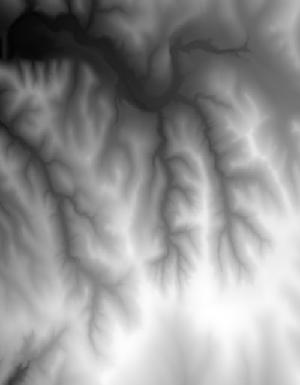
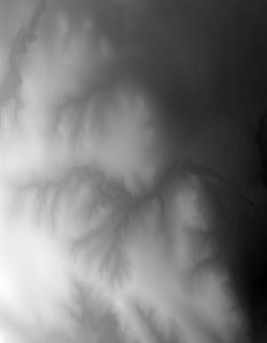
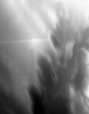
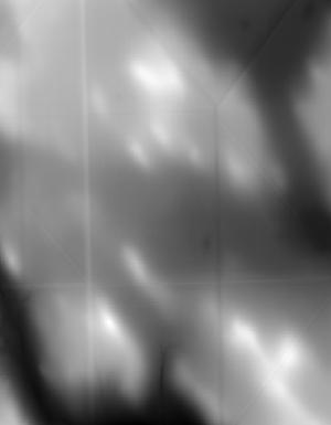
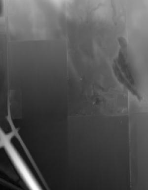
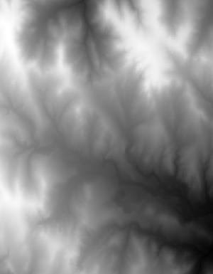
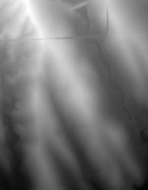
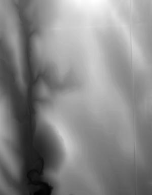
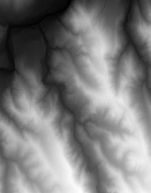