WARNING TO USERS OF THIS SYSTEM
This computer system, including all related equipment, networks, and network devices (including Internet access), is provided by the Department of the Interior (DOI) in accordance with the agency policy for official use and limited personal use.
All agency computer systems may be monitored for all lawful purposes,
including but not limited to, ensuring that use is authorized, for management of the system, to facilitate protection against unauthorized access, and to verify security procedures, survivability and operational security. Any information on this computer system may be examined, recorded, copied and used for authorized purposes at any time.
All information, including personal information, placed or sent over this system may be monitored, and users of this system are reminded that such monitoring does occur. Therefore, there should be no expectation of privacy with respect to use of this system.
By logging into this agency computer system, you acknowledge and consent to the monitoring of this system. Evidence of your use, authorized or
unauthorized, collected during monitoring may be used for civil, criminal, administrative, or other adverse action. Unauthorized or illegal use may subject you to prosecution.
 Name Last modified Size Description
![[PARENTDIR]](/icons/back.gif) Parent Directory -
Parent Directory -
![[DIR]](/icons/folder.gif) vendor_provided_xml/ 2021-06-15 02:10 -
vendor_provided_xml/ 2021-06-15 02:10 -
![[ ]](/icons/unknown.gif) preassessment_KY_KYAPED-Area2_2012-June2013.xlsx 2020-12-04 17:05 10K
preassessment_KY_KYAPED-Area2_2012-June2013.xlsx 2020-12-04 17:05 10K
![[TXT]](/icons/text.gif) dirlist.log 2020-12-04 17:05 116K
XML_metadata/ 2021-06-15 02:09 -
USGS_RawFlightline_DeliverableListing_05222013.log 2020-12-04 17:05 127K
Raster_DEM_Properties.xls 2020-12-04 17:05 283K
Project_Area_2_LasAnalysis.xls 2020-12-04 17:05 698K
dirlist.log 2020-12-04 17:05 116K
XML_metadata/ 2021-06-15 02:09 -
USGS_RawFlightline_DeliverableListing_05222013.log 2020-12-04 17:05 127K
Raster_DEM_Properties.xls 2020-12-04 17:05 283K
Project_Area_2_LasAnalysis.xls 2020-12-04 17:05 698K
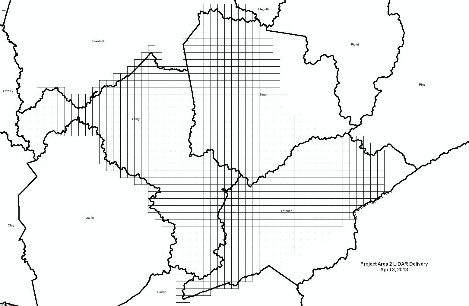
![[IMG]](/icons/image2.gif) Project Area 2 LiDAR Delivery.jpg 2020-12-04 17:05 173K
LasAnalysis.xls 2020-12-04 17:05 791K
KY_Statewide_DEM_Metadata_PA2.xml 2020-12-04 17:05 7.7K
KY_Statewide_DEM_Metadata.xml 2020-12-04 17:05 8.1K
KY_Statewide_ClassifedLAS_Metadata_PA2.xml.bak 2020-12-04 17:05 9.1K
KY_Statewide_ClassifedLAS_Metadata_PA2.xml 2020-12-04 17:05 9.1K
Project Area 2 LiDAR Delivery.jpg 2020-12-04 17:05 173K
LasAnalysis.xls 2020-12-04 17:05 791K
KY_Statewide_DEM_Metadata_PA2.xml 2020-12-04 17:05 7.7K
KY_Statewide_DEM_Metadata.xml 2020-12-04 17:05 8.1K
KY_Statewide_ClassifedLAS_Metadata_PA2.xml.bak 2020-12-04 17:05 9.1K
KY_Statewide_ClassifedLAS_Metadata_PA2.xml 2020-12-04 17:05 9.1K
![[ ]](/icons/layout.gif) KY_KYAPED-Area2_2012.pdf 2020-12-04 17:05 510K
KYStatewide2012_PA2_SurveyReport.pdf 2020-12-04 17:05 148M
KYStatewide2012_LiDAR_Report.pdf 2020-12-04 17:05 1.9M
Final_LiDAR_Delivery.pdf 2020-12-04 17:05 288K
KY_KYAPED-Area2_2012.pdf 2020-12-04 17:05 510K
KYStatewide2012_PA2_SurveyReport.pdf 2020-12-04 17:05 148M
KYStatewide2012_LiDAR_Report.pdf 2020-12-04 17:05 1.9M
Final_LiDAR_Delivery.pdf 2020-12-04 17:05 288K