WARNING TO USERS OF THIS SYSTEM
This computer system, including all related equipment, networks, and network devices (including Internet access), is provided by the Department of the Interior (DOI) in accordance with the agency policy for official use and limited personal use.
All agency computer systems may be monitored for all lawful purposes,
including but not limited to, ensuring that use is authorized, for management of the system, to facilitate protection against unauthorized access, and to verify security procedures, survivability and operational security. Any information on this computer system may be examined, recorded, copied and used for authorized purposes at any time.
All information, including personal information, placed or sent over this system may be monitored, and users of this system are reminded that such monitoring does occur. Therefore, there should be no expectation of privacy with respect to use of this system.
By logging into this agency computer system, you acknowledge and consent to the monitoring of this system. Evidence of your use, authorized or
unauthorized, collected during monitoring may be used for civil, criminal, administrative, or other adverse action. Unauthorized or illegal use may subject you to prosecution.
 Name Last modified Size Description
![[PARENTDIR]](/icons/back.gif) Parent Directory -
Parent Directory -
![[ ]](/icons/unknown.gif) Thumbs.db 2020-12-04 16:00 25K
Thumbs.db 2020-12-04 16:00 25K
![[ ]](/icons/compressed.gif) RTK_TestPoints_MobileCounty_2014.zip 2020-12-04 16:00 8.4K
RTK_TestPoints.xlsx 2020-12-04 16:00 18K
RTK_TestPoints_MobileCounty_2014.zip 2020-12-04 16:00 8.4K
RTK_TestPoints.xlsx 2020-12-04 16:00 18K
![[ ]](/icons/layout.gif) Mobile_Survey_Report_Final_Revised_25AUG2014_OrthoGroundControl.pdf 2020-12-04 16:00 24M
Mobile_Co_LiDAR_Final_Revised_20150622.pdf 2020-12-04 16:00 27M
Mobile_Survey_Report_Final_Revised_25AUG2014_OrthoGroundControl.pdf 2020-12-04 16:00 24M
Mobile_Co_LiDAR_Final_Revised_20150622.pdf 2020-12-04 16:00 27M
![[TXT]](/icons/text.gif) areaE.txt 2020-12-04 16:00 320
areaD.txt 2020-12-04 16:00 2.4K
areaC.txt 2020-12-04 16:00 2.5K
areaB.txt 2020-12-04 16:00 2.9K
areaA.txt 2020-12-04 16:00 2.9K
Mobile_County_Swath.xml 2020-12-04 16:00 15K
Mobile_County_LiDAR_metadata.html 2020-12-04 16:00 21K
Mobile_County_LiDAR_Project.xml 2020-12-04 16:00 16K
Mobile_County_LiDAR_Intensity_Imagery_metadata.xml 2020-12-04 16:00 15K
Mobile_County_FirstReturn_DEM_metadata.xml 2020-12-04 16:00 15K
Mobile_County_DEM.xml 2020-12-04 16:00 16K
Mobile_County_Classified_LiDAR.xml 2020-12-04 16:00 15K
Mobile_County_Breaklines.xml 2020-12-04 16:00 17K
Mobile_Co_LiDAR_Final_Revised_02SEPT2014_Checkpoints.pdf 2020-12-04 16:00 27M
Mobile_AL_Lidar.pdf 2020-12-04 16:00 1.0M
areaE.txt 2020-12-04 16:00 320
areaD.txt 2020-12-04 16:00 2.4K
areaC.txt 2020-12-04 16:00 2.5K
areaB.txt 2020-12-04 16:00 2.9K
areaA.txt 2020-12-04 16:00 2.9K
Mobile_County_Swath.xml 2020-12-04 16:00 15K
Mobile_County_LiDAR_metadata.html 2020-12-04 16:00 21K
Mobile_County_LiDAR_Project.xml 2020-12-04 16:00 16K
Mobile_County_LiDAR_Intensity_Imagery_metadata.xml 2020-12-04 16:00 15K
Mobile_County_FirstReturn_DEM_metadata.xml 2020-12-04 16:00 15K
Mobile_County_DEM.xml 2020-12-04 16:00 16K
Mobile_County_Classified_LiDAR.xml 2020-12-04 16:00 15K
Mobile_County_Breaklines.xml 2020-12-04 16:00 17K
Mobile_Co_LiDAR_Final_Revised_02SEPT2014_Checkpoints.pdf 2020-12-04 16:00 27M
Mobile_AL_Lidar.pdf 2020-12-04 16:00 1.0M
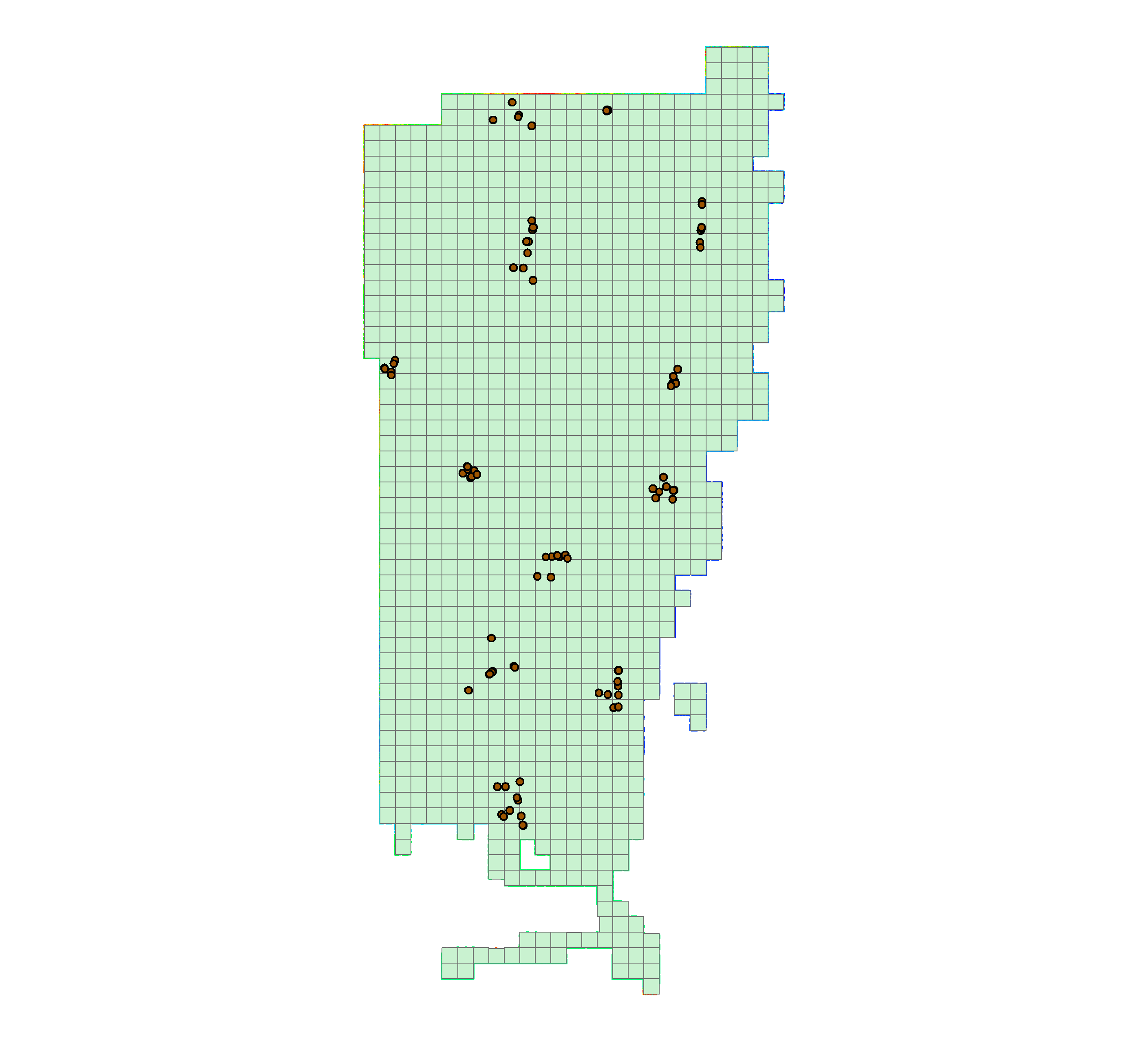
![[IMG]](/icons/image2.gif) DEM_tiles_overview.png 2020-12-04 16:00 66K
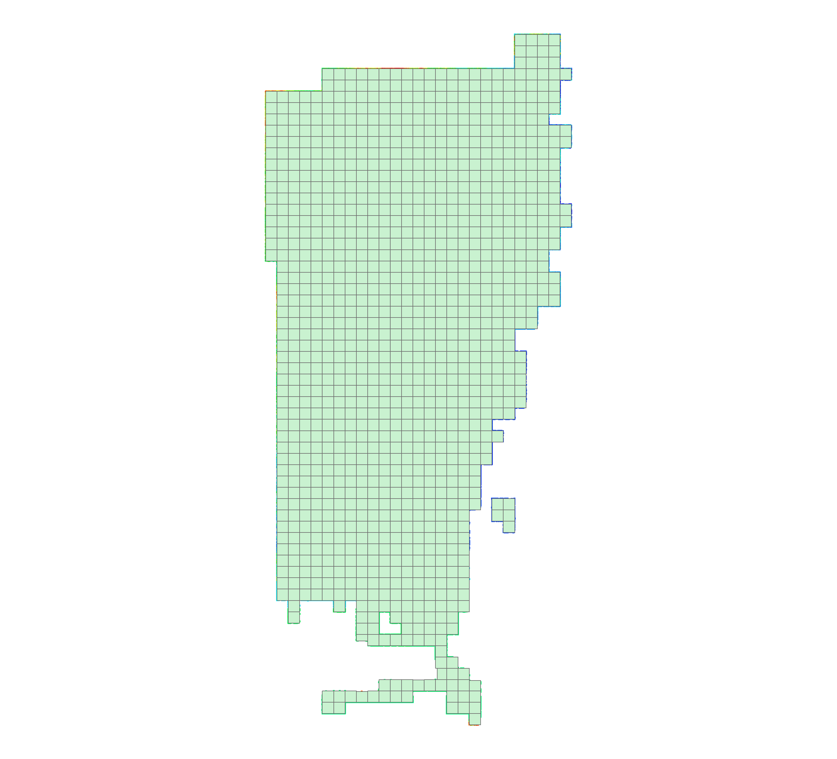
DEM_Tiles_nopoints_overview.png 2020-12-04 16:00 56K
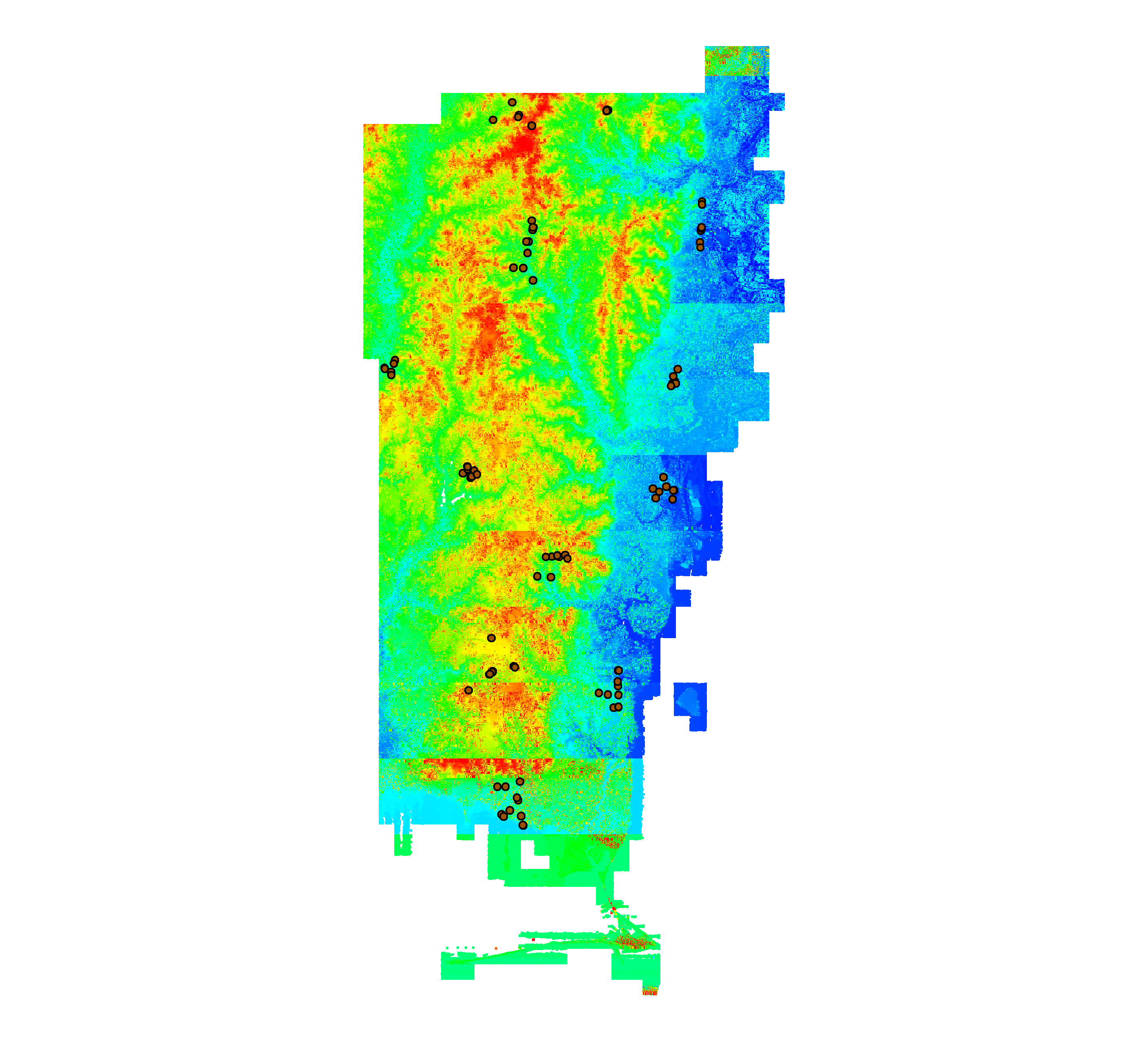
Classified_overview.png 2020-12-04 16:00 1.8M
13165_Mobile_AL_AerialTriangulation_Report .pdf 2020-12-04 16:00 803K
13165_LiDAR_Aquisition_Report_20141020.pdf 2020-12-04 16:00 381K
13165_Aerial_LiDAR_Report_20141125.pdf 2020-12-04 16:00 6.3M
DEM_tiles_overview.png 2020-12-04 16:00 66K
DEM_Tiles_nopoints_overview.png 2020-12-04 16:00 56K
Classified_overview.png 2020-12-04 16:00 1.8M
13165_Mobile_AL_AerialTriangulation_Report .pdf 2020-12-04 16:00 803K
13165_LiDAR_Aquisition_Report_20141020.pdf 2020-12-04 16:00 381K
13165_Aerial_LiDAR_Report_20141125.pdf 2020-12-04 16:00 6.3M